Trails in France
15,926 hiking trails, each with its route, climb, walking time and grade.
All trails, page 108 of 332
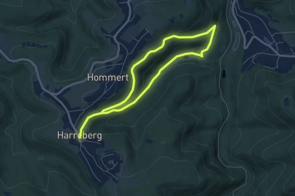
Medium · Trail
Disque jaune
8.8 km · ↑ 360 m · 2 h 51 min
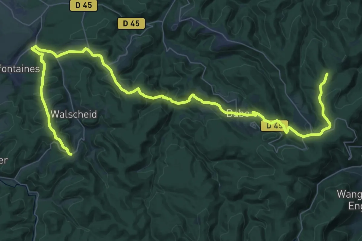
Demanding · Trail
disque rouge 1
22.1 km · ↑ 631 m · 6 h 56 min
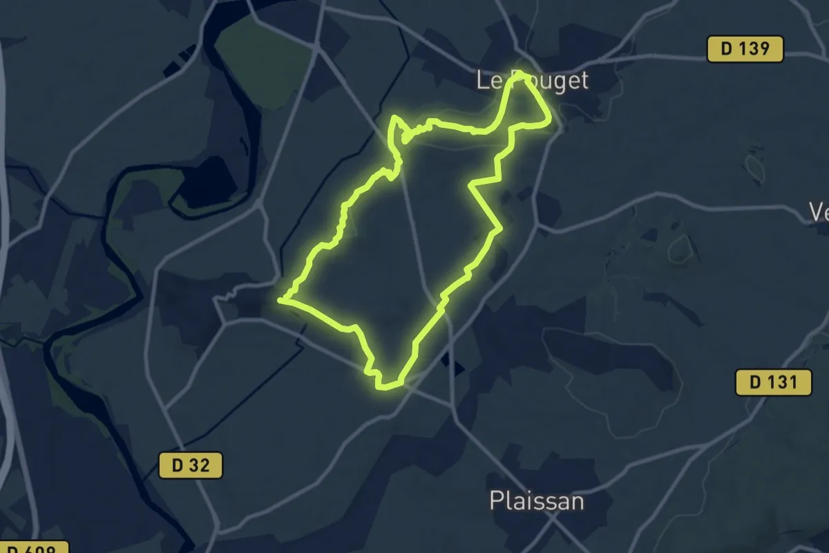
Medium · Trail
Dolmen et Fossé des Yeux
9.7 km · ↑ 116 m · 2 h 40 min
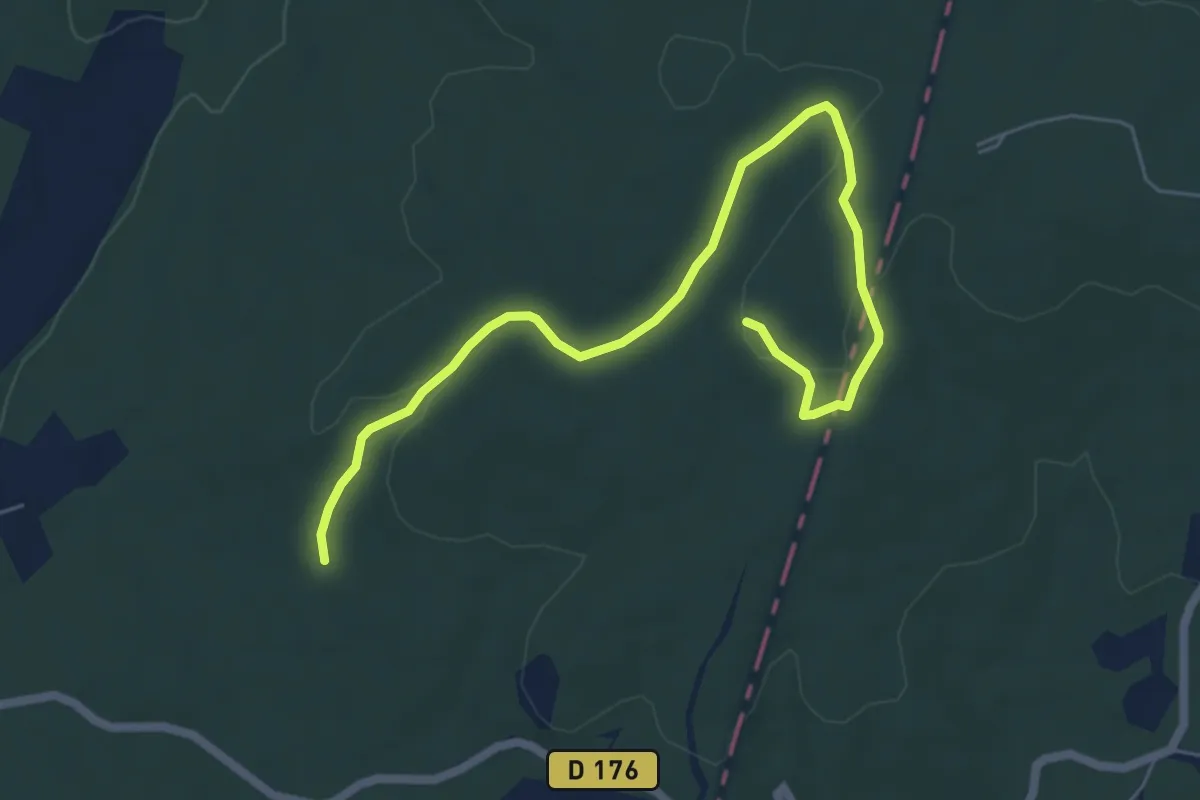
Easy · Trail
Dolmens et capitelles
3.5 km · ↑ 93 m · 1 h 3 min
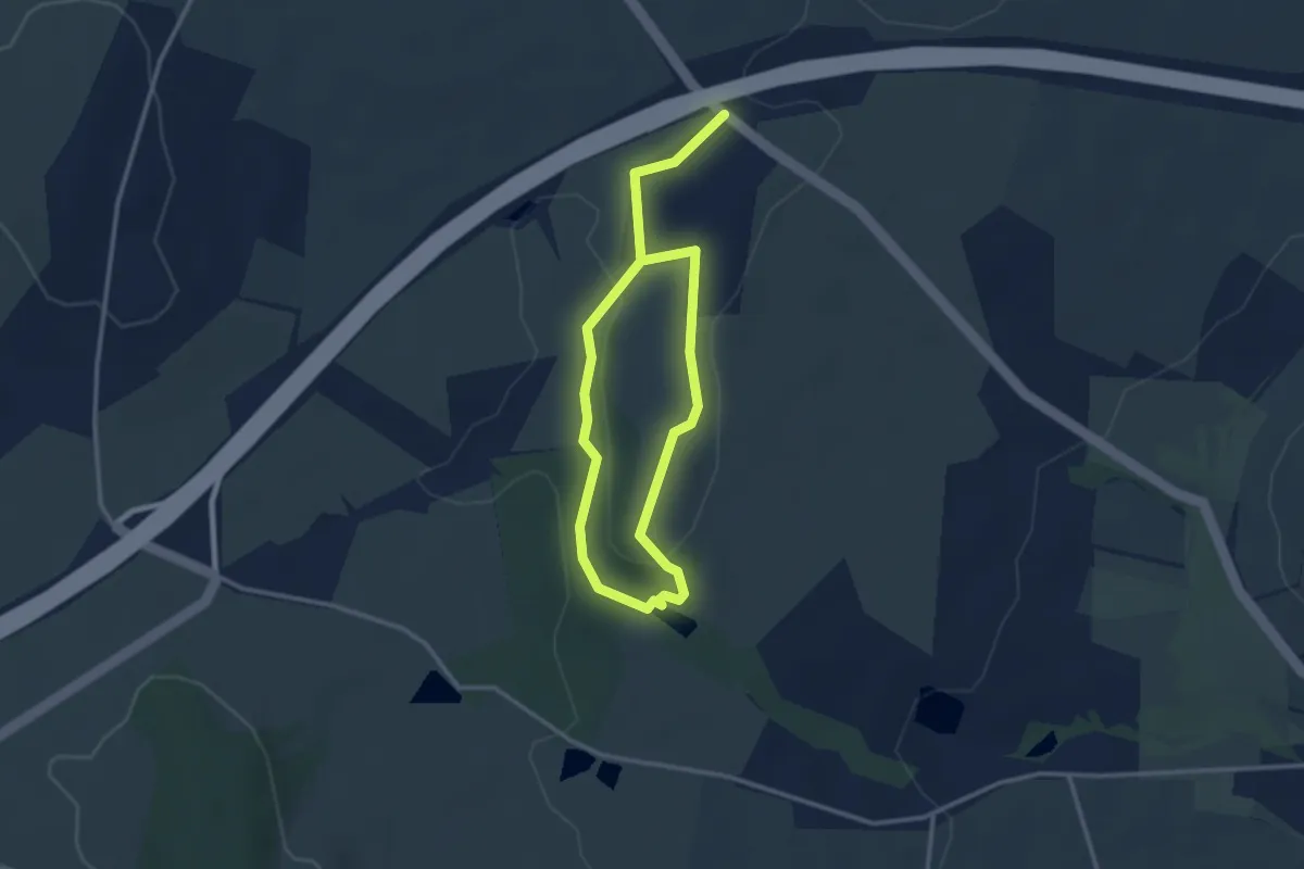
Easy · Trail
Domaine de Chazoux
2.4 km · ↑ 13 m · 37 min
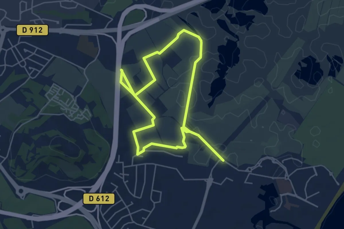
Medium · Trail
Domaine de Maraval
8.4 km · ↑ 42 m · 2 h 5 min
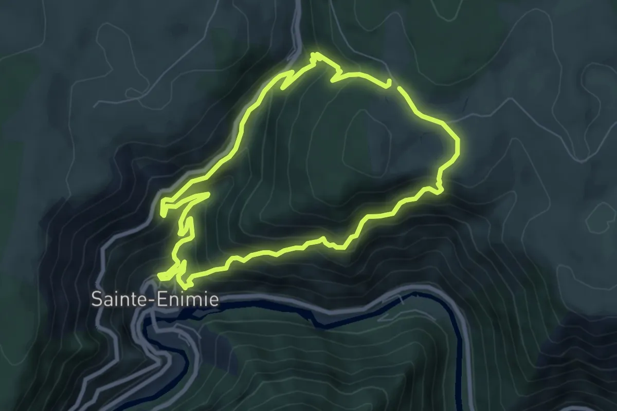
Medium · Trail
Domaine des Boissets
7.1 km · ↑ 519 m · 2 h 54 min
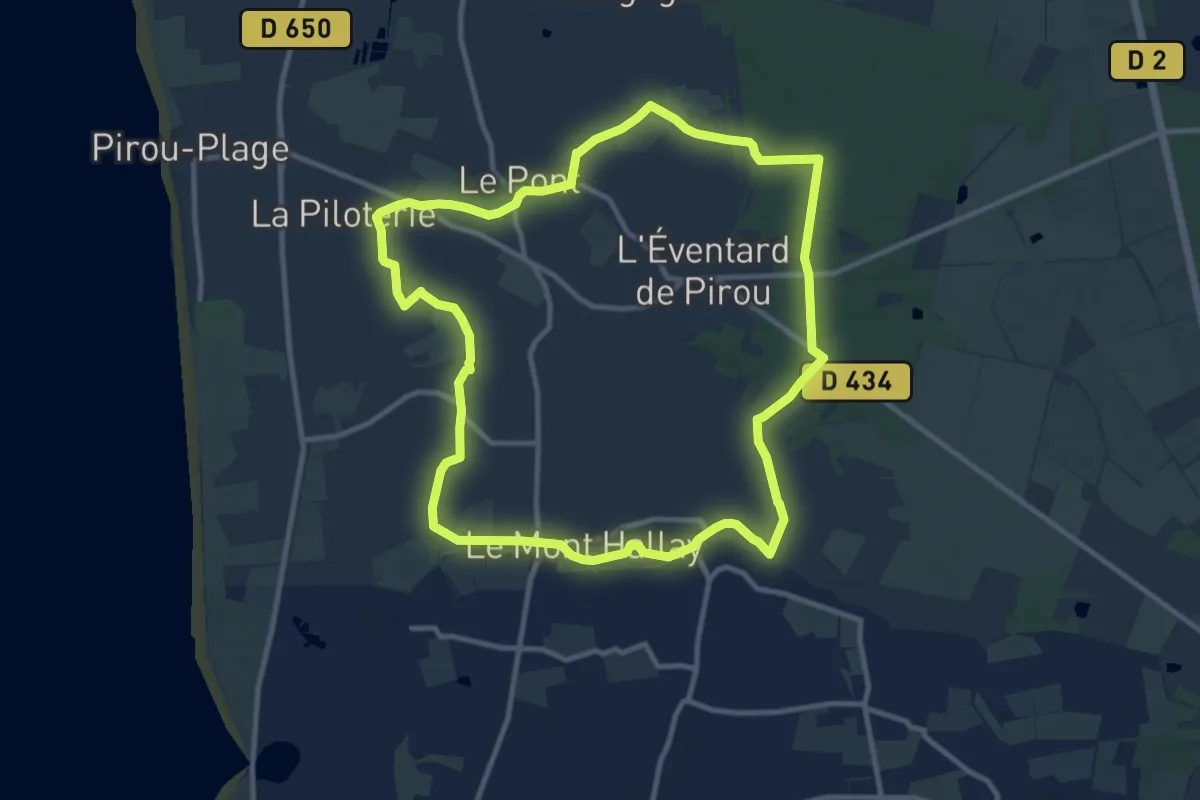
Medium · Trail
Donjon et moulin de Pirou
10.5 km · ↑ 30 m · 2 h 42 min
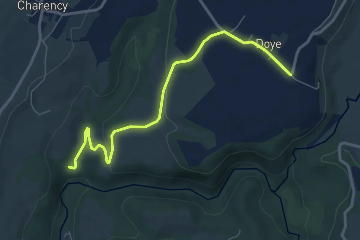
Easy · Trail
Doye - Le Moulinet
5.8 km · ↑ 114 m · 1 h 37 min
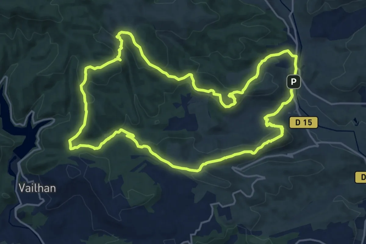
Medium · Trail
Drailles des Crozes
16.0 km · ↑ 570 m · 5 h 14 min
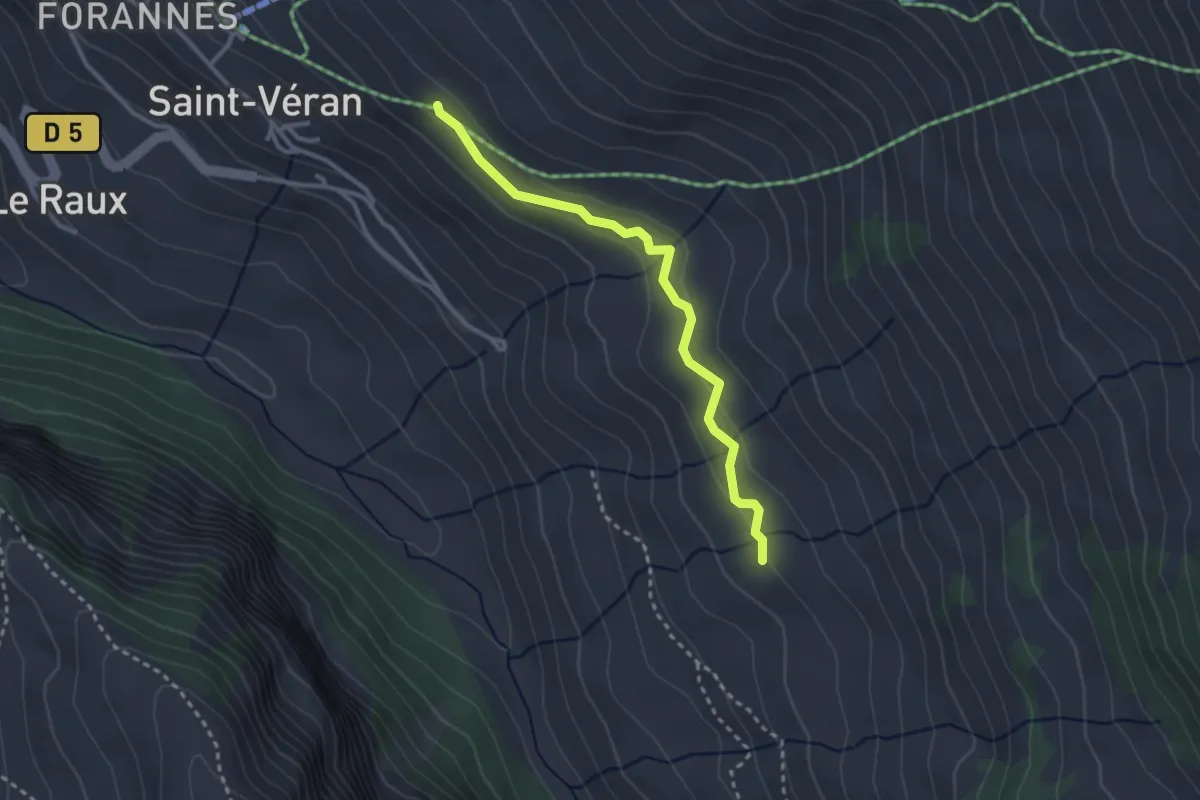
Easy · Trail
Draye de Ville - Sagnières
2.9 km · ↑ 80 m · 51 min
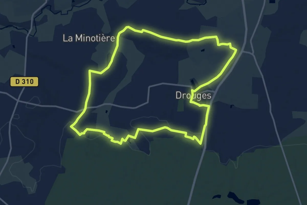
Medium · Trail
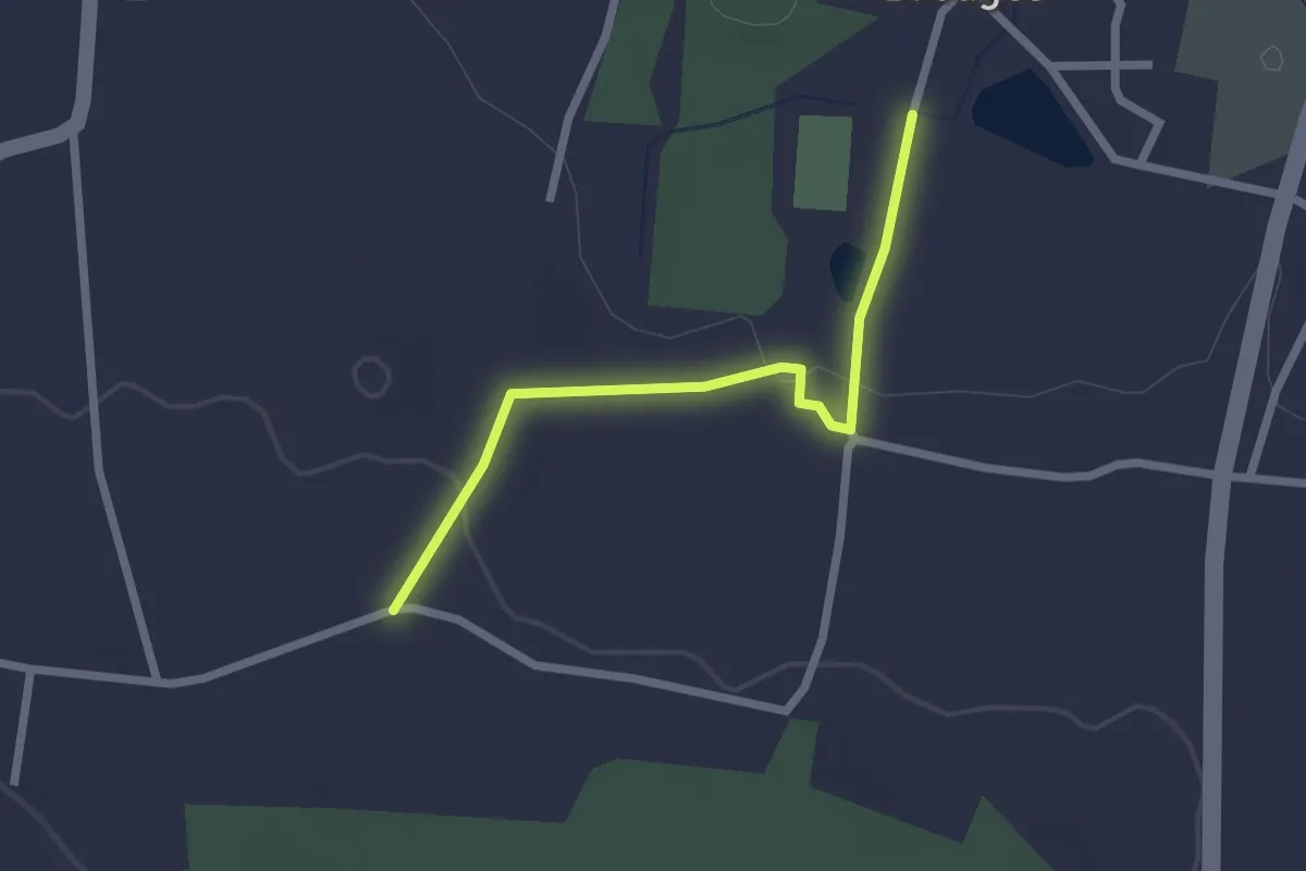
Drouges - les braconniers
11.7 km · ↑ 86 m · 3 h 6 min
Easy · Trail
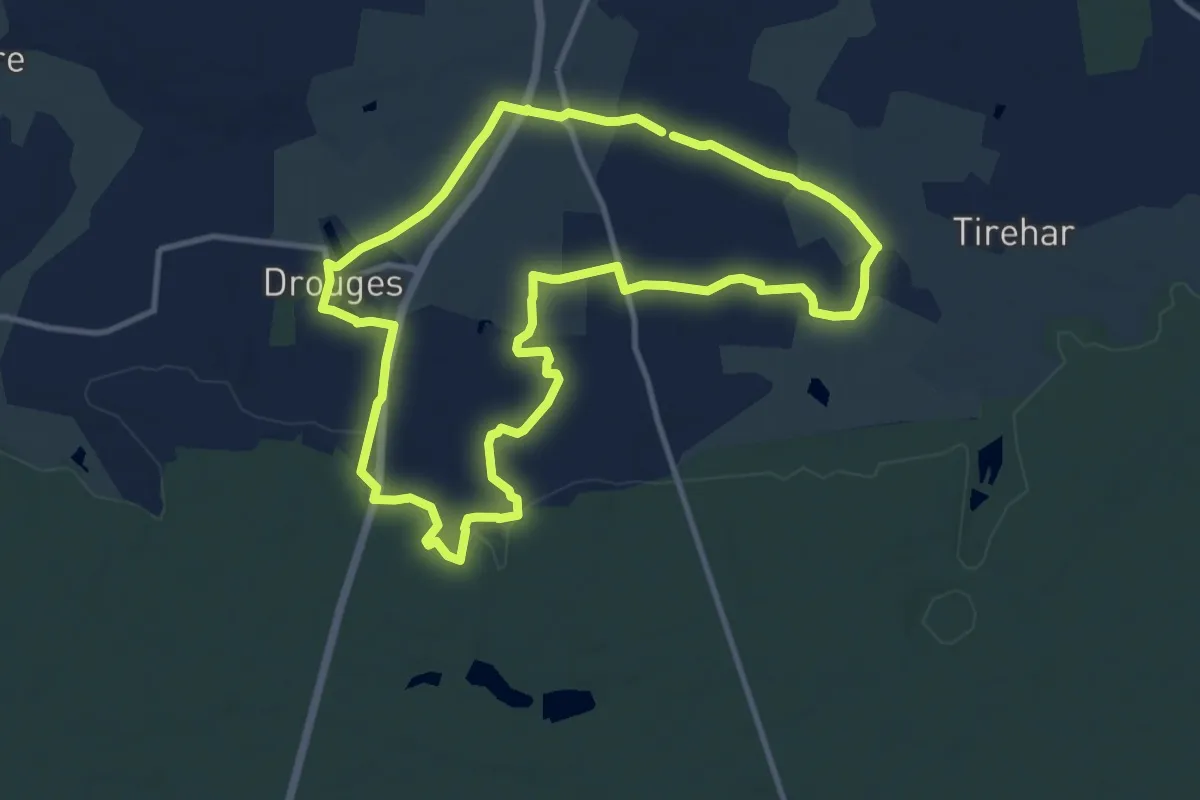
Drouges - les braconniers - variante
2.1 km · ↑ 28 m · 33 min
Medium · Trail
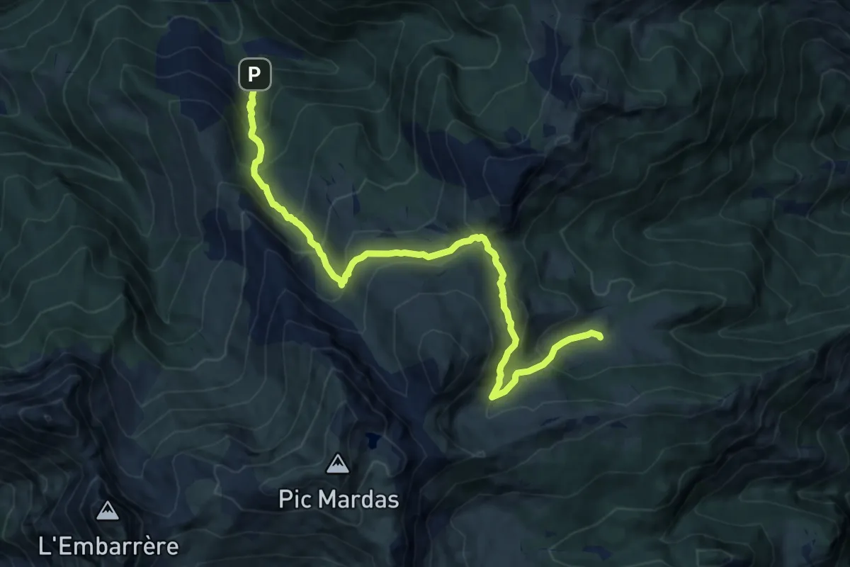
Drouges - les ruisseaux
10.7 km · ↑ 49 m · 2 h 47 min
Demanding · Cabin
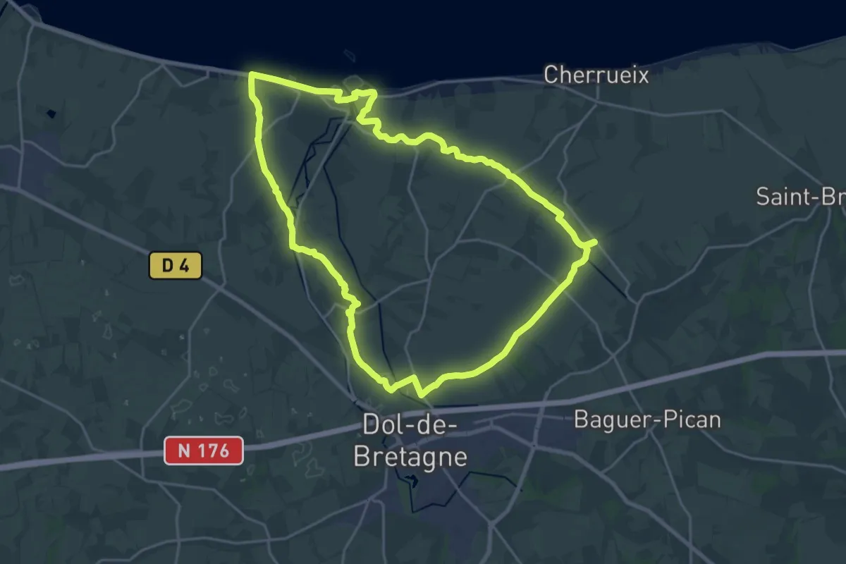
du Barca à la Cabane d'Arriutort asp106
12.5 km · ↑ 964 m · 5 h 2 min
Demanding · Summit
Du Bec à l'Ane
20.0 km · ↑ 54 m · 5 h 7 min
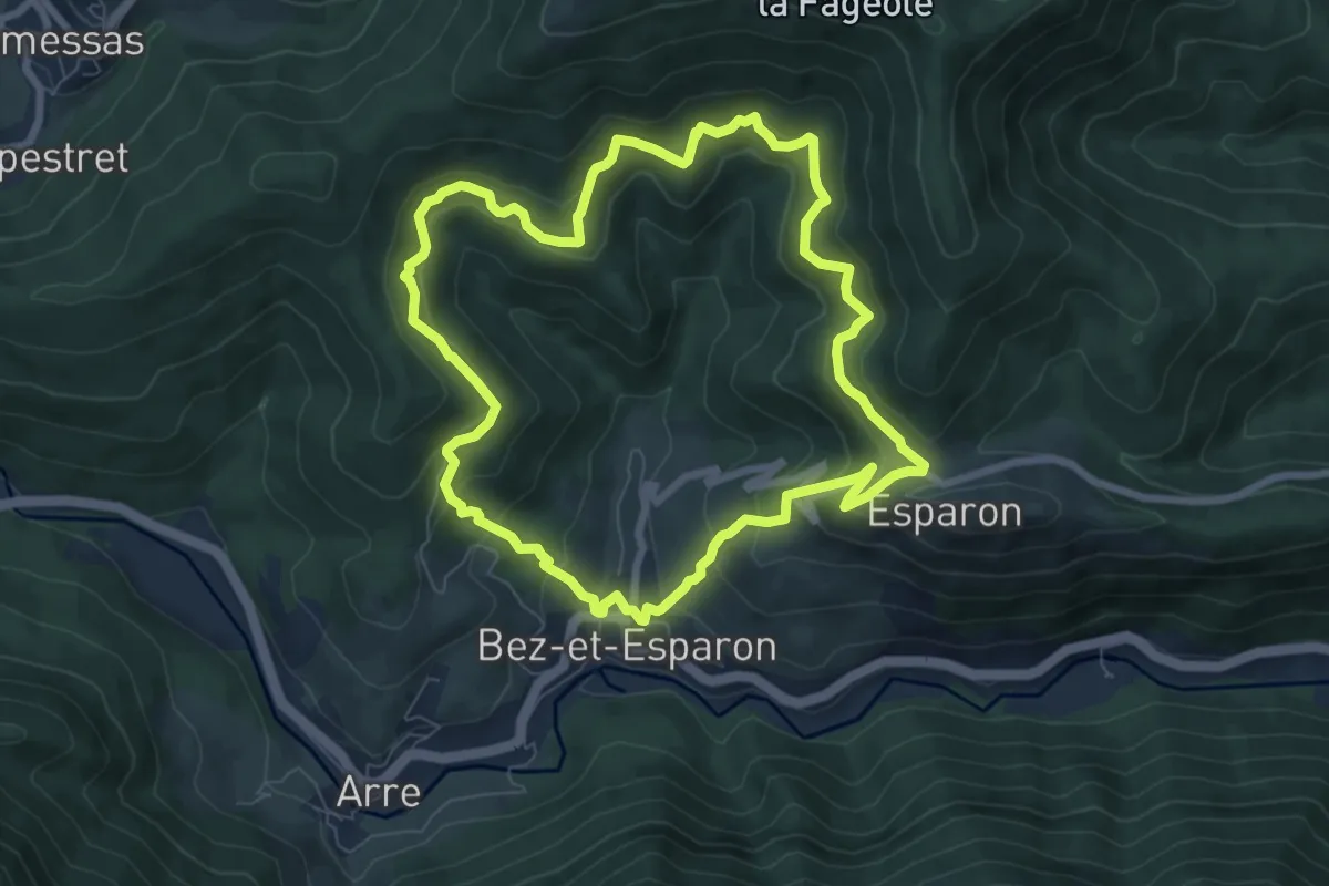
Medium · Trail
Du Bosc au valat de Merlason
7.8 km · ↑ 510 m · 3 h 3 min
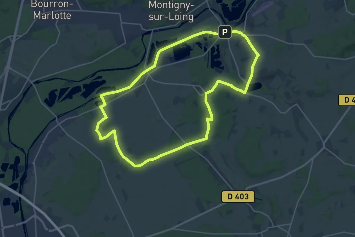
Medium · Trail
Du canal du Loing au berges du Lunain
17.0 km · ↑ 94 m · 4 h 27 min
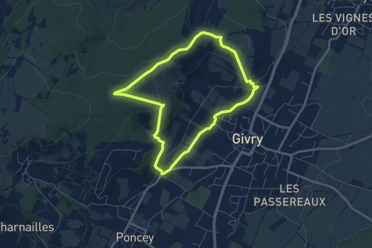
Easy · Trail
Du Cellier aux Moines
5.8 km · ↑ 157 m · 1 h 47 min
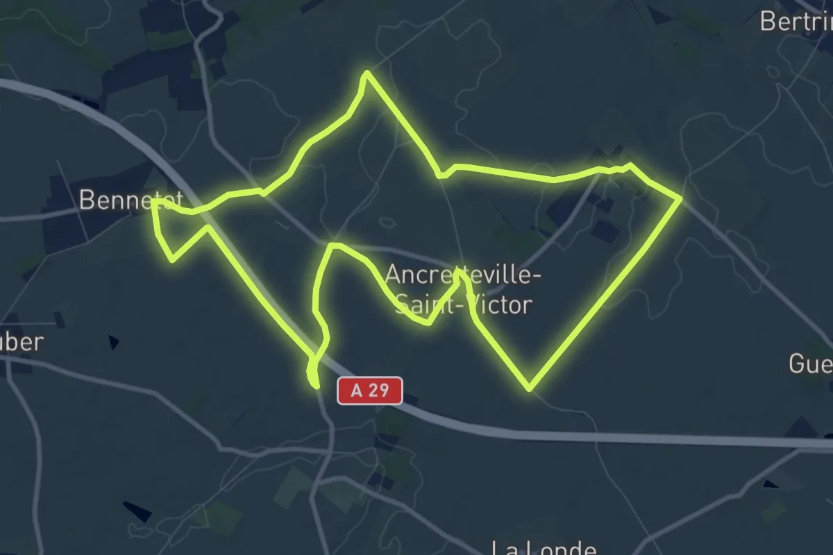
Medium · Trail
Du centre de la Seine-Maritime à la découverte de Notre-Dame-de-France
10.1 km · ↑ 50 m · 2 h 38 min
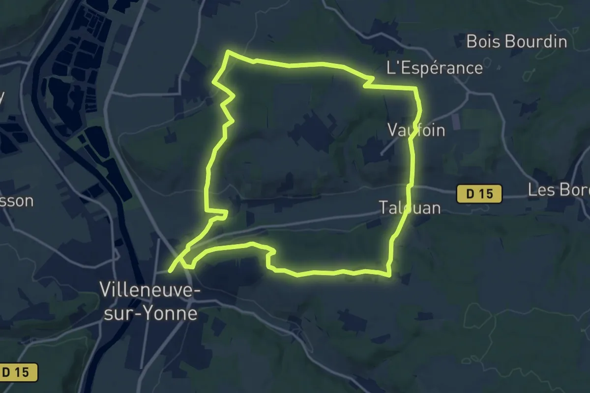
Medium · Trail
Du Champ du Guet au Chateau de Passy
14.8 km · ↑ 279 m · 4 h 18 min
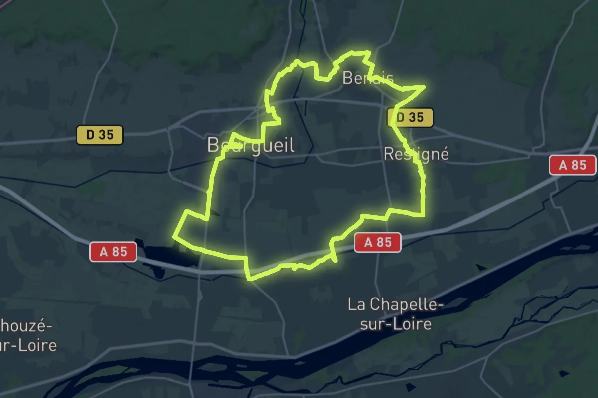
Demanding · Trail
Du Changeon au Lane - Bourgueil - Benais - Restigné
22.9 km · ↑ 45 m · 5 h 50 min
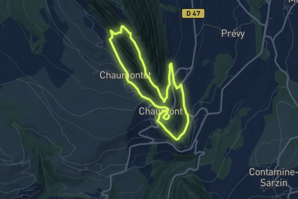
Medium · Cabin
Du Château de Chaumont à Vovray
7.1 km · ↑ 485 m · 2 h 49 min
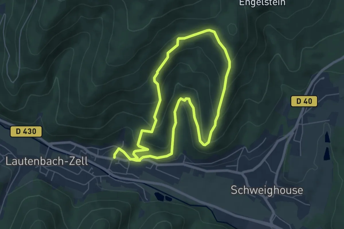
Easy · Trail
Du chemin creux au Langrucken
5.1 km · ↑ 282 m · 1 h 53 min
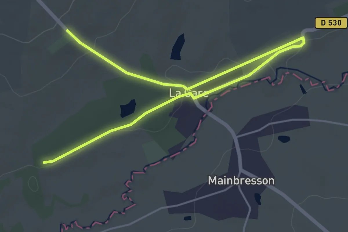
Easy · Trail
Du Chemin de Fer au Chemin Vert
2.8 km · ↑ 42 m · 47 min
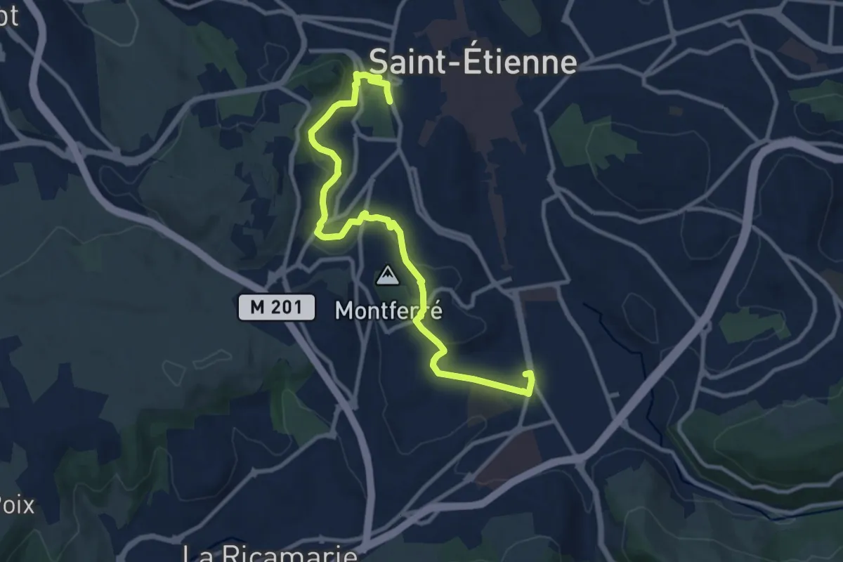
Medium · Trail
Du Clapier à Bellevue
11.2 km · ↑ 203 m · 3 h 4 min
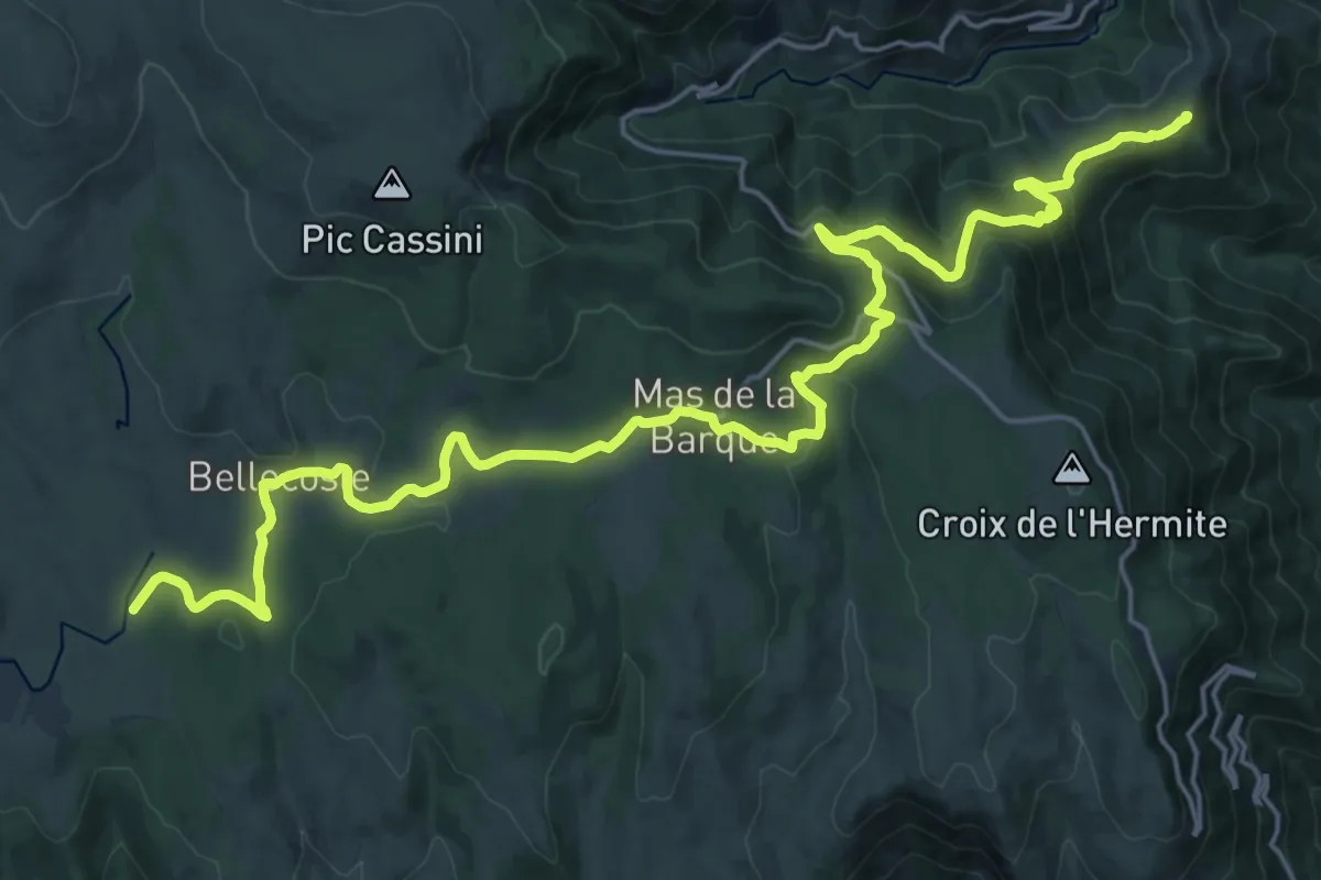
Demanding · Summit
Du Col du Bez à Barre-des-Cévennes (02)
27.9 km · ↑ 749 m · 8 h 12 min
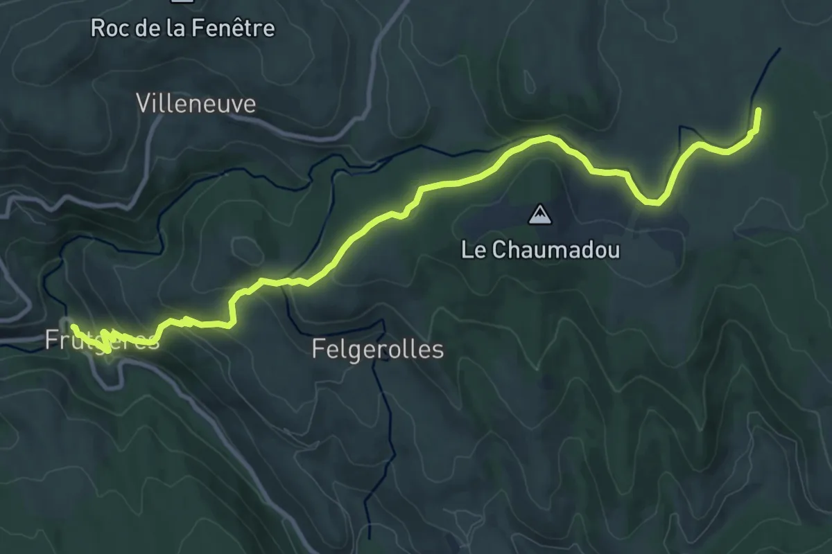
Medium · Trail
Du Col du Bez à Barre-des-Cévennes (03)
12.1 km · ↑ 386 m · 3 h 42 min
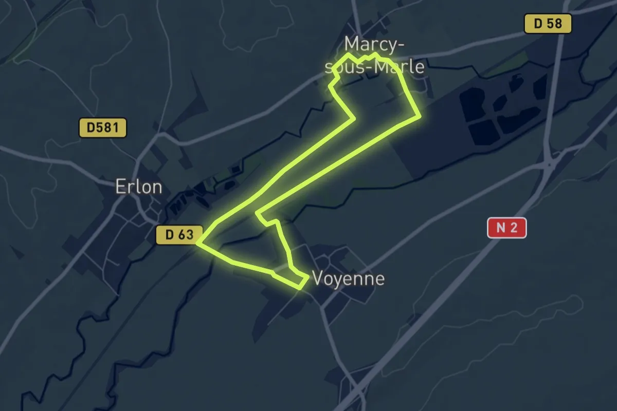
Easy · Trail
Du Côté du Terroir
5.6 km · ↑ 17 m · 1 h 27 min
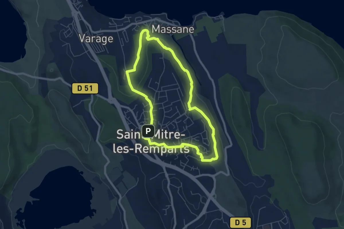
Easy · Trail
Du Crépon aux Rocalèdes
6.0 km · ↑ 131 m · 1 h 47 min
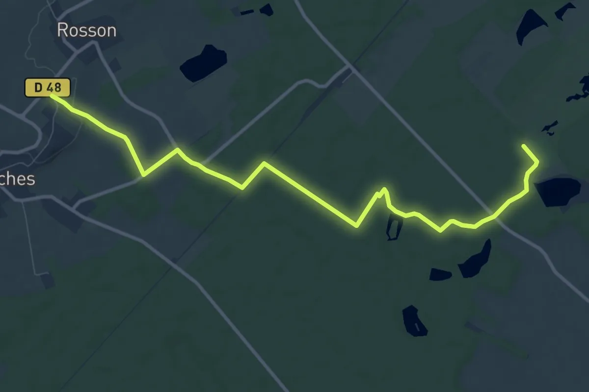
Medium · Trail
Du Domaine de la Forêt d'Orient à Dosches
10.4 km · ↑ 45 m · 2 h 33 min
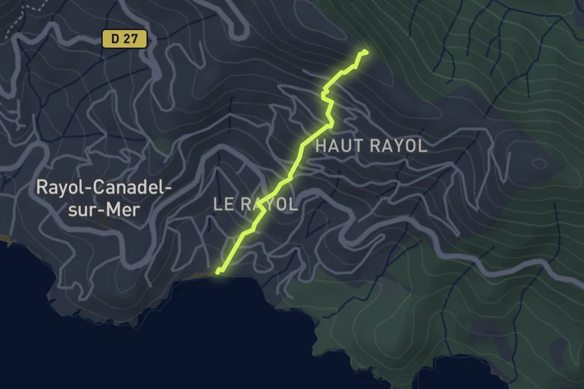
Easy · Trail
Du Drapeau à la Mer
2.7 km · ↑ 265 m · 1 h 13 min
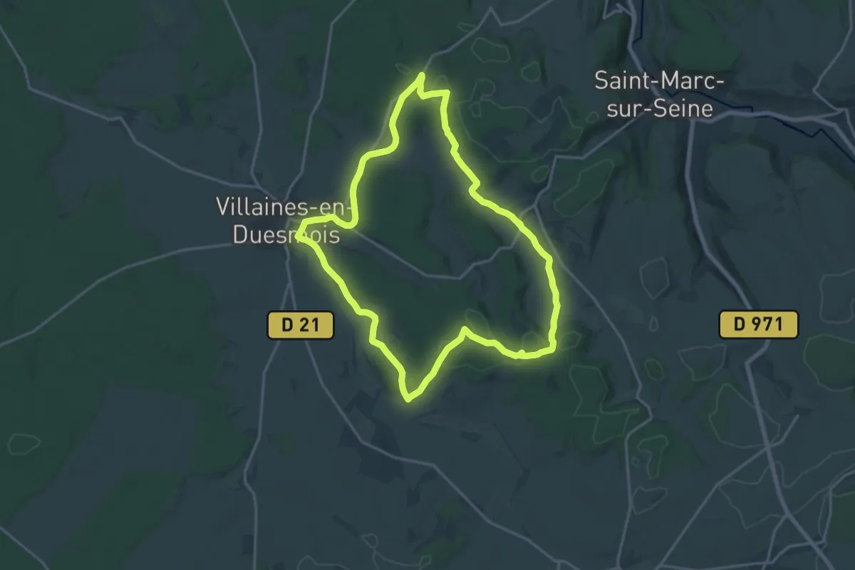
Medium · Trail
Duesmois Nord
16.4 km · ↑ 223 m · 4 h 35 min
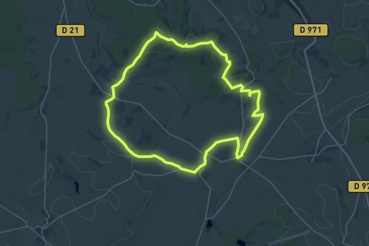
Medium · Trail
Duesmois Sud
17.1 km · ↑ 215 m · 4 h 44 min
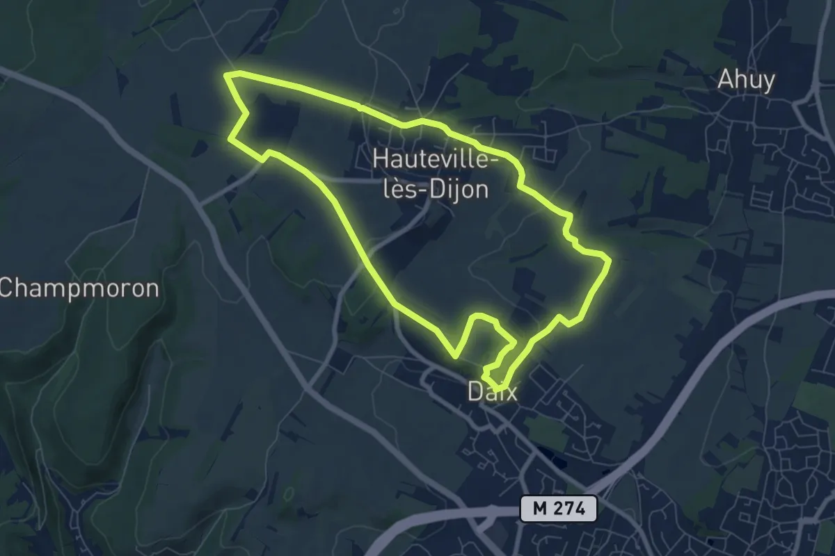
Easy · Trail
Du Fort de Hauteville au Plain Saint-Laurent
7.6 km · ↑ 111 m · 2 h 9 min
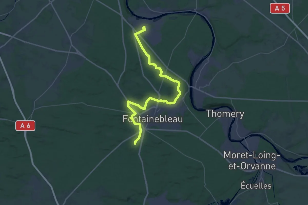
Demanding · Trail
Du Gâtinais au Morvan, Bois-le-Roi - Fontainebleau
19.3 km · ↑ 222 m · 5 h 18 min
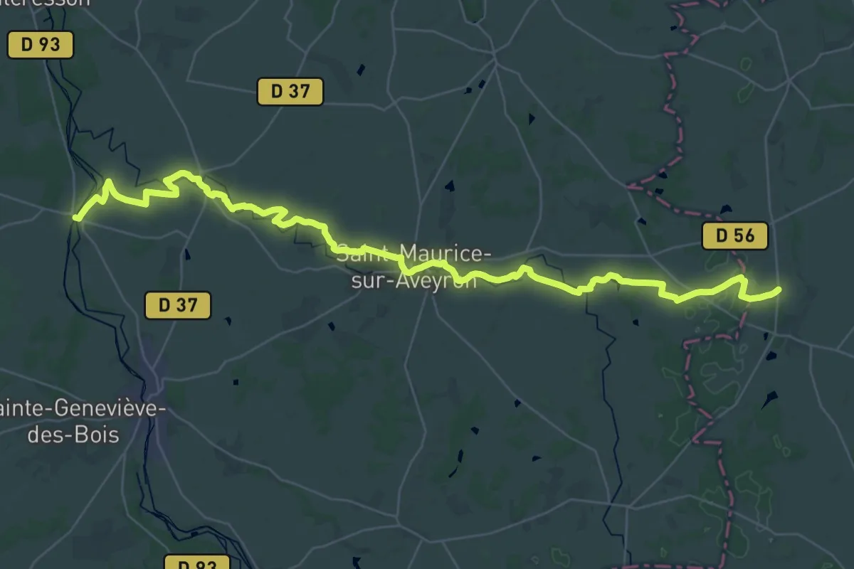
Demanding · Trail
Du Gâtinais au Morvan, Montbouy - Auxerre
22.4 km · ↑ 155 m · 5 h 59 min
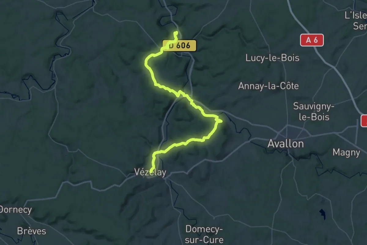
Demanding · Trail
Du Gatinais Au Morvan, Saint-Moré - Vézelay
25.0 km · ↑ 671 m · 7 h 38 min
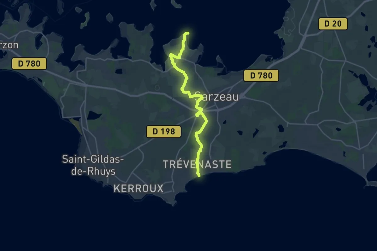
Demanding · Trail
Du Golfe à l'Océan
18.9 km · ↑ 138 m · 4 h 46 min
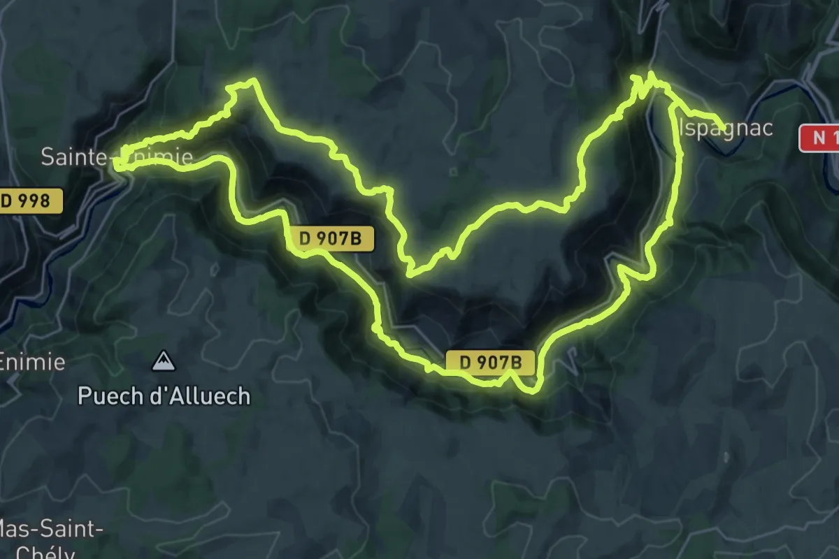
Demanding · Trail
Du haut Tarn à la cité médiévale
33.9 km · ↑ 1081 m · 10 h 50 min
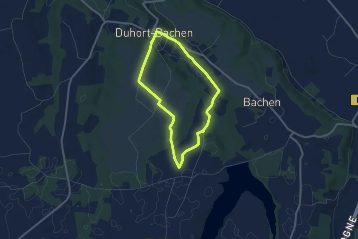
Easy · Trail
Duhort-Bachen - Circuit des vallons du Lourden
5.3 km · ↑ 77 m · 1 h 30 min
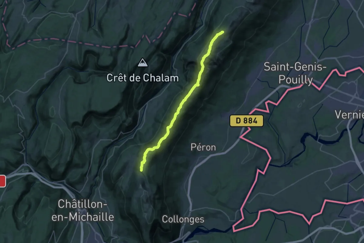
Demanding · Summit
Du Jura à la Méditerranée, Refuge de la Loge - La Corne
29.2 km · ↑ 1261 m · 9 h 38 min
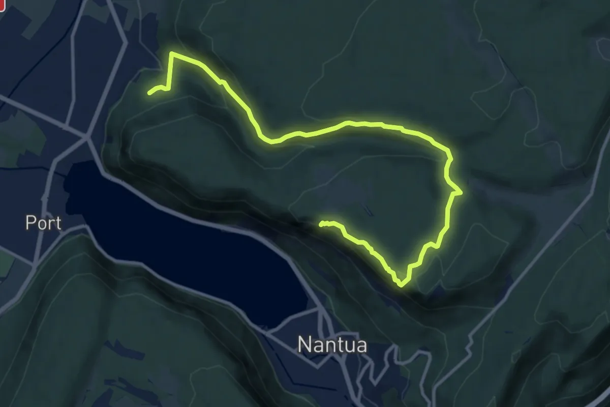
Medium · Trail
Du Landeyron aux Fècles
12.5 km · ↑ 563 m · 4 h 10 min
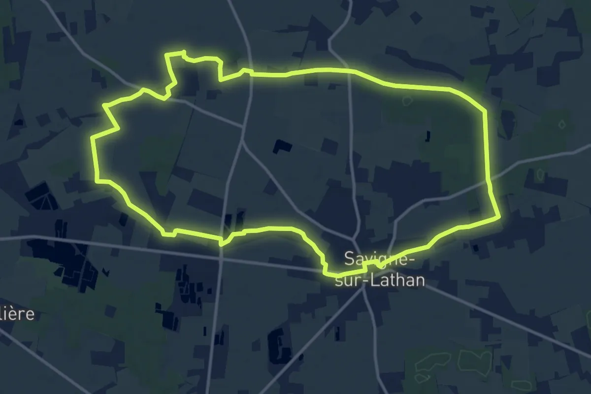
Medium · Trail
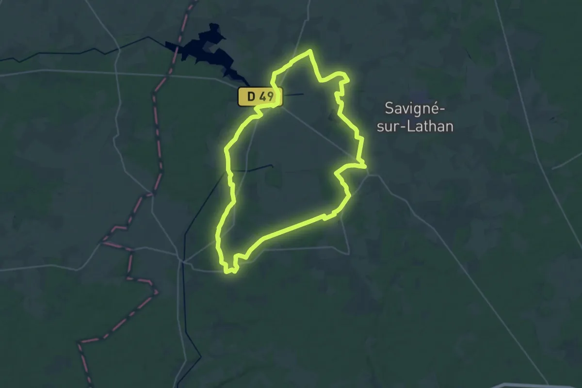
Du Lathan à la Sarre - Savigné-sur-Lathan
12.3 km · ↑ 23 m · 3 h 7 min
Demanding · Trail
Du Lathan au Changeon - Hommes-Rillé-Continvoir
28.2 km · ↑ 116 m · 7 h 19 min
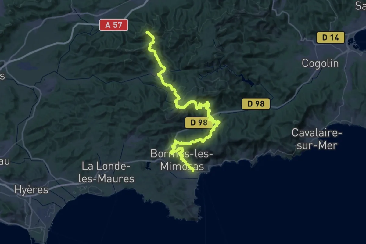
Demanding · Summit
Du Lavandou à Notre-Dame des Anges
77.8 km · ↑ 3449 m · 25 h 51 min
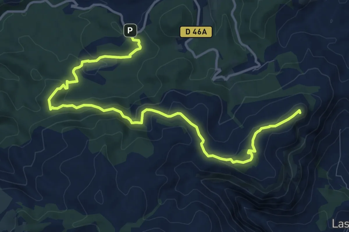
Medium · Summit
Du Mont du Marseillais au poteau GB-71
12.7 km · ↑ 425 m · 3 h 55 min
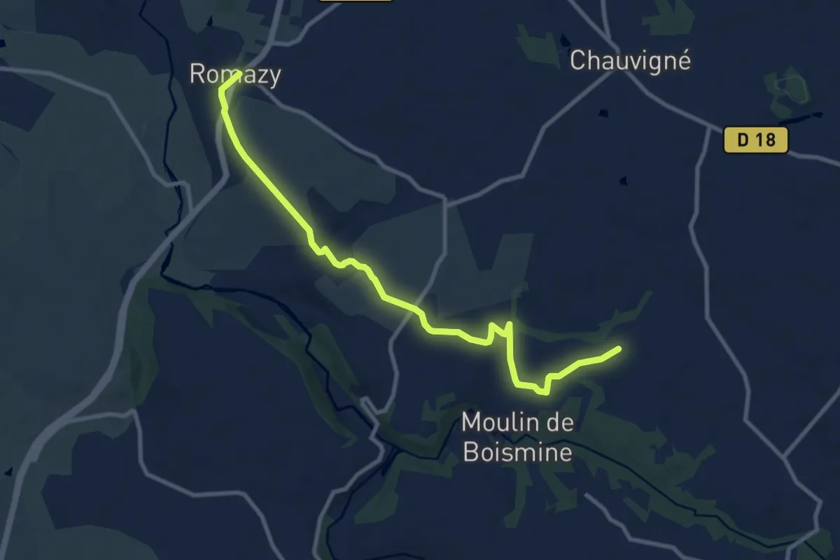
Medium · Trail
Du Mont-Saint-Michel à Guérande (Variante)
9.4 km · ↑ 100 m · 2 h 26 min