Trails in France
15,926 hiking trails, each with its route, climb, walking time and grade.
All trails, page 107 of 332
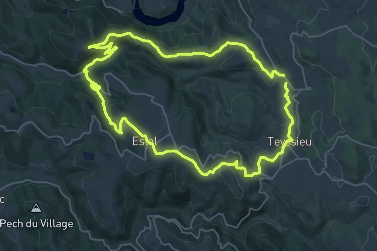
Medium · Summit
De Teyssieu à Estal
14.2 km · ↑ 486 m · 4 h 36 min
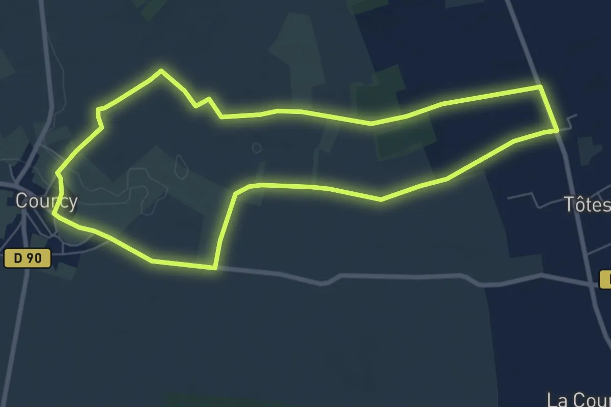
Easy · Trail
De Tôtes à Courcy
6.4 km · ↑ 13 m · 1 h 37 min
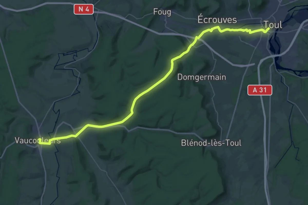
Demanding · Trail
De Toul à Vaucouleurs
21.7 km · ↑ 306 m · 6 h 4 min
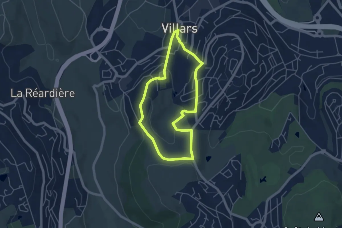
Easy · Trail
Détours
3.9 km · ↑ 140 m · 1 h 16 min
Demanding · Summit
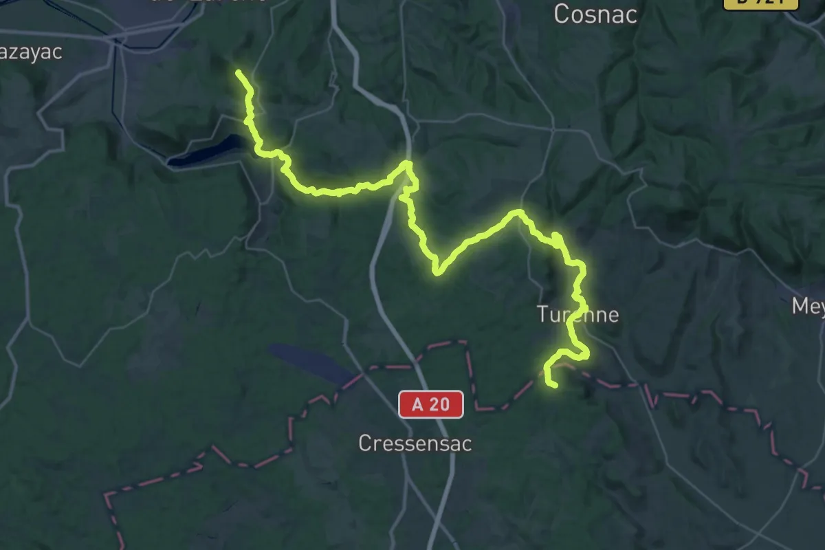
De Tours à Toulouse 04, Brive-la-Gaillarde - Vers
50.1 km · ↑ 1270 m · 14 h 35 min
Demanding · Trail
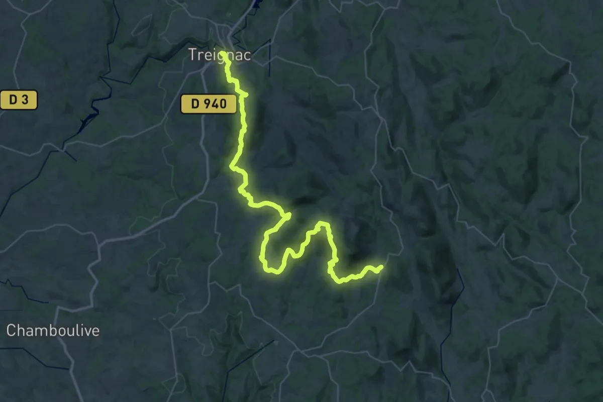
De Treignac à Chaumeil
23.2 km · ↑ 744 m · 7 h 30 min
Demanding · Summit
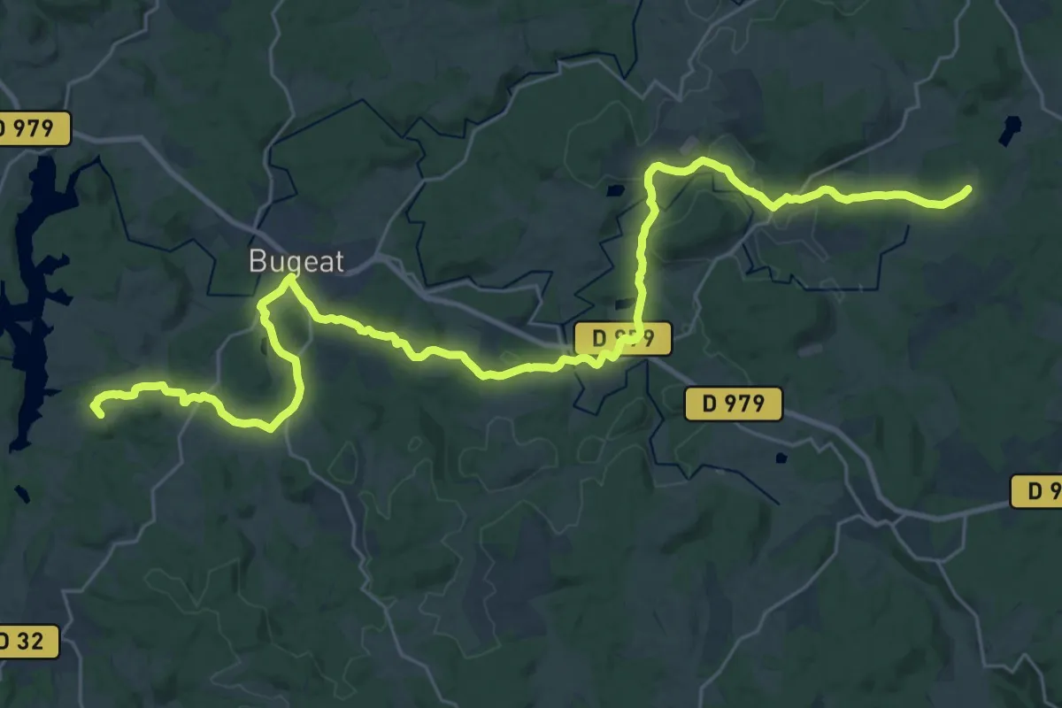
De Treignac à Saint-Merd
35.7 km · ↑ 692 m · 9 h 55 min
Easy · Trail
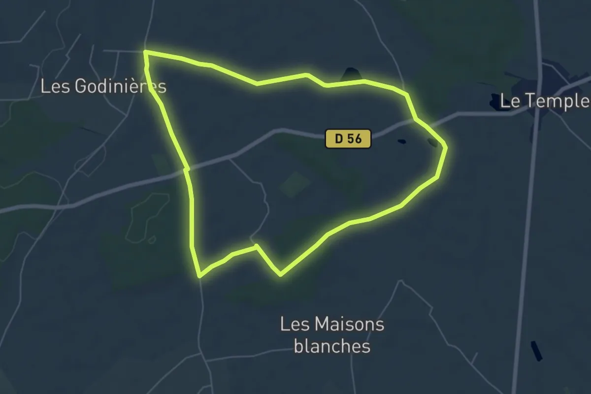
De trogne en trogne
5.7 km · ↑ 35 m · 1 h 31 min
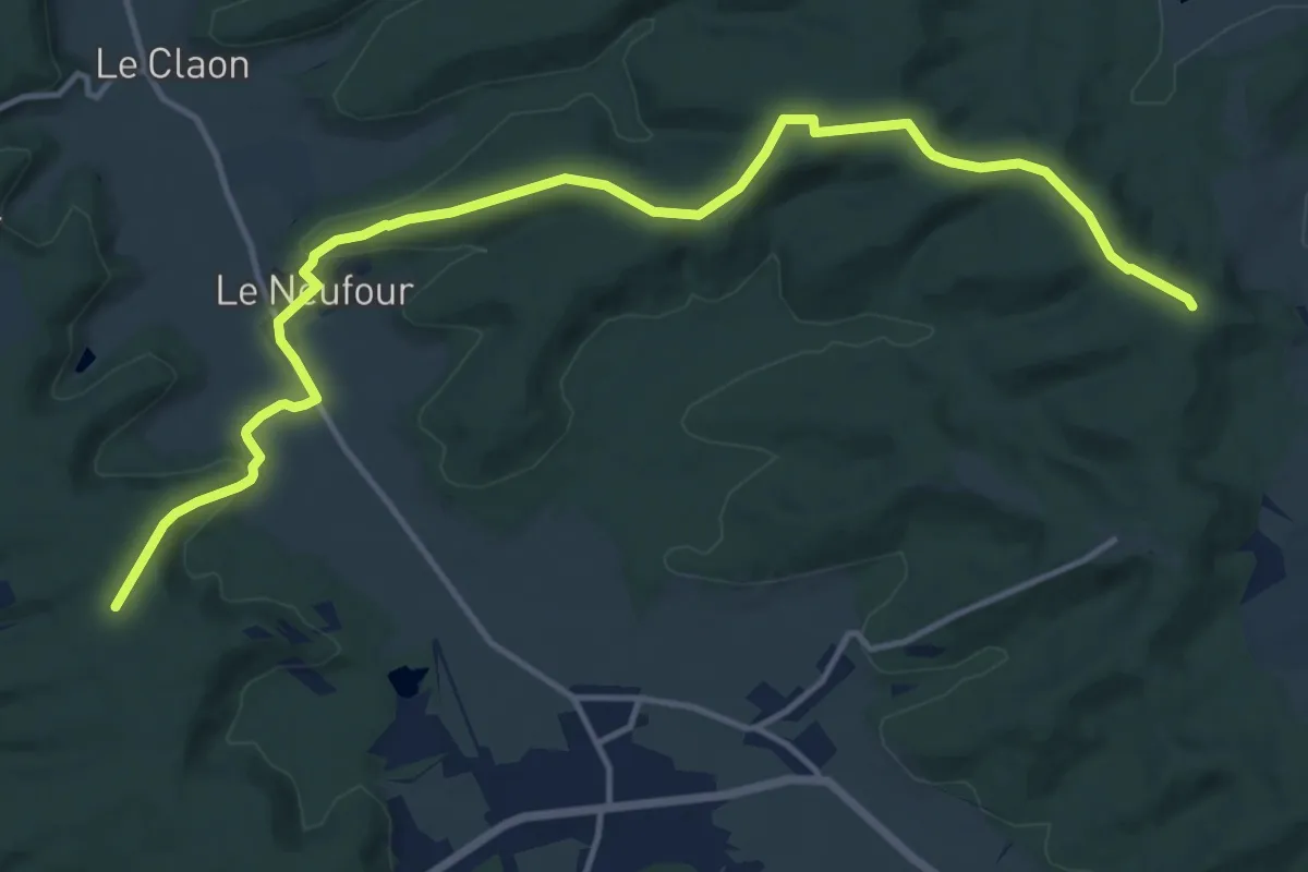
Medium · Trail
De Trois-Fontaines à Lochères
15.4 km · ↑ 281 m · 4 h 15 min
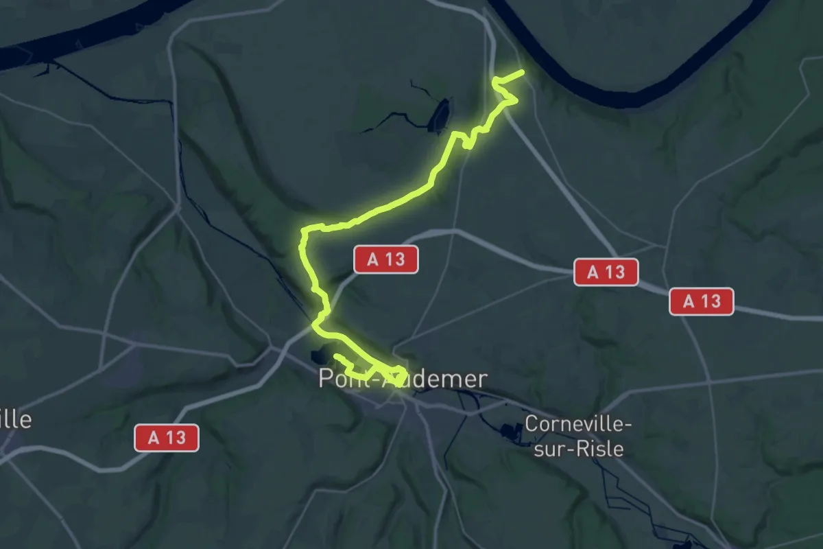
Demanding · Trail
De Trouville à Pont-Audemer
20.1 km · ↑ 193 m · 5 h 30 min
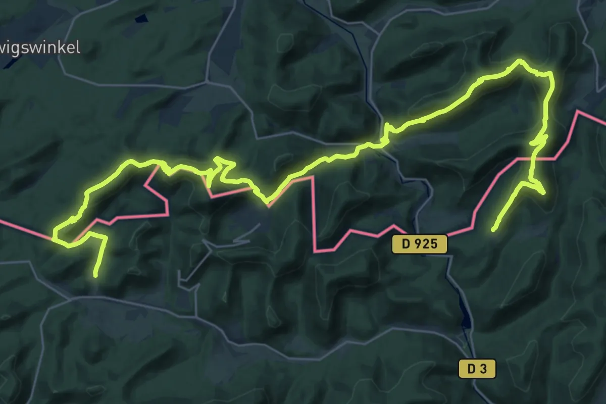
Demanding · Summit
Deutsch-Französischer Burgenweg
19.2 km · ↑ 1002 m · 6 h 56 min
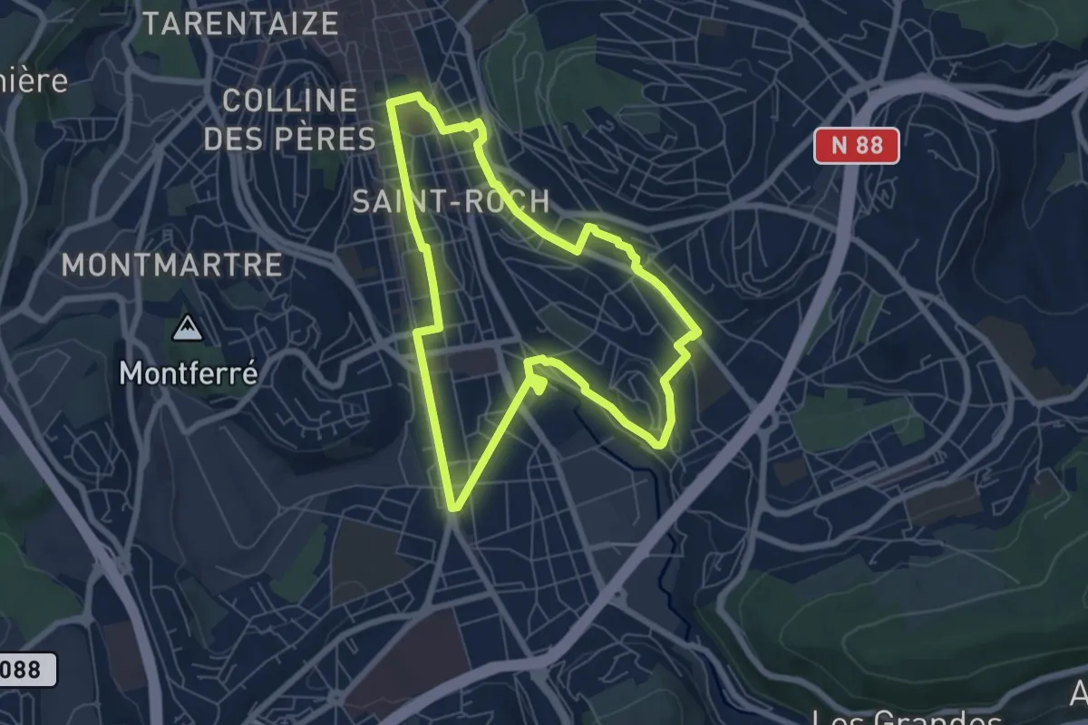
Easy · Trail
De Valbenoîte à la Charité
6.4 km · ↑ 81 m · 1 h 47 min
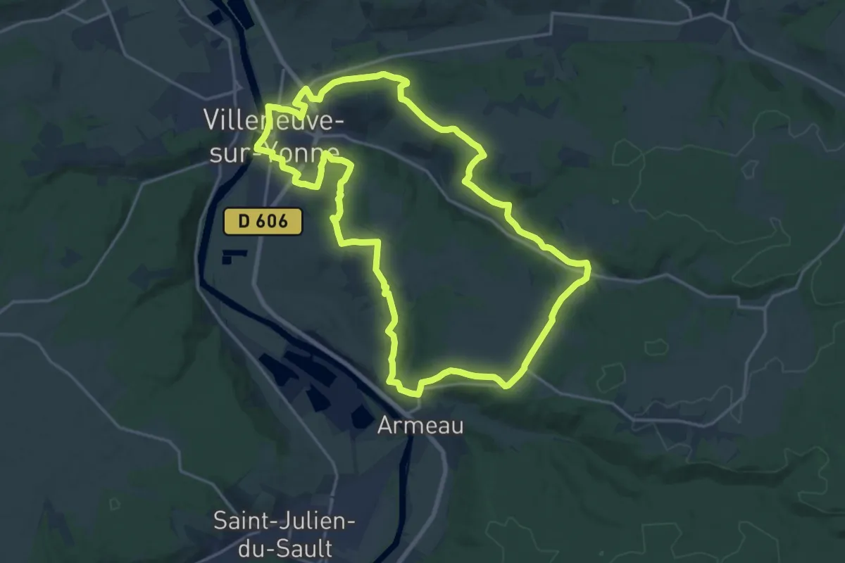
Demanding · Trail
De Valprofonde à Chantereine, plein feux sur Villeneuve-sur-Yonne
18.1 km · ↑ 309 m · 5 h 12 min
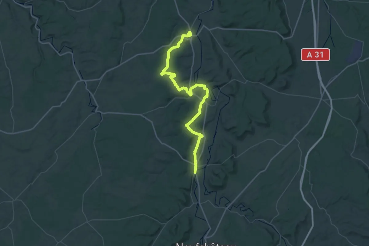
Demanding · Trail
De Vaucouleurs à Domrémy-la-Pucelle
31.9 km · ↑ 552 m · 9 h 9 min
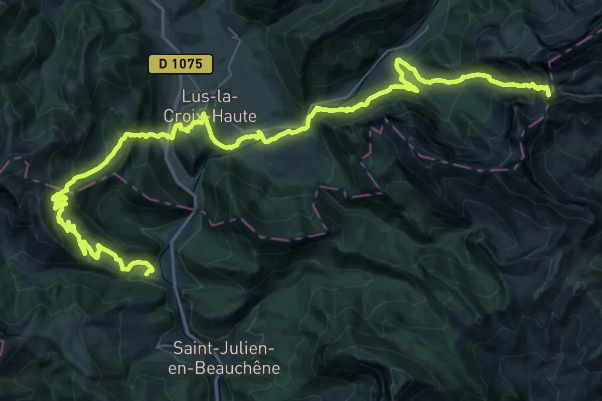
Demanding · Summit
De Vaunières au Col des Praux
43.7 km · ↑ 2777 m · 16 h 20 min
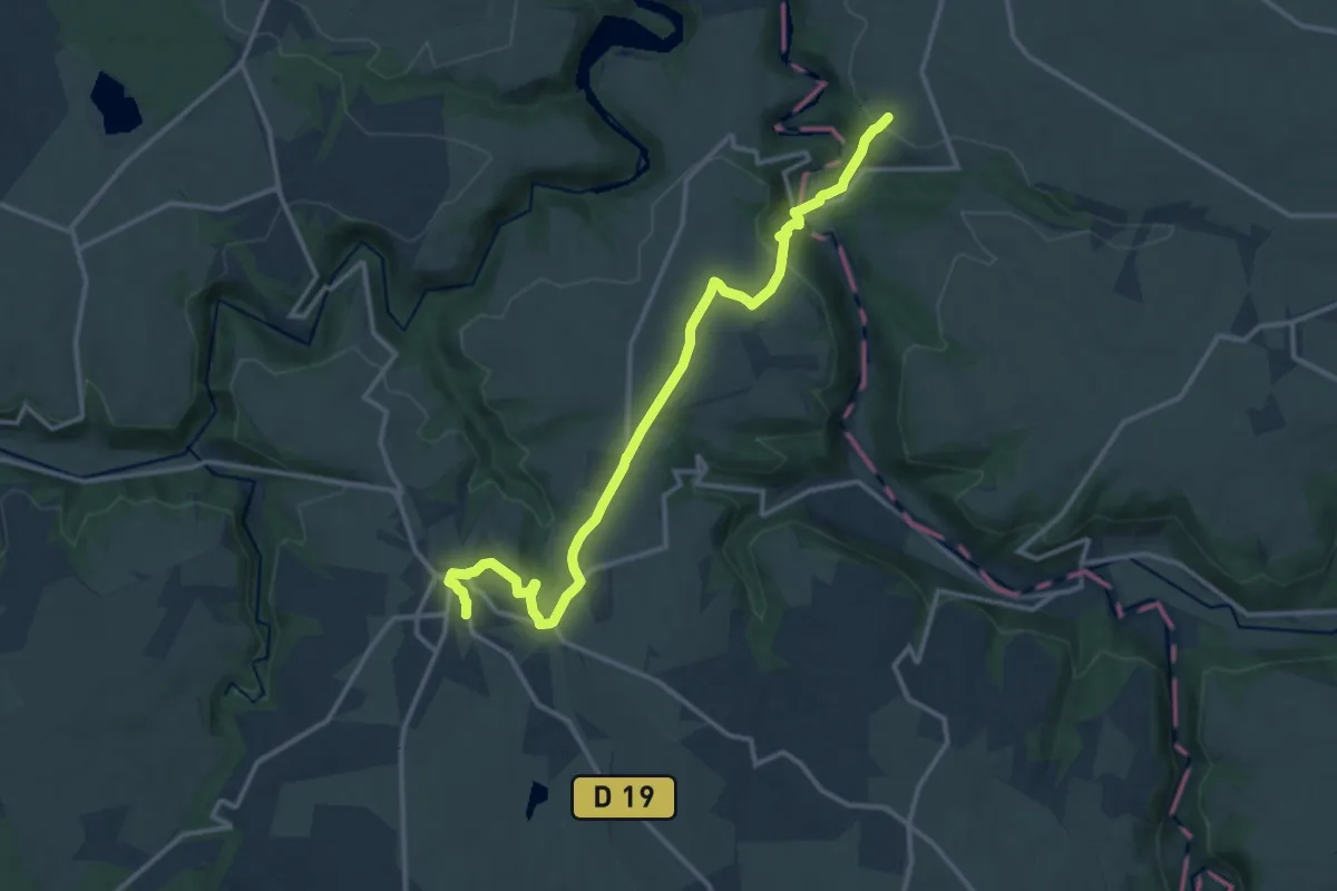
Medium · Trail
D'Evaux-les-Bains à Néris-les-Bains
14.5 km · ↑ 359 m · 4 h 13 min
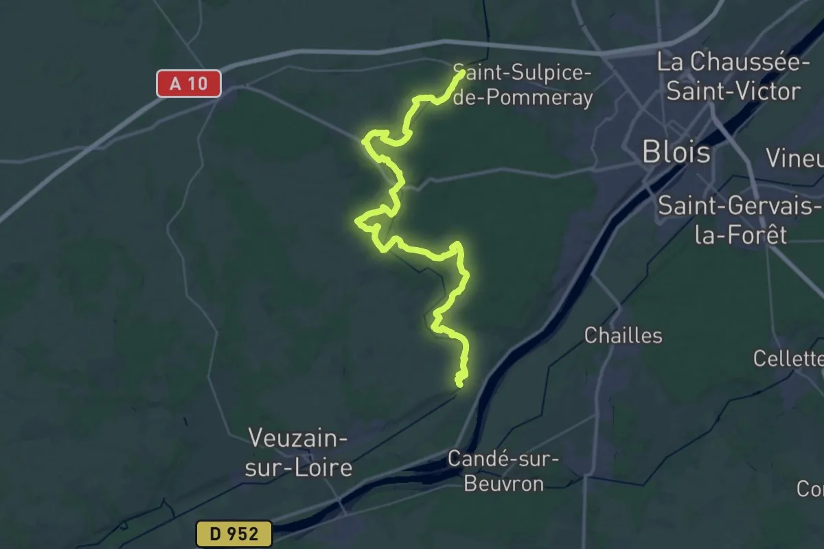
Demanding · Trail
De Vendôme au Loire, variante Chouzy-sur-Cisse
21.6 km · ↑ 311 m · 6 h 3 min
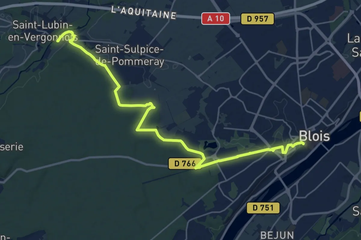
Demanding · Trail
De Vendôme au Loir, variante Blois
21.9 km · ↑ 172 m · 5 h 32 min
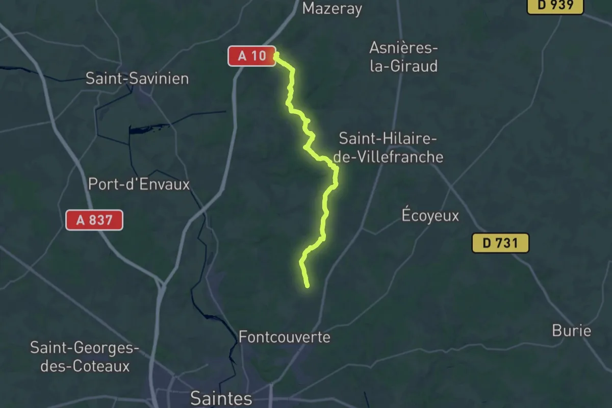
Demanding · Trail
De Vénérand à Fénioux
29.1 km · ↑ 367 m · 7 h 41 min
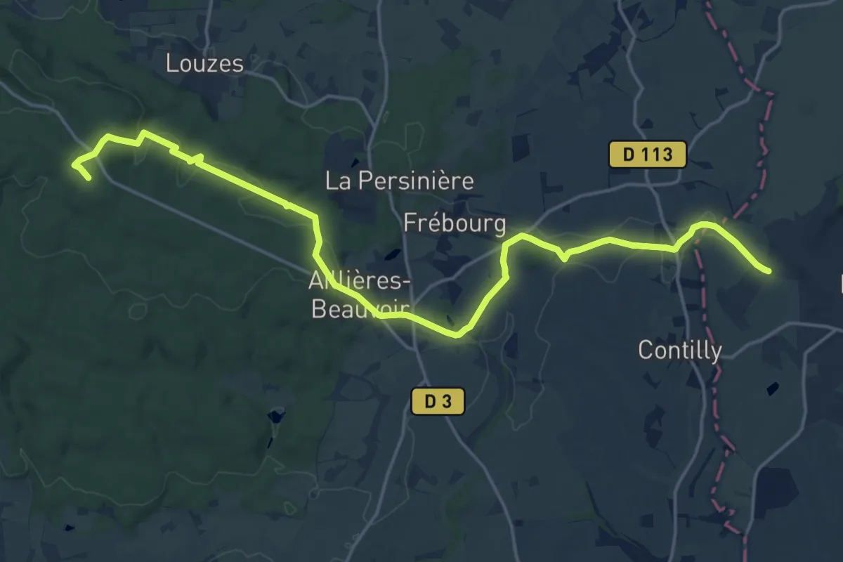
Demanding · Summit
de Verneuil à Bagnoles-de-l'Orne
20.0 km · ↑ 402 m · 5 h 35 min
Medium · Trail
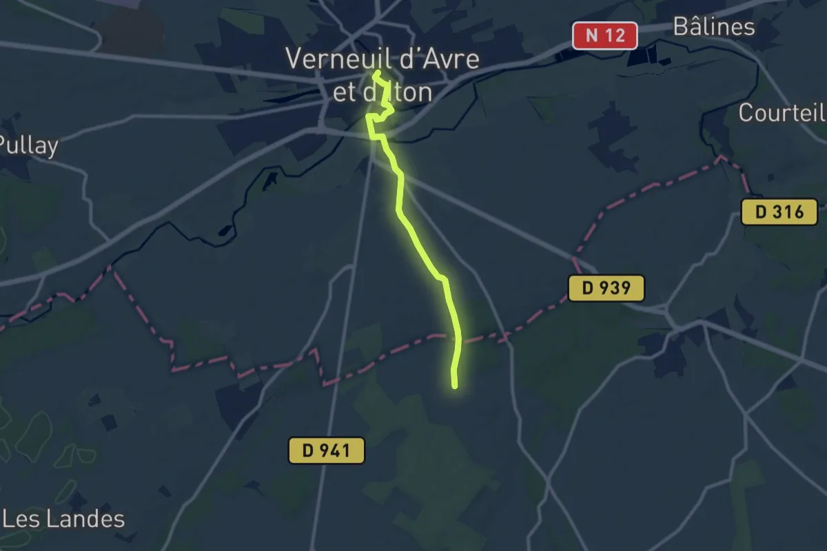
De Verneuil-sur-Avre à Senonches
8.1 km · ↑ 62 m · 2 h 3 min
Medium · Trail
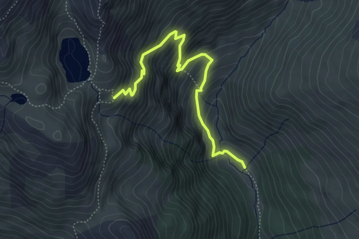
Déversoir Lac du Grand Laus - Les Bertins
5.3 km · ↑ 561 m · 2 h 28 min
Medium · Trail
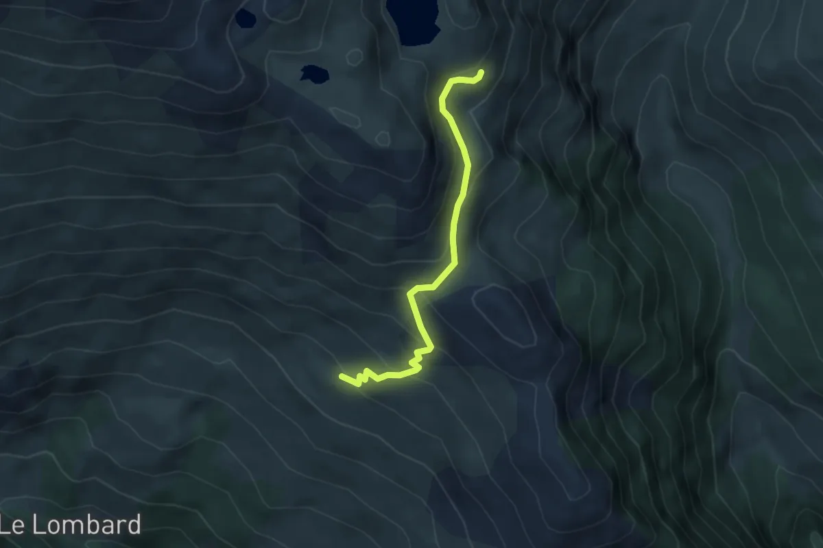
Déversoir Lac du Grand Laus - Ravin des Cougnets
4.0 km · ↑ 298 m · 1 h 35 min
Easy · Trail
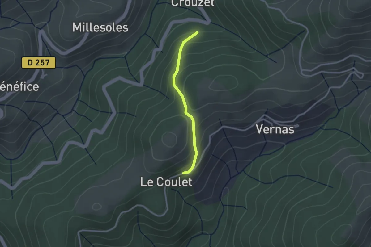
Devessous - Le Coulet
2.1 km · ↑ 120 m · 45 min
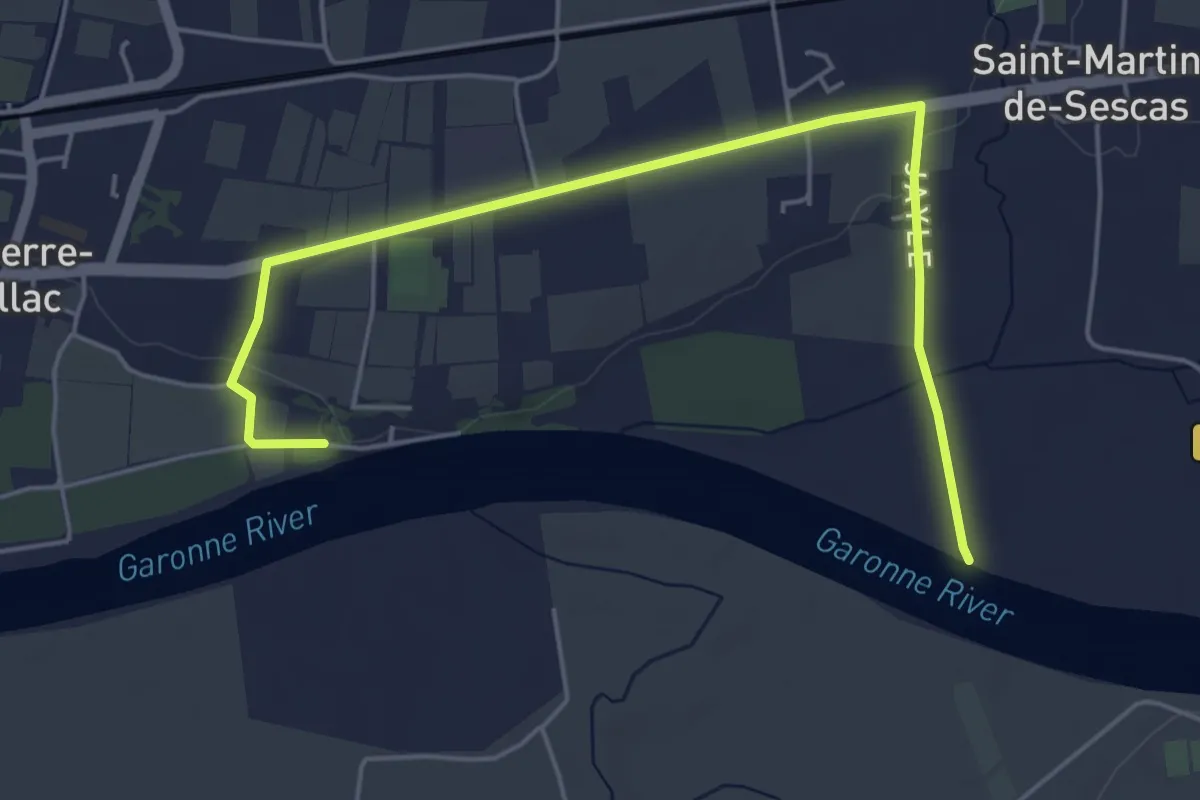
Easy · Trail
Déviation pour circuit des Bords de Garonne
6.1 km · ↑ 42 m · 1 h 31 min
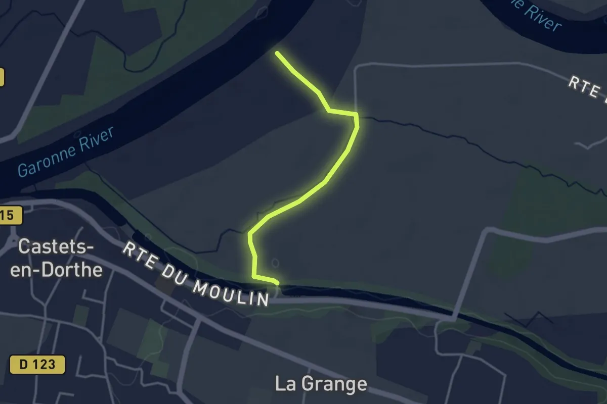
Easy · Trail
Déviation pour Les Gabares et Les Eaux Mêlées
3.0 km · ↑ 8 m · 43 min
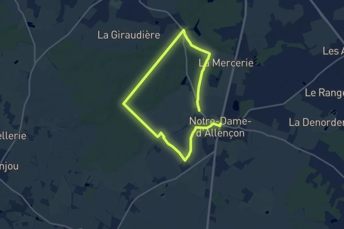
Medium · Trail
De vignes en foret
16.4 km · ↑ 120 m · 4 h 8 min
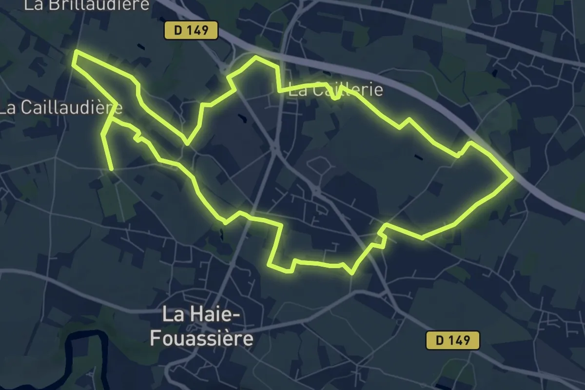
Medium · Trail
De Vignes en Villages
10.1 km · ↑ 40 m · 2 h 38 min
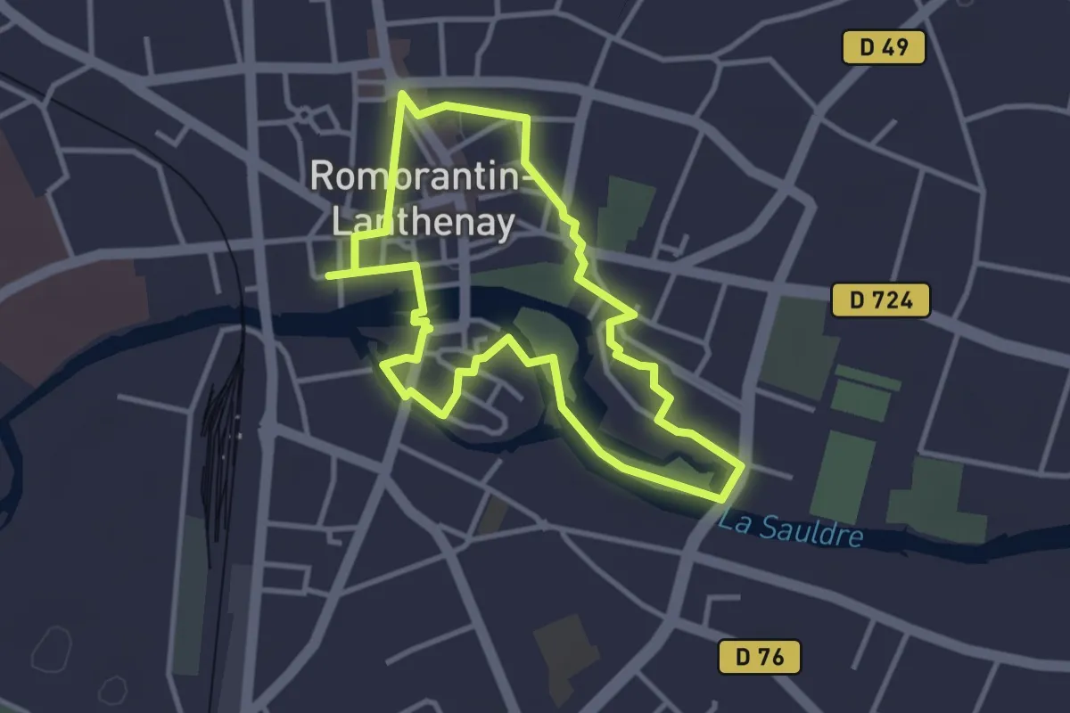
Easy · Trail
De ville en île, balade à travers les âges
3.0 km · ↑ 9 m · 46 min
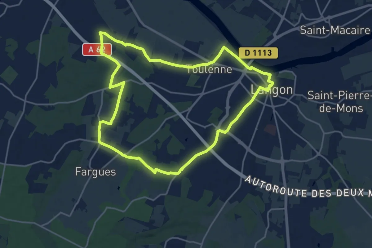
Medium · Trail
De Ville en Vignes
14.1 km · ↑ 64 m · 3 h 39 min
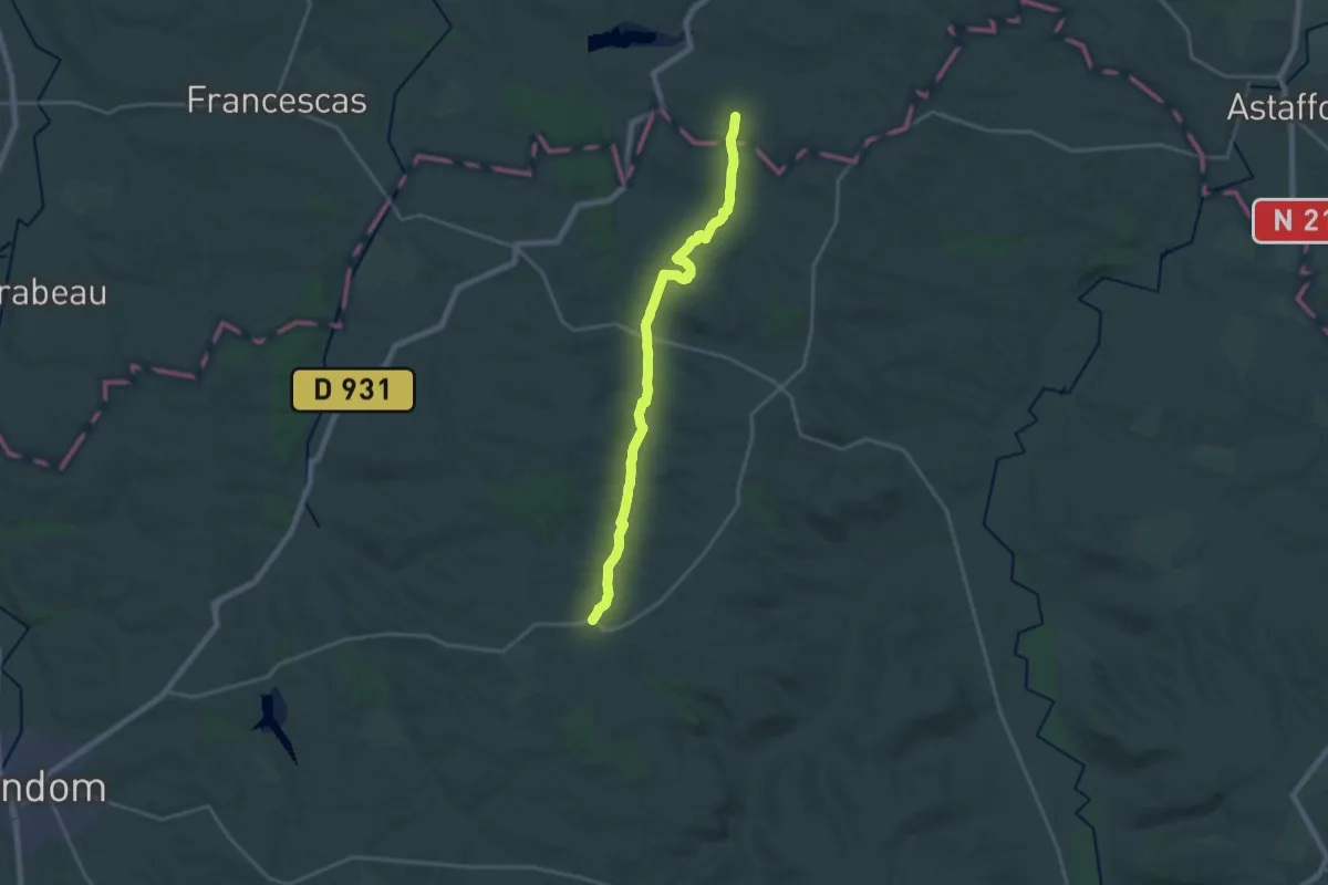
Demanding · Trail
De Villeneuve à La Romieu
21.0 km · ↑ 357 m · 5 h 44 min
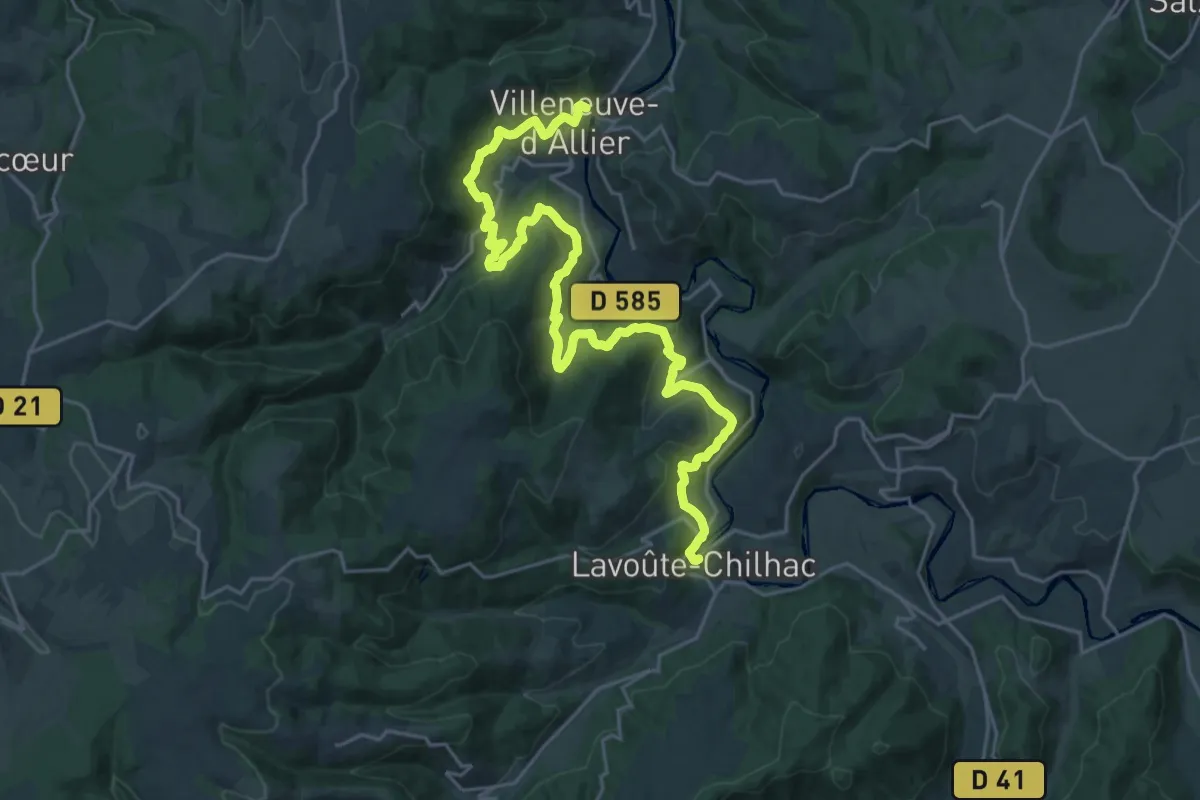
Medium · Trail
De Villeneuve-d'Allier à Lavoûte-Chilhac
14.1 km · ↑ 519 m · 4 h 38 min
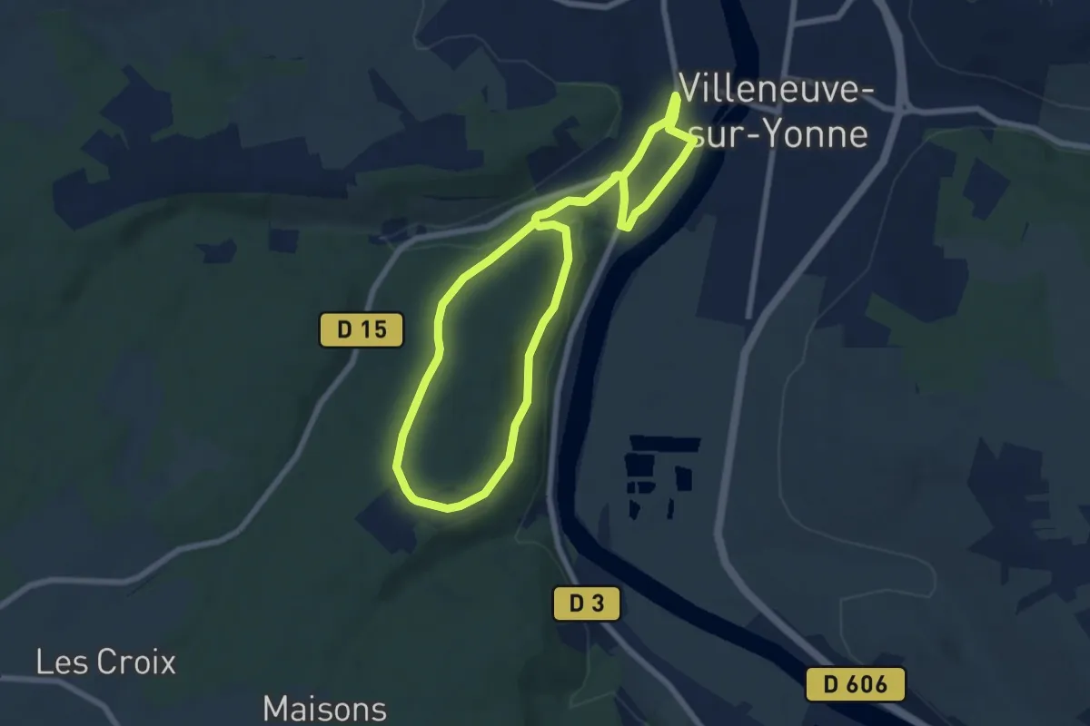
Easy · Trail
De Villeneuve-sur-Yonne au hameau de Château
6.3 km · ↑ 112 m · 1 h 49 min
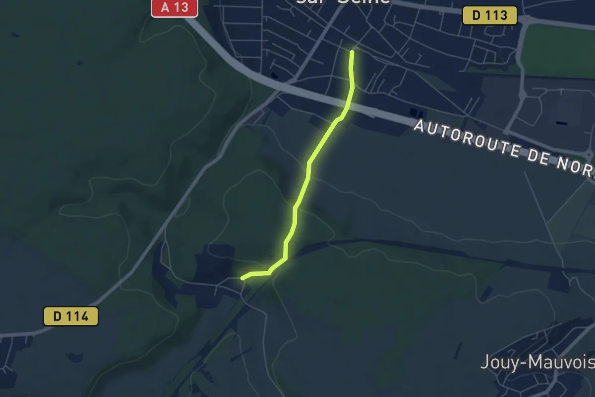
Easy · Trail
De Villennes-sur-Seine à Villers-sur-Mer, accès
4.1 km · ↑ 120 m · 1 h 14 min
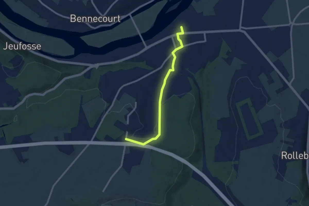
Easy · Trail
De Villennes-sur-Seine à Villers-sur-Mer, accès
5.4 km · ↑ 90 m · 1 h 29 min
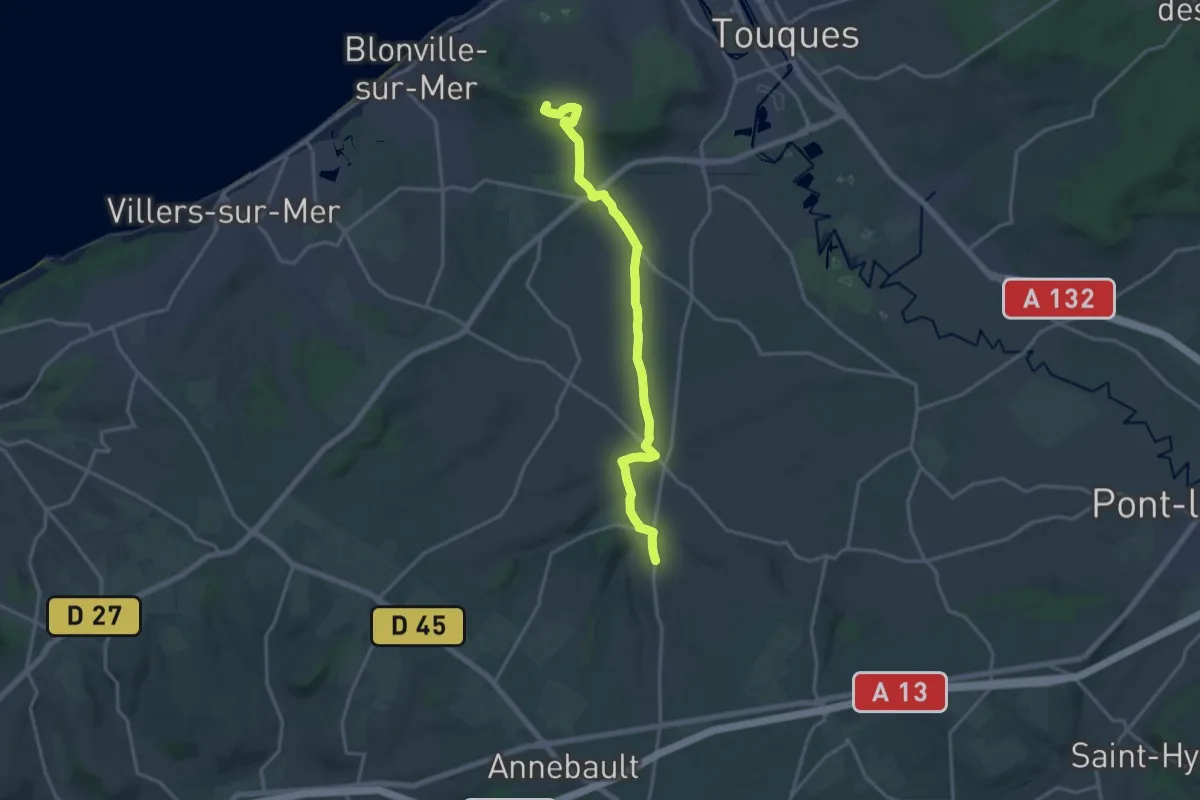
Medium · Summit
De Villennes-sur-Seine à Villers-sur-Mer, variante
16.4 km · ↑ 211 m · 4 h 19 min
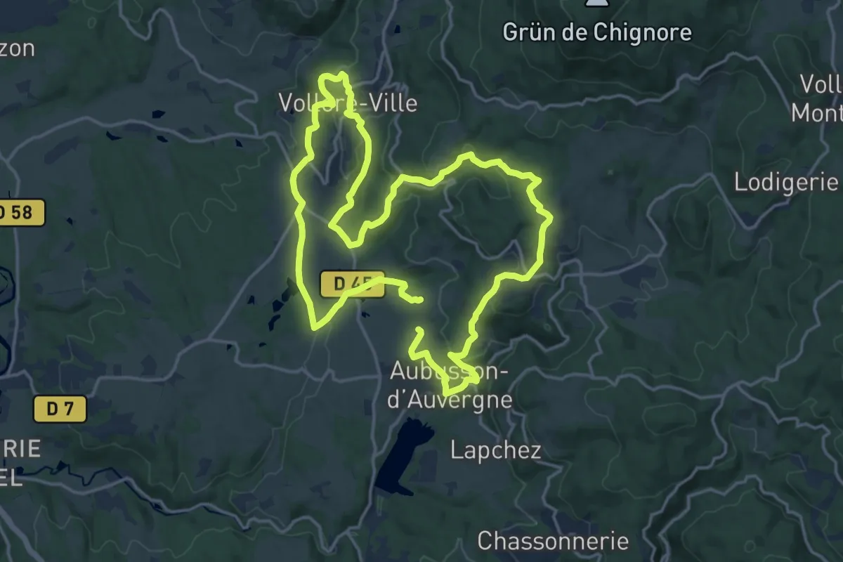
Medium · Trail
De Vollore jusqu'au lac
15.7 km · ↑ 428 m · 4 h 52 min
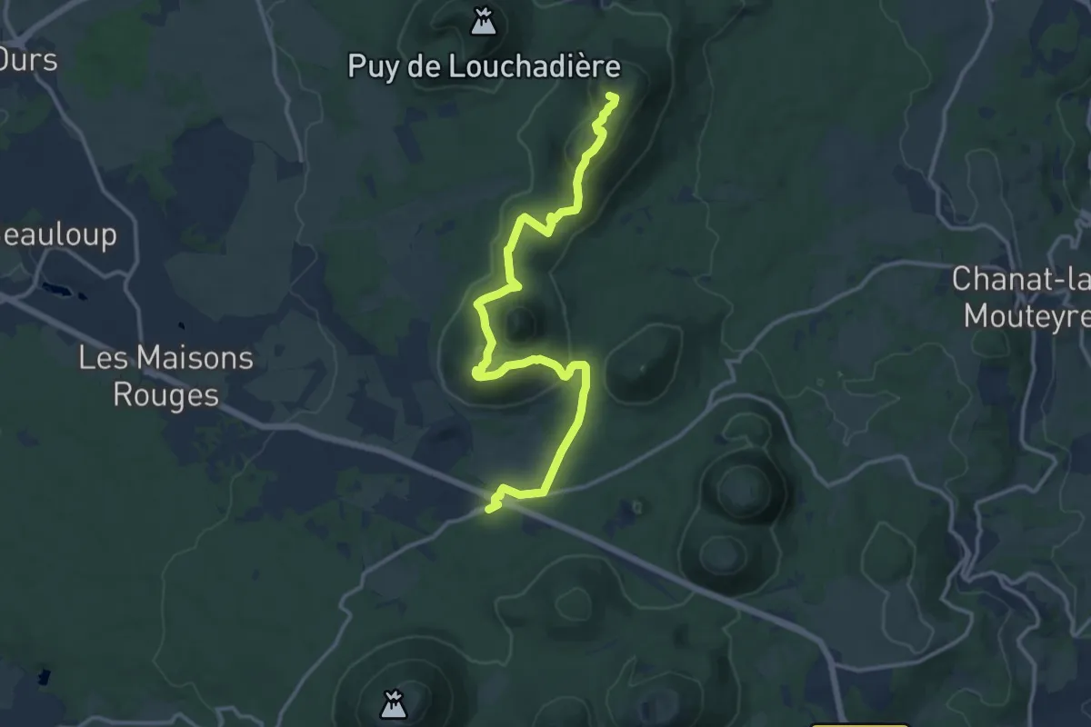
Medium · Summit
De Volvic àux Fontêtes
13.8 km · ↑ 476 m · 4 h 18 min
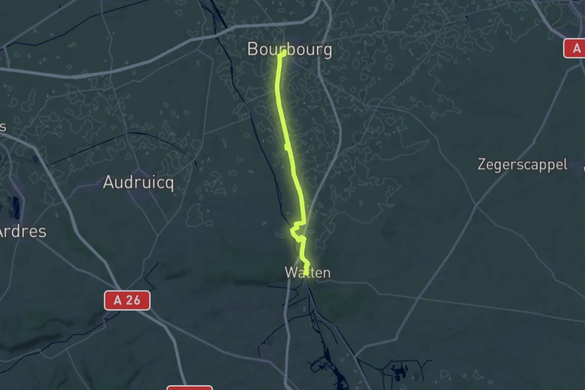
Demanding · Trail
De Watten à Bourbourg
29.8 km · ↑ 8 m · 7 h 3 min
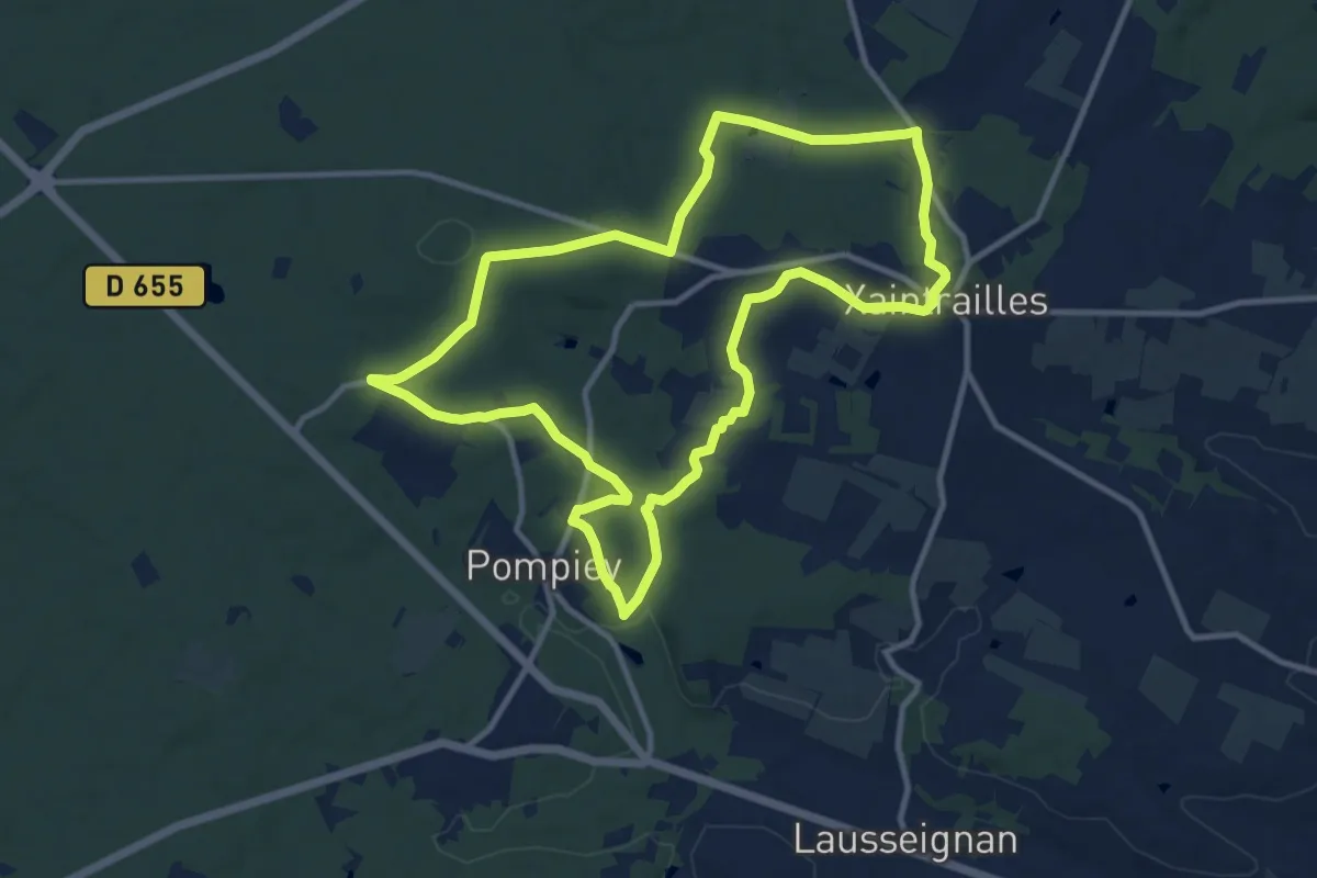
Medium · Trail
De Xaintrailles à Pompiey, lectures de paysage - 10.7 km
11.6 km · ↑ 199 m · 3 h 19 min
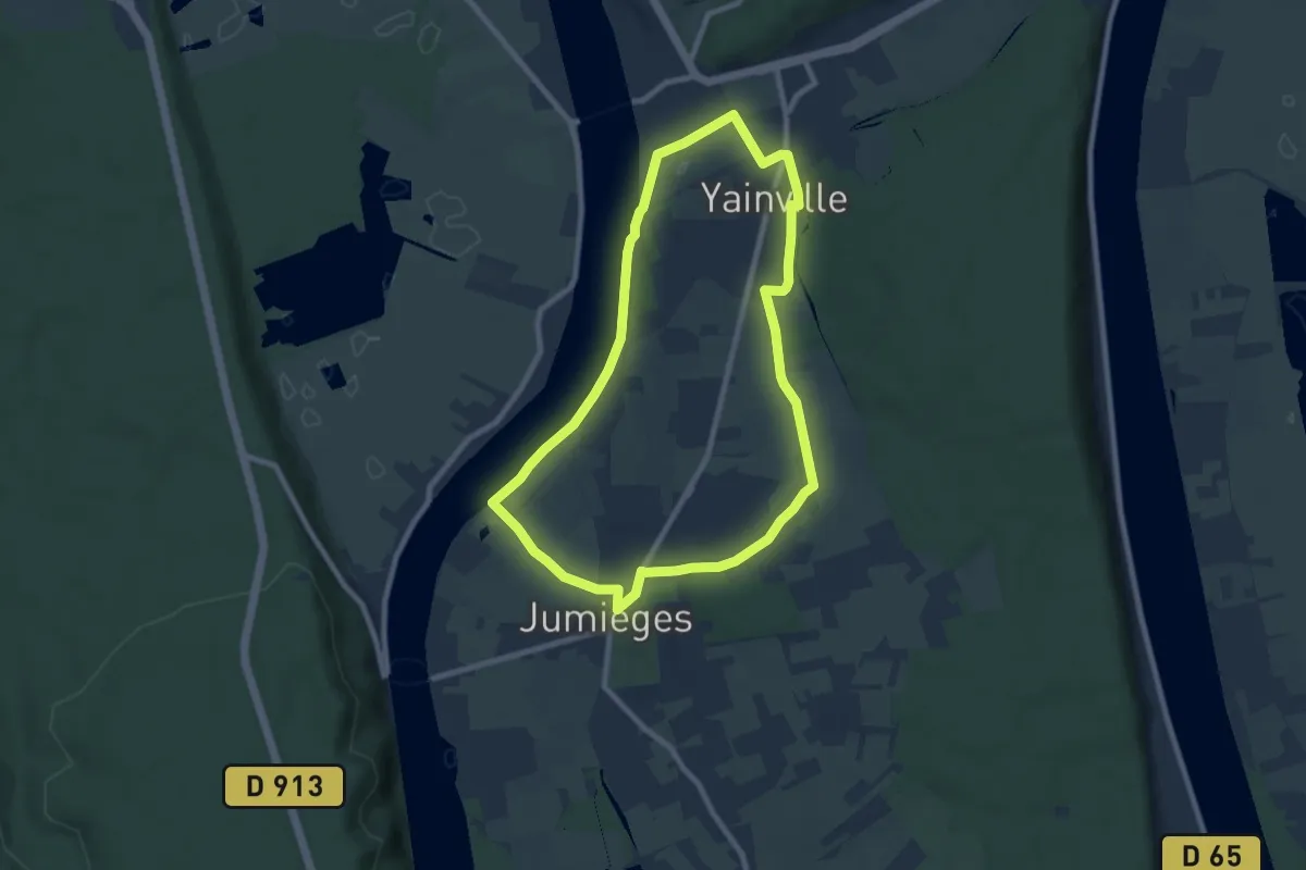
Easy · Trail
de Yainville à Jumièges
7.6 km · ↑ 59 m · 2 h 2 min
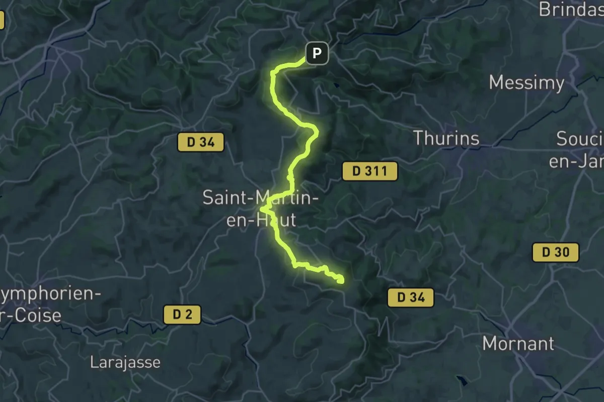
Demanding · Summit
De Yzeron à Riverie
26.8 km · ↑ 780 m · 8 h 1 min
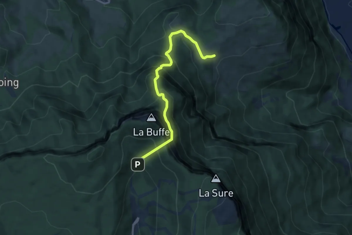
Expert · Trail
D'Ezy au tunnel du Mortier
7.3 km · ↑ 905 m · 3 h 42 min
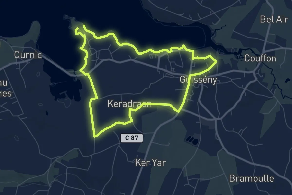
Easy · Trail
Dibennou
7.0 km · ↑ 23 m · 1 h 48 min
Medium · Trail
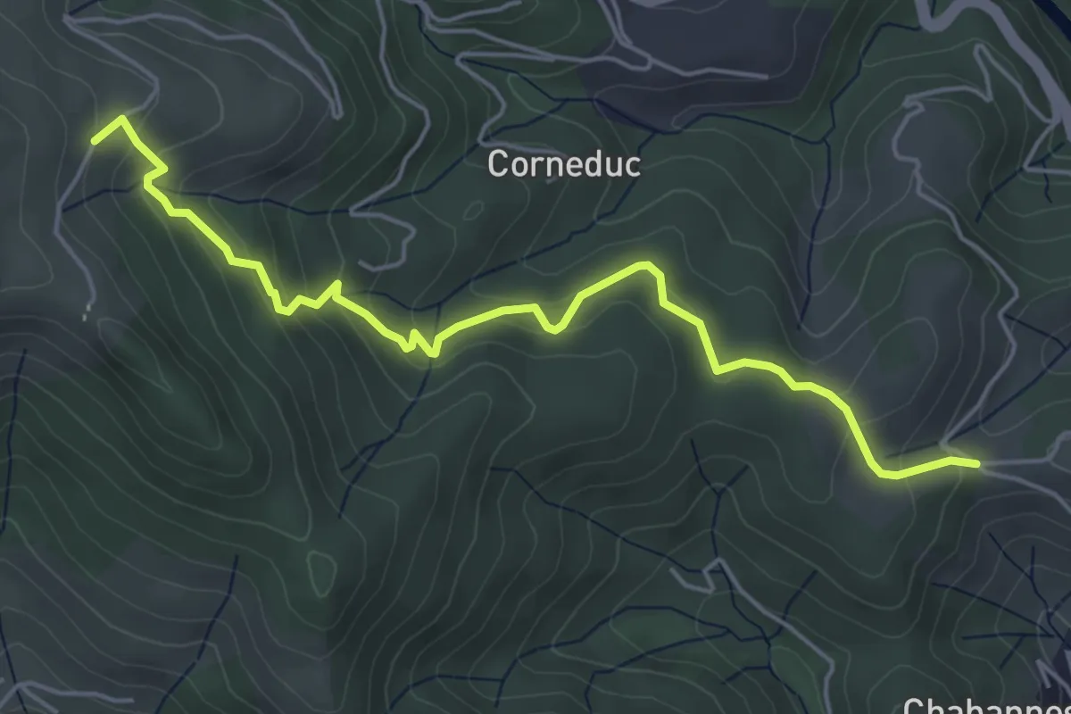
Digon - Les Combes
5.6 km · ↑ 351 m · 2 h 5 min
Easy · Trail
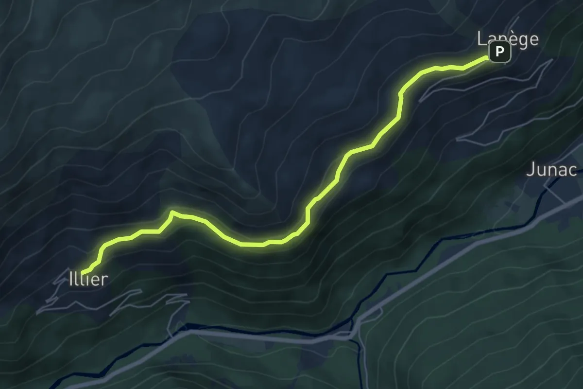
D'Illier à Lapège
6.9 km · ↑ 297 m · 2 h 16 min
Medium · Trail
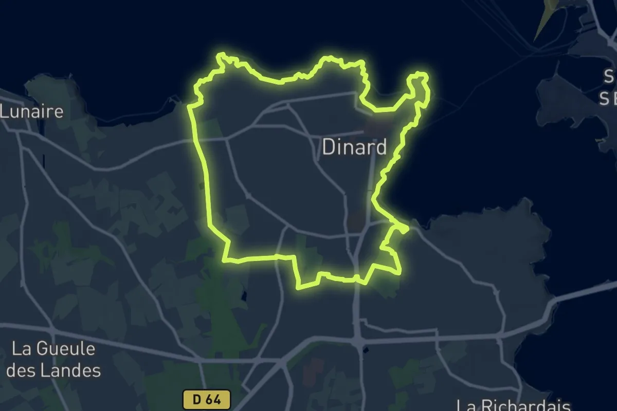
Dinard circuit Lawrence d'Arabie
11.9 km · ↑ 201 m · 3 h 25 min
Demanding · Trail
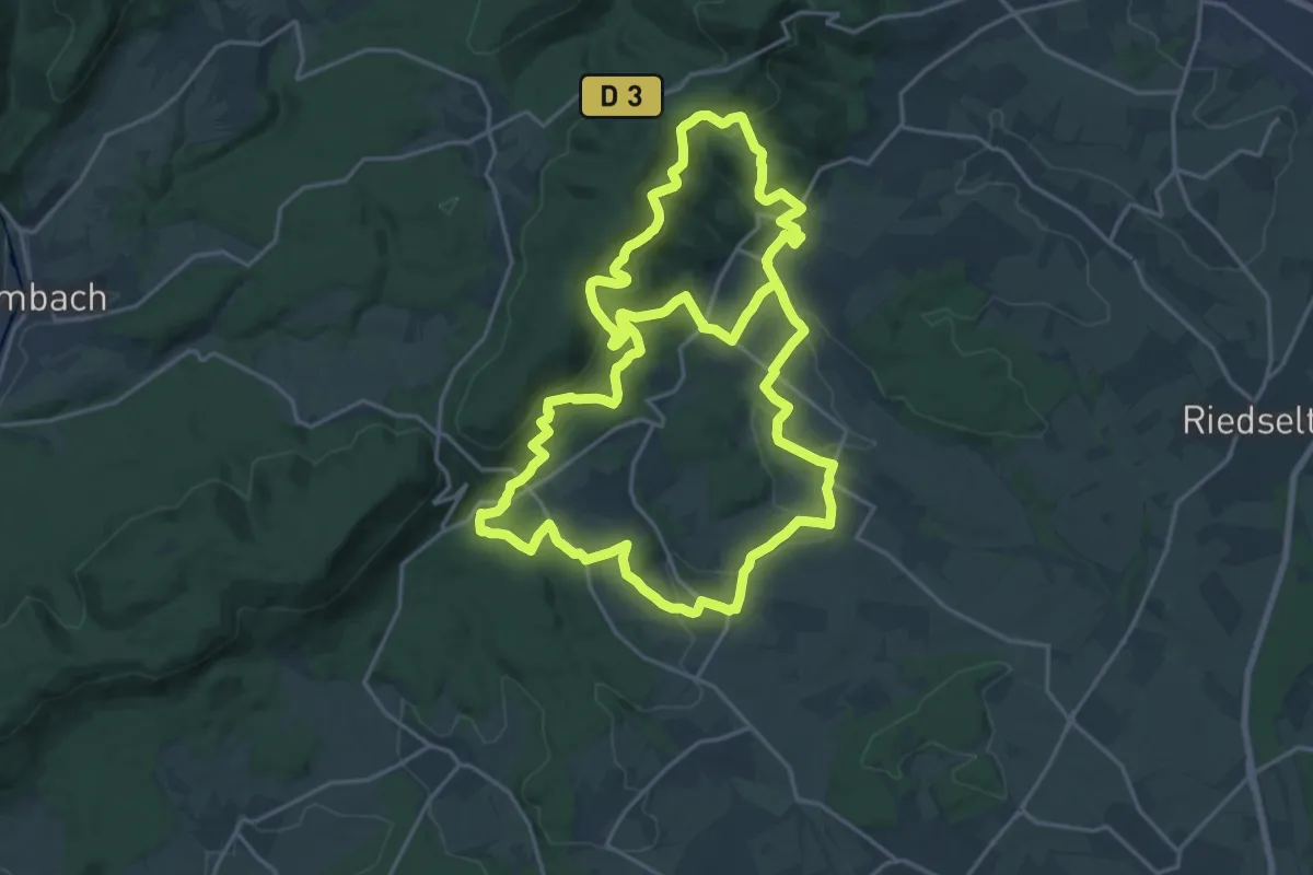
disque jaune
20.3 km · ↑ 552 m · 6 h 21 min