Trails in France
15,926 hiking trails, each with its route, climb, walking time and grade.
All trails, page 106 of 332
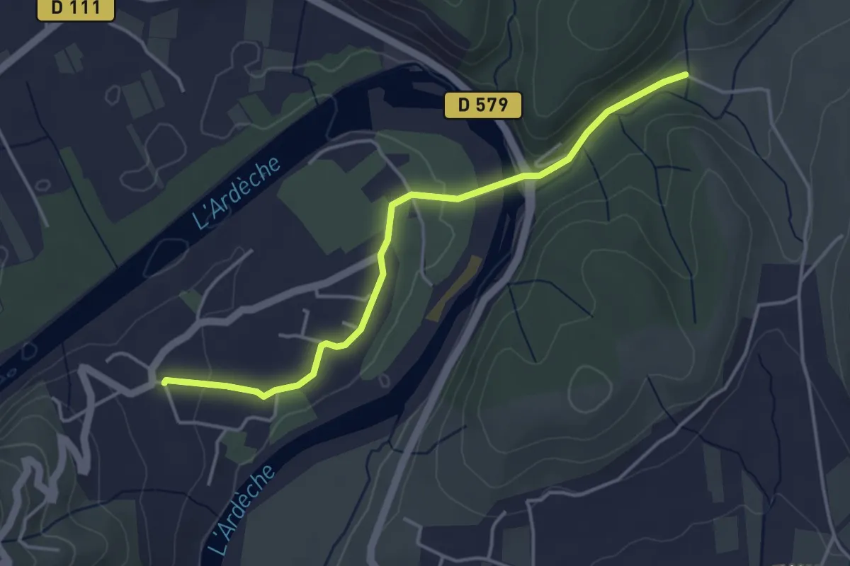
Easy · Trail
Deserte - Les Trouillères
4.2 km · ↑ 80 m · 1 h 10 min
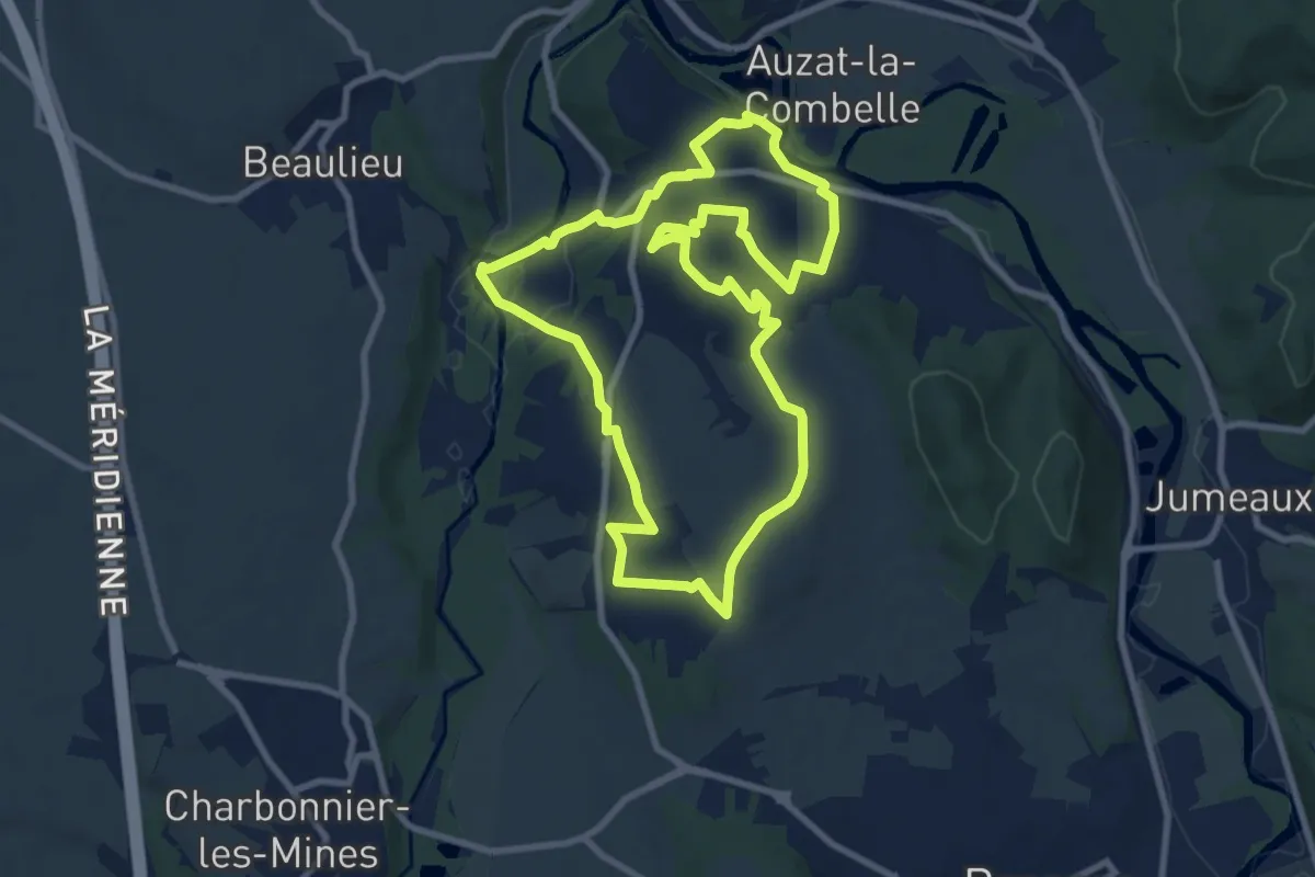
Medium · Trail
Des gueules noires aux bateliers
9.4 km · ↑ 151 m · 2 h 41 min
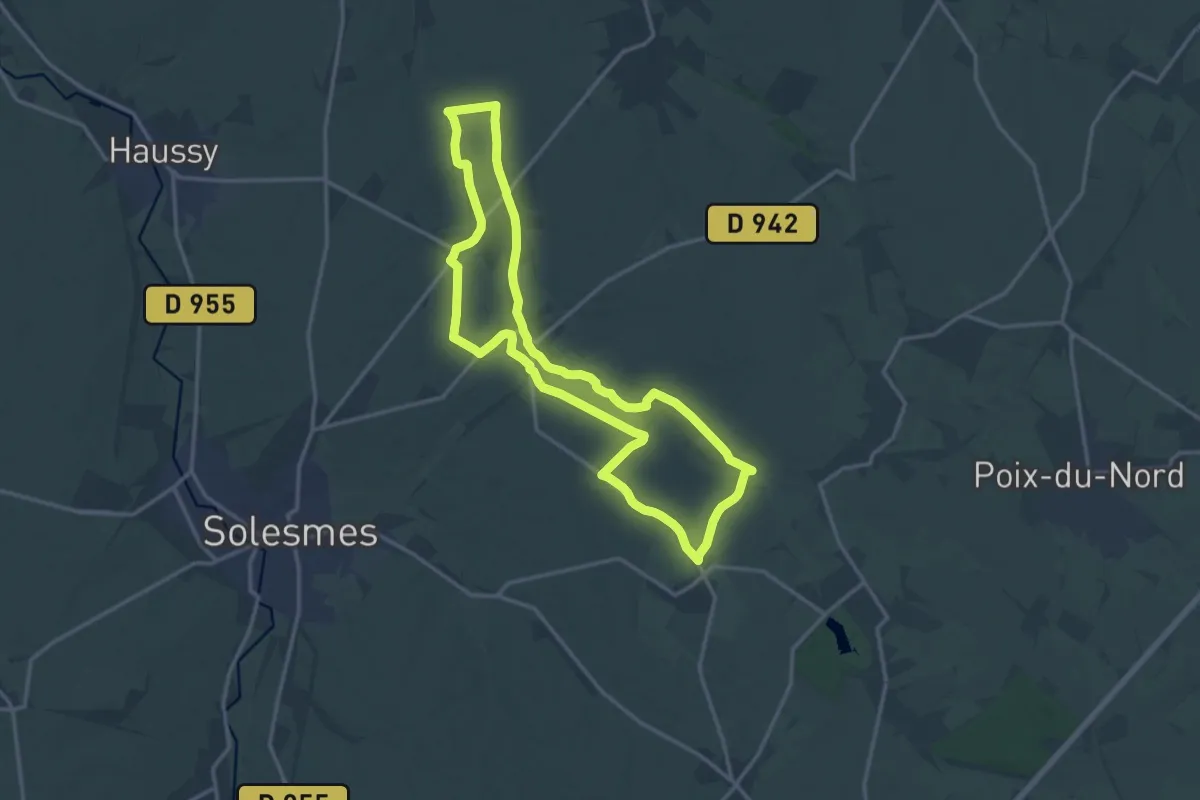
Medium · Trail
Des Harpies à la Motte Féodale
13.9 km · ↑ 47 m · 3 h 35 min
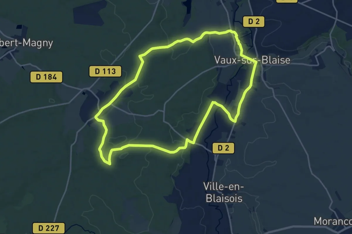
Medium · Trail
Des Hommes et du Fer
14.1 km · ↑ 115 m · 3 h 46 min
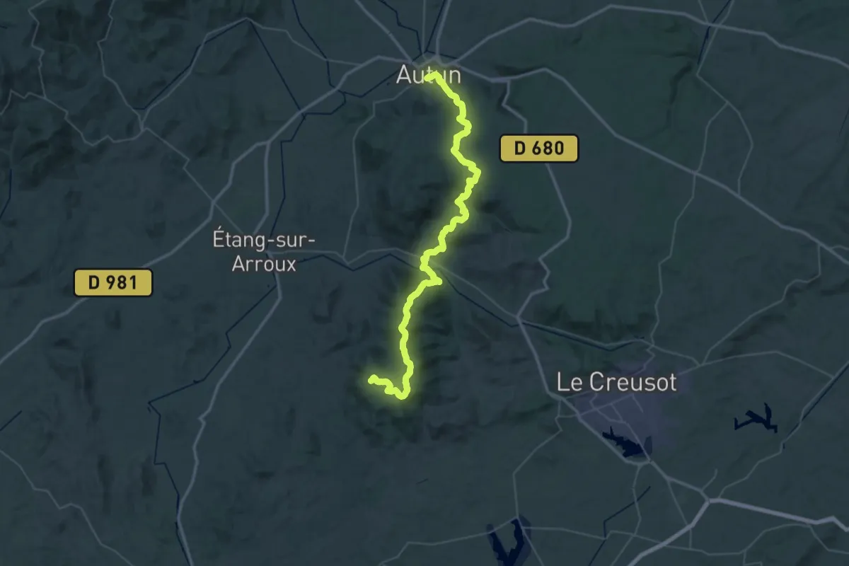
Demanding · Summit
De Signal d'Uchon à Autun
54.7 km · ↑ 1400 m · 15 h 57 min
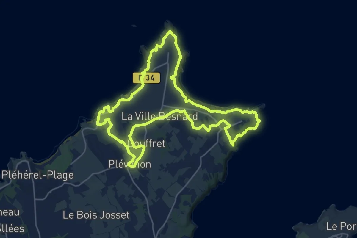
Medium · Trail
Des Landes aux Deux Pointes
17.1 km · ↑ 484 m · 5 h 20 min
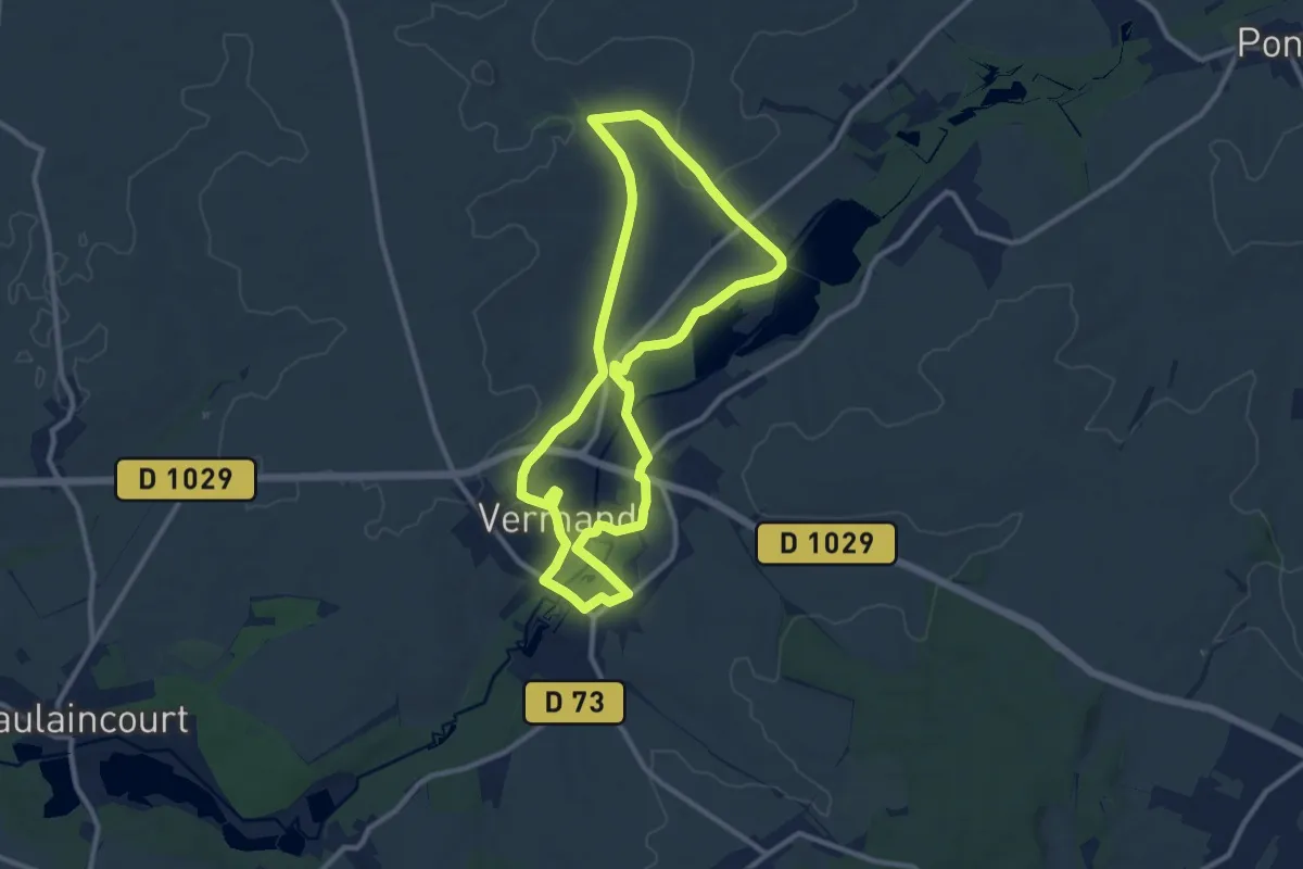
Medium · Trail
Des Marécages aux Portes de la Plaine
9.5 km · ↑ 70 m · 2 h 32 min
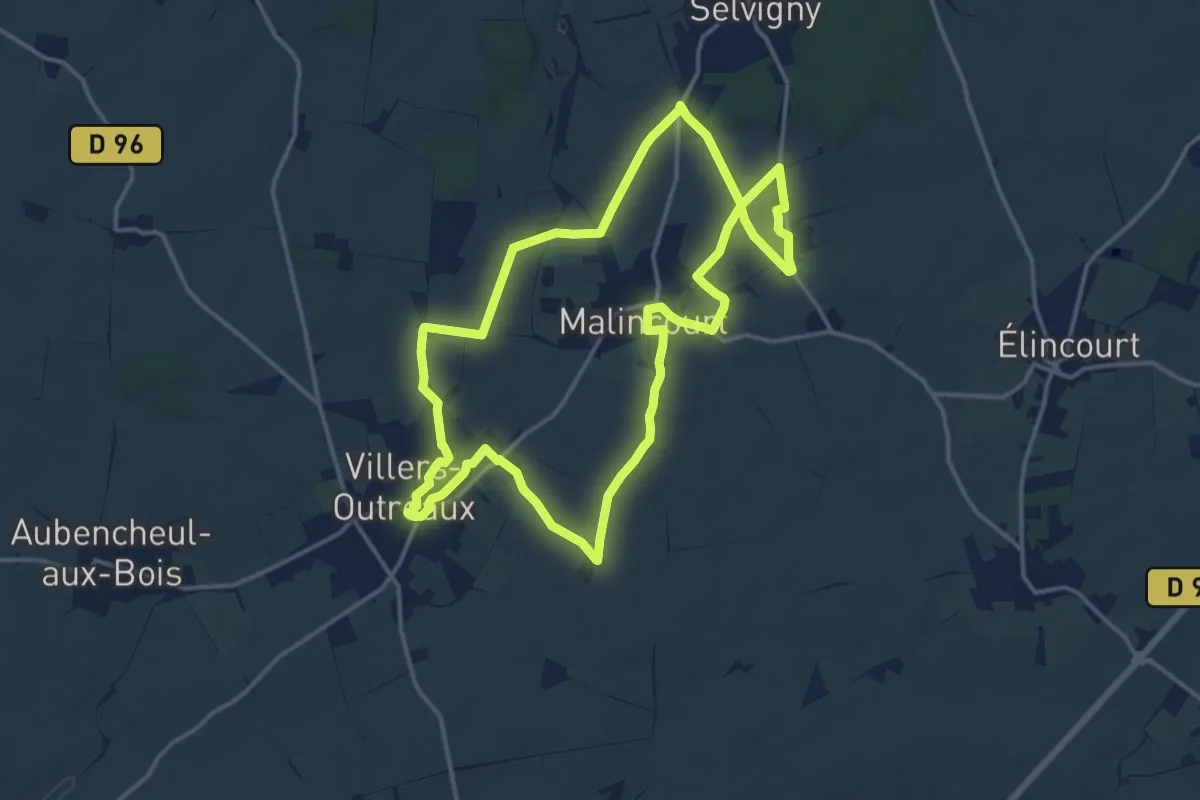
Medium · Trail
Des Marliches au Moulin Brunet
14.1 km · ↑ 90 m · 3 h 43 min
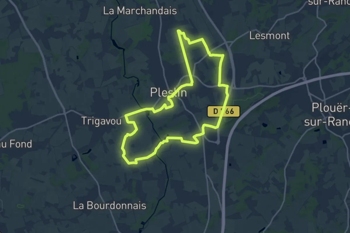
Medium · Trail
Des menhirs aux Vaux Garou
12.0 km · ↑ 84 m · 3 h 11 min
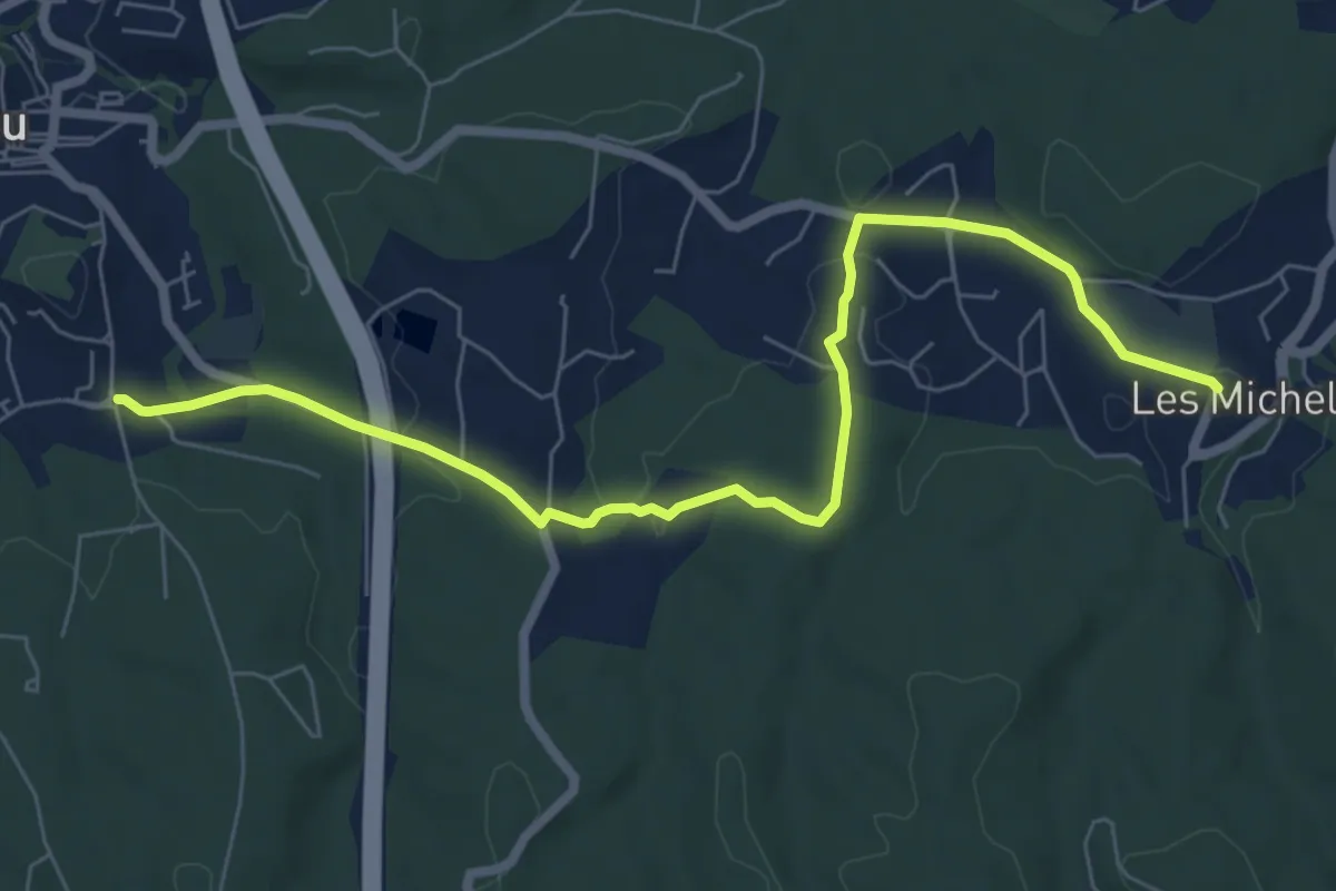
Medium · Trail
Des Michels au poteau ET 37
8.0 km · ↑ 138 m · 2 h 11 min
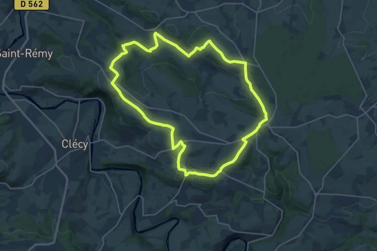
Medium · Trail
Des Montagnes en Normandie
15.7 km · ↑ 378 m · 4 h 44 min
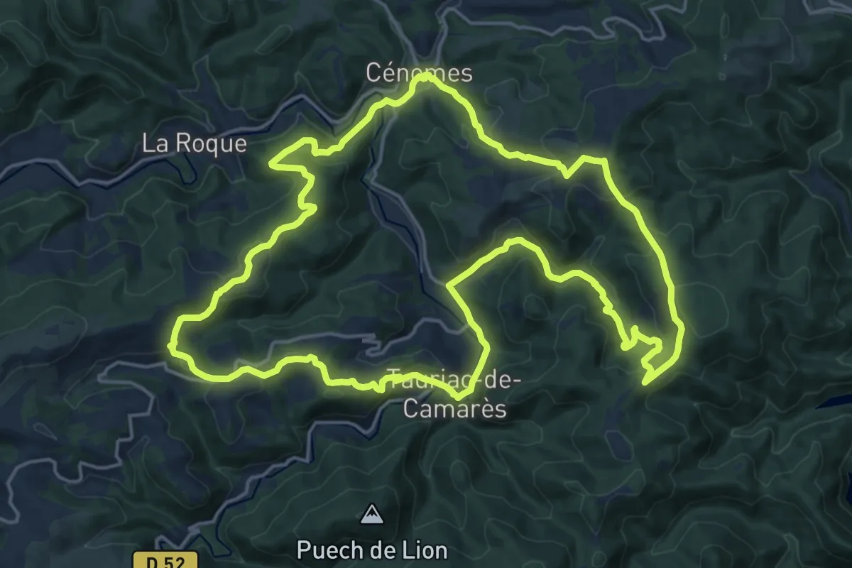
Demanding · Trail
Des Monts à perte de vue
19.5 km · ↑ 746 m · 6 h 30 min
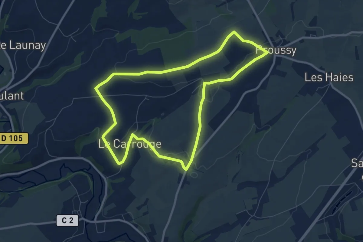
Easy · Trail
Des Monts et Bruyères
7.4 km · ↑ 117 m · 2 h 6 min
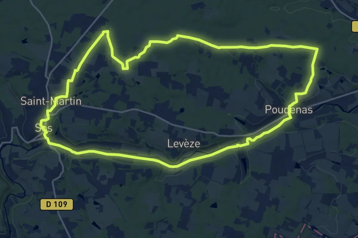
Medium · Trail
De Sos à Poudenas sur le chemin de Gélise 17.2 km
17.1 km · ↑ 148 m · 4 h 35 min
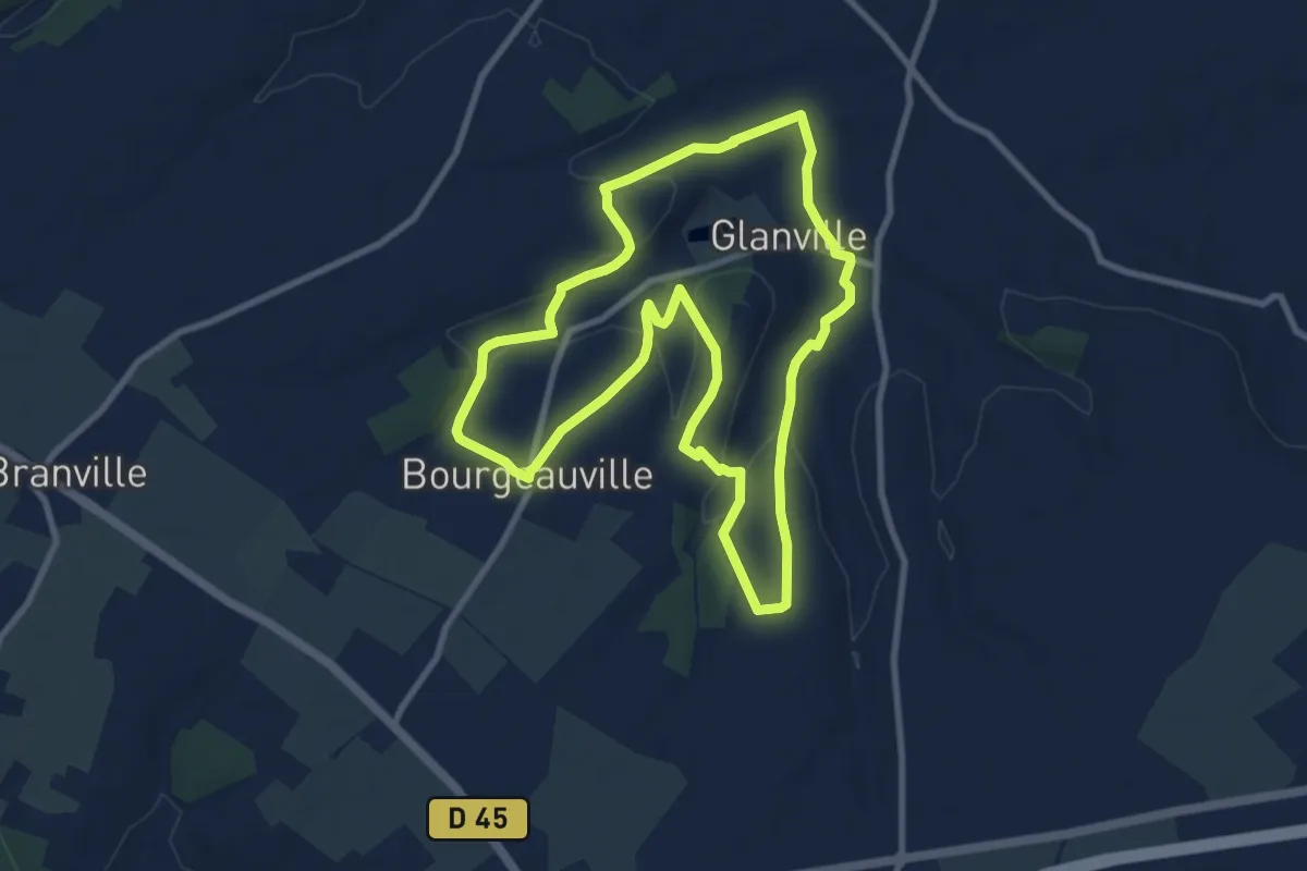
Medium · Trail
De sources en Fontaines
8.7 km · ↑ 148 m · 2 h 30 min
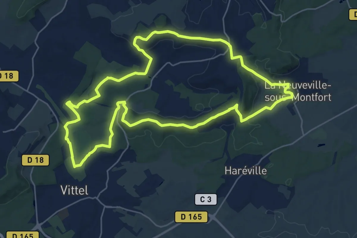
Demanding · Summit
De Sources en Vignes
19.3 km · ↑ 342 m · 5 h 34 min
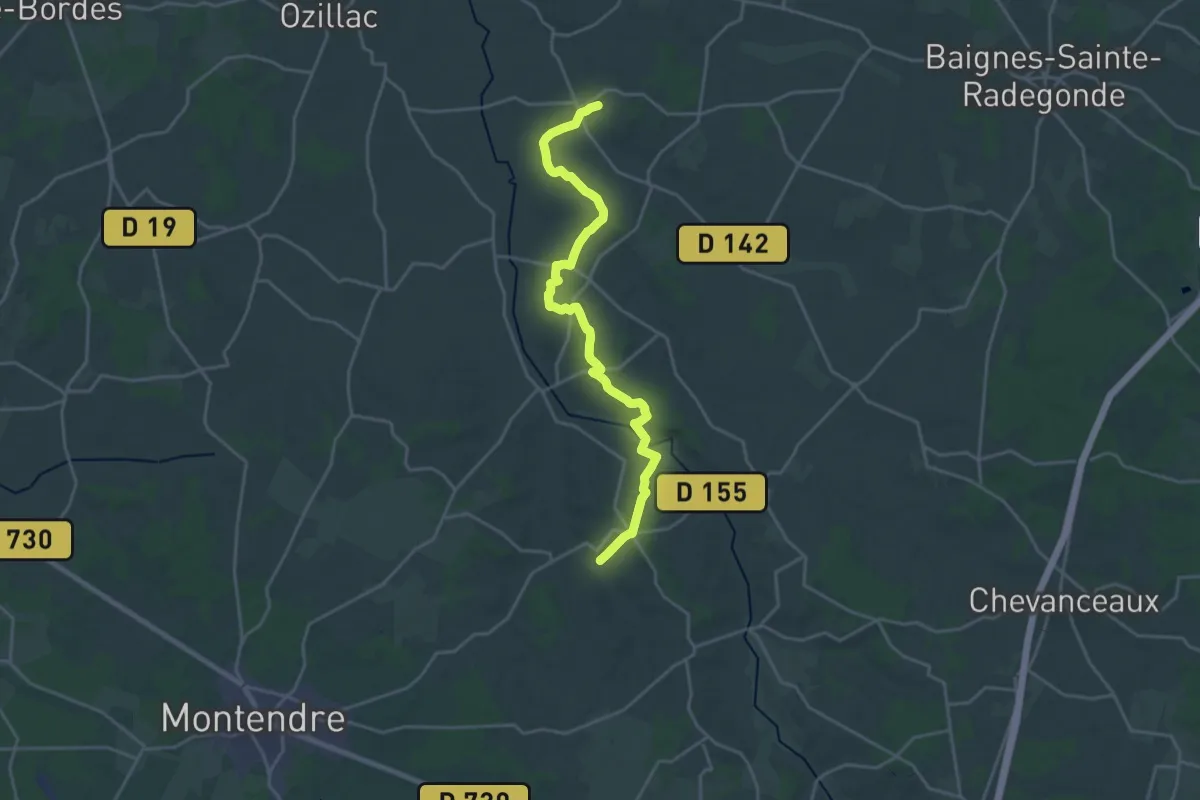
Demanding · Trail
De Sousmoulin à Léoville
23.2 km · ↑ 337 m · 6 h 12 min
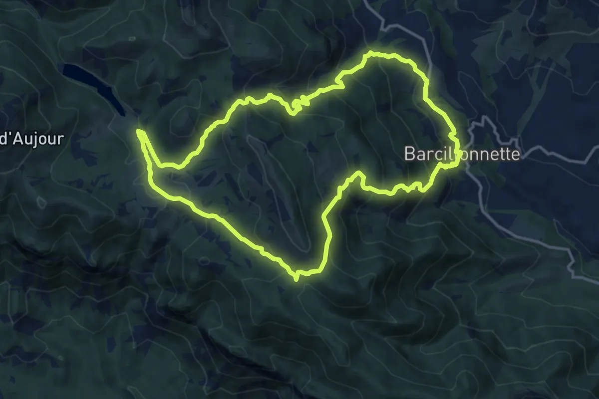
Medium · Trail
D'esparron au lac de Peyssier (variante par Barcillonnette)
12.6 km · ↑ 764 m · 4 h 48 min
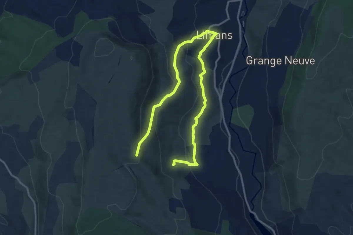
Easy · Trail
Des pigeonniers de Limans au hameau des Ybourgues
6.0 km · ↑ 277 m · 2 h 2 min
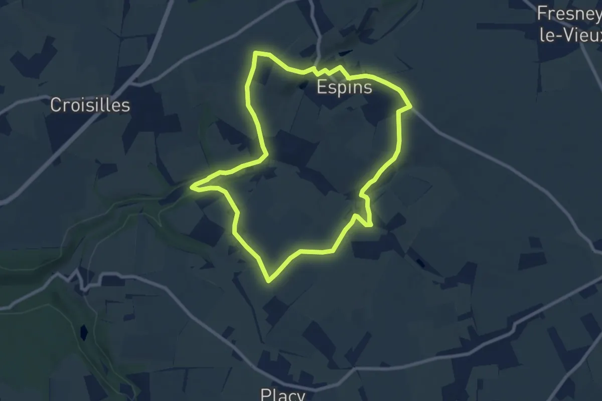
Easy · Trail
D'Espins au Moulin du Traspy
6.9 km · ↑ 136 m · 2 h 1 min
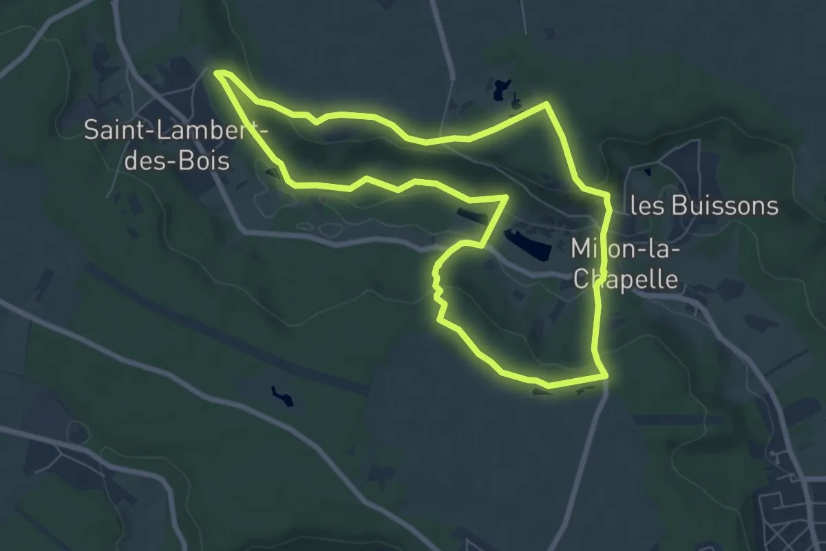
Easy · Trail
Des prairies du Rhodon au Château Vertcoeur
6.7 km · ↑ 165 m · 2 h 2 min
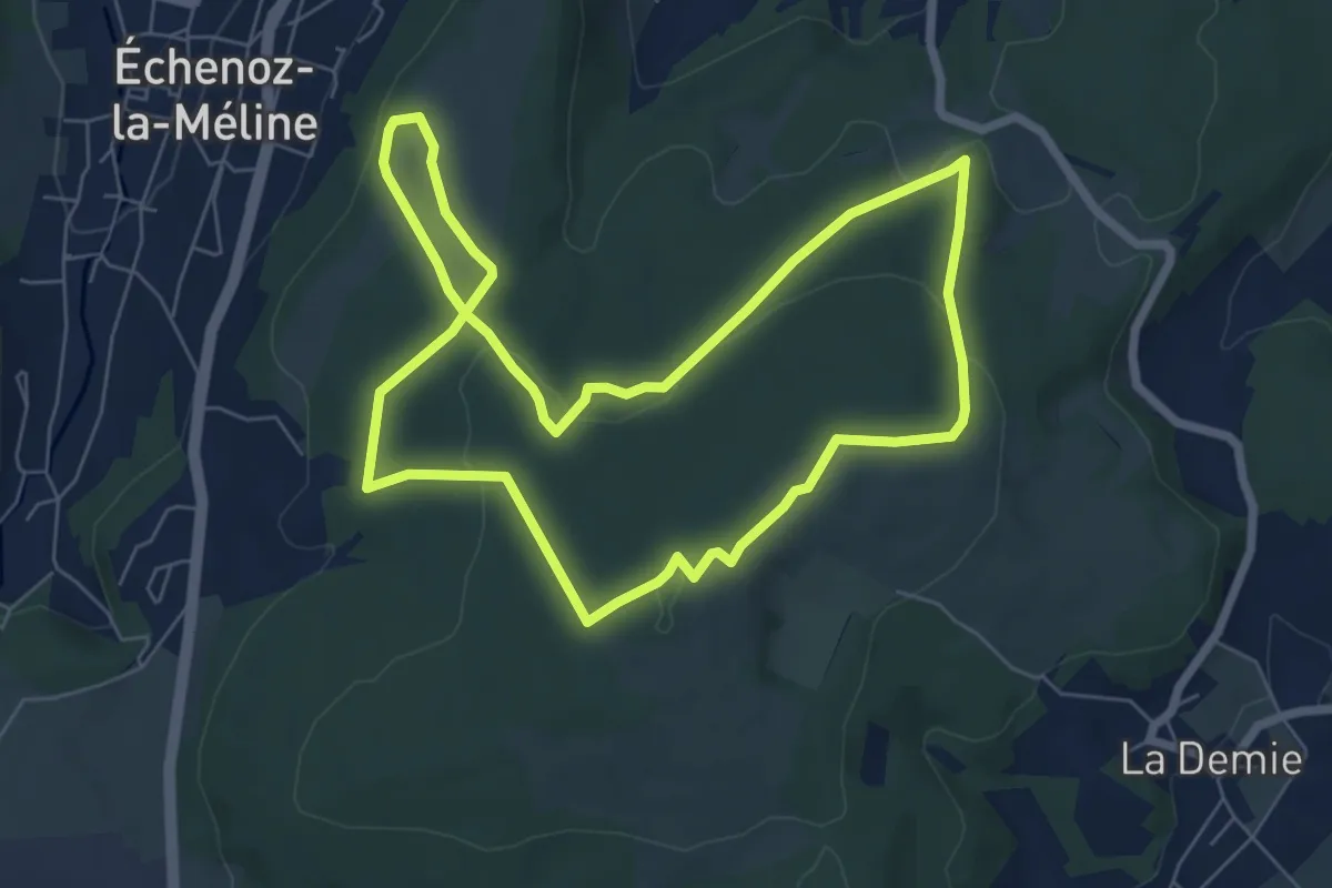
Easy · Summit
Des Quatres Sapins au Plateau de Cita
6.7 km · ↑ 172 m · 2 h 3 min
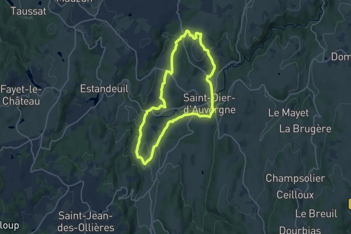
Medium · Trail
Des Ribes au Miodet
11.4 km · ↑ 185 m · 3 h 14 min
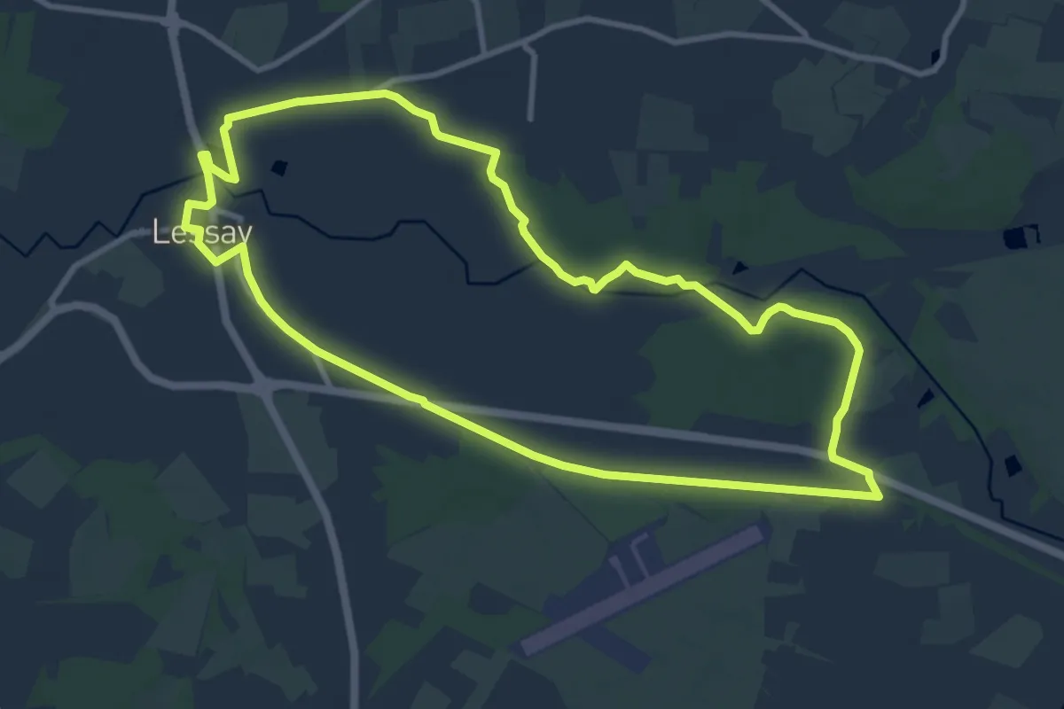
Medium · Trail
Des Rives de l'Ay aux Landes de Lessay
9.4 km · ↑ 40 m · 2 h 27 min
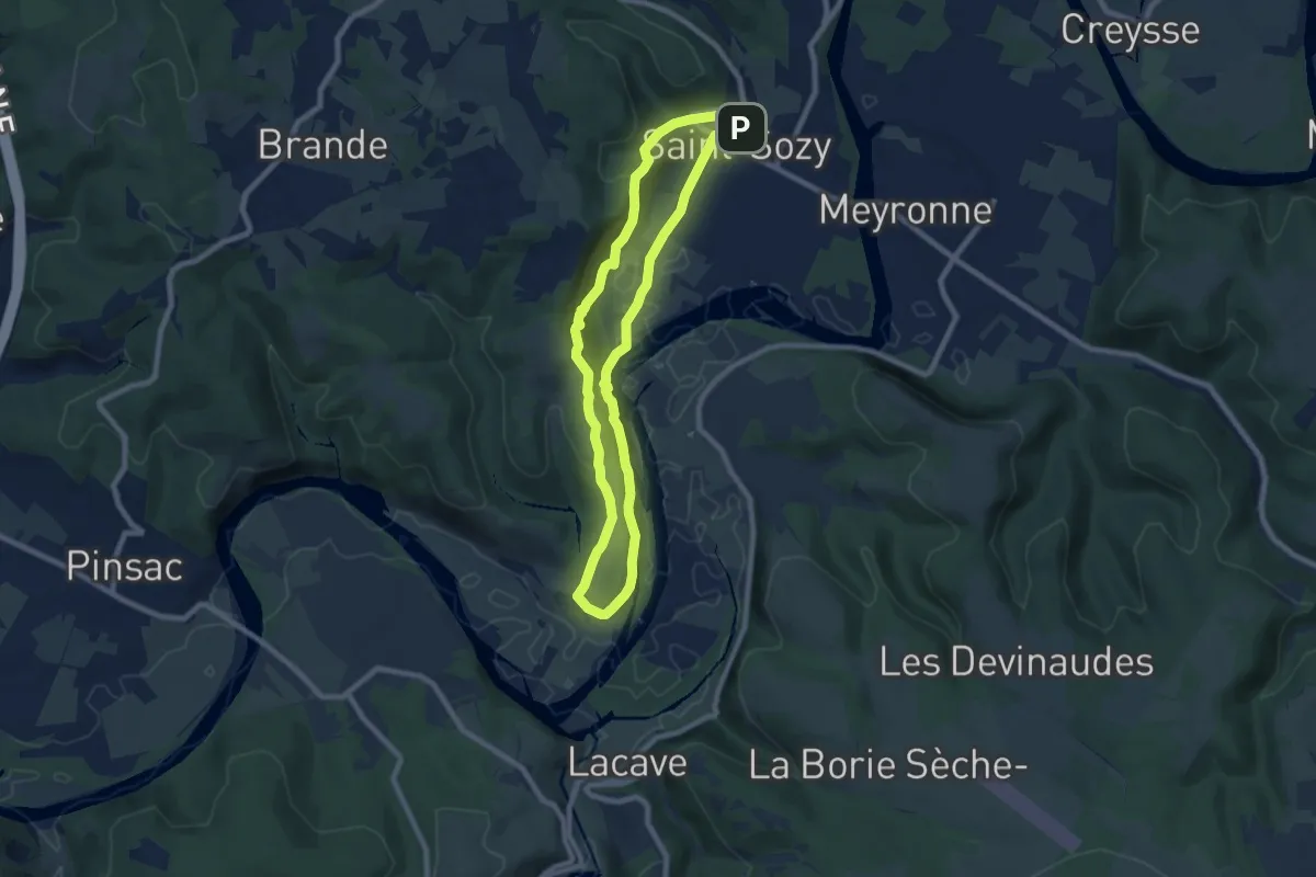
Medium · Trail
Des rochers et des hommes
7.7 km · ↑ 304 m · 2 h 35 min
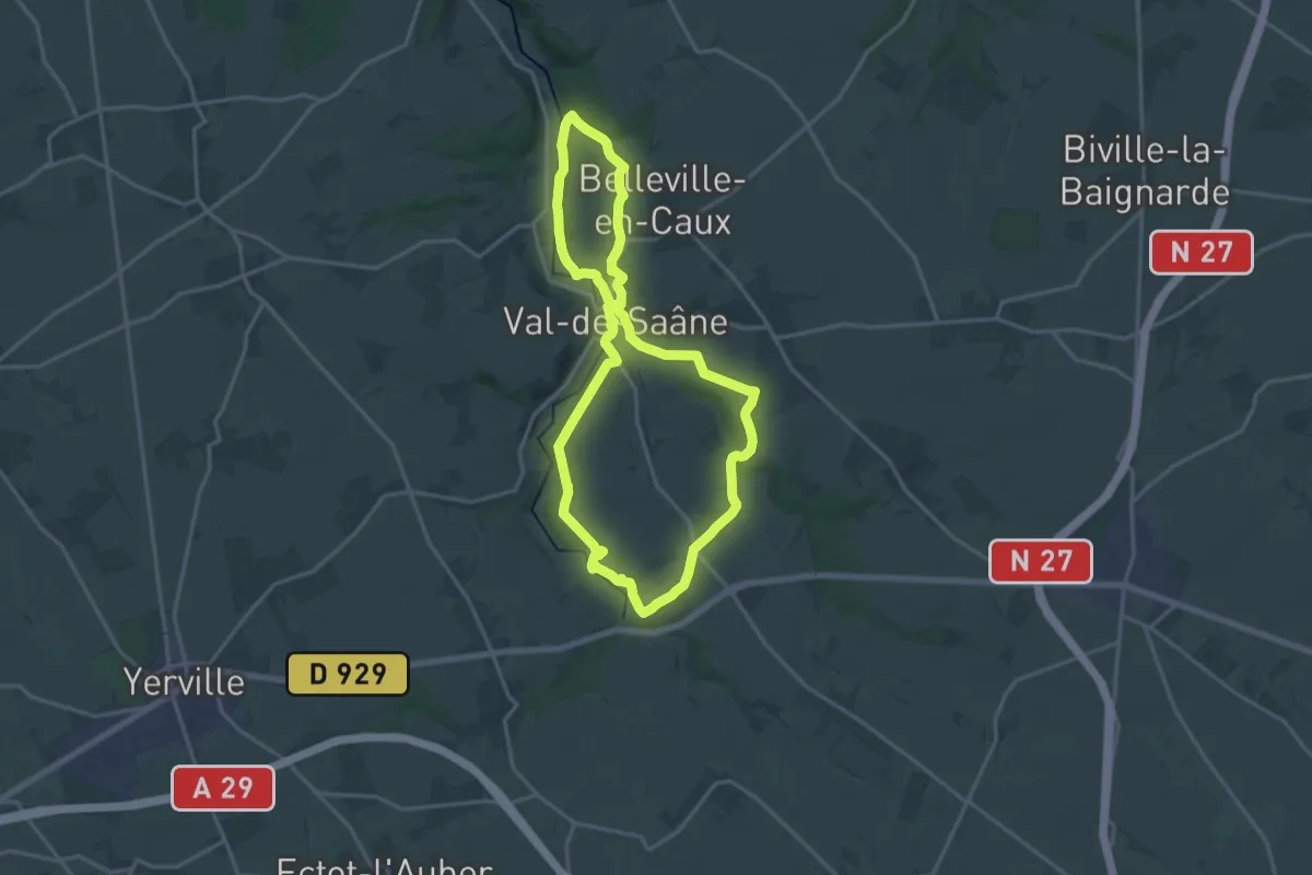
Medium · Trail
Des Sources de la Saâne à la Couture
15.1 km · ↑ 253 m · 4 h 19 min
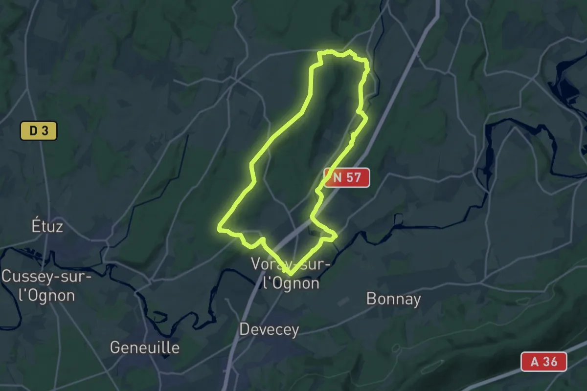
Medium · Trail
Des Sous-bois à la Rivière de l'Ognon
16.0 km · ↑ 215 m · 4 h 28 min
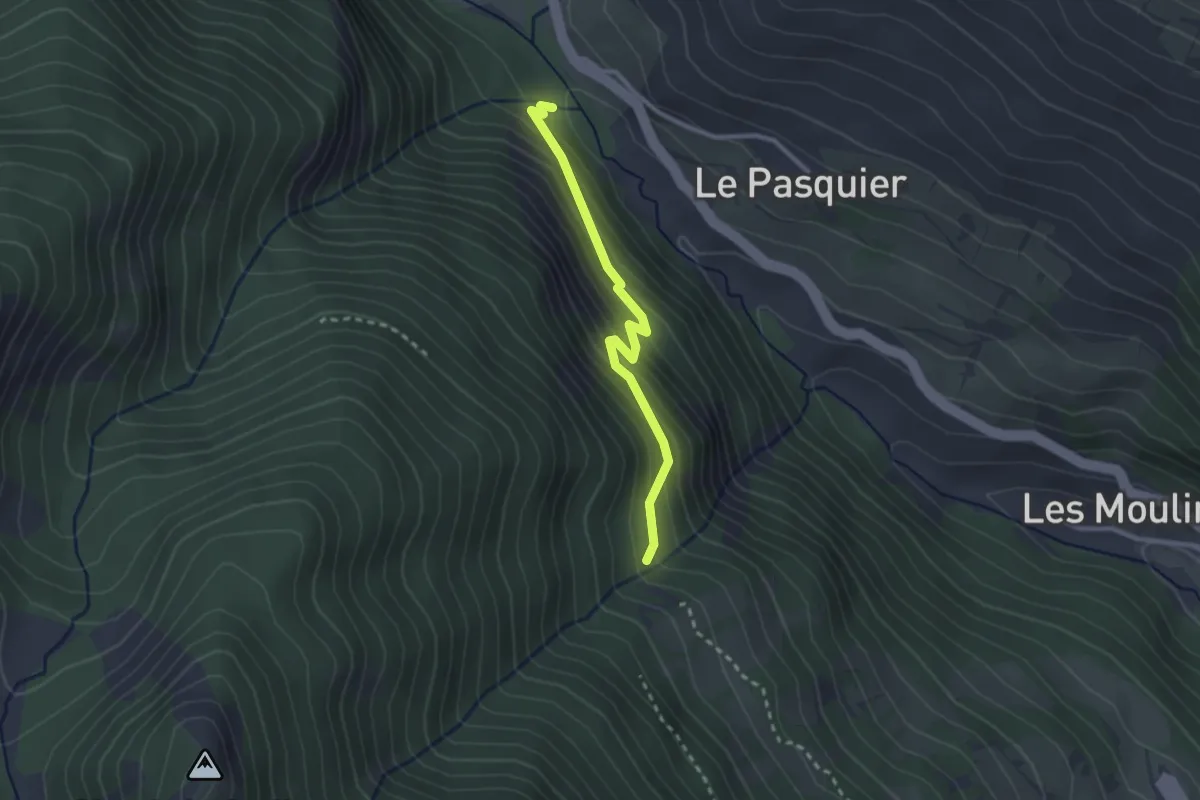
Easy · Trail
Dessous La Roche - ?
2.5 km · ↑ 246 m · 1 h 8 min
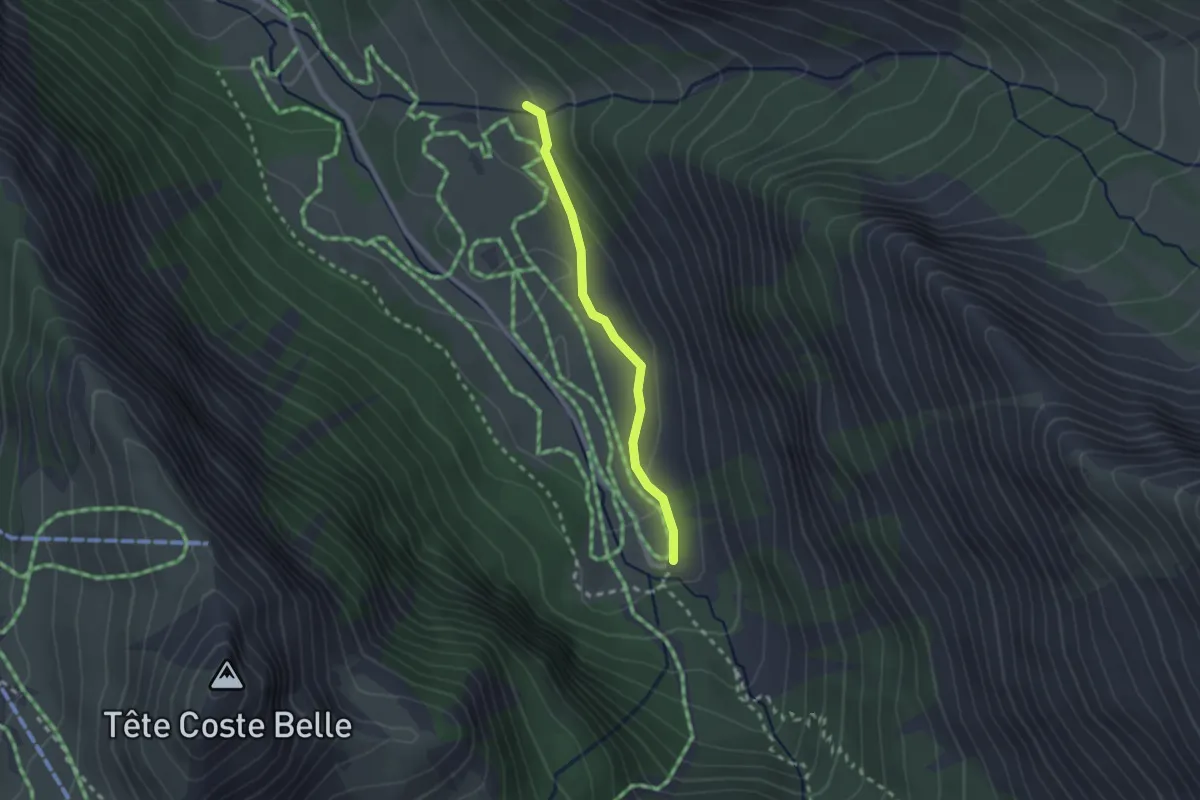
Easy · Trail
Dessus la Riaille - Parking de Chaurionde
2.1 km · ↑ 71 m · 39 min
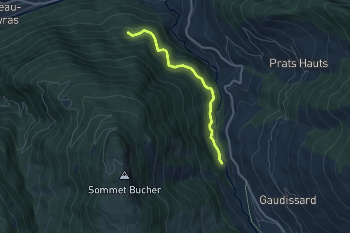
Easy · Trail
Dessus Ville-Vieille - Prise d'eau
5.1 km · ↑ 304 m · 1 h 52 min
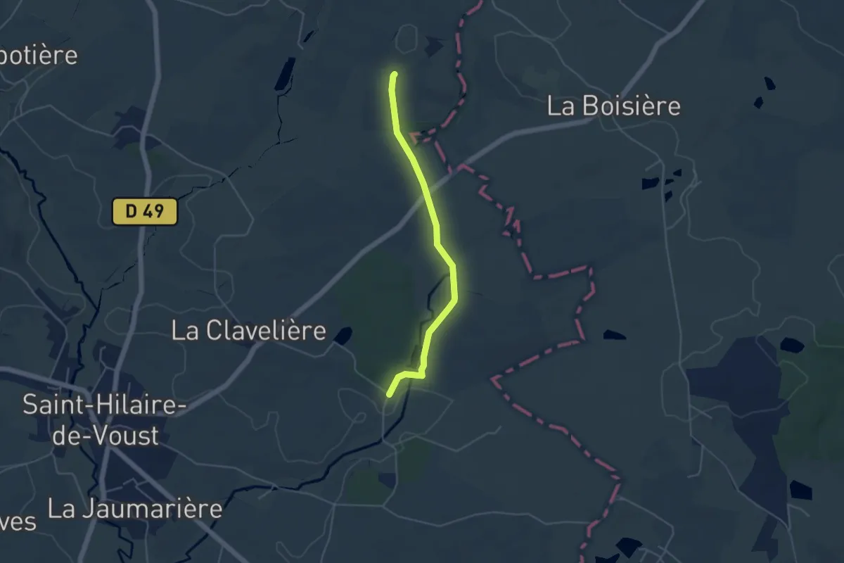
Easy · Trail
De St-Cyr-des-Gâts à La Chapelle-aux-Lys
4.1 km · ↑ 65 m · 1 h 7 min
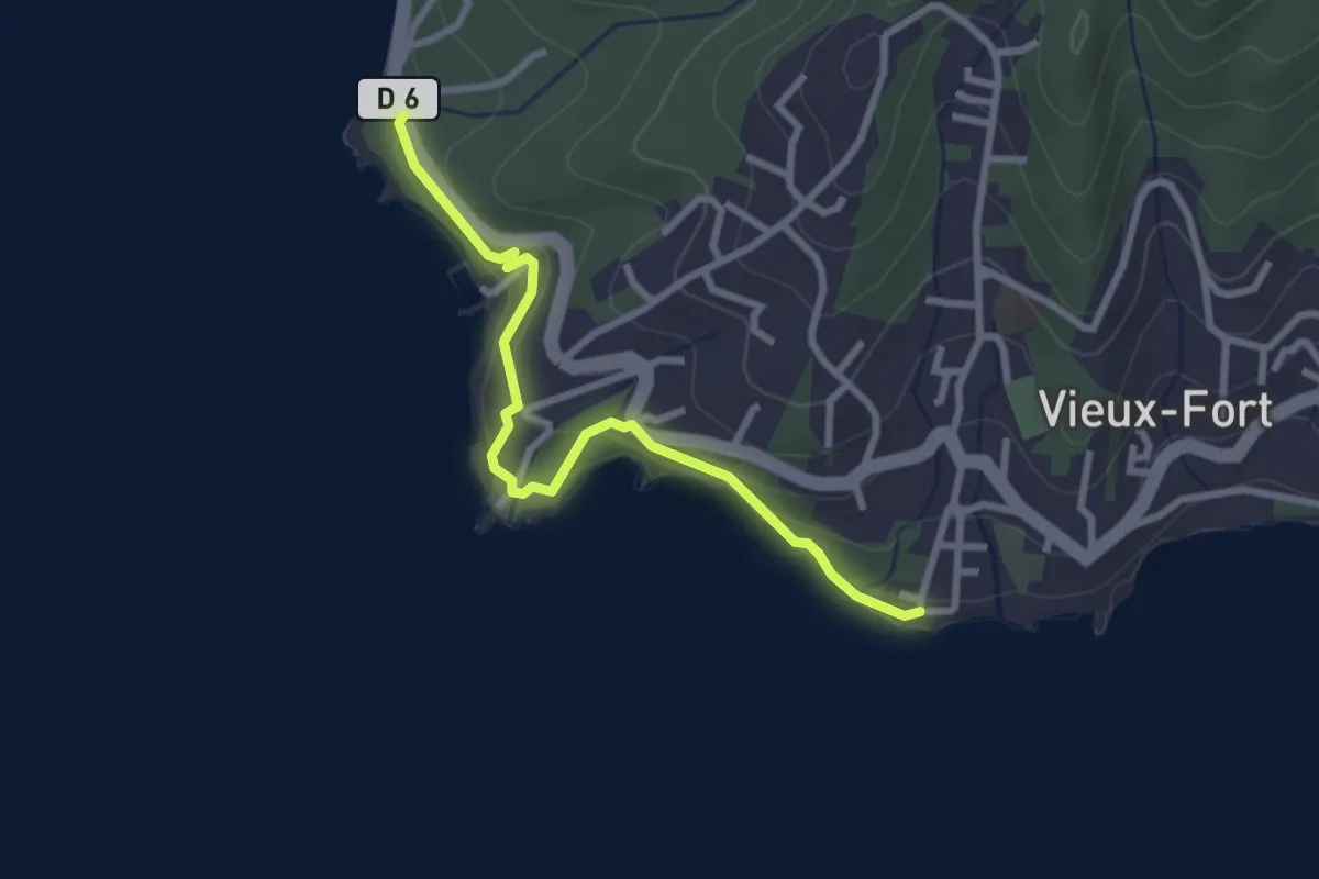
Easy · Trail
Des Trois Pointes à Pointe Plate
3.8 km · ↑ 171 m · 1 h 16 min
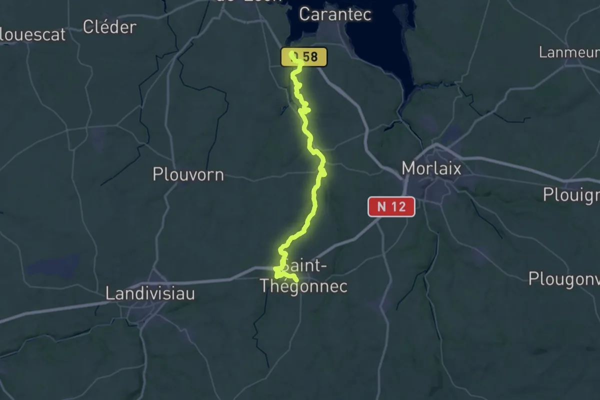
Demanding · Trail
De St-Thégonnec à Henvic
22.3 km · ↑ 334 m · 6 h 21 min
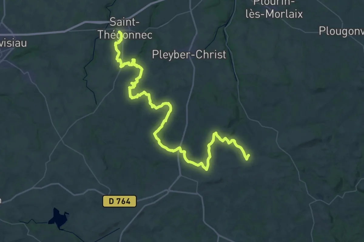
Demanding · Trail
De St-Thégonnec à Quilliogues
30.6 km · ↑ 537 m · 8 h 43 min
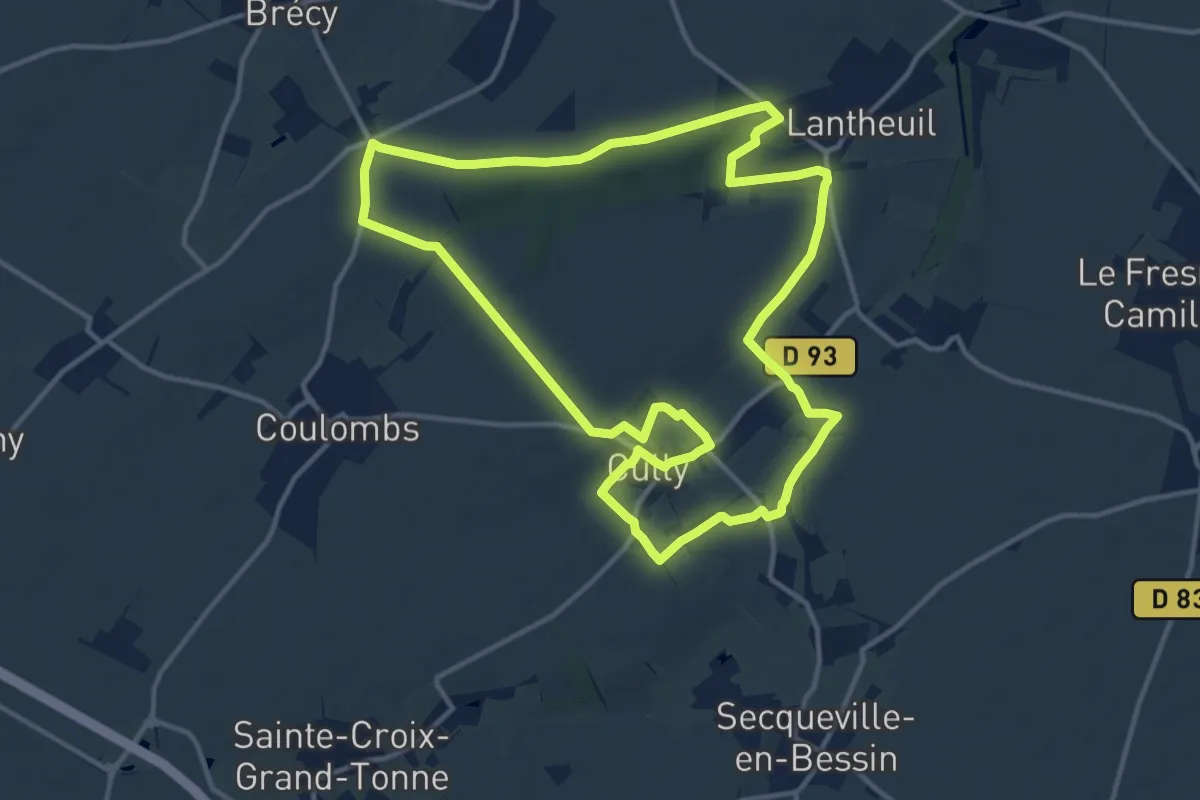
Medium · Trail
Des Vallons de la Thue à Manneville
12.8 km · ↑ 107 m · 3 h 26 min
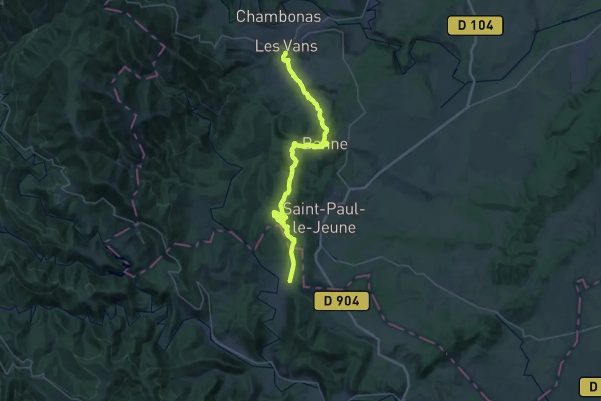
Medium · Trail
Des Vans à Mialet
15.2 km · ↑ 449 m · 4 h 45 min
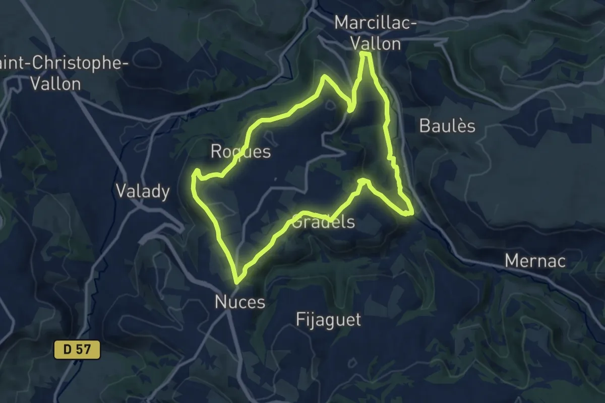
Medium · Trail
Des Vignes aux Moulins
11.3 km · ↑ 284 m · 3 h 26 min
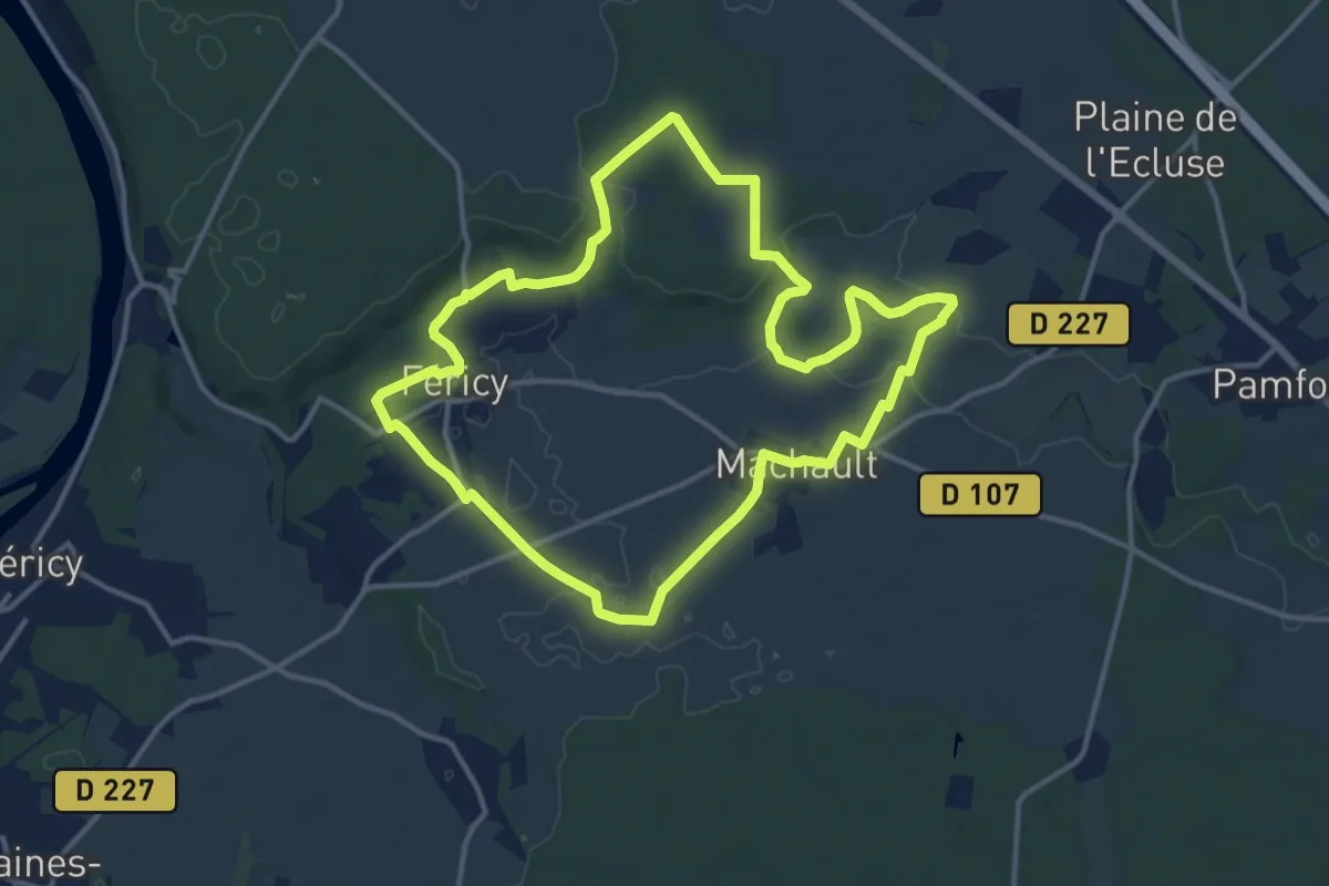
Medium · Trail
Des vignes aux vergers en vallée Javot
12.8 km · ↑ 119 m · 3 h 28 min
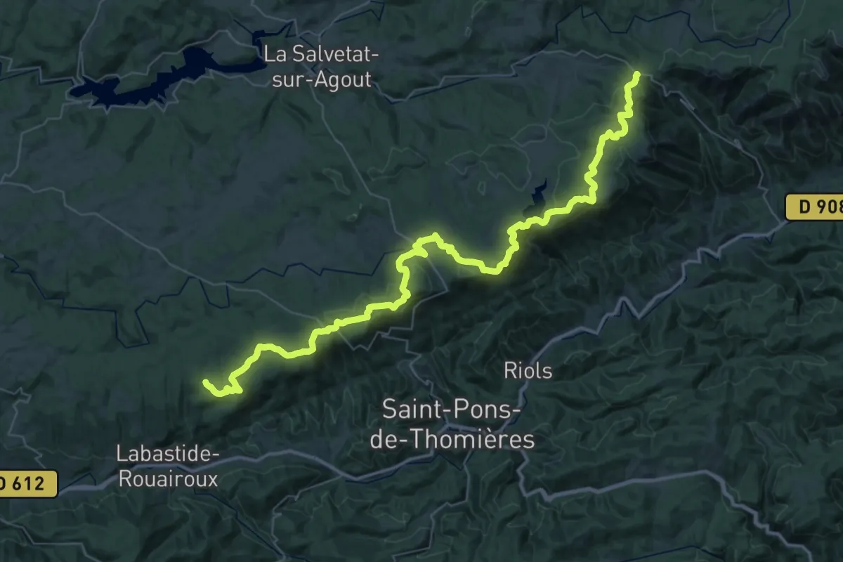
Demanding · Trail
Des Vosges aux Pyrénées 07, Col de Fontfroide - Labastide
29.0 km · ↑ 703 m · 8 h 43 min
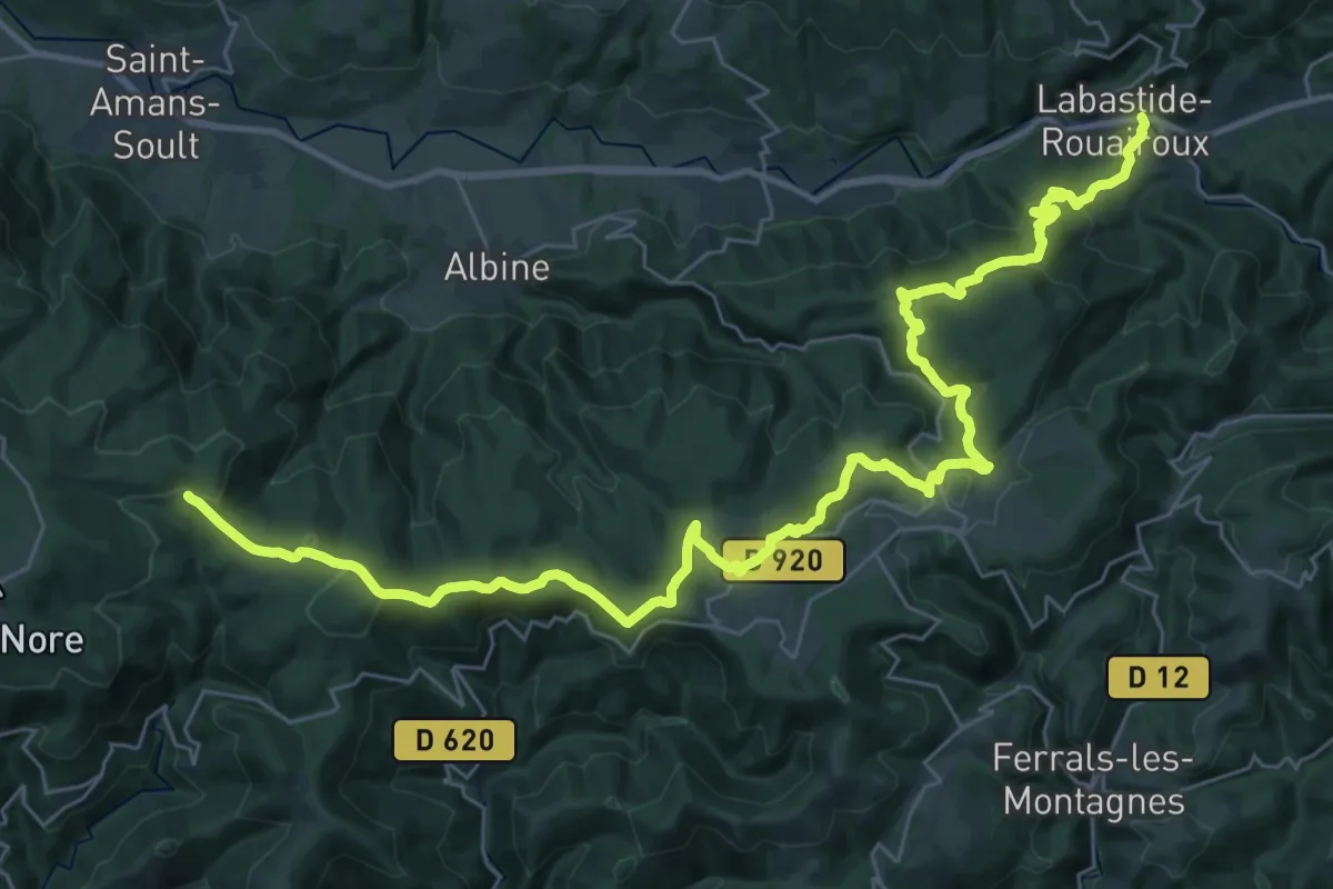
Demanding · Trail
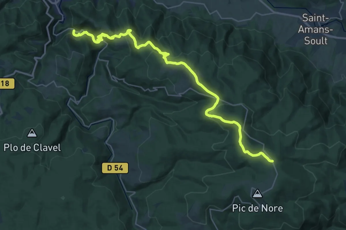
Des Vosges aux Pyrénées 08, Labastide - Portail de Nore
21.9 km · ↑ 900 m · 7 h 8 min
Medium · Trail
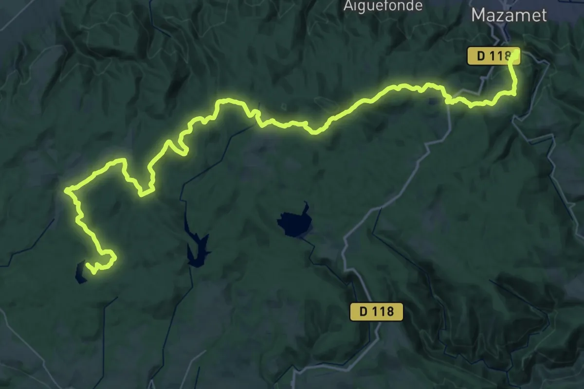
Des Vosges aux Pyrénées 09, Portail de Nore - Mazamet
13.6 km · ↑ 105 m · 4 h 2 min
Demanding · Trail
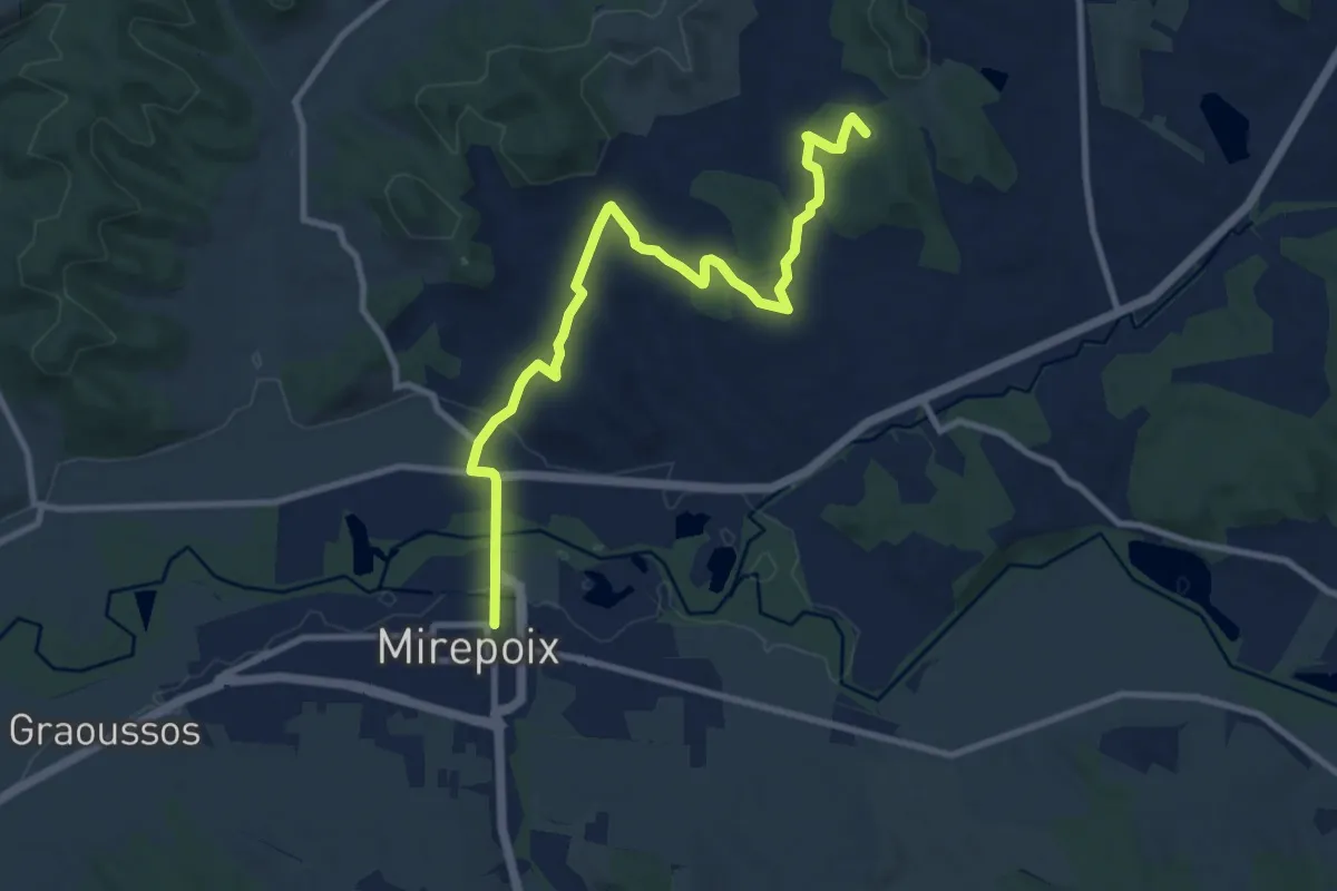
Des Vosges aux Pyrénées 10, Mazamet - Revel
33.8 km · ↑ 1117 m · 10 h 43 min
Medium · Summit
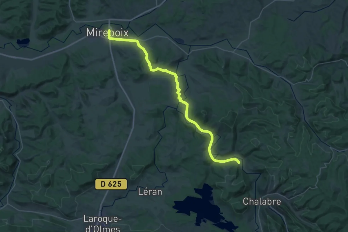
Des Vosges aux Pyrénées 11, Revel - Mirepoix
11.2 km · ↑ 259 m · 3 h 12 min
Medium · Trail
Des Vosges aux Pyrénées 12, Mirepoix - Camon
16.3 km · ↑ 199 m · 4 h 32 min
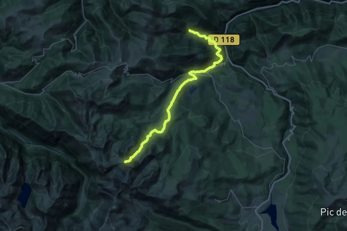
Medium · Trail
Des Vosges aux Pyrénées 13, vers le Col de Tougnets
15.8 km · ↑ 335 m · 5 h 19 min
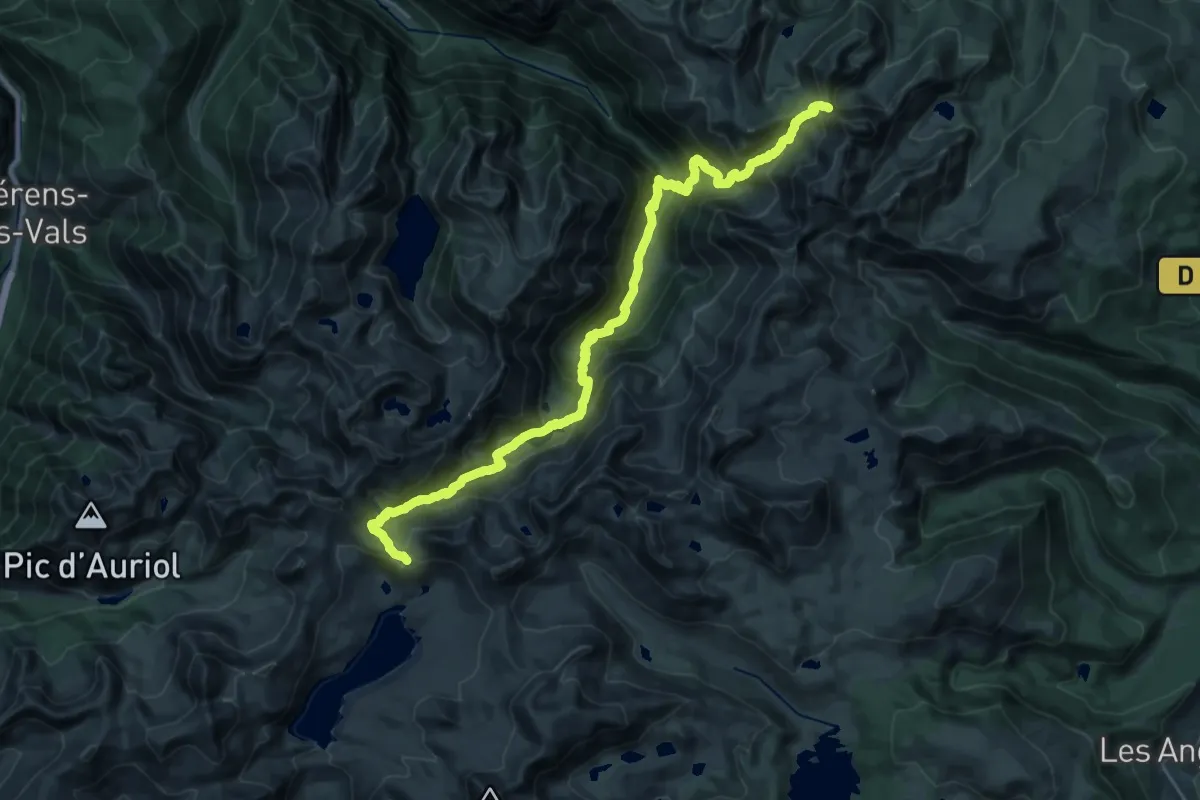
Demanding · Trail
Des Vosges aux Pyrénées 14, Porte de Barboilliere - Portella Blanca d'Andorra
15.5 km · ↑ 1201 m · 6 h 24 min
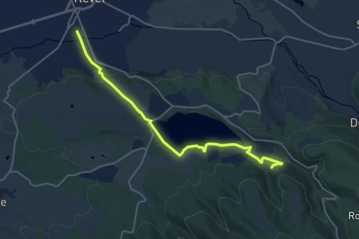
Medium · Trail
Des Vosges aux Pyrénées, variante Pierre-Paul Riquet
11.1 km · ↑ 282 m · 3 h 14 min
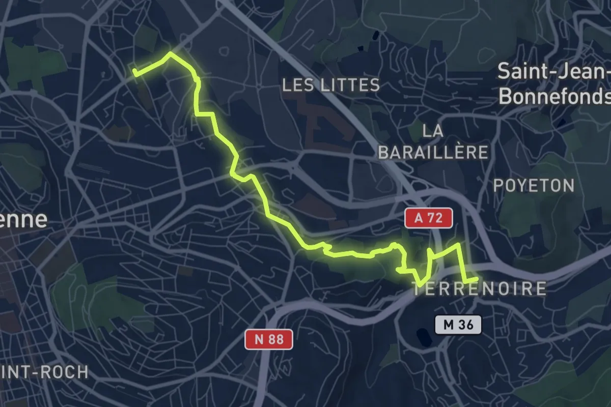
Medium · Trail
De Terrenoire au Soleil
9.7 km · ↑ 253 m · 2 h 50 min