Trails in France
15,926 hiking trails, each with its route, climb, walking time and grade.
All trails, page 105 of 332
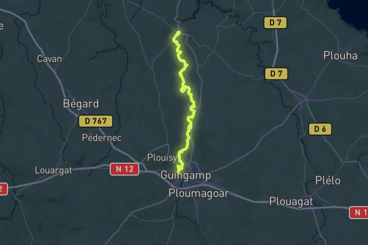
Demanding · Trail
De Pontrieux à Guingamp
23.8 km · ↑ 317 m · 6 h 39 min
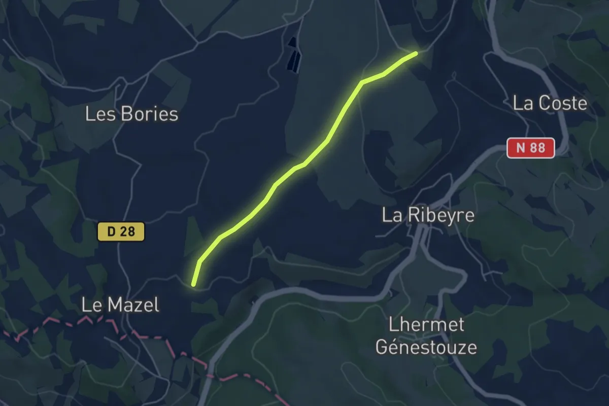
Easy · Trail
De Pradelles à Langogne
4.1 km · ↑ 81 m · 1 h 9 min
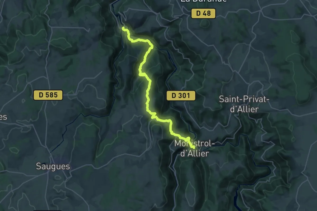
Medium · Trail
De Prades à Monistrol d'Allier
12.1 km · ↑ 541 m · 4 h 14 min
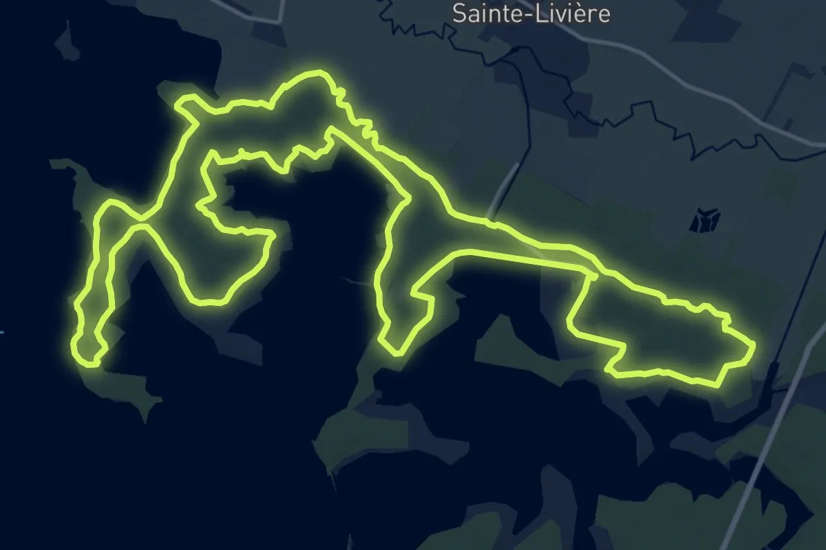
Demanding · Trail
De Presqu'ile à Presqu'ile
21.3 km · ↑ 166 m · 5 h 42 min
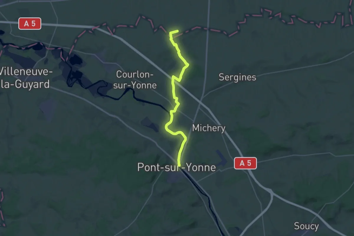
Demanding · Trail
De Provins à Auxerre, Provins - Pont s/Yonne
25.4 km · ↑ 194 m · 6 h 26 min
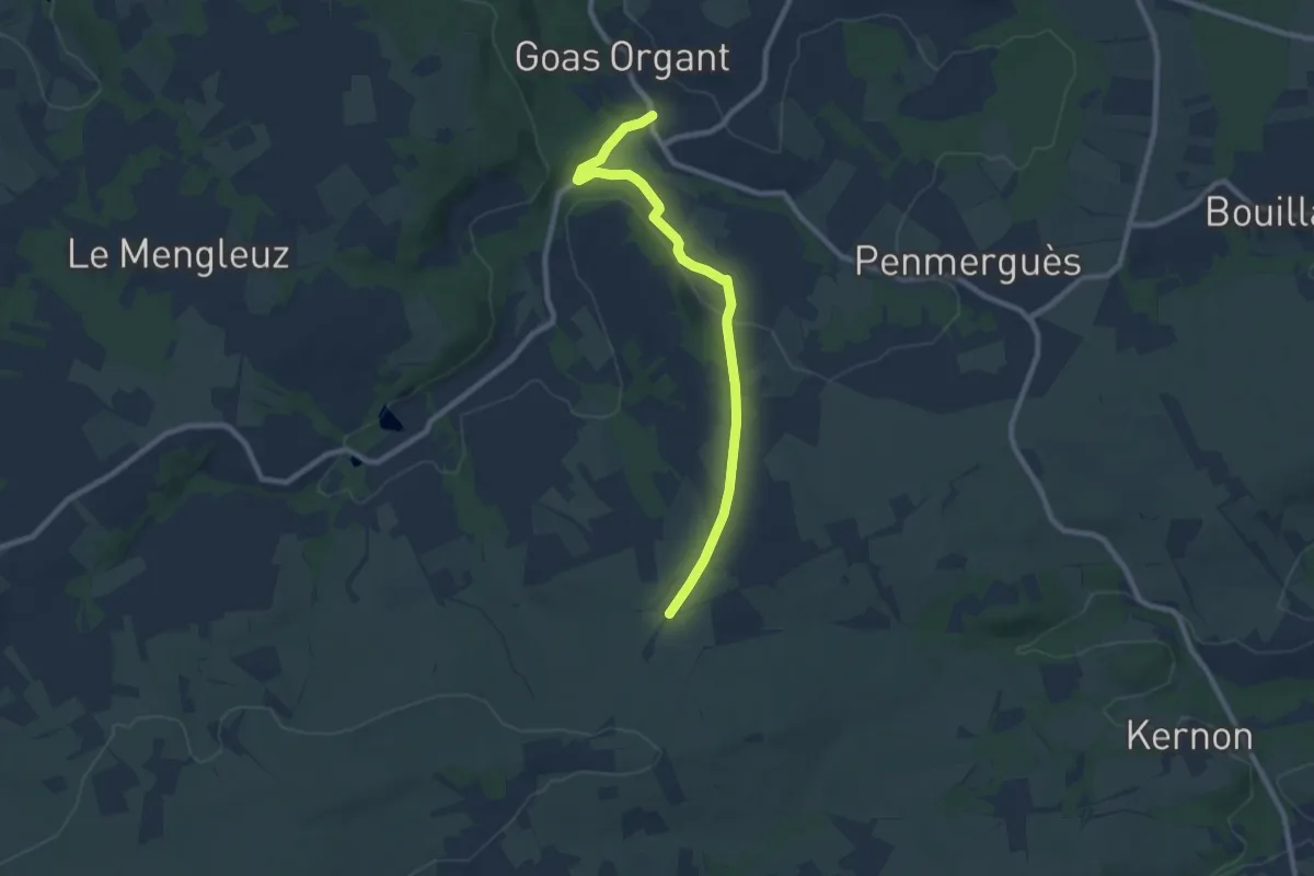
Medium · Trail
De Quilliogues à Creach-Menoury
8.2 km · ↑ 147 m · 2 h 15 min
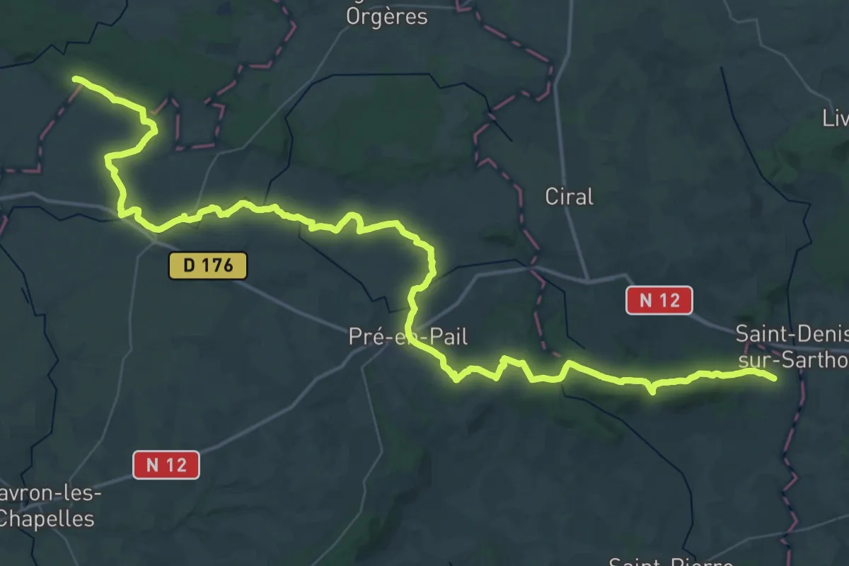
Demanding · Trail
De Ravigny à Bagnoles-de-l'Orne par le Mont des Avaloirs
32.7 km · ↑ 493 m · 9 h 14 min
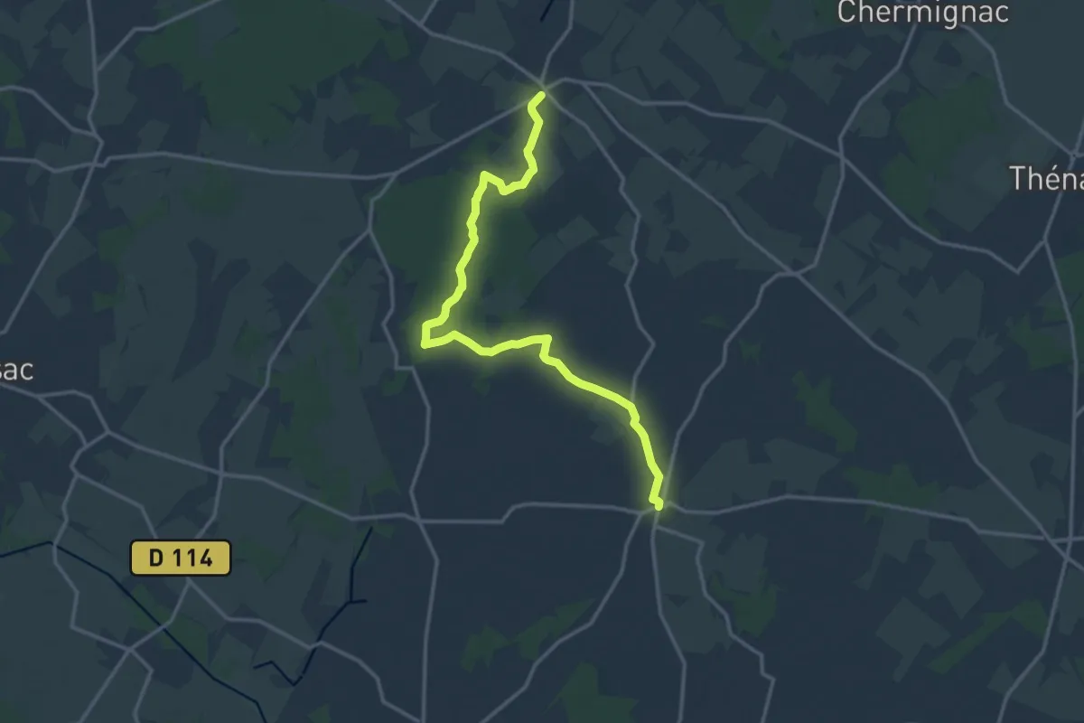
Medium · Trail
De Rétaud à Rioux
15.8 km · ↑ 17 m · 3 h 46 min
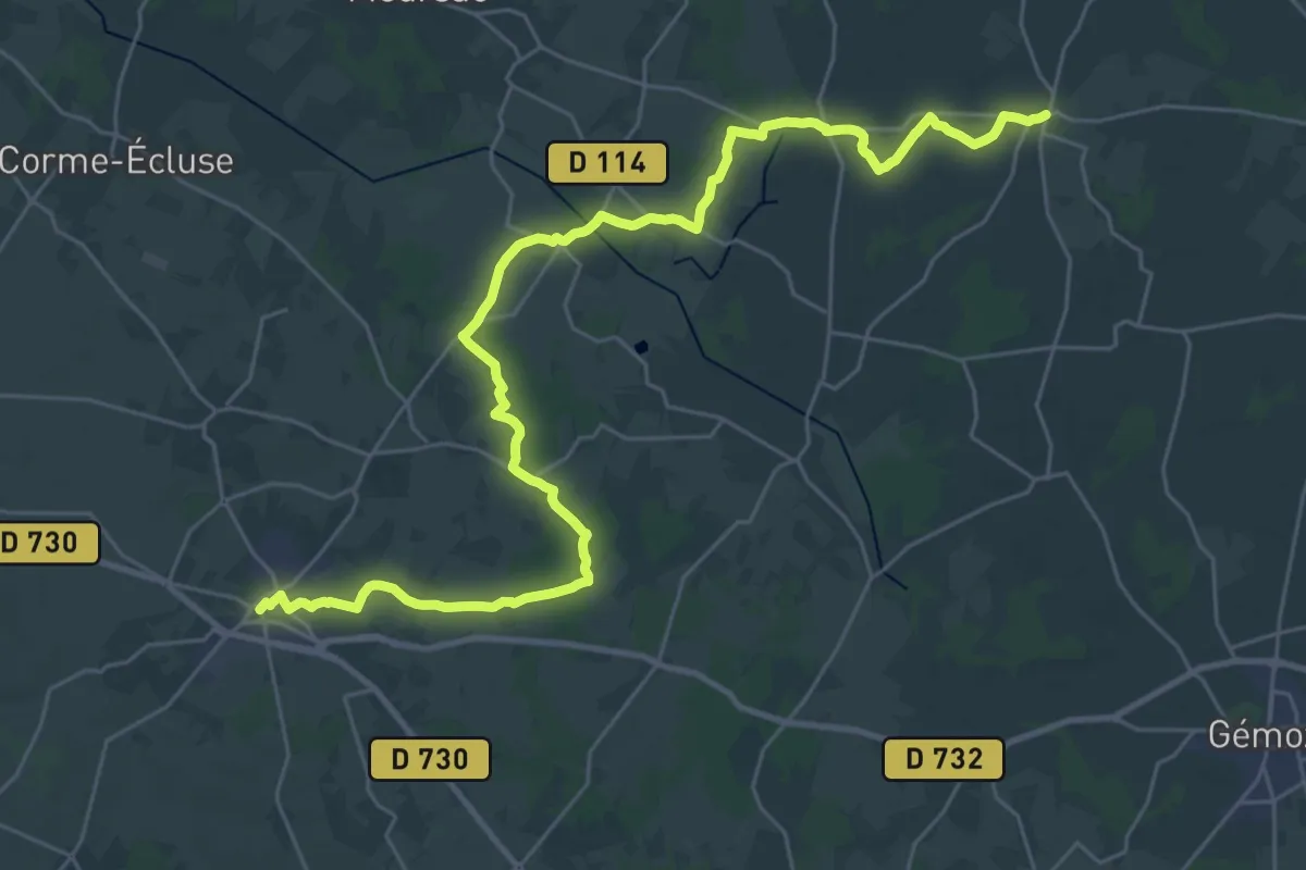
Demanding · Trail
De Rioux à Cozes
18.4 km · ↑ 71 m · 4 h 45 min
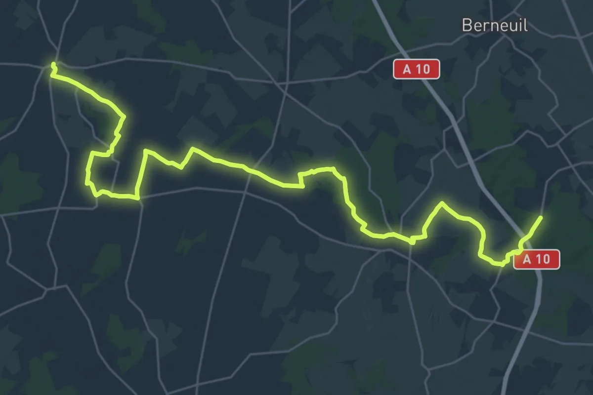
Medium · Trail
De Rioux à Saint-Léger
17.2 km · ↑ 68 m · 4 h 26 min
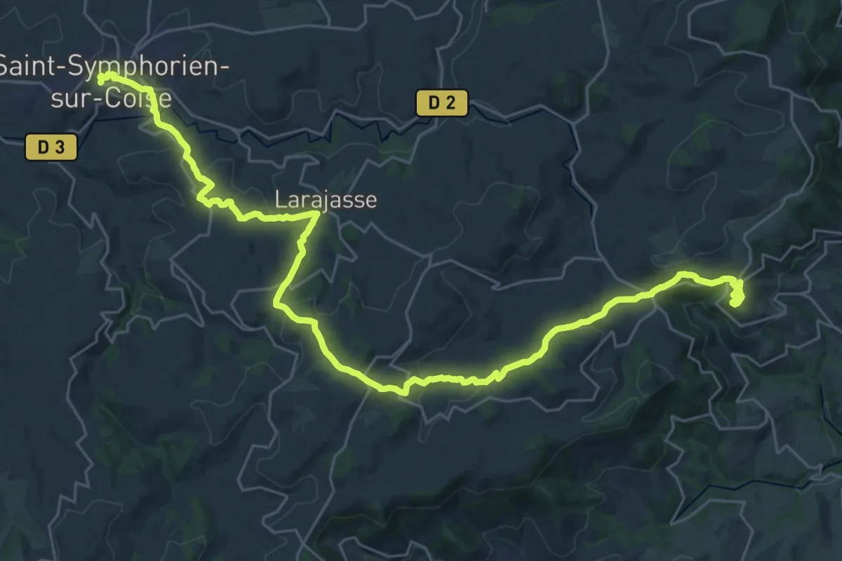
Demanding · Trail
De Riverie à Saint-Symphorien
18.1 km · ↑ 535 m · 5 h 46 min
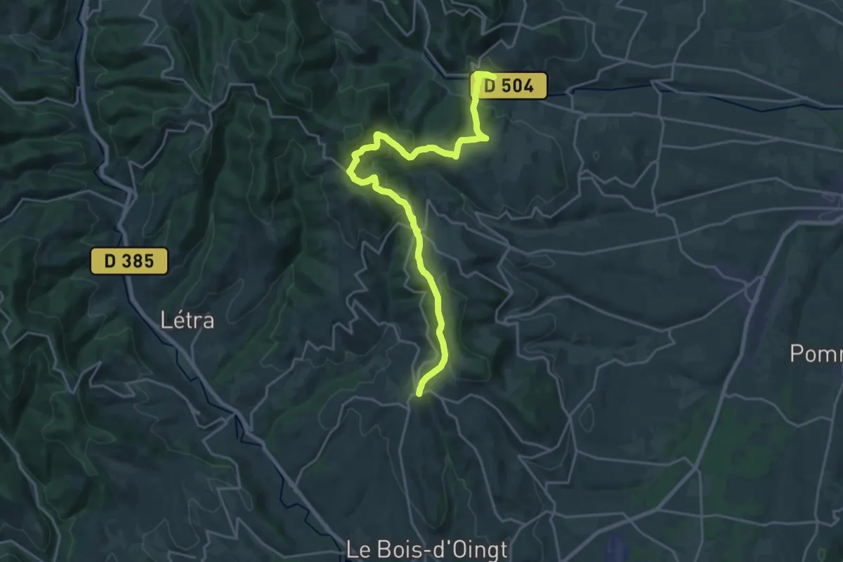
Demanding · Trail
De Rivolet à Oingt
22.6 km · ↑ 732 m · 6 h 56 min
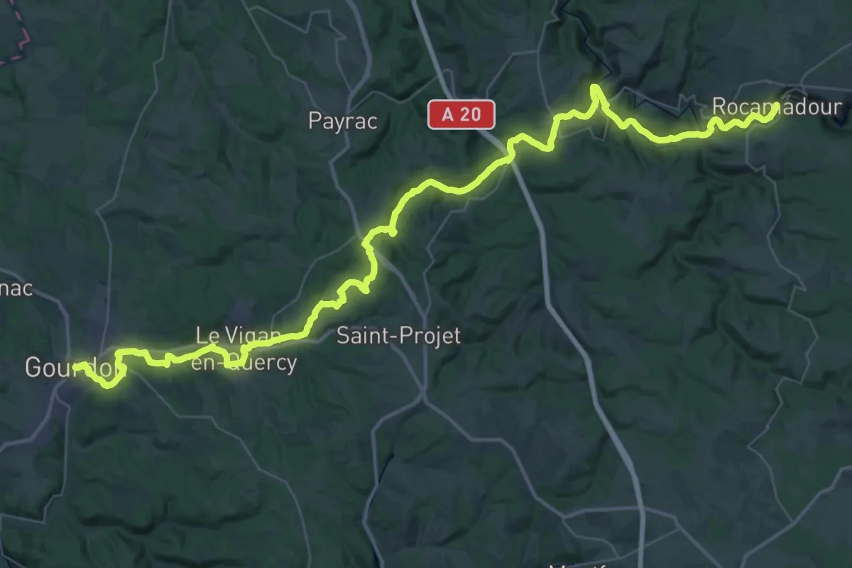
Demanding · Trail
De Rocamadour à Gourdon
29.5 km · ↑ 567 m · 8 h 38 min
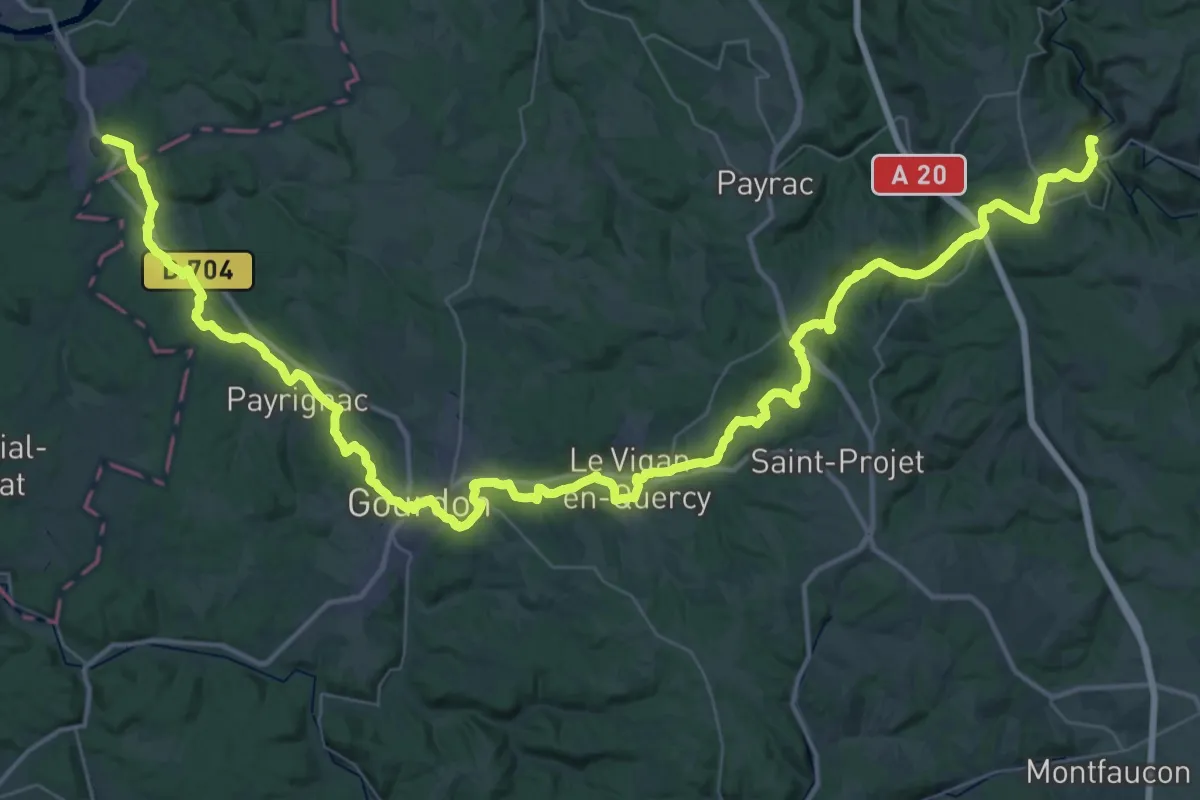
Demanding · Trail
De Rocamadour aux Eyzies-de-Tayac-Sireuil
35.4 km · ↑ 671 m · 10 h 17 min
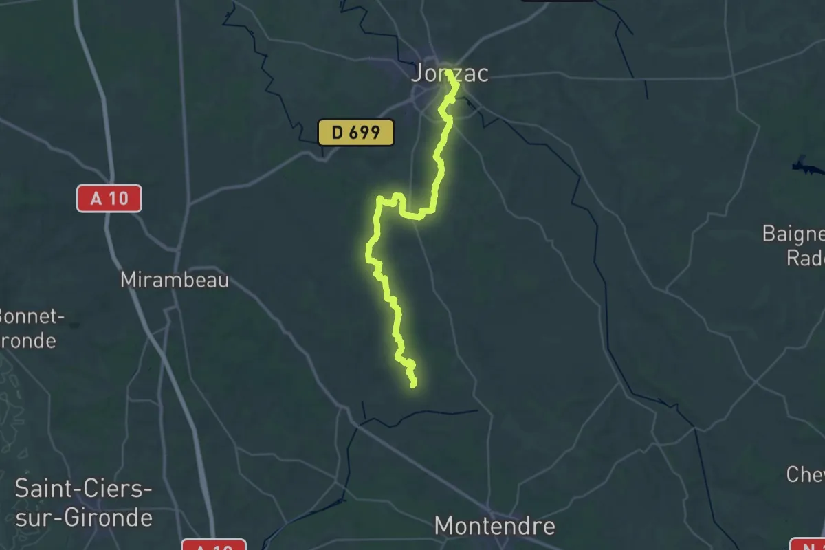
Demanding · Trail
De Rouffignac à Jonzac
19.6 km · ↑ 134 m · 5 h 12 min
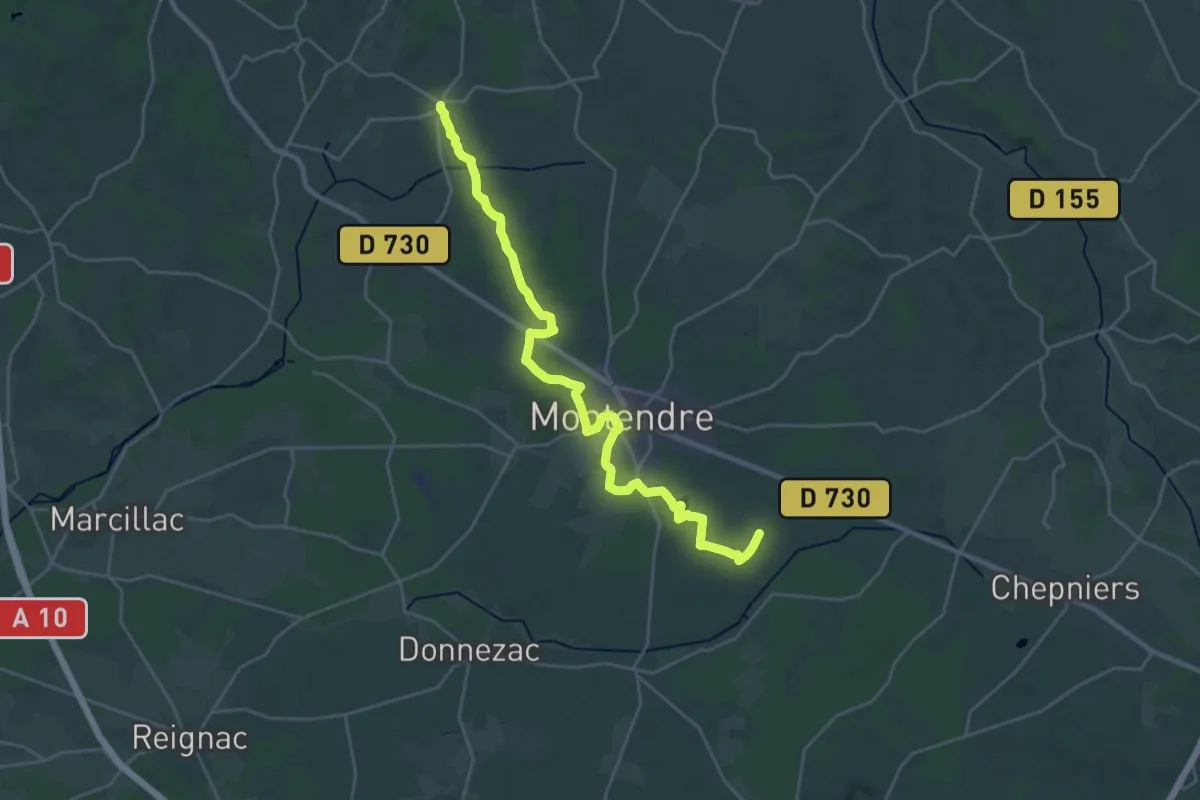
Demanding · Trail
De Rouffignac à Montendre
28.0 km · ↑ 267 m · 7 h 11 min
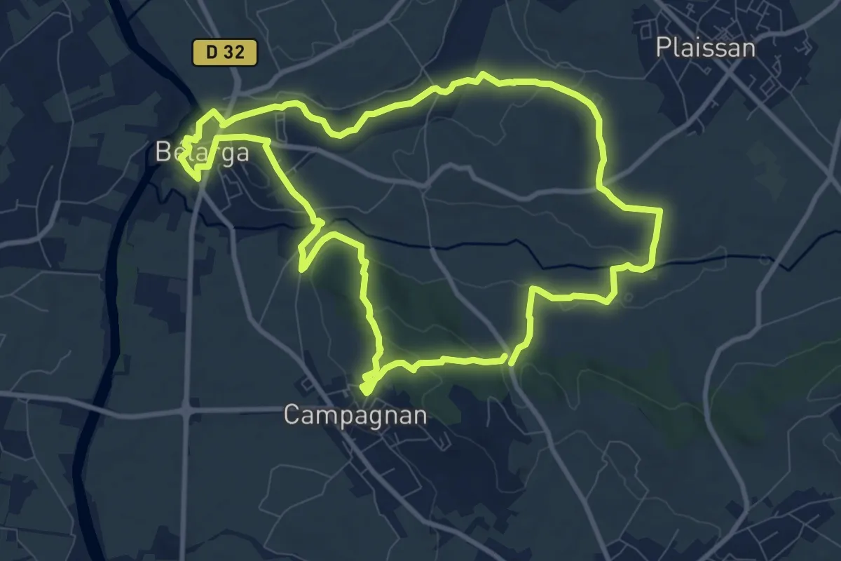
Medium · Trail
De Rouviège à Dardaillon
10.1 km · ↑ 161 m · 2 h 53 min
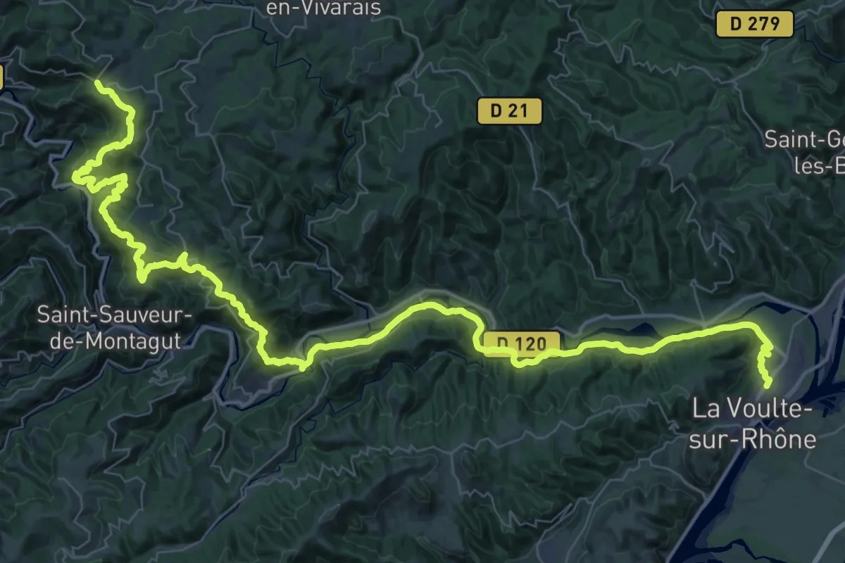
Demanding · Trail
De Sagnes et Goudoulet à St-Laurent du Pape
32.7 km · ↑ 1323 m · 10 h 45 min
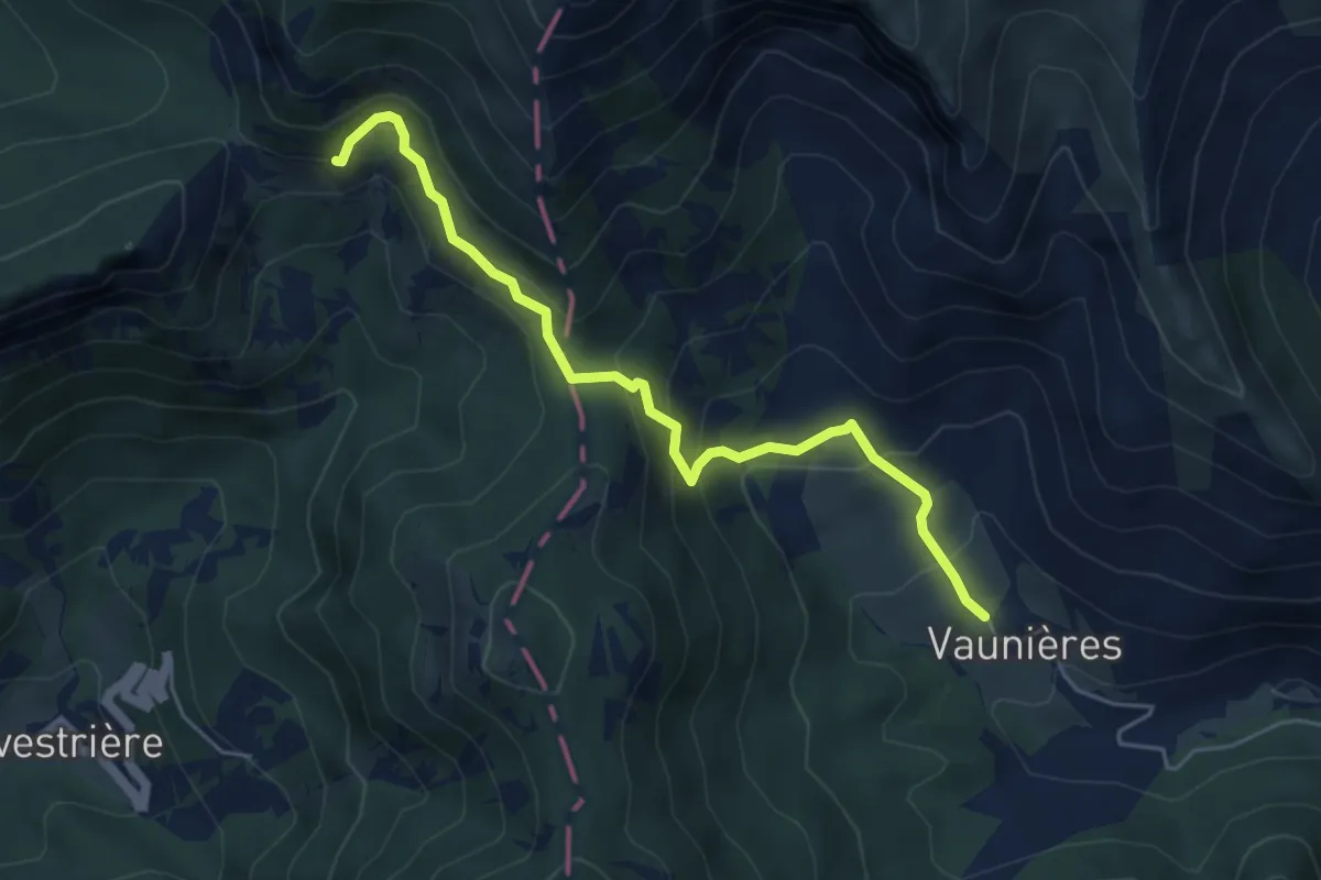
Medium · Trail
De Saillans à Lus-la-Croix-Haute
5.3 km · ↑ 381 m · 2 h 4 min
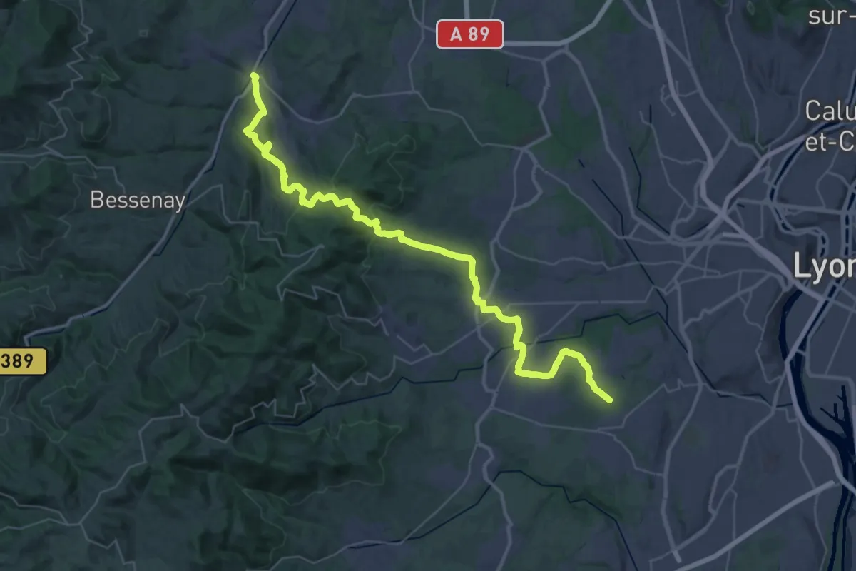
Demanding · Trail
De Sain-Bel à Chaponost
22.3 km · ↑ 604 m · 6 h 51 min
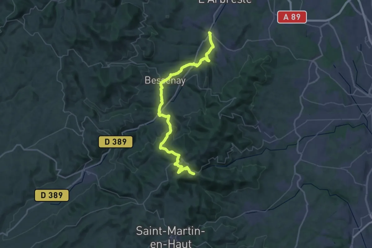
Demanding · Trail
De Sain-Bel à Yzeron
20.3 km · ↑ 939 m · 6 h 52 min
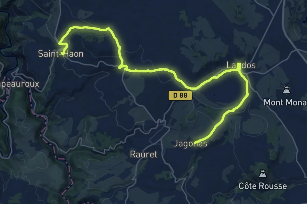
Demanding · Trail
De Saint-Haon à Jagonas
24.3 km · ↑ 434 m · 6 h 41 min
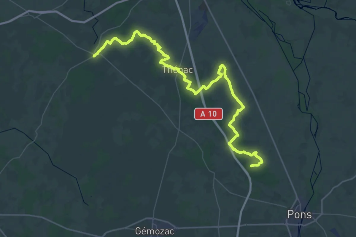
Demanding · Trail
De Saint-Léger à Rétaud
27.1 km · ↑ 113 m · 7 h 2 min
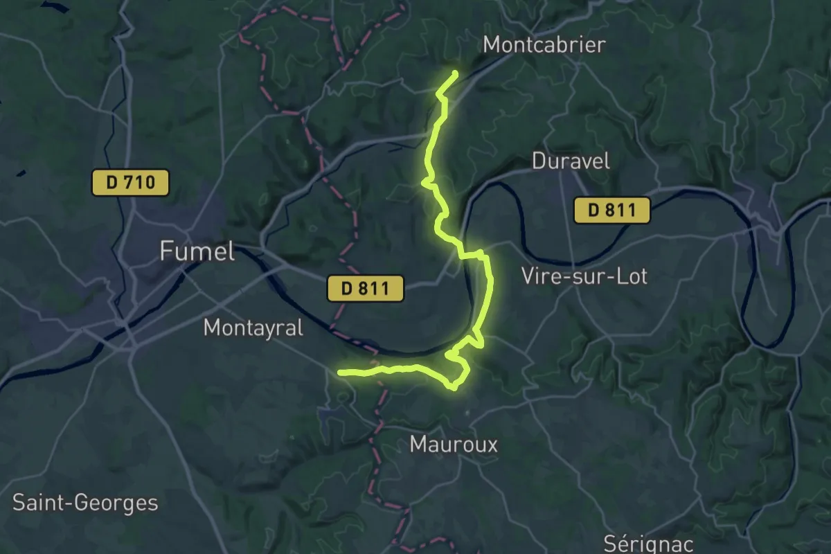
Medium · Trail
De Saint-Martin-de-Redon à Villeneuve
13.8 km · ↑ 349 m · 4 h 12 min
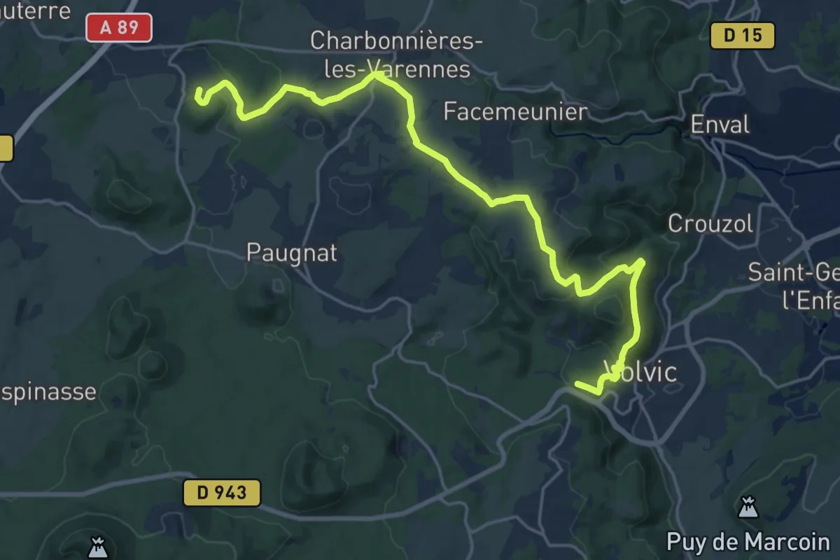
Demanding · Summit
De Saint-Ours à Volvic
21.6 km · ↑ 502 m · 6 h 11 min
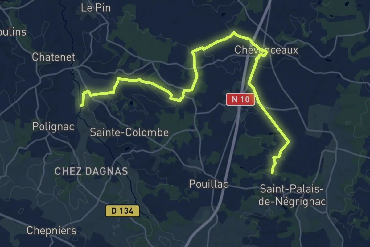
Demanding · Trail
De Saint-Palais à Pollignac, par Chevanceaux
24.2 km · ↑ 244 m · 6 h 15 min
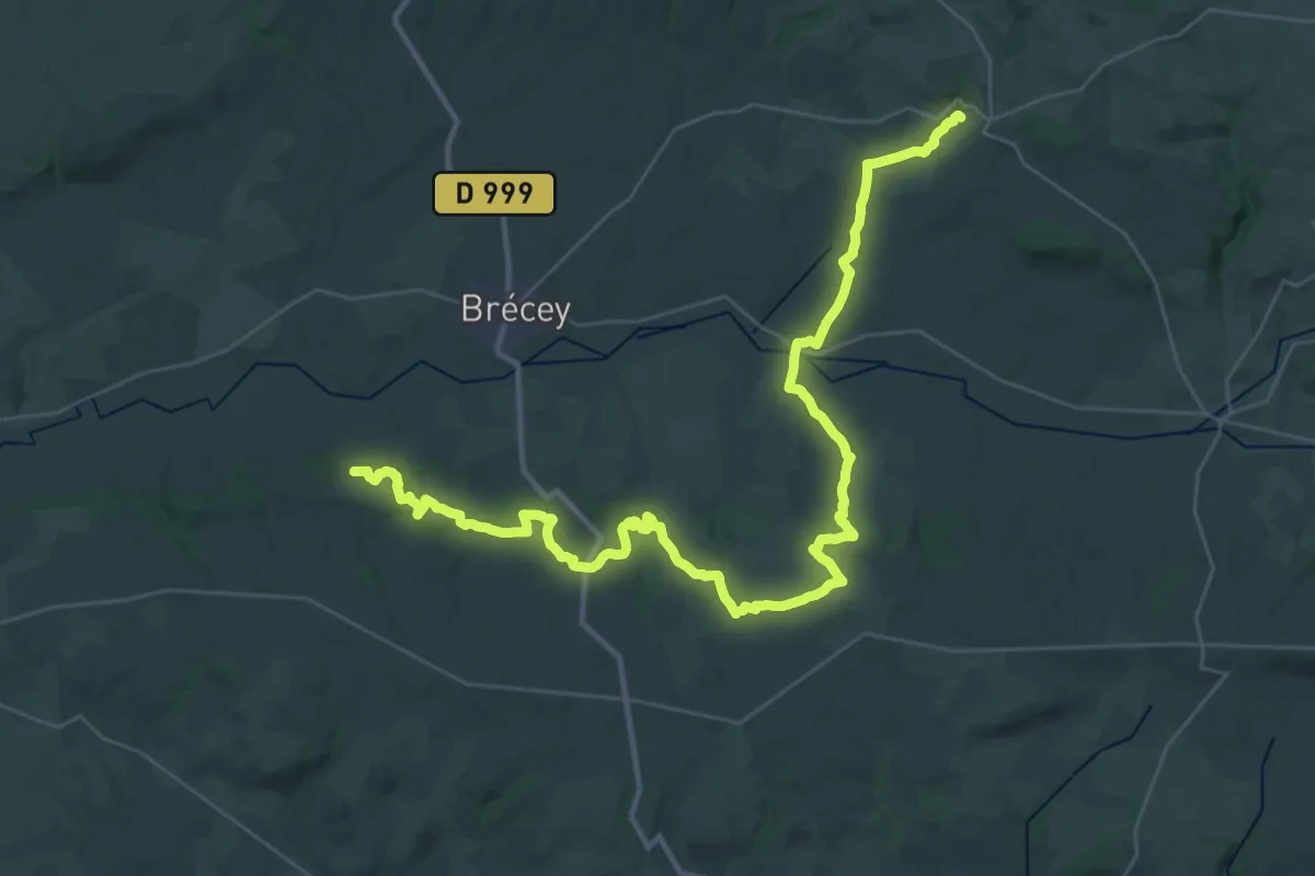
Demanding · Trail
de Saint-Pois au Petit-Celland
21.9 km · ↑ 420 m · 6 h 23 min
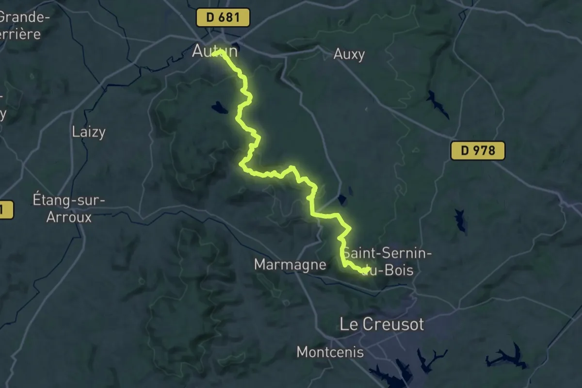
Demanding · Trail
De Saint-Sernin à Autun
25.5 km · ↑ 519 m · 7 h 33 min
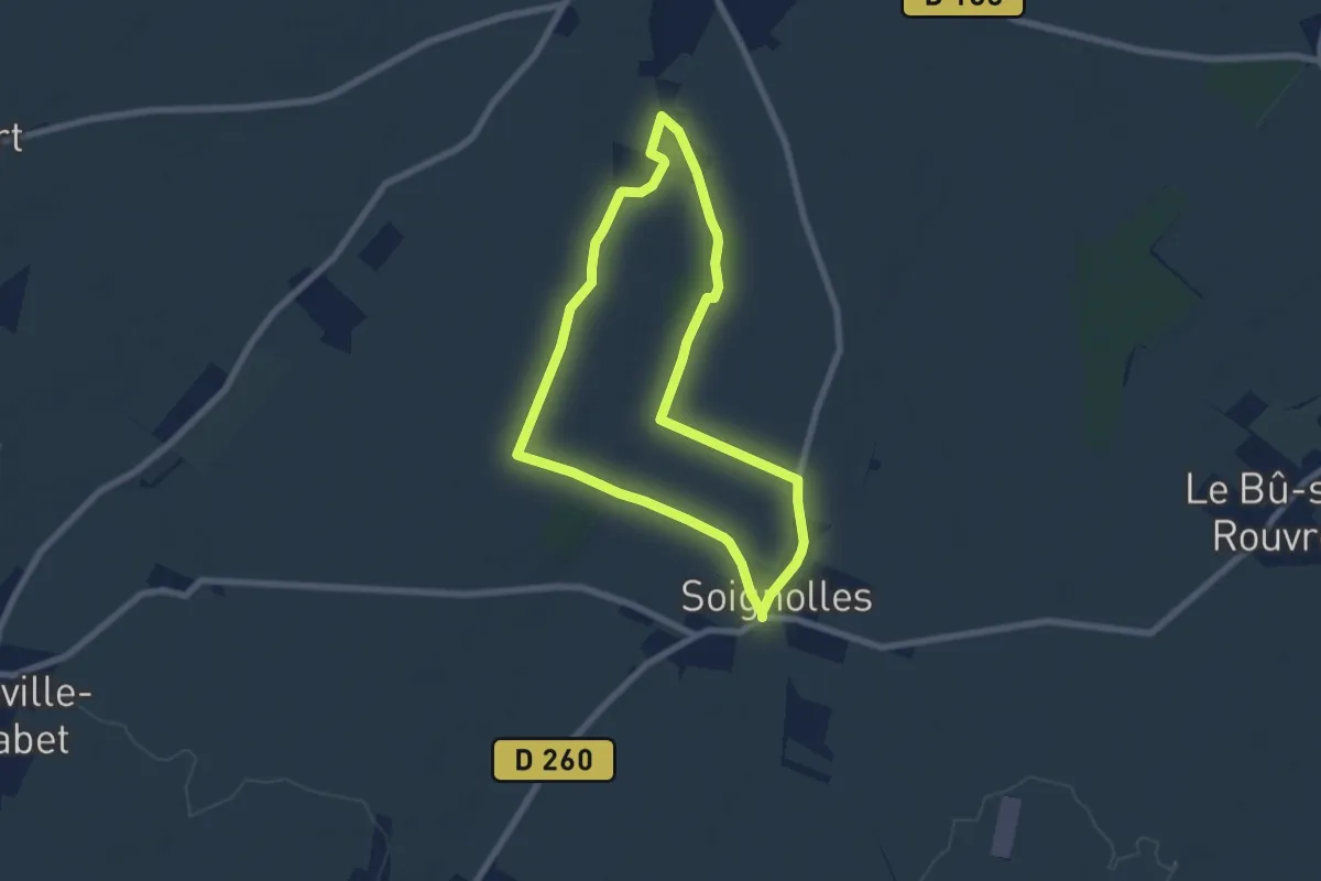
Easy · Trail
De Saint-Sylvain à Soignolles par les Fauces
6.0 km · ↑ 27 m · 1 h 34 min
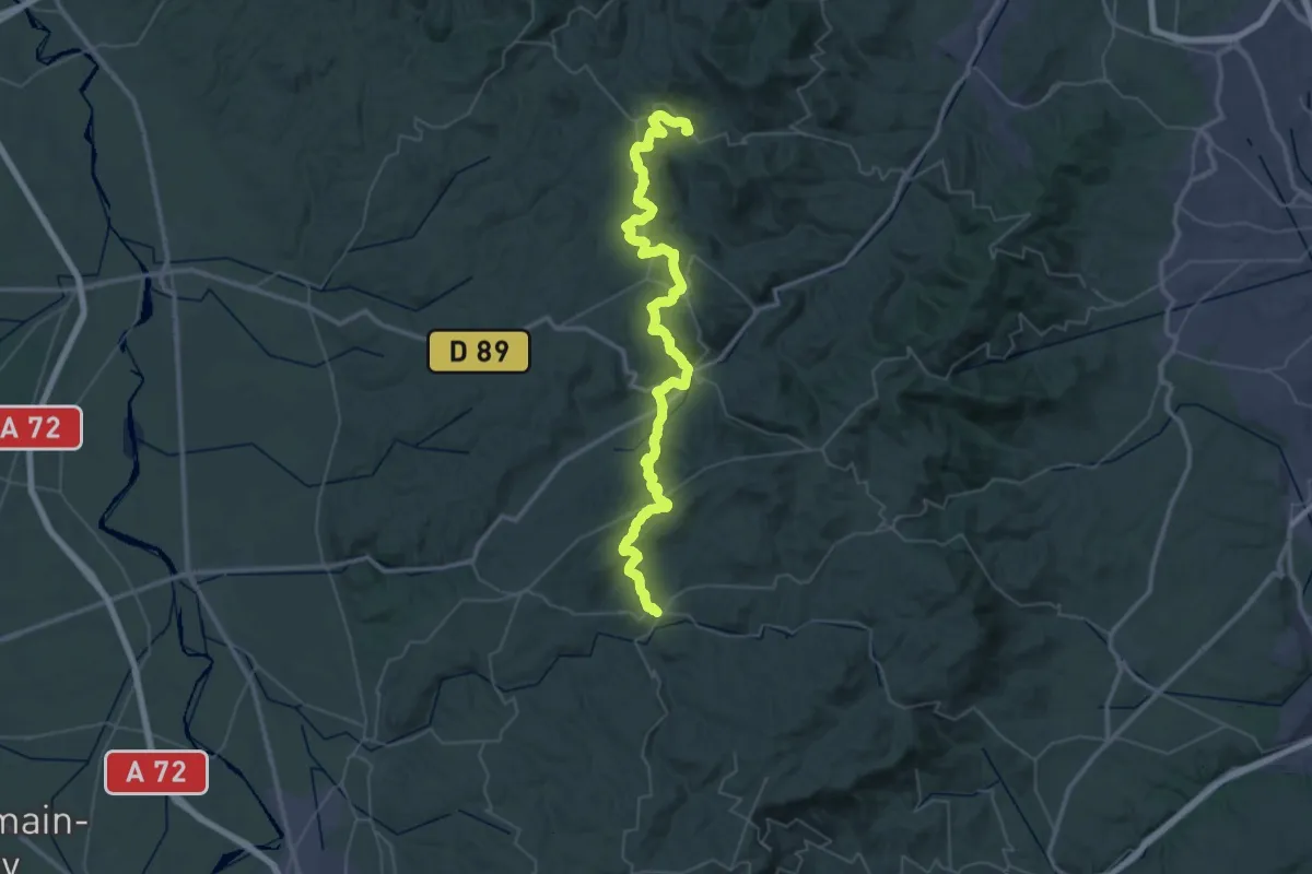
Demanding · Trail
De Saint-Symphorien à Montrottier
30.3 km · ↑ 819 m · 9 h 24 min
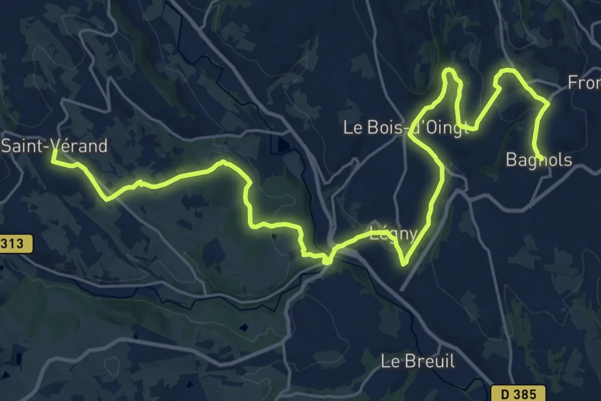
Demanding · Trail
De Saint Vérand à Bagnols
26.3 km · ↑ 659 m · 7 h 39 min
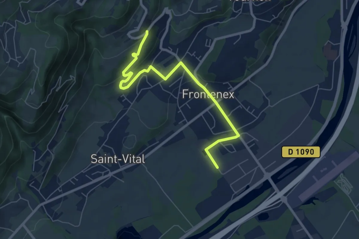
Easy · Trail
De Saint-Vital à Frontenex
6.9 km · ↑ 172 m · 2 h
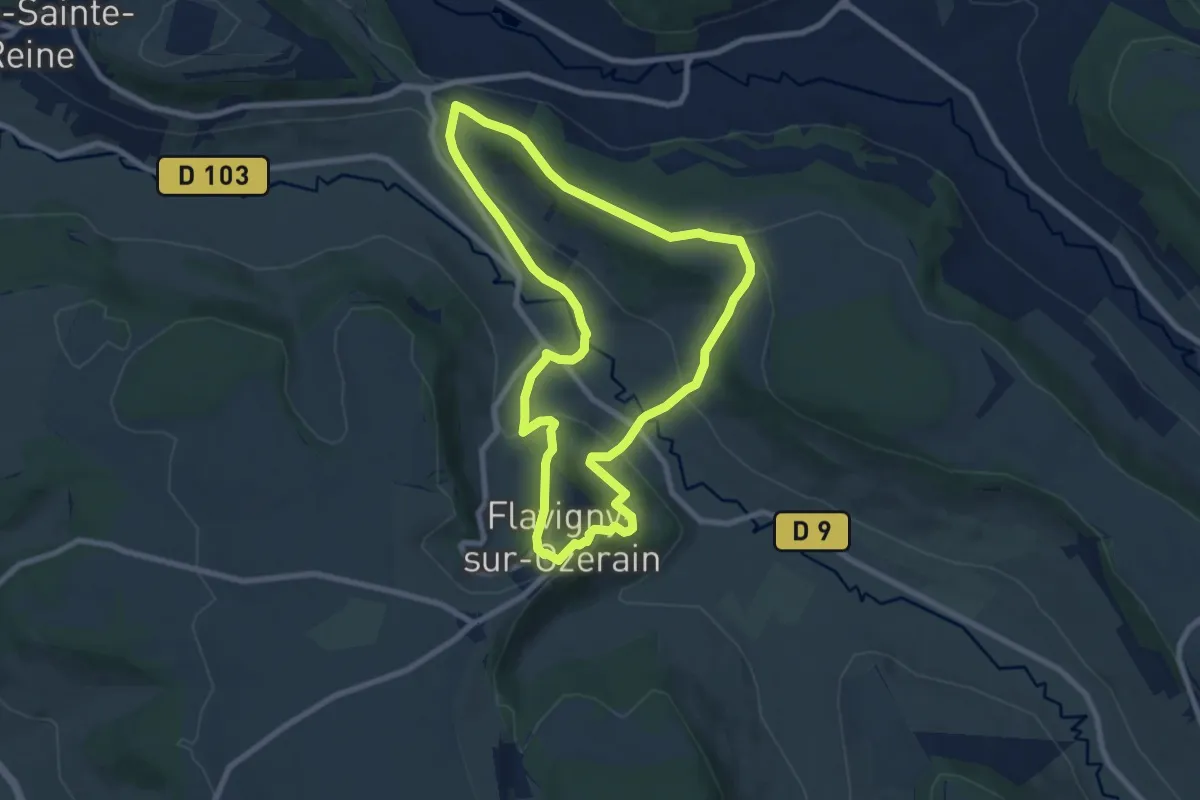
Easy · Trail
Des Anis au Vignoble
7.8 km · ↑ 280 m · 2 h 34 min
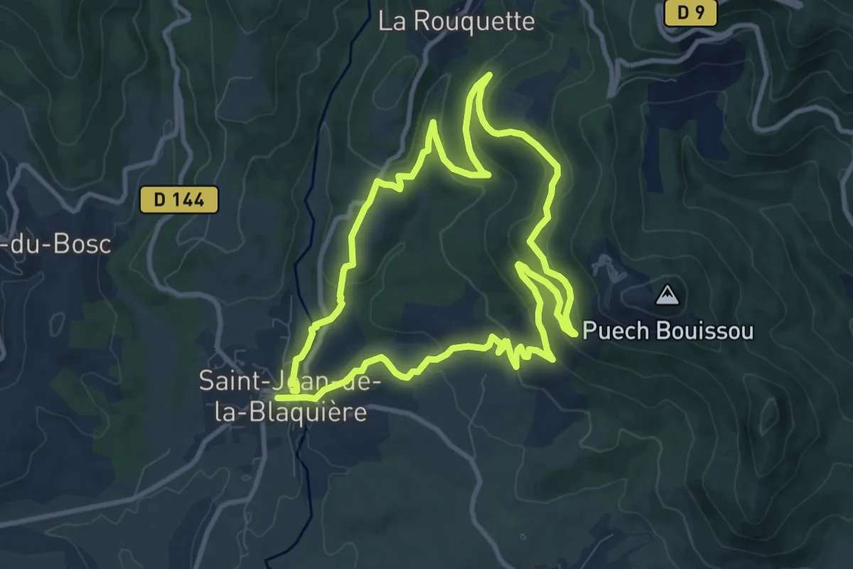
Medium · Trail
Des bois de Homs et de Latuder
9.3 km · ↑ 278 m · 2 h 56 min
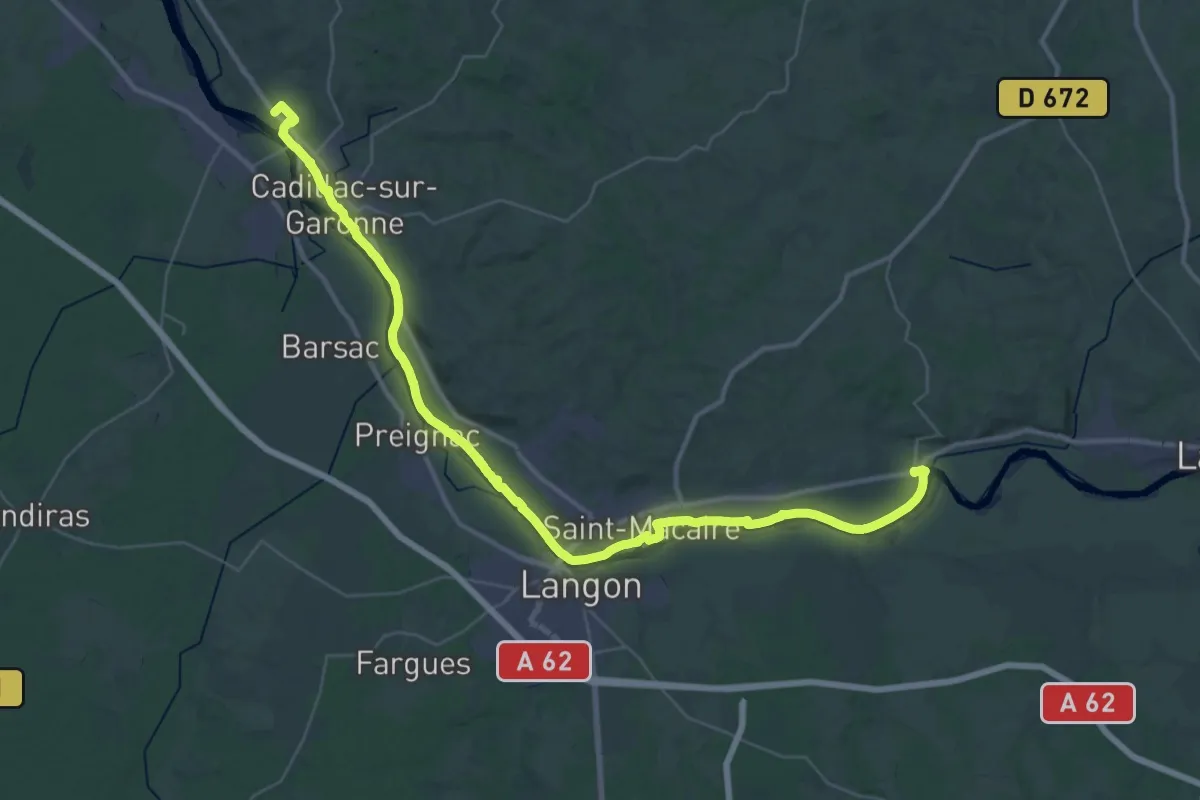
Demanding · Trail
Des Bords de Garonne : circuit départemental
25.3 km · ↑ 73 m · 6 h 29 min
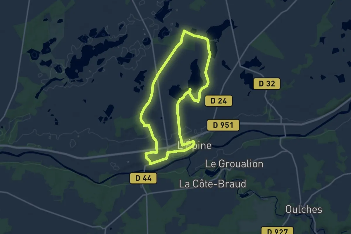
Medium · Trail
Des bords d'étangs au bord de Creuse
11.4 km · ↑ 62 m · 3 h
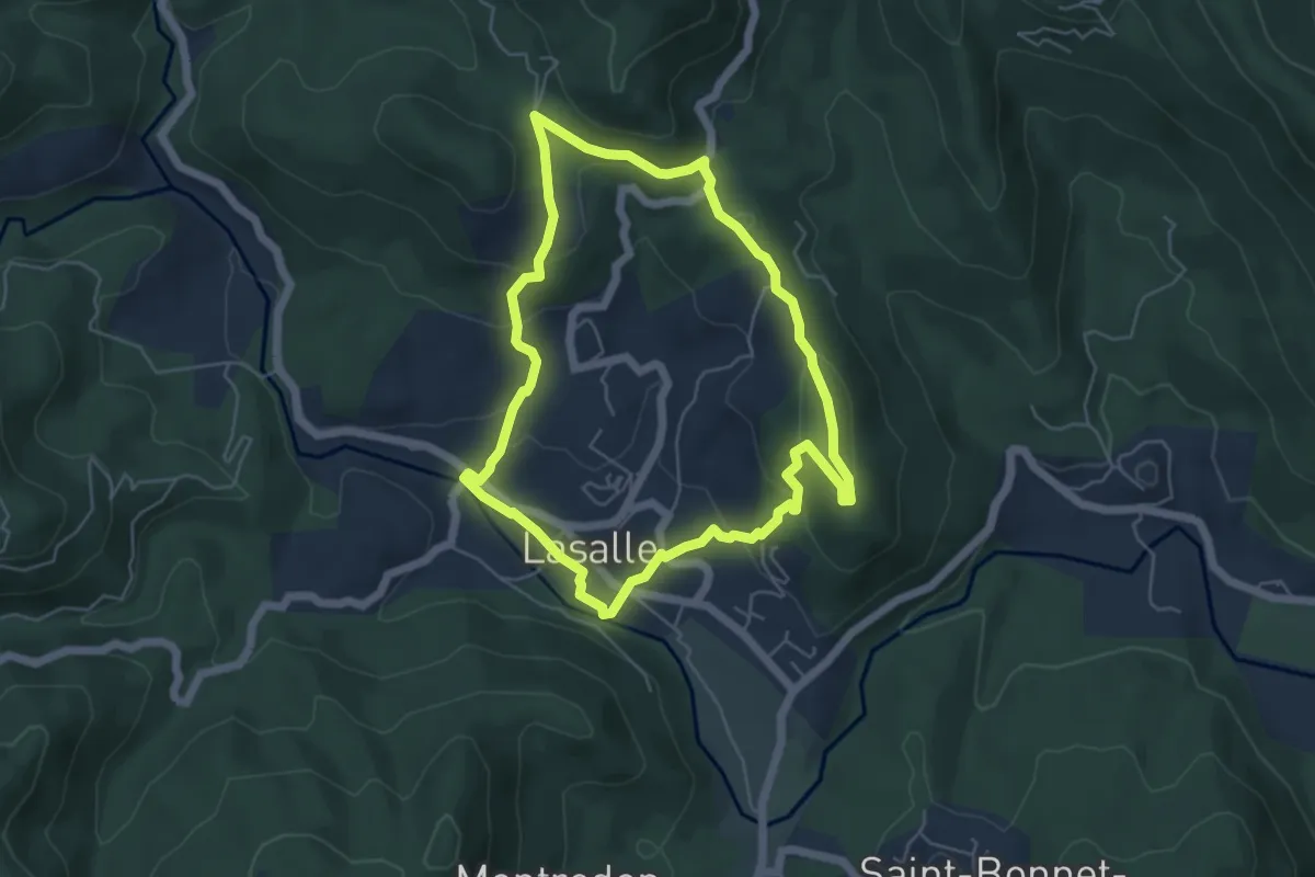
Easy · Trail
Des Camisards aux Maquisards
5.3 km · ↑ 198 m · 1 h 45 min
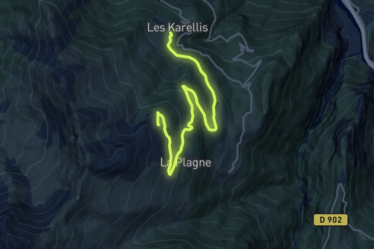
Medium · Trail
Descente Lac
13.4 km · ↑ 570 m · 4 h 24 min
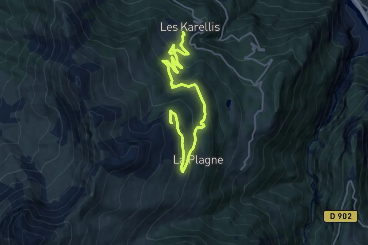
Medium · Trail
Descente station
13.8 km · ↑ 662 m · 4 h 41 min
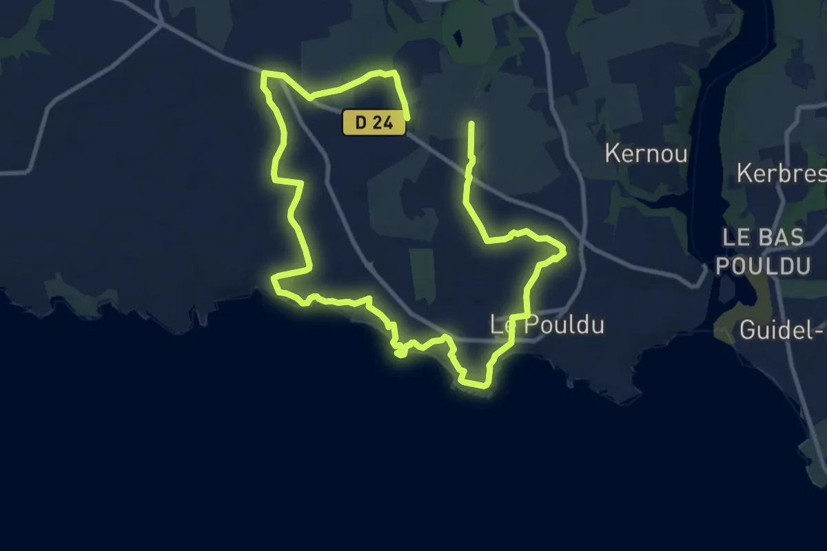
Medium · Trail
Des chapelles aux moulins
16.5 km · ↑ 120 m · 4 h 9 min
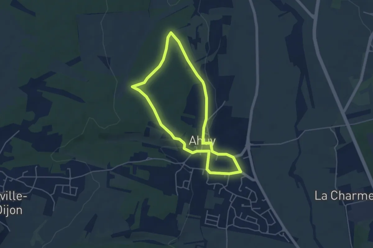
Easy · Trail
Des Charmes aux Lièvres
3.9 km · ↑ 67 m · 1 h 7 min
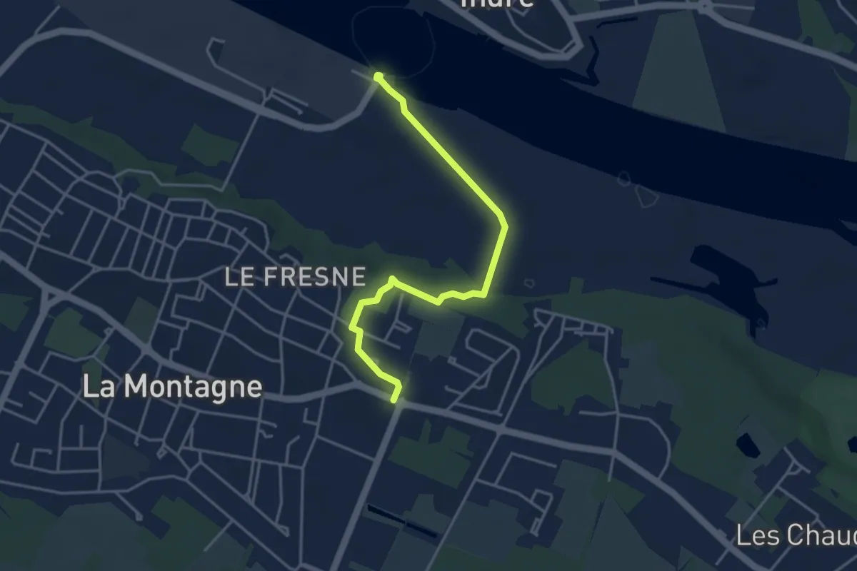
Easy · Trail
Des coteaux à la Loire
3.8 km · ↑ 35 m · 58 min
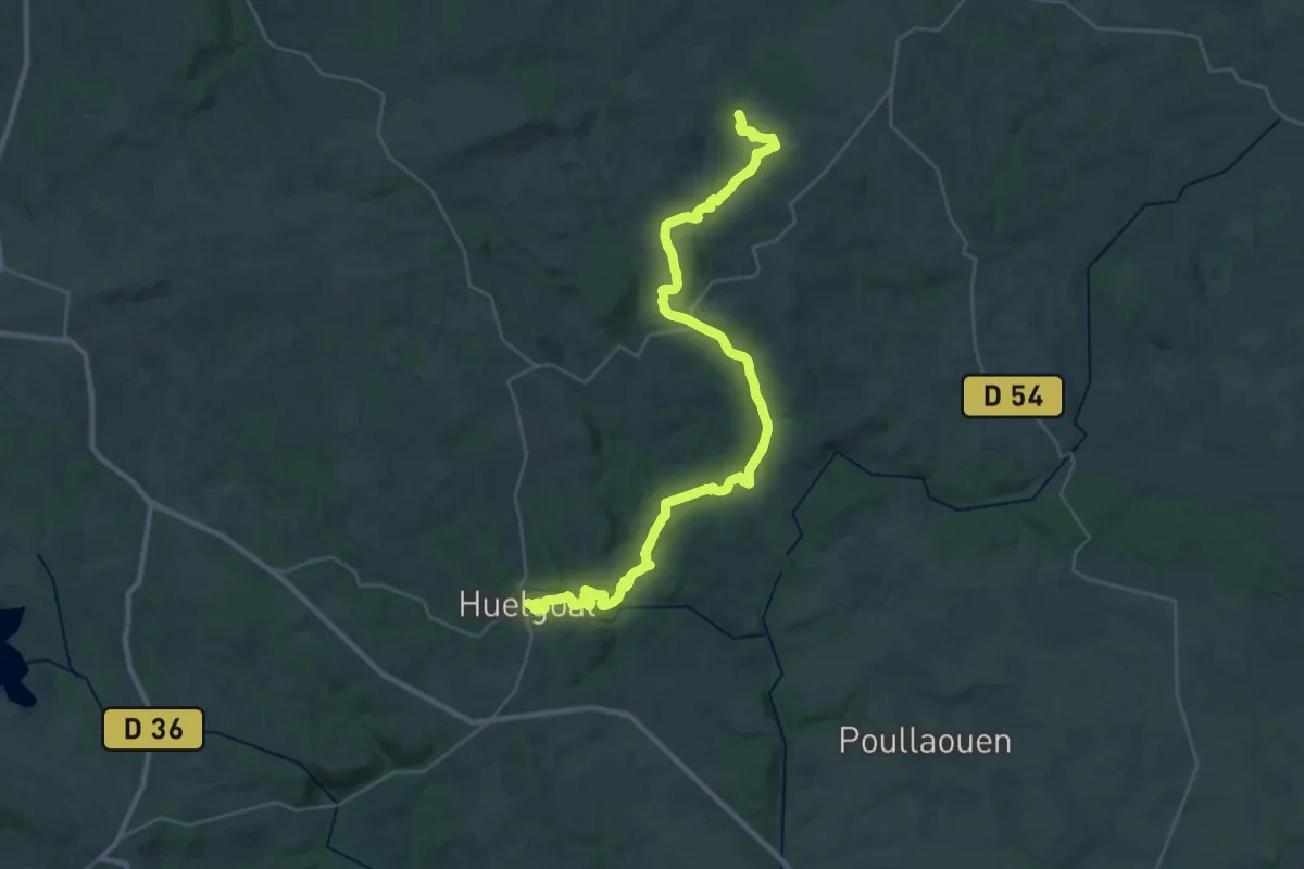
Demanding · Trail
De Scrignac à Huelgoat
18.2 km · ↑ 368 m · 5 h 21 min
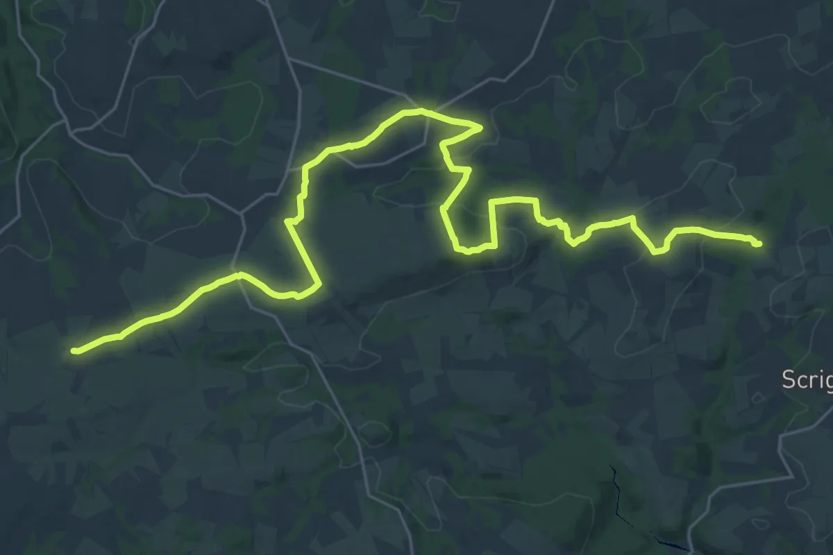
Medium · Trail
De Scrignac à Quillioguès
16.1 km · ↑ 292 m · 4 h 36 min
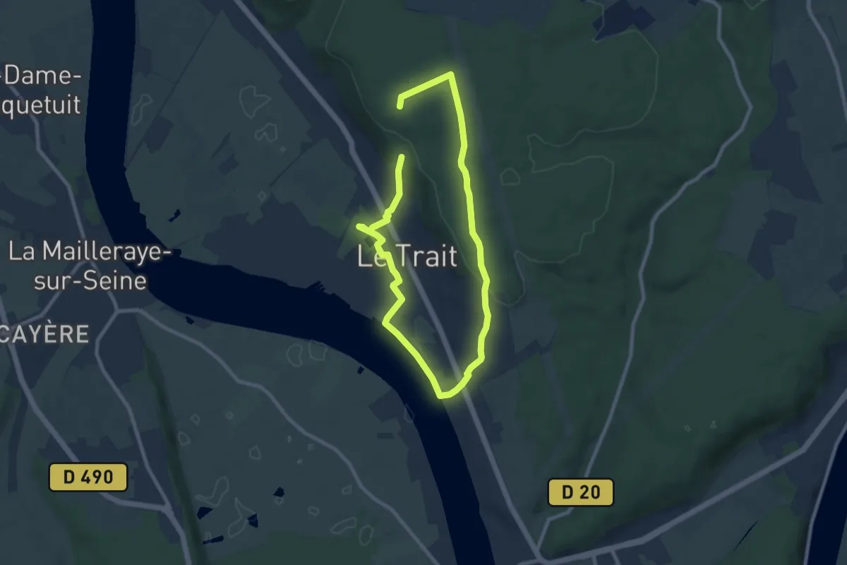
Easy · Trail
De Seine en Forêt
6.3 km · ↑ 85 m · 1 h 47 min
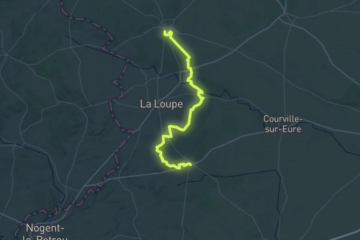
Demanding · Trail
de Senonches à Champrond-en-Gâtine
32.7 km · ↑ 239 m · 8 h 40 min
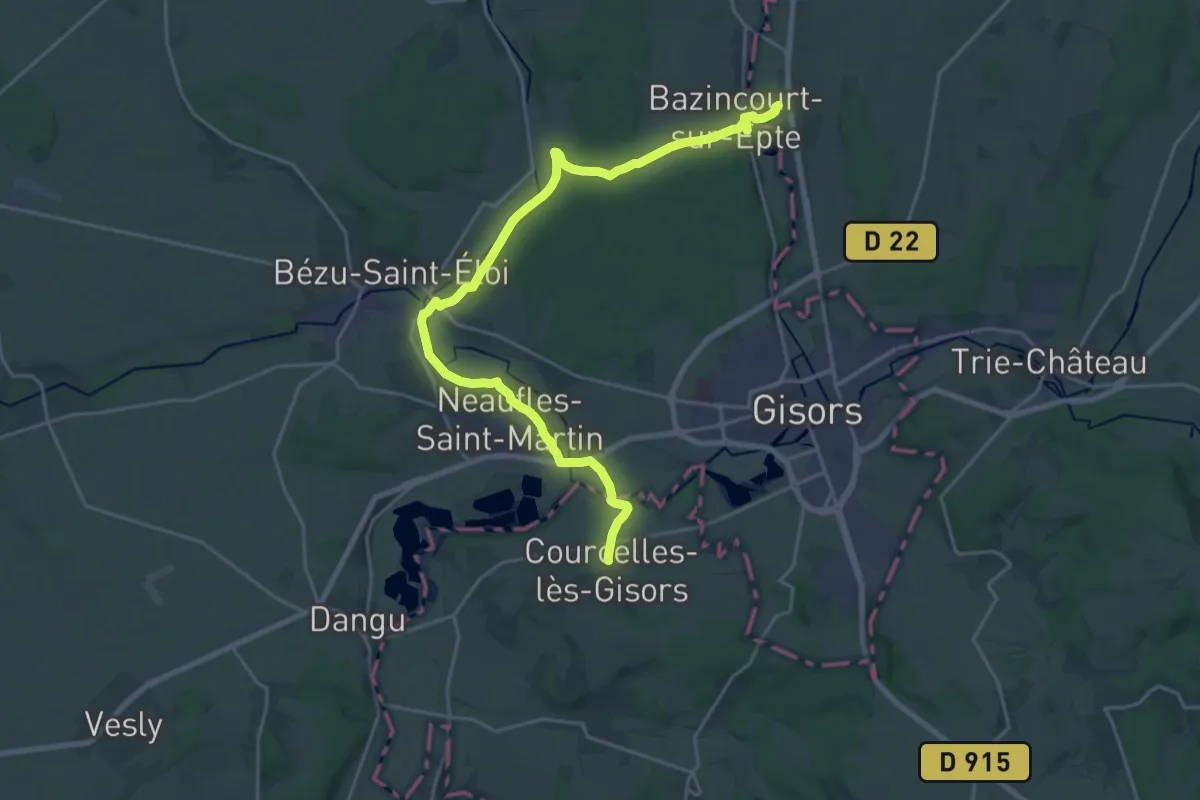
Demanding · Trail
De Serans à Saint-Valéry-sur-Somme
23.4 km · ↑ 324 m · 6 h 14 min
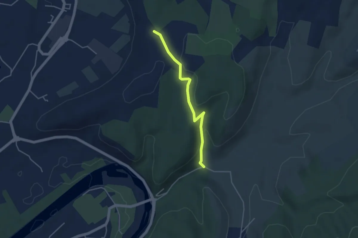
Easy · Trail
Deserte - Chaussy
3.3 km · ↑ 94 m · 1 h