Trails in France
15,926 hiking trails, each with its route, climb, walking time and grade.
All trails, page 104 of 332
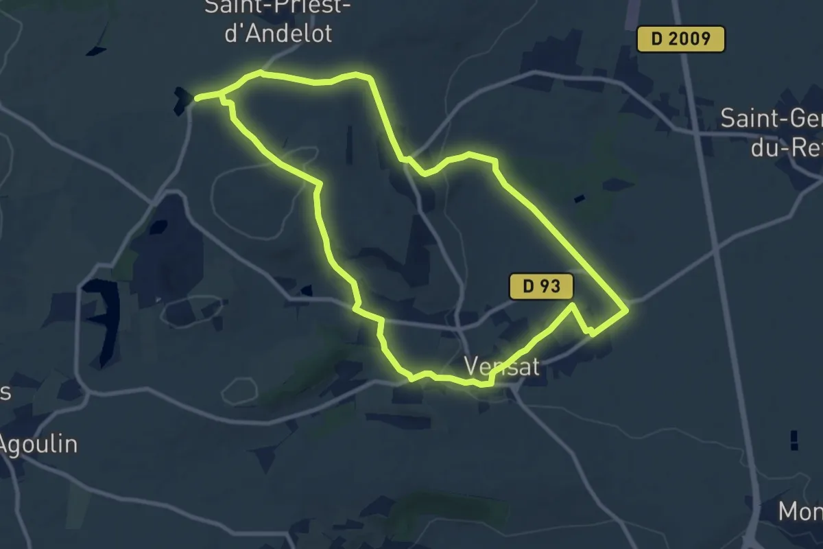
Medium · Trail
De manoirs en chateaux
9.5 km · ↑ 190 m · 2 h 47 min
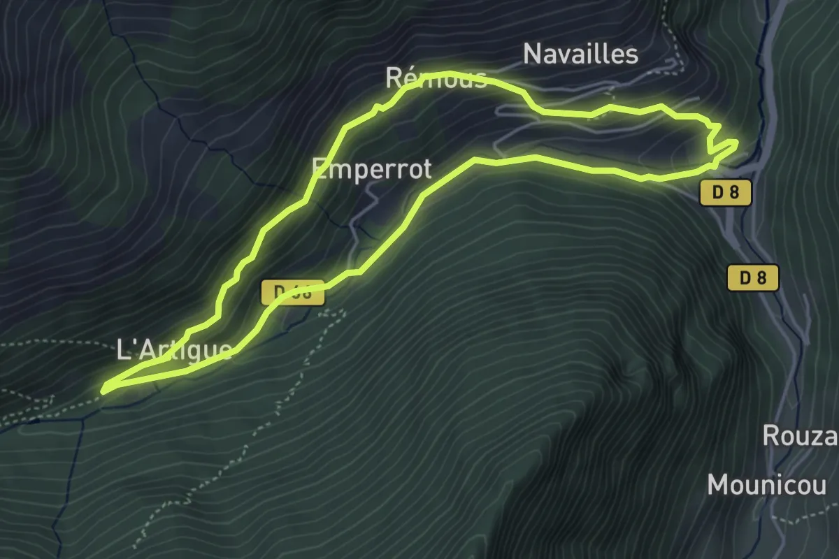
Medium · Trail
De Marc à l'Artigue
4.9 km · ↑ 266 m · 1 h 49 min
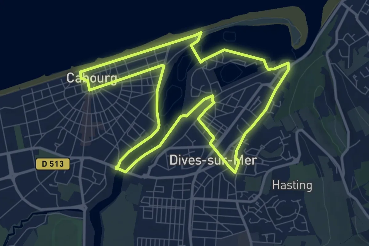
Medium · Trail
De Marcel Proust à Guillaume le Conquérant
9.9 km · ↑ 9 m · 2 h 30 min
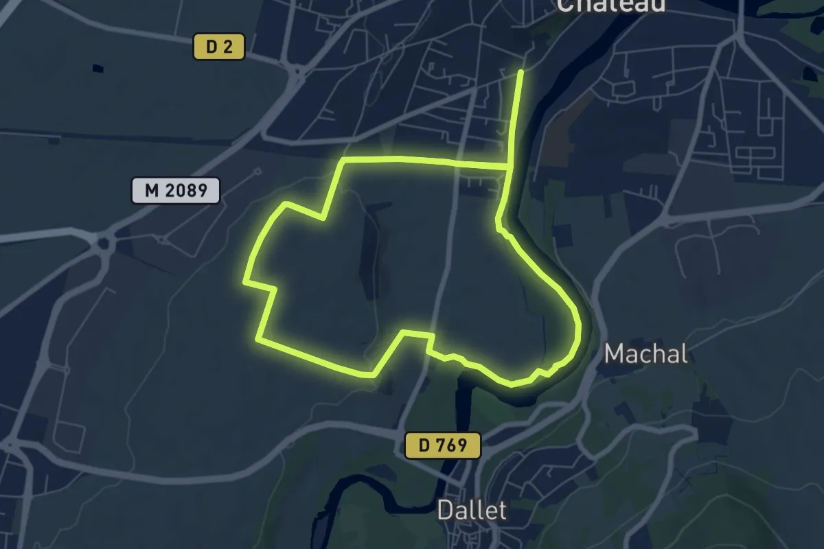
Easy · Trail
De Marchal a Cortal
6.5 km · ↑ 66 m · 1 h 46 min
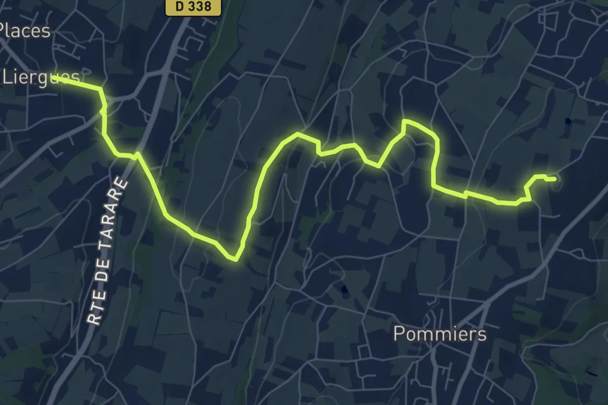
Medium · Summit
De Marcy à Liergues
9.8 km · ↑ 321 m · 3 h 1 min
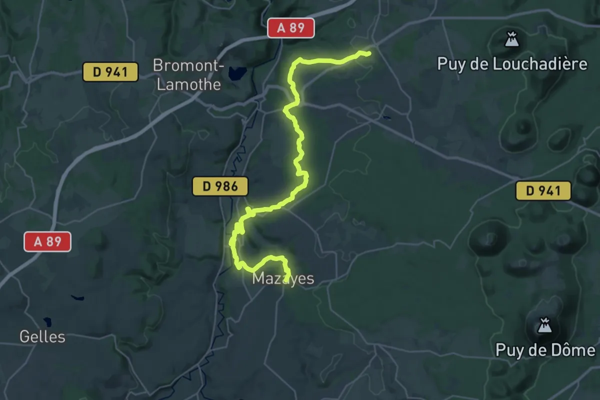
Medium · Trail
De Mazaye à Saint-Ours
15.6 km · ↑ 282 m · 4 h 33 min
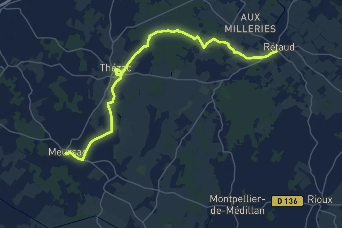
Demanding · Trail
De Meursac à Rétaud
20.9 km · ↑ 34 m · 5 h
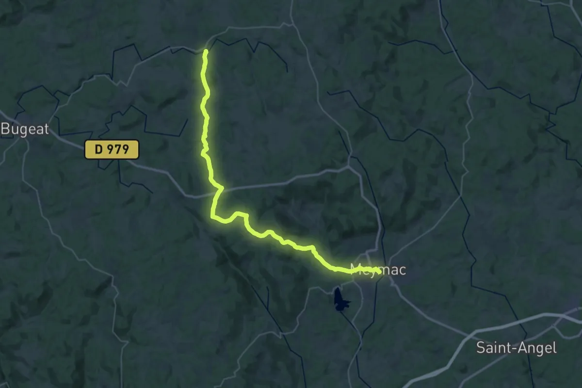
Demanding · Trail
De Meymac à Saint-Merd
18.9 km · ↑ 506 m · 5 h 45 min
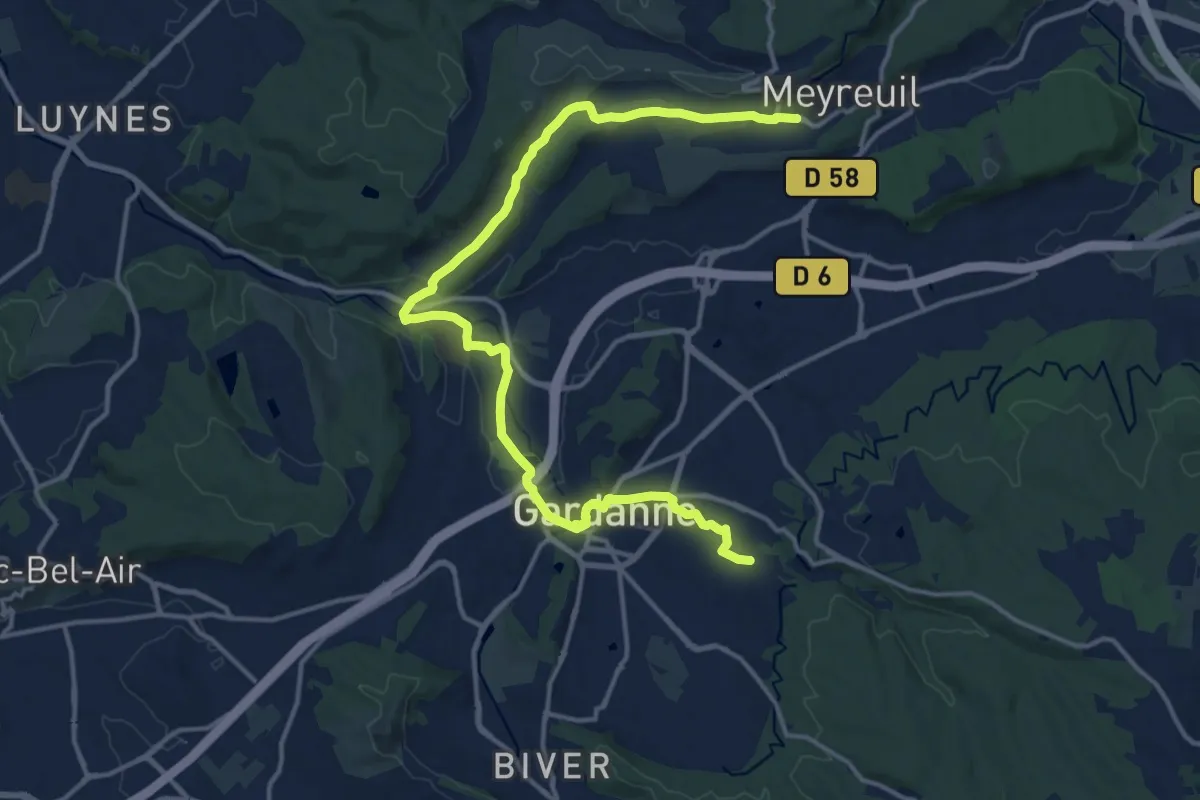
Demanding · Trail
De Meyreuil à Gardanne
18.7 km · ↑ 193 m · 4 h 49 min
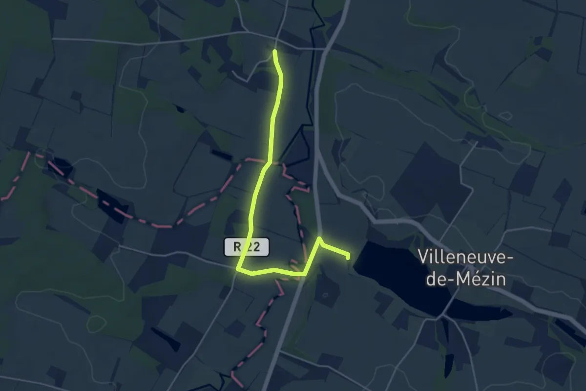
Easy · Trail
De Mézin à Villeneuve-de-Mézin, sur la route de Compostelle 16.6 km
2.2 km · ↑ 9 m · 35 min
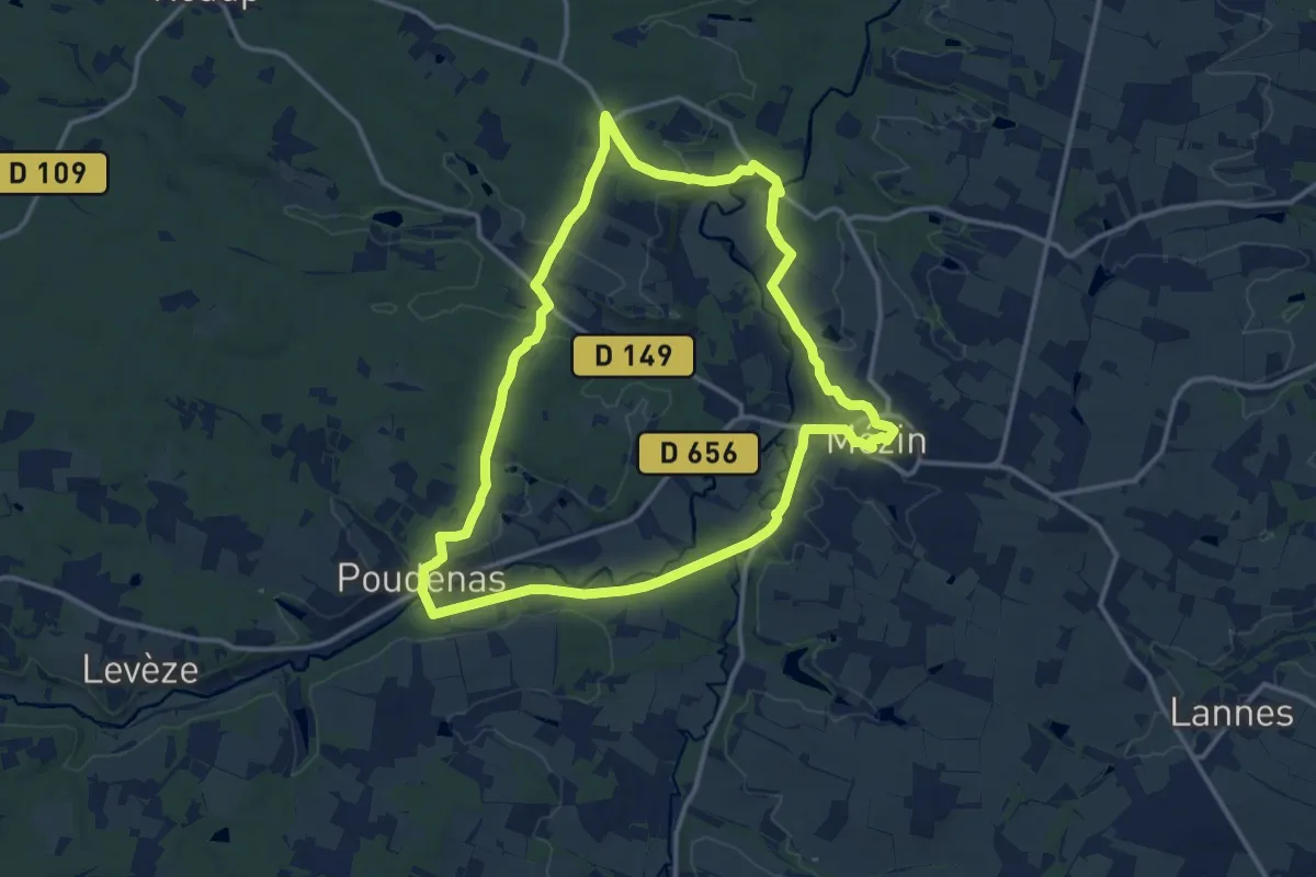
Medium · Trail
De Mézin, la Médiévale à Poudenas, l'Italienne 14.3 km
14.1 km · ↑ 207 m · 3 h 59 min
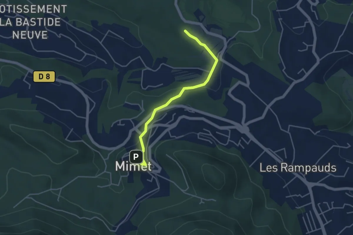
Easy · Trail
De Mimet au poteau ET 39
3.8 km · ↑ 133 m · 1 h 11 min
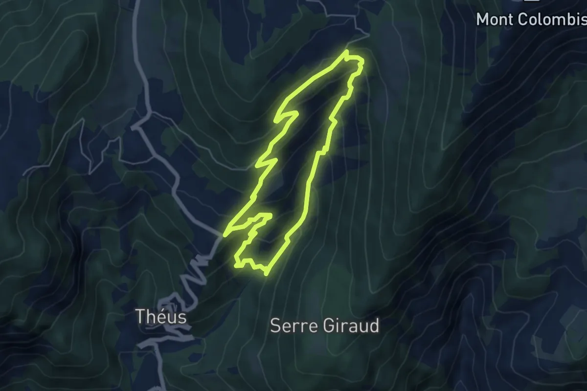
Medium · Trail
Demoiselles coiffées de Vallauria
5.1 km · ↑ 376 m · 2 h 5 min
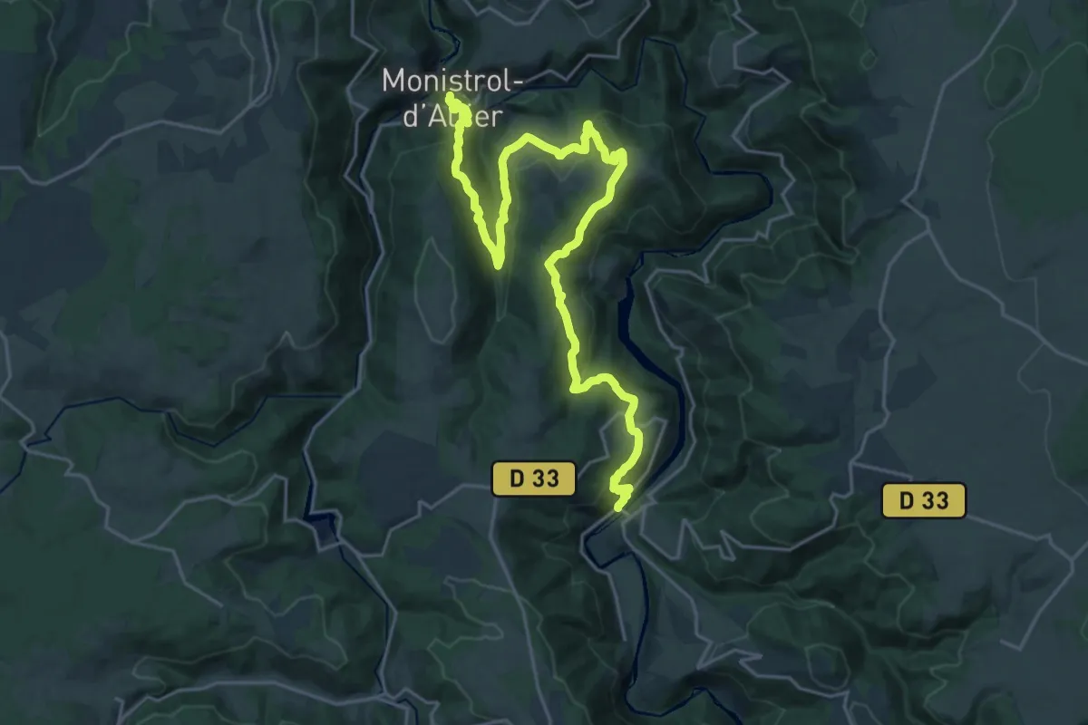
Medium · Trail
De Monistrol-d'Allier à Pont d'Alleyras
13.7 km · ↑ 540 m · 4 h 33 min
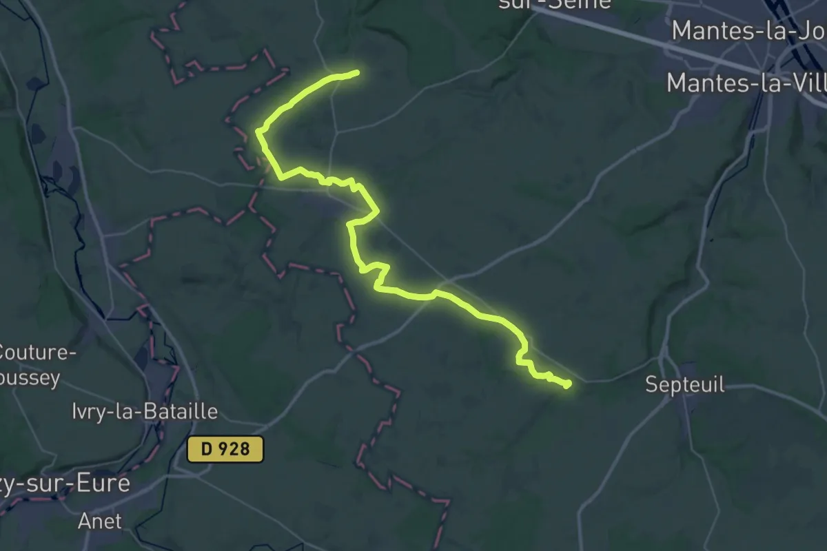
Demanding · Trail
De Montchauvet à St-Iliers
21.0 km · ↑ 140 m · 5 h 31 min
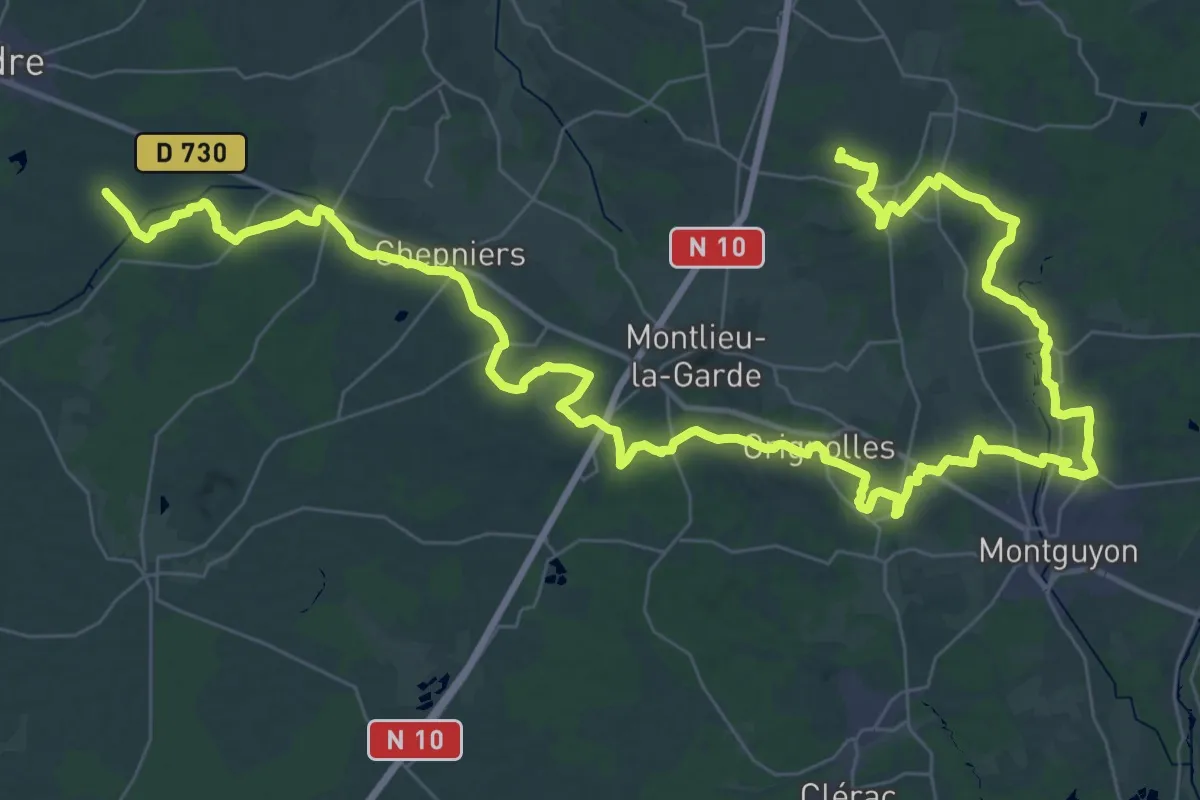
Demanding · Trail
De Montendre à La Grange
34.6 km · ↑ 339 m · 9 h 23 min
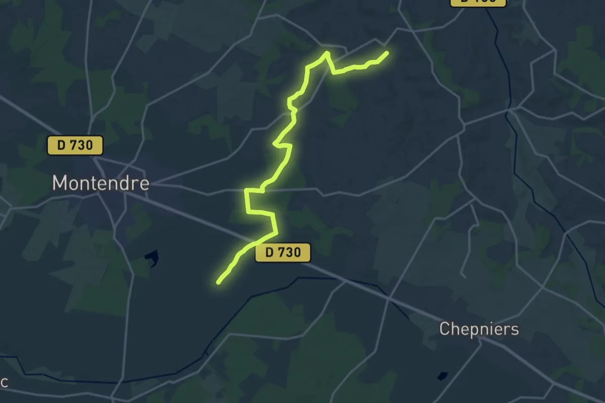
Medium · Trail
De Montendre à Sousmoulins
18.0 km · ↑ 146 m · 4 h 34 min
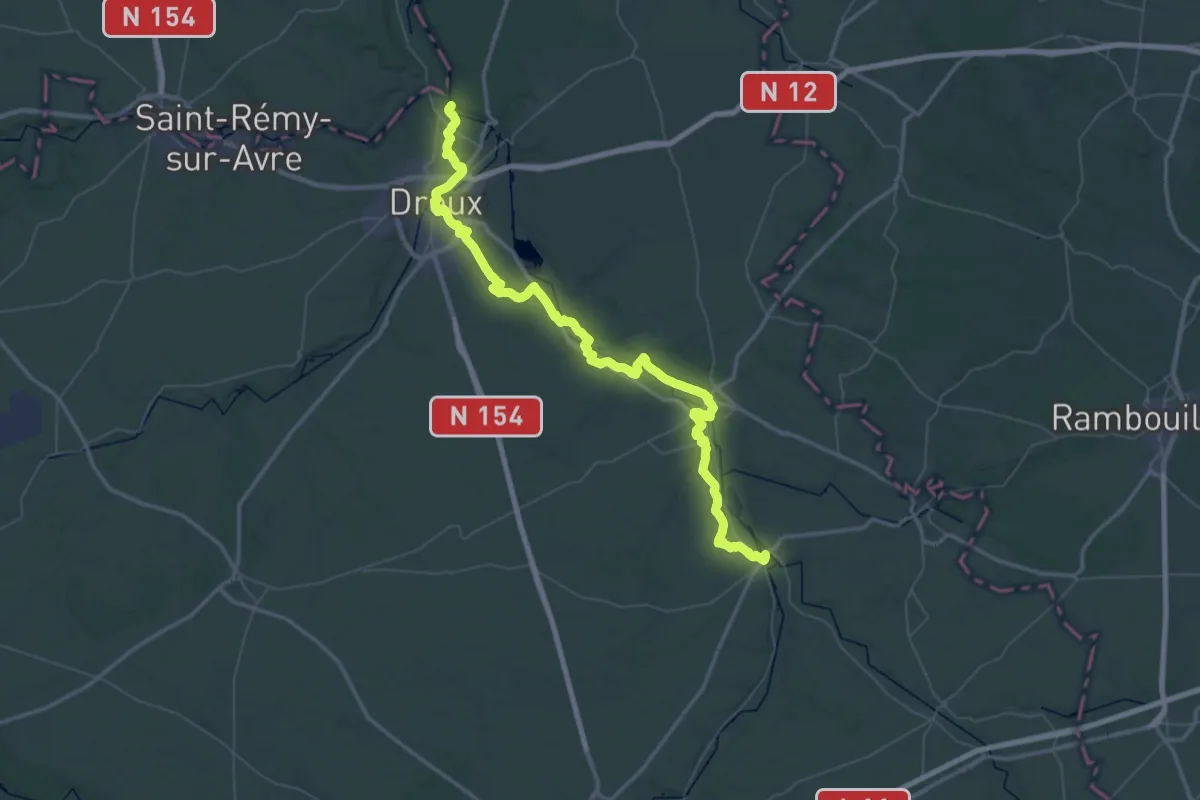
Demanding · Trail
De Montreuil à Maintenon
39.8 km · ↑ 296 m · 10 h 36 min
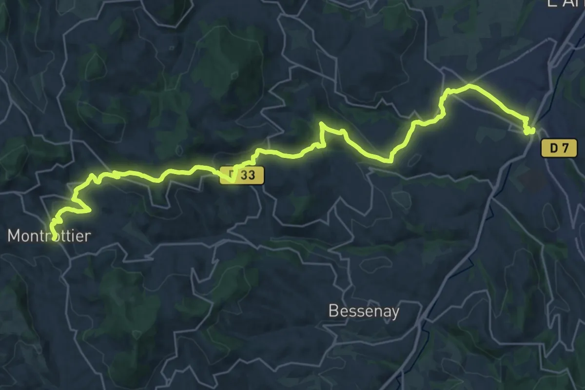
Medium · Trail
De Montrottier à Sain-Bel
16.3 km · ↑ 760 m · 5 h 31 min
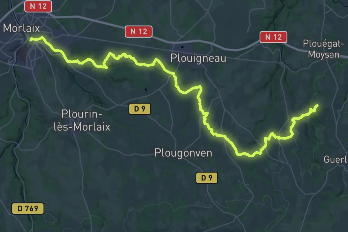
Demanding · Summit
De Morlaix à Guerlesquin
52.7 km · ↑ 931 m · 14 h 28 min
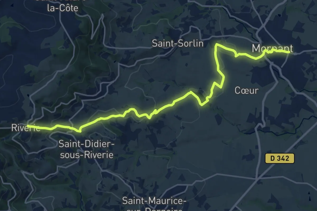
Demanding · Trail
De Mornant à Riverie
19.8 km · ↑ 557 m · 5 h 53 min
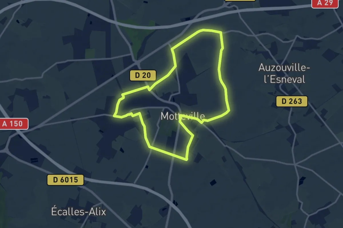
Medium · Trail
de Motteville à Flamanville
9.9 km · ↑ 31 m · 2 h 32 min
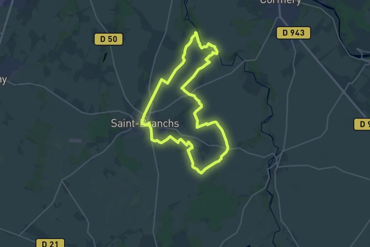
Medium · Trail
De Mouru en Échandon - Saint-Branchs
17.3 km · ↑ 71 m · 4 h 29 min
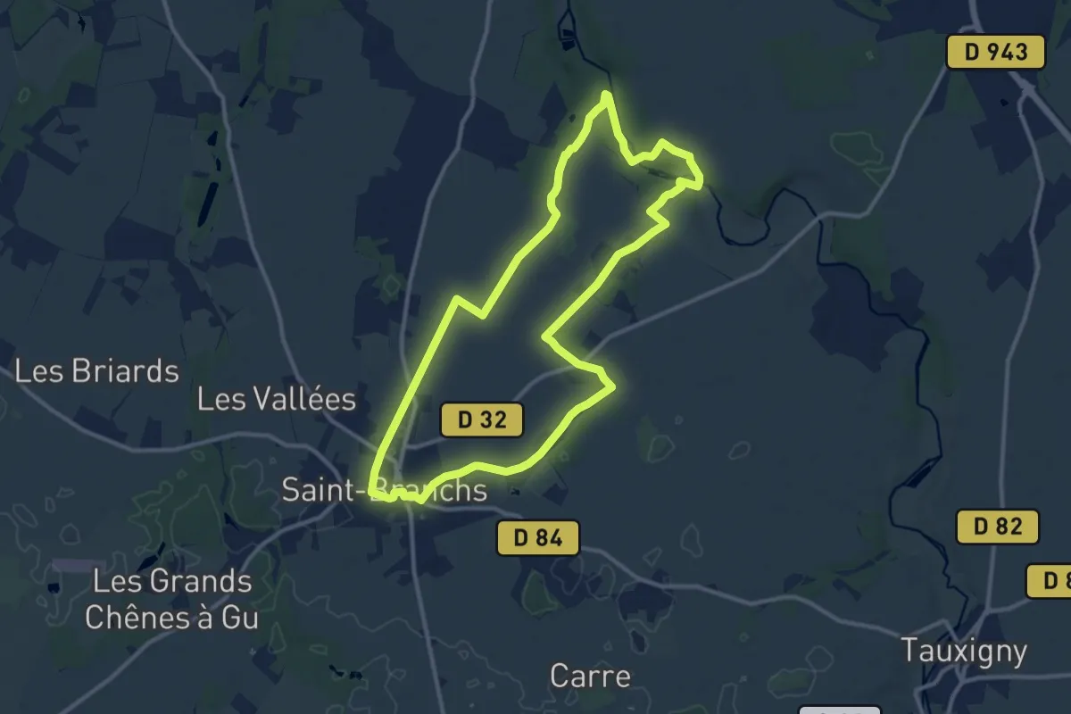
Medium · Trail
De Mouru en Échandon - Variante Courte
11.2 km · ↑ 57 m · 2 h 55 min
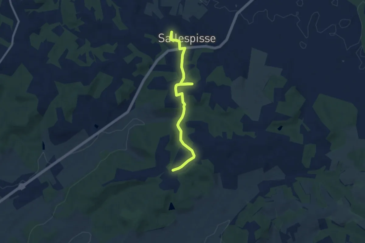
Easy · Trail
De Mulé au château de Salles
7.0 km · ↑ 134 m · 1 h 57 min
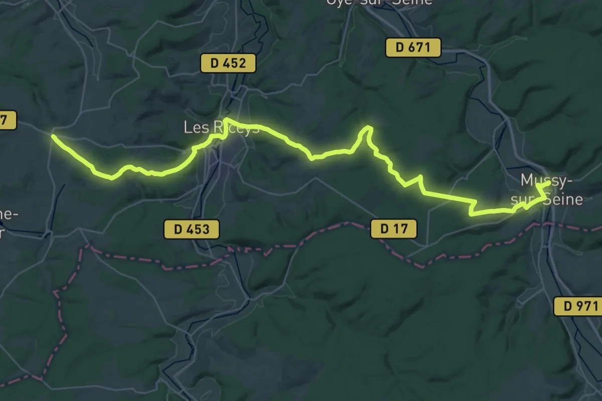
Demanding · Trail
De Mussy-sur-Seine à Bagneux-la-Fosse
20.8 km · ↑ 430 m · 6 h 7 min
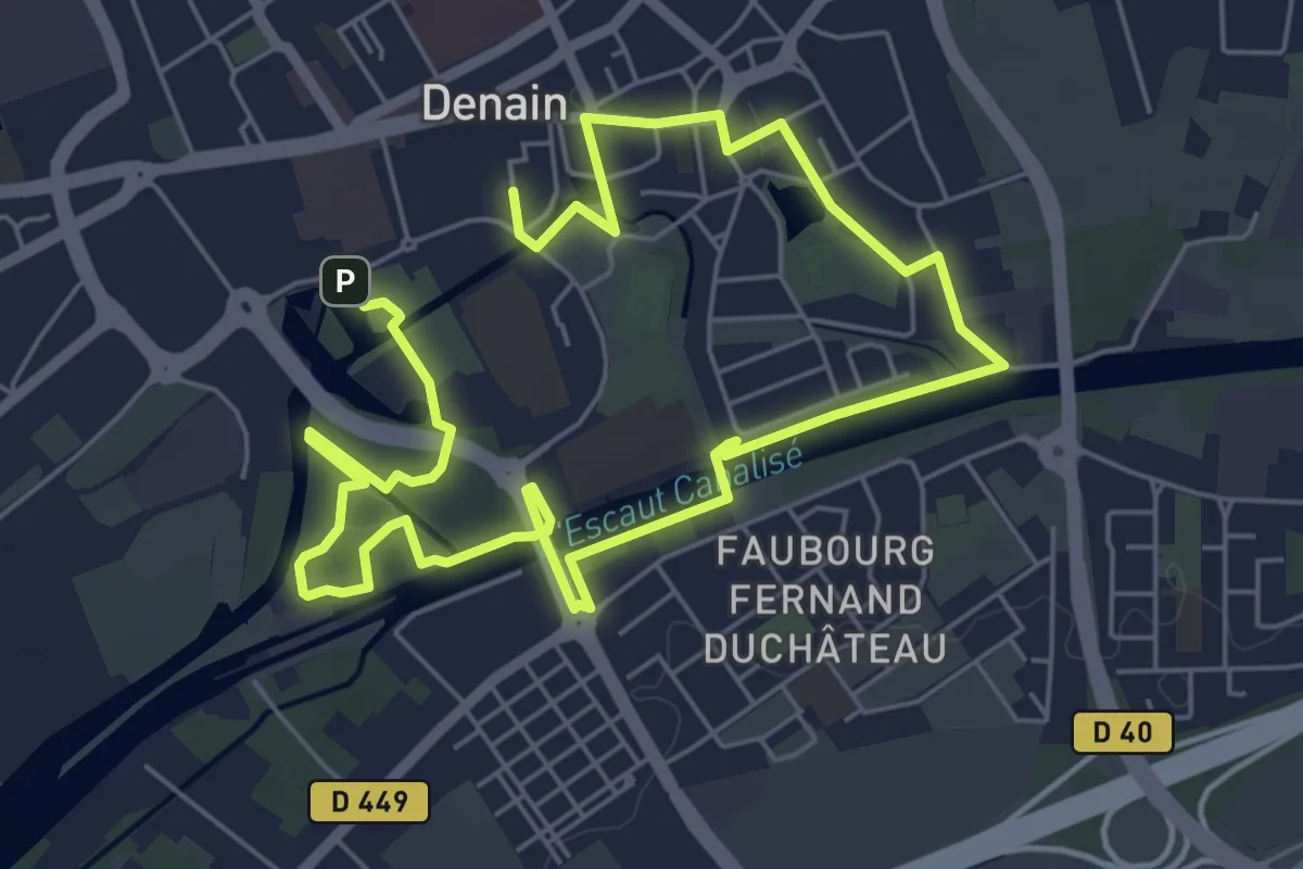
Easy · Trail
Denain, Ville d'Eau, de Charbon et d'Acier
4.8 km · ↑ 12 m · 1 h 14 min
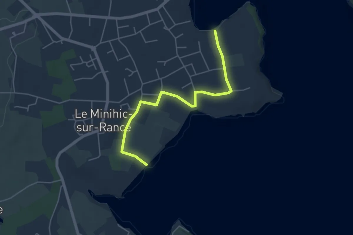
Easy · Trail
De Néal au barrage de la Rance, variante marée haute
4.0 km · ↑ 94 m · 1 h 9 min
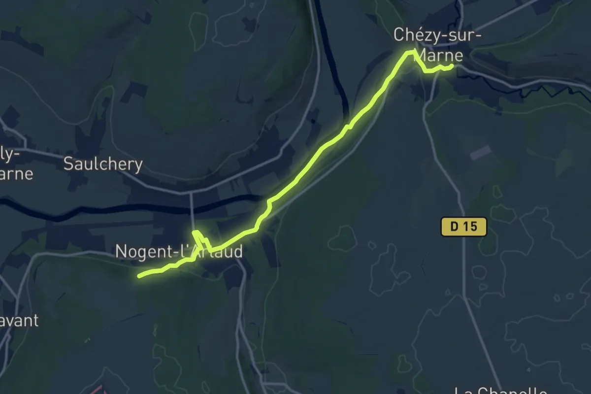
Medium · Trail
De Nogent-l'Artaud à Chézy-sur-Marne
12.4 km · ↑ 189 m · 3 h 20 min
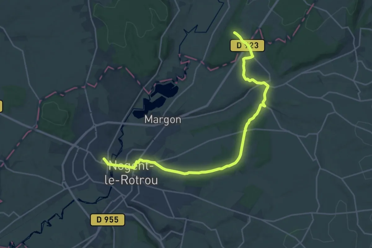
Demanding · Trail
De Nogent-le-Rotrou à Rémalard (TCP)
18.8 km · ↑ 234 m · 4 h 57 min
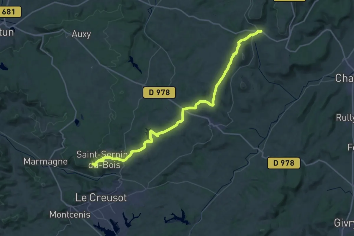
Demanding · Trail
De Nolay à Saint-Sernin
27.0 km · ↑ 460 m · 7 h 42 min
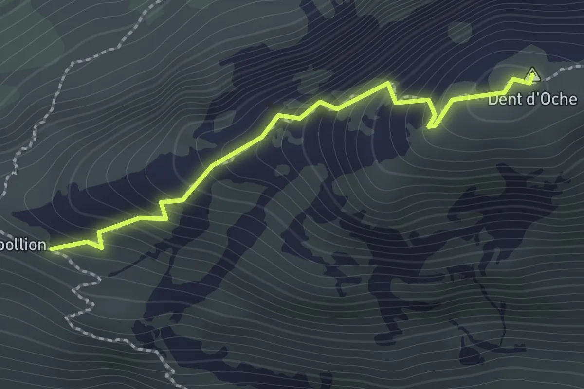
Expert · Summit
Dent d'Oche
1.4 km · ↑ 192 m · 45 min
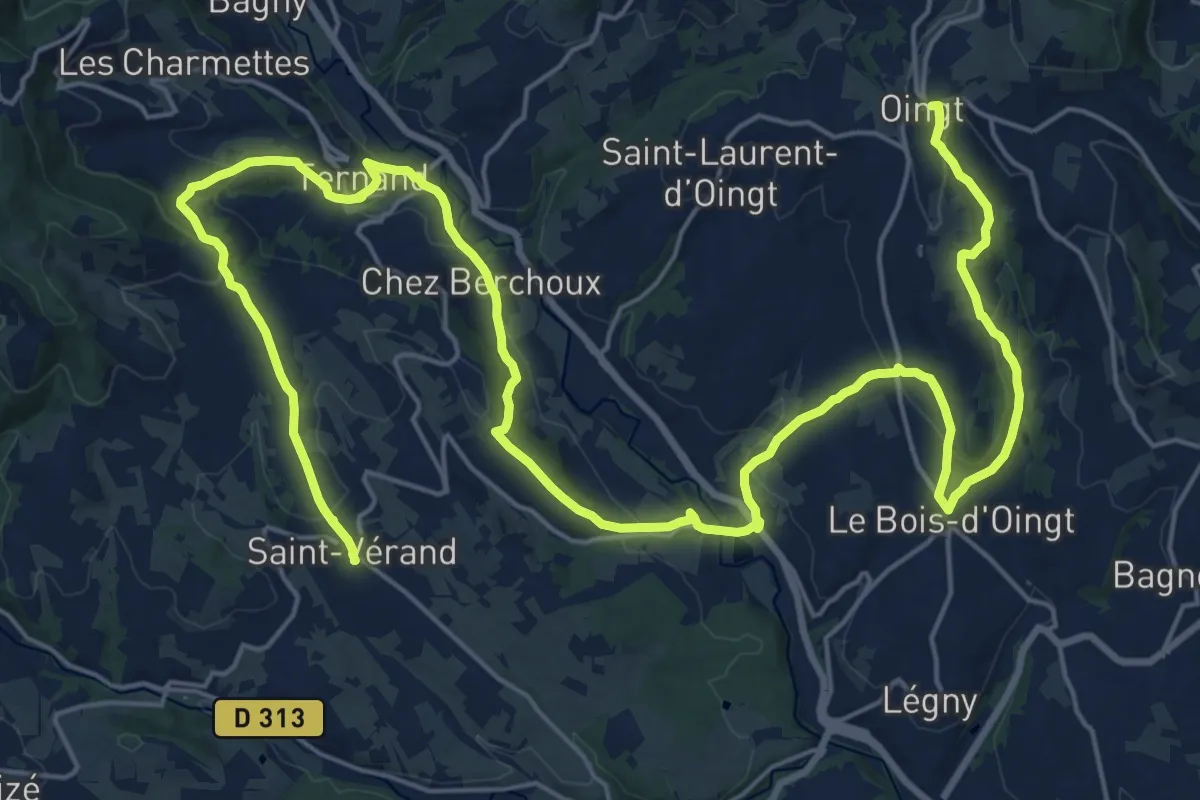
Medium · Trail
De Oingt à Saint-Vérand
17.0 km · ↑ 625 m · 5 h 33 min
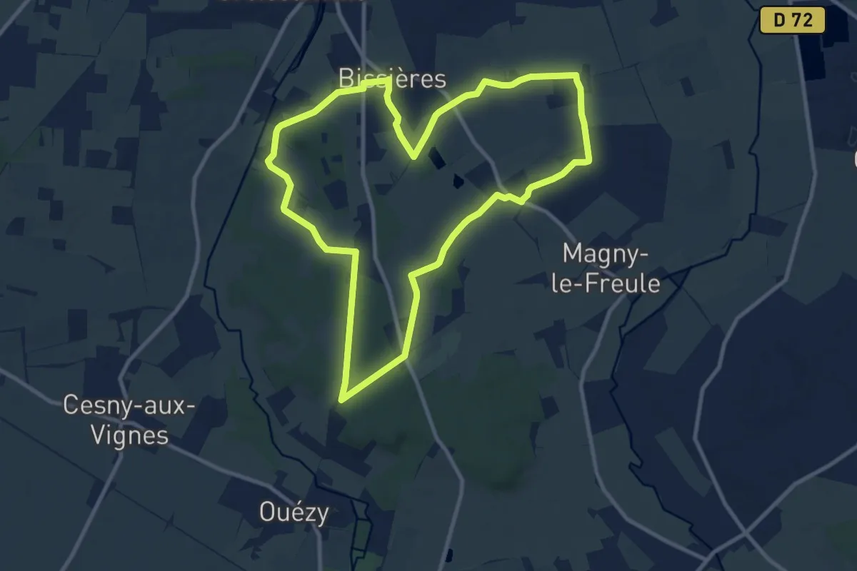
Medium · Trail
De Ouézy à Bissières
9.5 km · ↑ 79 m · 2 h 33 min
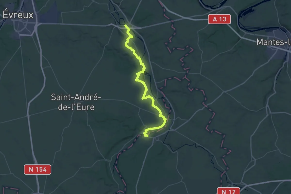
Demanding · Trail
De Pacy-sur-Eure à Anet
28.9 km · ↑ 386 m · 8 h 5 min
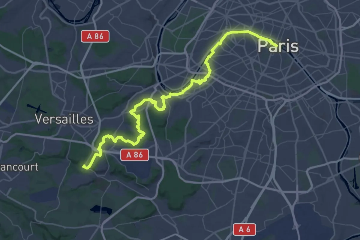
Demanding · Trail
de Paris à Versailles
30.3 km · ↑ 388 m · 8 h 22 min
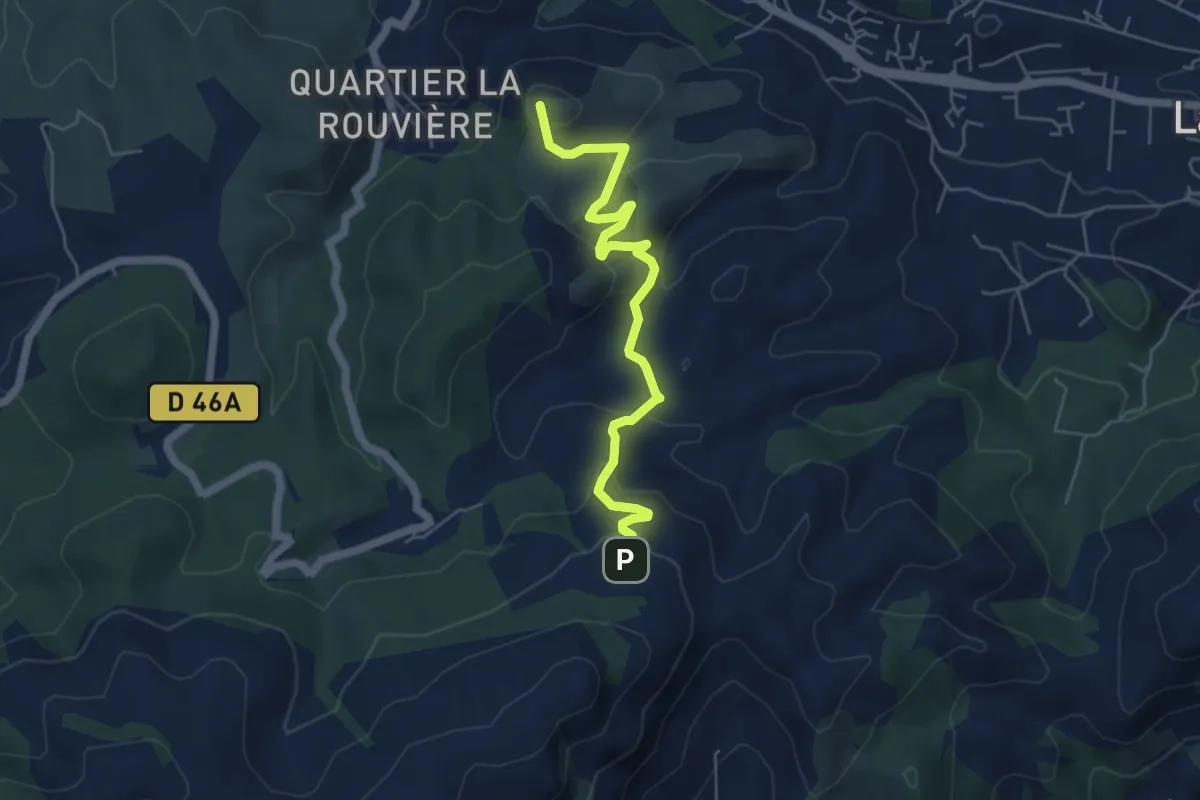
Easy · Summit
De Peypin au poteau GB-57
5.6 km · ↑ 316 m · 2 h 1 min
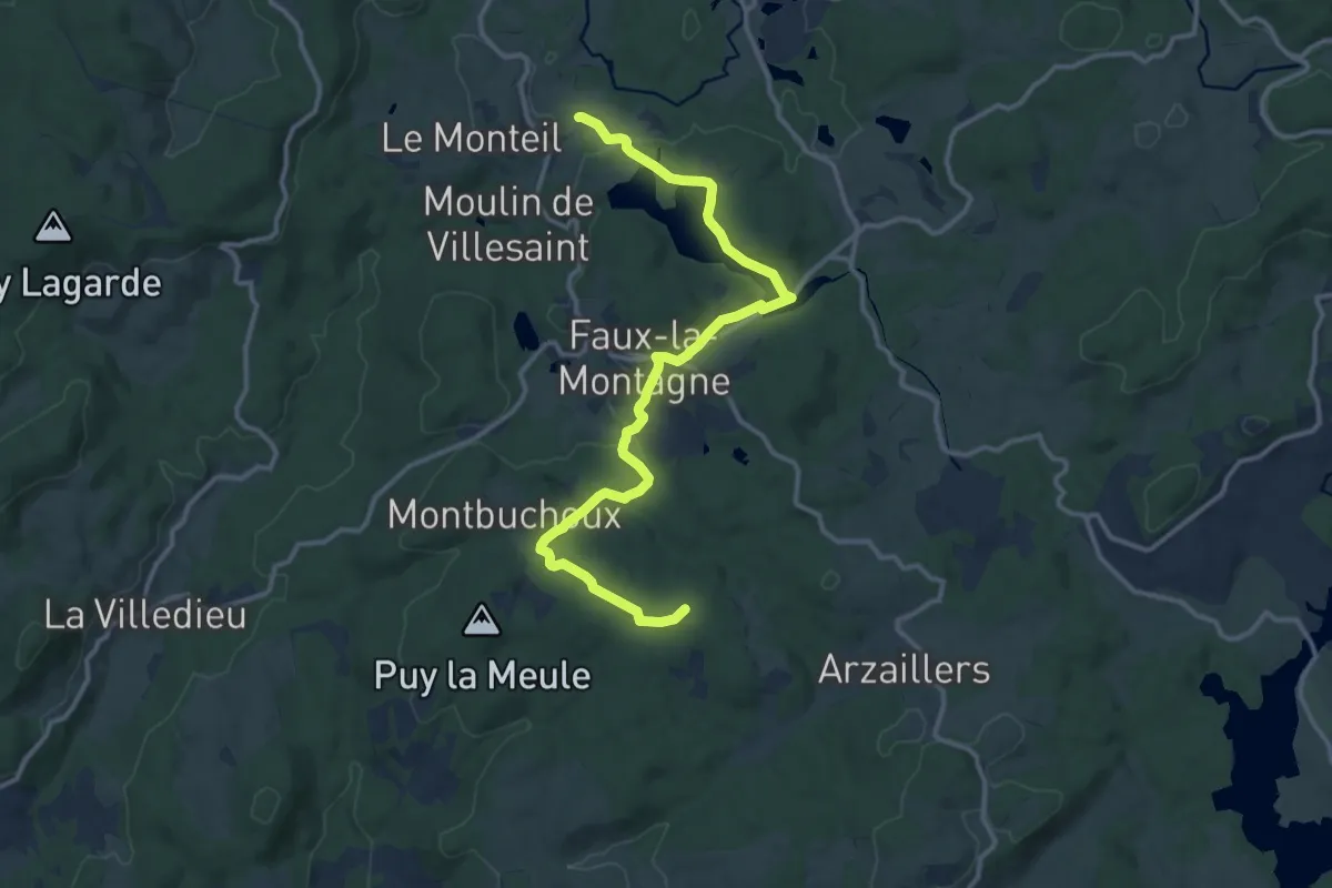
Medium · Summit
De Peyrelevade à Faux
14.0 km · ↑ 178 m · 3 h 41 min
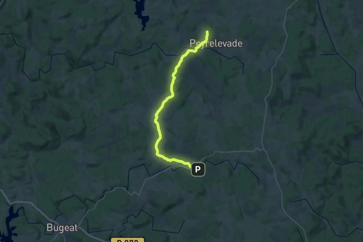
Demanding · Trail
De Peyrelevade à Saint-Merd
25.9 km · ↑ 395 m · 6 h 58 min
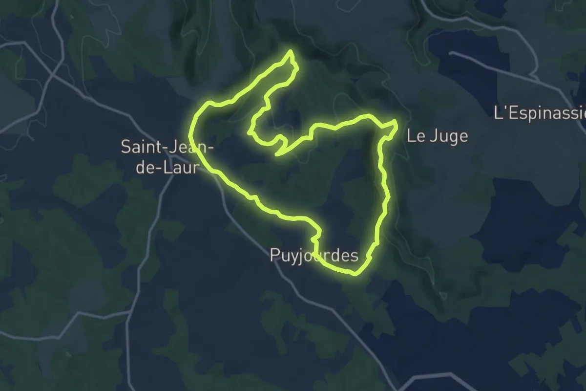
Medium · Trail
De pierres et d'eau
11.9 km · ↑ 304 m · 3 h 37 min
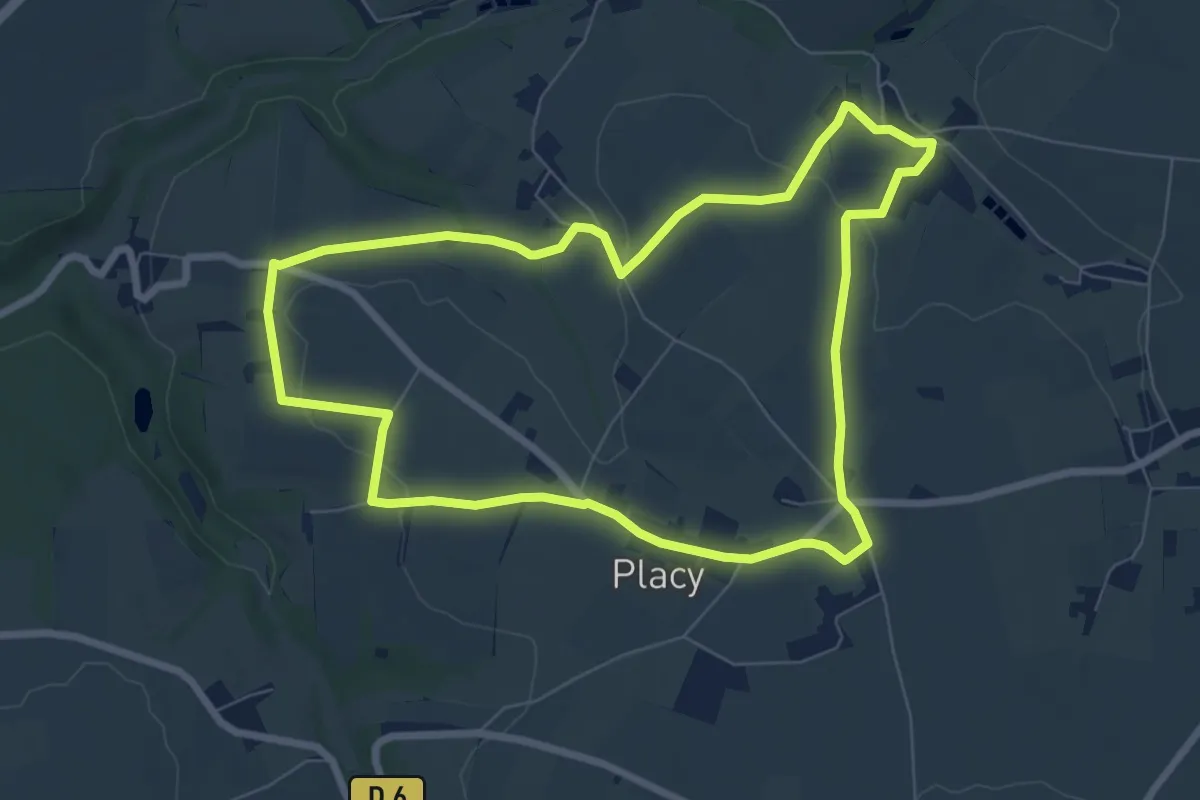
Easy · Trail
De Placy à la Motte
7.1 km · ↑ 86 m · 1 h 57 min
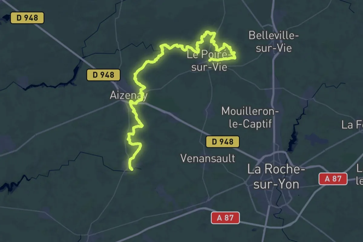
Demanding · Trail
De Poiré s/Vie à Beaulieu
36.4 km · ↑ 261 m · 9 h 39 min
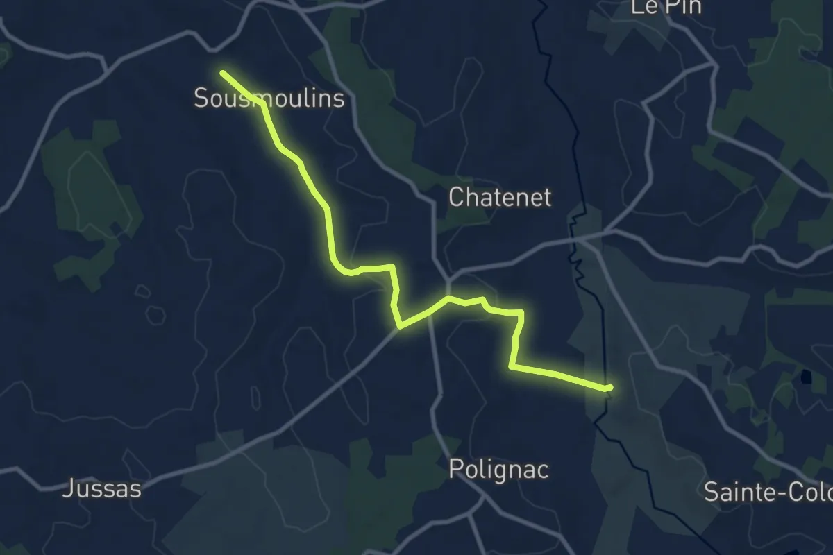
Medium · Trail
De Polignac à Sousmoulin
9.2 km · ↑ 122 m · 2 h 27 min
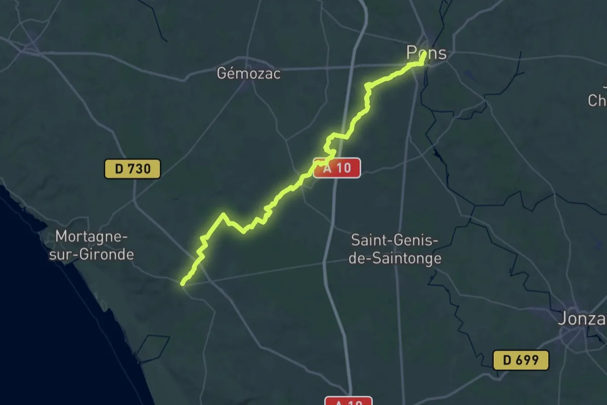
Demanding · Trail
De Pons à Saint-Fort-sur-Gironde
25.4 km · ↑ 112 m · 6 h 36 min
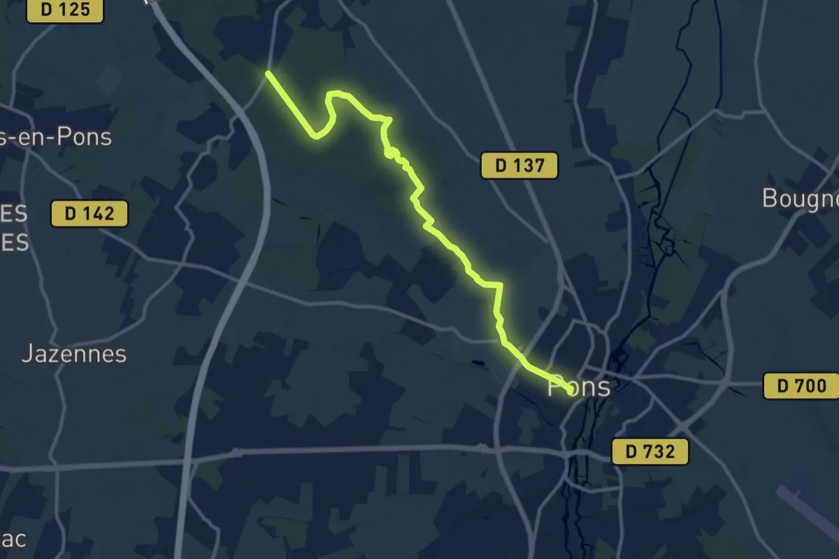
Medium · Trail
De Pons à Saint-Léger
12.7 km · ↑ 77 m · 3 h 10 min
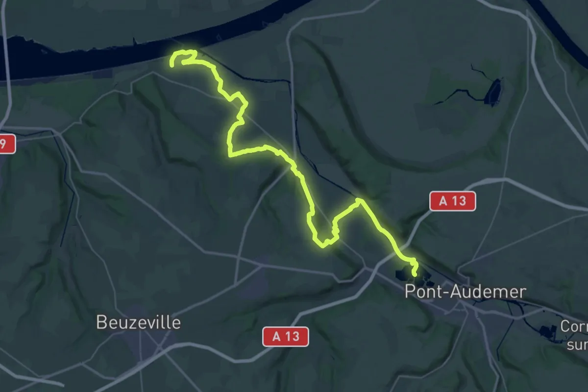
Demanding · Trail
De Pont-Audemer à Berville-sur-mer
21.6 km · ↑ 214 m · 5 h 52 min
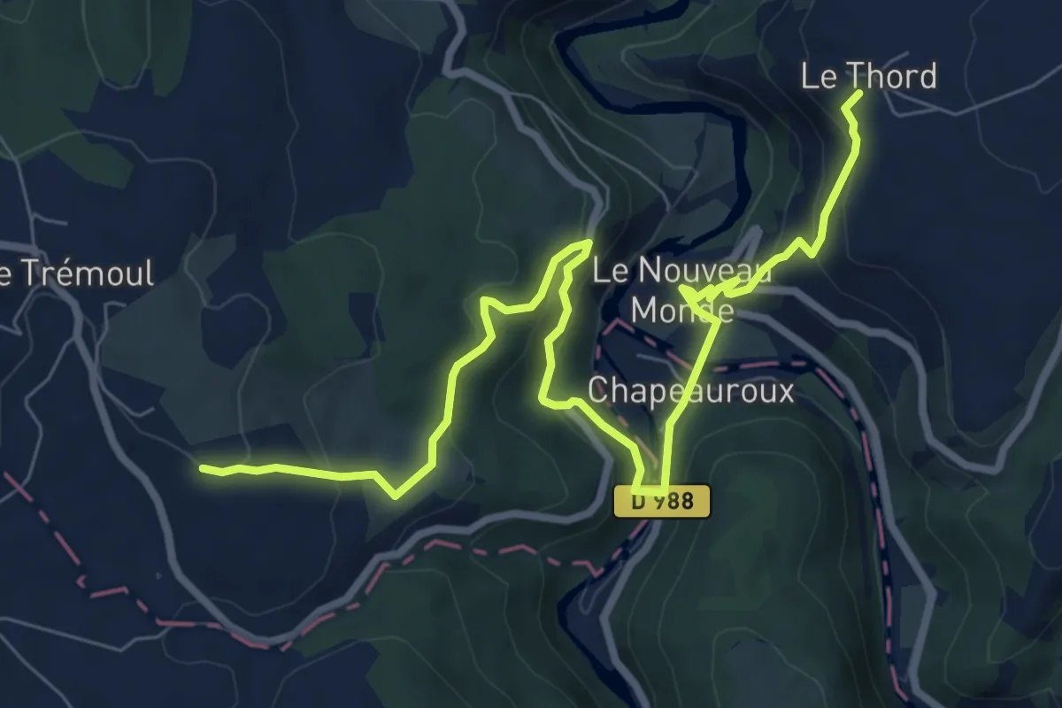
Medium · Trail
De Pont d'Alleyras à Saint-Haon
9.7 km · ↑ 530 m · 3 h 26 min
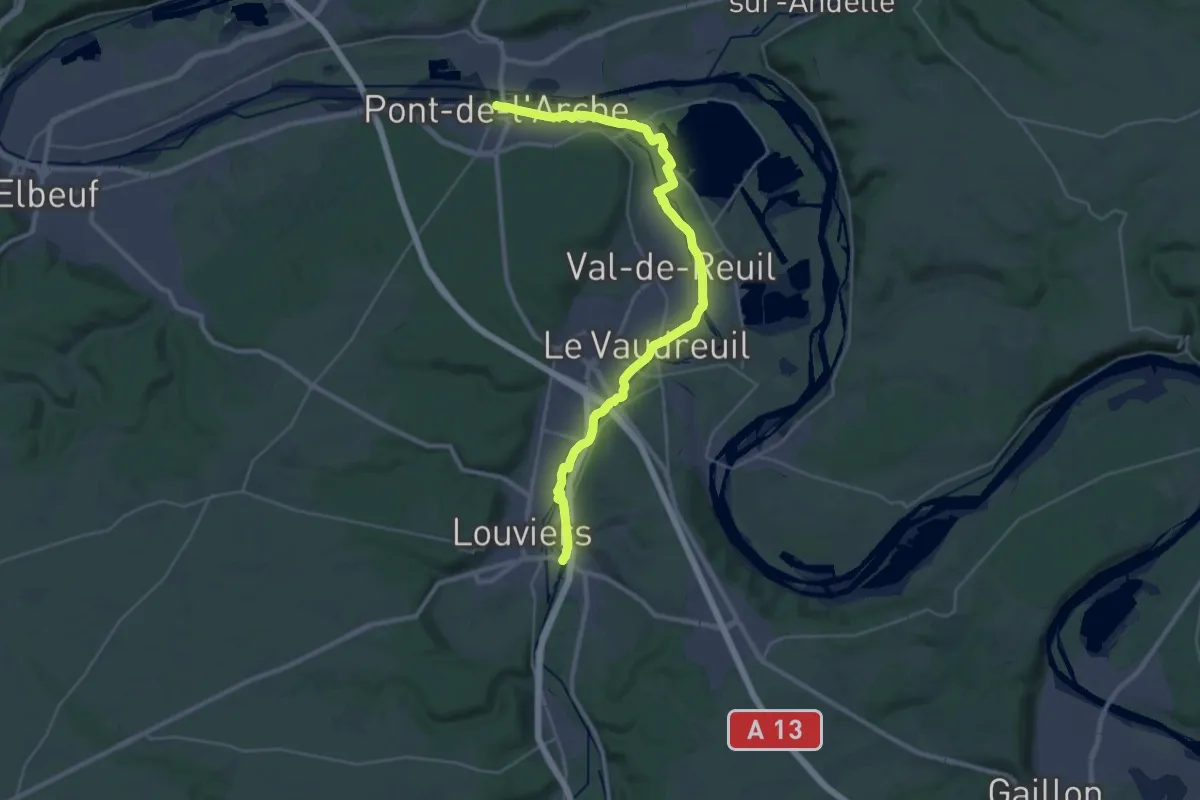
Demanding · Trail
De Pont de l'Arche à Louviers
33.6 km · ↑ 25 m · 7 h 59 min