Trails in France
15,926 hiking trails, each with its route, climb, walking time and grade.
All trails, page 103 of 332
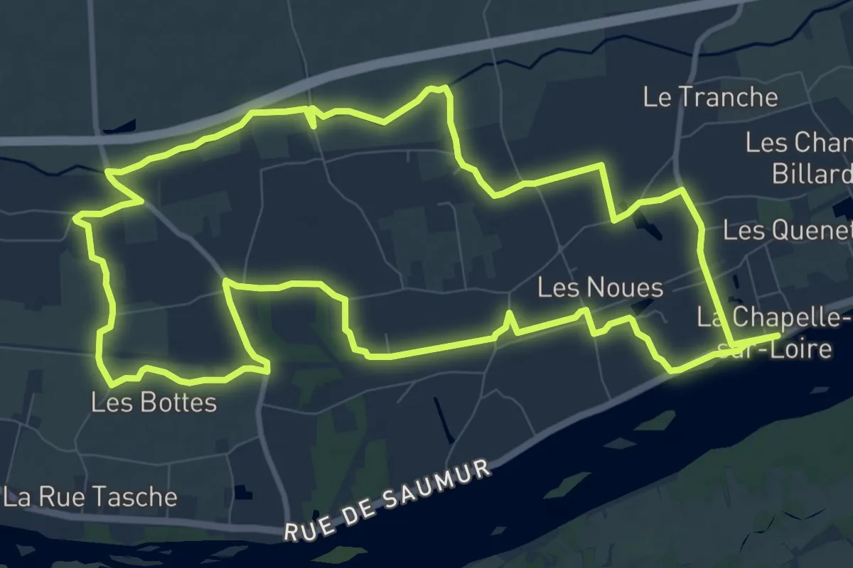
Medium · Trail
De la Loire au Lane - La-Chapelle-sur-Loire
11.3 km · ↑ 4 m · 2 h 50 min
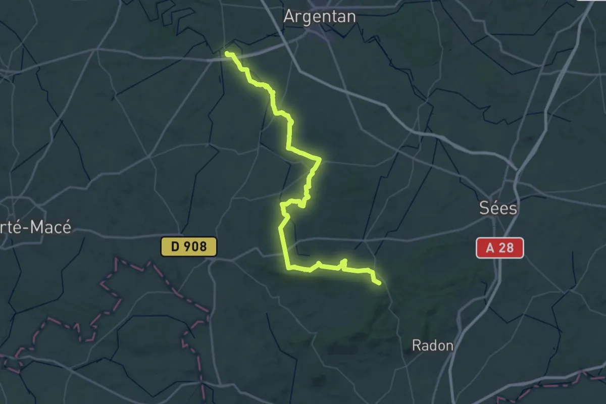
Demanding · Trail
De la Manche aux Pyrénées 03, Ecouché - Signal d'Ecouves
36.0 km · ↑ 665 m · 10 h 18 min
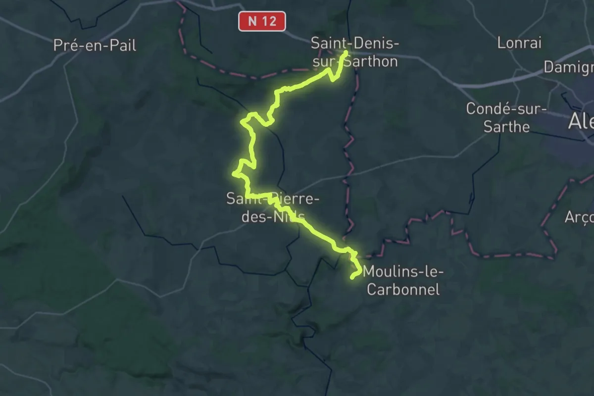
Demanding · Trail
De la Manche aux Pyrénées 04, Signal d'Ecouves - Saint-Céneri-de-Gérei
20.3 km · ↑ 329 m · 5 h 47 min
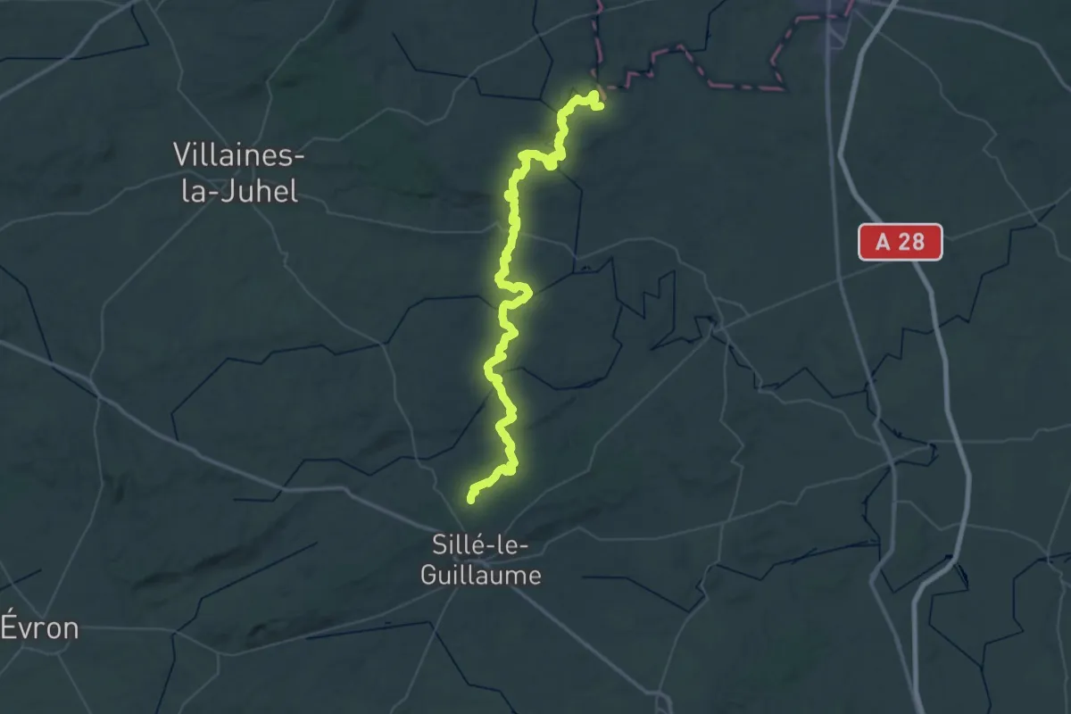
Demanding · Trail
De la Manche aux Pyrénées 05, Saint-Céneri-de-Gérei - Sillé-le-Guillaume
32.9 km · ↑ 631 m · 9 h 38 min
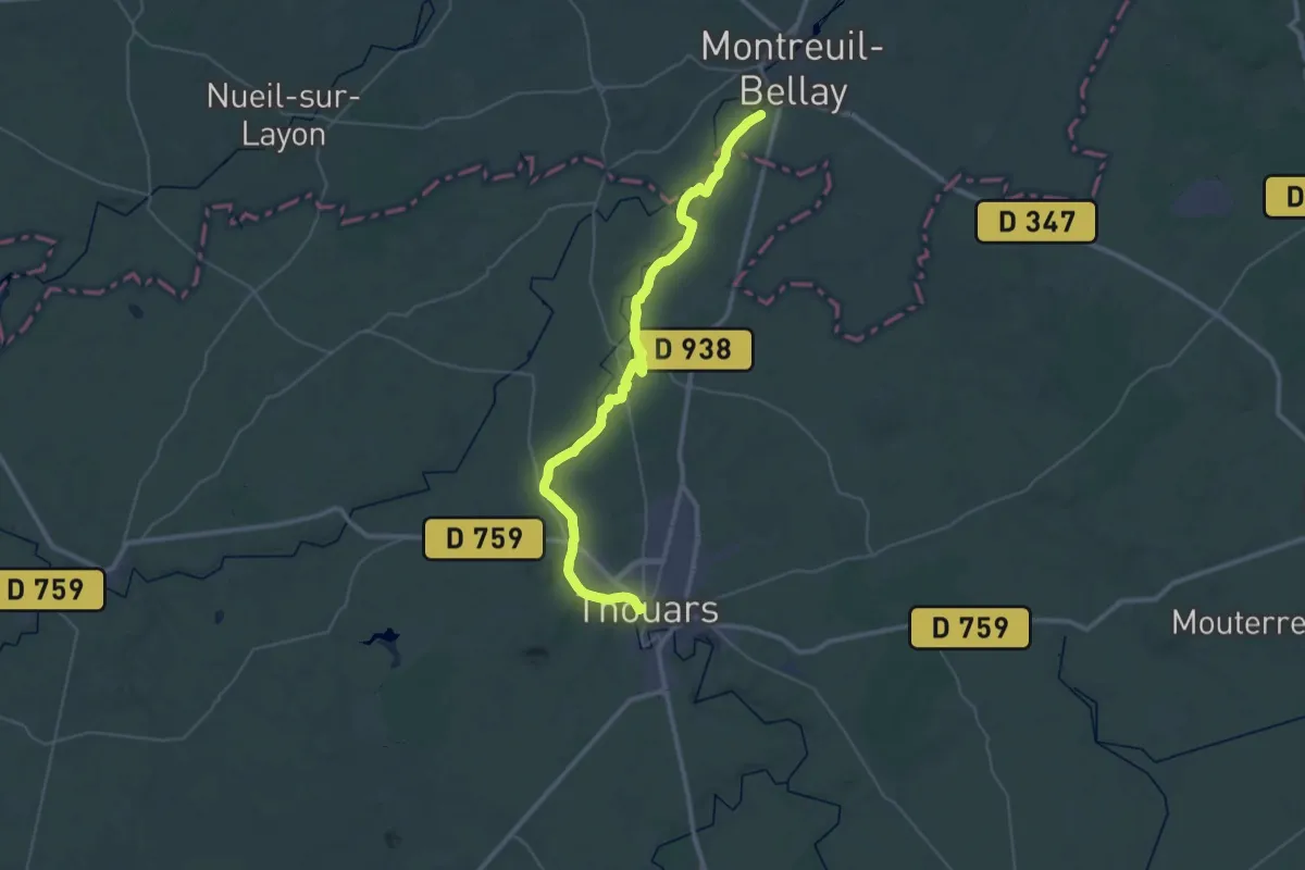
Demanding · Trail
De la Manche aux Pyrénées 09, Saumur - Thouars
22.1 km · ↑ 120 m · 5 h 45 min
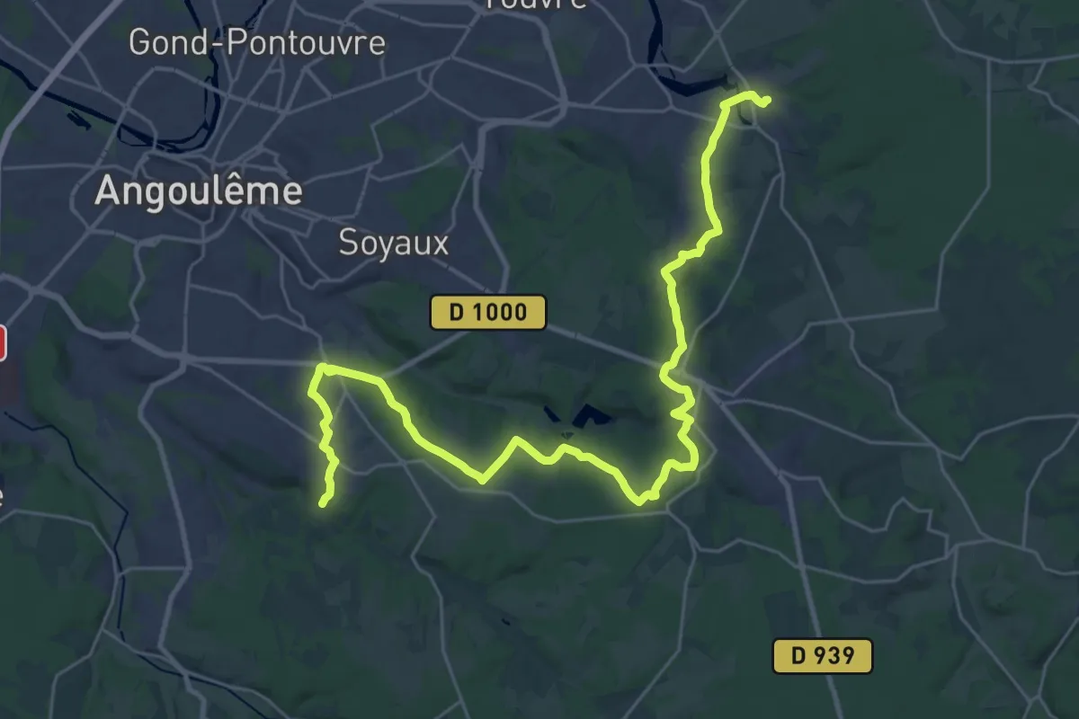
Medium · Trail
De la Manche aux Pyrénées 14, Touvre - Puymoyen
17.3 km · ↑ 242 m · 4 h 49 min
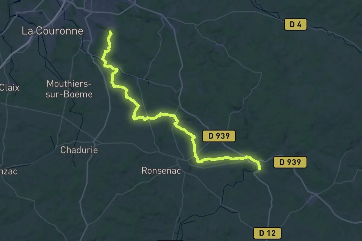
Demanding · Trail
De la Manche aux Pyrénées 15, Puymoyen - Champcevinel
33.1 km · ↑ 446 m · 9 h 14 min
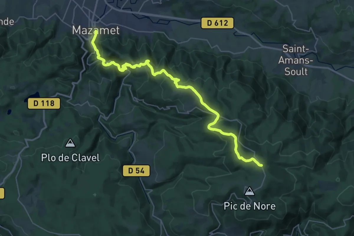
Medium · Trail
De la Manche aux Pyrénées 21, Mazamet - Portail de Nore
15.3 km · ↑ 128 m · 4 h 33 min
Demanding · Summit
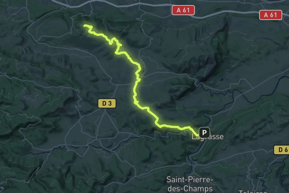
De la Manche aux Pyrénées 23, variante Montlaur
37.1 km · ↑ 1042 m · 11 h 1 min
Demanding · Trail
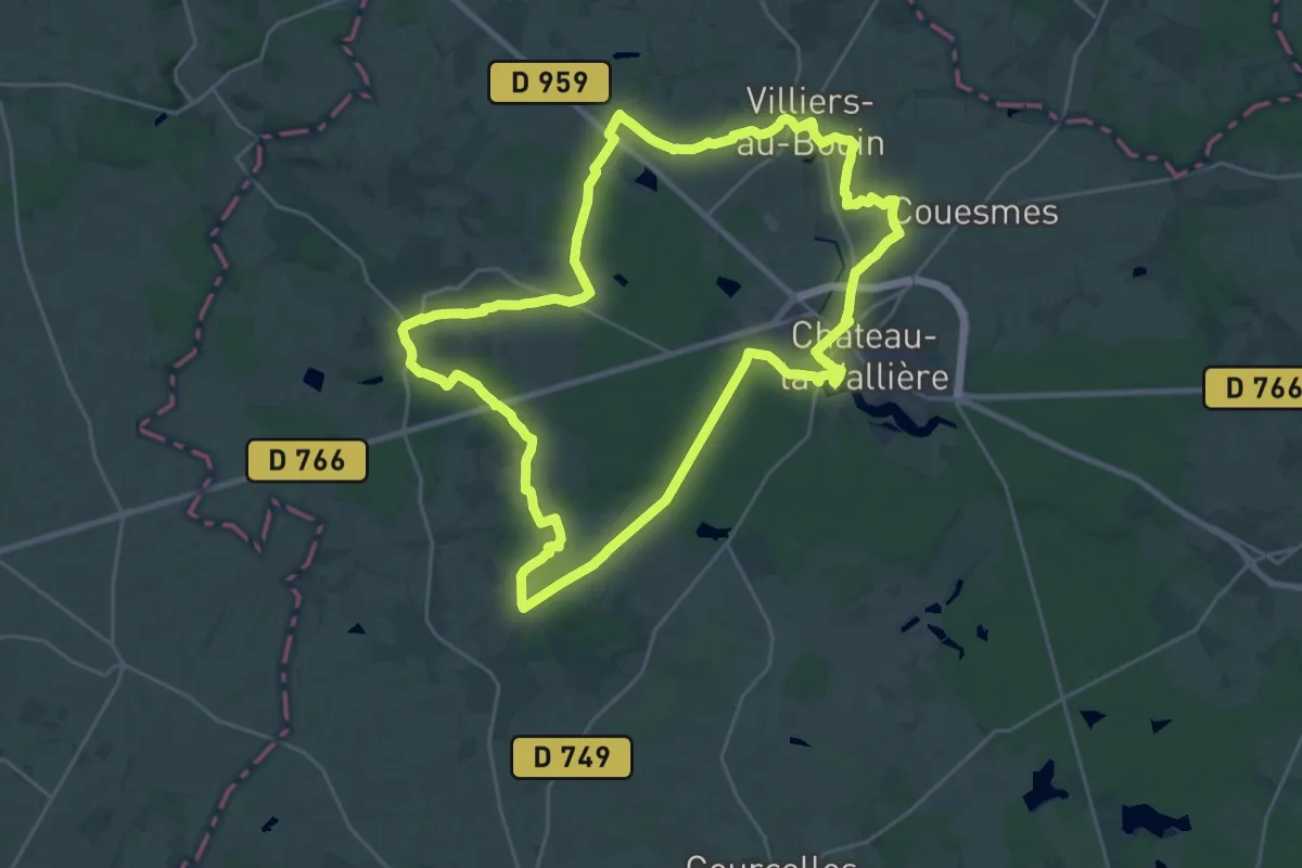
De la Maulne à la Fare - Château-la-Vallière
25.8 km · ↑ 233 m · 6 h 57 min
Medium · Cabin
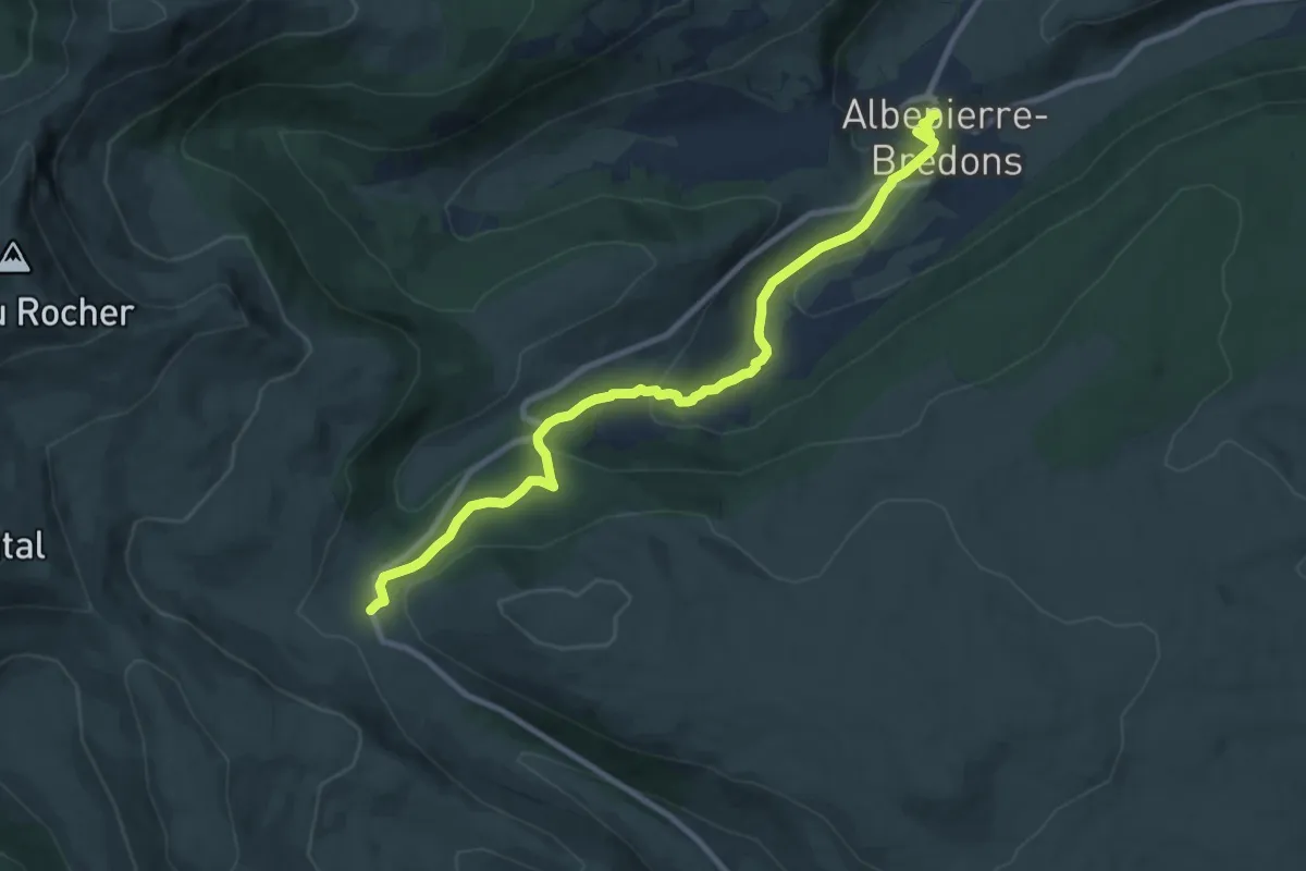
De la Méditerranée à l'Océan, Col de Prat-de-Bouc - Albepierre
10.2 km · ↑ 353 m · 3 h 10 min
Demanding · Trail
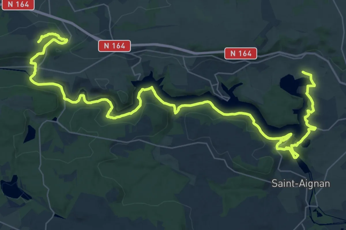
De Lanester au Lac de Guerlédan, Mûr de Bretagne - Lac de Guerlédan
20.7 km · ↑ 615 m · 6 h 28 min
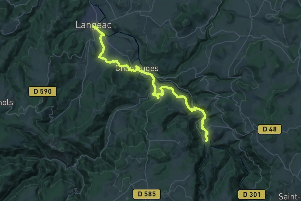
Demanding · Trail
De Langeac à Prades
18.6 km · ↑ 549 m · 5 h 50 min
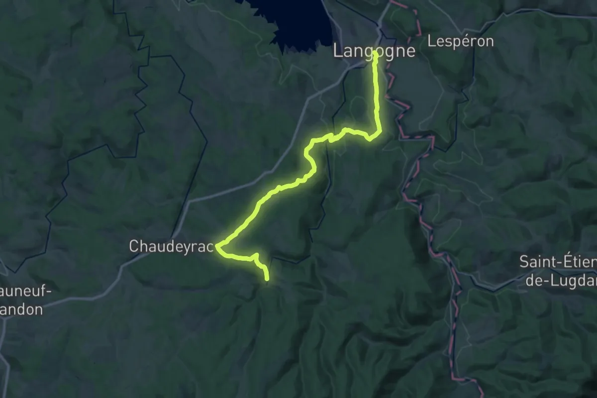
Medium · Trail
De Langogne à Cheylard-l'Évêque
15.8 km · ↑ 419 m · 4 h 45 min
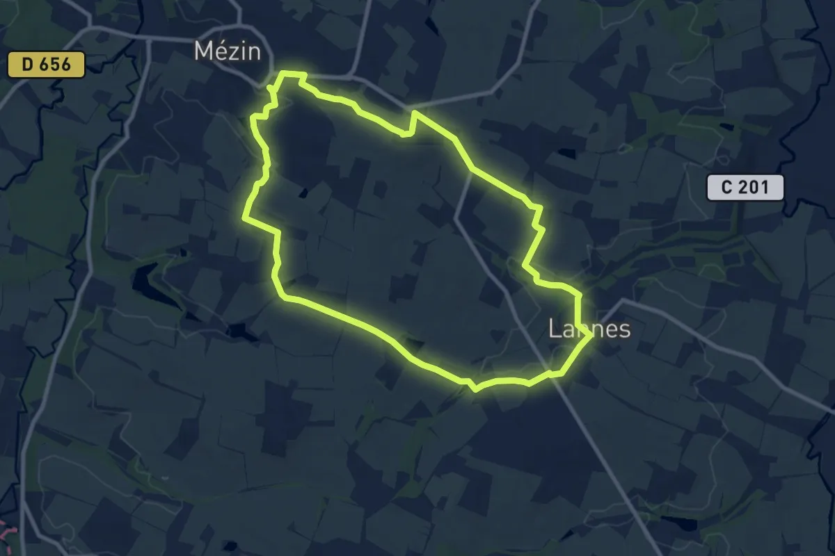
Medium · Trail
De Lannes à Mézin, le parfum de l'Armagnac-Ténarèze 9.6 km
9.5 km · ↑ 146 m · 2 h 41 min
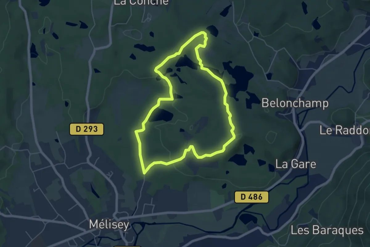
Easy · Trail
De la Noie Villerand au Grand Rosbeck
4.9 km · ↑ 79 m · 1 h 24 min
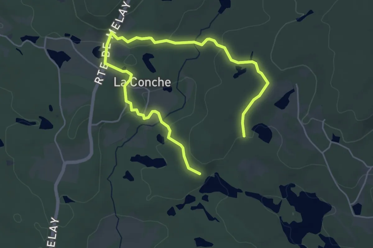
Easy · Trail
De la Noie Villerand au Grand Rosbeck
6.1 km · ↑ 114 m · 1 h 42 min
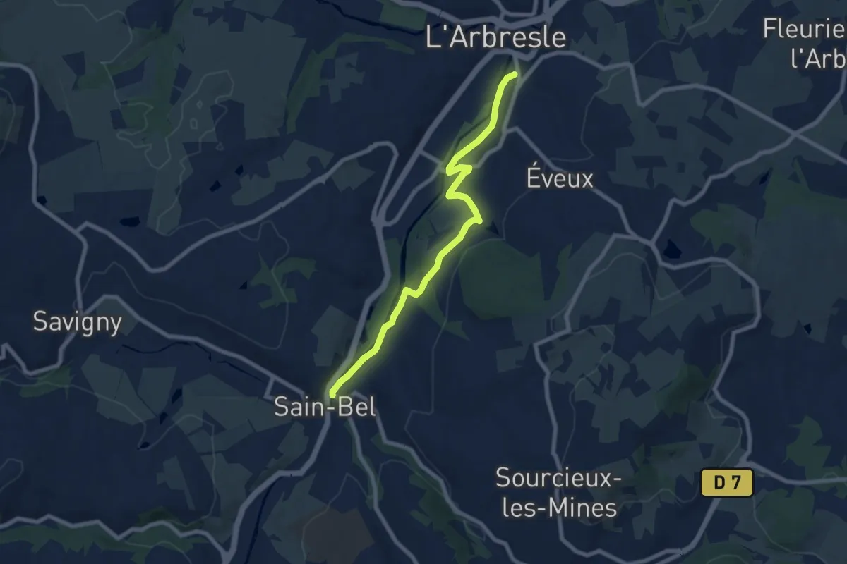
Easy · Trail
De L'Arbresle à Sain-Bel
7.3 km · ↑ 115 m · 1 h 59 min
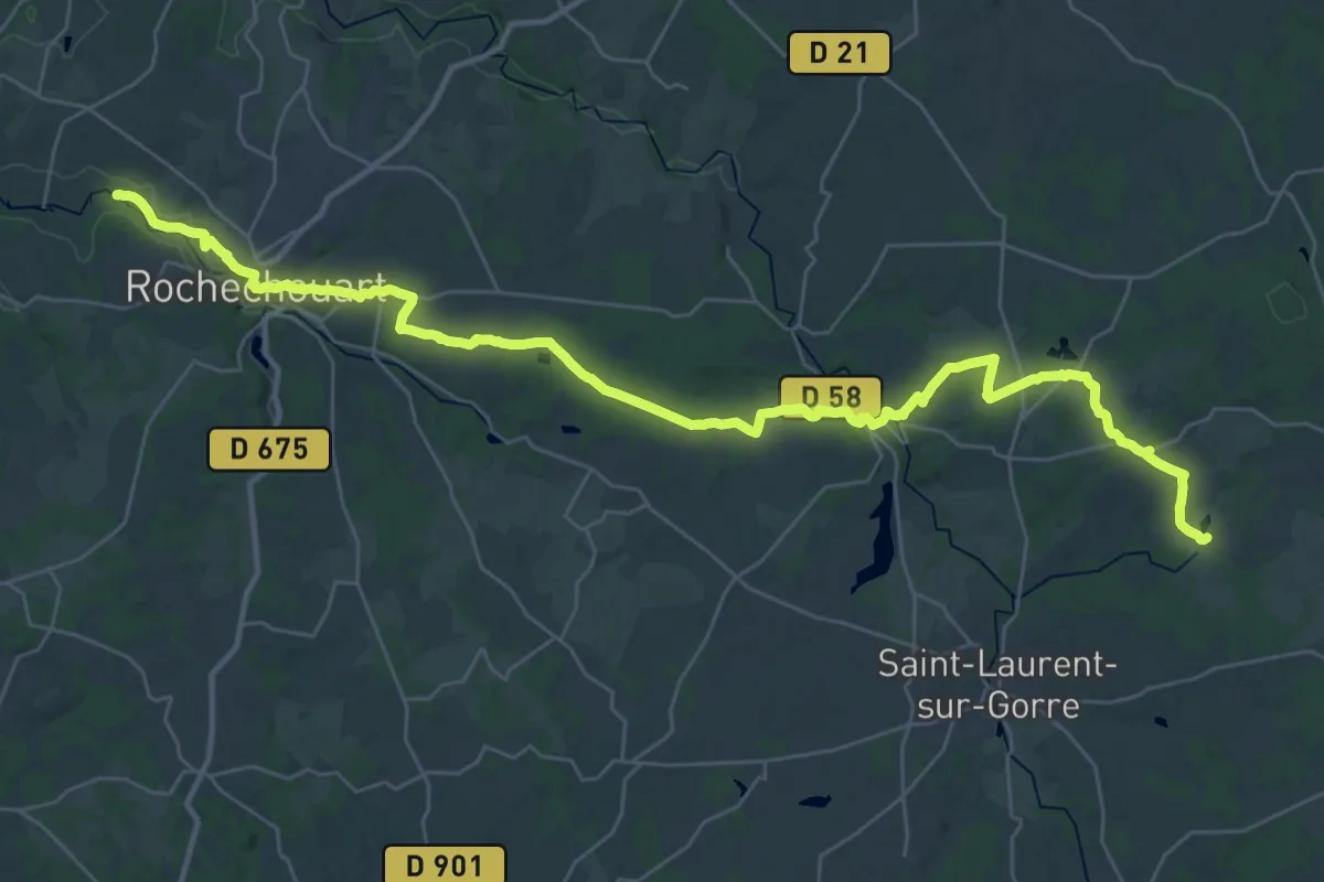
Demanding · Trail
De La Ribière à Chinon
21.5 km · ↑ 278 m · 6 h 1 min
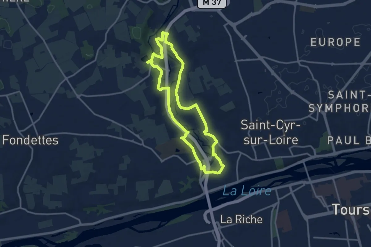
Medium · Trail
De la Rivière aux Coteaux du Val de Choisille
9.3 km · ↑ 91 m · 2 h 31 min
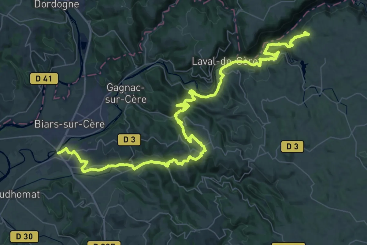
Demanding · Summit
De Larocquebrune à Bretenoux
50.6 km · ↑ 1862 m · 15 h 59 min
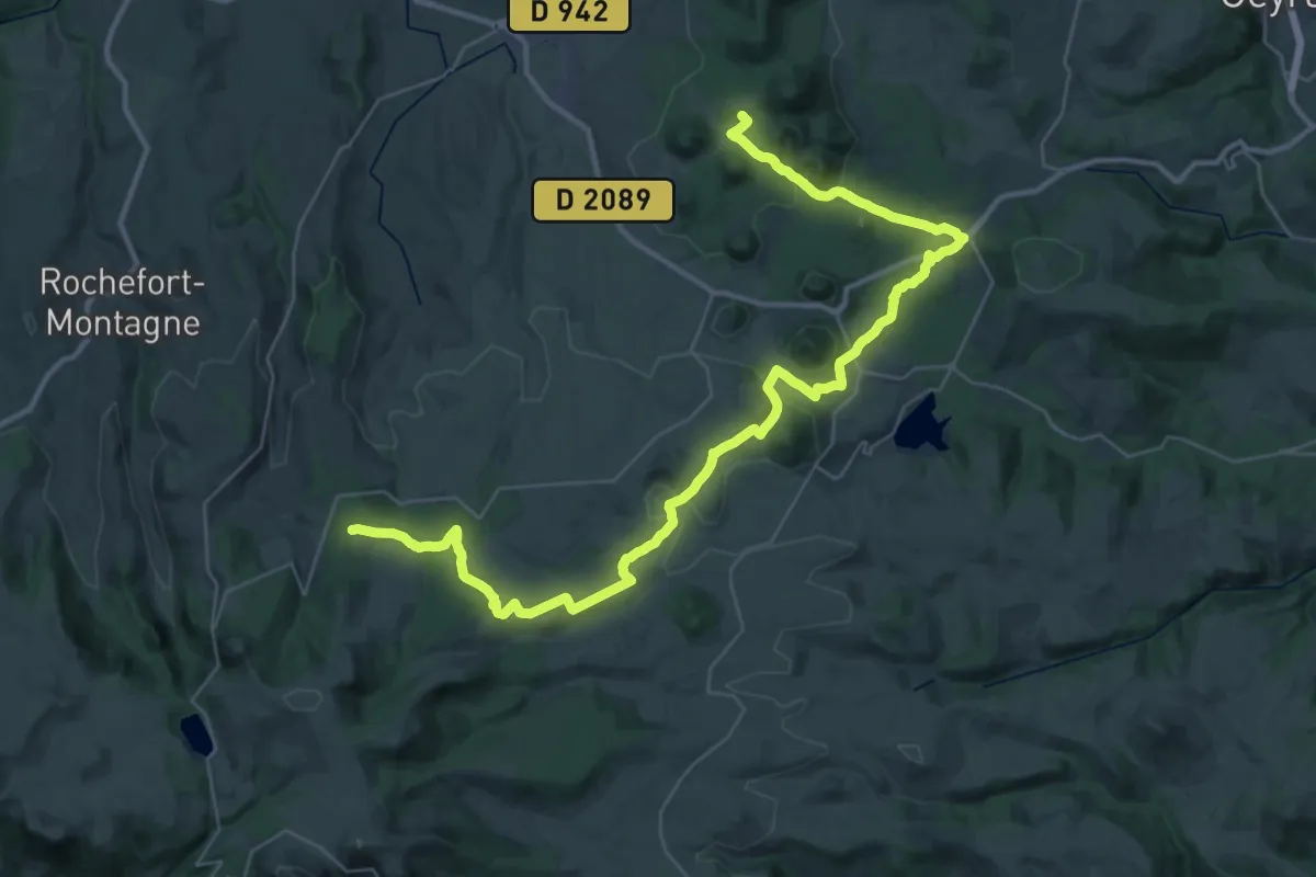
Demanding · Summit
De Laschamp au Lac de Servières
45.5 km · ↑ 788 m · 12 h 28 min
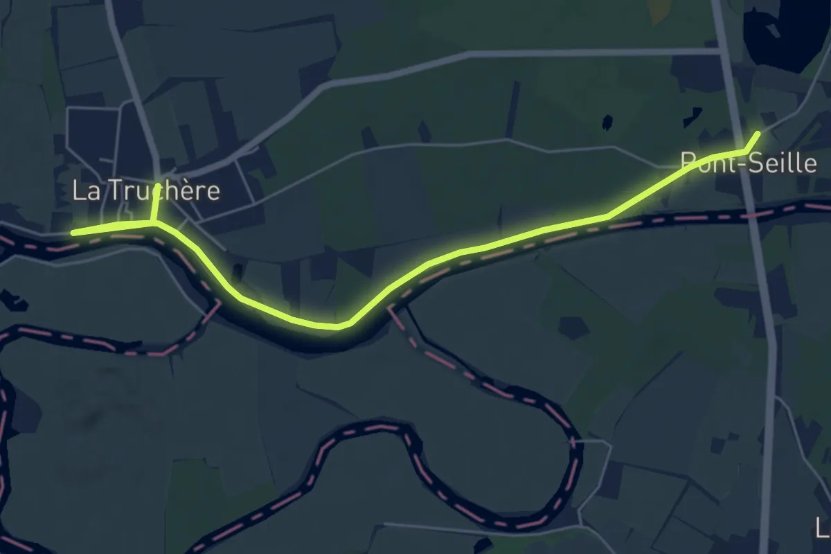
Easy · Trail
De la Seille aux Sables
3.2 km · ↑ 4 m · 48 min
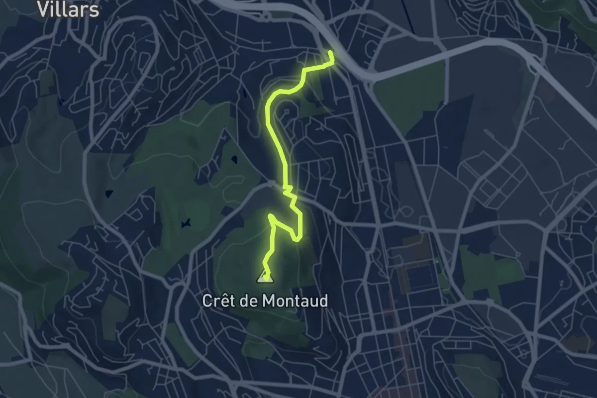
Easy · Summit
De La Terrasse au Clapier
5.4 km · ↑ 178 m · 1 h 40 min
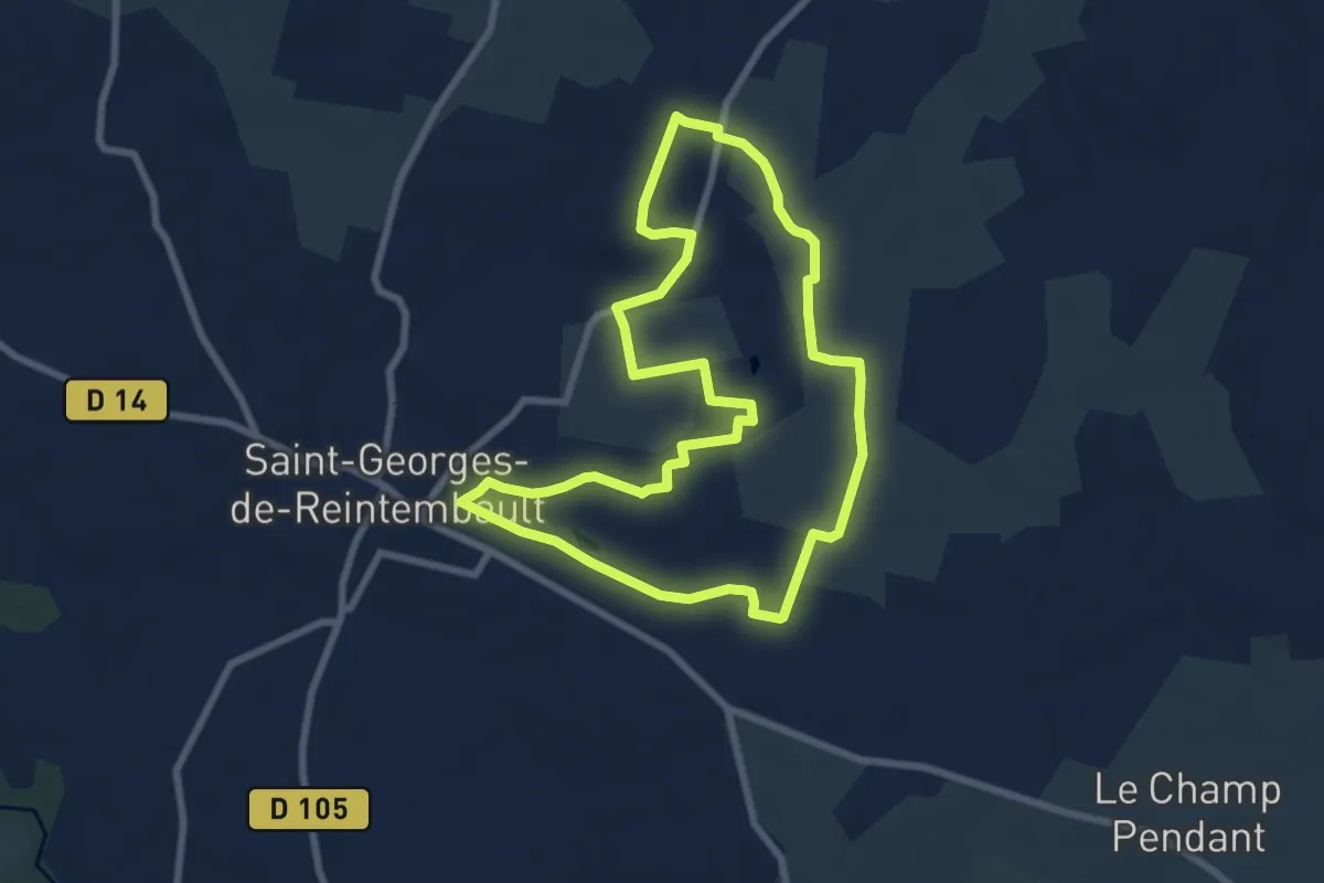
Easy · Trail
De la toile à l'agriculture
7.3 km · ↑ 44 m · 1 h 55 min
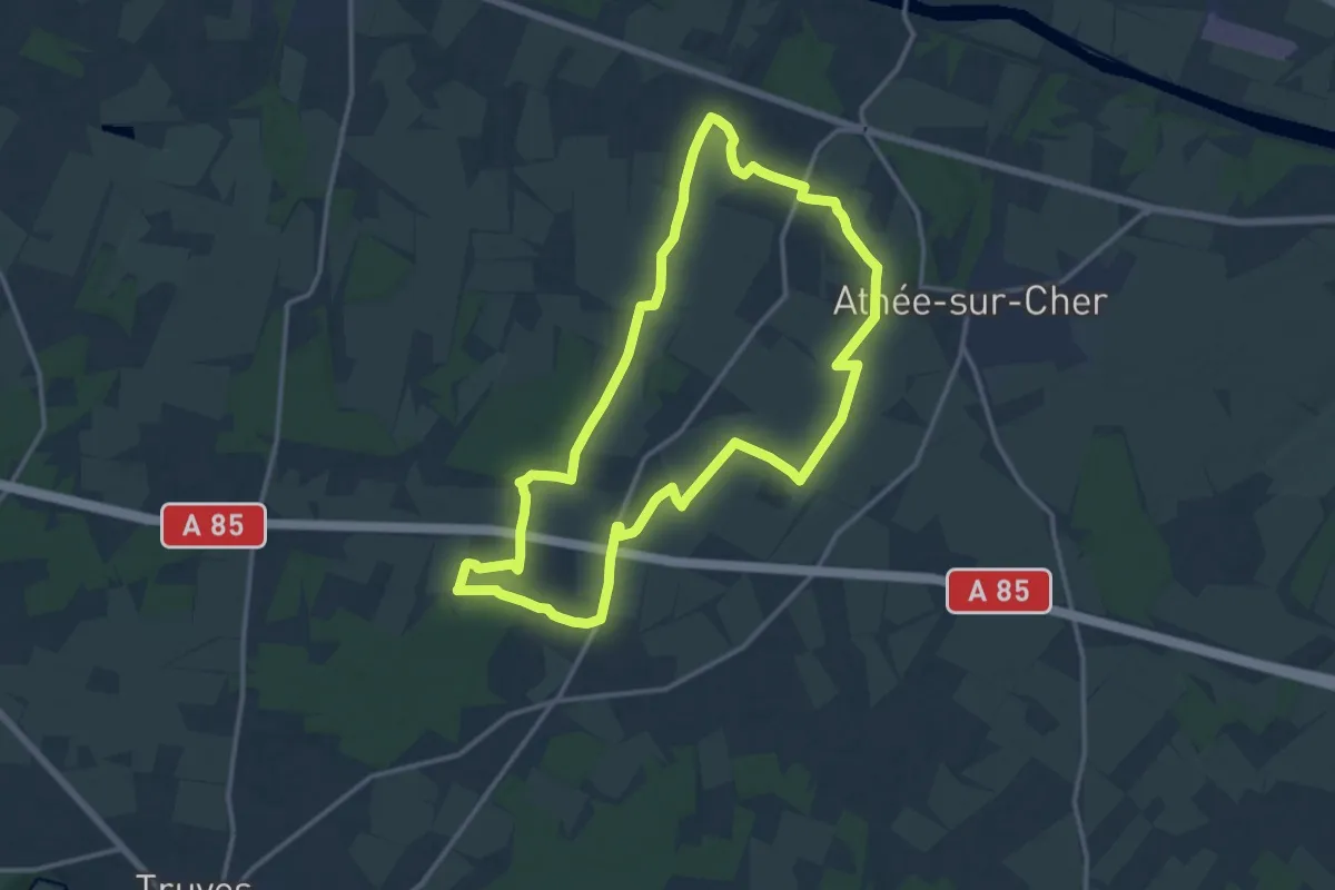
Medium · Trail
De la Tour au Château - Athée-sur-Cher
13.7 km · ↑ 54 m · 3 h 32 min
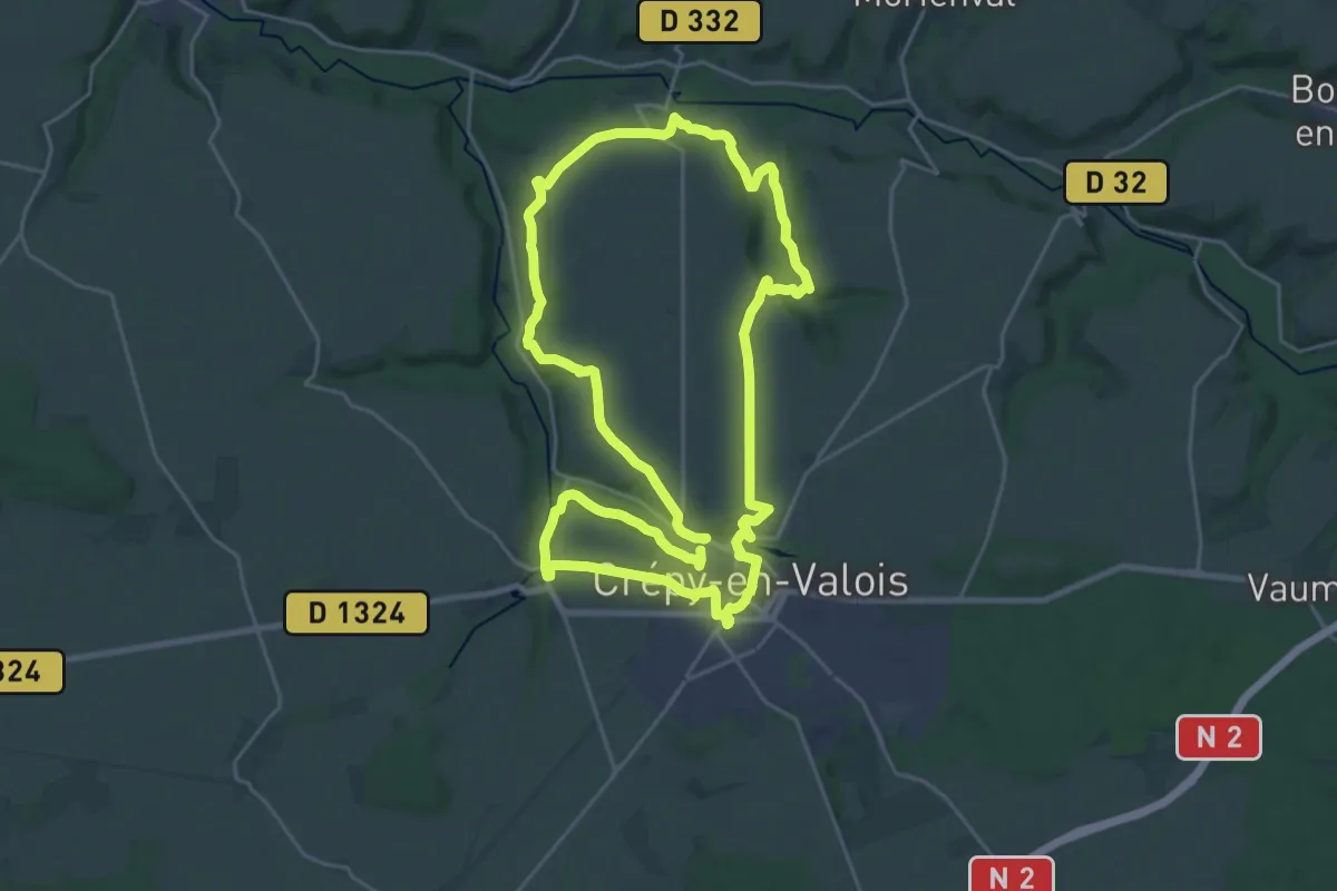
Demanding · Trail
De l'Automne à la Vallée Sainte-Marie
22.8 km · ↑ 309 m · 6 h 22 min
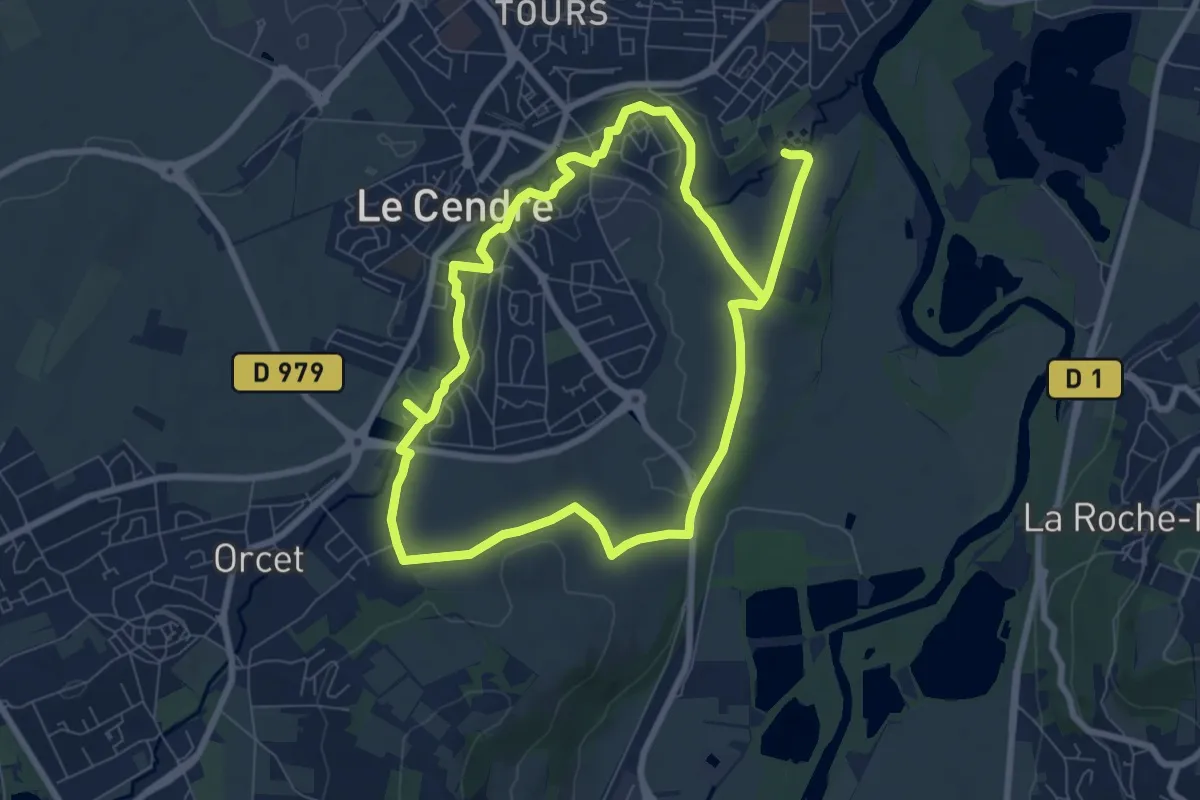
Easy · Trail
De l'Auzon a Gondole
7.6 km · ↑ 56 m · 2 h 2 min
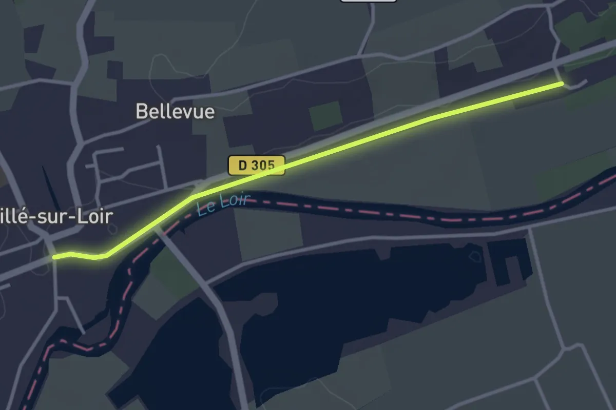
Easy · Trail
de La Vallée-de-la-Flotte à Château-du-Loir
3.0 km · ↑ 10 m · 44 min
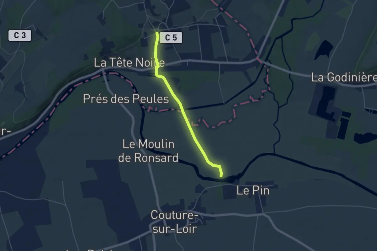
Easy · Trail
de Lavardin à La-Vallée-de-la-Flotte
4.1 km · ↑ 29 m · 1 h 2 min
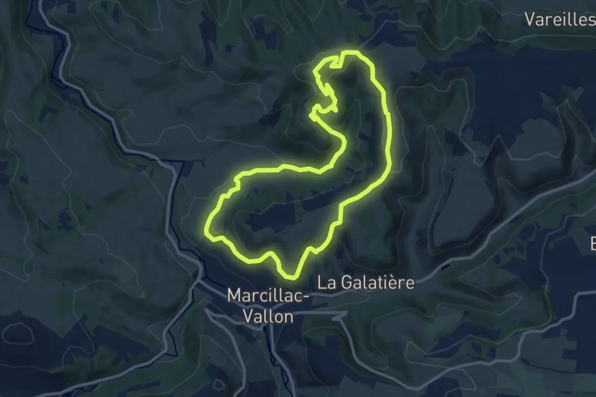
Medium · Summit
De la Vigne à la Forêt
10.0 km · ↑ 362 m · 3 h 18 min
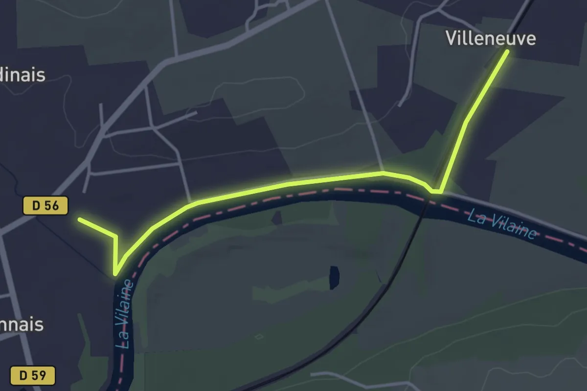
Easy · Trail
De la Vilaine aux Demoiselles
3.8 km · ↑ 12 m · 55 min
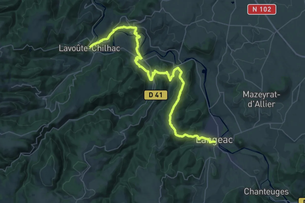
Medium · Trail
De Lavoûte-Chilhac à Langeac
17.8 km · ↑ 623 m · 5 h 47 min
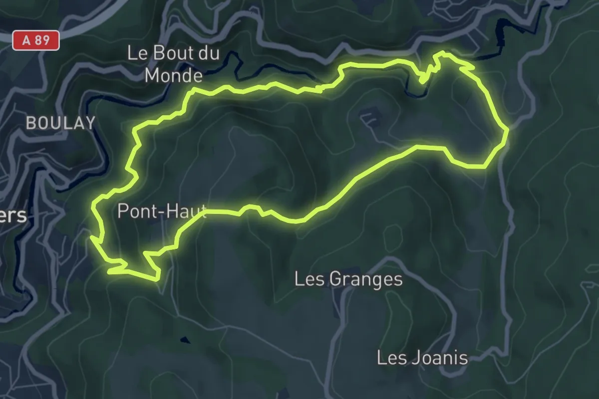
Medium · Trail
De l'Enfer aux Rouets
7.5 km · ↑ 387 m · 2 h 42 min
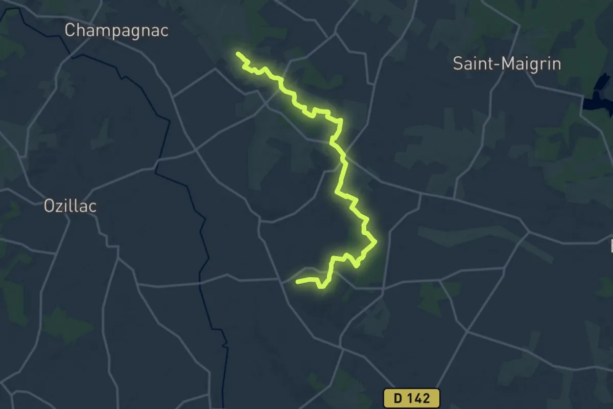
Demanding · Trail
De Léoville à Chez Bézie
18.3 km · ↑ 186 m · 4 h 43 min
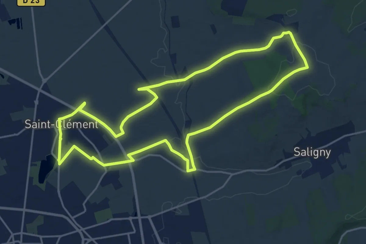
Medium · Summit
De l'étang de la Ballastière à la ferme d'Heuré
13.6 km · ↑ 143 m · 3 h 43 min
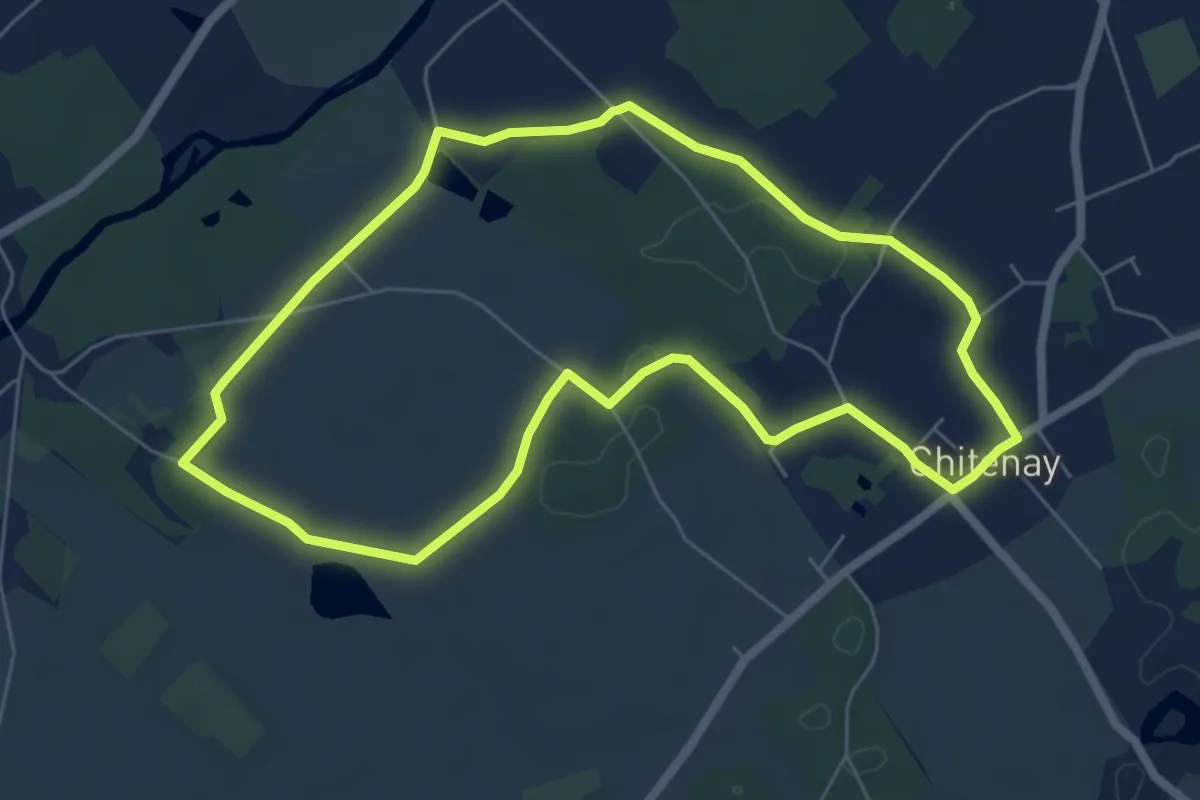
Easy · Trail
De l'étang de la Roche
6.1 km · ↑ 34 m · 1 h 36 min
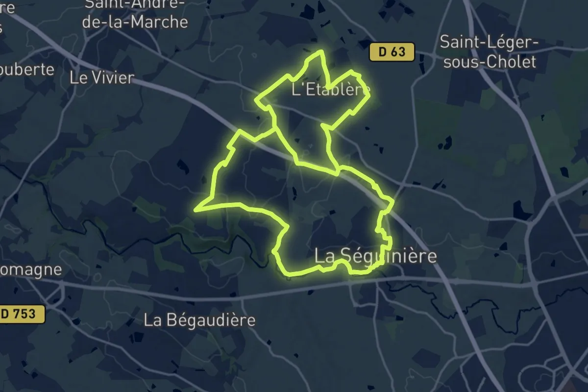
Medium · Trail
De l’Étang ruiné au chemin de Tiffauges
17.4 km · ↑ 125 m · 4 h 37 min
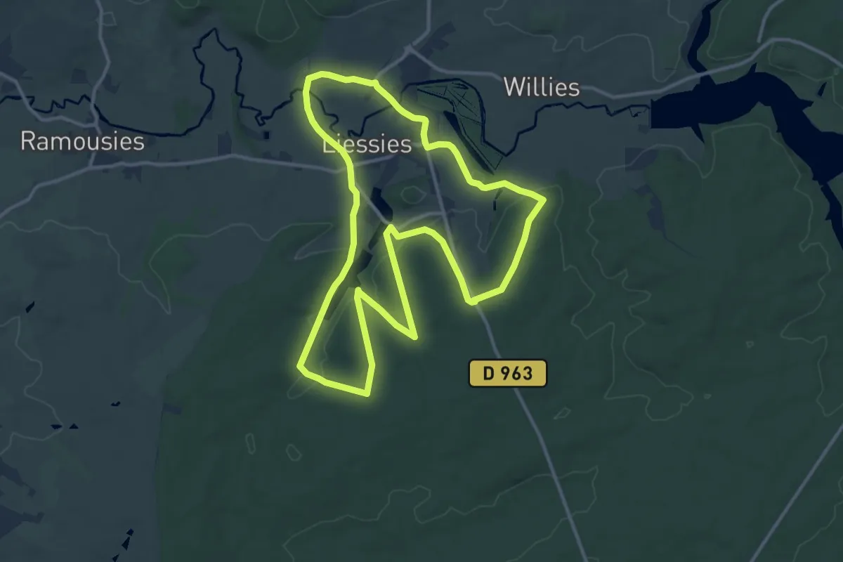
Medium · Trail
De l'Helpe à Bois l'Abbé
11.6 km · ↑ 152 m · 3 h 14 min
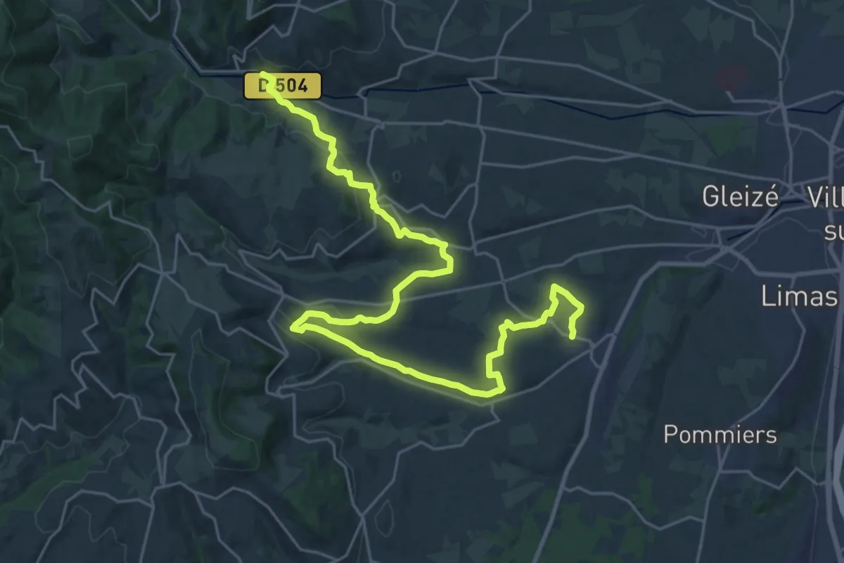
Medium · Trail
De Liergues à Rivolet
15.3 km · ↑ 368 m · 4 h 34 min
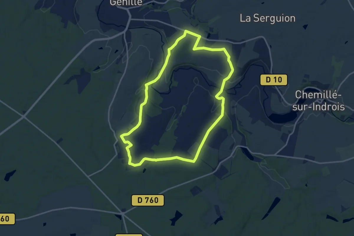
Medium · Trail
De l’Indrois au Château de Pont - Genillé
12.0 km · ↑ 218 m · 3 h 29 min
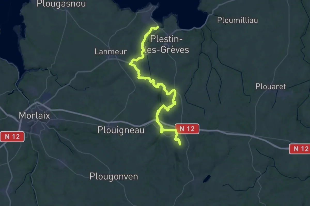
Demanding · Summit
De Locquireq à Guerlesquin
54.4 km · ↑ 800 m · 14 h 35 min
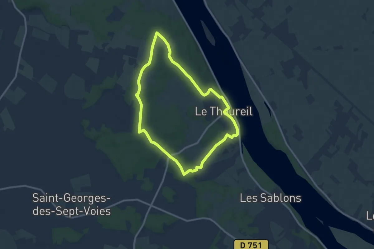
Easy · Trail
De Loire et Forêt
7.3 km · ↑ 108 m · 2 h 4 min
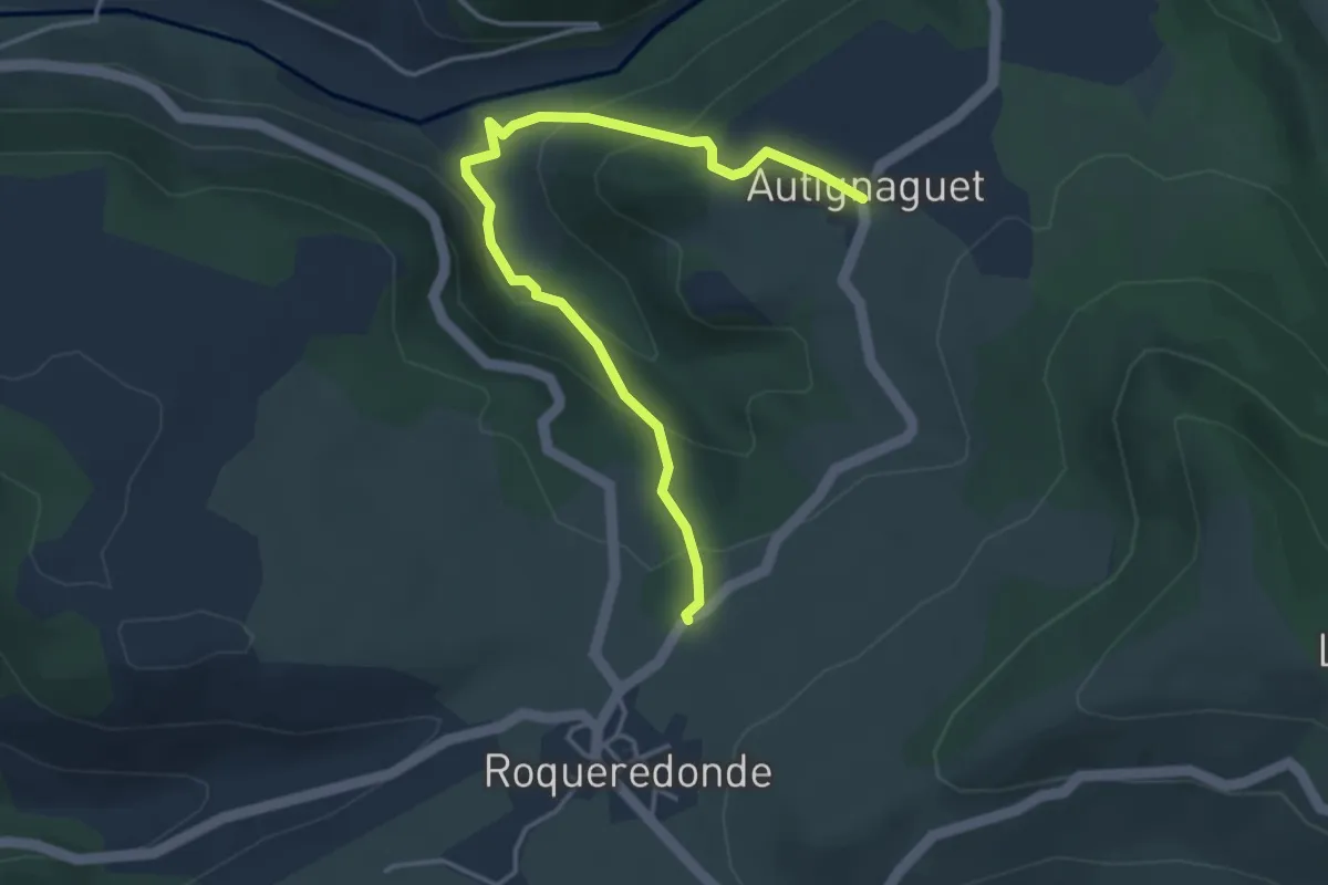
Easy · Trail
De l'Orb à l’Escandorgue
4.5 km · ↑ 253 m · 1 h 37 min
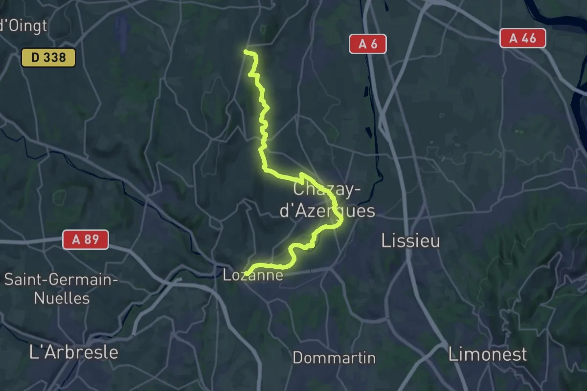
Demanding · Trail
De Lozanne à Marcy
24.0 km · ↑ 320 m · 6 h 21 min
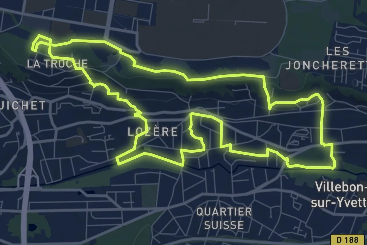
Medium · Trail
De Lozère à la Troche
8.4 km · ↑ 158 m · 2 h 26 min
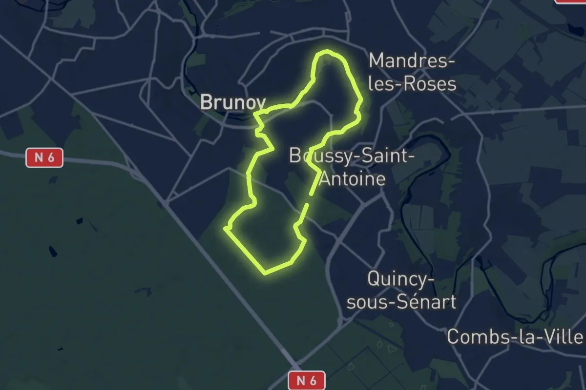
Medium · Trail
De l’Yerres à Sénart
9.9 km · ↑ 51 m · 2 h 34 min
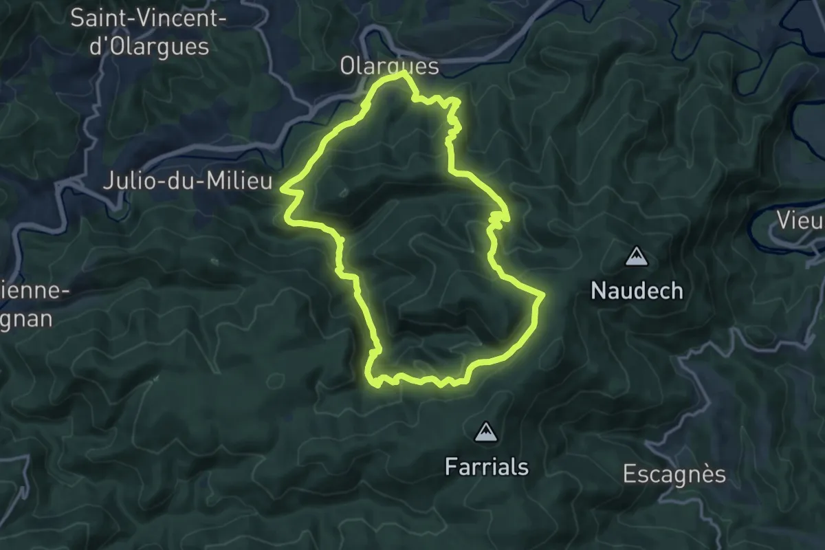
Medium · Trail
De Malvies
13.2 km · ↑ 641 m · 4 h 42 min