Trails in France
15,926 hiking trails, each with its route, climb, walking time and grade.
All trails, page 102 of 332
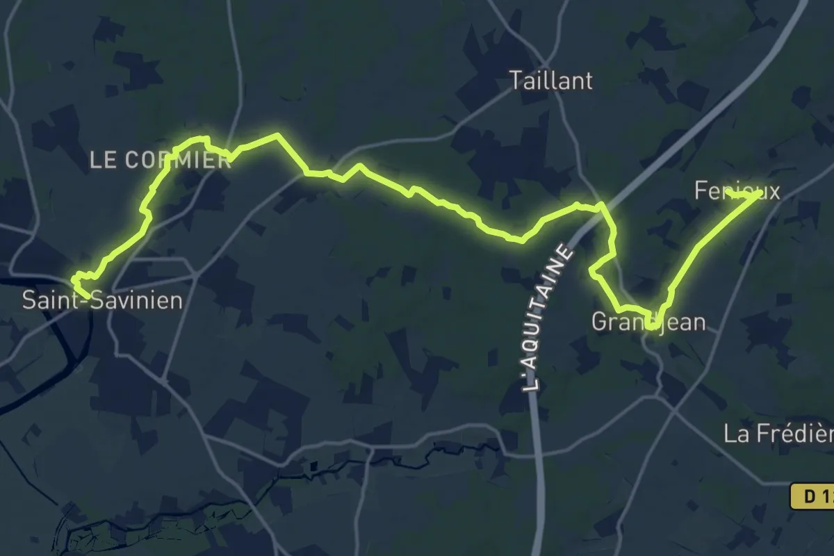
Demanding · Trail
De Fénioux à Saint-Savinien
23.6 km · ↑ 229 m · 6 h 4 min
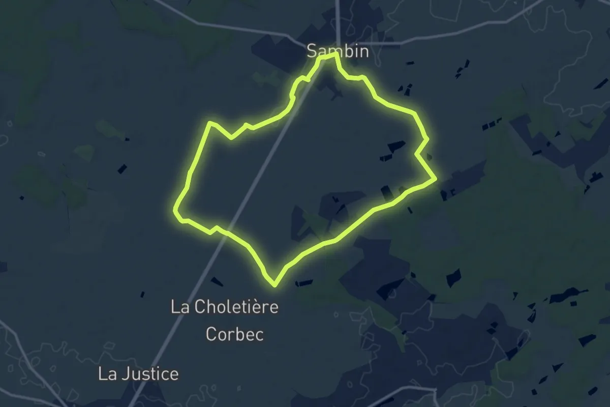
Medium · Trail
De ferme en ferme
10.9 km · ↑ 21 m · 2 h 47 min
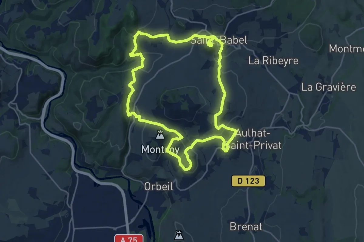
Medium · Summit
De fontaines en lavoirs
15.2 km · ↑ 519 m · 4 h 55 min
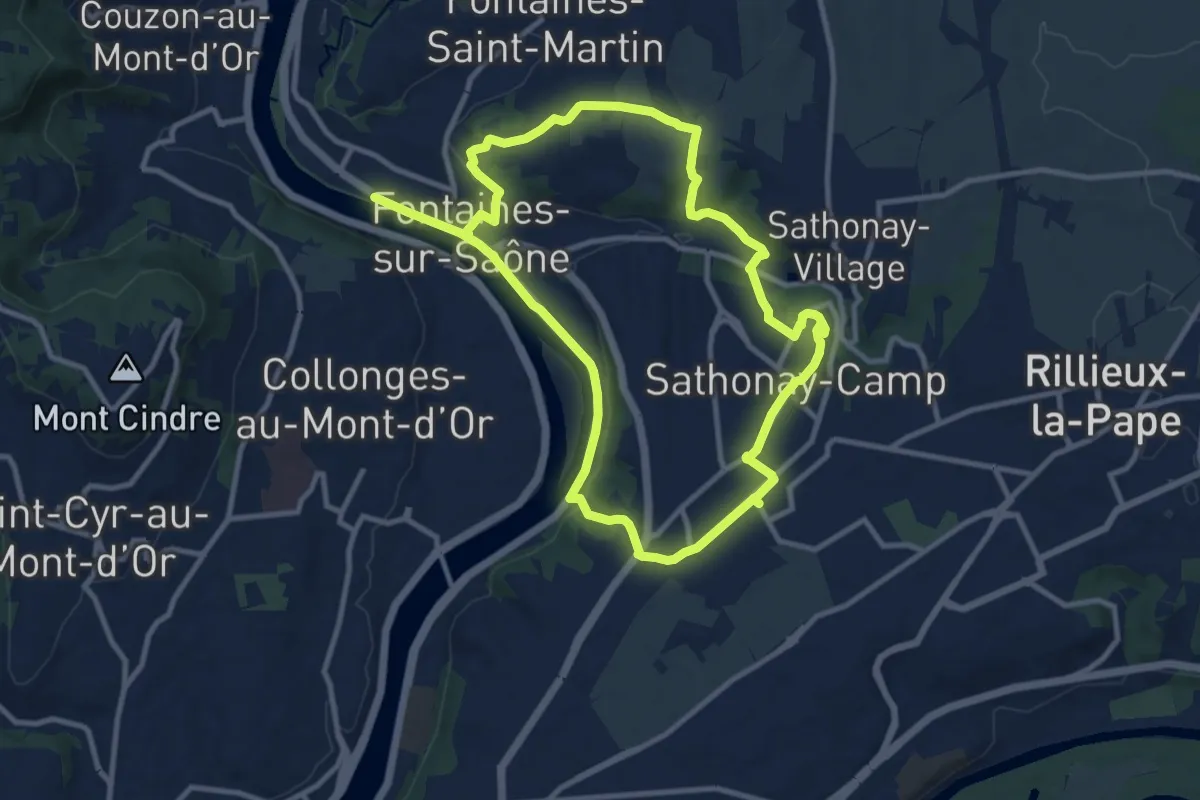
Demanding · Trail
De Fontaines-sur-Saône à Sathonay-Camp
20.4 km · ↑ 365 m · 5 h 37 min
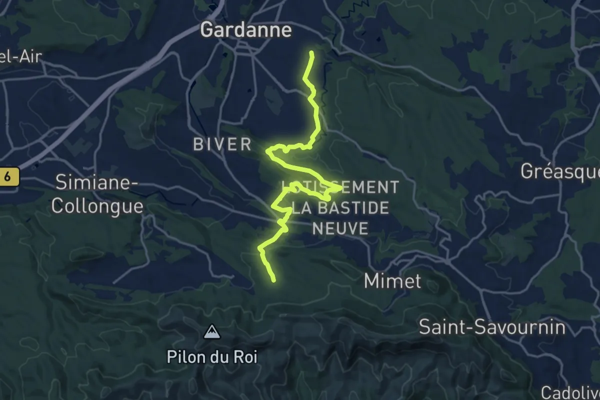
Medium · Trail
De Gardanne aux Marres
17.1 km · ↑ 302 m · 4 h 42 min
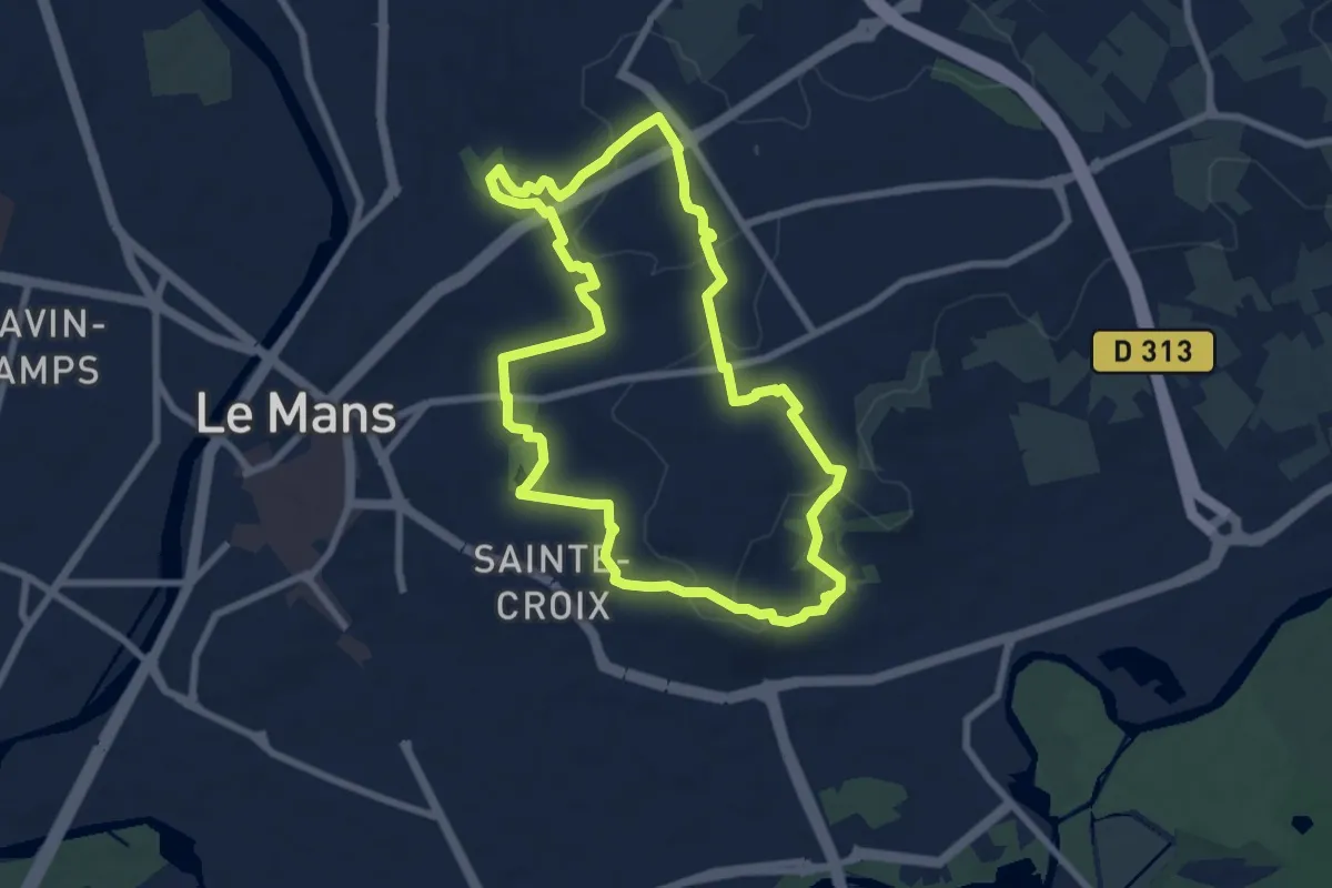
Easy · Trail
De gazonfier au jardin des plantes
7.6 km · ↑ 120 m · 2 h 9 min
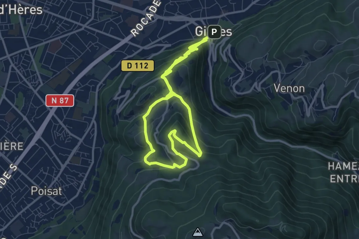
Medium · Summit
De Gières au col du Gourlu
9.4 km · ↑ 500 m · 3 h 21 min
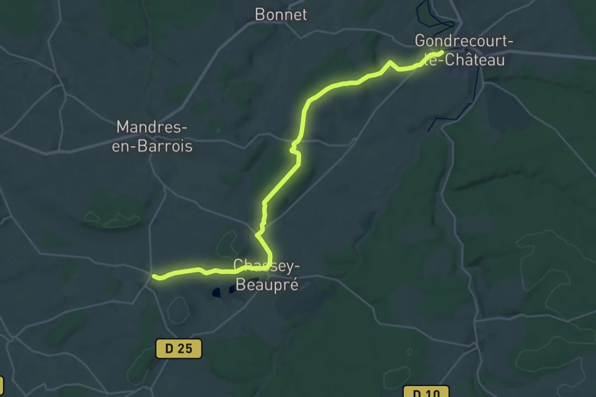
Demanding · Trail
De Gondrecourt-le-Château à Poissons
25.6 km · ↑ 306 m · 6 h 43 min
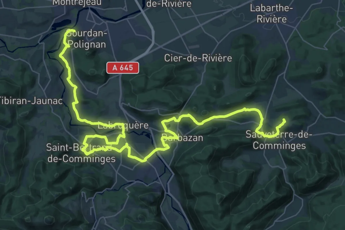
Demanding · Summit
De Gourdan à Saint-Pé-d'Ardet
50.6 km · ↑ 739 m · 13 h 33 min
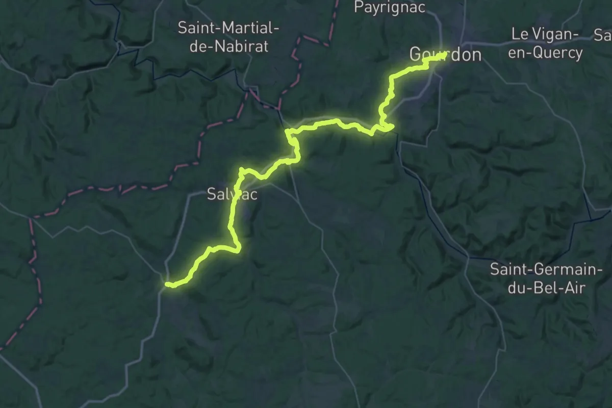
Demanding · Trail
De Gourdon à Cazals
25.7 km · ↑ 542 m · 7 h 35 min
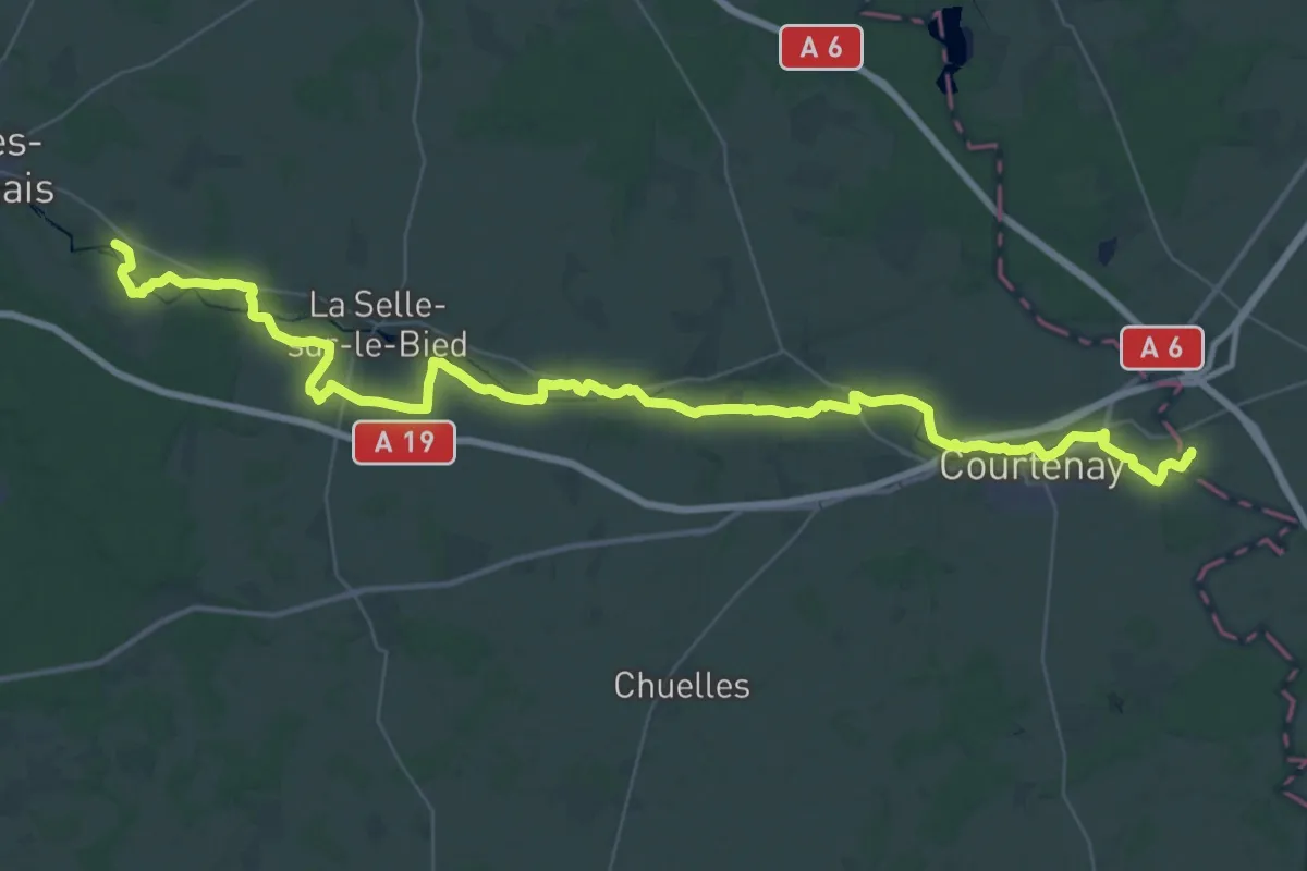
Demanding · Trail
De Griselles à Chaumot
27.4 km · ↑ 176 m · 7 h 16 min
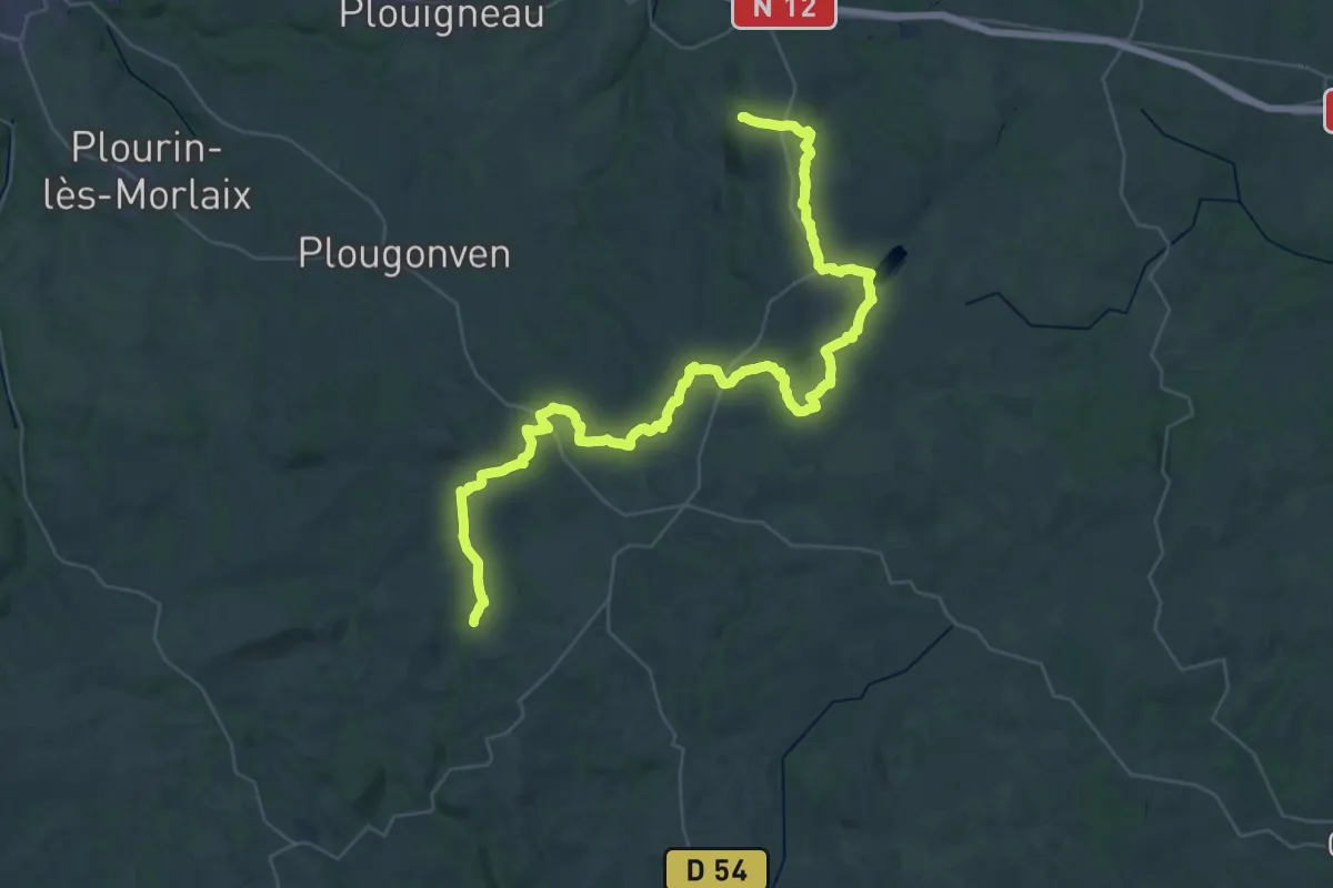
Demanding · Trail
De Guerlesquin à Scrignac
25.4 km · ↑ 335 m · 7 h 7 min
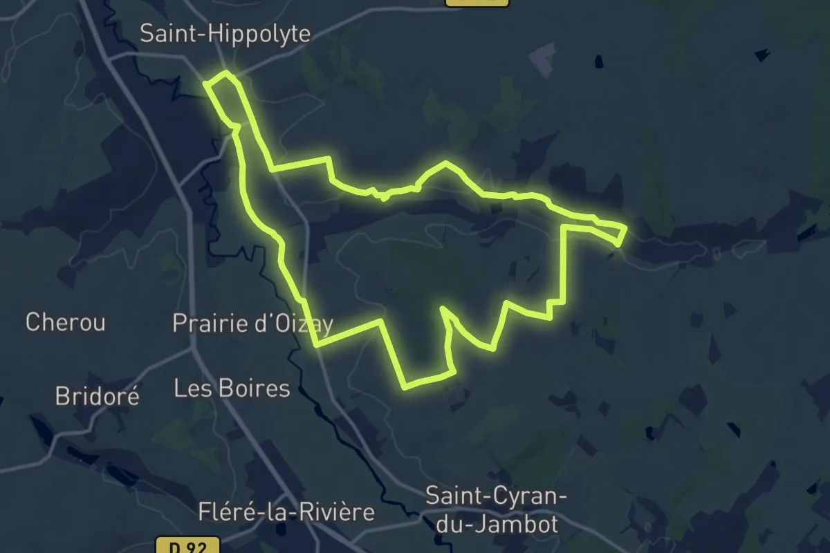
Medium · Trail
De gués en prés !
15.1 km · ↑ 129 m · 4 h 3 min
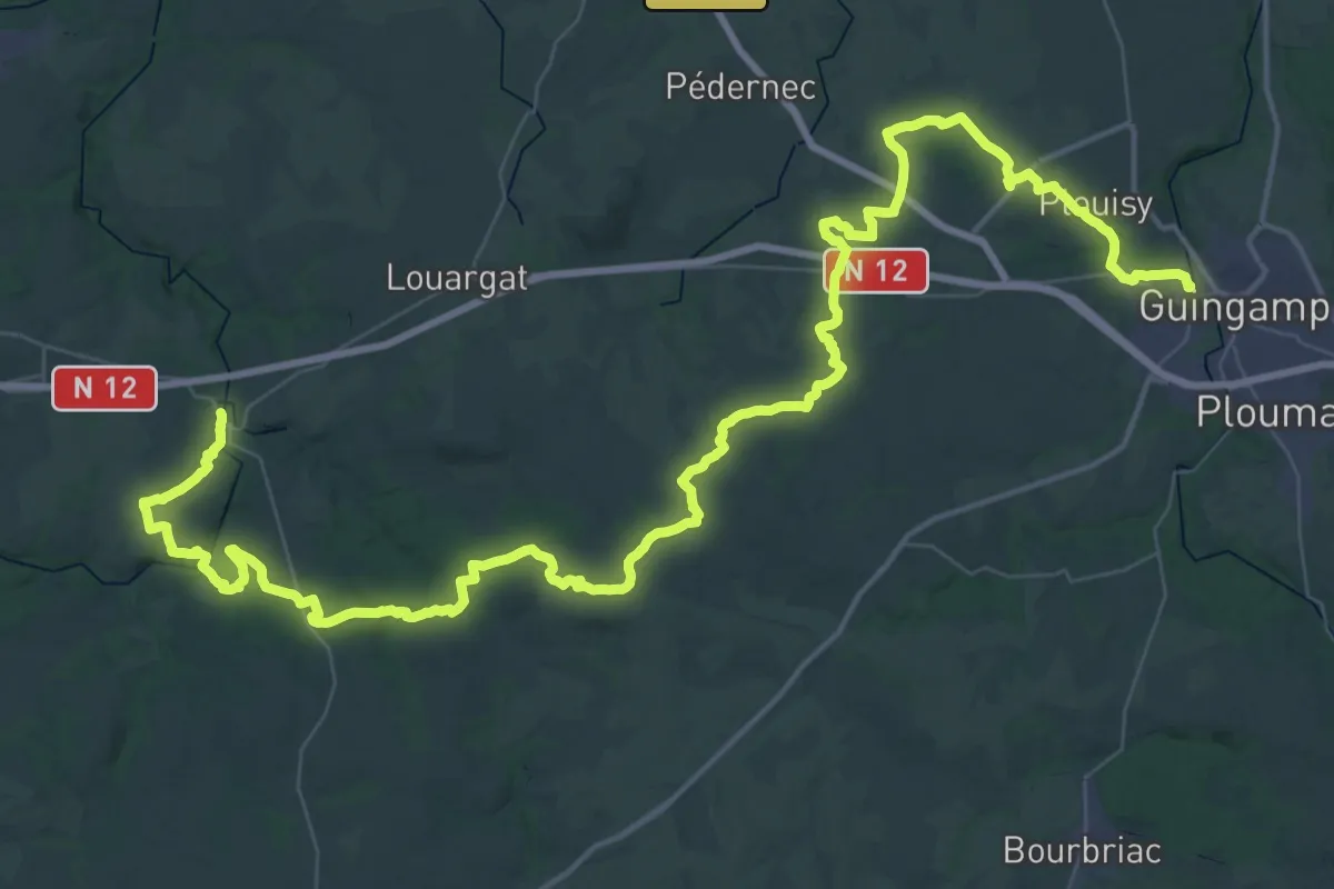
Demanding · Trail
De Guingamp à Belle-Isle
38.3 km · ↑ 632 m · 10 h 56 min
Medium · Trail
De Gurunhuel à Port-Louis
13.4 km · ↑ 148 m · 3 h 28 min
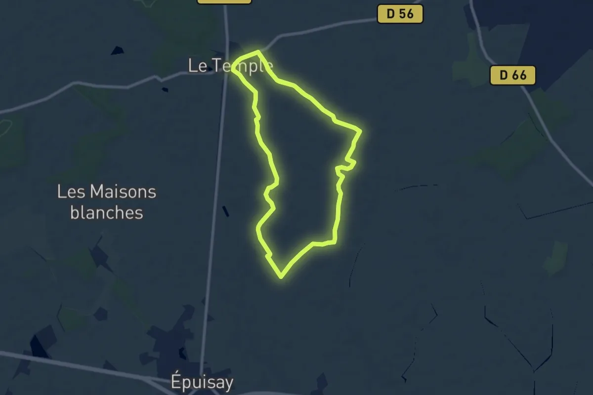
Medium · Trail
De haies et de mares
15.2 km · ↑ 50 m · 3 h 41 min
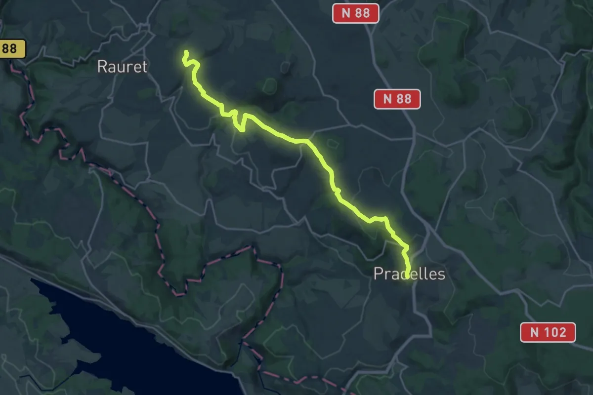
Demanding · Trail
De Jagonas à Pradelles
20.9 km · ↑ 468 m · 5 h 57 min
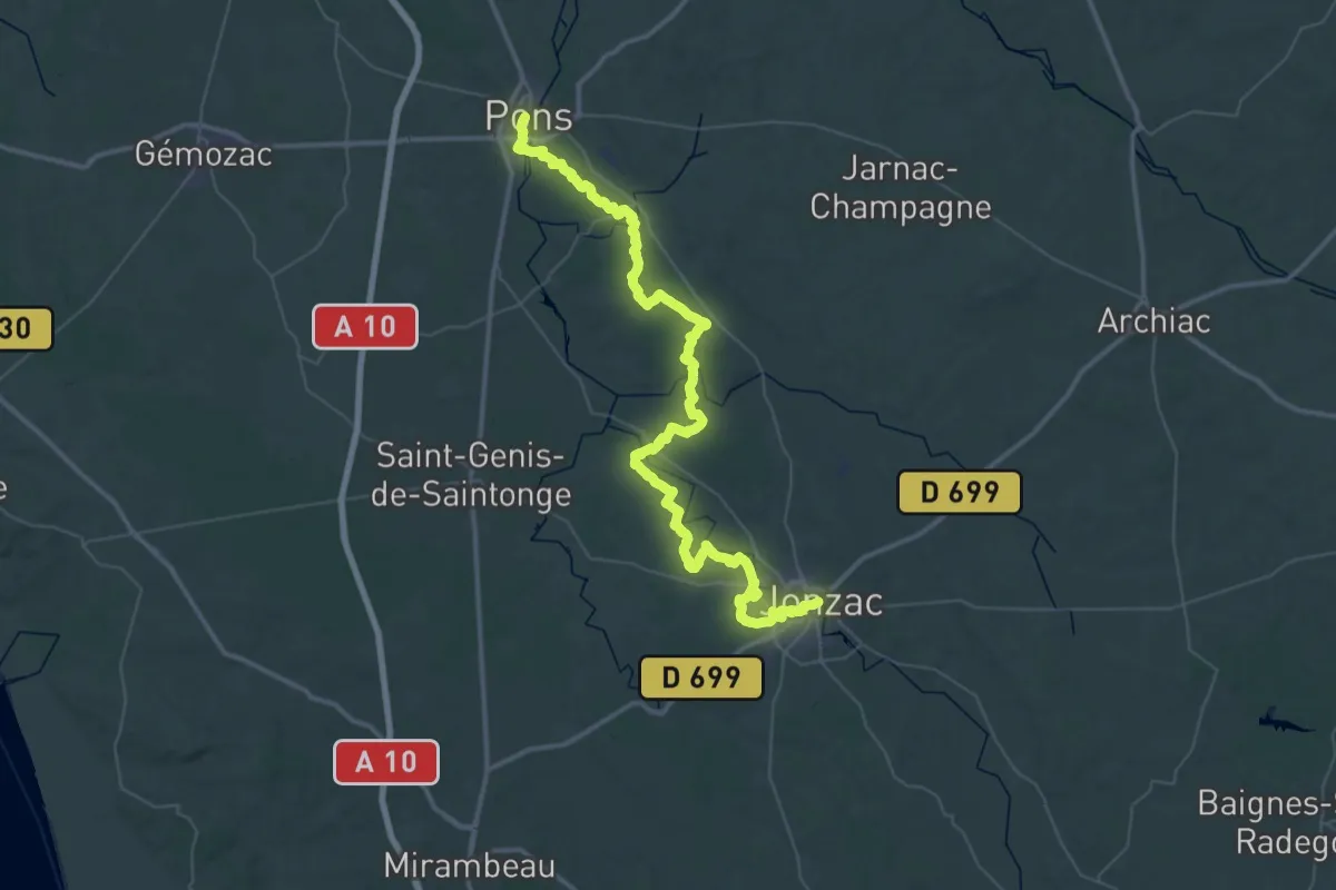
Demanding · Trail
De Jonzac à Pons
31.6 km · ↑ 244 m · 8 h 25 min
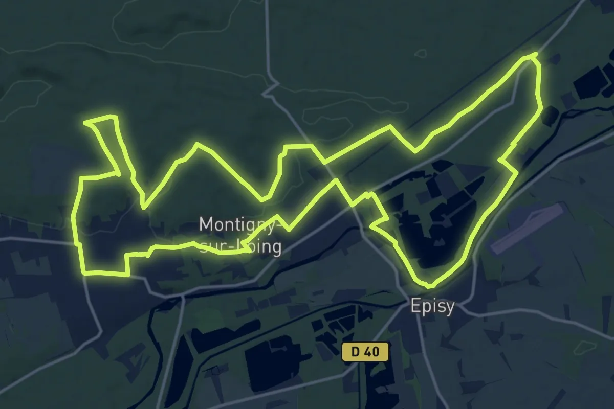
Medium · Trail
De Kosciusko à Croc Marin
17.5 km · ↑ 167 m · 4 h 45 min
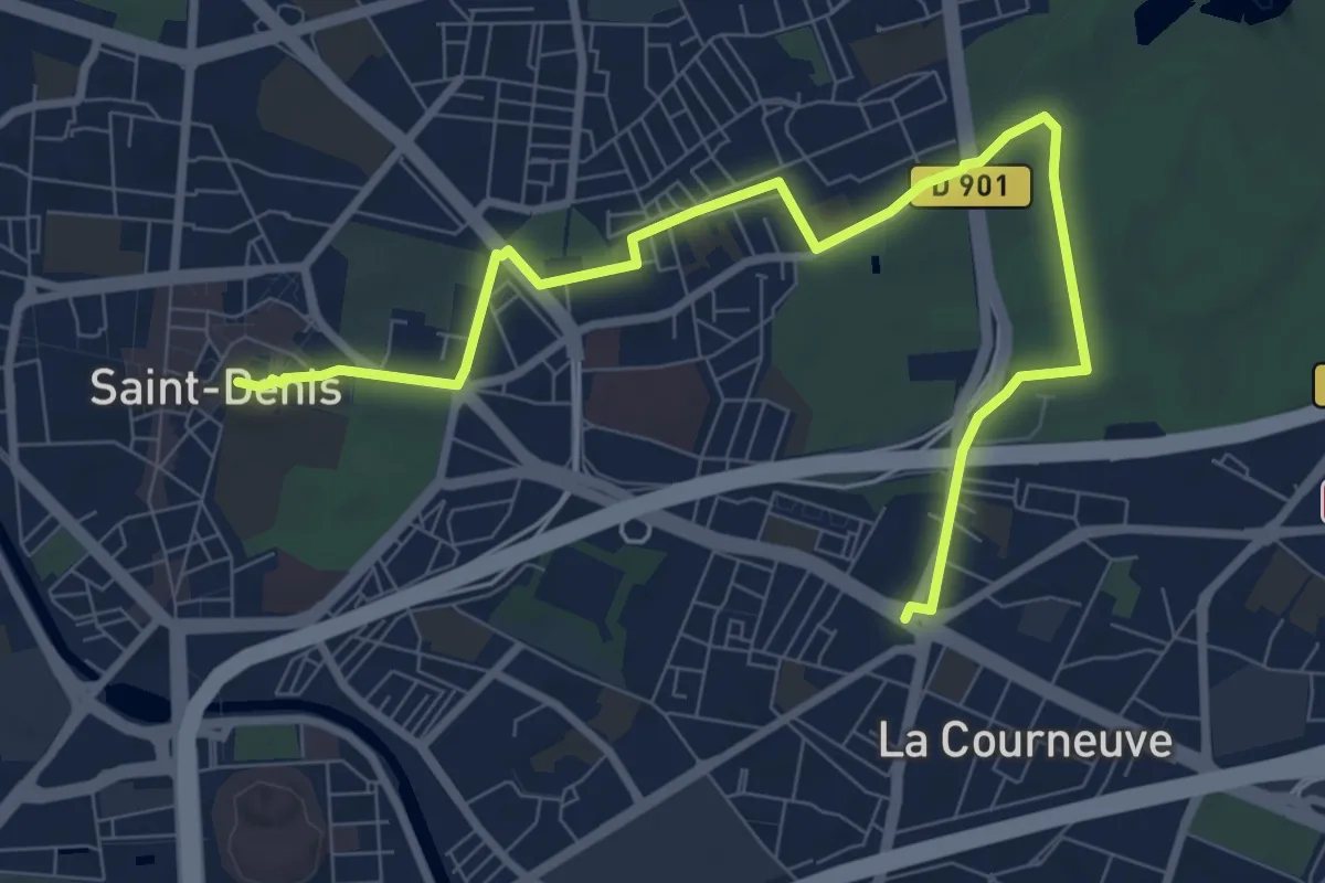
Medium · Trail
De la Basilique au Parc Georges-Valbon
9.6 km · ↑ 18 m · 2 h 18 min
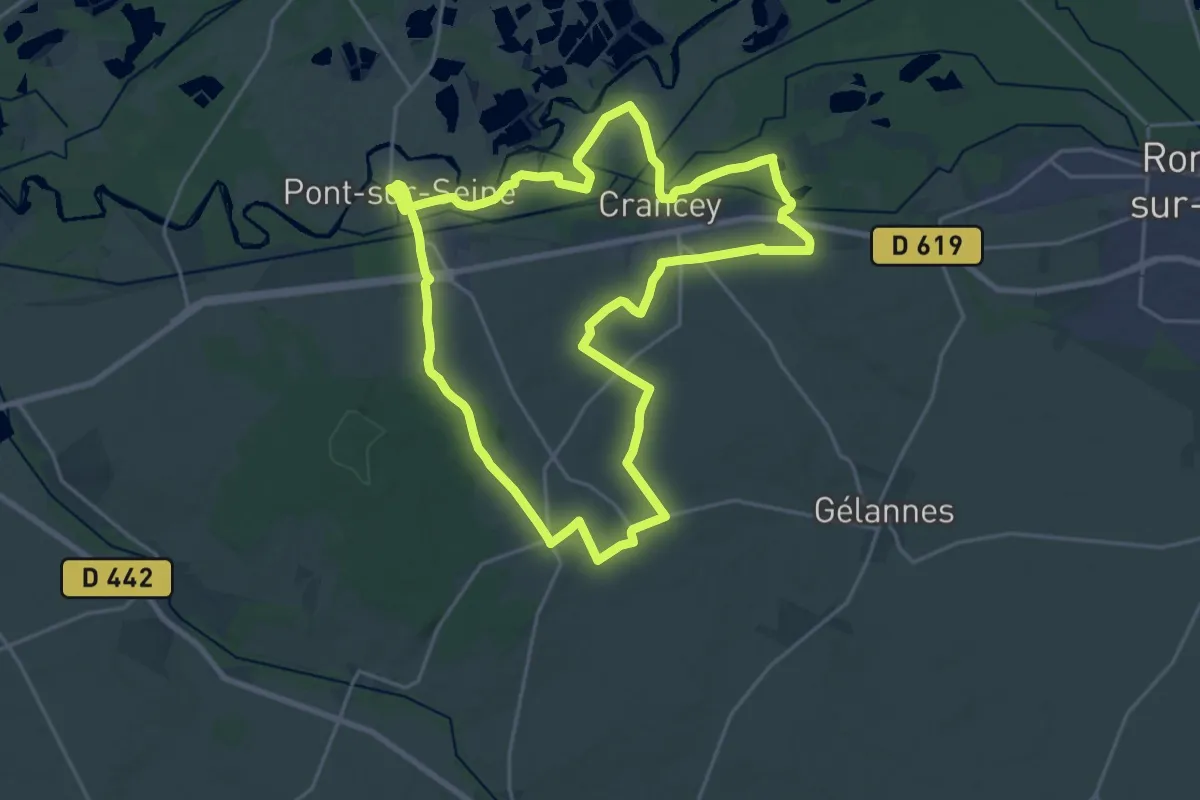
Demanding · Trail
De la Bassée à la Haute Plaine
21.2 km · ↑ 193 m · 5 h 43 min
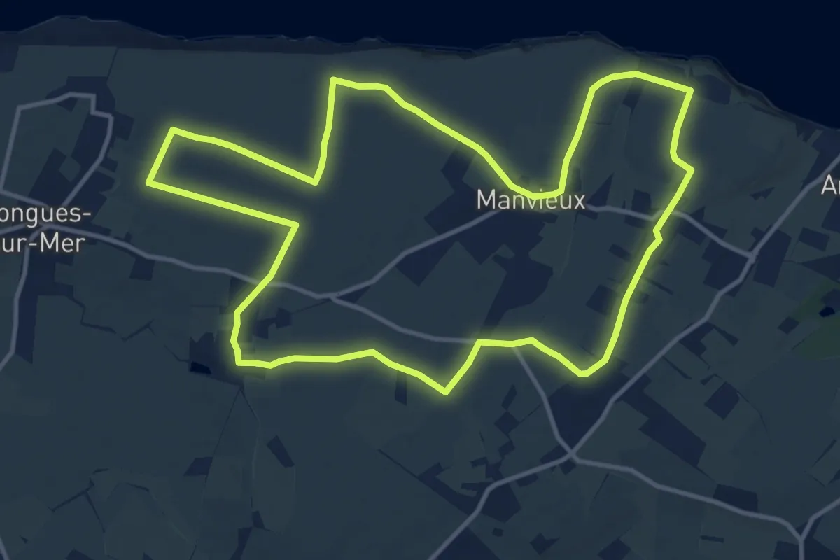
Medium · Trail
De la Batterie de Longues au Cap Manvieux
11.4 km · ↑ 43 m · 2 h 57 min
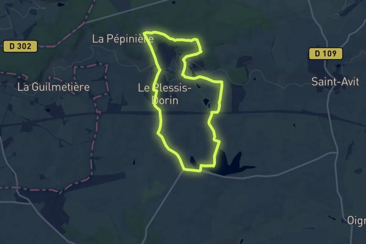
Medium · Trail
De la Borde-Bruyère
9.6 km · ↑ 87 m · 2 h 35 min
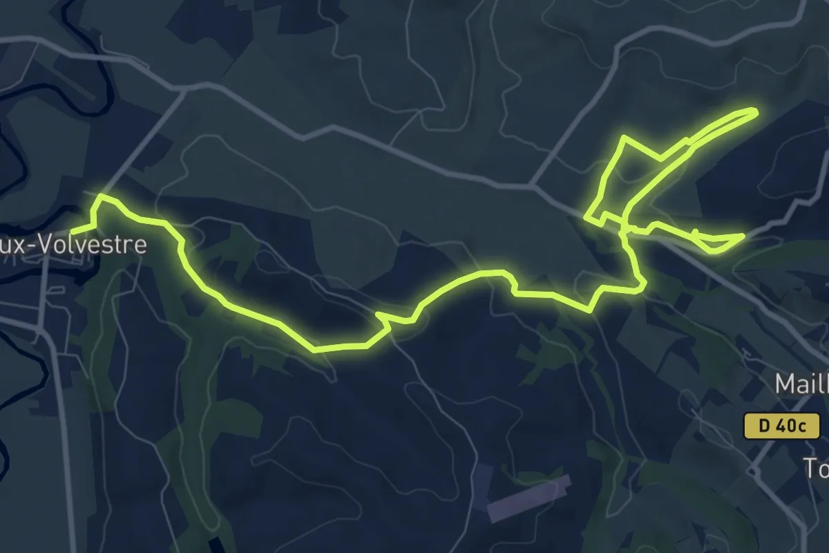
Medium · Trail
De la Cathédrale au chemin de la Coque et du Vila
15.4 km · ↑ 348 m · 4 h 23 min
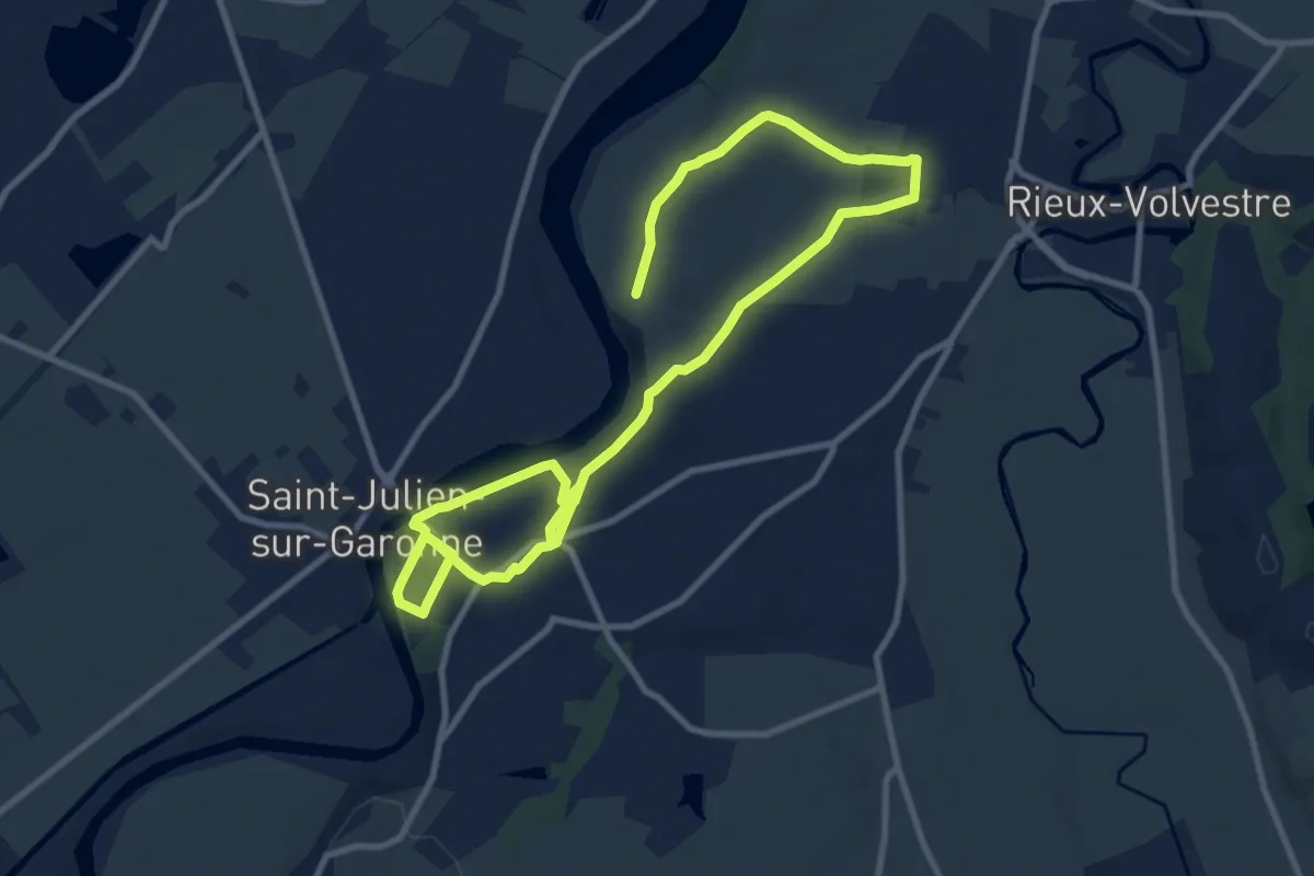
Medium · Trail
De la cathédrale au Village Gaulois
16.8 km · ↑ 210 m · 4 h 25 min
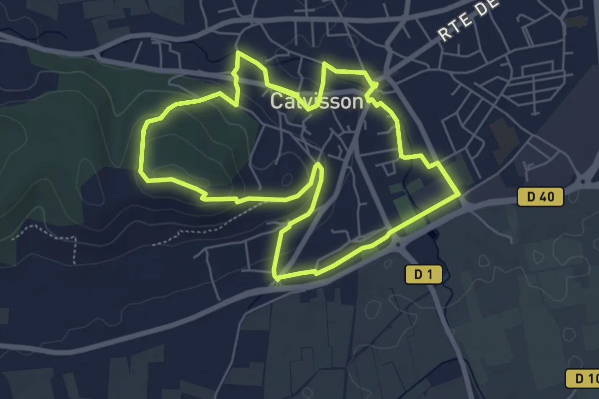
Easy · Trail
De la cave aux moulins
5.7 km · ↑ 117 m · 1 h 40 min
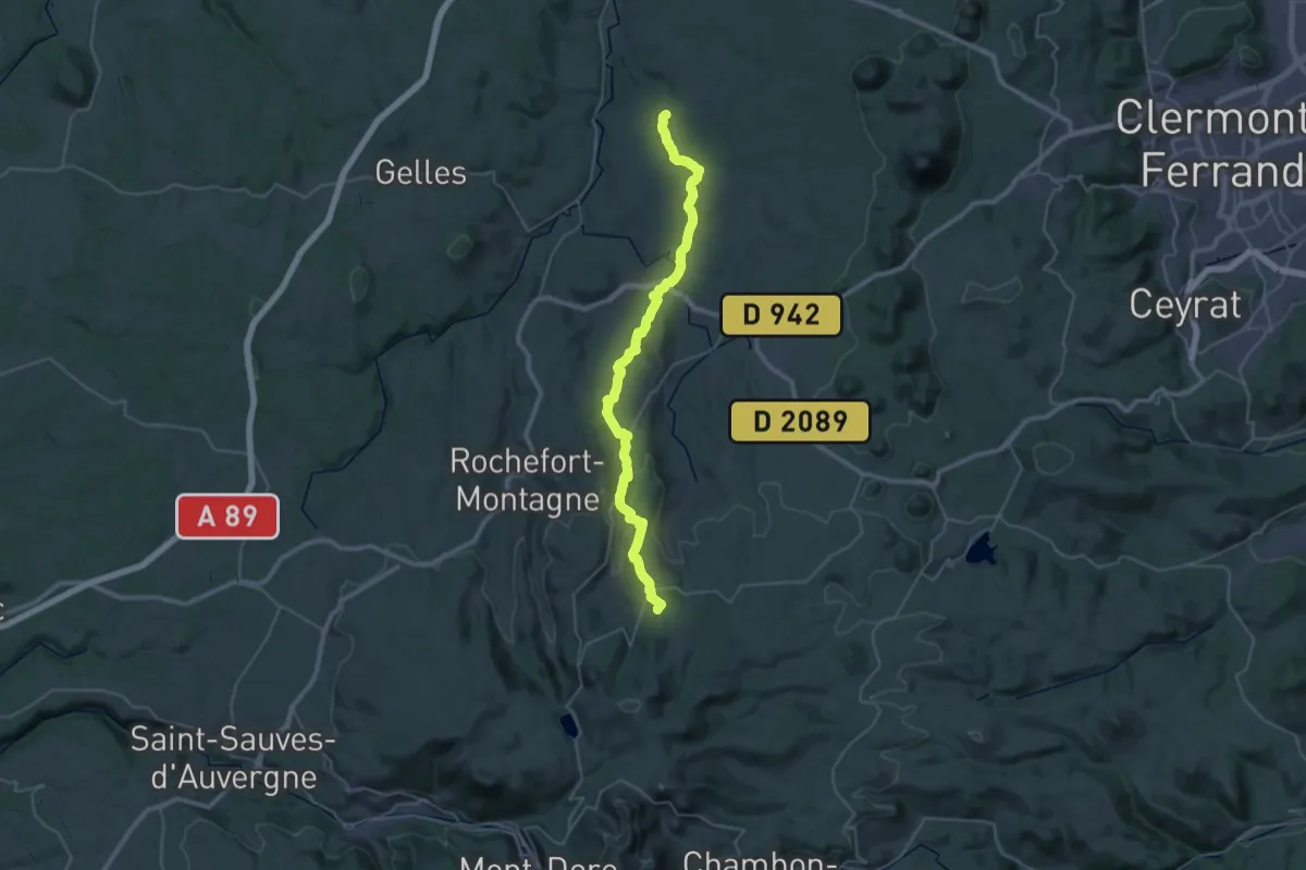
Demanding · Trail
De Lac de Servières à Mazaye
19.4 km · ↑ 680 m · 6 h 5 min
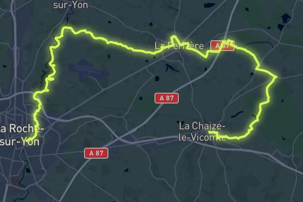
Demanding · Trail
De La Chaize au Roche s/Yon
32.5 km · ↑ 131 m · 8 h 24 min
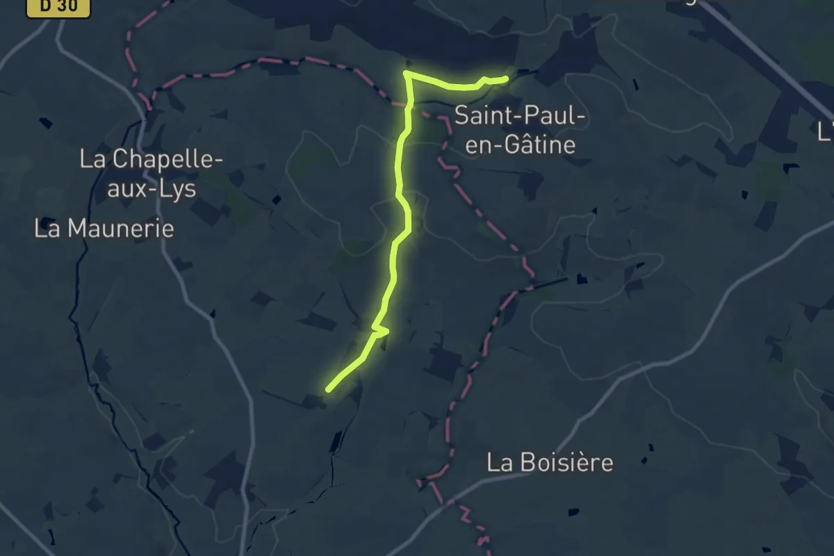
Medium · Trail
De La Chapelle-aux-Lys à La Roche-Posay
8.1 km · ↑ 159 m · 2 h 16 min
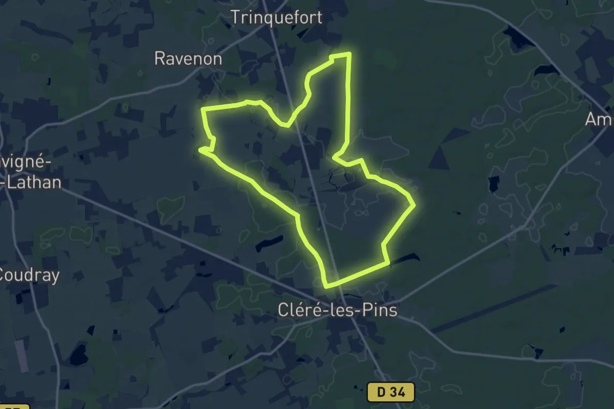
Medium · Trail
De la Chevalerie au château de Champchevrier - Cléré-les-Pins
12.4 km · ↑ 46 m · 3 h 12 min
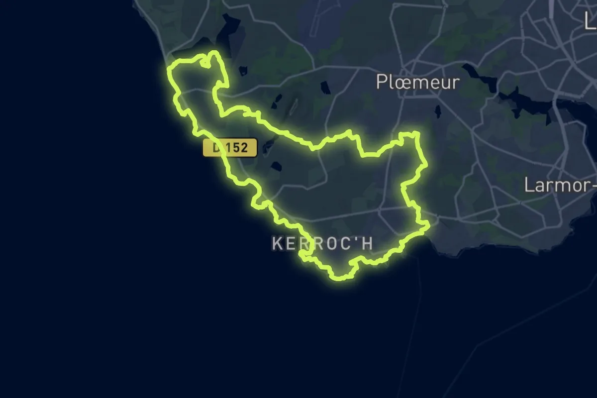
Demanding · Trail
De la côte bleue aux collines blanches
24.6 km · ↑ 71 m · 6 h 17 min
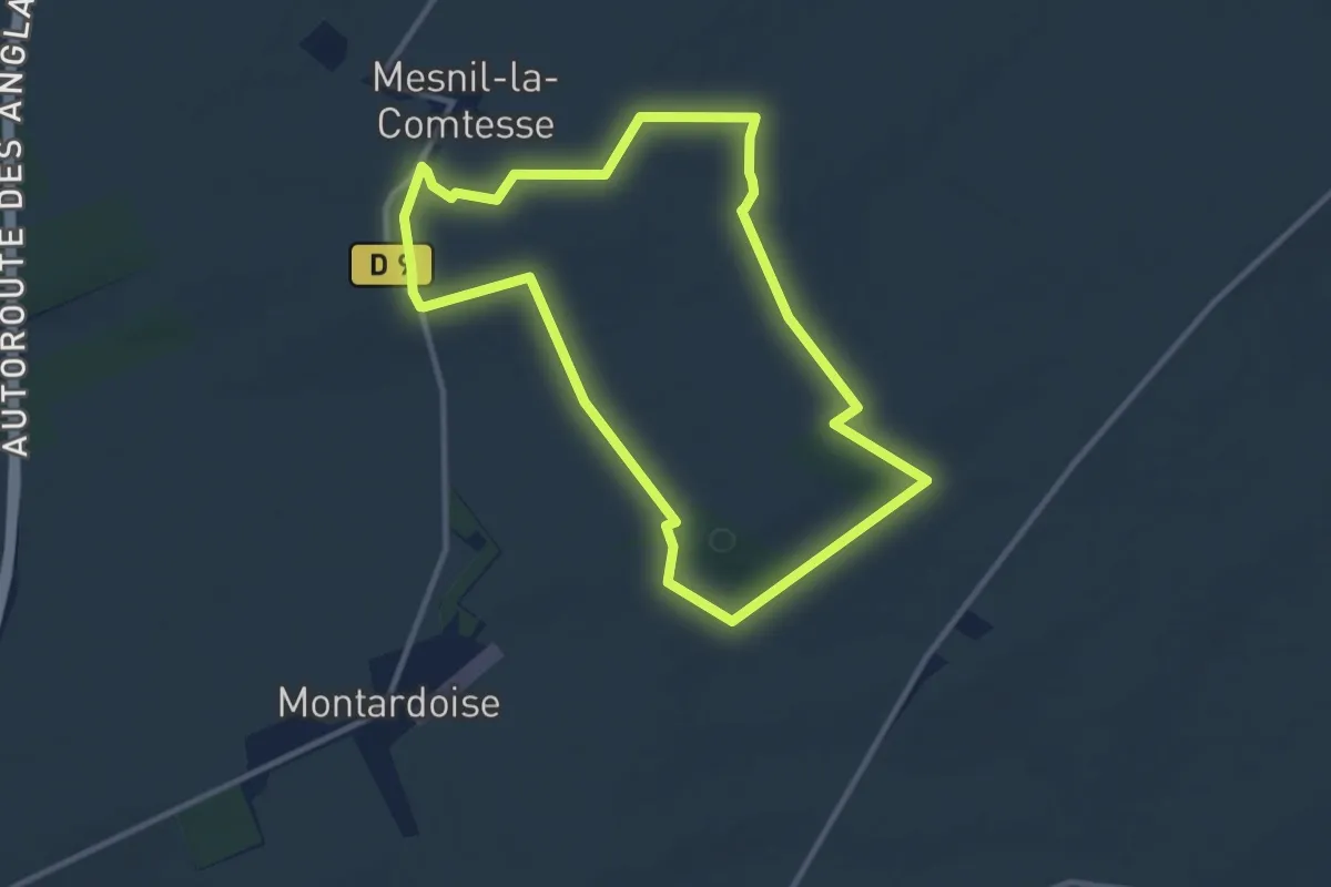
Medium · Trail
De La Côte Ronde à Saint-Vincent
9.8 km · ↑ 149 m · 2 h 46 min
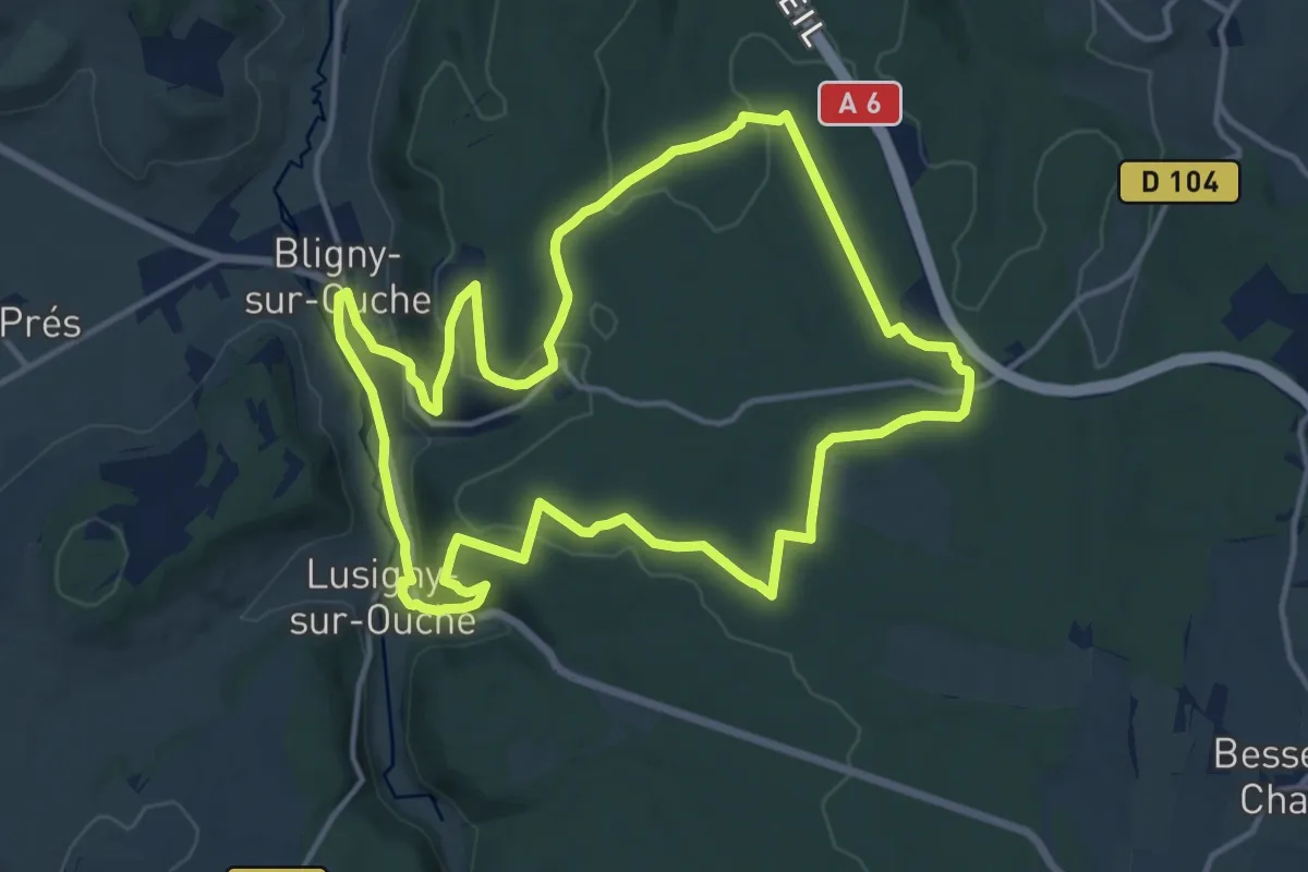
Medium · Trail
De la Croix de Mission à la Vierge Noire
14.2 km · ↑ 247 m · 4 h 6 min
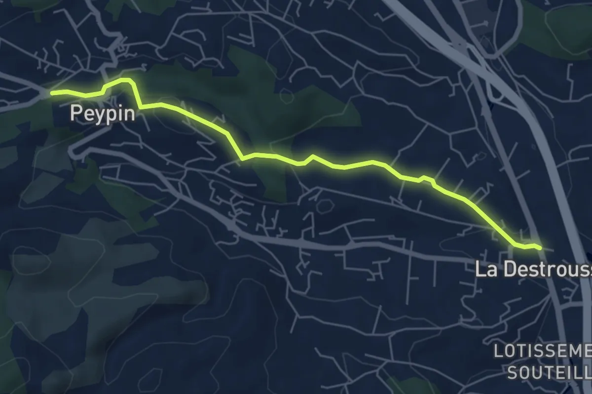
Easy · Trail
De La Destrousse à Peypin
5.9 km · ↑ 131 m · 1 h 40 min
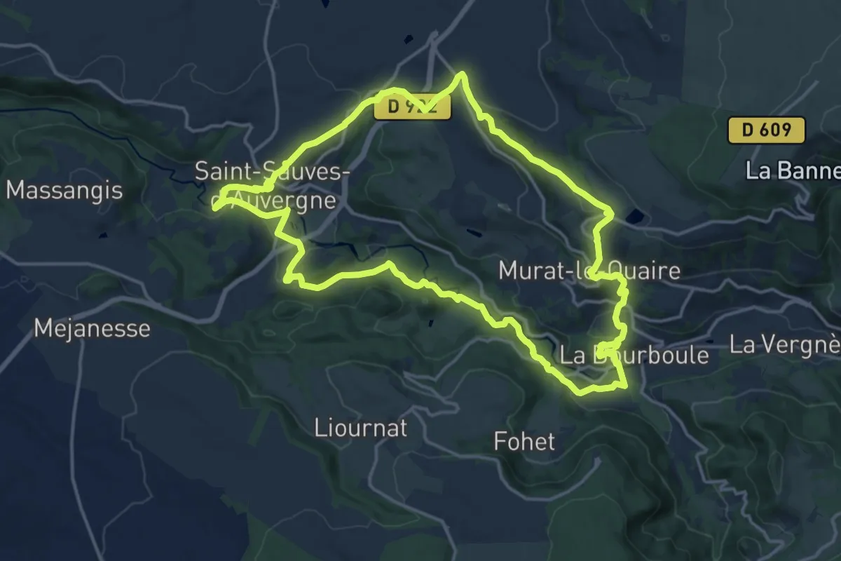
Medium · Trail
De la Dordogne aux volcans
16.3 km · ↑ 476 m · 5 h 7 min
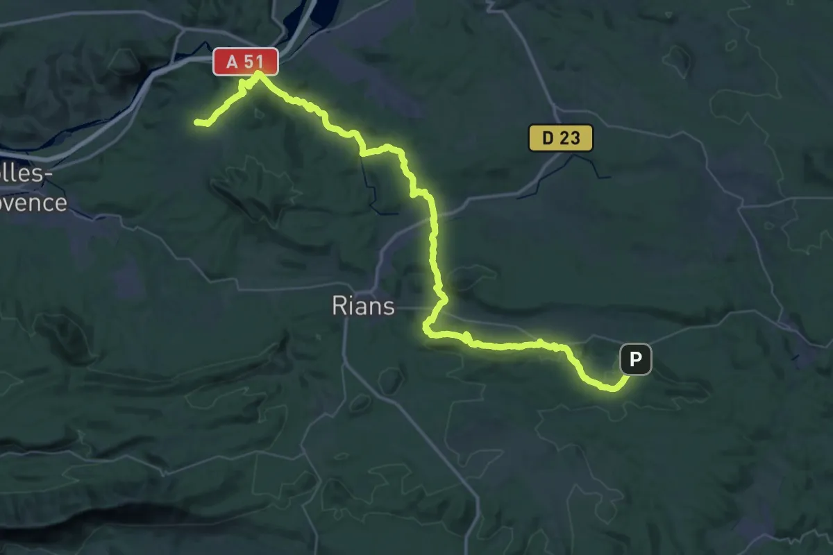
Demanding · Trail
De La Durance Aux Pallières
31.3 km · ↑ 582 m · 9 h 8 min
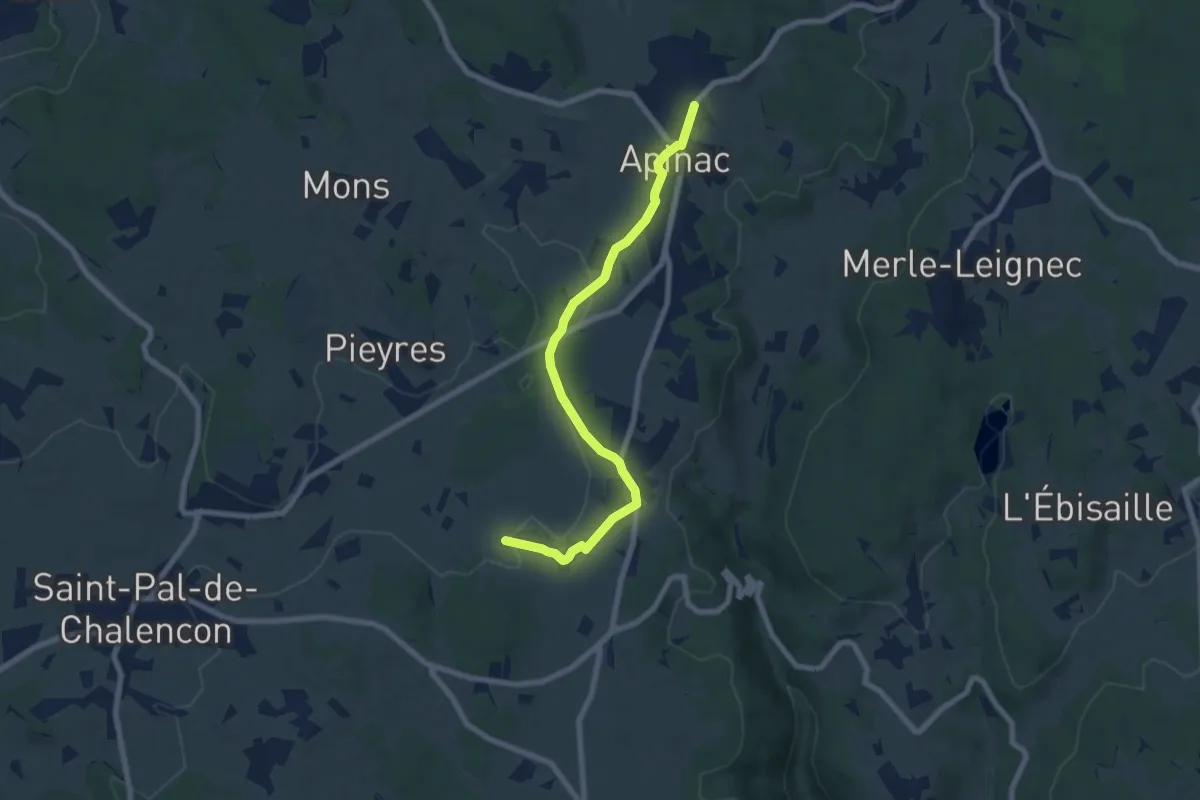
Easy · Trail
De Lafarre à Apinac
7.6 km · ↑ 82 m · 1 h 59 min
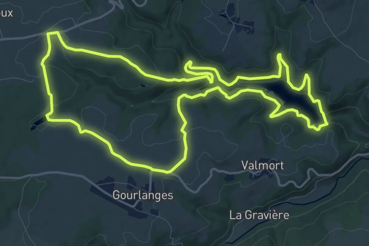
Medium · Trail
De la Faye a la Sep
12.7 km · ↑ 258 m · 3 h 44 min
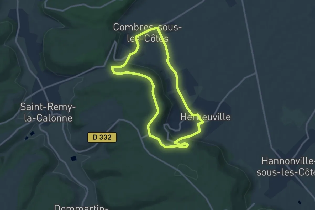
Easy · Trail
De la forêt à la vigne
6.6 km · ↑ 131 m · 1 h 56 min
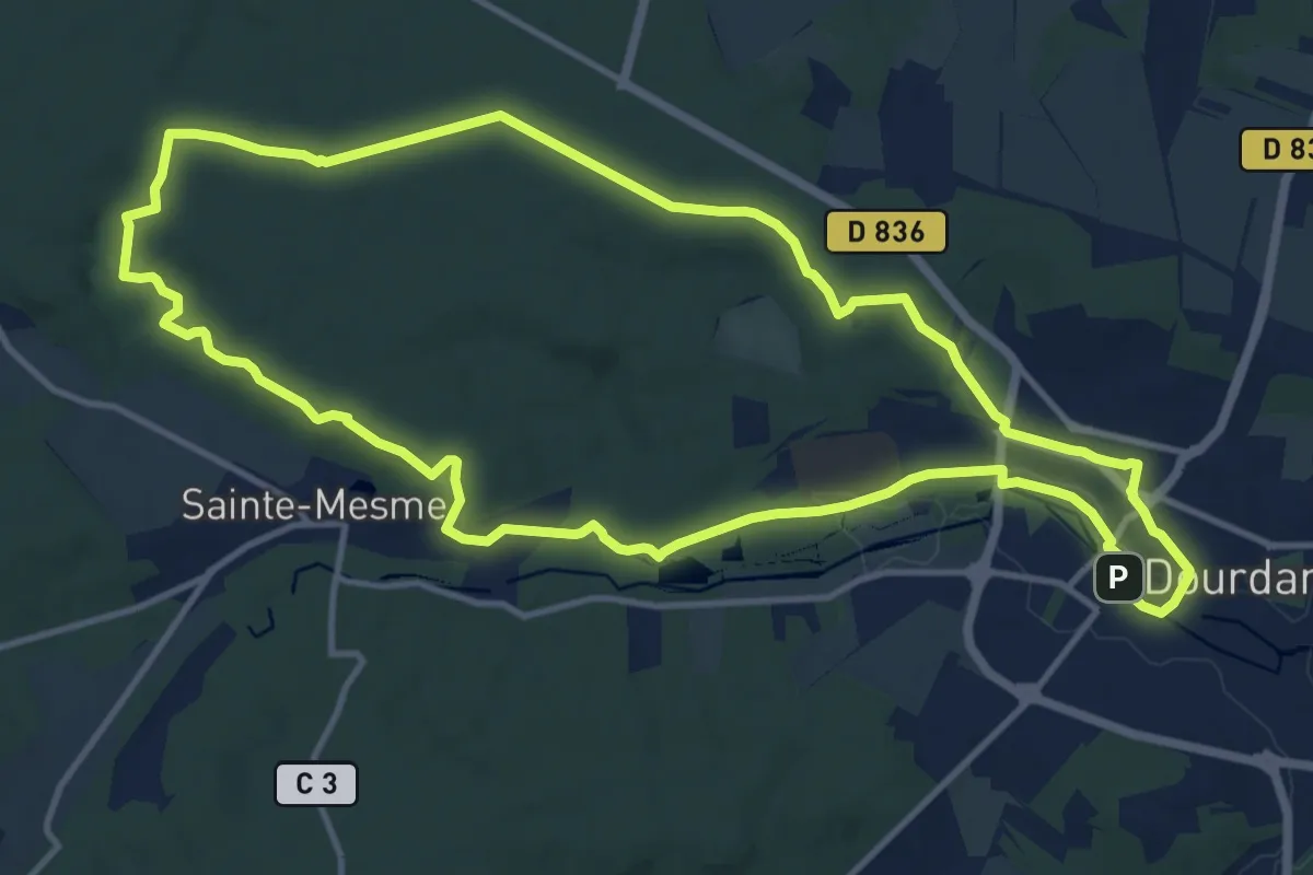
Medium · Trail
De la forêt de Dourdan à l'Orge
12.6 km · ↑ 133 m · 3 h 26 min
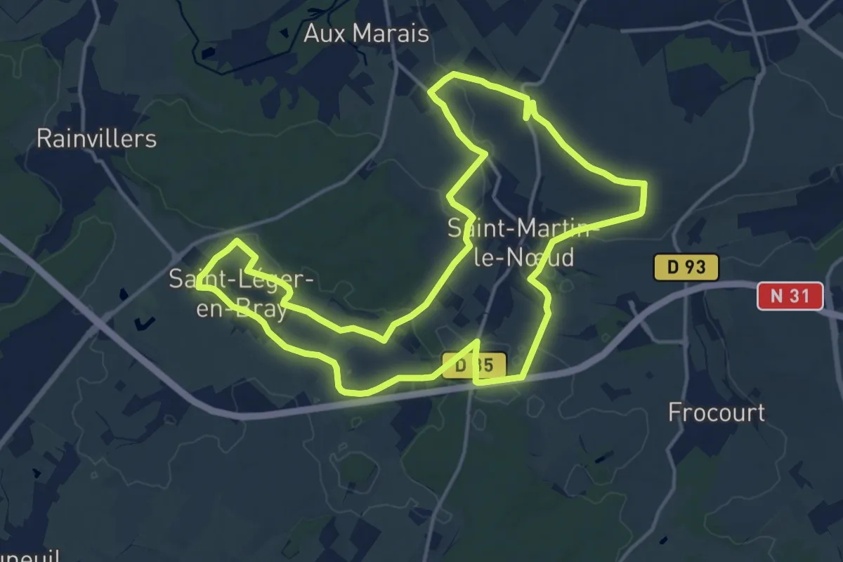
Medium · Trail
De la Grande Prairie au Bois de la Grange
14.6 km · ↑ 130 m · 3 h 55 min
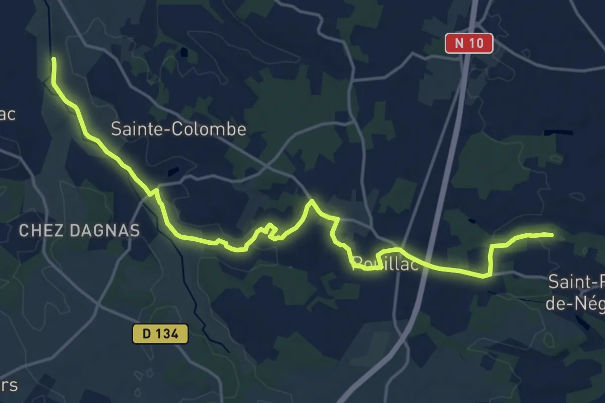
Medium · Trail
De La Grange à Polignac
16.5 km · ↑ 141 m · 4 h 12 min
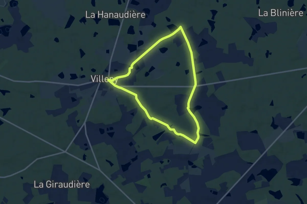
Medium · Trail
De la Grille au Petit-Villiers
8.6 km · ↑ 65 m · 2 h 17 min
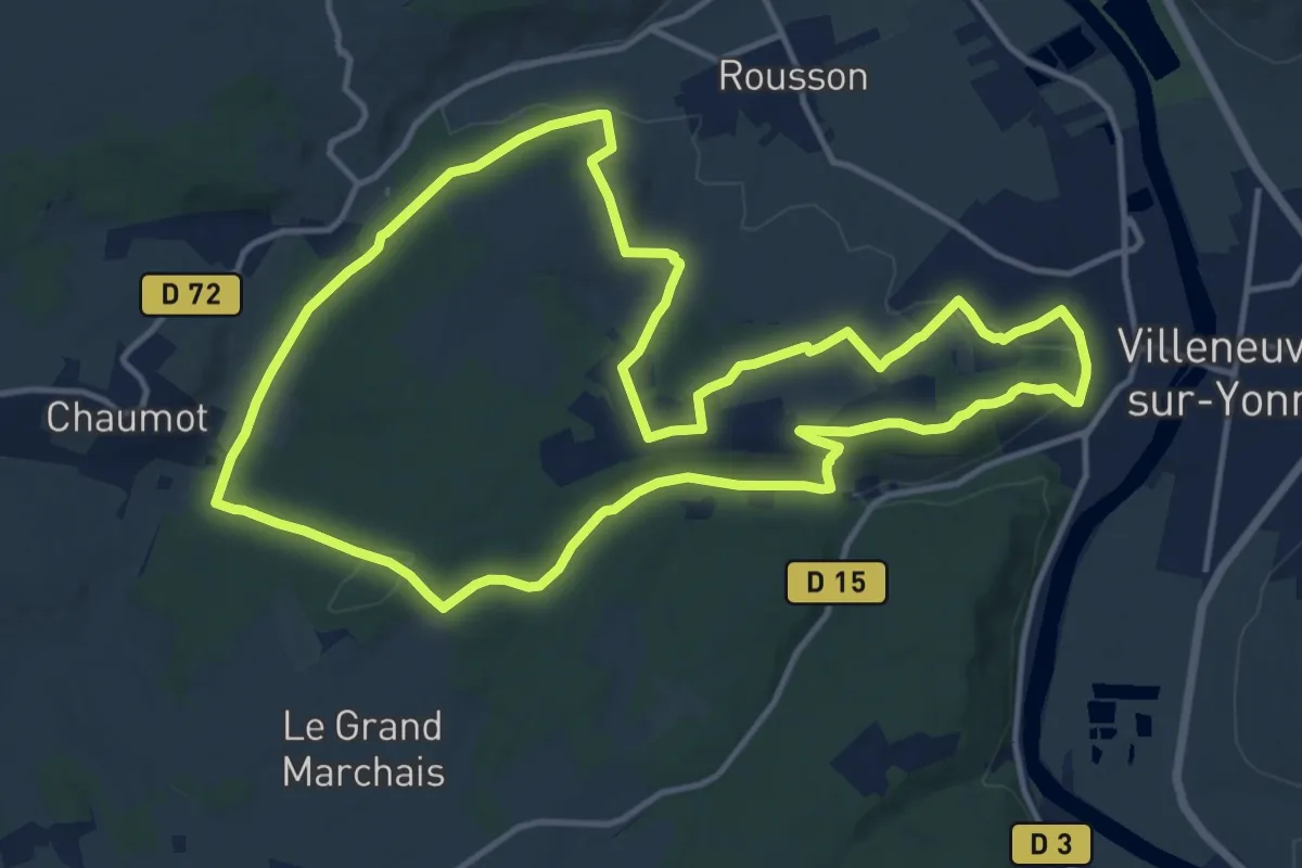
Medium · Trail
De la Haute Epine à la Fontaine Rouge
14.1 km · ↑ 309 m · 4 h 11 min
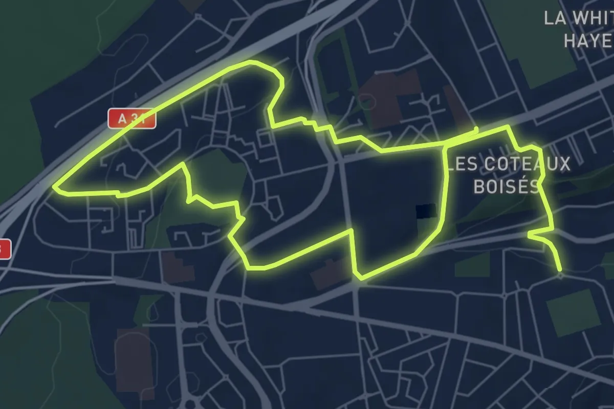
Medium · Trail
De l’air et du vert
12.2 km · ↑ 180 m · 3 h 16 min
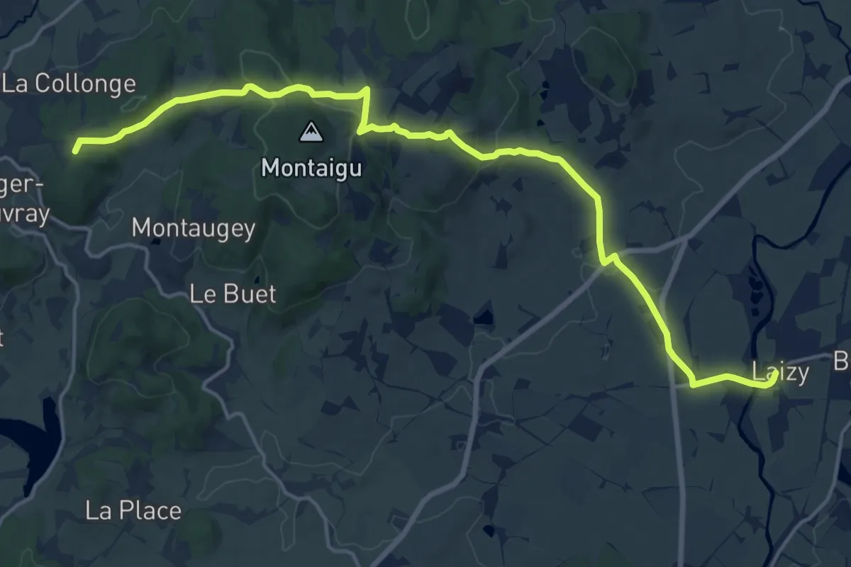
Demanding · Summit
De Laizy à Mont Beuvray
18.0 km · ↑ 367 m · 5 h 3 min
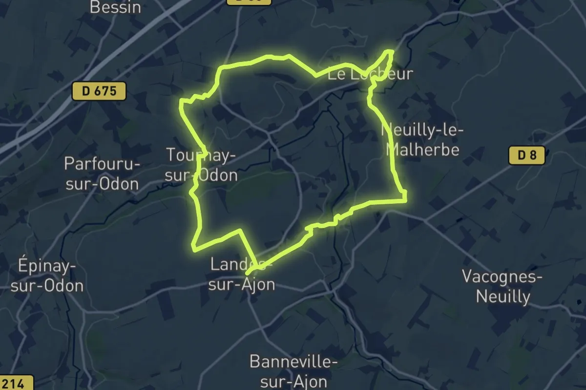
Medium · Trail
De l'Ajon à l'Odon
13.5 km · ↑ 221 m · 3 h 51 min
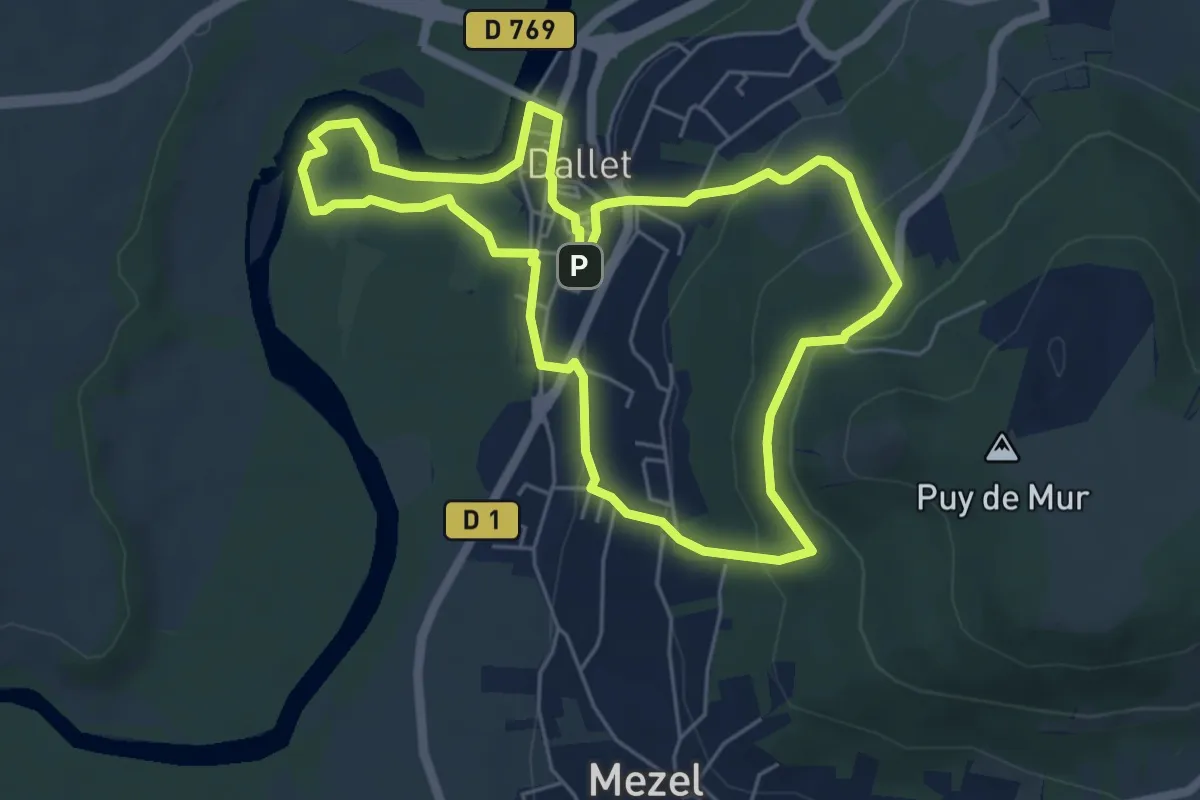
Easy · Trail
De l'Allier au Puy de Mur
5.7 km · ↑ 186 m · 1 h 50 min