Trails in France
15,926 hiking trails, each with its route, climb, walking time and grade.
All trails, page 101 of 332
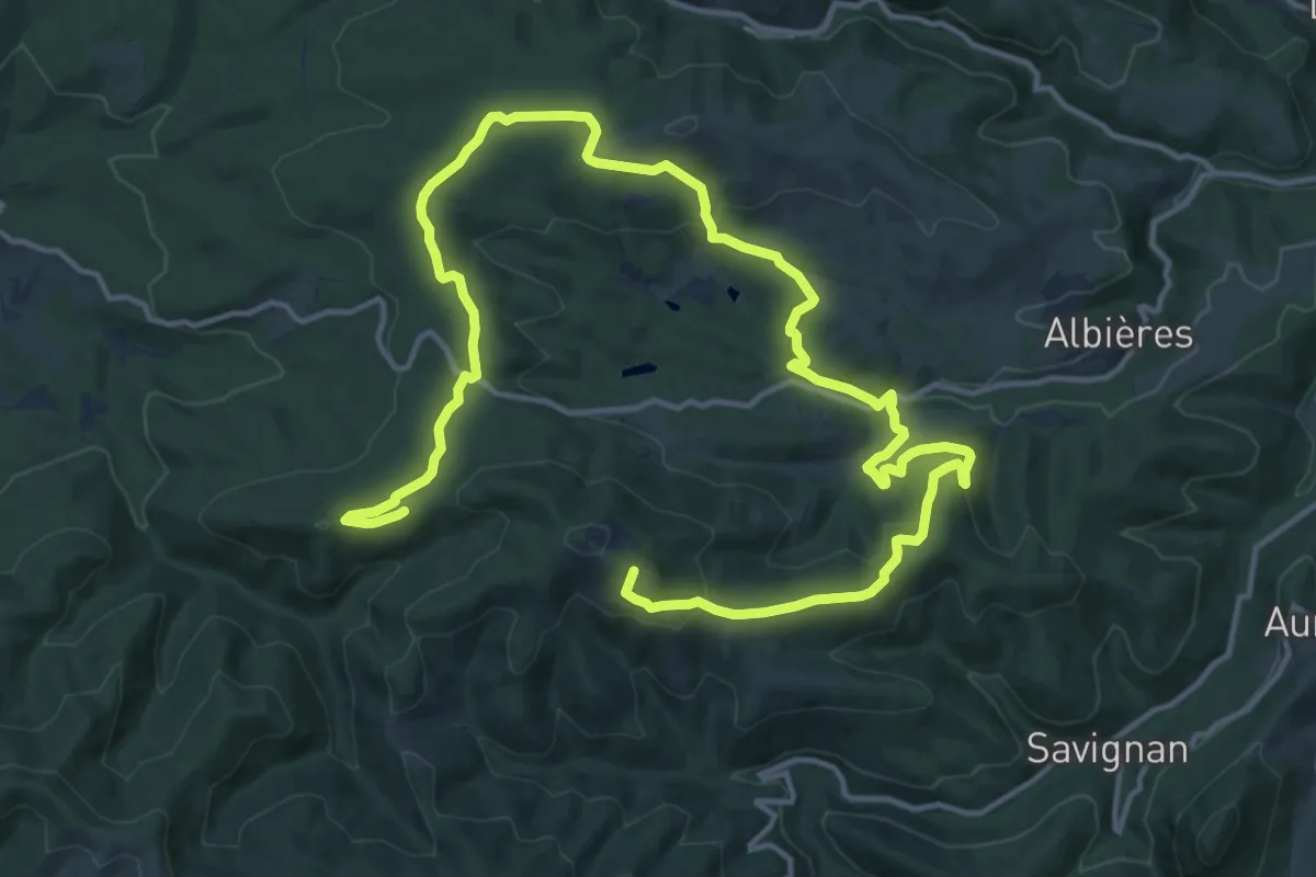
Medium · Summit
de branche en branche
13.4 km · ↑ 396 m · 4 h 13 min
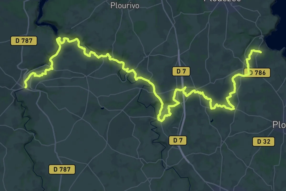
Demanding · Trail
De Bréhec à Pontrieux
33.8 km · ↑ 454 m · 9 h 28 min
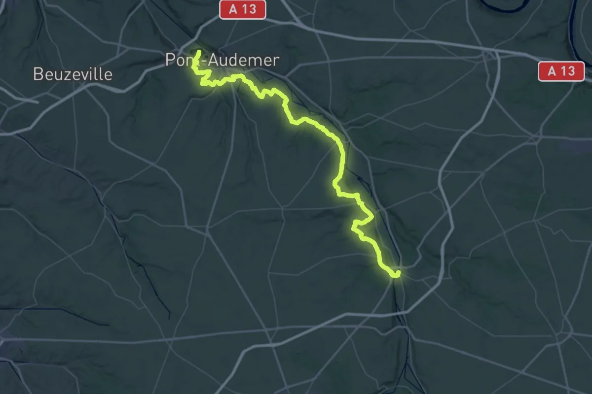
Demanding · Trail
De Brionne à Pont-Audemer
39.8 km · ↑ 899 m · 11 h 56 min
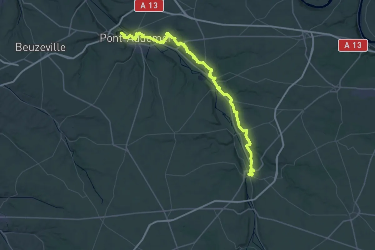
Demanding · Trail
De Brionne à Pont-Audemer, variante rive droite
38.8 km · ↑ 765 m · 11 h 23 min
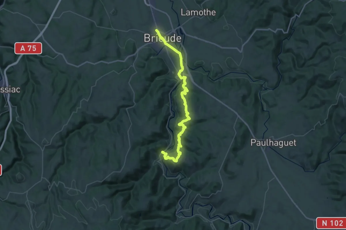
Demanding · Trail
De Brioude à Villeneuve-d'Allier
20.2 km · ↑ 561 m · 6 h 15 min
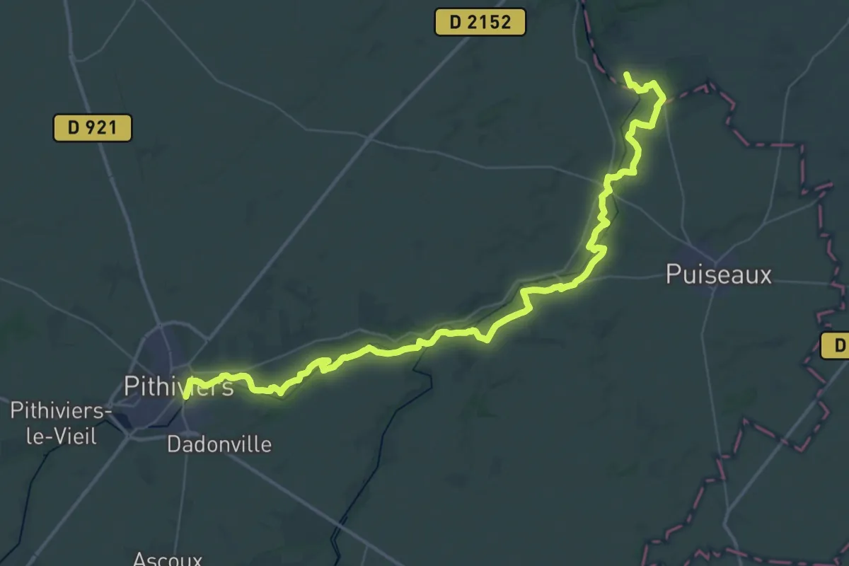
Demanding · Trail
De Buthiers à Pithiviers
26.0 km · ↑ 89 m · 6 h 43 min
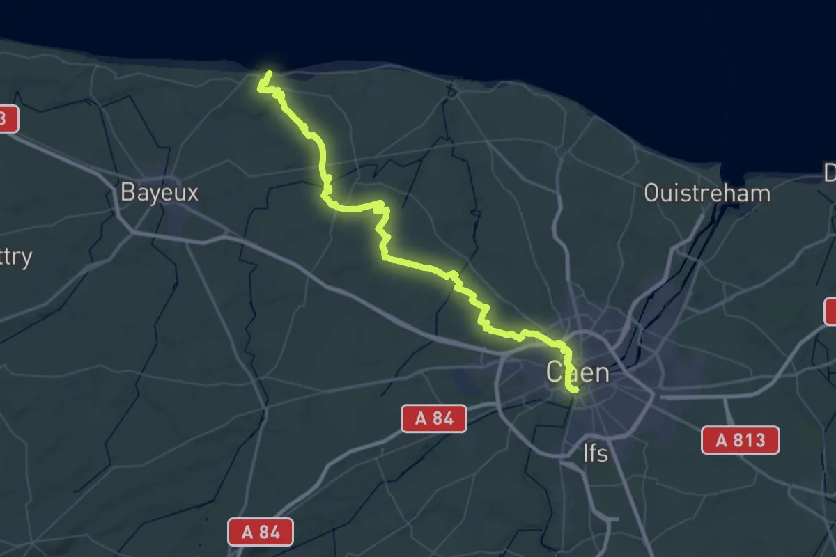
Demanding · Trail
De Caen à la Mer
38.8 km · ↑ 217 m · 10 h 11 min
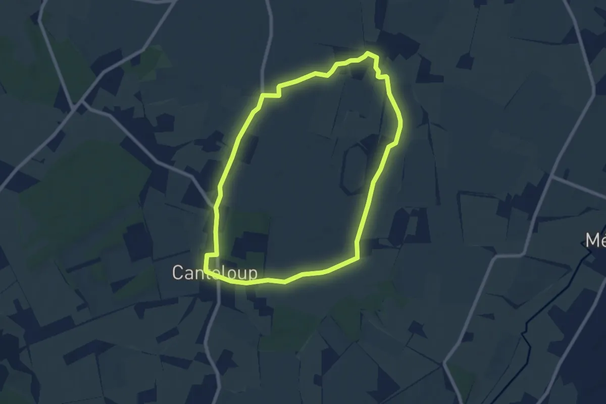
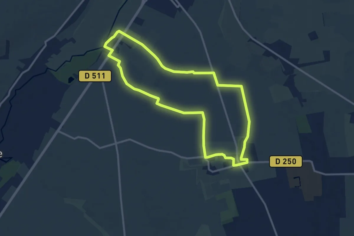
Easy · Trail
De Canteloup à Héritot
6.0 km · ↑ 17 m · 1 h 32 min
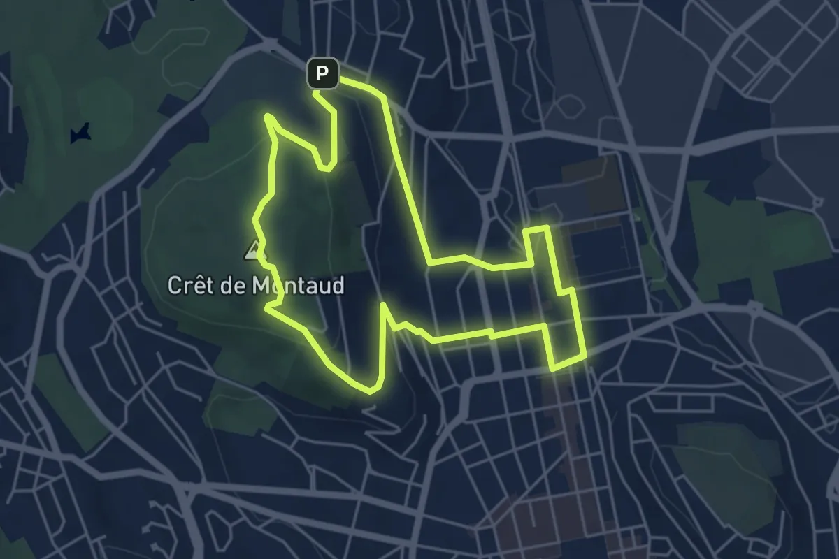
Easy · Trail
De Carel à Lieury
7.9 km · ↑ 27 m · 2 h 2 min
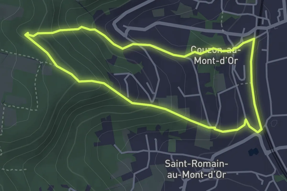
Easy · Summit
De Carnot à Montaud
4.9 km · ↑ 140 m · 1 h 31 min
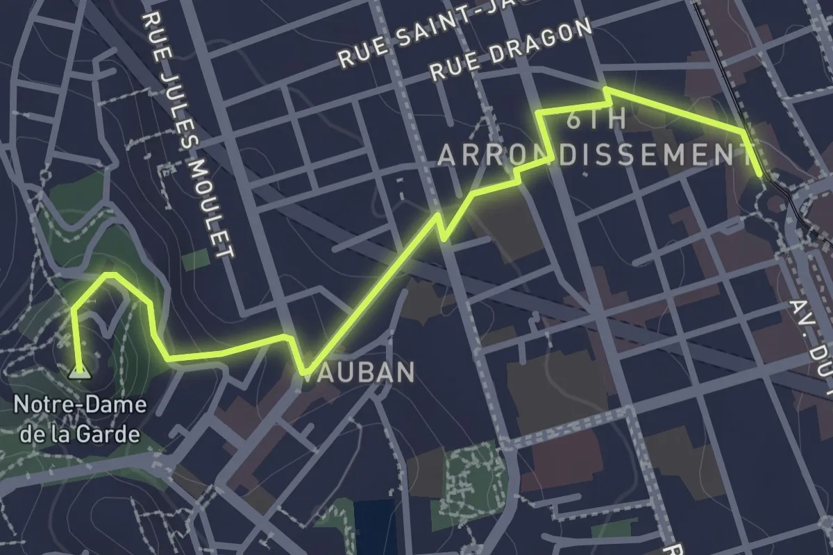
Easy · Trail
De carrières en Fricoule
3.5 km · ↑ 241 m · 1 h 24 min
Easy · Summit
De Castellane à la Bonne Mère par les Traviolles
3.2 km · ↑ 127 m · 1 h 2 min
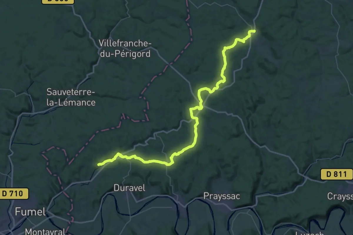
Demanding · Trail
De Cazals à Saint-Martin-de-Redon
28.1 km · ↑ 562 m · 8 h 13 min
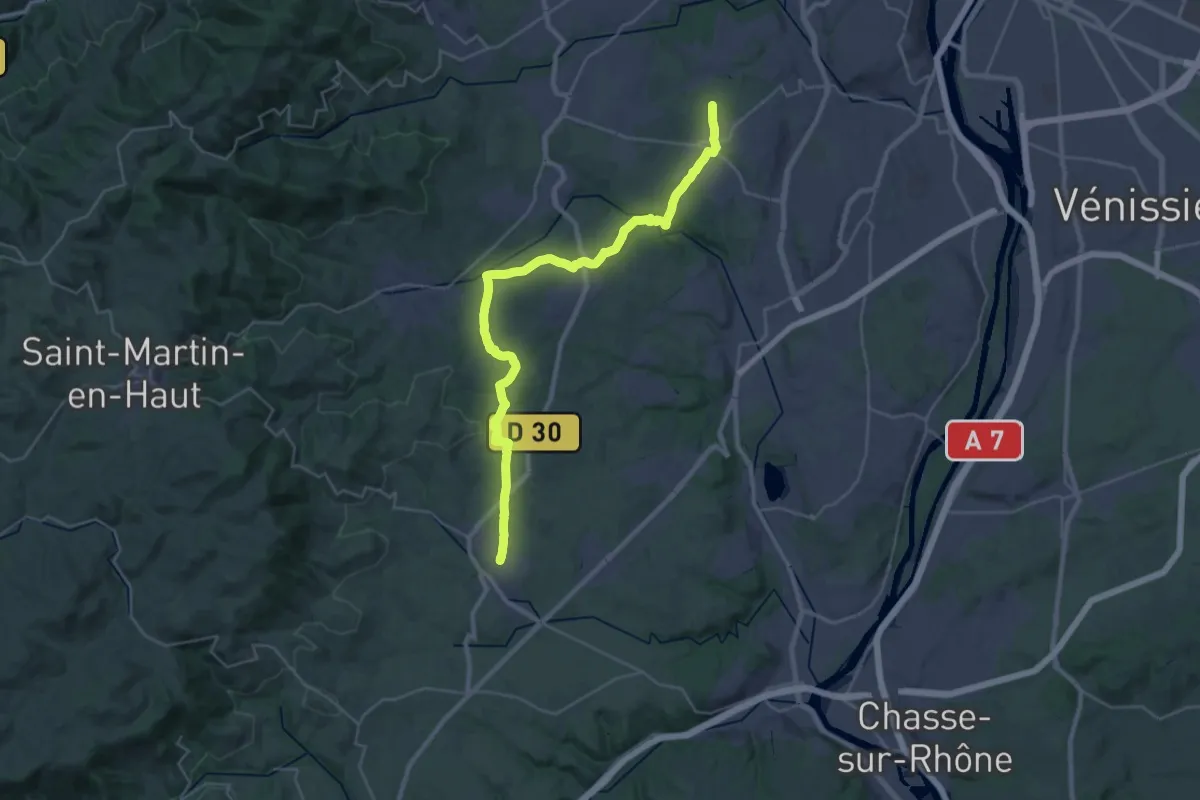
Medium · Trail
De Champonost à Mornant
17.3 km · ↑ 293 m · 5 h
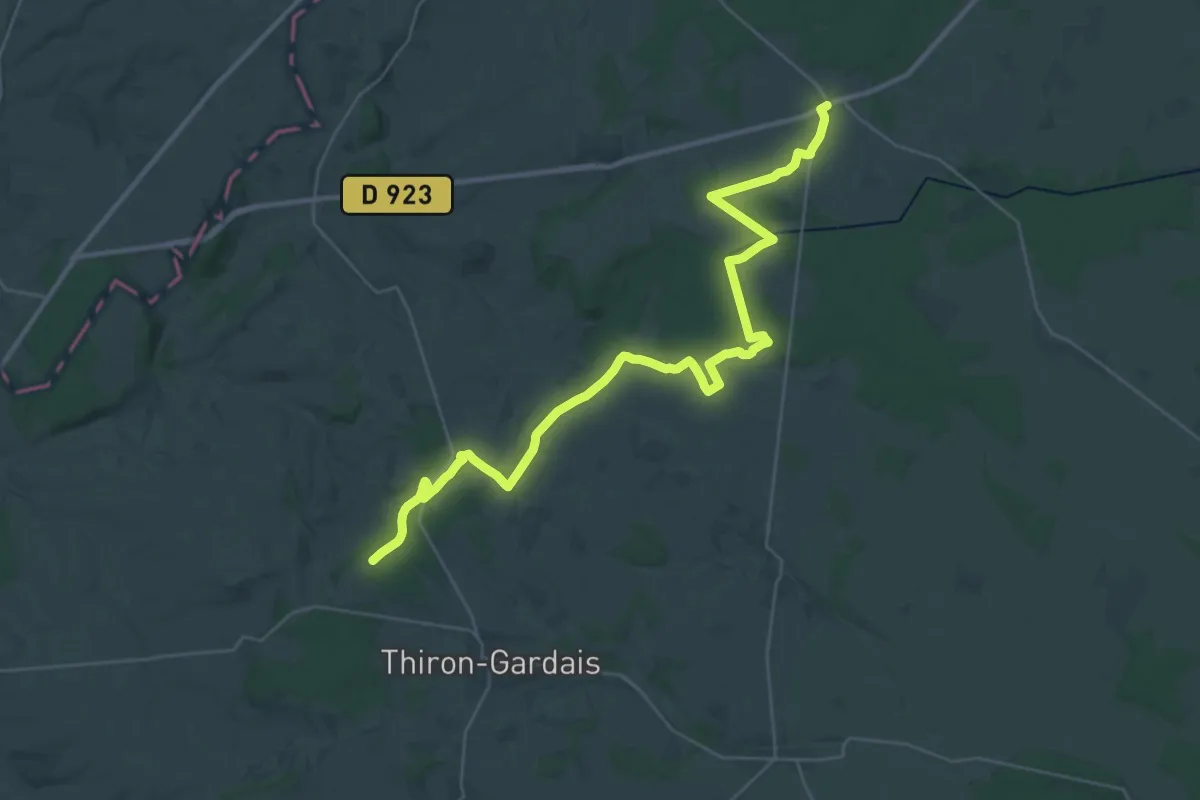
Demanding · Trail
de Champrond-en-Gâtine à Blainville
18.9 km · ↑ 129 m · 4 h 59 min
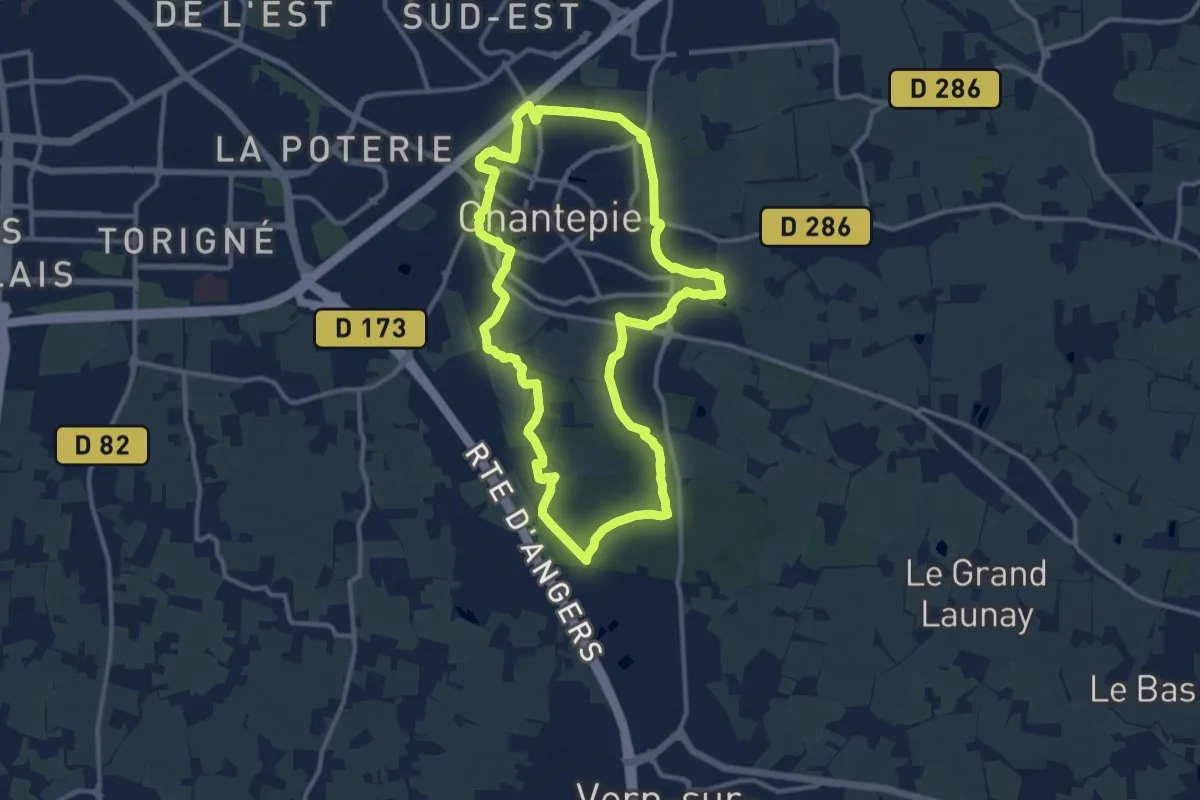
Medium · Trail
De Chantepie au bois de Sœuvres
11.5 km · ↑ 55 m · 3 h
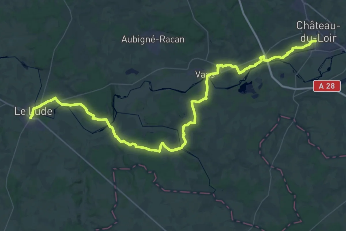
Demanding · Trail
de Château-du-Loir au Lude
30.6 km · ↑ 352 m · 8 h 24 min
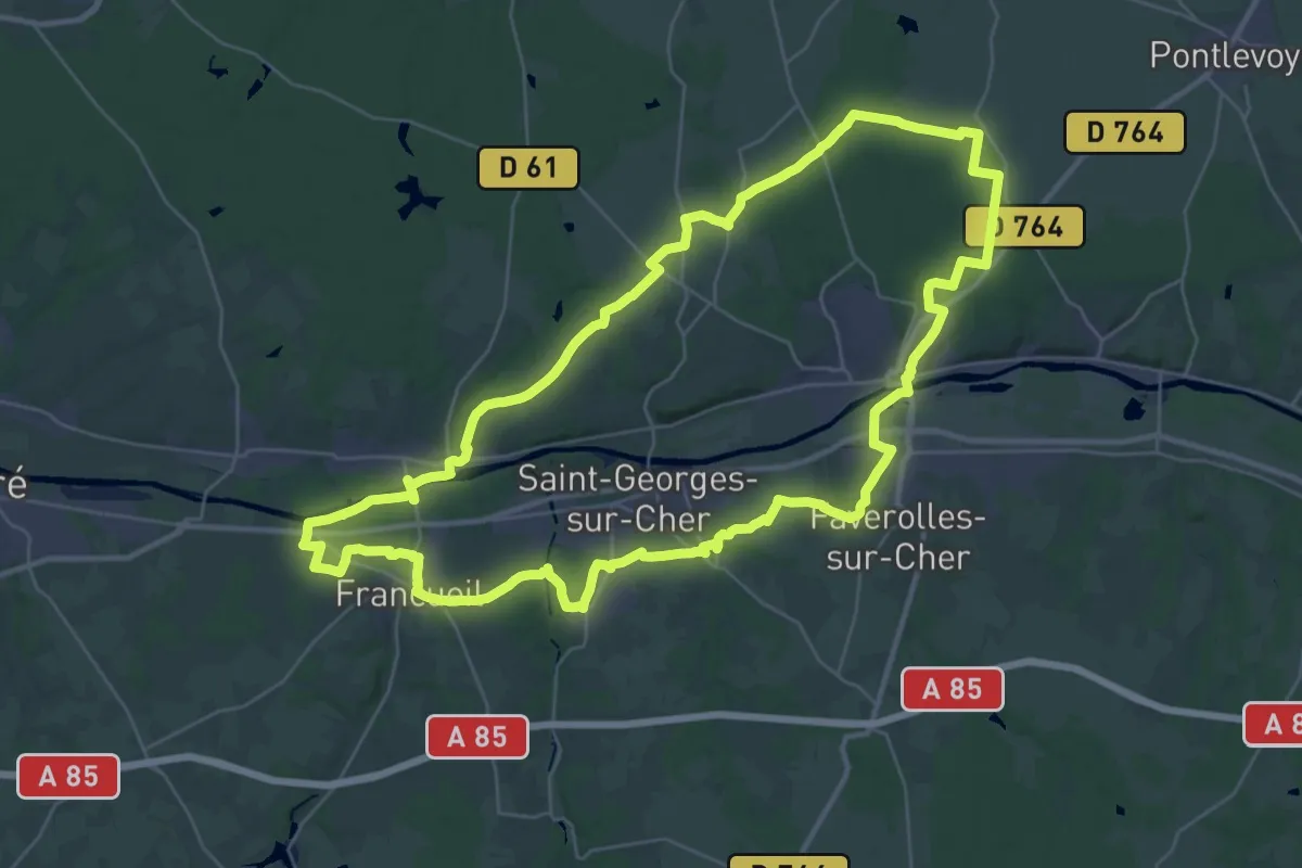
Demanding · Trail
de Châteaux en Châteaux - boucle 2
35.8 km · ↑ 289 m · 9 h 35 min
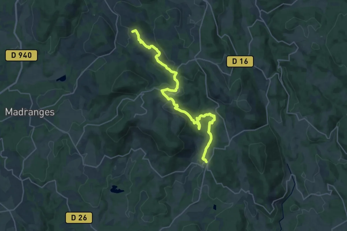
Demanding · Summit
De Chaumeil à Treignac, par Veix
20.9 km · ↑ 682 m · 6 h 25 min
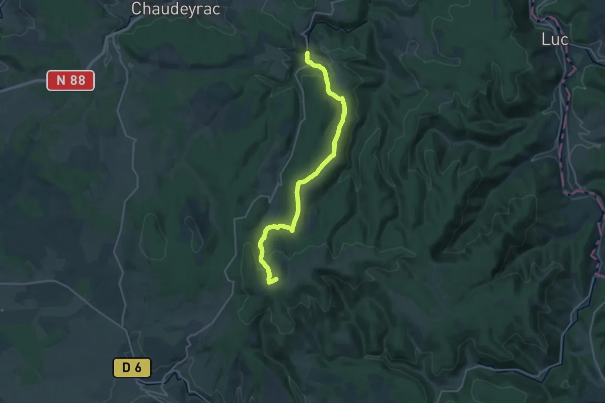
Medium · Summit
De Cheylard-l'Évêque au Moure de La Gardille
17.7 km · ↑ 509 m · 5 h 17 min
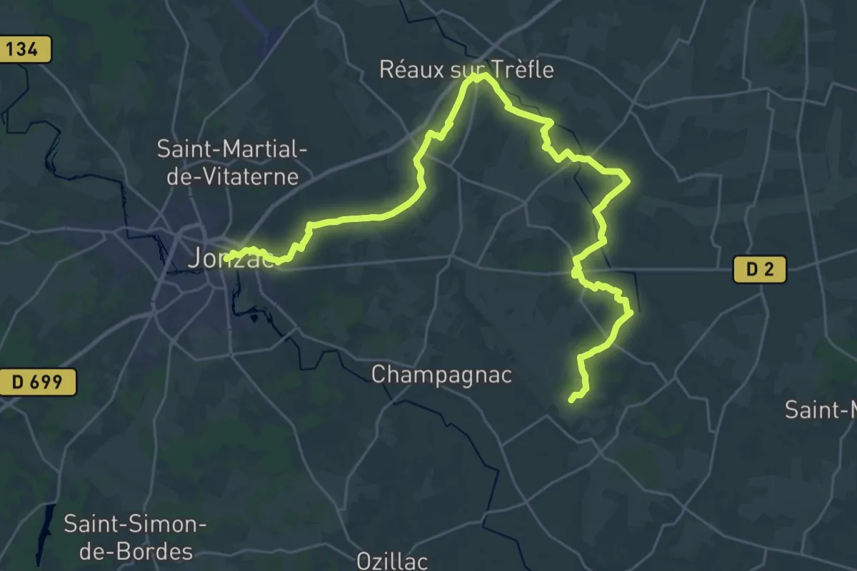
Demanding · Trail
De Chez Bézie à Jonzac
18.5 km · ↑ 152 m · 4 h 56 min
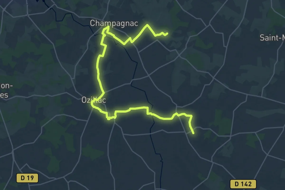
Demanding · Trail
De Chez Bézie à Léoville
31.2 km · ↑ 200 m · 7 h 47 min
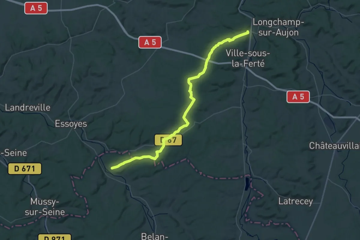
Demanding · Trail
De Clairvaux à Mussy-sur-Seine
25.6 km · ↑ 317 m · 7 h 5 min
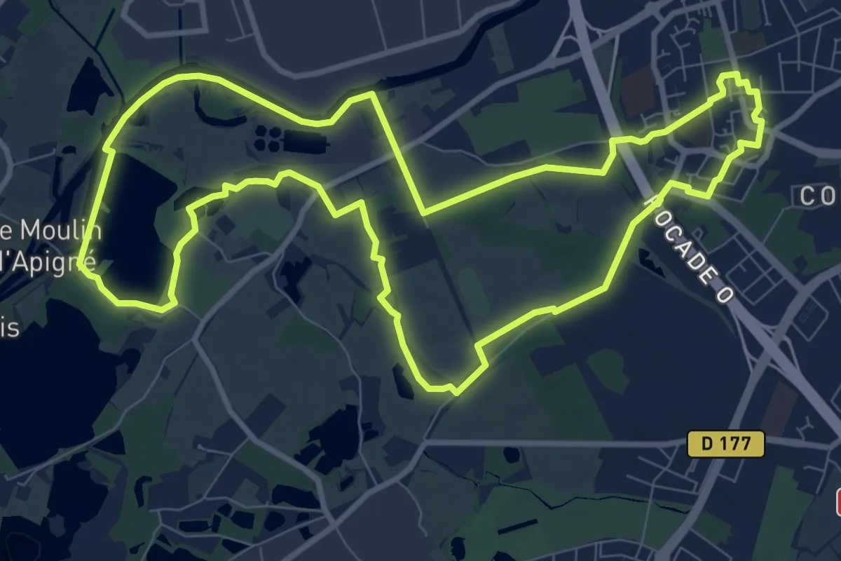
Medium · Trail
De Cleunay à Apigné
9.6 km · ↑ 31 m · 2 h 28 min
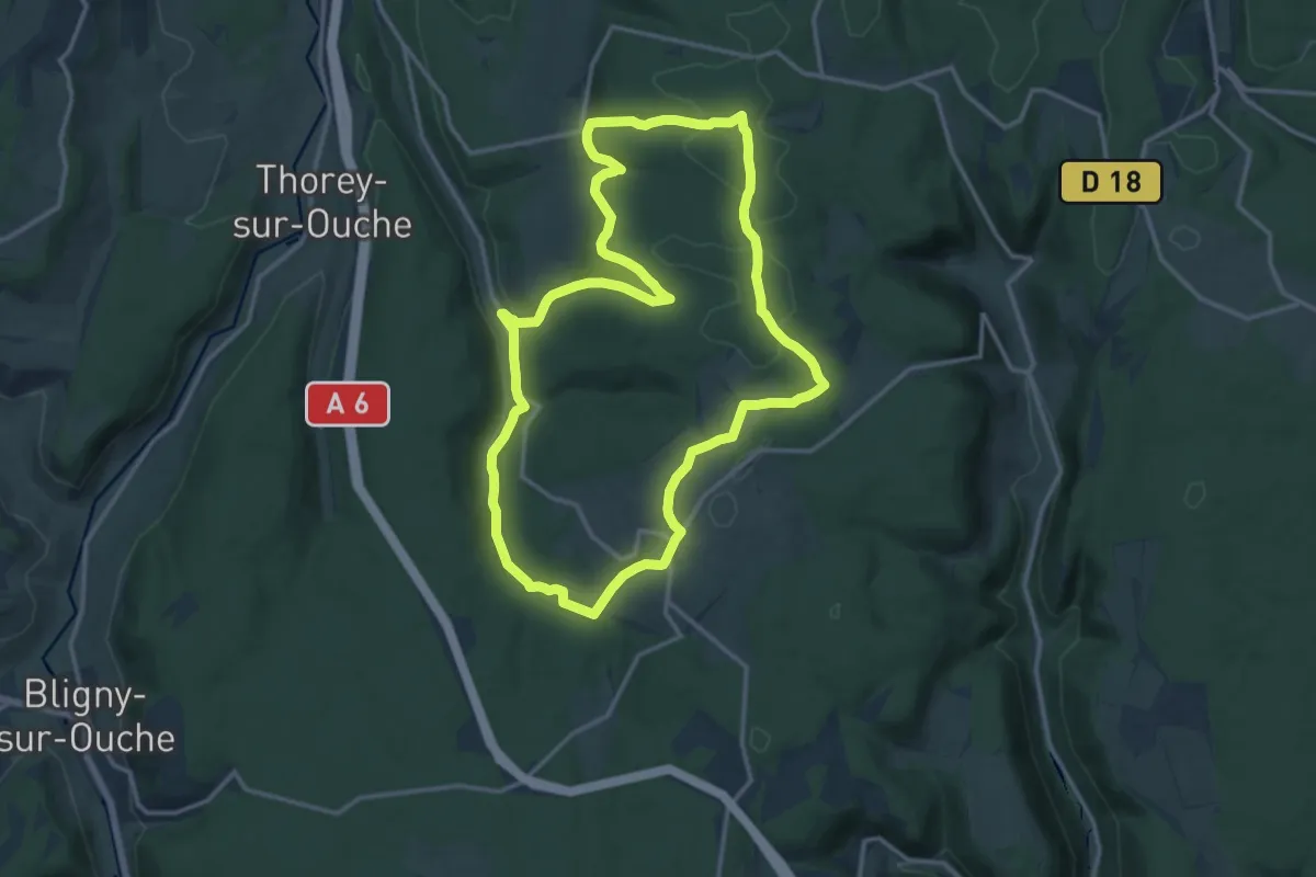
Medium · Trail
De Combe en Combe
14.3 km · ↑ 383 m · 4 h 25 min
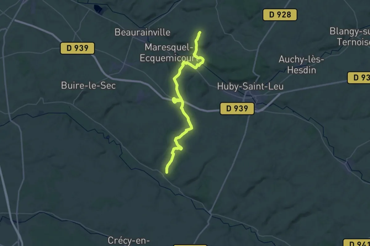
Demanding · Trail
De Contes à Carlepont
20.4 km · ↑ 235 m · 5 h 35 min
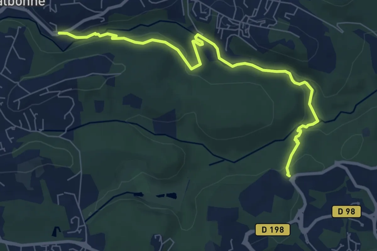
Easy · Trail
Découverte de la Brague
7.7 km · ↑ 188 m · 2 h 13 min
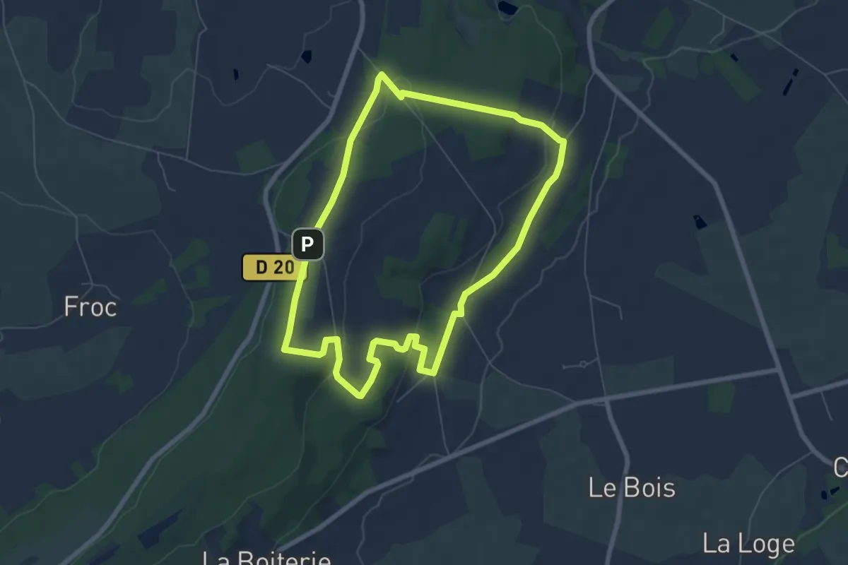
Easy · Summit
Découverte de l'Armorique (Grande Boucle)
6.4 km · ↑ 126 m · 1 h 52 min
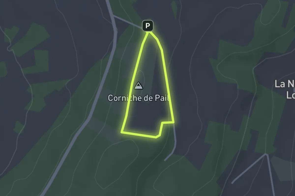
Easy · Summit
Découverte de l'Armorique (Petite boucle)
1.7 km · ↑ 16 m · 28 min
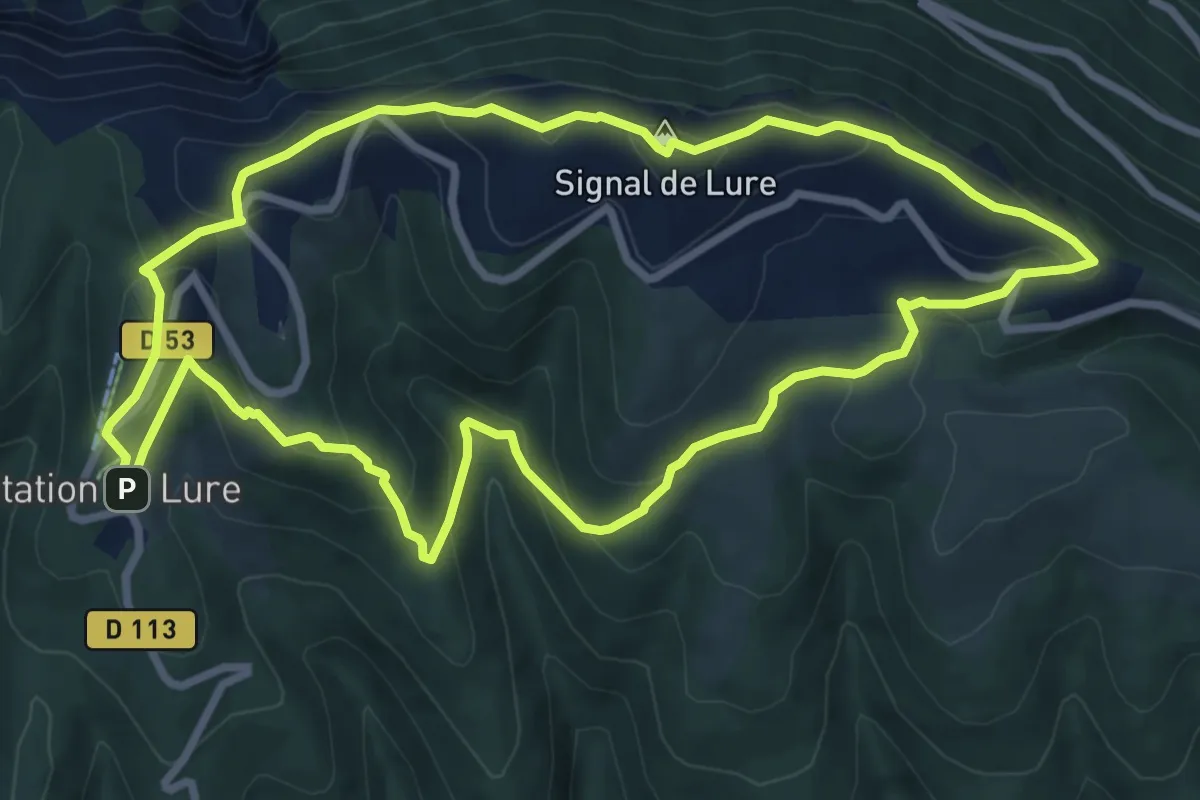
Medium · Summit
Découverte de Lure
8.7 km · ↑ 443 m · 3 h 9 min
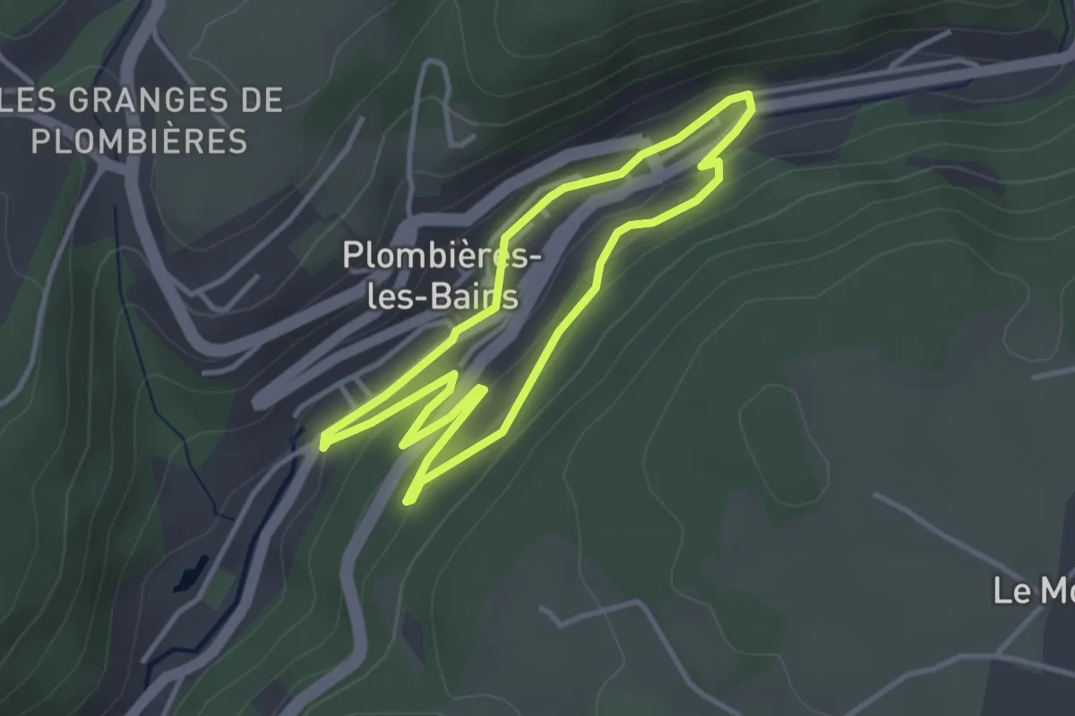
Easy · Trail
Découverte de Plombières
3.0 km · ↑ 62 m · 54 min
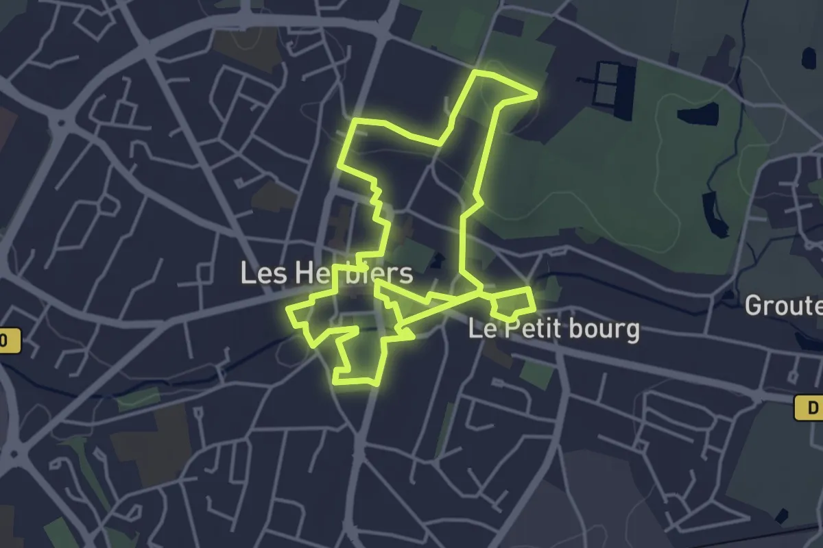
Easy · Trail
Découverte des Herbiers
4.3 km · ↑ 39 m · 1 h 9 min
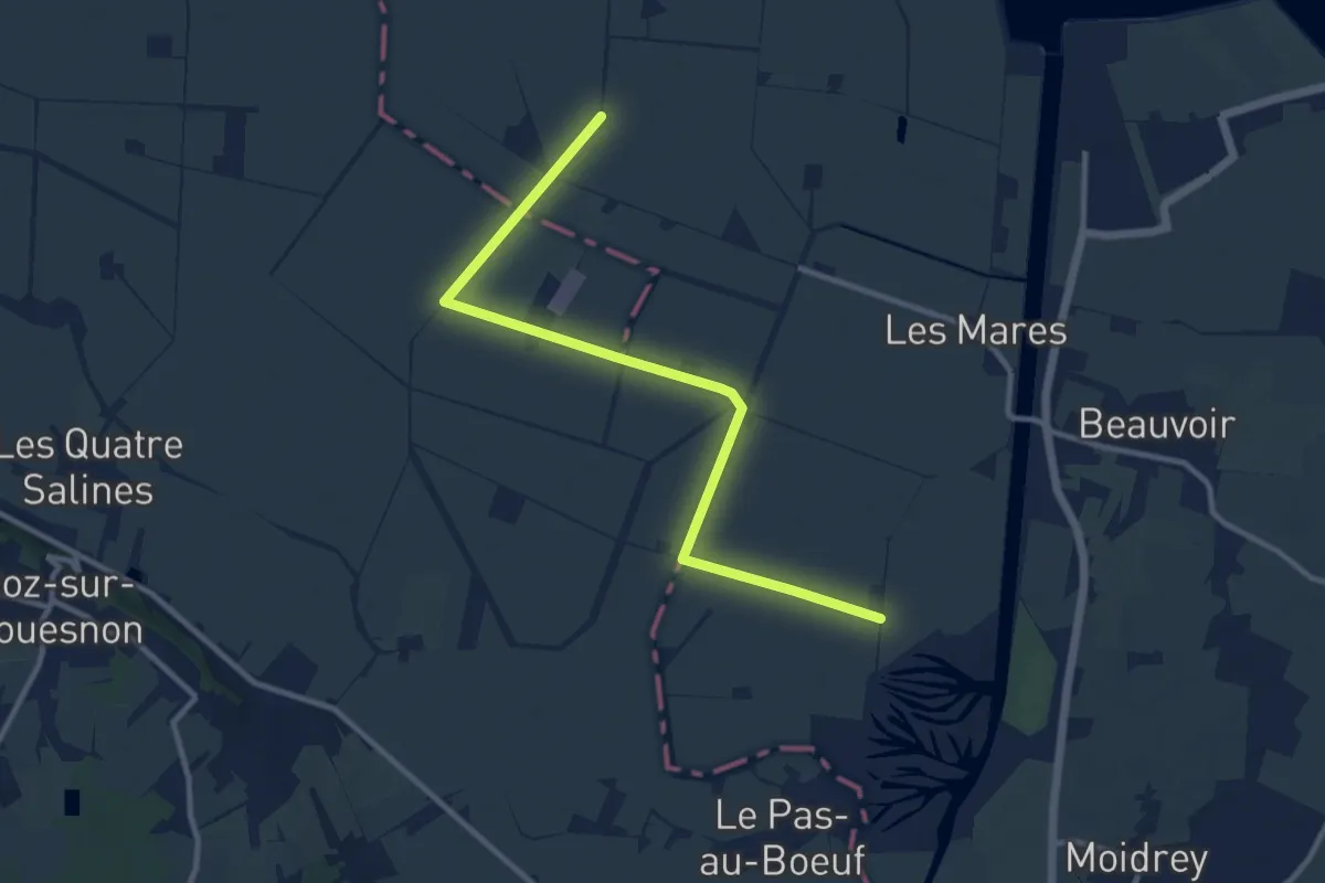
Medium · Trail
Découverte des polders
10.9 km · ↑ 0 m · 2 h 34 min
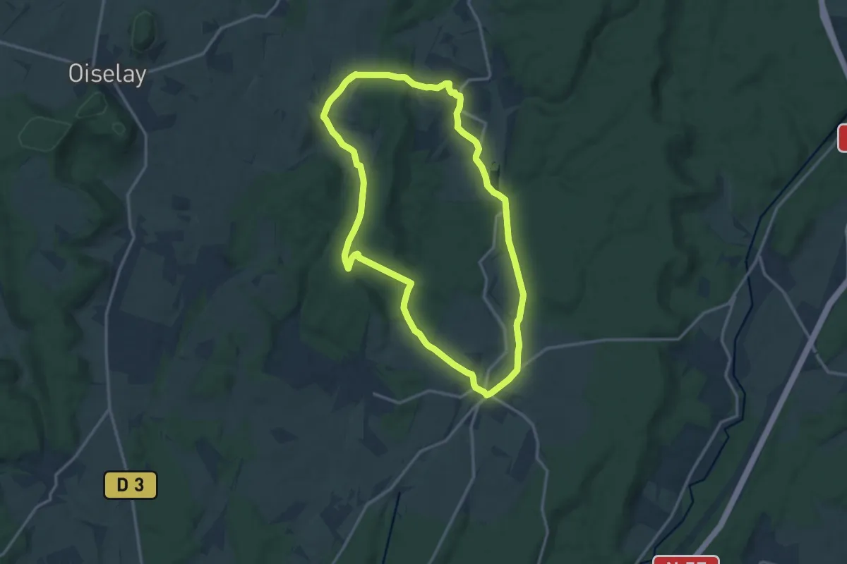
Demanding · Trail
Découverte de Trois Villages Comtois
25.8 km · ↑ 469 m · 7 h 6 min
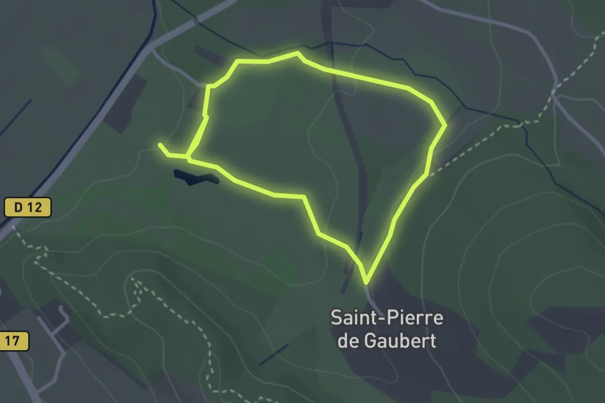
Easy · Trail
Découverte du golf des lavandes
2.4 km · ↑ 49 m · 42 min
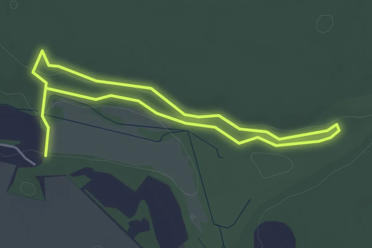
Easy · Trail
Découverte du marais de Stors
3.0 km · ↑ 39 m · 49 min
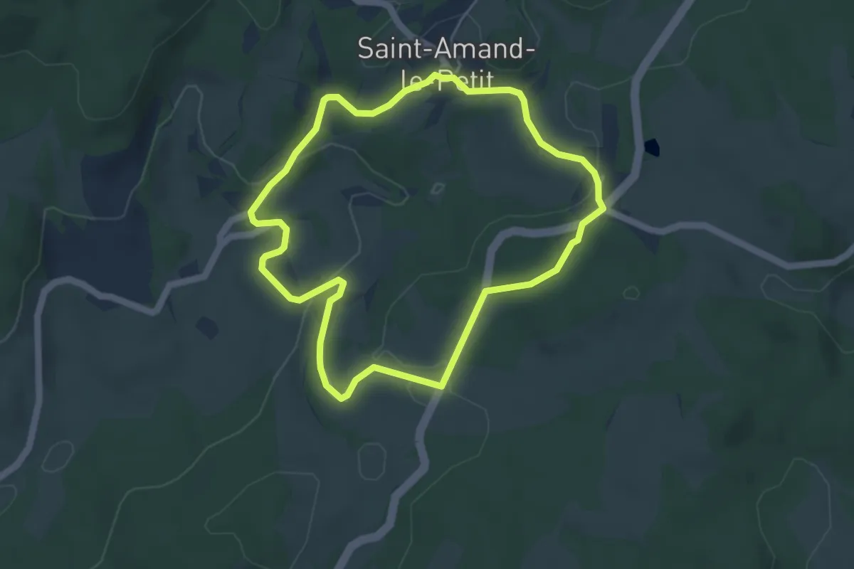
Easy · Trail
Découverte du Patrimoine de Saint-Amand-le-Petit
4.3 km · ↑ 109 m · 1 h 19 min
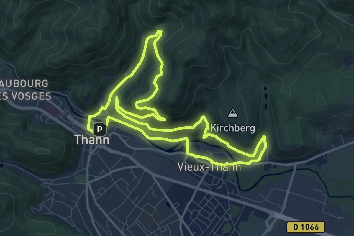
Medium · Trail
Découverte du Rangen
9.6 km · ↑ 362 m · 3 h 11 min
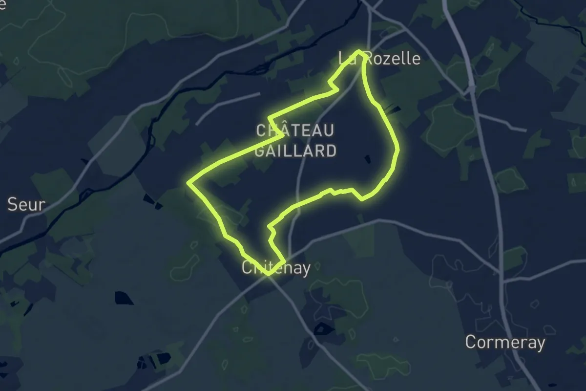
Medium · Trail
Découverte du vignoble
8.2 km · ↑ 38 m · 2 h 8 min
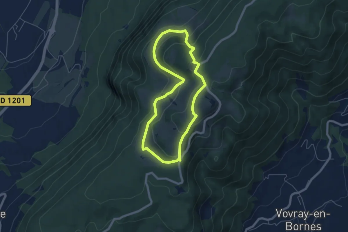
Easy · Trail
Découverte panoramique de l'alpage du Plan
4.7 km · ↑ 226 m · 1 h 40 min
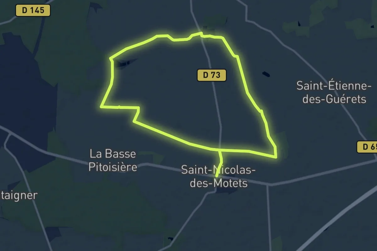
Demanding · Trail
Découvertes Champêtres en Val de Brenne et Gâtines
18.5 km · ↑ 47 m · 4 h 28 min
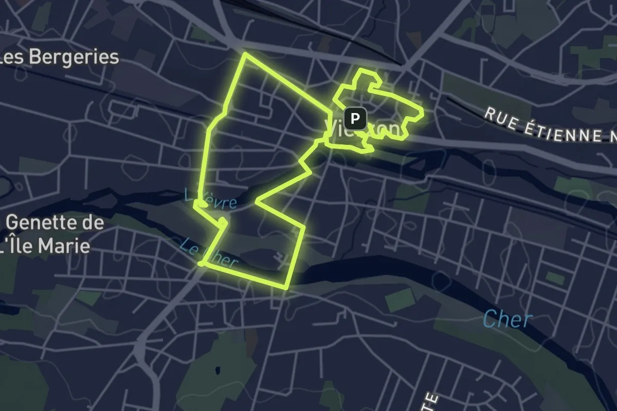
Easy · Trail
Découvrez Vierzon et son patrimoine !
4.6 km · ↑ 32 m · 1 h 13 min
Easy · Trail
Découvrir Lerné
2.3 km · ↑ 13 m · 34 min
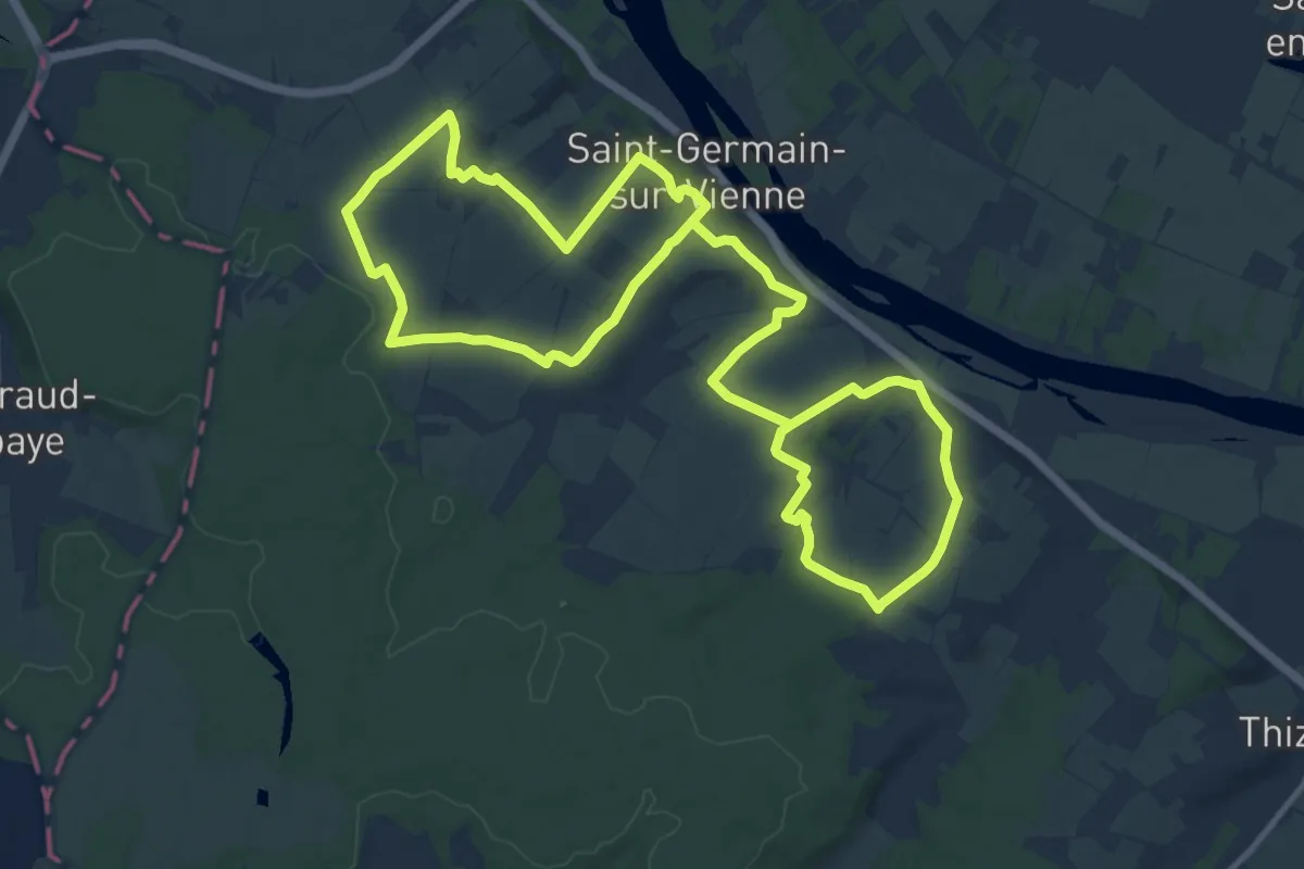
Demanding · Trail
Découvrir Saint Germain
23.2 km · ↑ 320 m · 6 h 10 min
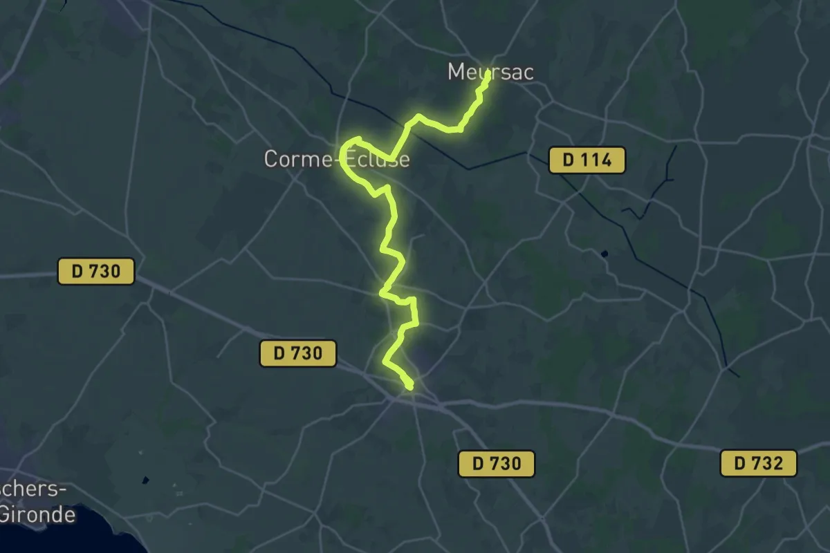
Demanding · Trail
De Cozes à Meursac, via Corme-Ecluse
28.6 km · ↑ 116 m · 7 h
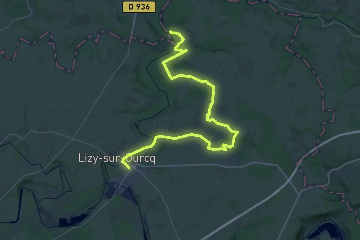
Demanding · Trail
De Crouy à Lizy-sur-Ourcq
21.1 km · ↑ 220 m · 5 h 46 min
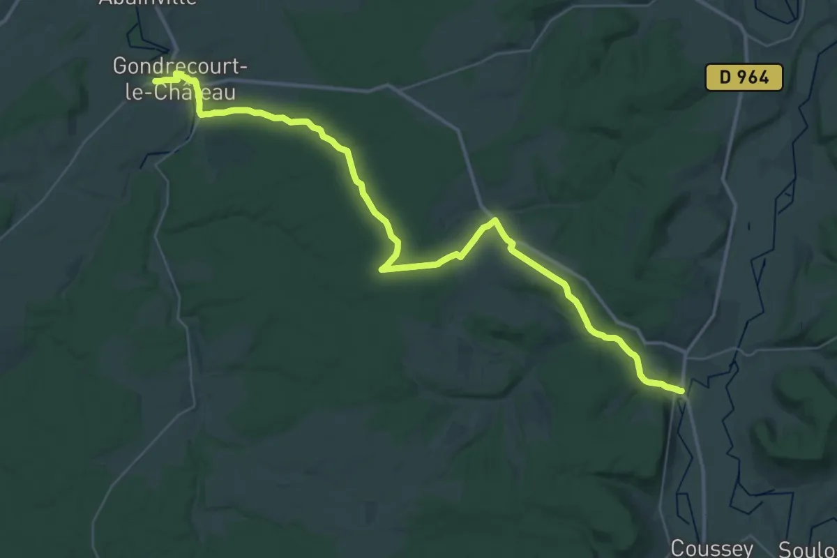
Demanding · Trail
De Domrémy-la-Pucelle à Gondrecourt-le-Château
19.8 km · ↑ 270 m · 5 h 32 min
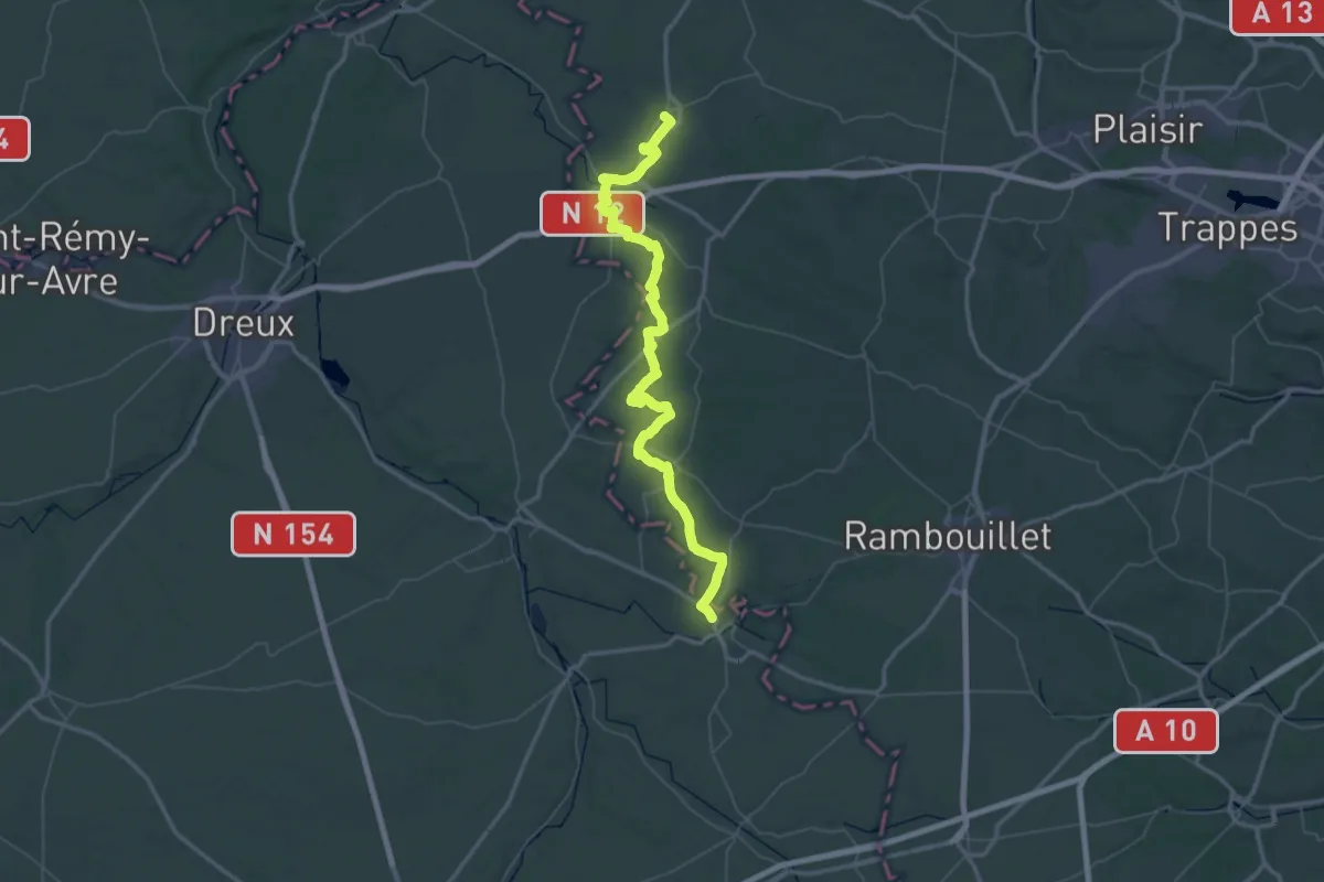
Demanding · Trail
De Epernon à Richebourg
37.3 km · ↑ 281 m · 9 h 56 min