Trails in France
15,926 hiking trails, each with its route, climb, walking time and grade.
All trails, page 100 of 332
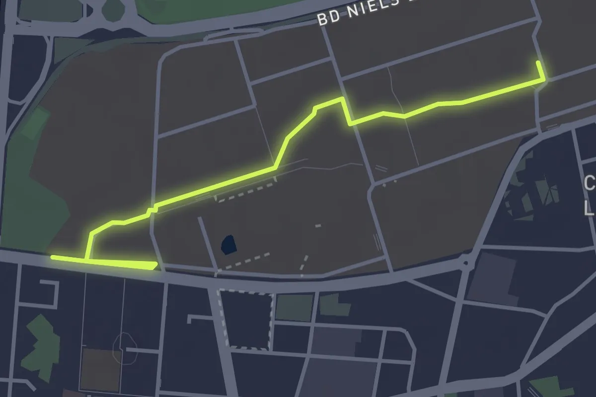
Easy · Trail
Curieux Détours La Doua
3.8 km · ↑ 9 m · 54 min
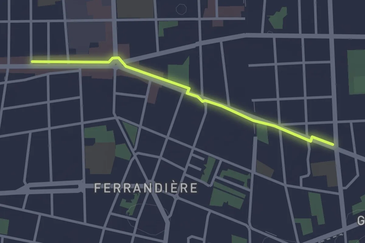
Easy · Trail
Curieux Détours Tolstoï
2.5 km · ↑ 0 m · 35 min
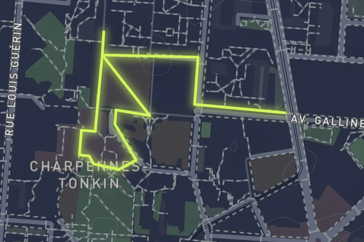
Easy · Trail
Curieux Détours Tonkin
2.4 km · ↑ 8 m · 35 min
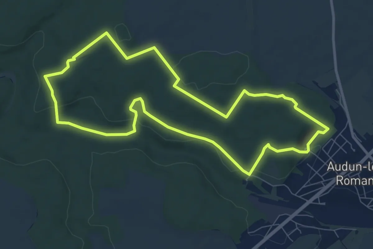
Easy · Trail
CV Audun-le-Roman
7.2 km · ↑ 121 m · 2 h 4 min
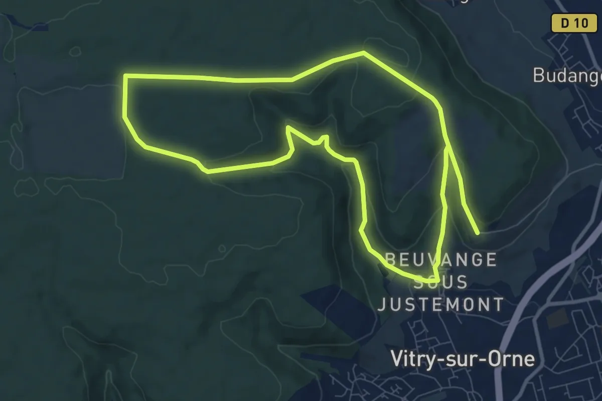
Medium · Trail
CV Beuvange sous Justemont
16.0 km · ↑ 406 m · 4 h 39 min
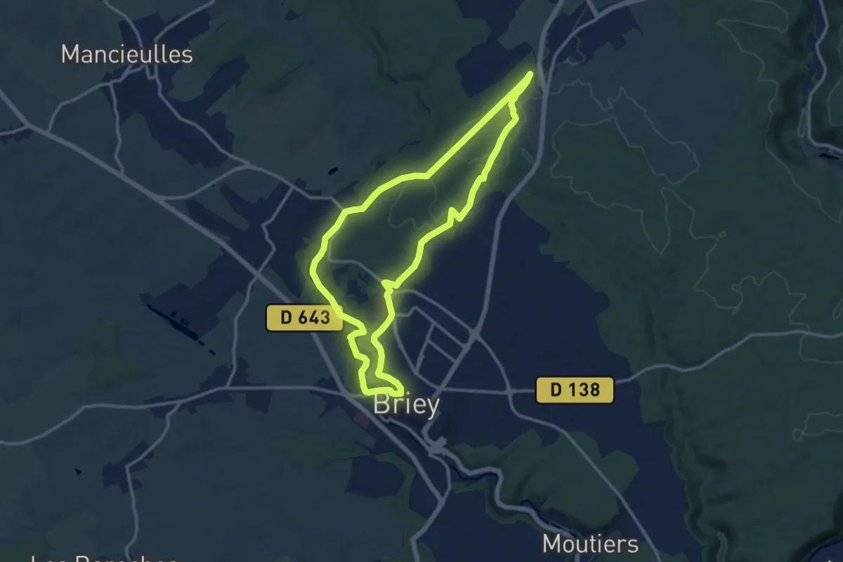
Medium · Trail
CV Bois du Haut Charme
11.0 km · ↑ 143 m · 3 h 4 min
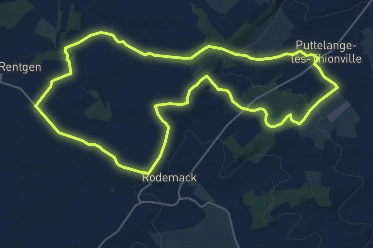
Medium · Trail
CV Les chemins de l'insolite (Rodemack-Puttelange)
12.3 km · ↑ 141 m · 3 h 23 min
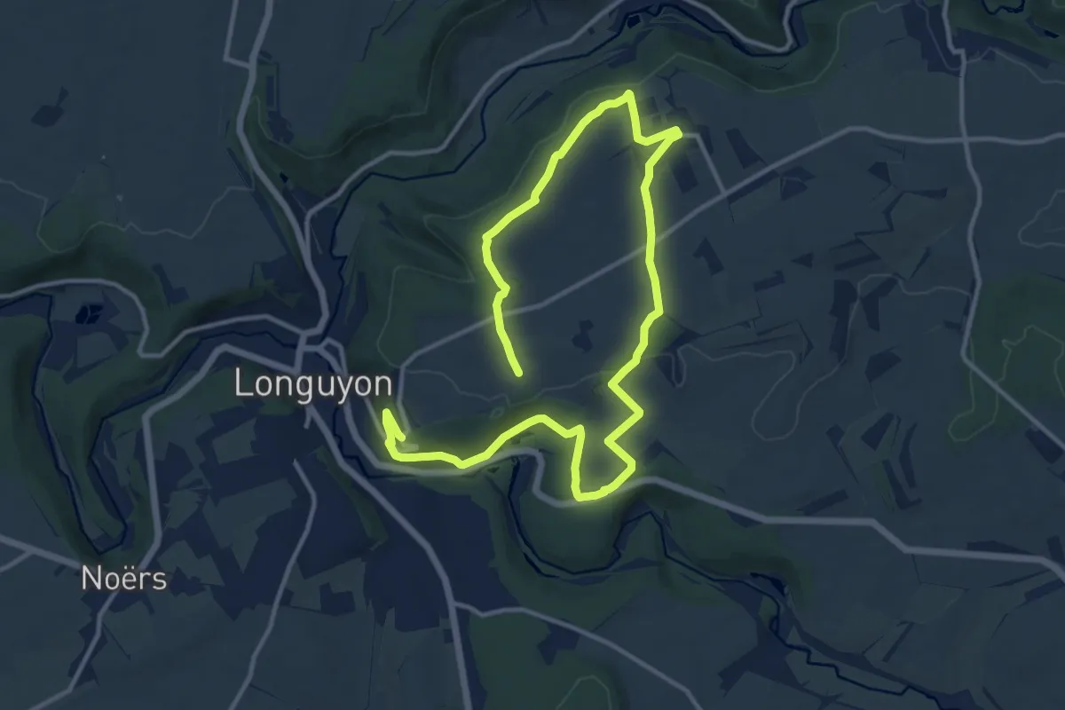
Demanding · Trail
CV Longuyon Verte
18.1 km · ↑ 209 m · 4 h 44 min
Easy · Trail
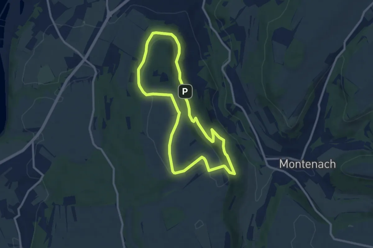
CV Sentier Koenigsberg
6.5 km · ↑ 158 m · 1 h 58 min
Easy · Trail
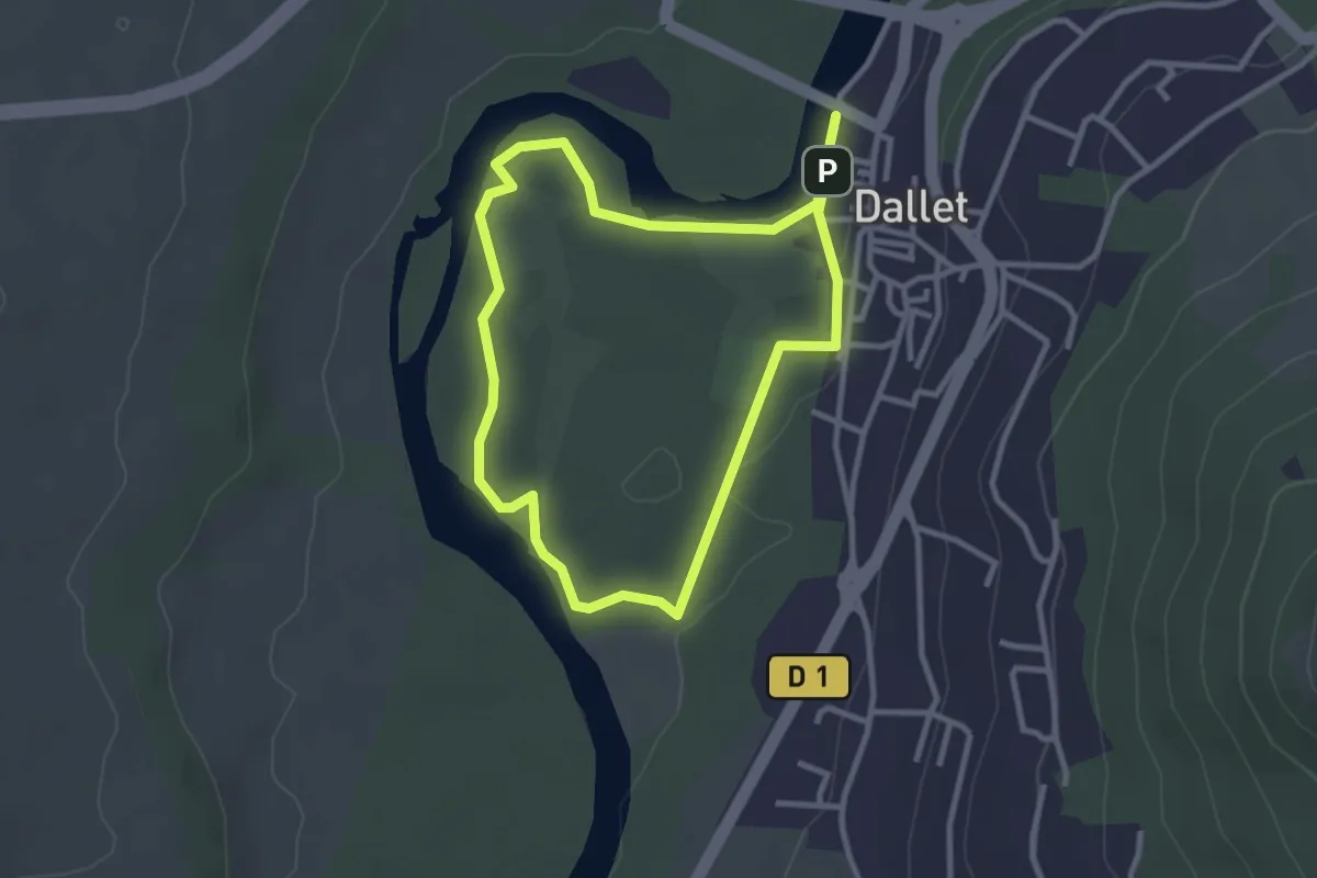
Dallet, Au fil de l'Allier
2.8 km · ↑ 4 m · 42 min
Medium · Trail
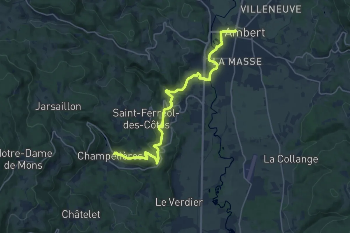
d'Ambert à Champétières
16.1 km · ↑ 379 m · 4 h 38 min
Medium · Trail
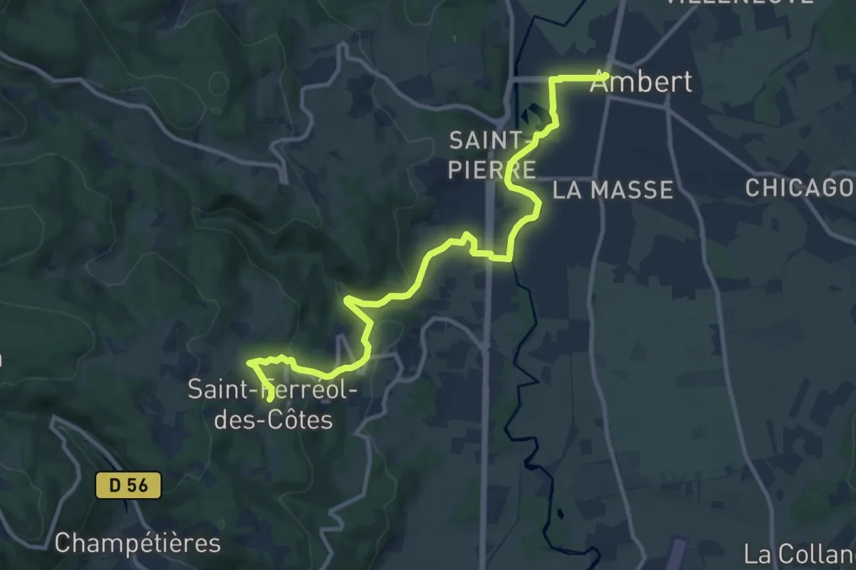
d'Ambert à Saint-Férréol-des-Côtes
11.4 km · ↑ 259 m · 3 h 15 min
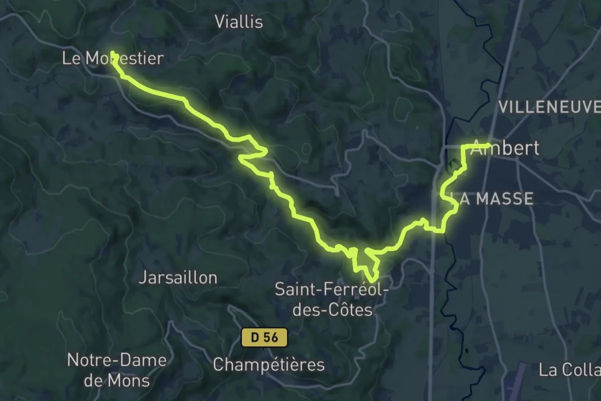
Demanding · Trail
d'Ambert au Monestier
23.8 km · ↑ 627 m · 6 h 58 min
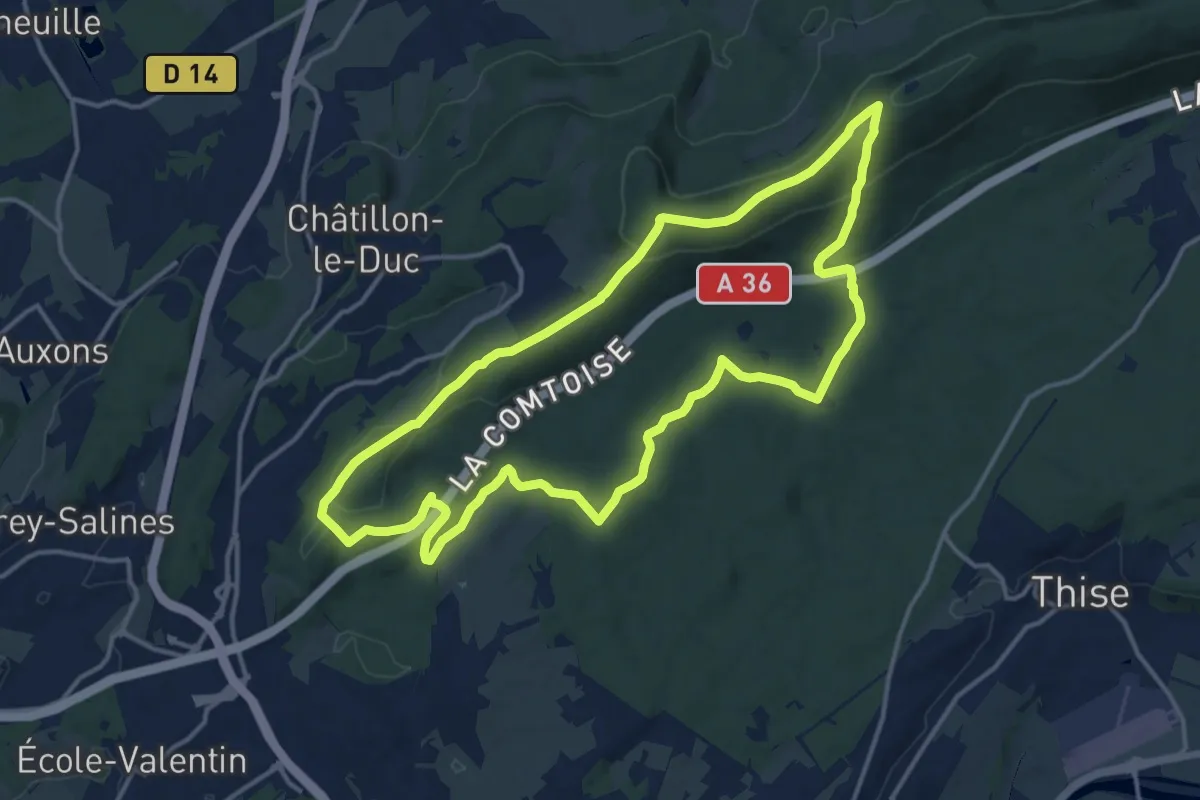
Medium · Trail
Dame Blanche et Vieux Tilleul
14.5 km · ↑ 414 m · 4 h 31 min
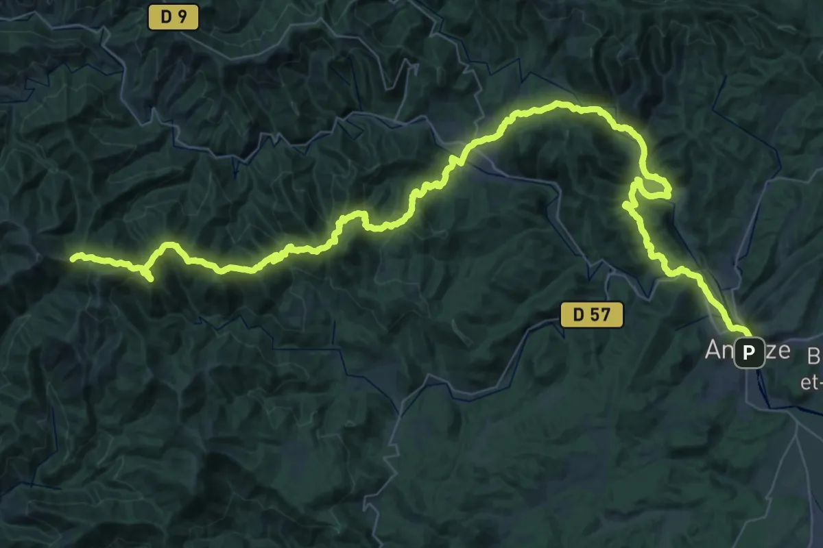
Demanding · Trail
D'Anduze au Col de l'Asclier
34.9 km · ↑ 1886 m · 12 h 26 min
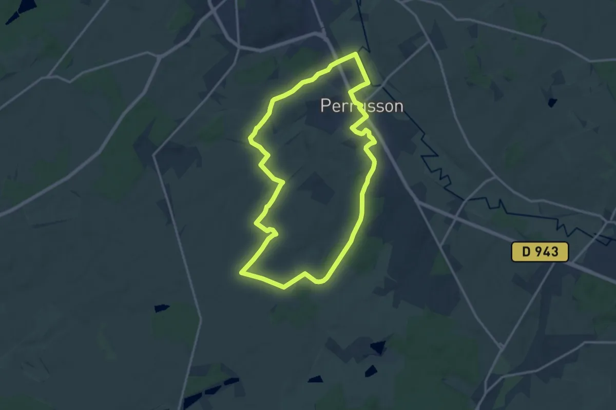
Medium · Trail
Dans la Campagne Perrussonnaise - Perrusson
12.4 km · ↑ 139 m · 3 h 24 min
Easy · Trail
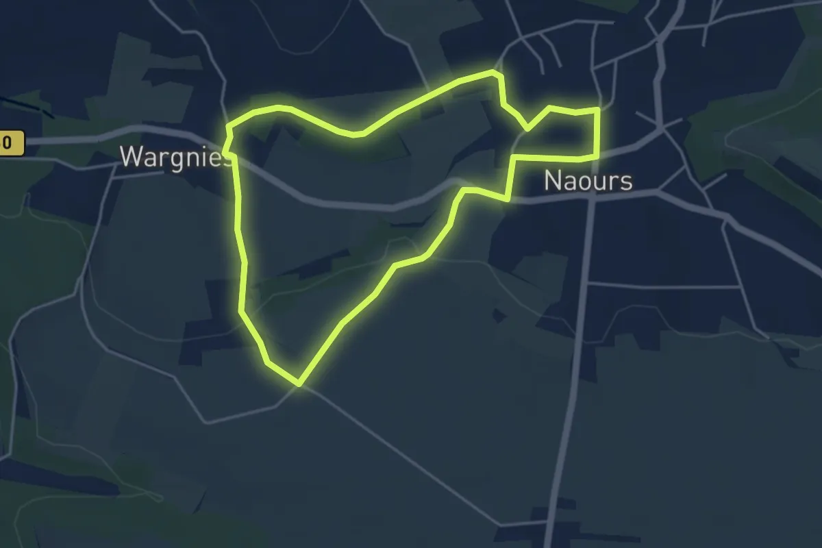
Dans la Campagne près des Muches
3.8 km · ↑ 60 m · 1 h 5 min
Medium · Trail
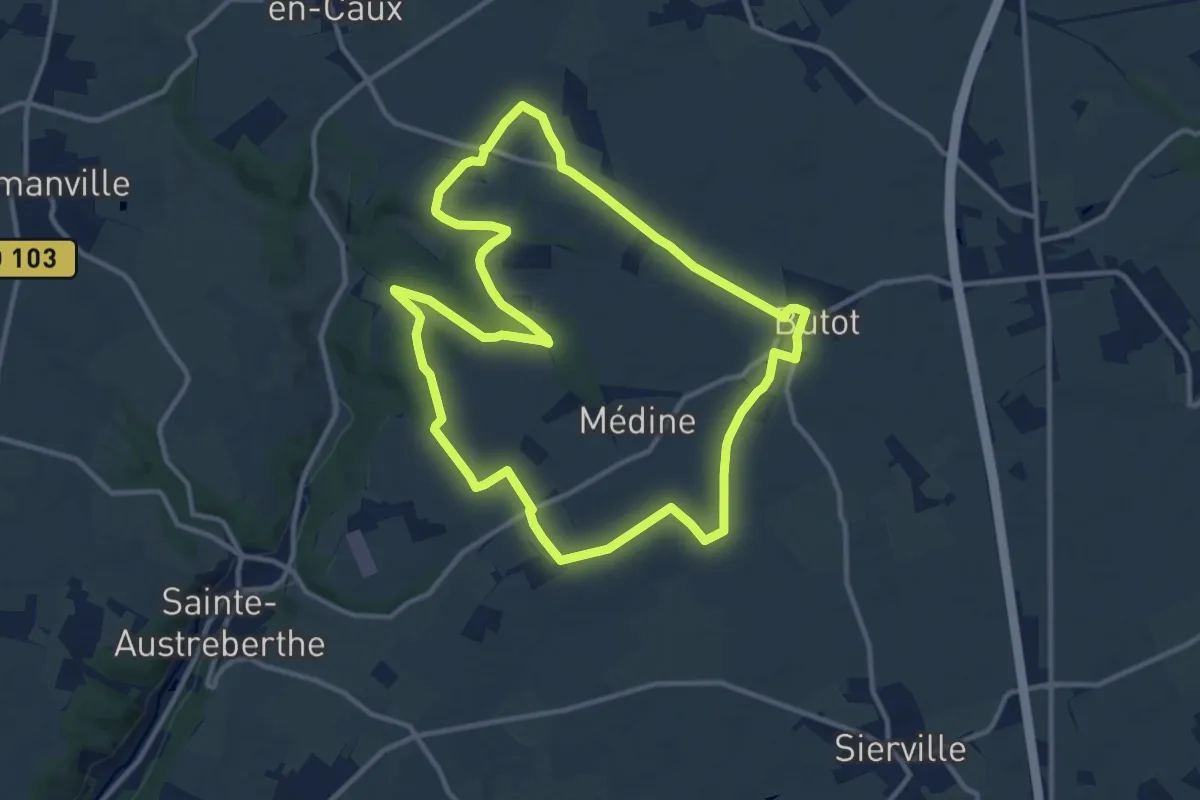
Dans le Bois de Grosfy
11.4 km · ↑ 88 m · 3 h 2 min
Easy · Summit
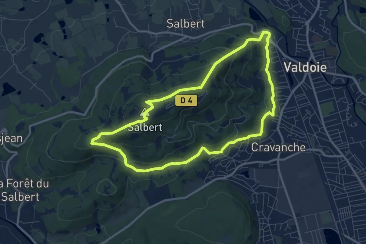
Dans le Salbert
7.4 km · ↑ 293 m · 2 h 29 min
Demanding · Cabin
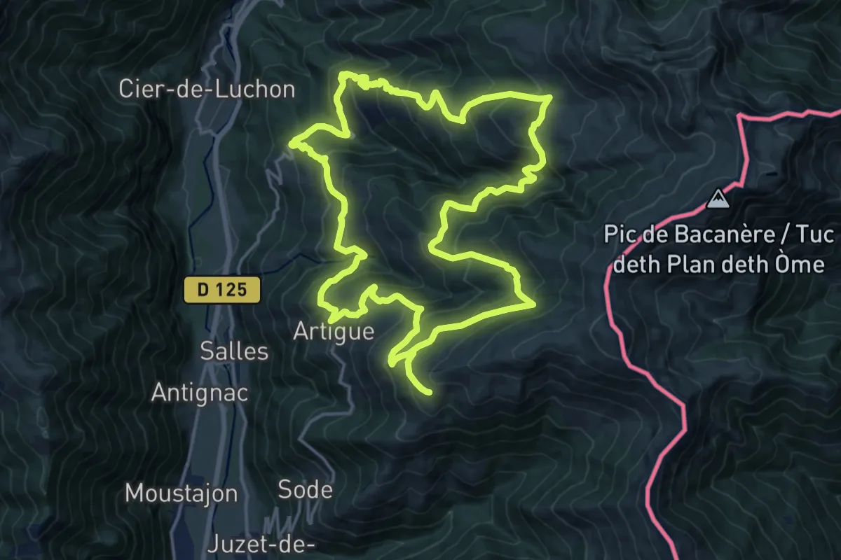
Dans les estives et les vieux villages
17.9 km · ↑ 1306 m · 7 h 15 min
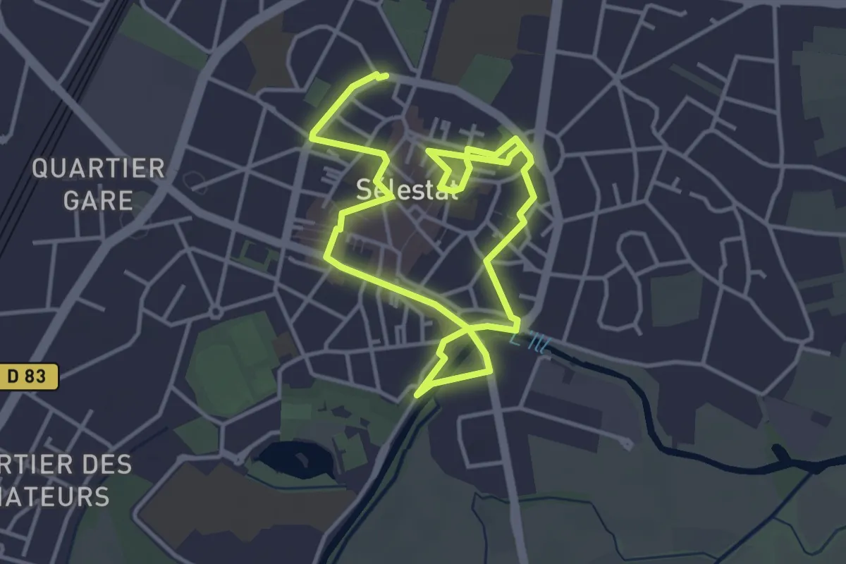
Easy · Trail
Dans les pas du Lion et du géant Sletto
5.9 km · ↑ 13 m · 1 h 26 min
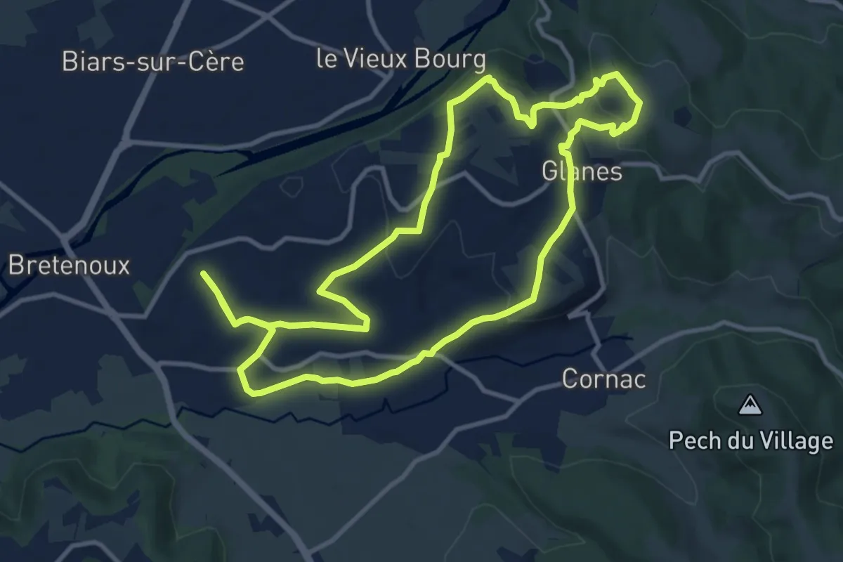
Medium · Trail
Dans les vignes de Glane
10.2 km · ↑ 222 m · 3 h 1 min
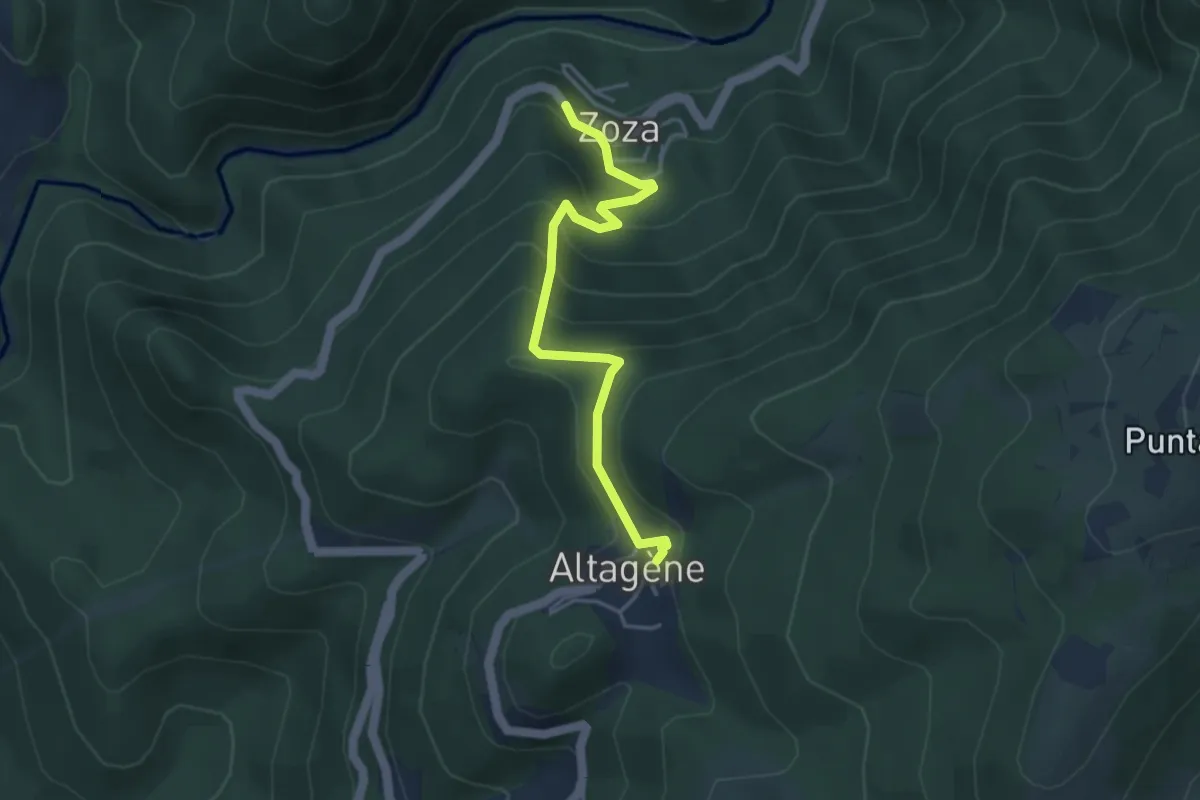
Easy · Trail
Da Paesi à Paesi Altagène-Zoza
4.3 km · ↑ 309 m · 1 h 41 min
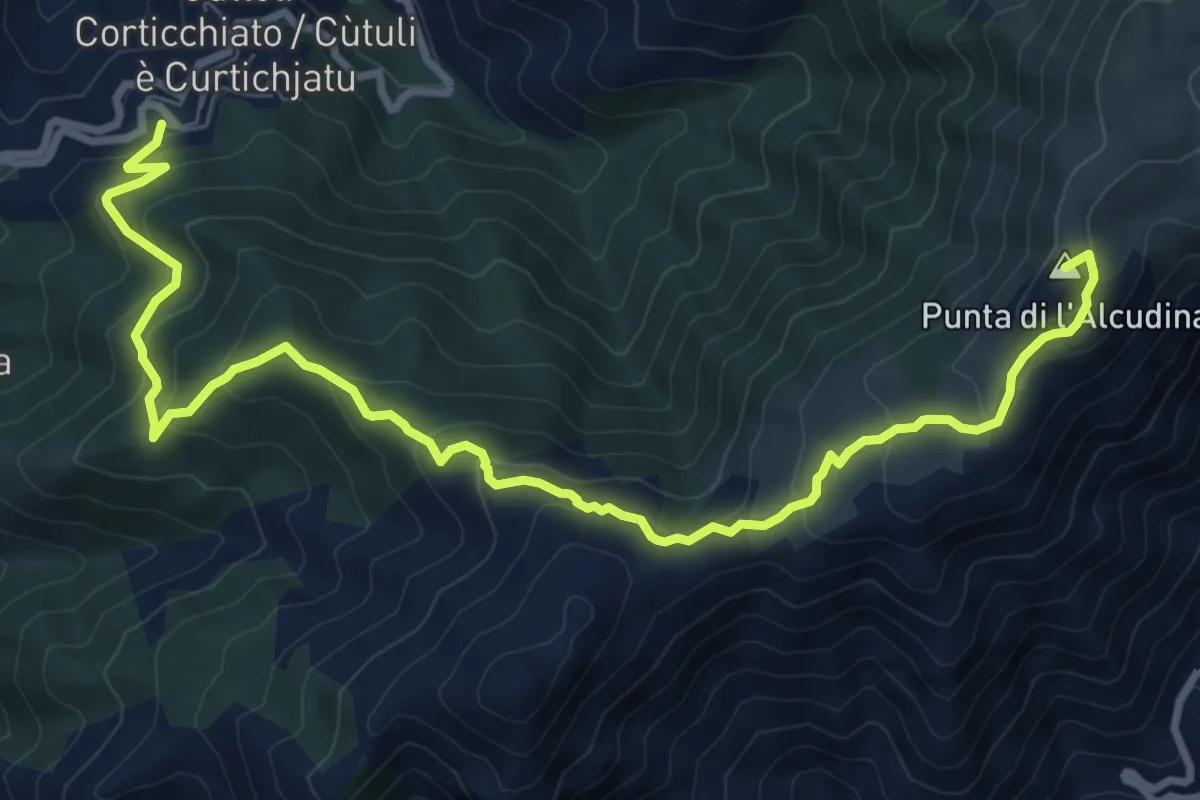
Medium · Summit
Da Paesi à Paesi Cuttoli - Tolla
11.8 km · ↑ 716 m · 4 h 20 min
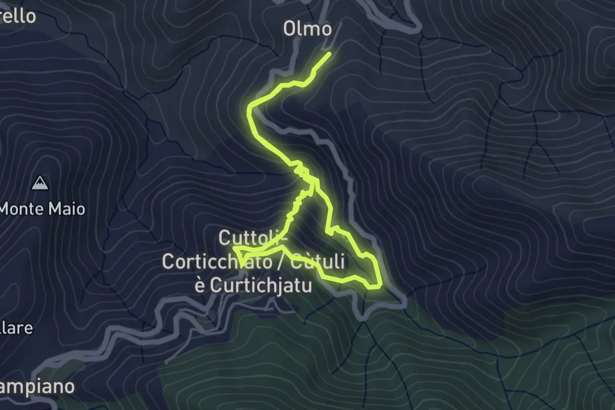
Medium · Trail
Da Paesi à Paesi Peri - Cuttoli
4.1 km · ↑ 241 m · 1 h 33 min
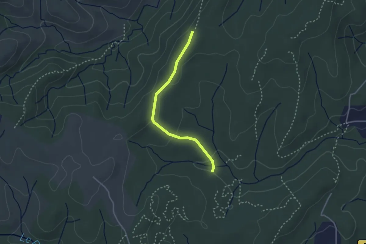
Easy · Trail
Darbousset - Bois des Bruyères
2.7 km · ↑ 54 m · 45 min
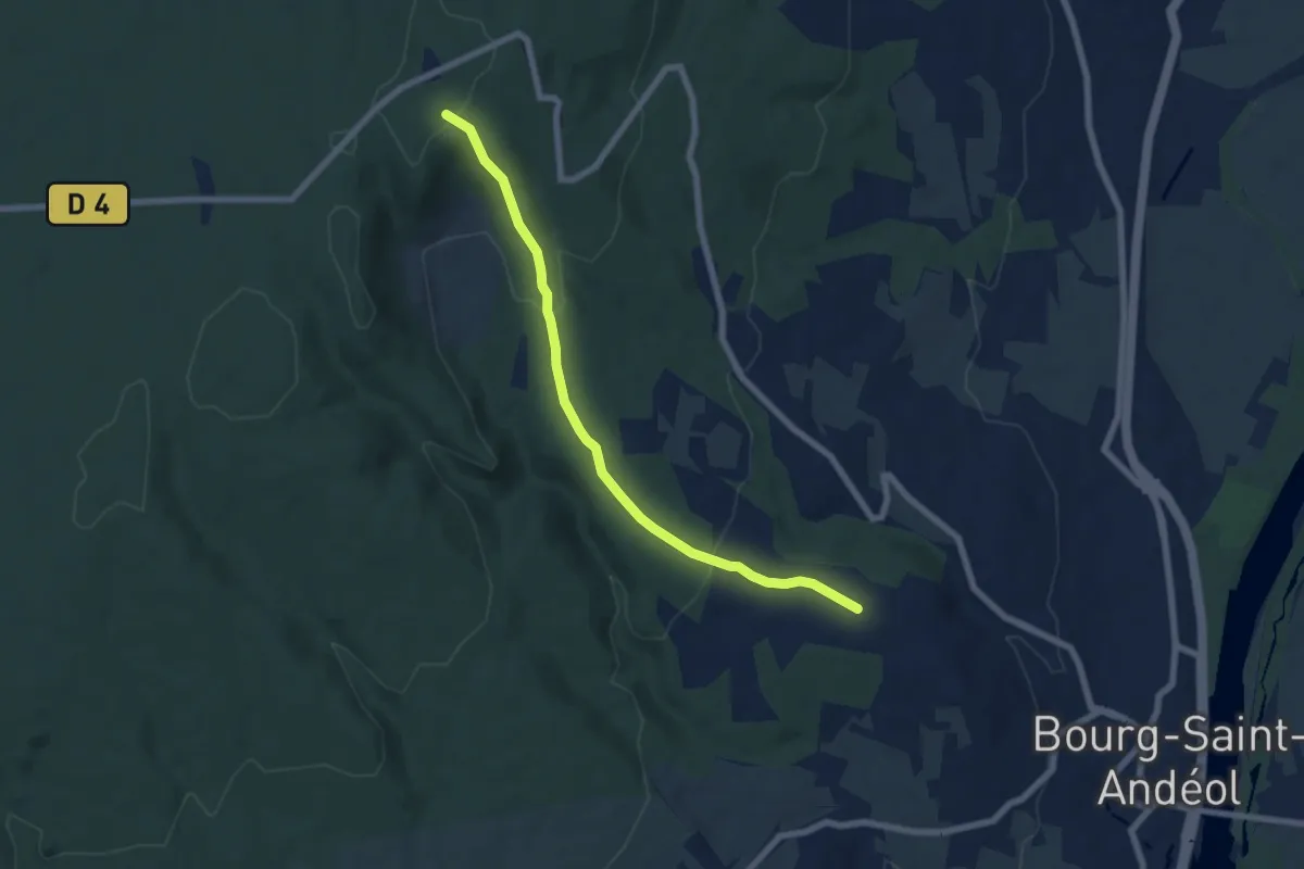
Easy · Trail
Darbousset - Combe Longe
7.0 km · ↑ 229 m · 2 h 8 min
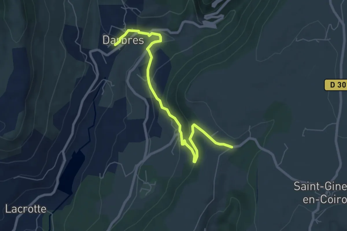
Easy · Trail
Darbres - Pas de Vendrias
6.5 km · ↑ 271 m · 2 h 7 min
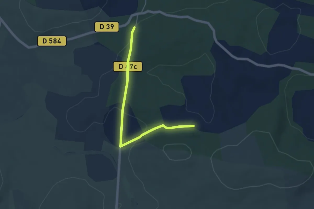
Easy · Trail
Dargilan
2.0 km · ↑ 34 m · 35 min
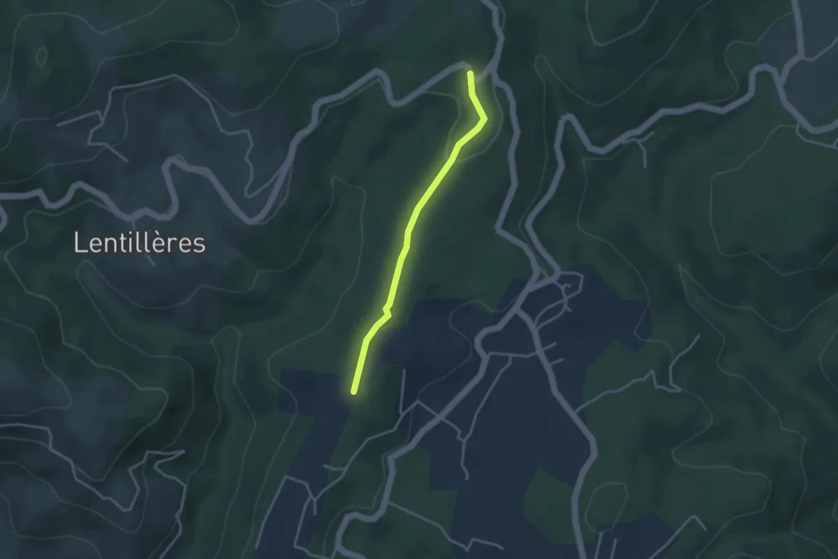
Easy · Trail
Daüs - Clos de la Bernarde
2.9 km · ↑ 44 m · 46 min
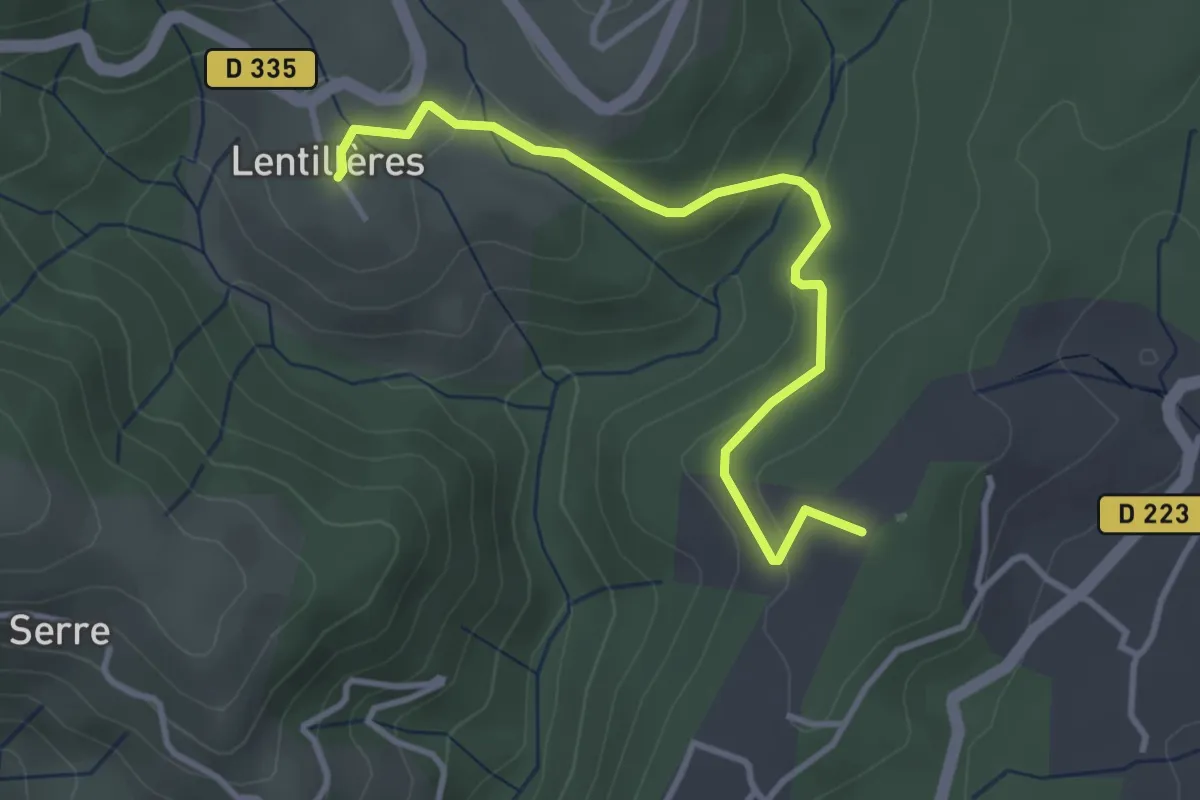
Easy · Trail
Daüs - L'École
3.7 km · ↑ 117 m · 1 h 7 min
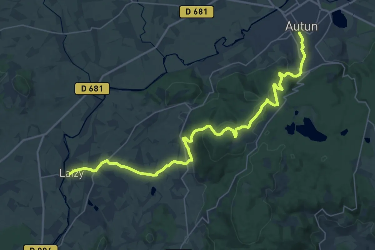
Medium · Trail
D'Autun à Laizy
13.7 km · ↑ 423 m · 4 h 19 min
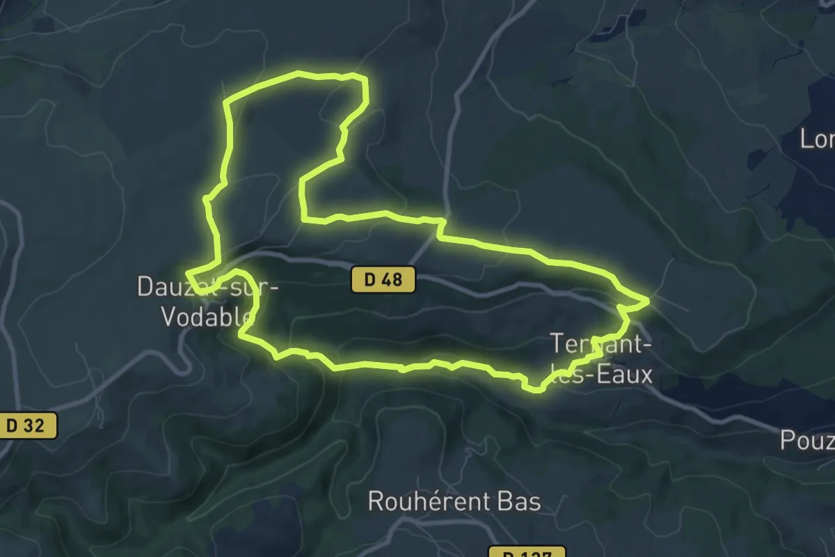
Medium · Trail
Dauzat-sur-Vodable
9.9 km · ↑ 357 m · 3 h 16 min
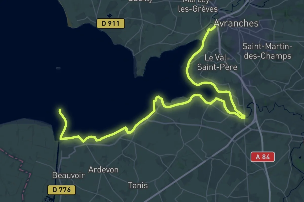
Demanding · Summit
d'Avranches au Mont-Saint-Michel
54.1 km · ↑ 83 m · 12 h 57 min
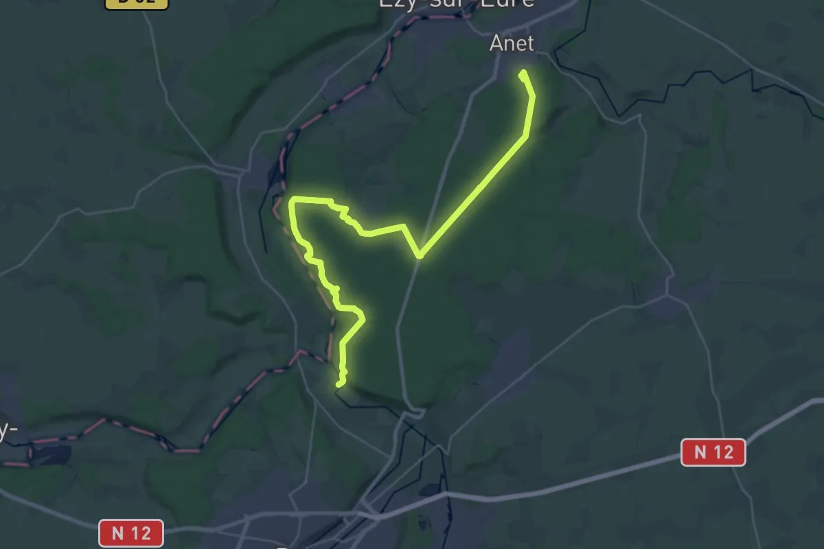
Demanding · Summit
De Anet à Montreuil
33.4 km · ↑ 367 m · 8 h 42 min
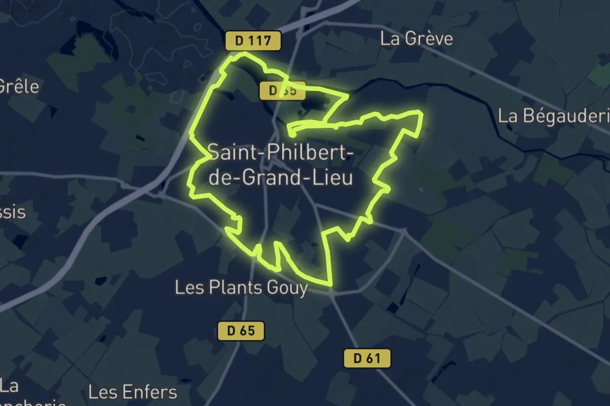
Medium · Trail
Déas
10.9 km · ↑ 26 m · 2 h 47 min
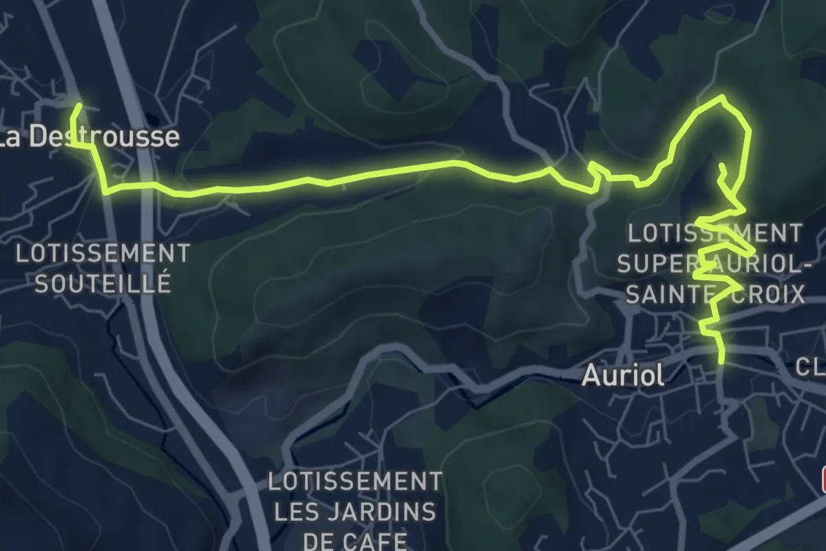
Medium · Trail
De Auriol à La Destrousse
10.2 km · ↑ 349 m · 3 h 10 min
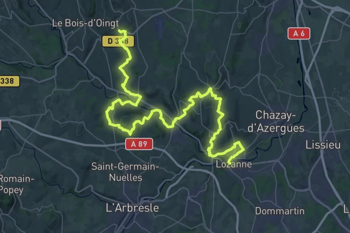
Demanding · Trail
De Bagnols à Lozanne
25.9 km · ↑ 737 m · 7 h 59 min
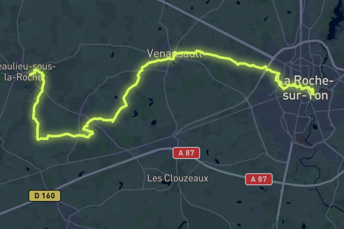
Demanding · Trail
De Beaulieu à La Roche s/Yon
24.5 km · ↑ 108 m · 6 h 22 min
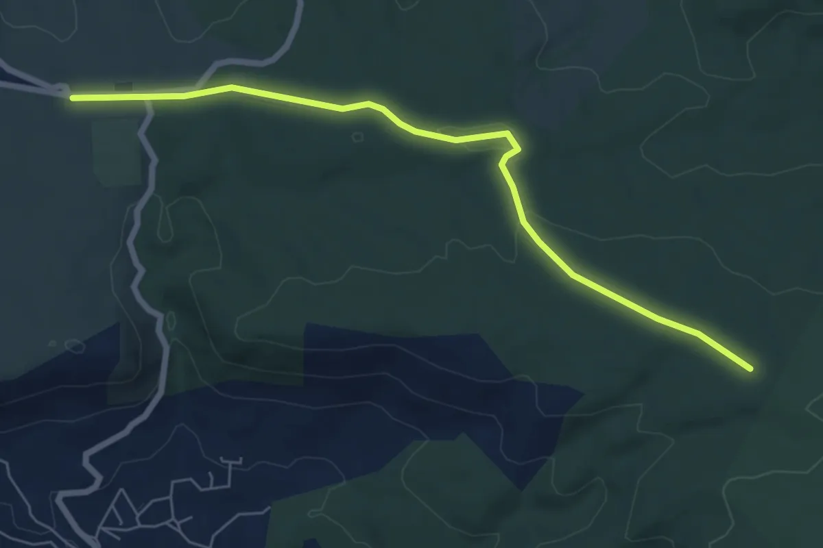
Easy · Trail
De Belcodène au poteau RE 09
6.8 km · ↑ 68 m · 1 h 45 min
Demanding · Trail
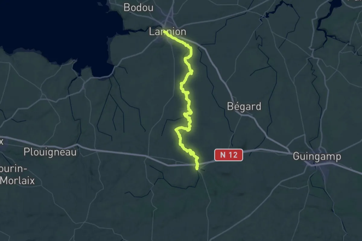
De Belle-Isle à Lannion
36.5 km · ↑ 606 m · 10 h 24 min
Medium · Trail
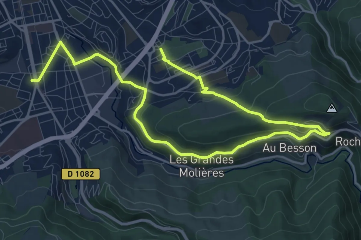
De Bellevue au Parc de l'Europe
15.8 km · ↑ 503 m · 4 h 49 min
Easy · Trail
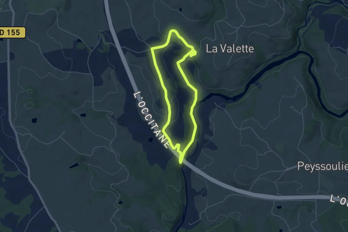
De Bialet aux deux viaducs
4.9 km · ↑ 134 m · 1 h 30 min
Medium · Trail
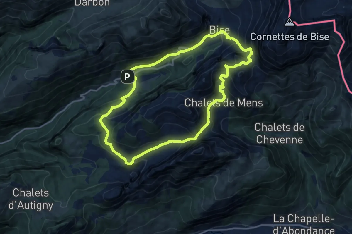
De Bise à Ubine
10.3 km · ↑ 759 m · 4 h 14 min
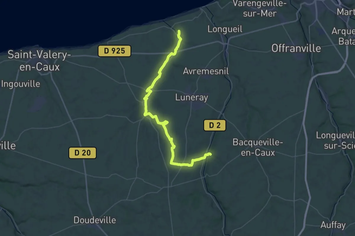
Demanding · Trail
de Biville-la-rivière à Saint-Aubin-sur-mer
22.8 km · ↑ 229 m · 6 h 14 min
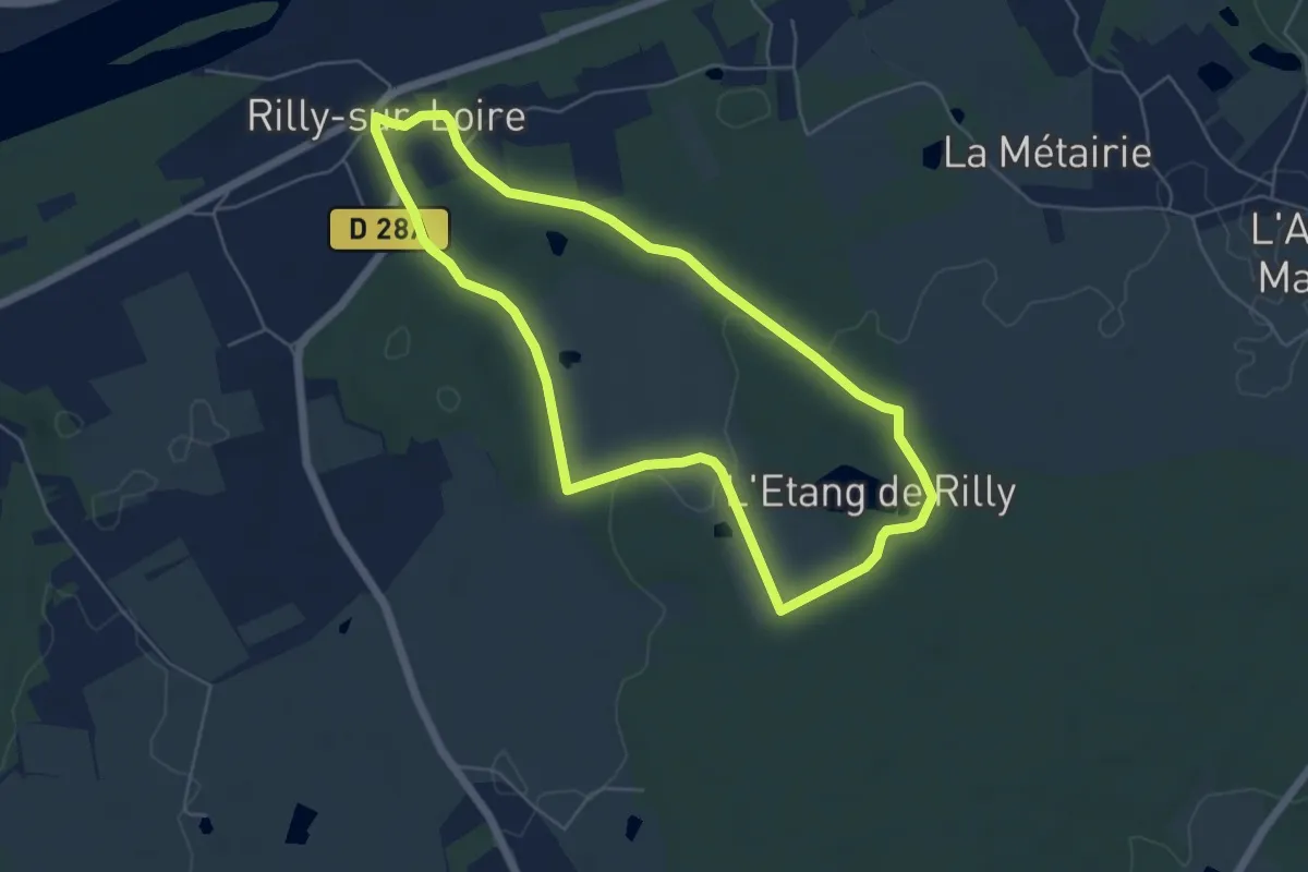
Easy · Trail
De bois de Chassepaille
5.3 km · ↑ 48 m · 1 h 25 min
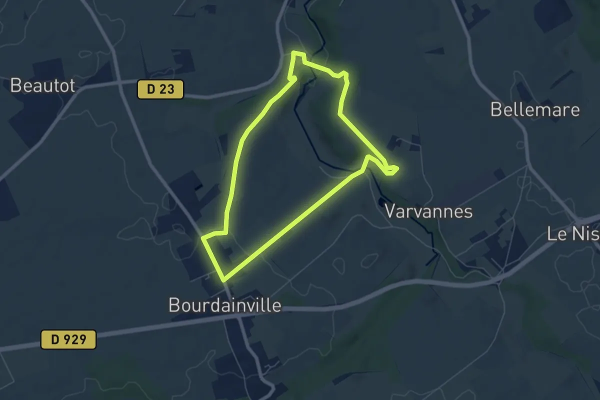
Easy · Trail
De Bourdainville à la Saâne
5.5 km · ↑ 100 m · 1 h 35 min
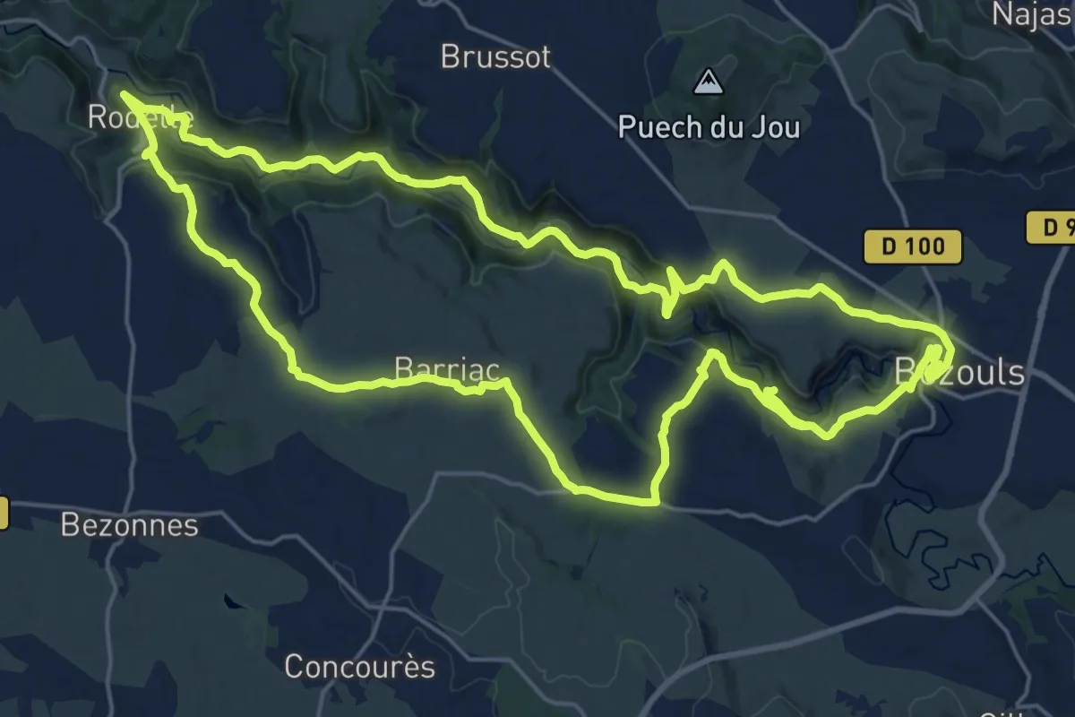
Demanding · Trail
De Bozouls à Rodelle
23.5 km · ↑ 621 m · 7 h 11 min