Trails in France
15,926 hiking trails, each with its route, climb, walking time and grade.
All trails, page 99 of 332
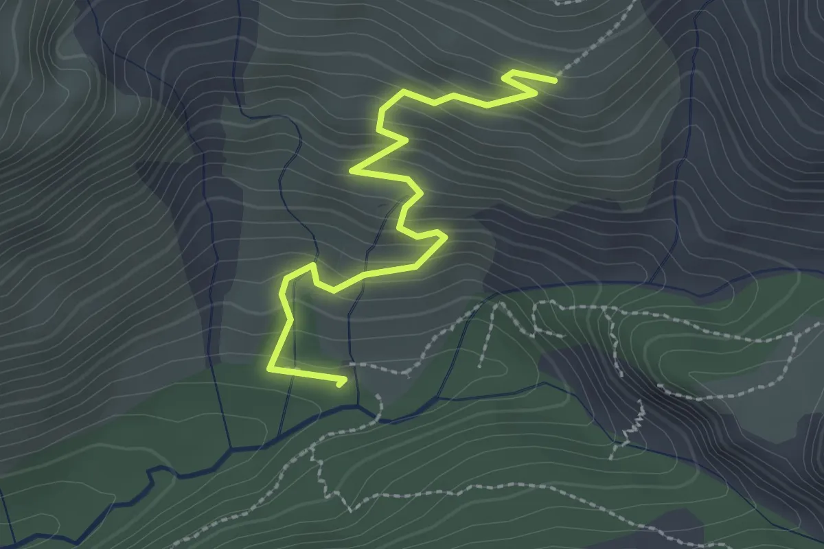
Easy · Trail
Croix de Lombard - Parking Rouanne Haute
2.7 km · ↑ 230 m · 1 h 8 min
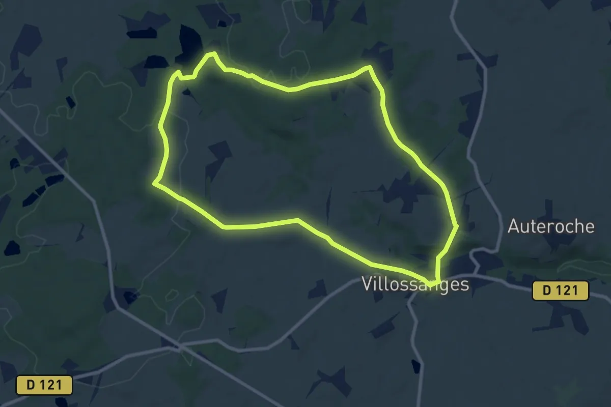
Medium · Trail
Croix de Milan
8.1 km · ↑ 127 m · 2 h 18 min
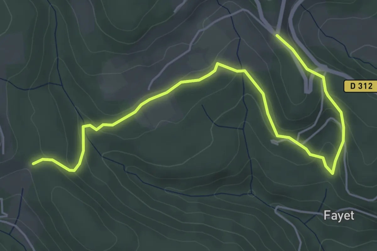
Easy · Trail
Croix de Pète l'Aoure - La Chapelette
6.2 km · ↑ 226 m · 1 h 57 min
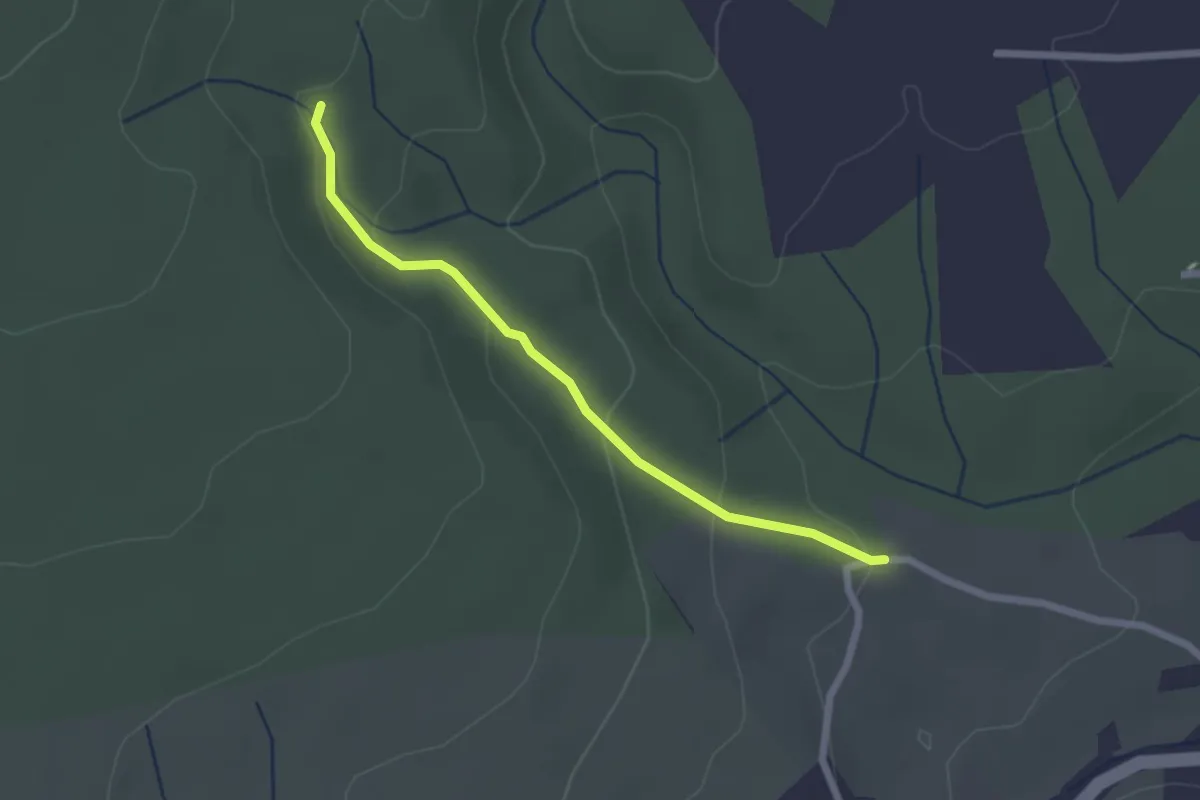
Easy · Trail
Croix de Romanet - Plaine de Mias
2.2 km · ↑ 79 m · 42 min
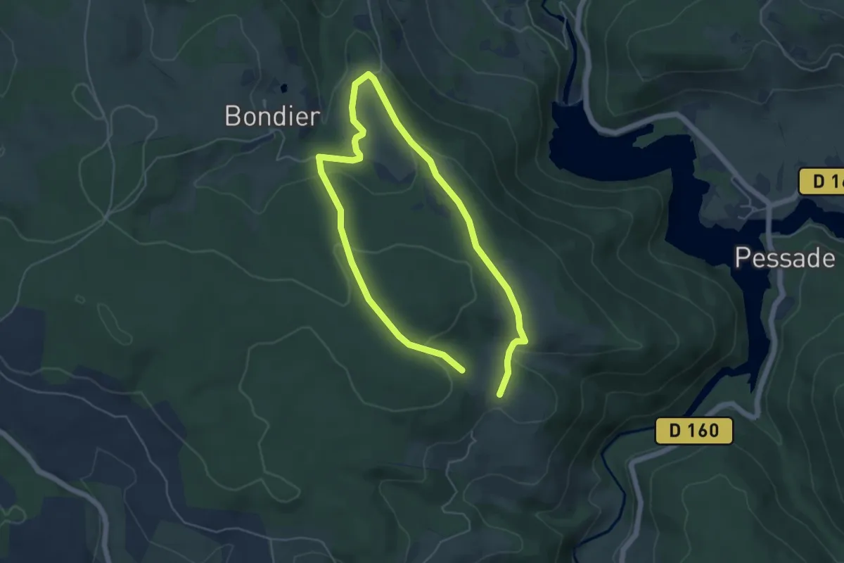
Easy · Trail
Croix des Eperviers - Montgarnier
4.2 km · ↑ 123 m · 1 h 20 min
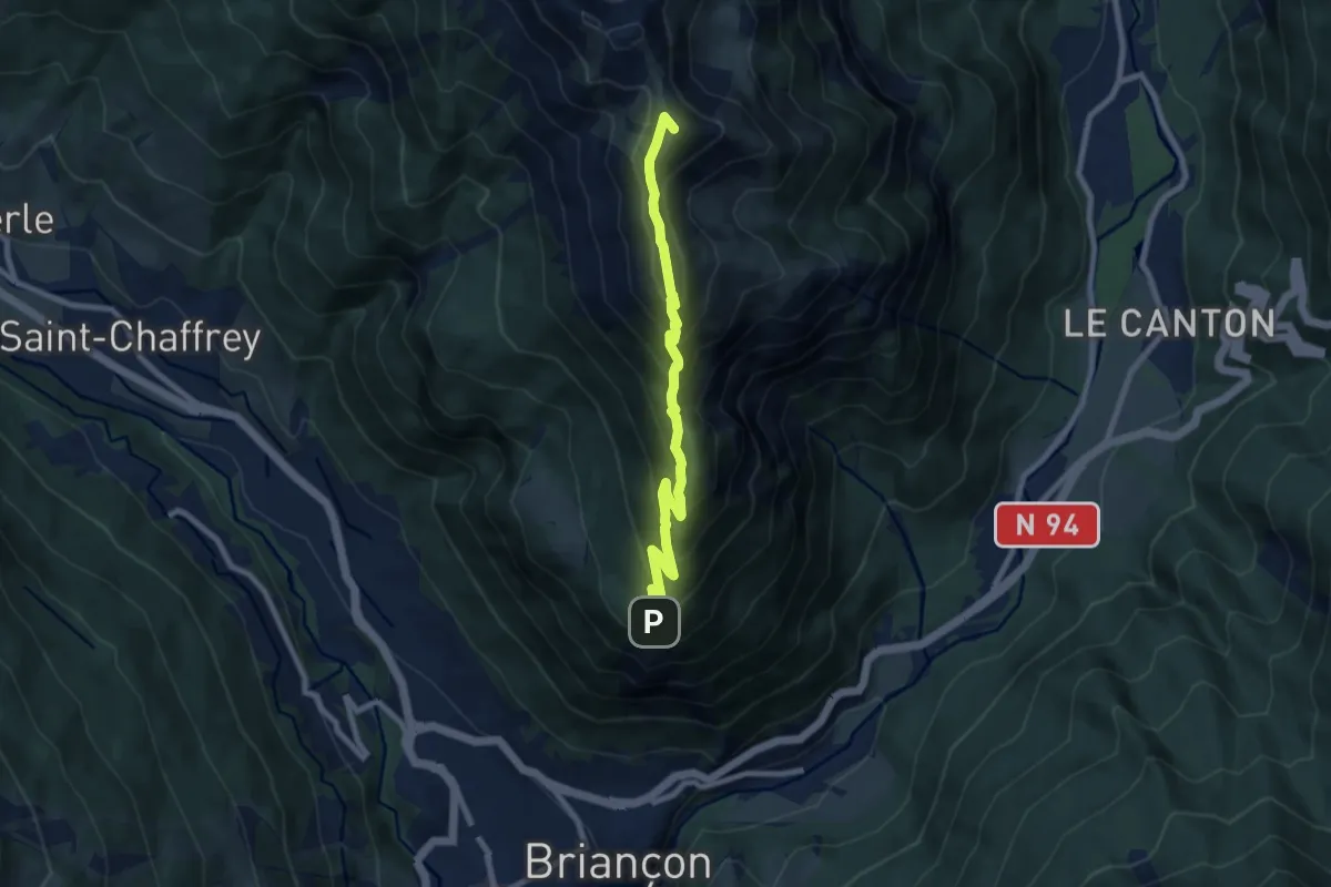
Demanding · Summit
Croix de Toulouse - ?
8.7 km · ↑ 738 m · 3 h 40 min
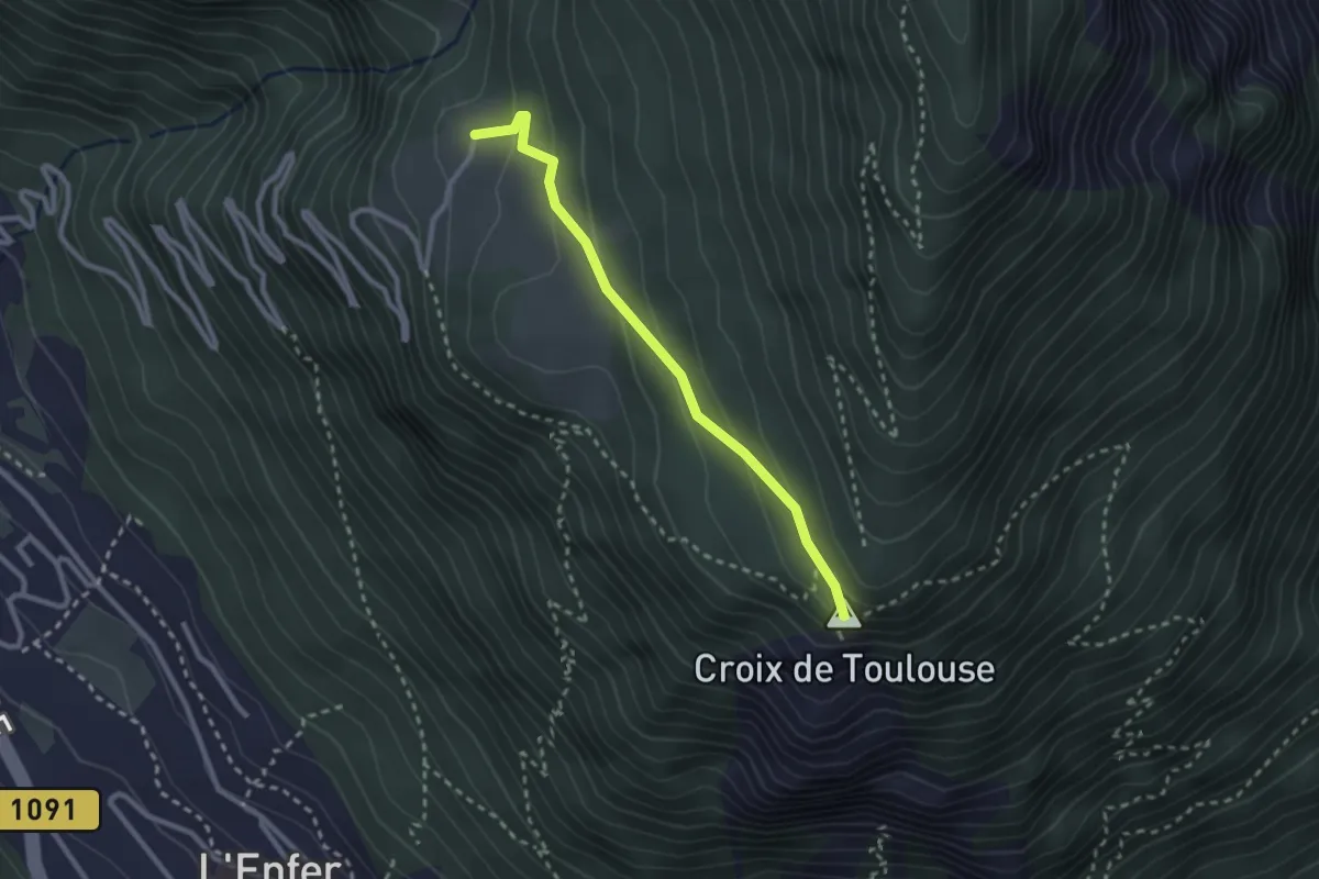
Easy · Summit
Croix de Toulouse - Serre Lan
2.5 km · ↑ 135 m · 53 min
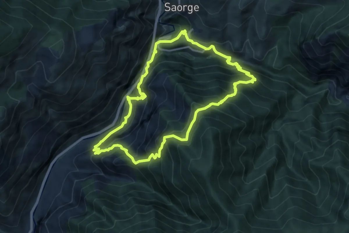
Demanding · Trail
Croix du mont Agu
9.5 km · ↑ 1031 m · 4 h 37 min
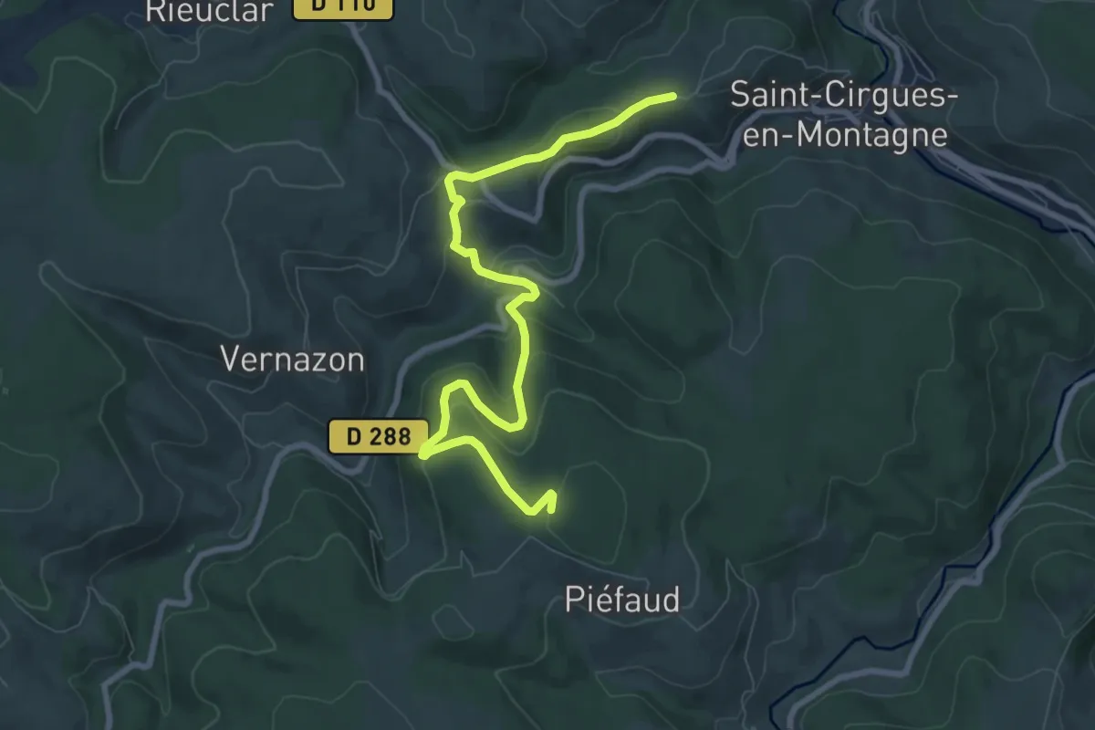
Medium · Trail
Croix du Mont - Serre de Piedfaud
8.9 km · ↑ 312 m · 2 h 46 min
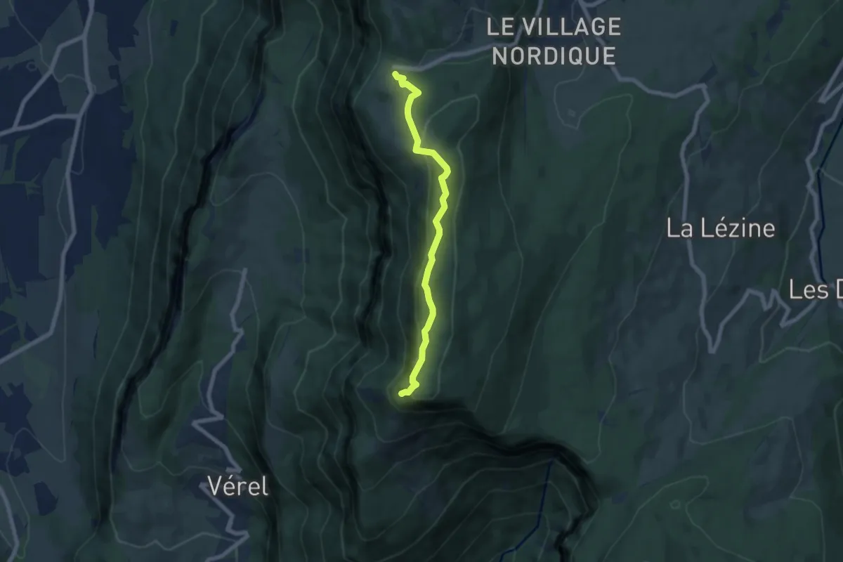
Easy · Summit
Croix du Nivolet depuis le Sire
6.2 km · ↑ 248 m · 1 h 59 min
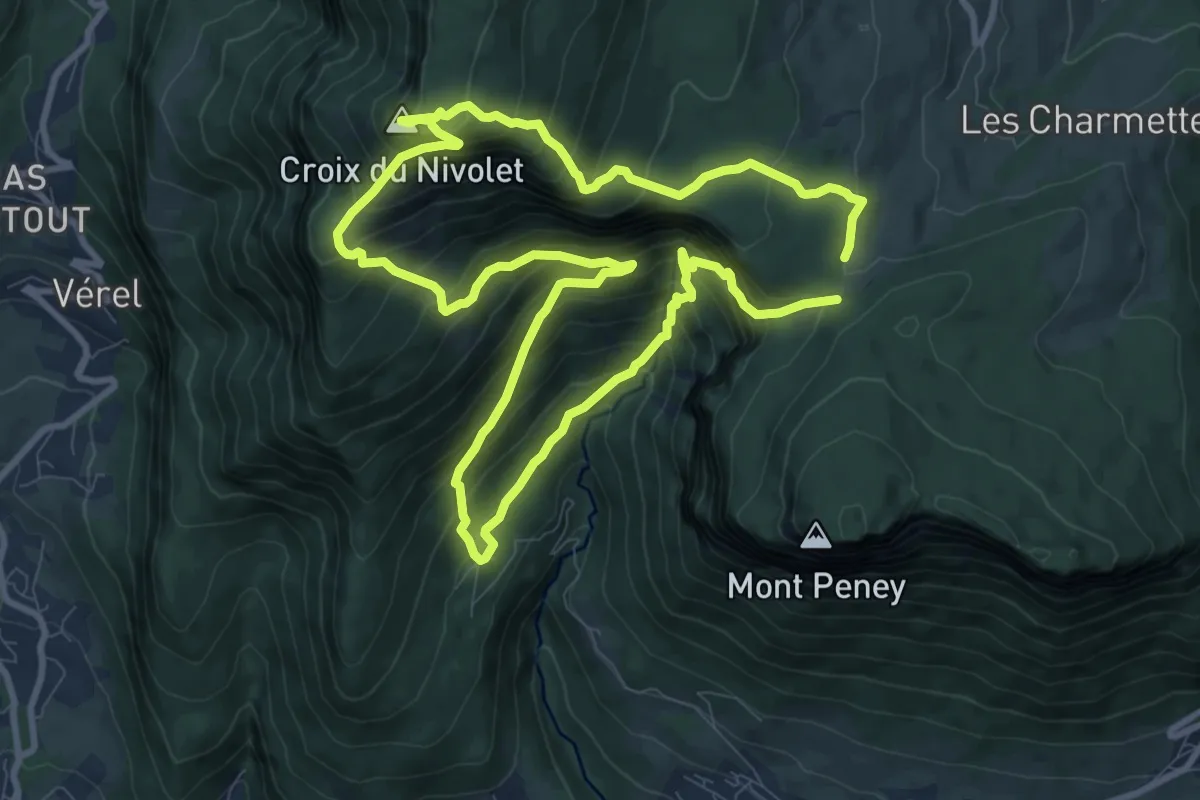
Expert · Summit
Croix du Nivolet depuis Lovettaz
9.5 km · ↑ 934 m · 4 h 24 min
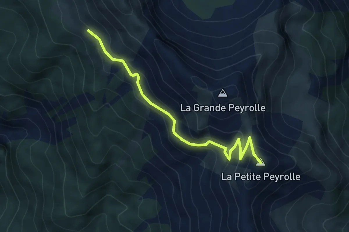
Medium · Summit
Croix du Pied - ?
5.1 km · ↑ 410 m · 2 h 6 min
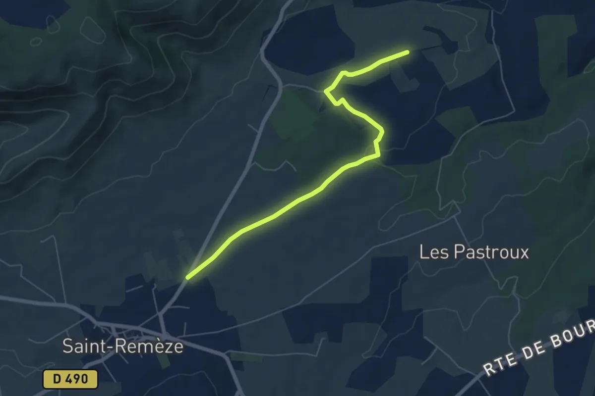
Easy · Trail
Croix du Planas - Les Buissières
6.3 km · ↑ 56 m · 1 h 37 min
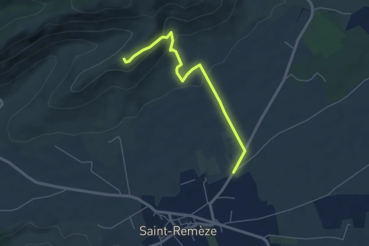
Easy · Trail
Croix du Planas - Les Costes 1
4.6 km · ↑ 178 m · 1 h 28 min
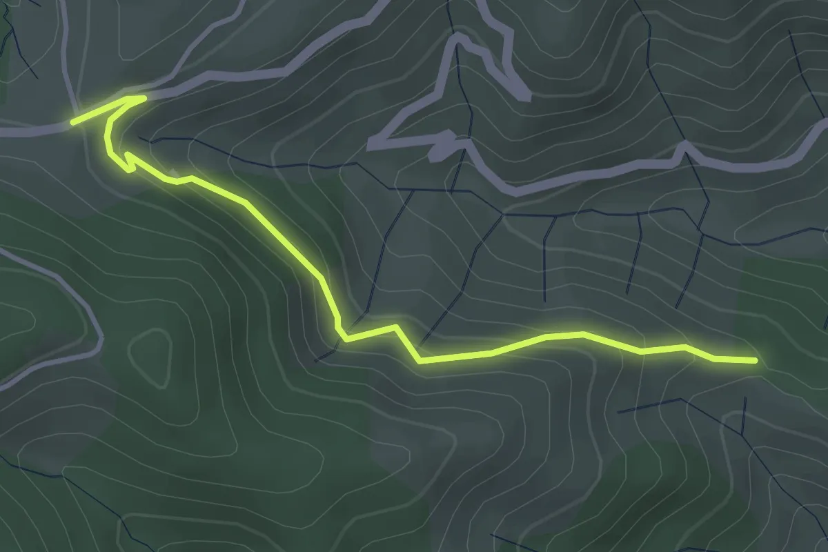
Easy · Trail
Croix du Planas - Les Vernets
3.7 km · ↑ 216 m · 1 h 21 min
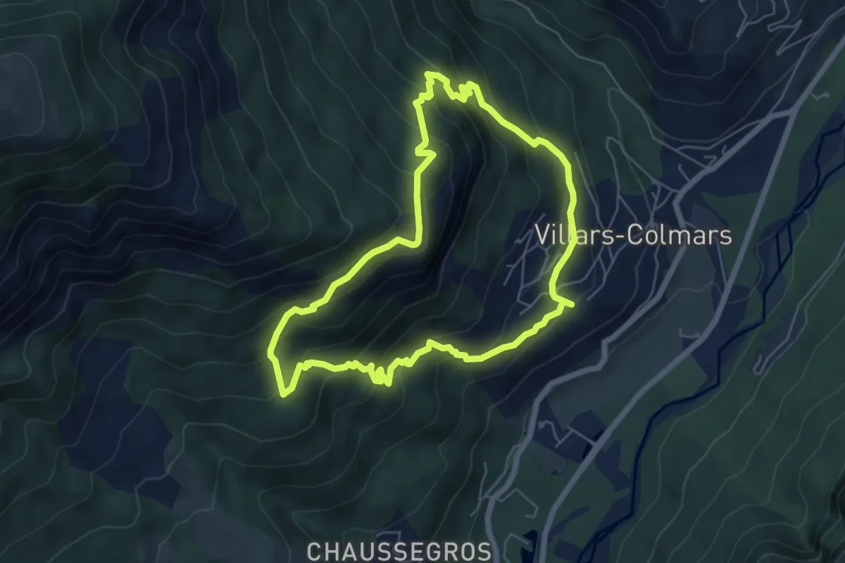
Medium · Trail
Croix du Puy
5.8 km · ↑ 435 m · 2 h 24 min
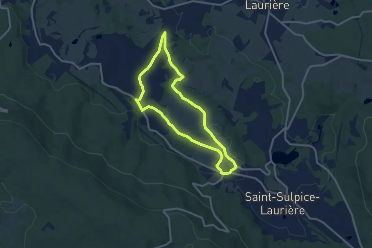
Easy · Trail
Croix du Tilleul/Poperdu
6.2 km · ↑ 139 m · 1 h 51 min
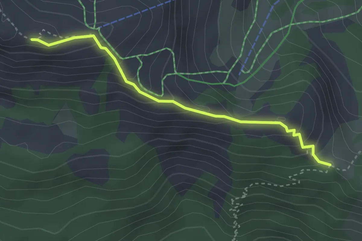
Medium · Trail
Croix du Vallon - Serre du Mouton
3.0 km · ↑ 262 m · 1 h 17 min
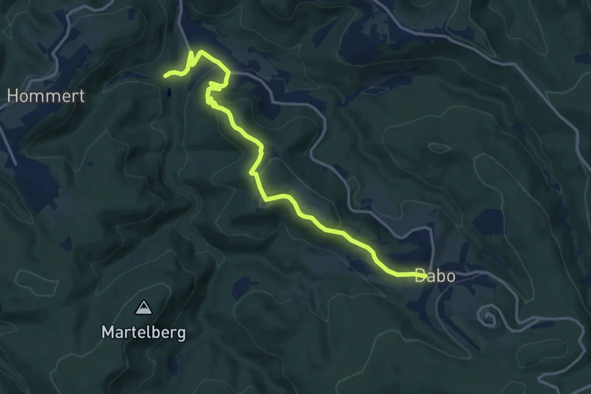
Medium · Trail
croix jaune 2
11.5 km · ↑ 366 m · 3 h 31 min
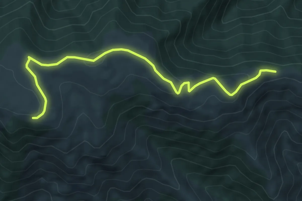
Easy · Trail
Cros de l'Aygue - Rocher des Barres
7.6 km · ↑ 207 m · 2 h 14 min
Easy · Trail
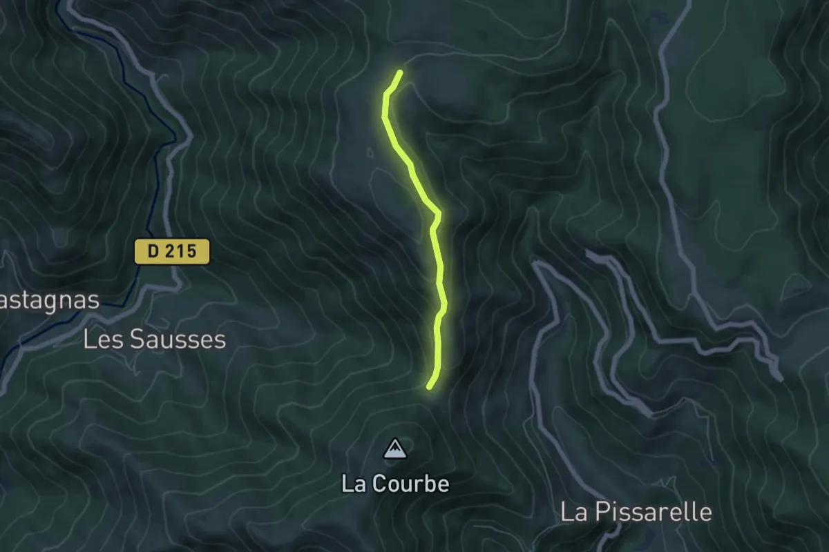
Cros du Loup - Les Granges de Sausses
4.1 km · ↑ 213 m · 1 h 26 min
Medium · Trail
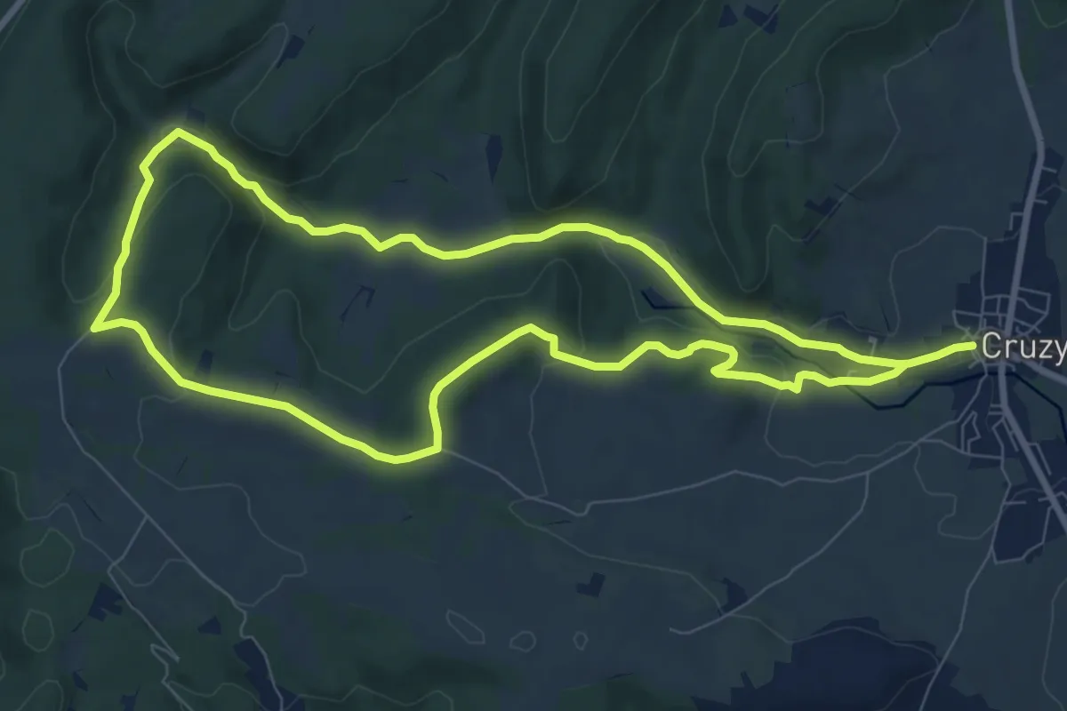
Cruzy - Défilé de Marie Coquette
8.9 km · ↑ 172 m · 2 h 36 min
Demanding · Trail
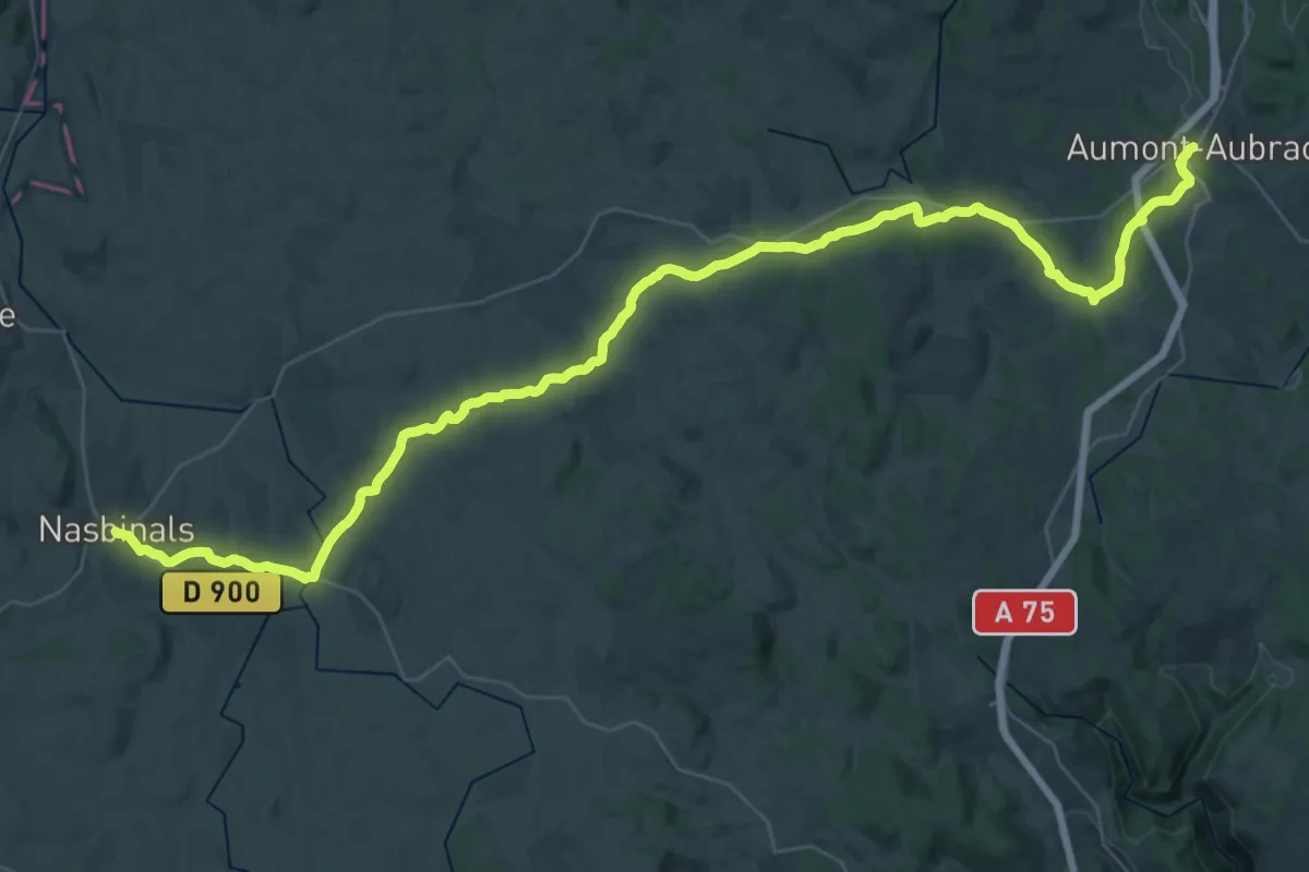
CSG 01 : Aumont-Aubrac - Nasbinals
25.8 km · ↑ 461 m · 7 h 23 min
Demanding · Trail
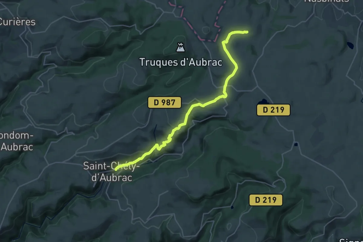
CSG 02 : Nasbinals - Saint-Chély-d'Aubrac
23.3 km · ↑ 693 m · 7 h
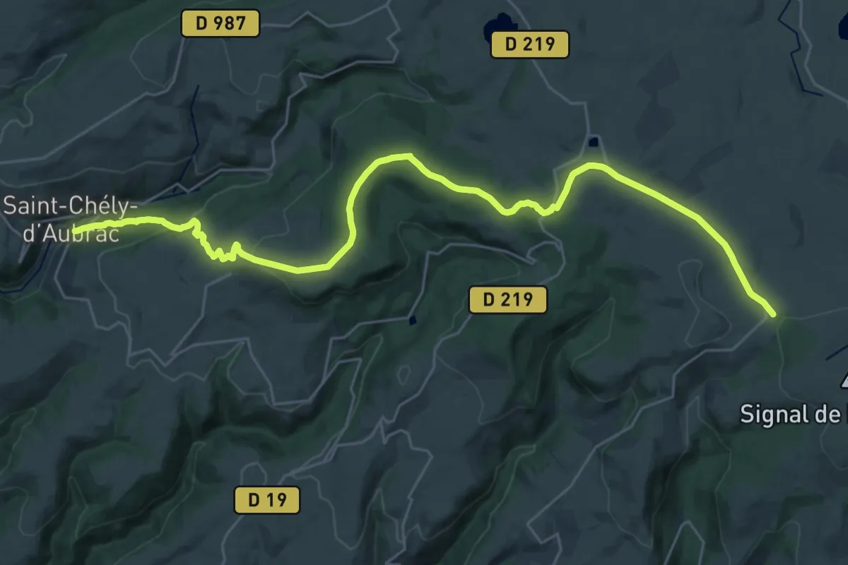
Medium · Trail
CSG 03C2 : Saint-Chély-d'Aubrac cimetière - Croix de Rode
15.5 km · ↑ 64 m · 4 h 19 min
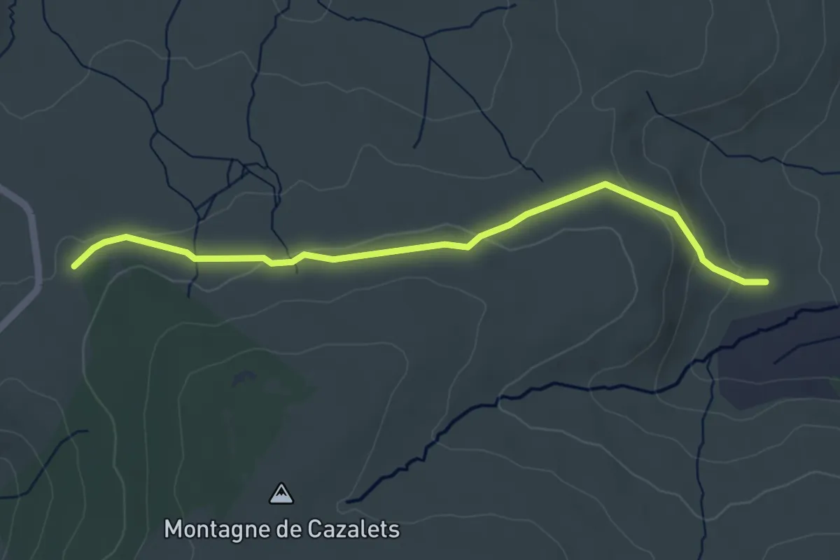
Easy · Cabin
CSG 03C3 : Croix de Rode - Refuge du Rajas
4.8 km · ↑ 97 m · 1 h 21 min
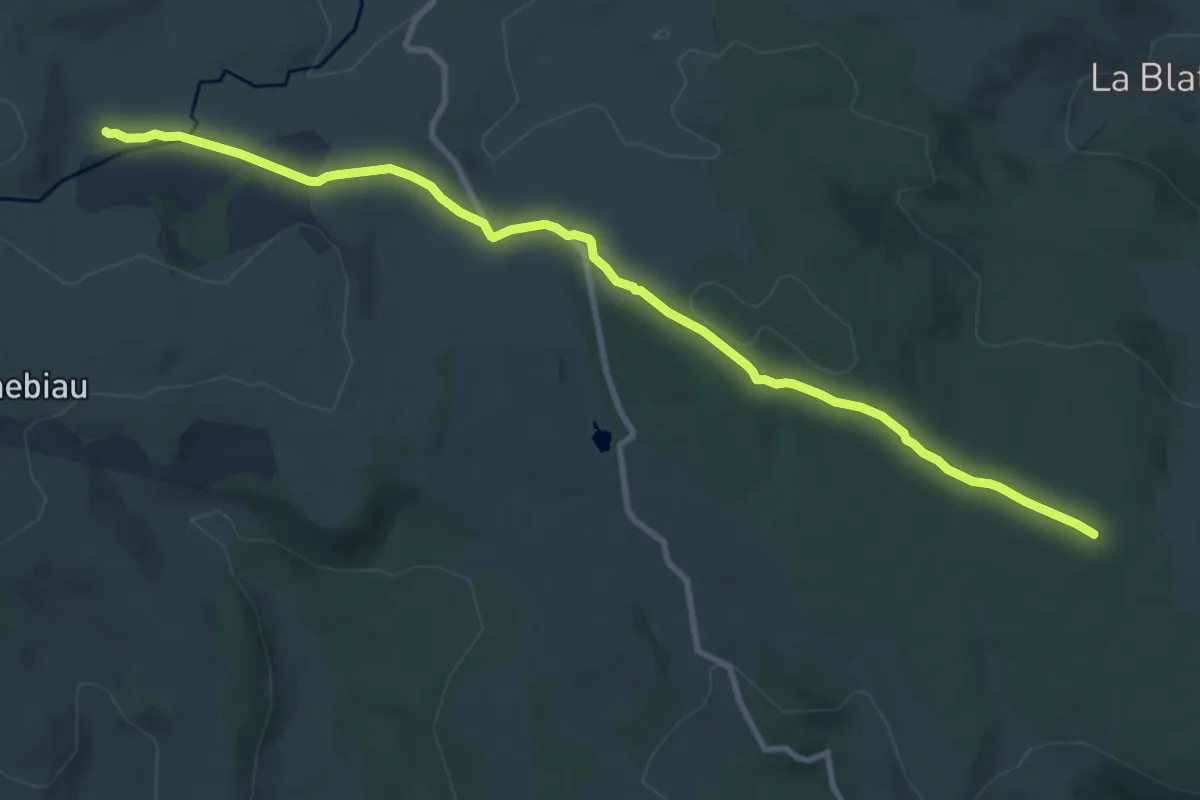
Medium · Cabin
CSG 04C1 : Refuge du Rajas - Carrefour TMA
11.2 km · ↑ 216 m · 3 h 7 min
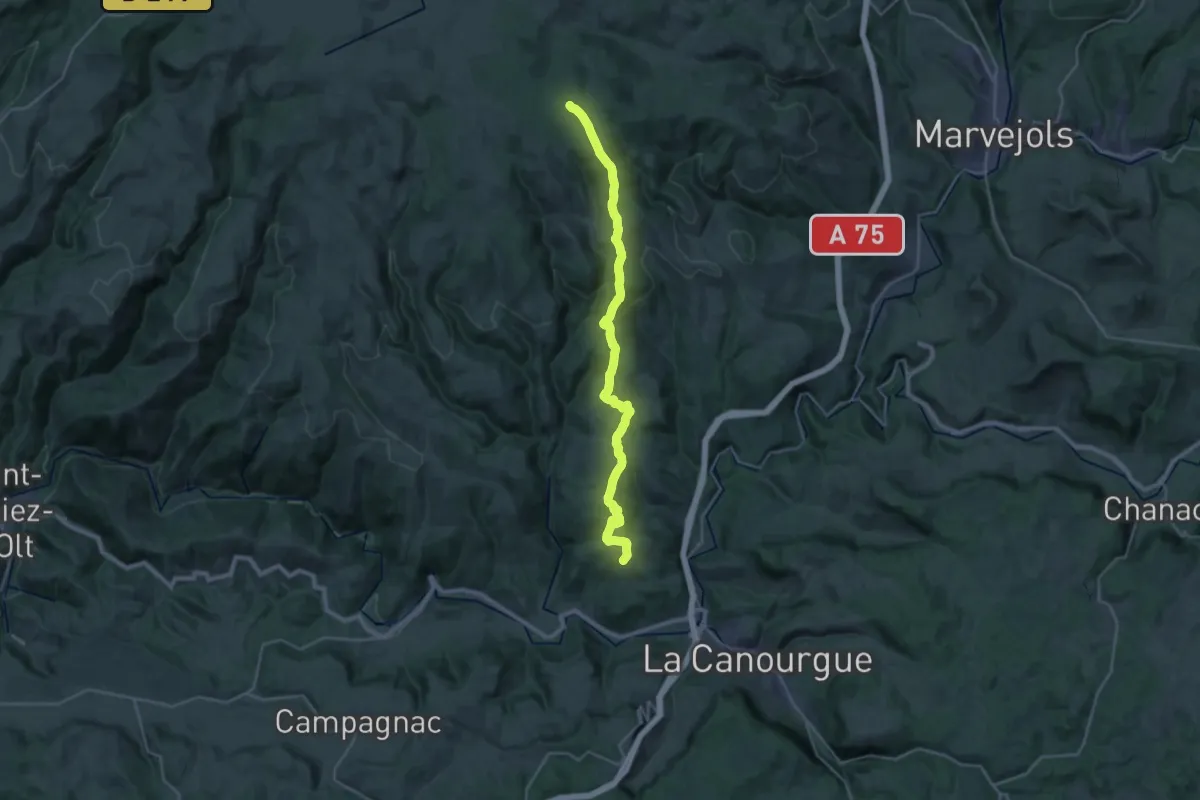
Medium · Trail
CSG 04C2 : Carrefour TMA - Carrefour GR
14.3 km · ↑ 788 m · 4 h 59 min
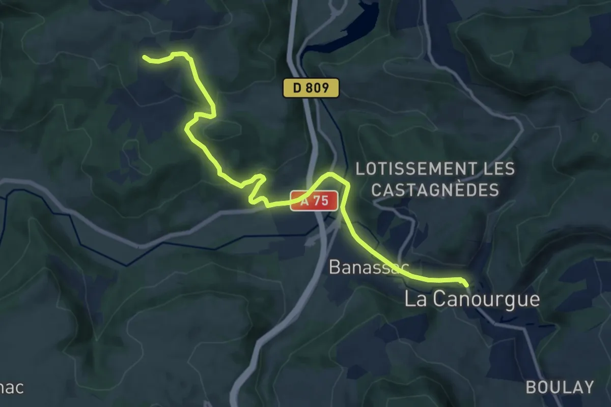
Medium · Trail
CSG 04C3 : Carrefour GR - La Canourgue
12.2 km · ↑ 317 m · 3 h 34 min
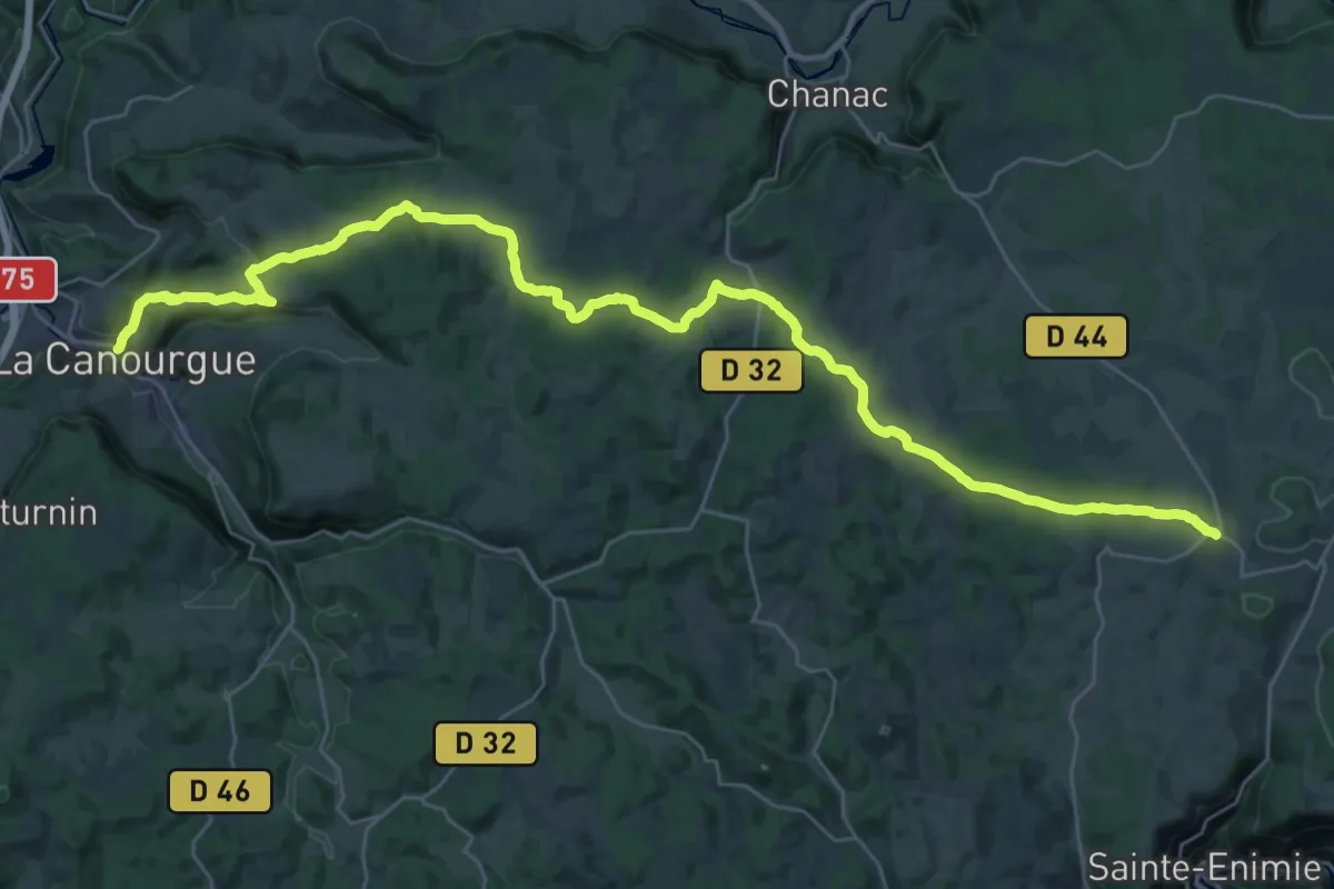
Demanding · Trail
CSG 05 : La Canourgue - Champerboux
21.0 km · ↑ 592 m · 6 h 21 min
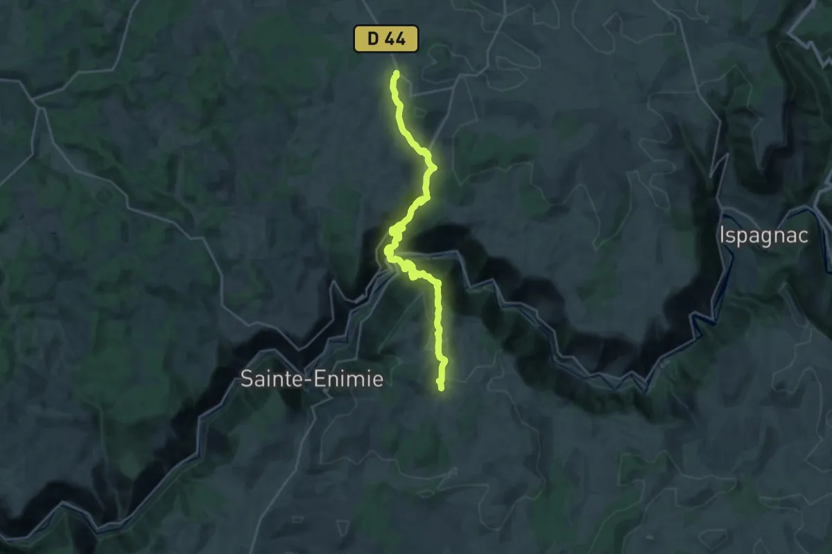
Demanding · Trail
CSG 06C1 : Champerboux - Carrefour GR
13.5 km · ↑ 766 m · 5 h
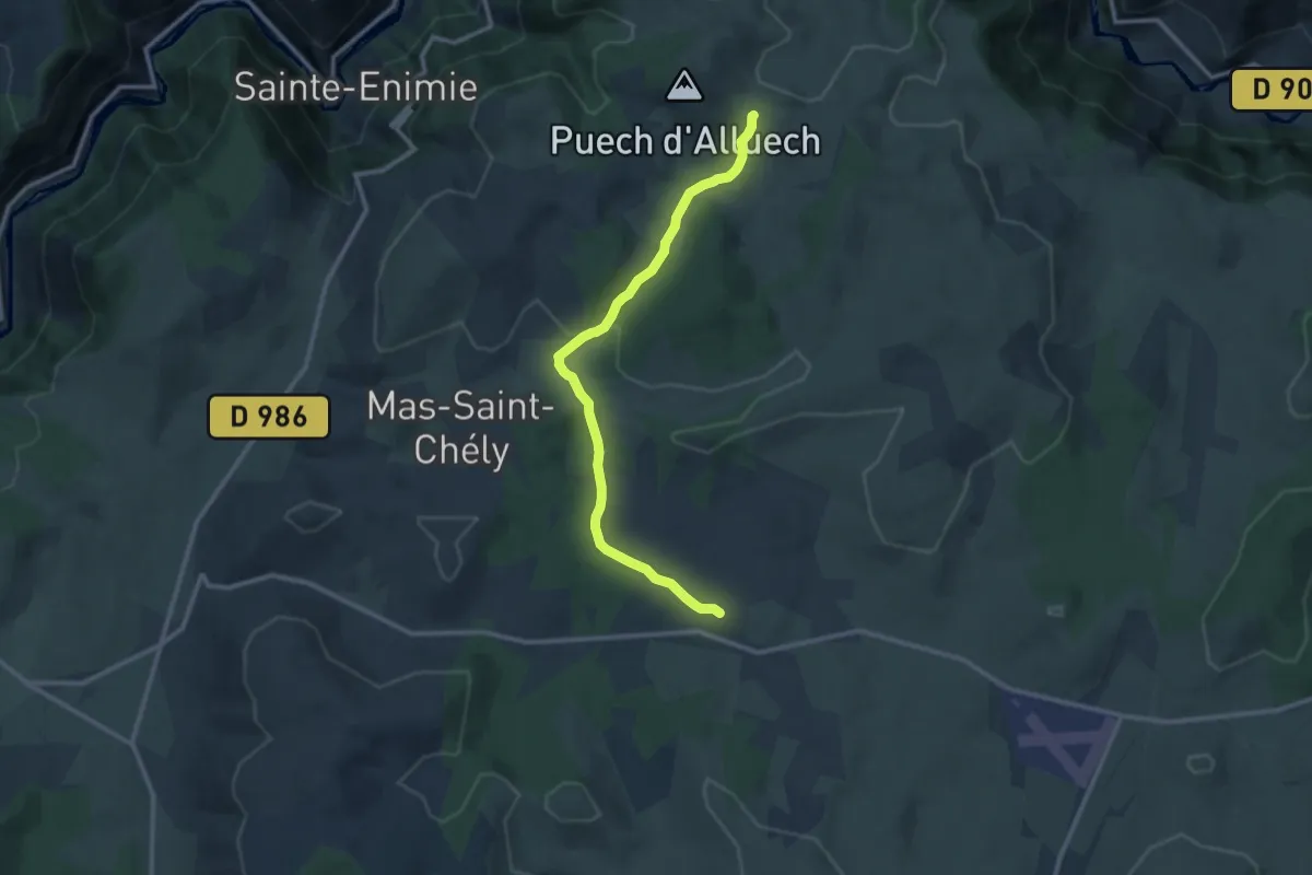
Medium · Trail
CSG 06C2 : Carrefour GR - Mas de Val
11.7 km · ↑ 161 m · 3 h 6 min
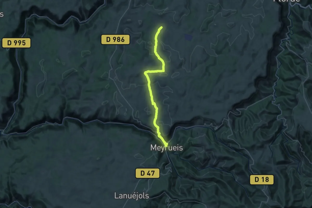
Medium · Trail
CSG 07 : Mas de Val - Meyrueis
17.1 km · ↑ 316 m · 5 h 4 min
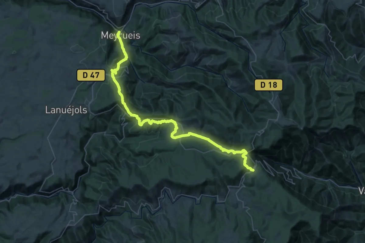
Demanding · Trail
CSG 08 : Meyrueis - L'Espérou
21.6 km · ↑ 1067 m · 7 h 27 min
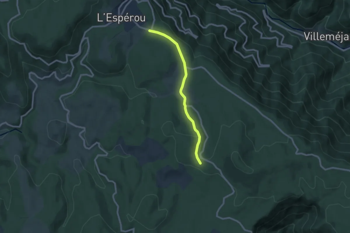
Easy · Trail
CSG 09A : Déviation
6.3 km · ↑ 137 m · 1 h 48 min
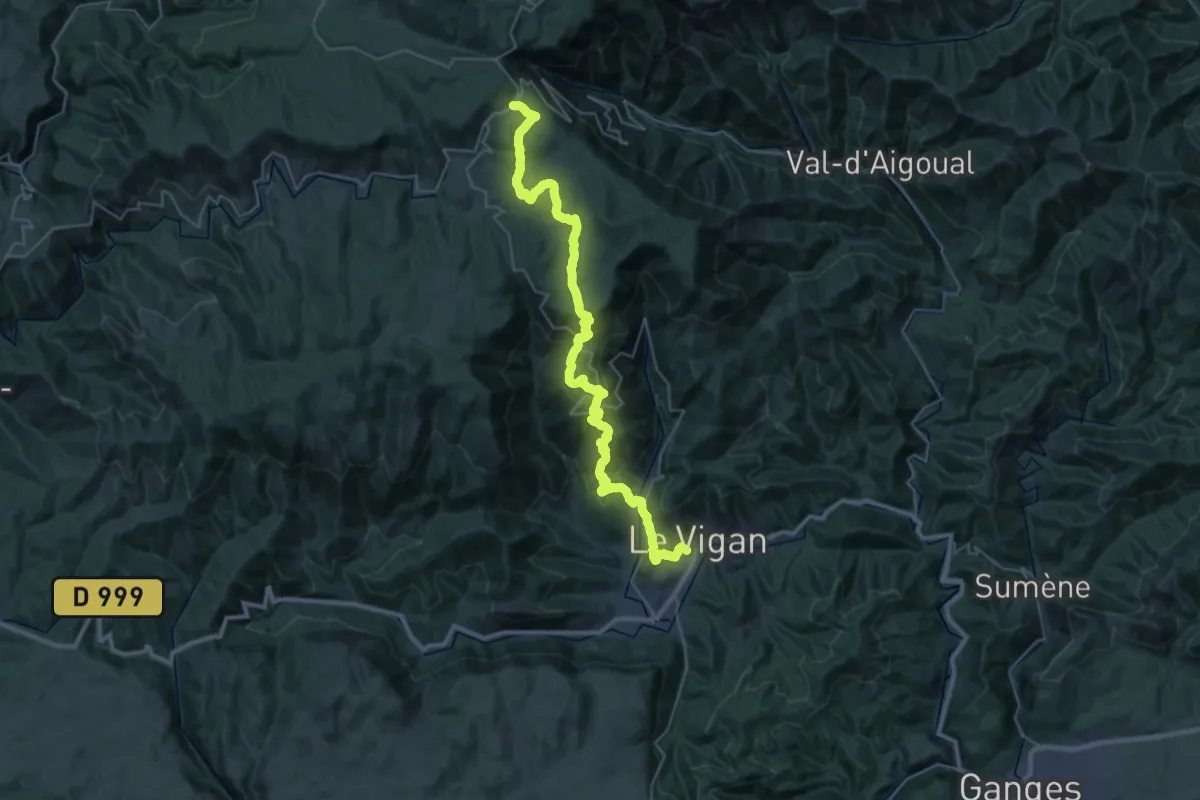
Demanding · Trail
CSG 09 : L'Espérou - Le Vigan
19.8 km · ↑ 310 m · 6 h 7 min
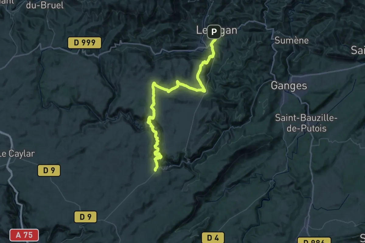
Demanding · Trail
CSG 10 : Le Vigan - Saint-Maurice-Navacelles
34.0 km · ↑ 1491 m · 11 h 33 min
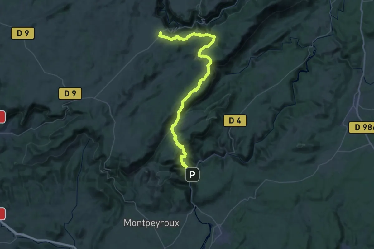
Demanding · Trail
CSG 11 : Saint-Maurice-Navacelles - Saint-Guilhem-le-Désert
25.3 km · ↑ 1159 m · 8 h 36 min
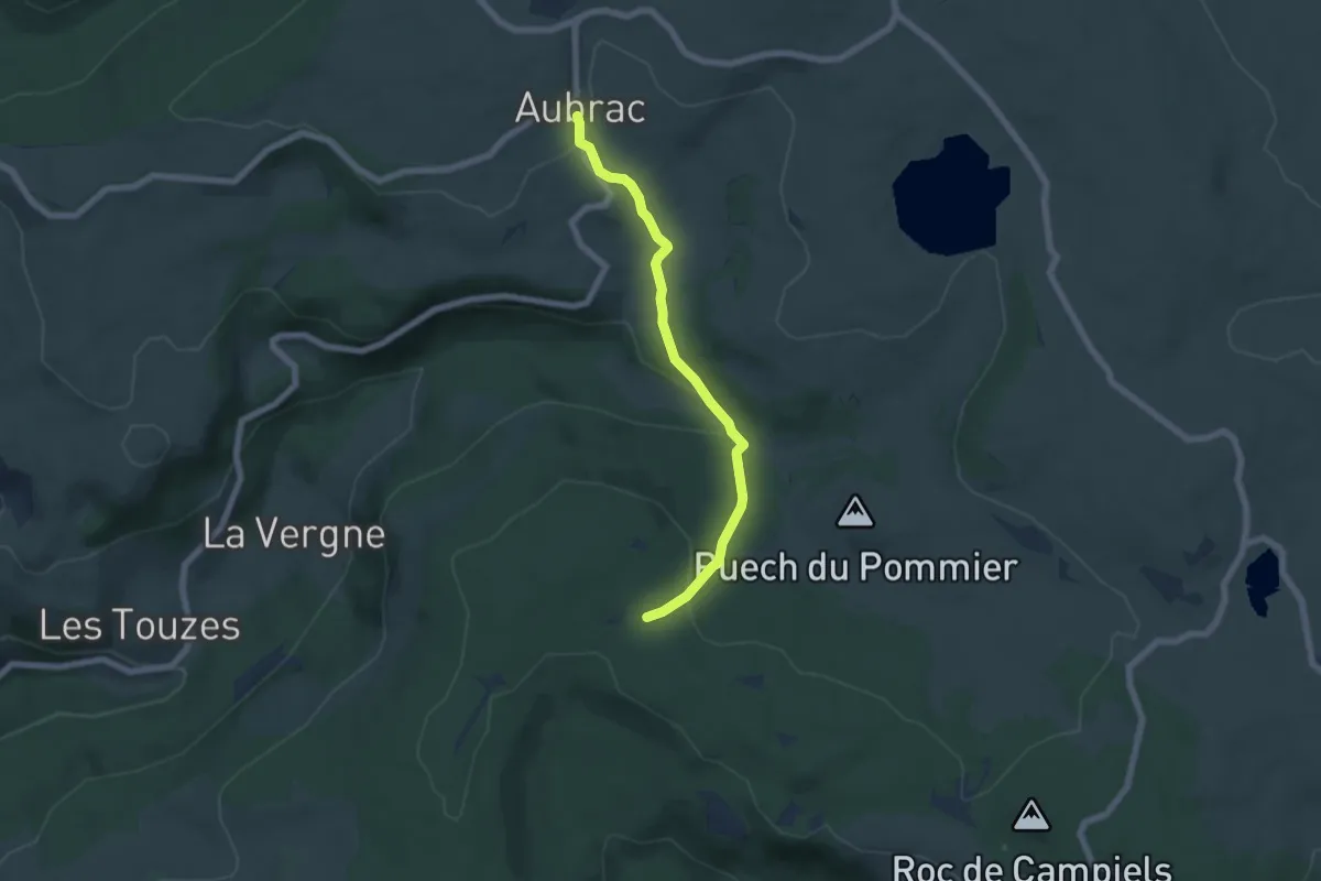
Easy · Cabin
CSG V1 : Aumont-Aubrac - Croix de la Vaysse
6.0 km · ↑ 207 m · 1 h 52 min
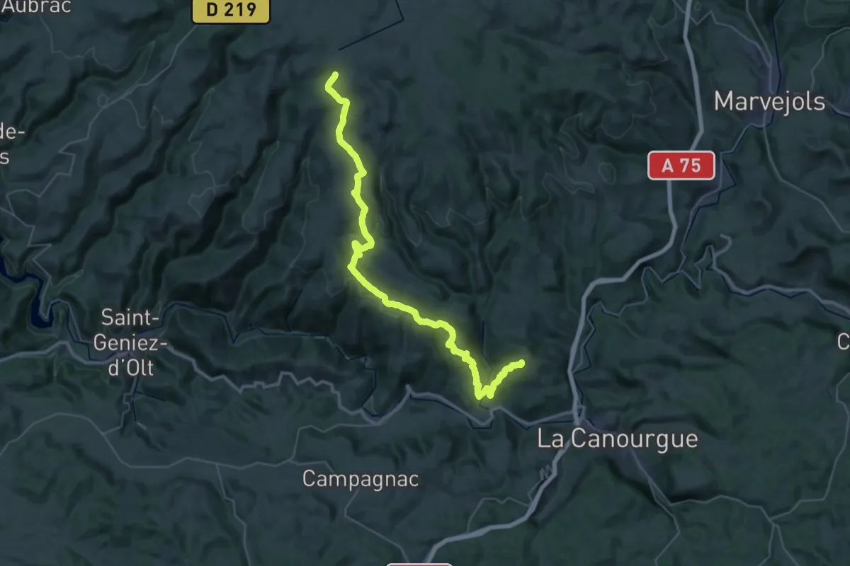
Demanding · Trail
CSG V2 : Croix de la Rode - Croix du Pré de Bourgade
21.9 km · ↑ 989 m · 7 h 20 min
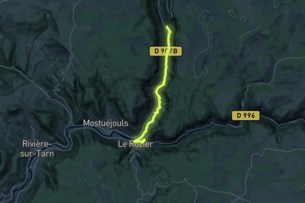
Demanding · Summit
CSG V3 : La Canourgue - Croix de la Croisette
19.8 km · ↑ 898 m · 6 h 37 min
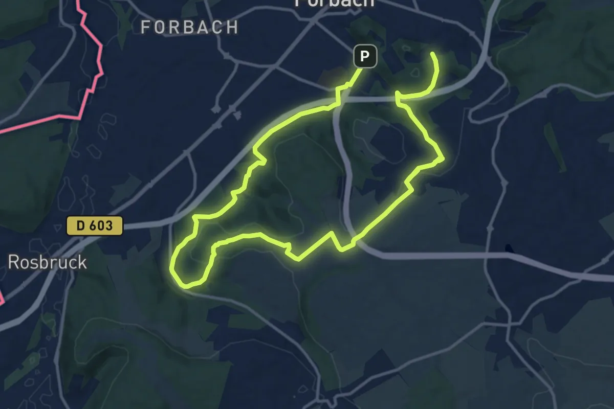
Demanding · Trail
CTL_1
20.9 km · ↑ 524 m · 6 h 4 min
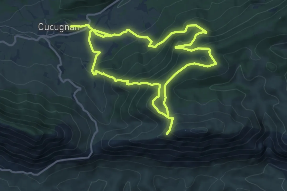
Medium · Trail
Cucugnan Quéribus
9.0 km · ↑ 455 m · 3 h 13 min
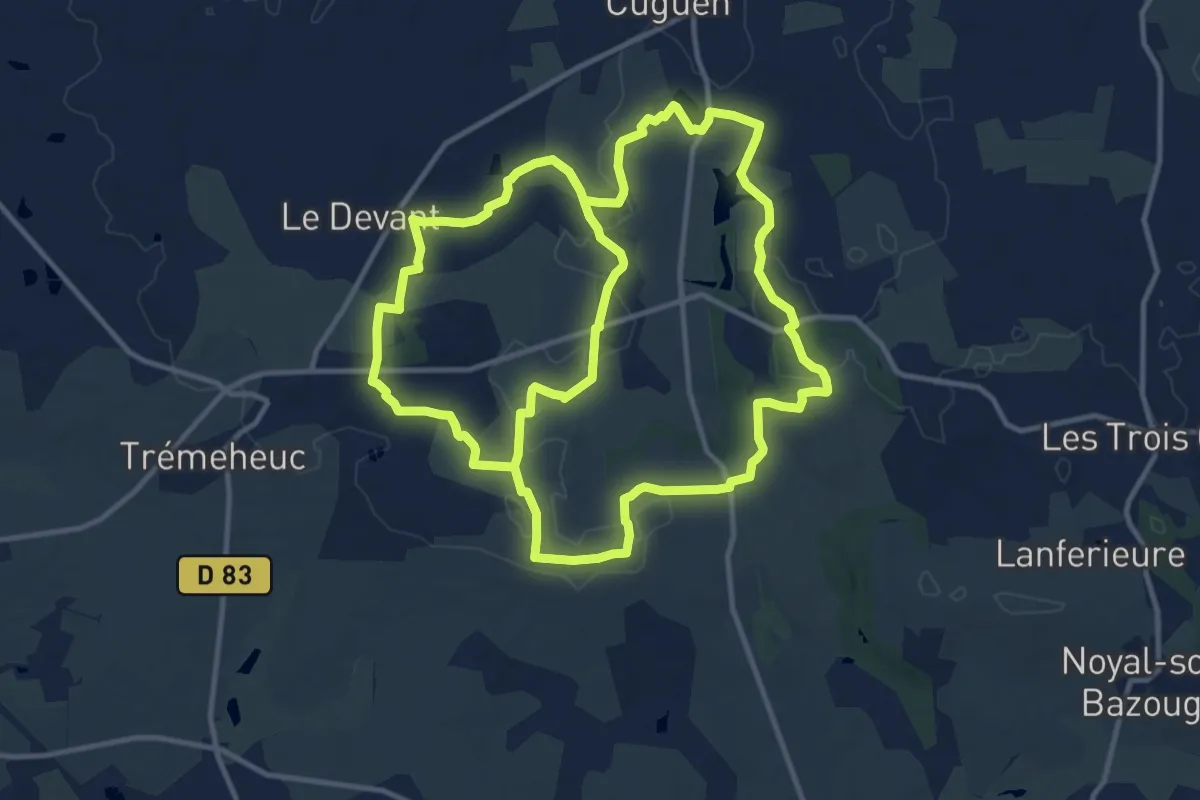
Demanding · Trail
Cuguen : le menhir de la Butte
26.0 km · ↑ 153 m · 6 h 28 min
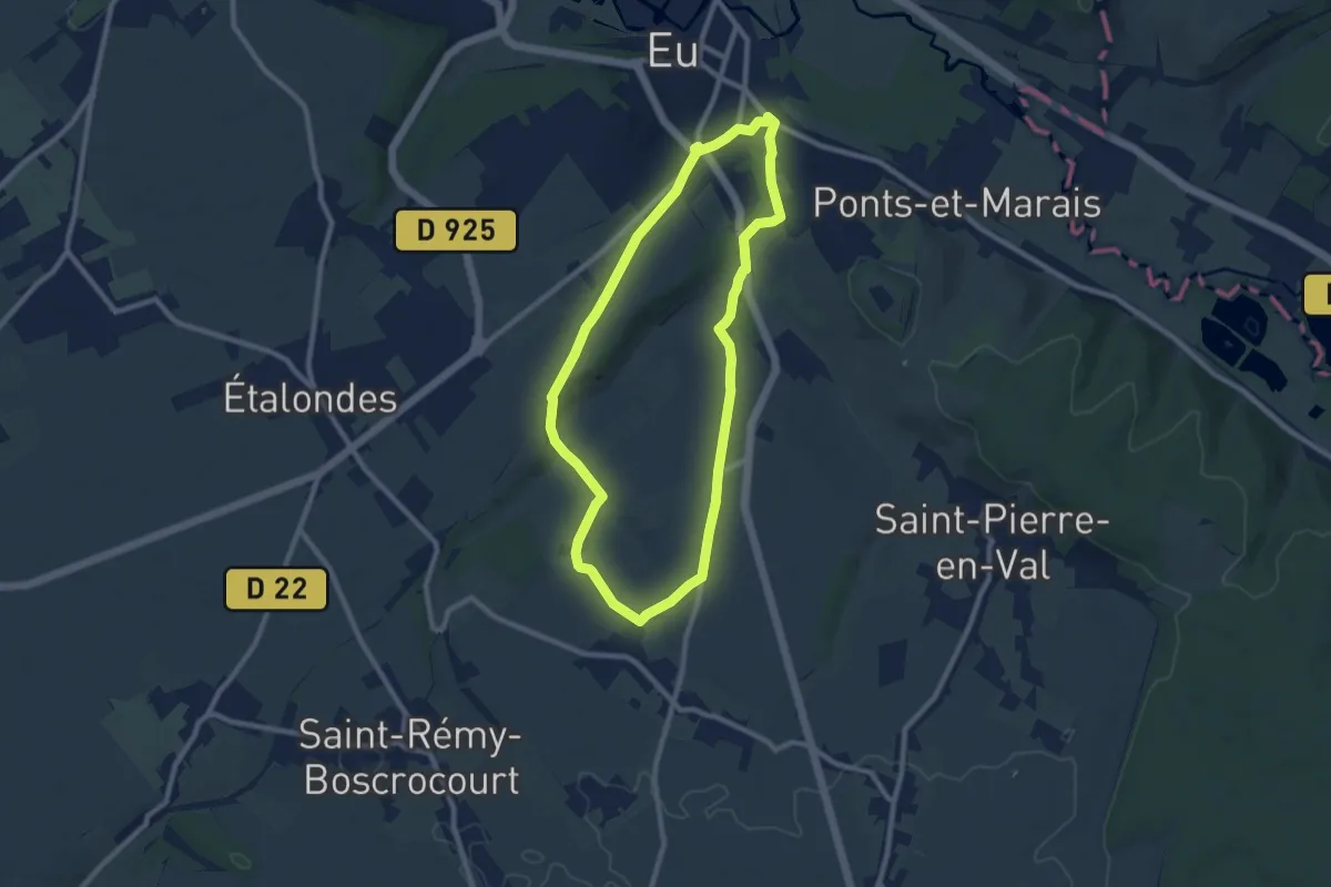
Easy · Trail
Cumont
8.0 km · ↑ 122 m · 2 h 15 min
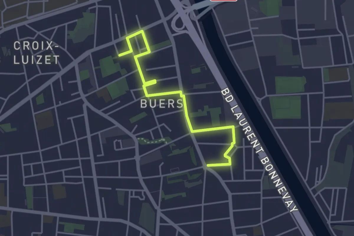
Easy · Trail
Curieux Détours Buers
4.2 km · ↑ 0 m · 1 h
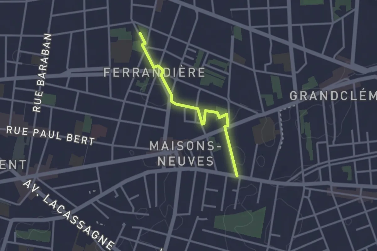
Easy · Trail
Curieux Détours Ferrandière - Maisons Neuves
2.5 km · ↑ 9 m · 36 min
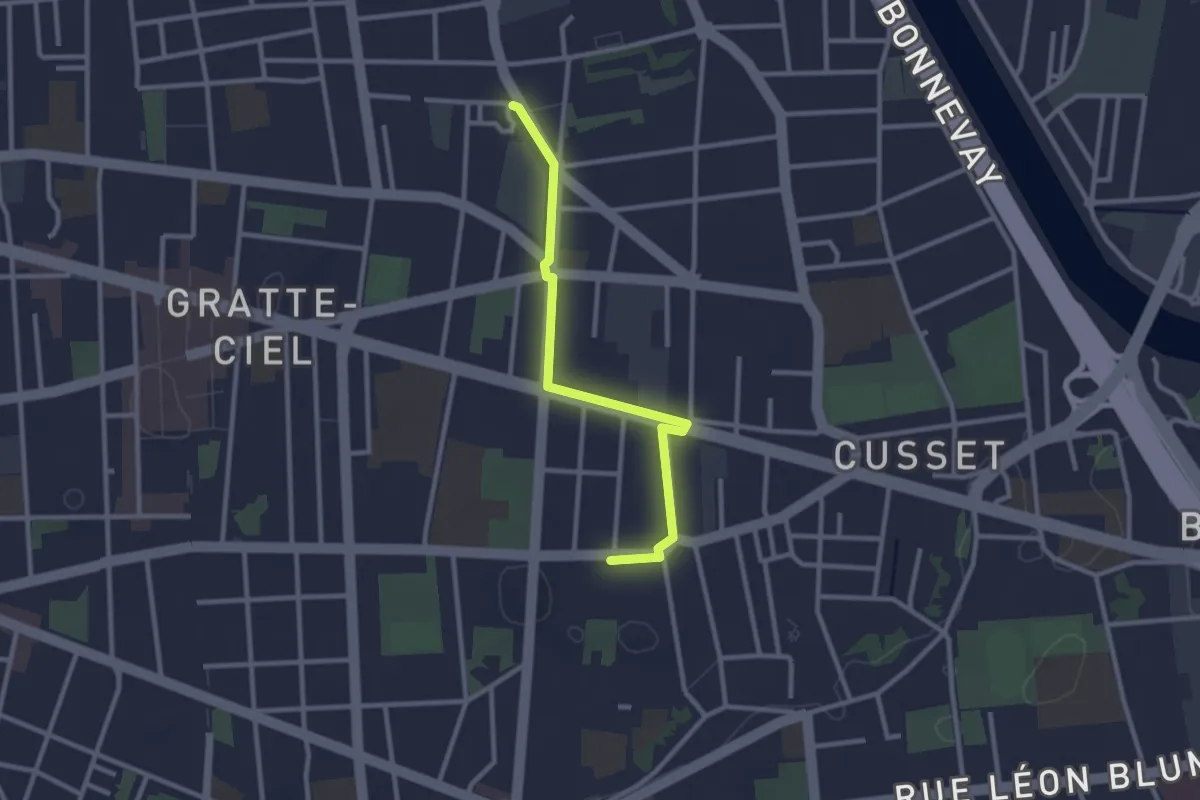
Easy · Trail
Curieux Détours Flachet
2.7 km · ↑ 0 m · 39 min