Trails in France
15,926 hiking trails, each with its route, climb, walking time and grade.
All trails, page 98 of 332
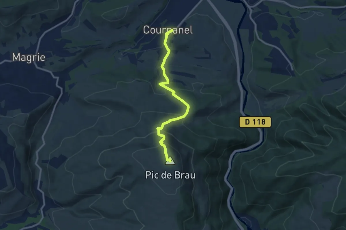
Medium · Summit
Cournanel -Pic de Brau
7.7 km · ↑ 448 m · 2 h 47 min
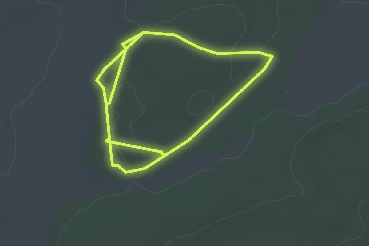
Easy · Trail
Court circuit
3.0 km · ↑ 23 m · 48 min
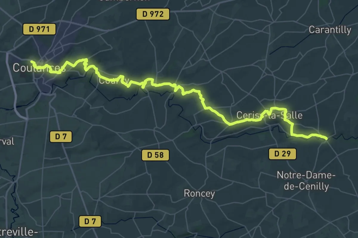
Demanding · Trail
Coutances au Pont Brocard
23.5 km · ↑ 460 m · 6 h 53 min
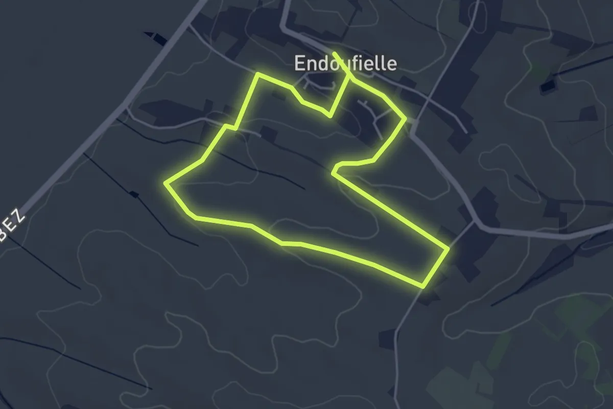
Easy · Trail
CR1 – Le petit jaune
4.1 km · ↑ 57 m · 1 h 8 min
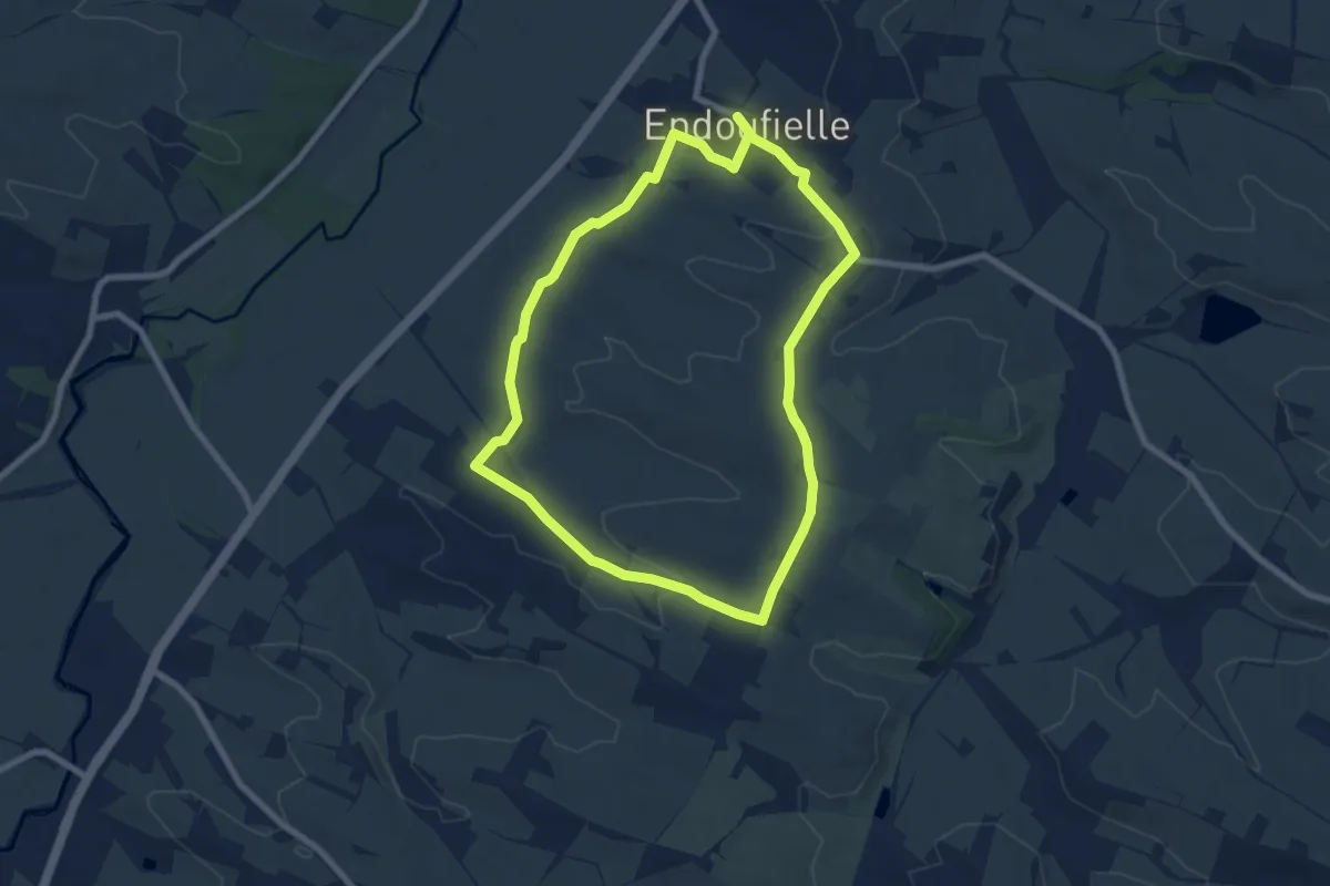
Easy · Trail
CR2 – Le grand bleu
7.5 km · ↑ 87 m · 2 h 4 min
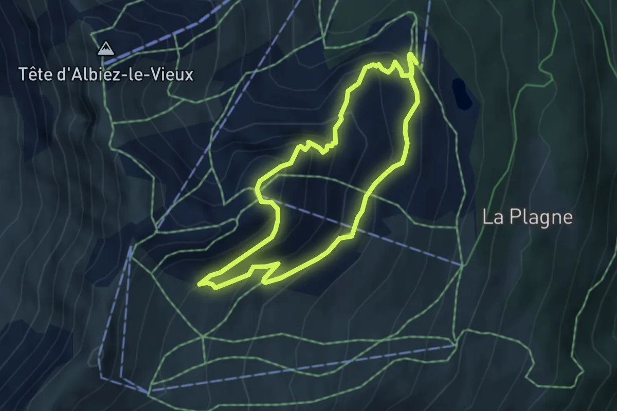
Easy · Trail
Crêt de Talière
4.0 km · ↑ 284 m · 1 h 37 min
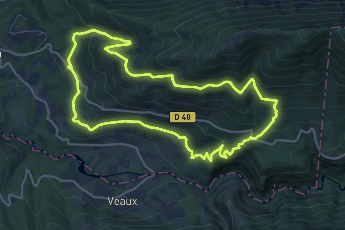
Medium · Trail
Crête de Bluye
8.7 km · ↑ 453 m · 3 h 9 min
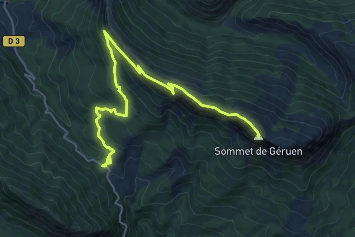
Medium · Summit
Crête de Géruen
6.9 km · ↑ 554 m · 2 h 41 min
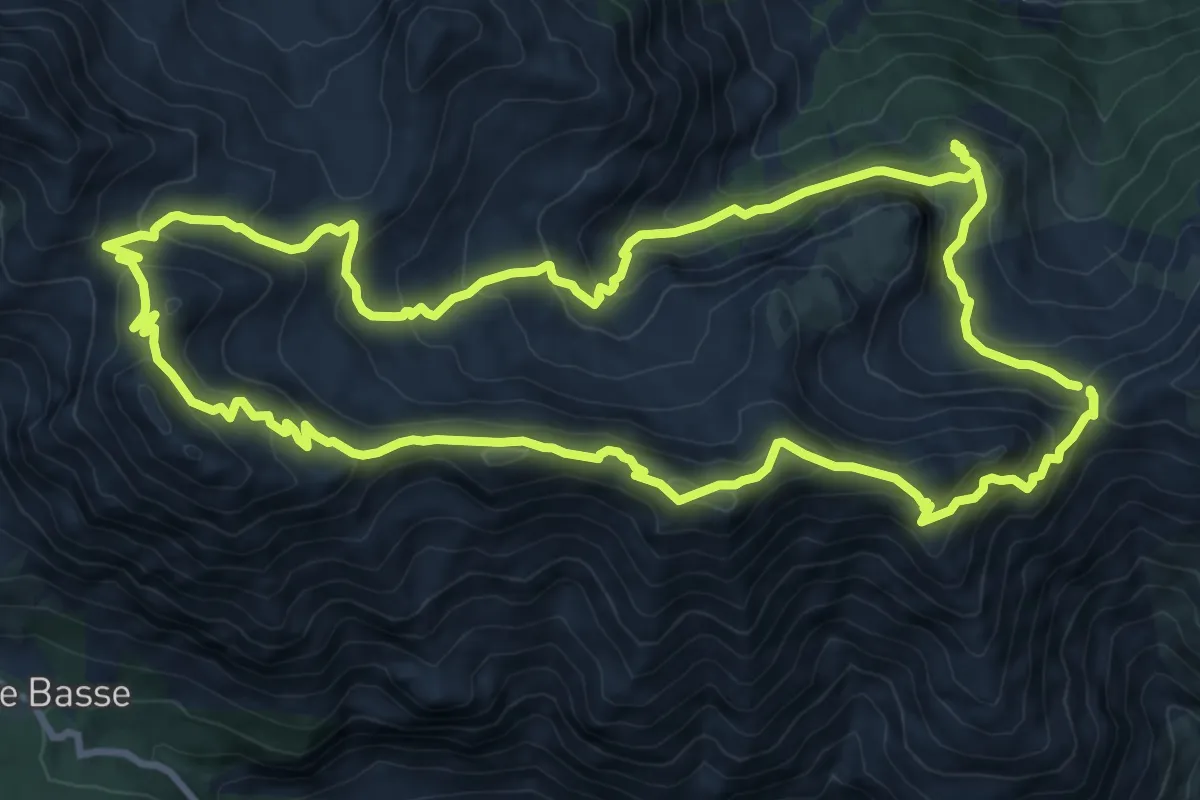
Expert · Summit
Crête de la Blanche
11.6 km · ↑ 757 m · 4 h 31 min
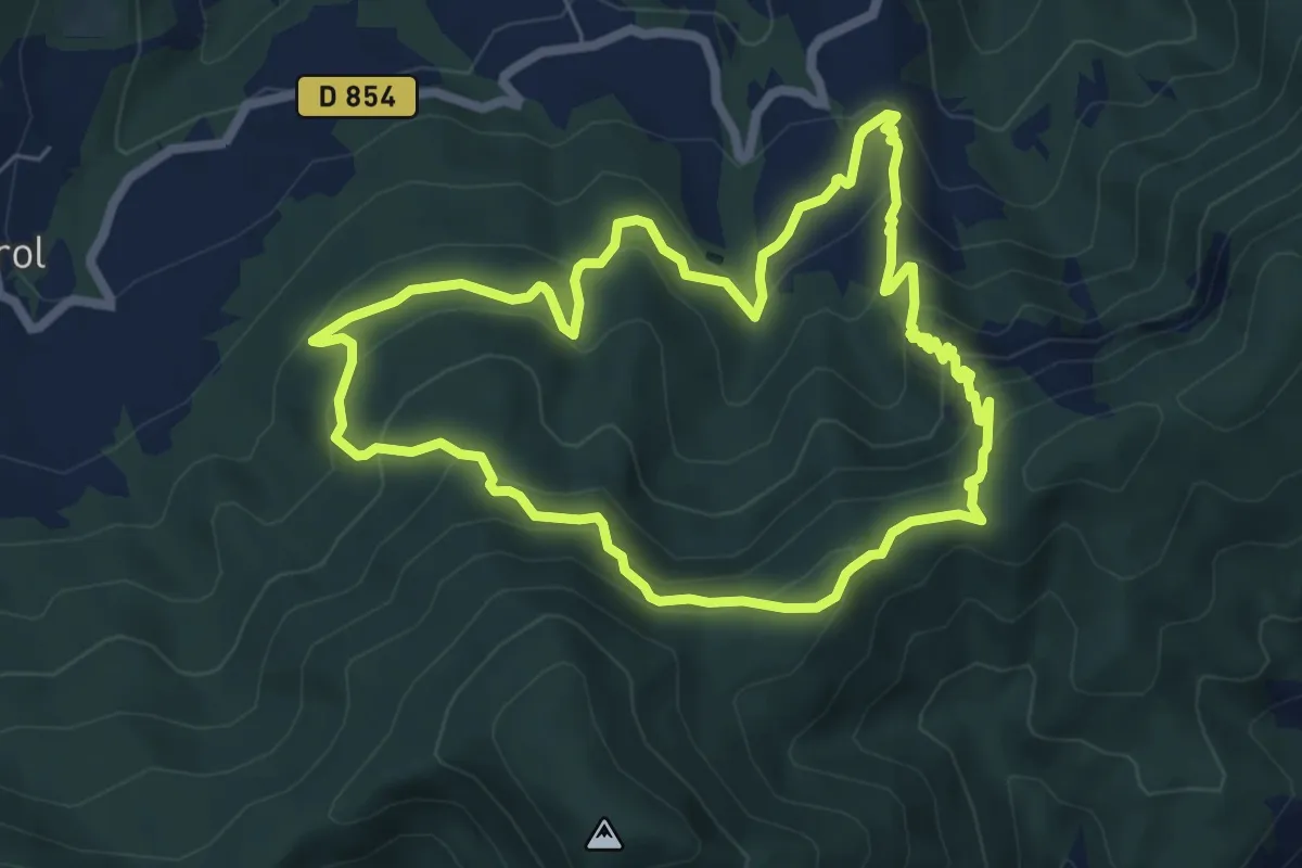
Medium · Trail
Crête de la Colle
6.6 km · ↑ 444 m · 2 h 37 min
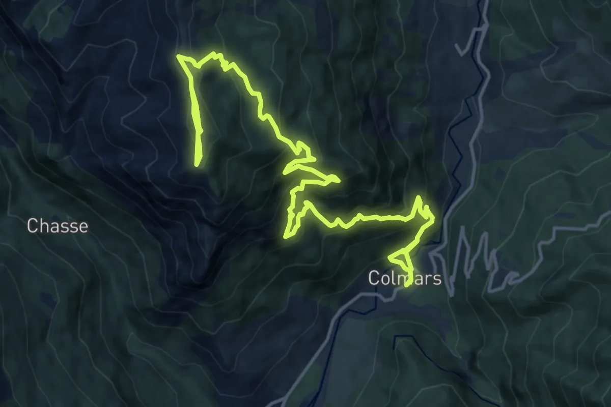
Medium · Trail
Crête de la Gardette (2 228 m)
9.9 km · ↑ 349 m · 3 h 41 min
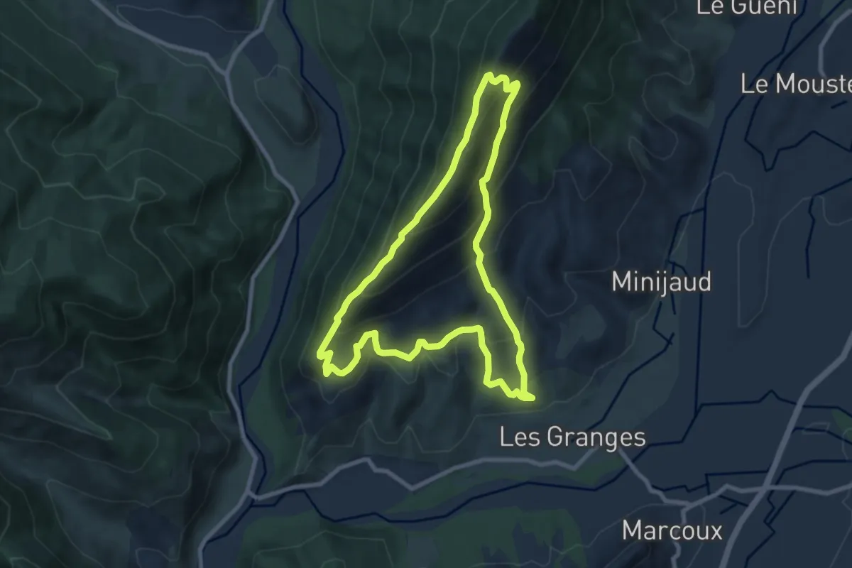
Medium · Trail
Crête de Limans
8.0 km · ↑ 575 m · 3 h 14 min
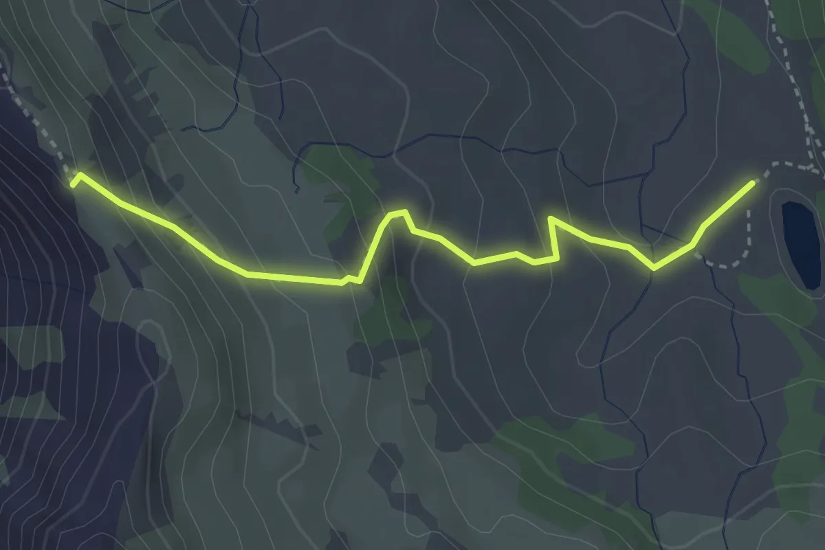
Medium · Trail
Crête de Morgon - Lac de Morgon
3.2 km · ↑ 247 m · 1 h 18 min
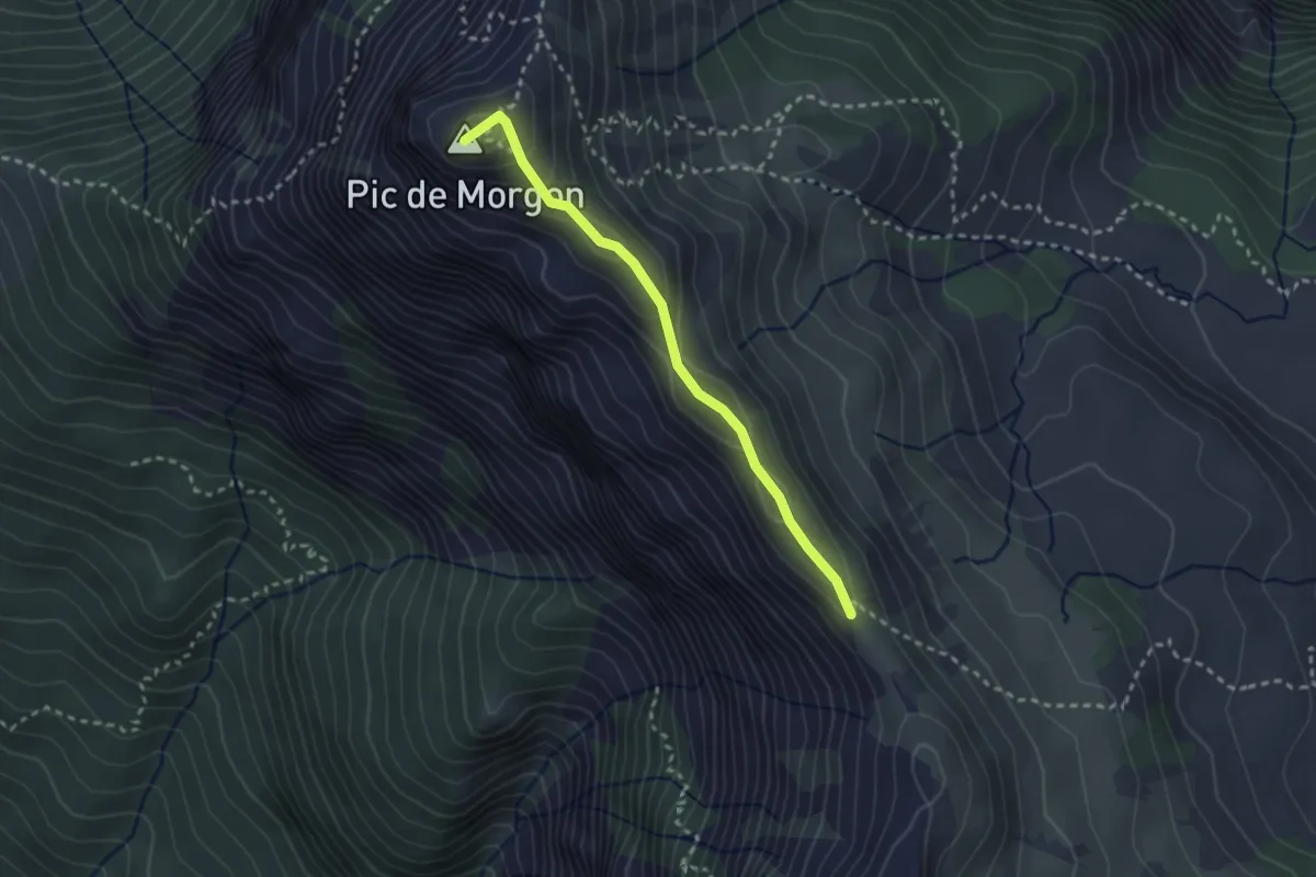
Demanding · Summit
Crête de Morgon - Pic de Morgon
2.6 km · ↑ 158 m · 57 min
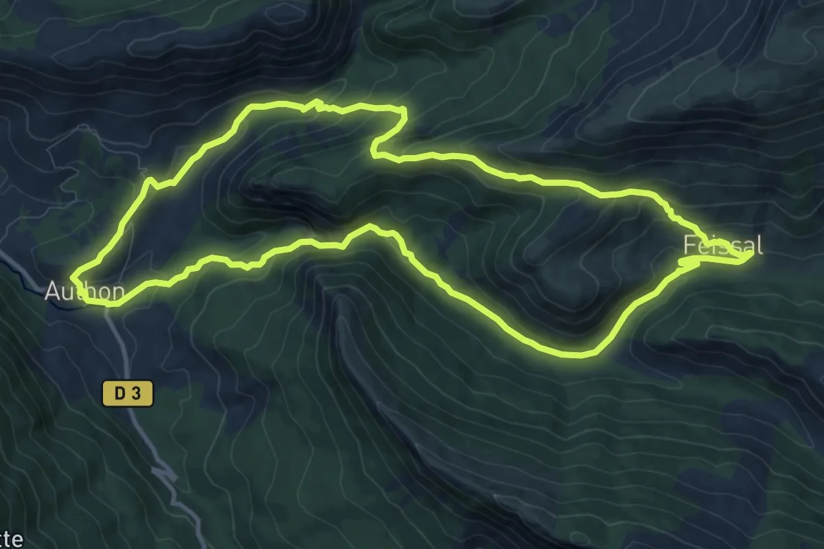
Medium · Trail
Crête de Pierre-Mont
11.8 km · ↑ 487 m · 4 h
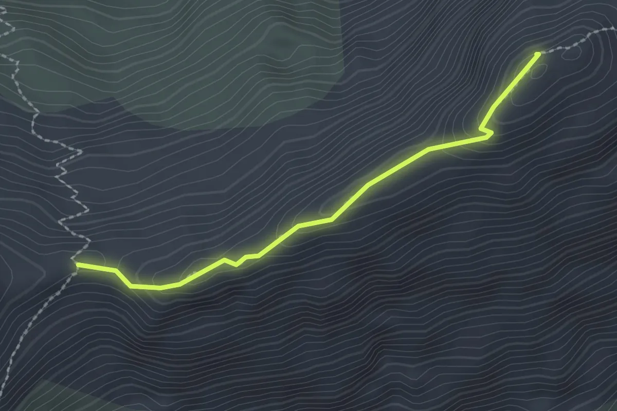
Demanding · Summit
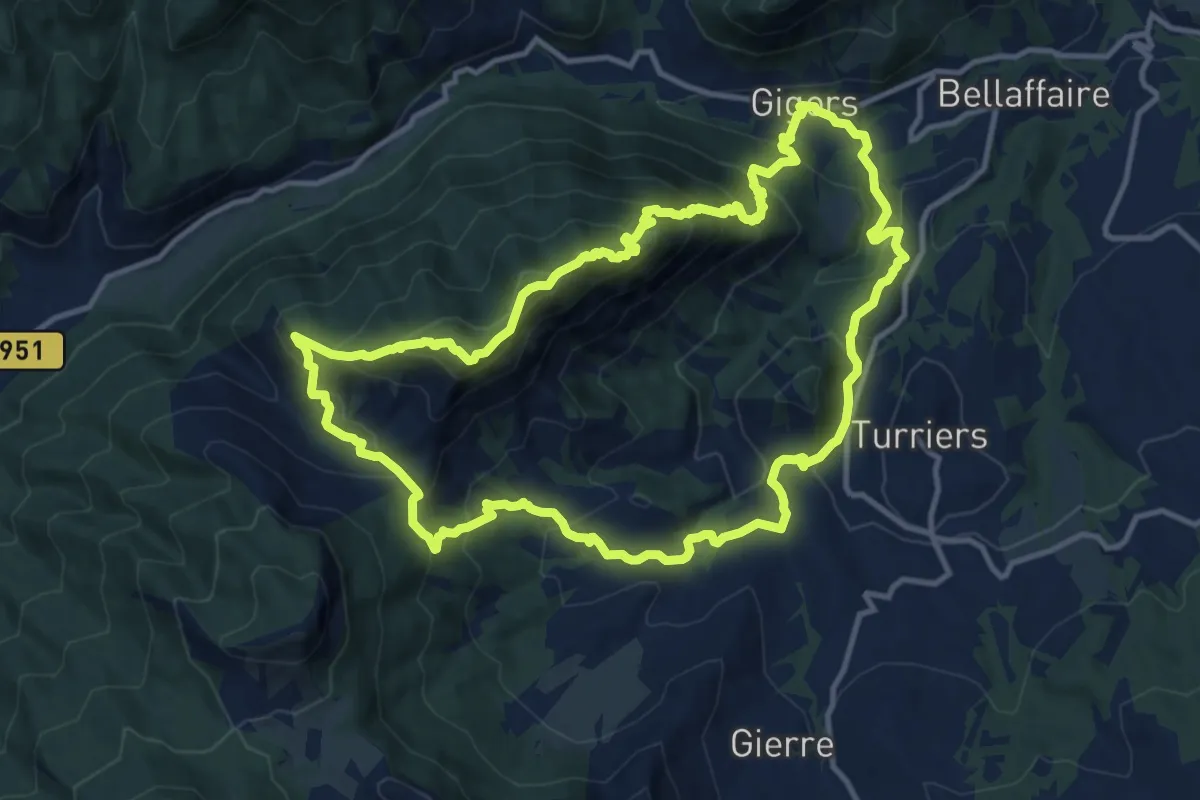
Crête des Bancs - Col du Bal
2.2 km · ↑ 113 m · 45 min
Demanding · Summit
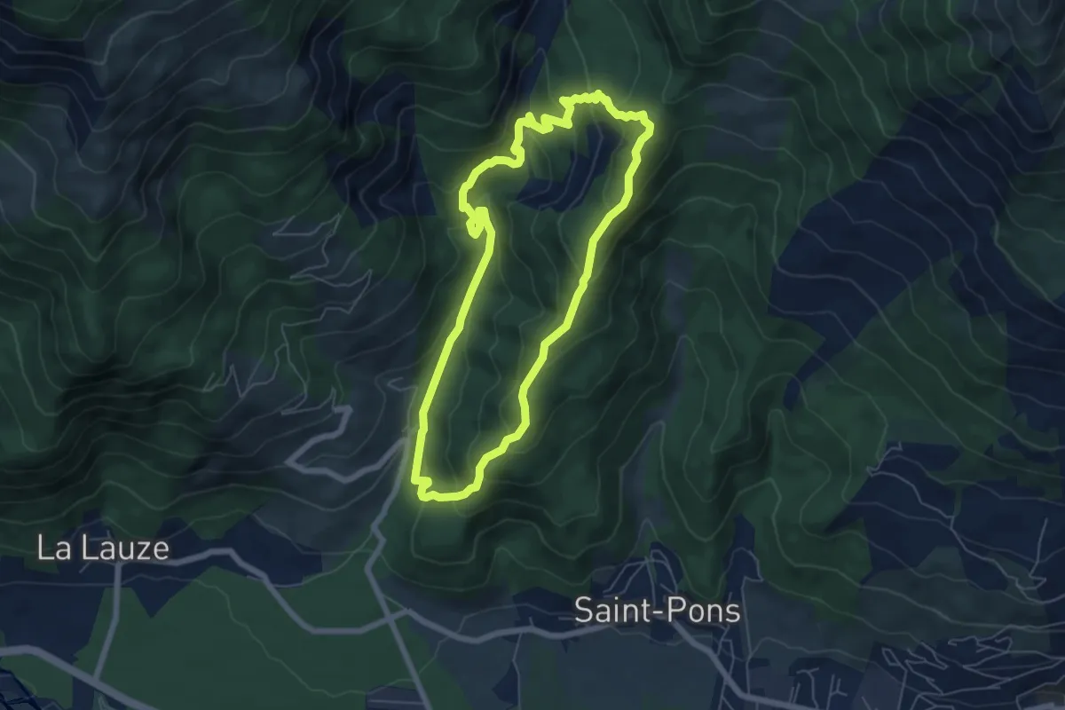
Crête des Barses
13.3 km · ↑ 880 m · 5 h 13 min
Medium · Trail
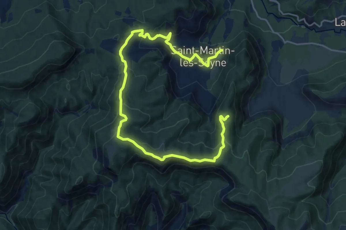
Crête des Cognetons
6.0 km · ↑ 398 m · 2 h 22 min
Medium · Trail
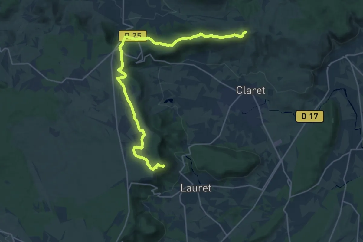
Crête des Mélèzes
9.2 km · ↑ 562 m · 3 h 21 min
Demanding · Summit
Crête de Taillade et rocher du Causse
20.5 km · ↑ 336 m · 5 h 34 min
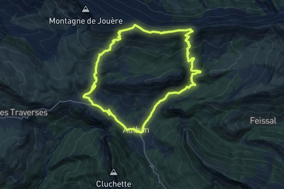
Medium · Trail
Crête du Clot des Martres
15.1 km · ↑ 696 m · 5 h 17 min
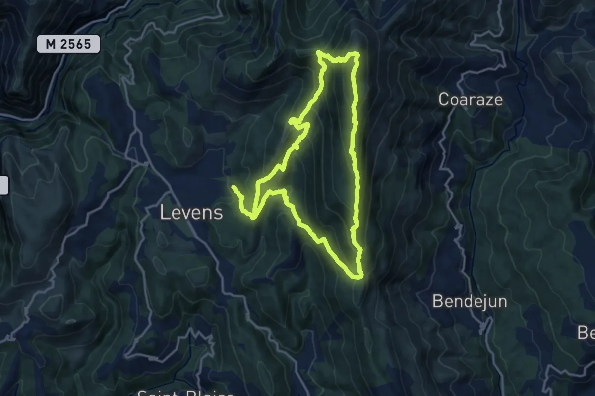
Demanding · Summit
Crête du Férion
12.0 km · ↑ 897 m · 4 h 55 min
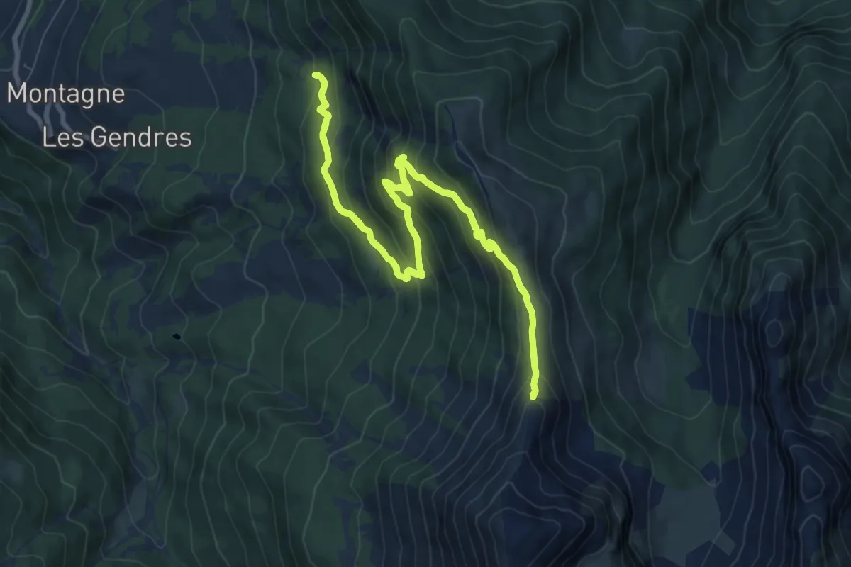
Medium · Trail
Crête du Lauzet
9.1 km · ↑ 607 m · 3 h 35 min
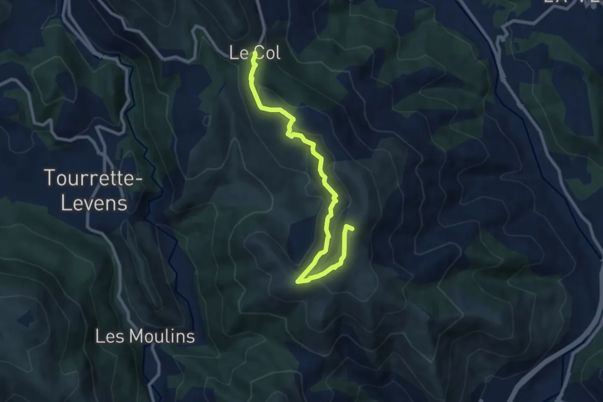
Medium · Summit
Crête du mont Macaron
8.3 km · ↑ 389 m · 2 h 48 min
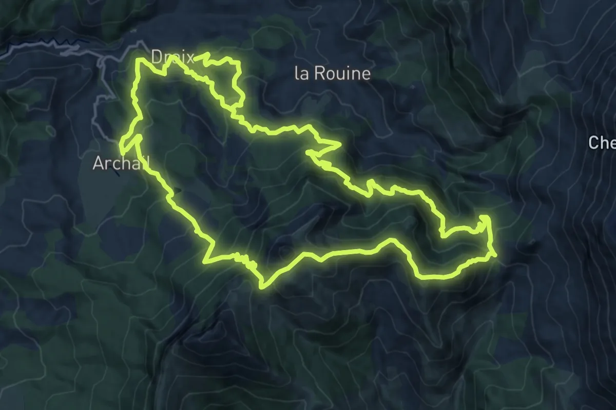
Demanding · Summit
Crête du pré de l'Evêque
20.8 km · ↑ 1432 m · 8 h 15 min
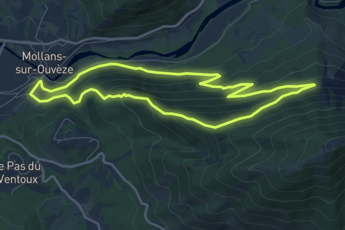
Medium · Trail
Crête et Ubac de Bluye
7.3 km · ↑ 405 m · 2 h 42 min
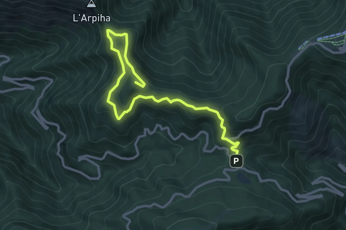
Demanding · Summit
Crêtes de l'Arpiha
8.2 km · ↑ 469 m · 2 h 58 min
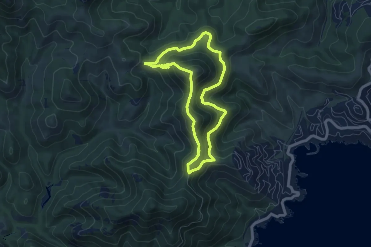
Demanding · Summit
Crêtes des Grues
6.7 km · ↑ 377 m · 2 h 29 min
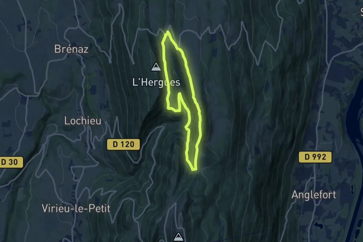
Medium · Trail
Crêtes de Sur Lyand
9.3 km · ↑ 359 m · 3 h 7 min
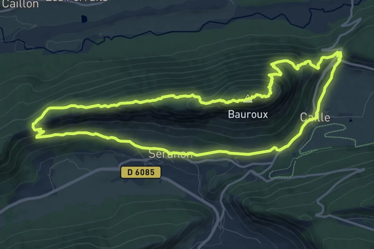
Medium · Summit
Crêtes du Bauroux
11.7 km · ↑ 587 m · 4 h 12 min
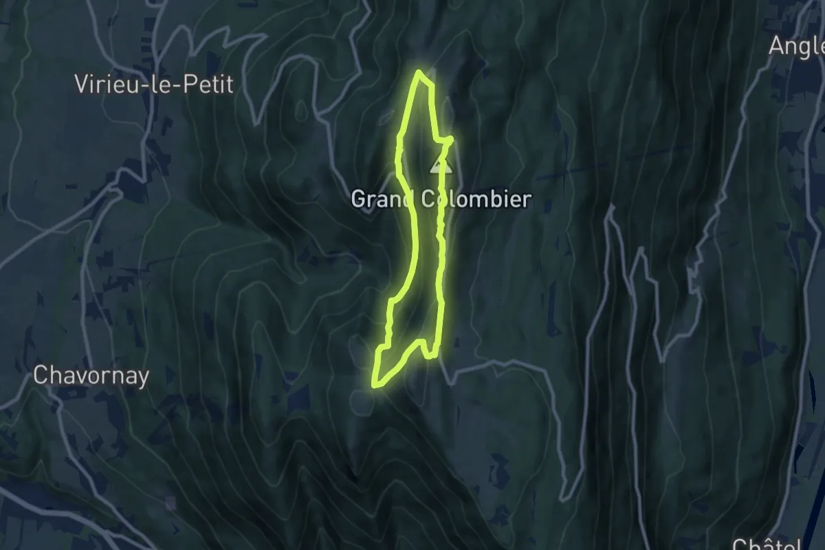
Demanding · Summit
Crêtes du Grand Colombier
7.2 km · ↑ 420 m · 2 h 43 min
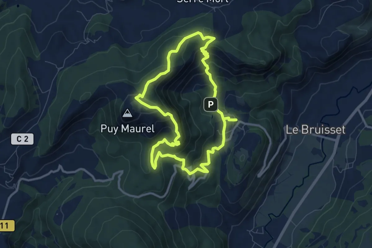
Medium · Trail
Crêtes du Laus
7.8 km · ↑ 437 m · 2 h 54 min
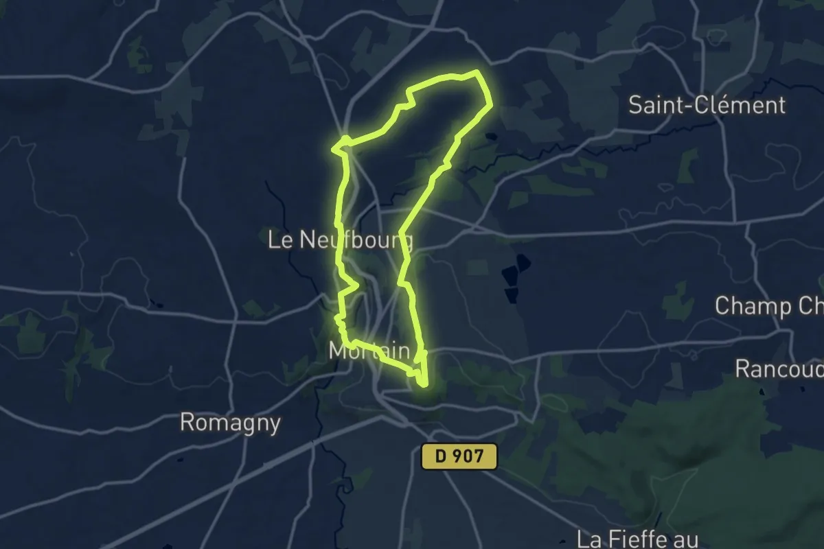
Medium · Summit
Crêtes et Monuments de Mortain
11.2 km · ↑ 251 m · 3 h 21 min
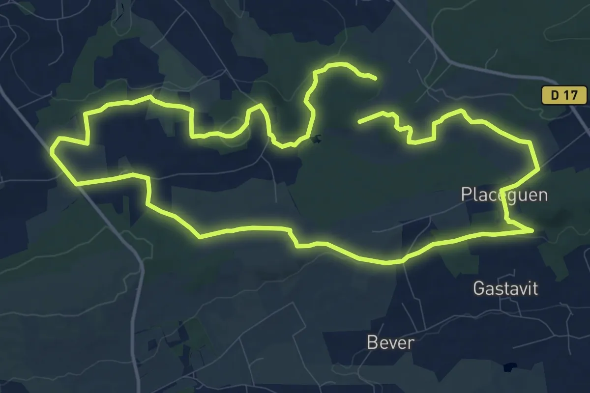
Medium · Summit
Crêtes et tourbières
11.8 km · ↑ 179 m · 3 h 21 min
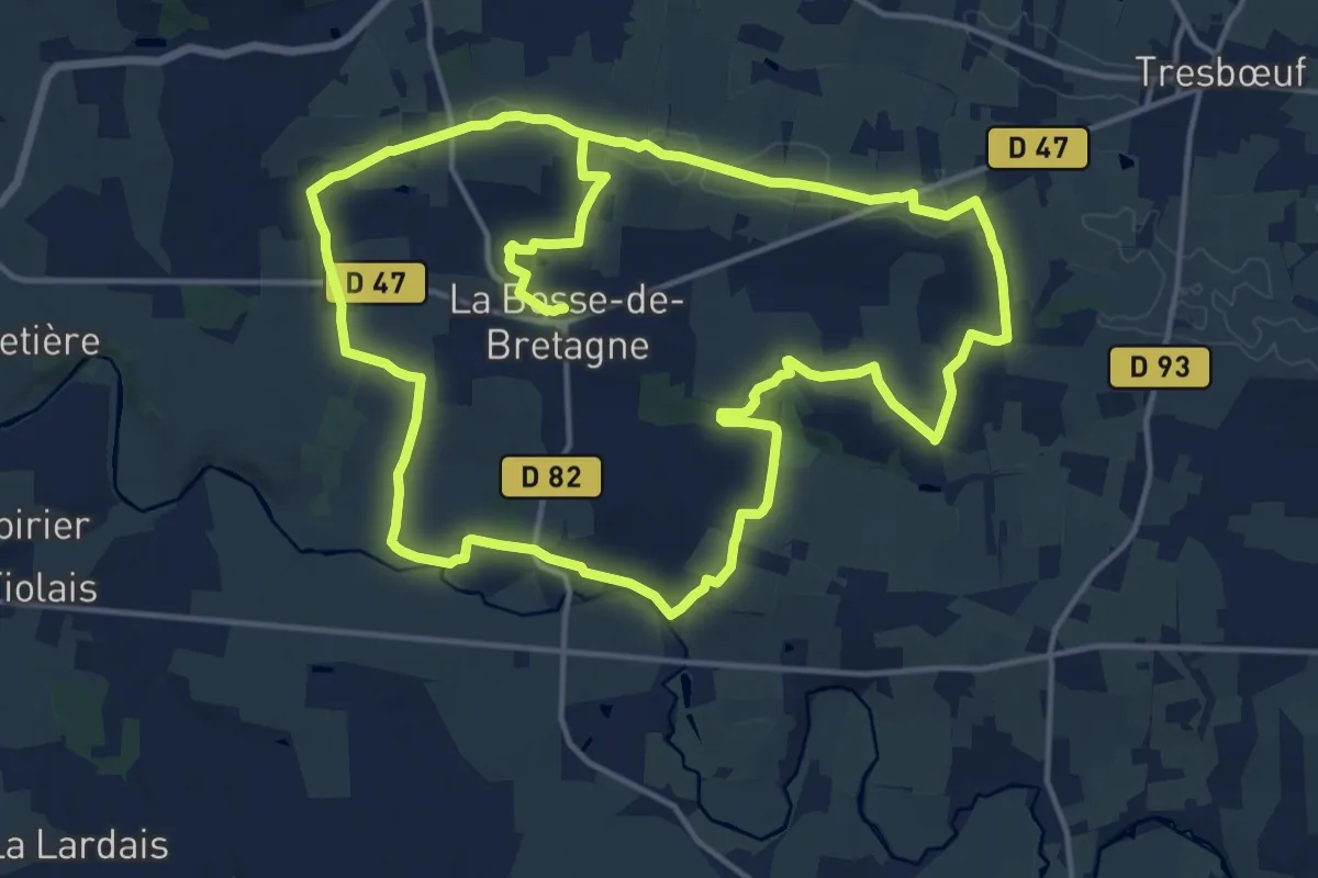
Medium · Trail
Crêtes et vallée du Semnon
16.2 km · ↑ 238 m · 4 h 32 min
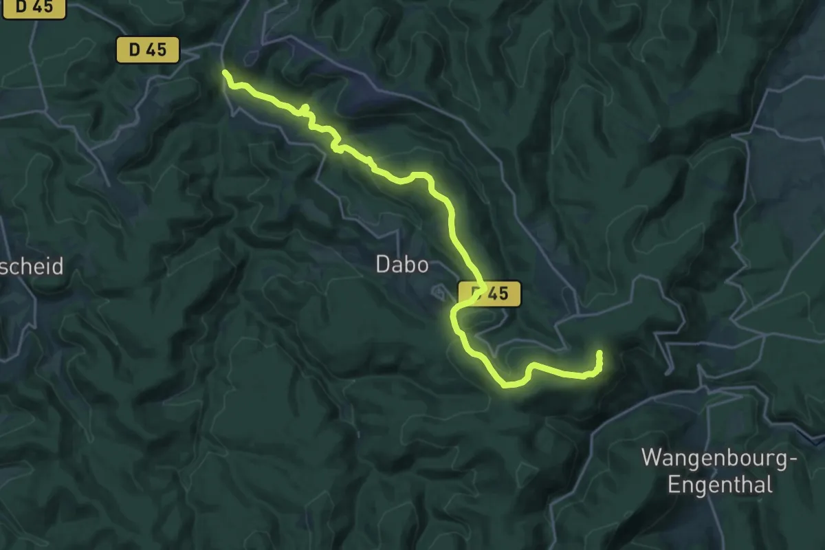
Demanding · Trail
criox jaune
22.5 km · ↑ 610 m · 6 h 38 min
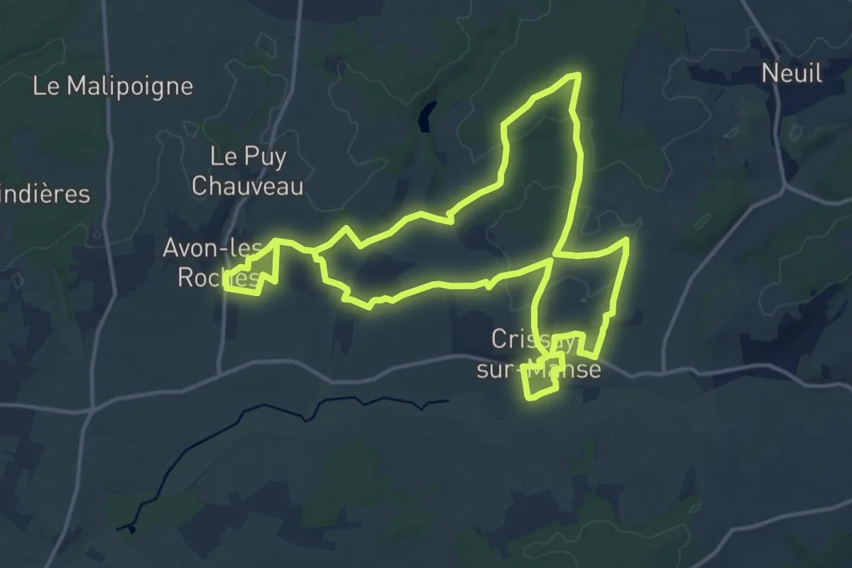
Medium · Trail
Crissay-sur-Manse, Avon-les-Roches, Tranchelion
14.1 km · ↑ 201 m · 3 h 57 min
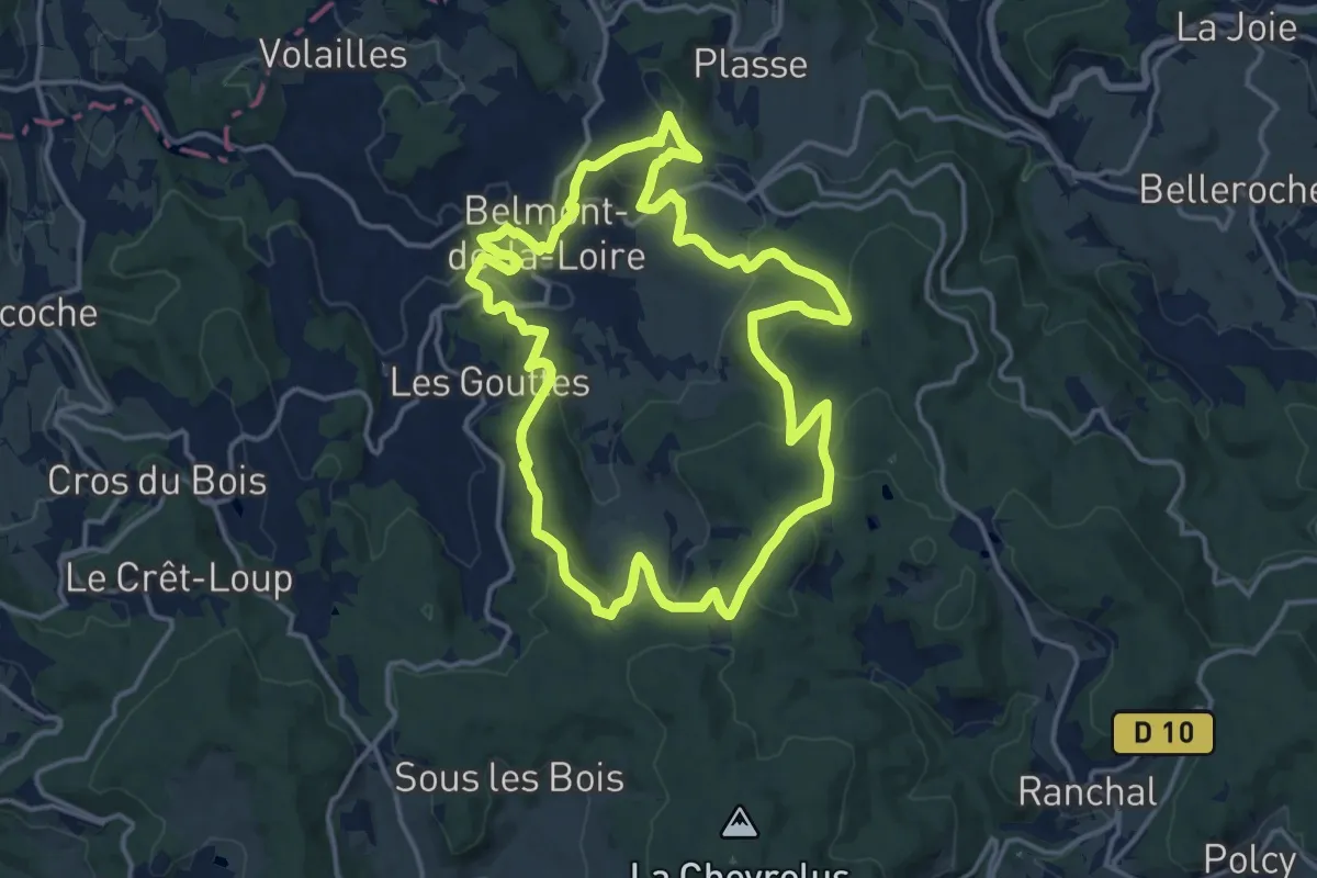
Medium · Trail
Croix bleue
15.4 km · ↑ 518 m · 4 h 58 min
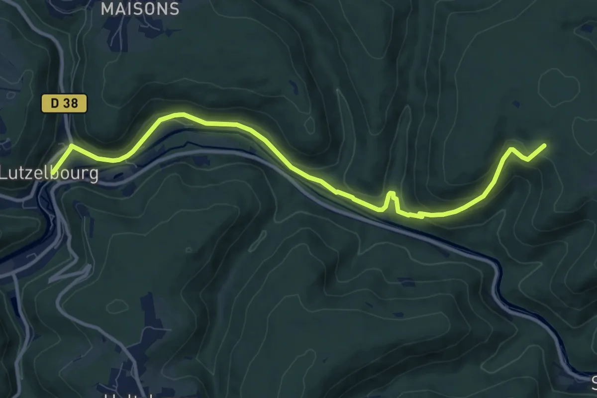
Medium · Trail
Croix bleue
9.9 km · ↑ 271 m · 2 h 56 min
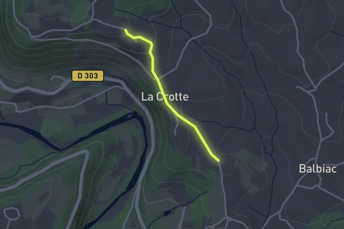
Easy · Trail
Croix de Bonneton - L'Escourby
2.2 km · ↑ 75 m · 41 min
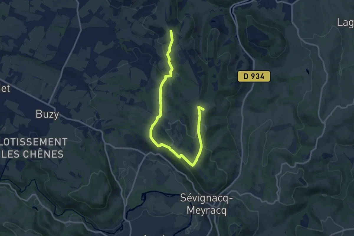
Medium · Summit
Croix de Buzy
11.5 km · ↑ 378 m · 3 h 32 min
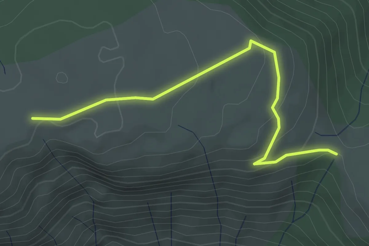
Easy · Trail
Croix de Chaumiène - Cocu
3.7 km · ↑ 139 m · 1 h 11 min
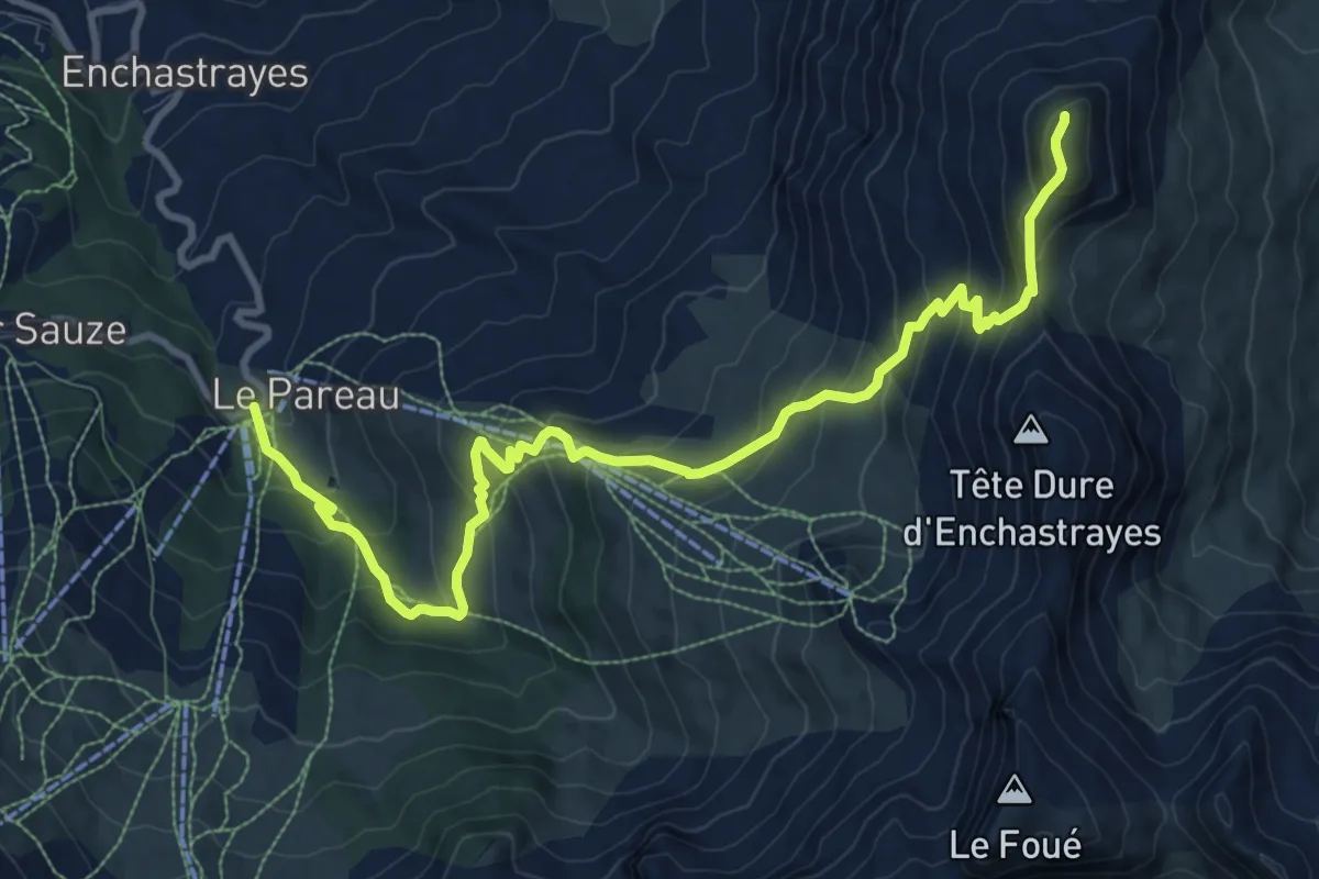
Demanding · Summit
Croix de l'Alpe (2 591 m)
6.1 km · ↑ 891 m · 3 h 1 min
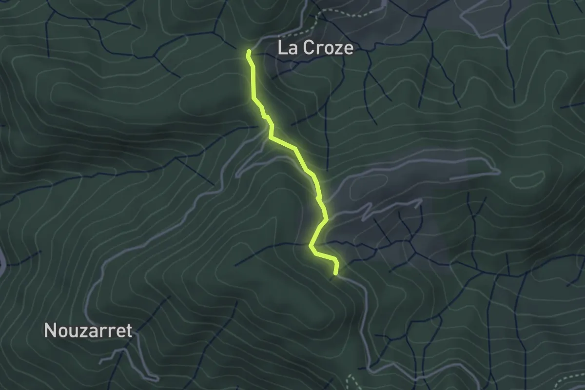
Easy · Trail
Croix de la Marre - Loup du Perrier
2.4 km · ↑ 131 m · 51 min
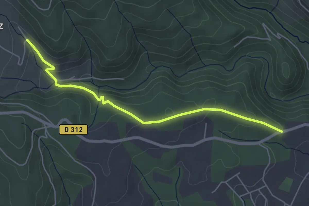
Easy · Trail
Croix de la Mission - Chéron
4.8 km · ↑ 150 m · 1 h 27 min
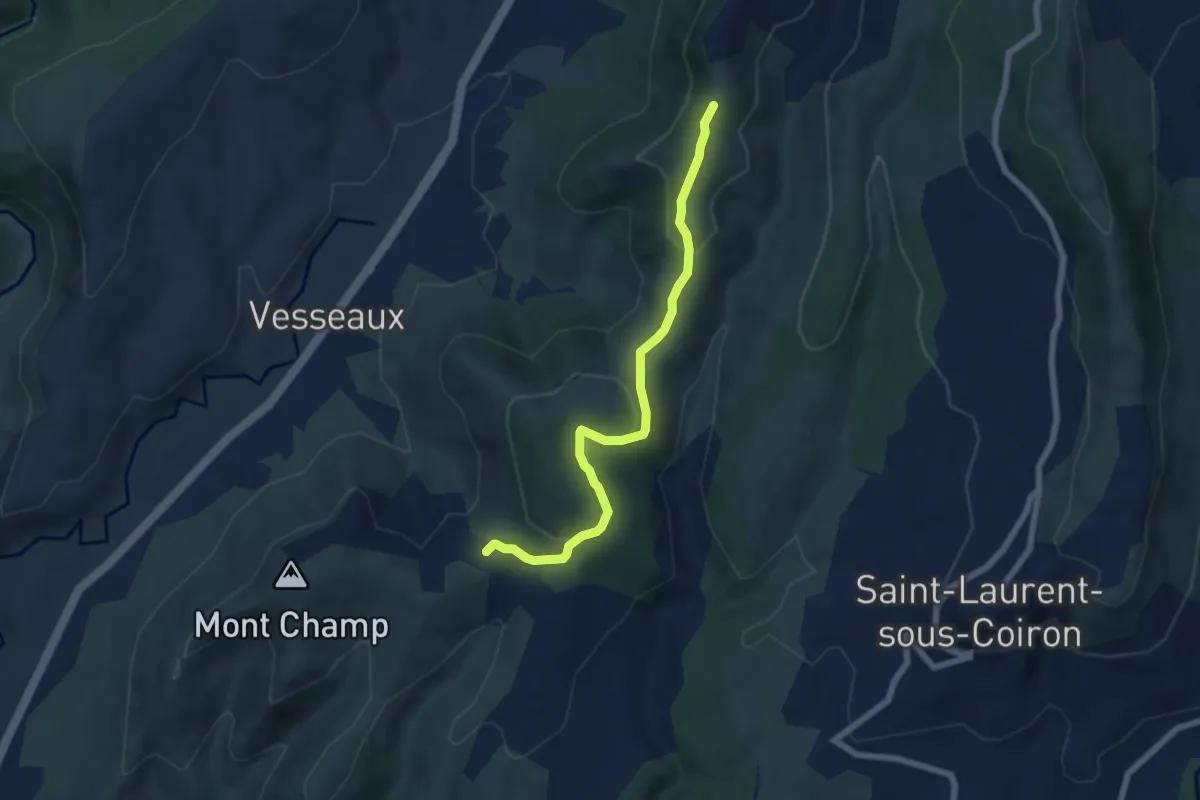
Easy · Trail
Croix de l'Houme - La Chéoune
6.6 km · ↑ 199 m · 1 h 59 min
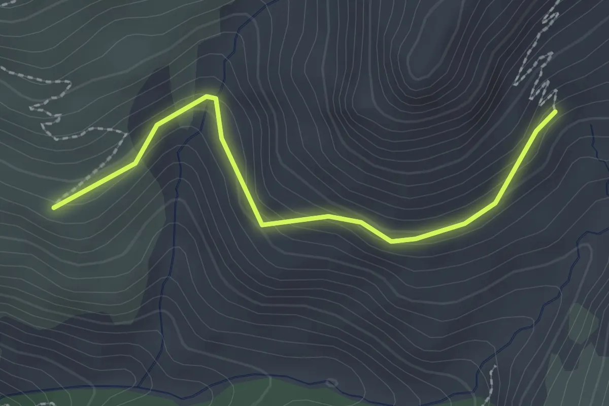
Easy · Trail
Croix de Lombard - La Cabane
2.3 km · ↑ 168 m · 55 min
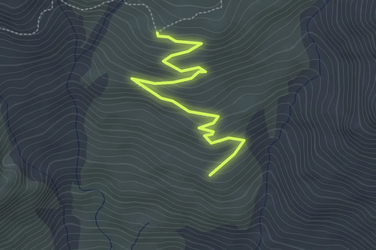
Easy · Trail
Croix de Lombard - Le Serre du Milieu
3.2 km · ↑ 181 m · 1 h 9 min