Trails in France
15,926 hiking trails, each with its route, climb, walking time and grade.
All trails, page 97 of 332
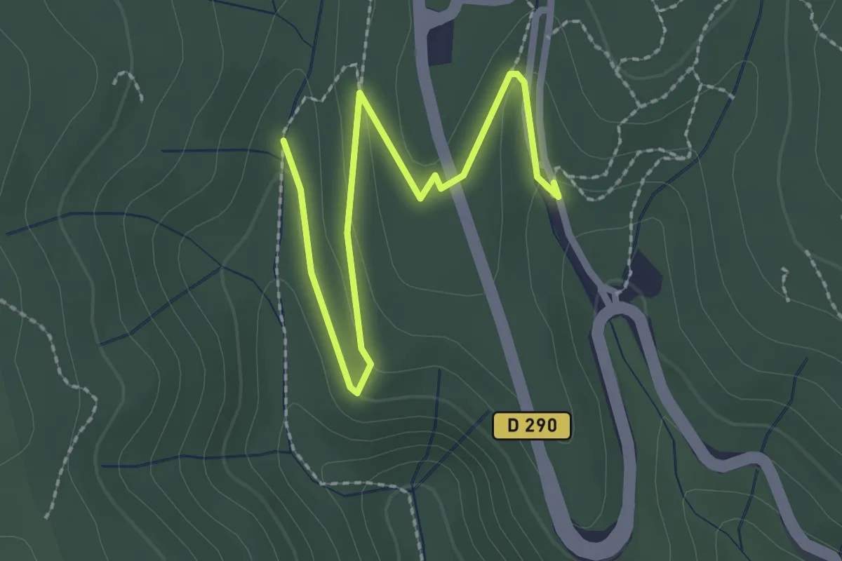
Easy · Trail
Combe du Pouzat - Grotte de Saint-Marcel
2.8 km · ↑ 85 m · 50 min
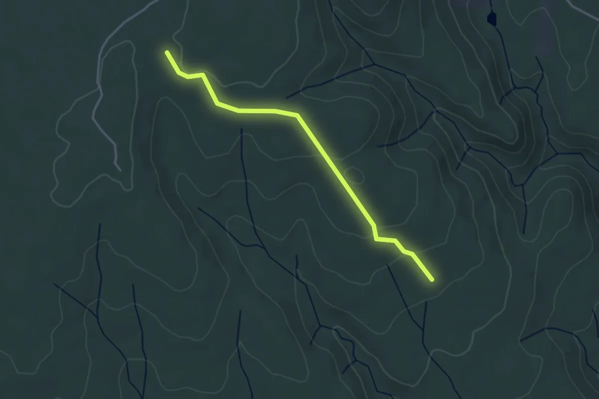
Easy · Trail
Combe du Renard - Chalon
3.4 km · ↑ 80 m · 59 min
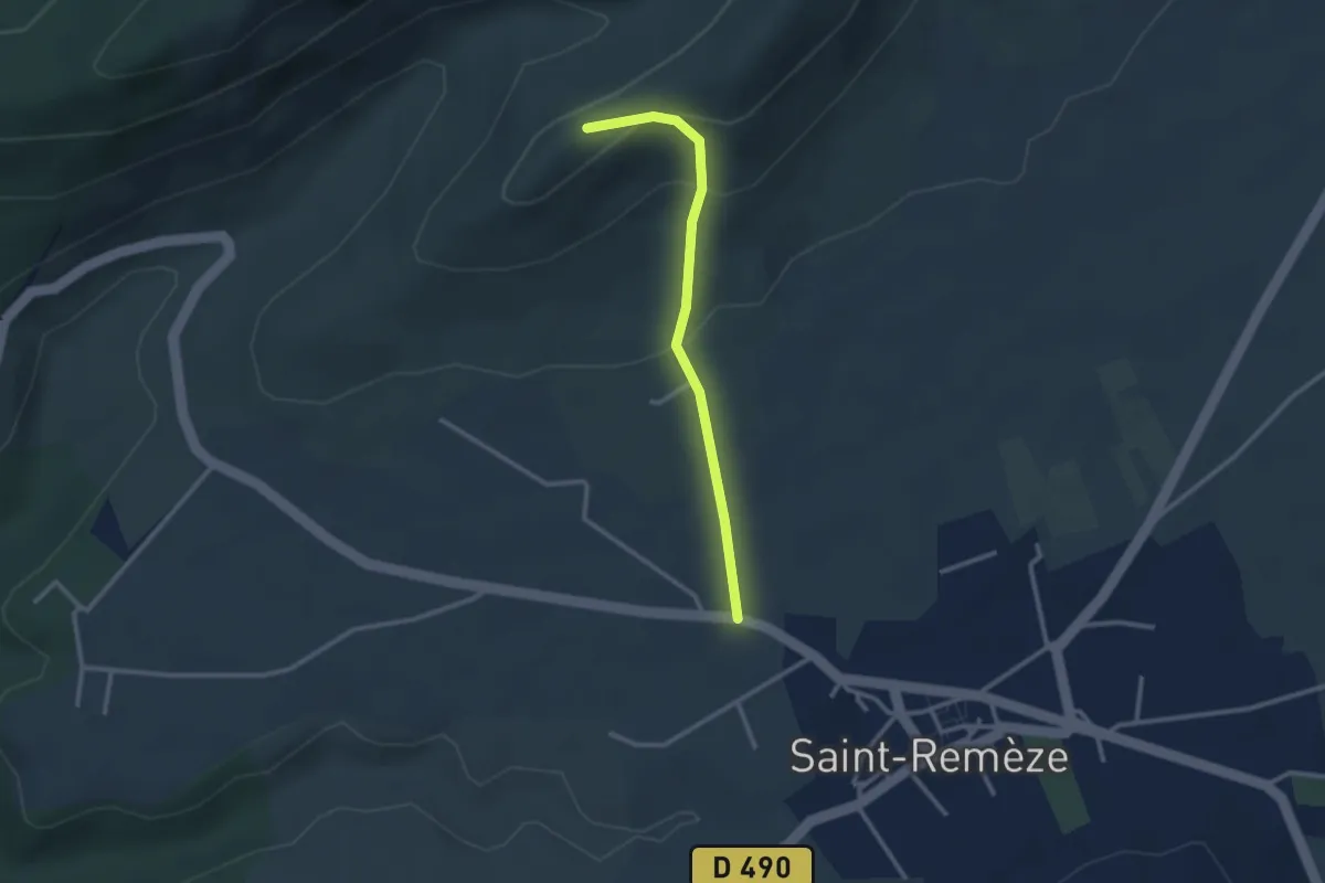
Easy · Trail
Combe Grand - Les Costes 2
2.7 km · ↑ 143 m · 56 min
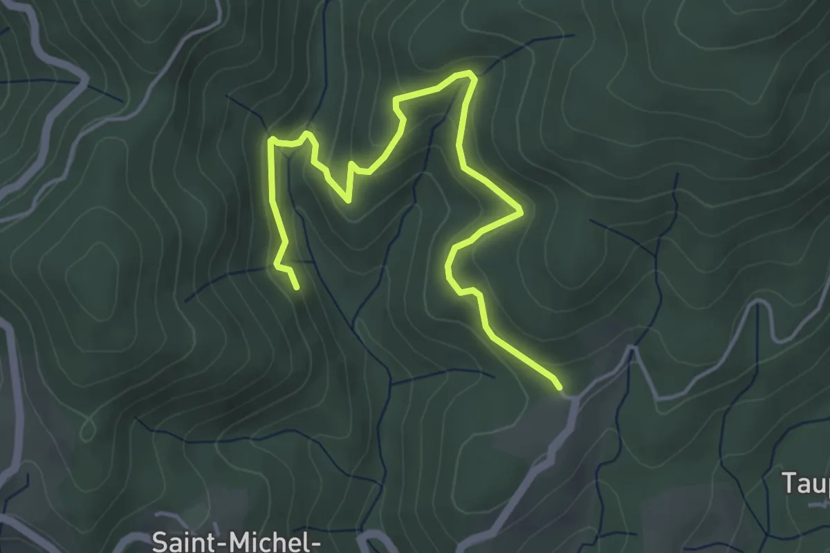
Easy · Trail
Combemale - Fougeyrolles
5.1 km · ↑ 278 m · 1 h 48 min
Easy · Trail
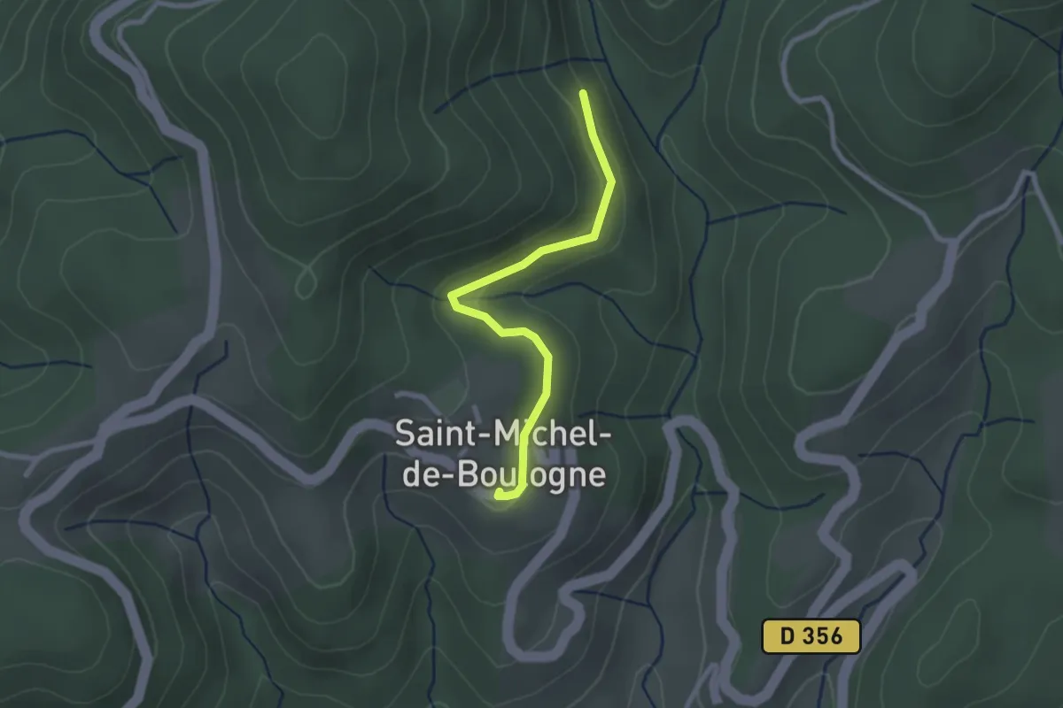
Combemale - Saint-Michel de Boulogne
2.4 km · ↑ 85 m · 45 min
Medium · Trail
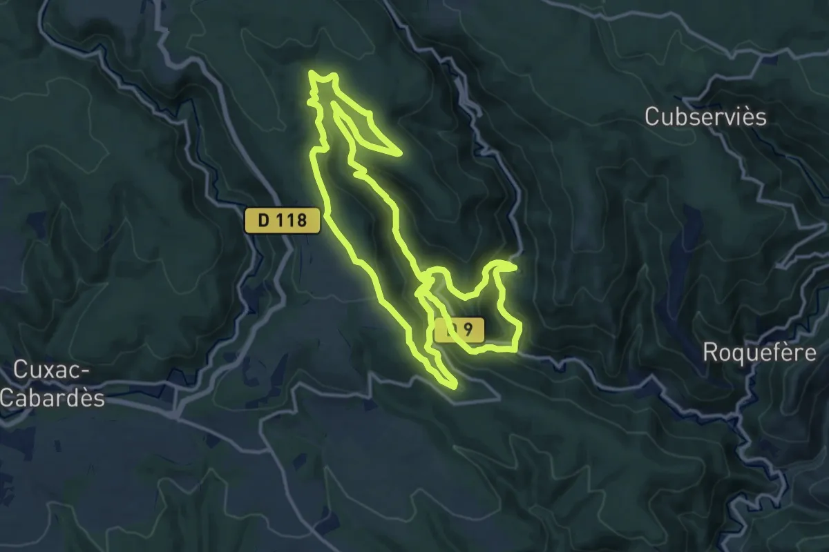
Combo Falgouzo
15.1 km · ↑ 703 m · 5 h 17 min
Demanding · Summit
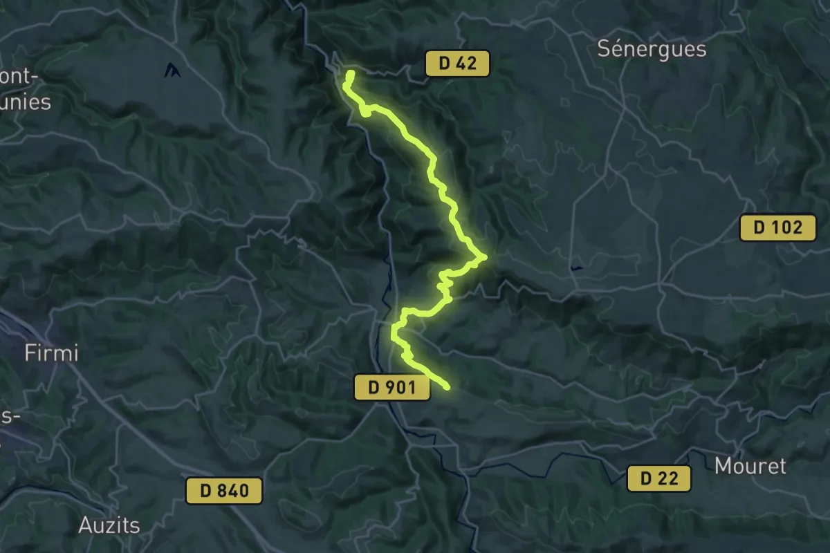
Combret - Conques
26.9 km · ↑ 1111 m · 8 h 46 min
Easy · Trail
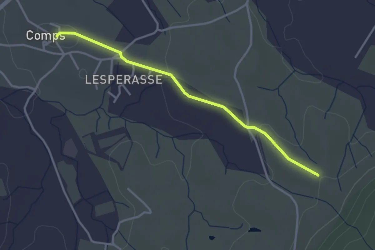
Comps - Le Rouret
3.1 km · ↑ 32 m · 48 min
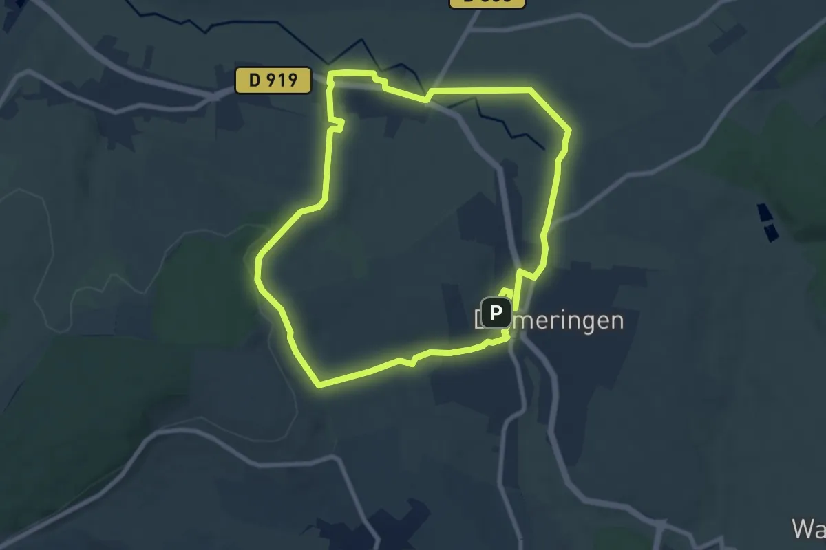
Easy · Trail
Comtesse Sophie de Nassau
7.2 km · ↑ 79 m · 1 h 58 min
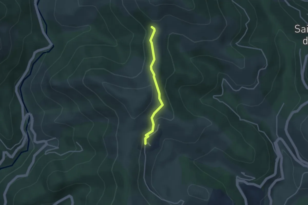
Easy · Trail
Conchis - Col des Fraysses
2.5 km · ↑ 103 m · 49 min
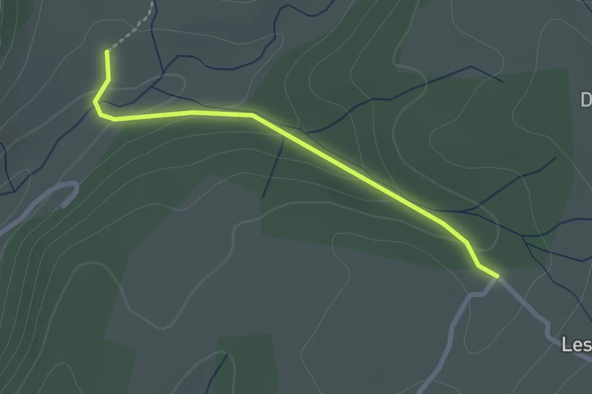
Easy · Trail
Concise - Chemin du Seigneur
2.0 km · ↑ 57 m · 36 min
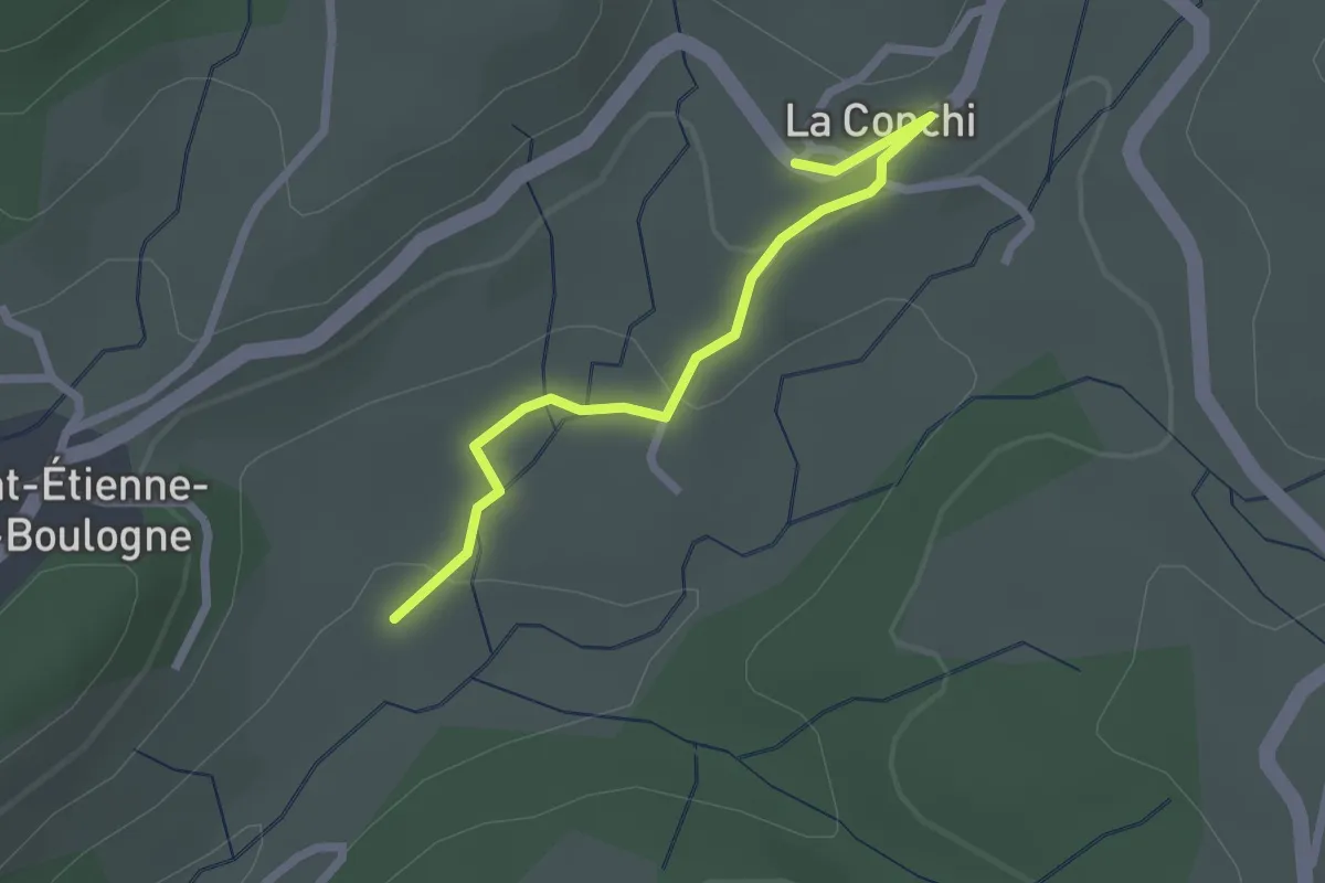
Easy · Trail
Concise - La Conchy
2.2 km · ↑ 53 m · 39 min
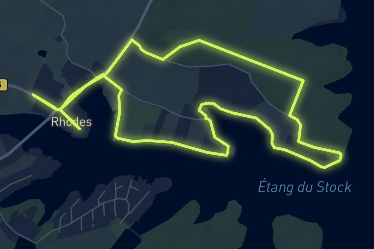
Medium · Trail
Cornée des Rhètes et Forêt de Rhodes
8.6 km · ↑ 44 m · 2 h 14 min
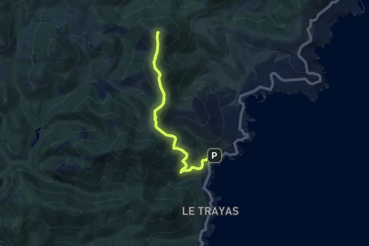
Demanding · Summit
Corniche de l'Estérel
7.7 km · ↑ 641 m · 3 h 12 min
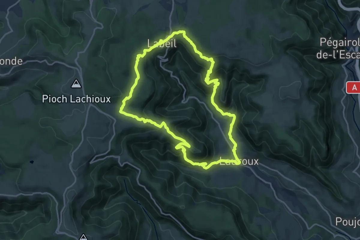
Demanding · Trail
Corniches de Lauroux
13.1 km · ↑ 624 m · 4 h 37 min
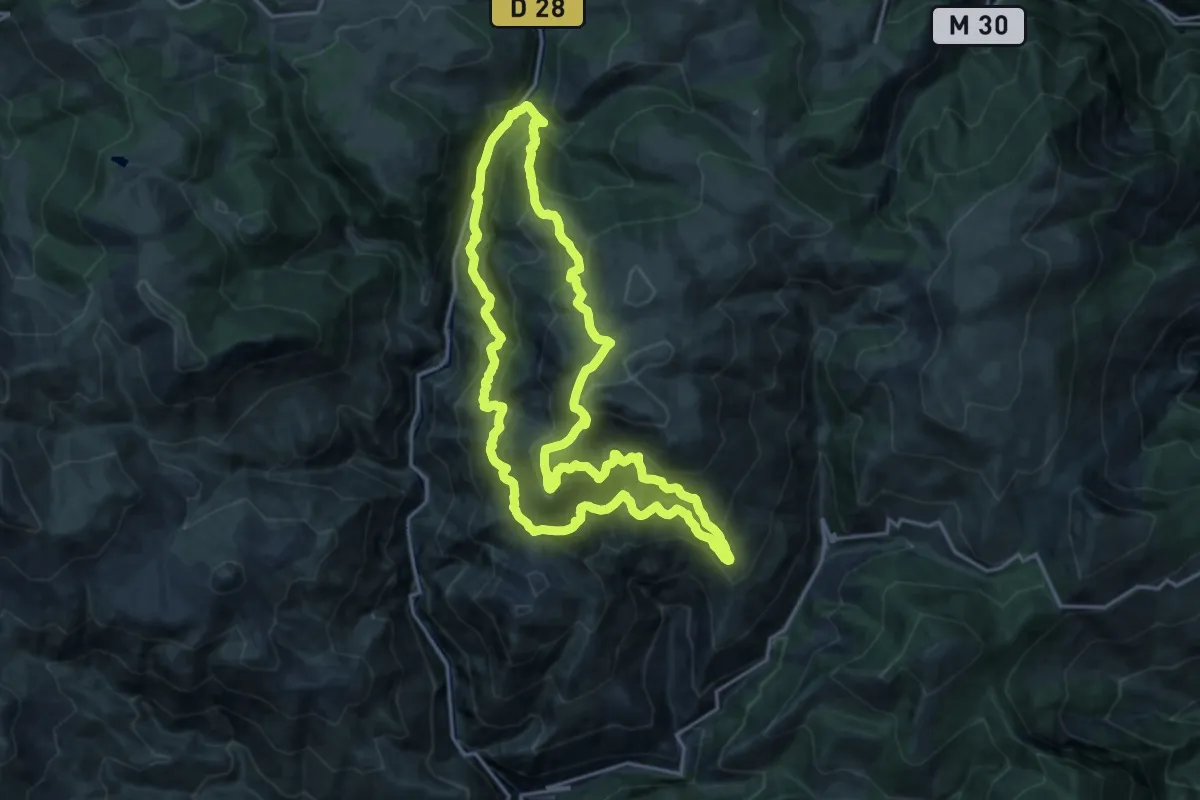
Demanding · Trail
Corniches du Cians
18.3 km · ↑ 1204 m · 7 h 11 min
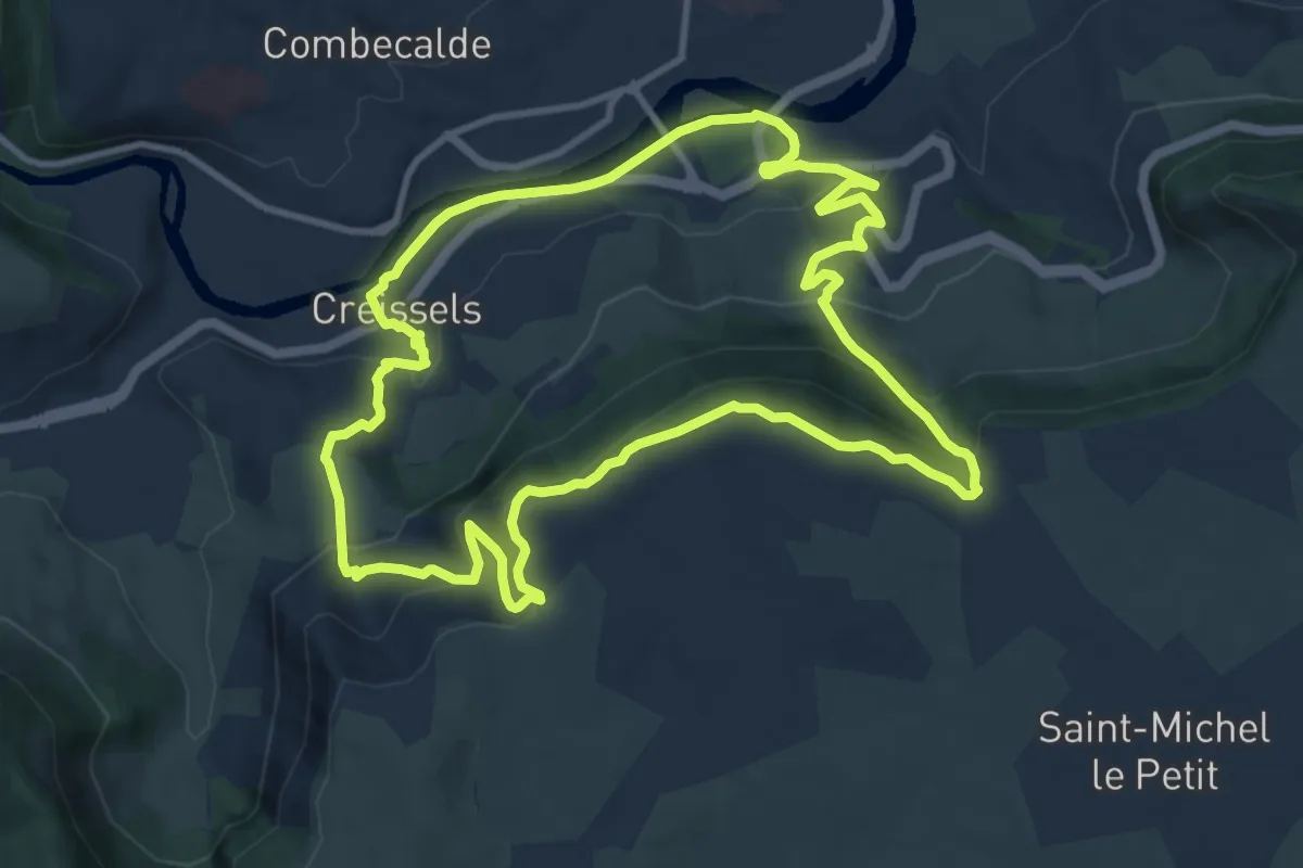
Medium · Trail
Corniches du Larzac
11.2 km · ↑ 508 m · 3 h 54 min
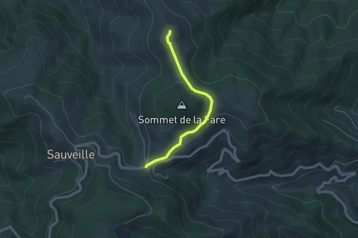
Easy · Summit
Cornuscle Ouest - Croix du Planas
3.7 km · ↑ 95 m · 1 h 5 min
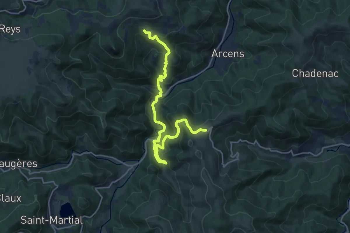
Medium · Trail
Cornuscle Ouest - Le Calvaire
14.4 km · ↑ 776 m · 5 h 4 min
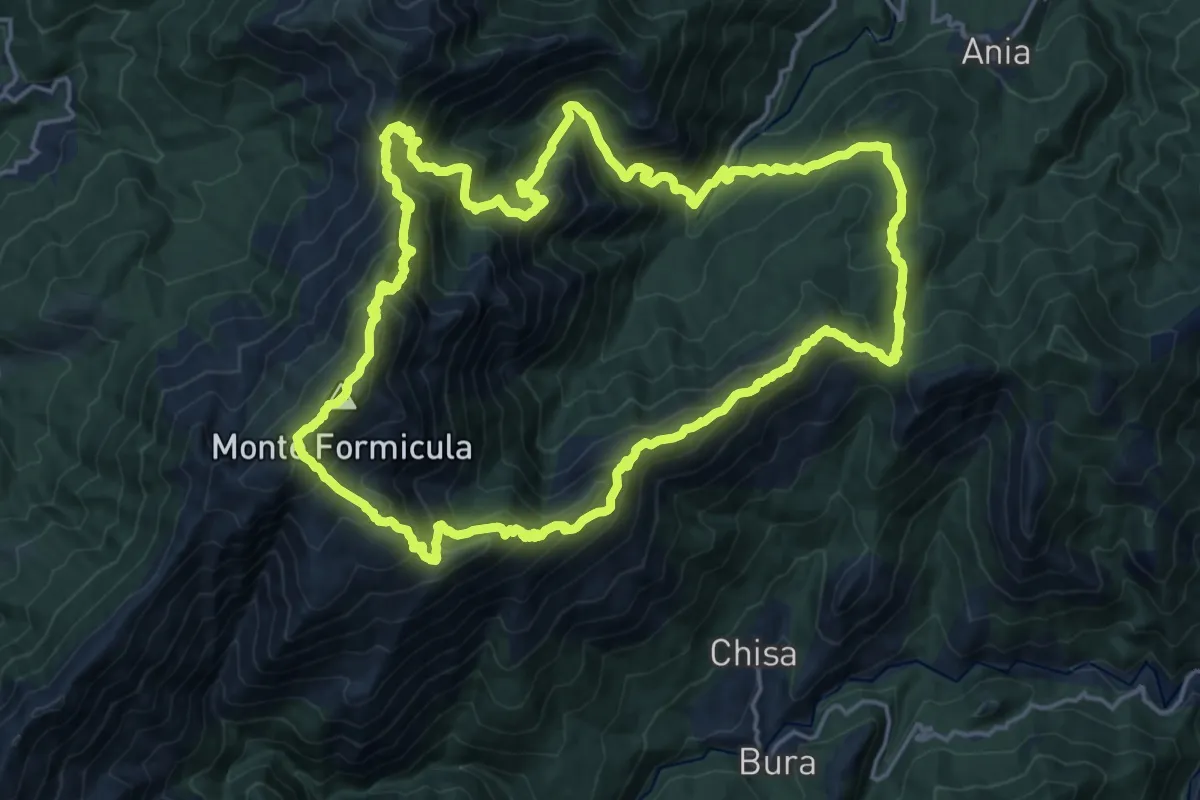
Demanding · Summit
Corsa di a Furmicula
21.0 km · ↑ 1632 m · 8 h 47 min
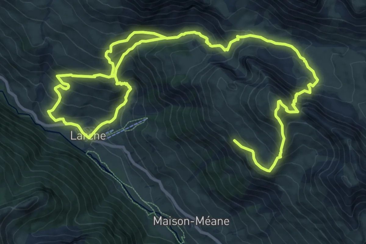
Demanding · Summit
Costa de Beauregard
11.9 km · ↑ 960 m · 4 h 57 min
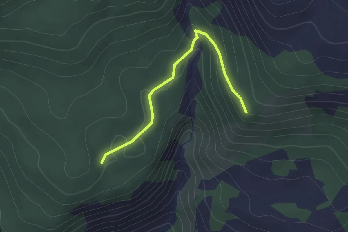
Easy · Trail
Coste Lébrière - Forest du Suret
2.5 km · ↑ 99 m · 48 min
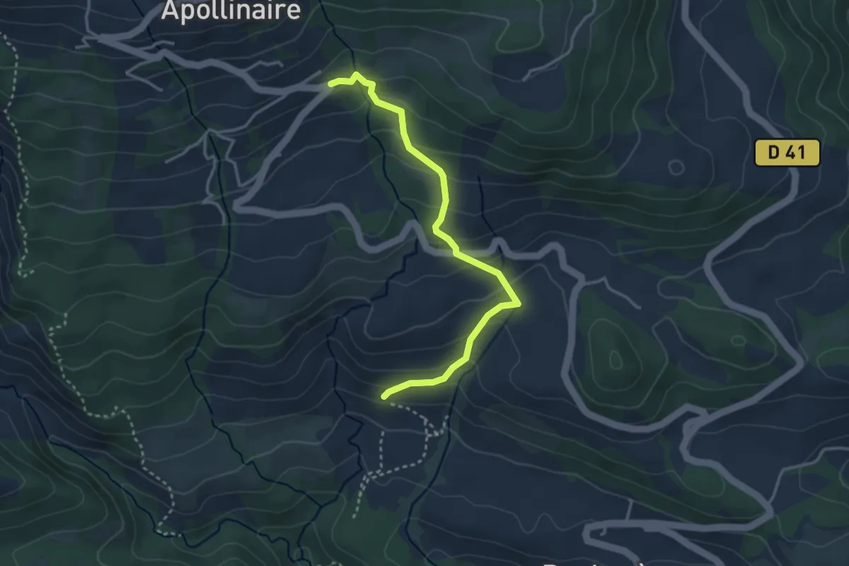
Easy · Trail
Costes des Jouffres - ?
3.4 km · ↑ 218 m · 1 h 16 min
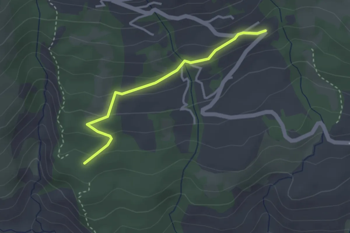
Easy · Trail
Costes des Jouffres - ?
2.7 km · ↑ 133 m · 56 min
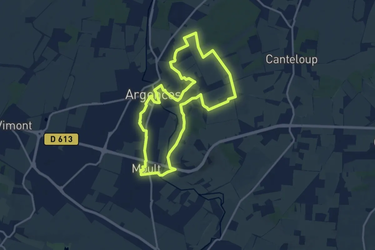
Medium · Trail
Coteaux de la Muance
9.3 km · ↑ 72 m · 2 h 28 min
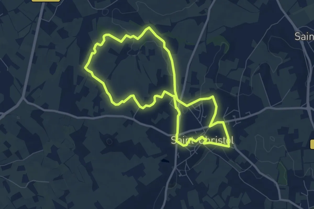
Easy · Trail
Coteaux de Saint-Christol
7.6 km · ↑ 82 m · 2 h 4 min
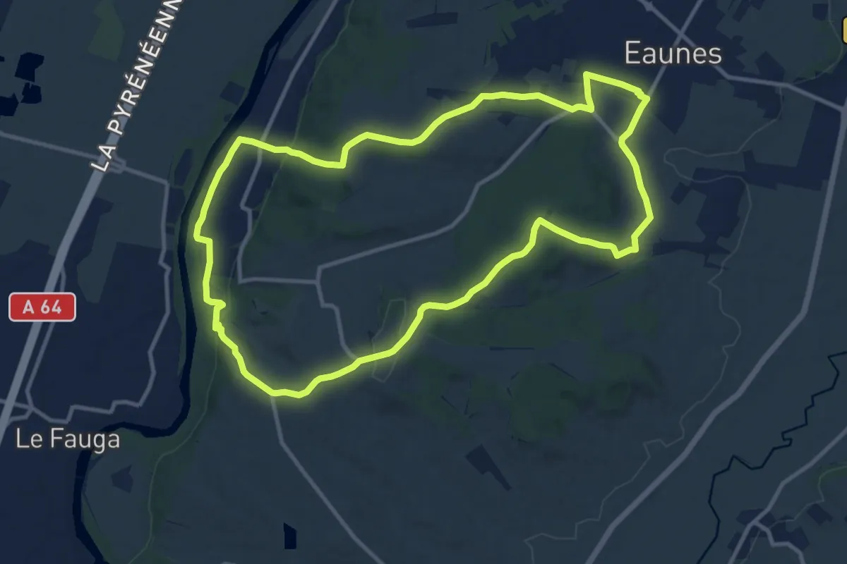
Medium · Trail
Coteaux et bois d'Eaunes
11.9 km · ↑ 224 m · 3 h 28 min
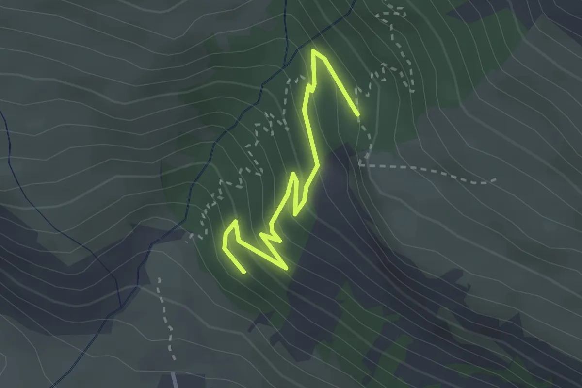
Easy · Trail
Côte Cibert - ?
2.8 km · ↑ 215 m · 1 h 8 min
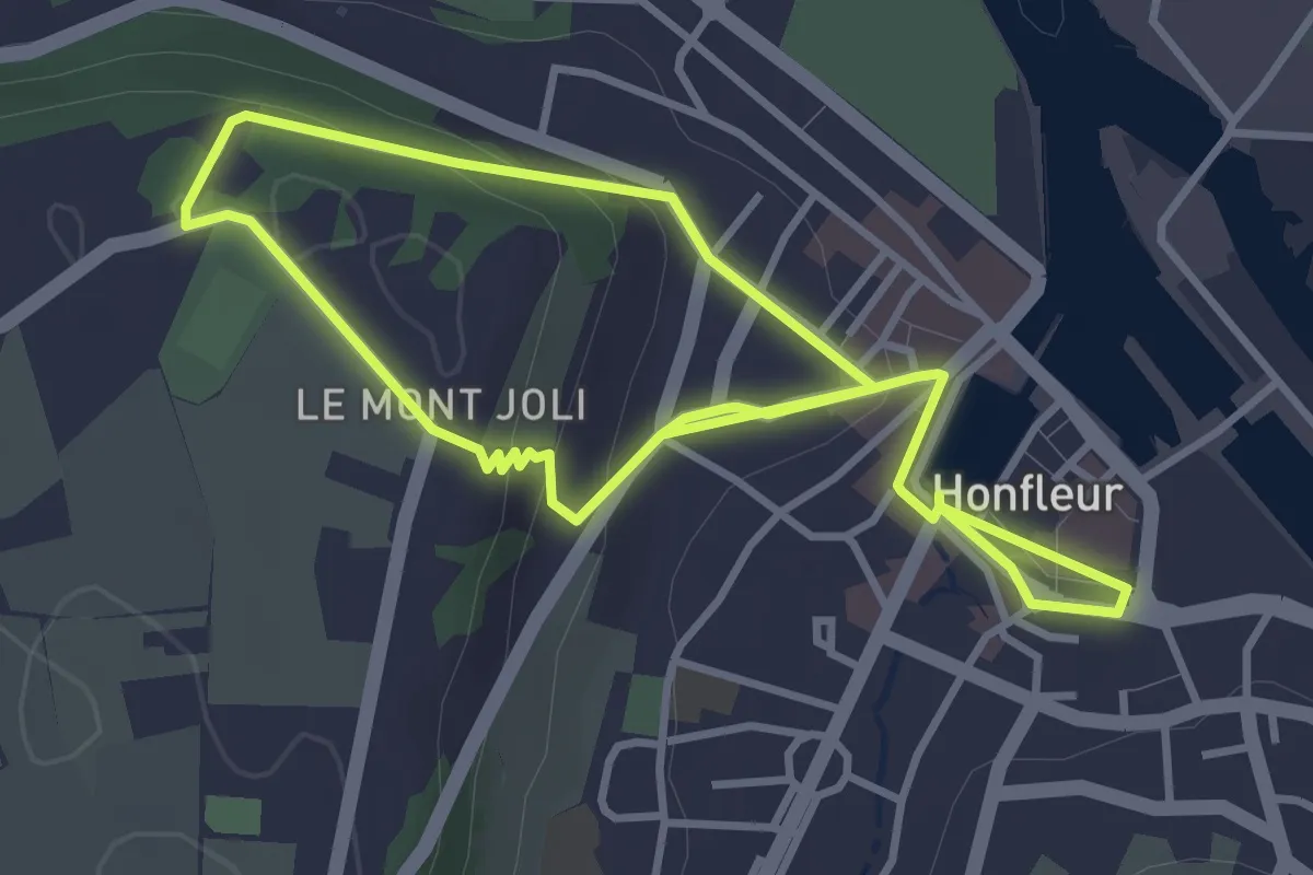
Easy · Trail
Côte de Grâce et Mont-Joli
6.0 km · ↑ 198 m · 1 h 51 min
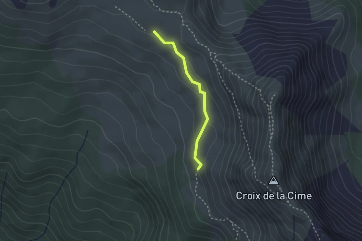
Medium · Trail
Côte de la Fleur - Les Sagnes
2.1 km · ↑ 55 m · 37 min
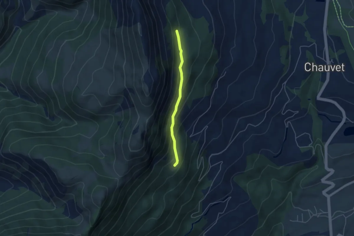
Easy · Trail
Côte Gelée - Les Serrigues Hautes
3.8 km · ↑ 190 m · 1 h 18 min
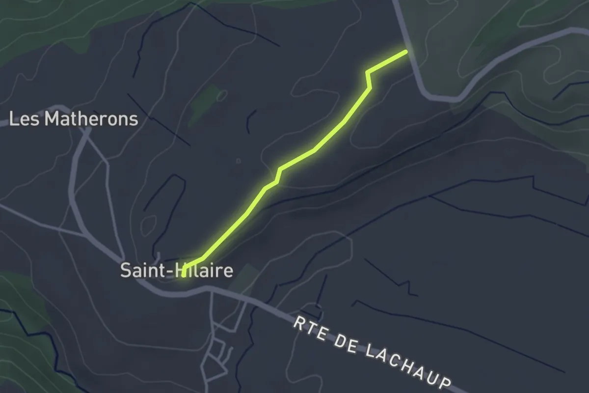
Easy · Trail
Côte Longue- Les Chaussets
2.5 km · ↑ 37 m · 41 min
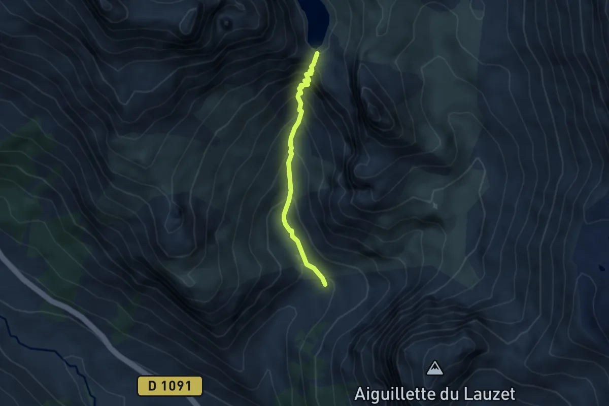
Demanding · Trail
Côte Pacard - Le Grand Lac
3.5 km · ↑ 357 m · 1 h 37 min
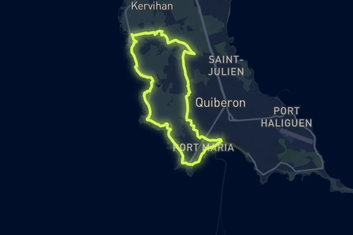
Medium · Trail
Côte sauvage
10.0 km · ↑ 41 m · 2 h 36 min
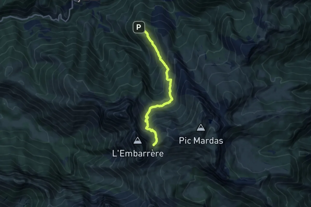
Demanding · Trail
Còth Arràs par le Horquèth asp104
10.2 km · ↑ 847 m · 4 h 14 min
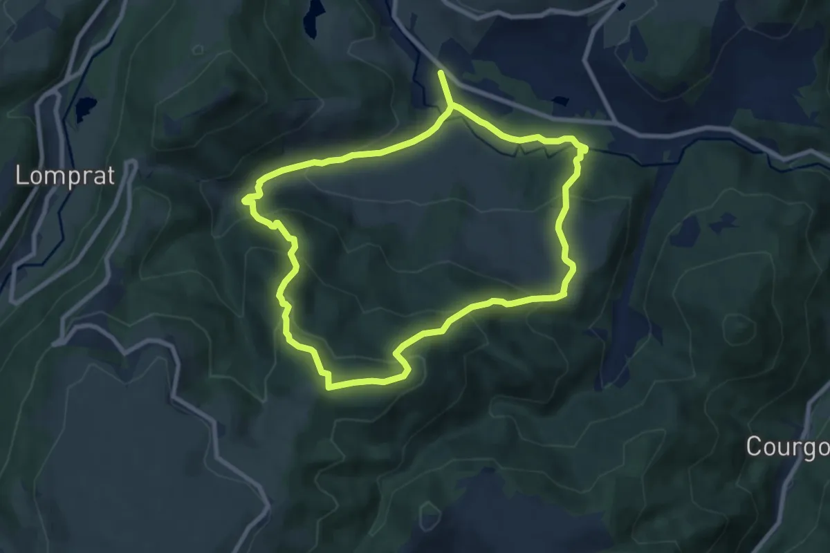
Medium · Trail
Cotteuge
7.6 km · ↑ 422 m · 2 h 49 min
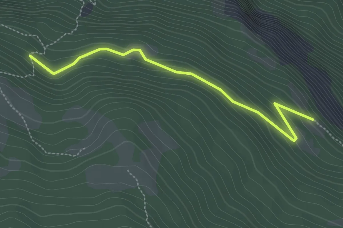
Easy · Trail
Coueiman - ?
2.9 km · ↑ 150 m · 1 h 1 min
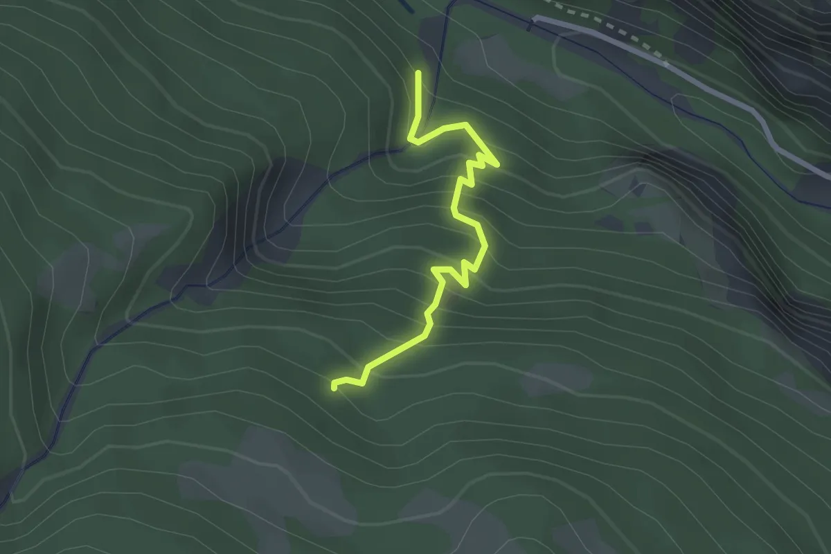
Medium · Trail
Coueiman - Le Sapey
2.3 km · ↑ 330 m · 1 h 16 min
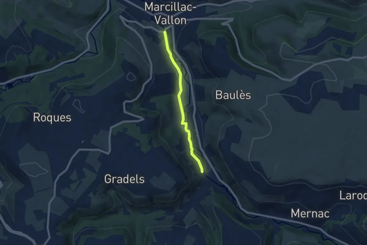
Easy · Trail
Cougousse Marcillac
4.6 km · ↑ 32 m · 1 h 10 min
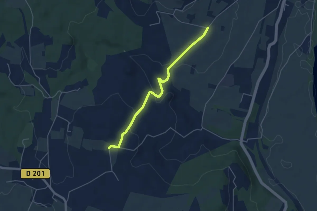
Easy · Trail
Coulange - Chapelle Saint-Julien
4.2 km · ↑ 121 m · 1 h 15 min
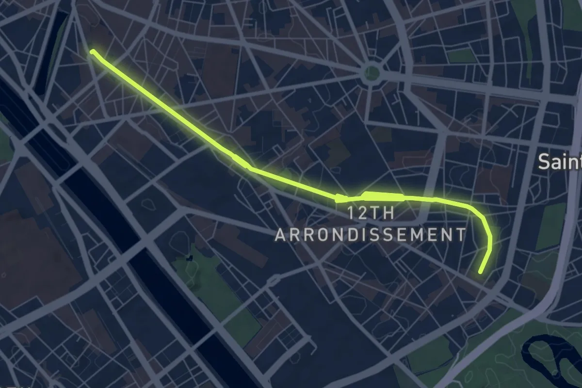
Medium · Trail
Coulée verte René-Dumont
8.4 km · ↑ 30 m · 2 h 3 min
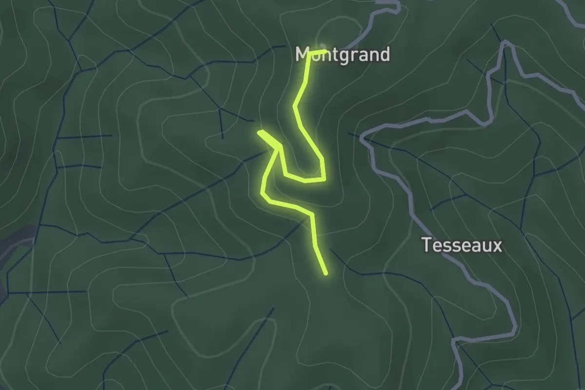
Easy · Trail
Coulet de Tesseaux - Montgrand
2.2 km · ↑ 86 m · 42 min
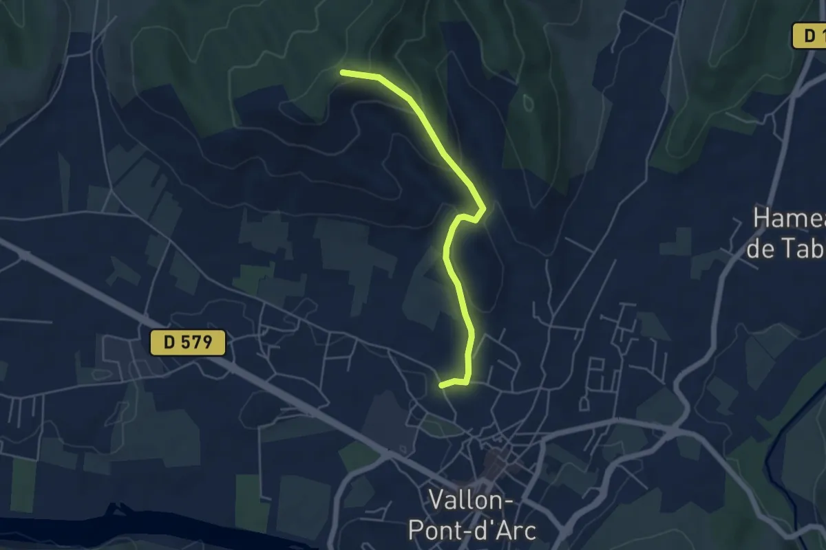
Easy · Trail
Coulette - Coucouru
4.5 km · ↑ 195 m · 1 h 29 min
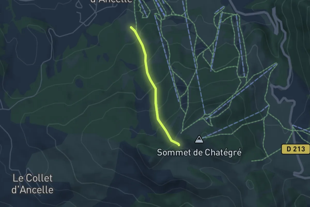
Easy · Trail
Coullon du Château - ?
3.1 km · ↑ 270 m · 1 h 19 min
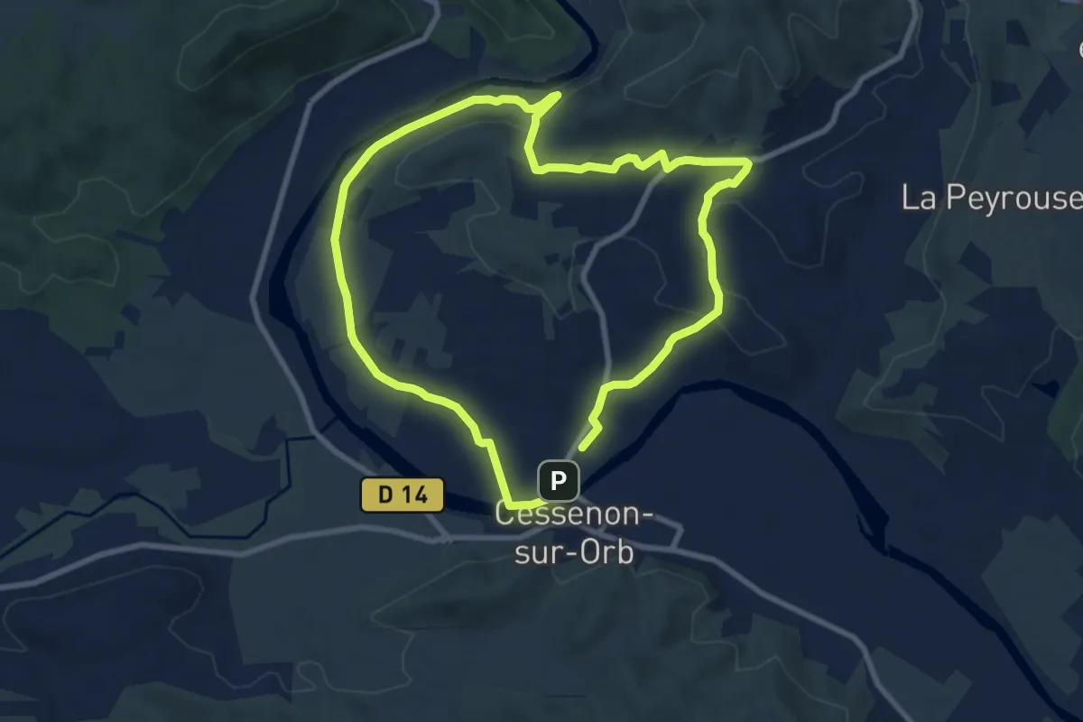
Easy · Trail
Coumiac
7.9 km · ↑ 112 m · 2 h 13 min
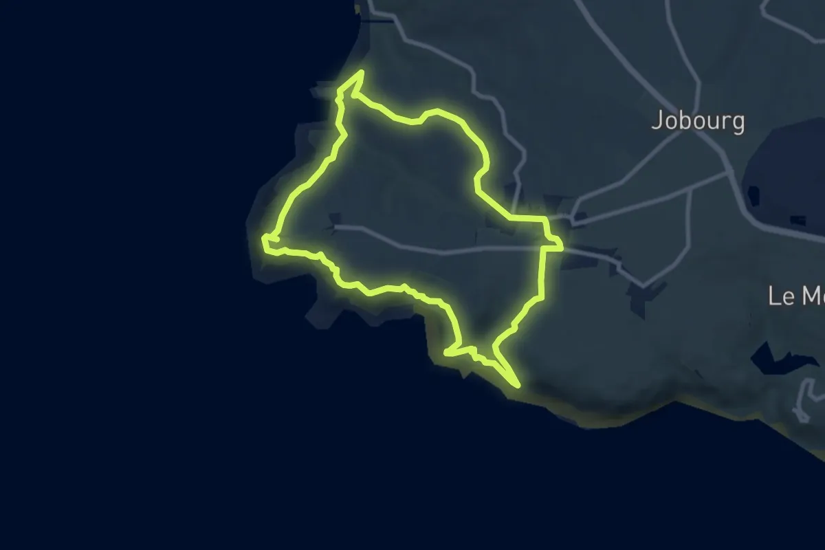
Medium · Trail
Coup de Vent sur Jobourg
7.7 km · ↑ 325 m · 2 h 37 min
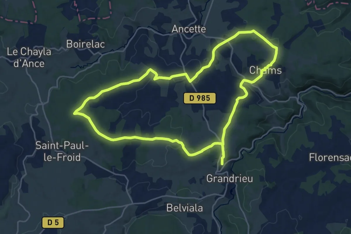
Medium · Trail
Courbadou
17.8 km · ↑ 300 m · 5 h 5 min
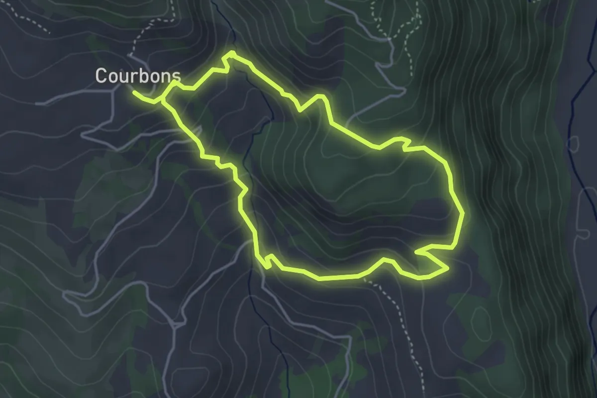
Easy · Trail
Courbons et le Saumon
4.1 km · ↑ 267 m · 1 h 36 min