Trails in France
15,926 hiking trails, each with its route, climb, walking time and grade.
All trails, page 96 of 332
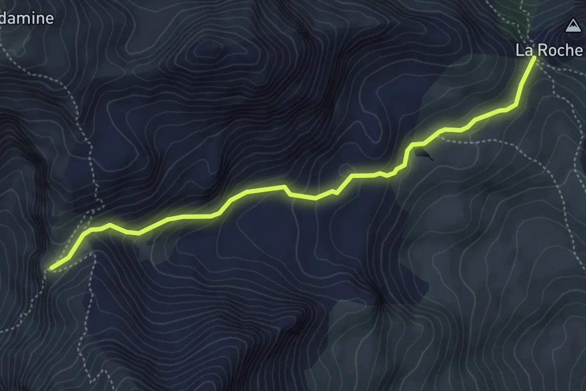
Medium · Trail
Col de Vallouise - Col de la Trancoulette
5.2 km · ↑ 334 m · 1 h 57 min
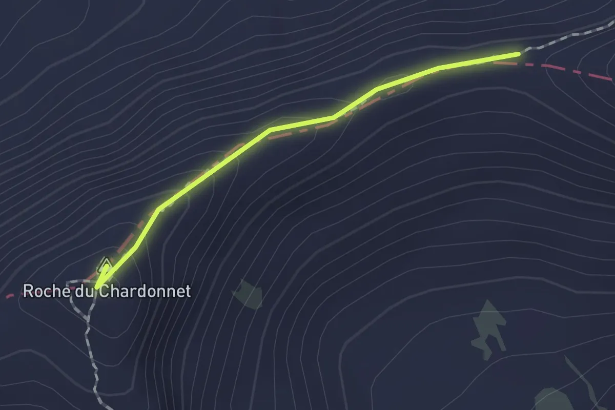
Demanding · Summit
Col de Valmeinier - Col des Muandes
1.3 km · ↑ 82 m · 29 min
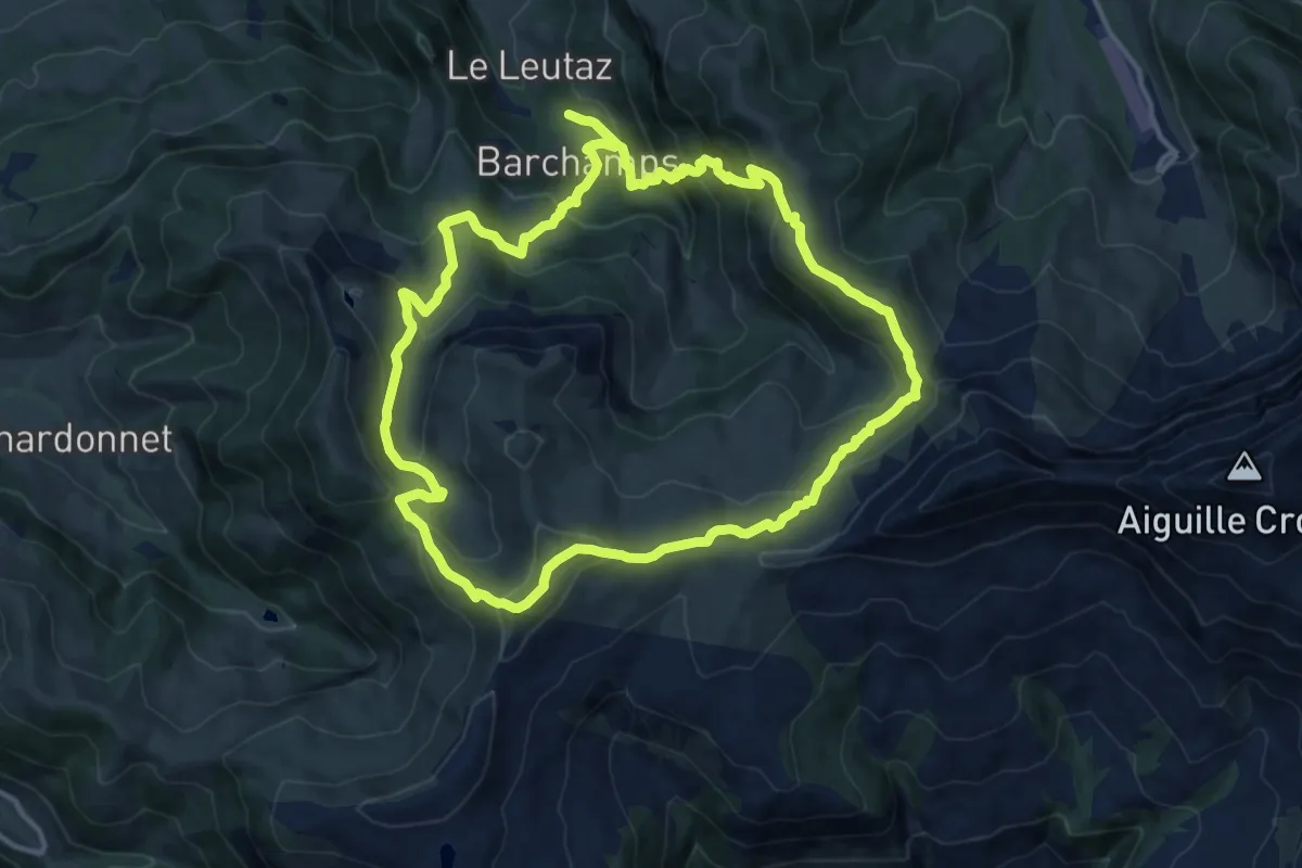
Demanding · Summit
Col de Véry
13.2 km · ↑ 802 m · 5 h 3 min
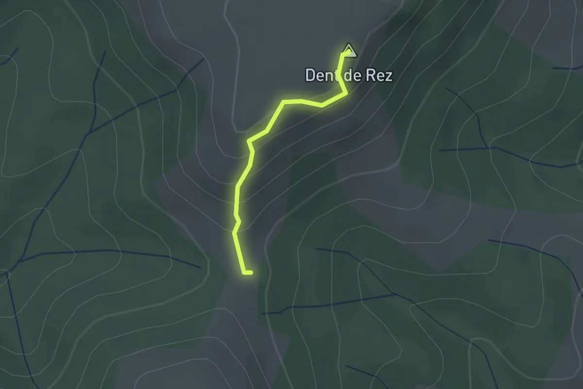
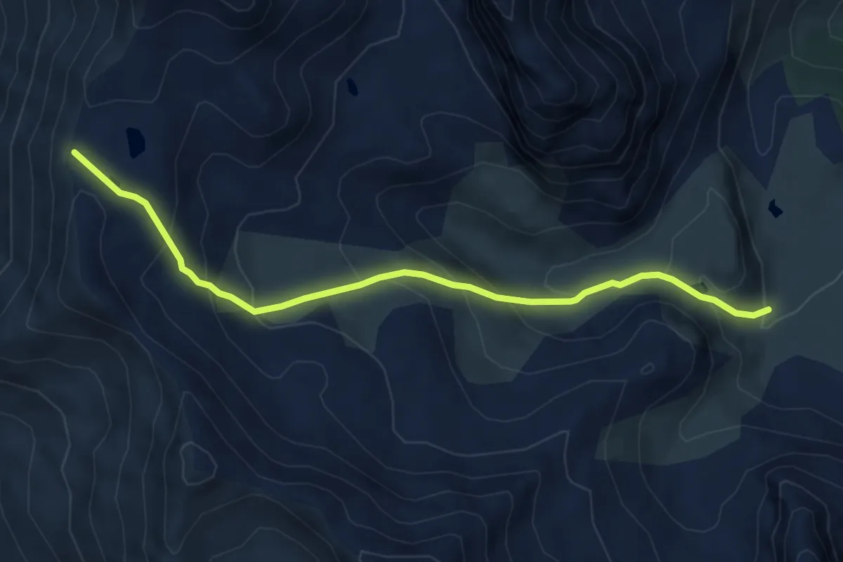
Easy · Summit
Col d'Eyrole - Dent de Rez
1.5 km · ↑ 112 m · 35 min
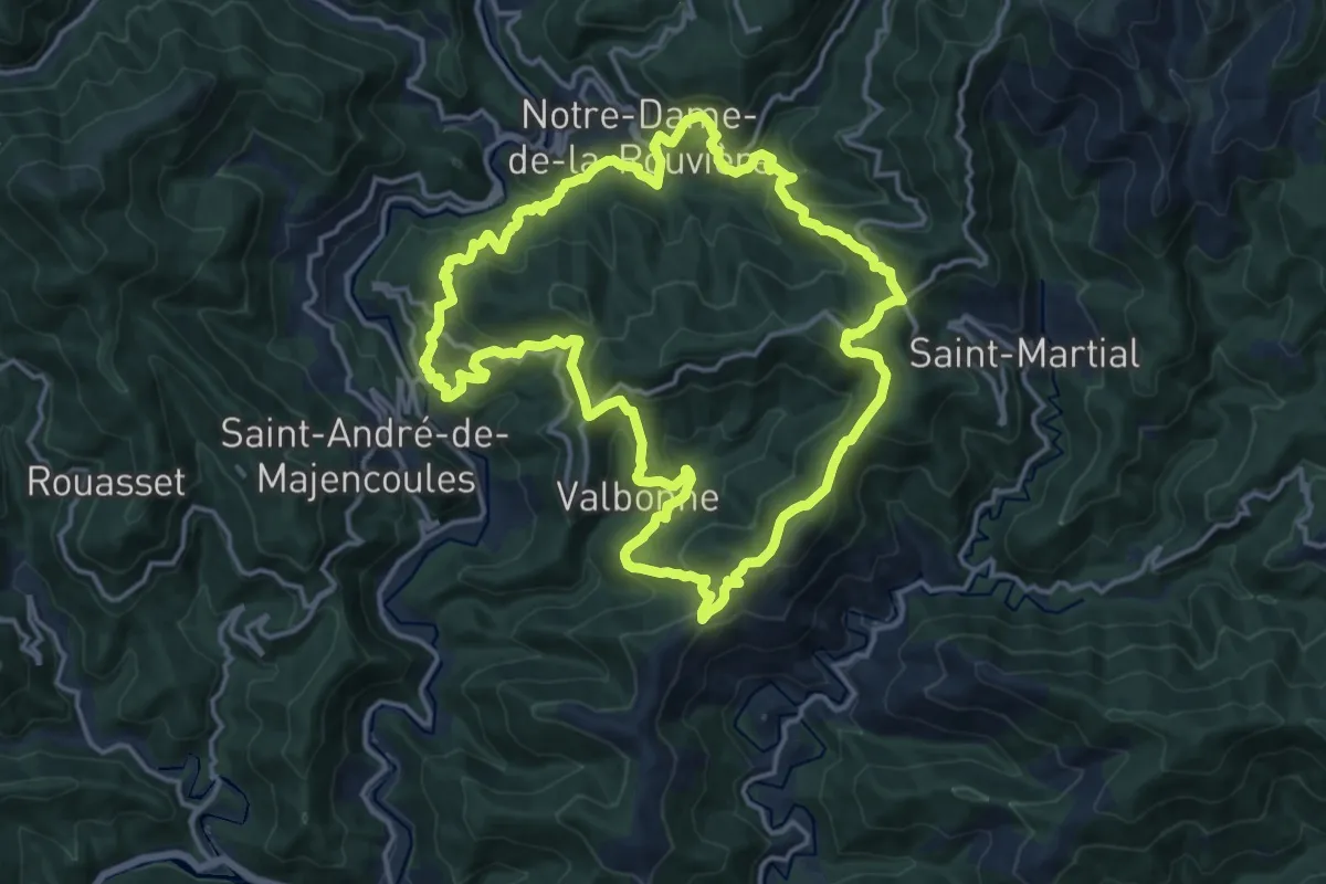
Medium · Trail
Col du Chardonnet - Ruisseau du Raisin
6.0 km · ↑ 417 m · 2 h 19 min
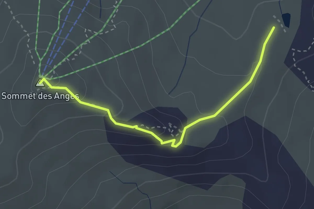
Demanding · Trail
Col du Devinayre
16.1 km · ↑ 887 m · 5 h 56 min
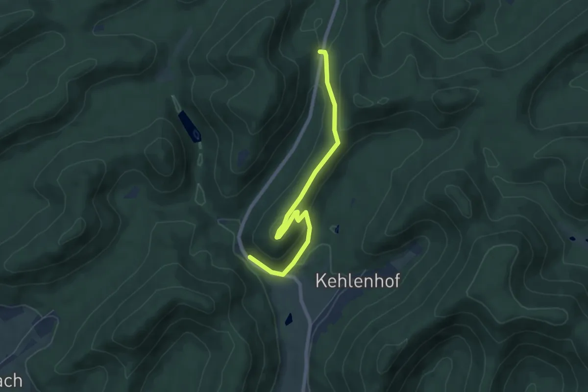
Medium · Summit
Col du Gondran - Sommet des Anges
2.9 km · ↑ 130 m · 58 min
Easy · Trail
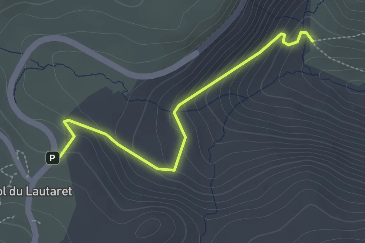
Col du Langthal - ?
5.7 km · ↑ 246 m · 1 h 52 min
Easy · Trail
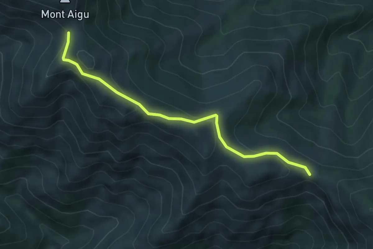
Col du Lautaret - Naillaud
2.7 km · ↑ 154 m · 58 min
Easy · Trail
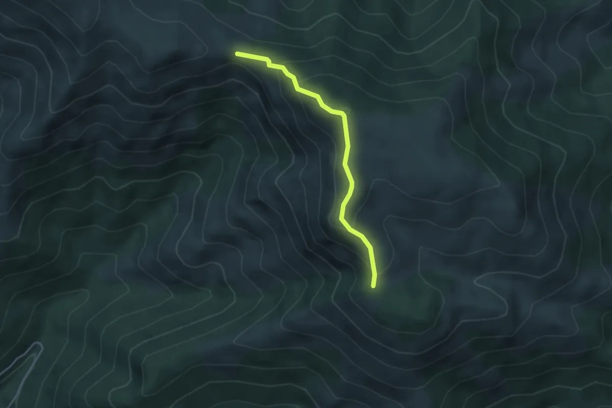
Col du Merle - Col de Sucheyre
5.2 km · ↑ 253 m · 1 h 46 min
Medium · Trail
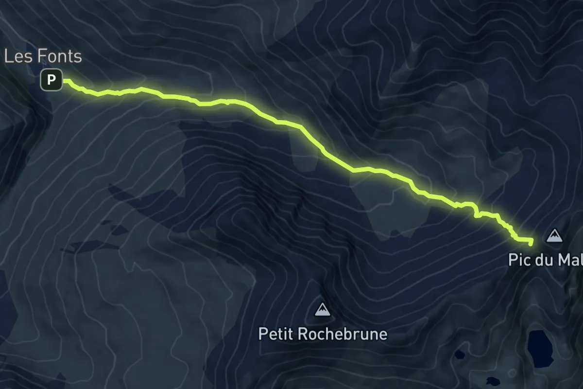
Col du Merle - Le Pissas
3.5 km · ↑ 243 m · 1 h 21 min
Demanding · Trail
Col du petit Malrif - Torrent de Pierre-Rouge
9.5 km · ↑ 768 m · 3 h 54 min
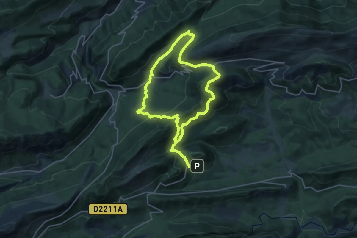
Demanding · Trail
Col du Trébuchet
13.4 km · ↑ 831 m · 5 h 6 min
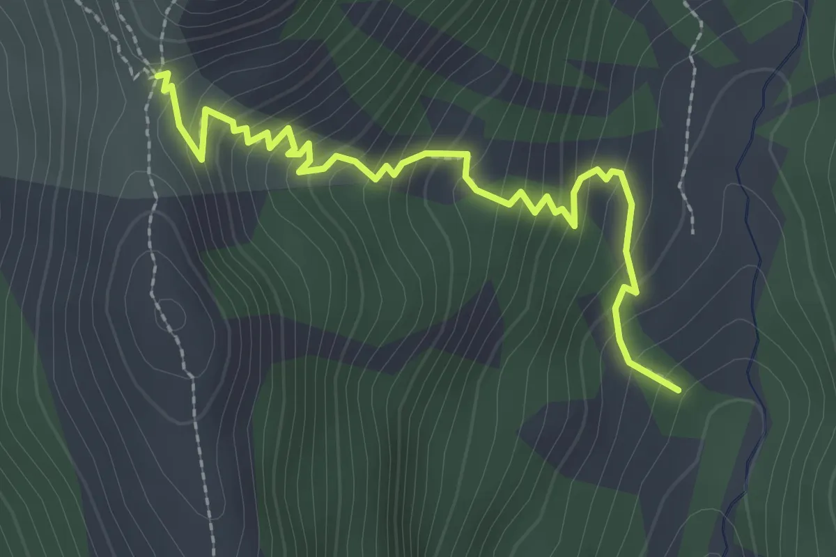
Medium · Trail
Col du Tronchet - Ravin des Tegneytes
2.8 km · ↑ 277 m · 1 h 16 min
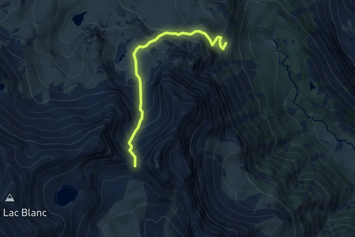
Demanding · Trail
Col du Vallon - Maison des Chamois
5.7 km · ↑ 568 m · 2 h 35 min
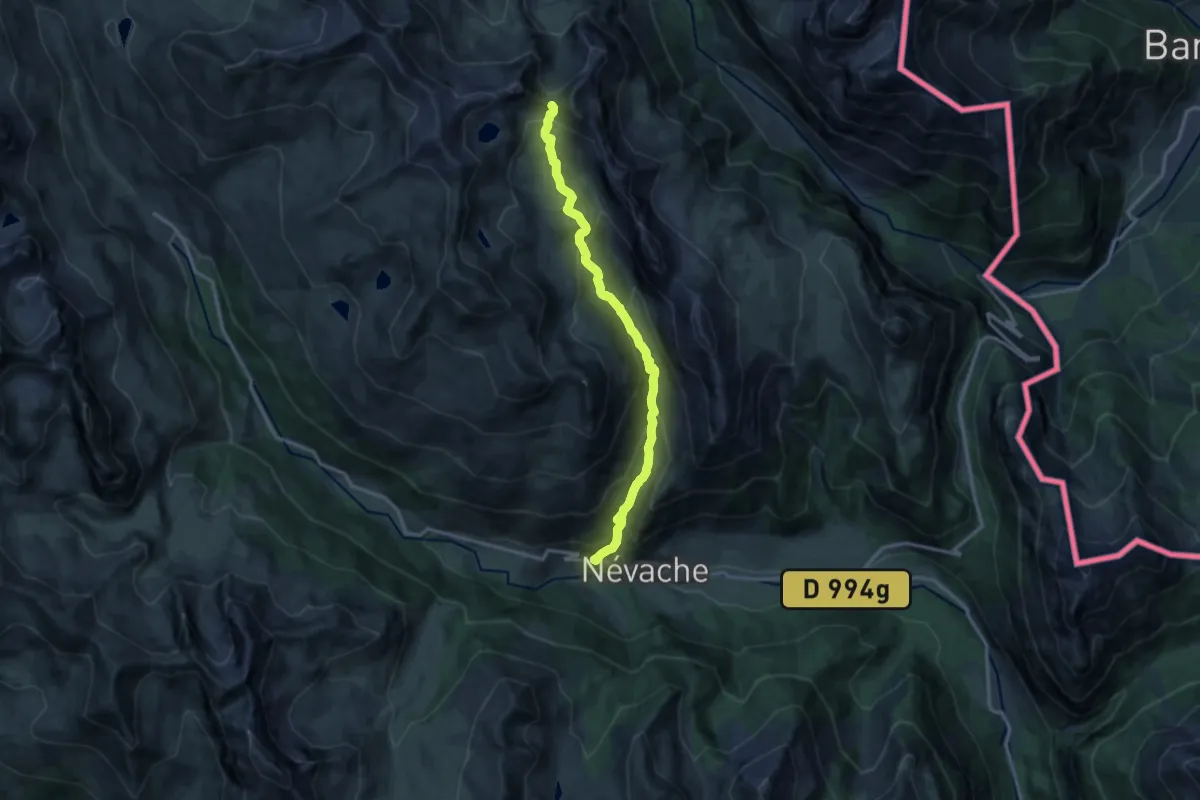
Demanding · Trail
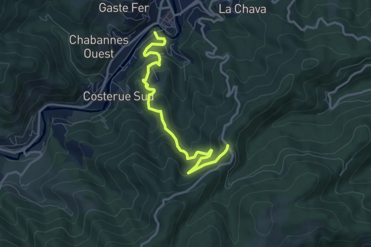
Col du Vallon - Saint Benoît
14.0 km · ↑ 967 m · 5 h 23 min
Medium · Trail
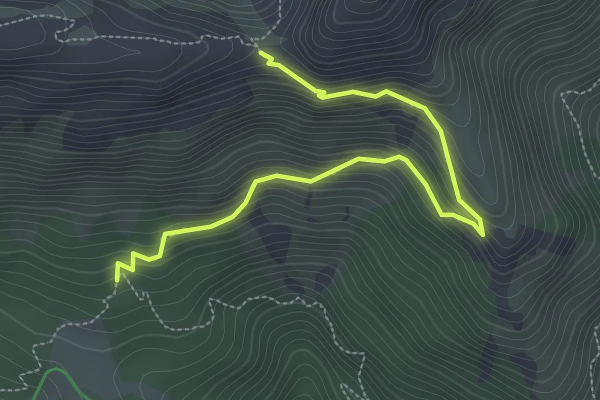
Col du Vaset - Vieille Ville
7.7 km · ↑ 383 m · 2 h 39 min
Easy · Trail
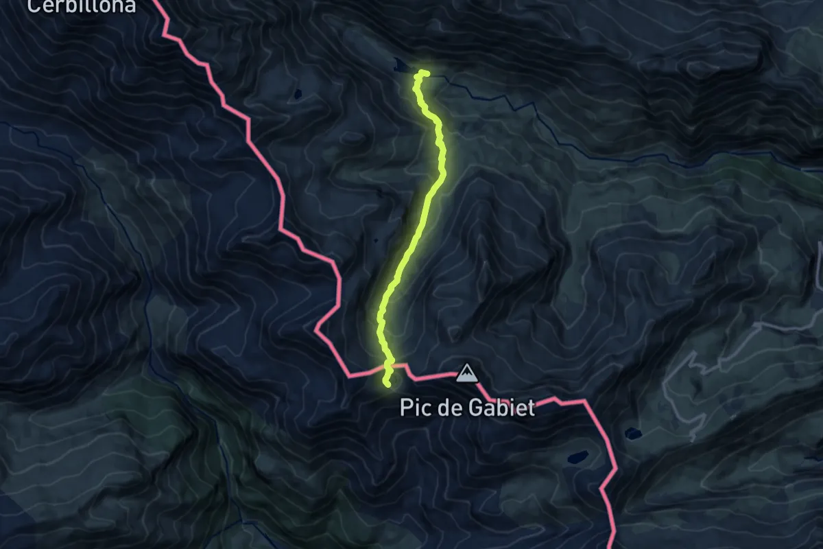
Col du Viallet - La Lozière
3.6 km · ↑ 305 m · 1 h 30 min
Medium · Trail
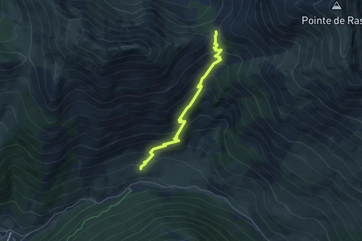
Col et Lac de la Bernatoire
9.9 km · ↑ 557 m · 3 h 33 min
Medium · Trail
Col Fromage - Le Villard
4.8 km · ↑ 468 m · 2 h 9 min
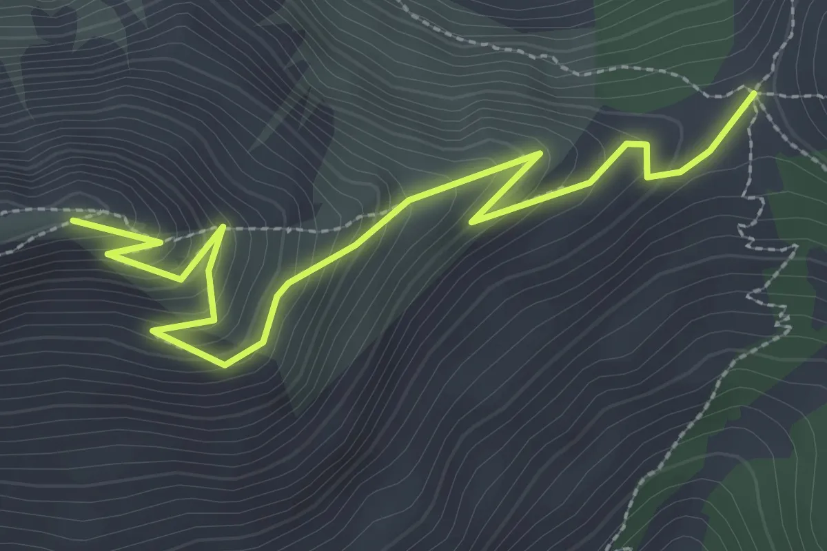
Medium · Trail
Col Fromage - Poste Optique
3.5 km · ↑ 284 m · 1 h 27 min
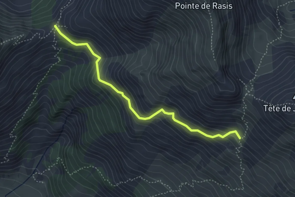
Medium · Trail
Col Fromage - Sous les Estronques
4.5 km · ↑ 363 m · 1 h 51 min
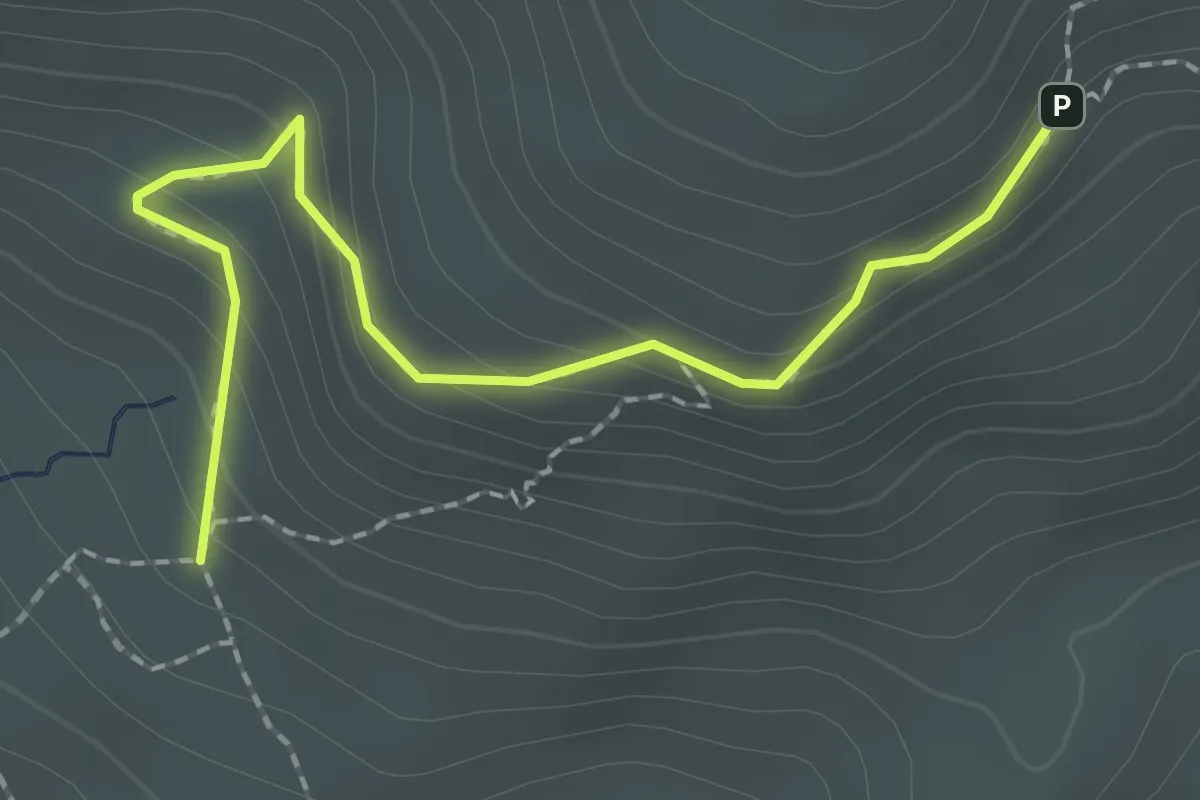
Medium · Trail
Col Furfande Maranuit - ?
2.2 km · ↑ 180 m · 55 min
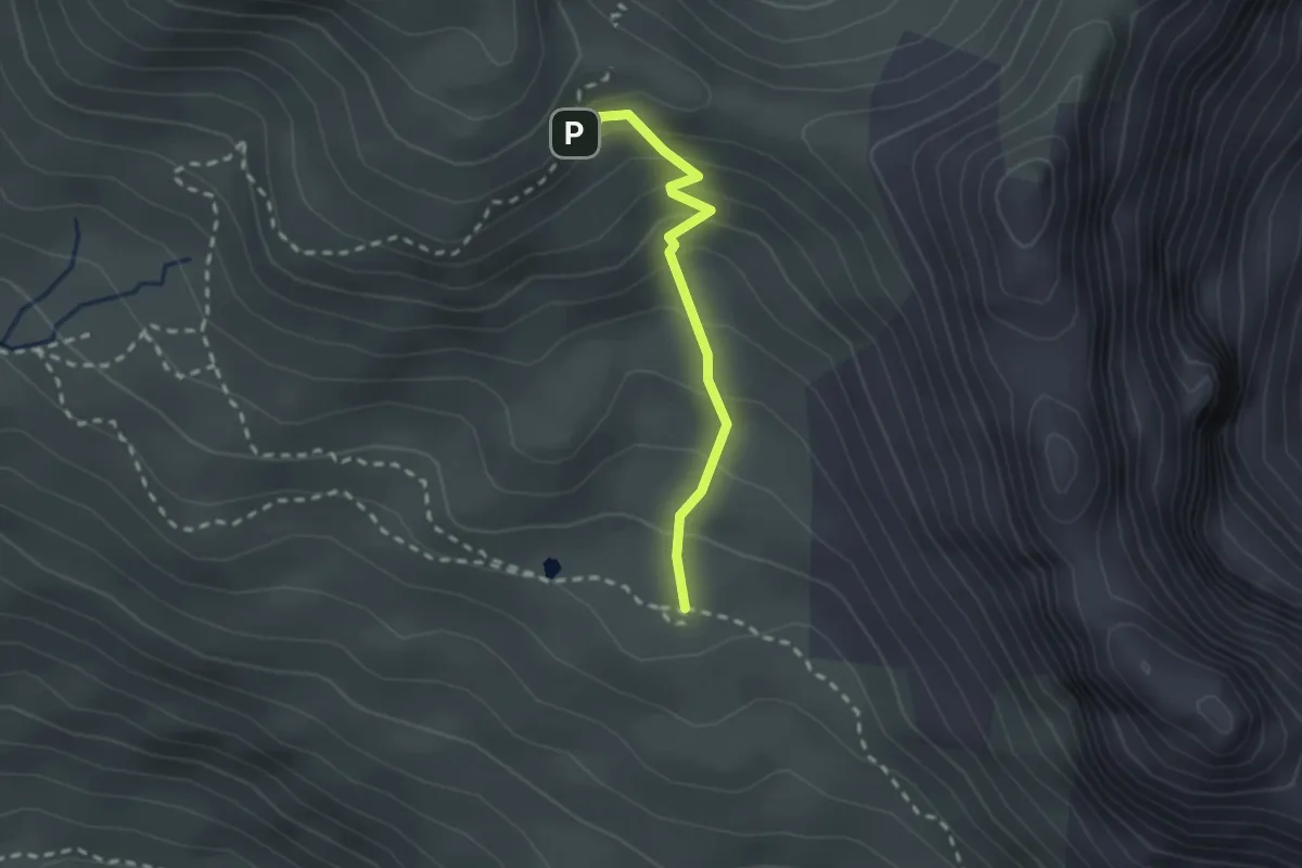
Medium · Cabin
Col Furfande Maranuit - Refuge de Furfande
2.1 km · ↑ 194 m · 54 min
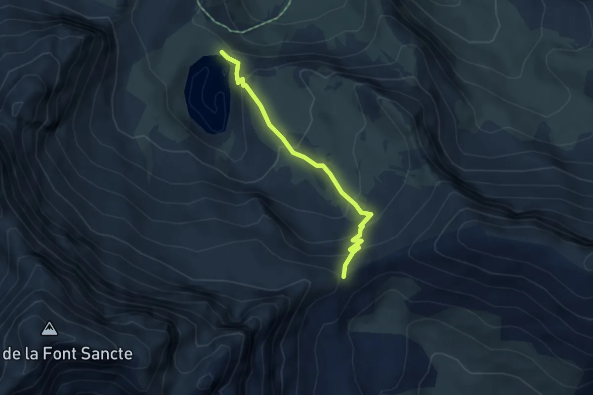
Medium · Trail
Col Girardin - Lac Sainte-Anne
3.9 km · ↑ 300 m · 1 h 34 min
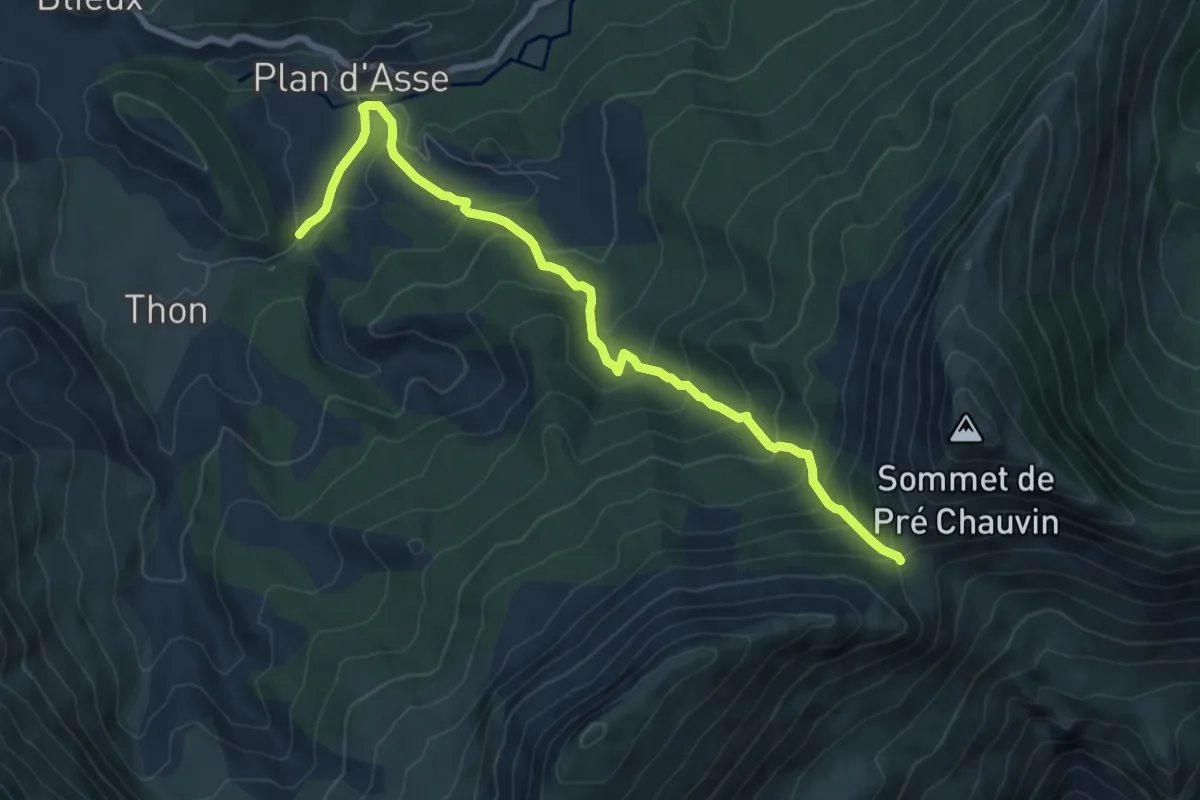
Easy · Trail
Colle Basse (1 446 m)
4.3 km · ↑ 21 m · 1 h 24 min
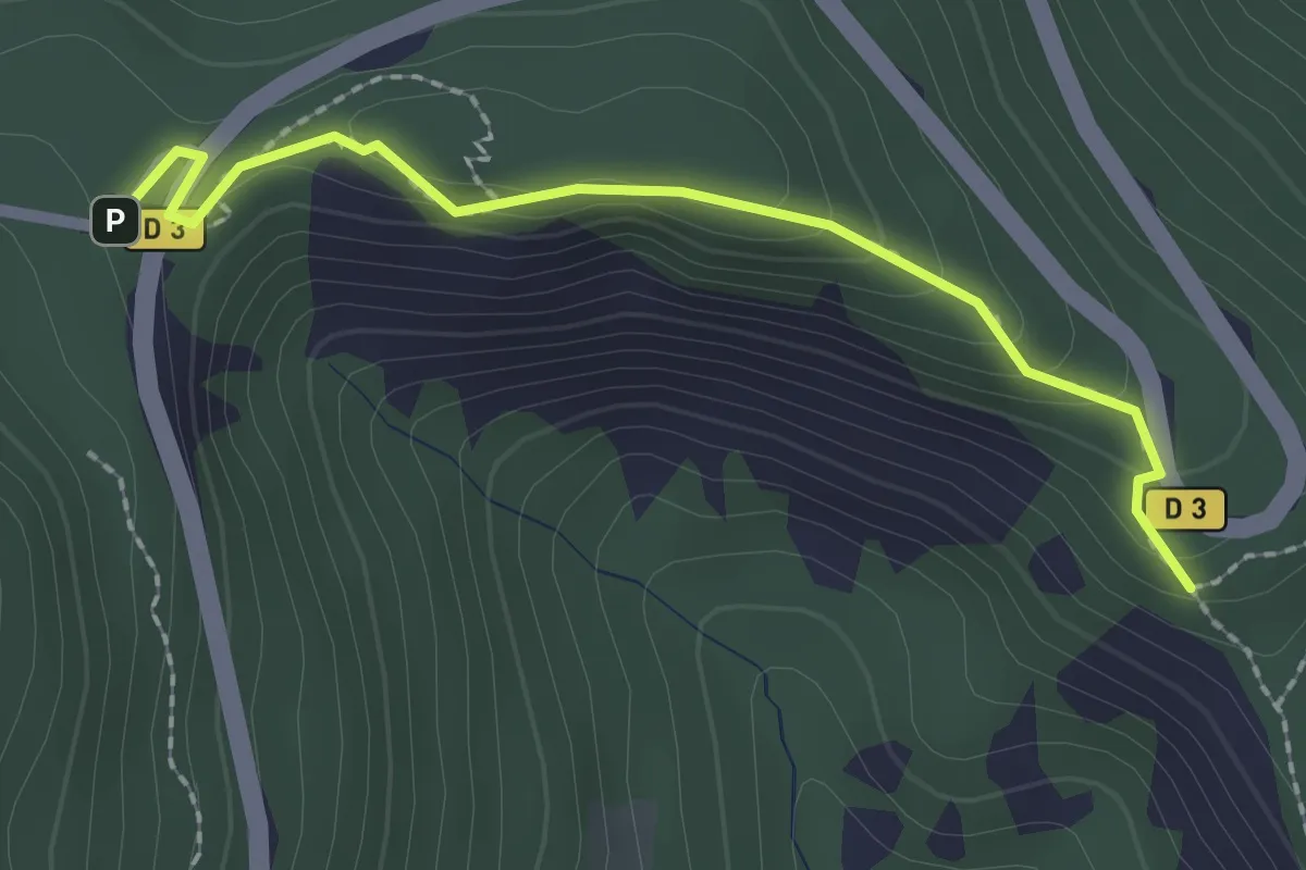
Easy · Trail
Col Lebraut - Crête de Peyre Grosse
2.3 km · ↑ 108 m · 46 min
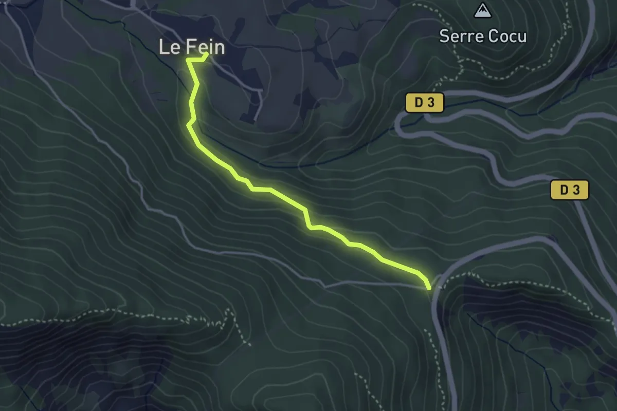
Easy · Trail
Col Lebraut - Le Fein Village
3.4 km · ↑ 130 m · 1 h 5 min
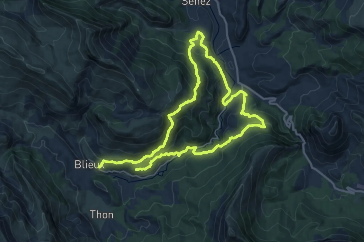
Demanding · Trail
Colle de Blieux
15.8 km · ↑ 804 m · 5 h 42 min
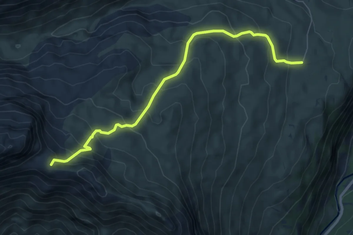
Medium · Trail
Col le Pourteillou
7.2 km · ↑ 613 m · 3 h 2 min
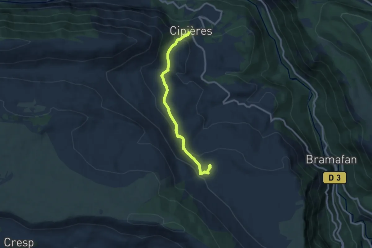
Easy · Trail
Collet des Graus de Pons
3.6 km · ↑ 255 m · 1 h 21 min
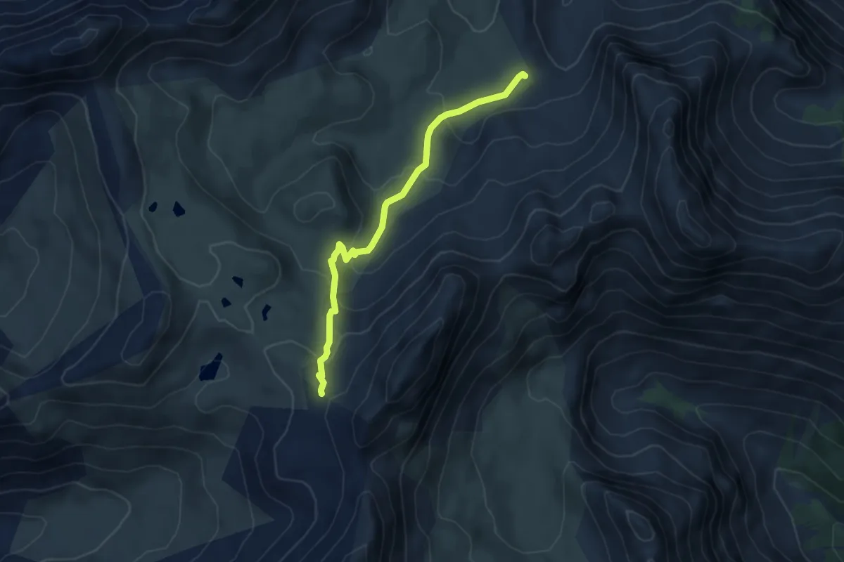
Medium · Trail
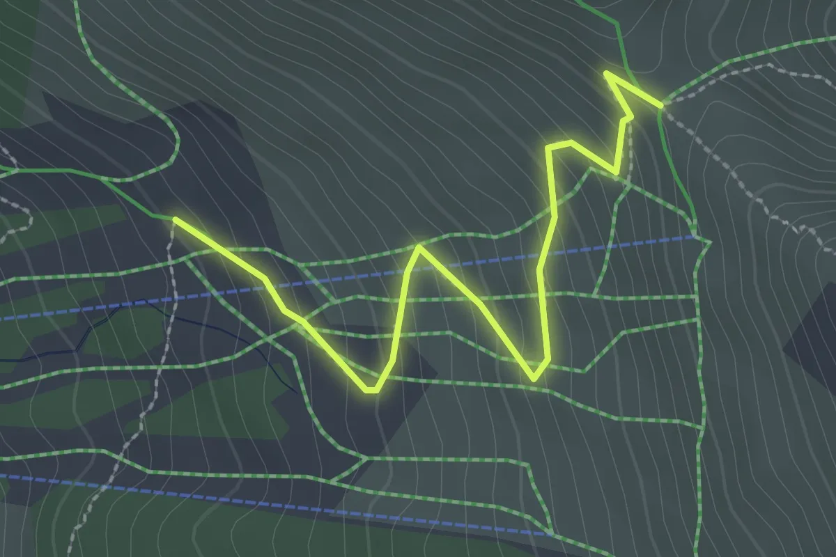
Collet du Roseyt - Crêtes des Eaux Pendantes
4.6 km · ↑ 262 m · 1 h 40 min
Easy · Trail
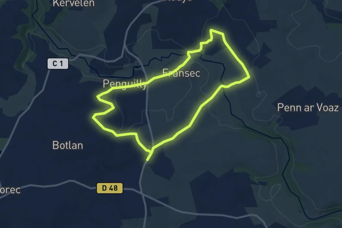
Collette de Gilly - Montagne de Varenc
2.8 km · ↑ 204 m · 1 h 6 min
Easy · Trail
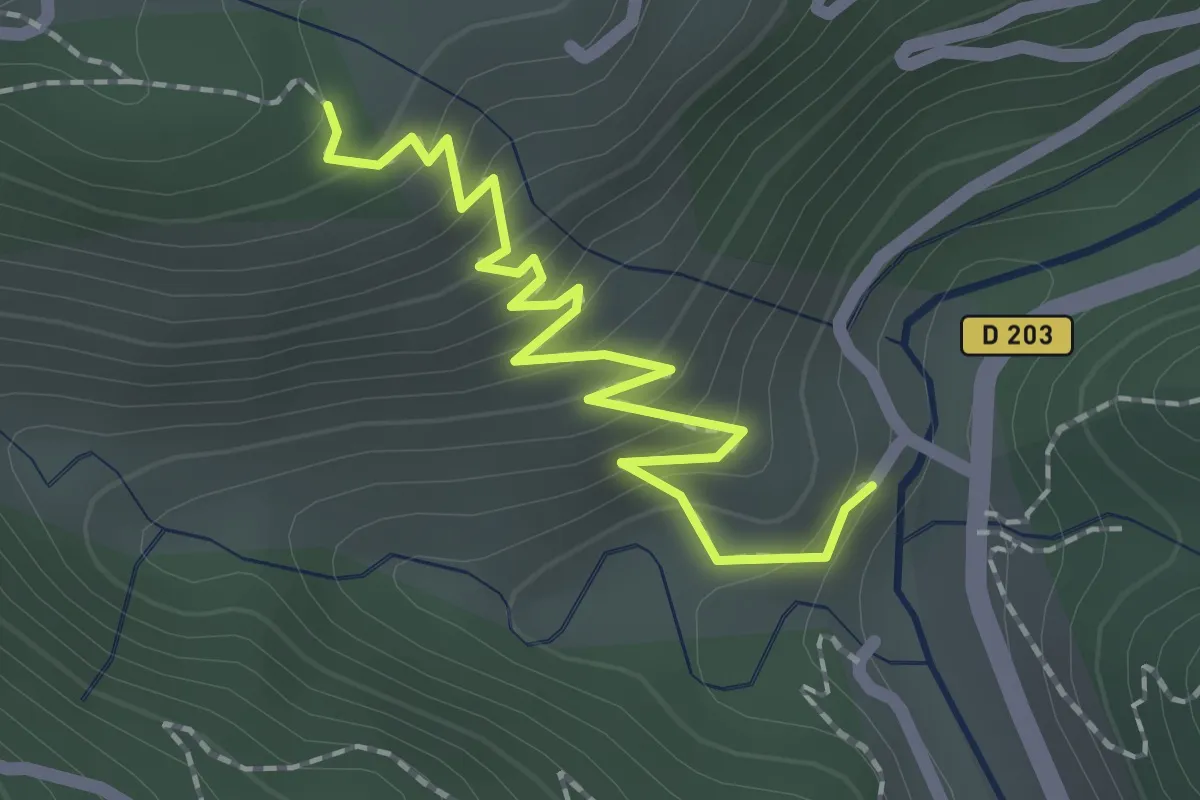
Collorec : Les passerelles
7.8 km · ↑ 102 m · 2 h 10 min
Easy · Trail
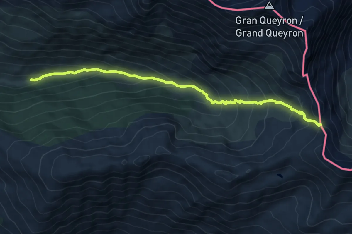
Colobrouze - La Roche
2.2 km · ↑ 217 m · 59 min
Medium · Trail
Col Saint Martin - Le Grand Clot
7.8 km · ↑ 532 m · 3 h
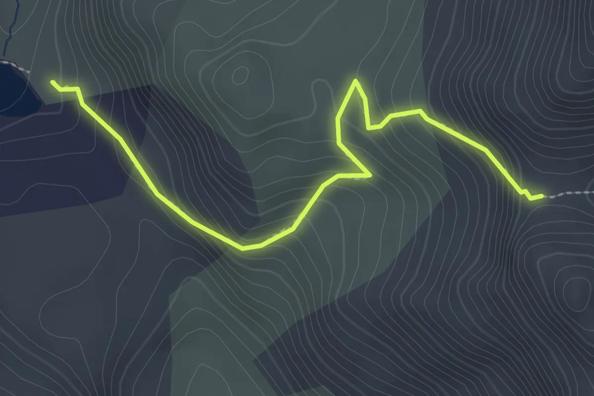
Easy · Trail
Col St Antoine - Lac du Lauzet
2.9 km · ↑ 253 m · 1 h 14 min
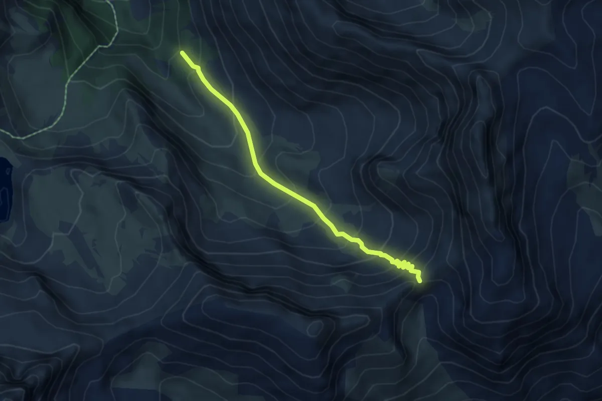
Medium · Trail
Col Tronchet - Costes du Col Tronchet
5.1 km · ↑ 486 m · 2 h 15 min
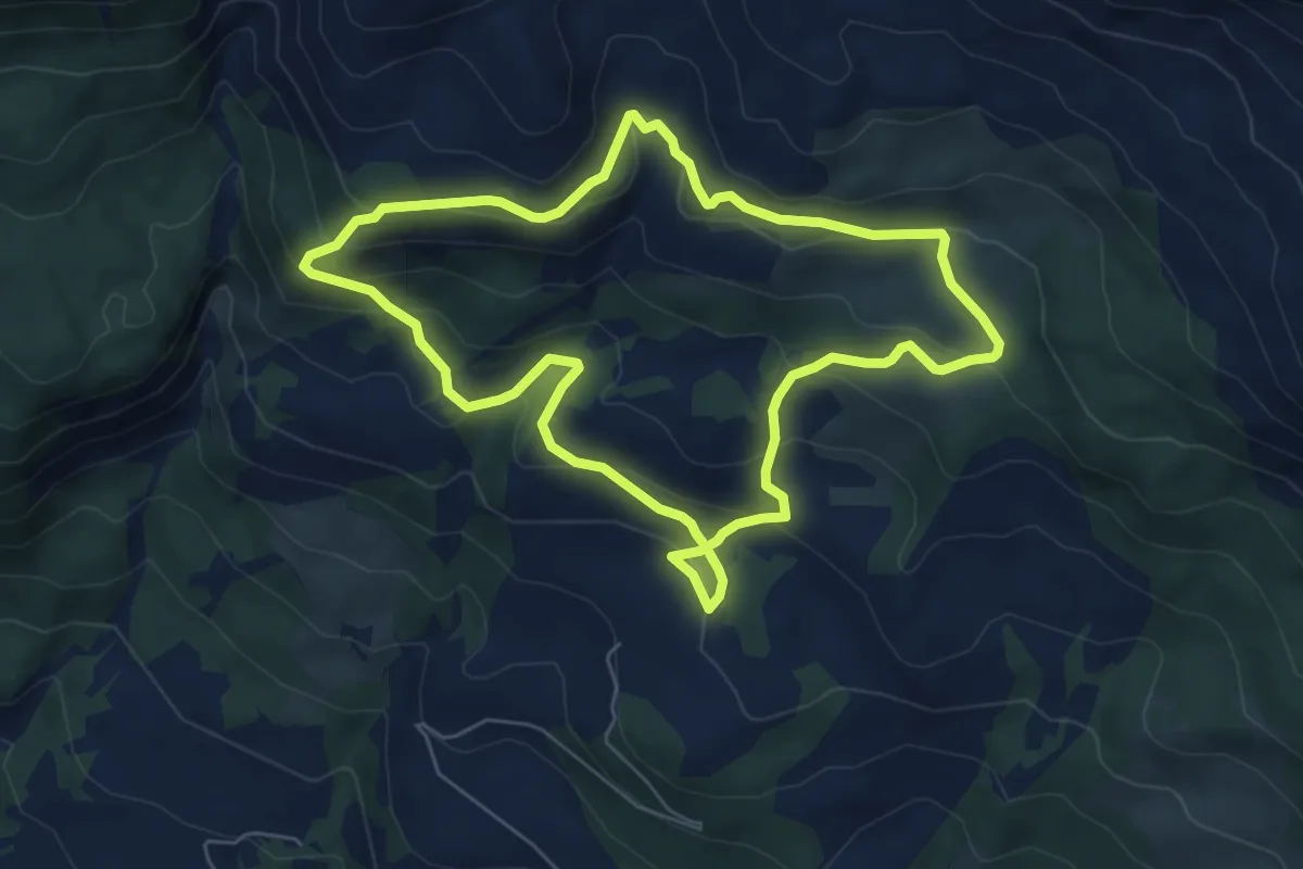
Medium · Trail
Combebelle
6.5 km · ↑ 344 m · 2 h 23 min
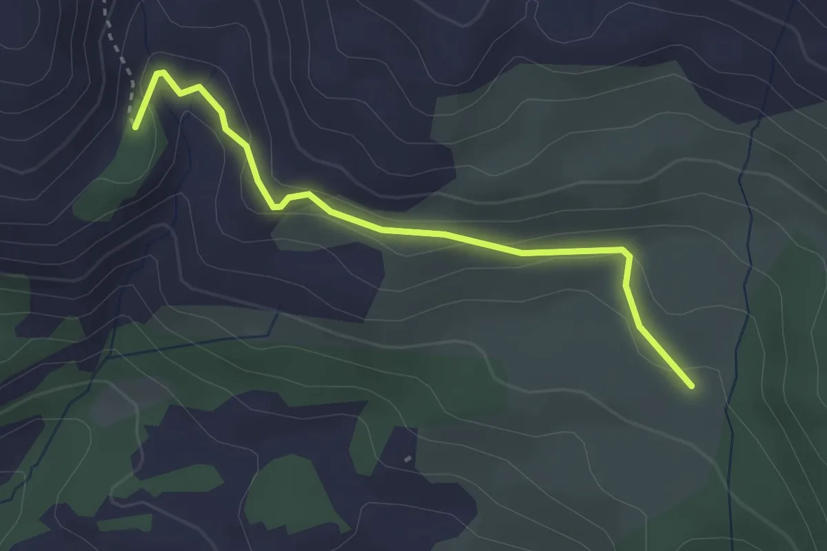
Easy · Trail
? - Combe Belle
3.1 km · ↑ 98 m · 56 min
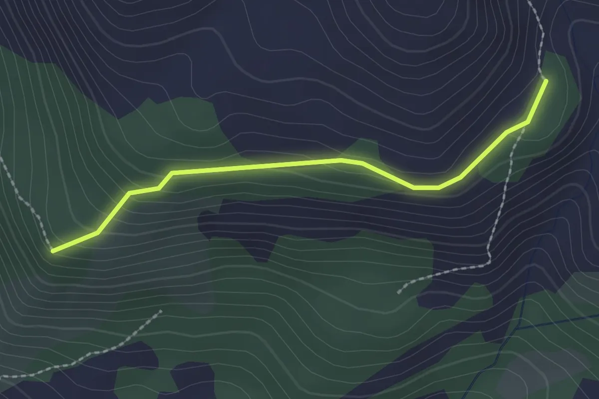
Easy · Trail
Combe Belle - Coste Lébrière
2.1 km · ↑ 124 m · 46 min
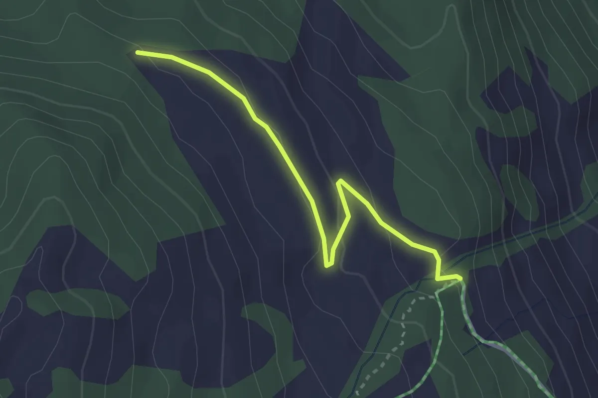
Easy · Trail
Combe Chauvet - La Barge
3.0 km · ↑ 81 m · 53 min
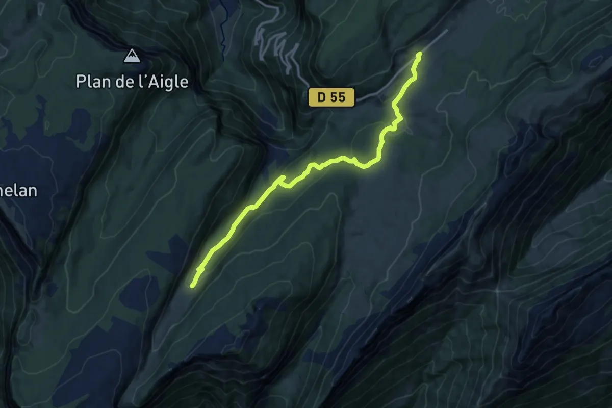
Medium · Trail
Combe d'Ablon
12.5 km · ↑ 435 m · 3 h 53 min
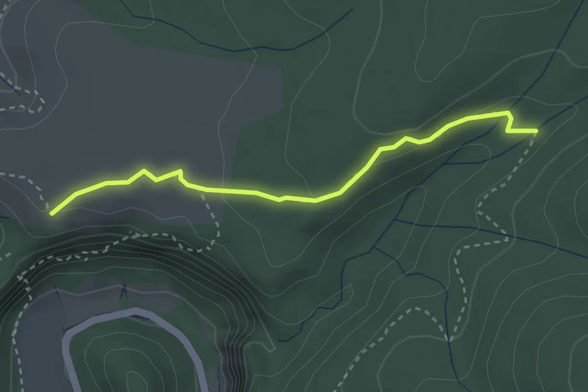
Medium · Trail
Combe d'Arc - Combe Longue
2.9 km · ↑ 89 m · 52 min
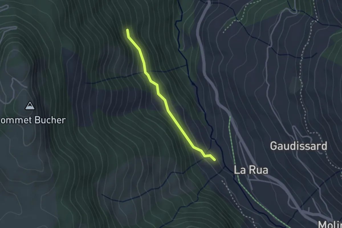
Easy · Trail
Combe de Gambarel - Font Coucet
2.5 km · ↑ 116 m · 51 min
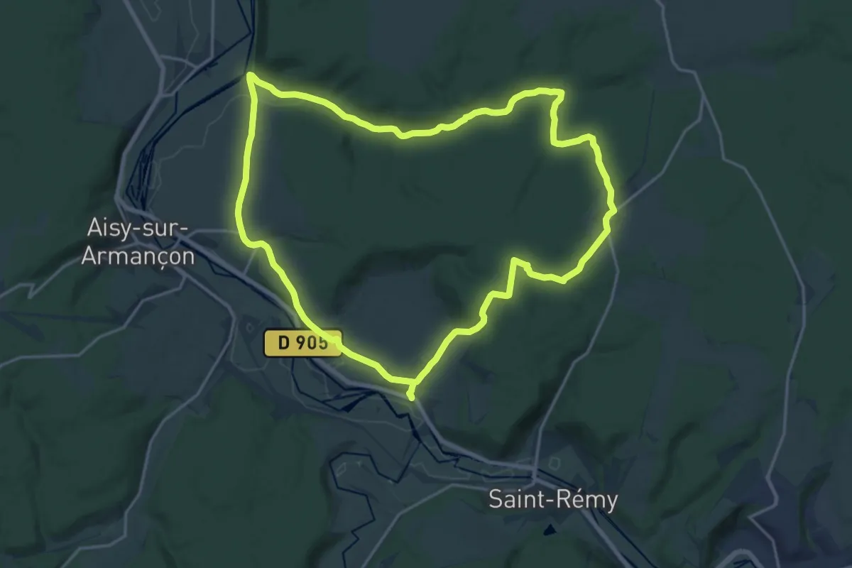
Medium · Trail
Combe de l'étang
17.1 km · ↑ 261 m · 4 h 51 min
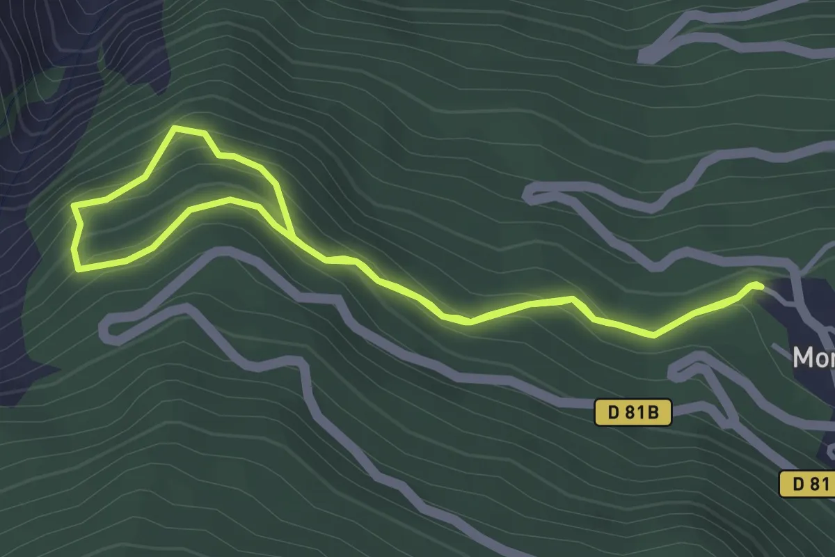
Easy · Trail
Combe de l'Oula
3.1 km · ↑ 241 m · 1 h 18 min
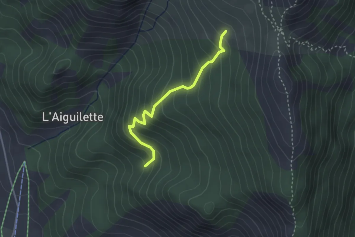
Easy · Trail
Combe du Loup - Le Pouït
2.7 km · ↑ 268 m · 1 h 13 min