Trails in France
15,926 hiking trails, each with its route, climb, walking time and grade.
All trails, page 95 of 332
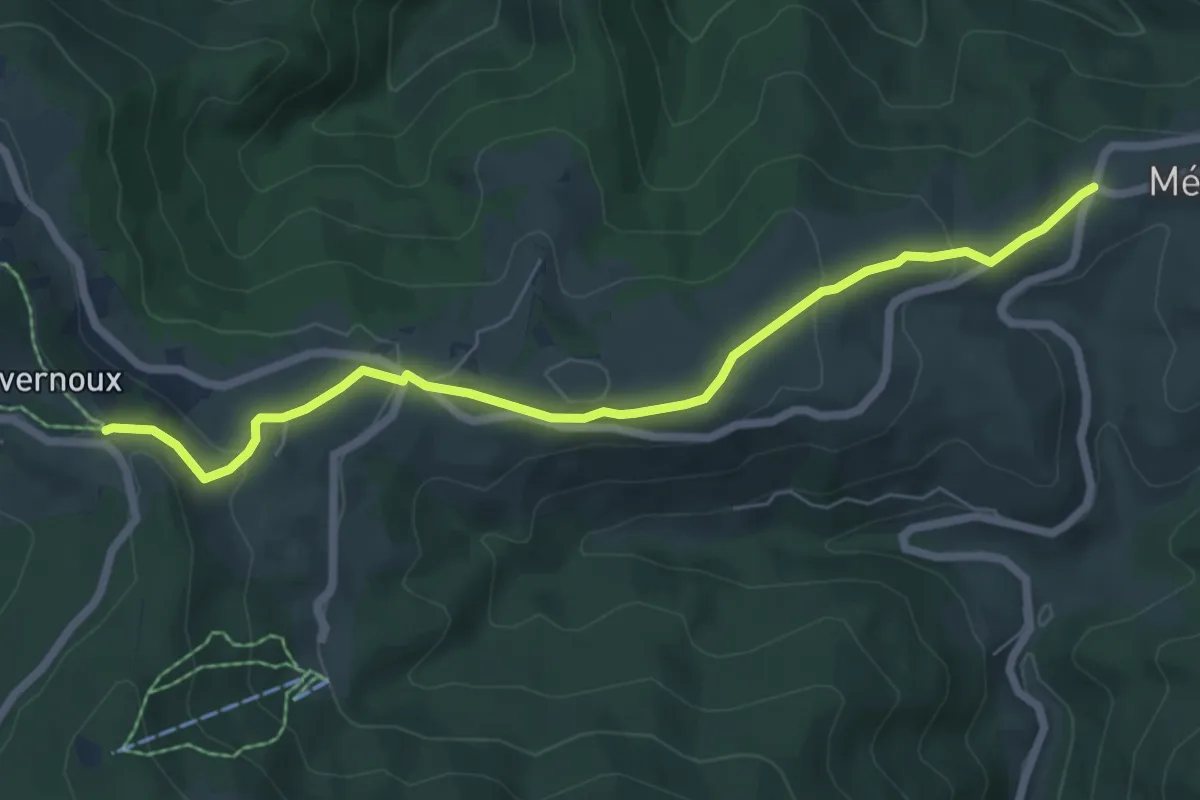
Easy · Trail
Col de Mézilhac - Le Quinsou
7.0 km · ↑ 224 m · 2 h 8 min
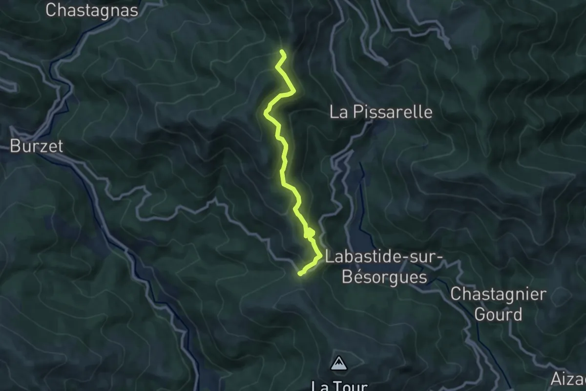
Medium · Trail
Col de Moucheyres - Cros du Loup
7.7 km · ↑ 582 m · 3 h 5 min
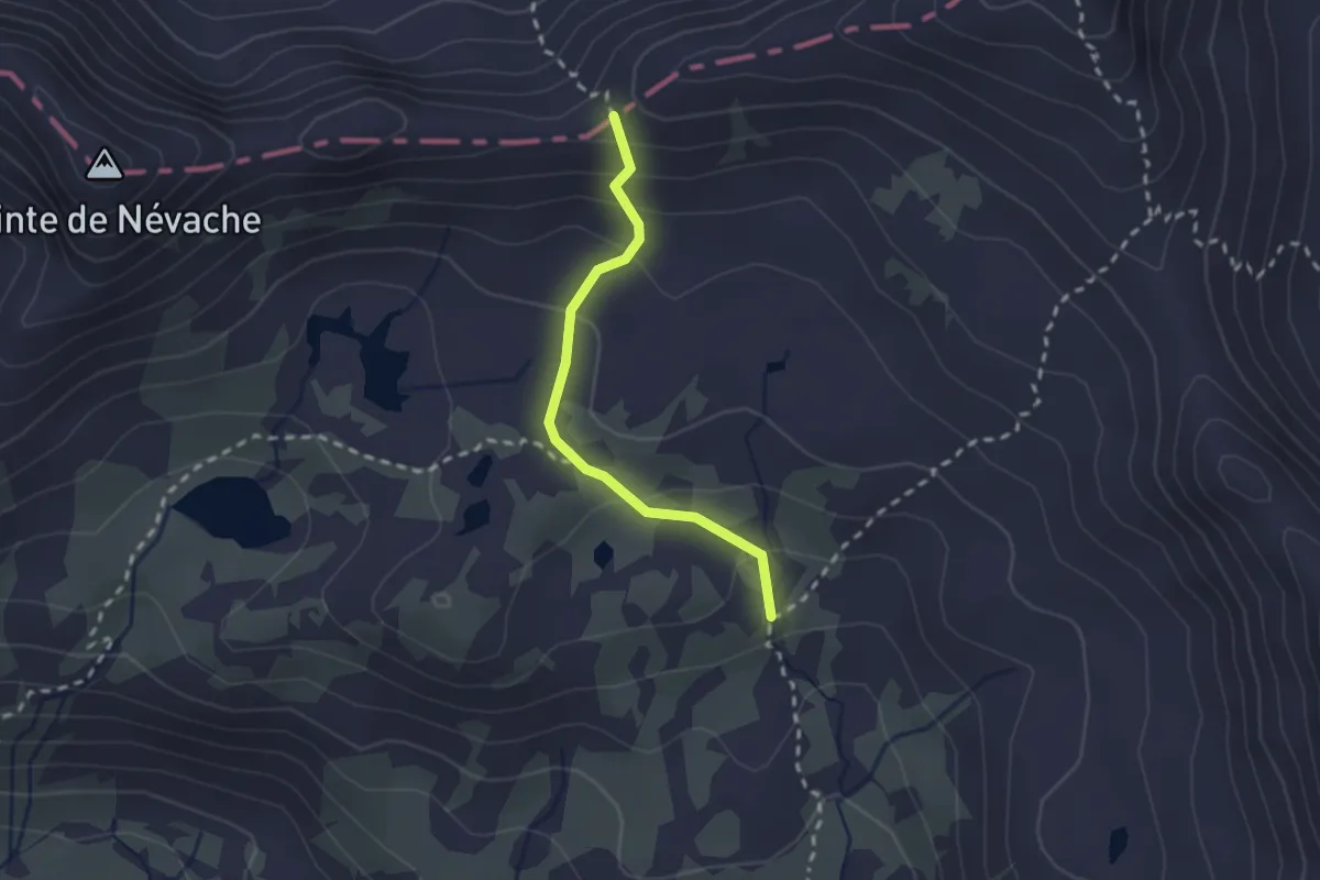
Demanding · Trail
Col de Névache - ?
2.1 km · ↑ 146 m · 48 min
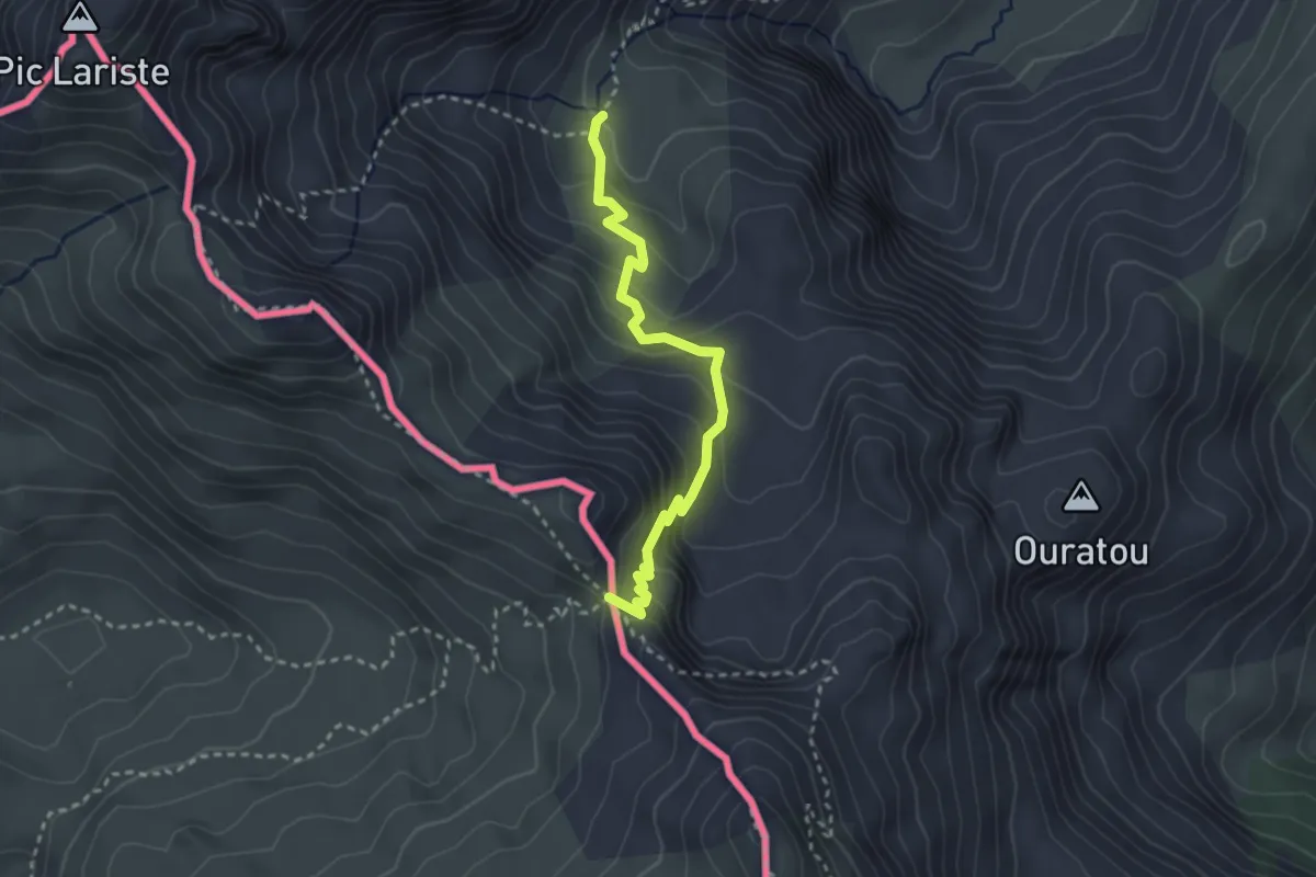
Medium · Trail
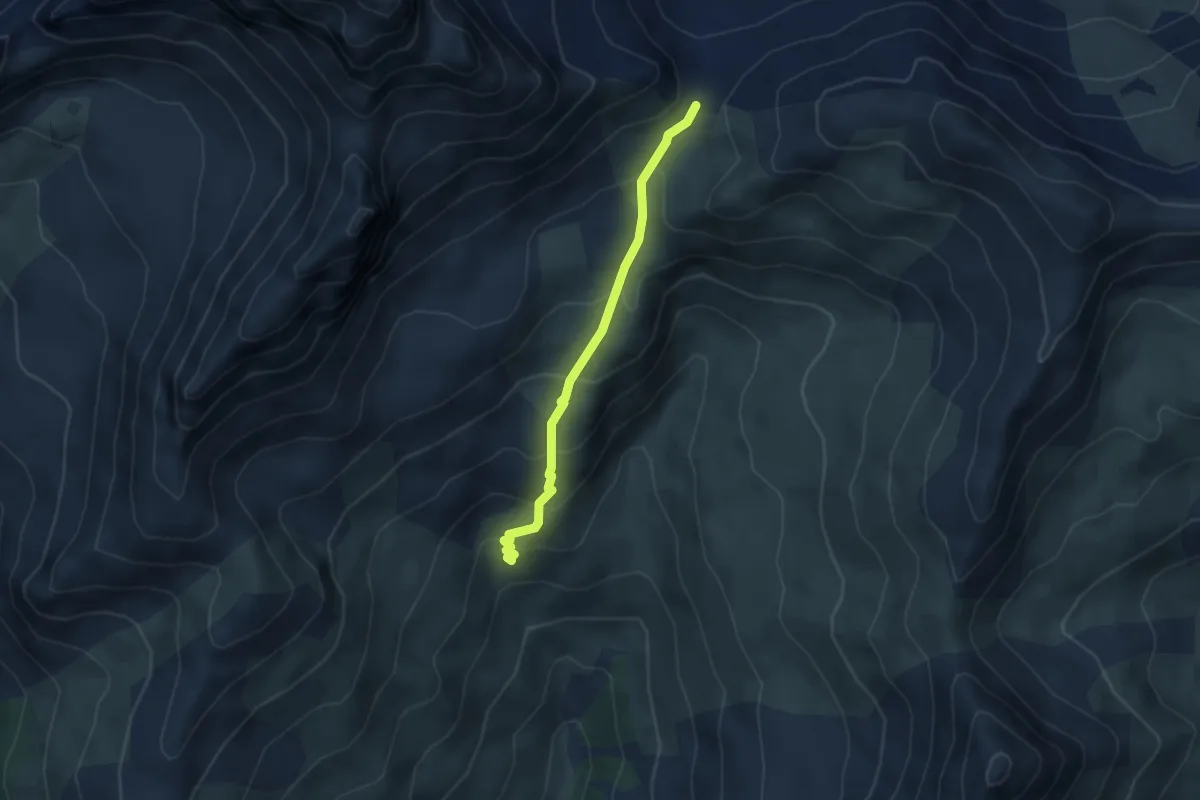
Col de Paü asp54
3.1 km · ↑ 227 m · 1 h 13 min
Easy · Trail
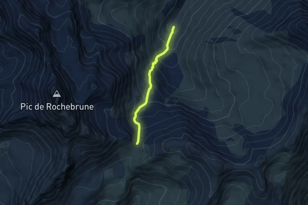
Col de Péas - Bergerie Haute de Péas
3.8 km · ↑ 289 m · 1 h 31 min
Medium · Trail
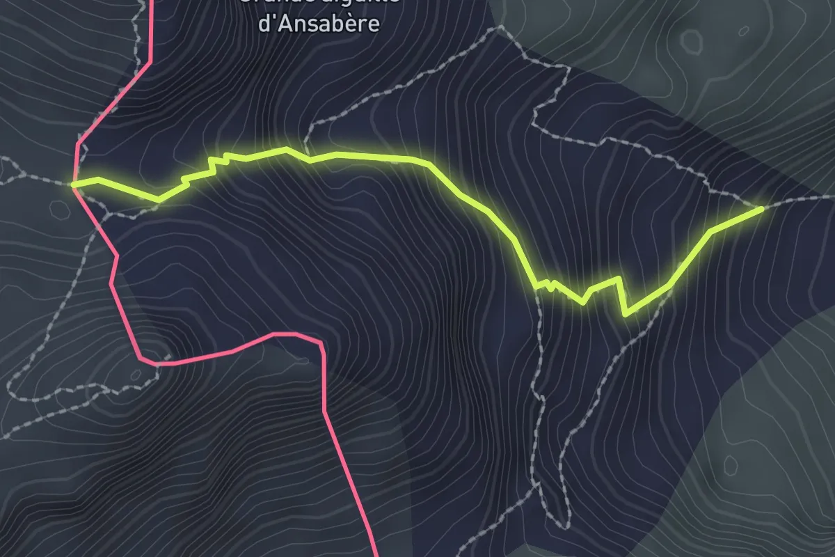
Col de Péas - Ravin des Chalmettes
4.5 km · ↑ 446 m · 2 h 2 min
Medium · Trail
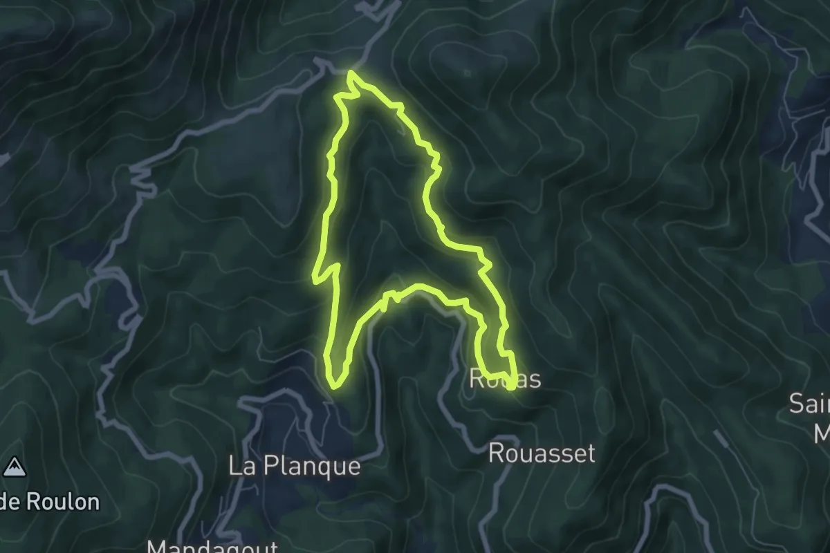
Col de Pétragème asp53
2.3 km · ↑ 385 m · 1 h 23 min
Medium · Trail
Col de Peyrefiche
6.6 km · ↑ 339 m · 2 h 22 min
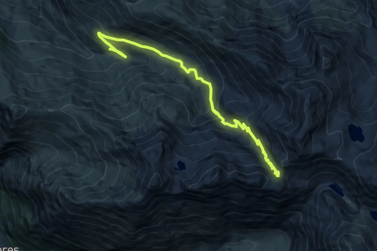
Demanding · Trail
Col de Pierrefitte
12.5 km · ↑ 889 m · 4 h 52 min
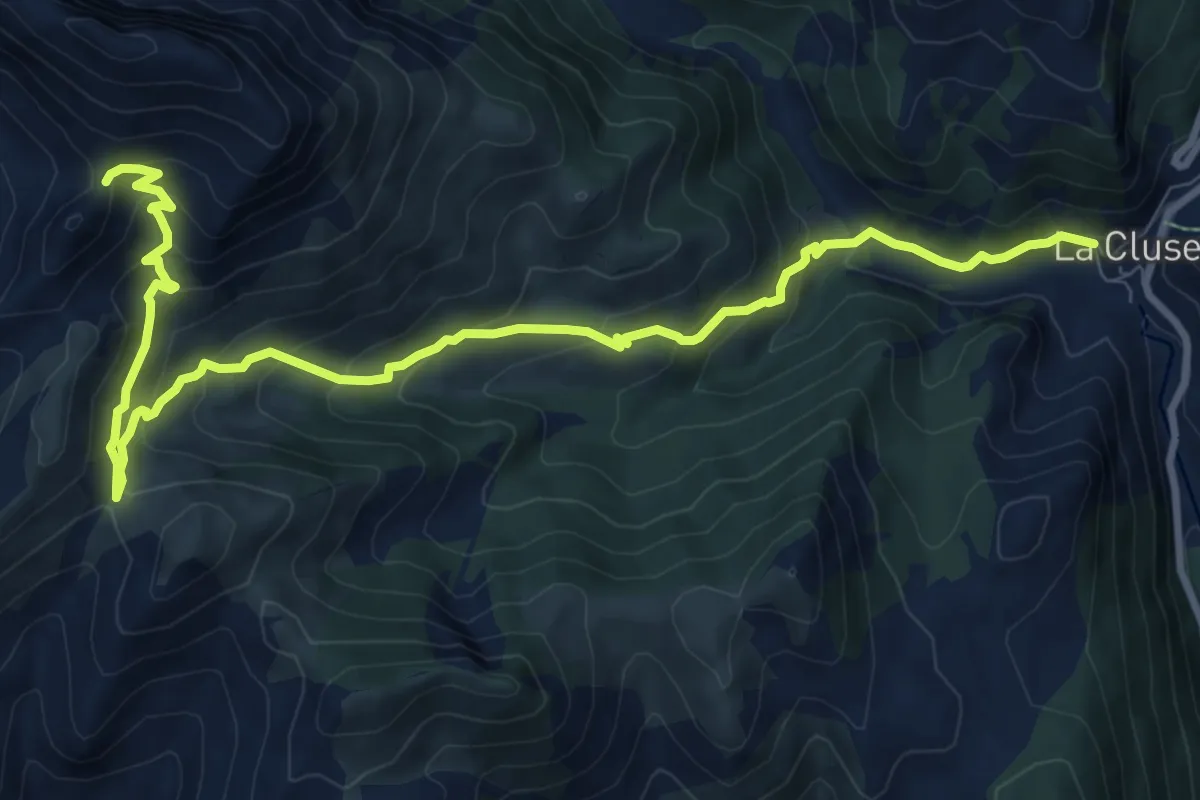
Medium · Trail
Col de Plate Contier
12.0 km · ↑ 774 m · 4 h 31 min
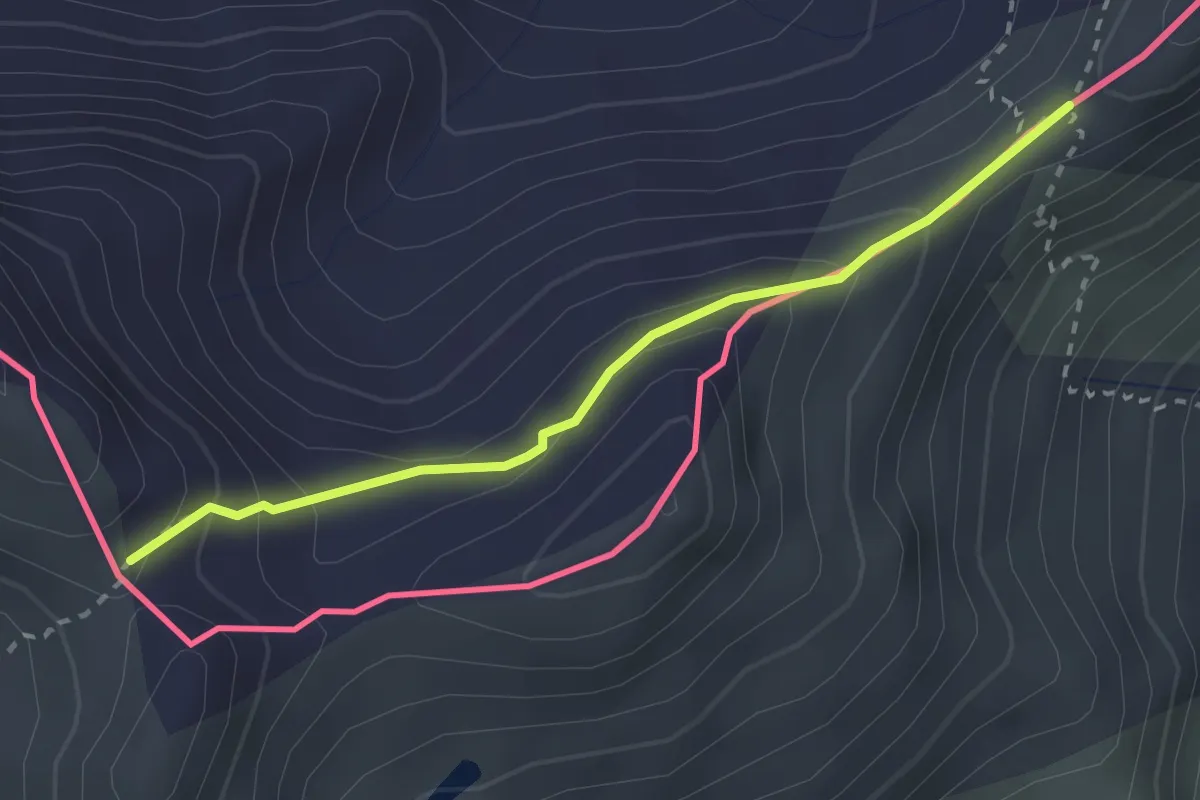
Demanding · Trail
Col de Rasis - Col des Thures
2.5 km · ↑ 166 m · 57 min
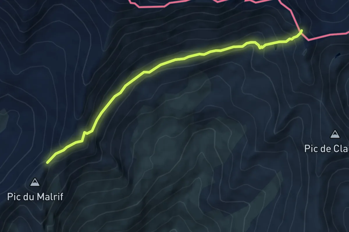
Demanding · Trail
Col de Rasis - Col du Malrif
6.5 km · ↑ 400 m · 2 h 23 min
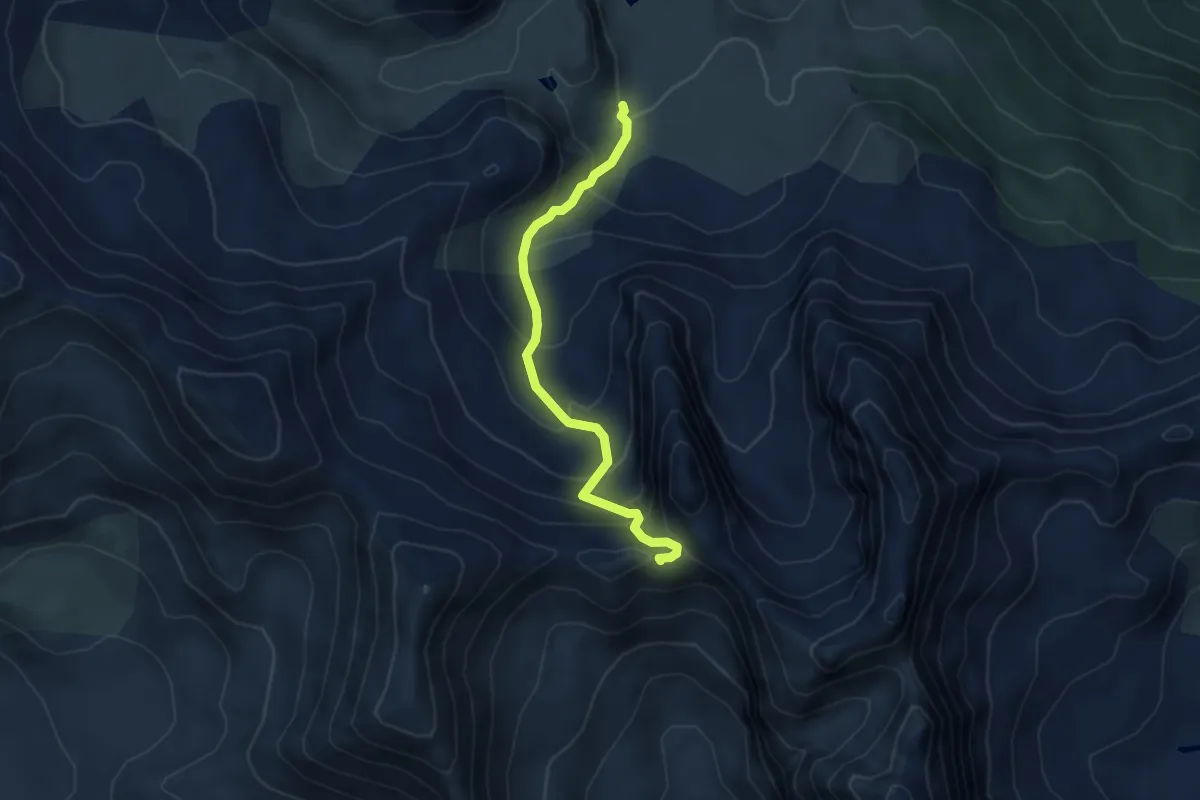
Medium · Trail
Col de Roche Noire - Ruisseau du Raisin
4.5 km · ↑ 385 m · 1 h 54 min
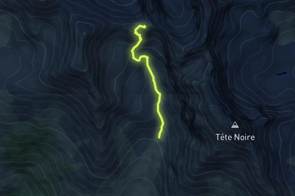
Medium · Trail
Col de Roche Noire - Vallon de la Moulette
4.2 km · ↑ 391 m · 1 h 50 min
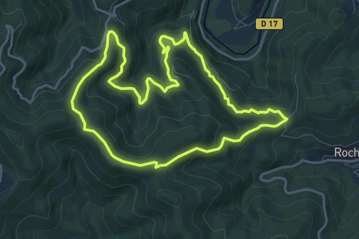
Medium · Trail
Col des 4 chemins
8.5 km · ↑ 470 m · 3 h 9 min
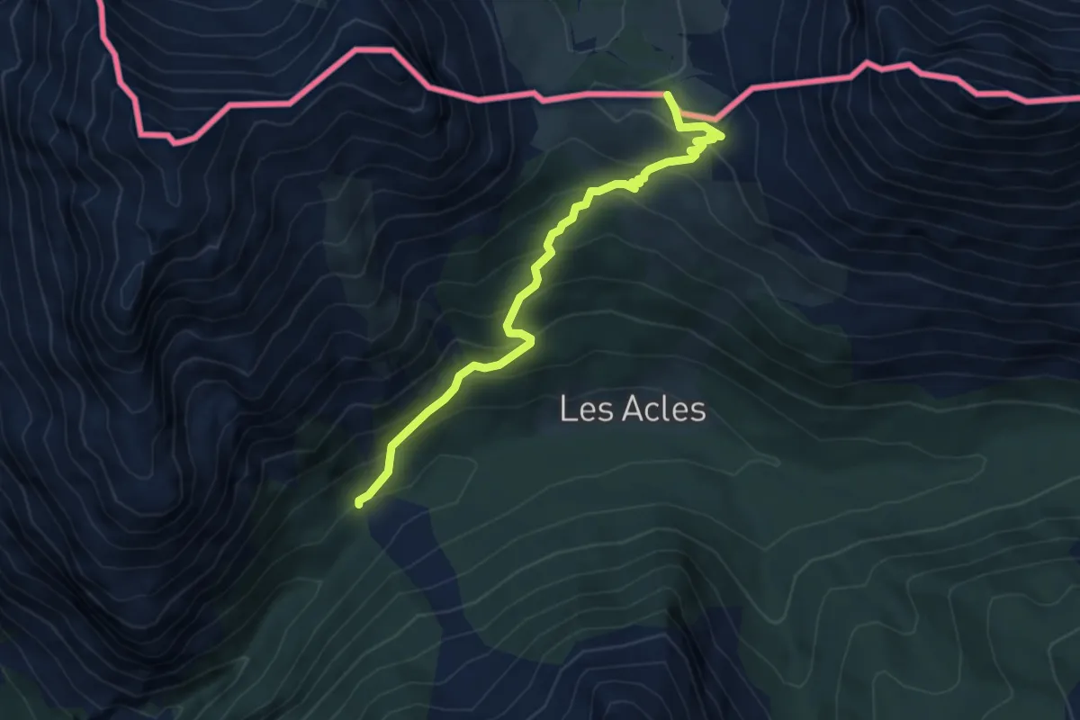
Medium · Trail
Col des Acles - Oratoire St-Roch
5.1 km · ↑ 426 m · 2 h 8 min
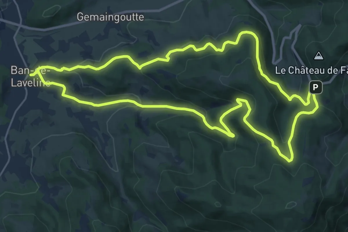
Medium · Trail
Col de Sainte-Marie
14.9 km · ↑ 590 m · 5 h 1 min
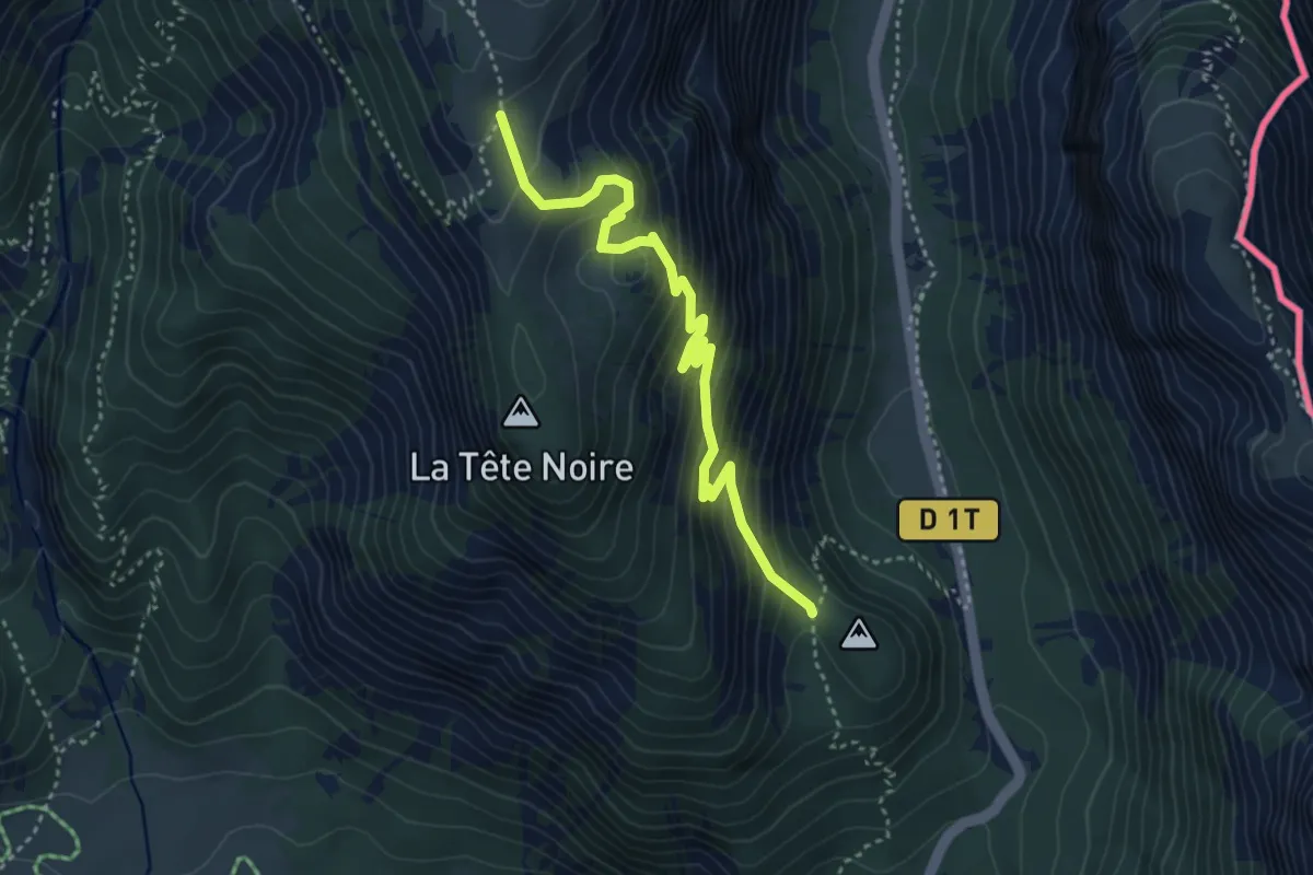
Medium · Trail
Col de Saint-Hippolyte - Ruines Tête Noire
4.1 km · ↑ 378 m · 1 h 48 min
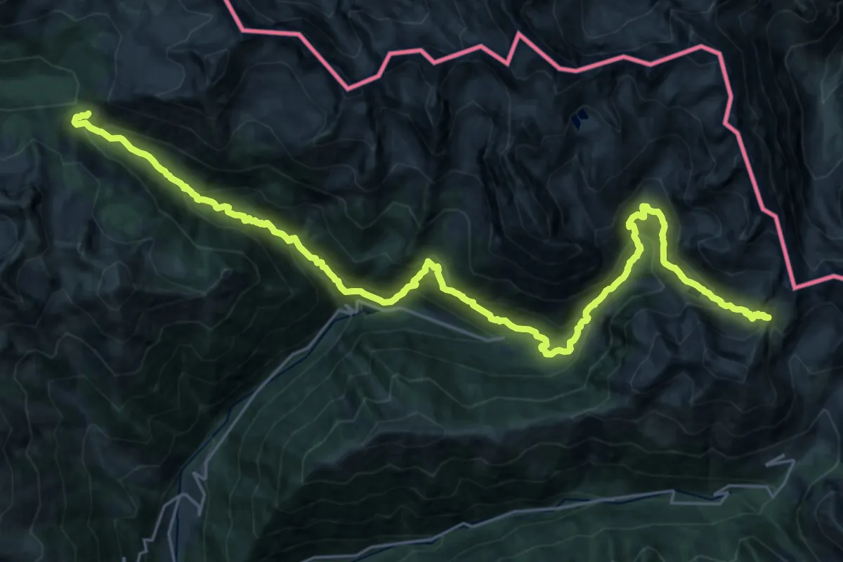
Demanding · Trail
Col de Salèse - Pas des Ladres
15.4 km · ↑ 1246 m · 6 h 22 min
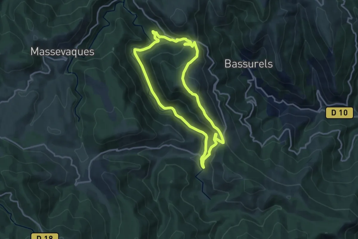
Medium · Trail
Col de Salidès
10.2 km · ↑ 378 m · 3 h 22 min
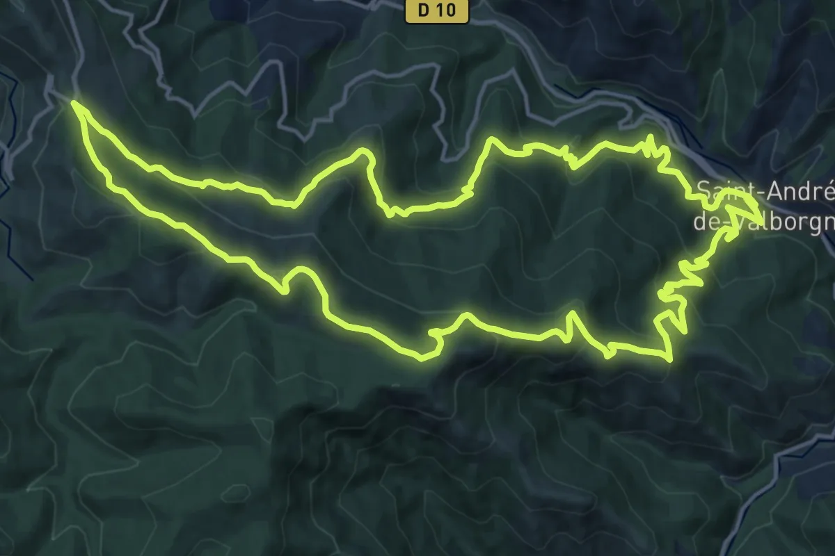
Medium · Trail
Col de Salidès par Saint-André de Valborgne
17.5 km · ↑ 750 m · 6 h
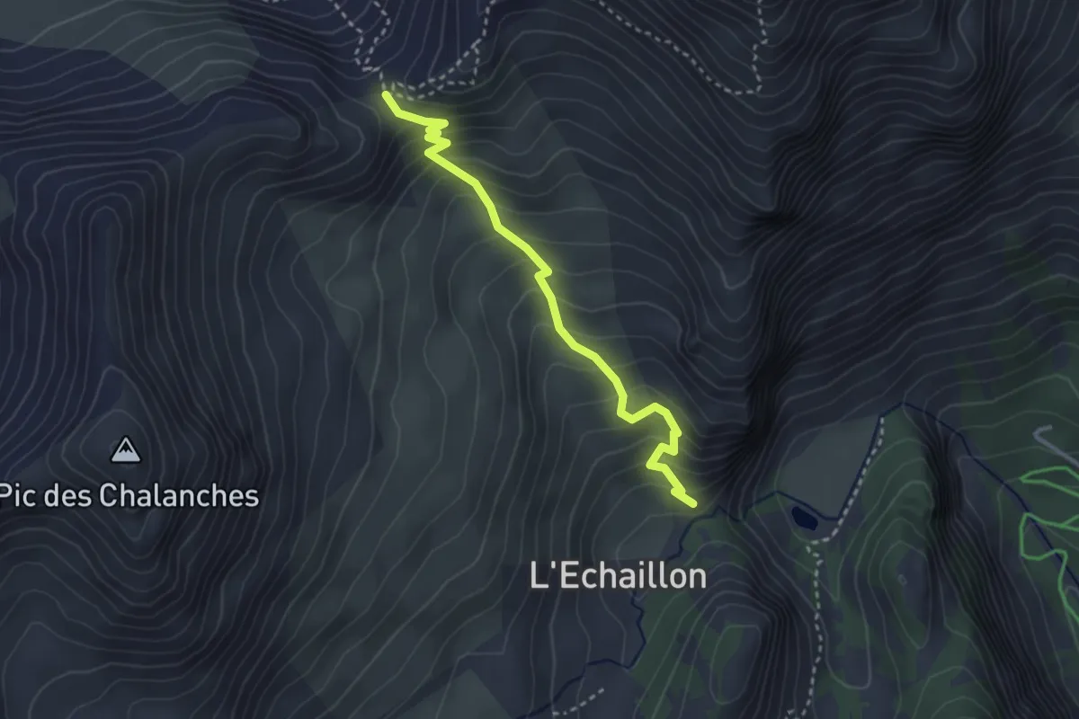
Medium · Trail
Col des Ayes - L'Eychaillon
3.2 km · ↑ 358 m · 1 h 32 min
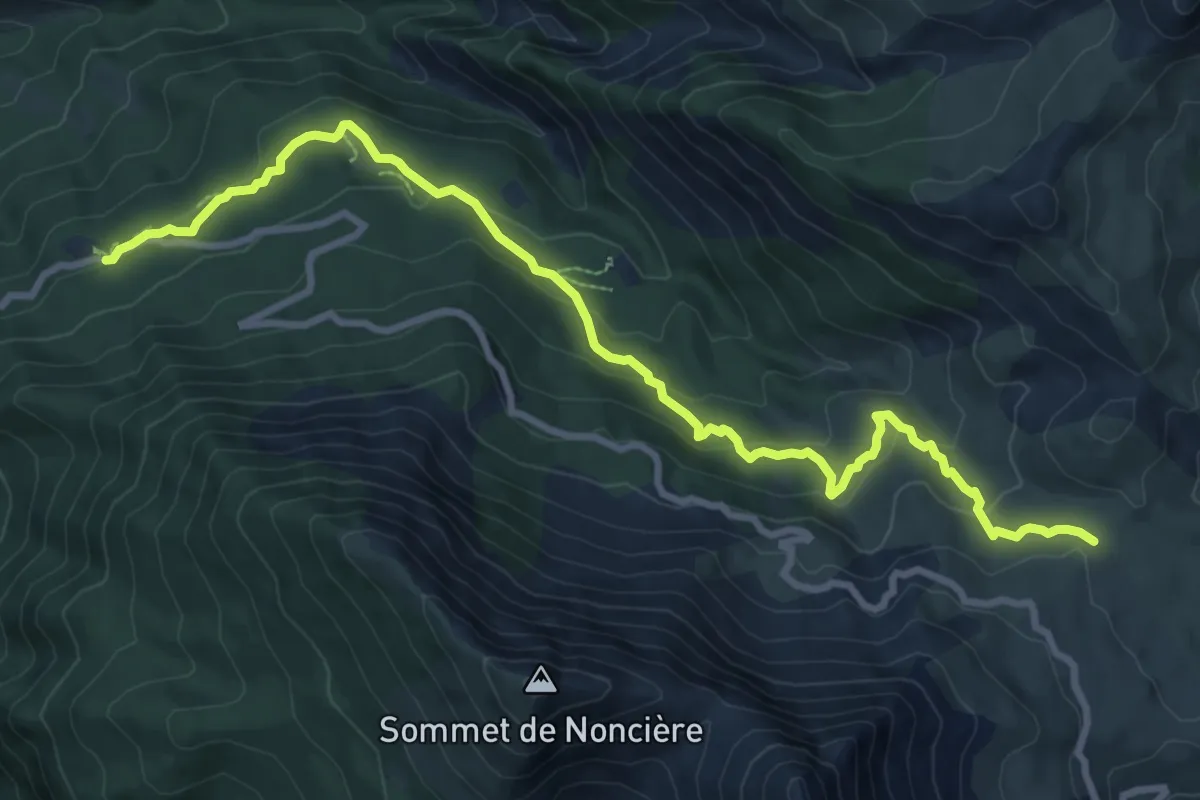
Medium · Trail
Col des Champs (2 045 m) - GR® 52A
5.4 km · ↑ 432 m · 2 h 7 min
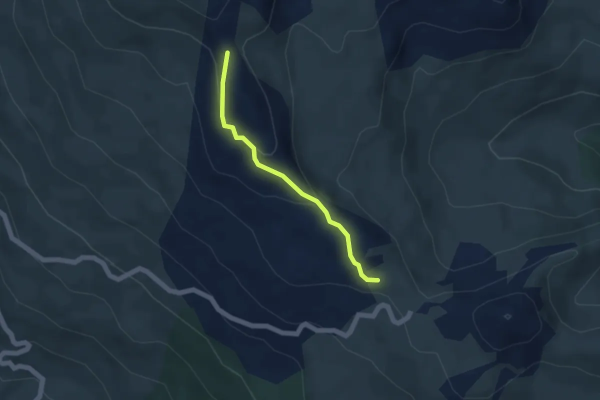
Medium · Trail
Col des Cibières - Sous la Gardiole
3.0 km · ↑ 114 m · 57 min
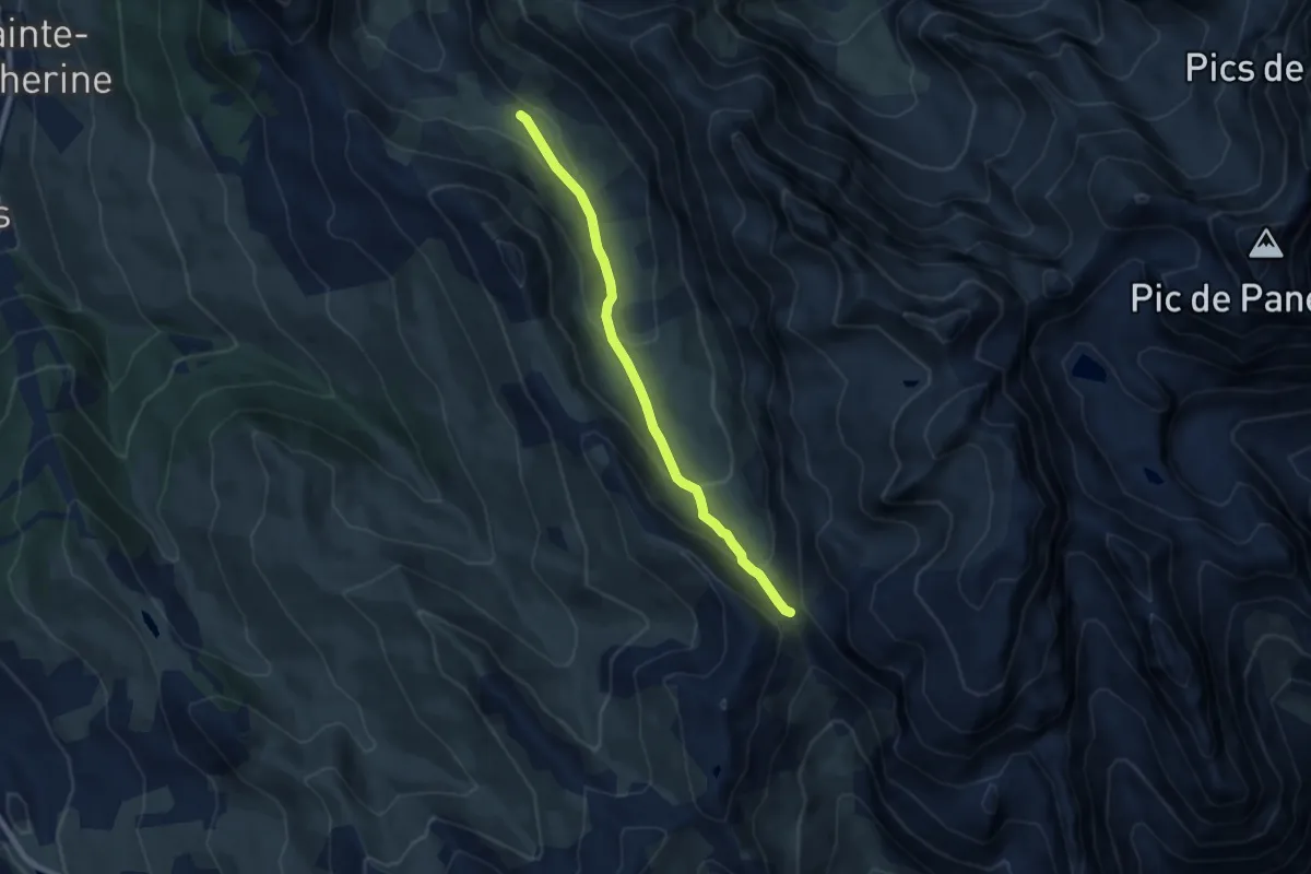
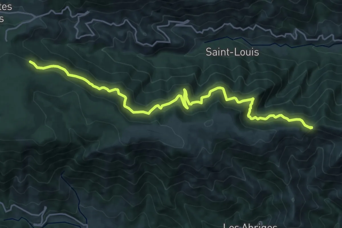
Medium · Trail
Col de Serenne - ?
7.4 km · ↑ 392 m · 2 h 35 min
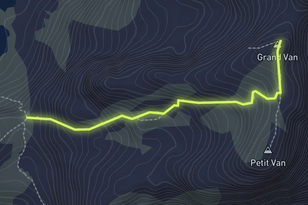
Demanding · Trail
Col des Langoustines - Le Frayt
18.7 km · ↑ 1124 m · 6 h 51 min
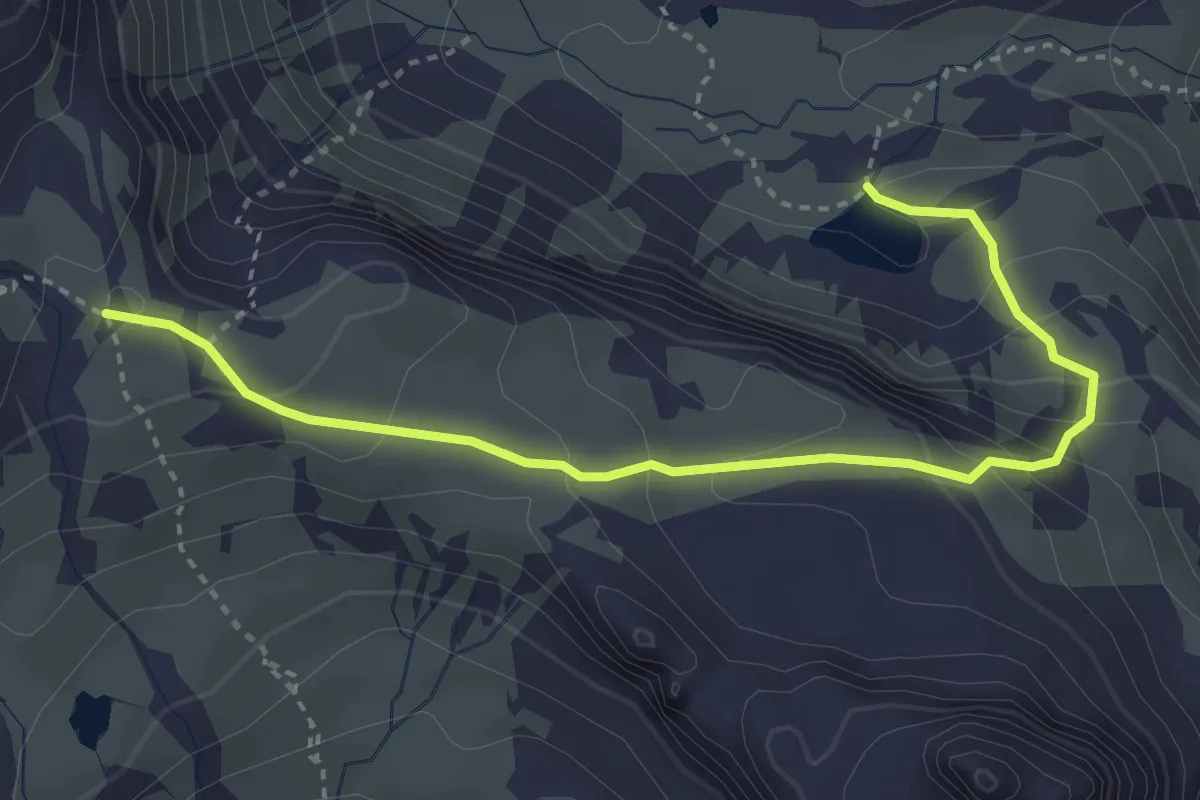
Demanding · Summit
Col des Lessines - Les Vannes
2.4 km · ↑ 328 m · 1 h 16 min
Medium · Trail
Col des Méandes - Lac du Peyron
3.8 km · ↑ 288 m · 1 h 32 min
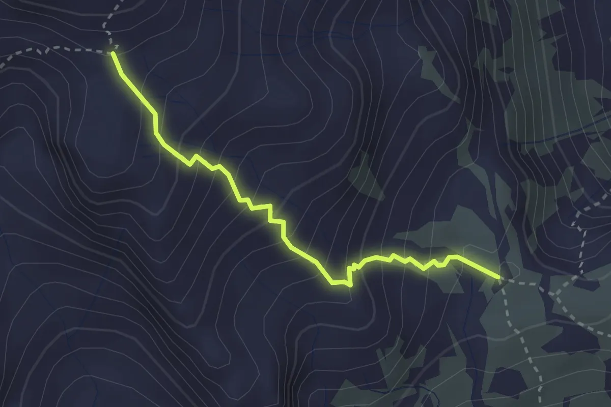
Demanding · Trail
Col des Méandes - Pied du Désert
2.7 km · ↑ 342 m · 1 h 23 min
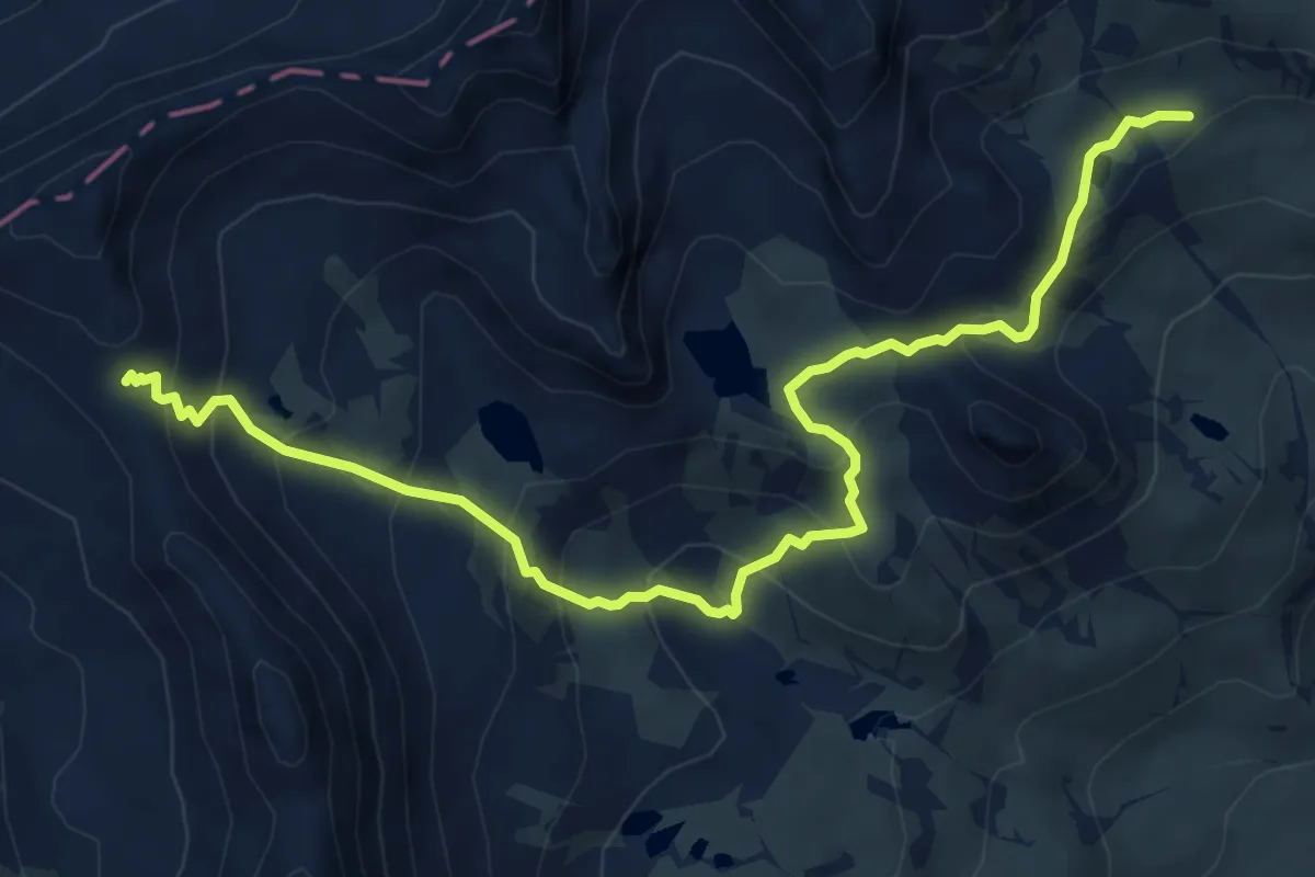
Demanding · Trail
Col des Muandes - Vallon du Diner
7.6 km · ↑ 617 m · 3 h 9 min
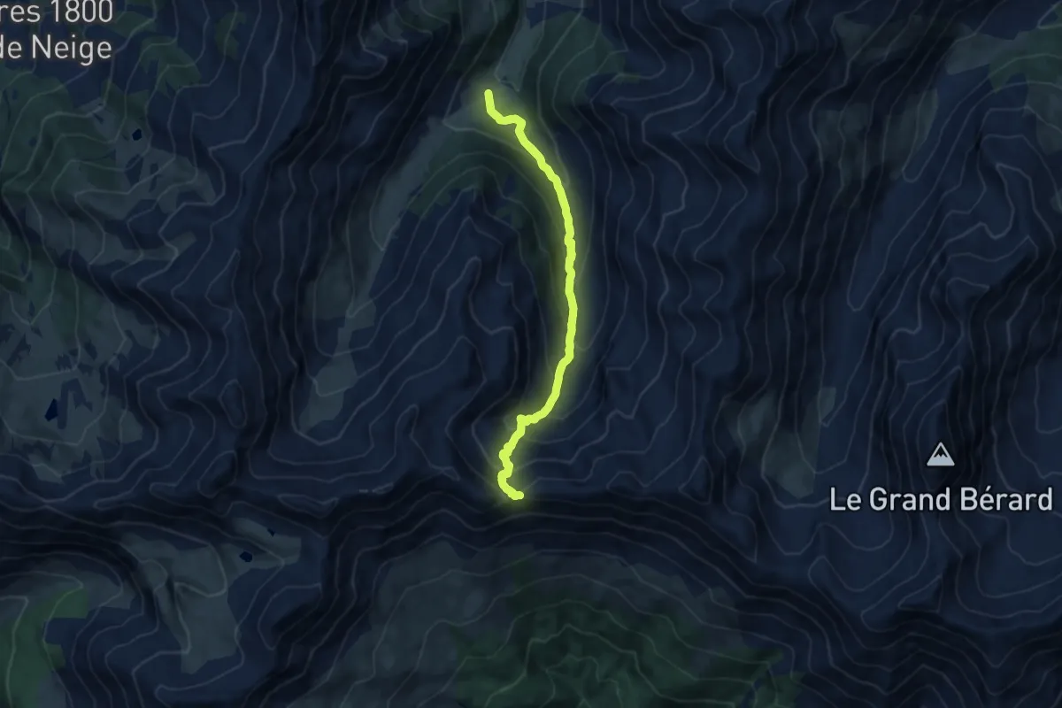
Medium · Trail
Col des Orres
9.6 km · ↑ 680 m · 3 h 52 min
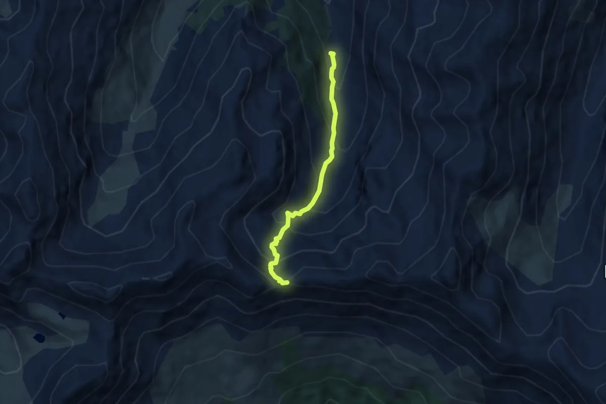
Medium · Trail
Col des Orres - Cabane du Grand Vallon
5.9 km · ↑ 534 m · 2 h 33 min
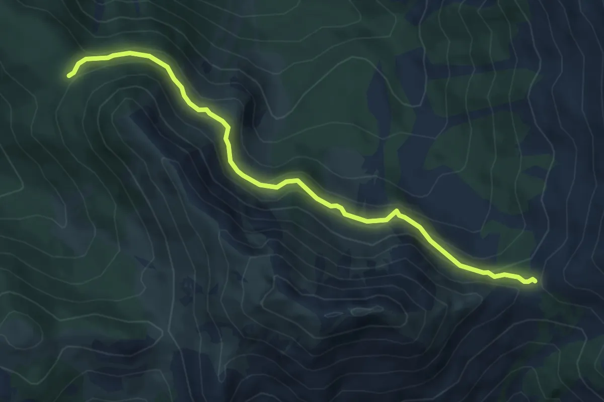
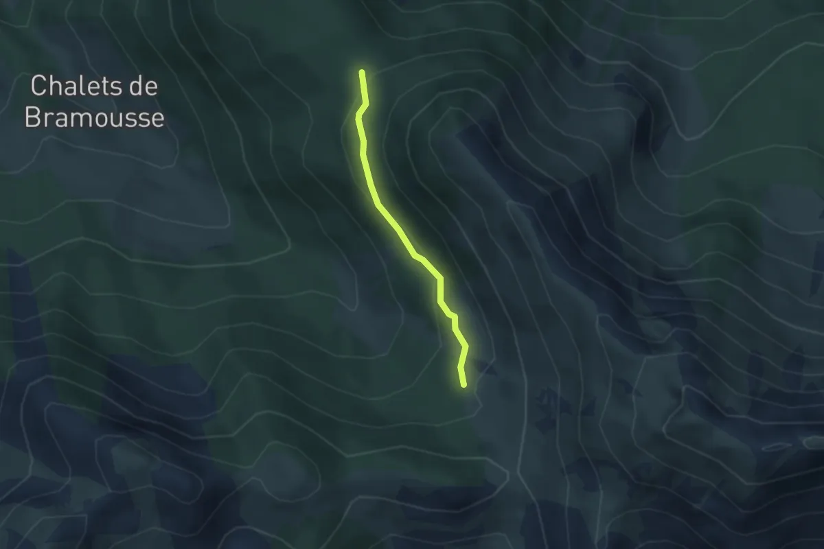
Medium · Trail
Col de Souillet - Col Fromage
6.4 km · ↑ 355 m · 2 h 17 min
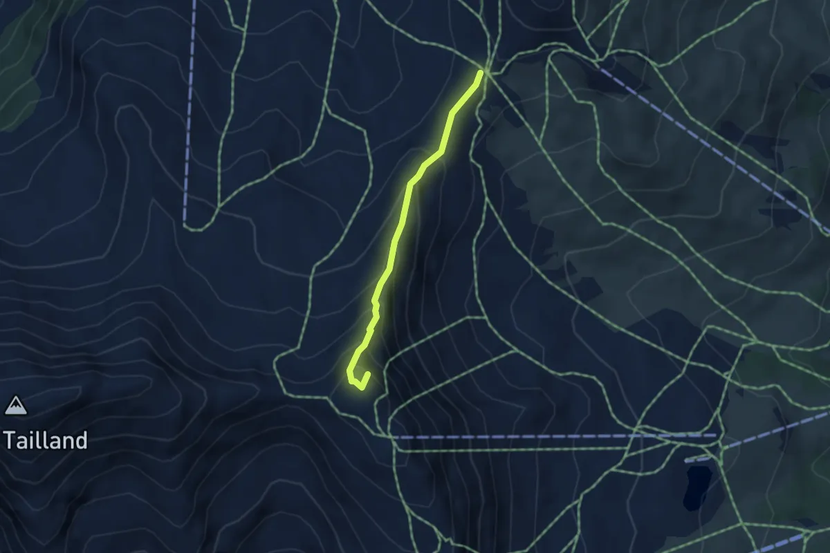
Easy · Trail
Col de Souillet - Les Sagnes
2.4 km · ↑ 115 m · 49 min
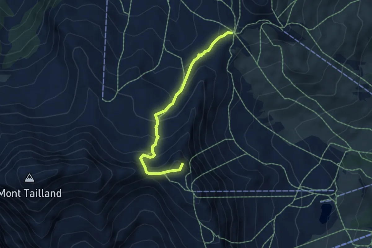
Demanding · Summit
Col des Saluces - Pic de Chabrières
3.4 km · ↑ 298 m · 1 h 26 min
Demanding · Summit
Col des Saluces - Pic de Chabrières
4.9 km · ↑ 381 m · 1 h 59 min
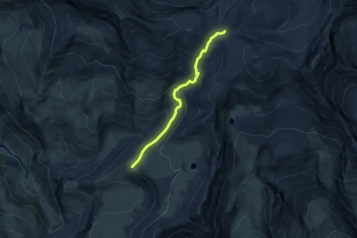
Medium · Trail
Col des Terres Blanches - ?
6.4 km · ↑ 338 m · 2 h 14 min
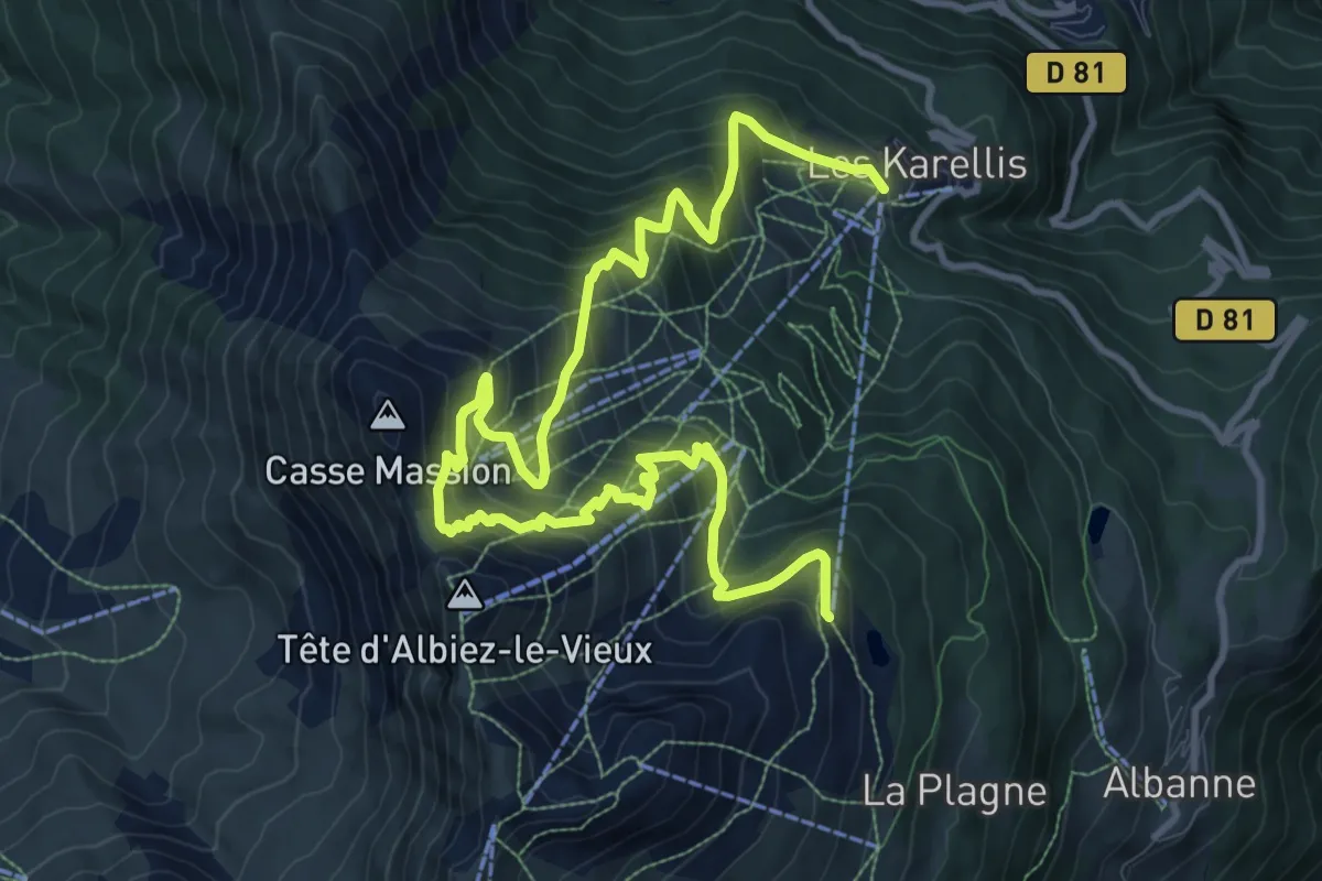
Demanding · Trail
Col des Têtes
15.0 km · ↑ 1301 m · 6 h 22 min
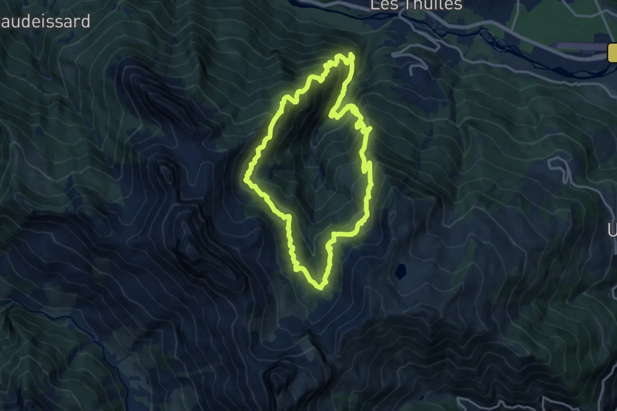
Demanding · Summit
Col des Thuiles (2 376 m)
12.6 km · ↑ 1162 m · 5 h 40 min
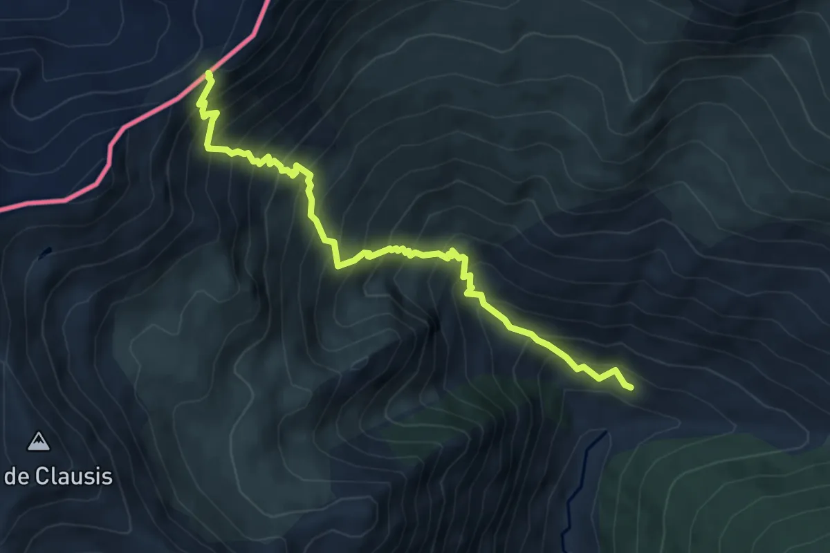
Demanding · Trail
Col des Thures - La Montette
6.7 km · ↑ 933 m · 3 h 36 min
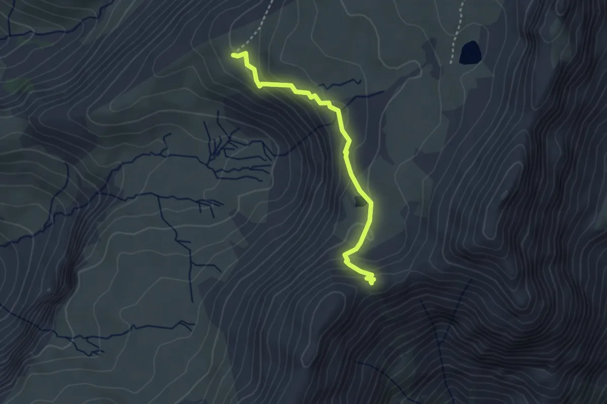
Easy · Trail
Col des Tourettes - ?
3.2 km · ↑ 200 m · 1 h 11 min
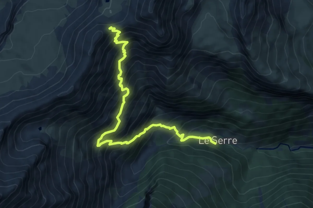
Demanding · Trail
Col des Tourettes - ?
8.9 km · ↑ 990 m · 4 h 15 min
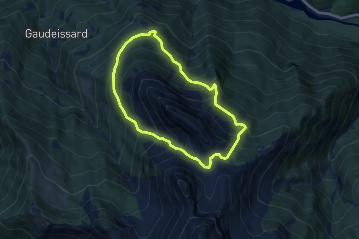
Medium · Summit
Col de Terre Blanche
7.0 km · ↑ 713 m · 3 h 17 min
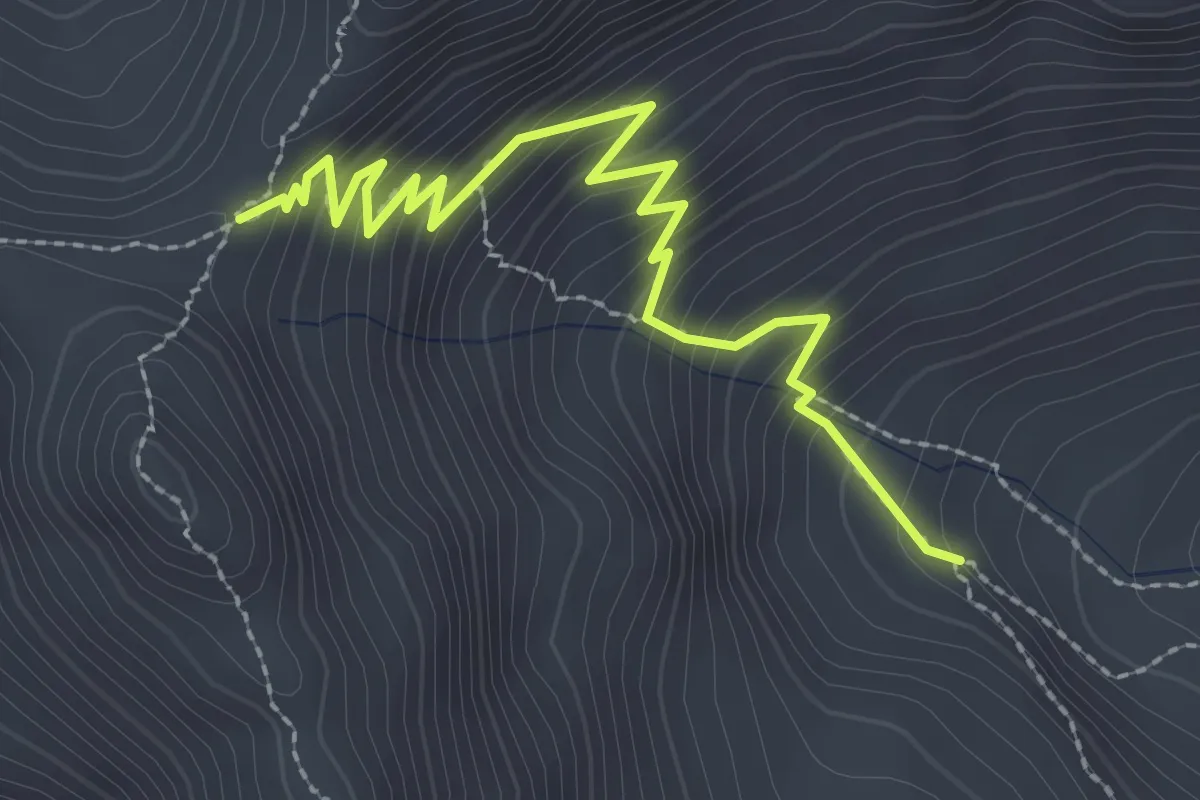
Medium · Trail
Col de Trempa-Latz - Vallon des Séyères
3.0 km · ↑ 287 m · 1 h 20 min
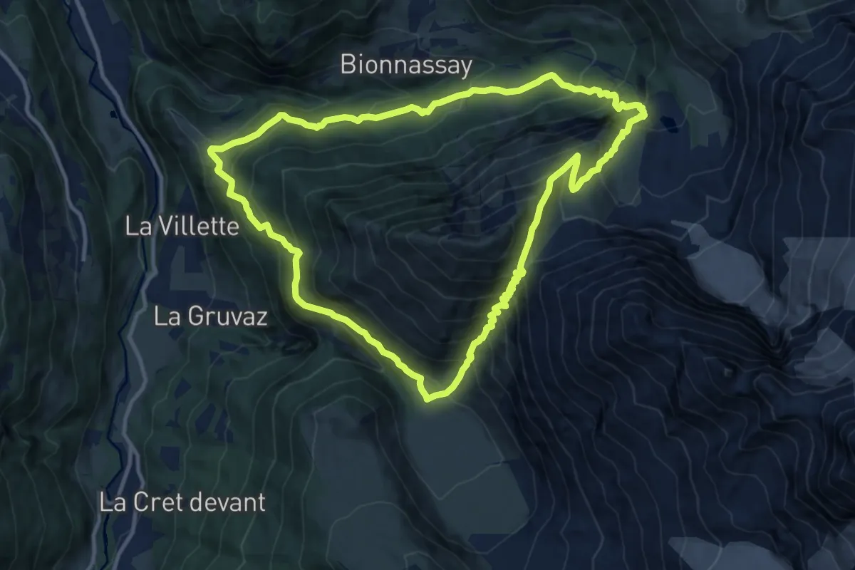
Demanding · Trail
Col de Tricot
11.4 km · ↑ 1134 m · 5 h 18 min
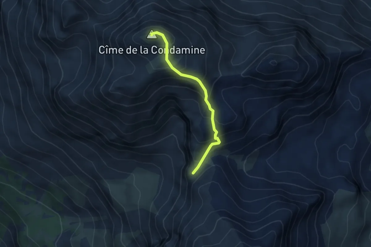
Expert · Summit
Col de Vallouise - Cime de la Condamine
3.3 km · ↑ 330 m · 1 h 30 min
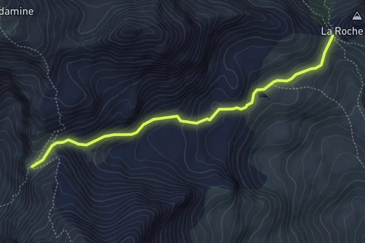
Medium · Trail
Col de Vallouise - Col de la Trancoulette
5.2 km · ↑ 334 m · 1 h 57 min
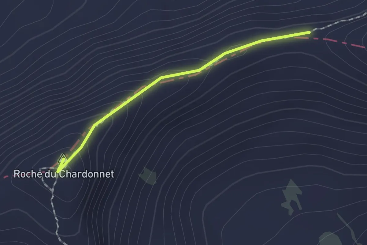
Demanding · Summit
Col de Valmeinier - Col des Muandes
1.3 km · ↑ 82 m · 29 min