Trails in France
15,926 hiking trails, each with its route, climb, walking time and grade.
All trails, page 113 of 332
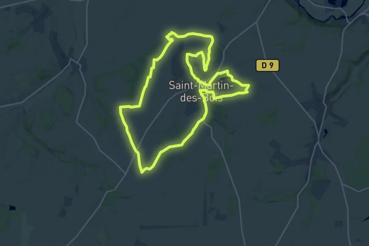
Medium · Trail
Entre plateau et vallée
17.2 km · ↑ 169 m · 4 h 39 min
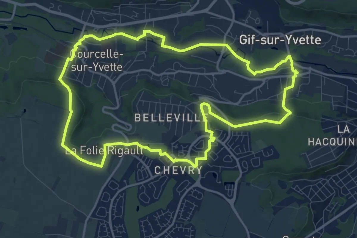
Medium · Trail
Entre Plateau et Vallée à Gif
10.3 km · ↑ 141 m · 2 h 53 min
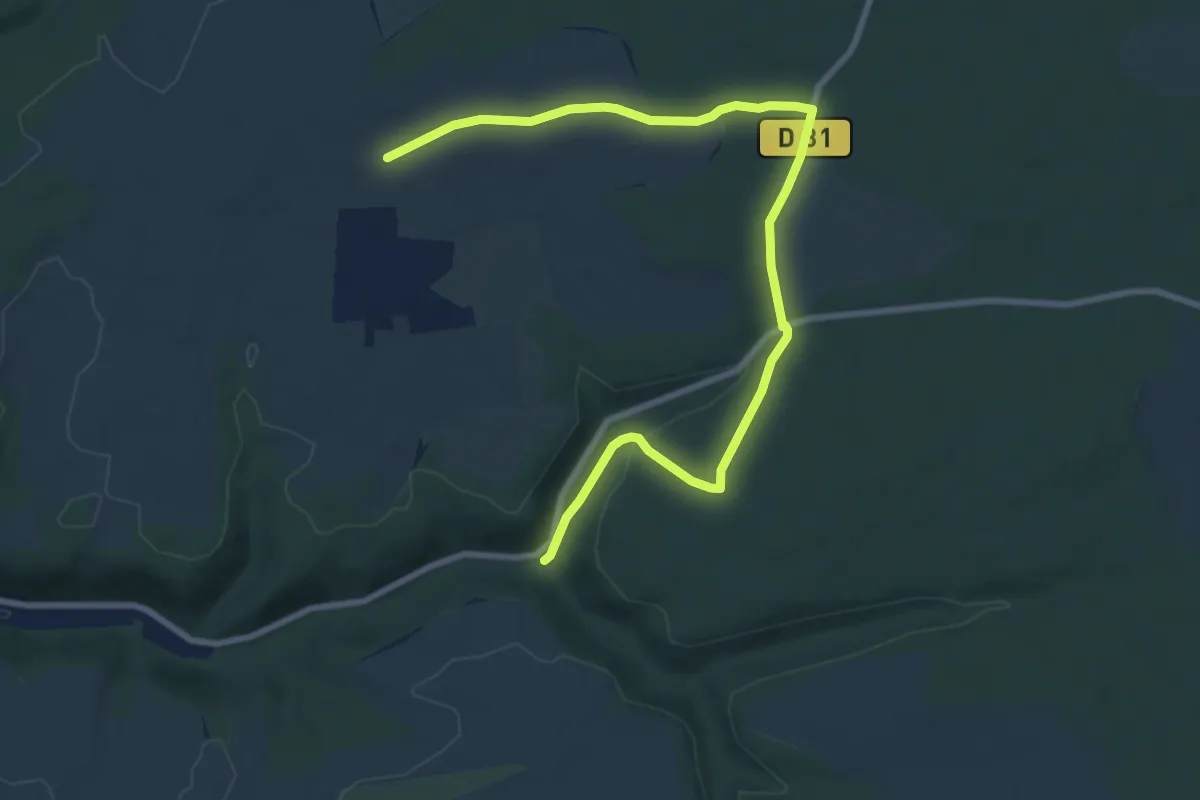
Easy · Trail
Entre Plateaux et Vallées
4.8 km · ↑ 35 m · 1 h 20 min
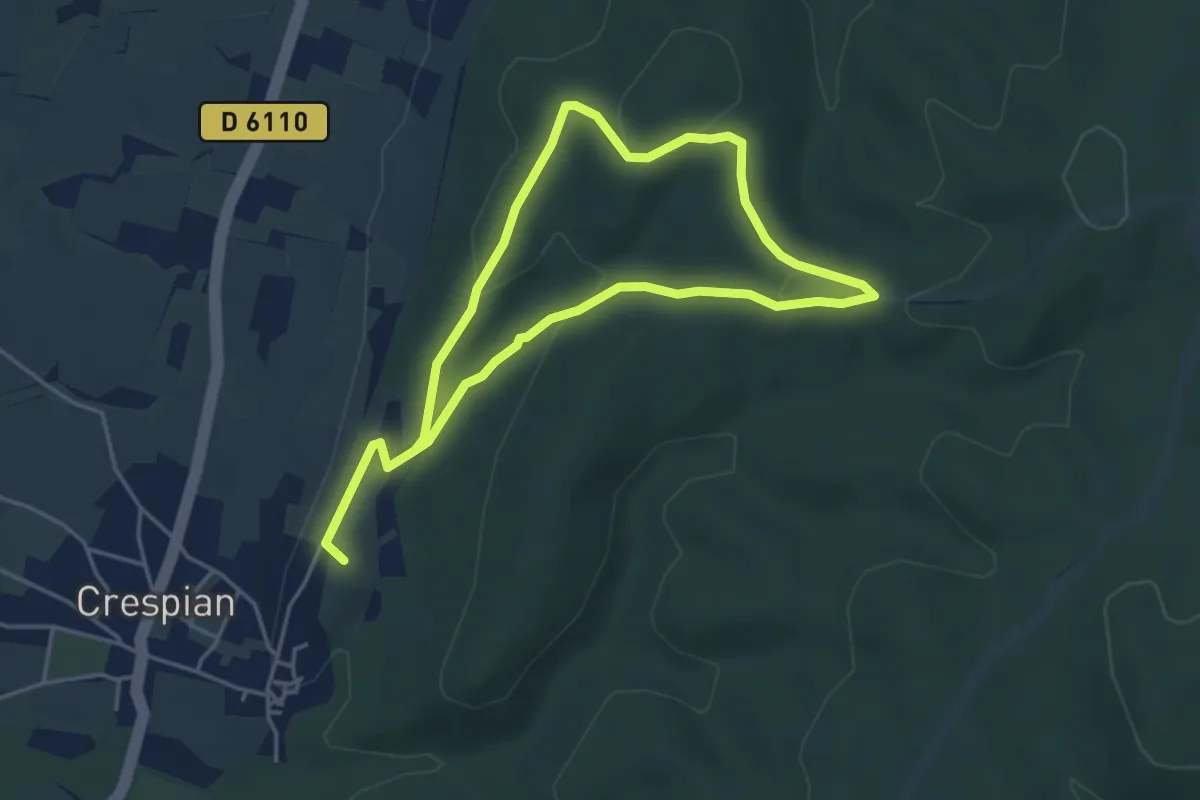
Easy · Summit
Entre rivière et bois
7.7 km · ↑ 184 m · 2 h 13 min
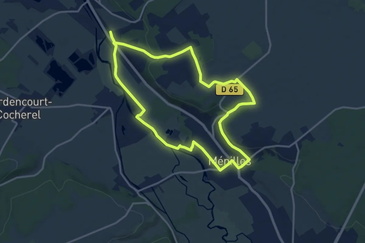
Medium · Trail
Entre rivière et vieilles pierres
9.1 km · ↑ 103 m · 2 h 30 min
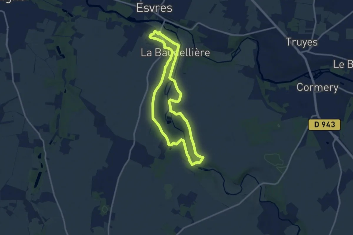
Medium · Trail
Entre Rivières, Châteaux et Moulins - Esvres
8.7 km · ↑ 101 m · 2 h 24 min
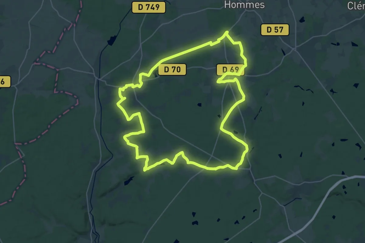
Demanding · Trail
Entre Roumer et Changeon - Avrillé - Continvoir
31.8 km · ↑ 227 m · 8 h 26 min
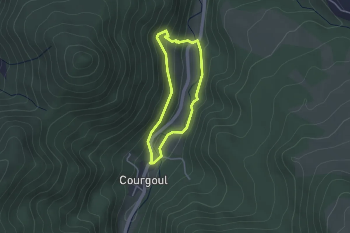
Easy · Trail
Entre Saules et Pailhats
2.3 km · ↑ 102 m · 48 min
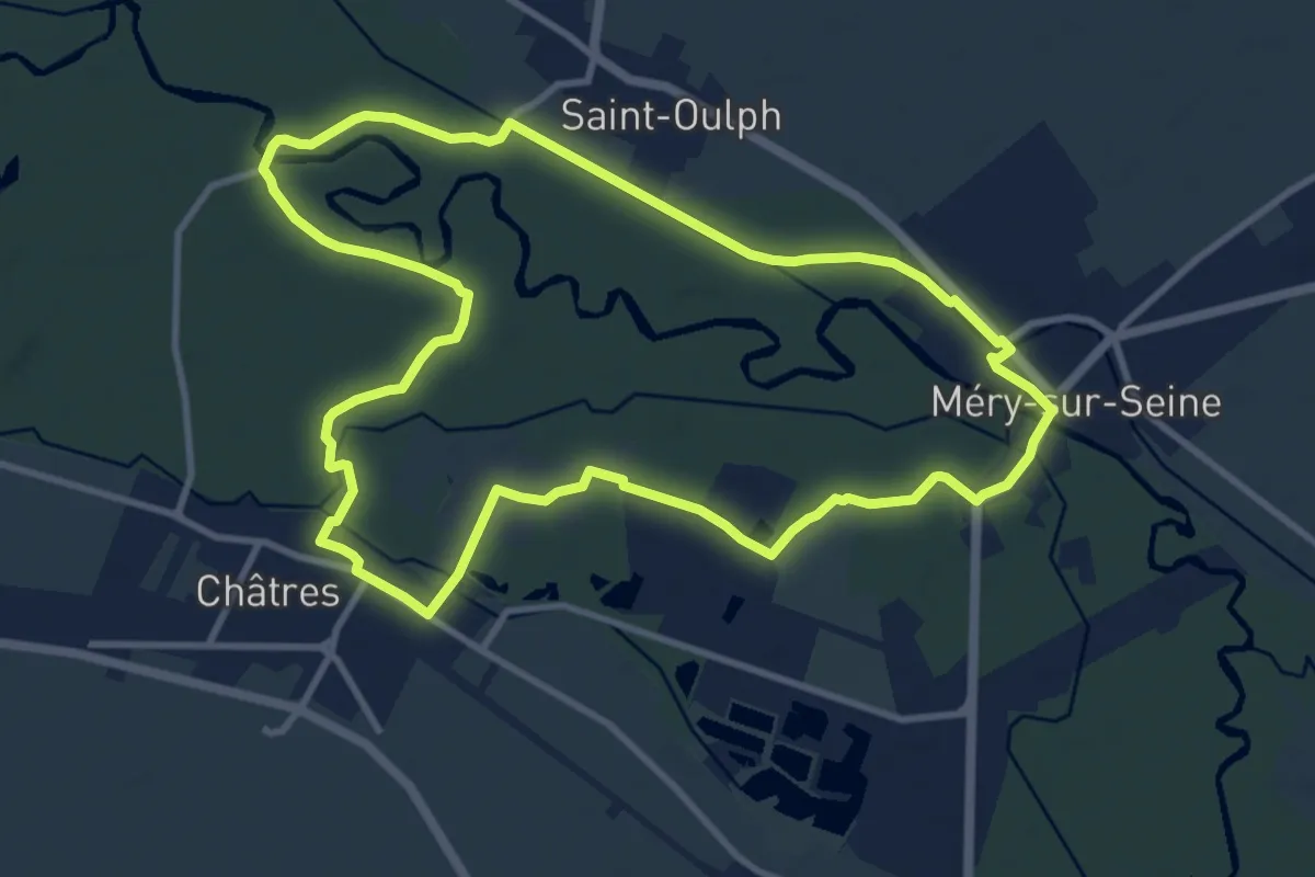
Medium · Trail
Entre Seine et Peupleraies
10.2 km · ↑ 4 m · 2 h 34 min
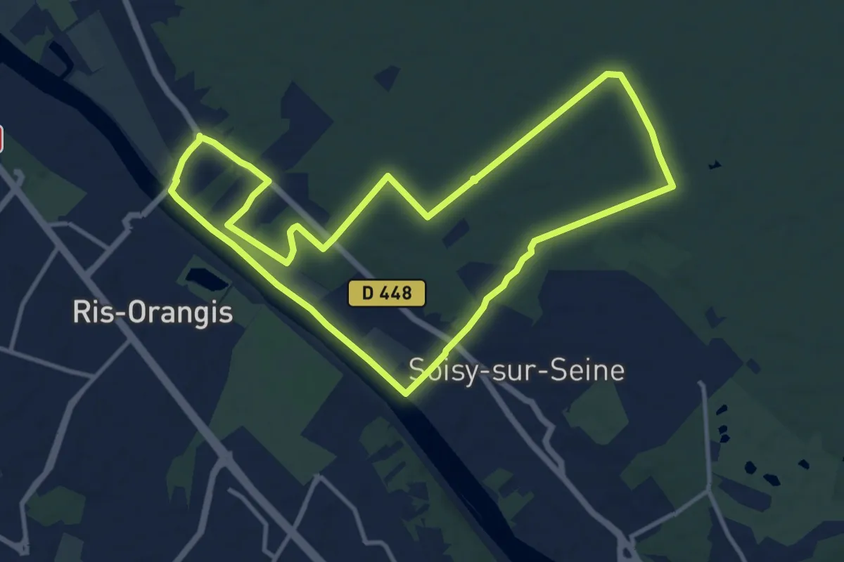
Medium · Trail
Entre Seine et Sénart
10.6 km · ↑ 74 m · 2 h 49 min
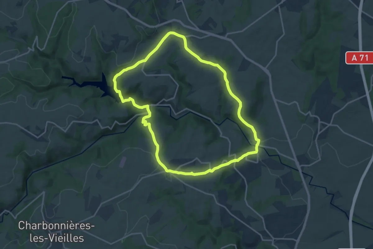
Medium · Trail
Entre Sep et la Morge
13.9 km · ↑ 341 m · 4 h 13 min
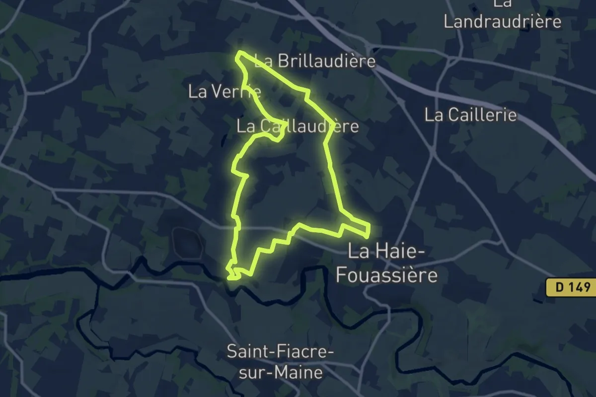
Medium · Trail
Entre Sèvre et Côteaux
9.2 km · ↑ 64 m · 2 h 26 min
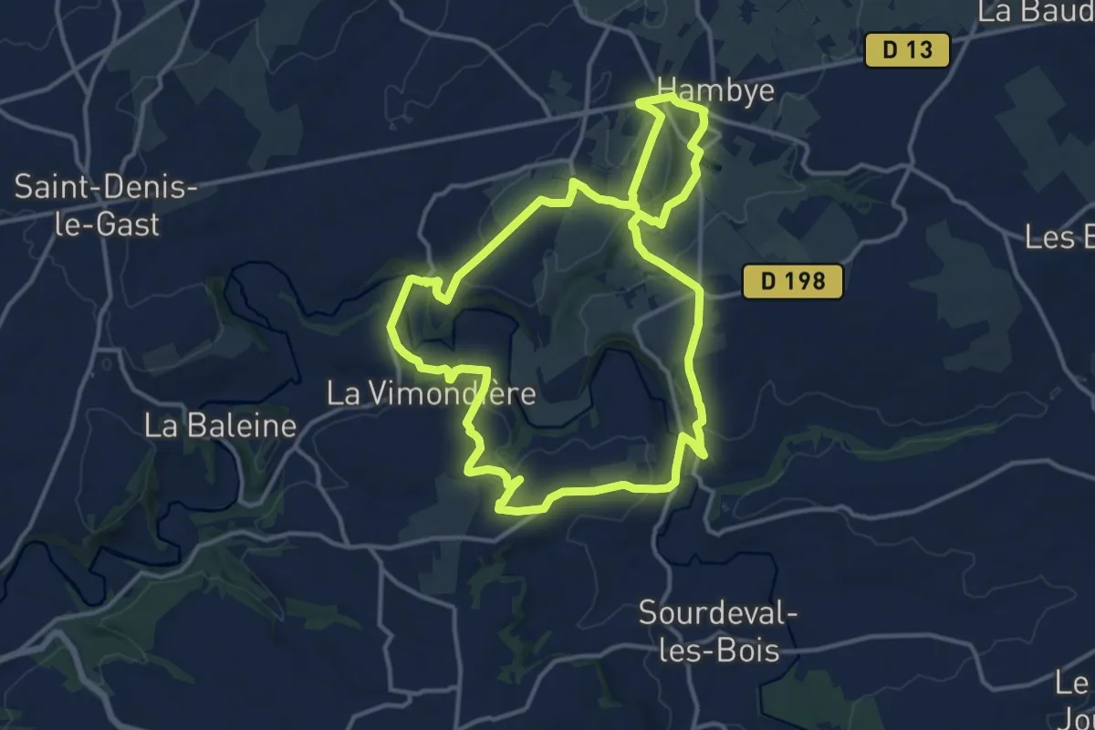
Medium · Trail
Entre Sienne et Hambyotte
12.6 km · ↑ 271 m · 3 h 44 min
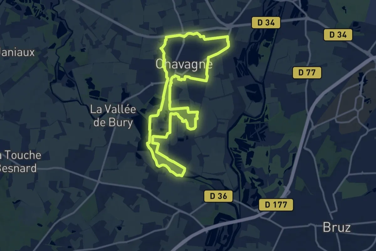
Medium · Trail
Entre Sillandais et Fontenelles
11.2 km · ↑ 45 m · 2 h 54 min
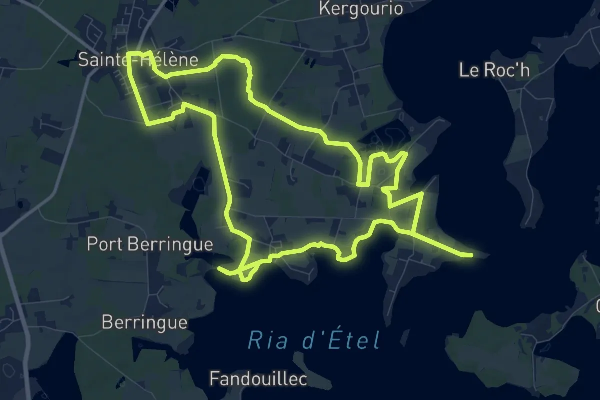
Medium · Trail
Entre terre et mer
11.2 km · ↑ 43 m · 2 h 54 min
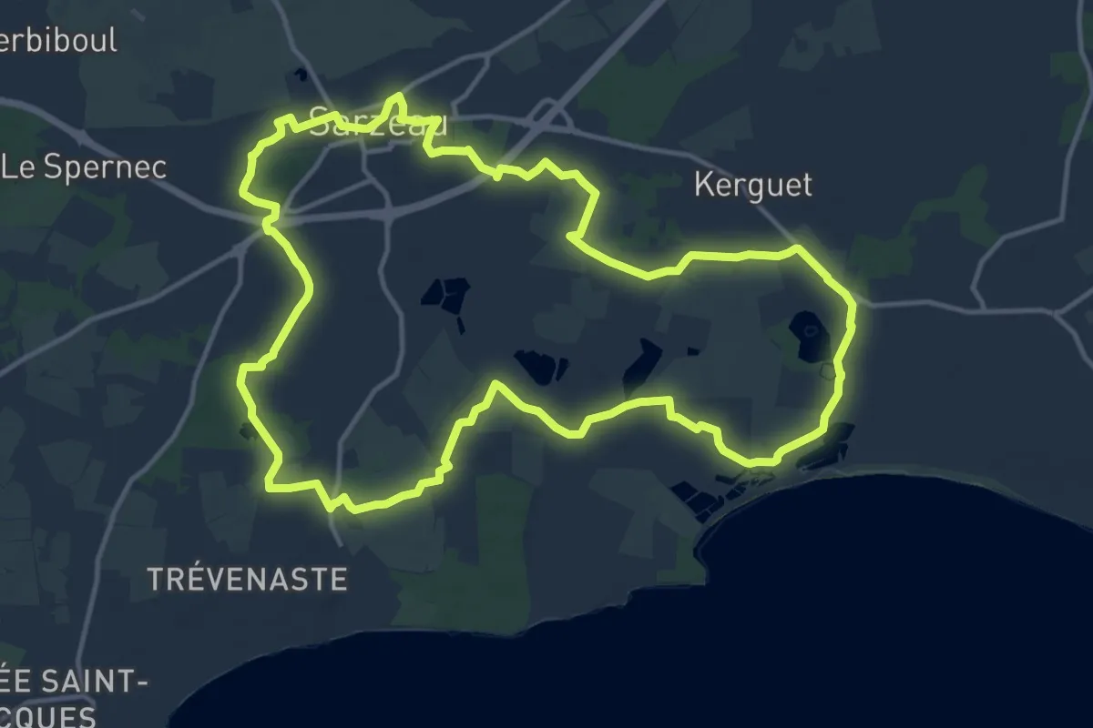
Medium · Trail
Entre Terre et Mer
14.3 km · ↑ 68 m · 3 h 43 min
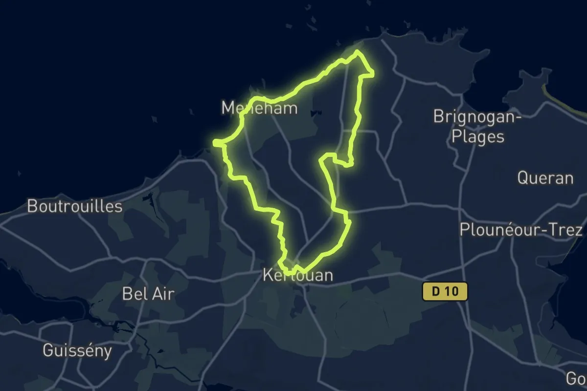
Medium · Trail
Entre Terre et Mer
11.0 km · ↑ 25 m · 2 h 49 min
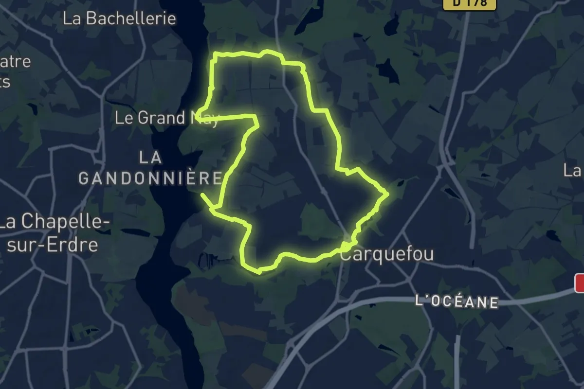
Medium · Trail
Entre Terres et Rivières
11.5 km · ↑ 50 m · 2 h 59 min
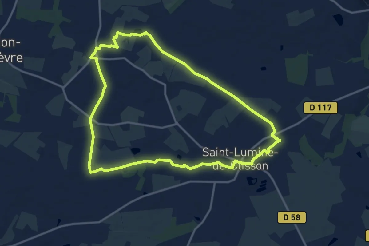
Medium · Trail
Entre Terres et Vignes
8.9 km · ↑ 25 m · 2 h 17 min
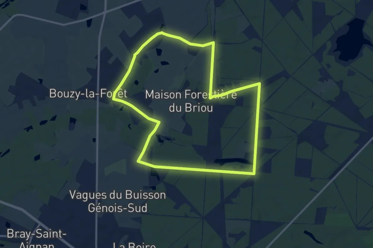
Medium · Trail
Entre Thifontaine et l'Étang d'Orléans A12
9.2 km · ↑ 36 m · 2 h 22 min
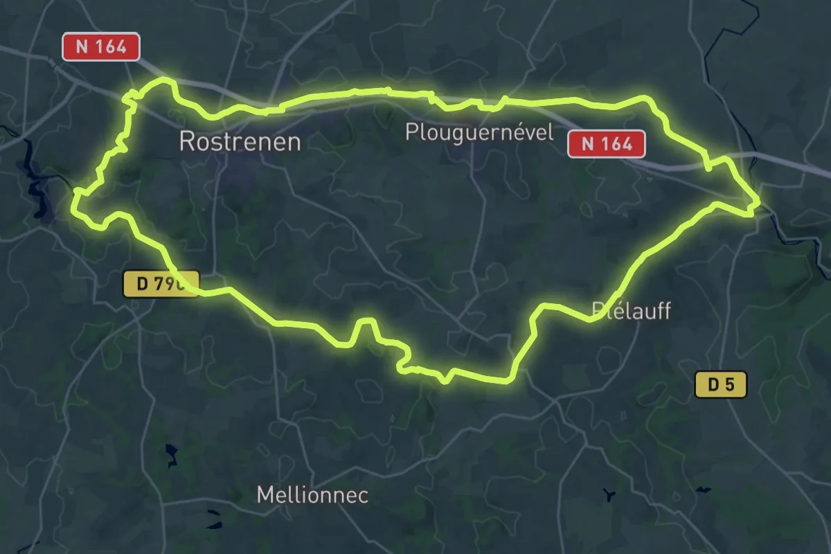
Demanding · Trail
Entre train et péniche
37.7 km · ↑ 216 m · 9 h 54 min
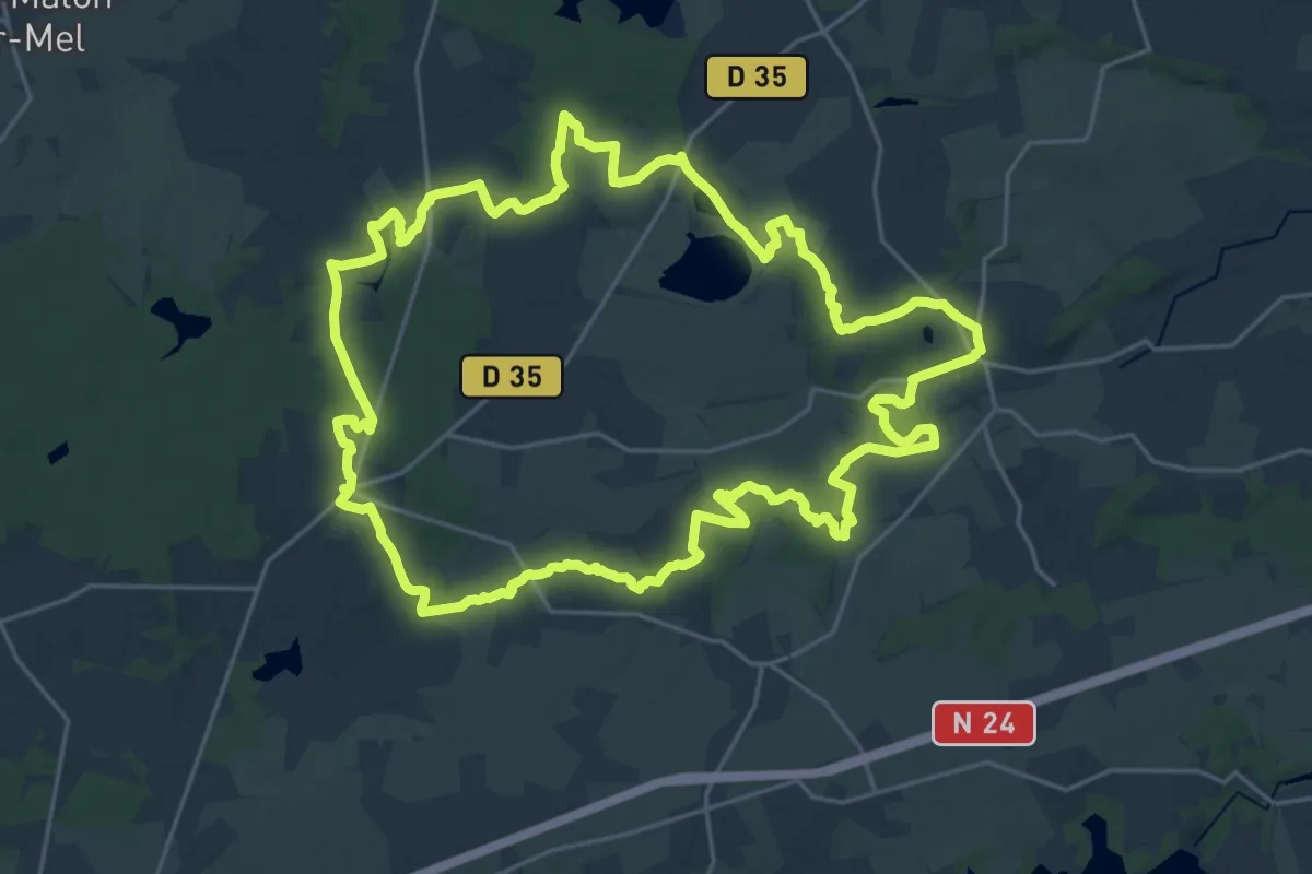
Demanding · Trail
Entre Tremelin et Serein
24.7 km · ↑ 247 m · 6 h 43 min
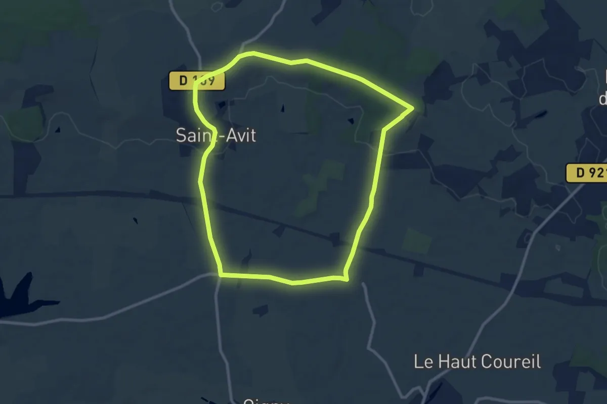
Medium · Trail
Entre vallons et bois
8.6 km · ↑ 81 m · 2 h 19 min
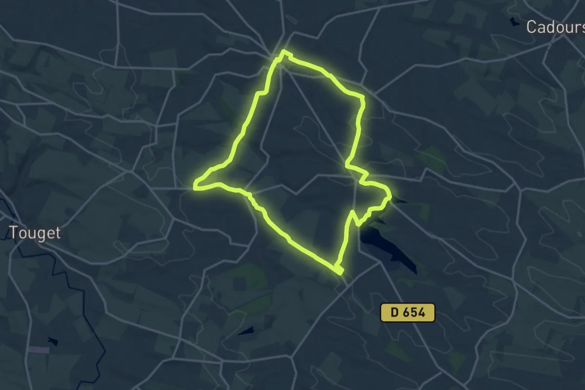
Medium · Trail
Entre Vallons et Coteaux
17.1 km · ↑ 295 m · 4 h 56 min
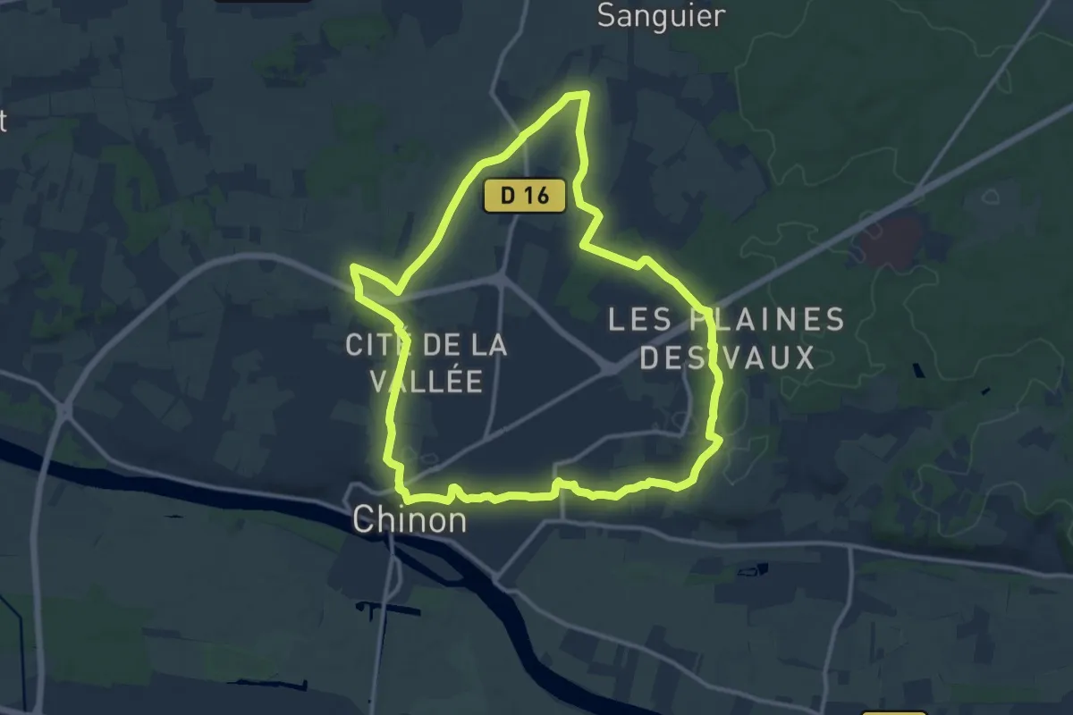
Medium · Trail
Entre Vienne et Puy du Chinonais
12.2 km · ↑ 157 m · 3 h 24 min
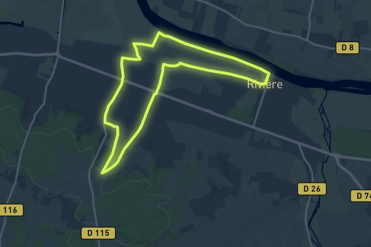
Medium · Trail
Entre Vienne et Vignes
8.6 km · ↑ 66 m · 2 h 18 min
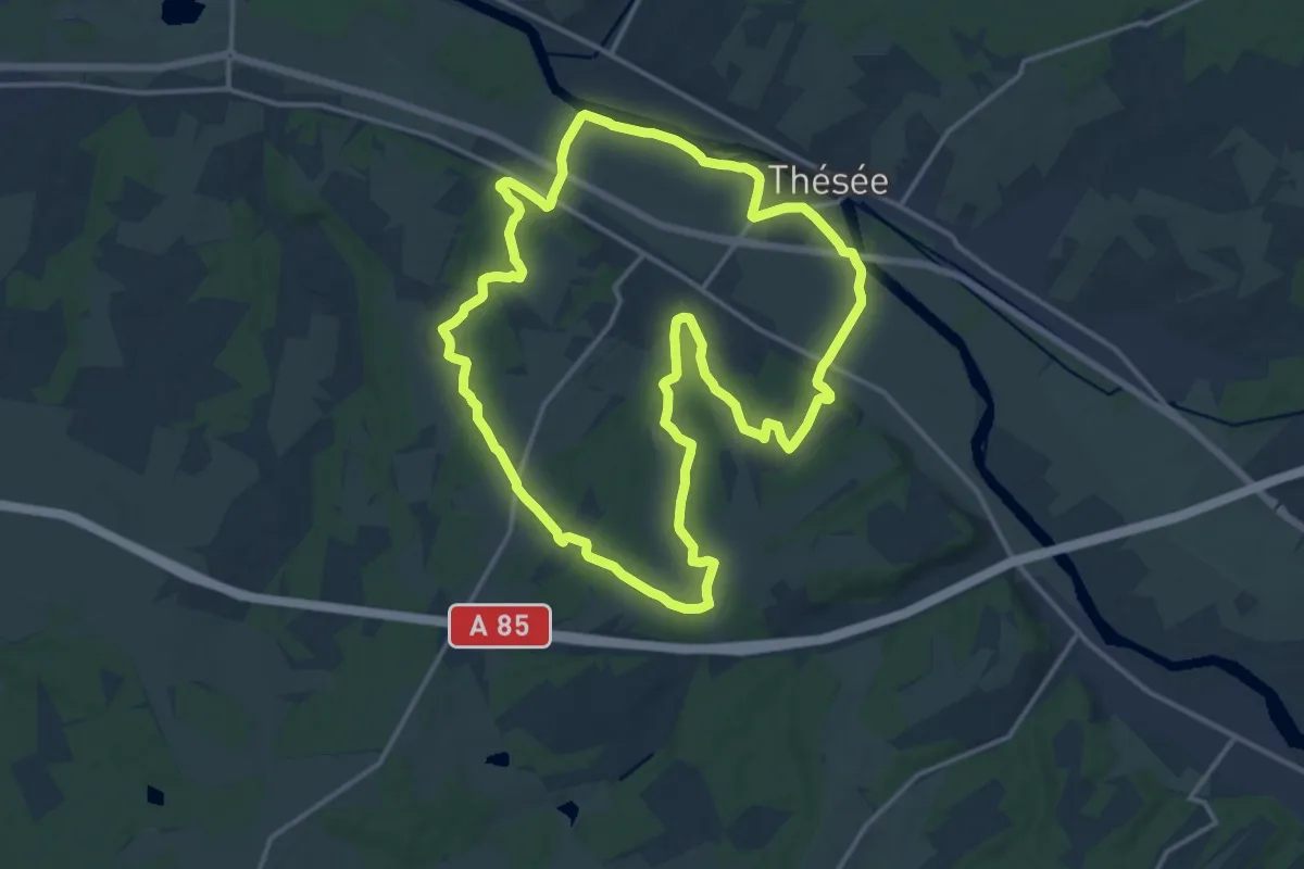
Medium · Trail
Entre vigne et val
15.6 km · ↑ 162 m · 4 h 15 min
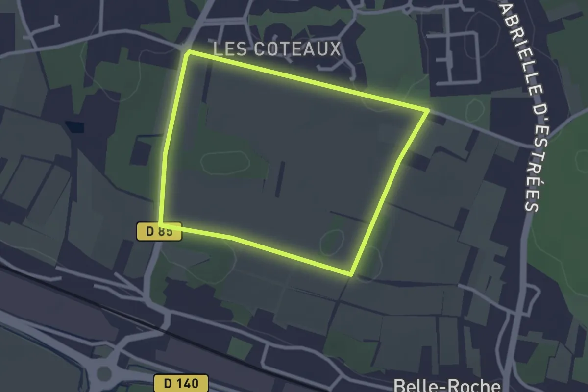
Easy · Trail
Entre Vignes et Bois - Montlouis-sur-Loire
2.3 km · ↑ 8 m · 35 min
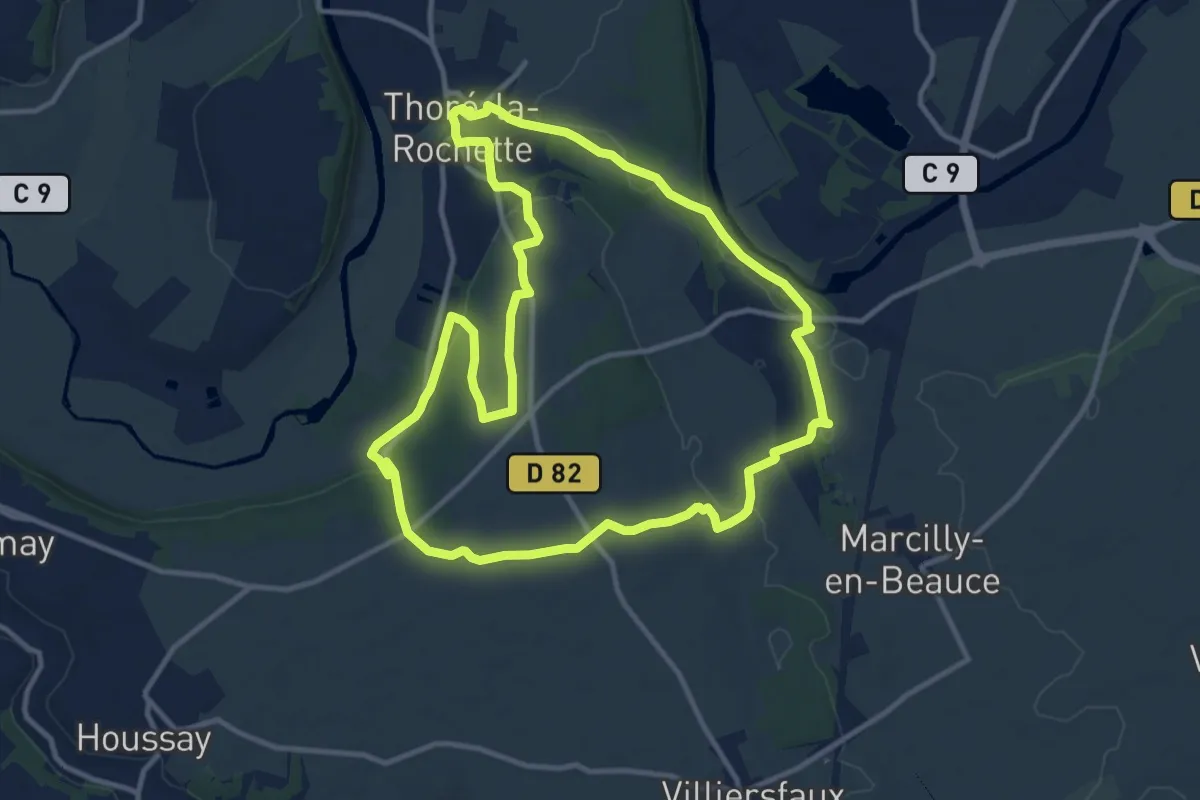
Medium · Trail
Entre vignes et coteaux
11.9 km · ↑ 145 m · 3 h 17 min
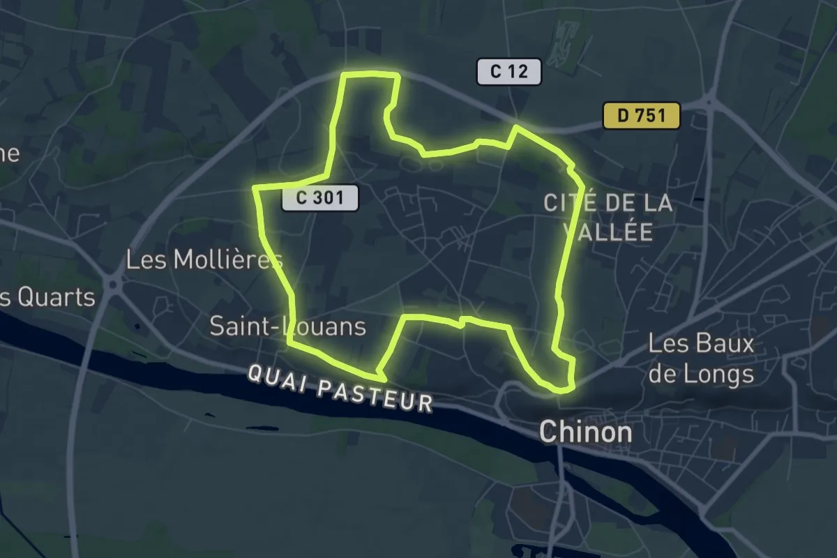
Easy · Trail
Entre vignes et coteaux
8.0 km · ↑ 88 m · 2 h 11 min
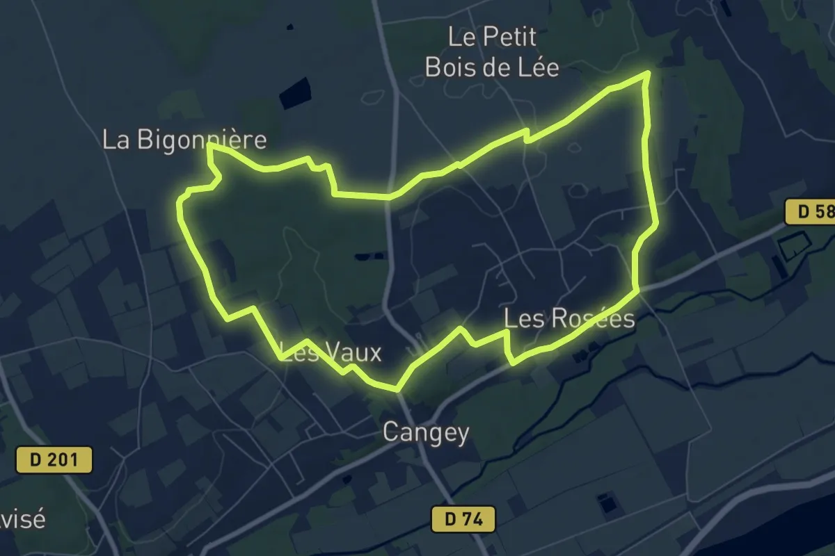
Medium · Trail
Entre Vignes et Forêts - Cangey
8.6 km · ↑ 74 m · 2 h 18 min
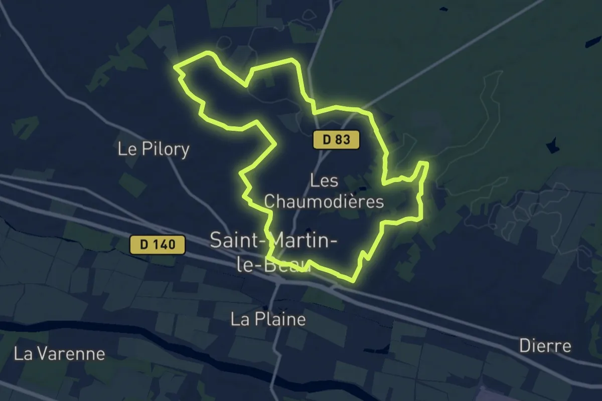
Medium · Trail
Entre Vignes et Forêts - Saint-Martin-le-Beau
11.5 km · ↑ 88 m · 3 h 5 min
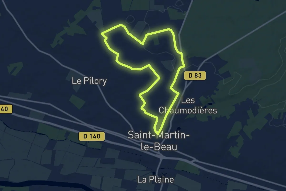
Easy · Trail
Entre Vignes et Forêts - Variante l'École Buissonnière - Saint-Martin-le-Beau
7.7 km · ↑ 44 m · 2 h 1 min
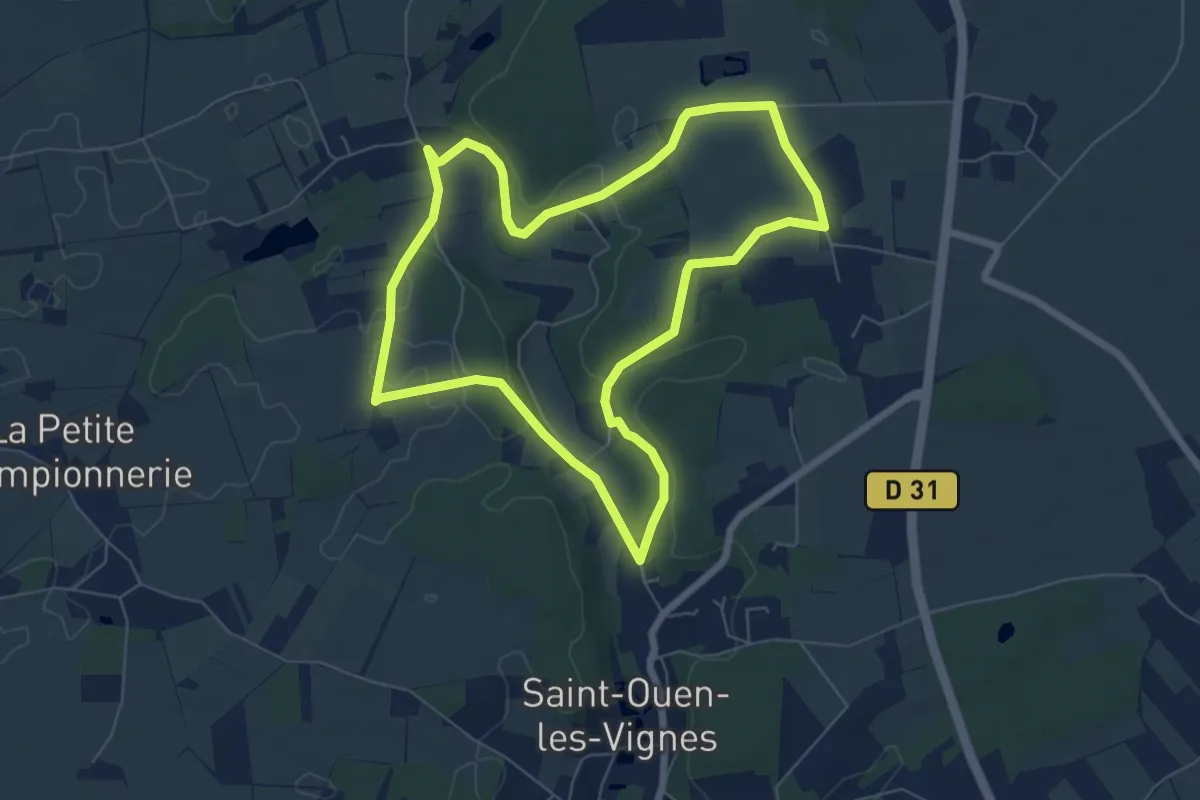
Easy · Trail
Entre Vignes et Ramberge - Saint-Ouen-les-Vignes
6.6 km · ↑ 72 m · 1 h 48 min
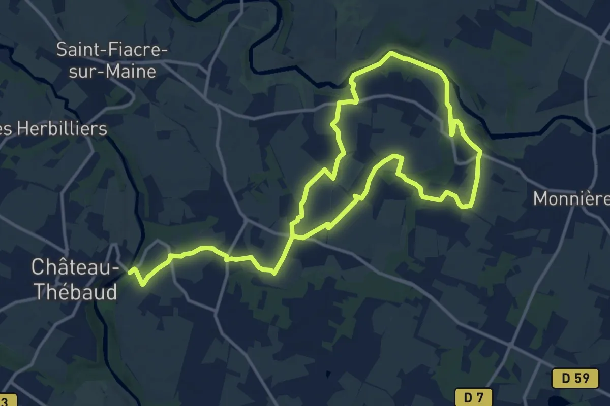
Medium · Trail
Entre vignes et rivières
9.8 km · ↑ 102 m · 2 h 40 min
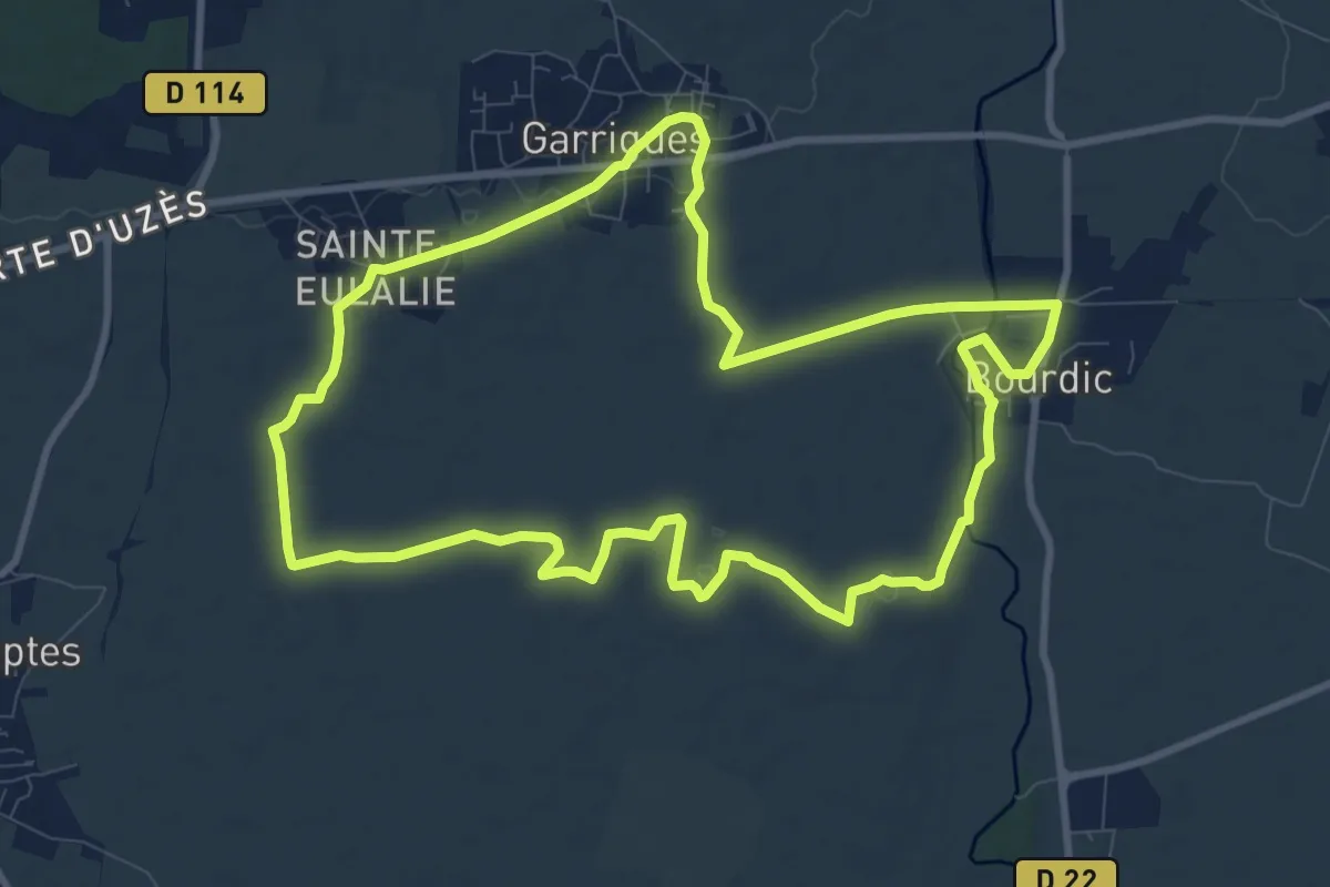
Medium · Trail
Entre vignobles et collines
10.7 km · ↑ 50 m · 2 h 47 min
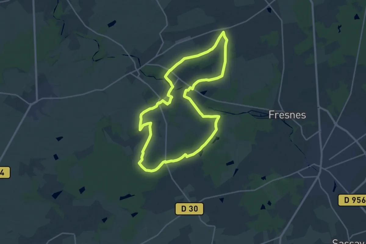
Medium · Trail
Entre Vignobles et Forêts
16.4 km · ↑ 93 m · 4 h 18 min
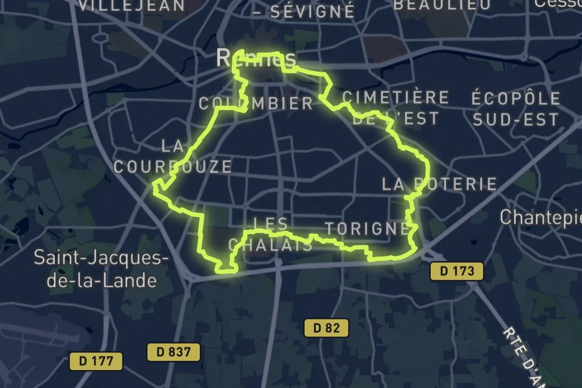
Medium · Trail
Entre Vilaine et Blosne
17.8 km · ↑ 78 m · 4 h 37 min
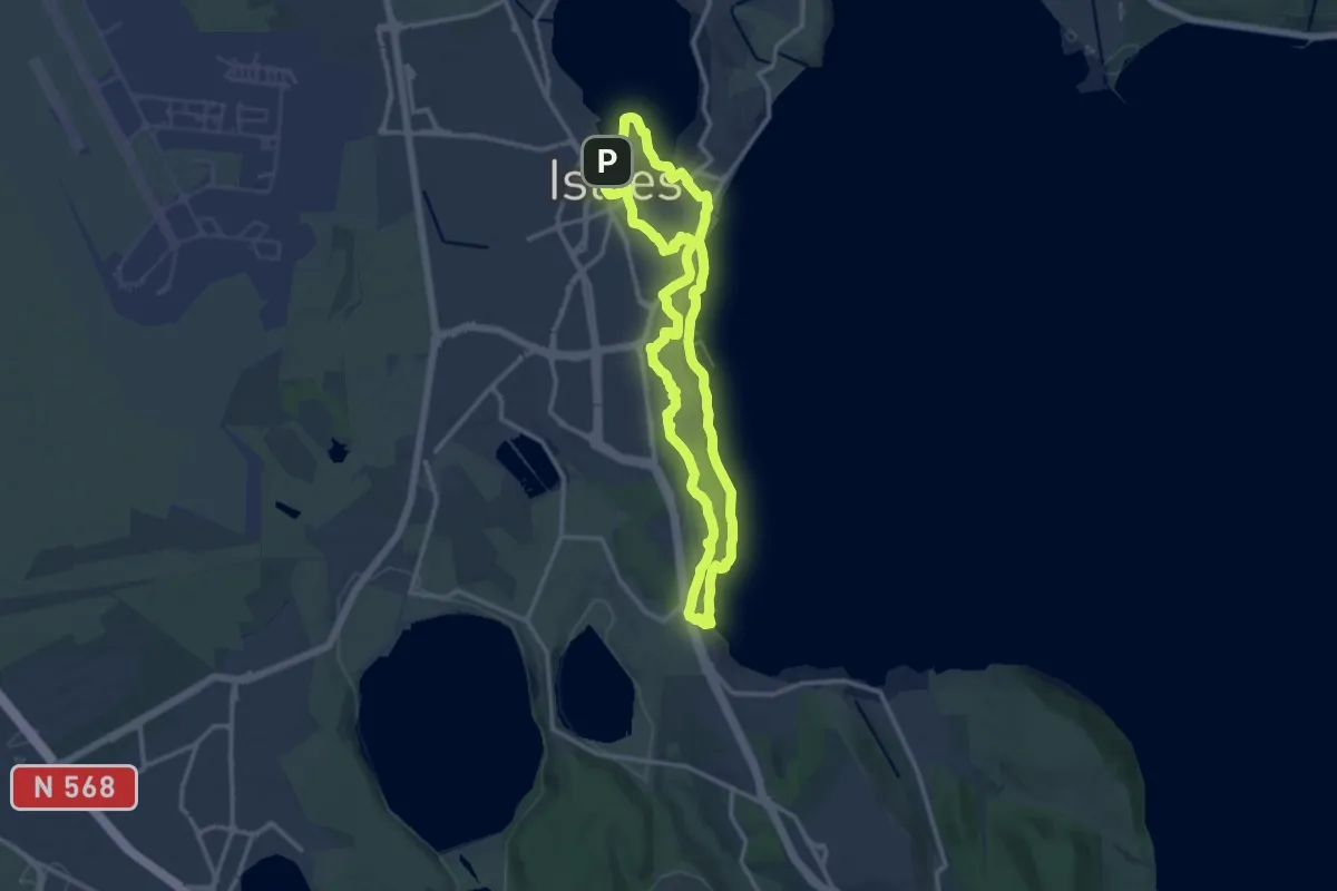
Medium · Summit
Entre ville et nature (Istres)
13.1 km · ↑ 207 m · 3 h 44 min
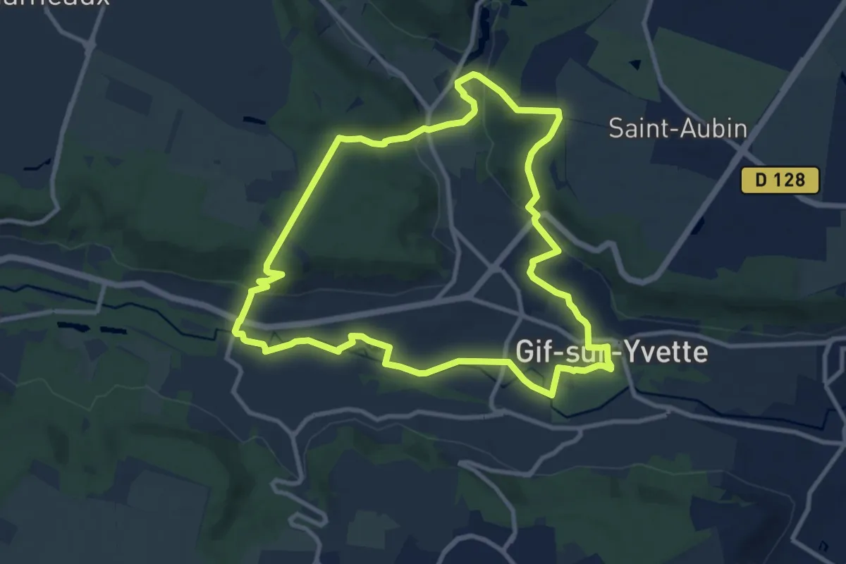
Medium · Trail
Entre ville et nature, Yvette et Mérantaise
9.1 km · ↑ 189 m · 2 h 41 min
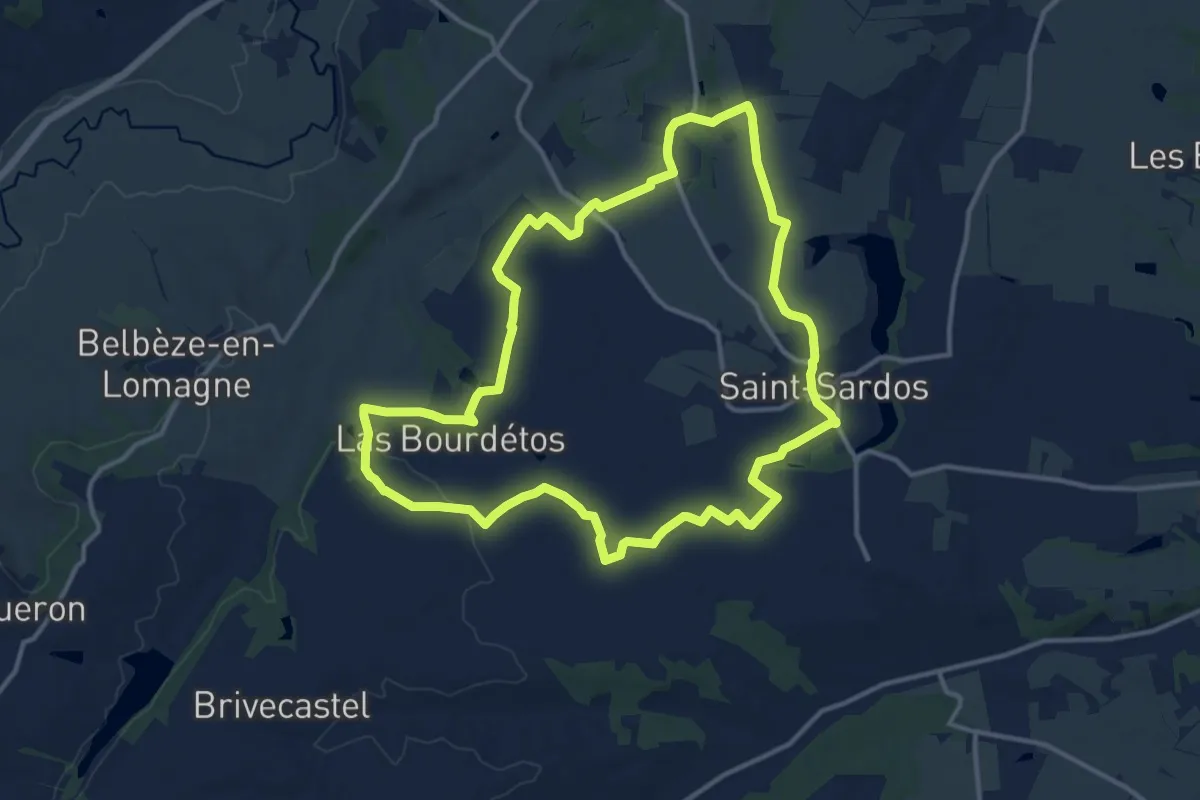
Medium · Trail
Entre vins et vignobles
14.0 km · ↑ 56 m · 3 h 37 min
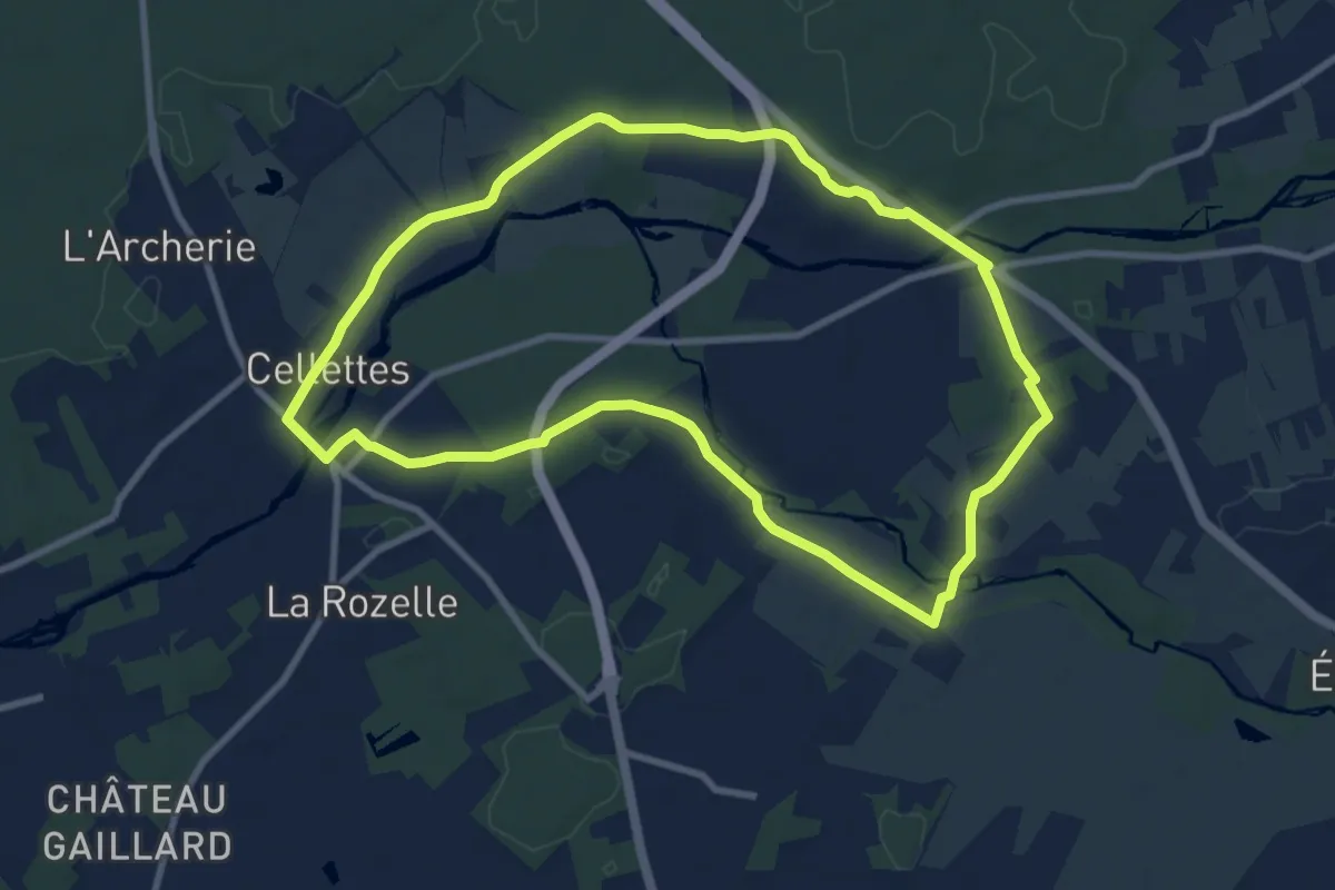
Medium · Trail
En vallée du Conon
8.9 km · ↑ 63 m · 2 h 21 min
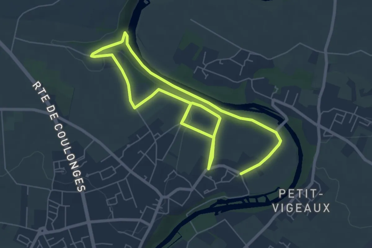
Medium · Trail
Envolée à Travers Champs
10.4 km · ↑ 115 m · 2 h 42 min
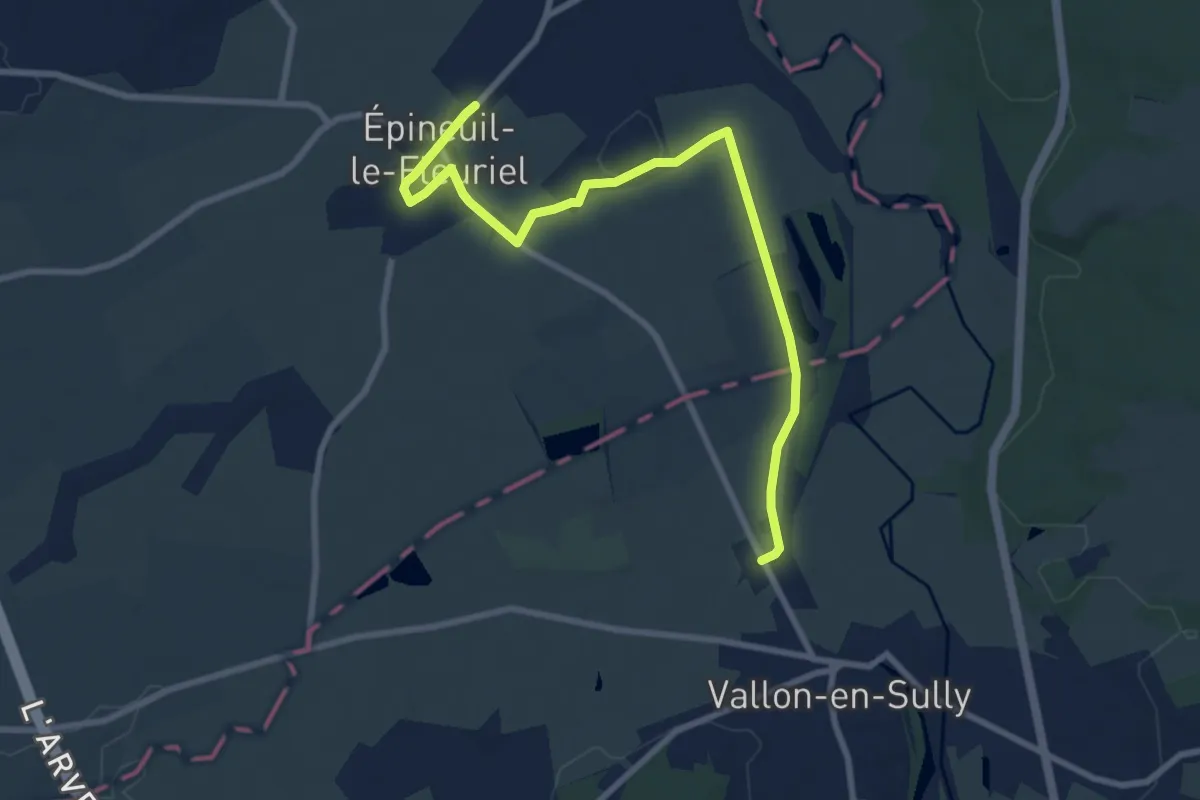
Medium · Trail
Epineuil-le-Fleuriel - Vallon-en-Sully
9.4 km · ↑ 47 m · 2 h 19 min
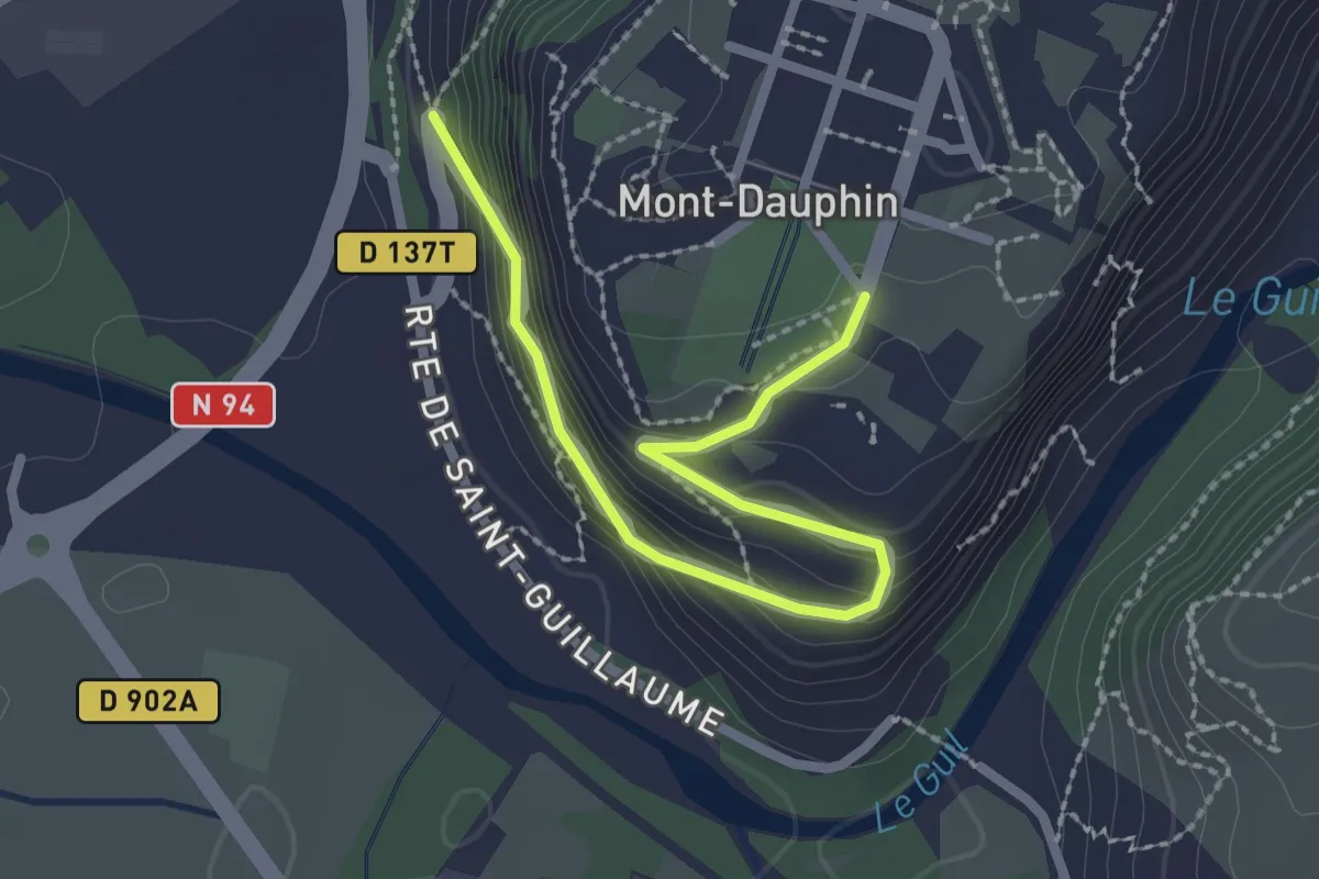
Easy · Trail
Epingle Saint Guillaume - Poste de Garde
2.6 km · ↑ 160 m · 57 min
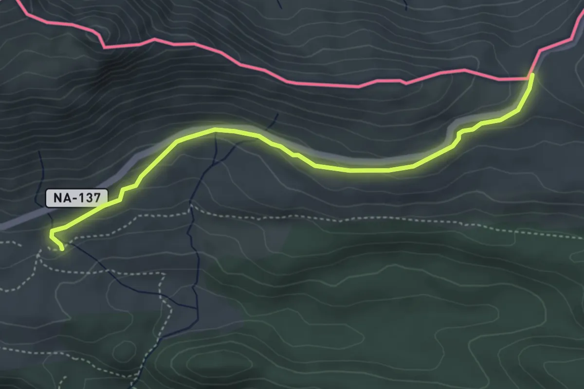
Easy · Cabin
Eraizeko lepoa - Belagua
4.9 km · ↑ 161 m · 1 h 31 min
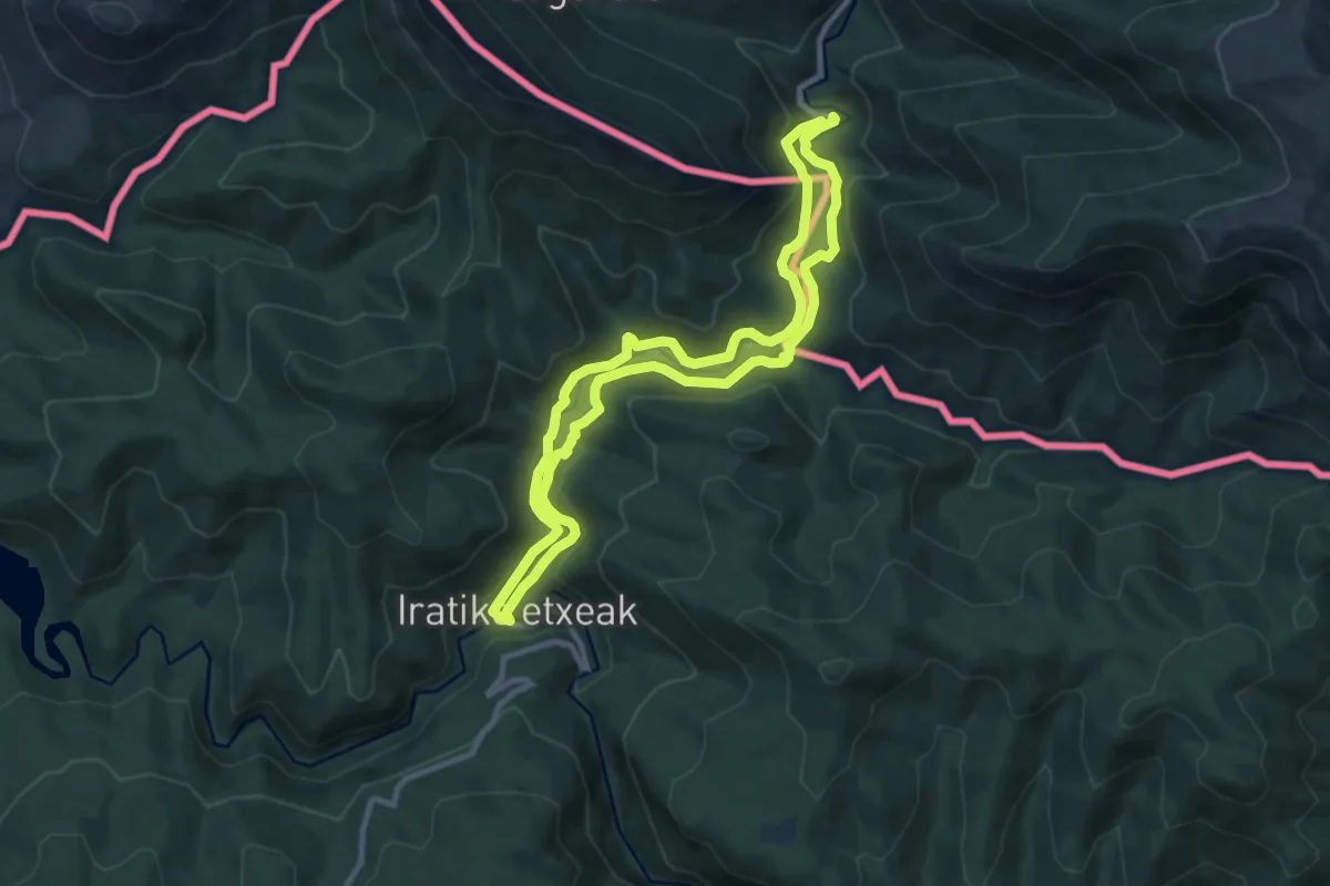
Medium · Trail
Errekaidorra
9.6 km · ↑ 361 m · 3 h 10 min
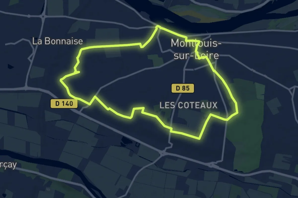
Medium · Trail
Escapade entre Hameaux et Paysages - Montlouis-sur-Loire
9.9 km · ↑ 52 m · 2 h 35 min