Trails in France
15,926 hiking trails, each with its route, climb, walking time and grade.
All trails, page 114 of 332
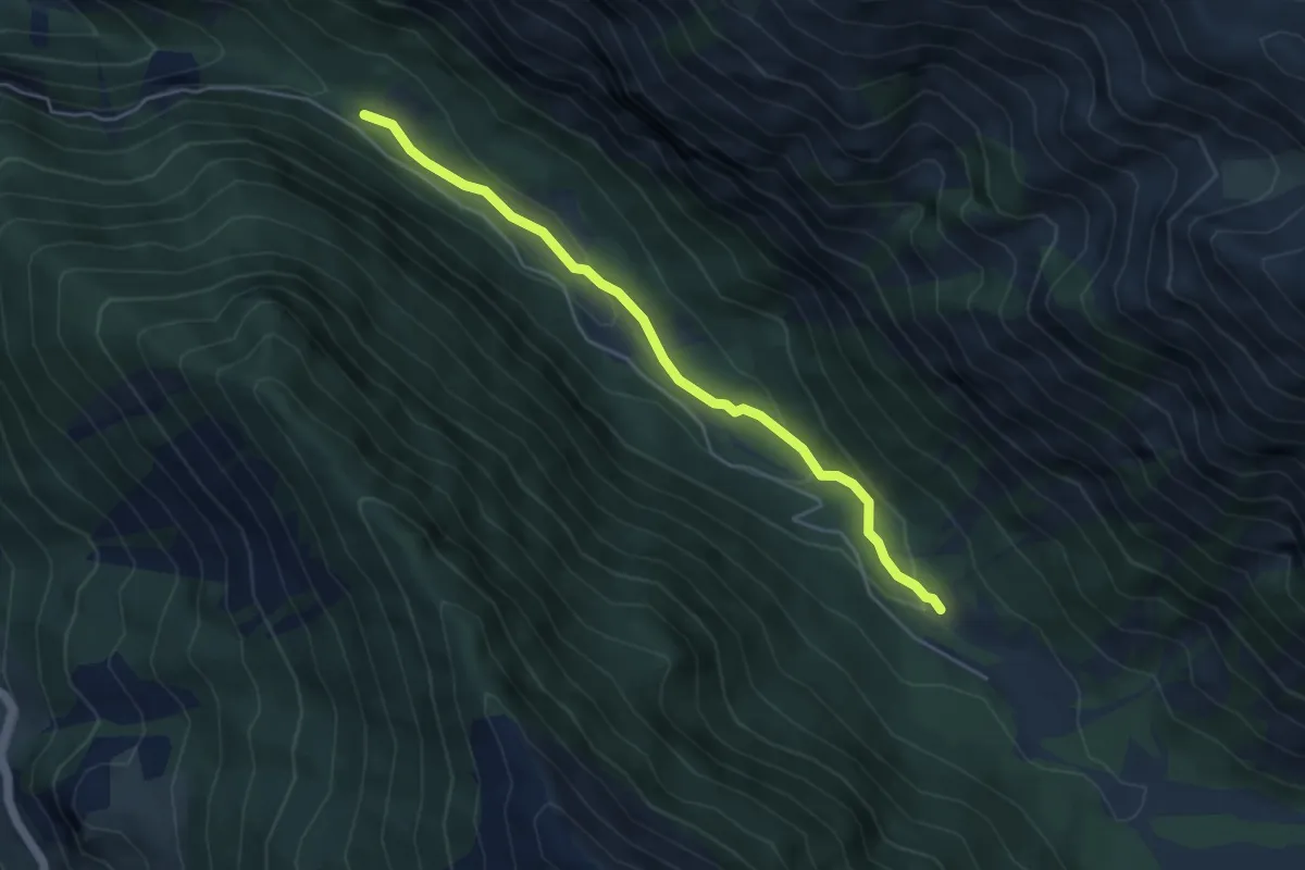
Easy · Cabin
Escreins - Pont de Vars
4.7 km · ↑ 146 m · 1 h 25 min
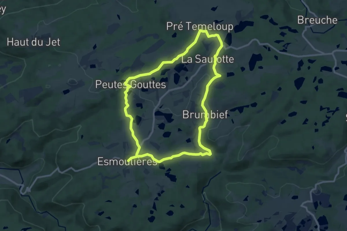
Medium · Trail
Esmoulières
8.3 km · ↑ 150 m · 2 h 23 min
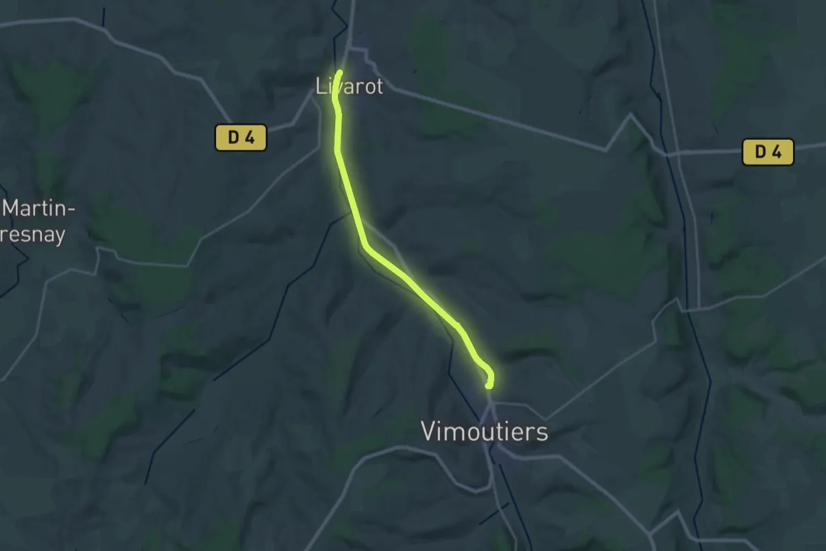
Demanding · Trail
Espace randonnée du sud Pays d'Auge
18.3 km · ↑ 70 m · 4 h 28 min
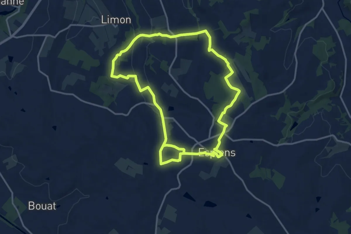
Medium · Trail
Espiens, dans les coteaux, vers le château de Salles - 10.7km
11.1 km · ↑ 249 m · 3 h 17 min
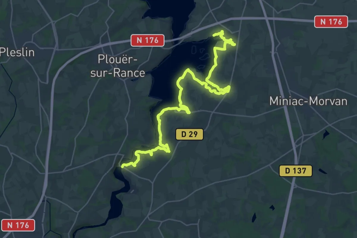
Medium · Trail
Estuaire de la Rance - rive droite 22
16.4 km · ↑ 213 m · 4 h 34 min
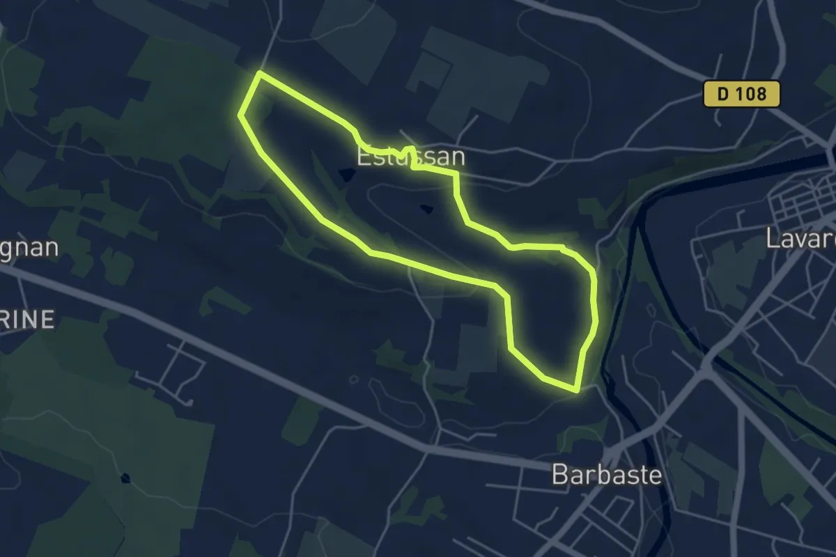
Easy · Trail
Estussan, balade panoramique en Albret - 4.5 km
4.4 km · ↑ 92 m · 1 h 18 min
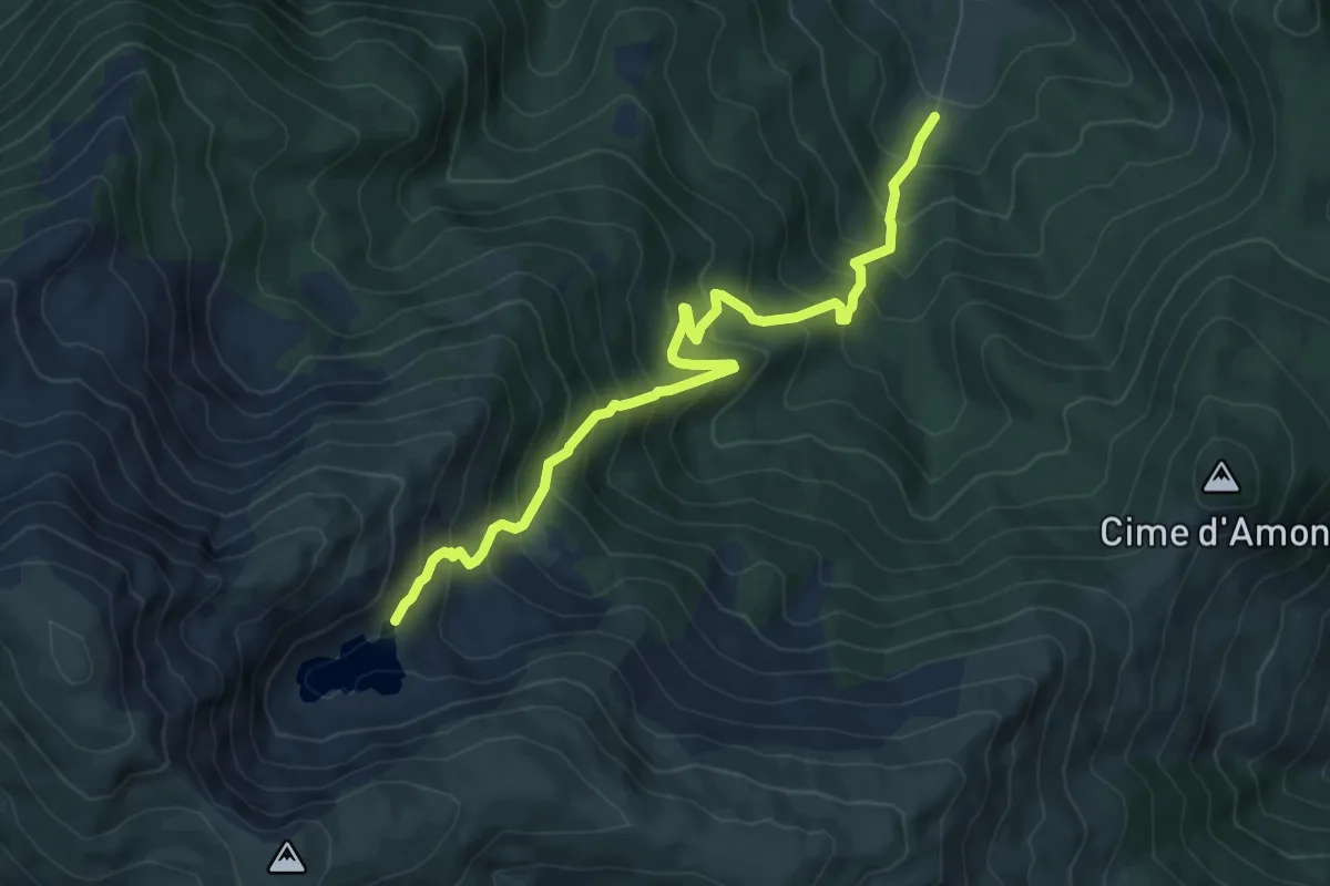
Demanding · Trail
Étang d'Artax
8.4 km · ↑ 845 m · 3 h 49 min
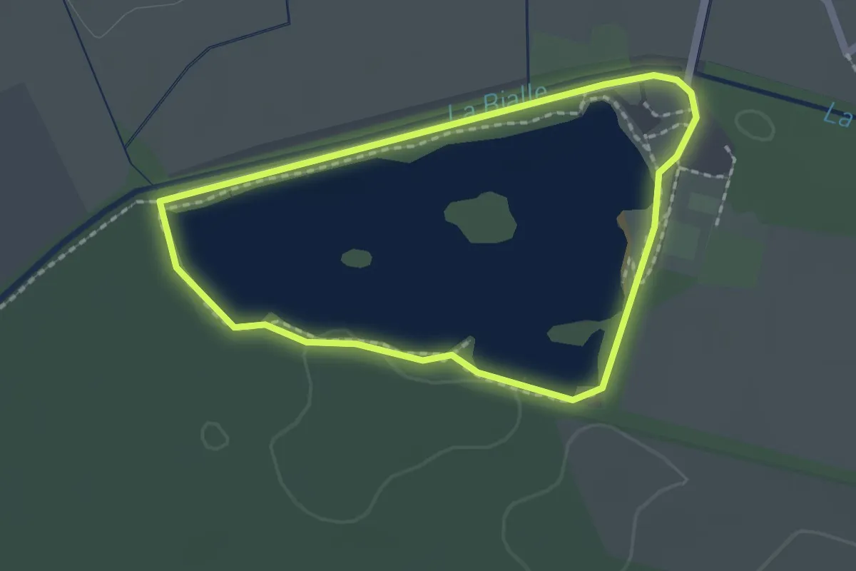
Easy · Trail
Étang de Grésy
1.7 km · ↑ 4 m · 26 min
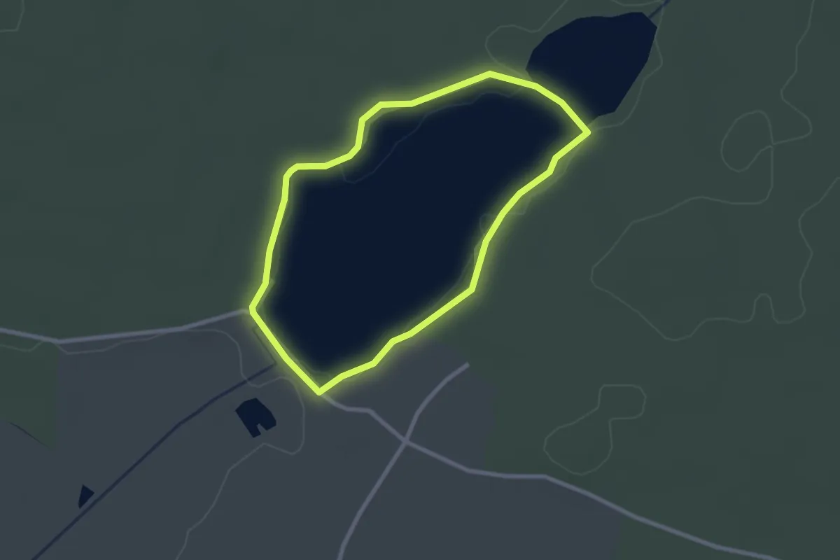
Easy · Trail
Étang de Péronne
2.3 km · ↑ 4 m · 35 min
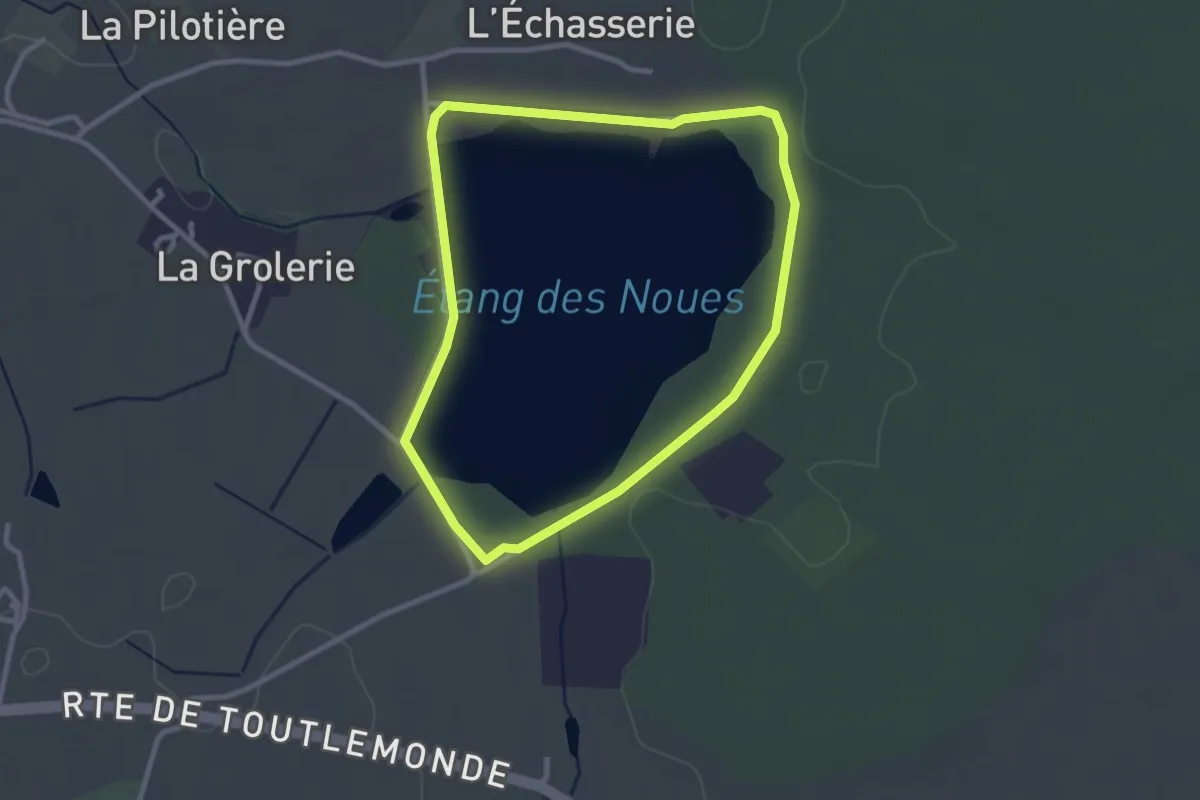
Easy · Trail
Étang des Noues
2.6 km · ↑ 9 m · 40 min
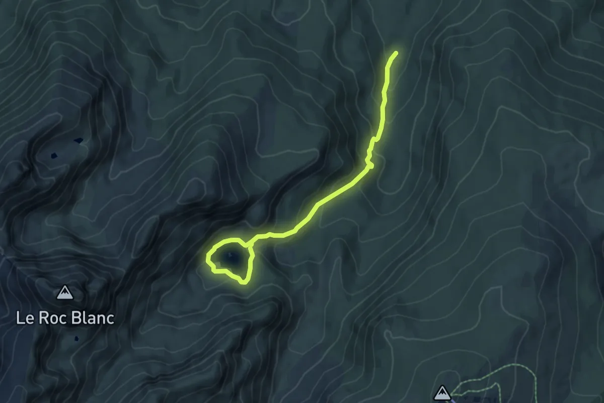
Medium · Cabin
Étang du Laurenti
7.2 km · ↑ 418 m · 2 h 37 min
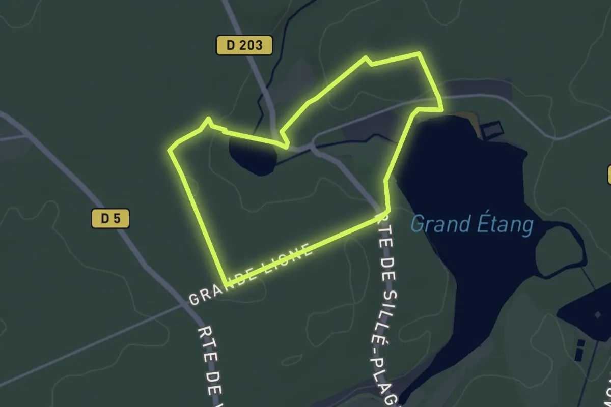
Easy · Trail
Étang du Moulin des Defays
3.2 km · ↑ 38 m · 54 min
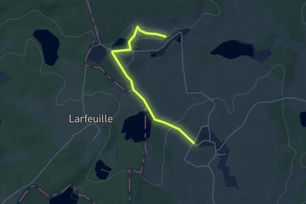
Easy · Trail
Étang du Vernet
1.8 km · ↑ 38 m · 32 min
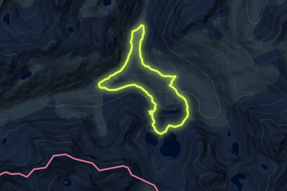
Medium · Trail
Étangs de Fontargente
7.6 km · ↑ 454 m · 2 h 54 min
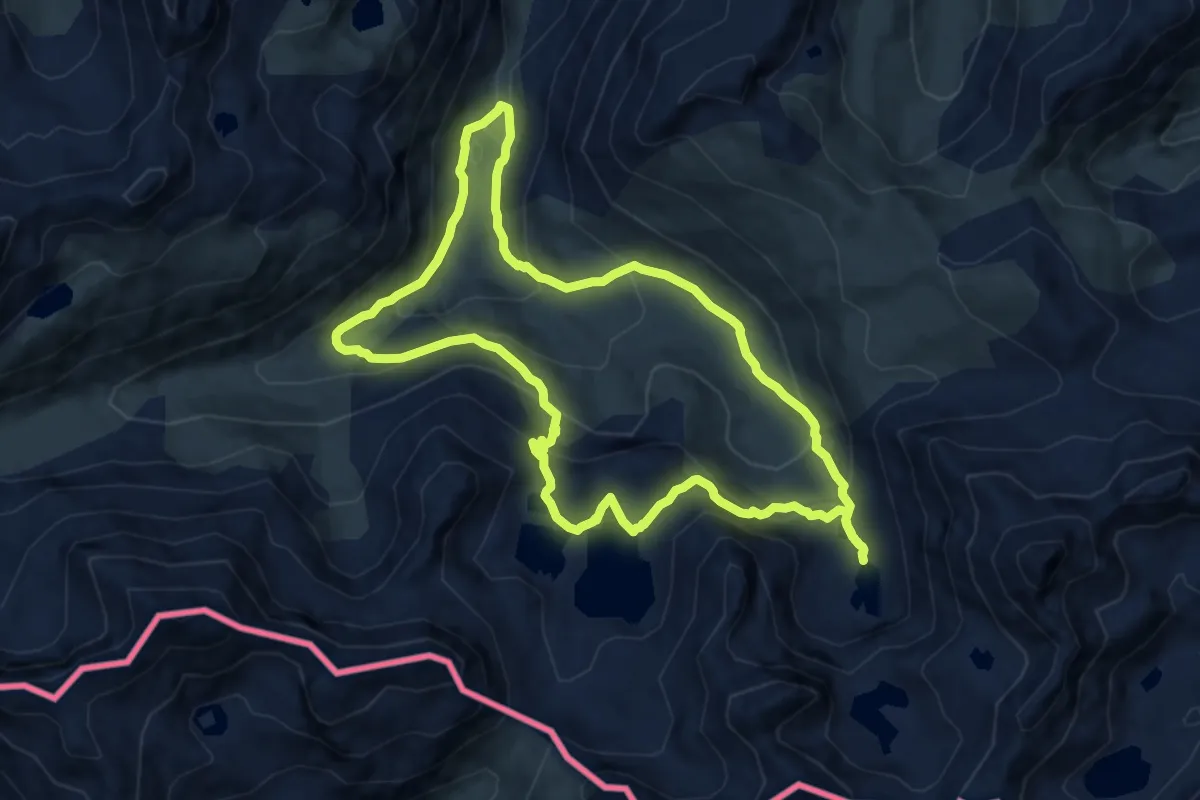
Medium · Trail
Etangs de Fontargente et de l'Estagnol en boucle
10.2 km · ↑ 524 m · 3 h 42 min
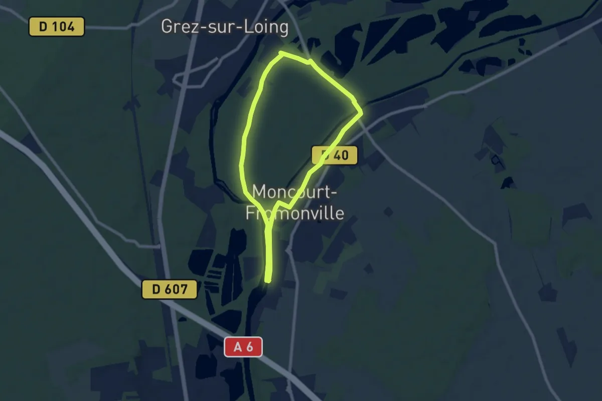
Easy · Trail
Étangs de la Clarette
6.0 km · ↑ 8 m · 1 h 31 min
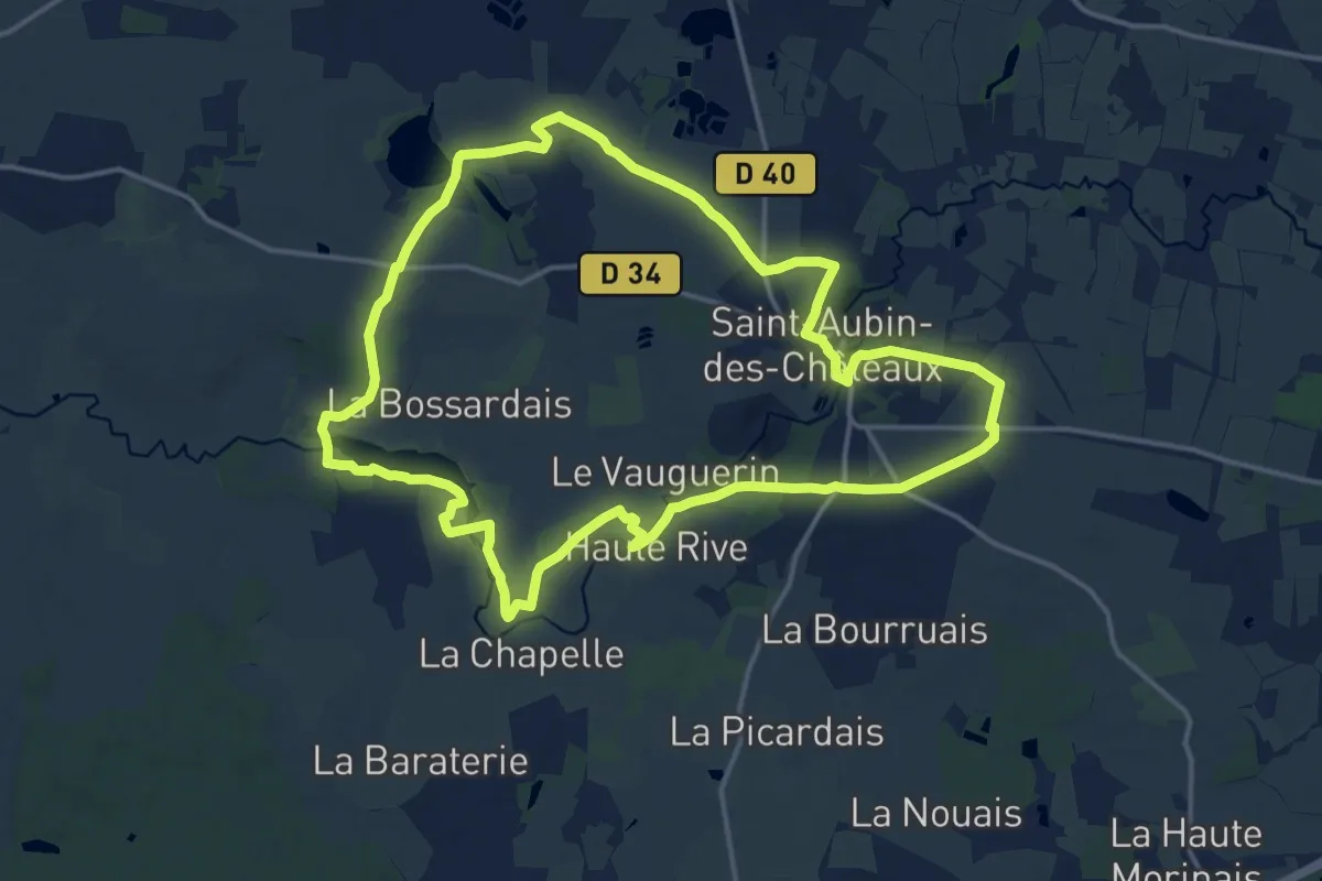
Medium · Trail
Etangs et Calvaires
15.8 km · ↑ 127 m · 4 h 13 min
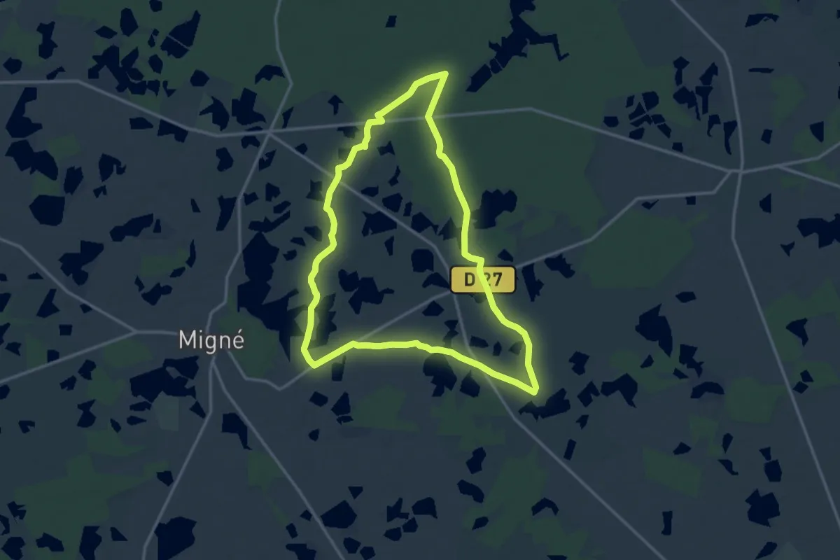
Medium · Trail
Étangs, forêts et buttons
13.3 km · ↑ 13 m · 3 h 21 min
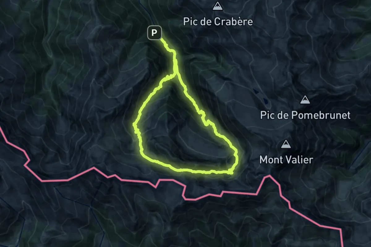
Demanding · Trail
Étangs Long et Rond
15.3 km · ↑ 1529 m · 7 h 5 min
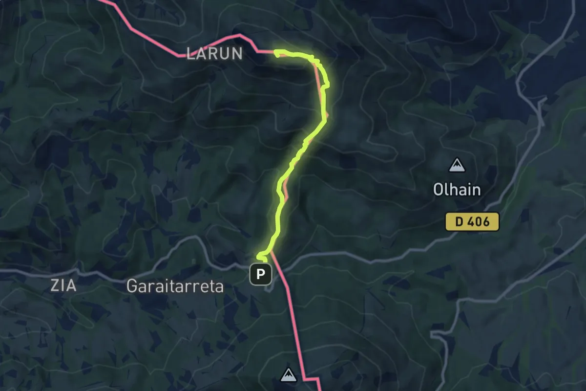
Demanding · Summit
Étape 01
7.7 km · ↑ 684 m · 3 h 18 min
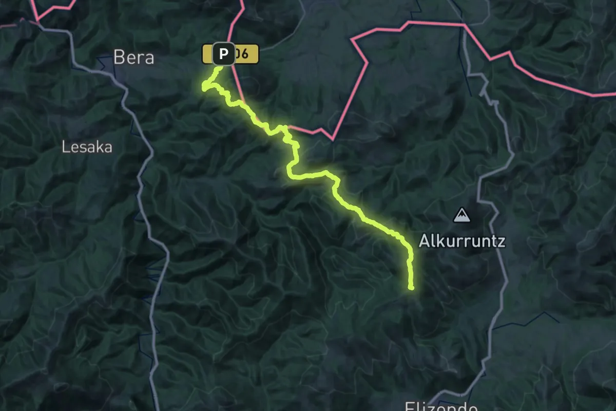
Demanding · Summit
Étape 02
38.7 km · ↑ 1631 m · 12 h 40 min
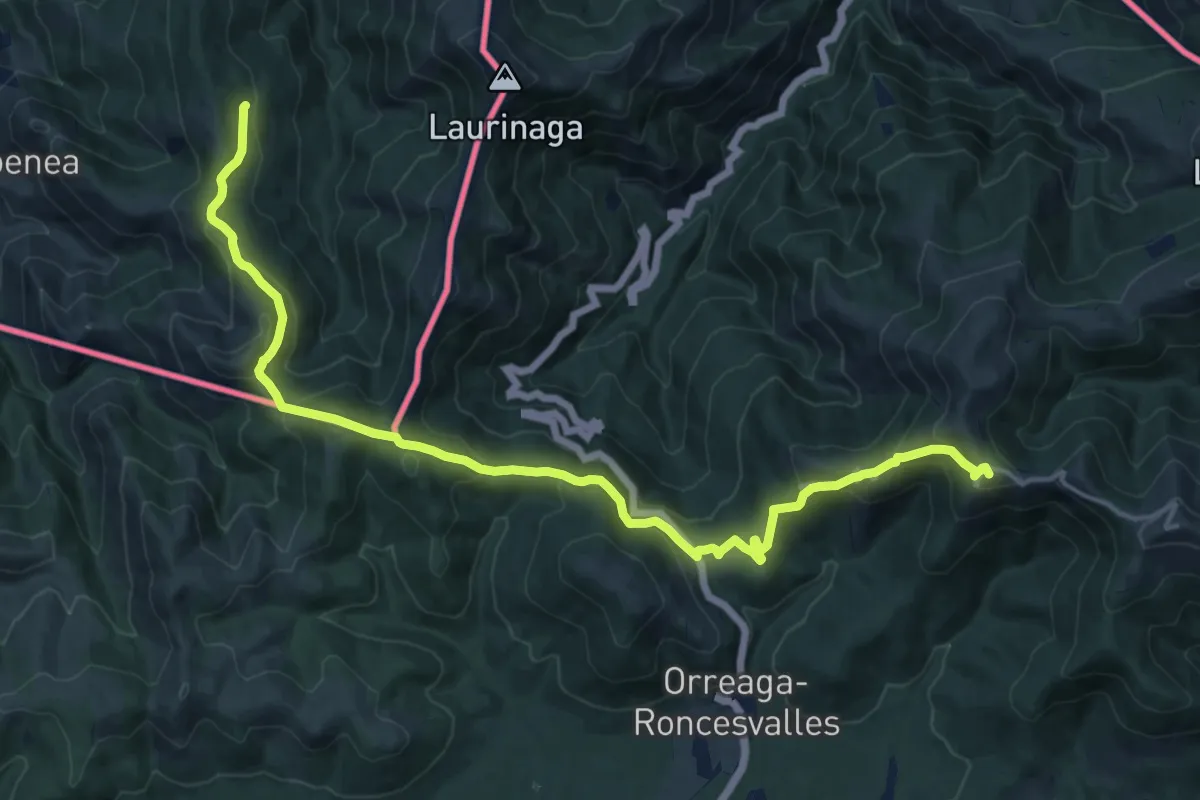
Demanding · Summit
Étape 04
20.1 km · ↑ 957 m · 6 h 49 min
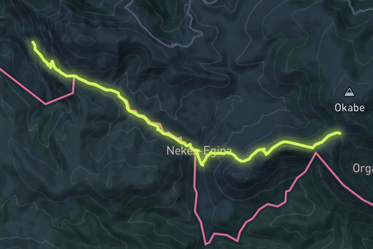
Demanding · Trail
Étape 05
16.4 km · ↑ 1027 m · 6 h 6 min
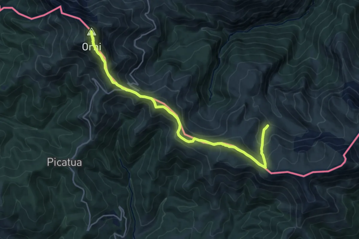
Demanding · Summit
Étape 06
16.5 km · ↑ 1138 m · 6 h 21 min
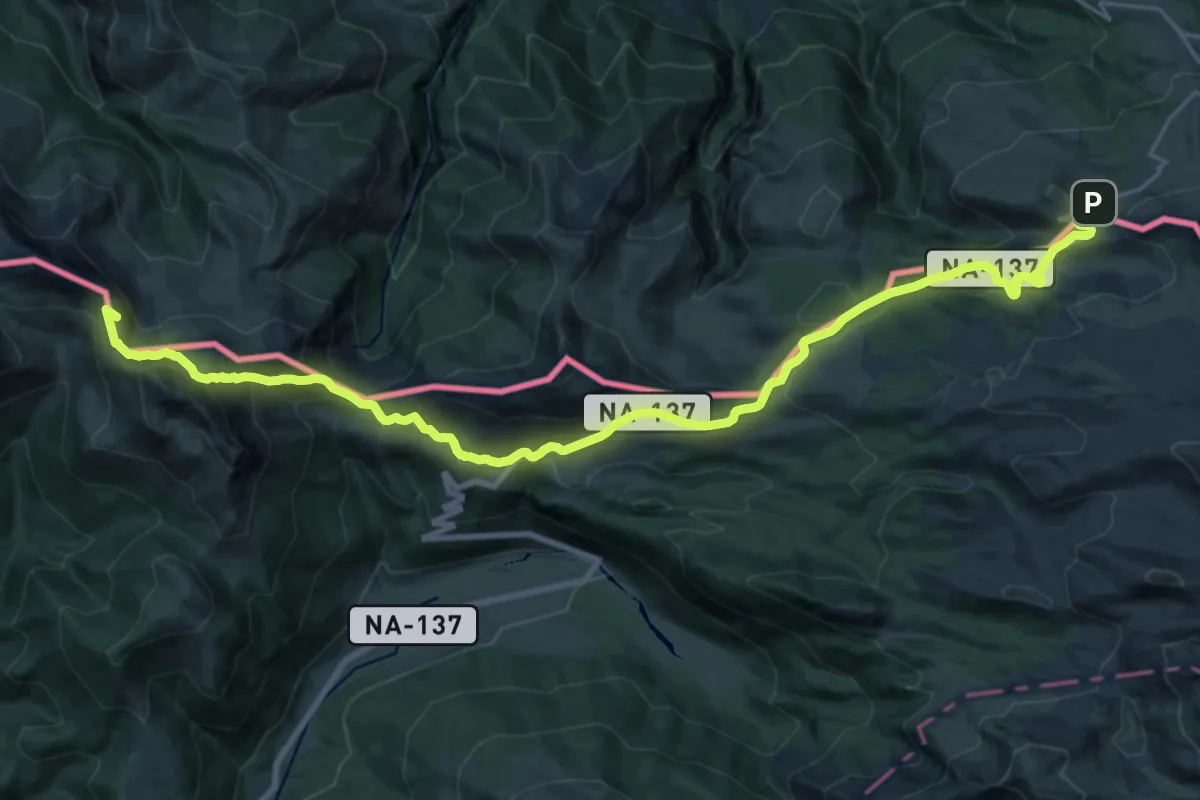
Demanding · Summit
Étape 07
28.2 km · ↑ 1249 m · 9 h 22 min
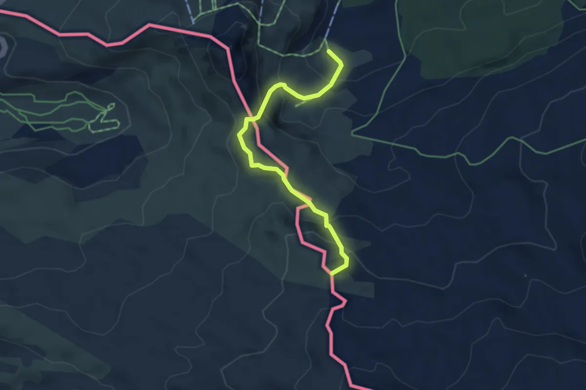
Expert · Summit
Étape 08
4.1 km · ↑ 259 m · 1 h 32 min
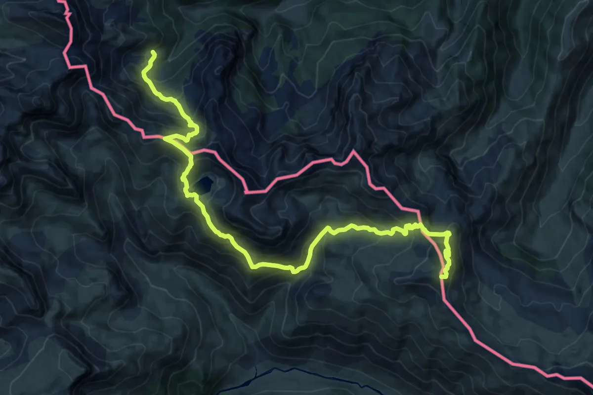
Demanding · Summit
Étape 09
20.2 km · ↑ 1472 m · 7 h 58 min
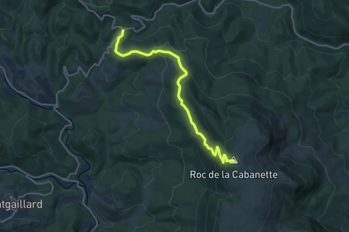
Medium · Summit
Etape 1
9.6 km · ↑ 505 m · 3 h 21 min
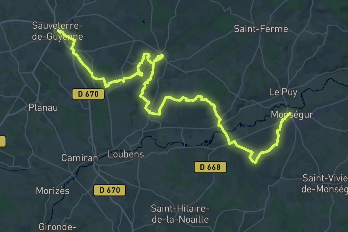
Demanding · Trail
Étape 10 • Chemin d'Amadour
29.0 km · ↑ 395 m · 8 h 7 min
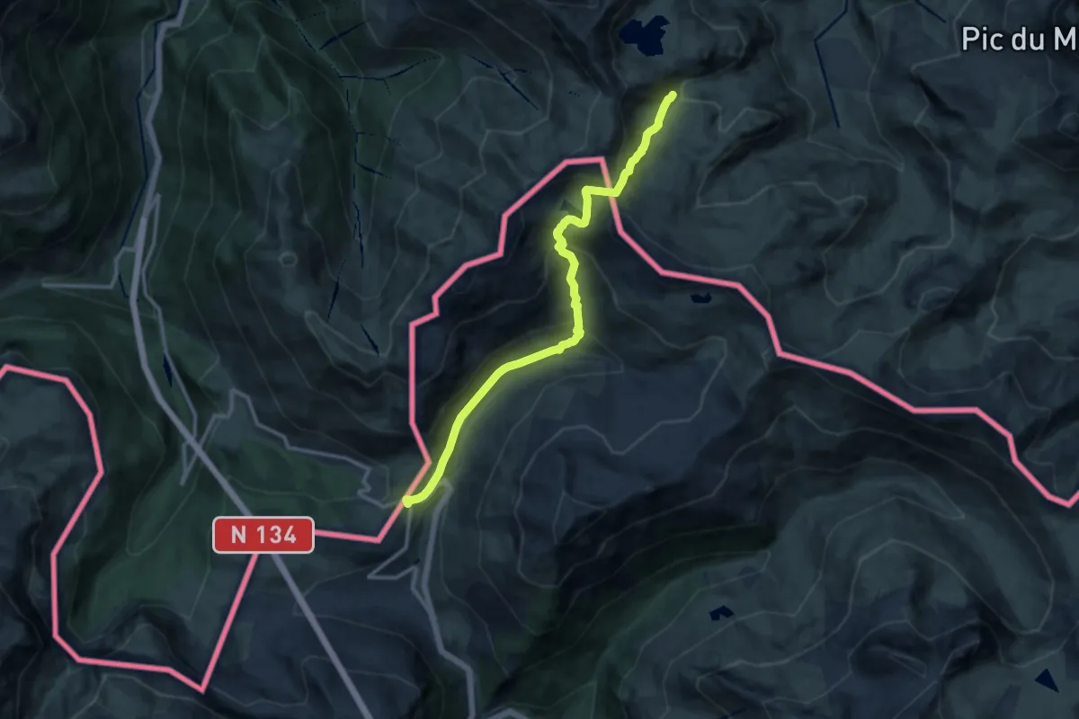
Medium · Summit
Étape 11
12.6 km · ↑ 711 m · 4 h 31 min
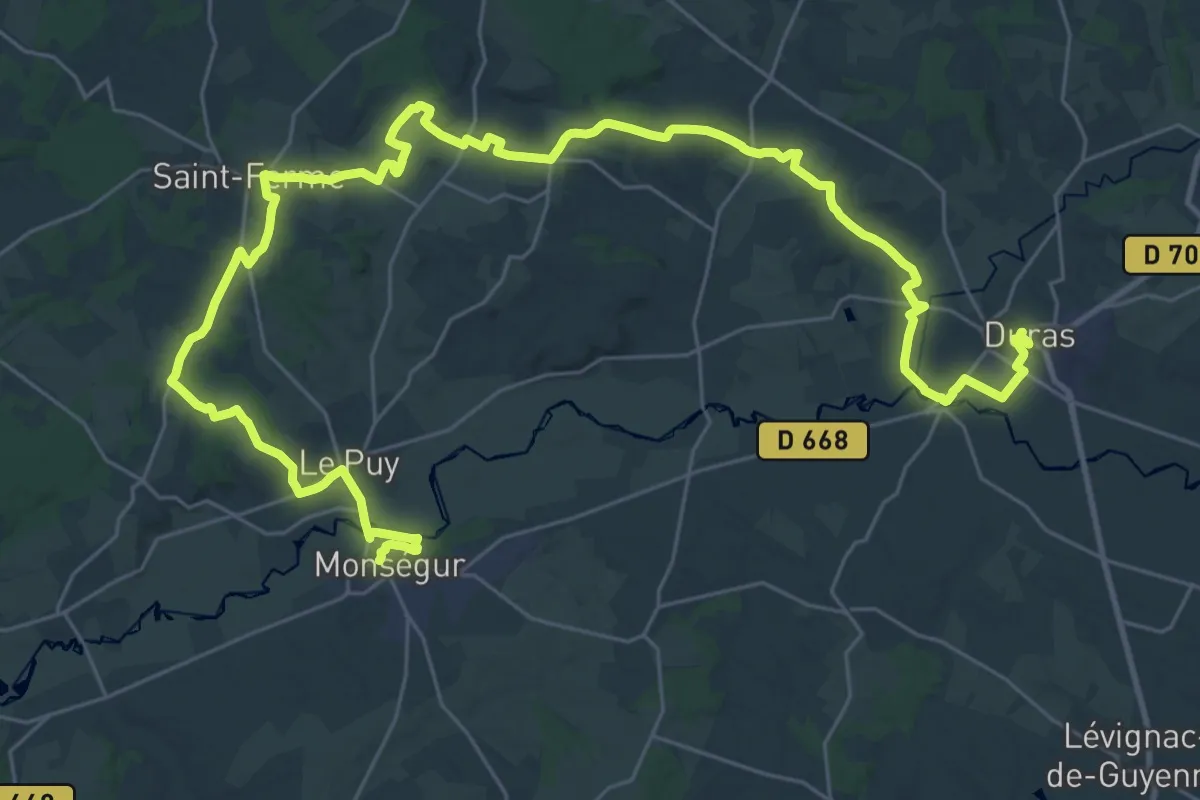
Demanding · Trail
Étape 11 • Chemin d'Amadour
24.5 km · ↑ 367 m · 6 h 54 min
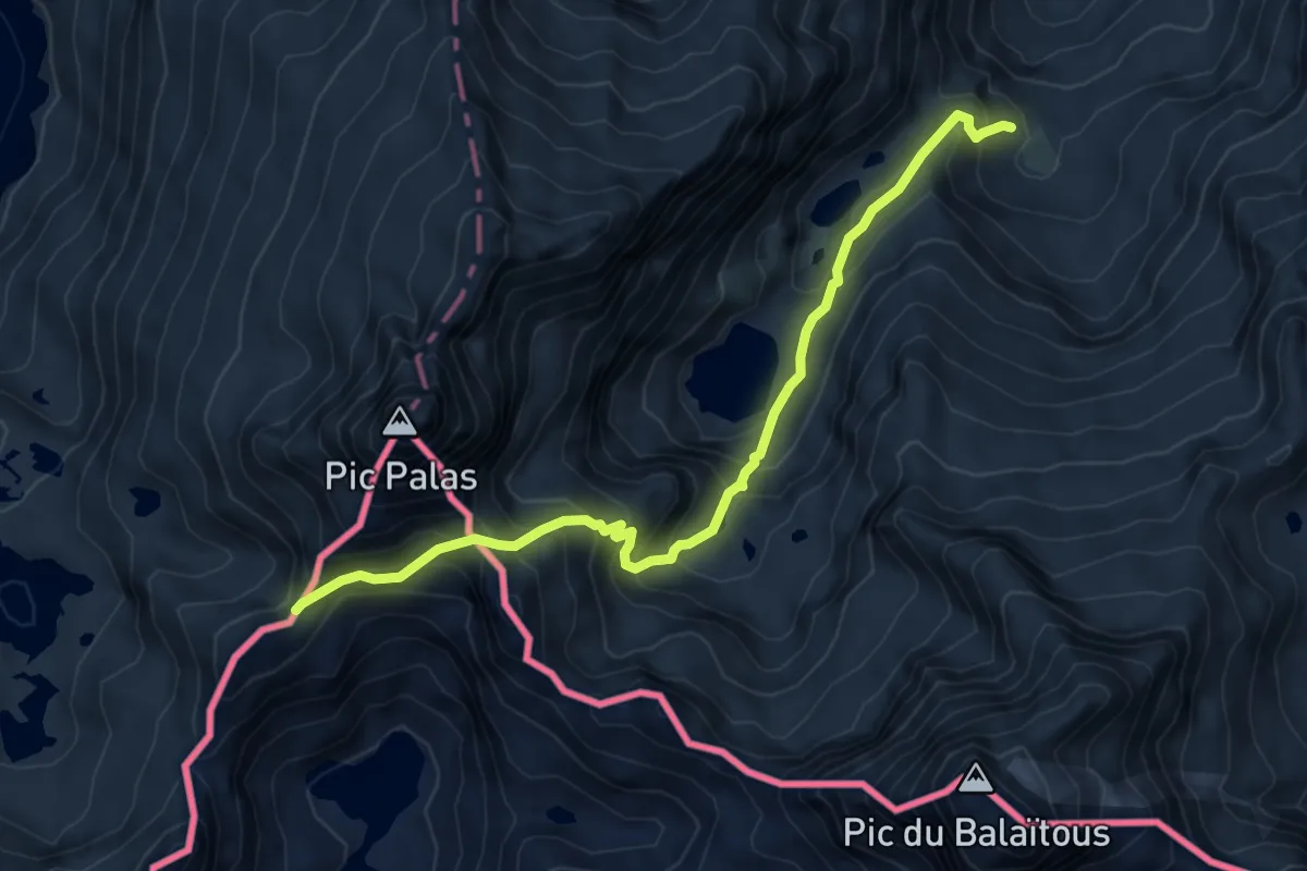
Expert · Cabin
Étape 12
7.2 km · ↑ 715 m · 3 h 15 min
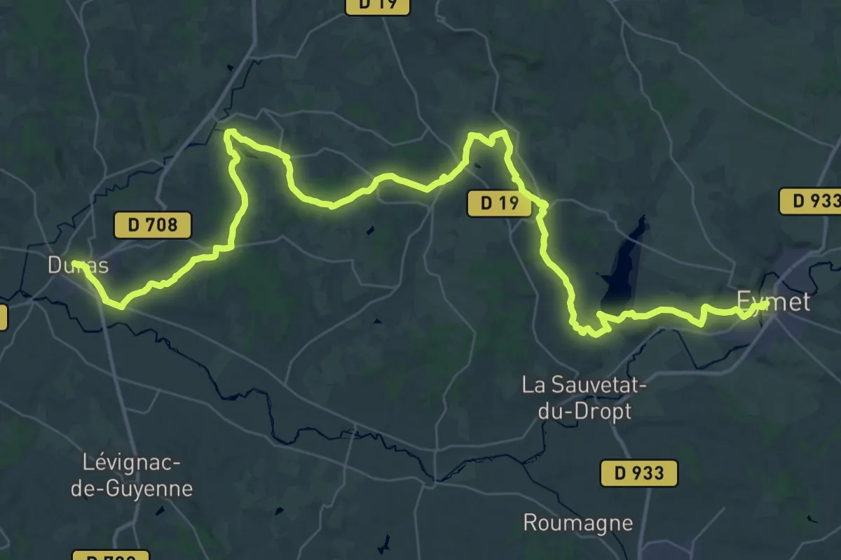
Demanding · Trail
Étape 12 • Chemin d'Amadour
30.3 km · ↑ 433 m · 8 h 32 min
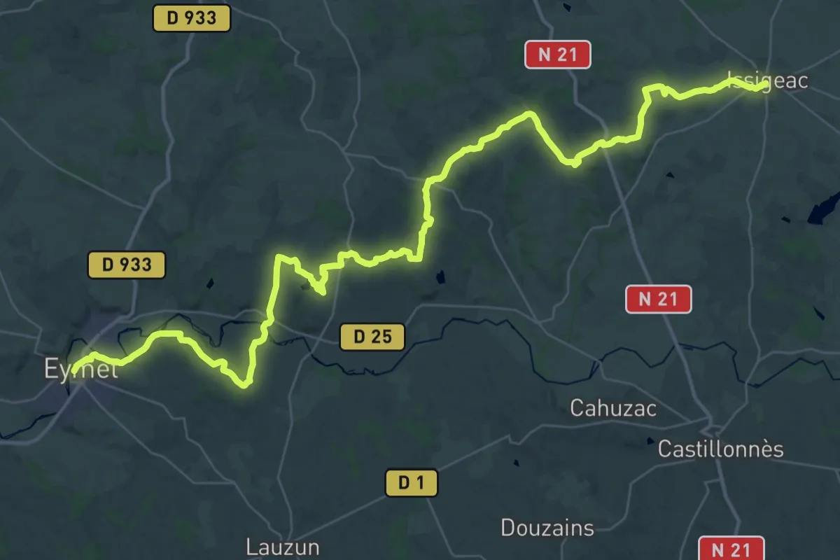
Demanding · Trail
Étape 13 • Chemin d'Amadour
27.6 km · ↑ 394 m · 7 h 43 min
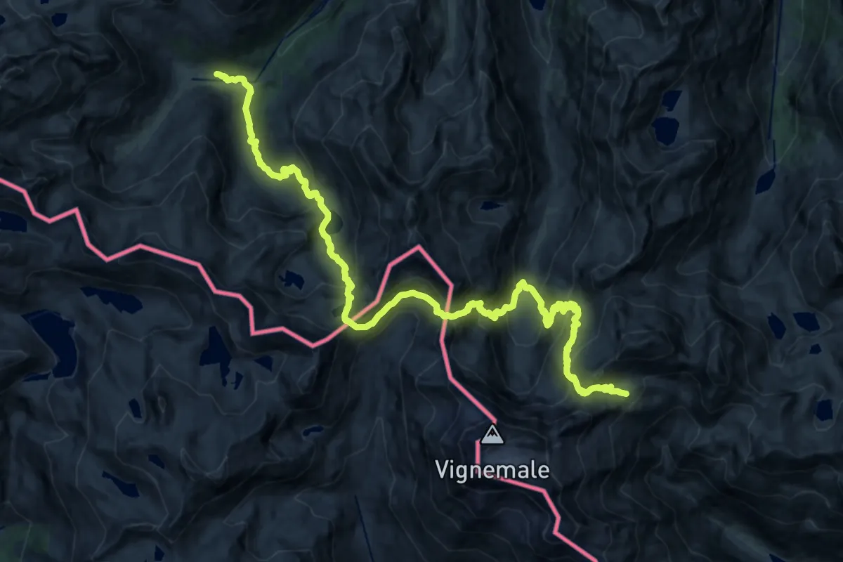
Demanding · Cabin
Étape 14
13.5 km · ↑ 1471 m · 6 h 10 min
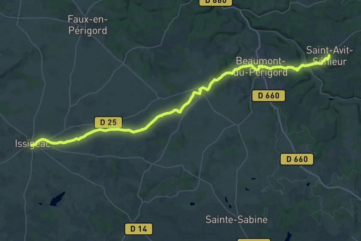
Demanding · Trail
Étape 14 • Chemin d'Amadour
19.9 km · ↑ 292 m · 5 h 35 min
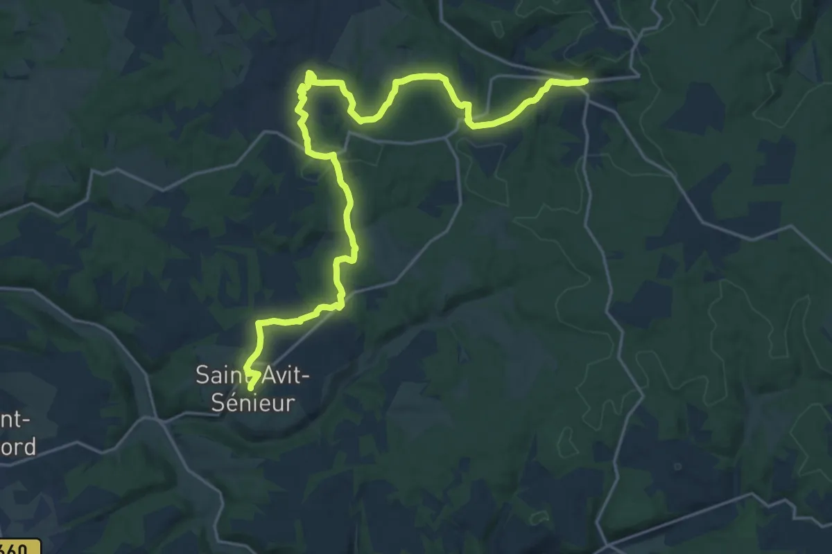
Demanding · Trail
Étape 15 • Chemin d'Amadour
23.7 km · ↑ 449 m · 6 h 33 min
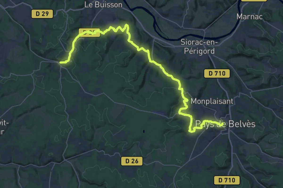
Demanding · Trail
Étape 16 • Chemin d'Amadour
20.6 km · ↑ 488 m · 6 h 11 min
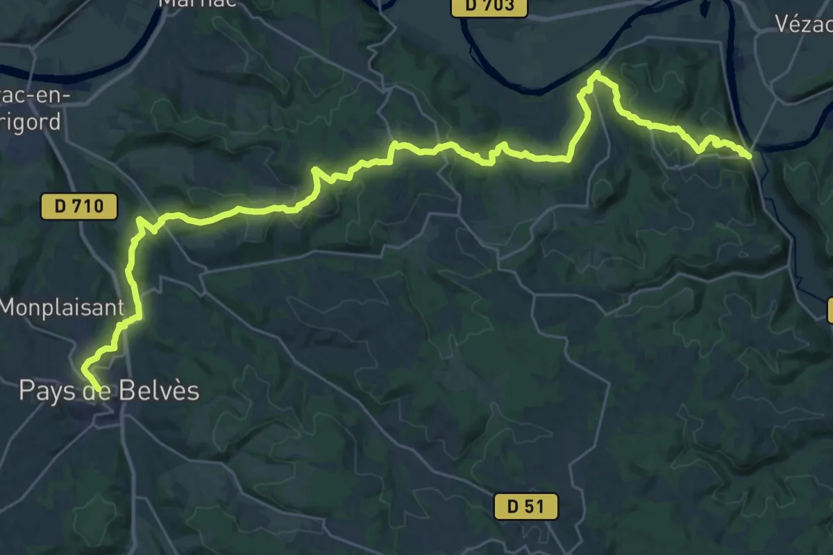
Demanding · Trail
Étape 17 • Chemin d'Amadour
19.6 km · ↑ 668 m · 6 h 18 min
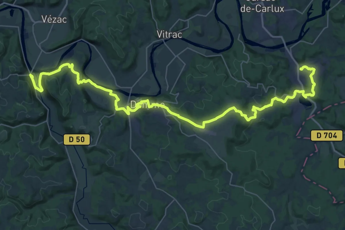
Demanding · Trail
Étape 18 • Chemin d'Amadour
21.1 km · ↑ 487 m · 6 h 19 min
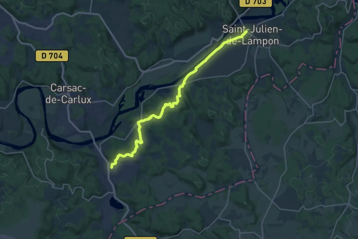
Demanding · Trail
Étape 19 • Chemin d'Amadour
18.4 km · ↑ 308 m · 5 h 1 min
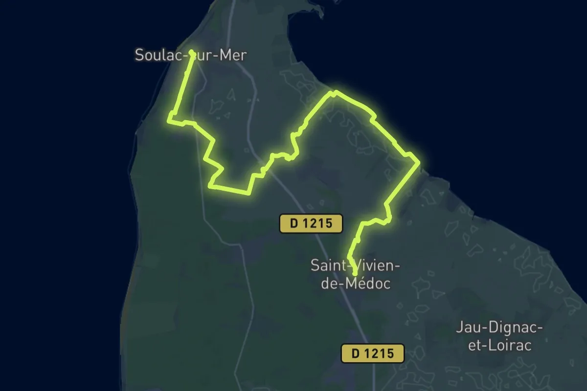
Demanding · Trail
Étape 1 • Chemin d'Amadour
28.5 km · ↑ 21 m · 7 h 10 min
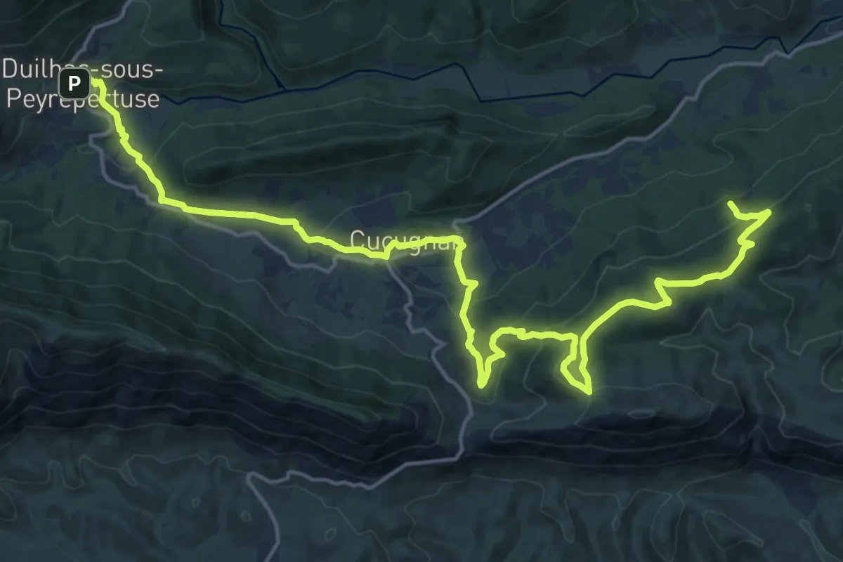
Demanding · Summit
Etape 2
22.9 km · ↑ 856 m · 7 h 16 min
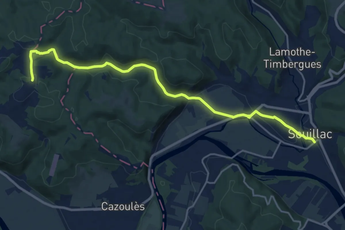
Medium · Trail
Étape 20 • Chemin d'Amadour
14.0 km · ↑ 268 m · 3 h 53 min
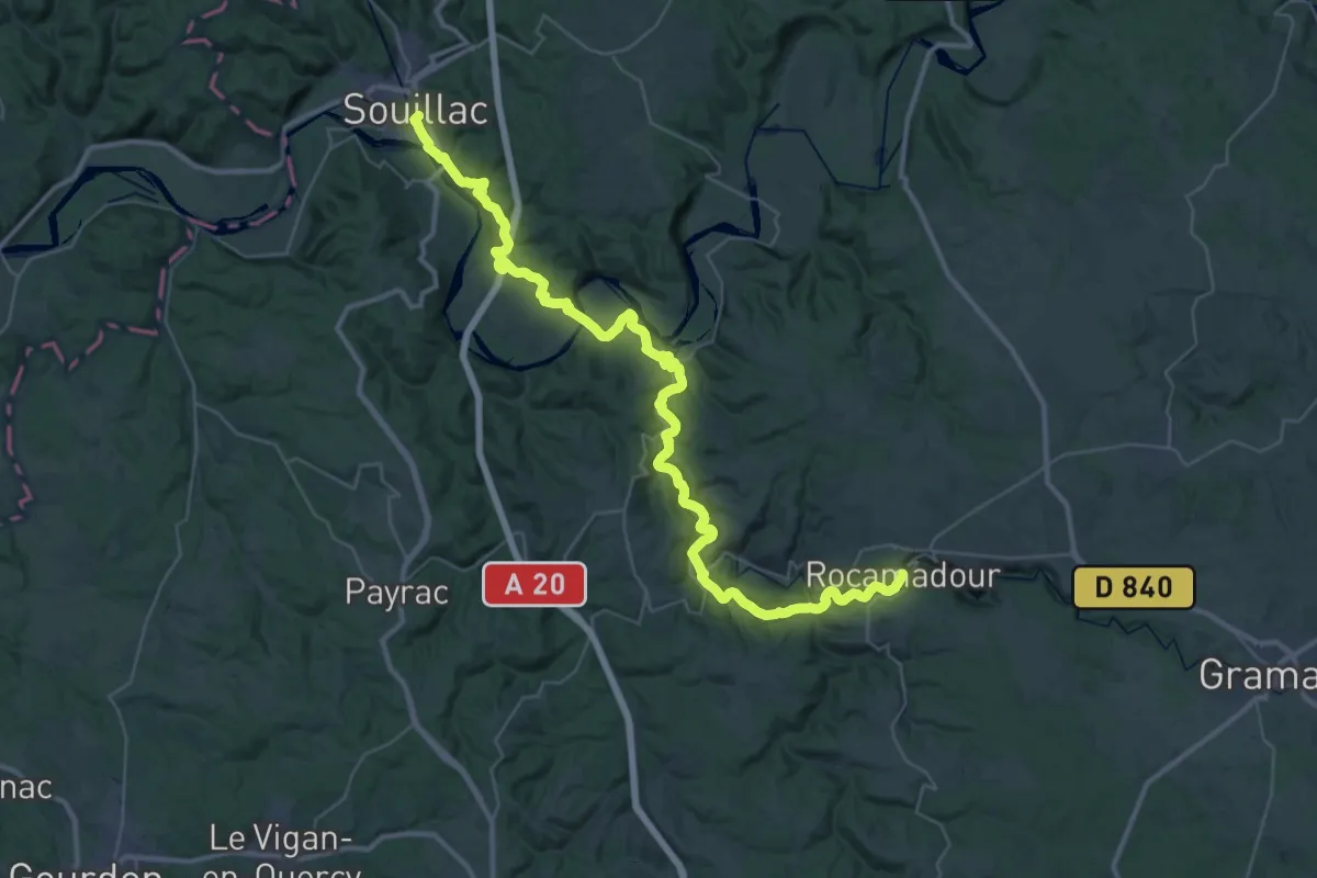
Demanding · Trail
Étape 21 • Chemin d'Amadour
24.8 km · ↑ 495 m · 7 h 14 min
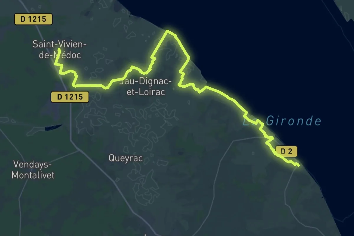
Demanding · Trail
Étape 2 • Chemin d'Amadour
32.3 km · ↑ 26 m · 8 h 7 min
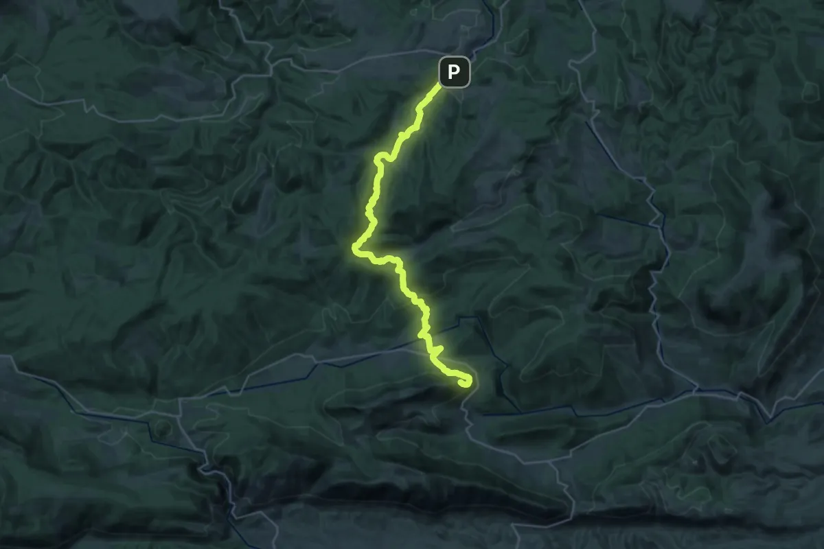
Demanding · Summit
Etape 3
31.0 km · ↑ 1161 m · 9 h 50 min
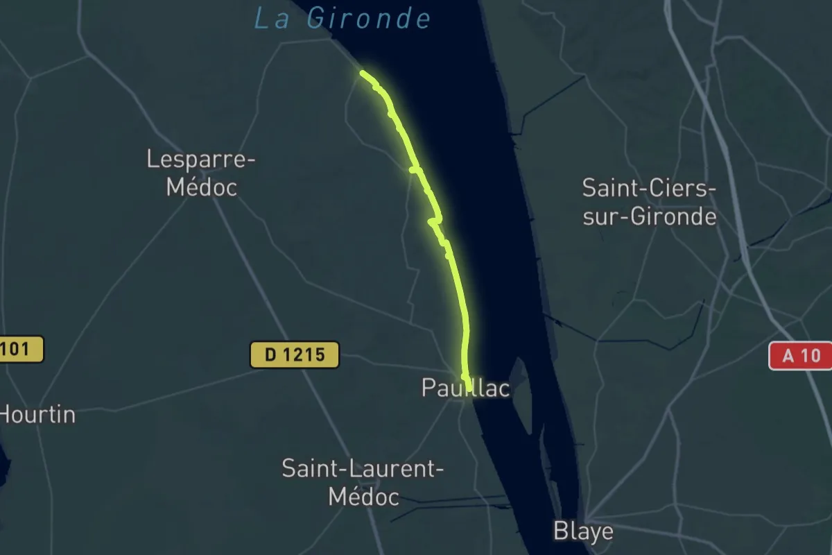
Demanding · Trail
Étape 3 • Chemin d'Amadour
21.5 km · ↑ 0 m · 5 h 22 min