Trails in France
15,926 hiking trails, each with its route, climb, walking time and grade.
All trails, page 115 of 332
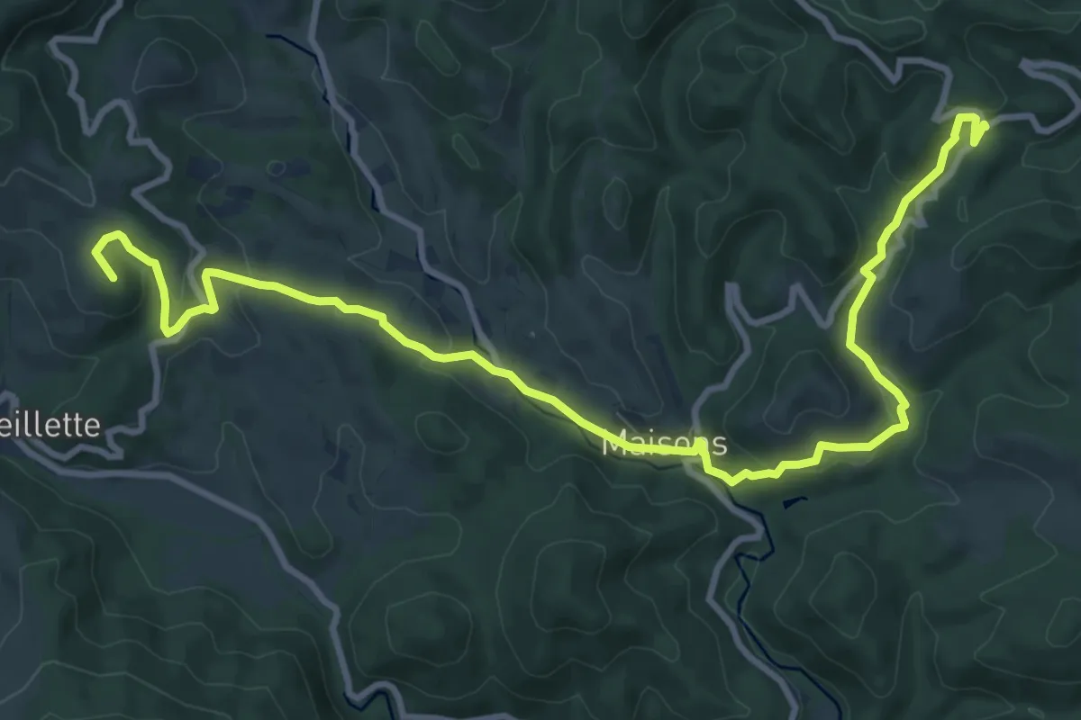
Medium · Summit
Etape 4
13.0 km · ↑ 402 m · 3 h 56 min
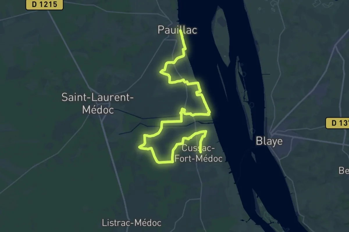
Demanding · Trail
Étape 4 • Chemin d'Amadour
27.4 km · ↑ 59 m · 6 h 58 min
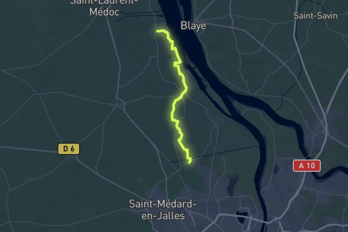
Demanding · Trail
Étape 5 • Chemin d'Amadour
26.1 km · ↑ 34 m · 6 h 36 min
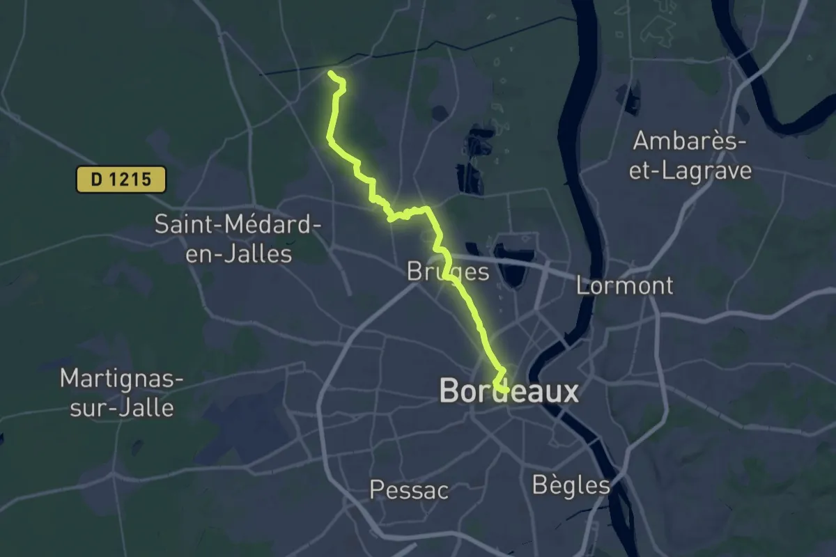
Demanding · Trail
Étape 6 • Chemin d'Amadour
19.3 km · ↑ 78 m · 5 h
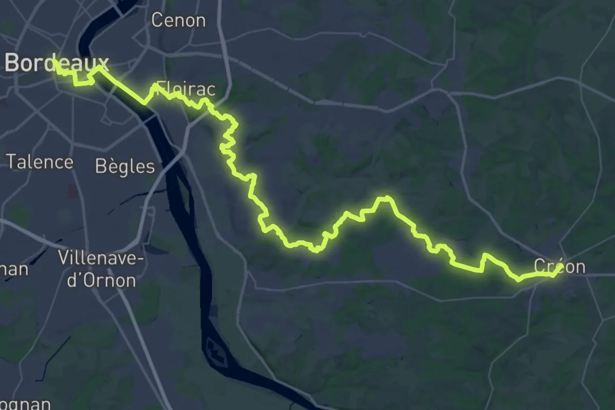
Demanding · Trail
Étape 7 • Chemin d'Amadour
33.8 km · ↑ 487 m · 9 h 28 min
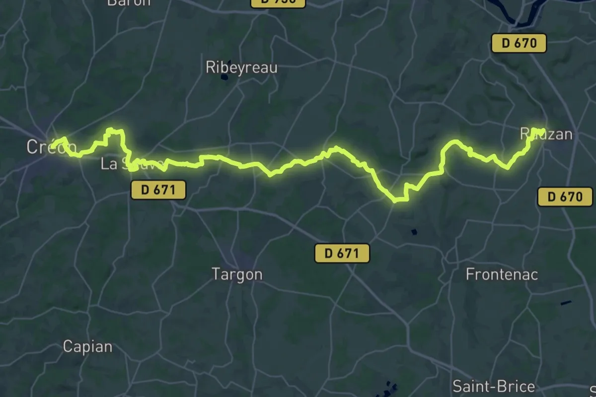
Demanding · Trail
Étape 8 • Chemin d'Amadour
27.0 km · ↑ 279 m · 7 h 23 min
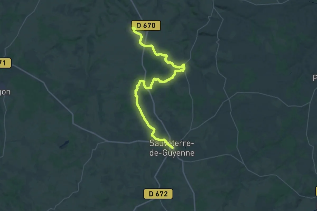
Demanding · Trail
Étape 9 • Chemin d'Amadour
19.7 km · ↑ 193 m · 5 h 21 min
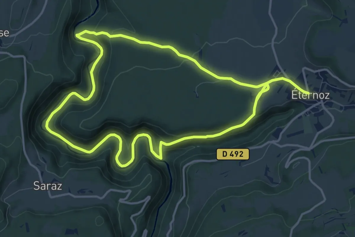
Demanding · Trail
Eternoz - Vallée du Lison
20.7 km · ↑ 542 m · 6 h 4 min
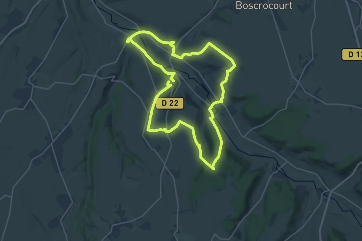
Medium · Trail
Etocquigny
16.2 km · ↑ 287 m · 4 h 40 min
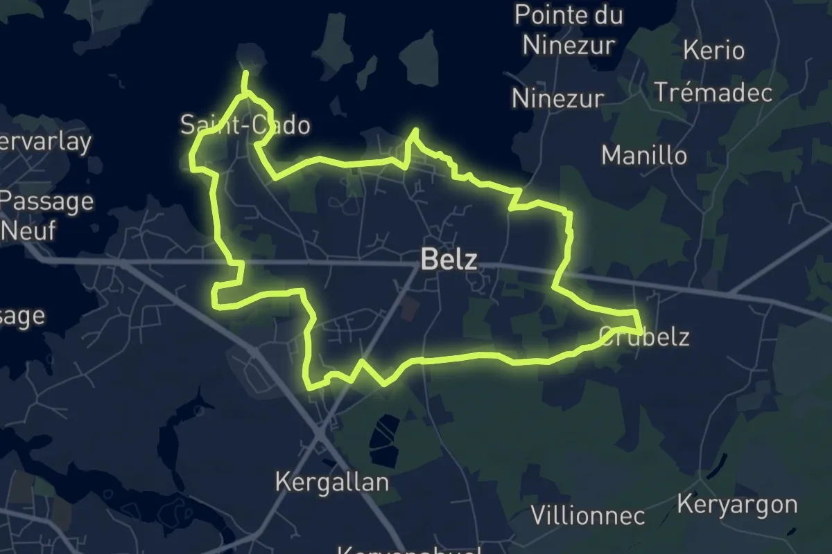
Medium · Trail
Etre douar ar mor
10.0 km · ↑ 35 m · 2 h 34 min
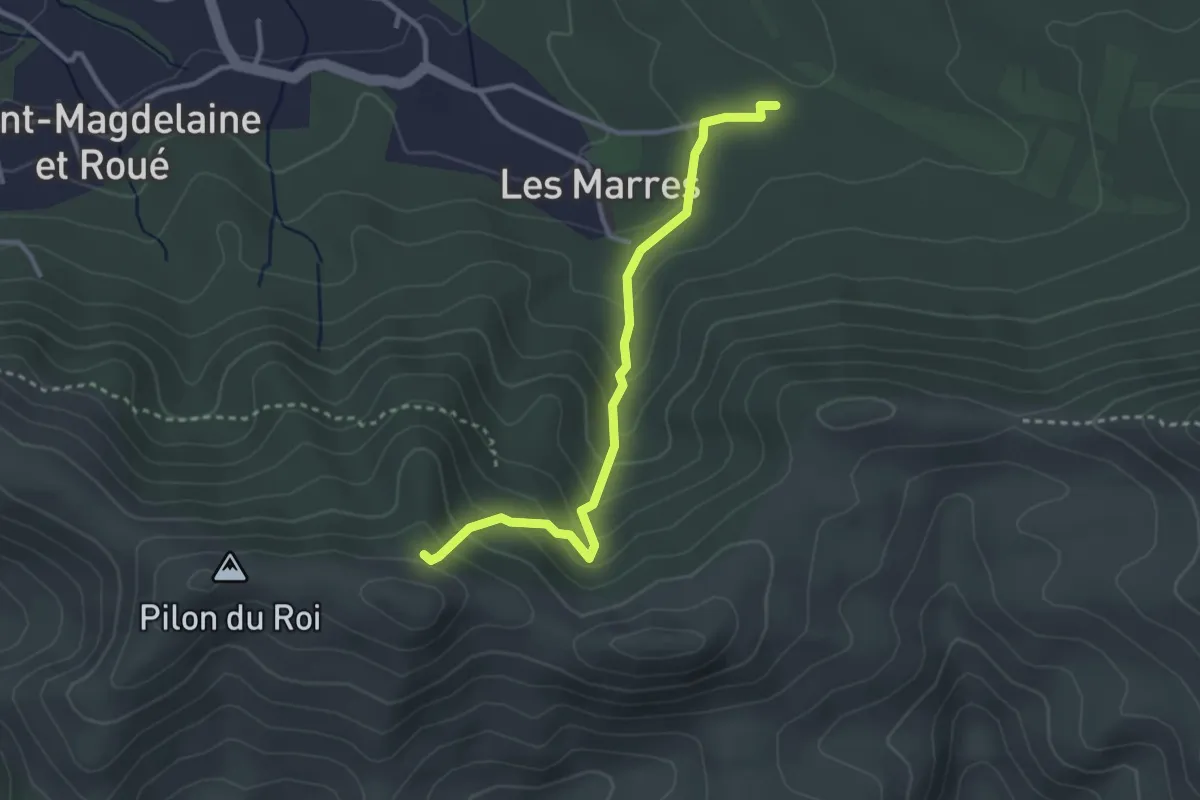
Easy · Trail
ETx2 - Les Marres
3.2 km · ↑ 249 m · 1 h 18 min
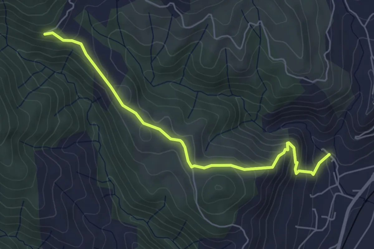
Easy · Trail
Eygue - Archias
5.4 km · ↑ 298 m · 1 h 56 min
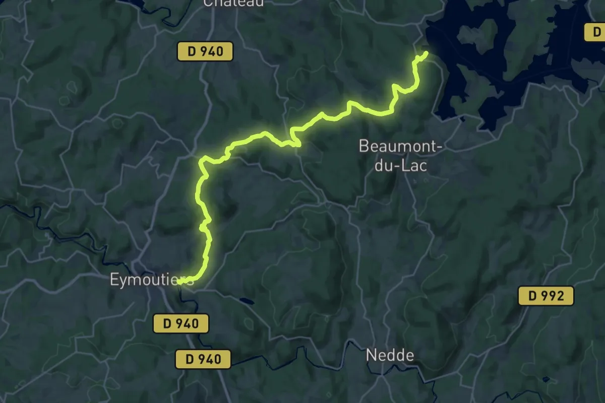
Medium · Trail
Eymoutiers - Vassivière
15.0 km · ↑ 458 m · 4 h 36 min
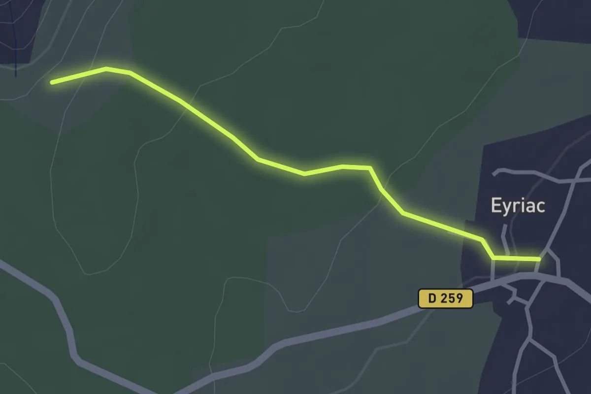
Easy · Trail
Eyriac - Bois Gardette
2.7 km · ↑ 83 m · 50 min
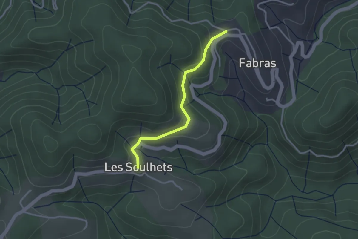
Easy · Trail
Fabras - Les Soulhets
2.5 km · ↑ 97 m · 48 min
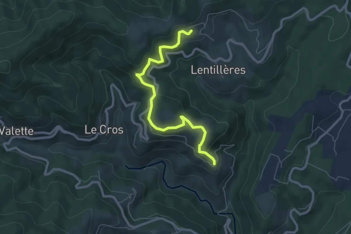
Easy · Trail
Fabrias - Le Village
6.1 km · ↑ 283 m · 2 h 3 min
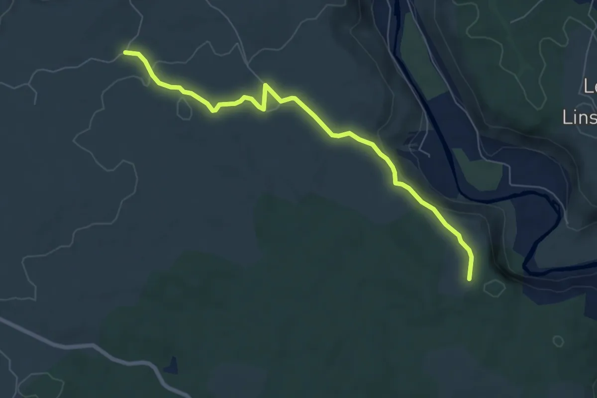
Easy · Trail
Falaise de Lunel - Lauzette
6.9 km · ↑ 115 m · 1 h 53 min
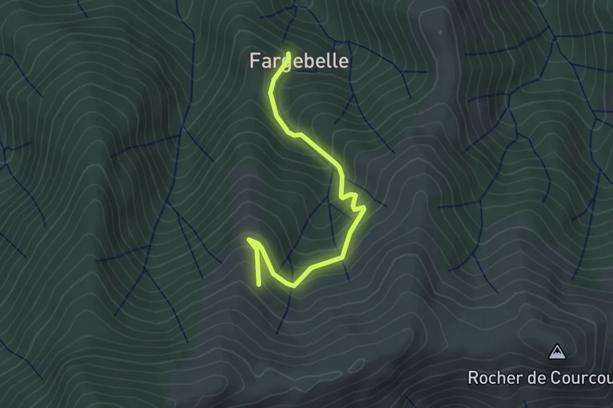
Easy · Trail
Fargebelle - Les Plaines
3.6 km · ↑ 309 m · 1 h 31 min
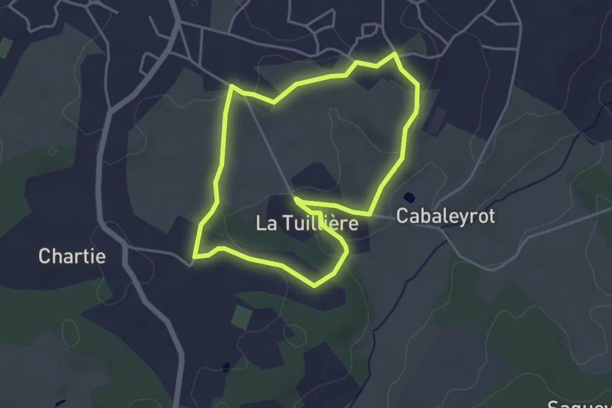
Easy · Trail
Fargues-Saint-Hilaire : boucle locale
3.4 km · ↑ 51 m · 58 min
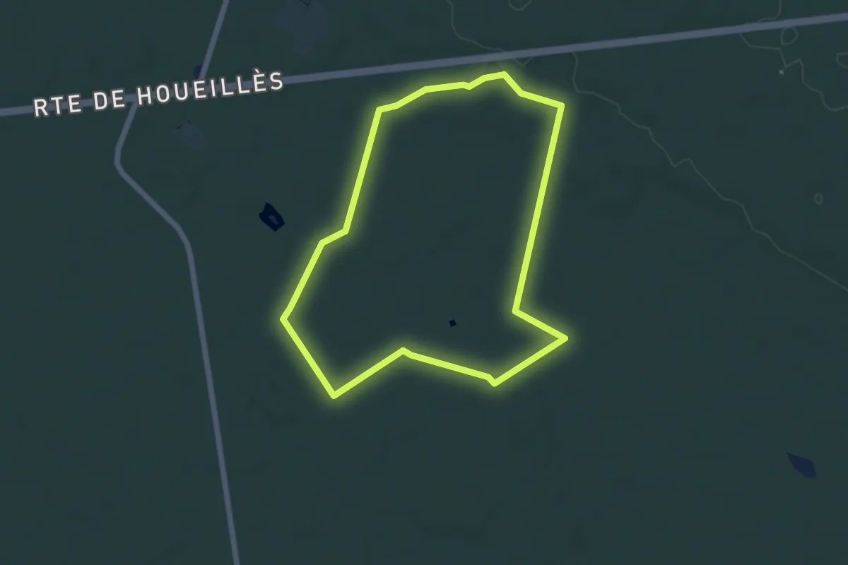
Easy · Trail
Fargues-sur-Ourbise - La forêt domaniale de Campet - 5.5 km
5.3 km · ↑ 32 m · 1 h 23 min
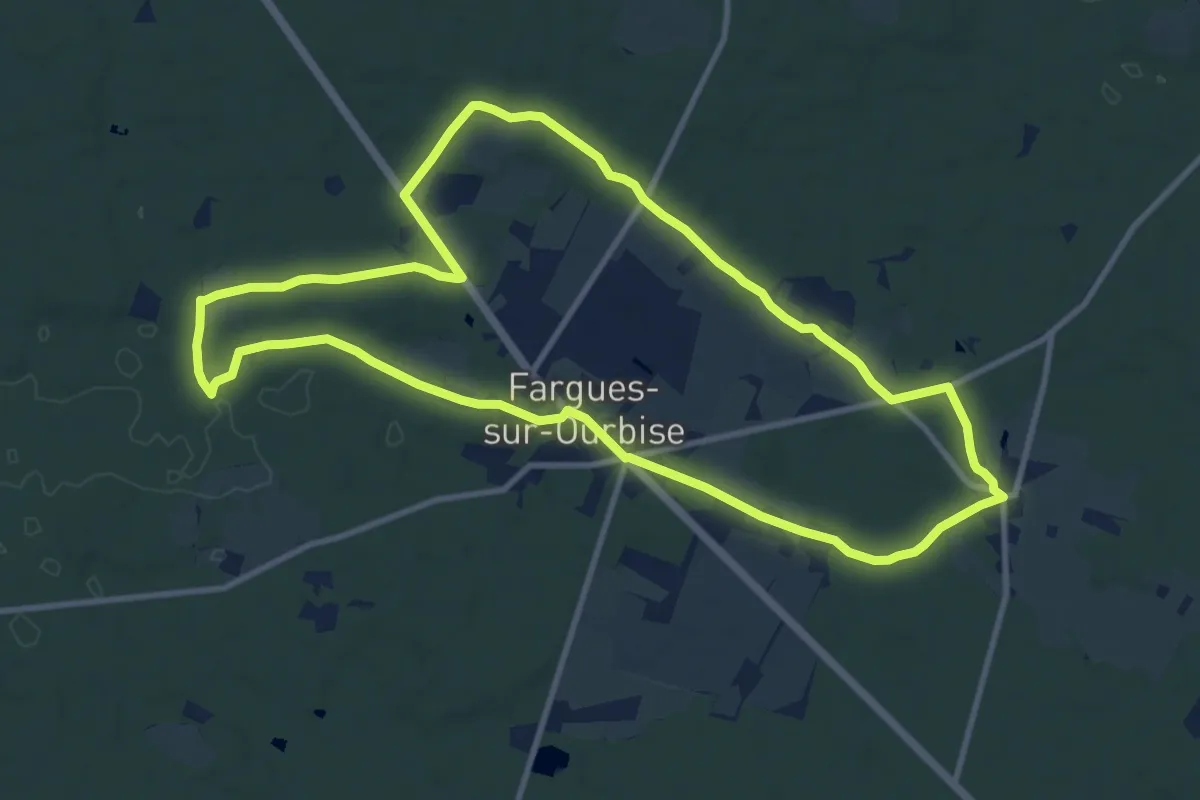
Medium · Trail
Fargues-sur-Ourbise, une île en forêt - 11.7 km
11.4 km · ↑ 77 m · 3 h
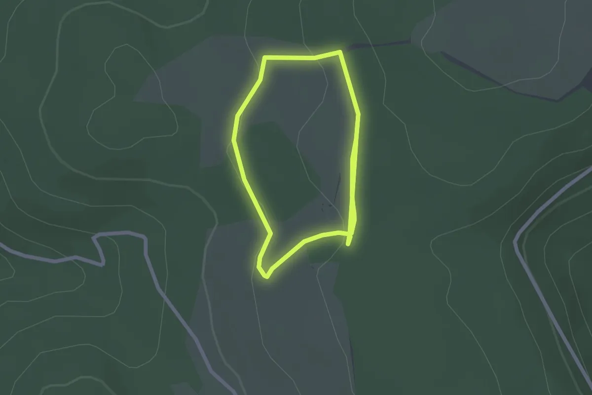
Easy · Trail
Fartlek 1600
3.8 km · ↑ 77 m · 1 h 4 min
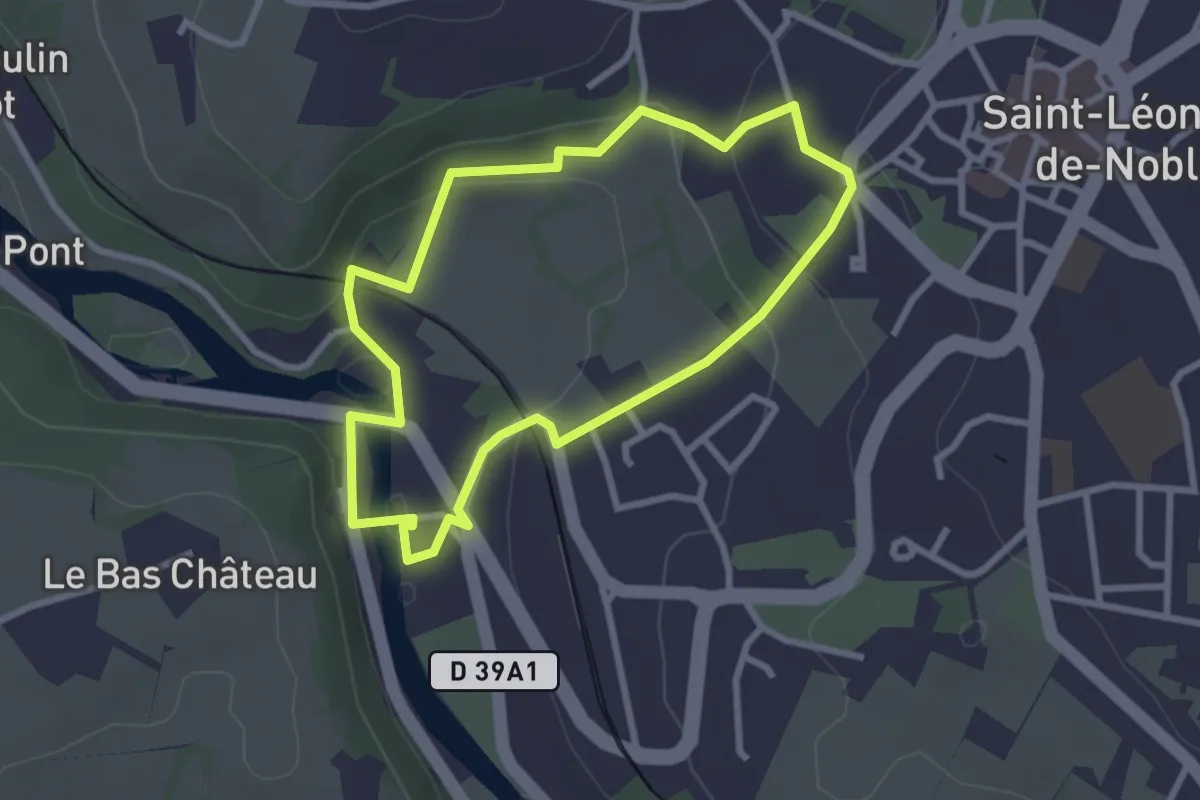
Easy · Trail
Faubourg du Pont de Noblat
2.7 km · ↑ 86 m · 51 min
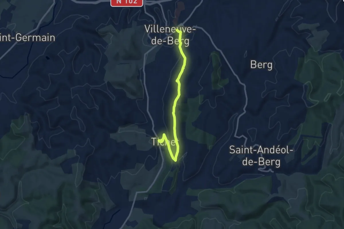
Medium · Trail
Faucon - Place de l'Obélisque
9.4 km · ↑ 269 m · 2 h 48 min
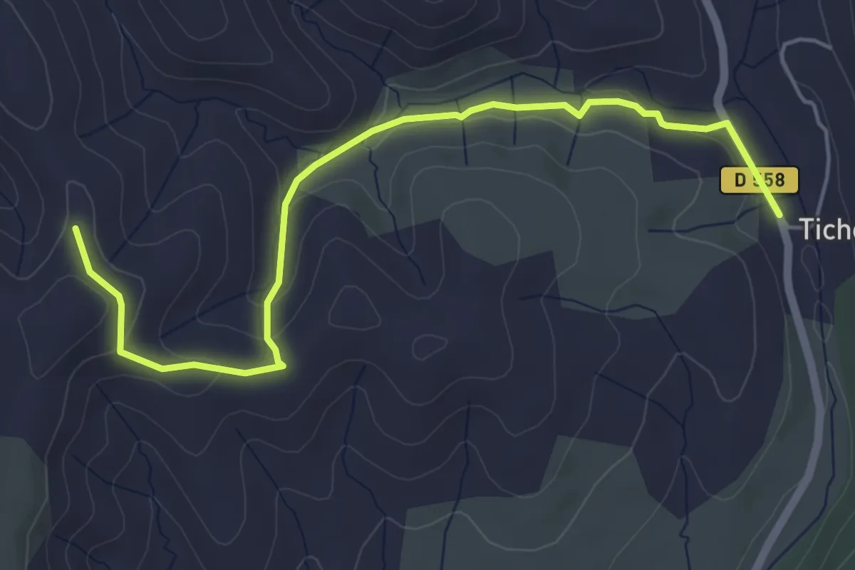
Easy · Trail
Faucon - Serre Donde
5.6 km · ↑ 147 m · 1 h 39 min
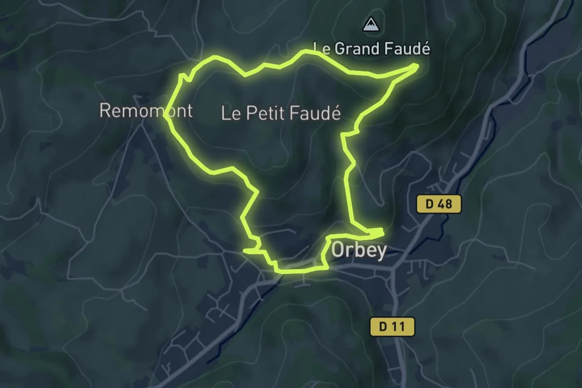
Easy · Trail
Faudé
5.7 km · ↑ 215 m · 1 h 54 min
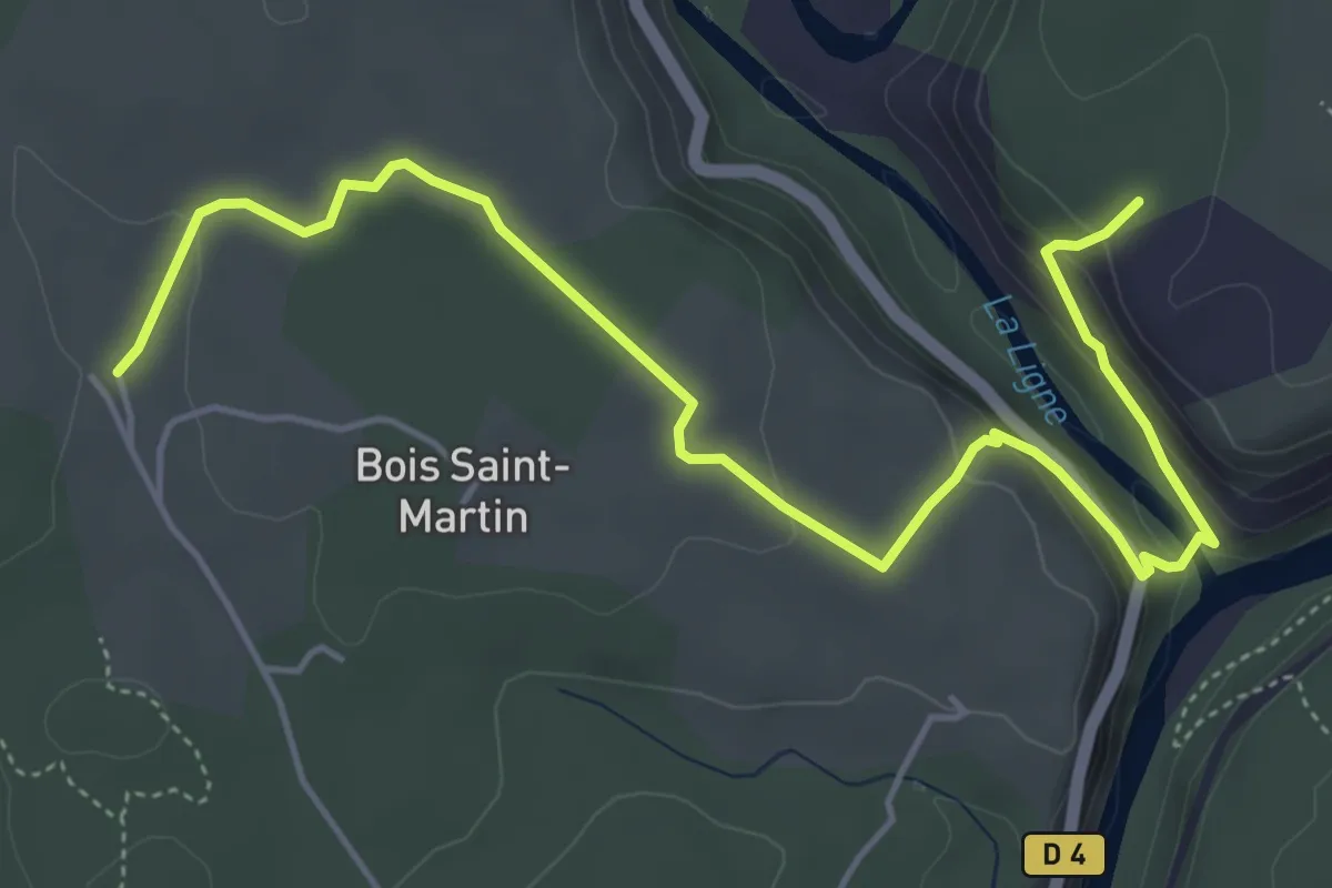
Easy · Trail
Faussimagne - L'Abeille
6.3 km · ↑ 194 m · 1 h 55 min
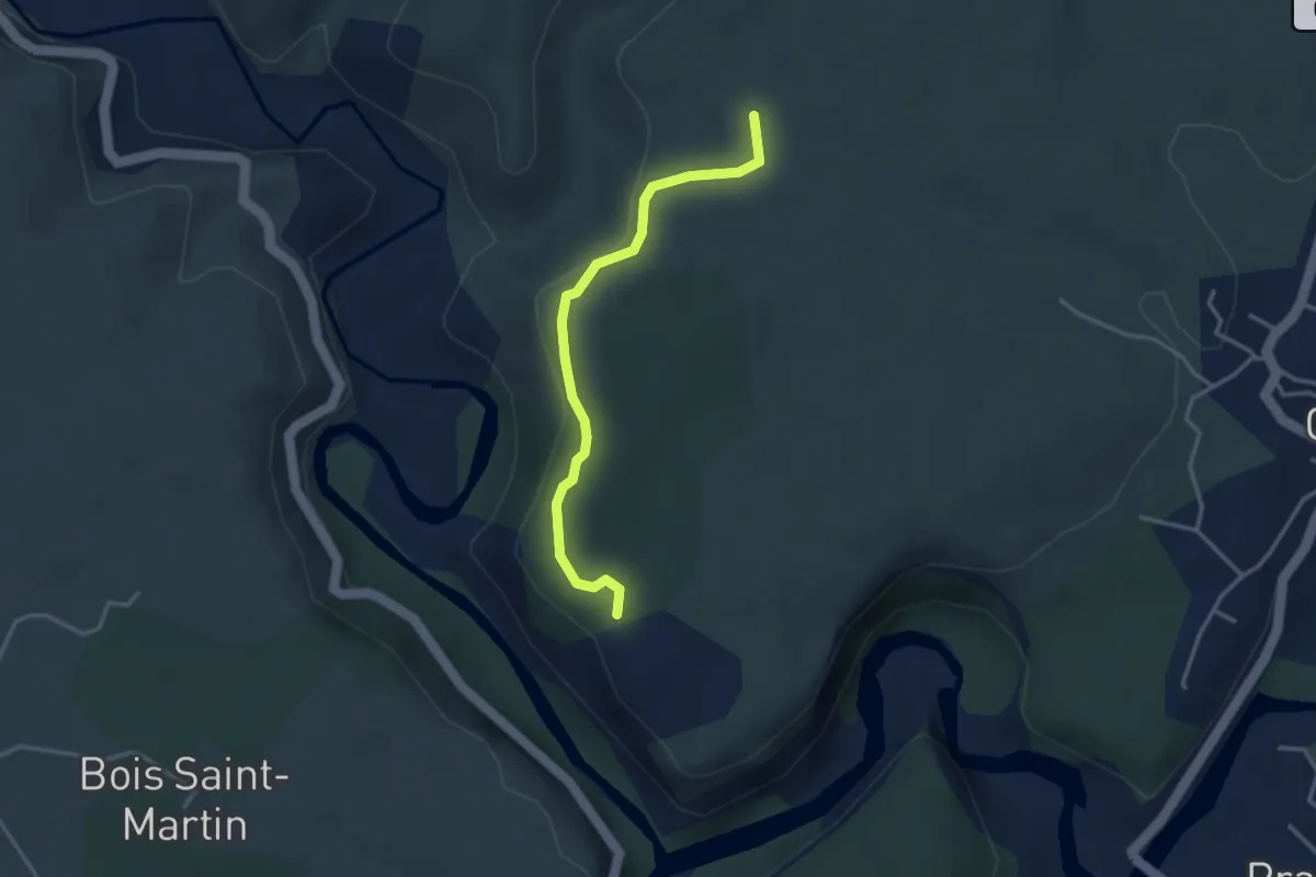
Easy · Trail
Faussimagne - La Hâle
3.3 km · ↑ 78 m · 57 min
Easy · Trail
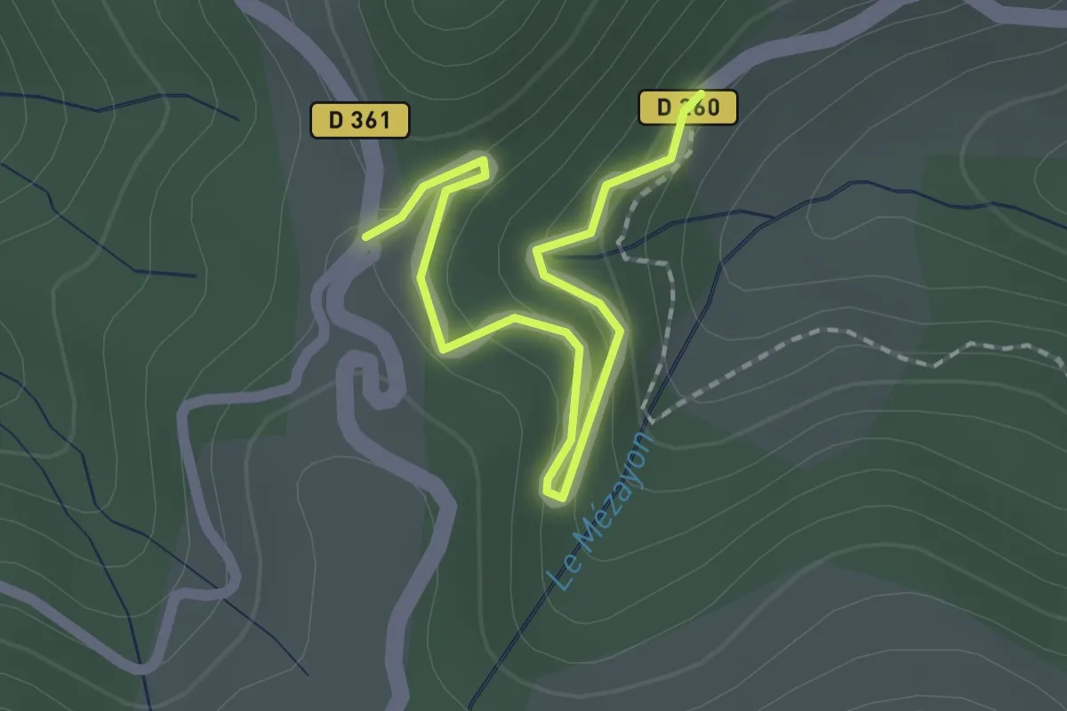
Faux - Ajoux Pierre de Faux
2.1 km · ↑ 107 m · 43 min
Easy · Summit
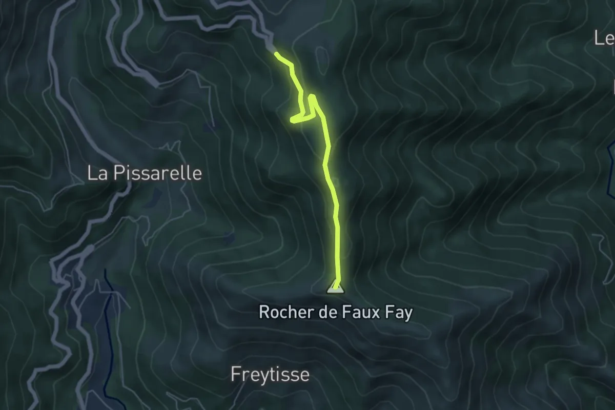
Faux Fay - Lyonnes
4.4 km · ↑ 220 m · 1 h 30 min
Medium · Trail
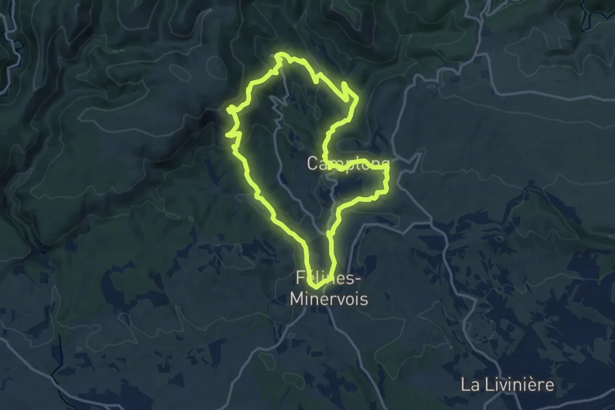
Félines-Minervois Ventajou
13.2 km · ↑ 408 m · 4 h 10 min
Demanding · Summit
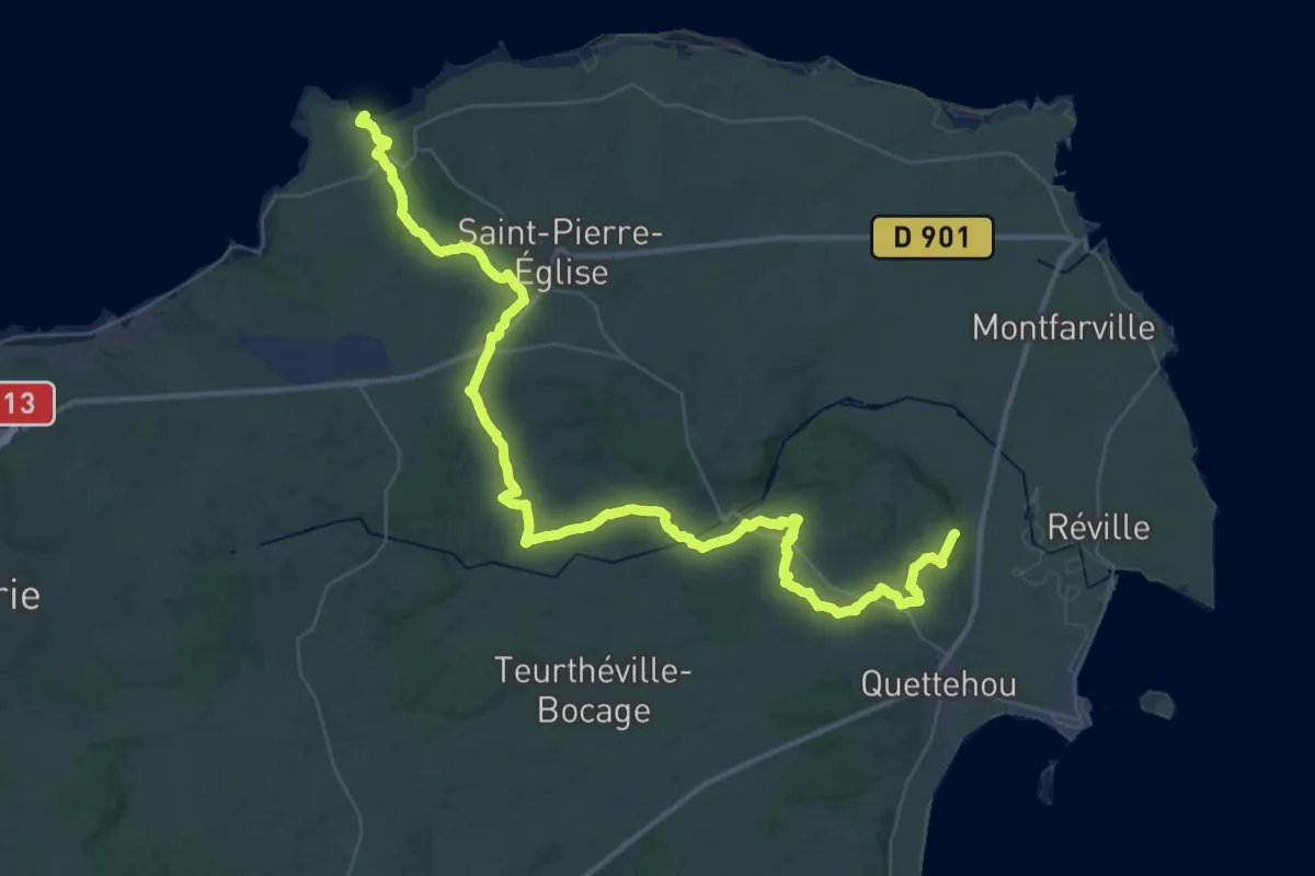
Fermanville à Barfleur par les terres
50.3 km · ↑ 713 m · 13 h 25 min
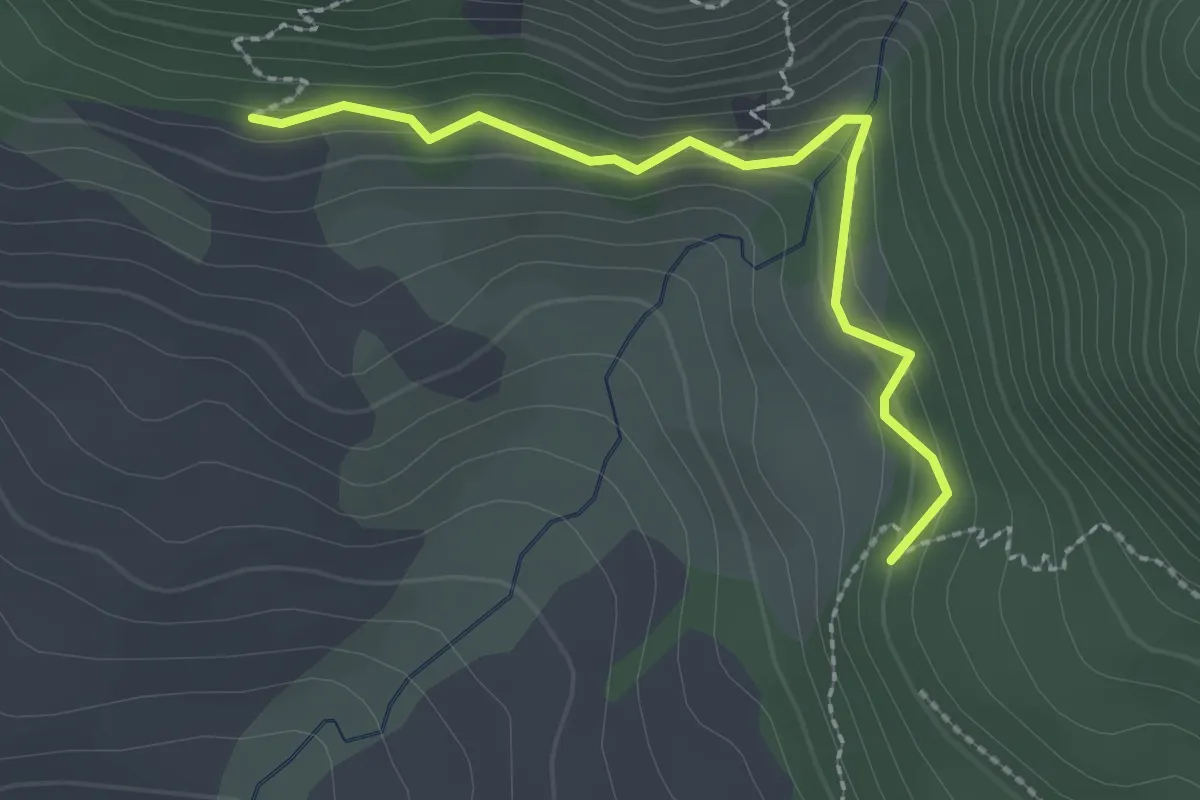
Easy · Trail
Ferme Couquette - Les Coucoulières
2.4 km · ↑ 153 m · 54 min
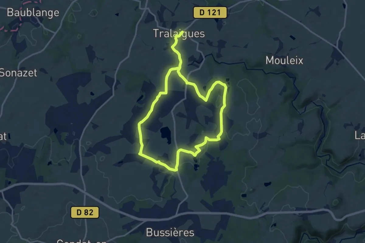
Medium · Trail
Ferme de Pacros
10.1 km · ↑ 139 m · 2 h 49 min
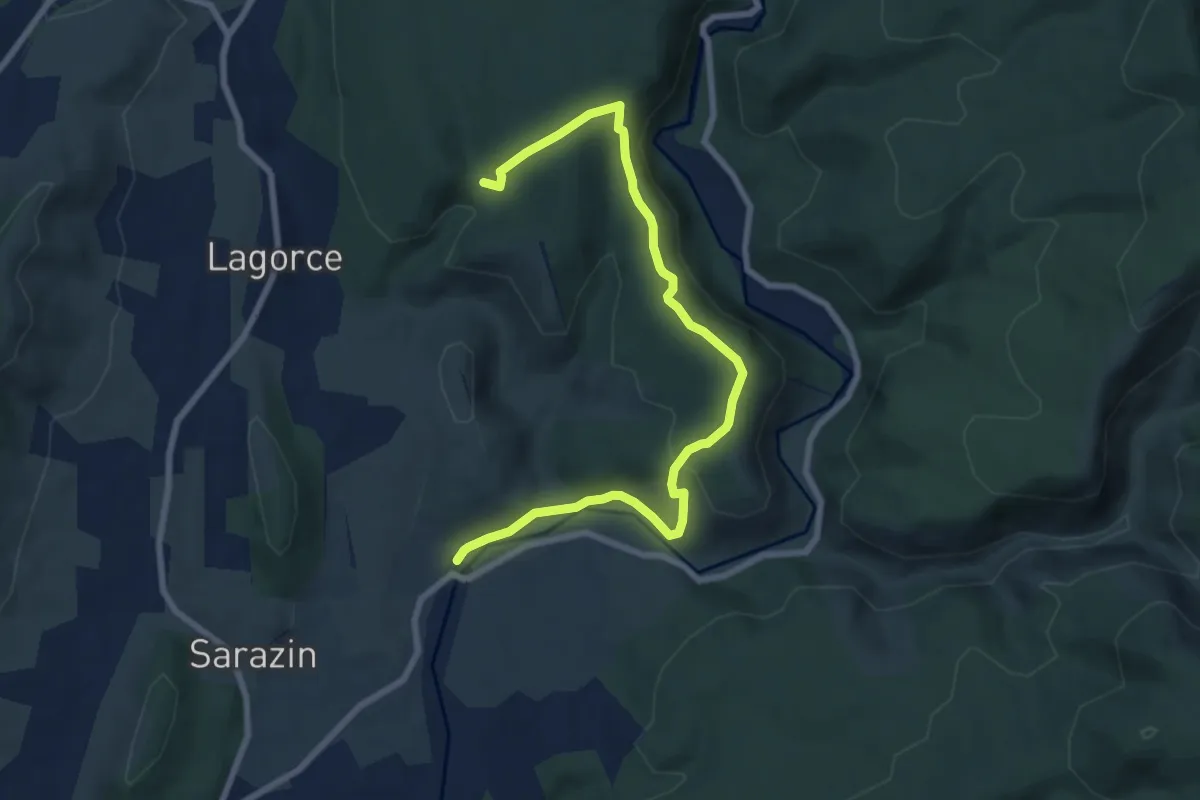
Medium · Trail
Ferrière - Notre Dame d'Ajude
8.9 km · ↑ 288 m · 2 h 43 min
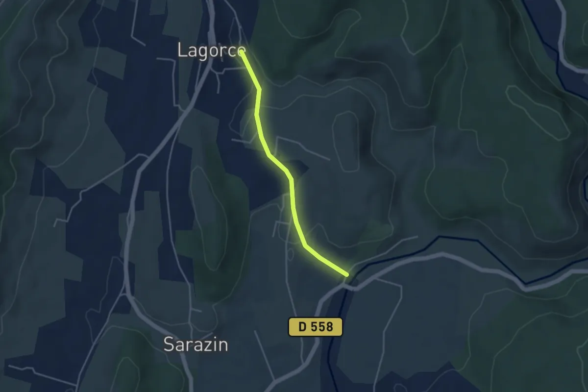
Easy · Trail
Ferrière - Sous la Magnanerie
3.3 km · ↑ 61 m · 55 min
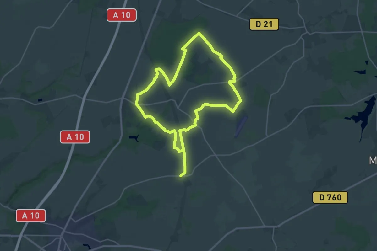
Demanding · Trail
Férus Boscus - Sainte-Catherine-de-Fierbois
18.2 km · ↑ 52 m · 4 h 40 min
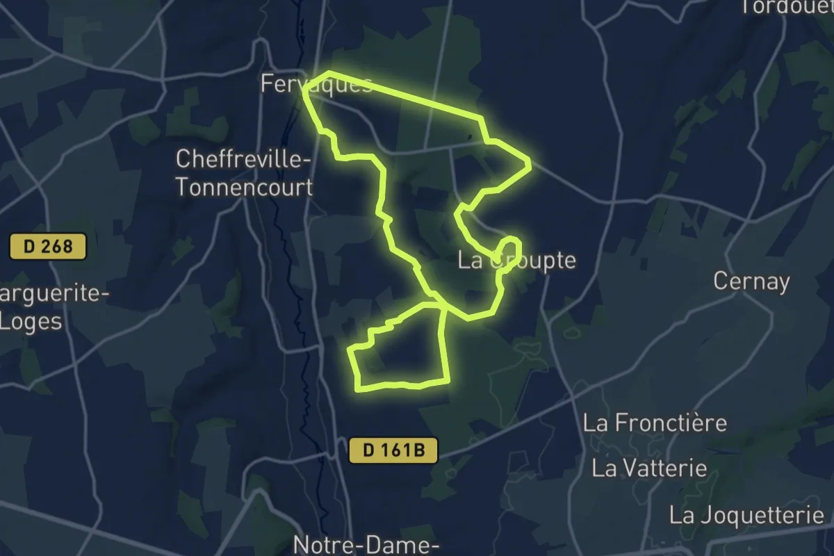
Medium · Trail
Fervaques
14.5 km · ↑ 271 m · 4 h 12 min
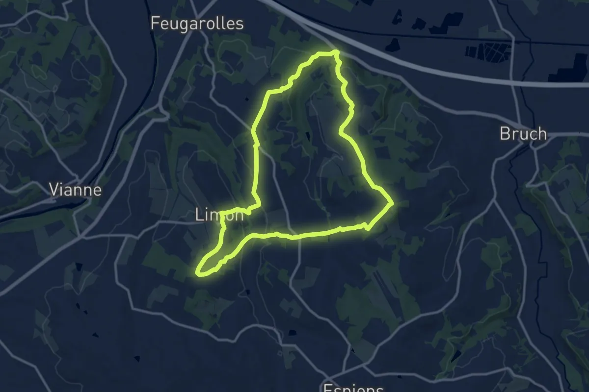
Medium · Trail
Feugarolles, Brazalemn et Limon, vignobles et vergers d'Albret - 11.8 km
11.6 km · ↑ 292 m · 3 h 33 min
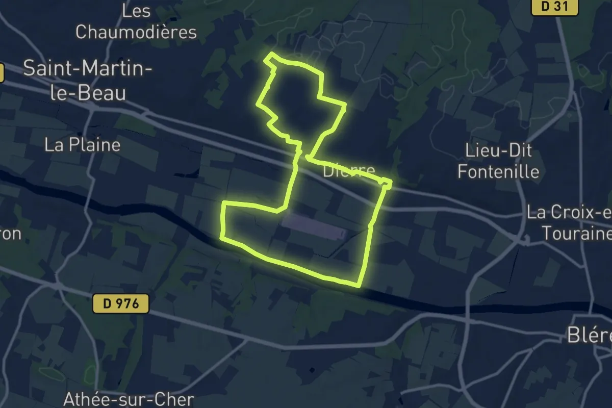
Medium · Trail
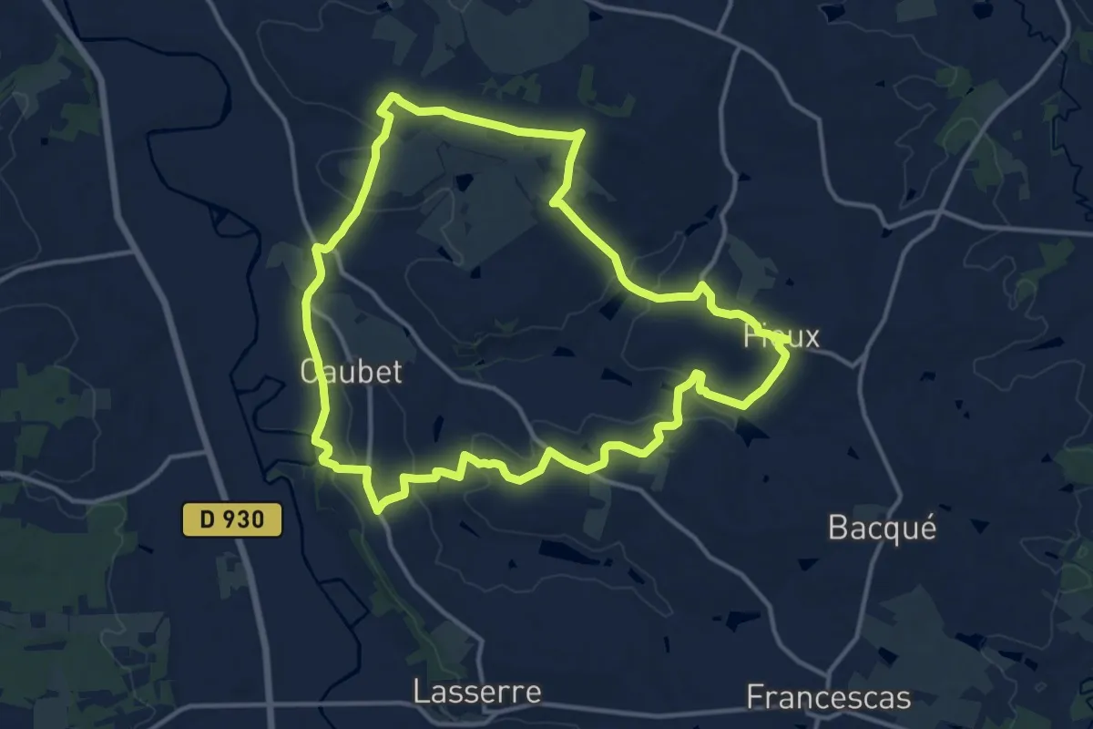
Fiefs d'Hier, Hameaux d'Aujourd'hui - Dierre
10.2 km · ↑ 50 m · 2 h 40 min
Medium · Trail
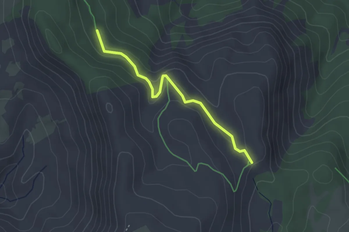
Fieux, panoramas de Gascogne - 14.5 km
14.3 km · ↑ 312 m · 4 h 16 min
Easy · Trail
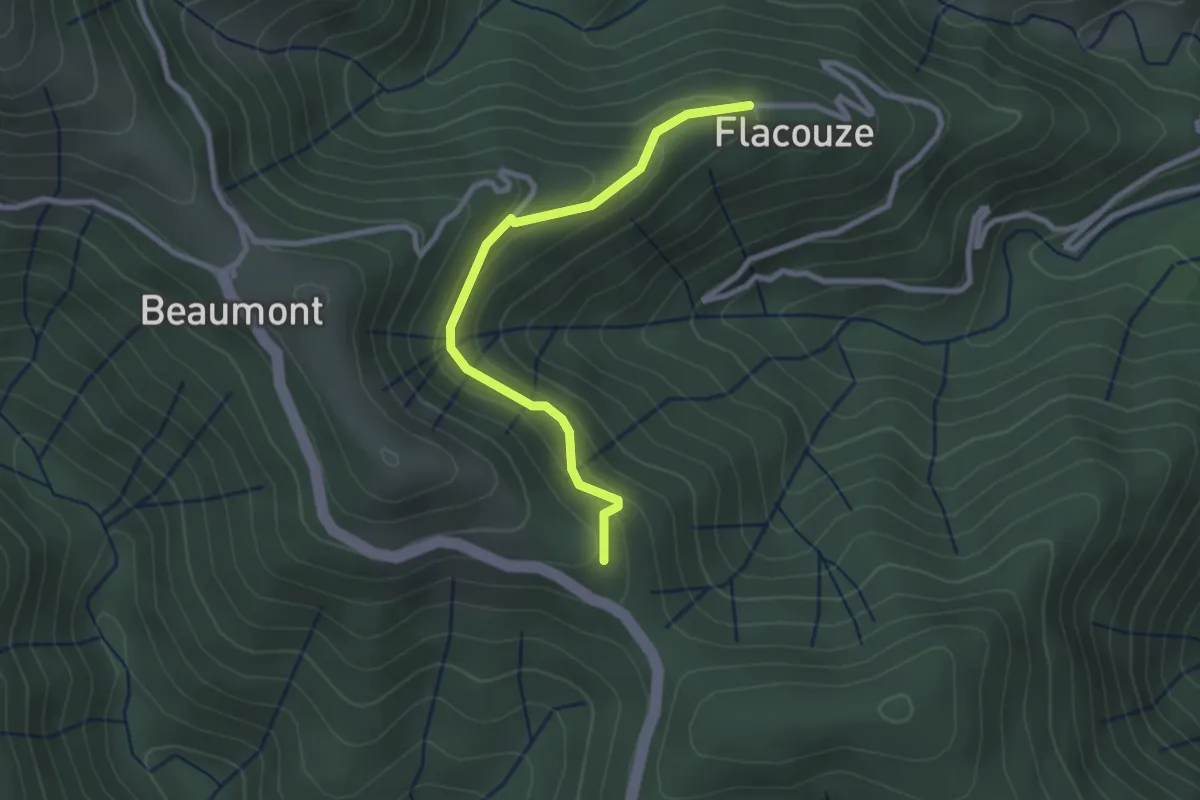
Fissac
1.6 km · ↑ 50 m · 31 min
Easy · Trail
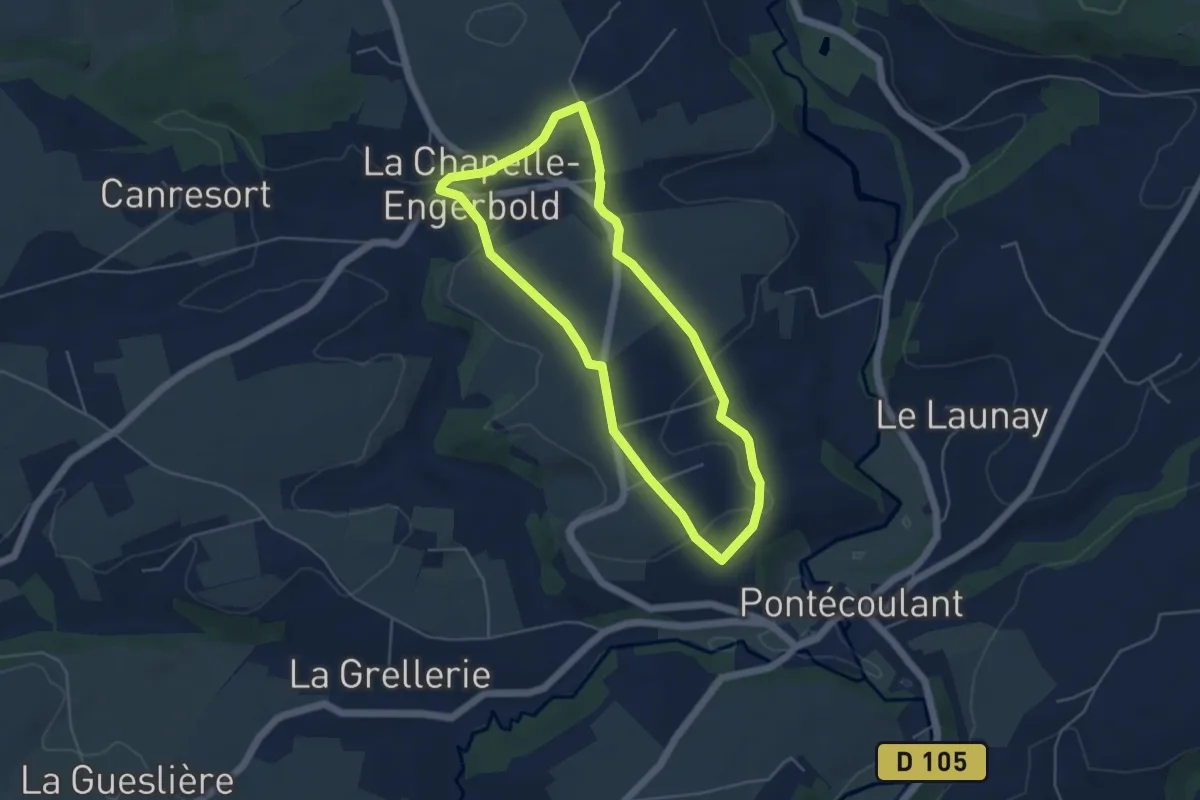
Flacouze - Colet du Ranc
2.7 km · ↑ 150 m · 57 min
Easy · Trail
Flânerie à la Chapelle-Engerbold
4.3 km · ↑ 78 m · 1 h 15 min
Easy · Trail
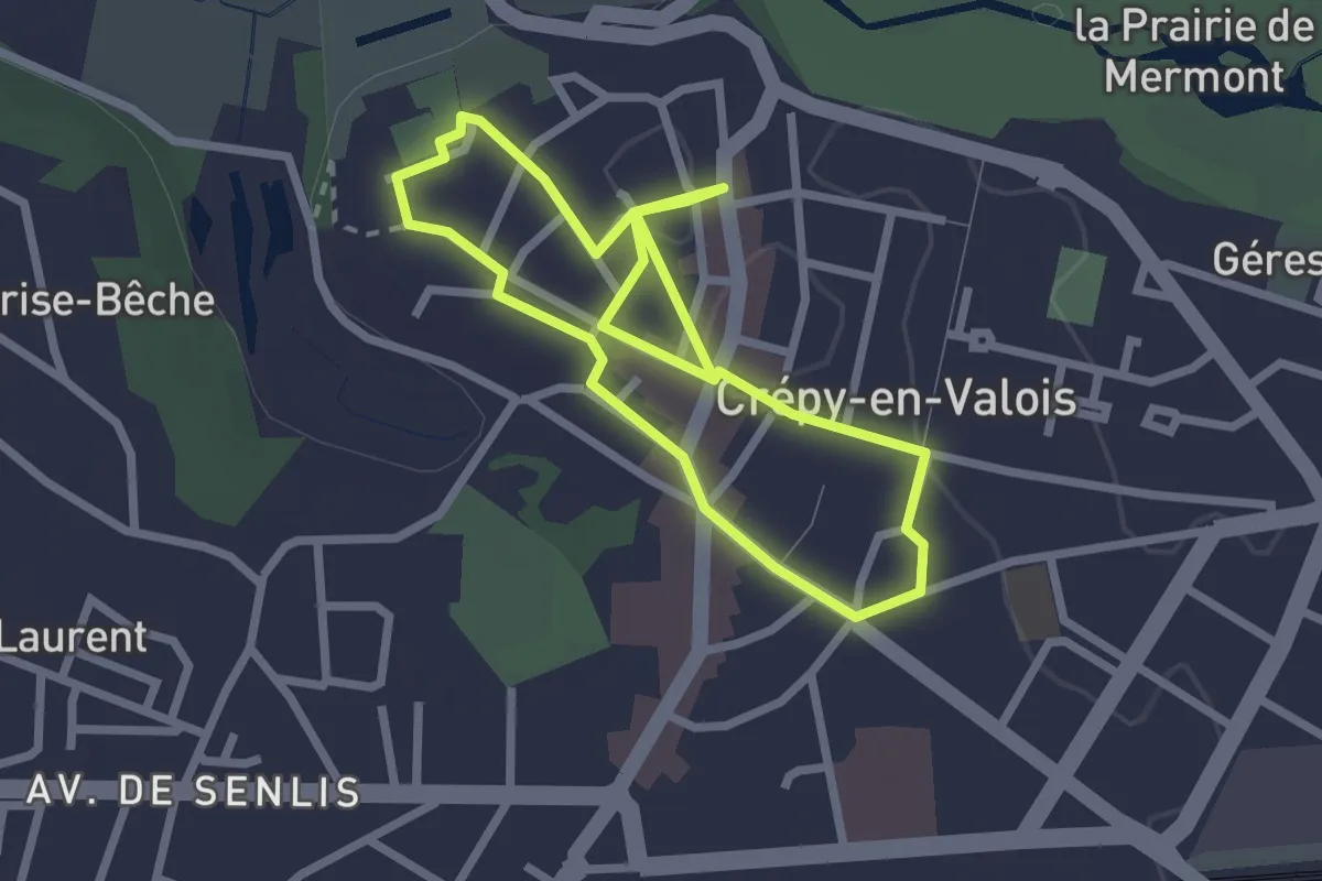
Flânerie au Coeur de la Cité des Valois
2.1 km · ↑ 4 m · 33 min
Easy · Trail
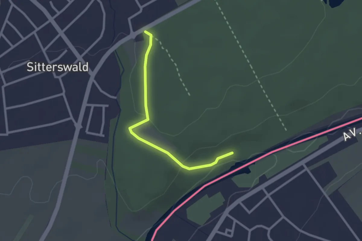
Fledermauspfad
2.0 km · ↑ 50 m · 35 min
Easy · Trail
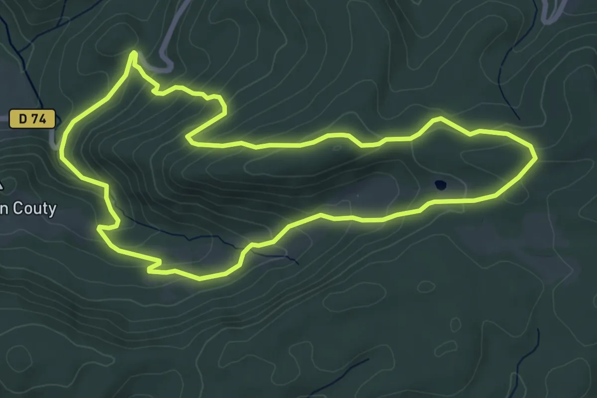
Fleur de Sel
6.2 km · ↑ 290 m · 2 h 10 min
Medium · Trail
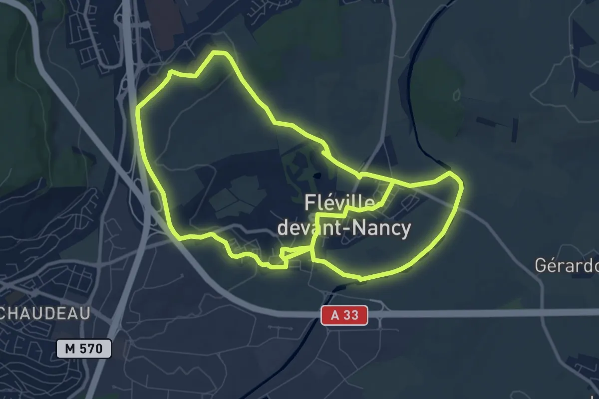
Fléville-devant-Nancy et son château
9.4 km · ↑ 93 m · 2 h 33 min