Trails in France
15,926 hiking trails, each with its route, climb, walking time and grade.
All trails, page 116 of 332
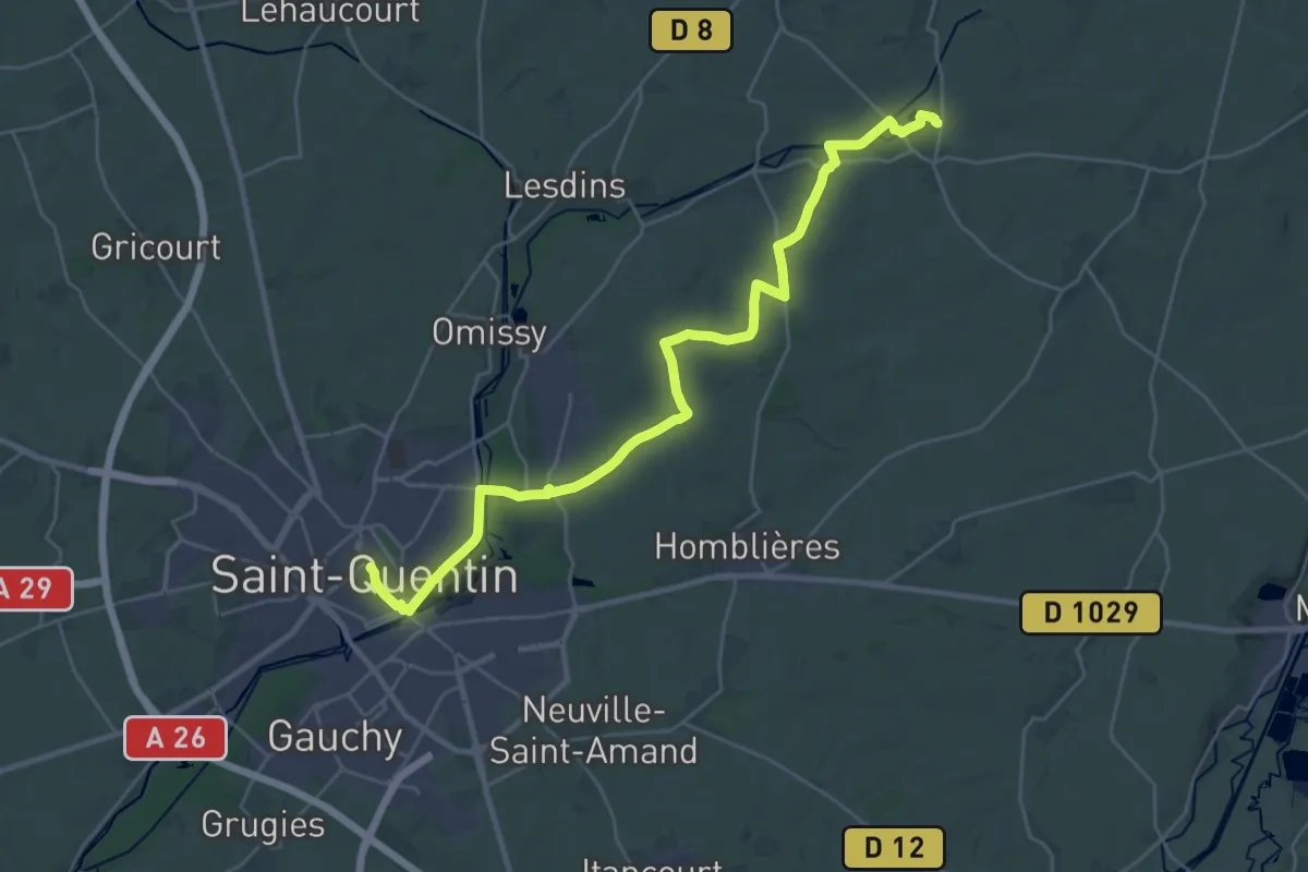
Demanding · Trail
Fonsommes - Saint-Quentin
29.5 km · ↑ 186 m · 7 h 22 min
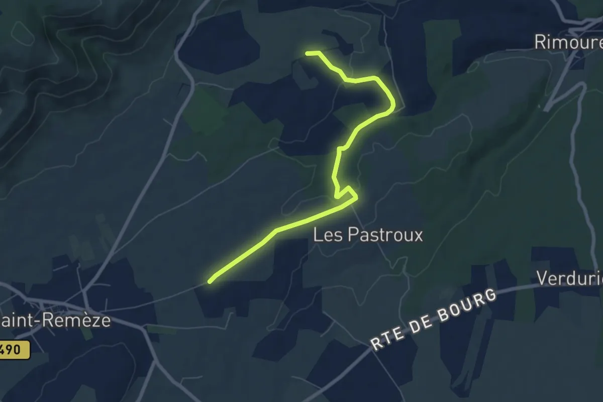
Easy · Trail
Fontaguillon - Les Buissières
7.1 km · ↑ 96 m · 1 h 53 min
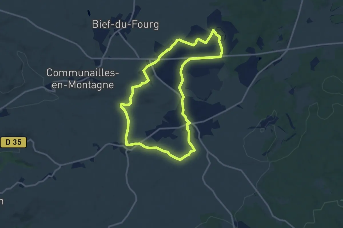
Medium · Trail
Fontaine Carré
9.0 km · ↑ 68 m · 2 h 24 min
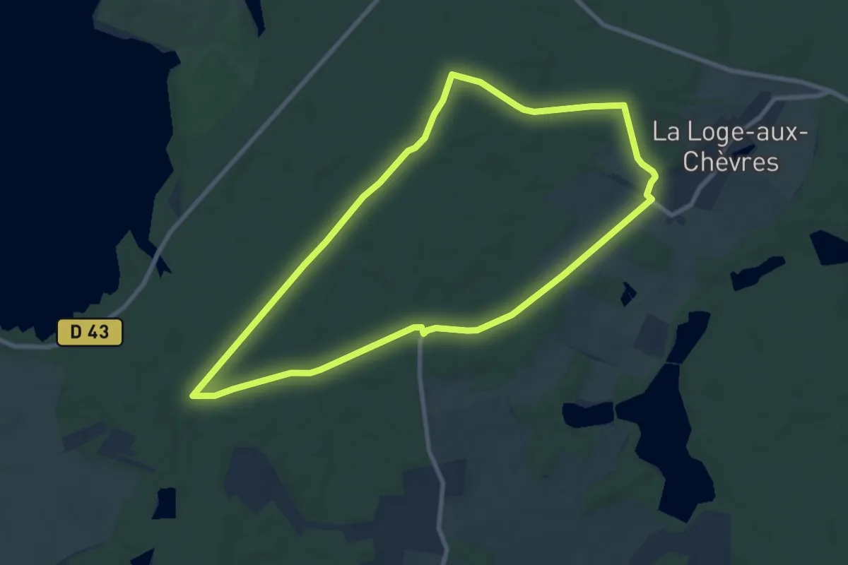
Easy · Trail
Fontaine Colette
7.9 km · ↑ 58 m · 2 h 6 min
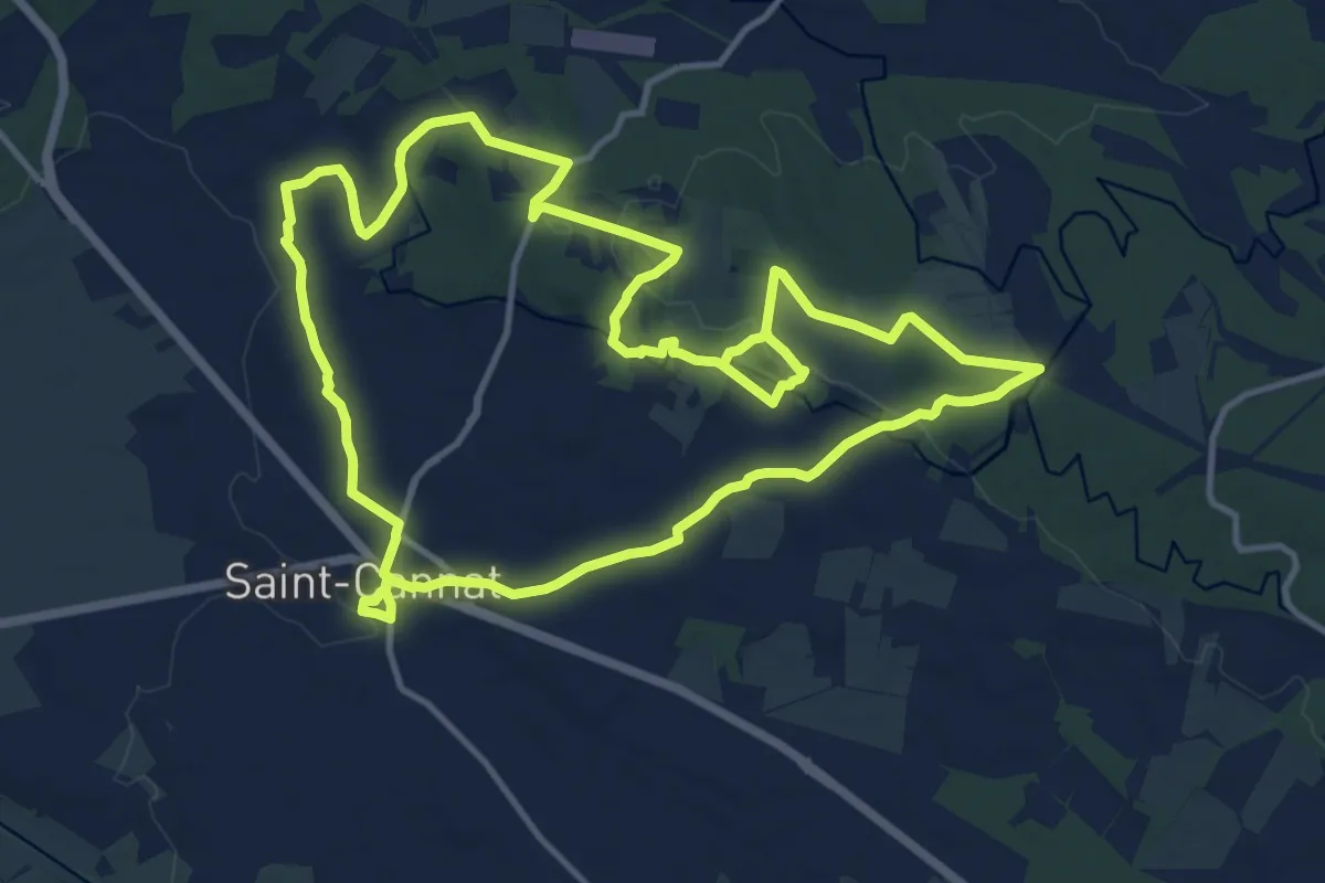
Medium · Trail
Fontaine de Doudonne
14.1 km · ↑ 227 m · 4 h
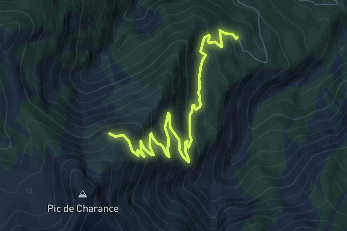
Medium · Trail
Fontaine de l'Ours - Plat d'Amiens et Lot des Ayourriers
8.0 km · ↑ 598 m · 3 h 11 min
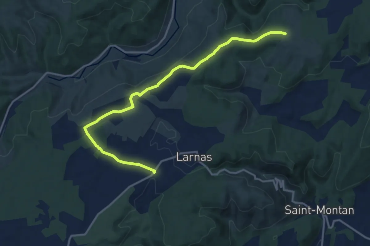
Medium · Trail
Fontaine du Buis - Gandaubert
10.8 km · ↑ 118 m · 2 h 48 min
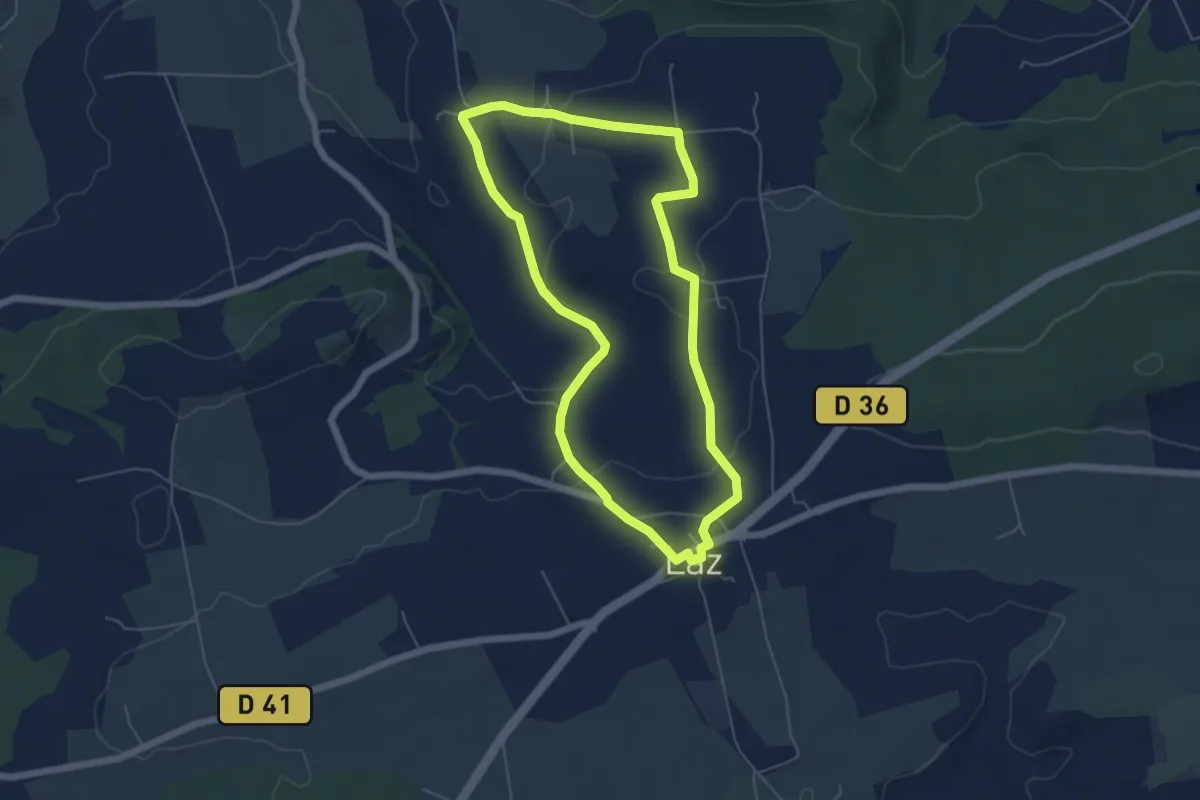
Easy · Trail
Fontaine Saint-Germain
5.3 km · ↑ 141 m · 1 h 38 min
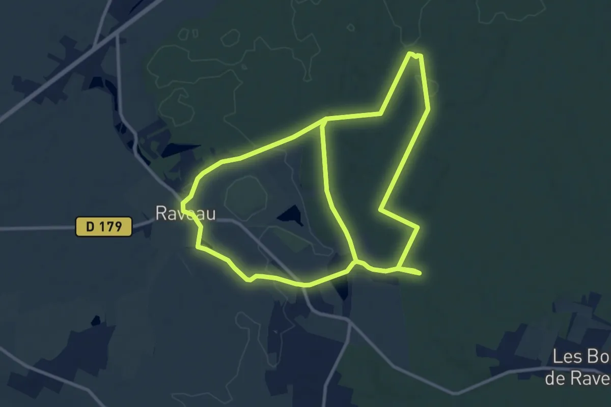
Medium · Trail
Fontaines en Bertranges
9.7 km · ↑ 75 m · 2 h 36 min
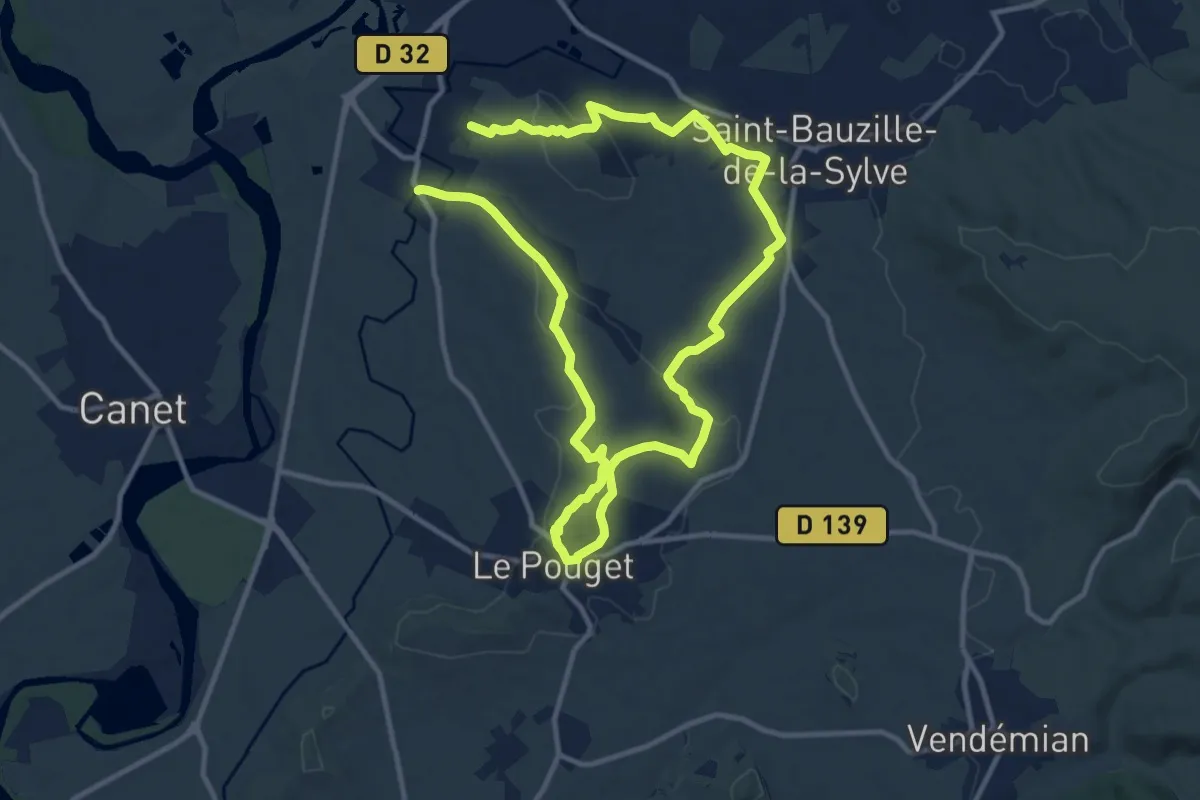
Demanding · Trail
Fontaines et lavoirs
20.8 km · ↑ 313 m · 5 h 35 min
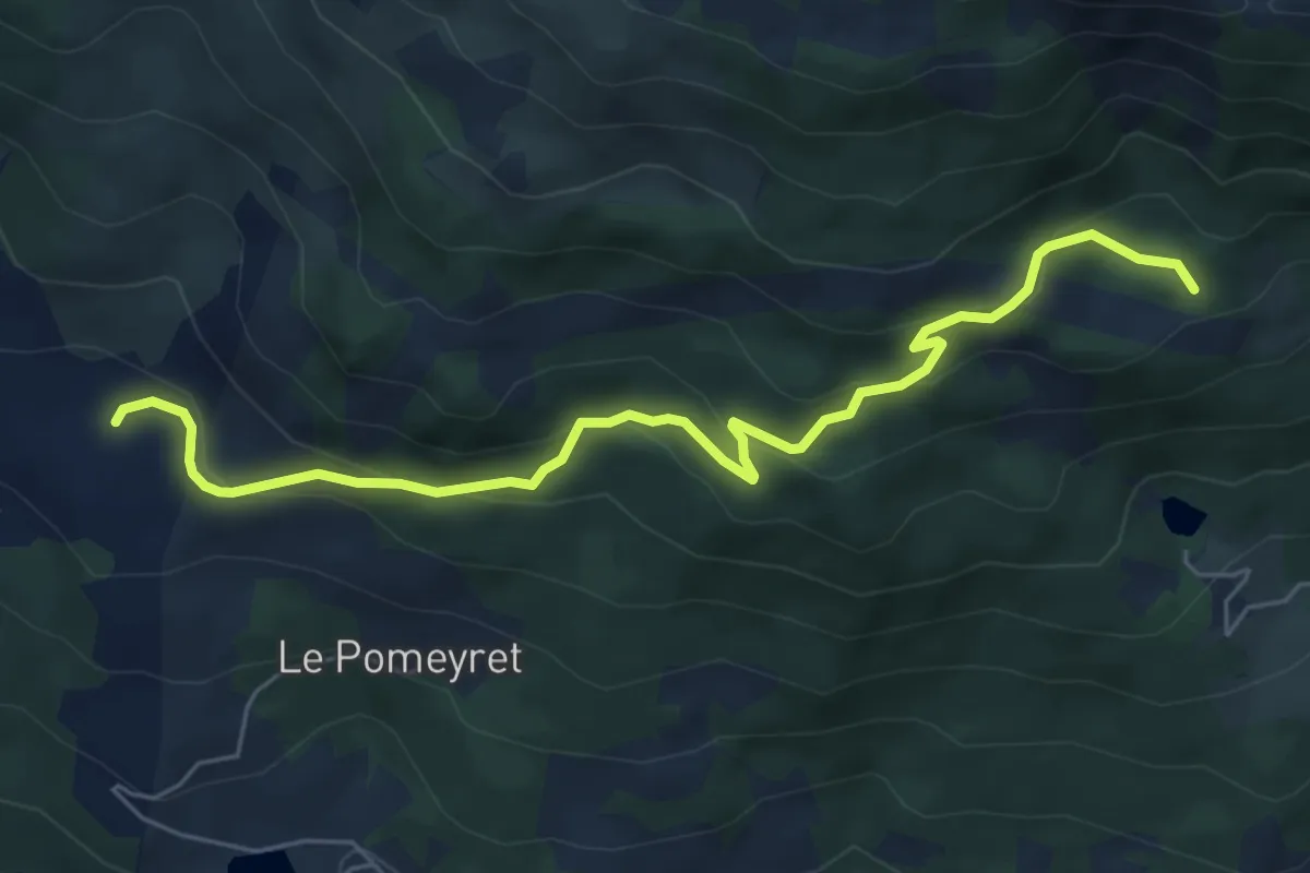
Medium · Trail
Font Bénie - Joubelle
6.7 km · ↑ 344 m · 2 h 19 min
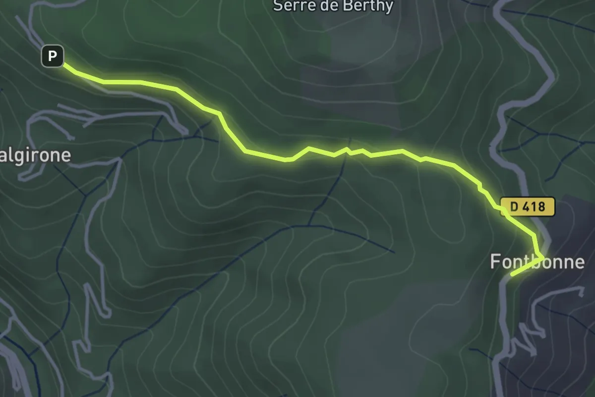
Easy · Trail
Fontbonne - Le Rouge
3.7 km · ↑ 134 m · 1 h 10 min
Easy · Trail
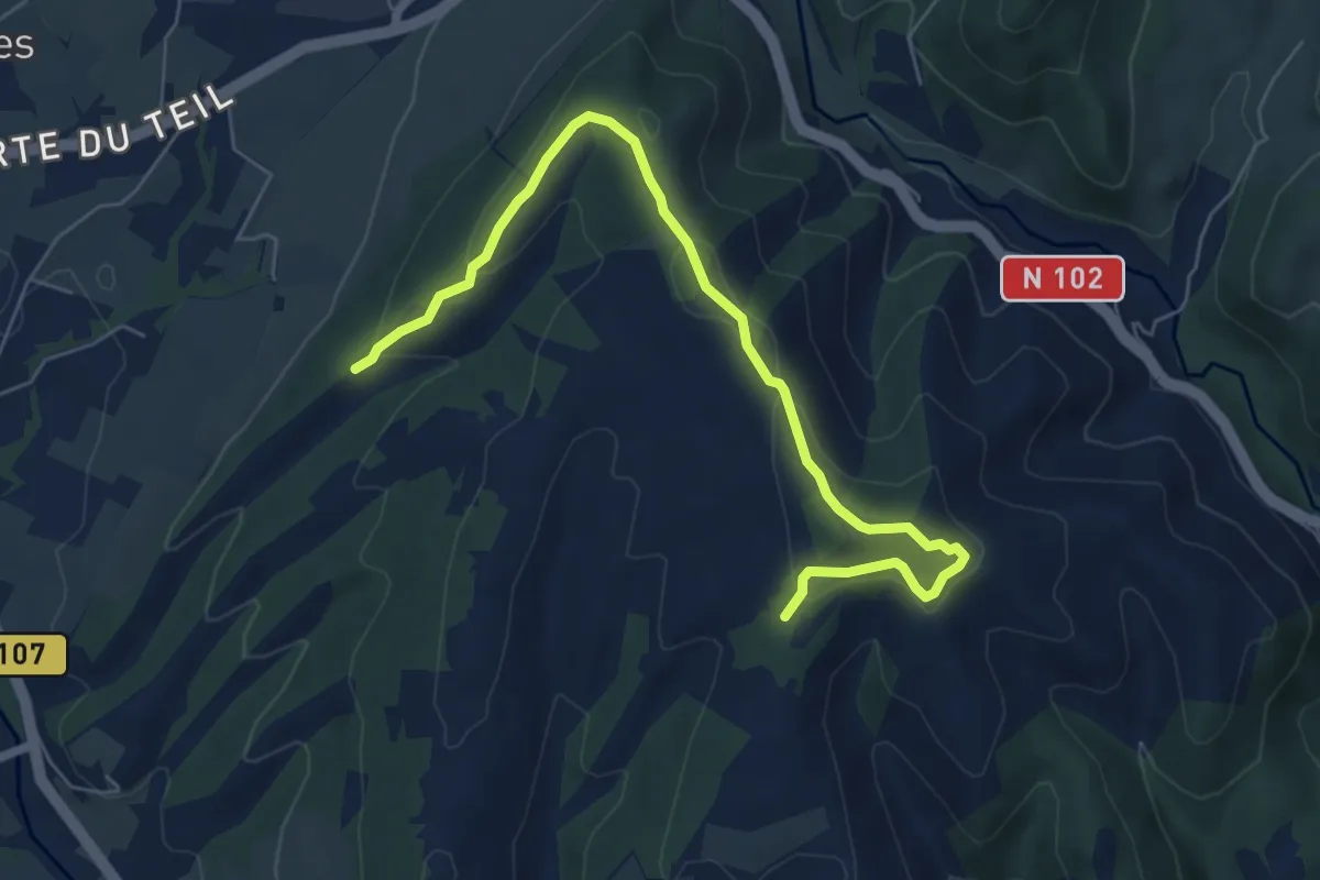
Fontbonne - Montagut
7.3 km · ↑ 234 m · 2 h 13 min
Medium · Trail
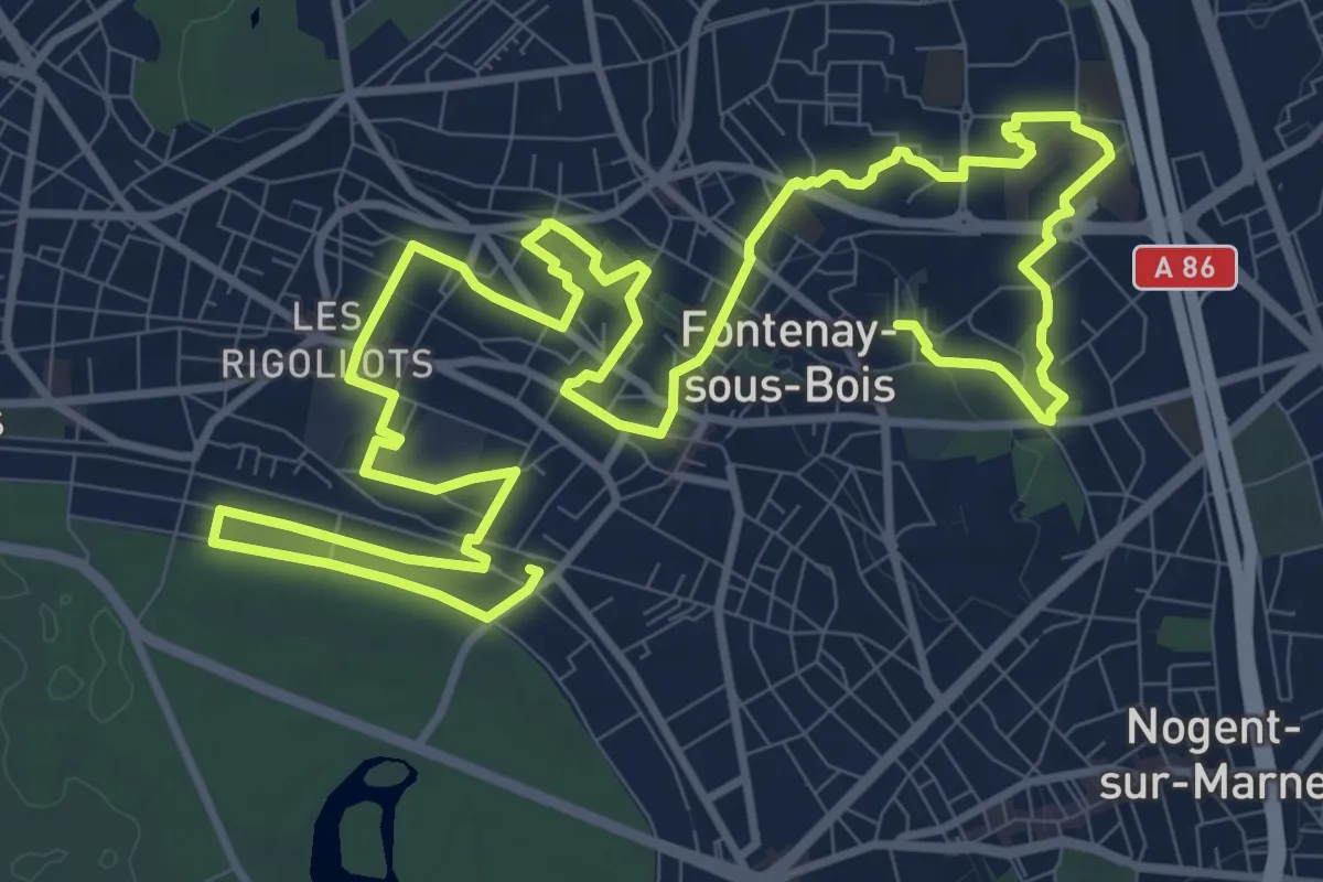
Fontenay-sous-bois, du passé au présent
9.6 km · ↑ 126 m · 2 h 39 min
Medium · Summit
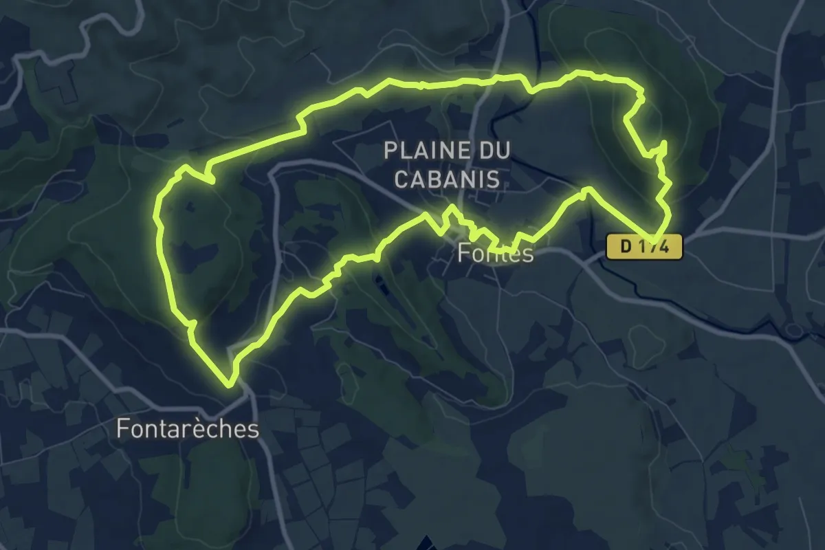
Fontès - Vignes et Volcans - Le Céressou
10.8 km · ↑ 347 m · 3 h 27 min
Medium · Trail
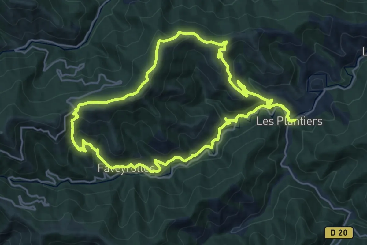
Fontfouillouse
13.4 km · ↑ 660 m · 4 h 49 min
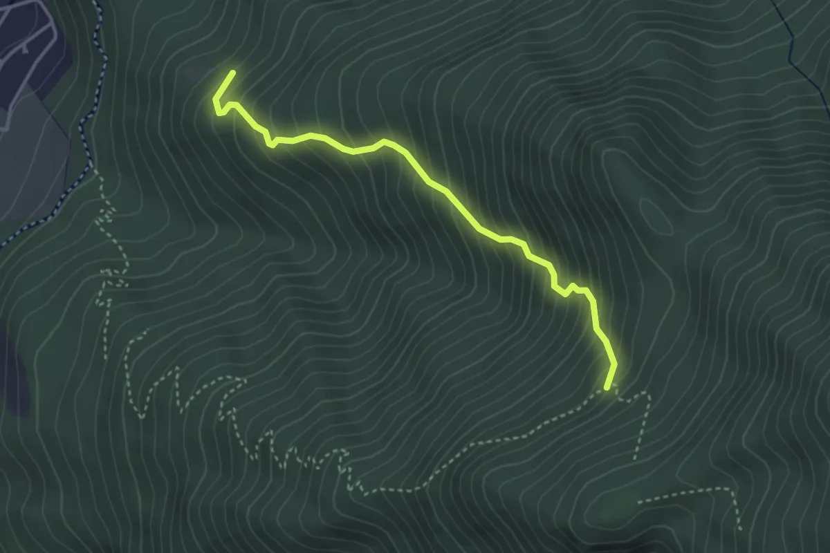
Demanding · Trail
Fontfrache - Mondone
3.6 km · ↑ 511 m · 1 h 58 min
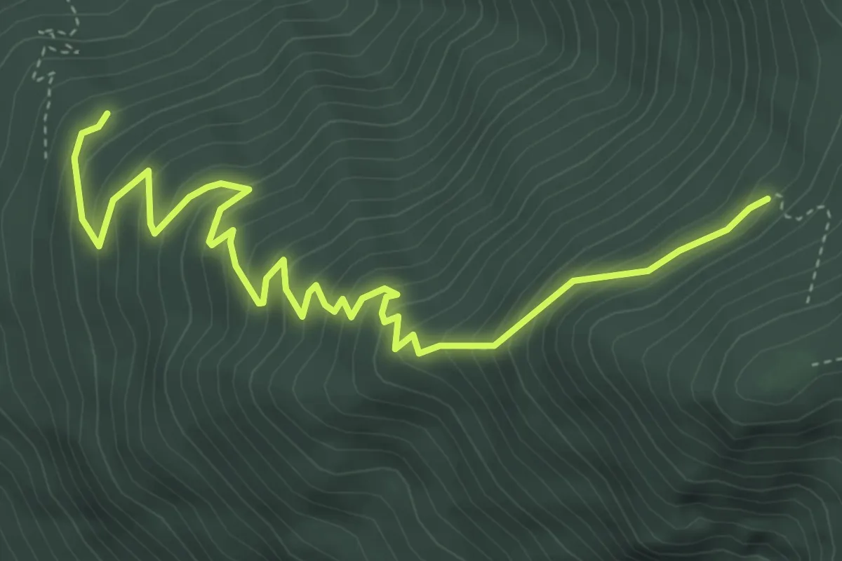
Demanding · Trail
Fontfrache - Sur la Marbrière
5.7 km · ↑ 504 m · 2 h 26 min
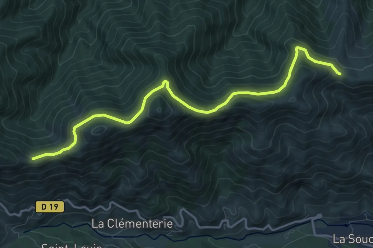
Medium · Trail
Fontfreyde - Col de Barbejo
10.8 km · ↑ 445 m · 3 h 31 min
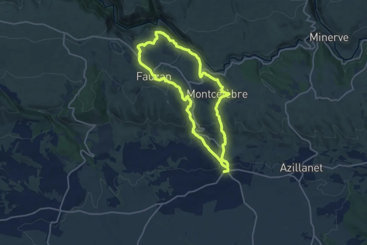
Medium · Trail
Font Galine
10.6 km · ↑ 321 m · 3 h 21 min
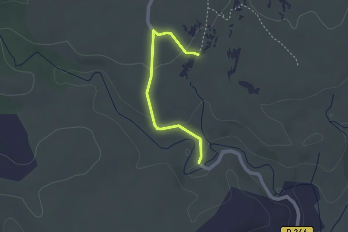
Easy · Trail
Font Méjanne - Flandrin
2.8 km · ↑ 47 m · 45 min
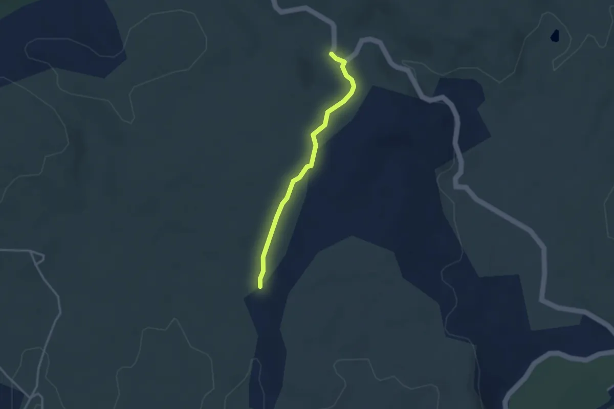
Easy · Trail
Font Méjanne - Le Blachas
2.7 km · ↑ 51 m · 44 min
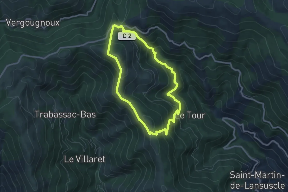
Medium · Trail
Fontmort
6.3 km · ↑ 366 m · 2 h 22 min
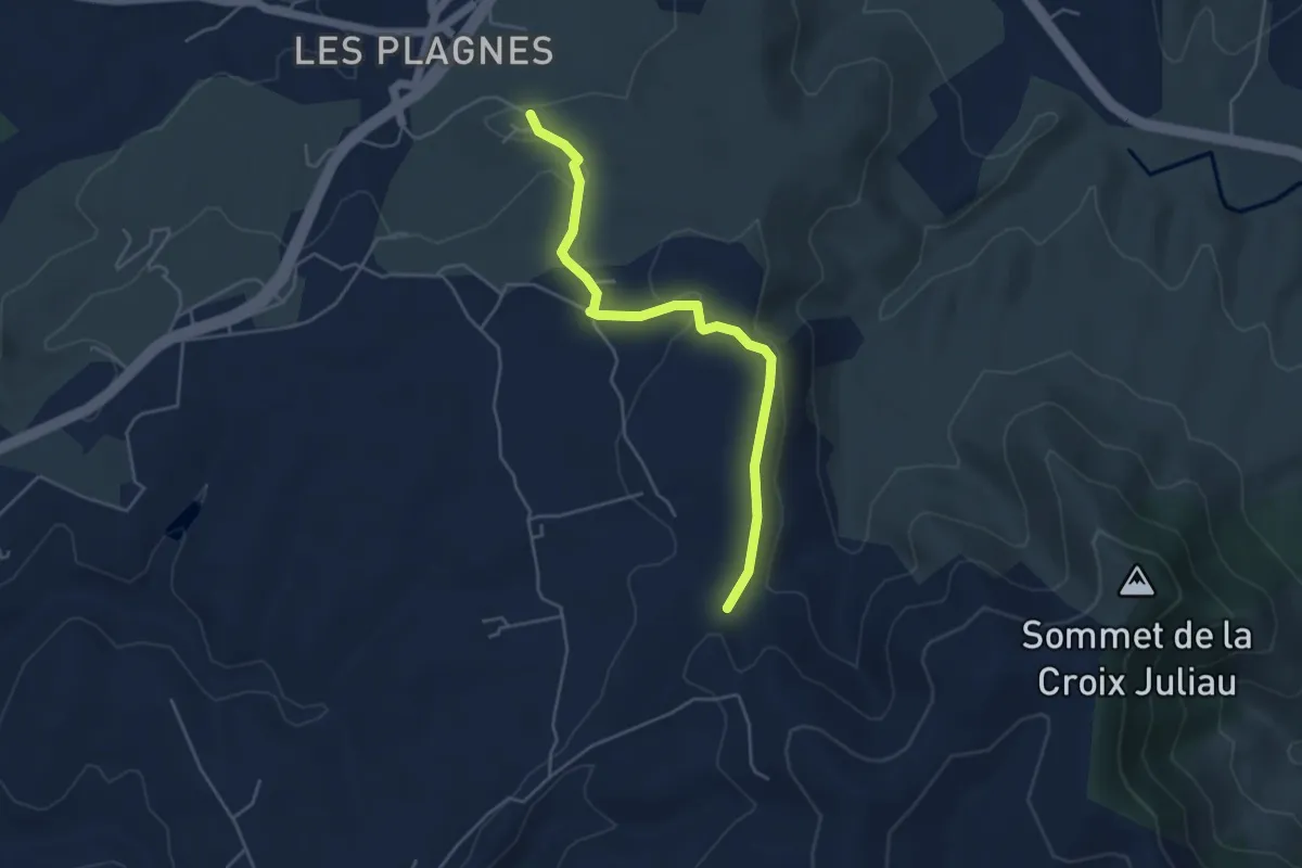
Easy · Trail
Font Nègre - Bourboulet
4.7 km · ↑ 98 m · 1 h 20 min
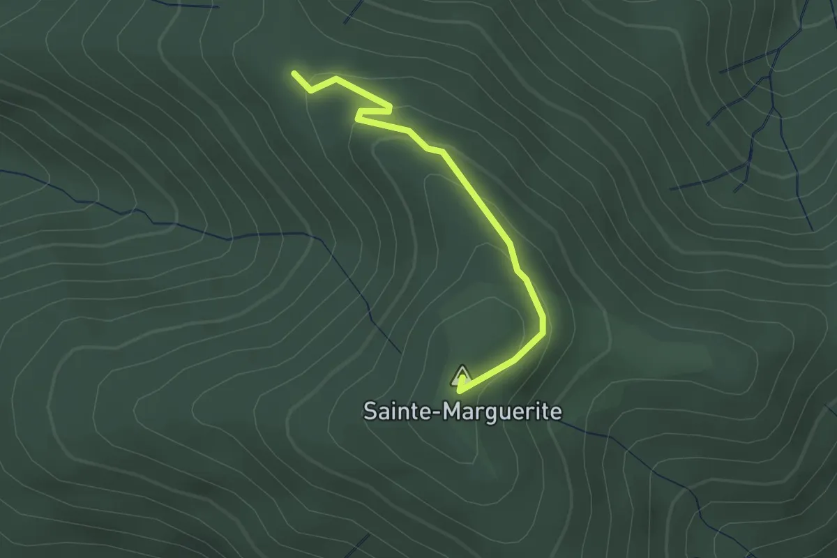
Easy · Summit
Font Rognon - Sainte-Marguerite
2.2 km · ↑ 142 m · 49 min
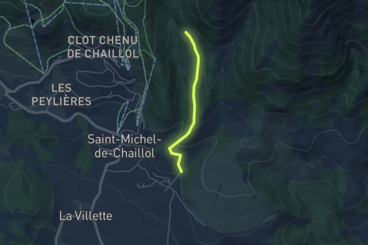
Easy · Trail
Forest de Constant - ?
3.0 km · ↑ 159 m · 1 h 3 min
Easy · Trail
Forest des Marches - La Muande
3.0 km · ↑ 116 m · 58 min
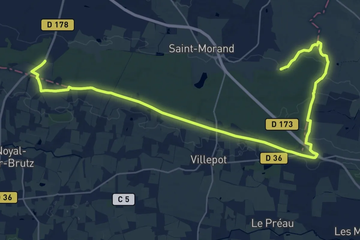
Demanding · Trail
Forêt d'araize
26.9 km · ↑ 151 m · 6 h 40 min
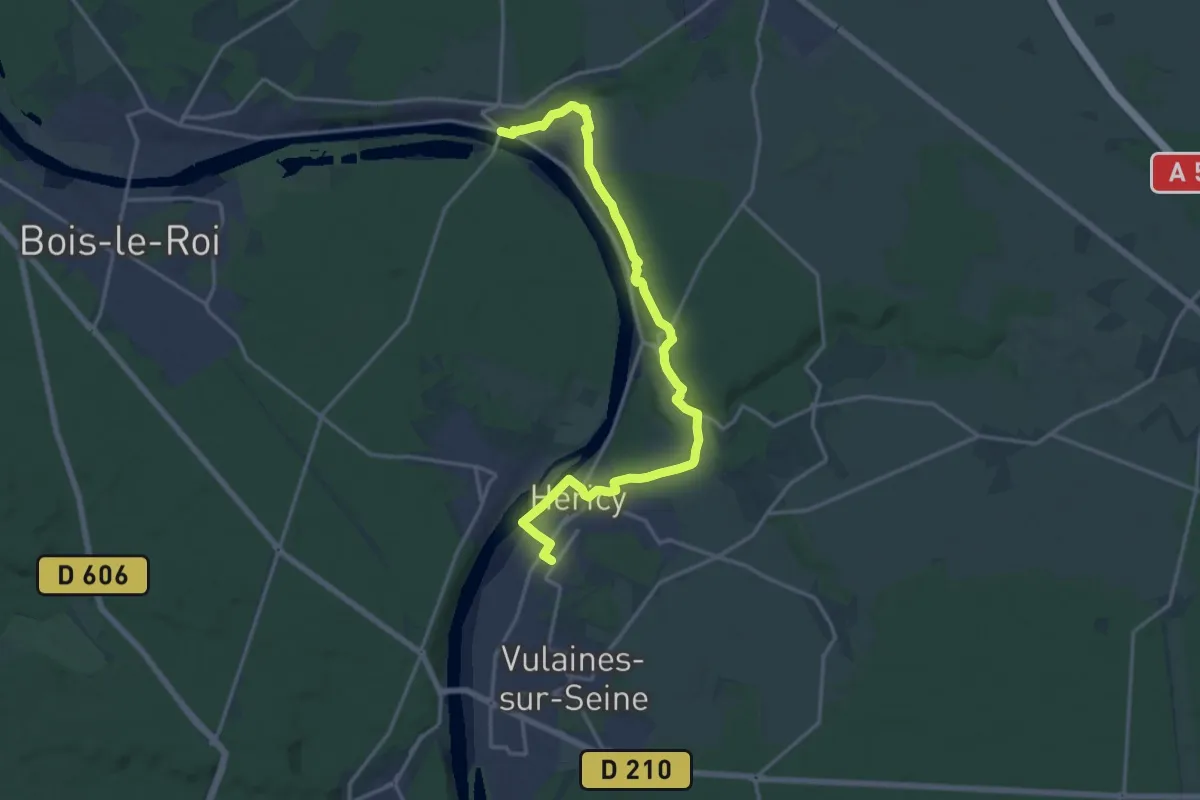
Medium · Trail
Forêt de Barbeau
17.9 km · ↑ 311 m · 4 h 54 min
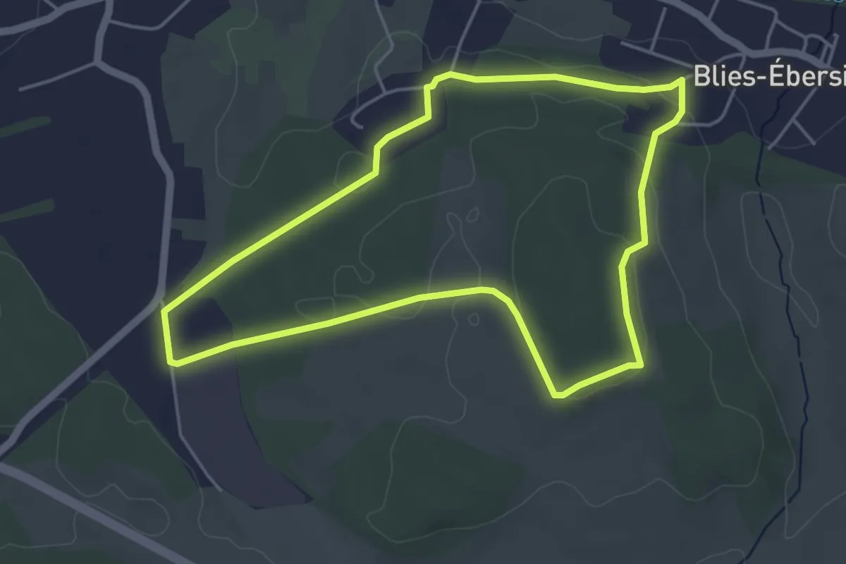
Easy · Trail
Forêt de Blies-Ebersing
4.2 km · ↑ 93 m · 1 h 16 min
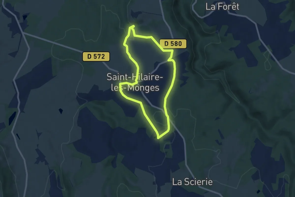
Easy · Trail
Foret de Bunlay-les-Rouchons
6.1 km · ↑ 126 m · 1 h 49 min
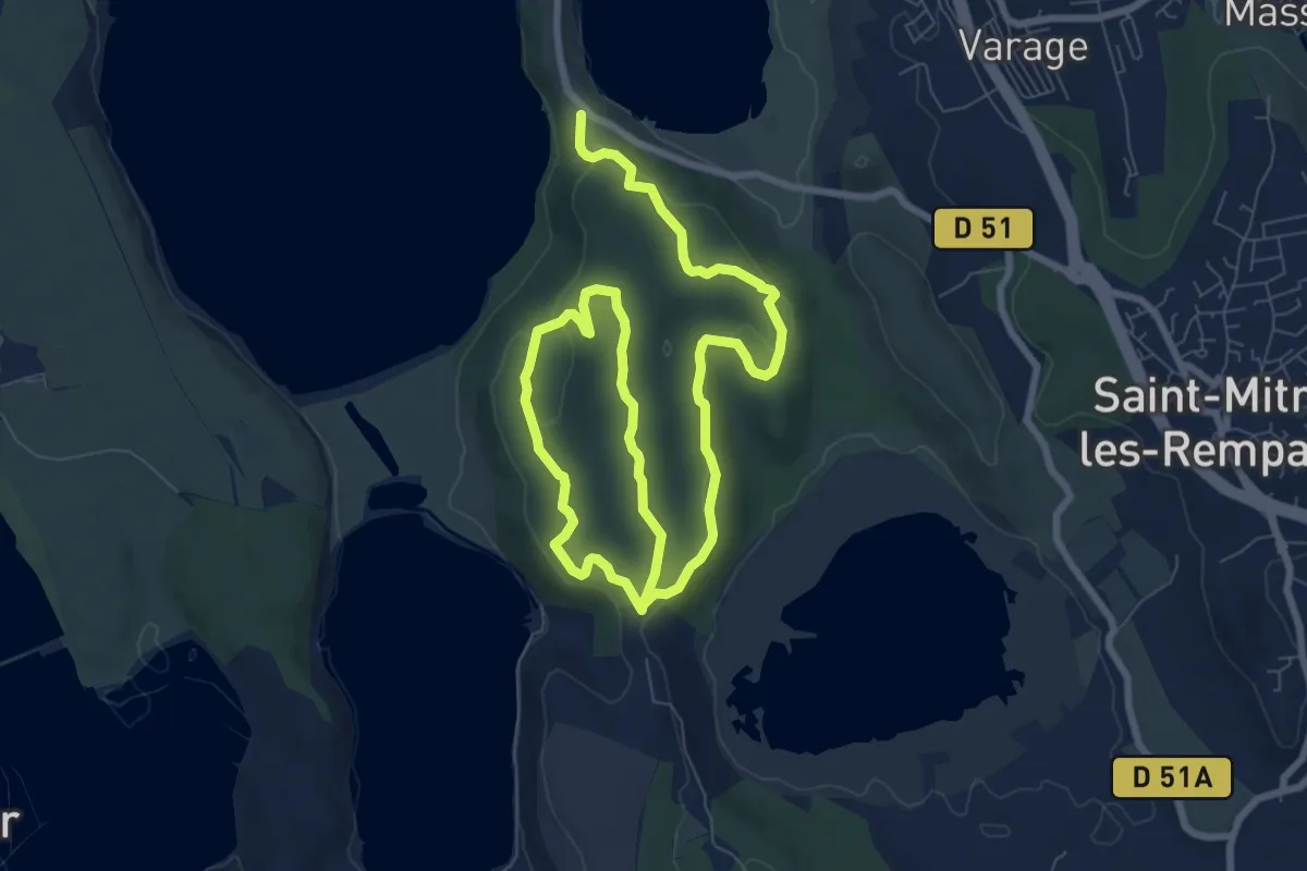
Easy · Trail
Forêt de Castillon Étang de Saint-Blaise
6.9 km · ↑ 140 m · 2 h
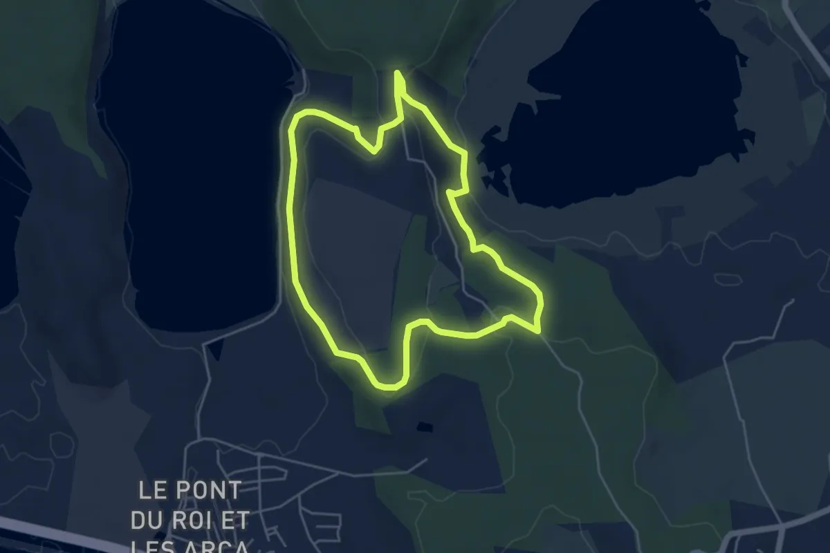
Easy · Trail
Forêt de Castillon Etangs de Pourra et d’Engrenier
4.7 km · ↑ 105 m · 1 h 25 min
Easy · Trail
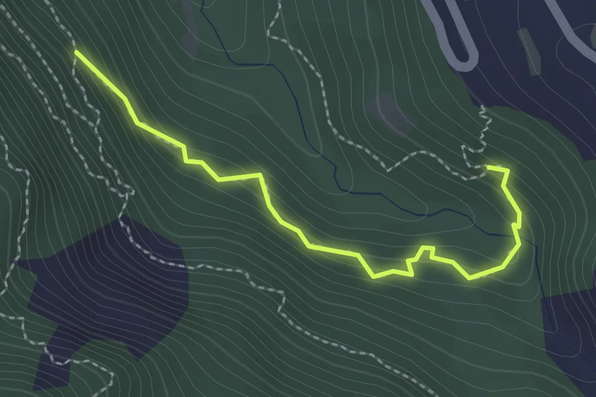
Forêt de Chagne - Peyre Haute
2.3 km · ↑ 182 m · 56 min
Easy · Trail
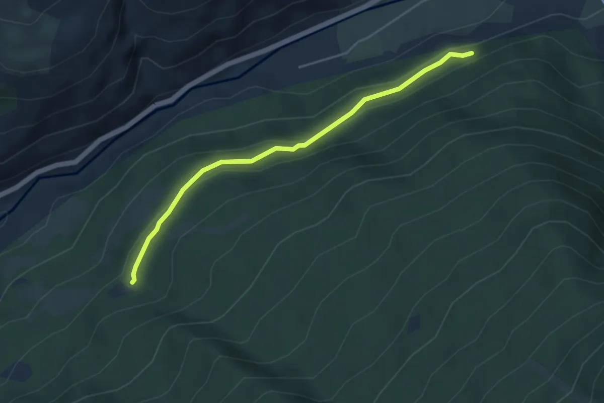
Forêt de Chanteloube - Balarin
3.9 km · ↑ 132 m · 1 h 13 min
Medium · Trail
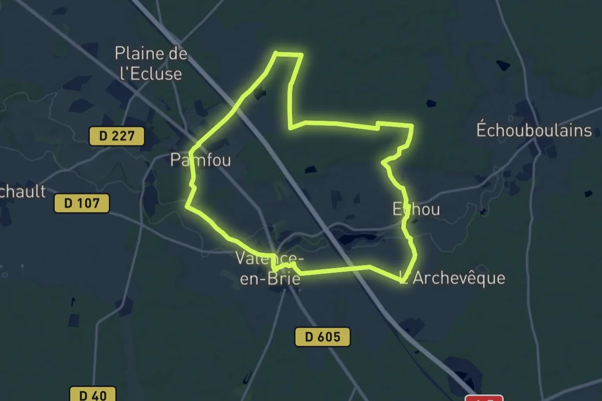
Forêt d'Echou
14.0 km · ↑ 73 m · 3 h 39 min
Medium · Summit
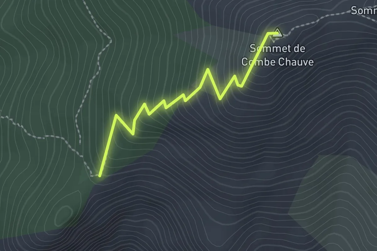
Forêt de Combe Chauve - Sur la Crête
2.2 km · ↑ 270 m · 1 h 6 min
Medium · Trail
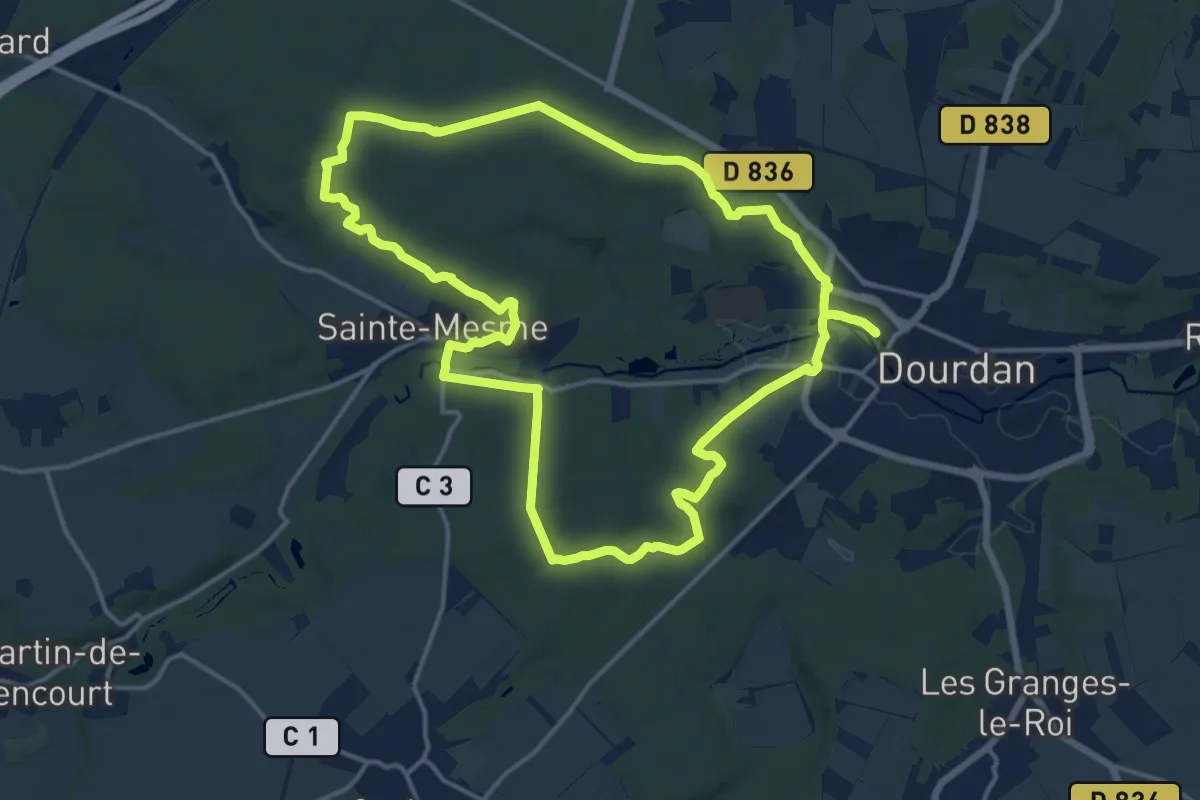
Forêt de Dourdan
15.4 km · ↑ 202 m · 4 h 17 min
Demanding · Trail
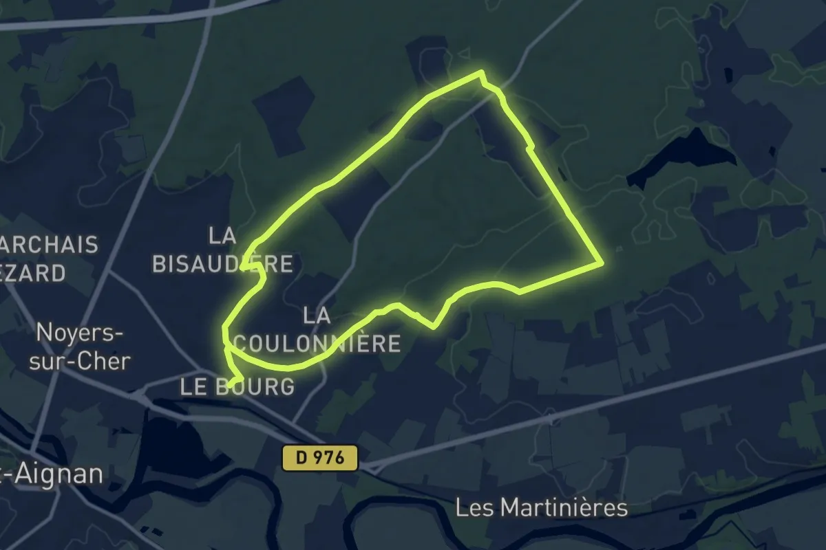
Forêt de Gros Bois
21.6 km · ↑ 212 m · 5 h 34 min
Easy · Trail
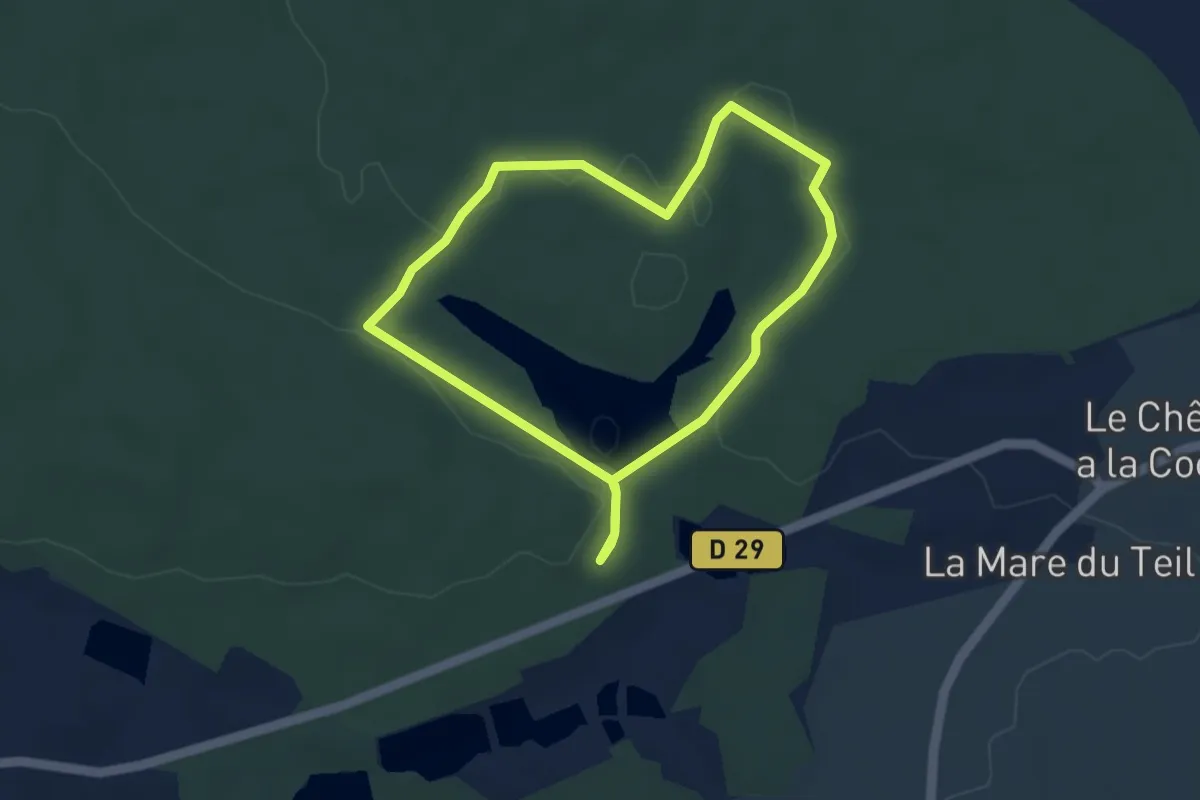
Foret de la Corbière - circuit découverte
3.6 km · ↑ 30 m · 57 min
Demanding · Summit
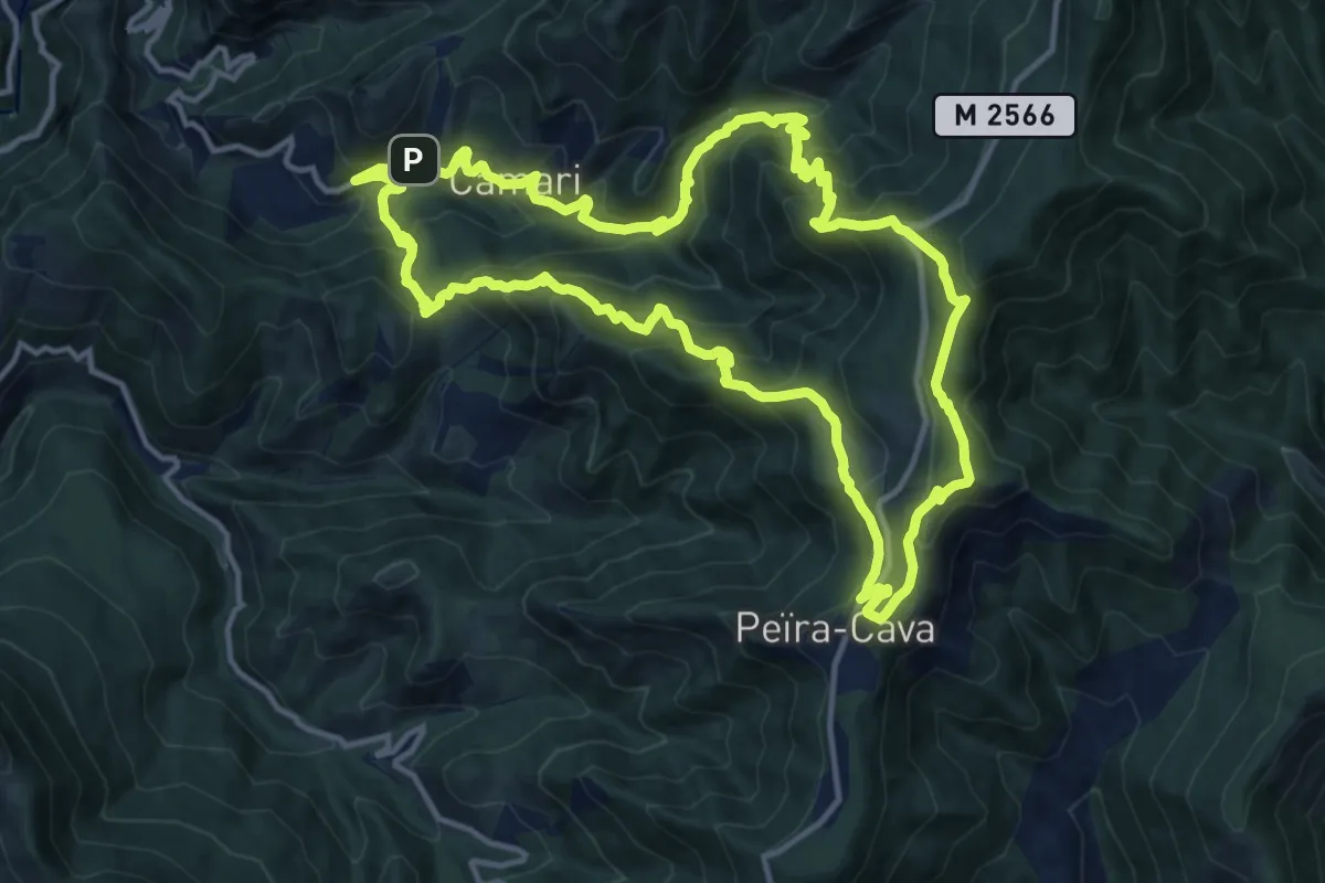
Forêt de la Maïris
14.5 km · ↑ 1159 m · 6 h 8 min
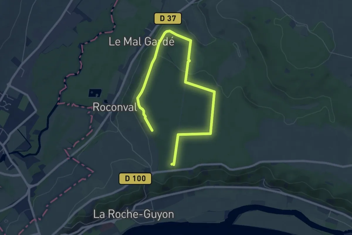
Medium · Trail
Forêt de la Roche-Guyon
8.2 km · ↑ 119 m · 2 h 12 min
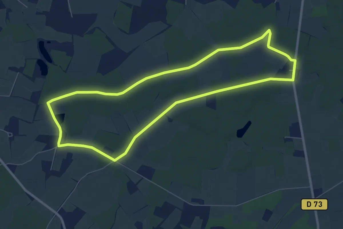
Easy · Trail
Forêt de Machecoul
6.7 km · ↑ 21 m · 1 h 44 min
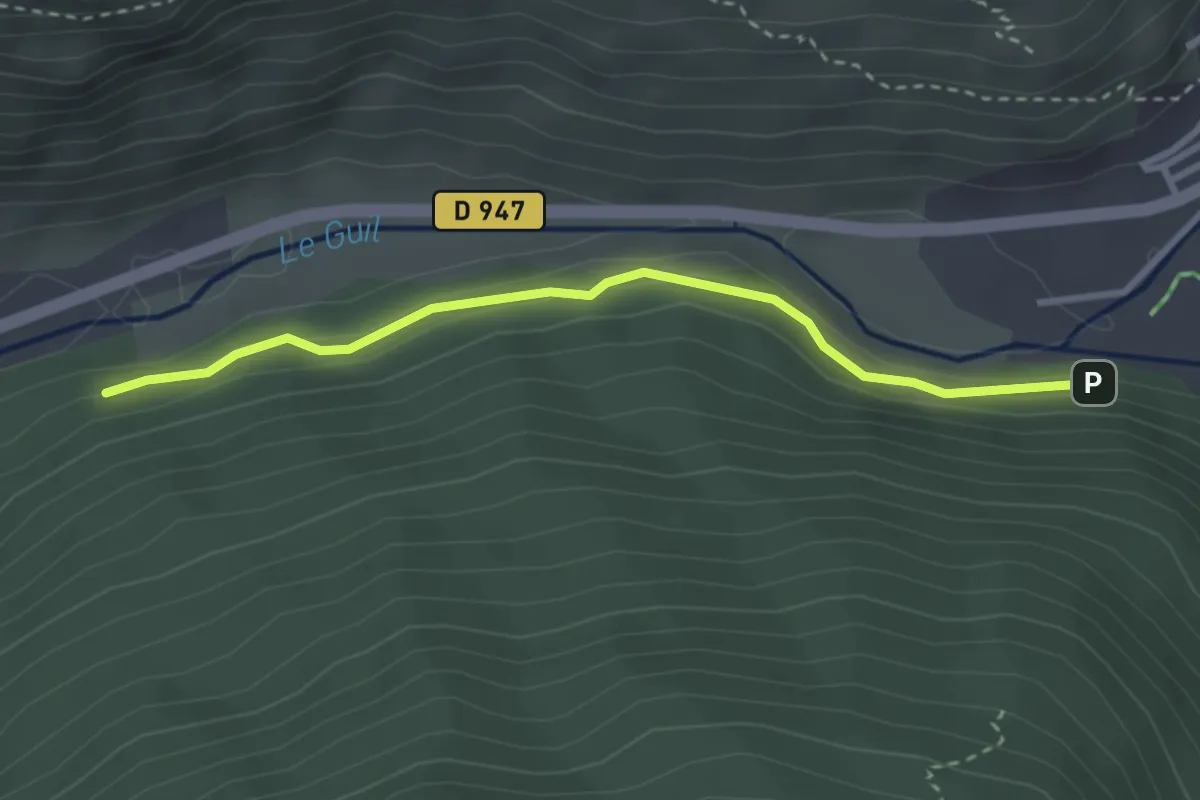
Easy · Trail
Forêt de Marassan - Forêt de Marassan
3.1 km · ↑ 61 m · 52 min
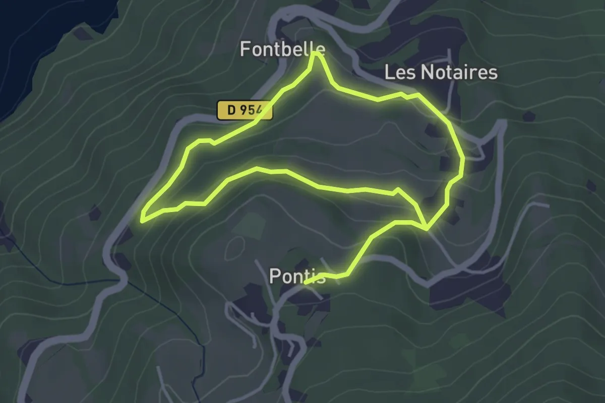
Easy · Trail
Forêt de Pontis
3.4 km · ↑ 160 m · 1 h 11 min
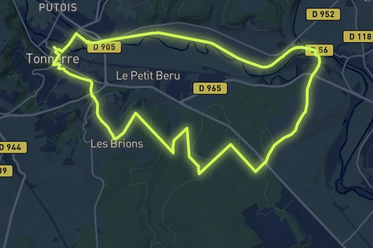
Demanding · Trail
Forêt de Tonnerre
19.9 km · ↑ 204 m · 5 h 25 min
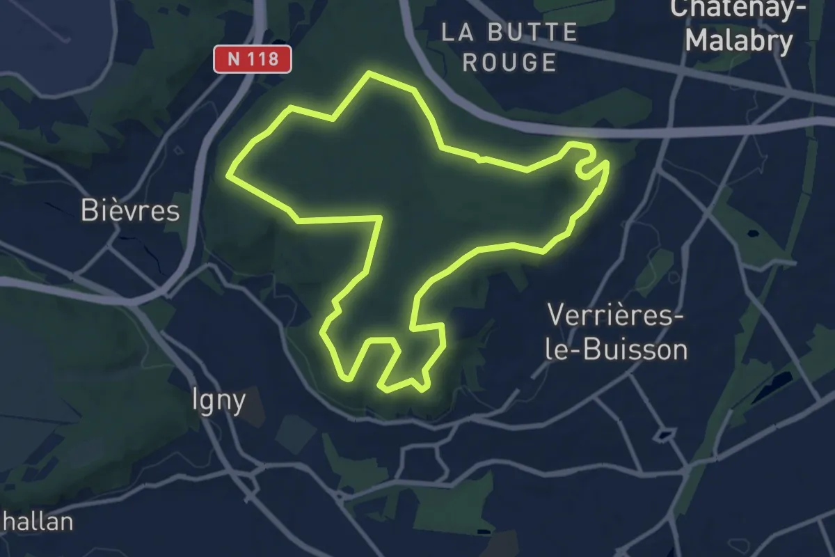
Medium · Trail
Forêt de Verrières
10.6 km · ↑ 127 m · 2 h 56 min
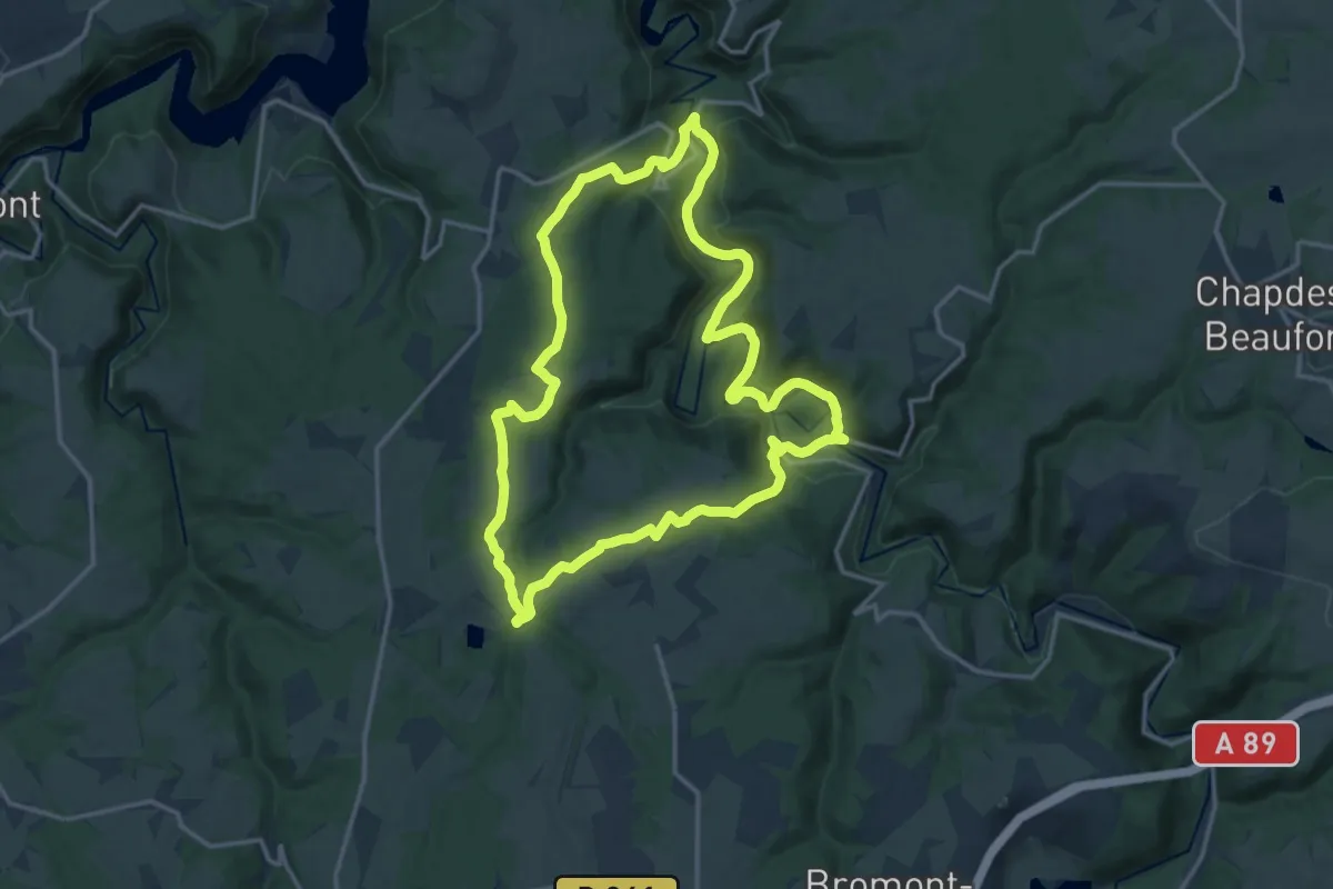
Medium · Trail
Foret Domaniale de la Chartreuse
15.9 km · ↑ 313 m · 4 h 40 min