Trails in France
15,926 hiking trails, each with its route, climb, walking time and grade.
All trails, page 117 of 332
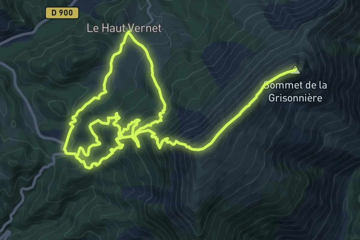
Demanding · Summit
Forêt du Labouret
12.2 km · ↑ 1199 m · 5 h 17 min
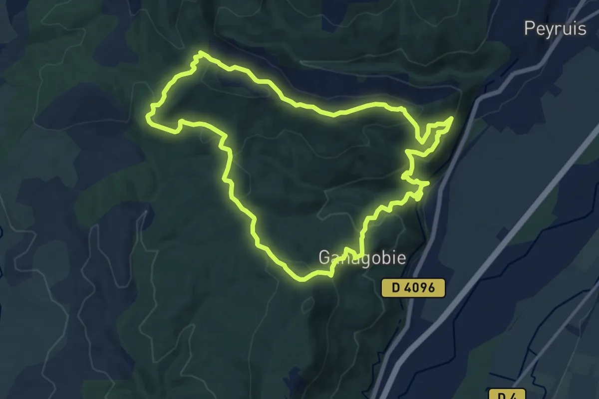
Medium · Trail
Forêt du Prieuré
10.6 km · ↑ 452 m · 3 h 38 min
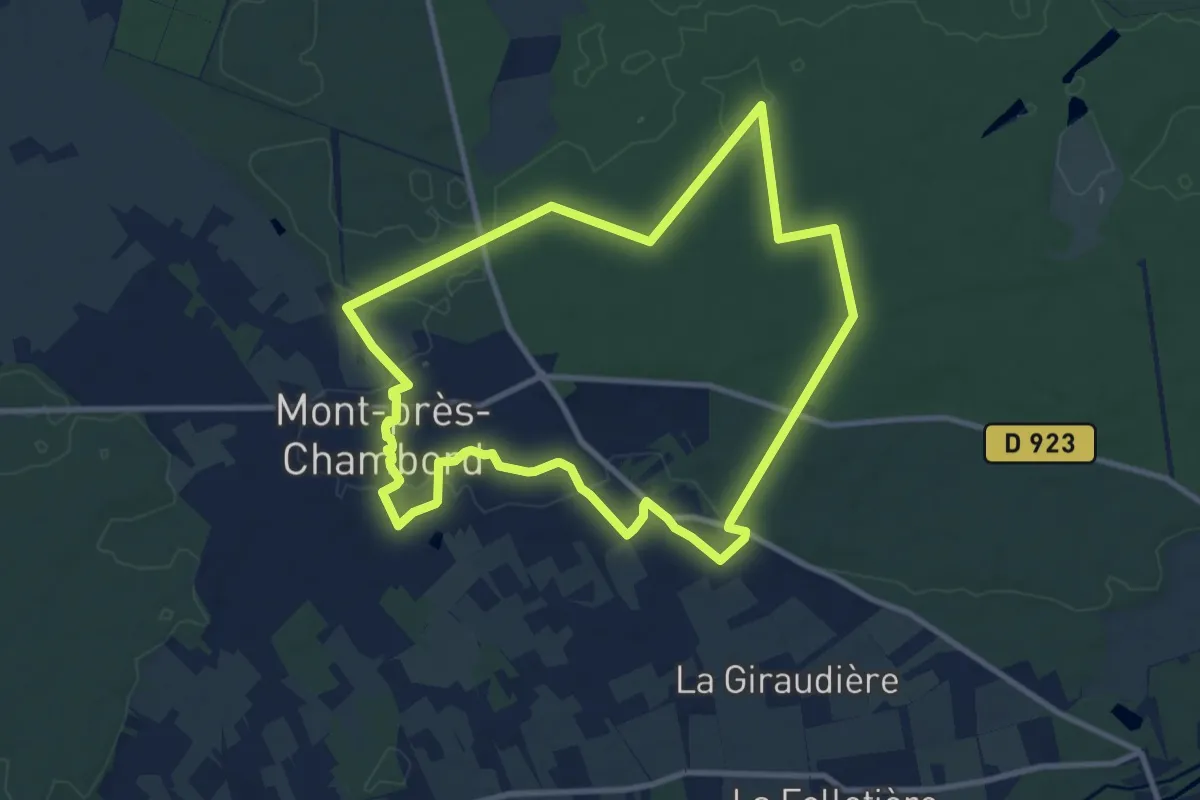
Medium · Trail
Forêt et verger
9.9 km · ↑ 62 m · 2 h 37 min
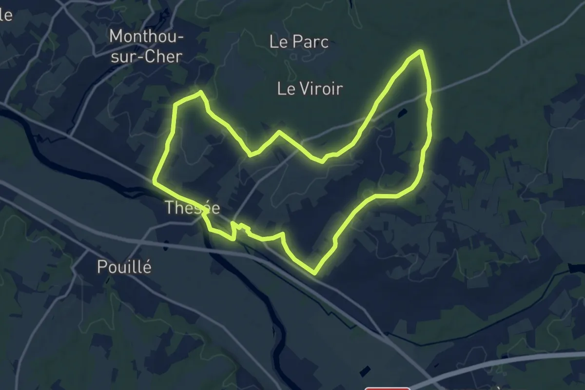
Medium · Trail
Forêt et vignes
13.6 km · ↑ 105 m · 3 h 37 min
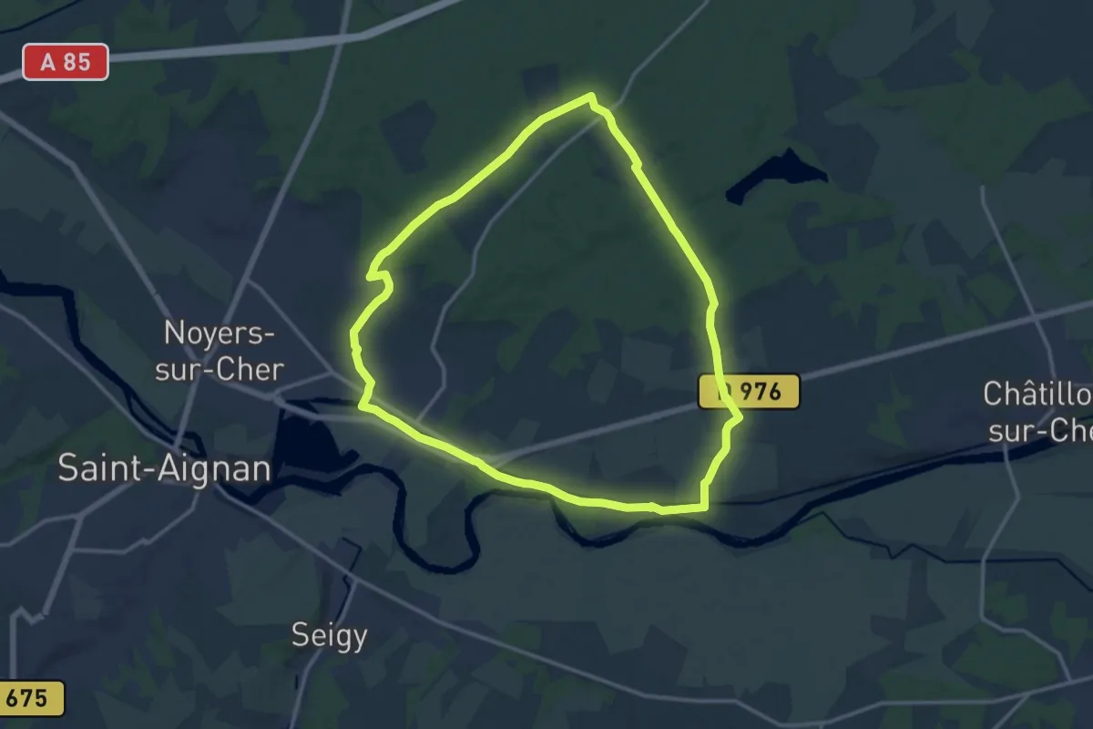
Medium · Trail
Forêt et vignoble
13.3 km · ↑ 102 m · 3 h 33 min
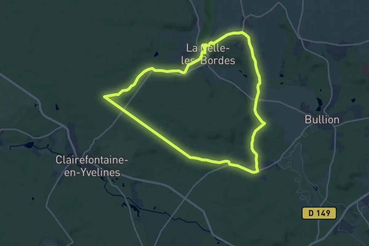
Medium · Trail
Forêt et Villages hors du temps
13.3 km · ↑ 159 m · 3 h 41 min
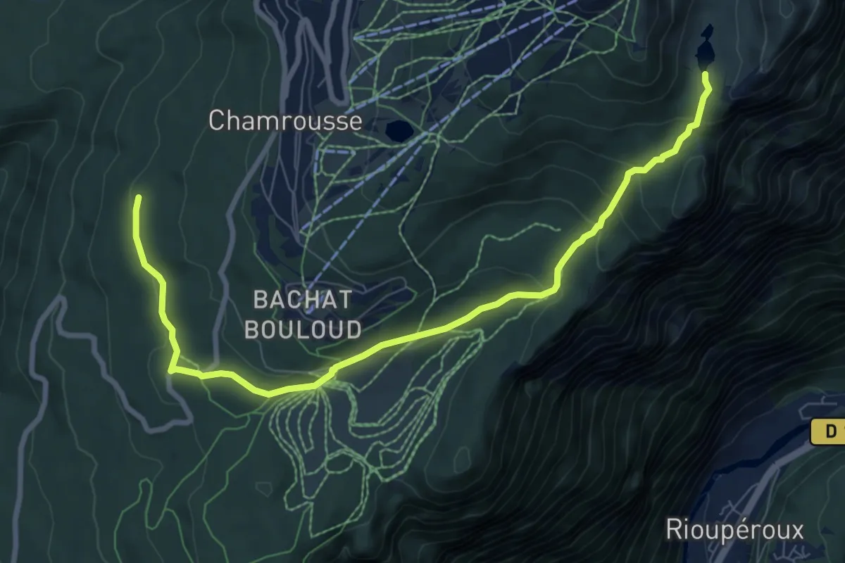
Medium · Trail
Forets et Lacs d'Uriage à Chamrousse
9.0 km · ↑ 386 m · 2 h 57 min
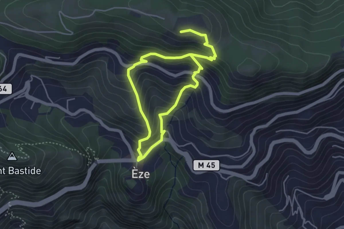
Medium · Trail
Fort de La Revère
3.2 km · ↑ 333 m · 1 h 29 min
Demanding · Trail
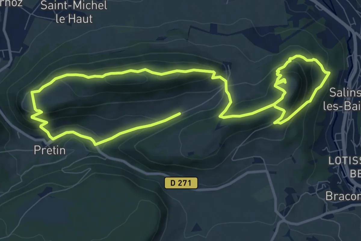
Fort Saint-André & Croix de Pretin
15.2 km · ↑ 956 m · 5 h 40 min
Medium · Trail
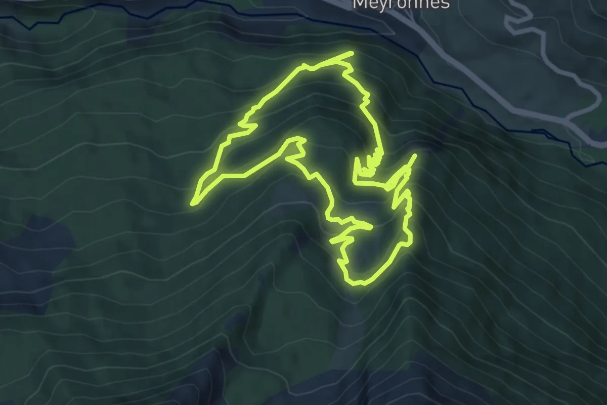
Forts de Roche-La-Croix
7.5 km · ↑ 662 m · 3 h 19 min
Medium · Summit
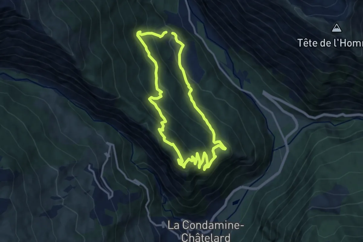
Forts et forêt de Tournoux
8.6 km · ↑ 595 m · 3 h 27 min
Easy · Trail
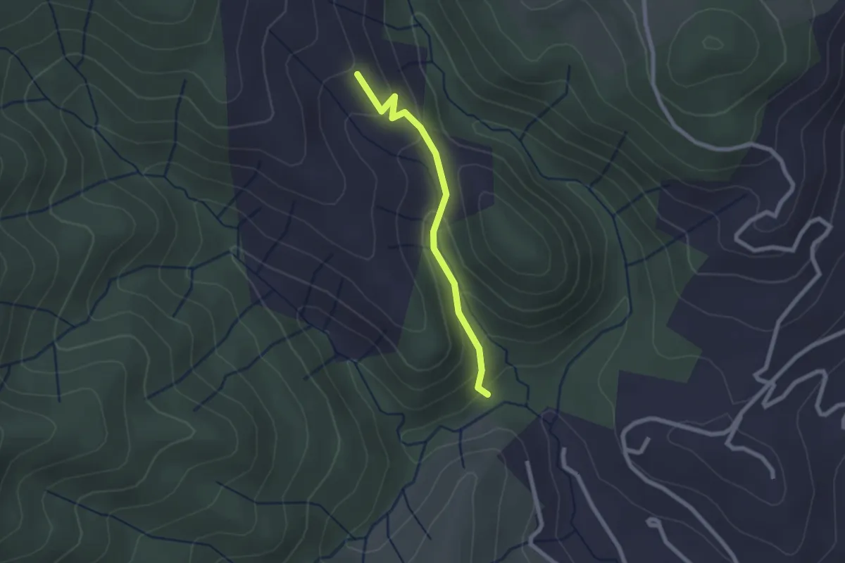
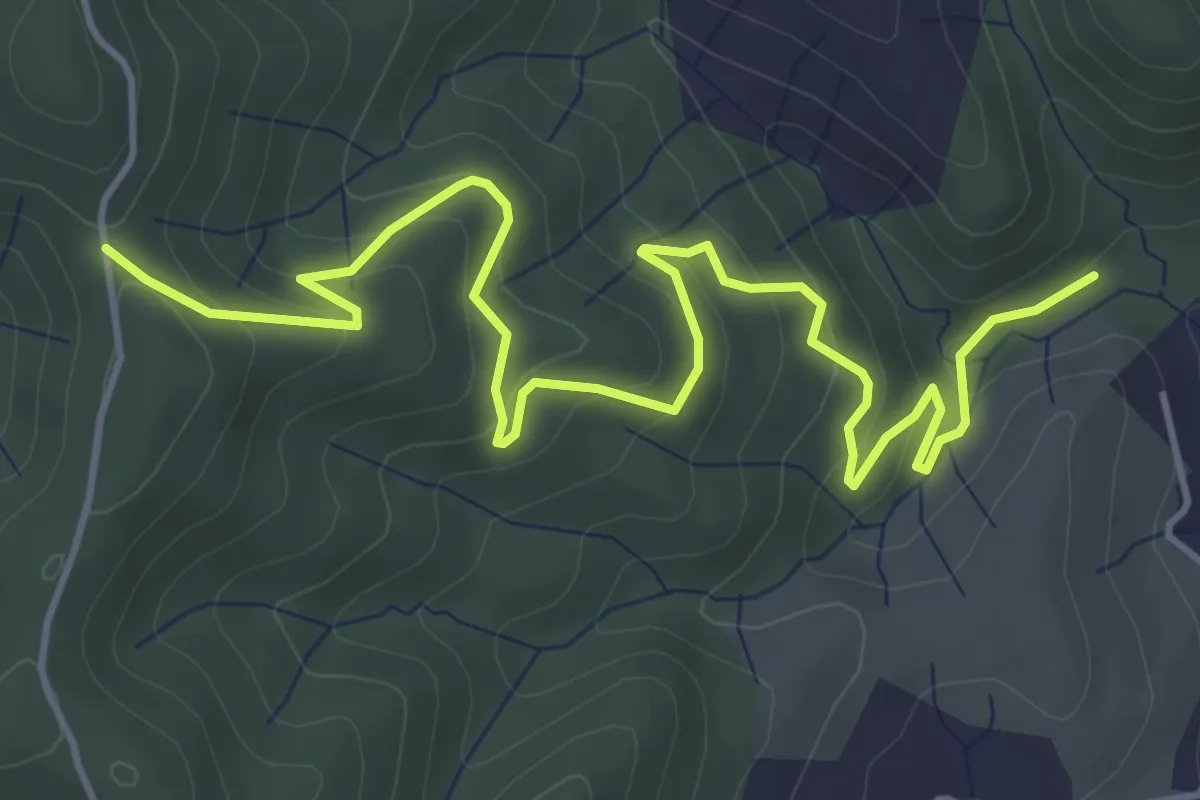
Foucholle - Beylon
2.0 km · ↑ 107 m · 43 min
Easy · Trail
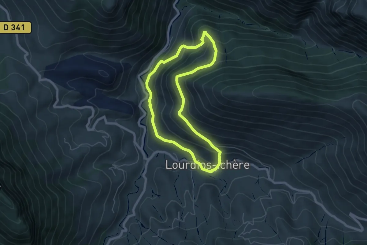
Foucholle - Blachon
6.3 km · ↑ 314 m · 2 h 10 min
Medium · Trail
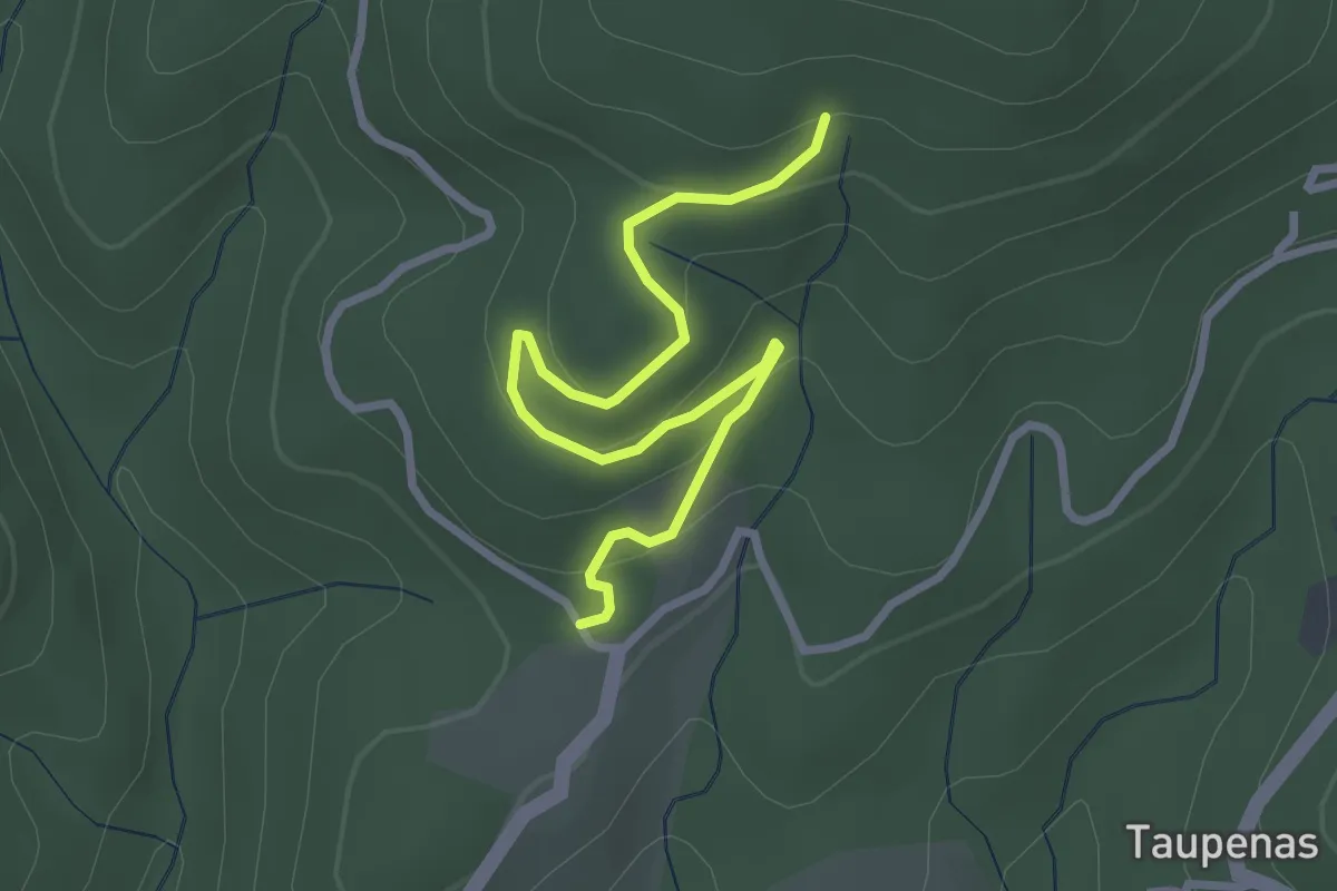
Fougeraies de Laünde asp05
5.1 km · ↑ 337 m · 2 h 1 min
Easy · Trail
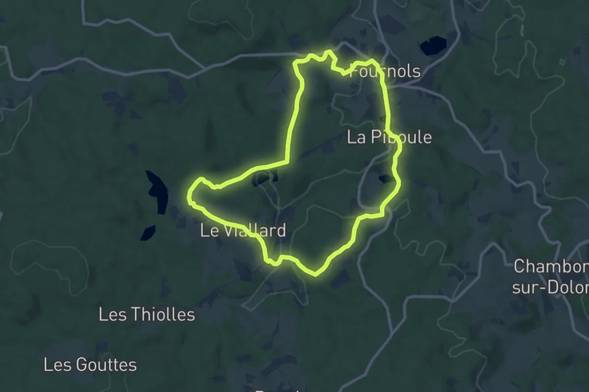
Fougeyrolles - Les Molières
3.3 km · ↑ 128 m · 1 h 3 min
Medium · Trail
Fournols - Puy du Sapt
8.6 km · ↑ 174 m · 2 h 32 min
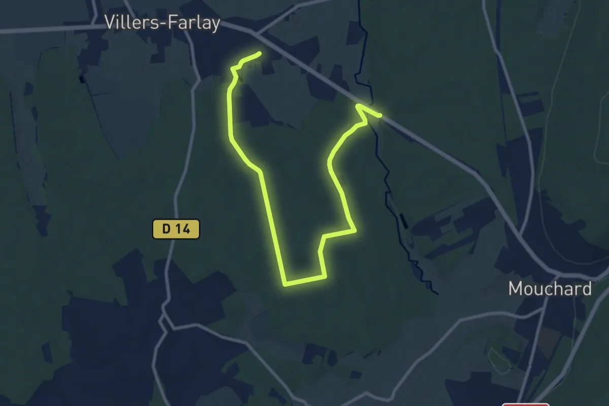
Medium · Trail
Four tuilier
10.9 km · ↑ 130 m · 2 h 51 min
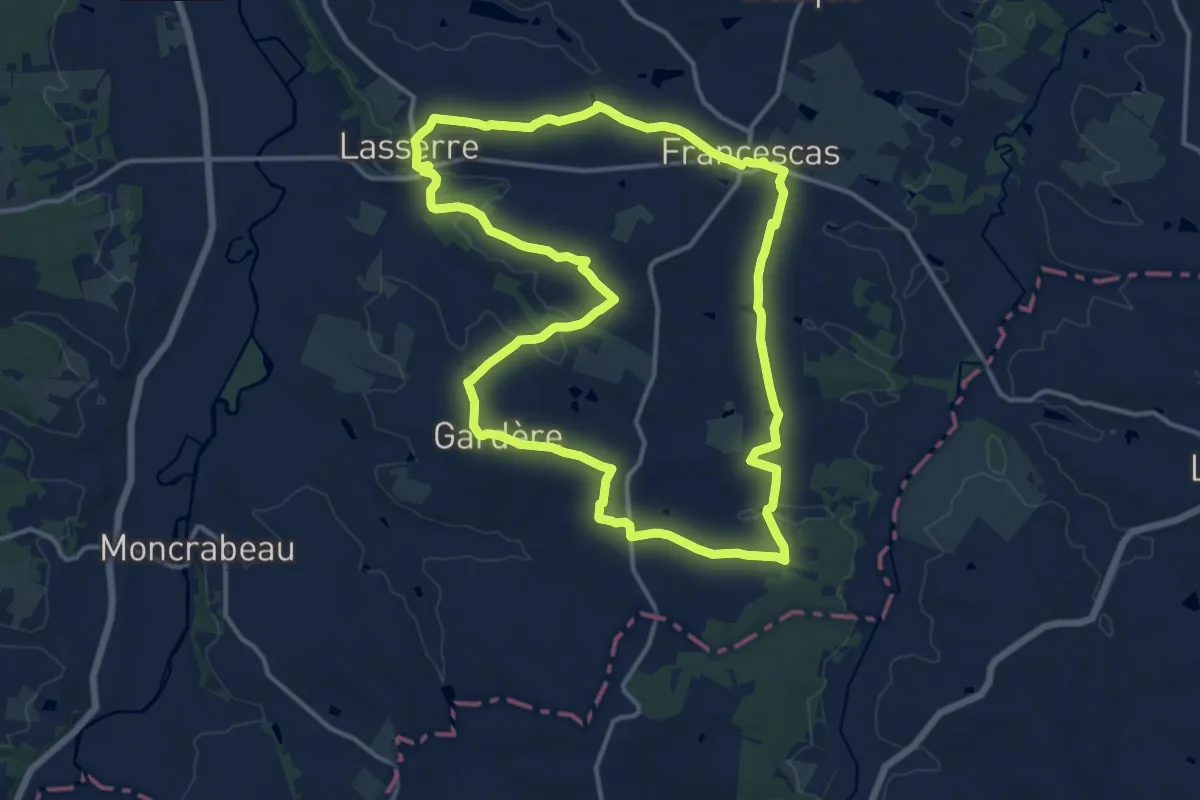
Medium · Trail
Francescas, circuit des pigeonniers de Gascogne - 15.5 km
15.3 km · ↑ 243 m · 4 h 21 min
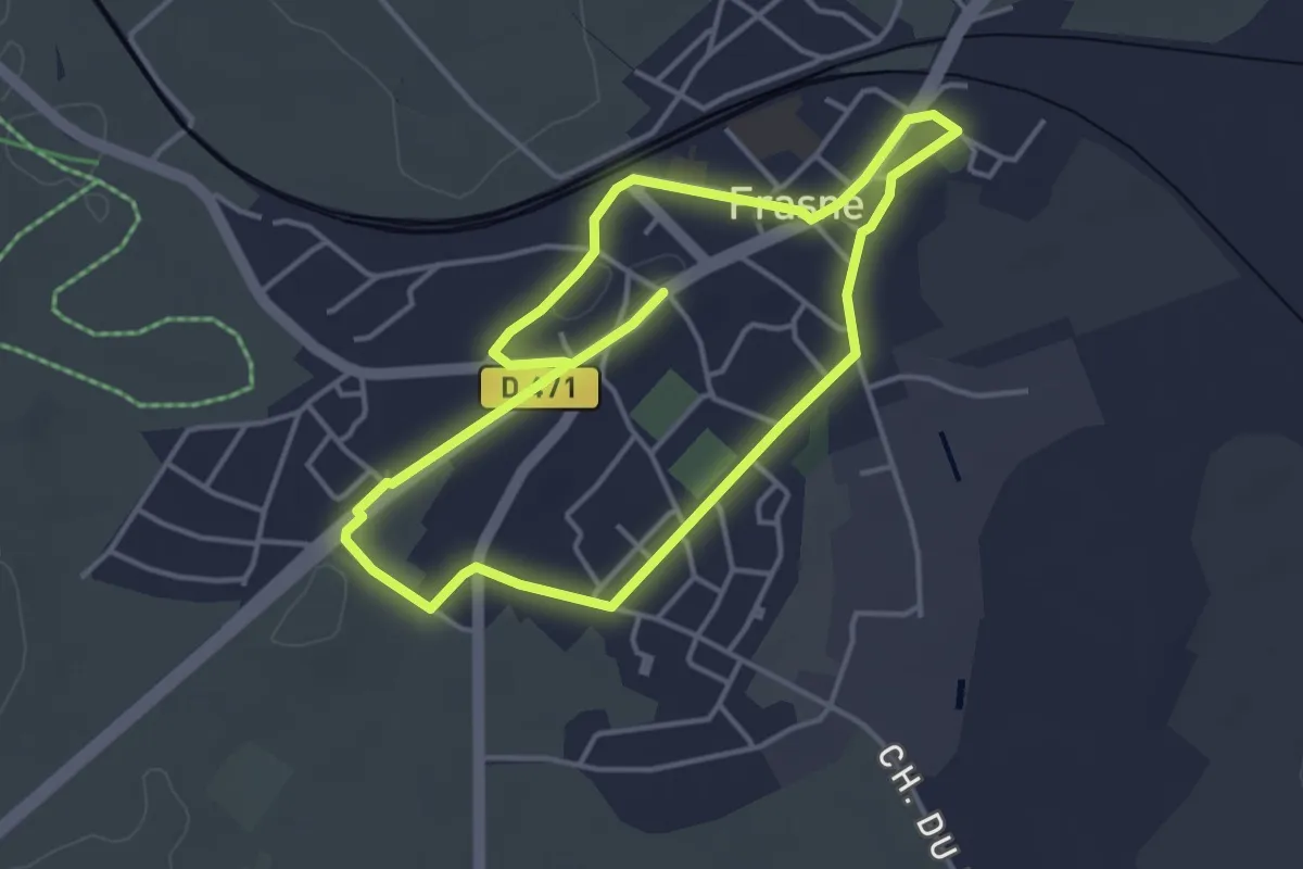
Easy · Trail
Frasne au Fil du Temps
3.8 km · ↑ 9 m · 58 min
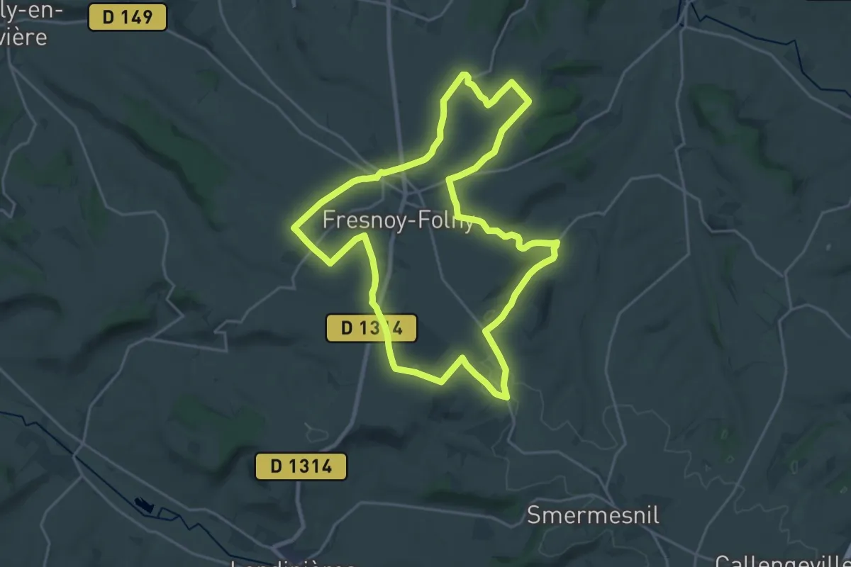
Demanding · Trail
Fresnoy-Folny
19.4 km · ↑ 121 m · 5 h 7 min
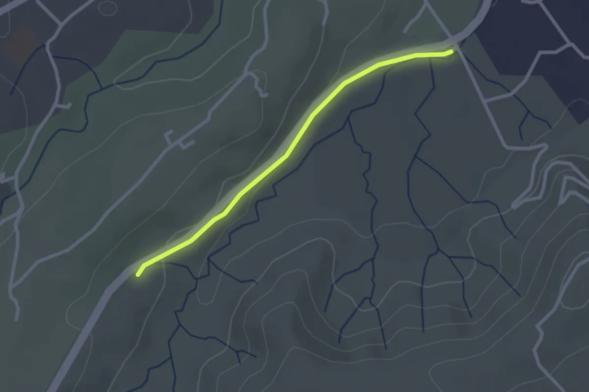
Easy · Trail
Freyssinet - Mas de Fontbonne
2.4 km · ↑ 39 m · 40 min
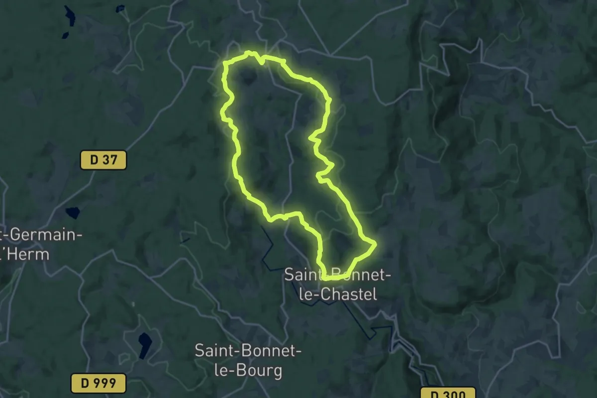
Medium · Trail
Frideroche
16.3 km · ↑ 459 m · 5 h 4 min
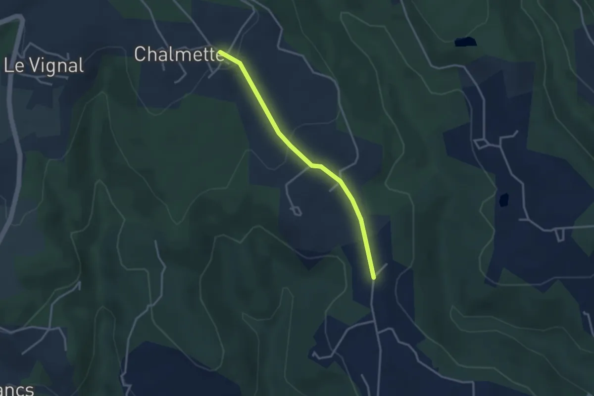
Easy · Trail
Fude - Les Salles
2.8 km · ↑ 95 m · 52 min
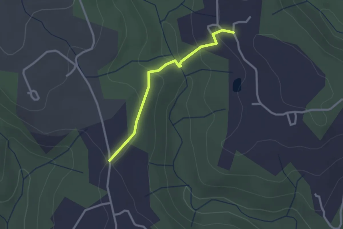
Easy · Trail
Fude - Théraube
2.2 km · ↑ 75 m · 41 min
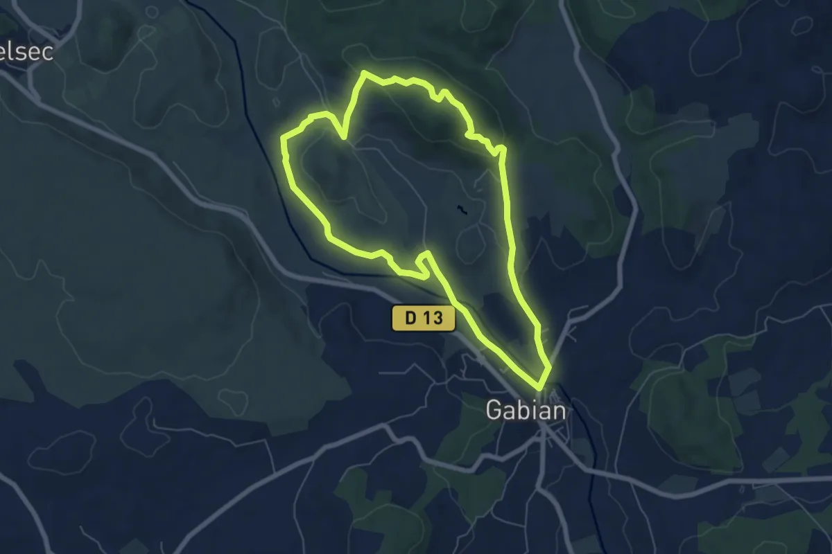
Easy · Summit
Gabian et la rivière la Thongue
6.4 km · ↑ 137 m · 1 h 55 min
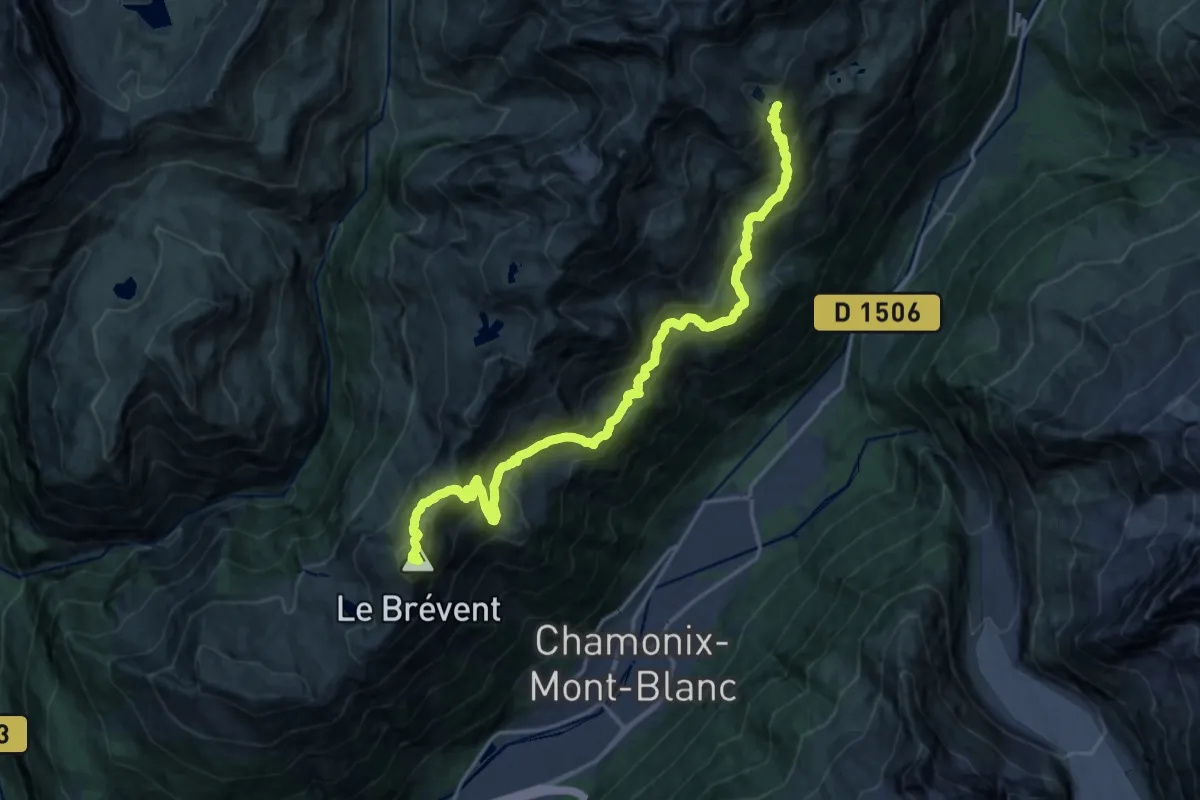
Demanding · Summit
GaB_TMB_S01
21.0 km · ↑ 1699 m · 8 h 39 min
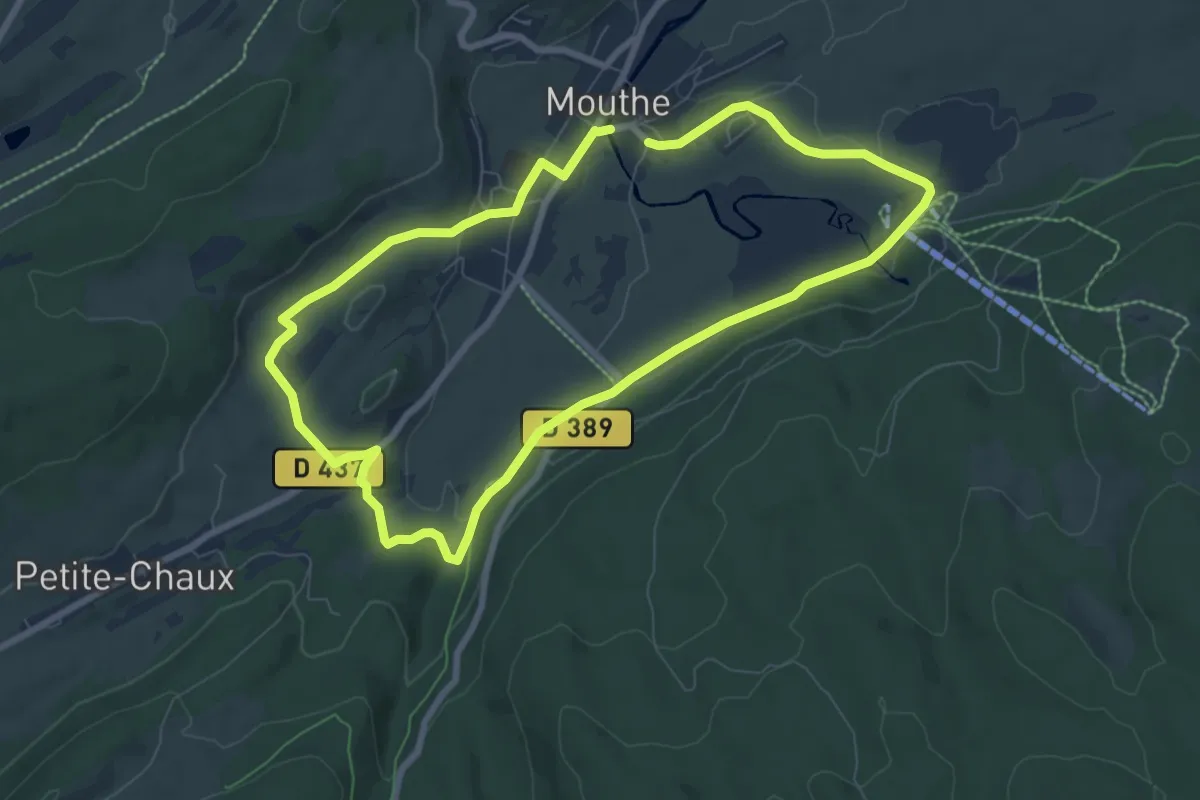
Easy · Trail
Gagnard n°6
7.4 km · ↑ 85 m · 2 h 1 min
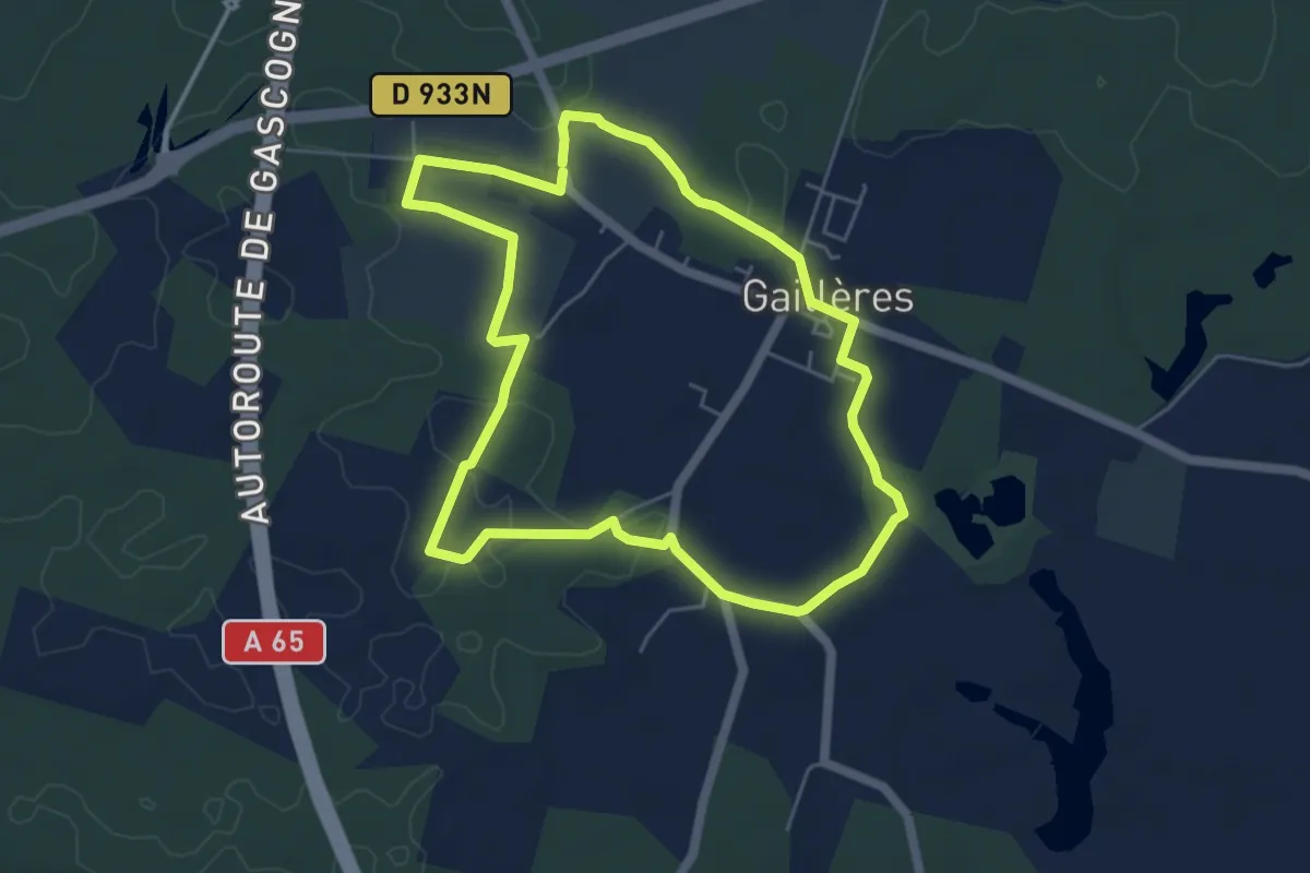
Easy · Trail
Gaillères - Circuit des airials
5.4 km · ↑ 20 m · 1 h 24 min
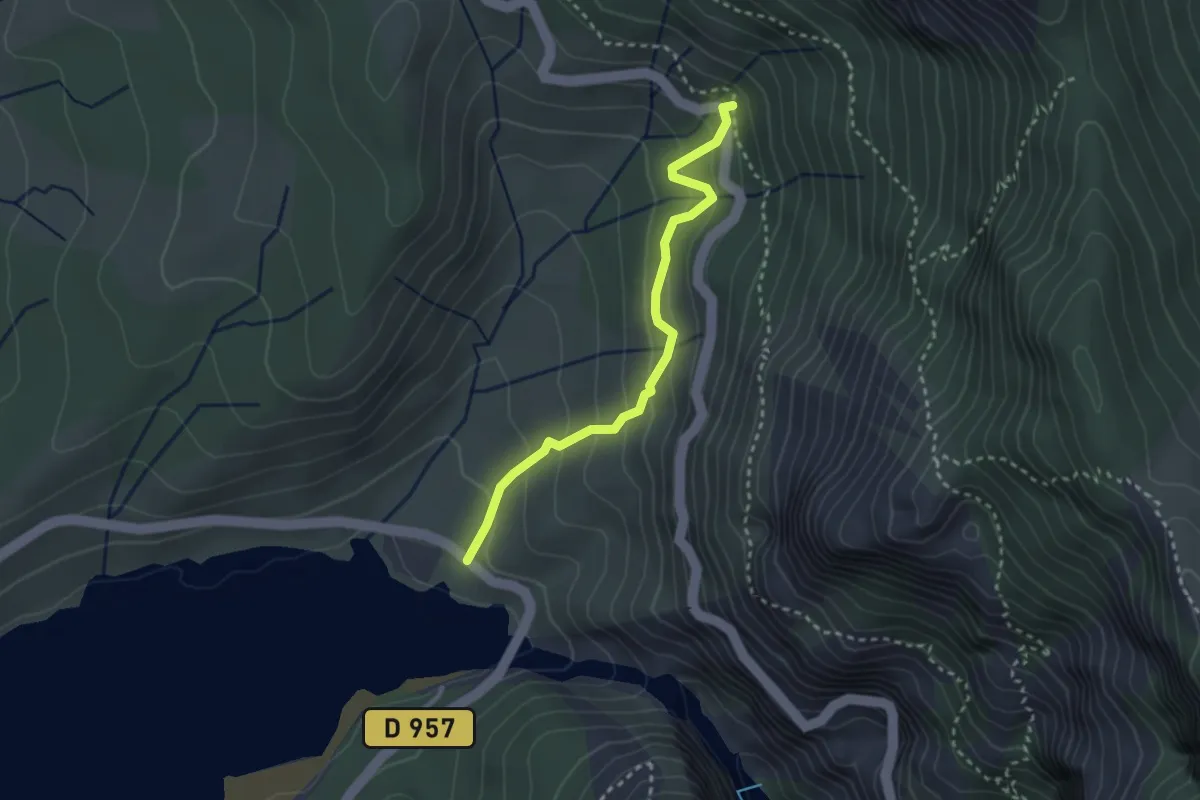
Easy · Trail
Galetas - Coteau de Fèlines
2.9 km · ↑ 236 m · 1 h 11 min
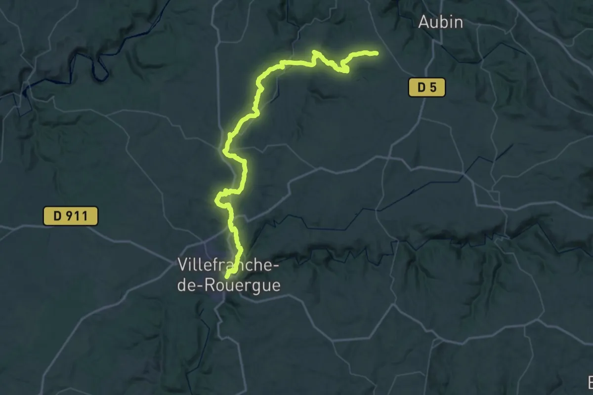
Demanding · Trail
Galgan - Villefranche-de-Rouergue
37.2 km · ↑ 680 m · 10 h 53 min
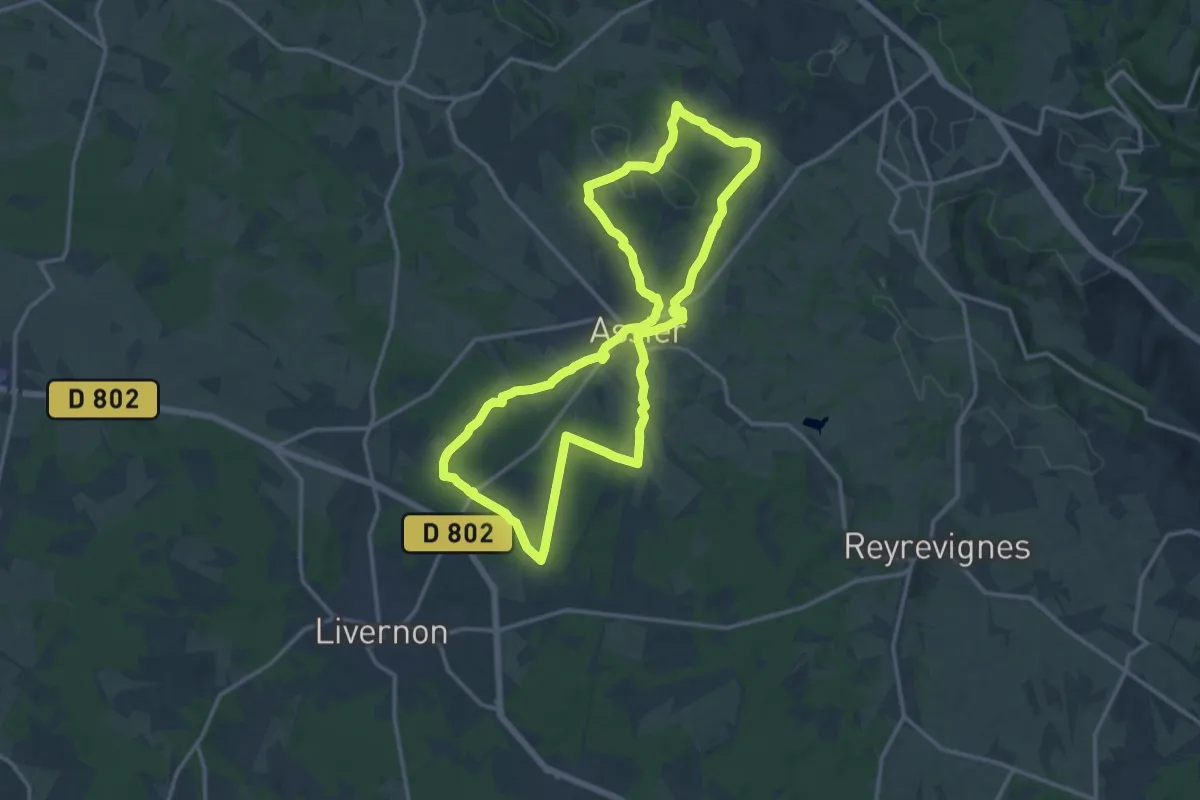
Medium · Trail
Galiot de Genouillac
15.0 km · ↑ 174 m · 4 h 8 min
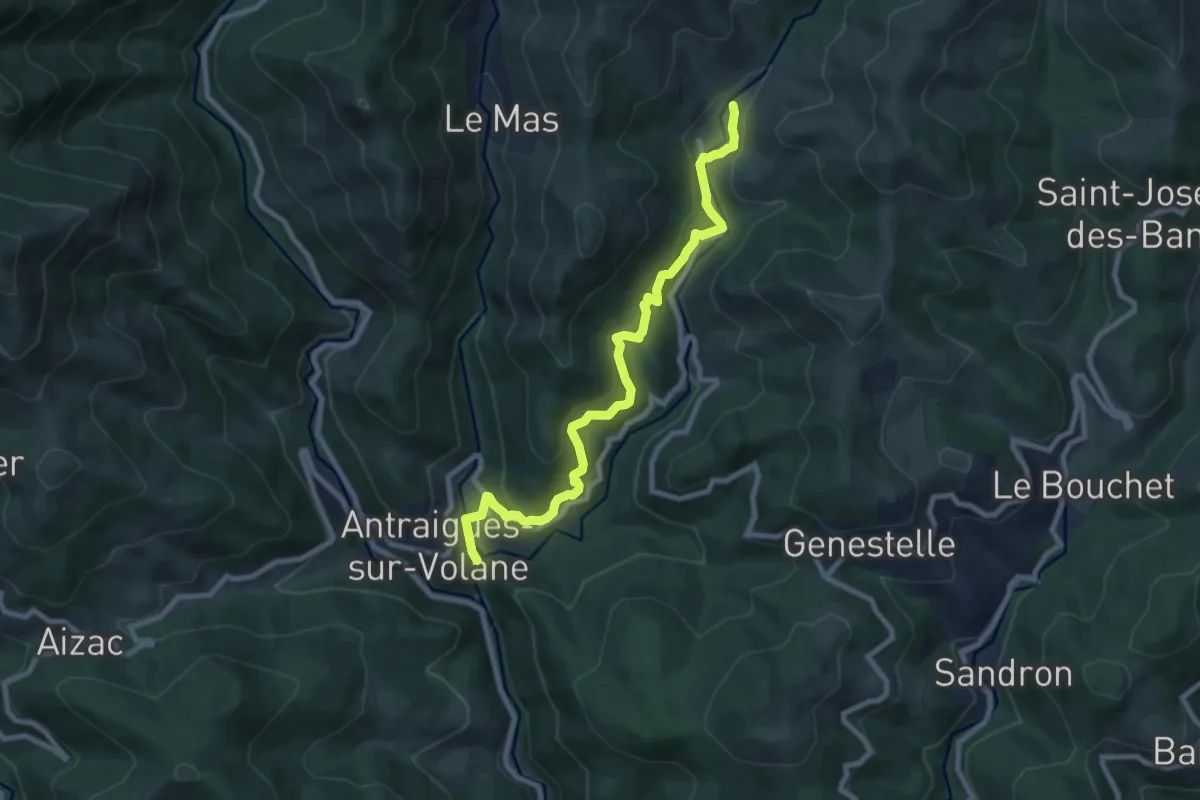
Medium · Trail
Gamond - Bise
9.0 km · ↑ 449 m · 3 h 6 min
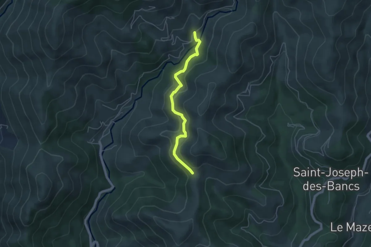
Easy · Trail
Gamondès - Col des Fraysses
4.4 km · ↑ 230 m · 1 h 32 min
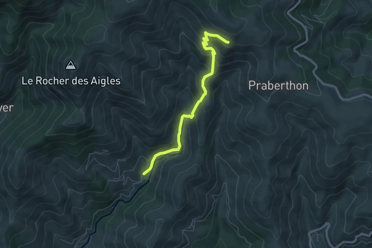
Medium · Trail
Gamondès - Le Soupley
6.1 km · ↑ 430 m · 2 h 22 min
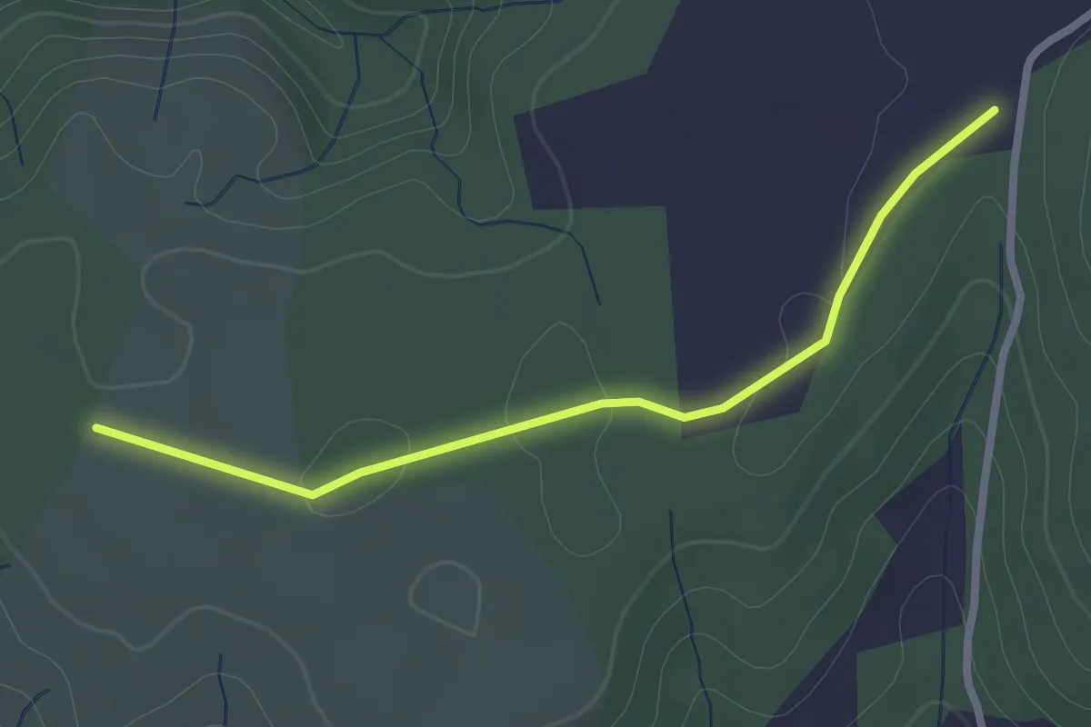
Easy · Trail
Gandaubert - Bayne
2.5 km · ↑ 13 m · 38 min
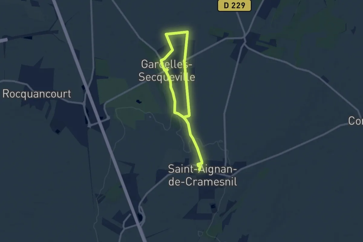
Easy · Trail
Garcelles-Saint-Aignan
5.1 km · ↑ 26 m · 1 h 20 min
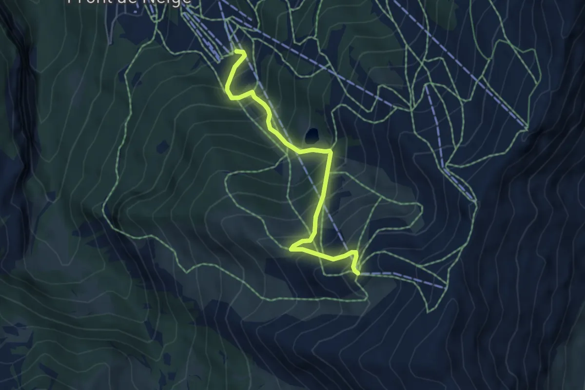
Medium · Trail
Gare Arrivée TS Pré Longis - Sommet TS Pousterle
5.1 km · ↑ 606 m · 2 h 31 min
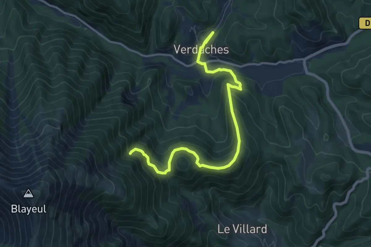
Medium · Trail
Garéous
4.9 km · ↑ 147 m · 1 h 43 min
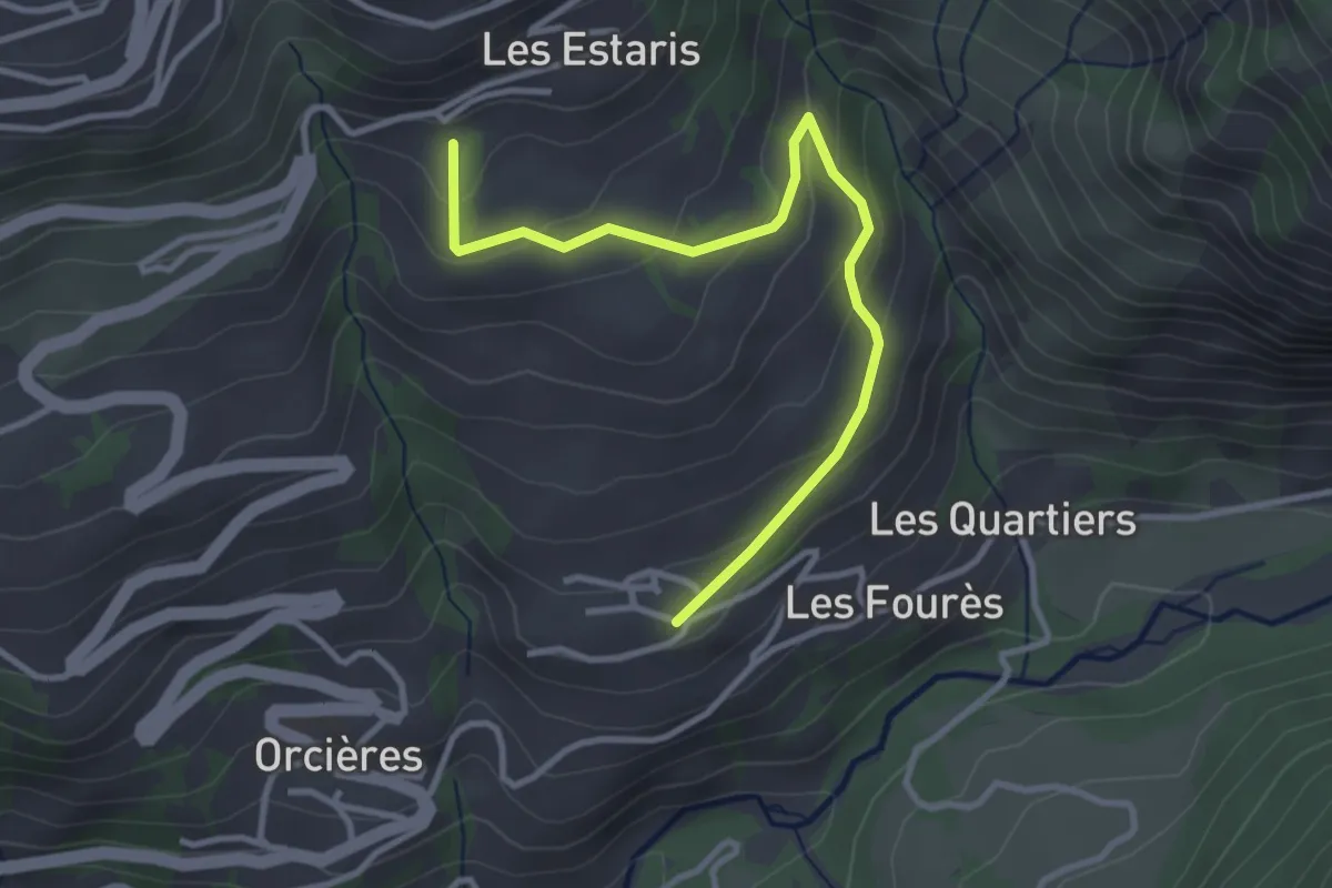
Easy · Trail
Garnaudenq - Montcheny
3.6 km · ↑ 191 m · 1 h 16 min
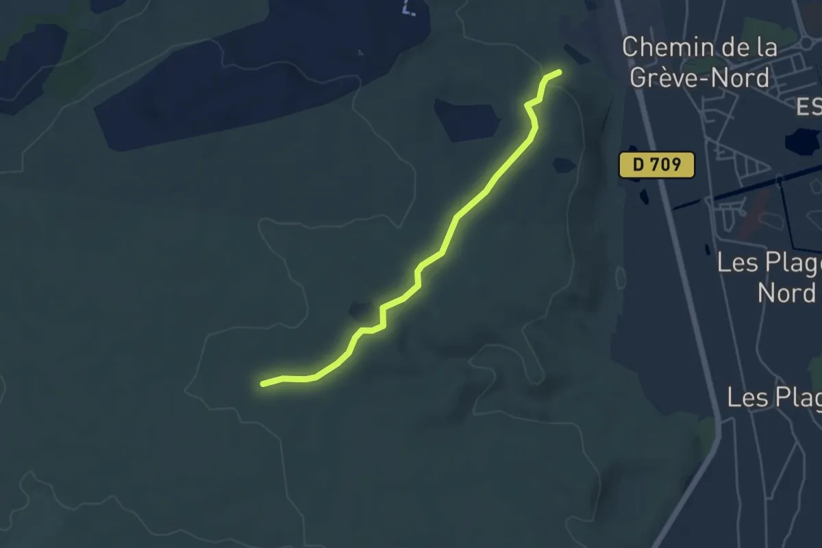
Easy · Trail
Garrigue Haute - Combe des Buis Ouest
4.7 km · ↑ 75 m · 1 h 16 min
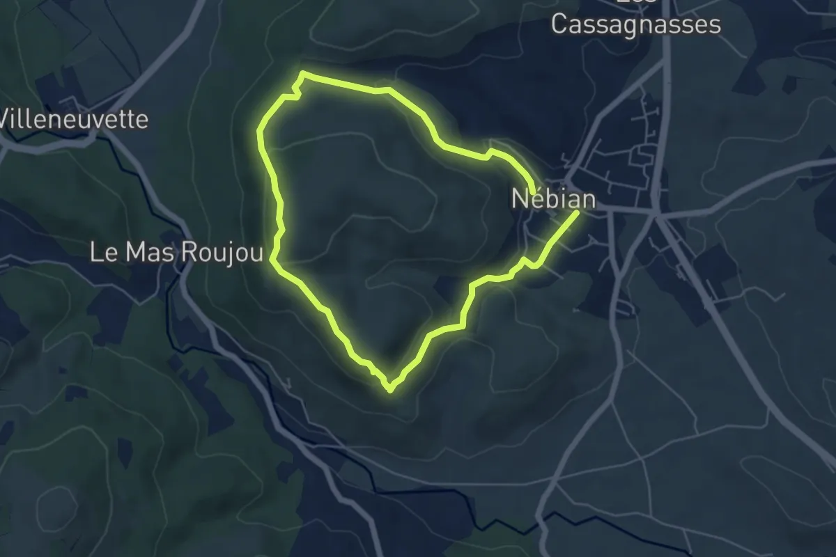
Easy · Trail
Garrigues
4.8 km · ↑ 173 m · 1 h 34 min
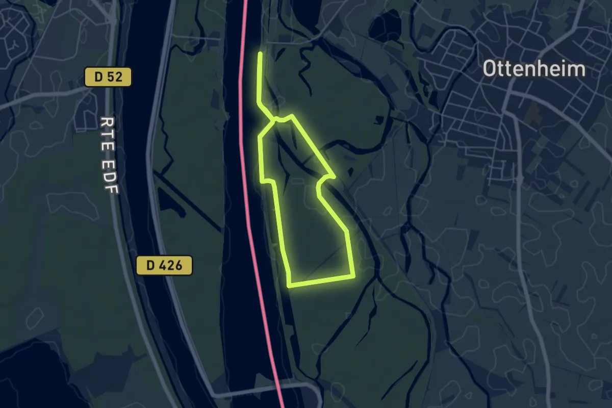
Easy · Trail
Gasthaus Rheinlust Ottenheim - Grenzübergang Nonnenweier
4.1 km · ↑ 16 m · 1 h 3 min
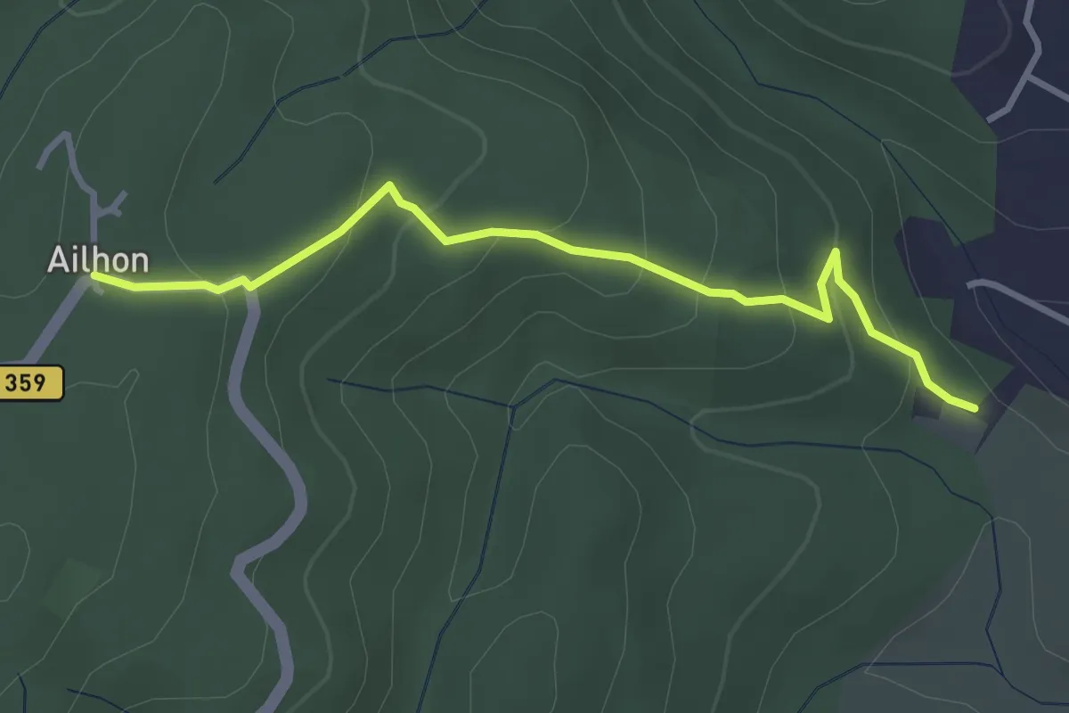
Easy · Trail
Gaude Haut - Ailhon Place
3.4 km · ↑ 193 m · 1 h 13 min
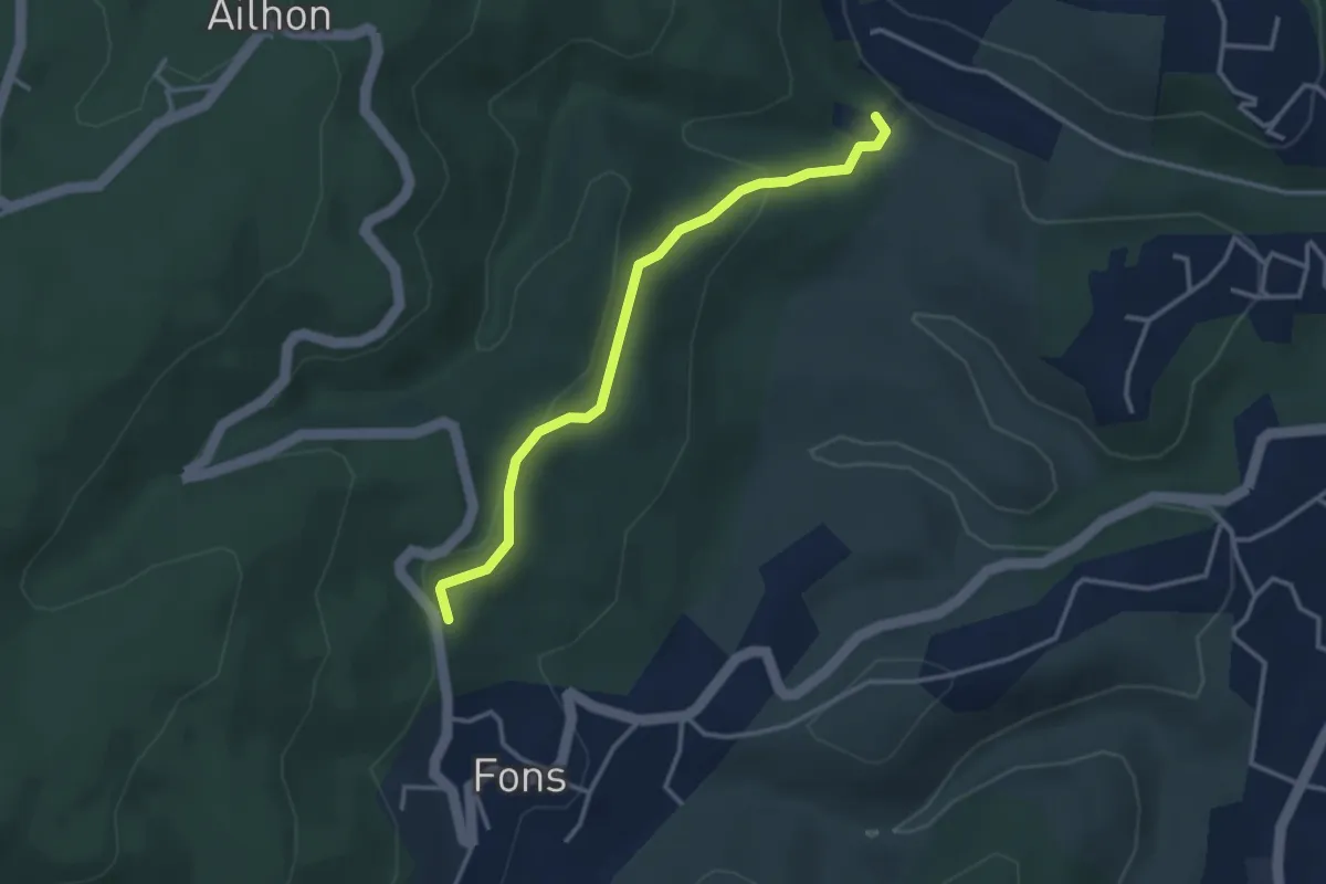
Easy · Trail
Gaude Haut - Le Bouchet
3.4 km · ↑ 123 m · 1 h 3 min
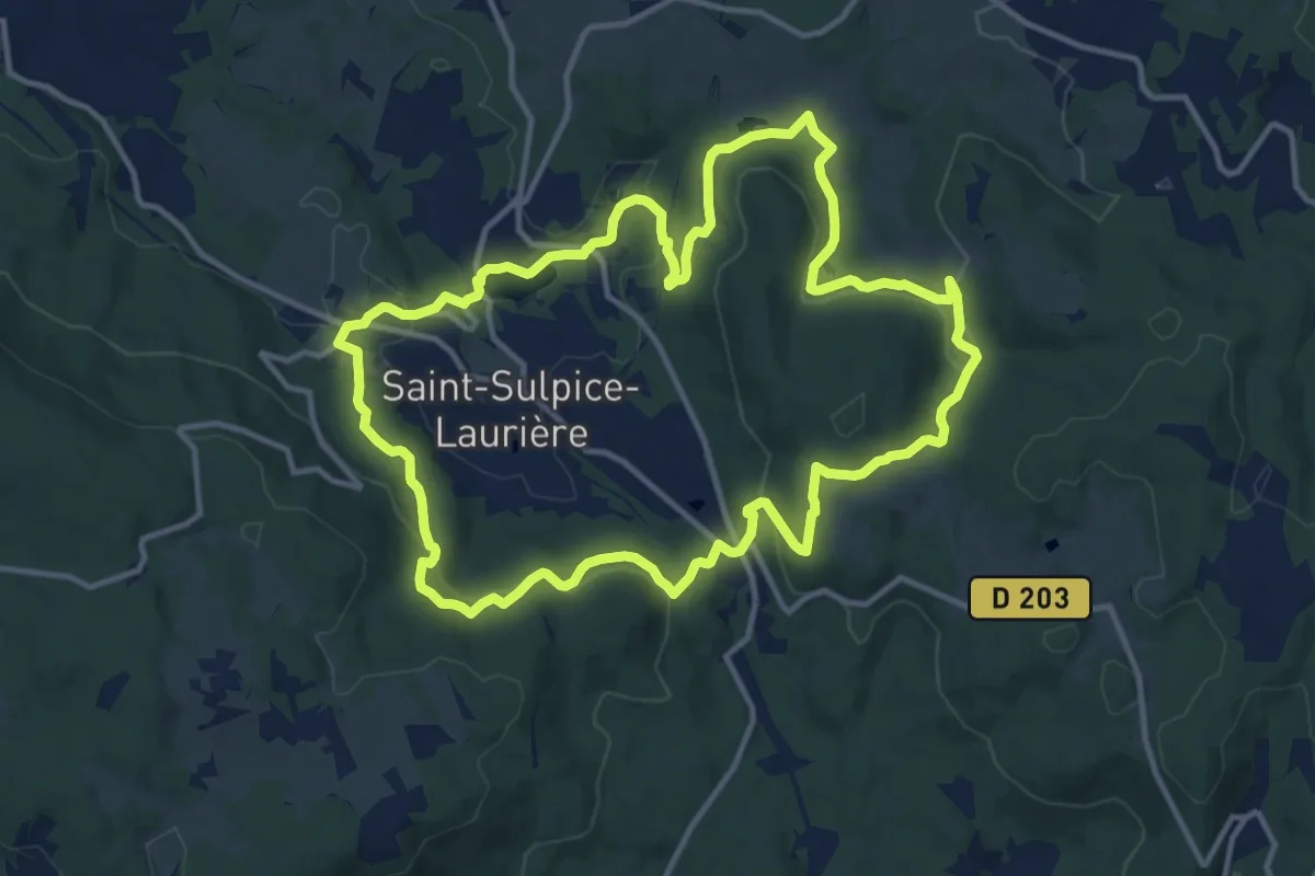
Medium · Trail
Gaudeix/Pierre du Roy
13.2 km · ↑ 395 m · 4 h 9 min
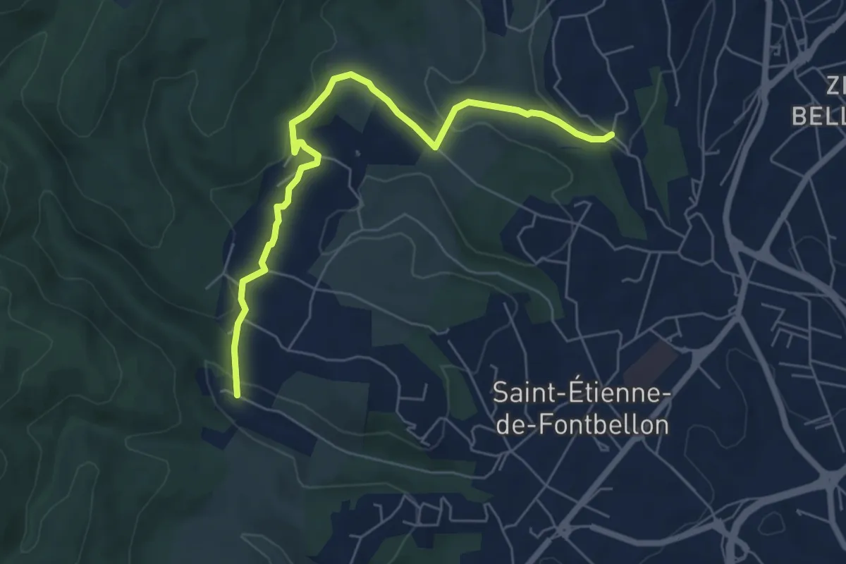
Easy · Trail
Gaude - Les Nuelles
6.5 km · ↑ 209 m · 1 h 59 min
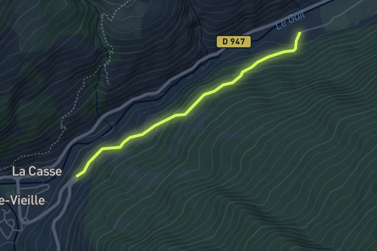
Easy · Trail
GCU Sud - Virage sur RD Ville-Vieille
4.0 km · ↑ 211 m · 1 h 24 min
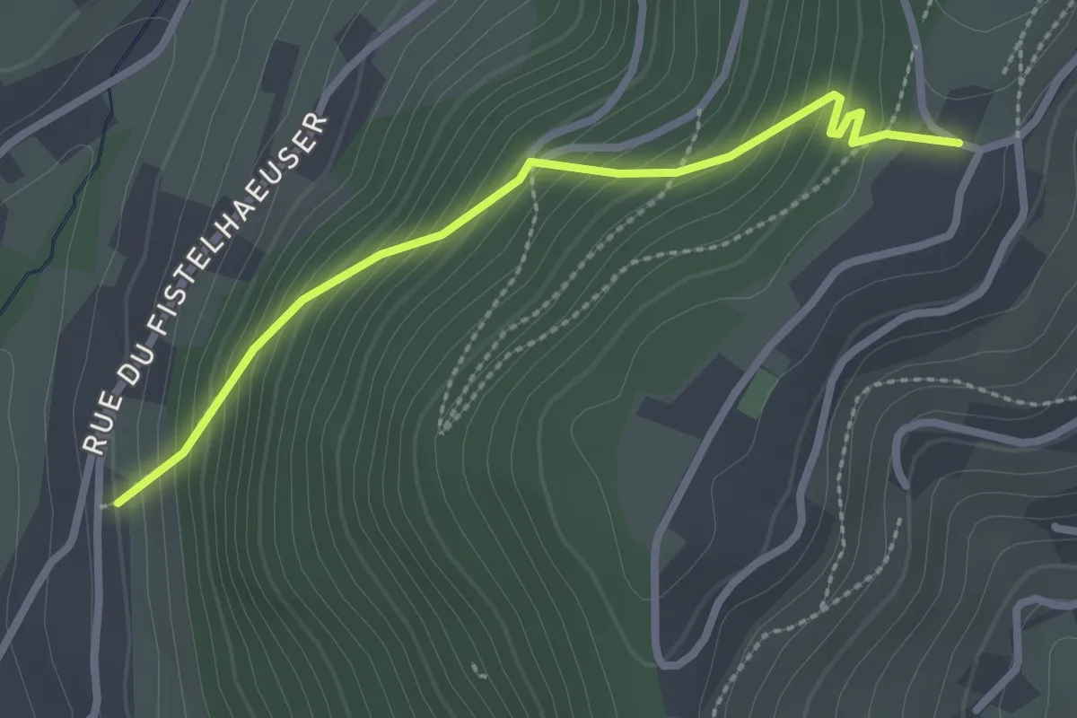
Easy · Trail
Geishusen Weg
2.3 km · ↑ 268 m · 1 h 7 min