Trails in France
15,926 hiking trails, each with its route, climb, walking time and grade.
All trails, page 118 of 332
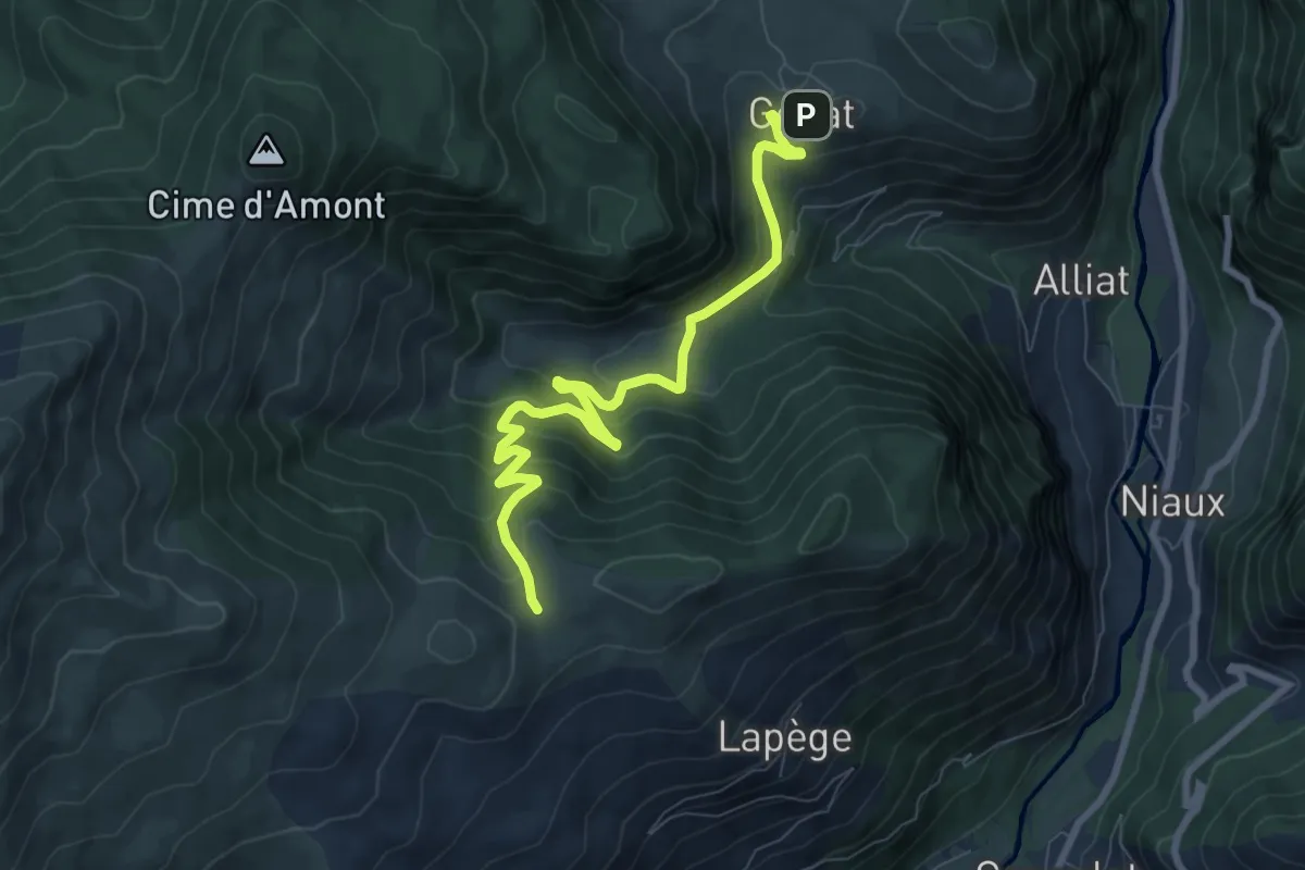
Medium · Trail
Génat-Lapege
9.2 km · ↑ 549 m · 3 h 22 min
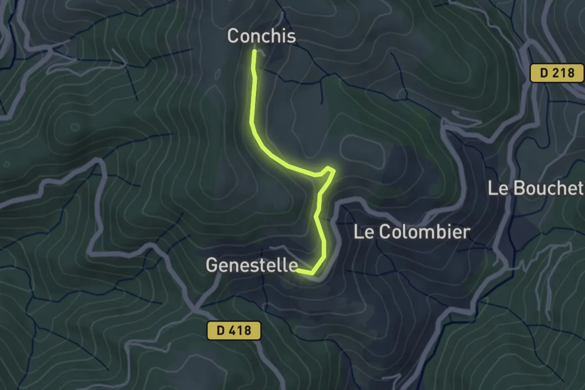
Easy · Trail
Genestelle - Conchis
2.8 km · ↑ 100 m · 52 min
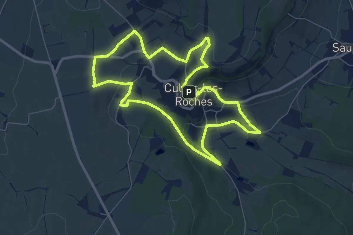
Easy · Trail
Géorama
6.0 km · ↑ 142 m · 1 h 49 min
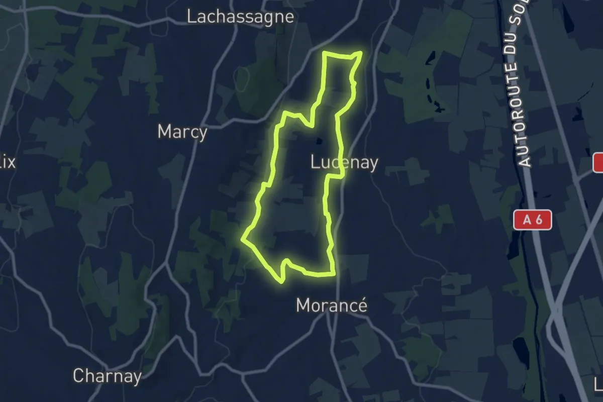
Easy · Trail
Géosite-les carrières de pierres blanches
7.4 km · ↑ 135 m · 2 h 8 min
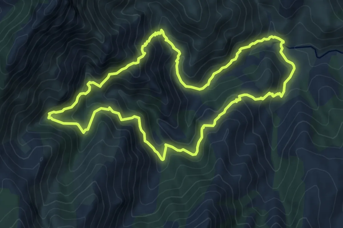
Medium · Trail
Giro di Altu Cavu
10.3 km · ↑ 780 m · 4 h 16 min
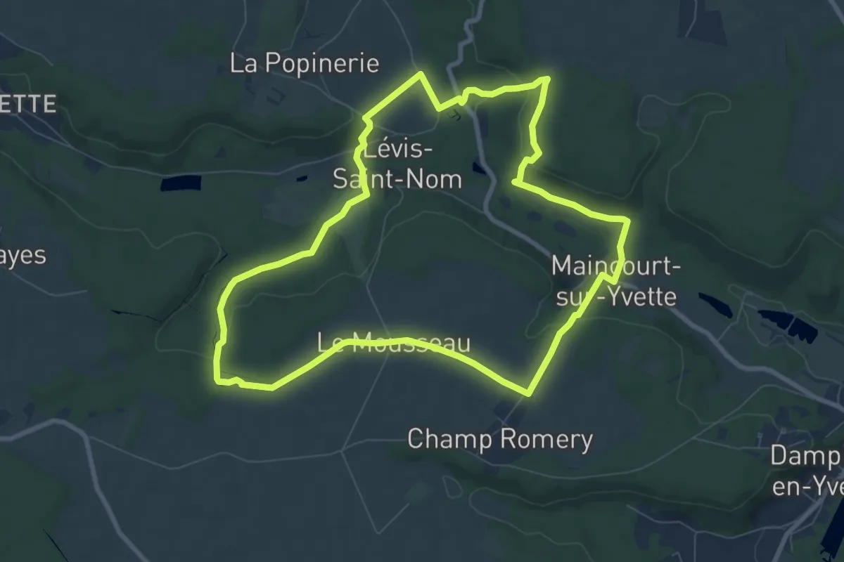
Easy · Trail
Girouard, l'intimité d'une vallée escarpée
7.9 km · ↑ 138 m · 2 h 17 min
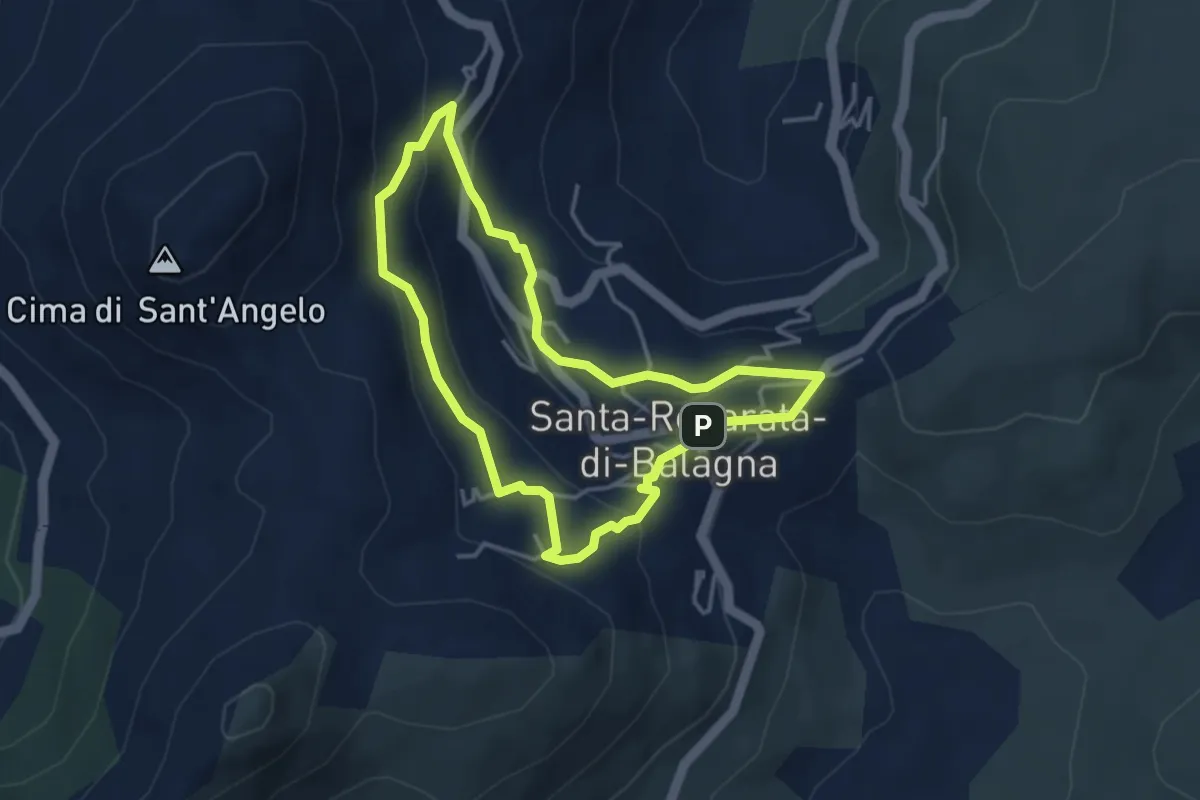
Easy · Trail
Giru di i Poghji di Santa Reparata di Balagna
3.8 km · ↑ 159 m · 1 h 17 min
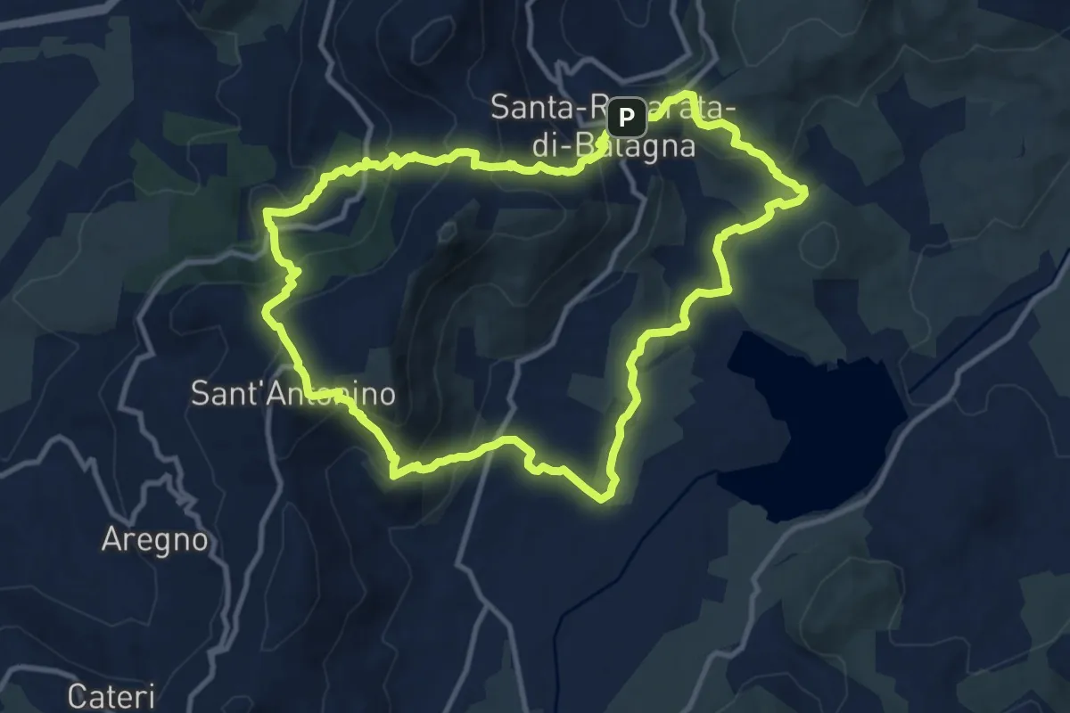
Medium · Trail
Giru di Santa Reparata
11.6 km · ↑ 575 m · 4 h 8 min
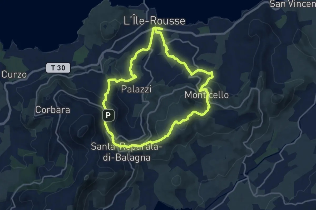
Medium · Trail
Giru L'Île-Rousse - Sta Reparata - Monticello
11.6 km · ↑ 425 m · 3 h 49 min
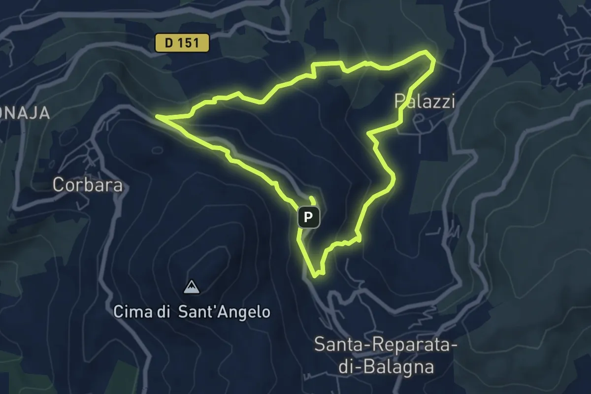
Easy · Trail
Giru Occiglioni-Palmentu
6.0 km · ↑ 278 m · 2 h 7 min
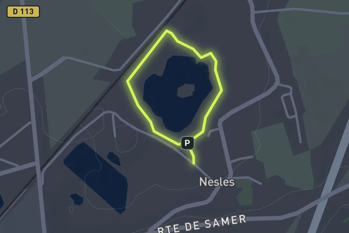
Easy · Trail
Glaisière de Nesles
1.3 km · ↑ 0 m · 19 min
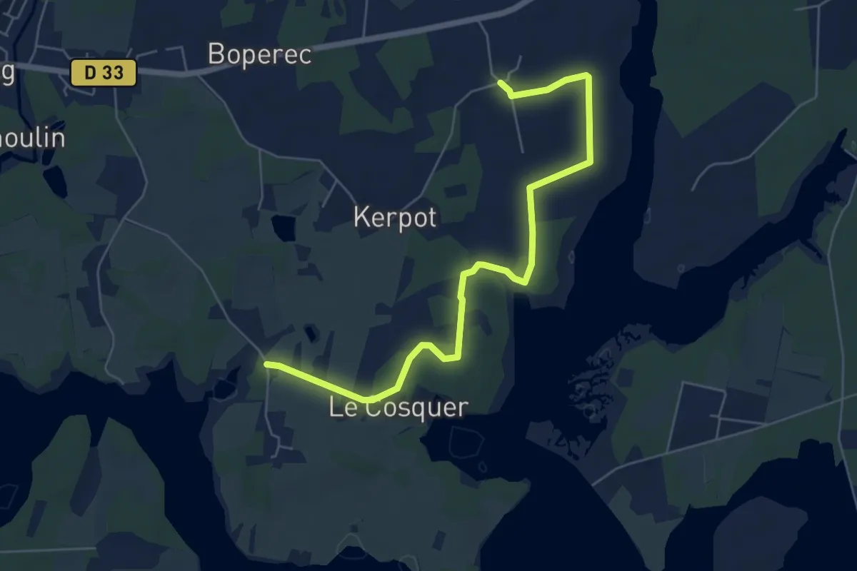
Easy · Trail
Goh Iliz
6.3 km · ↑ 42 m · 1 h 34 min
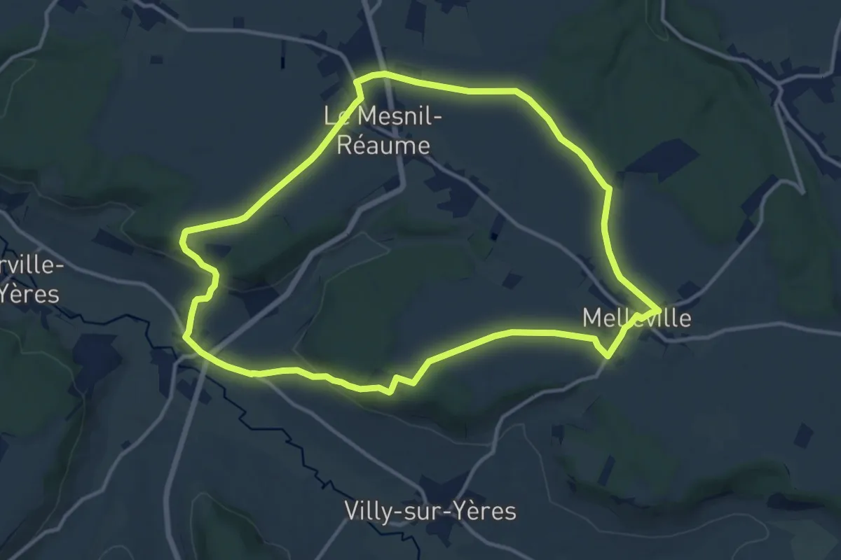
Medium · Trail
Gomare
11.5 km · ↑ 151 m · 3 h 12 min
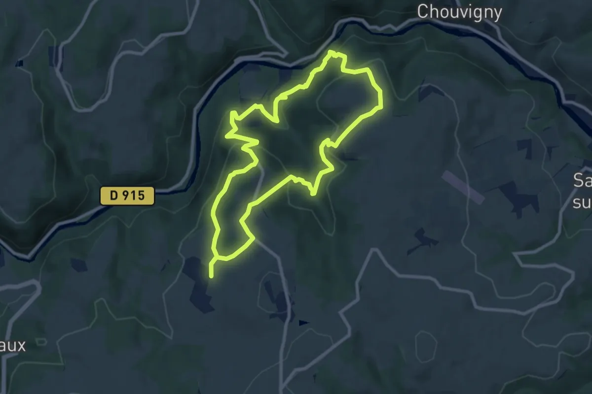
Medium · Trail
Gorges de Chouvigny
7.7 km · ↑ 371 m · 2 h 43 min
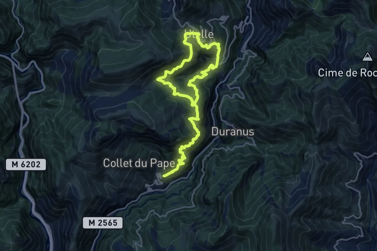
Demanding · Trail
Gorges de la Vésubie
11.1 km · ↑ 1210 m · 5 h 14 min
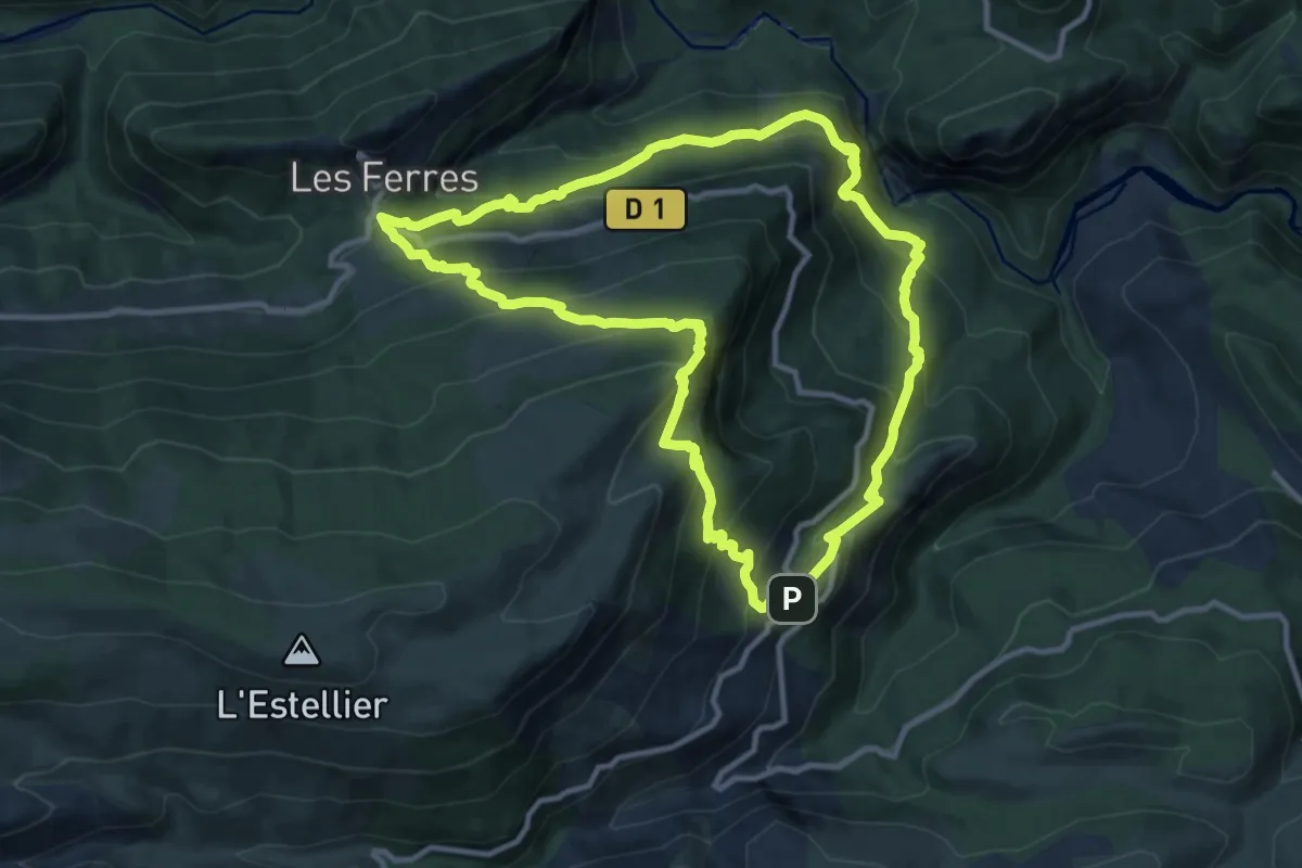
Demanding · Trail
Gorges de l'Estéron
11.9 km · ↑ 864 m · 4 h 51 min
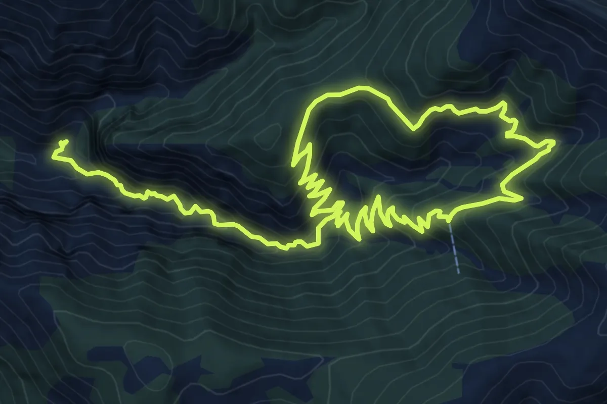
Medium · Trail
Gorges de Saint-Pierre
9.3 km · ↑ 592 m · 3 h 44 min
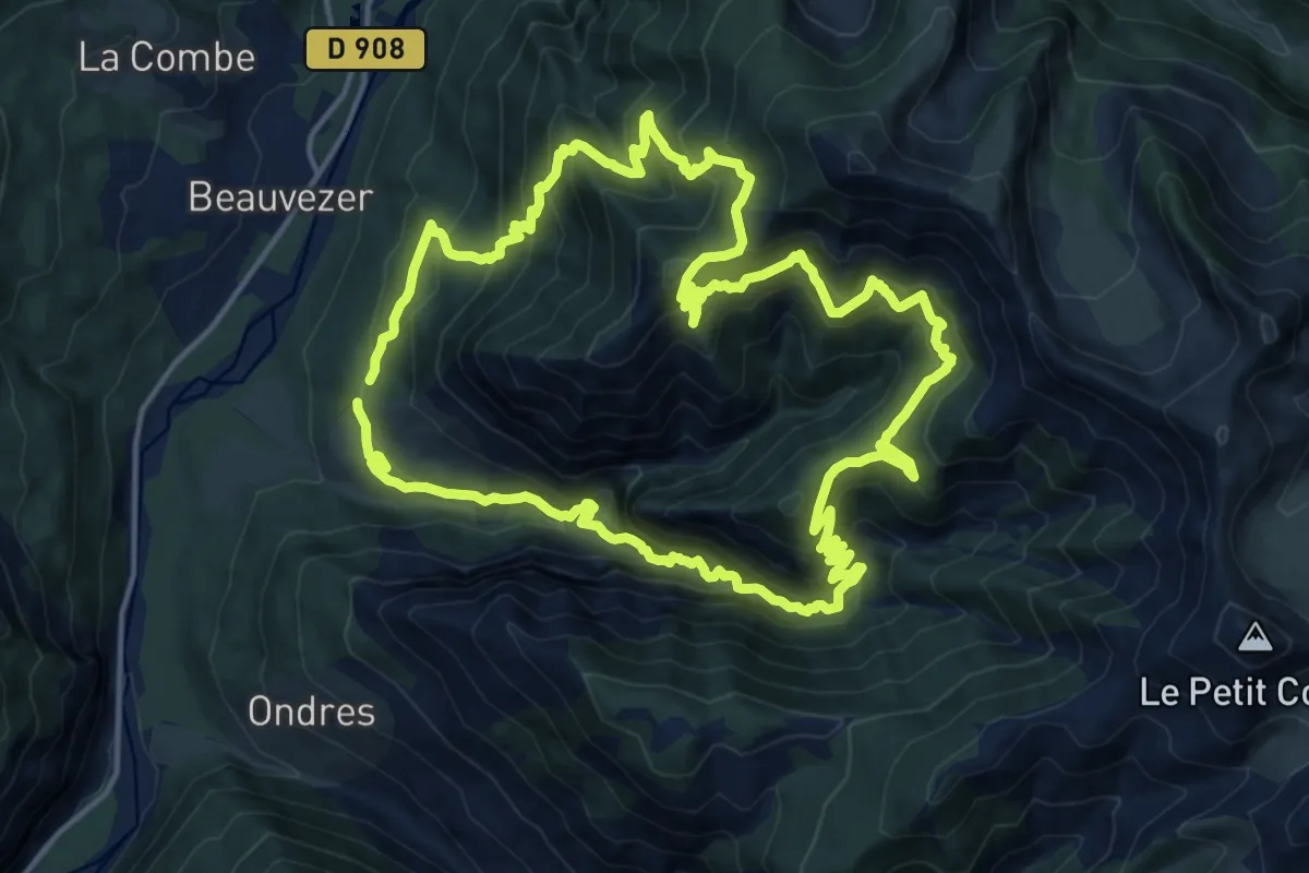
Demanding · Summit
Gorges de Saint Pierre - Le Couguyon (2 147 m)
16.9 km · ↑ 1362 m · 7 h 11 min
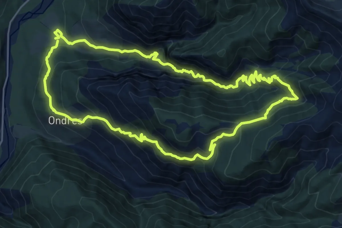
Demanding · Trail
Gorges de St Pierre - col de l'Orgeas - Ondres
15.3 km · ↑ 1166 m · 6 h 22 min
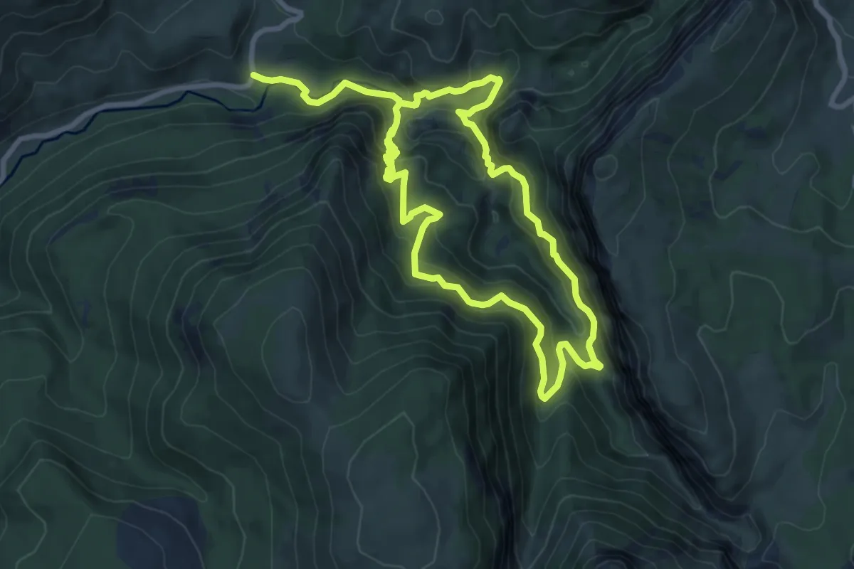
Demanding · Trail
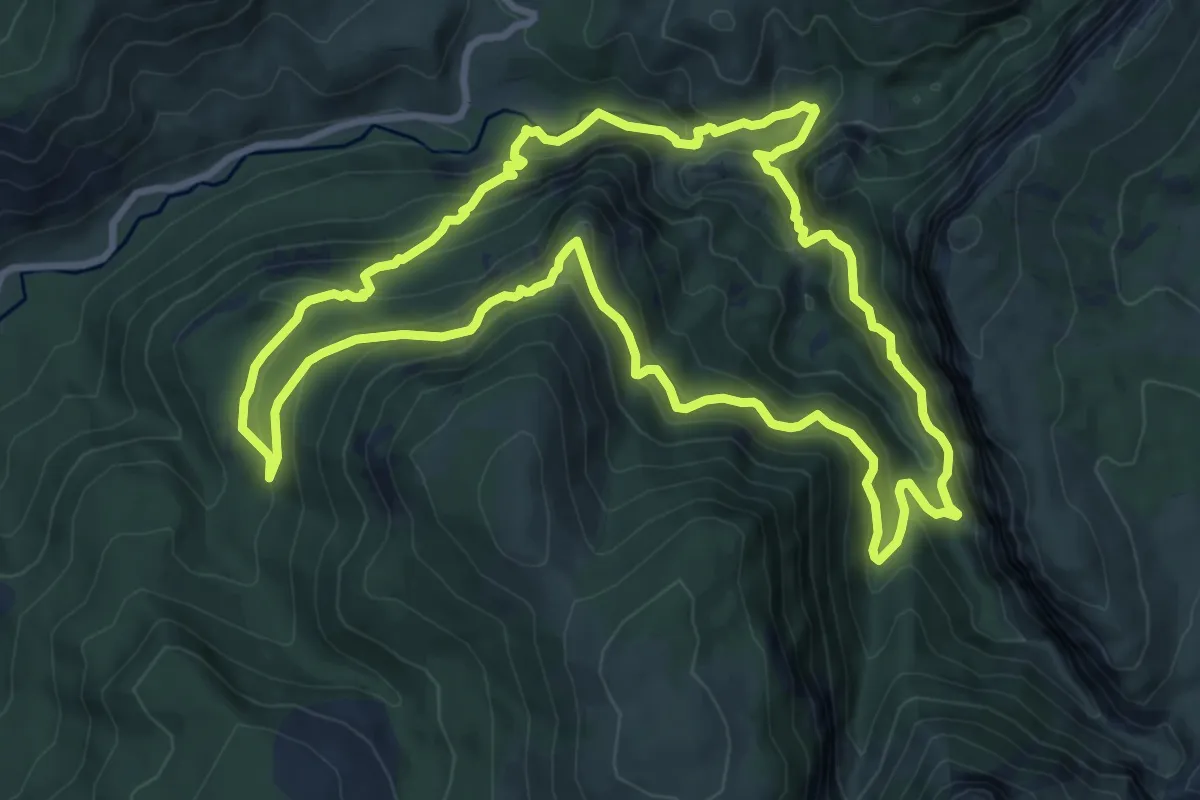
Gorges de Trévans
7.7 km · ↑ 637 m · 3 h 16 min
Demanding · Trail
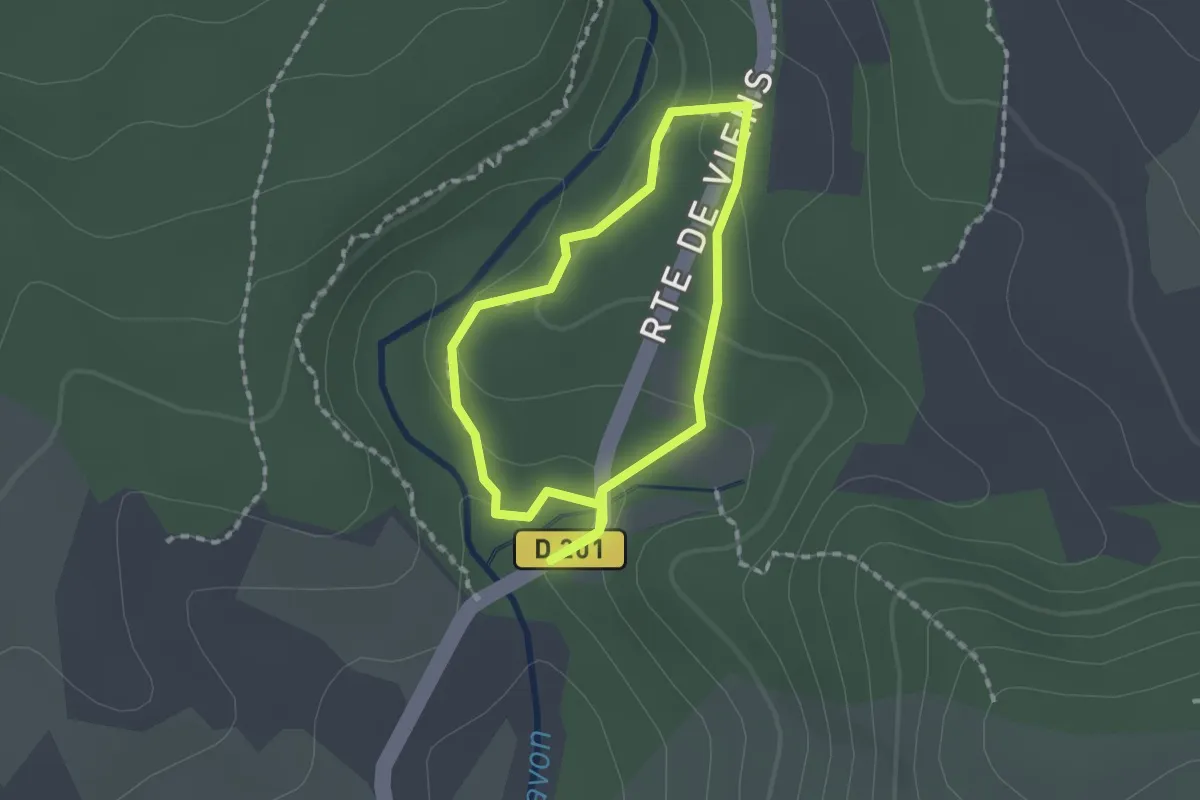
Gorges de Trévans par le belvédère
10.3 km · ↑ 751 m · 4 h 12 min
Medium · Trail
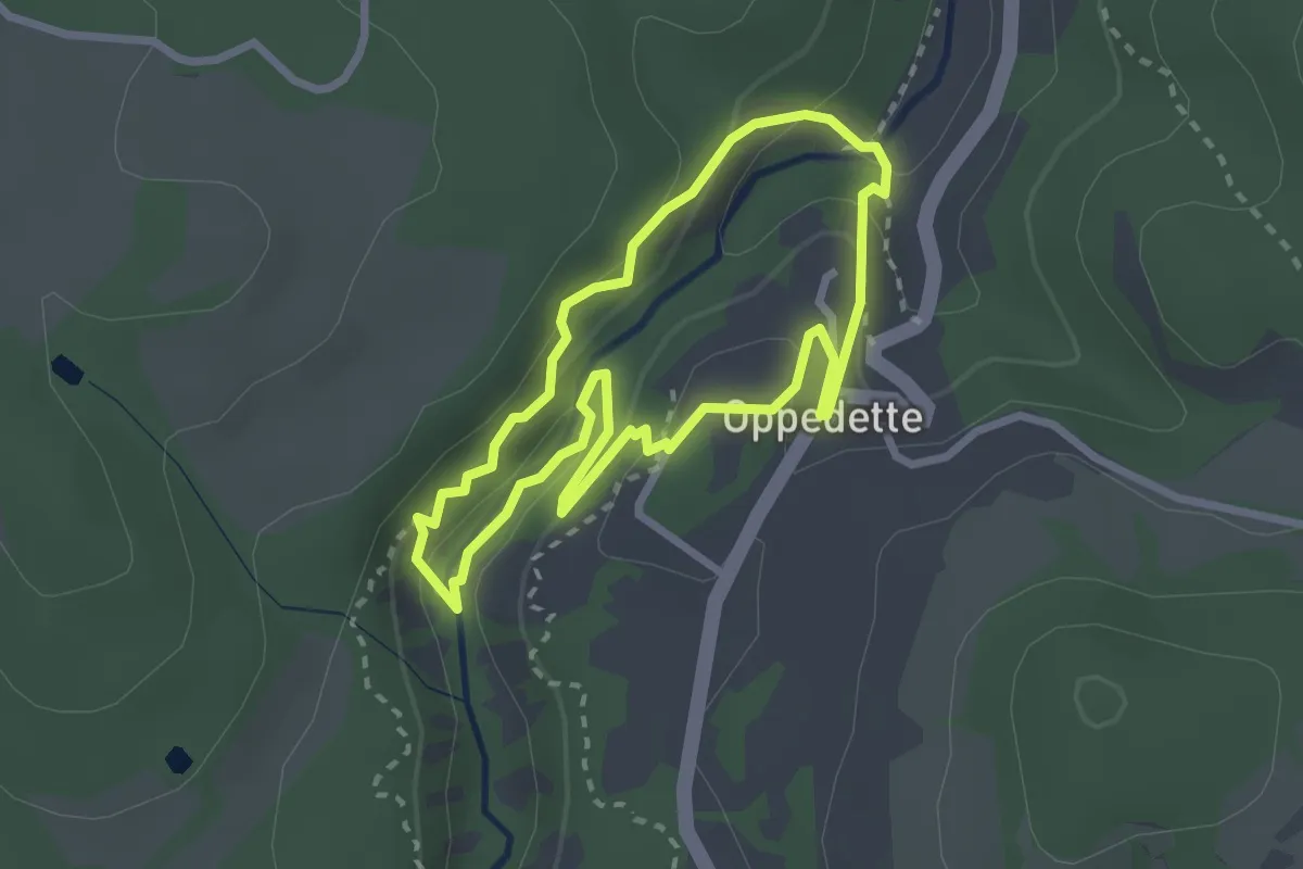
Gorges d'Oppedette - Terres du Four
1.4 km · ↑ 38 m · 26 min
Expert · Trail
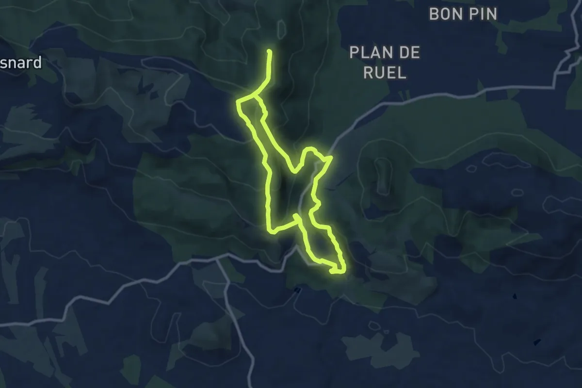
Gorges d'Oppedette - Traversée de l'échelle
2.5 km · ↑ 138 m · 56 min
Medium · Trail
Gorges du Blavet Castel Diaou
8.5 km · ↑ 431 m · 3 h 3 min
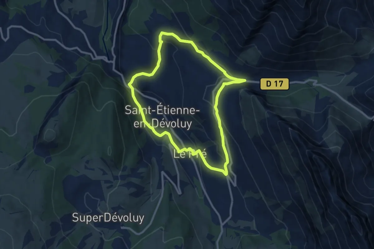
Easy · Trail
Gorges du Rif
7.7 km · ↑ 275 m · 2 h 31 min
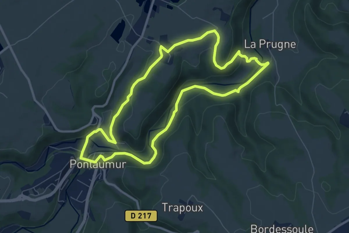
Easy · Trail
Gorges du Sioulet
7.3 km · ↑ 181 m · 2 h 14 min
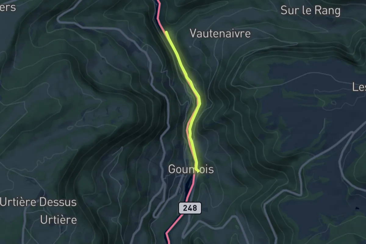
Easy · Trail
Goumois - fixme
3.9 km · ↑ 39 m · 1 h 1 min
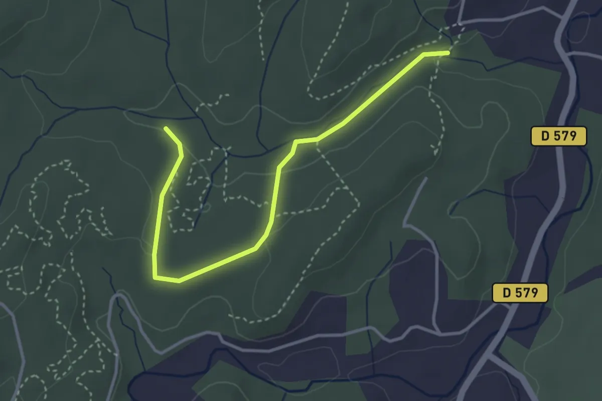
Easy · Trail
Gour d'Estelle - Darbousset
3.7 km · ↑ 53 m · 1 h
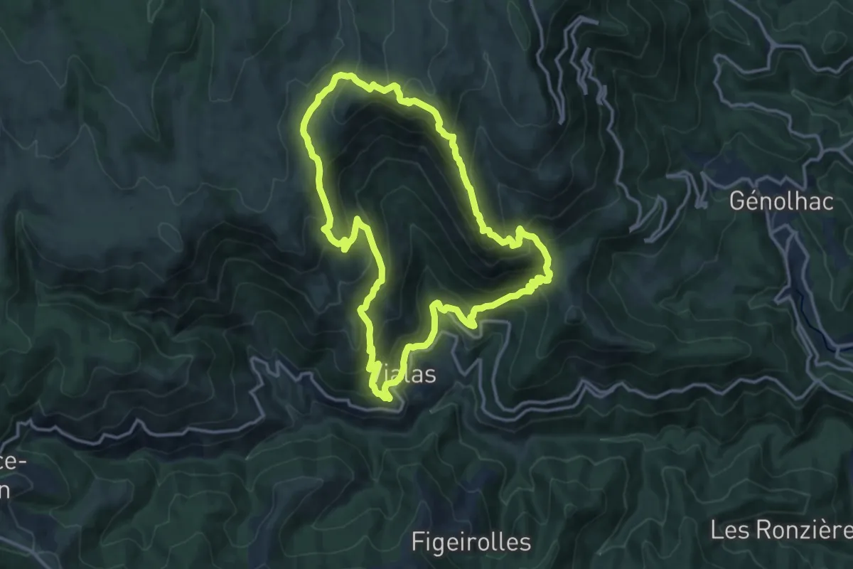
Demanding · Trail
Gourdouze
13.5 km · ↑ 855 m · 5 h 13 min
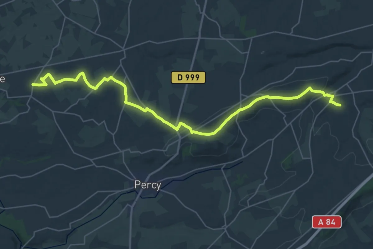
Demanding · Trail
Gouvets à Hambye
27.7 km · ↑ 361 m · 7 h 19 min
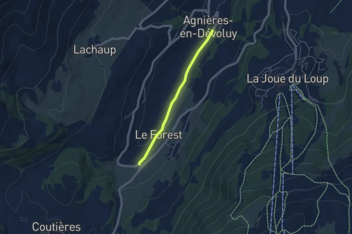
Easy · Trail
GP Col de Festre to Agnières en Dévoluy
3.7 km · ↑ 59 m · 1 h
Easy · Trail
GP Col de Rioupes to Agnières en Dévoluy
3.7 km · ↑ 59 m · 1 h
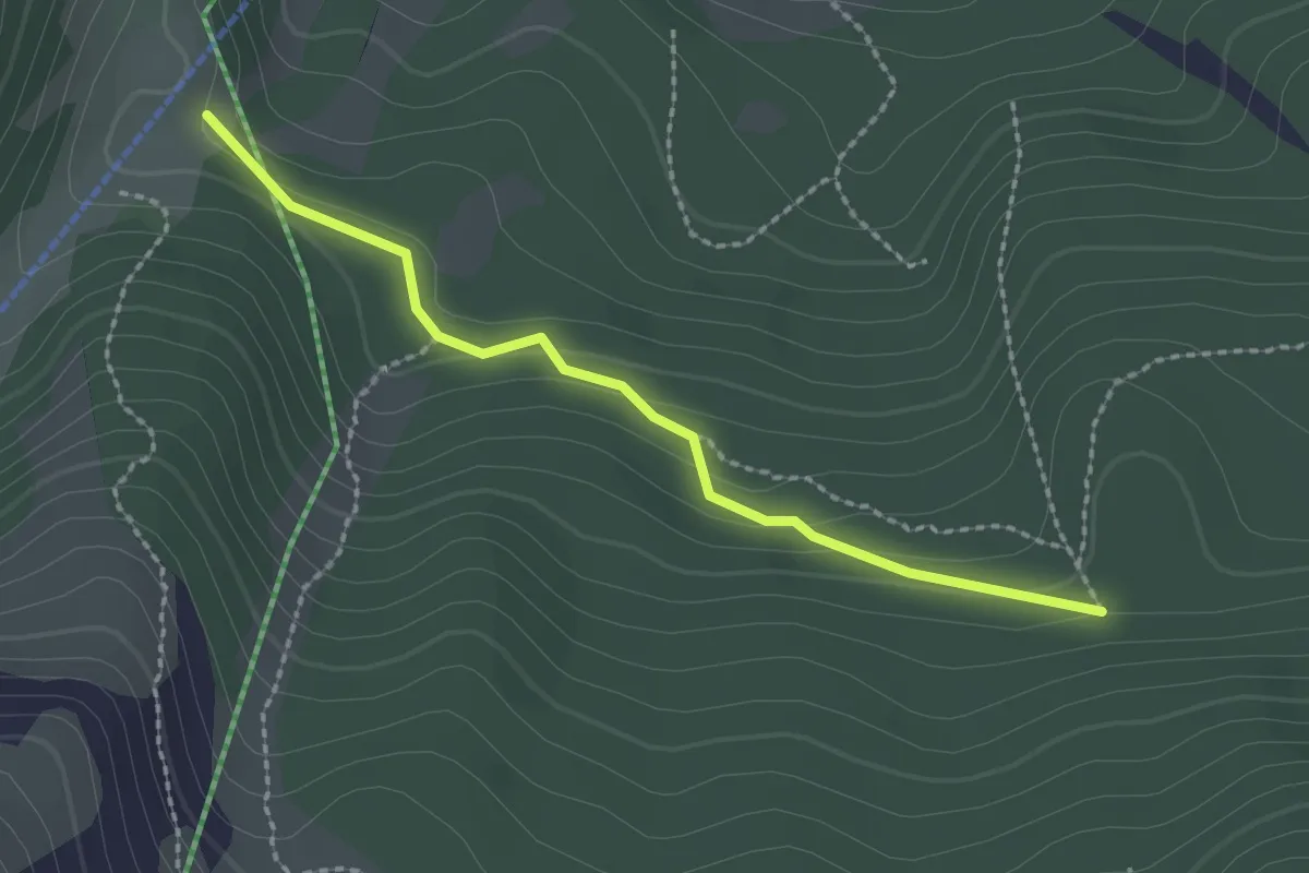
Easy · Trail
GP Combe de Corne <> GP Haut du Bois Rond
2.2 km · ↑ 77 m · 42 min
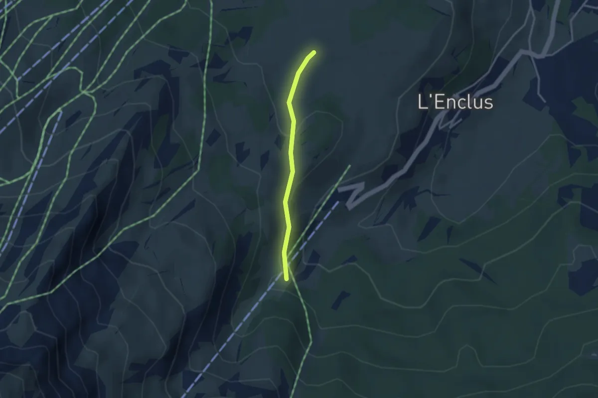
Easy · Trail
GP Combe de Corne <> GP Les Vallonnettes
2.5 km · ↑ 56 m · 42 min
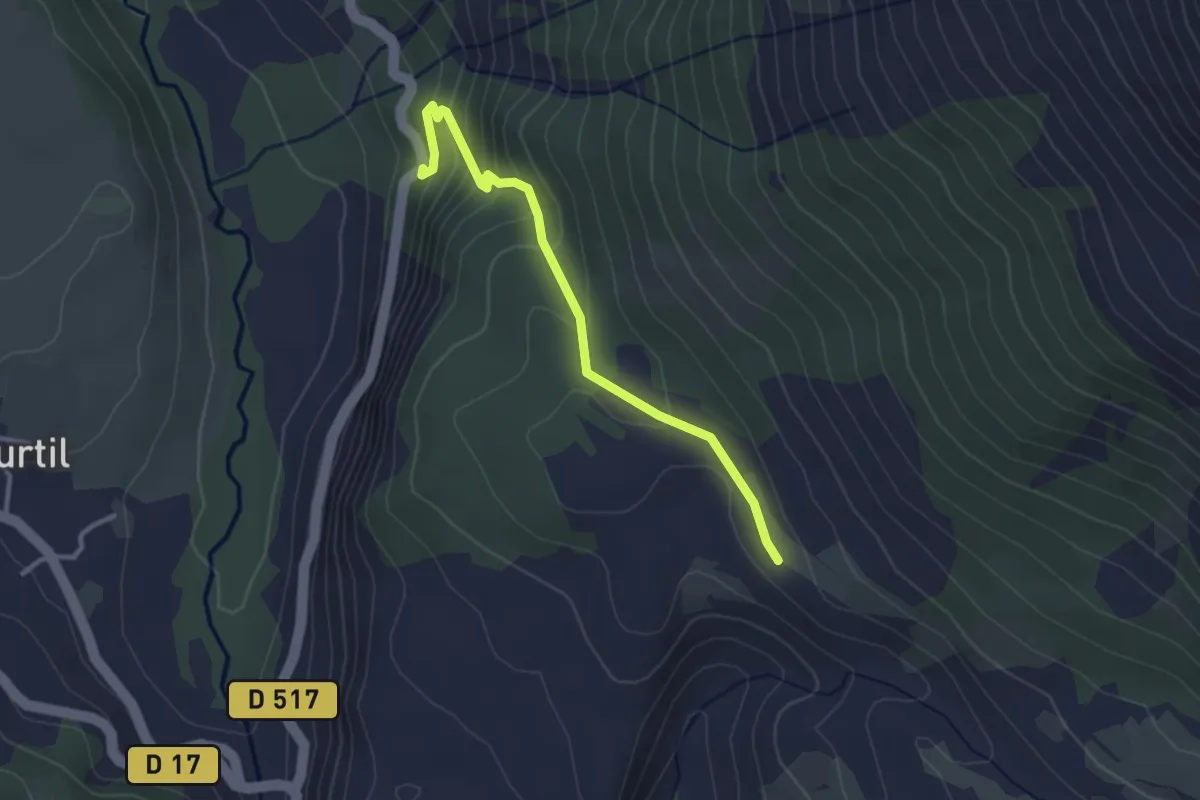
Easy · Trail
GP Combe de Mayt <-> GP Pra Blaï
3.1 km · ↑ 194 m · 1 h 9 min
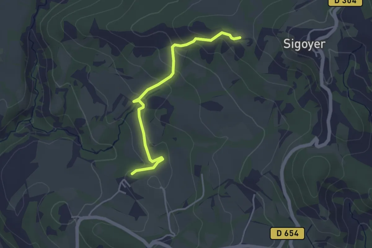
Easy · Trail
GP La Corpatasse <> GP Les Sagnières
3.5 km · ↑ 146 m · 1 h 9 min
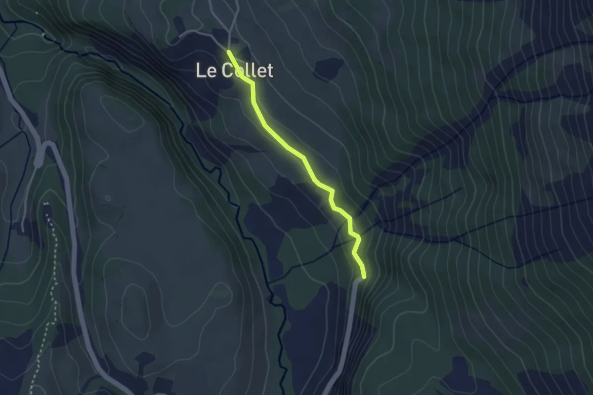
Easy · Trail
GP Le Collet (Haut) <-> GP Combe de Mayt
2.6 km · ↑ 54 m · 44 min
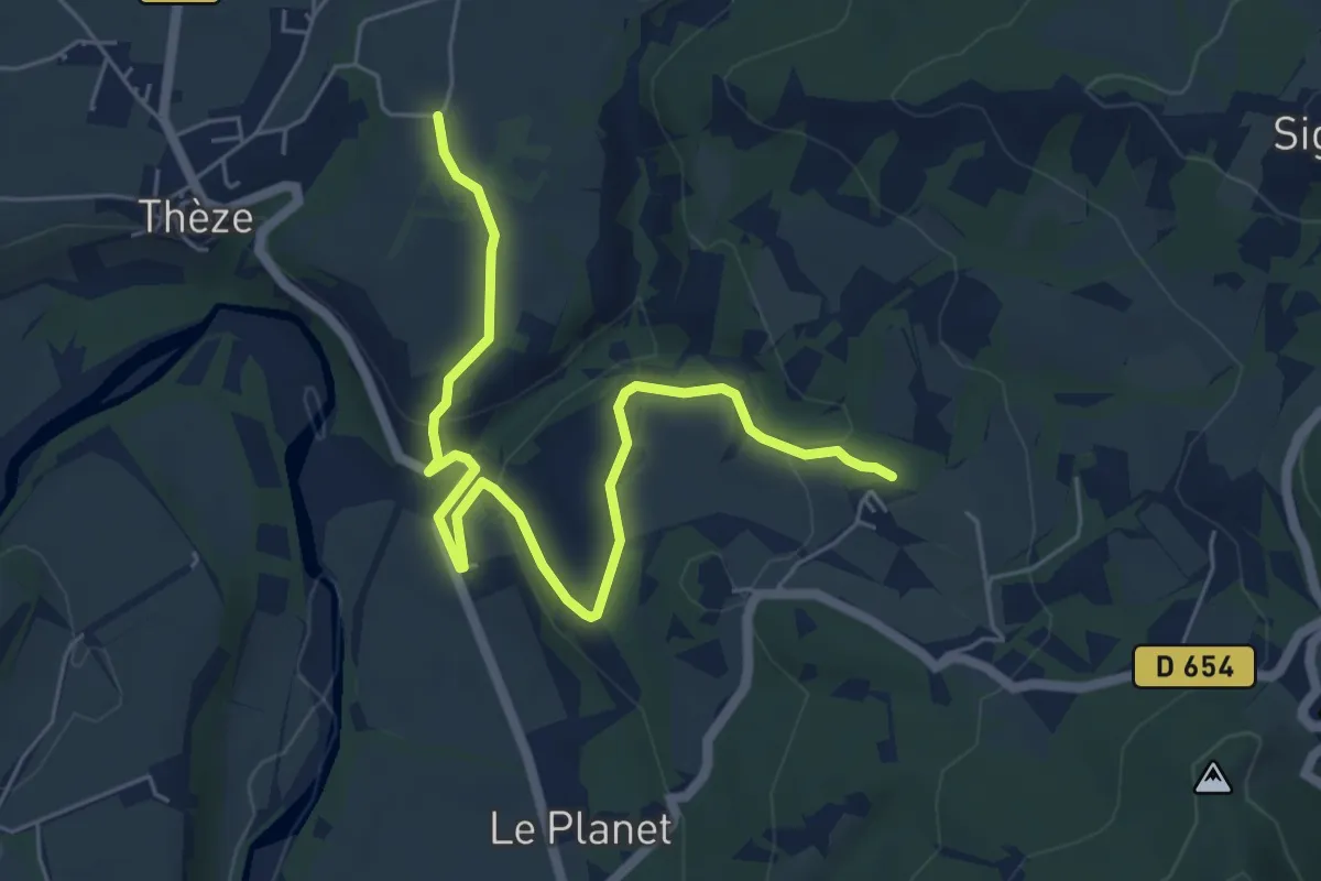
Easy · Trail
GP Les Saganières to GP Route de Thèze
6.9 km · ↑ 203 m · 2 h 4 min
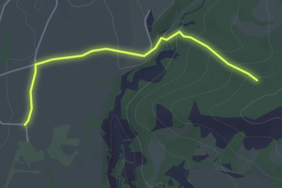
Easy · Trail
GP Route de Thèze <> GP Chantemerle
3.2 km · ↑ 91 m · 58 min
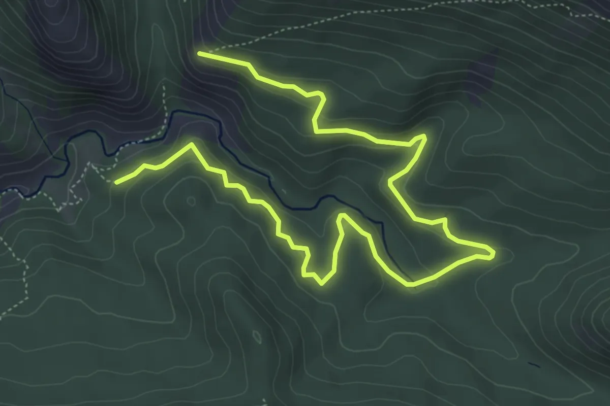
Medium · Trail
GP Route Forestière du Château <> GP Pas de Jubéo
8.1 km · ↑ 293 m · 2 h 33 min
Medium · Trail
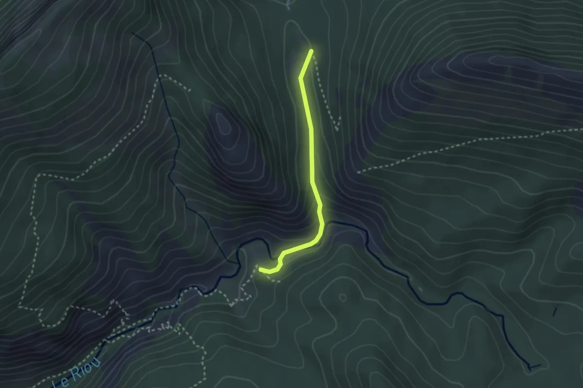
GP Saume Longe <> GP MF de Jubéo
2.4 km · ↑ 106 m · 48 min
Easy · Trail
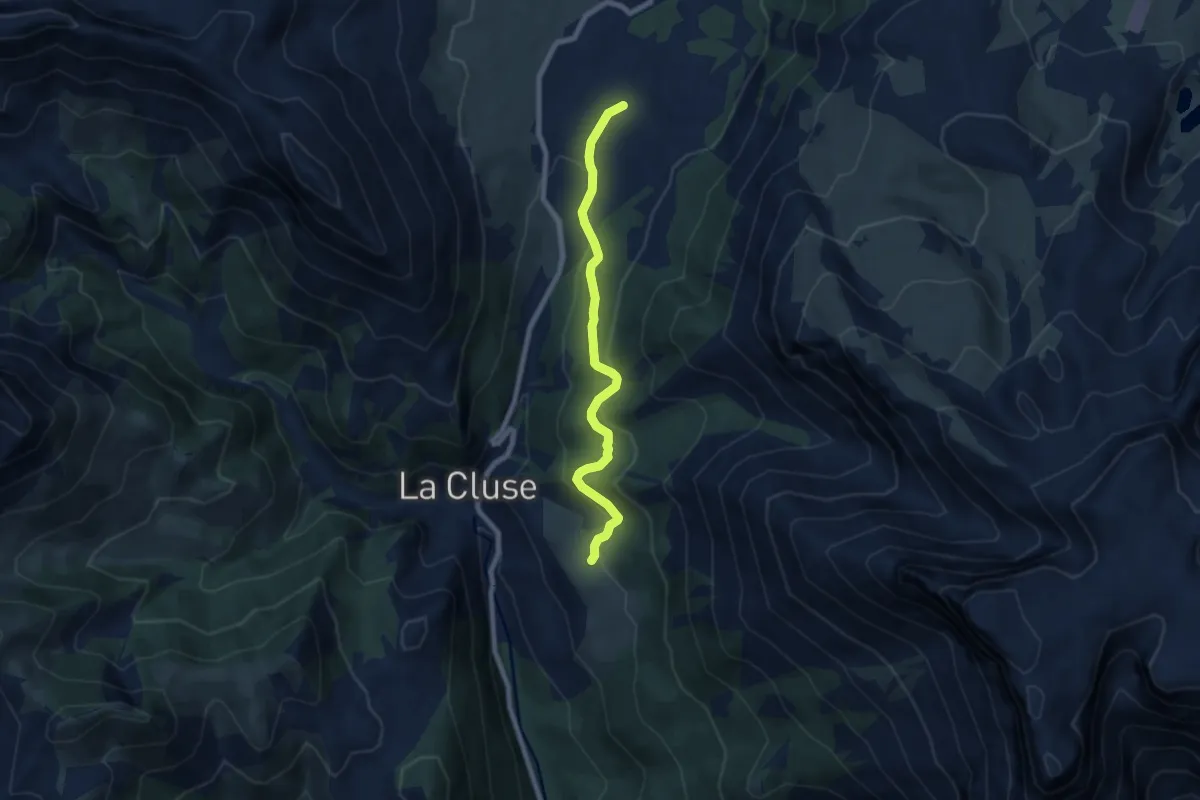
GP Vaugelé <> GP Serre du Lievre
7.4 km · ↑ 267 m · 2 h 20 min
Medium · Trail
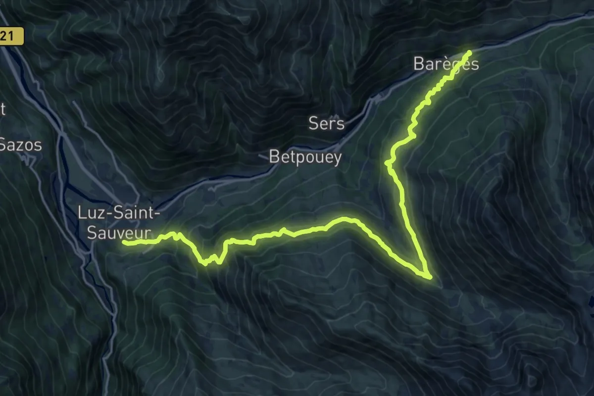
GR 10F
11.7 km · ↑ 585 m · 4 h 27 min
Demanding · Trail
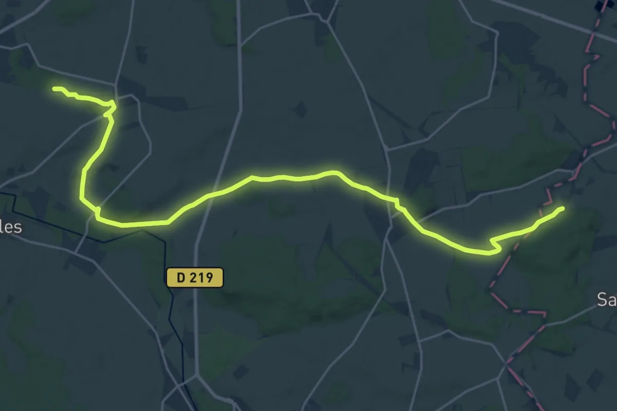
GR11 E
25.1 km · ↑ 262 m · 6 h 30 min
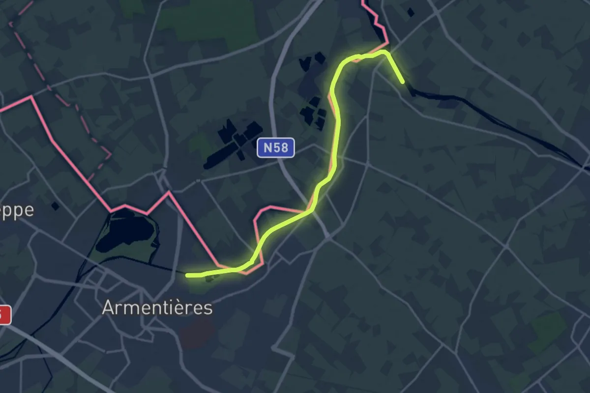
Medium · Trail
GR 121B de Bailleul à Rieulay
14.8 km · ↑ 0 m · 3 h 30 min
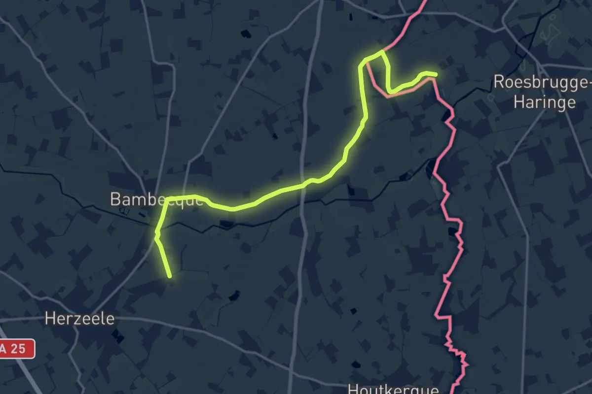
Medium · Trail
GR 130 IJzer Wintervariant Oost Cappel
14.1 km · ↑ 9 m · 3 h 21 min
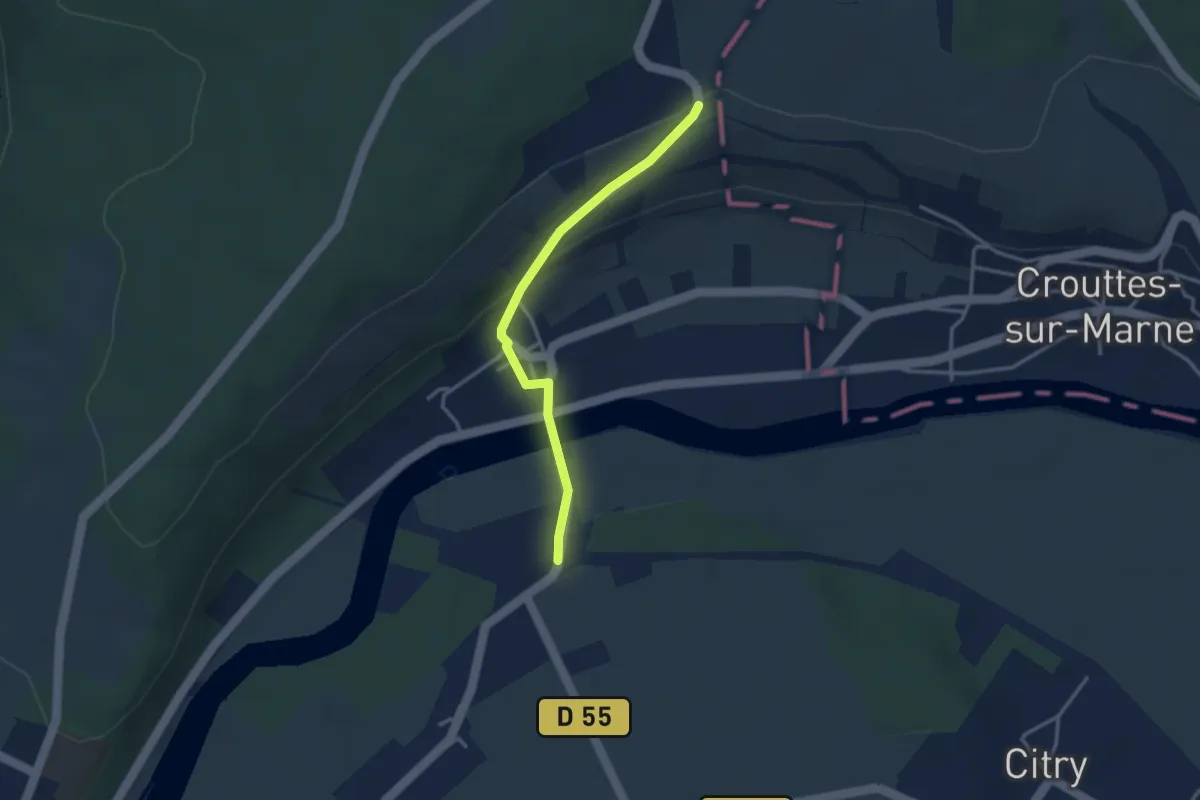
Easy · Trail
GR15 Accès Gare de Saacy sur Marne
2.9 km · ↑ 104 m · 55 min
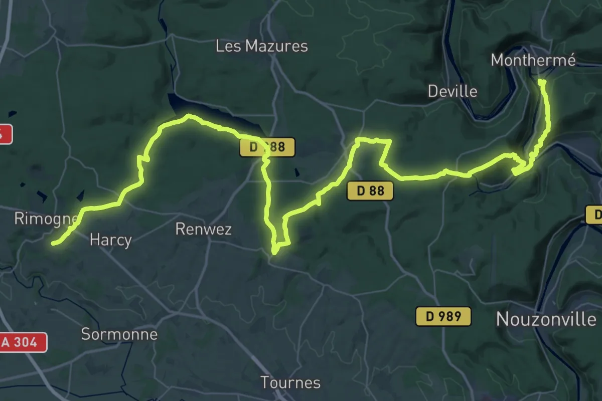
Demanding · Trail
GR 16 Liaison vers GR 12
28.9 km · ↑ 578 m · 8 h 31 min