Trails in France
15,926 hiking trails, each with its route, climb, walking time and grade.
All trails, page 119 of 332
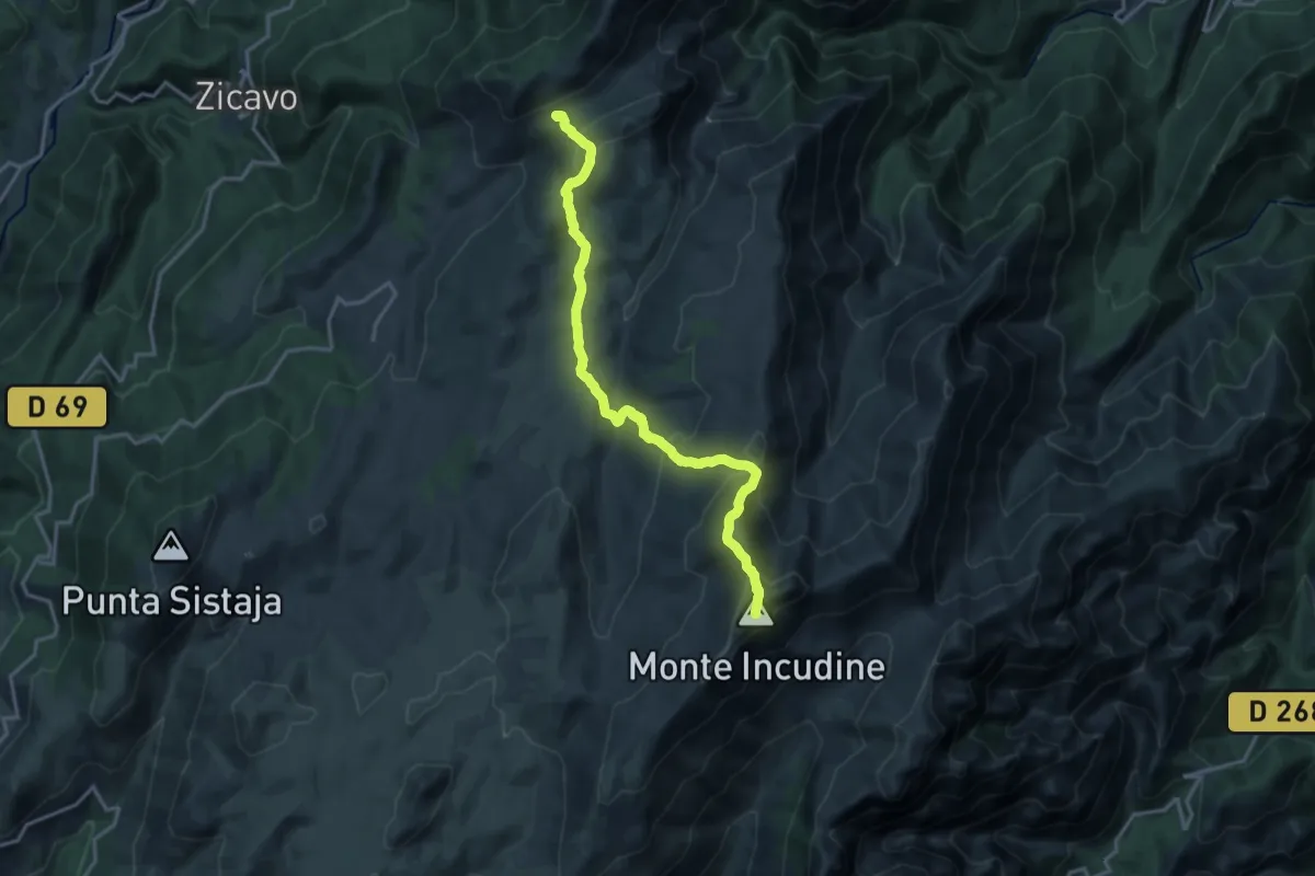
Demanding · Summit
GR 20 Variante via Monte Incudine
17.9 km · ↑ 998 m · 6 h 24 min
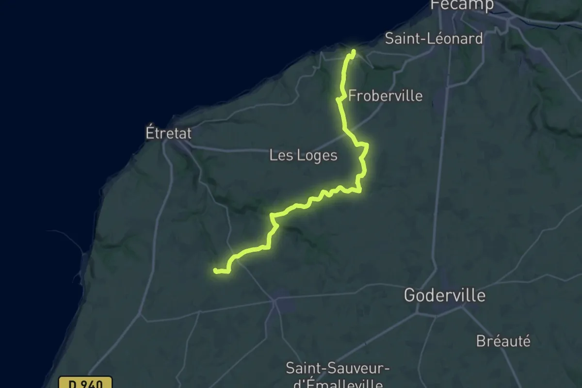
Medium · Trail
GR 21B
16.4 km · ↑ 179 m · 4 h 31 min
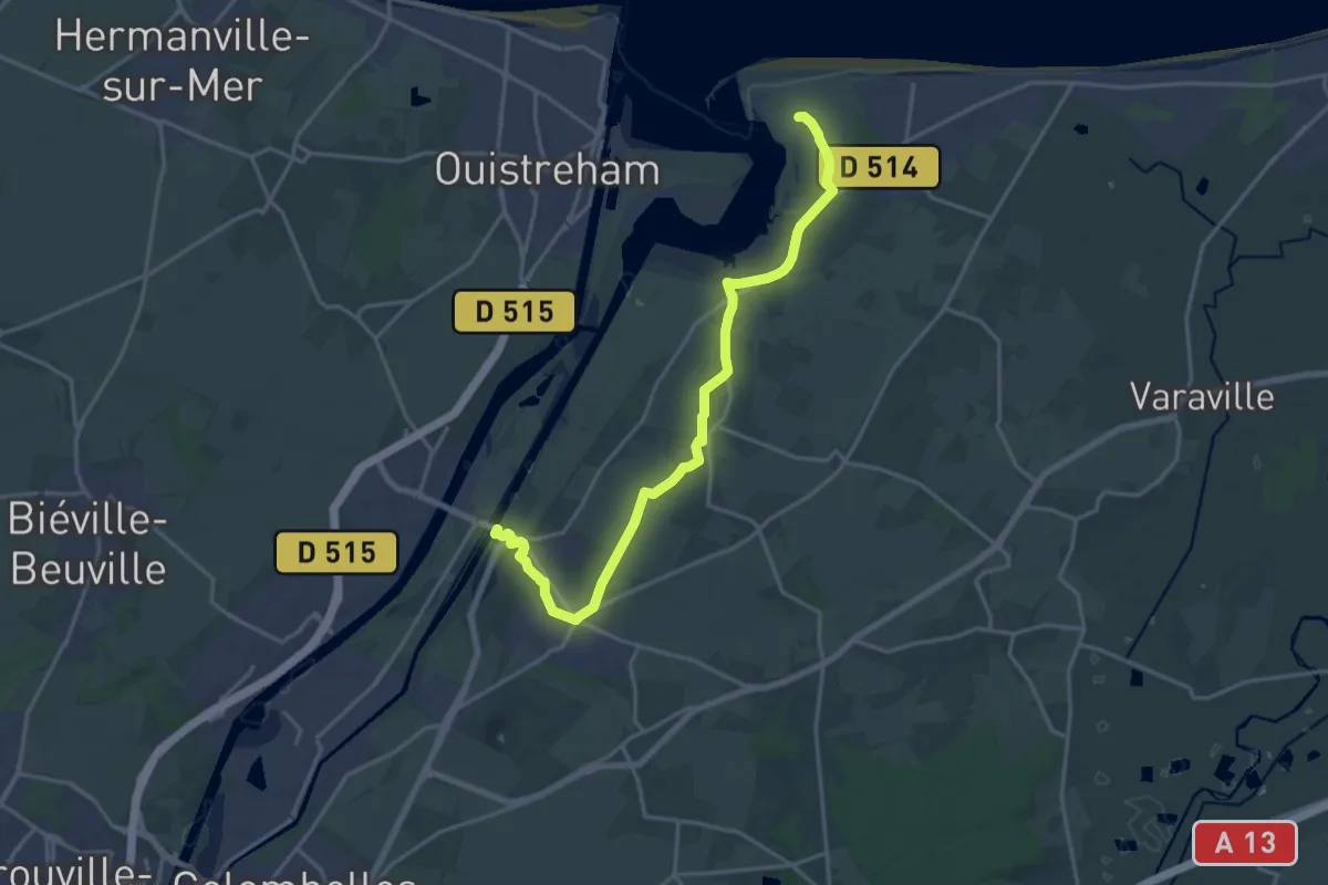
Demanding · Trail
GR 223 variante d'Amfreville
18.2 km · ↑ 95 m · 4 h 30 min
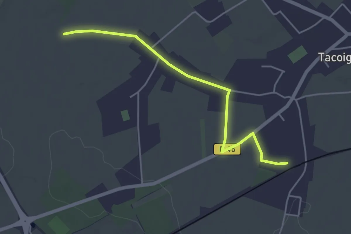
Easy · Trail
GR22 - accès Gare de Tacoignières
3.8 km · ↑ 8 m · 55 min
Easy · Trail
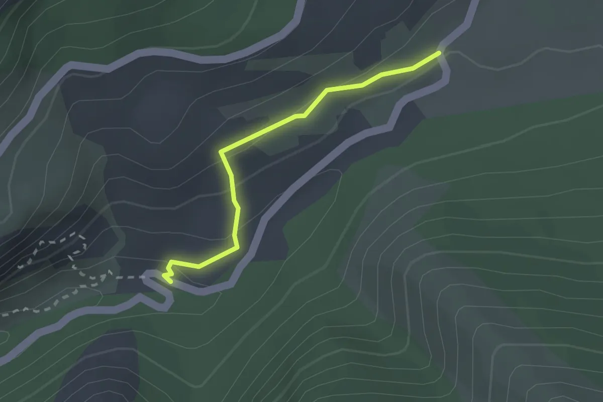
GR4 - La Palud
2.1 km · ↑ 89 m · 41 min
Medium · Trail
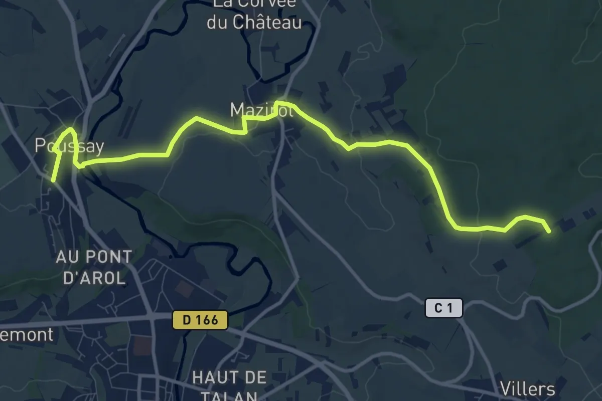
GR 507 (variante)
11.2 km · ↑ 233 m · 3 h 9 min
Demanding · Summit
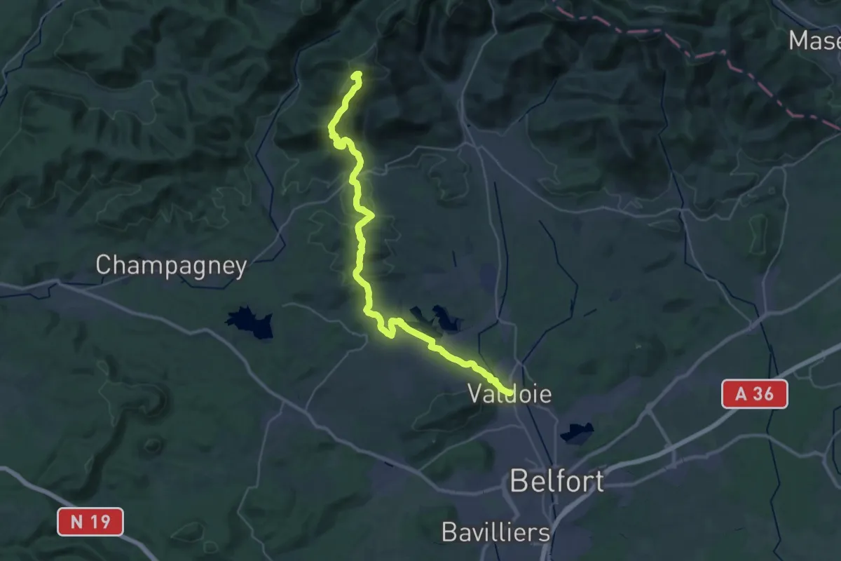
GR 533 Belfort-Sarrebourg
36.3 km · ↑ 1146 m · 11 h 3 min
Medium · Trail
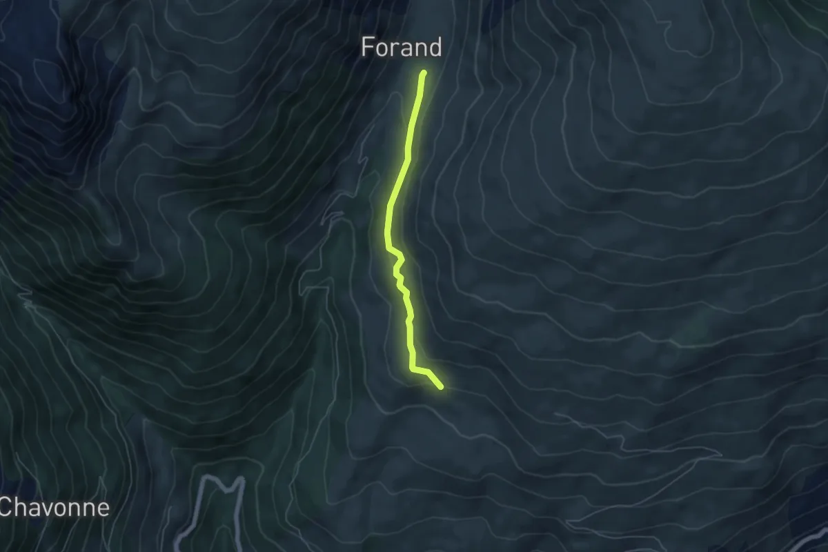
GR 5 Alpes Côte d'Azur Variant Canal des Chapelles
4.5 km · ↑ 155 m · 1 h 24 min
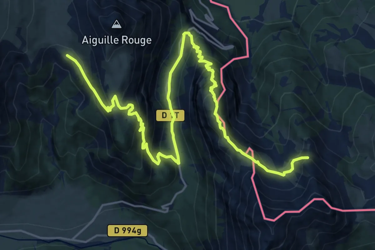
Demanding · Summit
GR 5b
20.7 km · ↑ 1451 m · 8 h 1 min
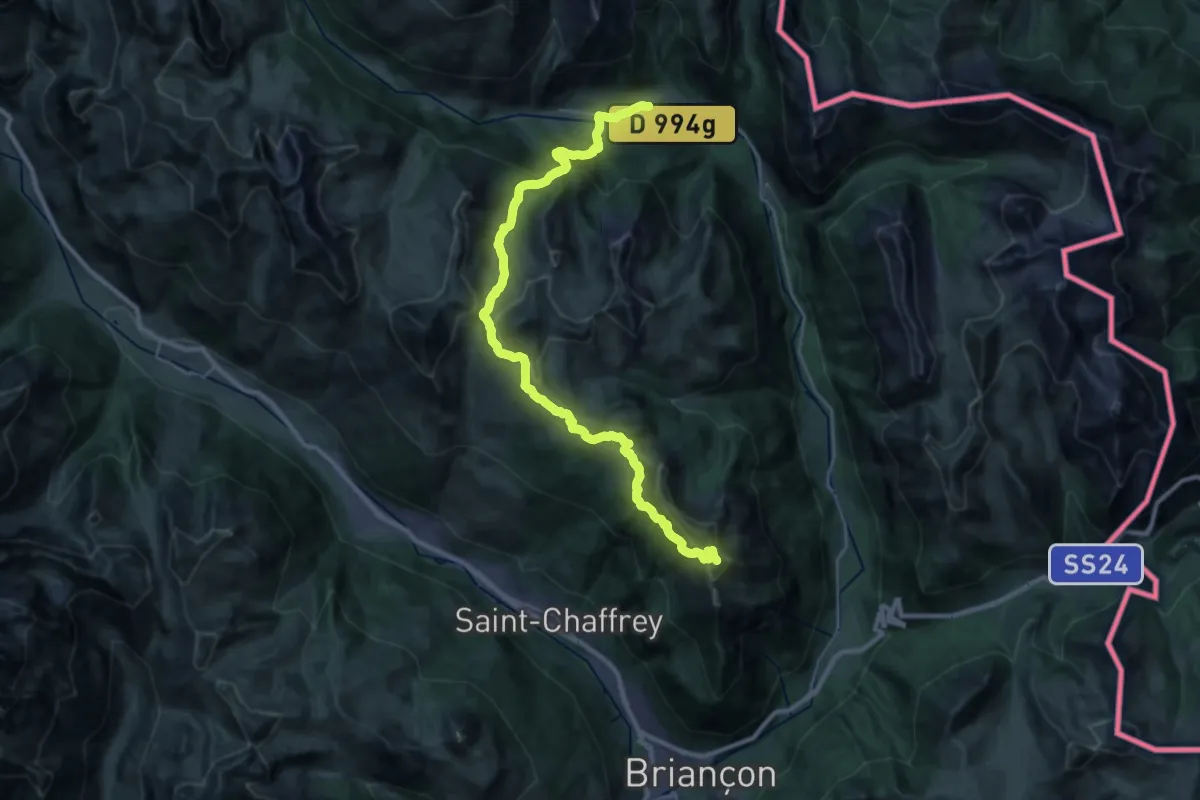
Demanding · Summit
GR 5c
32.6 km · ↑ 1811 m · 11 h 37 min
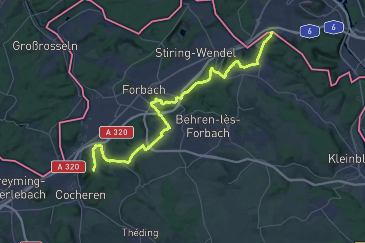
Medium · Trail
GR 5G Nord
16.0 km · ↑ 352 m · 4 h 48 min
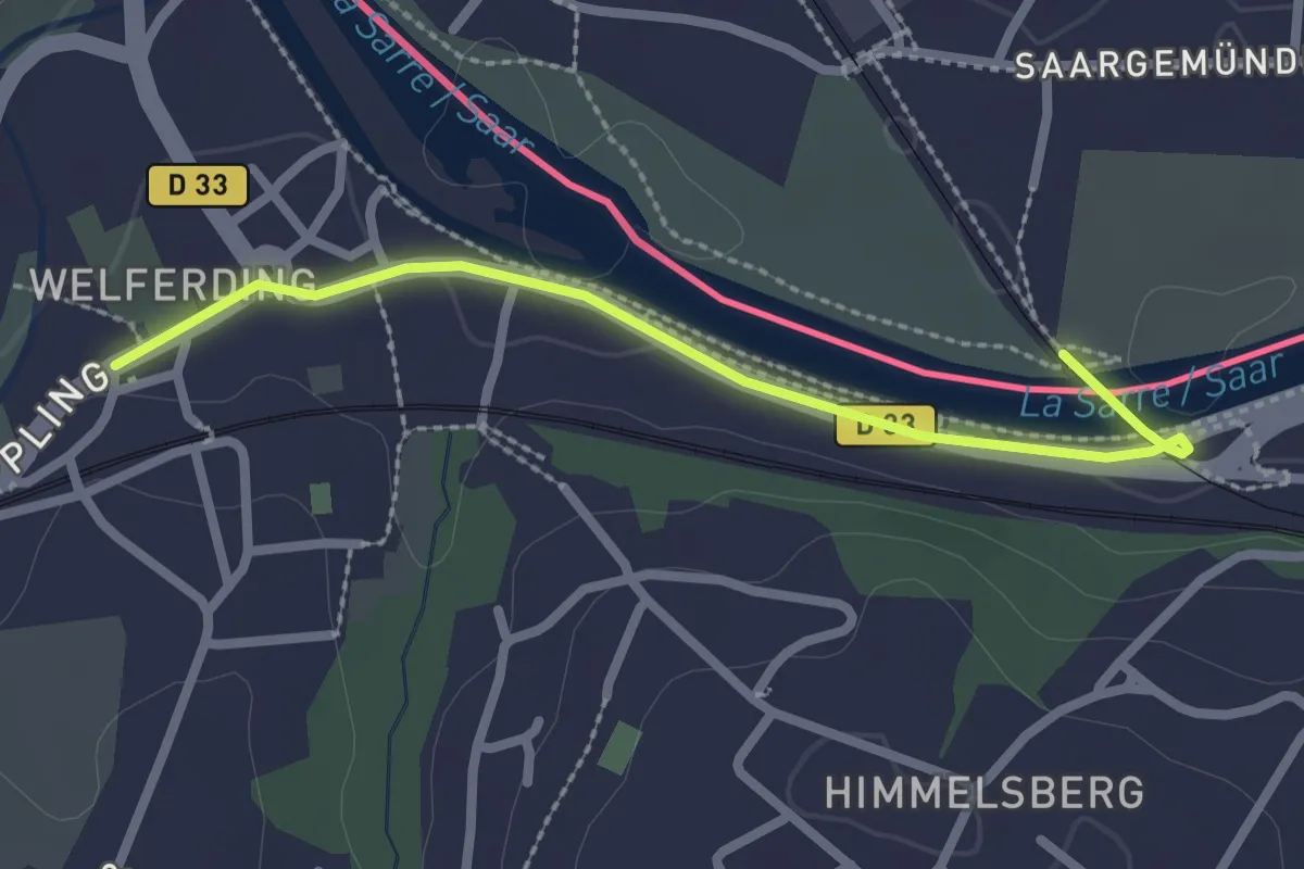
Easy · Pilgrim path
GR 5G Sud
1.2 km · ↑ 18 m · 19 min
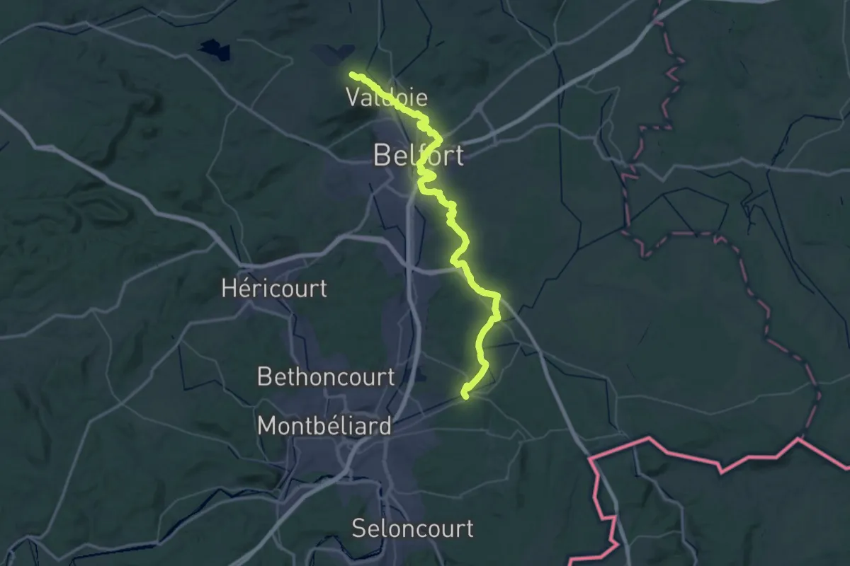
Demanding · Trail
GR 5 - Variante Belfort
28.2 km · ↑ 330 m · 7 h 48 min
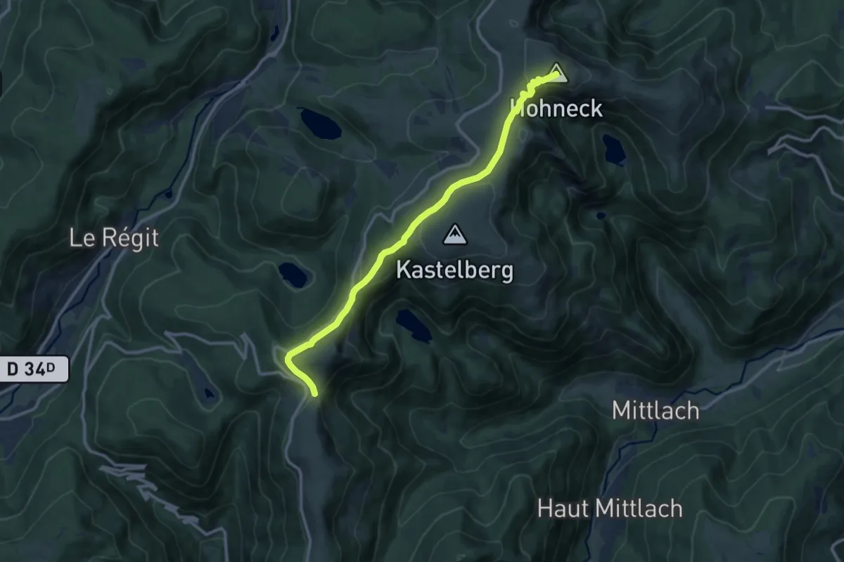
Medium · Summit
GR 5 - Variante Kastelberg
10.6 km · ↑ 331 m · 3 h 13 min
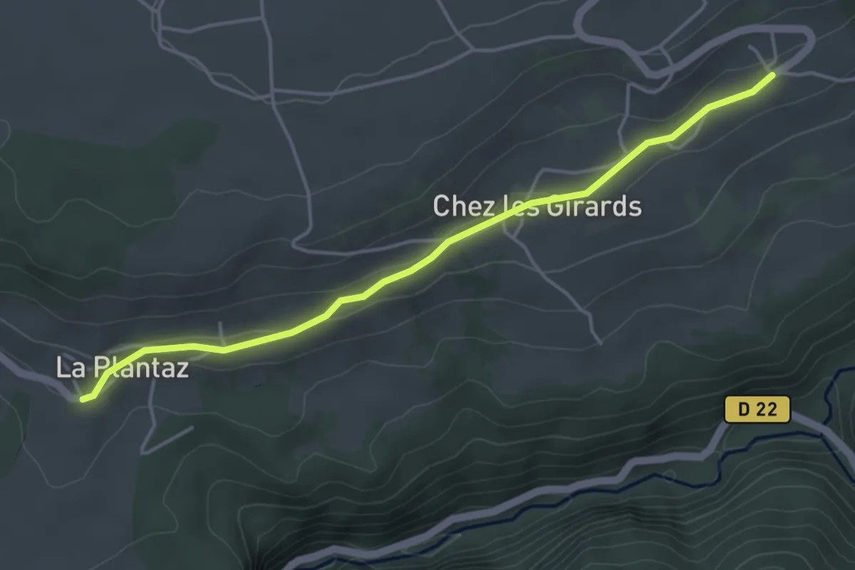
Easy · Trail
GR 5 Variante La Plantaz
4.3 km · ↑ 52 m · 1 h 8 min
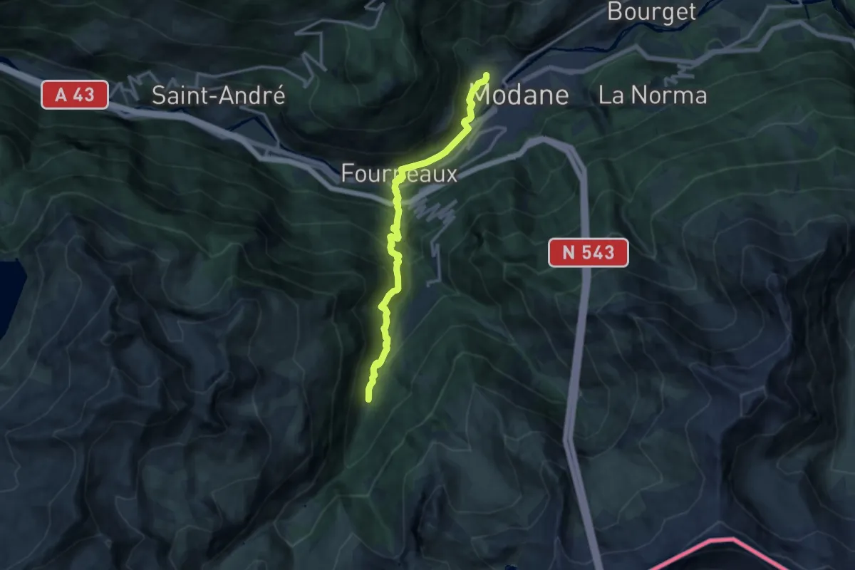
Expert · Trail
GR 5 Variante Modane Gare
12.5 km · ↑ 793 m · 4 h 40 min
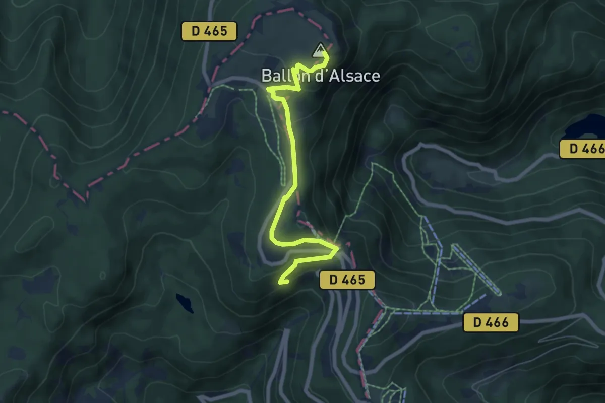
Easy · Summit
GR 5 Vosges, Ballon d'Alsace - Fesches-le-Châtel
5.7 km · ↑ 254 m · 1 h 54 min
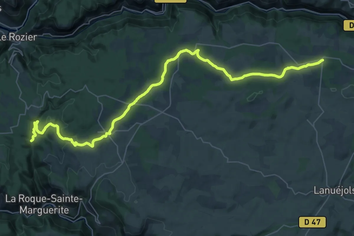
Demanding · Trail
GR 62A
18.7 km · ↑ 454 m · 5 h 32 min
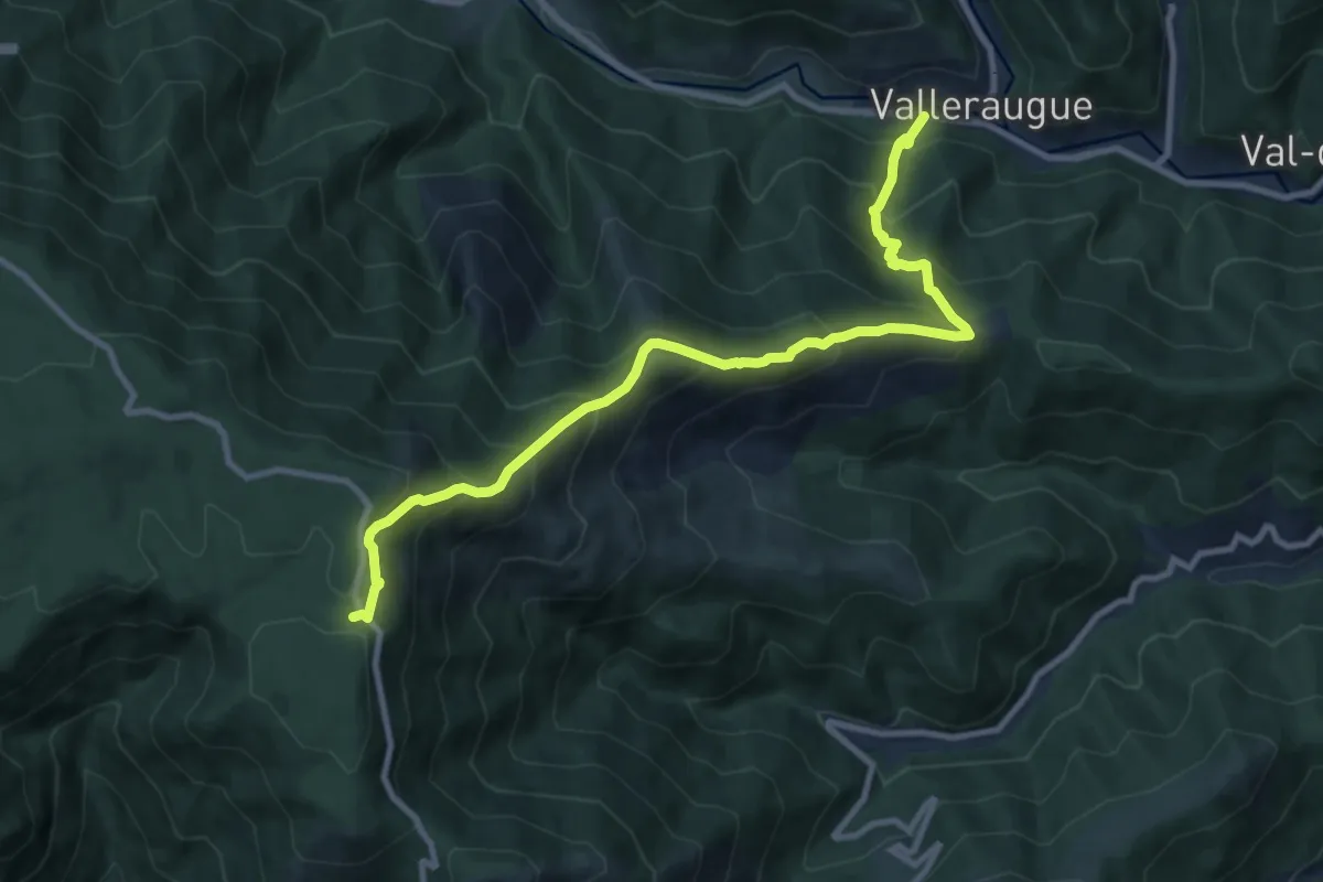
Demanding · Trail
GR 62C
10.8 km · ↑ 972 m · 4 h 40 min
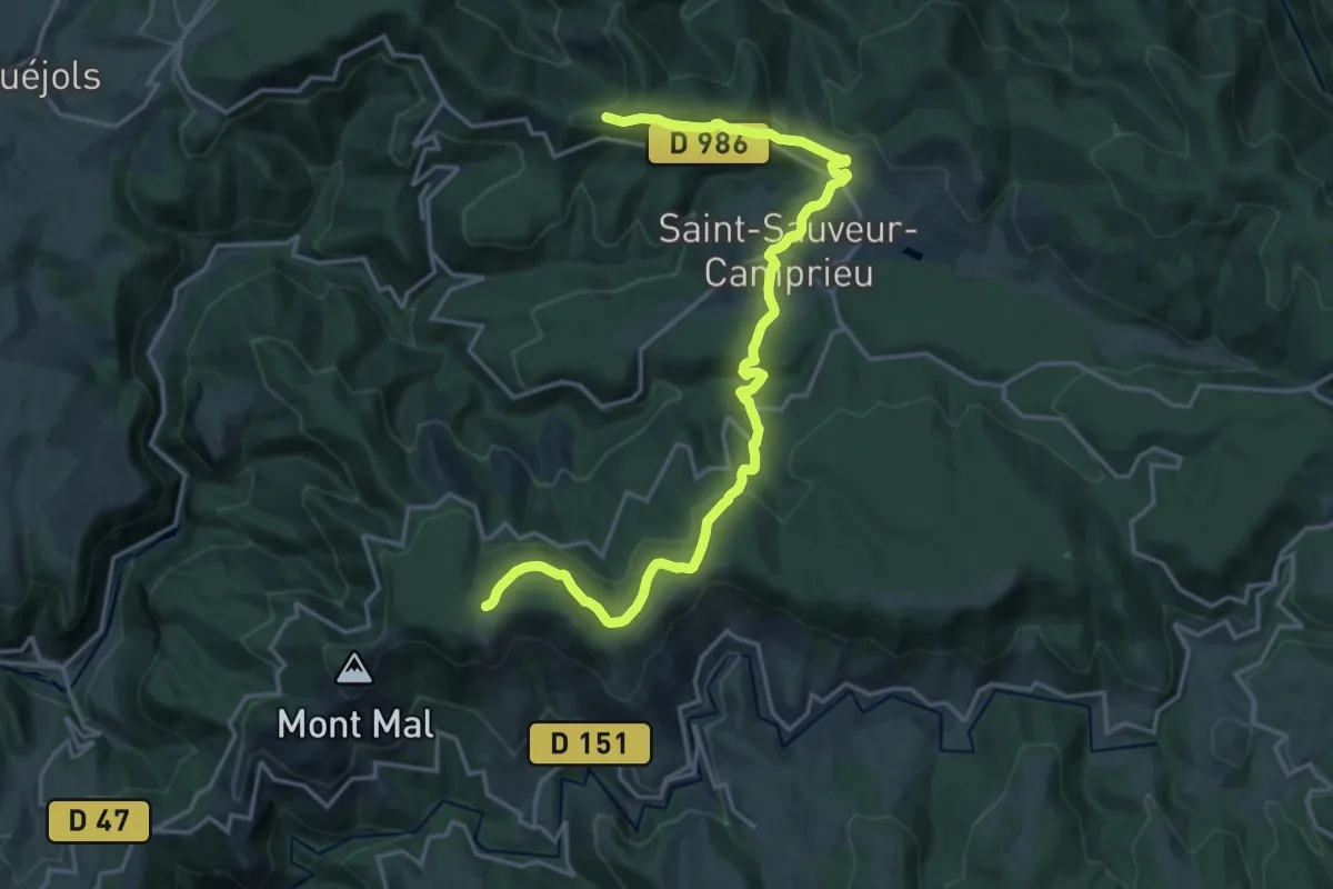
Demanding · Trail
GR 66A
21.4 km · ↑ 549 m · 6 h 15 min
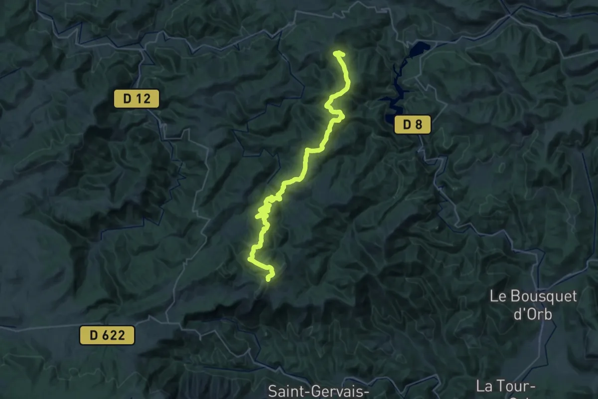
Demanding · Trail
GR71 previous route
18.4 km · ↑ 448 m · 5 h 44 min
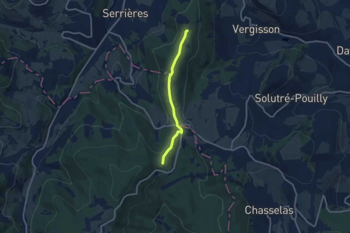
Easy · Trail
GR 76A
6.1 km · ↑ 184 m · 1 h 50 min
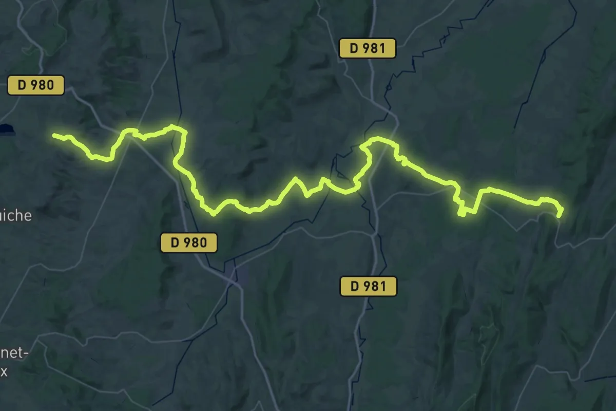
Demanding · Trail
GR 76B
39.7 km · ↑ 622 m · 11 h 15 min
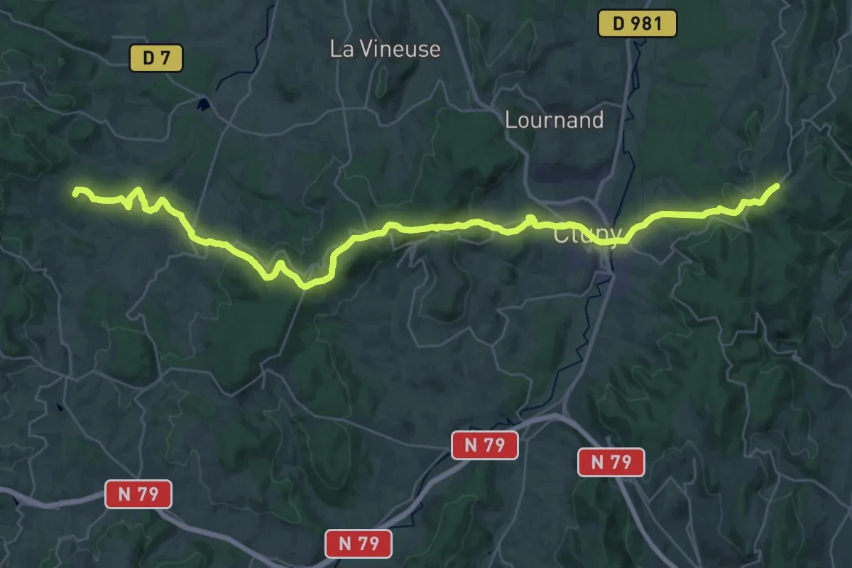
Demanding · Summit
GR 76C
40.3 km · ↑ 1012 m · 11 h 43 min
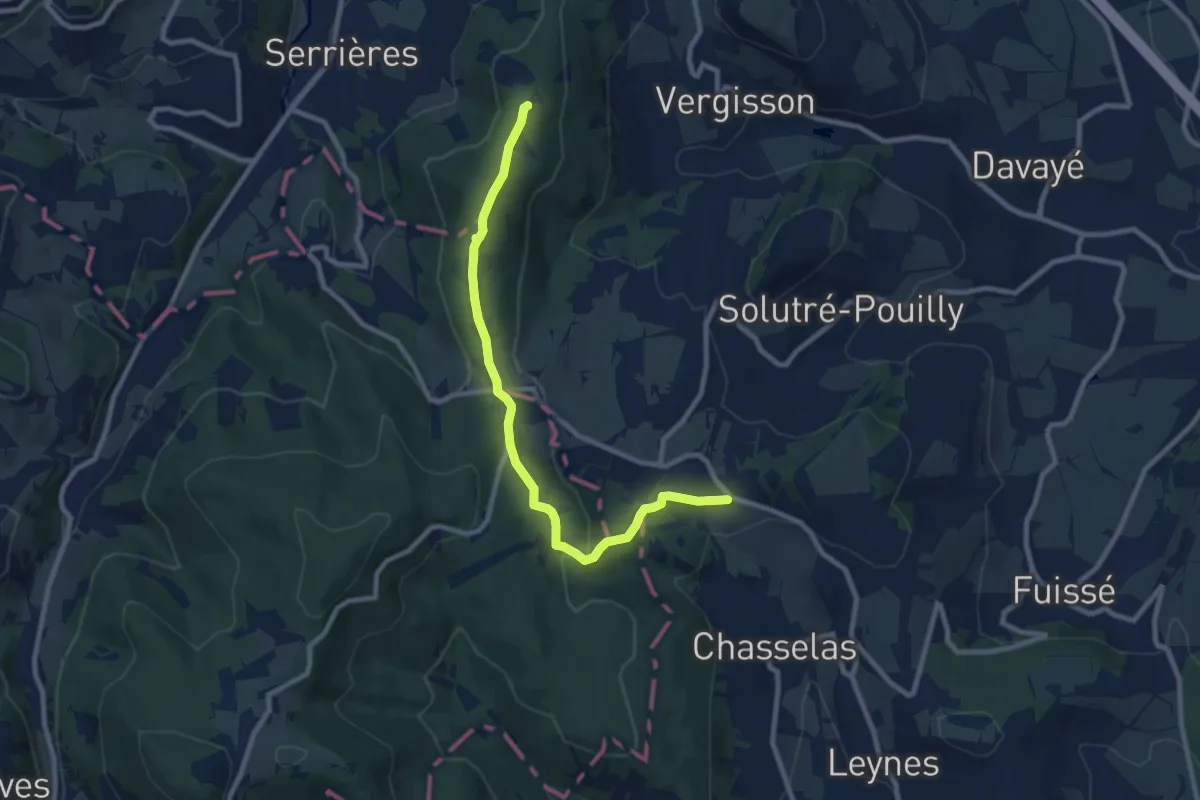
Medium · Trail
GR 76D
9.3 km · ↑ 226 m · 2 h 41 min
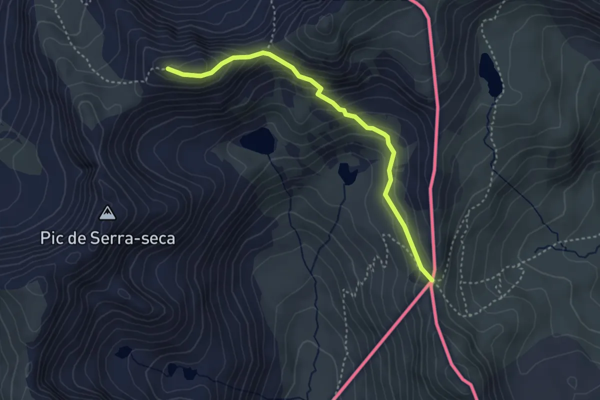
Medium · Trail
GR 7 - Andorra
3.8 km · ↑ 254 m · 1 h 27 min
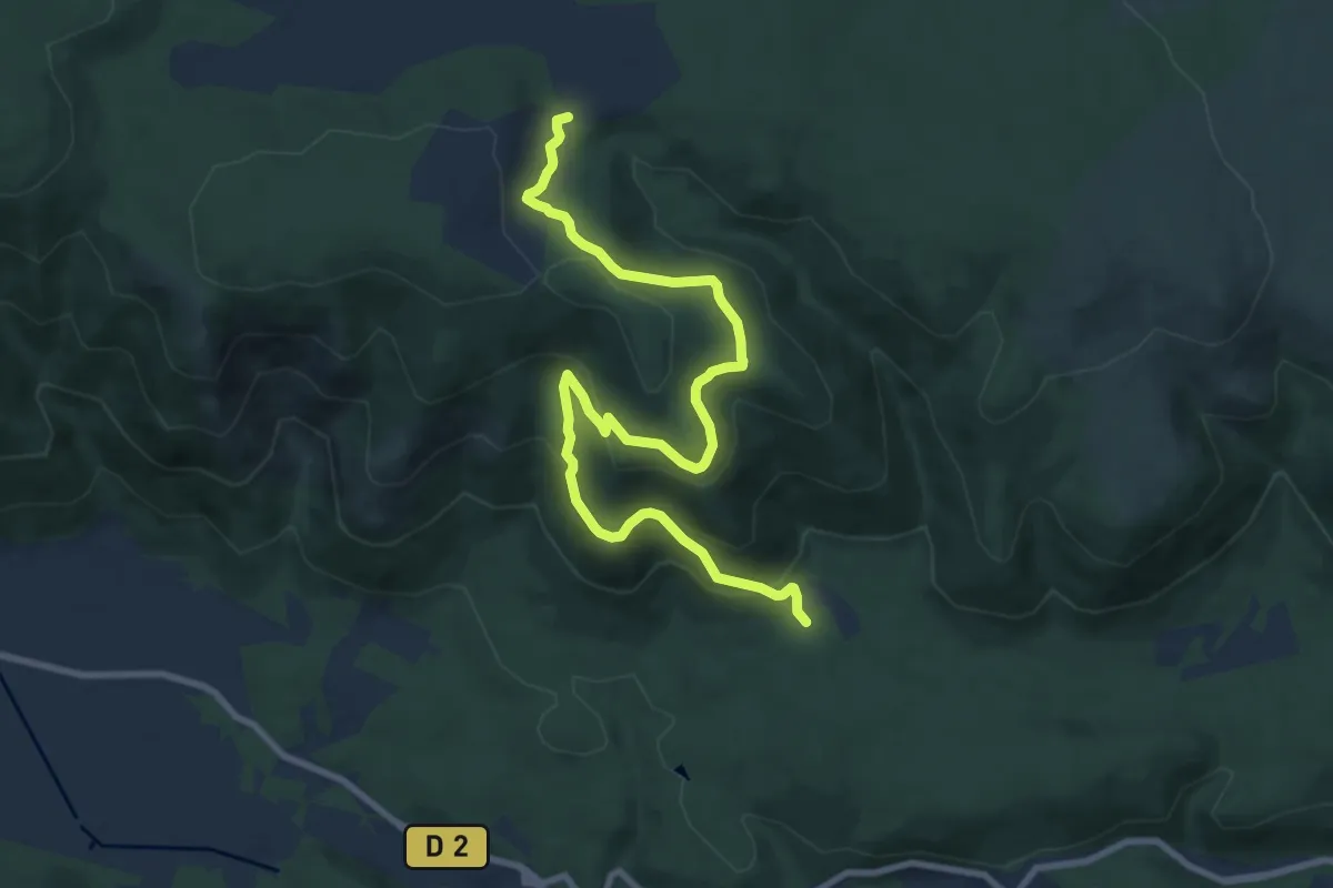
Medium · Trail
GR 99 variante
11.1 km · ↑ 464 m · 3 h 37 min
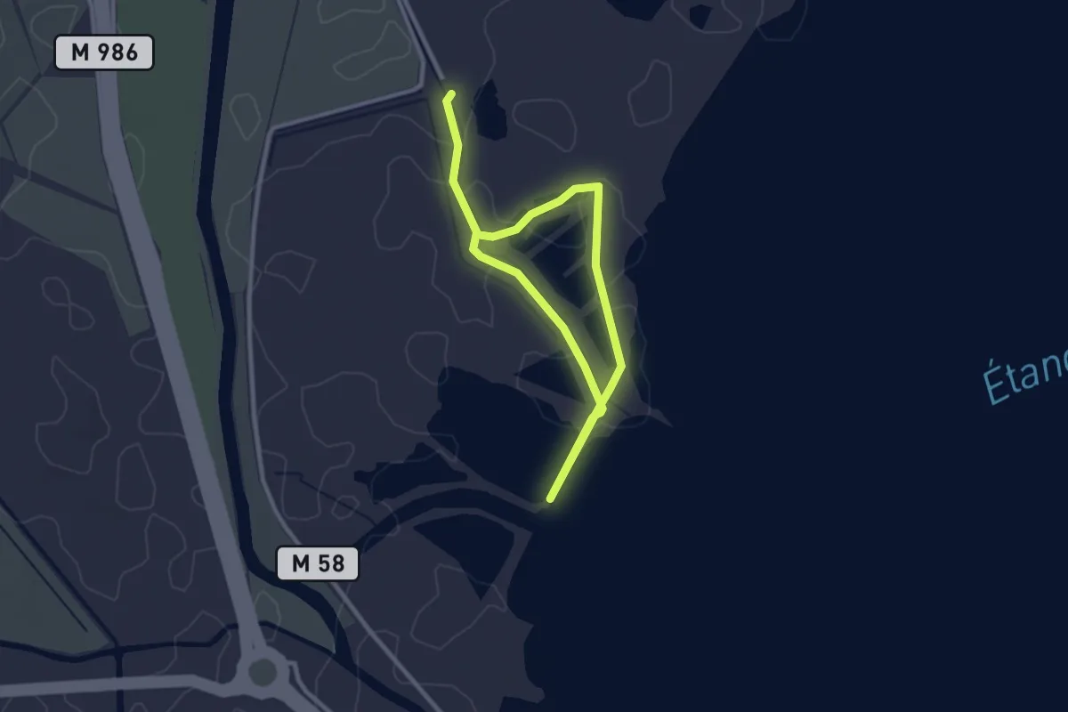
Easy · Trail
Grains de Méjean
4.3 km · ↑ 0 m · 1 h 1 min
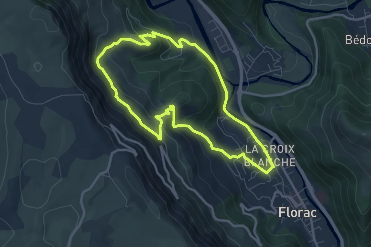
Easy · Trail
Gralhon
6.8 km · ↑ 290 m · 2 h 20 min
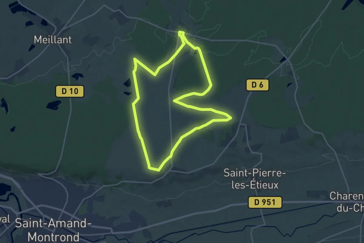
Medium · Trail
Grand Boucle d'Arpheuilles
15.9 km · ↑ 126 m · 4 h 14 min
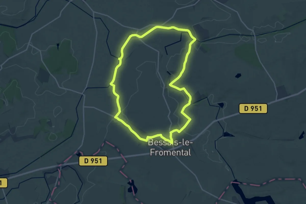
Medium · Trail
Grand Boucle du Canal
14.9 km · ↑ 66 m · 3 h 52 min
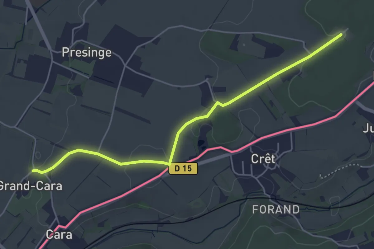
Easy · Trail
Grand Cara - Les Bois d'Ornaz
4.8 km · ↑ 41 m · 1 h 13 min
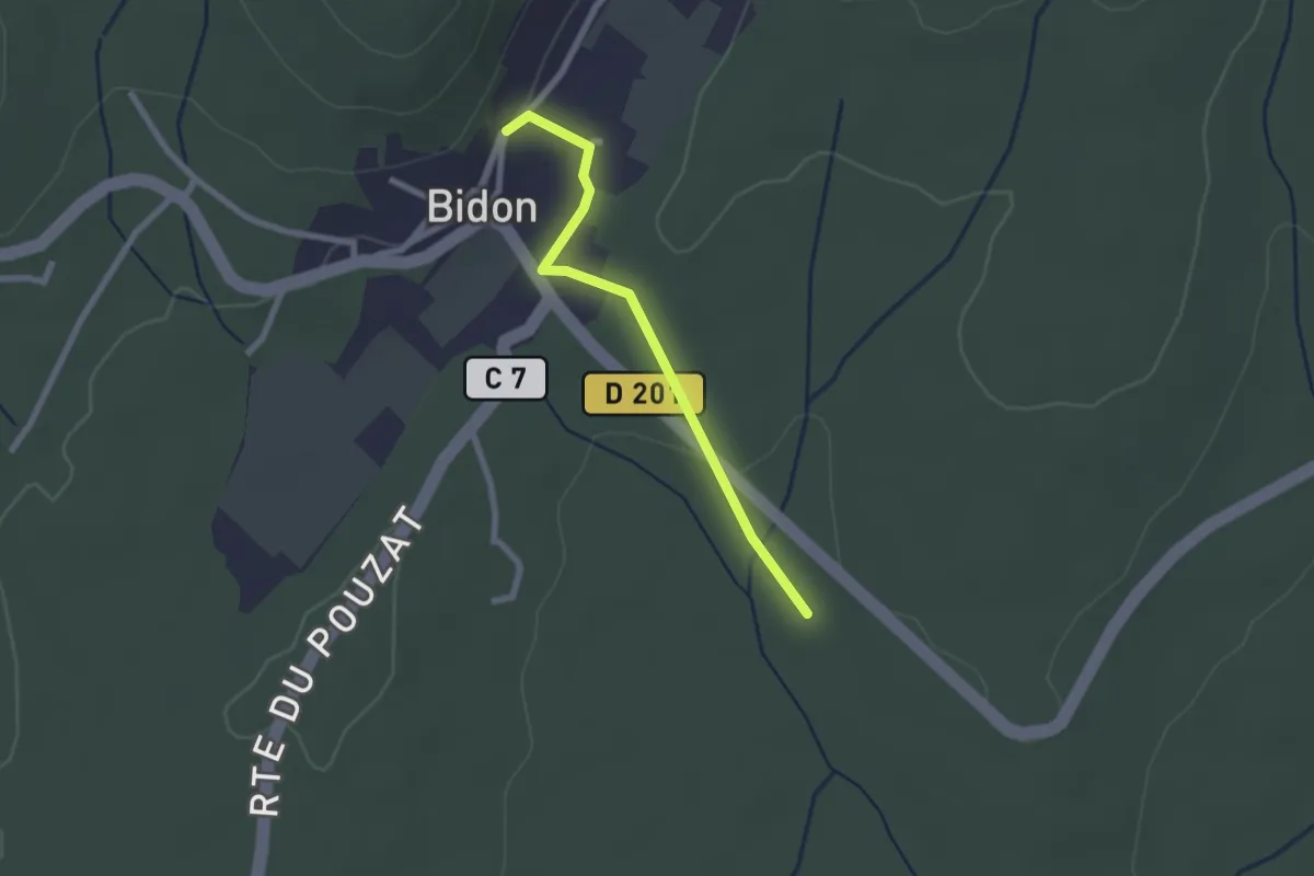
Easy · Trail
Grand Champ - Puits de la Vieille
2.2 km · ↑ 30 m · 35 min
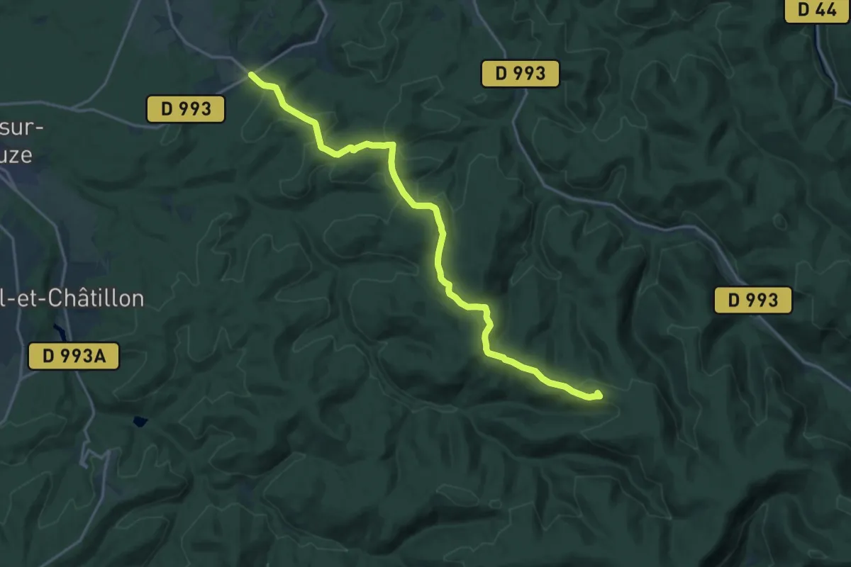
Medium · Summit
Grand Chemin d'Allemagne
17.9 km · ↑ 401 m · 5 h 5 min
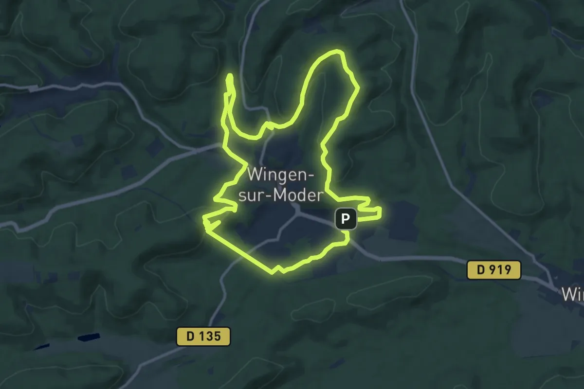
Medium · Summit
Grand Circuit autour de Wingen-sur-Moder
10.8 km · ↑ 287 m · 3 h 19 min
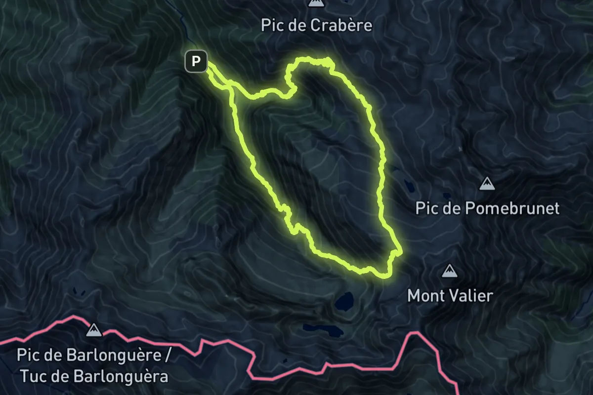
Demanding · Summit
Grand circuit dans la Réserve Naturelle du Mont Valier
16.6 km · ↑ 1643 m · 7 h 43 min
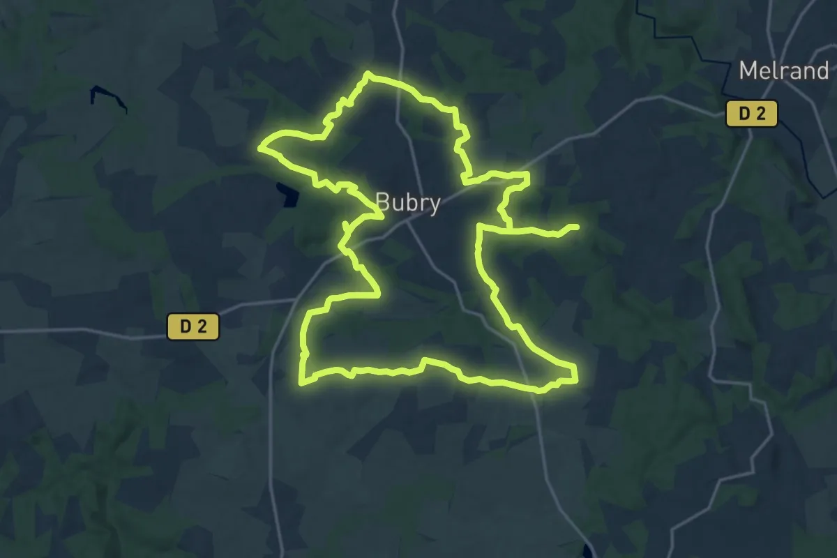
Demanding · Trail
Grand Circuit de Bubry
19.3 km · ↑ 227 m · 5 h 19 min
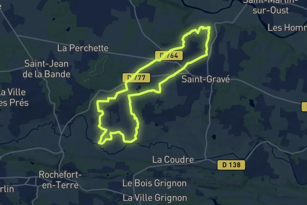
Medium · Trail
Grand Circuit de la Chapelle de la Bogeraie
13.0 km · ↑ 132 m · 3 h 32 min
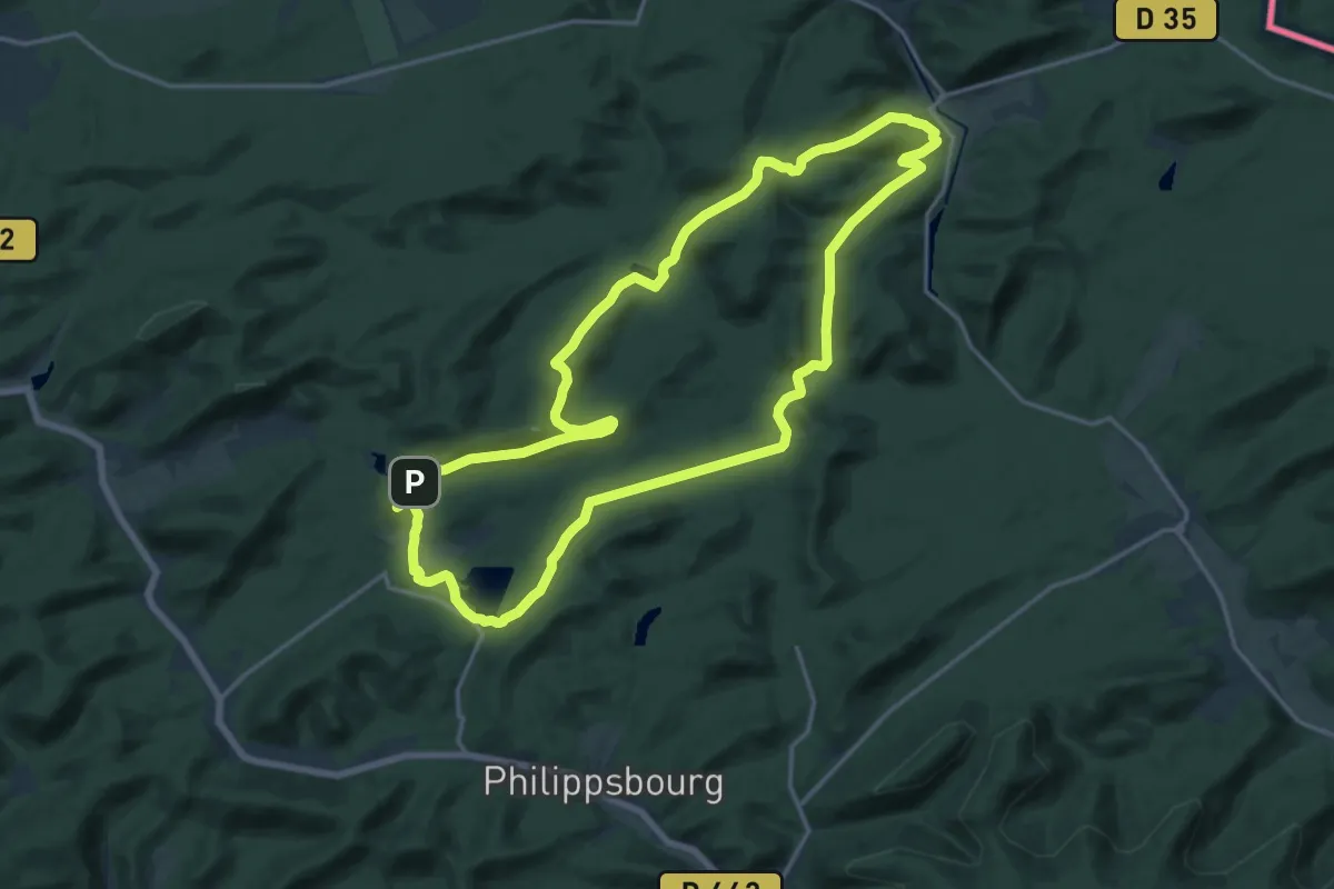
Medium · Summit
Grand circuit de l'étang de Hanau
16.9 km · ↑ 363 m · 5 h
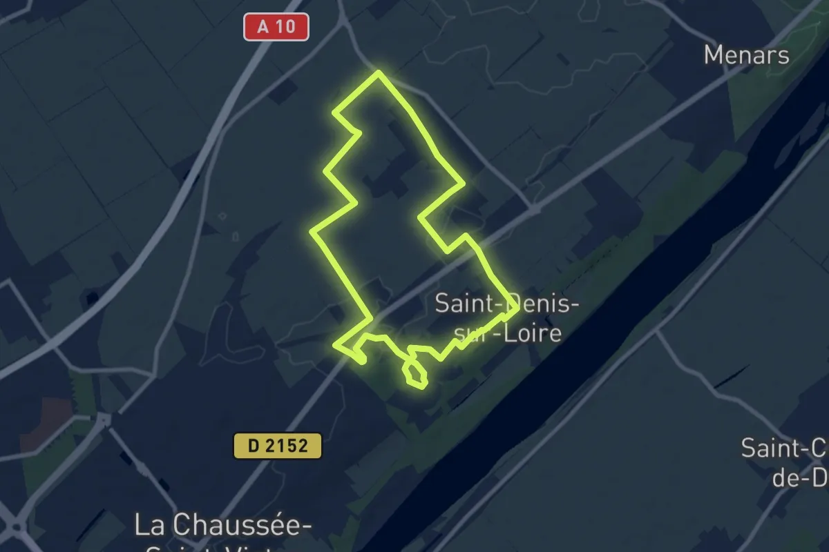
Easy · Trail
Grand circuit des eaux
7.8 km · ↑ 31 m · 2 h 2 min
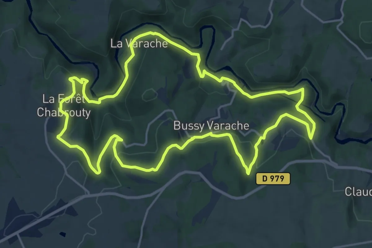
Medium · Trail
Grand circuit des gorges de la Vienne
13.3 km · ↑ 418 m · 4 h 14 min
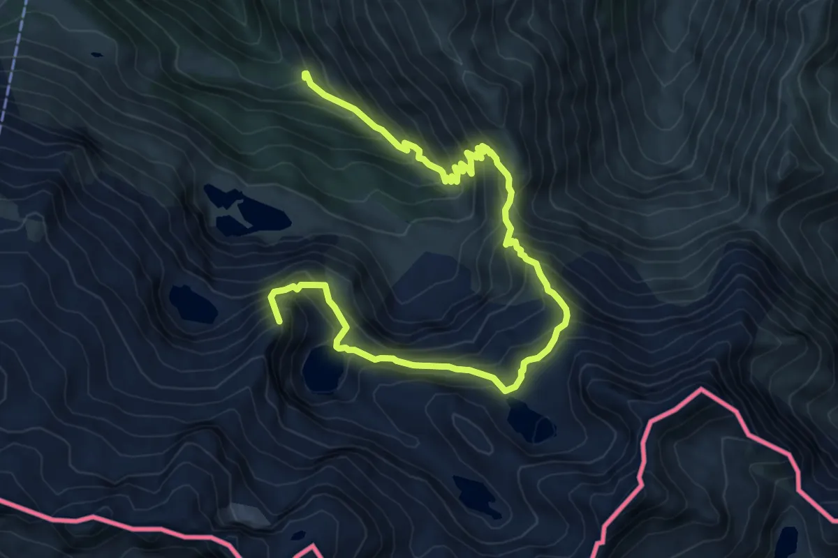
Expert · Summit
Grand circuit des lacs via le refuge du Maupas
10.7 km · ↑ 1121 m · 4 h 57 min
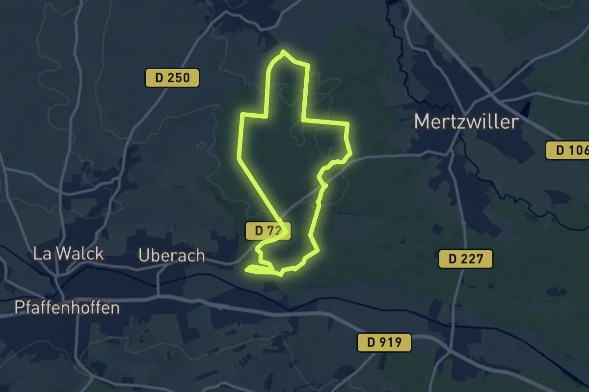
Medium · Trail
Grand Circuit Du Stocklach
8.9 km · ↑ 95 m · 2 h 25 min
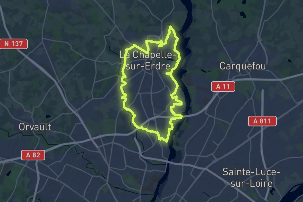
Demanding · Trail
grand circuit Erdre/Gesvres
19.5 km · ↑ 147 m · 5 h 12 min
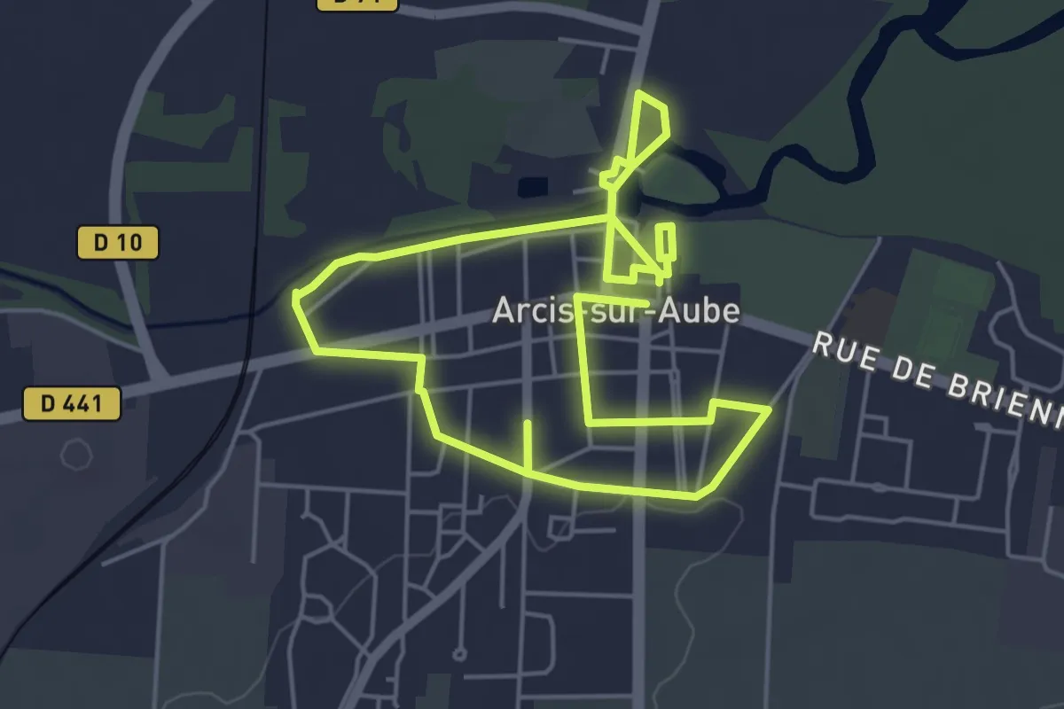
Easy · Trail
Grande balade Arcisienne
4.6 km · ↑ 22 m · 1 h 12 min
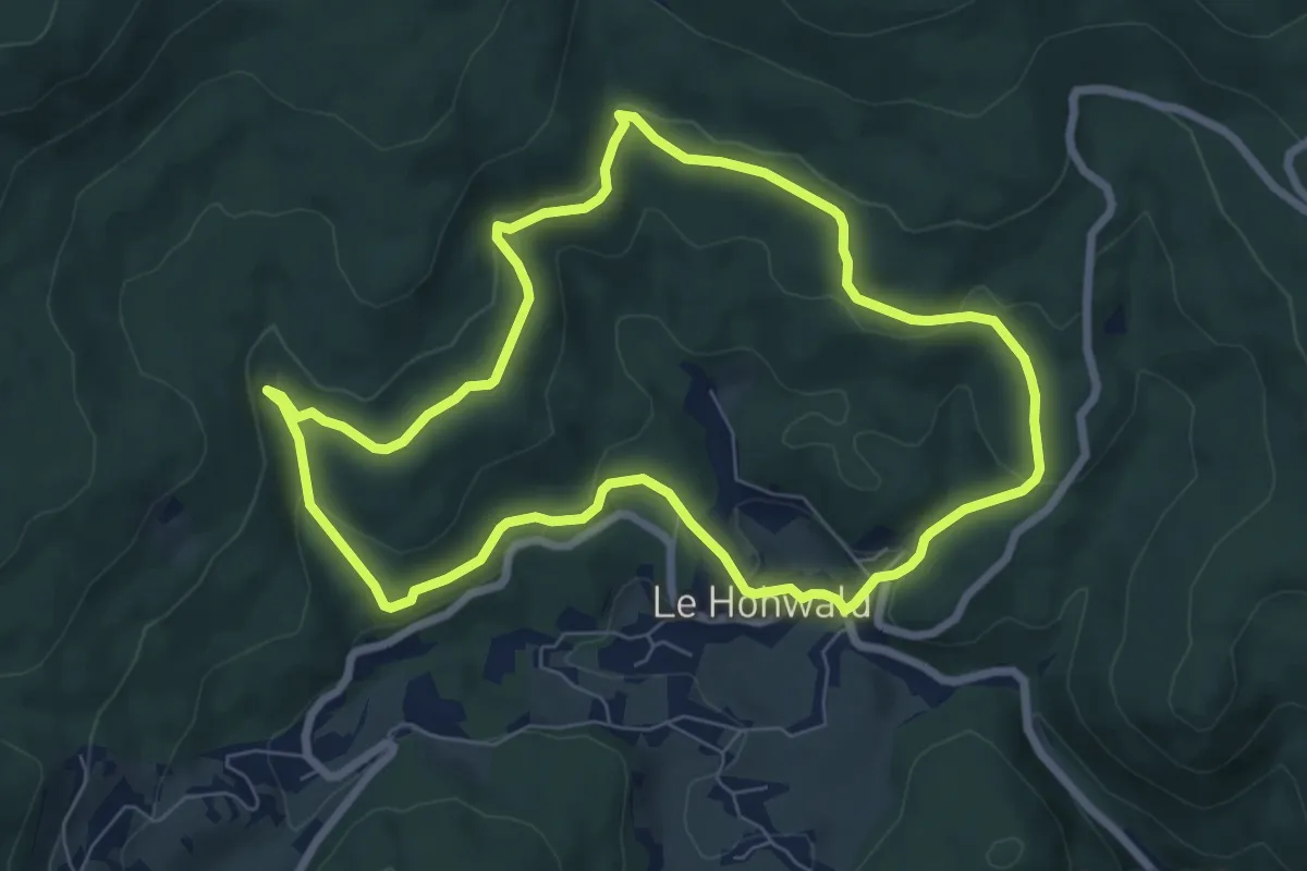
Easy · Trail
Grande boucle
6.9 km · ↑ 222 m · 2 h 13 min
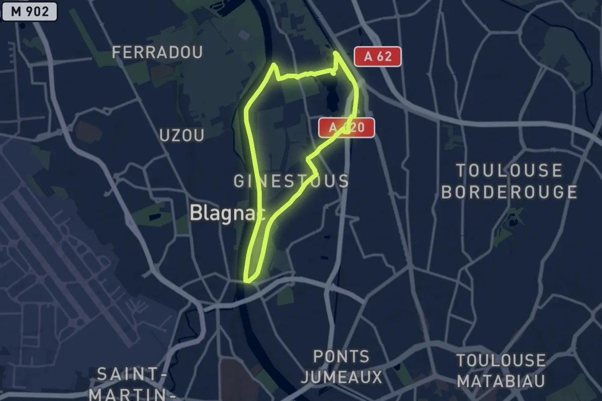
Demanding · Trail
Grande Boucle
20.1 km · ↑ 36 m · 4 h 49 min
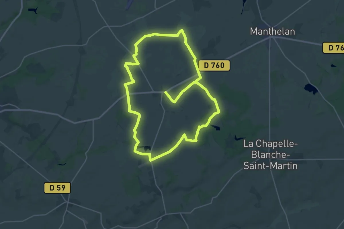
Demanding · Trail
Grande Boucle
20.6 km · ↑ 20 m · 5 h 11 min