Trails in France
15,926 hiking trails, each with its route, climb, walking time and grade.
All trails, page 120 of 332
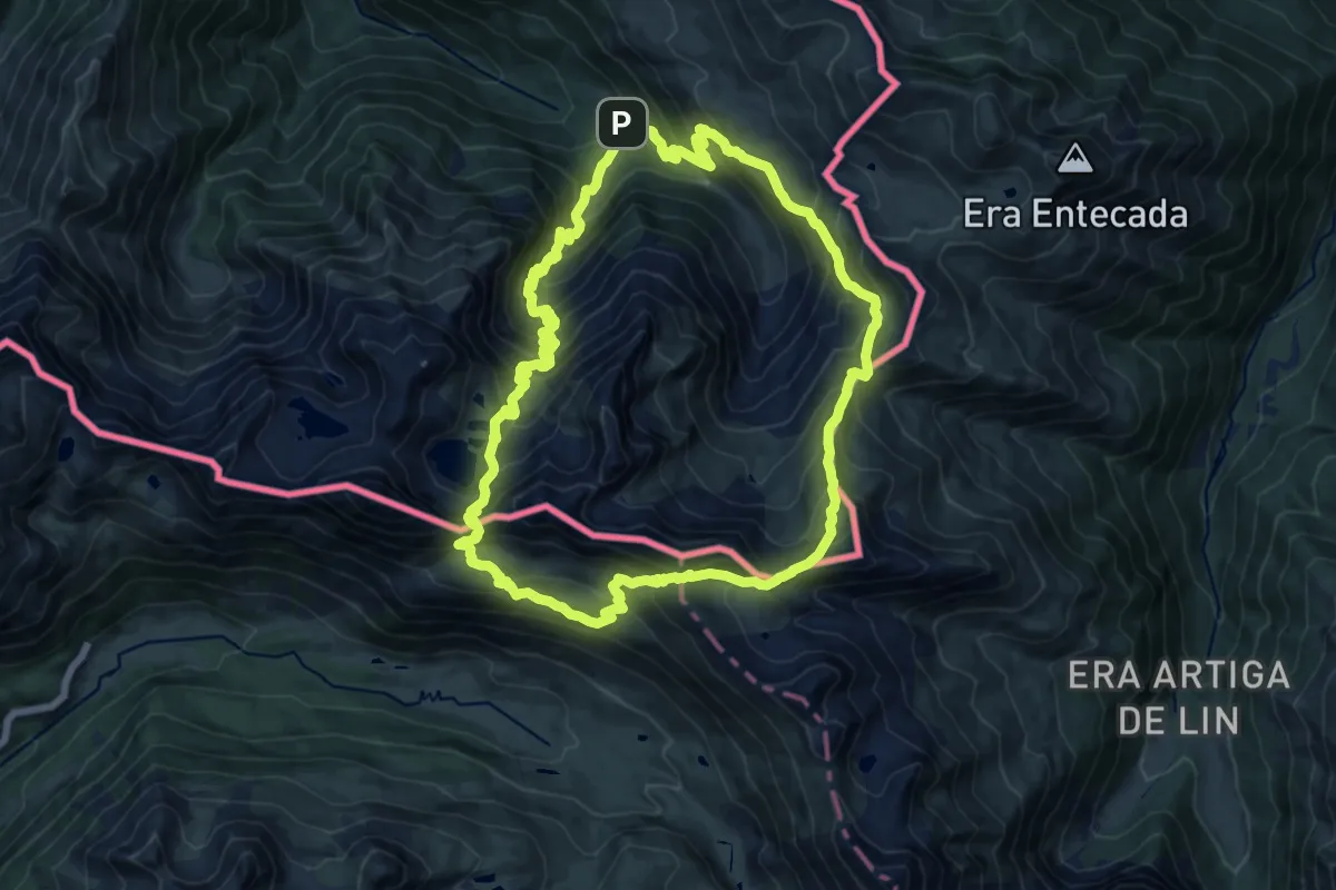
Demanding · Cabin
Grande boucle autour de l'Hospice de France
15.8 km · ↑ 1354 m · 6 h 54 min
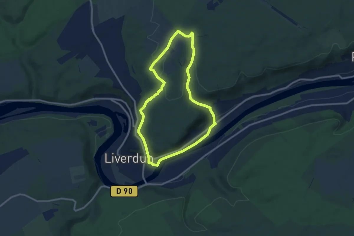
Easy · Trail
Grande boucle Chênot Hazotte
6.7 km · ↑ 155 m · 2 h 1 min
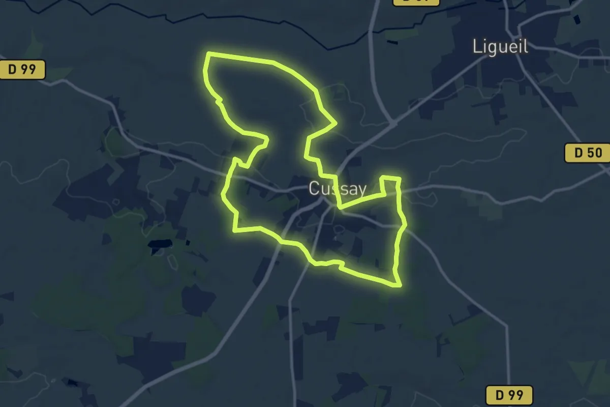
Medium · Trail
Grande Boucle Cussay
11.2 km · ↑ 76 m · 2 h 58 min
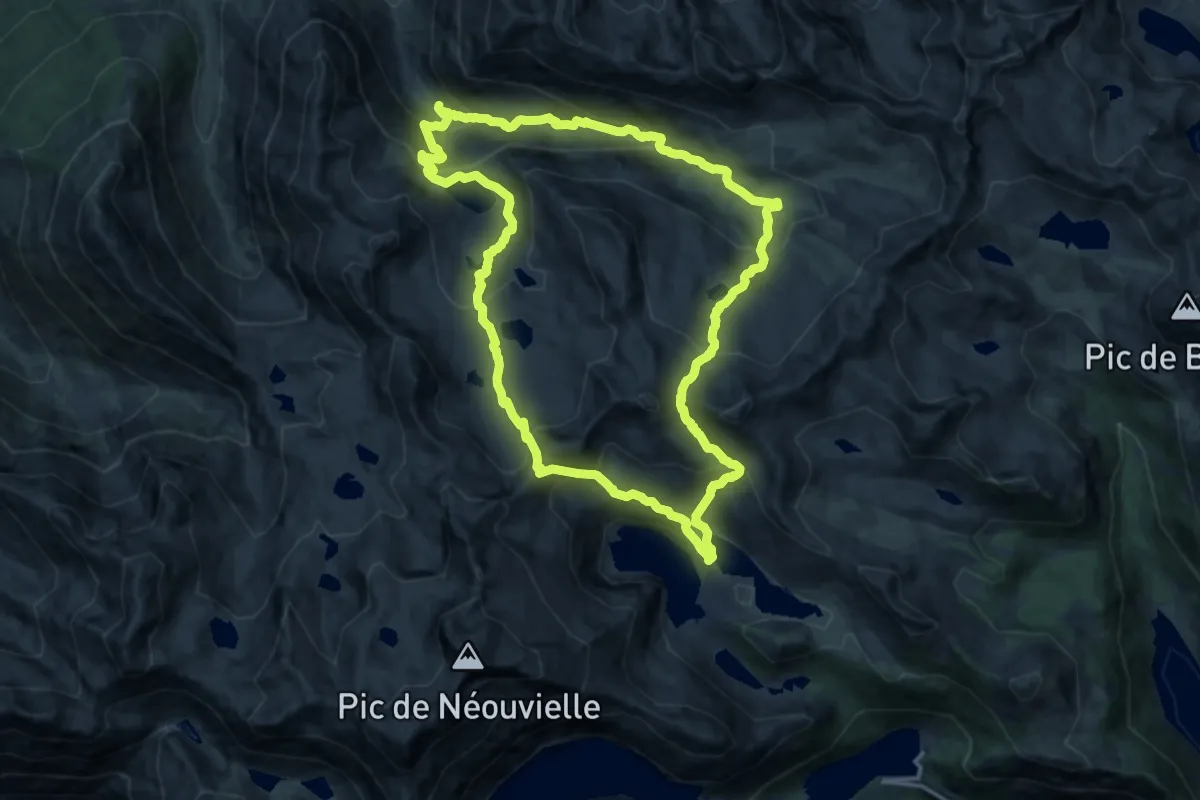
Demanding · Trail
Grande boucle dans la région du Néouvielle
16.3 km · ↑ 1120 m · 6 h 30 min
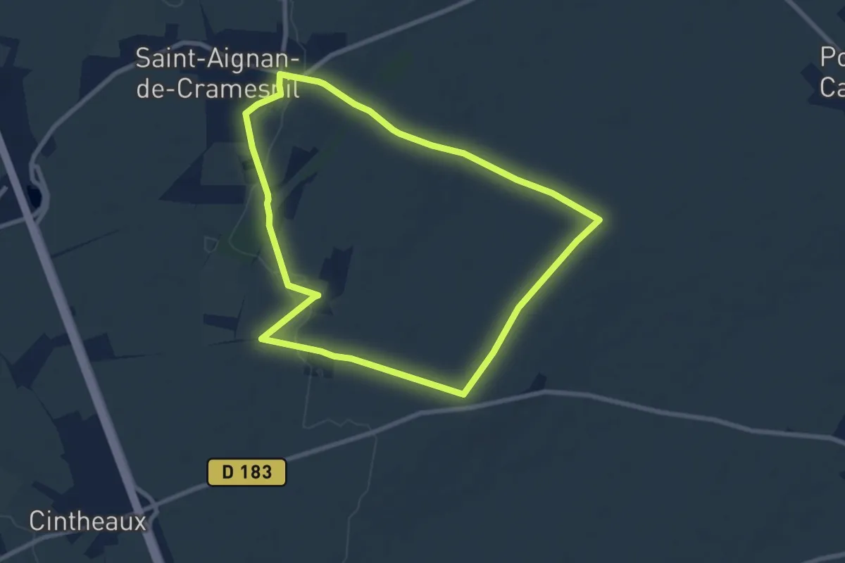
Easy · Trail
Grande boucle - Daumesnil
7.1 km · ↑ 48 m · 1 h 53 min
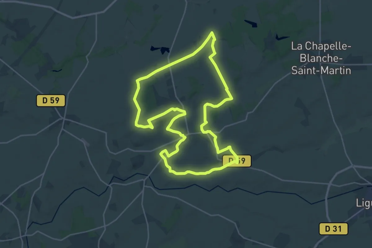
Demanding · Trail
Grande Boucle de Bournan
20.4 km · ↑ 143 m · 5 h 24 min
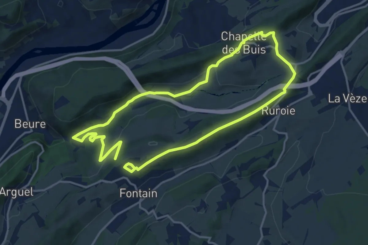
Medium · Summit
Grande boucle de Fontain
9.5 km · ↑ 233 m · 2 h 54 min
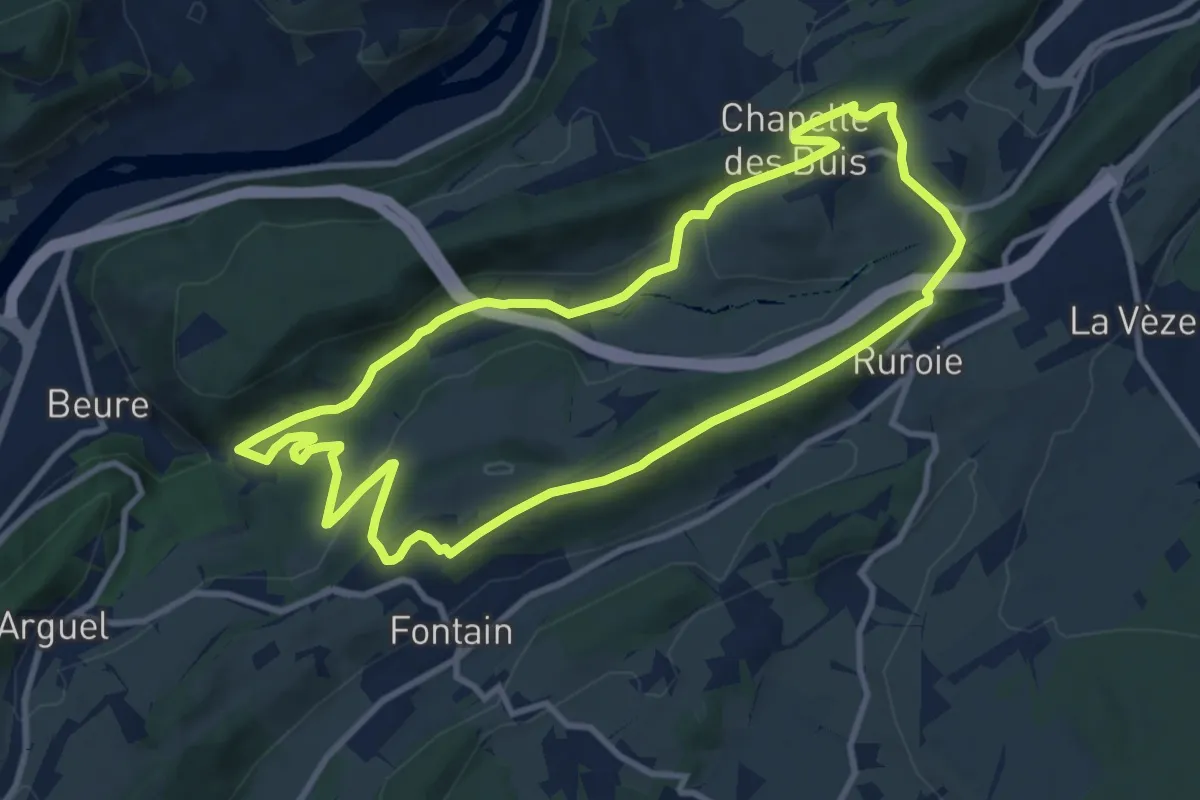
Medium · Summit
Grande Boucle de Fontain
10.0 km · ↑ 252 m · 3 h 3 min
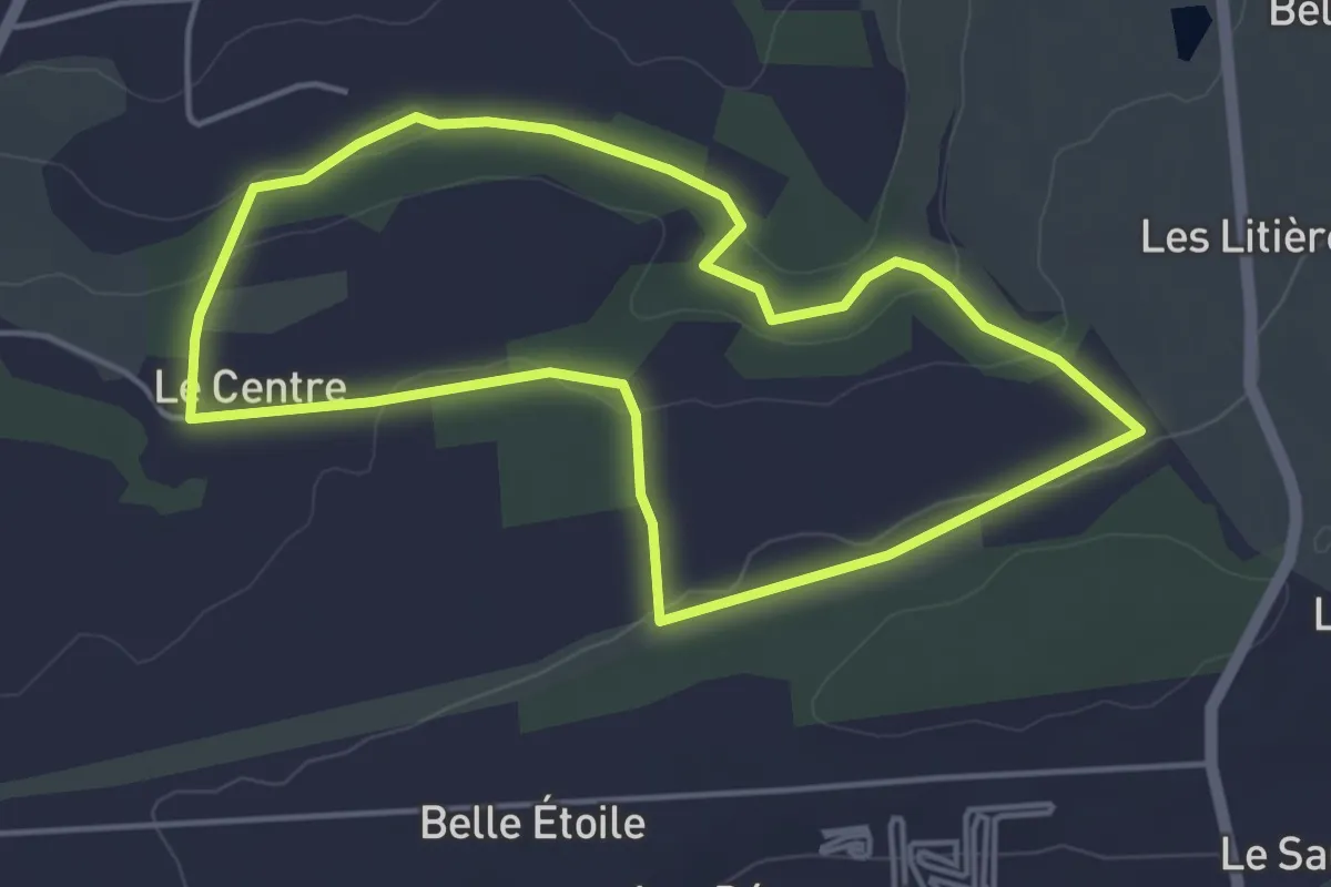
Easy · Trail
Grande Boucle de Ker Avray
4.2 km · ↑ 70 m · 1 h 13 min
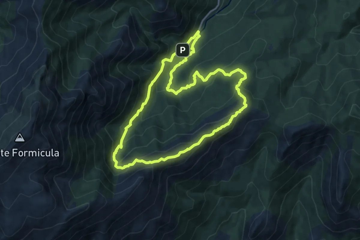
Medium · Summit
Grande boucle de la cascade d'Undella
10.7 km · ↑ 686 m · 4 h 10 min
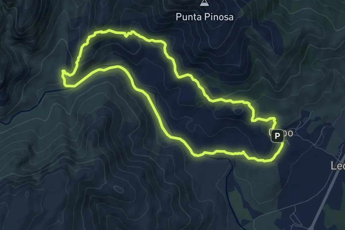
Medium · Summit
Grande Boucle de la Pointe Piscia
9.6 km · ↑ 341 m · 3 h 8 min
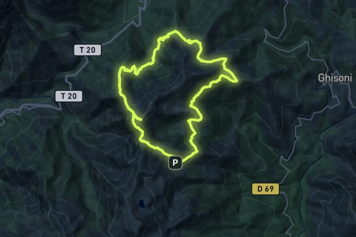
Expert · Summit
Grande boucle de l'Oriente
18.7 km · ↑ 1414 m · 7 h 44 min
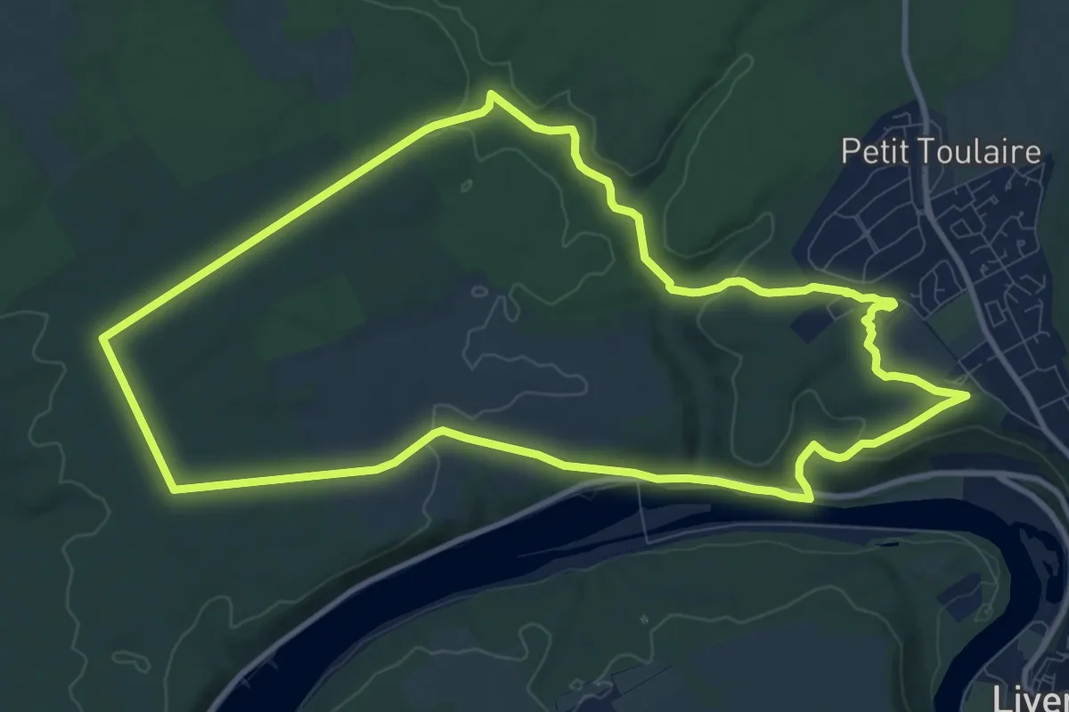
Medium · Trail
Grande boucle de Natrou
10.6 km · ↑ 152 m · 2 h 59 min
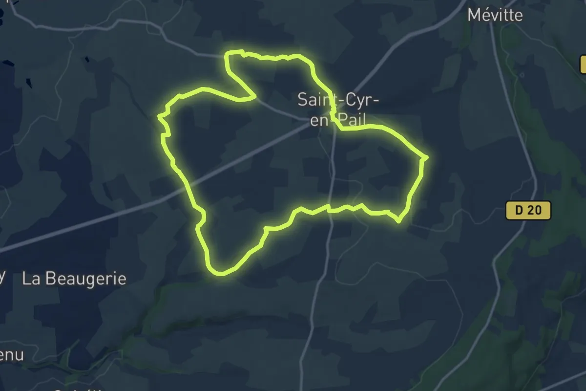
Medium · Trail
Grande Boucle de Saint-Cyr-en-Pail
12.2 km · ↑ 145 m · 3 h 21 min
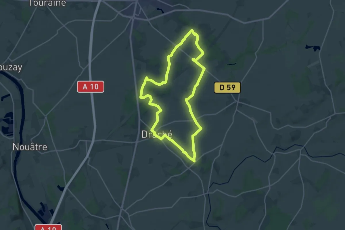
Medium · Trail
Grande Boucle Draché
17.4 km · ↑ 127 m · 4 h 37 min
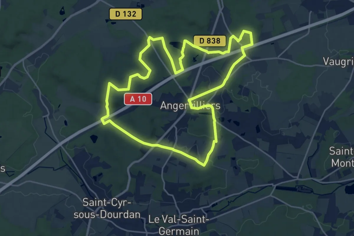
Medium · Trail
Grande boucle du Pays de Limours - Boucle d'Angervilliers
16.1 km · ↑ 174 m · 4 h 25 min
Medium · Trail
Grande boucle du Pays de Limours - Boucle de Saint-Maurice
8.5 km · ↑ 97 m · 2 h 13 min
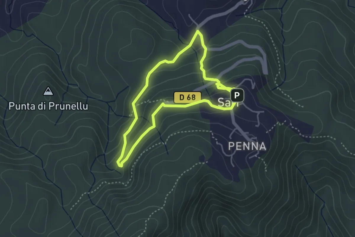
Medium · Trail
Grande boucle Funtana di Vignali
3.5 km · ↑ 134 m · 1 h 10 min
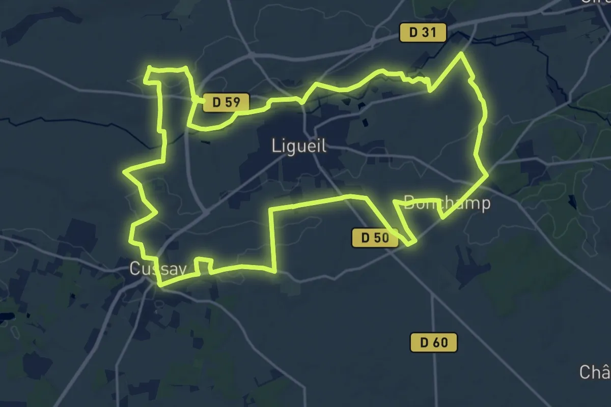
Demanding · Trail
Grande Boucle Ligueil
20.7 km · ↑ 156 m · 5 h 30 min
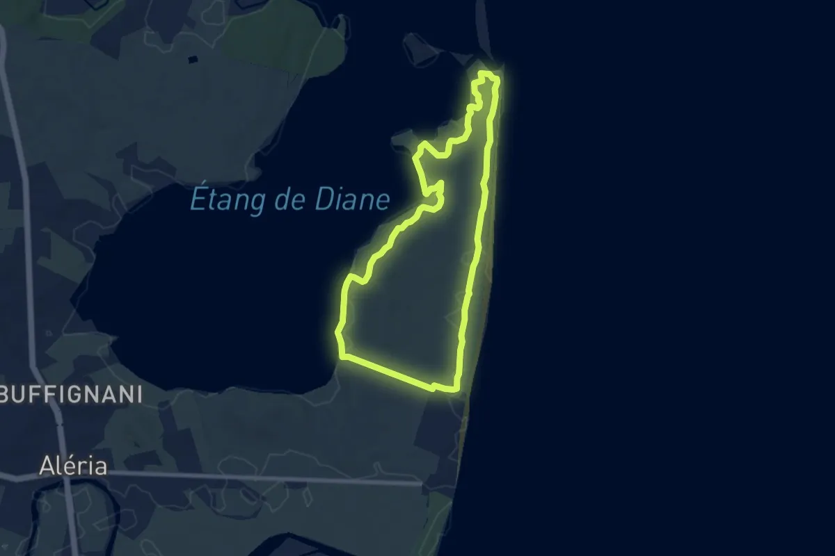
Easy · Trail
Grande boucle Mare è Stagnu
7.4 km · ↑ 40 m · 1 h 56 min
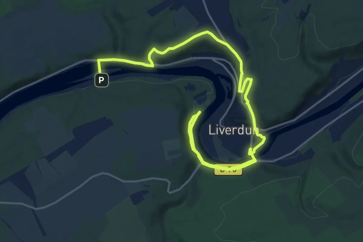
Medium · Trail
Grande boucle villageoise
8.8 km · ↑ 188 m · 2 h 37 min
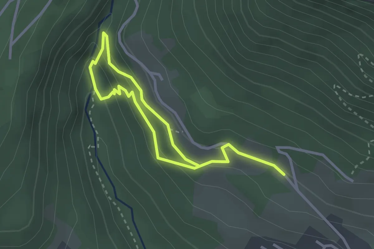
Demanding · Trail
Grande cascade de la Doria
1.9 km · ↑ 135 m · 46 min
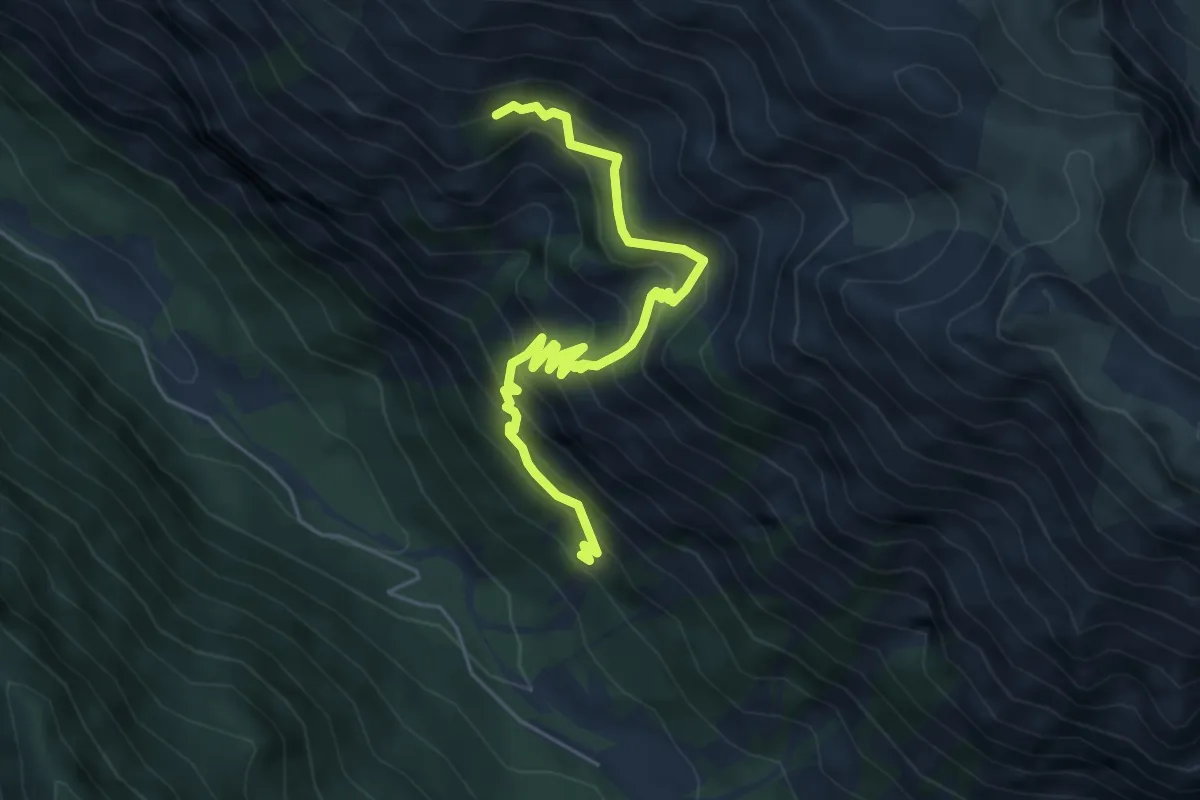
Medium · Trail
Grande Combe - Sous la Crête d'Agnès
5.8 km · ↑ 647 m · 2 h 46 min
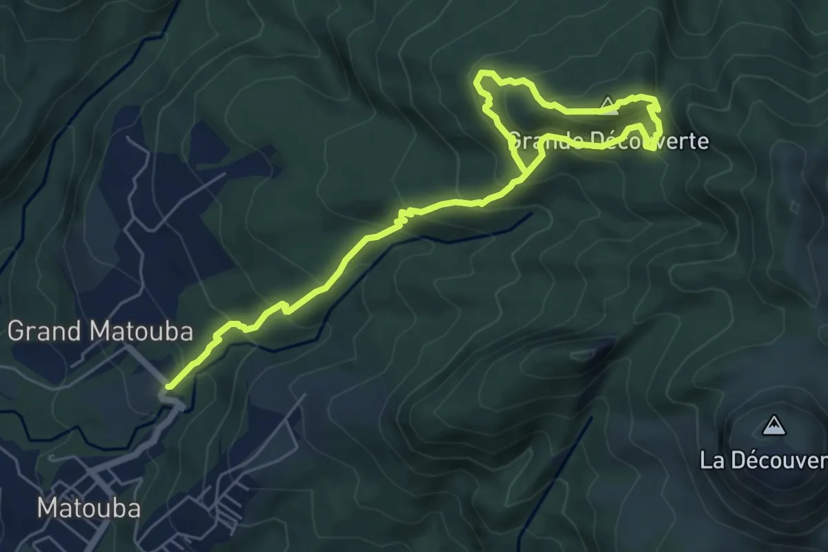
Demanding · Summit
Grande découverte
5.2 km · ↑ 600 m · 2 h 25 min
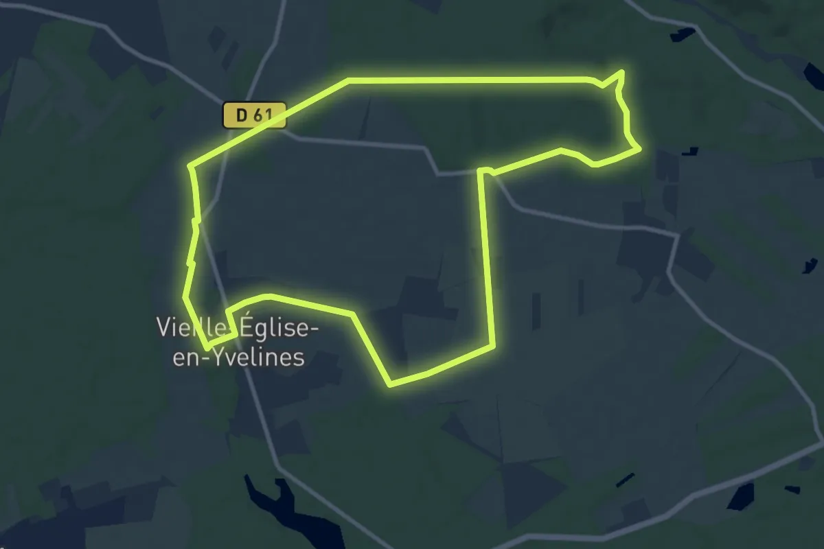
Medium · Trail
Grande faune et rigoles royales
9.9 km · ↑ 50 m · 2 h 36 min
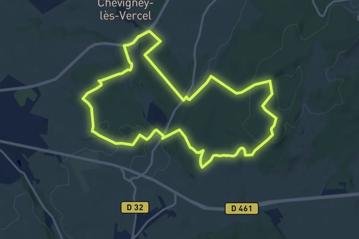
Medium · Trail
Grande Randonnée
9.9 km · ↑ 232 m · 2 h 59 min
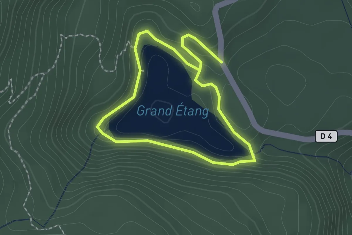
Easy · Trail
Grand Etang
2.1 km · ↑ 85 m · 42 min
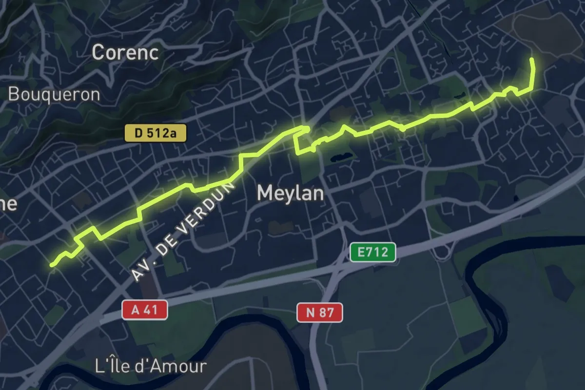
Medium · Trail
Grande Traverse de Meylan
11.1 km · ↑ 105 m · 2 h 51 min
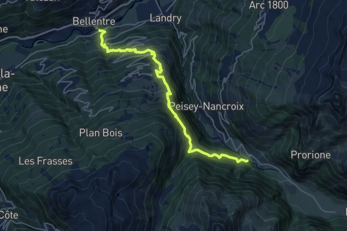
Demanding · Trail
Grande Traversée des Alpes - variante Montchavin (ancien tracé principal)
17.3 km · ↑ 1382 m · 7 h 5 min
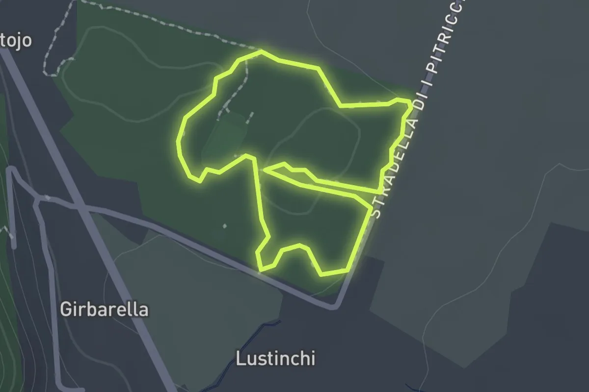
Easy · Trail
Grand Parcours Rouge
1.9 km · ↑ 27 m · 32 min
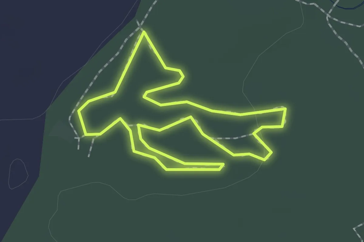
Easy · Trail
Grand Parcours Rouge
1.9 km · ↑ 13 m · 29 min
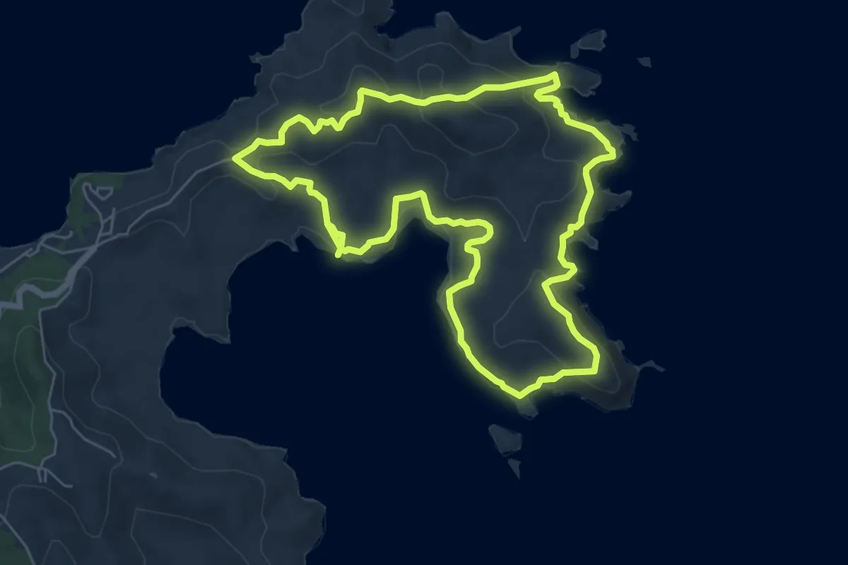
Medium · Trail
Grand sentier Presqu'ile de la Caravelle
8.6 km · ↑ 280 m · 2 h 45 min
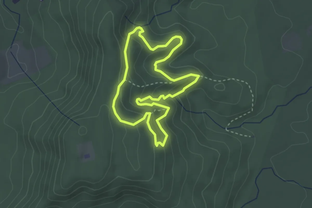
Easy · Trail
Grand tour
3.8 km · ↑ 226 m · 1 h 27 min
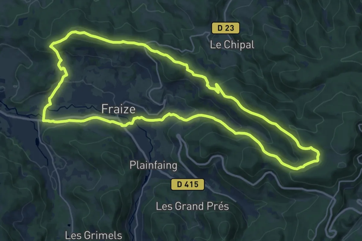
Demanding · Summit
Grand tour de Fraize
19.9 km · ↑ 652 m · 6 h 24 min
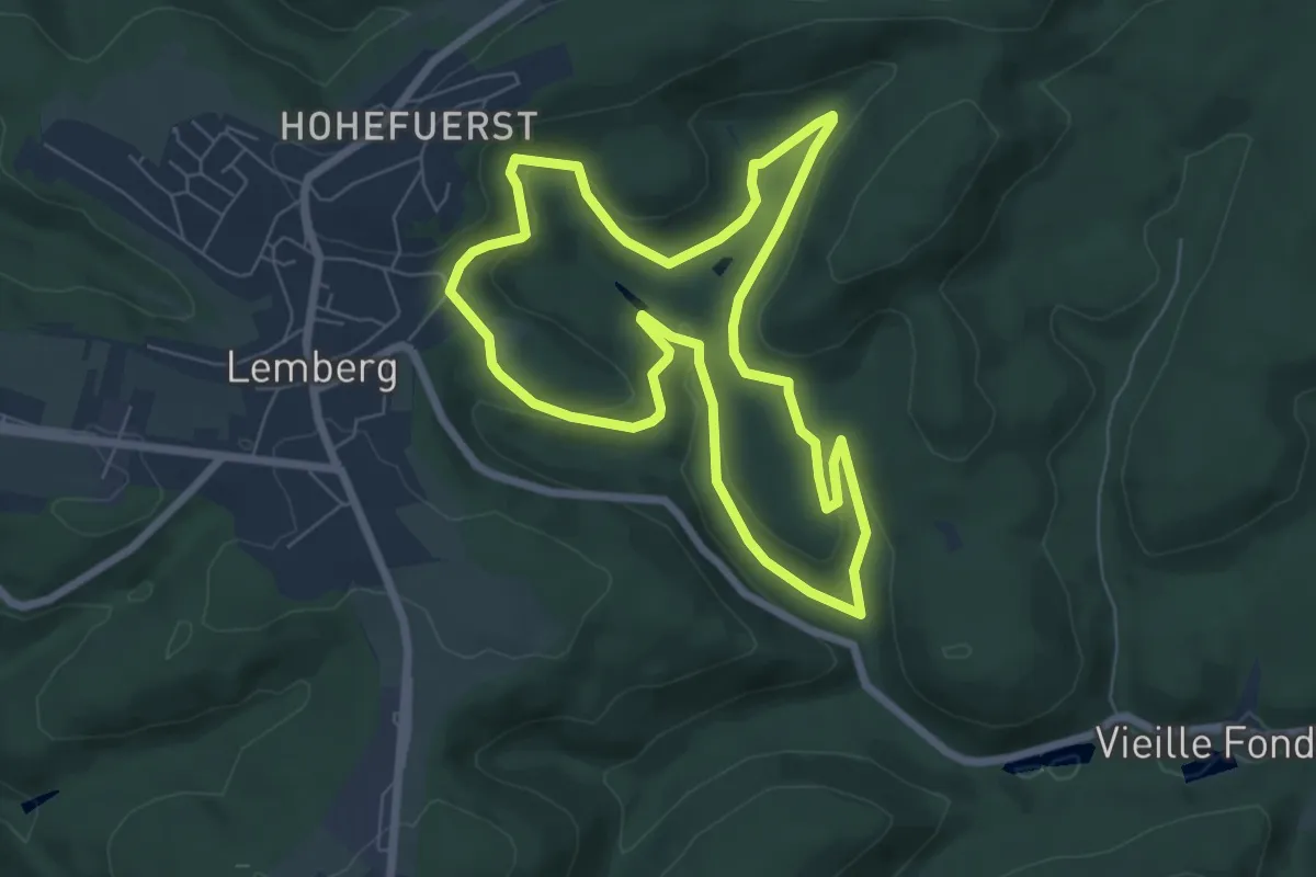
Easy · Trail
Grand Tour de la Bildmuehle
6.4 km · ↑ 177 m · 2 h
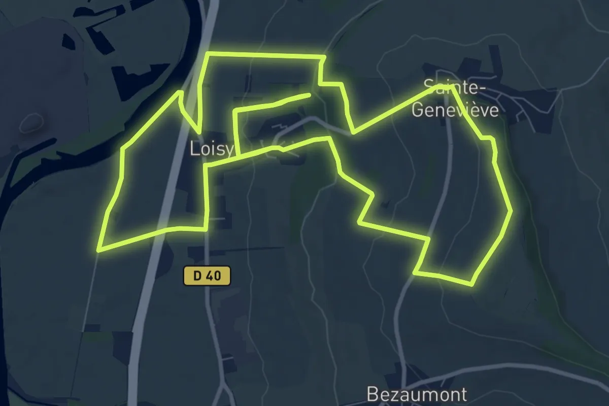
Medium · Trail
Grand tour de Loisy
10.4 km · ↑ 247 m · 3 h 8 min
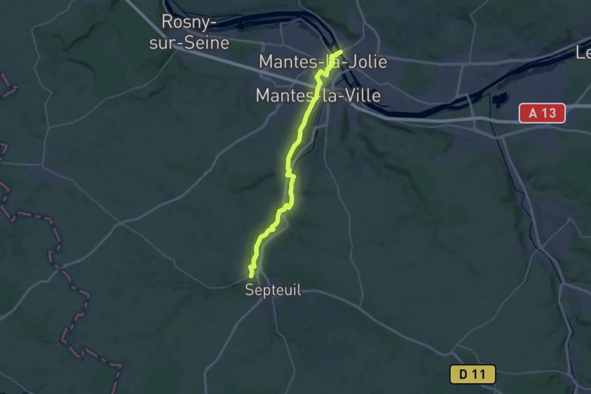
Demanding · Trail
Grand Tour de Paris, Courgent - Mantes-la-Jolie
28.1 km · ↑ 288 m · 7 h 16 min
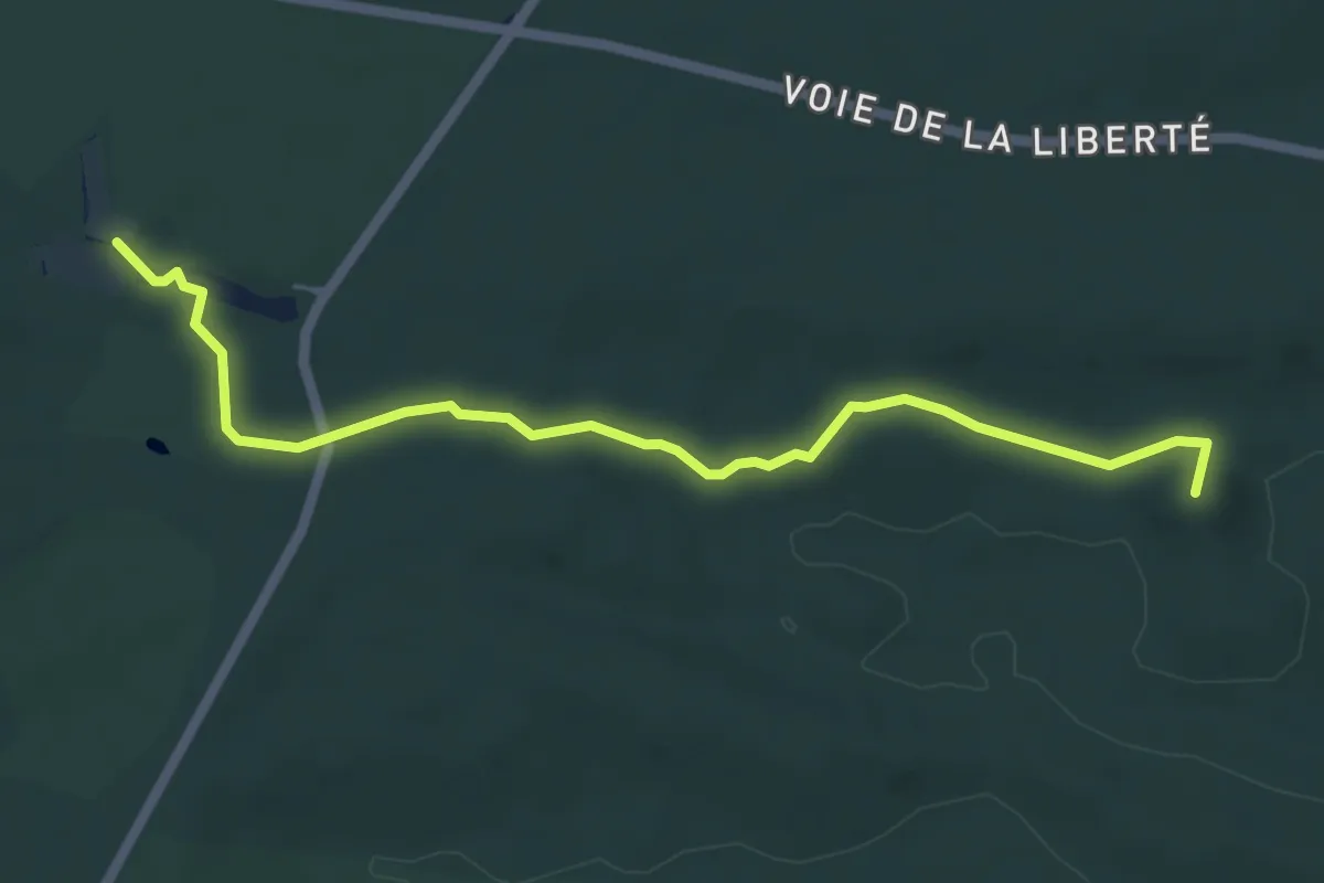
Easy · Summit
Grand Tour de Paris, Fontainebleau - Franchard
5.7 km · ↑ 57 m · 1 h 29 min
Demanding · Trail
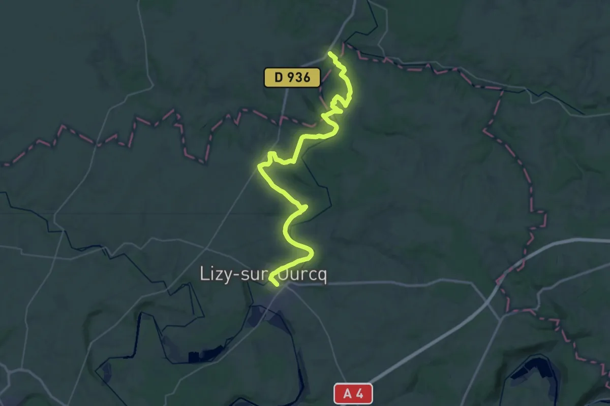
Grand Tour de Paris, La Ferté-Milon - Lizy-sur-Ourcq
19.6 km · ↑ 209 m · 5 h 21 min
Demanding · Trail
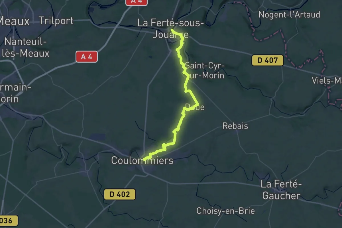
Grand Tour de Paris, La Ferté-sous-Jouarre - Coulommiers
24.5 km · ↑ 413 m · 7 h
Easy · Trail
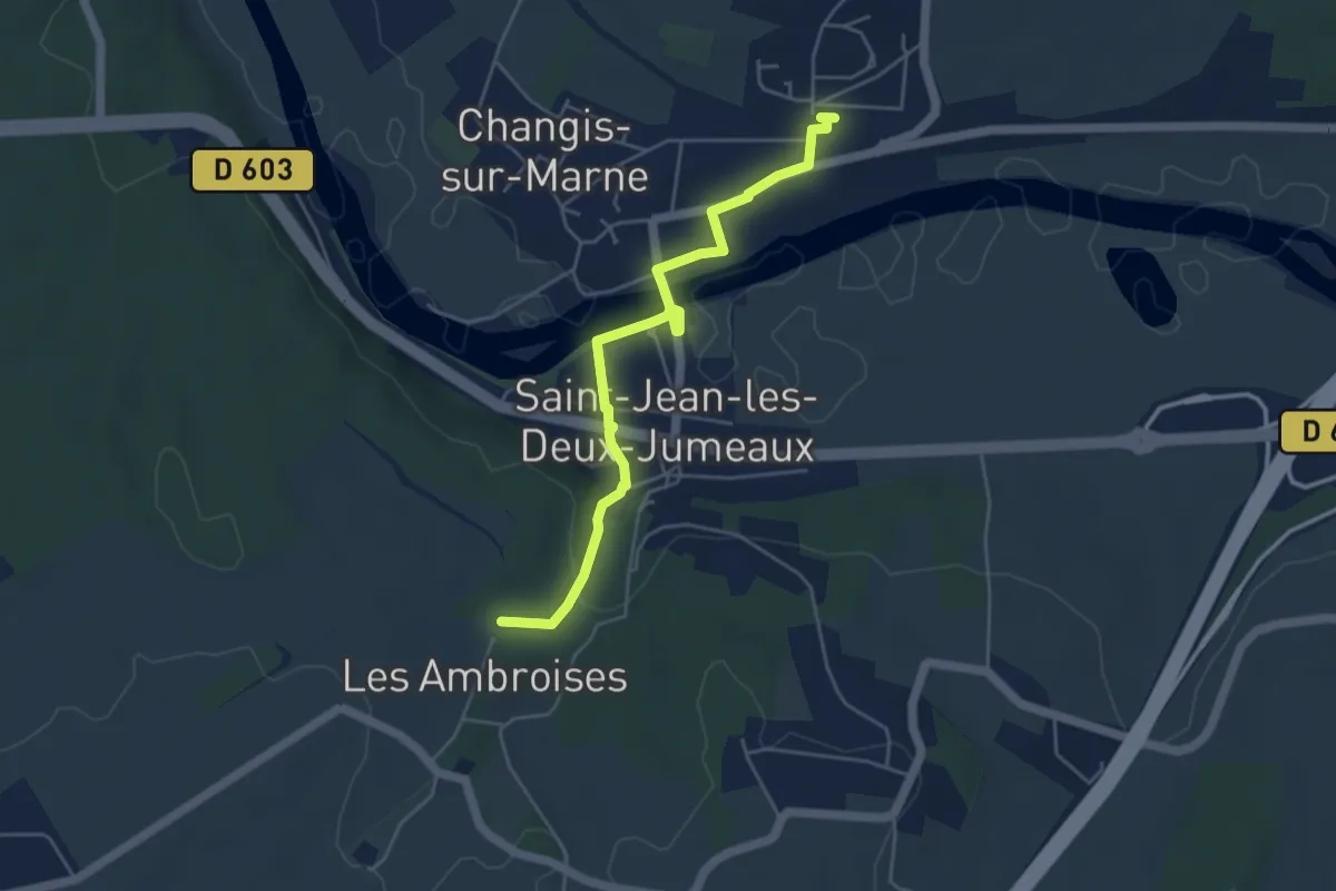
Grand Tour de Paris, liaison Changis-Saint-Jean
4.7 km · ↑ 78 m · 1 h 17 min
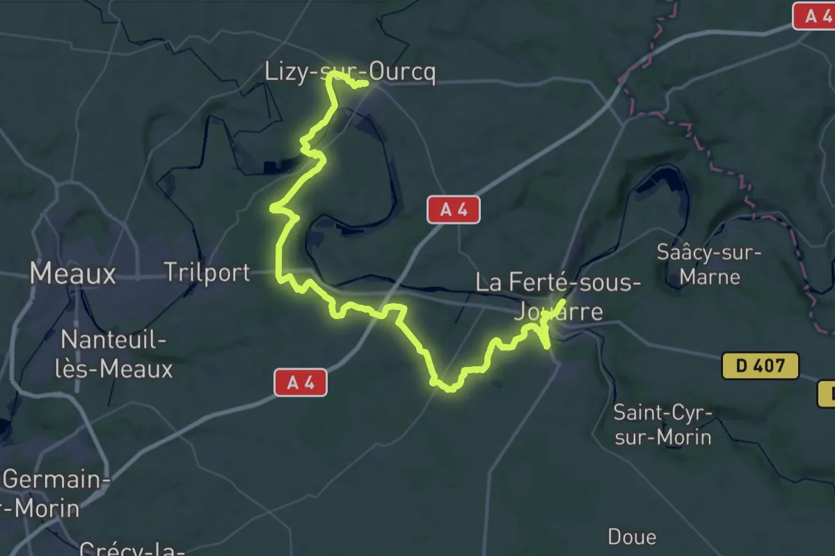
Demanding · Trail
Grand Tour de Paris, Lizy-sur-Ourcq - La Ferté-sous-Jouarre
32.3 km · ↑ 380 m · 8 h 54 min
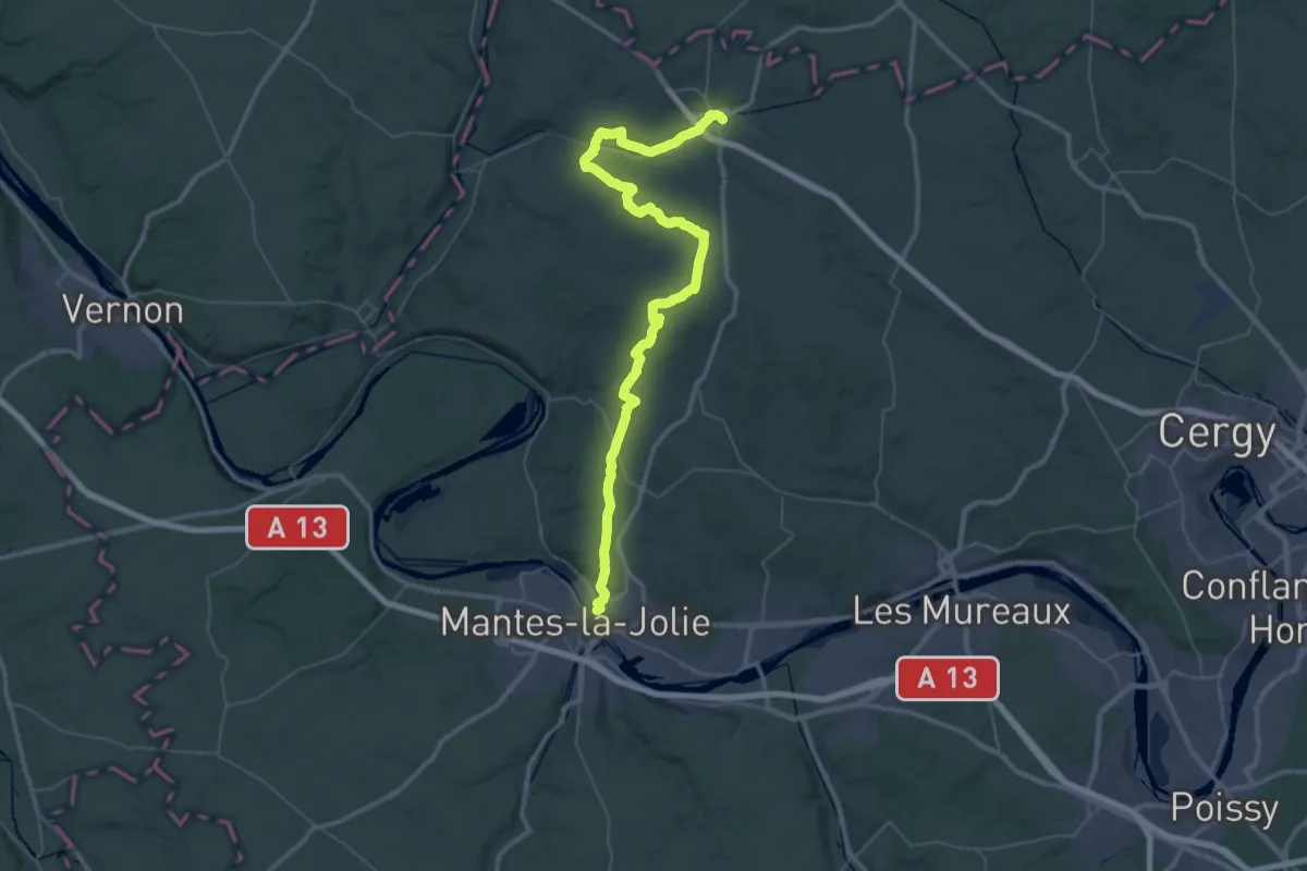
Demanding · Trail
Grand Tour de Paris, Mantes-la-Jolie - Magny-en-Vexin
30.2 km · ↑ 449 m · 8 h 30 min
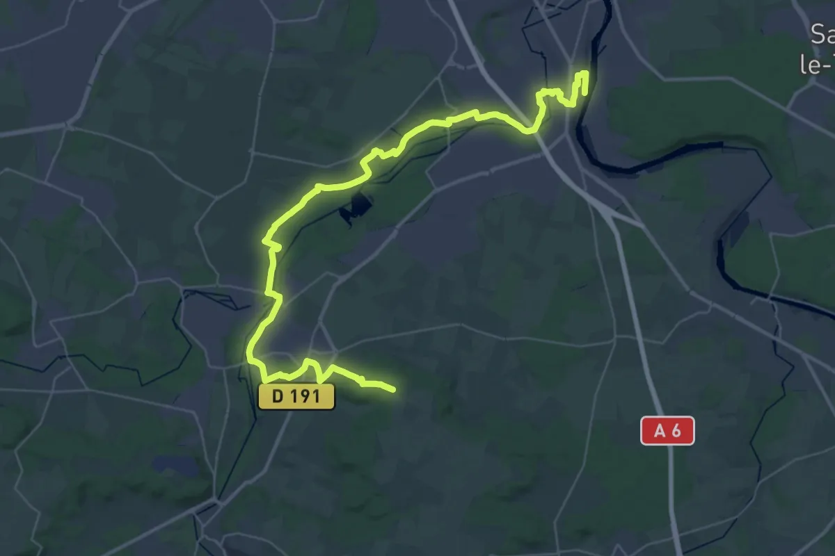
Demanding · Trail
Grand Tour de Paris, variante par Ballancourt
22.3 km · ↑ 255 m · 6 h 5 min
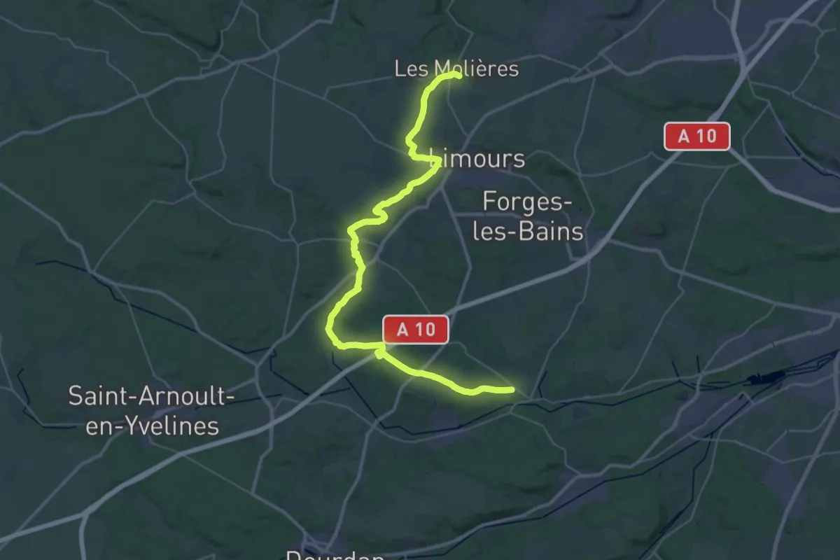
Demanding · Trail
Grand Tour de Paris, variante par Bonnelles
20.2 km · ↑ 216 m · 5 h 28 min
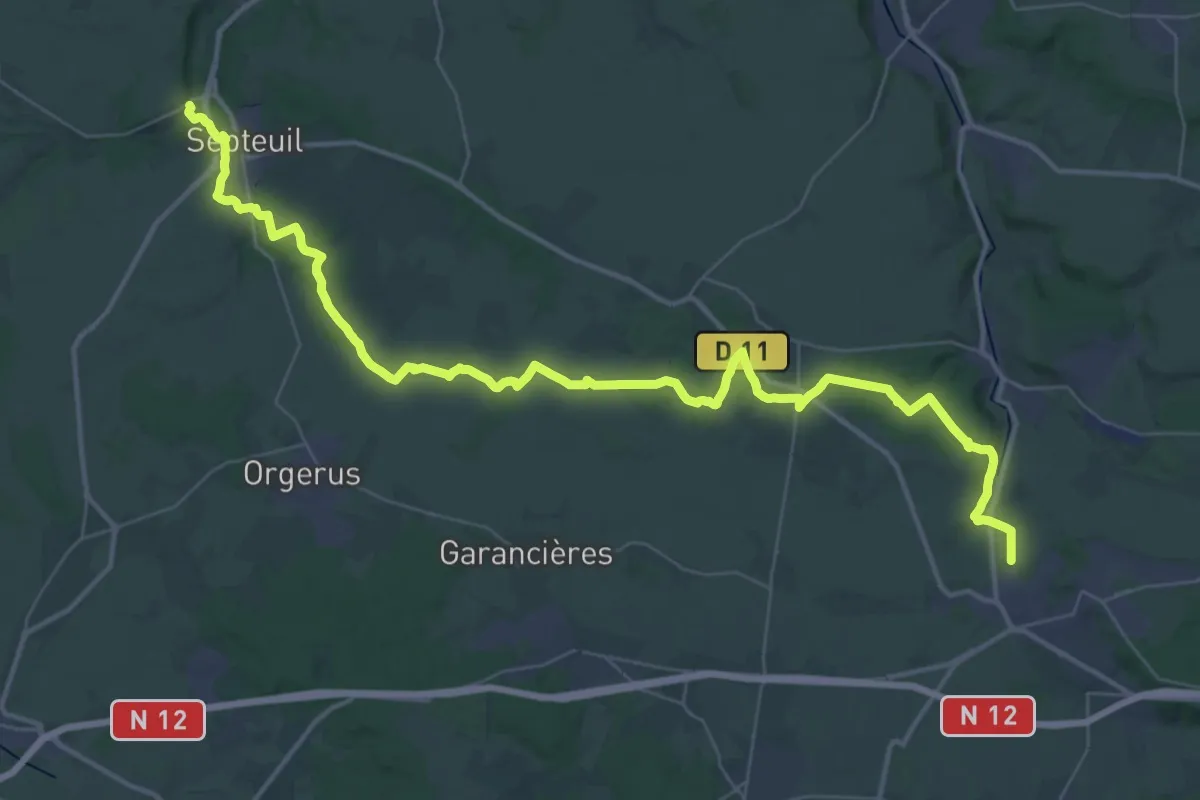
Demanding · Trail
Grand Tour de Paris, Villiers-Saint-Frédéric - Courgent
25.6 km · ↑ 283 m · 7 h 2 min
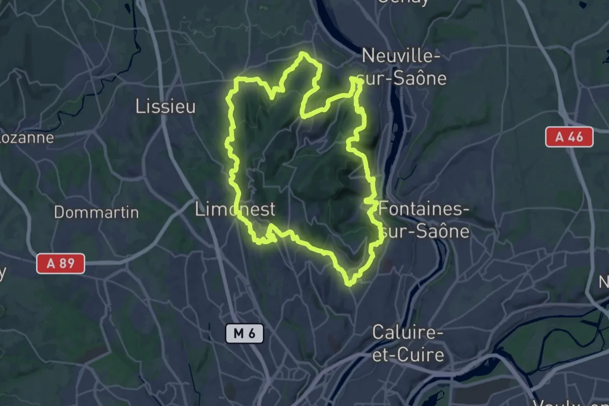
Demanding · Summit
Grand Tour des Monts d'Or
30.2 km · ↑ 1096 m · 9 h 56 min
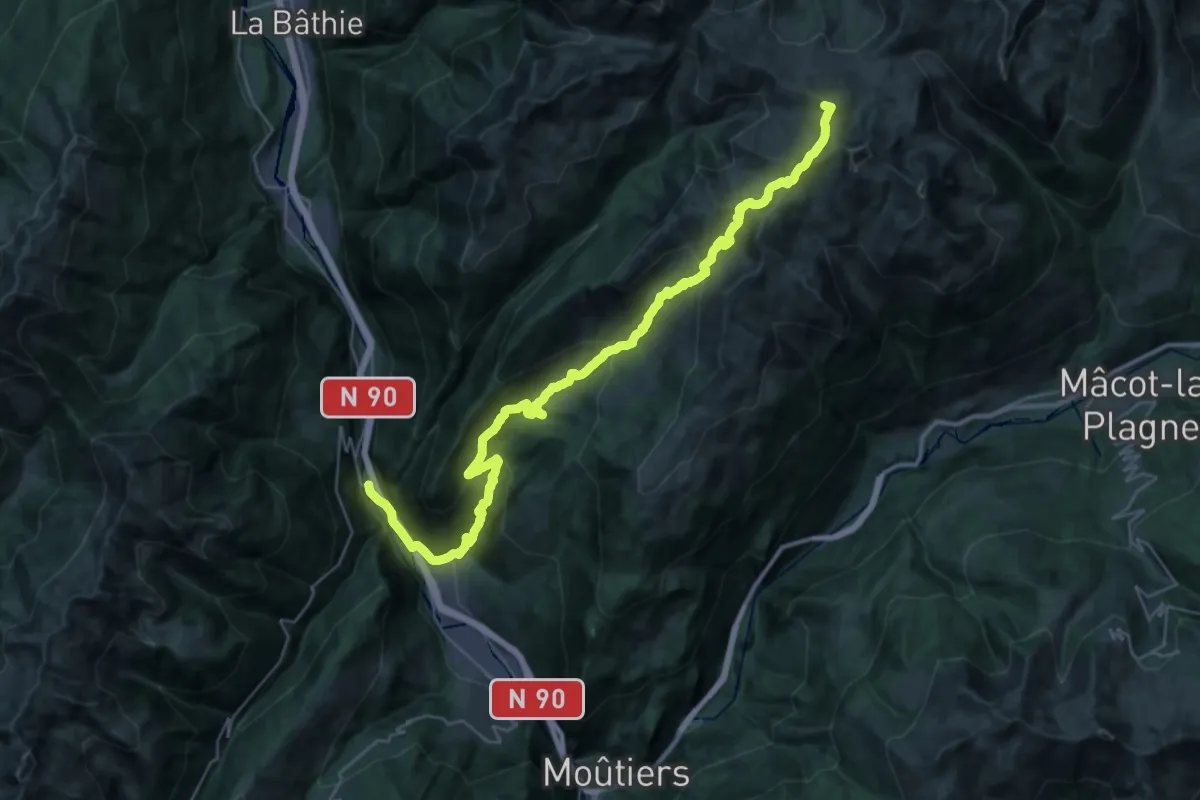
Demanding · Summit
Grand Tour de Tarentaise 1. La Léchère -> La Coire
39.5 km · ↑ 2268 m · 14 h 15 min