Trails in France
15,926 hiking trails, each with its route, climb, walking time and grade.
All trails, page 121 of 332
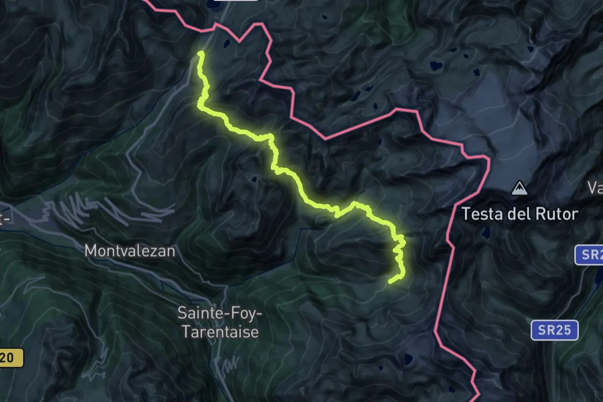
Demanding · Cabin
Grand Tour de Tarentaise - 1. Traversée du col du Petit-Saint-Bernard -> L'Archeboc
16.7 km · ↑ 1193 m · 6 h 49 min
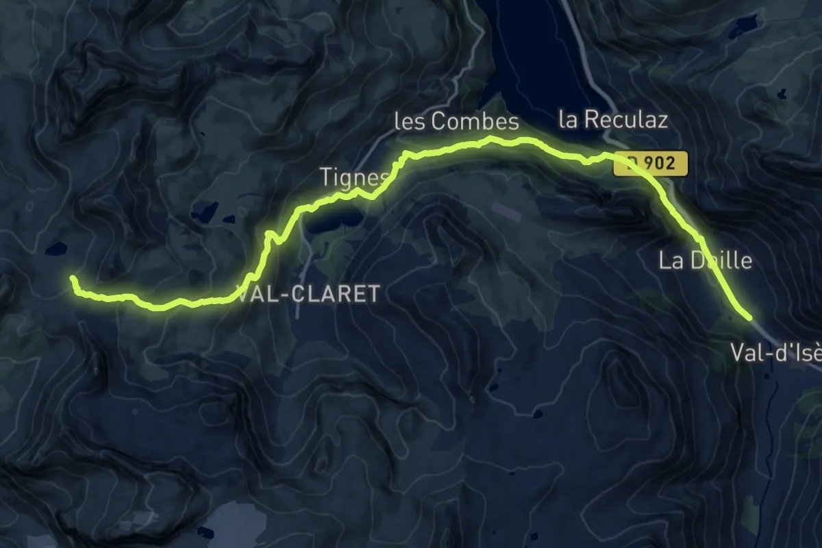
Demanding · Cabin
Grand Tour de Tarentaise - 1. Val d'Isère -> Col du Palet
11.7 km · ↑ 1020 m · 4 h 45 min
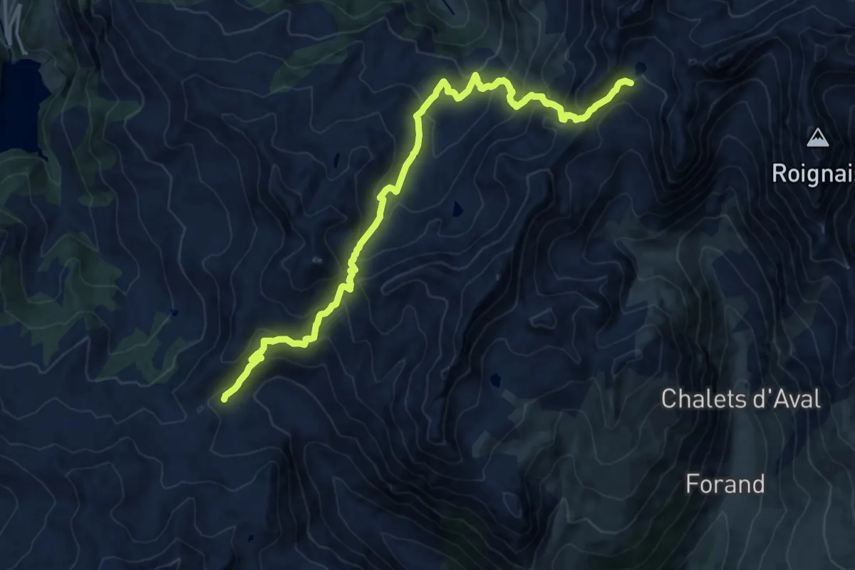
Demanding · Cabin
Grand Tour de Tarentaise 2. La Coire -> Refuge de Presset
16.3 km · ↑ 1224 m · 6 h 30 min
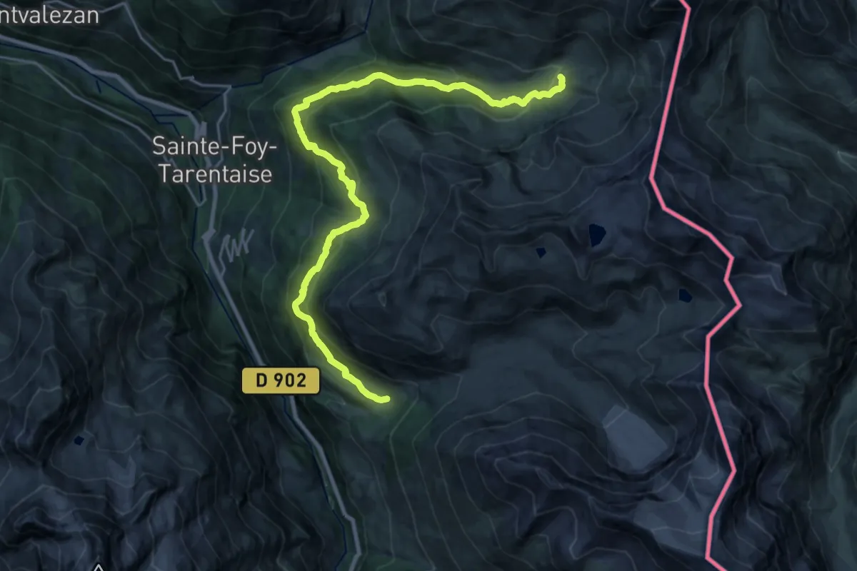
Medium · Cabin
Grand Tour de Tarentaise - 2. Refuge de l'Archeboc -> Le Monal
12.3 km · ↑ 710 m · 4 h 33 min
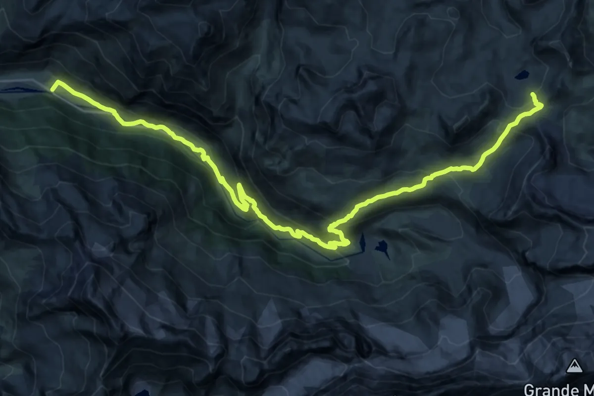
Medium · Cabin
Grand Tour de Tarentaise - 2. Refuge du Col du Palet -> Champagny-le-Haut
14.9 km · ↑ 108 m · 4 h 31 min
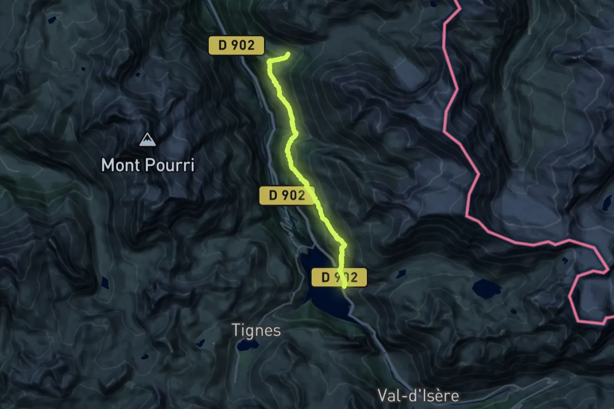
Demanding · Cabin
Grand Tour de Tarentaise - 3. Le Monal -> Le Villaret du Nial
21.0 km · ↑ 1247 m · 7 h 40 min
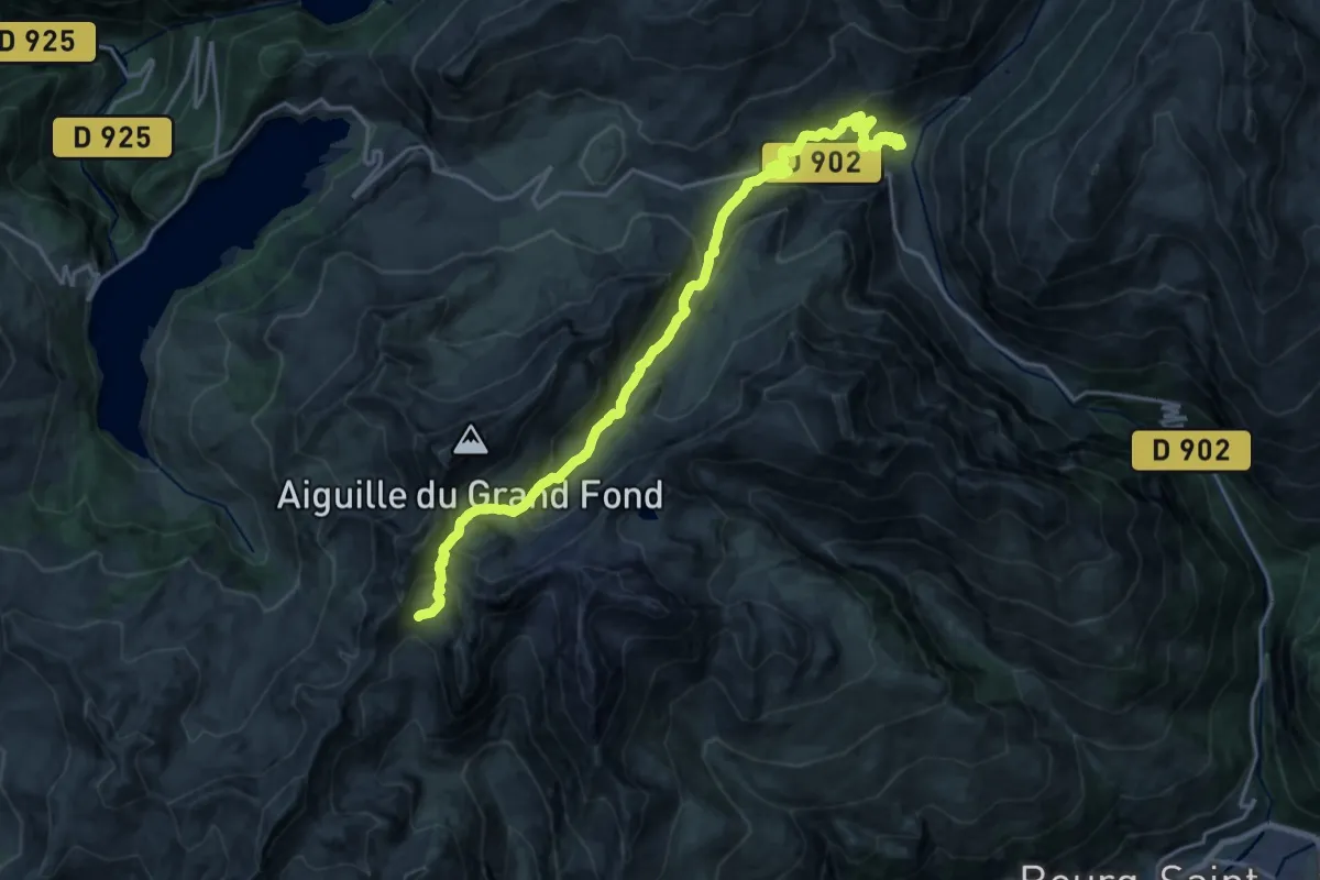
Demanding · Cabin
Grand Tour de Tarentaise 3. Refuge de Presset -> Les Chapieux
10.7 km · ↑ 1154 m · 4 h 42 min
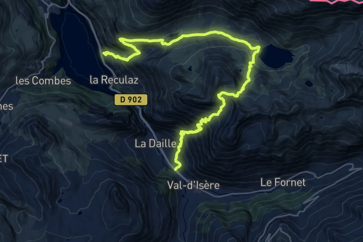
Demanding · Trail
Grand Tour de Tarentaise - 4. Le Villaret du Nial -> Val d'Isère
13.1 km · ↑ 1025 m · 5 h 31 min
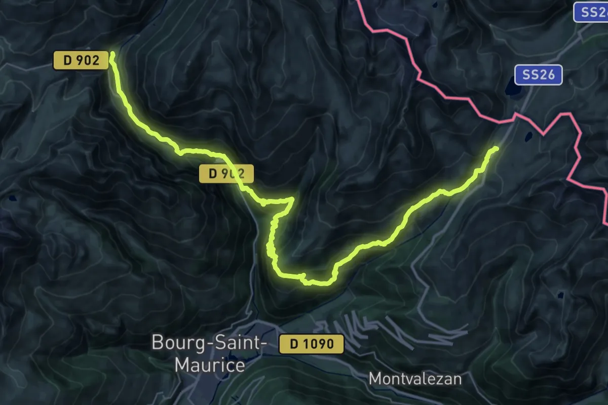
Demanding · Trail
Grand Tour de Tarentaise - Traversée Les Chapieux -> Col du Petit Saint-Bernard
20.7 km · ↑ 1704 m · 8 h 35 min
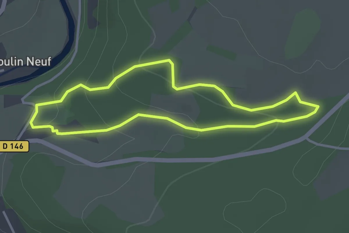
Easy · Trail
Grand Tour du Domaine du Gasseau
2.6 km · ↑ 93 m · 51 min
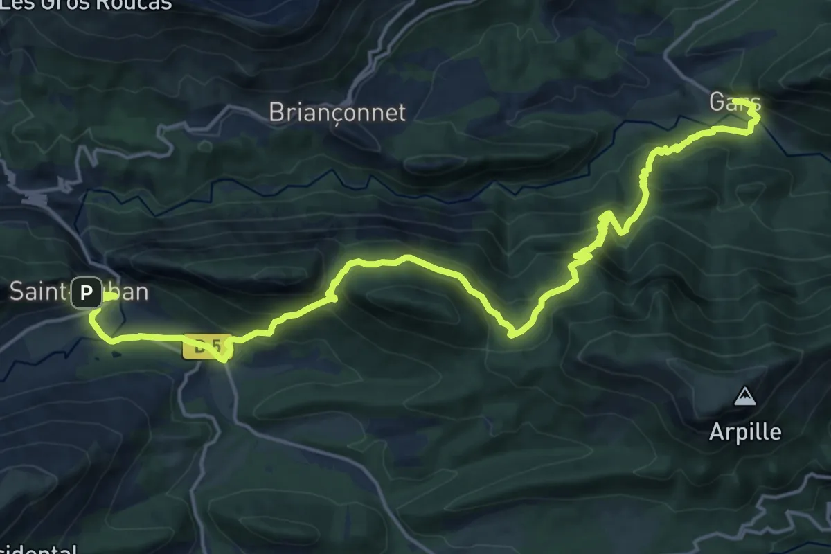
Medium · Trail
Grand tour du haut Estéron - Etape 1
11.5 km · ↑ 508 m · 4 h 8 min
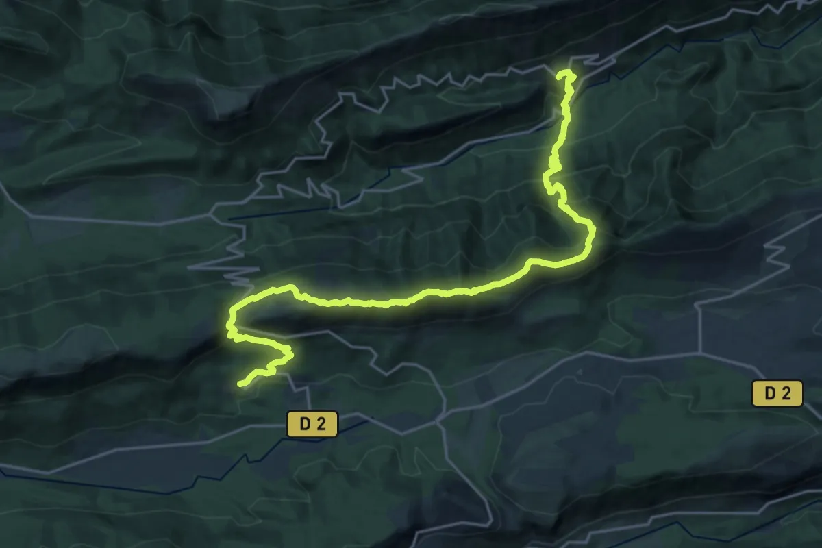
Demanding · Summit
Grand tour du haut Estéron - Etape 3
12.1 km · ↑ 1012 m · 5 h 3 min
Demanding · Summit
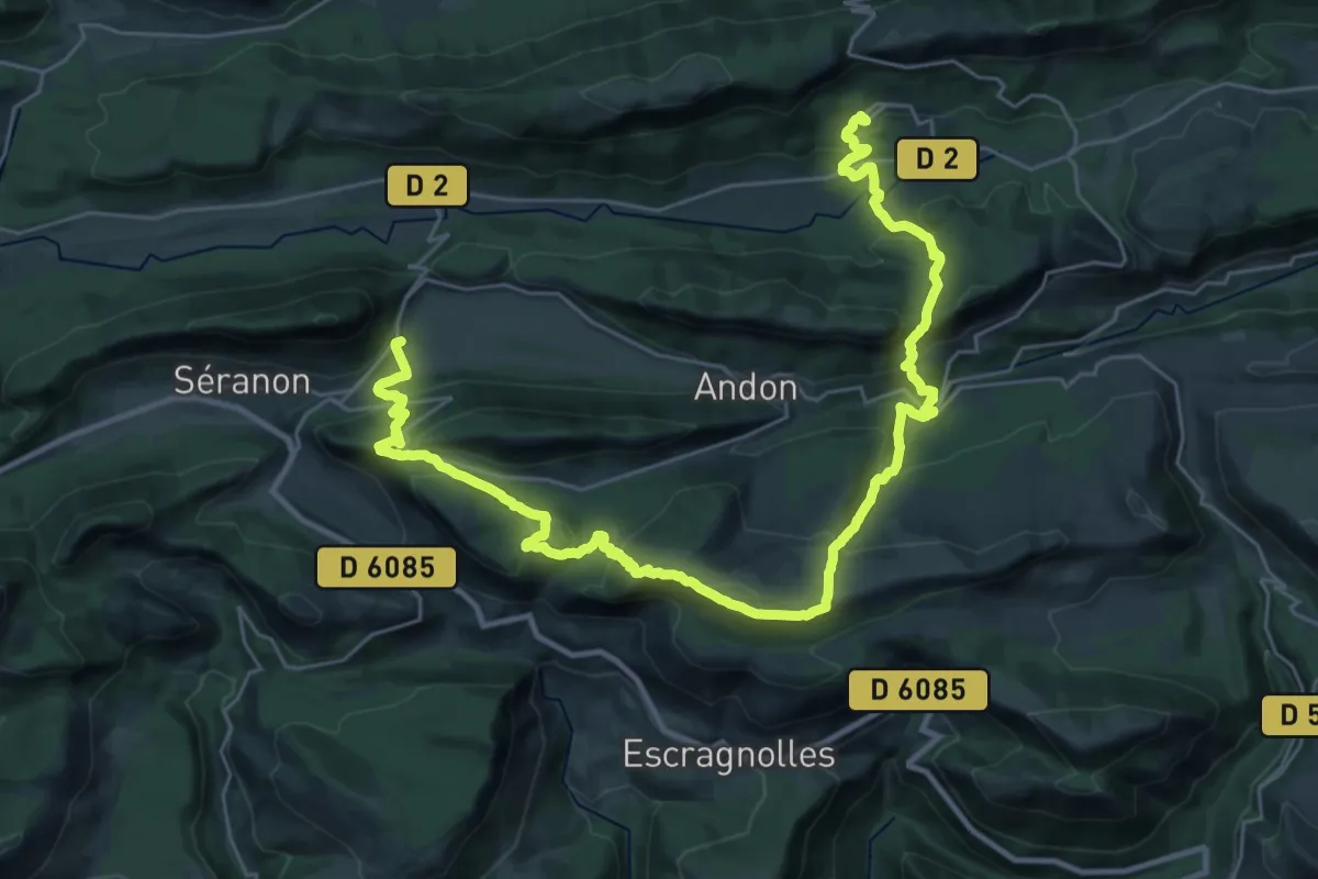
Grand tour du haut Estéron - Etape 4
20.4 km · ↑ 905 m · 7 h 5 min
Demanding · Summit
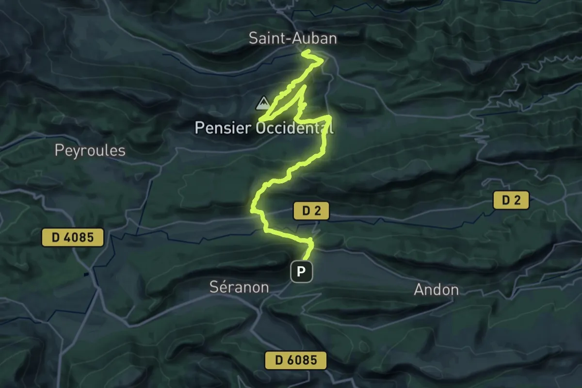
Grand tour du haut Estéron - Etape 5
17.7 km · ↑ 826 m · 6 h 16 min
Demanding · Summit
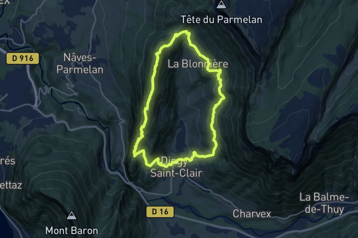
Grand Tour du Lachat
11.9 km · ↑ 818 m · 4 h 44 min
Easy · Trail
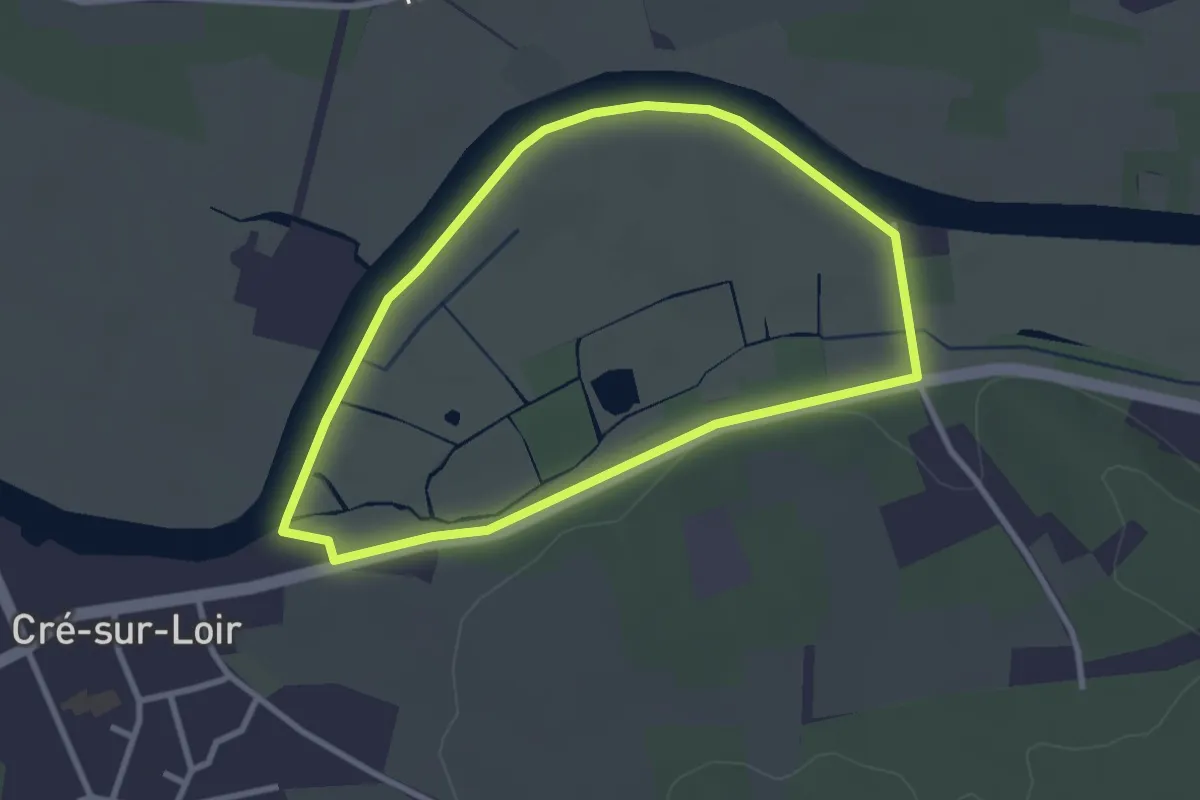
Grand tour du marais
2.7 km · ↑ 12 m · 42 min
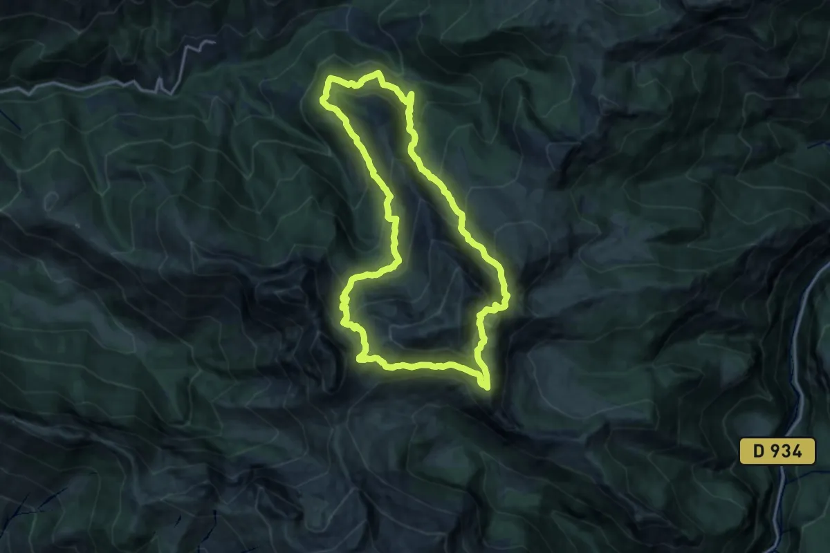
Demanding · Summit
Grand Tour du Montagnon asp105
14.6 km · ↑ 1177 m · 6 h 12 min
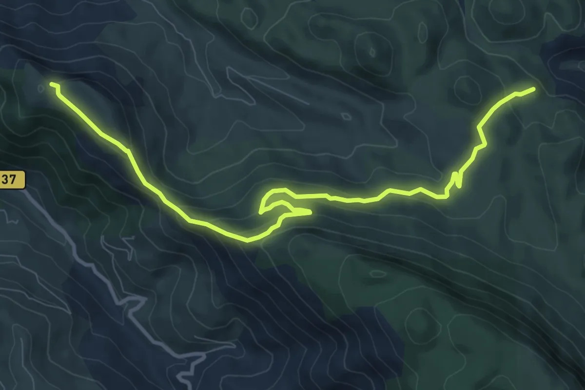
Medium · Summit
Grand tour Sourroque
11.2 km · ↑ 514 m · 3 h 45 min
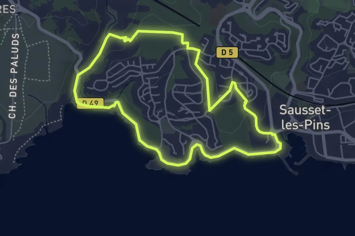
Easy · Trail
Grand Vallat - Littoral
4.8 km · ↑ 66 m · 1 h 21 min
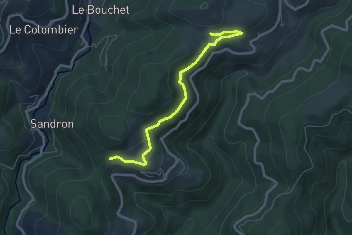
Easy · Trail
Grange - Coulet du Vernadel
5.3 km · ↑ 149 m · 1 h 34 min
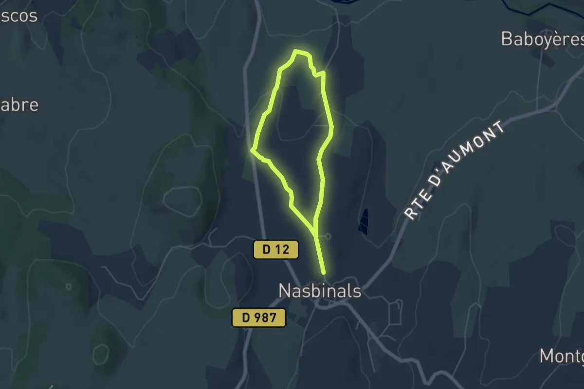
Easy · Trail
Grange de Nada
3.7 km · ↑ 79 m · 1 h 6 min
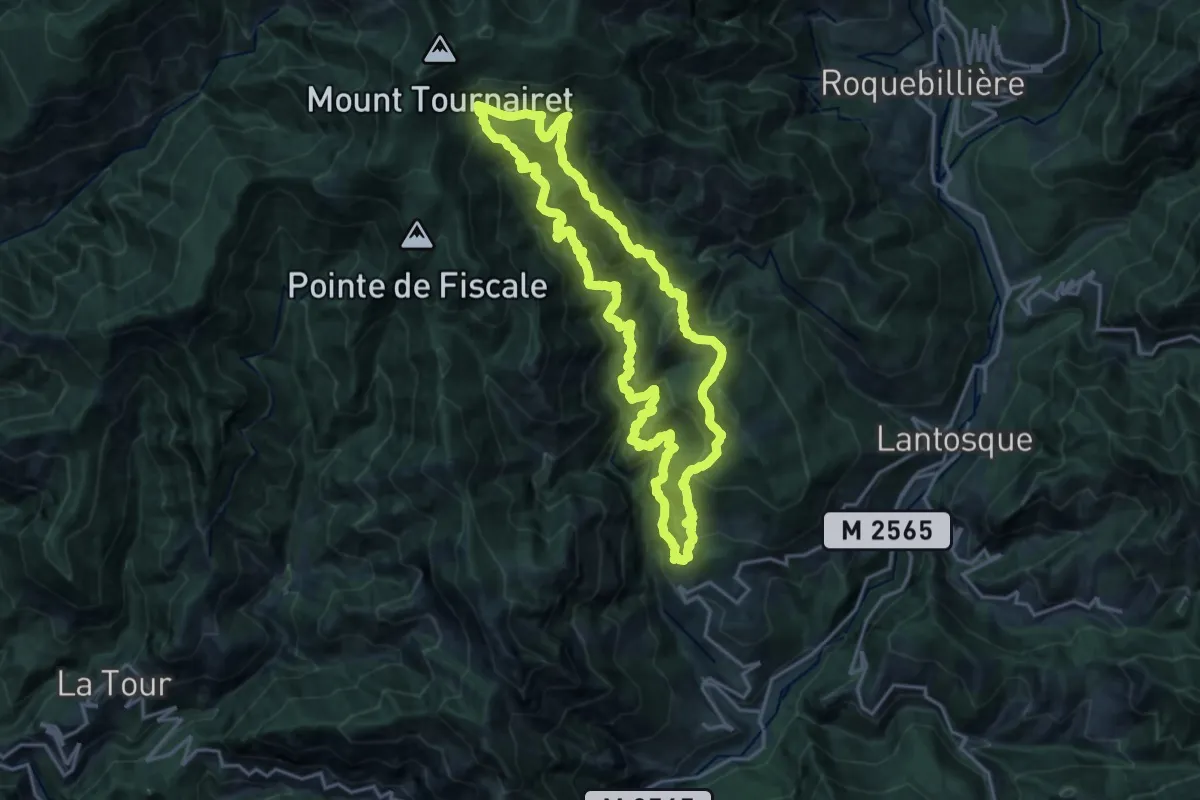
Demanding · Summit
Granges de la Brasque
18.8 km · ↑ 1576 m · 8 h 7 min
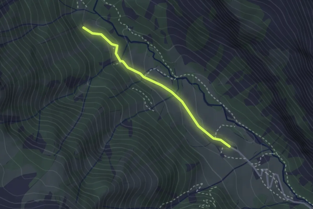
Medium · Cabin
Granges Vallée Étroite - Infernet
2.5 km · ↑ 88 m · 47 min
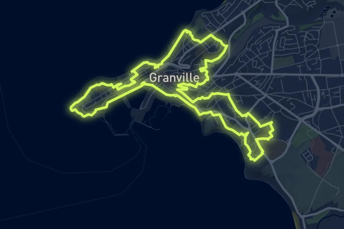
Medium · Trail
Granville et son roc
10.5 km · ↑ 249 m · 3 h 9 min
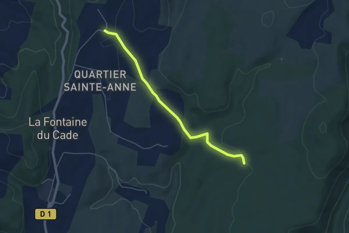
Easy · Trail
Gras de la Fauvette - Leyris
4.6 km · ↑ 78 m · 1 h 15 min
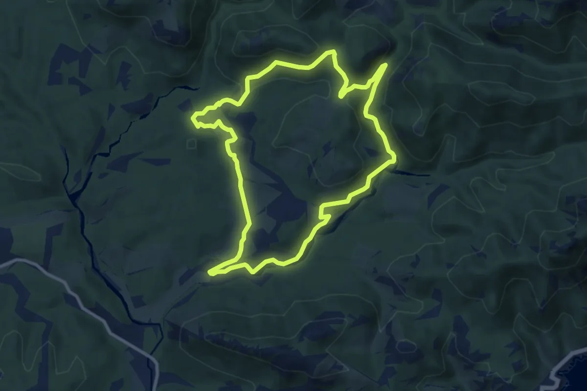
Medium · Trail
Gratadis (jaune)
8.8 km · ↑ 199 m · 2 h 37 min
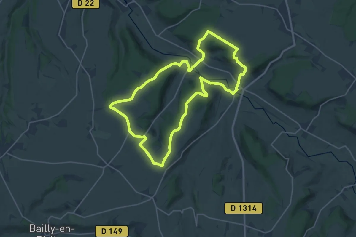
Medium · Trail
Gratte-Panche
16.0 km · ↑ 265 m · 4 h 34 min
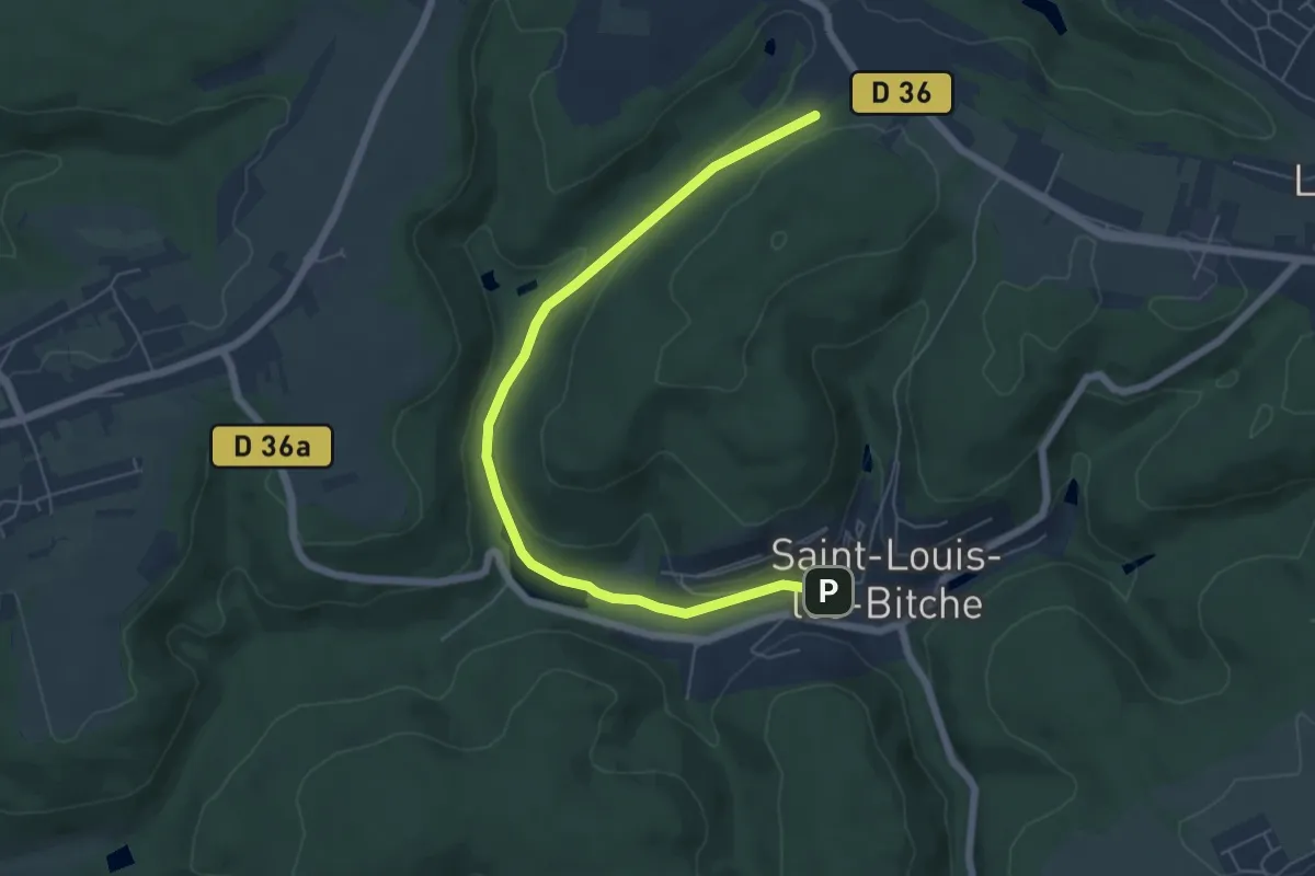
Easy · Trail
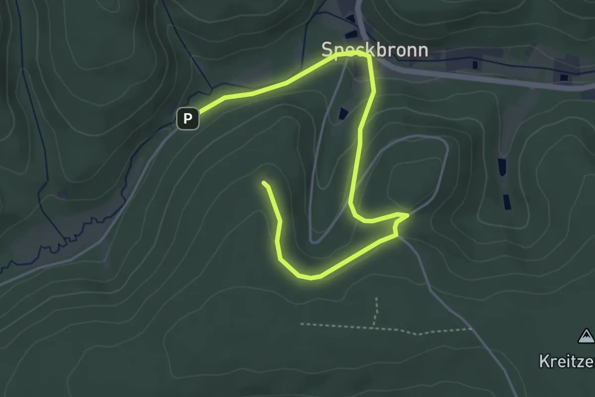
Green diamond
6.3 km · ↑ 166 m · 1 h 51 min
Easy · Trail
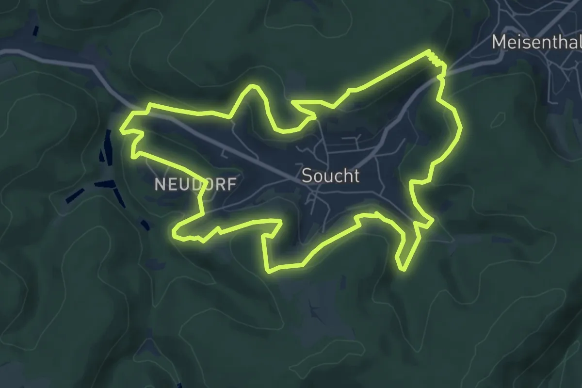
Green dot
5.0 km · ↑ 138 m · 1 h 28 min
Easy · Summit
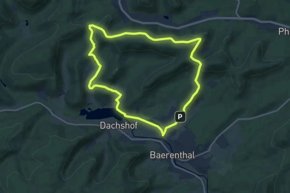
Green ring
7.9 km · ↑ 295 m · 2 h 36 min
Easy · Summit
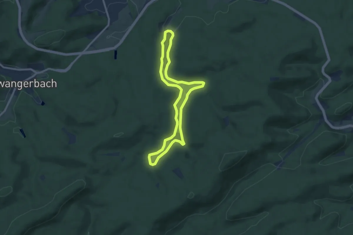
Green ring
7.6 km · ↑ 277 m · 2 h 31 min
Easy · Trail
Green ring
6.0 km · ↑ 69 m · 1 h 39 min
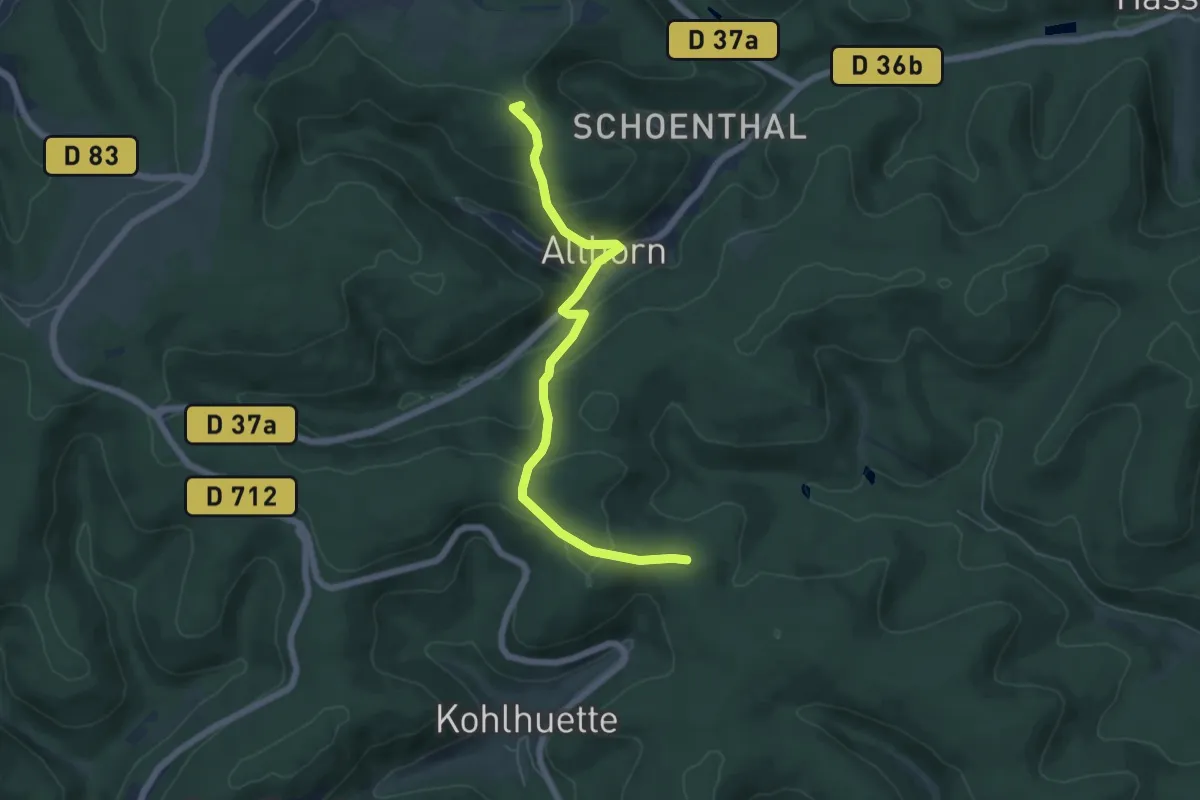
Easy · Summit
Green triangle
5.8 km · ↑ 287 m · 2 h
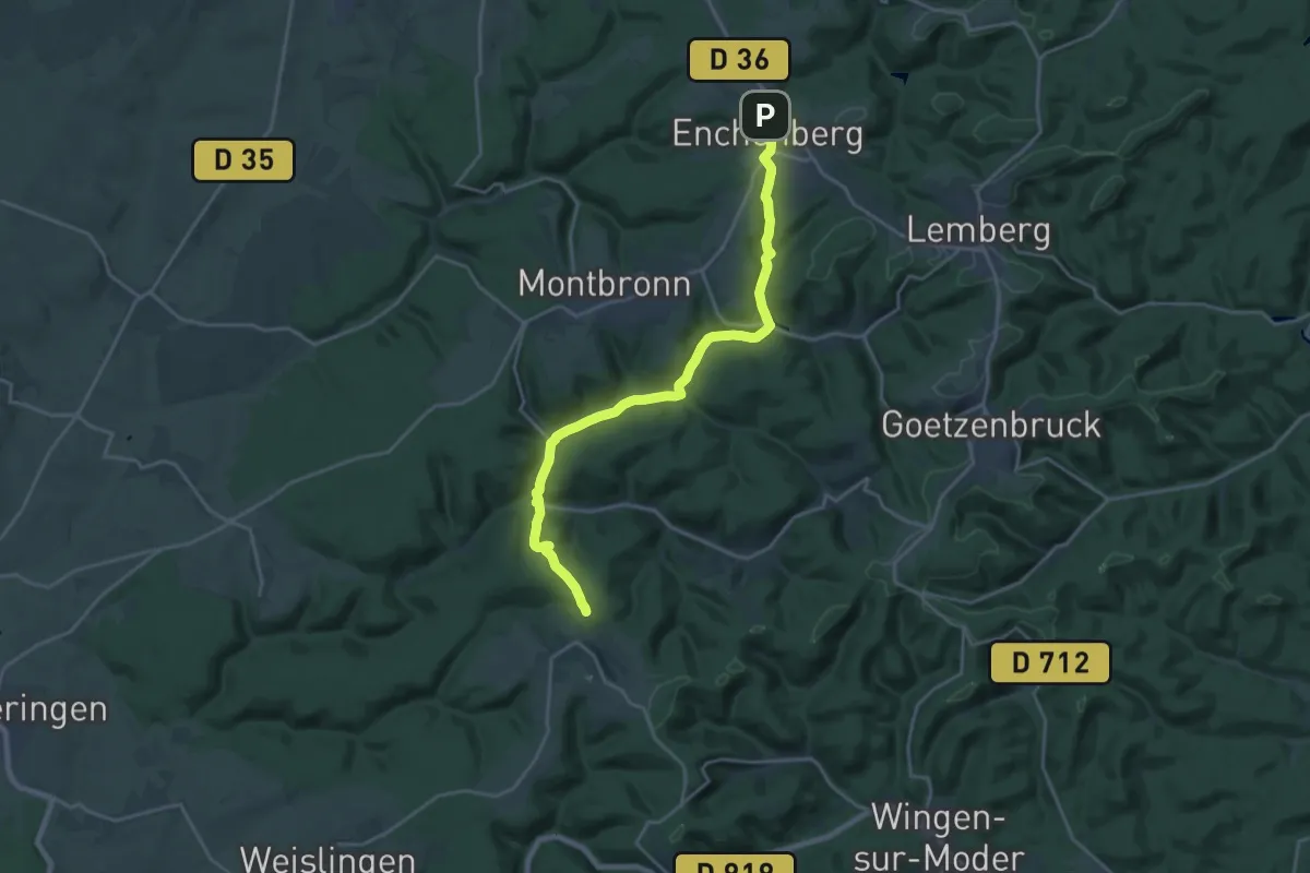
Demanding · Trail
Green triangle
20.2 km · ↑ 452 m · 5 h 44 min
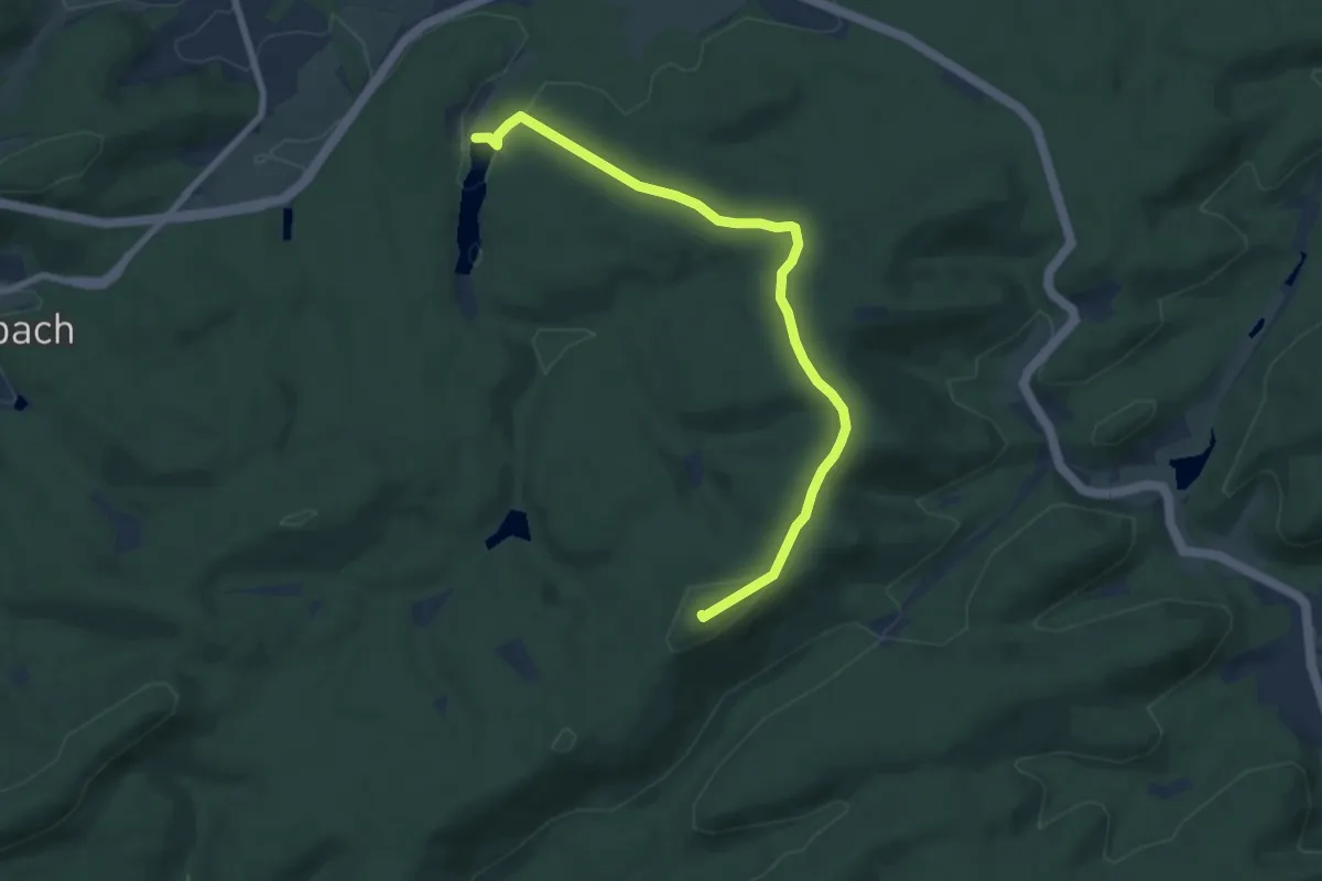
Easy · Summit
Green X
7.3 km · ↑ 150 m · 2 h 3 min
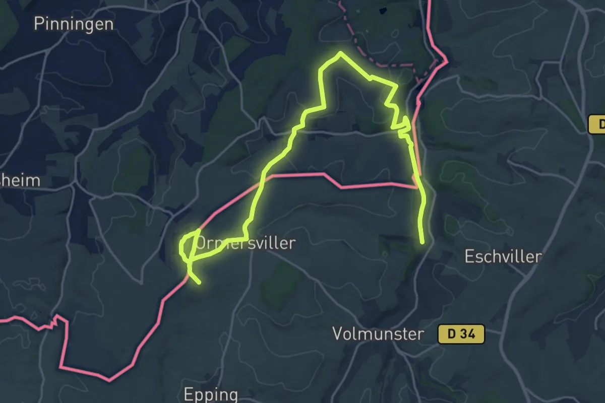
Medium · Trail
Grenzgänger
11.0 km · ↑ 231 m · 3 h 11 min
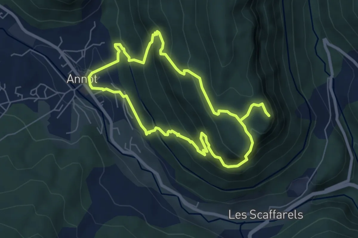
Medium · Trail
Grès d'Annot
5.3 km · ↑ 429 m · 2 h 15 min
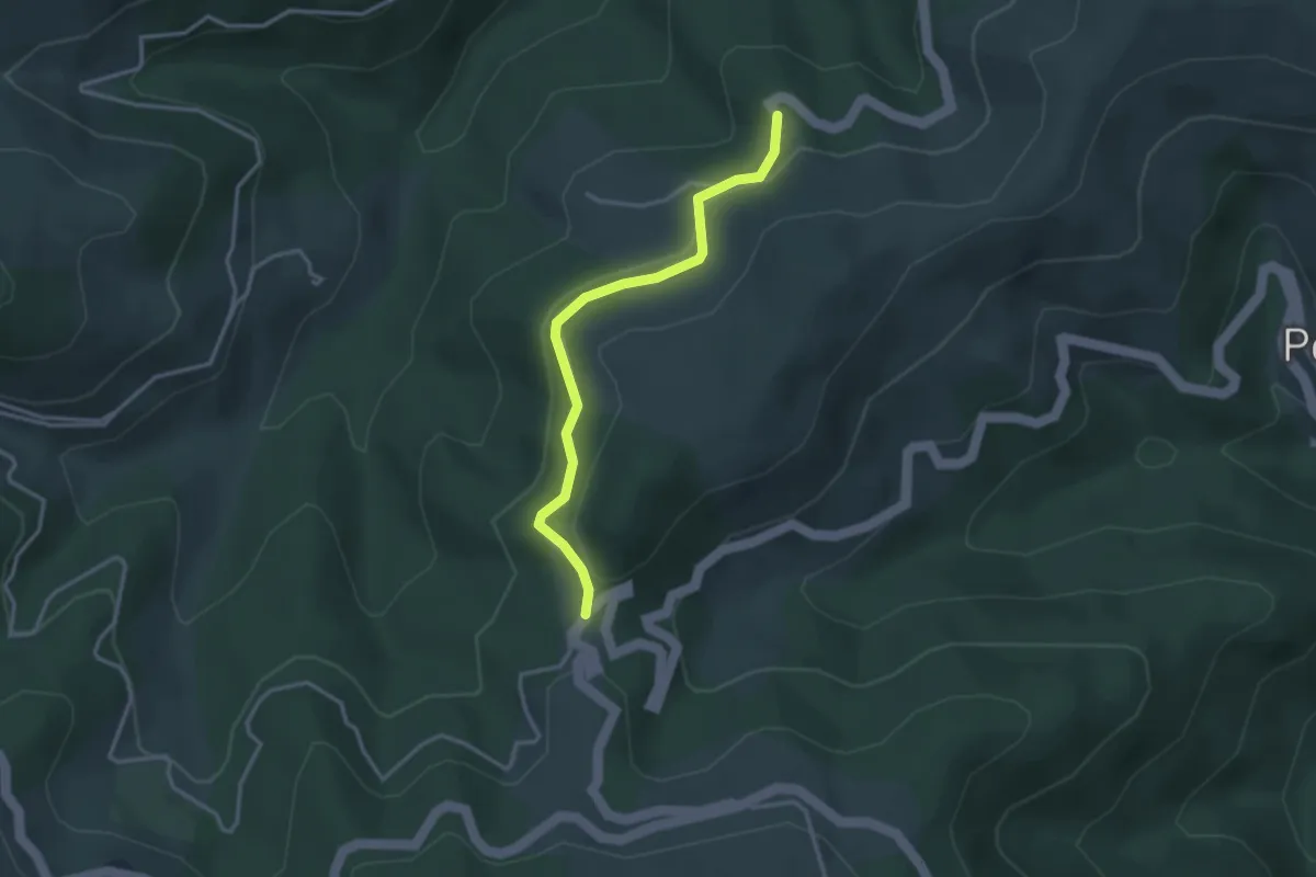
Easy · Trail
Greytus - Ajoux Pierre de Faux
3.2 km · ↑ 133 m · 1 h 3 min
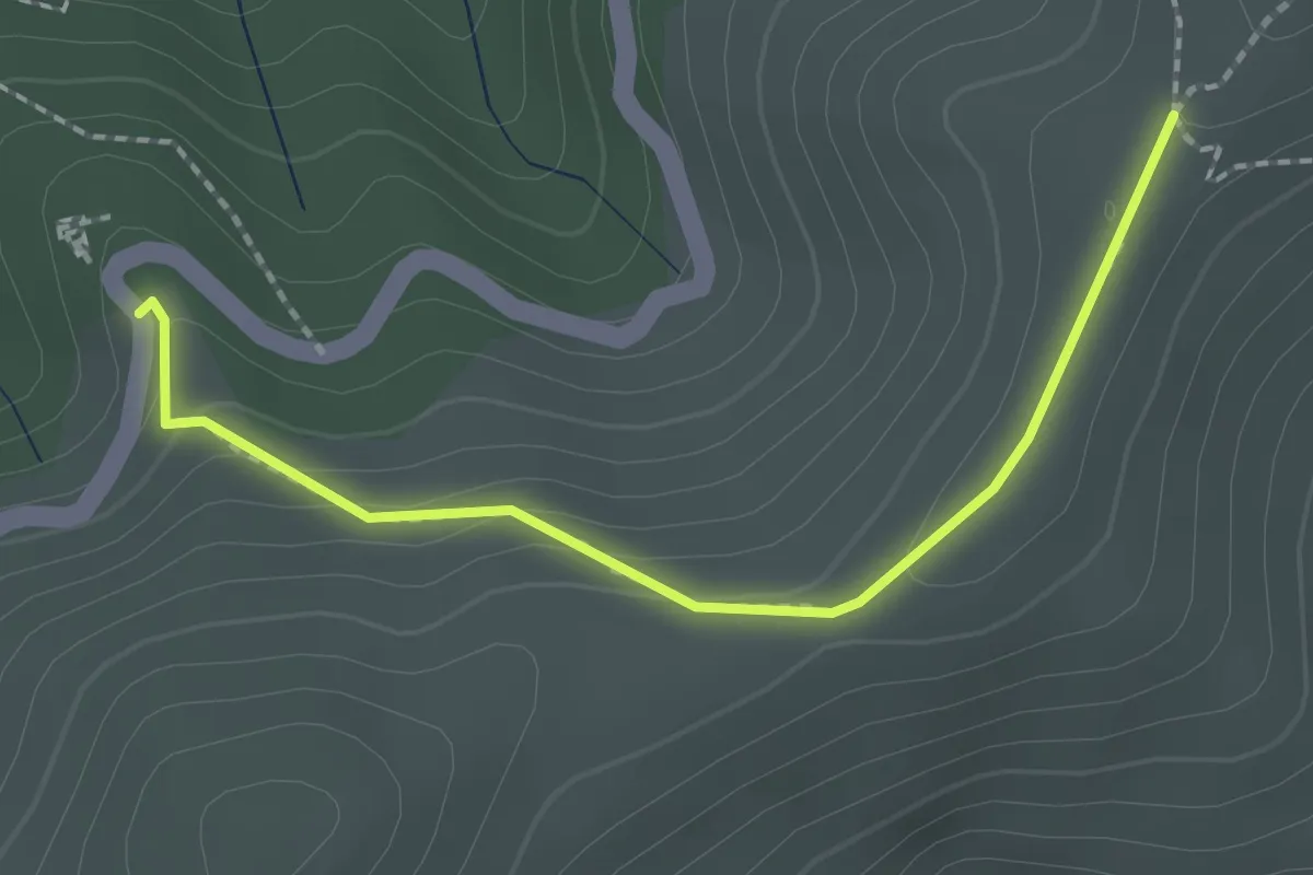
Easy · Trail
Greytus - Les Côtes
2.1 km · ↑ 97 m · 43 min
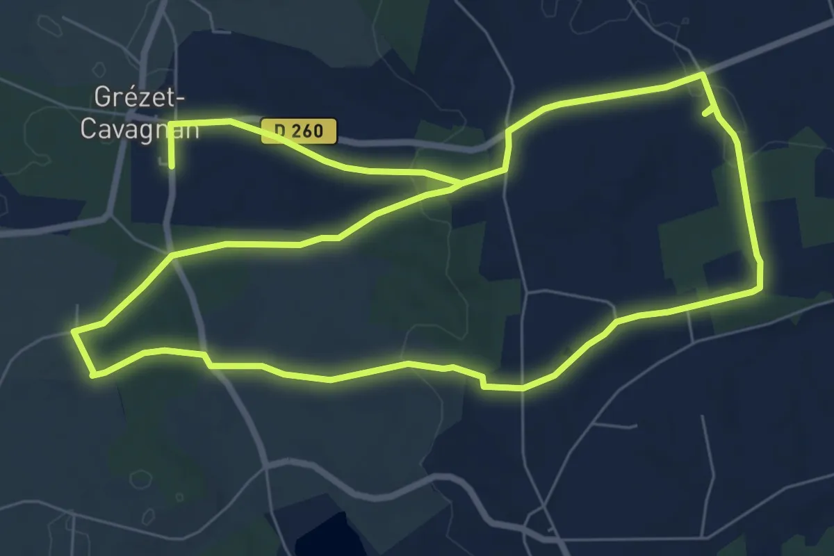
Easy · Trail
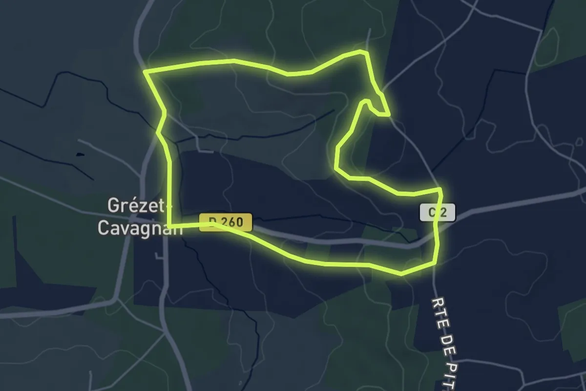
Grézet-Cavagnan, la balade de Danial - 9 km
7.8 km · ↑ 122 m · 2 h 15 min
Easy · Trail
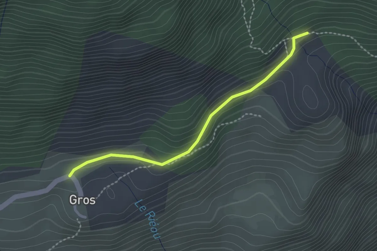
Grézet-Cavagnan, vers le Grand Bois de Lanau - 5.2 km
4.8 km · ↑ 95 m · 1 h 24 min
Easy · Trail
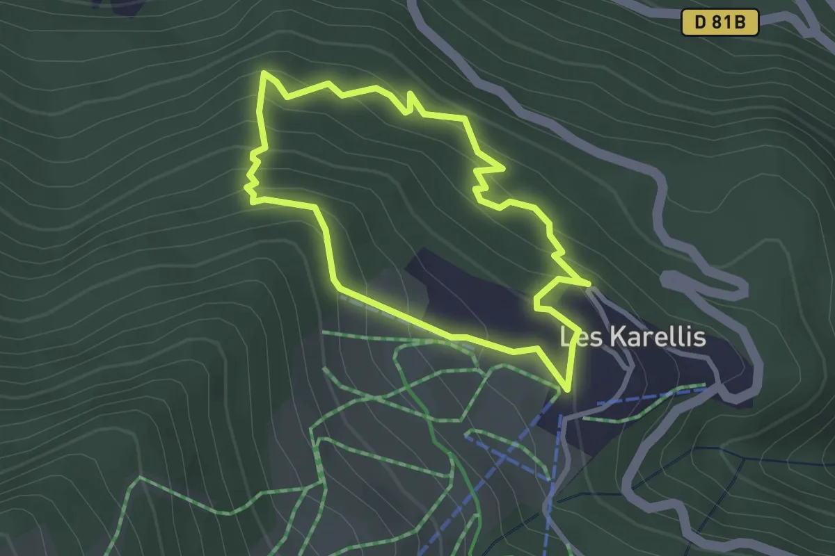
Gros - ?
2.2 km · ↑ 83 m · 42 min
Easy · Trail
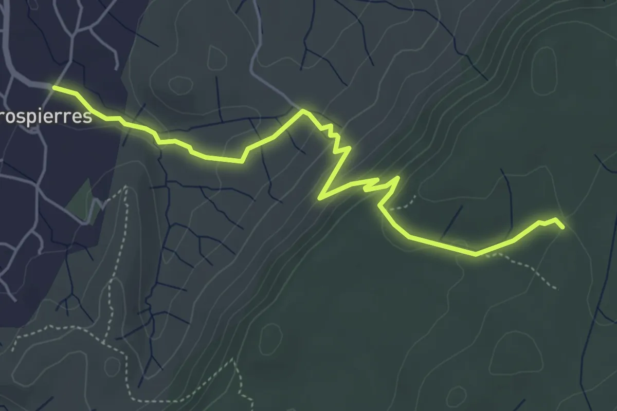
Gros Bois
2.5 km · ↑ 236 m · 1 h 9 min
Medium · Trail
Grospierres - Combe de Bonne Fille
5.7 km · ↑ 208 m · 1 h 48 min
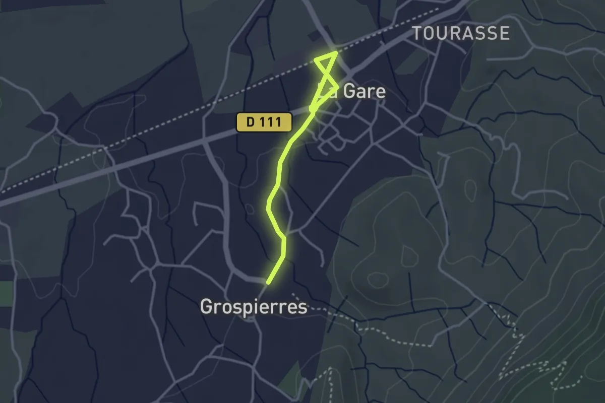
Easy · Trail
Grospierres Gare - Grospierres
2.9 km · ↑ 17 m · 44 min
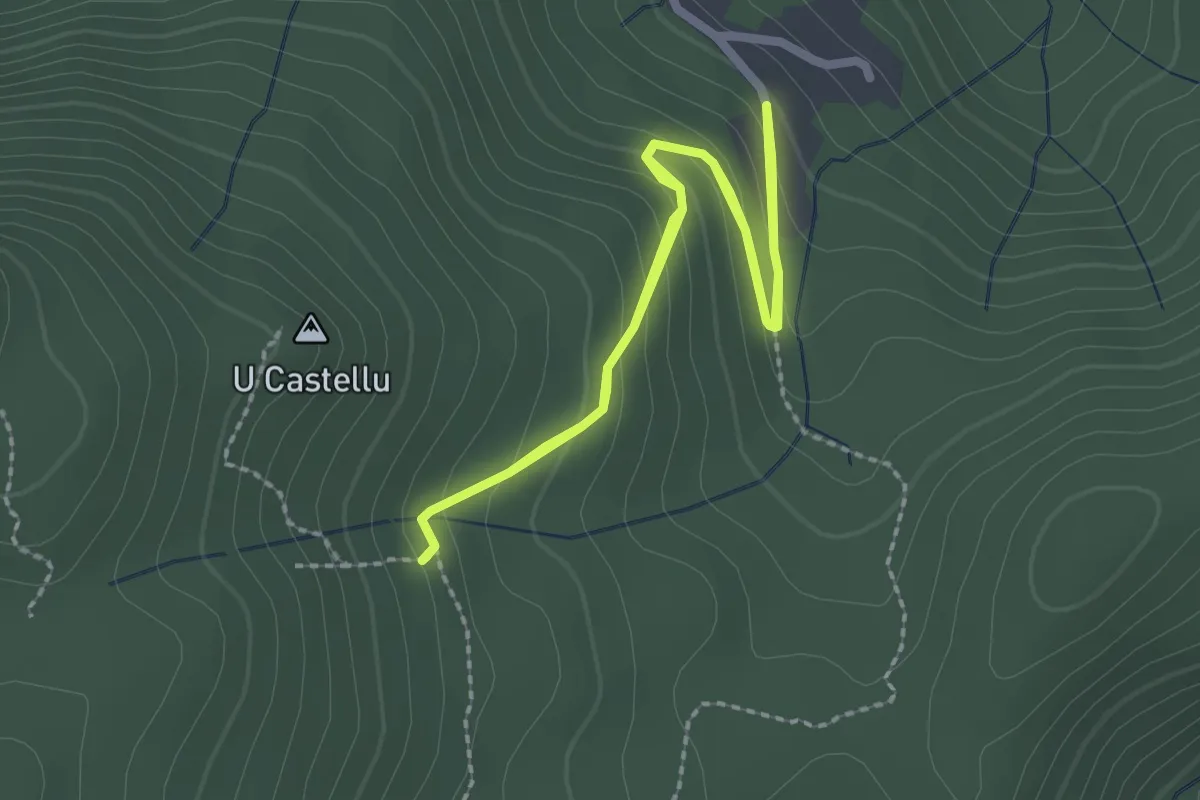
Medium · Trail
Grotte de Circinellu
2.3 km · ↑ 124 m · 50 min
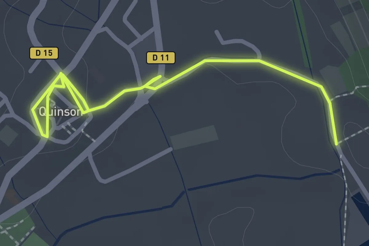
Easy · Trail
Grotte de la Baume Bonne
1.3 km · ↑ 4 m · 20 min
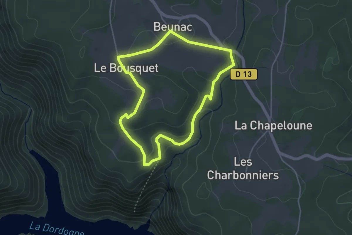
Easy · Trail
Grotte des Maquisards
3.4 km · ↑ 87 m · 1 h 2 min