Trails in France
15,926 hiking trails, each with its route, climb, walking time and grade.
All trails, page 125 of 332
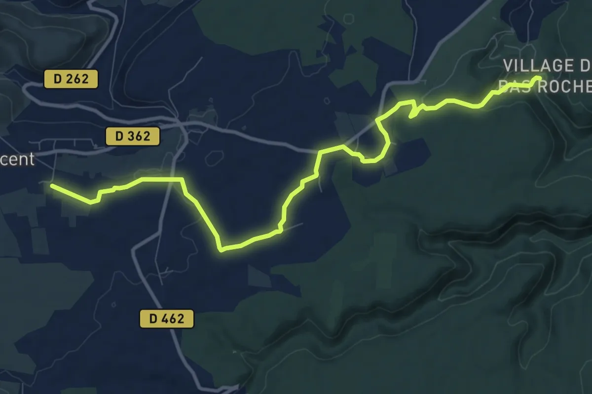
Medium · Trail
Imbours - Les Prés
11.6 km · ↑ 123 m · 3 h 1 min
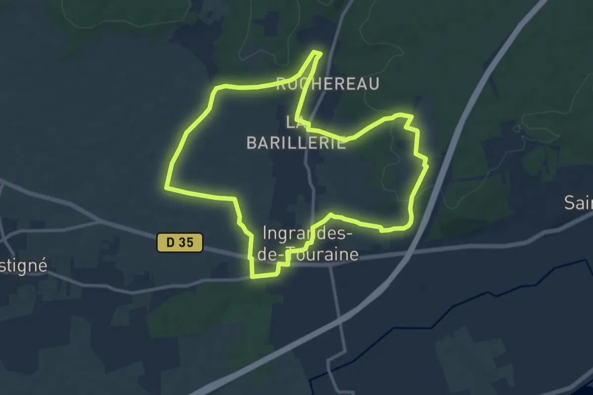
Medium · Trail
Ingrandes de Touraine - Coteaux-sur-Loire
8.9 km · ↑ 100 m · 2 h 27 min
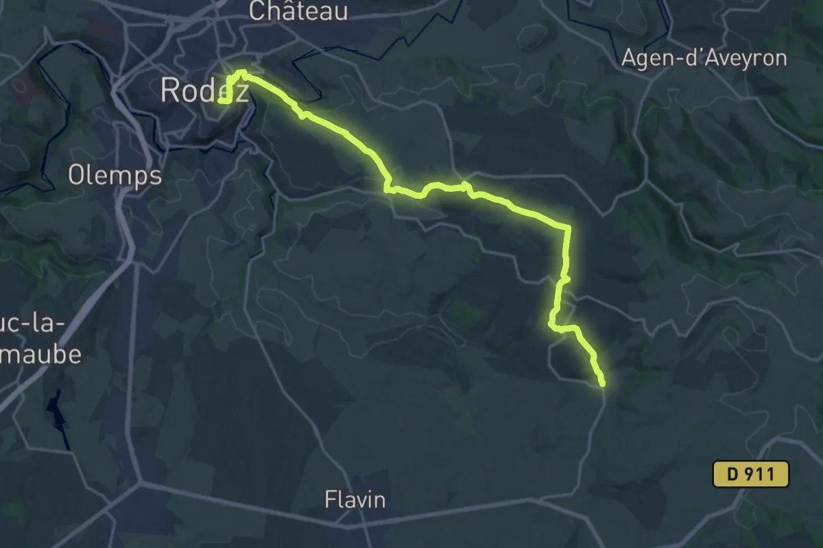
Demanding · Trail
Inières - Rodez
22.1 km · ↑ 596 m · 6 h 30 min
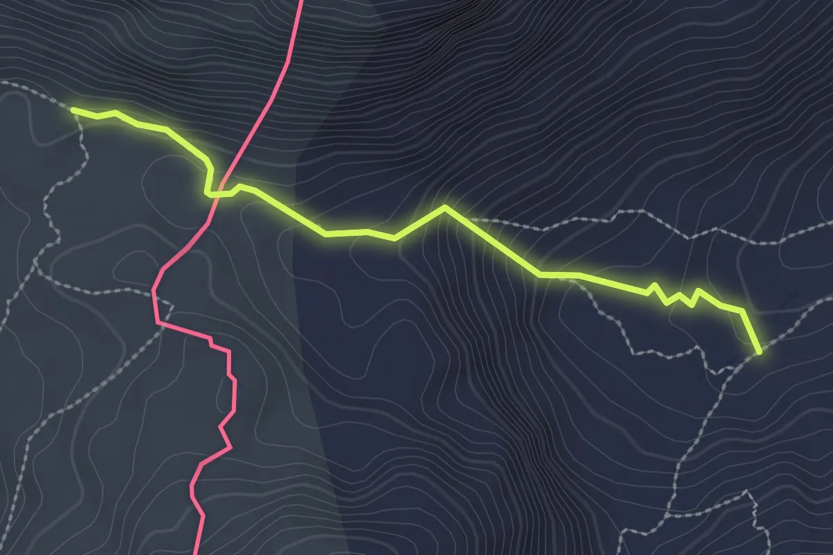
Medium · Trail
Iparraldea: Intzola lepoa (GR12) - Cazette (GR10)
2.7 km · ↑ 222 m · 1 h 7 min
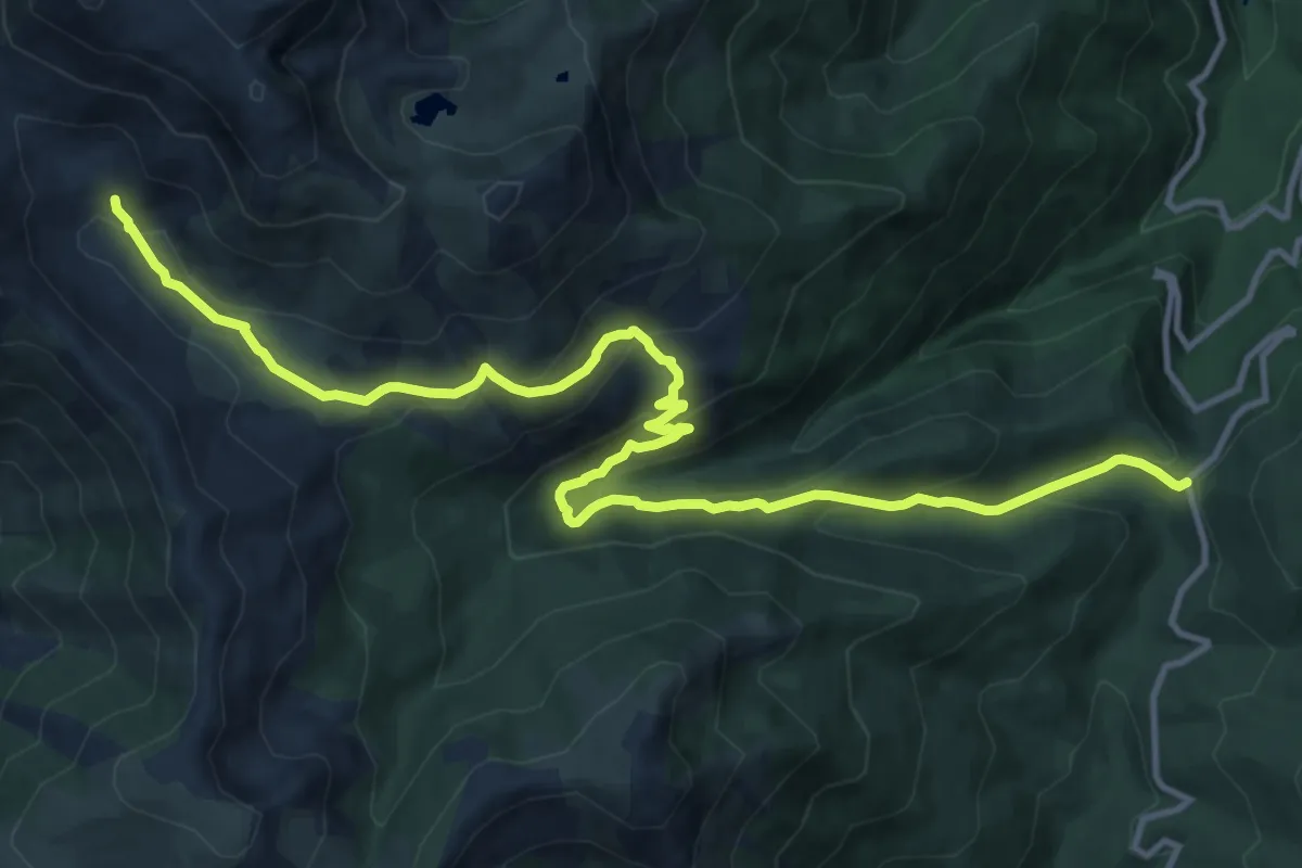
Medium · Cabin
I Pozzi
16.1 km · ↑ 707 m · 5 h 20 min
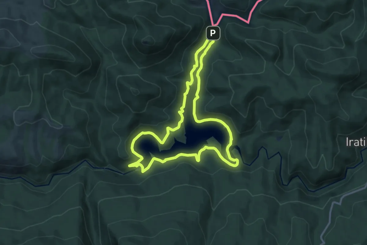
Medium · Trail
Irabiako uharkari itzulia
9.8 km · ↑ 315 m · 3 h 8 min
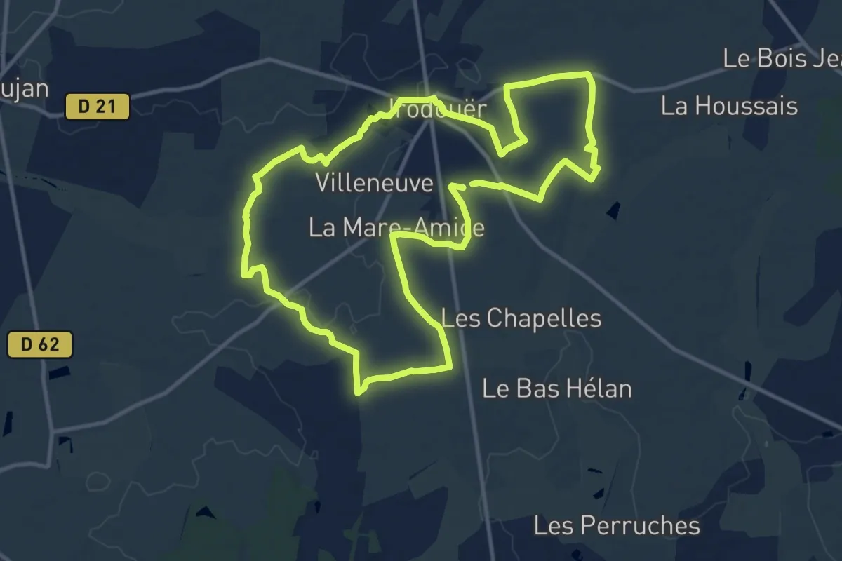
Medium · Trail
Irodouer Boucle Sud
11.5 km · ↑ 57 m · 3 h 1 min
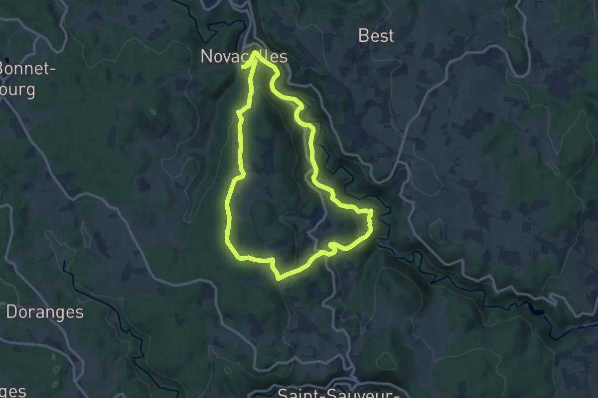
Medium · Trail
Issandolanges
9.4 km · ↑ 371 m · 3 h 10 min
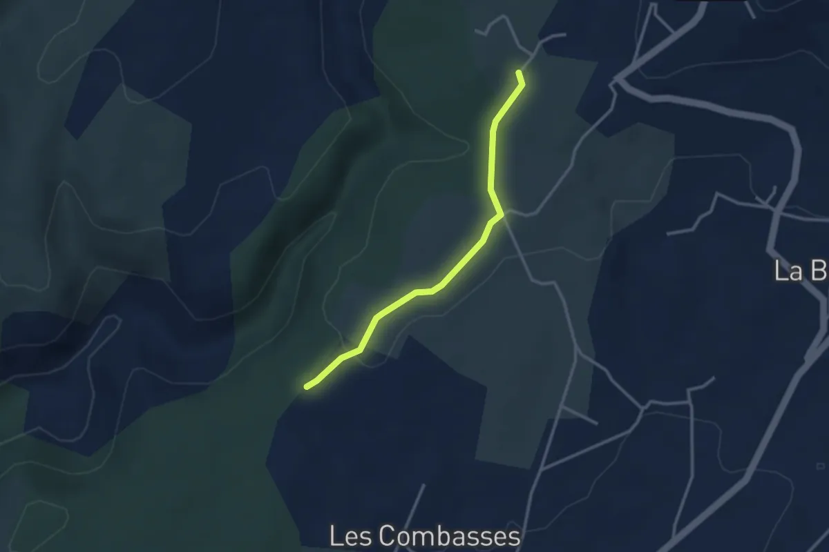
Easy · Trail
Issard de Madame - Séveniers
2.8 km · ↑ 32 m · 44 min
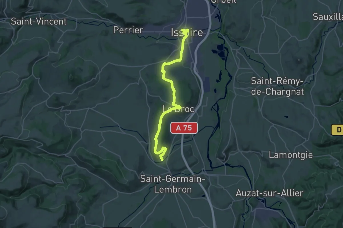
Demanding · Trail
Issoire - Saint-Germain-Lembron
25.7 km · ↑ 518 m · 7 h 12 min
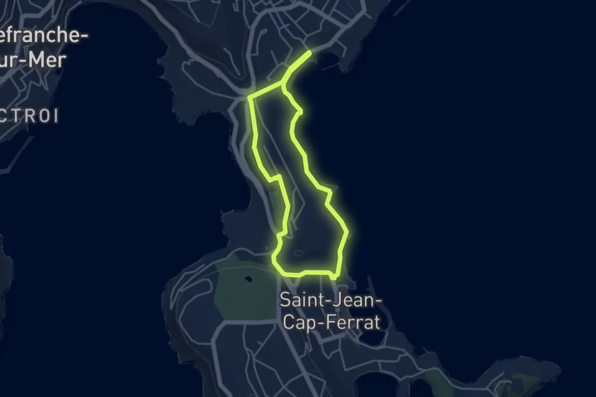
Easy · Trail
Isthme de Saint-Jean
3.7 km · ↑ 70 m · 1 h 4 min
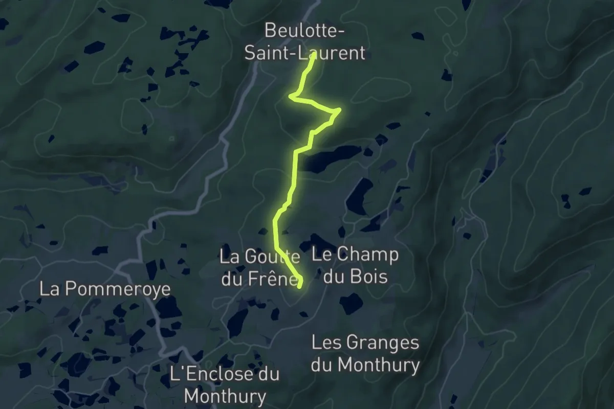
Easy · Trail
Itinéraire bis
4.9 km · ↑ 176 m · 1 h 33 min
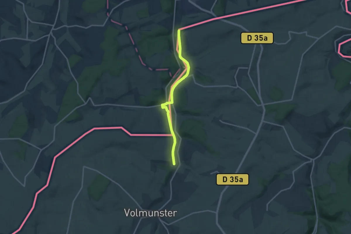
Medium · Trail
Itineraire botanique
9.6 km · ↑ 48 m · 2 h 22 min
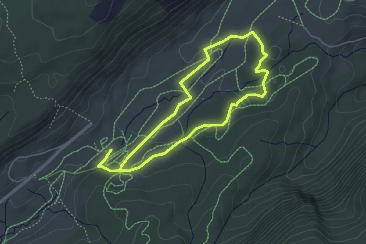
Easy · Trail
Itinéraire découverte de la nature
3.5 km · ↑ 51 m · 59 min
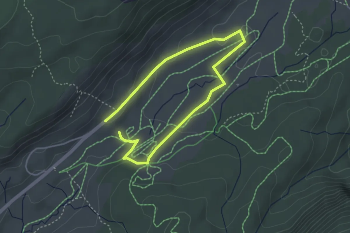
Easy · Trail
Itinéraire de découverte historique
2.6 km · ↑ 41 m · 44 min
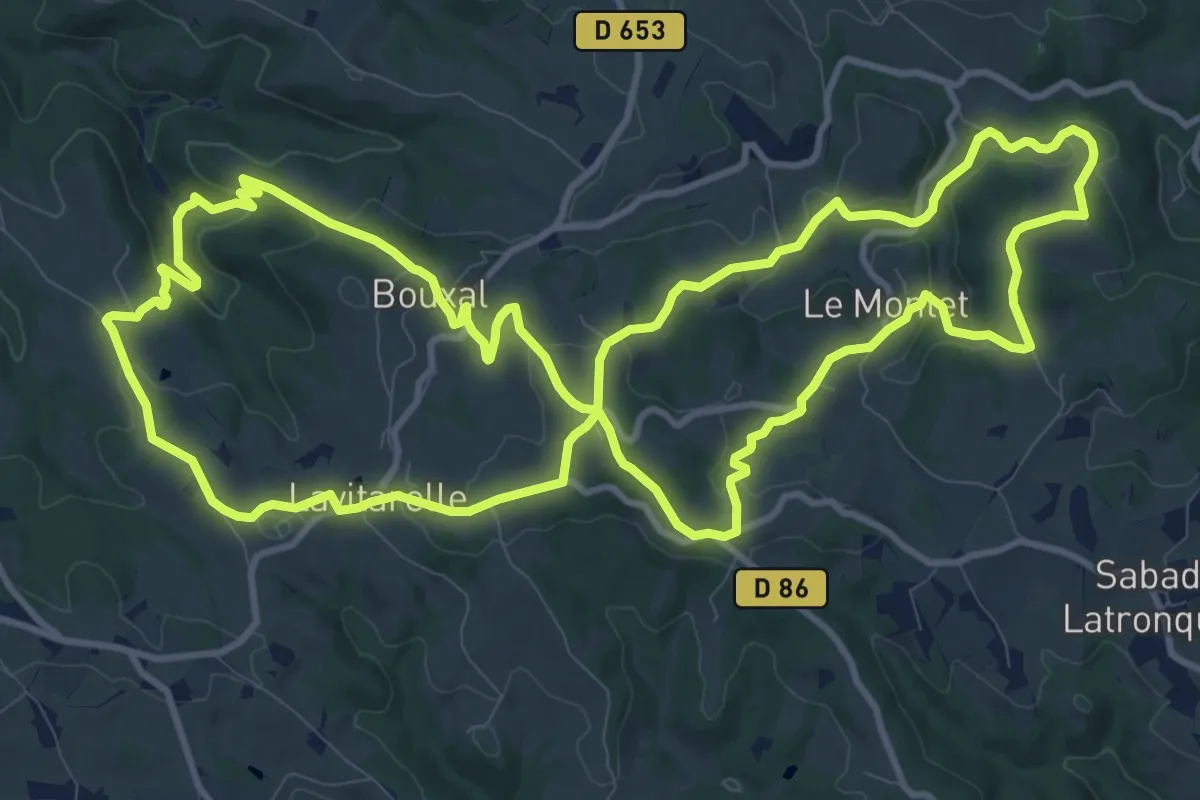
Medium · Trail
Itinéraire des Deux Clochers
13.7 km · ↑ 367 m · 4 h 13 min
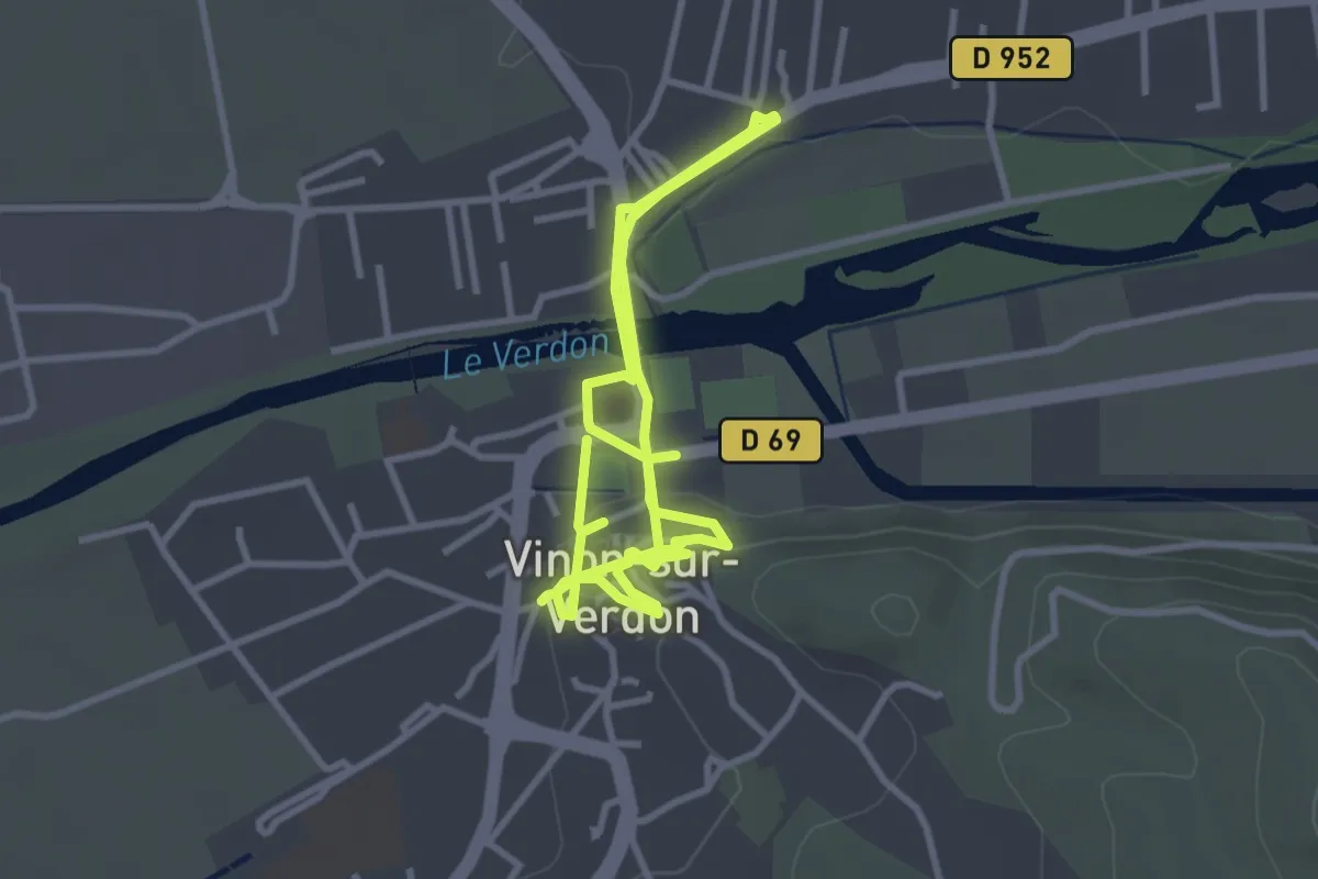
Easy · Trail
Itinéraire Touristique
3.1 km · ↑ 52 m · 53 min
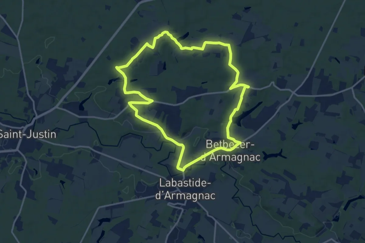
Medium · Trail
Itinerie d'Armagnac
12.3 km · ↑ 141 m · 3 h 23 min
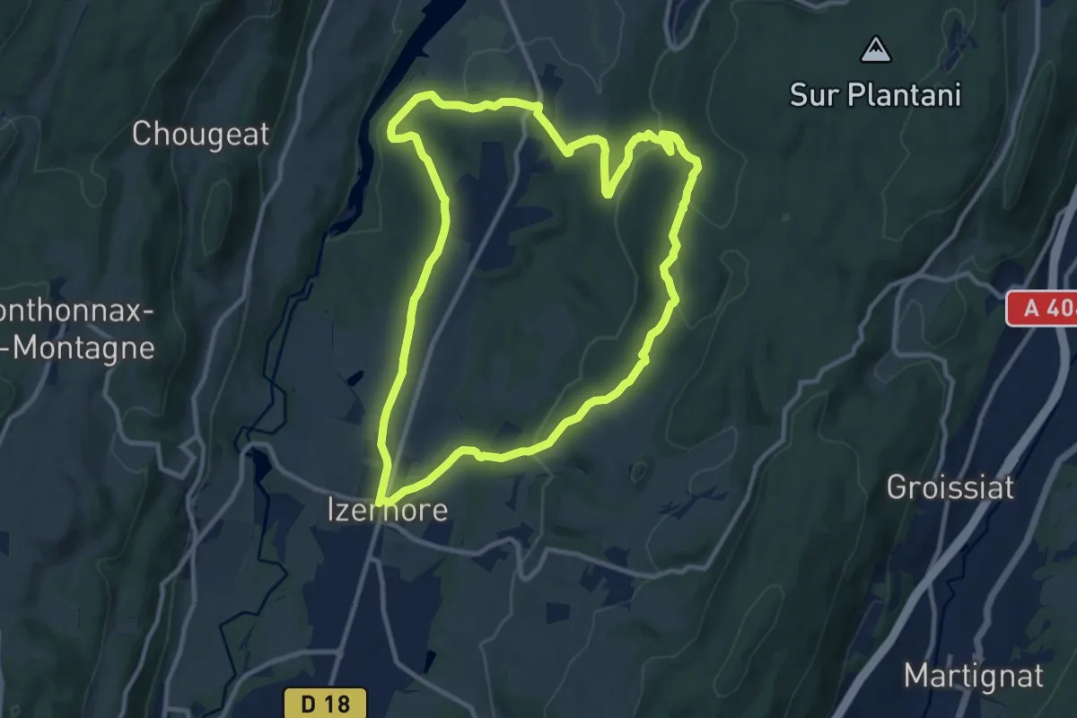
Medium · Trail
Izernor Trail
10.7 km · ↑ 296 m · 3 h 19 min
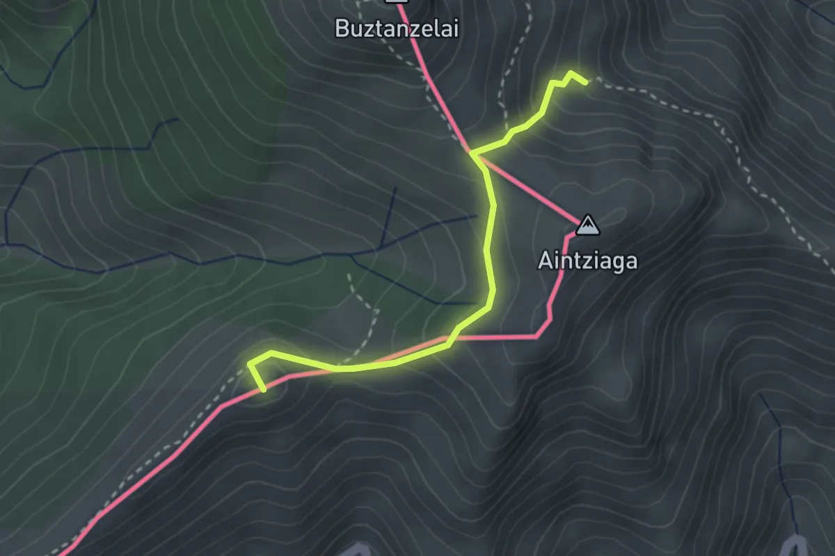
Medium · Summit
Izpegi - Buztanzelaiko lepoa - Baigorri
2.7 km · ↑ 189 m · 1 h 3 min
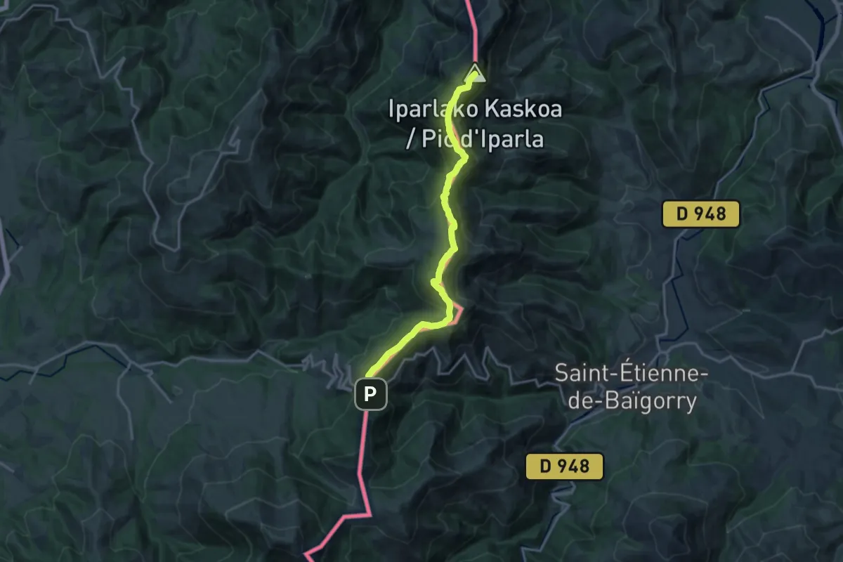
Demanding · Summit
Izpegi - Buztanzelaiko lepoa - Iparla - Bidarrai
15.4 km · ↑ 1015 m · 5 h 50 min
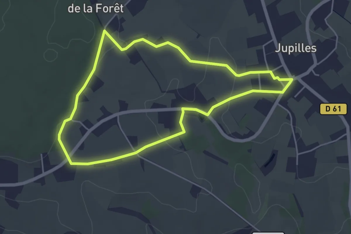
Easy · Trail
J1
4.0 km · ↑ 55 m · 1 h 8 min
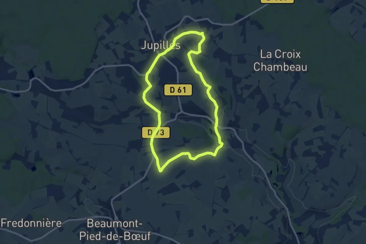
Easy · Trail
J2
8.0 km · ↑ 115 m · 2 h 14 min
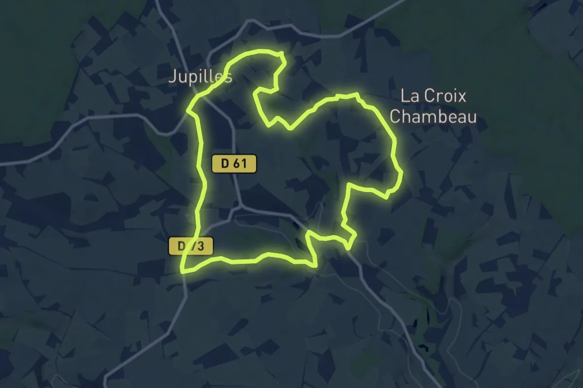
Medium · Trail
J3
9.7 km · ↑ 161 m · 2 h 47 min
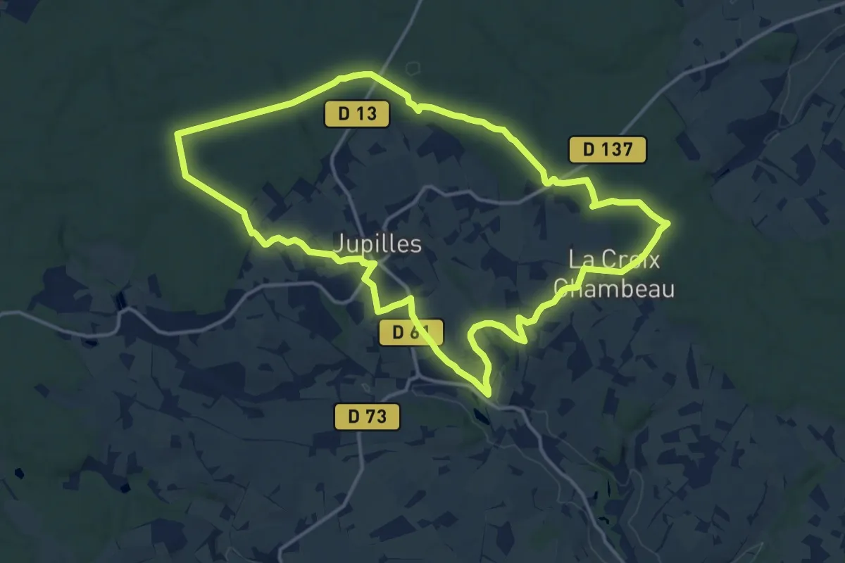
Medium · Trail
J4
14.2 km · ↑ 191 m · 3 h 58 min
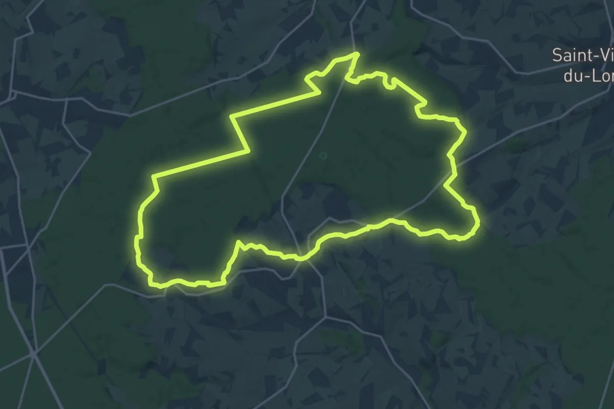
Demanding · Trail
J5
21.7 km · ↑ 357 m · 6 h 11 min
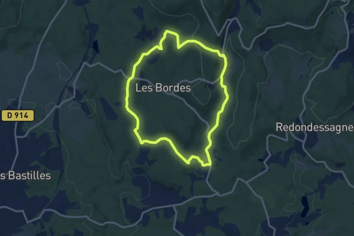
Easy · Summit
Jabreilles/Maucloup/Grand-Vaux
7.3 km · ↑ 178 m · 2 h 13 min
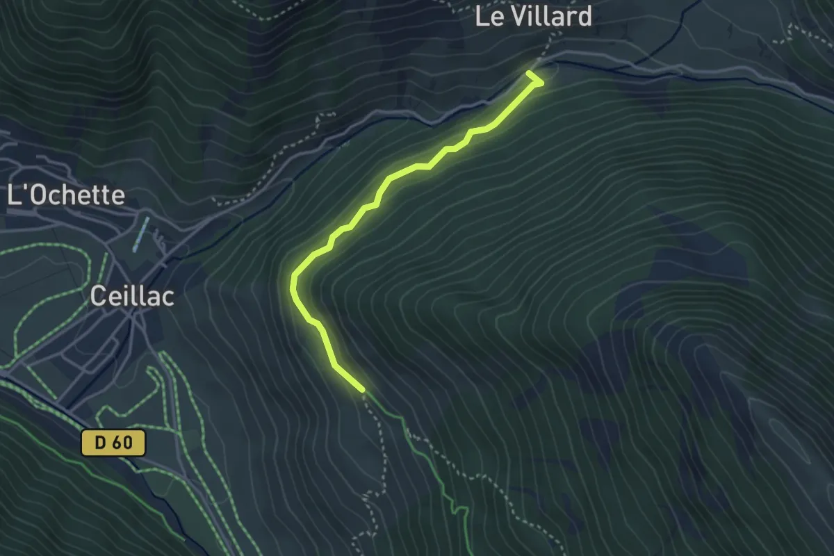
Easy · Trail
Jalavez - Pont du Villard
3.2 km · ↑ 130 m · 1 h 2 min
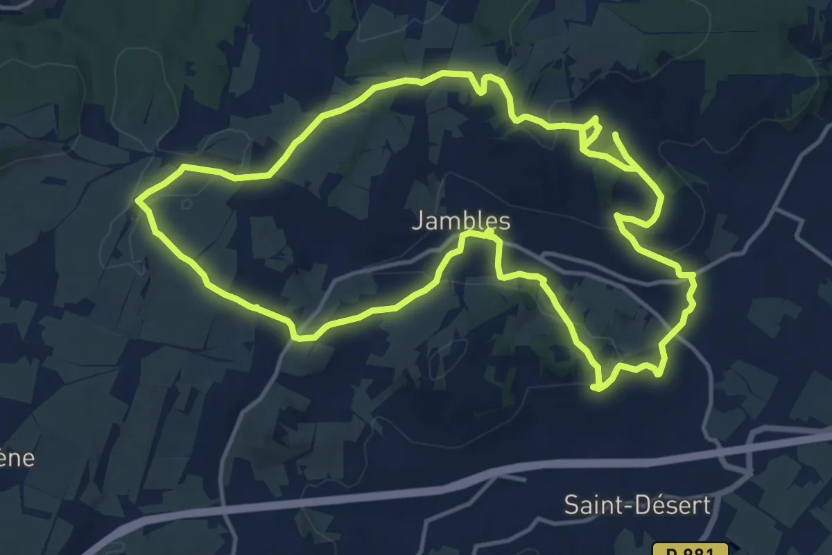
Medium · Summit
Jambles d'un Versant
13.8 km · ↑ 324 m · 4 h 9 min
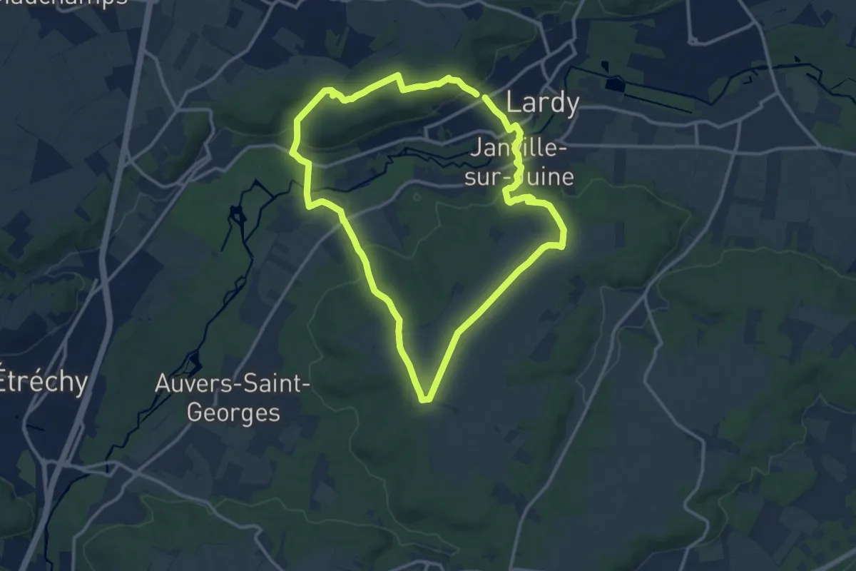
Medium · Trail
Janville
11.2 km · ↑ 168 m · 3 h 11 min
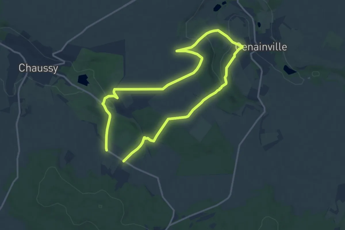
Medium · Trail
Jardins de Ninon
9.2 km · ↑ 134 m · 2 h 35 min
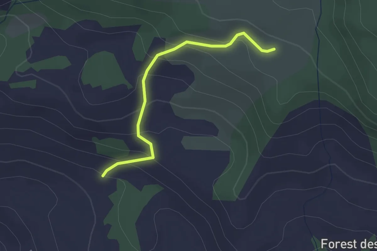
Medium · Trail
Jardins des Gardes - Les Gontards
2.4 km · ↑ 170 m · 57 min
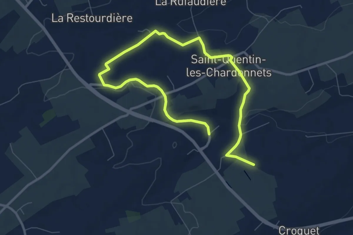
Medium · Trail
Jardins extraordinaires
10.1 km · ↑ 107 m · 2 h 38 min
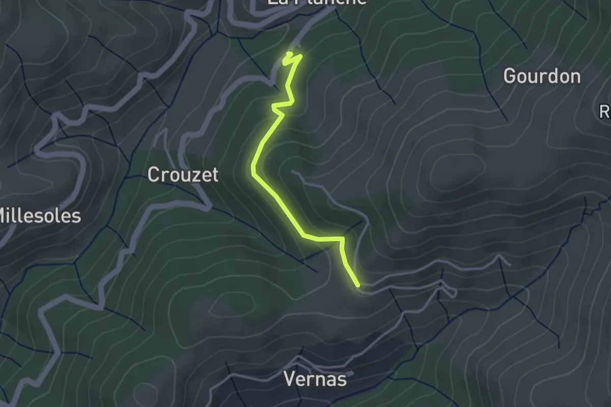
Easy · Trail
Jarniac - La Geneste
2.8 km · ↑ 132 m · 57 min
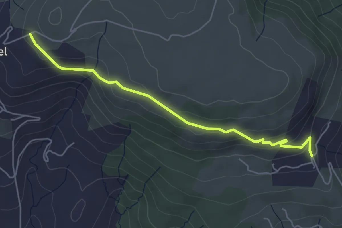
Easy · Trail
Jarnias - Le Thérond
4.8 km · ↑ 147 m · 1 h 27 min
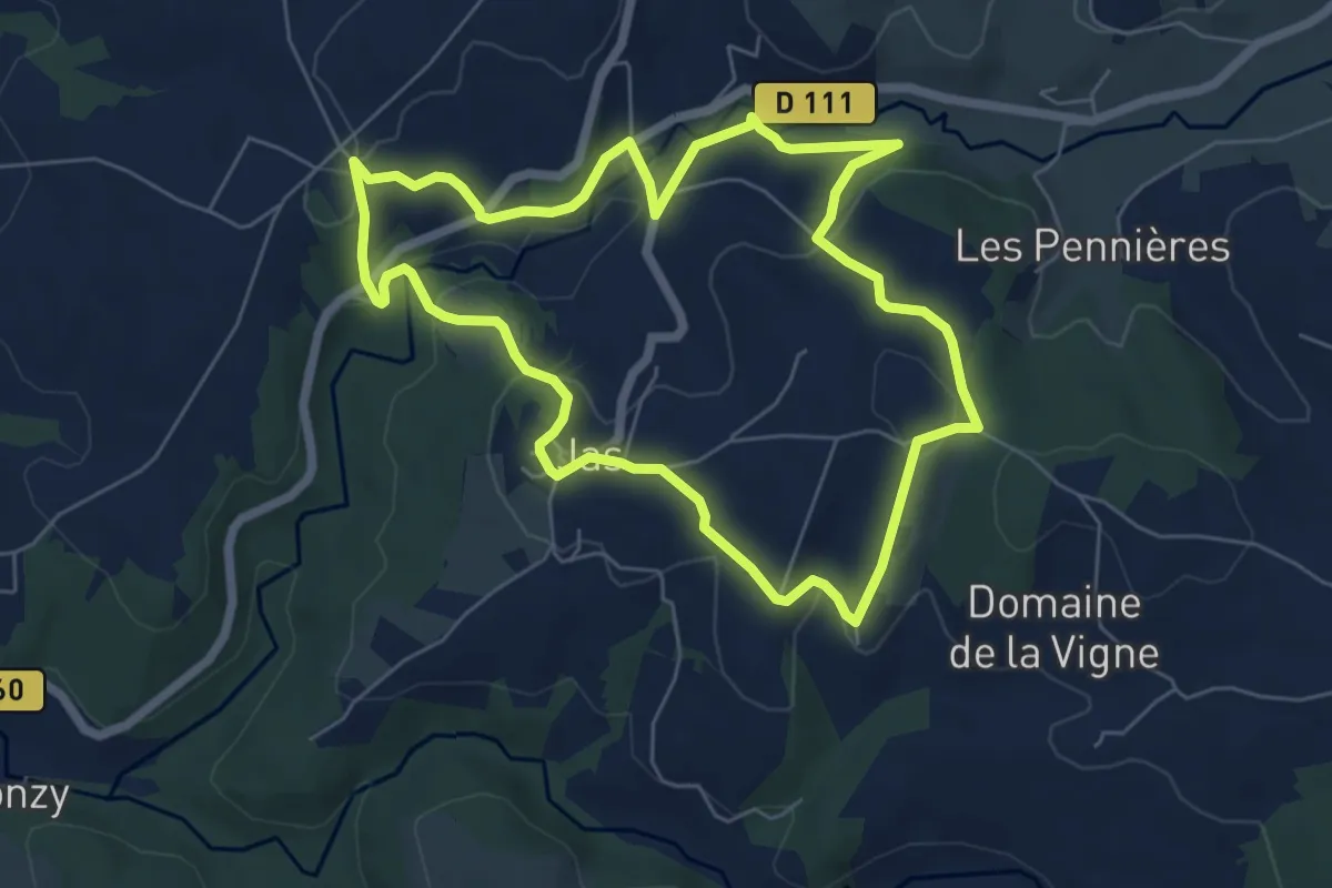
Easy · Trail
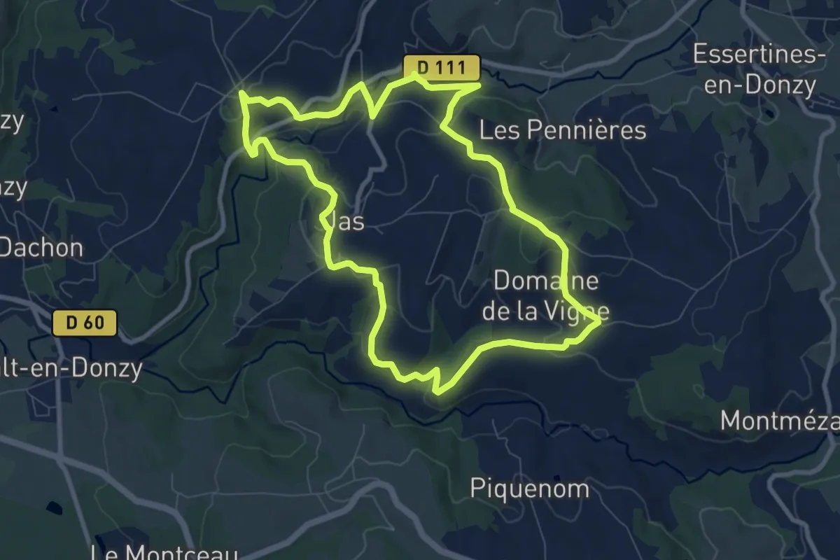
Jas - Le Bois de Jas
6.3 km · ↑ 184 m · 1 h 58 min
Medium · Trail
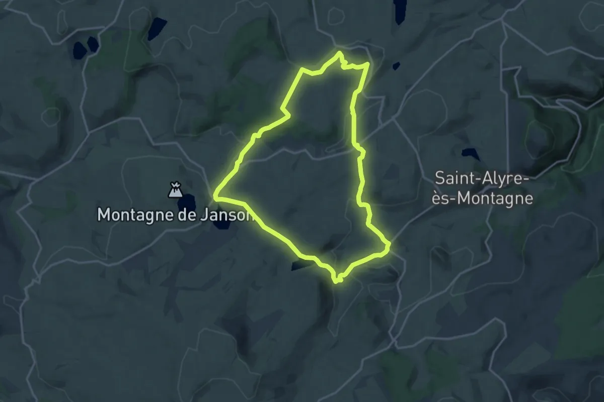
Jas - Pierre sur Autre
8.4 km · ↑ 242 m · 2 h 38 min
Medium · Summit
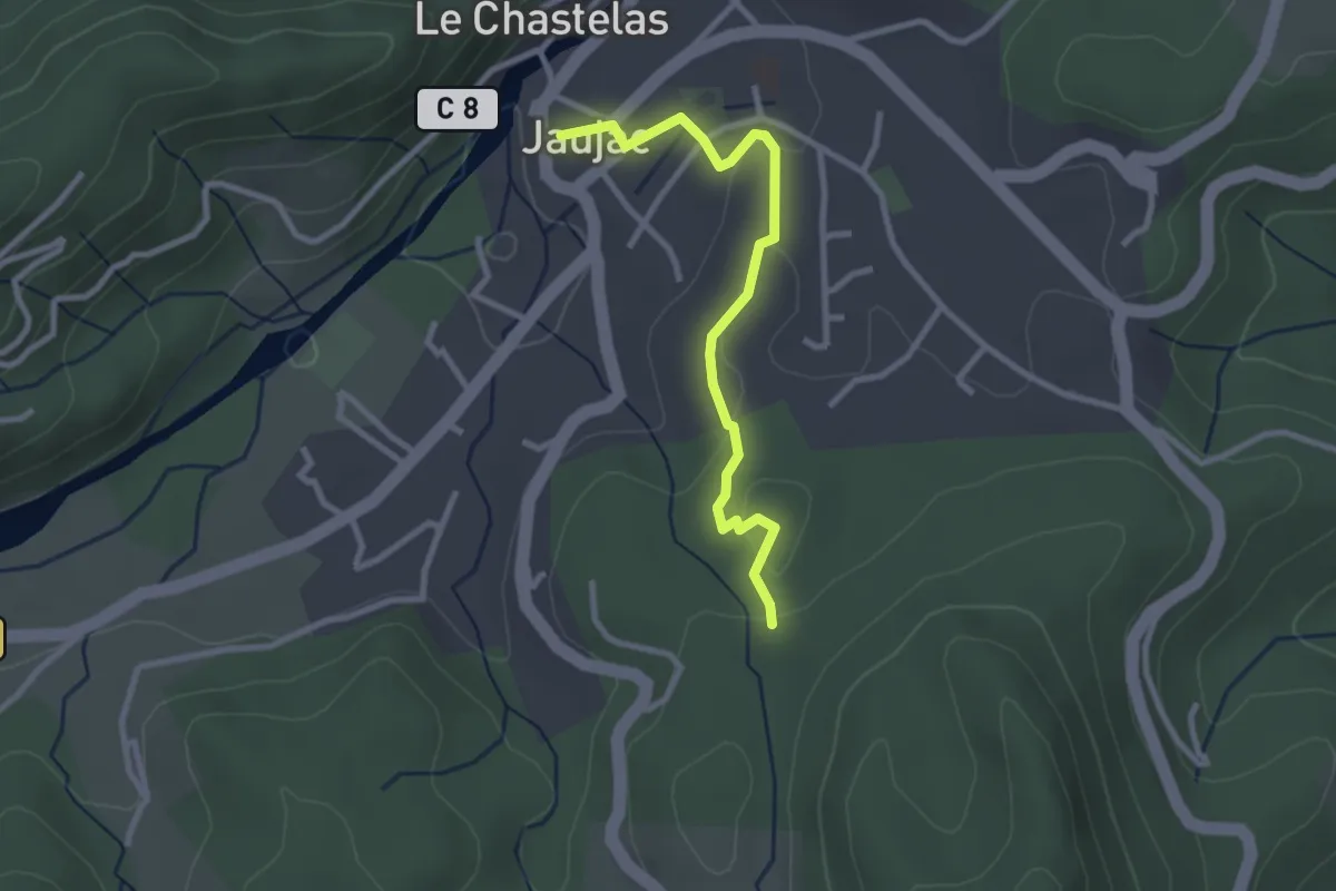
Jassy
14.2 km · ↑ 282 m · 4 h 10 min
Easy · Trail
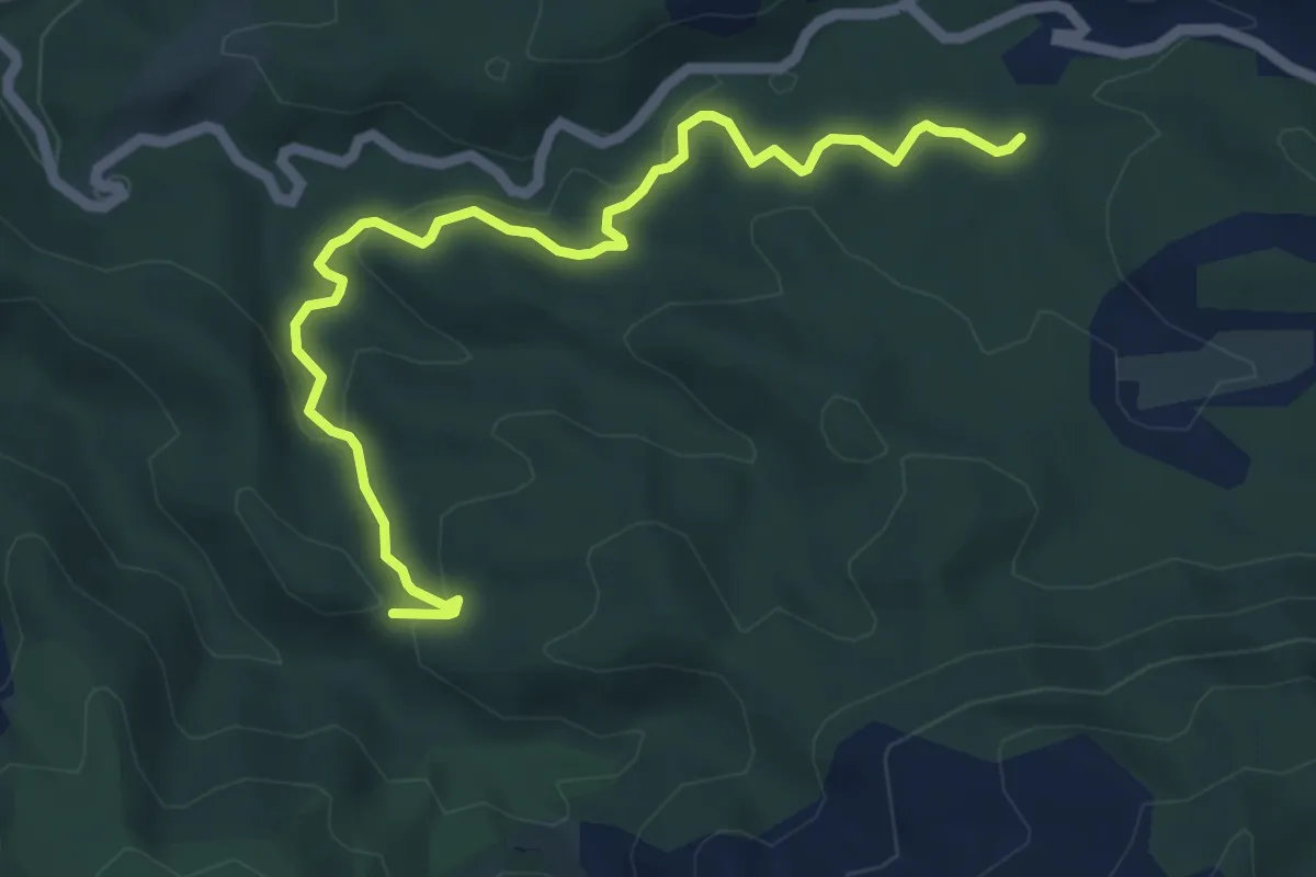
Jaujac - Gonthier
2.8 km · ↑ 52 m · 46 min
Medium · Trail
jaune
6.5 km · ↑ 207 m · 1 h 59 min
Easy · Trail
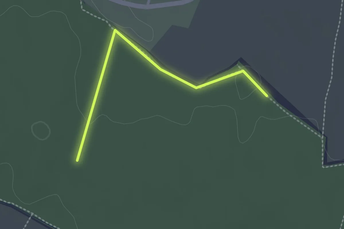
Jaune
2.2 km · ↑ 13 m · 33 min
Medium · Trail
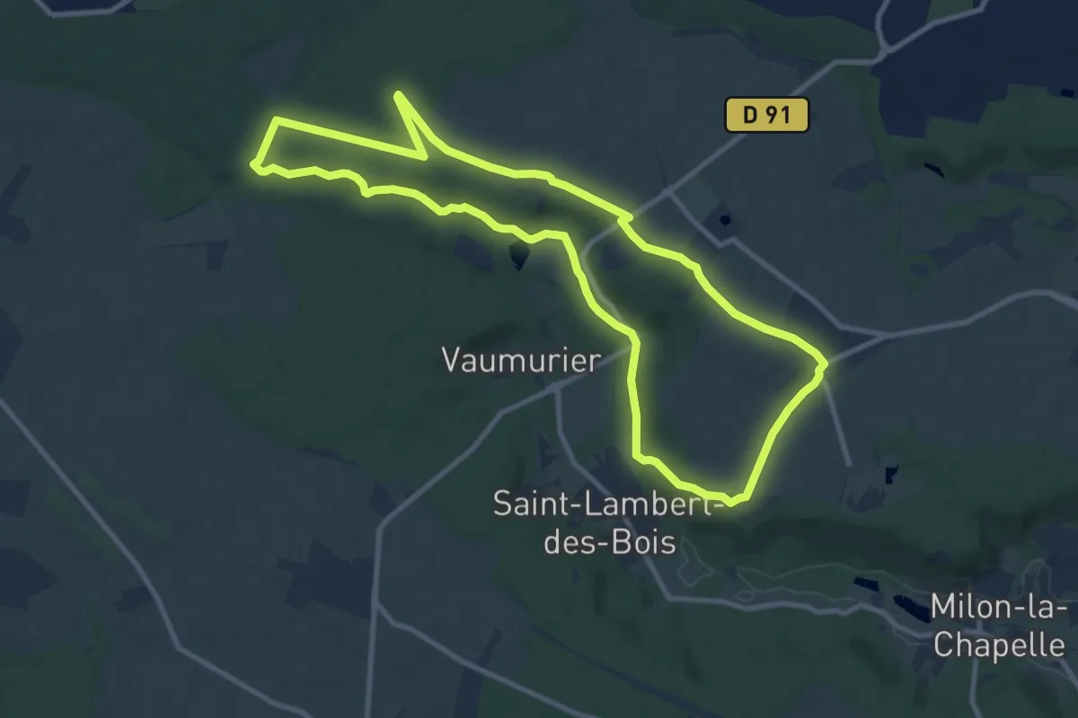
Jean Racine côté Abbaye de Port-Royal
9.4 km · ↑ 105 m · 2 h 34 min
Medium · Trail
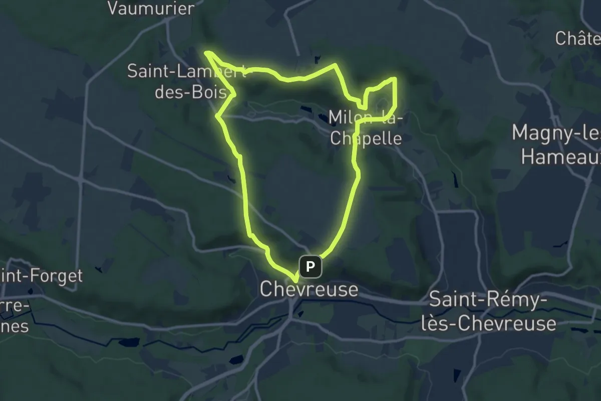
Jean Racine côté Château de la Madeleine
9.7 km · ↑ 254 m · 2 h 59 min
Easy · Trail
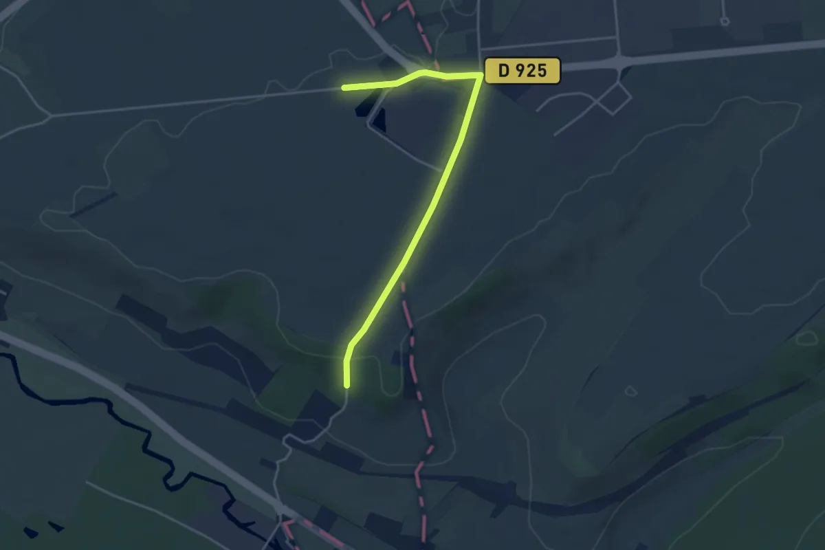
Jérusalem
3.8 km · ↑ 28 m · 57 min
Medium · Trail
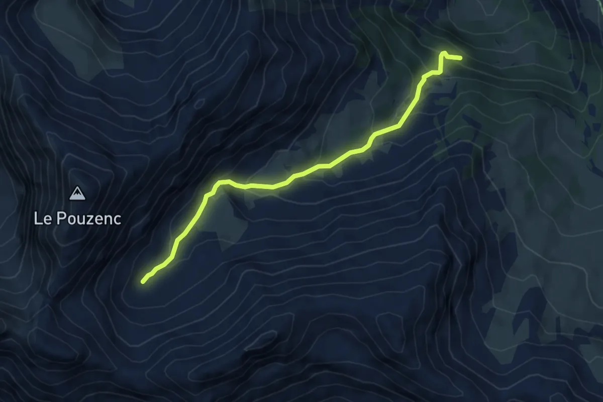
Jérusalem - Vallon de Muretier
5.6 km · ↑ 409 m · 2 h 12 min
Easy · Trail
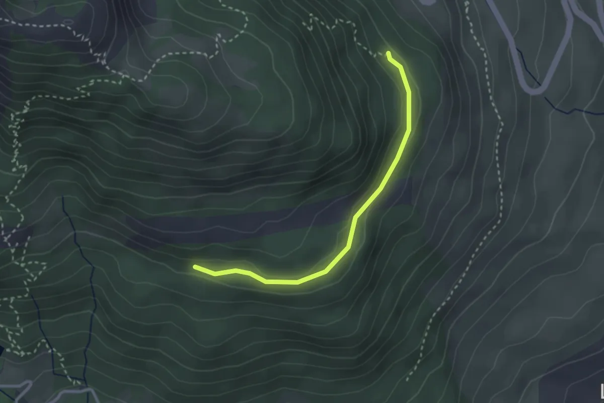
Jigoure - Piste de Joubelle
2.8 km · ↑ 53 m · 46 min
Medium · Trail
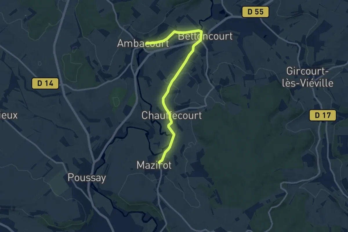
Jonction Ambacourt-Mazirot
9.7 km · ↑ 117 m · 2 h 32 min
Medium · Trail
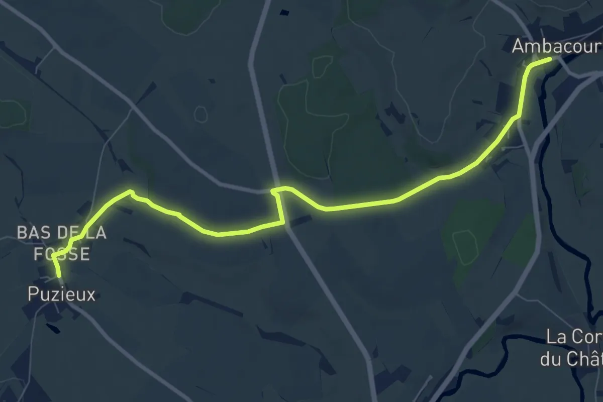
Jonction Ambacourt-Puzieux
9.0 km · ↑ 82 m · 2 h 18 min