Trails in France
15,926 hiking trails, each with its route, climb, walking time and grade.
All trails, page 126 of 332
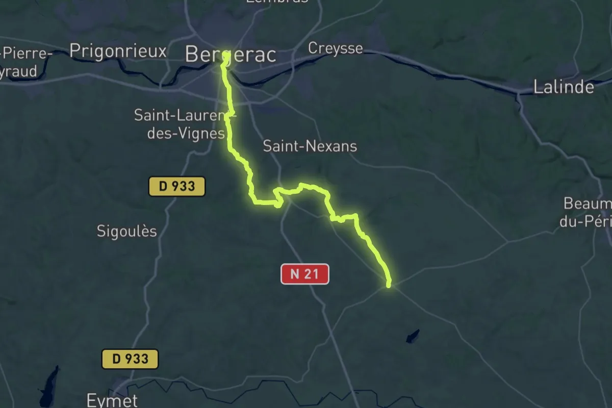
Demanding · Trail
Jonction Bergerac - Issigeac • Chemin d'Amadour
25.7 km · ↑ 335 m · 7 h 8 min
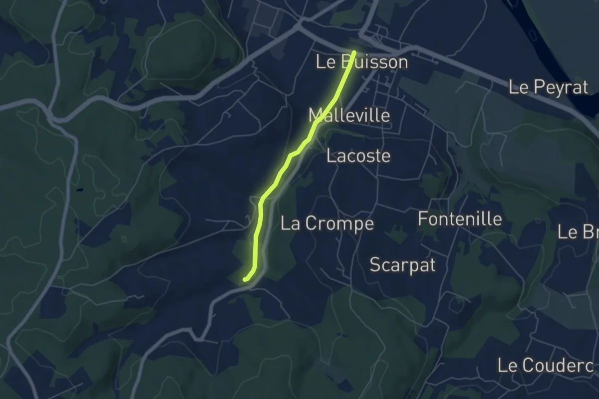
Easy · Trail
Jonction Cadouin - Le Buisson • Chemin d'Amadour
4.2 km · ↑ 41 m · 1 h 5 min
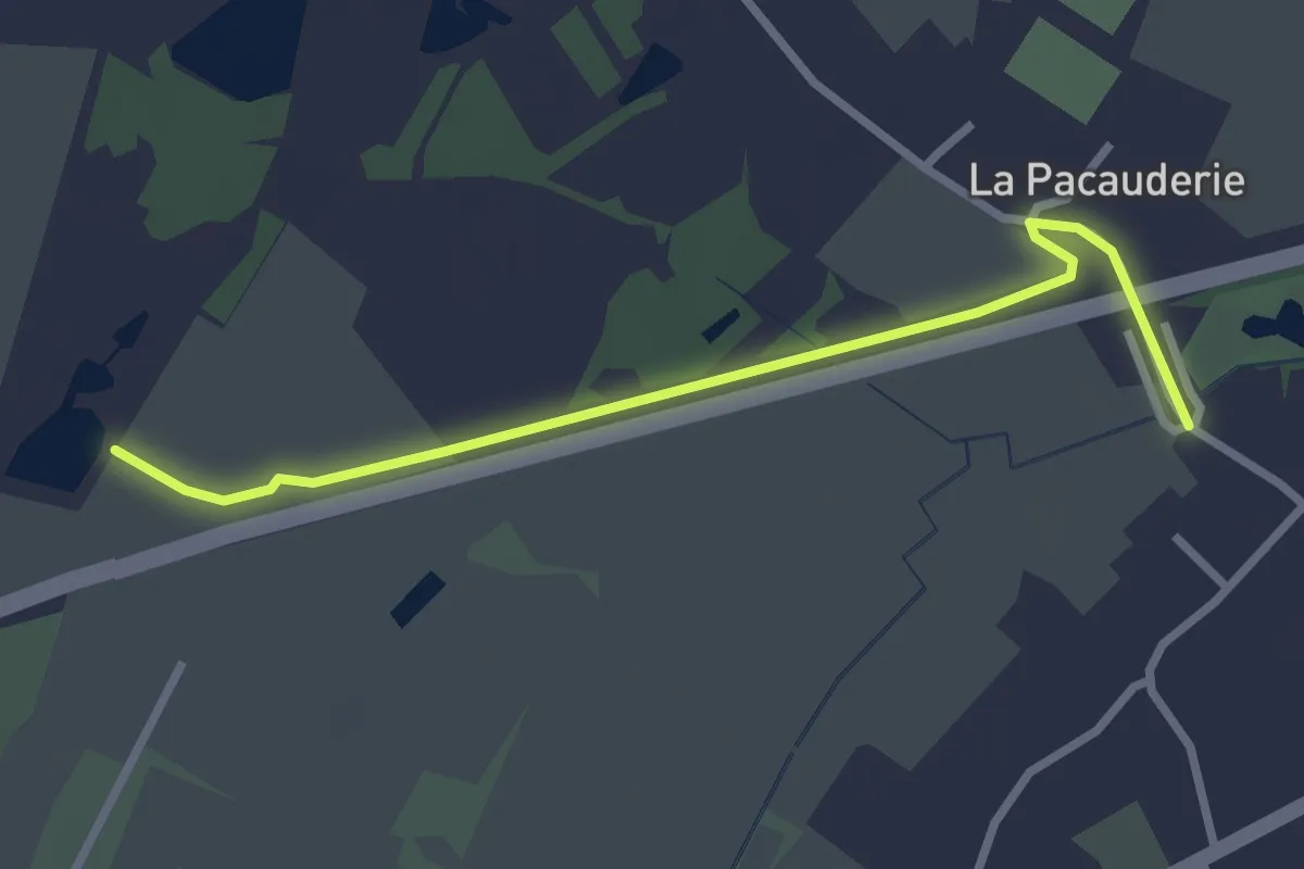
Easy · Trail
Jonction circuits Arthon – Les Chênes
2.9 km · ↑ 0 m · 40 min
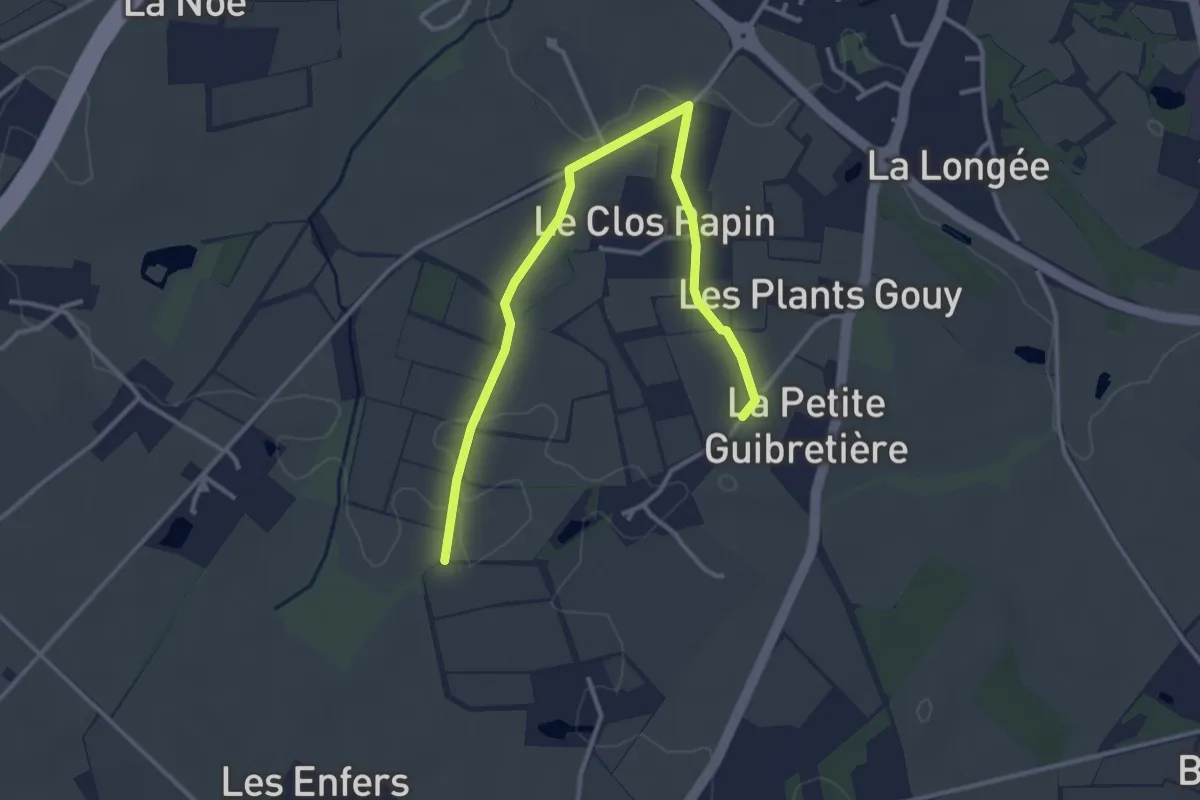
Easy · Trail
Jonction Deas - Les Vignes
3.7 km · ↑ 30 m · 57 min
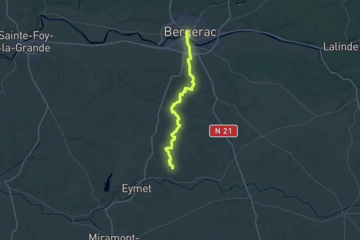
Demanding · Trail
Jonction Eymet - Bergerac • Chemin d'Amadour
25.4 km · ↑ 245 m · 6 h 55 min
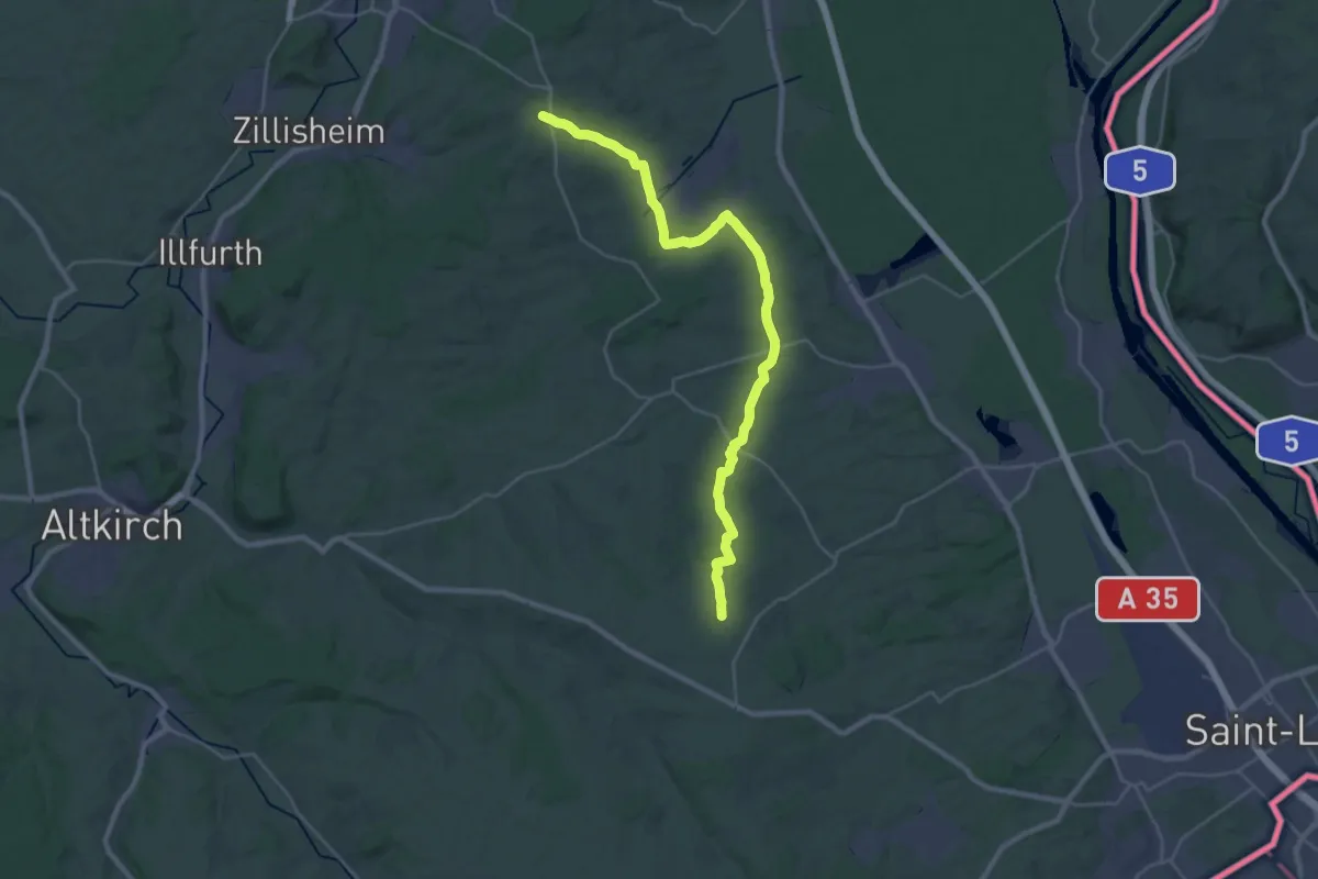
Demanding · Trail
Jonction GR532/GR531 - Bruebach/Helfrantzkirch
30.2 km · ↑ 396 m · 8 h
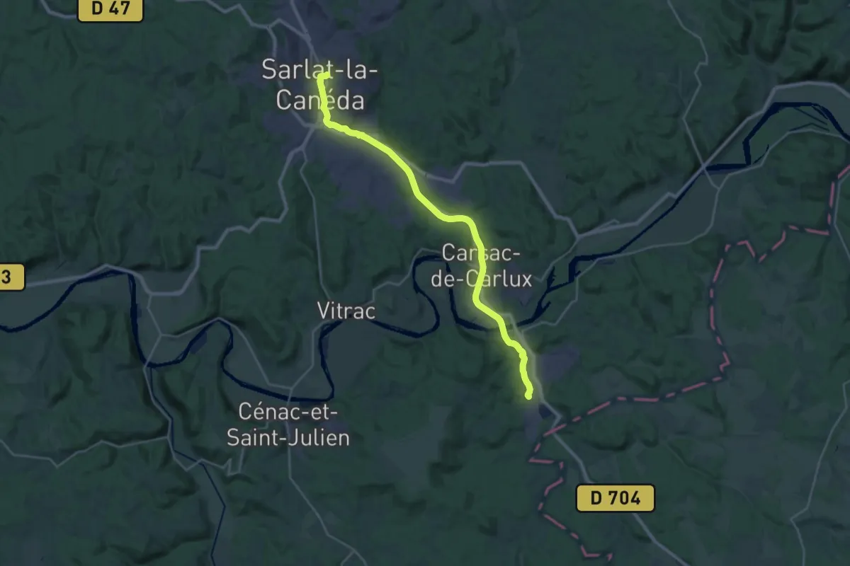
Demanding · Trail
Jonction Grolejac - Sarlat • Chemin d'Amadour
26.0 km · ↑ 326 m · 6 h 50 min
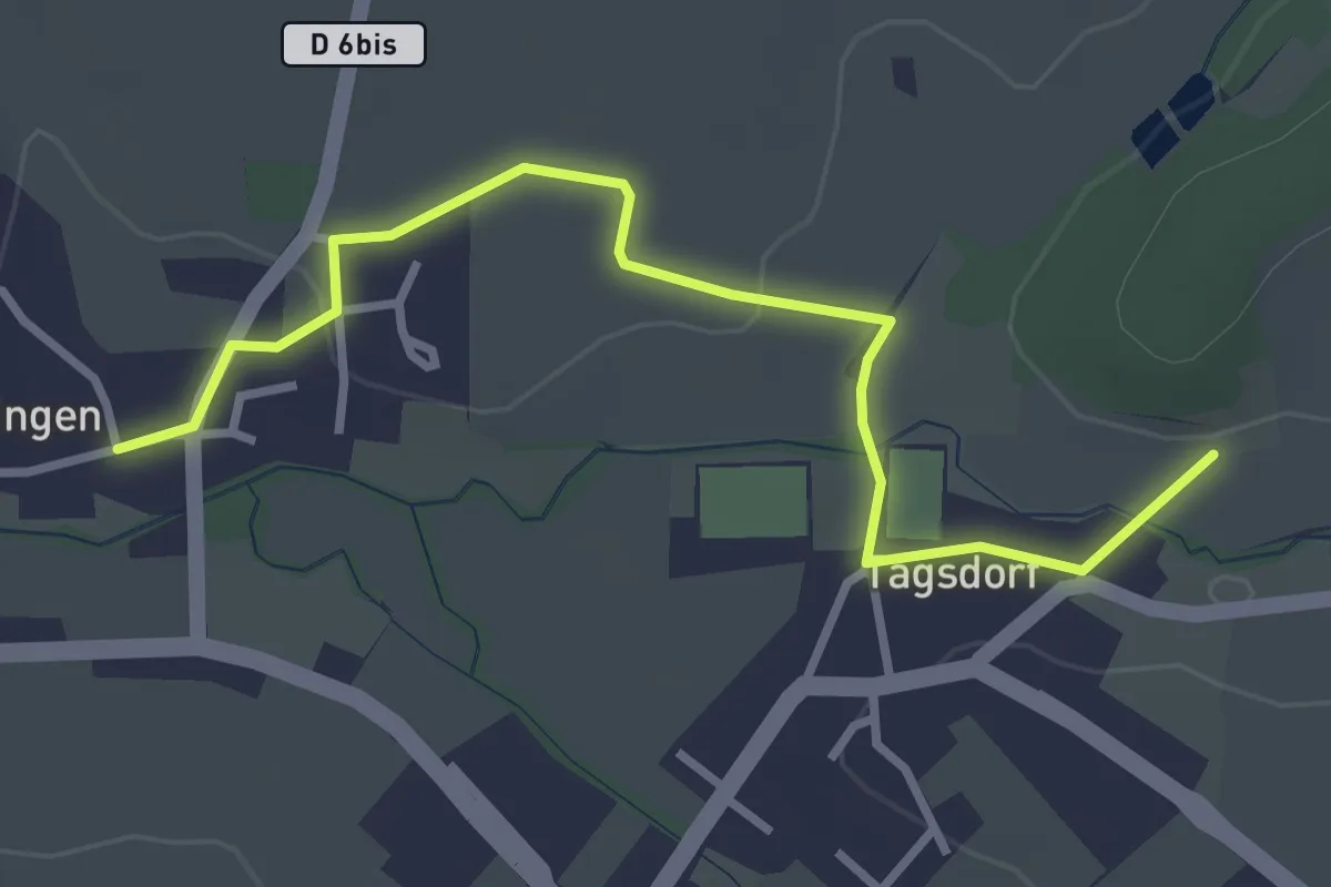
Easy · Trail
Jonction Heiwiller Tagsdorf Emlingen
3.4 km · ↑ 34 m · 52 min
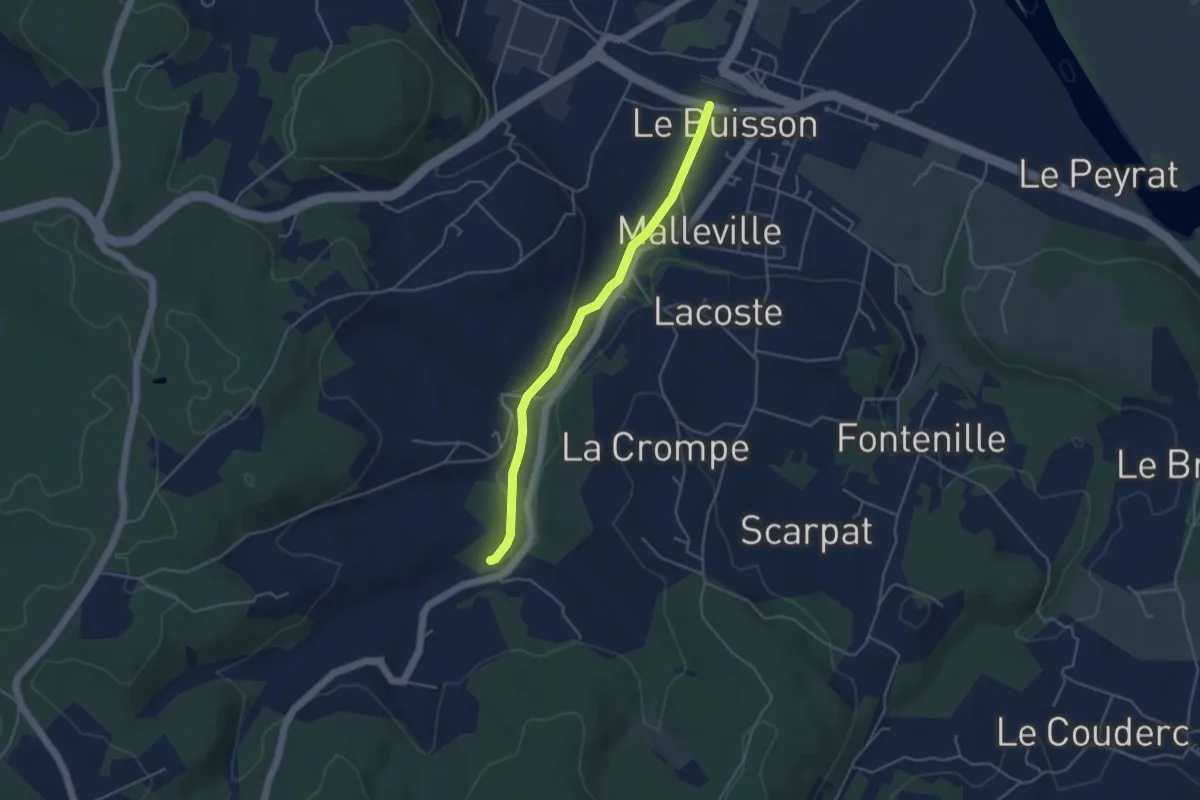
Easy · Trail
Jonction Le Buisson • Chemin d'Amadour
4.2 km · ↑ 41 m · 1 h 5 min
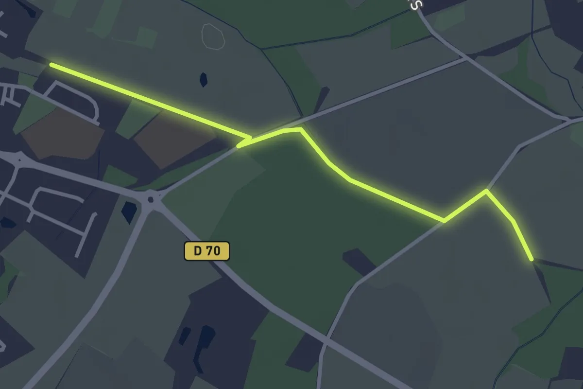
Easy · Trail
Jonction Le Gué de la Logne - Deas
3.0 km · ↑ 0 m · 43 min
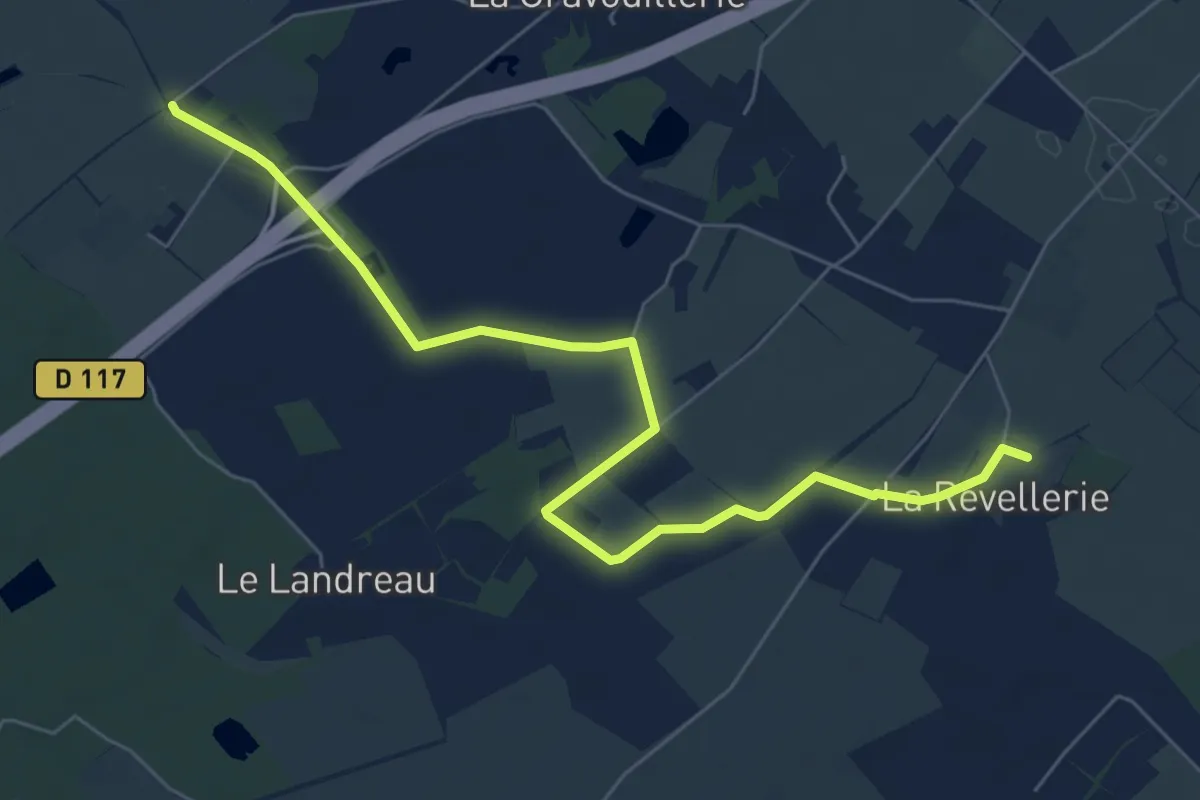
Easy · Trail
Jonction Les Hauts du Lac - Les Vignes
7.4 km · ↑ 4 m · 1 h 45 min
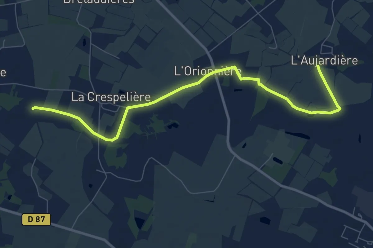
Medium · Trail
Jonction Les Vignes - Le Gué de la Logne
8.1 km · ↑ 29 m · 1 h 59 min
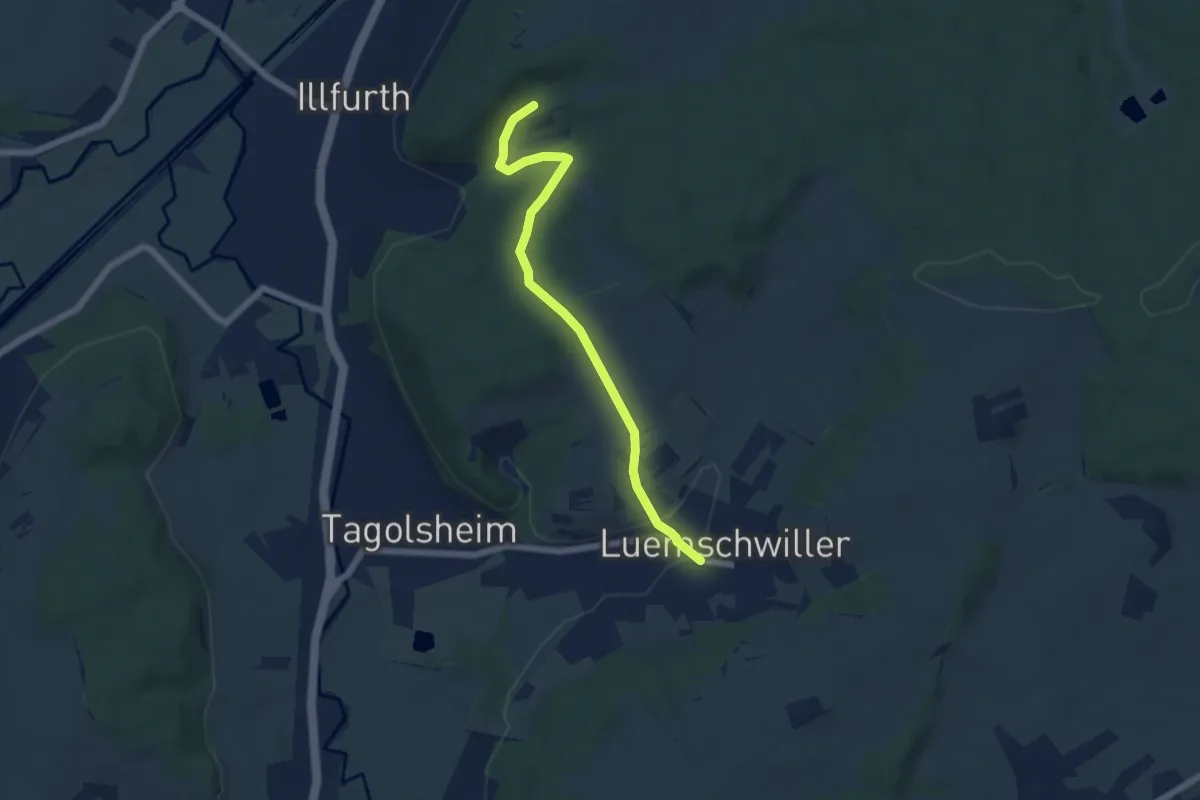
Easy · Trail
Jonction Luemschwiller Cimetière Militaire Illfurth
5.6 km · ↑ 178 m · 1 h 43 min
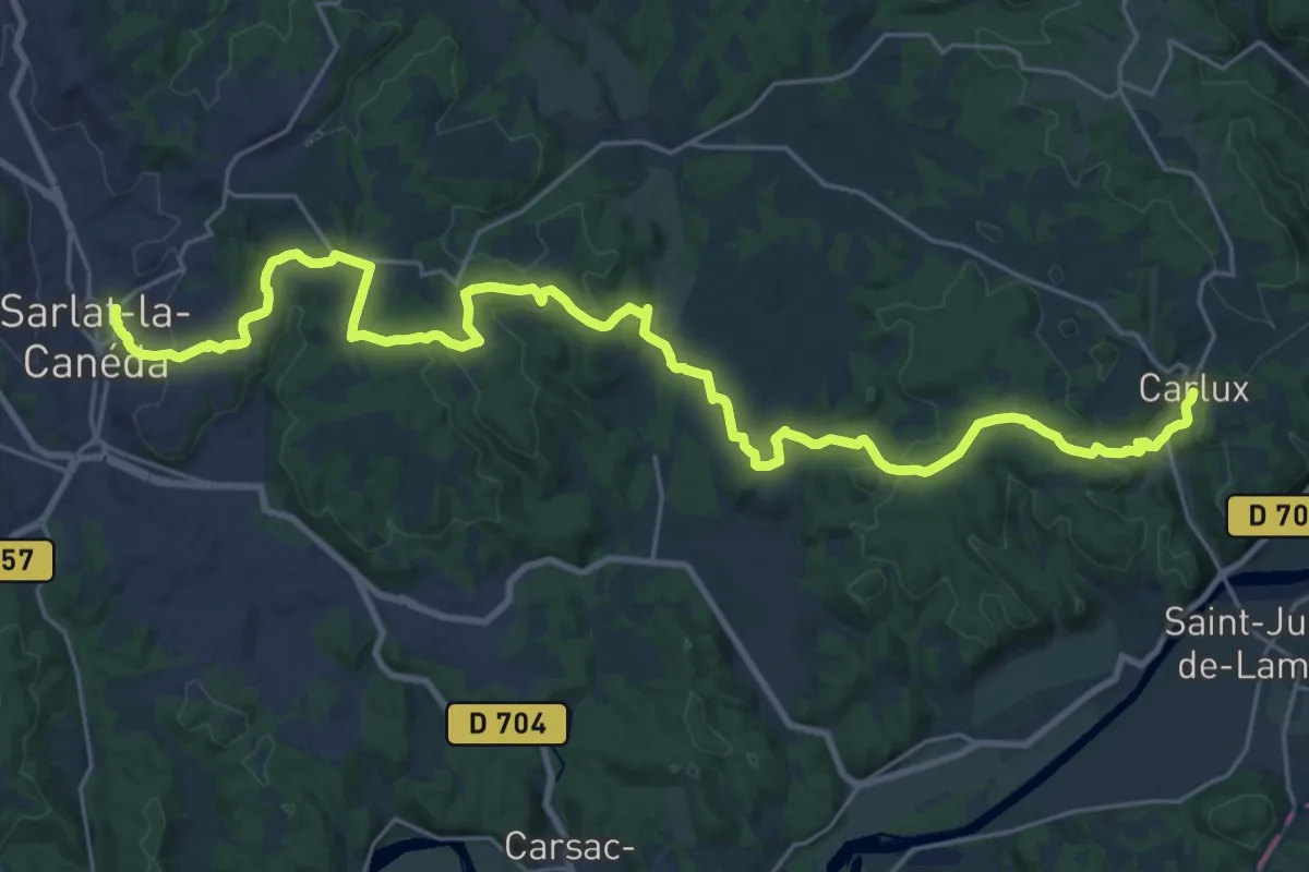
Medium · Trail
Jonction Sarlat - Carlux • Chemin d'Amadour
16.5 km · ↑ 399 m · 4 h 58 min
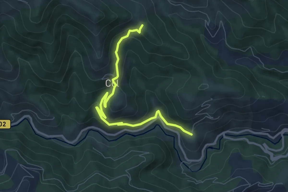
Medium · Trail
Jouan Blanc - Bachasson
7.7 km · ↑ 361 m · 2 h 36 min
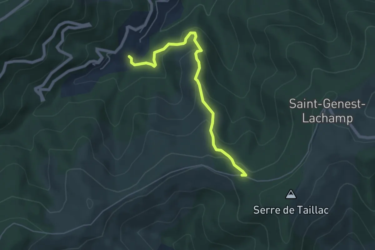
Easy · Trail
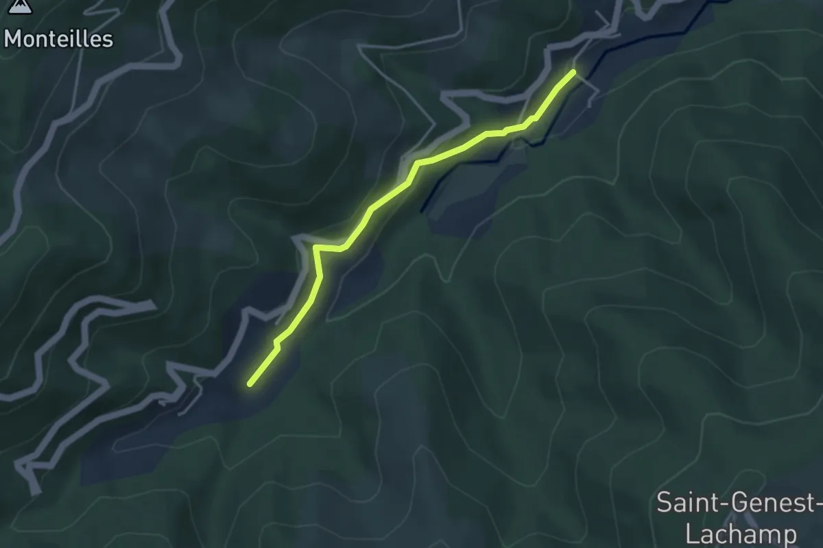
Jouanvins - Les Mourgues
4.6 km · ↑ 285 m · 1 h 43 min
Easy · Trail
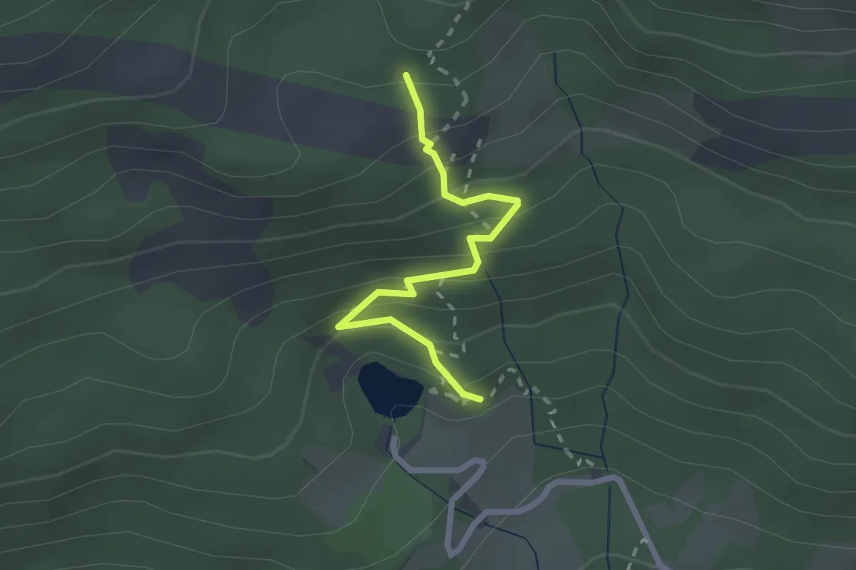
Jouanvins - Talaron
3.4 km · ↑ 134 m · 1 h 6 min
Medium · Trail
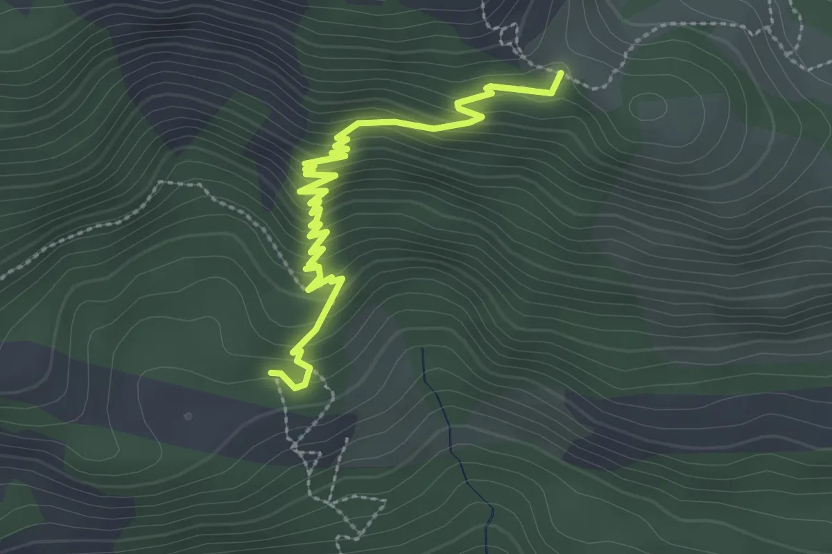
Joubelle - Lac de Saint-Apollinaire
2.2 km · ↑ 189 m · 55 min
Medium · Trail
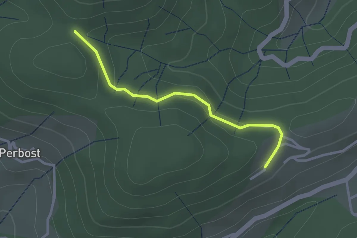
Joubelle - Serre du Mouton
3.2 km · ↑ 221 m · 1 h 14 min
Easy · Trail
Joux - Ranc Courbier
2.3 km · ↑ 94 m · 45 min
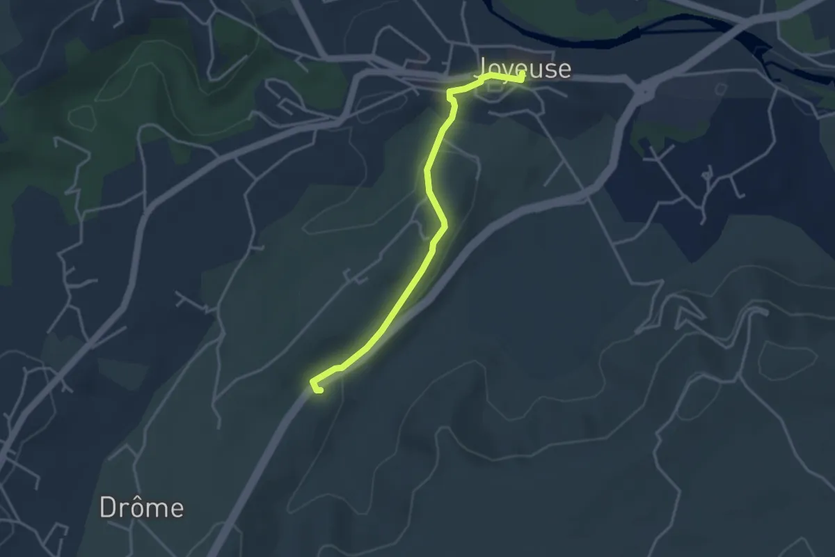
Easy · Trail
Joyeuse - Mas de Fontbonne
3.3 km · ↑ 55 m · 54 min
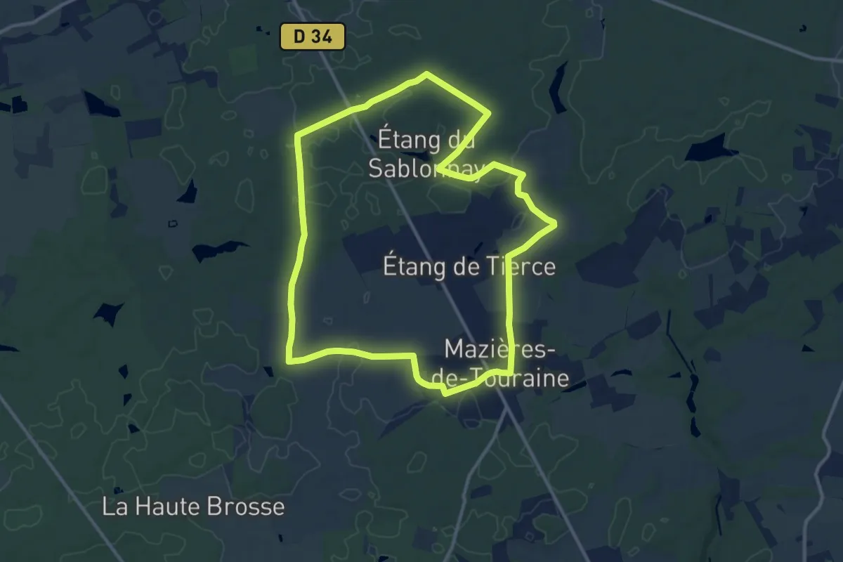
Medium · Trail
Jupille
11.3 km · ↑ 54 m · 2 h 56 min
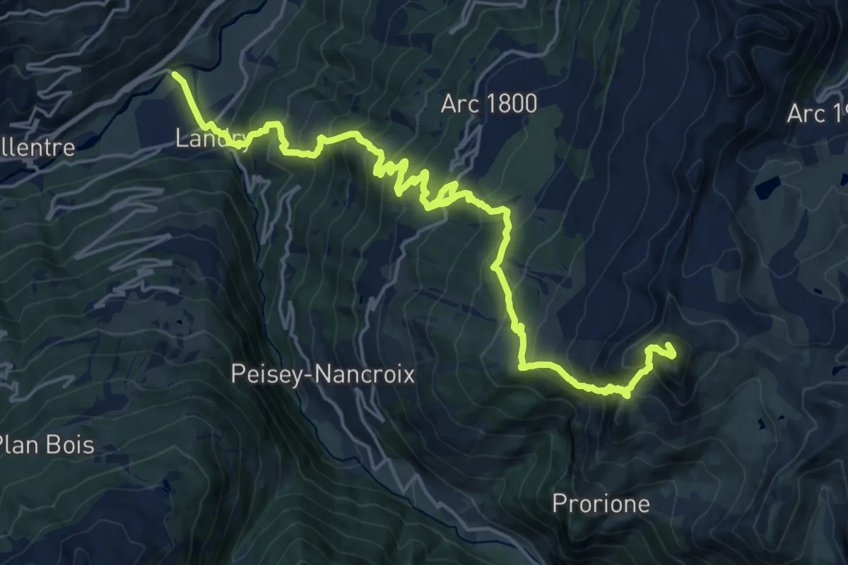
Demanding · Summit
K2 - Landry Aiguille Grive
24.7 km · ↑ 2136 m · 10 h 27 min
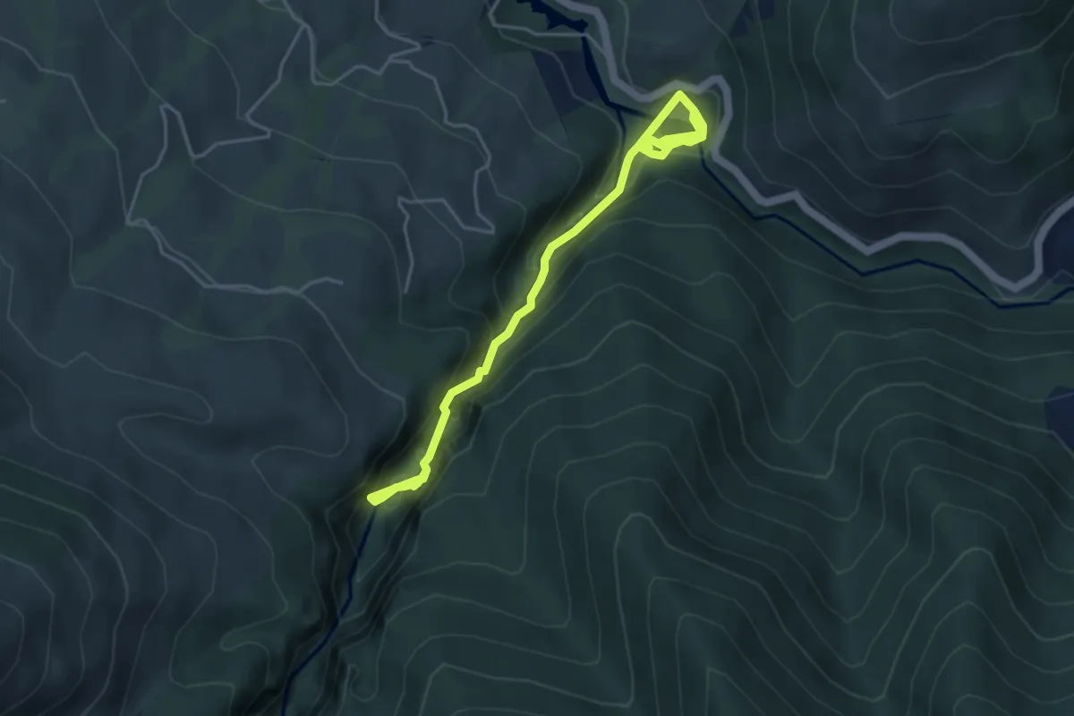
Medium · Trail
Kakuetako arroilaren bidea
5.4 km · ↑ 522 m · 2 h 24 min
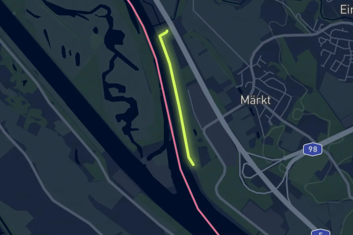
Easy · Trail
Kandermündung - Stauwehr Märkt
2.6 km · ↑ 5 m · 37 min
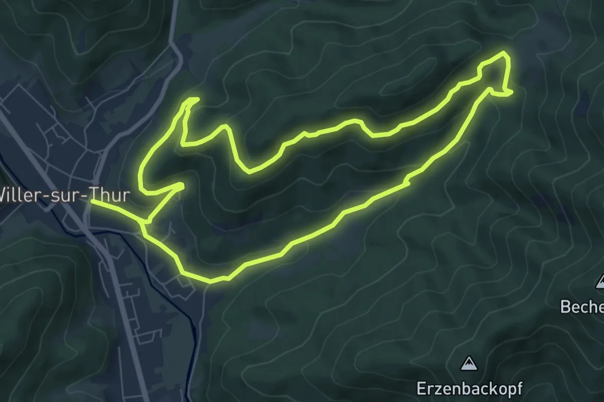
Medium · Trail
Karsprung versant sud
7.5 km · ↑ 324 m · 2 h 35 min
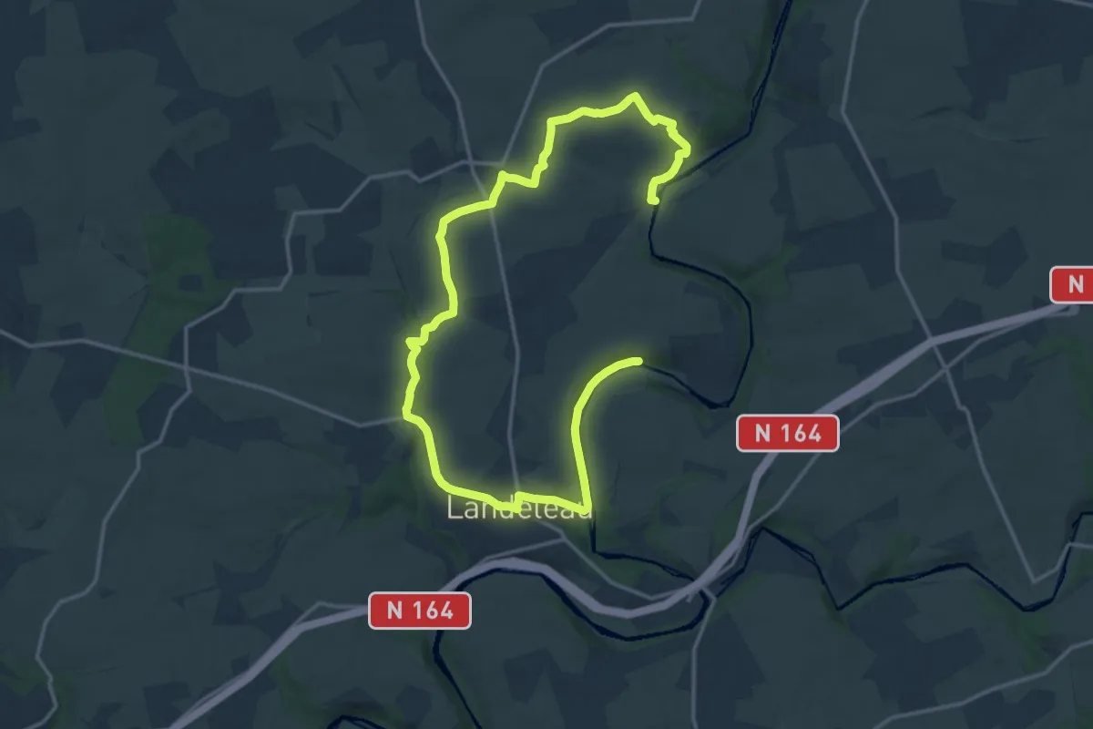
Medium · Trail
Kastell Gall
11.0 km · ↑ 162 m · 3 h 6 min
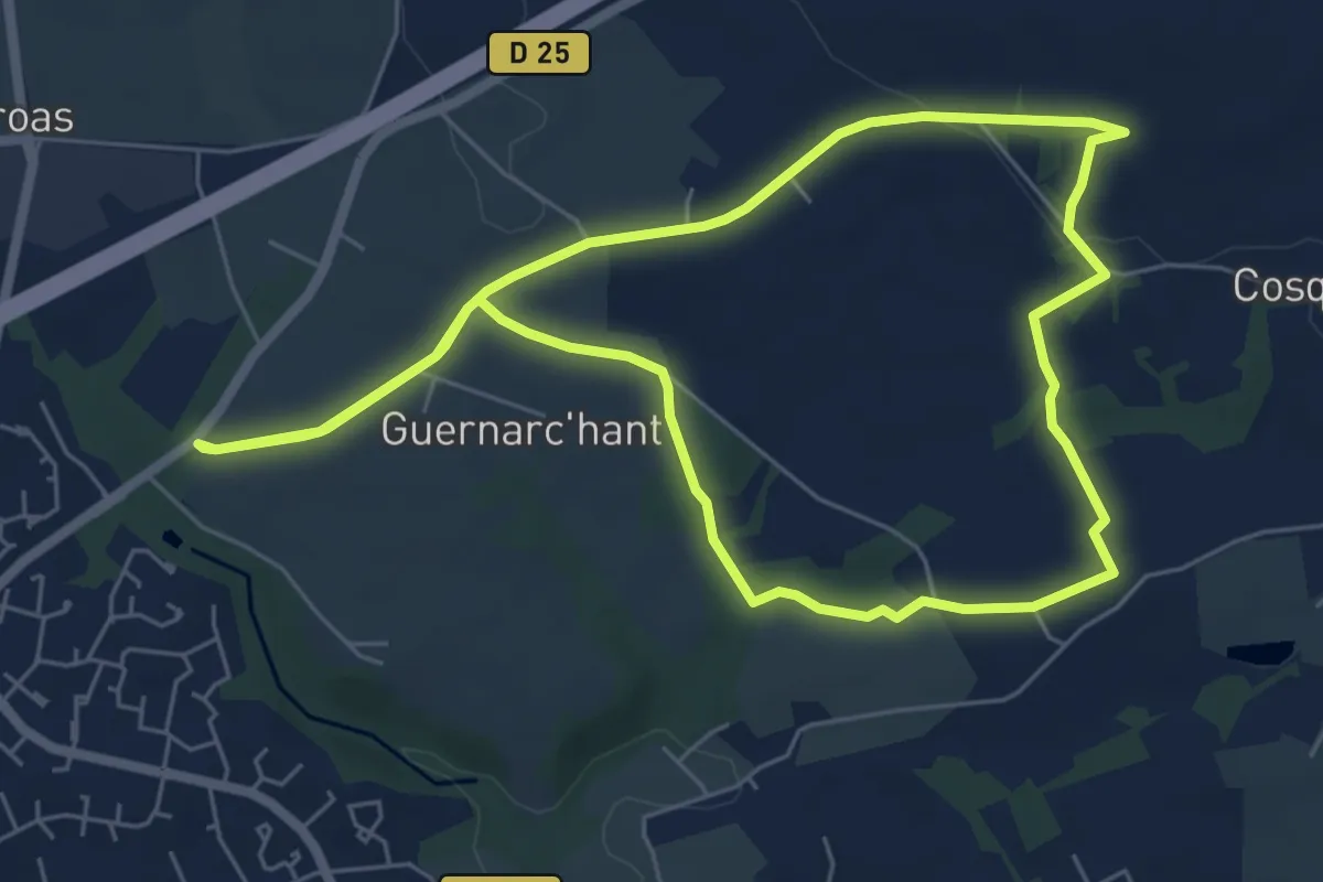
Easy · Trail
Kerafur
5.9 km · ↑ 65 m · 1 h 37 min
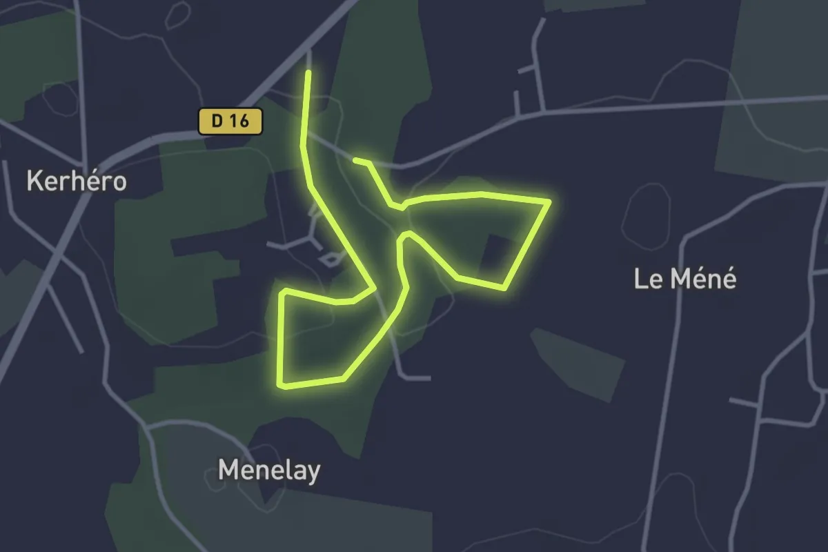
Easy · Trail
Kerhéro au Fil de l'Eau
2.6 km · ↑ 39 m · 45 min
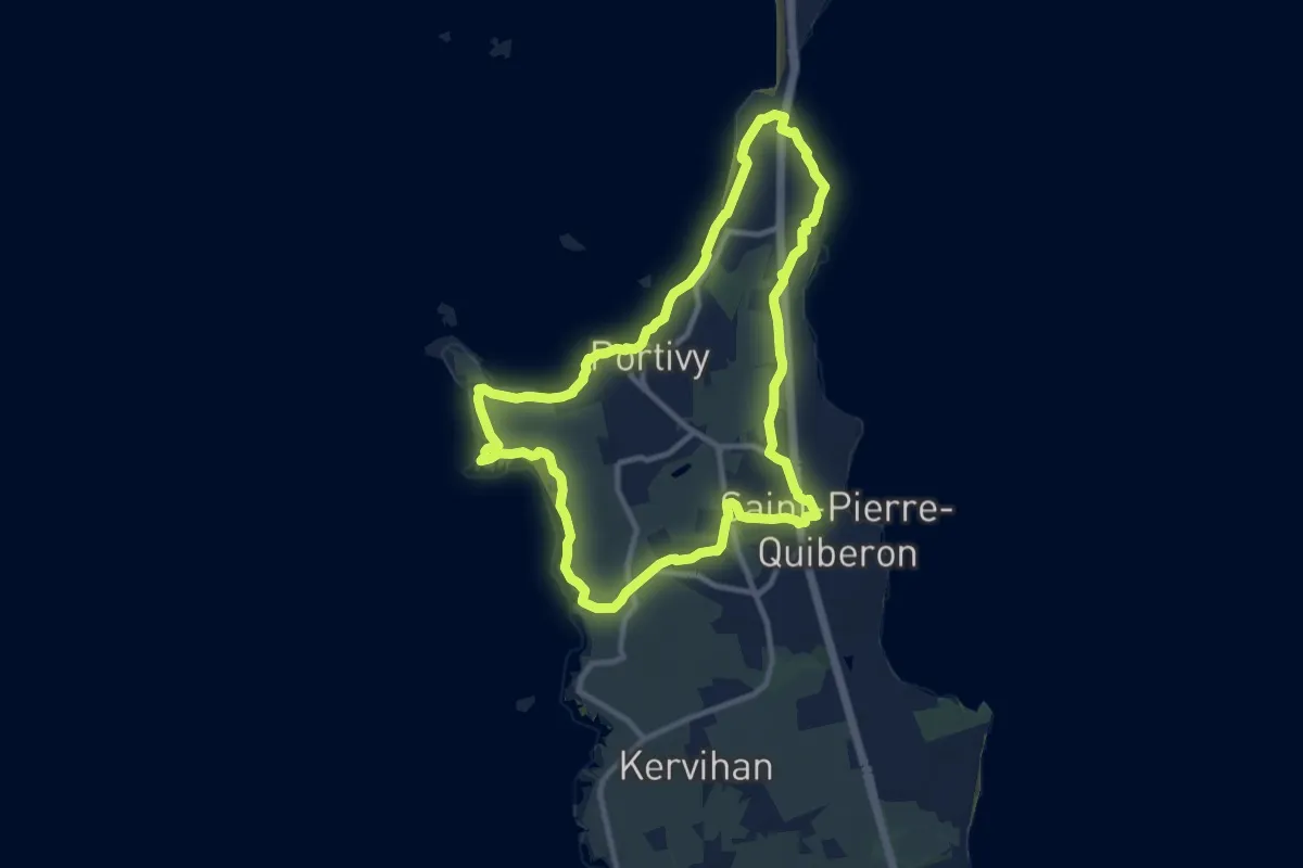
Medium · Trail
Kerhostin Portivy Côte sauvage
9.9 km · ↑ 54 m · 2 h 35 min
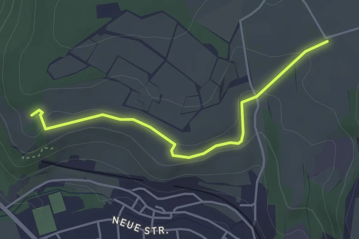
Easy · Trail
Kirschenanlage - Klotzenweg
3.3 km · ↑ 82 m · 58 min
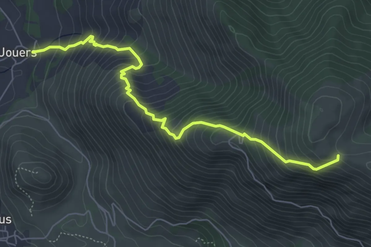
Medium · Trail
Km vertical de Bergout asp25
6.4 km · ↑ 705 m · 3 h 2 min
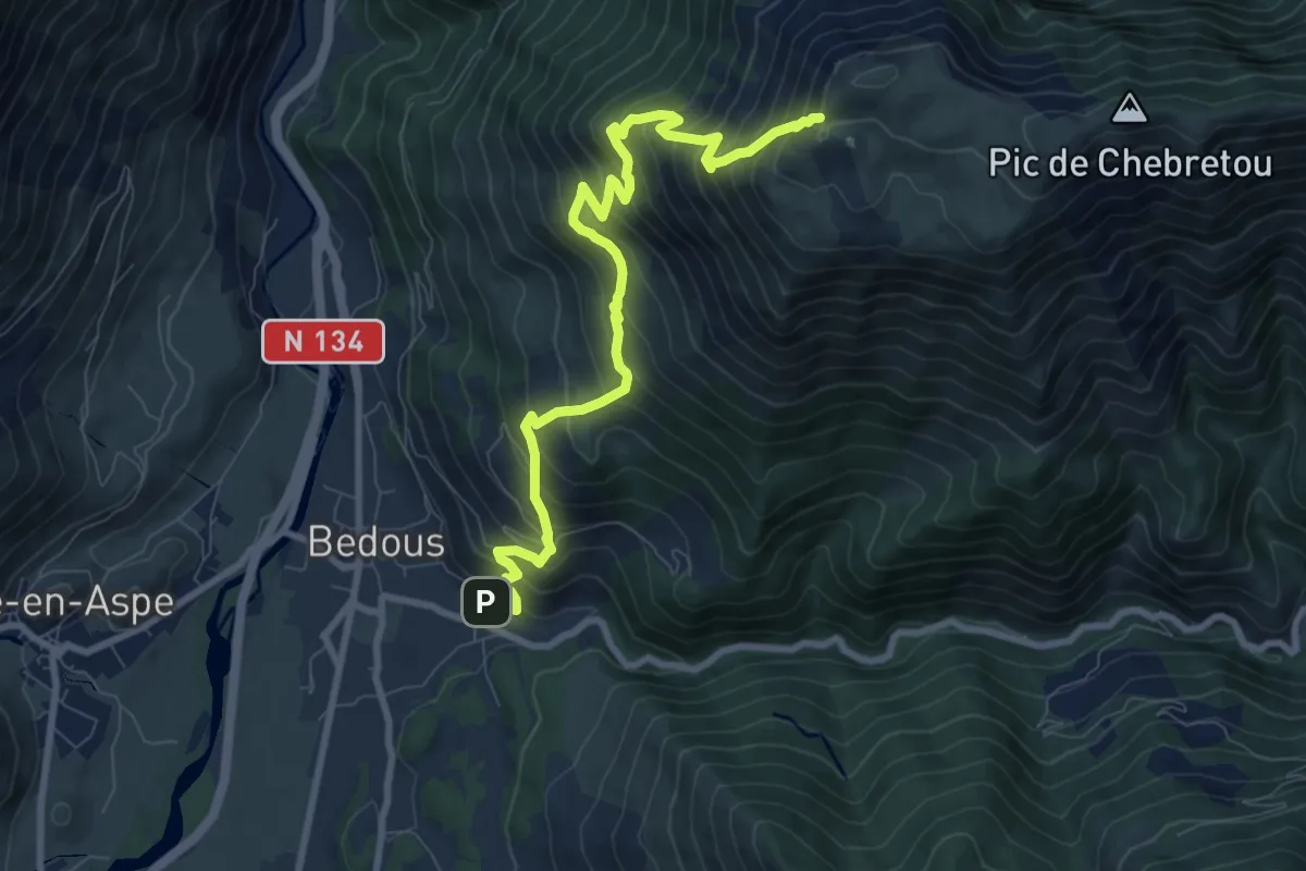
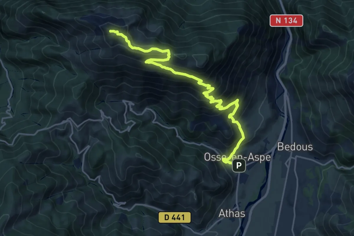
Demanding · Trail
Km vertical d'Ourdinse asp19
10.1 km · ↑ 1070 m · 4 h 42 min
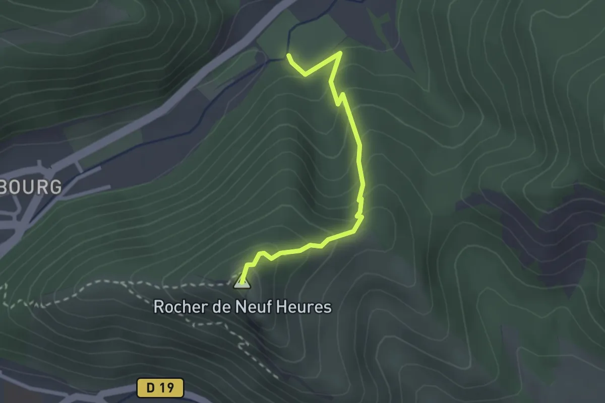
Demanding · Summit
Km vertical du Layens asp37
18.8 km · ↑ 1272 m · 7 h 12 min
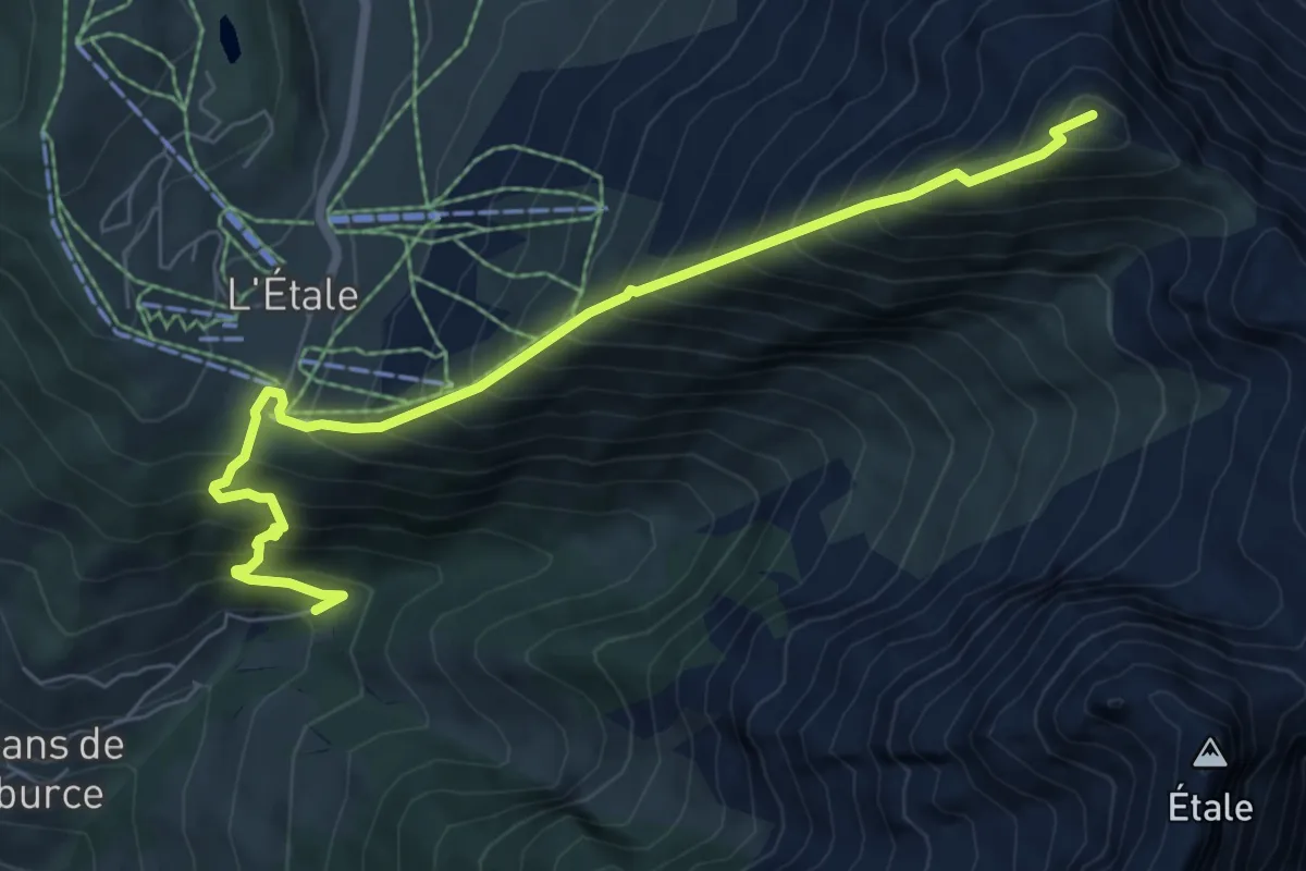
Easy · Summit
KMV Race
2.4 km · ↑ 222 m · 1 h 3 min
Demanding · Summit
KV de Manigod
7.4 km · ↑ 1085 m · 4 h 6 min
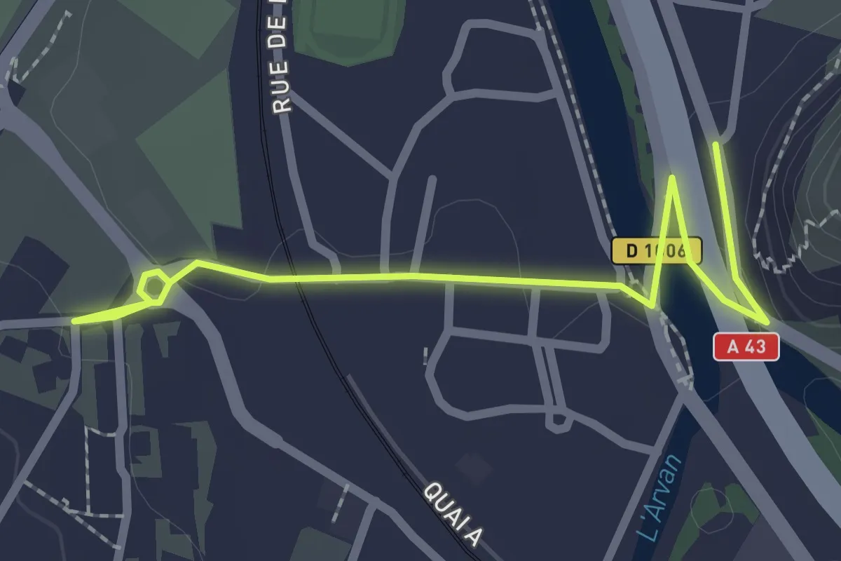
Easy · Trail
L04 - De l'OTi à l'Echaillon
2.5 km · ↑ 32 m · 40 min
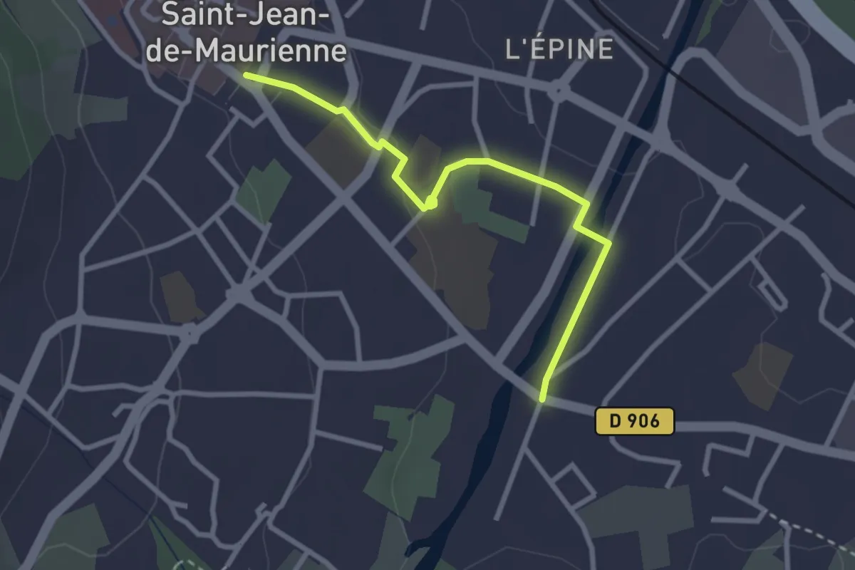
Easy · Trail
L05 - De l'OTi vers Villargondran
2.8 km · ↑ 33 m · 44 min
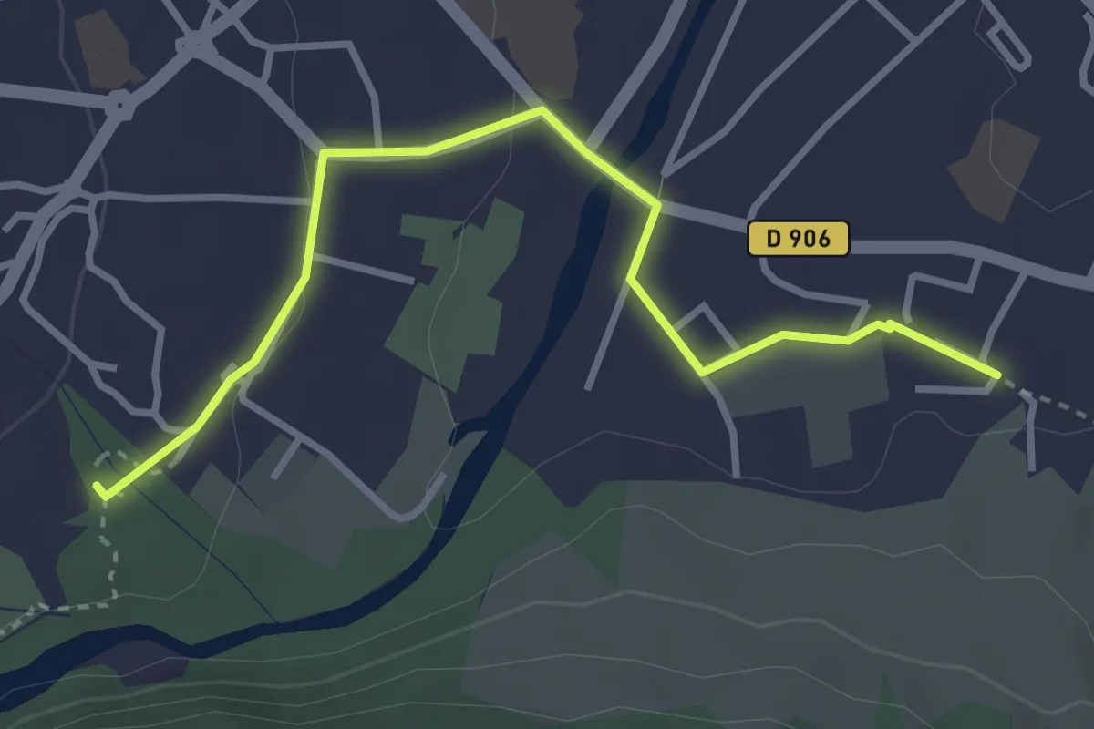
Easy · Trail
L06 - Boucle du Mont l'Évêque - Traversée de Saint-Jean-de-Maurienne
3.5 km · ↑ 39 m · 54 min
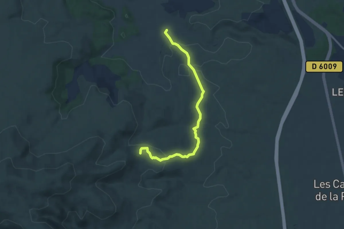
Easy · Trail
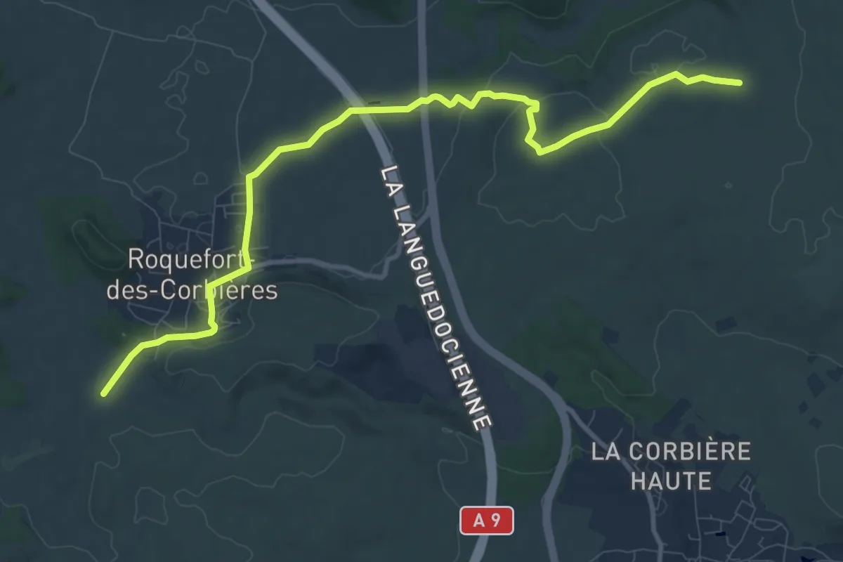
La Badal - Clot de l'Aigue
7.7 km · ↑ 162 m · 2 h 9 min
Medium · Trail
La Badal - Pas du Loup
11.7 km · ↑ 136 m · 3 h 3 min
Medium · Trail
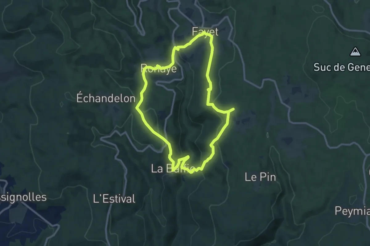
La Baffie
8.1 km · ↑ 381 m · 2 h 51 min
Medium · Trail
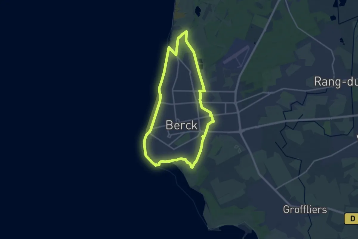
La Baie d'Authie
11.0 km · ↑ 18 m · 2 h 47 min
Easy · Trail
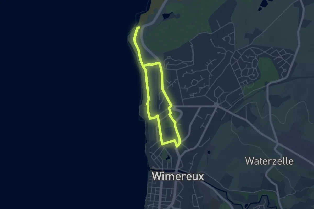
La Baie Saint-Jean
3.9 km · ↑ 49 m · 1 h 5 min
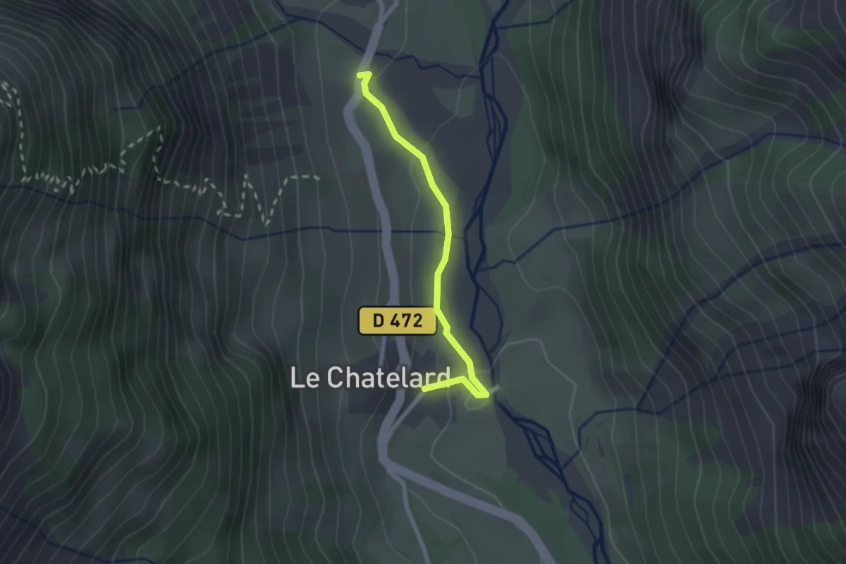
Easy · Trail
La Baignoire - Les Gondoins
2.0 km · ↑ 56 m · 36 min
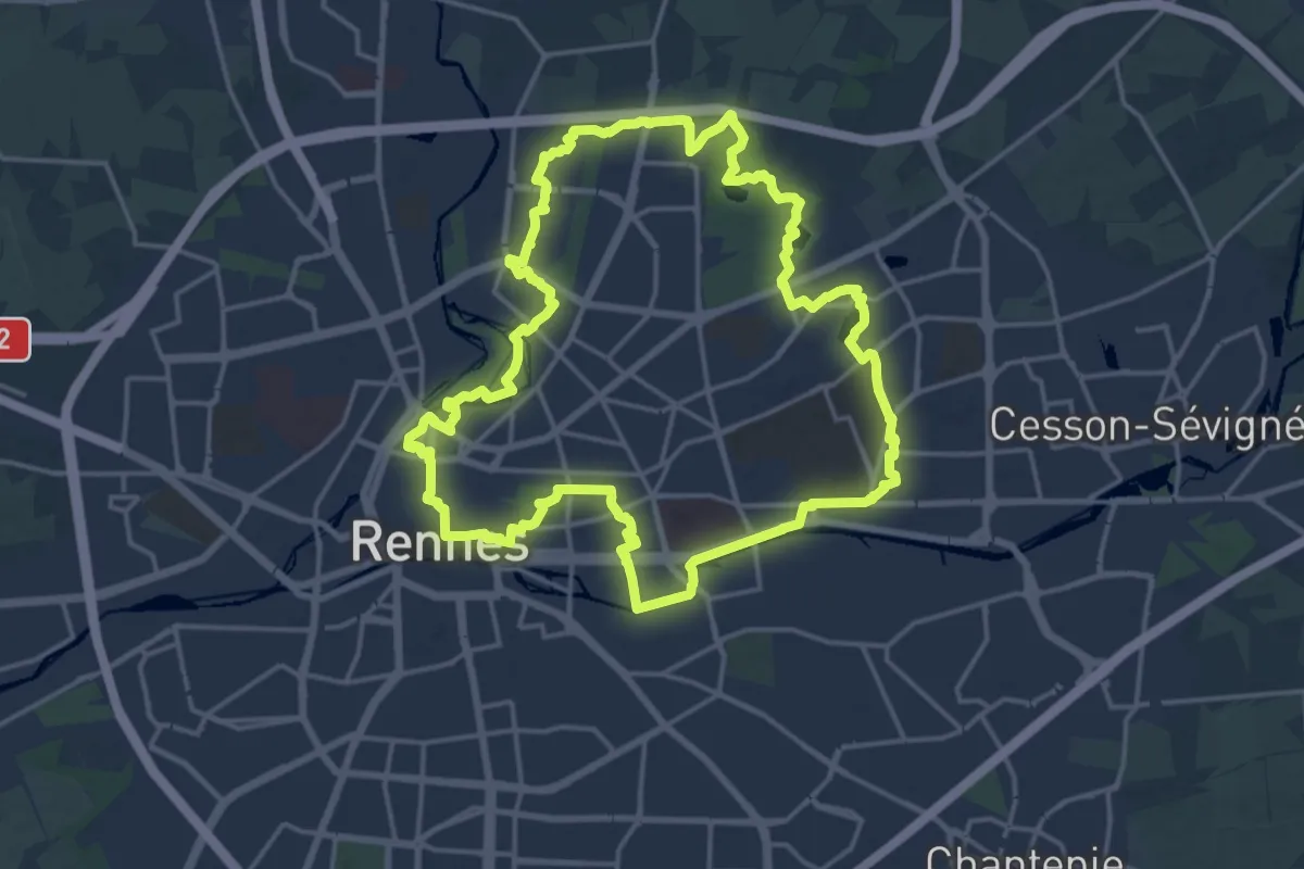
Medium · Trail
La balade à André
17.9 km · ↑ 113 m · 4 h 43 min
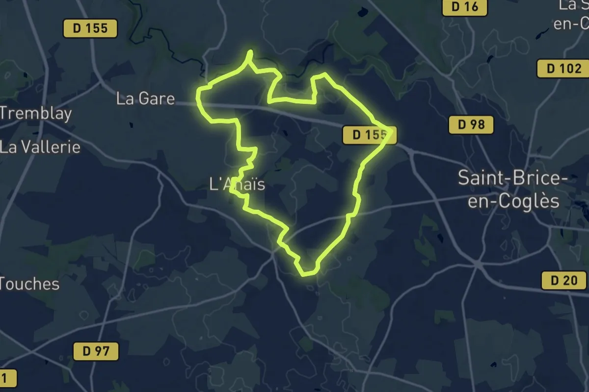
Medium · Trail
La Balade à Louis
14.0 km · ↑ 104 m · 3 h 43 min
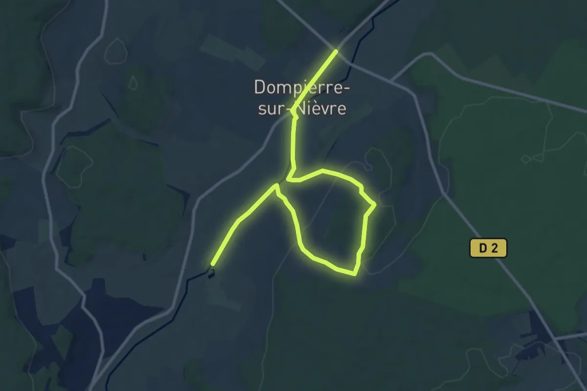
Easy · Trail
La balade au cours de l'eau / balade dompierroise
5.5 km · ↑ 99 m · 1 h 36 min