Trails in France
15,926 hiking trails, each with its route, climb, walking time and grade.
All trails, page 127 of 332
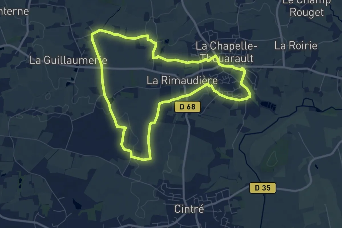
Easy · Trail
La balade de Cohan
7.3 km · ↑ 35 m · 1 h 54 min
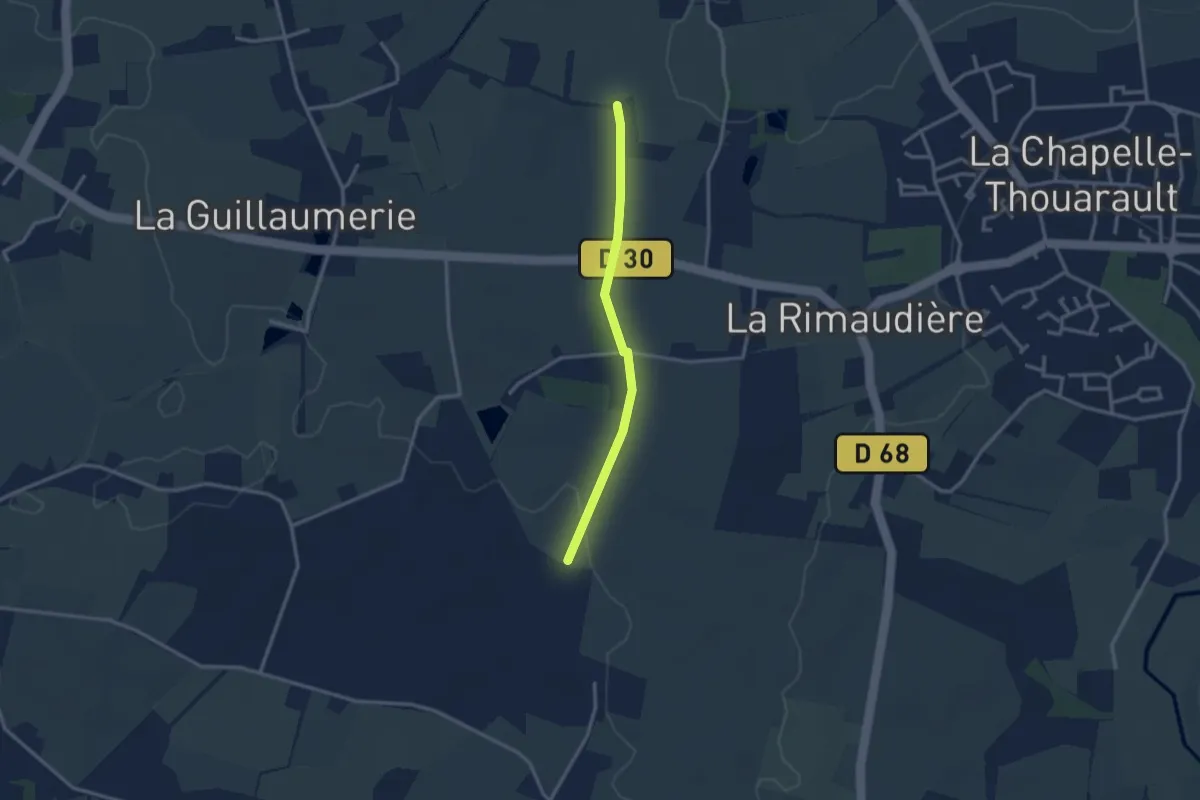
Easy · Trail
La balade de Cohan - variante
2.5 km · ↑ 22 m · 38 min
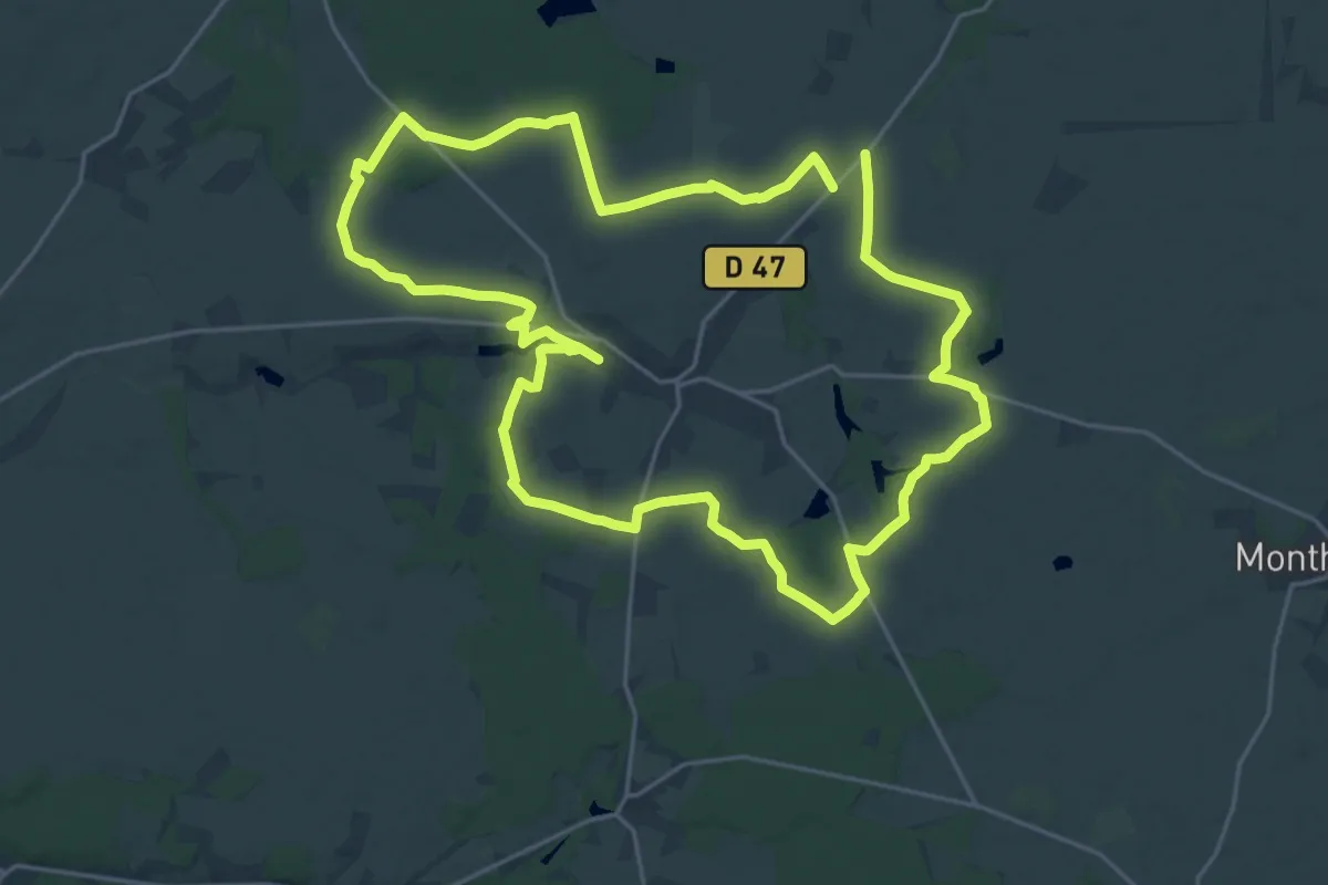
Demanding · Trail
La Balade de L'Ermite
23.0 km · ↑ 115 m · 6 h
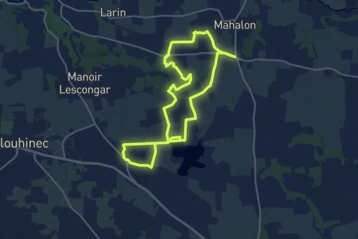
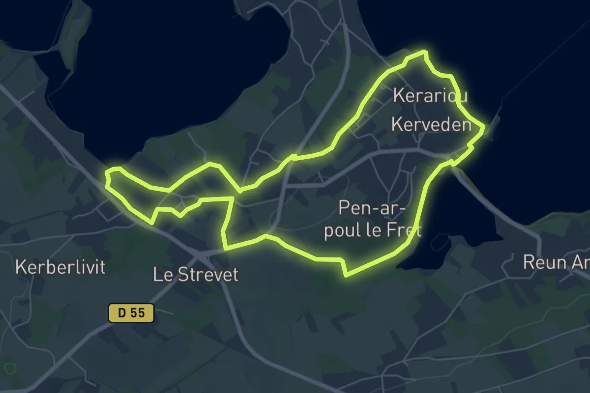
Medium · Trail
La balade de l'étang
9.7 km · ↑ 71 m · 2 h 35 min
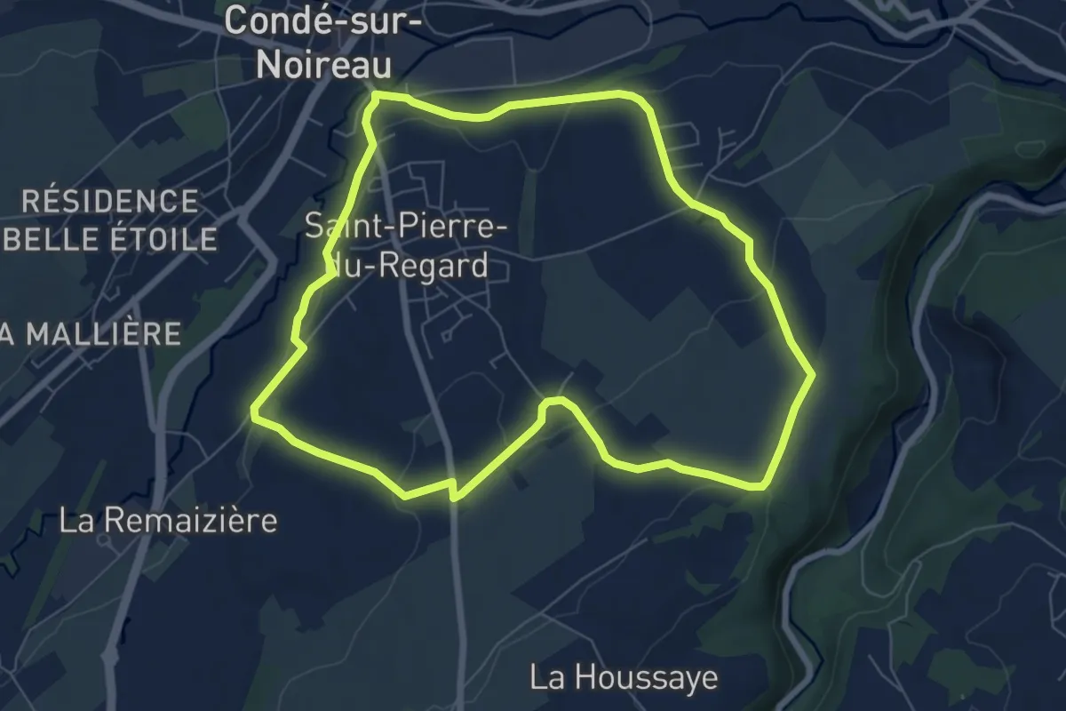
Easy · Trail
La balade de Saint-Fiacre
6.4 km · ↑ 90 m · 1 h 47 min
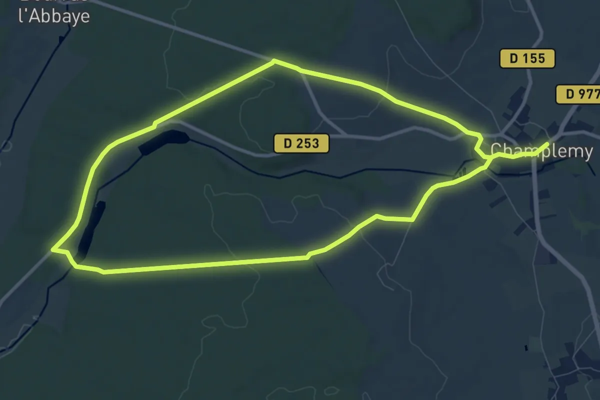
Easy · Trail
La Balade des Châtaignes
6.7 km · ↑ 130 m · 1 h 57 min
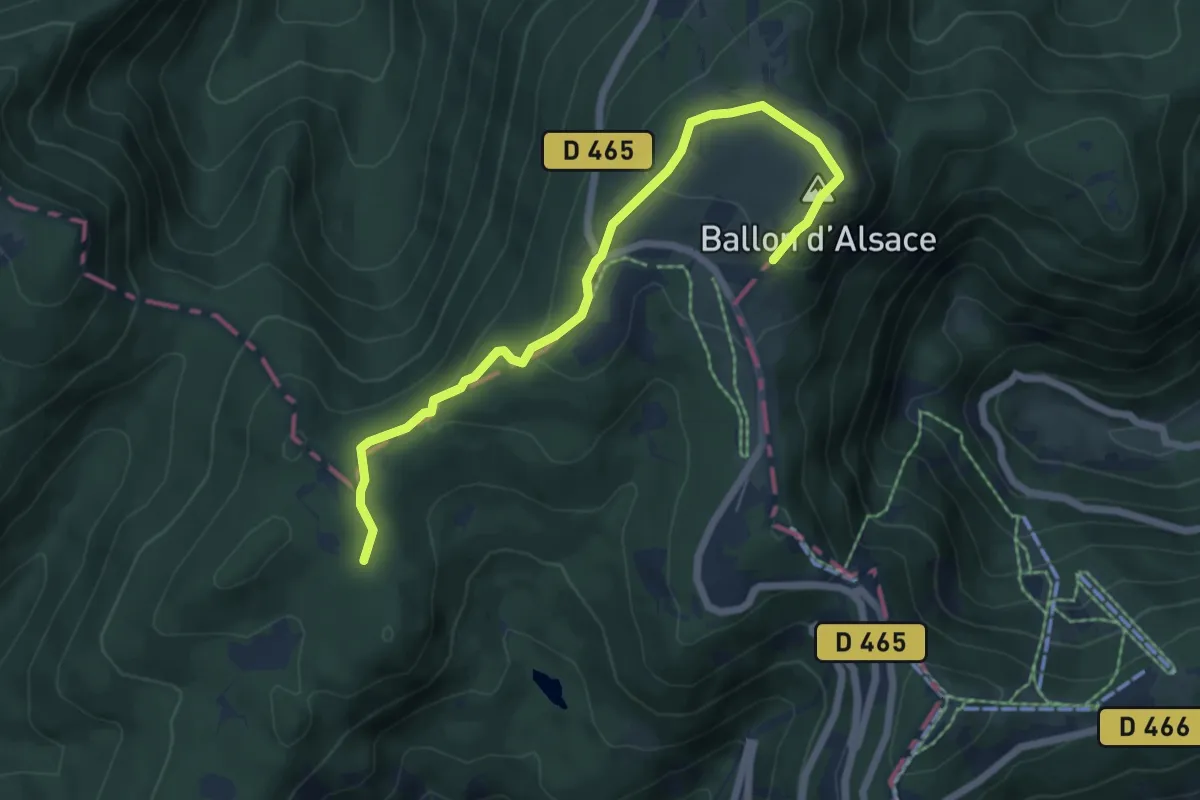
Medium · Trail
La balade des étangs - Champlemy
9.1 km · ↑ 91 m · 2 h 30 min
Easy · Summit
La balade des points de vue
3.2 km · ↑ 157 m · 1 h 4 min
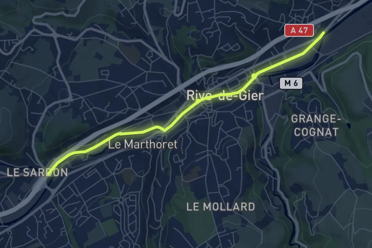
Easy · Trail
La balade des ponts
7.5 km · ↑ 44 m · 1 h 52 min
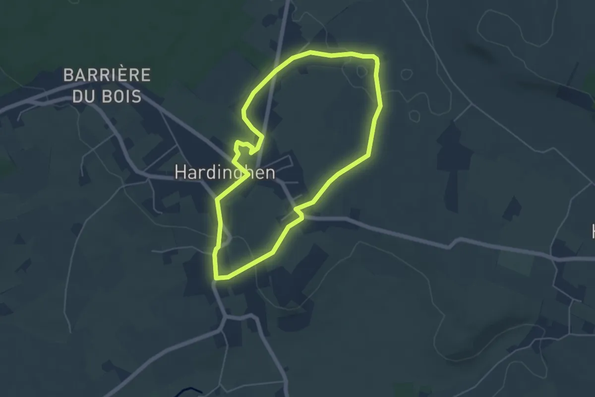
Easy · Trail
La Balade d'Hardinghem
4.3 km · ↑ 37 m · 1 h 10 min
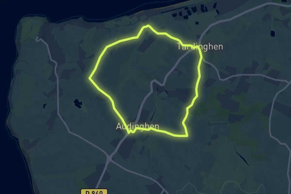
Easy · Summit
La Balade d'Odin
7.2 km · ↑ 105 m · 2 h 2 min
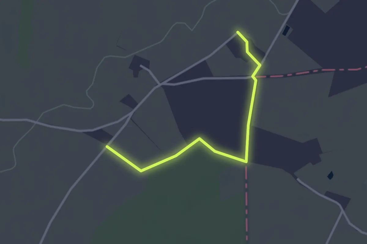
Easy · Trail
La balade du Chat Botté entre Anjou et Poitou
1.4 km · ↑ 4 m · 21 min
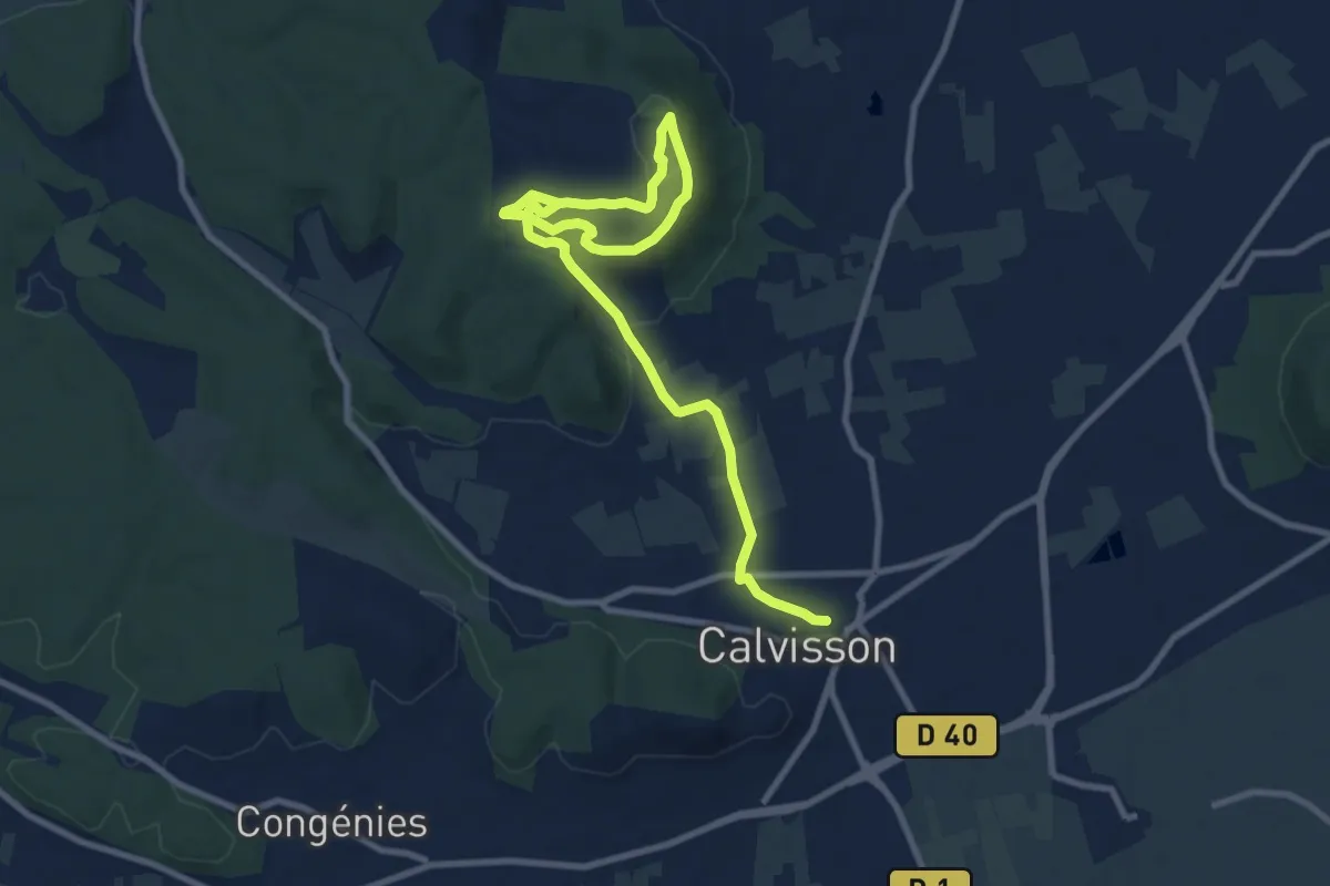
Medium · Trail
La balade du Coucou
12.4 km · ↑ 212 m · 3 h 23 min
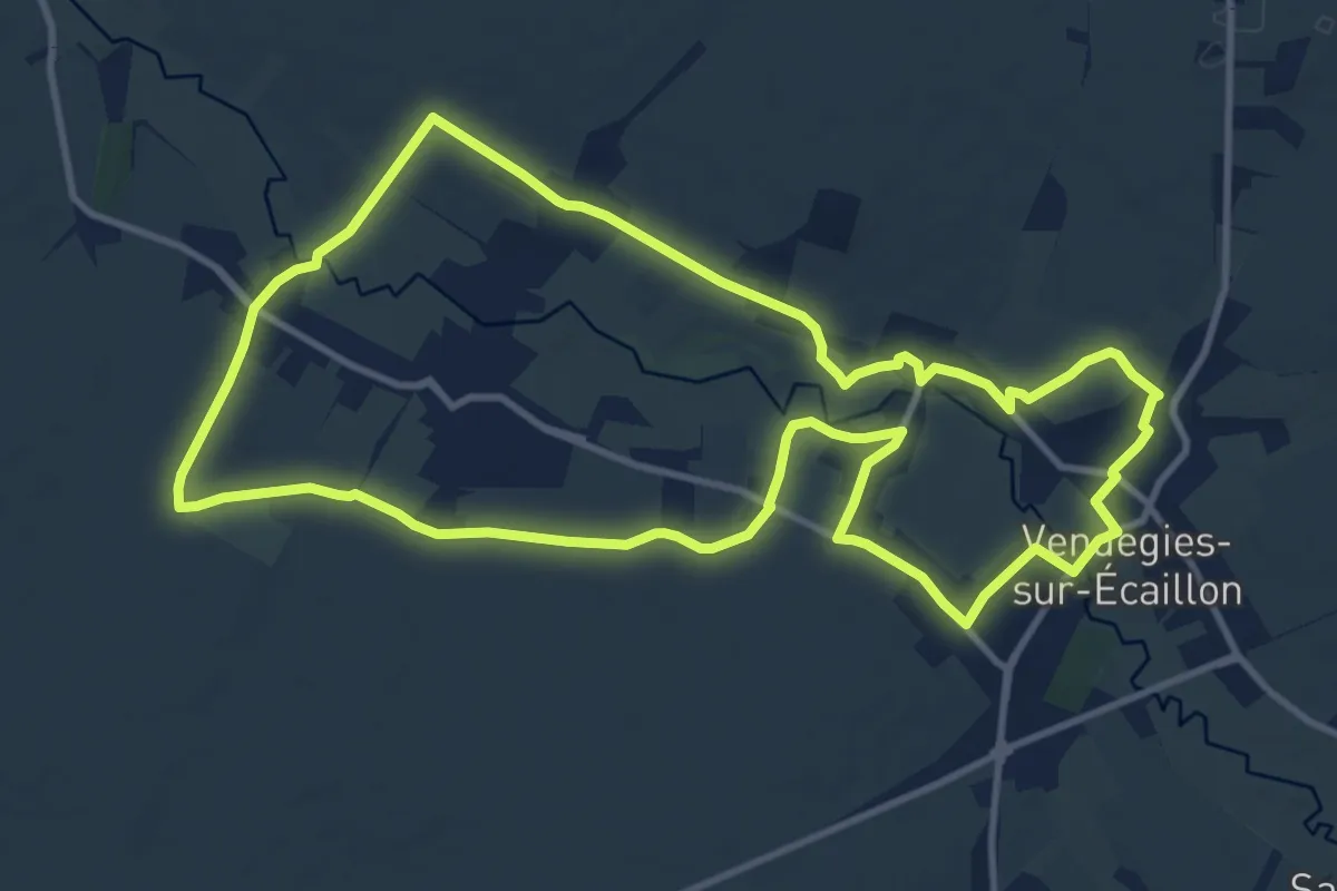
Medium · Trail
La Balade du Menhir
11.0 km · ↑ 105 m · 2 h 58 min
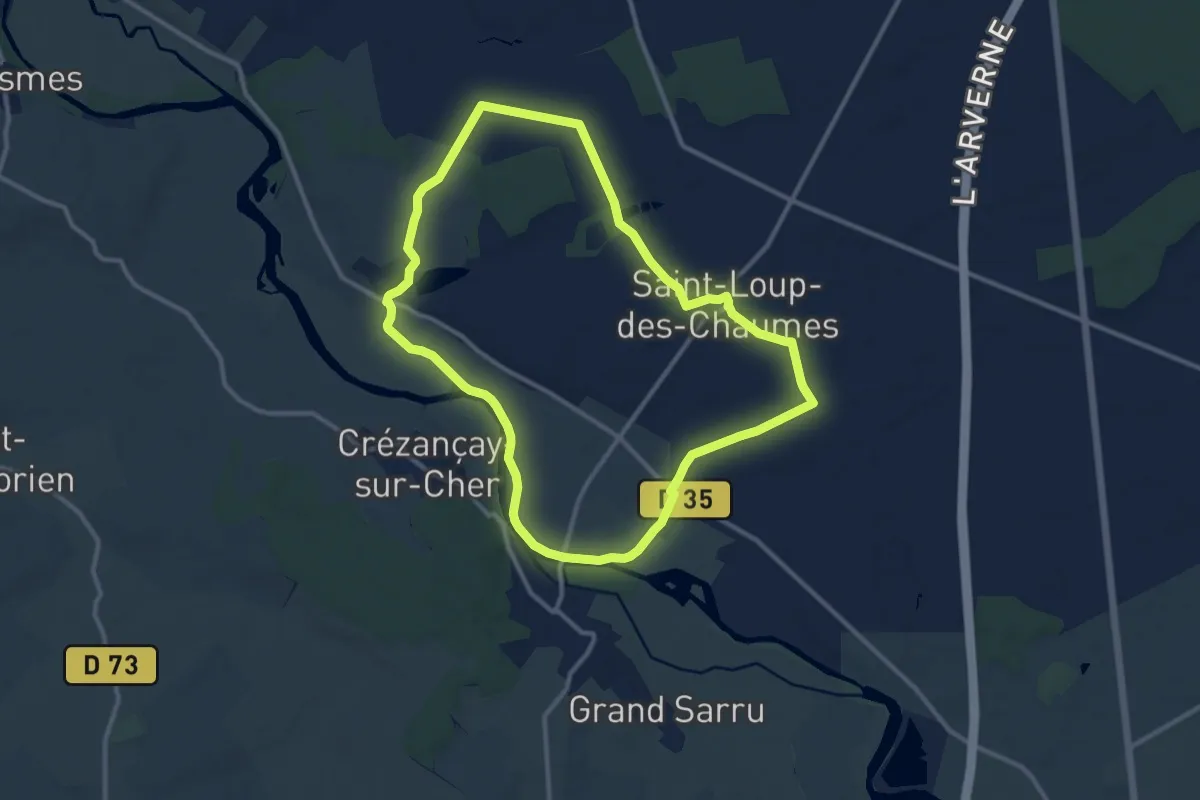
Medium · Trail
La Balade du Petit Lupien
11.1 km · ↑ 37 m · 2 h 51 min
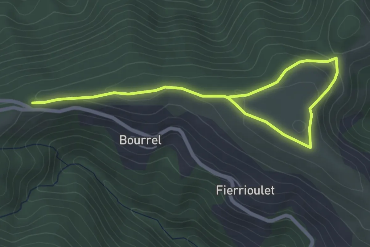
Easy · Trail
La Balade du Planel
3.1 km · ↑ 98 m · 57 min
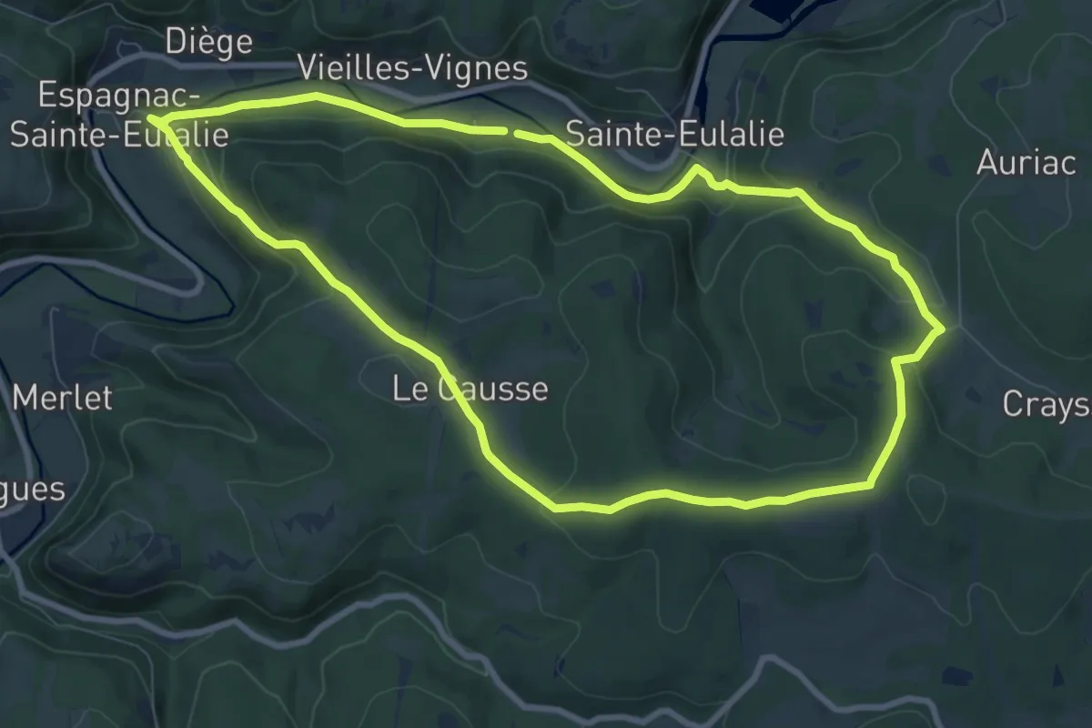
Medium · Summit
La balade du Prieuré d'Espagnac
9.0 km · ↑ 248 m · 2 h 48 min
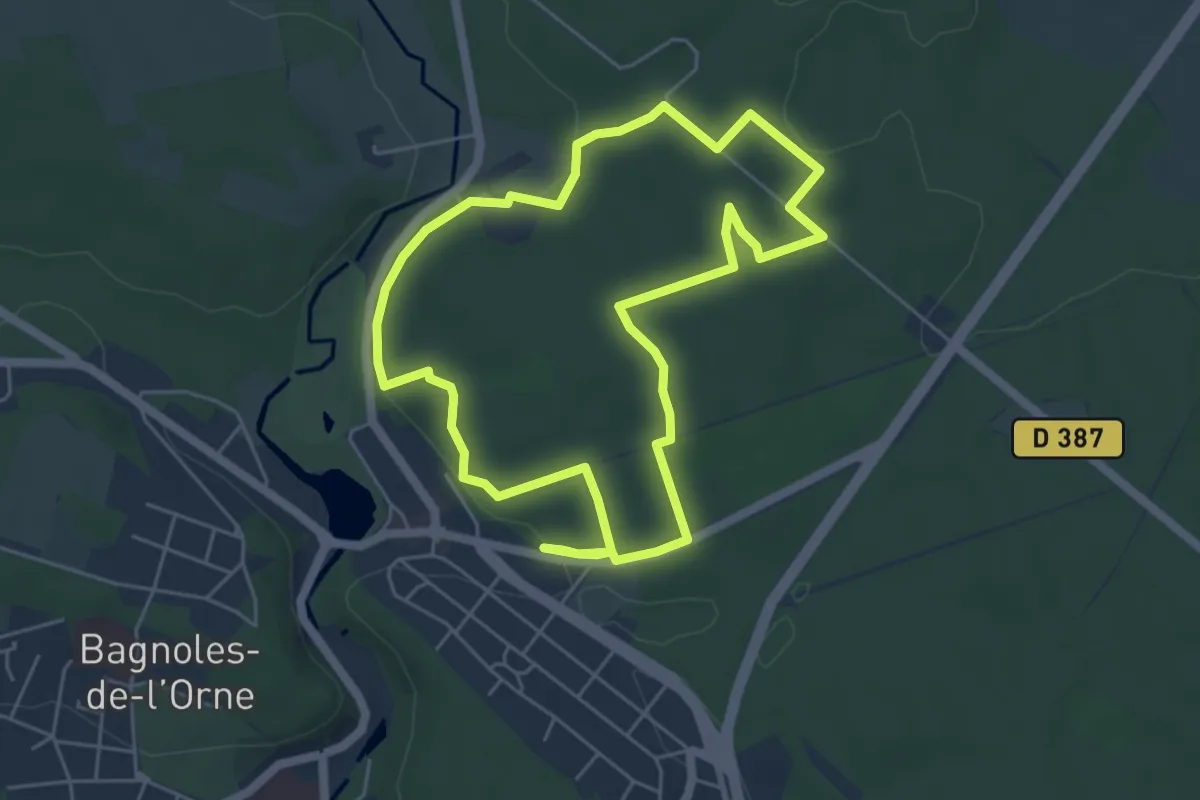
Easy · Trail
La Balade du Roi Arthur
5.1 km · ↑ 66 m · 1 h 24 min
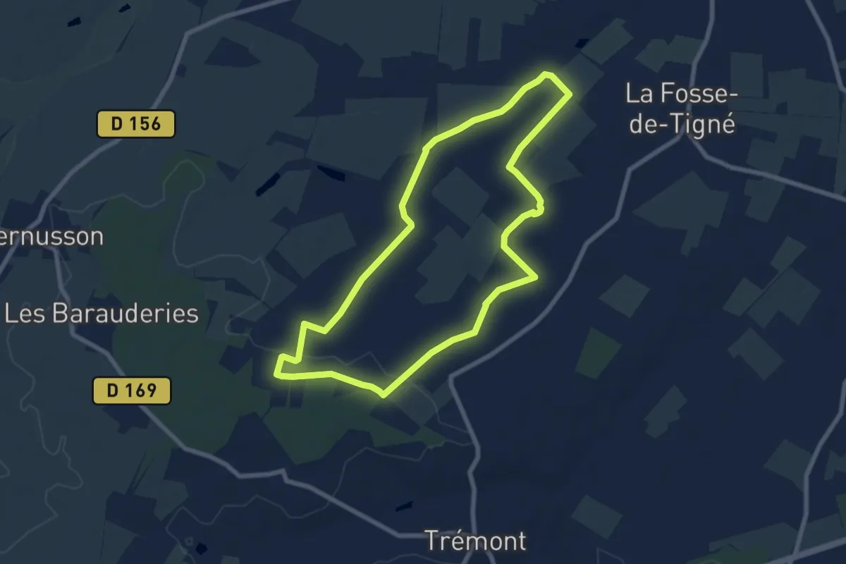
Easy · Trail
La balade fosséenne
6.8 km · ↑ 39 m · 1 h 47 min
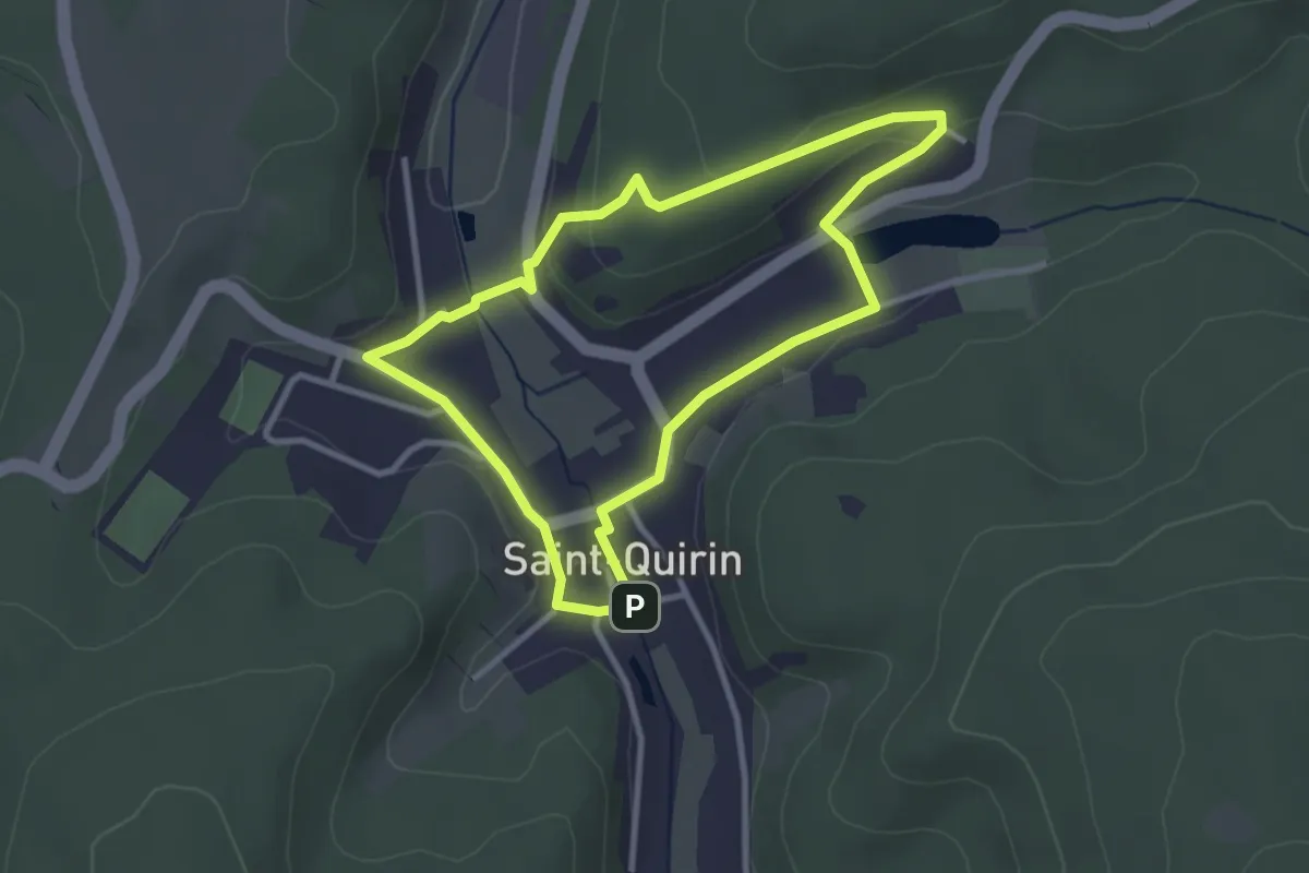
Easy · Trail
La Balade Iris
2.8 km · ↑ 66 m · 50 min
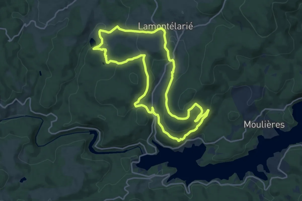
Medium · Trail
La balade Montéliote
12.7 km · ↑ 422 m · 4 h 6 min
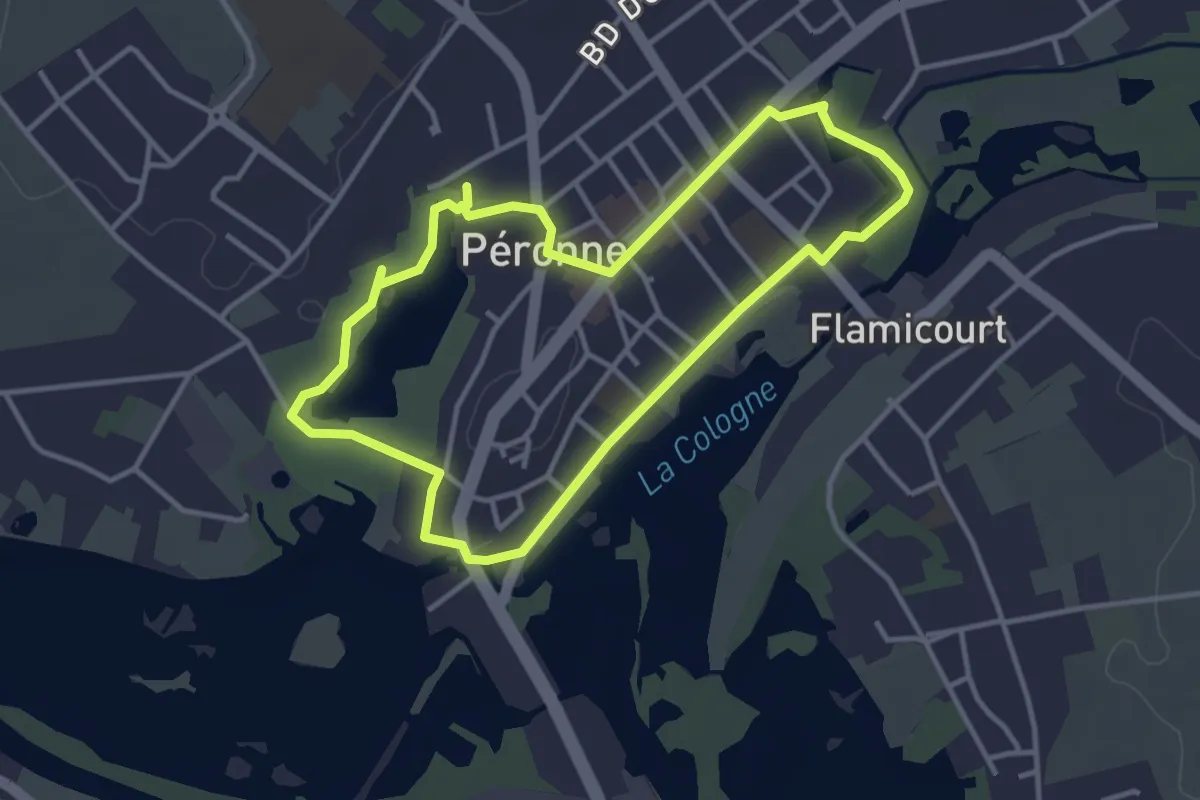
Easy · Trail
La Balade Péronnaise
3.2 km · ↑ 4 m · 49 min
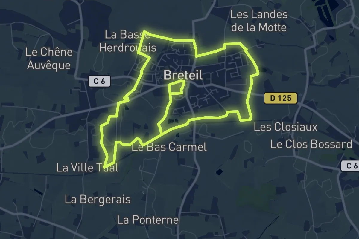
Medium · Trail
La balade verte
16.6 km · ↑ 69 m · 4 h 4 min
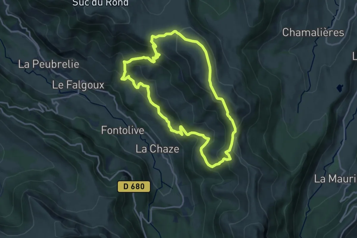
Medium · Trail
La Baladie
10.8 km · ↑ 583 m · 3 h 58 min
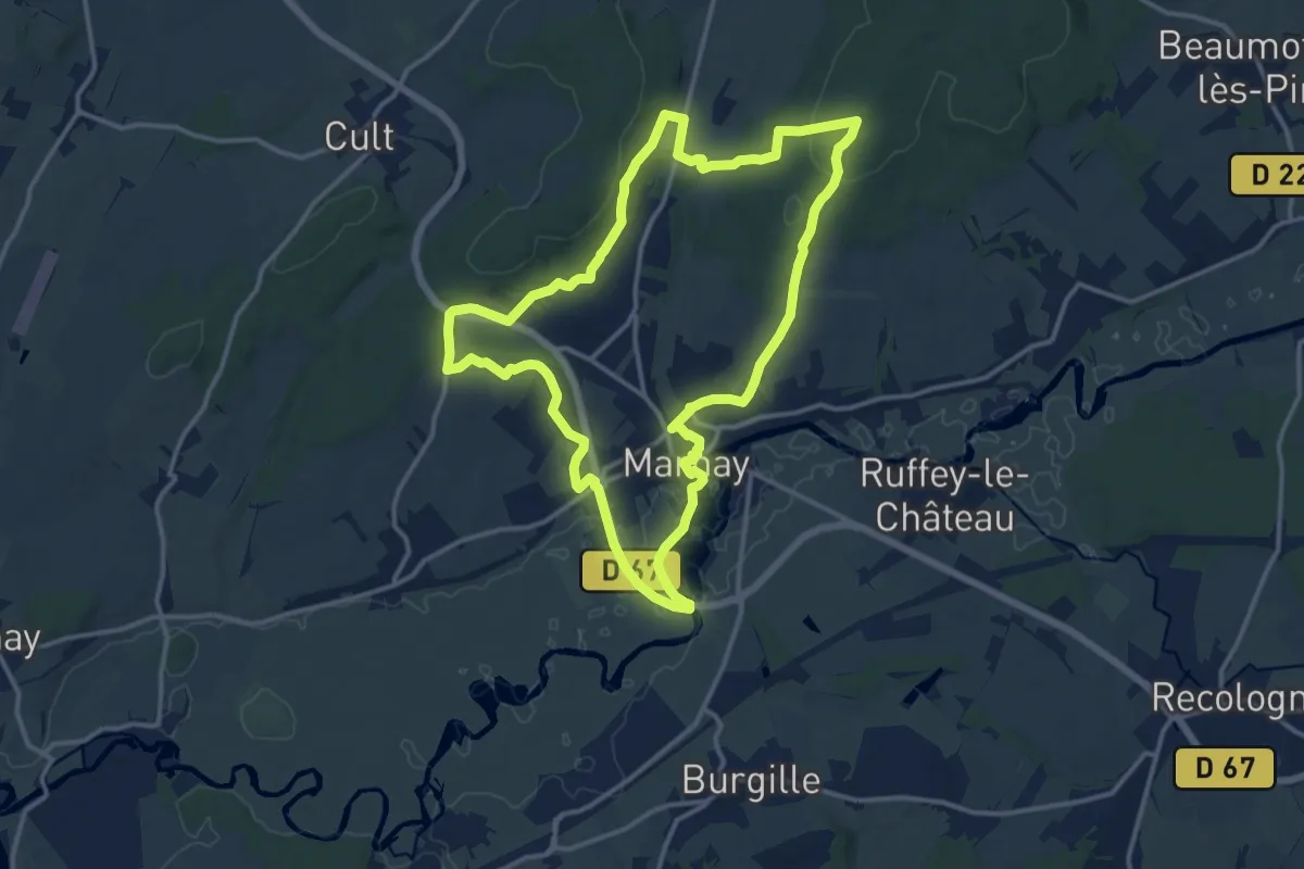
Medium · Trail
La Ballade Marnaysienne
13.9 km · ↑ 236 m · 3 h 59 min
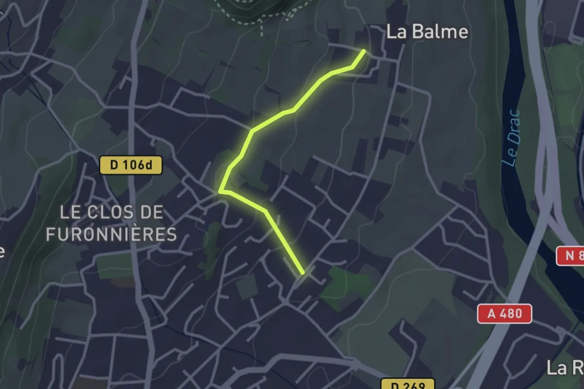
Easy · Trail
La Balme - Les Perouses
2.4 km · ↑ 90 m · 46 min
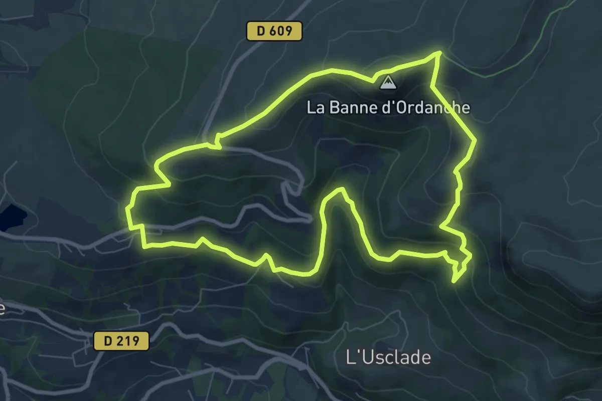
Medium · Summit
La Banne d'Ordanche
8.2 km · ↑ 482 m · 3 h 5 min
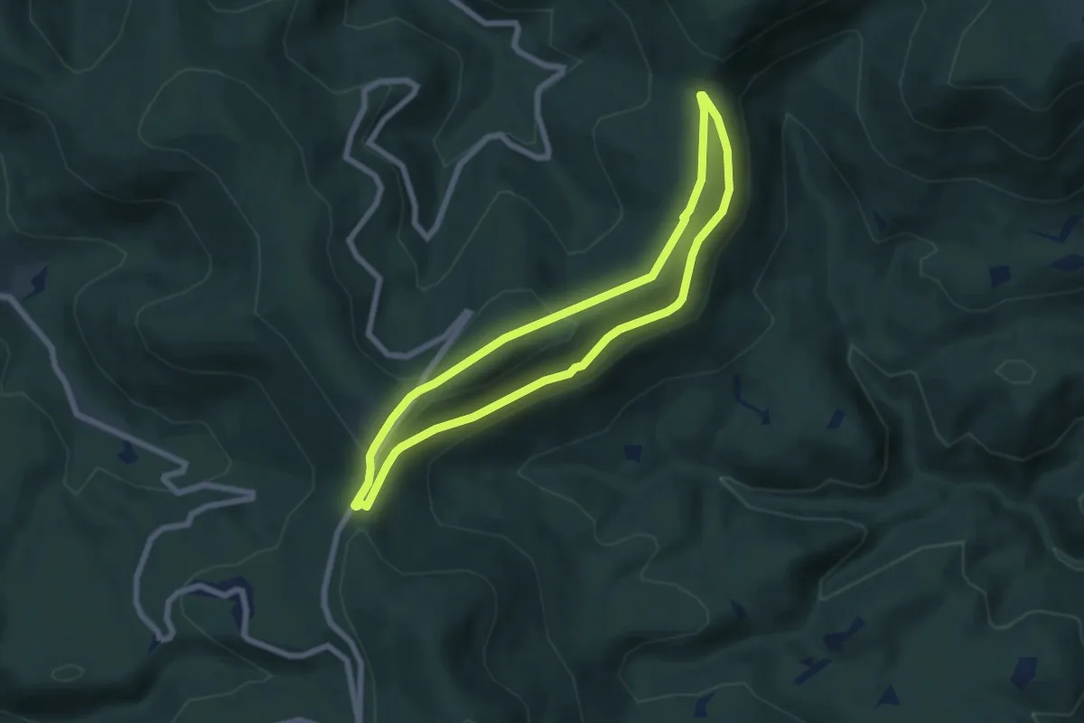
Easy · Trail
La Baraque carrée - le Chemin des Bornes
5.8 km · ↑ 215 m · 1 h 55 min
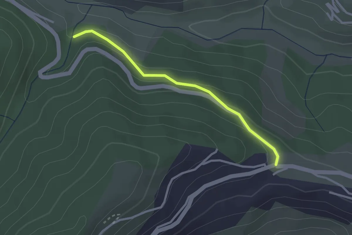
Easy · Trail
La Baraquette - Les Charriers
2.4 km · ↑ 99 m · 47 min
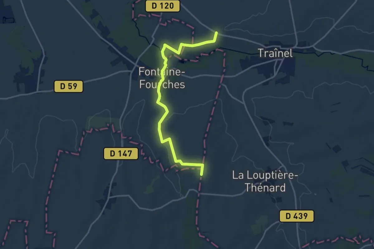
Easy · Trail
La Baron Thenard
6.1 km · ↑ 37 m · 1 h 37 min
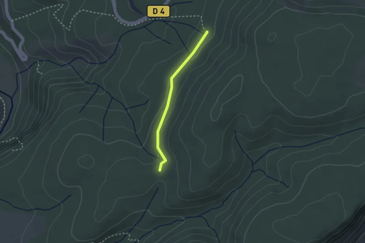
Easy · Trail
La Barthe - Pousaras
2.2 km · ↑ 46 m · 36 min
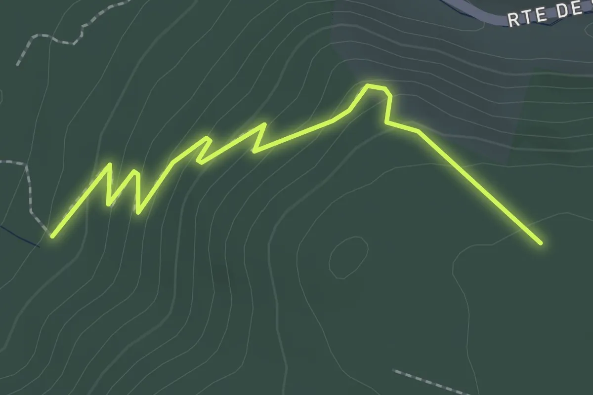
Easy · Trail
La Barthe - Serre de la Desferre
2.5 km · ↑ 126 m · 52 min
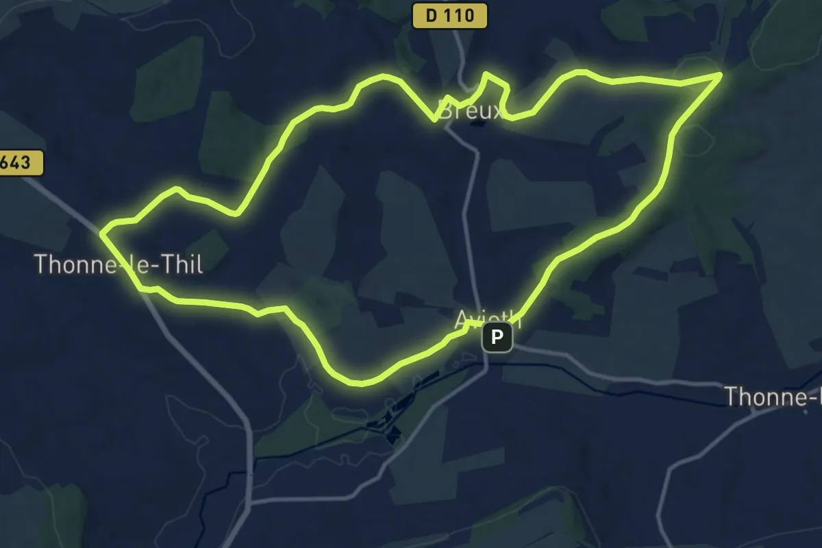
Medium · Trail
La basilique des Champs
12.9 km · ↑ 218 m · 3 h 42 min
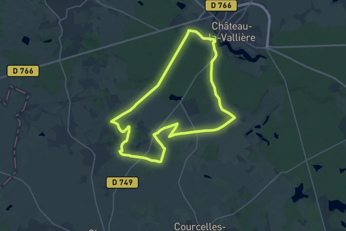
Medium · Trail
La Basse Forêt de Chateau-la-Vallière
17.2 km · ↑ 167 m · 4 h 40 min
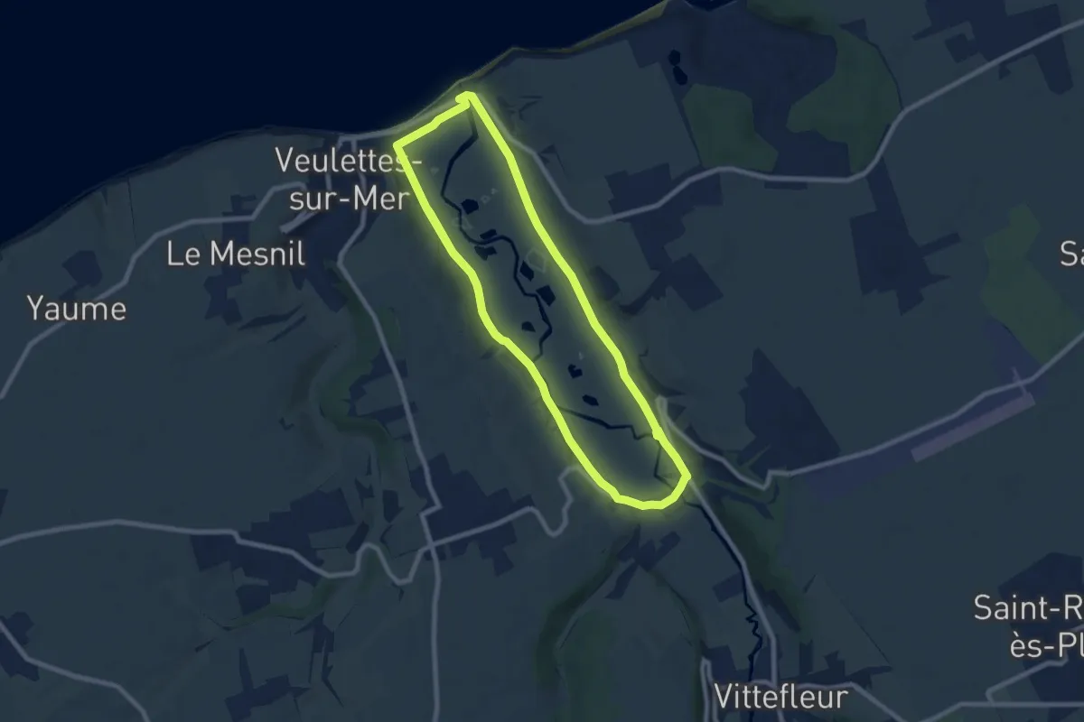
Medium · Trail
La Basse Vallée de la Durdent
15.8 km · ↑ 62 m · 3 h 52 min
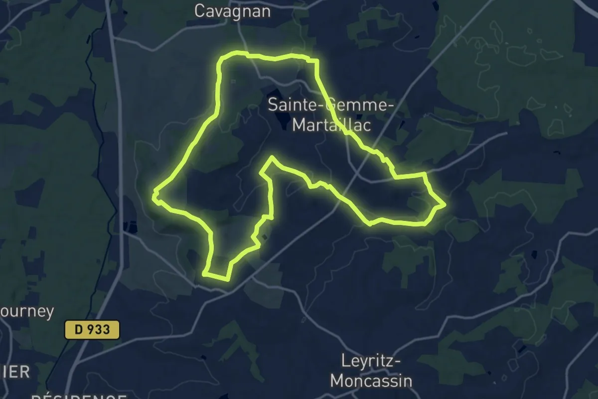
Medium · Trail
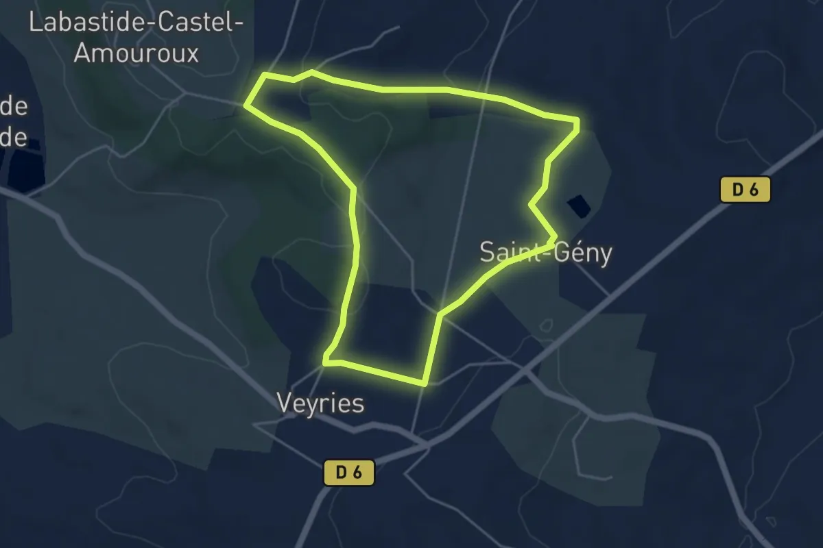
Labastide-Castel-Amouroux à ciel ouvert - 17.7 km
17.1 km · ↑ 262 m · 4 h 50 min
Easy · Trail
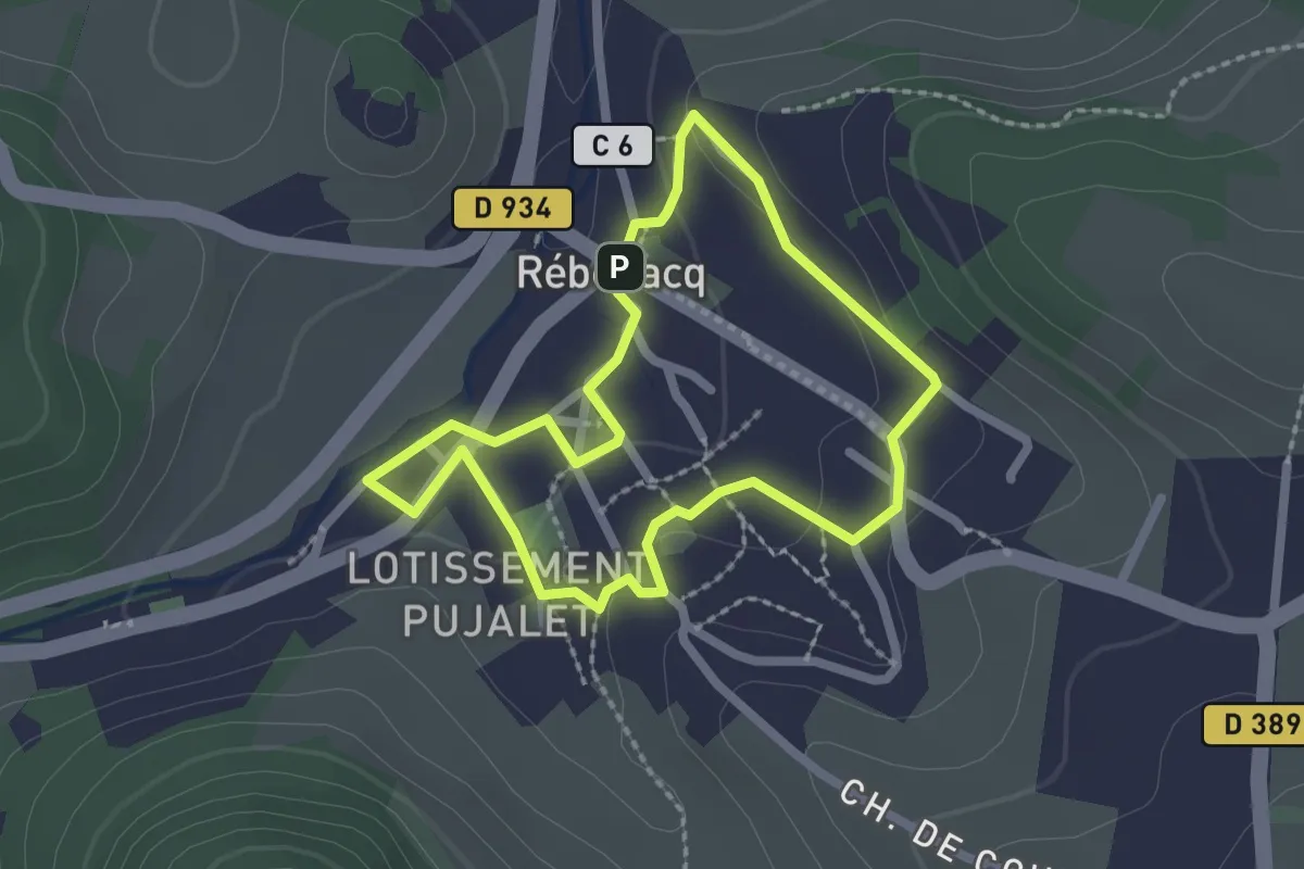
Labastide-Castel-Amouroux vers l’Église de Saint-Gény - 5.1 km
4.6 km · ↑ 87 m · 1 h 20 min
Easy · Trail
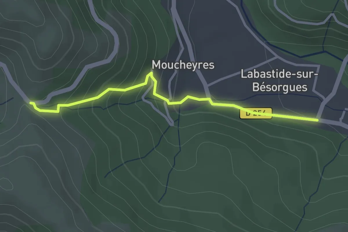
La Bastide (Circuit patrimoine)
2.1 km · ↑ 45 m · 38 min
Easy · Trail
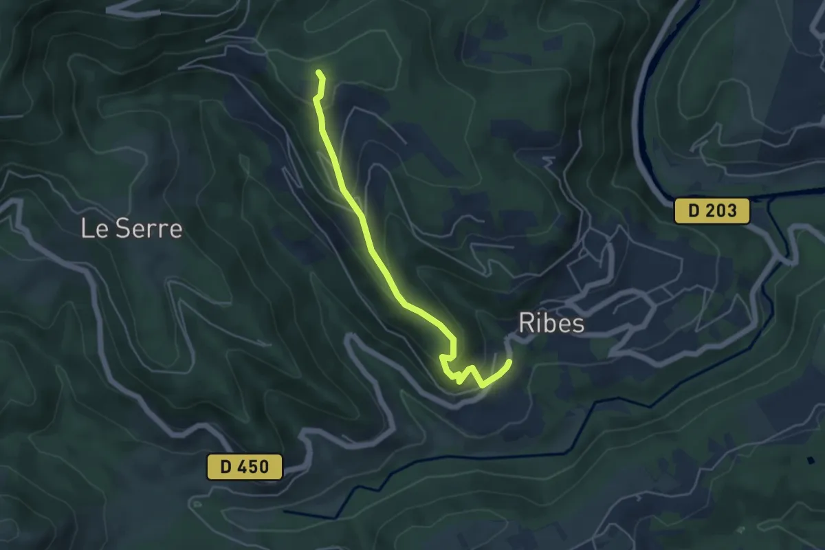
Labastide - Col de Moucheyres
2.9 km · ↑ 198 m · 1 h 7 min
Easy · Trail
La Bastide - Croix de Sauris
4.4 km · ↑ 236 m · 1 h 33 min
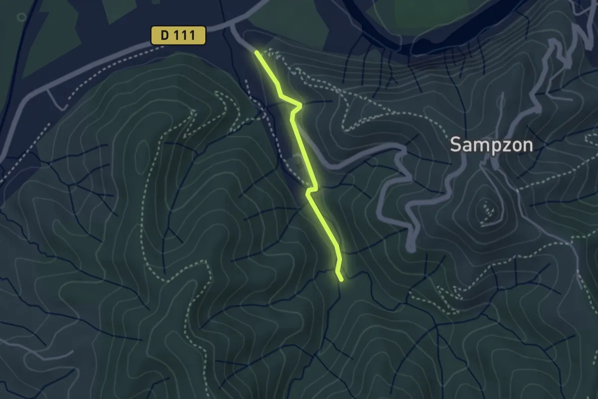
Easy · Trail
La Bastide - L'Aiguille
2.4 km · ↑ 54 m · 42 min
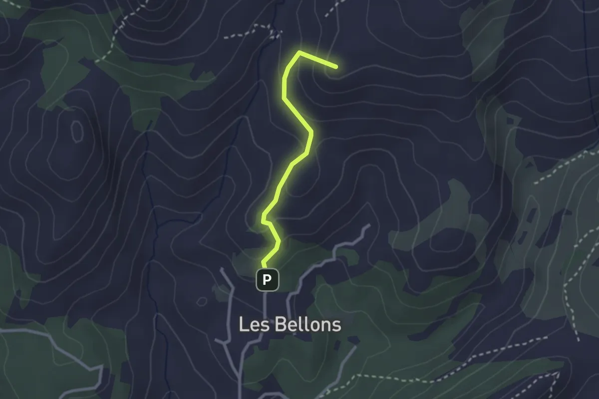
Medium · Summit
La Bastide neuve - Tête ronde - Pas du loup
2.2 km · ↑ 134 m · 48 min
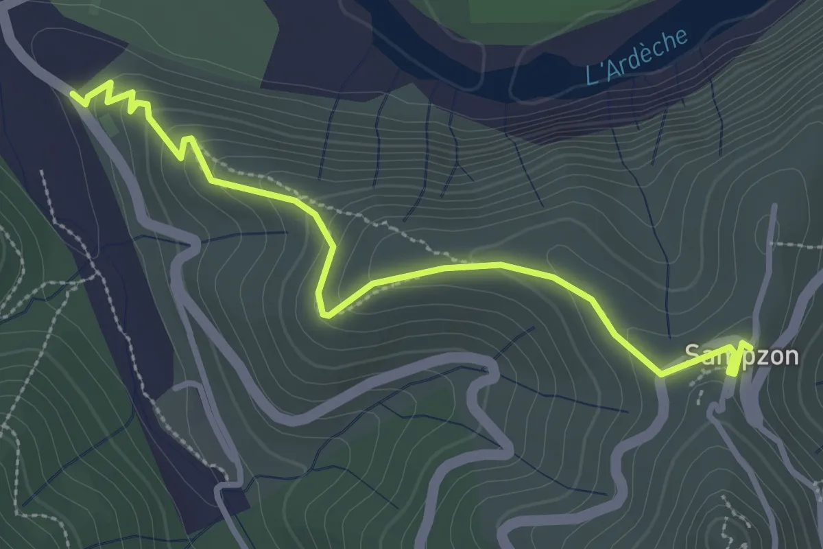
Easy · Trail
La Bastide - Sampzon
3.3 km · ↑ 173 m · 1 h 9 min
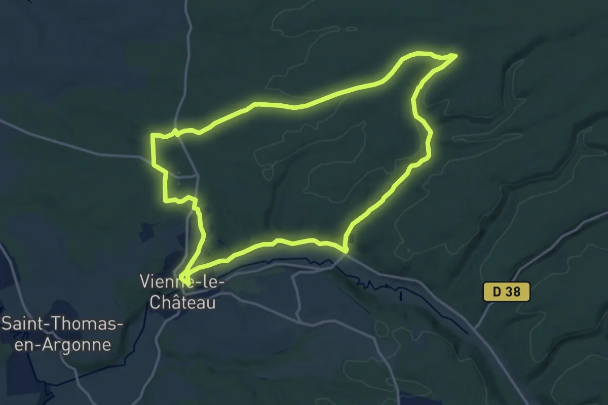
Medium · Trail
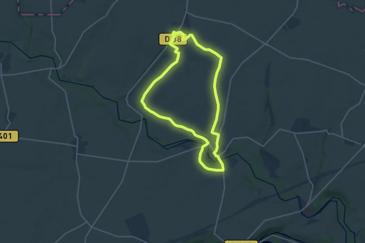
La bataille d'Argonne
13.0 km · ↑ 206 m · 3 h 42 min
Medium · Trail
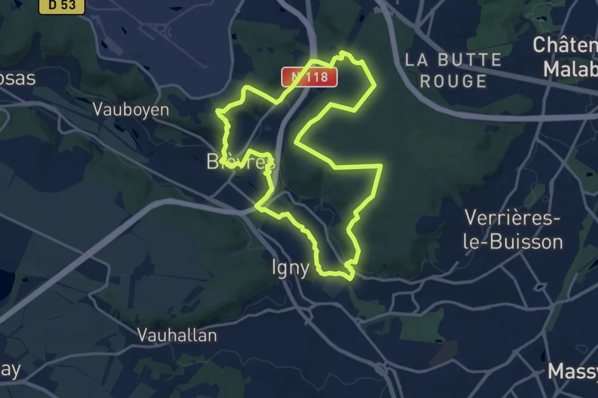
La Bataille de l'Ourcq
11.5 km · ↑ 130 m · 3 h 10 min
Medium · Trail
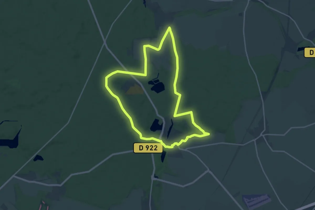
L'Abbaye aux bois
11.7 km · ↑ 210 m · 3 h 23 min
Medium · Trail
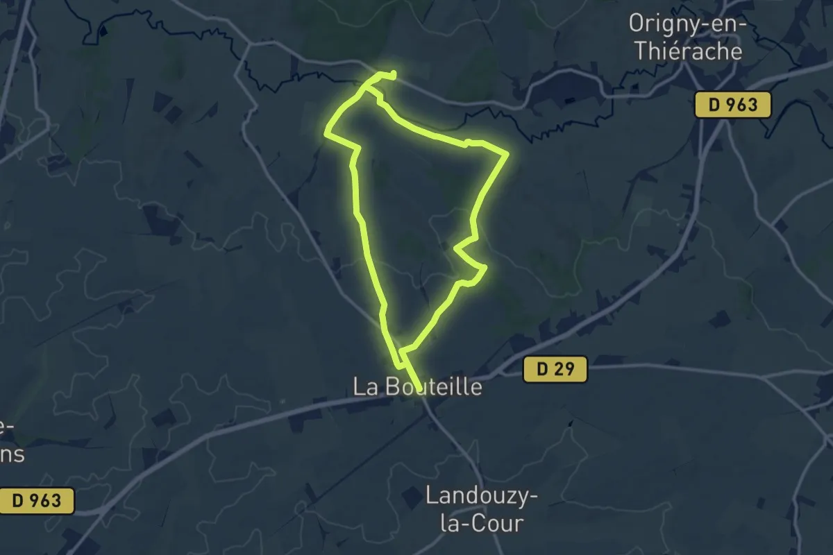
L'Abbaye de Chaalis
13.9 km · ↑ 142 m · 3 h 47 min
Demanding · Trail
L'Abbaye de Foigny
21.7 km · ↑ 190 m · 5 h 32 min