Trails in France
15,926 hiking trails, each with its route, climb, walking time and grade.
All trails, page 128 of 332
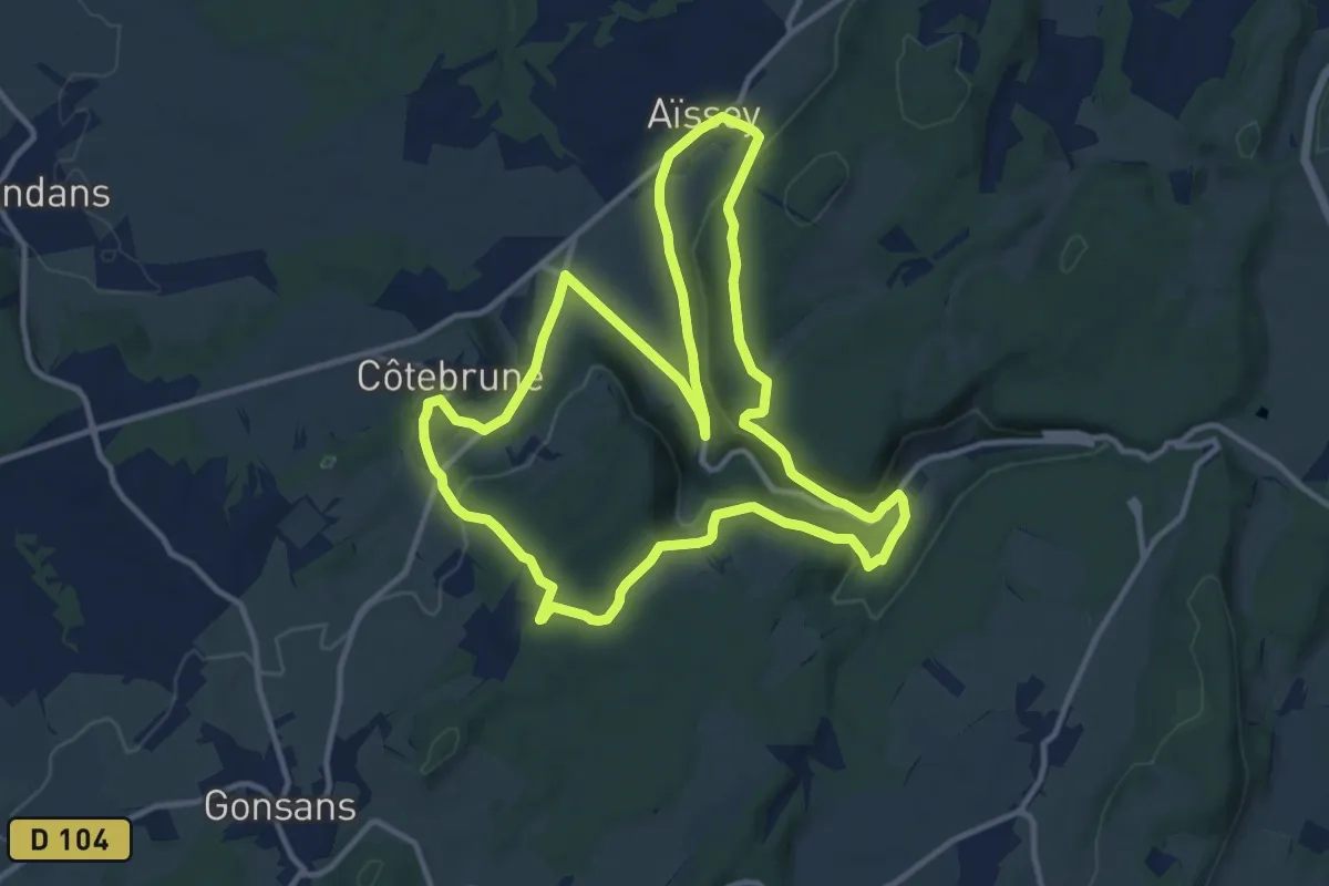
Medium · Trail
L'Abbaye de Grâce-Dieu
12.5 km · ↑ 378 m · 3 h 56 min
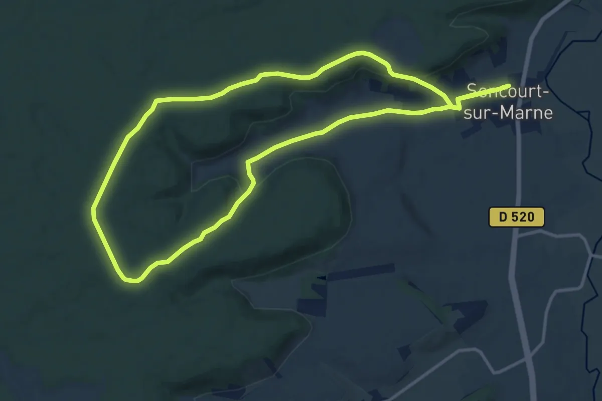
Medium · Trail
L’Abbaye de la Genevroye
10.4 km · ↑ 175 m · 2 h 59 min
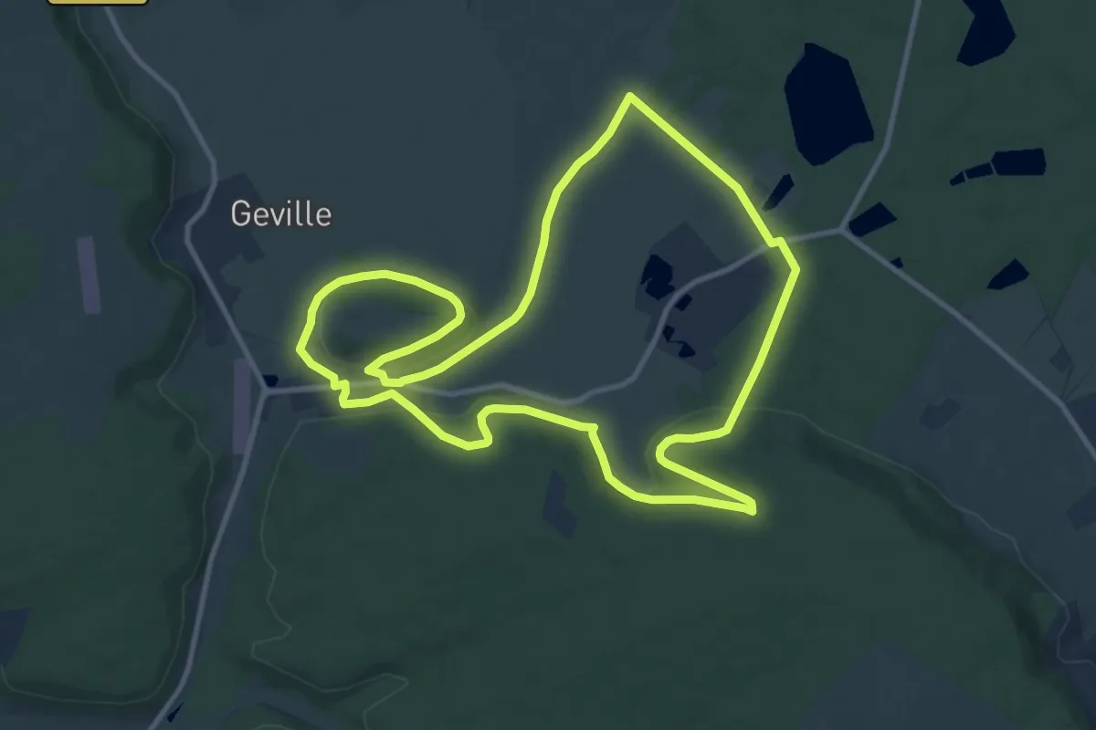
Medium · Trail
L'abbaye de Rangéval
10.6 km · ↑ 217 m · 3 h 7 min
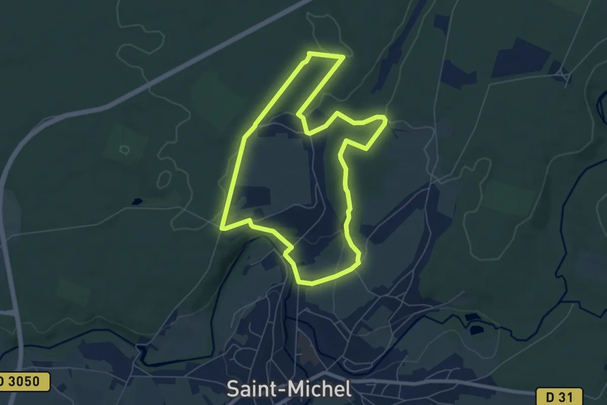
Easy · Trail
L'Abbaye de Saint-Michel
5.9 km · ↑ 87 m · 1 h 39 min
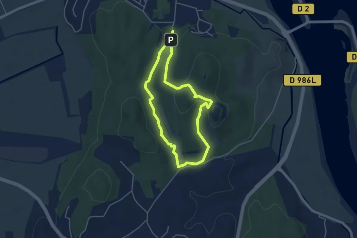
Easy · Trail
L’abbaye de Saint-Roman
3.4 km · ↑ 110 m · 1 h 6 min
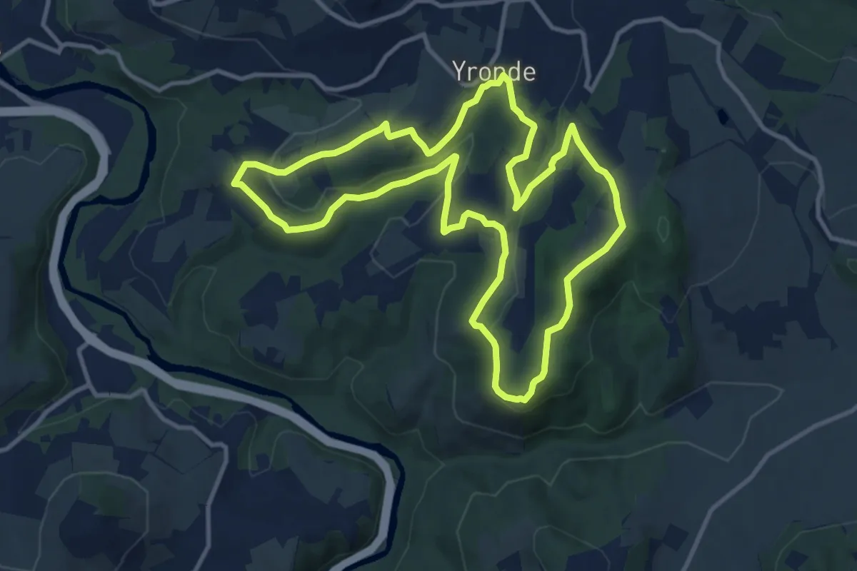
Medium · Trail
L'Abbaye du Bouschet
10.8 km · ↑ 296 m · 3 h 20 min
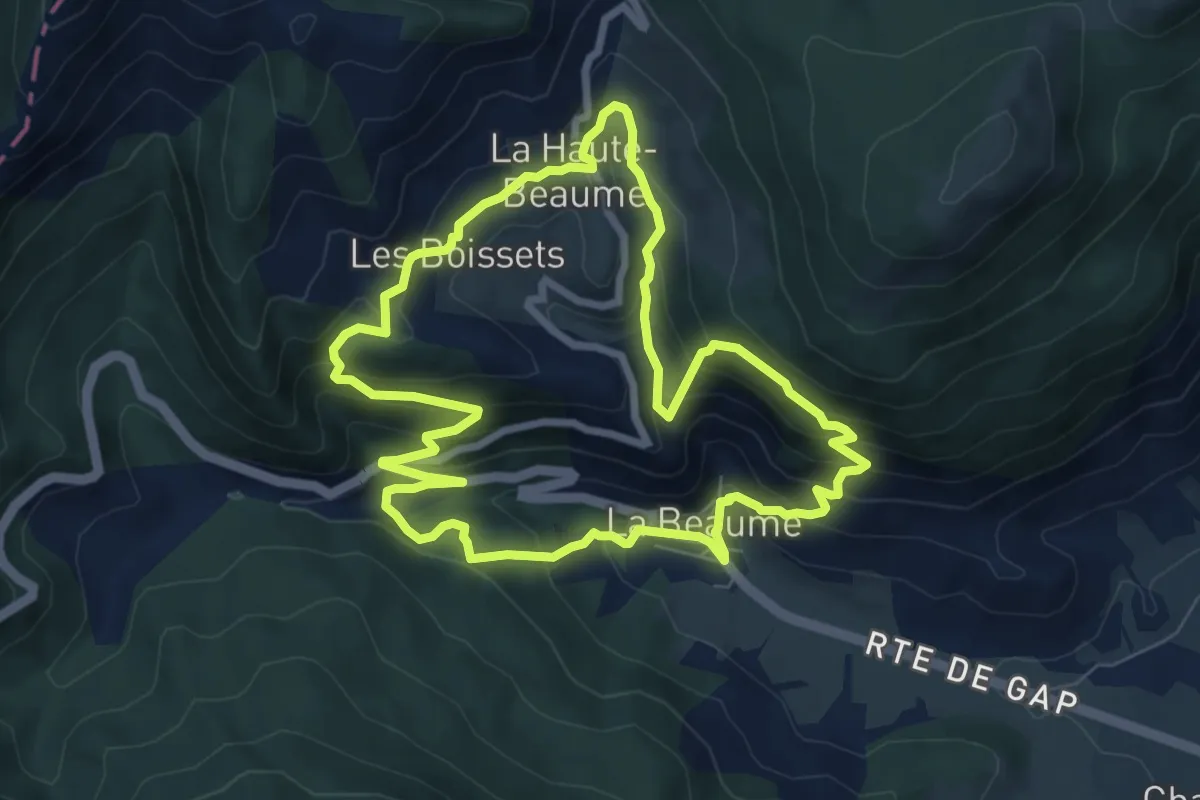
Medium · Trail
La Beaume - La Haute Beaume
7.9 km · ↑ 505 m · 3 h 4 min
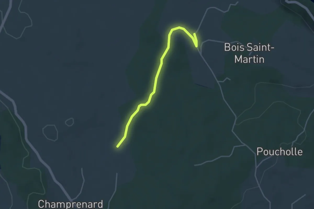
Easy · Trail
L'Abeille - La Plaine
3.5 km · ↑ 32 m · 54 min
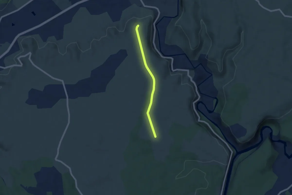
Easy · Trail
L'Abeille - Les Granges de Mirabelle
4.8 km · ↑ 31 m · 1 h 12 min
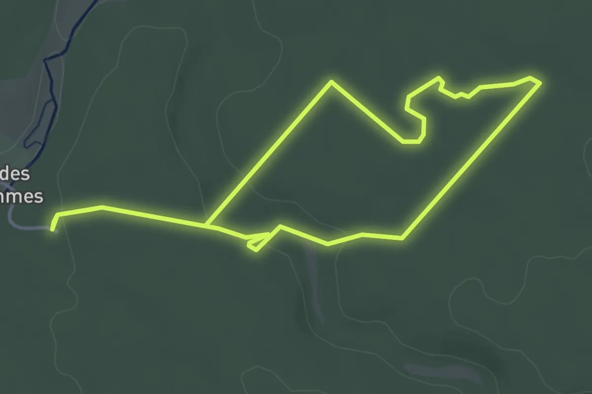
Easy · Trail
La Belle Balade
3.7 km · ↑ 33 m · 1 h
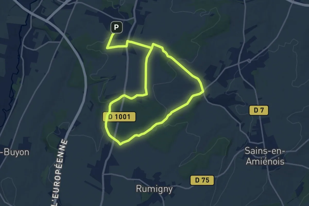
Demanding · Trail
La Belle Epine
20.4 km · ↑ 189 m · 5 h 13 min
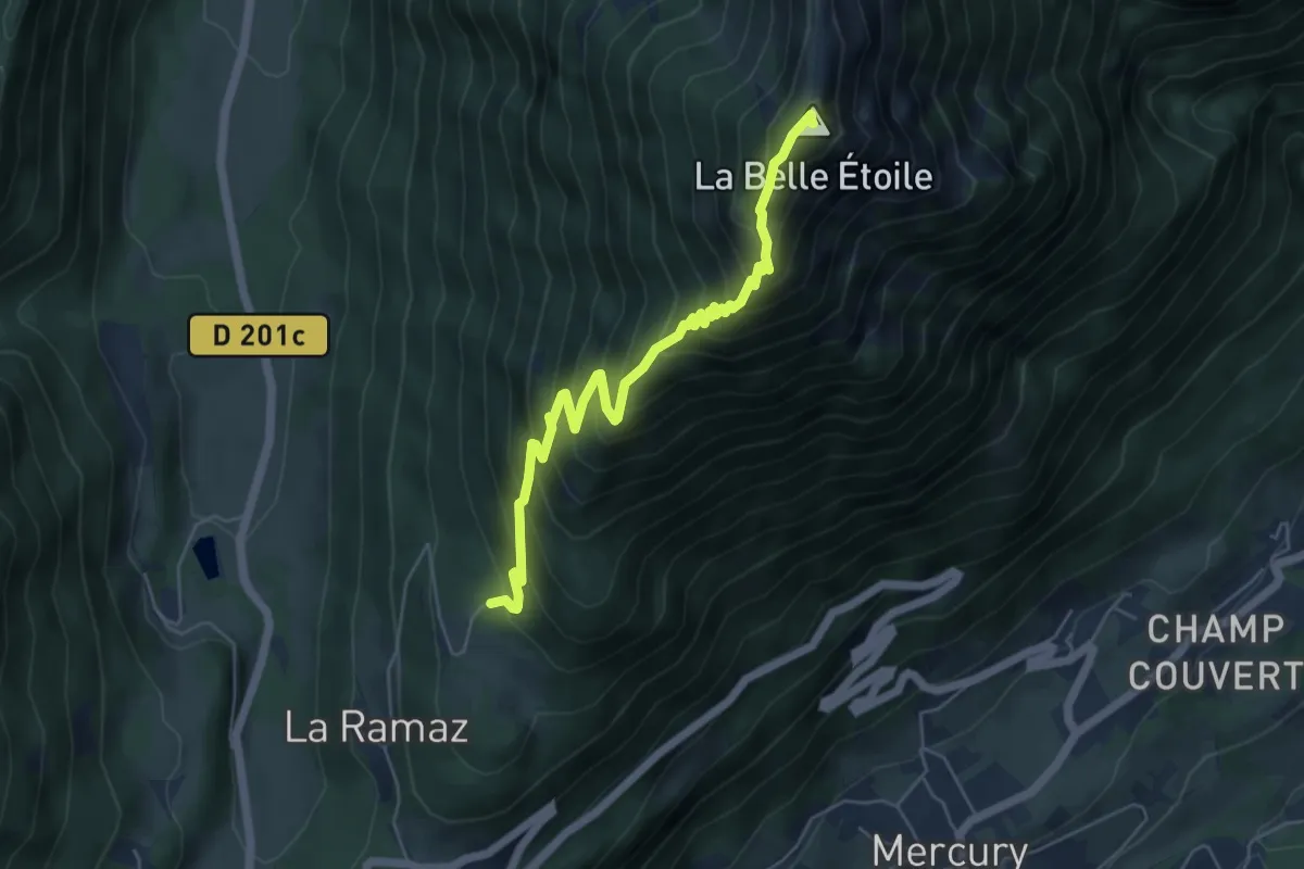
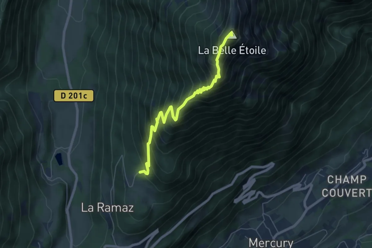
Expert · Summit
La Belle Étoile (aller-retour)
5.8 km · ↑ 695 m · 2 h 53 min
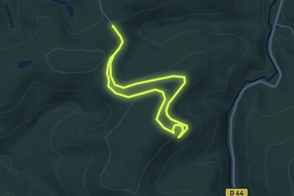
Expert · Summit
La Belle Étoile (boucle)
5.8 km · ↑ 695 m · 2 h 53 min
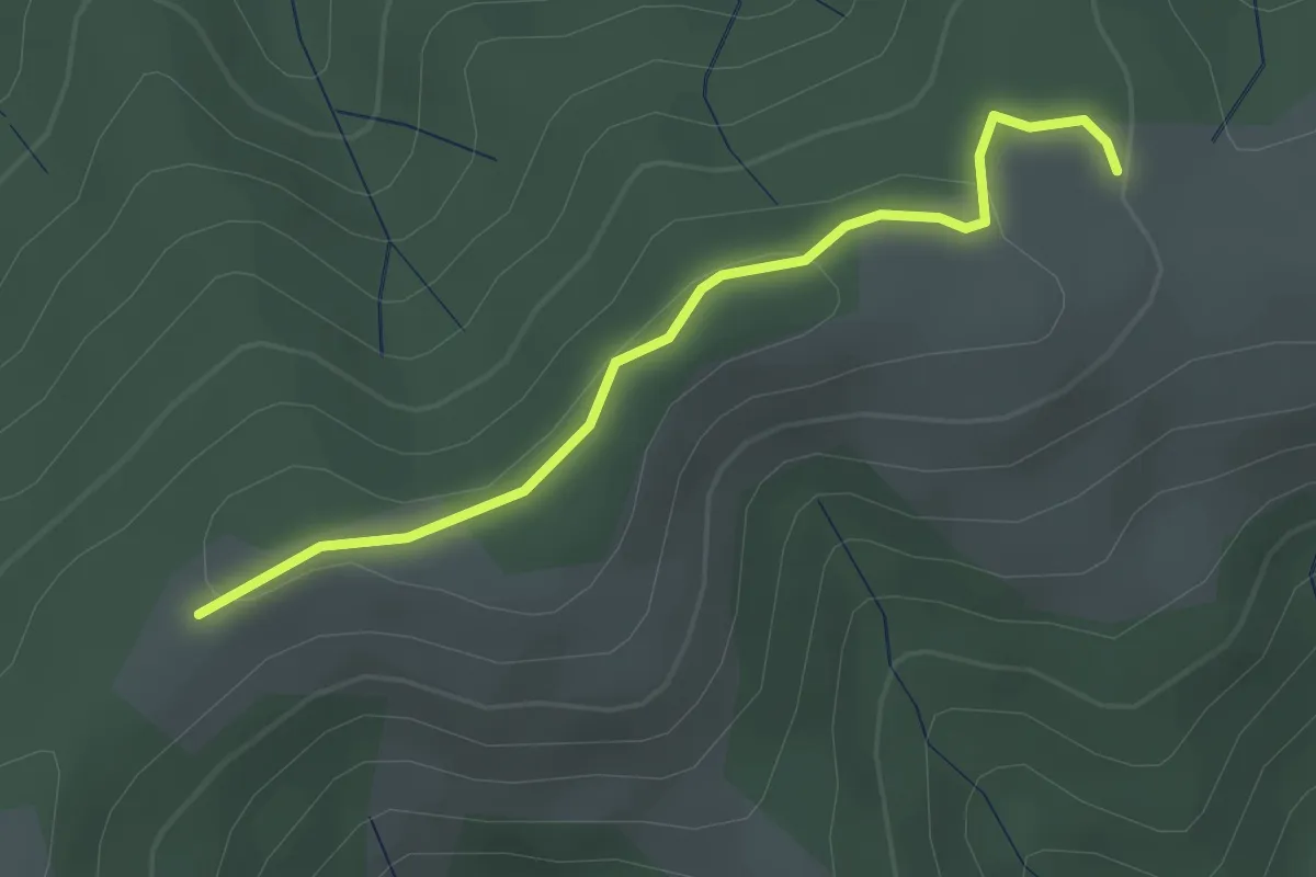
Medium · Trail
La Belle Roche
3.4 km · ↑ 111 m · 1 h 5 min
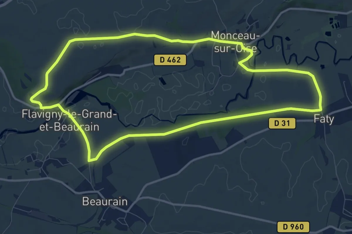
Easy · Trail
La Berche - Le Réservoir
2.5 km · ↑ 63 m · 44 min
Medium · Trail
La Berdouille
9.4 km · ↑ 72 m · 2 h 31 min
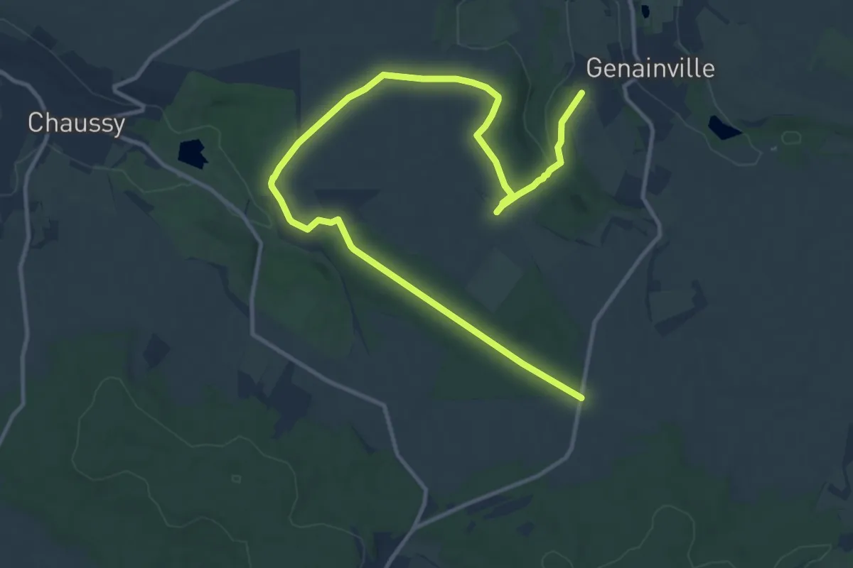
Medium · Trail
La Bergerie
14.3 km · ↑ 114 m · 3 h 38 min
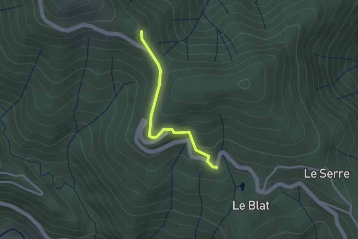
Easy · Trail
L'Abeurador - Colet du Ranc
2.1 km · ↑ 113 m · 44 min
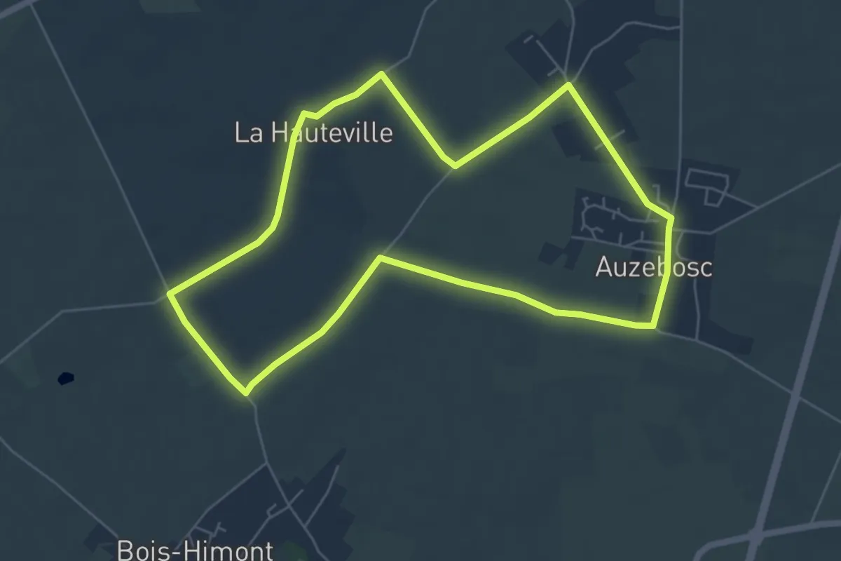
Easy · Trail
La Bichotterie
5.4 km · ↑ 23 m · 1 h 23 min
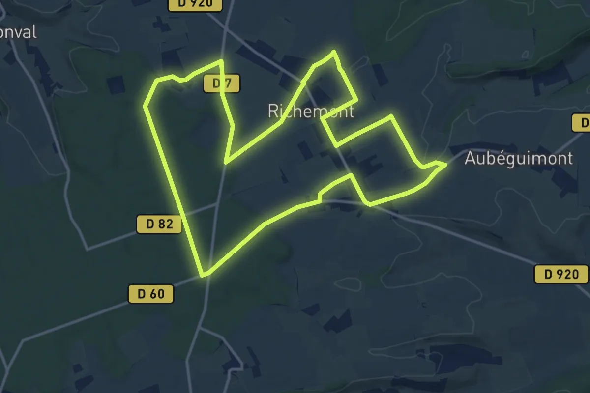
Medium · Trail
La Bienfaisance
12.2 km · ↑ 82 m · 3 h 14 min
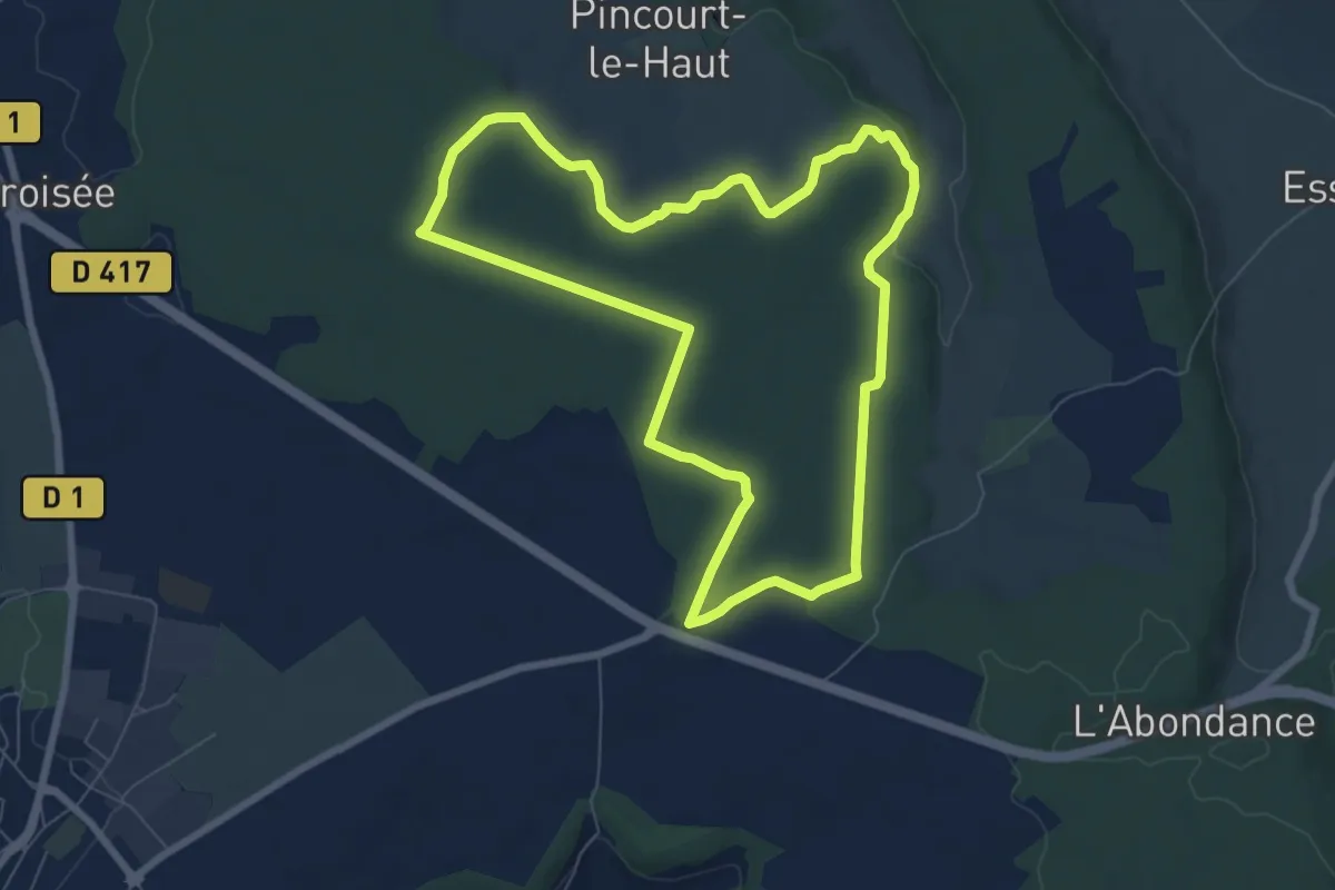
Easy · Trail
L'Abigand
7.3 km · ↑ 53 m · 1 h 56 min
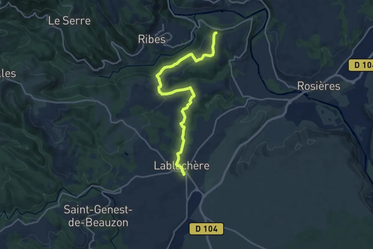
Medium · Trail
Lablachère - Croix de Vinchannes
12.3 km · ↑ 226 m · 3 h 23 min
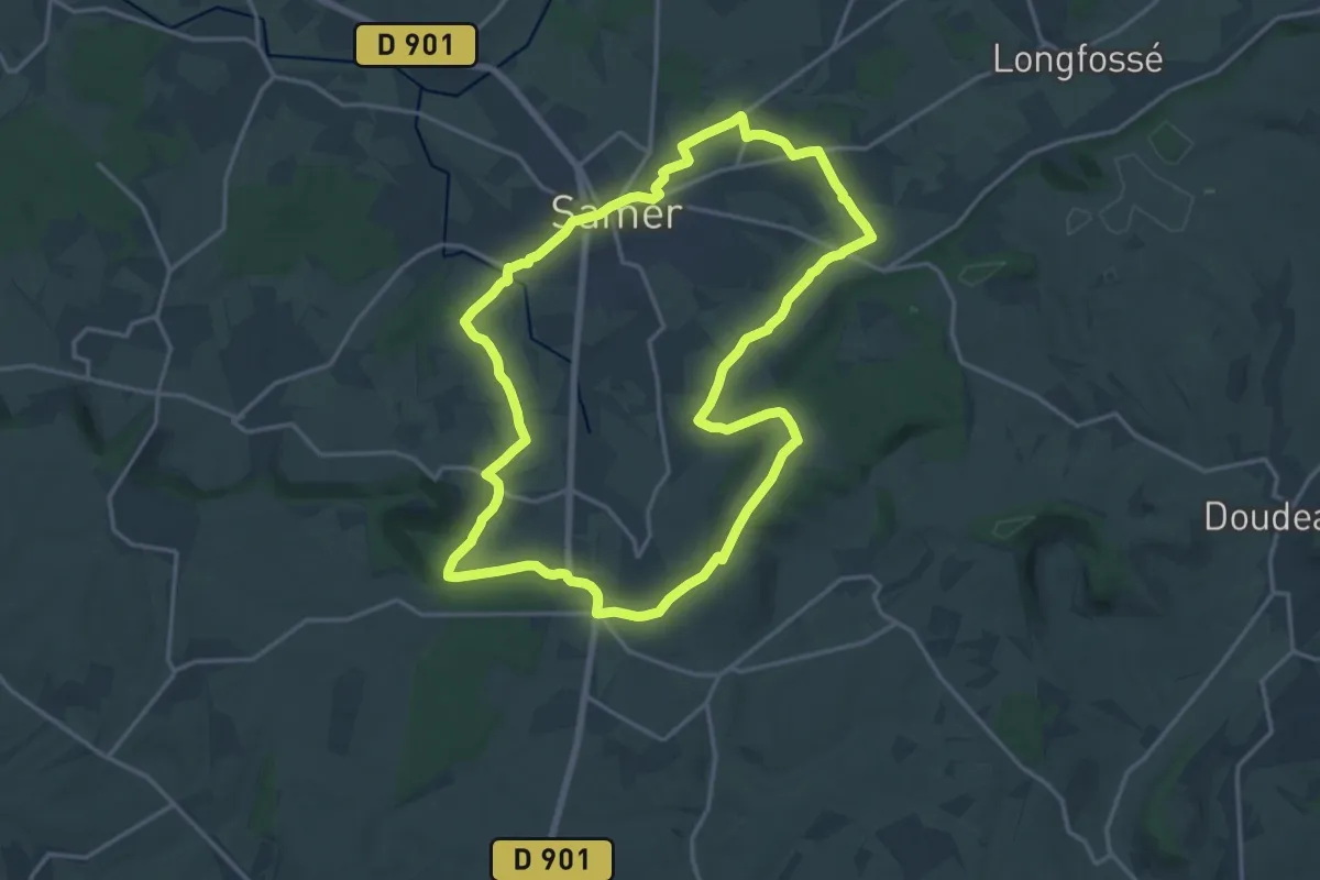
Medium · Summit
La Blanche Jument
15.8 km · ↑ 236 m · 4 h 28 min
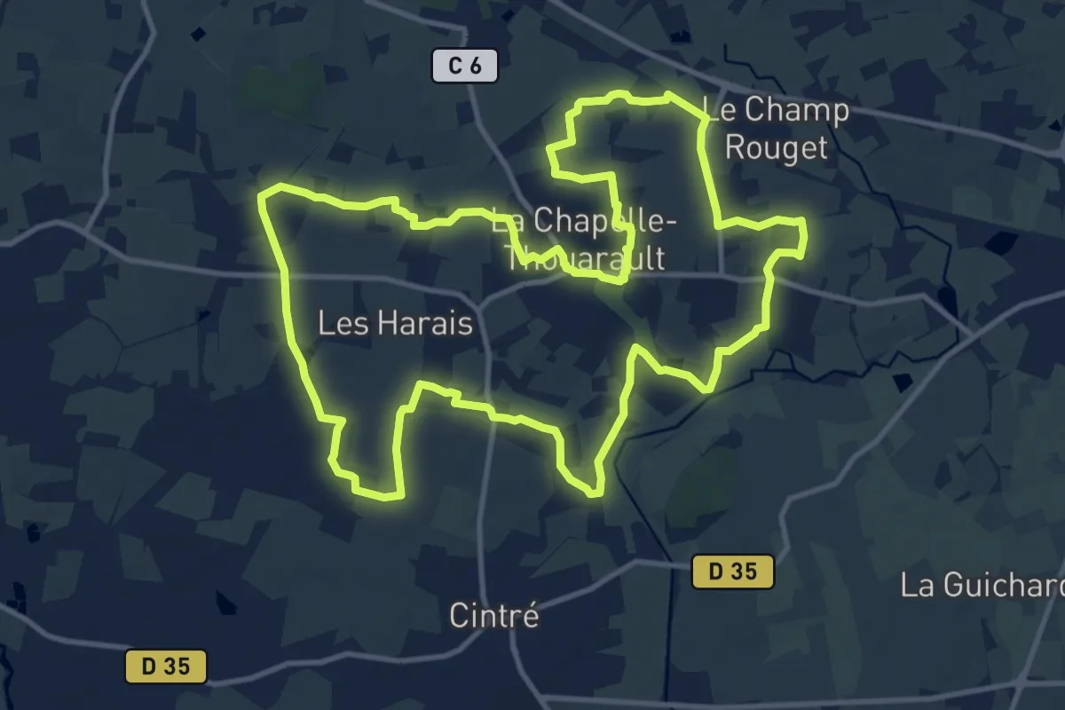
Medium · Trail
La Bonnemais
12.8 km · ↑ 69 m · 3 h 22 min
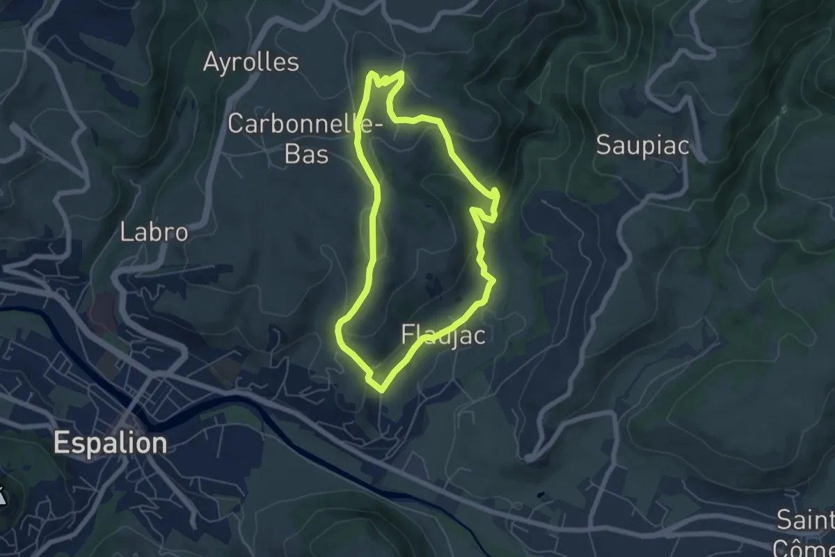
Easy · Trail
La Boralde de Flaujac
5.4 km · ↑ 200 m · 1 h 47 min
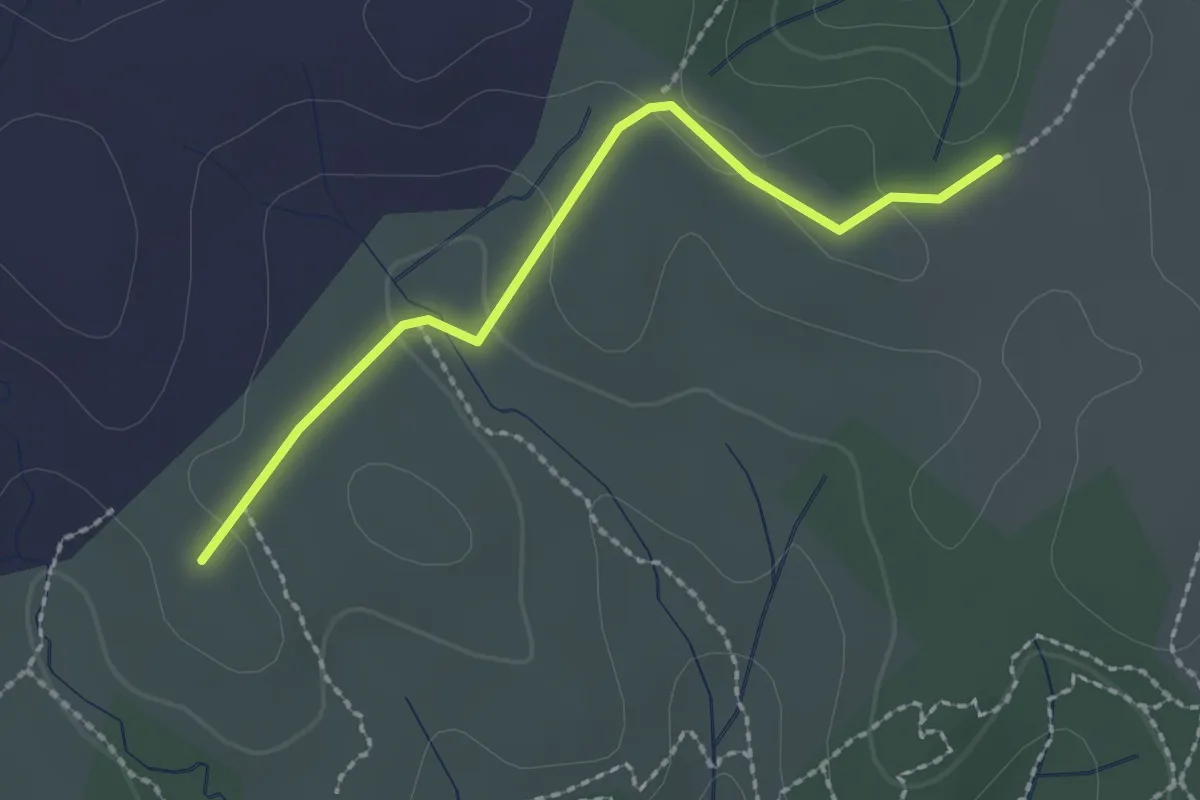
Easy · Trail
La Boriette - Les Hubasses
2.2 km · ↑ 28 m · 35 min
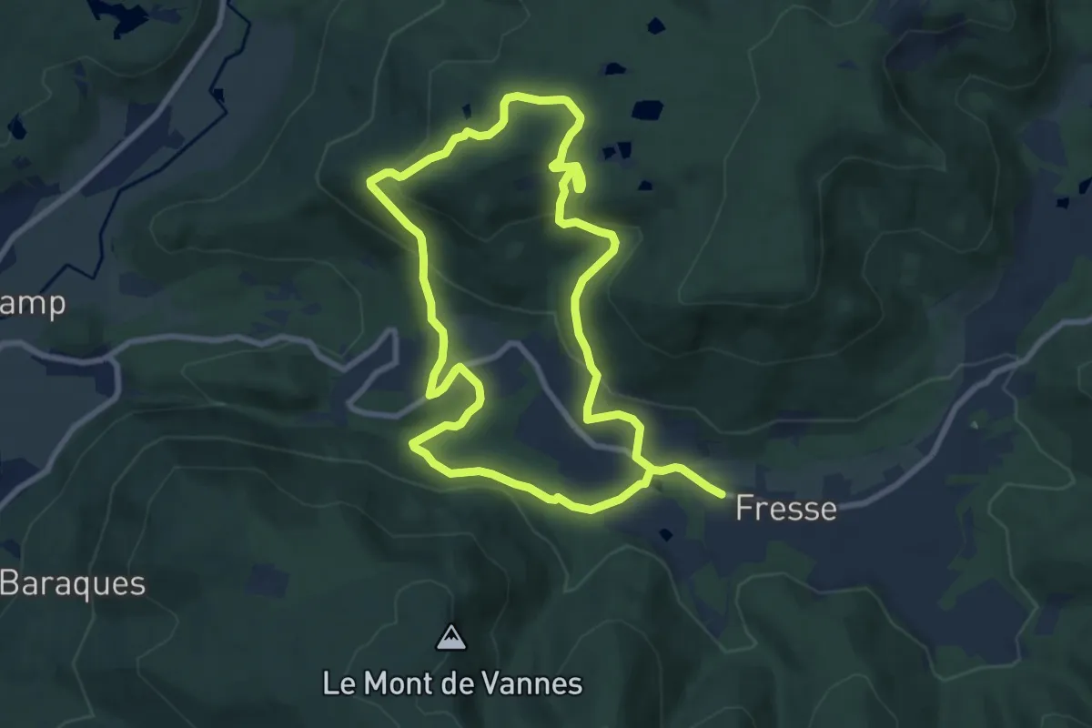
Easy · Trail
La Bormillière
7.8 km · ↑ 274 m · 2 h 33 min
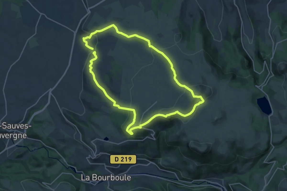
Medium · Summit
La borne des quatre Seigneurs
16.0 km · ↑ 620 m · 5 h 20 min
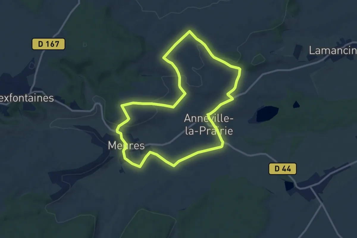
Medium · Trail
La Borne Sacrée
8.8 km · ↑ 136 m · 2 h 30 min
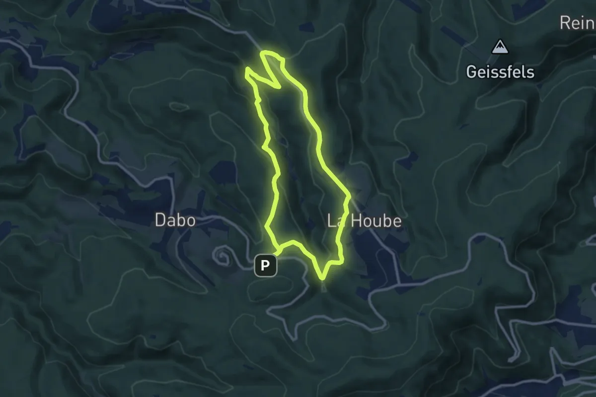
Medium · Trail
La borne Saint-Martin
8.4 km · ↑ 269 m · 2 h 41 min
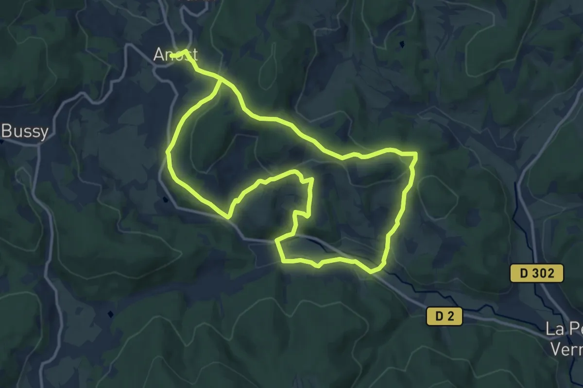
Medium · Summit
La Bouche des Gaudry
10.6 km · ↑ 365 m · 3 h 25 min
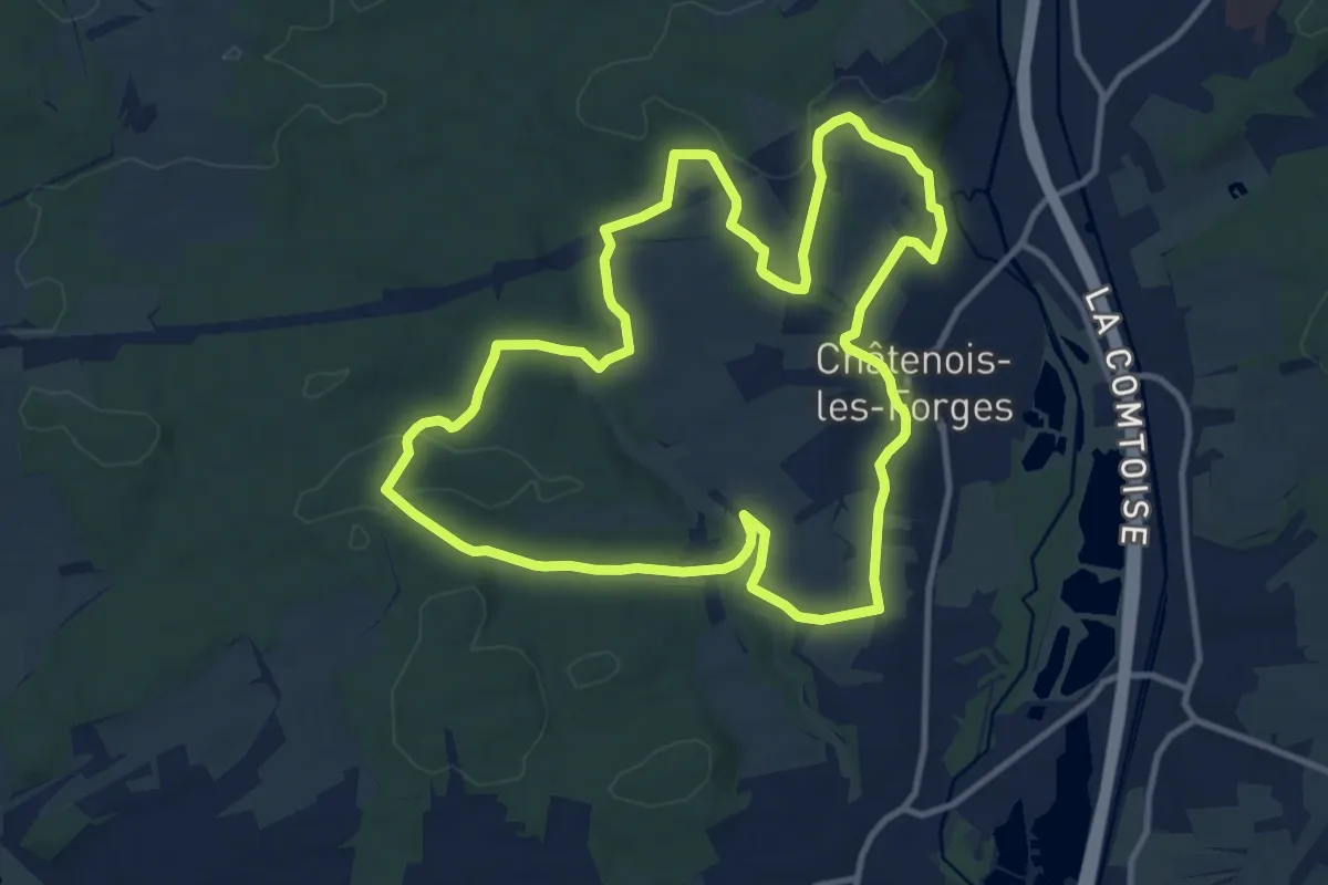
Medium · Summit
La Boucle Châtenaise
11.6 km · ↑ 165 m · 3 h 15 min
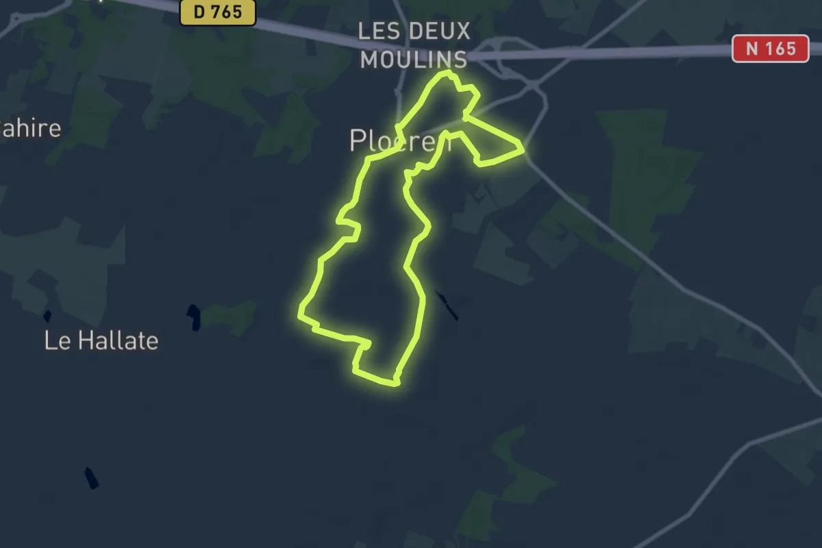
Easy · Trail
La boucle d'Assénac
7.2 km · ↑ 32 m · 1 h 52 min
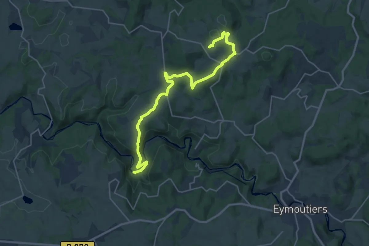
Medium · Summit
La Boucle d'Augne
17.9 km · ↑ 407 m · 5 h 6 min
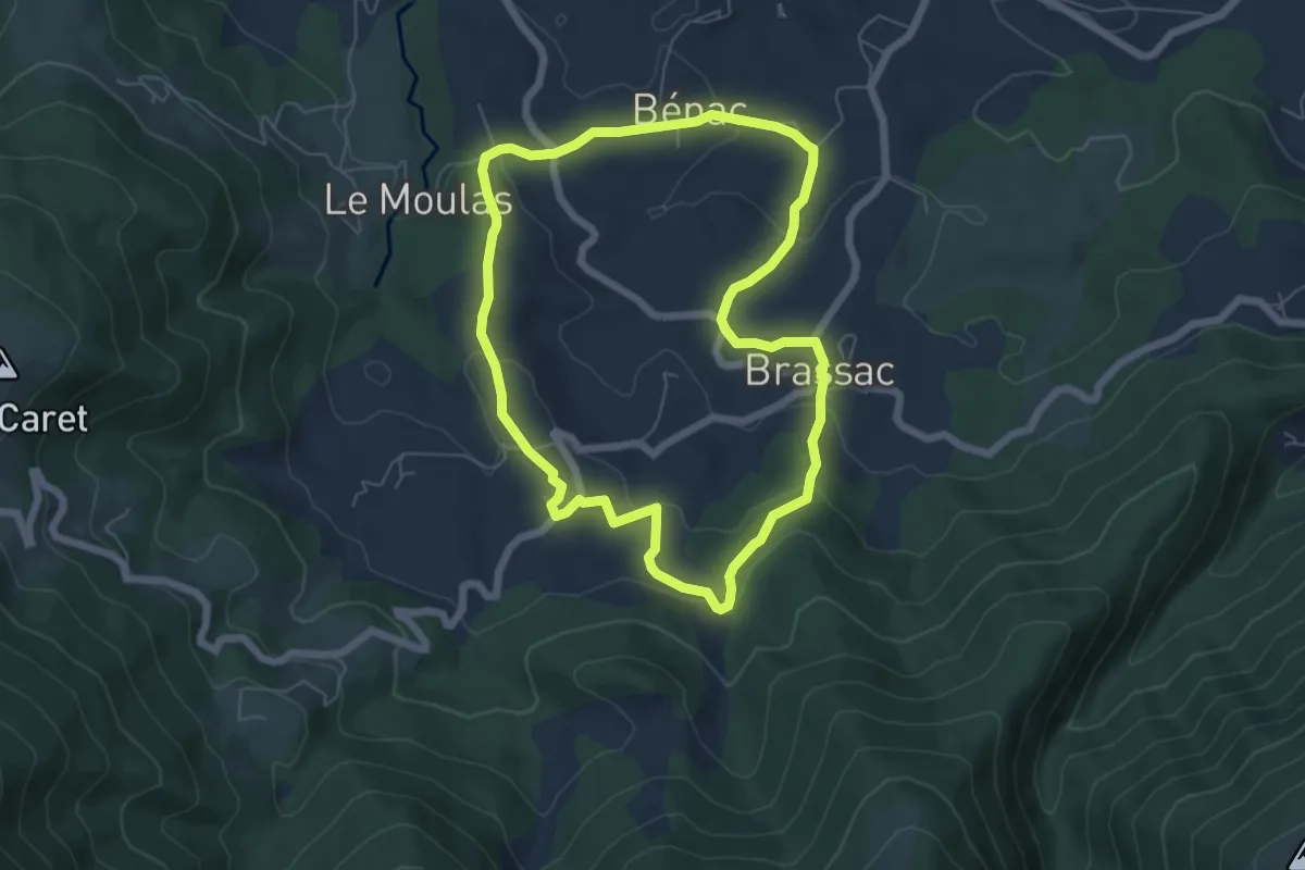
Easy · Trail
La Boucle de Brassac
6.2 km · ↑ 182 m · 1 h 56 min
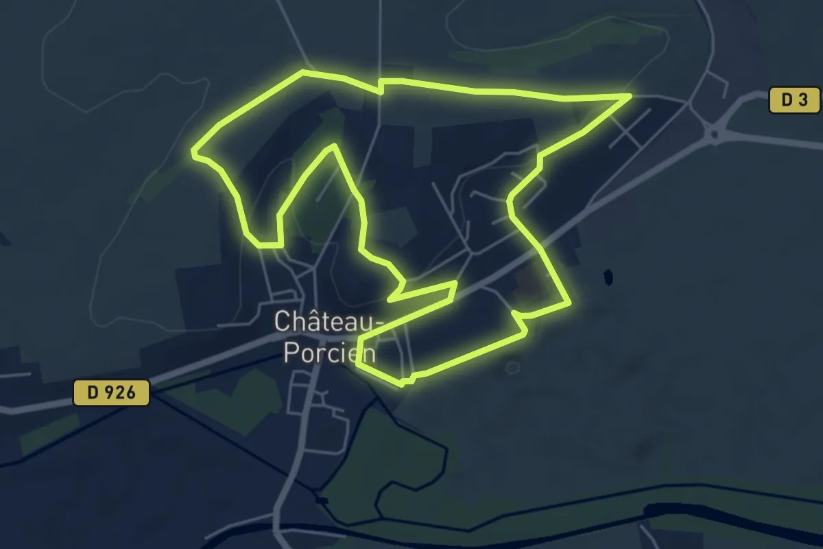
Easy · Trail
La boucle de Château-Porcien
5.6 km · ↑ 88 m · 1 h 35 min
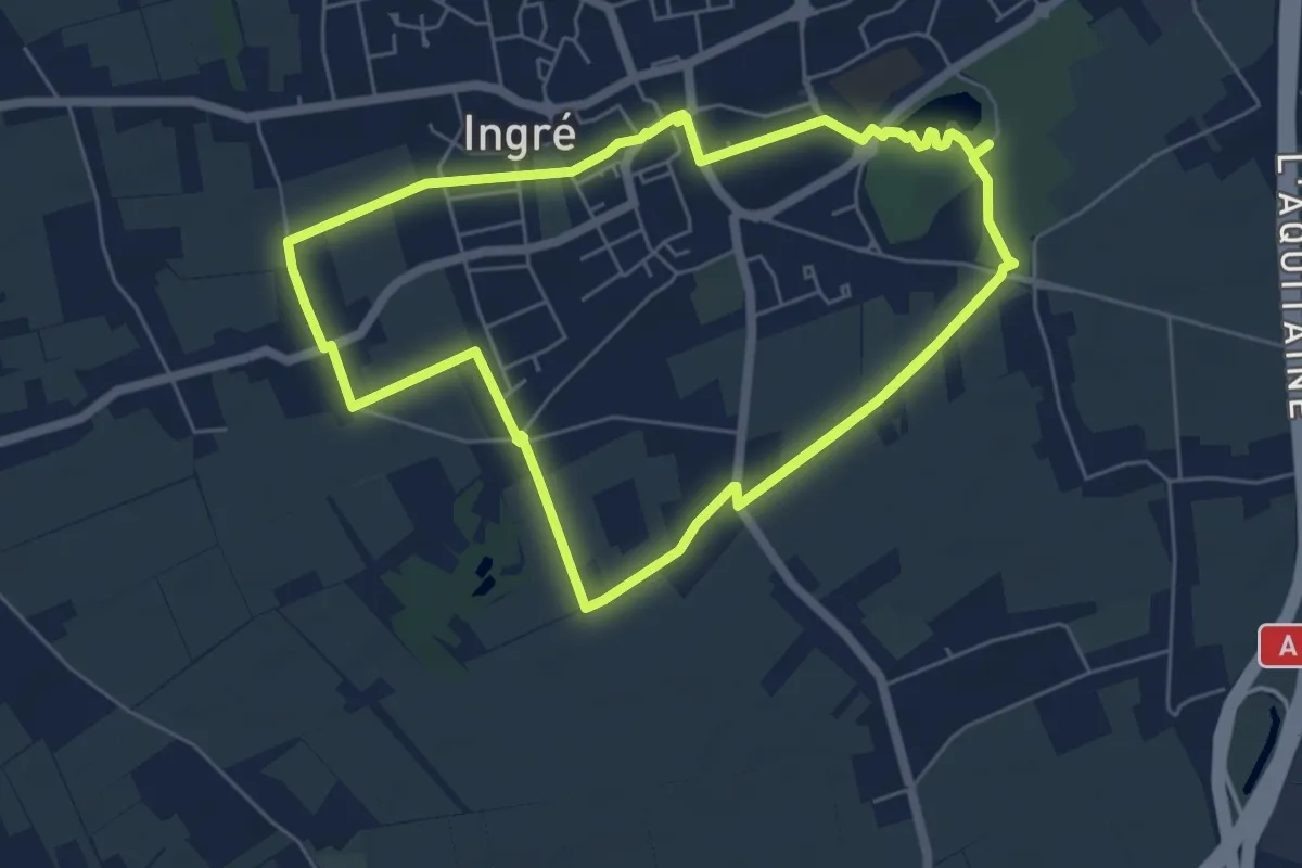
Easy · Trail
La Boucle de Chivache
6.6 km · ↑ 9 m · 1 h 40 min
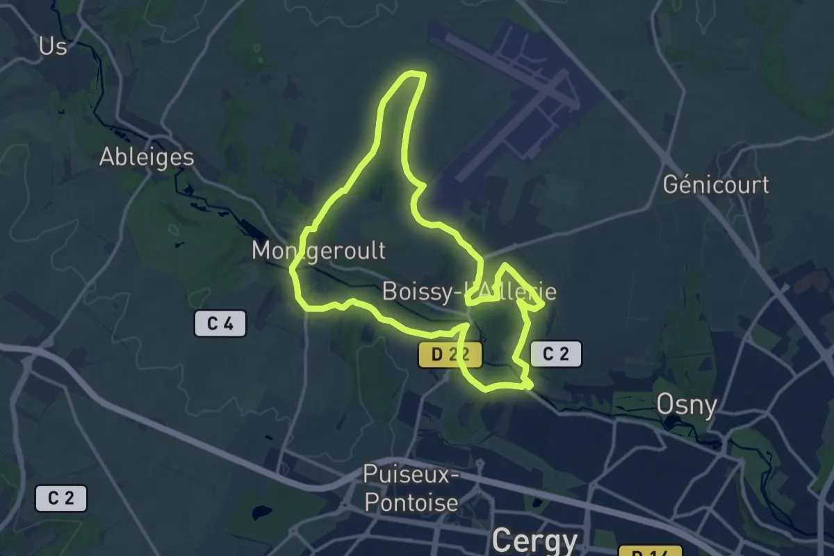
Medium · Trail
La boucle de Courmonbois
12.2 km · ↑ 147 m · 3 h 22 min
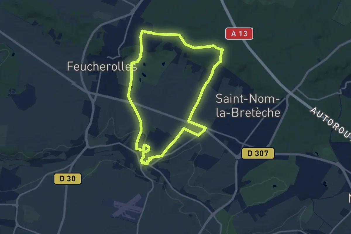
Medium · Trail
La boucle de Feucherolles
10.7 km · ↑ 141 m · 2 h 59 min
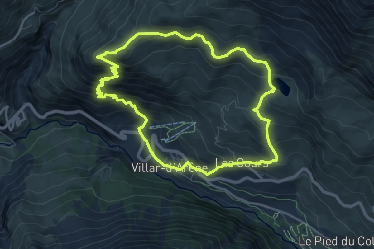
Medium · Summit
La Boucle de l'Aiguillon
8.0 km · ↑ 550 m · 3 h 11 min
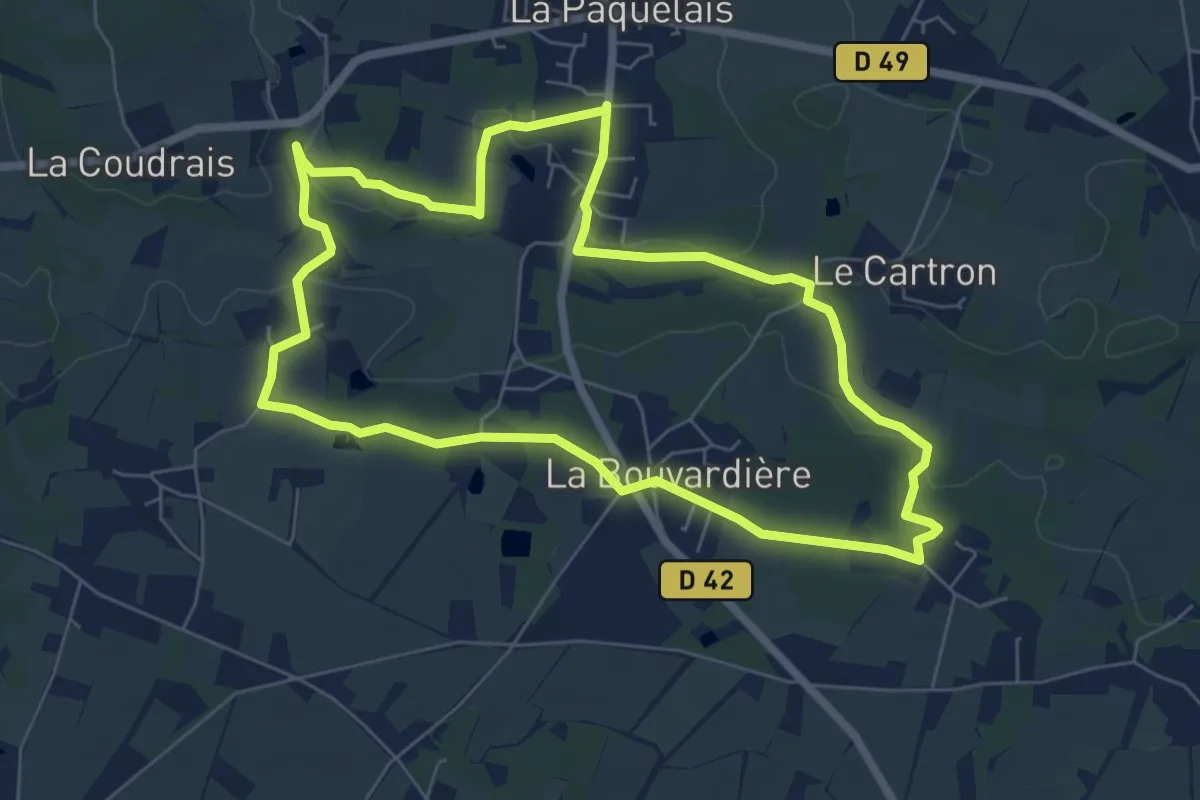
Easy · Trail
La Boucle de la Paquelais
6.6 km · ↑ 65 m · 1 h 47 min
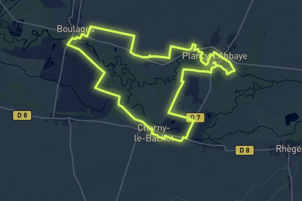
Medium · Trail
La Boucle de l'Aube
17.2 km · ↑ 22 m · 4 h 20 min
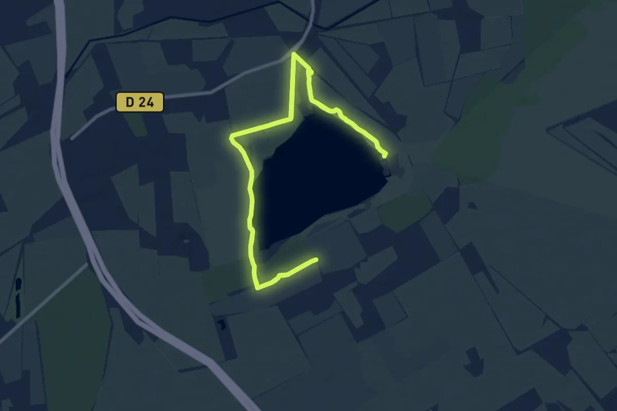
Medium · Trail
La boucle de l'étang des Aulnes
12.1 km · ↑ 29 m · 3 h 5 min
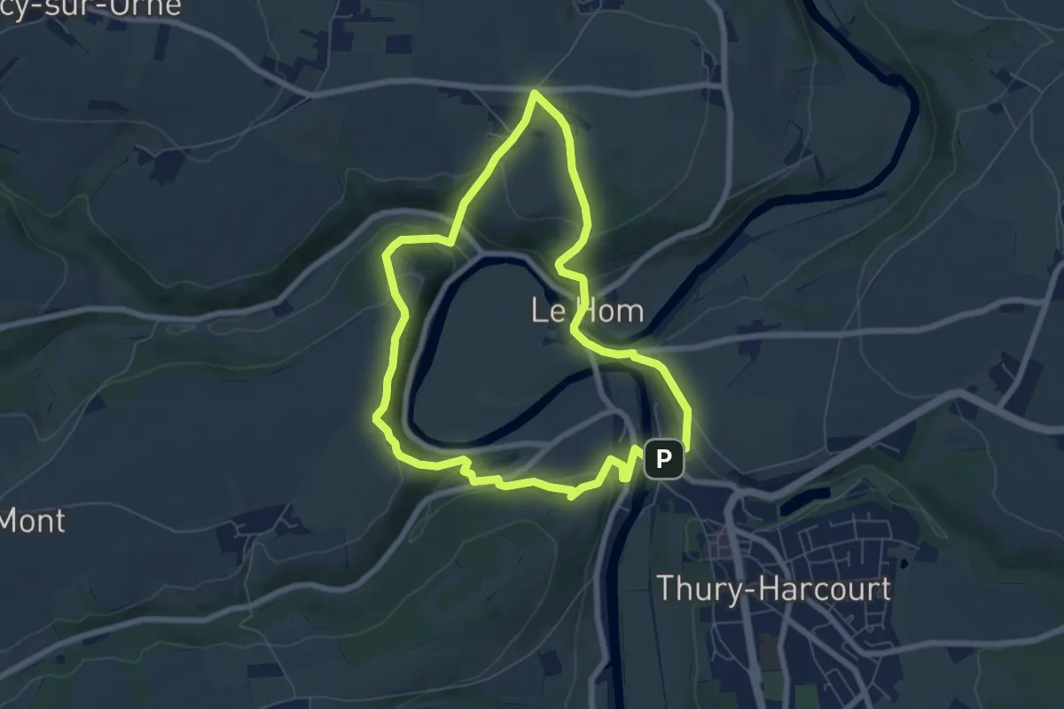
Easy · Trail
La Boucle de l'Orne
6.2 km · ↑ 265 m · 2 h 7 min
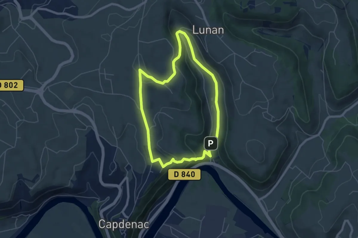
Easy · Trail
La boucle de Lunan
5.2 km · ↑ 172 m · 1 h 40 min
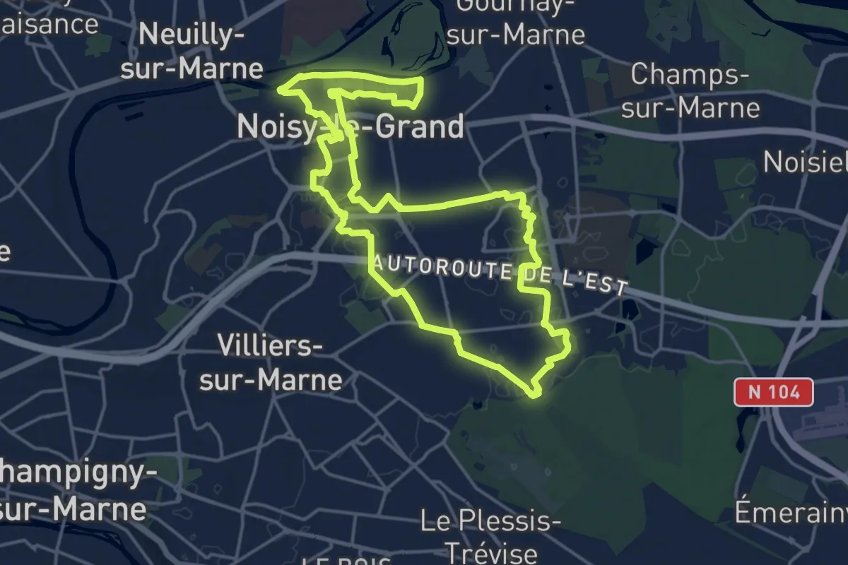
Medium · Trail
La Boucle de Noisy Le Grand
15.7 km · ↑ 112 m · 4 h 11 min
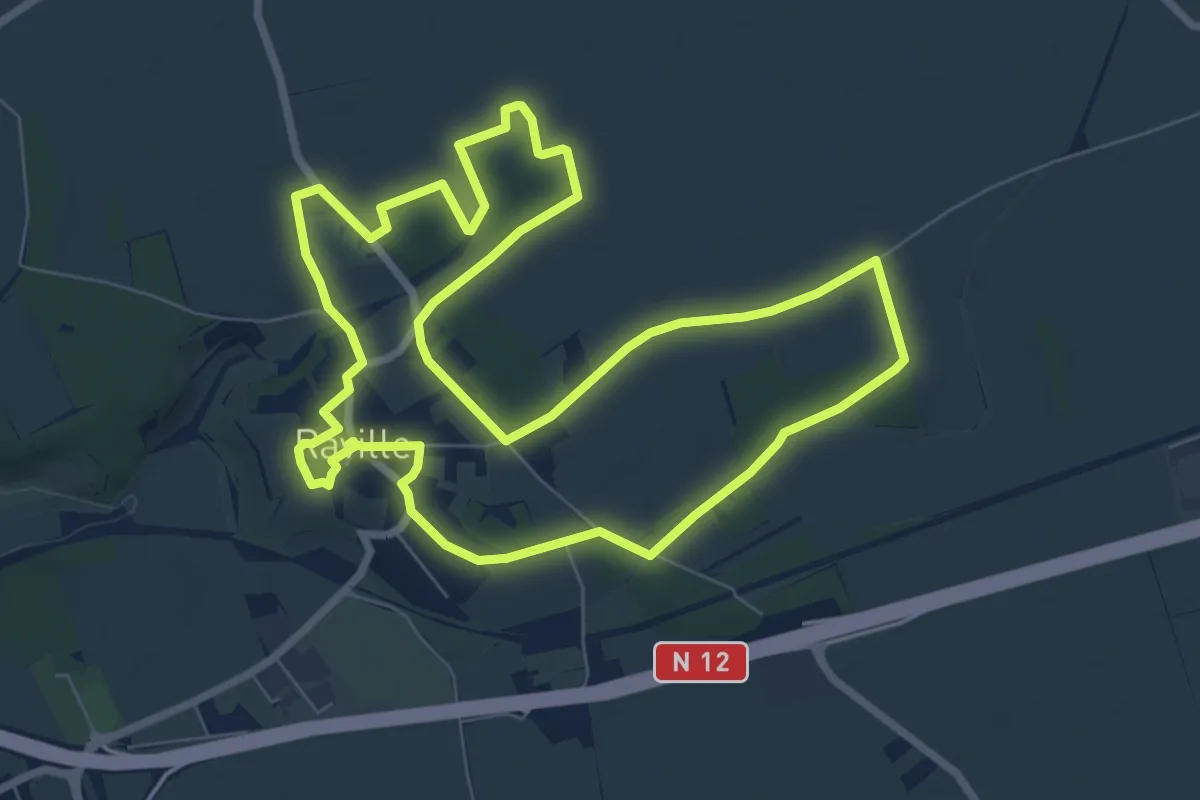
Easy · Trail
La boucle de Raville
8.0 km · ↑ 13 m · 2 h 1 min
Easy · Trail
La Boucle de Roncey
6.1 km · ↑ 107 m · 1 h 46 min