Trails in France
15,926 hiking trails, each with its route, climb, walking time and grade.
All trails, page 129 of 332
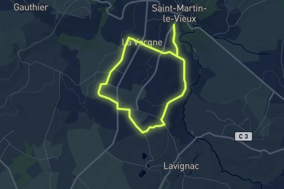
Easy · Trail
La Boucle de Saint-Martin-le-Vieux
6.0 km · ↑ 77 m · 1 h 40 min
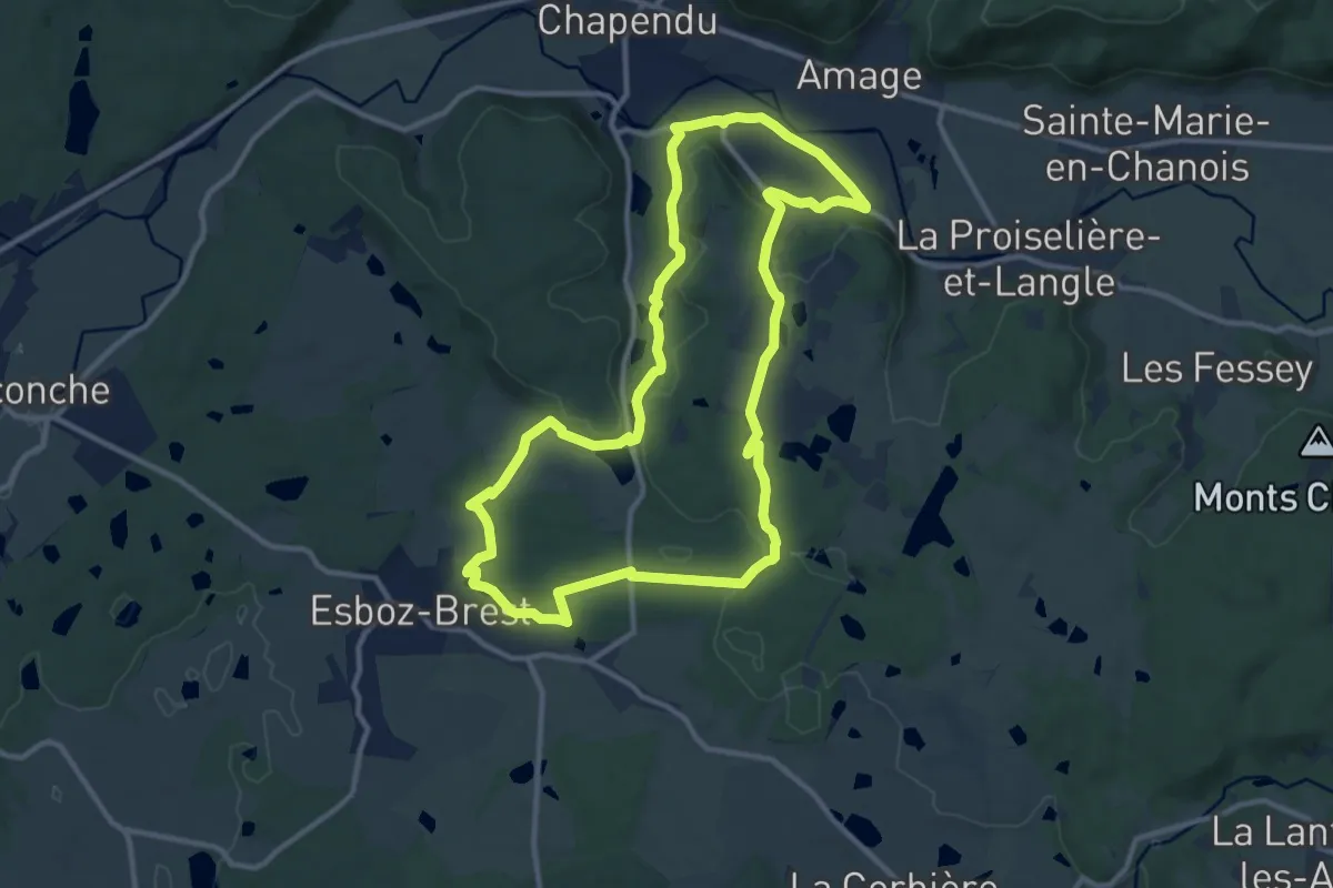
Medium · Trail
La boucle des Bruyères
11.2 km · ↑ 208 m · 3 h 16 min
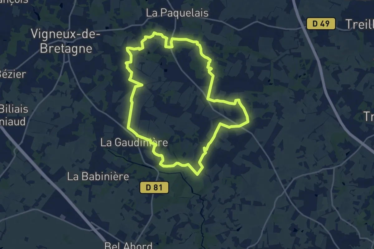
Medium · Trail
La Boucle de Sévigné
14.7 km · ↑ 99 m · 3 h 54 min
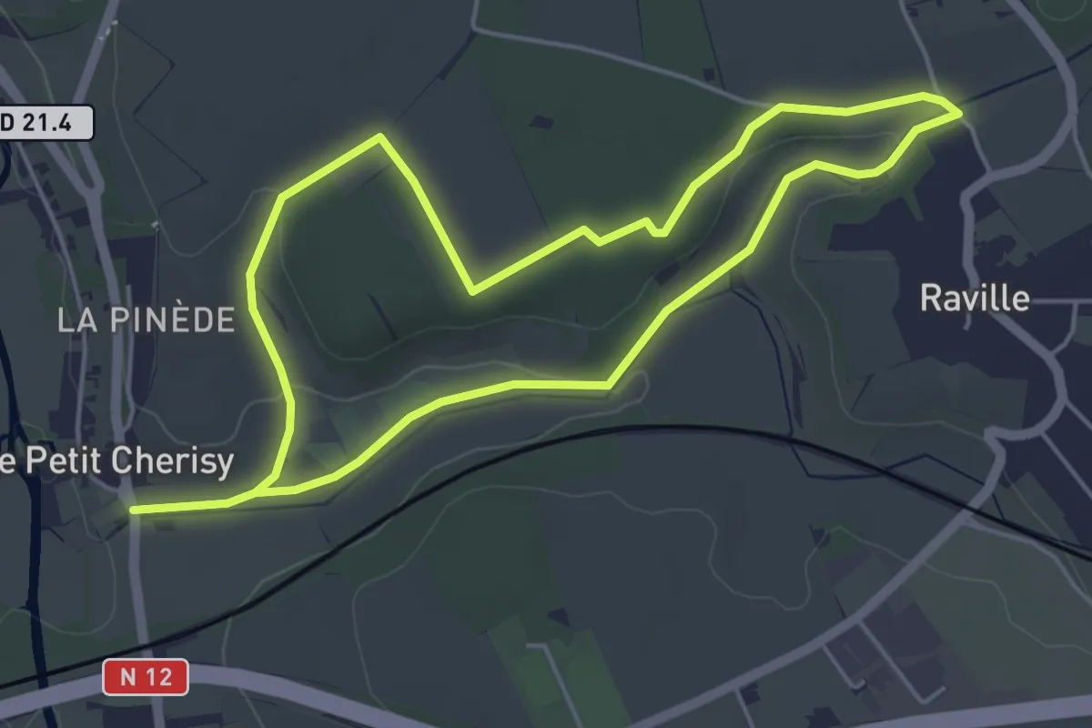
Easy · Trail
La boucle des Gâts
4.4 km · ↑ 45 m · 1 h 12 min
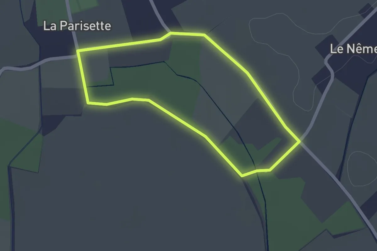
Easy · Trail
La Boucle des Moïles
1.7 km · ↑ 4 m · 26 min
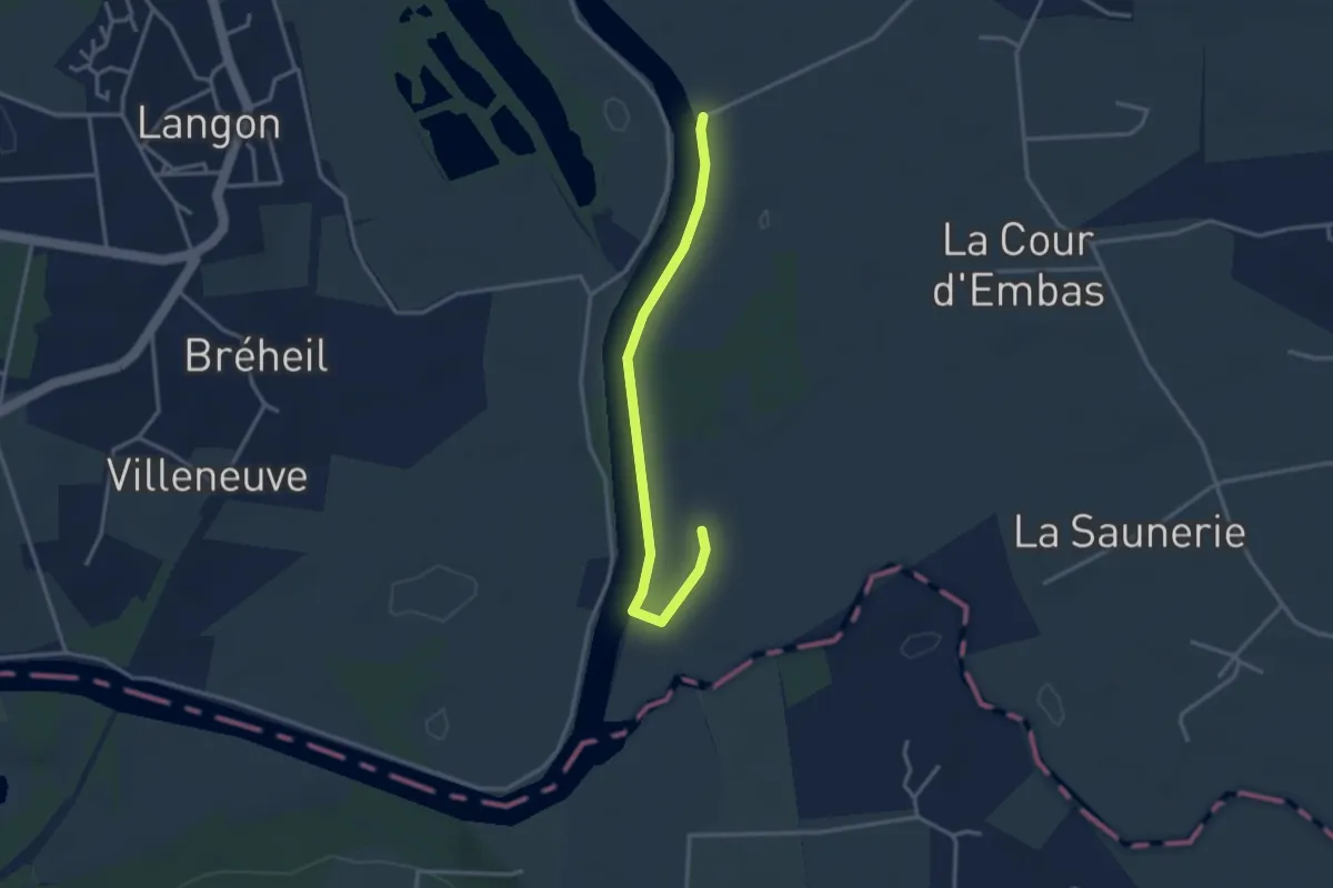
Easy · Trail
La Boucle des Palis
3.2 km · ↑ 0 m · 45 min
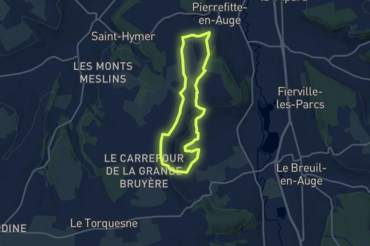
Easy · Trail
La boucle des petits monts
8.0 km · ↑ 143 m · 2 h 18 min
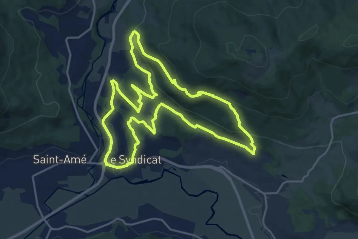
Medium · Trail
La boucle des Rapailles de Bémont
10.6 km · ↑ 327 m · 3 h 22 min
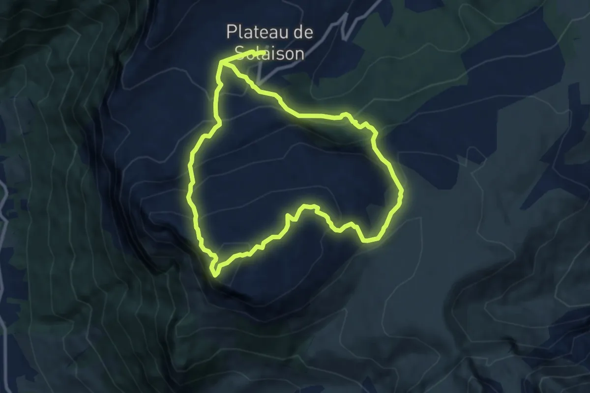
Expert · Summit
La Boucle des Rochers de Leschaux
8.0 km · ↑ 570 m · 3 h 13 min
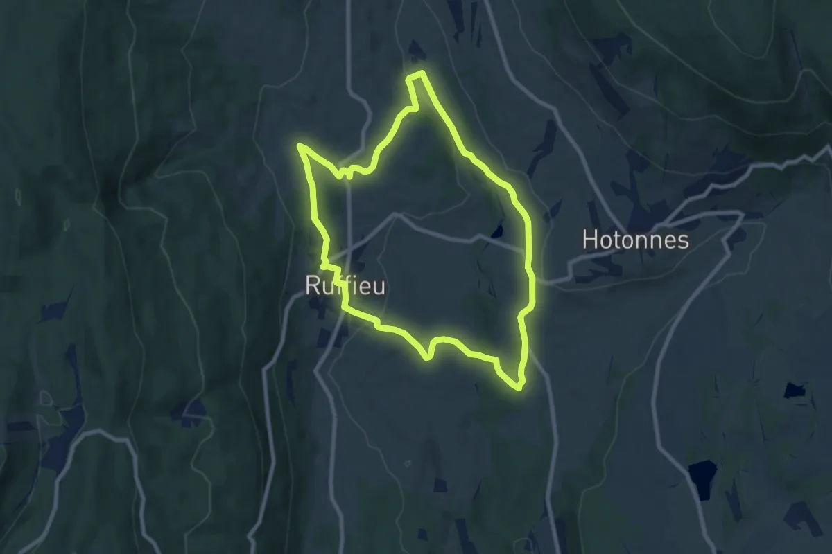
Easy · Trail
La boucle des Roirettes
7.7 km · ↑ 167 m · 2 h 18 min
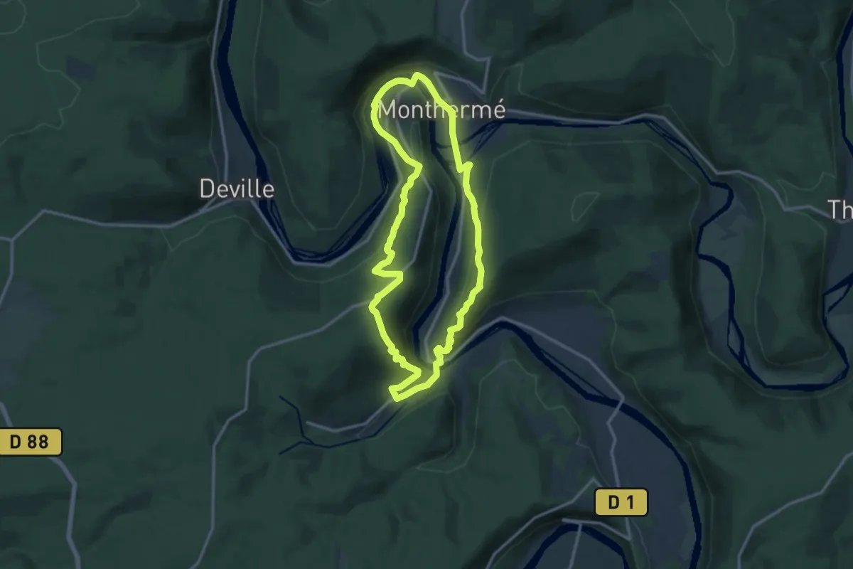
Medium · Trail
La Boucle des Sept-Roches
10.6 km · ↑ 402 m · 3 h 32 min
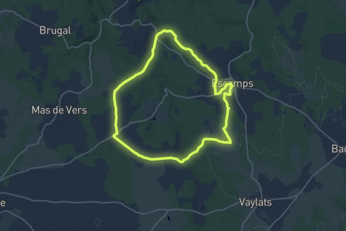
Medium · Trail
La boucle des Sompes
12.4 km · ↑ 120 m · 3 h 22 min
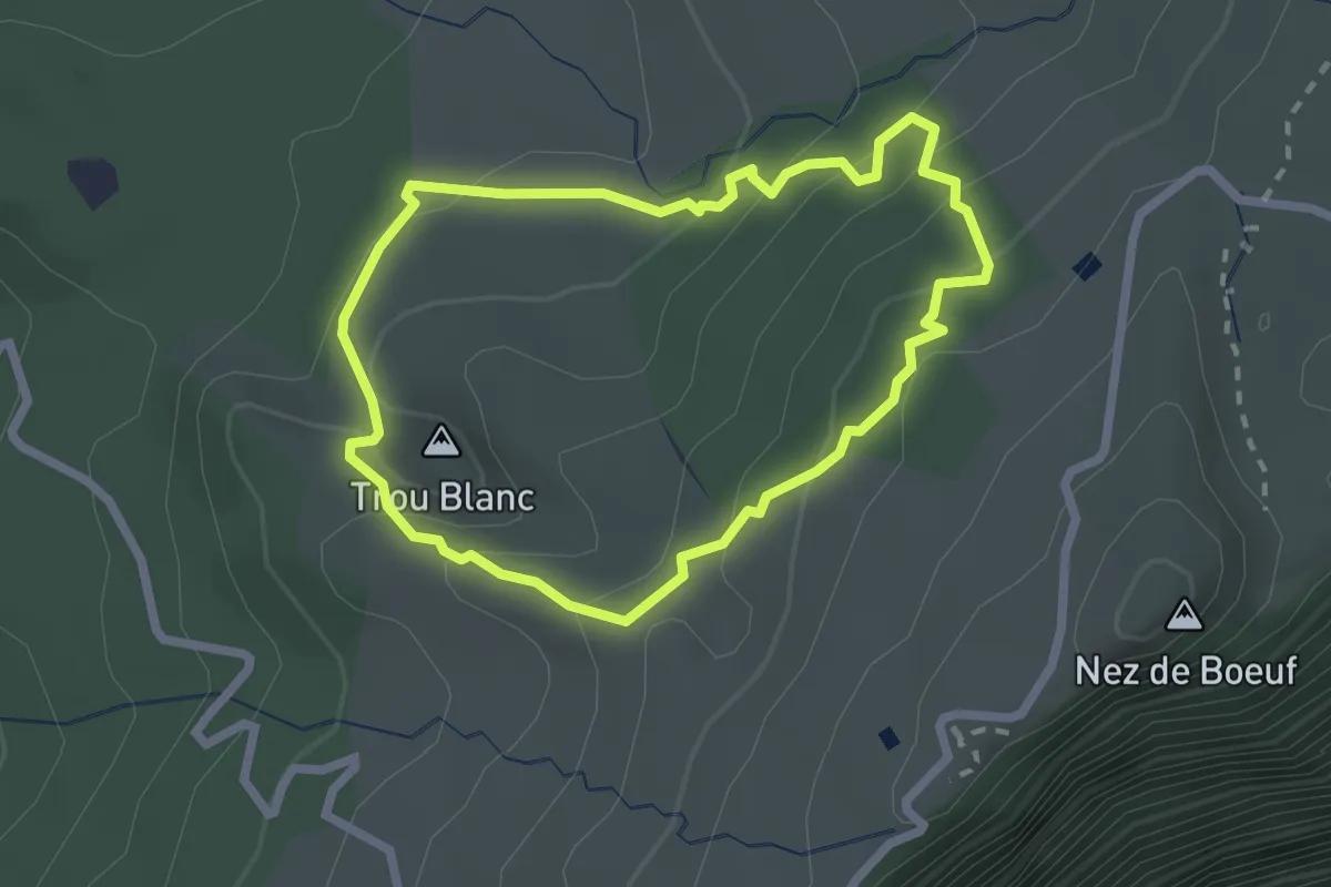
Easy · Summit
La boucle des Trous Blancs
2.9 km · ↑ 160 m · 1 h 4 min
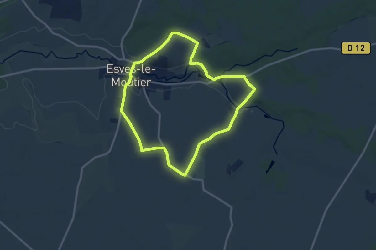
Easy · Trail
La boucle d'Esves-le-Moutier
7.0 km · ↑ 82 m · 1 h 56 min
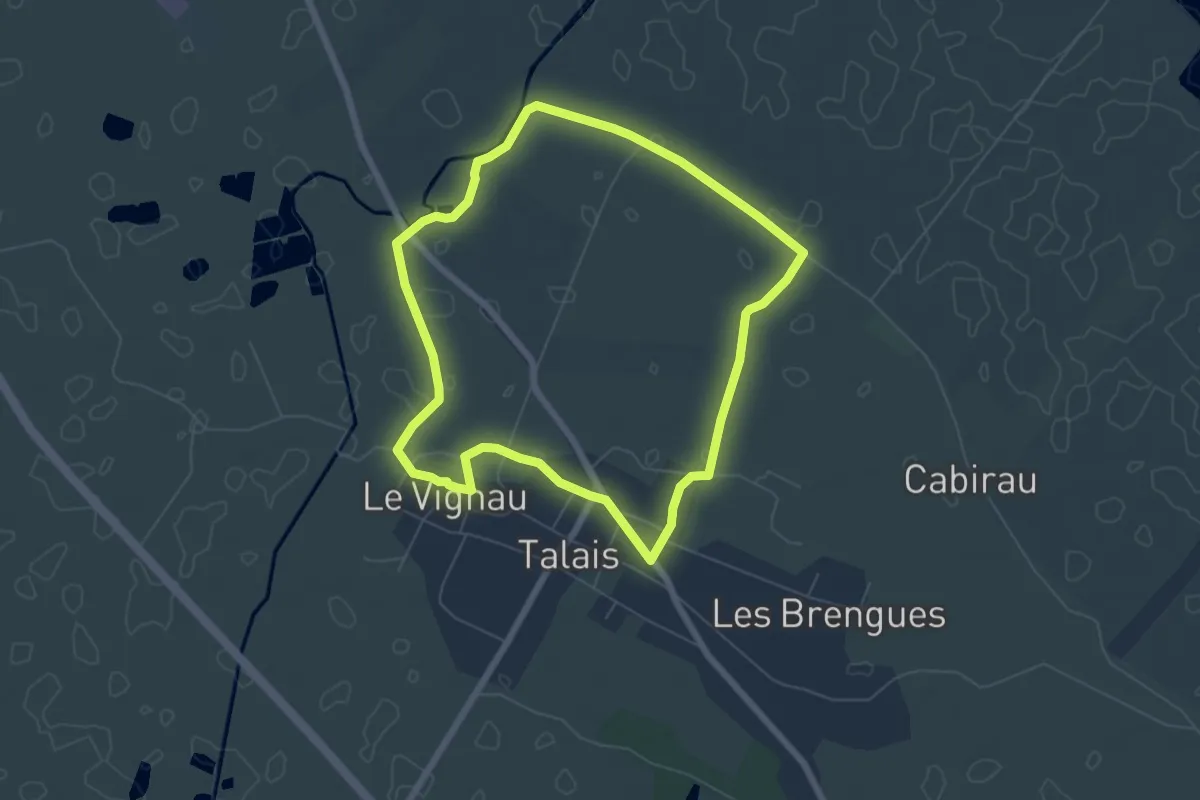
Easy · Trail
La boucle de Talais par le port
6.2 km · ↑ 4 m · 1 h 34 min
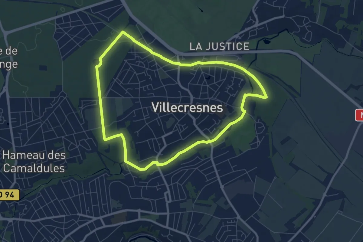
Easy · Trail
La boucle de Villecresnes
7.0 km · ↑ 64 m · 1 h 53 min
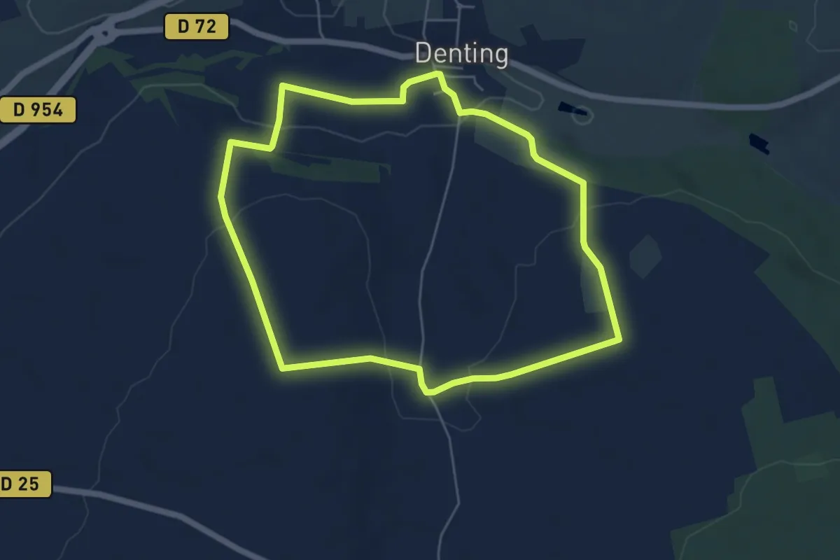
Easy · Trail
La boucle de Welling
4.9 km · ↑ 113 m · 1 h 29 min
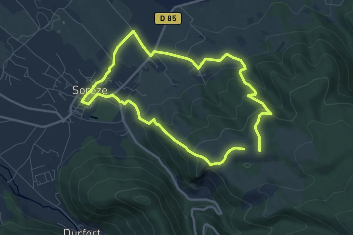
Easy · Trail
La boucle du Bois Grand
6.9 km · ↑ 273 m · 2 h 19 min
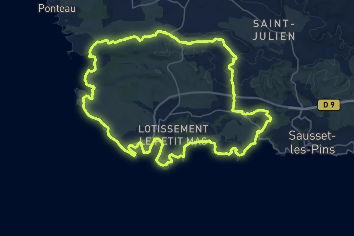
Demanding · Trail
La boucle du Cap Couronne
22.3 km · ↑ 198 m · 6 h 1 min
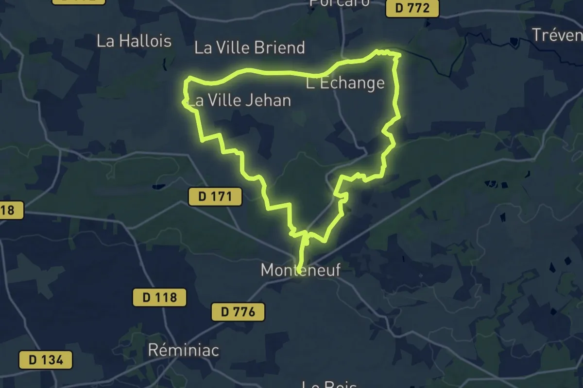
Medium · Trail
La Boucle du Chaperon-Rouge
14.9 km · ↑ 142 m · 4 h 2 min
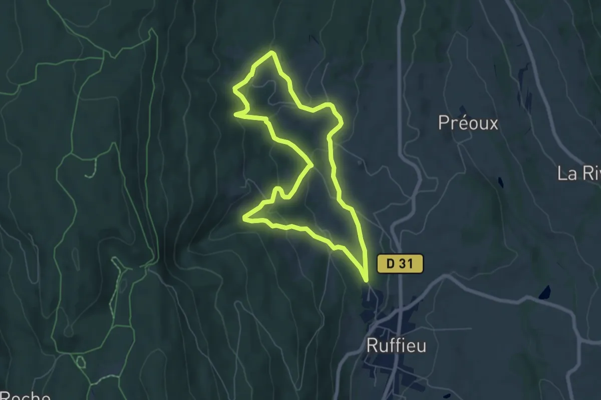
Easy · Trail
La boucle du Châtelard
5.8 km · ↑ 251 m · 2 h
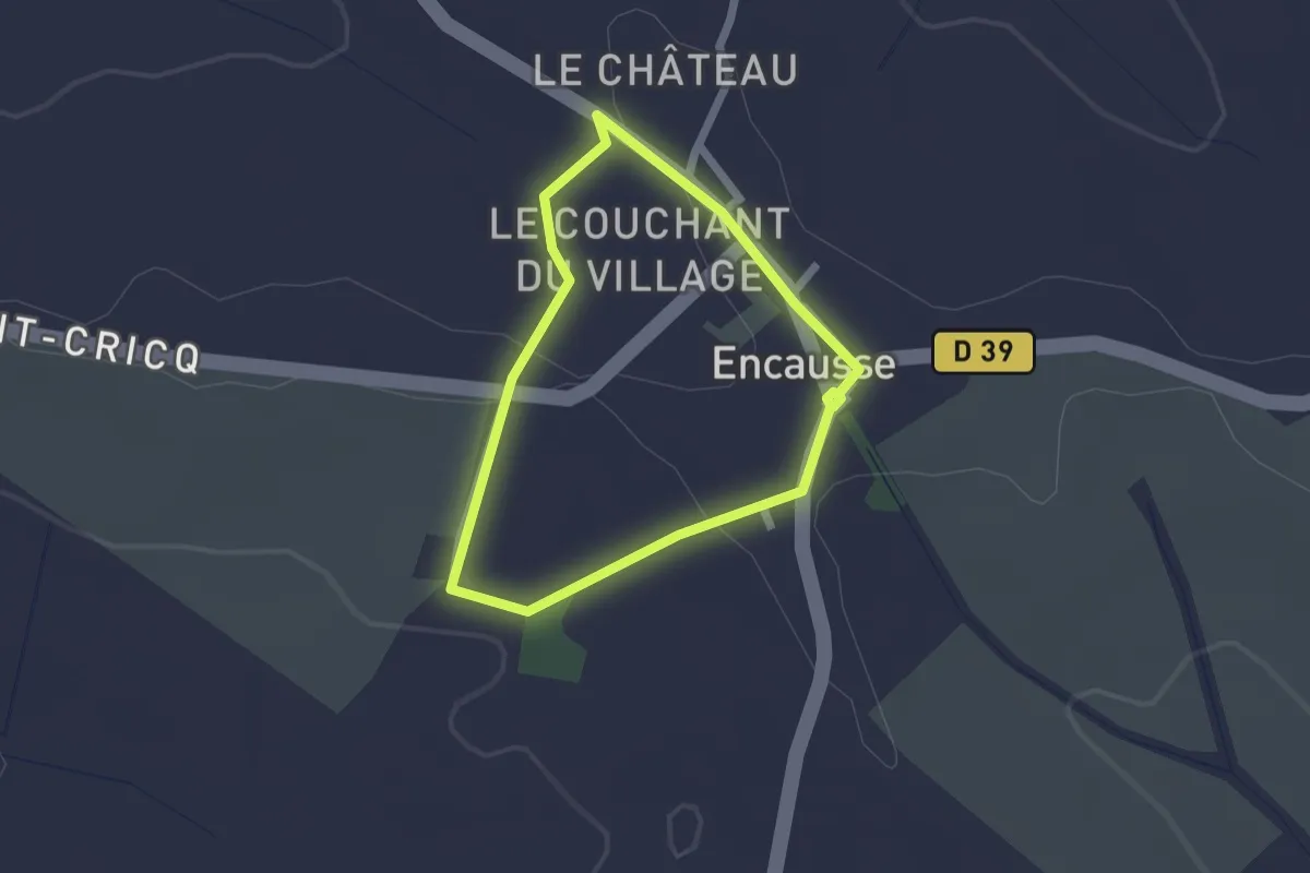
Easy · Trail
La boucle du cimetière d'Encausse
1.7 km · ↑ 24 m · 29 min
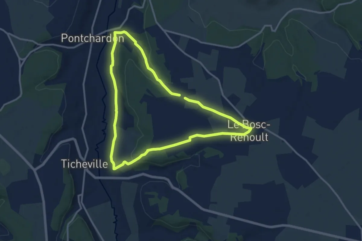
Medium · Trail
La Boucle du Grand-Village
8.3 km · ↑ 103 m · 2 h 18 min
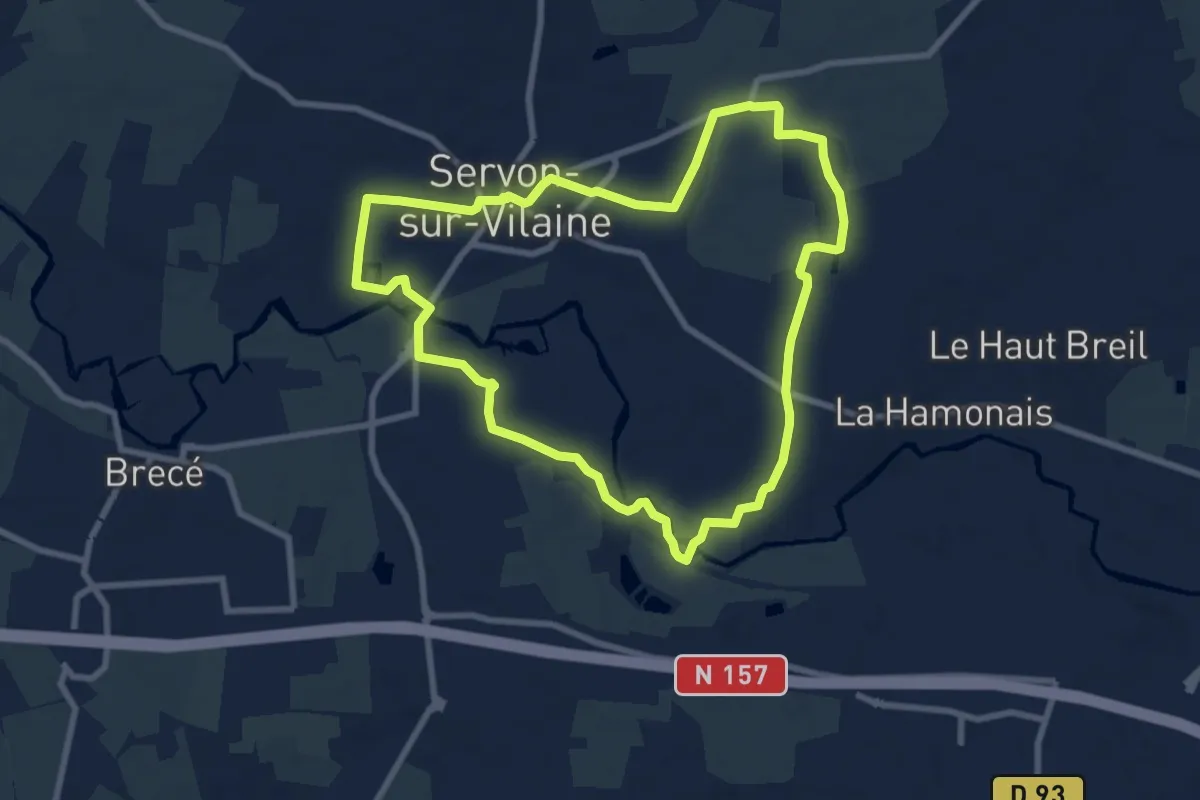
Easy · Trail
La boucle du Gué
7.9 km · ↑ 34 m · 2 h 3 min
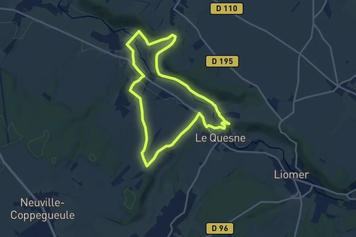
Medium · Trail
La Boucle du Liger
8.4 km · ↑ 149 m · 2 h 25 min
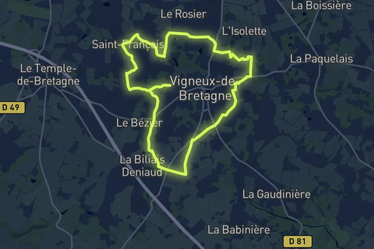
Medium · Trail
La Boucle du Moulin
15.3 km · ↑ 98 m · 4 h 3 min
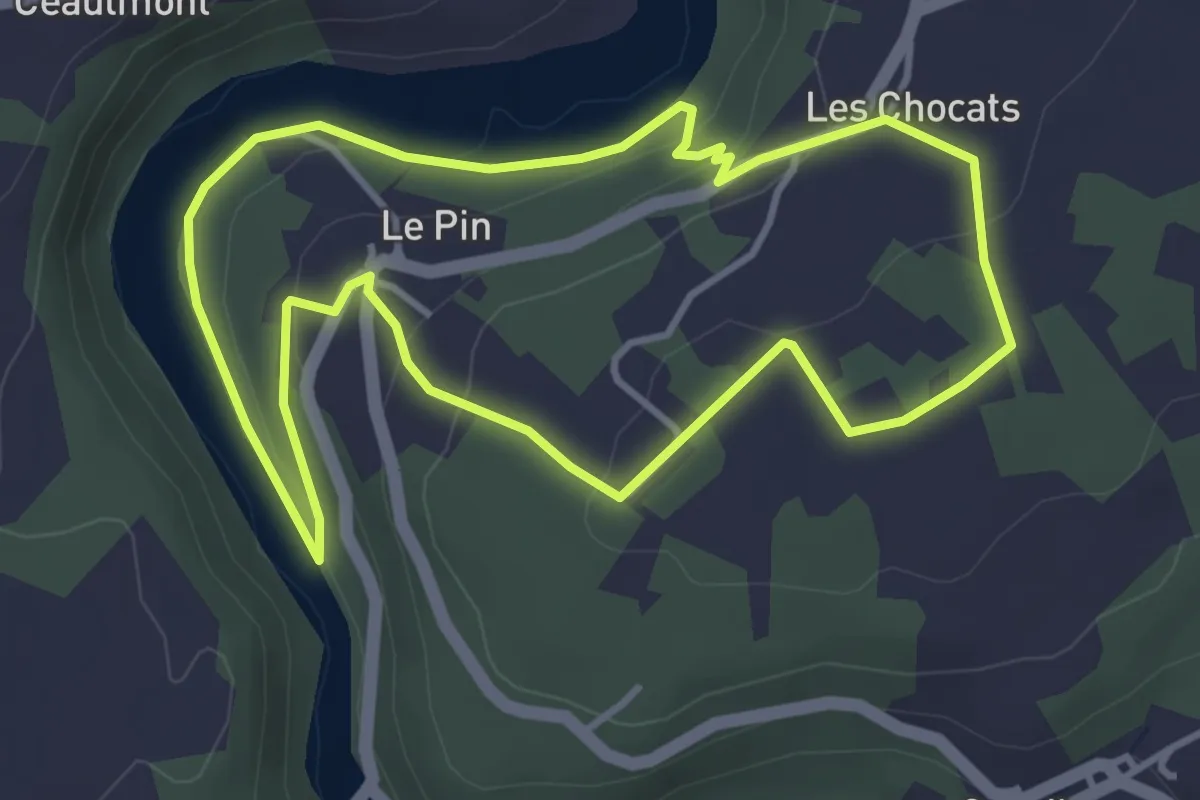
Easy · Trail
La Boucle du Pin
3.8 km · ↑ 99 m · 1 h 10 min
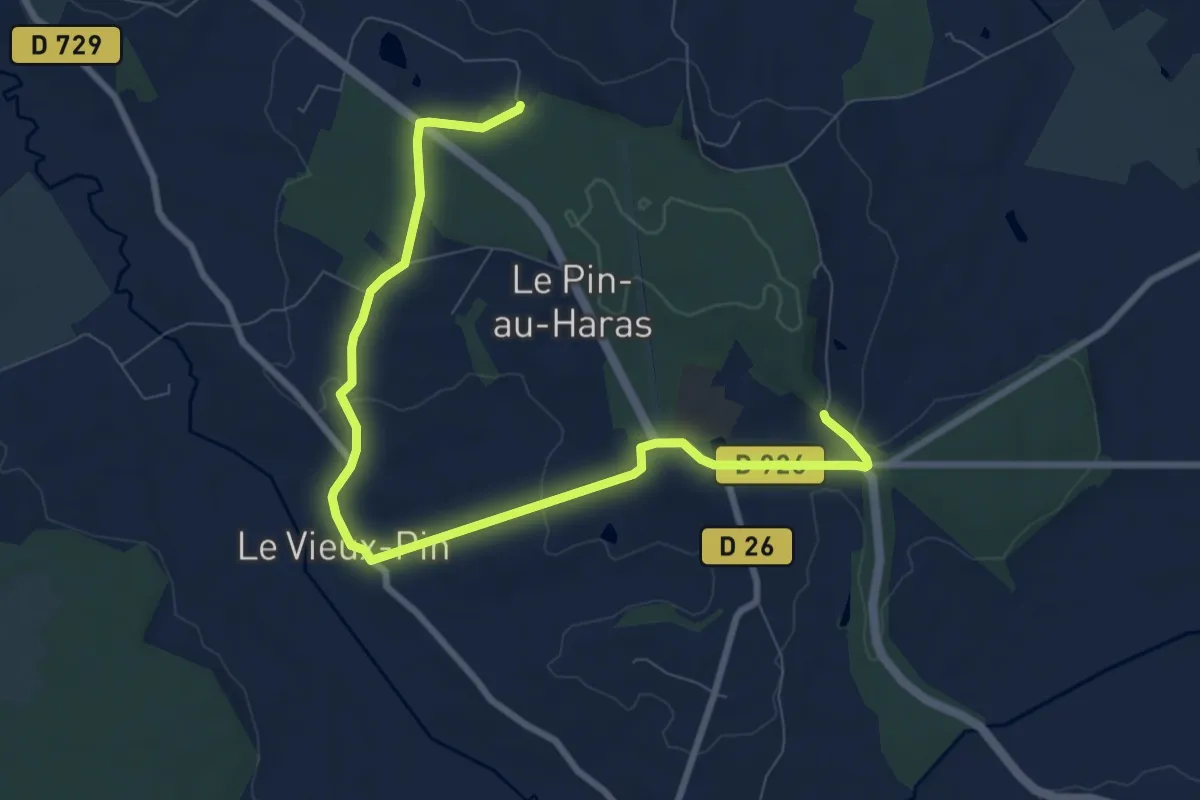
Easy · Trail
La Boucle du Pin
4.9 km · ↑ 90 m · 1 h 25 min
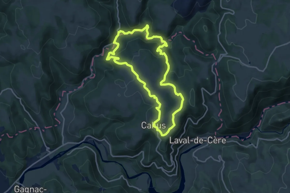
Medium · Trail
La boucle du Ségala
10.4 km · ↑ 390 m · 3 h 26 min
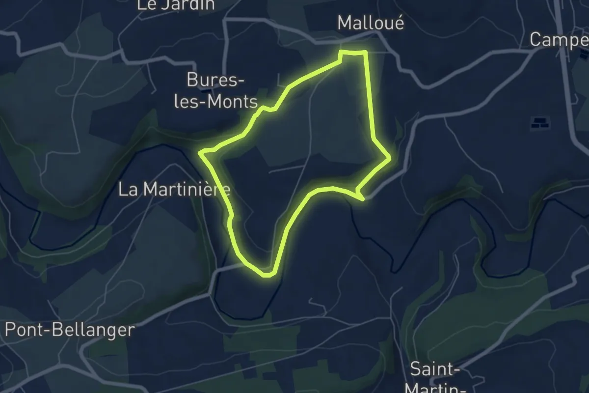
Easy · Trail
La Boucle Mallouine
4.8 km · ↑ 102 m · 1 h 26 min
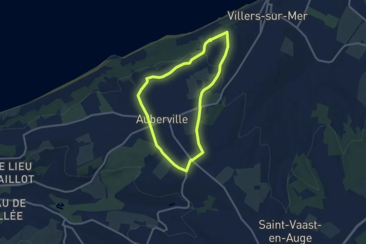
Easy · Trail
La Boucle Notre-Dame
5.8 km · ↑ 70 m · 1 h 36 min
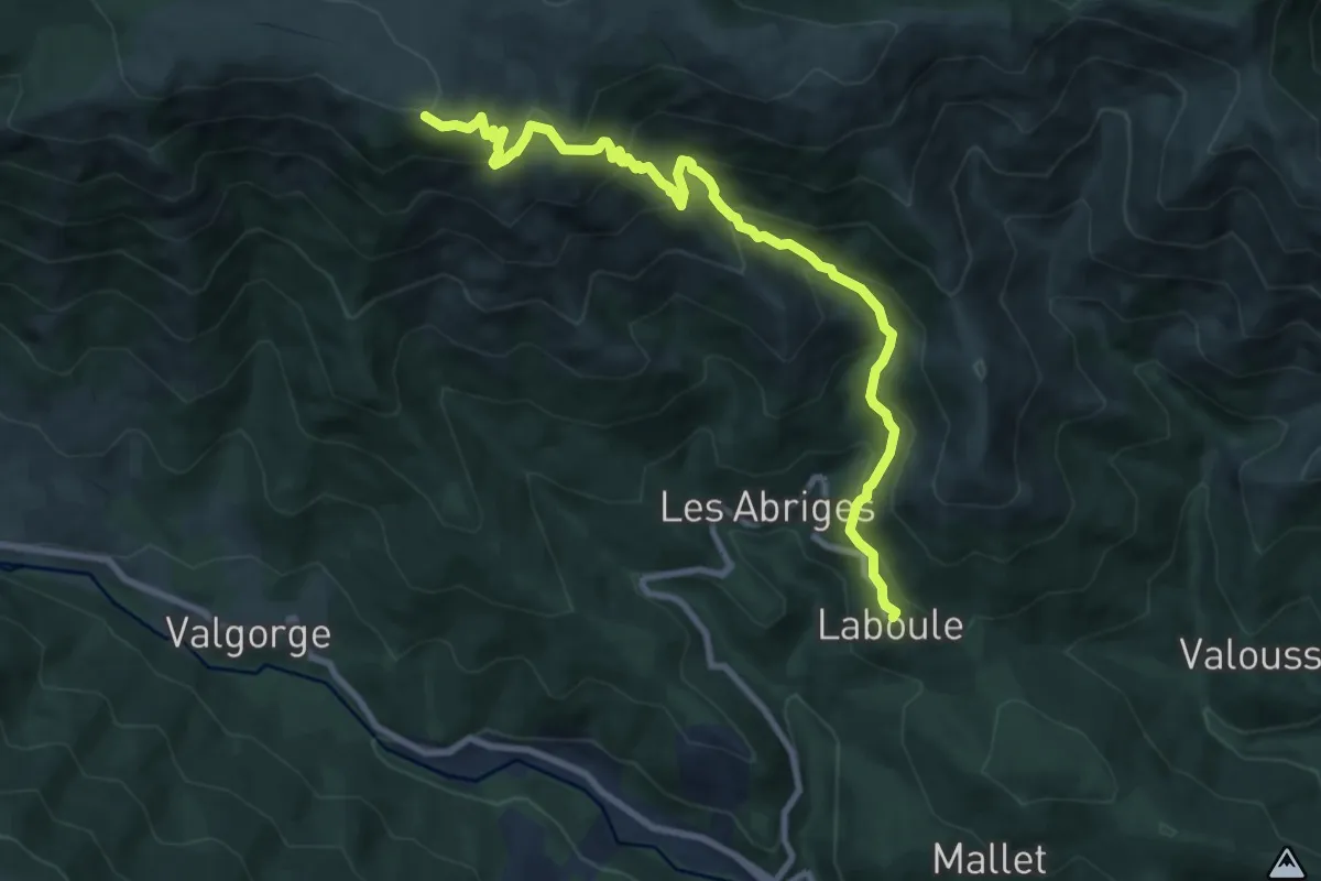
Demanding · Trail
Laboule - Rocher des Barres
10.0 km · ↑ 805 m · 4 h 6 min
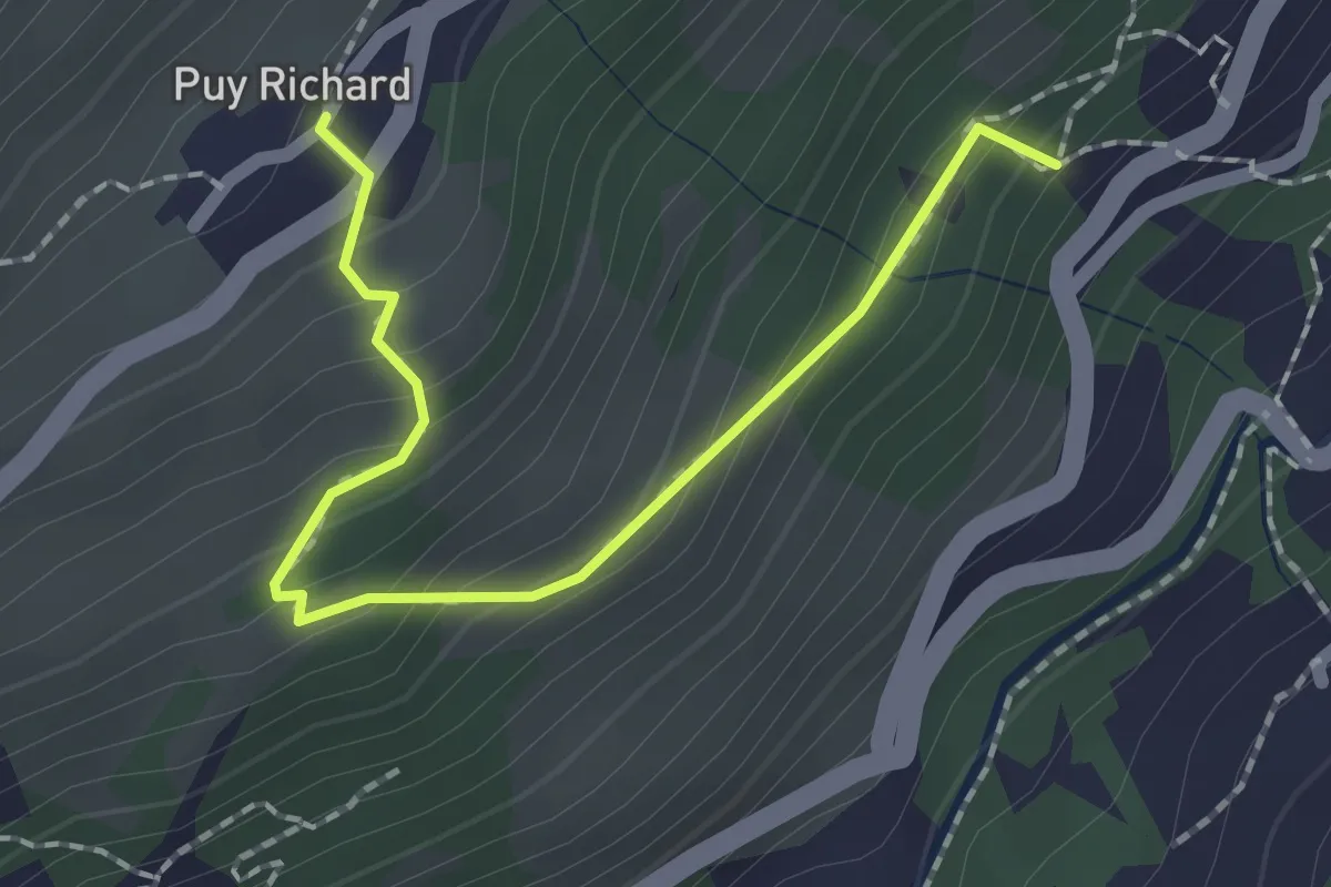
Easy · Trail
La Bourelle - Puy Richard
2.1 km · ↑ 167 m · 51 min
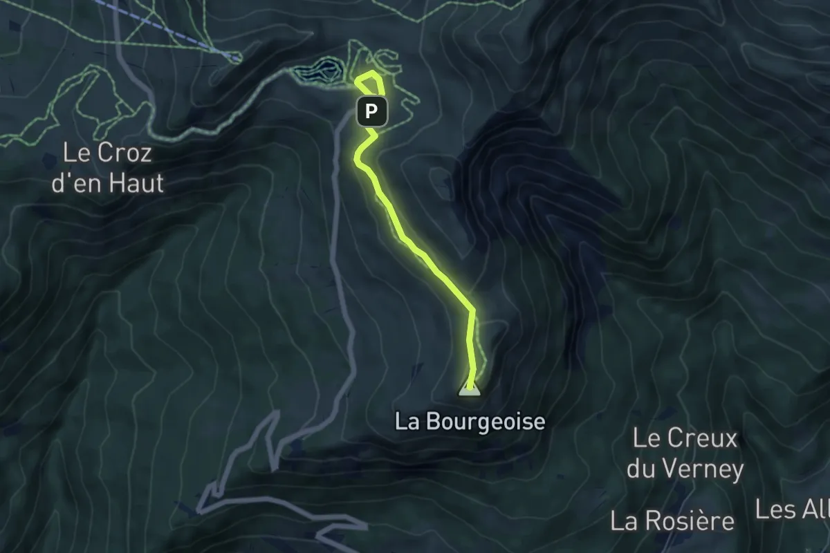
Medium · Summit
La Bourgeoise
4.7 km · ↑ 134 m · 1 h 24 min
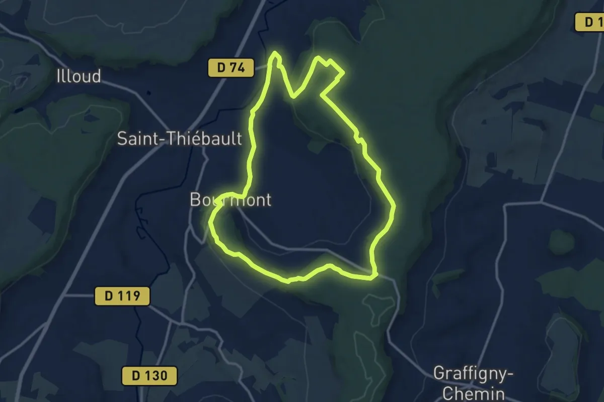
Medium · Trail
La Bove et le Côna
10.9 km · ↑ 248 m · 3 h 15 min
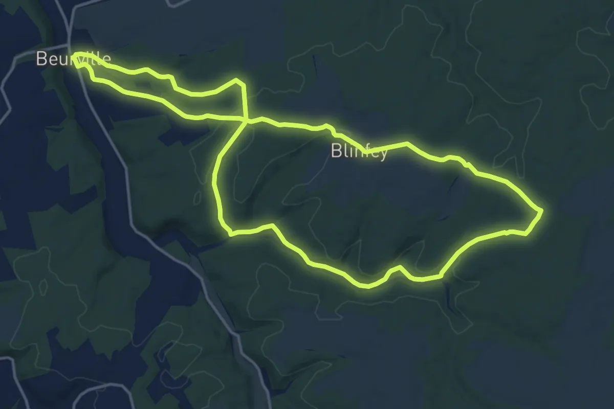
Medium · Trail
La Brâme de Blinfey
14.4 km · ↑ 199 m · 4 h 2 min
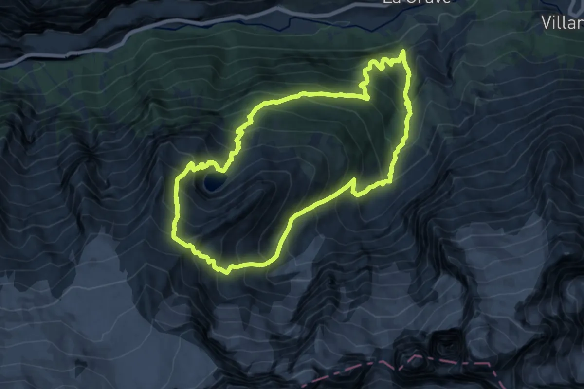
Demanding · Trail
La Brèche Pacave depuis La Grave
11.3 km · ↑ 1276 m · 5 h 36 min
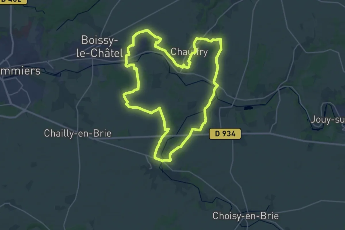
Demanding · Trail
La Bretonnière
20.5 km · ↑ 241 m · 5 h 39 min
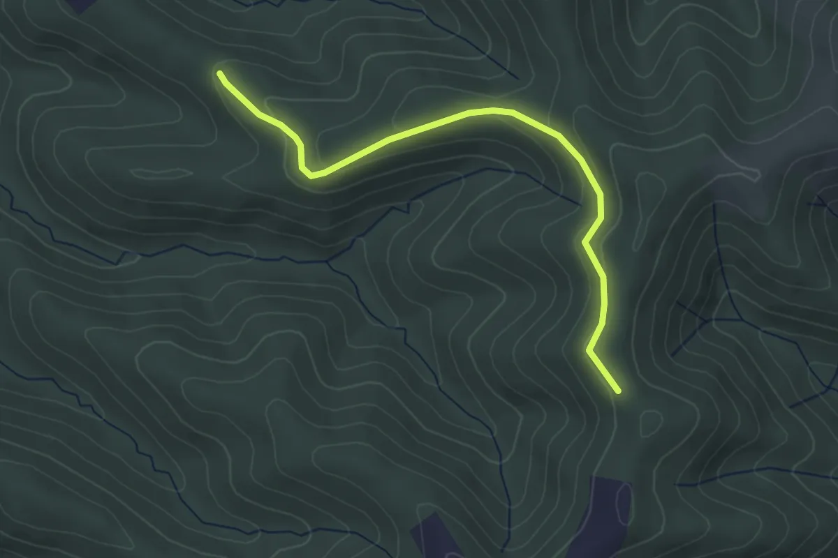
Easy · Trail
L'Abri des Dames - Louvatoux
3.9 km · ↑ 131 m · 1 h 12 min
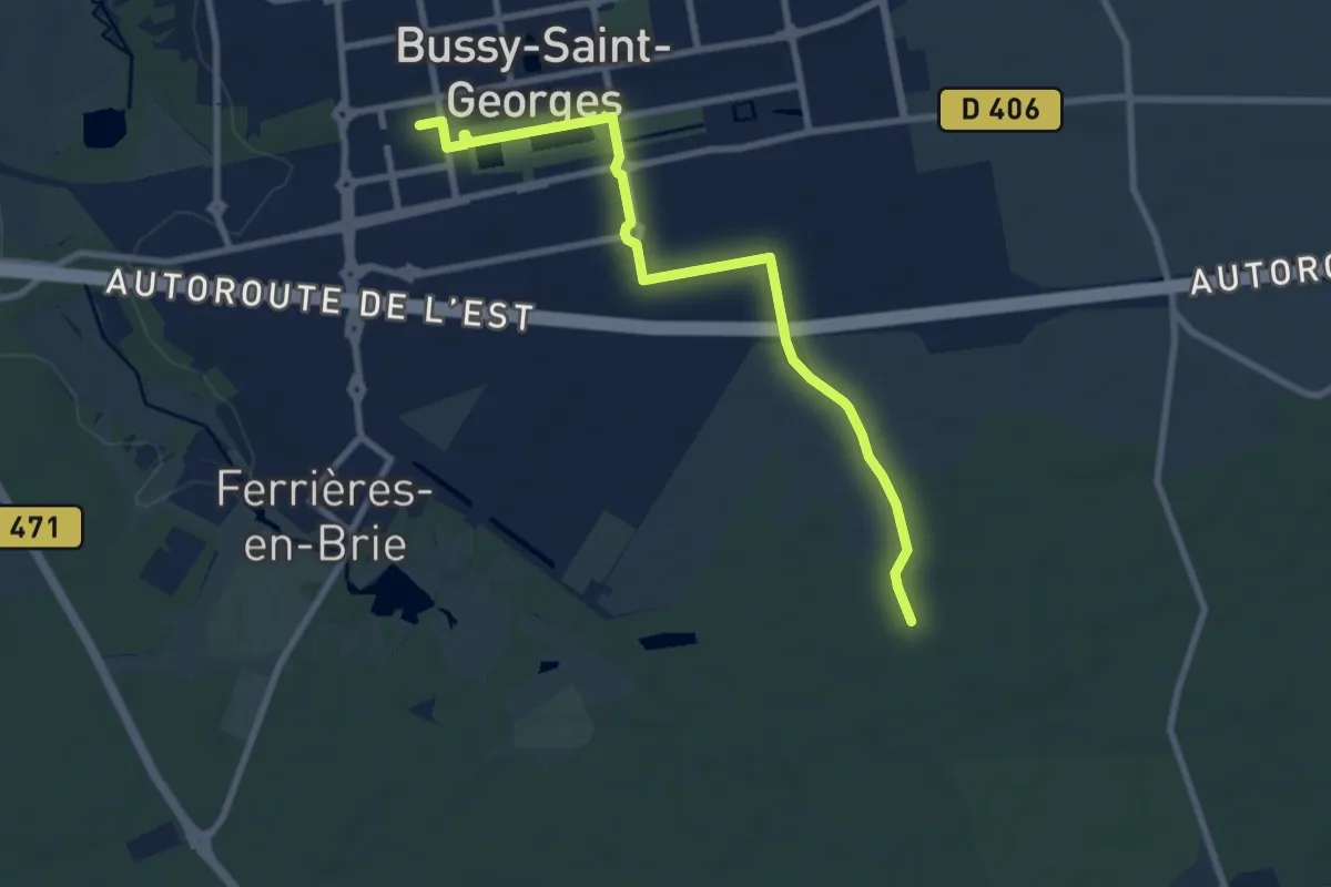
Medium · Trail
La Brie Verte - Accès Bussy-Saint-Georges
8.4 km · ↑ 28 m · 2 h 3 min
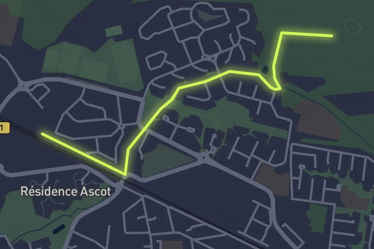
Easy · Trail
La Brie Verte - Accès Roissy-en-Brie
3.3 km · ↑ 13 m · 49 min
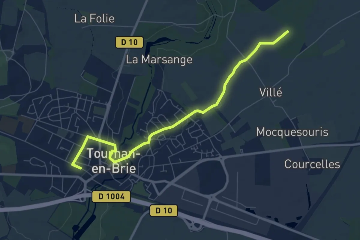
Easy · Trail
La Brie Verte - Accès Tournan-en-Brie
7.3 km · ↑ 30 m · 1 h 47 min
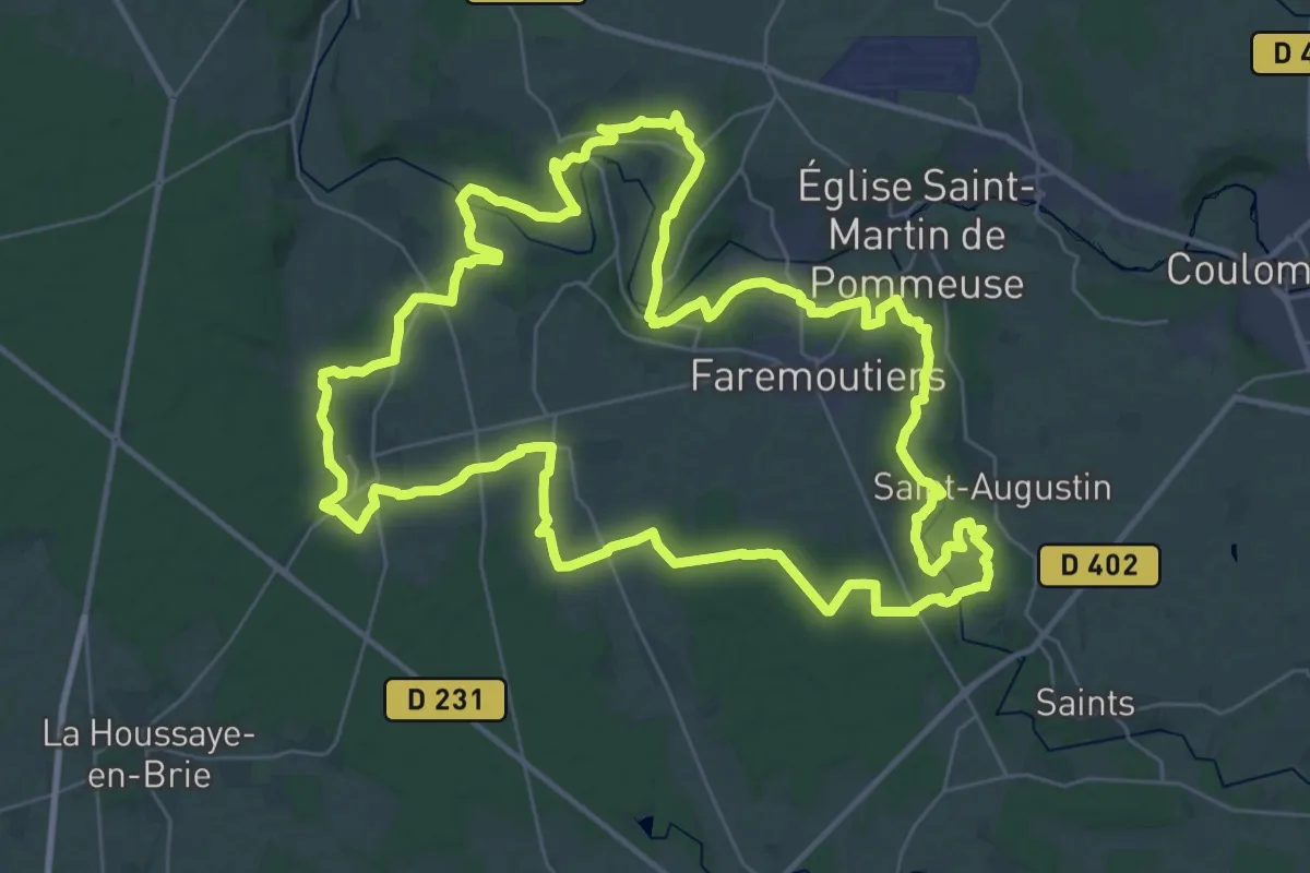
Demanding · Trail
La Brie Verte - Boucle 2 - Forêt de Malvoisine
38.7 km · ↑ 433 m · 10 h 37 min
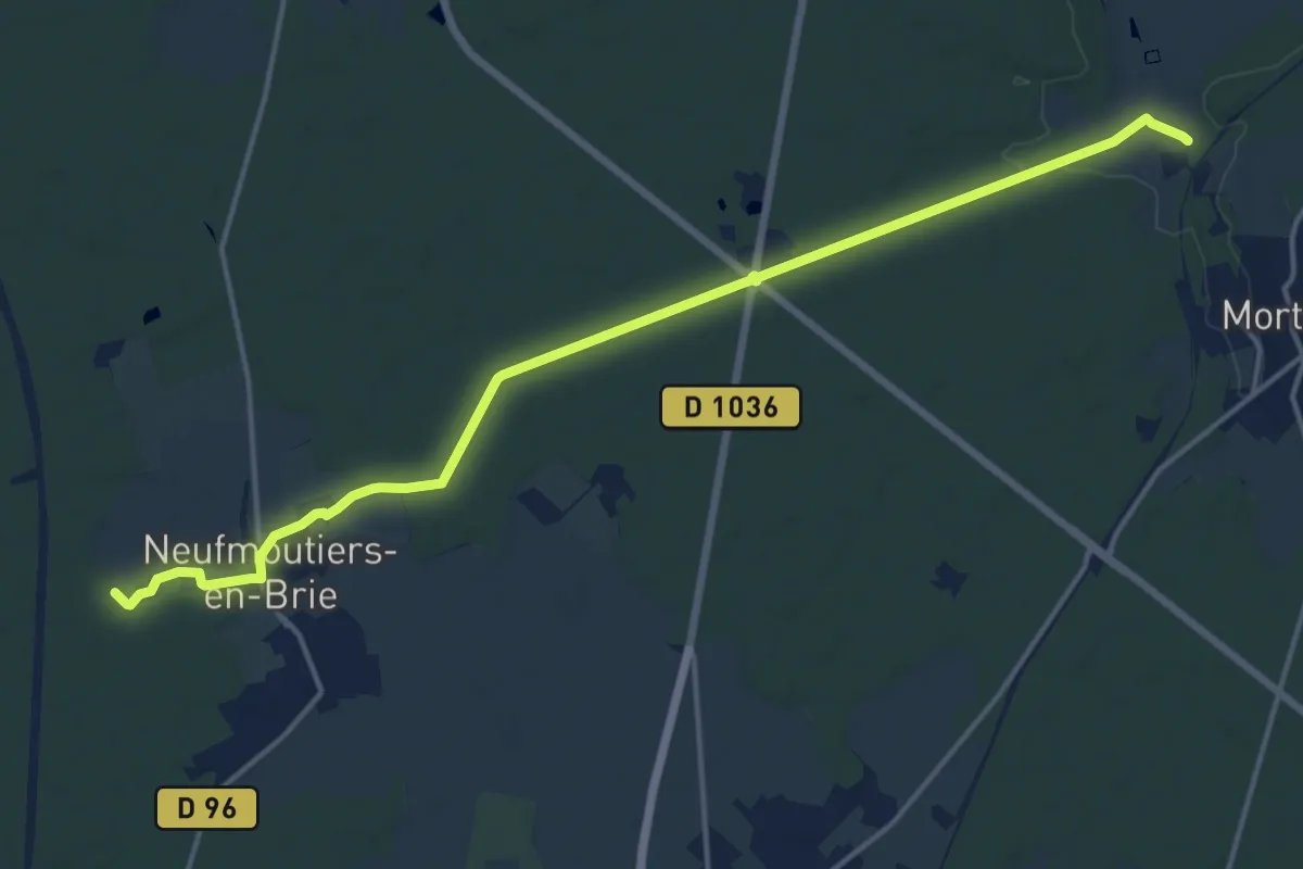
Medium · Trail
La Brie Verte - Liaison Boucles 1 et 2
16.5 km · ↑ 84 m · 4 h 5 min
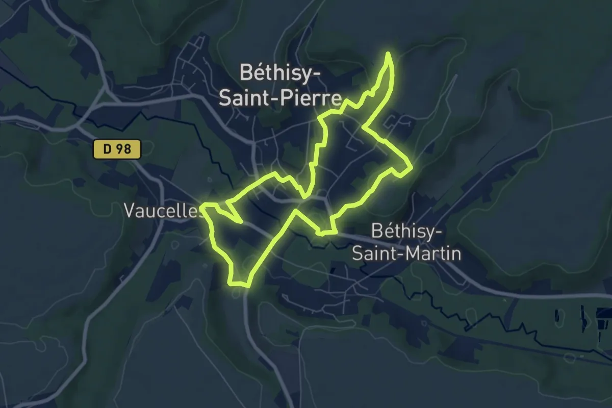
Easy · Trail
La Brissaule
6.4 km · ↑ 153 m · 1 h 56 min
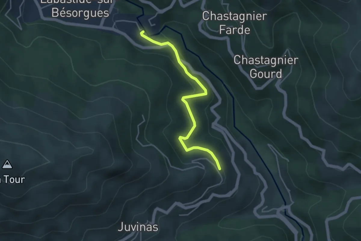
Easy · Trail
L'Abro - La Haute Blachère
3.6 km · ↑ 185 m · 1 h 16 min
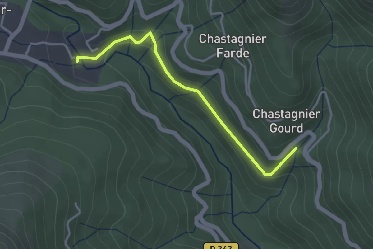
Easy · Trail
L'Abro - Pont de Gamarnes
2.9 km · ↑ 117 m · 57 min
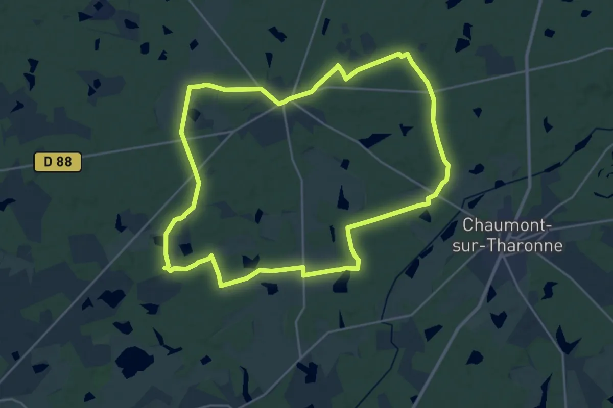
Medium · Trail
La Brosse
17.4 km · ↑ 98 m · 4 h 34 min