Trails in France
15,926 hiking trails, each with its route, climb, walking time and grade.
All trails, page 130 of 332
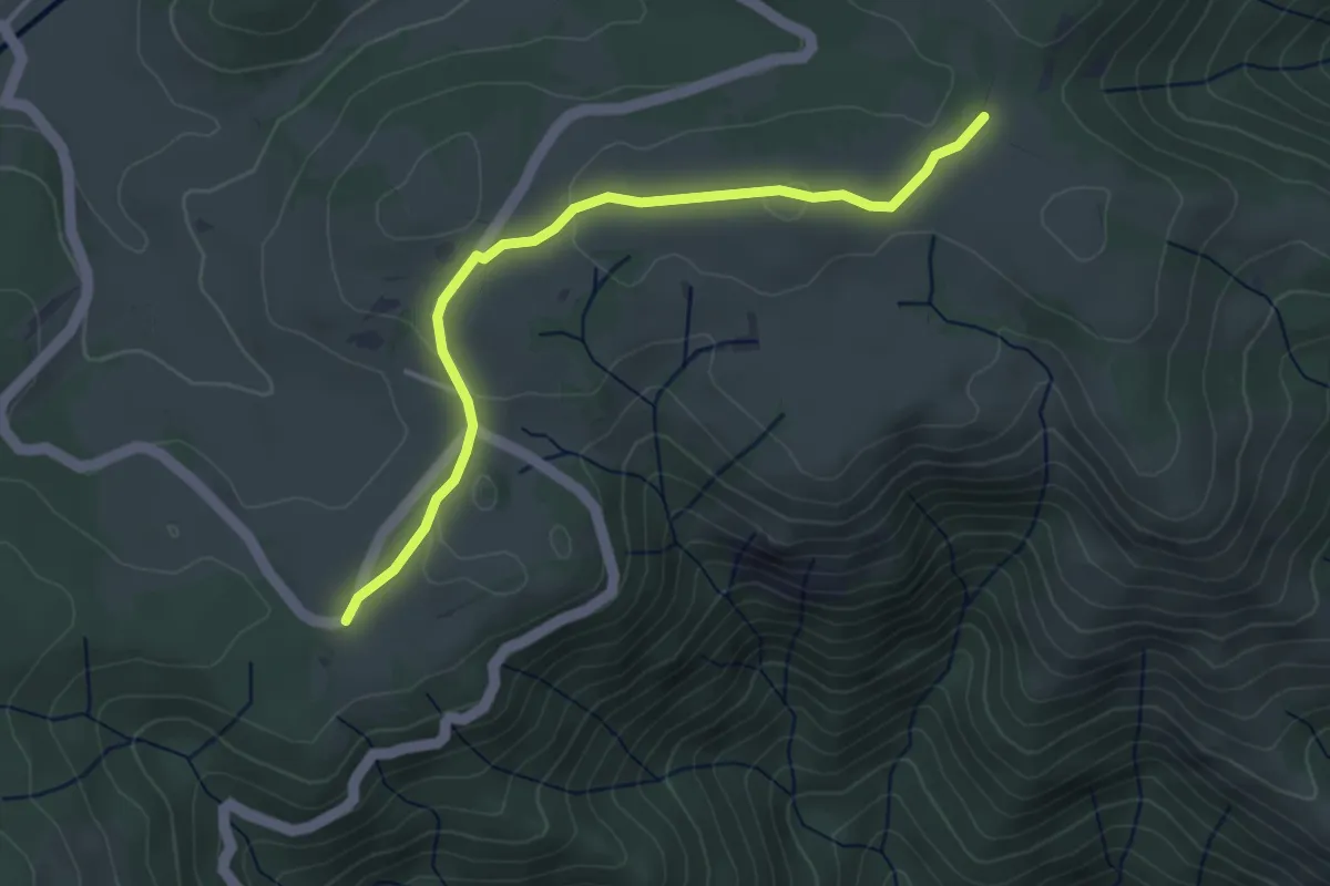
Easy · Trail
La Brousse - Prapouzol Nord
3.9 km · ↑ 49 m · 1 h 2 min
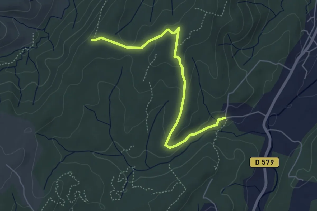
Easy · Trail
La Brulade - Bois des Bruyères
5.0 km · ↑ 118 m · 1 h 25 min
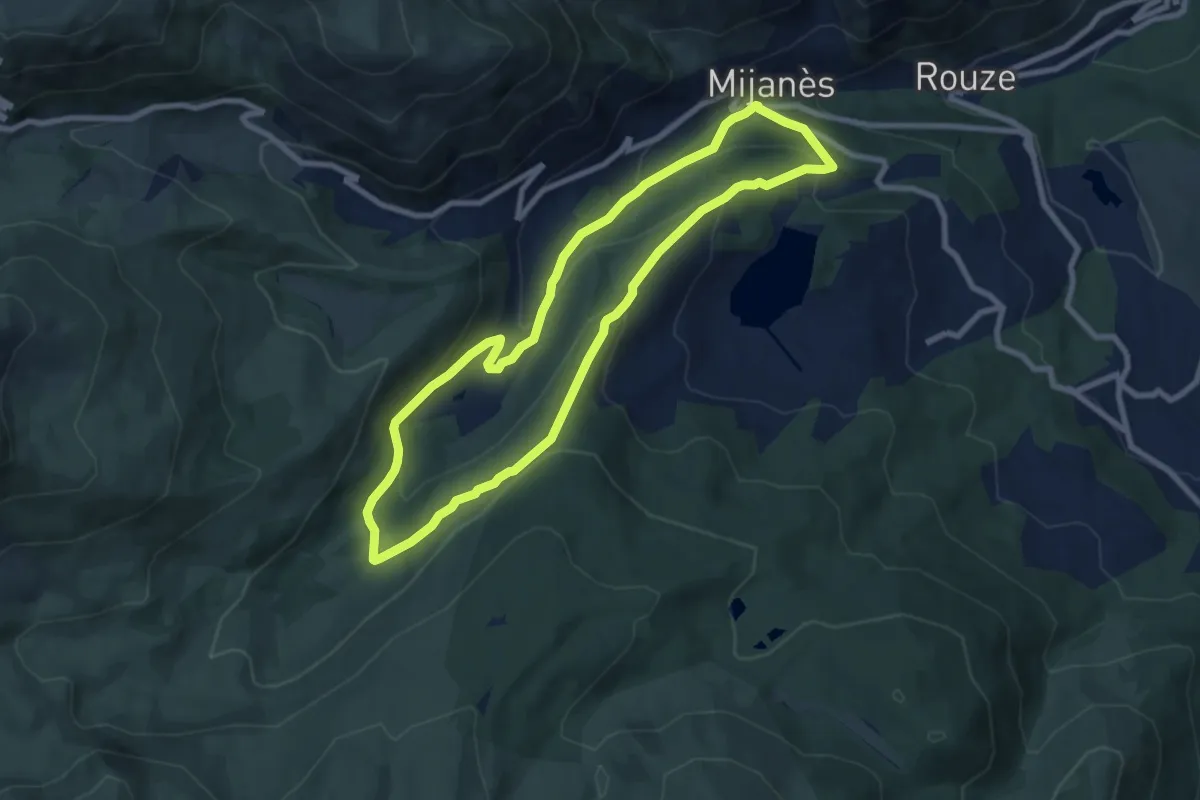
Medium · Trail
La Bruyante
8.4 km · ↑ 347 m · 2 h 51 min
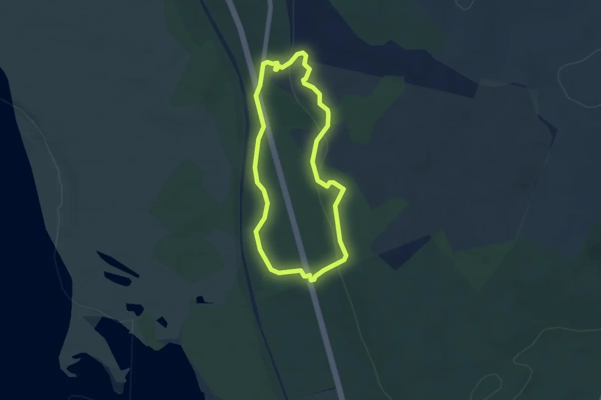
Easy · Trail
La Butte aux Signaux
3.1 km · ↑ 81 m · 57 min
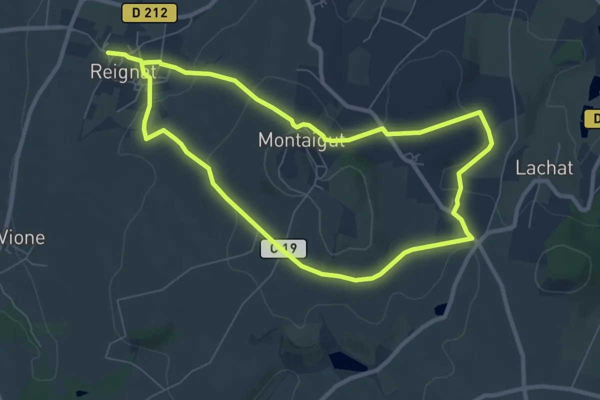
Easy · Trail
La Butte de Montaigut
6.4 km · ↑ 156 m · 1 h 57 min
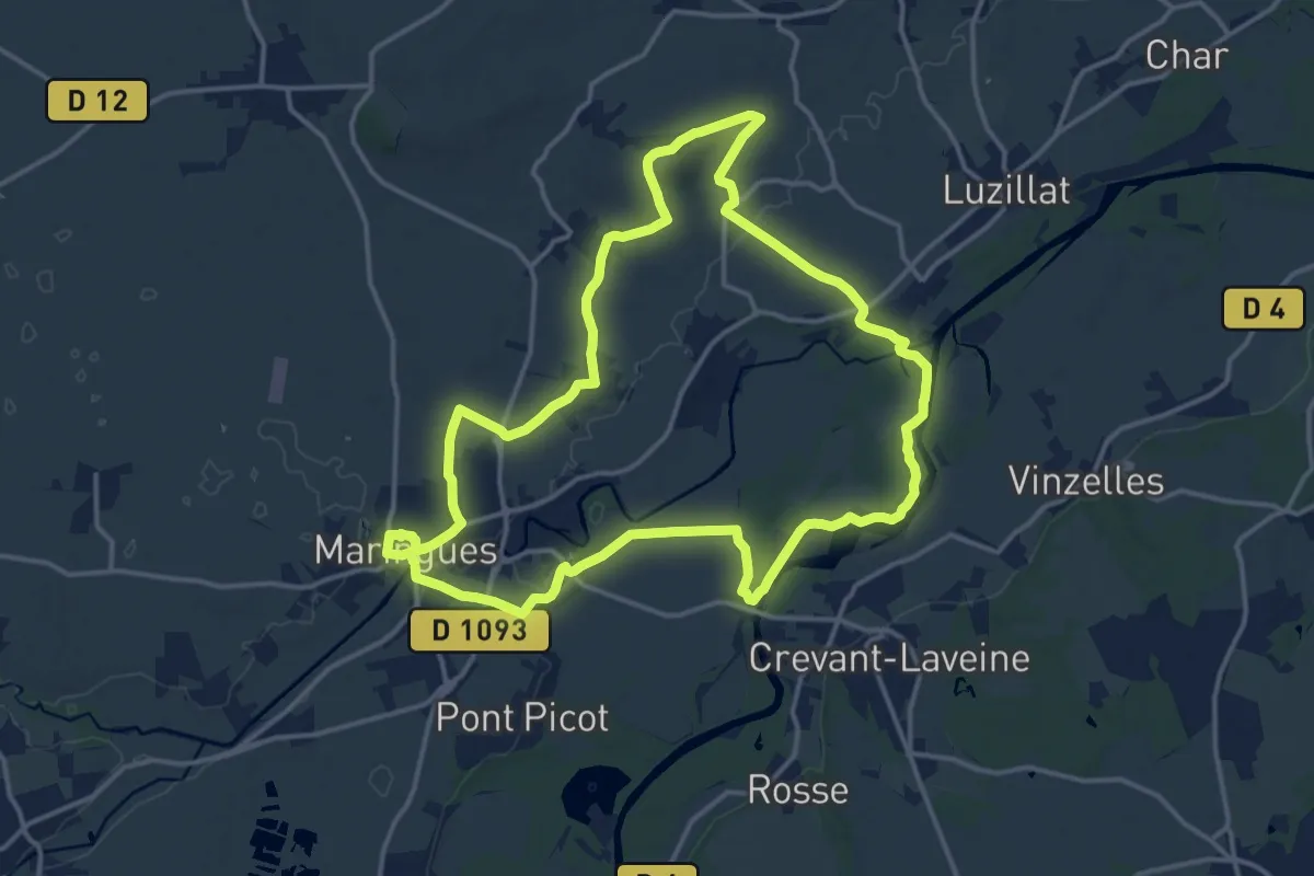
Medium · Trail
La Butte de Montgacon
15.9 km · ↑ 107 m · 4 h 12 min
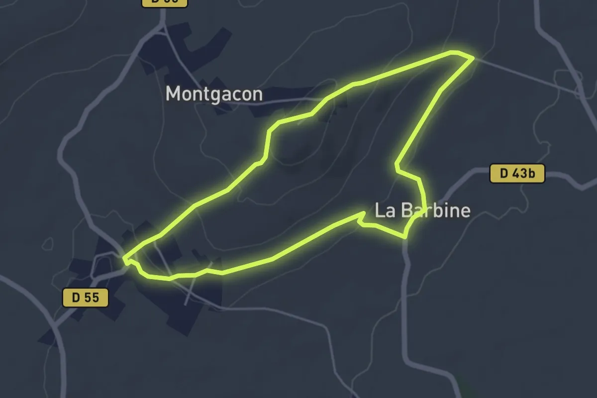
Easy · Trail
La Butte de Montgacon - circuit court
4.1 km · ↑ 85 m · 1 h 13 min
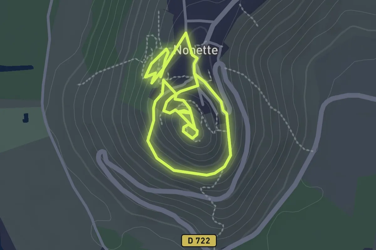
Easy · Trail
La Butte de Nonette
2.4 km · ↑ 66 m · 45 min
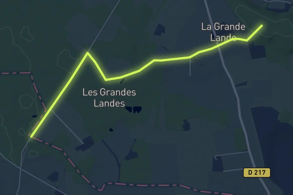
Easy · Trail
La butte de Saint-Hippolyte - Saint-Germain d’Arcé
6.6 km · ↑ 55 m · 1 h 40 min
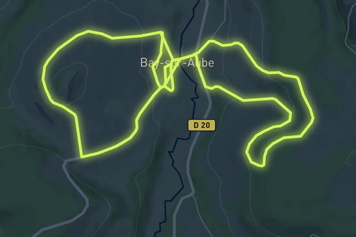
Medium · Trail
La Butte de Taloison
8.6 km · ↑ 224 m · 2 h 39 min
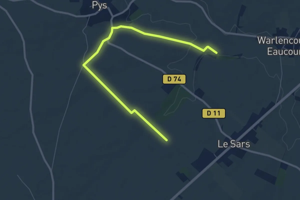
Easy · Trail
La Butte de Warlencourt
3.7 km · ↑ 28 m · 58 min
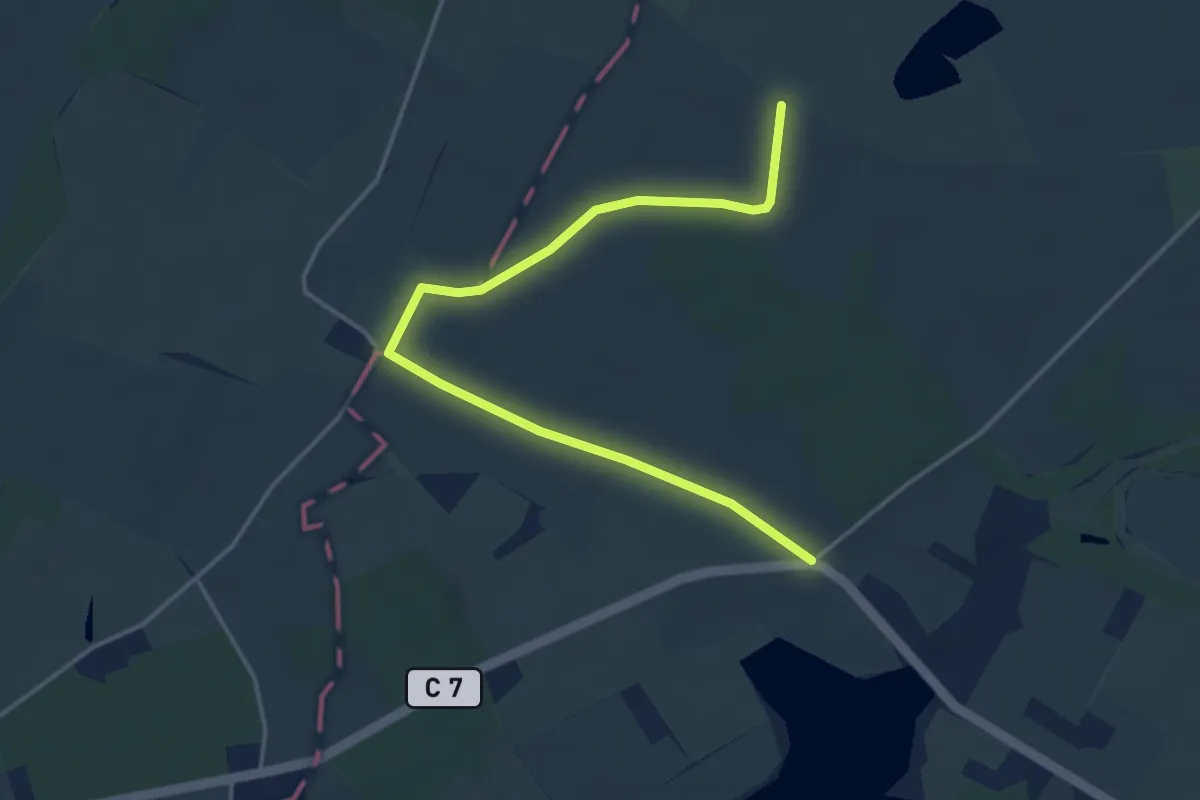
Easy · Trail
La Butte Noire - Channay-sur-Lathan
2.2 km · ↑ 4 m · 34 min
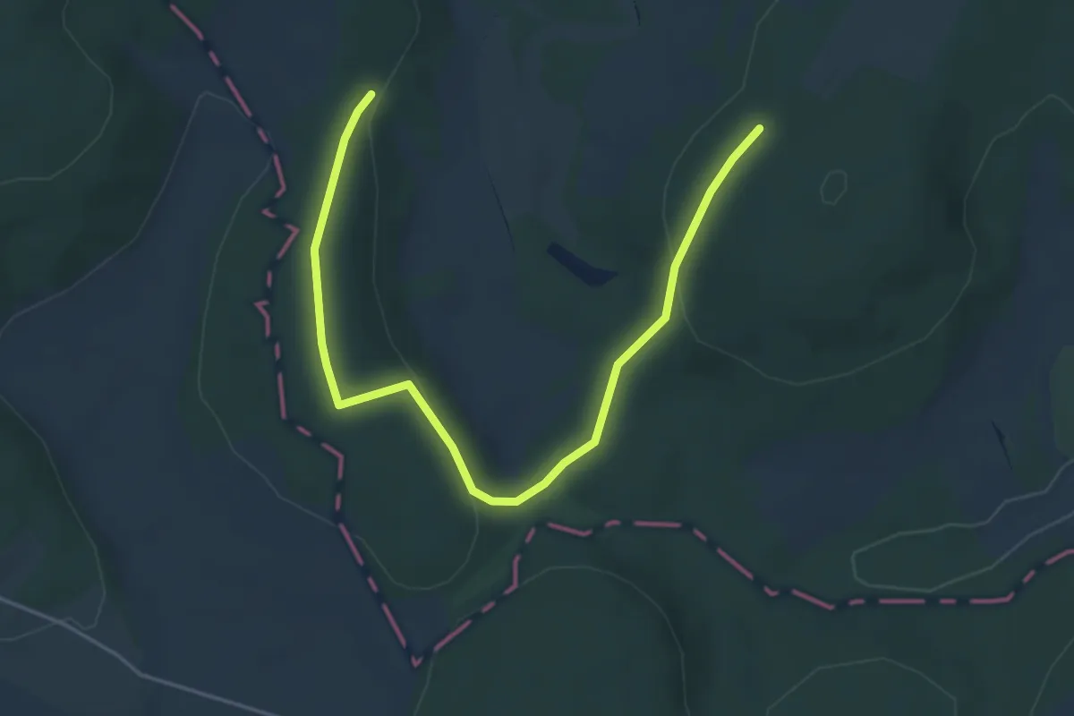
Easy · Trail
La Buxeraie
2.6 km · ↑ 56 m · 47 min
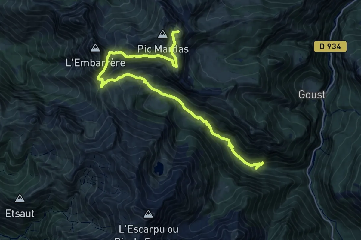
Demanding · Summit
La cabane laiterine et les lacs du Montagnon
22.5 km · ↑ 1394 m · 8 h 20 min
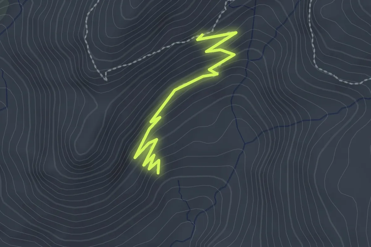
Easy · Trail
La Cabane - Peyron Roux
2.4 km · ↑ 142 m · 53 min
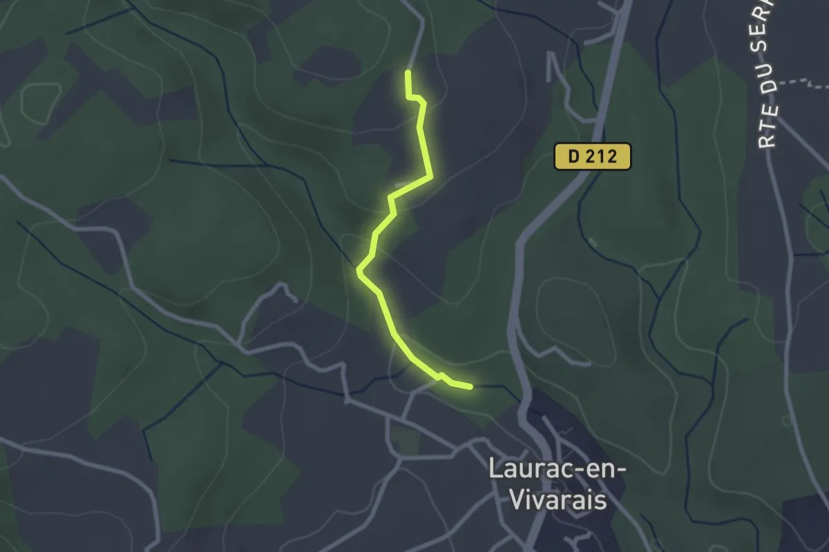
Easy · Trail
La Calade - Le Monteil
2.0 km · ↑ 72 m · 38 min
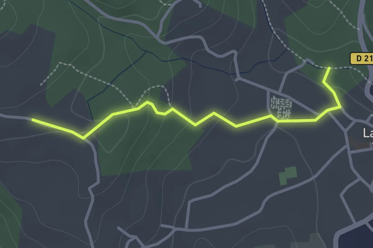
Easy · Trail
La Calade - Les Blancards
2.6 km · ↑ 55 m · 44 min
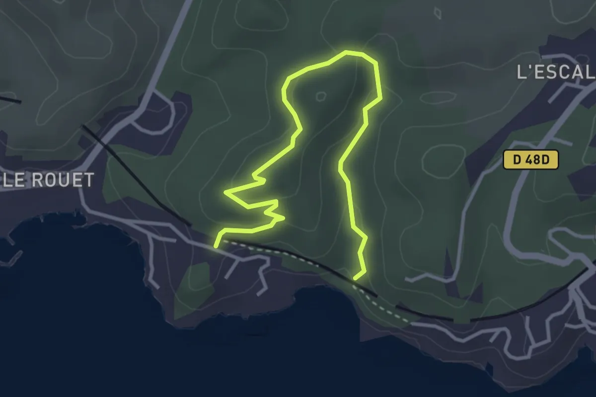
Easy · Trail
La calanque des Eaux Salées
2.0 km · ↑ 59 m · 39 min
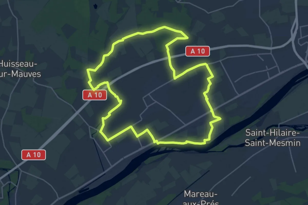
Demanding · Trail
La Cambienne
22.0 km · ↑ 88 m · 5 h 41 min
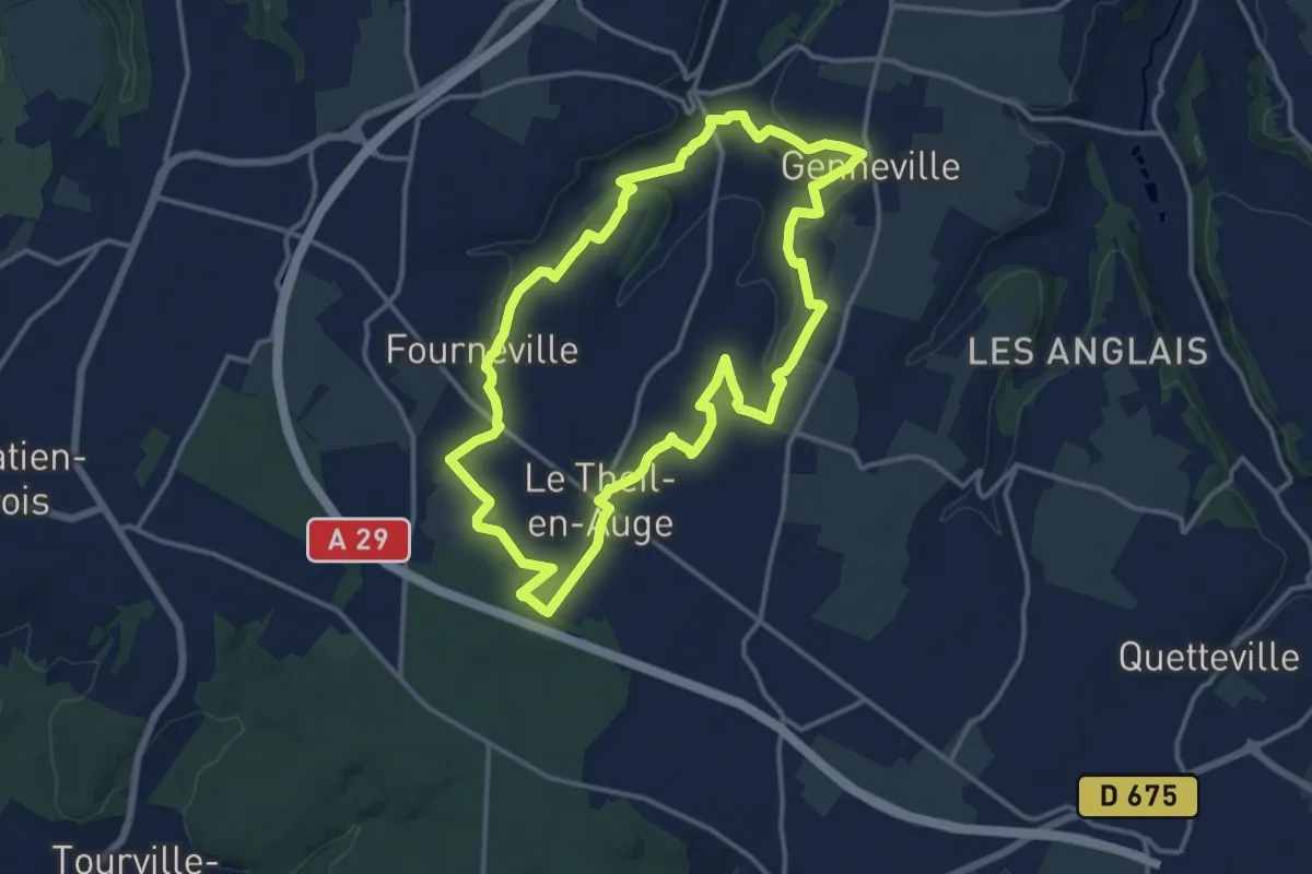
Medium · Trail
La Campagne Gravée
12.9 km · ↑ 168 m · 3 h 35 min
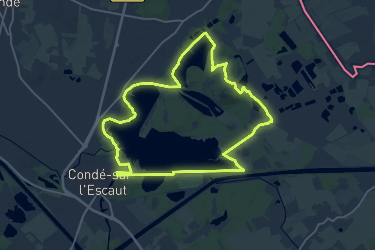
Medium · Trail
La Canarderie
9.5 km · ↑ 27 m · 2 h 26 min
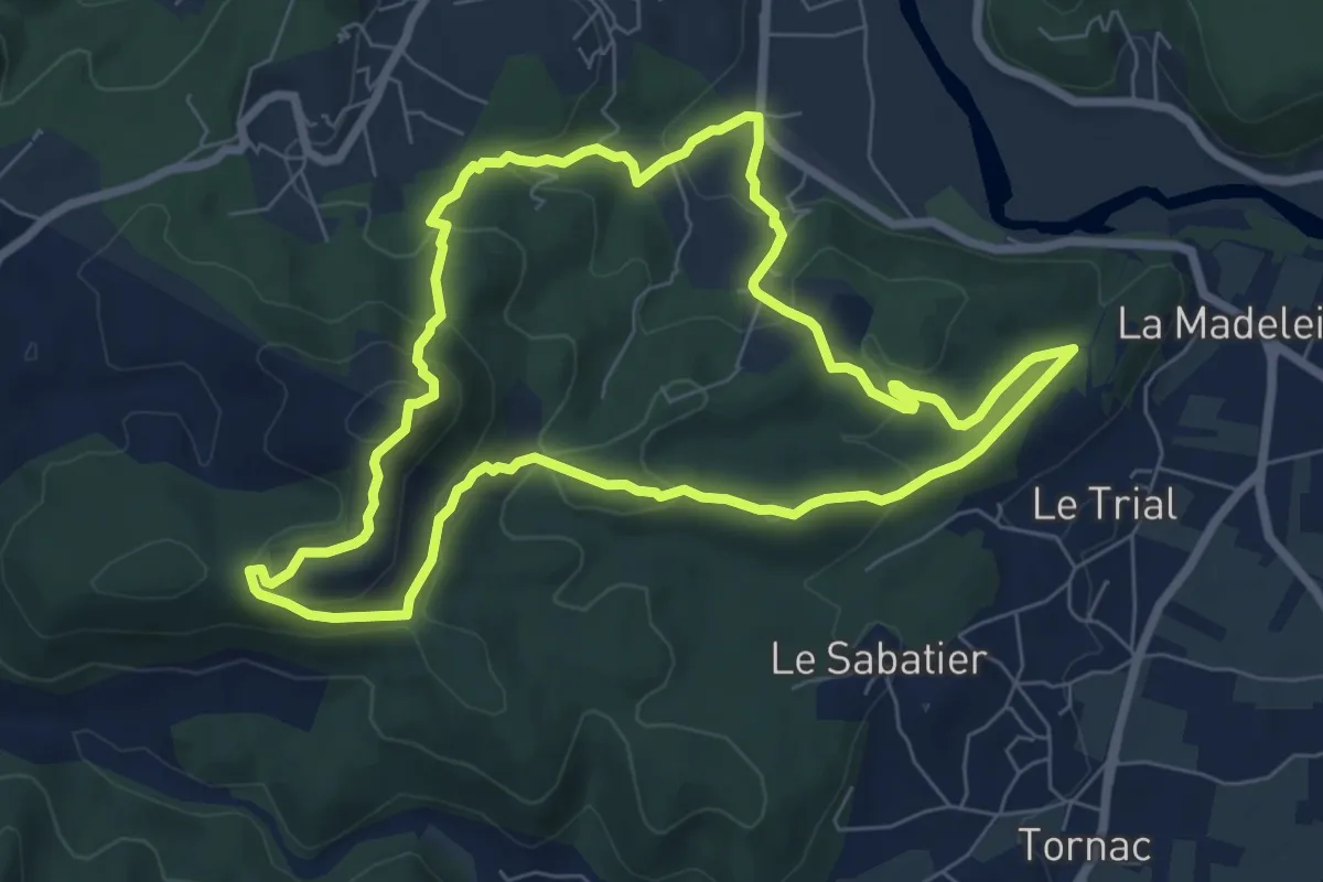
Medium · Summit
Lacan et le château de Tornac
7.6 km · ↑ 347 m · 2 h 40 min
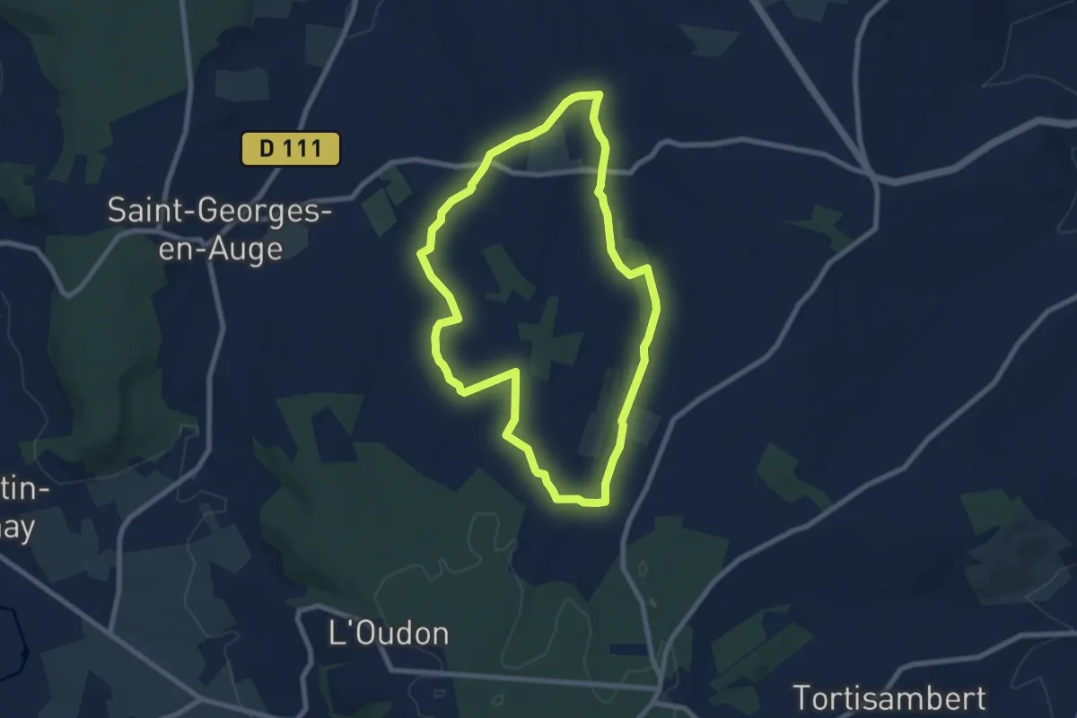
Easy · Trail
La Canteraine
7.0 km · ↑ 105 m · 1 h 59 min
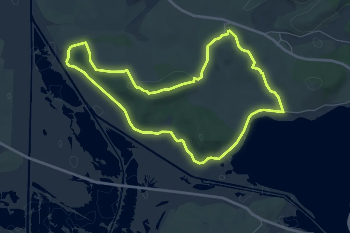
Easy · Trail
La Capoulade
6.0 km · ↑ 56 m · 1 h 37 min
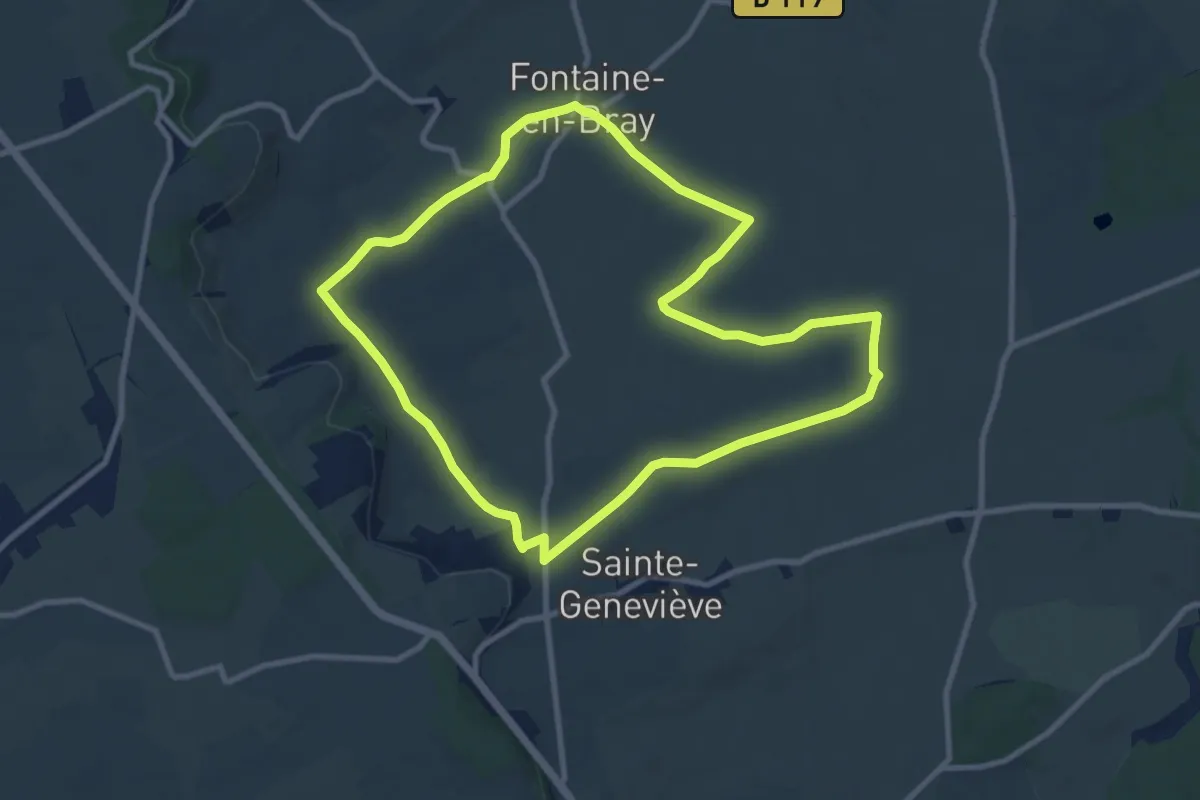
Medium · Trail
La Carouge
9.2 km · ↑ 104 m · 2 h 31 min
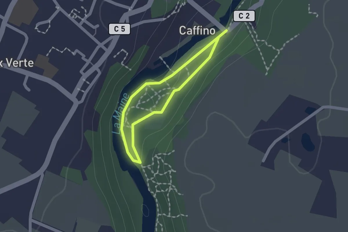
Easy · Trail
La Carrière de Caffino Autrefois
1.1 km · ↑ 13 m · 18 min
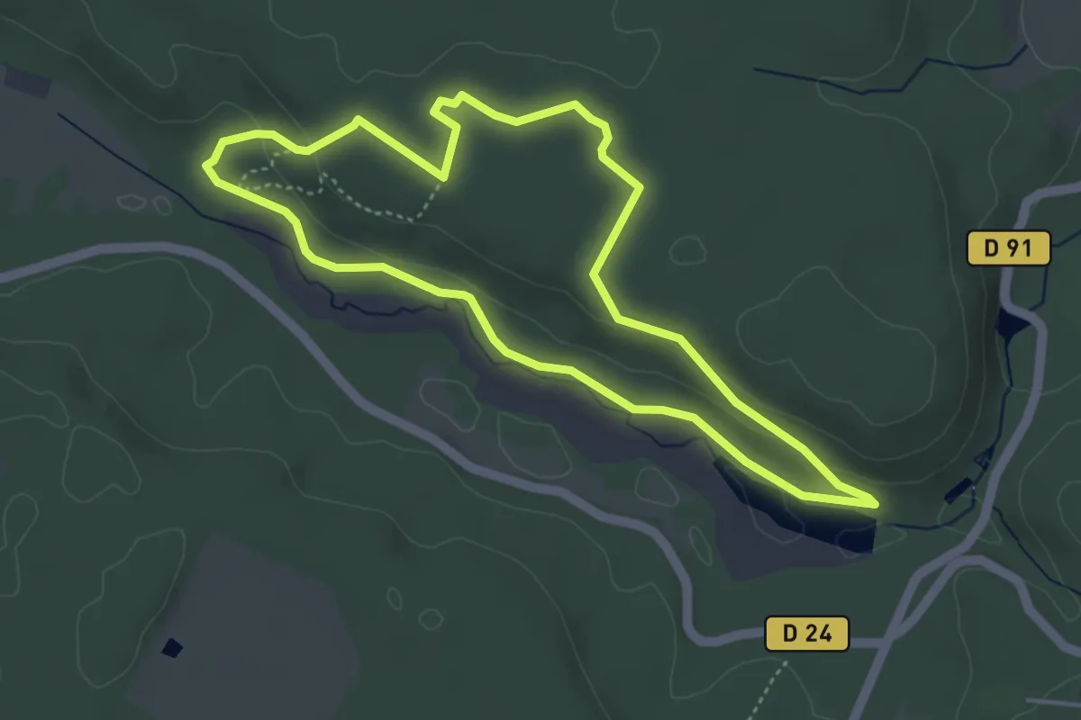
Easy · Trail
La carrière des Maréchaux
4.1 km · ↑ 61 m · 1 h 9 min
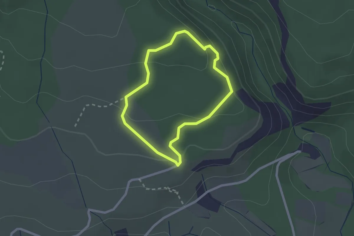
Easy · Trail
La Carrière du Roy
1.8 km · ↑ 88 m · 38 min
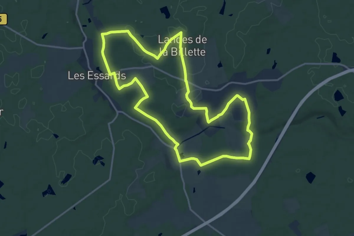
Medium · Trail
La Cartelézière - Les Essards
11.3 km · ↑ 135 m · 3 h 7 min
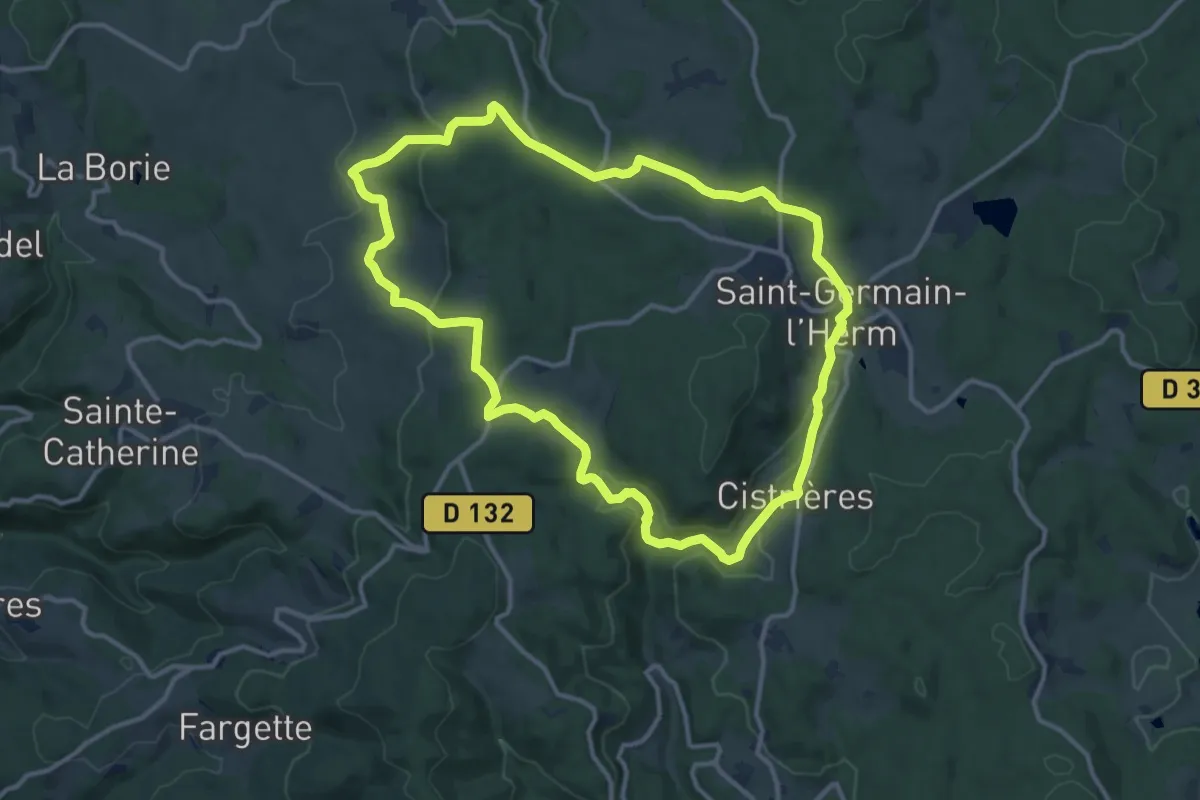
Medium · Trail
La Cascade
12.5 km · ↑ 335 m · 3 h 50 min
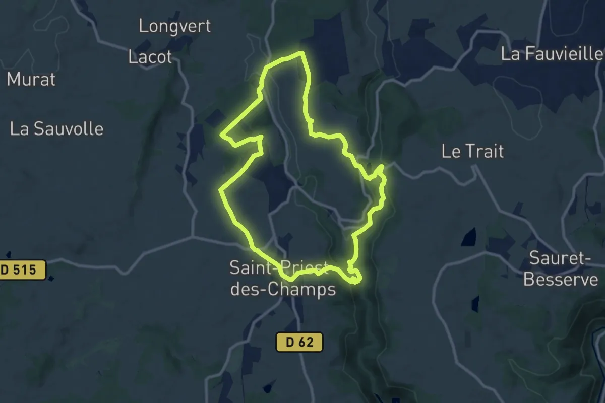
Medium · Trail
La Cascade
9.4 km · ↑ 235 m · 2 h 52 min
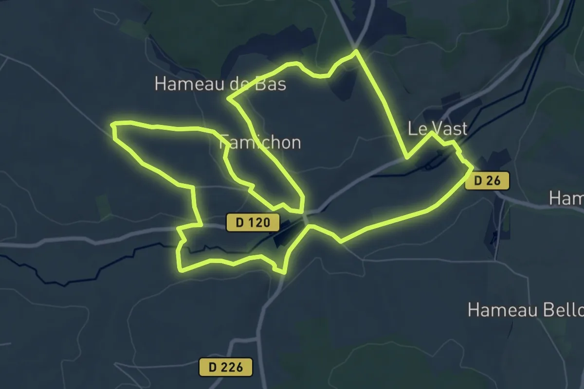
Medium · Trail
La Cascade
8.4 km · ↑ 142 m · 2 h 25 min
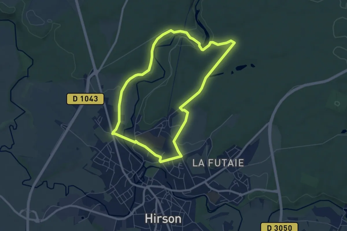
Easy · Trail
La Cascade de Blagny
6.0 km · ↑ 77 m · 1 h 39 min
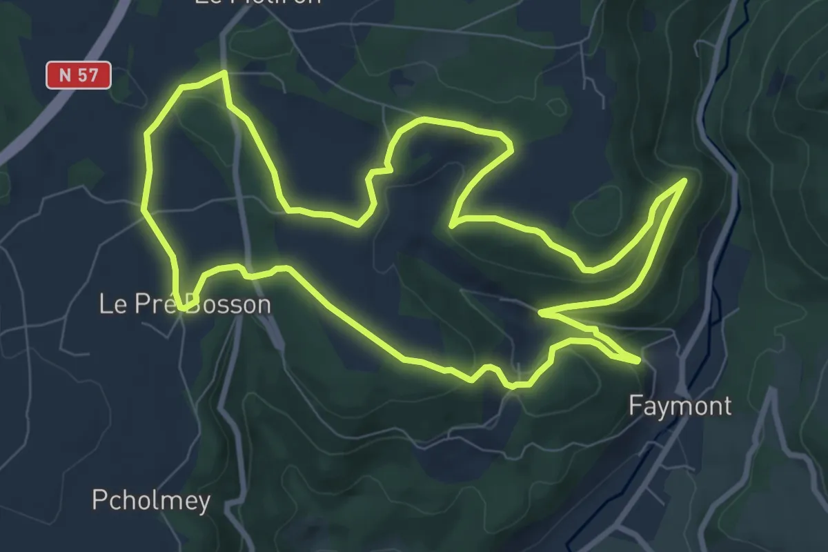
Medium · Trail
La Cascade de Faymont
8.7 km · ↑ 307 m · 2 h 50 min
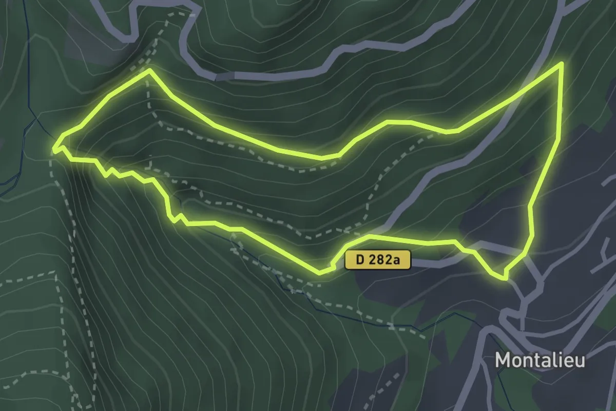
Demanding · Trail
La cascade de l'Alloix et les chemins d'autrefois
3.2 km · ↑ 328 m · 1 h 31 min
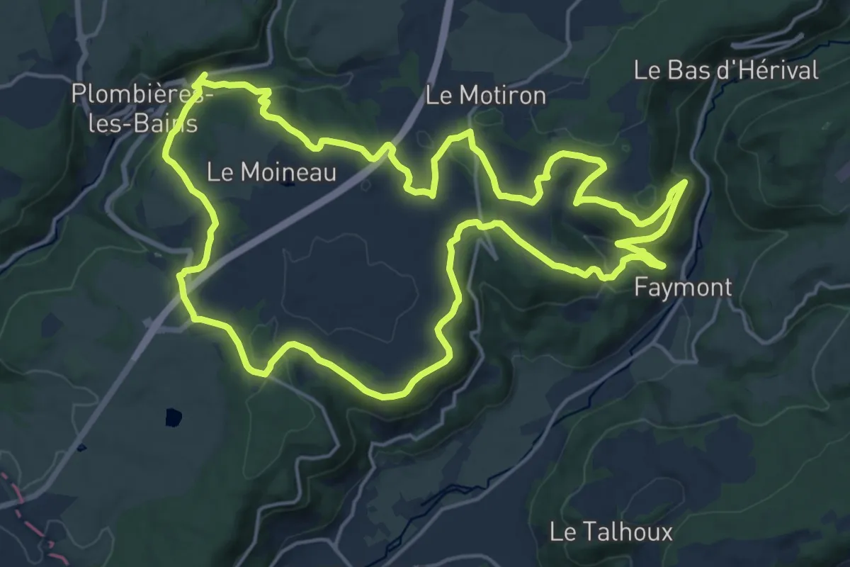
Demanding · Trail
La cascade depuis Plombières
18.2 km · ↑ 565 m · 5 h 46 min
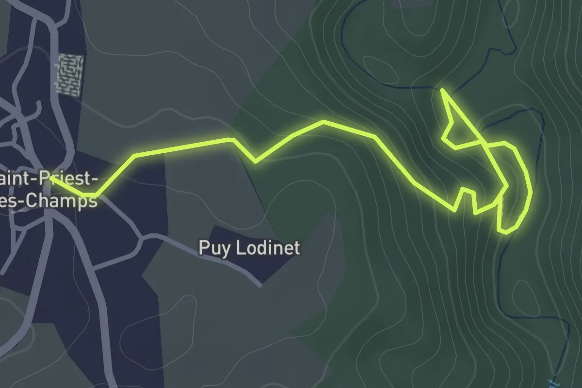
Easy · Trail
La Cascade de Saint-Priest-des-Champs
1.9 km · ↑ 18 m · 34 min
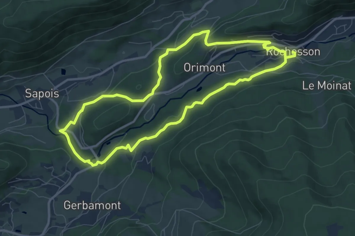
Easy · Trail
La cascade du Bouchot
7.6 km · ↑ 207 m · 2 h 21 min
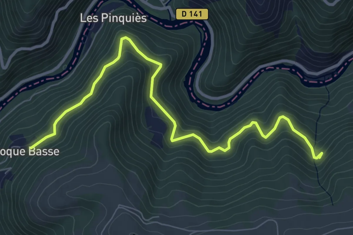
Medium · Trail
La Cassanie
7.9 km · ↑ 341 m · 2 h 36 min
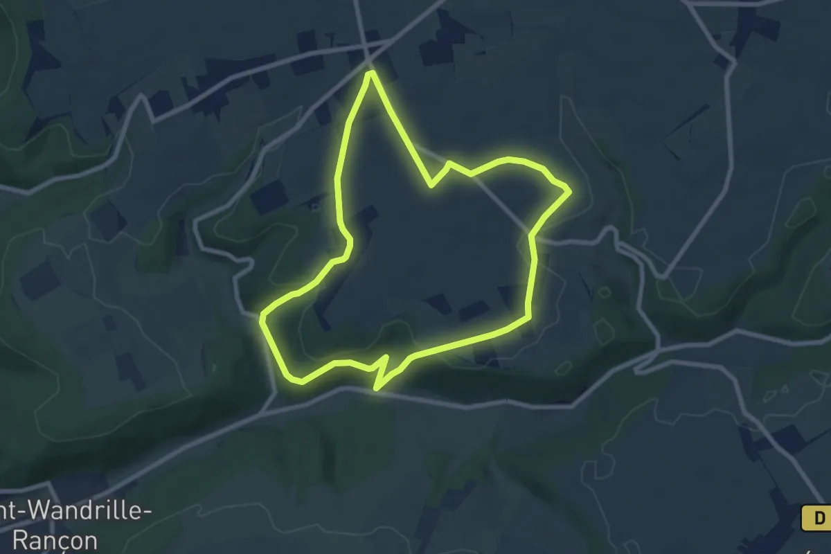
Easy · Trail
La cavée aux coqs
6.6 km · ↑ 156 m · 2 h
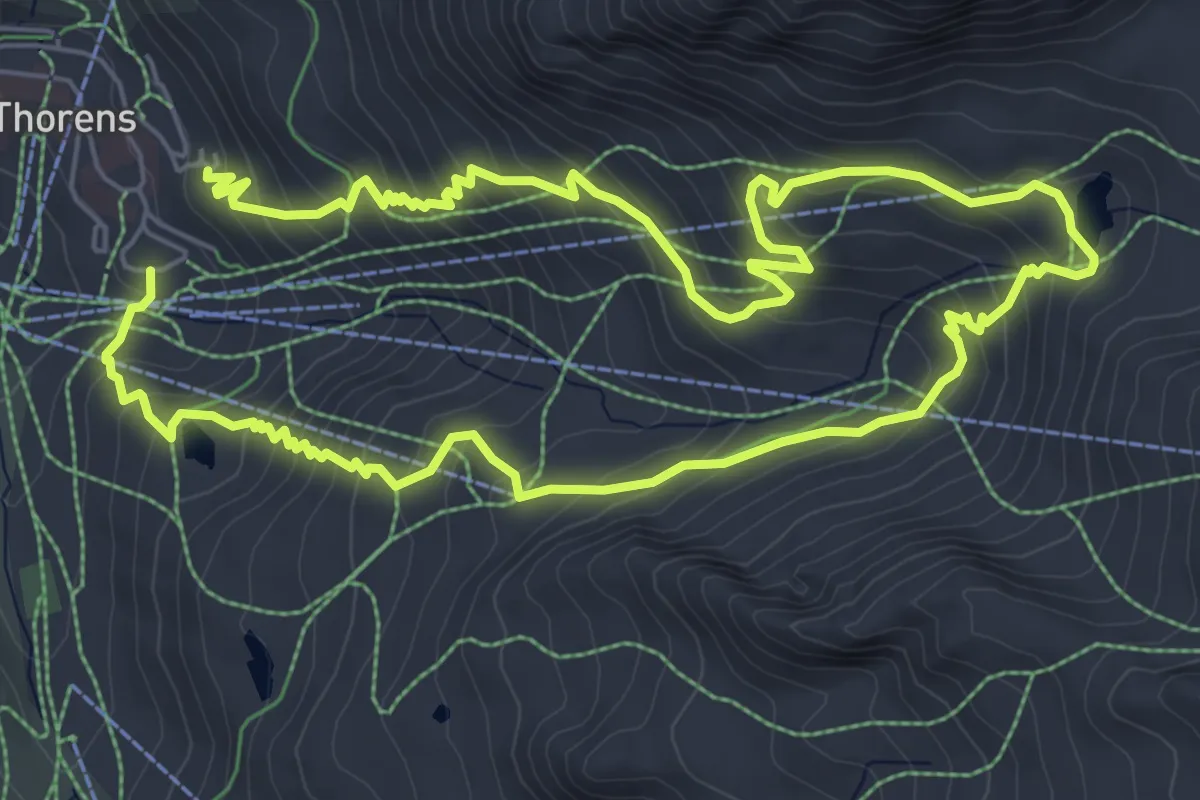
Medium · Trail
Lac Blanc
6.1 km · ↑ 478 m · 2 h 33 min
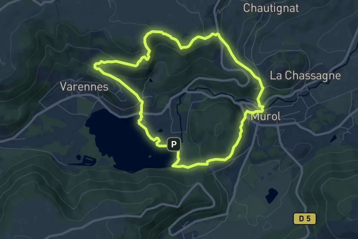
Easy · Trail
Lac Chambon
7.0 km · ↑ 290 m · 2 h 22 min
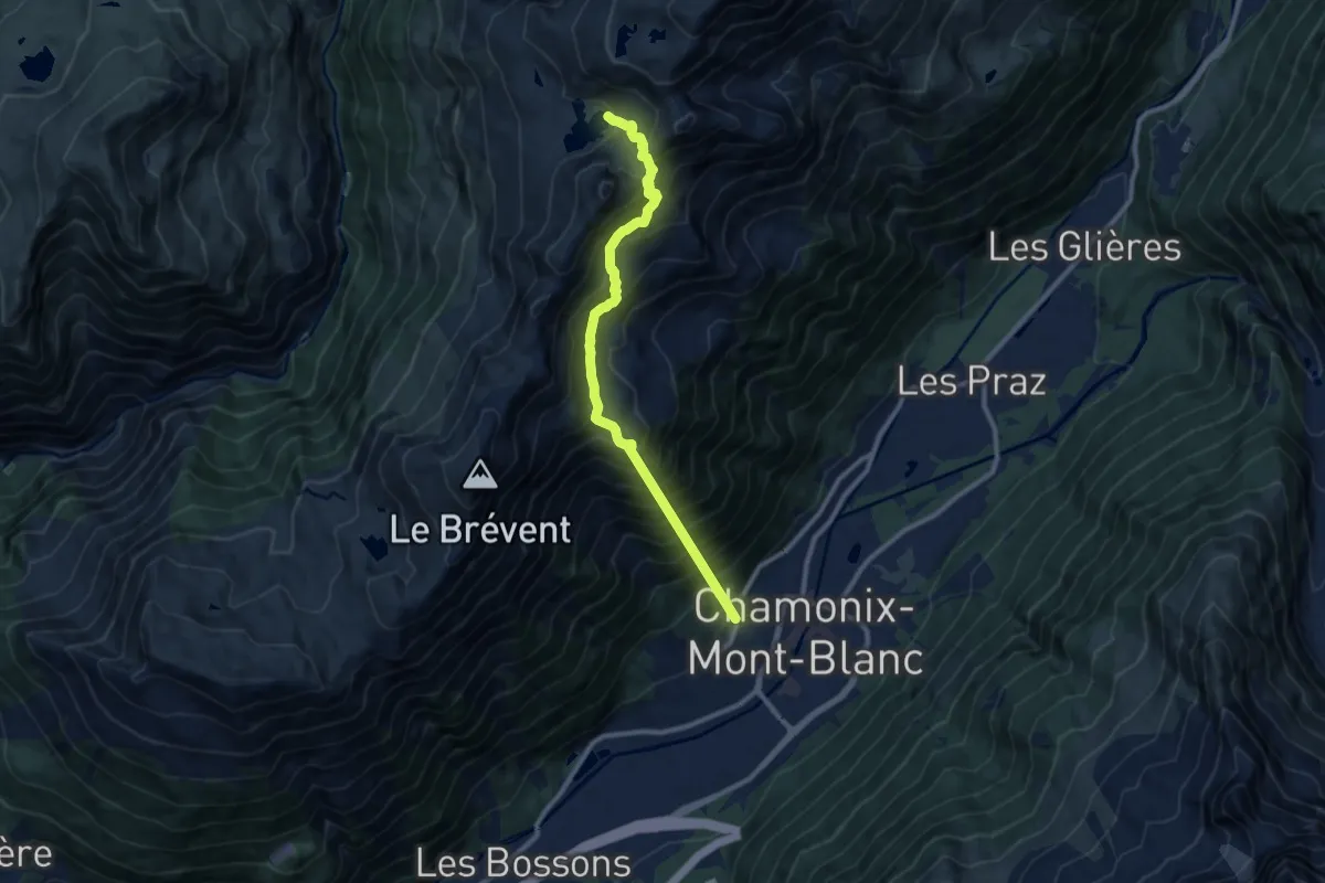
Demanding · Trail
Lac Cornu
10.1 km · ↑ 1529 m · 5 h 41 min
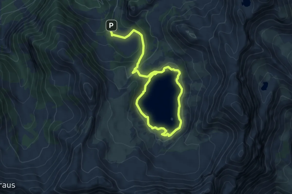
Easy · Cabin
Lac d'Allos
5.5 km · ↑ 232 m · 1 h 48 min
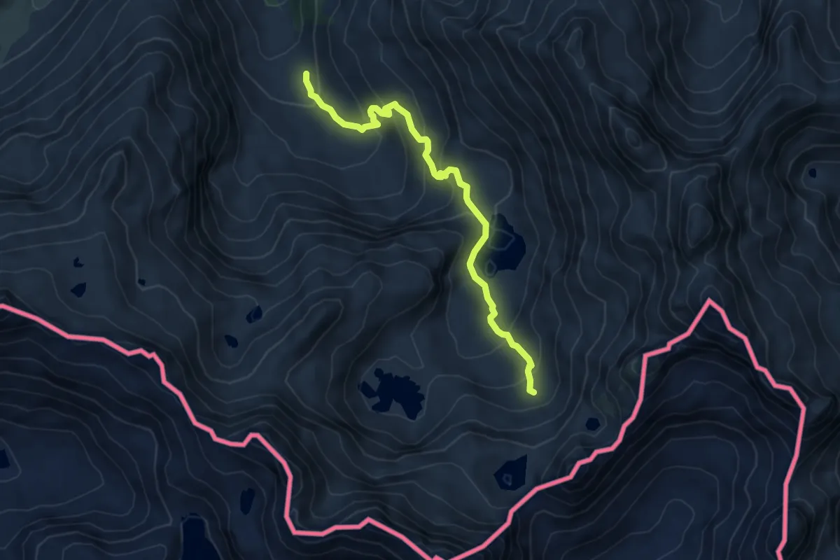
Medium · Trail
Lac d'Arratille
6.1 km · ↑ 417 m · 2 h 20 min
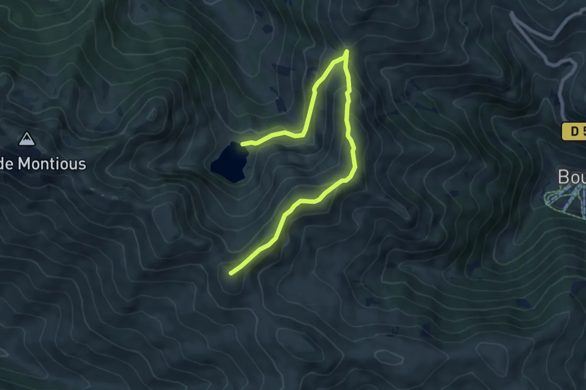
Medium · Summit
Lac de Bareilles et Mont Né
7.4 km · ↑ 480 m · 2 h 48 min
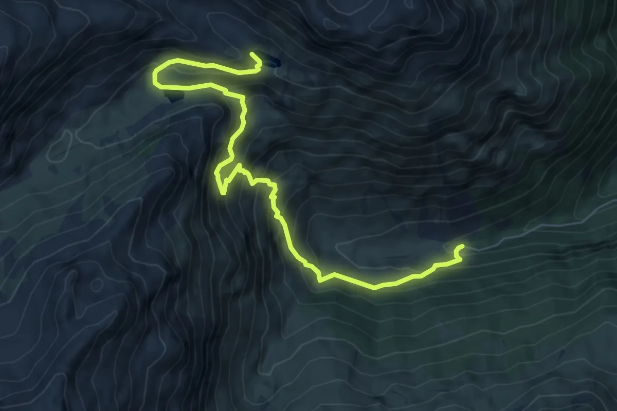
Medium · Trail
Lac de Cestrède et Lac d'Antarrouyes
8.6 km · ↑ 737 m · 3 h 38 min
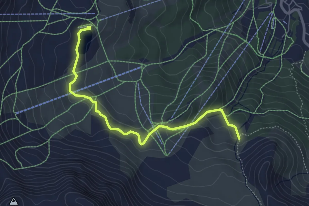
Easy · Trail
Lac de Chabrières - ?
5.3 km · ↑ 207 m · 1 h 42 min