Trails in France
15,926 hiking trails, each with its route, climb, walking time and grade.
All trails, page 131 of 332
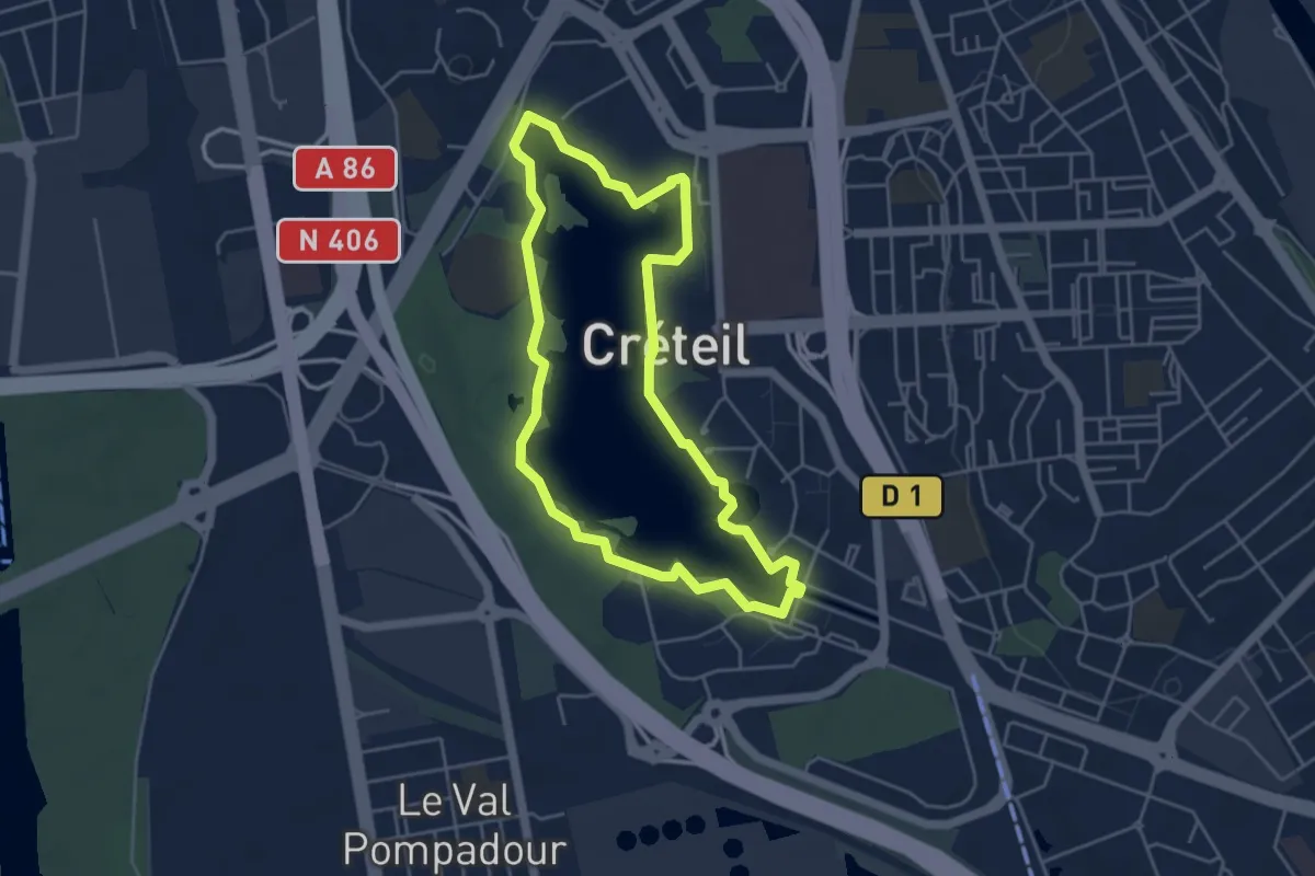
Easy · Trail
Lac de Créteil
4.2 km · ↑ 5 m · 1 h 4 min
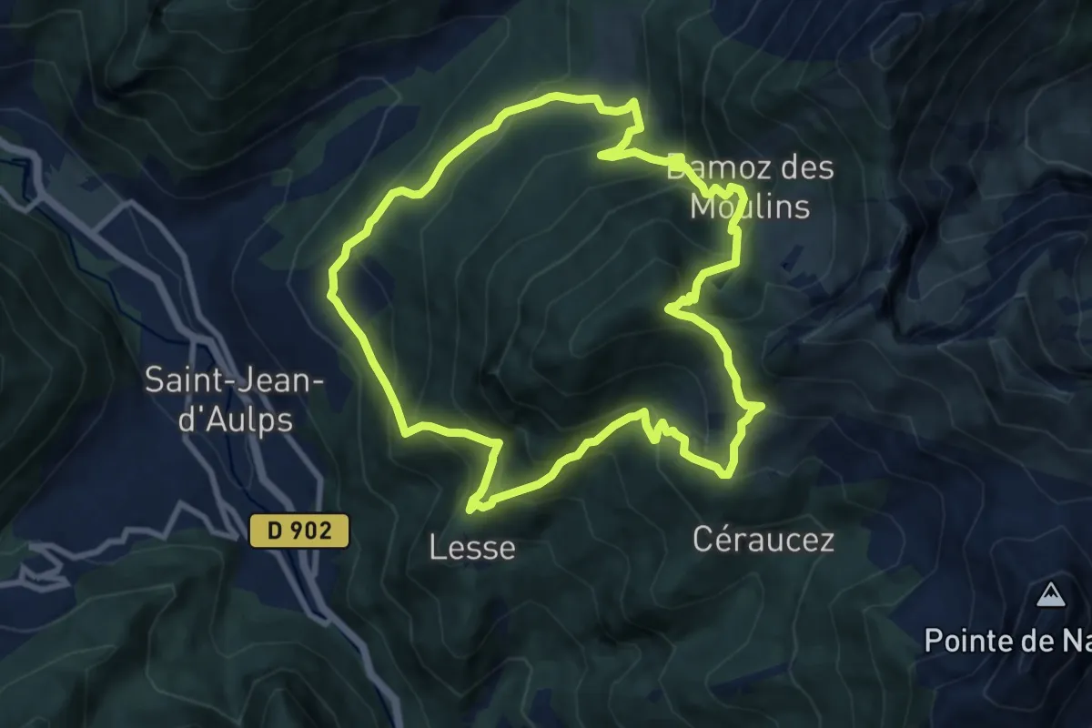
Medium · Trail
Lac de Damoz des Moulins
9.0 km · ↑ 780 m · 3 h 56 min
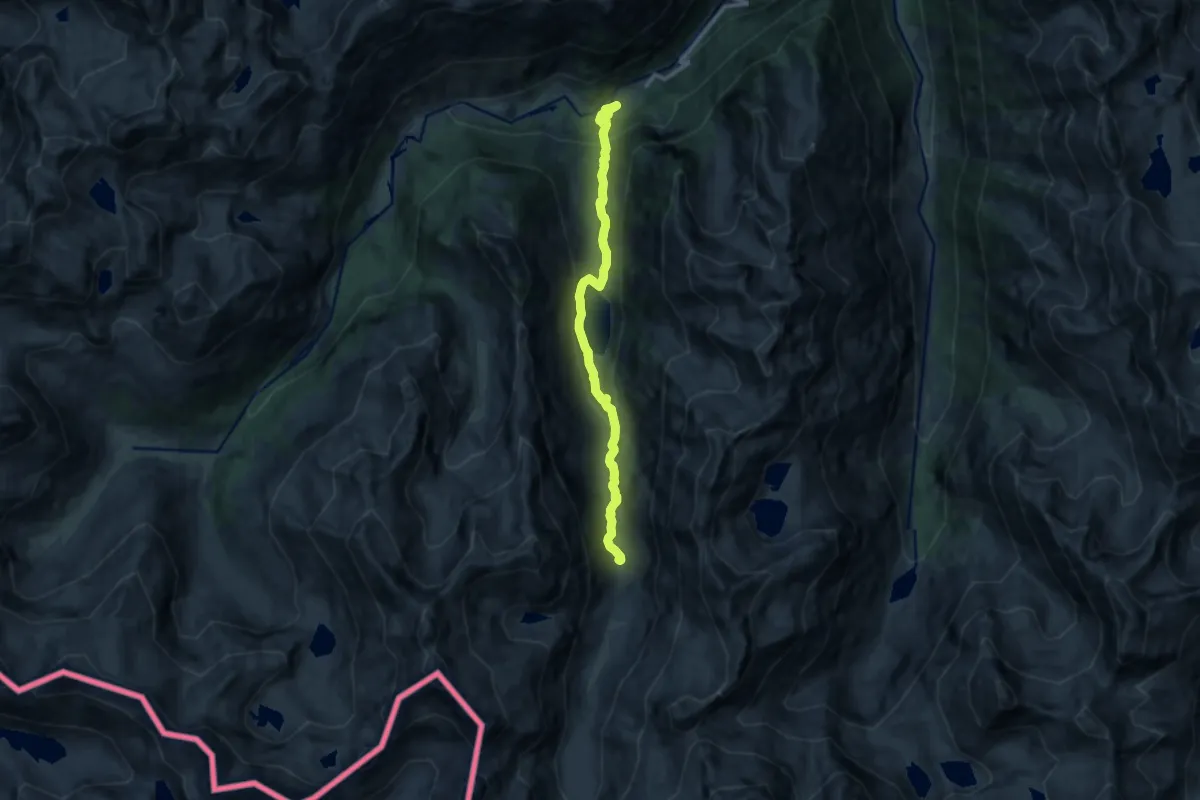
Medium · Trail
Lac de Gaube et refuge des Oulettes de Gaube
12.1 km · ↑ 589 m · 4 h 8 min
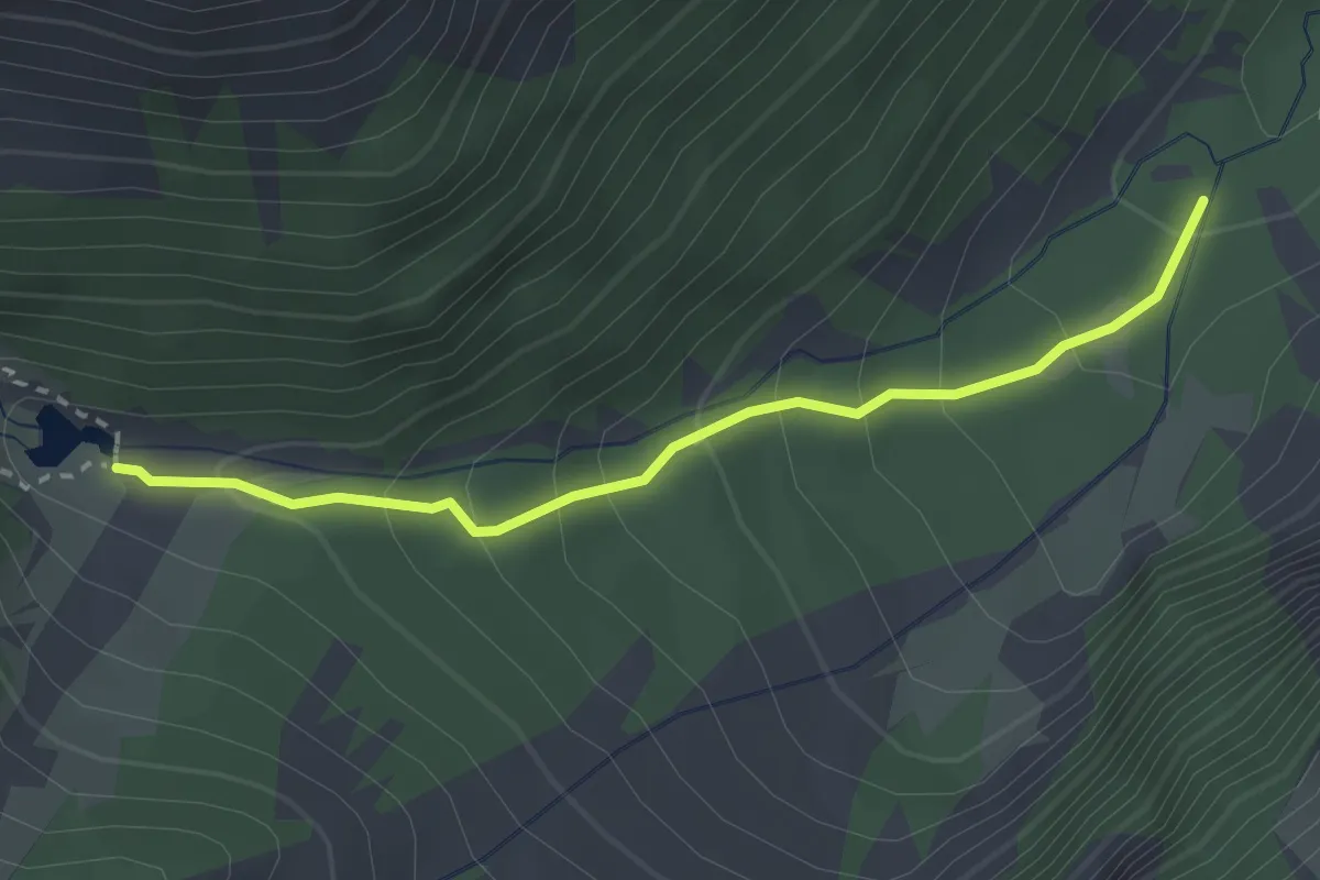
Medium · Trail
Lac de la Douche - Le Grand Pré
2.7 km · ↑ 216 m · 1 h 6 min
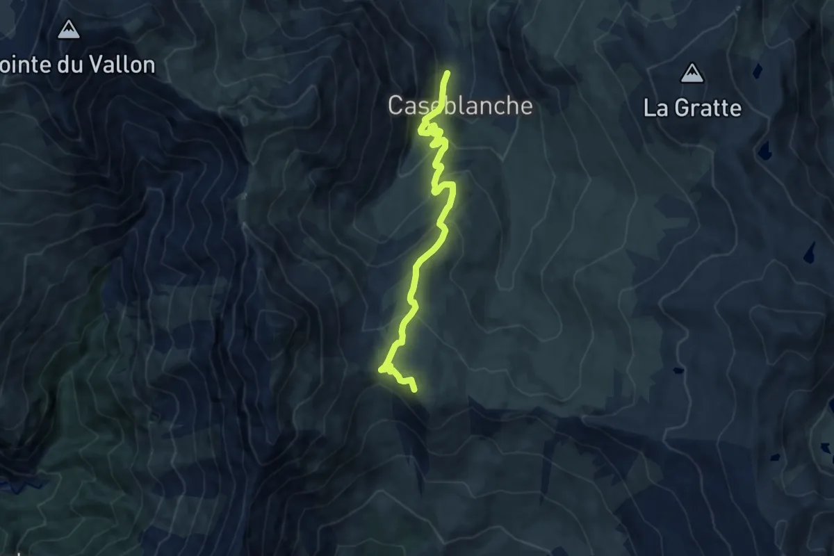
Medium · Summit
Lac de la Montagnette
8.5 km · ↑ 522 m · 3 h 8 min
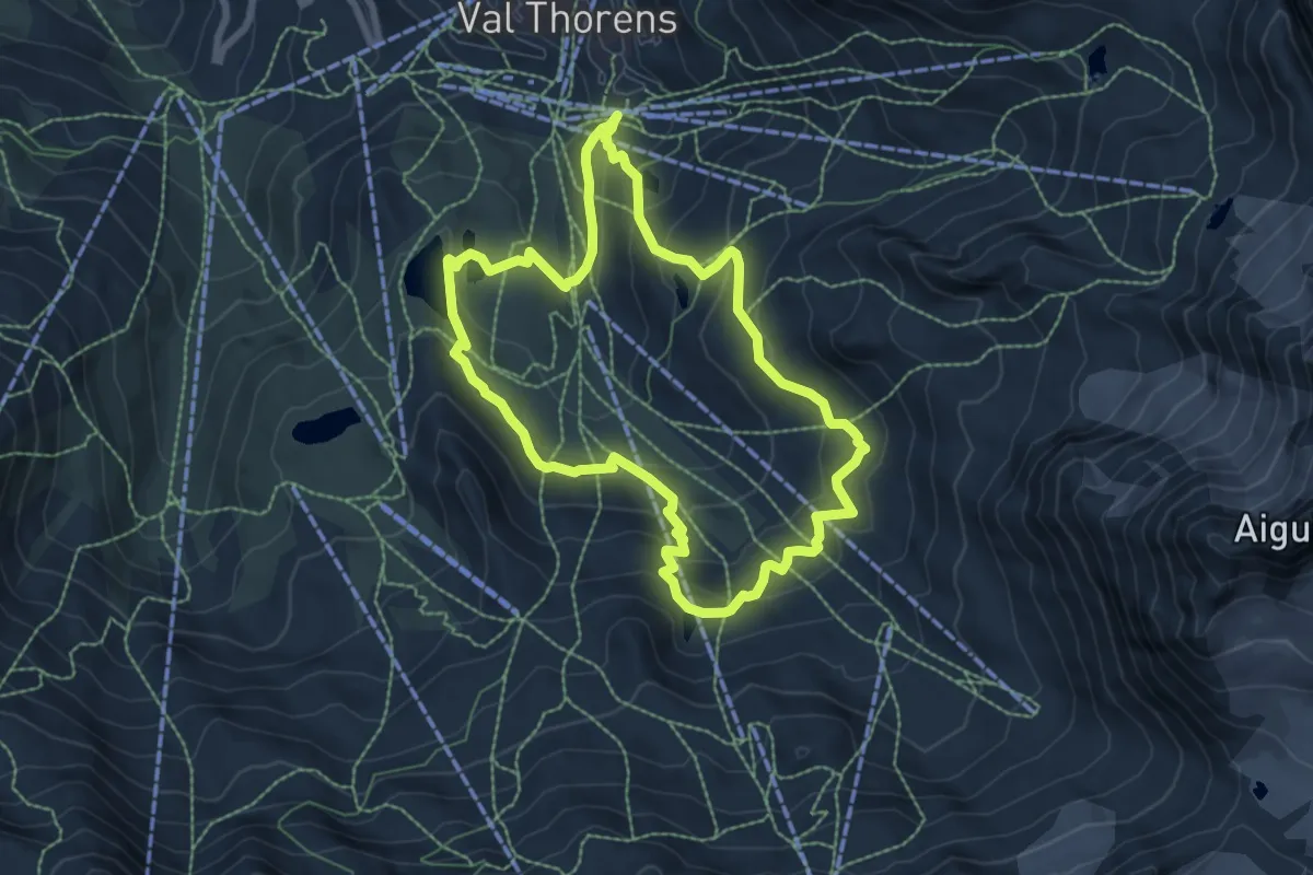
Medium · Trail
Lac de la Portette
7.2 km · ↑ 366 m · 2 h 35 min
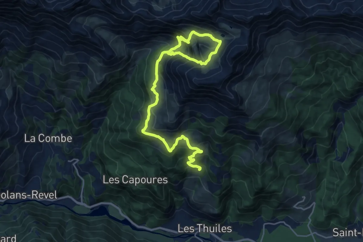
Demanding · Trail
Lac de l'Aupillon
10.7 km · ↑ 1041 m · 4 h 38 min
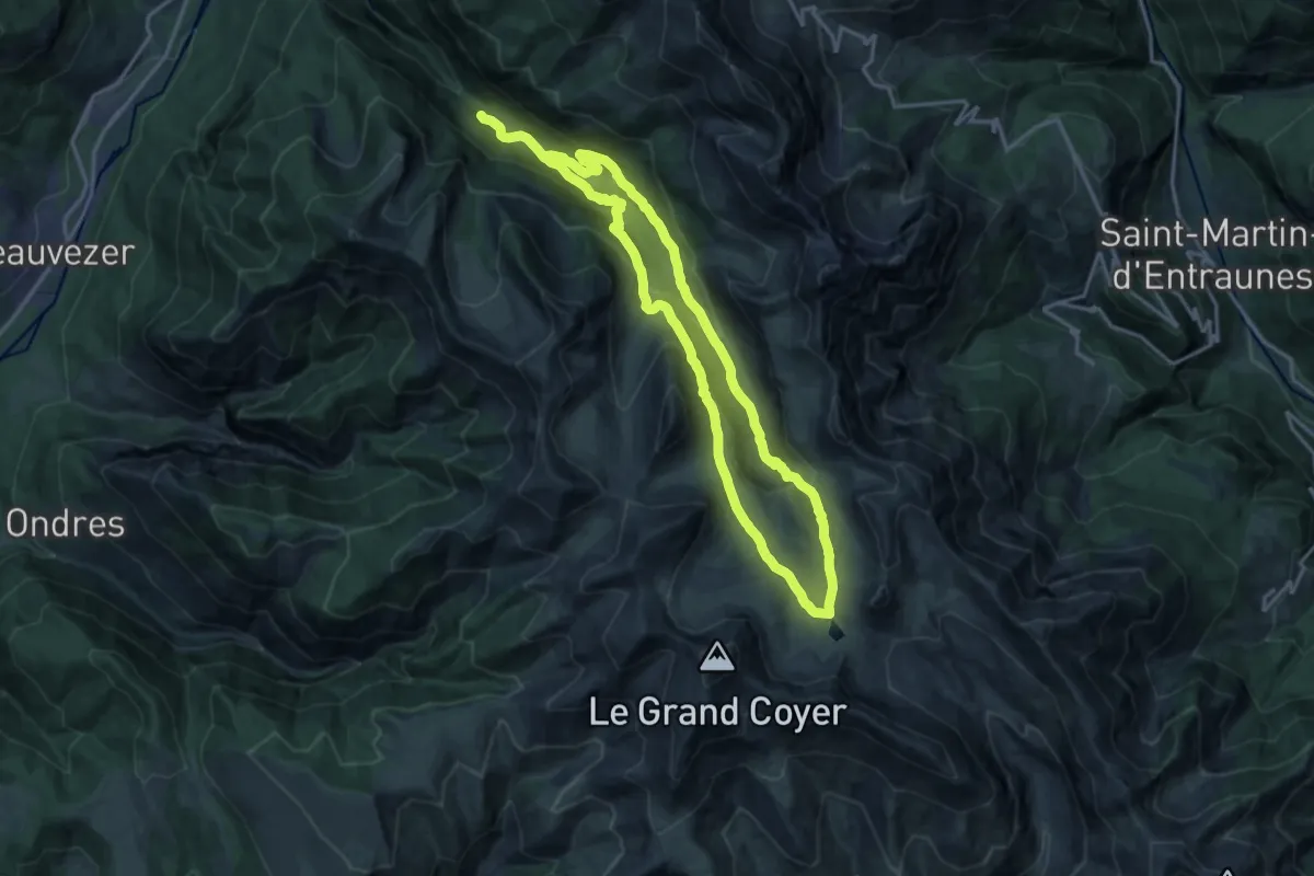
Medium · Trail
Lac de Lignin
15.9 km · ↑ 679 m · 5 h 25 min
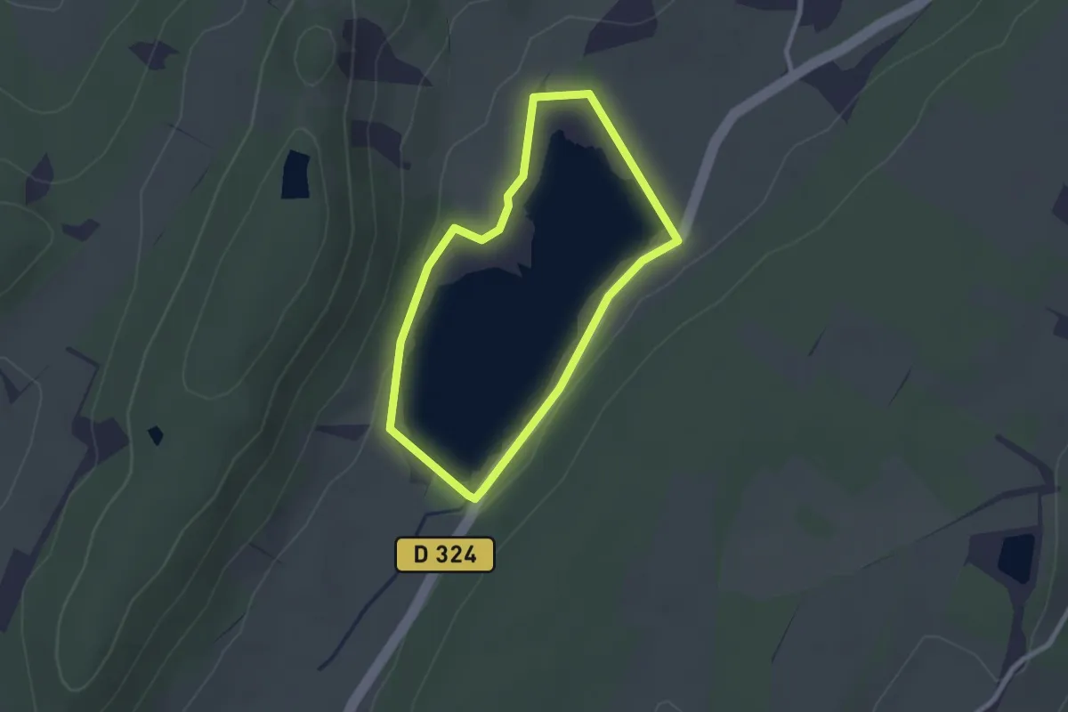
Easy · Trail
Lac de Mison
2.2 km · ↑ 26 m · 36 min
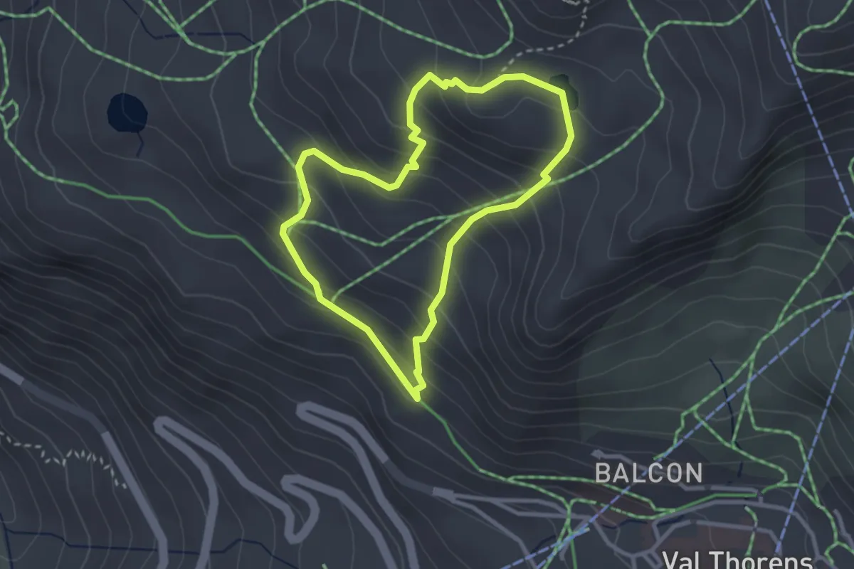
Medium · Trail
Lac de Montaulever
2.6 km · ↑ 235 m · 1 h 10 min
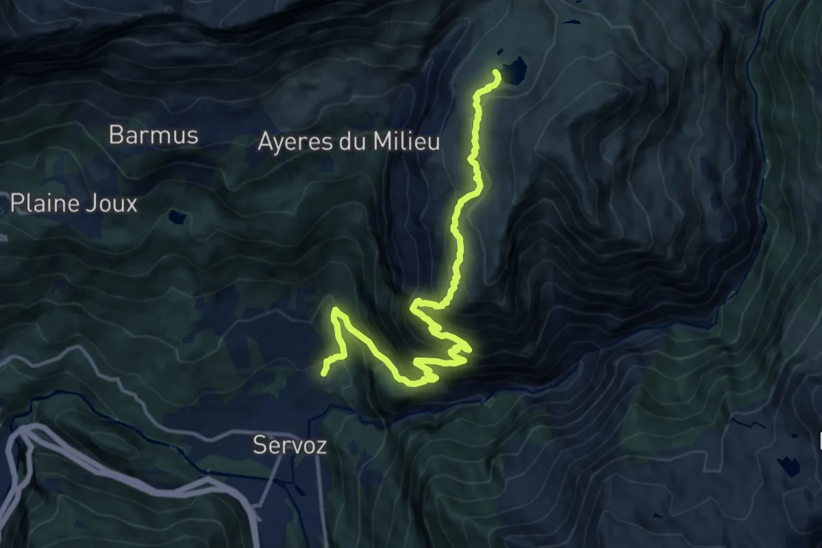
Demanding · Trail
Lac de Pormenaz
14.2 km · ↑ 1363 m · 6 h 18 min
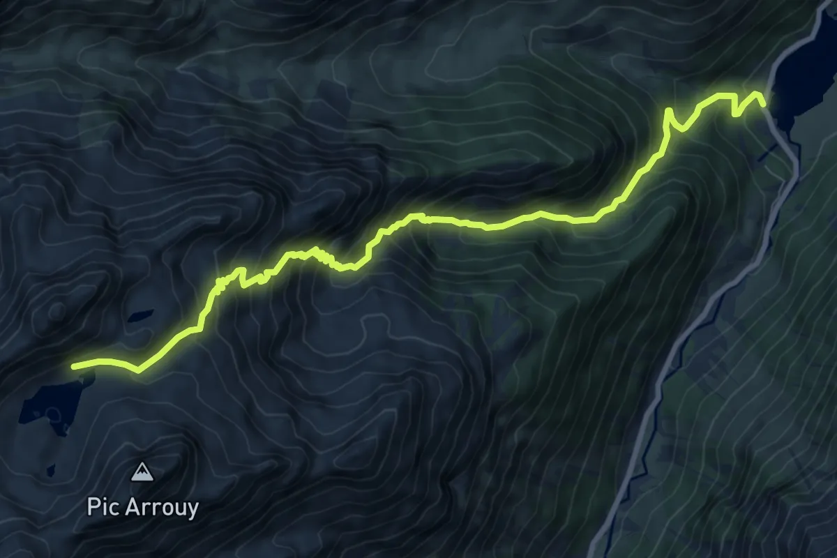
Demanding · Trail
Lac de Pouey-Laün
10.7 km · ↑ 1186 m · 5 h 5 min
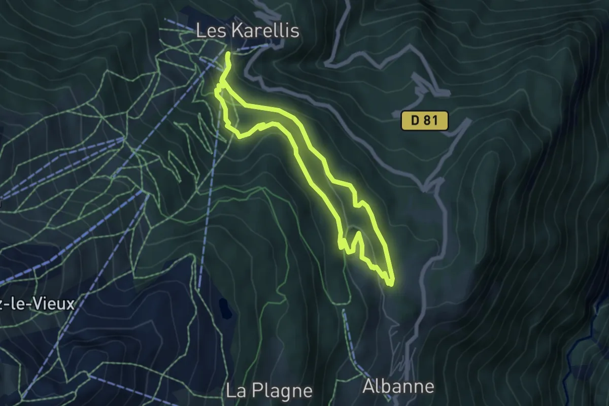
Easy · Trail
Lac de Pramol
5.1 km · ↑ 205 m · 1 h 44 min
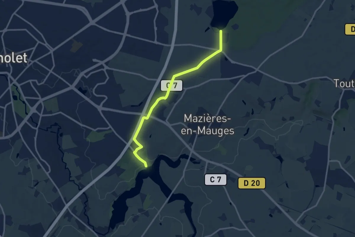
Medium · Trail
Lac de Ribou Étang des Noues
9.3 km · ↑ 88 m · 2 h 23 min
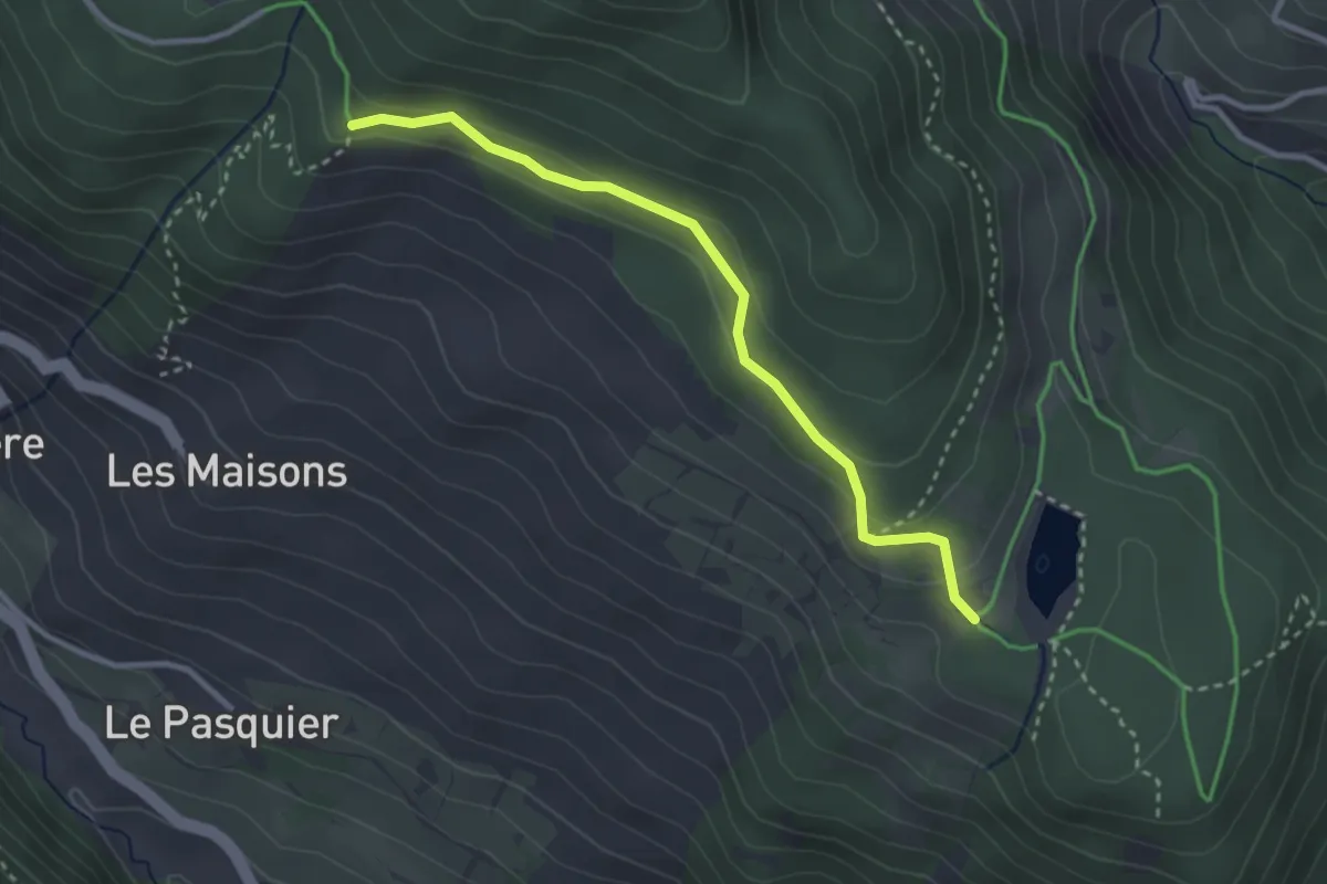
Easy · Trail
Lac de Roue - Le Serre
3.0 km · ↑ 119 m · 59 min
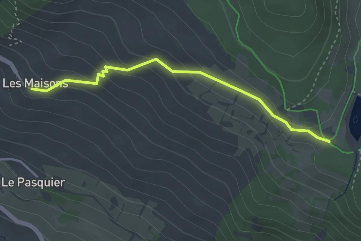
Easy · Trail
Lac de Roue - Les Maisons Village
3.0 km · ↑ 174 m · 1 h 4 min
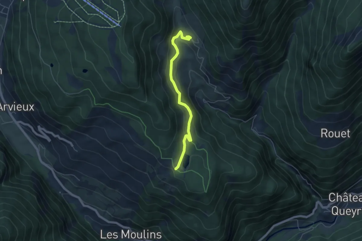
Easy · Trail
Lac de Roue - Souliers Clot Charvin
4.8 km · ↑ 230 m · 1 h 38 min
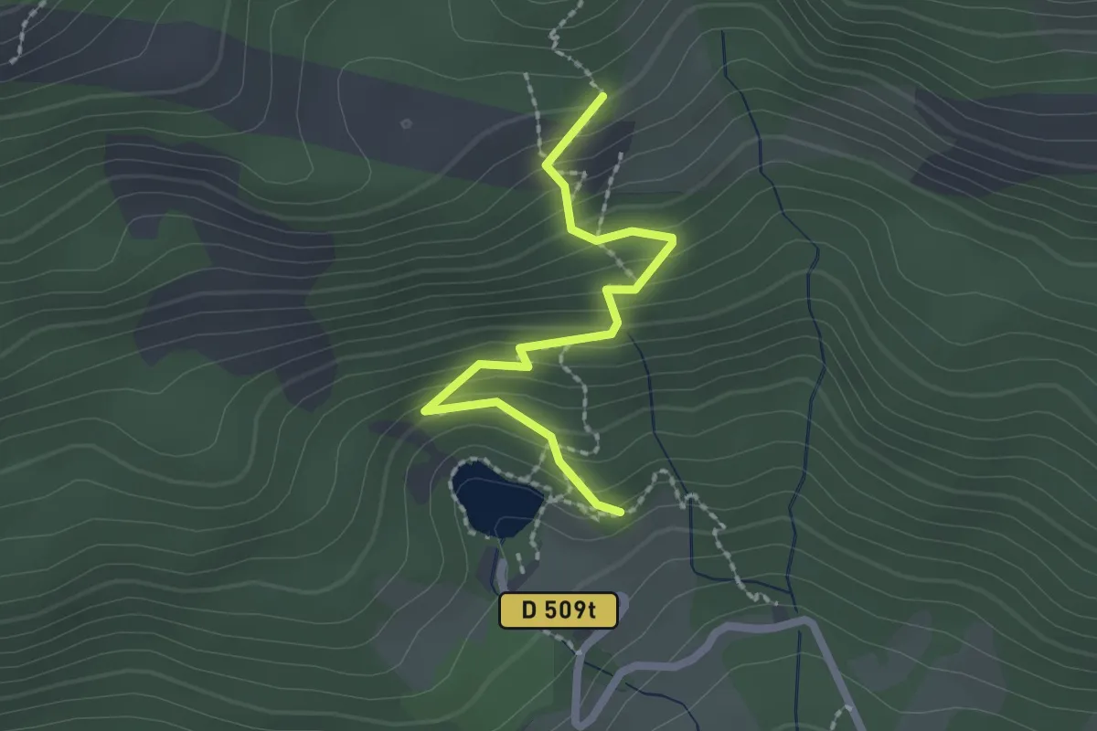
Medium · Trail
Lac de Saint-Apollinaire - Plate Longue
2.1 km · ↑ 180 m · 53 min
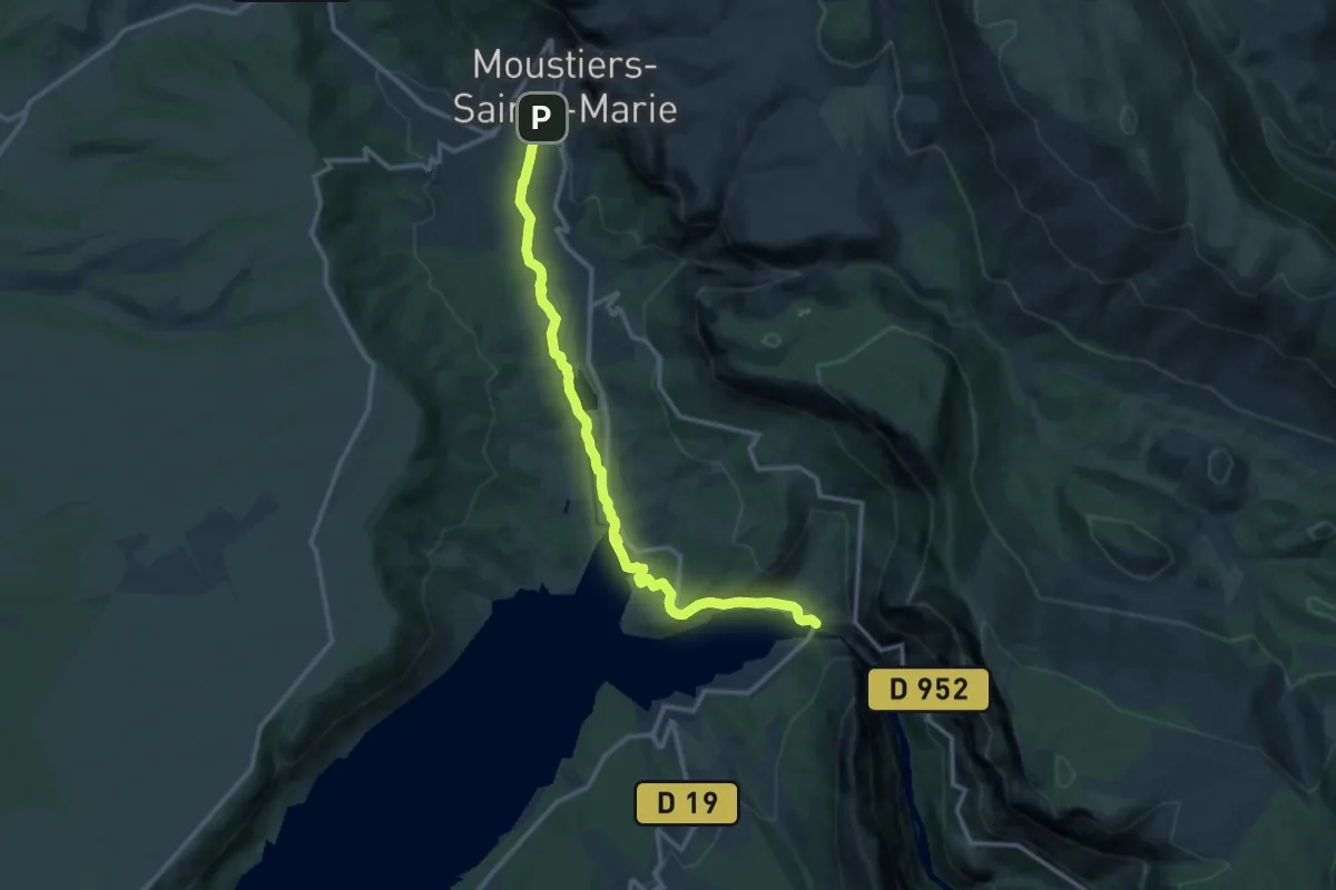
Easy · Trail
Lac de Sainte-Croix par le chemin de Quinson
6.8 km · ↑ 73 m · 1 h 55 min
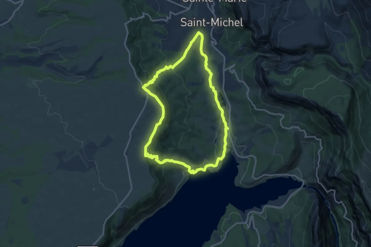
Medium · Trail
Lac de Sainte-Croix par les plaines
10.8 km · ↑ 327 m · 3 h 24 min
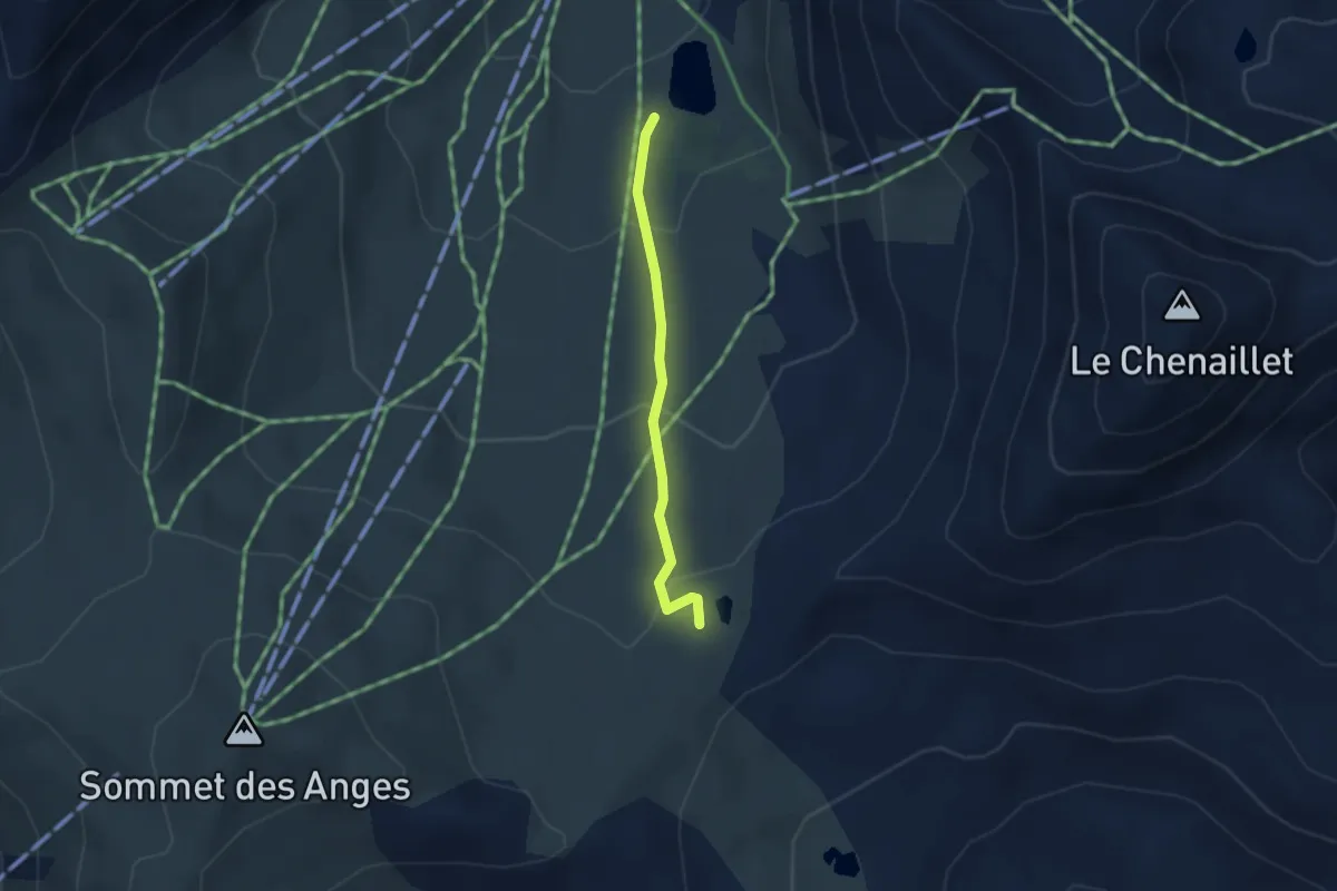
Easy · Trail
Lac des Anges - Col du Gondran
2.5 km · ↑ 142 m · 54 min
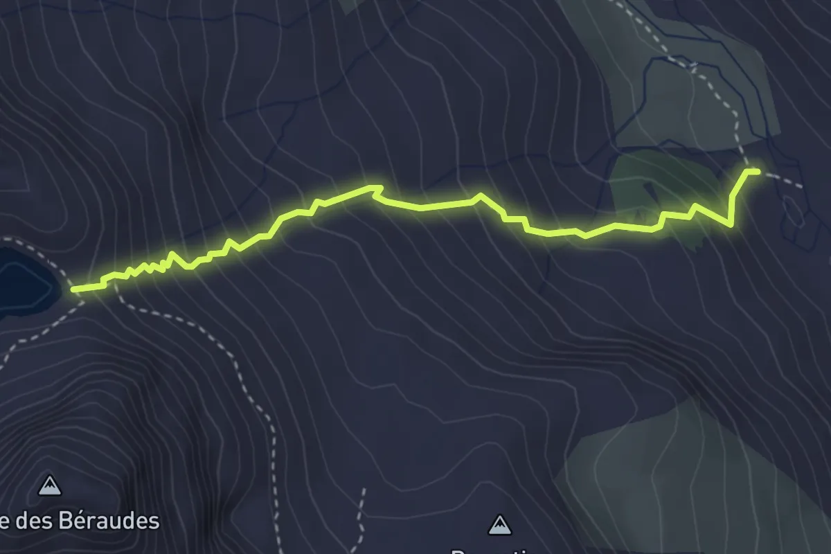
Medium · Trail
Lac des Béraudes - Pont du Moutet
3.5 km · ↑ 474 m · 1 h 52 min
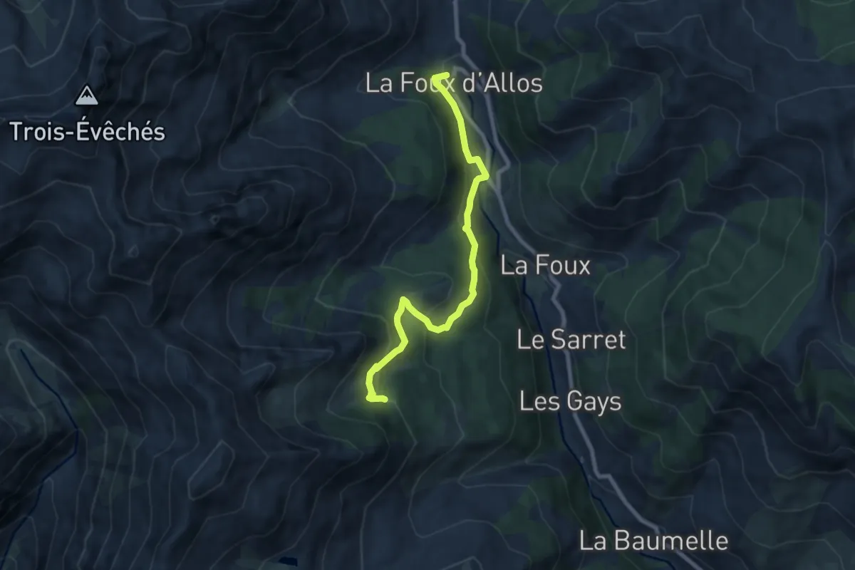
Easy · Trail
Lac des Grenouilles
3.8 km · ↑ 82 m · 1 h 14 min
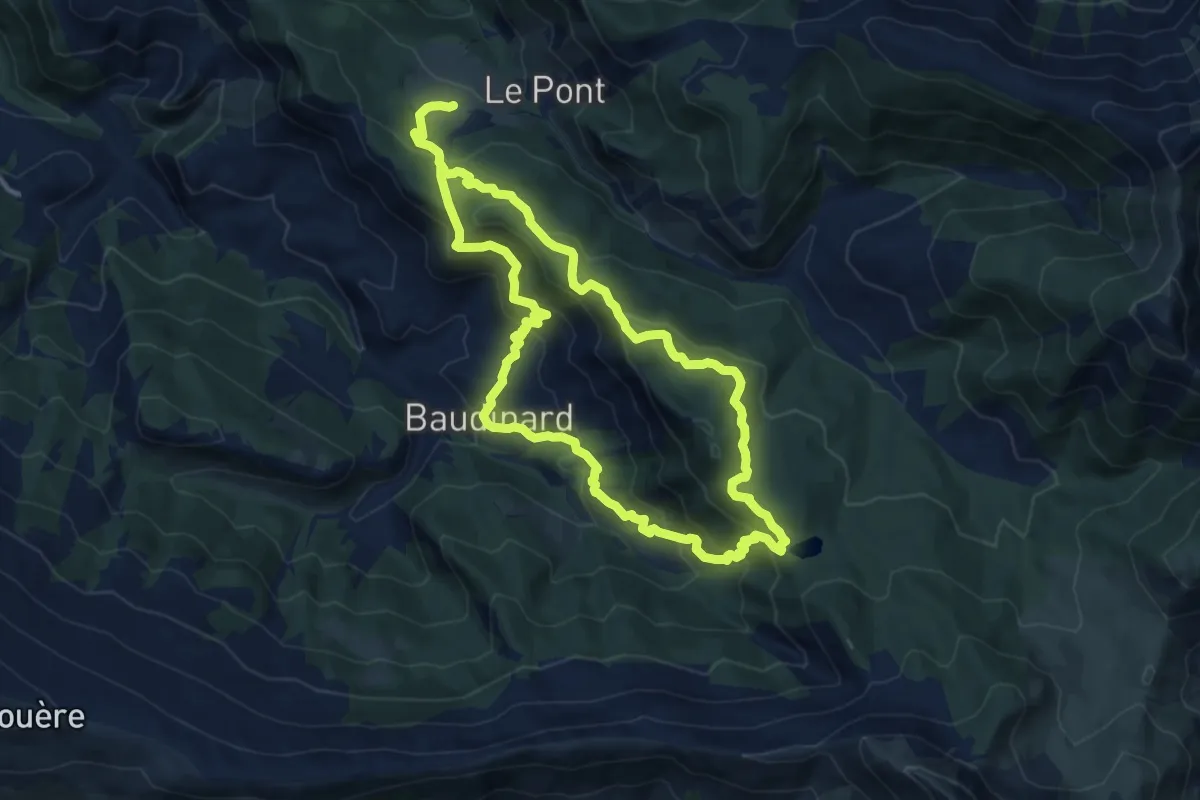
Medium · Trail
Lac des Monges
11.0 km · ↑ 696 m · 4 h 13 min
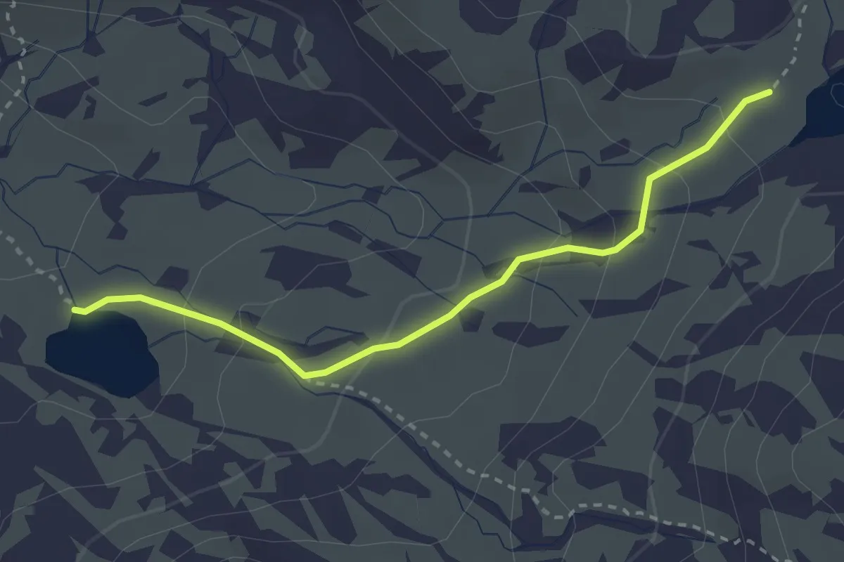
Medium · Trail
Lac des Muandes - Lac Rond
2.9 km · ↑ 144 m · 59 min
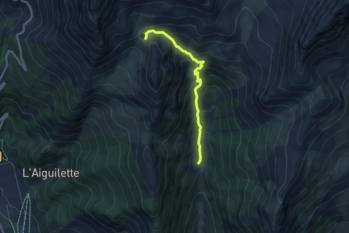
Medium · Trail
Lac de Souliers - Ravin des Tegneytes
5.1 km · ↑ 427 m · 2 h 7 min
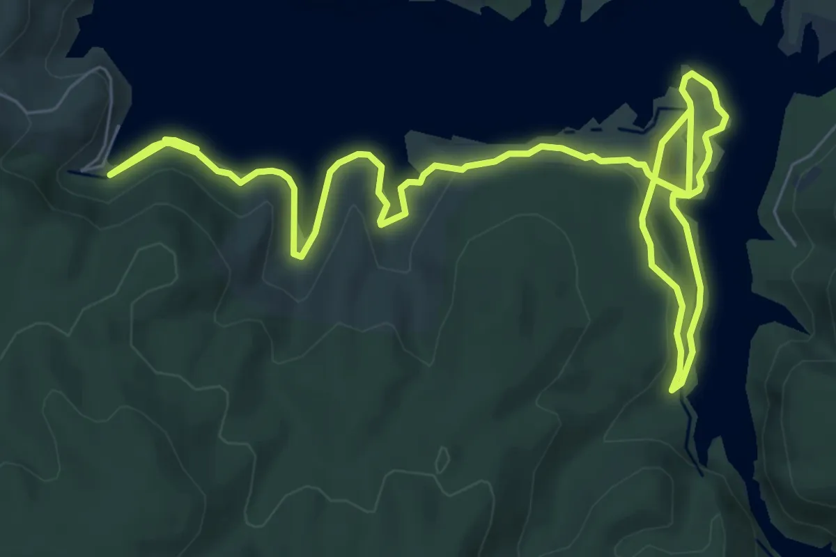
Easy · Trail
Lac d'Esparron-de-Verdon - le Quartier
6.3 km · ↑ 144 m · 1 h 53 min
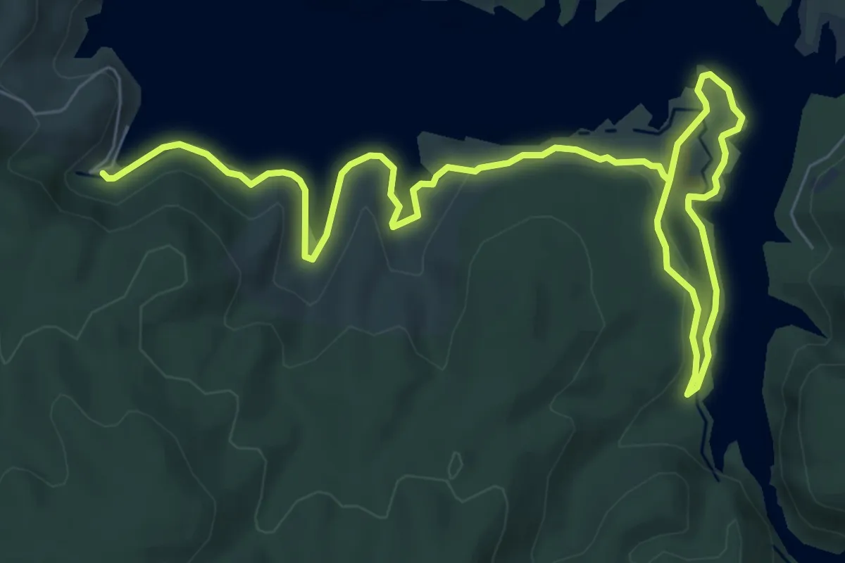
Medium · Trail
Lac d'Esparron-de-Verdon - sentier du garde-canal
11.1 km · ↑ 227 m · 3 h 7 min
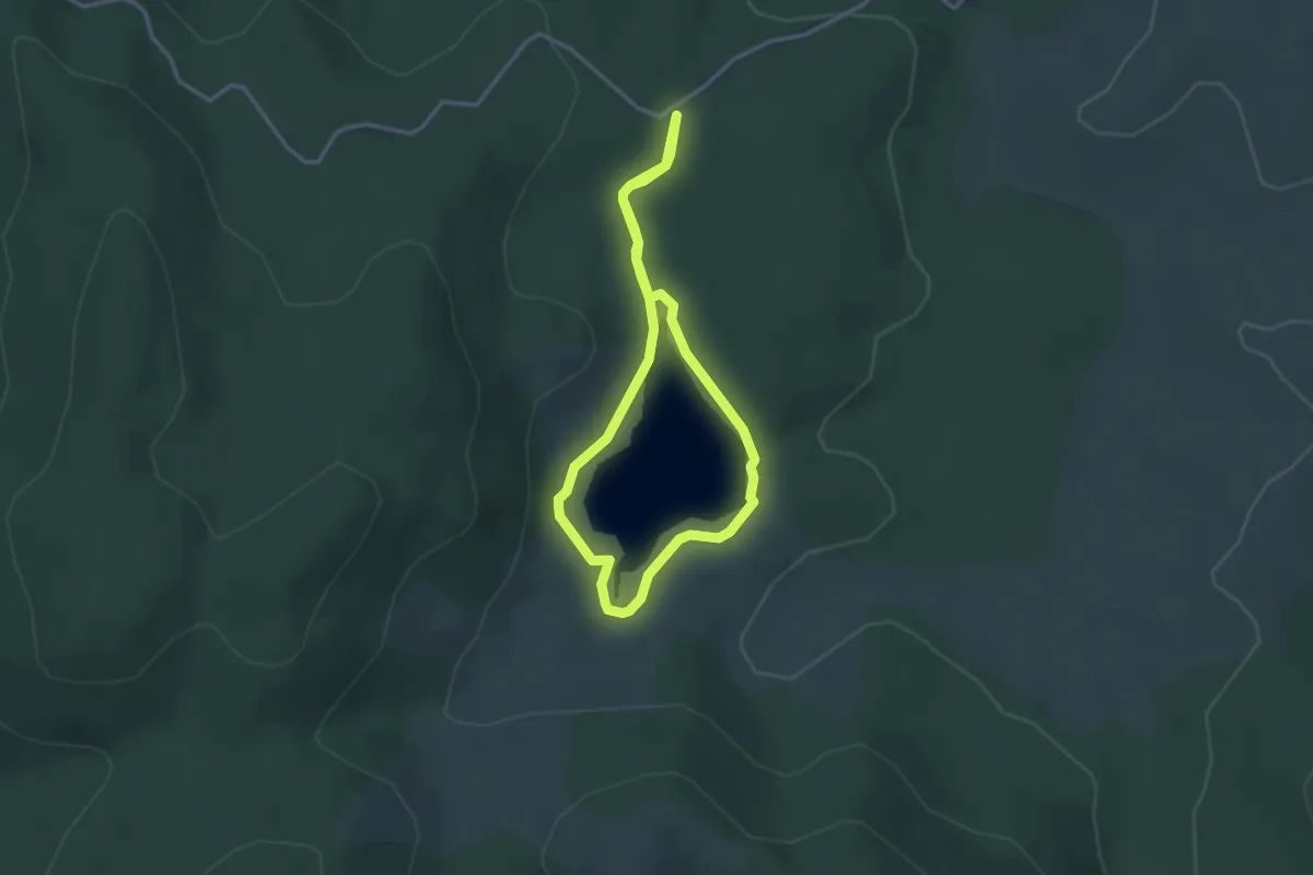
Easy · Trail
Lac des Pises
2.9 km · ↑ 29 m · 48 min
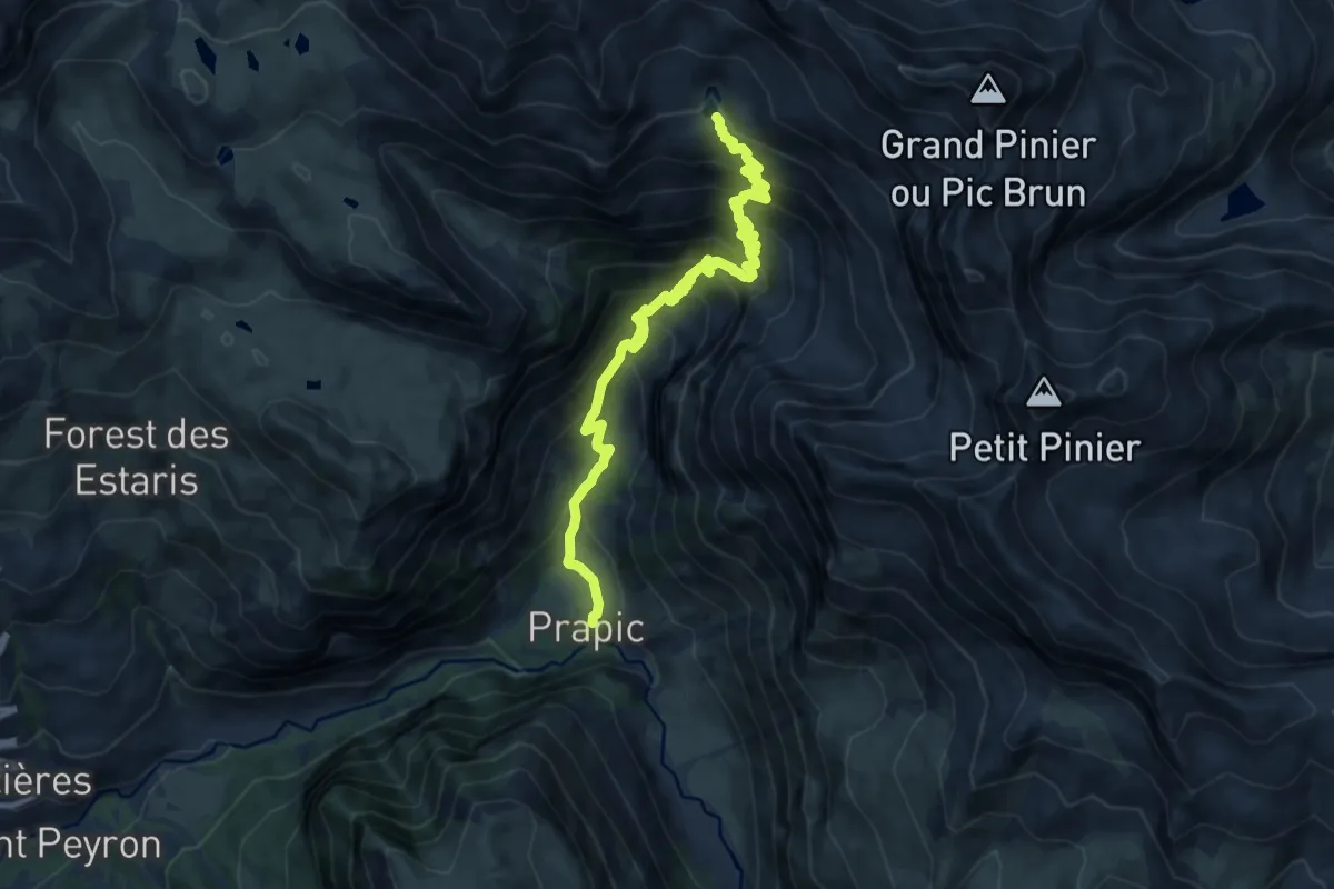
Demanding · Trail
Lac des Pisses - ?
9.9 km · ↑ 945 m · 4 h 22 min
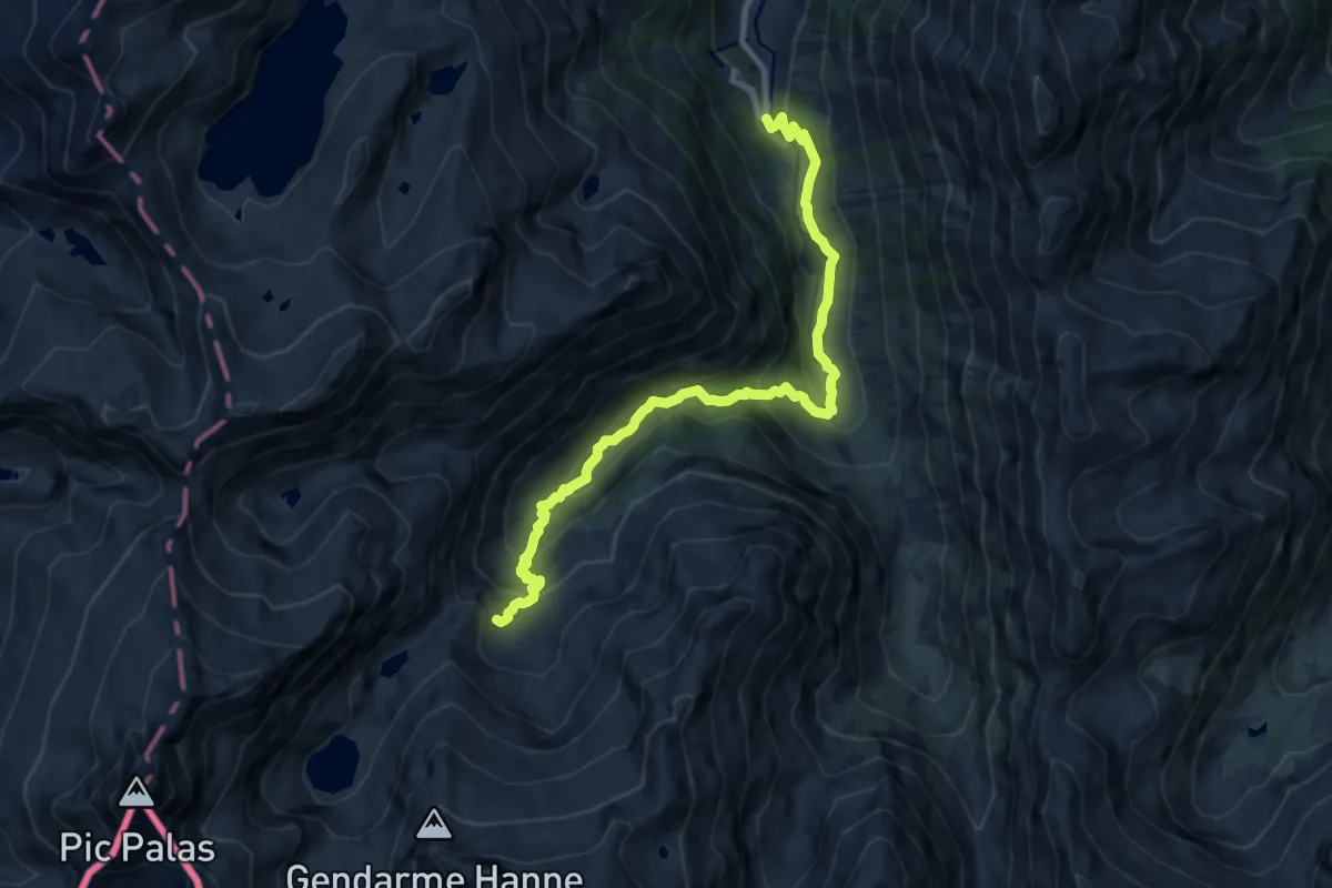
Medium · Cabin
Lac de Suyen et refuge de Larribet
10.5 km · ↑ 656 m · 3 h 55 min
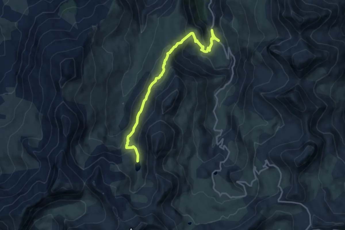
Easy · Summit
Lac de Terres Pleines
5.5 km · ↑ 49 m · 1 h 43 min
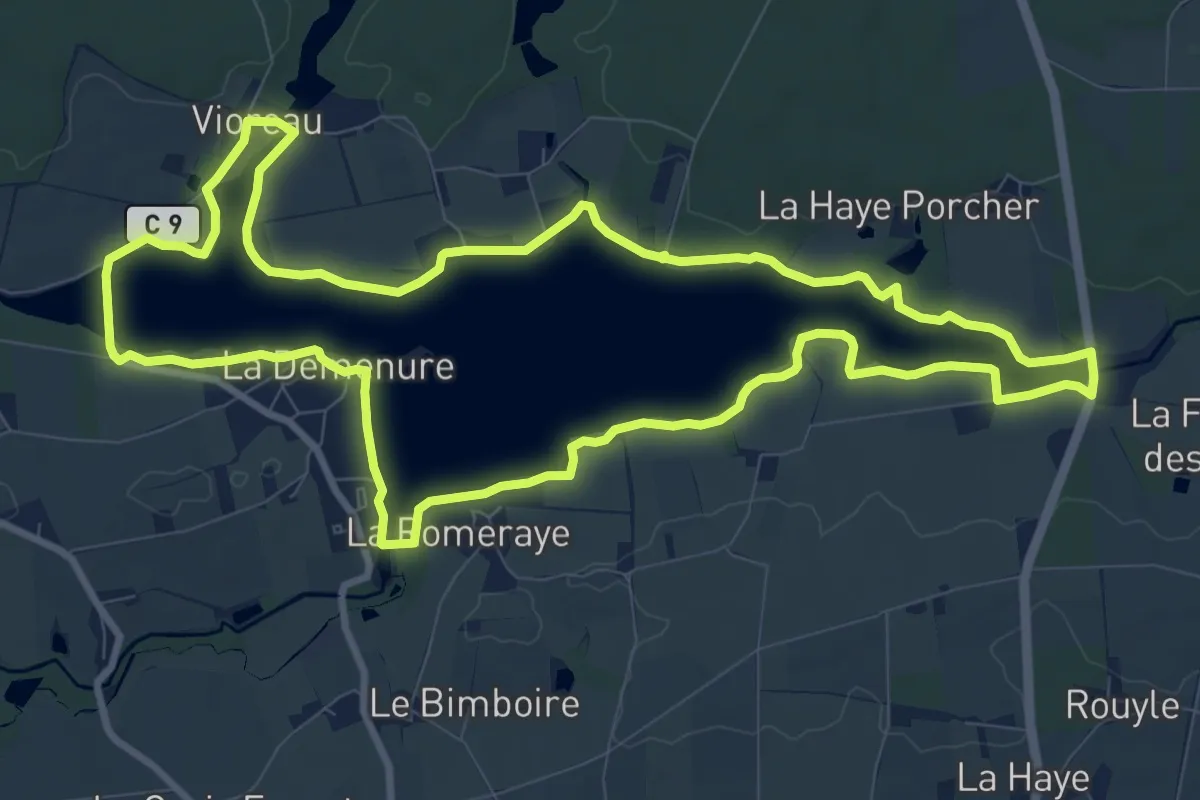
Medium · Trail
Lac de Vioreau
10.5 km · ↑ 17 m · 2 h 40 min
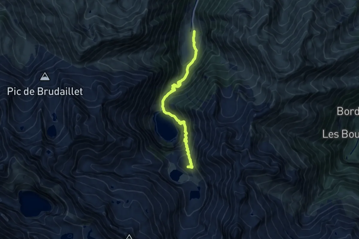
Demanding · Cabin
Lac d'Oô et refuge d'Espingo
11.6 km · ↑ 1040 m · 5 h
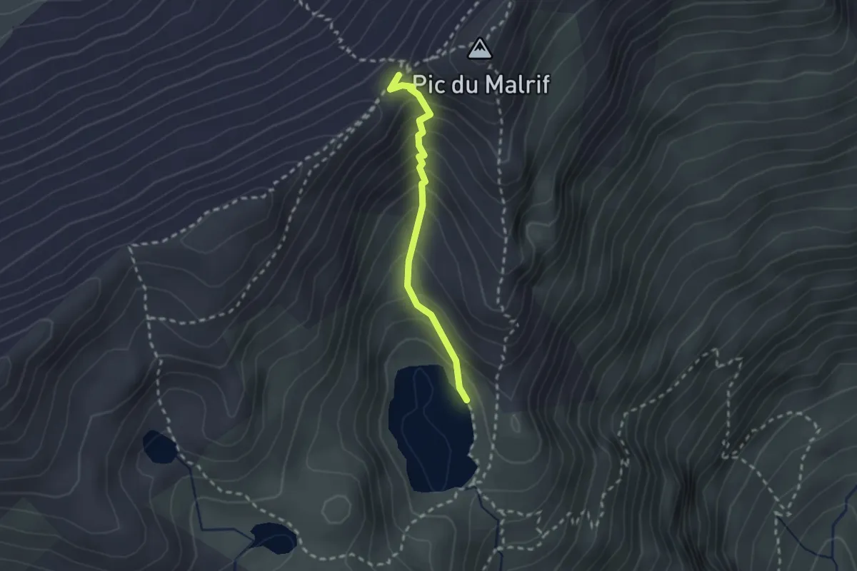
Medium · Trail
Lac du Grand Laus - Col du petit Malrif
2.0 km · ↑ 227 m · 58 min
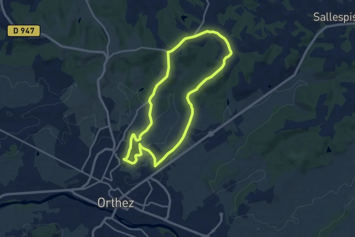
Medium · Trail
Lac du Grècq - Forêt de Laqueyre
9.3 km · ↑ 140 m · 2 h 38 min
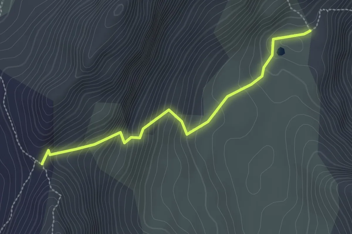
Medium · Trail
Lac du Lauzon - Col du Lauzon
2.8 km · ↑ 262 m · 1 h 13 min
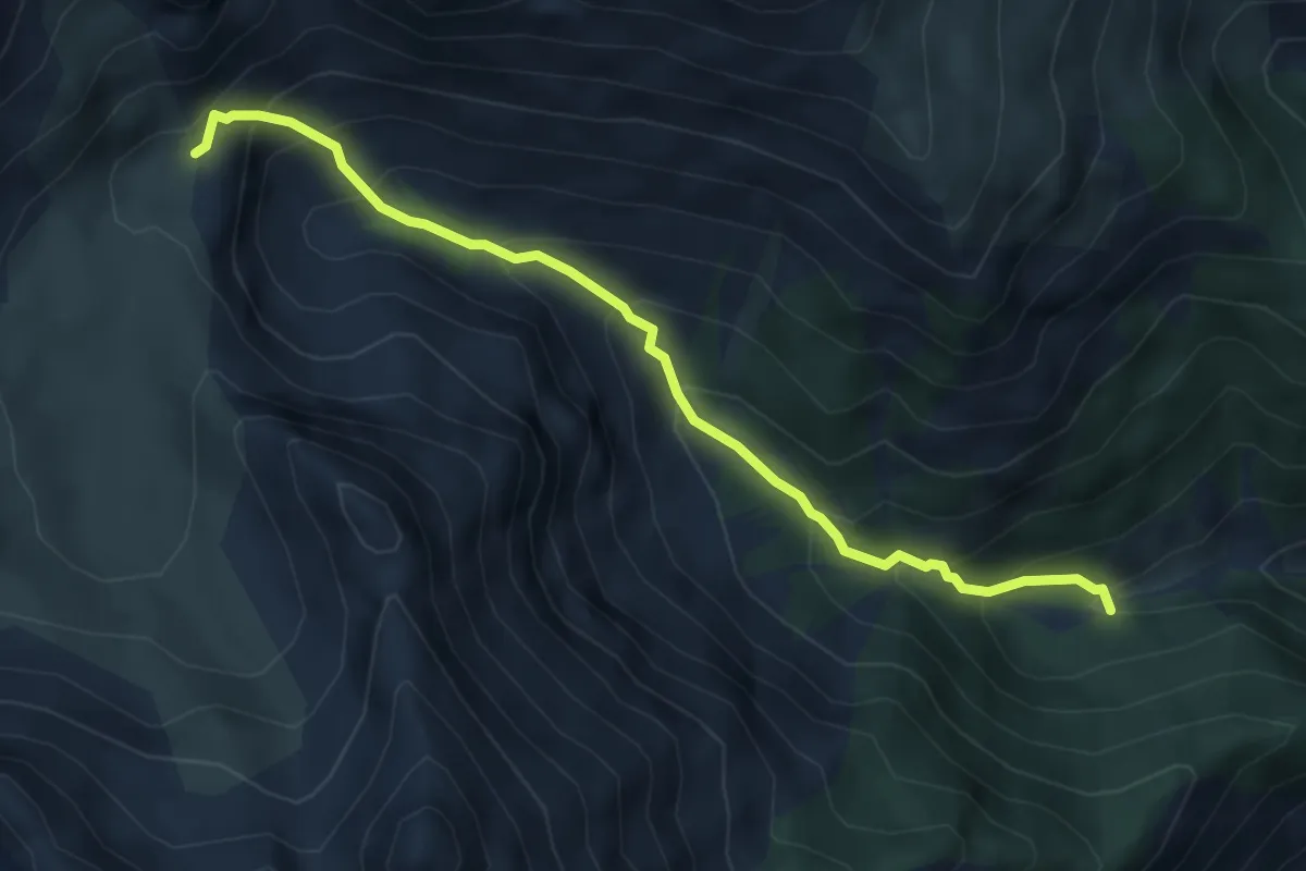
Medium · Trail
Lac du Lauzon - Vallon de Combe Bonne
5.0 km · ↑ 482 m · 2 h 14 min
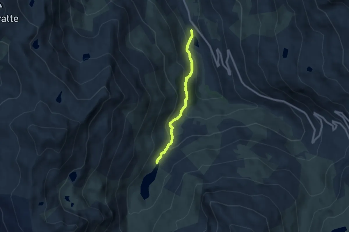
Medium · Trail
Lac du Lou
5.2 km · ↑ 321 m · 1 h 59 min
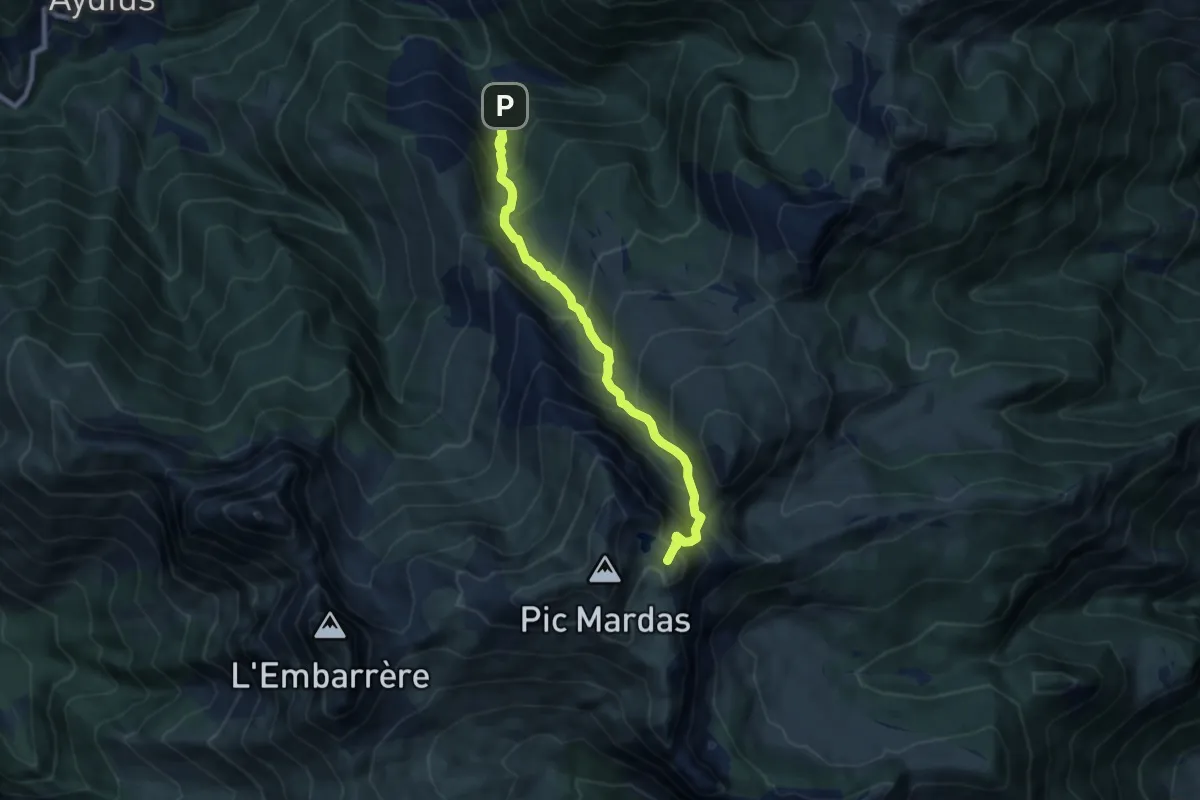
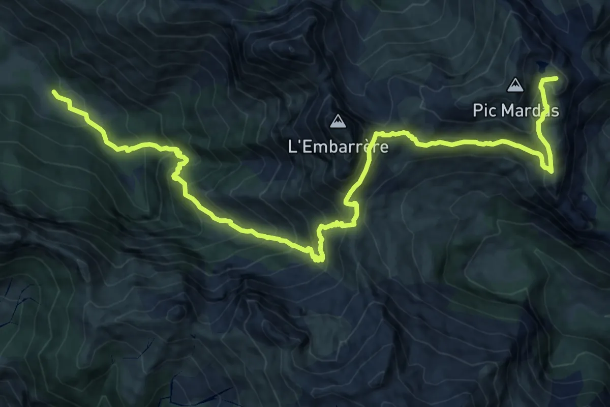
Demanding · Summit
Lac du Montagnon d'Iseye asp102
8.3 km · ↑ 933 m · 3 h 59 min
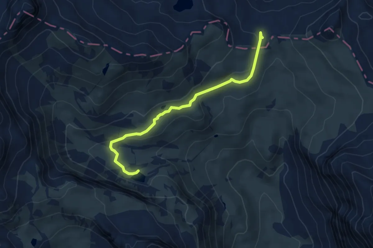
Demanding · Summit
Lac du Montagnon par le Col d'Iseye asp33
19.7 km · ↑ 1578 m · 8 h 4 min
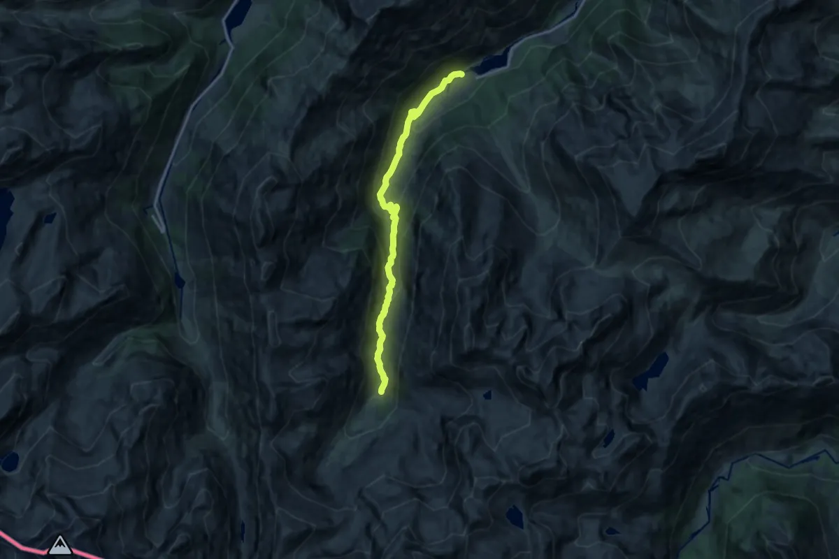
Medium · Trail
Lac du Peyron - Col de la Vallée Étroite
5.4 km · ↑ 126 m · 1 h 33 min
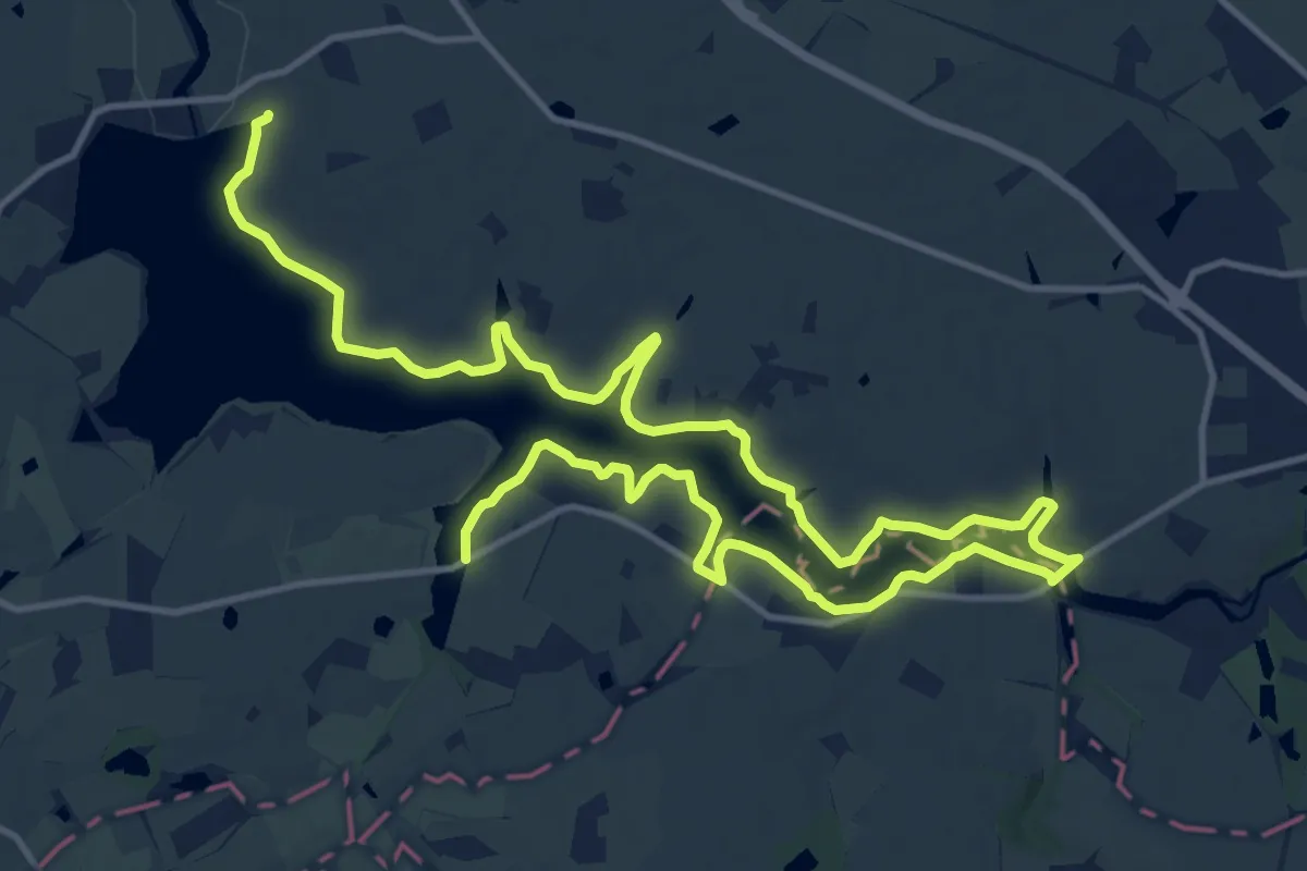
Medium · Cabin
Lac du Plaa de Prat
13.1 km · ↑ 549 m · 4 h 17 min
Medium · Trail
Lac du Verdon
11.0 km · ↑ 43 m · 2 h 50 min
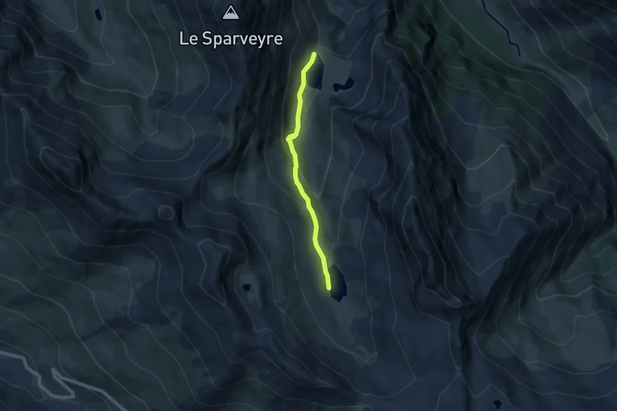
Medium · Trail
Lac Égorgéou - Lac Foréant
4.9 km · ↑ 267 m · 1 h 44 min
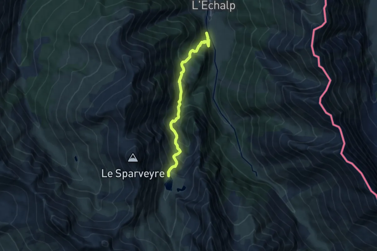
Medium · Trail
Lac Égorgéou - Ravin Souches du Colombier
8.5 km · ↑ 741 m · 3 h 37 min
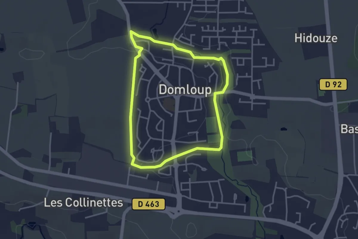
Easy · Trail
La Ceinture Verte
2.9 km · ↑ 21 m · 46 min
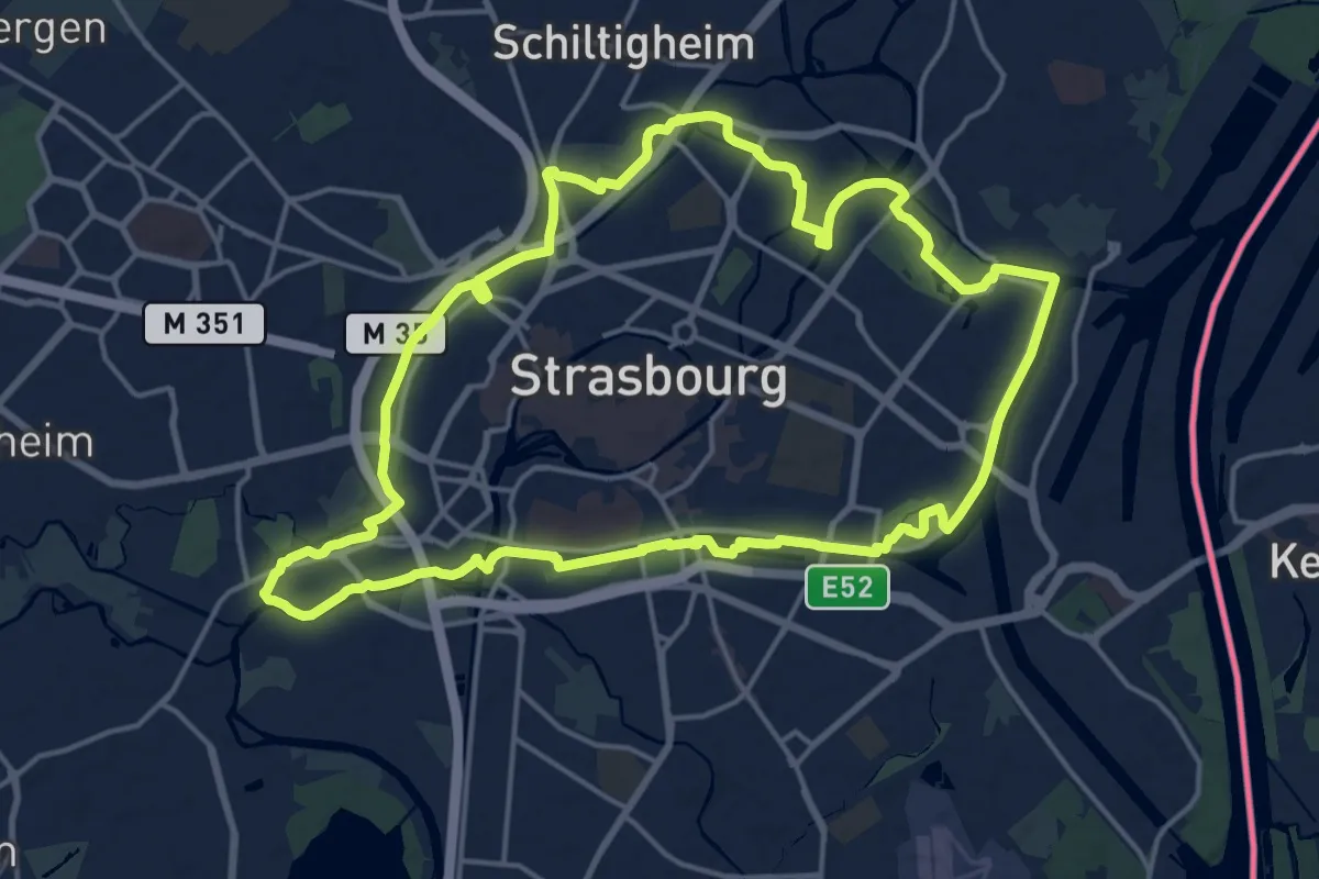
Medium · Trail
La ceinture verte autour de Strasbourg
17.1 km · ↑ 45 m · 4 h 22 min