Trails in France
15,926 hiking trails, each with its route, climb, walking time and grade.
All trails, page 132 of 332
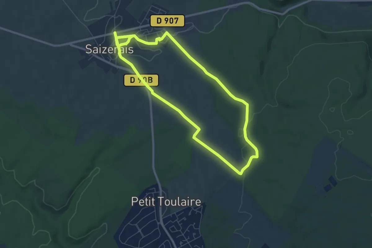
Easy · Trail
La Cense Saint Paul
6.5 km · ↑ 60 m · 1 h 45 min
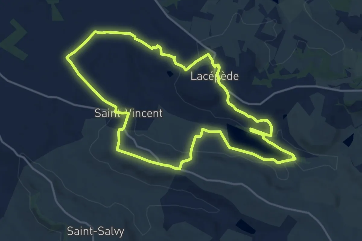
Medium · Trail
Lacépède, l’observatoire du lac de Salabert
11.6 km · ↑ 162 m · 3 h 16 min
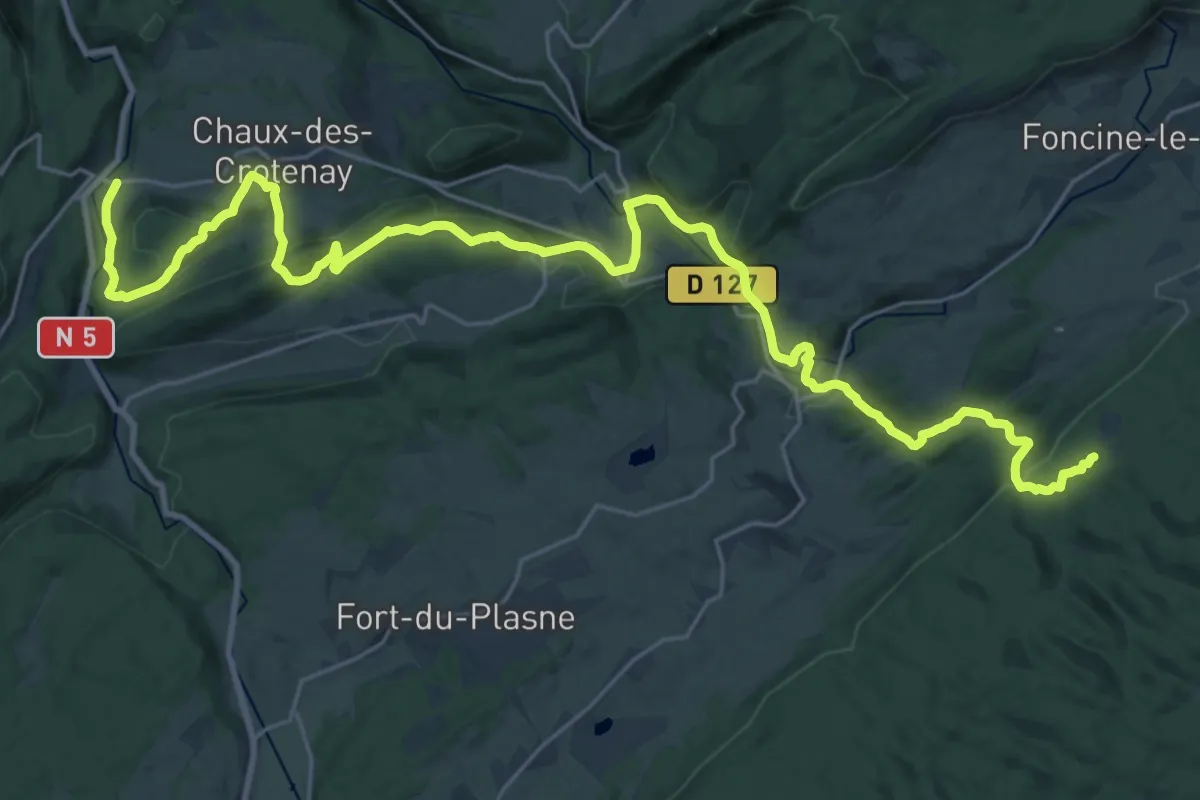
Medium · Trail
La Cernée des Chardons - Pont de la Chaux
16.3 km · ↑ 648 m · 5 h 19 min
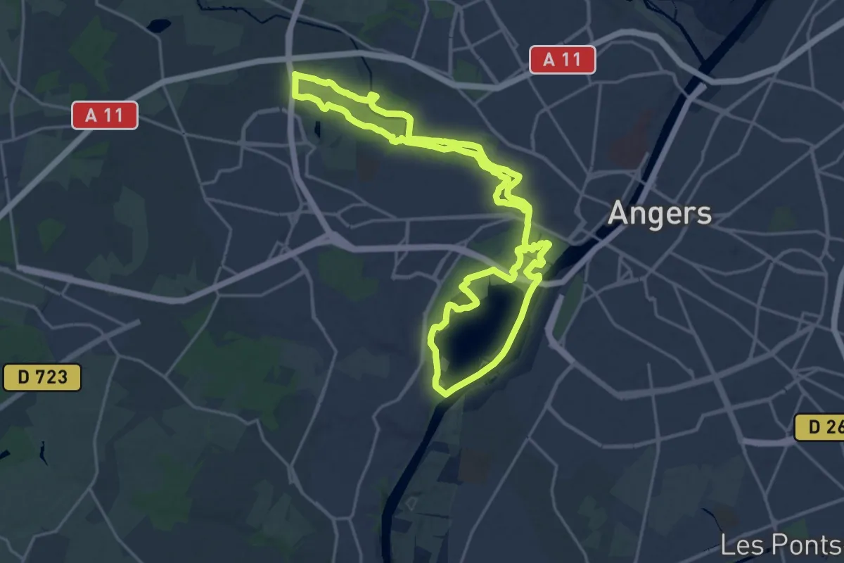
Medium · Trail
Lac, étang et affluent
17.8 km · ↑ 27 m · 4 h 31 min
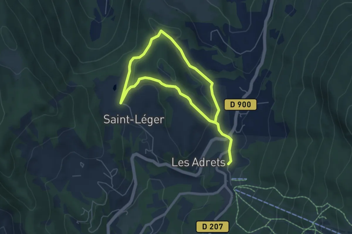
Easy · Trail
Lac et église de Saint-Léger
4.2 km · ↑ 100 m · 1 h 16 min
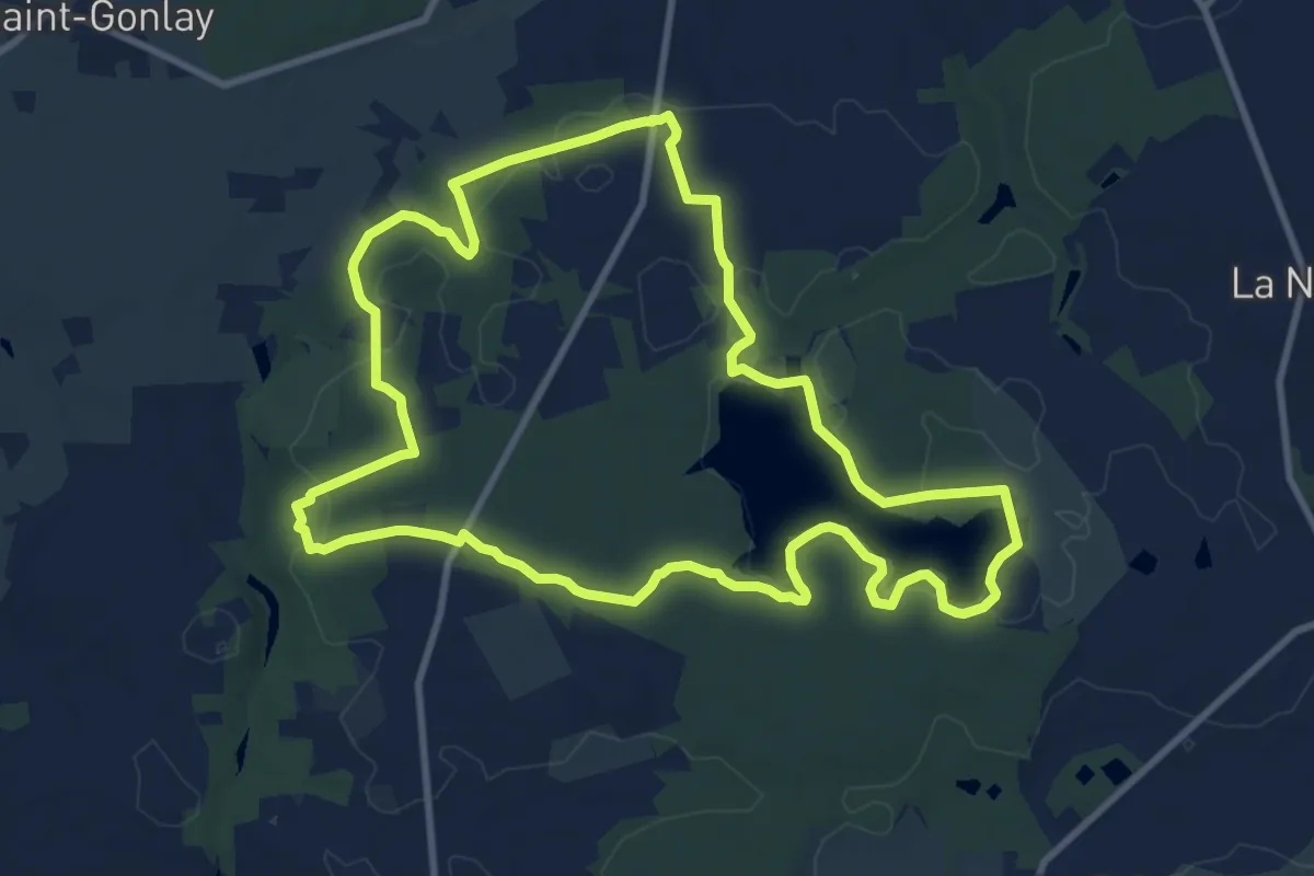
Medium · Trail
Lac et landiers de Trémelin
10.2 km · ↑ 99 m · 2 h 45 min
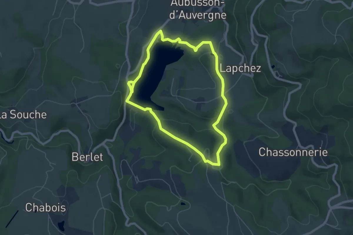
Easy · Trail
Lac et sous Bois
5.3 km · ↑ 132 m · 1 h 37 min
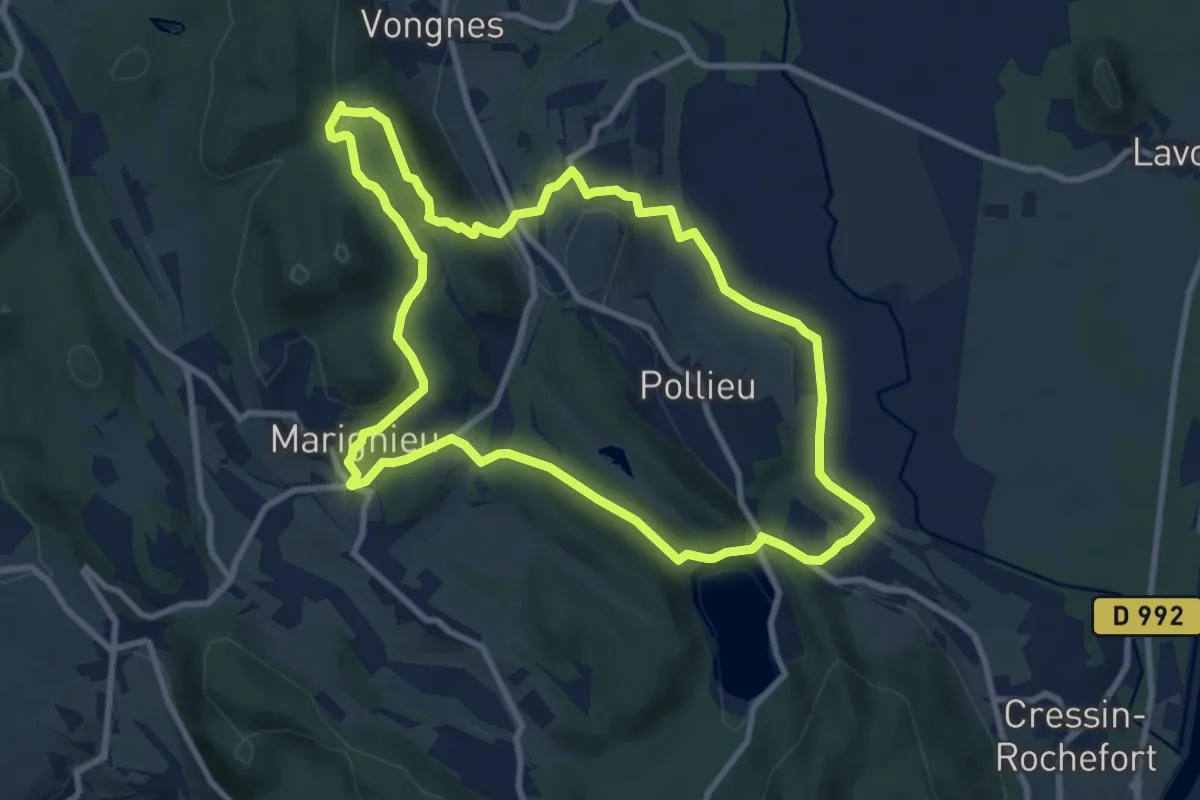
Medium · Trail
Lac et vignobles
9.5 km · ↑ 257 m · 2 h 56 min
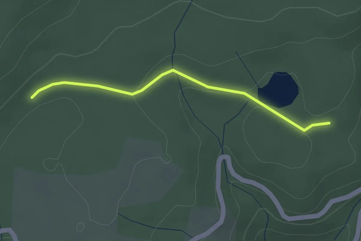
Easy · Trail
Lac Ferrand - Piéfaud
2.5 km · ↑ 51 m · 42 min
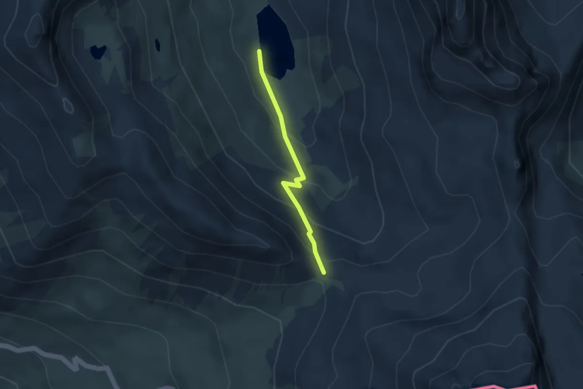
Medium · Trail
Lac Foréant - Col Vieux
2.6 km · ↑ 178 m · 1 h
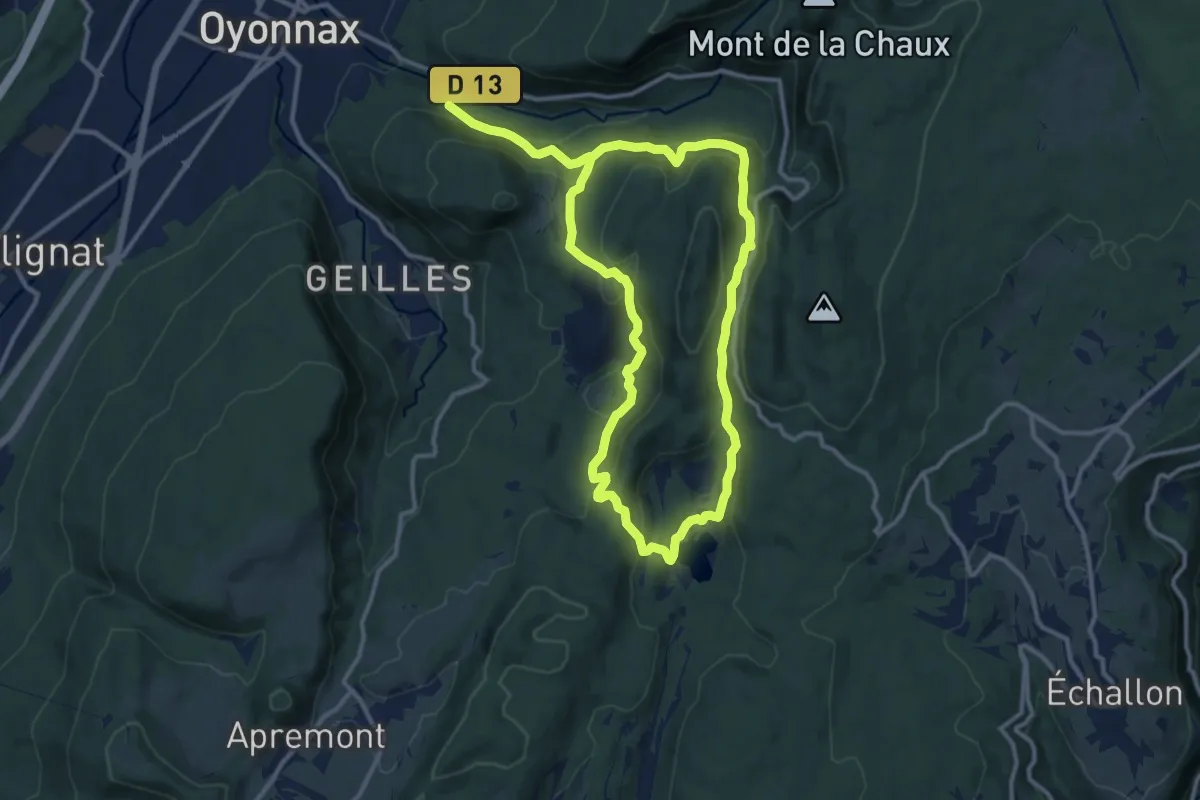
Demanding · Trail
Lac Genin 9
21.1 km · ↑ 1065 m · 7 h 18 min
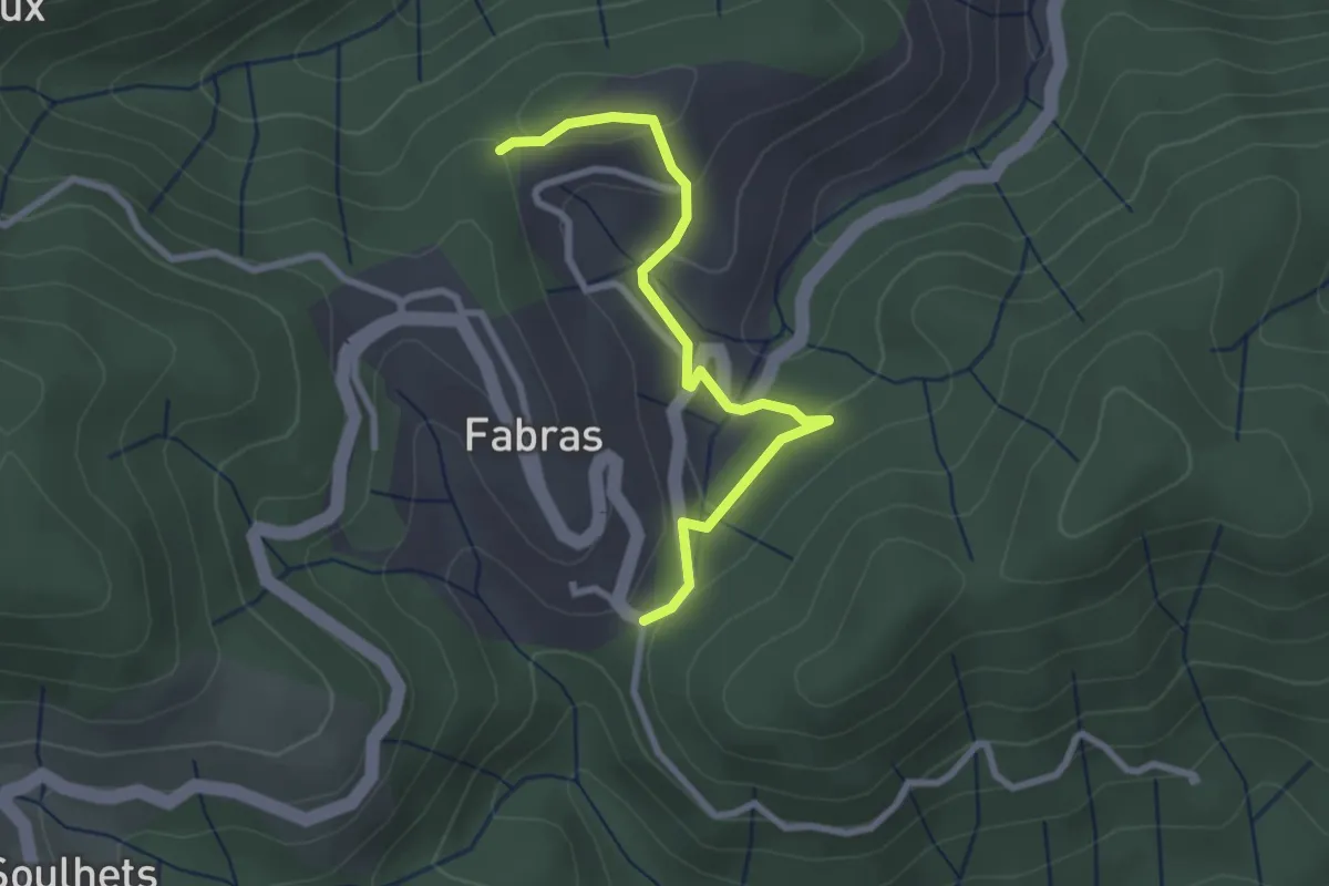
Easy · Trail
La Chabanne - Nougeyrolles
2.8 km · ↑ 99 m · 52 min
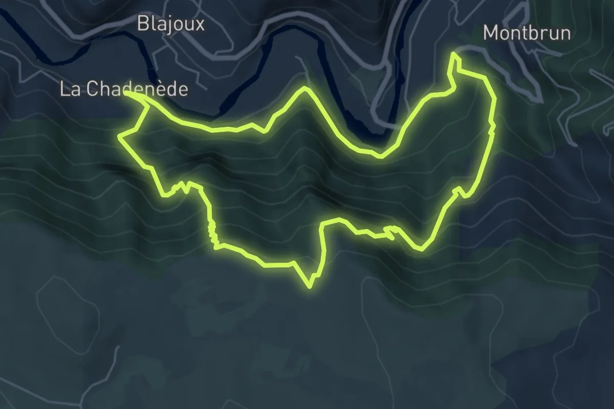
Medium · Trail
La Chadenède, sentier des moines
6.3 km · ↑ 556 m · 2 h 47 min
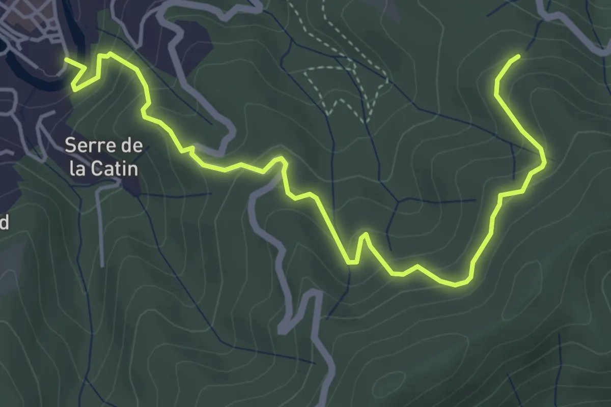
Medium · Trail
La Chaise - Arche des Métiers
5.3 km · ↑ 409 m · 2 h 9 min
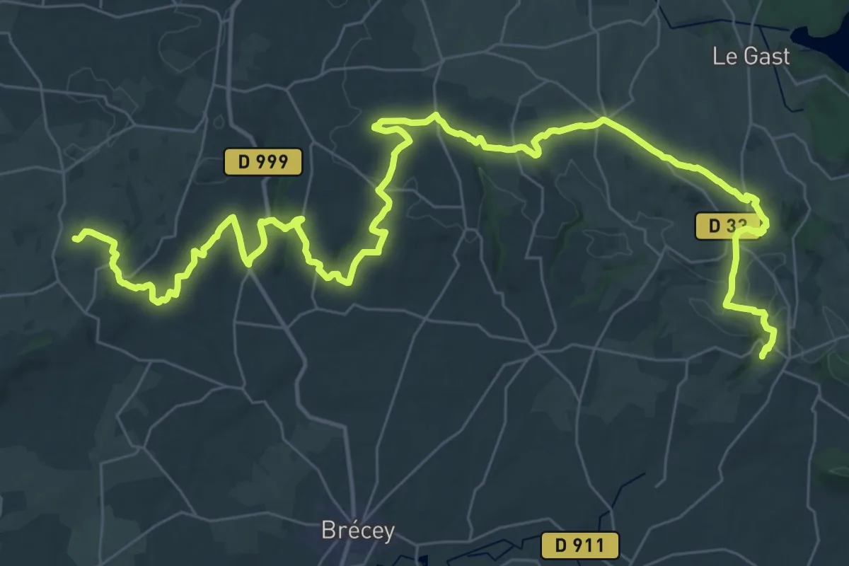
Demanding · Trail
La Chaise-Baudouin à Saint-Pois
25.1 km · ↑ 468 m · 7 h 16 min
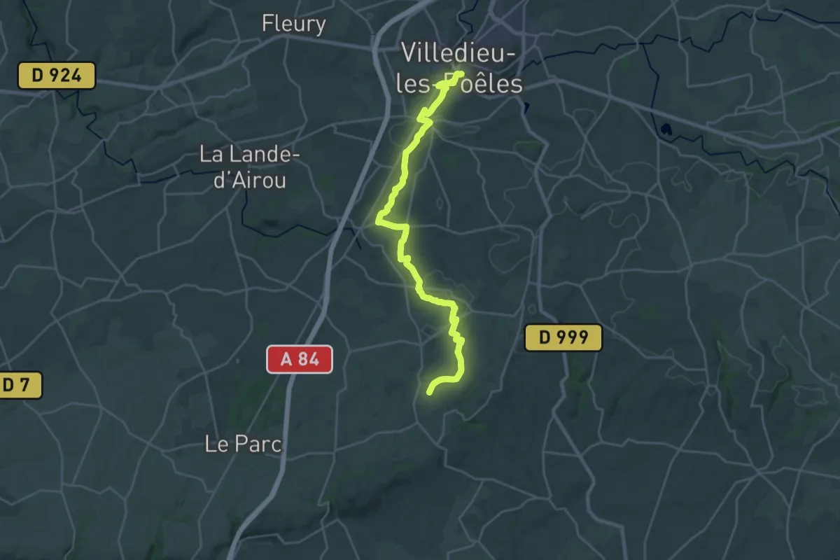
Demanding · Trail
La Chaise-Baudouin à Villedieu-les-Poeles
23.6 km · ↑ 364 m · 6 h 22 min
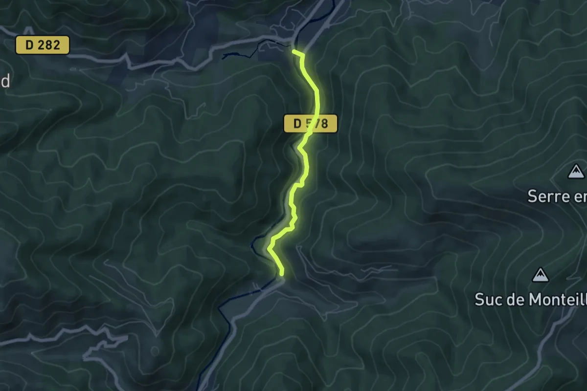
Easy · Trail
La Chaise - Le Clocheton
4.6 km · ↑ 146 m · 1 h 24 min
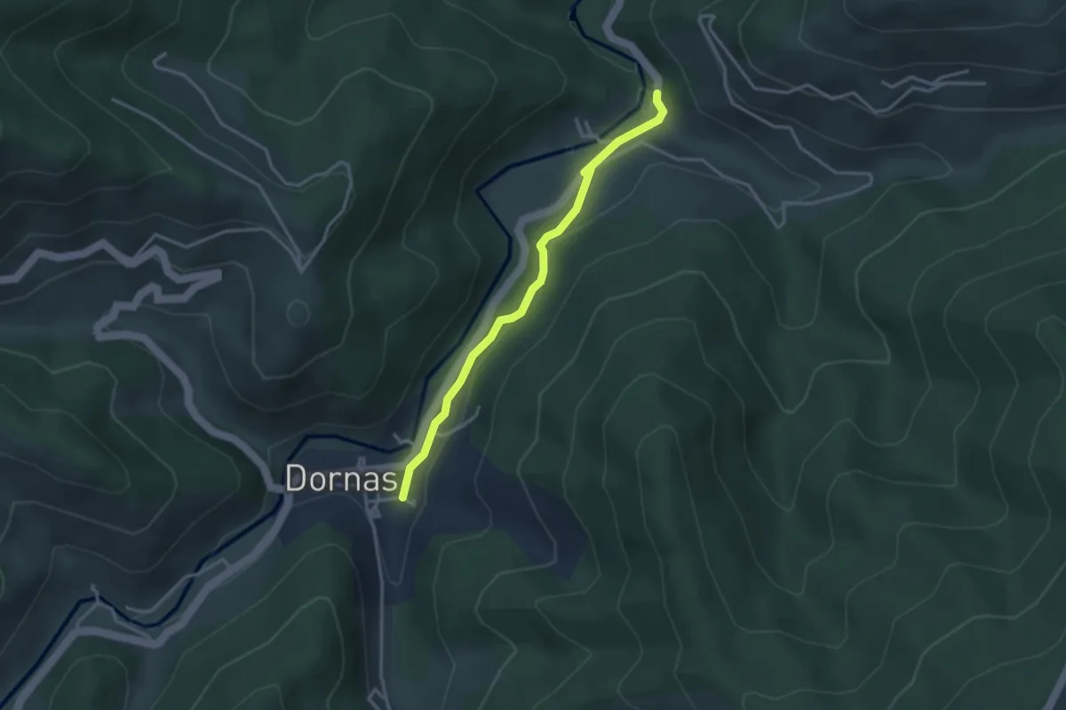
Easy · Trail
La Chaise - Le Pont Vieux
3.2 km · ↑ 67 m · 54 min
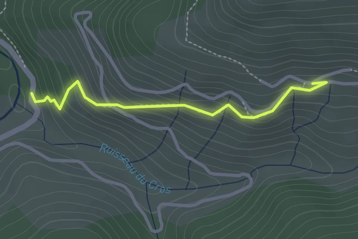
Easy · Trail
La Chaise - Molines
2.2 km · ↑ 183 m · 55 min
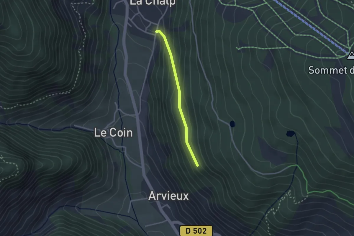
Easy · Trail
La Chalp d'Arvieux - Le Millan
2.1 km · ↑ 103 m · 44 min
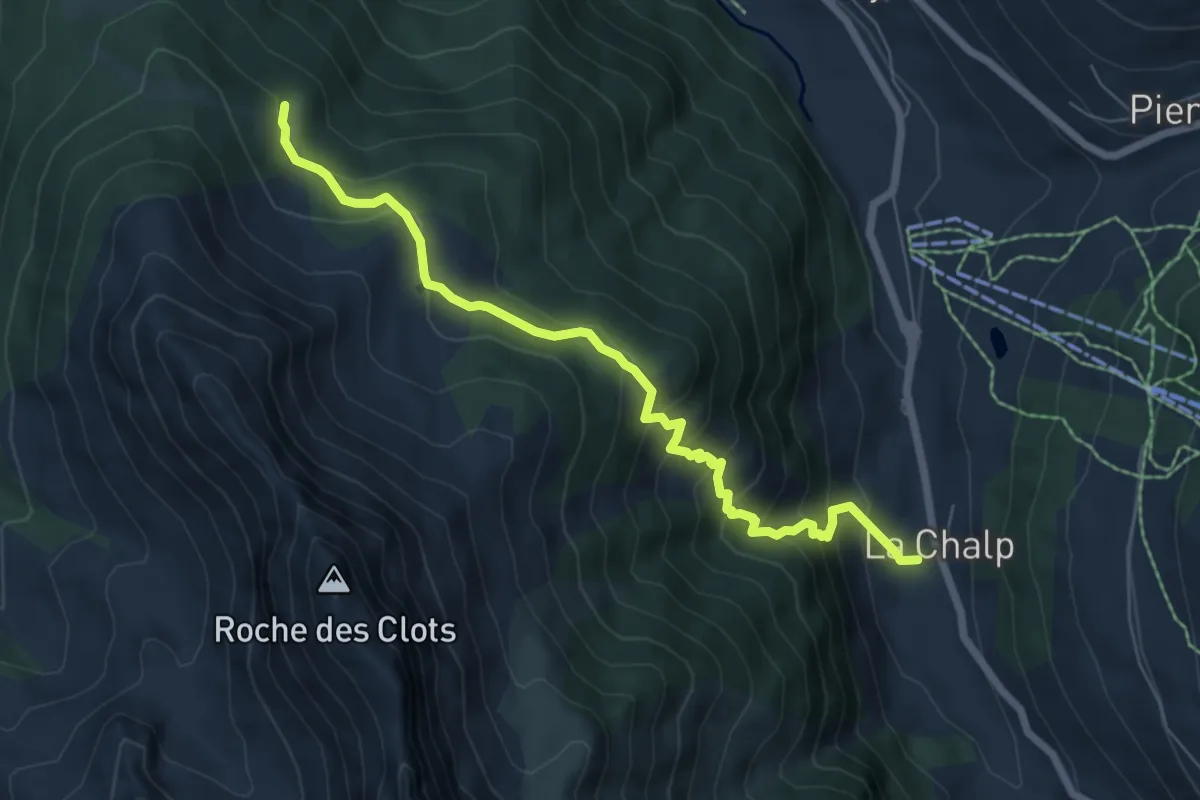
Medium · Trail
La Chalp de Saint-Véran - Chapelle Saint-Simon
7.1 km · ↑ 551 m · 2 h 52 min
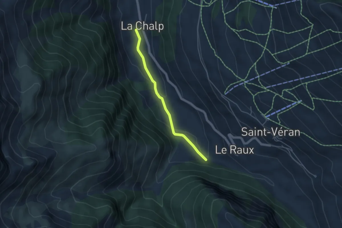
Easy · Trail
La Chalp de Saint-Véran - Pont du Moulin
3.7 km · ↑ 99 m · 1 h 5 min
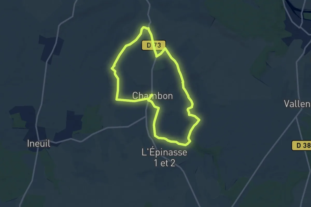
Medium · Trail
La Chambonnaise
8.9 km · ↑ 44 m · 2 h 19 min
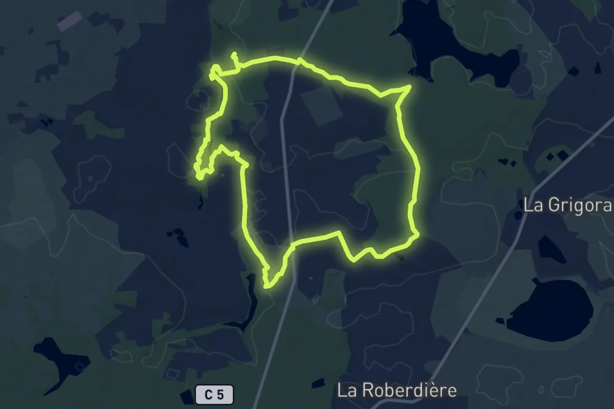
Medium · Trail
La Chambre-au-Loup
9.7 km · ↑ 84 m · 2 h 37 min
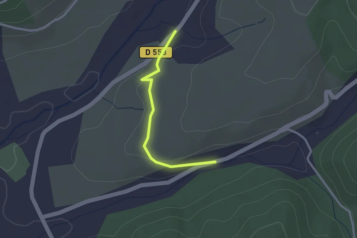
Easy · Trail
Lachamp - Boutène
2.0 km · ↑ 63 m · 37 min
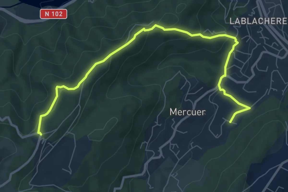
Medium · Trail
Lachamp - Col de Farges
8.0 km · ↑ 301 m · 2 h 33 min
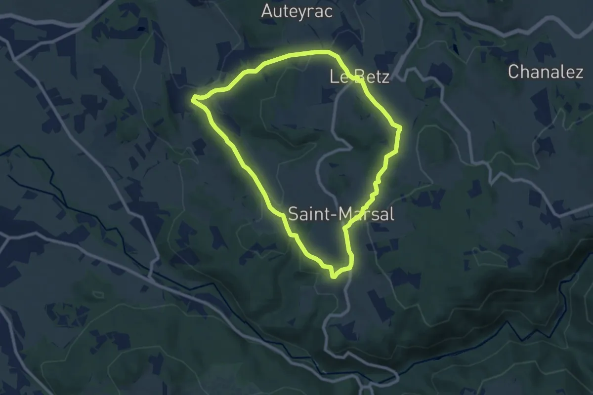
Easy · Trail
La Chapelette
7.3 km · ↑ 191 m · 2 h 14 min
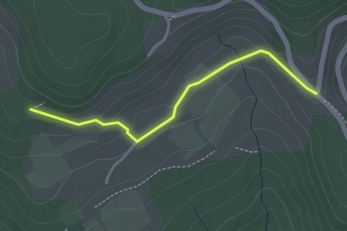
Easy · Trail
La Chapelette - Les Colombières
2.3 km · ↑ 40 m · 37 min
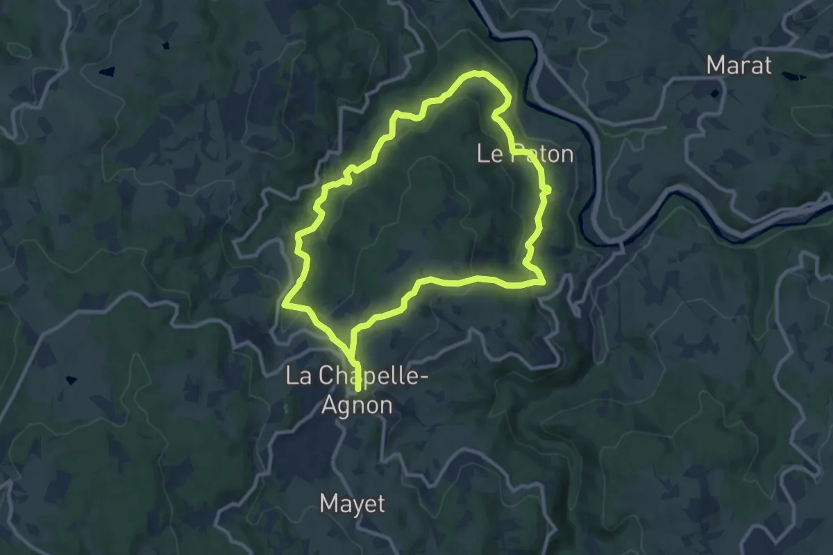
Medium · Trail
La Chapelle-Agnon
9.2 km · ↑ 336 m · 3 h 1 min
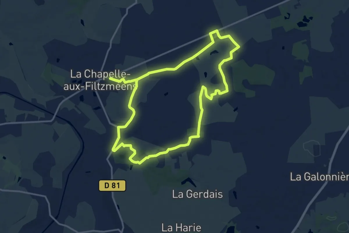
Medium · Trail
La Chapelle-aux-Filtzméens Les Écrouteaux
10.8 km · ↑ 98 m · 2 h 55 min
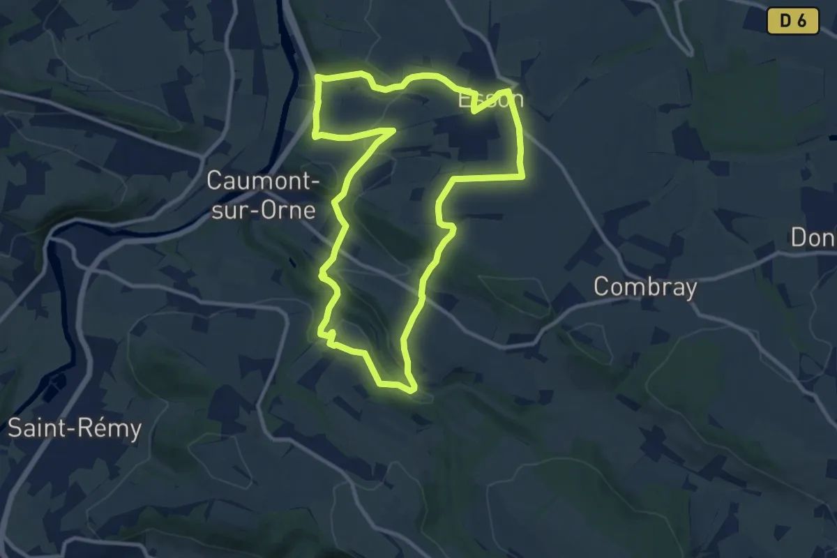
Medium · Trail
La Chapelle Bonne Nouvelle
9.4 km · ↑ 267 m · 2 h 56 min
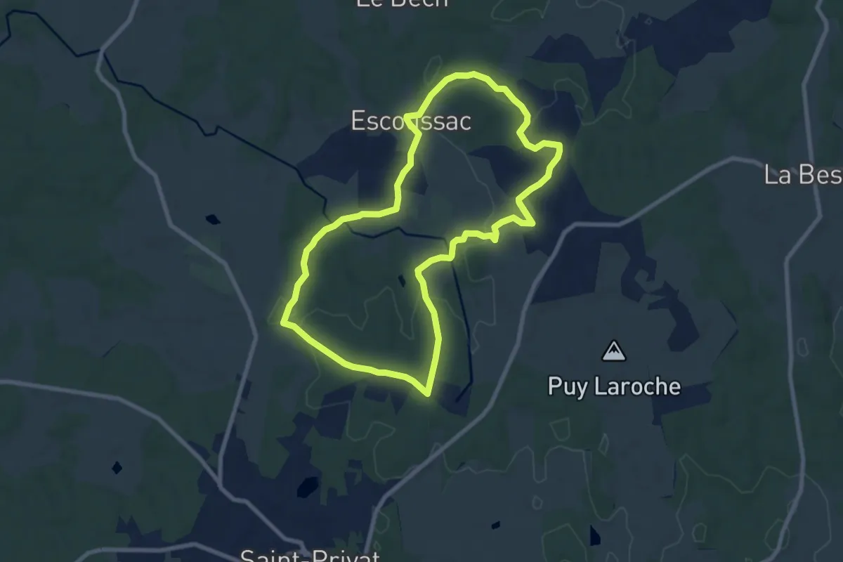
Easy · Trail
La Chapelle d'Artiges
7.7 km · ↑ 113 m · 2 h 11 min
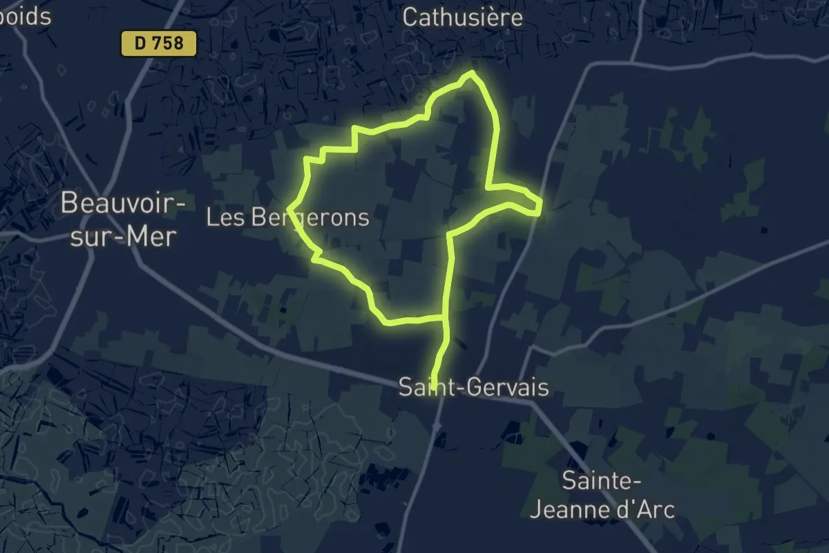
Medium · Trail
La Chapelle de Bordevert
9.8 km · ↑ 40 m · 2 h 32 min
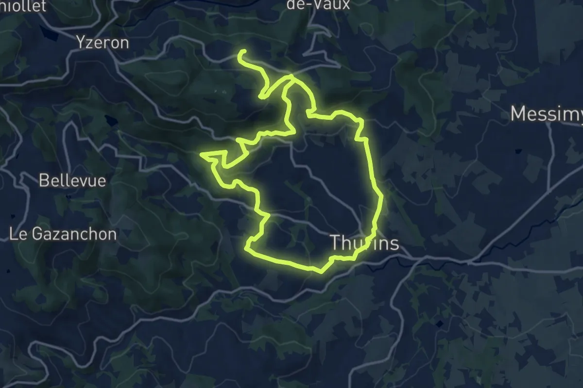
Medium · Trail
La chapelle de Châteauvieux
12.7 km · ↑ 576 m · 4 h 25 min
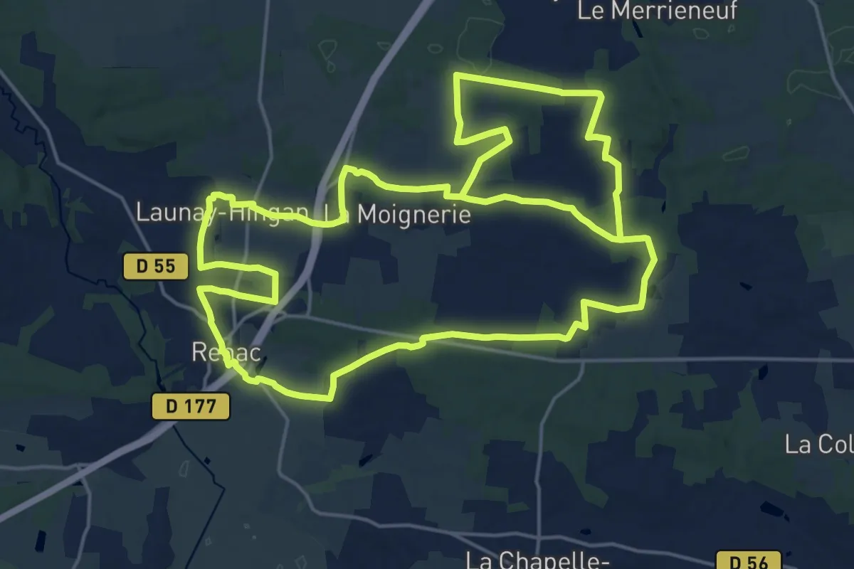
Demanding · Trail
La Chapelle de Gavrain
19.5 km · ↑ 204 m · 5 h 19 min
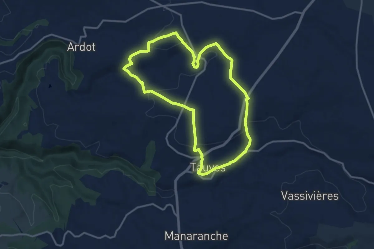
Medium · Trail
La Chapelle de Granges
8.9 km · ↑ 206 m · 2 h 41 min
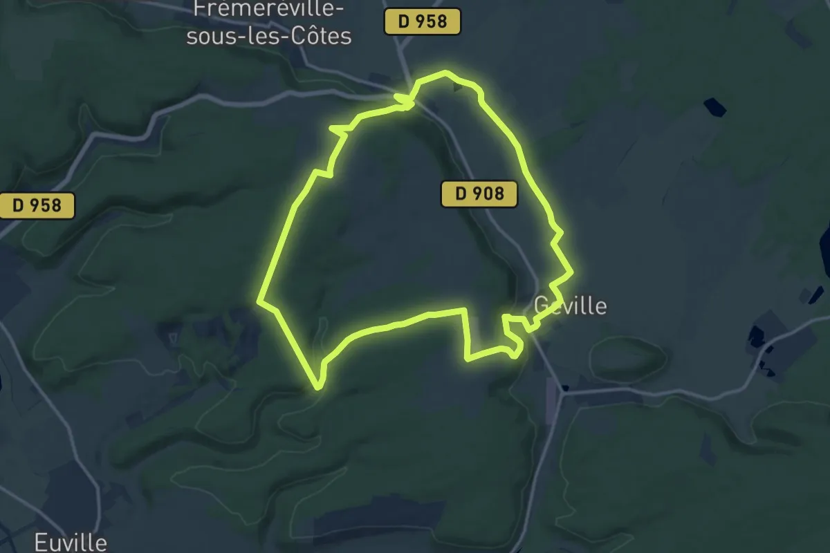
Medium · Trail
La chapelle de Jévaux
12.9 km · ↑ 217 m · 3 h 41 min
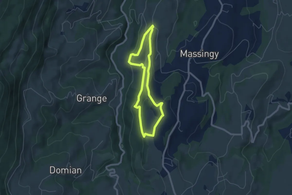
Easy · Trail
La Chapelle de Ligny
4.5 km · ↑ 126 m · 1 h 24 min
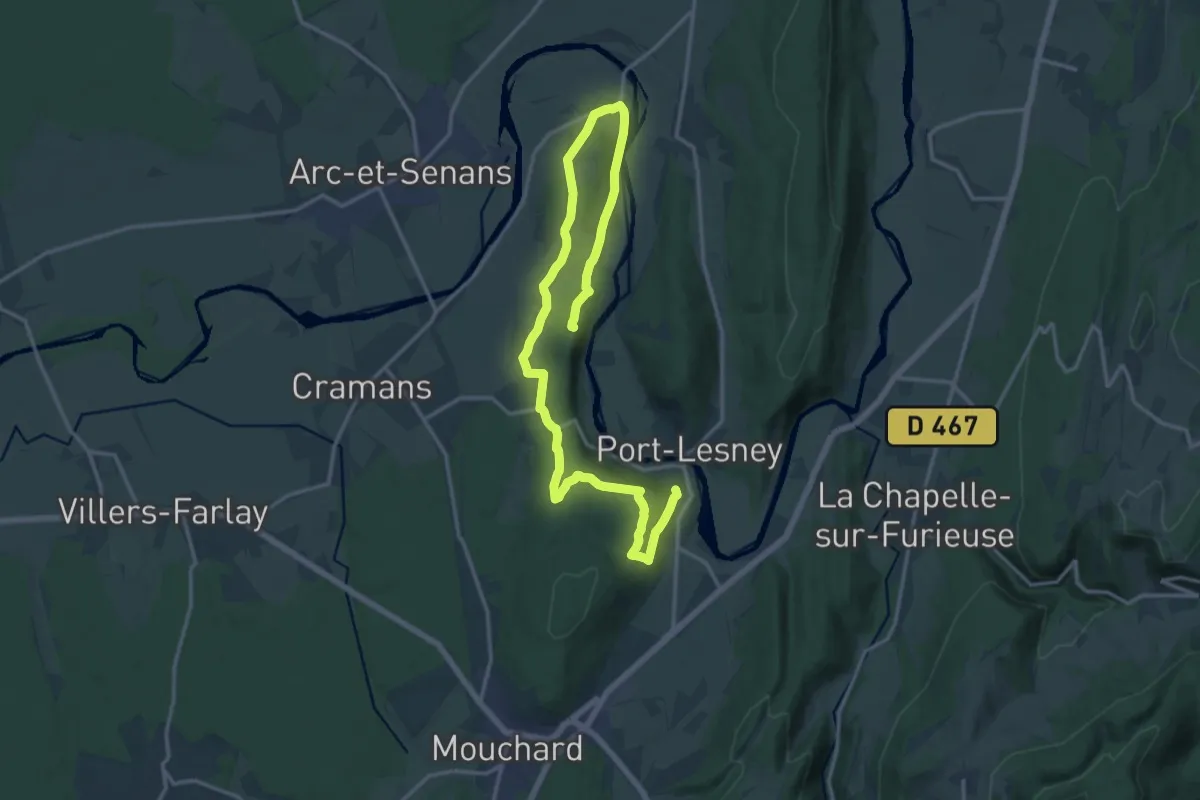
Medium · Summit
La Chapelle de Lorette
13.9 km · ↑ 406 m · 4 h 21 min
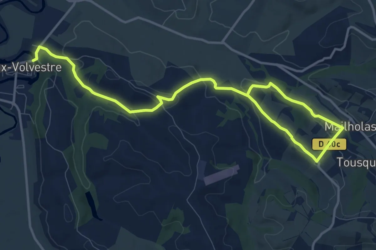
Medium · Trail
La chapelle de Mailholas par la vallée du Camedon
13.2 km · ↑ 348 m · 3 h 52 min
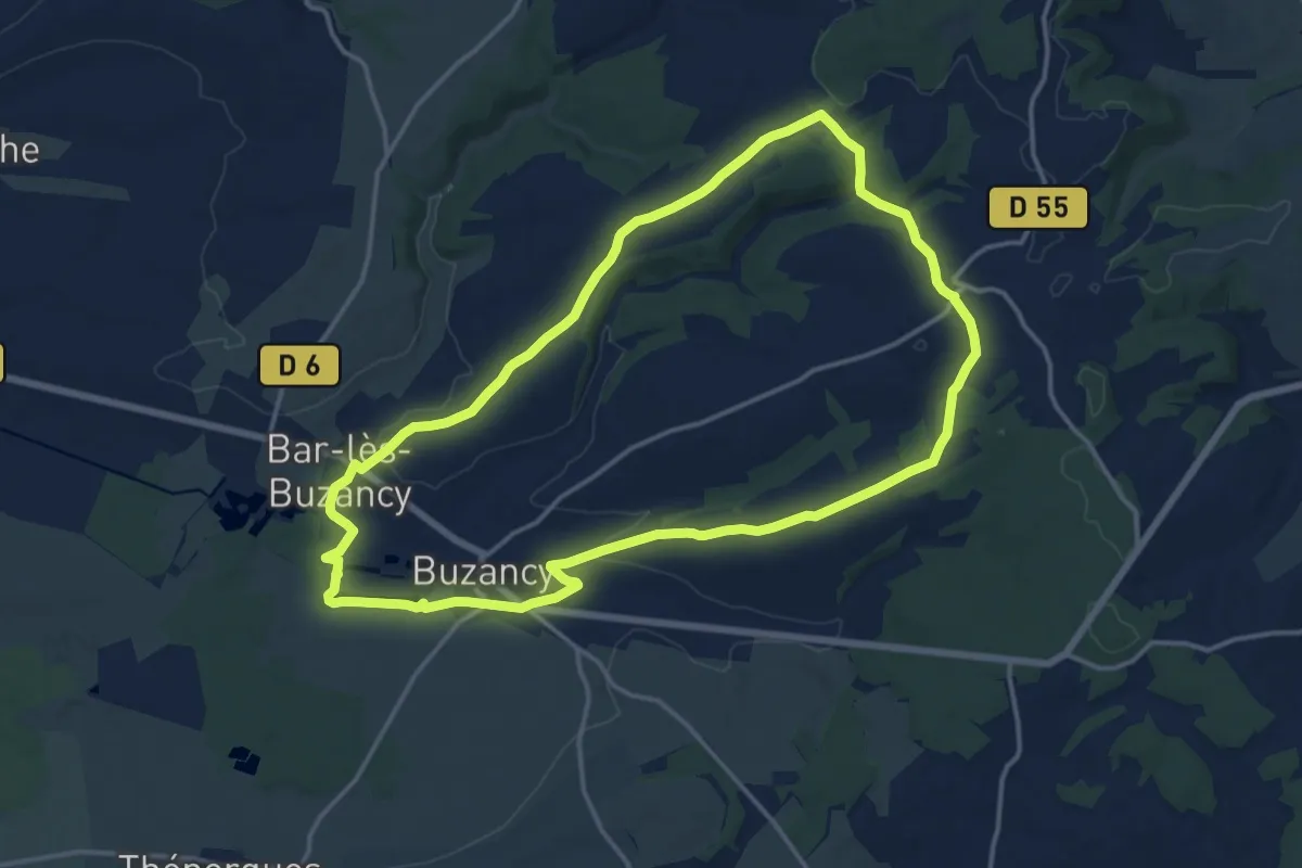
Medium · Trail
La Chapelle de Masmes
14.5 km · ↑ 191 m · 4 h 2 min
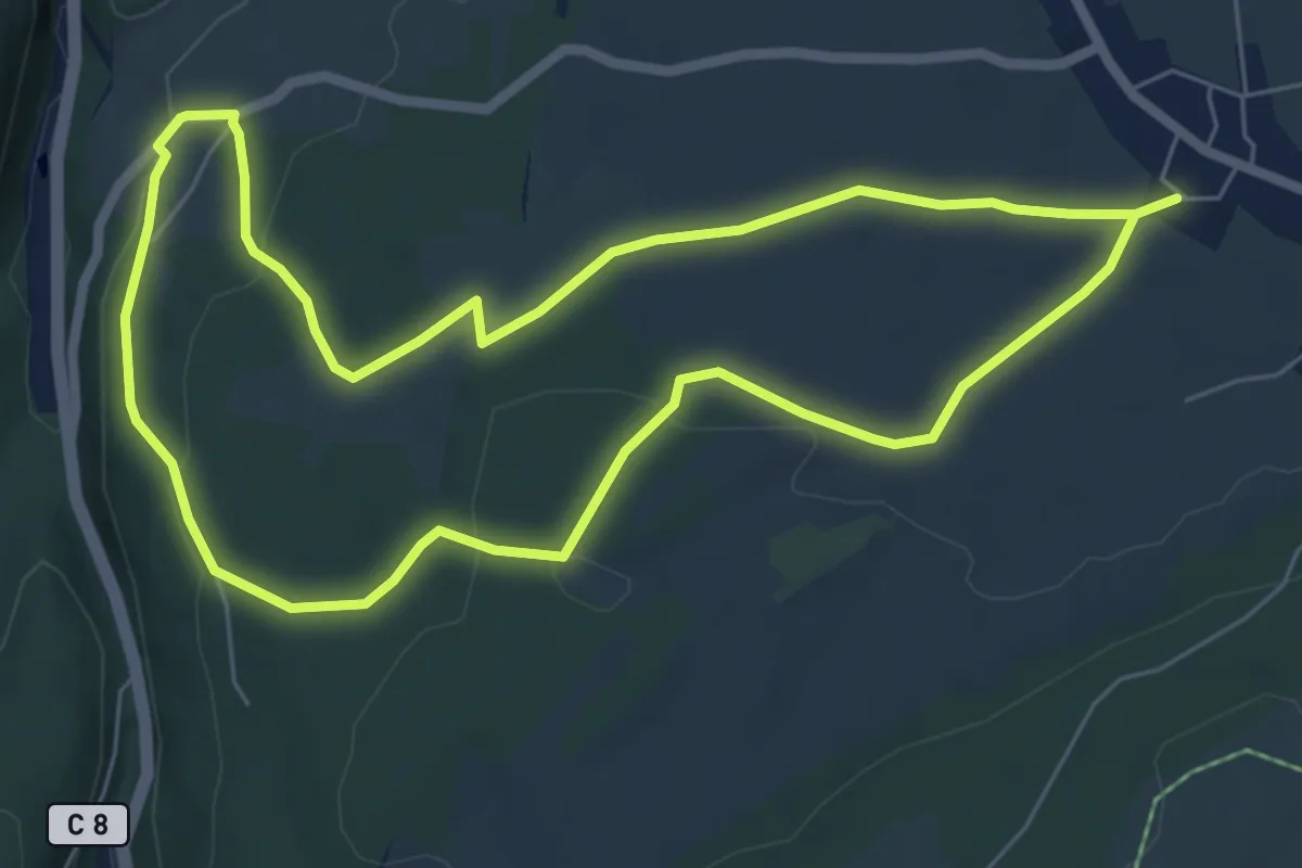
Easy · Trail
La Chapelle de Mijoux
6.4 km · ↑ 123 m · 1 h 52 min
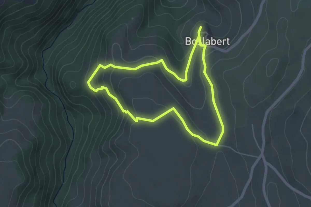
Easy · Trail
La Chapelle de Roche-Charles
3.8 km · ↑ 155 m · 1 h 18 min
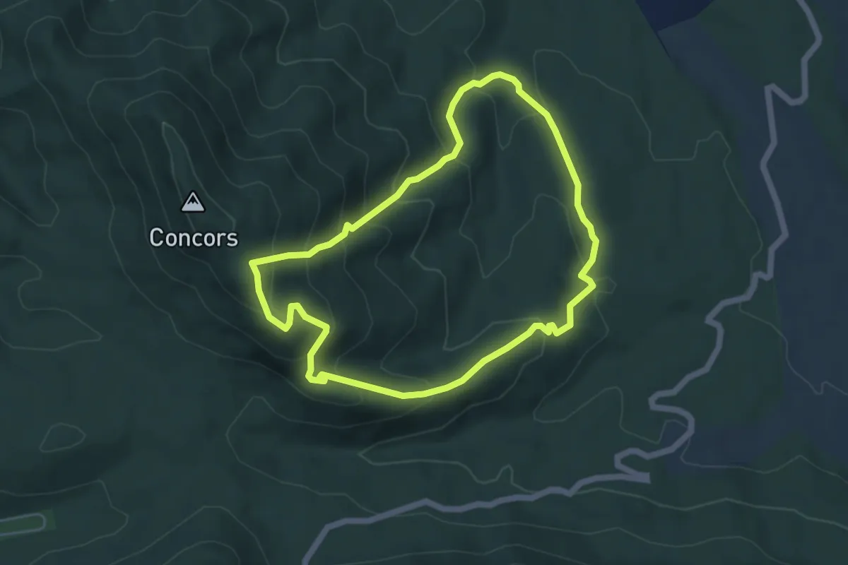
Medium · Trail
La chapelle de Sainte-Consorce
5.1 km · ↑ 330 m · 1 h 59 min
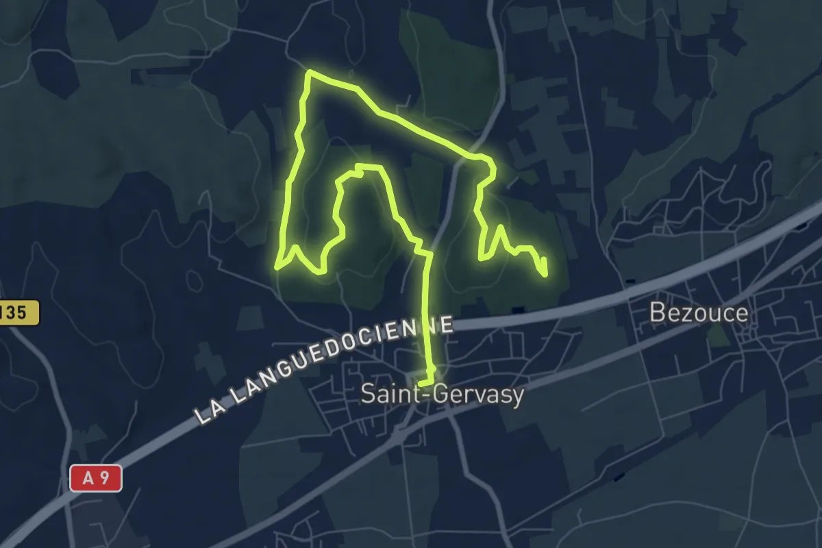
Medium · Trail
La chapelle de Saint-Gervasy
12.8 km · ↑ 170 m · 3 h 24 min
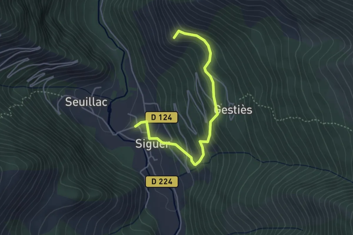
Medium · Trail
La Chapelle de Saint-Nicolas - principal
4.1 km · ↑ 275 m · 1 h 34 min
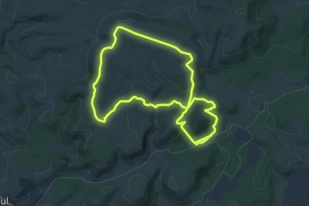
Medium · Trail
La Chapelle des Auzils
8.1 km · ↑ 225 m · 2 h 31 min
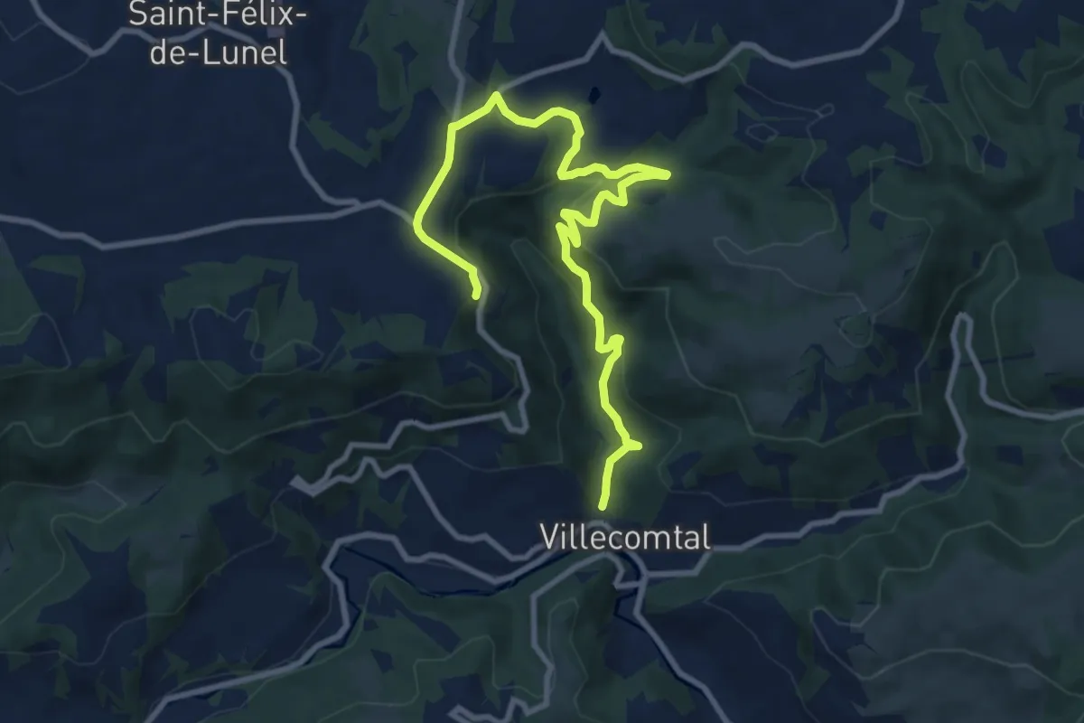
Medium · Trail
La Chapelle de Servières
11.3 km · ↑ 398 m · 3 h 31 min