Trails in France
15,926 hiking trails, each with its route, climb, walking time and grade.
All trails, page 133 of 332
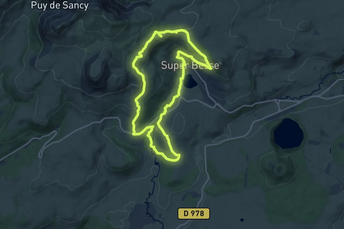
Medium · Trail
La Chapelle de Vassivière
11.7 km · ↑ 391 m · 3 h 47 min
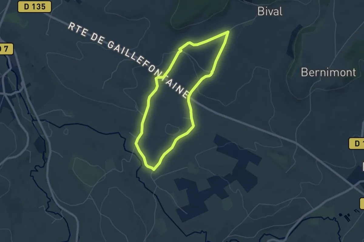
Easy · Trail
La Chapelle d'Hodeng
4.9 km · ↑ 87 m · 1 h 24 min
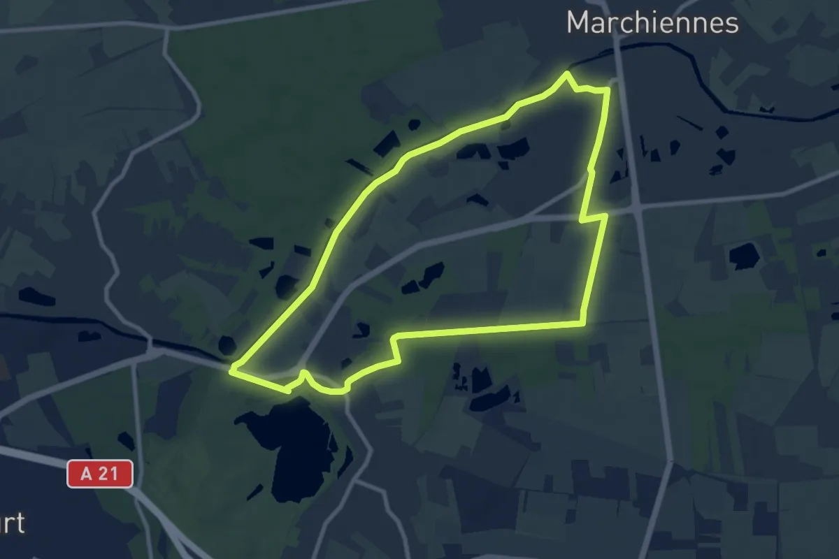
Easy · Trail
La Chapelle du Marais
7.9 km · ↑ 8 m · 2 h
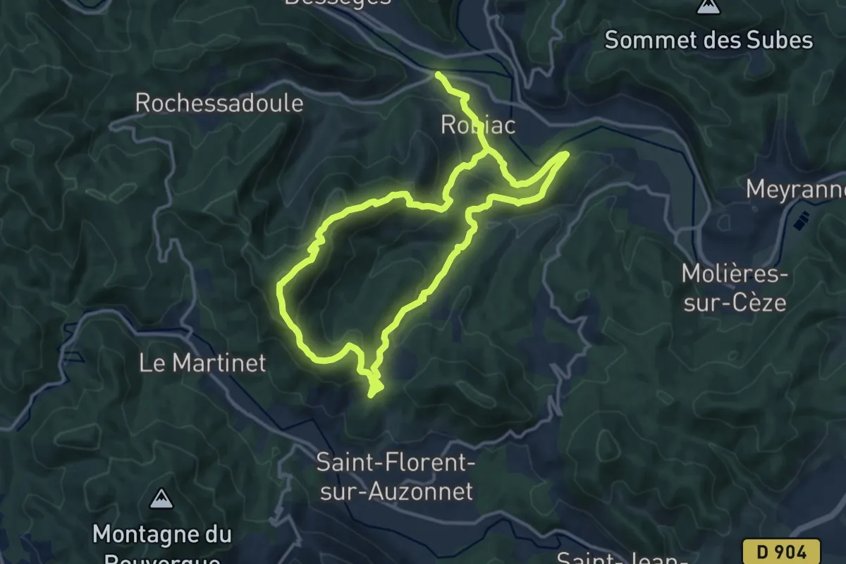
Medium · Trail
La chapelle Lachamp
12.2 km · ↑ 530 m · 4 h 13 min
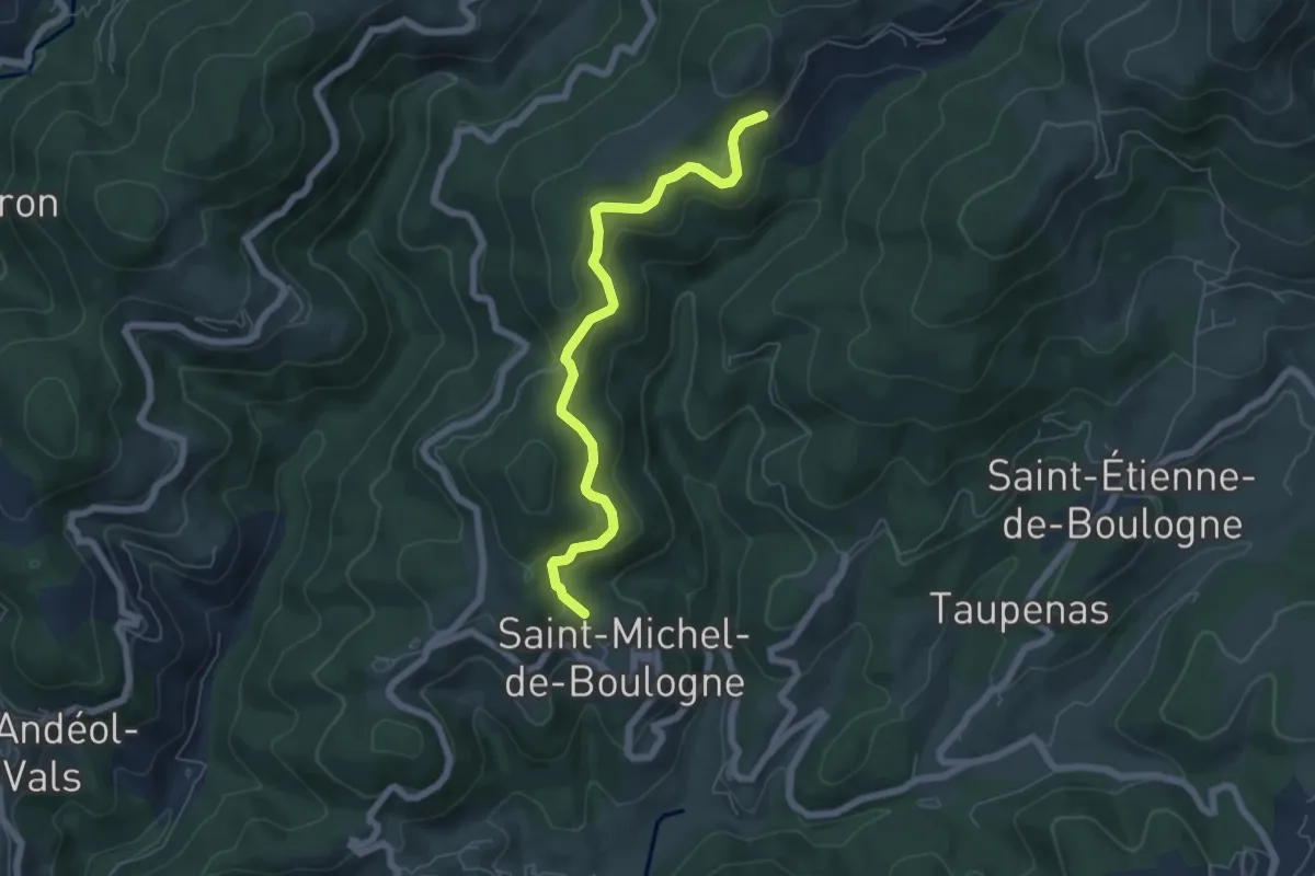
Easy · Trail
La Chapelle - Le Coulet
6.2 km · ↑ 282 m · 2 h 4 min
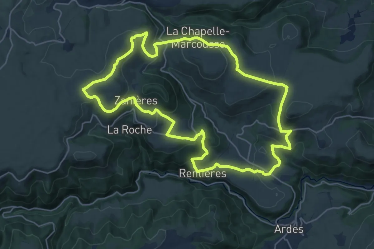
Demanding · Trail
La Chapelle-Marcousse
18.4 km · ↑ 546 m · 5 h 47 min
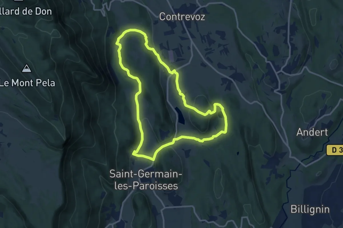
Medium · Trail
La chapelle Saint-Anne
10.0 km · ↑ 220 m · 2 h 59 min
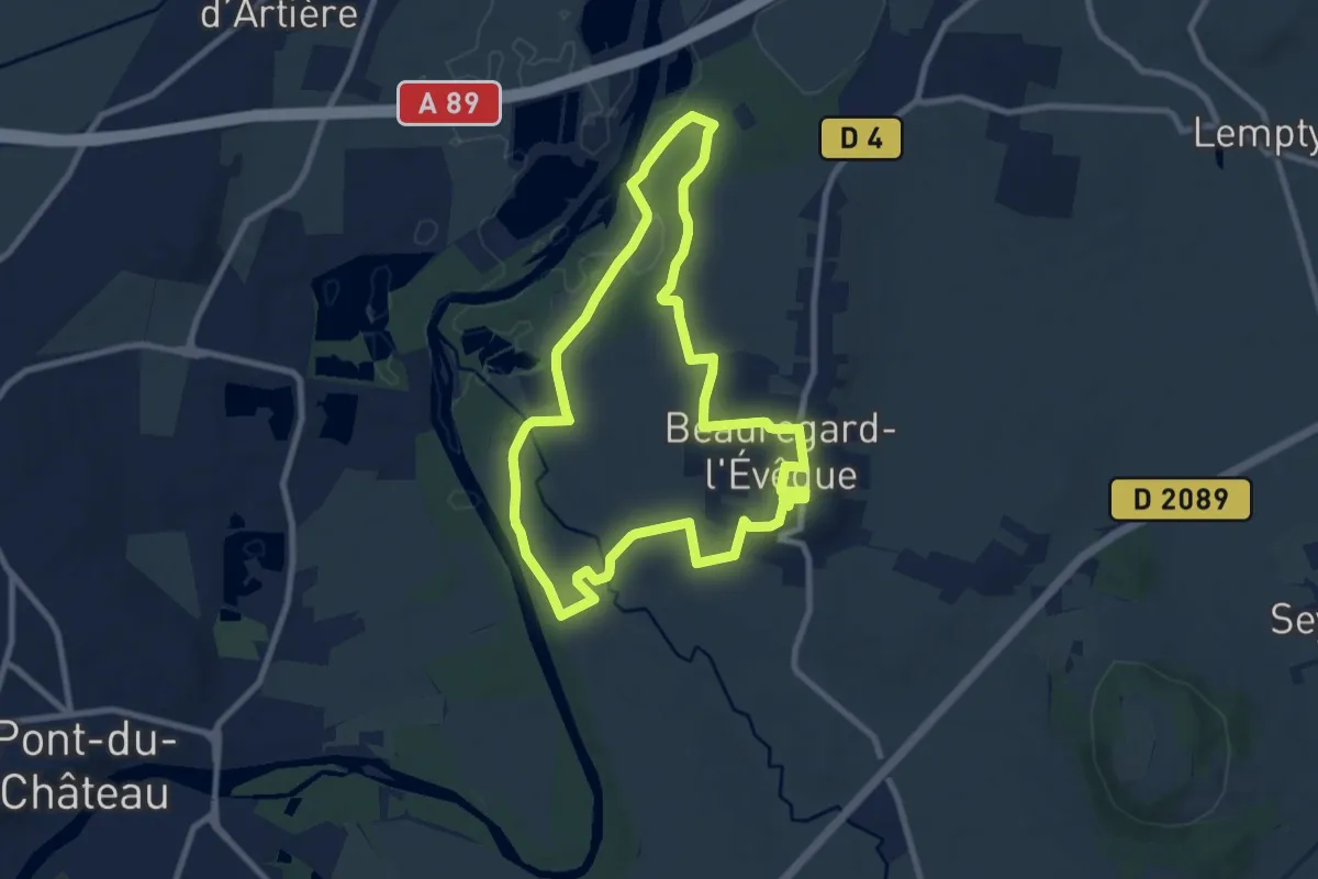
Medium · Trail
La Chapelle Saint-Aventin
8.8 km · ↑ 117 m · 2 h 28 min
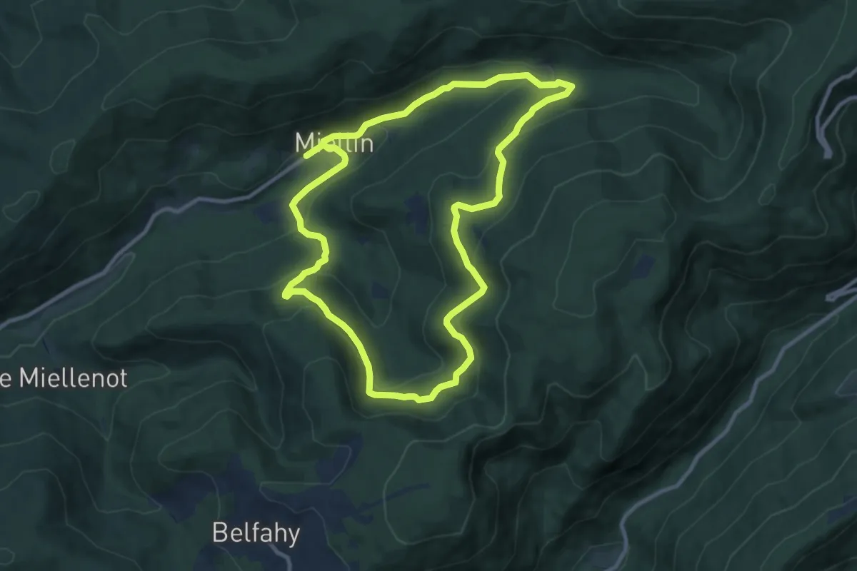
Medium · Trail
La Chapelle Saint-Blaise
9.0 km · ↑ 444 m · 3 h 13 min
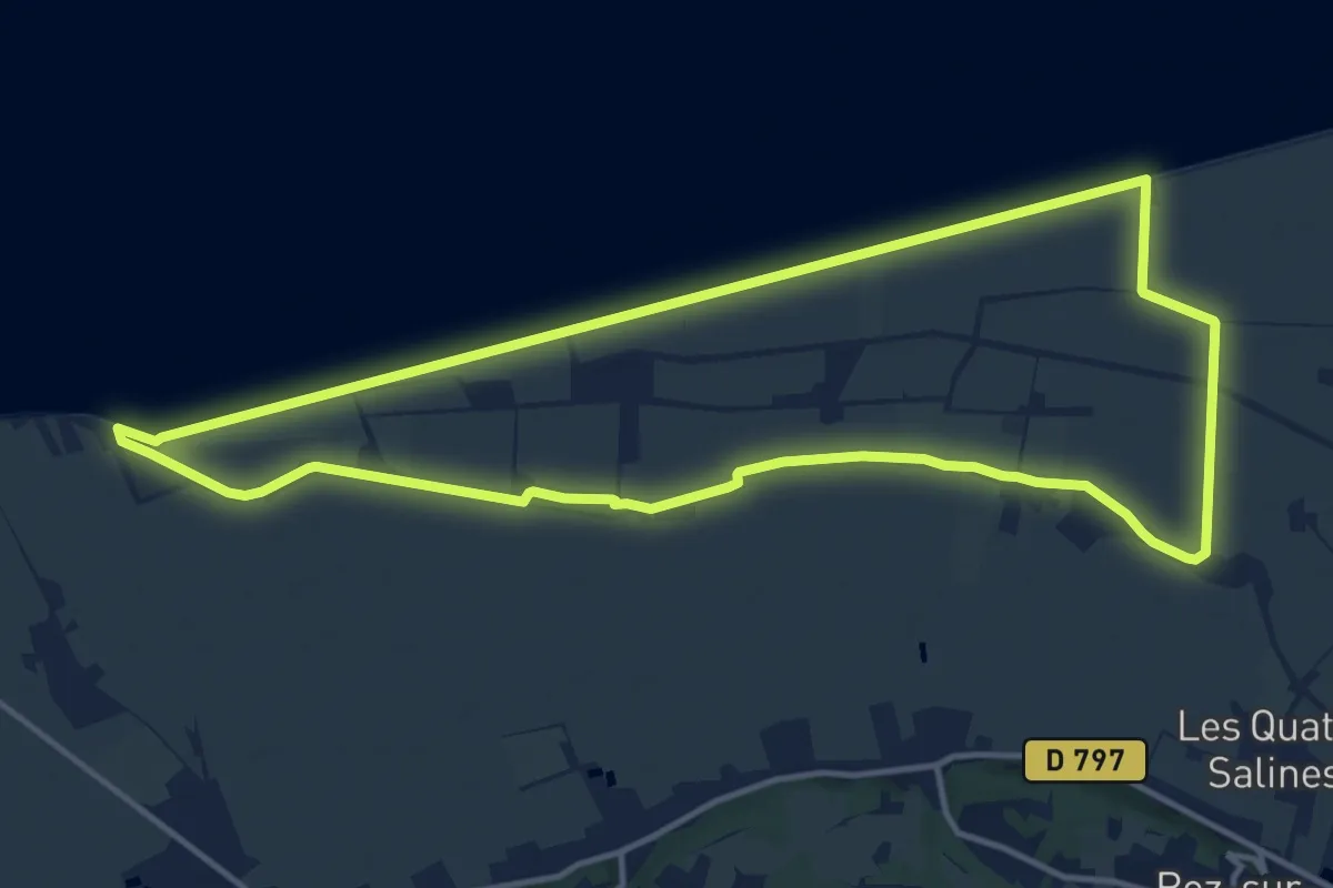
Medium · Trail
La chapelle Sainte-Anne
13.4 km · ↑ 0 m · 3 h 20 min
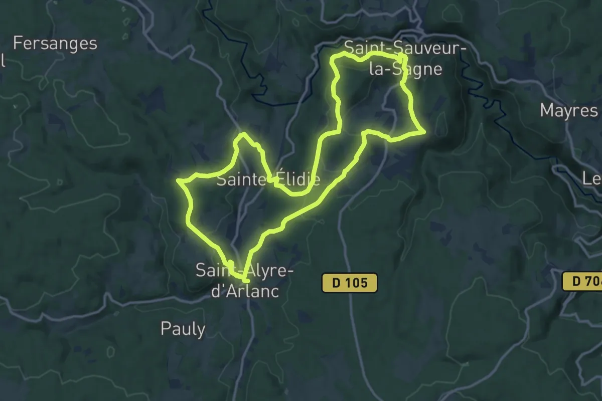
Medium · Trail
La Chapelle Sainte-Elidie
12.9 km · ↑ 365 m · 4 h 1 min
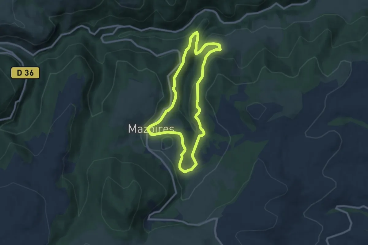
Easy · Trail
La Chapelle Sainte-Pezade
6.5 km · ↑ 271 m · 2 h 13 min
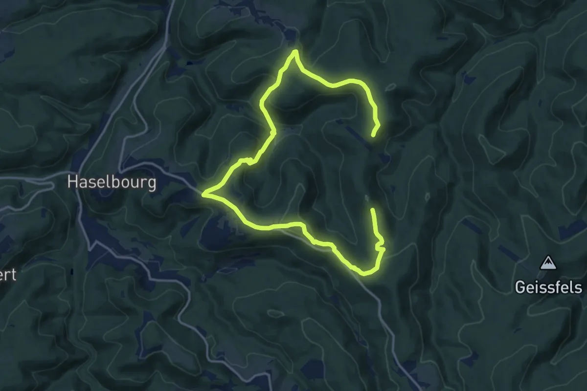
Medium · Trail
La chapelle Saint-Fridolin et la Grotte des Francs-Tireurs
9.7 km · ↑ 328 m · 3 h 8 min
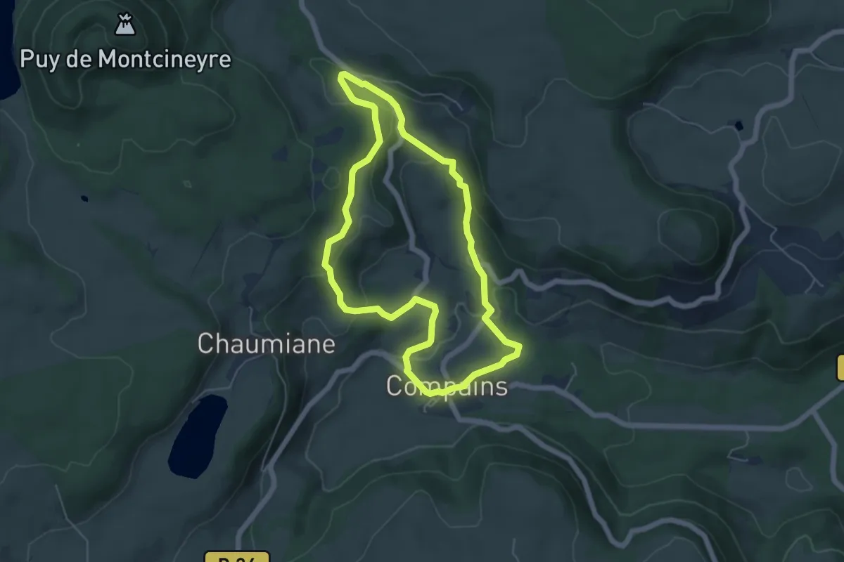
Easy · Trail
La Chapelle Saint-Gorgon
5.0 km · ↑ 155 m · 1 h 35 min
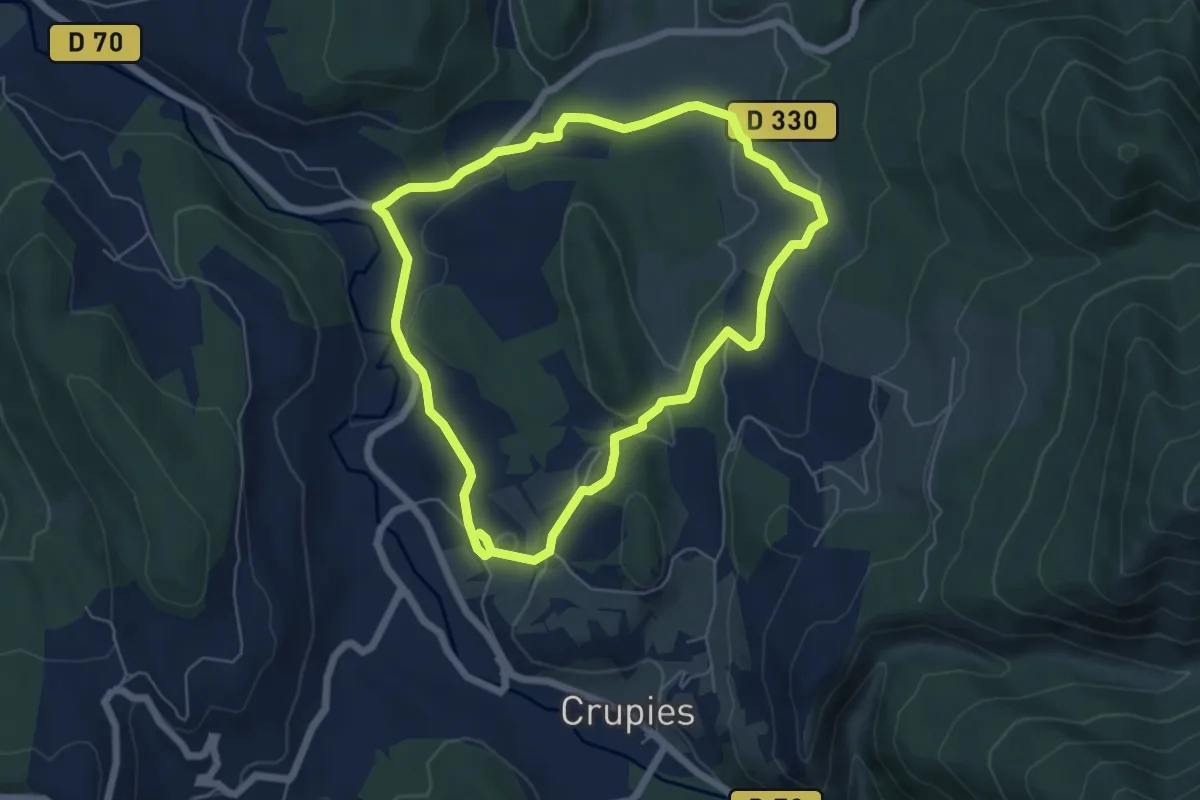
Easy · Trail
La Chapelle Saint-Jean
5.8 km · ↑ 107 m · 1 h 42 min
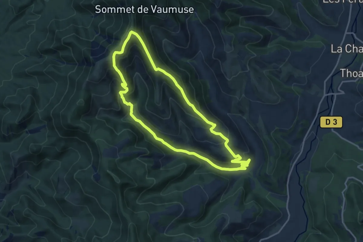
Medium · Trail
La Chapelle Saint-Joseph par Thoard
11.4 km · ↑ 615 m · 4 h 12 min
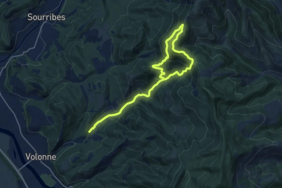
Demanding · Trail
La Chapelle Saint-Joseph par Volonne
16.7 km · ↑ 1108 m · 6 h 21 min
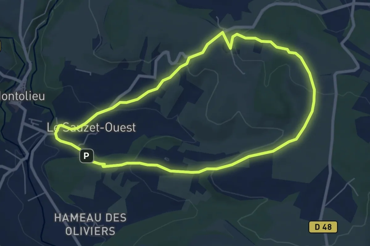
Easy · Trail
La chapelle Saint Roch
5.9 km · ↑ 160 m · 1 h 50 min
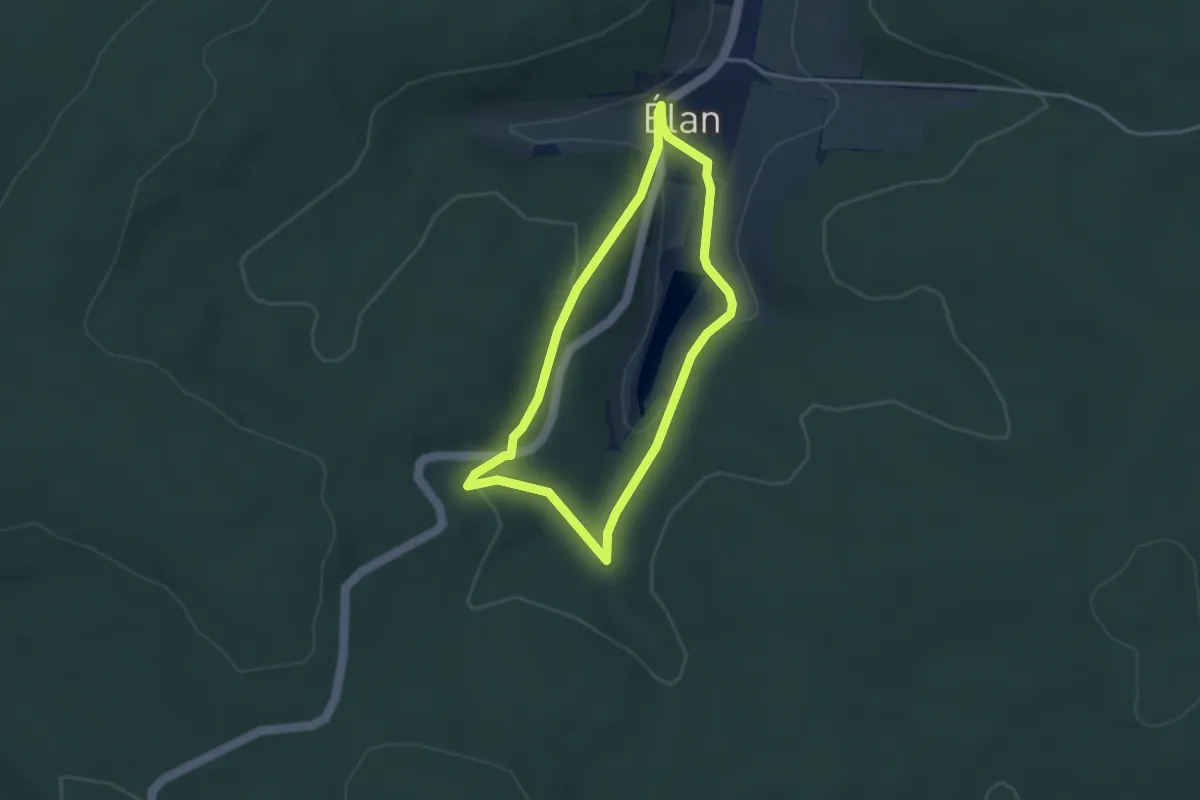
Easy · Trail
La Chapelle Saint-Roger
2.8 km · ↑ 72 m · 52 min
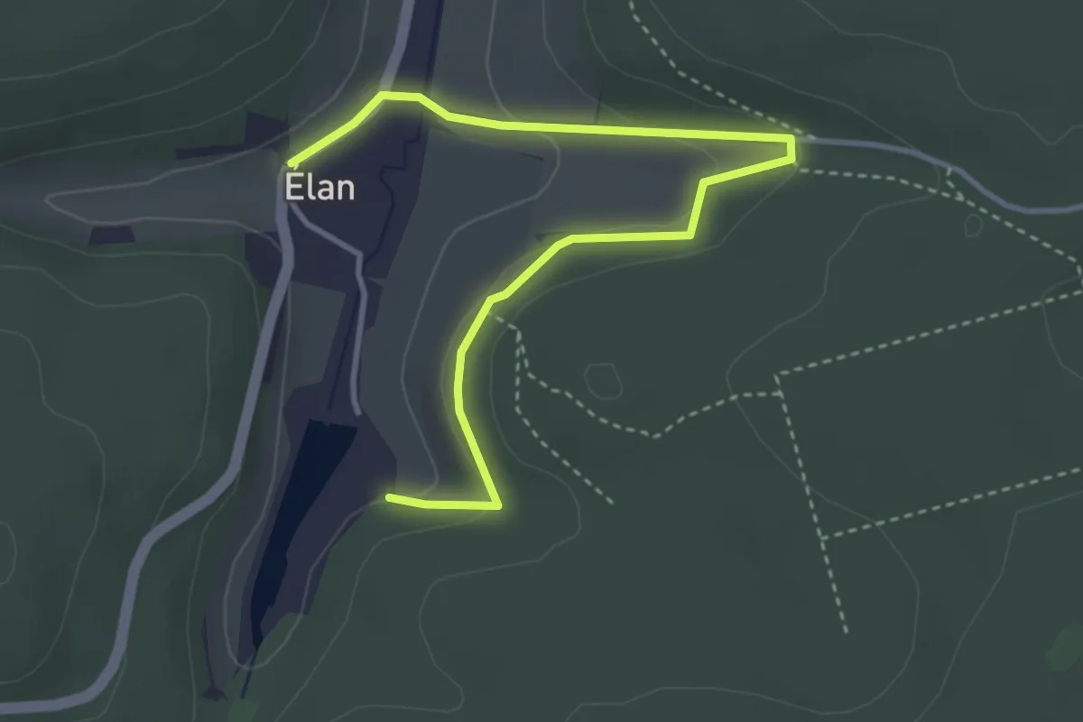
Easy · Trail
La Chapelle Saint-Roger (variante)
4.0 km · ↑ 130 m · 1 h 14 min
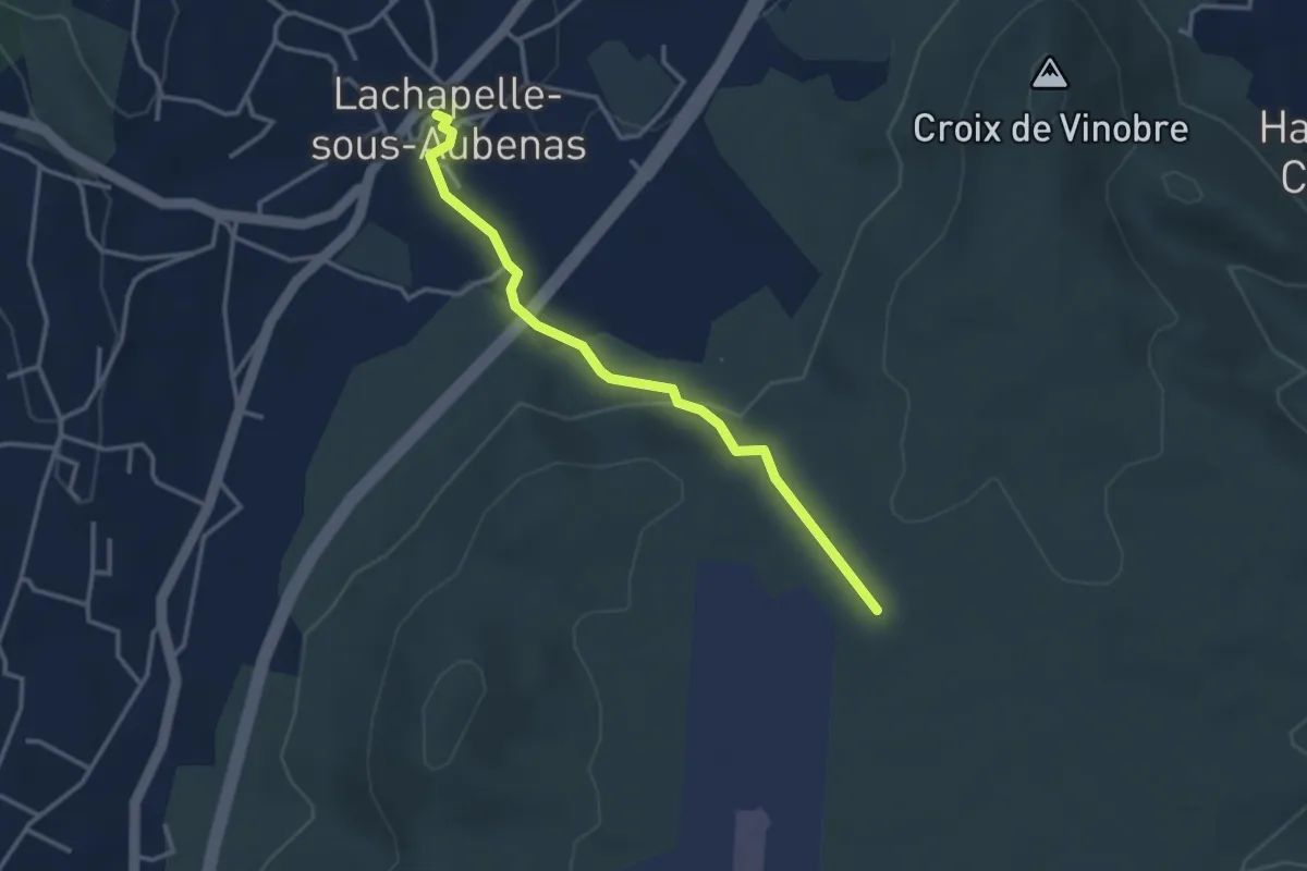
Easy · Trail
La Chapelle sous Aubenas - Les Gras
3.4 km · ↑ 87 m · 59 min
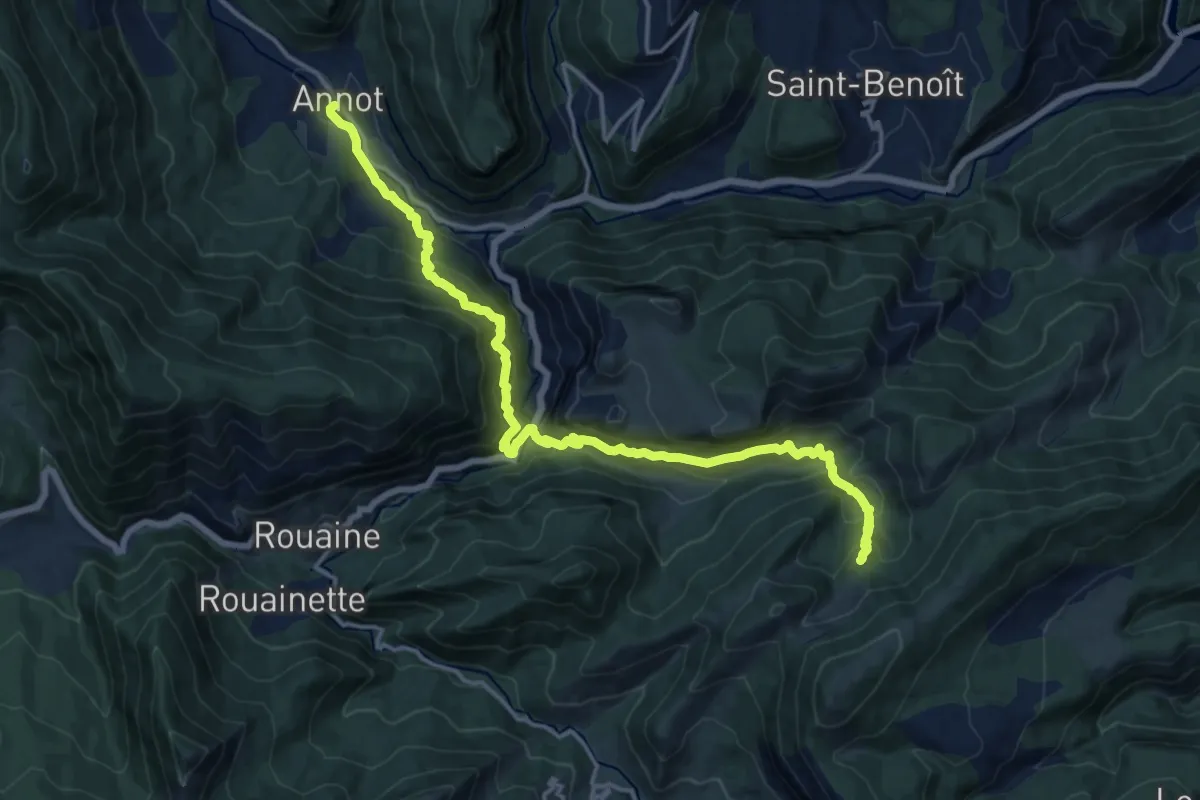
Demanding · Cabin
La Chapelle St-Jean du désert depuis Annot
9.1 km · ↑ 986 m · 4 h 8 min
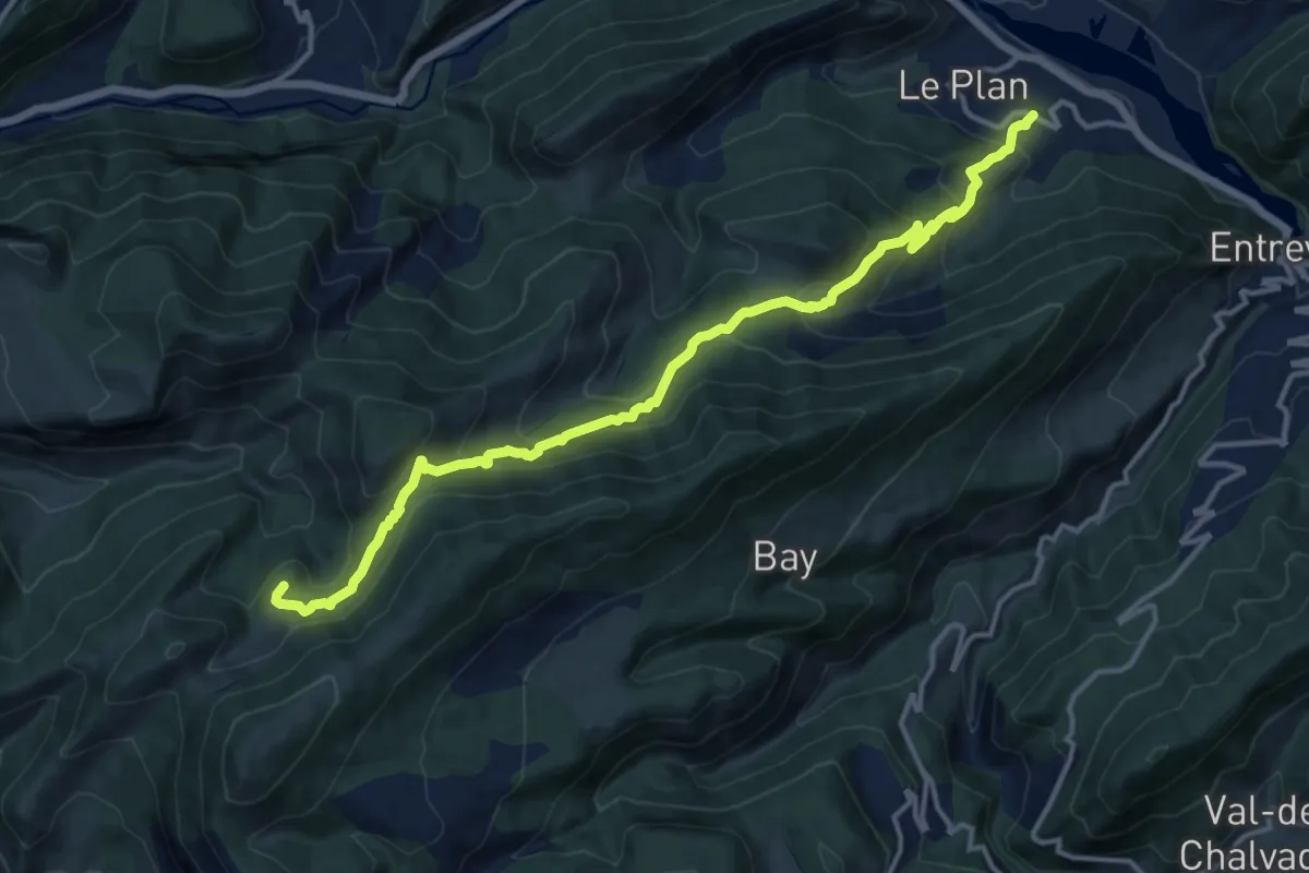
Medium · Cabin
La Chapelle St Jean du désert depuis le Plan
7.7 km · ↑ 781 m · 3 h 17 min
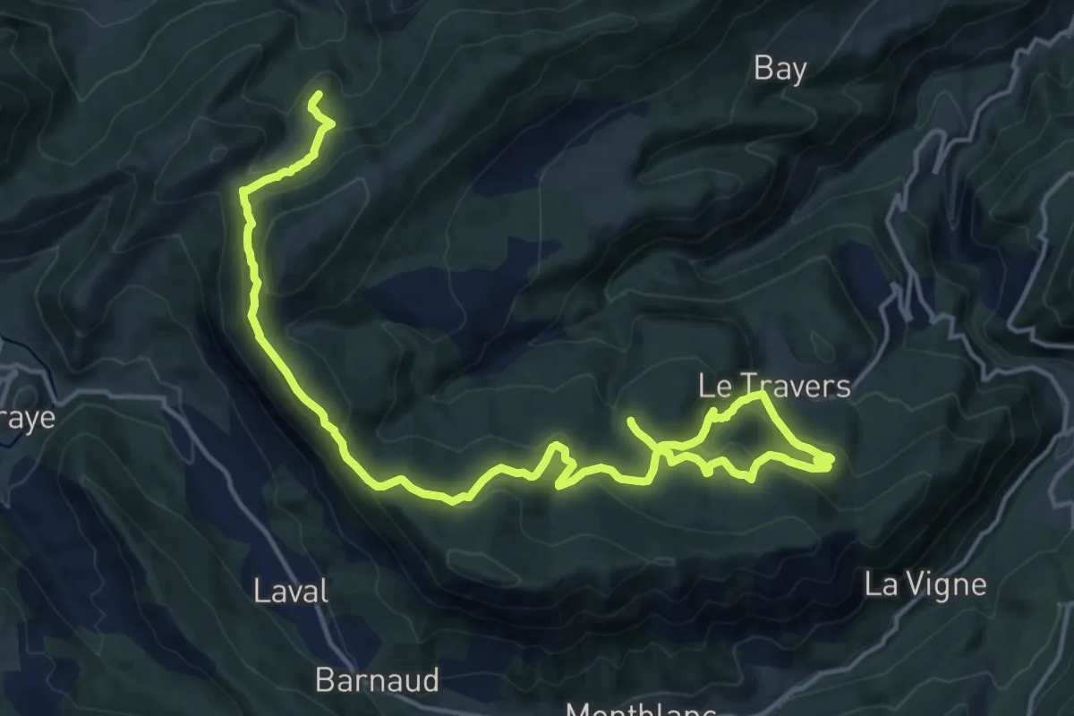
Medium · Cabin
La Chapelle St Jean du désert depuis Villevieille
10.6 km · ↑ 511 m · 3 h 45 min
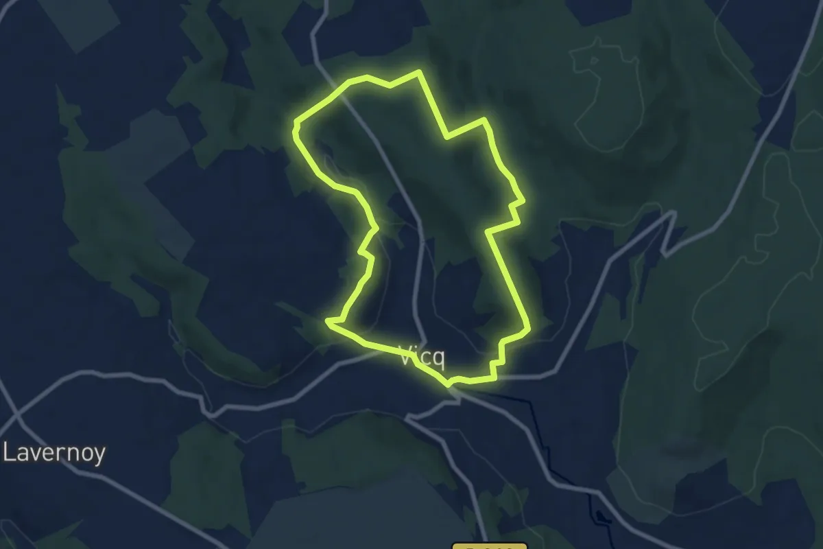
Easy · Trail
La Charmoise
7.0 km · ↑ 256 m · 2 h 18 min
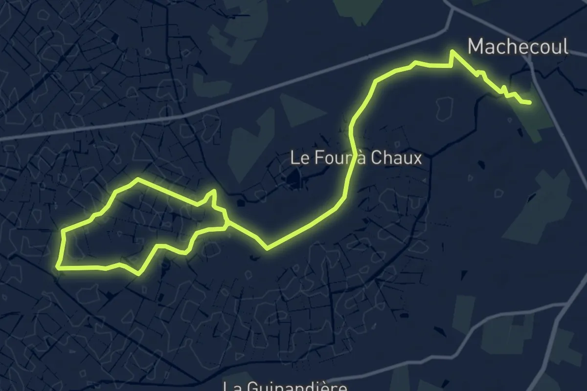
Medium · Trail
La Charrau des Tendes
16.9 km · ↑ 4 m · 4 h
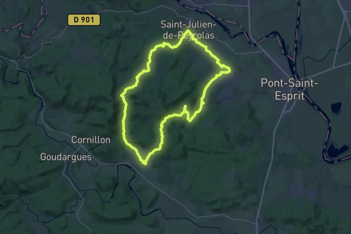
Demanding · Trail
La Chartreuse de Valbonne
28.2 km · ↑ 433 m · 8 h
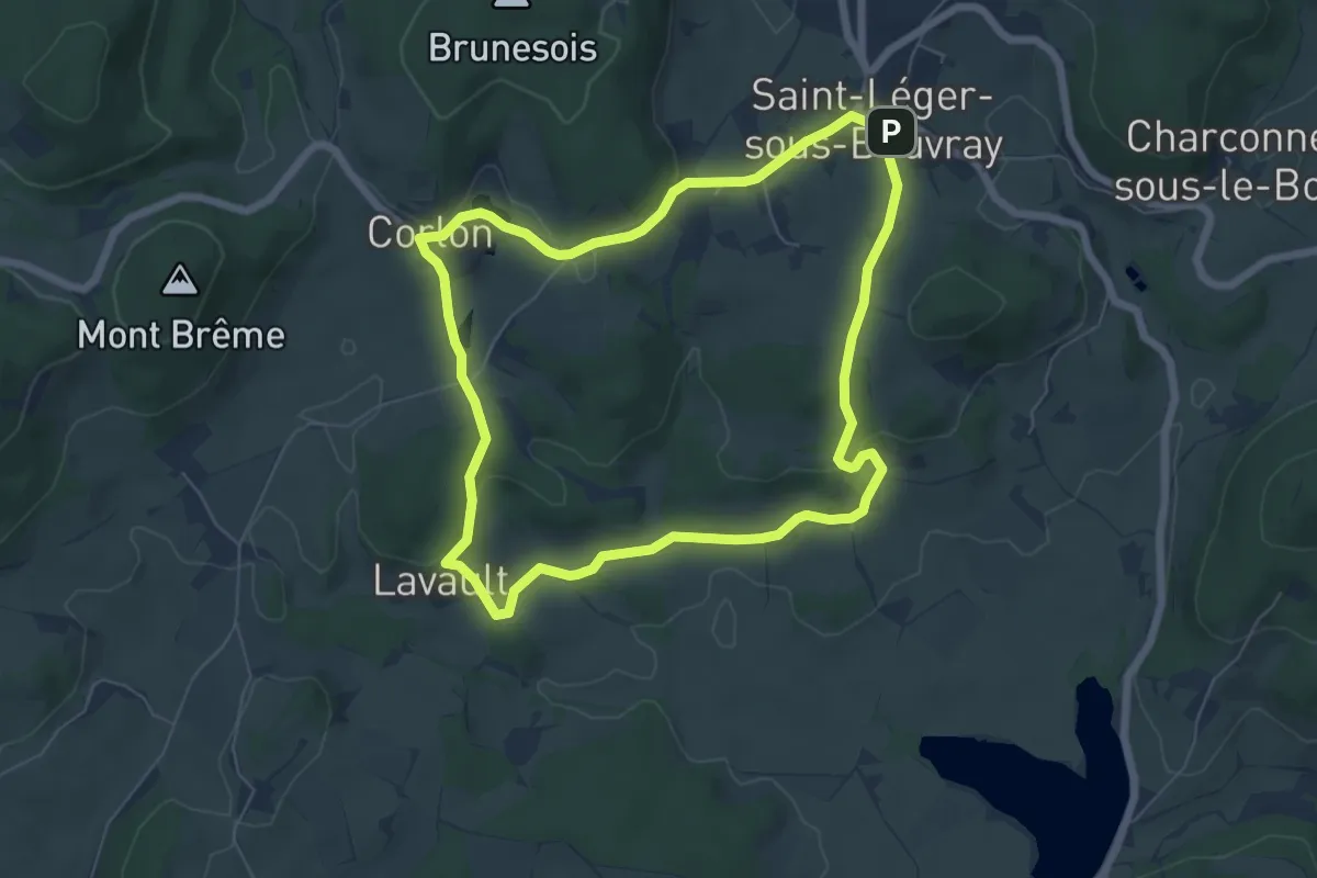
Easy · Trail
La Chataigneraie
6.1 km · ↑ 120 m · 1 h 47 min
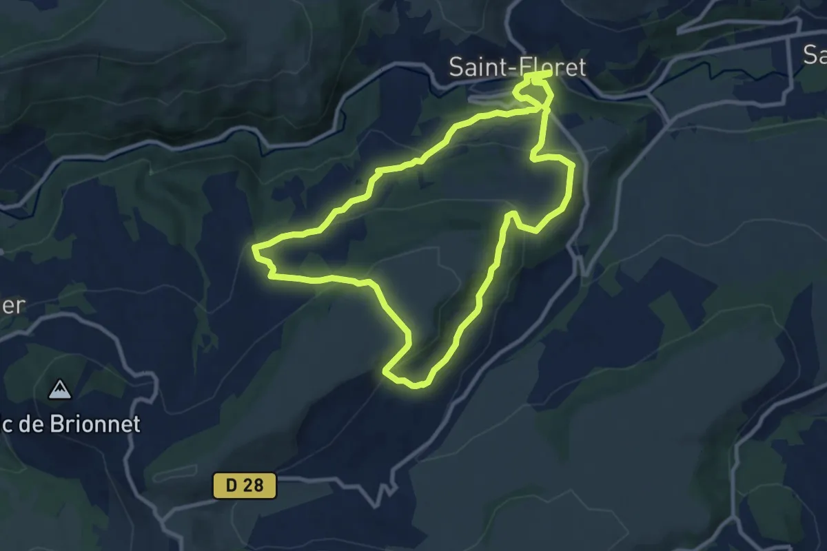
Medium · Trail
La Chaubasse
9.3 km · ↑ 357 m · 3 h 7 min
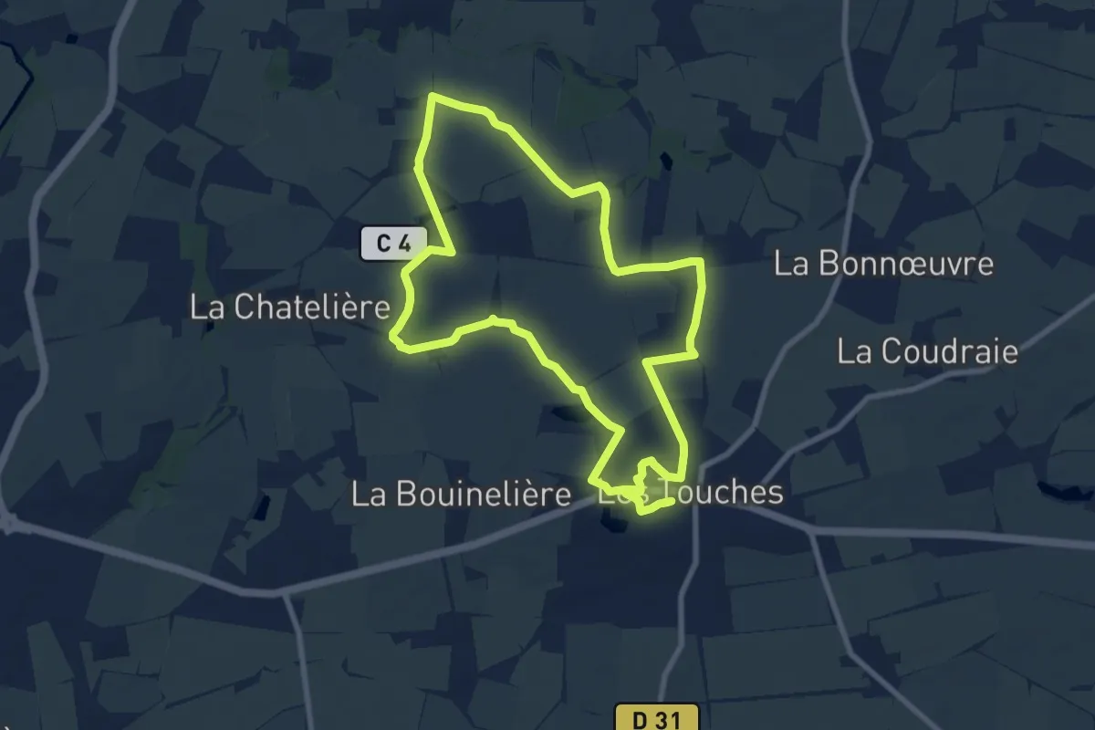
Medium · Summit
La Chauminette
8.5 km · ↑ 40 m · 2 h 12 min
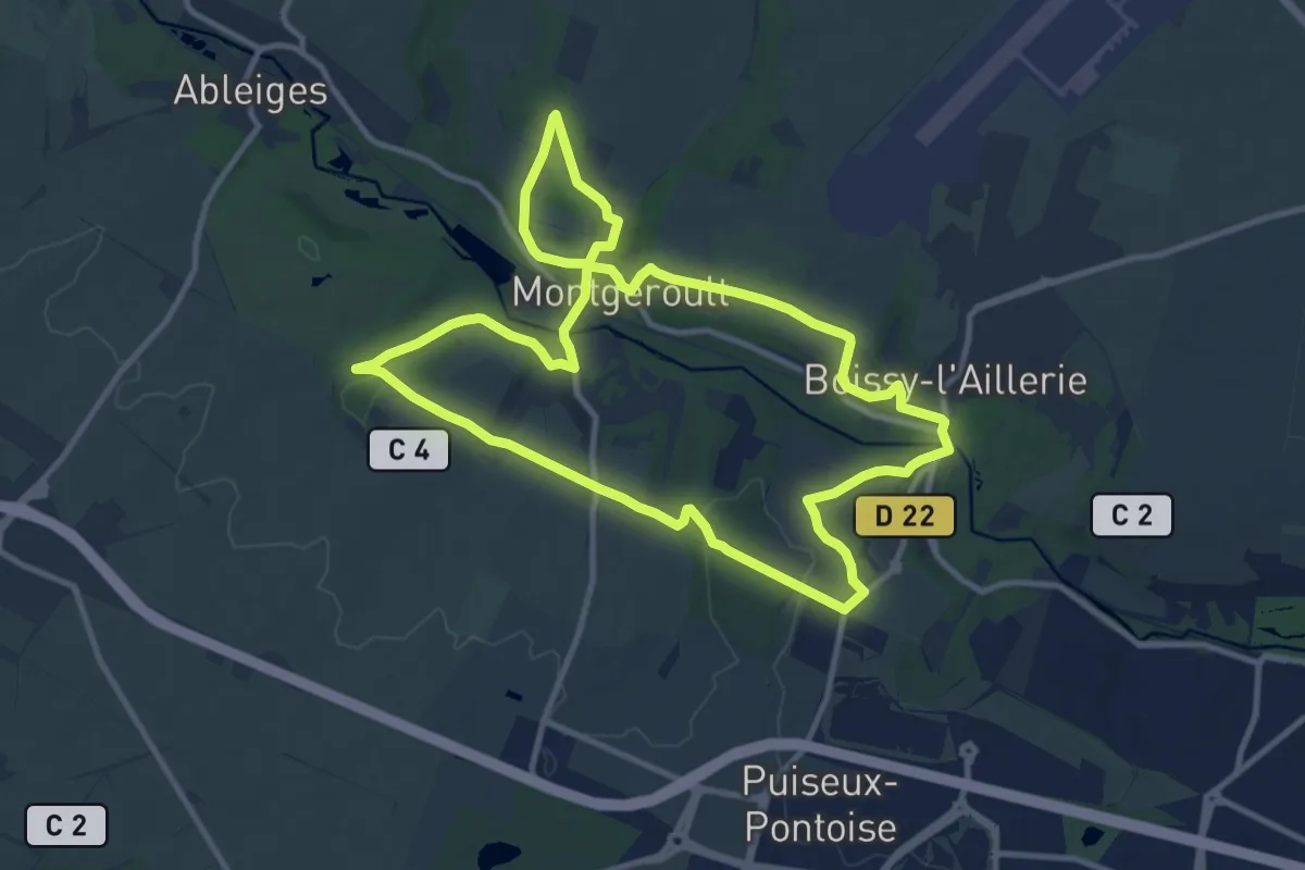
Medium · Trail
La Chaussée Jules César et la vallée de la Viosne
10.7 km · ↑ 206 m · 3 h 7 min
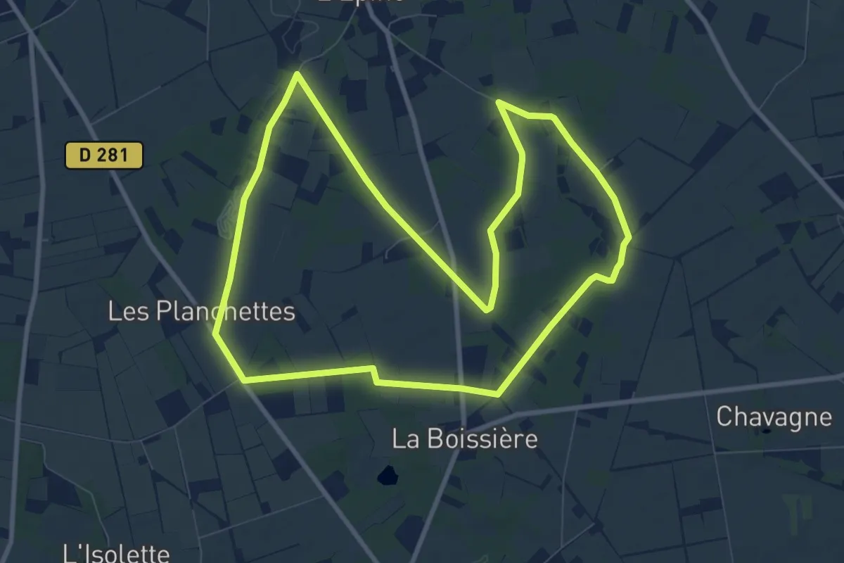
Medium · Trail
La chauve-souris
9.0 km · ↑ 30 m · 2 h 19 min
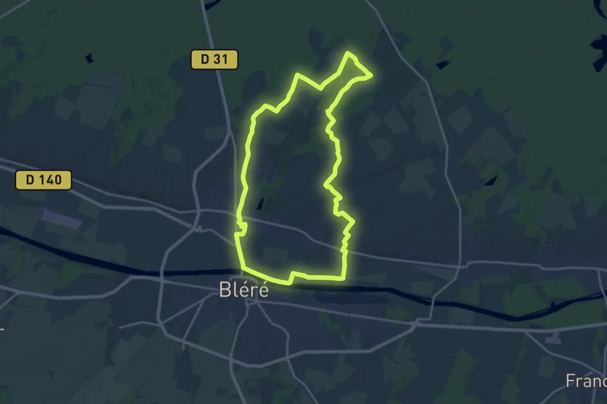
Medium · Trail
La Chauvinière - La-Croix-en-Touraine
14.0 km · ↑ 101 m · 3 h 42 min
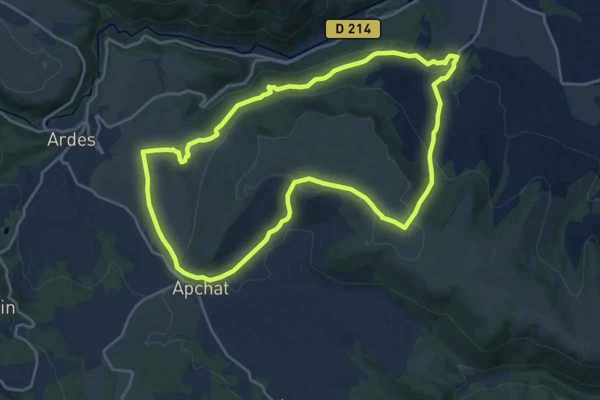
Medium · Trail
La Chaux de Caure
11.6 km · ↑ 309 m · 3 h 34 min
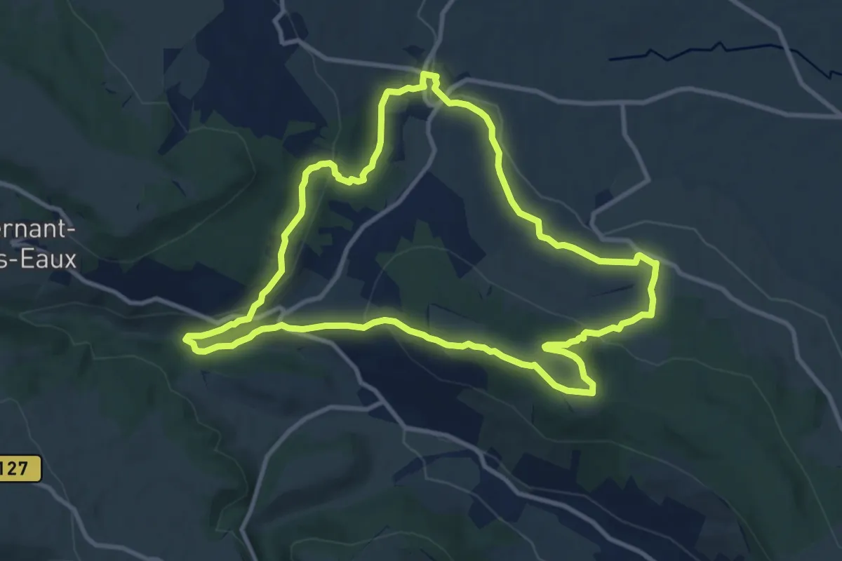
Medium · Trail
La Chaux et le Bois de Jaby
10.0 km · ↑ 278 m · 3 h 6 min
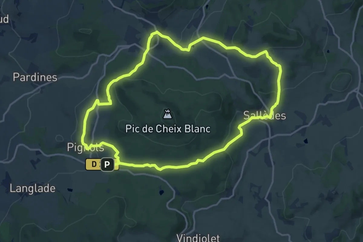
Medium · Summit
La Chaux-Montgros
12.2 km · ↑ 362 m · 3 h 49 min
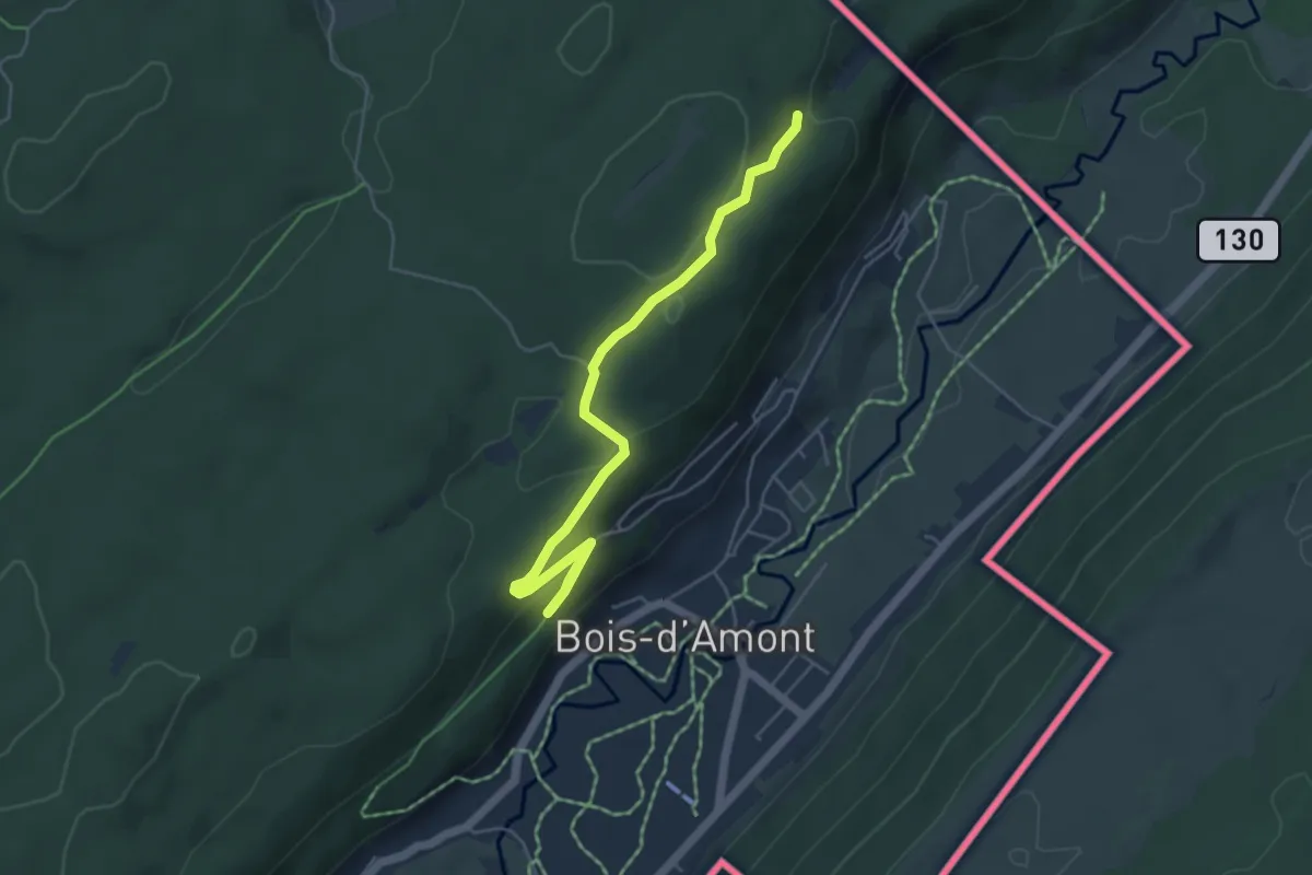
Easy · Trail
La Chaux Sèche
2.7 km · ↑ 60 m · 51 min
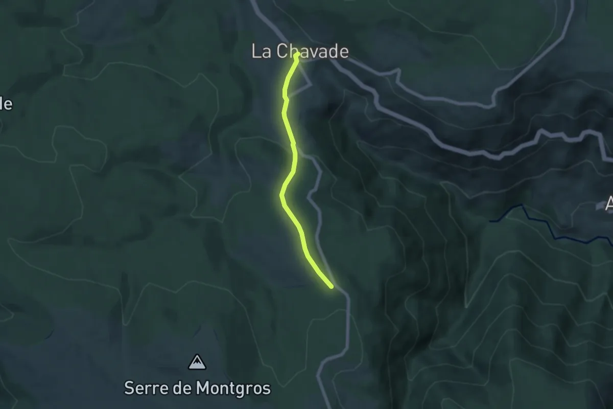
Easy · Cabin
La Chavade - Bel-Air
4.8 km · ↑ 133 m · 1 h 25 min
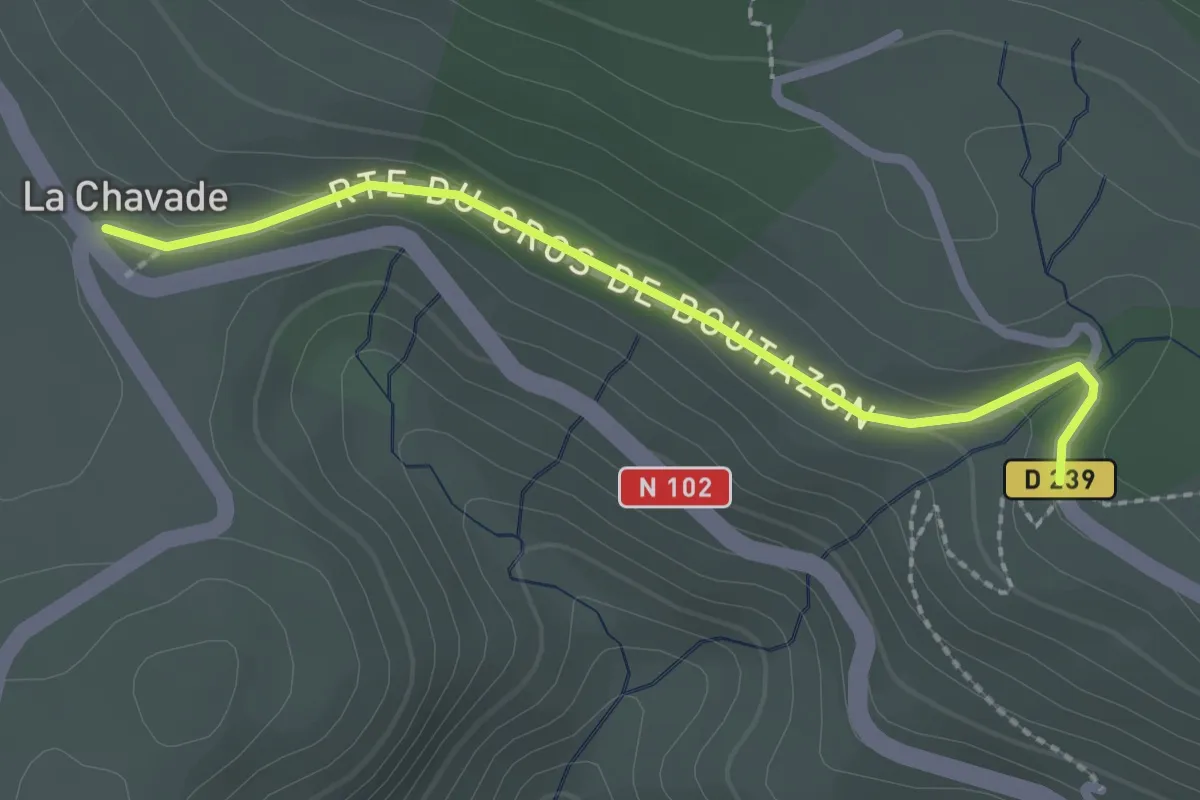
Easy · Cabin
La Chavade - Lesparet/Besselias
2.3 km · ↑ 58 m · 40 min
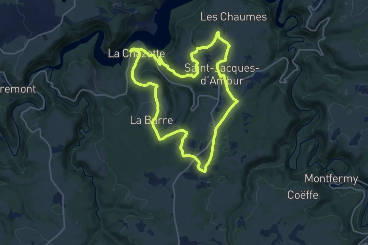
Medium · Trail
La Chazotte et les Sapins de Martineche
12.4 km · ↑ 328 m · 3 h 49 min
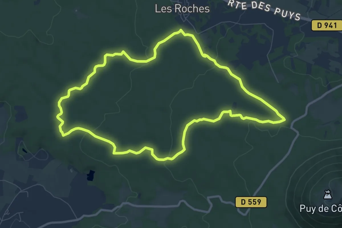
Medium · Trail
La Cheire de Come
8.7 km · ↑ 142 m · 2 h 29 min
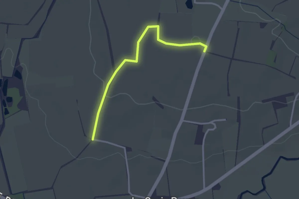
Easy · Trail
La Chesnelière
2.4 km · ↑ 32 m · 38 min
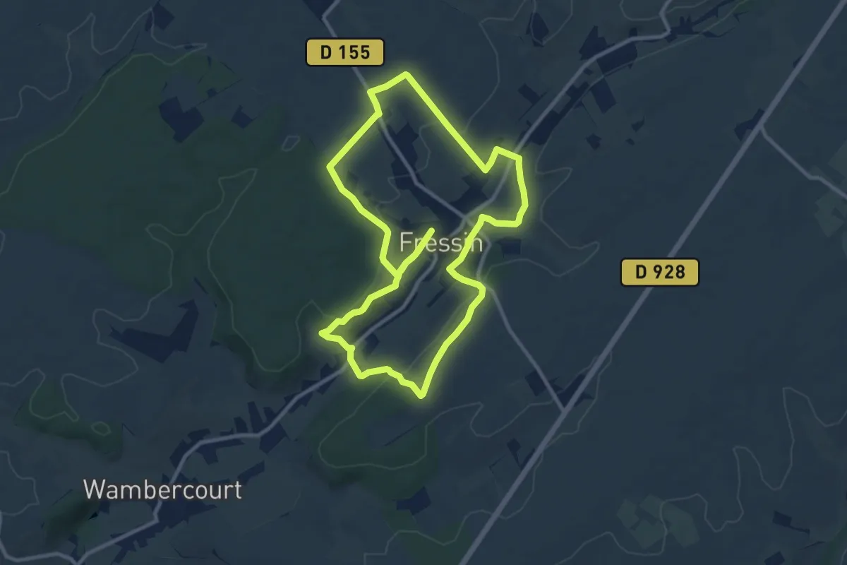
Medium · Trail
La Chevrette
9.3 km · ↑ 147 m · 2 h 38 min
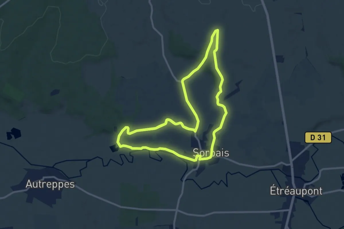
Medium · Trail
La Chouette et le Bocage
17.8 km · ↑ 232 m · 4 h 43 min
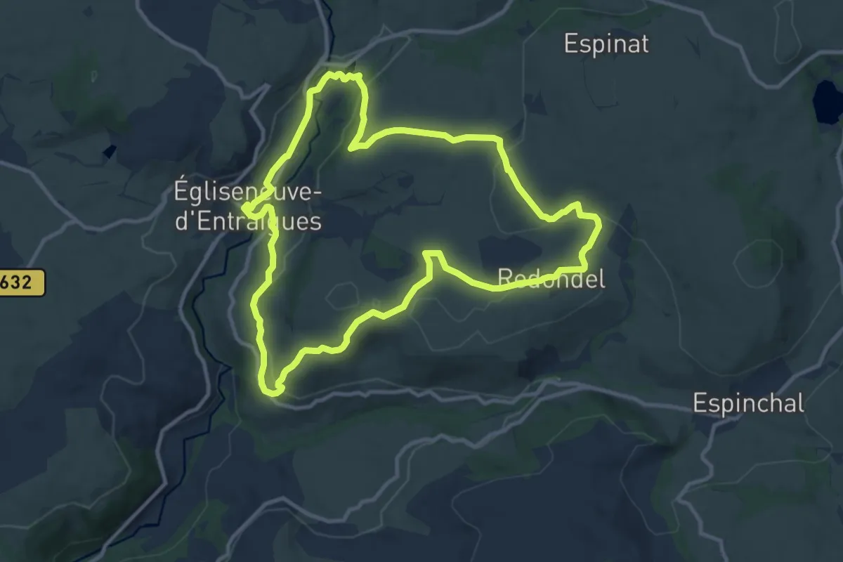
Medium · Trail
La cime des pres
11.0 km · ↑ 257 m · 3 h 19 min
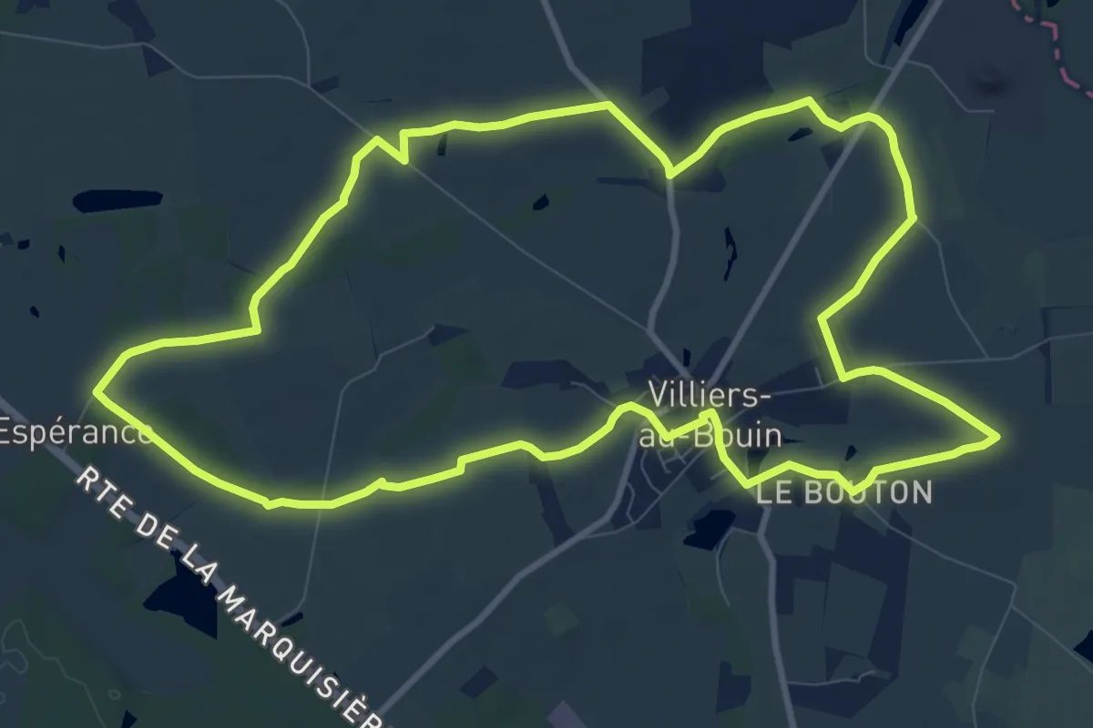
Medium · Trail
La Cimenterie - Villiers-au-Bouin
10.8 km · ↑ 48 m · 2 h 48 min
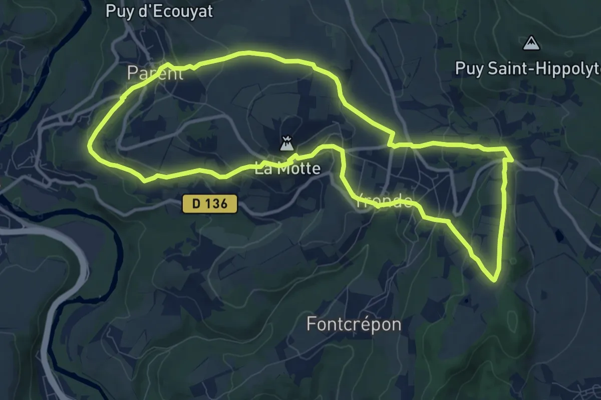
Medium · Summit
La Citadelle de Buron
10.4 km · ↑ 348 m · 3 h 21 min
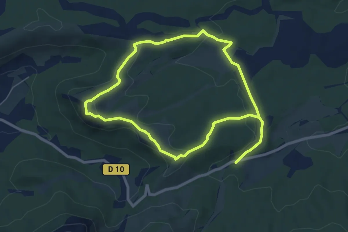
Easy · Summit
La citadelle de Vauvenargues
5.0 km · ↑ 140 m · 1 h 33 min