Trails in France
15,926 hiking trails, each with its route, climb, walking time and grade.
All trails, page 134 of 332
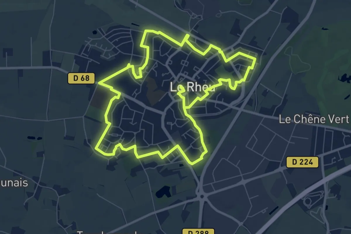
Easy · Trail
La cité jardin
7.9 km · ↑ 26 m · 2 h 2 min
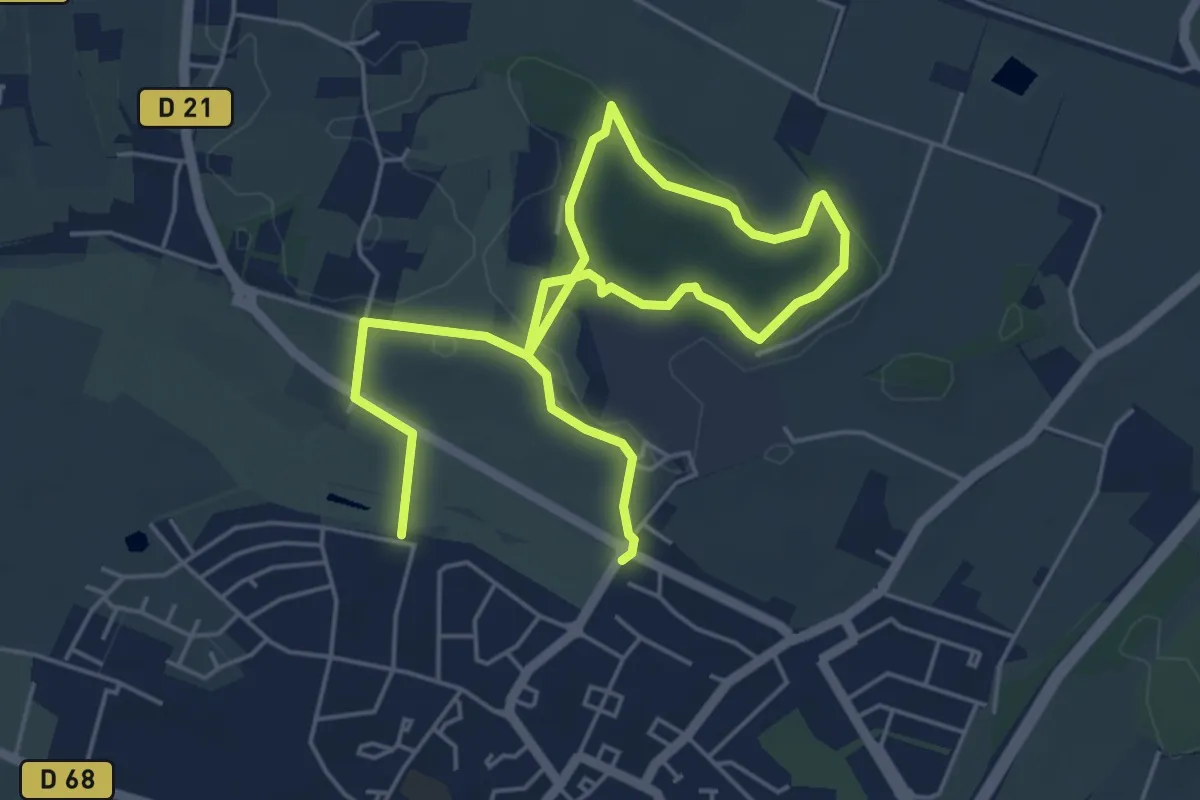
Easy · Trail
La cité jardin - variante
7.7 km · ↑ 99 m · 2 h 1 min
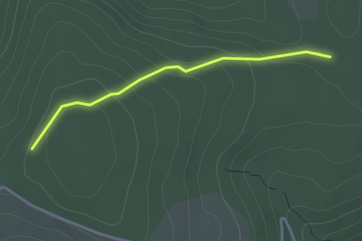
Easy · Trail
La Citerne - Serre de Piedfaud
2.2 km · ↑ 80 m · 42 min
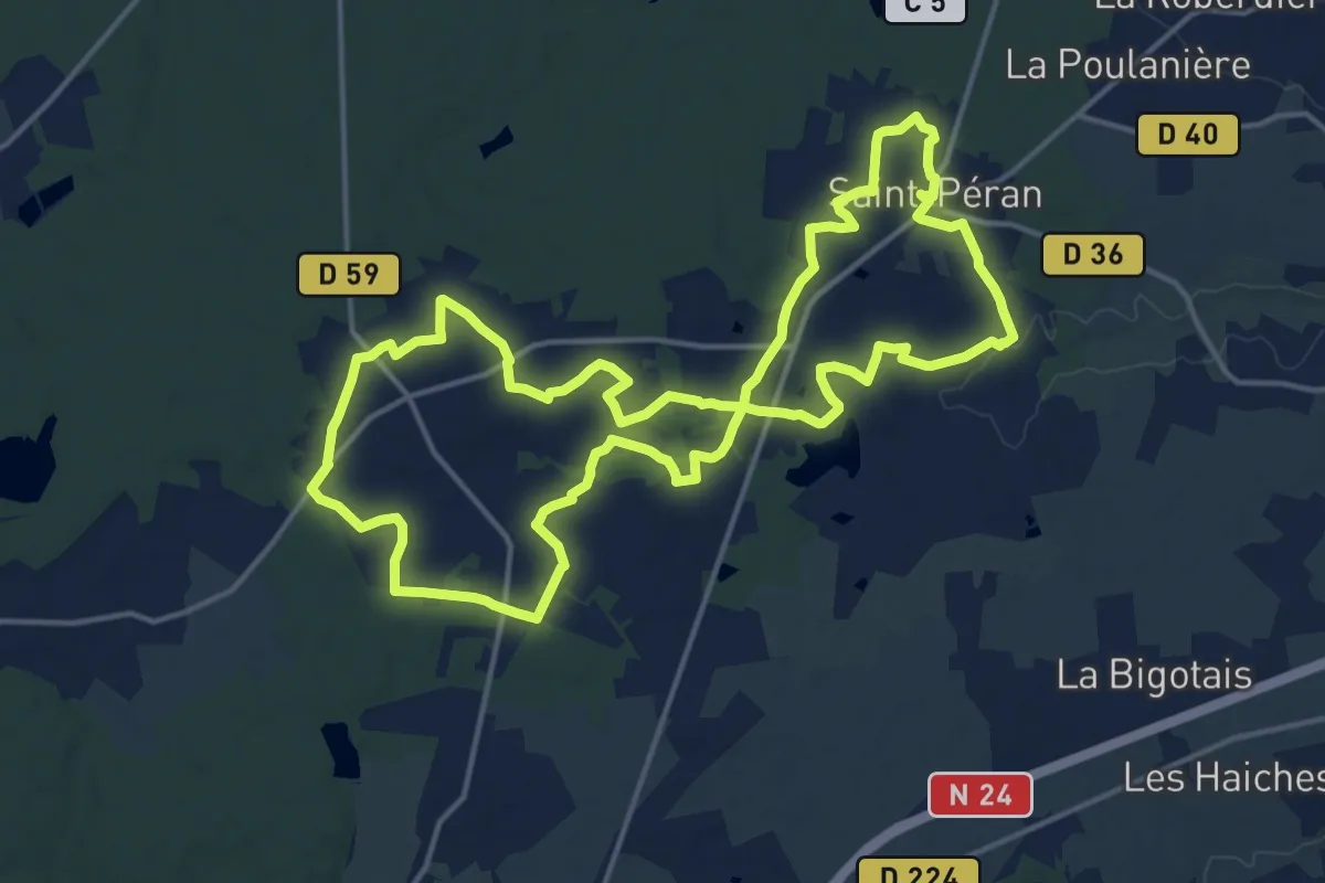
Medium · Trail
La Clairière de Saint-Péran
16.2 km · ↑ 99 m · 4 h 15 min
Medium · Trail
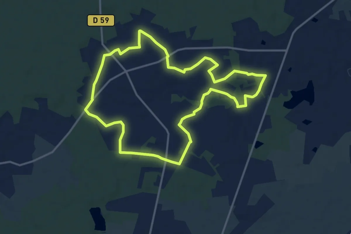
La Clairière de Saint-Péran (ouest)
9.2 km · ↑ 66 m · 2 h 27 min
Easy · Trail
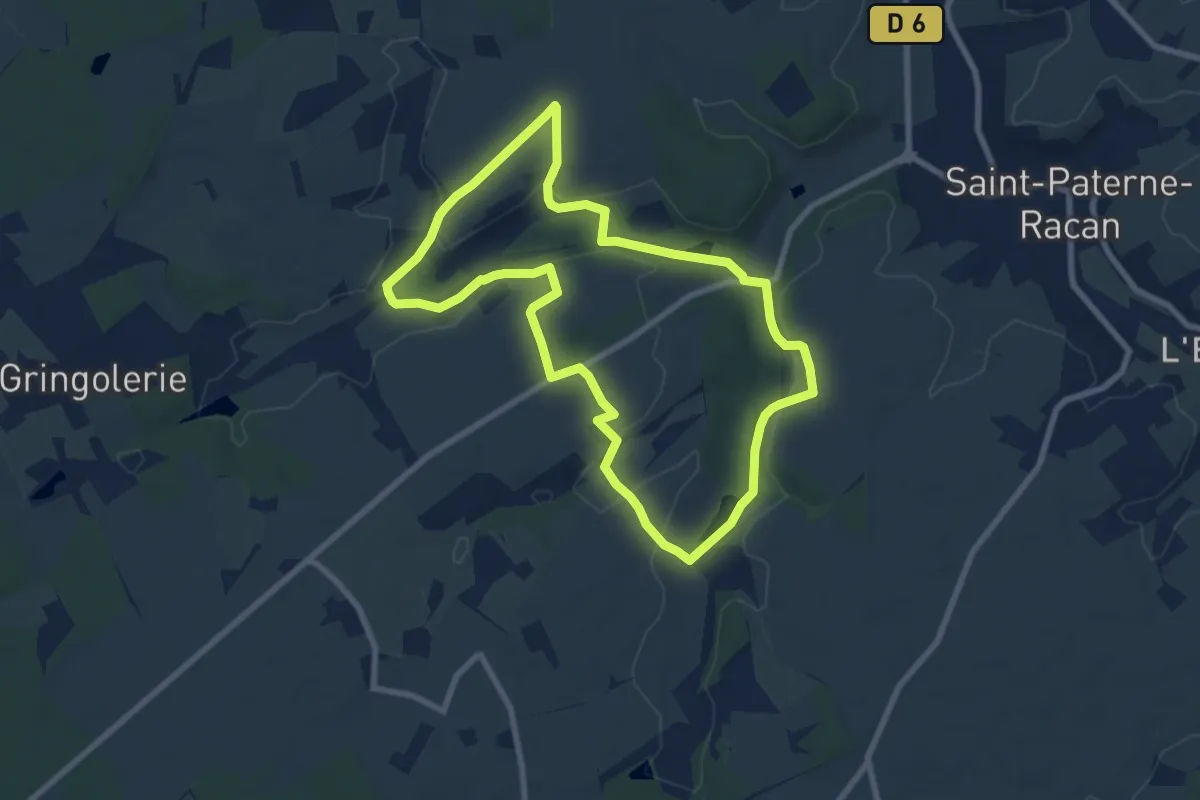
La Clarté Dieu
7.8 km · ↑ 142 m · 2 h 15 min
Easy · Trail
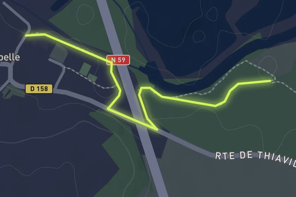
La Clé des Champs - Variante
2.3 km · ↑ 51 m · 40 min
Easy · Cabin
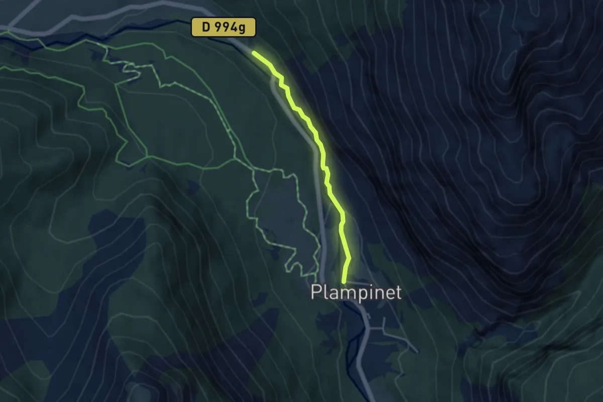
La Cleida - ?
3.1 km · ↑ 93 m · 56 min
Medium · Cabin
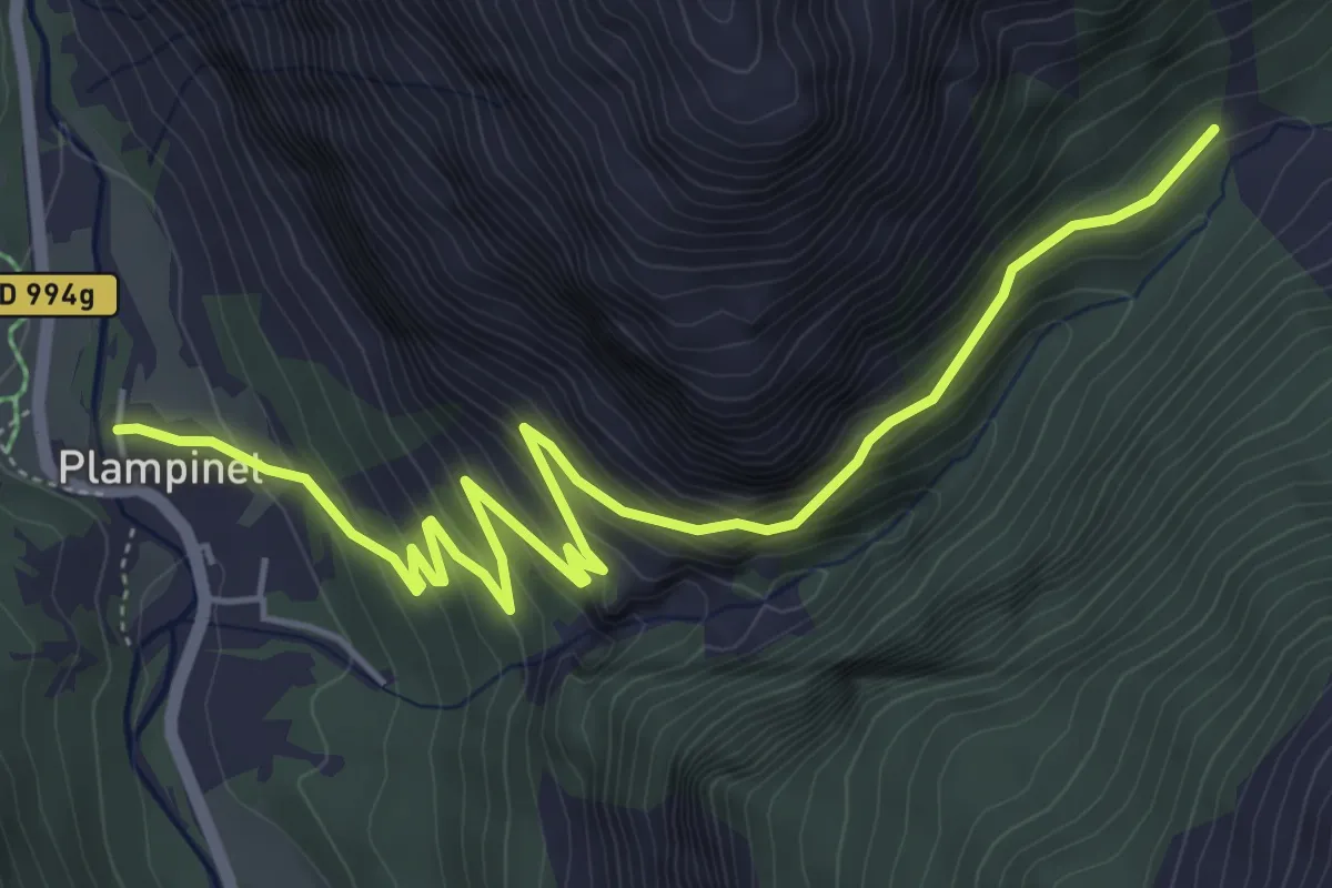
La Cleida - Oratoire St-Roch
6.6 km · ↑ 450 m · 2 h 32 min
Easy · Trail
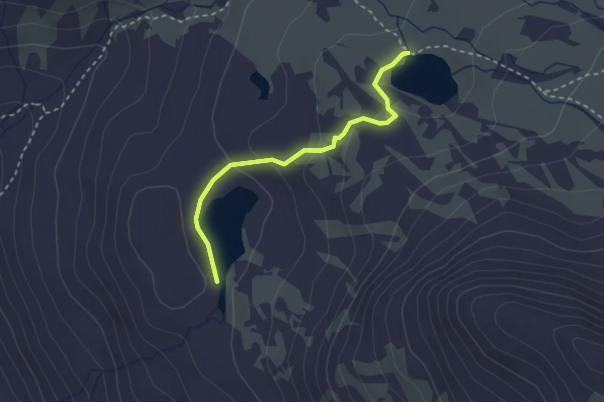
Lac Long - Lac Rond
2.4 km · ↑ 77 m · 44 min
Medium · Trail
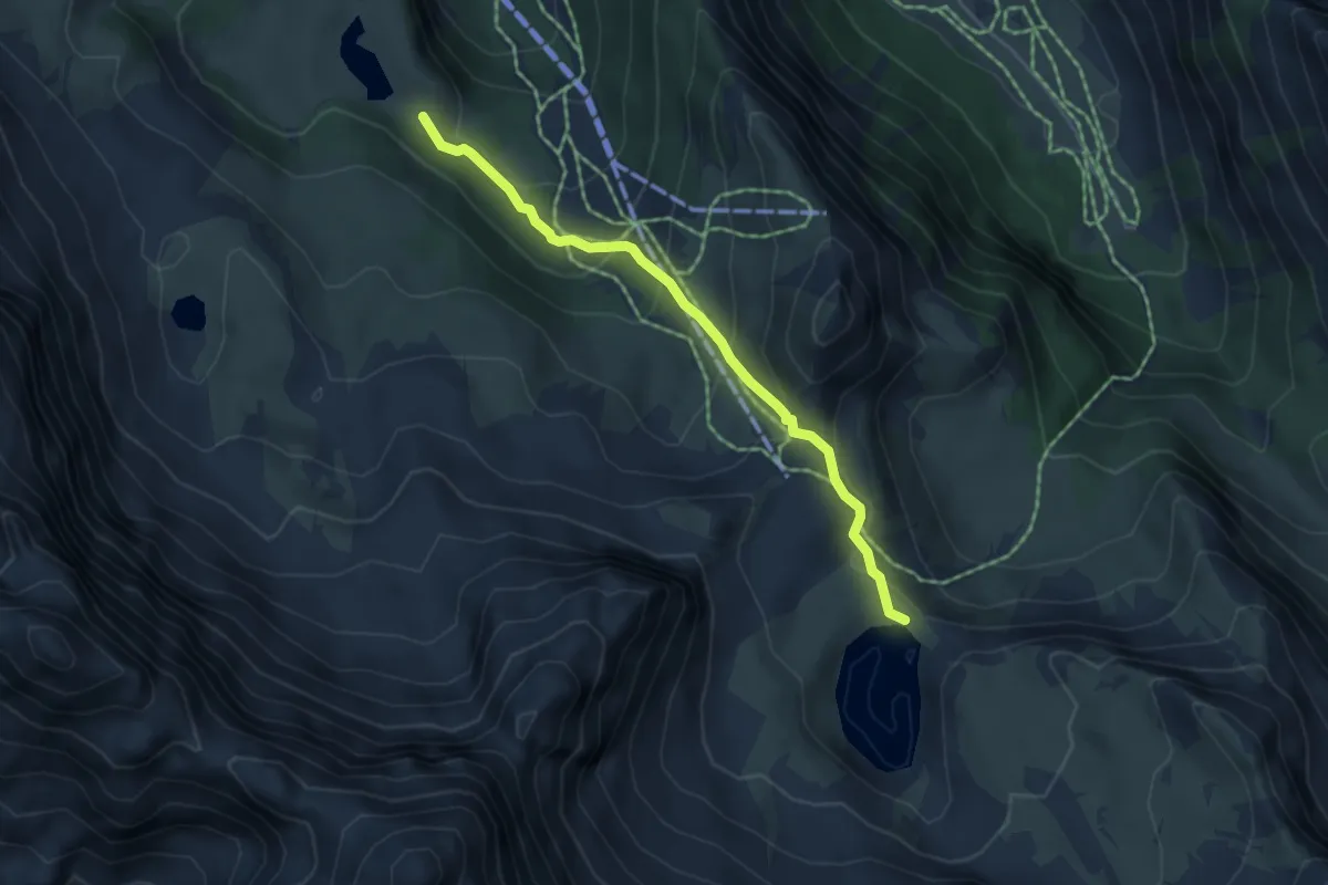
Lac Miroir - Lac Sainte-Anne
4.6 km · ↑ 244 m · 1 h 37 min
Demanding · Summit
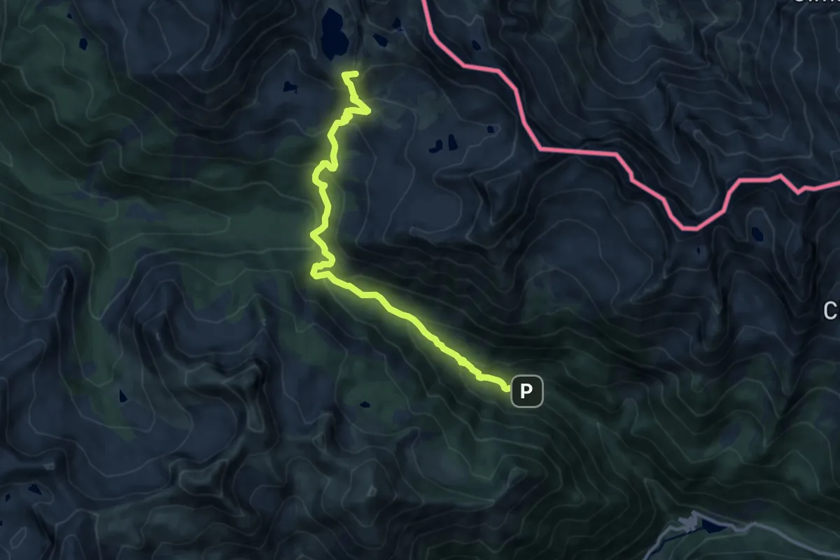
Lac Nègre
12.2 km · ↑ 803 m · 4 h 37 min
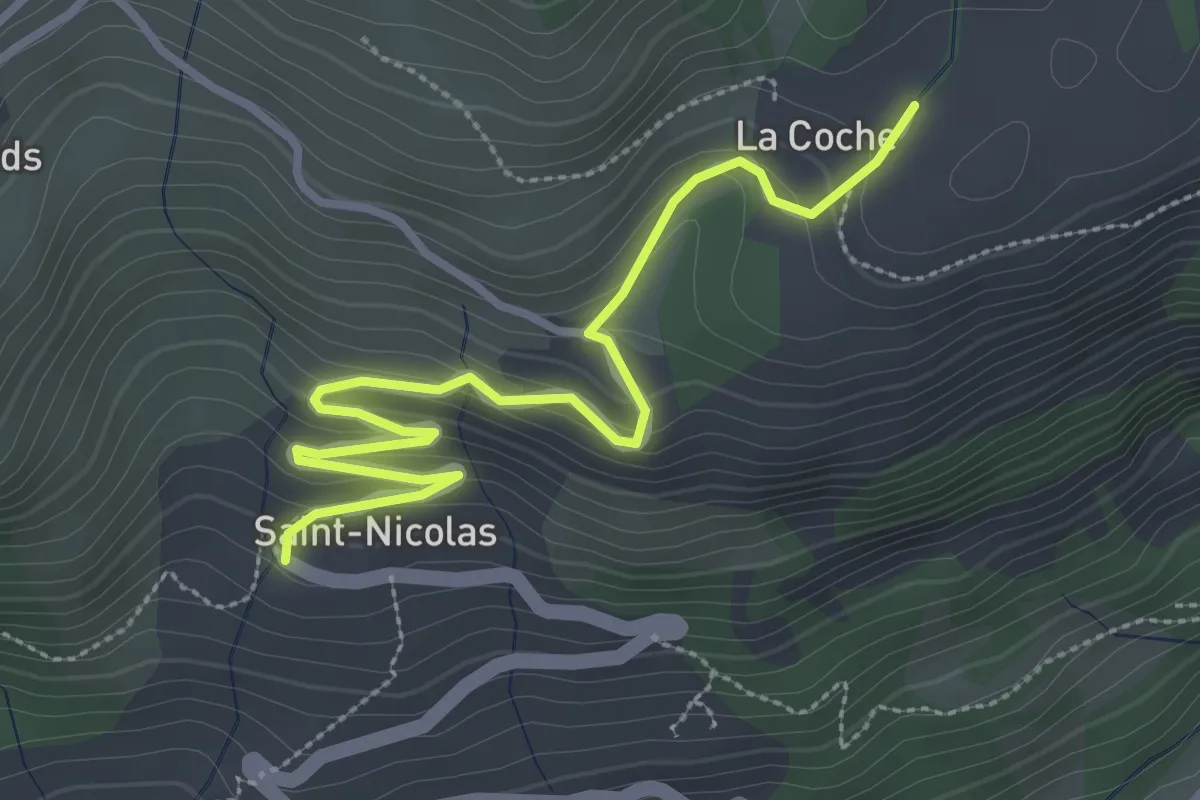
Easy · Trail
La Coche - St Nicolas
3.7 km · ↑ 192 m · 1 h 17 min
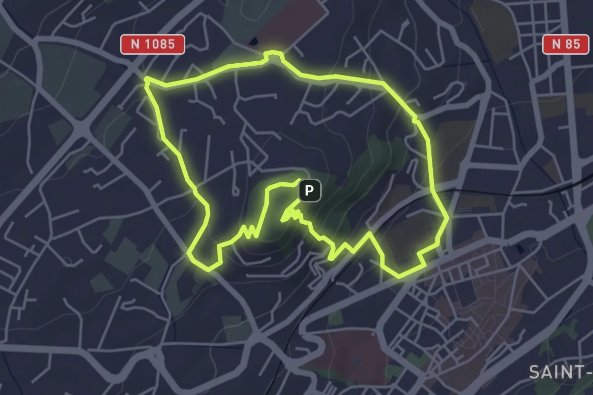
Easy · Summit
La Colline de Puymaure
4.5 km · ↑ 158 m · 1 h 28 min
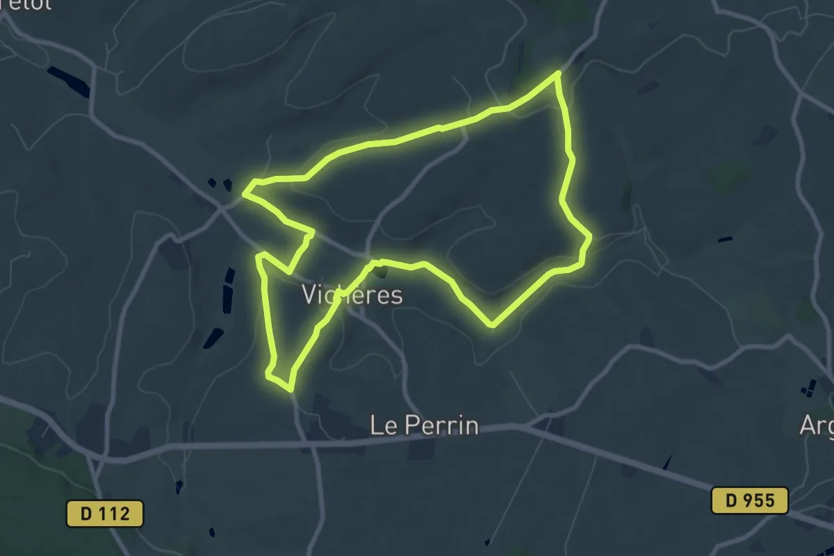
Easy · Summit
La colline de Rougemont
7.8 km · ↑ 184 m · 2 h 21 min
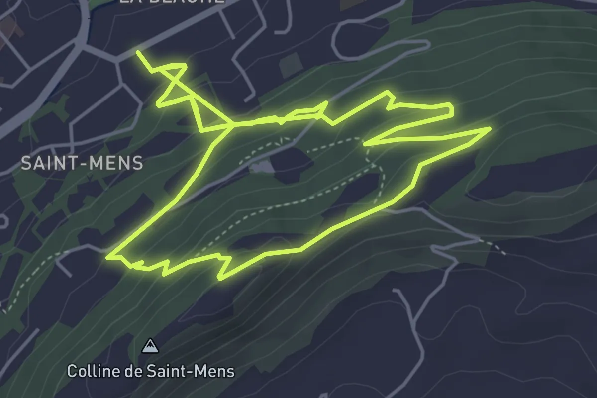
Easy · Trail
La Colline de Saint-Mens
5.3 km · ↑ 286 m · 1 h 55 min
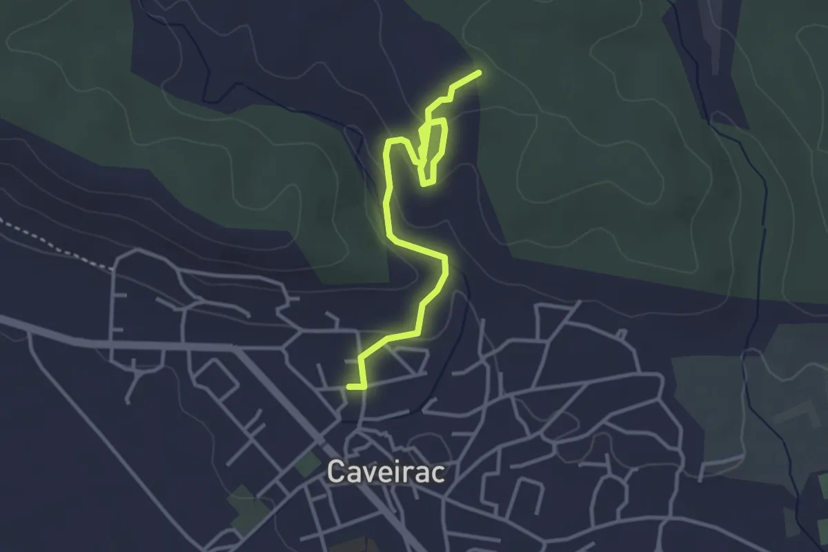
Easy · Trail
La colline de Saint-Roch
3.7 km · ↑ 119 m · 1 h 8 min
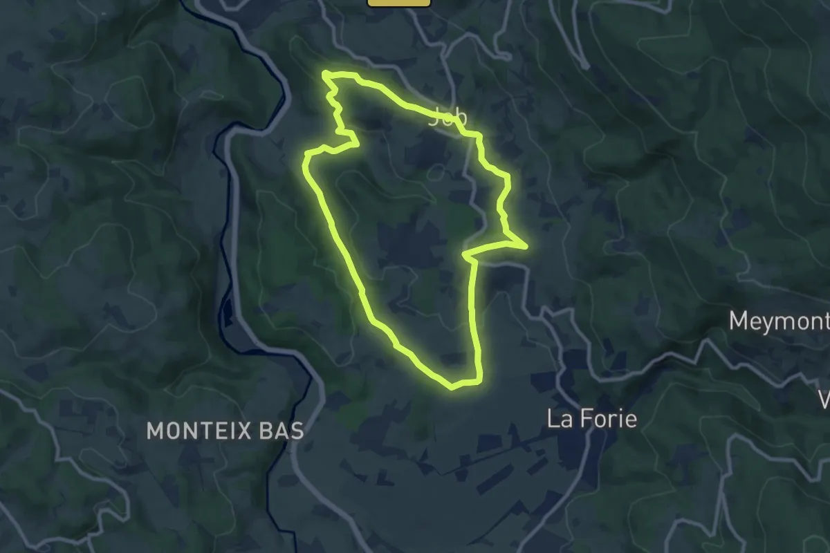
Medium · Trail
La Colline des Peux - Le Vallon de St Nicolas
8.8 km · ↑ 193 m · 2 h 38 min
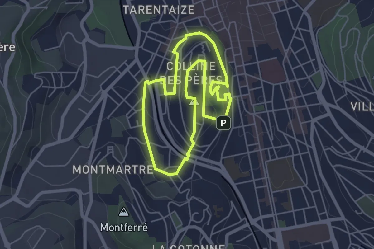
Easy · Trail
La colline de Tardy
4.2 km · ↑ 114 m · 1 h 18 min
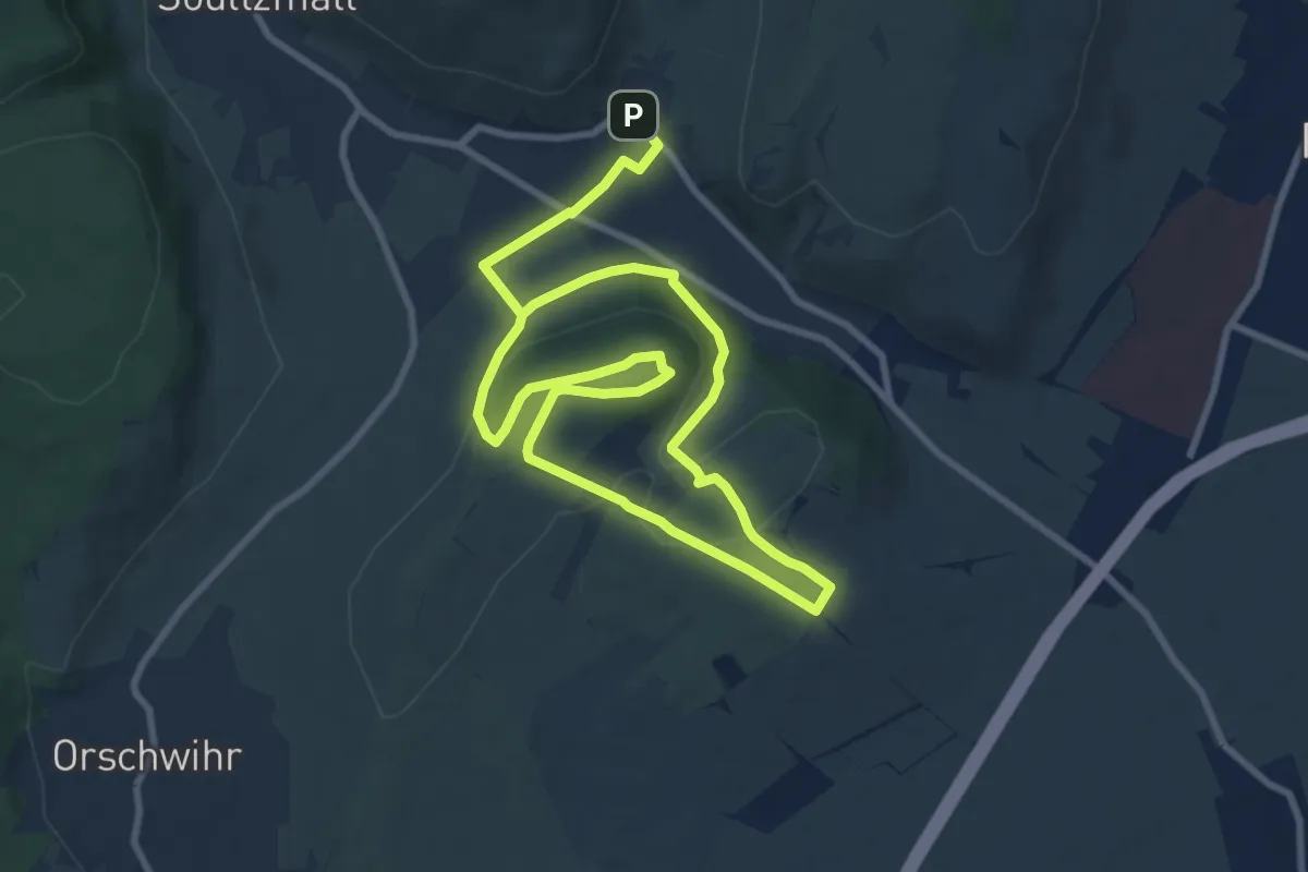
Easy · Trail
La Colline sèche du Bollenberg
7.3 km · ↑ 208 m · 2 h 16 min
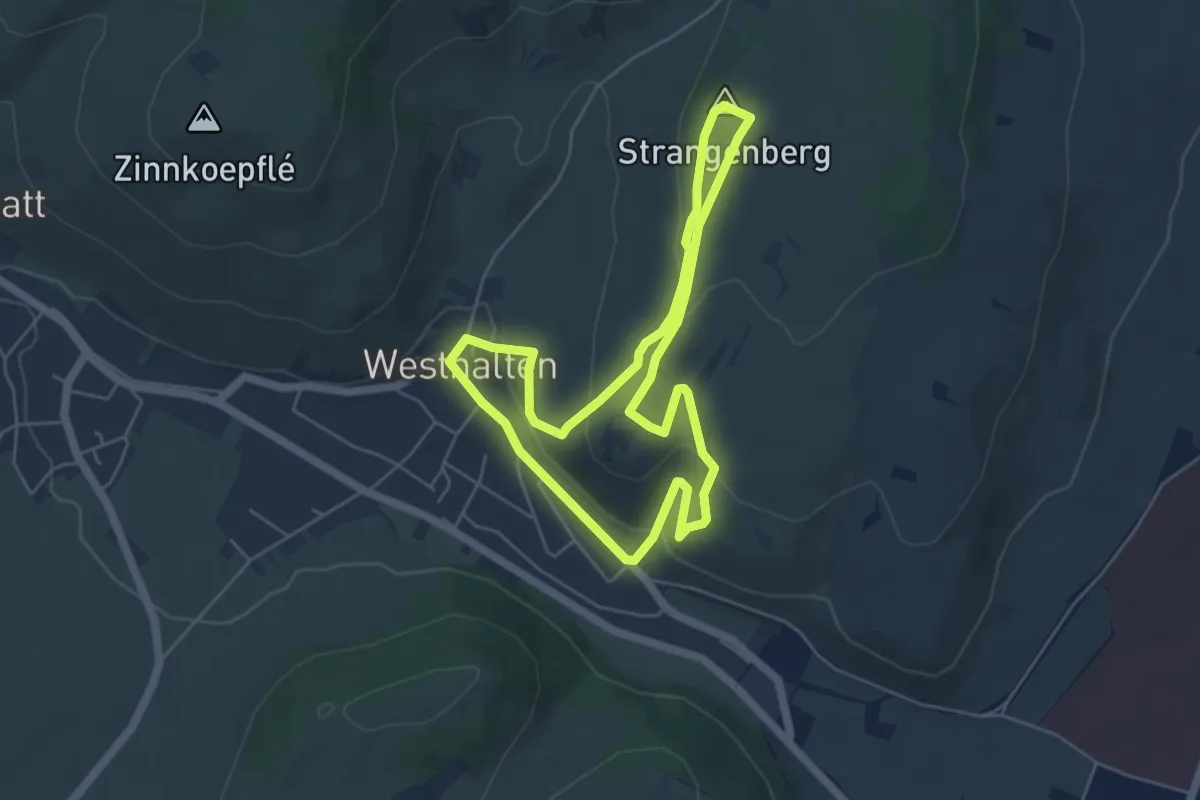
Easy · Summit
La Colline sèche du Strangenberg
4.9 km · ↑ 192 m · 1 h 39 min
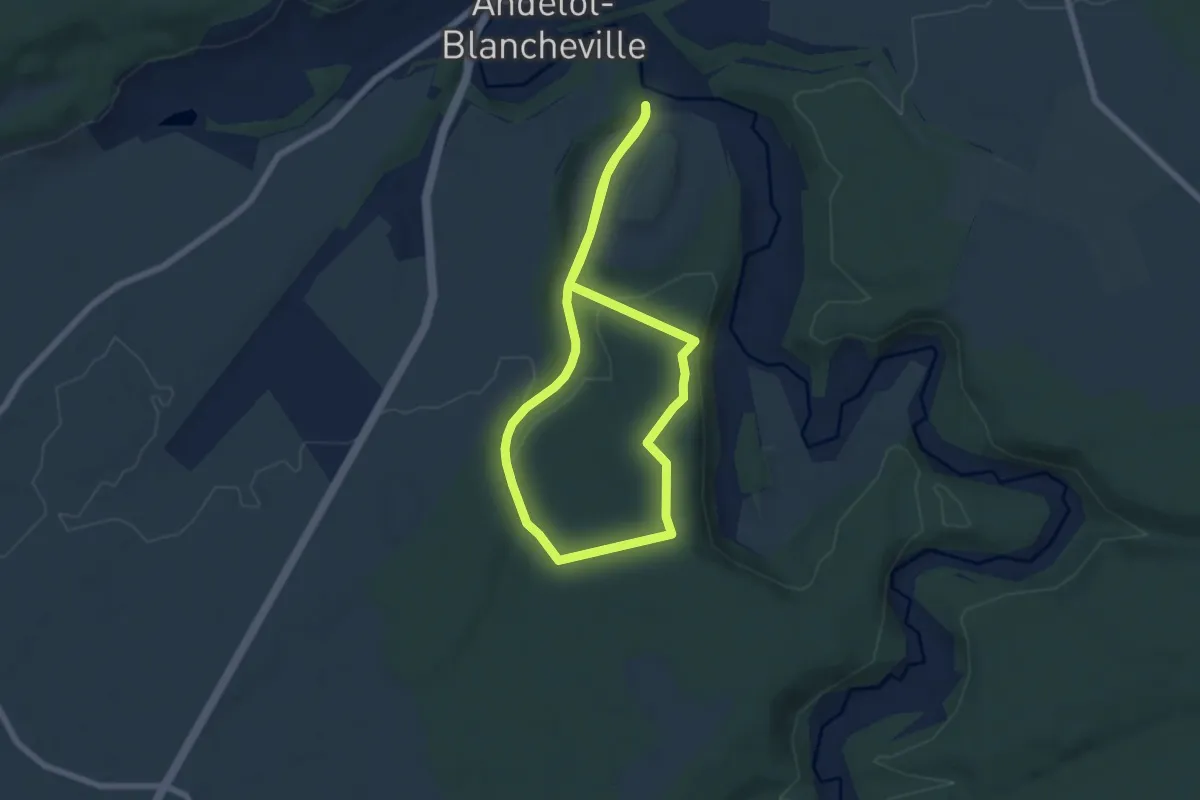
Easy · Trail
La Combe à l'Ane
5.7 km · ↑ 101 m · 1 h 39 min
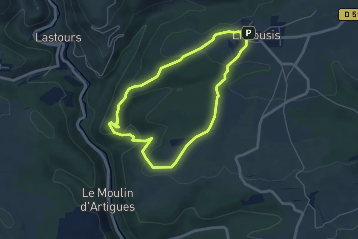
Easy · Trail
La Combe de la Balboune
4.1 km · ↑ 128 m · 1 h 18 min
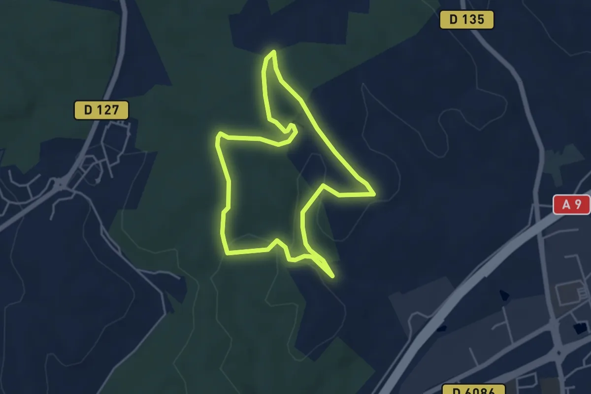
Easy · Trail
La combe des Bourguignons
3.9 km · ↑ 56 m · 1 h 6 min
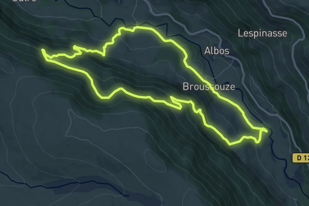
Medium · Trail
La Combe du Frêne
8.9 km · ↑ 382 m · 3 h 4 min
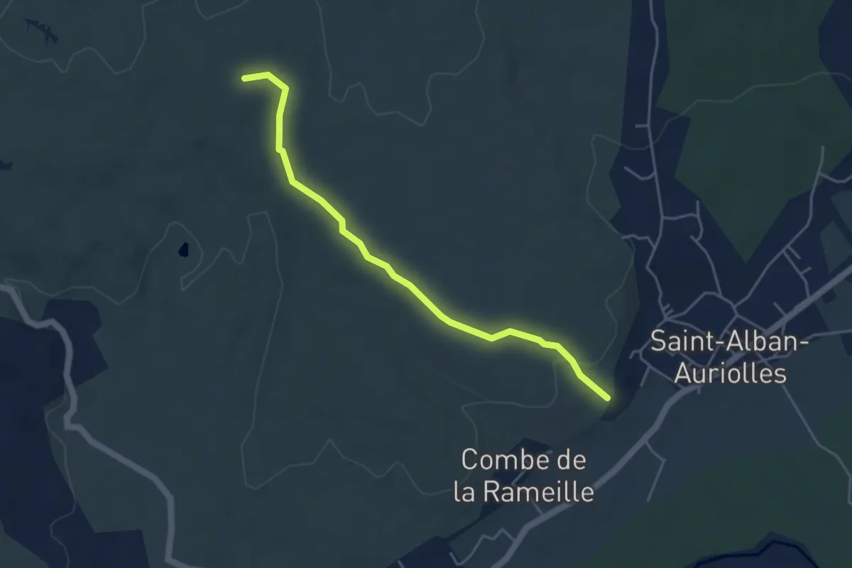
Easy · Trail
La Combe du Merle - Les Issarts
4.5 km · ↑ 95 m · 1 h 16 min
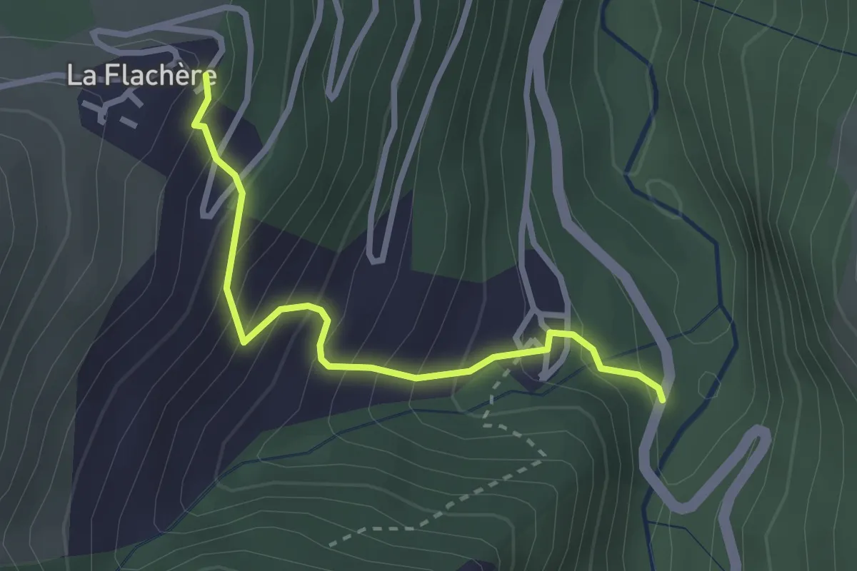
Easy · Trail
La Combe - La Flachère
2.6 km · ↑ 311 m · 1 h 18 min
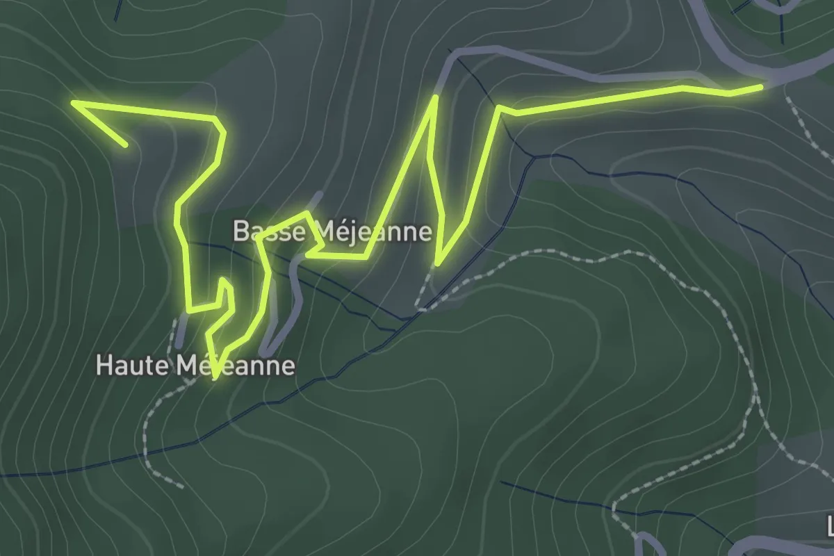
Easy · Trail
La Combe - Les Fourches
4.0 km · ↑ 159 m · 1 h 18 min
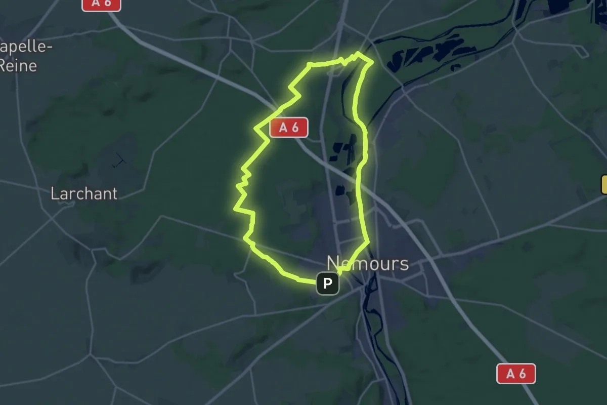
Medium · Trail
La Commanderie de Beauvais en Gâtinais
17.8 km · ↑ 72 m · 4 h 36 min
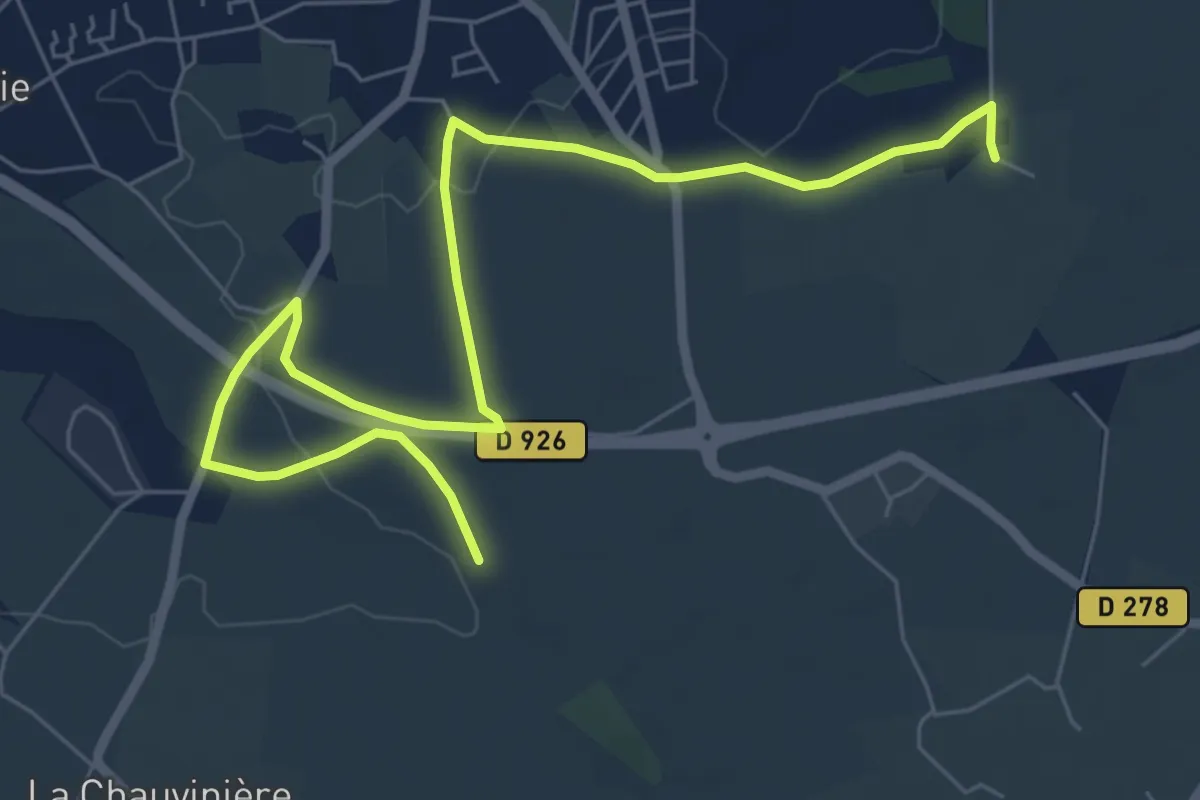
Medium · Trail
La Comtesse de Ségur - Aube
9.4 km · ↑ 37 m · 2 h 25 min
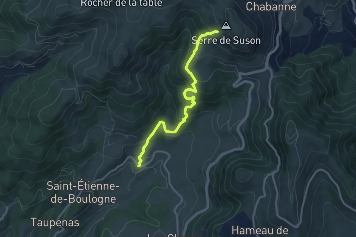
Medium · Trail
La Conchy - Serre de Suzon
7.0 km · ↑ 419 m · 2 h 33 min
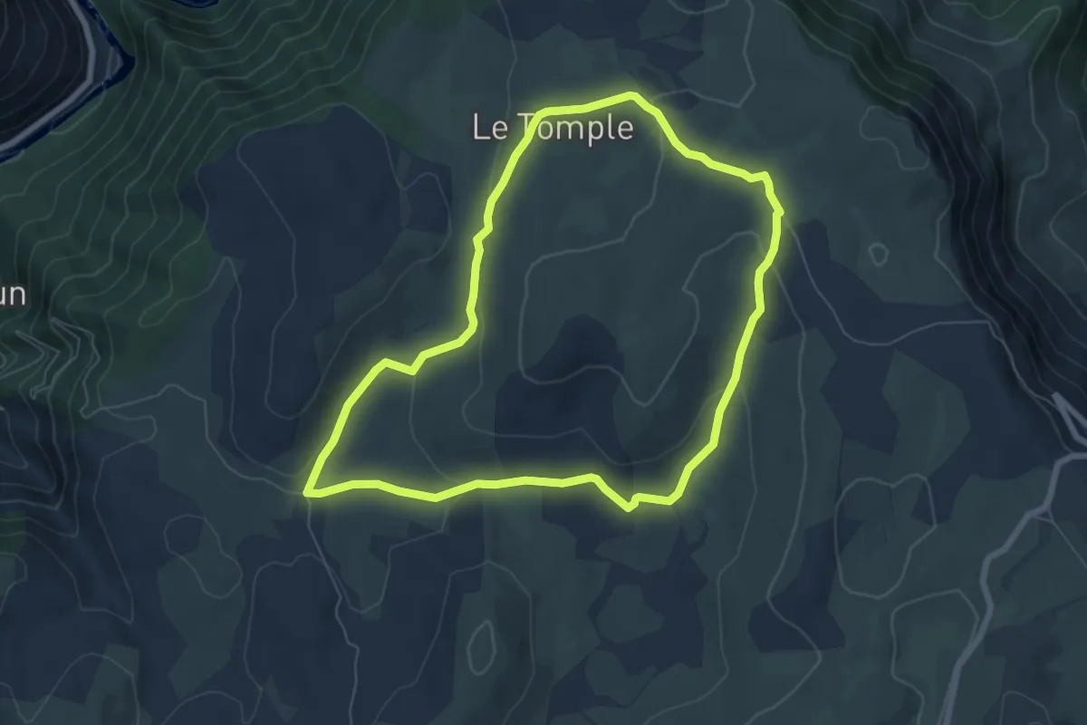
Easy · Trail
La Condamine
6.9 km · ↑ 149 m · 2 h 3 min
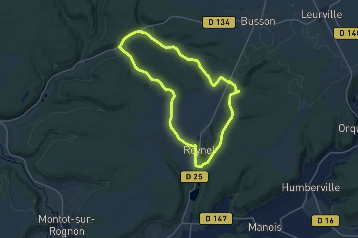
Medium · Trail
La contrée du Grond
11.6 km · ↑ 218 m · 3 h 23 min
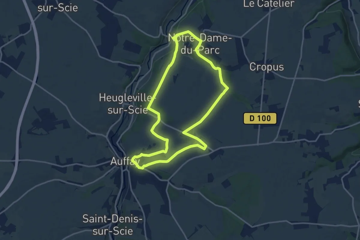
Medium · Trail
La Corbière au Pont rouge
11.3 km · ↑ 167 m · 3 h 11 min
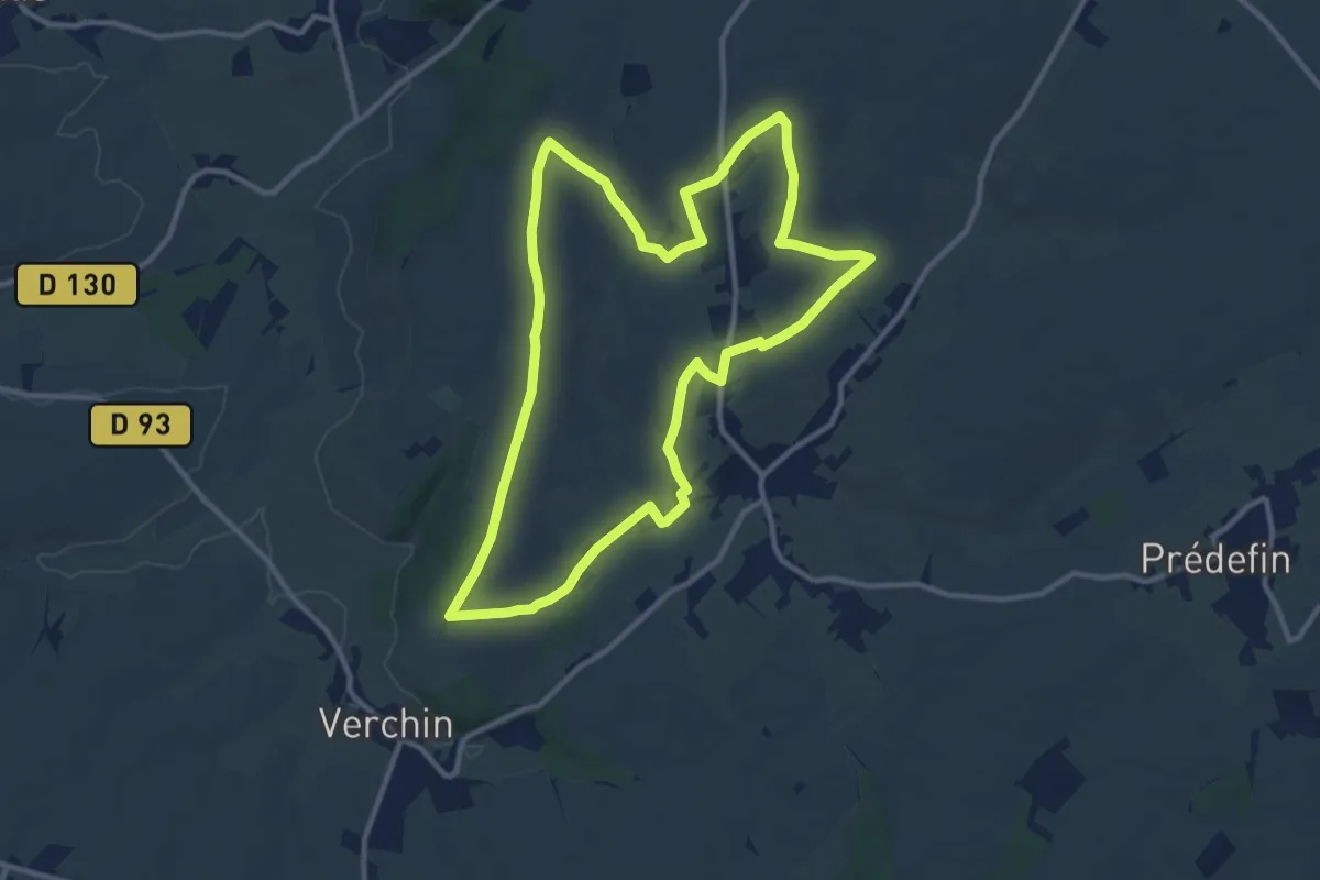
Medium · Trail
La Corneillère
10.6 km · ↑ 97 m · 2 h 52 min
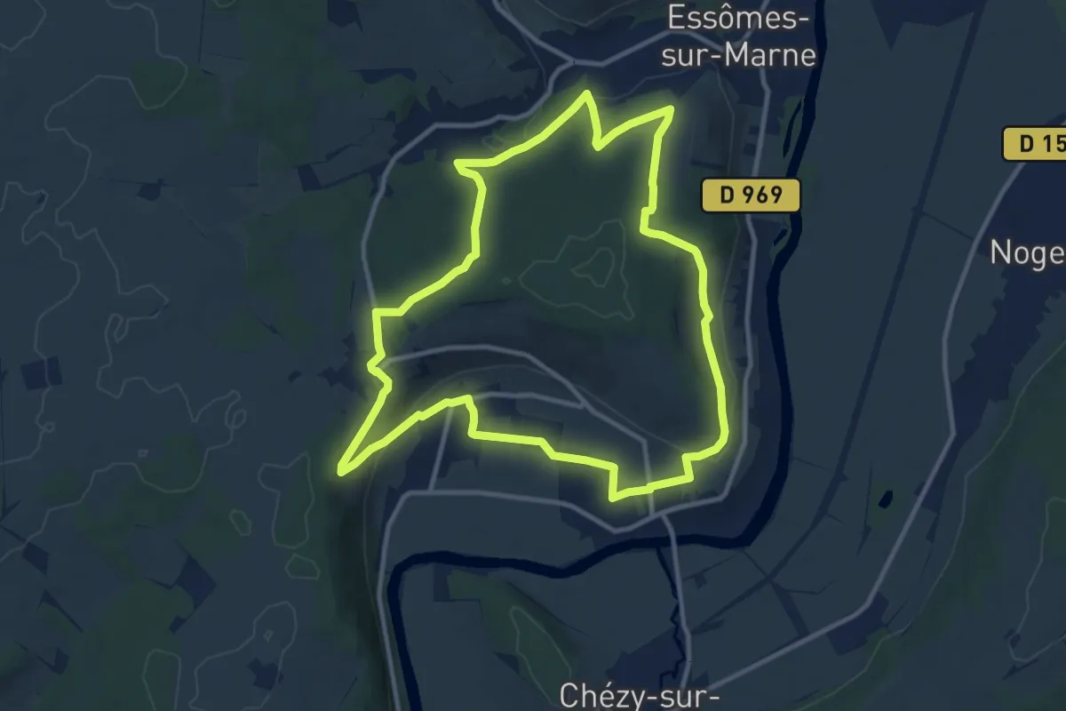
Medium · Trail
La corniche d'Azy
10.6 km · ↑ 270 m · 3 h 15 min
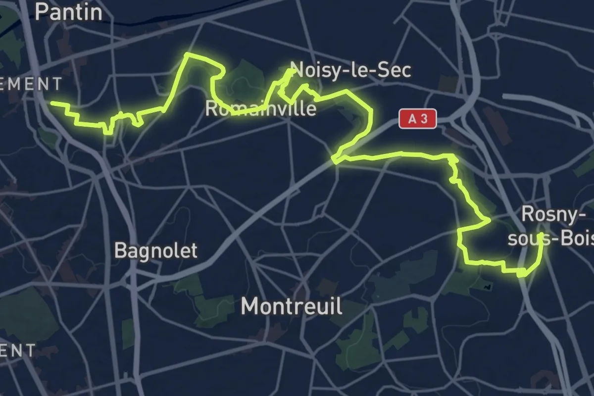
Demanding · Trail
La corniche des forts
28.0 km · ↑ 400 m · 7 h 28 min
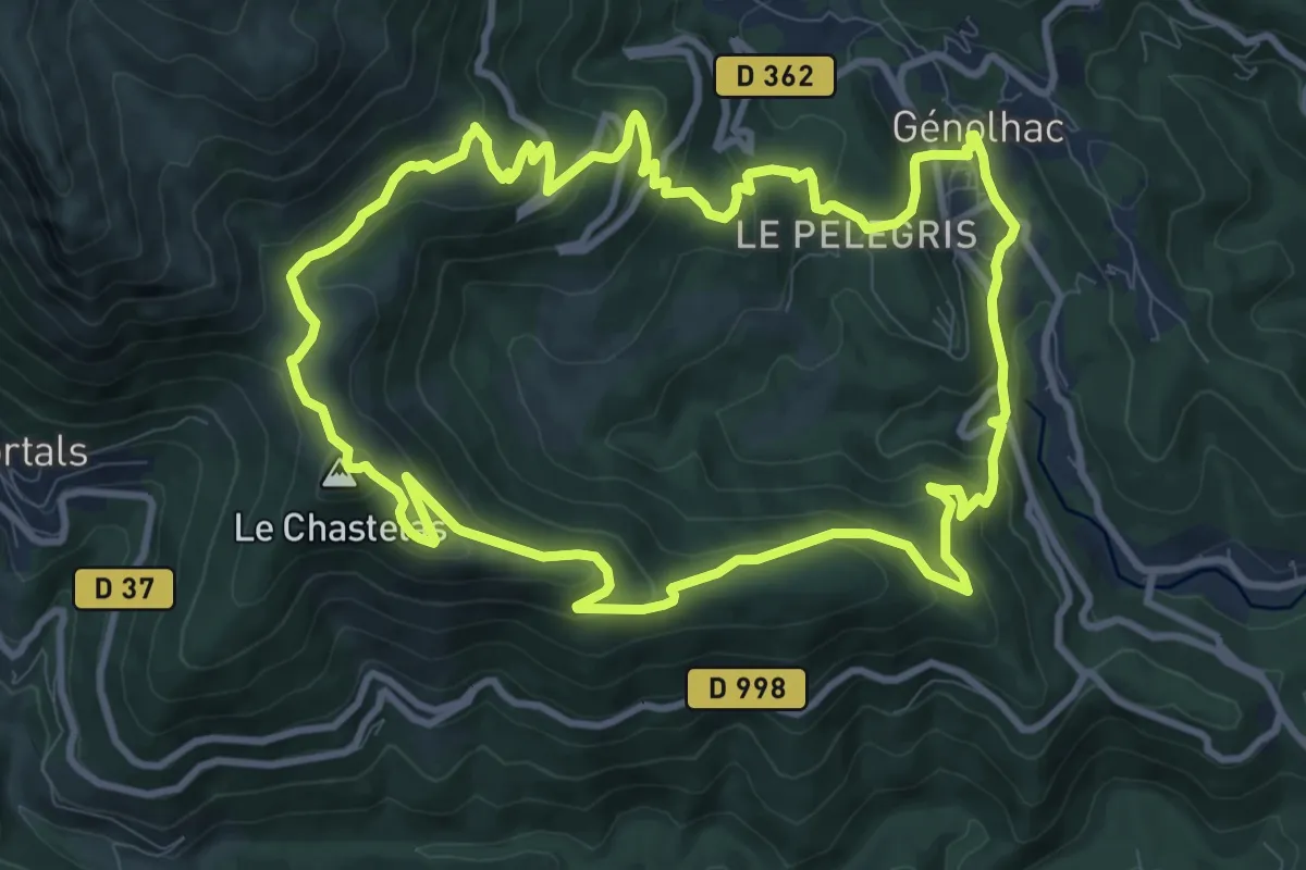
Medium · Summit
La Coste
11.1 km · ↑ 575 m · 4 h 1 min
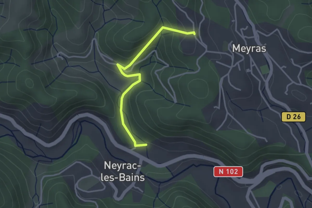
Easy · Trail
La Coste - Le Maillet
3.0 km · ↑ 133 m · 1 h
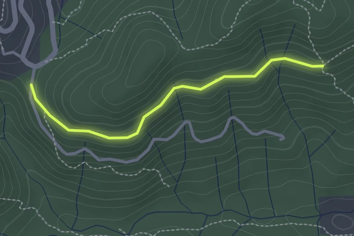
Easy · Trail
La Coste - Le Puy de Prades
2.3 km · ↑ 84 m · 43 min
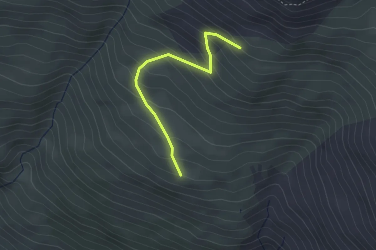
Easy · Trail
La Côta Bella - Puy Freyssinet
3.0 km · ↑ 257 m · 1 h 16 min
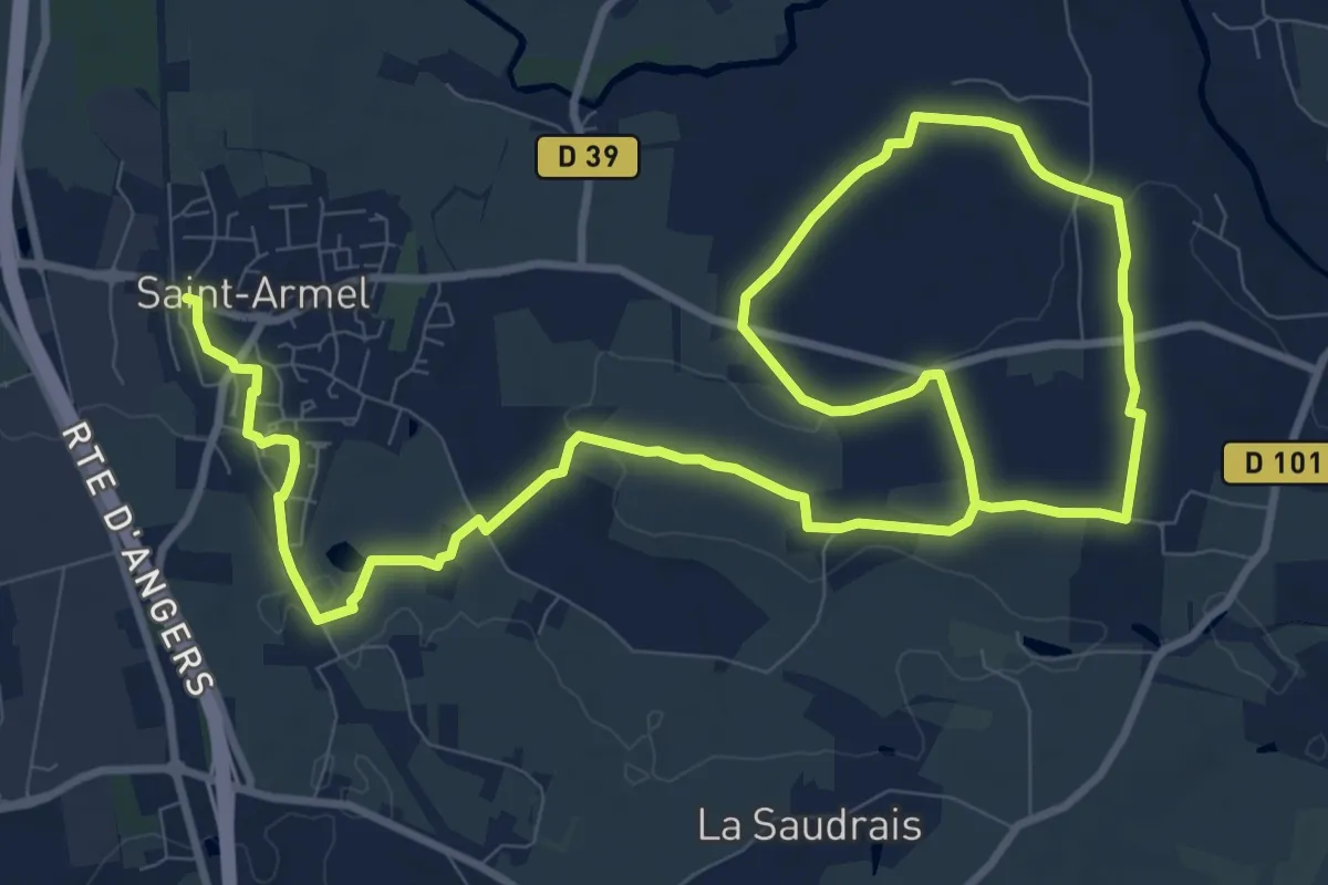
Medium · Trail
La Côte Baudrais
16.9 km · ↑ 134 m · 4 h 16 min
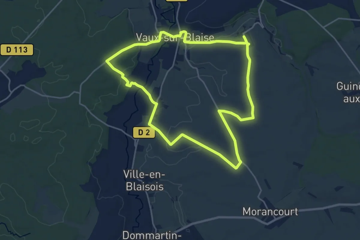
Medium · Trail
La Côte Dardaille
13.9 km · ↑ 135 m · 3 h 46 min
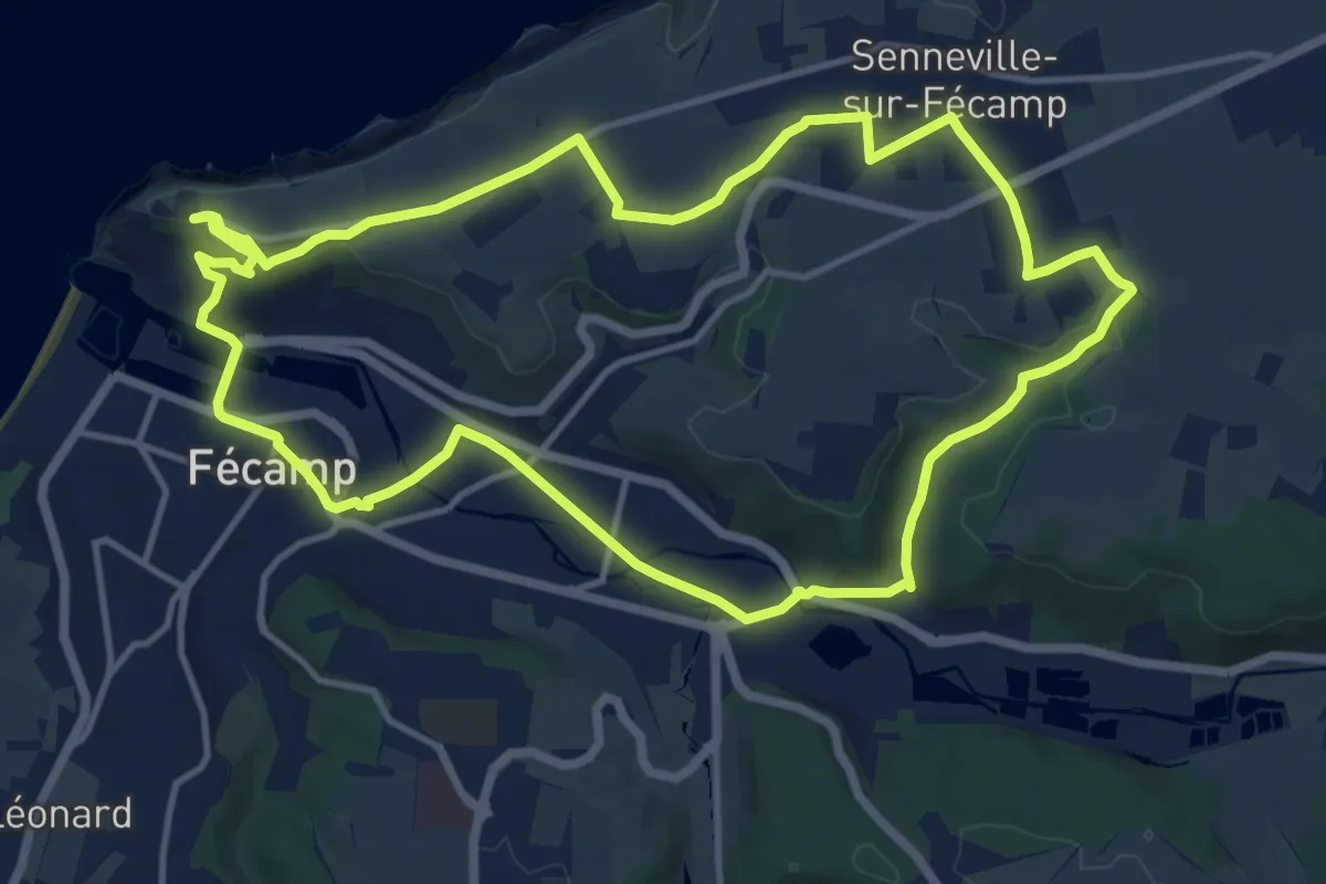
Medium · Trail
La Côte de la Vierge
12.5 km · ↑ 163 m · 3 h 29 min
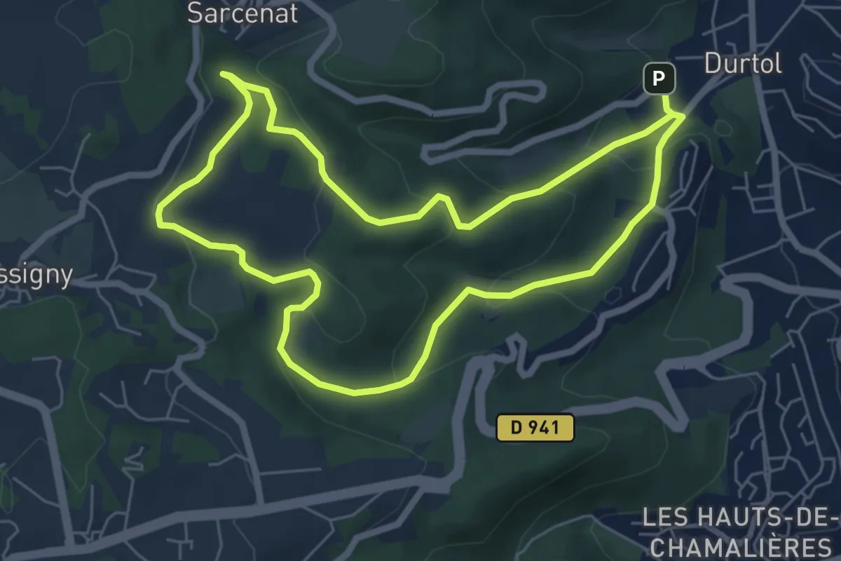
Easy · Trail
La Côte de Pégnu
5.9 km · ↑ 236 m · 1 h 59 min
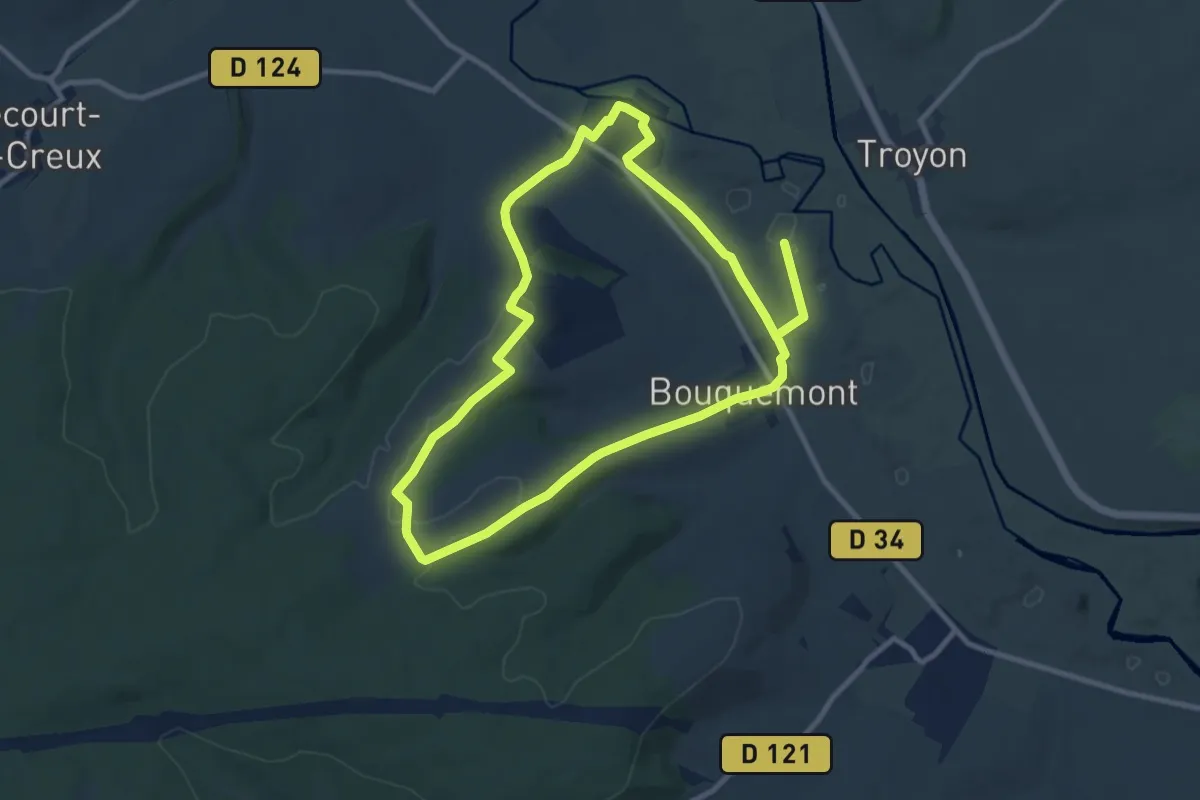
Demanding · Trail
La Côte des Maçons
18.3 km · ↑ 223 m · 4 h 48 min
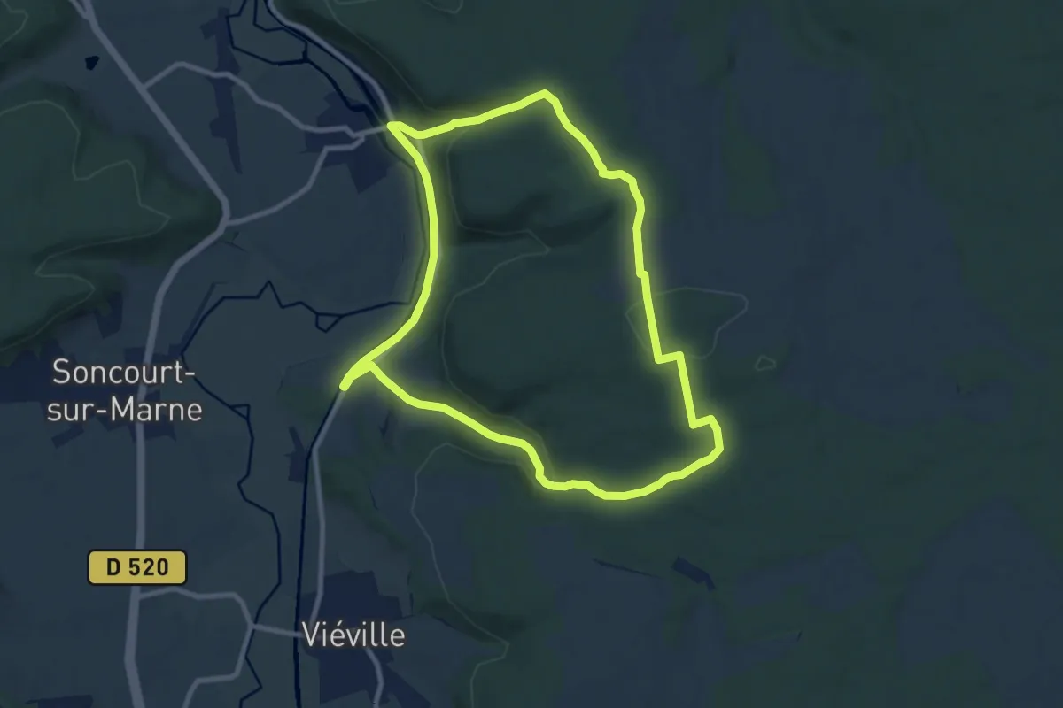
Medium · Trail
La Côte de Vouécourt
8.7 km · ↑ 208 m · 2 h 38 min
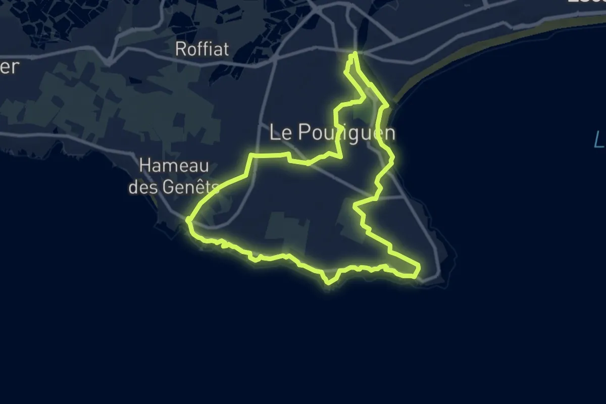
Medium · Trail
La Côte Sauvage
9.0 km · ↑ 13 m · 2 h 16 min