Trails in France
15,926 hiking trails, each with its route, climb, walking time and grade.
All trails, page 135 of 332
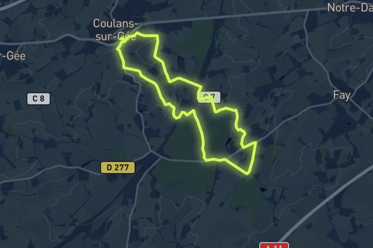
Medium · Trail
La Coulanaise
10.6 km · ↑ 128 m · 2 h 56 min
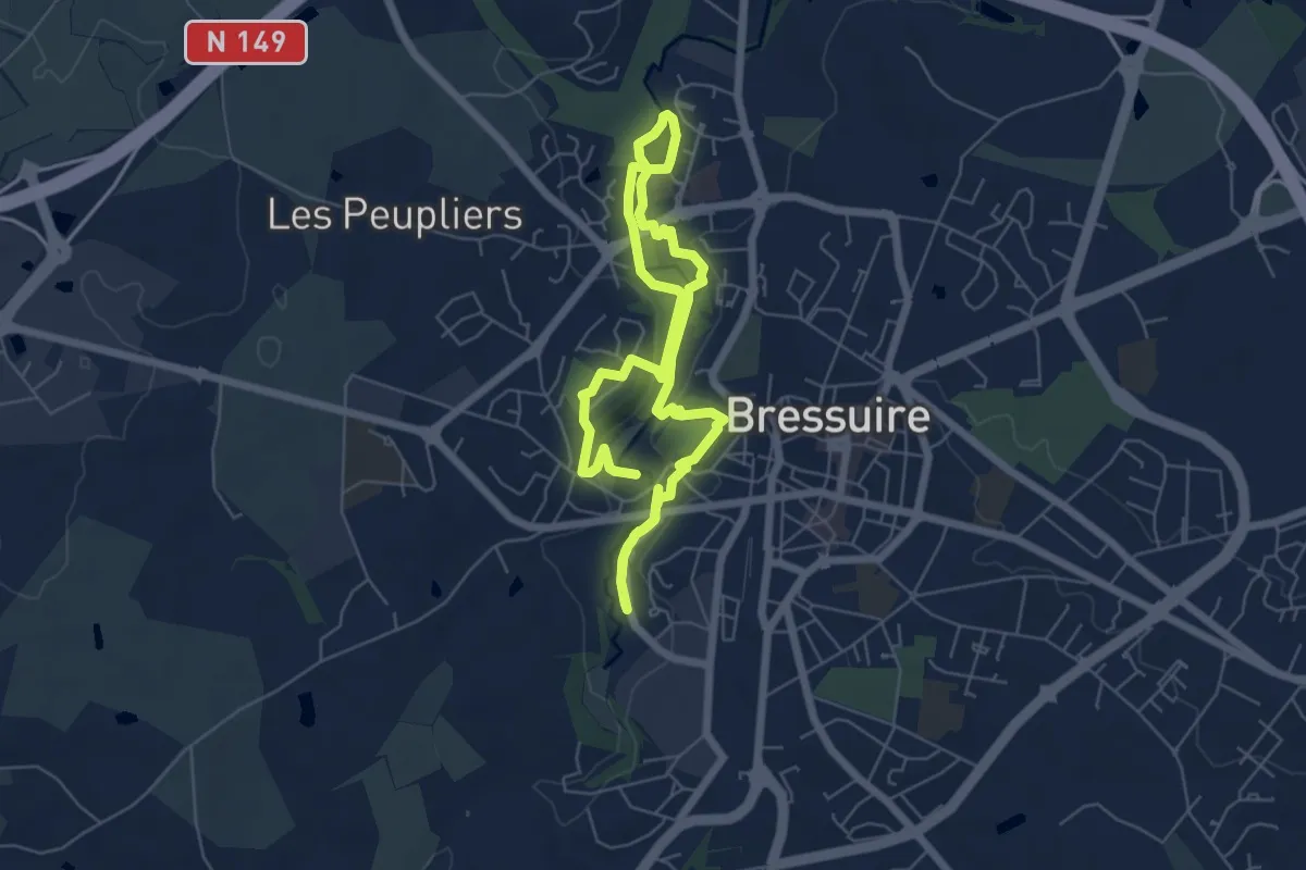
Easy · Trail
La Coulée verte
5.0 km · ↑ 70 m · 1 h 25 min
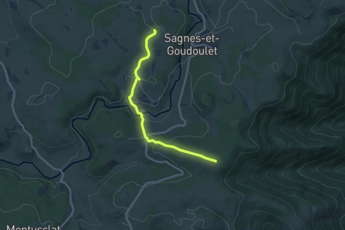
Easy · Trail
La Couleyre - Panlon
5.4 km · ↑ 142 m · 1 h 35 min
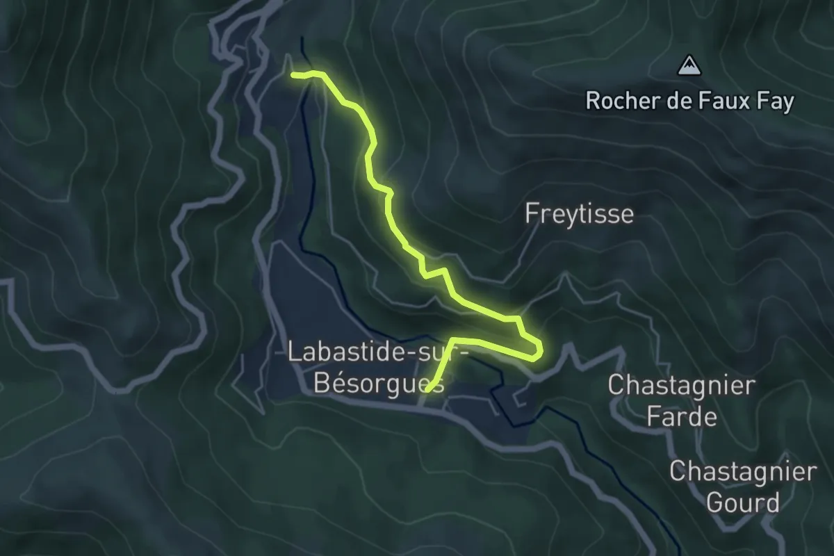
Easy · Trail
La Courbine - La Berlie
4.7 km · ↑ 305 m · 1 h 46 min
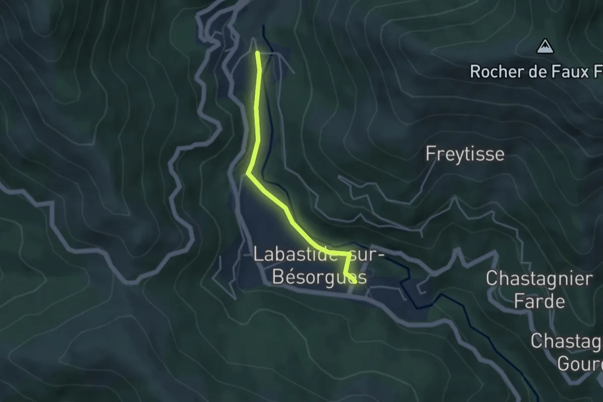
Easy · Trail
La Courbine - La Berlie
3.2 km · ↑ 62 m · 53 min
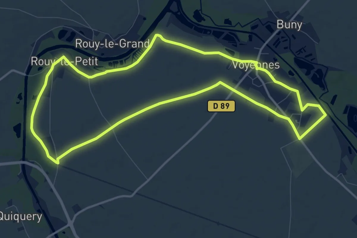
Medium · Trail
La Courtemanche
9.9 km · ↑ 27 m · 2 h 33 min
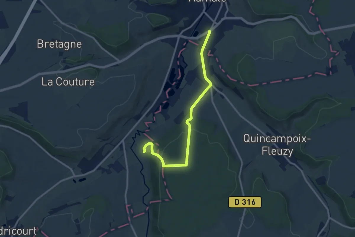
Easy · Trail
La Couture
7.5 km · ↑ 169 m · 2 h 7 min
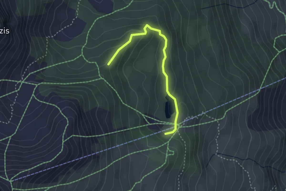
Easy · Trail
Lac Peyrol - ?
3.1 km · ↑ 145 m · 1 h 3 min
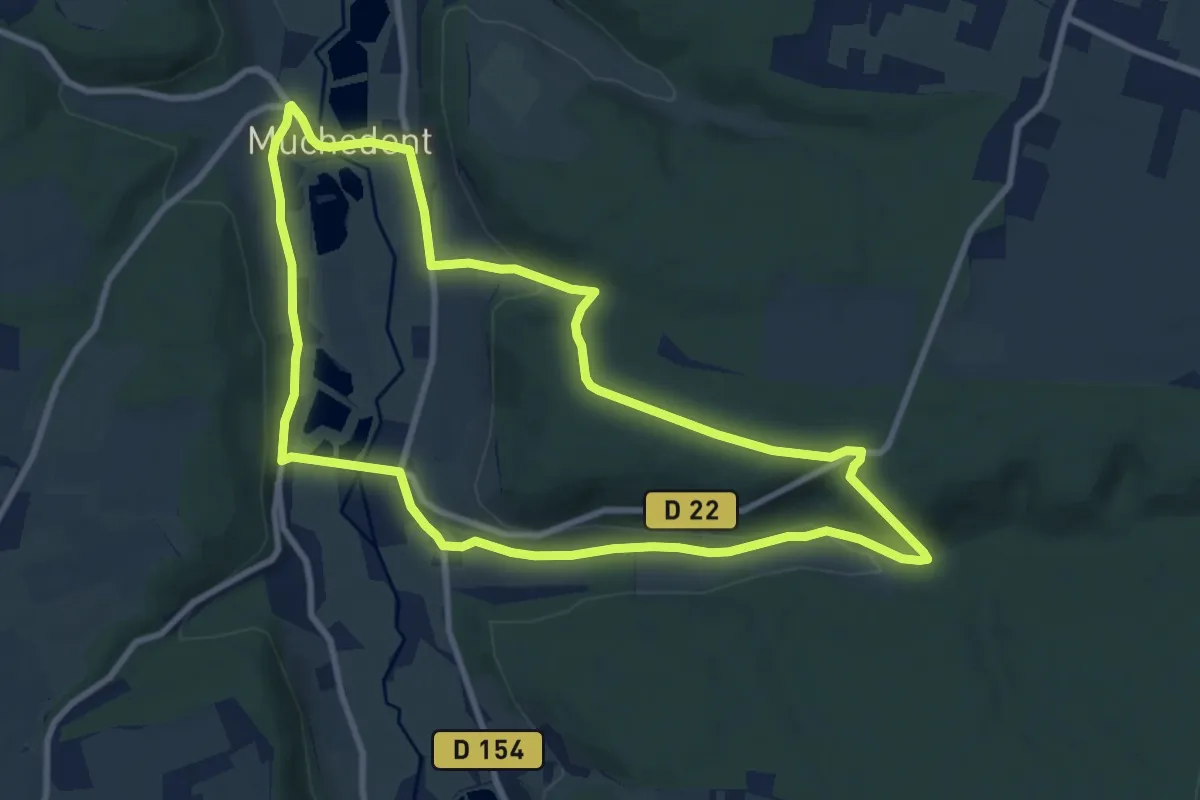
Medium · Trail
La Crapaudière
8.8 km · ↑ 185 m · 2 h 36 min
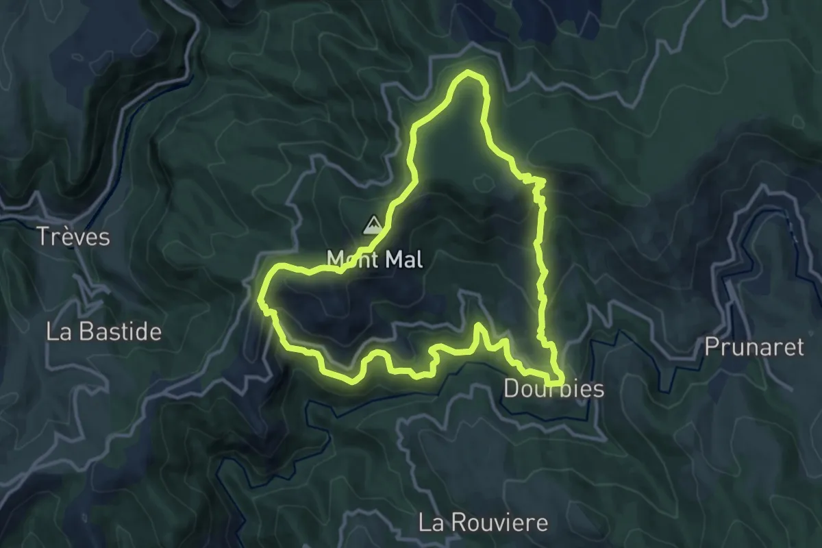
Medium · Summit
La crête du Suquet
11.9 km · ↑ 589 m · 4 h 15 min
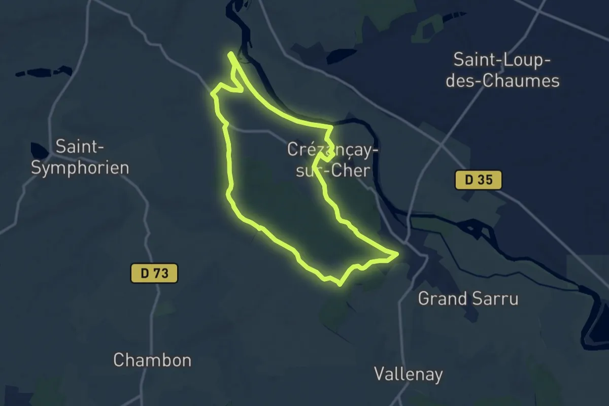
Medium · Trail
La Crézançaynoise
10.1 km · ↑ 66 m · 2 h 40 min
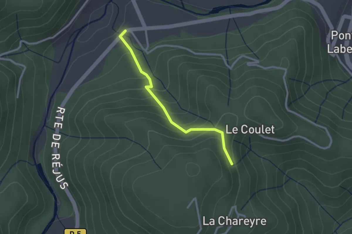
Easy · Trail
La Croisée de Réjus - Les Traverses
2.2 km · ↑ 178 m · 54 min
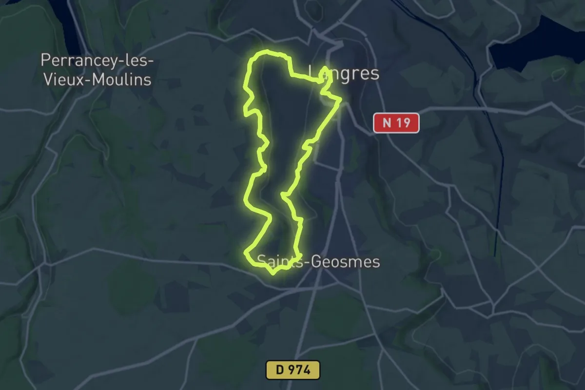
Medium · Trail
La Croisée des Voies Romaines
13.8 km · ↑ 308 m · 4 h 7 min
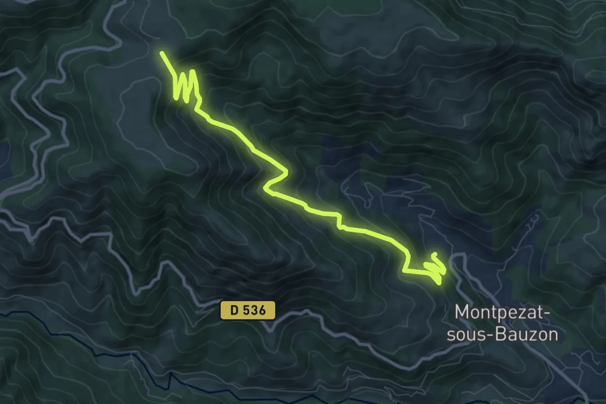
Medium · Trail
La Croisette - Croix du Pal
10.4 km · ↑ 697 m · 3 h 58 min
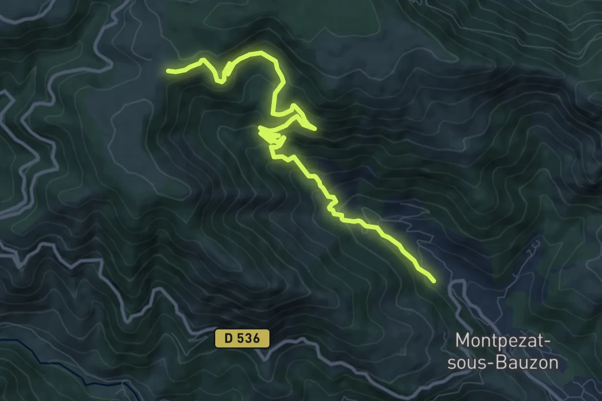
Medium · Trail
La Croisette - Le Chambon
11.2 km · ↑ 752 m · 4 h 17 min
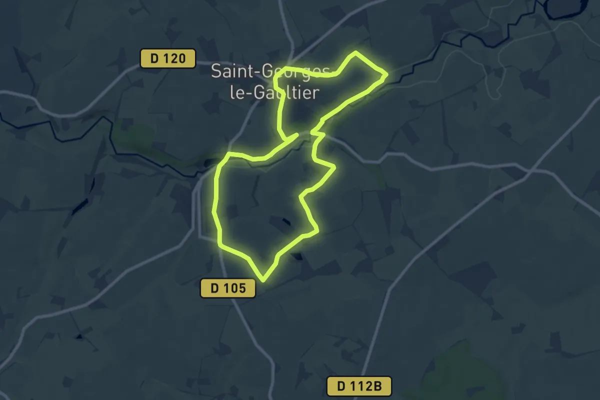
Easy · Trail
La Croix aux Coquillages
7.5 km · ↑ 132 m · 2 h 9 min
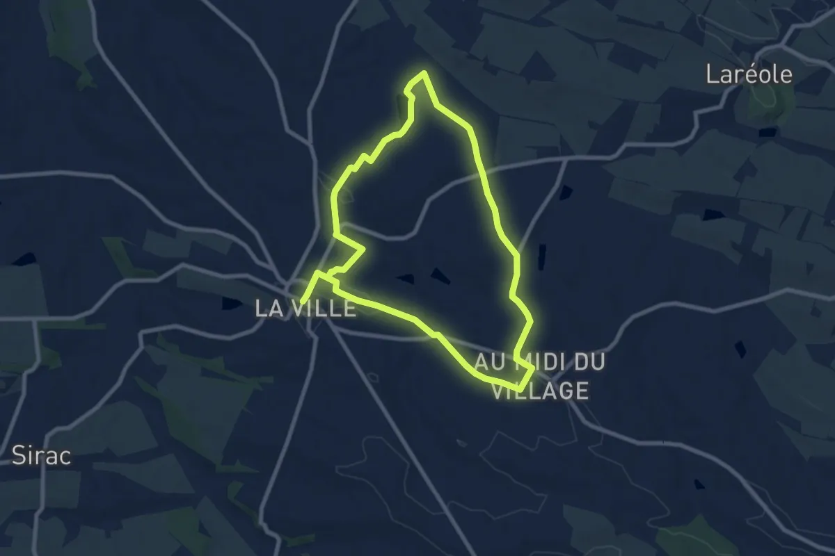
Easy · Trail
La croix blanche
7.6 km · ↑ 98 m · 2 h 6 min
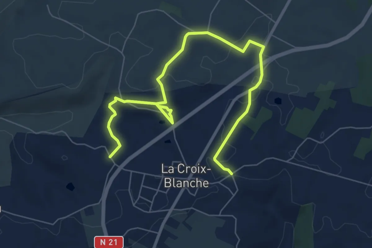
Easy · Trail
La Croix-Blanche, la balade de Bézille - 4,9km
4.0 km · ↑ 76 m · 1 h 10 min
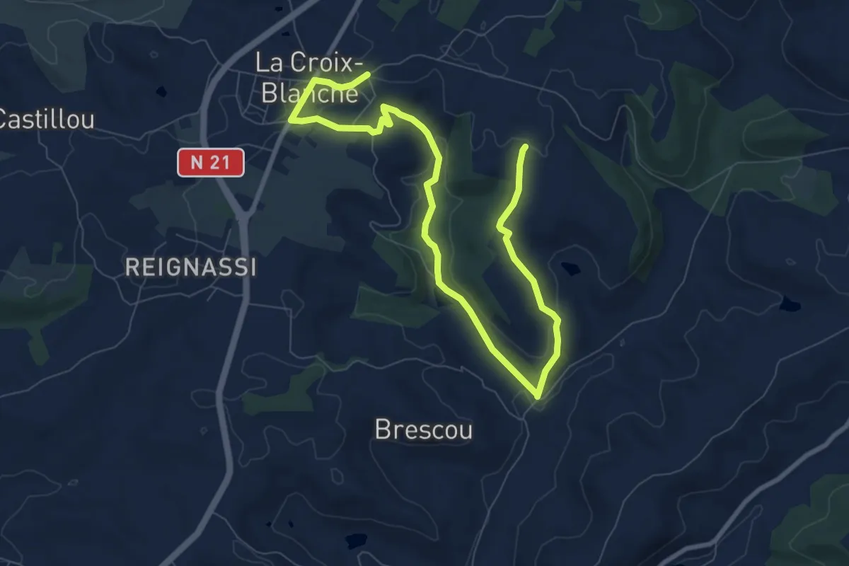
Easy · Trail
La Croix-Blanche, la balade du Bernou - 9,3km
5.6 km · ↑ 108 m · 1 h 38 min
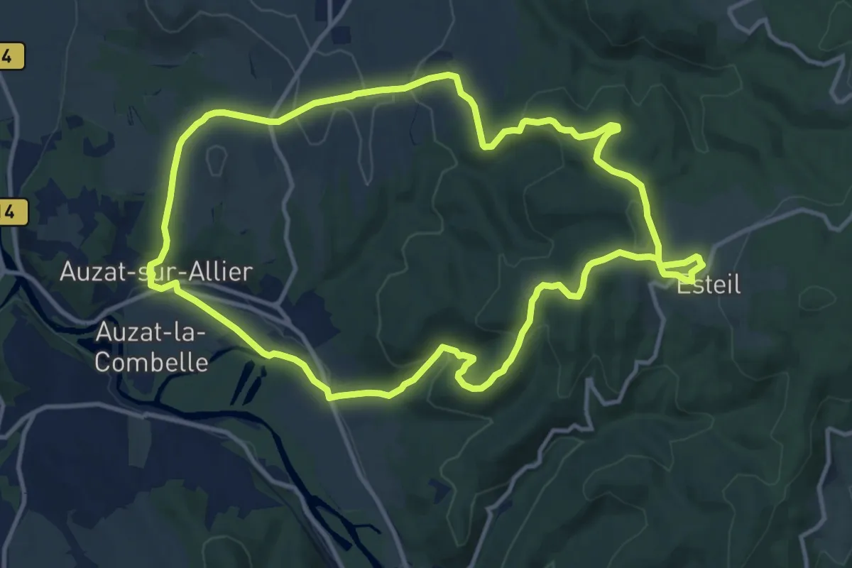
Medium · Trail
La Croix d'Auzat
12.0 km · ↑ 326 m · 3 h 42 min
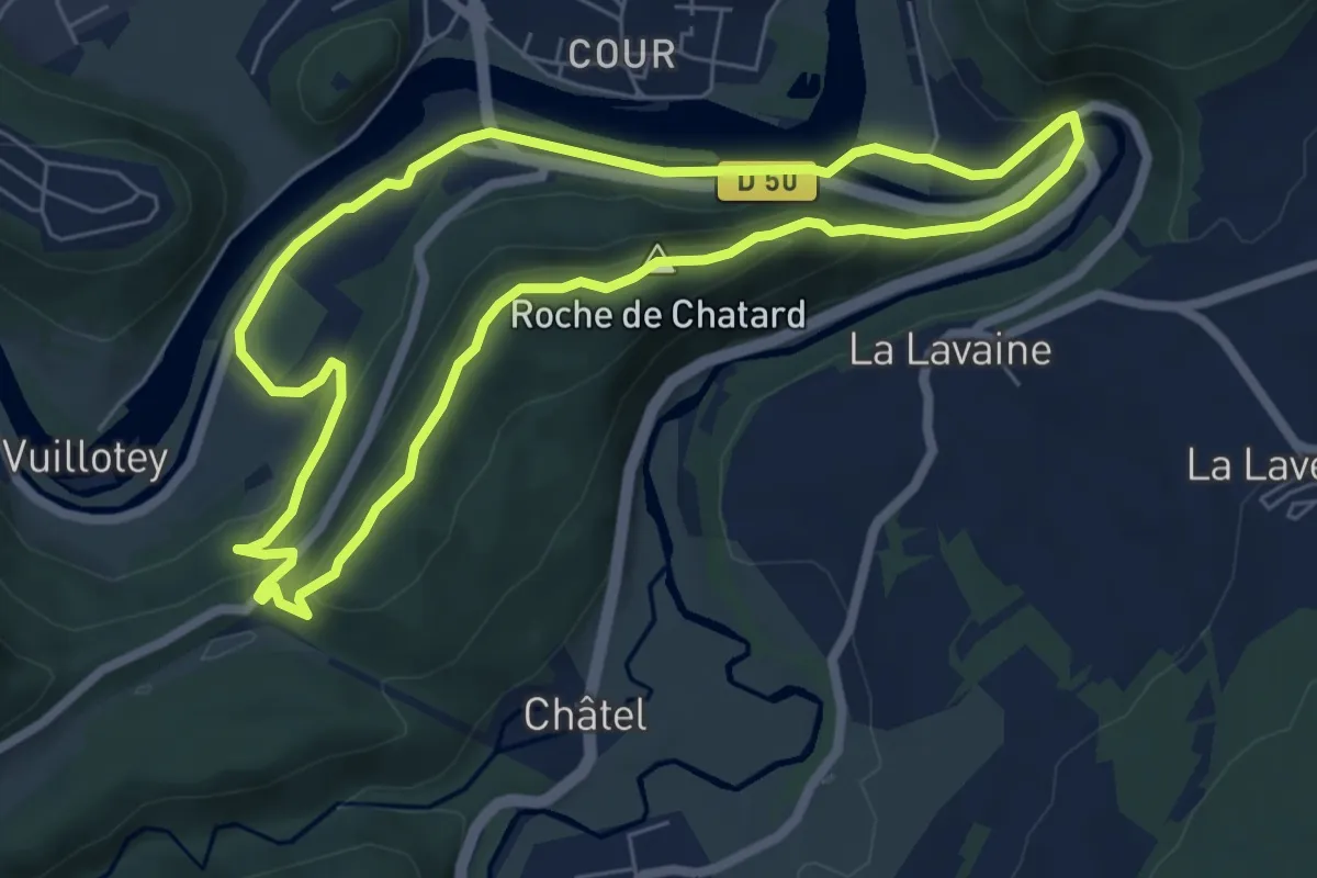
Easy · Summit
La Croix de Châtard
6.3 km · ↑ 213 m · 2 h 3 min
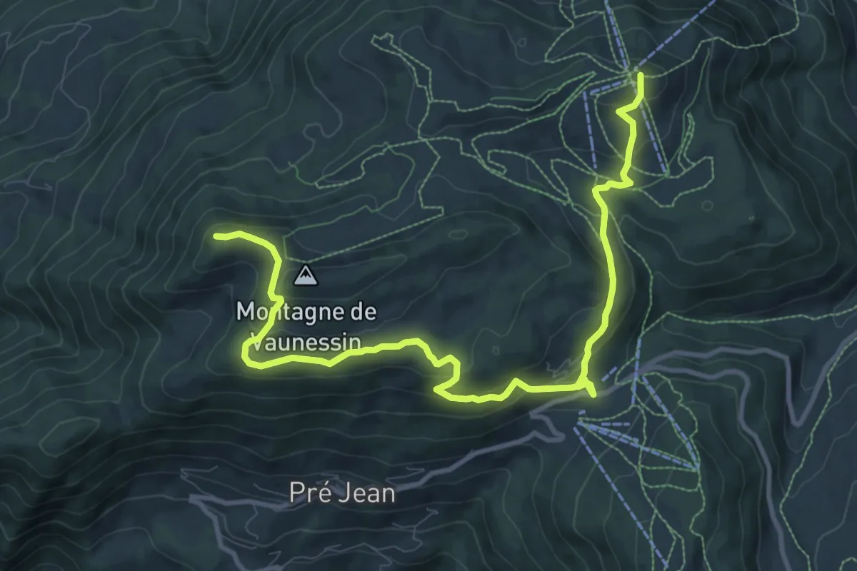
Medium · Summit
La Croix de Colomban
12.4 km · ↑ 514 m · 4 h 2 min
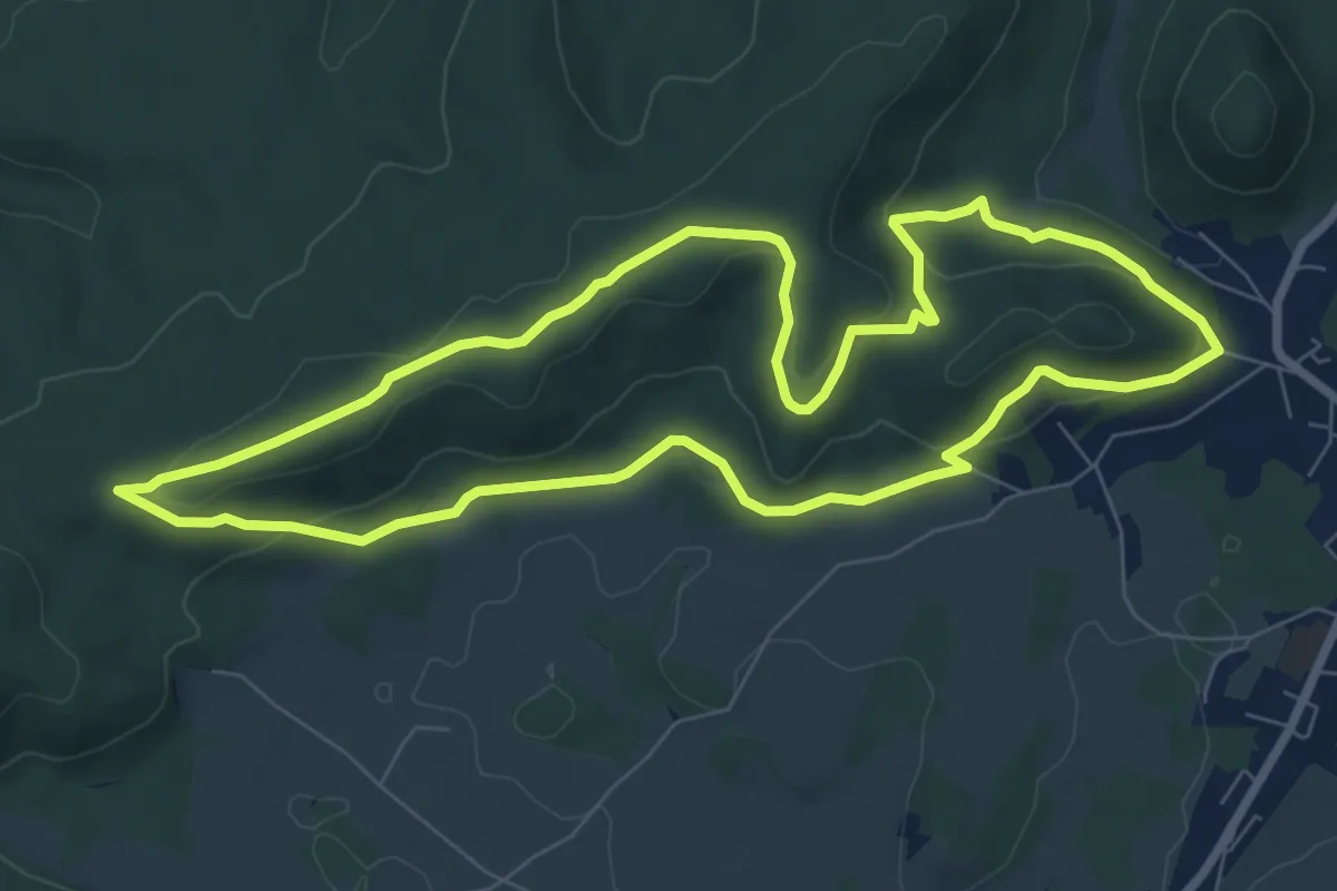
Easy · Trail
La Croix de Faite
7.7 km · ↑ 221 m · 2 h 24 min
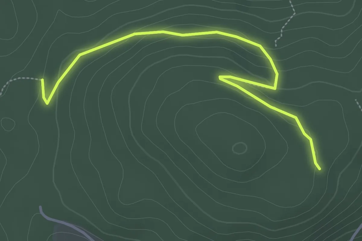
Easy · Trail
La Croix de Fer
1.9 km · ↑ 96 m · 38 min
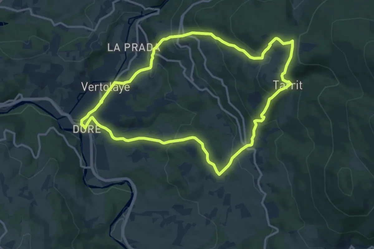
Medium · Trail
La Croix de Georges
9.4 km · ↑ 488 m · 3 h 25 min
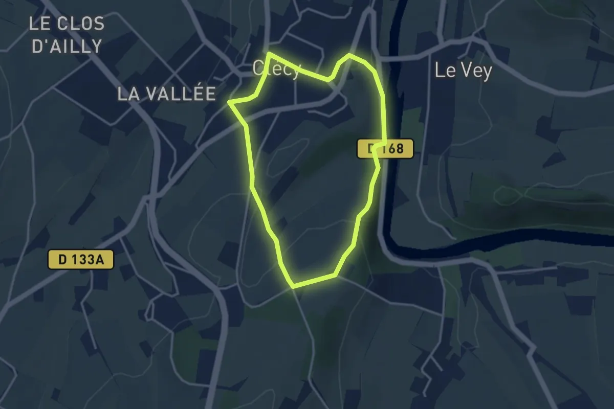
Easy · Trail
La Croix de la Faverie
2.8 km · ↑ 108 m · 56 min
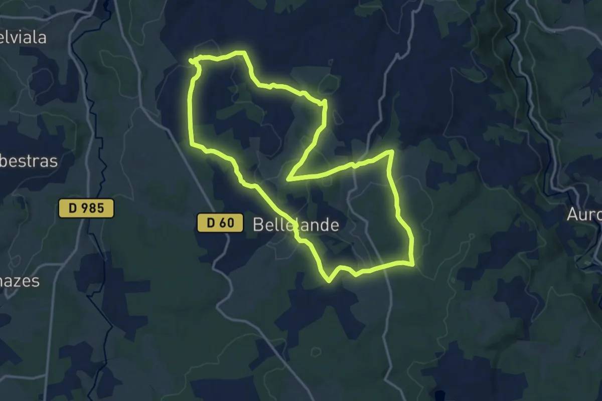
Medium · Trail
La Croix de la Gaillarde
13.3 km · ↑ 216 m · 3 h 48 min
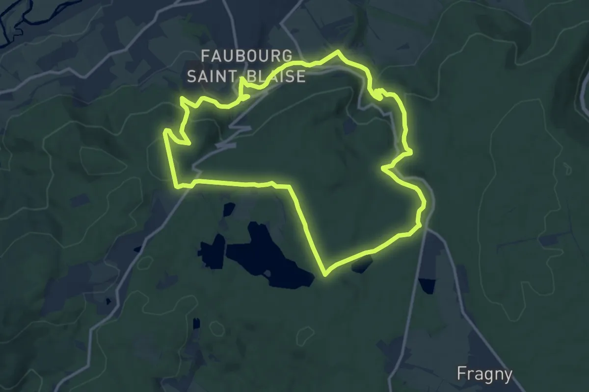
Medium · Trail
La Croix de la Libération
11.1 km · ↑ 304 m · 3 h 26 min
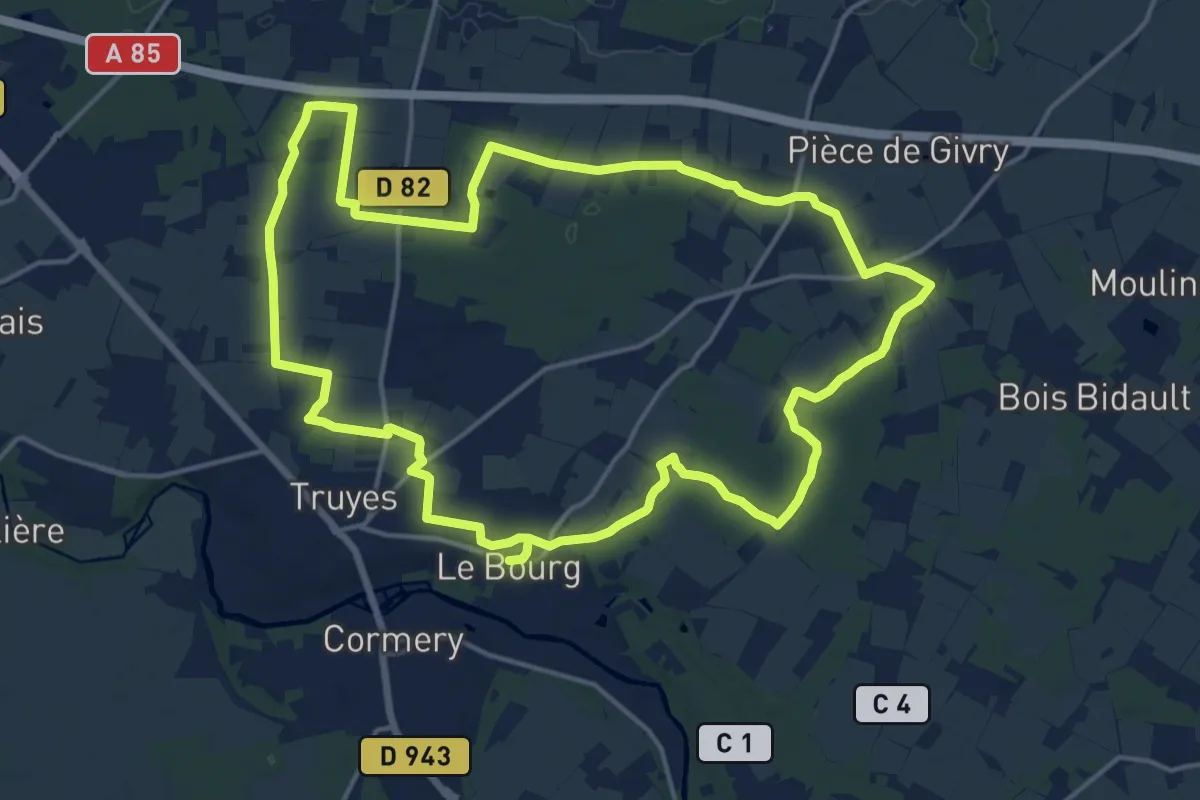
Medium · Trail
La Croix de l'Apothicaresse - Truyes
16.9 km · ↑ 27 m · 4 h 18 min
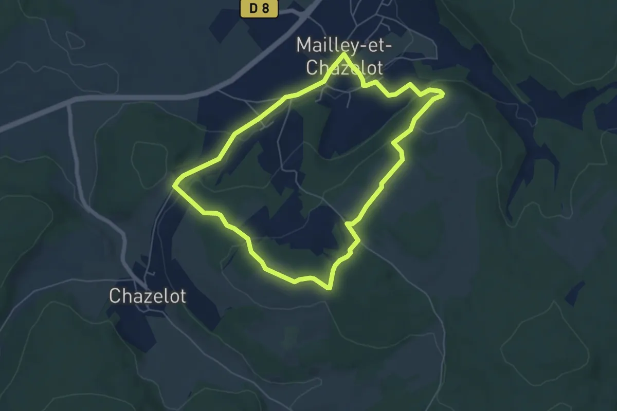
Easy · Summit
La Croix de la Roche
5.4 km · ↑ 157 m · 1 h 42 min
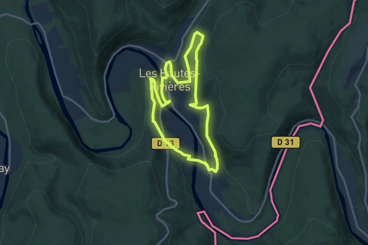
Easy · Trail
La Croix de l'Enfer
6.7 km · ↑ 248 m · 2 h 13 min
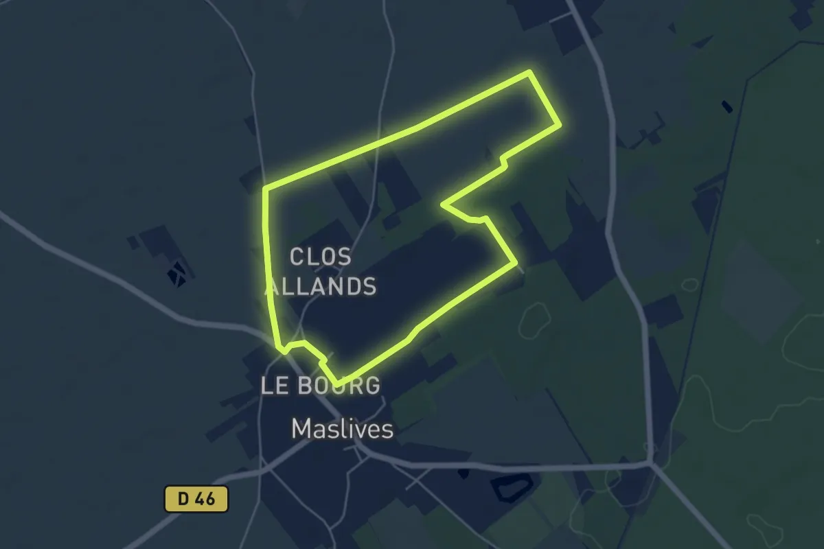
Easy · Trail
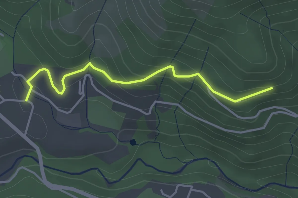
La croix de Maslives
4.6 km · ↑ 4 m · 1 h 10 min
Easy · Trail
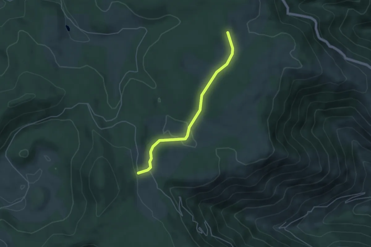
La Croix de Mission - Les Plantades
3.2 km · ↑ 192 m · 1 h 10 min
Easy · Trail
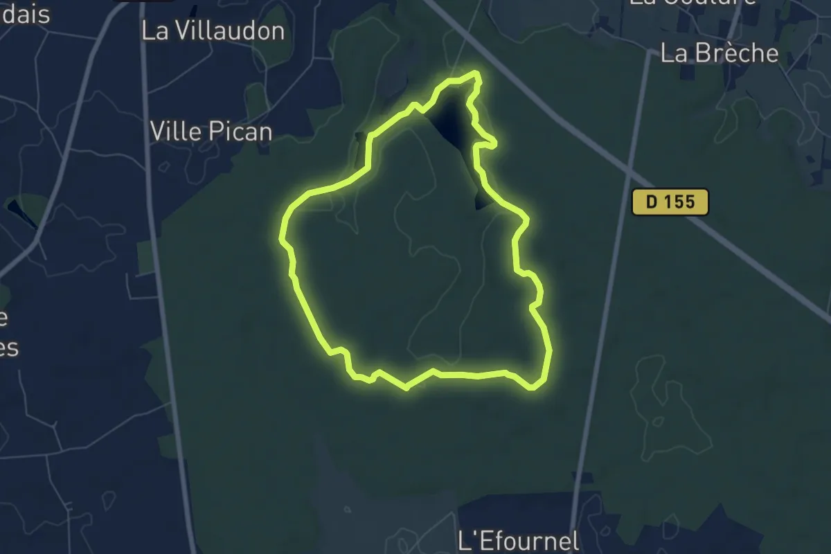
La Croix de Moïse - Les Oulettes
4.2 km · ↑ 73 m · 1 h 9 min
Easy · Trail
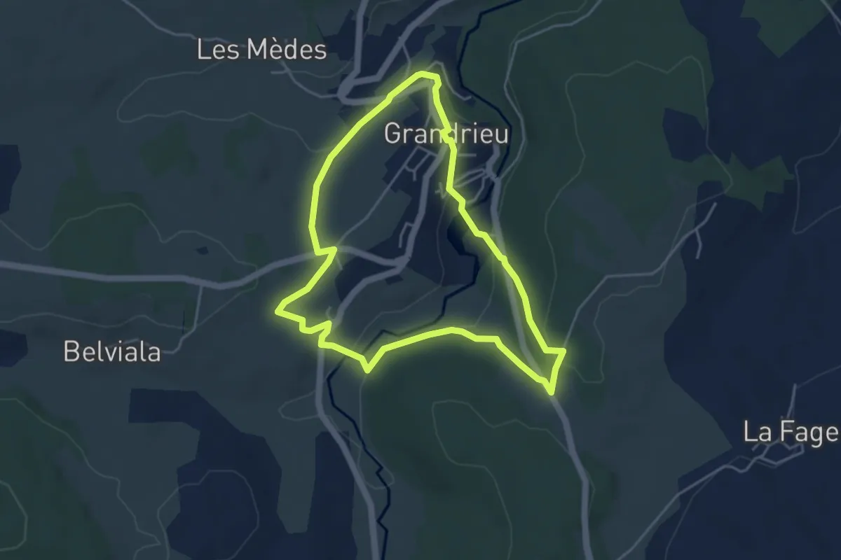
La Croix de Montaugé
6.2 km · ↑ 92 m · 1 h 45 min
Easy · Trail
La Croix de Peyrou
4.3 km · ↑ 109 m · 1 h 18 min
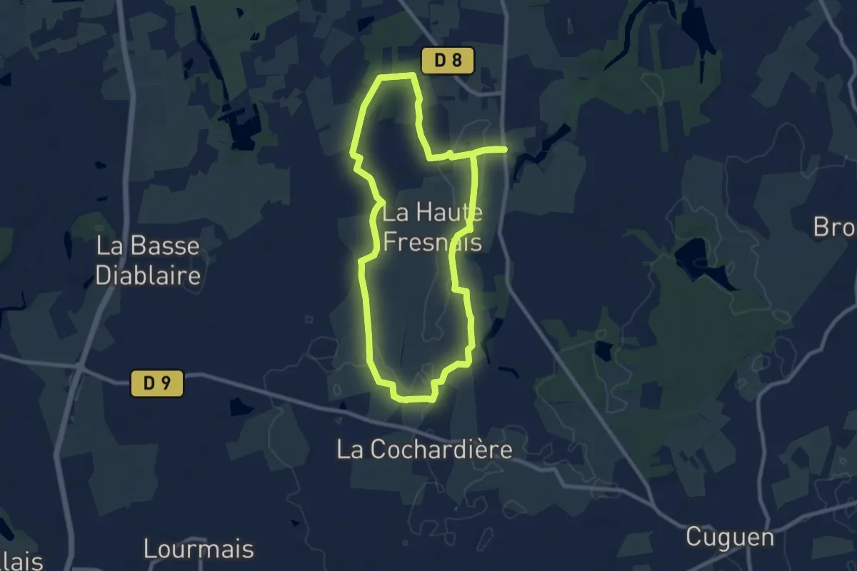
Medium · Trail
La Croix de Pierre
8.0 km · ↑ 39 m · 2 h 5 min
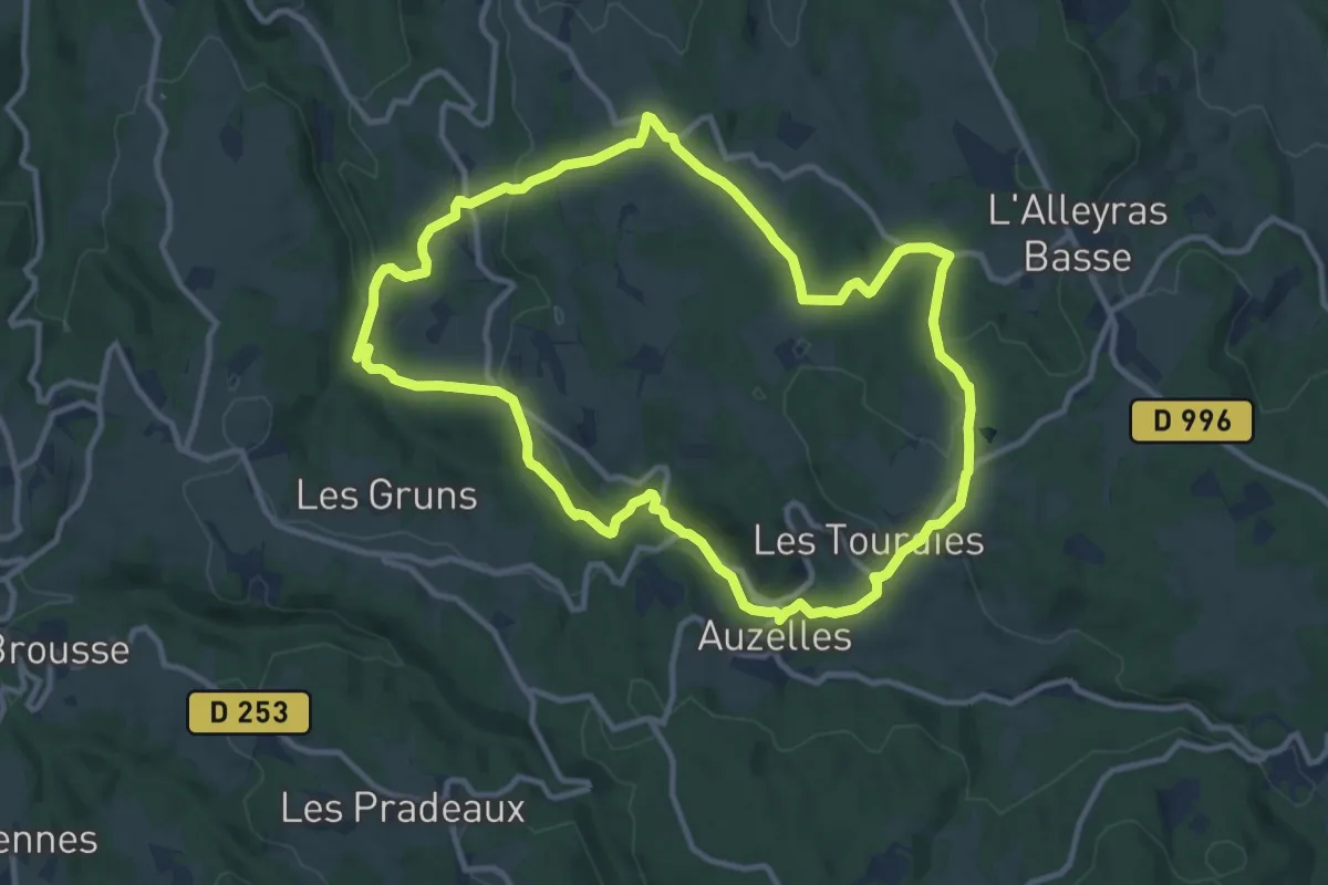
Medium · Trail
La Croix de Pradier
11.2 km · ↑ 297 m · 3 h 26 min
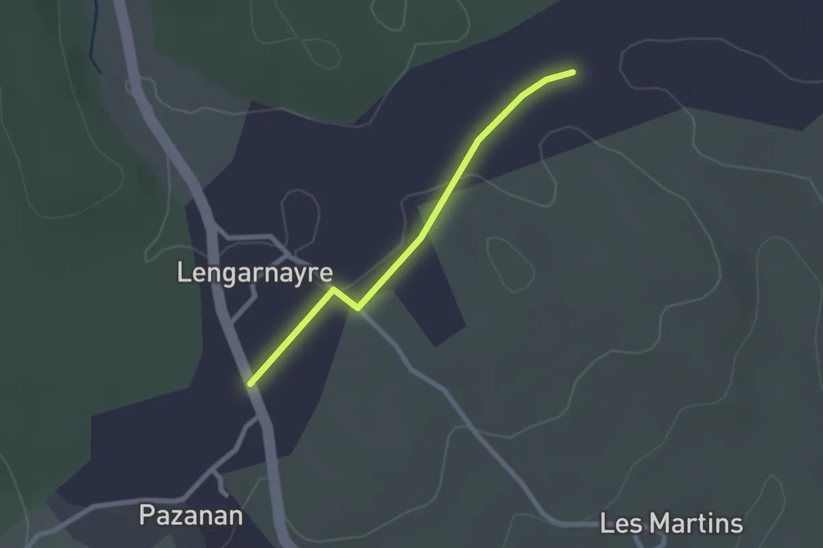
Easy · Trail
La Croix de Raoux - Lengarnayre
2.0 km · ↑ 9 m · 30 min
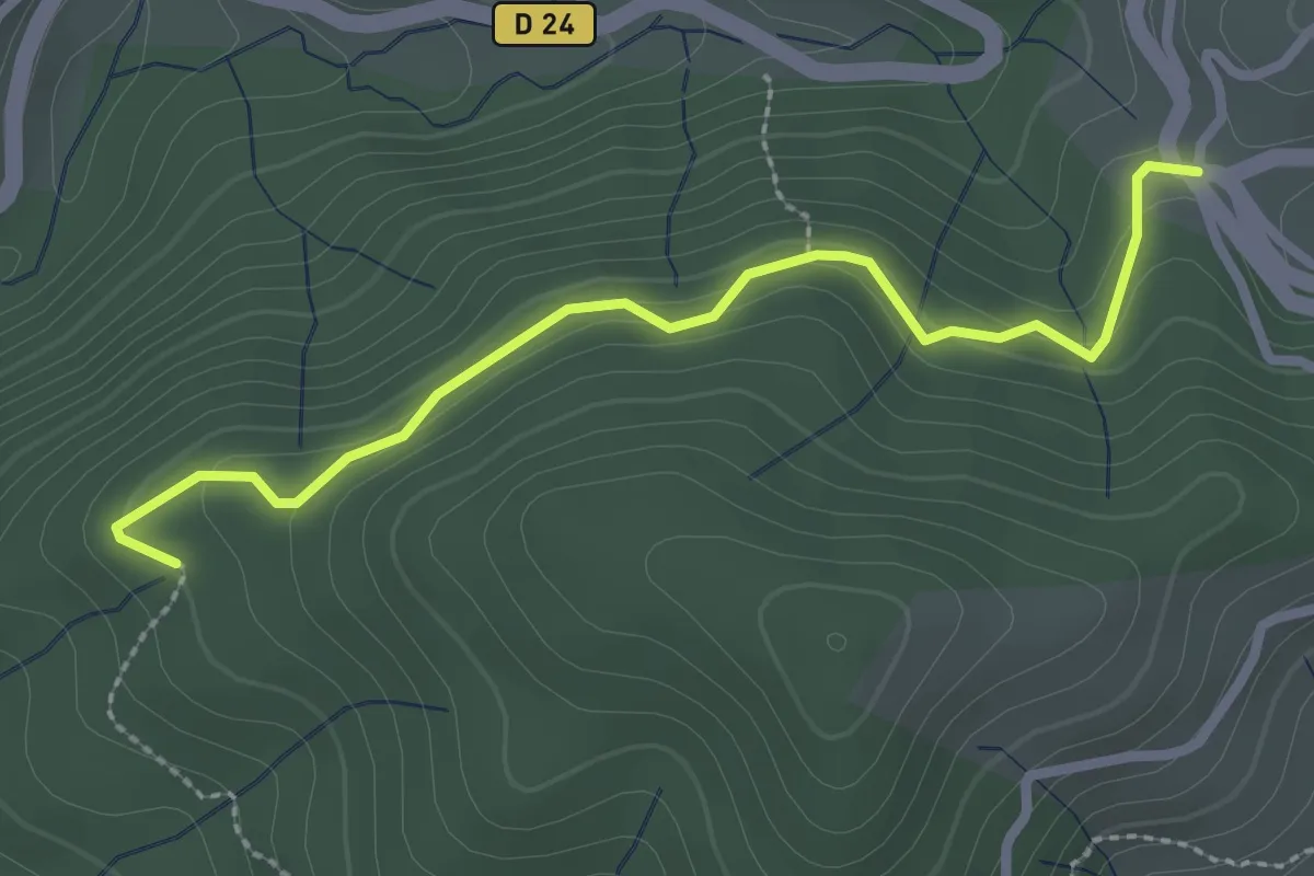
Easy · Trail
La Croix de Rocles - Sur le Sauze
2.7 km · ↑ 133 m · 56 min
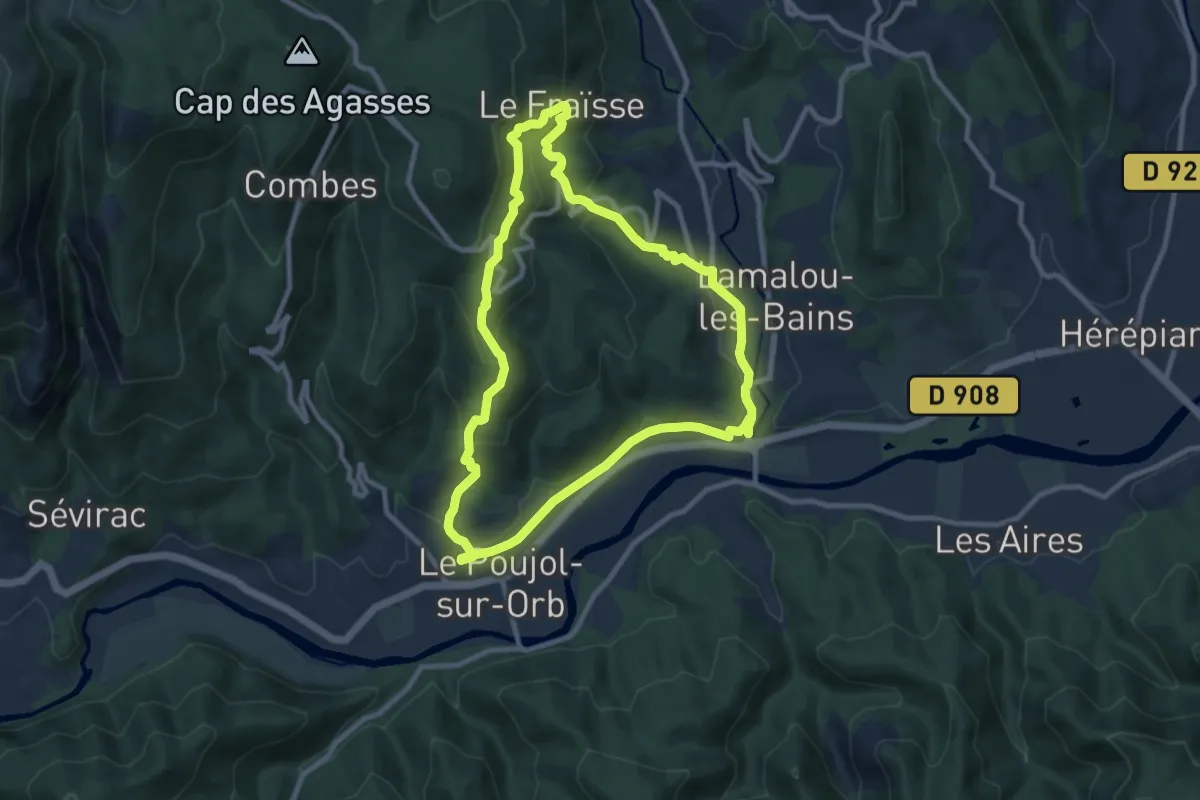
Medium · Trail
La Croix des Baussels
9.5 km · ↑ 347 m · 3 h 7 min
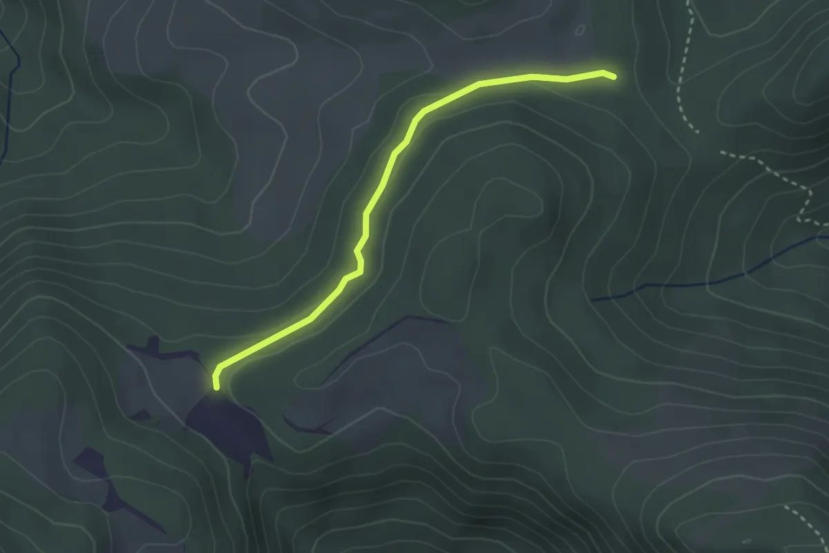
Easy · Trail
La Croix des Prés - Le Sarrouet
3.0 km · ↑ 59 m · 50 min
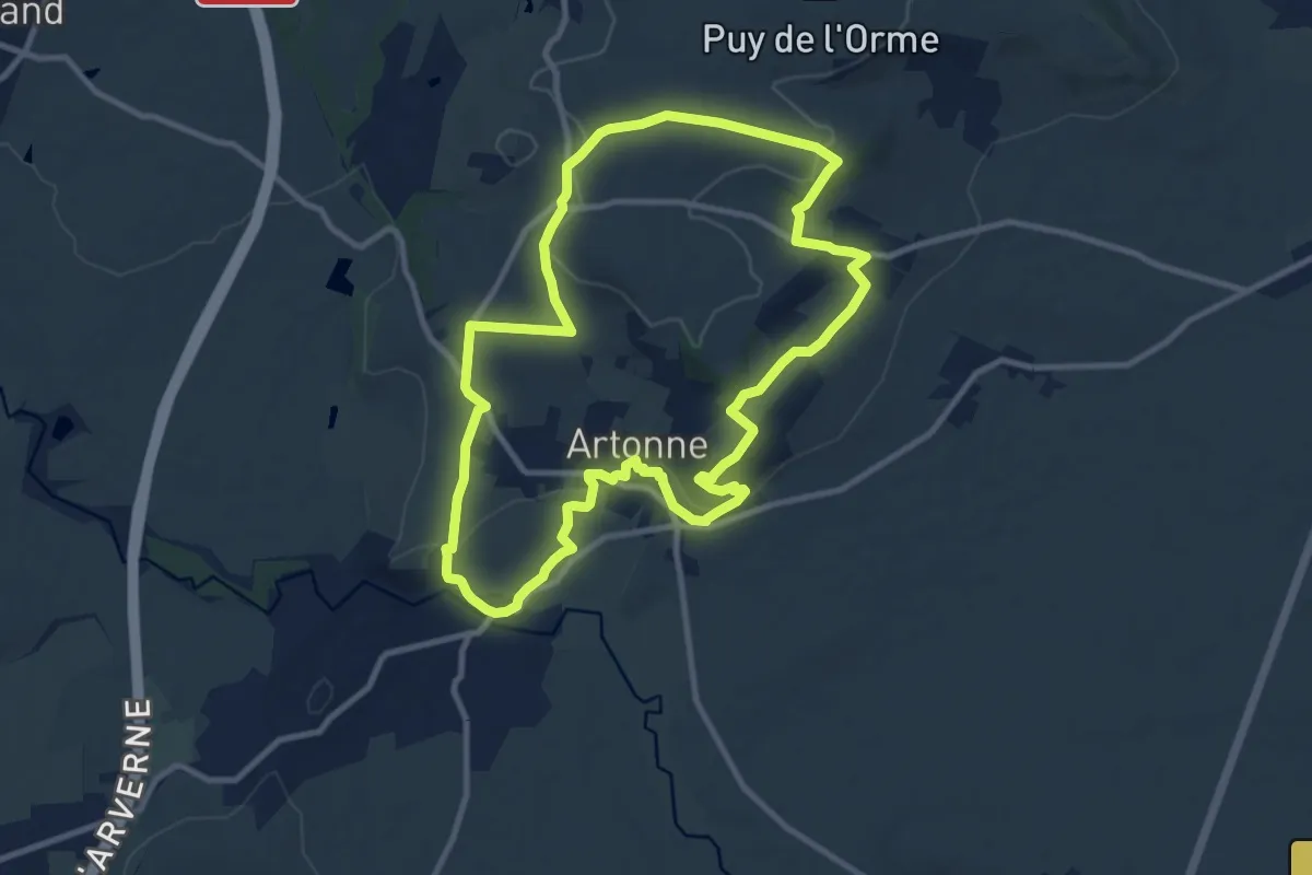
Medium · Summit
La Croix des Rameaux et le Puy St Jean
10.4 km · ↑ 218 m · 3 h 4 min
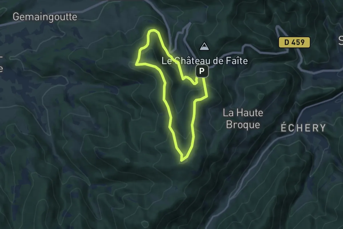
Medium · Summit
La Croix des Suédois
8.0 km · ↑ 426 m · 2 h 56 min
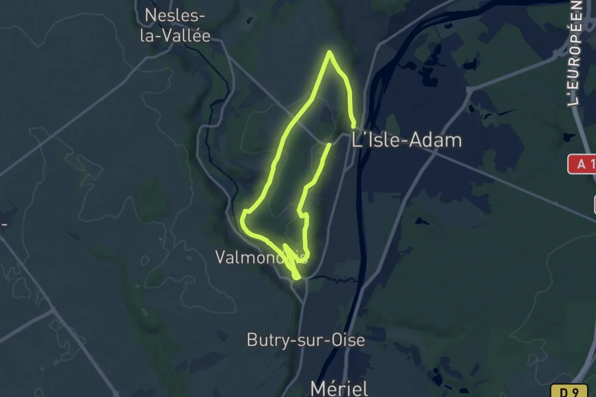
Medium · Trail
La croix des verts
16.6 km · ↑ 267 m · 4 h 29 min
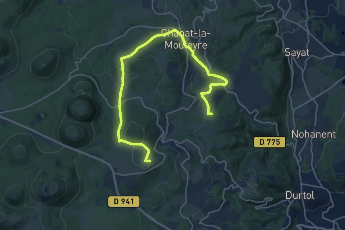
Medium · Trail
La Croix de Ternant
8.3 km · ↑ 317 m · 2 h 39 min
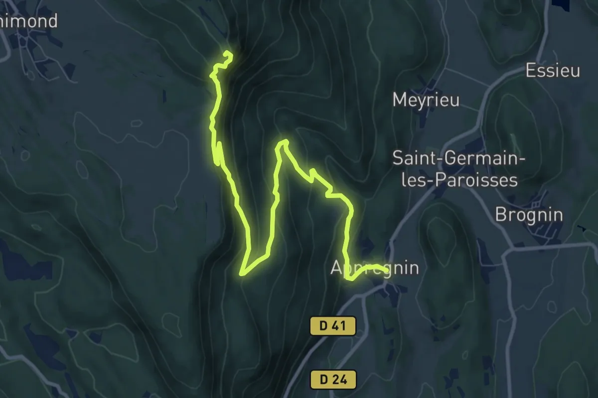
Medium · Trail
La croix d'Innimond depuis Appregnin
11.0 km · ↑ 619 m · 3 h 56 min
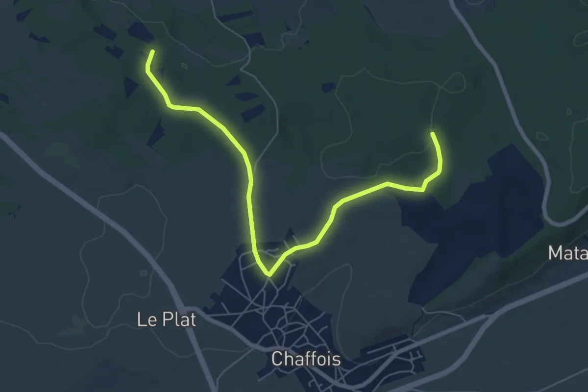
Easy · Trail
La Croix du Curé
6.4 km · ↑ 107 m · 1 h 45 min