Trails in France
15,926 hiking trails, each with its route, climb, walking time and grade.
All trails, page 136 of 332
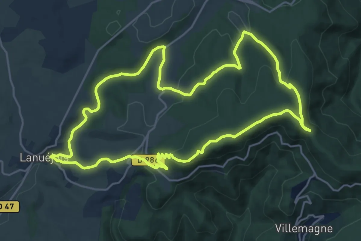
Medium · Trail
La Croix du Devois
13.3 km · ↑ 370 m · 4 h 8 min
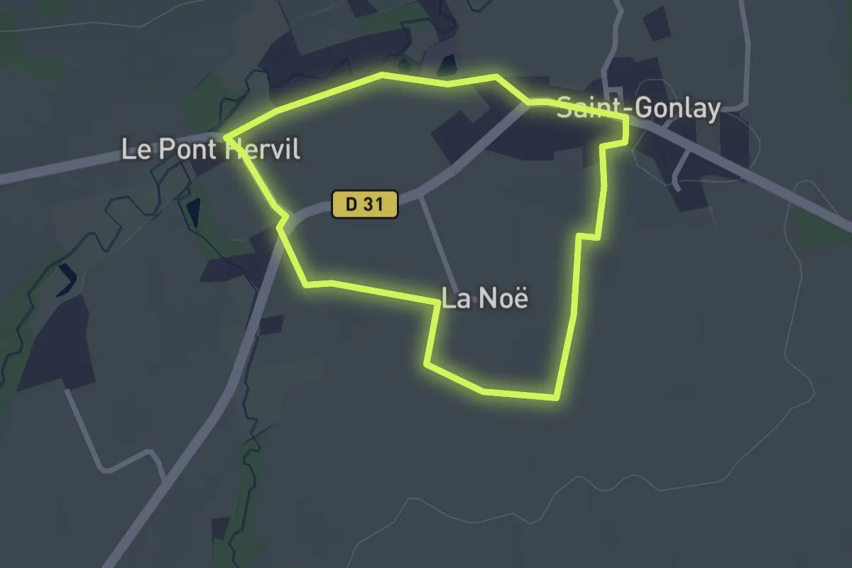
Easy · Trail
La Croix Grignard
2.2 km · ↑ 9 m · 35 min
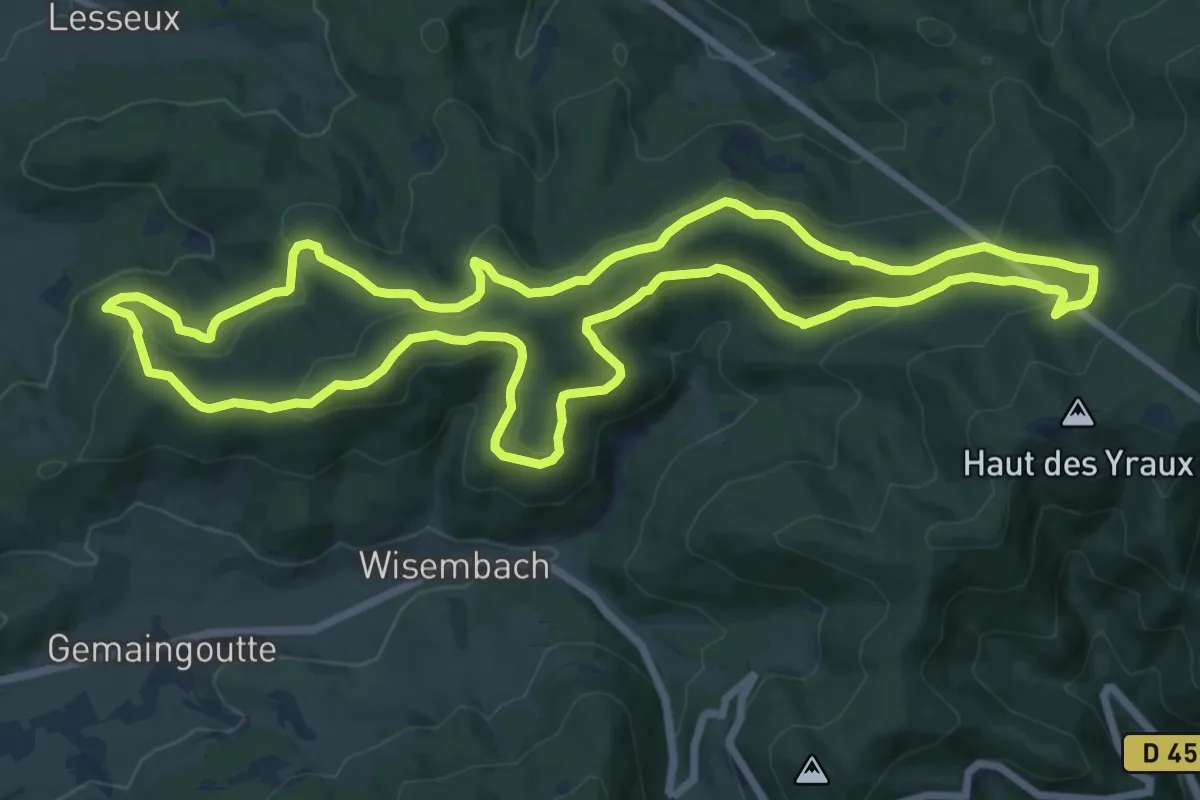
Medium · Trail
La Croix le Prêtre
14.8 km · ↑ 526 m · 4 h 50 min
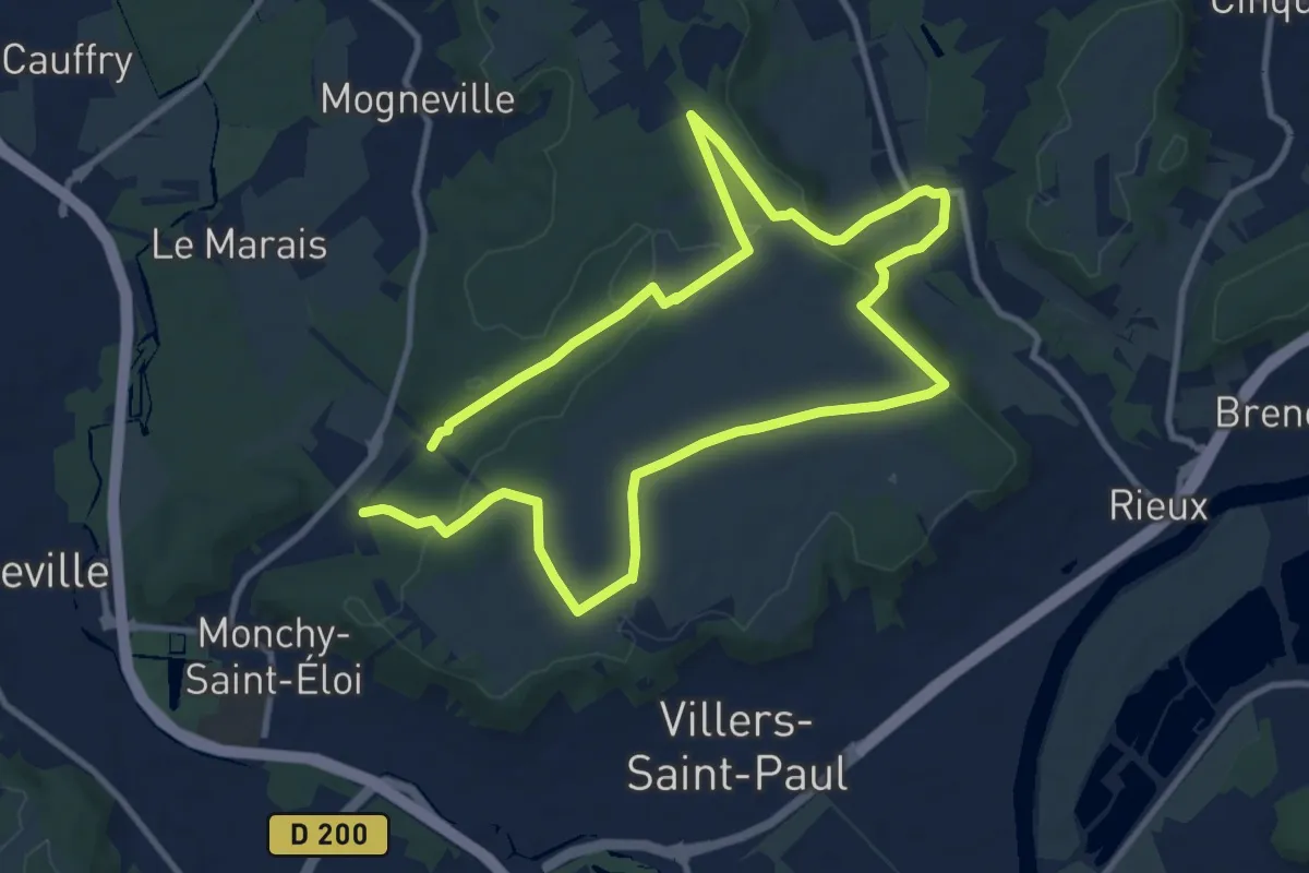
Demanding · Trail
La Croix Méfroid
18.1 km · ↑ 268 m · 4 h 52 min
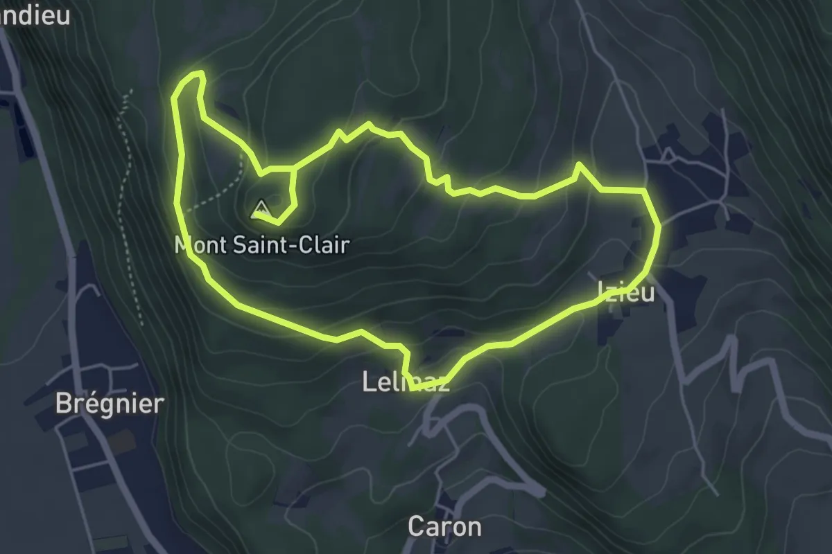
Medium · Summit
La croix Saint Clair
4.8 km · ↑ 190 m · 1 h 37 min
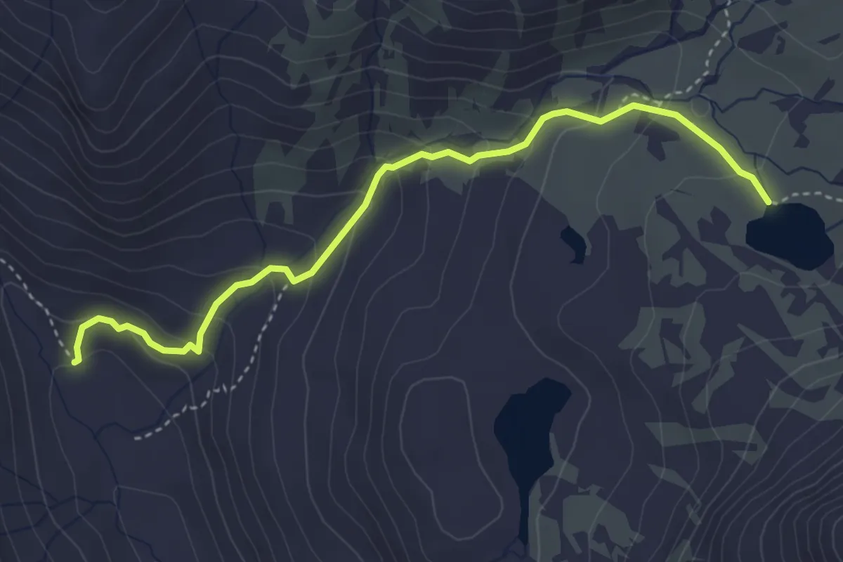
Medium · Cabin
Lac Rond - Refuge des Drayères
4.1 km · ↑ 263 m · 1 h 32 min
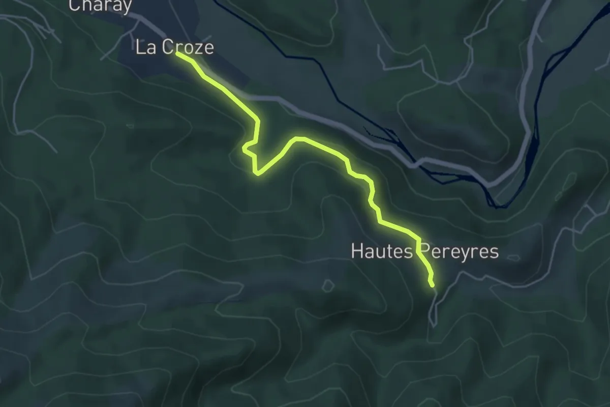
Easy · Trail
La Croze - Les Péreyres
4.5 km · ↑ 171 m · 1 h 26 min
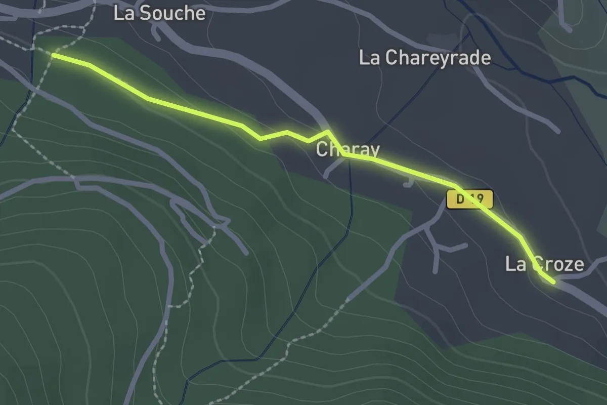
Easy · Trail
La Croze - Parent
2.2 km · ↑ 40 m · 36 min
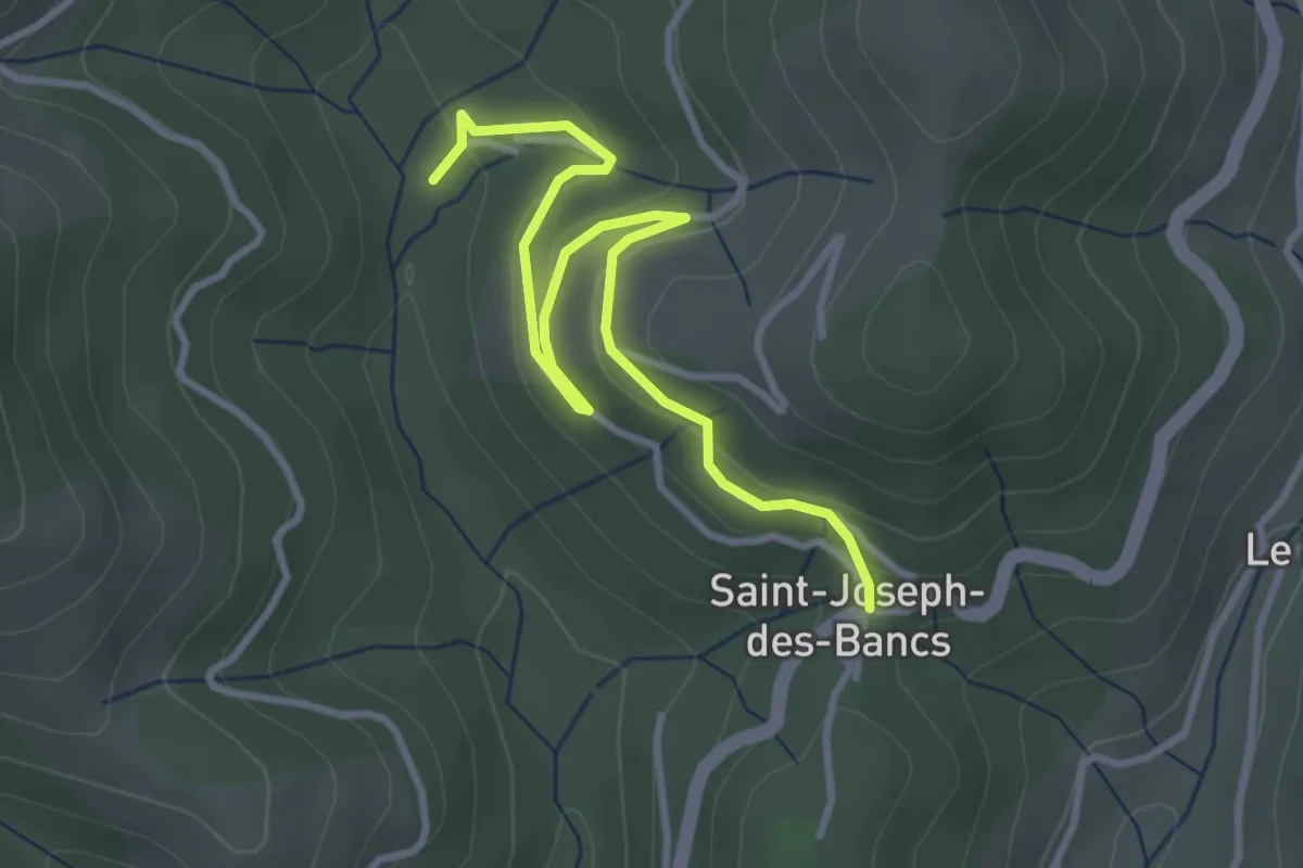
Easy · Trail
La Croze - Saint-Joseph des Bancs
3.9 km · ↑ 180 m · 1 h 18 min
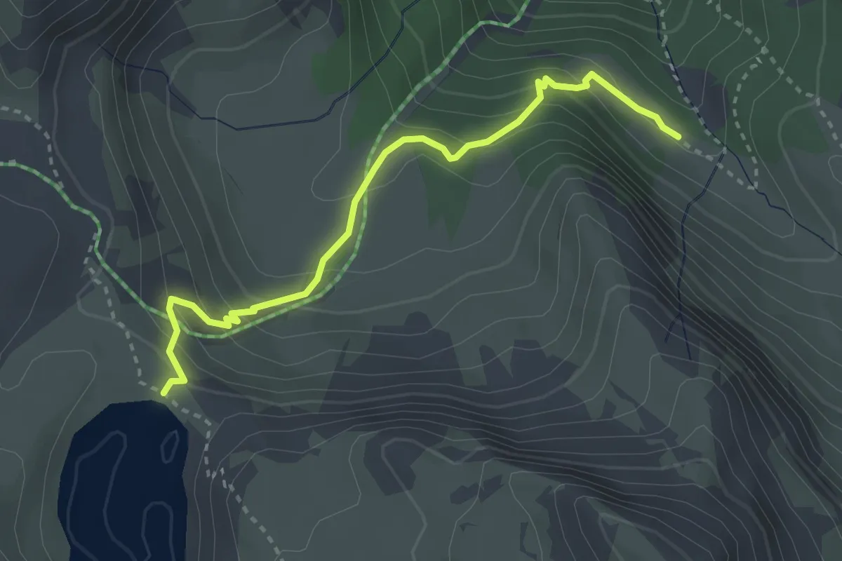
Medium · Trail
Lac Sainte-Anne - Le Passet de Tronchet
3.3 km · ↑ 248 m · 1 h 20 min
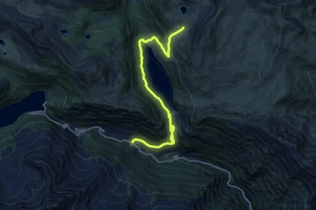
Medium · Trail
Lacs de Bastan
12.4 km · ↑ 689 m · 4 h 26 min
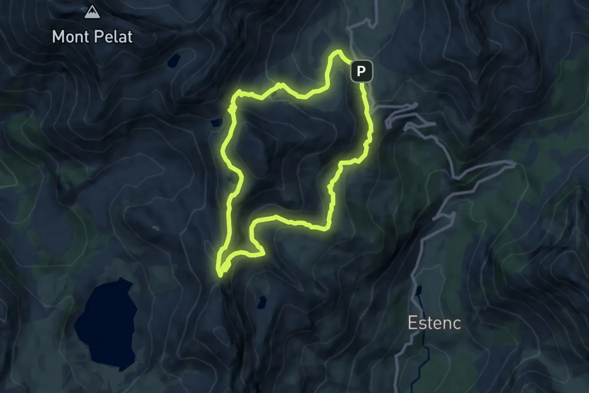
Demanding · Summit
Lacs de la Cayolle
8.7 km · ↑ 482 m · 3 h 13 min
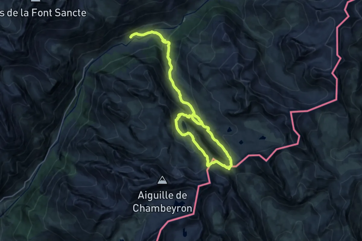
Medium · Summit
Lacs de Marinet et col de Mary
12.0 km · ↑ 453 m · 4 h 14 min
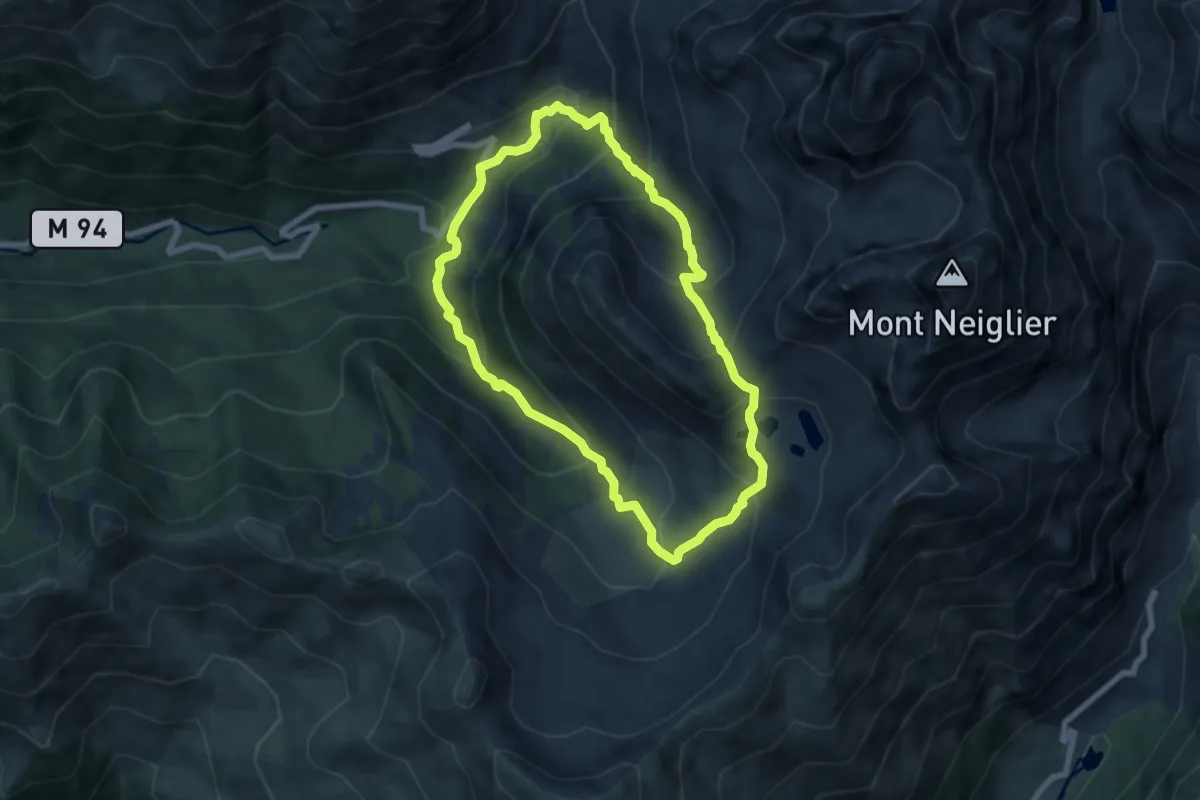
Medium · Trail
Lacs de Prals
6.7 km · ↑ 520 m · 2 h 48 min
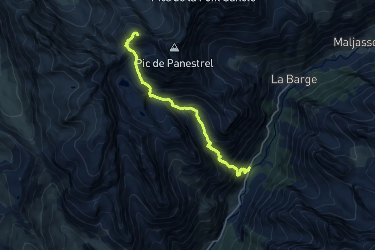
Demanding · Summit
Lacs des Houerts
5.7 km · ↑ 1261 m · 3 h 32 min
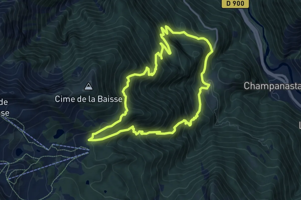
Demanding · Summit
Lacs du Col Bas (Par le Lauzet)
9.4 km · ↑ 894 m · 4 h 17 min
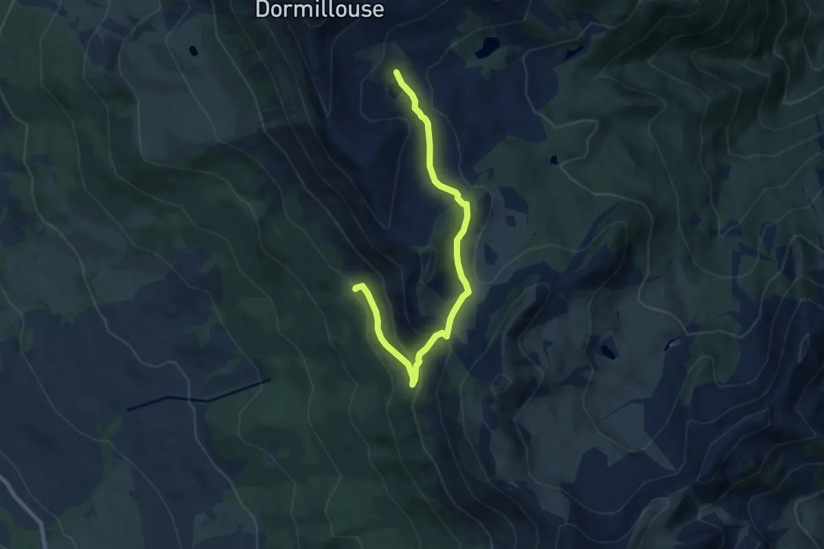
Medium · Trail
Lacs du Col Bas (Par Seyne)
3.8 km · ↑ 50 m · 1 h 11 min
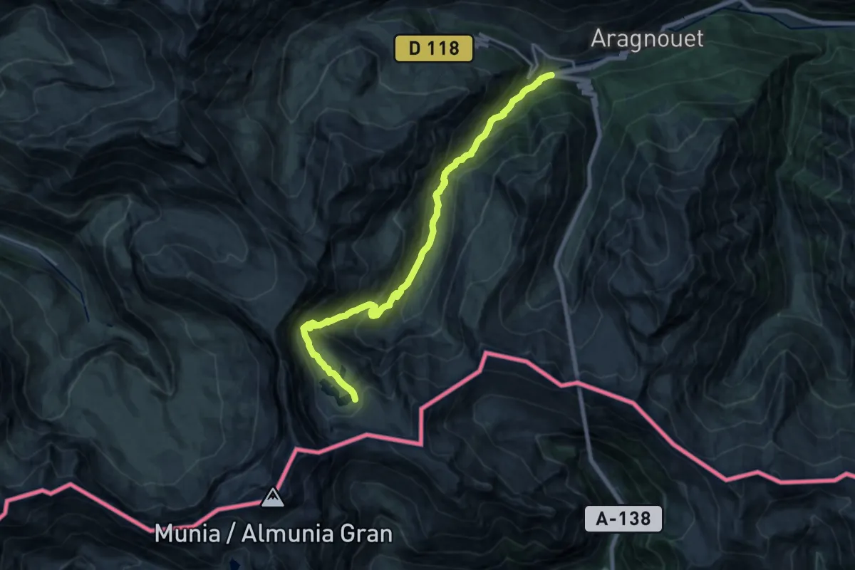
Demanding · Trail
Lacs et refuge de Barroude
17.9 km · ↑ 1074 m · 6 h 34 min
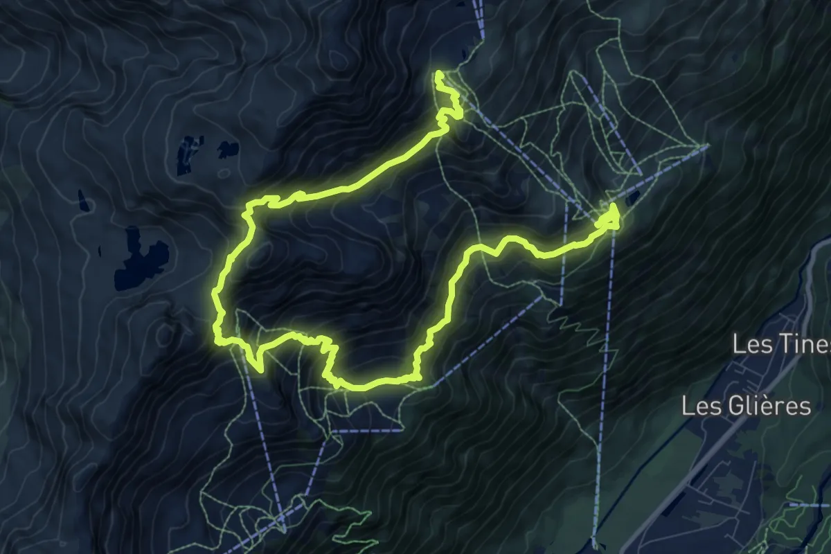
Demanding · Summit
Lacs Noirs
8.3 km · ↑ 1007 m · 4 h
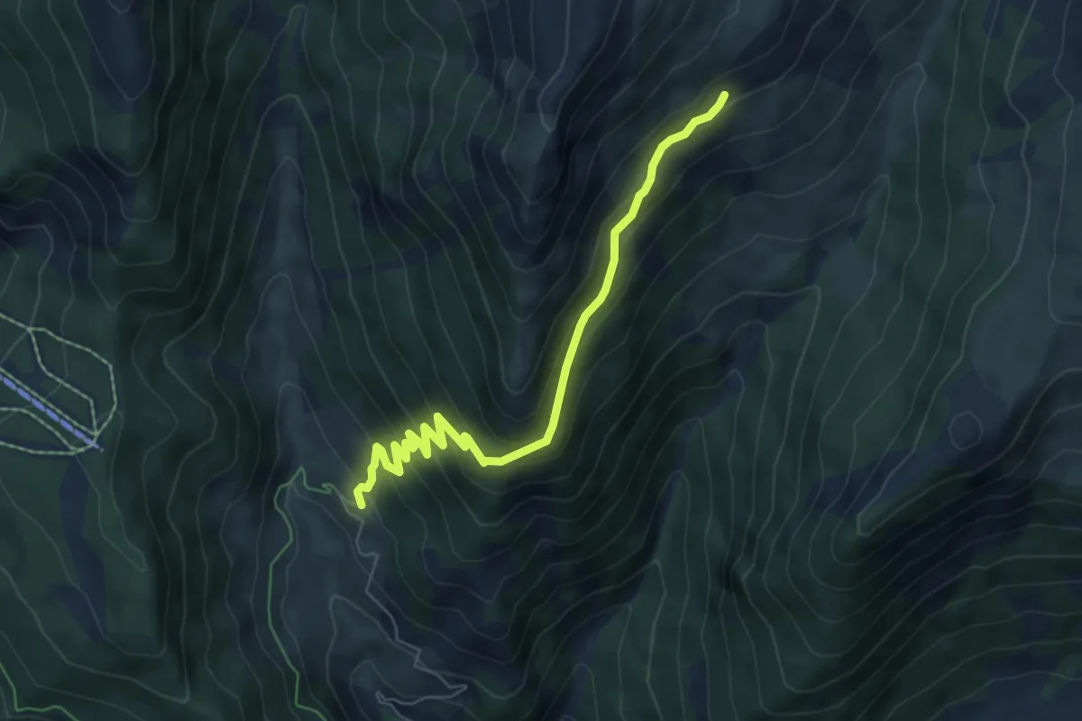
Medium · Trail
La Cuche - ?
6.7 km · ↑ 474 m · 2 h 36 min
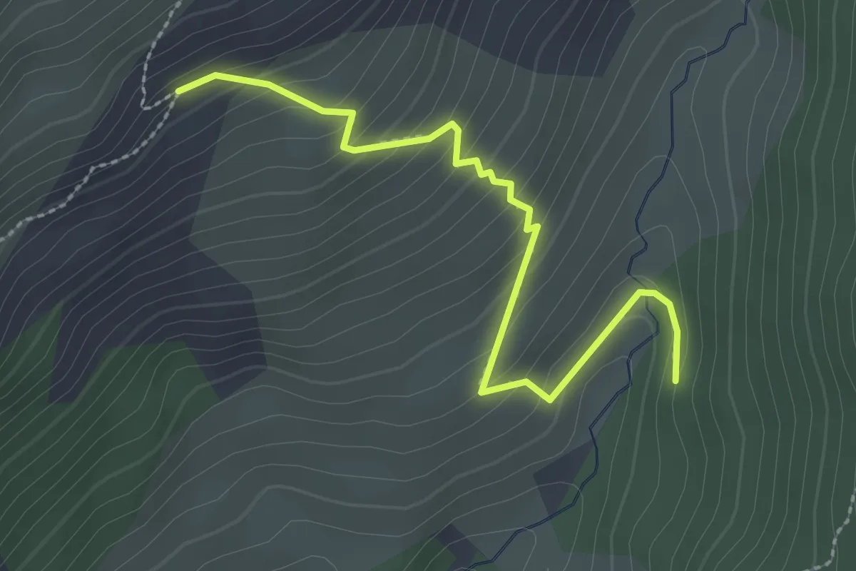
Easy · Trail
La Cuche - Vallon de Péas
2.7 km · ↑ 220 m · 1 h 7 min
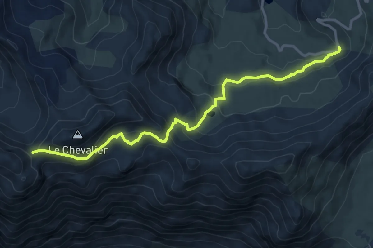
Medium · Trail
Lac Verdet
4.1 km · ↑ 34 m · 1 h 17 min
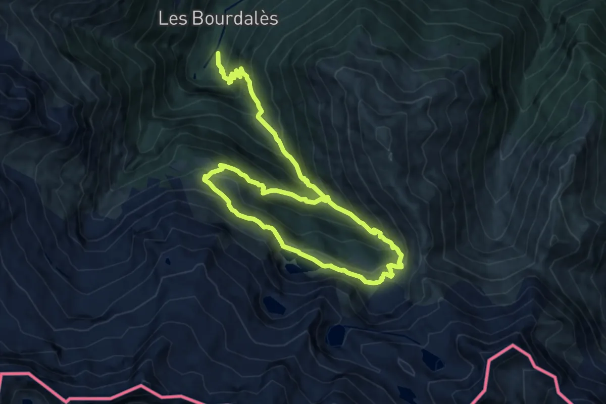
Medium · Trail
Lac Vert, Boucle par l'Est
8.9 km · ↑ 444 m · 3 h 28 min
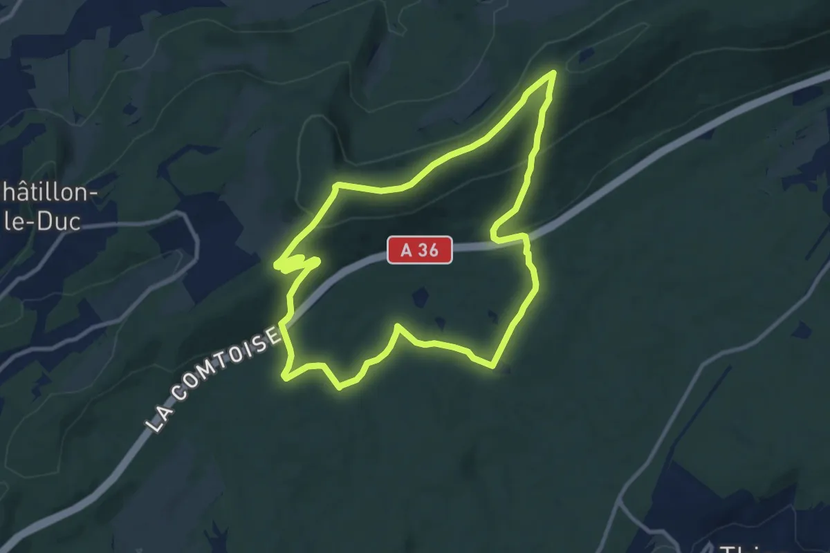
Medium · Trail
La Dame Blanche
9.4 km · ↑ 293 m · 2 h 59 min
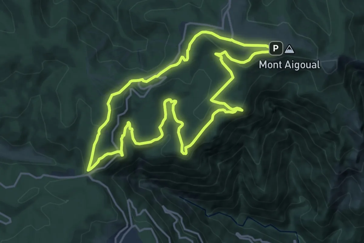
Medium · Trail
La Dauphine
12.4 km · ↑ 419 m · 4 h 1 min
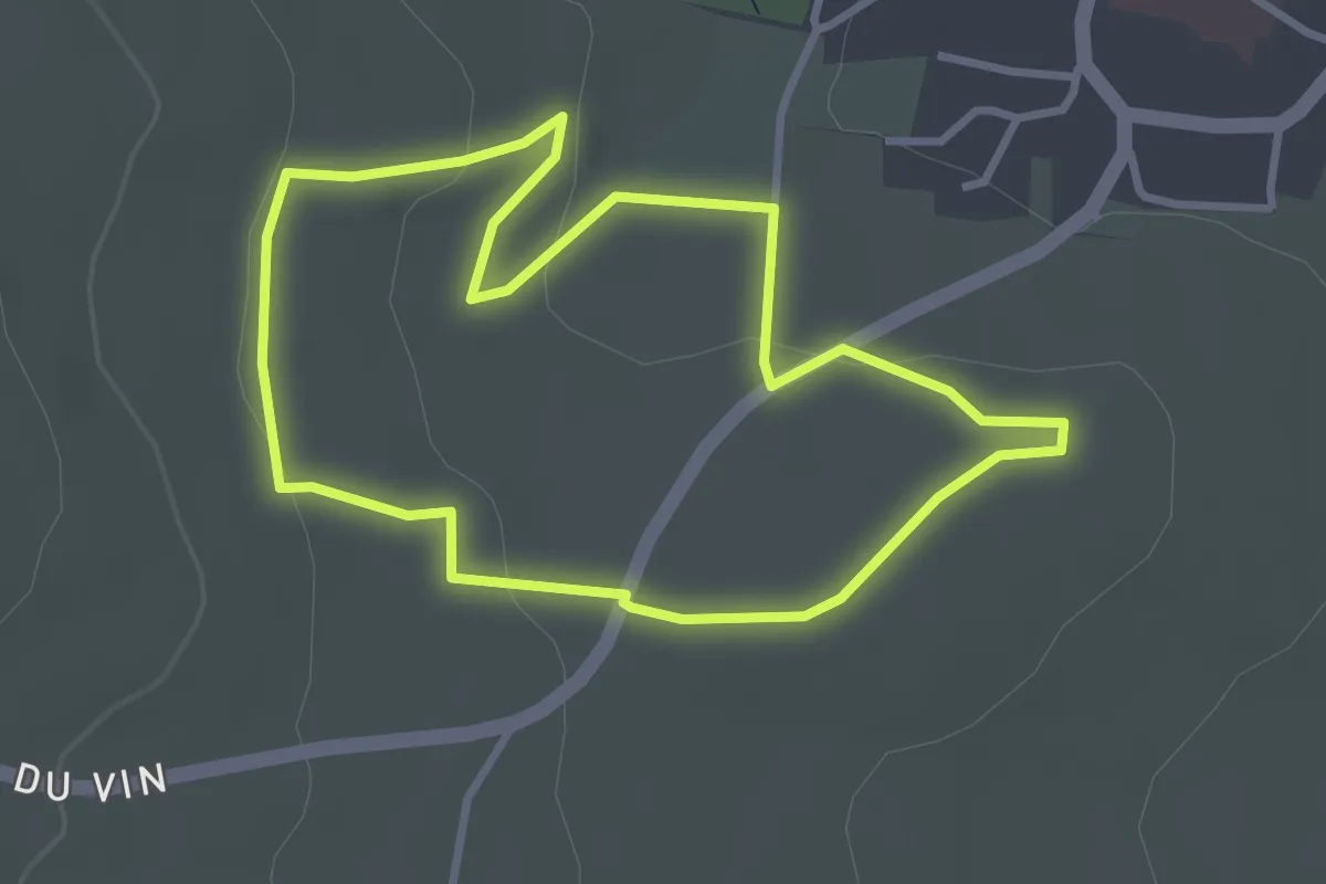
Easy · Trail
La découverte du Sentier Viticole
2.9 km · ↑ 57 m · 52 min
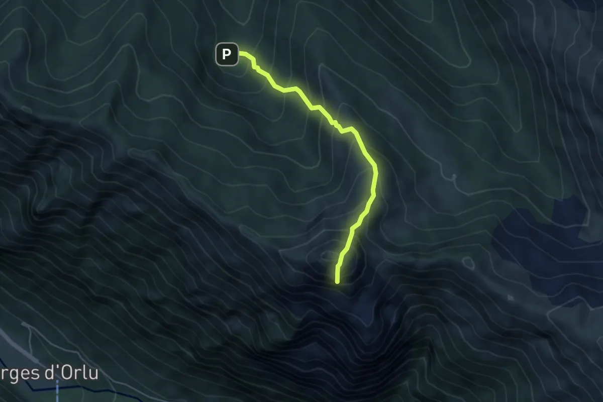
Expert · Summit
La Dent d'Orlu
4.5 km · ↑ 595 m · 2 h 21 min
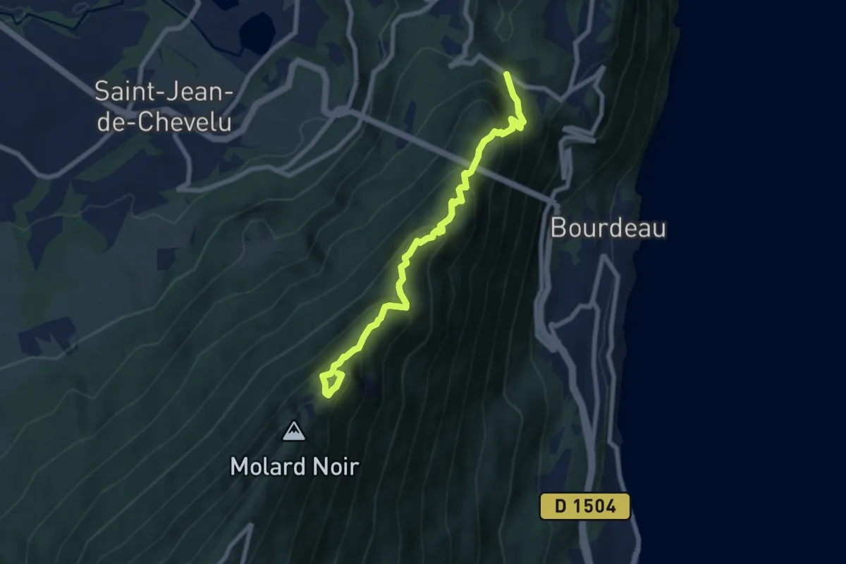
Demanding · Summit
La Dent du Chat depuis le Col du Chat
6.9 km · ↑ 740 m · 3 h 14 min
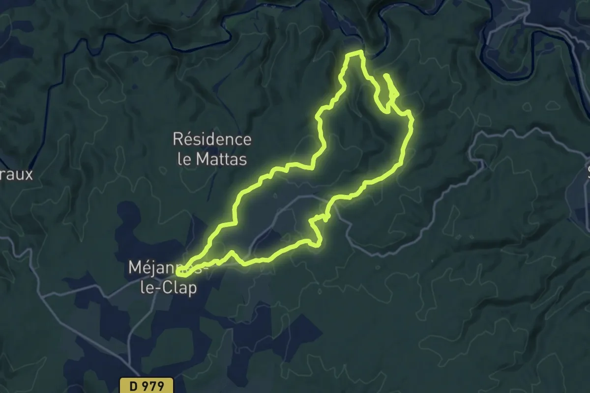
Medium · Trail
La dent du Serret
16.0 km · ↑ 306 m · 4 h 40 min
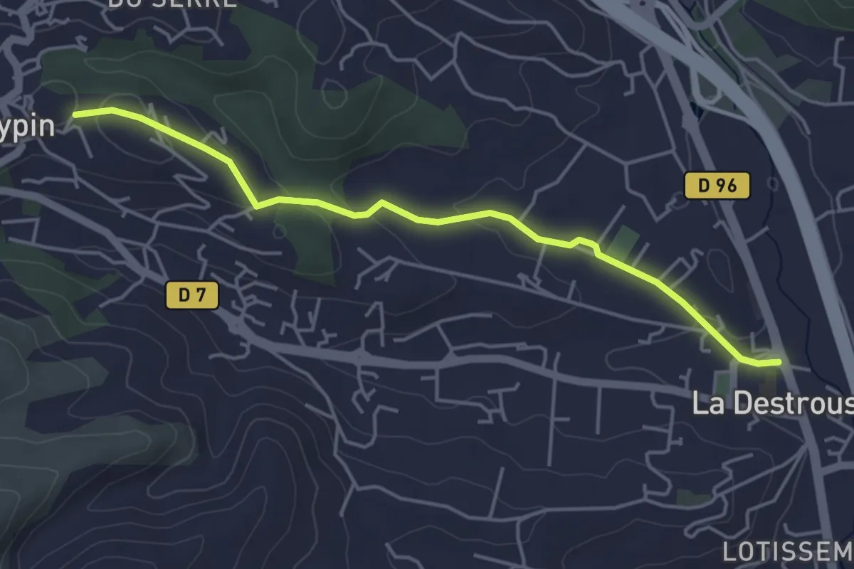
Easy · Trail
La Destrousse - Mont du Marseillais
4.7 km · ↑ 103 m · 1 h 19 min
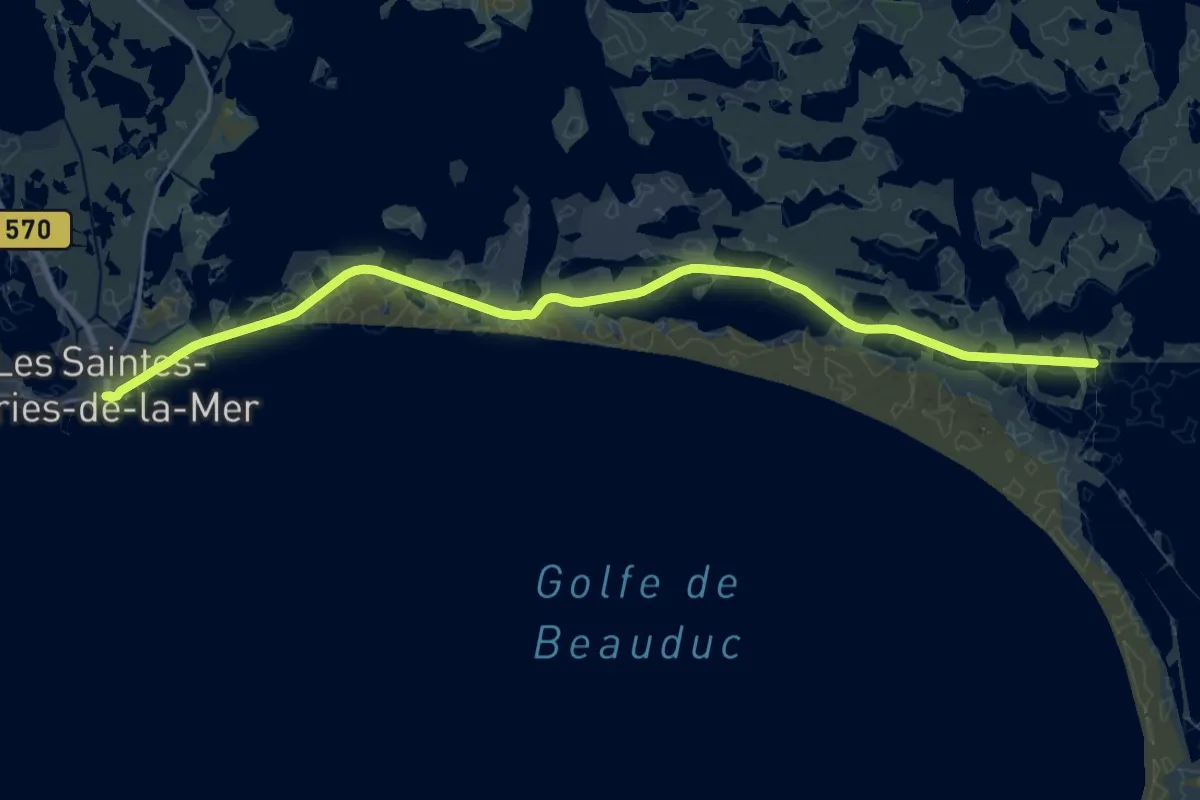
Demanding · Trail
La Digue à la Mer
27.0 km · ↑ 4 m · 6 h 24 min
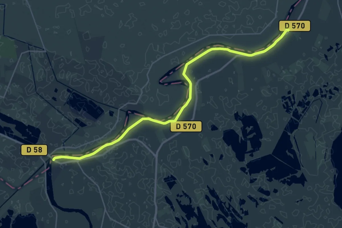
Demanding · Trail
La digue du Petit-Rhône
24.7 km · ↑ 9 m · 5 h 51 min
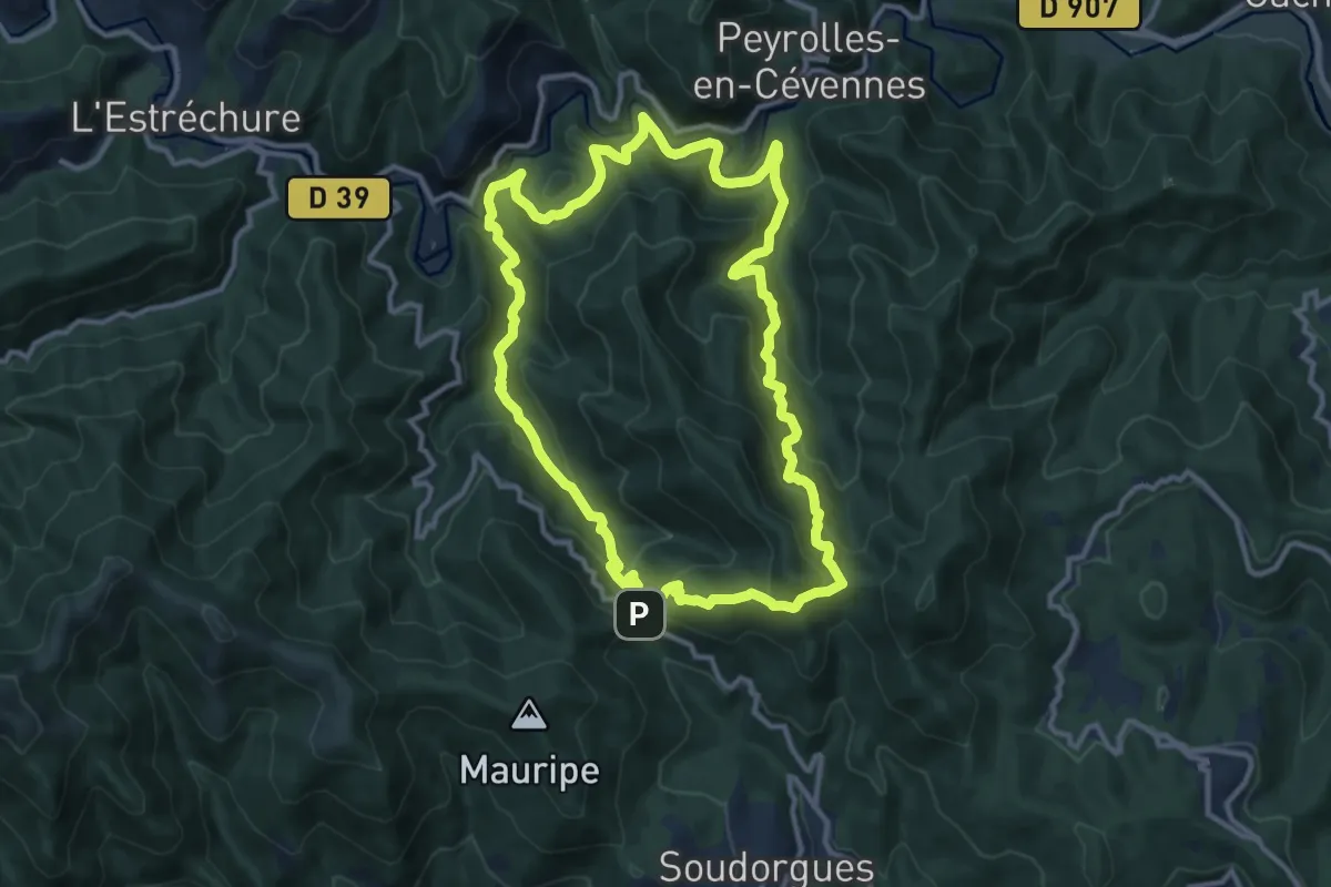
Medium · Trail
La Diligence
12.2 km · ↑ 657 m · 4 h 28 min
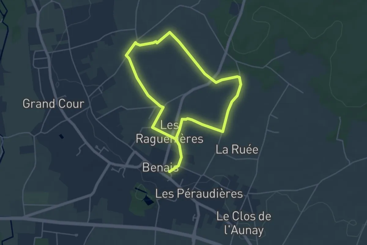
Easy · Trail
La Double Vie du Coteau - Benais
3.9 km · ↑ 42 m · 1 h 4 min
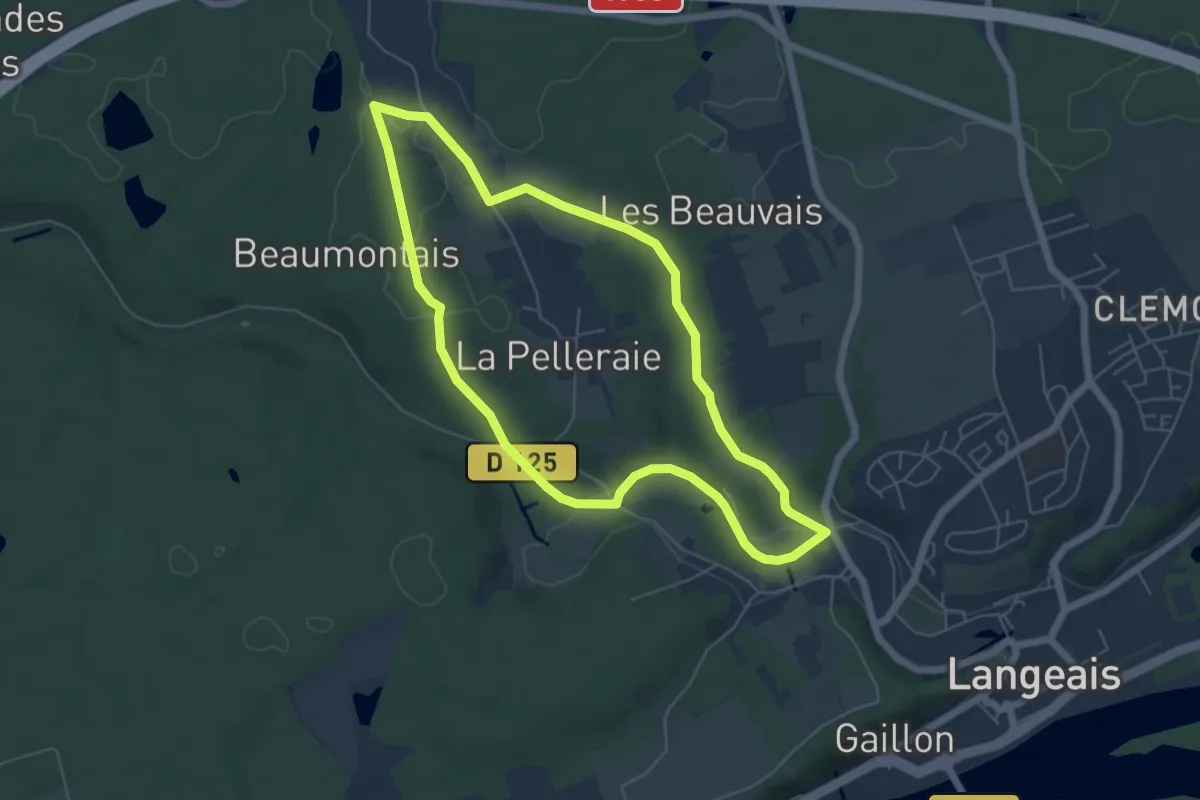
Easy · Trail
la Doucinière
5.4 km · ↑ 69 m · 1 h 30 min
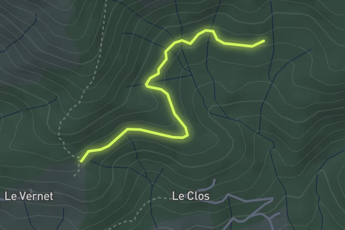
Easy · Trail
La Draille du Vernet - Le Cros
3.1 km · ↑ 110 m · 59 min
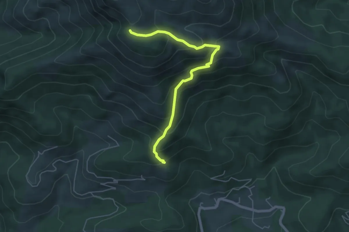
Medium · Trail
La Draille du Vernet - Le Pissas
5.1 km · ↑ 447 m · 2 h 10 min
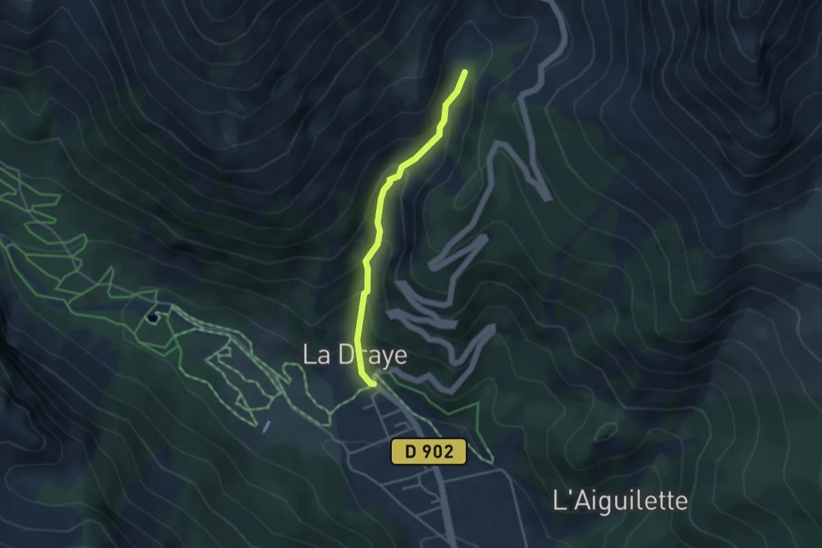
Easy · Trail
La Draye - Torrent de l'Izoard
3.1 km · ↑ 262 m · 1 h 18 min
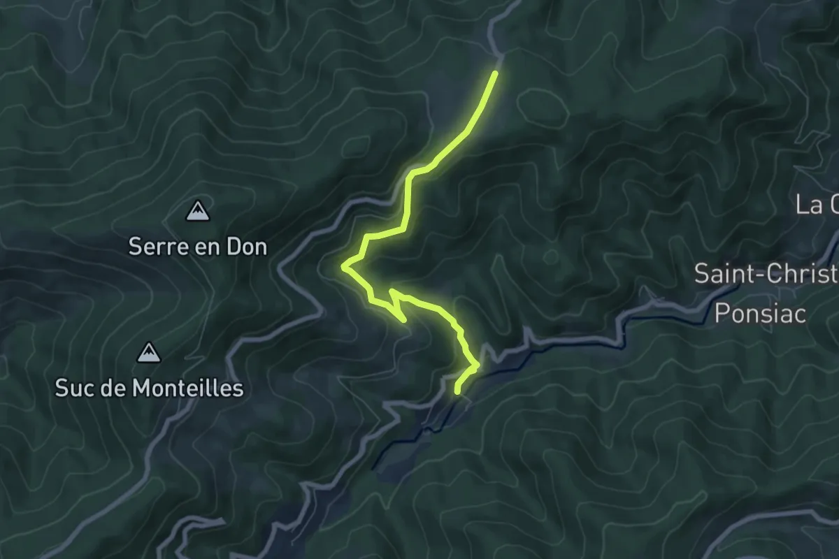
Easy · Trail
La Drechou - Talaron
6.8 km · ↑ 316 m · 2 h 18 min
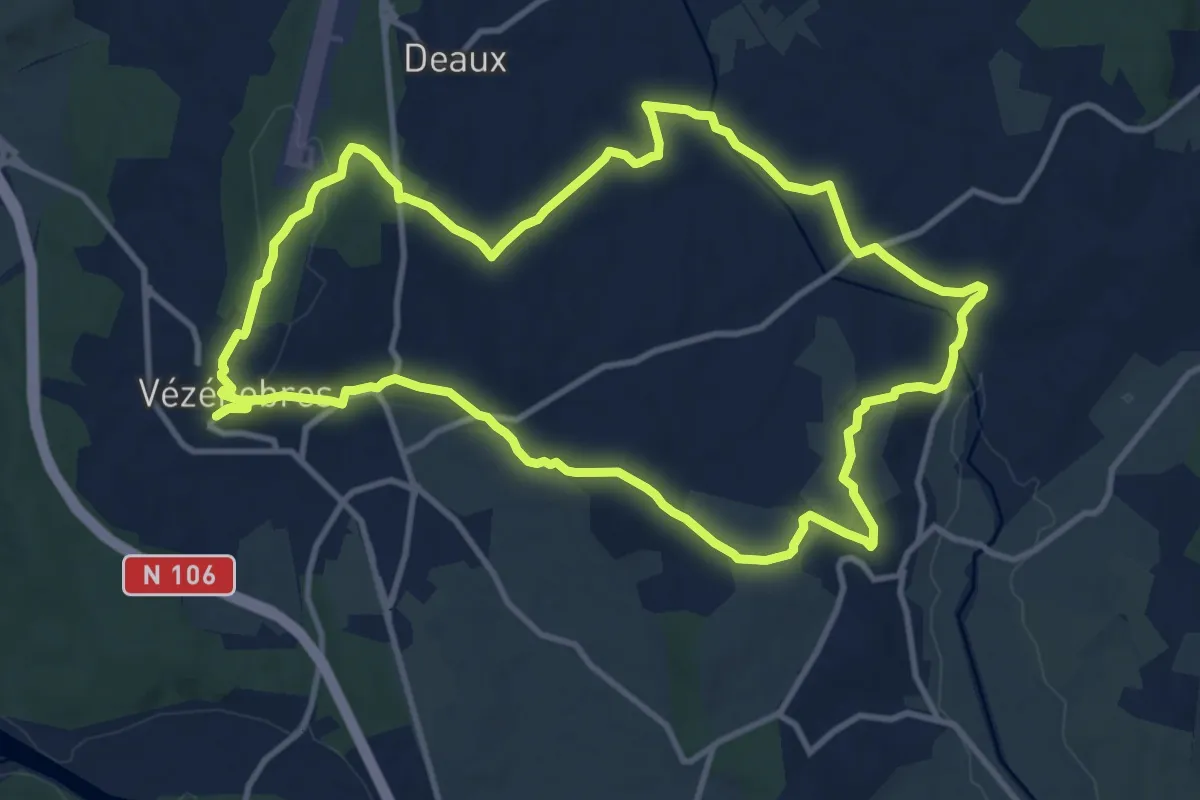
Medium · Trail
La Droude
12.7 km · ↑ 208 m · 3 h 38 min
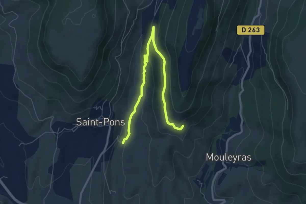
Easy · Trail
La Fabrique - Chaulène
7.1 km · ↑ 228 m · 2 h 10 min
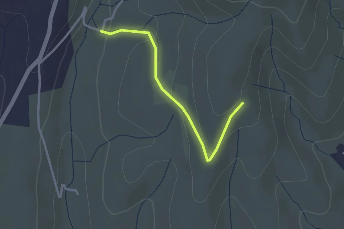
Easy · Trail
La Fabrique - Fourche
2.2 km · ↑ 79 m · 41 min
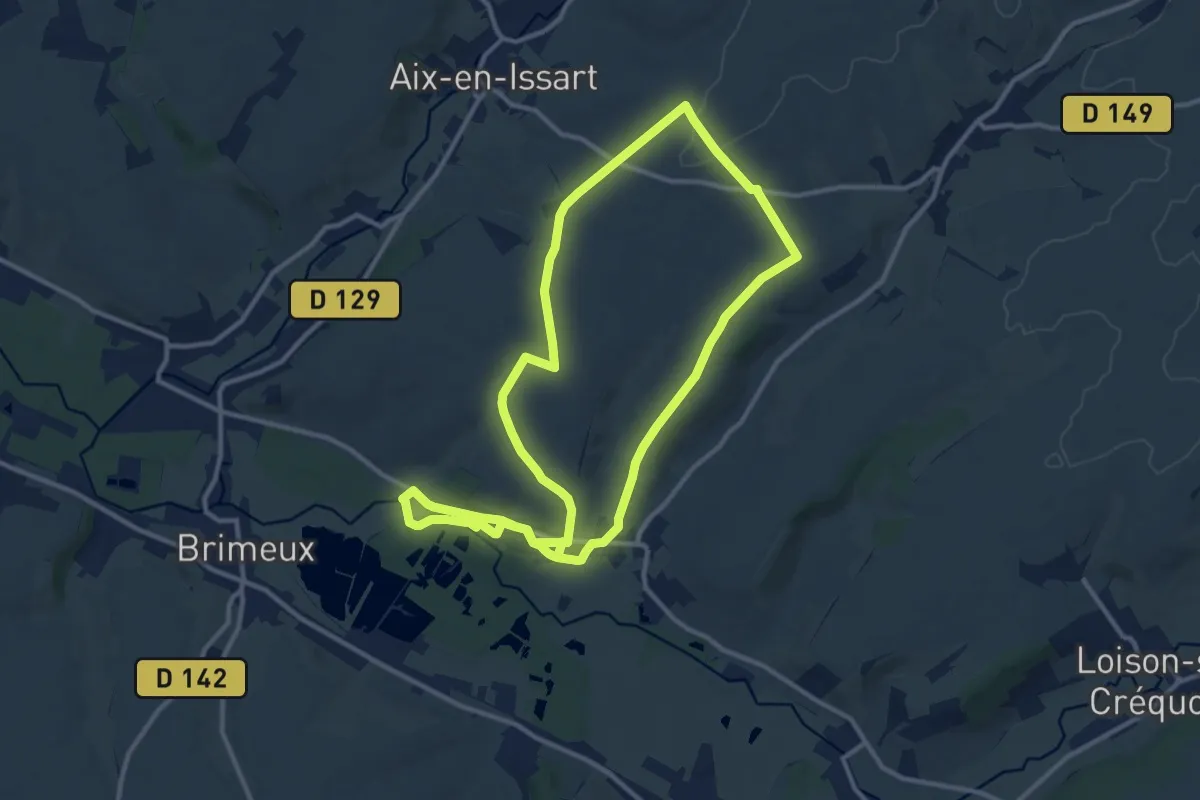
Medium · Trail
La Falaise
11.3 km · ↑ 123 m · 3 h 5 min
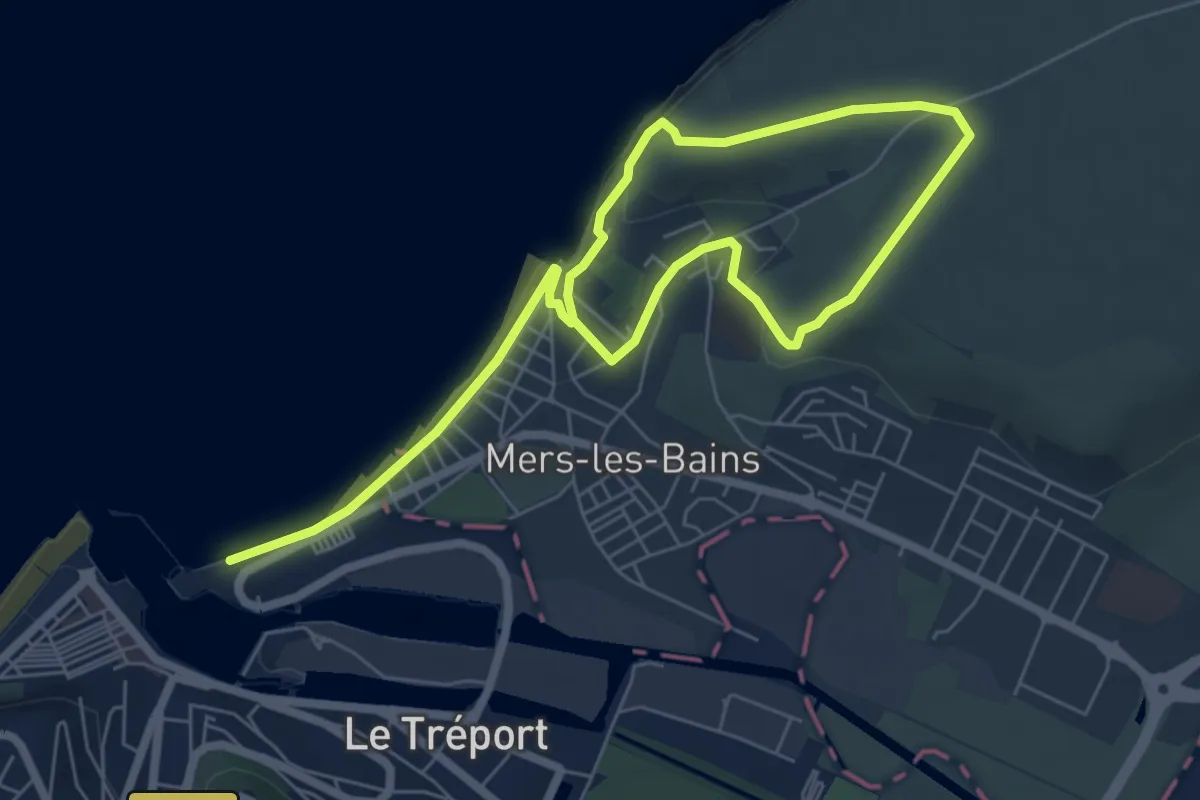
Medium · Trail
La Falaise
9.2 km · ↑ 165 m · 2 h 31 min
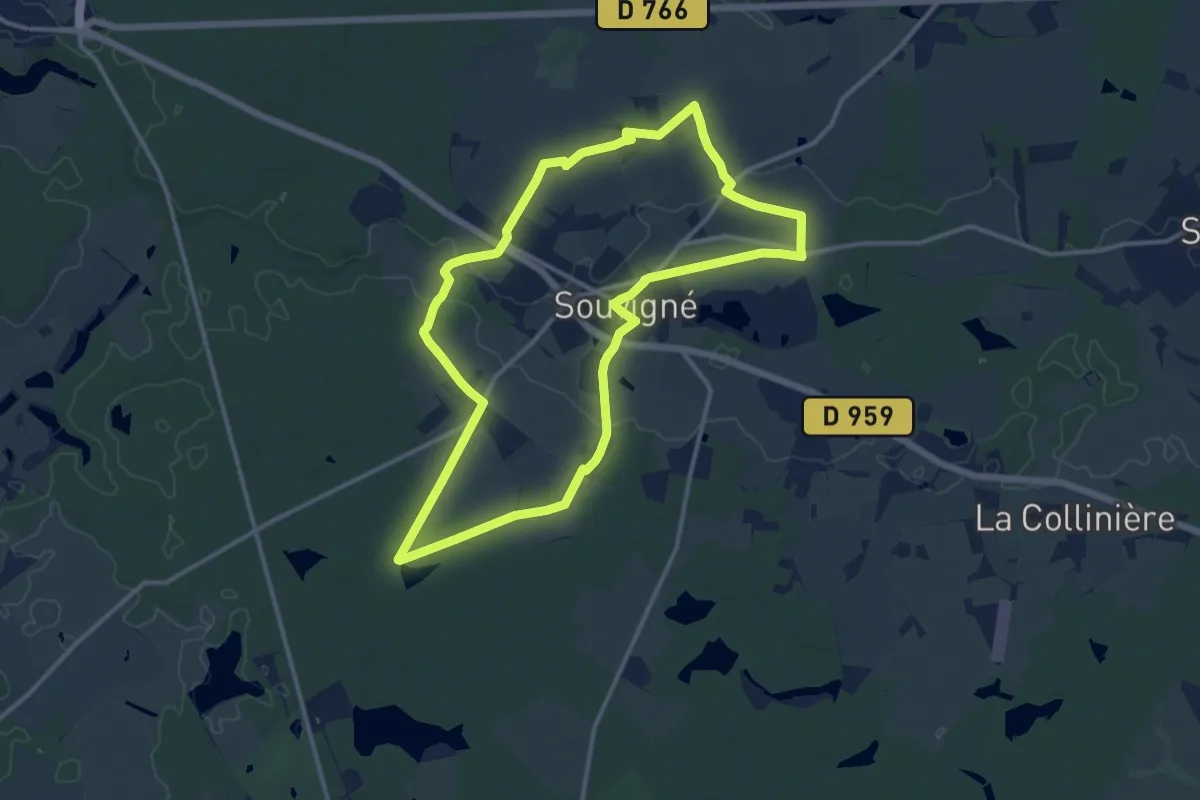
Medium · Trail
La Fare - Souvigné
12.2 km · ↑ 68 m · 3 h 12 min
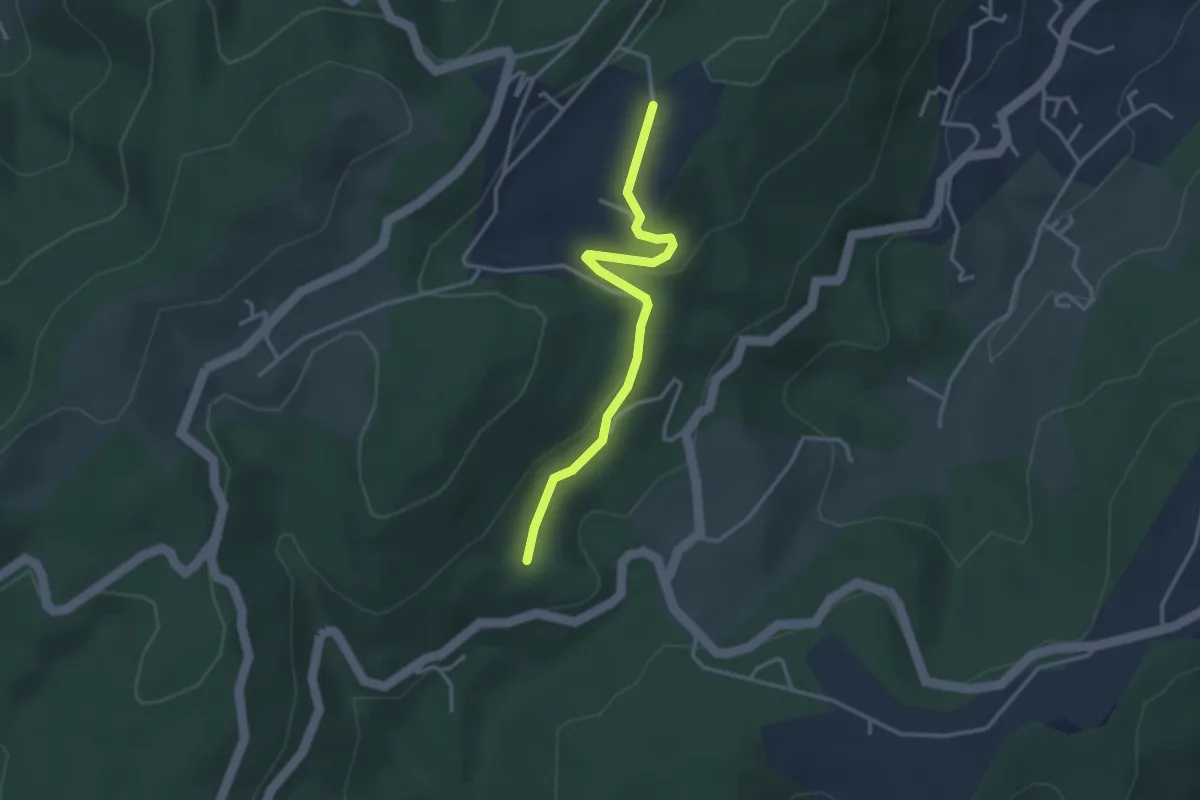
Easy · Trail
La Faugère - Turc
3.2 km · ↑ 75 m · 56 min
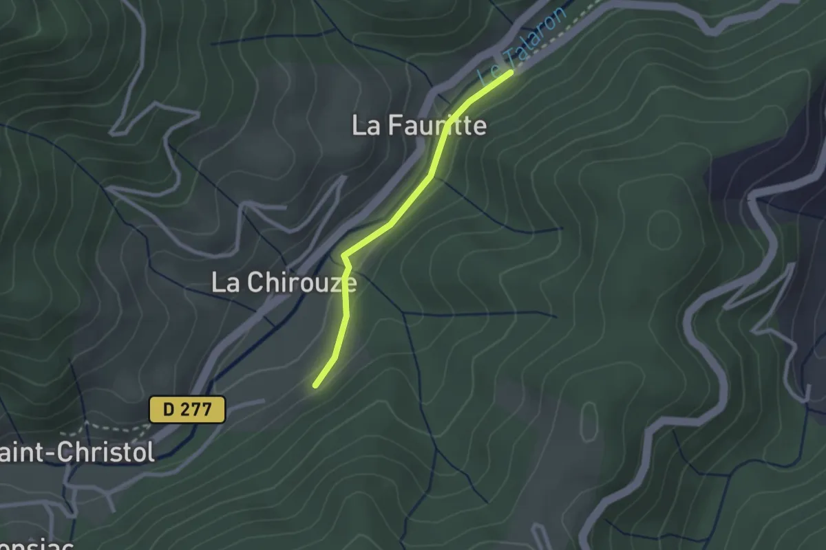
Easy · Trail
La Fauritte - La Farge
2.0 km · ↑ 47 m · 34 min
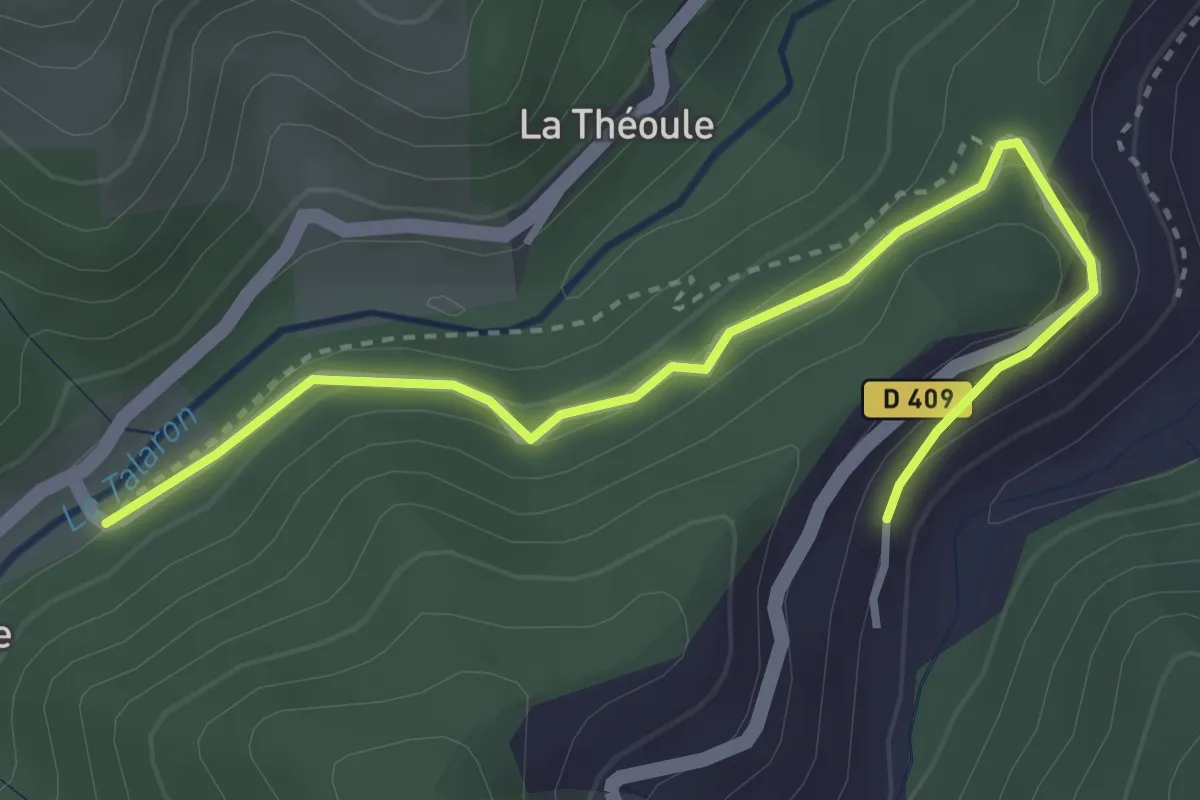
Easy · Trail
La Fauritte - Le Chazel
3.8 km · ↑ 123 m · 1 h 10 min