Trails in France
15,926 hiking trails, each with its route, climb, walking time and grade.
All trails, page 137 of 332
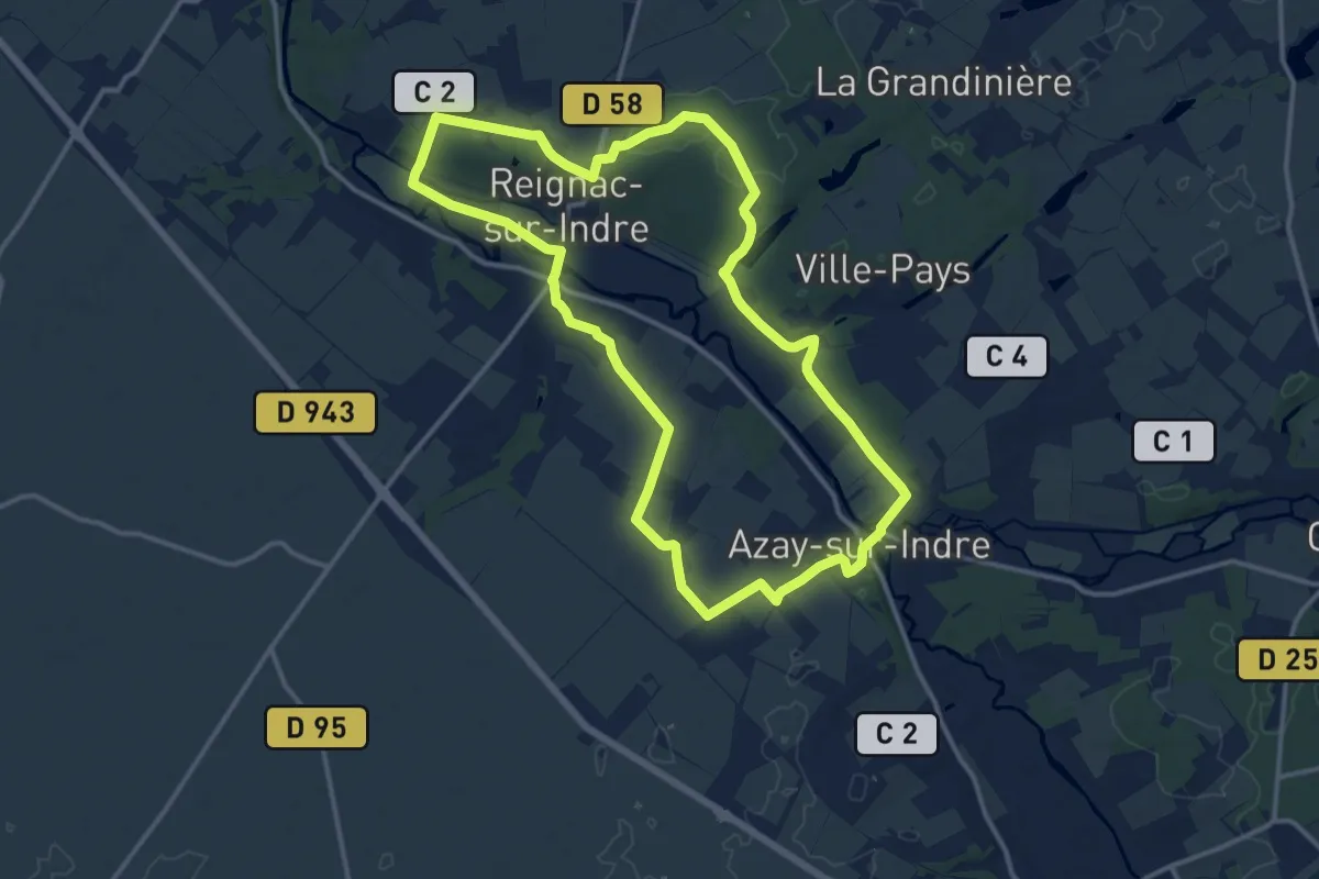
Medium · Trail
La Fayette dans la Vallée de l'Indre - Reignac-sur-Indre, Azay-sur-Indre
13.7 km · ↑ 109 m · 3 h 39 min
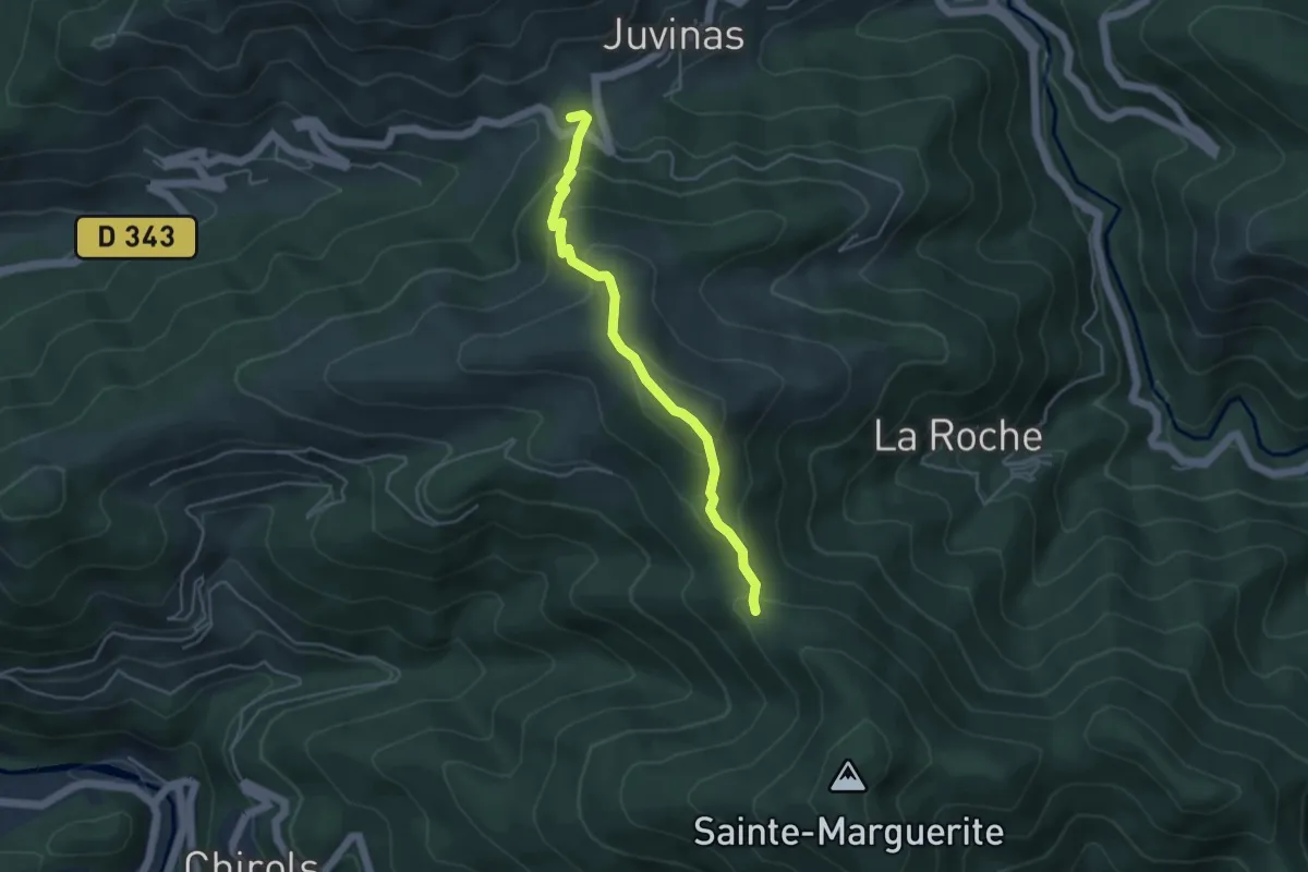
Easy · Trail
La Faysse - Font Rognon
4.4 km · ↑ 277 m · 1 h 38 min
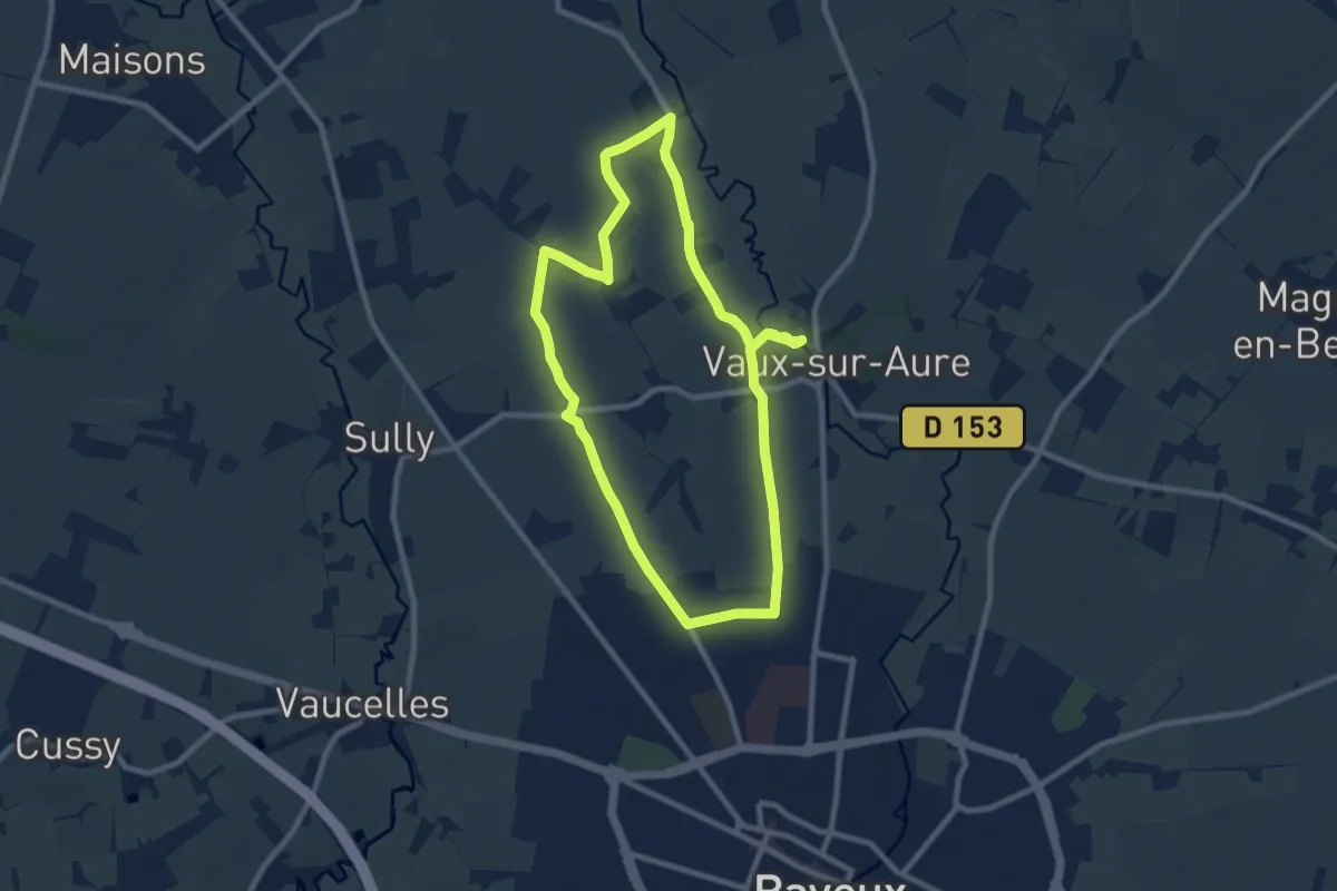
Medium · Trail
La Fée d'Argouges
8.5 km · ↑ 33 m · 2 h 12 min
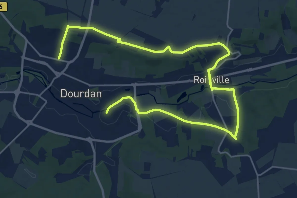
Demanding · Trail
La ferme de Châteaupers
18.3 km · ↑ 184 m · 4 h 43 min
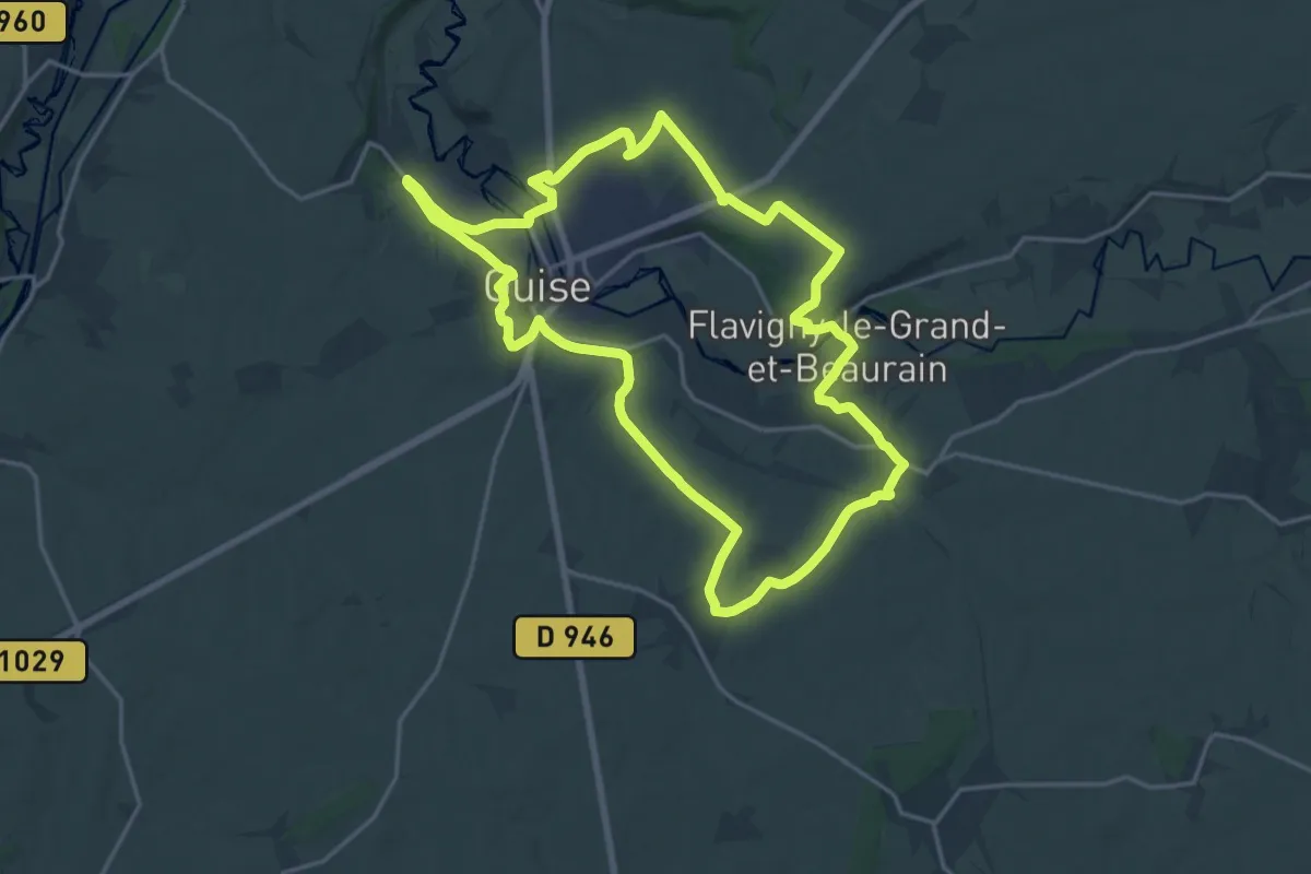
Demanding · Trail
La Ferme de l'Étang
18.3 km · ↑ 192 m · 4 h 59 min
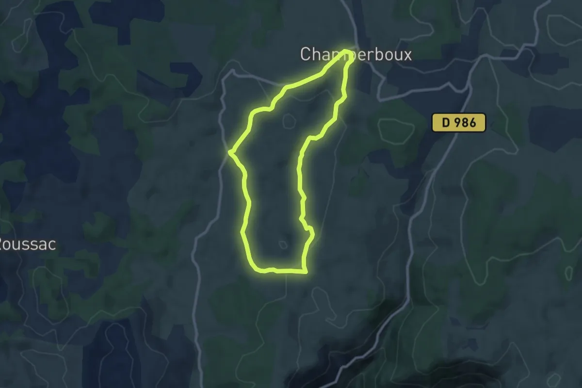
Easy · Trail
La ferme de Pessades
7.9 km · ↑ 178 m · 2 h 22 min
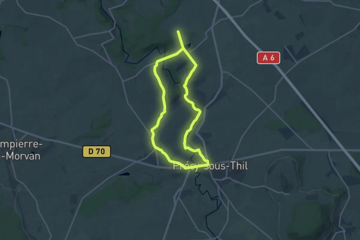
Medium · Trail
La Ferme du Hameau 12 km
11.0 km · ↑ 144 m · 3 h 3 min
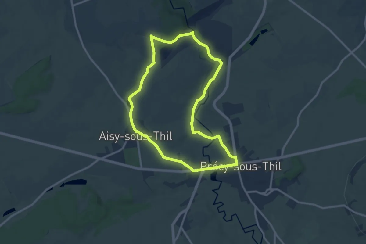
Easy · Trail
La Ferme du Hameau 8 km
7.0 km · ↑ 77 m · 1 h 55 min
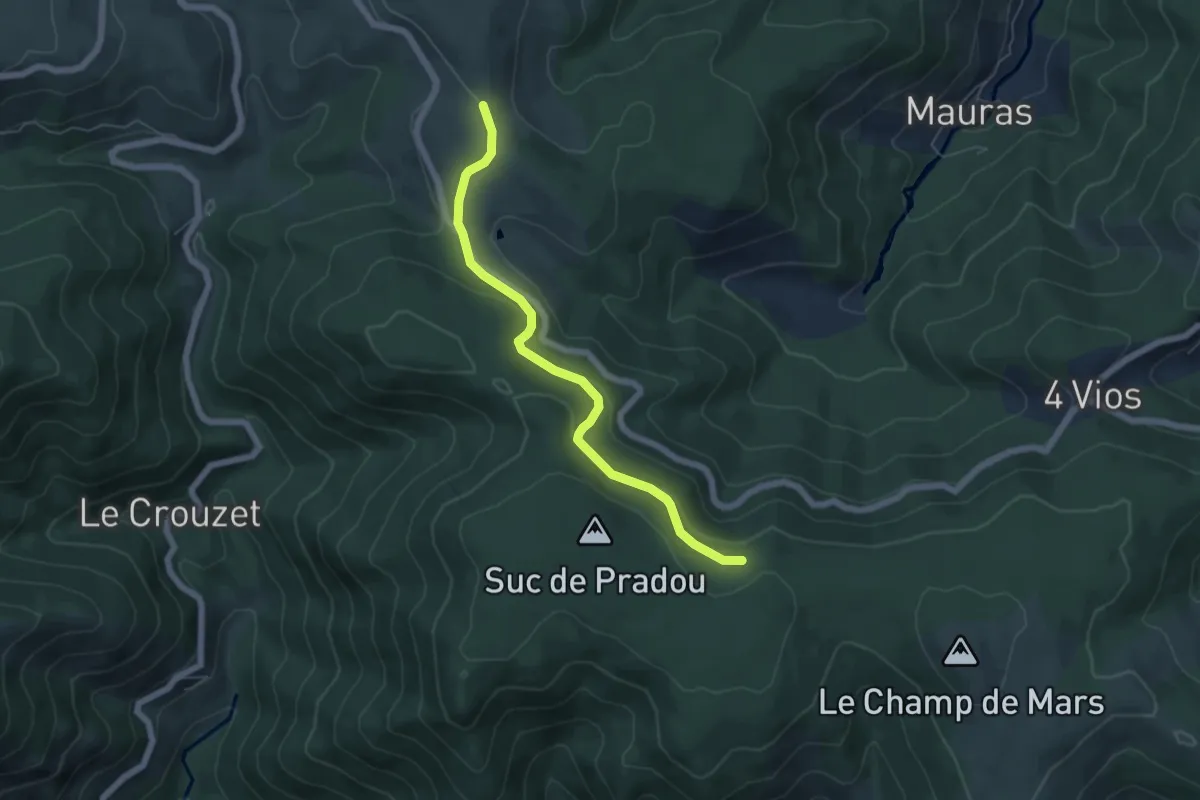
Easy · Trail
La Feuille - Bois de Rauset
5.8 km · ↑ 151 m · 1 h 41 min
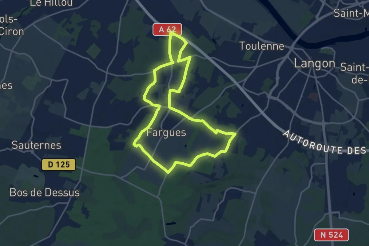
Medium · Trail
La Feuille et le Grain : boucle locale
13.1 km · ↑ 58 m · 3 h 24 min
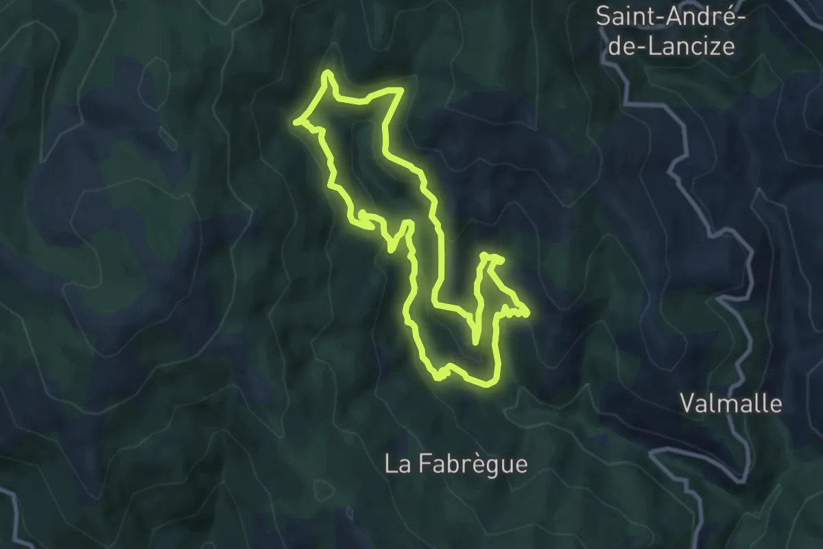
Medium · Trail
La Flandonenque
9.0 km · ↑ 378 m · 3 h 4 min
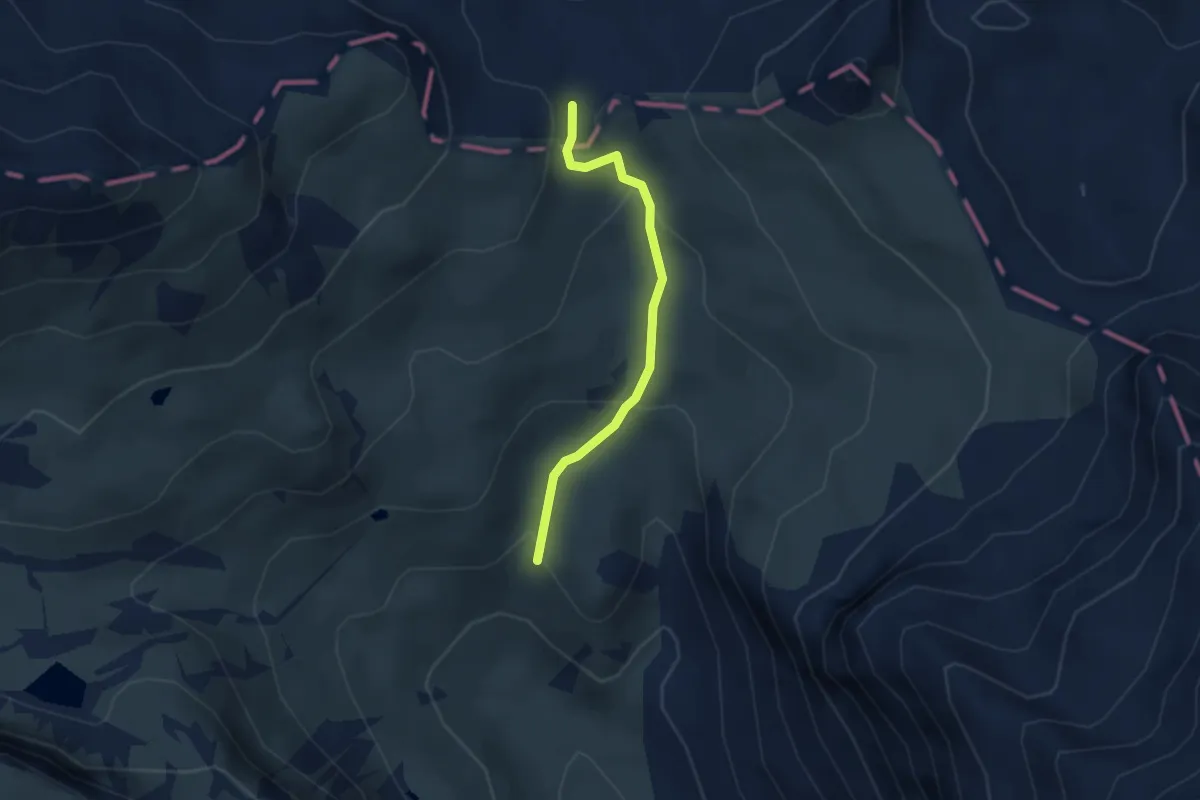
Medium · Trail
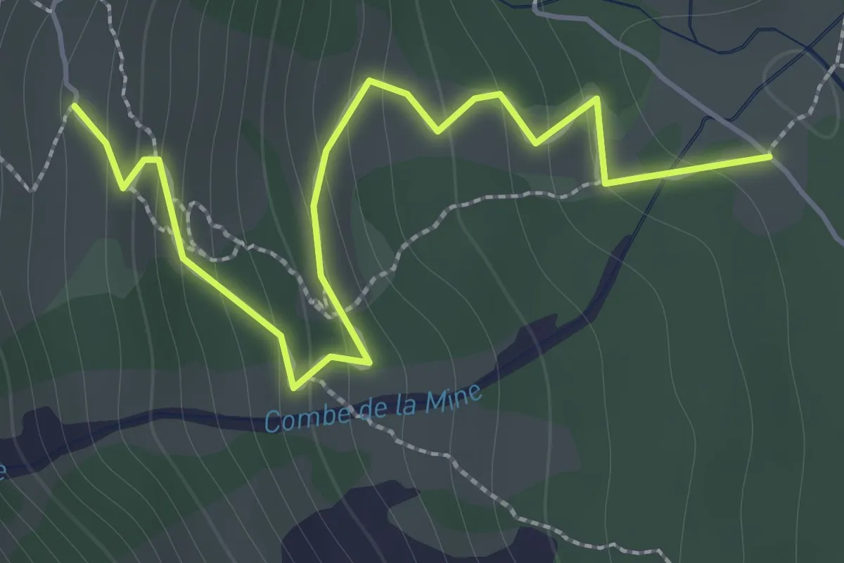
La Fonderie - Col de la Vallée Étroite
2.8 km · ↑ 134 m · 57 min
Easy · Trail
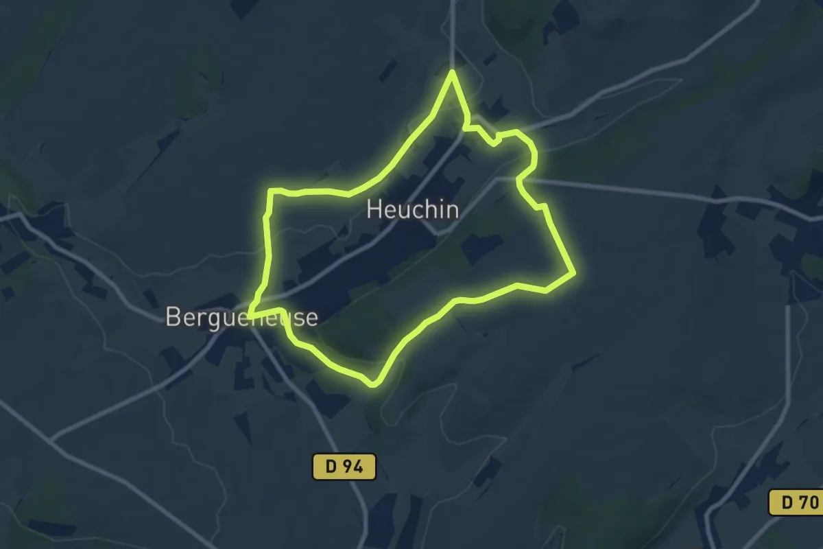
La Fonderie - Maison des Chamois
2.1 km · ↑ 171 m · 51 min
Easy · Trail
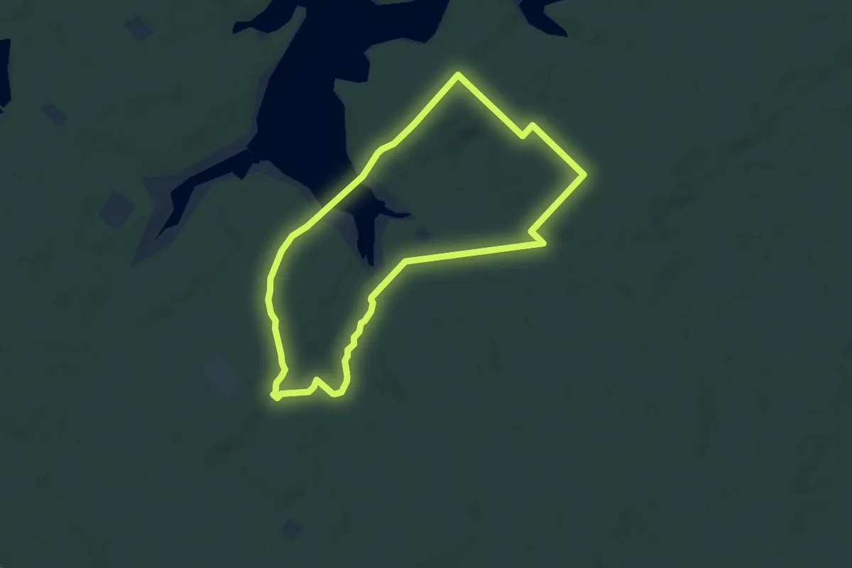
La Fontaine au Faulx
6.9 km · ↑ 102 m · 1 h 57 min
Easy · Trail
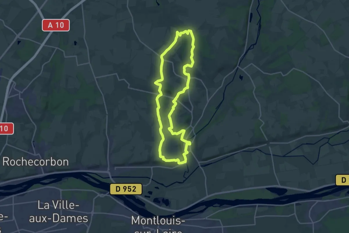
La Fontaine aux Oiseaux
7.0 km · ↑ 74 m · 1 h 54 min
Medium · Trail
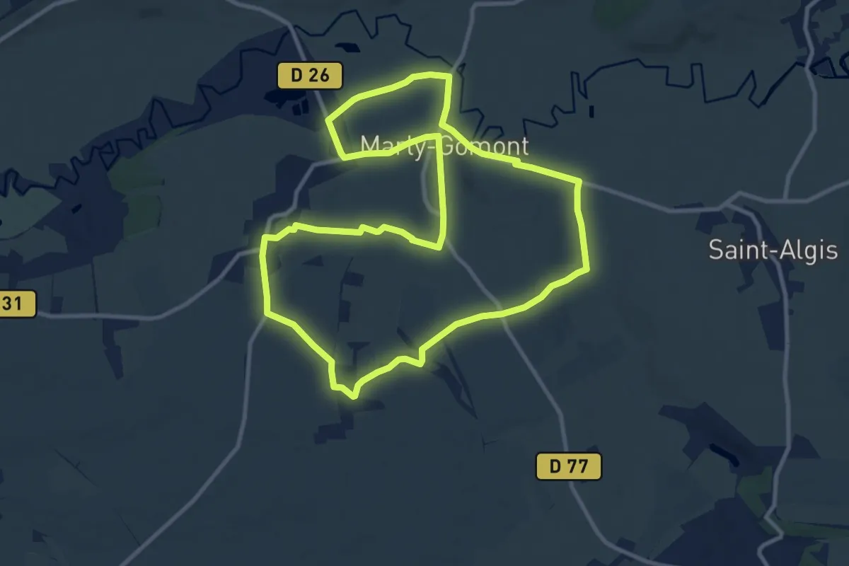
La Fontaine Bondrée
16.8 km · ↑ 165 m · 4 h 34 min
Medium · Trail
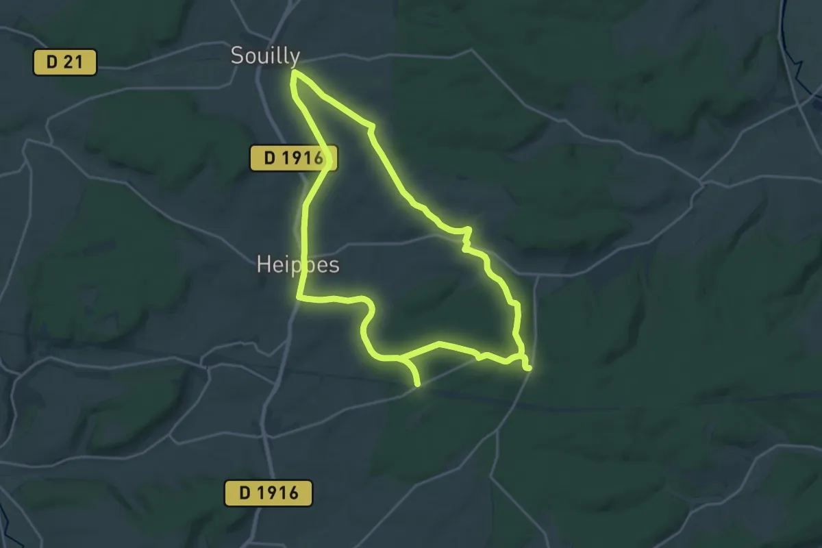
La Fontaine Colette
9.6 km · ↑ 89 m · 2 h 35 min
Medium · Trail
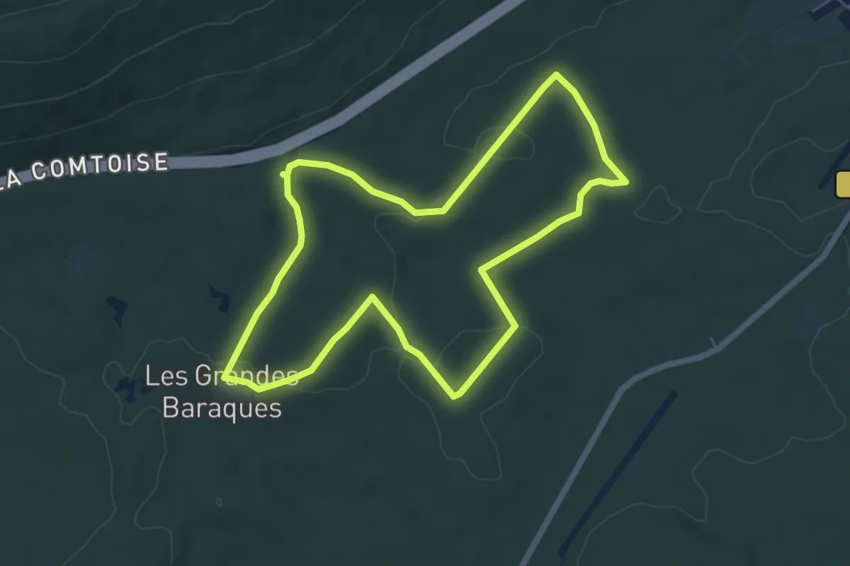
La Fontaine de La Vierge
18.0 km · ↑ 220 m · 4 h 59 min
Easy · Trail
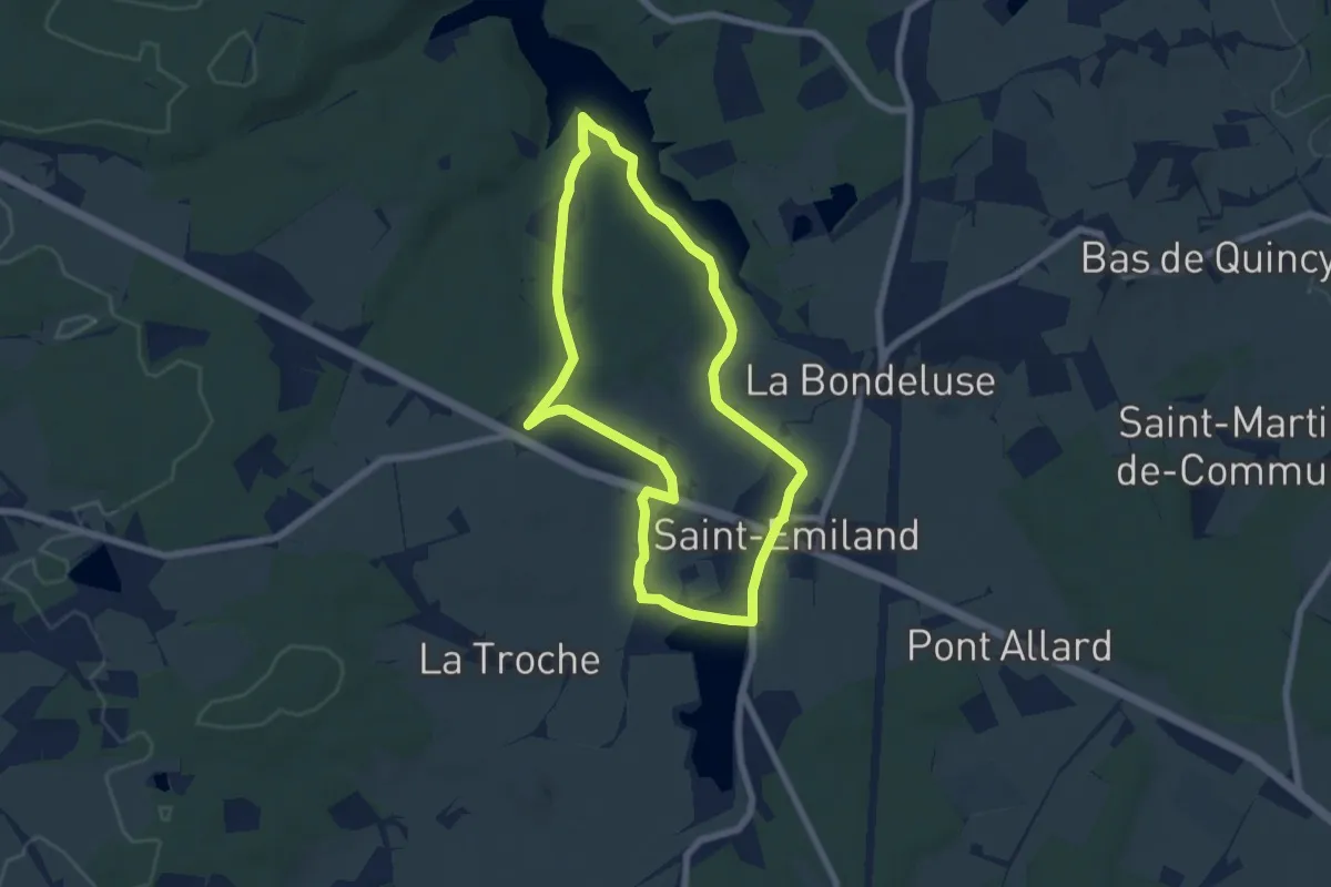
La Fontaine des Acacias
5.6 km · ↑ 97 m · 1 h 36 min
Easy · Trail
La Fontaine de Saint-Émilien
6.2 km · ↑ 64 m · 1 h 41 min
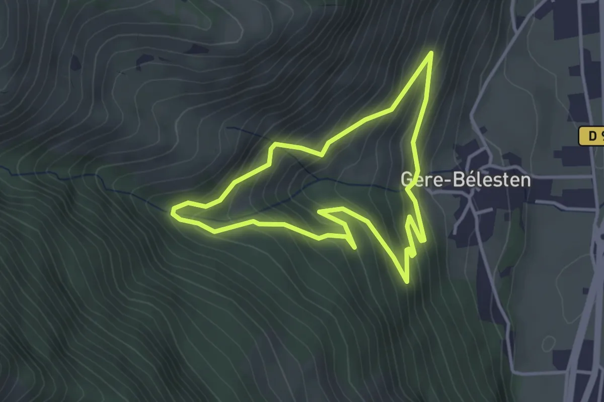
Easy · Trail
La fontaine d'Esteret
3.3 km · ↑ 283 m · 1 h 26 min
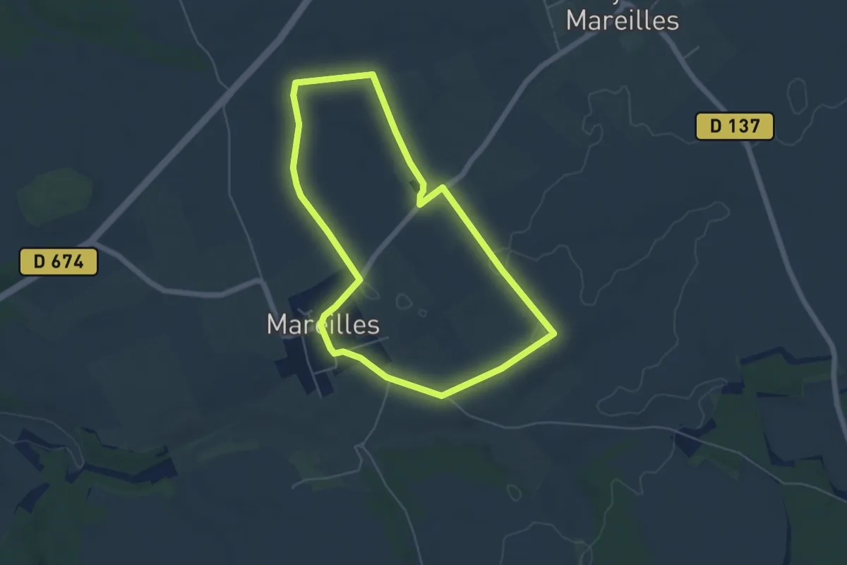
Easy · Trail
La Fontaine de Vrannes
5.0 km · ↑ 35 m · 1 h 19 min
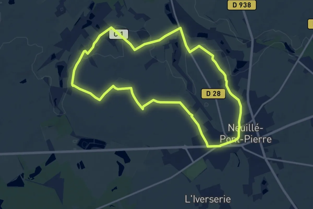
Medium · Trail
La Fontaine Dorée
9.4 km · ↑ 61 m · 2 h 29 min
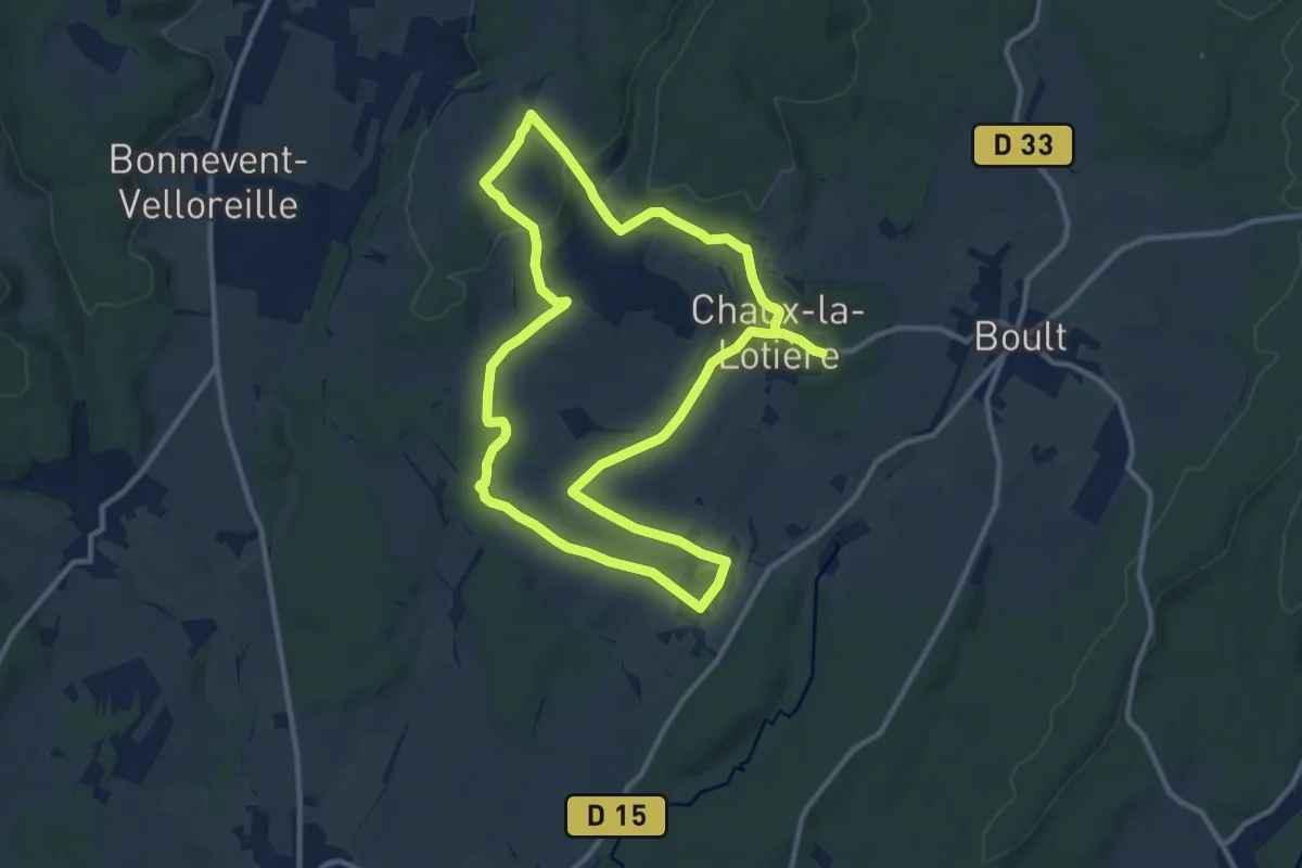
Demanding · Trail
La Fontaine du Coq sans Tête
22.4 km · ↑ 316 m · 5 h 58 min
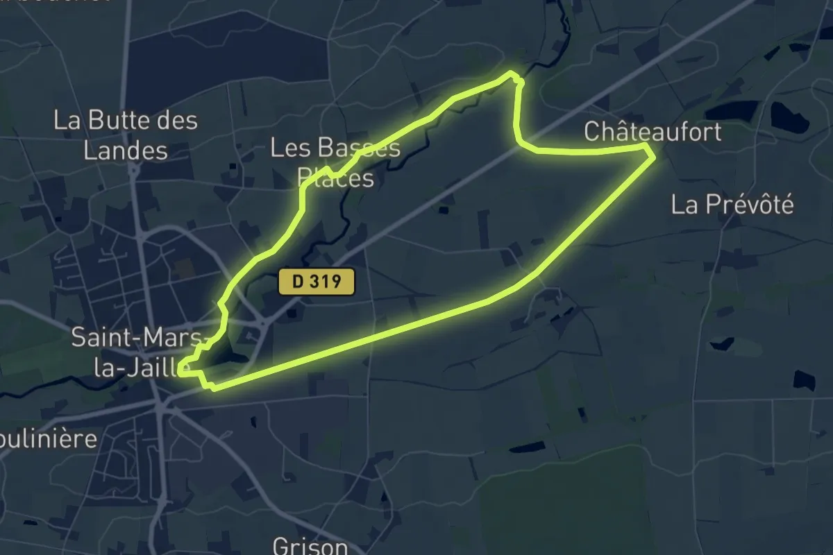
Easy · Trail
La Fontaine Mauricette
7.6 km · ↑ 24 m · 1 h 56 min
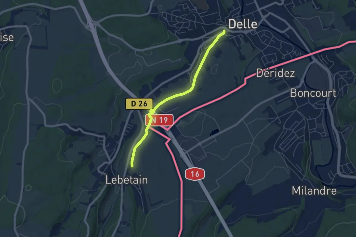
Easy · Trail
La Fontaine Mazarin
2.6 km · ↑ 36 m · 43 min
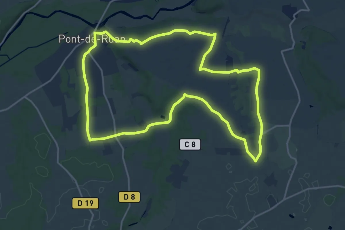
Medium · Trail
La Fontaine Sacrée
12.2 km · ↑ 98 m · 3 h 16 min
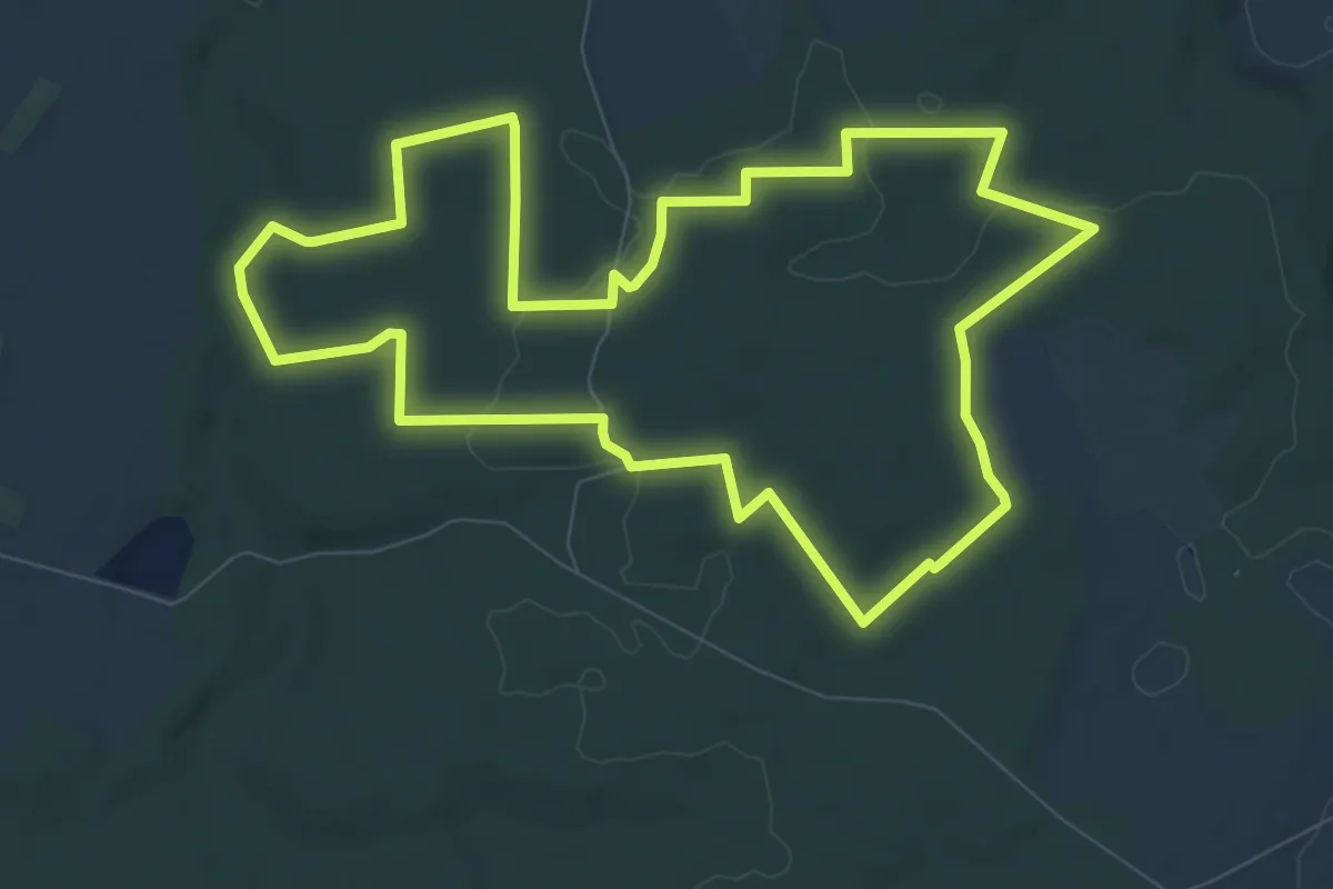
Medium · Trail
La Fontaine Sainte Libère
8.9 km · ↑ 85 m · 2 h 25 min
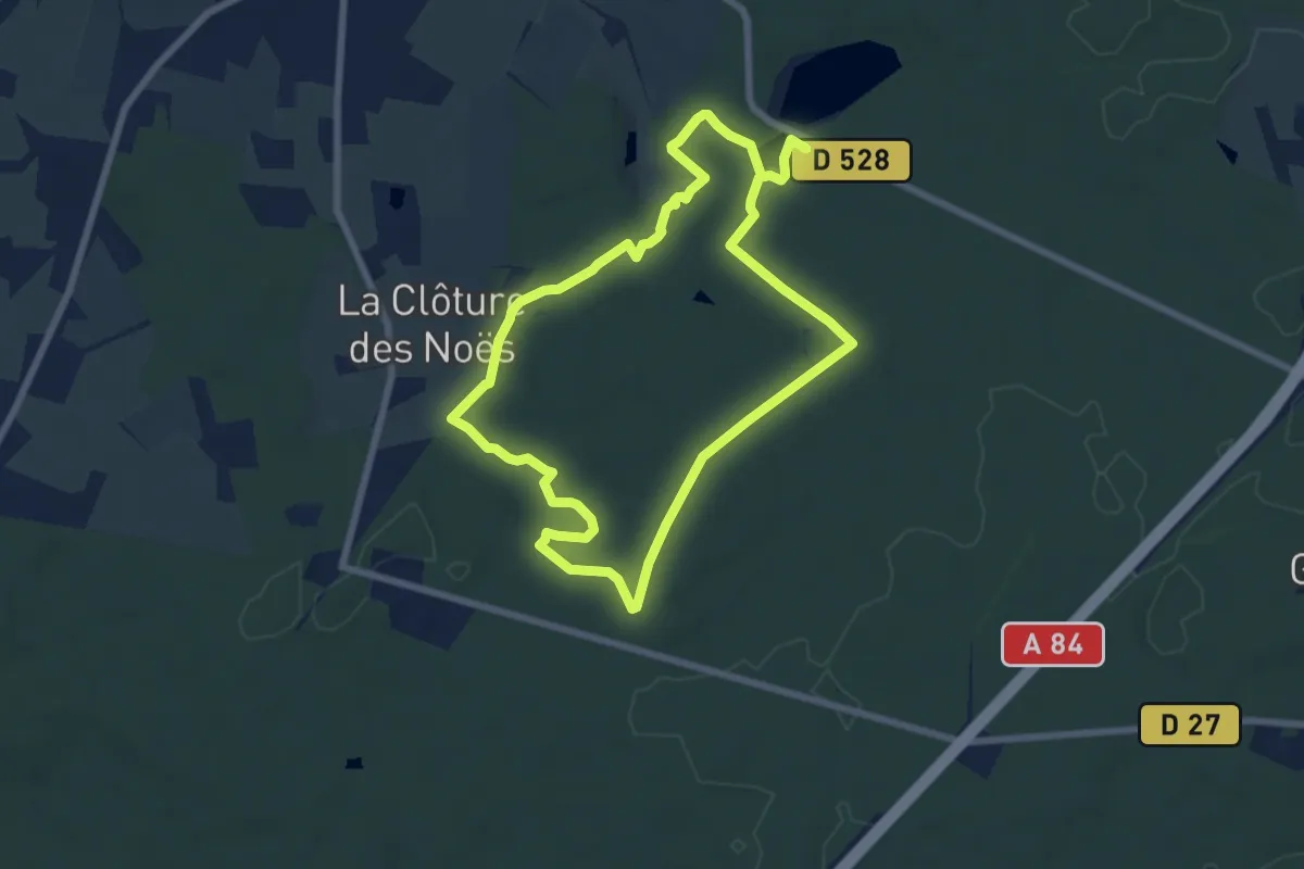
Easy · Trail
La fontaine Saint-Raoul
6.6 km · ↑ 72 m · 1 h 48 min
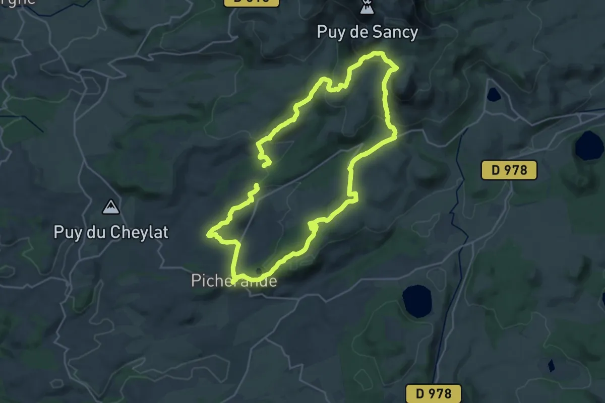
Demanding · Trail
La Fontaine Salée
19.8 km · ↑ 620 m · 6 h 18 min
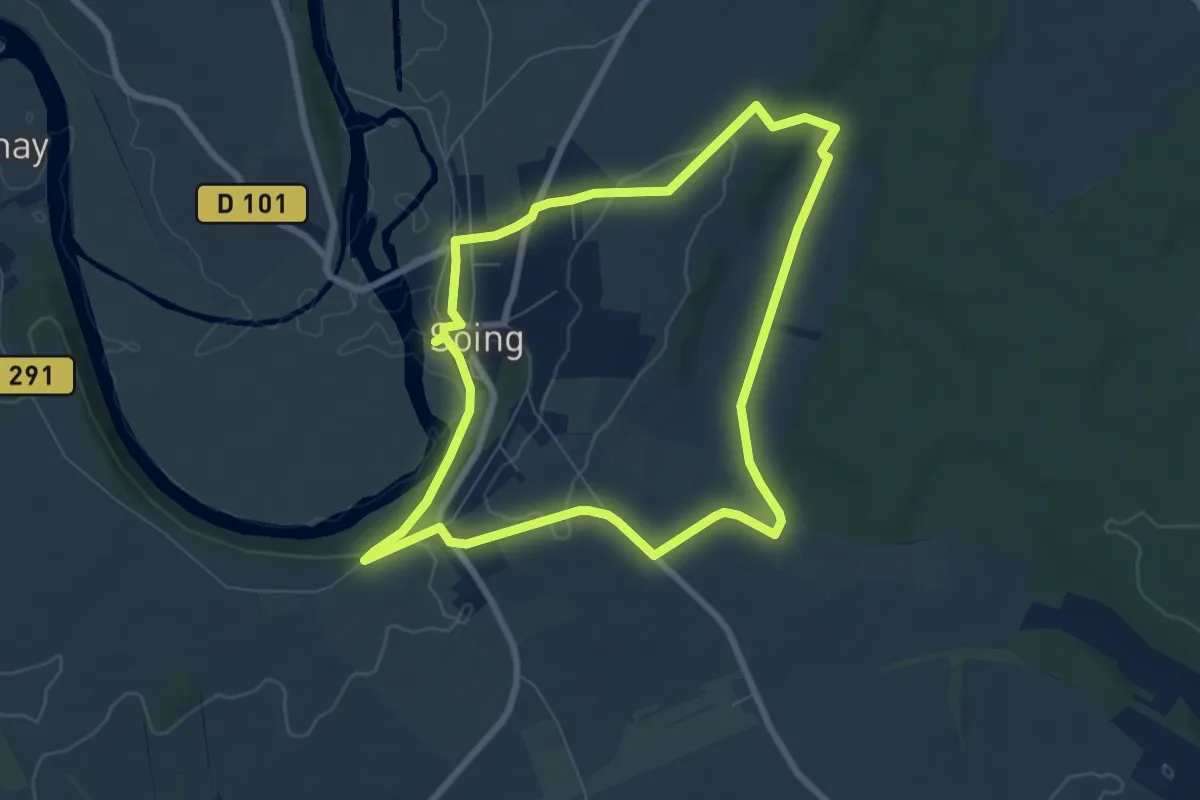
Easy · Trail
La Fontaines des Ormois
7.1 km · ↑ 92 m · 1 h 59 min
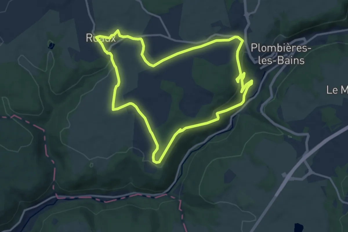
Medium · Trail
La fontaine Stanislas
9.4 km · ↑ 254 m · 2 h 55 min
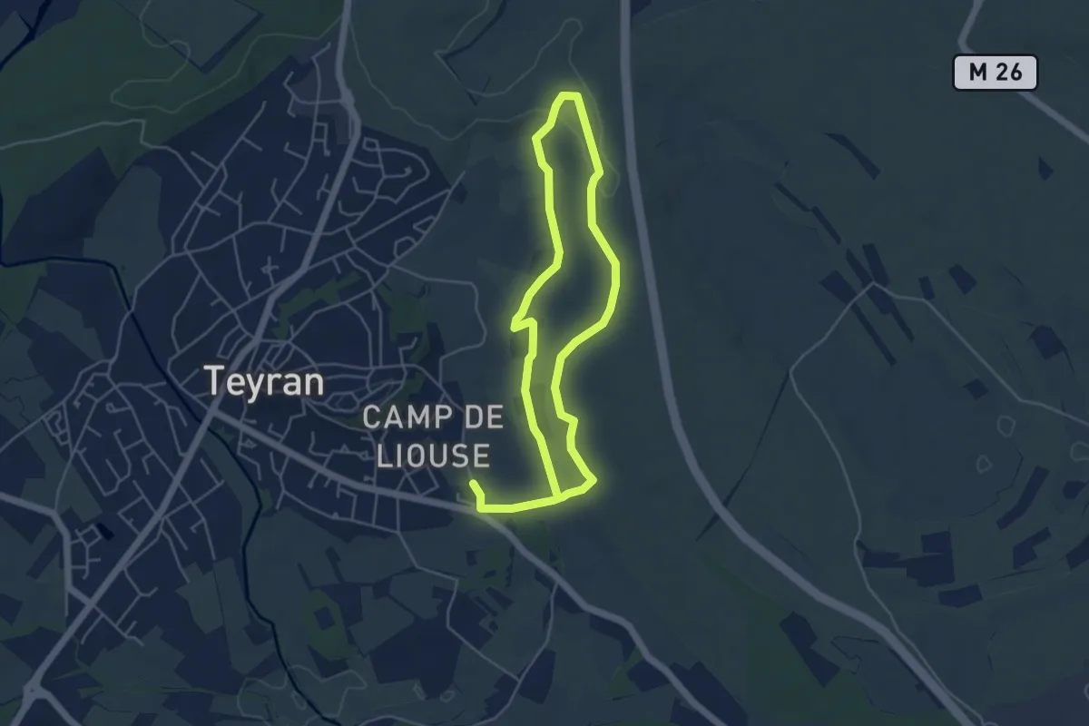
Medium · Trail
La Fontanaride
8.6 km · ↑ 87 m · 2 h 14 min
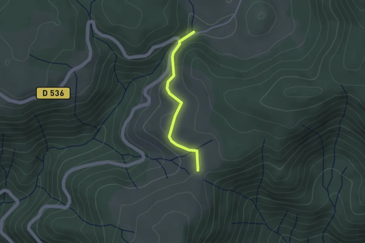
Easy · Trail
La Fontaulière - Croix du Pal
2.3 km · ↑ 41 m · 38 min
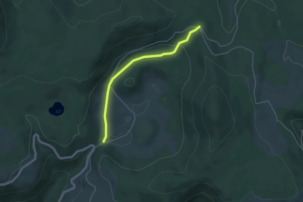
Easy · Trail
La Fontaulière - Le Cros du Loup
3.4 km · ↑ 95 m · 1 h 1 min
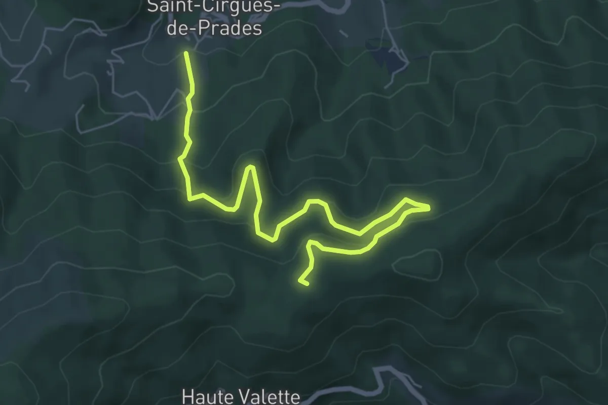
Medium · Trail
Lafont - Chez Ceysson
6.7 km · ↑ 399 m · 2 h 27 min
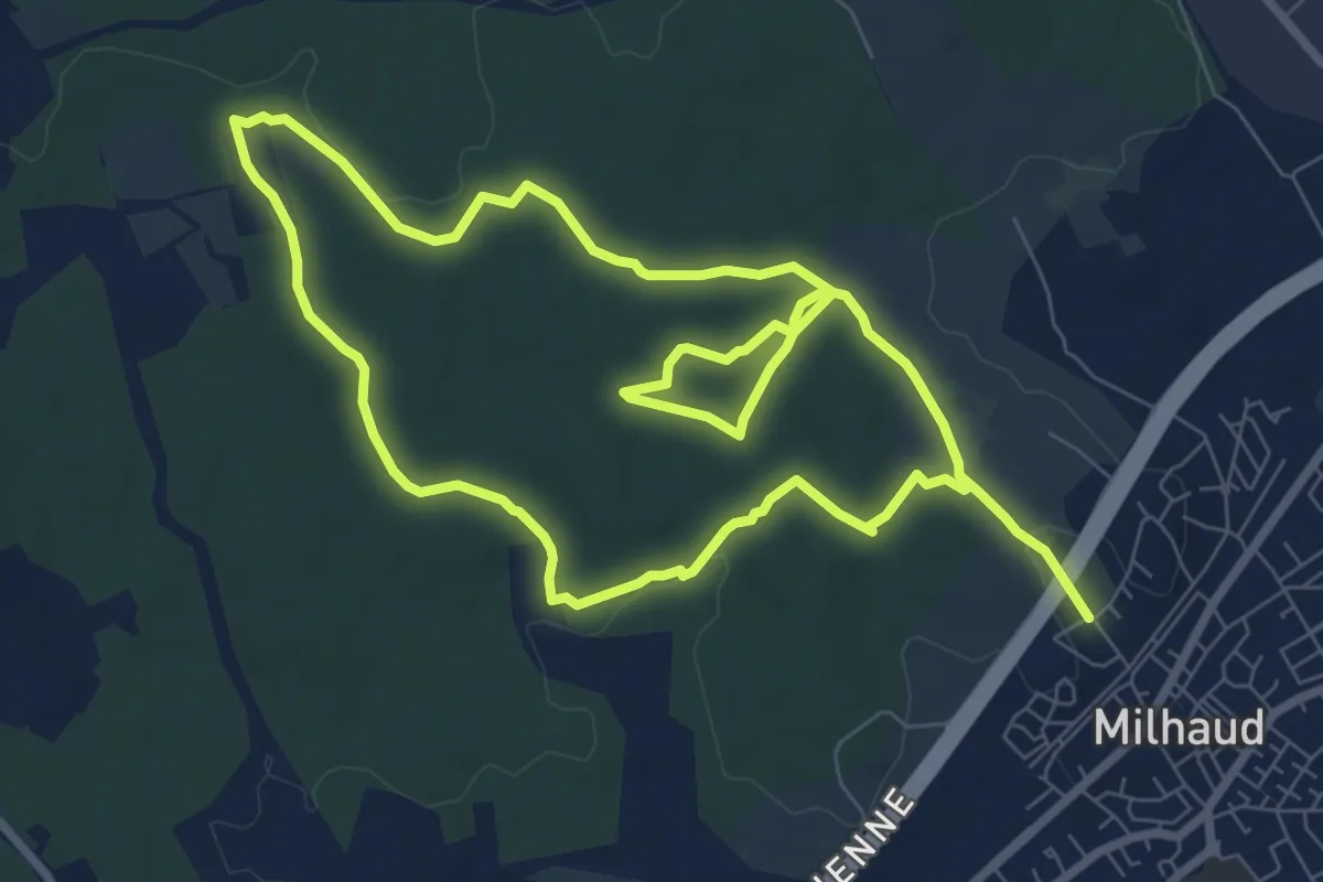
Medium · Trail
La Font des Chiens
16.6 km · ↑ 161 m · 4 h 16 min
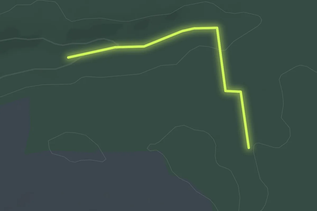
Easy · Trail
La Fonte d'Art
1.2 km · ↑ 35 m · 21 min
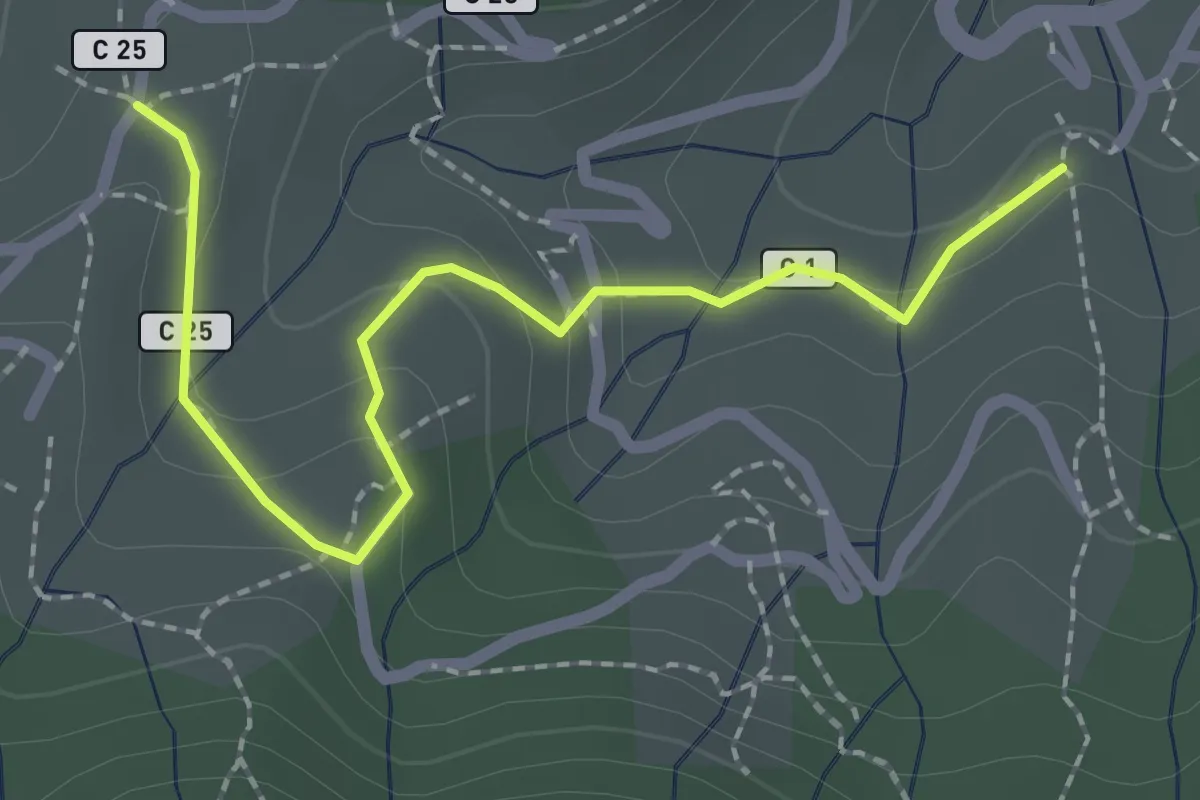
Easy · Trail
Lafont - Les Hugoux
2.4 km · ↑ 88 m · 45 min
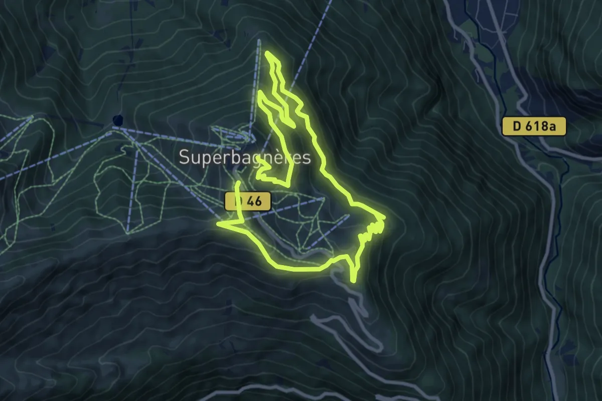
Medium · Trail
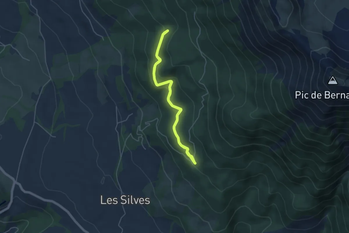
La Forestière
7.8 km · ↑ 498 m · 3 h 1 min
Easy · Trail
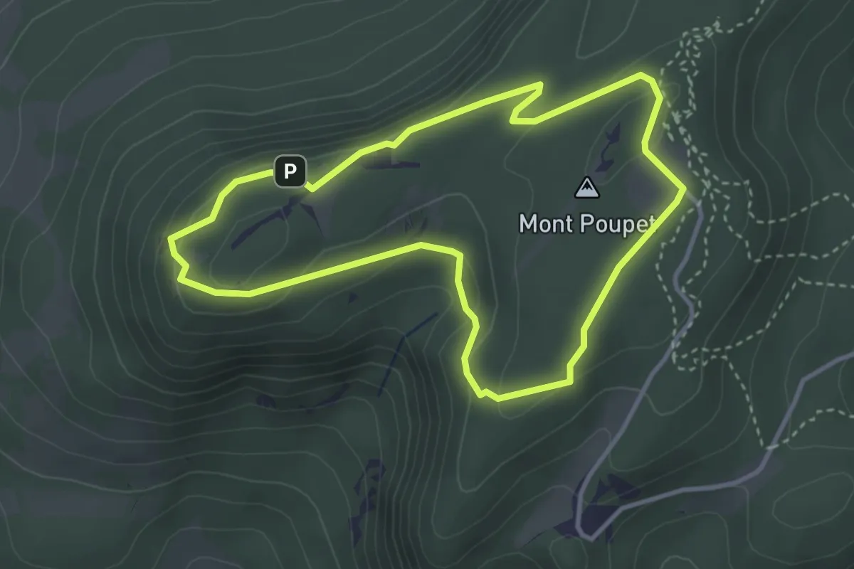
La Forestière
4.3 km · ↑ 236 m · 1 h 35 min
Easy · Summit
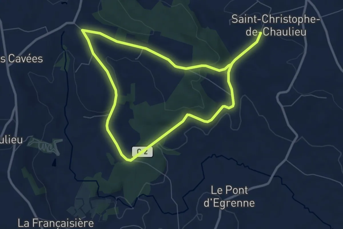
La Forêt
3.3 km · ↑ 98 m · 1 h 2 min
Medium · Trail
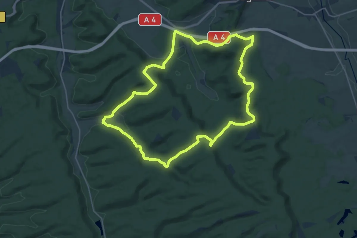
La Forêt
12.0 km · ↑ 228 m · 3 h 20 min
Demanding · Trail
La Forêt Argonnaise
15.6 km · ↑ 352 m · 4 h 40 min
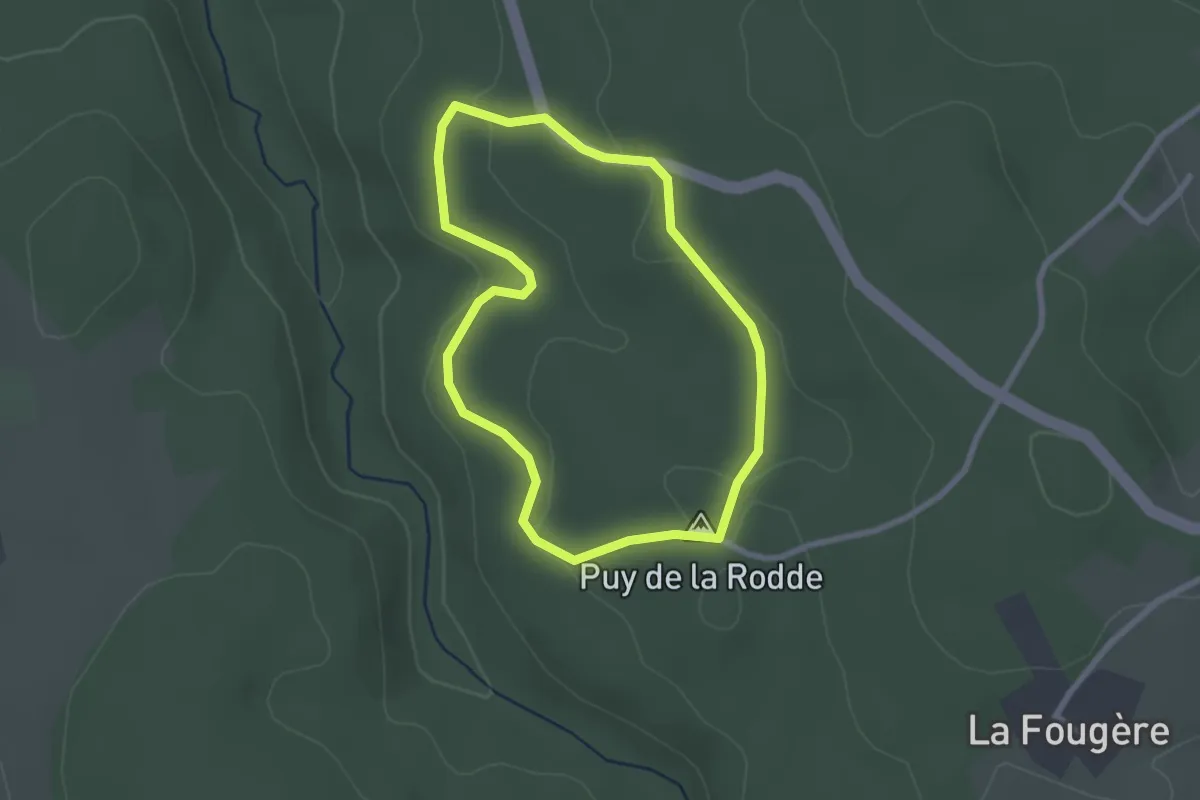
Easy · Summit
La Forêt d'Ailloux
2.3 km · ↑ 54 m · 42 min
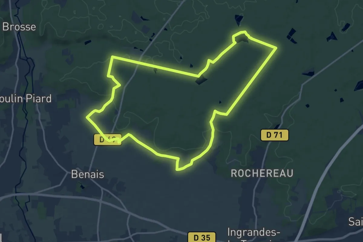
Medium · Trail
La Forêt de Benais
13.8 km · ↑ 104 m · 3 h 40 min
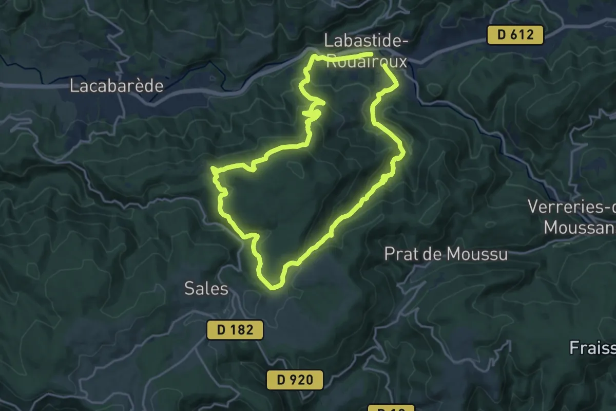
Medium · Trail
La forêt de Beson
14.7 km · ↑ 595 m · 4 h 58 min
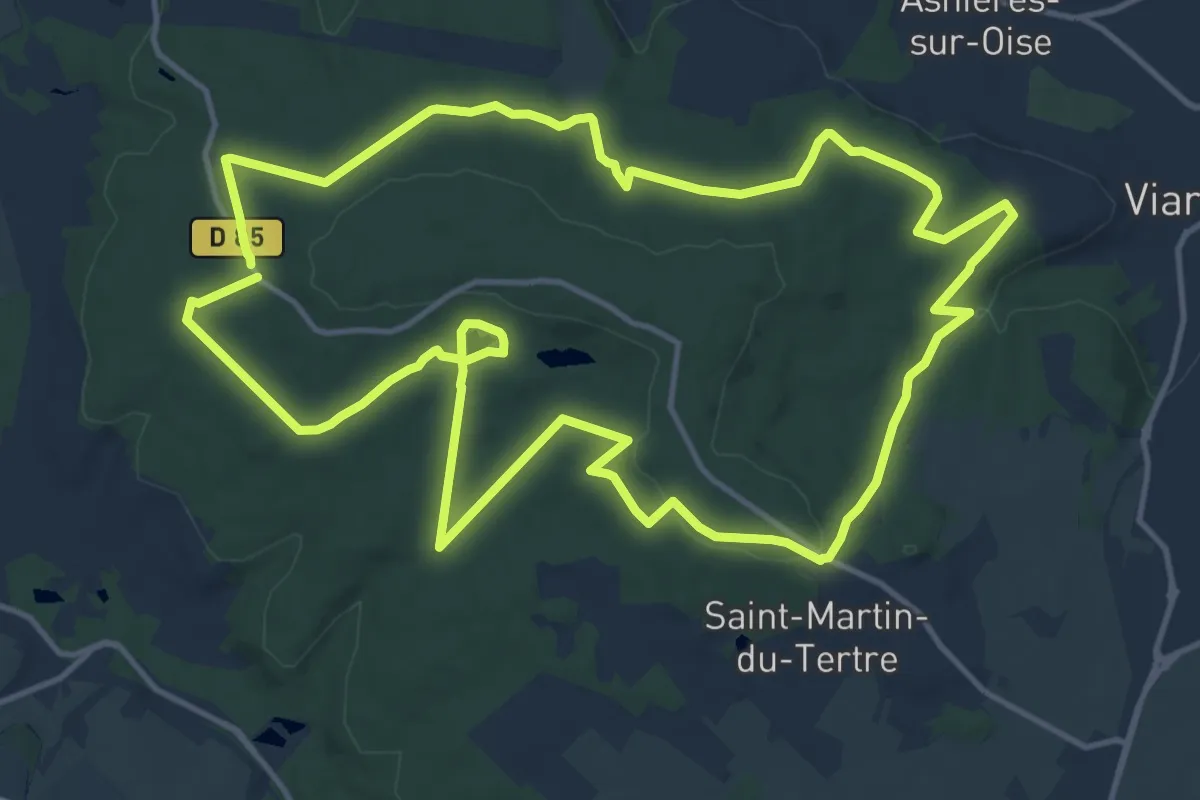
Medium · Trail
La forêt de Carnelle
14.5 km · ↑ 272 m · 4 h 14 min