Trails in France
15,926 hiking trails, each with its route, climb, walking time and grade.
All trails, page 138 of 332
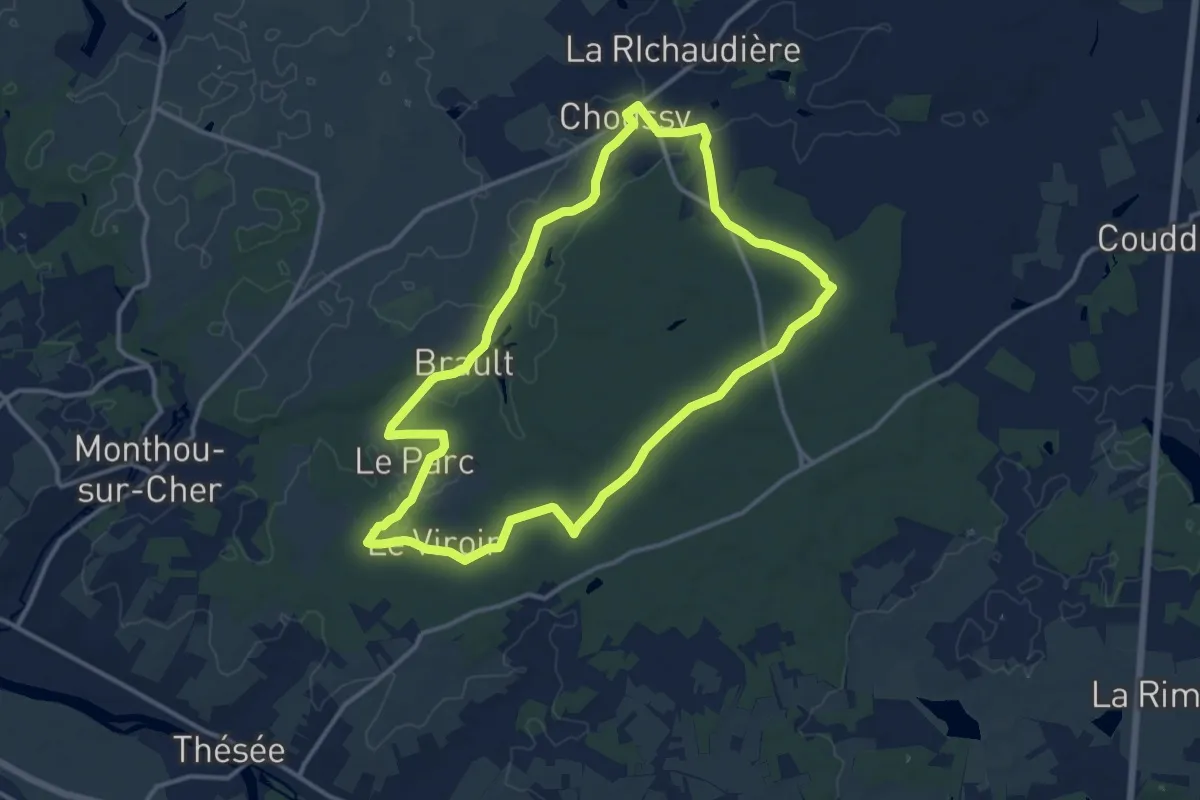
Medium · Trail
La forêt de Choussy
12.7 km · ↑ 75 m · 3 h 21 min
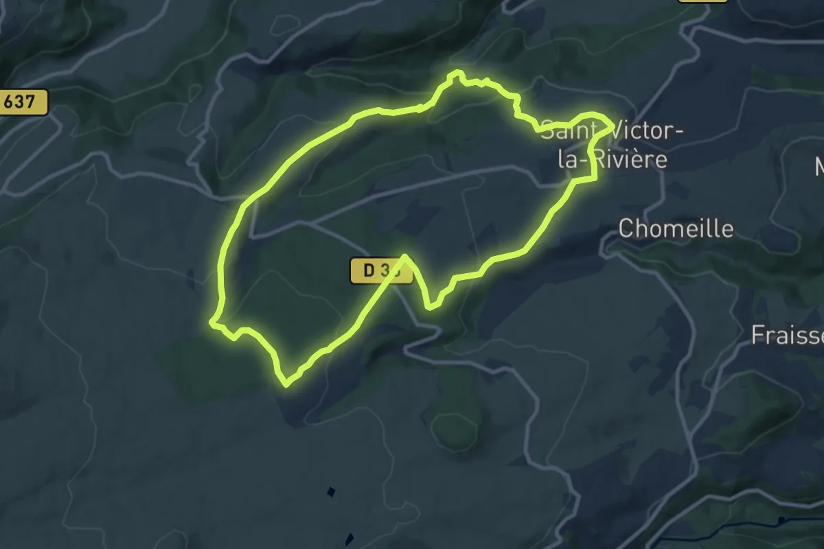
Medium · Trail
La Forêt de Courbanges
10.3 km · ↑ 347 m · 3 h 20 min
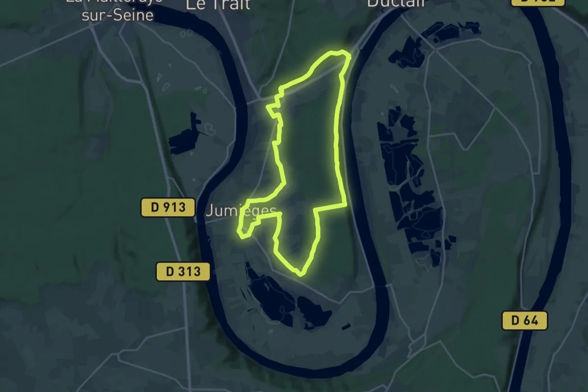
Demanding · Trail
La Forêt de Jumièges
18.1 km · ↑ 279 m · 5 h 8 min
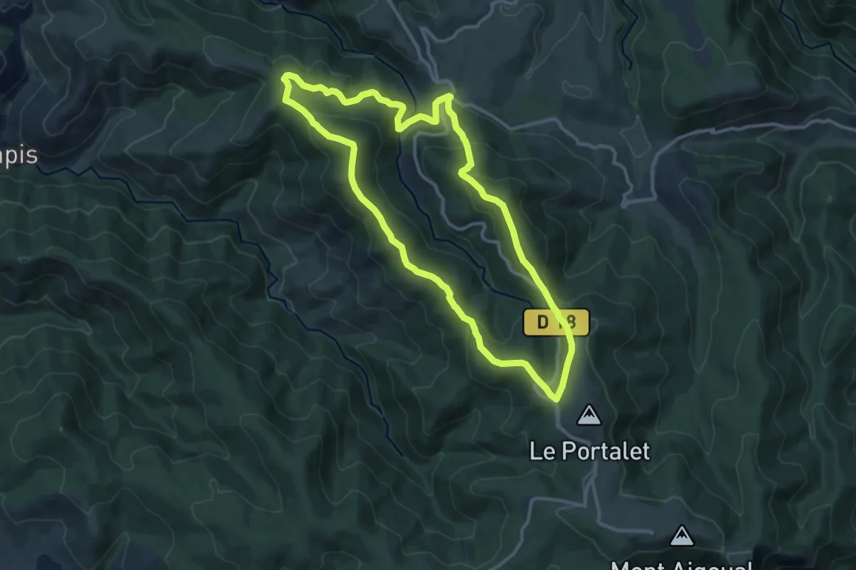
Medium · Trail
La forêt de l'Aigoual
11.7 km · ↑ 515 m · 4 h 2 min
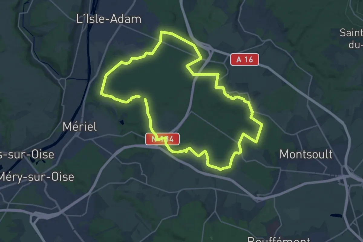
Demanding · Trail
La forêt de L'Isle-Adam
19.0 km · ↑ 208 m · 5 h 13 min
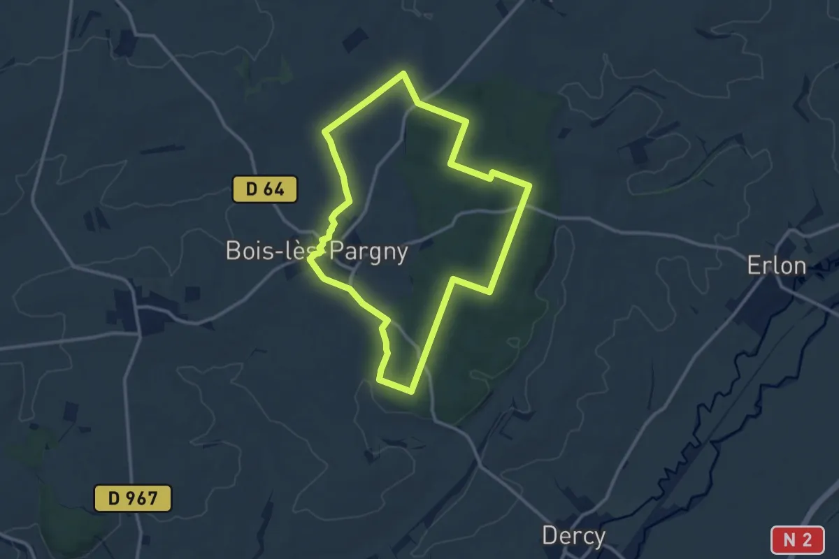
Medium · Trail
La Forêt de Marle
9.8 km · ↑ 158 m · 2 h 47 min
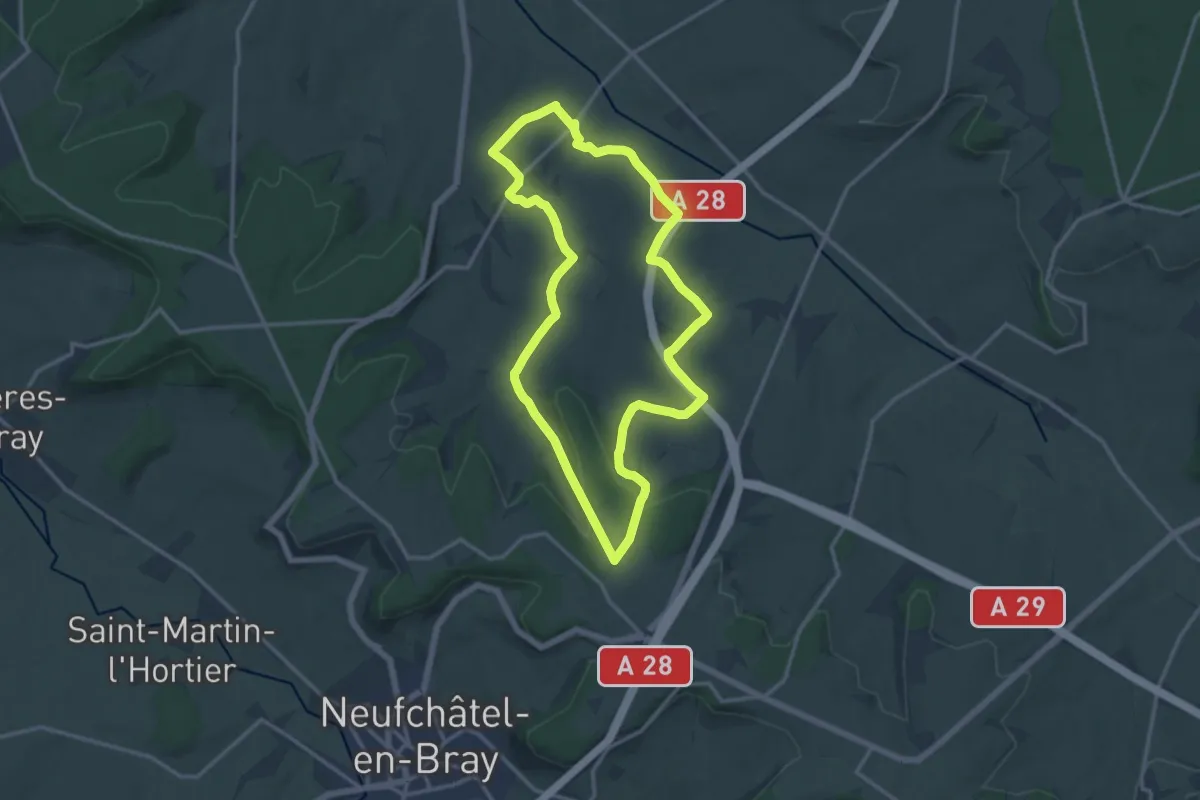
Medium · Trail
La Forêt de Ménonval
12.7 km · ↑ 162 m · 3 h 31 min
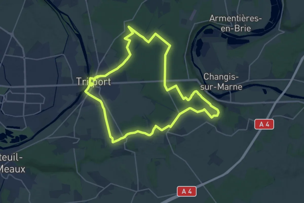
Demanding · Trail
La forêt de Montceaux
18.5 km · ↑ 167 m · 4 h 59 min
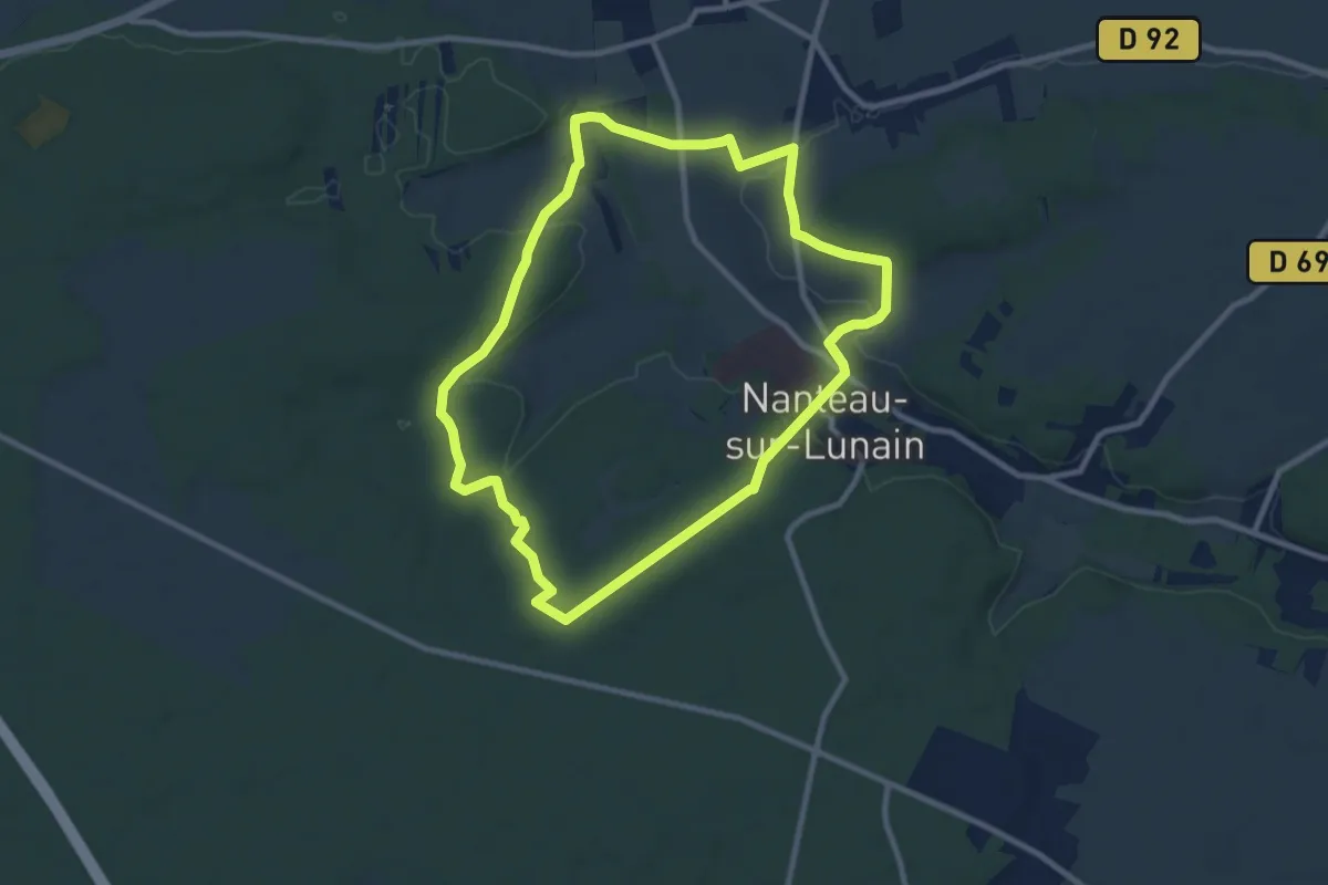
Medium · Trail
La foret de Nanteau
8.9 km · ↑ 138 m · 2 h 32 min
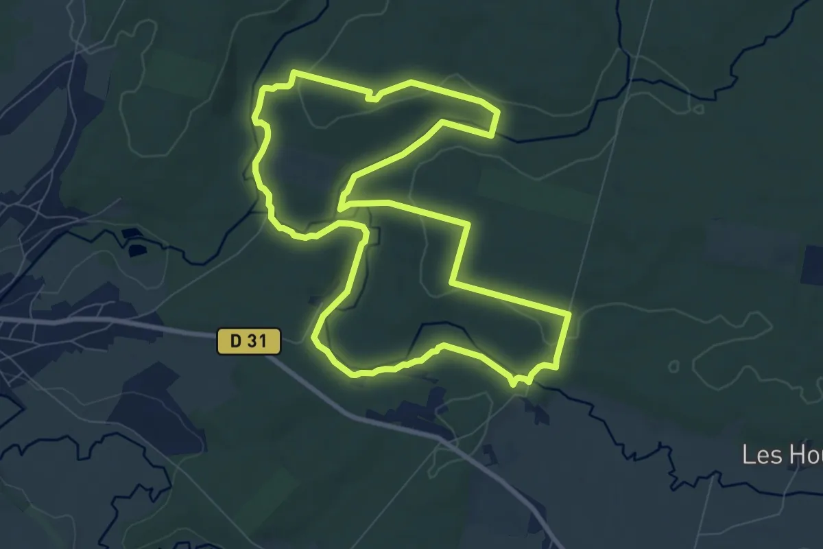
Medium · Trail
La Forêt de Saint-Michel
8.4 km · ↑ 119 m · 2 h 21 min
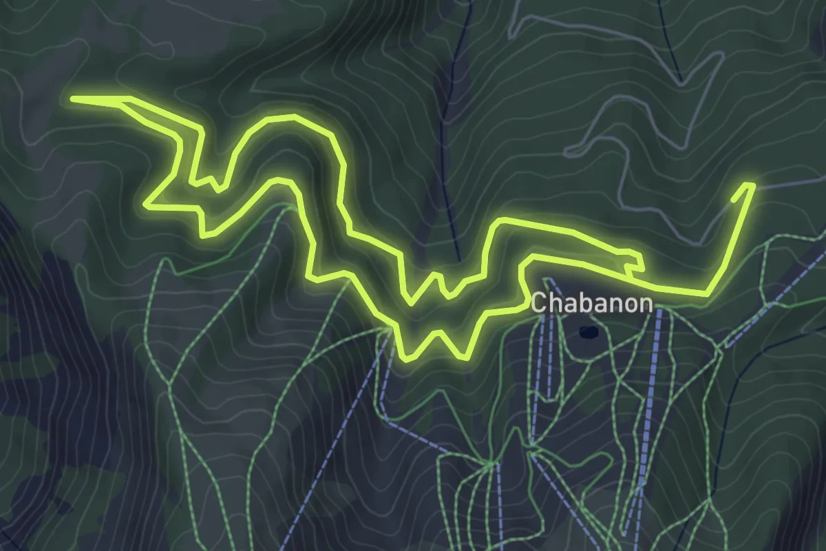
Easy · Trail
La forêt de Valentin
6.5 km · ↑ 316 m · 2 h 19 min
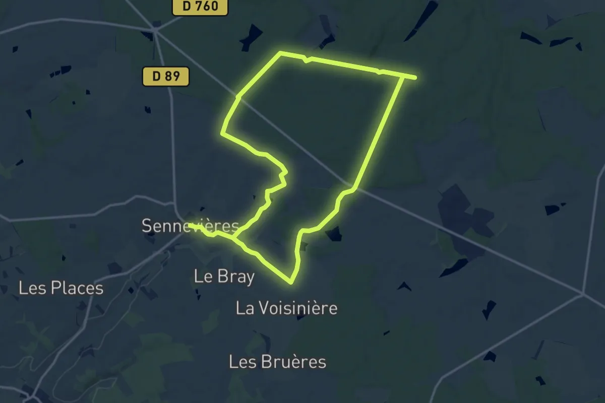
Demanding · Trail
La Forêt domaniale de Loches
24.6 km · ↑ 282 m · 6 h 26 min
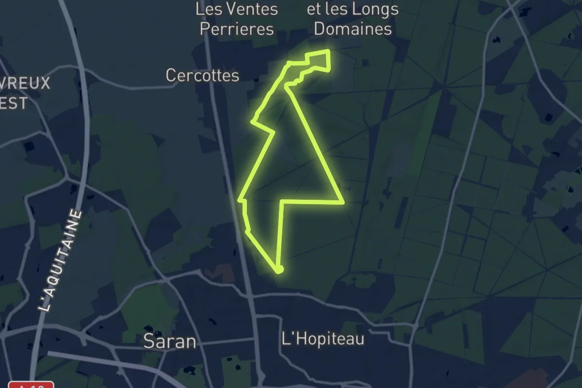
Medium · Trail
La Forêt d’Orléans Saran
9.2 km · ↑ 31 m · 2 h 22 min
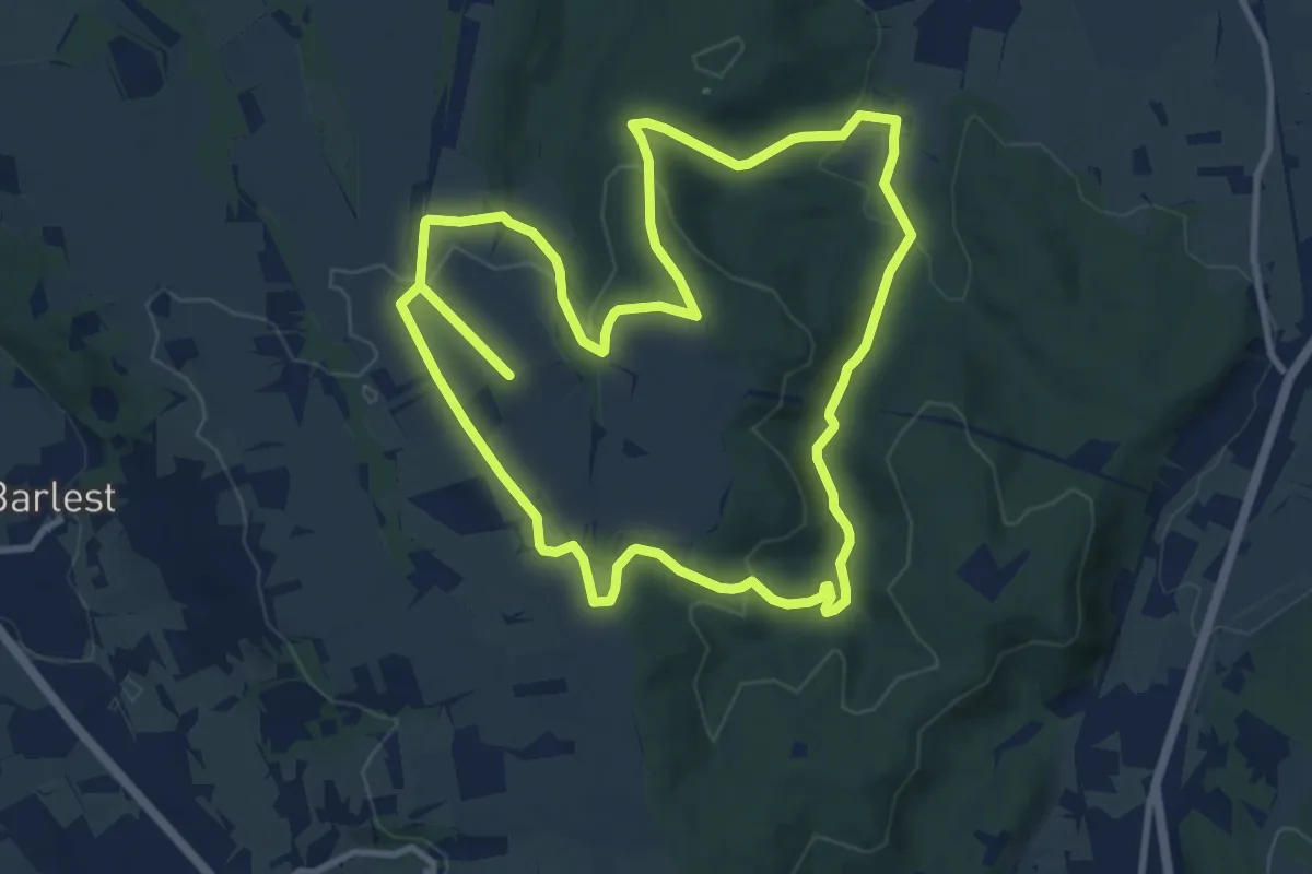
Medium · Summit
La Forêt d'Ossun
11.7 km · ↑ 244 m · 3 h 27 min
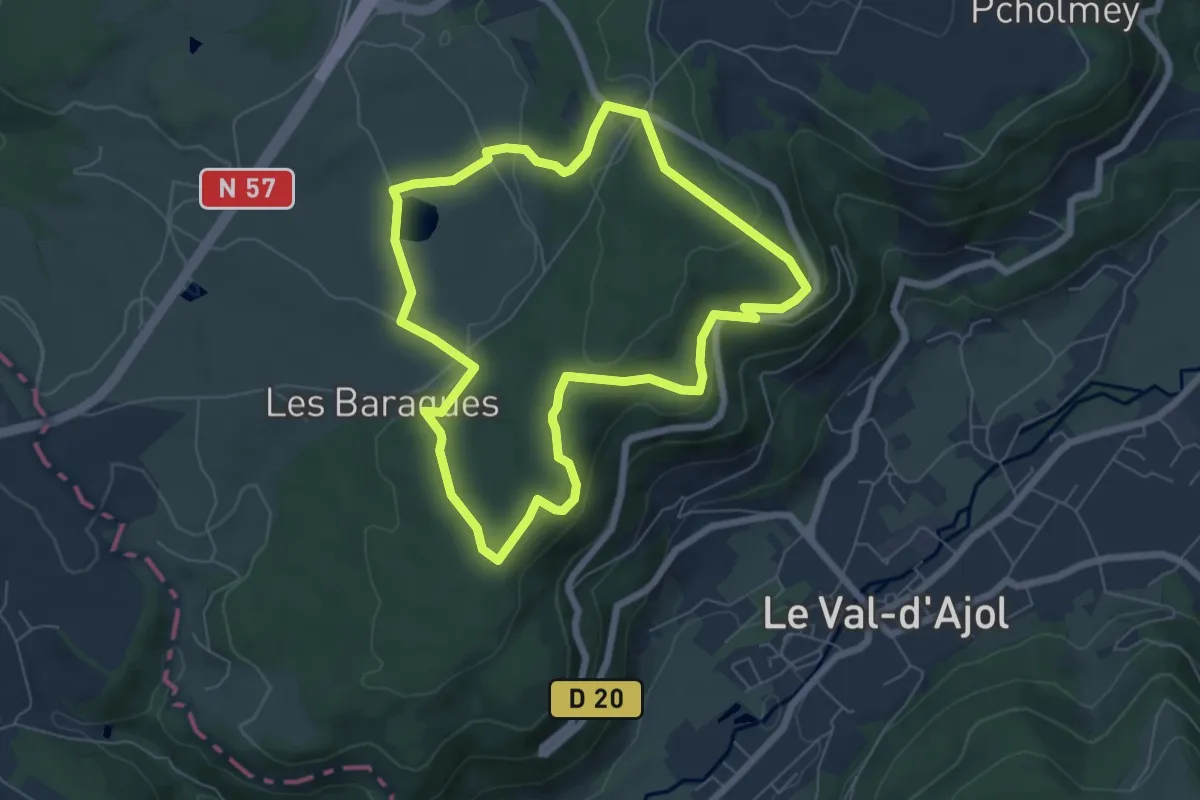
Easy · Cabin
La forêt du Chanot
6.1 km · ↑ 166 m · 1 h 53 min
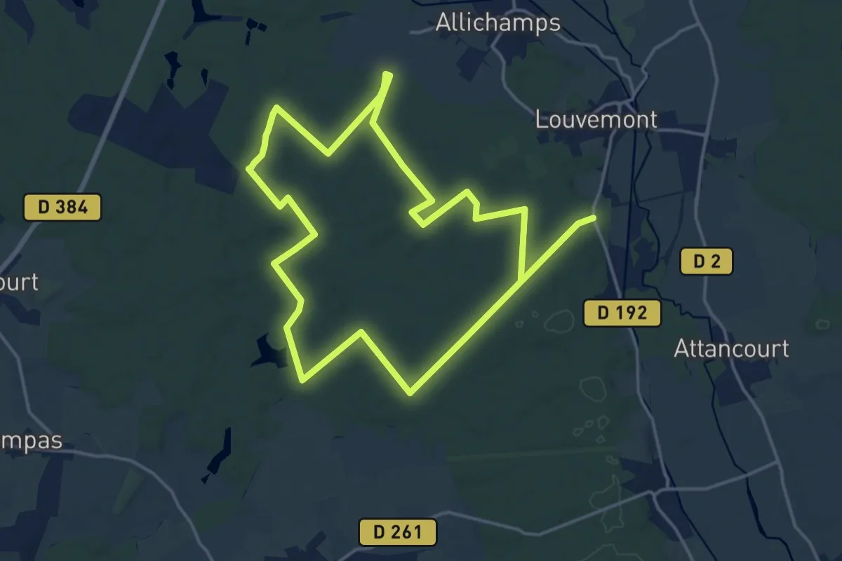
Medium · Trail
La Forêt du Der
15.8 km · ↑ 139 m · 4 h 16 min
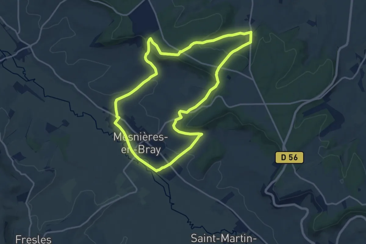
Medium · Trail
La Forêt du Hellet
11.8 km · ↑ 254 m · 3 h 31 min
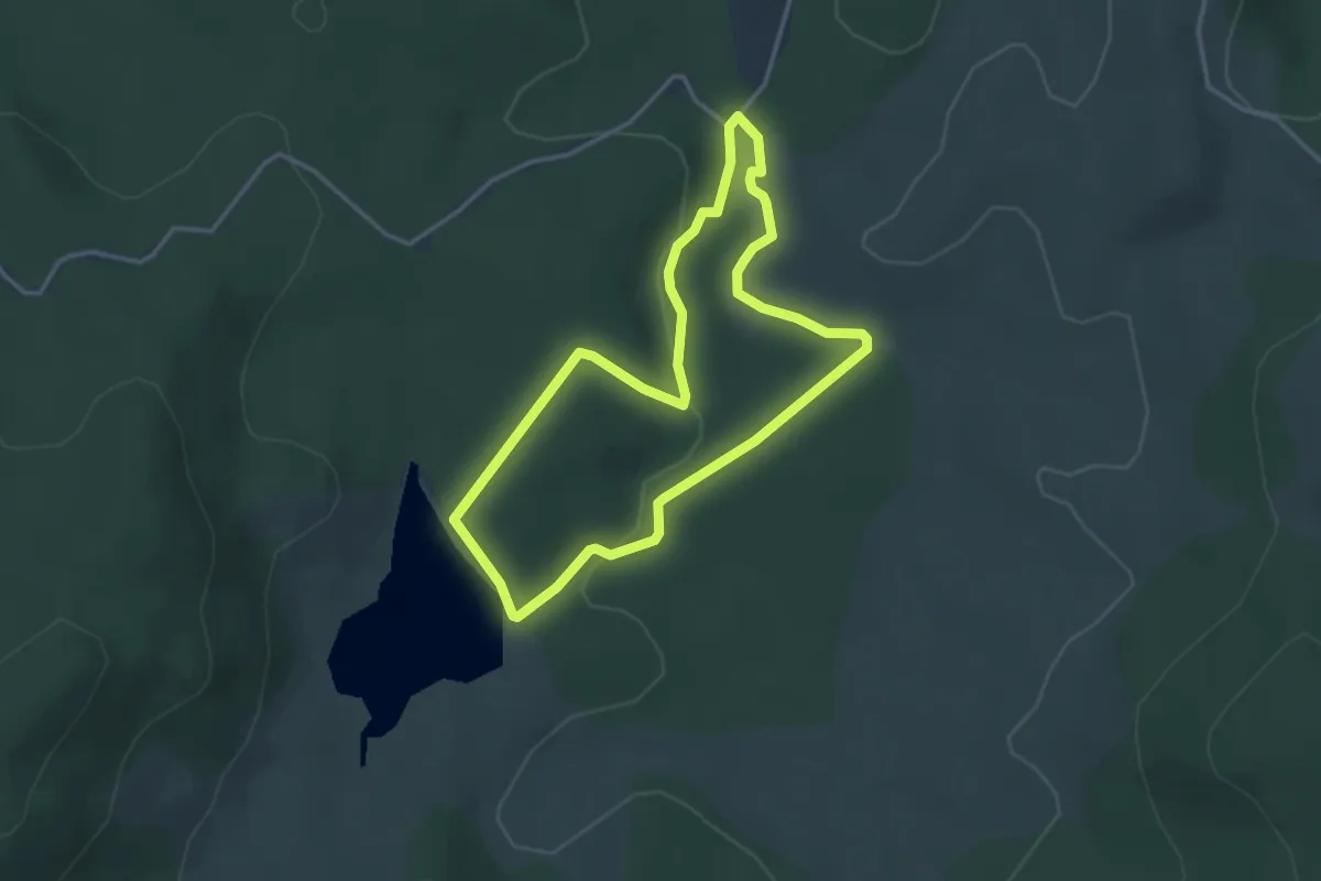
Easy · Trail
La forêt du Lingas
3.5 km · ↑ 54 m · 59 min
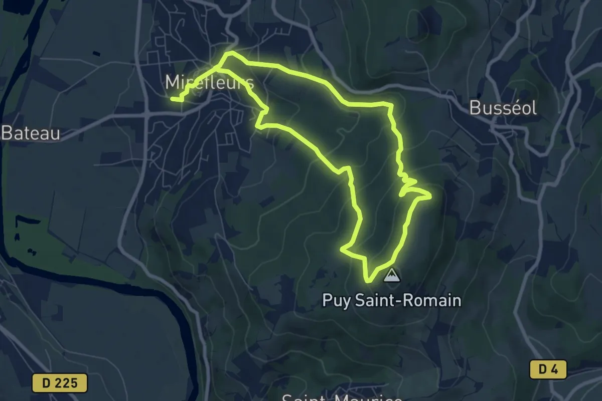
Medium · Summit
La Forêt du Puy Saint-Romain
6.9 km · ↑ 347 m · 2 h 30 min
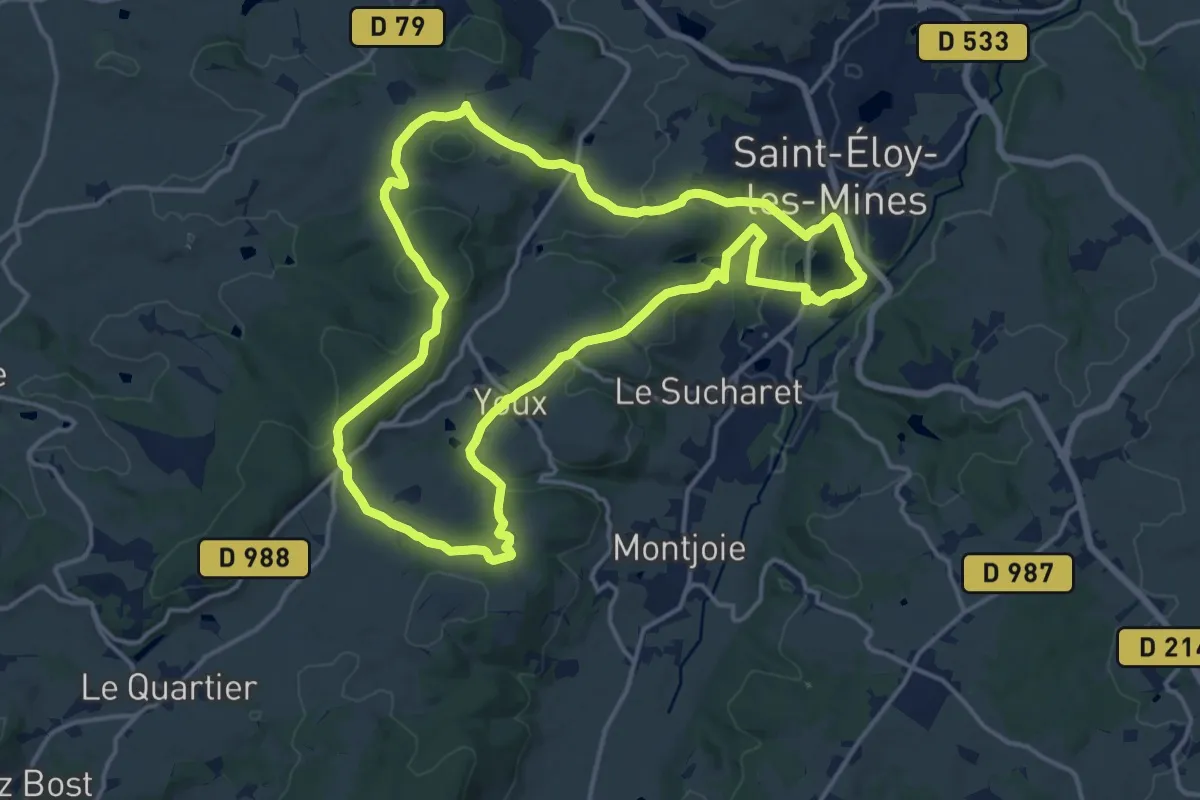
Medium · Trail
La Foret du Quartier
16.1 km · ↑ 344 m · 4 h 46 min
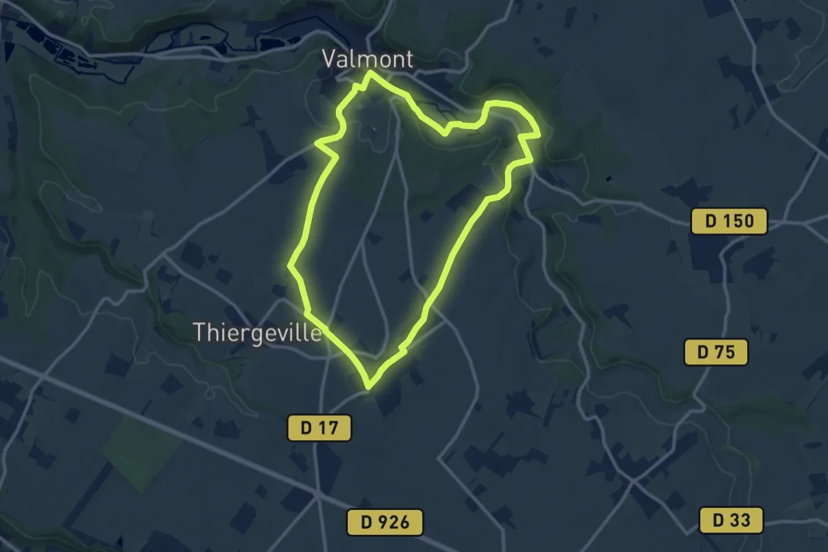
Medium · Trail
La Forge
10.0 km · ↑ 101 m · 2 h 43 min
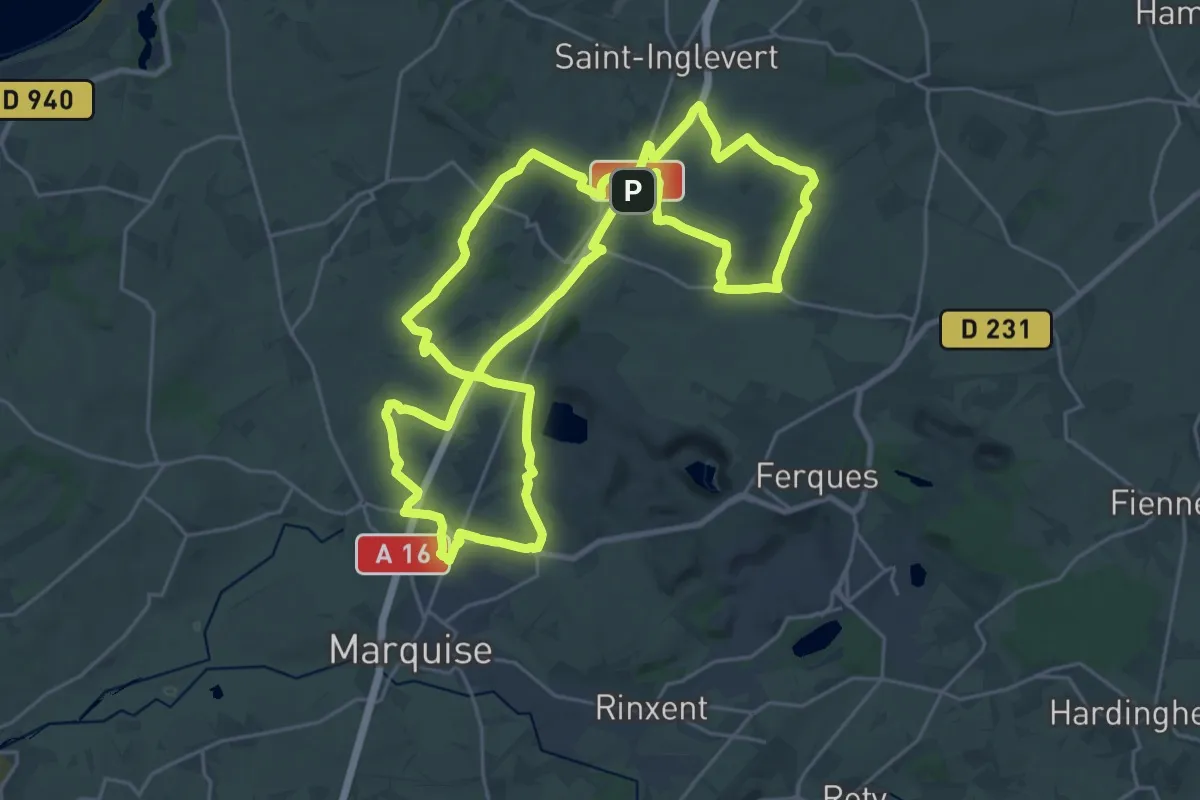
Demanding · Trail
La Forteresse
24.5 km · ↑ 318 m · 6 h 48 min
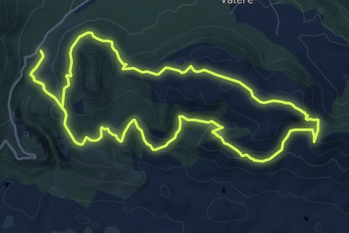
Medium · Trail
La Forteresse les Meules
12.1 km · ↑ 403 m · 3 h 55 min
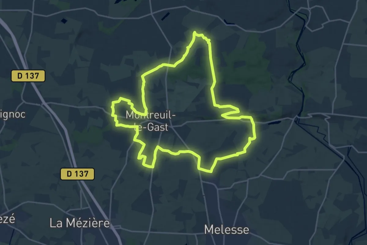
Demanding · Trail
La Fosse du Loup
18.3 km · ↑ 156 m · 4 h 54 min
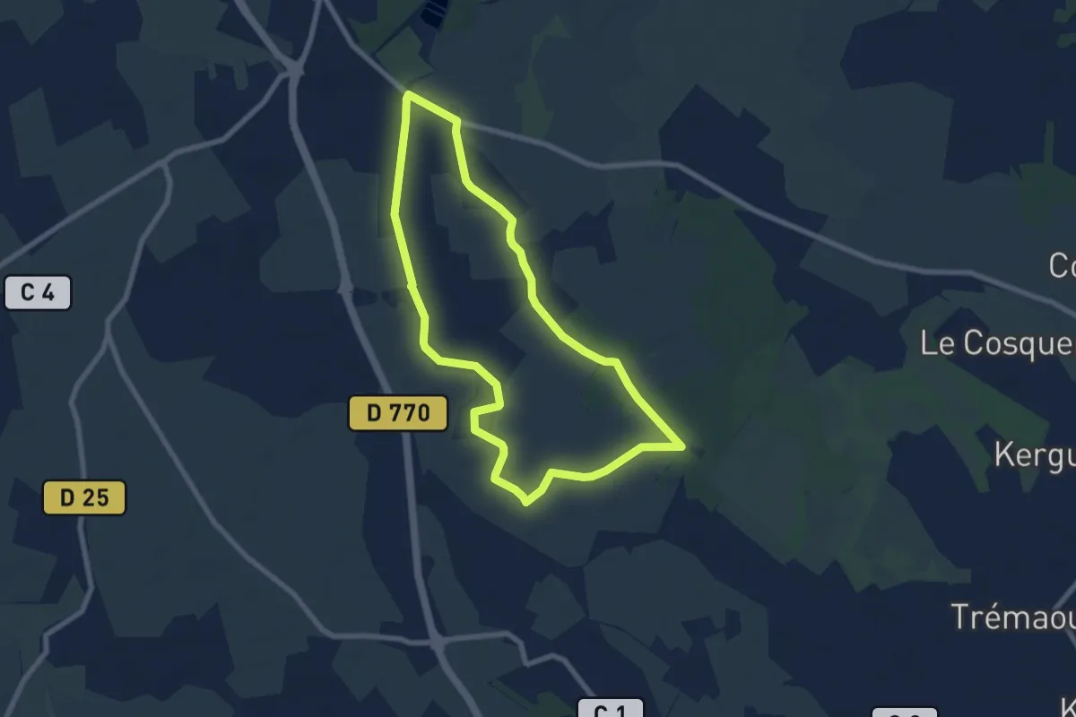
Easy · Trail
La Foulée Verte
6.7 km · ↑ 4 m · 1 h 42 min
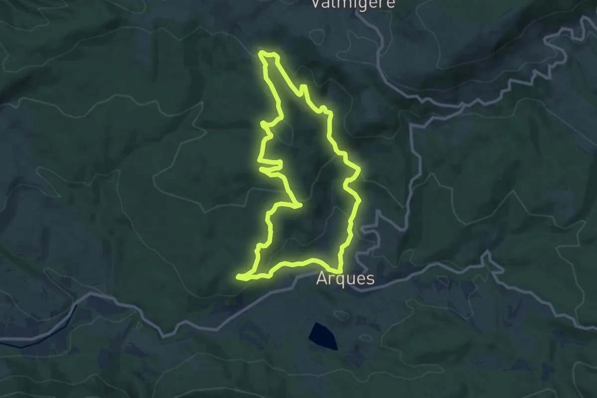
Medium · Trail
La Frau
9.5 km · ↑ 280 m · 2 h 58 min
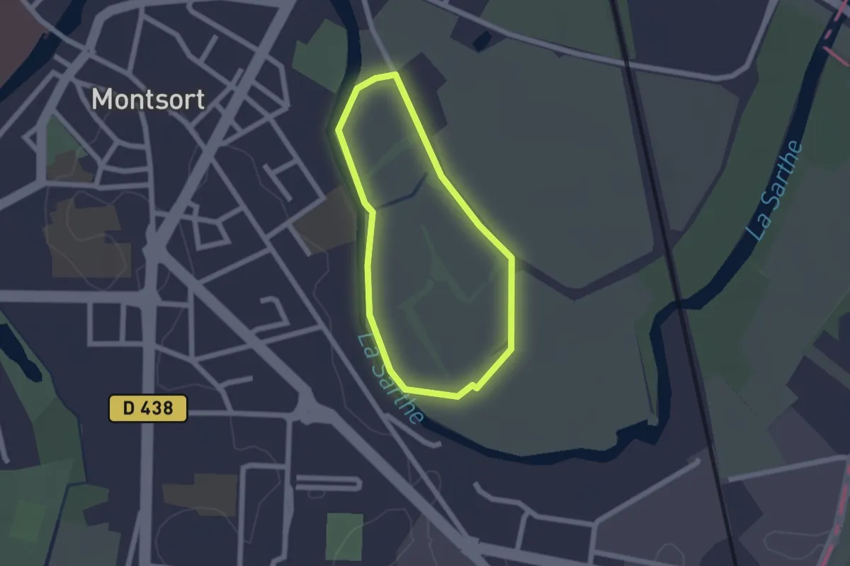
Easy · Trail
La Fuie des Vignes - Boucle 2
1.5 km · ↑ 0 m · 22 min
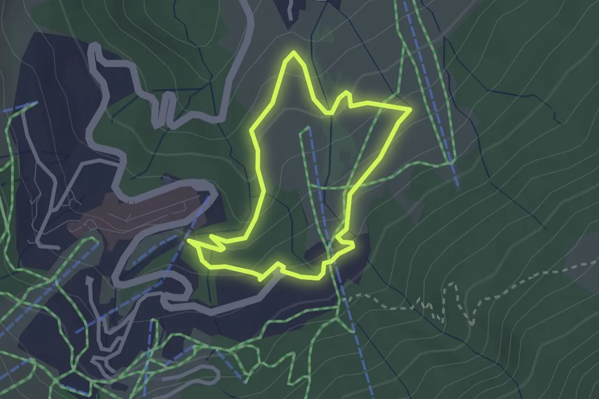
Easy · Trail
La Fuly
2.2 km · ↑ 134 m · 50 min
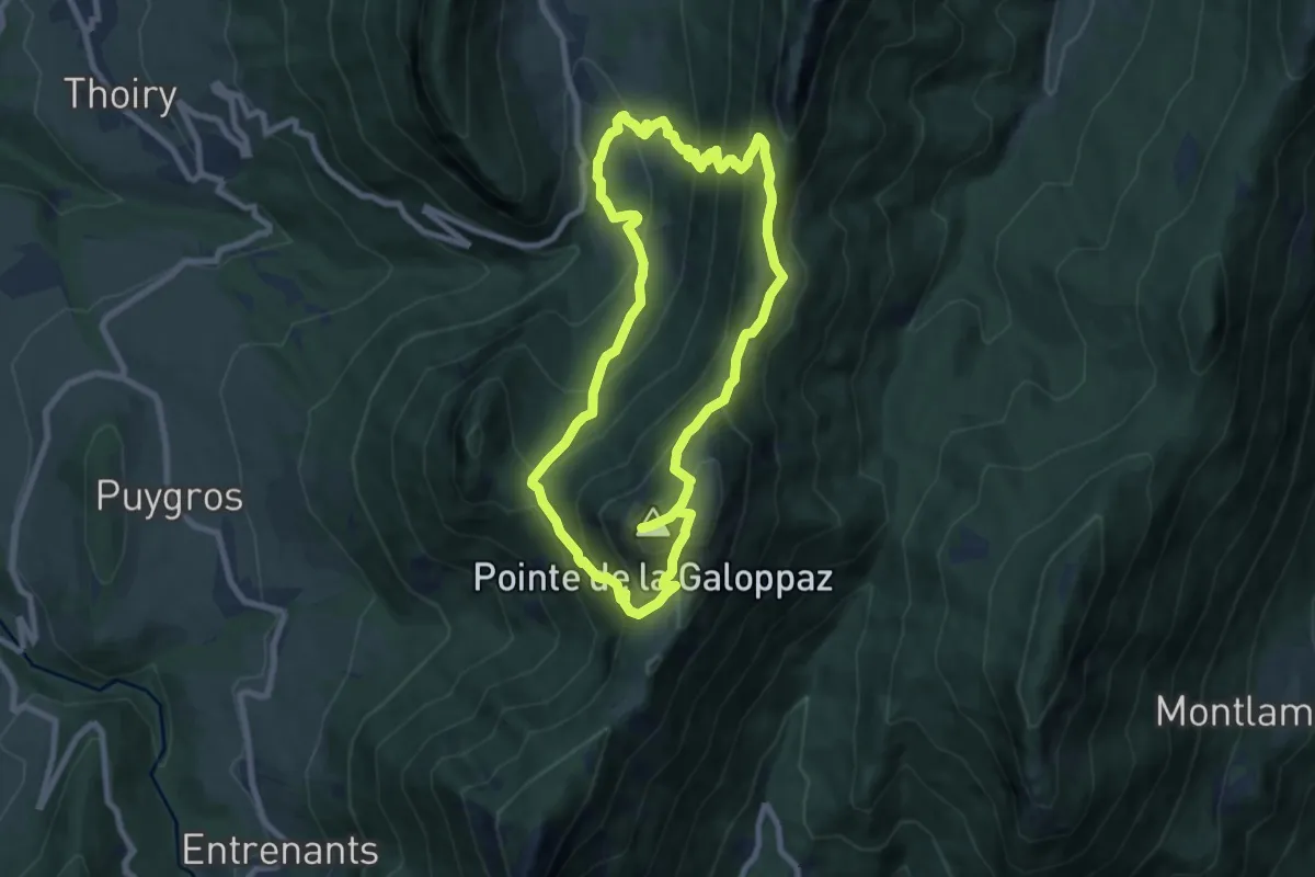
Medium · Summit
La Galoppaz par la Combe Servenne
8.0 km · ↑ 699 m · 3 h 31 min
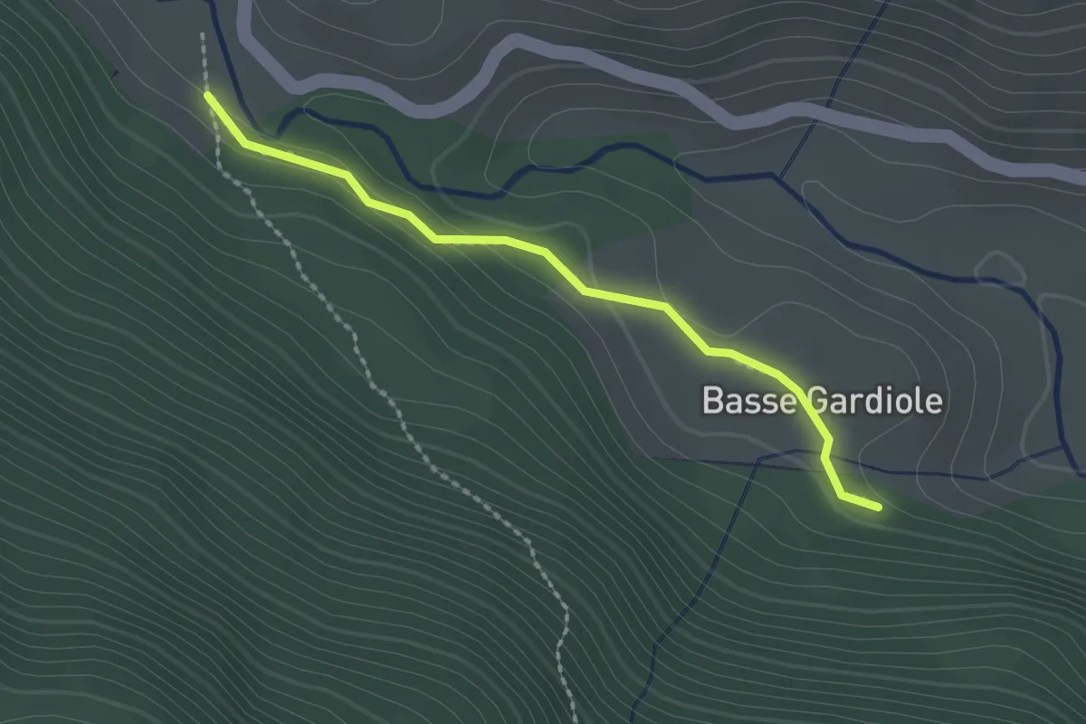
Easy · Trail
La Gardiole - ?
2.0 km · ↑ 43 m · 34 min
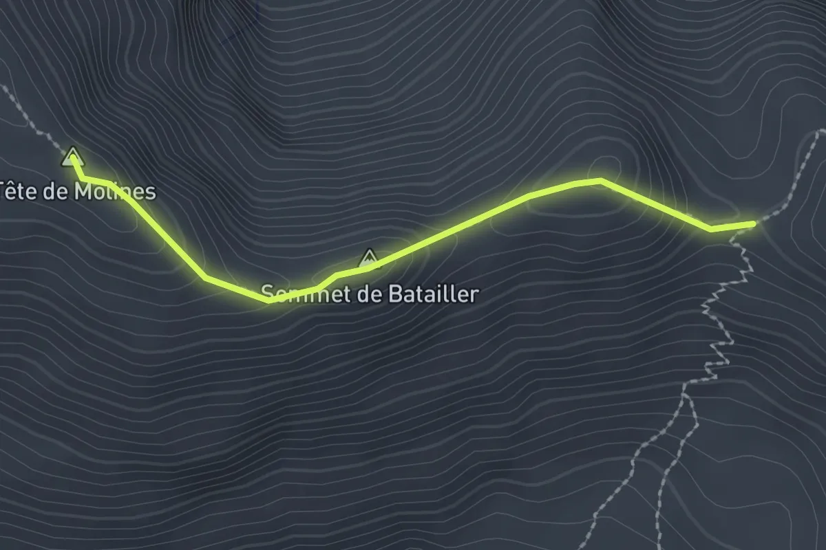
Demanding · Summit
La Gardiole de l'Alp - Col du Clot du Loup
2.2 km · ↑ 113 m · 46 min
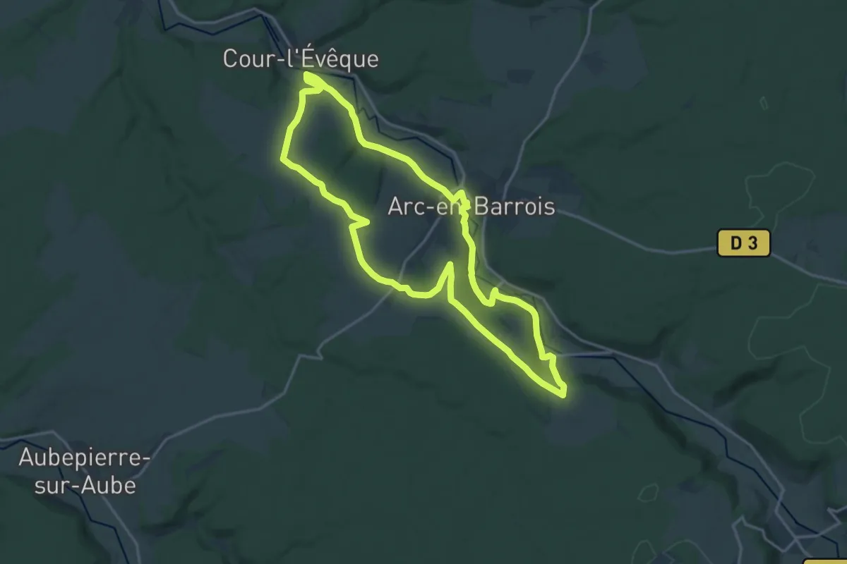
Medium · Trail
La Garenne
15.2 km · ↑ 195 m · 4 h 13 min
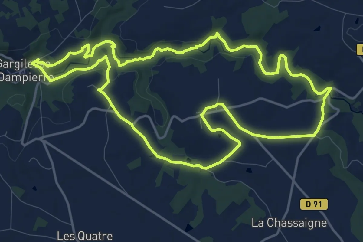
Medium · Trail
La Gargilesse secrète et sauvage
11.4 km · ↑ 148 m · 3 h 11 min
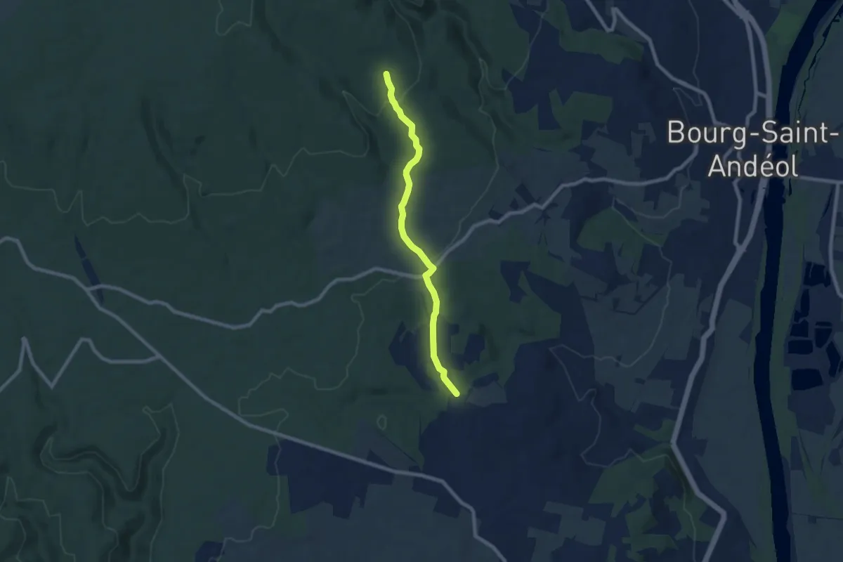
Easy · Trail
La Garoune - Bois du Sorbier
7.3 km · ↑ 184 m · 2 h 8 min
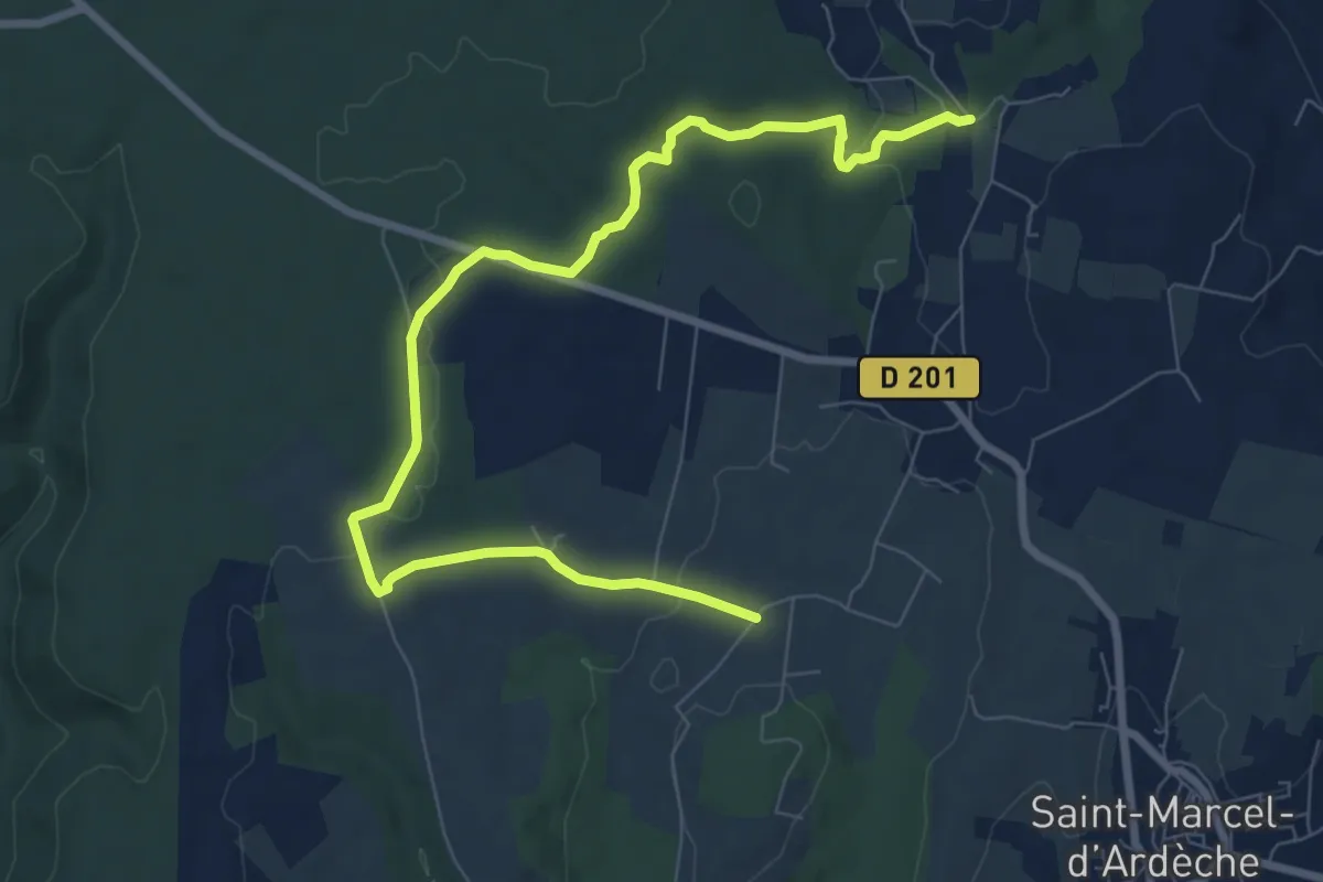
Medium · Trail
La Garoune - Champ de Grézas
10.0 km · ↑ 143 m · 2 h 41 min
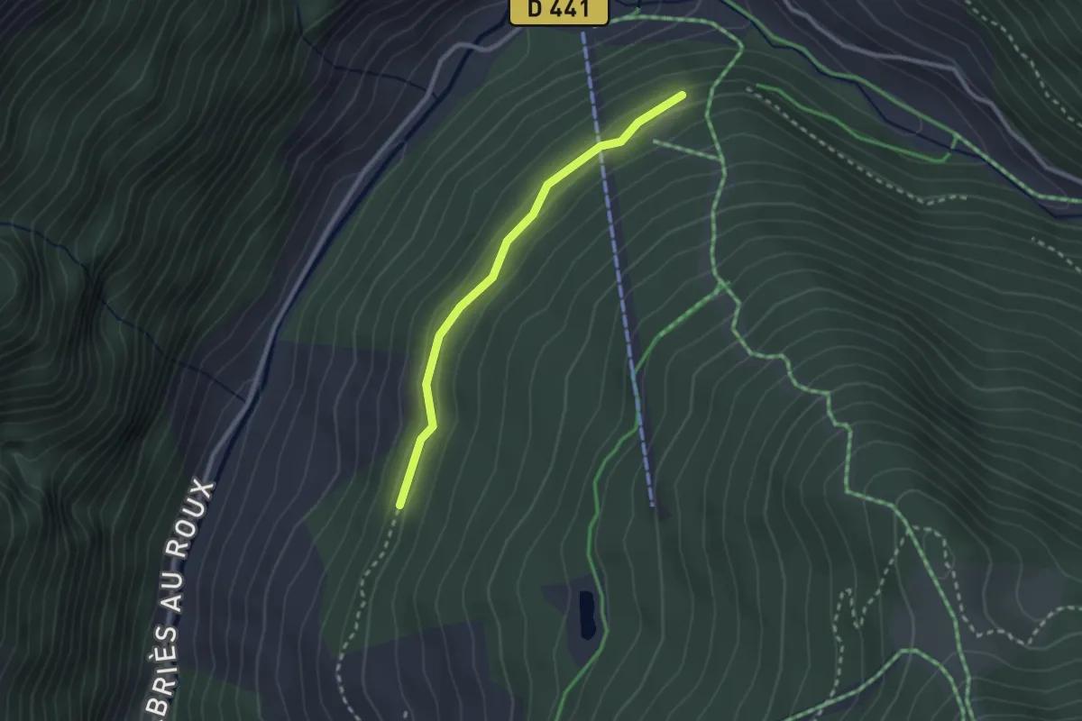
Easy · Trail
La Gasque - ?
2.4 km · ↑ 74 m · 44 min
Easy · Trail
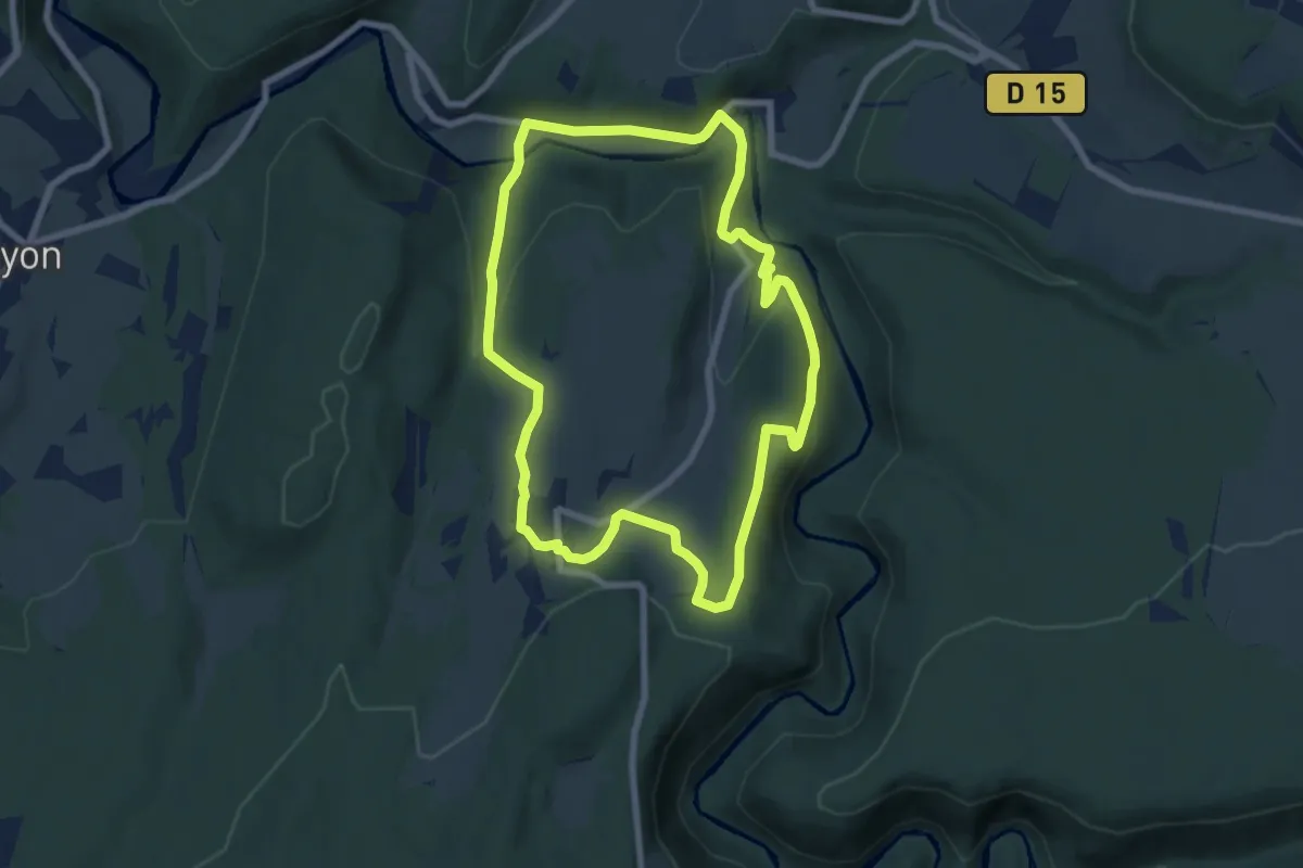
La Gauloise
7.2 km · ↑ 253 m · 2 h 21 min
Easy · Trail
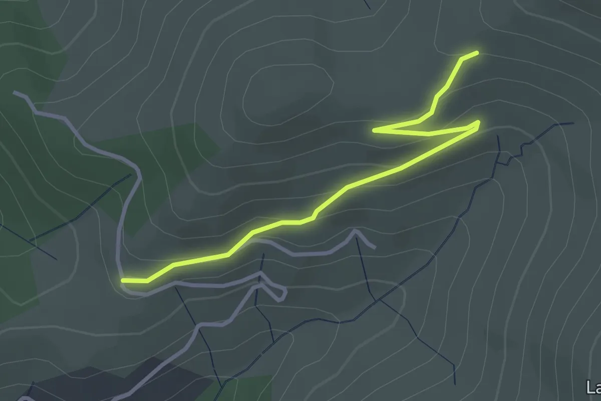
La Geneste - L'Auriol
3.2 km · ↑ 133 m · 1 h 2 min
Medium · Trail
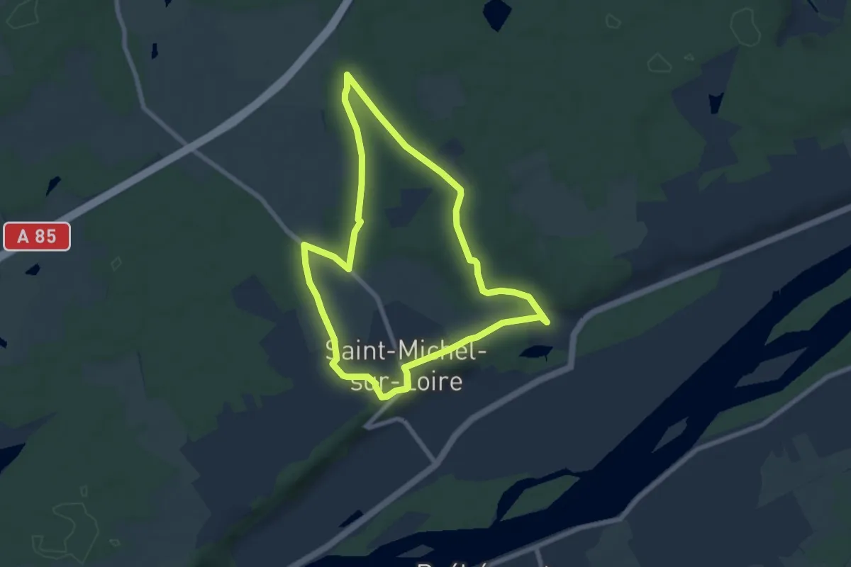
La Gironde de l'Étang - Saint-Michel-sur-Loire
6.4 km · ↑ 47 m · 1 h 43 min
Demanding · Summit
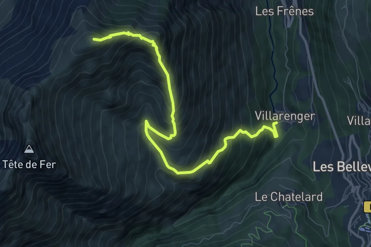
La Gittaz - Le Daillait
9.5 km · ↑ 1008 m · 4 h 25 min
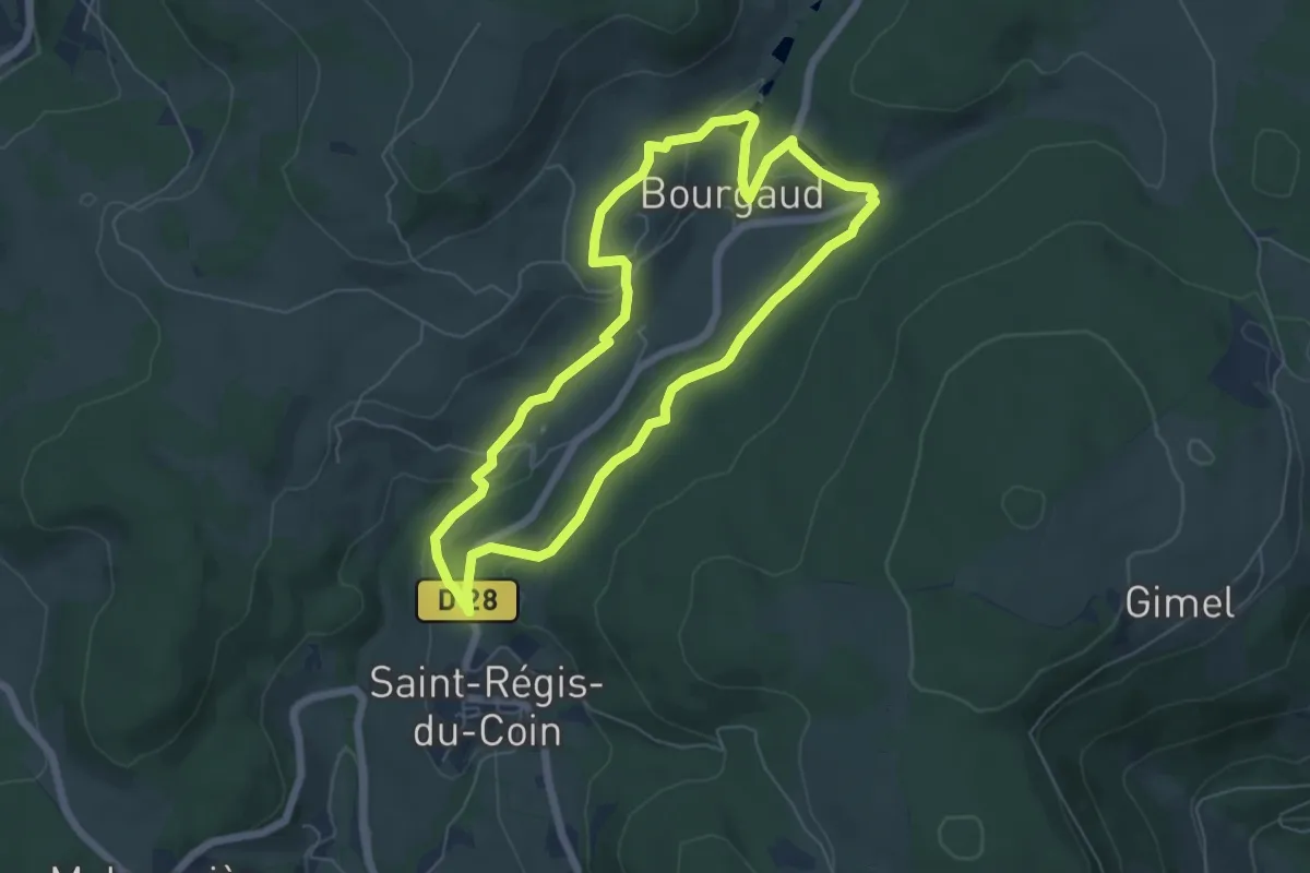
Easy · Trail
La Glacière
5.9 km · ↑ 153 m · 1 h 48 min
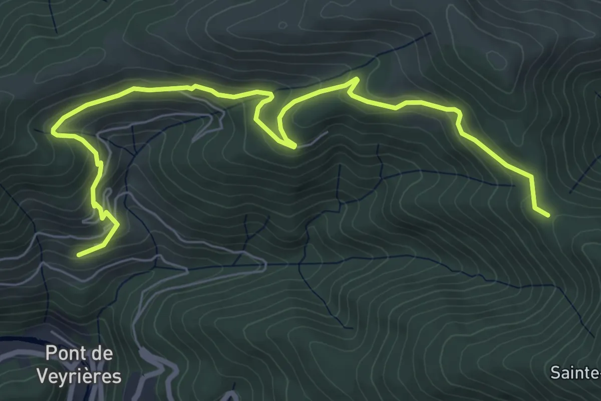
Medium · Trail
La Gonthier - Font Rognon
8.1 km · ↑ 400 m · 2 h 46 min
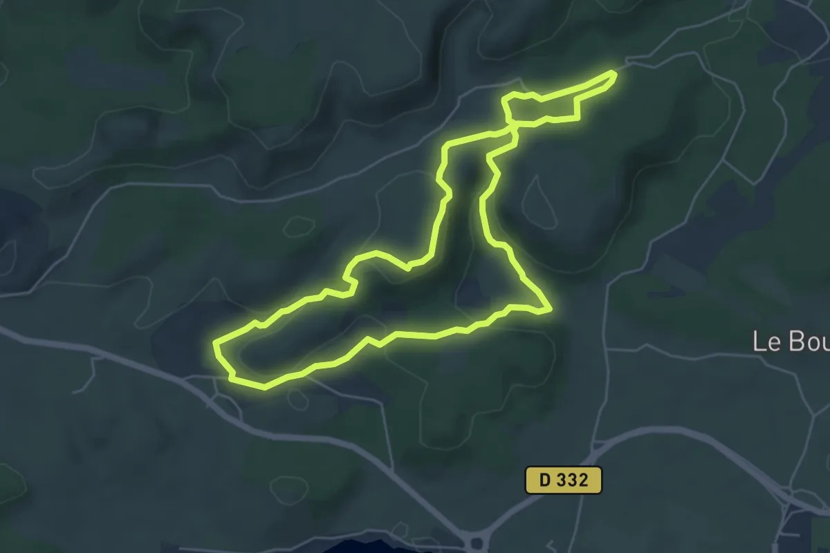
Easy · Trail
La Goutine
5.8 km · ↑ 149 m · 1 h 46 min
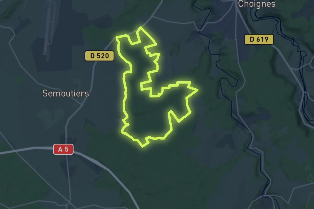
Demanding · Trail
La Grand Corgebin
19.1 km · ↑ 152 m · 5 h 7 min
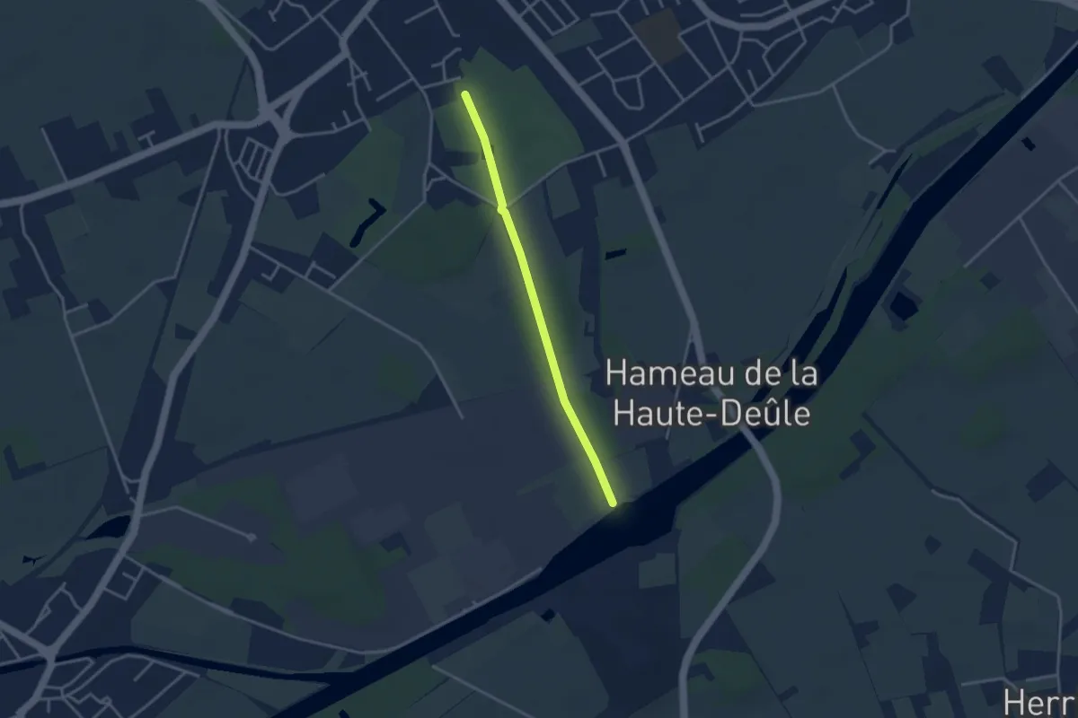
Easy · Trail
La Grande Allée
2.8 km · ↑ 8 m · 41 min
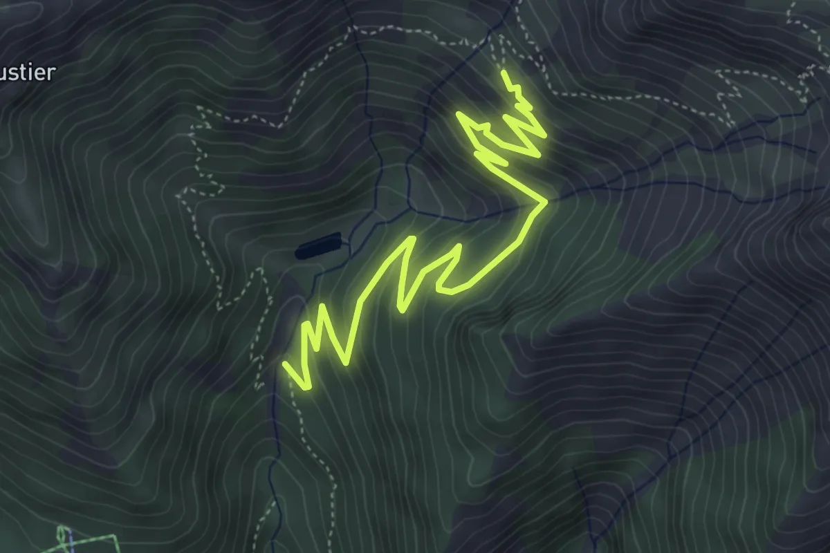
Medium · Trail
La Grande Bàume - Les Cabanes
6.5 km · ↑ 409 m · 2 h 25 min
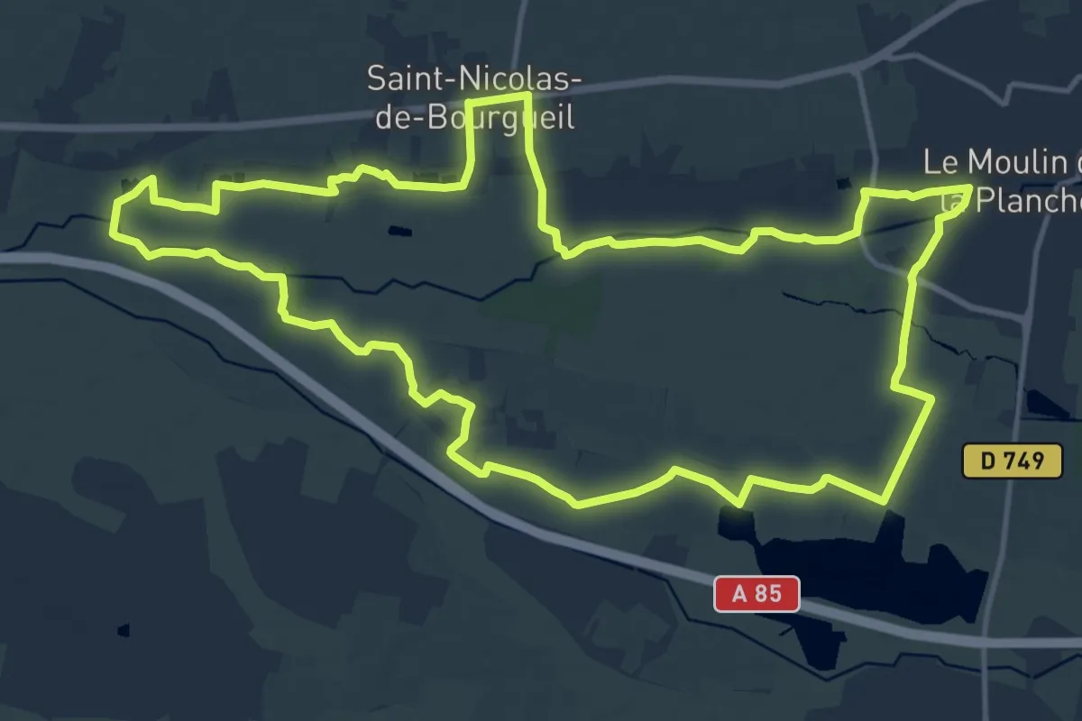
Medium · Trail
La Grande Boire - Bourgueil - Saint-Nicolas-de-Bourgueil
14.9 km · ↑ 27 m · 3 h 47 min
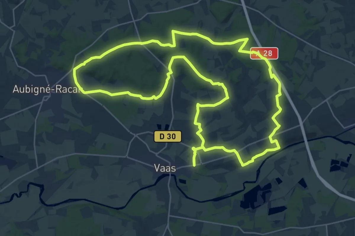
Demanding · Trail
La grande boucle
24.7 km · ↑ 342 m · 6 h 55 min