Trails in France
15,926 hiking trails, each with its route, climb, walking time and grade.
All trails, page 139 of 332
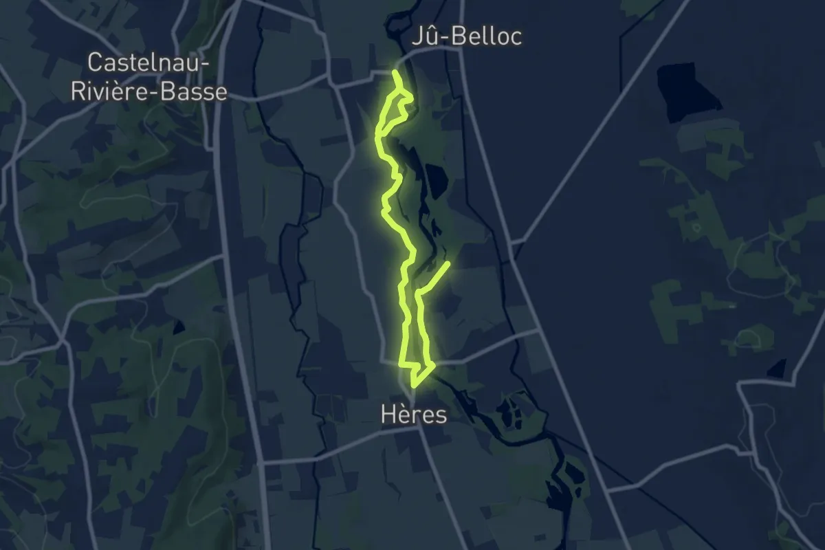
Medium · Trail
La Grande Boucle
10.9 km · ↑ 4 m · 2 h 36 min
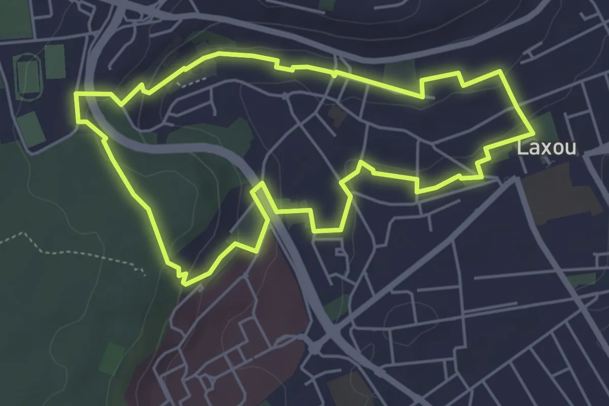
Easy · Trail
La Grande Boucle
4.7 km · ↑ 118 m · 1 h 26 min
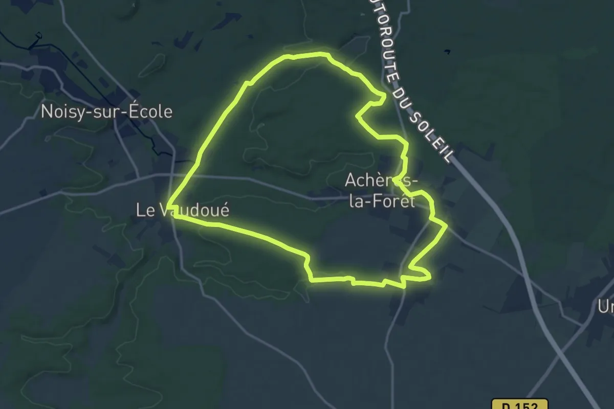
Medium · Trail
La grande boucle d'Achères
13.3 km · ↑ 92 m · 3 h 31 min
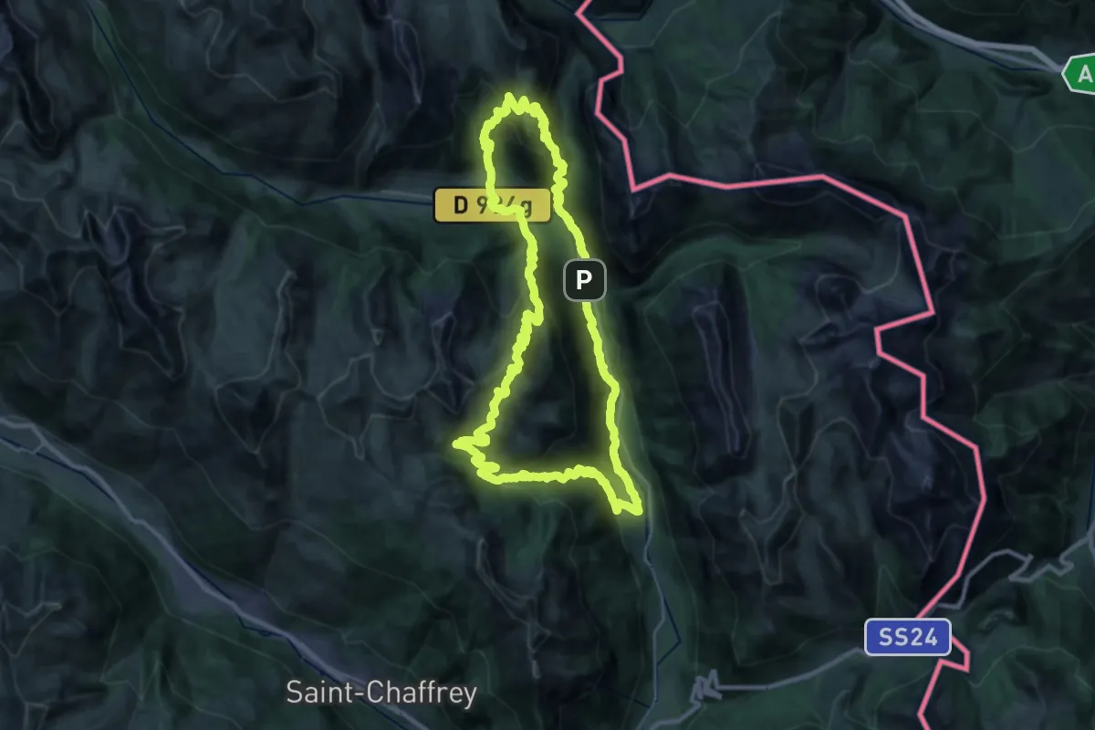
Demanding · Cabin
La grande boucle de la Clarée
30.7 km · ↑ 2005 m · 12 h 1 min
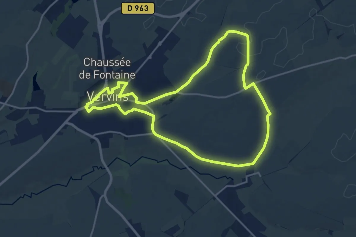
Medium · Trail
La Grande Denteuse
10.4 km · ↑ 107 m · 2 h 50 min
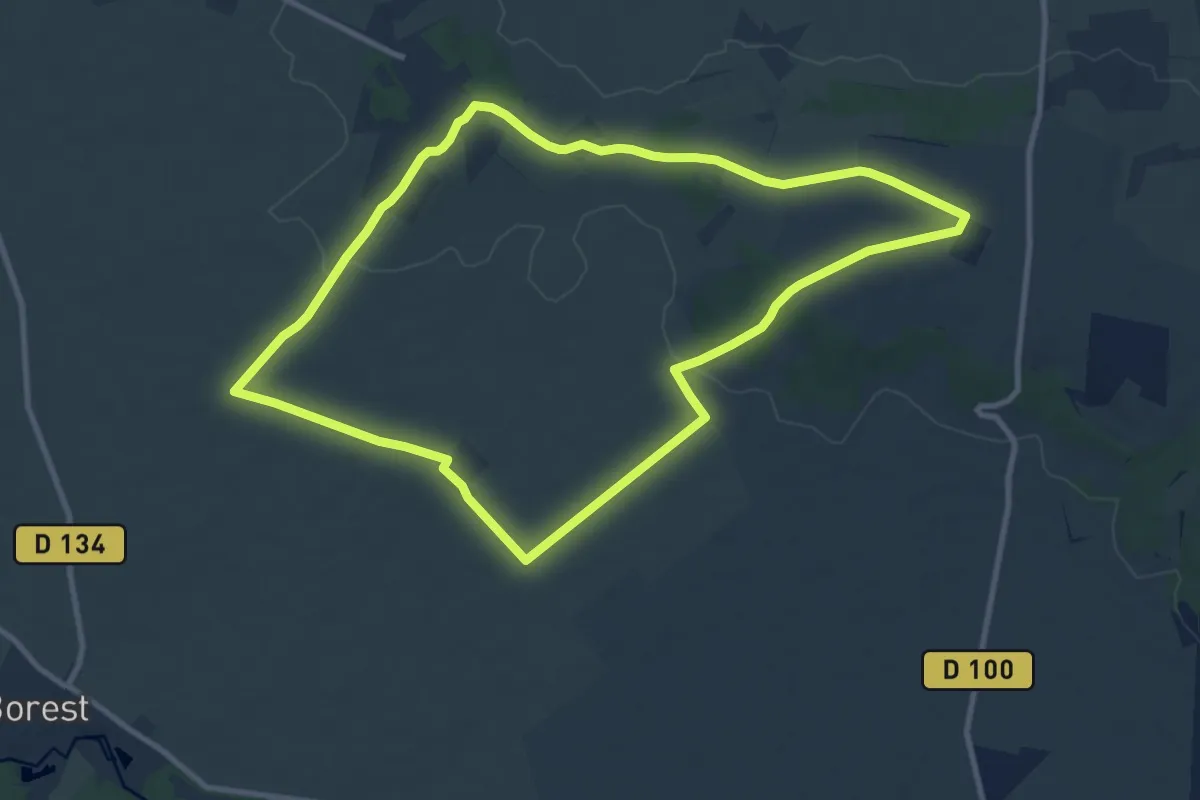
Medium · Trail
La Grande Echappée
9.7 km · ↑ 86 m · 2 h 37 min
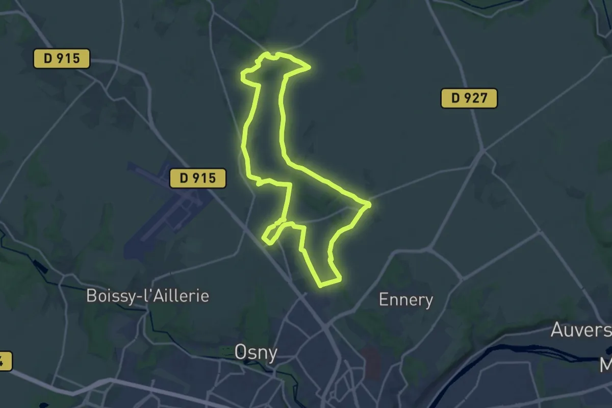
Medium · Trail
La grande pièce
16.4 km · ↑ 149 m · 4 h 26 min
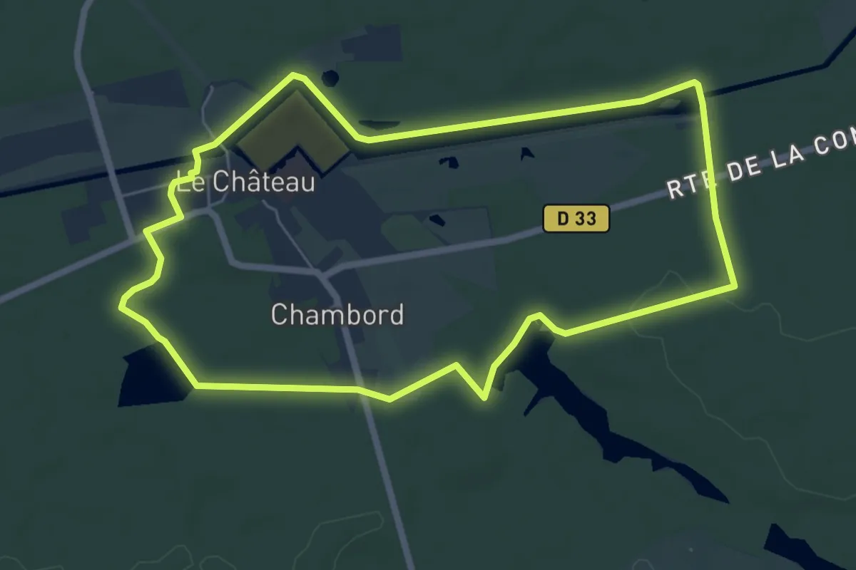
Easy · Trail
La grande promenade à Chambord
6.0 km · ↑ 36 m · 1 h 34 min
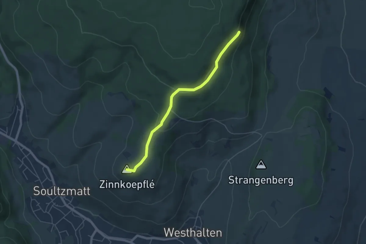
Medium · Summit
La grande Promenade Mystique basse et haute par Westhalten
4.5 km · ↑ 137 m · 1 h 22 min
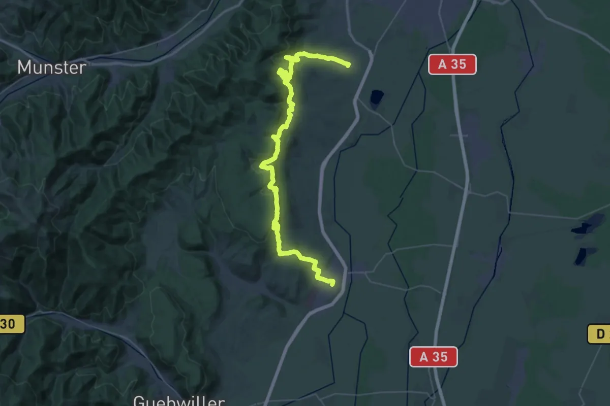
Expert · Trail
La grande Promenade Mystique basse par Rouffach
19.9 km · ↑ 759 m · 6 h 37 min
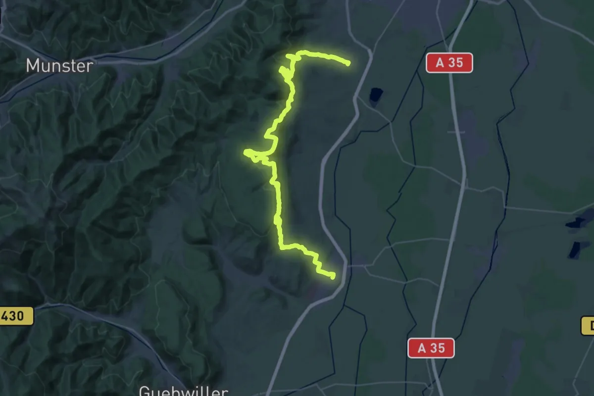
Demanding · Trail
La grande Promenade Mystique haute par Rouffach
21.8 km · ↑ 831 m · 7 h 15 min
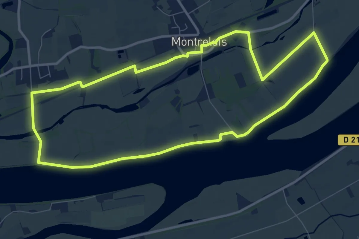
Medium · Trail
La Grande Verrière
8.3 km · ↑ 4 m · 2 h 5 min
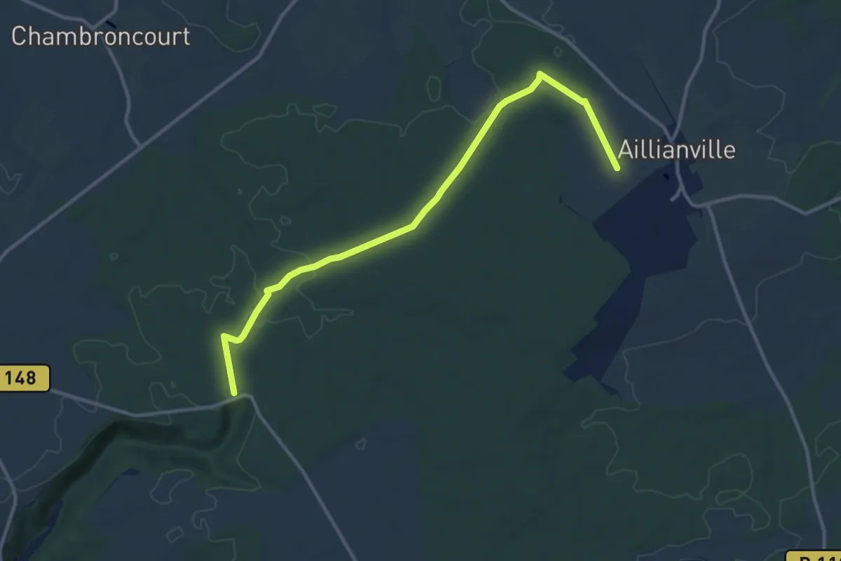
Easy · Trail
La Grande Voie
5.9 km · ↑ 36 m · 1 h 33 min
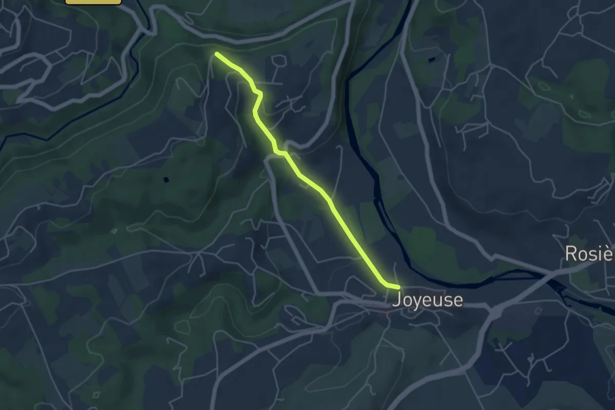
Easy · Trail
La Grand Font - Croix de Vinchannes
4.1 km · ↑ 107 m · 1 h 12 min
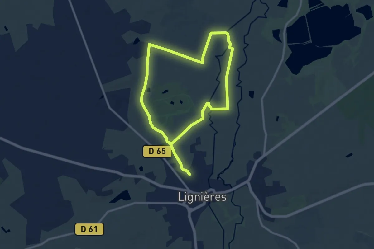
Easy · Trail
La Grand Noir du Berry
7.2 km · ↑ 27 m · 1 h 51 min
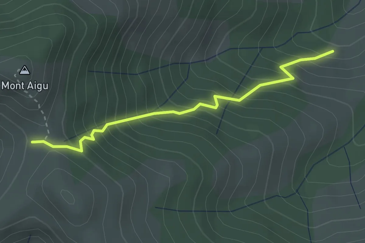
Medium · Trail
La Grange - Col de Sucheyre
2.9 km · ↑ 405 m · 1 h 33 min
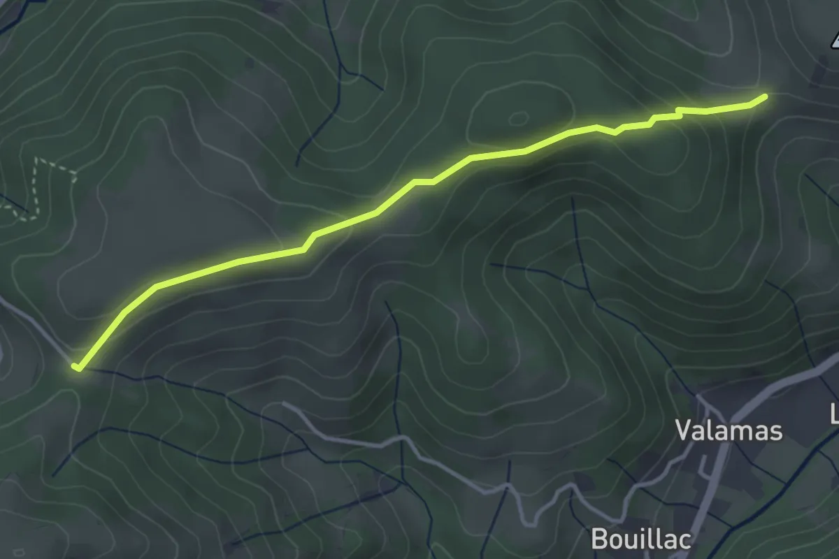
Easy · Trail
La Grange de Lobre - La Romane
3.9 km · ↑ 156 m · 1 h 15 min
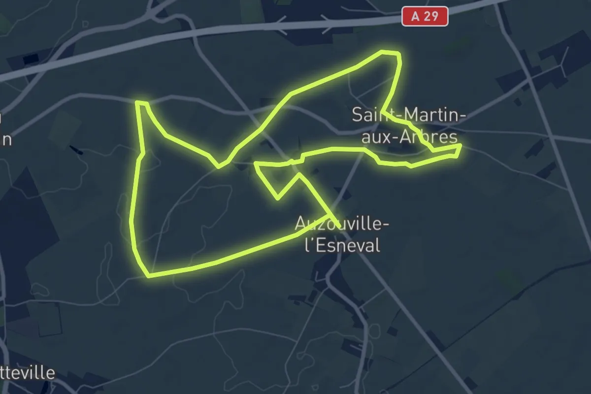
Medium · Trail
La grange dîmière
8.4 km · ↑ 34 m · 2 h 11 min
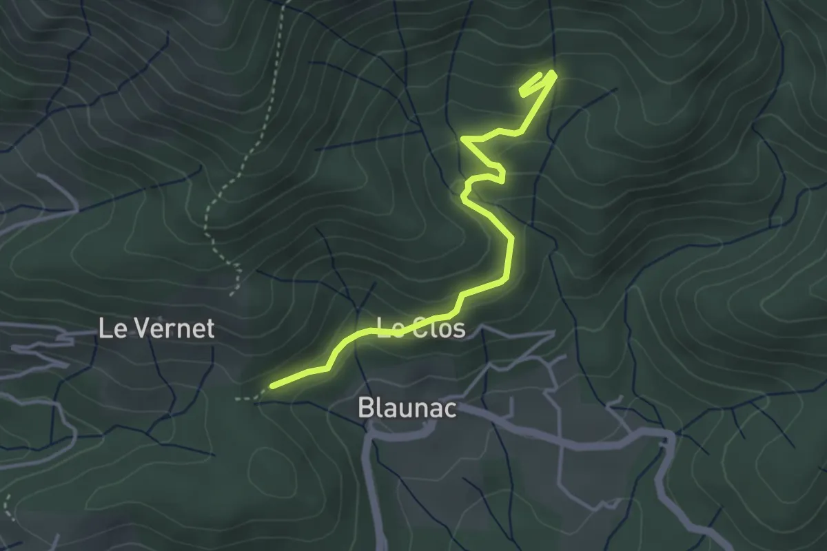
Easy · Trail
La Grange du Vinçou - Le Cros
3.8 km · ↑ 194 m · 1 h 19 min
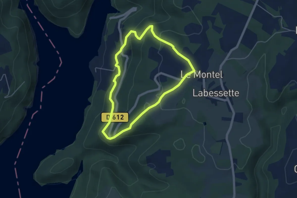
Easy · Trail
La Grange Haute
3.8 km · ↑ 189 m · 1 h 22 min
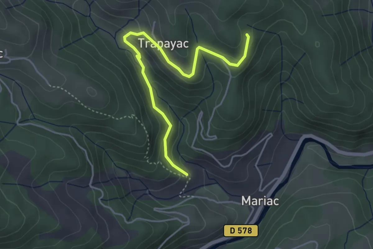
Easy · Trail
La Grange - Les Taillas
4.4 km · ↑ 193 m · 1 h 27 min
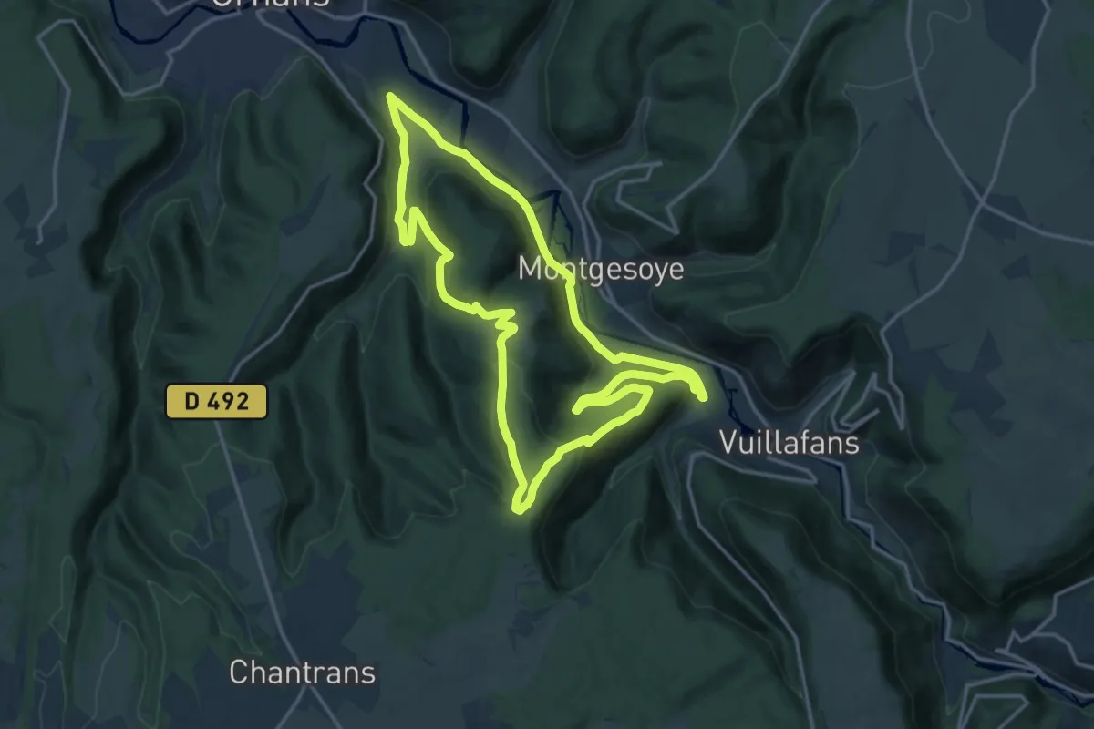
Medium · Trail
La Grange Millet
15.5 km · ↑ 431 m · 4 h 49 min
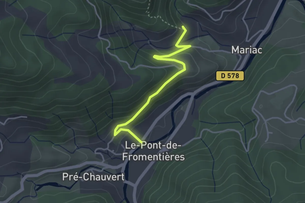
Easy · Trail
La Grange - Pont de Fromentières
3.4 km · ↑ 159 m · 1 h 8 min
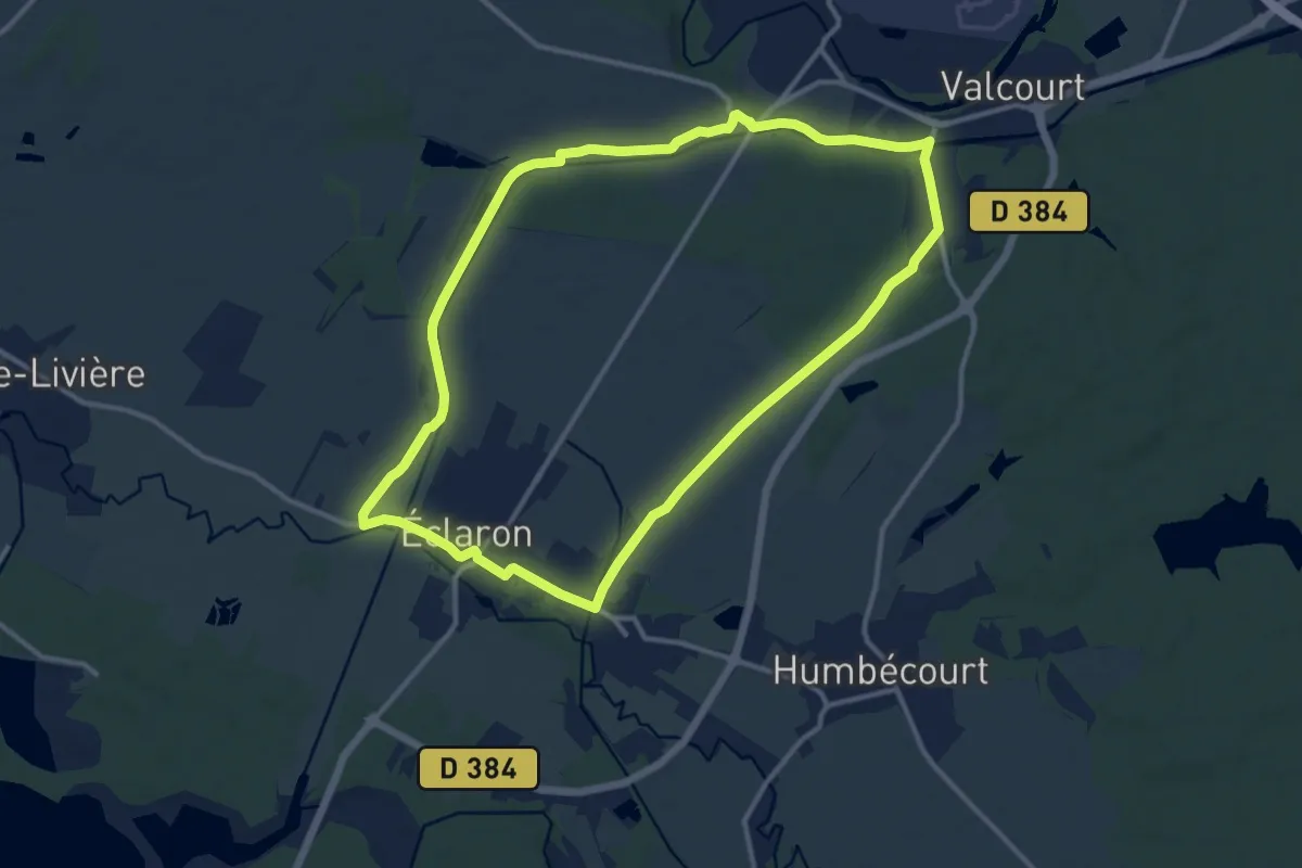
Medium · Trail
La Grange Robert
11.7 km · ↑ 51 m · 3 h 1 min
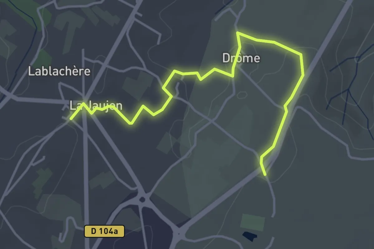
Easy · Trail
La Grangette - Lablachère
4.5 km · ↑ 56 m · 1 h 11 min
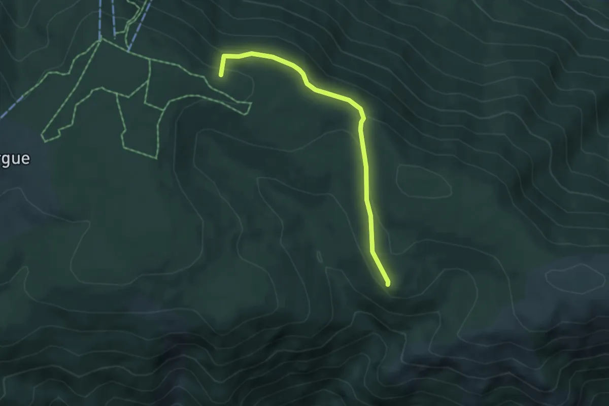
Easy · Summit
La Grangette - Le Frayt
4.3 km · ↑ 108 m · 1 h 15 min
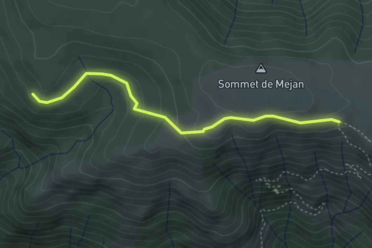
Medium · Trail
La Grangette - Méjean
3.8 km · ↑ 156 m · 1 h 14 min
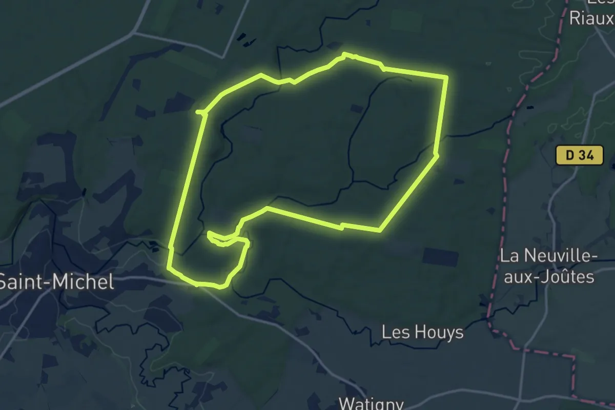
Medium · Trail
La Gratte-Pierre
13.3 km · ↑ 168 m · 3 h 41 min
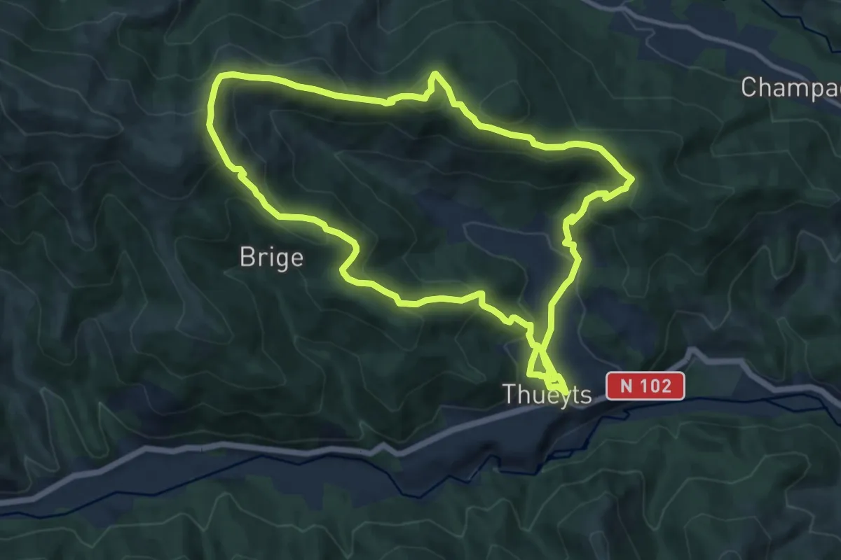
Medium · Summit
La Gravenne
10.6 km · ↑ 506 m · 3 h 45 min
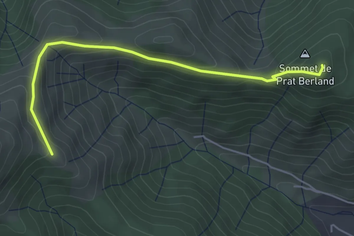
Easy · Summit
La Gravenne - Le Ranc Qualiou
4.5 km · ↑ 219 m · 1 h 33 min
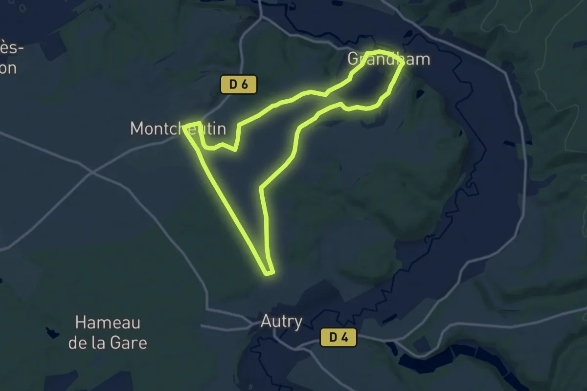
Medium · Trail
La Gravette
10.2 km · ↑ 114 m · 2 h 48 min
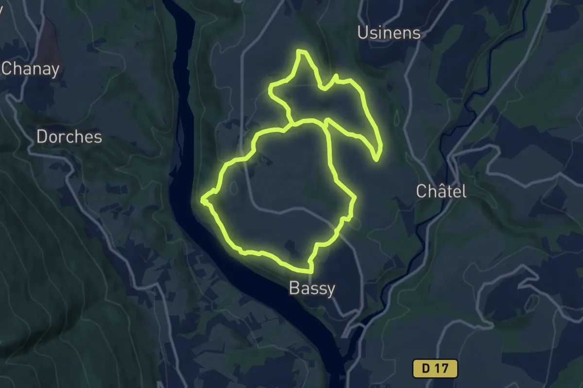
Medium · Trail
L'Agriculture en Pays de Seyssel
10.8 km · ↑ 288 m · 3 h 20 min
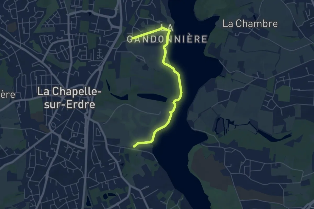
Easy · Trail
La Grimaudière, la Gandonnière, aller/retour
5.3 km · ↑ 48 m · 1 h 21 min
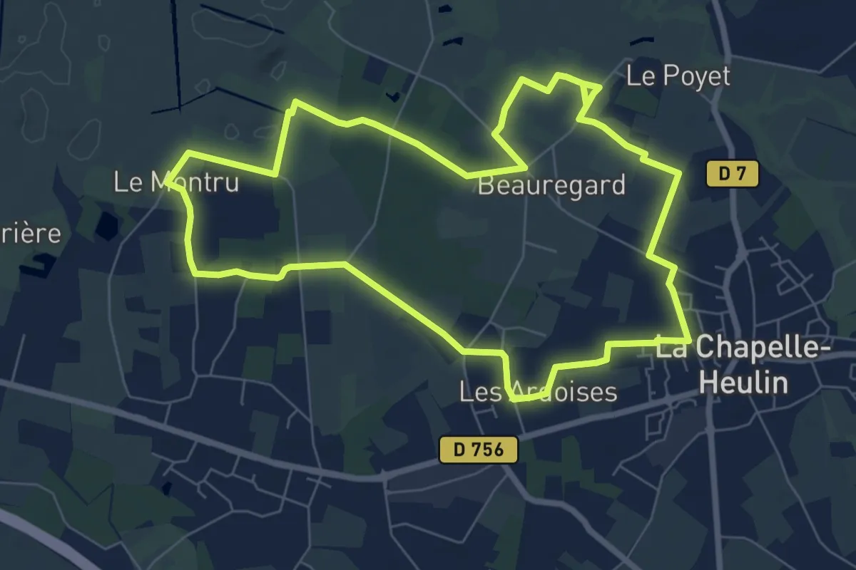
Easy · Trail
L'Agrion de Mercure
7.1 km · ↑ 17 m · 1 h 48 min
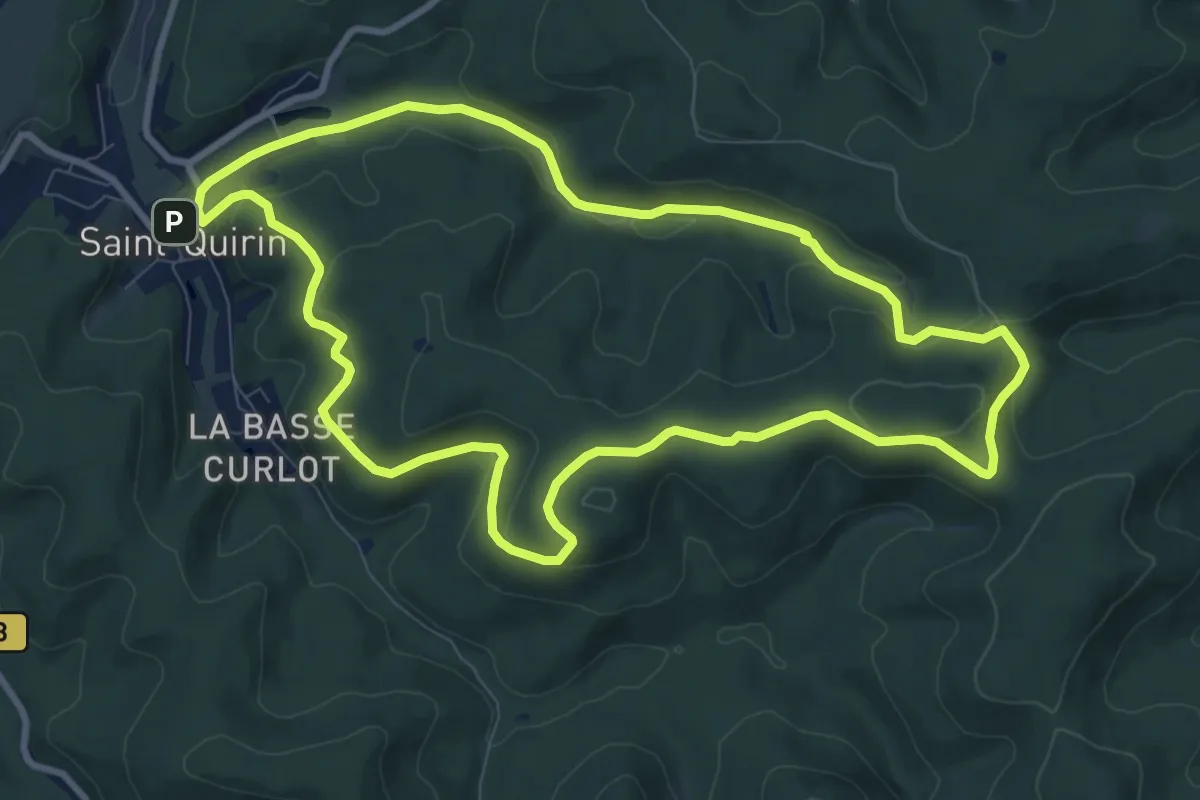
Medium · Trail
La Grotte des Bacelles
9.3 km · ↑ 267 m · 2 h 54 min
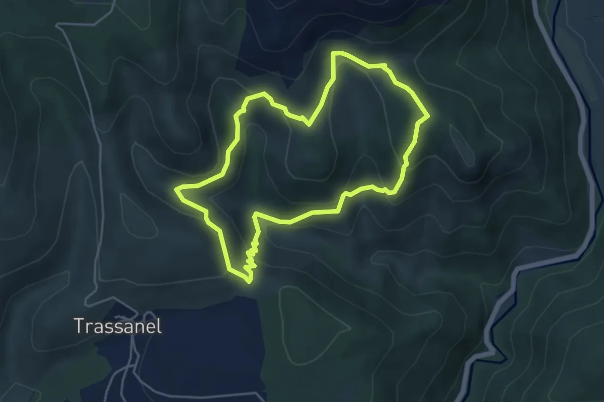
Medium · Trail
La Grotte des Maquisards
4.1 km · ↑ 258 m · 1 h 35 min
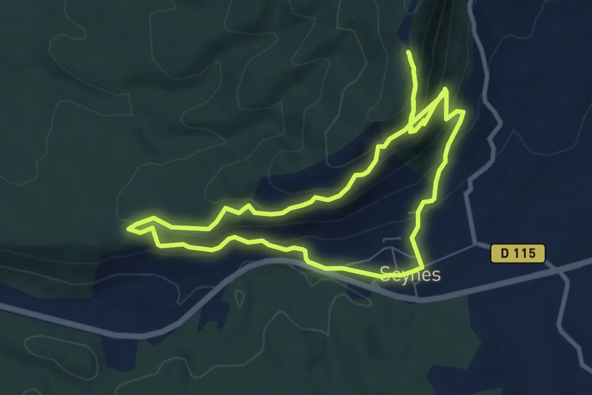
Medium · Trail
La grotte des trois ours
6.8 km · ↑ 397 m · 2 h 32 min
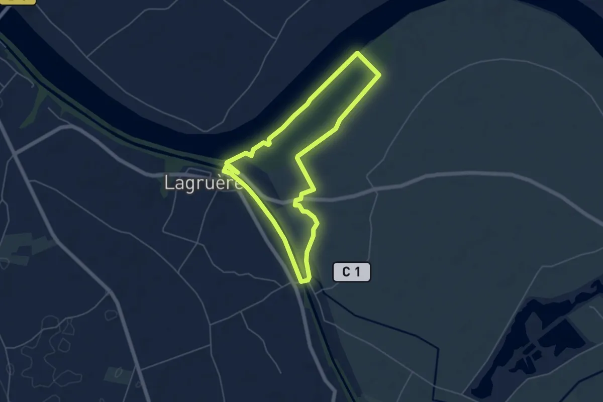
Easy · Trail
Lagruère, balade entre la Garonne et son Canal - 5.1 km
5.0 km · ↑ 18 m · 1 h 18 min
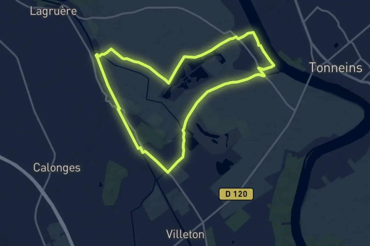
Medium · Trail
Lagruère, dans la boucle de l'Ourbise - 10.6 km
10.5 km · ↑ 13 m · 2 h 39 min
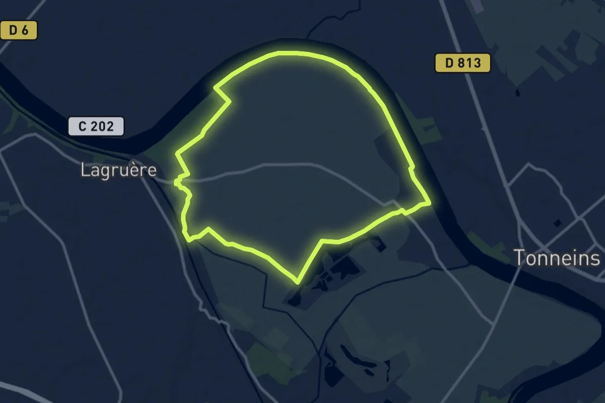
Medium · Trail
Lagruère, promenade sur les berges de Garonne - 9.8 km
9.7 km · ↑ 26 m · 2 h 28 min
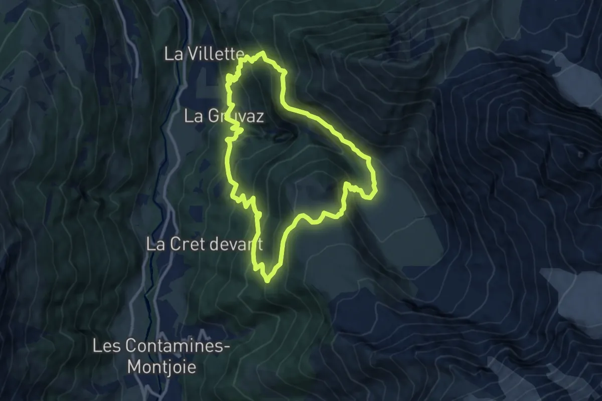
Medium · Cabin
La Gruvaz - Le Truc - Alpage de Miage
9.3 km · ↑ 793 m · 4 h 3 min
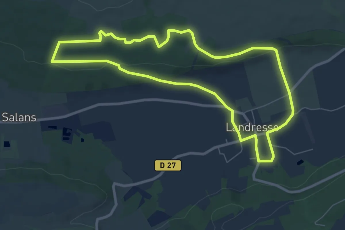
Easy · Trail
La Guerre des Boutons
6.1 km · ↑ 87 m · 1 h 44 min
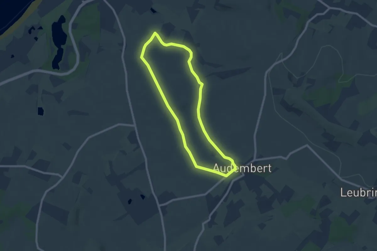
Easy · Trail
La Guiale
5.4 km · ↑ 50 m · 1 h 28 min
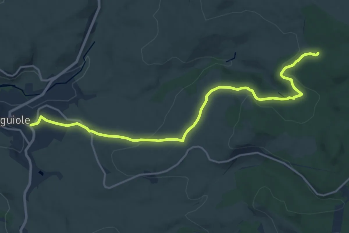
Medium · Trail
Laguiole PR-5
12.5 km · ↑ 264 m · 3 h 31 min
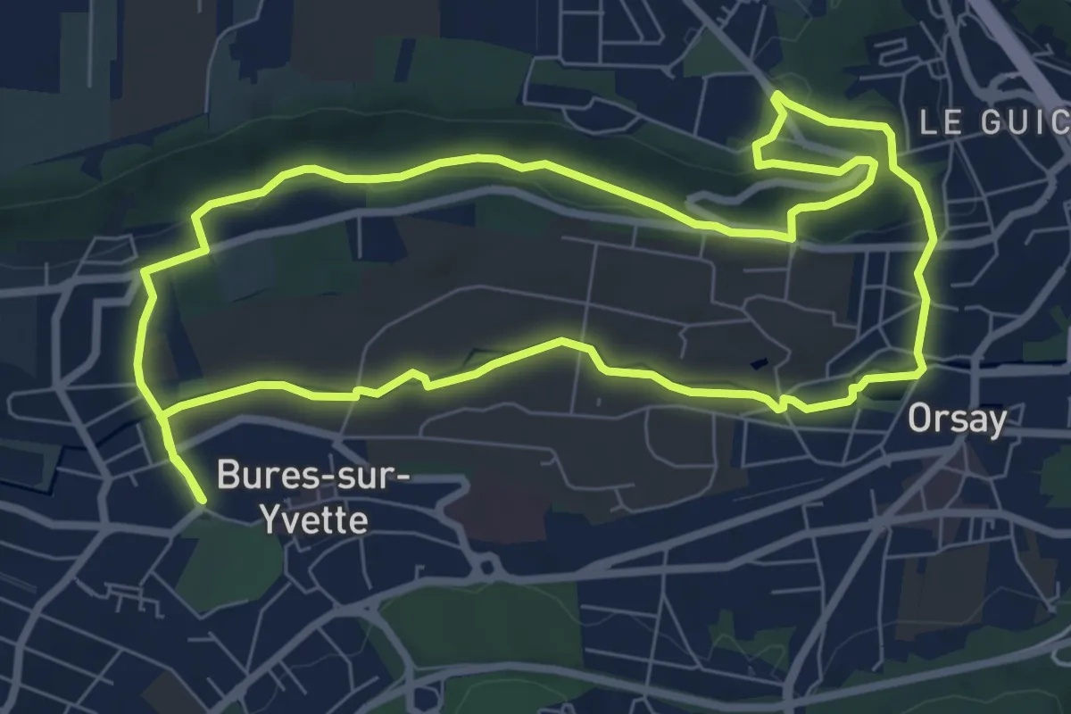
Easy · Trail
La Guyonnerie
7.3 km · ↑ 121 m · 2 h 6 min
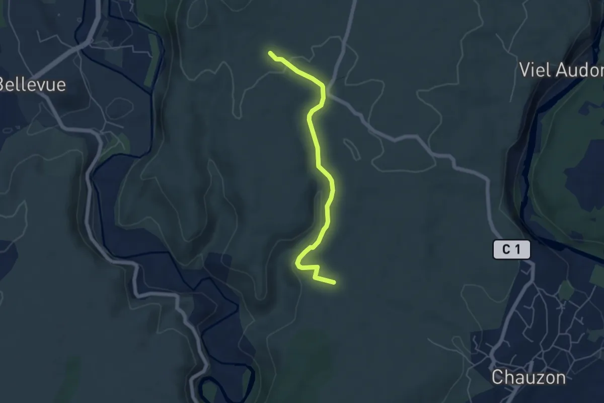
Easy · Trail
La Hâle - Le Gras
5.0 km · ↑ 109 m · 1 h 24 min
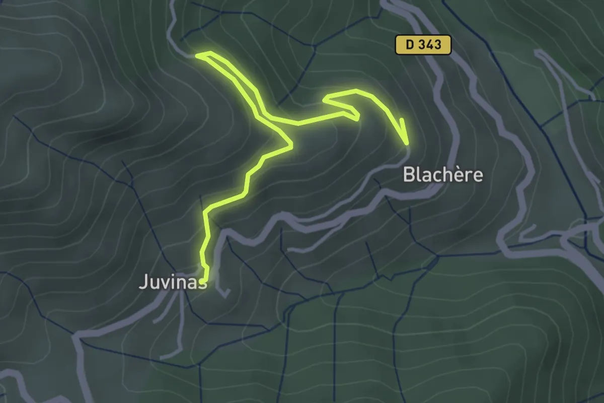
Easy · Trail
La Haute Blachère - Juvinas
3.9 km · ↑ 215 m · 1 h 23 min
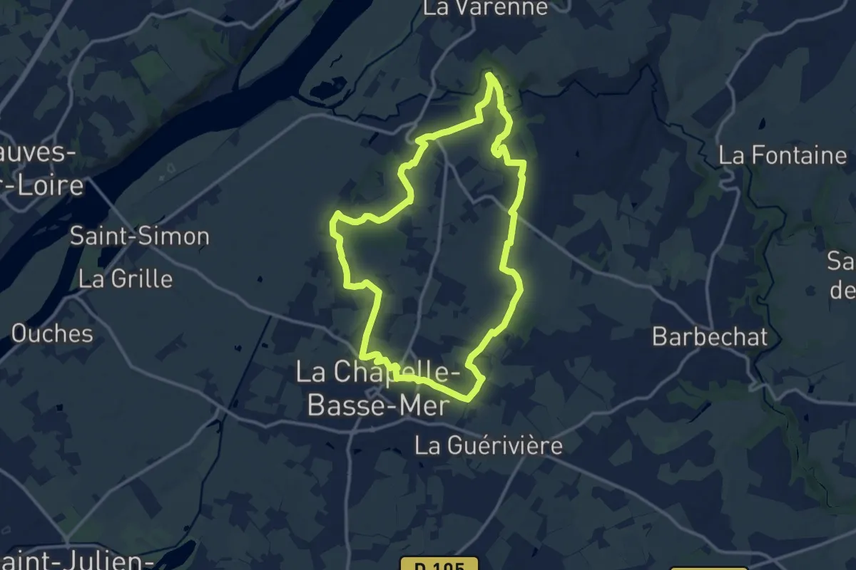
Medium · Trail
La Haute Chapelle
12.1 km · ↑ 149 m · 3 h 20 min