Trails in France
15,926 hiking trails, each with its route, climb, walking time and grade.
All trails, page 140 of 332
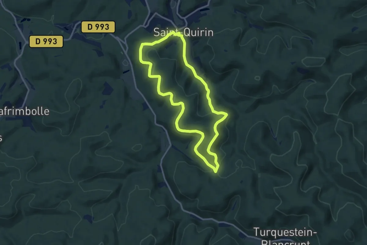
Medium · Trail
La Haute Chapelle
9.1 km · ↑ 301 m · 2 h 55 min
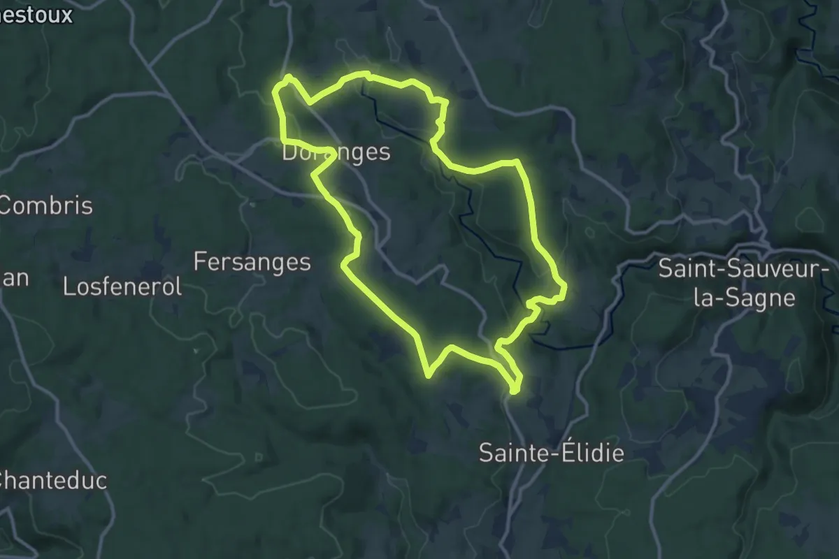
Medium · Trail
La Haute Dore
11.5 km · ↑ 298 m · 3 h 31 min
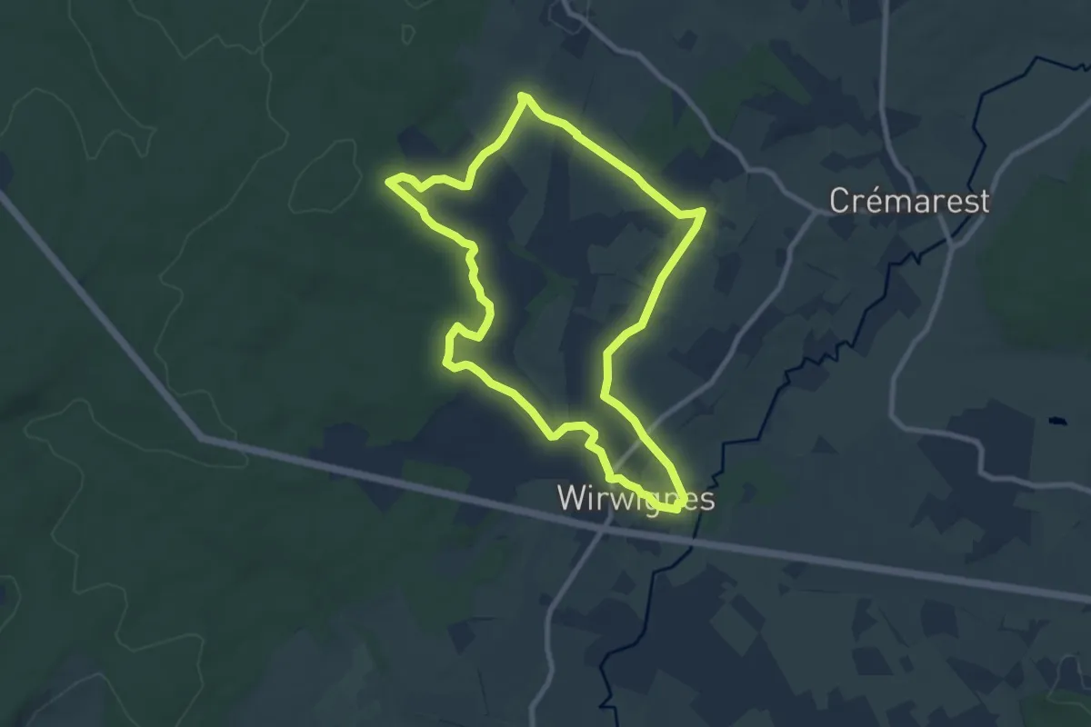
Easy · Trail
La Haute Faude
7.9 km · ↑ 92 m · 2 h 11 min
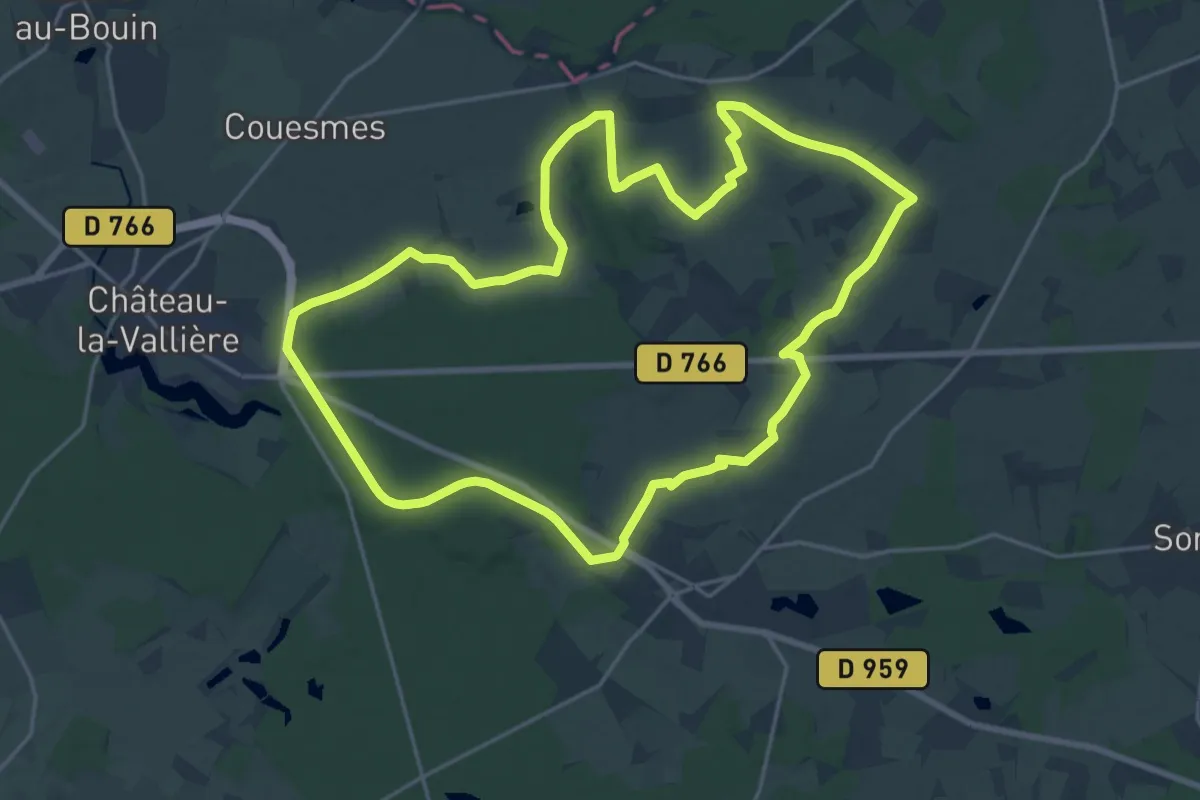
Demanding · Trail
La Haute Forêt de Château-la-Vallière
20.8 km · ↑ 151 m · 5 h 31 min
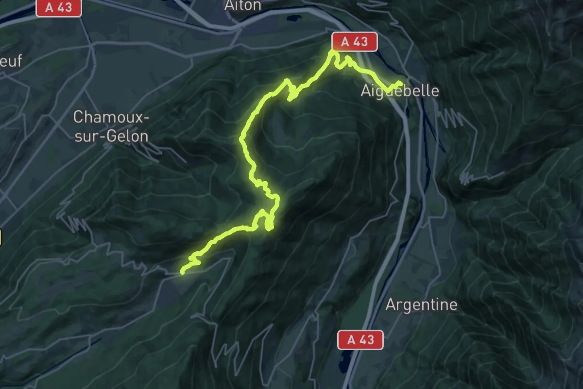
Demanding · Trail
La Haute Traversée de Belledonne - Etape 1
14.3 km · ↑ 1188 m · 5 h 51 min
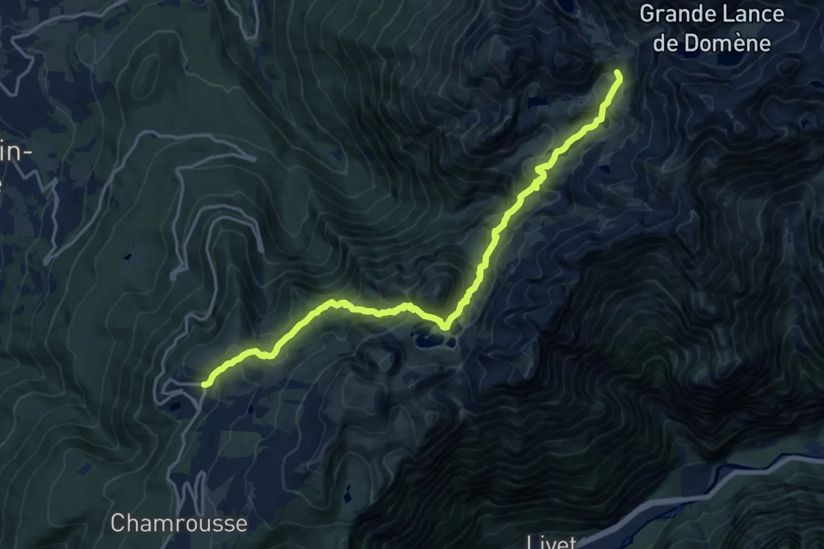
Demanding · Cabin
La Haute Traversée de Belledonne - Etape 10
16.6 km · ↑ 1172 m · 6 h 27 min
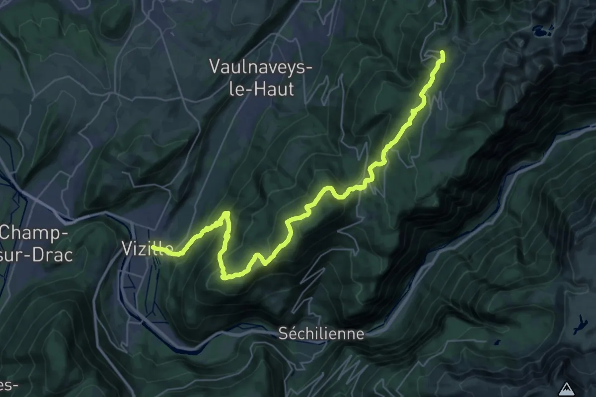
Demanding · Trail
La Haute Traversée de Belledonne - Etape 11
16.9 km · ↑ 1694 m · 7 h 12 min
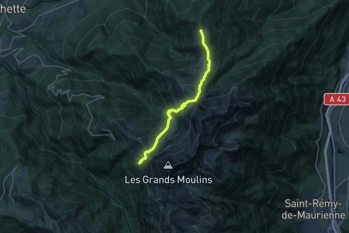
Demanding · Summit
La Haute Traversée de Belledonne - Etape 2
13.9 km · ↑ 1097 m · 5 h 40 min
Demanding · Summit
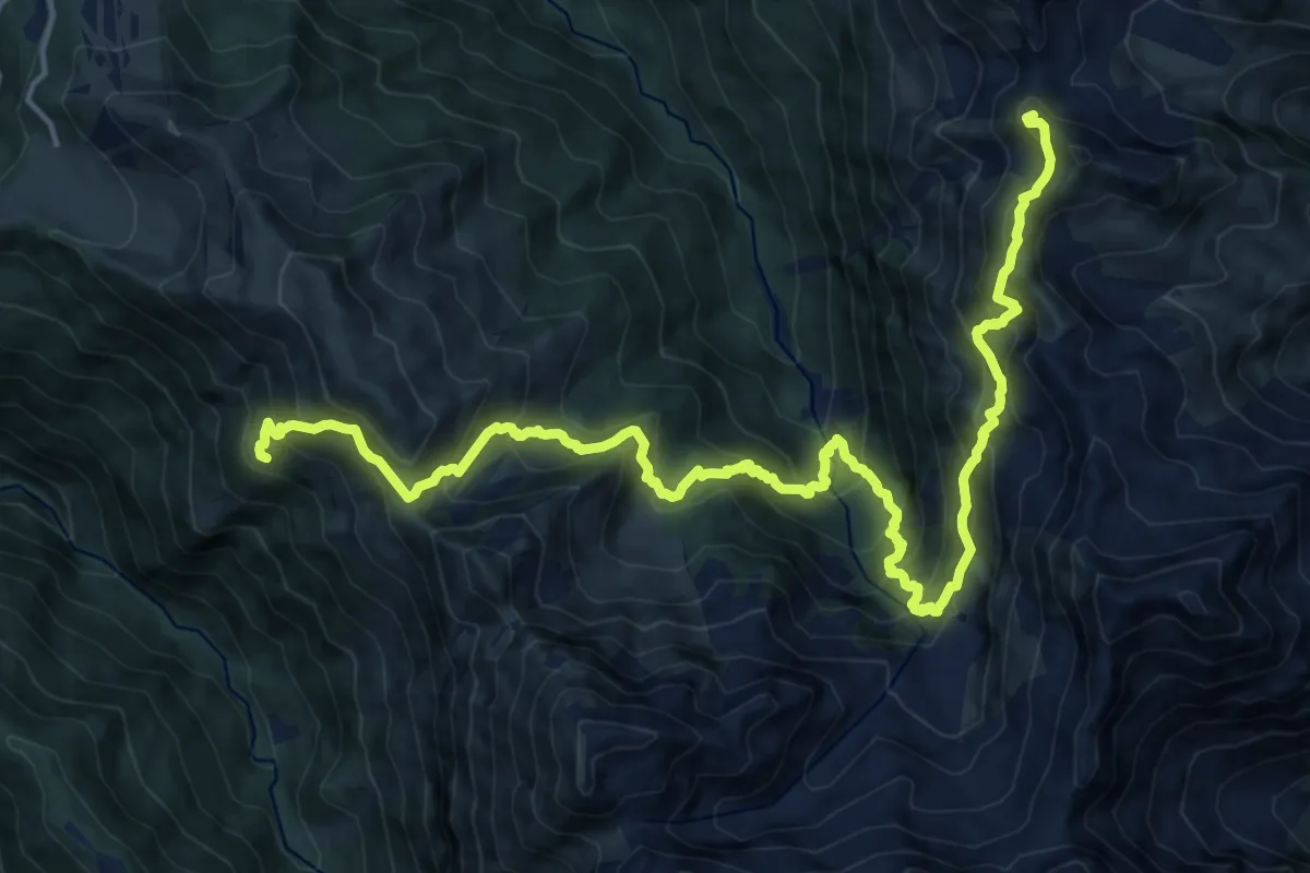
La Haute Traversée de Belledonne - Etape 3
20.5 km · ↑ 2080 m · 9 h 21 min
Demanding · Cabin
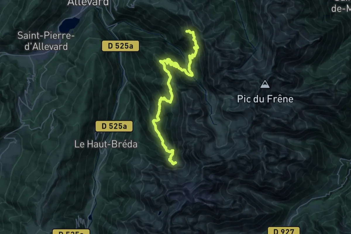
La Haute Traversée de Belledonne - Etape 4
15.6 km · ↑ 1333 m · 6 h 46 min
Demanding · Summit
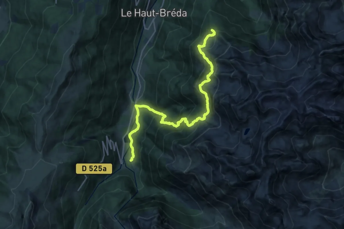
La Haute Traversée de Belledonne - Etape 5
18.5 km · ↑ 1666 m · 7 h 59 min
Demanding · Cabin
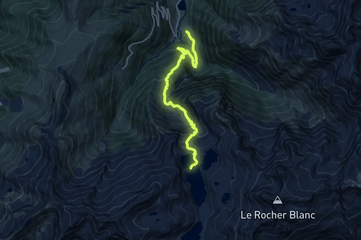
La Haute Traversée de Belledonne - Etape 6
13.8 km · ↑ 1180 m · 5 h 48 min
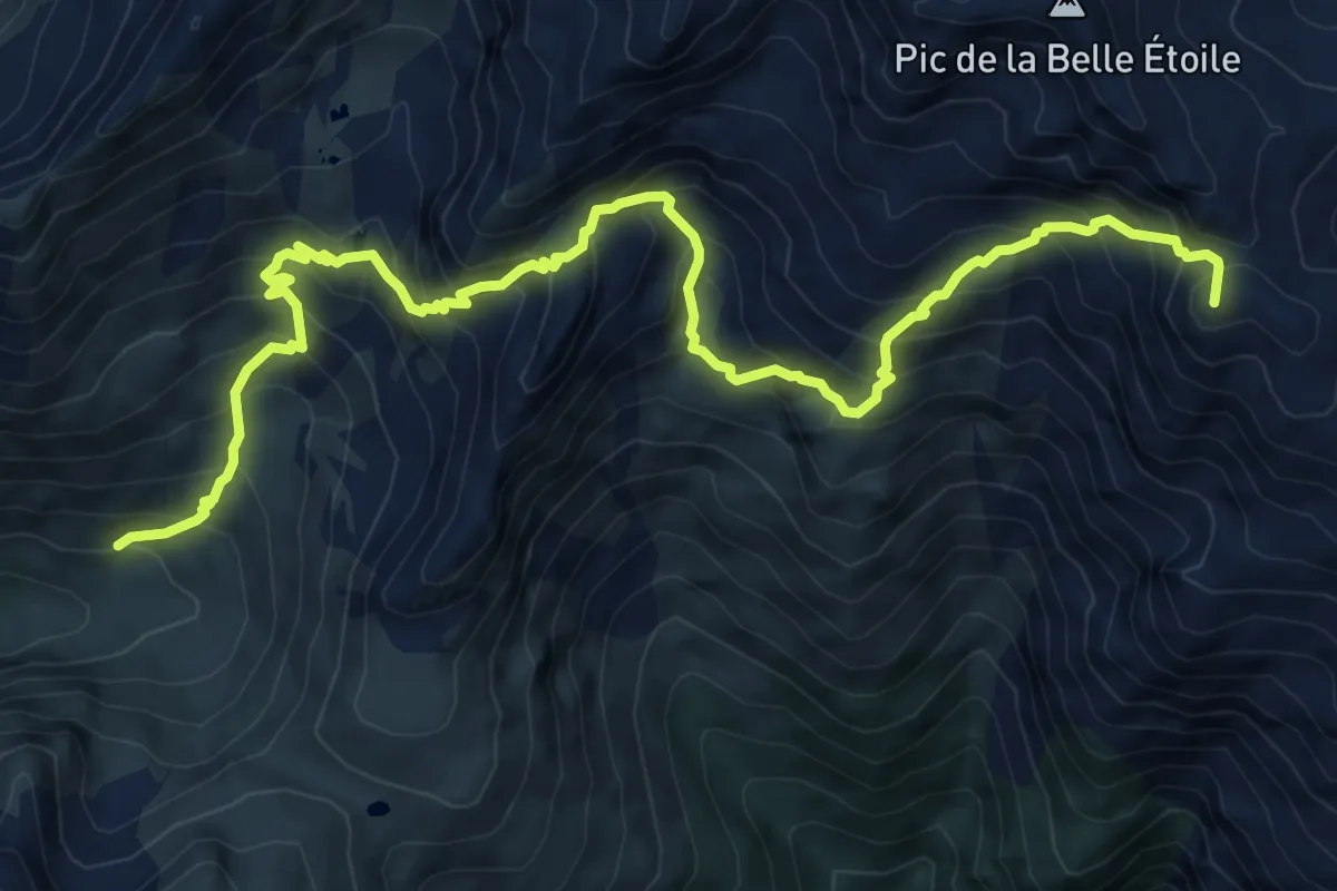
Expert · Summit
La Haute Traversée de Belledonne - Etape 7
10.6 km · ↑ 1158 m · 5 h 1 min
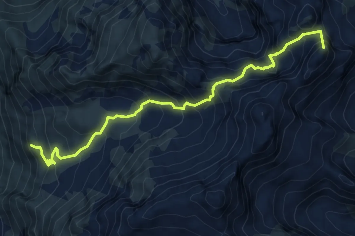
Demanding · Summit
La Haute Traversée de Belledonne - Etape 8
7.8 km · ↑ 857 m · 3 h 41 min
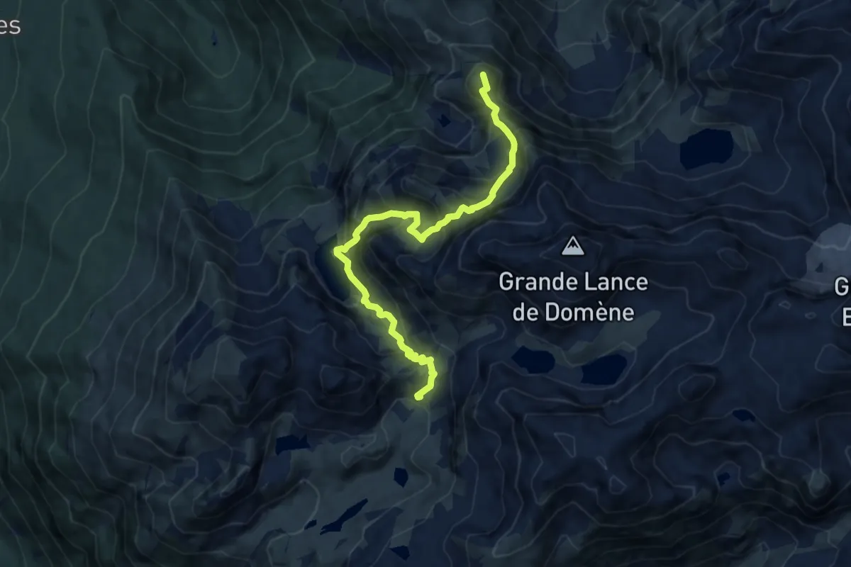
Demanding · Summit
La Haute Traversée de Belledonne - Etape 9
9.4 km · ↑ 977 m · 4 h 21 min
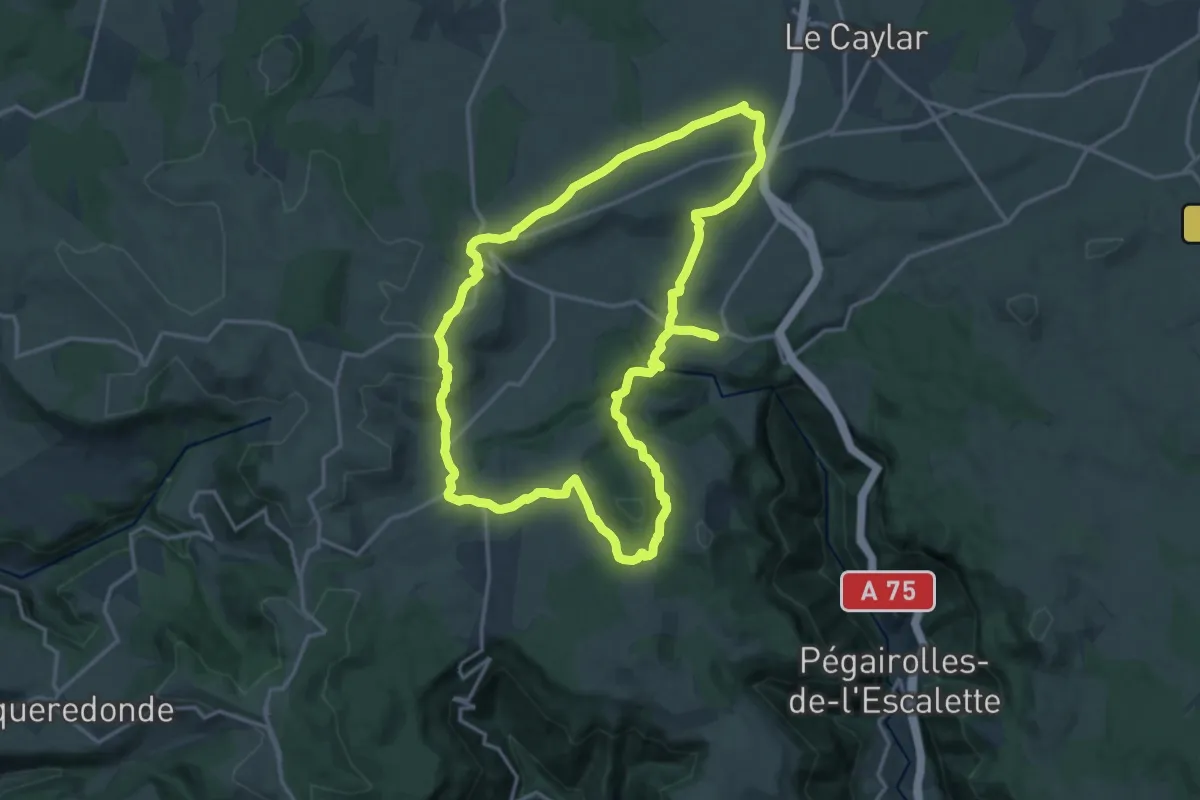
Medium · Trail
La Haute Vallée de la Lergue
16.6 km · ↑ 274 m · 4 h 44 min
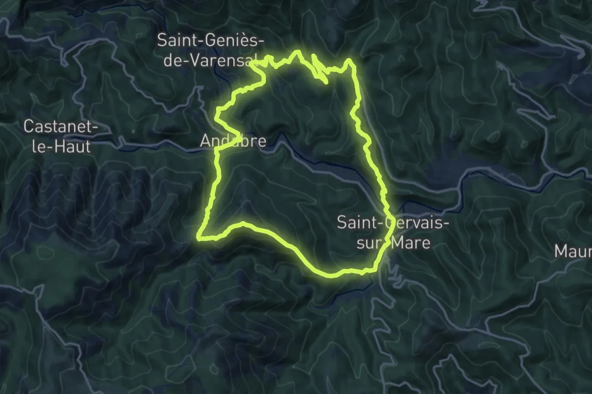
Medium · Trail
La Haute Vallée de la Mare
15.3 km · ↑ 747 m · 5 h 26 min
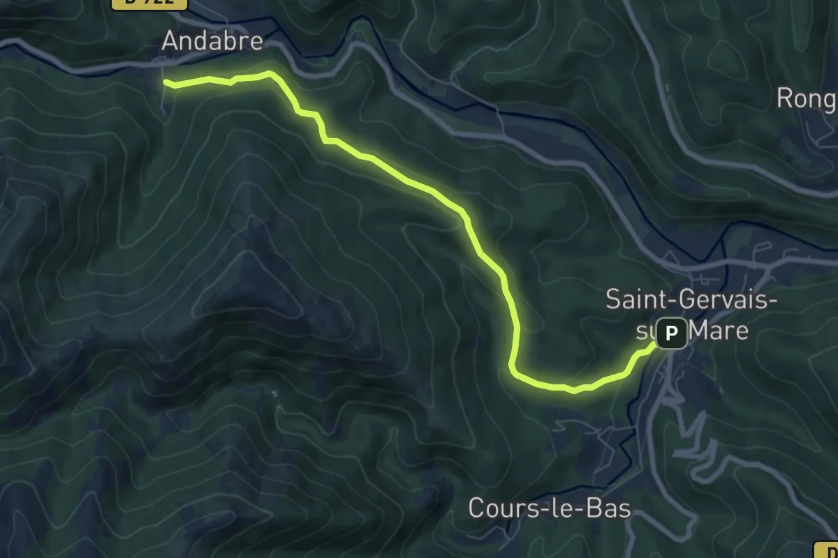
Easy · Trail
La Haute Vallée de la Mare Variante
4.0 km · ↑ 185 m · 1 h 23 min
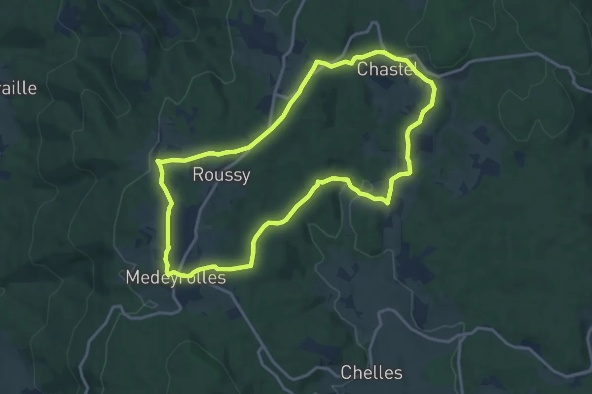
Medium · Trail
La Haute Vallée de l'Arzon
8.8 km · ↑ 194 m · 2 h 37 min
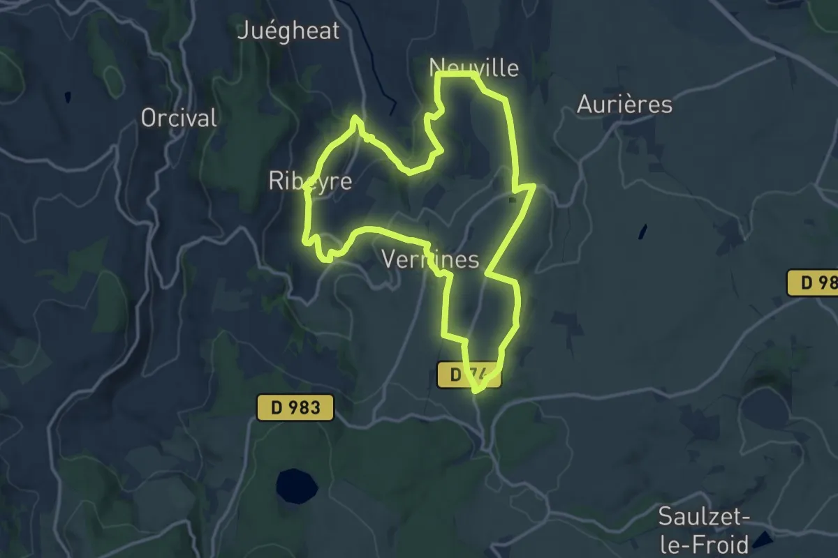
Medium · Trail
La Haute Vallee de la Sioule
13.0 km · ↑ 255 m · 3 h 48 min
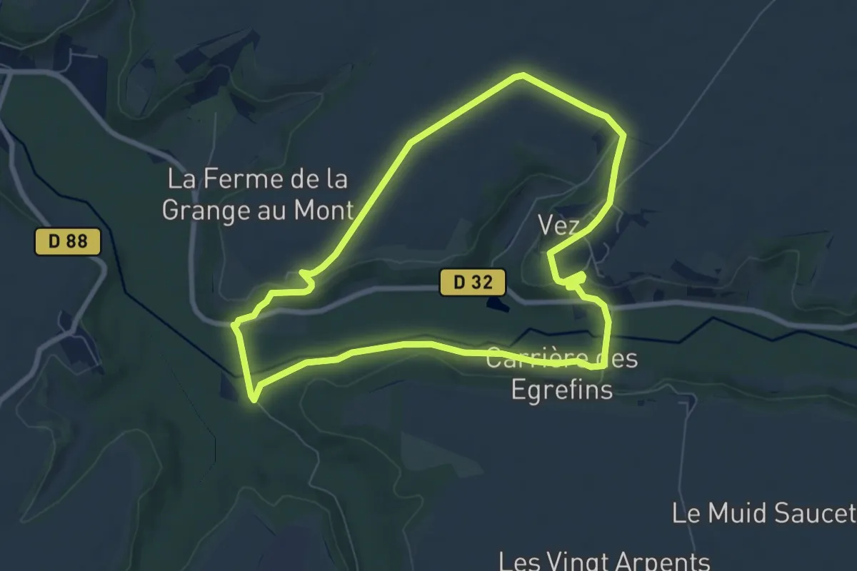
Easy · Trail
La Haute Vallée de l'Automne
6.8 km · ↑ 104 m · 1 h 55 min
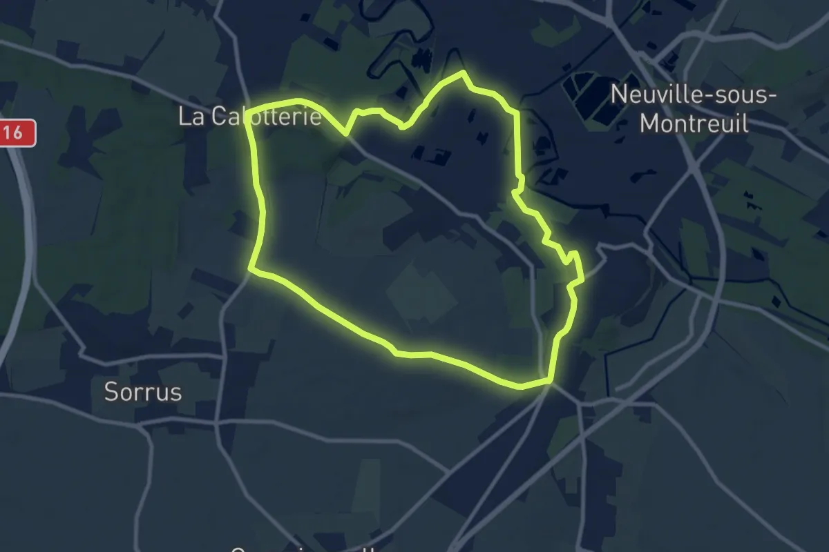
Medium · Trail
La Hayette
8.6 km · ↑ 67 m · 2 h 18 min
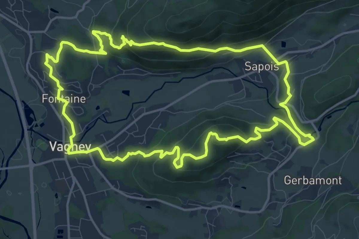
Medium · Summit
La Hazelle et les balcons du Mettey
11.1 km · ↑ 438 m · 3 h 43 min
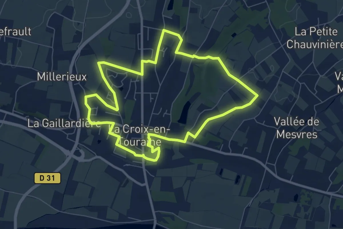
Easy · Trail
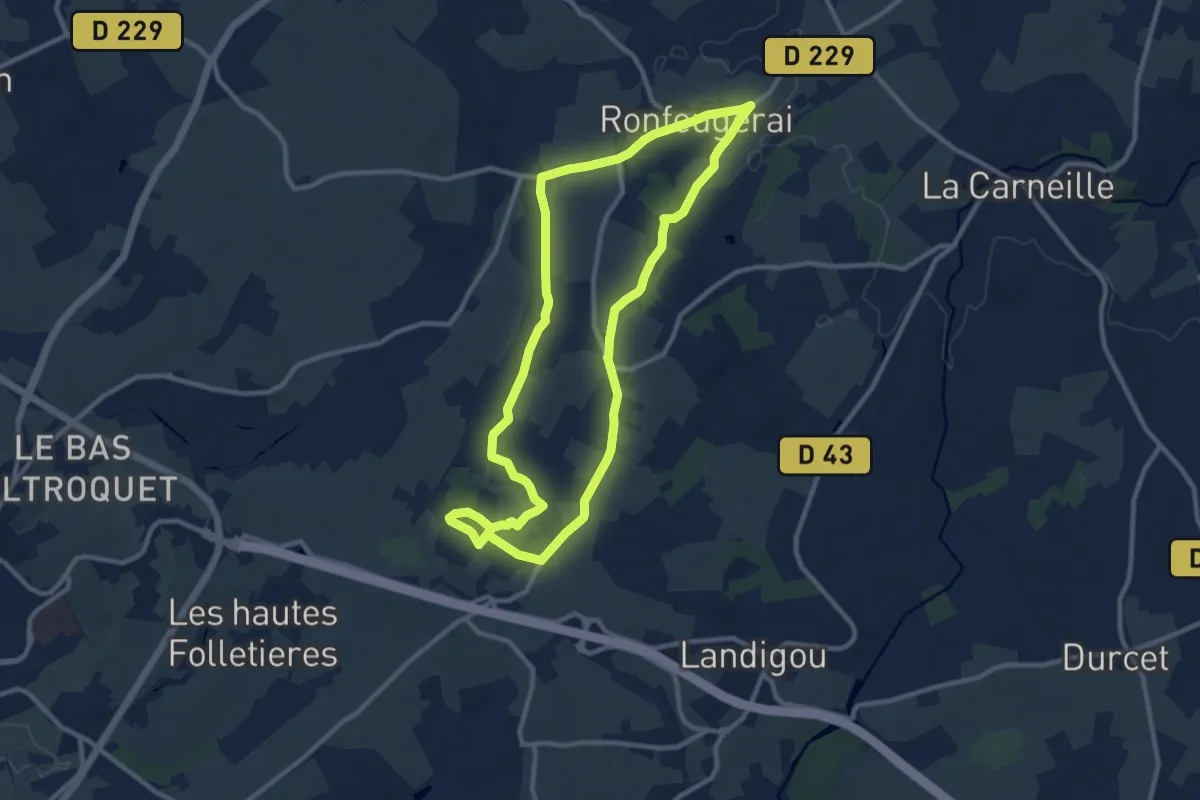
La Herserie - La-Croix-en-Touraine
7.0 km · ↑ 52 m · 1 h 51 min
Medium · Trail
La Hêtraie
9.9 km · ↑ 75 m · 2 h 39 min
Medium · Summit
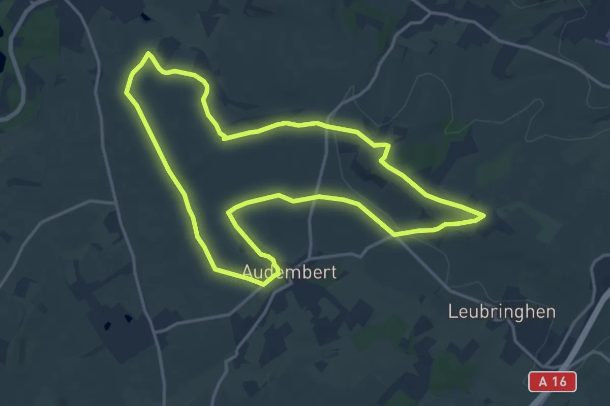
La Hoque
10.0 km · ↑ 146 m · 2 h 48 min
Easy · Trail
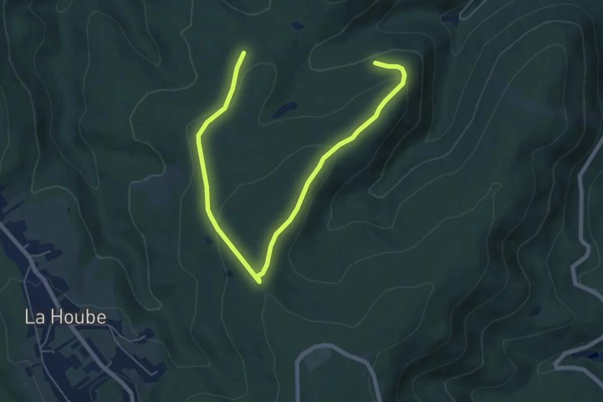
La Hoube - Geissfels - Ochsenstein
3.3 km · ↑ 125 m · 1 h 5 min
Medium · Trail
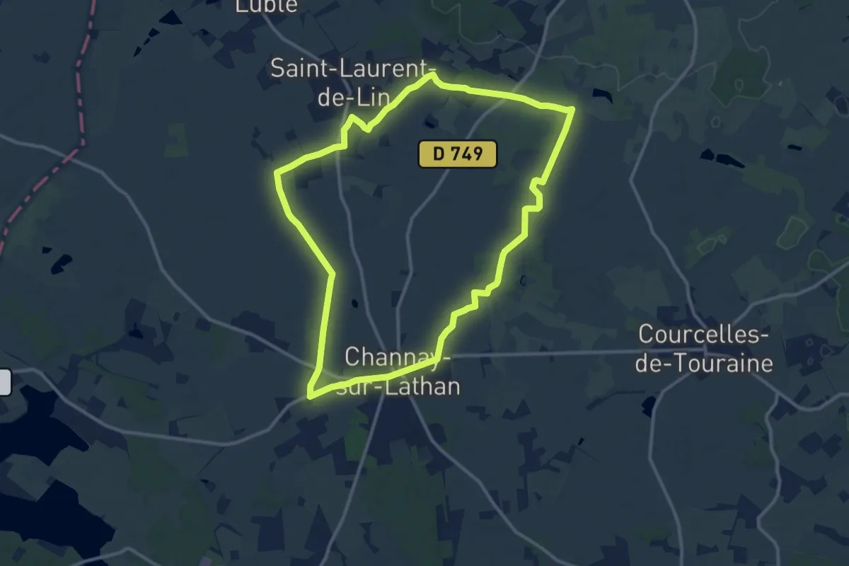
La Houdinière - Channay-sur-Lathan
11.3 km · ↑ 37 m · 2 h 54 min
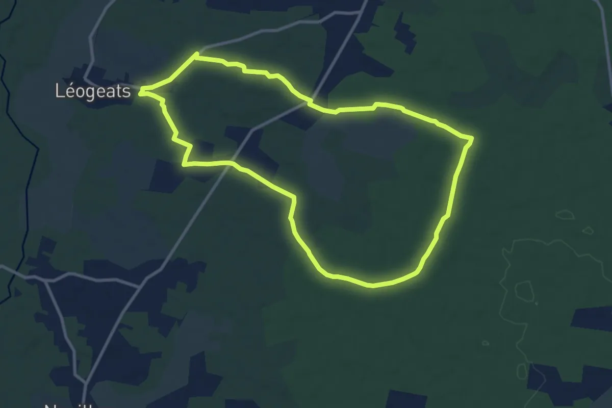
Medium · Trail
La Hounrède : boucle locale
10.0 km · ↑ 48 m · 2 h 36 min
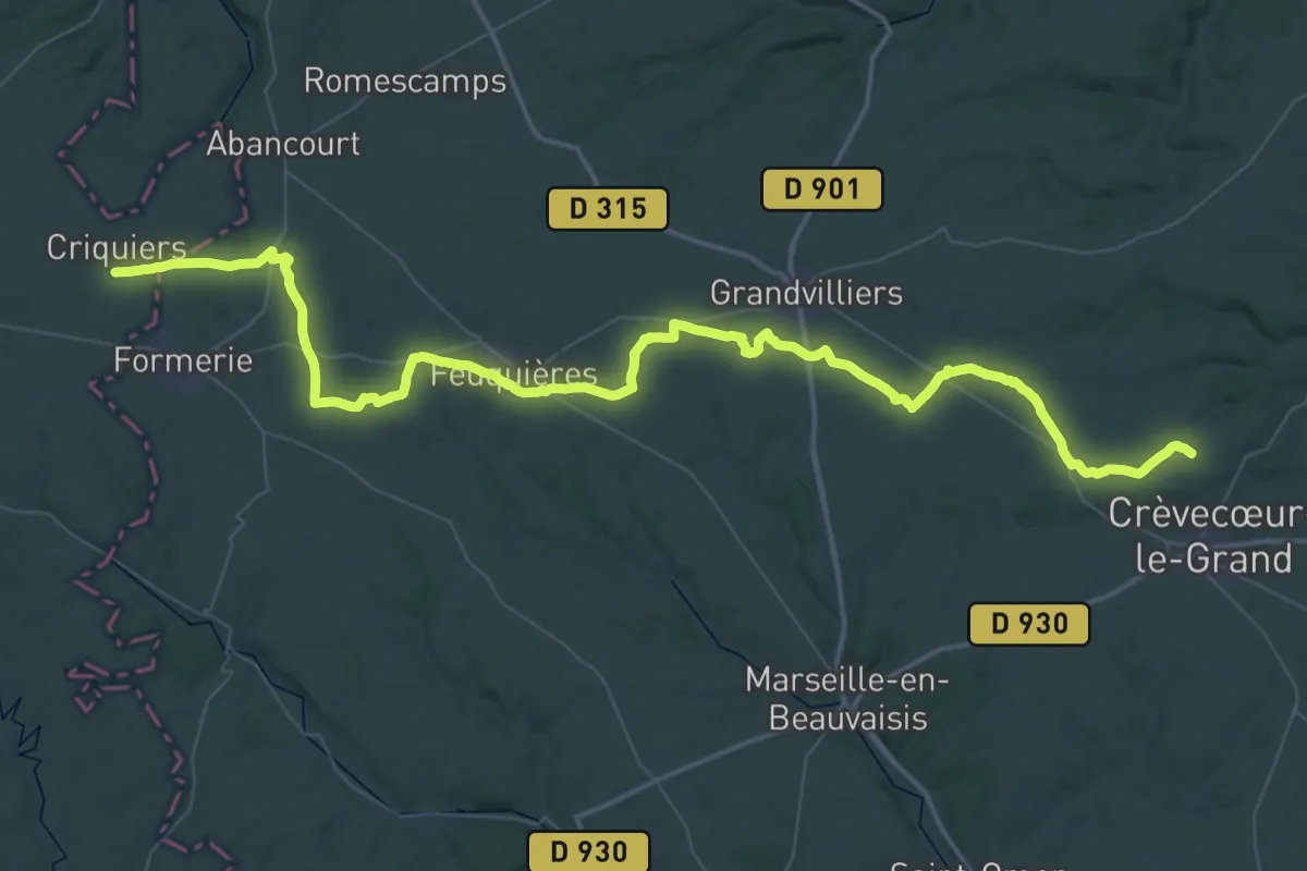
Demanding · Trail
La Houssoye - Rouen
36.2 km · ↑ 155 m · 9 h 22 min
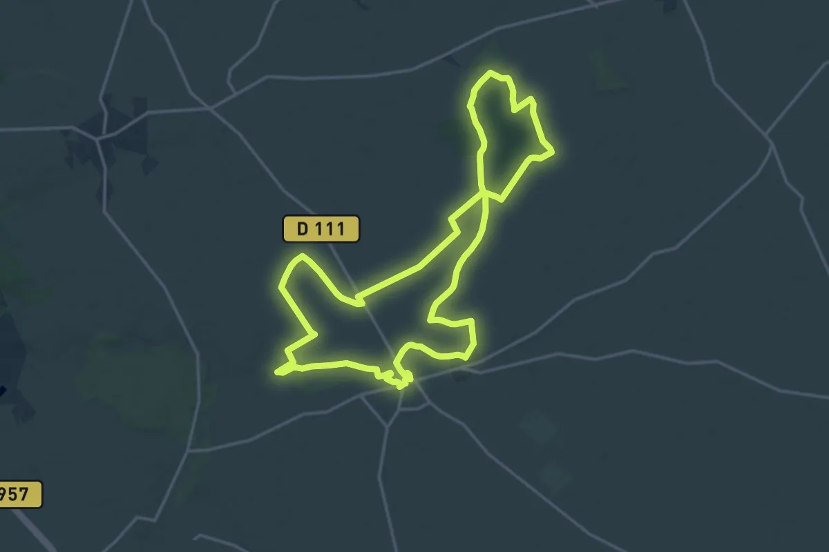
Medium · Trail
La Houzée au coeur des blés
15.8 km · ↑ 91 m · 4 h 9 min
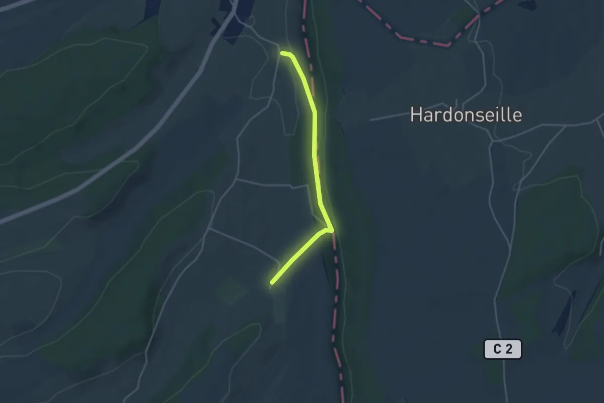
Easy · Trail
La Huanière
3.1 km · ↑ 69 m · 53 min
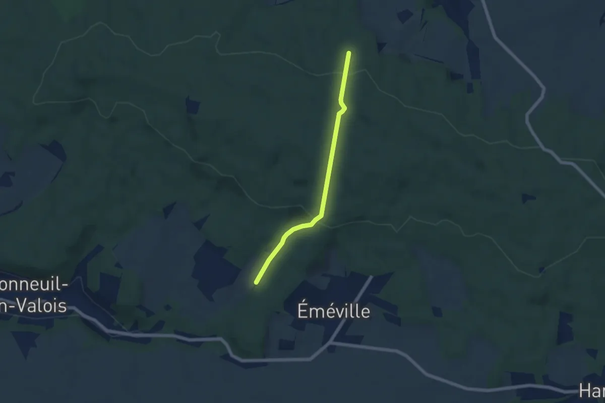
Easy · Trail
Laie d'Eméville
4.7 km · ↑ 182 m · 1 h 30 min
Easy · Trail
Laie de Saint-André
2.6 km · ↑ 53 m · 43 min
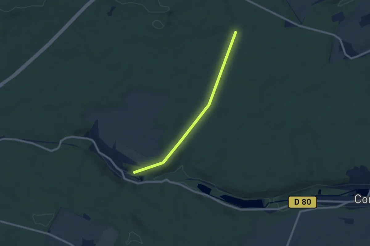
Easy · Trail
Laie des Chamards
5.4 km · ↑ 107 m · 1 h 31 min
Easy · Trail
Laie des Chamarts
5.4 km · ↑ 107 m · 1 h 31 min
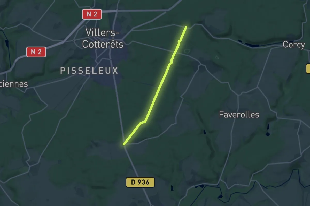
Medium · Trail
Laie des Masures
12.4 km · ↑ 218 m · 3 h 25 min
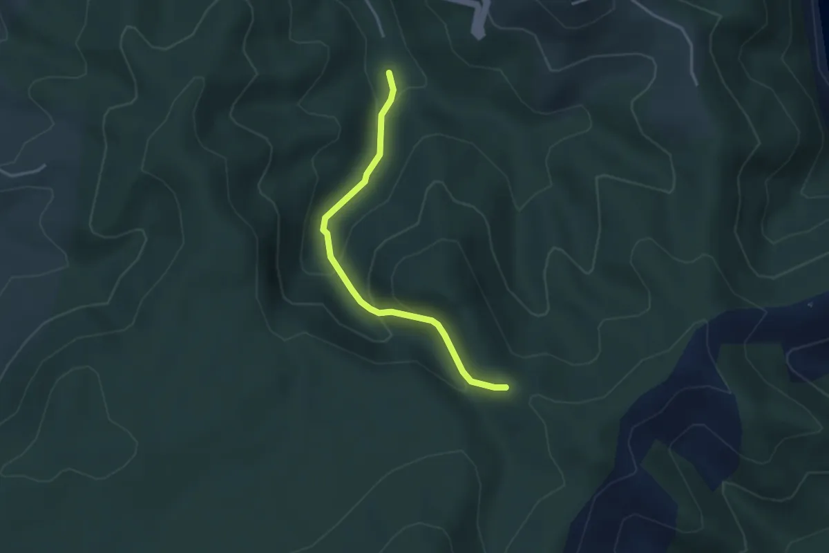
Medium · Trail
L'Aiguille - Bertras
3.2 km · ↑ 186 m · 1 h 9 min
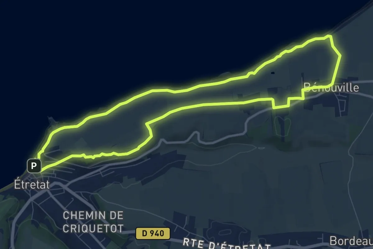
Medium · Trail
L'Aiguille de Belval
8.9 km · ↑ 455 m · 3 h 13 min
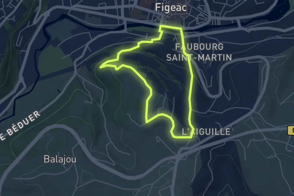
Easy · Trail
L' Aiguille du Pressoir
4.3 km · ↑ 176 m · 1 h 27 min
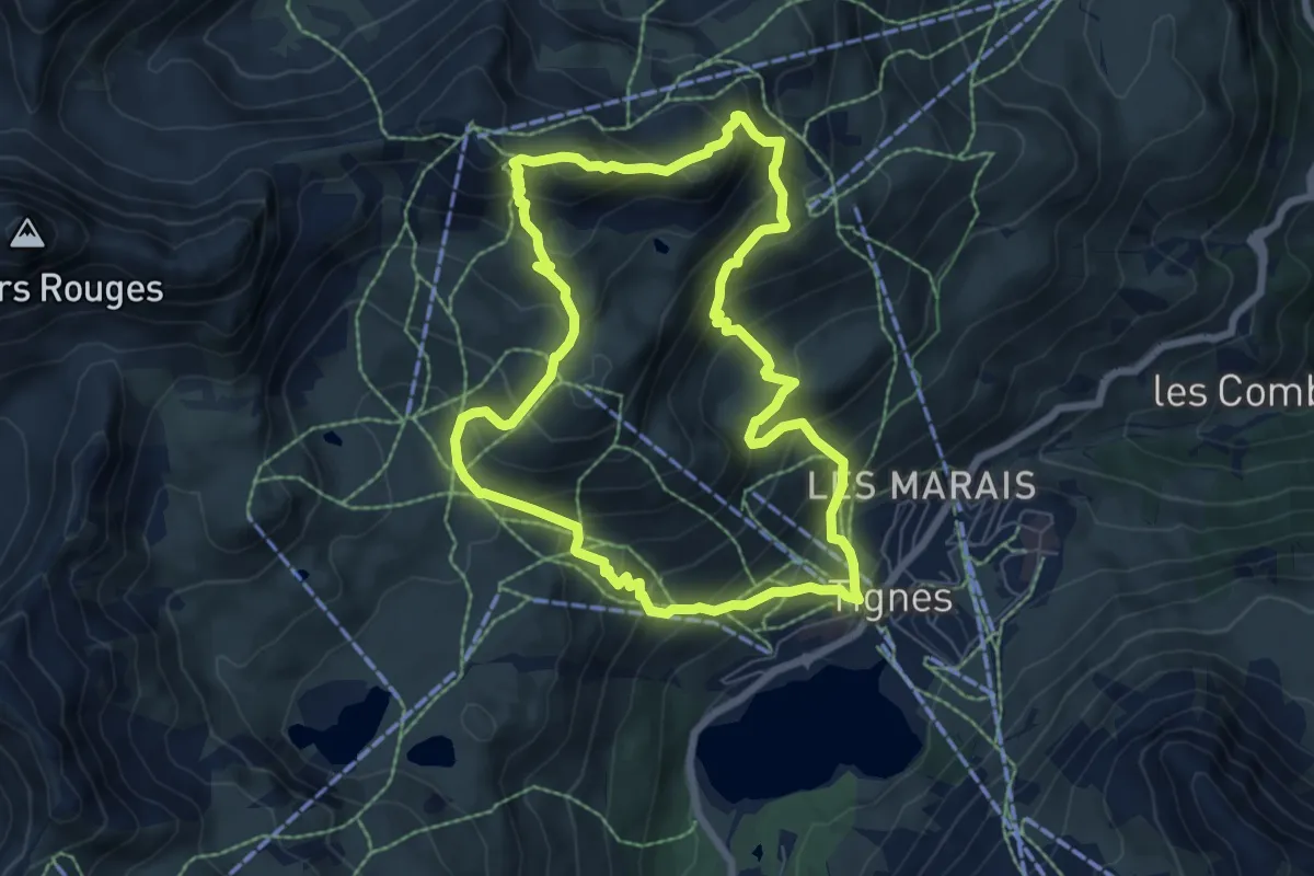
Medium · Summit
L'Aiguille Percée
6.9 km · ↑ 610 m · 3 h 3 min
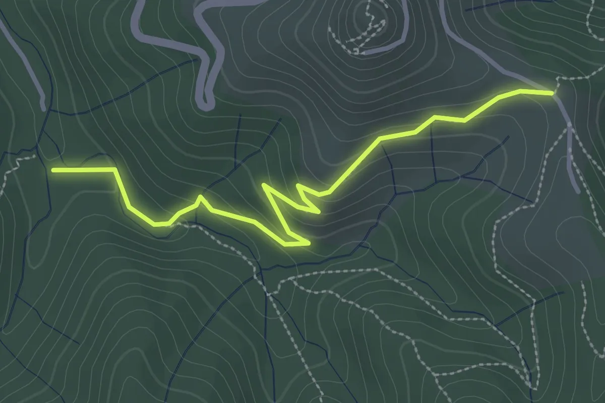
Easy · Trail
L'Aiguille - Richard
3.2 km · ↑ 130 m · 1 h 3 min
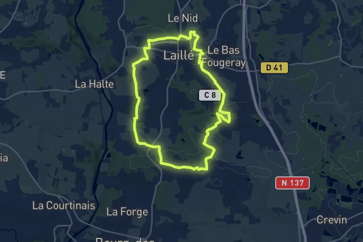
Medium · Trail
Laillé la Chapelle
13.3 km · ↑ 168 m · 3 h 41 min
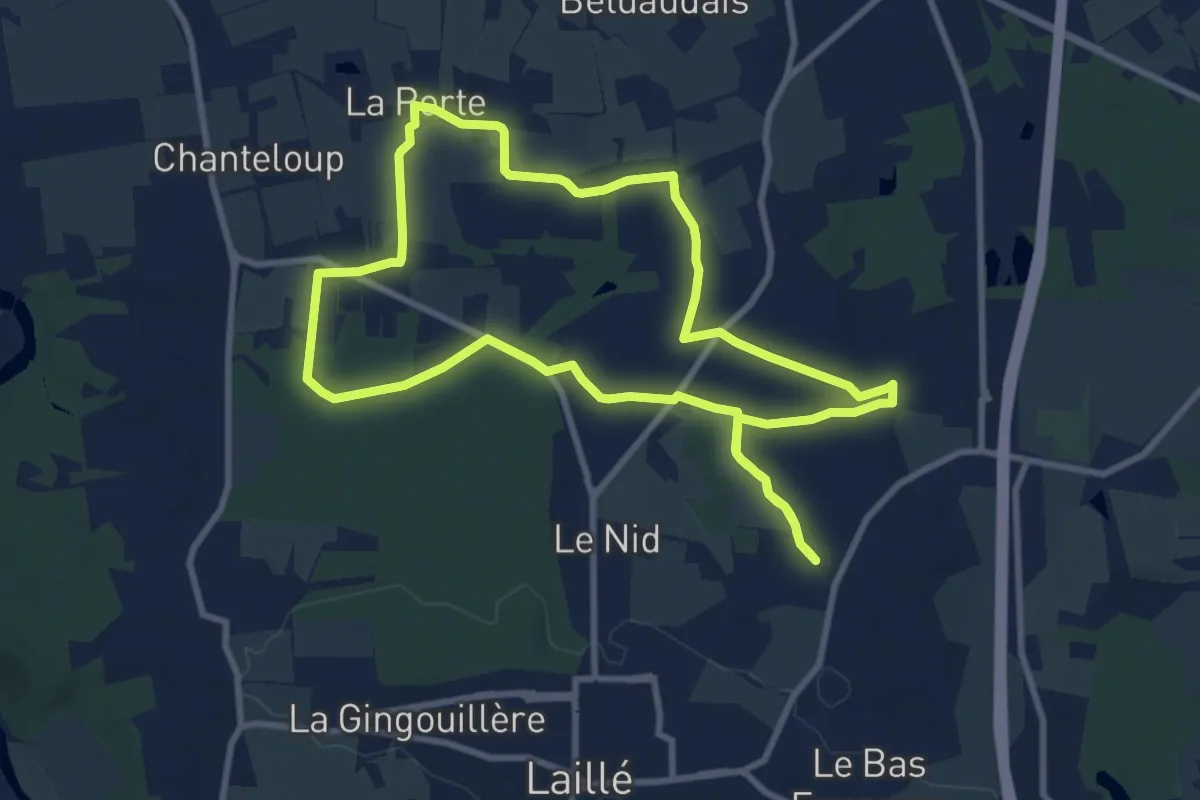
Medium · Trail
Laillé la Roche qui Chôme
8.9 km · ↑ 69 m · 2 h 23 min
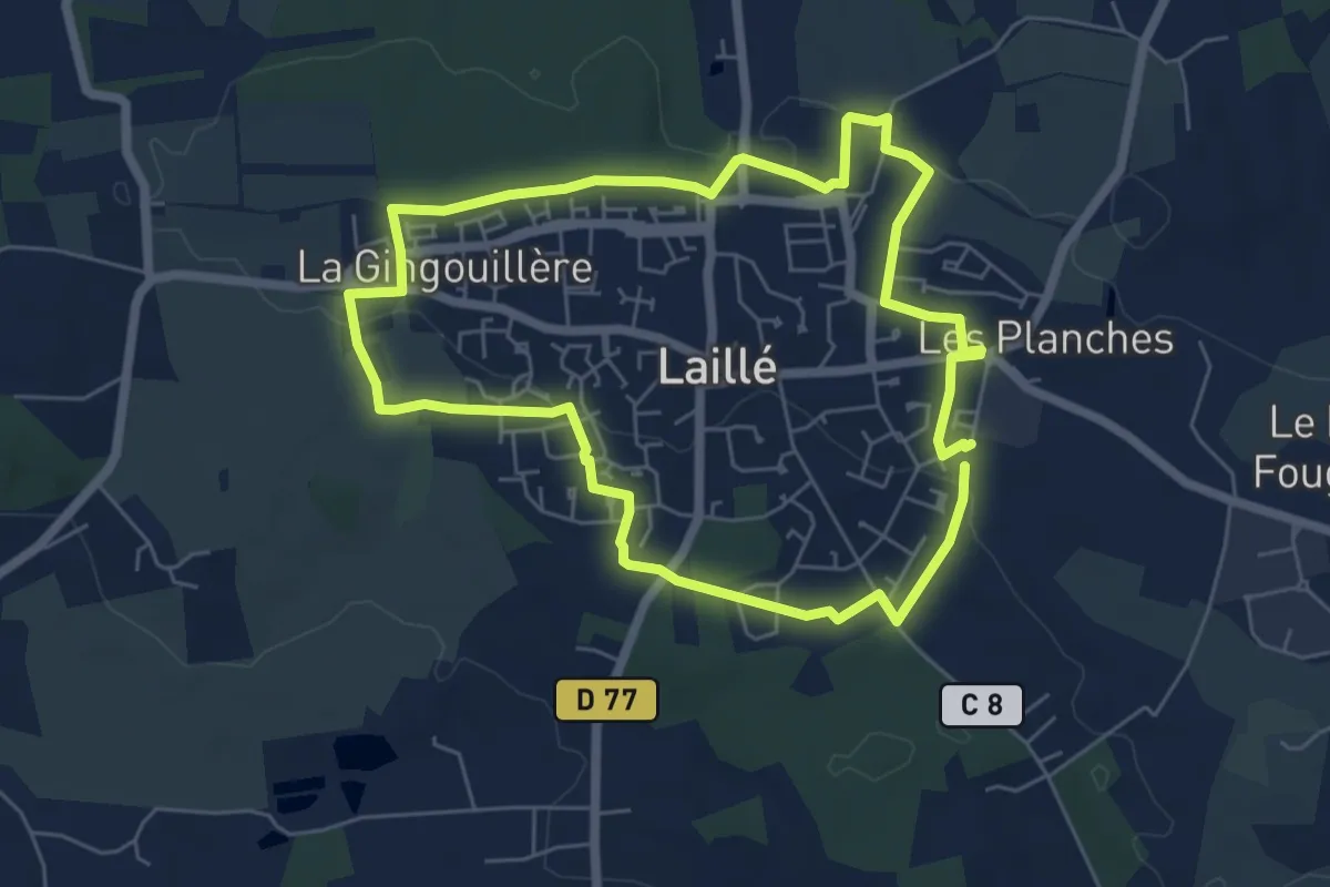
Easy · Trail
Laillé le bourg
5.7 km · ↑ 48 m · 1 h 32 min
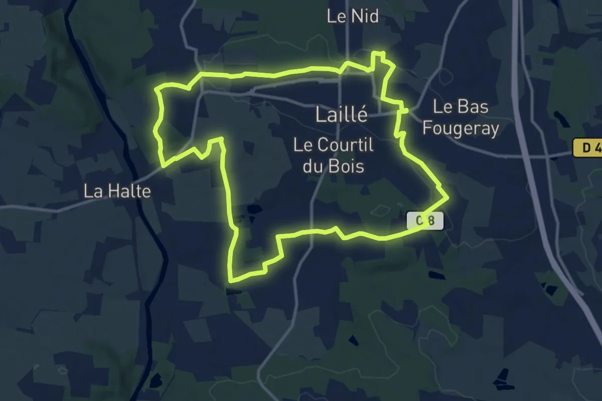
Medium · Trail
Laillé les Vallées
11.0 km · ↑ 152 m · 3 h 5 min
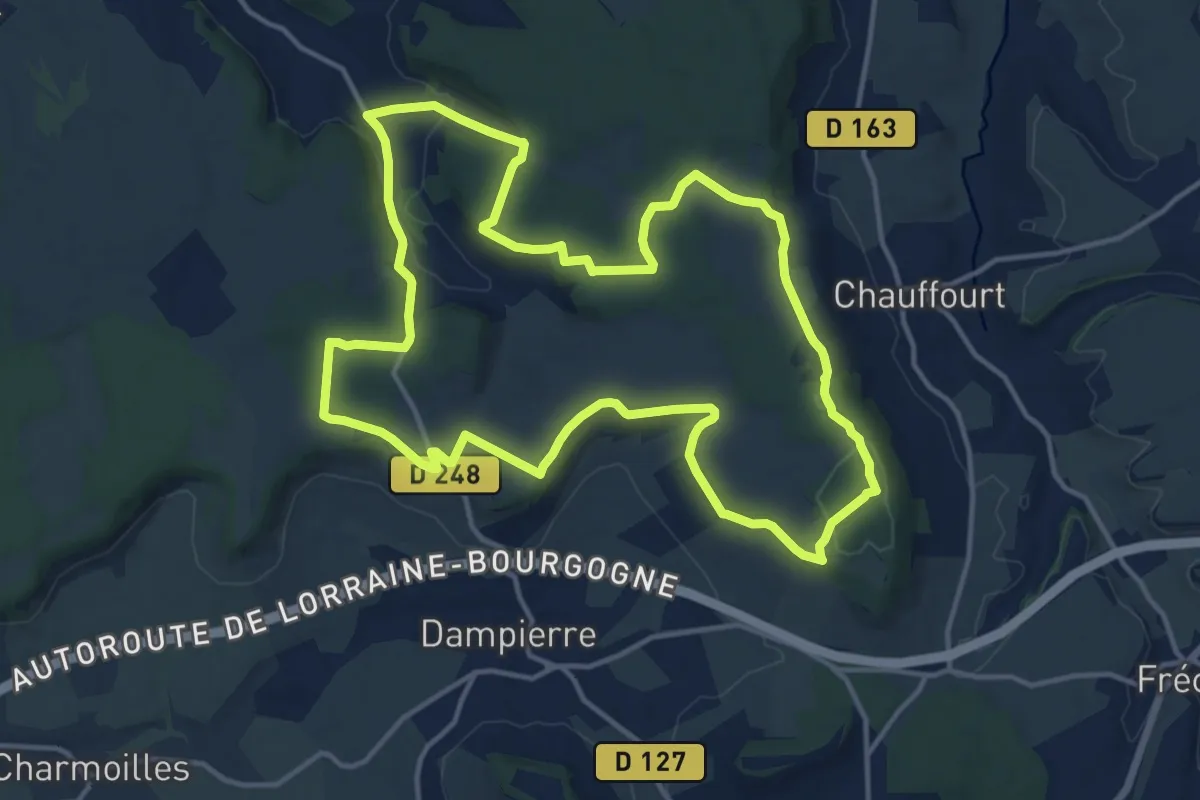
Medium · Trail
La Jaunotte
14.6 km · ↑ 222 m · 4 h 8 min
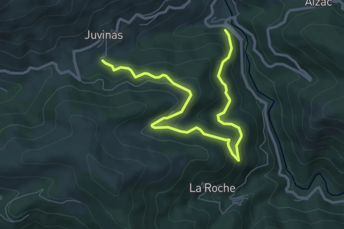
Medium · Trail
La Joie - Sous Juvinas
7.7 km · ↑ 460 m · 2 h 49 min