Trails in France
15,926 hiking trails, each with its route, climb, walking time and grade.
All trails, page 141 of 332
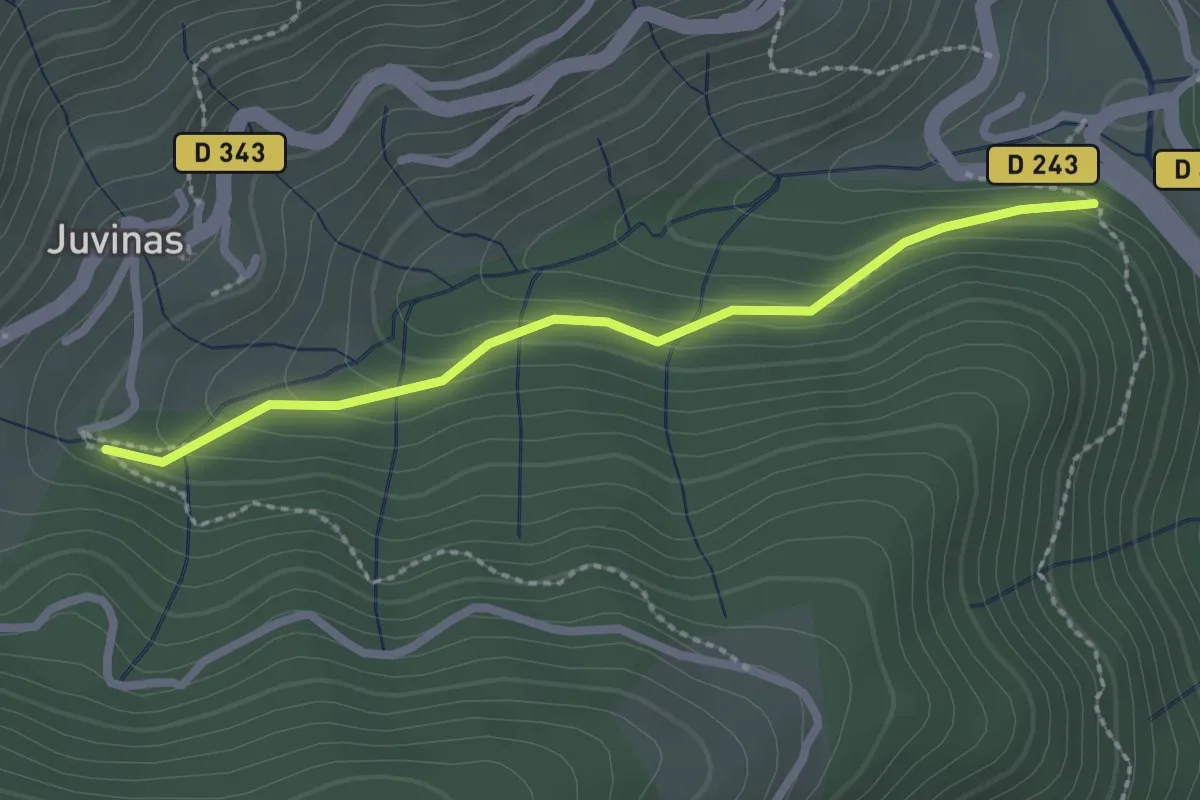
Easy · Trail
La Joie - Sous Juvinas
2.4 km · ↑ 134 m · 51 min
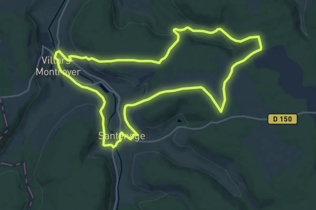
Medium · Trail
La Juchère
11.2 km · ↑ 210 m · 3 h 15 min
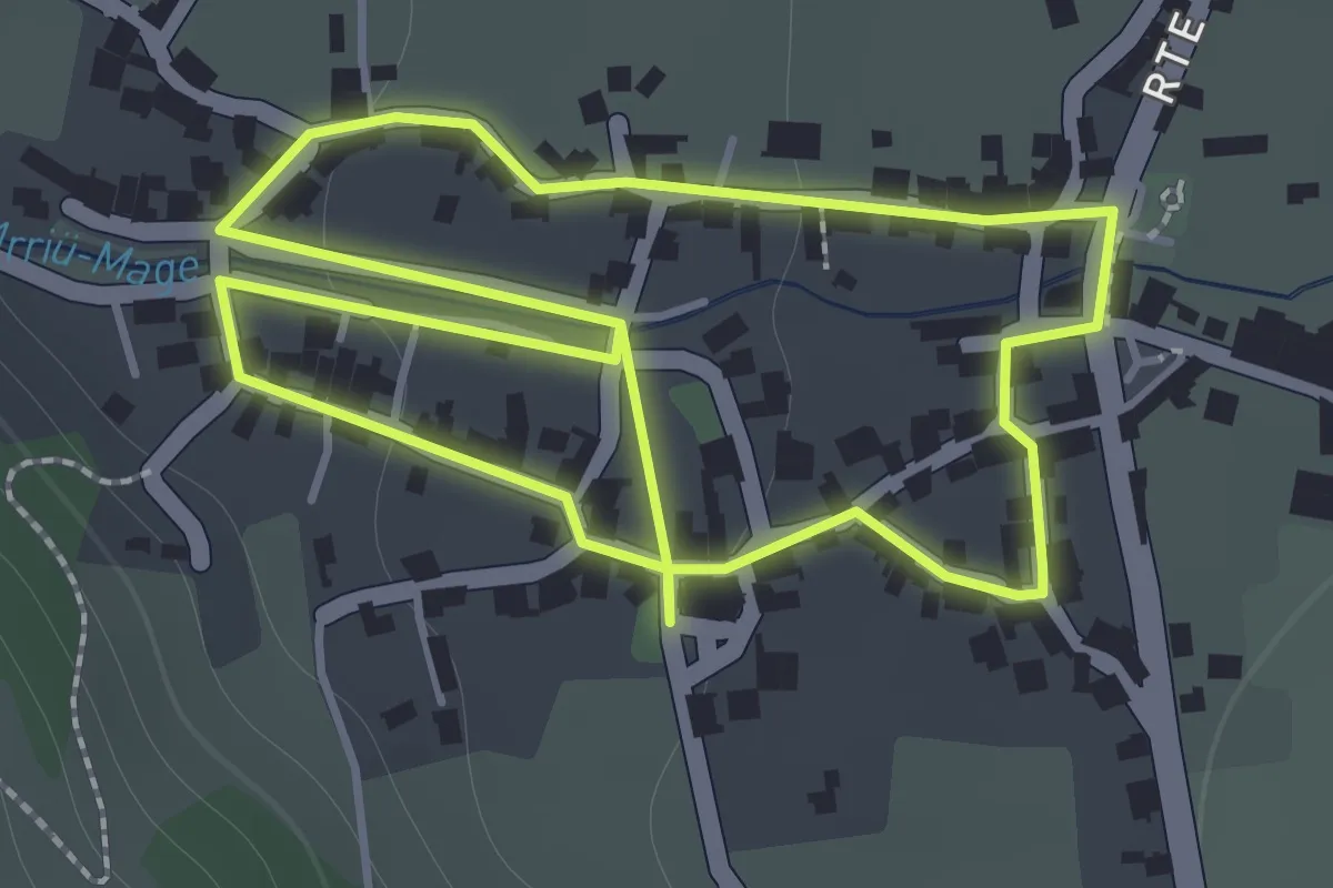
Easy · Trail
La jurade
1.7 km · ↑ 27 m · 29 min
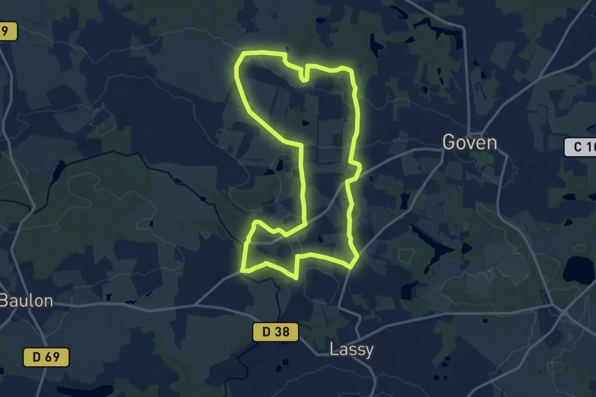
Medium · Trail
La Lande de Caffort
11.4 km · ↑ 97 m · 3 h 3 min
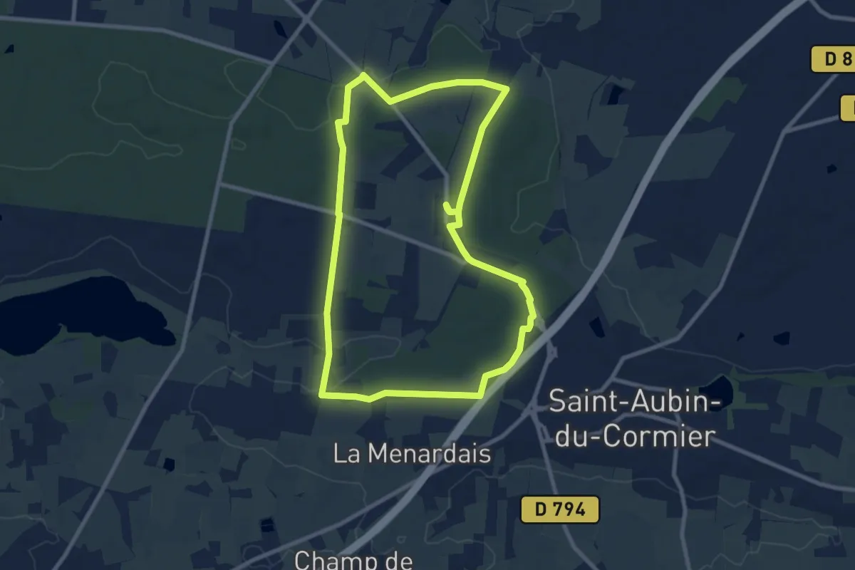
Medium · Trail
La lande de la rencontre
8.2 km · ↑ 77 m · 2 h 12 min
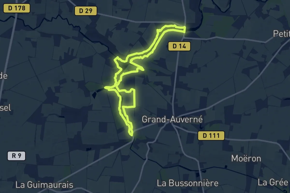
Medium · Trail
La Lande du Don
9.8 km · ↑ 46 m · 2 h 32 min
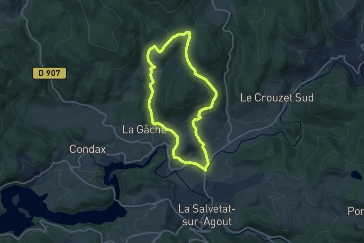
Medium · Trail
La Lauze
9.3 km · ↑ 289 m · 2 h 57 min
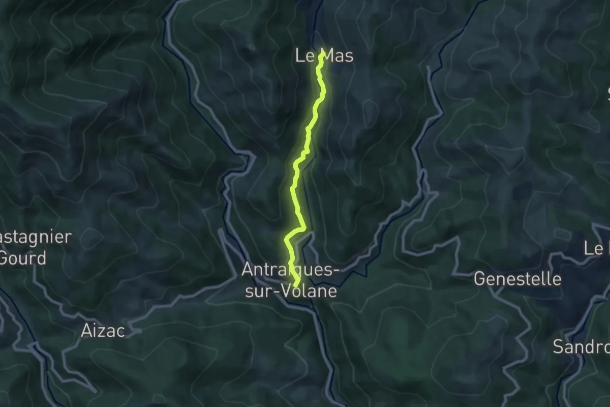
Easy · Trail
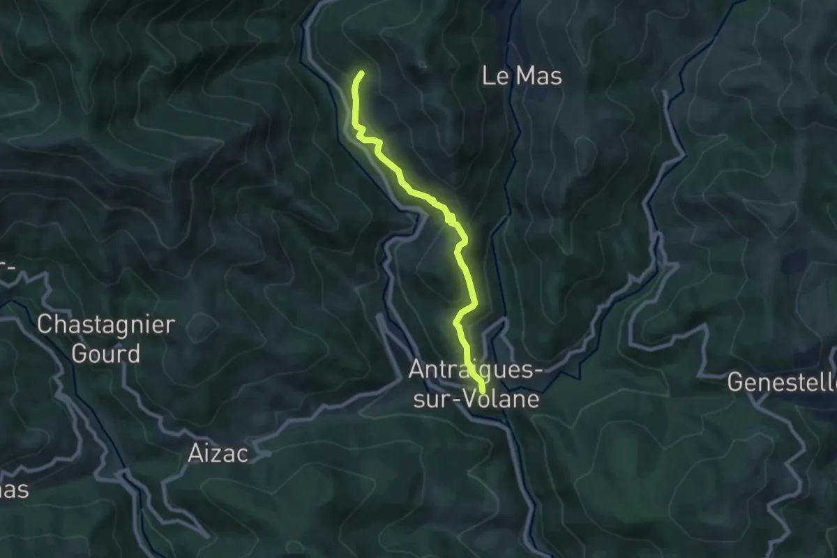
La Lermuse - Le Mas
6.1 km · ↑ 240 m · 1 h 58 min
Medium · Trail
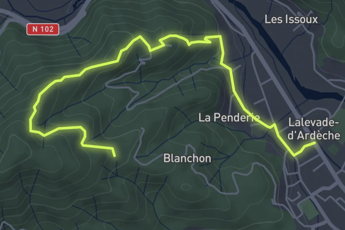
La Lermuse - Le Saint-Vincent
7.0 km · ↑ 462 m · 2 h 39 min
Easy · Trail
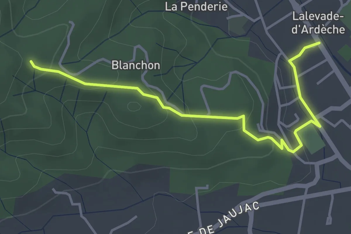
Lalevade-d'Ardèche - Martinesche
6.6 km · ↑ 308 m · 2 h 13 min
Easy · Trail
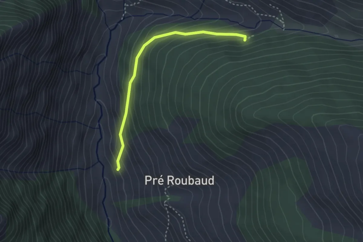
Lalevade-d'Ardèche - Martinesche
3.9 km · ↑ 146 m · 1 h 14 min
Easy · Trail
La Levée - Ancien Canal
3.0 km · ↑ 222 m · 1 h 12 min
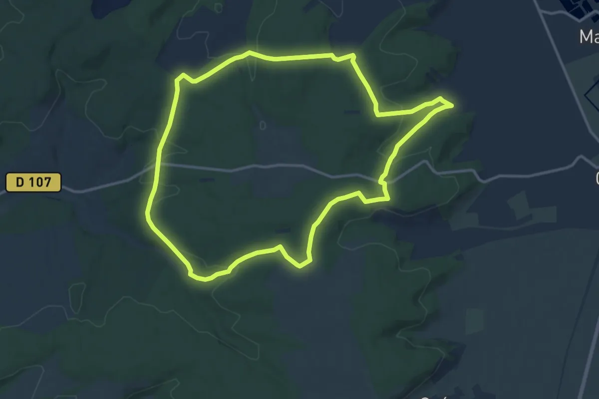
Medium · Trail
La Lièvre
11.4 km · ↑ 256 m · 3 h 24 min
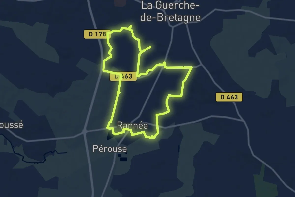
Easy · Trail
La ligne des deux Sallerie
8.0 km · ↑ 36 m · 2 h 4 min
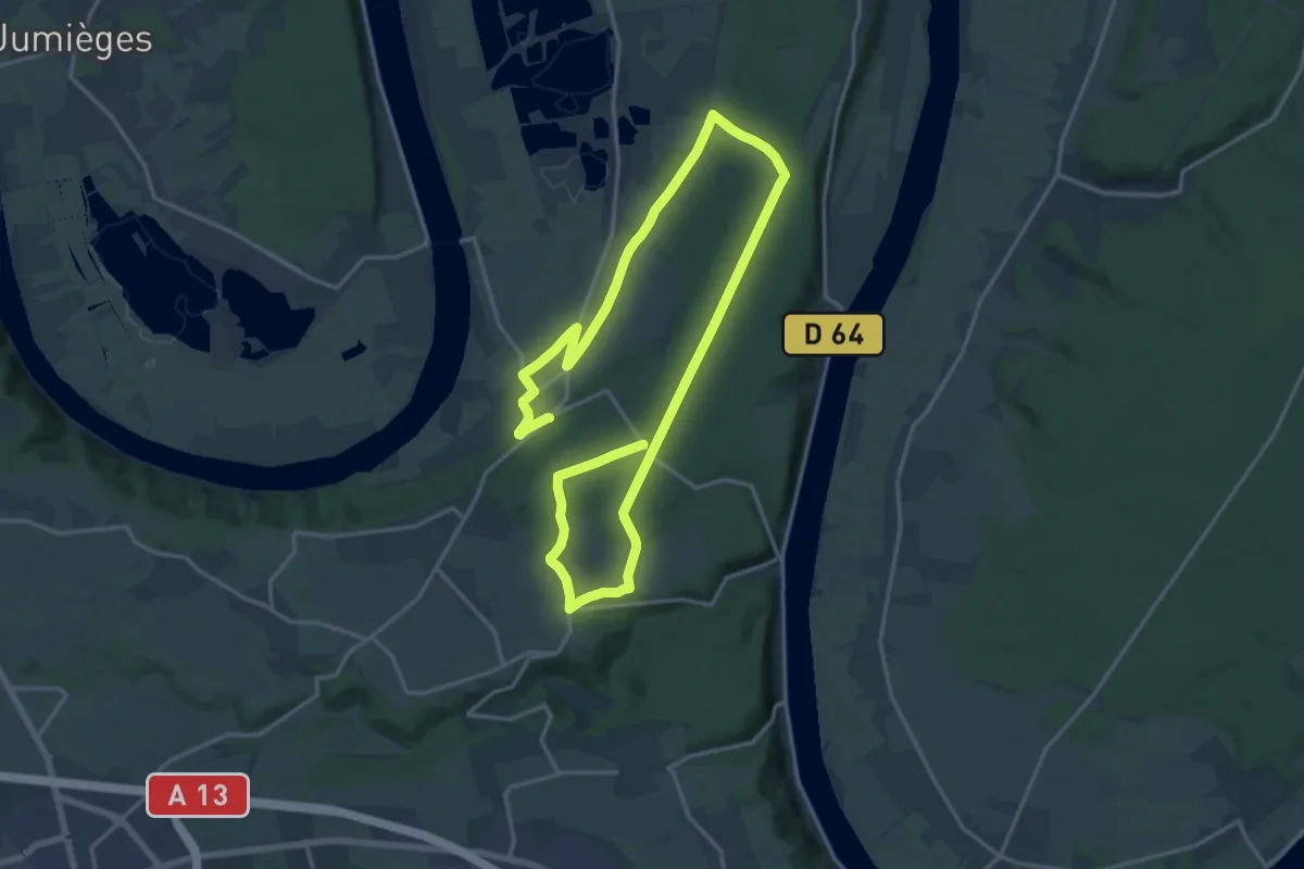
Medium · Trail
La Ligne des Hêtres
13.6 km · ↑ 143 m · 3 h 43 min
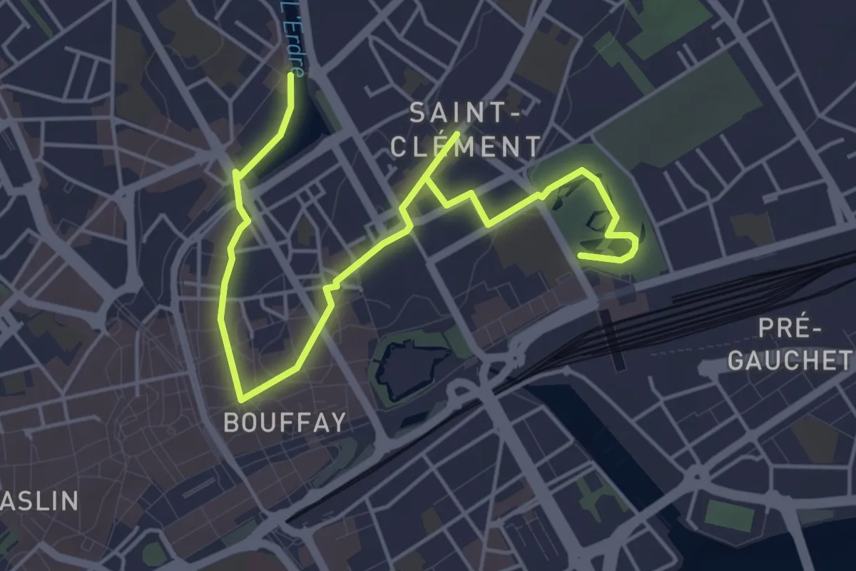
Easy · Trail
La Ligne Verte
6.0 km · ↑ 22 m · 1 h 28 min
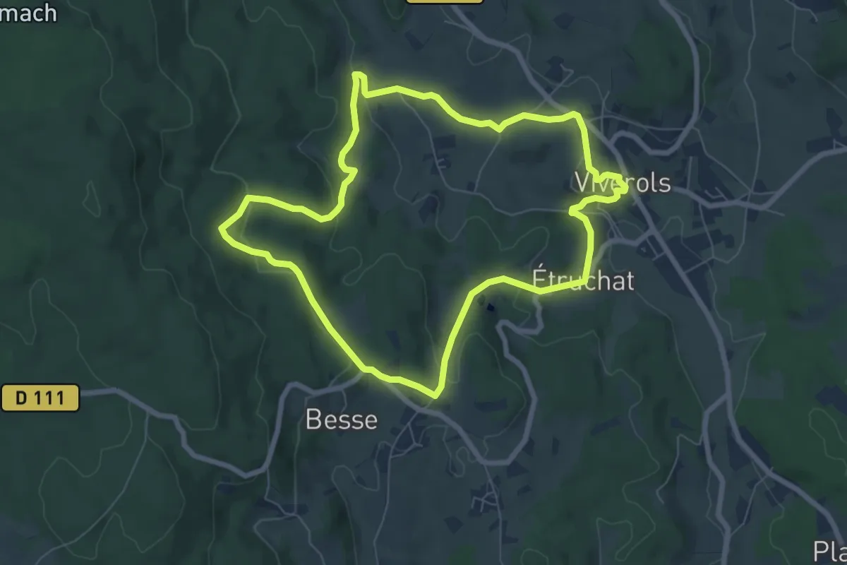
Easy · Trail
La Ligonne
6.9 km · ↑ 190 m · 2 h 8 min
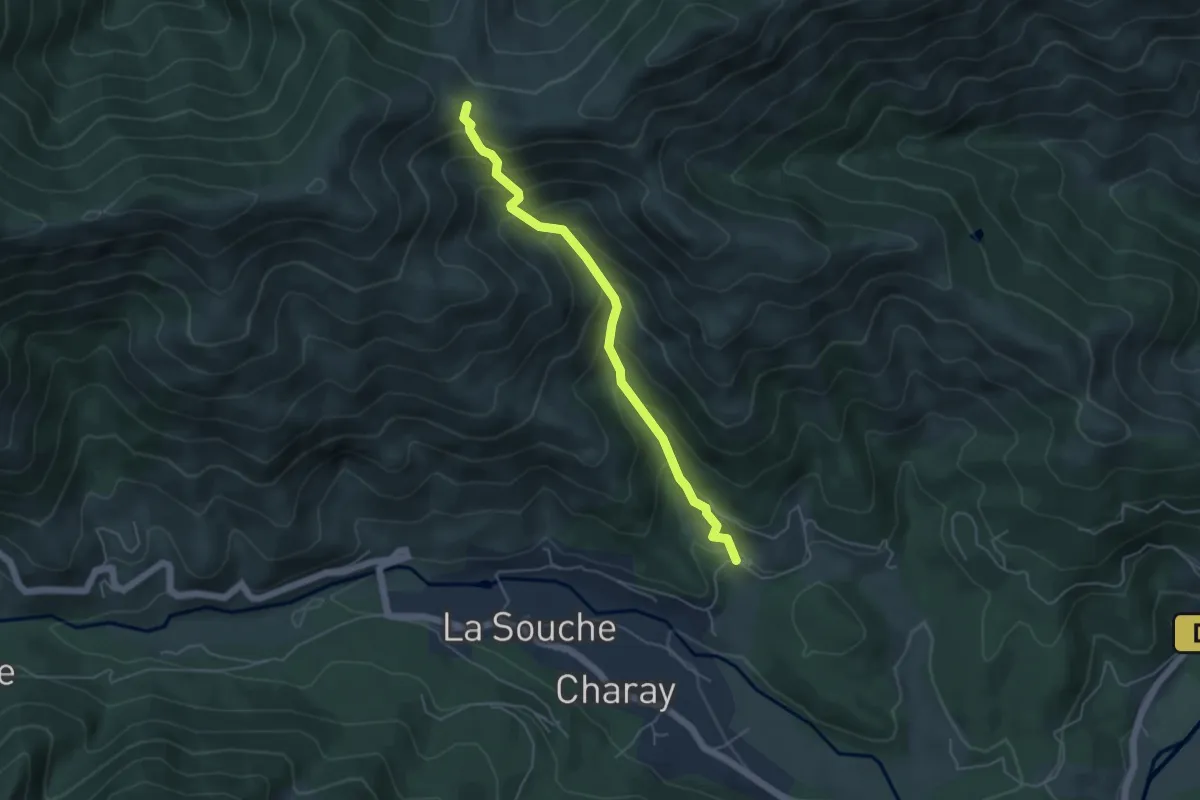
Medium · Trail
La Lioure - Fontfreyde
4.9 km · ↑ 473 m · 2 h 11 min
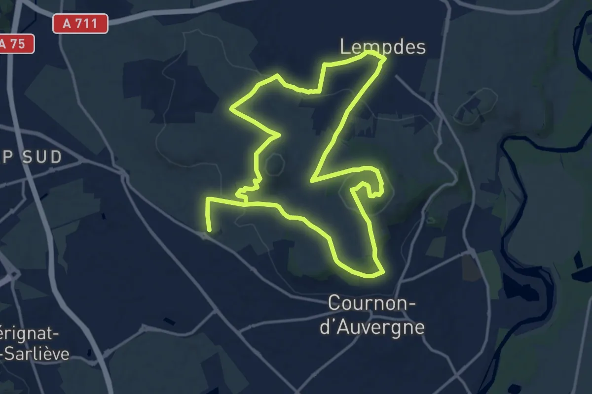
Medium · Summit
L'Allier et le Puy de Bane
11.9 km · ↑ 297 m · 3 h 38 min
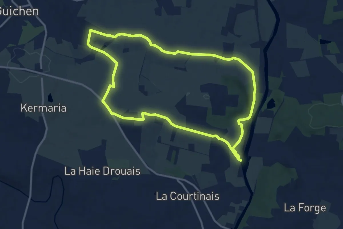
Medium · Trail
La Locquenais
8.5 km · ↑ 143 m · 2 h 25 min
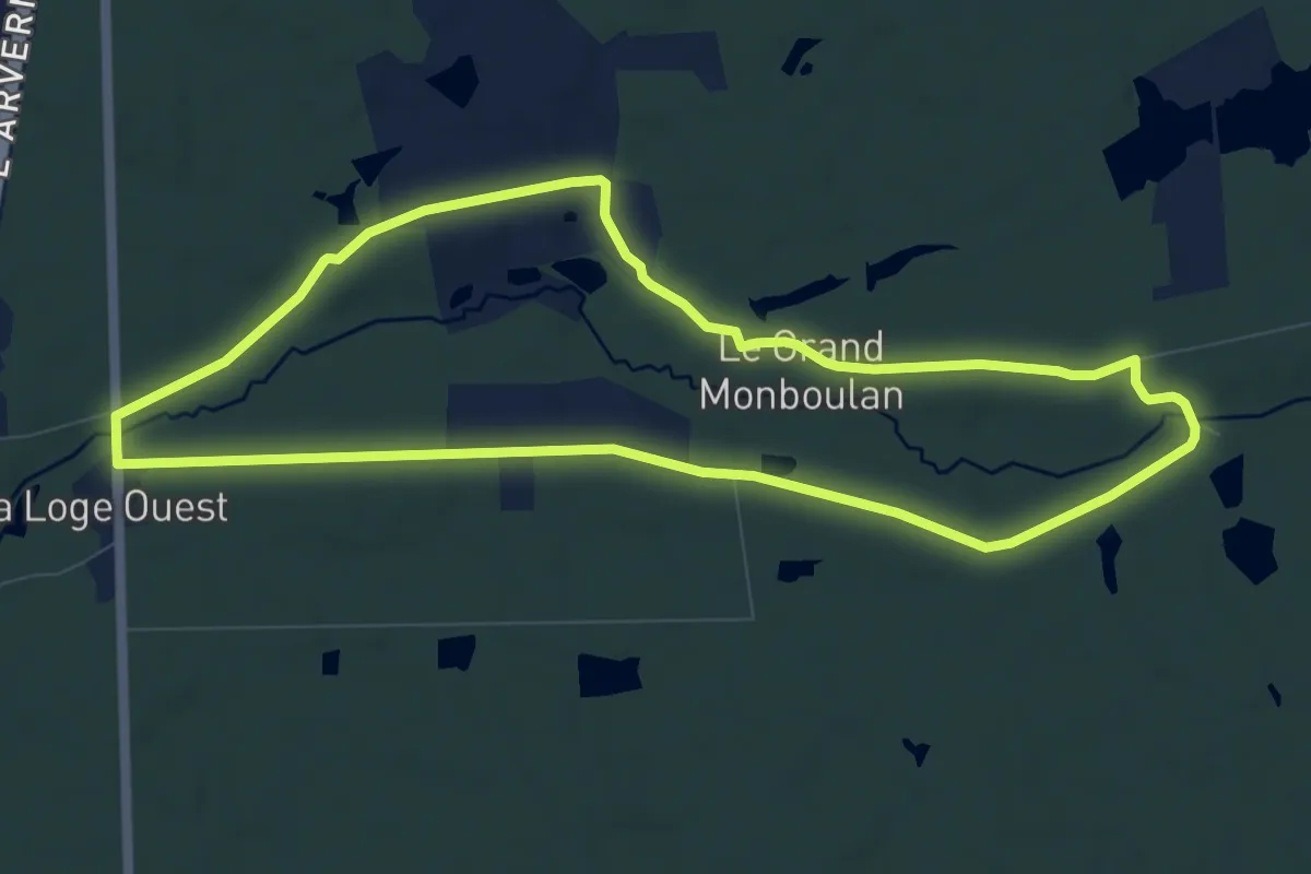
Medium · Trail
La Loge
9.3 km · ↑ 41 m · 2 h 24 min
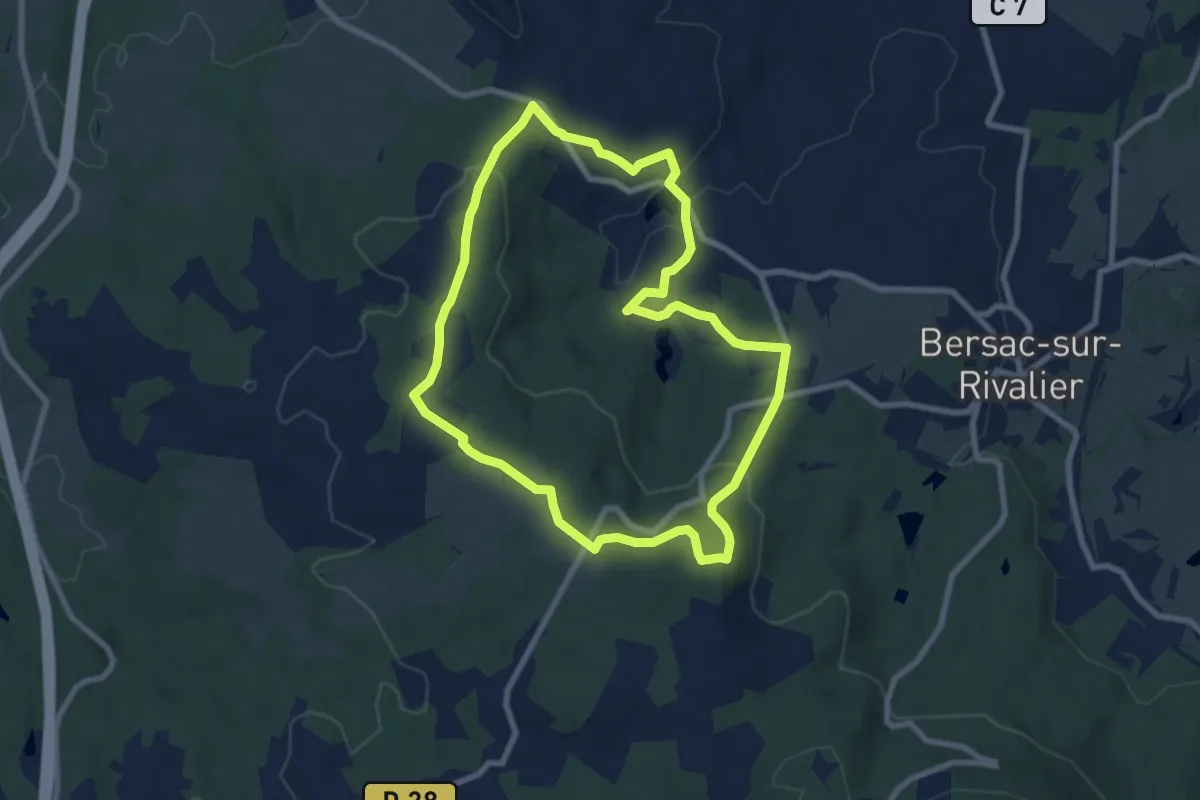
Easy · Summit
La Loge du Puy de l"Age
8.0 km · ↑ 190 m · 2 h 24 min
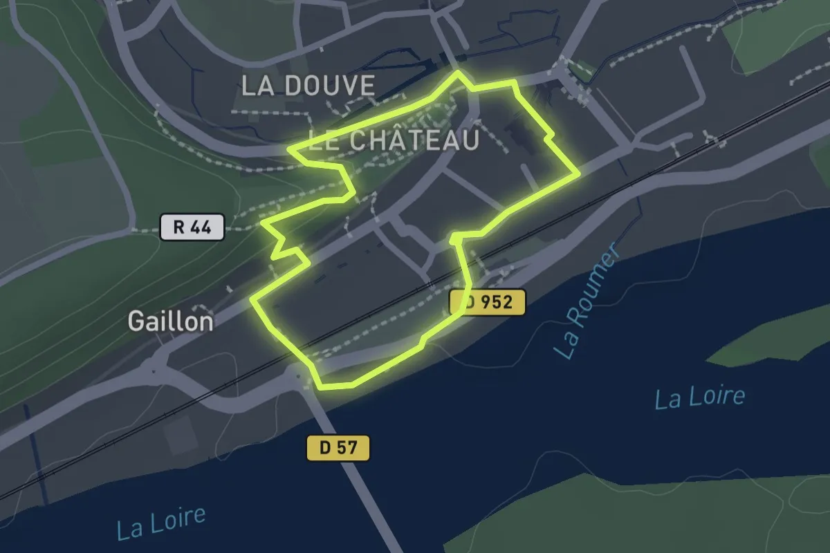
Easy · Trail
La Loire - Langeais
1.8 km · ↑ 29 m · 30 min
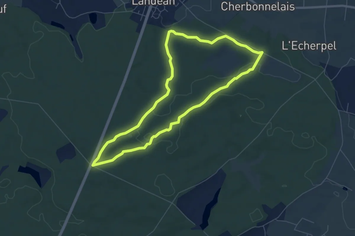
Easy · Trail
La Longue Noë
6.2 km · ↑ 72 m · 1 h 42 min
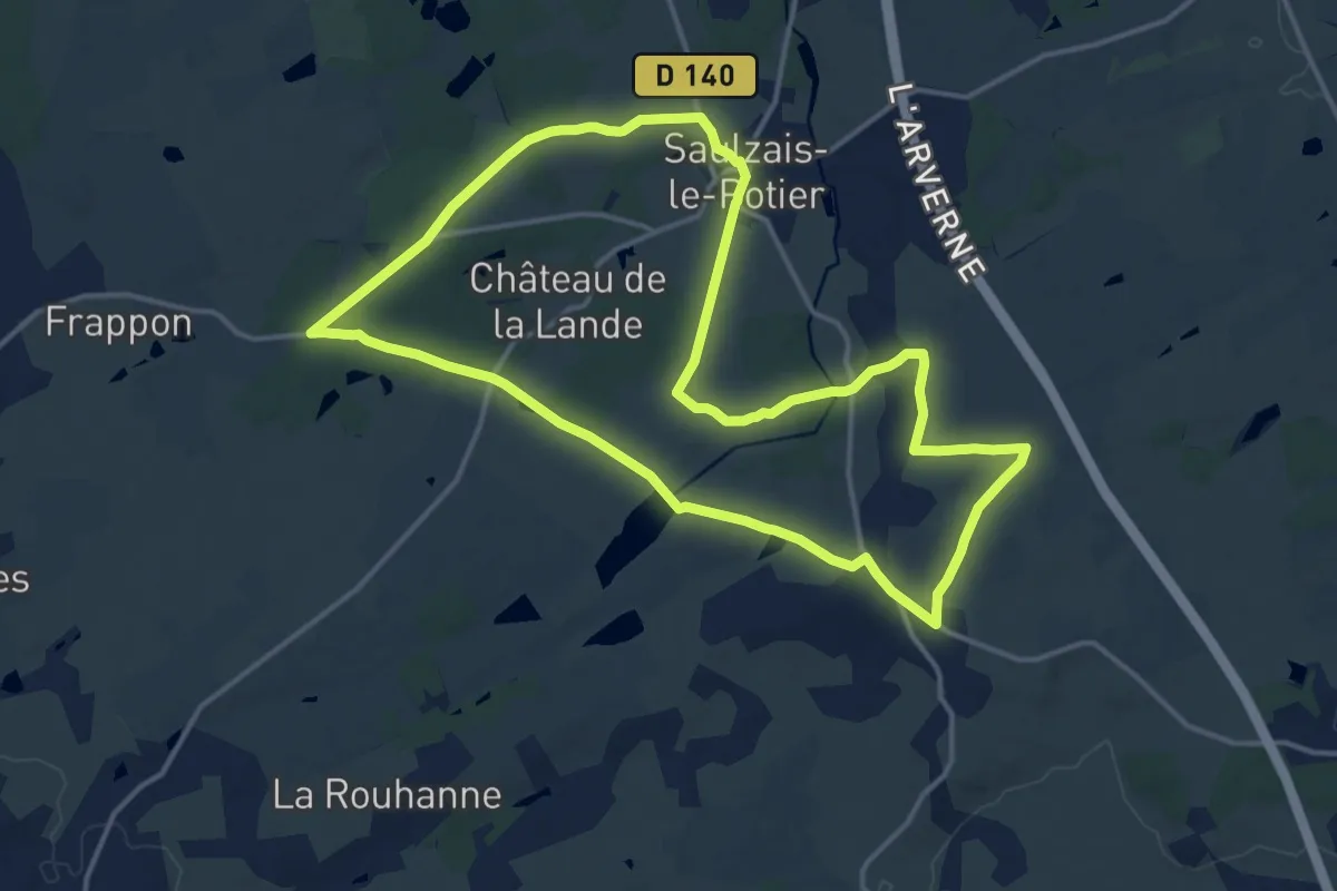
Medium · Trail
La Loubière
15.1 km · ↑ 116 m · 4 h 2 min
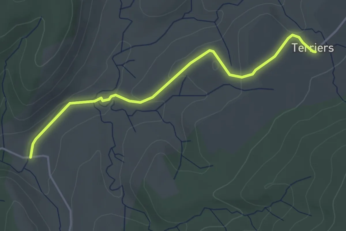
Easy · Trail
La Loubière - Les Terriers
4.0 km · ↑ 99 m · 1 h 10 min
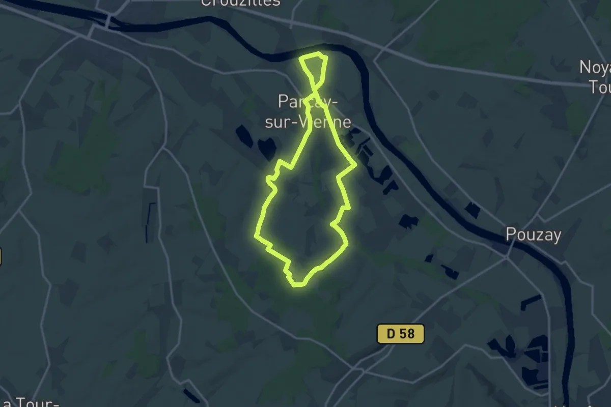
Medium · Trail
La Louine
12.4 km · ↑ 79 m · 3 h 17 min
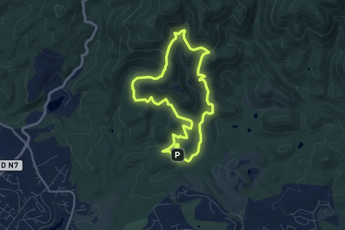
Easy · Trail
La Louve (bleu)
7.2 km · ↑ 287 m · 2 h 26 min
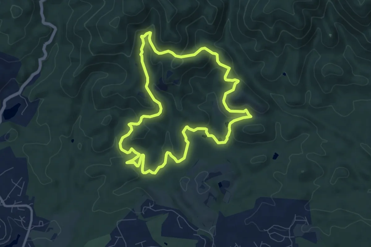
Medium · Summit
La Louve (jaune)
8.6 km · ↑ 248 m · 2 h 42 min
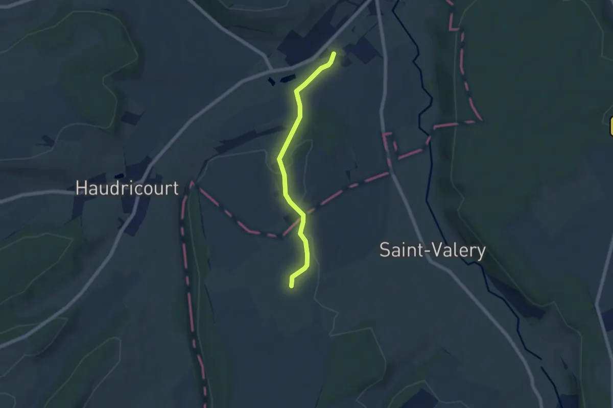
Easy · Trail
La Lozière
7.0 km · ↑ 154 m · 1 h 59 min
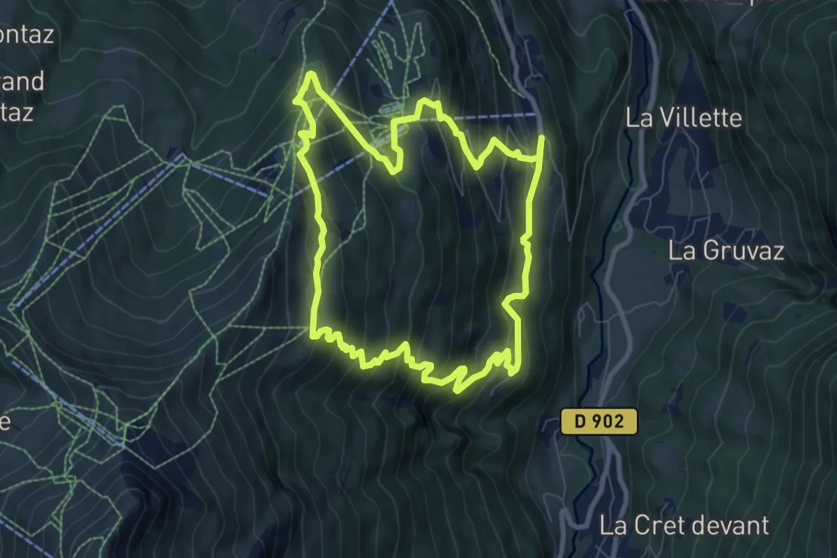
Medium · Trail
L'Alpage de Porcherey
7.9 km · ↑ 594 m · 3 h 15 min
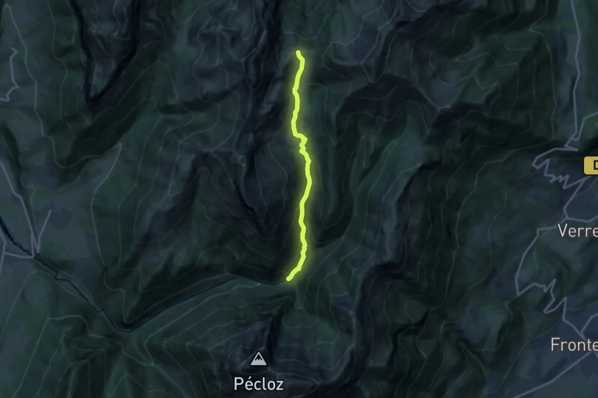
Medium · Trail
L'alpage et le Col d'Orgeval
9.9 km · ↑ 739 m · 3 h 56 min
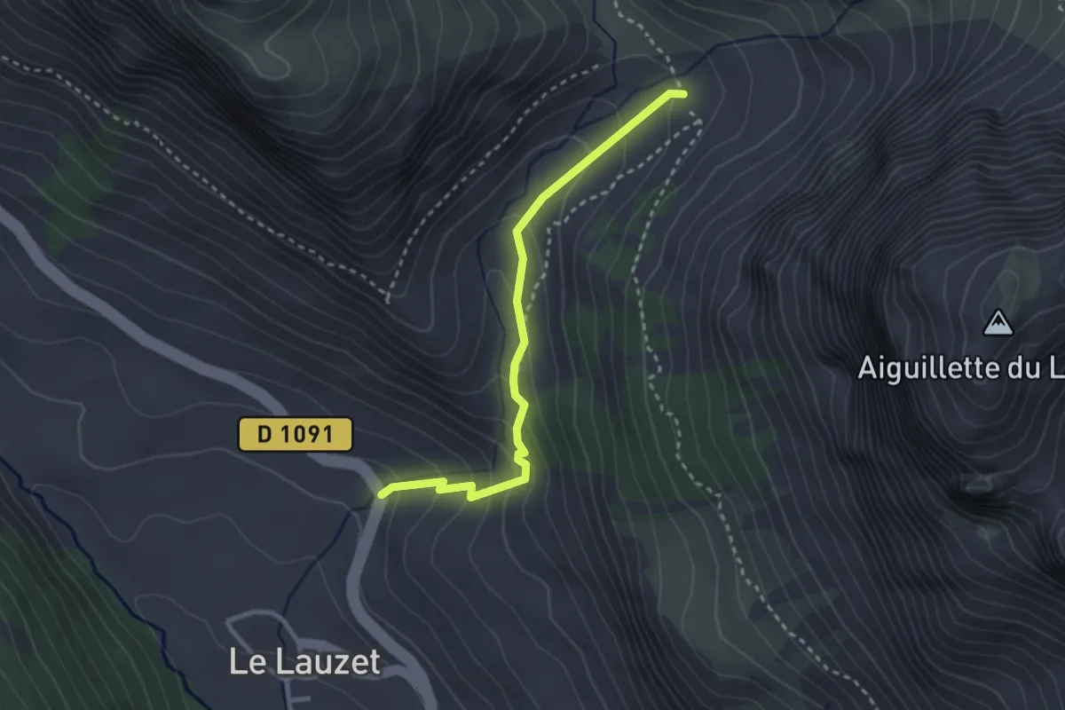
Medium · Trail
L'Alpe du Lauzet - Pont de l'Alpe
2.9 km · ↑ 226 m · 1 h 10 min
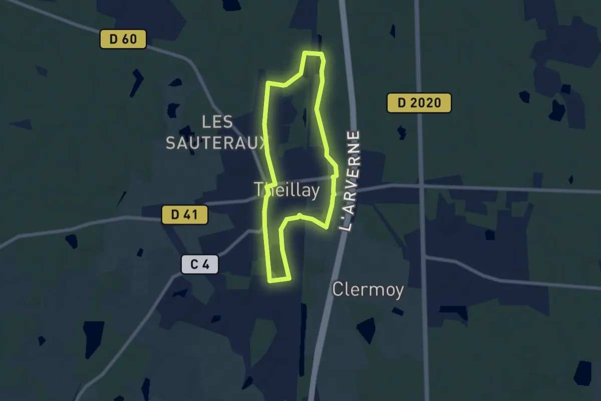
Easy · Trail
La Magdeleine
5.2 km · ↑ 18 m · 1 h 21 min
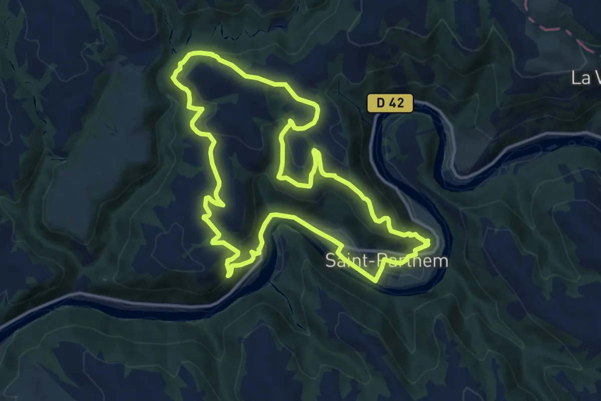
Medium · Trail
La maison de la rivière
11.8 km · ↑ 502 m · 4 h 3 min
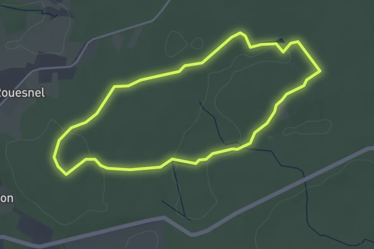
Easy · Trail
La Maison des Feins
3.2 km · ↑ 33 m · 52 min
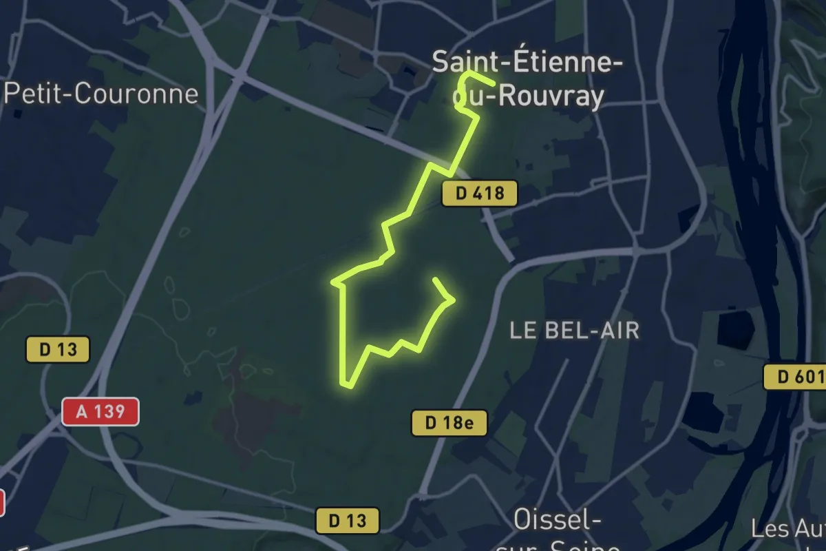
Medium · Trail
La Maison des Forêts
12.9 km · ↑ 97 m · 3 h 16 min
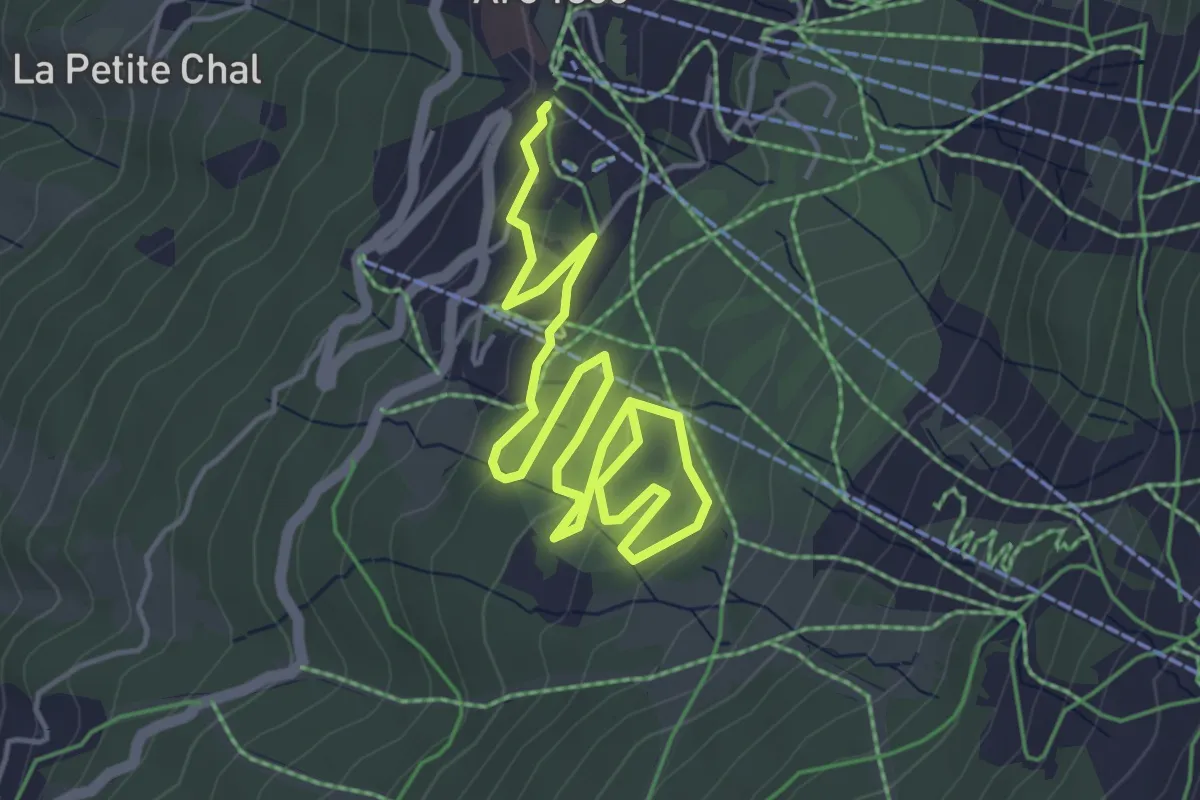
Easy · Trail
La Maïtaz
3.2 km · ↑ 138 m · 1 h 4 min
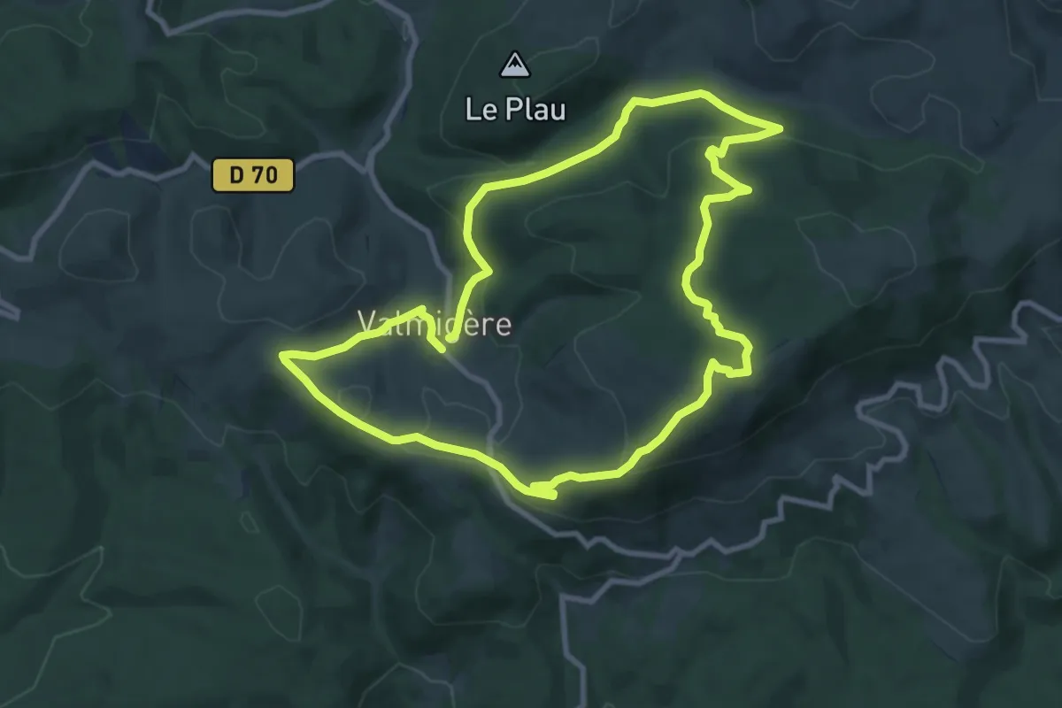
Medium · Trail
La Malboisie
9.4 km · ↑ 294 m · 2 h 59 min
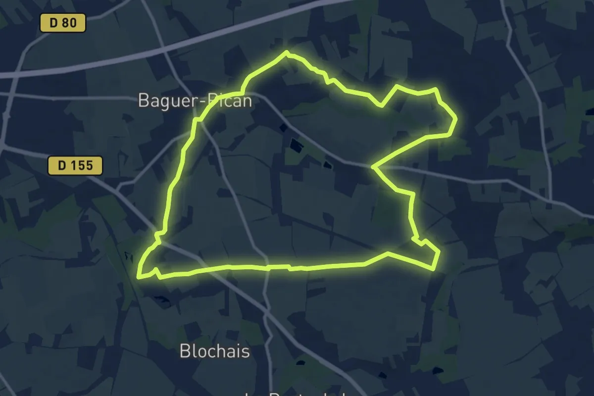
Medium · Trail
La Mancelière
10.8 km · ↑ 77 m · 2 h 52 min
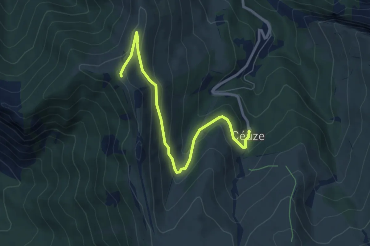
Easy · Summit
La Manche
6.5 km · ↑ 289 m · 2 h 10 min
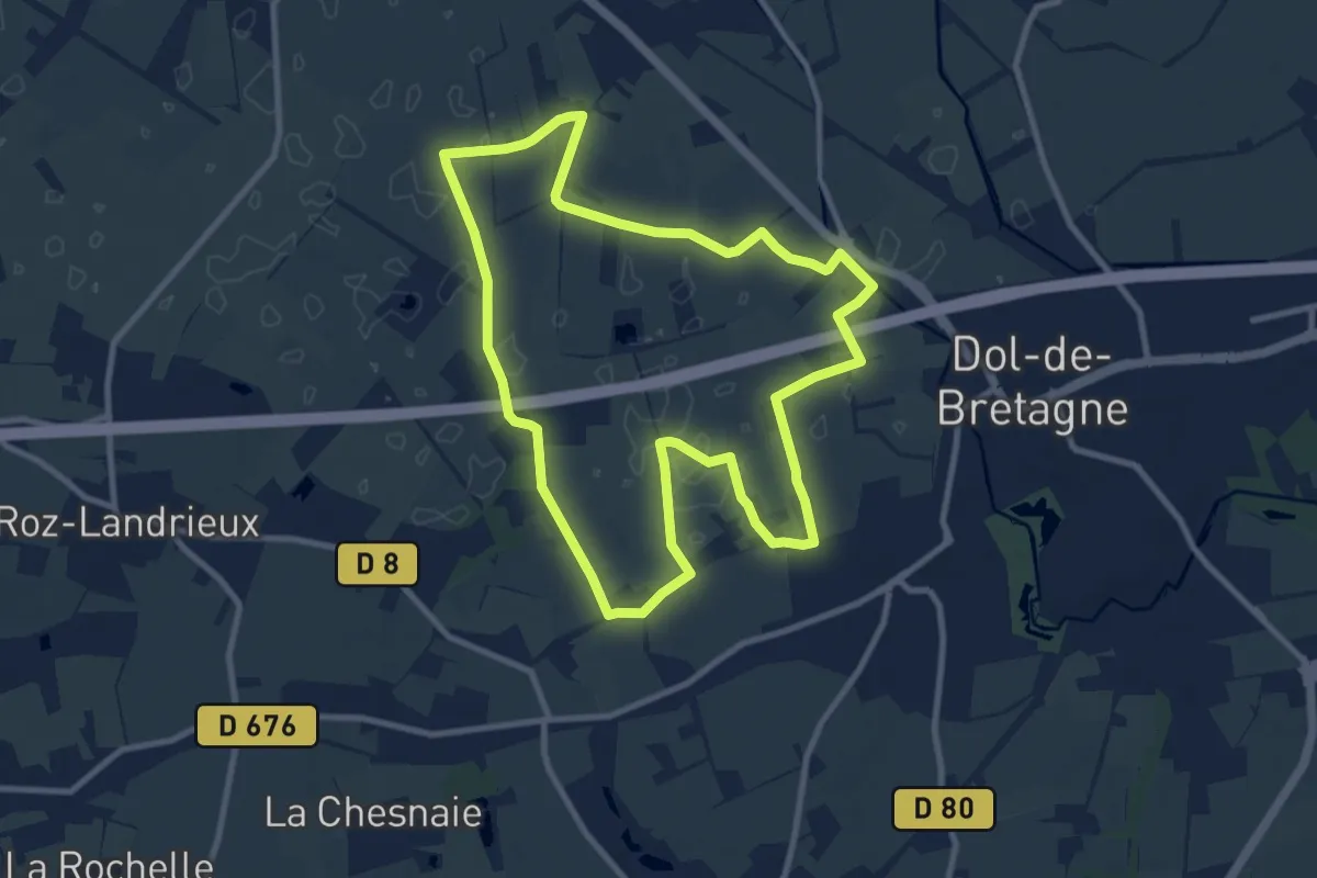
Medium · Trail
La Marais Noir
9.5 km · ↑ 18 m · 2 h 24 min
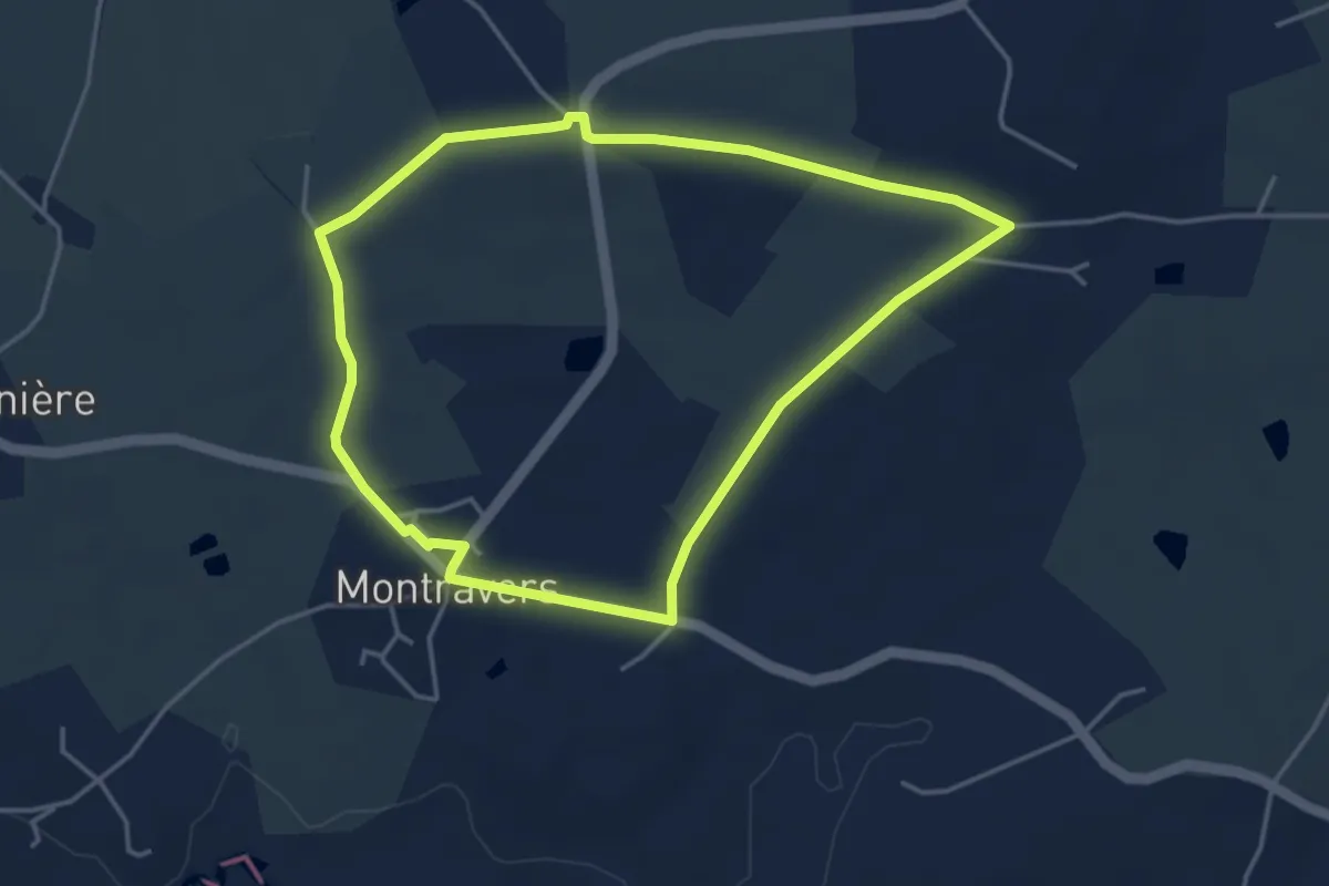
Easy · Trail
La Marandière
4.0 km · ↑ 31 m · 1 h 4 min
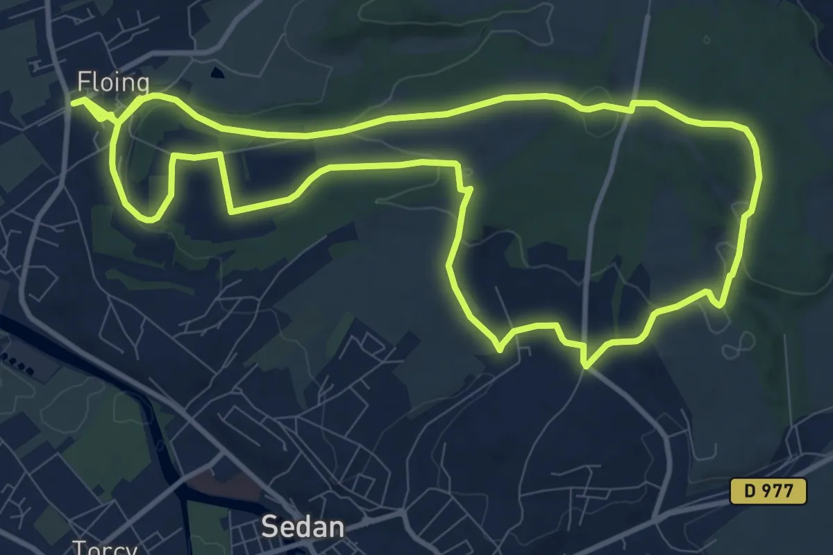
Medium · Trail
La Marche de la Division Margueritte
10.2 km · ↑ 217 m · 3 h
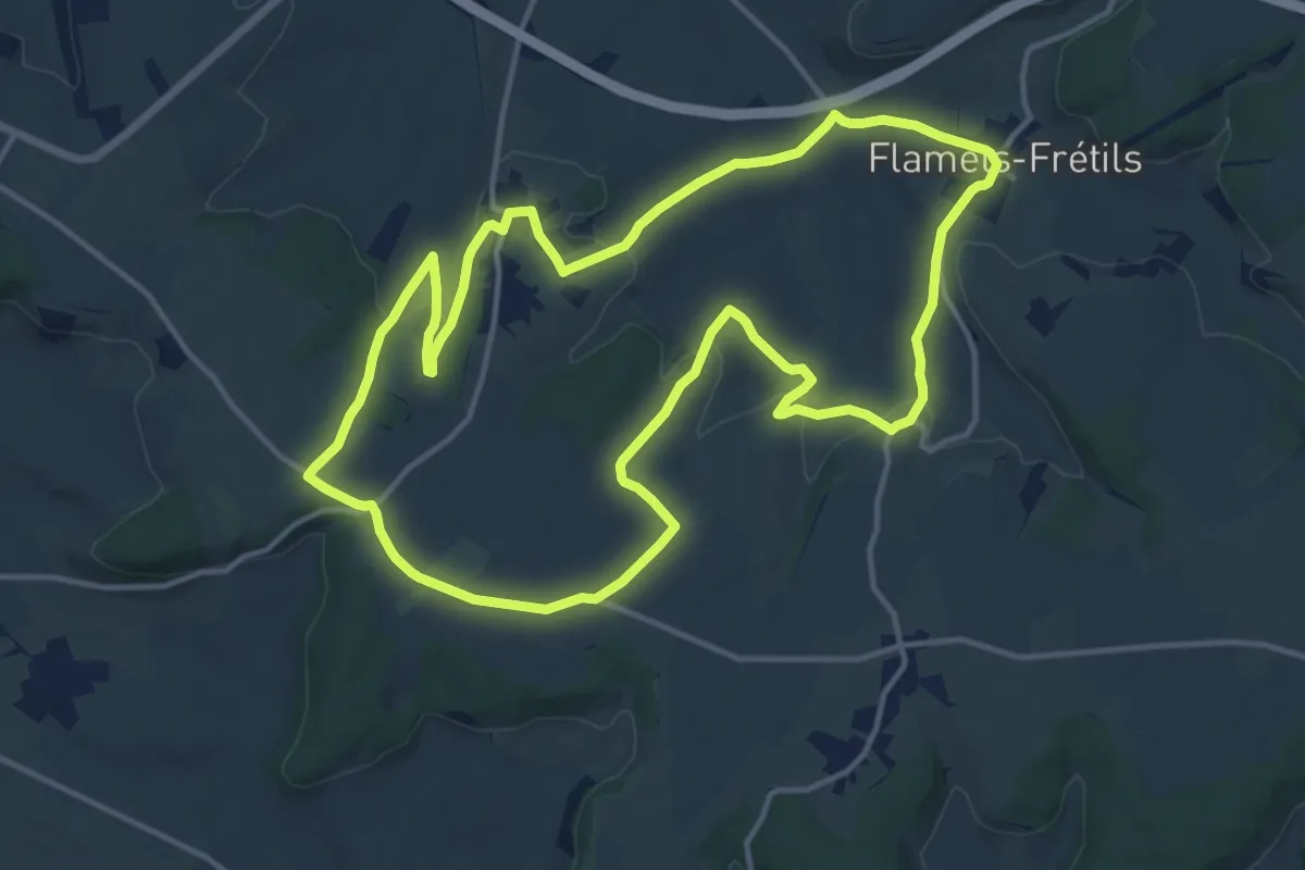
Medium · Trail
La Mare aux Daims
13.9 km · ↑ 226 m · 3 h 57 min
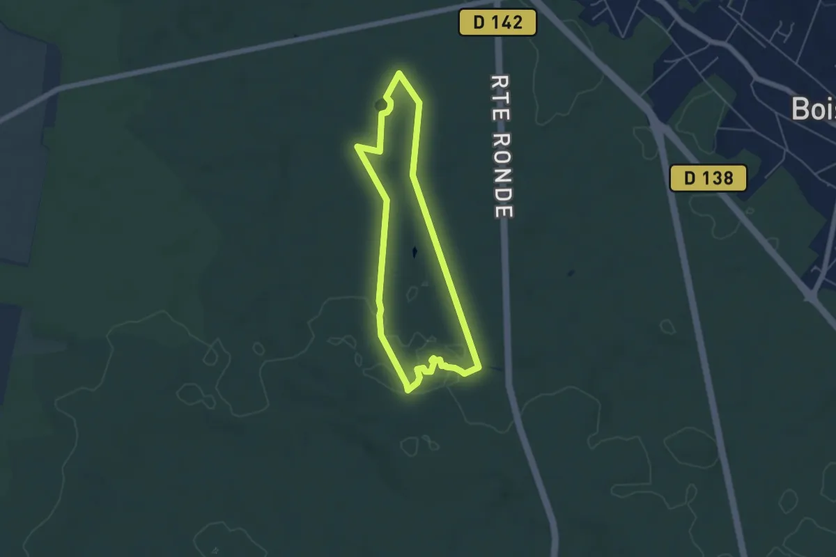
Easy · Trail
La Mare aux Évées
4.3 km · ↑ 26 m · 1 h 8 min
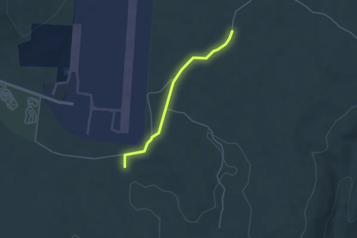
Easy · Trail
La Mare - Barsac
3.0 km · ↑ 56 m · 50 min
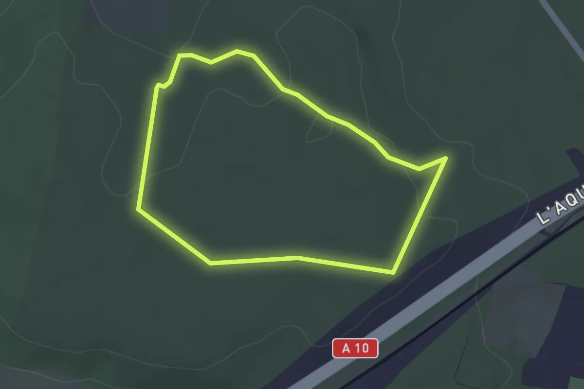
Easy · Trail
La Mare des 3 Ruisseaux
2.7 km · ↑ 46 m · 47 min