Trails in France
15,926 hiking trails, each with its route, climb, walking time and grade.
All trails, page 142 of 332
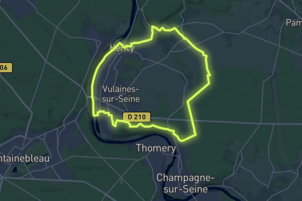
Demanding · Trail
La Mare Périlleuse
19.2 km · ↑ 178 m · 5 h 11 min
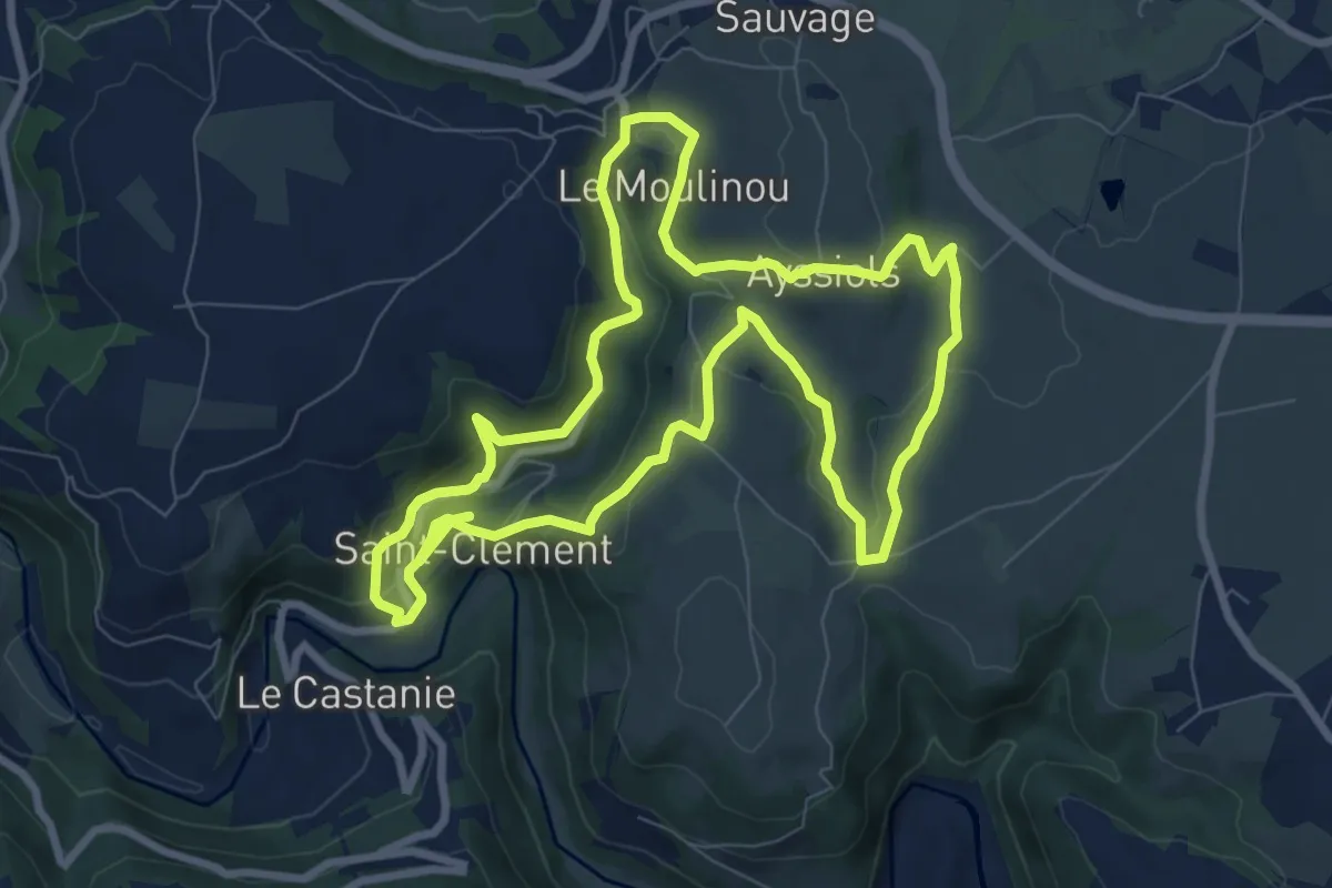
Medium · Trail
La maresque du Pas / Saint-Clément
8.9 km · ↑ 310 m · 2 h 54 min
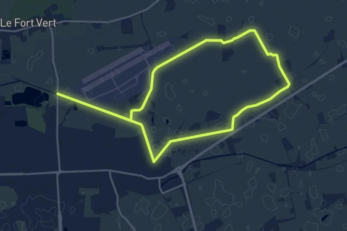
Medium · Trail
La Marie Grouette de Bandyck
9.4 km · ↑ 0 m · 2 h 22 min
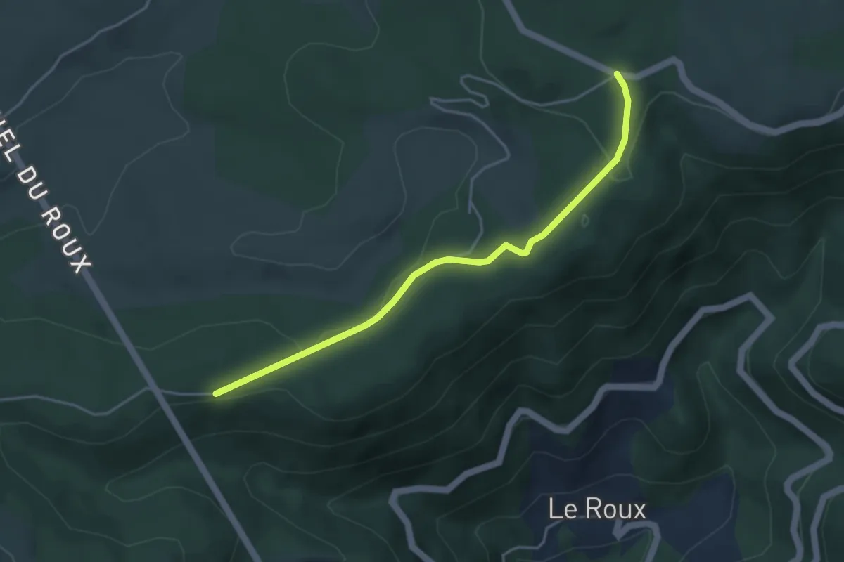
Easy · Trail
La Marugier - Partage des eaux
4.1 km · ↑ 71 m · 1 h 7 min
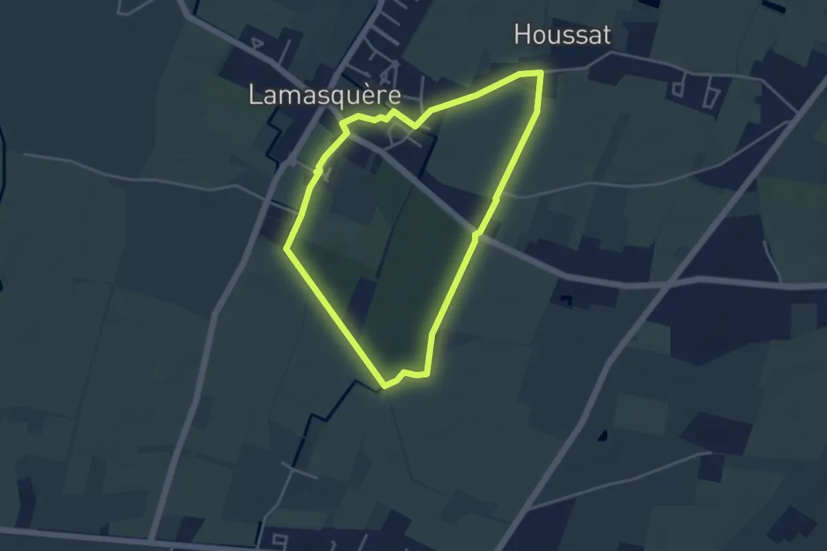
Easy · Trail
Lamasquère : Balade de l'Houssat
3.7 km · ↑ 4 m · 56 min
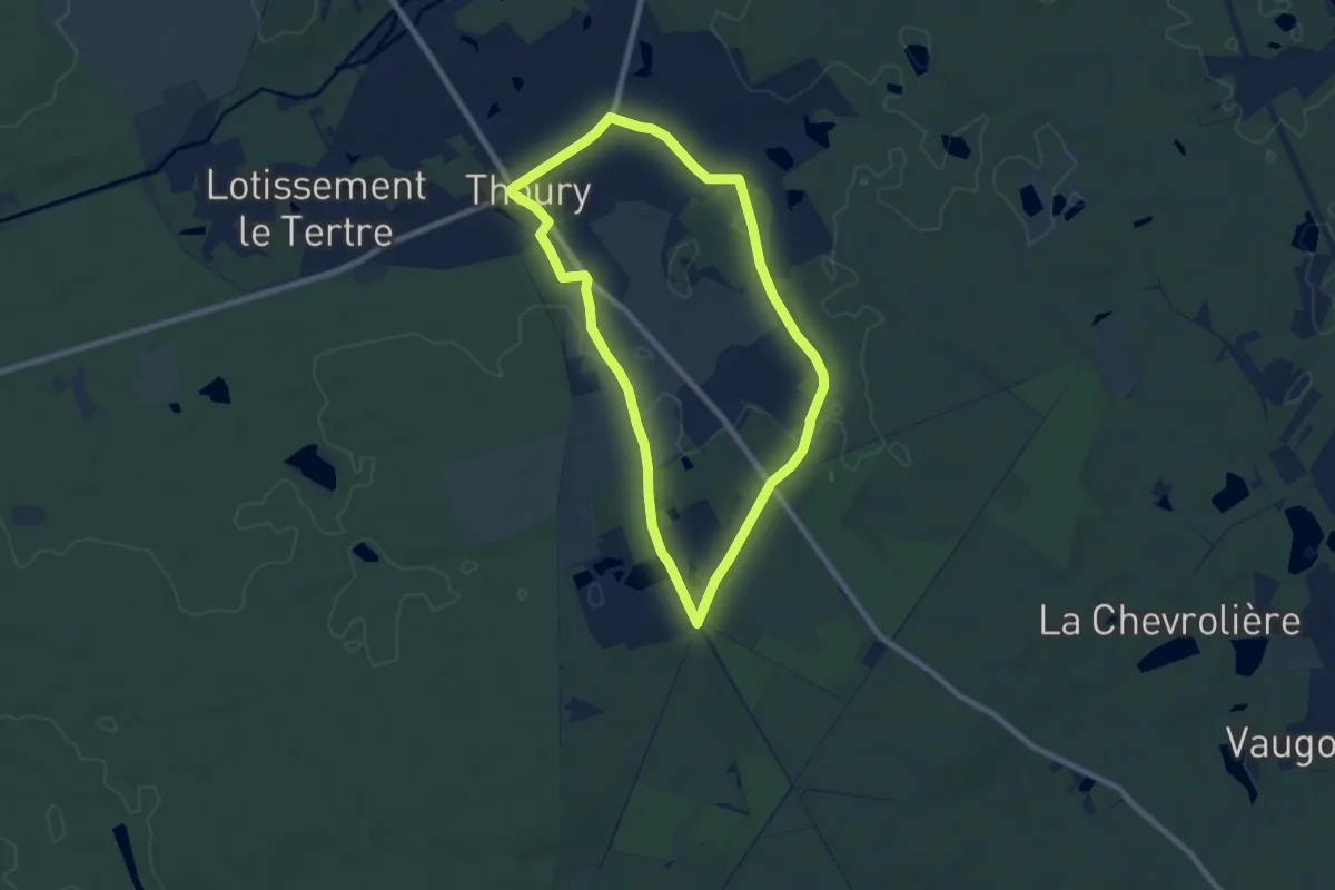
Easy · Trail
La Maugerie
7.2 km · ↑ 36 m · 1 h 53 min
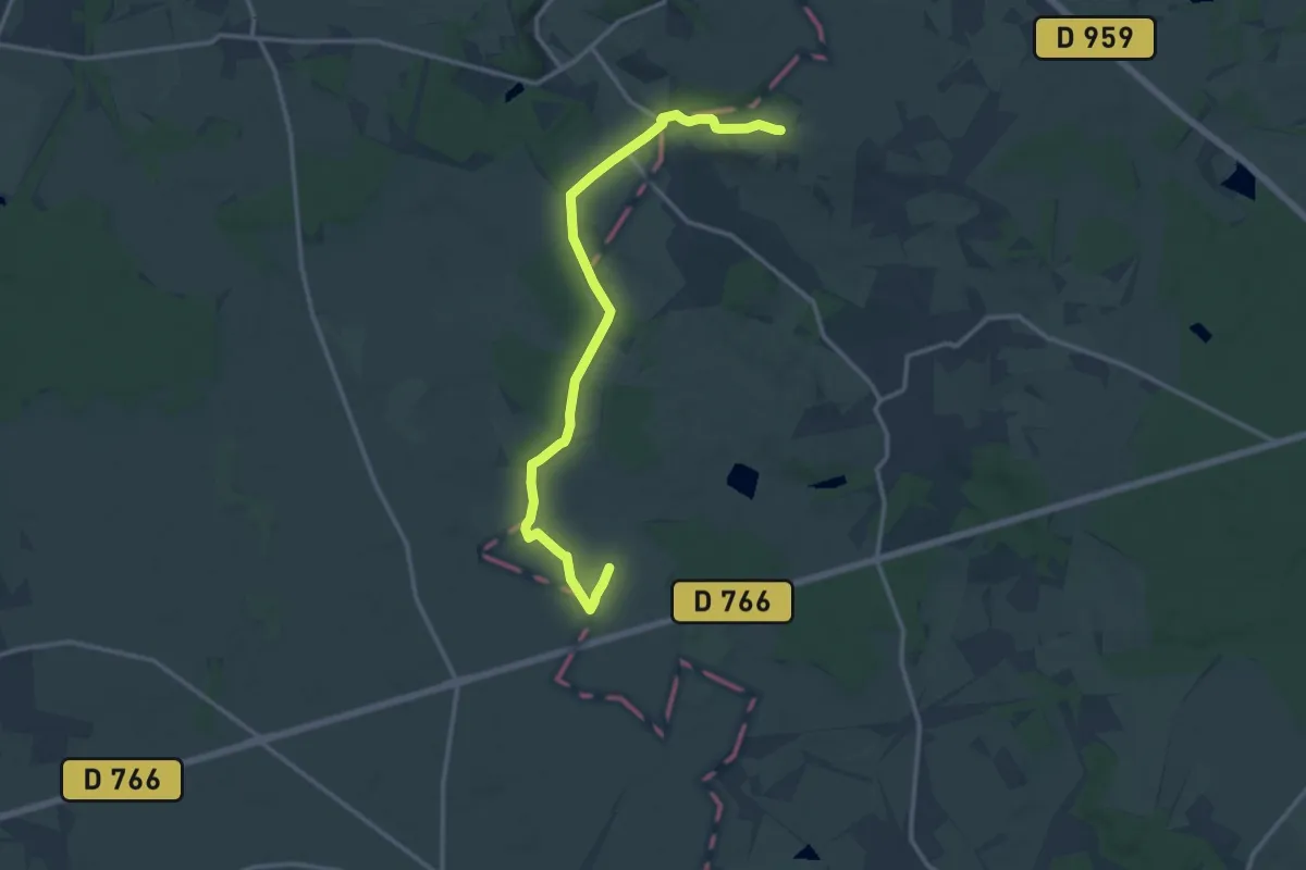
Easy · Trail
La Maulne - Marcilly-sur-Maulne
7.0 km · ↑ 56 m · 1 h 54 min
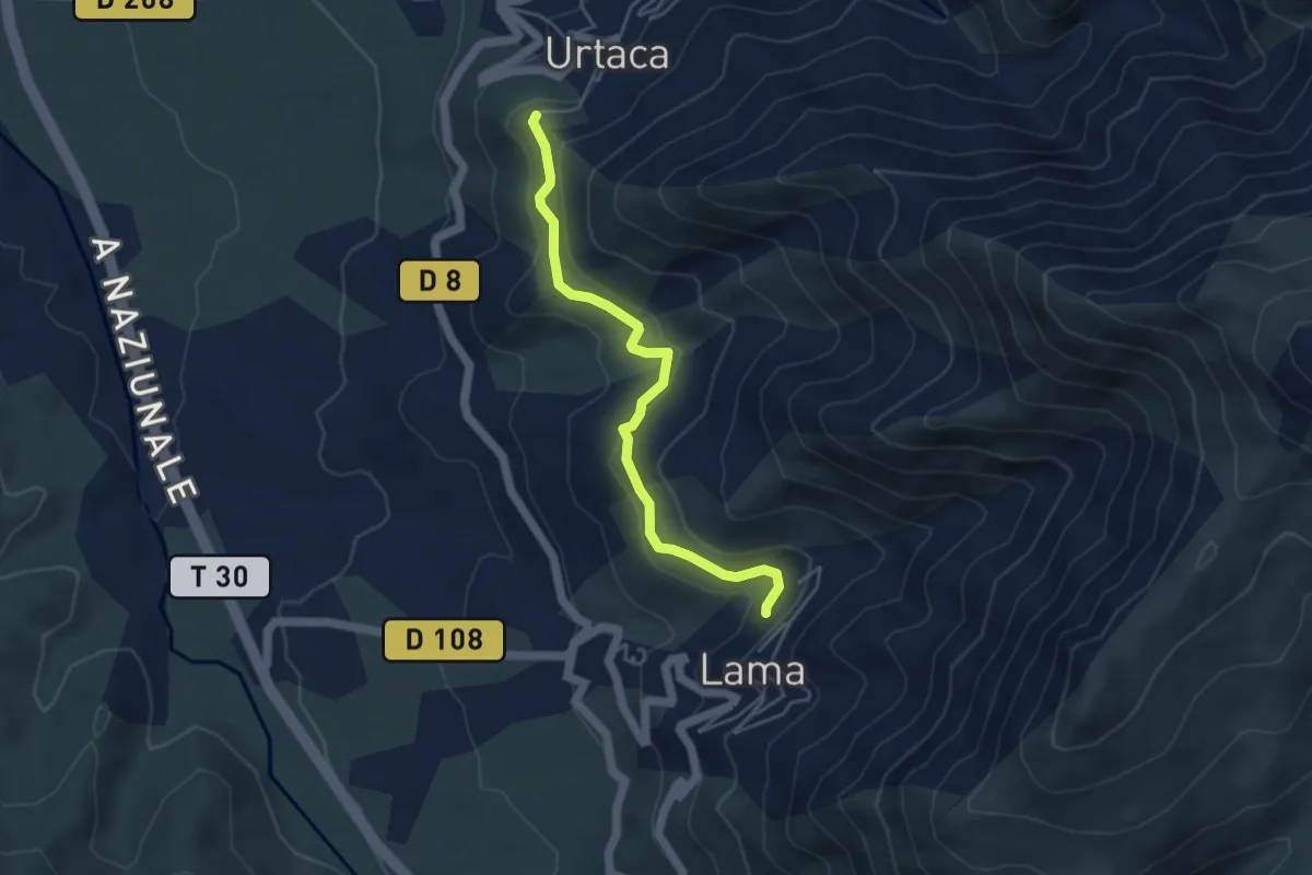
Medium · Trail
Lama - Urtaca
4.7 km · ↑ 150 m · 1 h 26 min
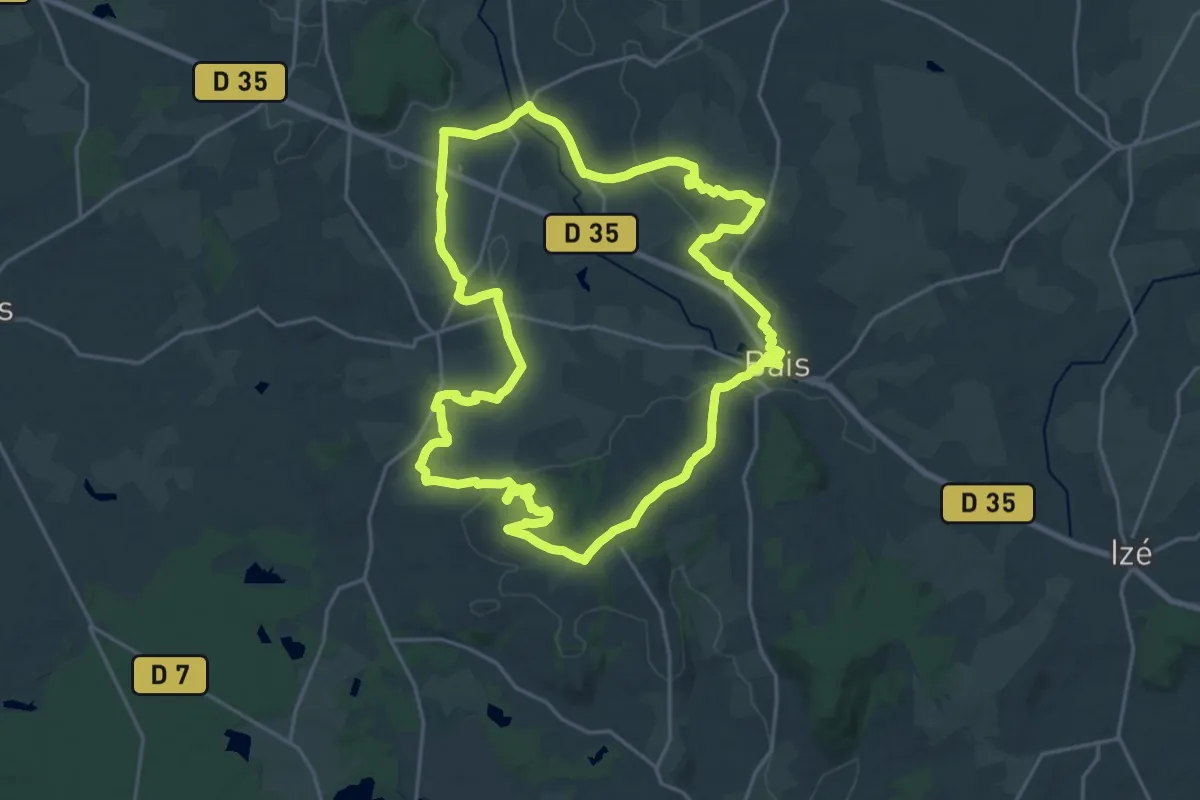
Demanding · Trail
La Mayenne dans un écrin
21.9 km · ↑ 355 m · 6 h 15 min
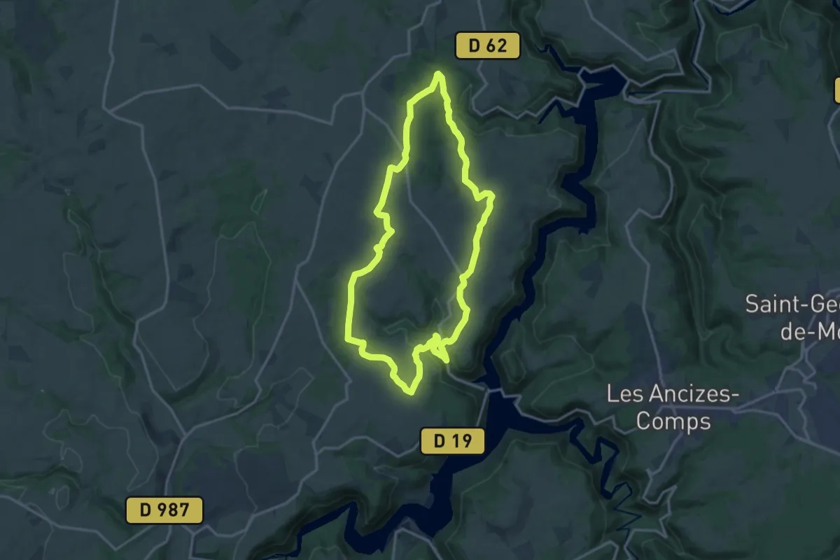
Medium · Trail
La Maziere
14.4 km · ↑ 311 m · 4 h 16 min
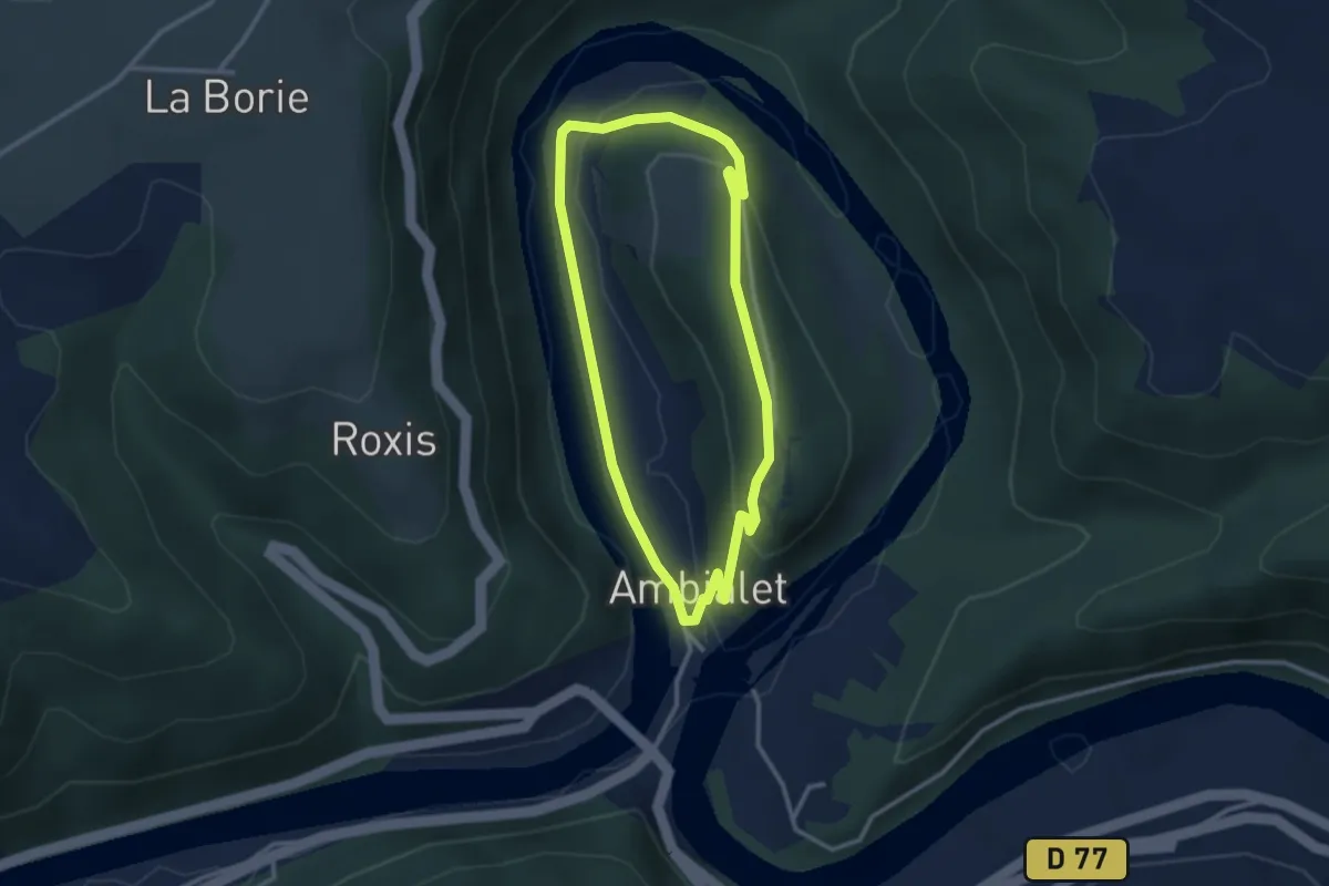
Easy · Trail
L'Ambialade
2.9 km · ↑ 93 m · 55 min
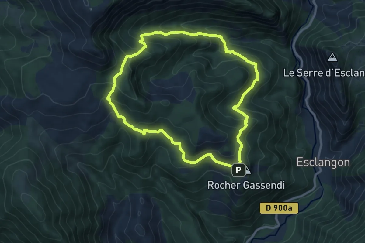
Medium · Summit
Lame de Facibelle
7.1 km · ↑ 485 m · 2 h 49 min
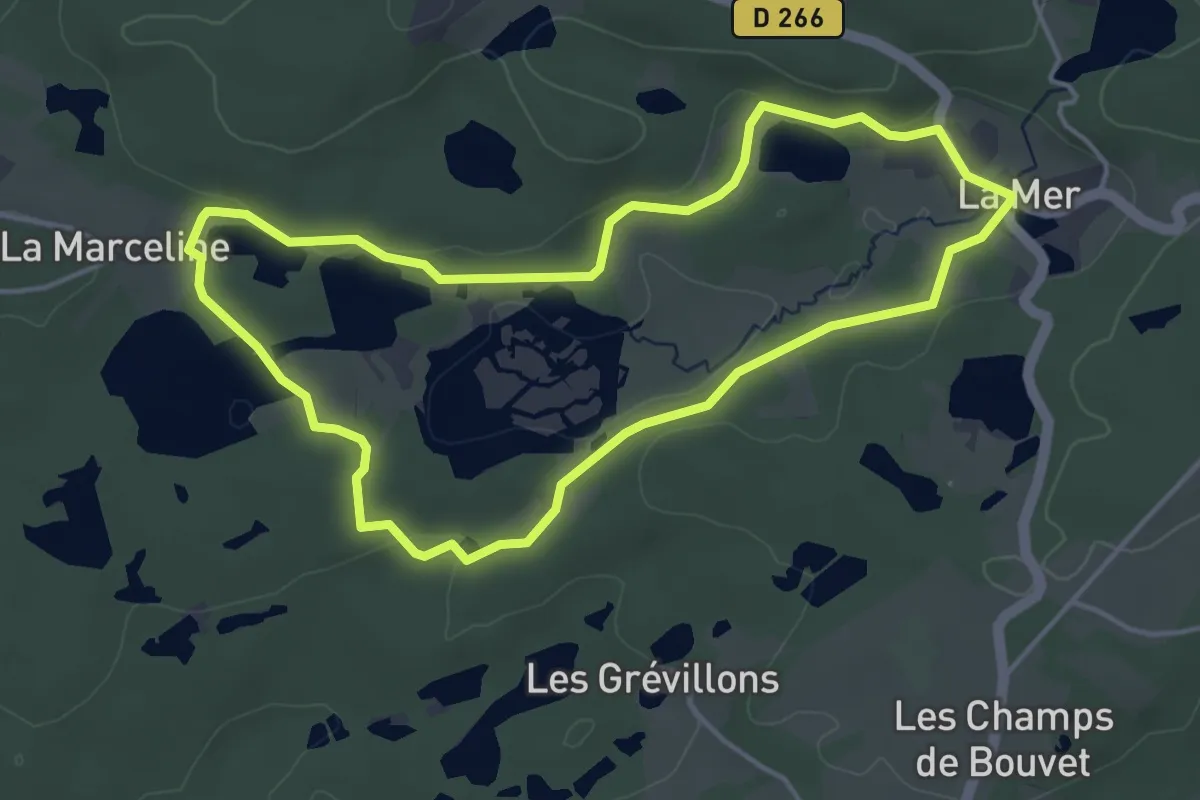
Easy · Trail
La Mer
4.2 km · ↑ 61 m · 1 h 10 min
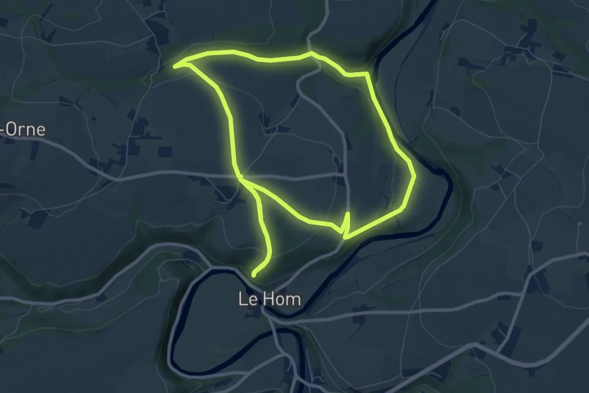
Easy · Trail
La Métairie
7.8 km · ↑ 179 m · 2 h 21 min
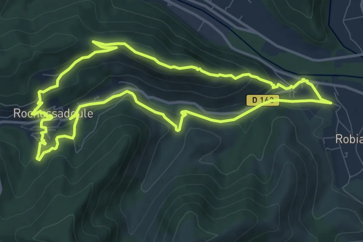
Medium · Trail
La mine au bois dormant
8.9 km · ↑ 369 m · 3 h 1 min
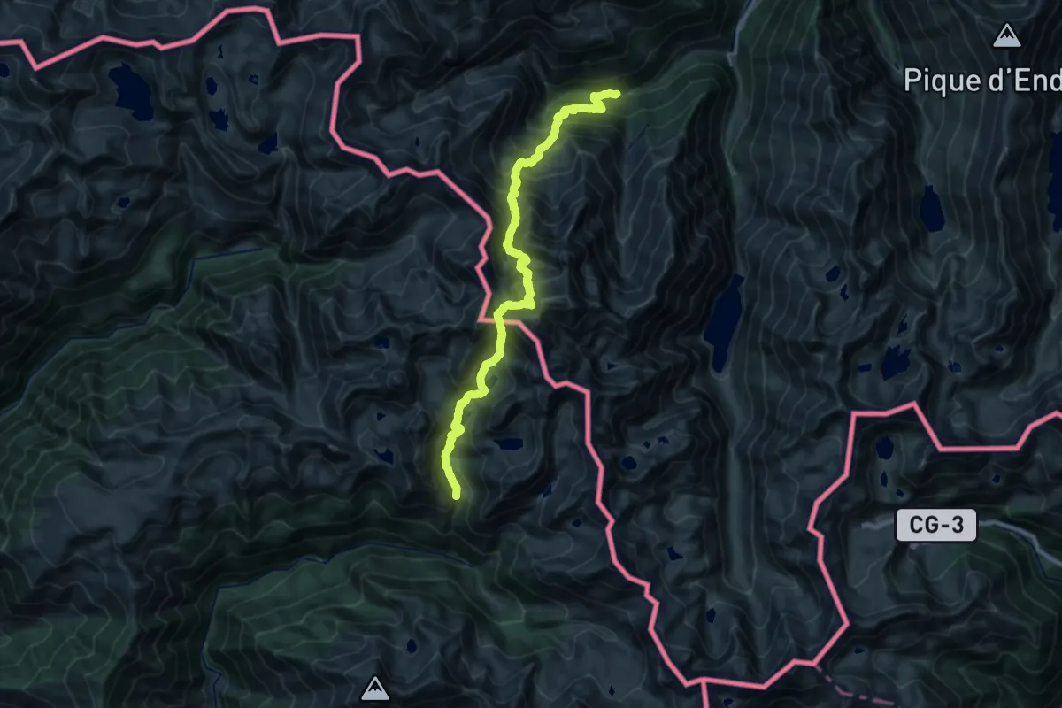
Expert · Trail
La Molinasa - L'Artigue
12.6 km · ↑ 1820 m · 6 h 38 min
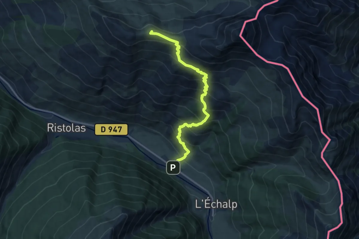
Demanding · Summit
La Monta - Crête de Gilly
9.6 km · ↑ 875 m · 4 h 9 min
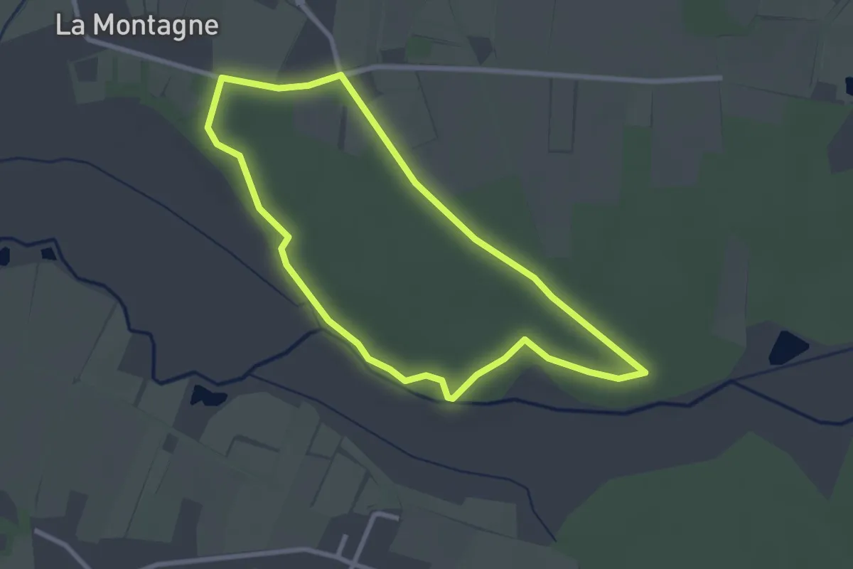
Easy · Trail
La Montagne
2.5 km · ↑ 15 m · 39 min
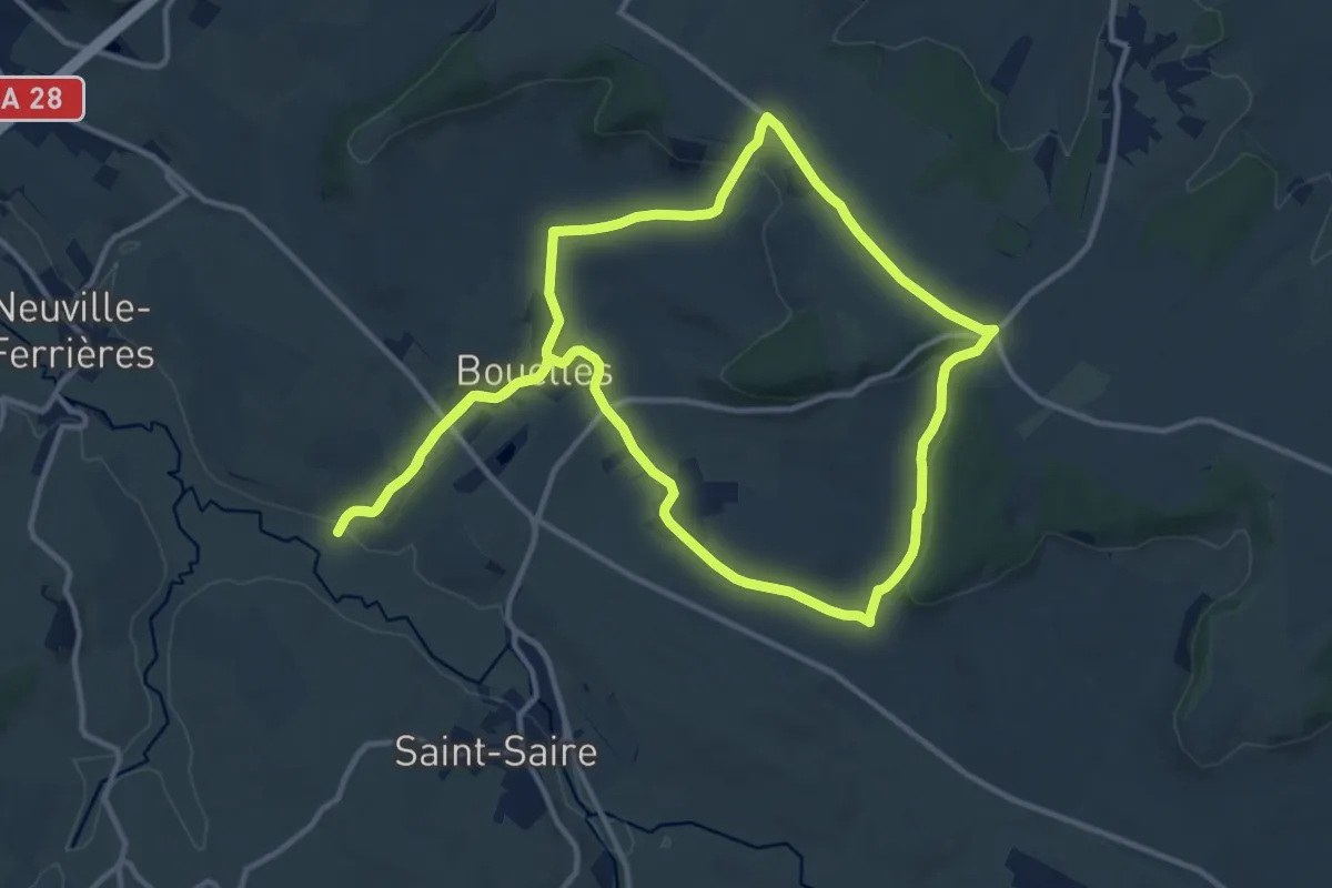
Medium · Trail
La Montagne
12.2 km · ↑ 195 m · 3 h 29 min
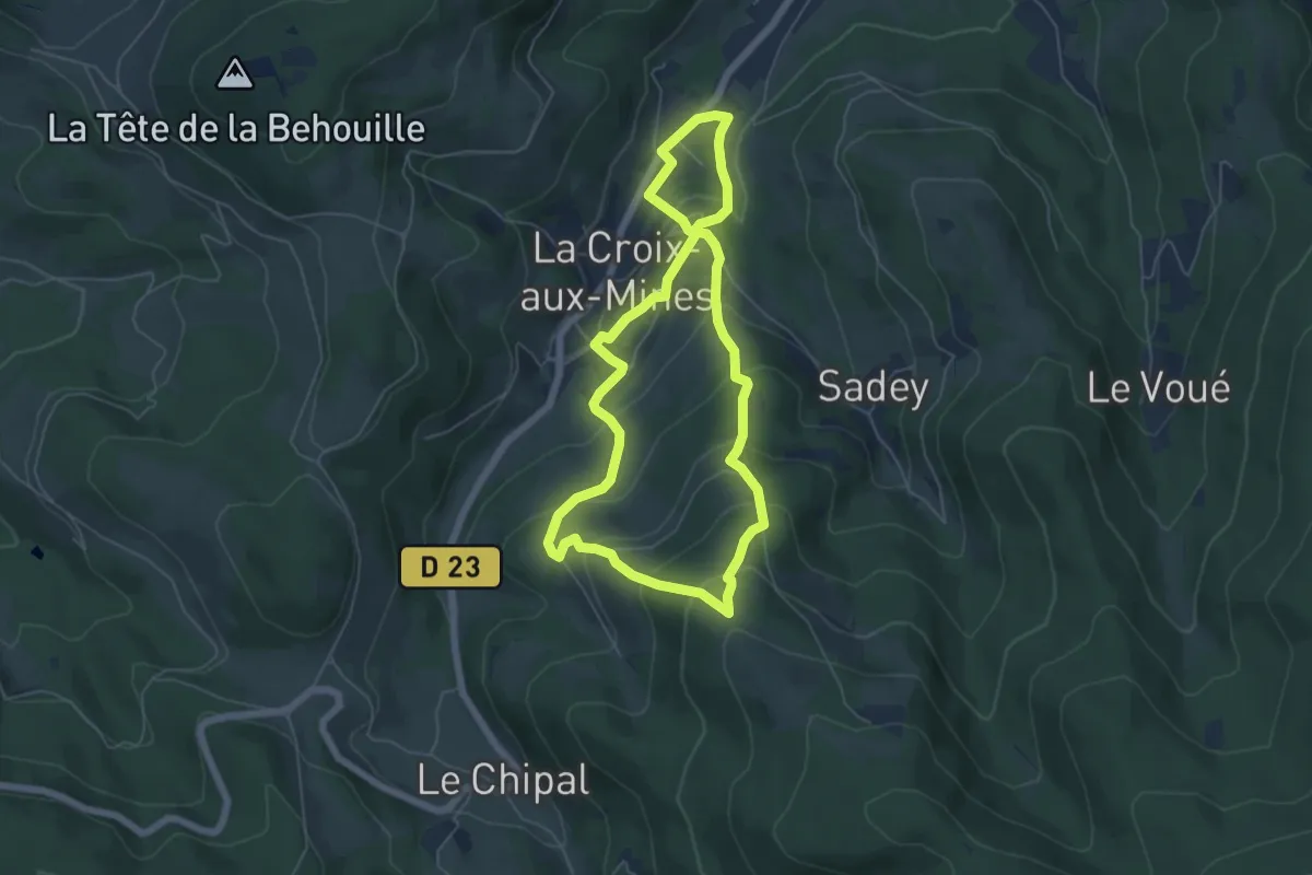
Medium · Trail
La Montagne d'Argent
5.3 km · ↑ 323 m · 2 h 1 min
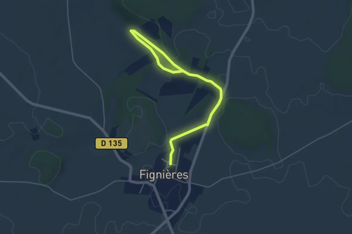
Easy · Trail
La Montagne de Fignières
4.6 km · ↑ 37 m · 1 h 10 min
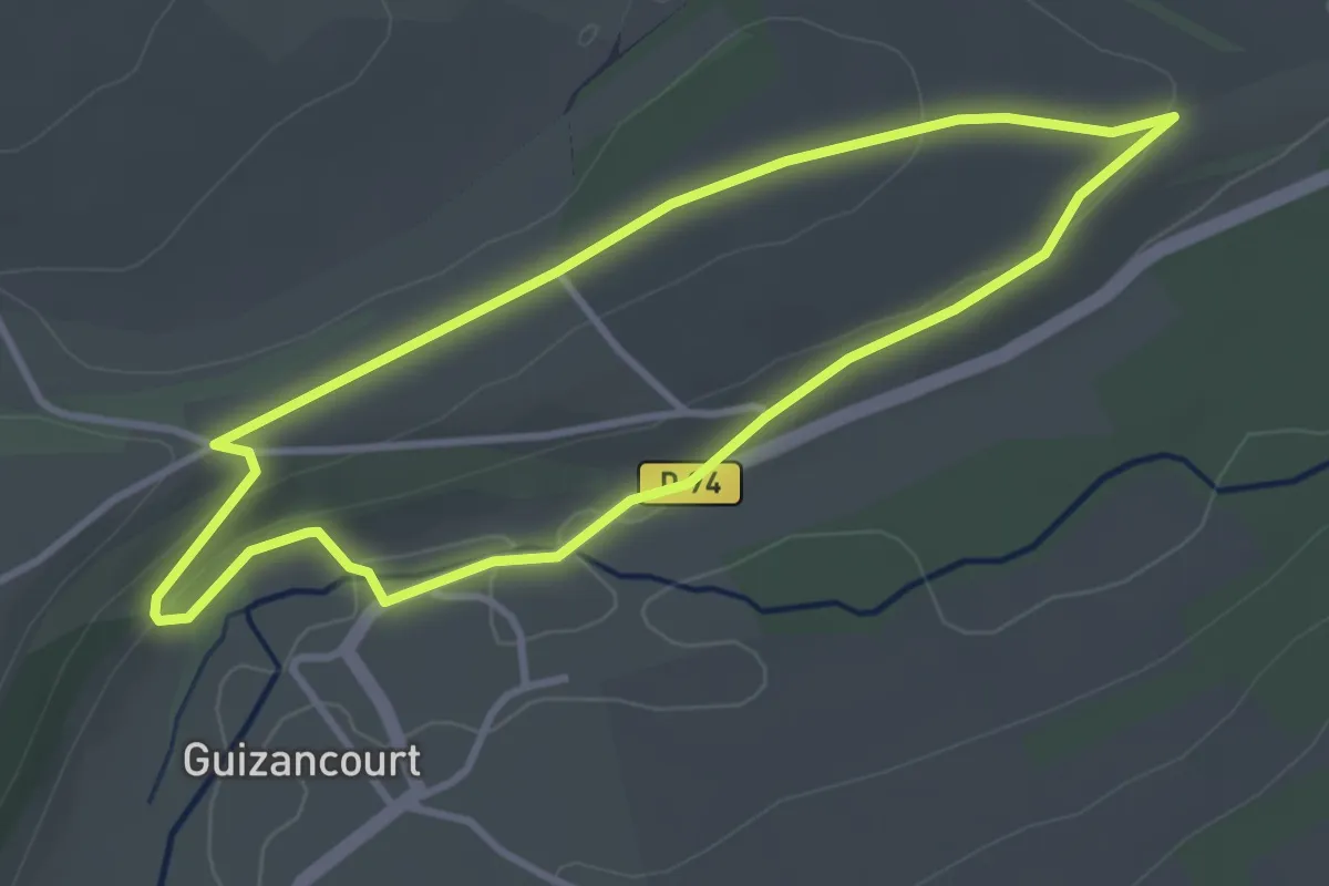
Easy · Trail
La Montagne de Guizancourt
3.0 km · ↑ 60 m · 53 min
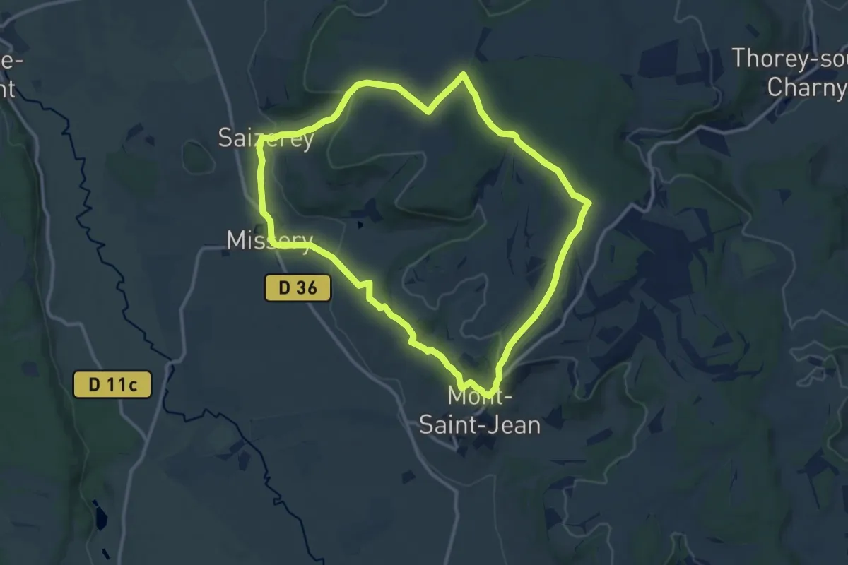
Medium · Trail
La Montagne de Missery
11.1 km · ↑ 255 m · 3 h 20 min
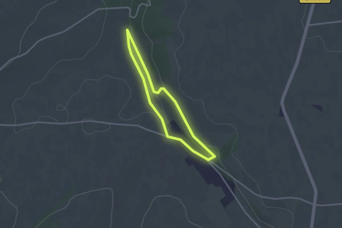
Easy · Trail
La Montagne de Montenoy
2.0 km · ↑ 18 m · 33 min
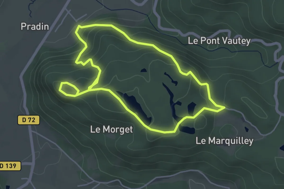
Easy · Trail
La montagne de Saint-Martin
3.9 km · ↑ 183 m · 1 h 23 min
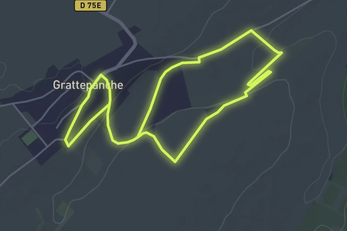
Easy · Trail
La Montagne des Grès
3.9 km · ↑ 56 m · 1 h 6 min
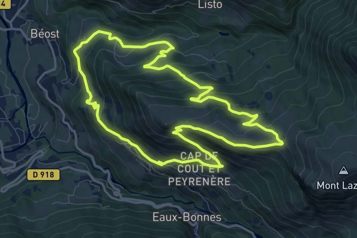
Medium · Trail
La montagne verte
10.3 km · ↑ 585 m · 3 h 51 min
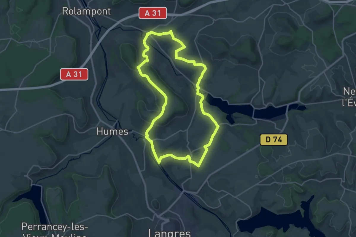
Demanding · Trail
La Montagnotte
18.5 km · ↑ 253 m · 5 h 10 min
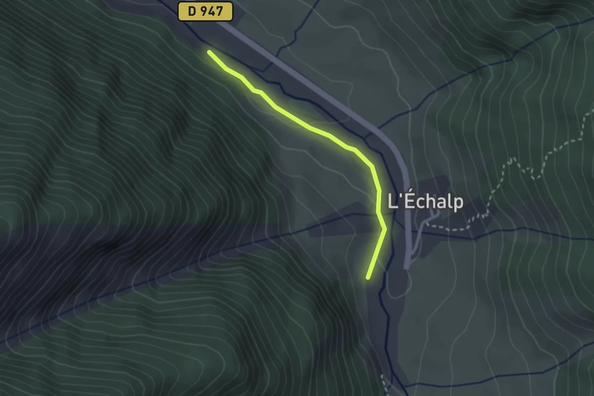
Easy · Trail
La Monta - L'Echalp les Fournays
2.3 km · ↑ 40 m · 38 min
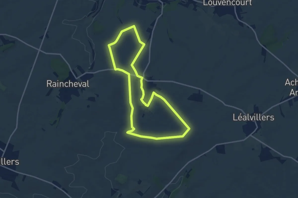
Medium · Summit
La Montinette
10.1 km · ↑ 112 m · 2 h 46 min
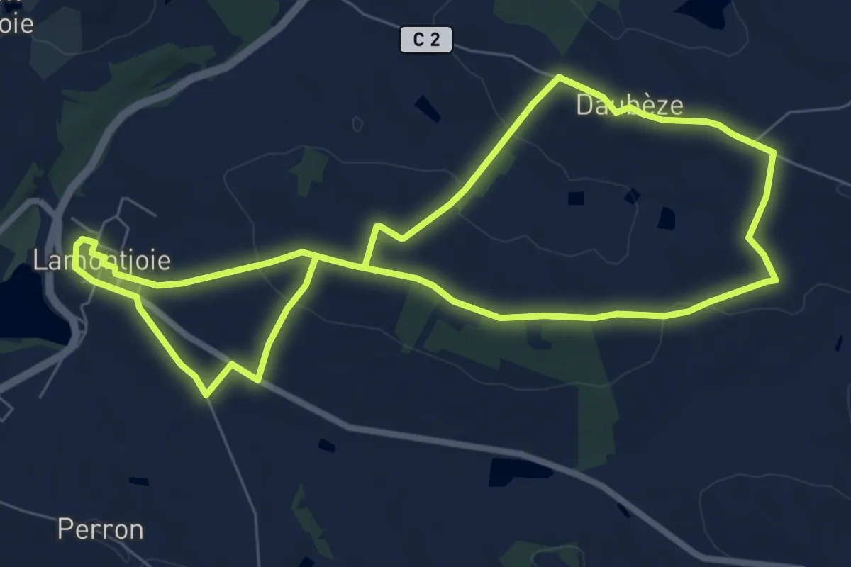
Easy · Trail
Lamontjoie, bastide de Gascogne 7.8 km
7.5 km · ↑ 150 m · 2 h 12 min
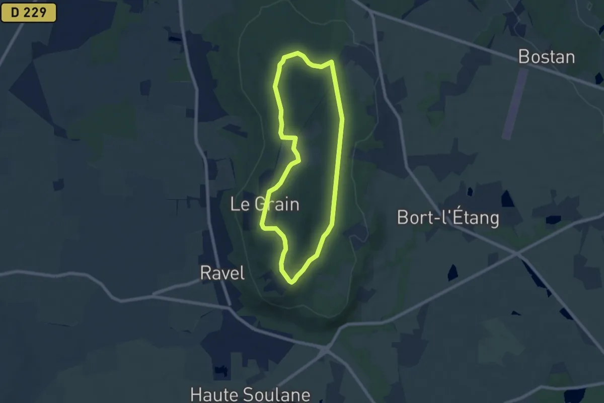
Easy · Trail
La Morille
5.9 km · ↑ 62 m · 1 h 36 min
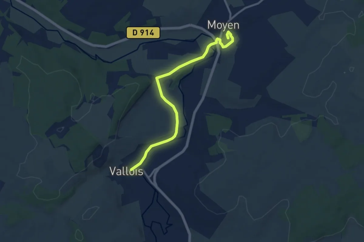
Easy · Trail
La Mortagne
7.5 km · ↑ 105 m · 2 h
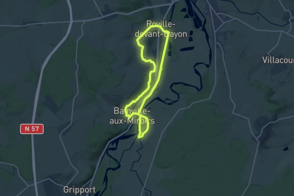
Medium · Trail
La Moselle Sauvage
10.8 km · ↑ 137 m · 3 h
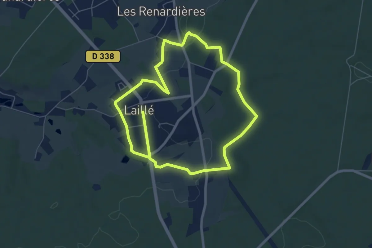
Easy · Trail
La motte féodale
6.0 km · ↑ 46 m · 1 h 35 min
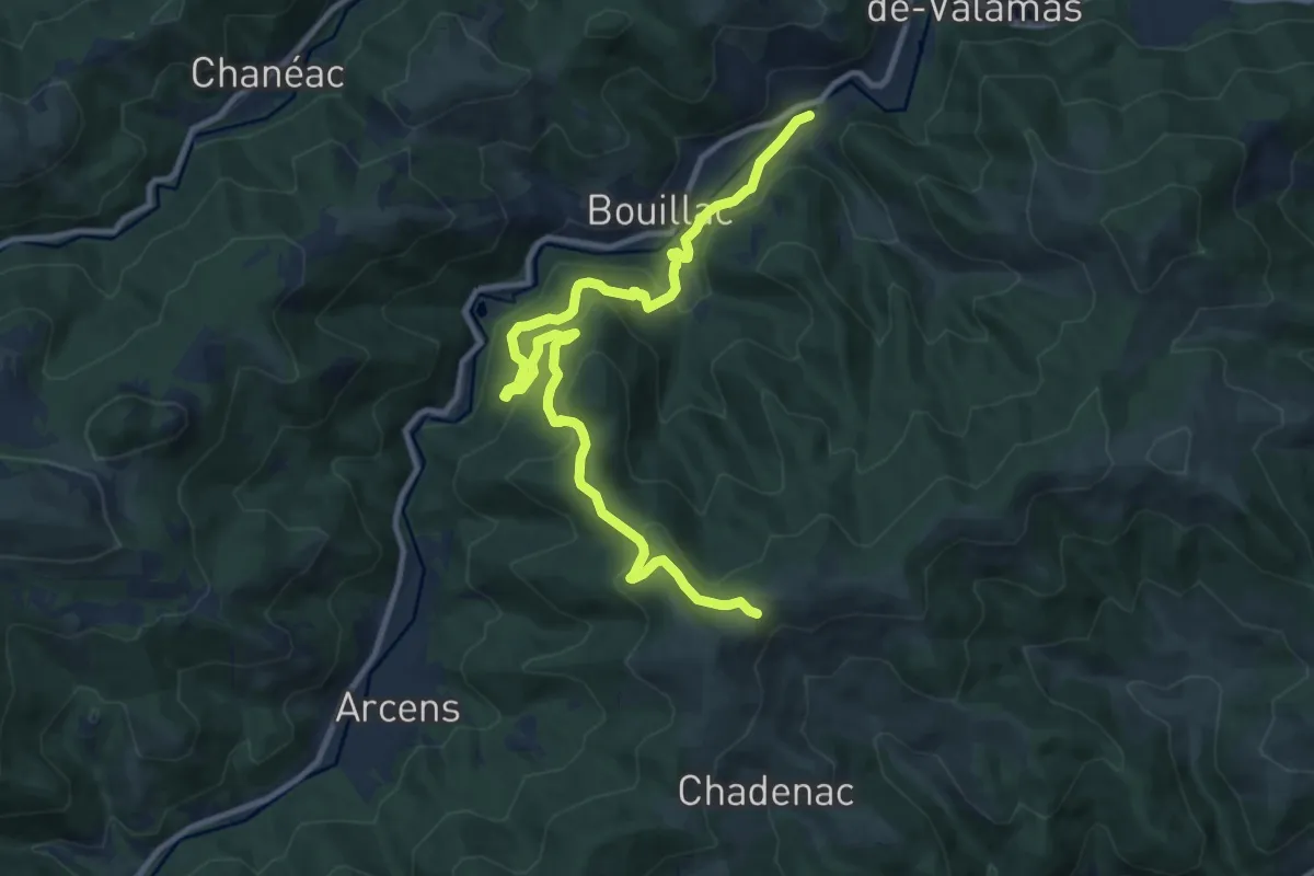
Medium · Trail
La Mourgue - Au Plancher
12.8 km · ↑ 577 m · 4 h 16 min
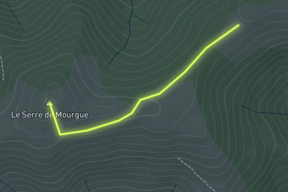
Easy · Summit
La Mourgue - Le Réservoir
1.8 km · ↑ 55 m · 33 min
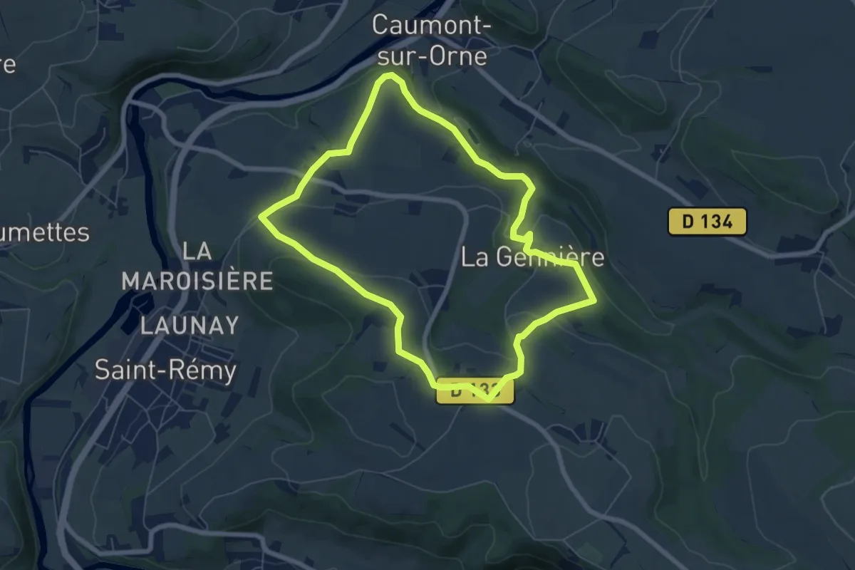
Easy · Trail
La Mousse
6.1 km · ↑ 140 m · 1 h 50 min
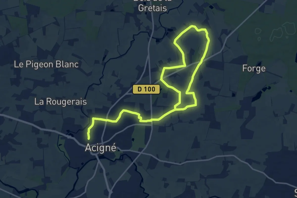
Demanding · Trail
La Musaraigne
19.4 km · ↑ 167 m · 4 h 56 min
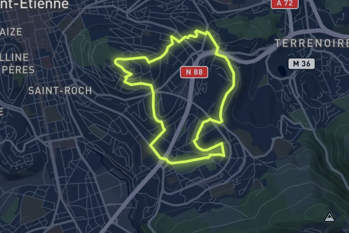
Easy · Trail
La mutation des quartiers sud-est depuis 1950
7.3 km · ↑ 149 m · 2 h 8 min
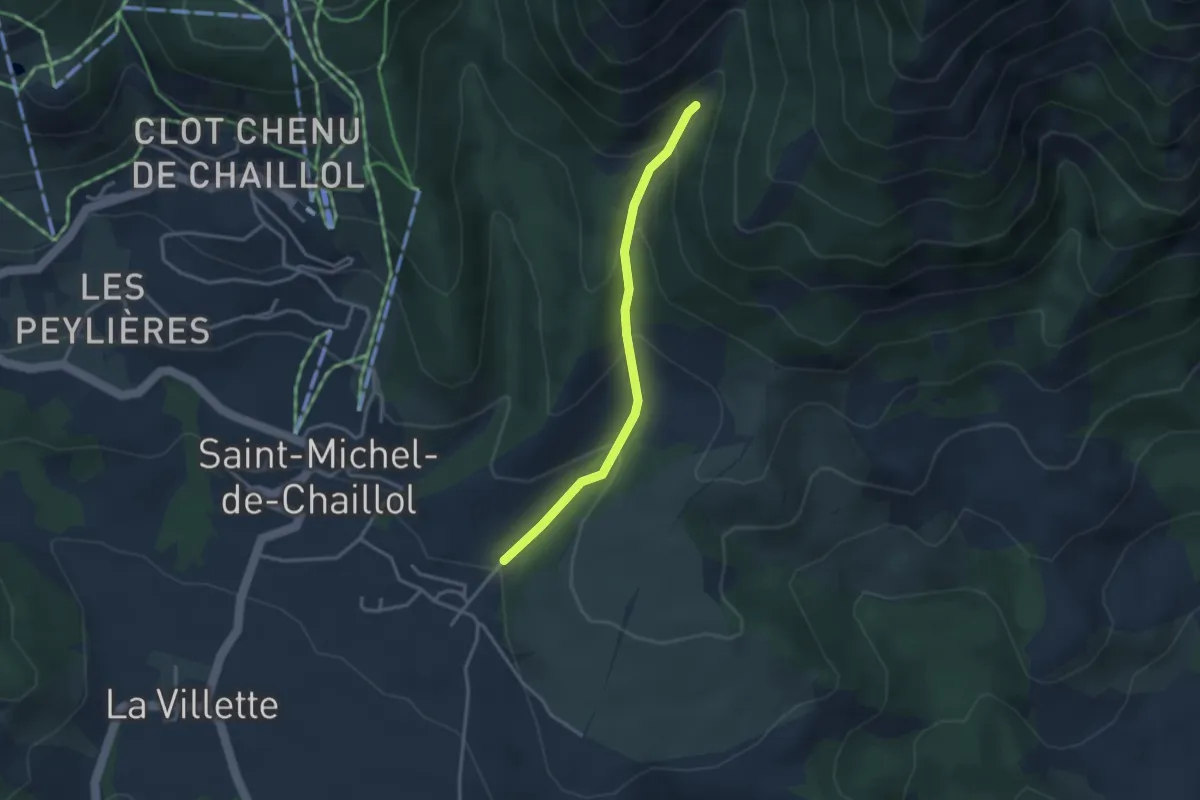
Easy · Trail
La Nade - ?
3.0 km · ↑ 224 m · 1 h 12 min
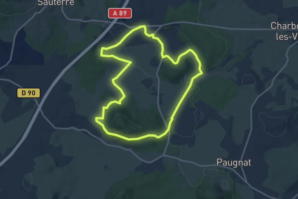
Medium · Summit
La Narse de Beaunit
8.2 km · ↑ 158 m · 2 h 24 min
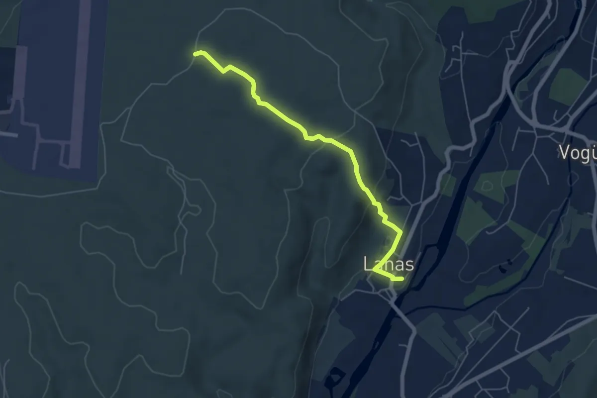
Easy · Trail
Lanas Centre - Barsac
5.3 km · ↑ 138 m · 1 h 34 min
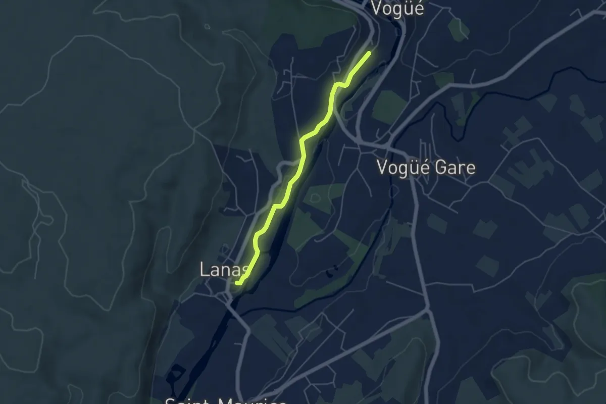
Easy · Trail
Lanas Centre - Le Tunnel
4.4 km · ↑ 46 m · 1 h 8 min
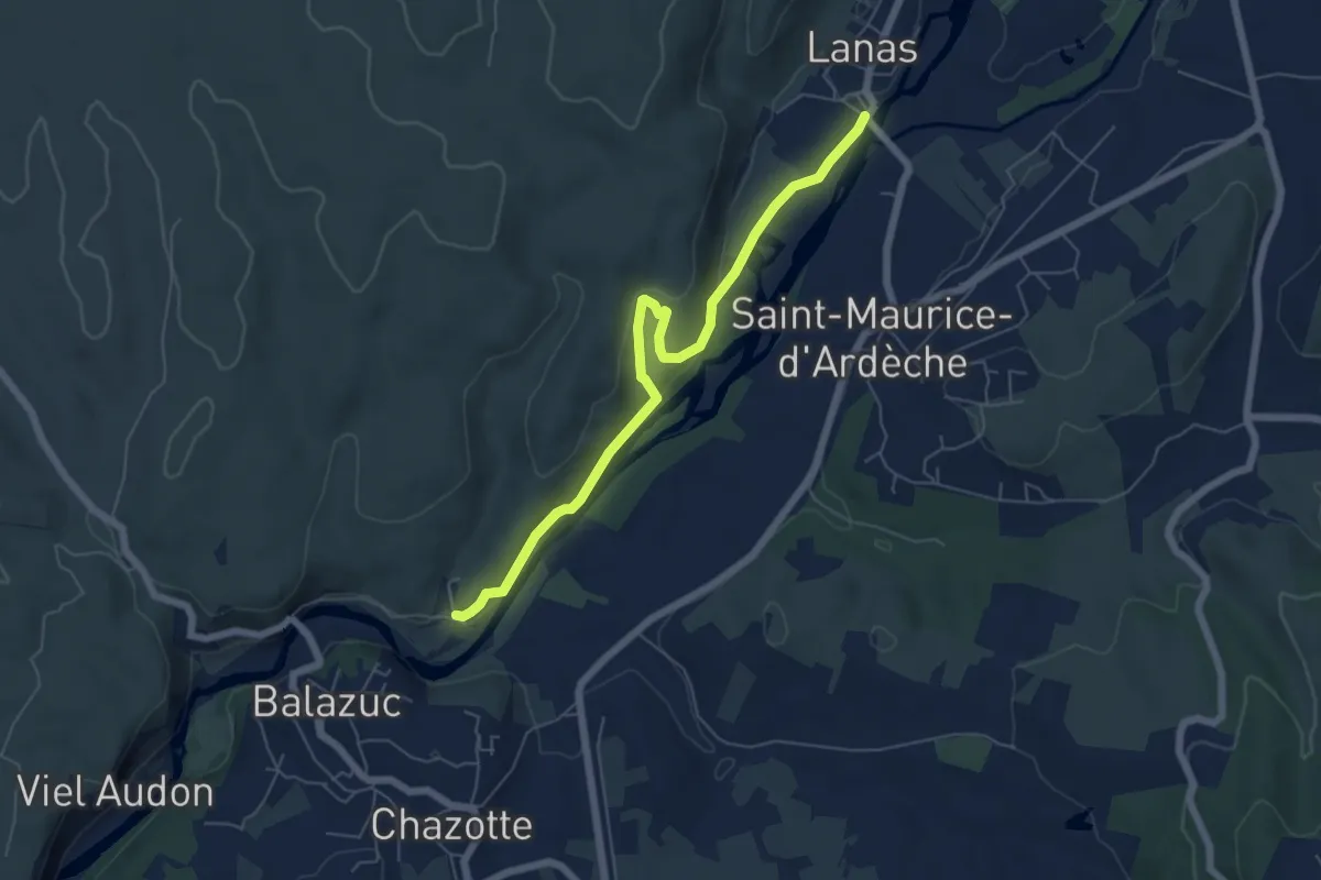
Medium · Trail
Lanas - Servières
6.4 km · ↑ 188 m · 1 h 55 min
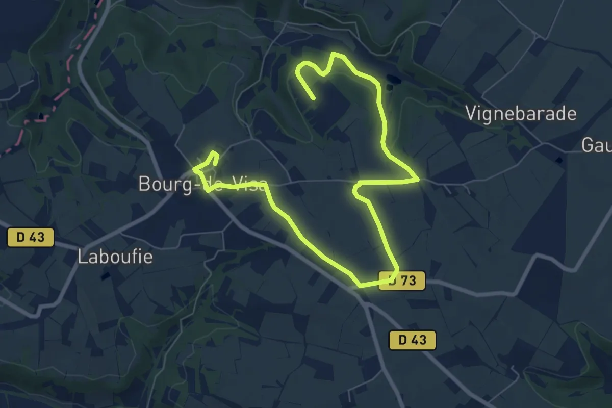
Easy · Trail
L’Ancienne voie ferrée
4.9 km · ↑ 68 m · 1 h 23 min
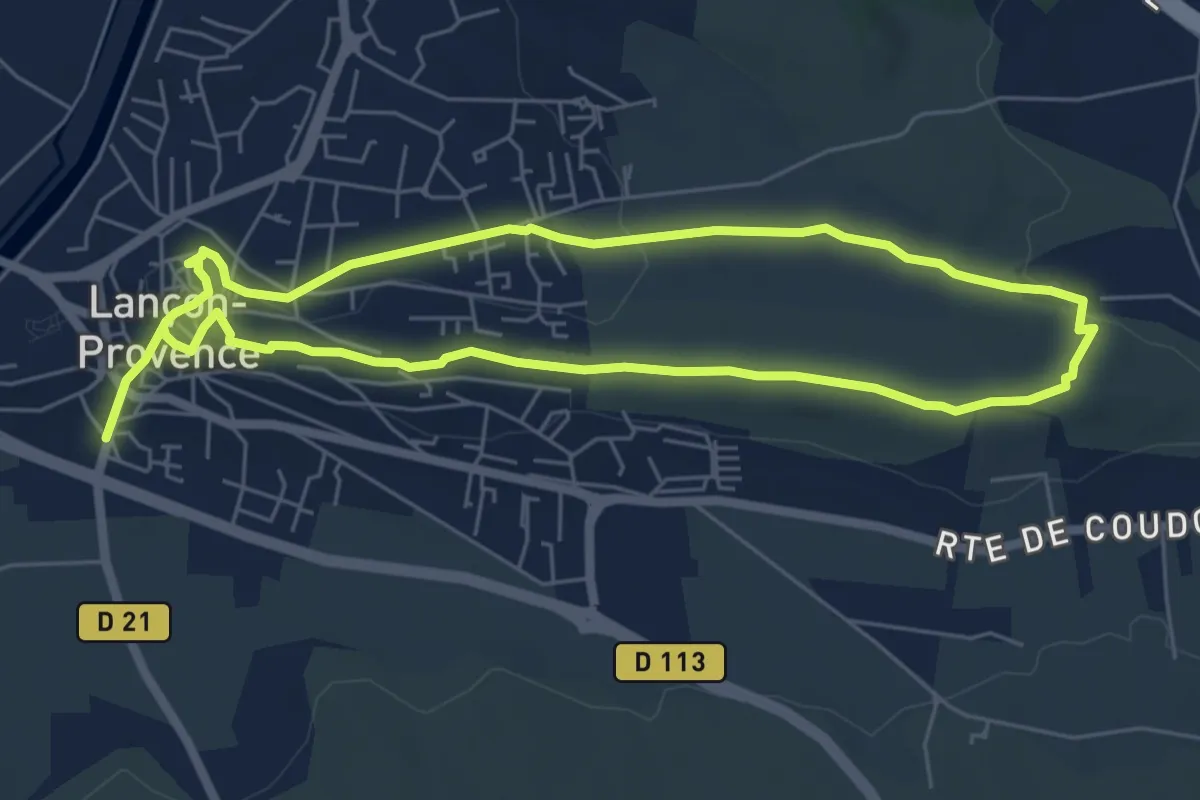
Easy · Trail
Lançon-de-Provence et ses collines
5.9 km · ↑ 95 m · 1 h 41 min
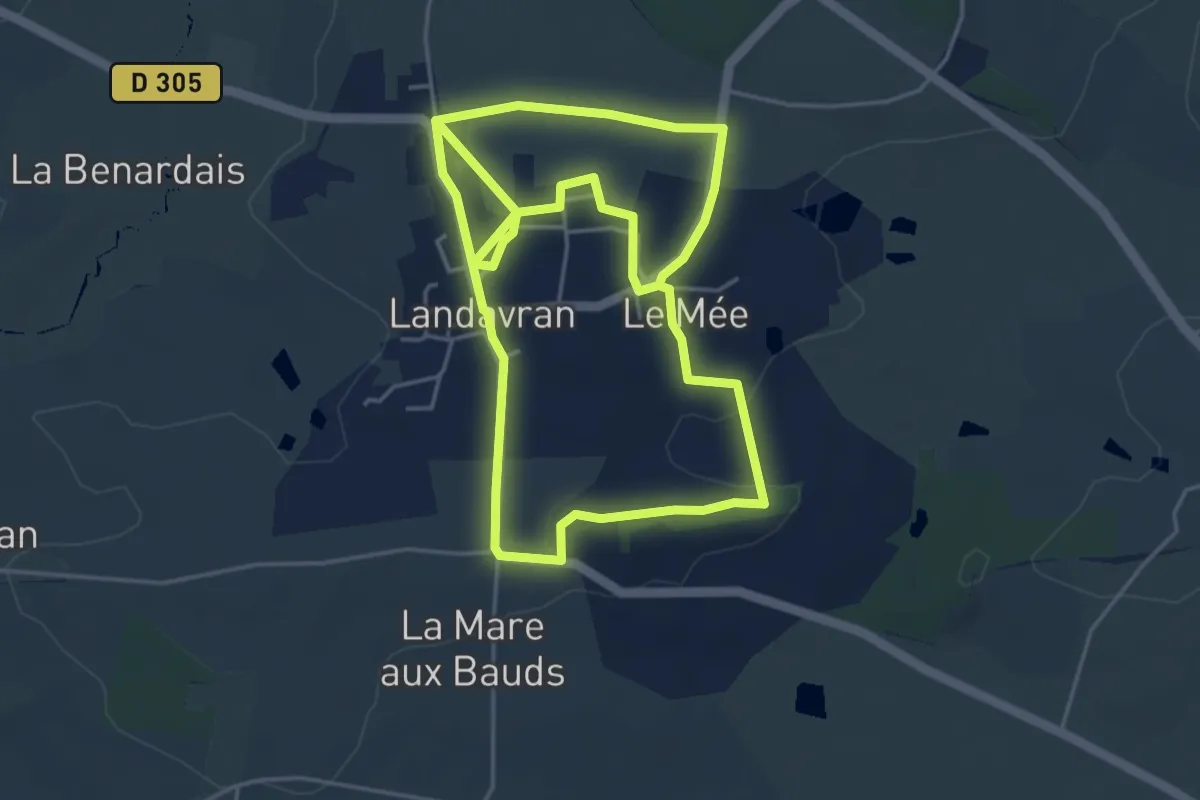
Medium · Trail
Landavran Chat Troussé
9.3 km · ↑ 71 m · 2 h 21 min