Trails in France
15,926 hiking trails, each with its route, climb, walking time and grade.
All trails, page 143 of 332
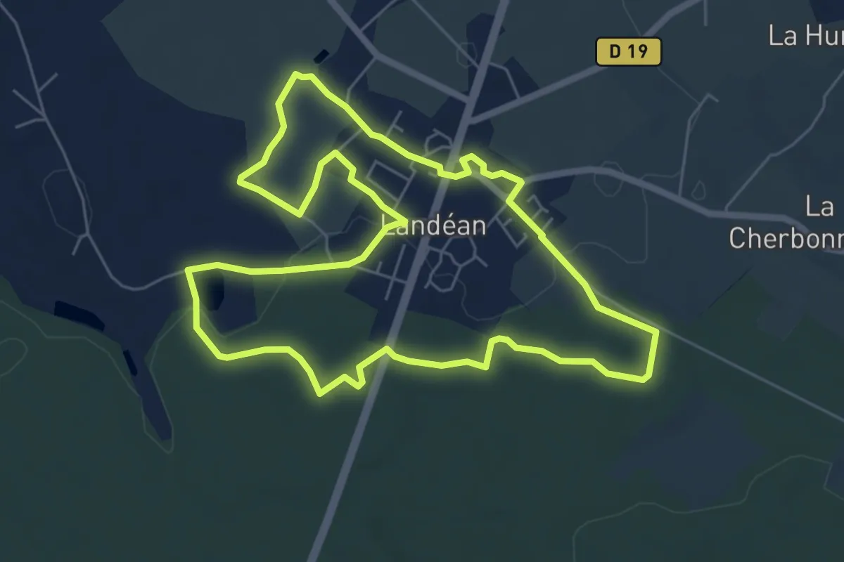
Easy · Trail
Landeanium
6.1 km · ↑ 78 m · 1 h 41 min
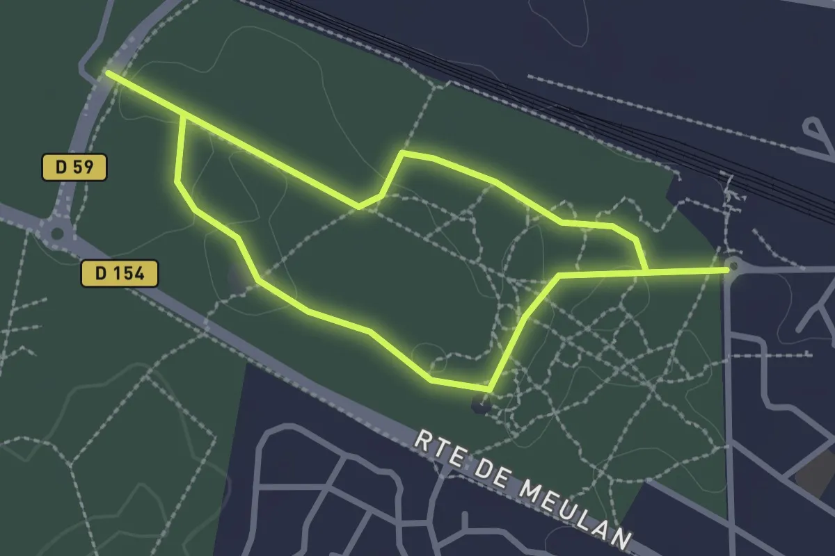
Easy · Trail
Lande boissée à Callune et Chênes Bonzaï
2.1 km · ↑ 4 m · 32 min
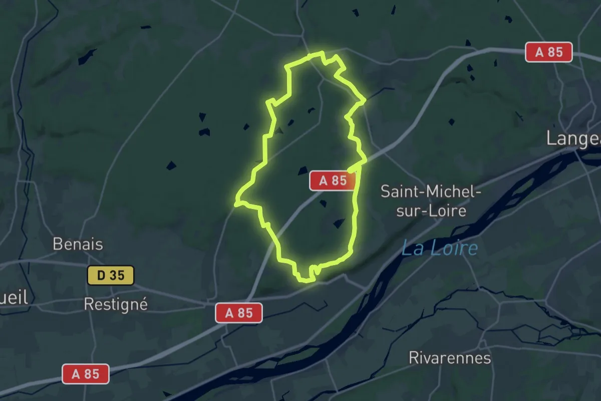
Demanding · Trail
Landes et Forêts - Coteaux-sur-Loire
20.1 km · ↑ 207 m · 5 h 29 min
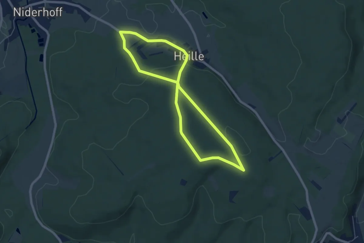
Easy · Trail
La Neuve Grange
4.9 km · ↑ 89 m · 1 h 24 min
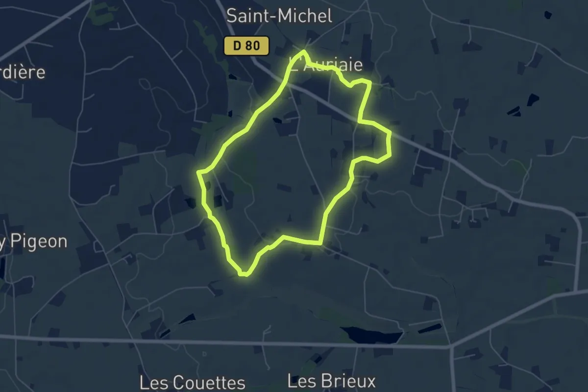
Easy · Trail
Langan - circuit du Guesclin (sud)
5.3 km · ↑ 34 m · 1 h 24 min
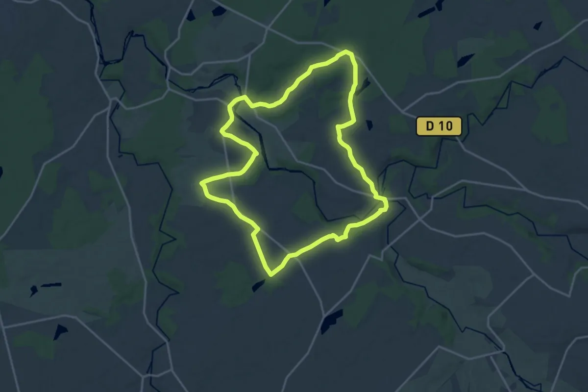
Medium · Trail
L'Anglin, de Roches en Roc
14.7 km · ↑ 113 m · 3 h 55 min
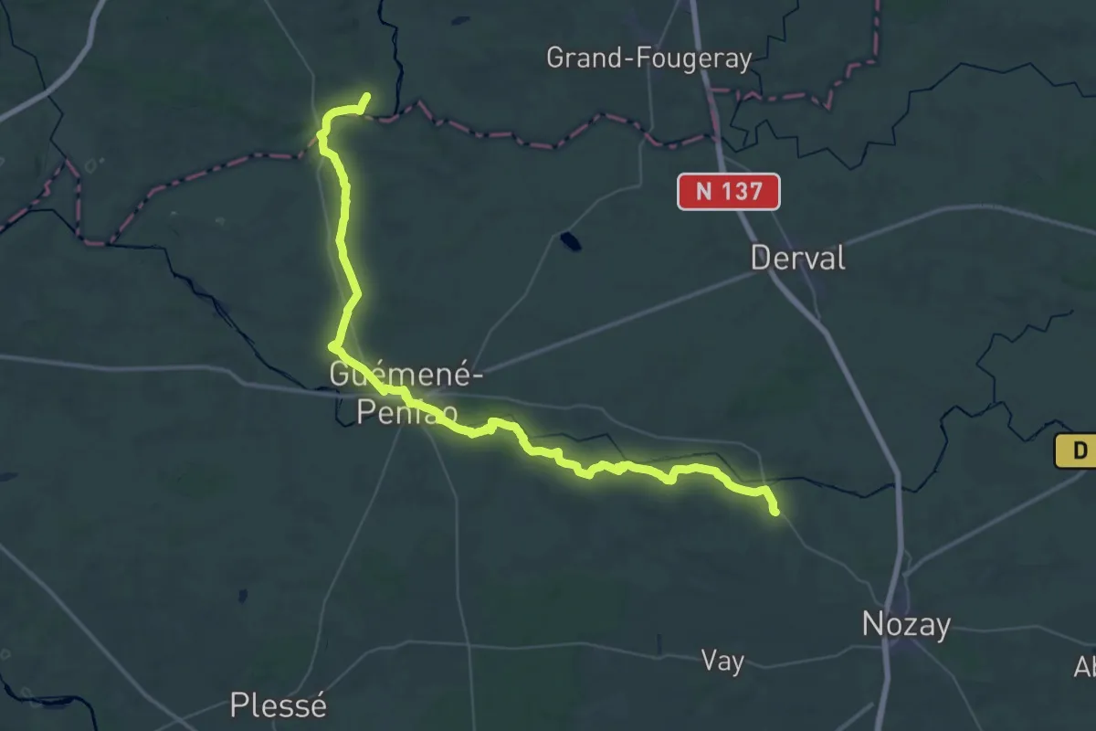
Demanding · Trail
Langon - Marsac-sur-Don
28.1 km · ↑ 273 m · 7 h 35 min
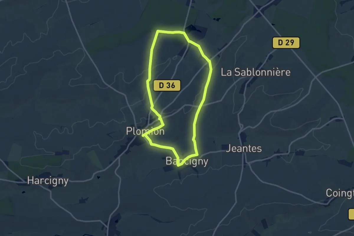
Medium · Trail
La Nigaudière
9.8 km · ↑ 103 m · 2 h 41 min
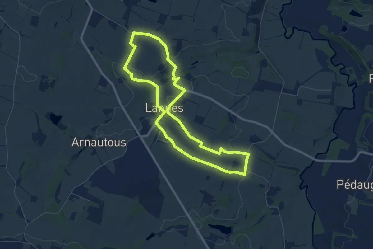
Easy · Trail
Lannes, la balade de Gachot 6.9 km
6.4 km · ↑ 102 m · 1 h 49 min
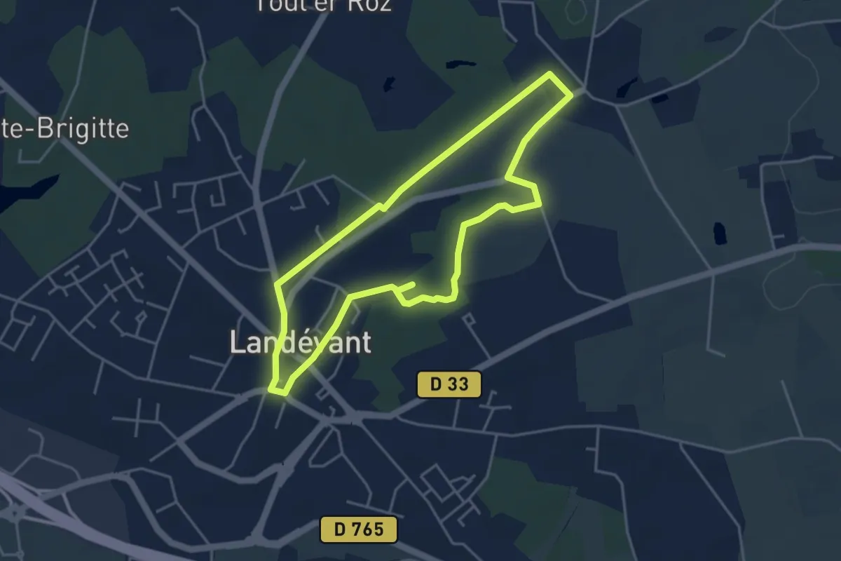
Easy · Trail
Lannouan
3.7 km · ↑ 24 m · 59 min
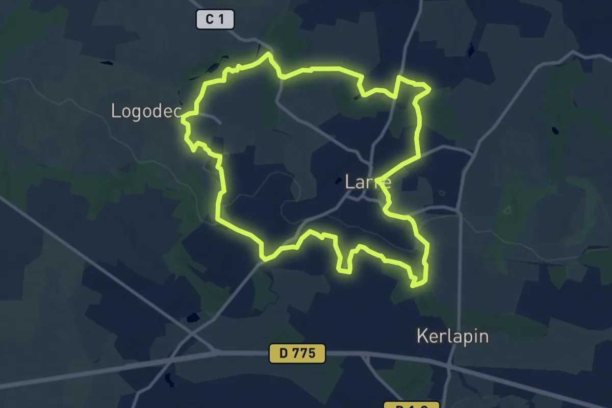
Medium · Trail
La Noë des Dames
10.2 km · ↑ 124 m · 2 h 48 min
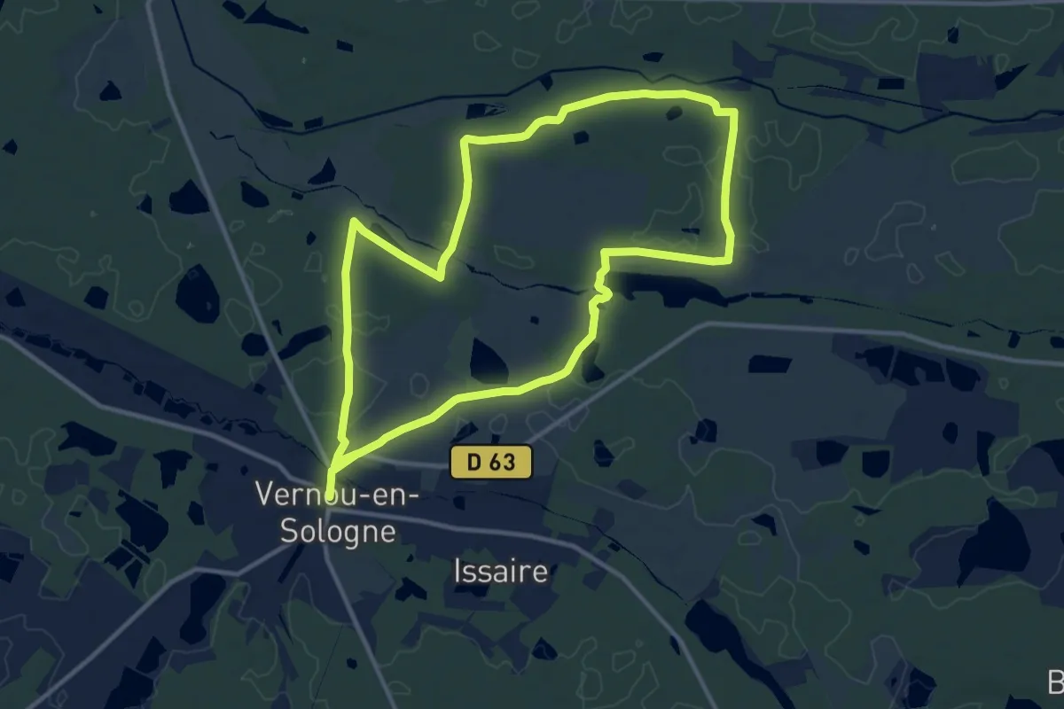
Demanding · Trail
La Noue
22.4 km · ↑ 78 m · 5 h 27 min
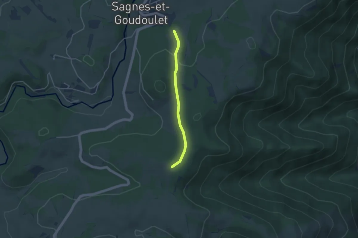
Easy · Trail
La Nouvaille - Panlon
2.8 km · ↑ 55 m · 47 min
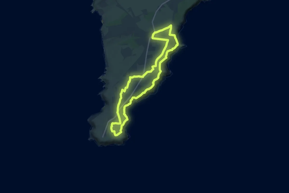
Medium · Trail
L'Anse Saint-Nicolas
12.4 km · ↑ 296 m · 3 h 44 min
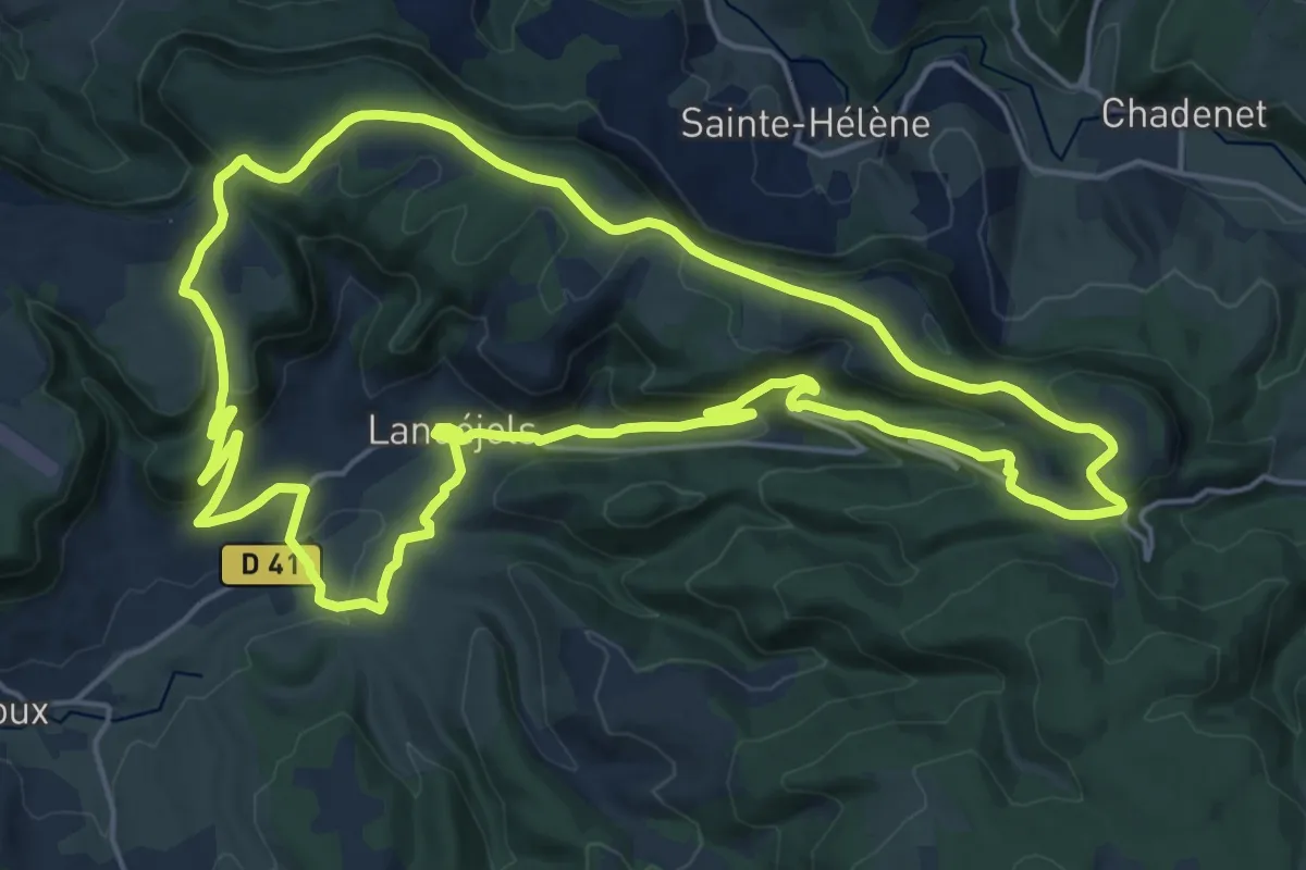
Demanding · Trail
Lanuéjols
21.0 km · ↑ 533 m · 6 h 24 min
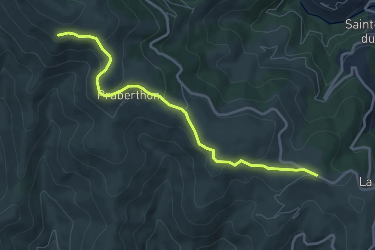
Easy · Trail
La Paille - Le Soupley
6.9 km · ↑ 252 m · 2 h 10 min
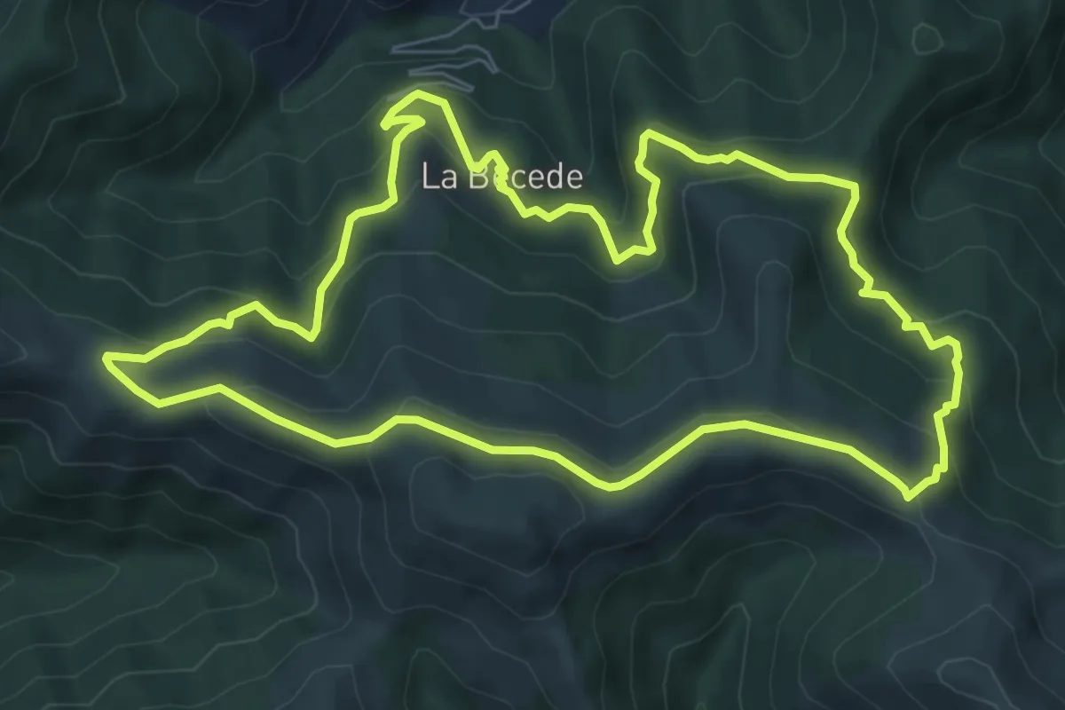
Medium · Trail
La Palombe
7.7 km · ↑ 435 m · 2 h 52 min
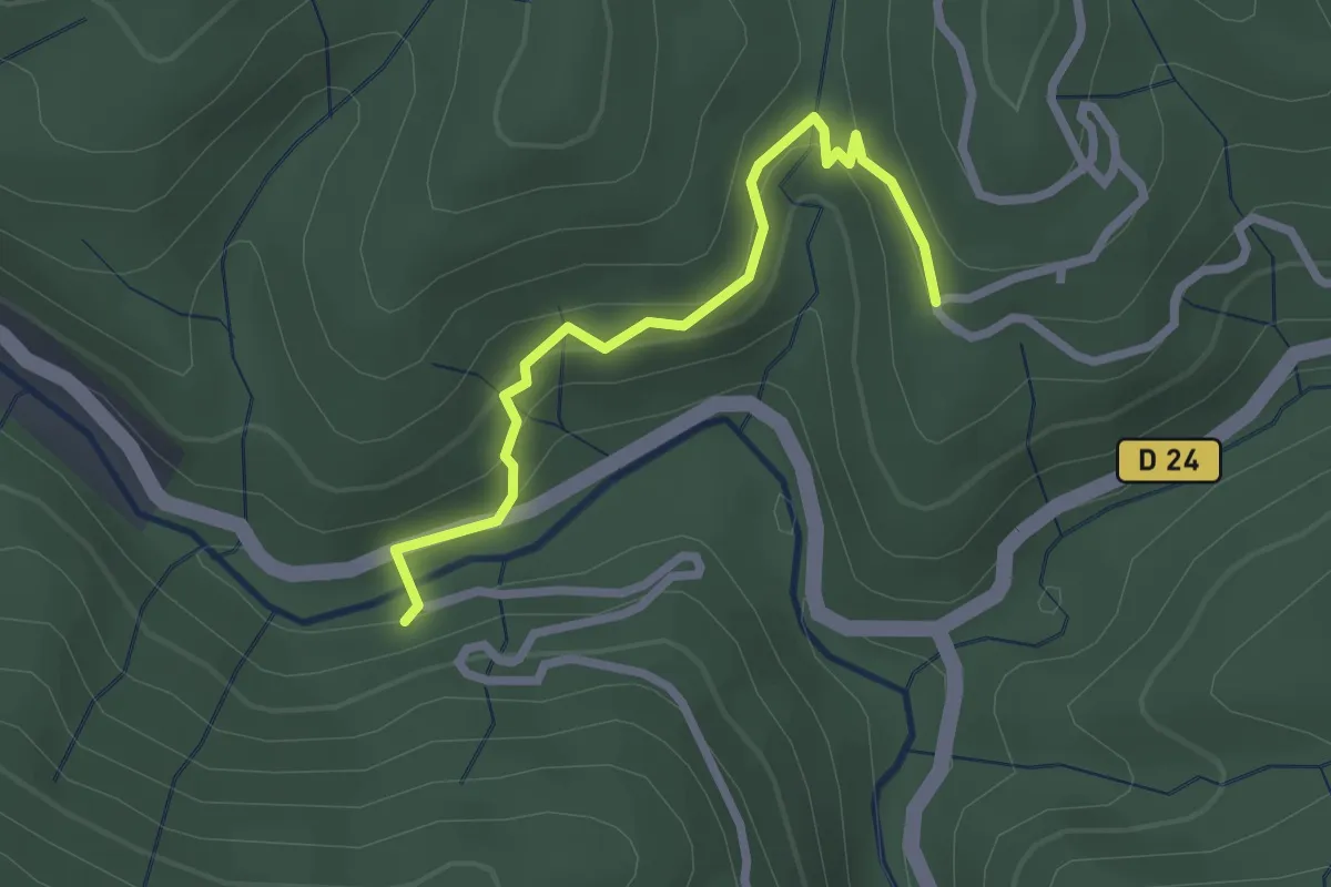
Easy · Trail
La Parot - Entrée de Champussac
2.5 km · ↑ 122 m · 52 min
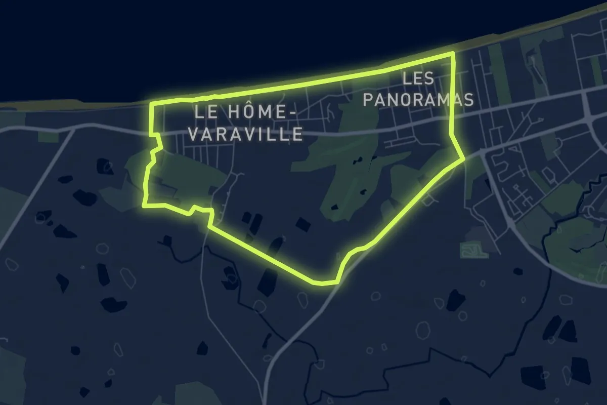
Easy · Trail
La passée aux canards
7.0 km · ↑ 4 m · 1 h 45 min
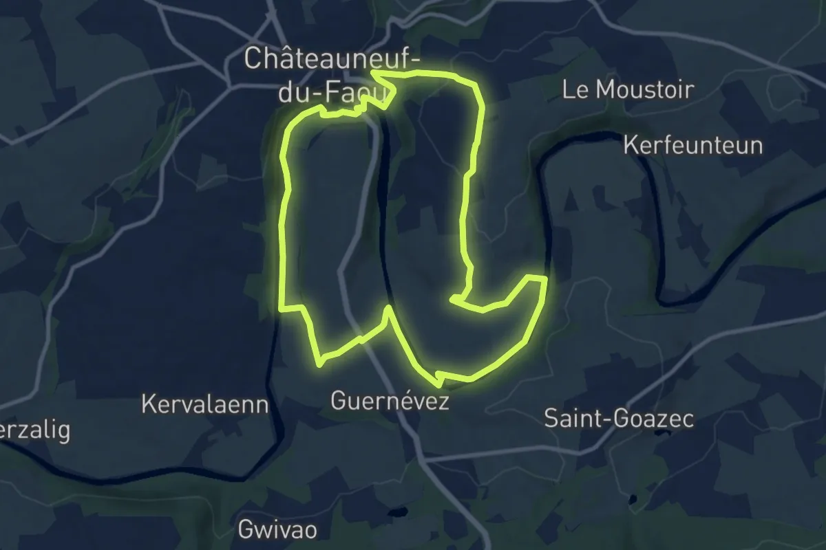
Medium · Trail
La passerelle
9.6 km · ↑ 135 m · 2 h 41 min
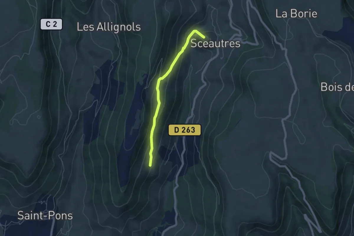
Easy · Summit
La Passerelle - Langelard
4.8 km · ↑ 215 m · 1 h 35 min
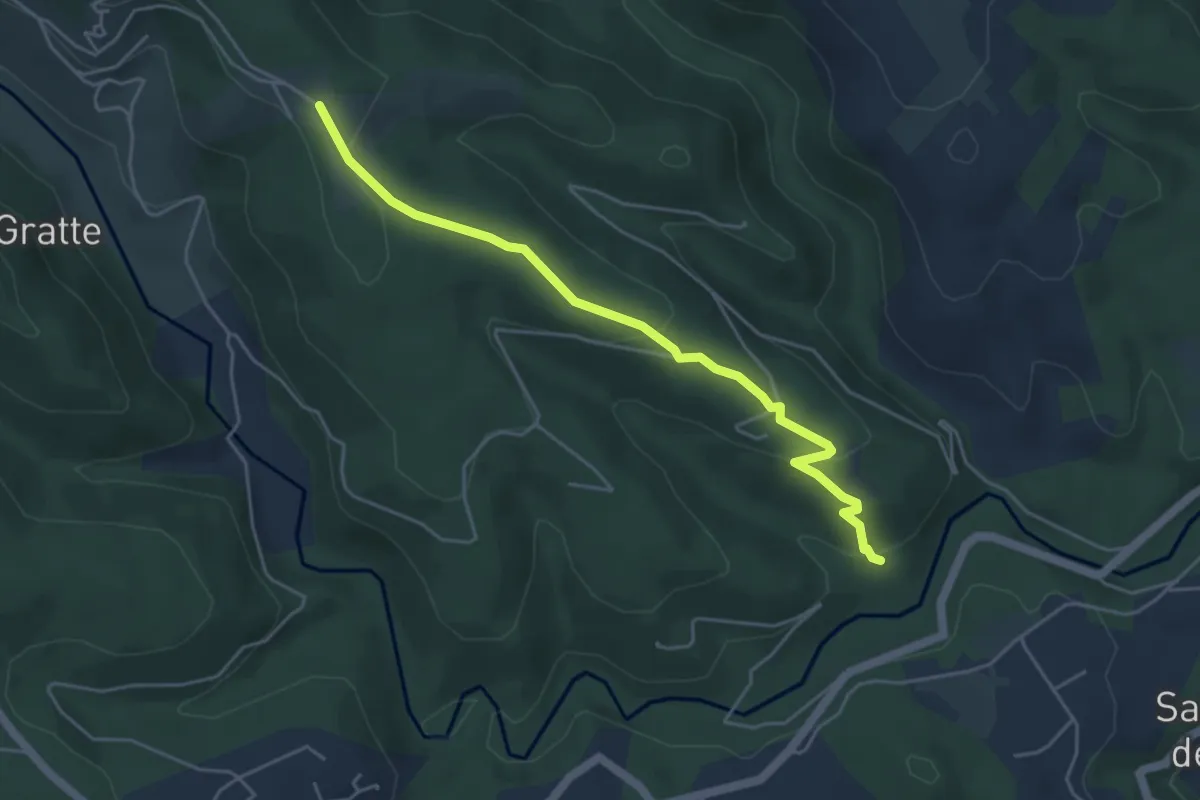
Easy · Trail
La Passerelle - La Pierre Plantée
4.9 km · ↑ 165 m · 1 h 31 min
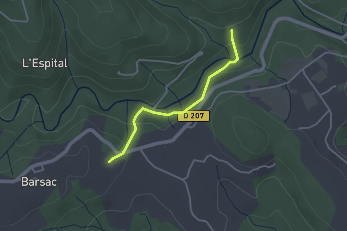
Easy · Trail
La Passerelle - Les Plantades
2.5 km · ↑ 77 m · 46 min
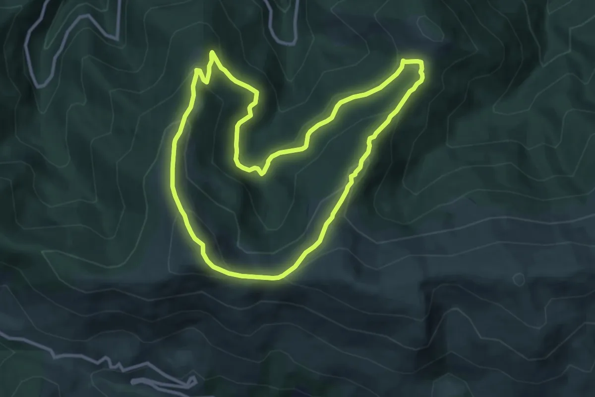
Medium · Summit
La Pastorale en Barguillère
9.3 km · ↑ 479 m · 3 h 22 min
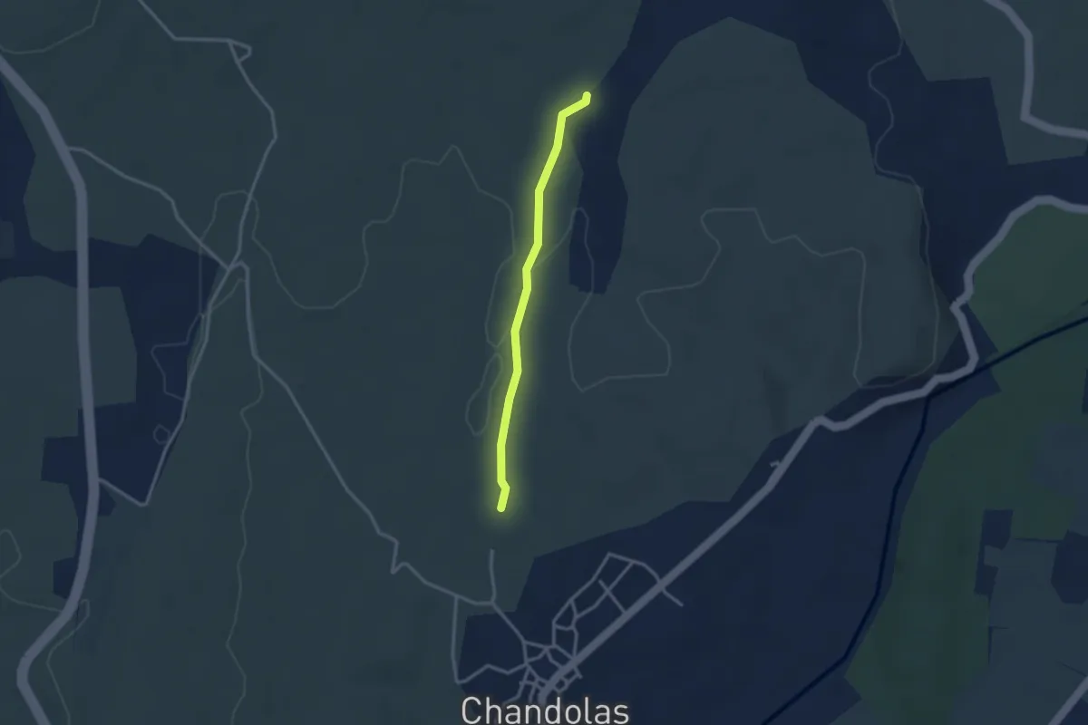
Easy · Trail
La Pause - Le Blachas
2.7 km · ↑ 22 m · 41 min
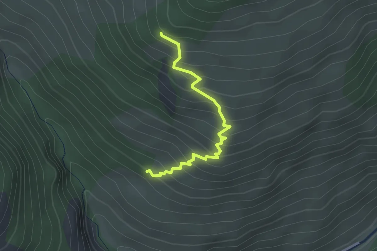
Easy · Trail
La Pause - Les Eygliers
2.5 km · ↑ 264 m · 1 h 10 min
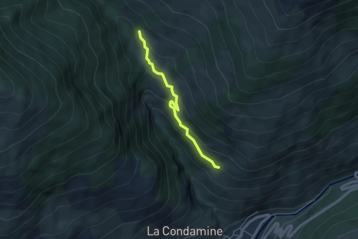
Easy · Trail
La Pause - Le Vial
3.6 km · ↑ 212 m · 1 h 18 min
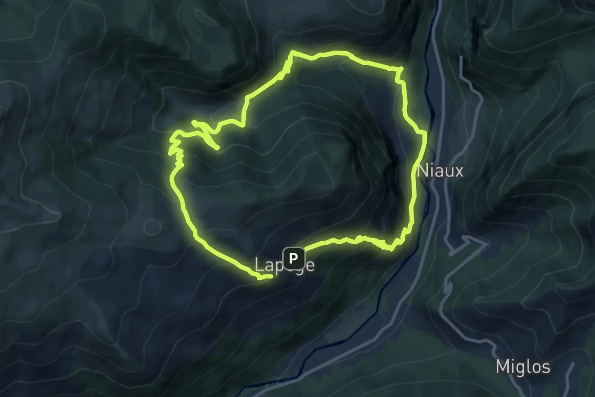
Medium · Trail
Lapège et Pladetis
10.0 km · ↑ 752 m · 4 h 6 min
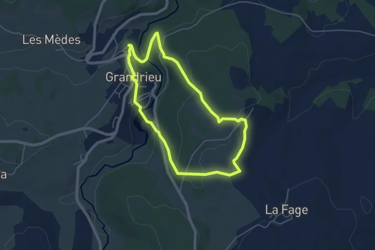
Easy · Trail
La Pépinière
4.2 km · ↑ 134 m · 1 h 20 min
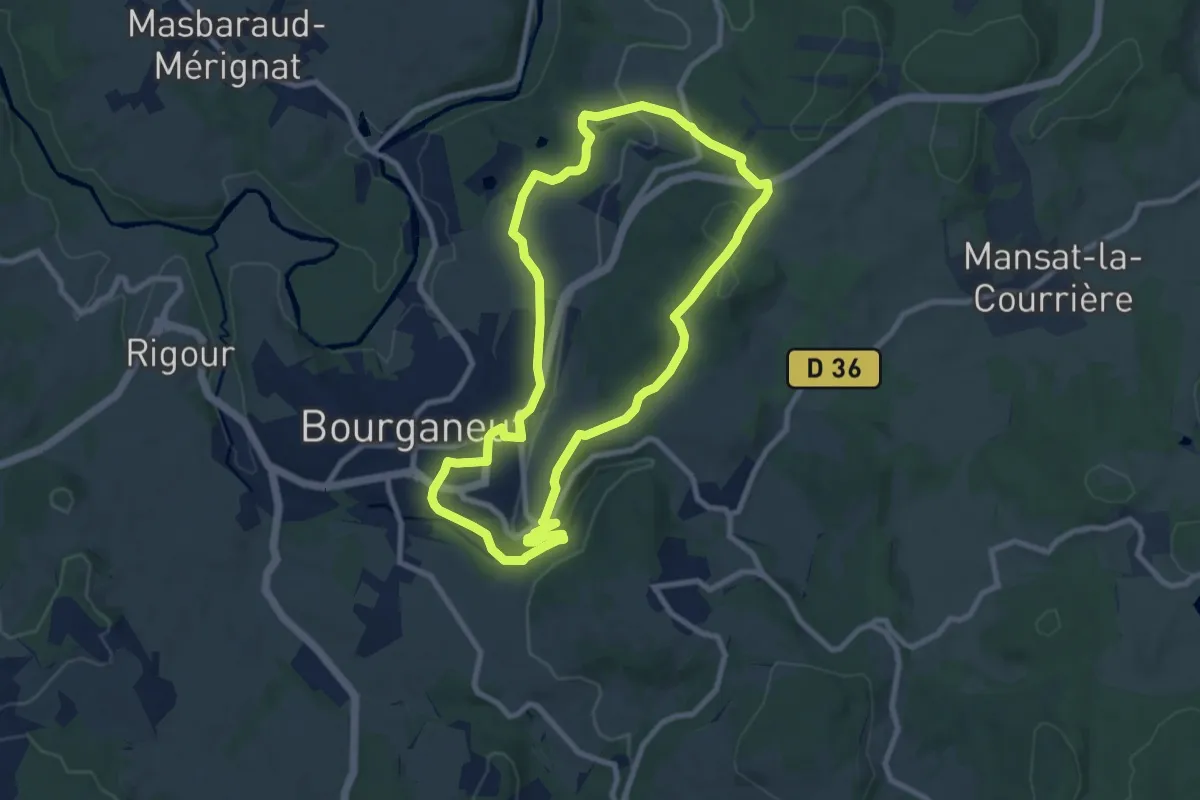
Medium · Trail
La Perrière
8.7 km · ↑ 205 m · 2 h 37 min
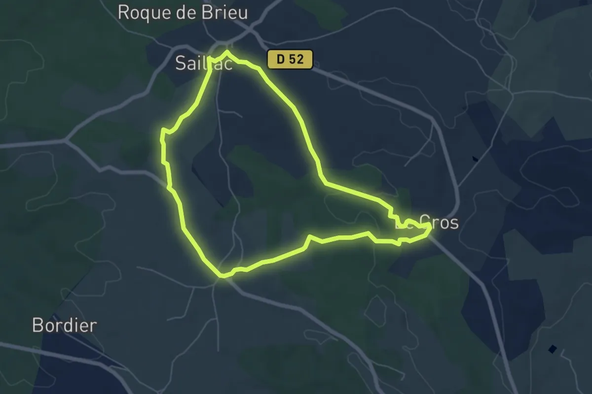
Easy · Trail
La perte du Cros
5.9 km · ↑ 66 m · 1 h 38 min
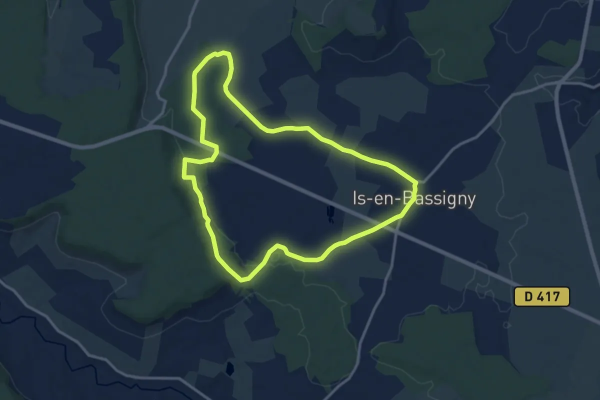
Medium · Trail
La Petite Abondance
9.3 km · ↑ 121 m · 2 h 36 min
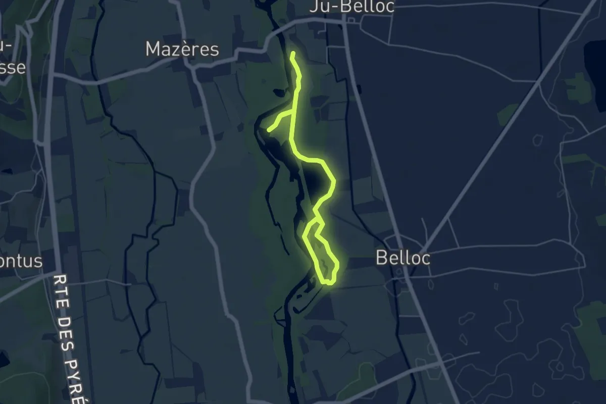
Easy · Trail
La Petite Boucle
6.3 km · ↑ 13 m · 1 h 30 min
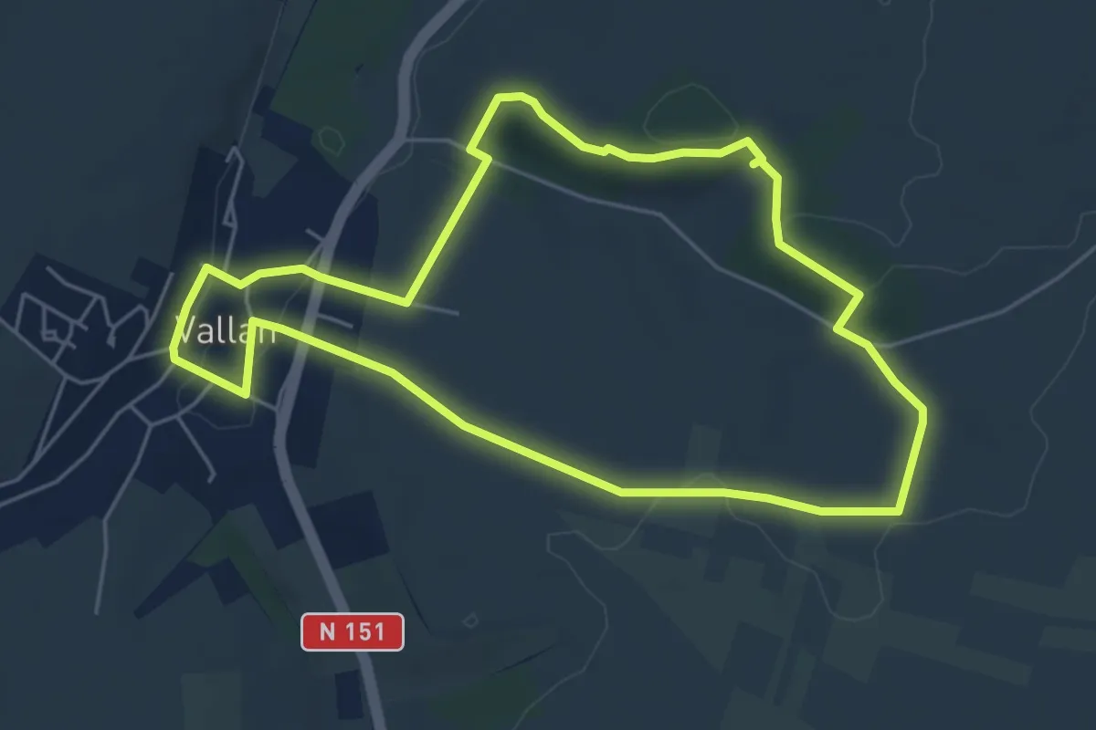
Easy · Trail
La Petite Boucle
5.1 km · ↑ 80 m · 1 h 26 min
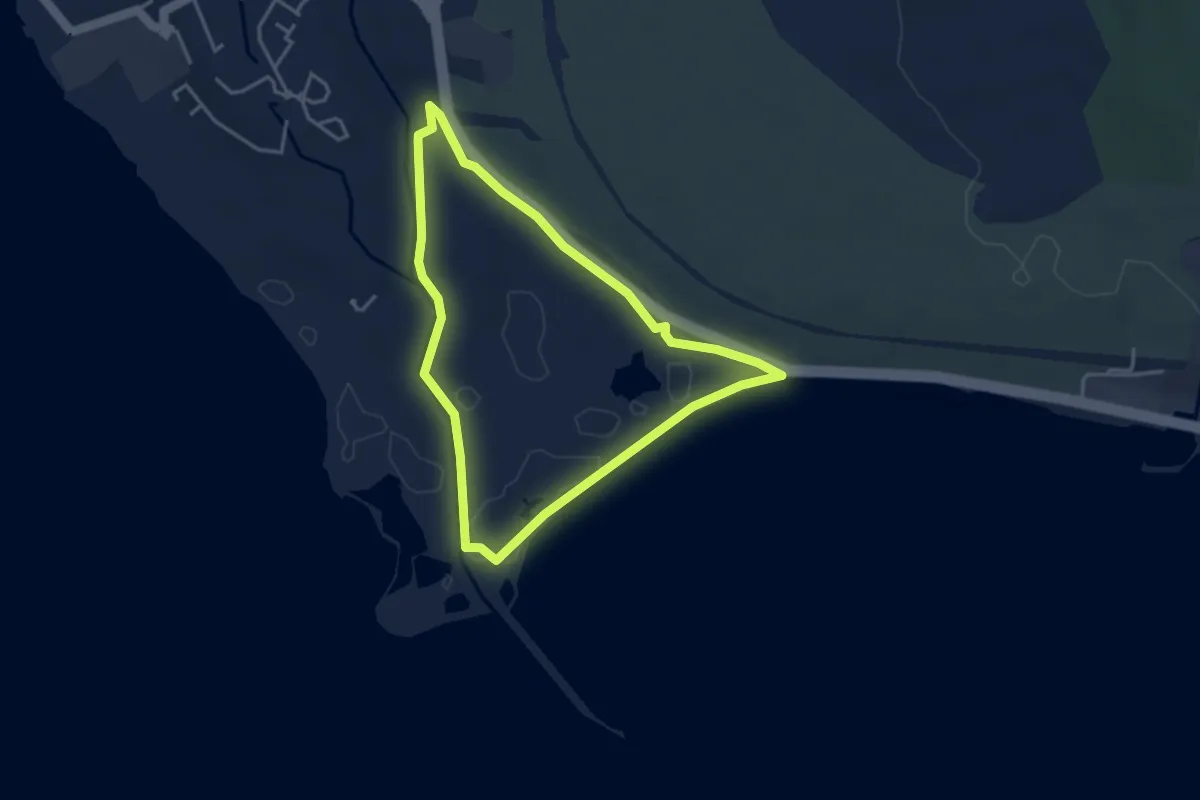
Easy · Trail
La petite Camargue
3.7 km · ↑ 10 m · 57 min
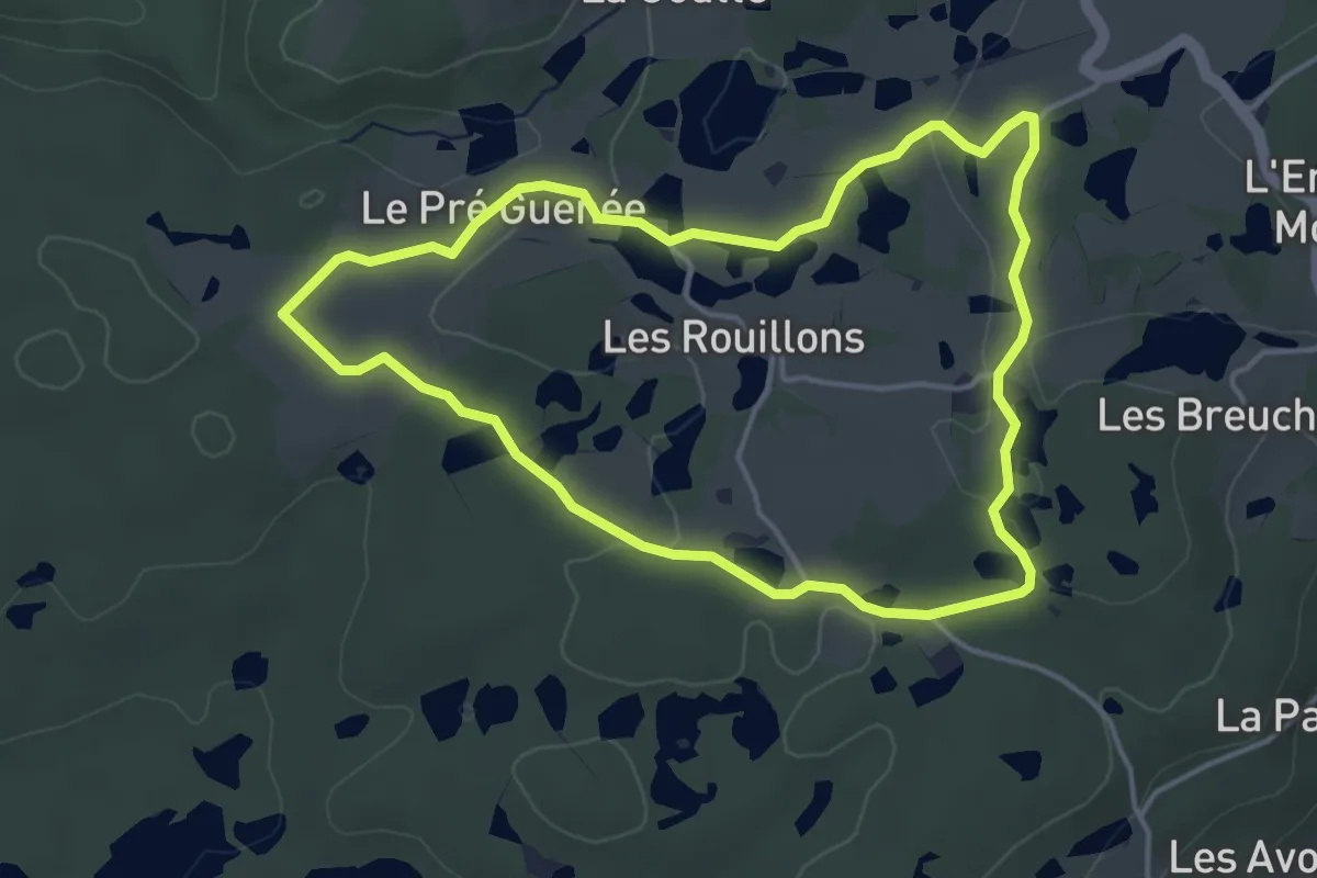
Easy · Trail
La Petite Finlande
4.0 km · ↑ 45 m · 1 h 6 min
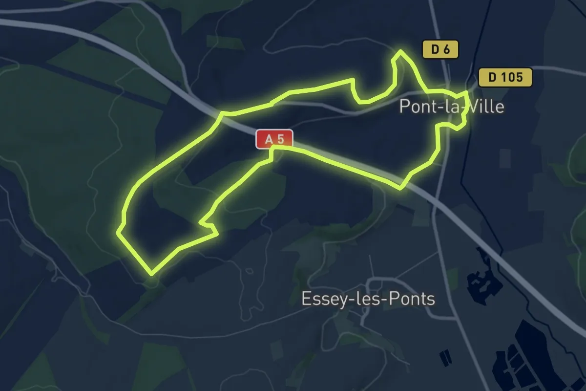
Medium · Trail
La Petite Forêt
8.8 km · ↑ 119 m · 2 h 28 min
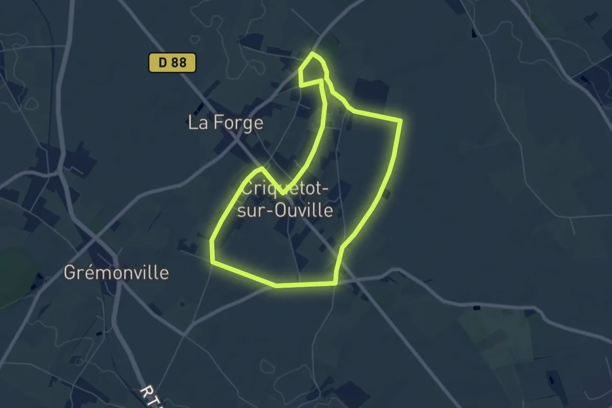
Easy · Trail
La Petite “Lourdes”
5.8 km · ↑ 35 m · 1 h 31 min
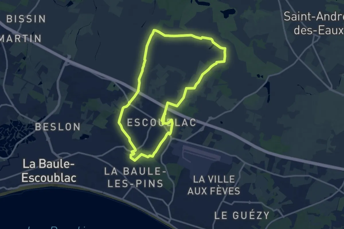
Medium · Trail
La petite marchande
10.4 km · ↑ 45 m · 2 h 42 min
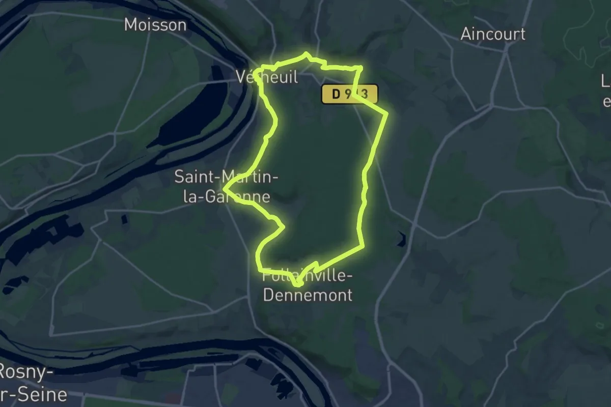
Medium · Trail
La Petite Suisse
16.6 km · ↑ 326 m · 4 h 52 min
Easy · Trail
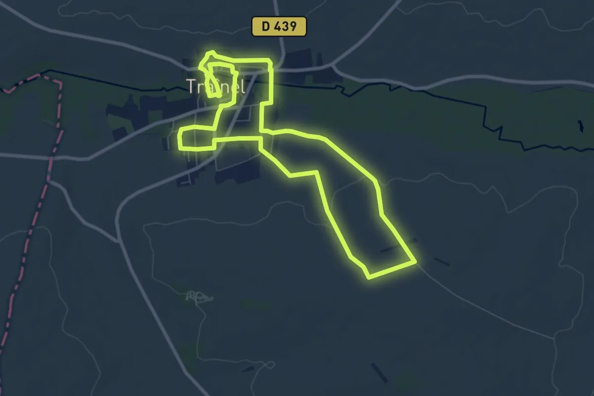
La Petite Venise
7.6 km · ↑ 93 m · 2 h 5 min
Medium · Trail
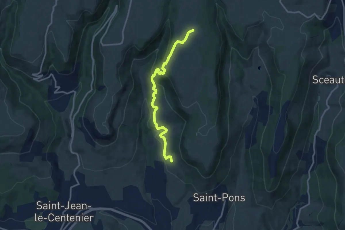
La Peyre Haut - Faugère
8.6 km · ↑ 376 m · 2 h 51 min
Easy · Trail
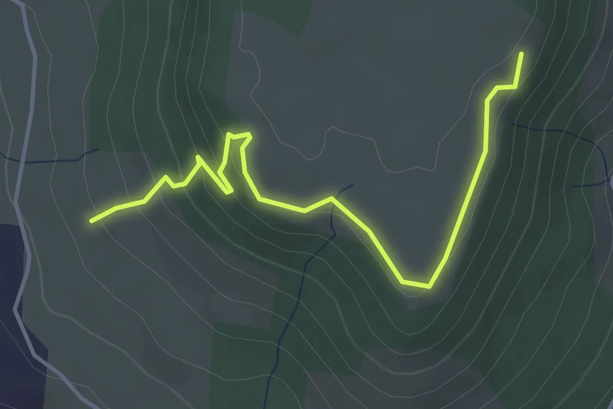
La Peyre Haut - Plaine du Regard
3.9 km · ↑ 191 m · 1 h 20 min
Medium · Trail
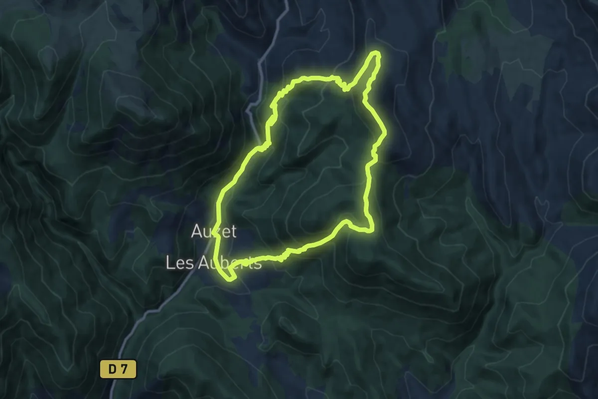
La Peyronnière
9.8 km · ↑ 634 m · 3 h 50 min
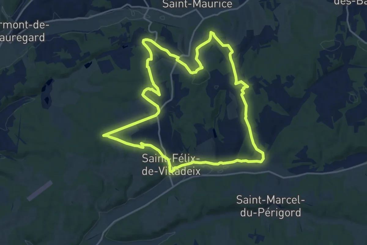
Medium · Trail
La Peyrouse
14.6 km · ↑ 284 m · 4 h 17 min
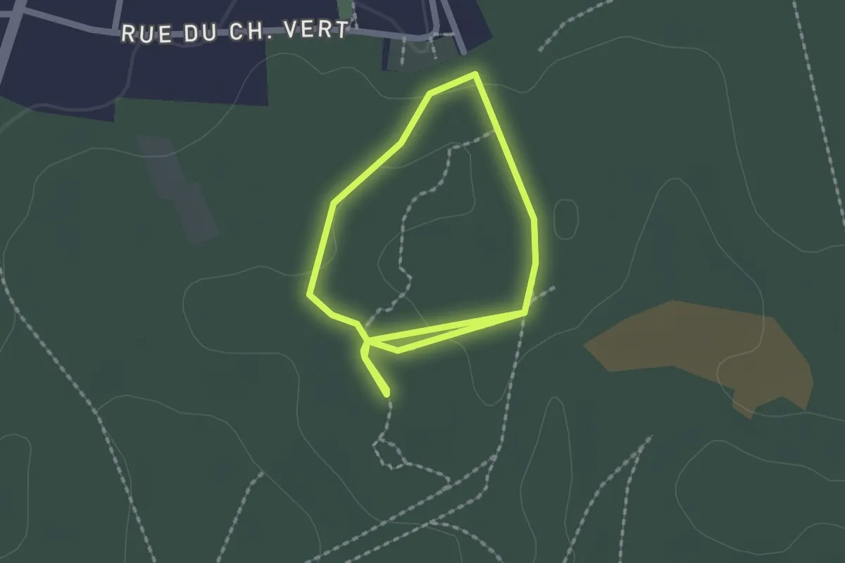
Easy · Trail
La Pierre au Coq
1.5 km · ↑ 5 m · 23 min
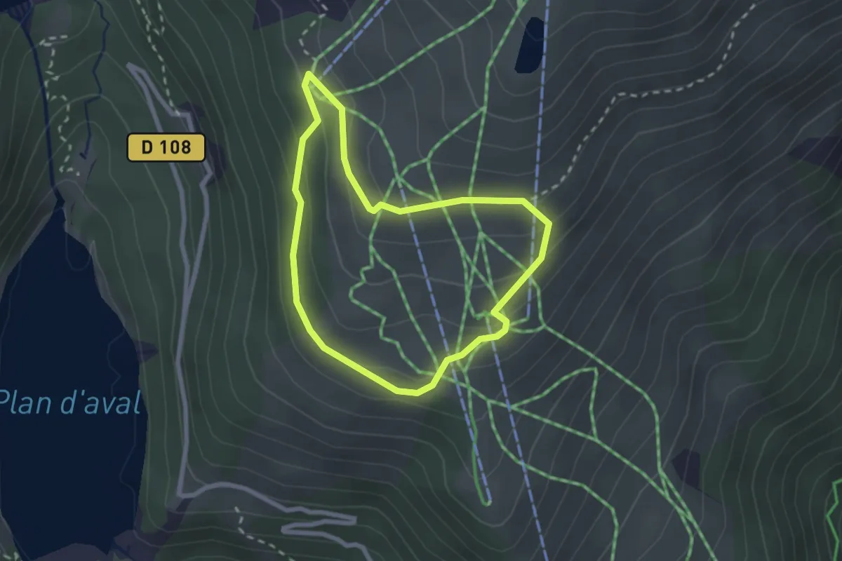
Medium · Trail
La Pierre aux Lièvres
2.1 km · ↑ 98 m · 45 min
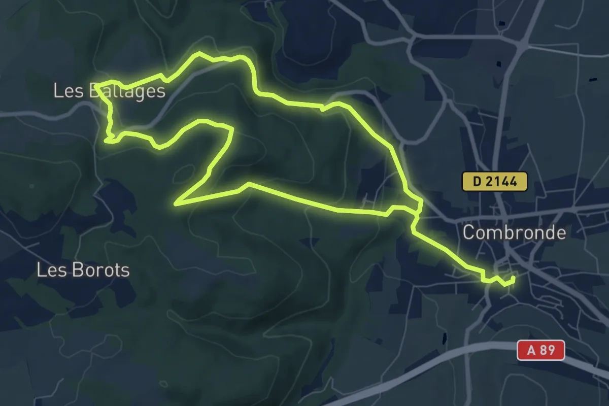
Easy · Trail
La Pierre Branlante
7.7 km · ↑ 247 m · 2 h 28 min