Trails in France
15,926 hiking trails, each with its route, climb, walking time and grade.
All trails, page 147 of 332
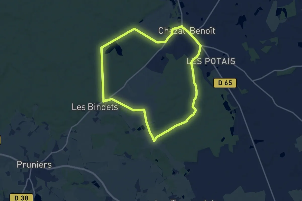
Medium · Trail
La Ronde des Bois
12.0 km · ↑ 73 m · 3 h 10 min
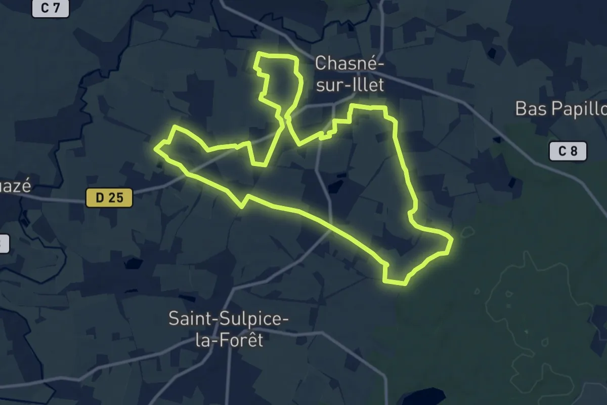
Medium · Trail
La ronde des Chênes
11.2 km · ↑ 60 m · 2 h 56 min
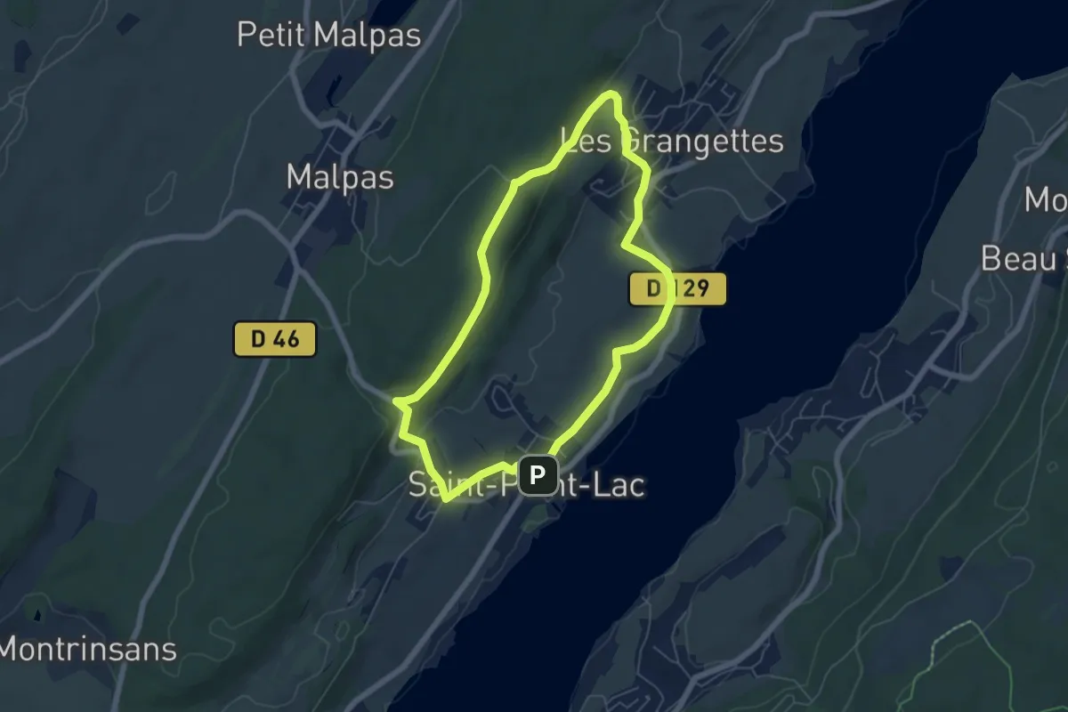
Easy · Trail
La Ronde des Deux Villages
5.4 km · ↑ 150 m · 1 h 41 min
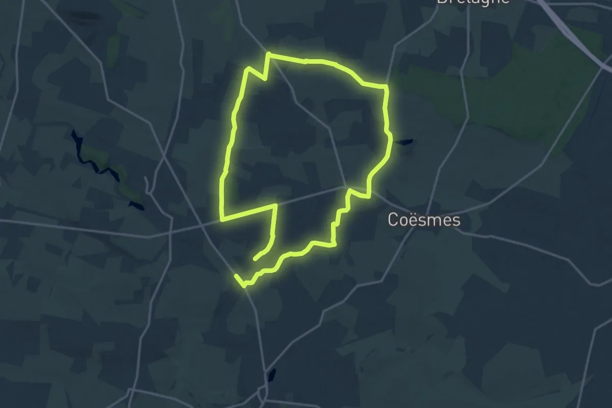
Demanding · Trail
La ronde des espiègles
27.5 km · ↑ 197 m · 6 h 55 min
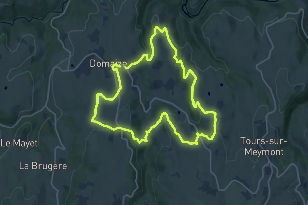
Medium · Trail
La ronde des fruits
10.8 km · ↑ 290 m · 3 h 20 min
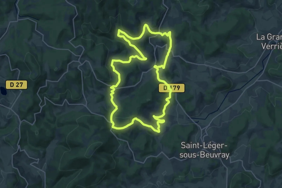
Demanding · Trail
La Ronde des Mineurs
19.2 km · ↑ 618 m · 6 h 8 min
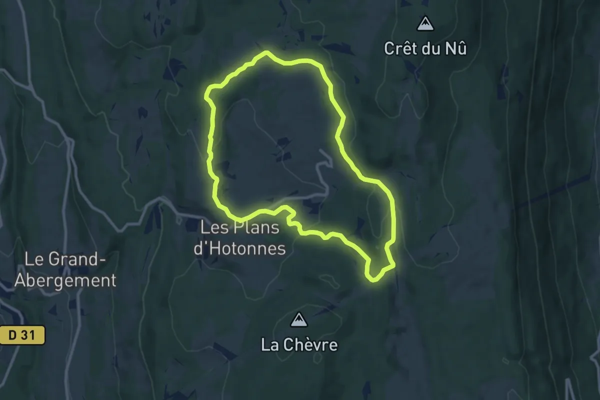
Medium · Trail
La Ronde des Plans
8.6 km · ↑ 225 m · 2 h 39 min
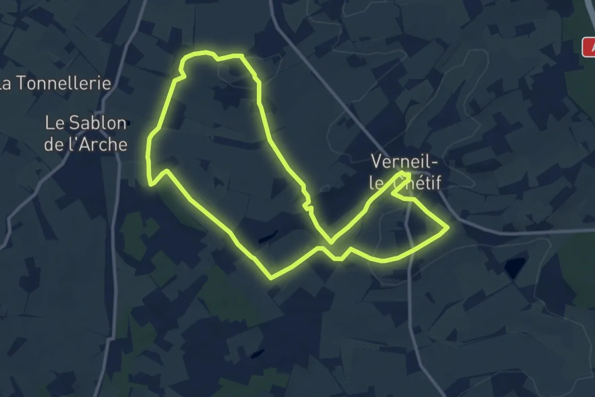
Medium · Trail
La ronde des pommiers
9.0 km · ↑ 80 m · 2 h 25 min
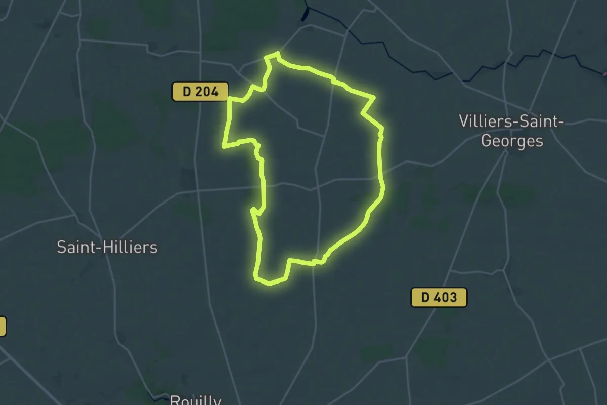
Demanding · Trail
La ronde des Seigneurs
19.8 km · ↑ 78 m · 5 h 7 min
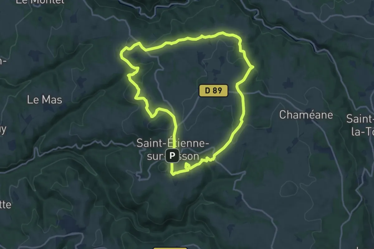
Medium · Summit
La Ronde des Suquets
11.8 km · ↑ 291 m · 3 h 35 min
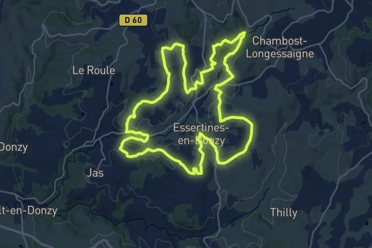
Demanding · Trail
La Ronde Essertinoise
18.5 km · ↑ 487 m · 5 h 41 min
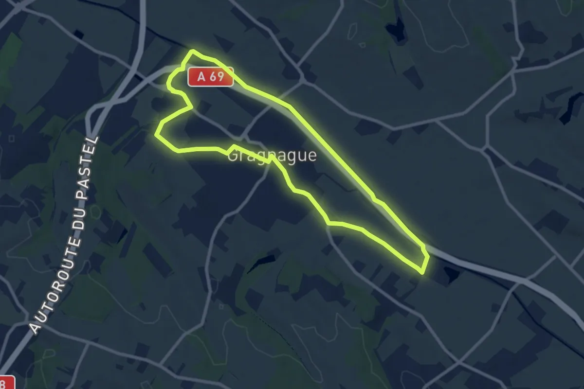
Easy · Trail
La rondes des berges
7.9 km · ↑ 17 m · 2 h
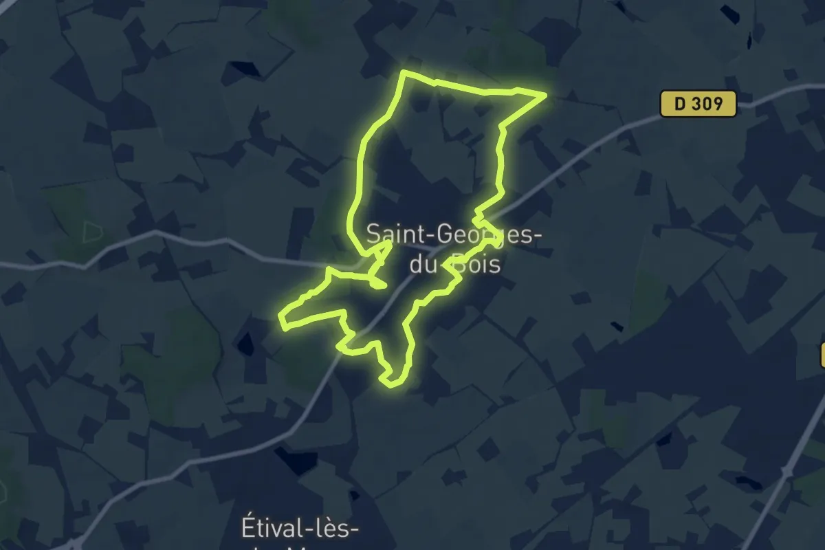
Medium · Trail
La ronde verte
8.3 km · ↑ 92 m · 2 h 16 min
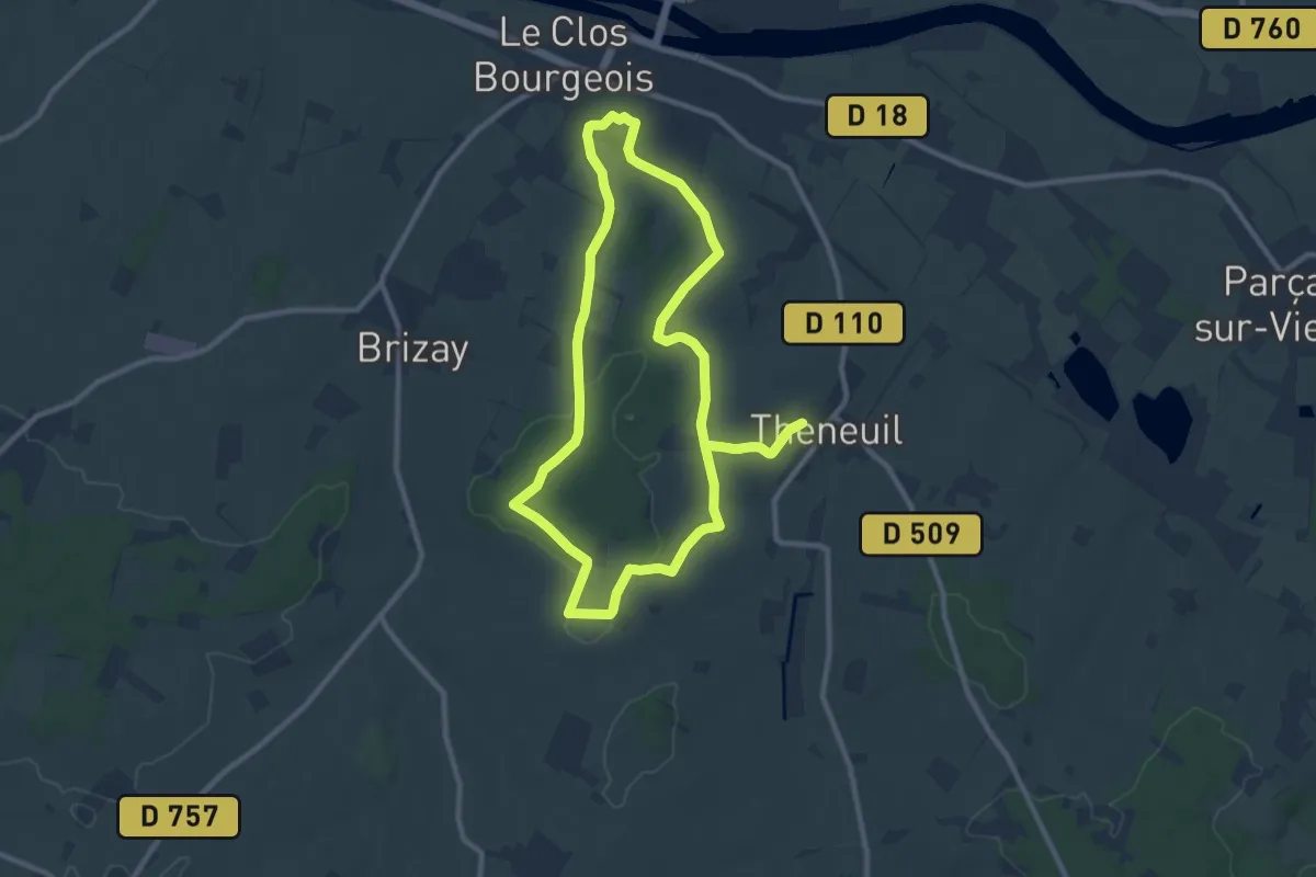
Medium · Trail
La Rondière
9.9 km · ↑ 134 m · 2 h 46 min
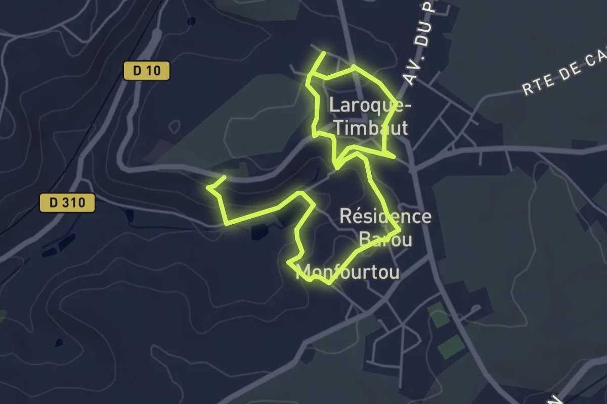
Easy · Trail
Laroque-Timbaut, sur les pas de Roland - 5km
3.8 km · ↑ 91 m · 1 h 8 min
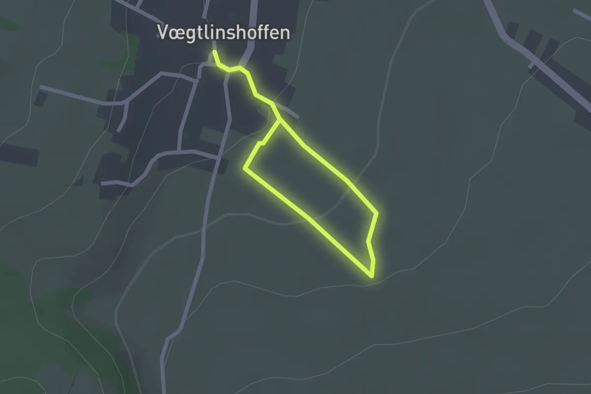
Easy · Trail
La Roseraie du Hatschbourg
1.3 km · ↑ 36 m · 24 min
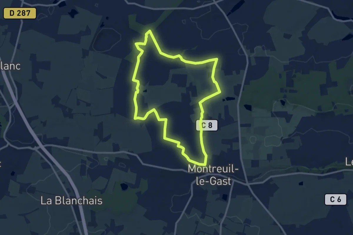
Medium · Trail
La Rosière
8.0 km · ↑ 22 m · 2 h 3 min
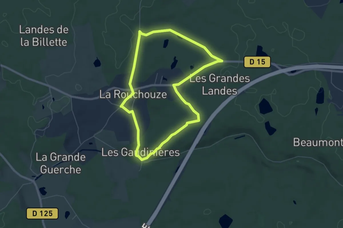
Easy · Trail
La Rouchouze
5.5 km · ↑ 57 m · 1 h 30 min
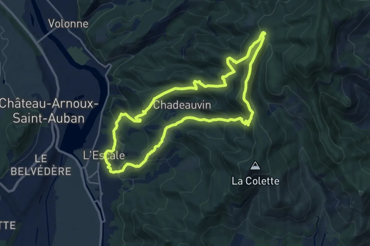
Medium · Summit
La Rouerie
12.8 km · ↑ 702 m · 4 h 43 min
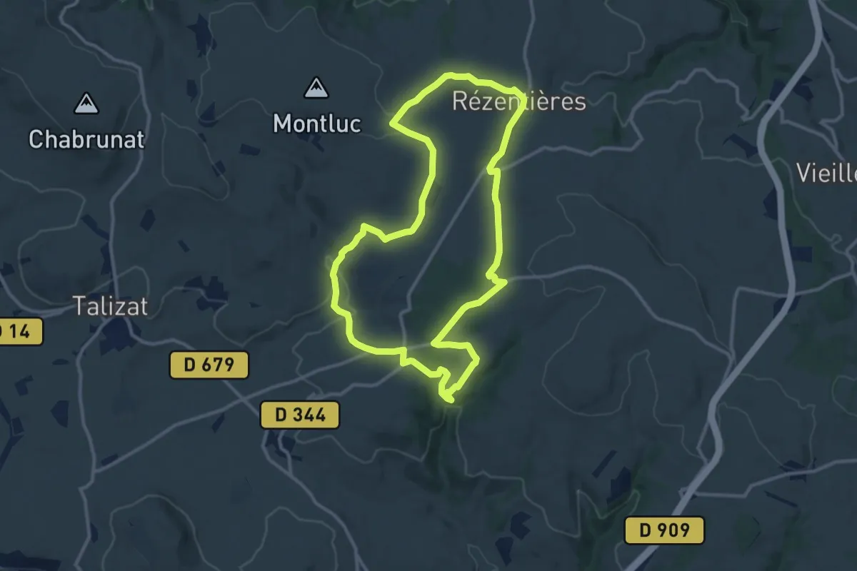
Medium · Trail
La Roussière
11.5 km · ↑ 196 m · 3 h 17 min
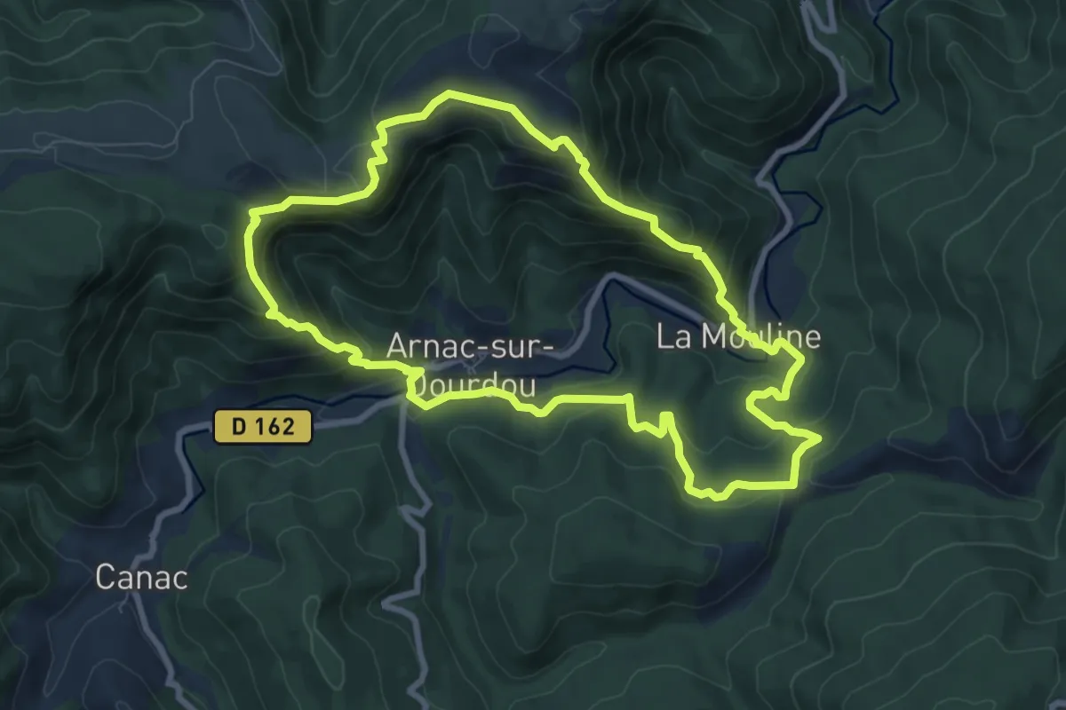
Medium · Trail
La route des Crêtes
8.6 km · ↑ 496 m · 3 h 13 min
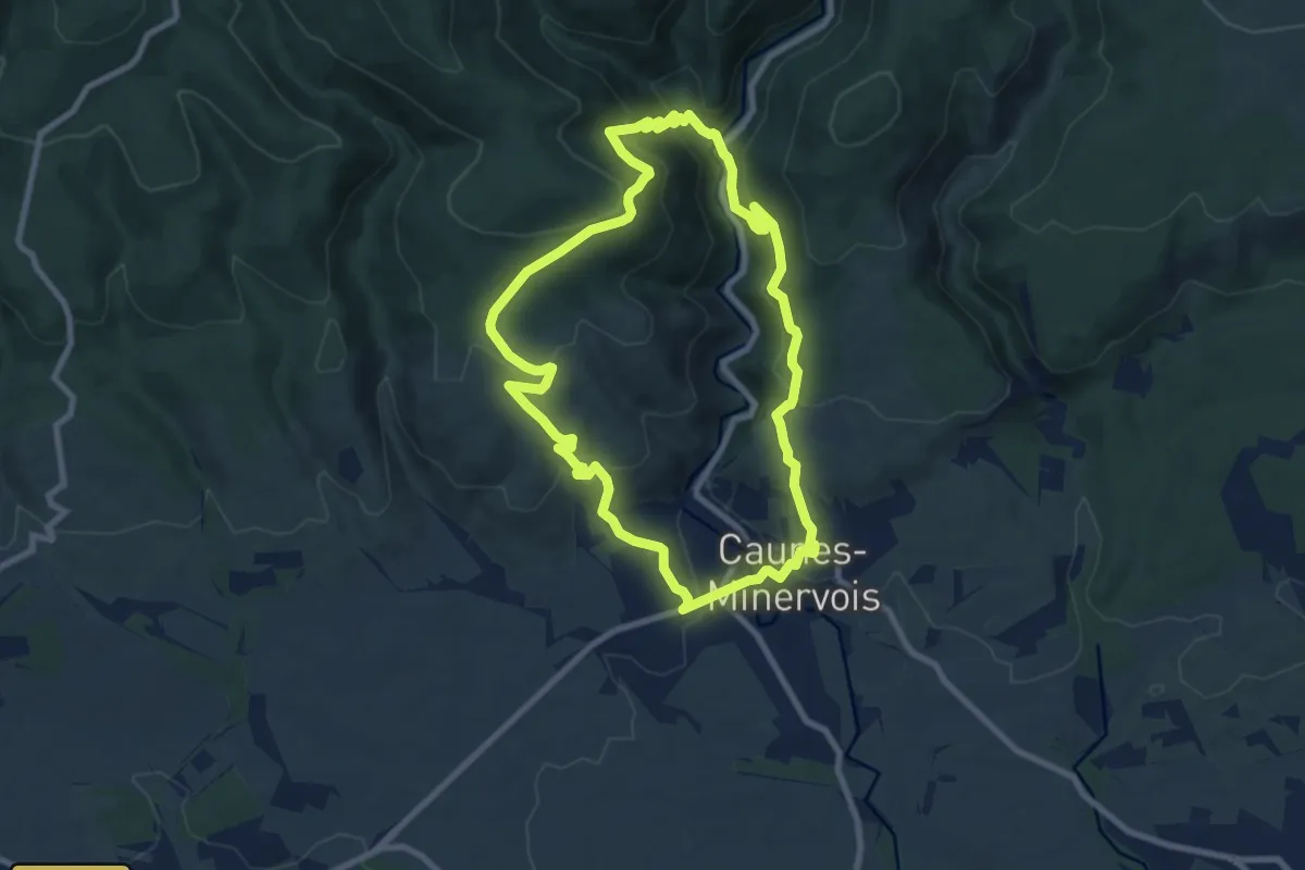
Medium · Trail
La Route des Moutons
8.8 km · ↑ 446 m · 3 h 9 min
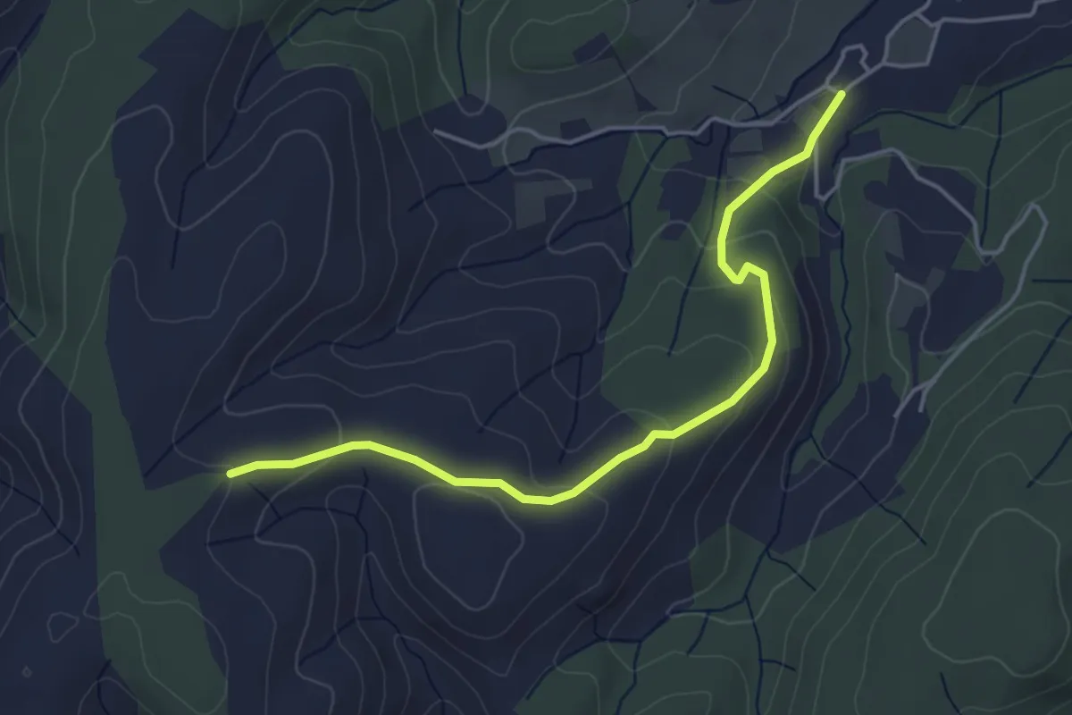
Easy · Trail
La Rouvière - Montfaucon
4.6 km · ↑ 180 m · 1 h 29 min
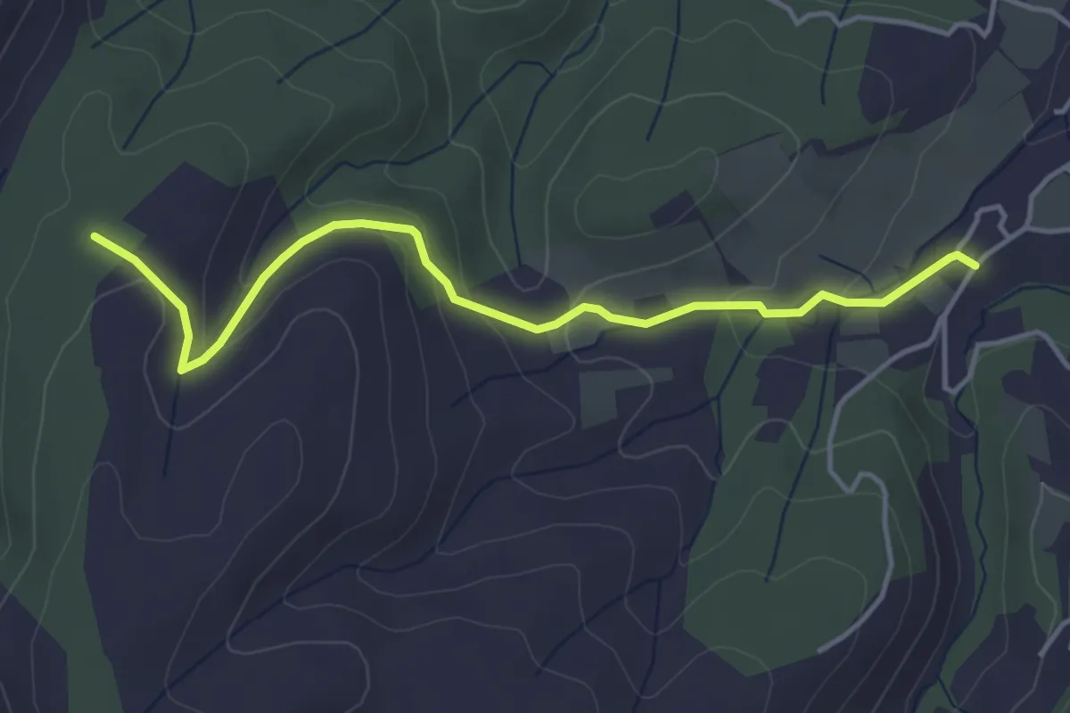
Easy · Trail
La Rouvière - Mont Rosier
4.4 km · ↑ 163 m · 1 h 24 min
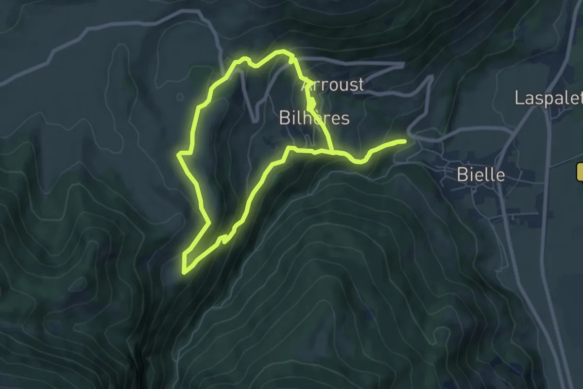
Medium · Trail
L'Arriu-Mage
6.6 km · ↑ 413 m · 2 h 32 min
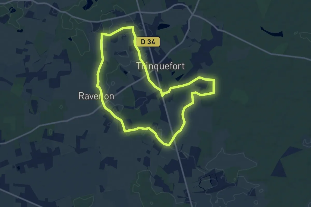
Medium · Trail
La Rue Creuse - Savigné-sur-Lathan
9.1 km · ↑ 26 m · 2 h 19 min
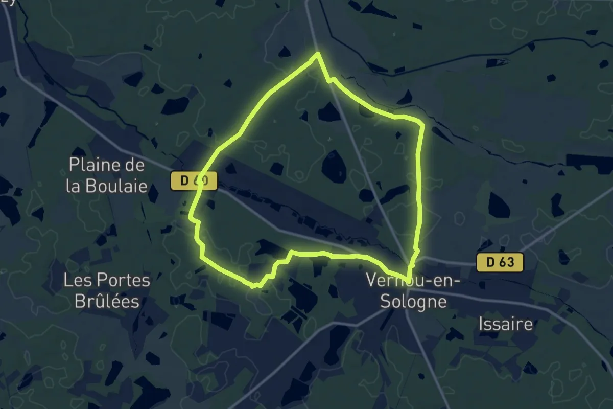
Medium · Trail
La rue du Bois
10.5 km · ↑ 54 m · 2 h 44 min
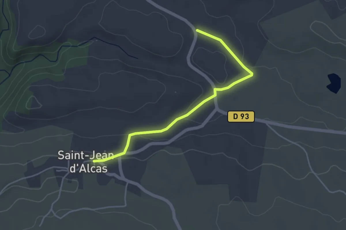
Easy · Trail
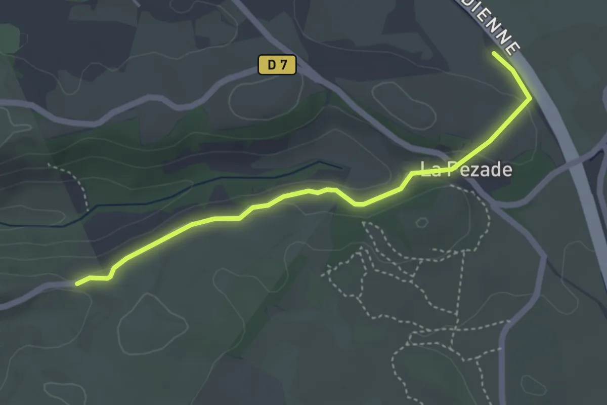
Larzac Templier et Hospitalier, accès St Jean d'Alcas
3.9 km · ↑ 45 m · 1 h 1 min
Easy · Trail
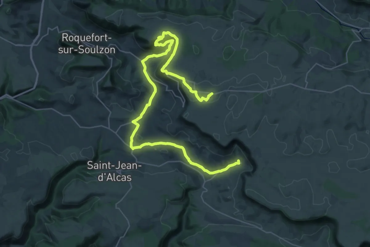
Larzac Templier et Hospitalier - tracé principal
4.1 km · ↑ 93 m · 1 h 11 min
Demanding · Trail
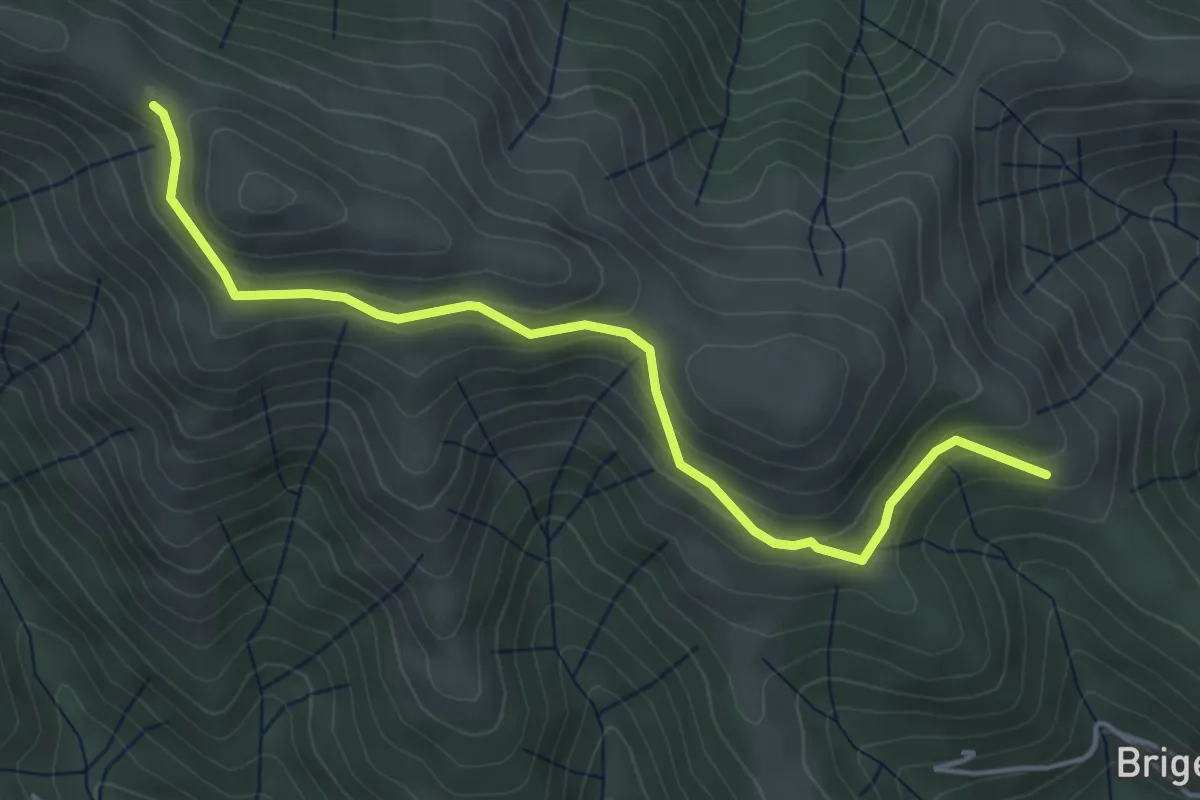
Larzac Templier et Hospitalier, variante Tournemire
18.5 km · ↑ 509 m · 5 h 36 min
Easy · Trail
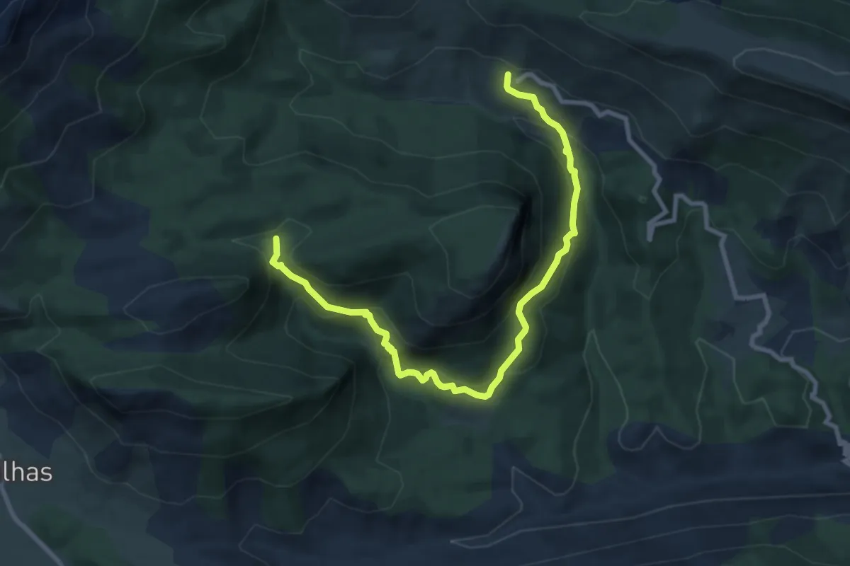
La Sableyre - Le Fénadou
4.9 km · ↑ 217 m · 1 h 37 min
Medium · Trail
La Sagne - Collettes
9.5 km · ↑ 649 m · 3 h 39 min
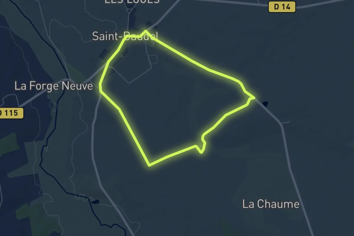
Easy · Trail
La Saint-Baudelaise
5.6 km · ↑ 23 m · 1 h 27 min
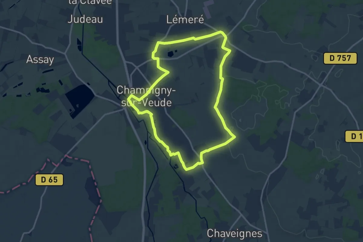
Medium · Trail
La Sainte Chapelle, son Village et ses Ruisseaux - Champigny-sur-Veude
10.8 km · ↑ 96 m · 2 h 55 min
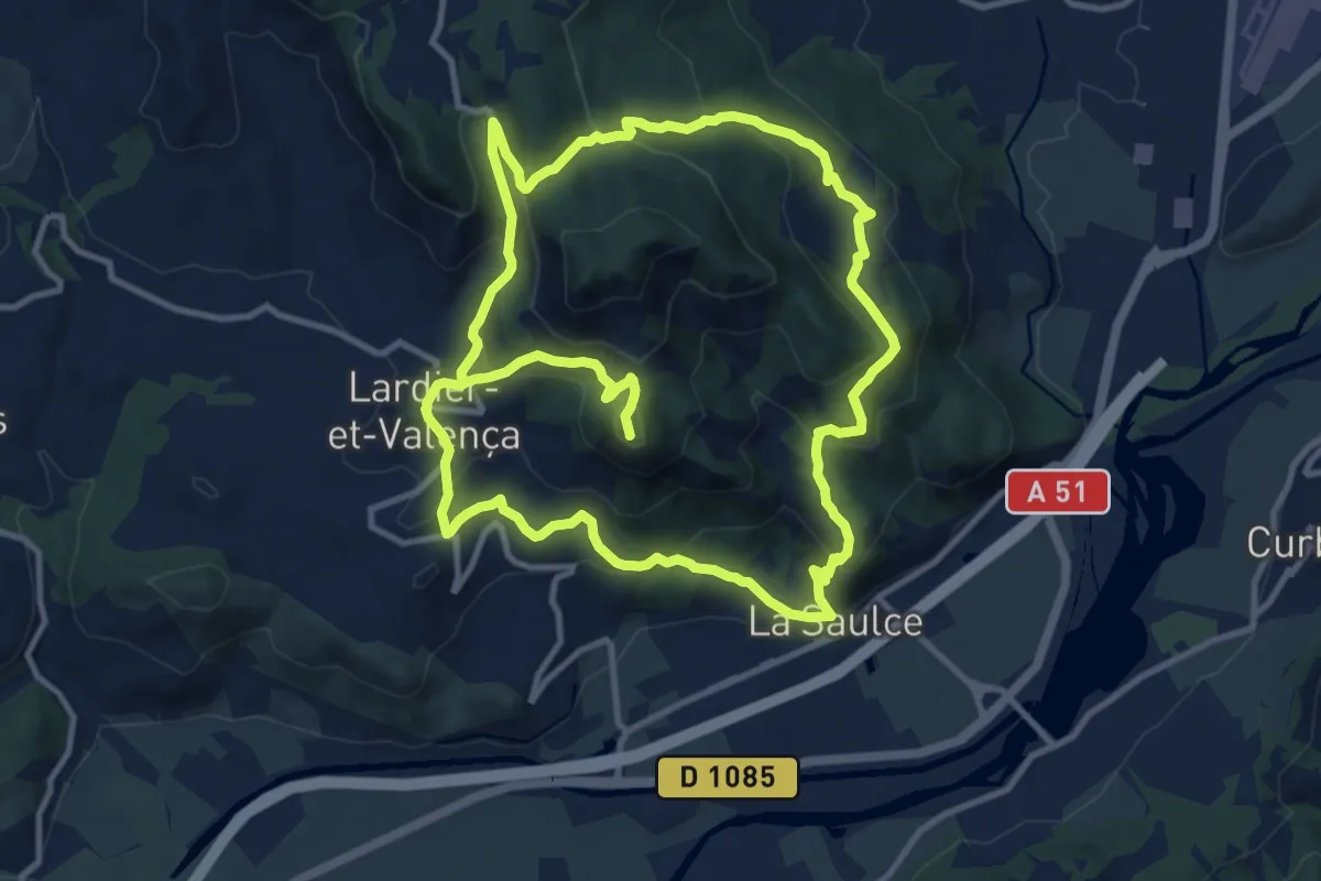
Demanding · Summit
La Sainte-Croix
23.4 km · ↑ 1272 m · 8 h 18 min
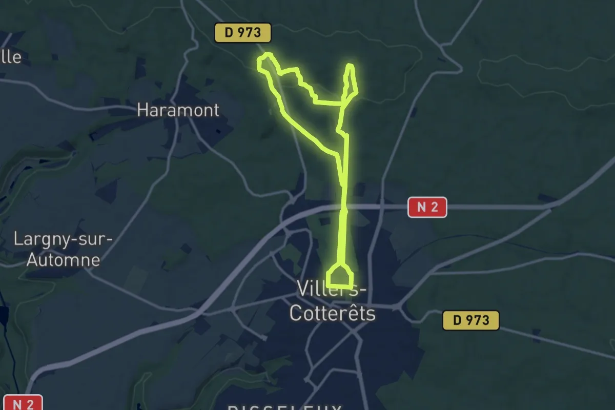
Demanding · Trail
La Salamandre
20.5 km · ↑ 371 m · 5 h 39 min
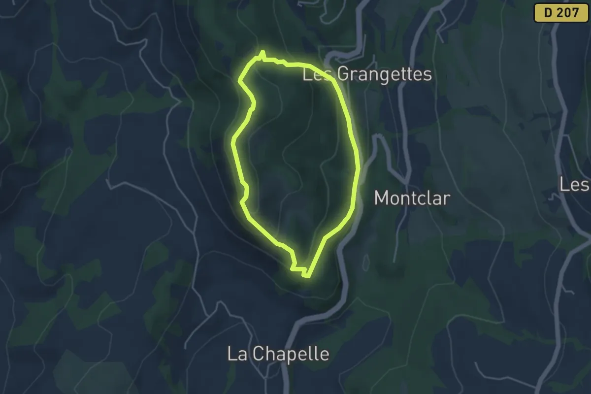
Easy · Trail
La Salette
3.3 km · ↑ 167 m · 1 h 12 min
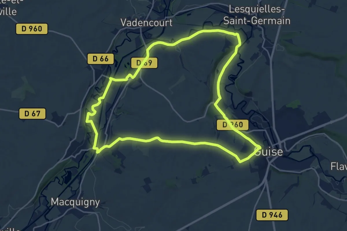
Medium · Trail
La Salette
15.9 km · ↑ 159 m · 4 h 19 min
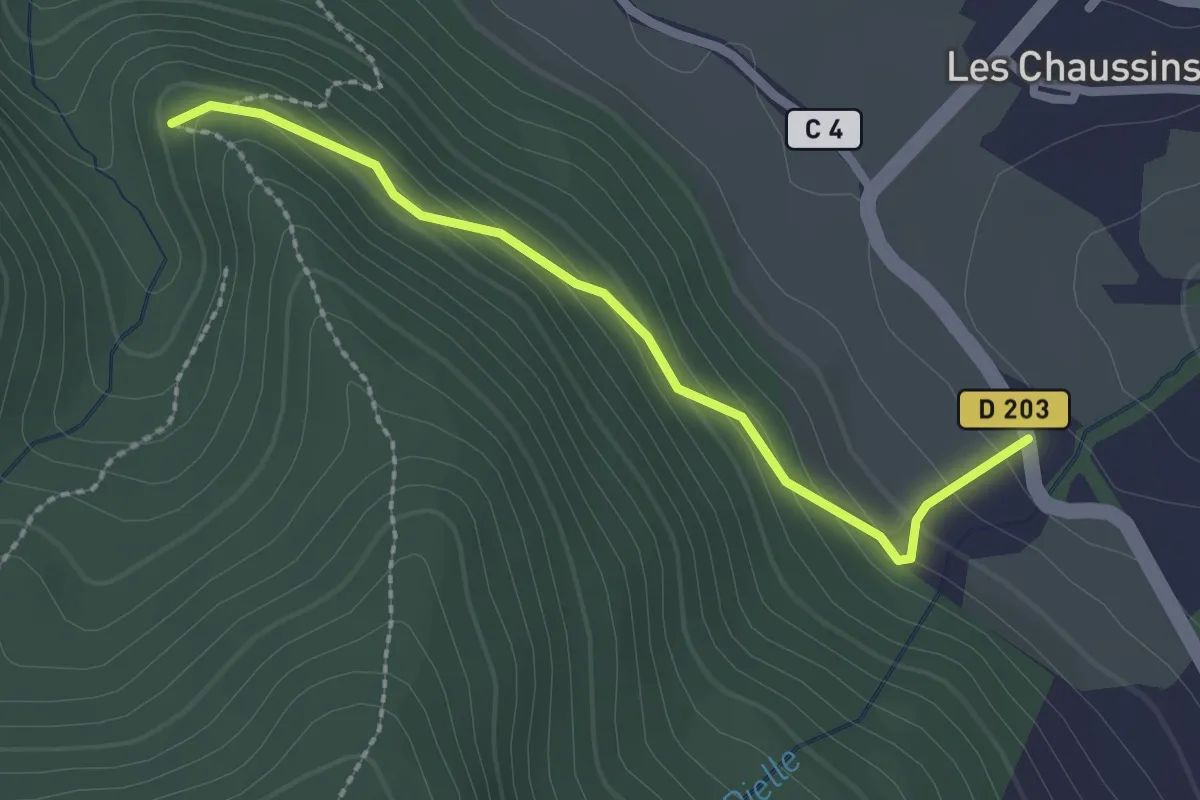
Easy · Trail
La Sarragou - ?
2.3 km · ↑ 136 m · 51 min
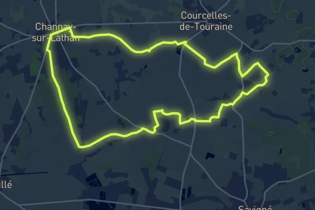
Medium · Trail
La Sarre - Channay-sur-Lathan
14.4 km · ↑ 26 m · 3 h 39 min
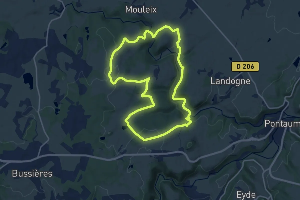
Medium · Trail
La Saunade
11.3 km · ↑ 233 m · 3 h 19 min
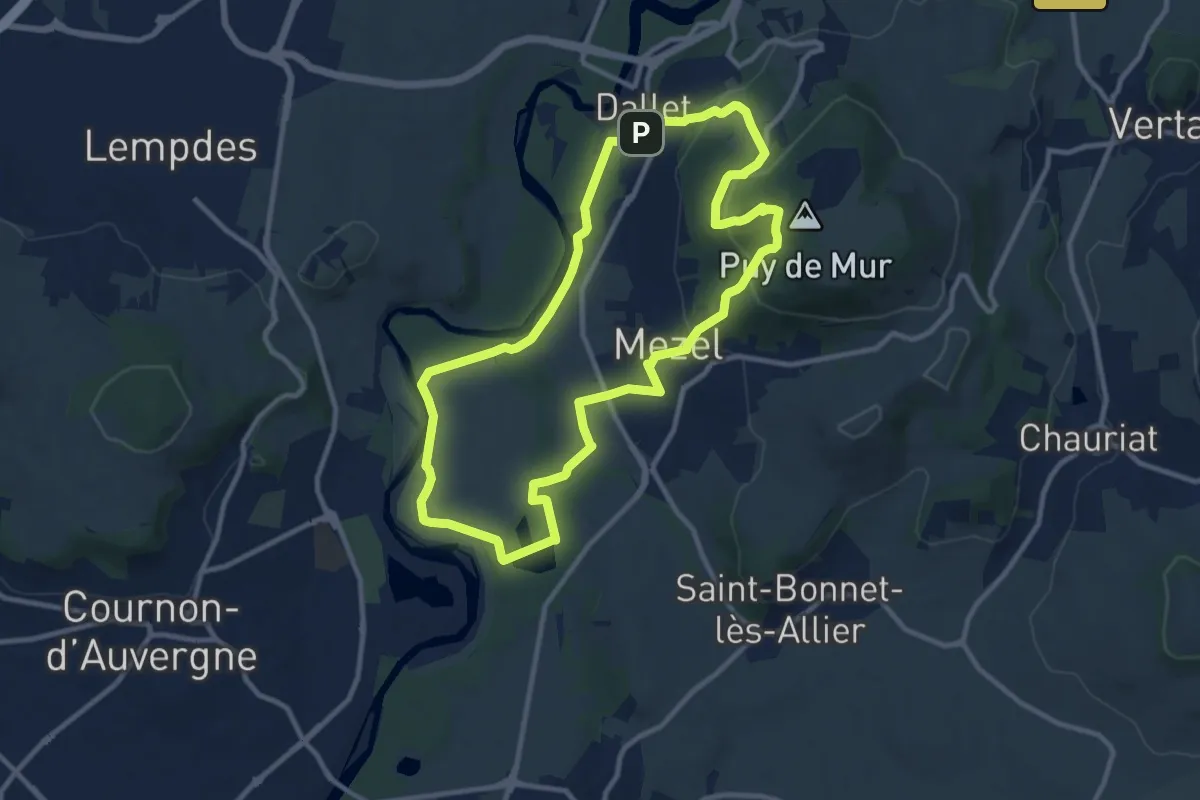
Medium · Summit
L'ascension du Puy de Mur
10.6 km · ↑ 291 m · 3 h 16 min
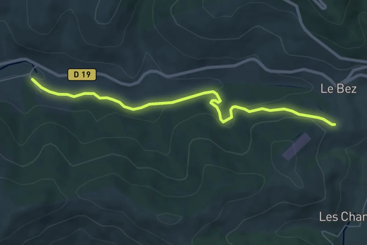
Easy · Trail
La scierie - Le Bez Altiport
5.9 km · ↑ 175 m · 1 h 46 min
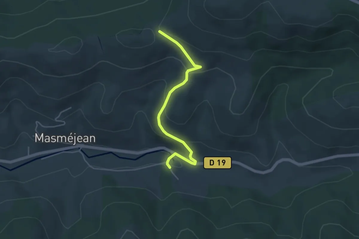
Easy · Trail
La scierie - Le suc de Montat
3.9 km · ↑ 199 m · 1 h 20 min
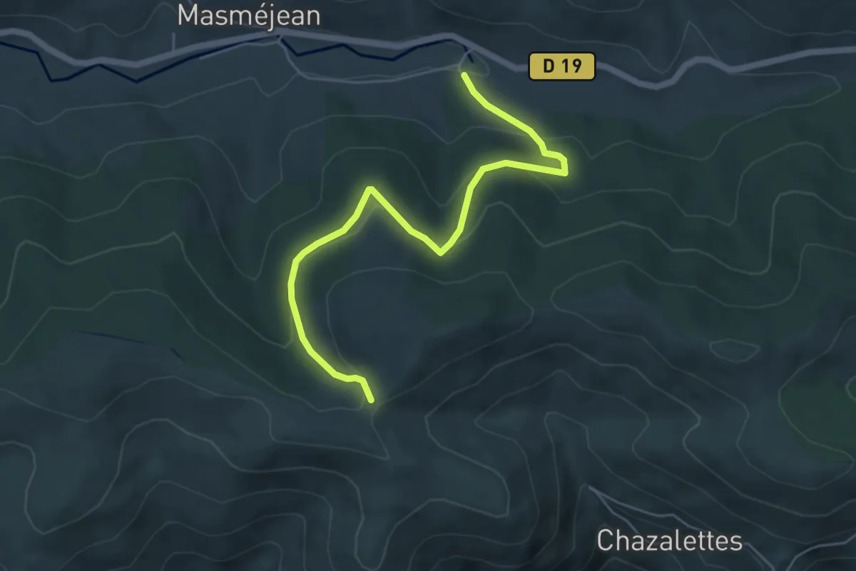
Easy · Trail
La scierie - Plat des Laires
5.7 km · ↑ 234 m · 1 h 52 min
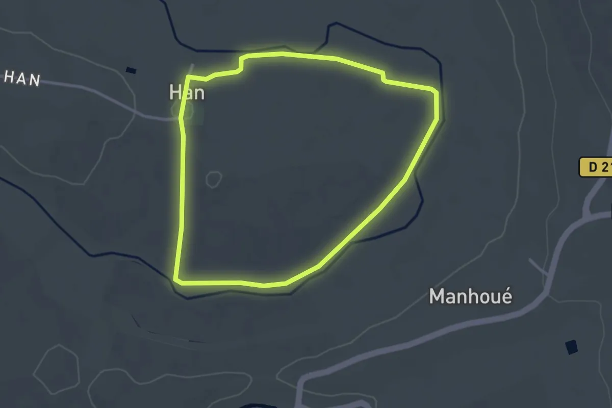
Easy · Trail
La Seille
2.8 km · ↑ 9 m · 43 min
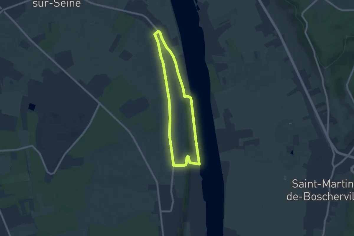
Easy · Trail
La Seine
5.3 km · ↑ 44 m · 1 h 25 min
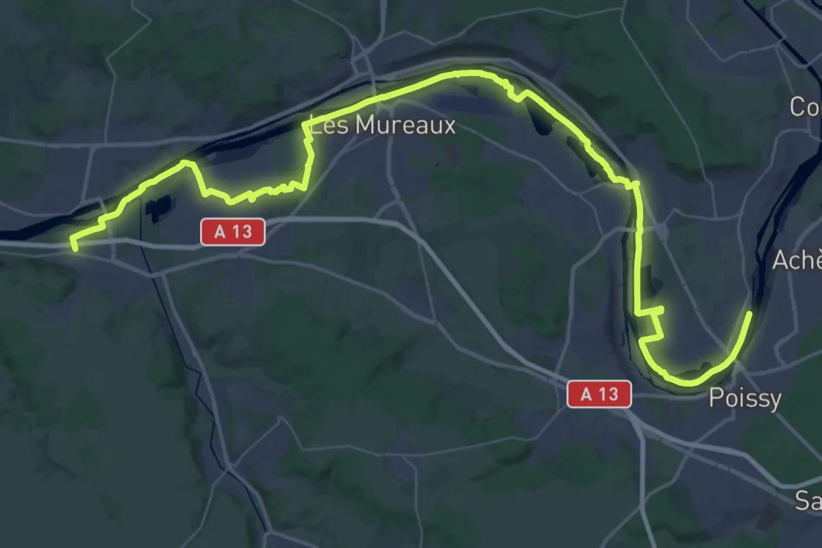
Demanding · Trail
La Seine impressionniste
31.7 km · ↑ 36 m · 8 h