Trails in France
15,926 hiking trails, each with its route, climb, walking time and grade.
All trails, page 148 of 332
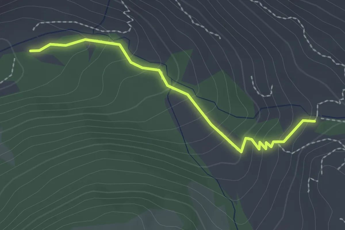
Easy · Trail
La Selle Pierre Ecrite - Pont de Clausis
2.1 km · ↑ 138 m · 48 min
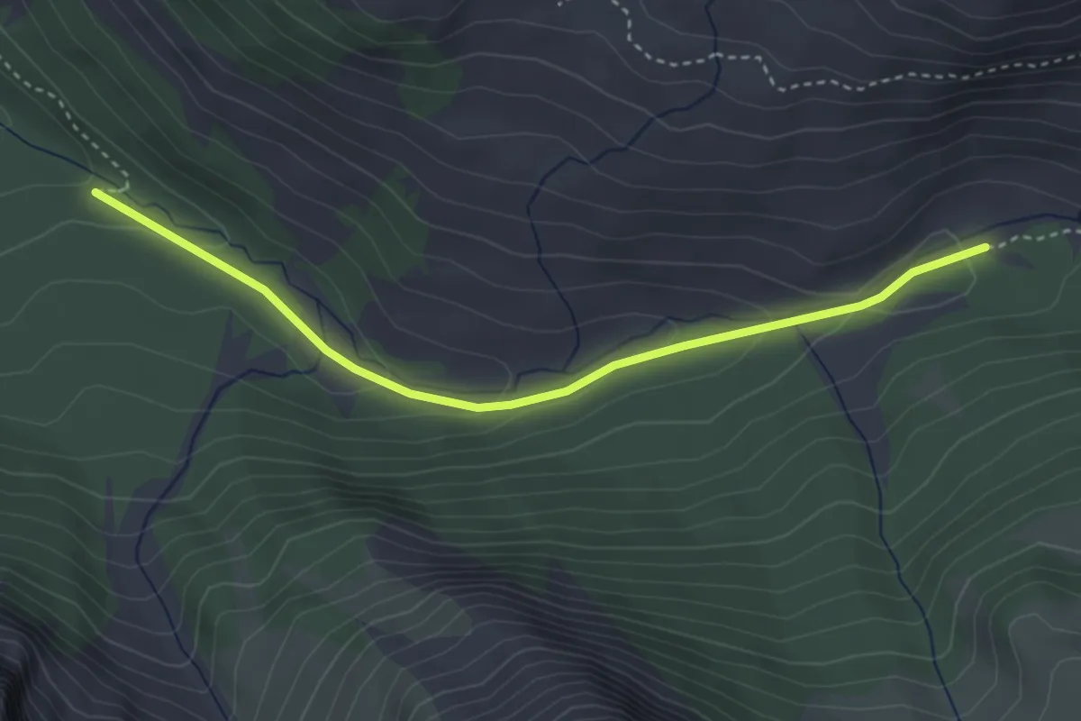
Easy · Trail
La Selle Pierre Ecrite - Ravin de la Fontaine de l'Ours
3.7 km · ↑ 139 m · 1 h 11 min
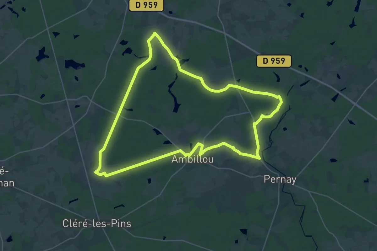
Demanding · Trail
La Sente aux Biches - Ambillou
27.2 km · ↑ 123 m · 7 h 3 min
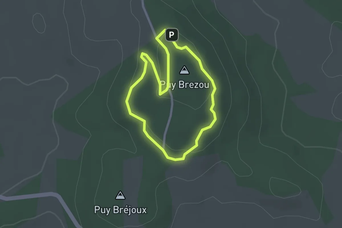
Easy · Summit
La Sente aux Cochons
2.0 km · ↑ 39 m · 35 min
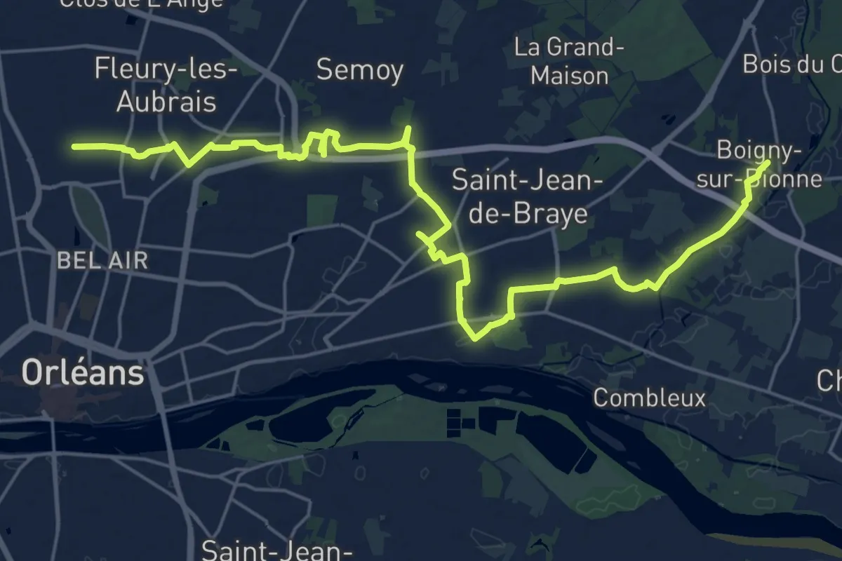
Demanding · Trail
La sente aux veneurs
26.6 km · ↑ 65 m · 6 h 25 min
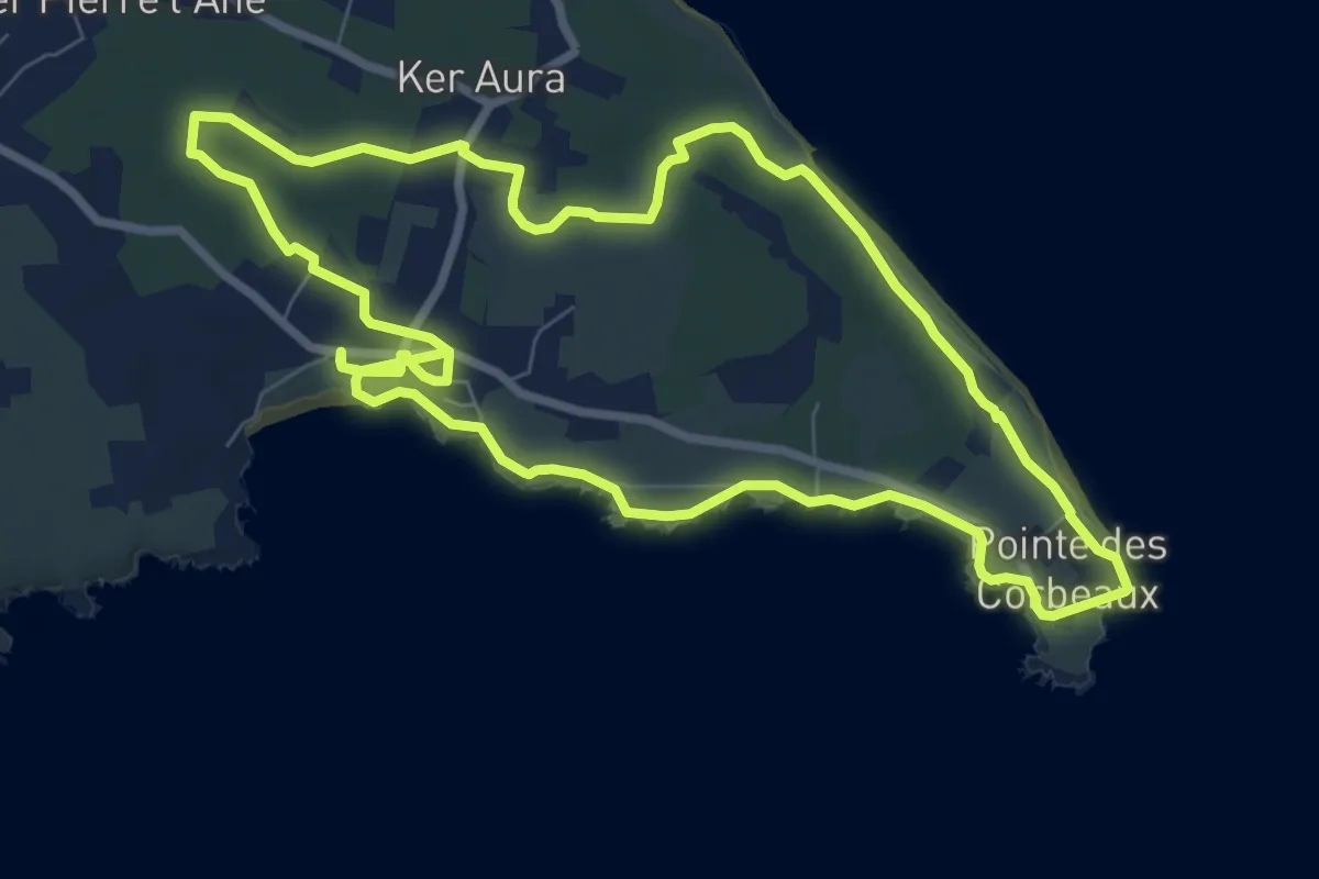
Medium · Trail
La Sente de Kreuzland
8.5 km · ↑ 19 m · 2 h 10 min
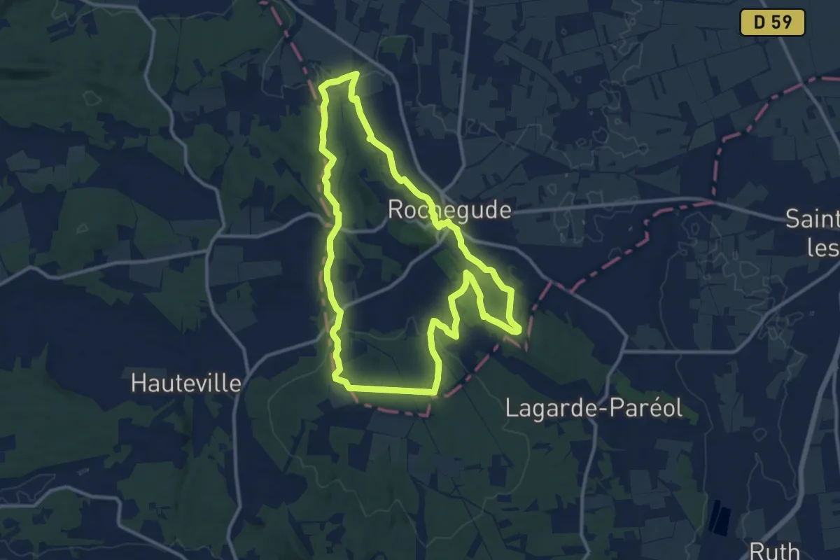
Medium · Trail
La sente de la Farigoule
11.8 km · ↑ 232 m · 3 h 27 min
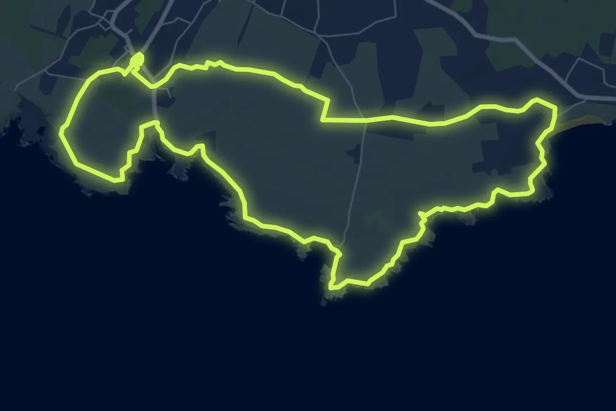
Medium · Trail
La Sente de La Meule
8.8 km · ↑ 93 m · 2 h 24 min
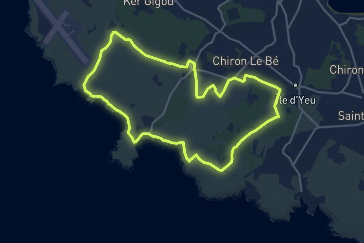
Medium · Trail
La Sente des Oyes
9.1 km · ↑ 22 m · 2 h 19 min
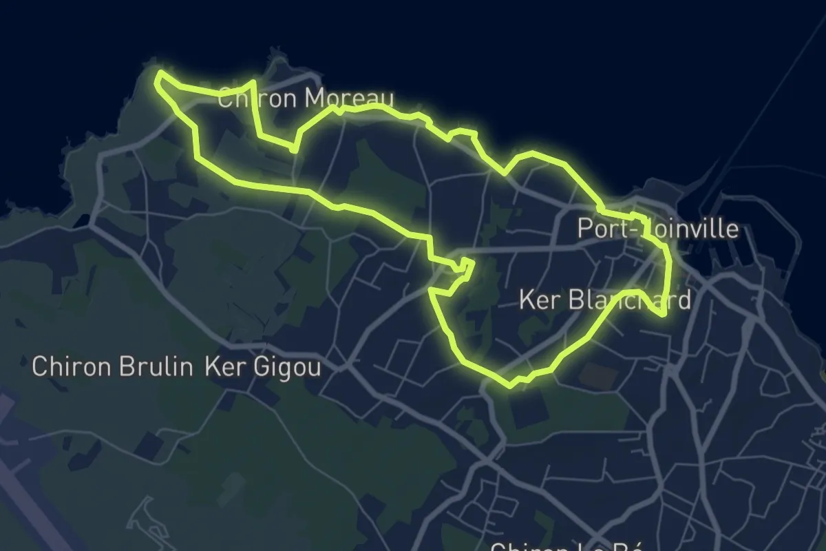
Easy · Trail
La Sente du Noroît
7.4 km · ↑ 27 m · 1 h 55 min
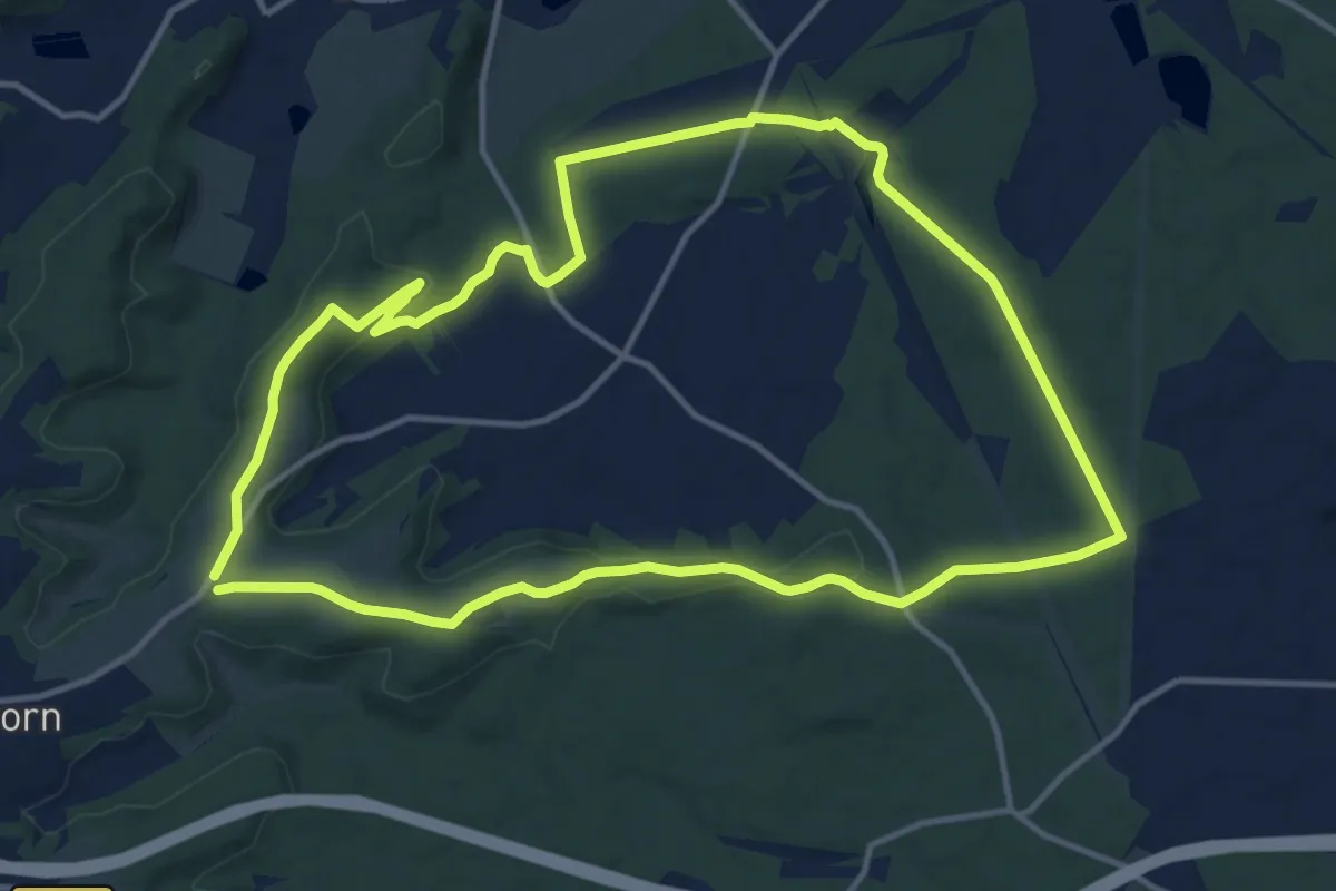
Medium · Trail
La Sente du Sanglier
12.5 km · ↑ 211 m · 3 h 35 min
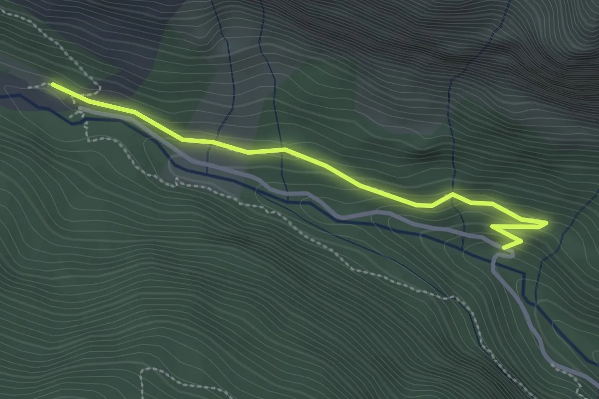
Easy · Trail
La Serre - Le Vieux Chemin
2.9 km · ↑ 120 m · 56 min
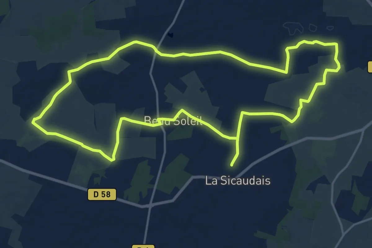
Medium · Trail
La Sicaudais
12.8 km · ↑ 43 m · 3 h 17 min
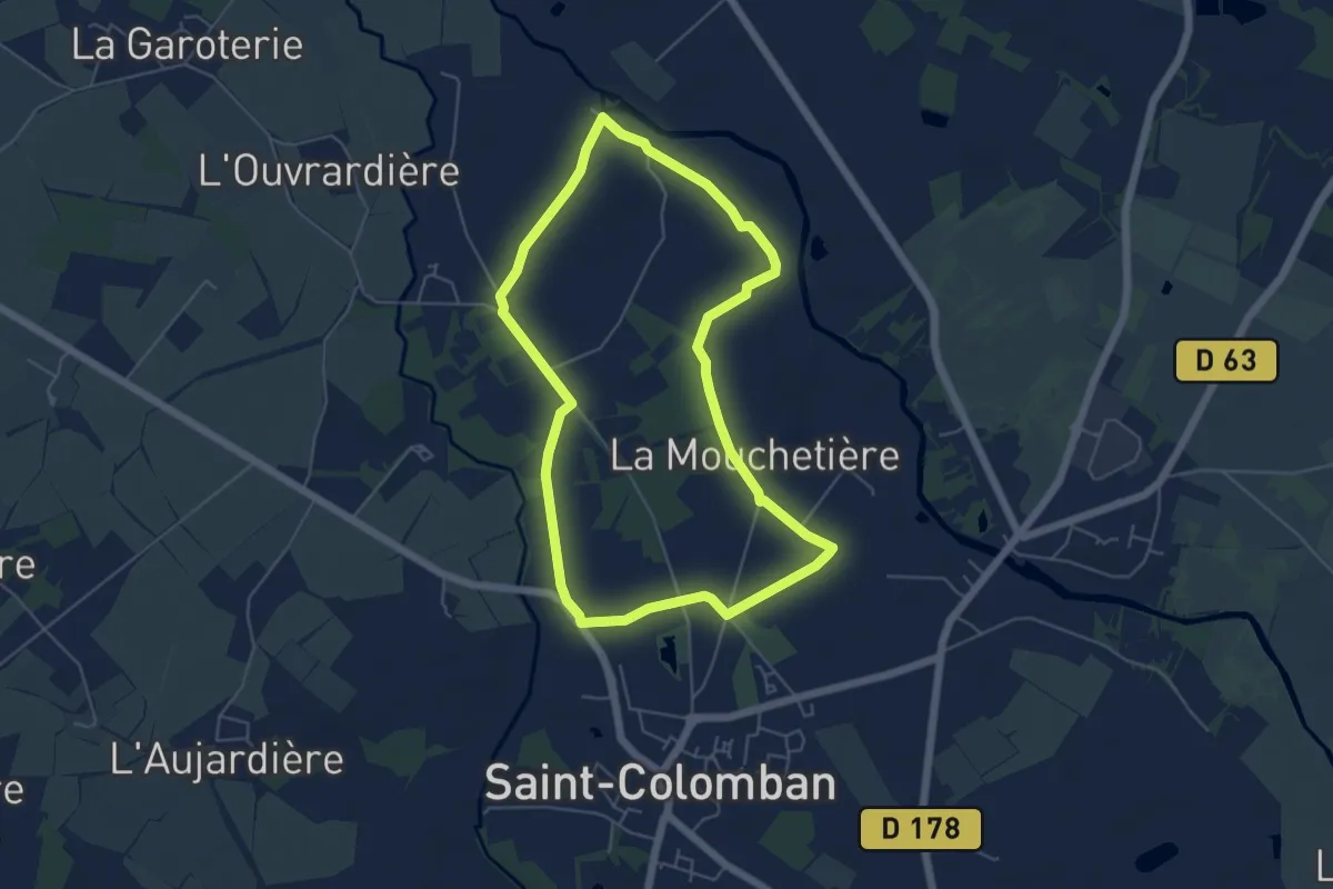
Easy · Trail
La Sorinière
5.2 km · ↑ 18 m · 1 h 21 min
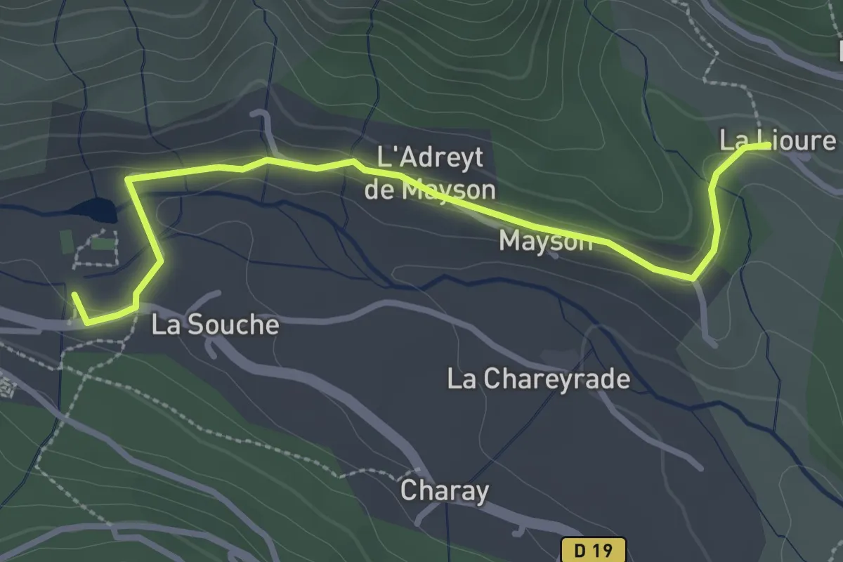
Easy · Trail
La Souche - La Lioure
3.1 km · ↑ 44 m · 49 min
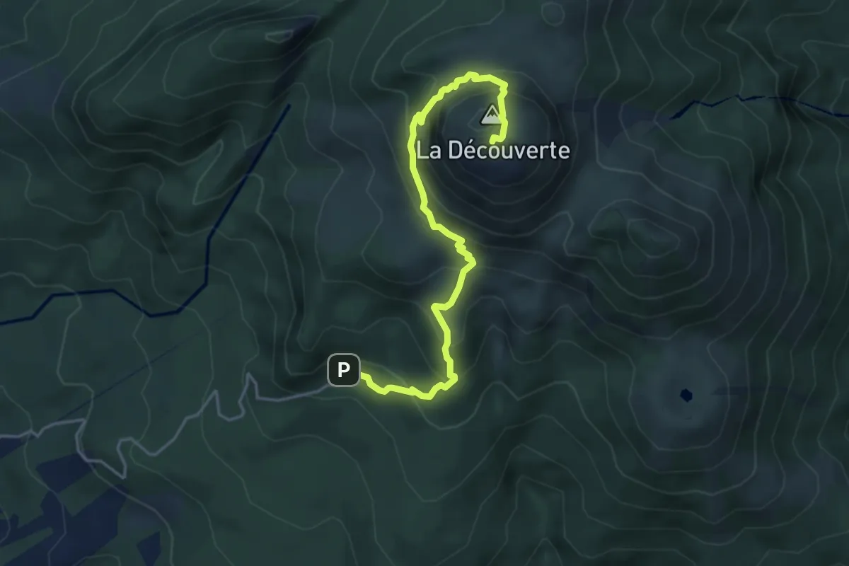
Demanding · Summit
La Soufrière
3.0 km · ↑ 496 m · 1 h 35 min
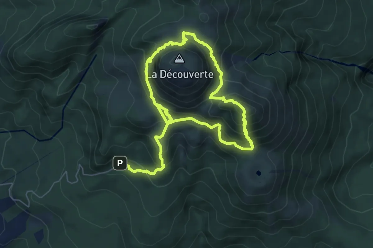
Demanding · Summit
La Soufrière par l'Échelle
6.3 km · ↑ 718 m · 3 h 1 min
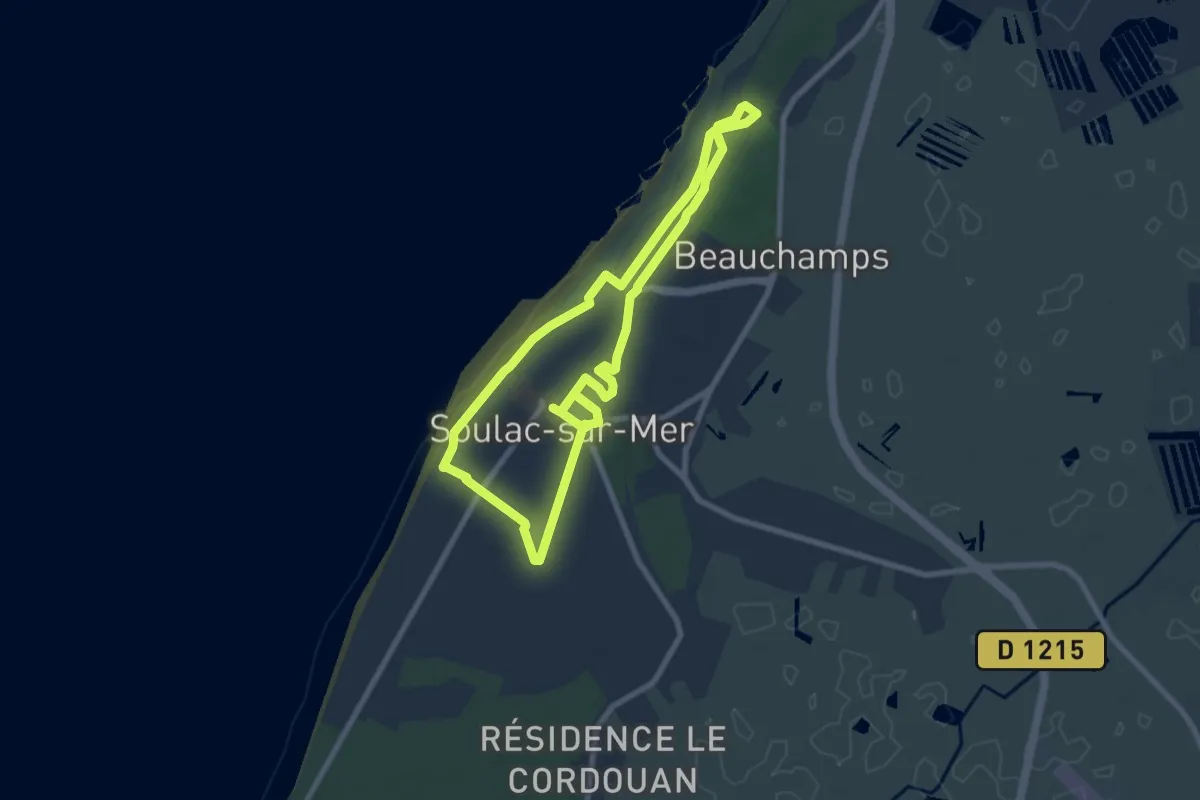
Easy · Trail
La Soulacaise
7.7 km · ↑ 27 m · 1 h 59 min
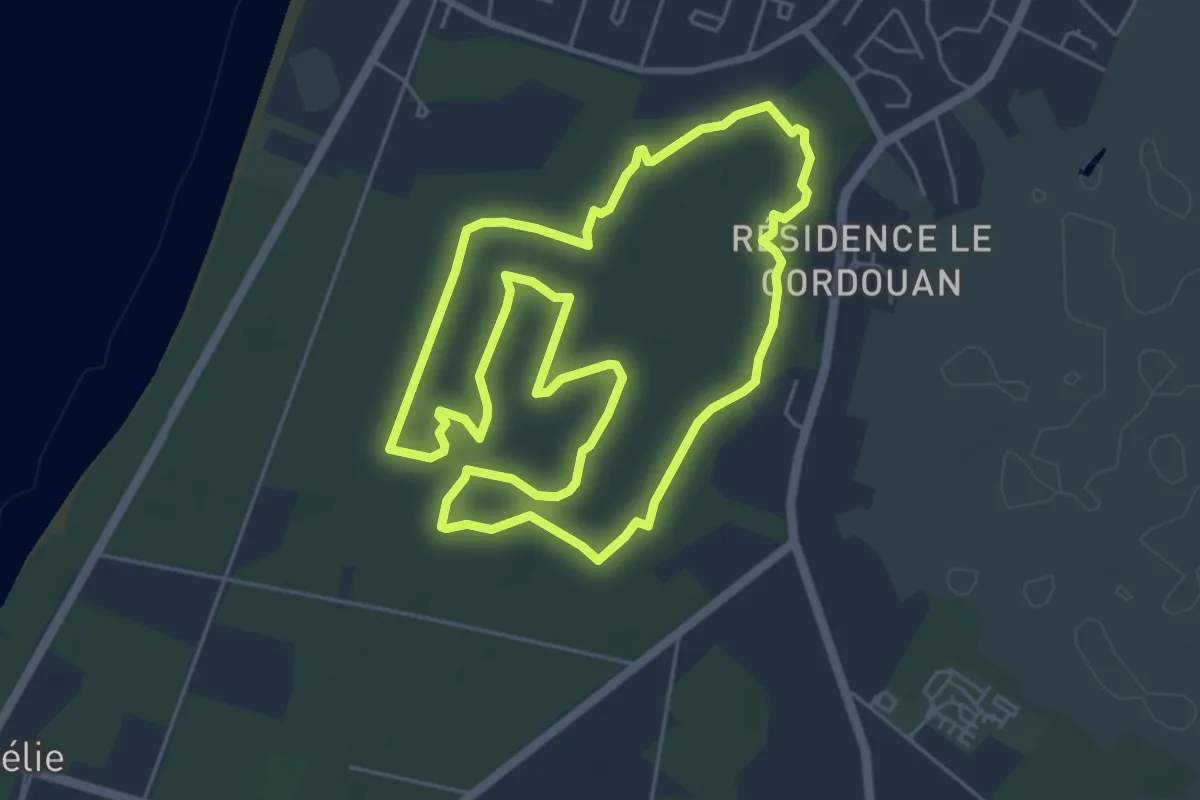
Easy · Trail
La Soulacaise Sud
5.9 km · ↑ 8 m · 1 h 29 min
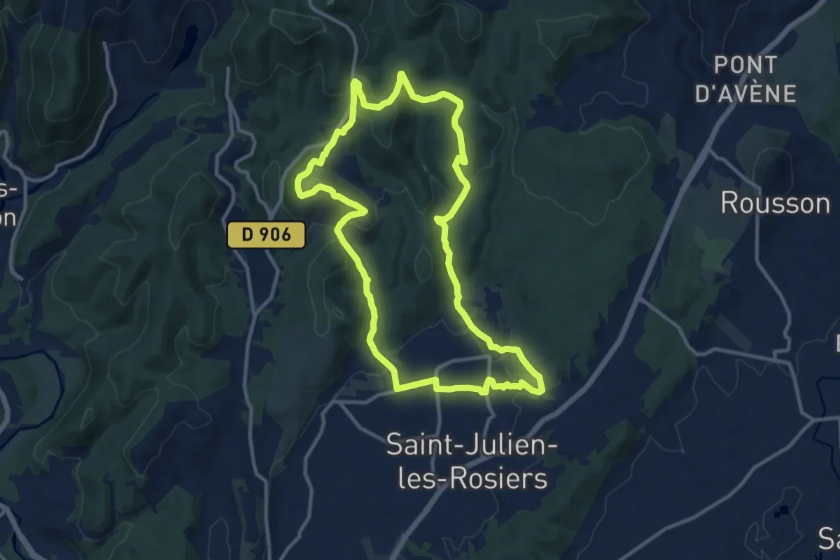
Medium · Trail
La Source de Carabiol
11.4 km · ↑ 334 m · 3 h 35 min
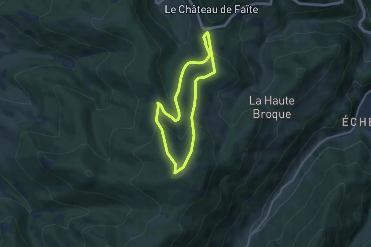
Easy · Summit
La Source de la Cude
5.3 km · ↑ 271 m · 1 h 55 min
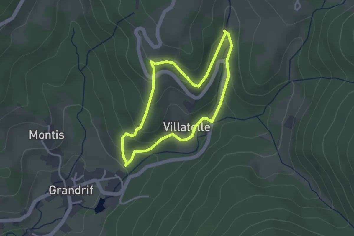
Easy · Trail
La source de la Jarpe
2.6 km · ↑ 109 m · 53 min
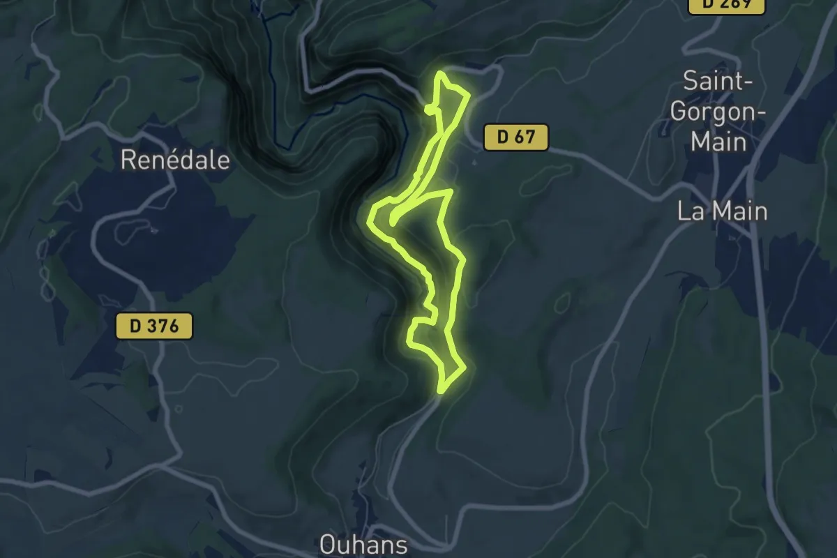
Medium · Trail
La Source de la Loue
5.7 km · ↑ 322 m · 2 h 8 min
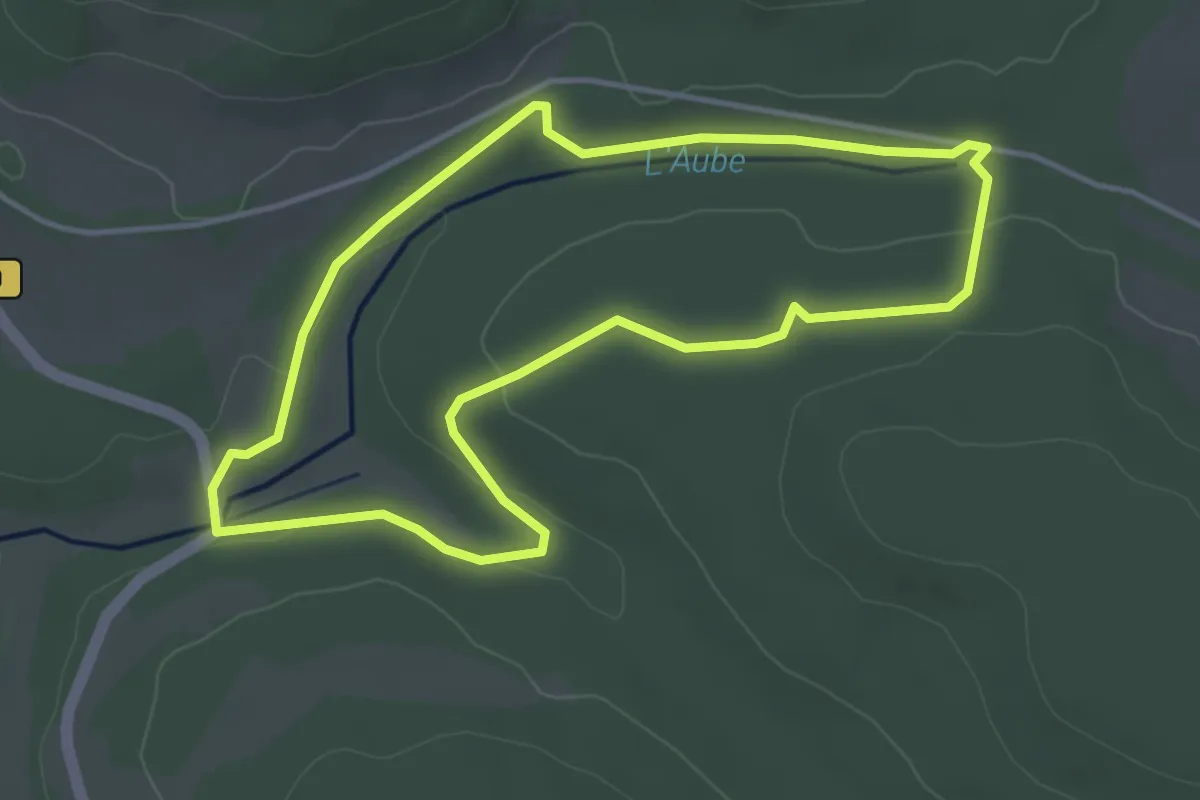
Easy · Trail
La Source de l'Aube
3.8 km · ↑ 49 m · 1 h 4 min
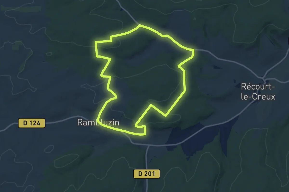
Medium · Trail
La Source de La Vignée
10.6 km · ↑ 220 m · 3 h 7 min
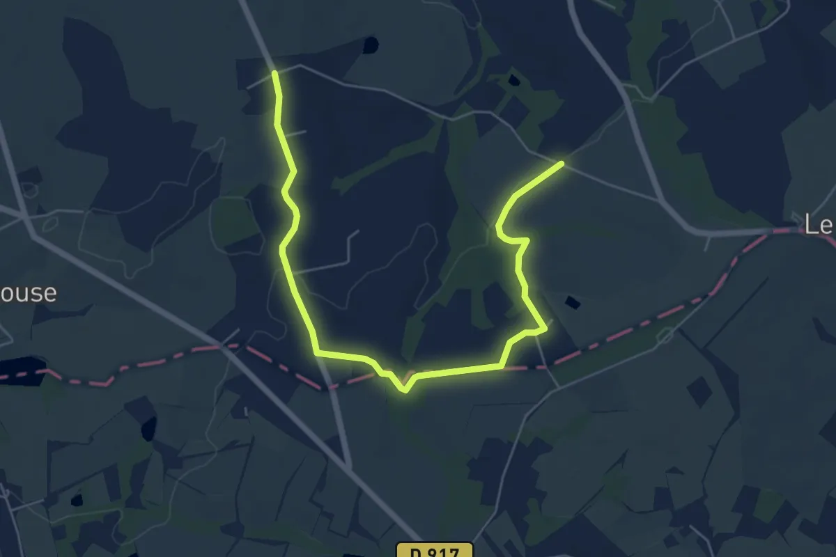
Easy · Trail
La Source de l'Indre
3.3 km · ↑ 40 m · 55 min
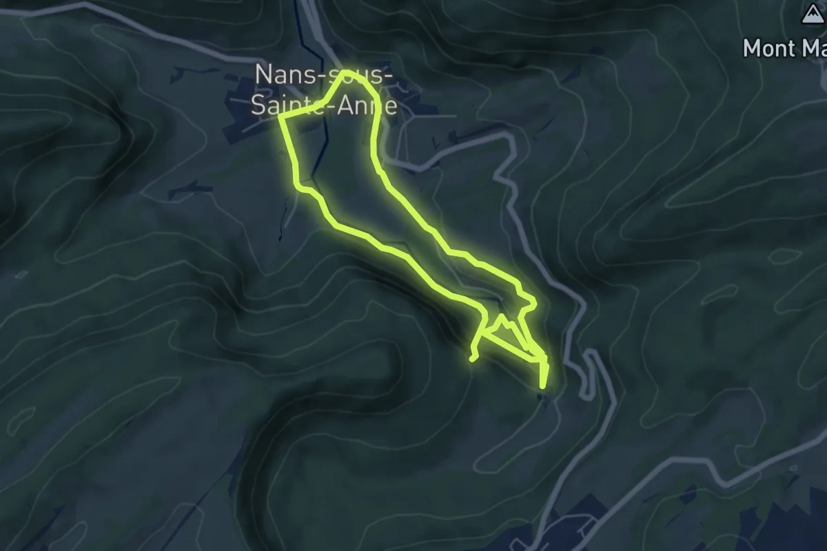
Medium · Trail
La Source du Lison
10.2 km · ↑ 548 m · 3 h 35 min
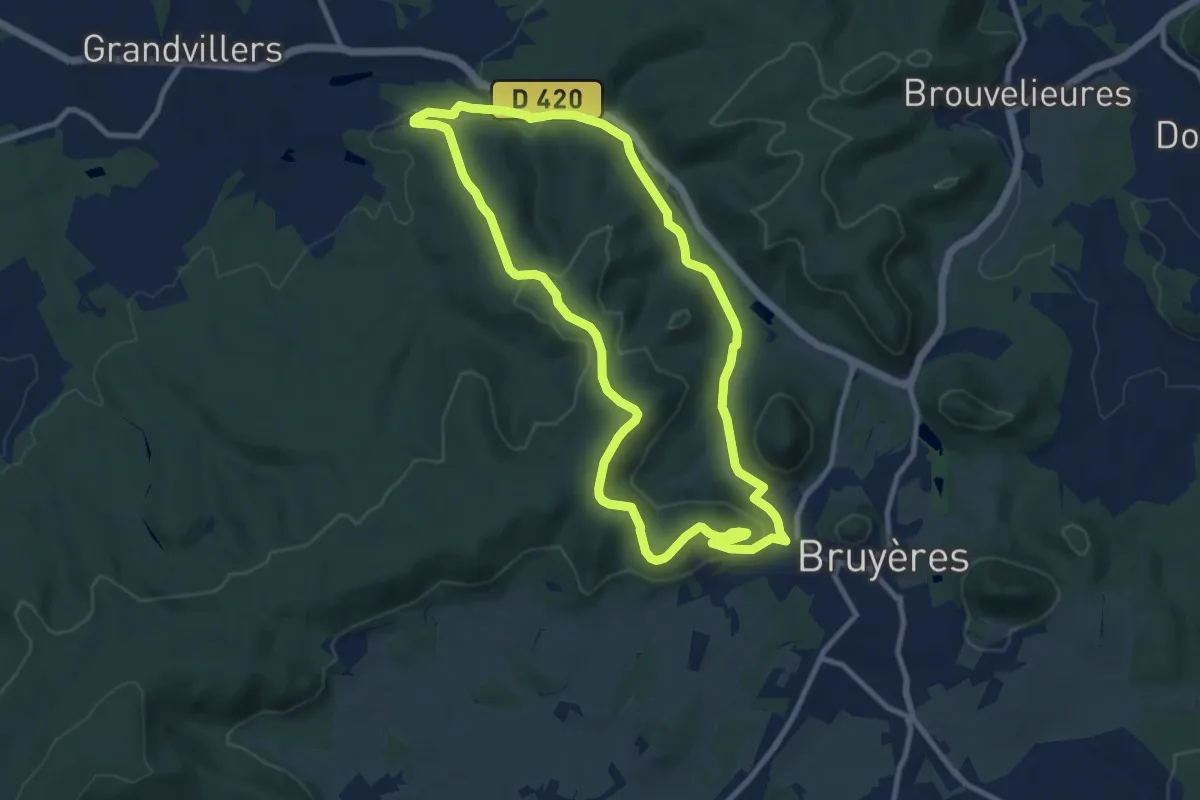
Medium · Trail
La source du loups
9.5 km · ↑ 276 m · 2 h 59 min
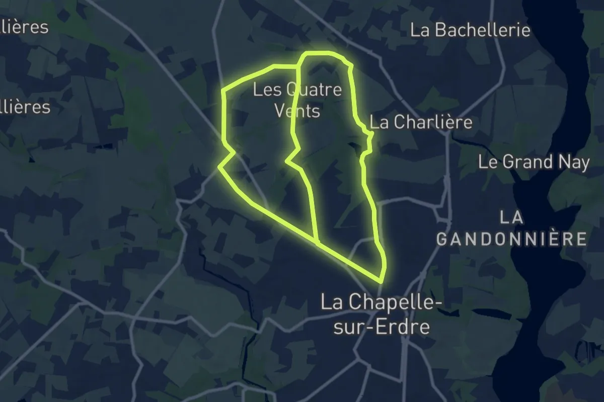
Medium · Trail
La Source, Le Rupt, l'ancienne voie de chemin de fer
8.7 km · ↑ 53 m · 2 h 18 min
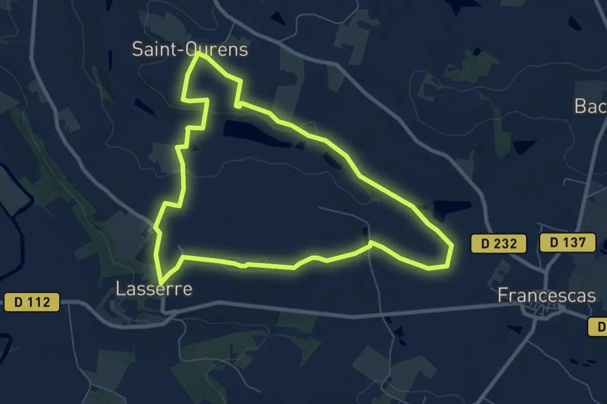
Easy · Trail
Lasserre, Les perles du Perrou - 7.3 km
7.3 km · ↑ 114 m · 2 h 4 min
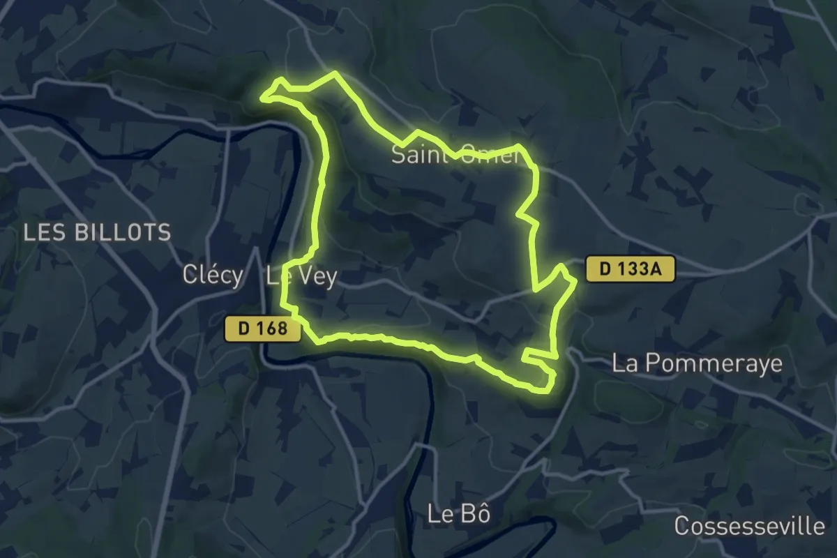
Medium · Summit
La Suisse Normande
11.3 km · ↑ 289 m · 3 h 27 min
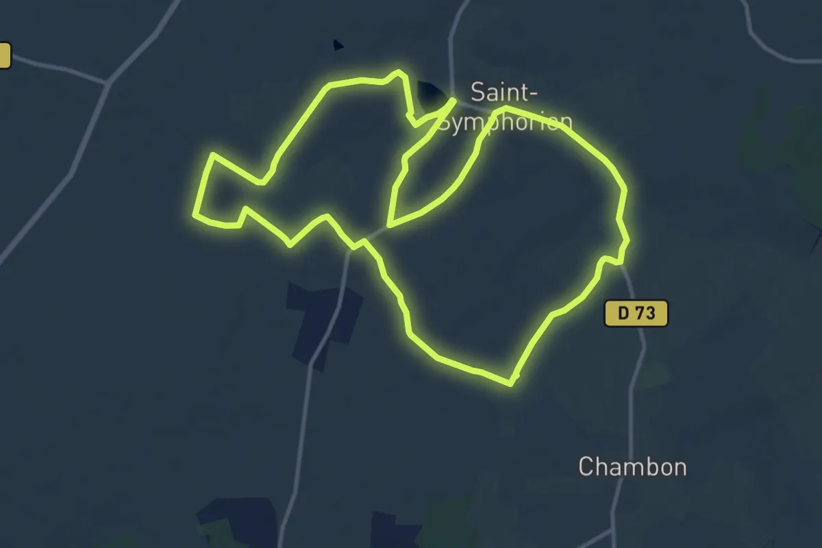
Medium · Trail
La Symphorinoise
12.4 km · ↑ 64 m · 3 h 14 min
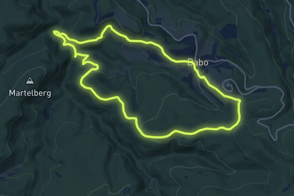
Medium · Summit
La Table de la Paie et le Jaegerhof
11.1 km · ↑ 403 m · 3 h 39 min
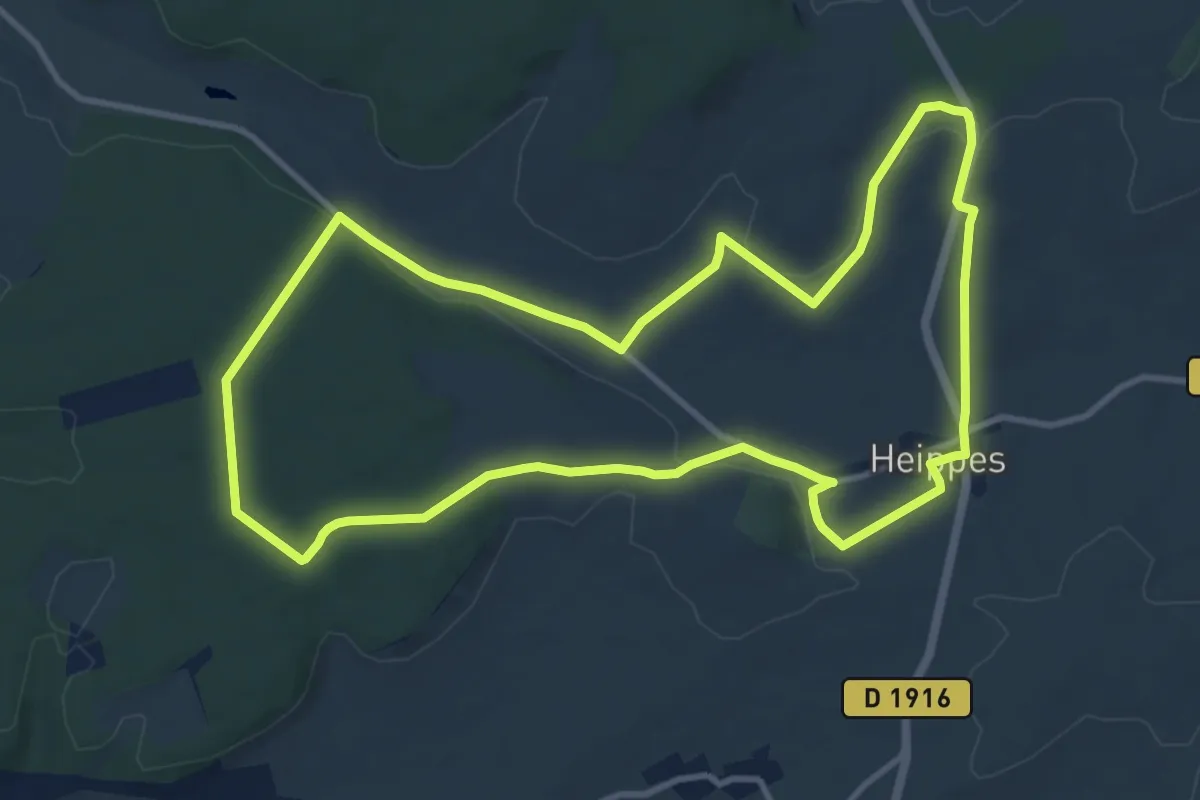
Medium · Trail
La Tacot
10.9 km · ↑ 108 m · 2 h 57 min
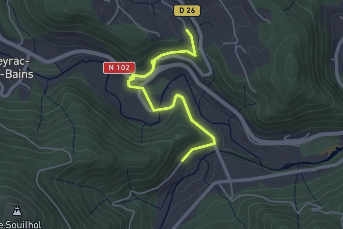
Easy · Trail
La Taillade - La Montée
4.0 km · ↑ 151 m · 1 h 16 min
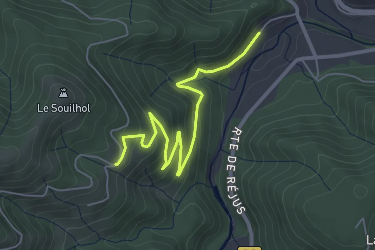
Easy · Trail
La Taillade - Le Câble
5.3 km · ↑ 246 m · 1 h 47 min
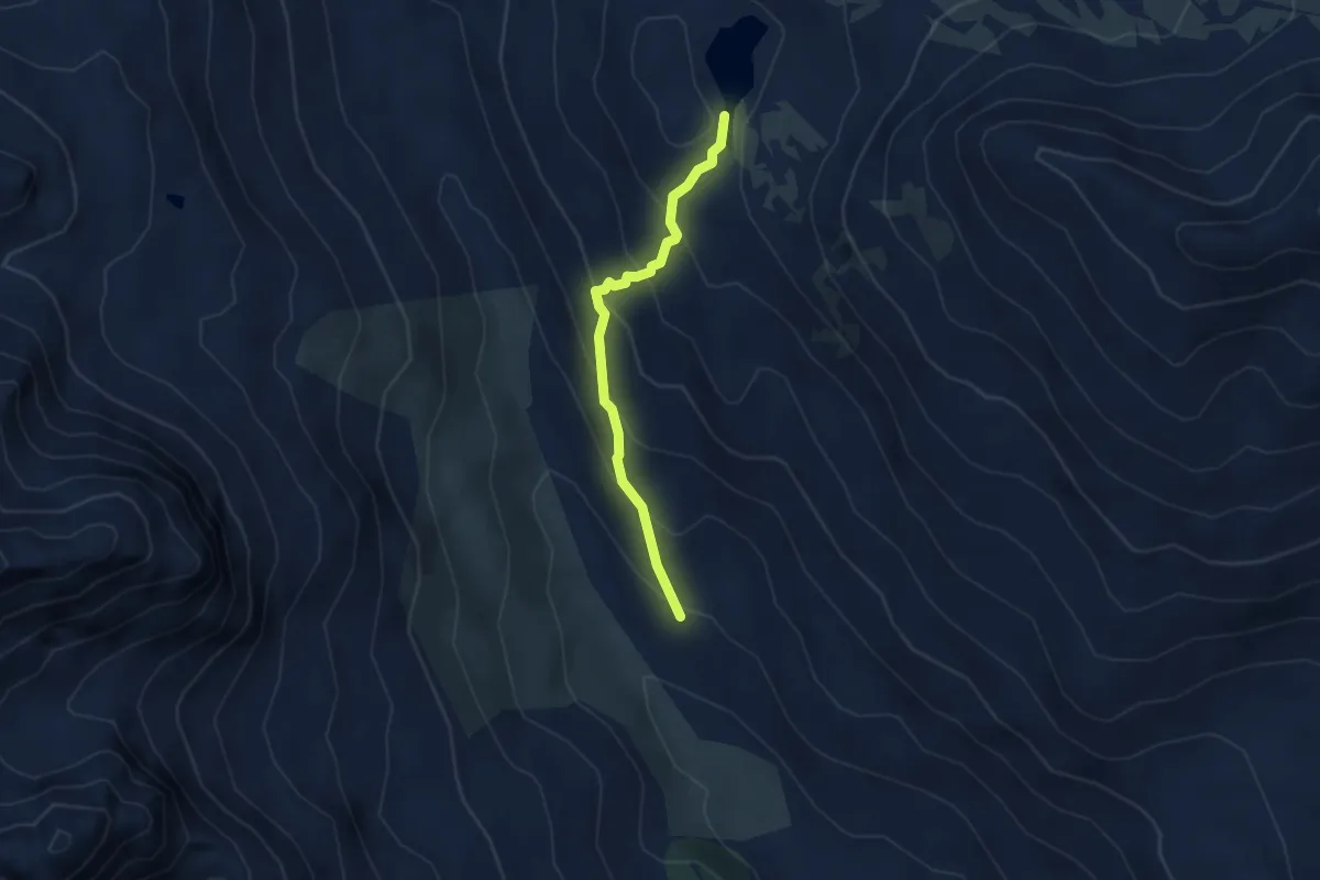
Easy · Trail
La Tailla - Lac Long
3.3 km · ↑ 298 m · 1 h 26 min
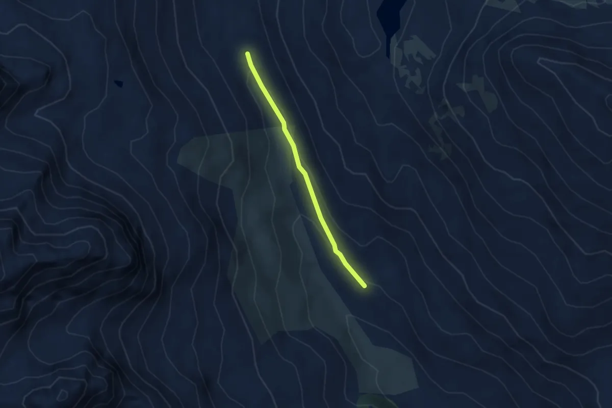
Easy · Trail
La Tailla - L'Arisan
3.0 km · ↑ 71 m · 51 min
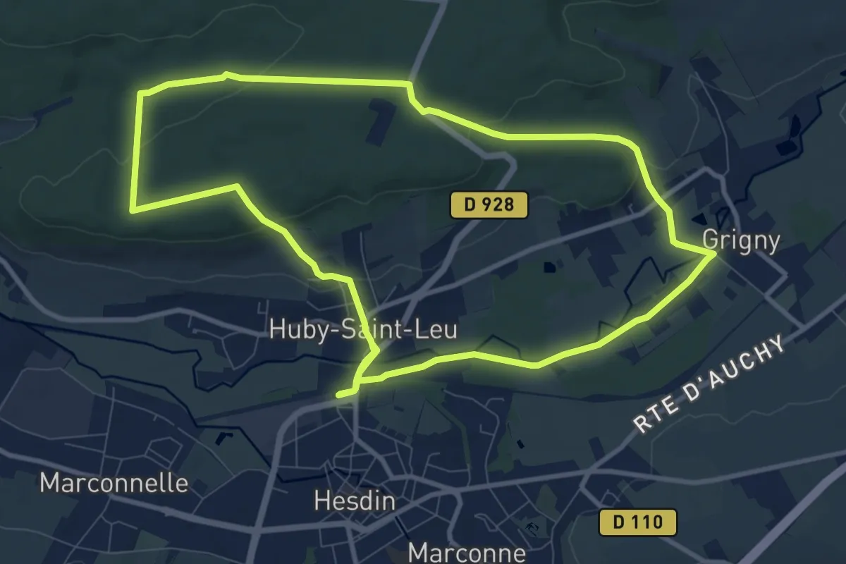
Medium · Trail
La Ternoise
8.9 km · ↑ 155 m · 2 h 34 min
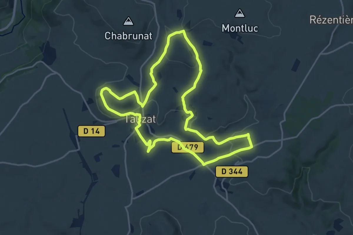
Medium · Summit
La terre de Saint-Lambert
13.1 km · ↑ 266 m · 3 h 52 min
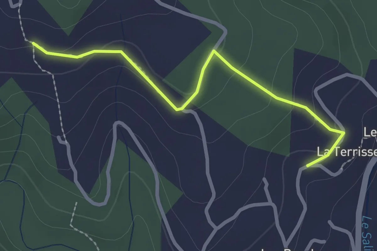
Easy · Trail
La Terrisse - Champetier Haut
2.4 km · ↑ 77 m · 44 min
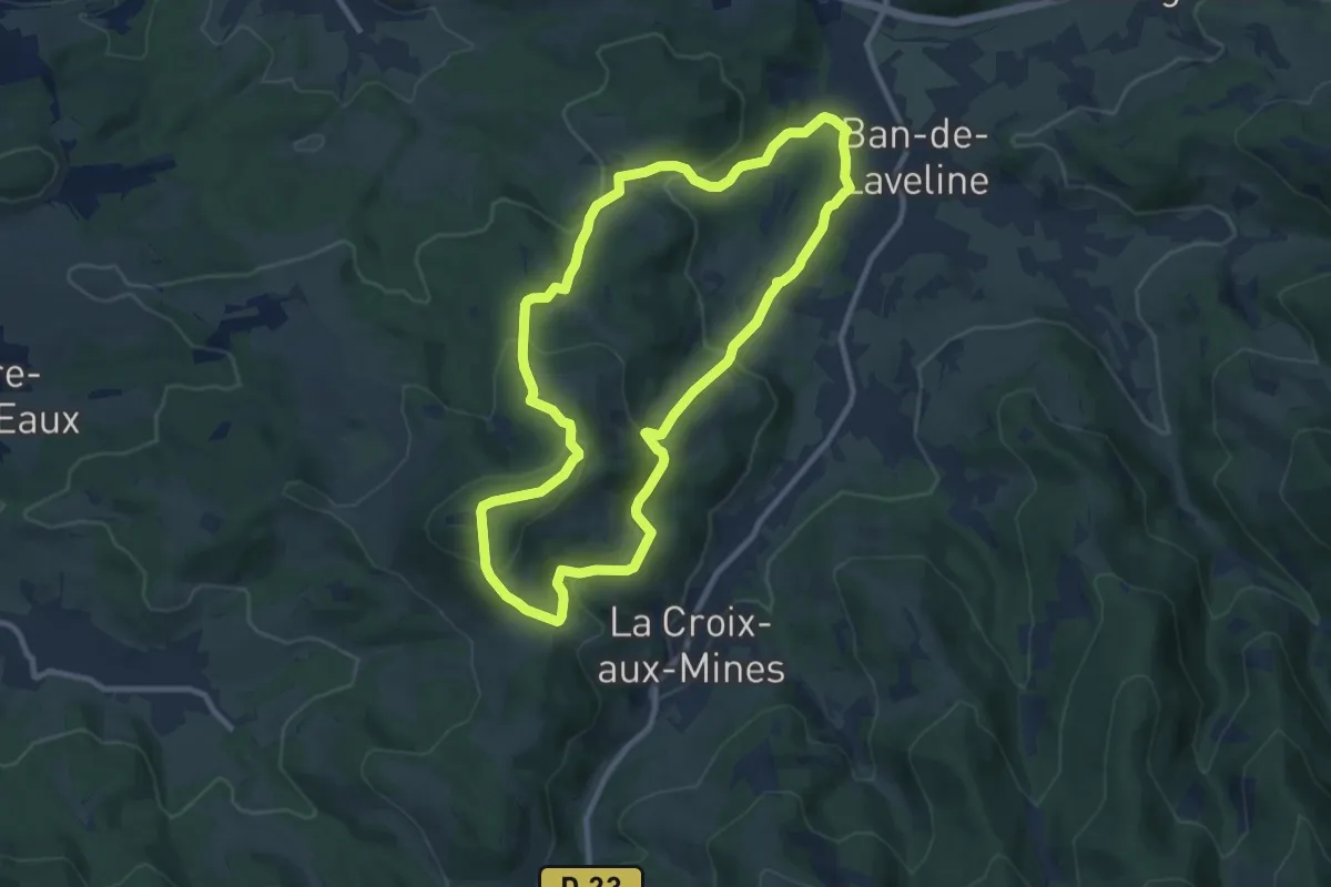
Medium · Trail
La Tête de la Behouille
9.4 km · ↑ 368 m · 3 h 8 min
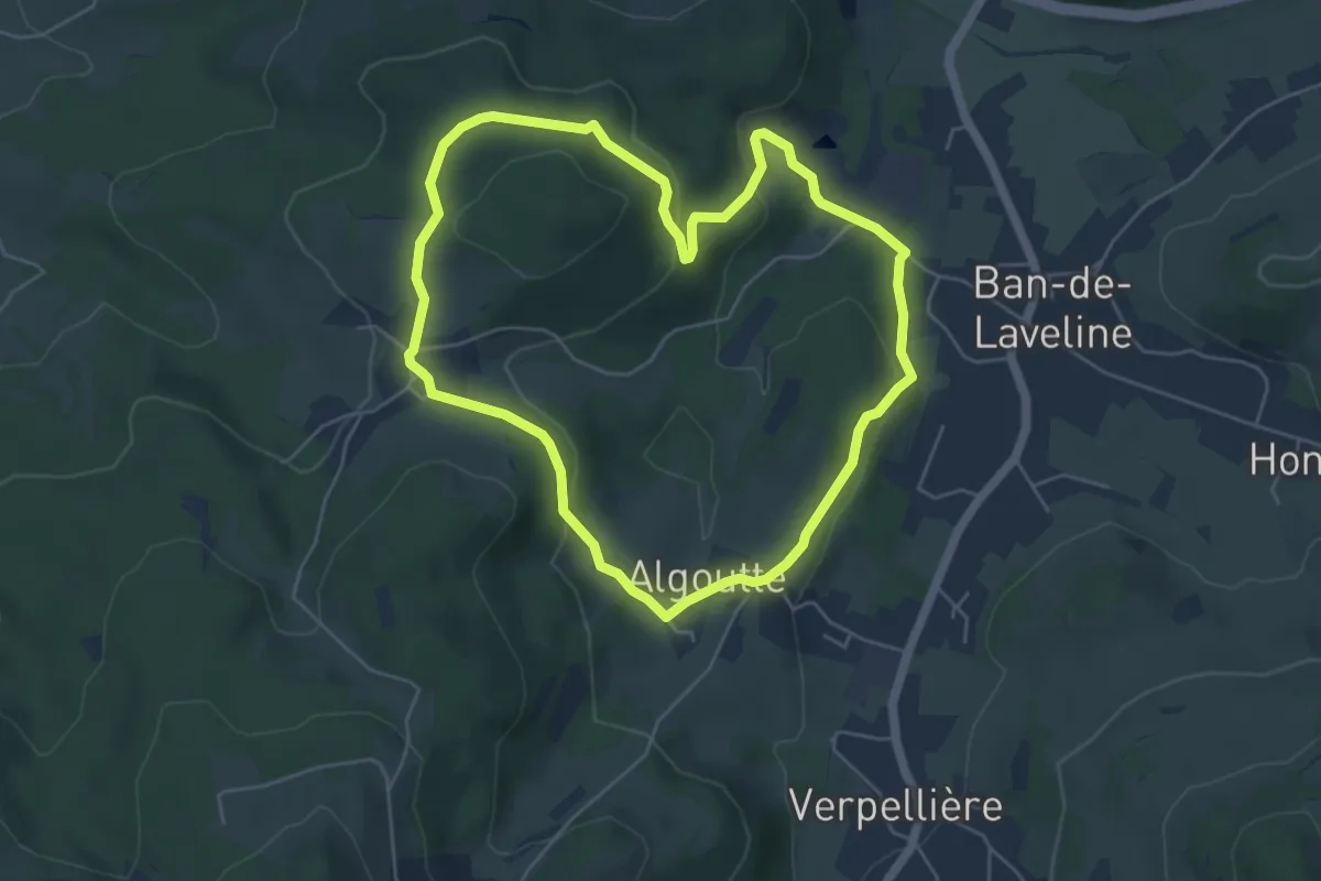
Easy · Trail
La Tête des Roses
5.0 km · ↑ 136 m · 1 h 33 min
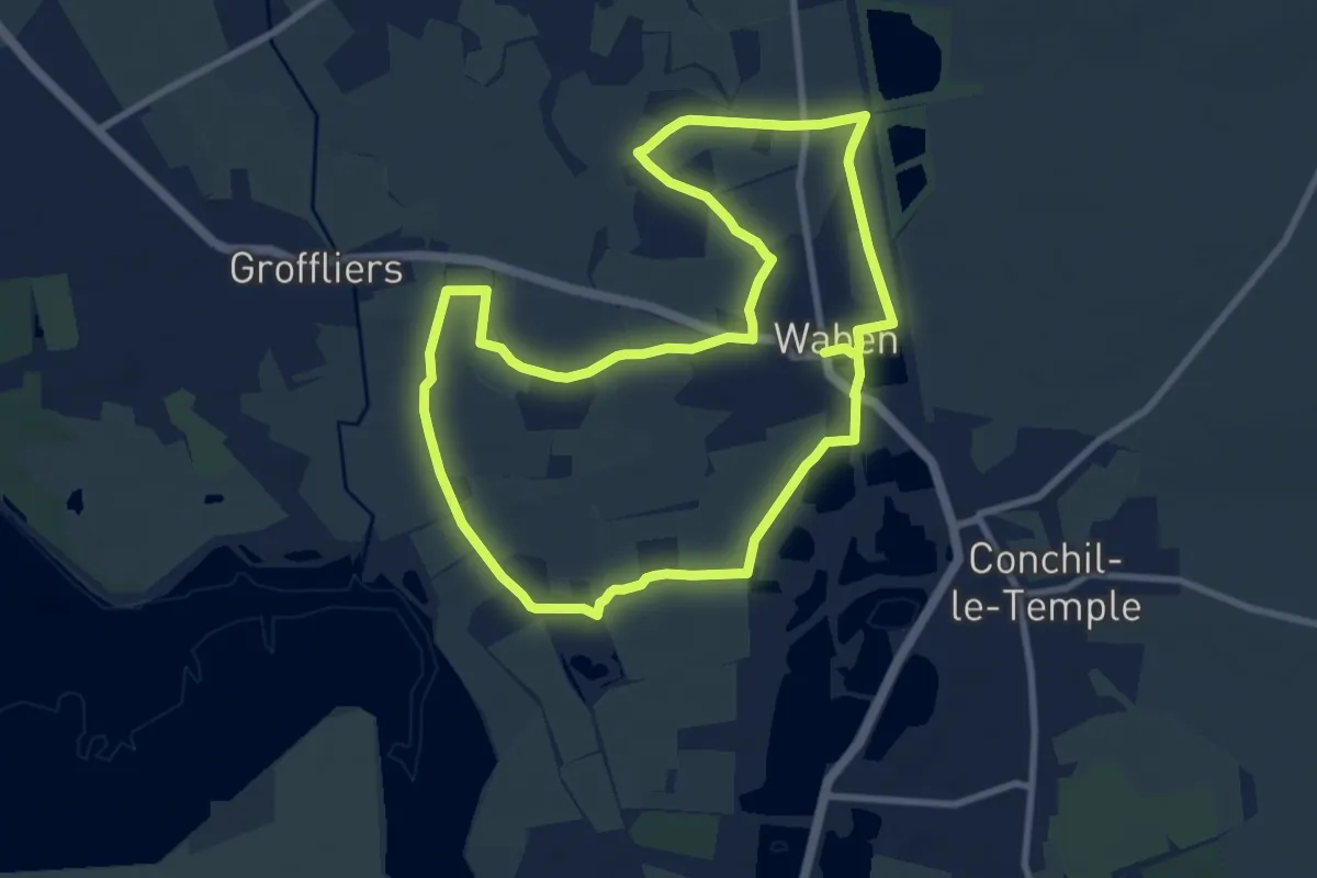
Medium · Summit
La Tête de Vallée
8.7 km · ↑ 0 m · 2 h 11 min
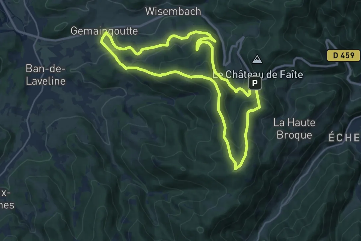
Medium · Summit
La Tête du Violu
14.1 km · ↑ 704 m · 5 h 3 min
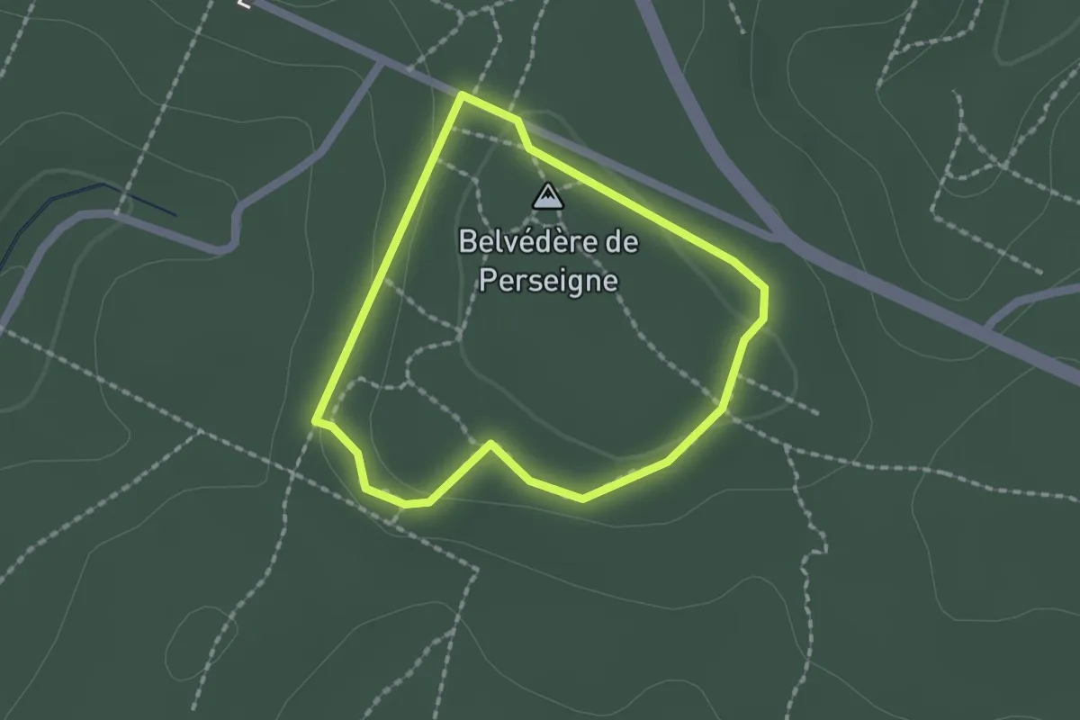
Easy · Summit
La tête et les jambes
1.4 km · ↑ 43 m · 27 min
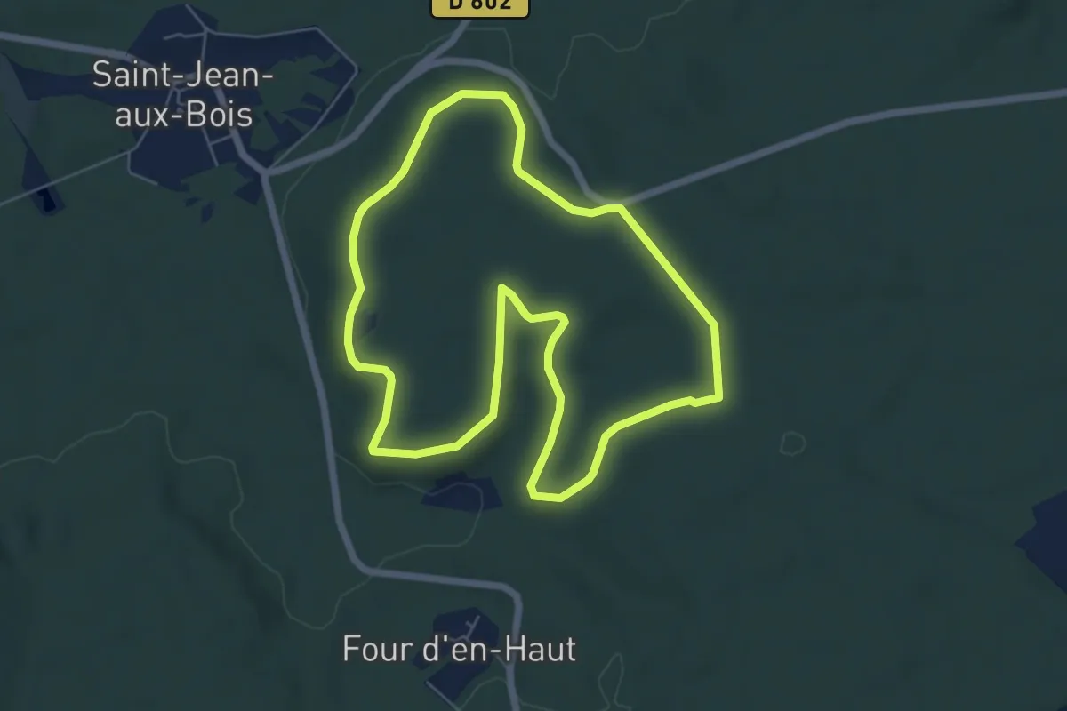
Easy · Trail
La Tête Saint-Jean
5.7 km · ↑ 72 m · 1 h 34 min
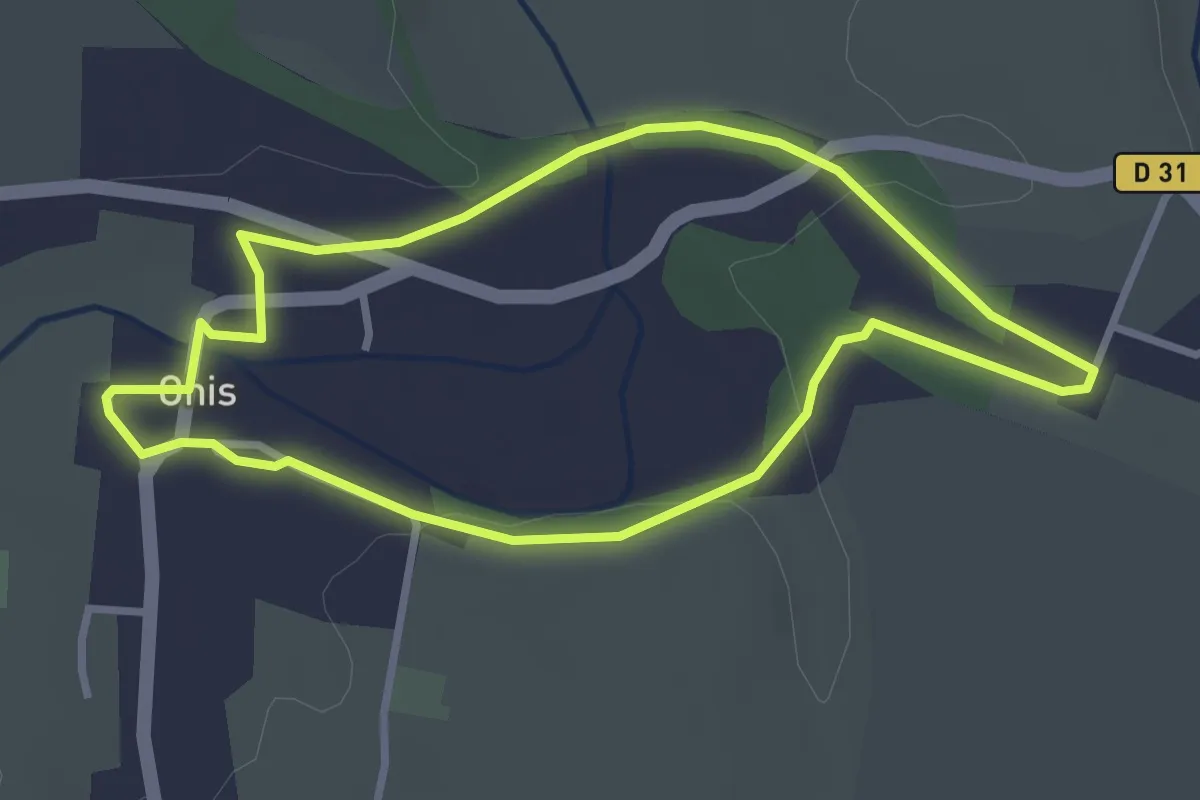
Easy · Trail
La Thiérarche vue d'Ohis
2.7 km · ↑ 32 m · 45 min