Trails in France
15,926 hiking trails, each with its route, climb, walking time and grade.
All trails, page 149 of 332
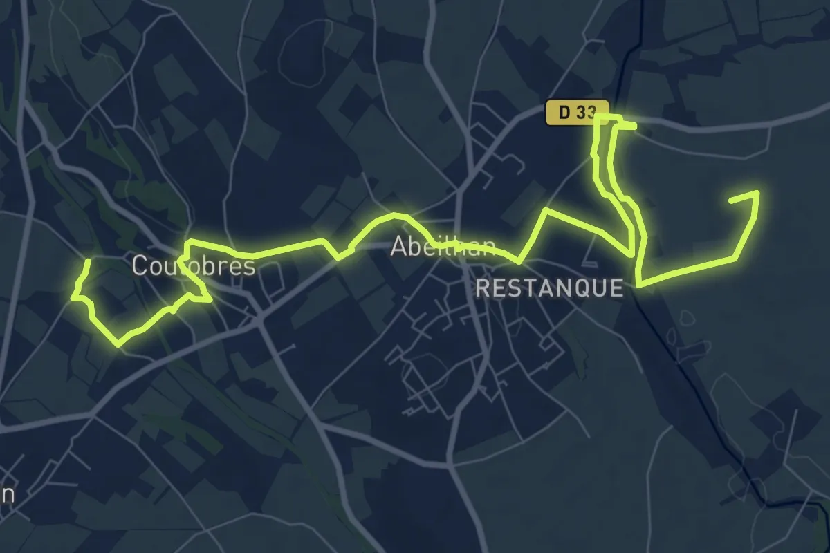
Medium · Summit
La Thongue et ses côteaux
14.5 km · ↑ 120 m · 3 h 53 min
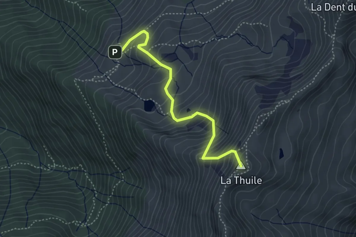
Medium · Summit
La Thuile
4.1 km · ↑ 494 m · 2 h 3 min
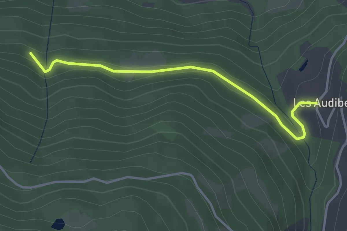
Easy · Trail
Latirou - ?
3.1 km · ↑ 94 m · 57 min
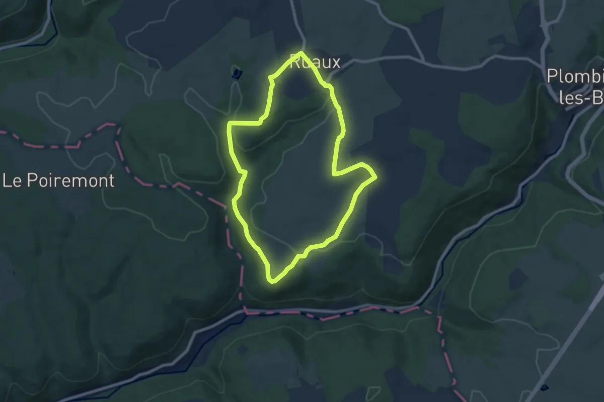
Easy · Trail
La Tombe de l'Aviateur
6.6 km · ↑ 138 m · 1 h 56 min
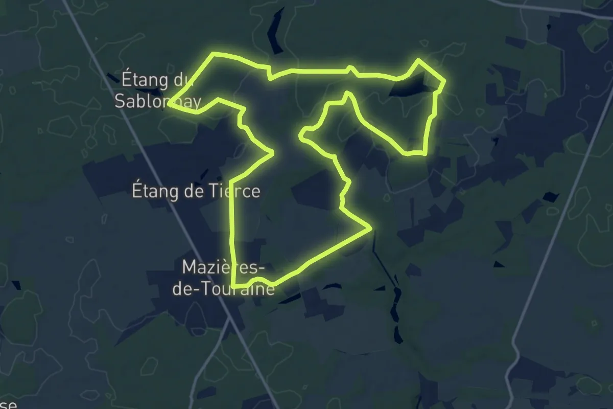
Medium · Trail
La Touche
13.4 km · ↑ 127 m · 3 h 37 min
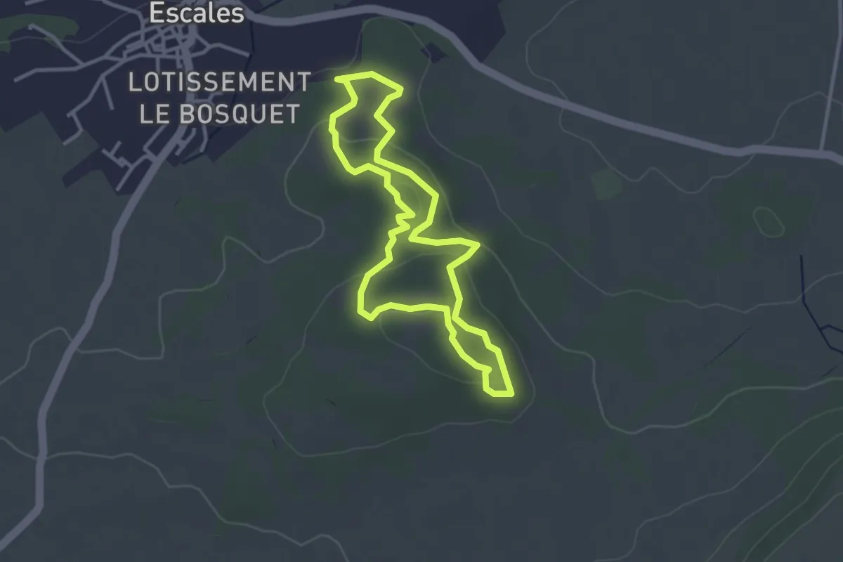
Easy · Summit
La Tour
3.1 km · ↑ 79 m · 57 min
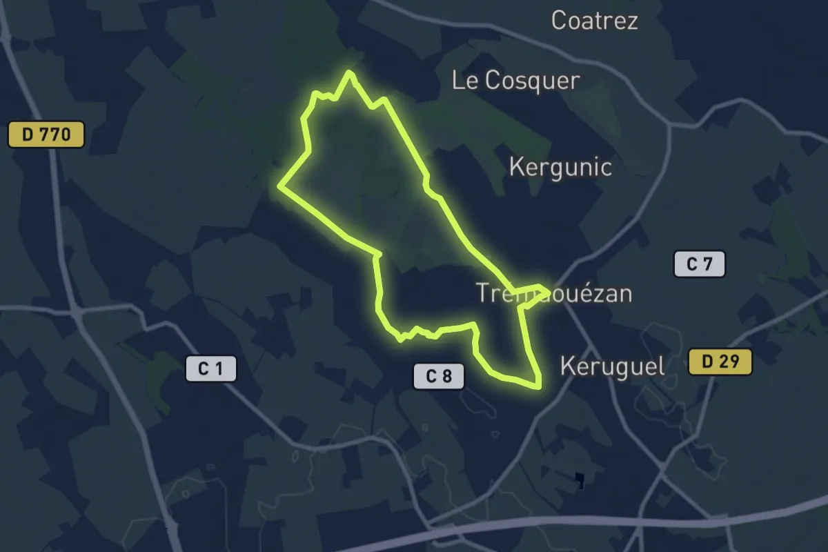
Easy · Trail
La Tourbière de Langazel
7.5 km · ↑ 22 m · 1 h 55 min
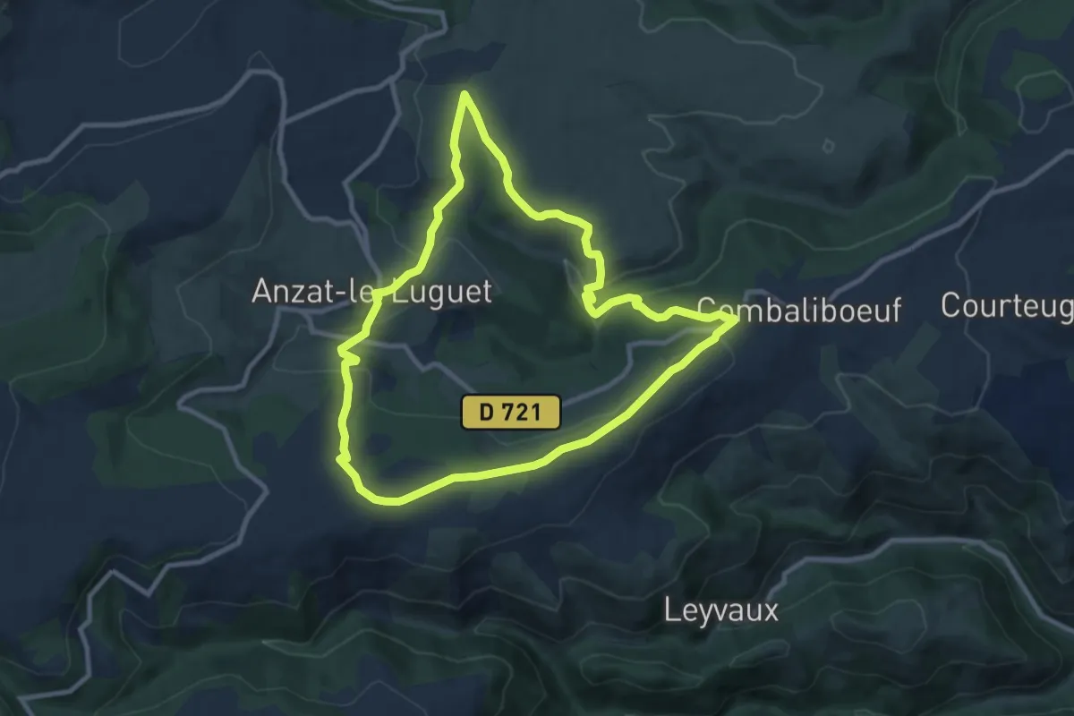
Medium · Trail
La Tour de Besse
9.2 km · ↑ 267 m · 2 h 53 min
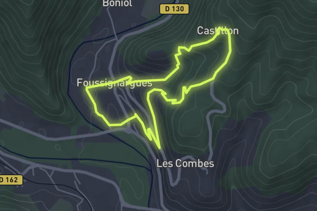
Easy · Trail
La tour de Castillon
4.1 km · ↑ 214 m · 1 h 29 min
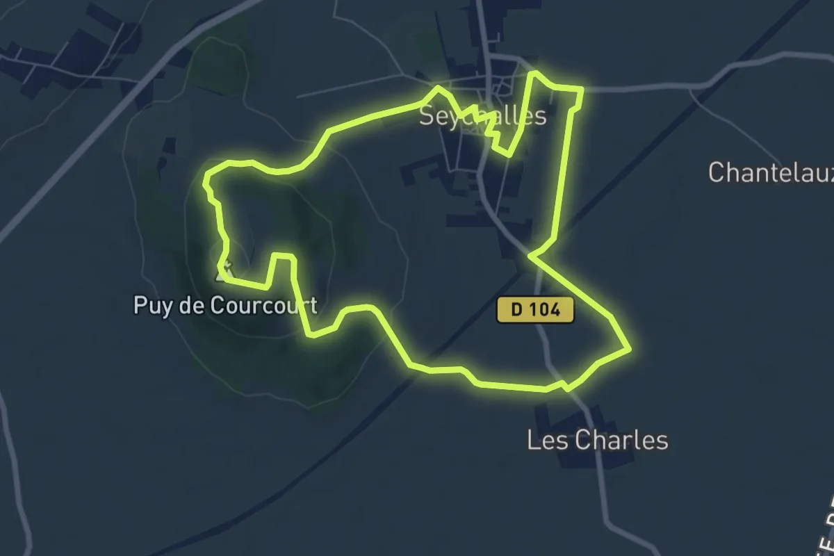
Easy · Summit
La Tour de Courcourt
7.7 km · ↑ 132 m · 2 h 12 min
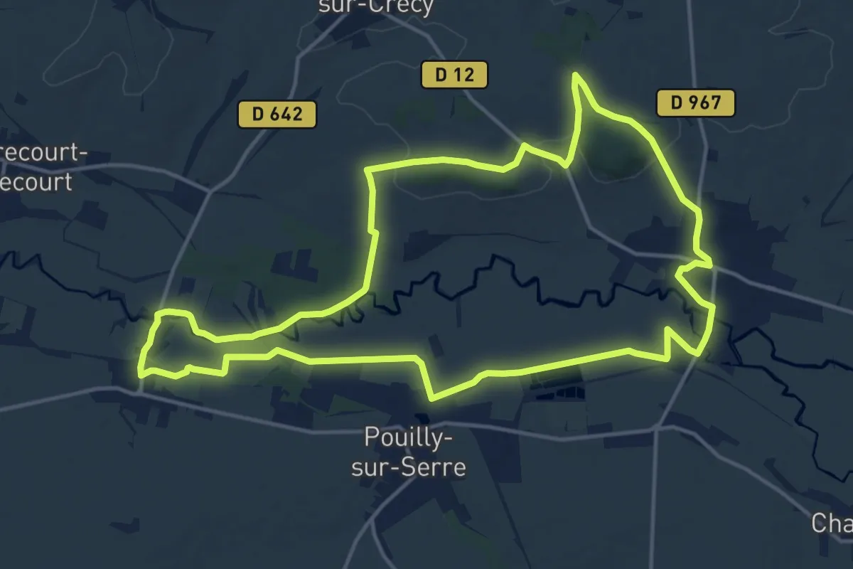
Medium · Trail
La Tour de Crécy
14.5 km · ↑ 128 m · 3 h 54 min
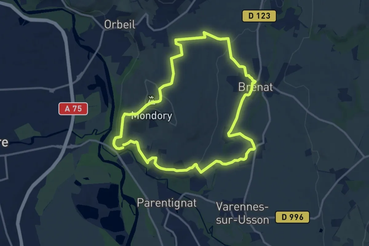
Medium · Summit
La Tour de Gevillat
9.7 km · ↑ 173 m · 2 h 48 min
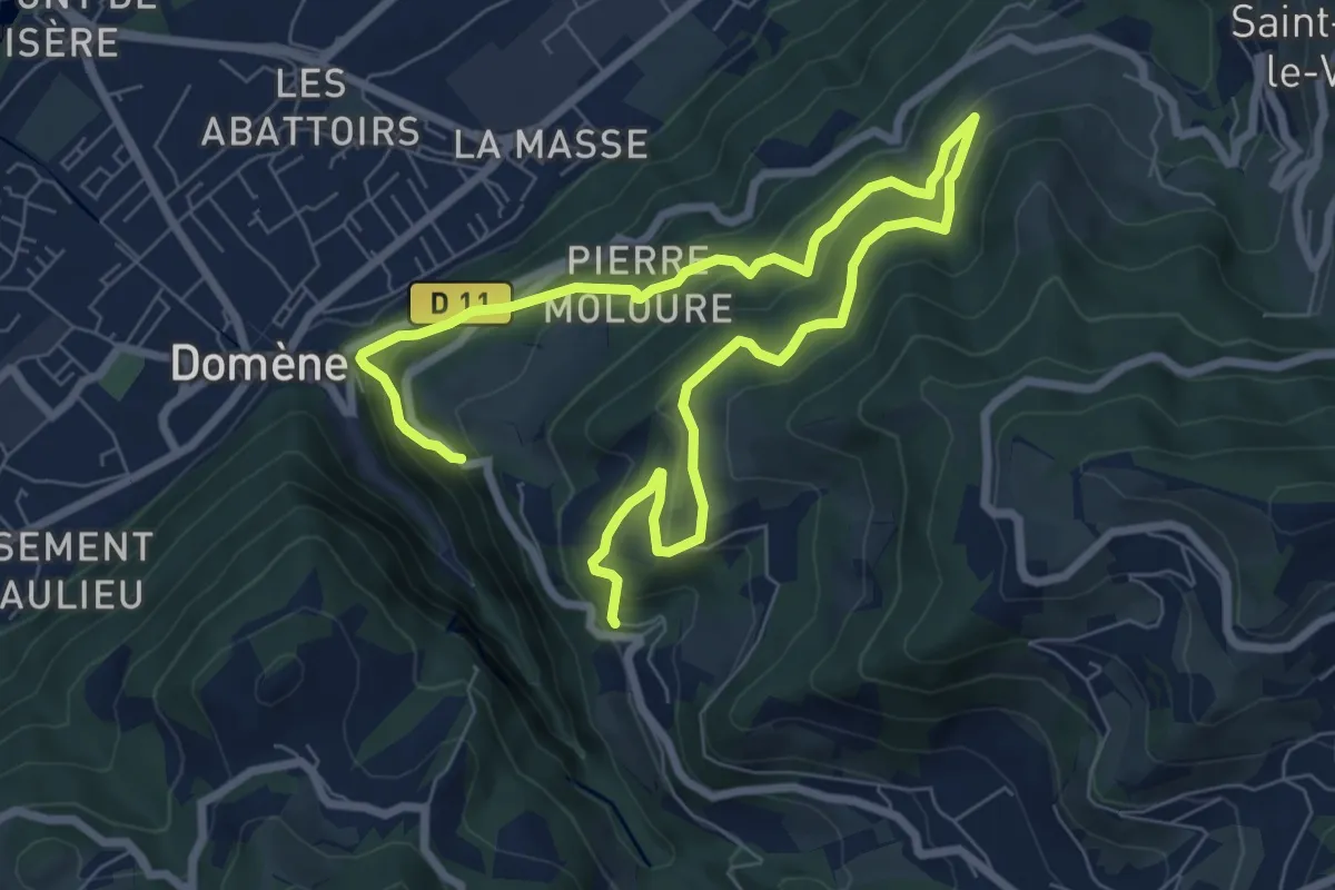
Medium · Trail
La Tour de Revel (par le Mollard)
5.7 km · ↑ 441 m · 2 h 20 min
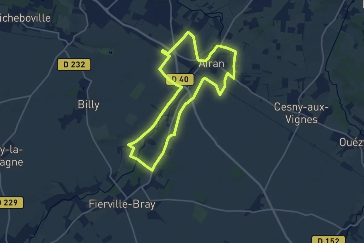
Medium · Trail
La Tour de Valmeray et la Muance
11.7 km · ↑ 34 m · 3 h
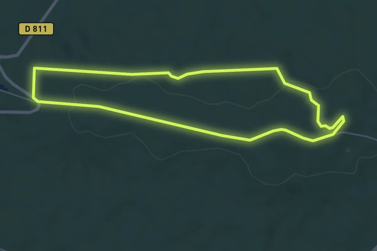
Easy · Trail
La Tour d'Observation du Général Mangin
4.8 km · ↑ 77 m · 1 h 22 min
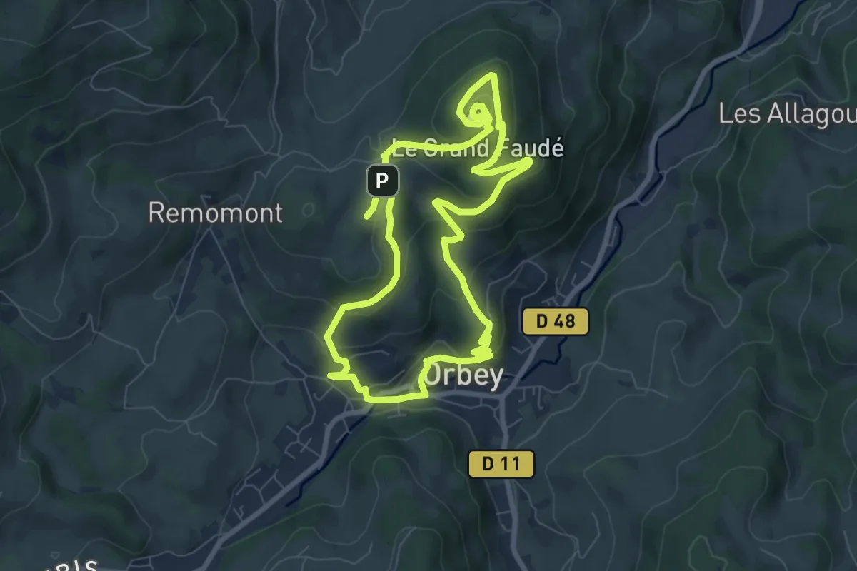
Easy · Summit
La tour du Faudé
6.9 km · ↑ 285 m · 2 h 21 min
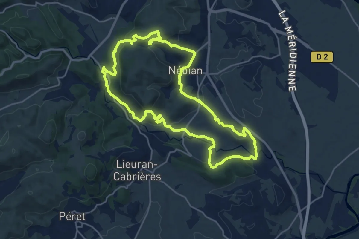
Medium · Trail
La Tourelle
14.6 km · ↑ 422 m · 4 h 33 min
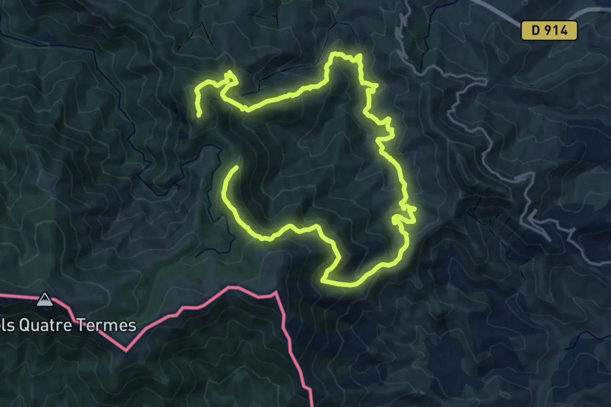
Demanding · Summit
La Tour Massane par le Chemin de l'Eau
28.3 km · ↑ 1716 m · 10 h 24 min
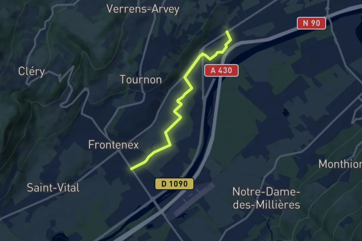
Easy · Trail
La Tourmotte
7.0 km · ↑ 23 m · 1 h 42 min
Expert · Summit
La Tournette
36.9 km · ↑ 4019 m · 17 h 25 min
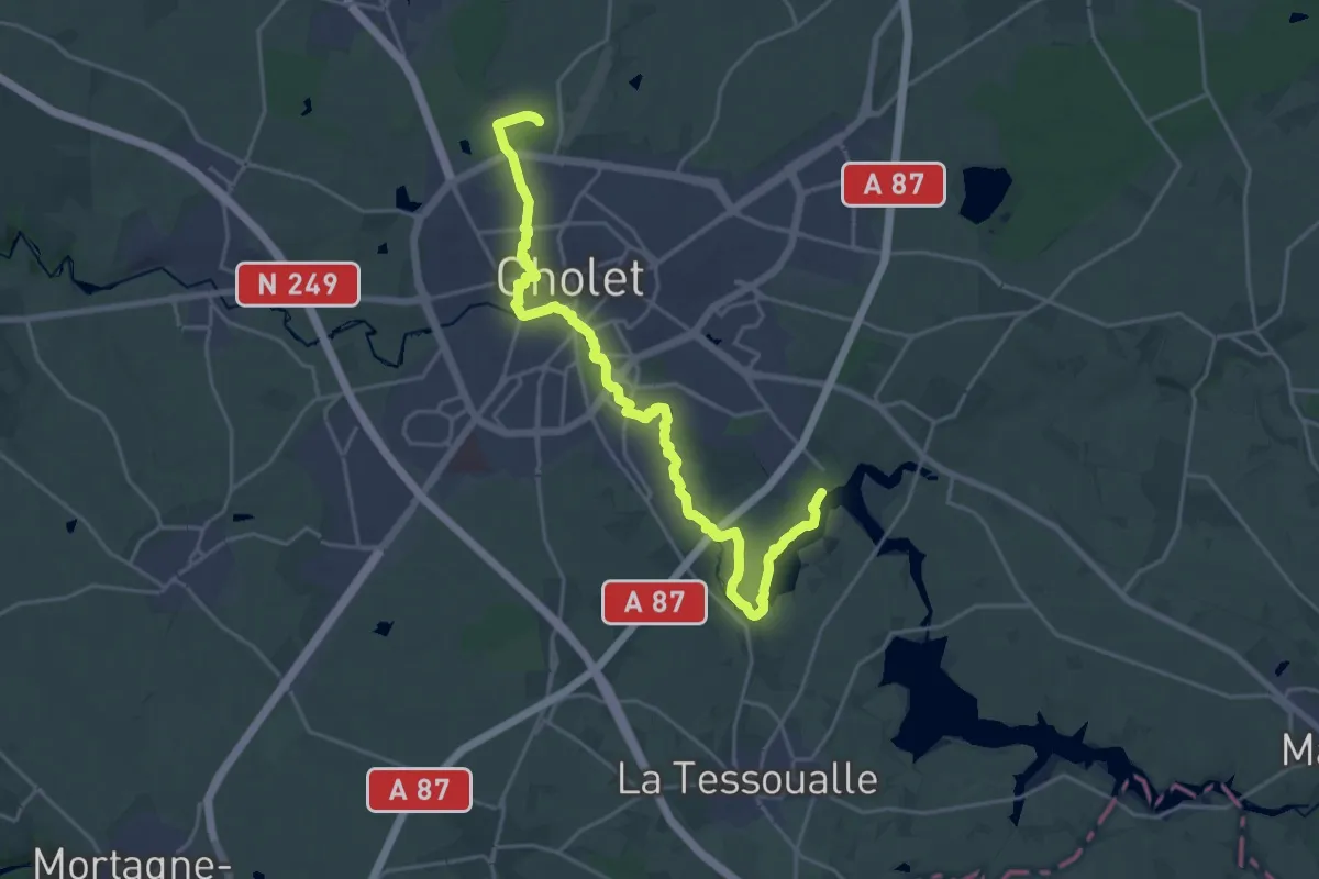
Demanding · Trail
La traversée de Cholet
24.3 km · ↑ 150 m · 6 h 4 min
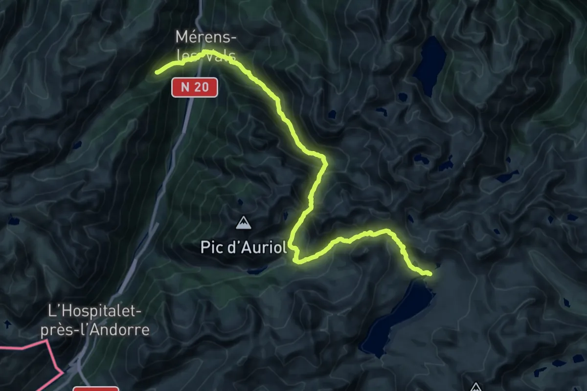
Medium · Trail
La traversée des Pyrénées - sec.2
15.6 km · ↑ 762 m · 6 h 2 min
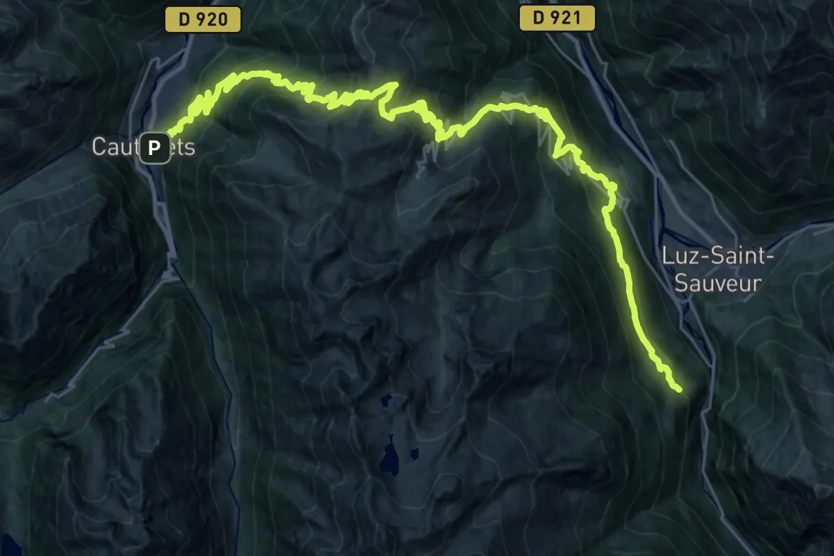
Demanding · Trail
La traversée des Pyrénées - sec.6 - variante
20.0 km · ↑ 1343 m · 7 h 54 min
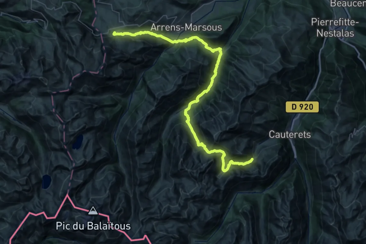
Demanding · Summit
La traversée des Pyrénées - sec.7
51.2 km · ↑ 3454 m · 19 h 34 min
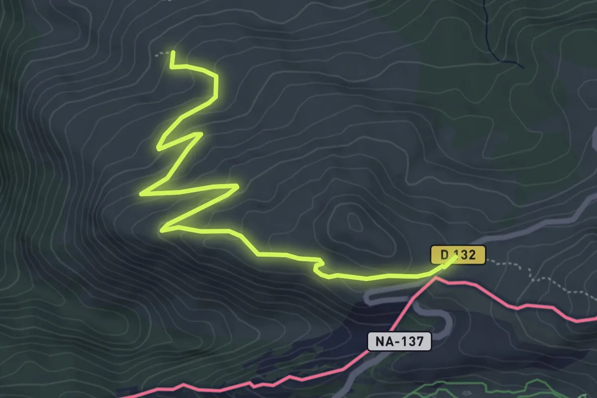
Medium · Trail
La traversée des Pyrénées - sec.8
7.1 km · ↑ 280 m · 2 h 17 min
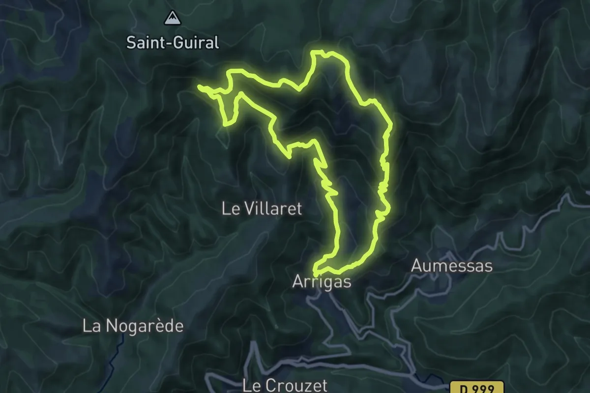
Demanding · Trail
La Trescoulade
13.8 km · ↑ 857 m · 5 h 19 min
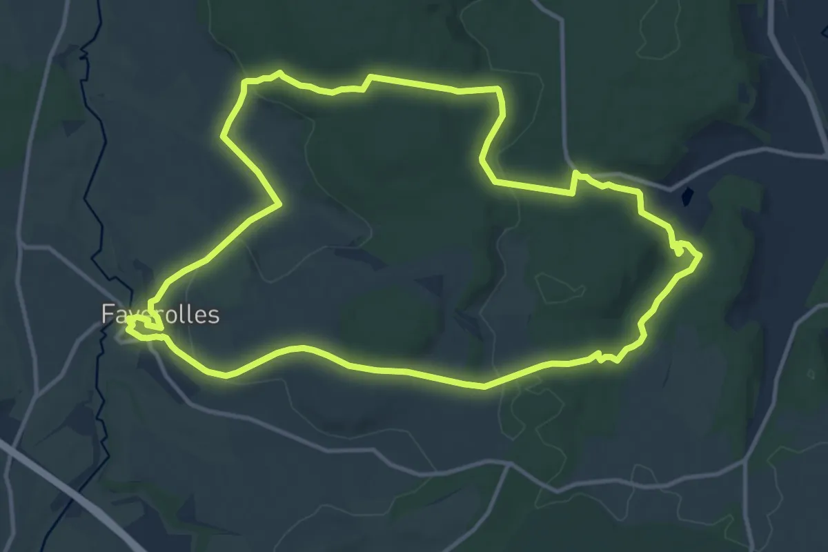
Medium · Trail
La Tuffière de Rolampont
12.2 km · ↑ 261 m · 3 h 37 min
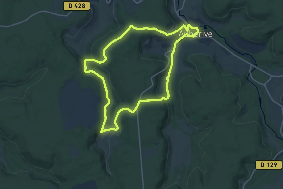
Medium · Trail
La Tufière d’Amorey
10.5 km · ↑ 260 m · 3 h 11 min
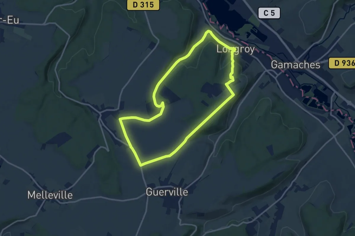
Medium · Trail
La Tuilerie
10.0 km · ↑ 177 m · 2 h 54 min
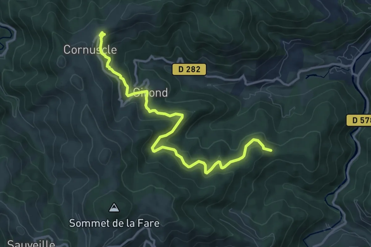
Medium · Trail
L'Aubépin - Cornuscle
9.9 km · ↑ 444 m · 3 h 18 min
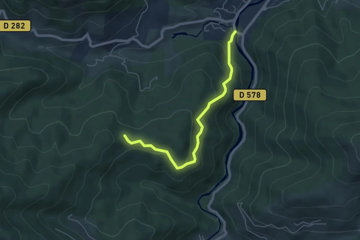
Easy · Trail
L'Aubépin - Le Clocheton
4.7 km · ↑ 299 m · 1 h 45 min
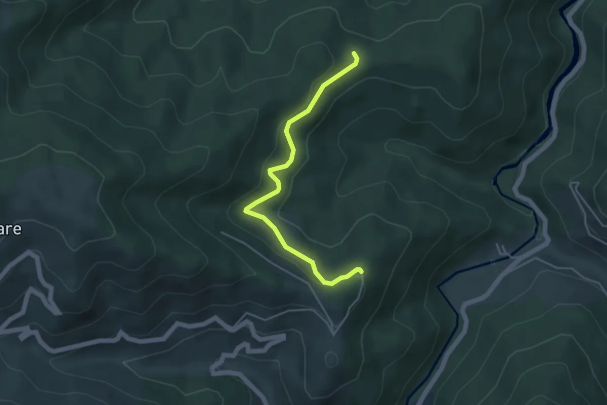
Easy · Trail
L'Aubépin - Le Replay
3.9 km · ↑ 146 m · 1 h 14 min
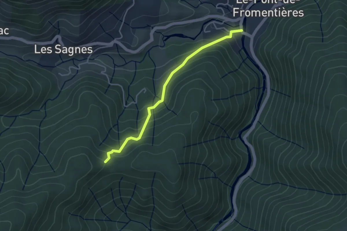
Easy · Trail
L'Aubépin - Les Jallats
3.3 km · ↑ 219 m · 1 h 16 min
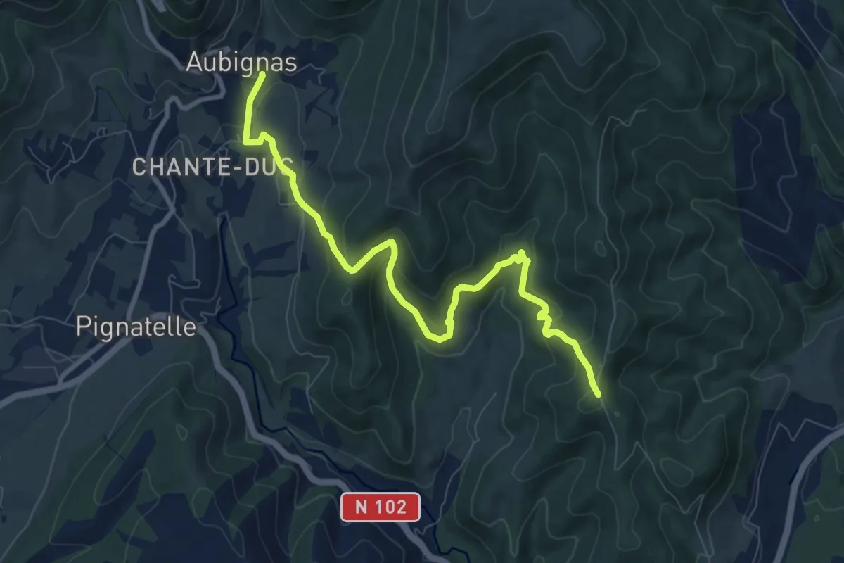
Medium · Trail
L'Auche - Tronquette
9.5 km · ↑ 484 m · 3 h 18 min
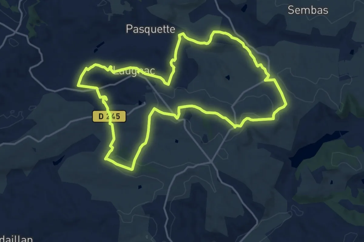
Medium · Trail
Laugnac, un sentier nature dans les Serres
14.2 km · ↑ 319 m · 4 h 14 min
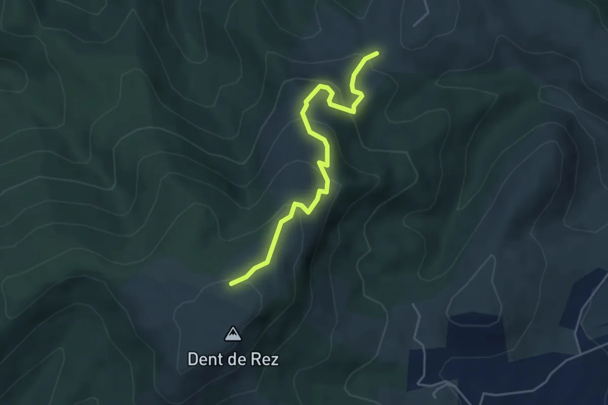
Easy · Trail
Laulagnier - Dent de Rez
4.1 km · ↑ 282 m · 1 h 35 min
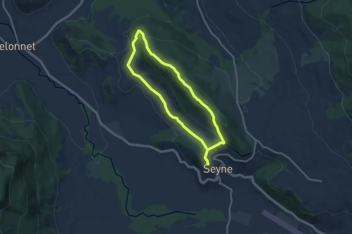
Easy · Trail
L'Auragnerie
6.1 km · ↑ 281 m · 2 h 8 min
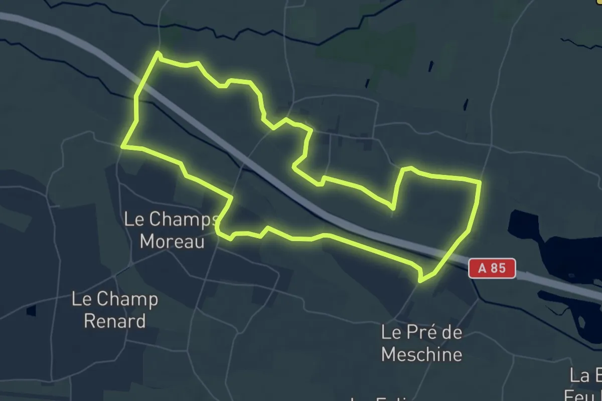
Easy · Trail
L’autoroute A85 - Chouzé - Saint-Nicolas-de-Bourgueil
7.7 km · ↑ 0 m · 1 h 55 min
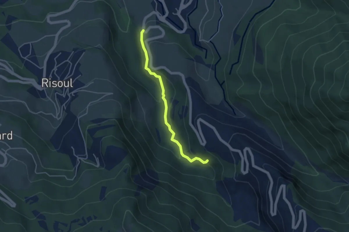
Easy · Trail
Lauzet - Peyre Haute
3.5 km · ↑ 232 m · 1 h 19 min
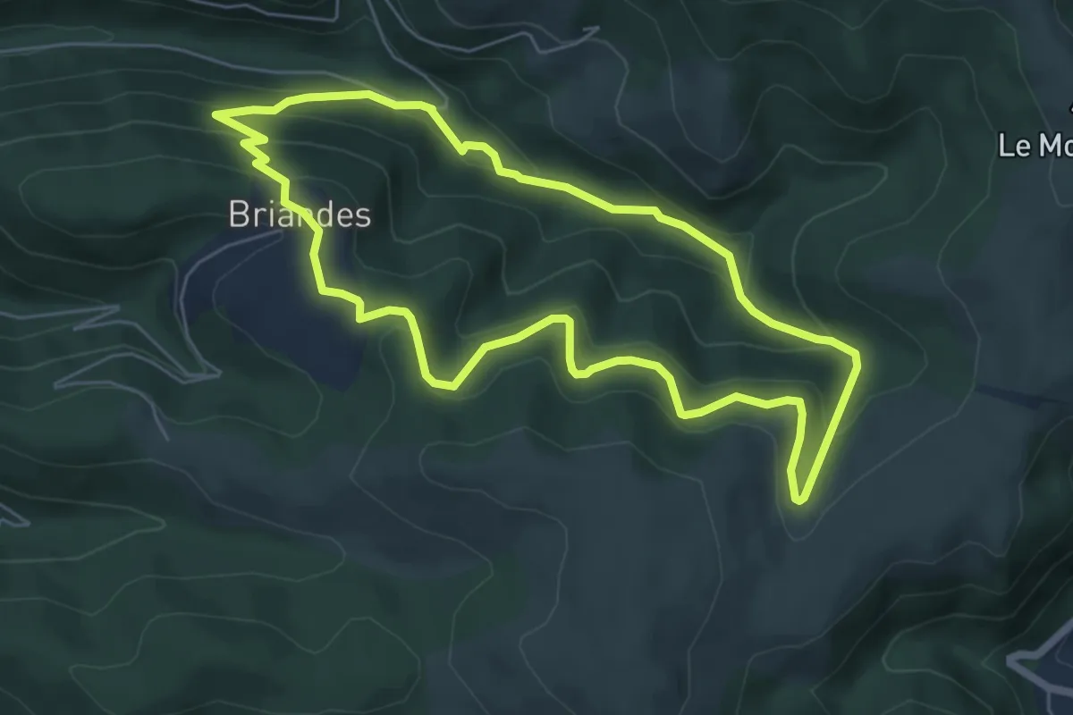
Easy · Trail
Laval de Nize
6.0 km · ↑ 285 m · 2 h 8 min
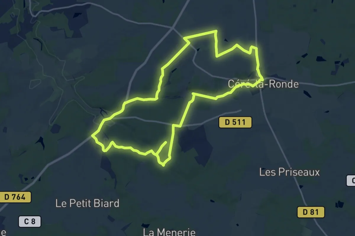
Medium · Trail
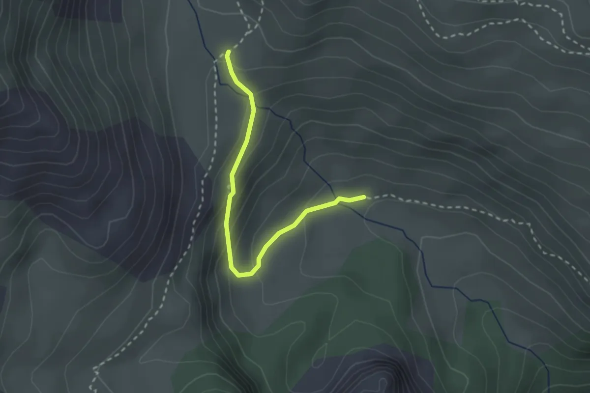
La Val d'Indrois Circuit 1 - Cléré-la-Ronde
13.7 km · ↑ 139 m · 3 h 44 min
Medium · Trail
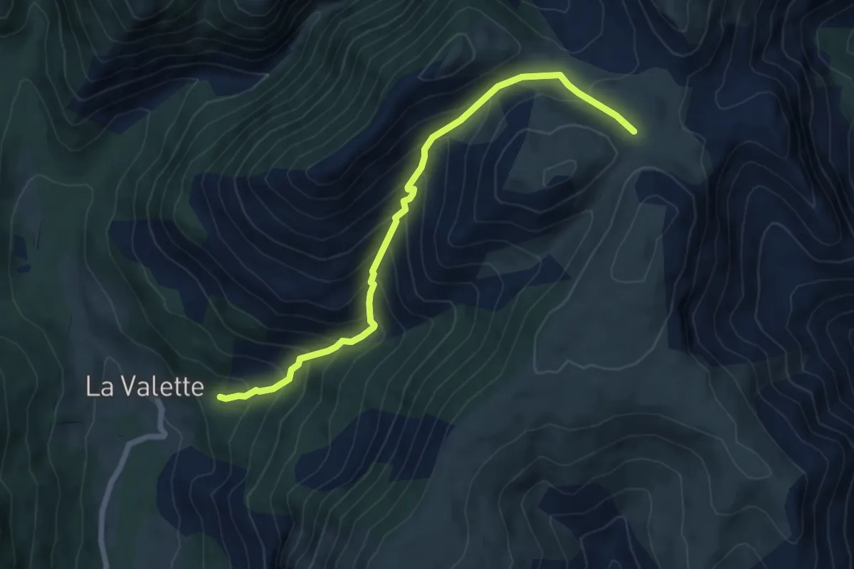
La Valette - Le Fond
2.5 km · ↑ 148 m · 54 min
Medium · Trail
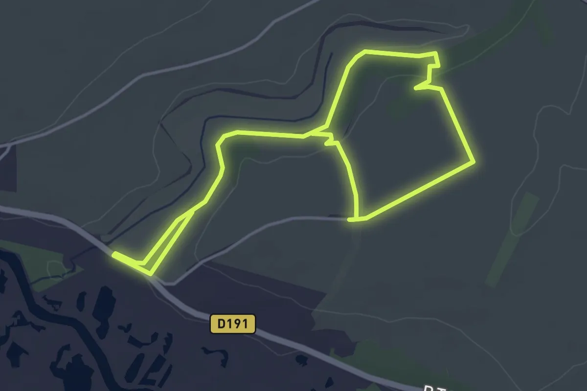
La Valette - Plaine de Jassaud
3.4 km · ↑ 0 m · 1 h 9 min
Easy · Trail
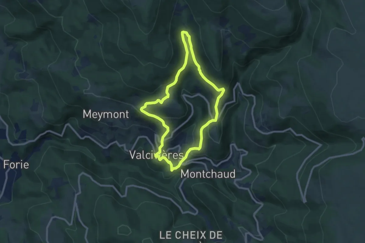
La Vallée d'Acon
6.3 km · ↑ 72 m · 1 h 39 min
Medium · Trail
La Vallée de Billeyre
6.8 km · ↑ 362 m · 2 h 29 min
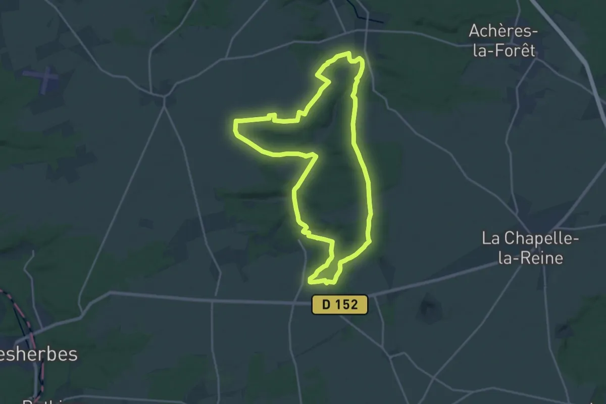
Medium · Trail
La vallée de Boissy-aux-Cailles
16.4 km · ↑ 169 m · 4 h 27 min
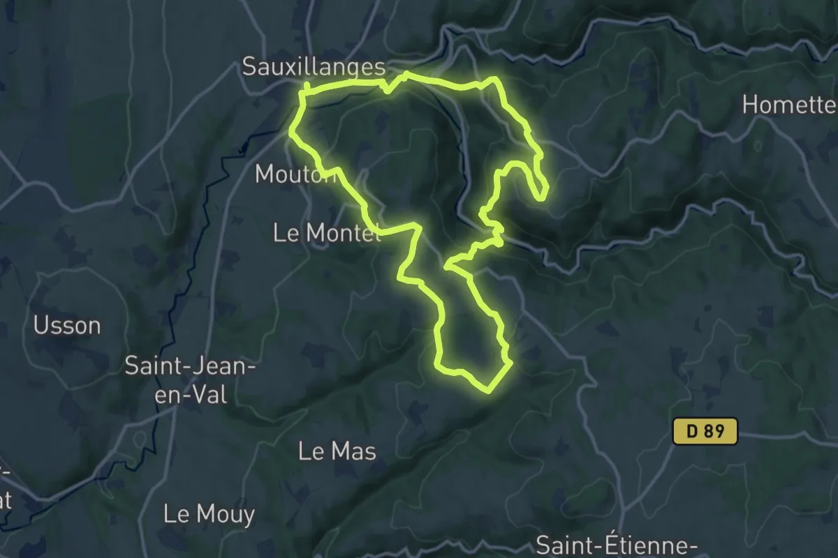
Medium · Trail
La Vallee de Civadoux
12.9 km · ↑ 501 m · 4 h 18 min
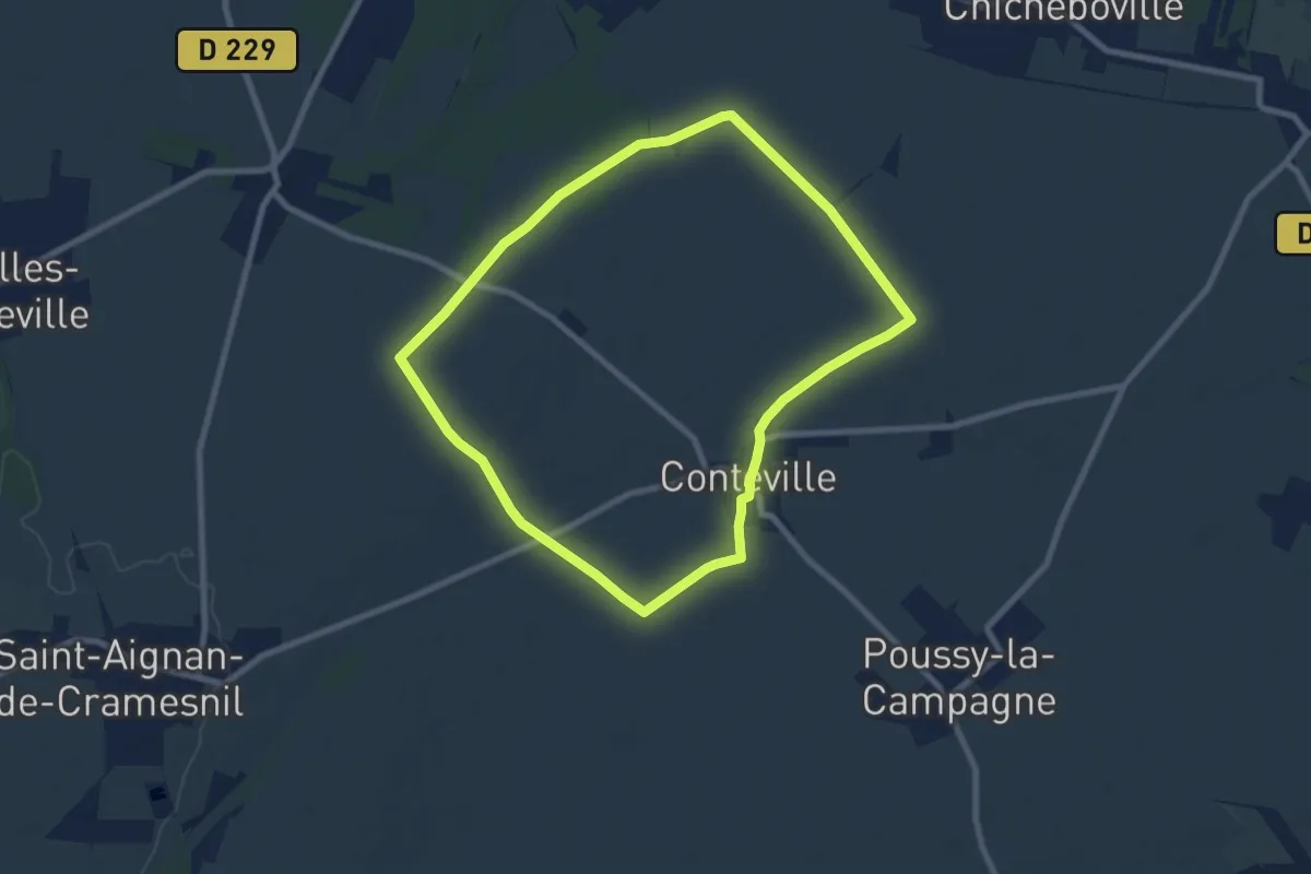
Easy · Trail
La Vallée de Conteville
7.4 km · ↑ 44 m · 1 h 57 min