Trails in France
15,926 hiking trails, each with its route, climb, walking time and grade.
All trails, page 151 of 332
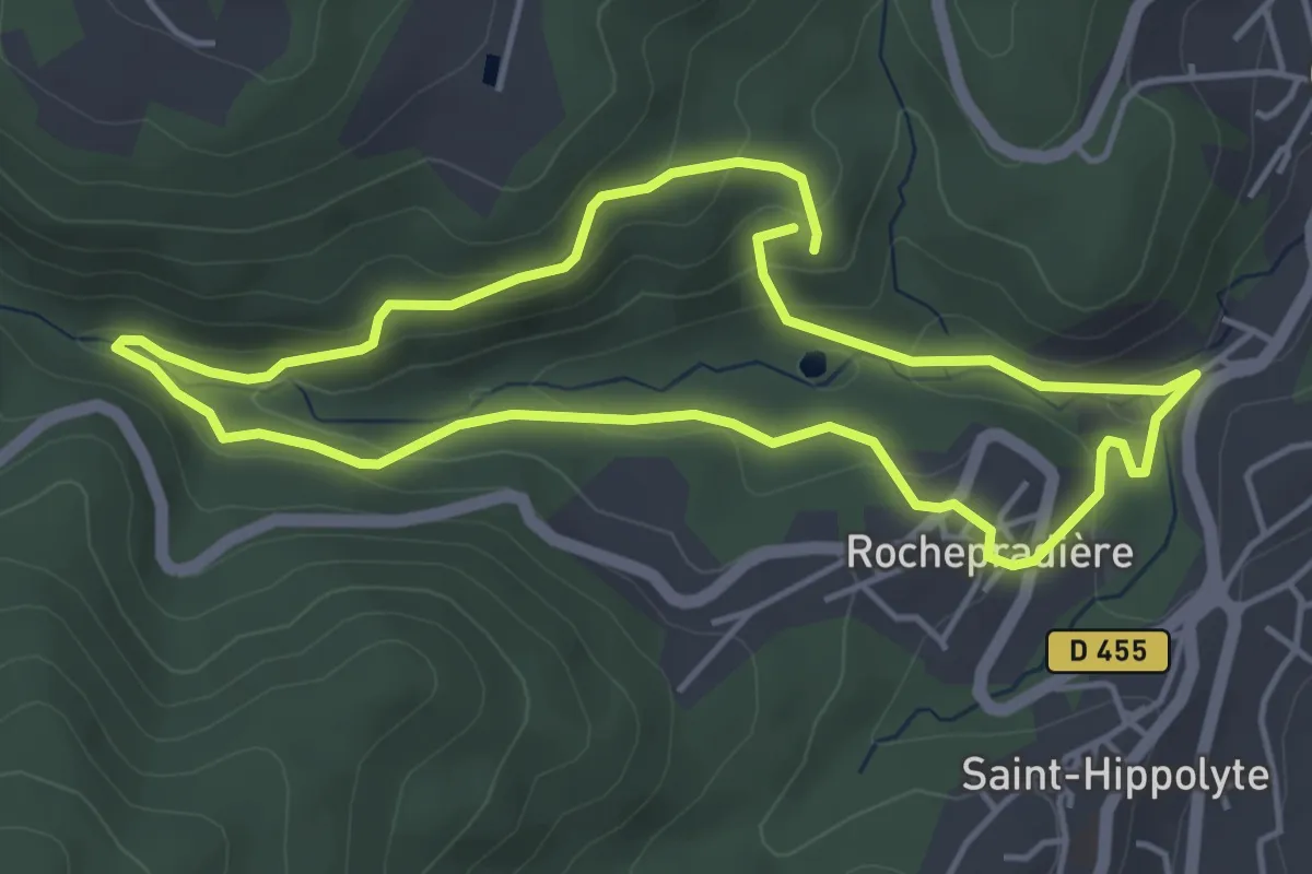
Easy · Trail
La Vallée du Sans-Souci
4.4 km · ↑ 170 m · 1 h 28 min
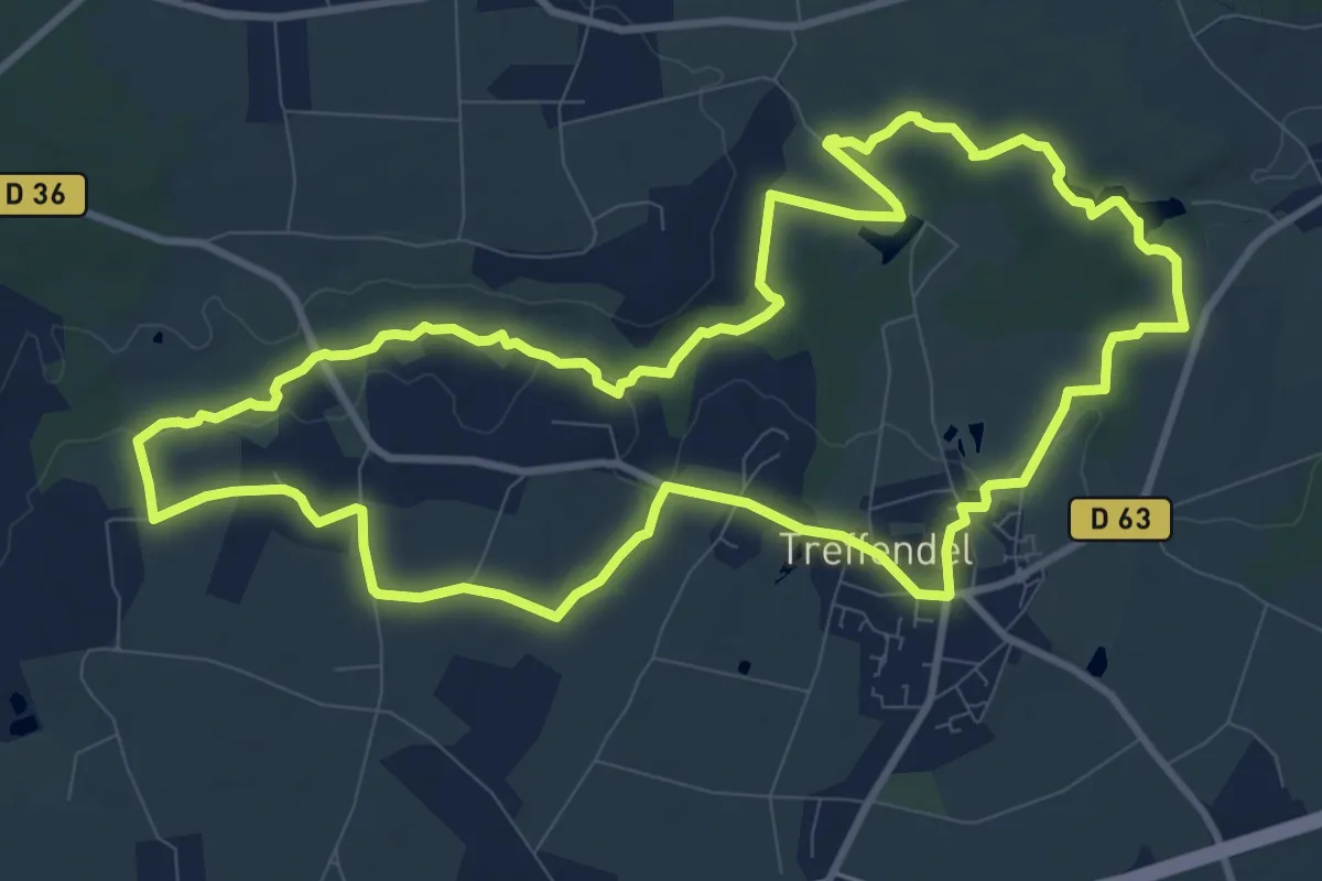
Medium · Trail
La vallée du Serein
11.0 km · ↑ 139 m · 3 h 3 min
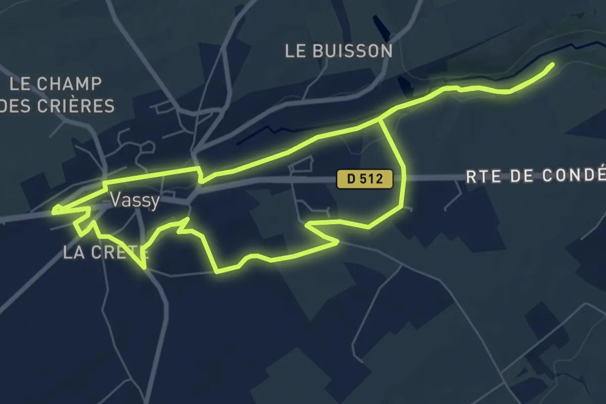
Easy · Trail
La Vallée du Tortillon
7.0 km · ↑ 48 m · 1 h 52 min
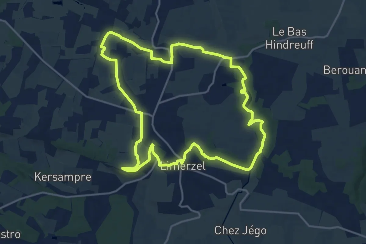
Medium · Trail
La Vallée du Trévelo
11.0 km · ↑ 120 m · 3 h 1 min
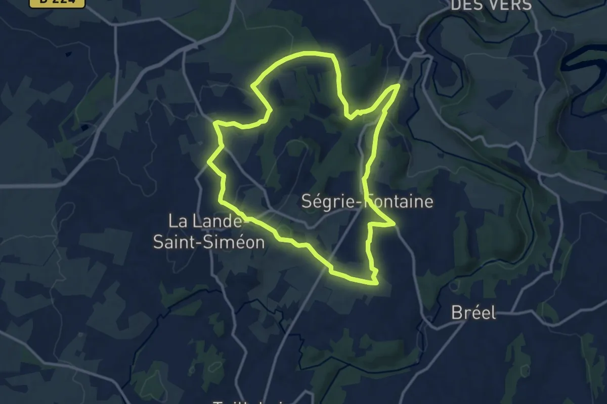
Medium · Trail
La Vallée Moignet
10.4 km · ↑ 180 m · 2 h 59 min
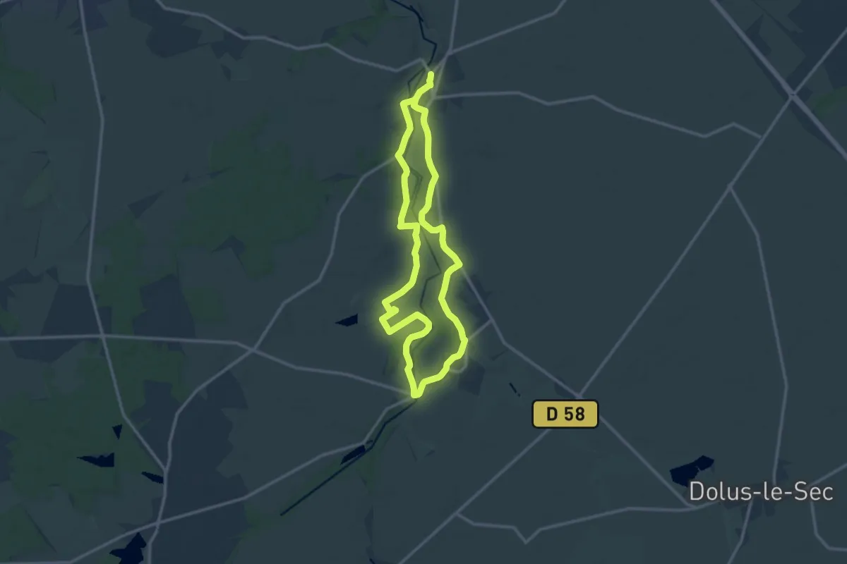
Demanding · Trail
La Vallée Sud de l'Echandon
22.3 km · ↑ 174 m · 5 h 39 min
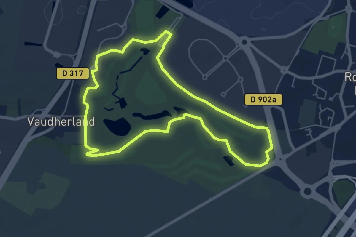
Easy · Trail
La Vallée Verte
4.5 km · ↑ 45 m · 1 h 14 min
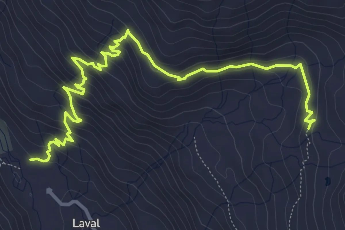
Medium · Trail
Laval - Les Chaumes
7.9 km · ↑ 512 m · 2 h 58 min
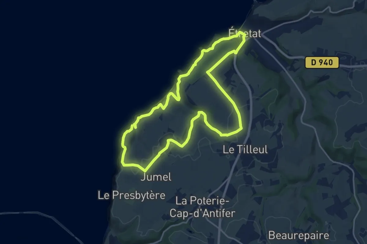
Medium · Trail
La Valleuse D'Antifer
12.2 km · ↑ 614 m · 4 h 23 min
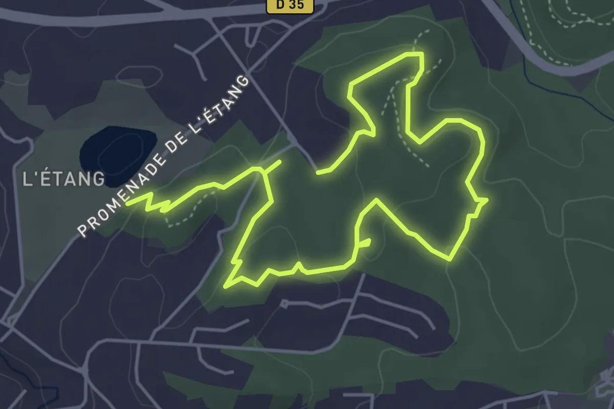
Medium · Trail
La Valmasque - Promenade de Fontmerle
8.0 km · ↑ 155 m · 2 h 14 min
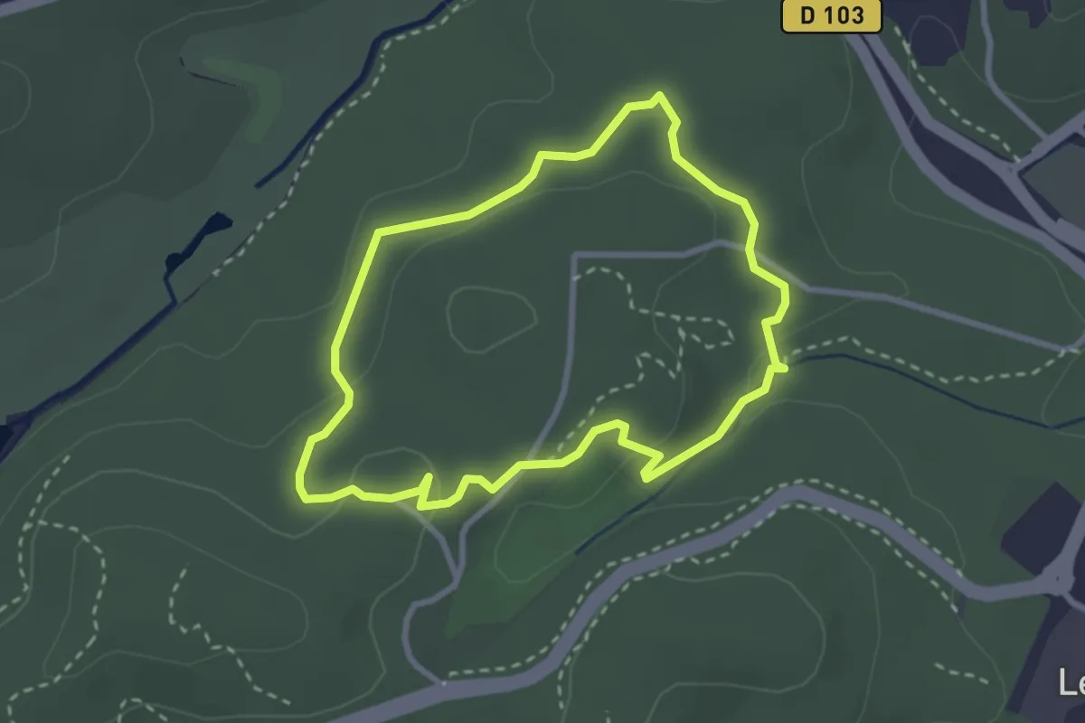
Easy · Trail
La Valmasque - Promenade du Carton
2.8 km · ↑ 49 m · 48 min
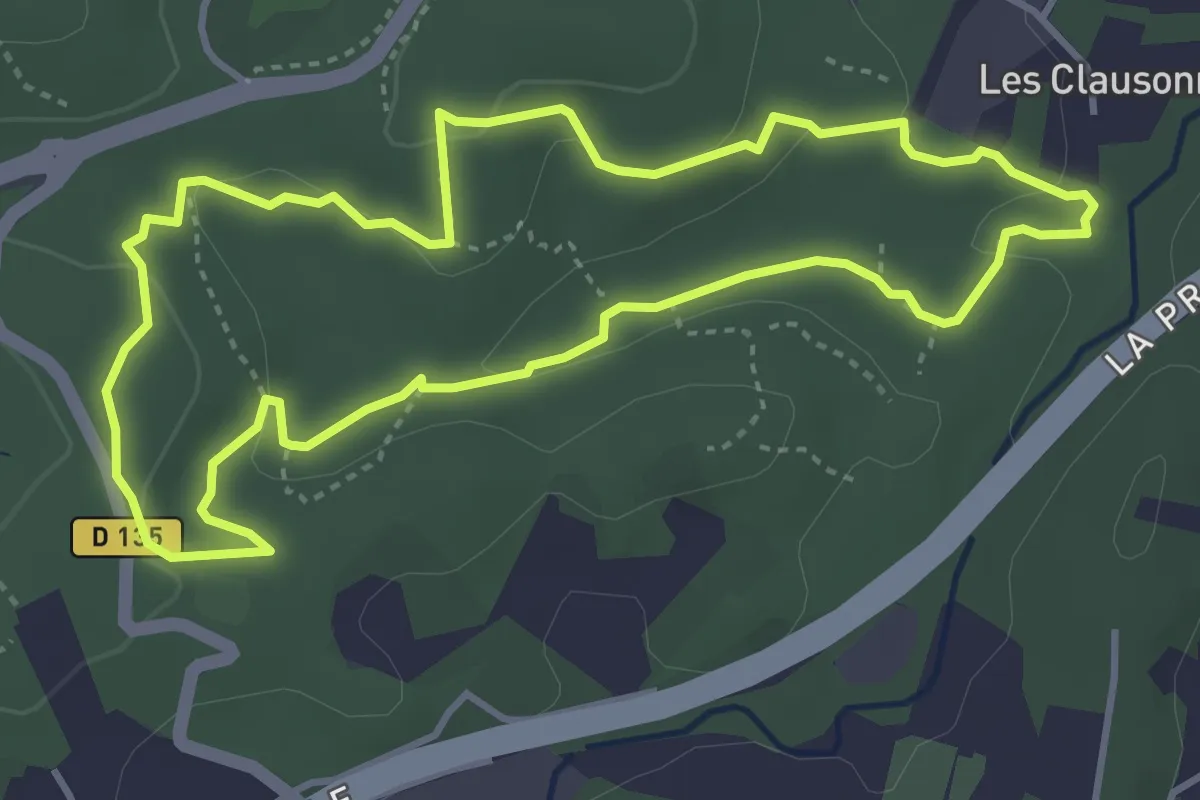
Easy · Trail
La Valmasque - Promenade du Fugueiret
4.2 km · ↑ 93 m · 1 h 15 min
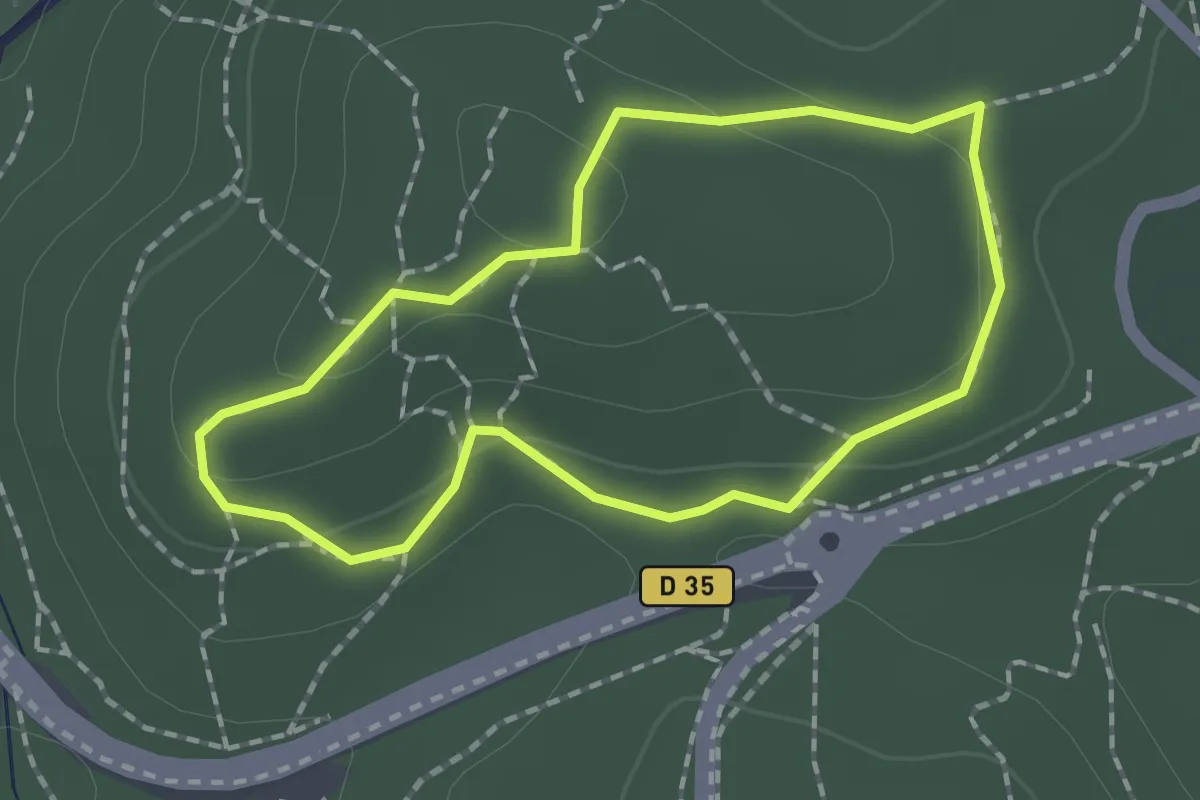
Easy · Trail
La Valmasque - Sentier de Découverte
1.6 km · ↑ 38 m · 29 min
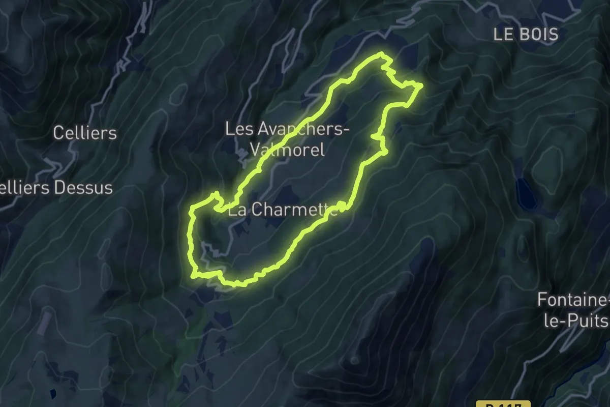
Medium · Trail
L'Avancheraine
12.1 km · ↑ 616 m · 4 h 21 min
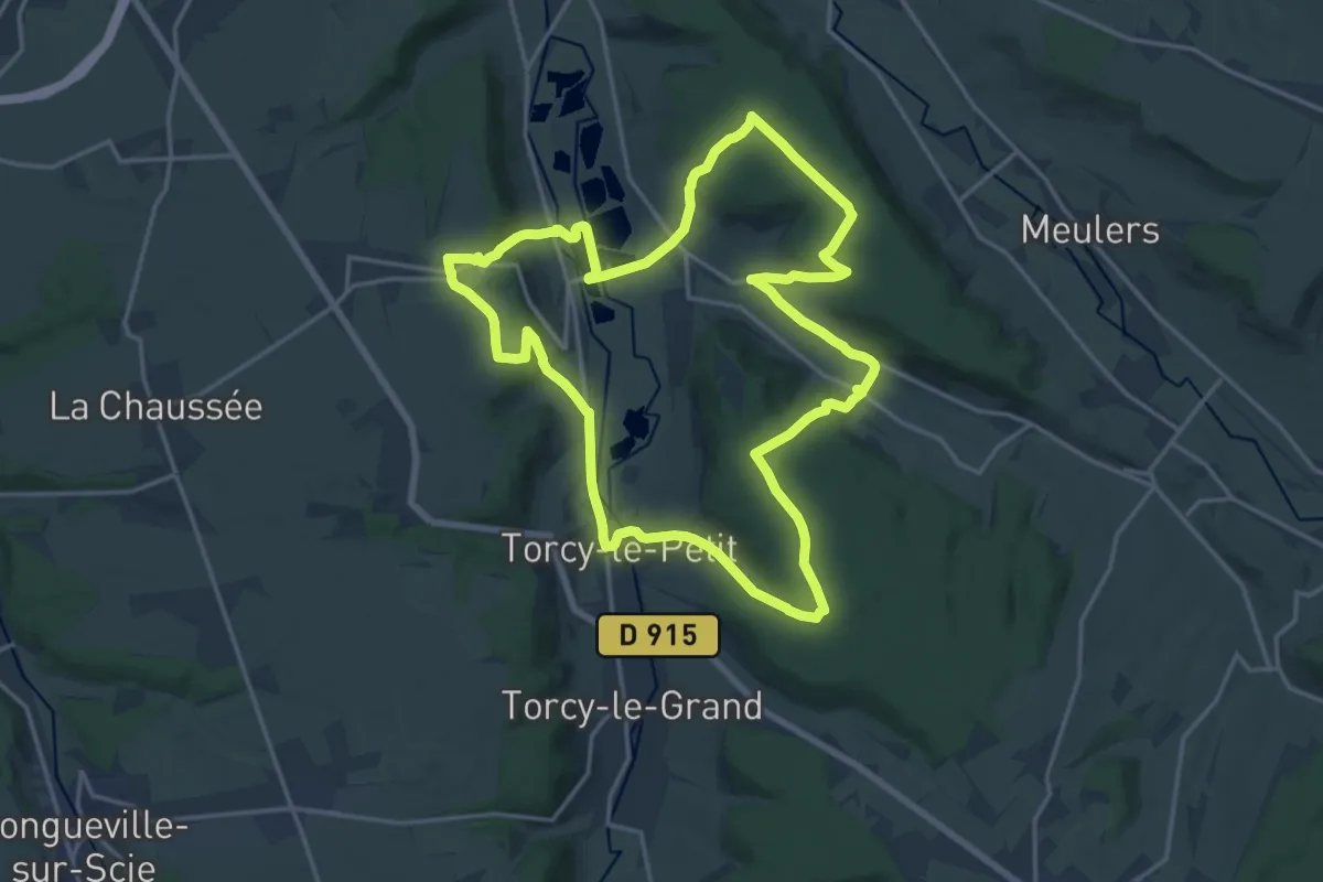
Medium · Trail
La Varenne et l'Eawy
17.0 km · ↑ 371 m · 5 h 4 min
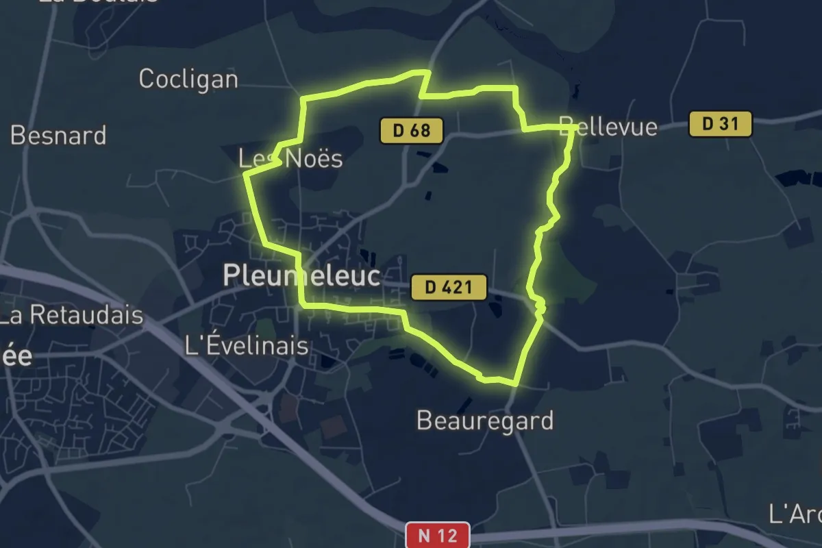
Easy · Trail
La Vaunoise - La Motte
7.2 km · ↑ 36 m · 1 h 53 min
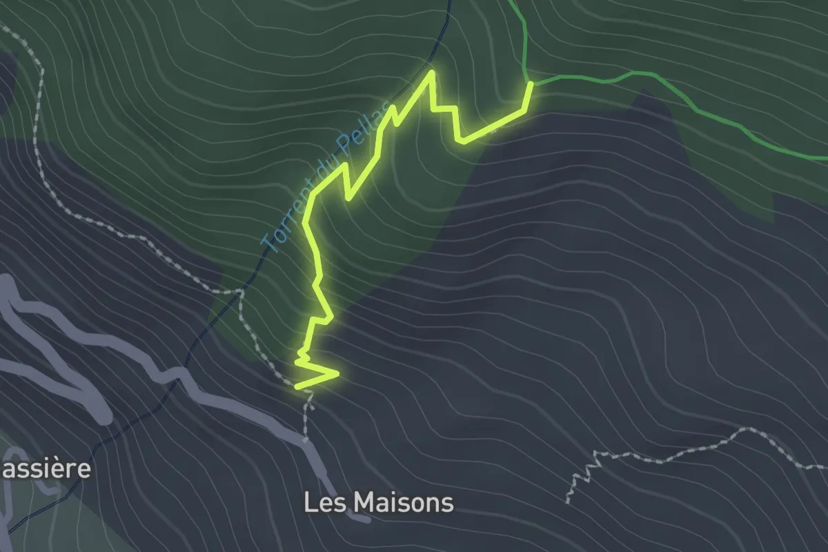
Medium · Trail
La Vaute Les Maisons - Le Serre
2.0 km · ↑ 212 m · 56 min
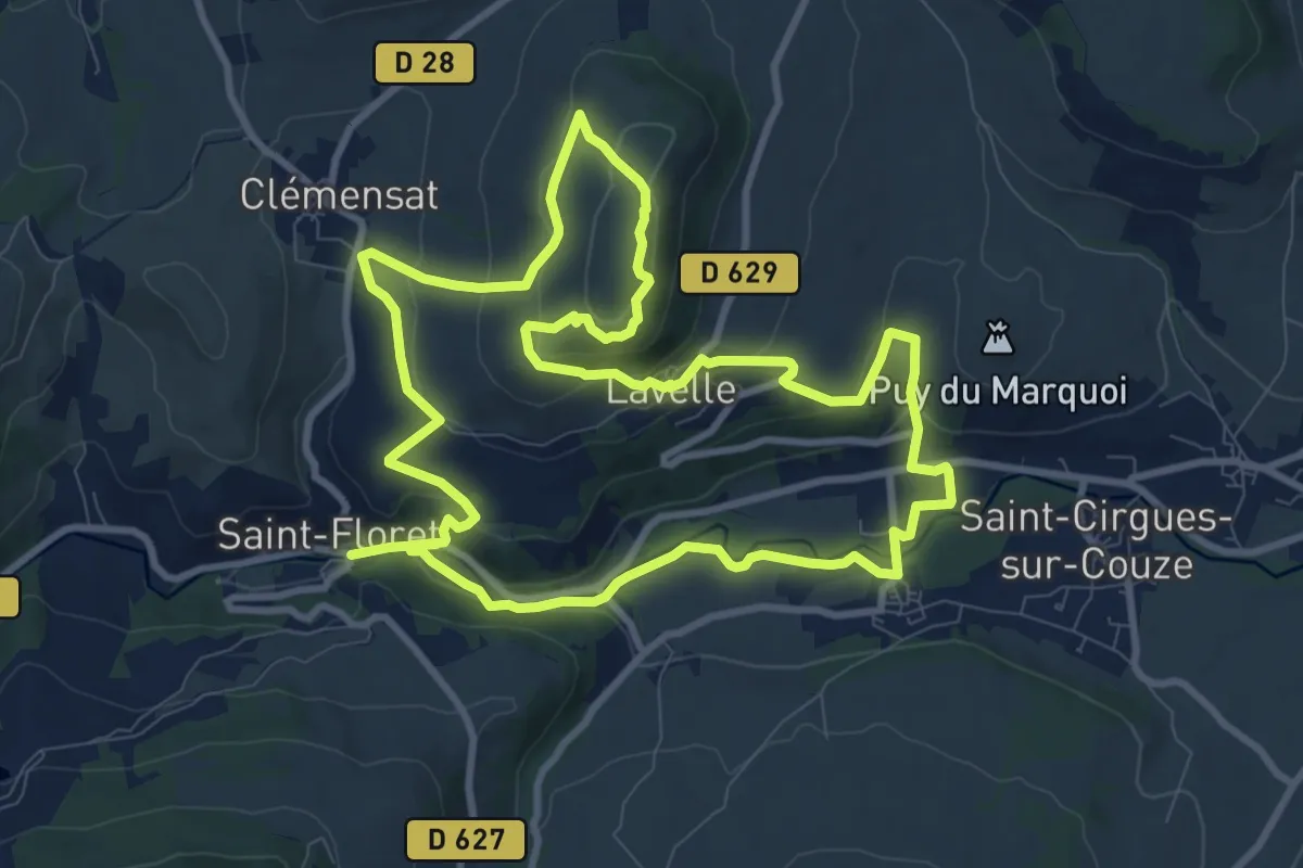
Medium · Summit
Lavelle
10.3 km · ↑ 375 m · 3 h 24 min
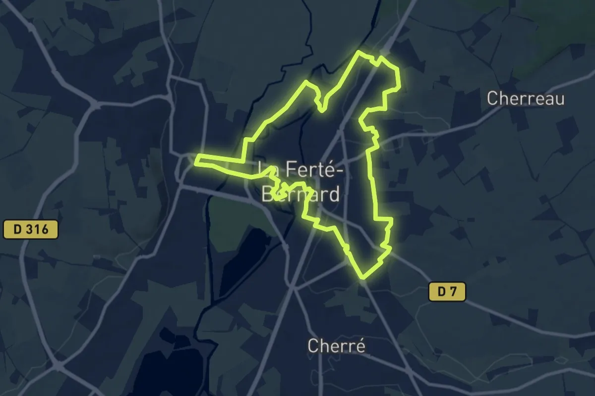
Medium · Trail
La Venise de l’Ouest
8.9 km · ↑ 67 m · 2 h 22 min
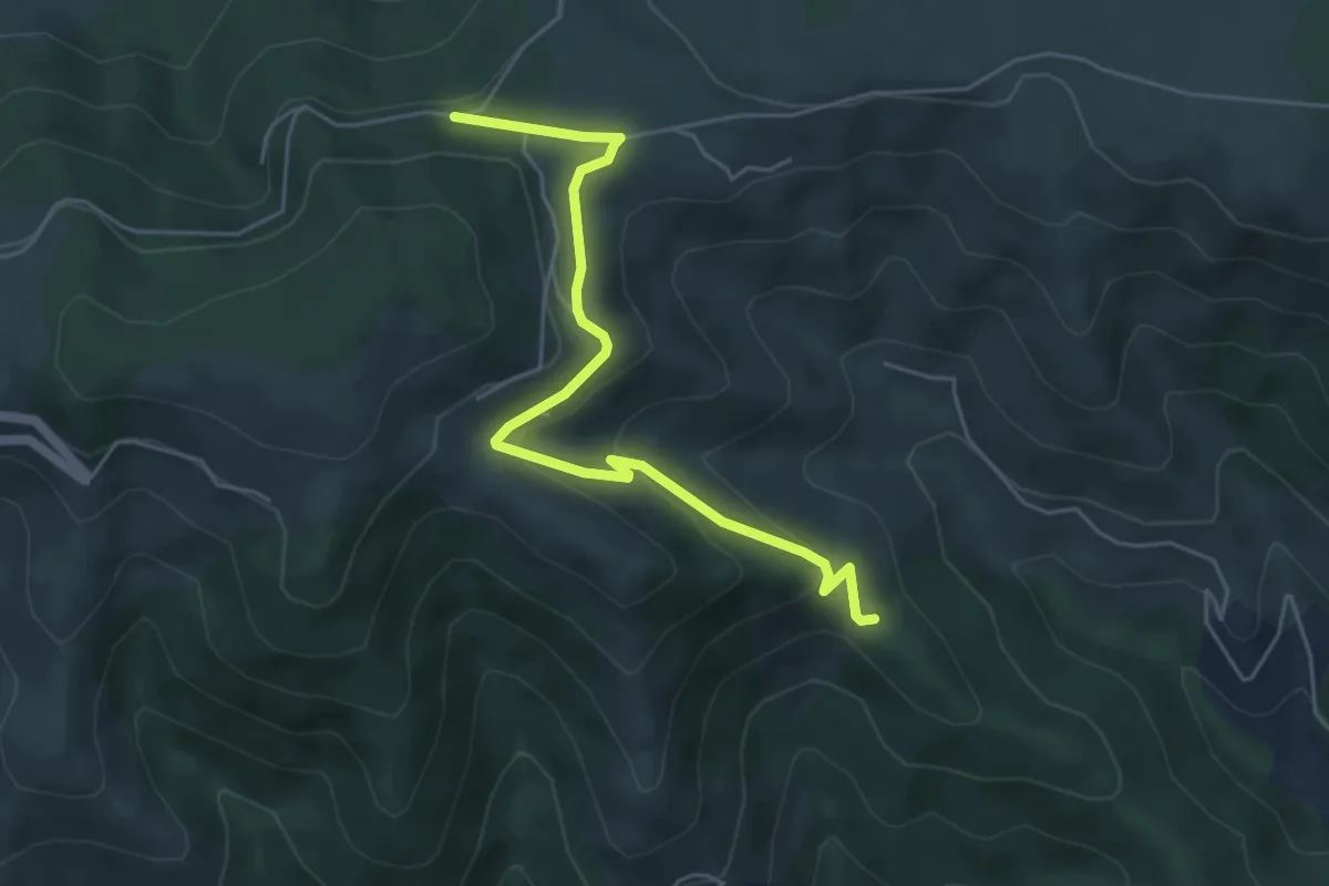
Easy · Trail
La Ventouse - Jouan Blanc
5.5 km · ↑ 203 m · 1 h 44 min
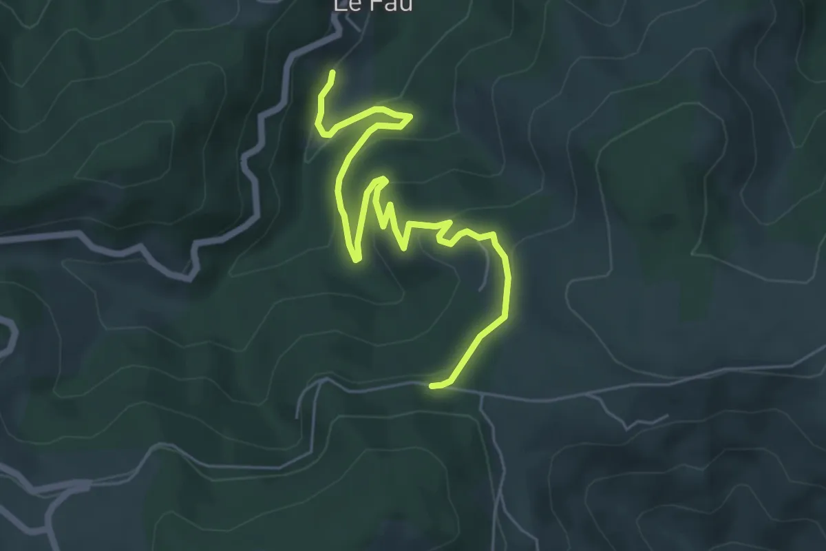
Easy · Trail
La Ventouse - Le Fau Sud
6.4 km · ↑ 260 m · 2 h 4 min
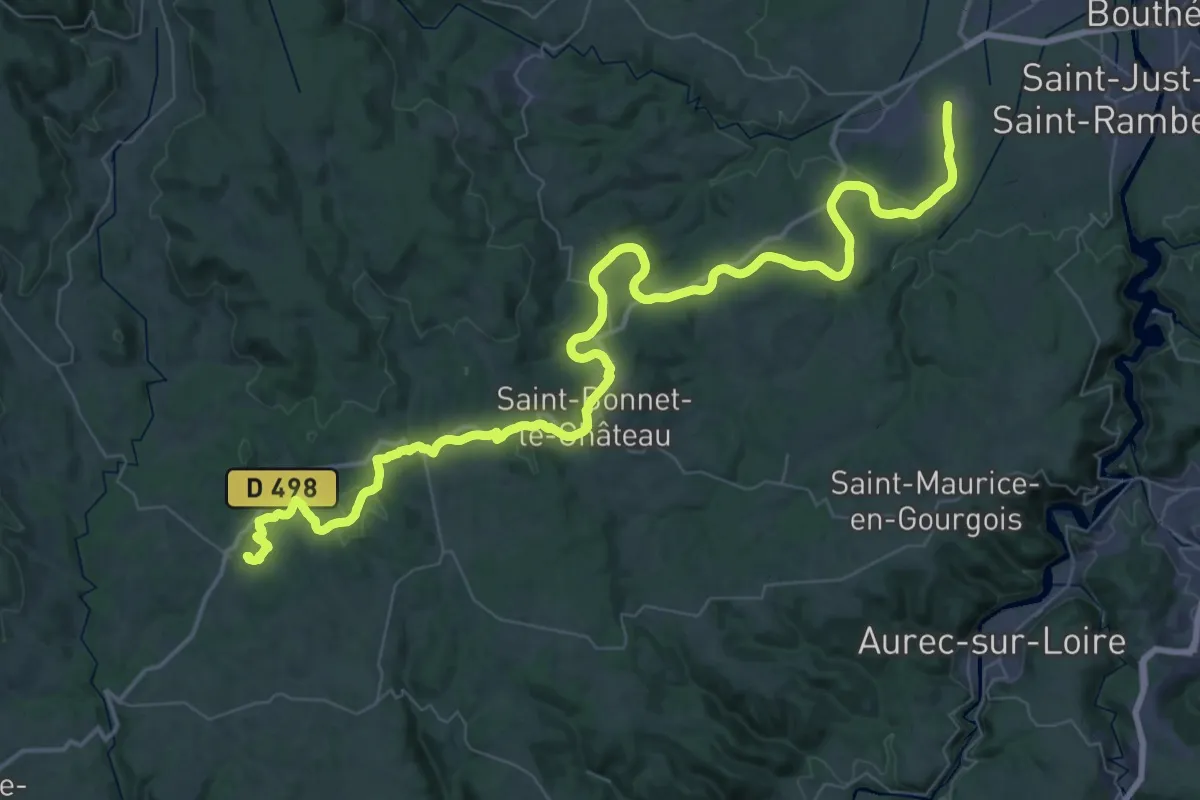
Demanding · Trail
L'Aventure du rail
37.1 km · ↑ 284 m · 10 h 8 min
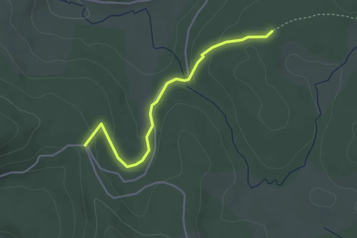
Easy · Trail
La Verrerie - Le Cros du Loup
3.3 km · ↑ 83 m · 58 min
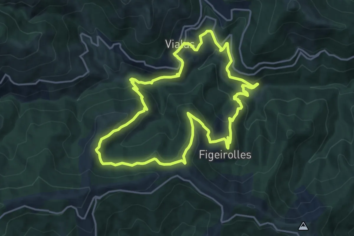
Medium · Trail
L'Aves
12.2 km · ↑ 589 m · 4 h 19 min
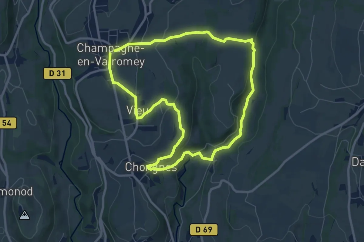
Easy · Trail
La Vie du Loup
7.0 km · ↑ 164 m · 2 h 7 min
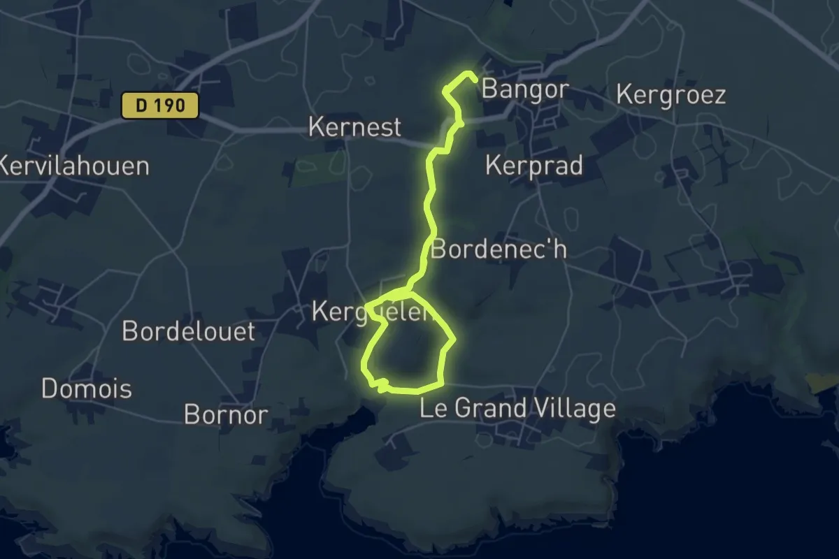
Easy · Trail
La vie du vallon du Stang Per d'hier à aujourd'hui
4.8 km · ↑ 93 m · 1 h 24 min
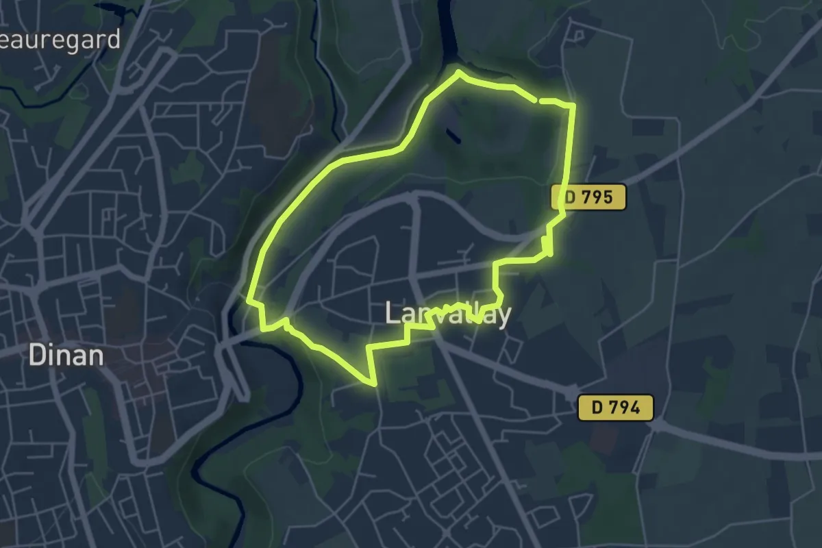
Easy · Trail
La vieille rivière
4.6 km · ↑ 57 m · 1 h 16 min
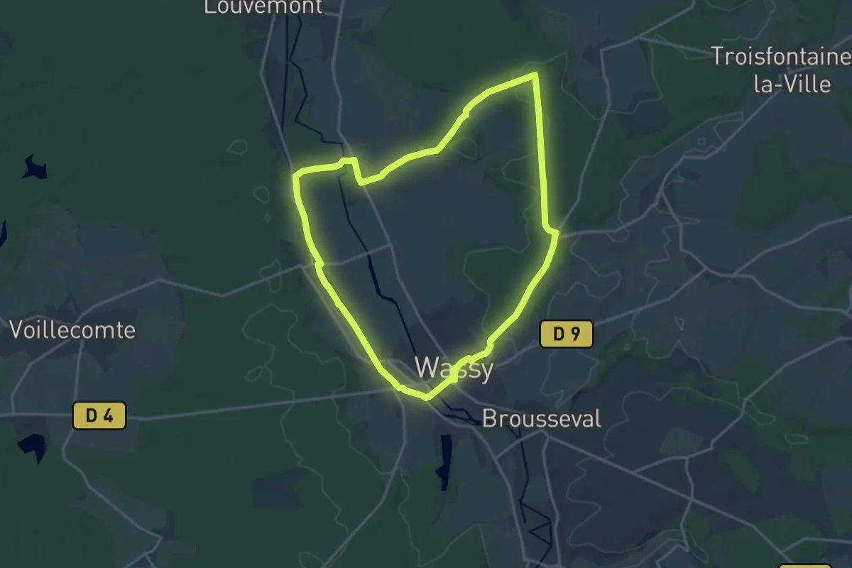
Medium · Trail
La Vierge Blanche
15.3 km · ↑ 137 m · 4 h 7 min
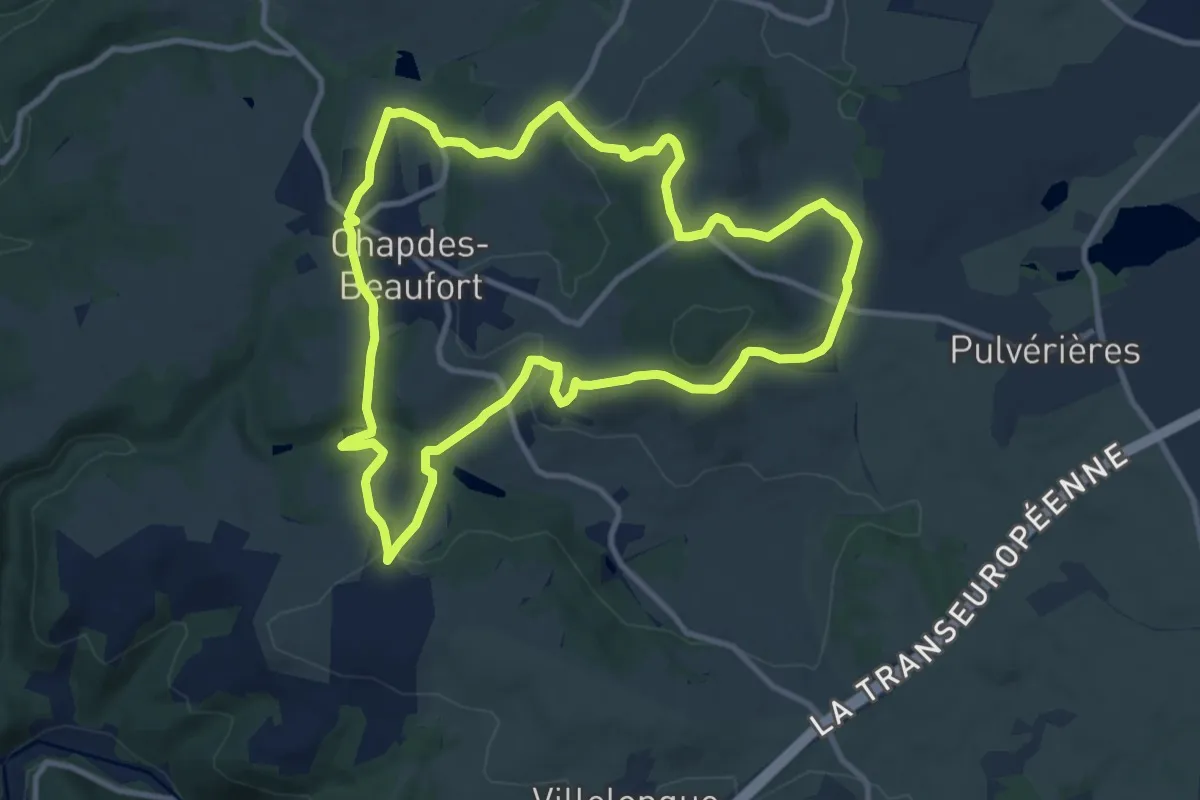
Medium · Trail
La Vierge de Beaufort
10.7 km · ↑ 282 m · 3 h 16 min
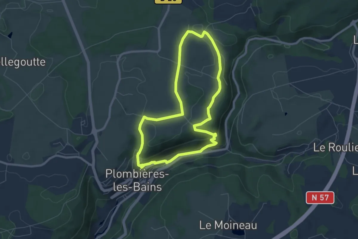
Easy · Trail
La Vierge des Champs
5.7 km · ↑ 165 m · 1 h 47 min
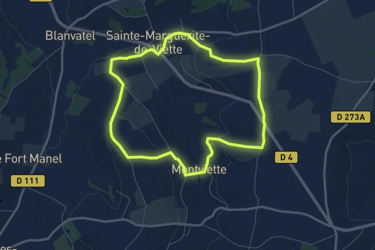
Easy · Trail
La Viette
6.3 km · ↑ 105 m · 1 h 47 min
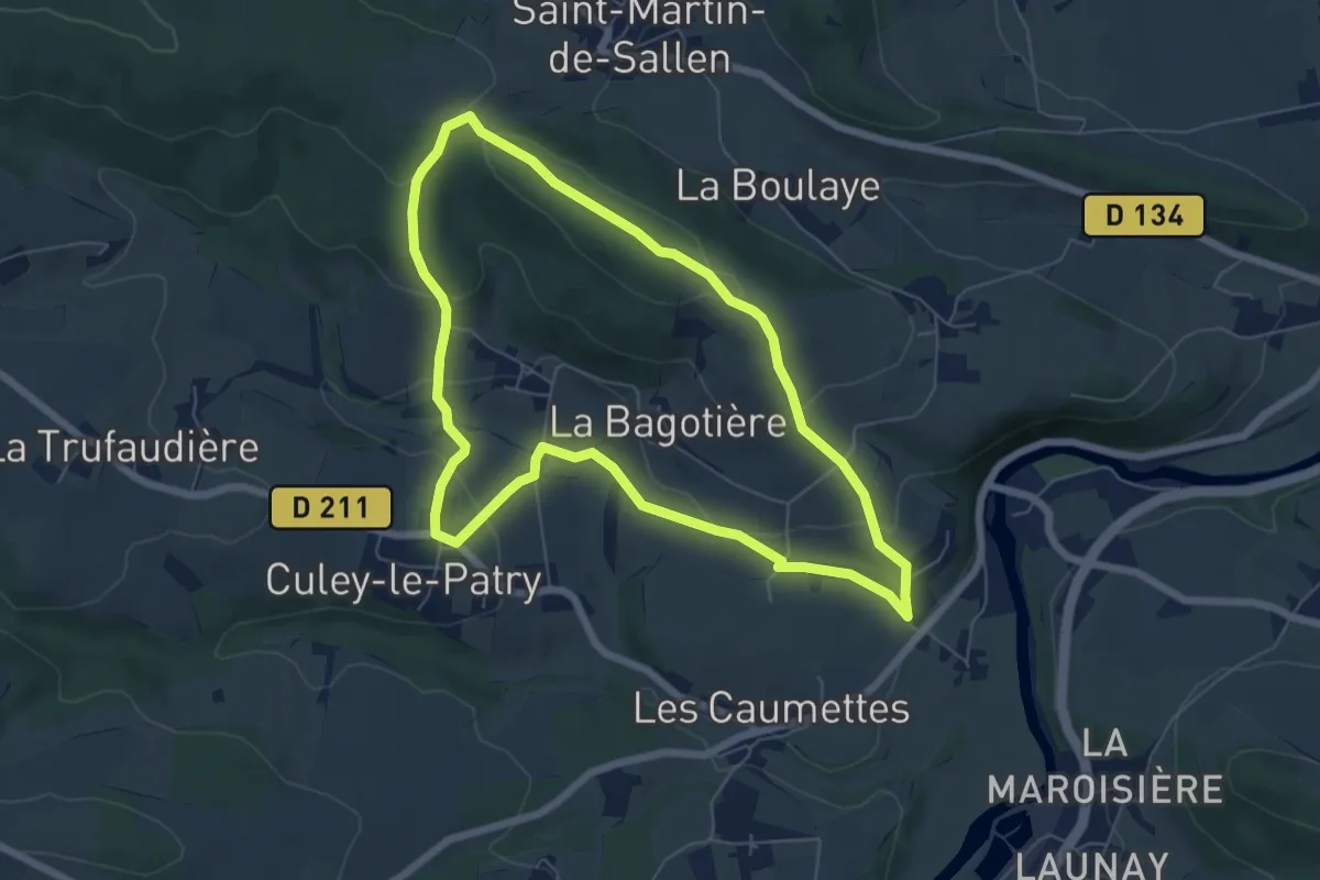
Easy · Trail
La Vigne
6.0 km · ↑ 207 m · 1 h 57 min
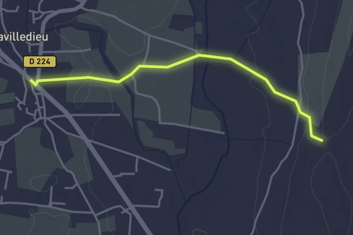
Easy · Trail
Lavilledieu (Le Feu) - Coudoulas
3.4 km · ↑ 57 m · 56 min
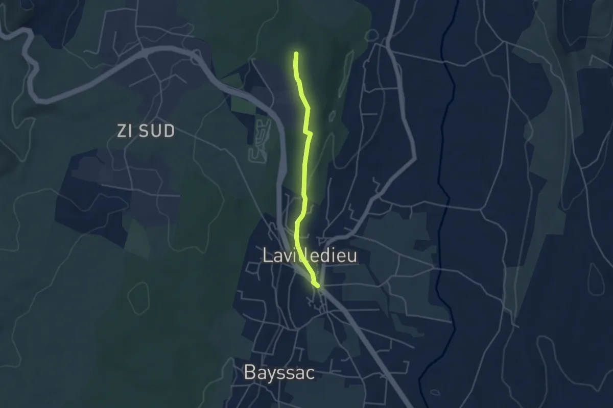
Easy · Trail
Lavilledieu (Le Feu) - Les Taillades
3.6 km · ↑ 50 m · 57 min
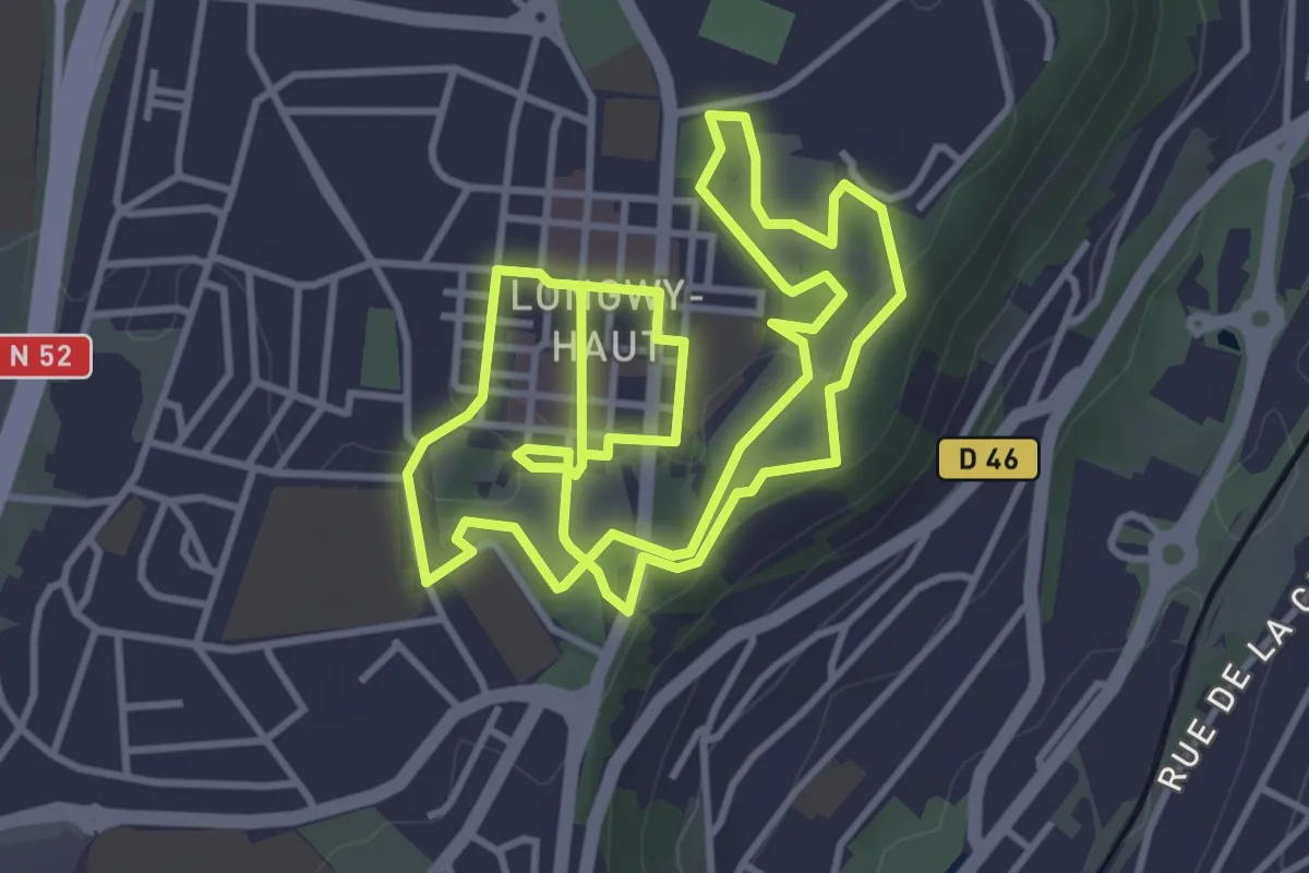
Easy · Trail
La Ville Haute et ses Remparts
4.1 km · ↑ 43 m · 1 h 7 min
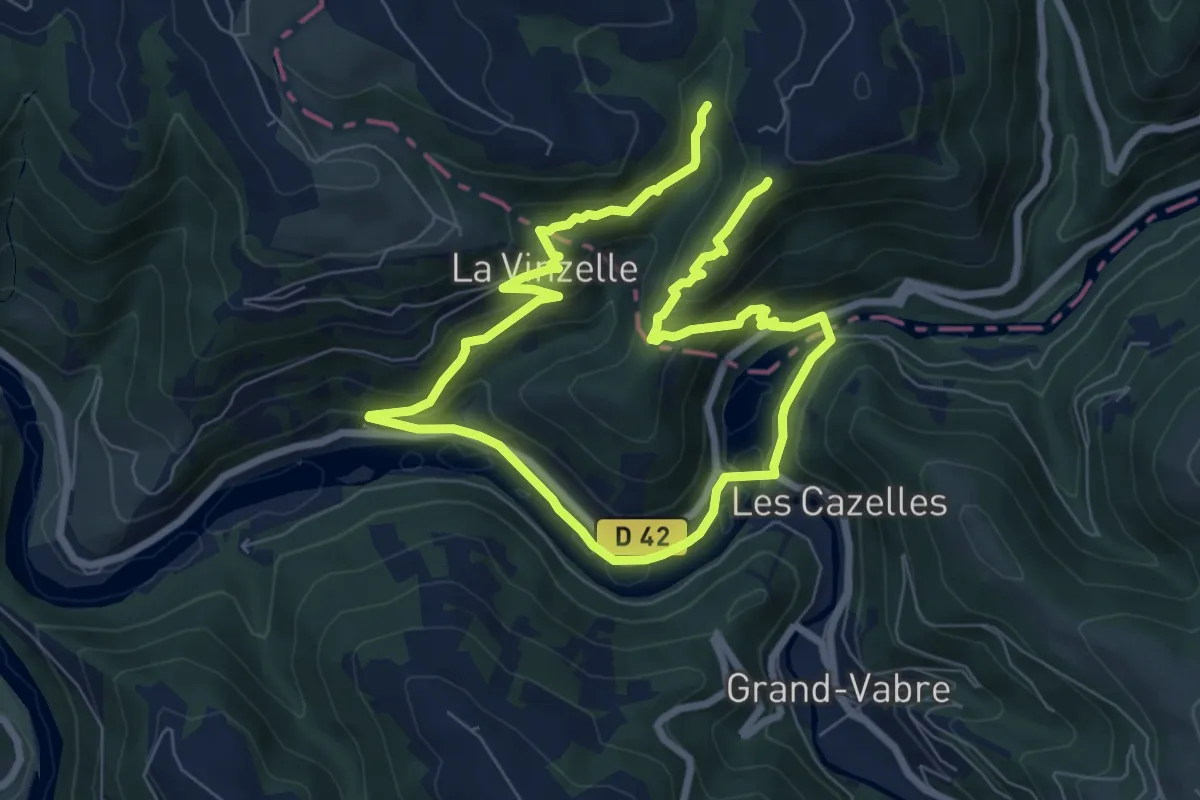
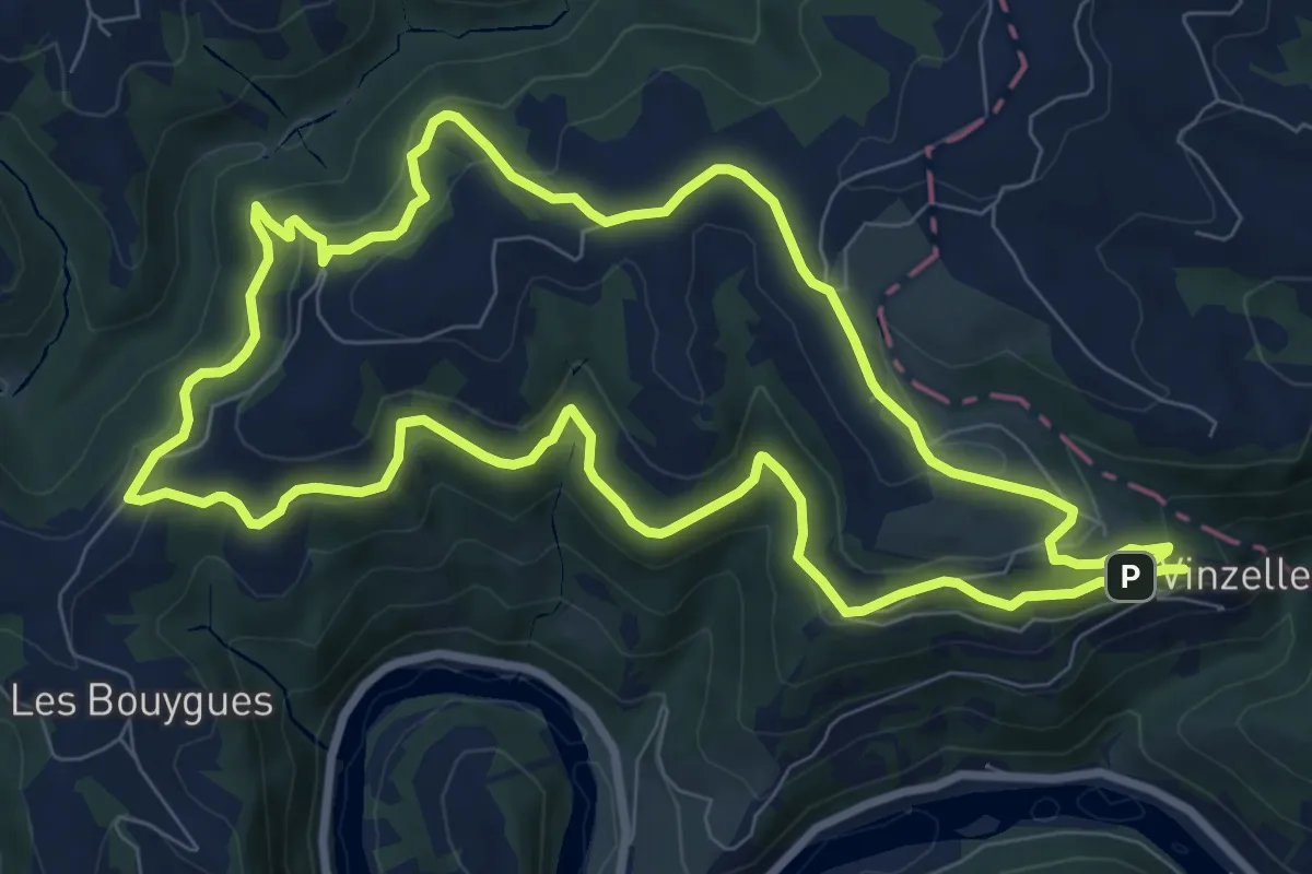
Medium · Trail
La Vinzelle
12.6 km · ↑ 663 m · 4 h 25 min
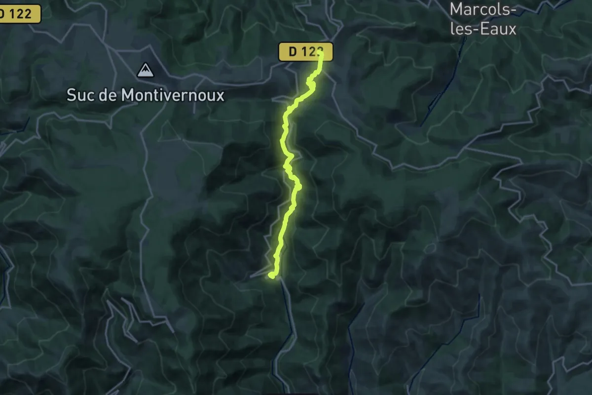
Medium · Trail
La Vinzelle - L'Hermet
9.3 km · ↑ 372 m · 3 h 9 min
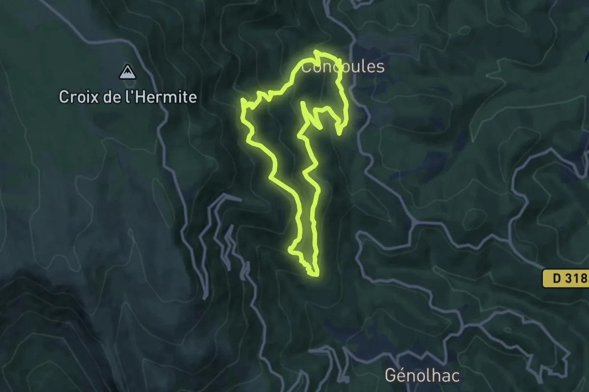
Medium · Trail
Laviolle - Mézilhac
14.2 km · ↑ 647 m · 4 h 46 min
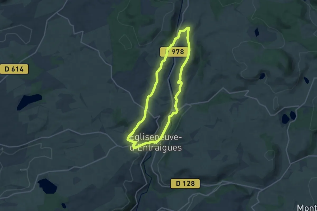
Medium · Trail
La Virado Del Ronc
9.0 km · ↑ 547 m · 3 h 26 min
Medium · Trail
La visade
11.6 km · ↑ 257 m · 3 h 28 min
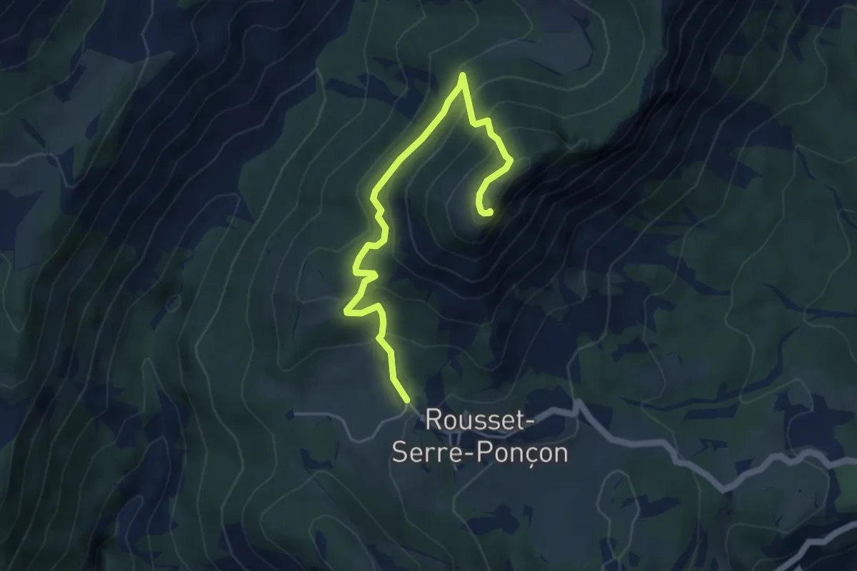
Demanding · Summit
La Viste
5.1 km · ↑ 388 m · 2 h 3 min
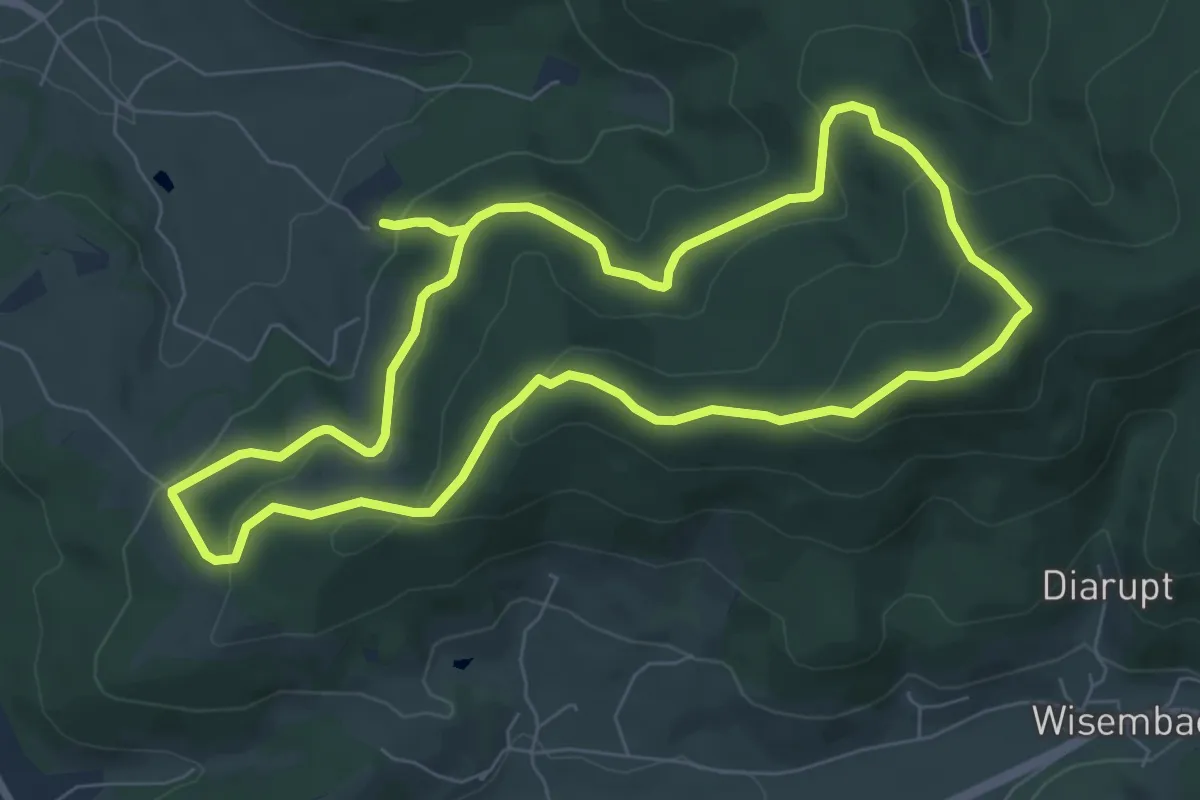
Medium · Trail
La Voie Bertrand
7.2 km · ↑ 334 m · 2 h 32 min
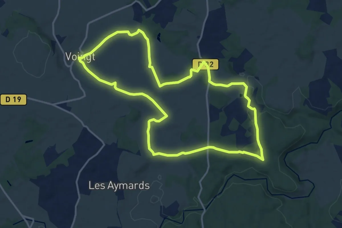
Medium · Trail
La voie d'Agrippa
11.2 km · ↑ 181 m · 3 h 12 min
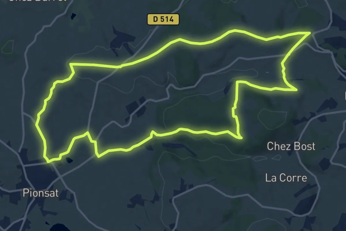
Medium · Trail
La Voie dite Romaine et le Bois de Regheat
12.9 km · ↑ 239 m · 3 h 44 min
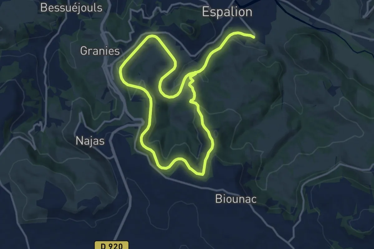
Demanding · Trail
La Voie du Rail
20.2 km · ↑ 627 m · 6 h 8 min
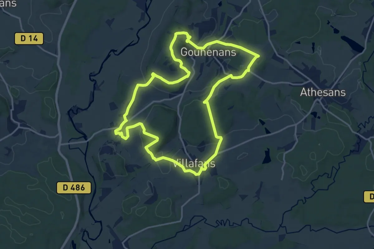
Medium · Summit
La Voie du Sel et du Charbon
13.5 km · ↑ 284 m · 3 h 59 min
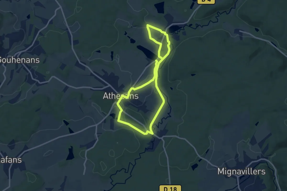
Easy · Trail
La Voie du Tacot
7.7 km · ↑ 65 m · 2 h 4 min
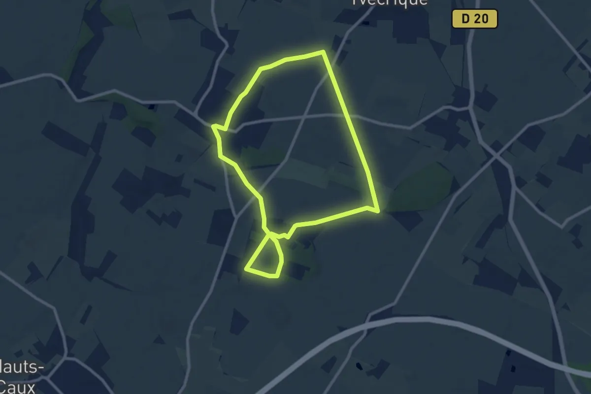
Easy · Trail
La voie romaine
7.1 km · ↑ 49 m · 1 h 53 min