Trails in France
15,926 hiking trails, each with its route, climb, walking time and grade.
All trails, page 152 of 332
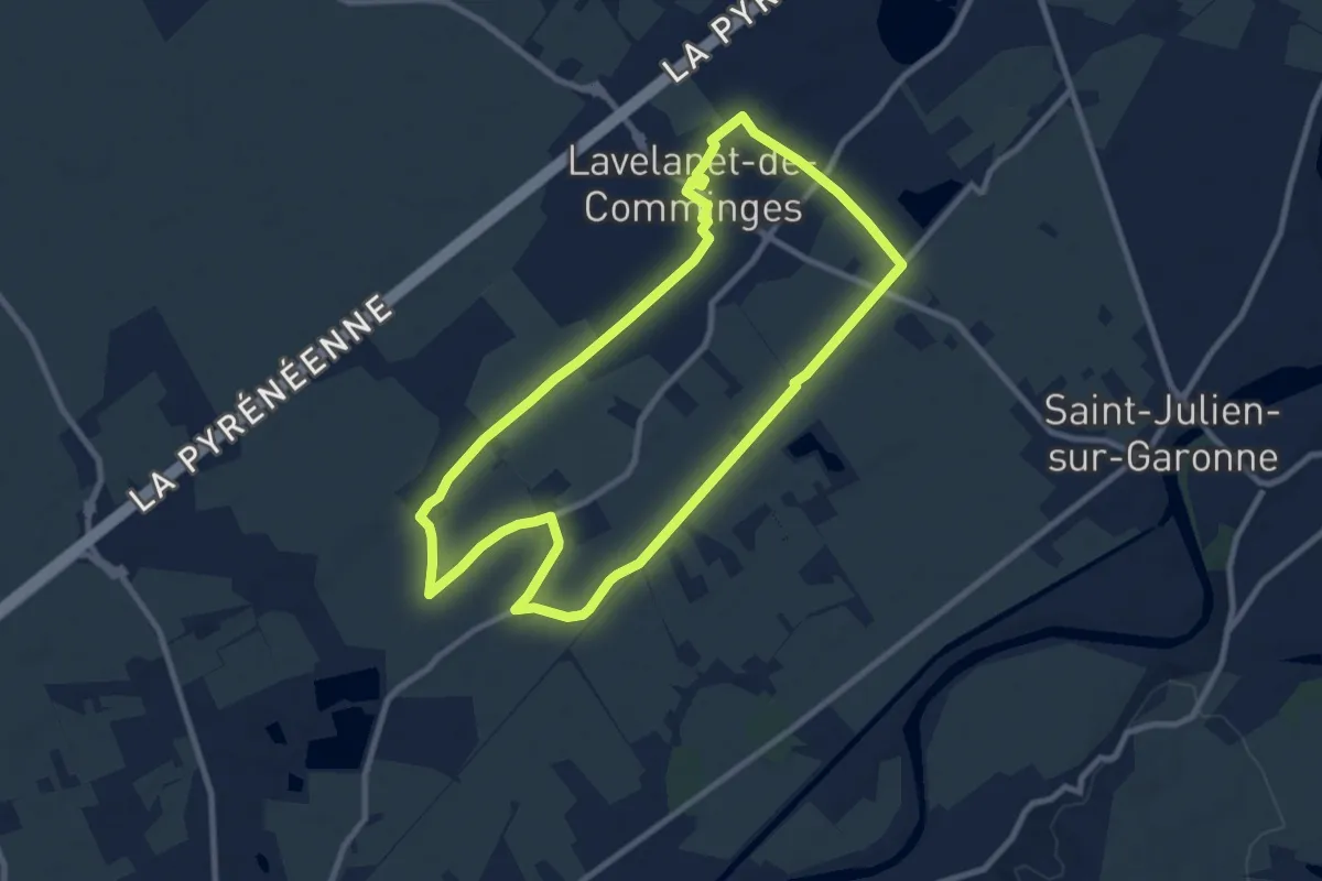
Medium · Trail
La Voie Romaine
9.8 km · ↑ 22 m · 2 h 29 min
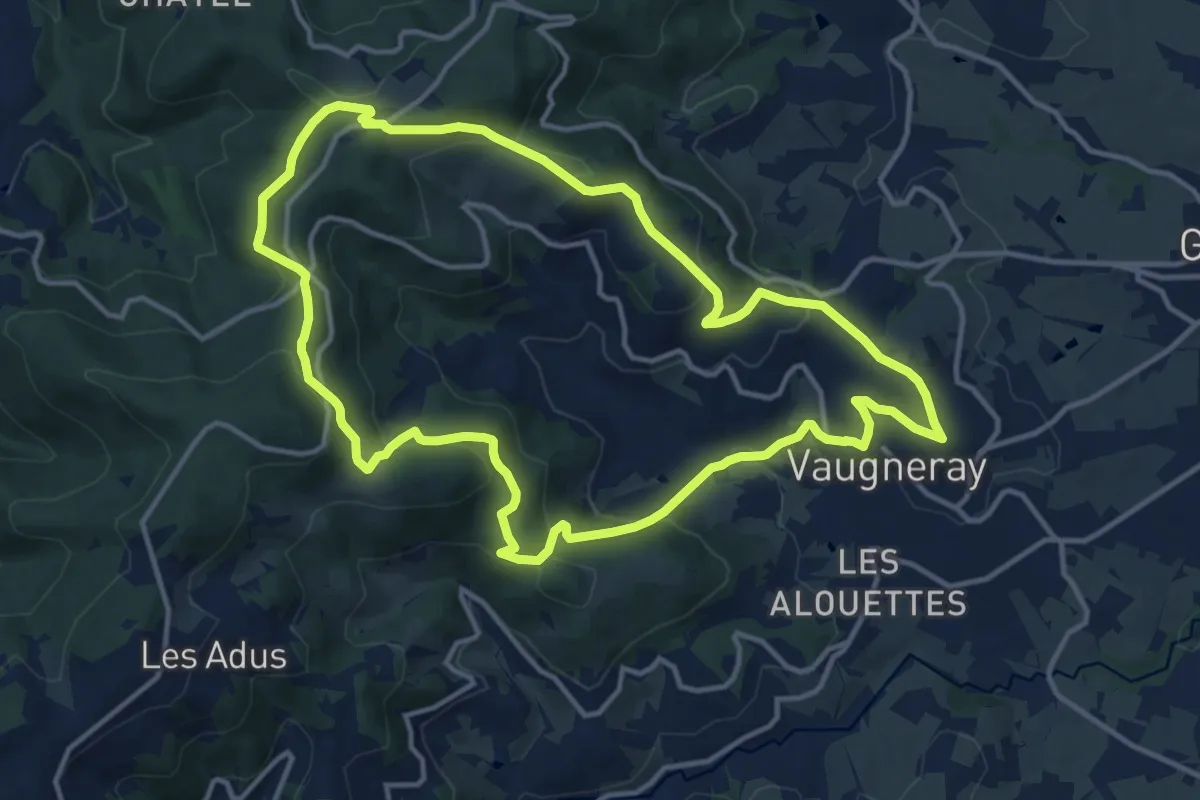
Medium · Trail
La Voie Romaine
13.6 km · ↑ 506 m · 4 h 30 min
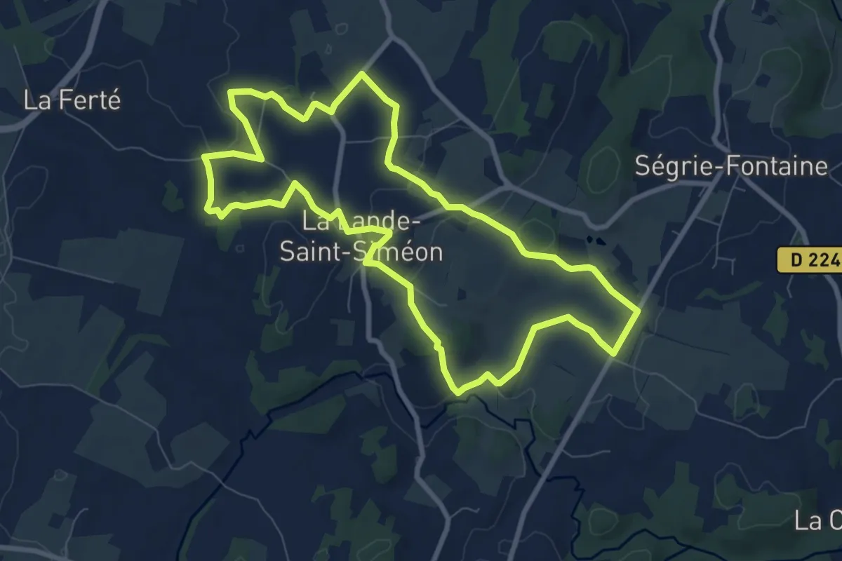
Easy · Trail
La Voie Romaine
7.9 km · ↑ 93 m · 2 h 10 min
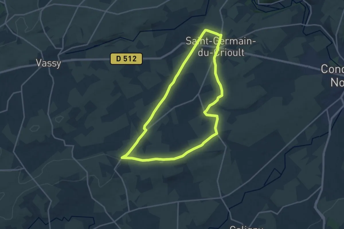
Medium · Trail
La Voie Romaine
11.9 km · ↑ 126 m · 3 h 15 min
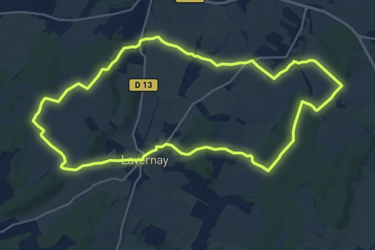
Medium · Trail
Lavoirs et Fontaines
12.3 km · ↑ 250 m · 3 h 36 min
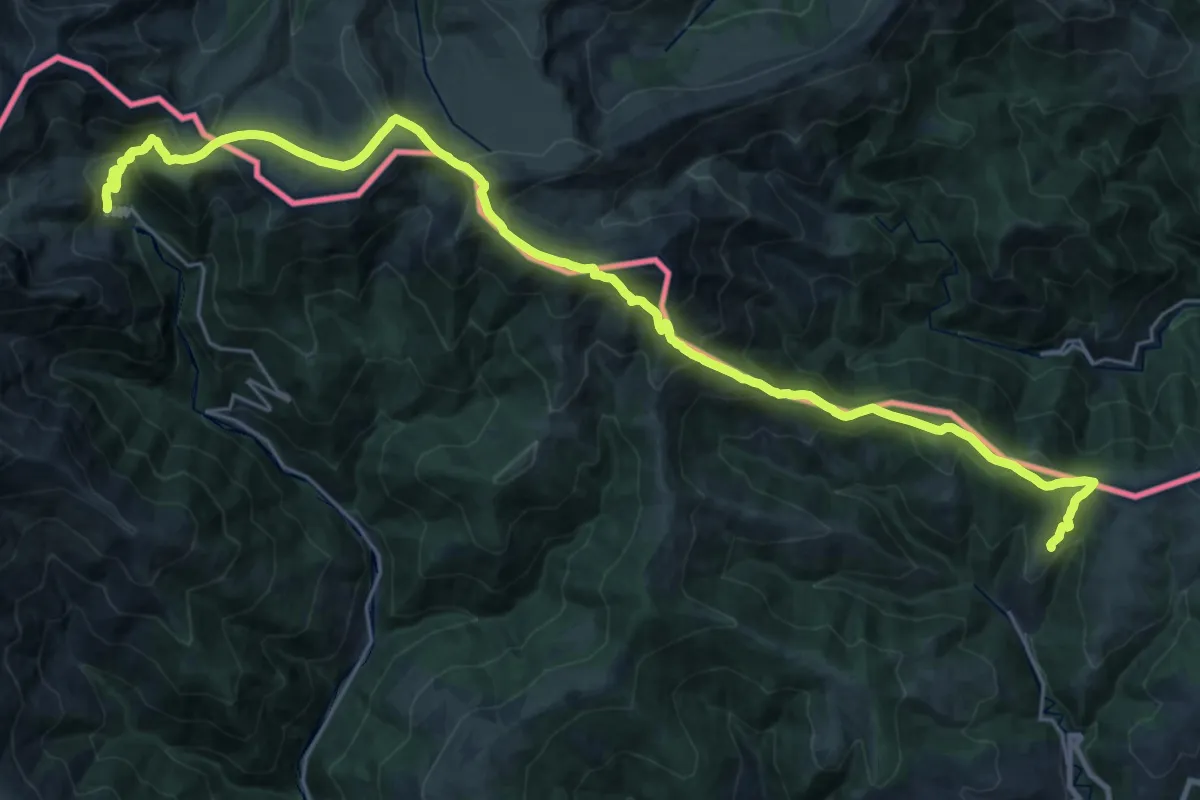
Demanding · Summit
La Volta a peu al Ripollés
16.5 km · ↑ 1225 m · 6 h 26 min
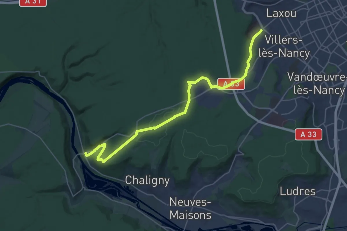
Demanding · Trail
Laxou – Maron
23.8 km · ↑ 441 m · 6 h 35 min
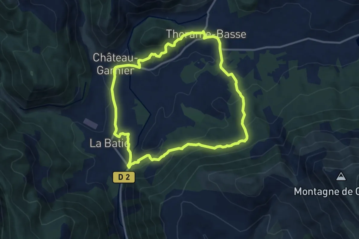
Medium · Trail
Layon - Château Garnier
9.1 km · ↑ 403 m · 3 h 9 min
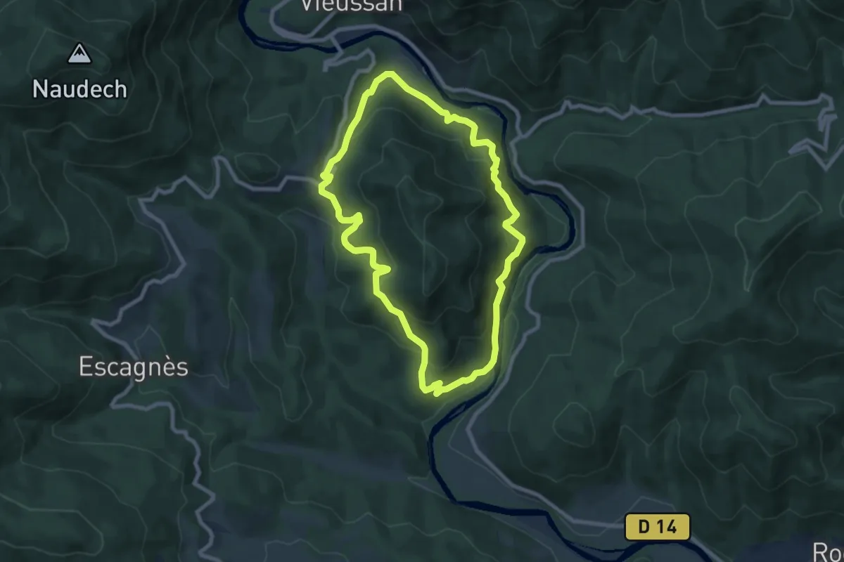
Medium · Trail
L'Ayrolle
8.6 km · ↑ 549 m · 3 h 21 min
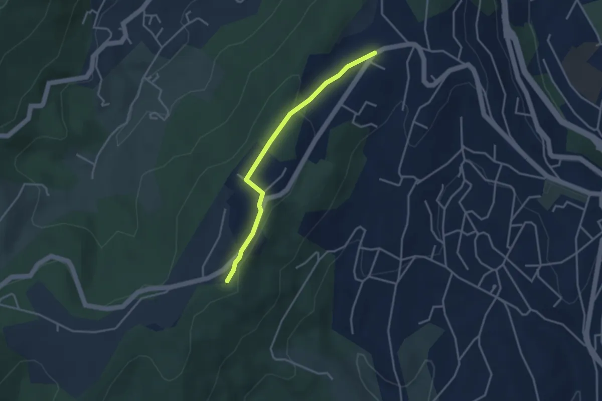
Easy · Trail
Lazuel Ouest - Bois du Glaizal
3.1 km · ↑ 58 m · 51 min
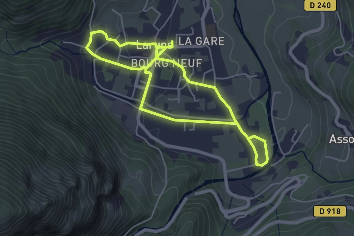
Easy · Trail
L'eau
4.1 km · ↑ 64 m · 1 h 11 min
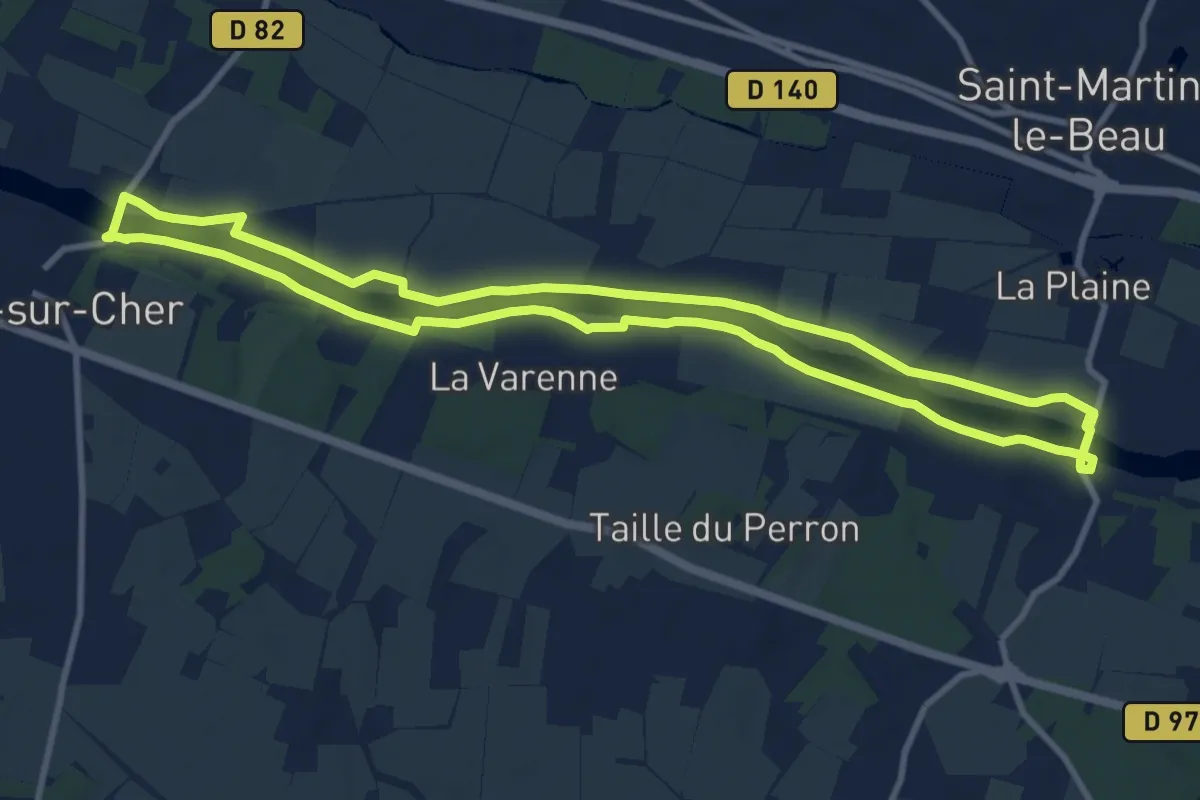
Medium · Trail
L'Eau au Fil des Siècles en Val de Cher - Azay-sur-Cher
10.2 km · ↑ 9 m · 2 h 34 min
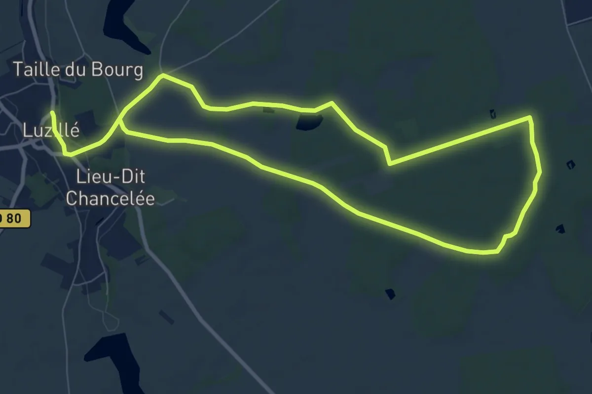
Easy · Trail
L'Eau au Fil des Siècles en Val de Cher Circuit 1 - Luzillé
7.6 km · ↑ 69 m · 2 h 3 min
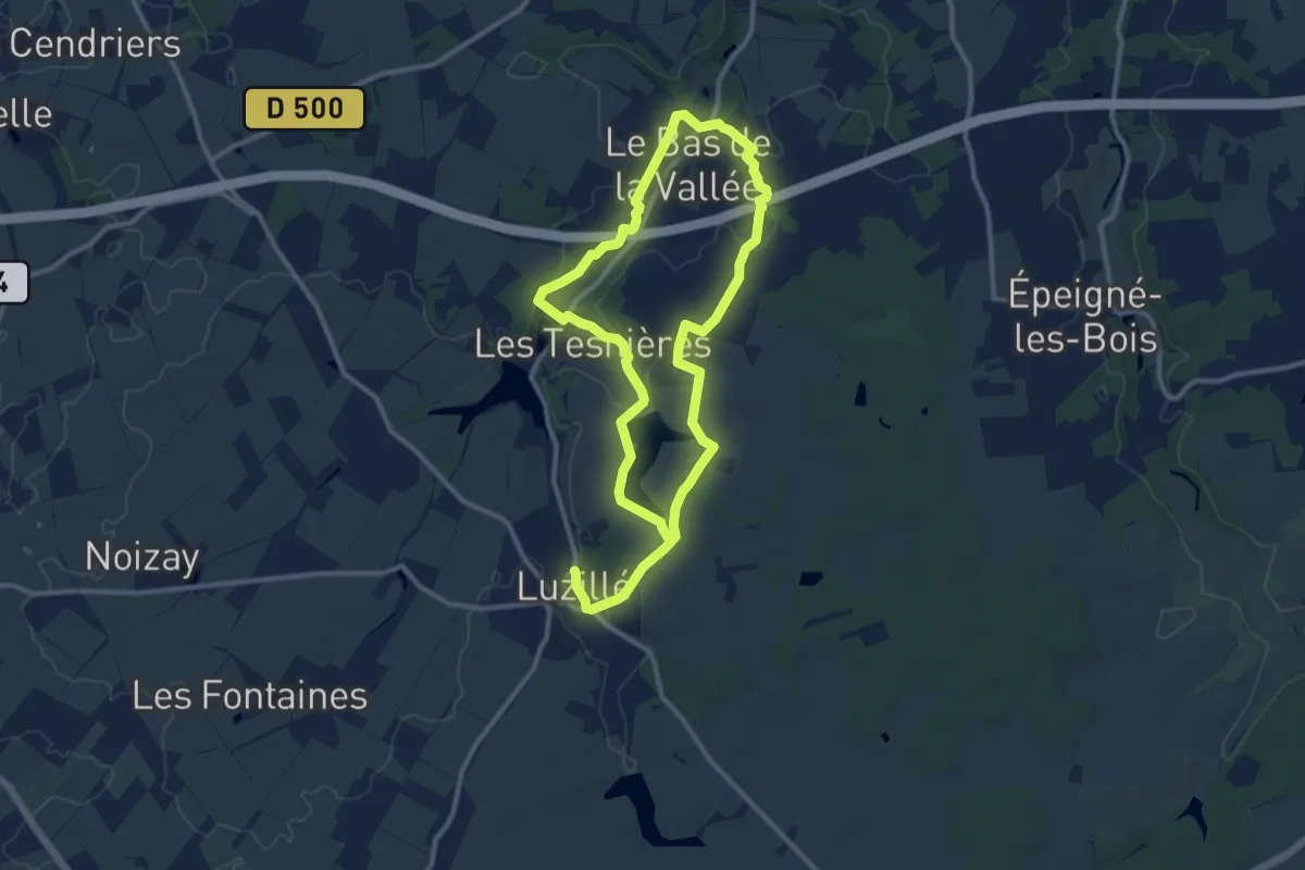
Medium · Trail
L'Eau au Fil des Siècles en Val de Cher Circuit 2 - Luzillé
9.6 km · ↑ 109 m · 2 h 39 min
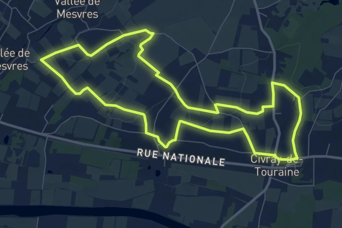
Easy · Trail
L'Eau au Fil des Siècles en Val de Cher - Circuit Bleu - Civray-de-Touraine
7.7 km · ↑ 81 m · 2 h 6 min
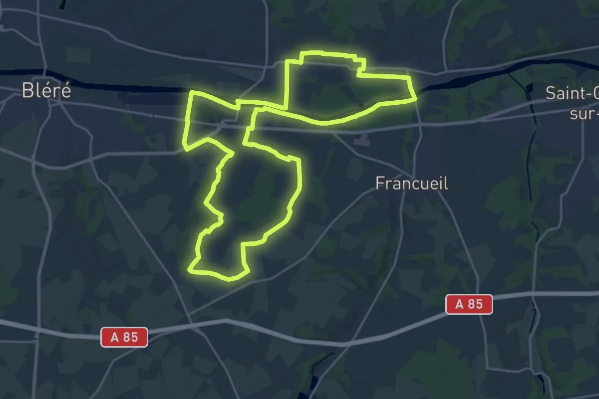
Demanding · Trail
L'Eau au Fil des Siècles en Val de Cher - Circuit Jaune - Civray-de-Touraine
20.0 km · ↑ 120 m · 5 h 16 min
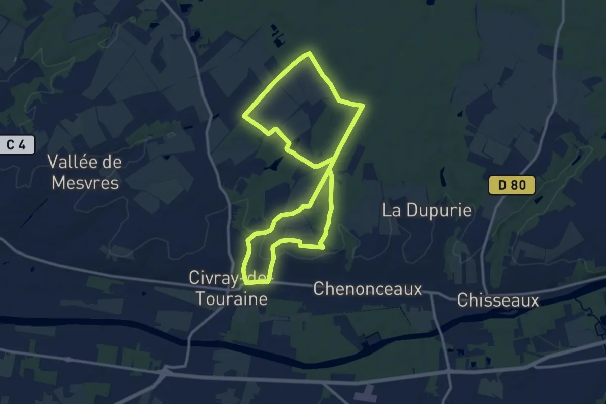
Medium · Trail
L'Eau au Fil des Siècles en Val de Cher - Circuit Rouge - Civray-de-Touraine
9.4 km · ↑ 88 m · 2 h 32 min
Easy · Trail
L’eau des moines
4.0 km · ↑ 45 m · 1 h 3 min
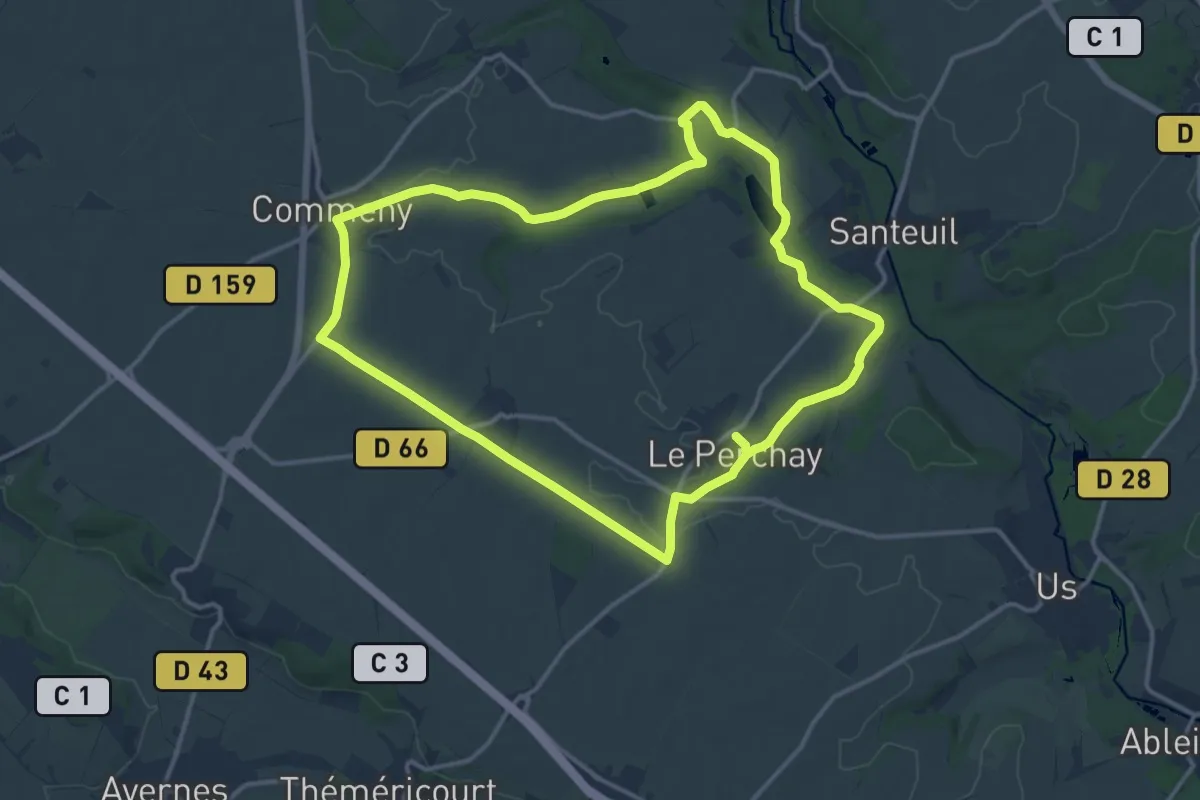
Medium · Trail
L'eau et le pain
13.2 km · ↑ 119 m · 3 h 33 min
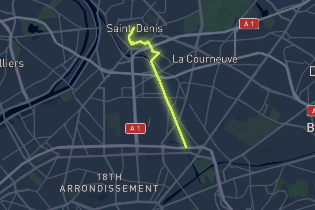
Medium · Trail
L'eau et l'histoire à Saint-Denis
10.7 km · ↑ 8 m · 2 h 32 min
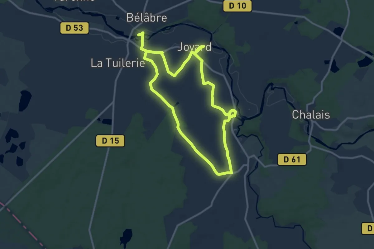
Medium · Trail
L'eau, la terre, l'air, le feu
8.4 km · ↑ 80 m · 2 h 17 min
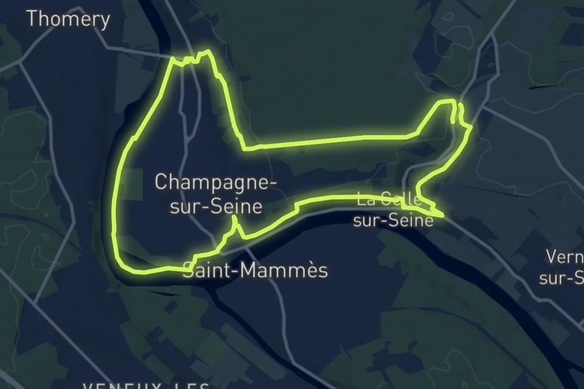
Medium · Trail
L'eau, le fer, la pierre
10.7 km · ↑ 129 m · 2 h 58 min
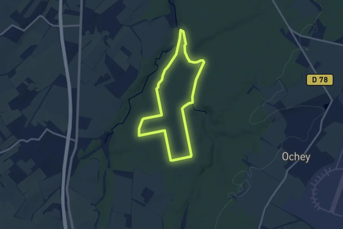
Easy · Trail
L'Eau Salée
6.2 km · ↑ 66 m · 1 h 42 min
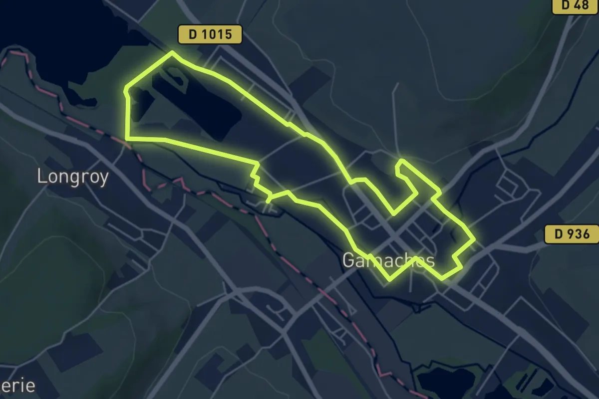
Easy · Trail
L'eau vive
4.8 km · ↑ 22 m · 1 h 15 min
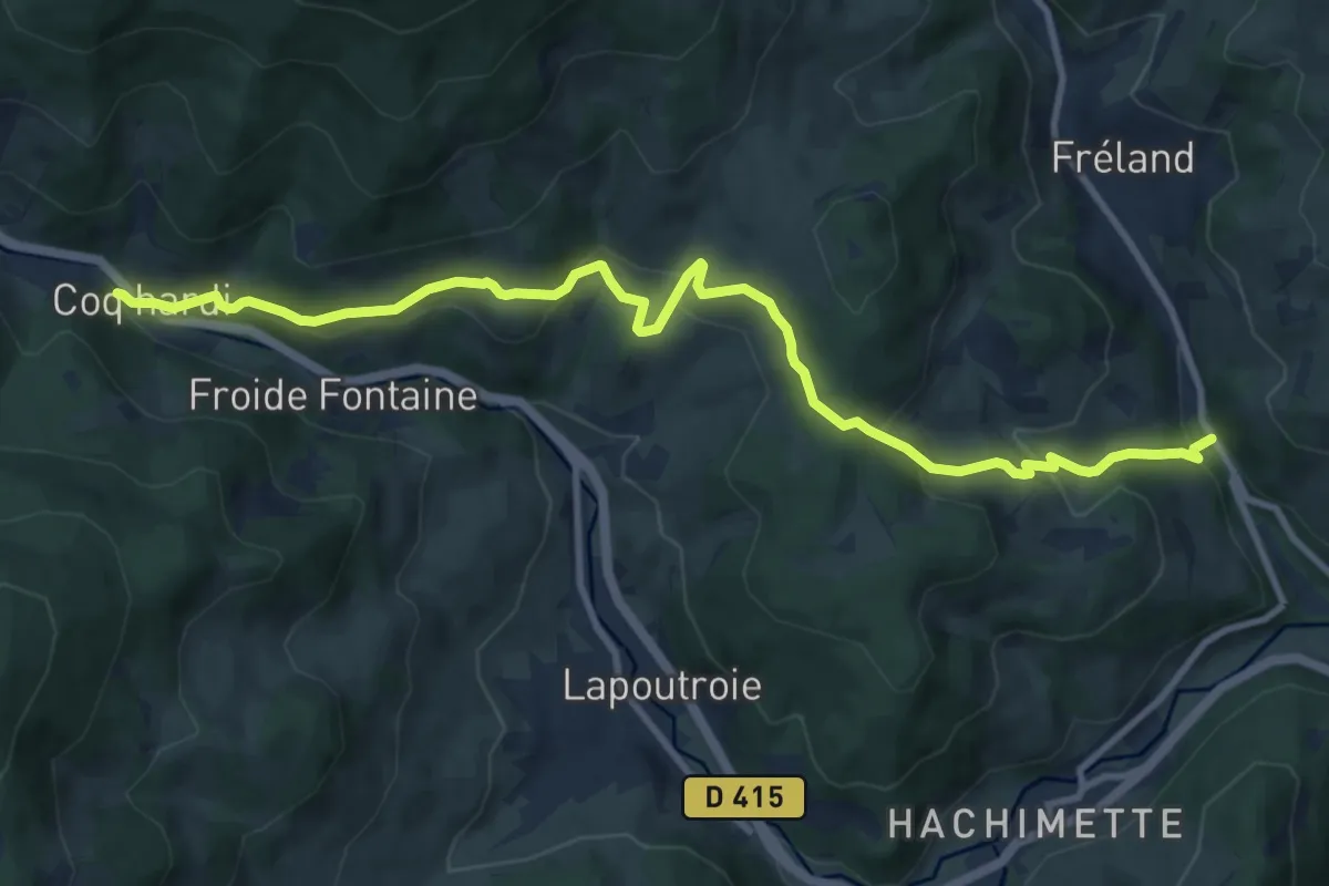
Medium · Trail
Le Bâa - D 415 Coq Hardi
11.1 km · ↑ 500 m · 3 h 42 min
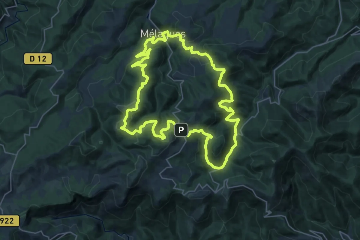
Demanding · Trail
Le Balcon des Cévennes
20.5 km · ↑ 819 m · 6 h 55 min
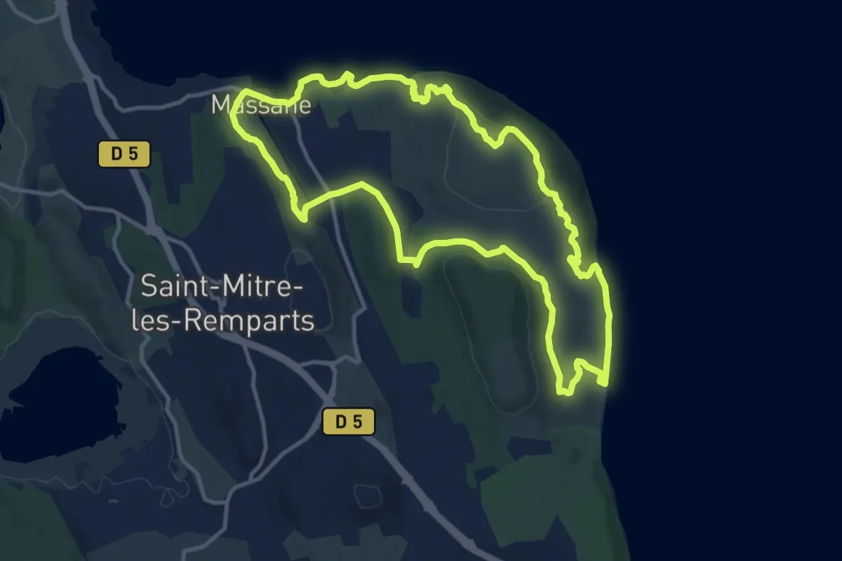
Medium · Trail
Le balcon du Caderaou
12.3 km · ↑ 339 m · 3 h 48 min
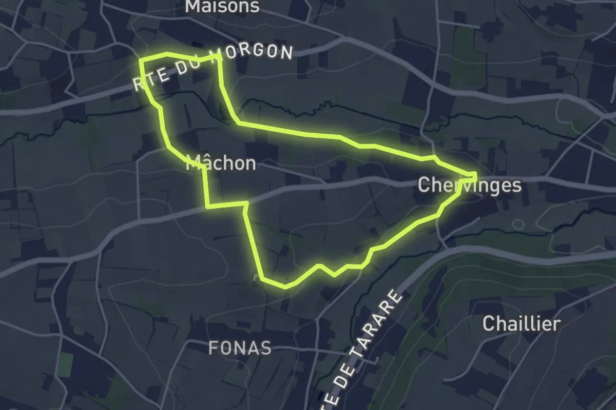
Easy · Trail
Le Balcon du Morgon
4.0 km · ↑ 55 m · 1 h 7 min
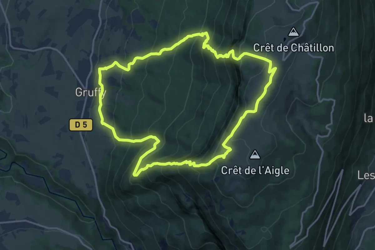
Demanding · Summit
Le Balcon du Semnoz
12.3 km · ↑ 1077 m · 5 h 25 min
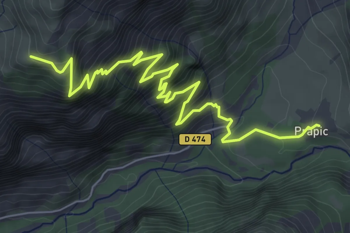
Demanding · Trail
Le Balet - Prapic
8.0 km · ↑ 857 m · 3 h 44 min
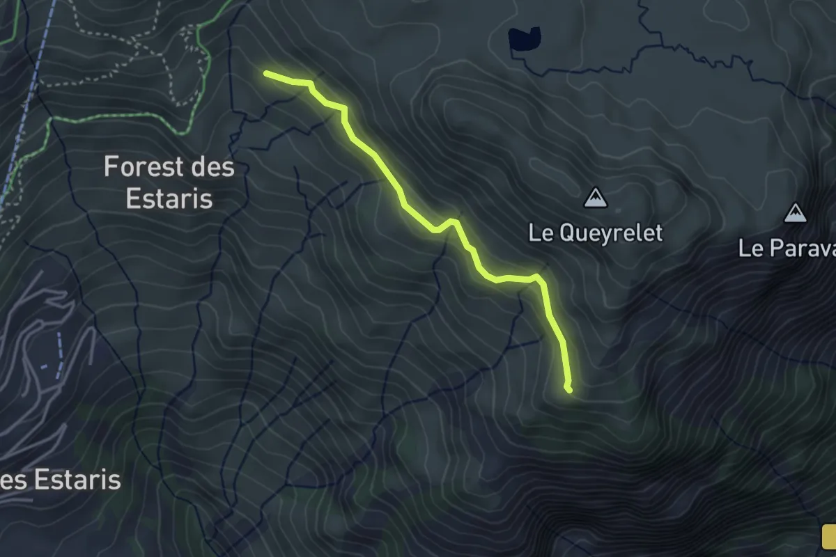
Easy · Trail
Le Balet - Près la Beaume
3.2 km · ↑ 169 m · 1 h 7 min
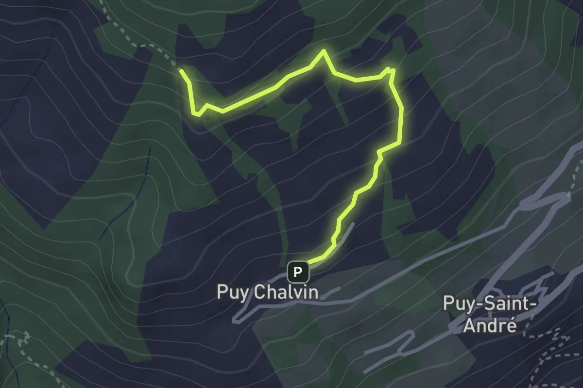
Easy · Trail
Le Ban - ?
3.0 km · ↑ 220 m · 1 h 11 min
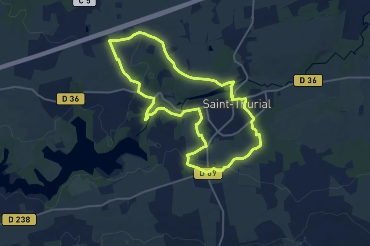
Medium · Trail
Le barrage
9.1 km · ↑ 120 m · 2 h 31 min
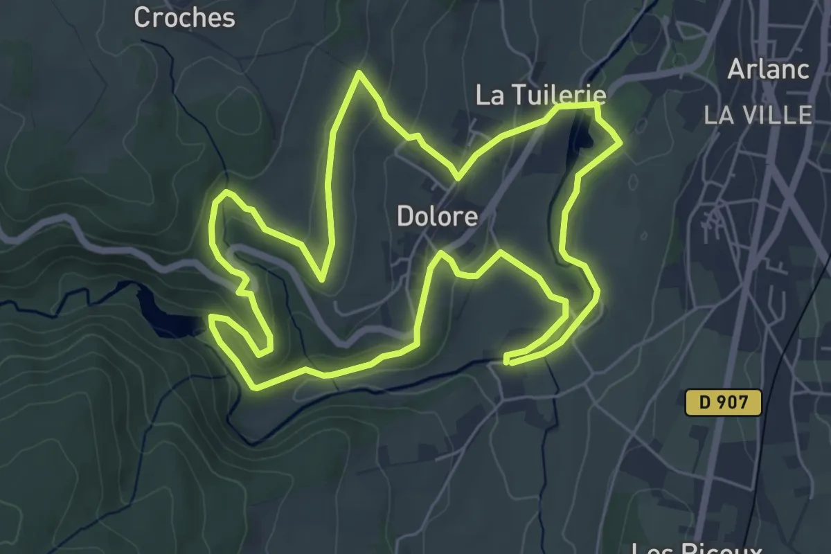
Easy · Trail
Le barrage du Chalas
6.0 km · ↑ 144 m · 1 h 49 min
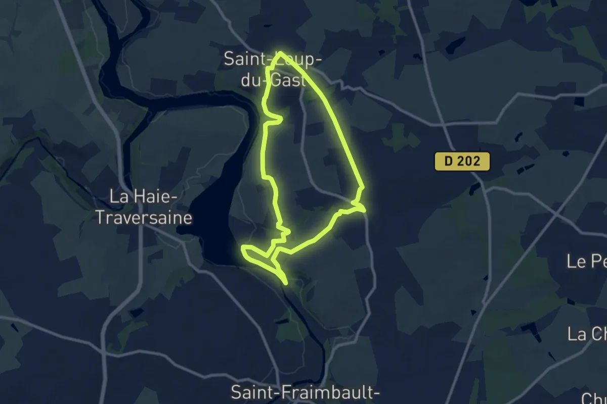
Medium · Trail
Le Barrage et les Coteaux Escarpés
8.1 km · ↑ 99 m · 2 h 14 min
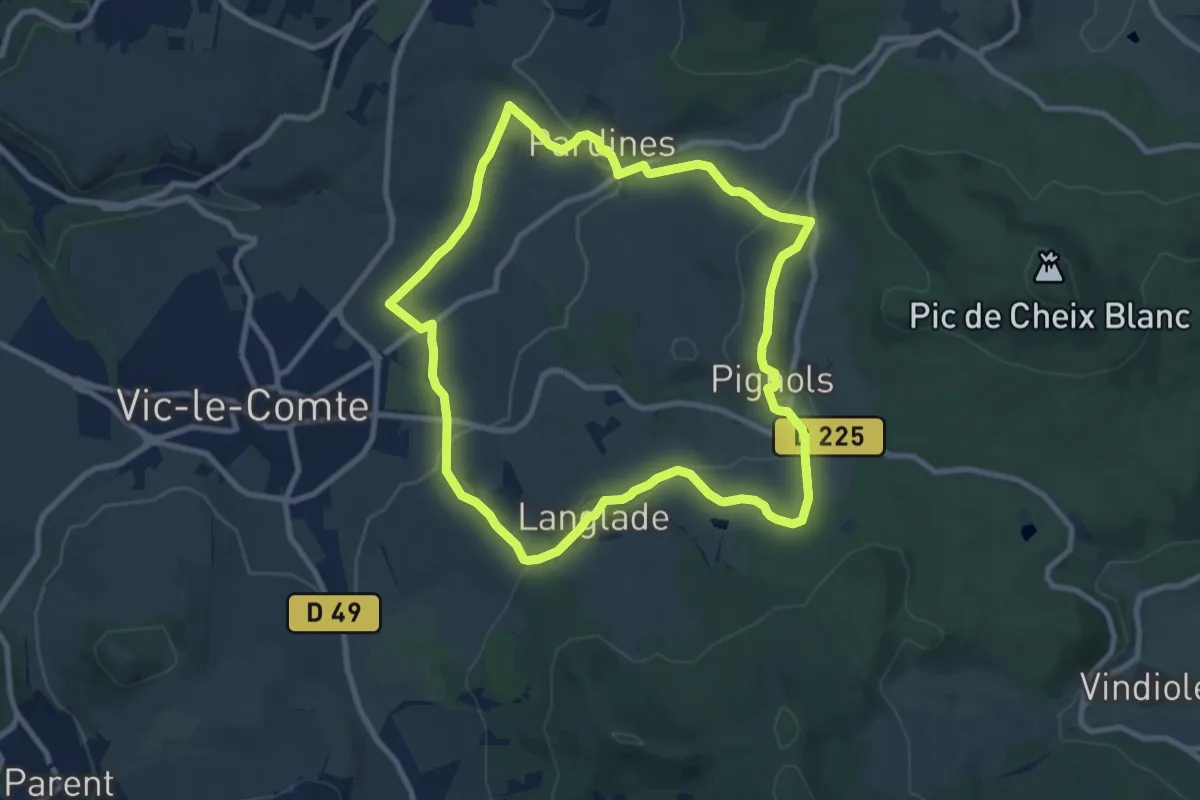
Medium · Trail
Le Bassin de Vic-le-Comte
9.4 km · ↑ 259 m · 2 h 55 min
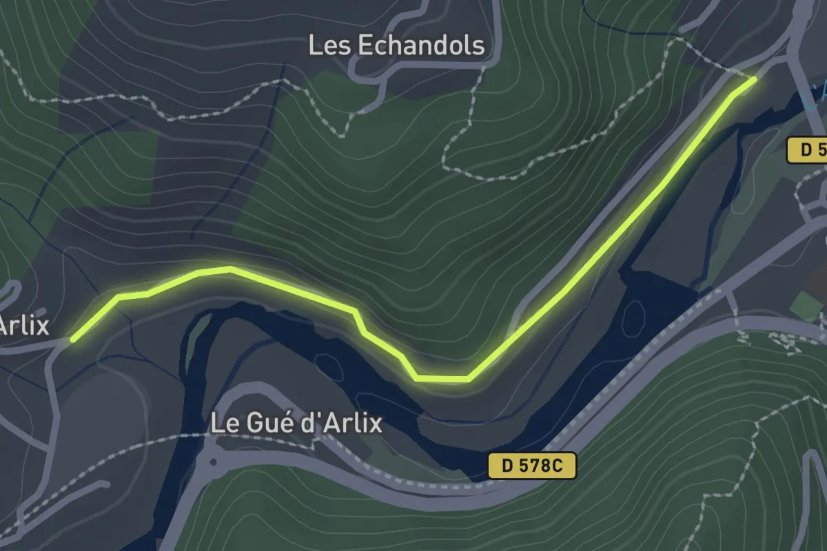
Easy · Trail
Le Bateau - Arlix
2.4 km · ↑ 48 m · 40 min
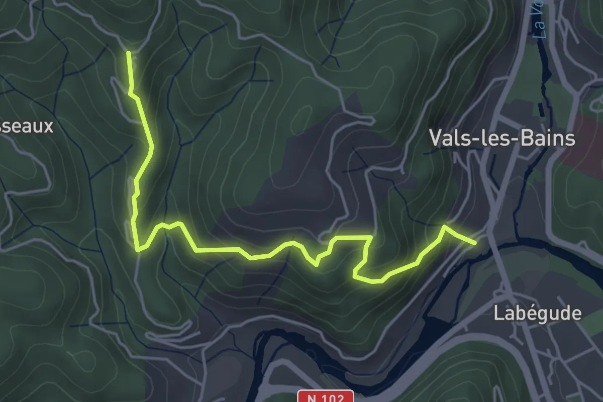
Medium · Trail
Le Bateau - Longe Serre
5.0 km · ↑ 350 m · 1 h 56 min
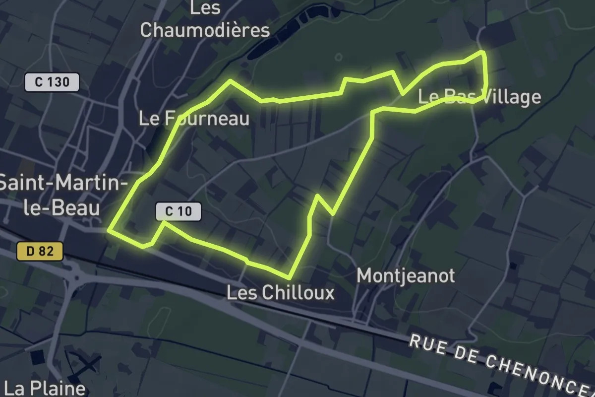
Easy · Trail
Le Battereau - Saint-Martin-le-Beau
4.5 km · ↑ 35 m · 1 h 12 min
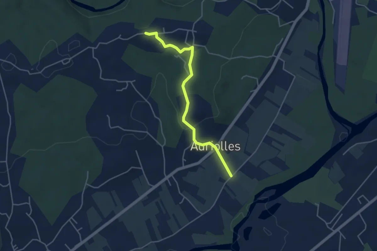
Easy · Trail
Le Béal - Champagnac
3.8 km · ↑ 74 m · 1 h 4 min
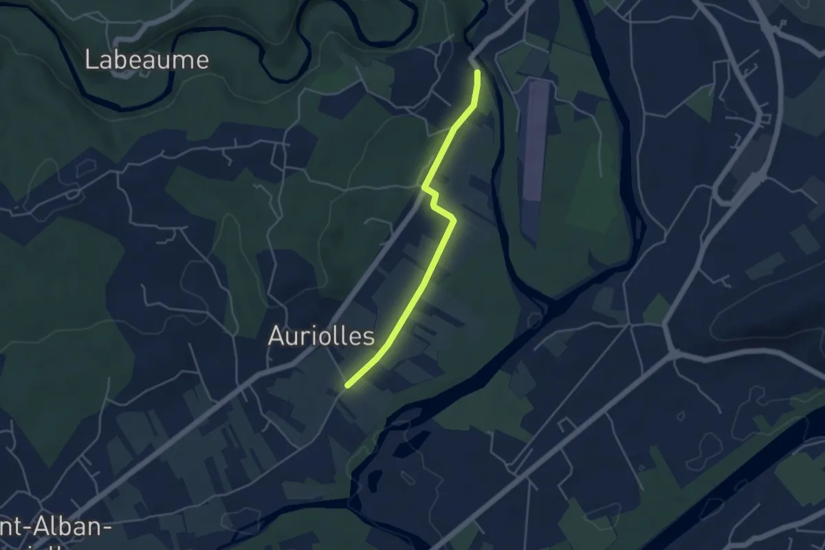
Easy · Trail
Le Béal - Le Vieux Pont
4.0 km · ↑ 19 m · 59 min
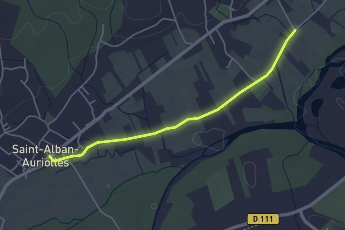
Easy · Trail
Le Béal - Saint Alban
3.8 km · ↑ 17 m · 57 min
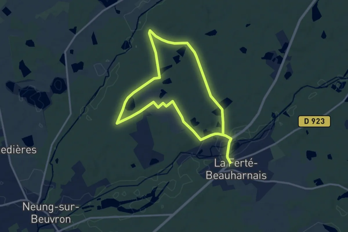
Easy · Trail
Le Beaufray
7.8 km · ↑ 31 m · 2 h
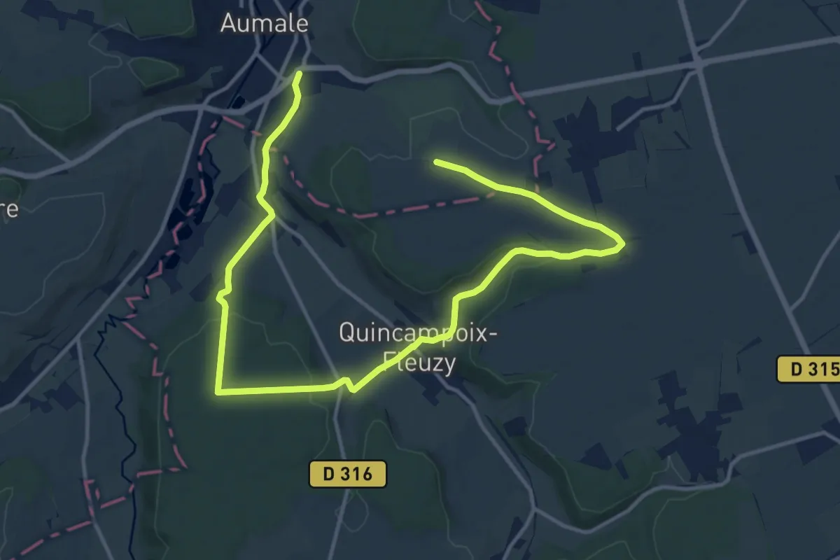
Medium · Trail
Le Beau Soleil
16.7 km · ↑ 239 m · 4 h 27 min
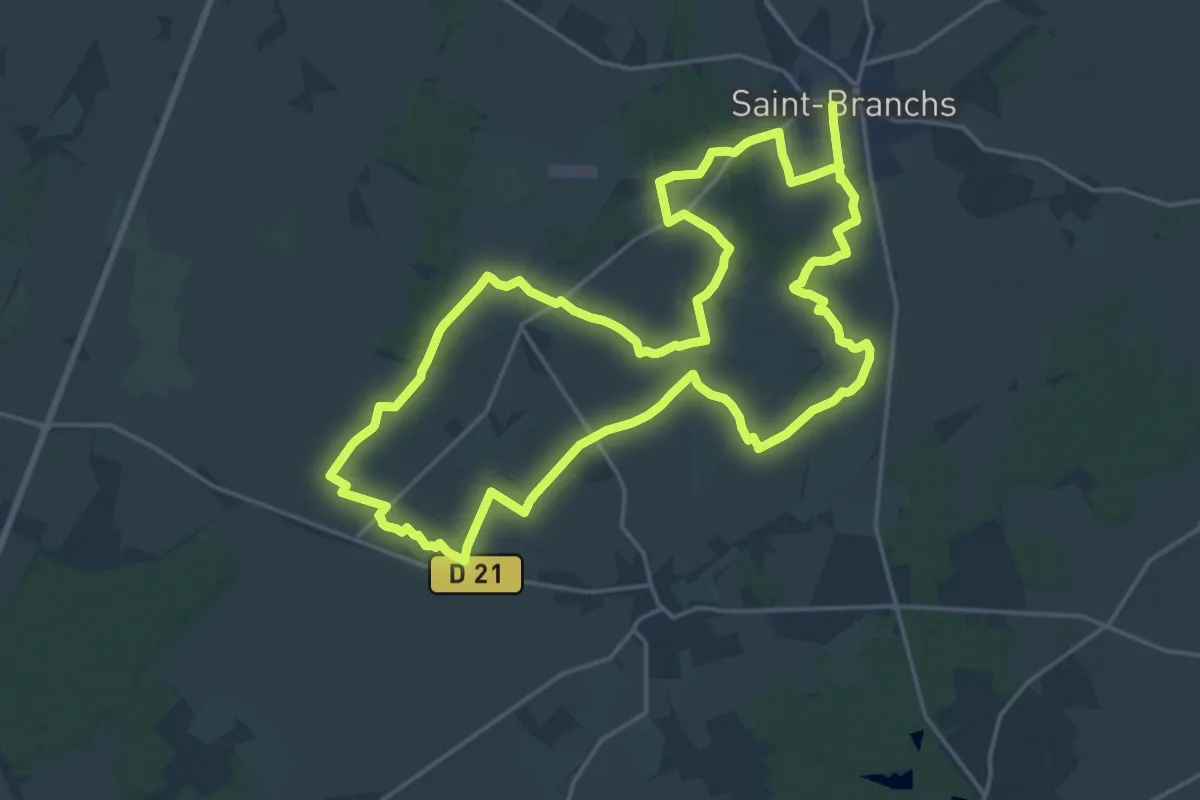
Demanding · Trail
Le Becquet - Saint-Branchs
20.5 km · ↑ 34 m · 5 h 11 min
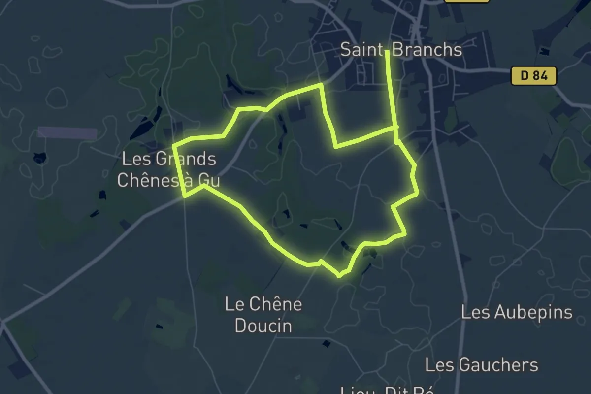
Medium · Trail
Le Becquet - Variante Courte
12.9 km · ↑ 29 m · 3 h 7 min
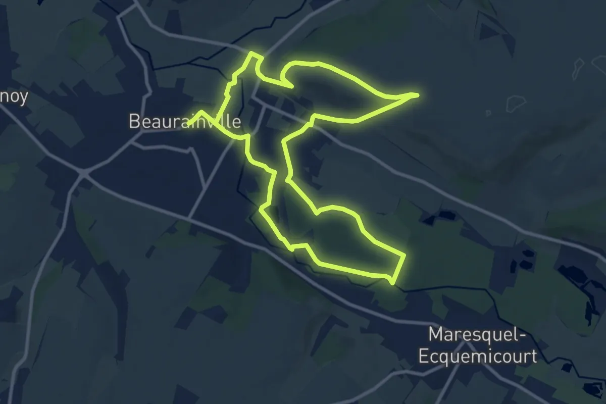
Medium · Trail
Le Belrem
8.6 km · ↑ 85 m · 2 h 21 min
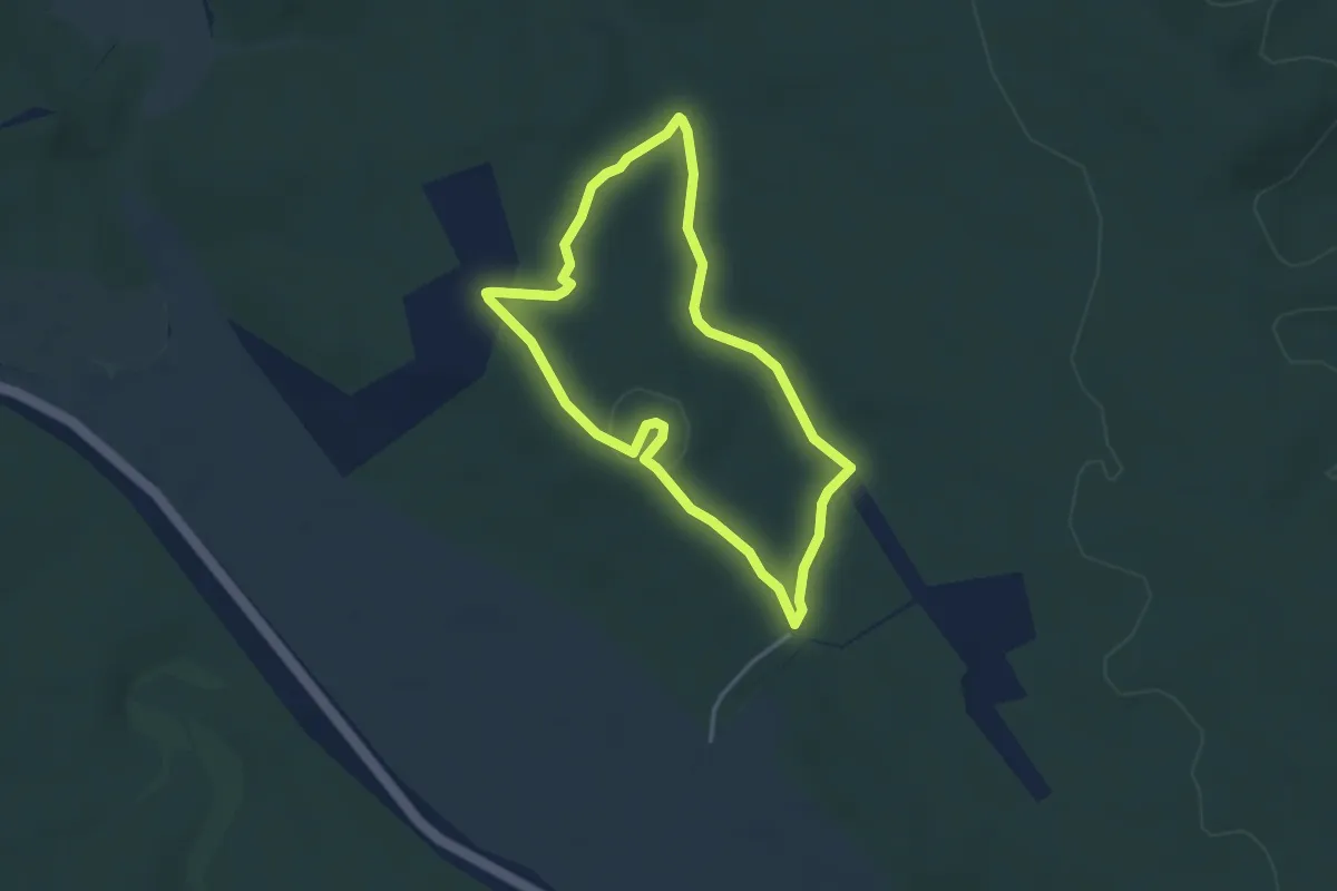
Easy · Trail
Le Belvédère
3.3 km · ↑ 26 m · 53 min