Trails in France
15,926 hiking trails, each with its route, climb, walking time and grade.
All trails, page 154 of 332
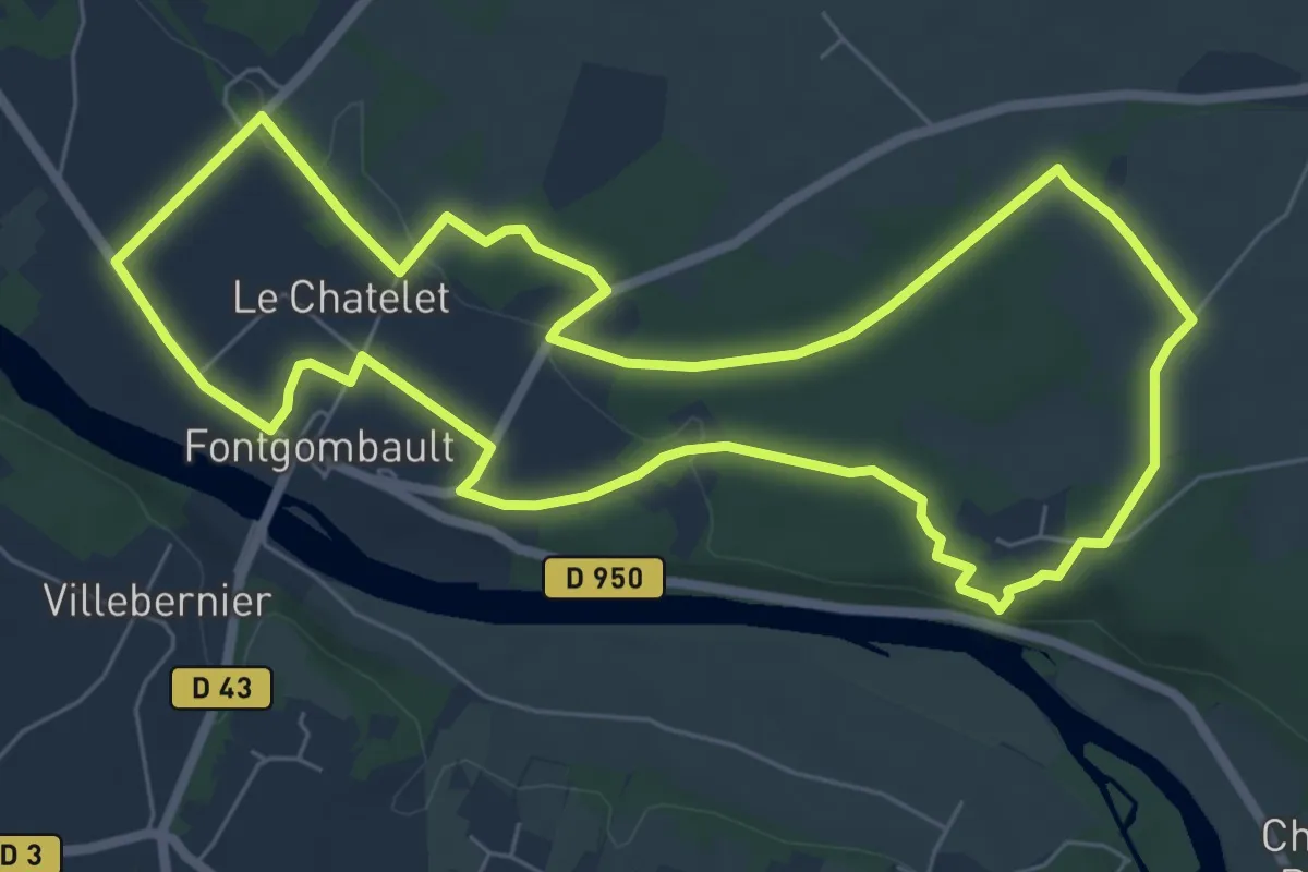
Easy · Trail
Le bois des Roches
7.2 km · ↑ 71 m · 1 h 57 min
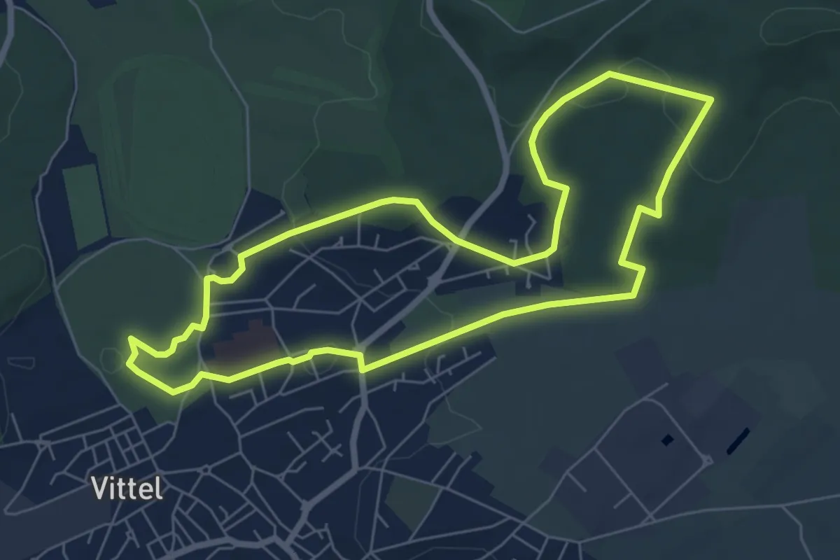
Easy · Trail
Le Bois des Seize Mutins
6.2 km · ↑ 114 m · 1 h 48 min
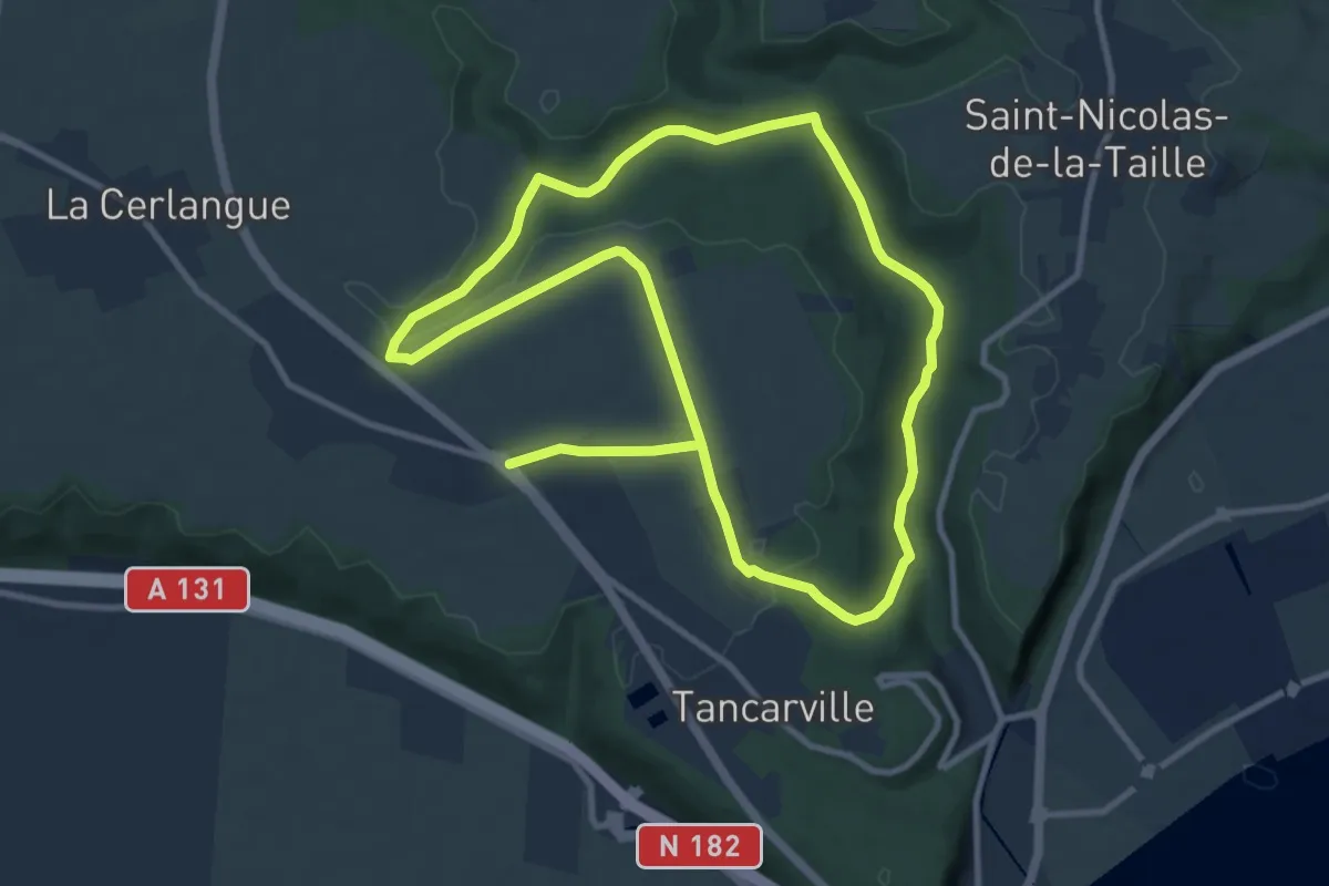
Medium · Trail
Le Bois de Tancarville
9.2 km · ↑ 100 m · 2 h 32 min
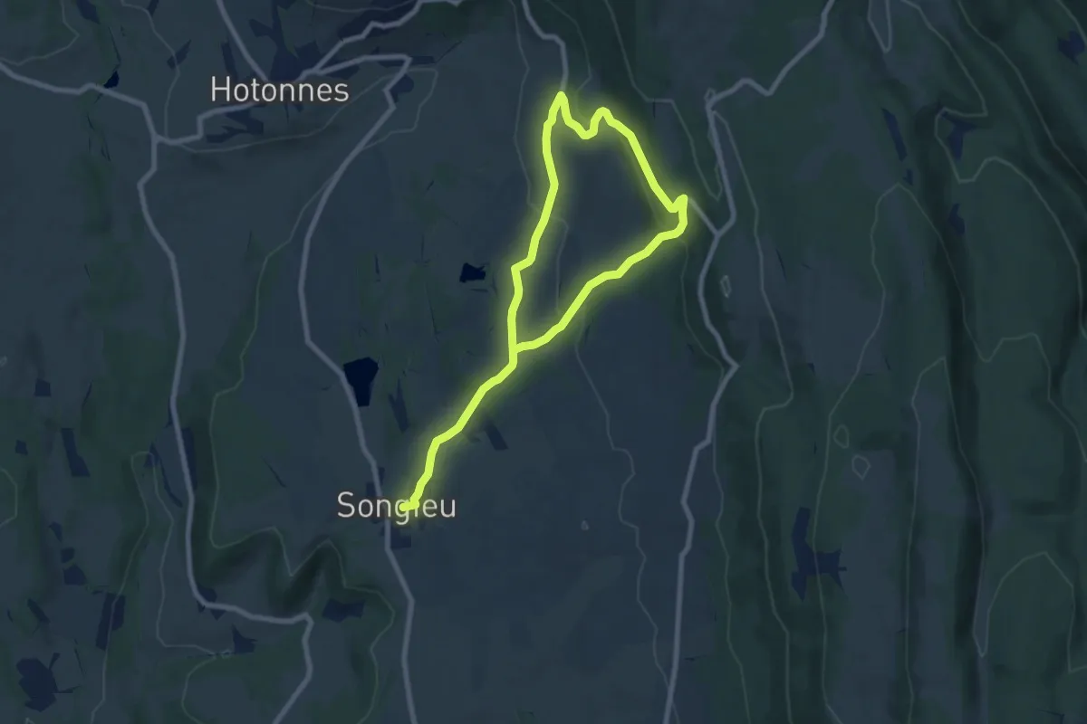
Easy · Trail
Le bois du Geay
6.0 km · ↑ 197 m · 1 h 57 min
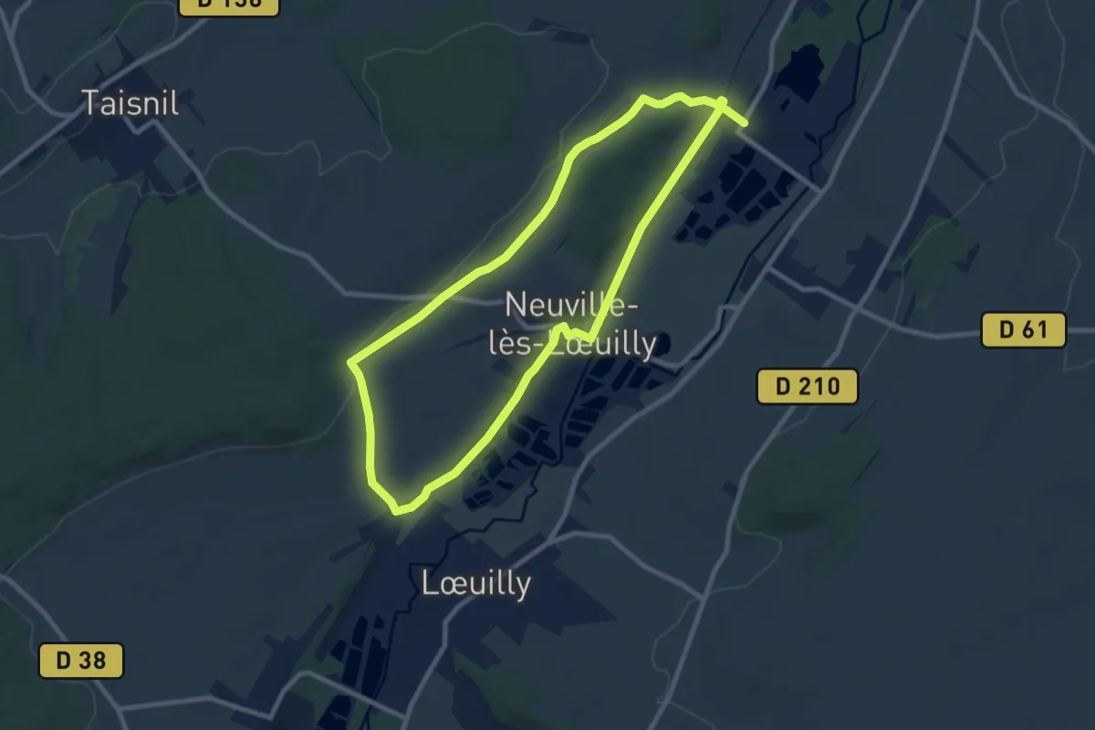
Medium · Trail
Le Bois du Quesnoy
8.1 km · ↑ 88 m · 2 h 13 min
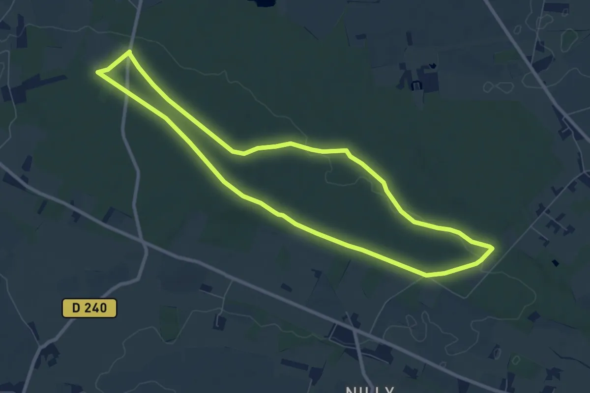
Easy · Trail
Le Bois du Roi
7.4 km · ↑ 77 m · 2 h 2 min
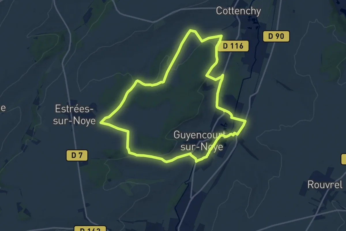
Medium · Trail
Le Bois du Roi
12.4 km · ↑ 187 m · 3 h 30 min
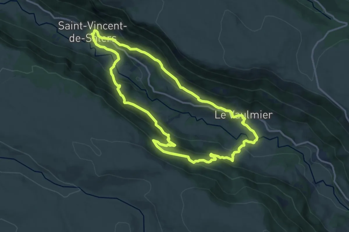
Medium · Trail
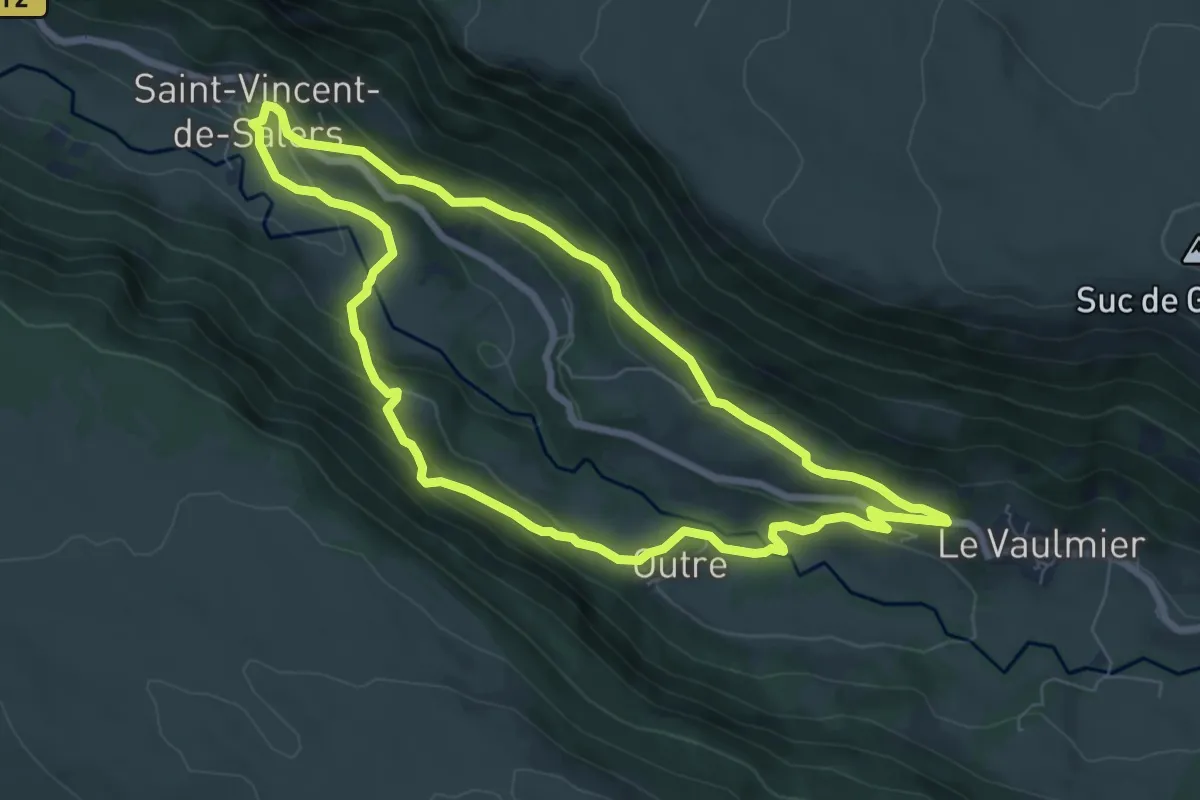
Le Bois du Vaulmier
10.5 km · ↑ 591 m · 3 h 54 min
Medium · Trail
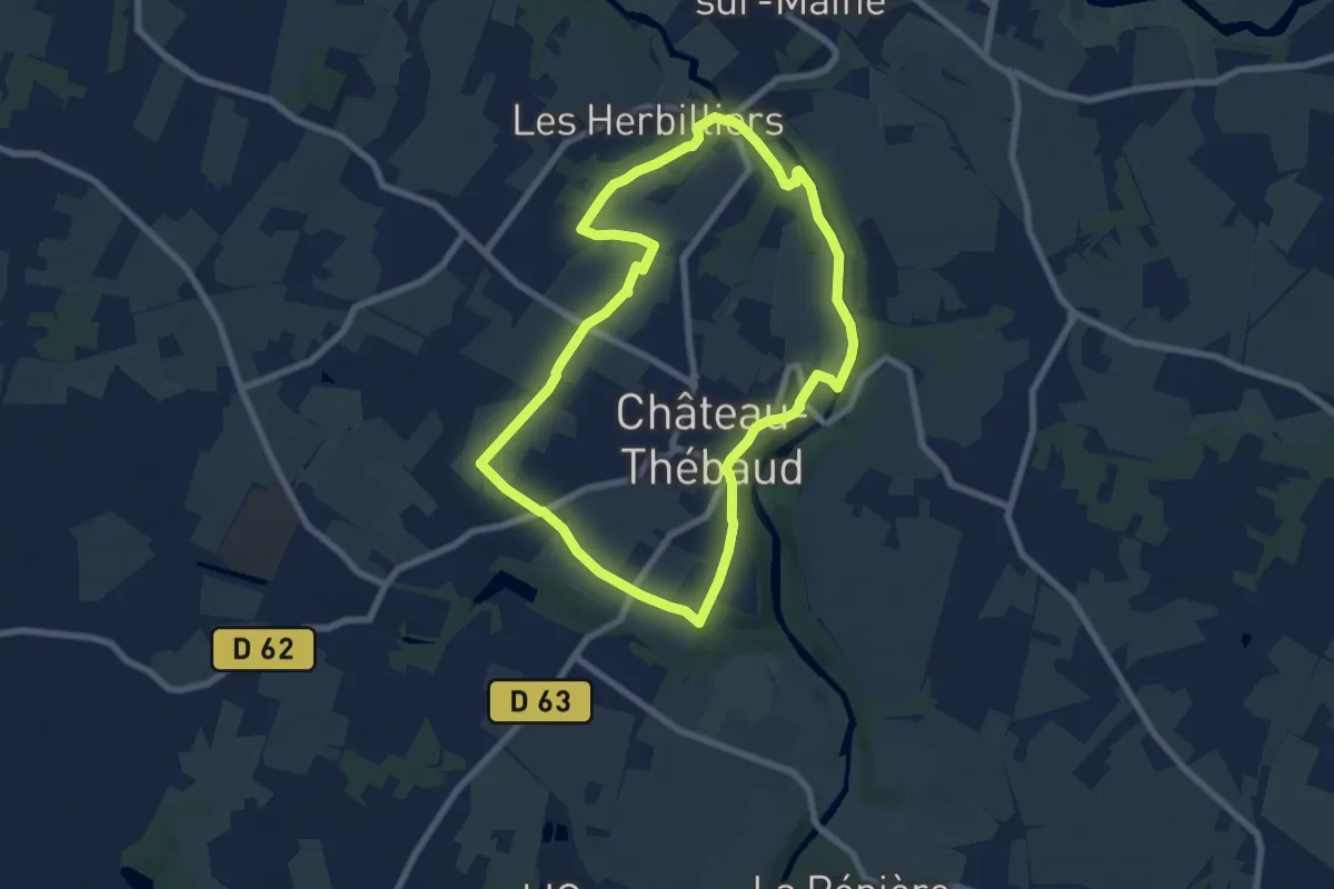
Le Bois du Vaulmier alternatif
7.3 km · ↑ 339 m · 2 h 33 min
Easy · Trail
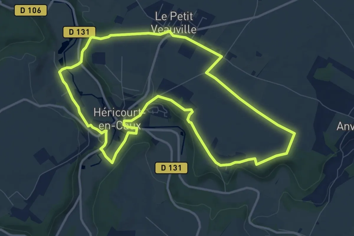
Le Bois Joly
7.1 km · ↑ 79 m · 1 h 57 min
Medium · Trail
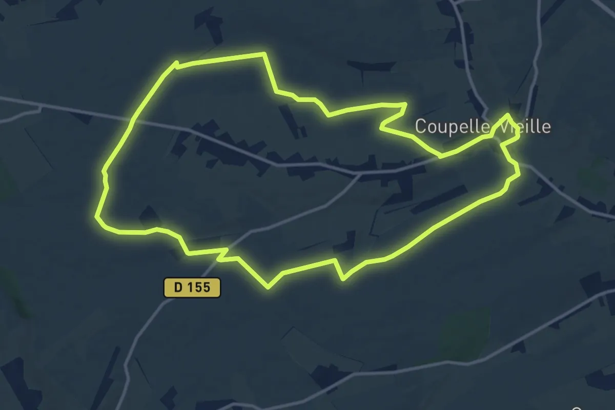
Le Bois Lambert
8.9 km · ↑ 121 m · 2 h 29 min
Medium · Trail
Le Bois Madame
11.6 km · ↑ 78 m · 3 h 4 min
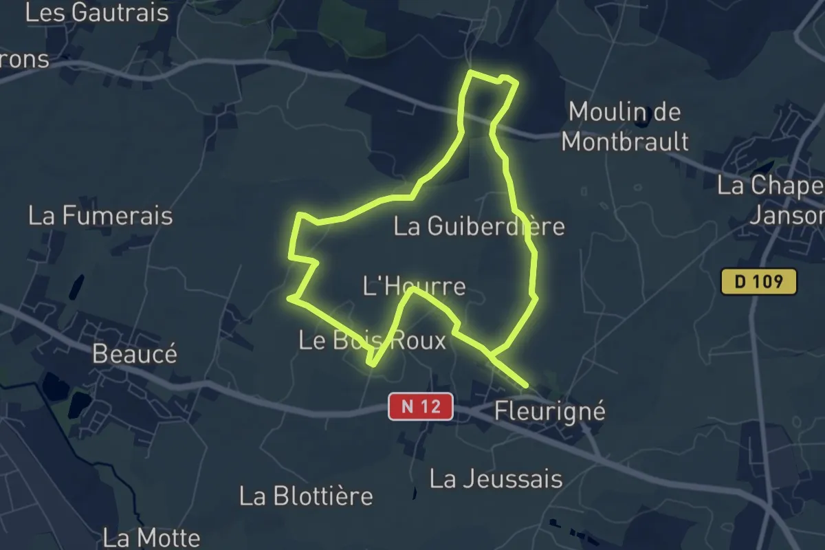
Easy · Trail
Le Bois Mary
7.0 km · ↑ 56 m · 1 h 53 min
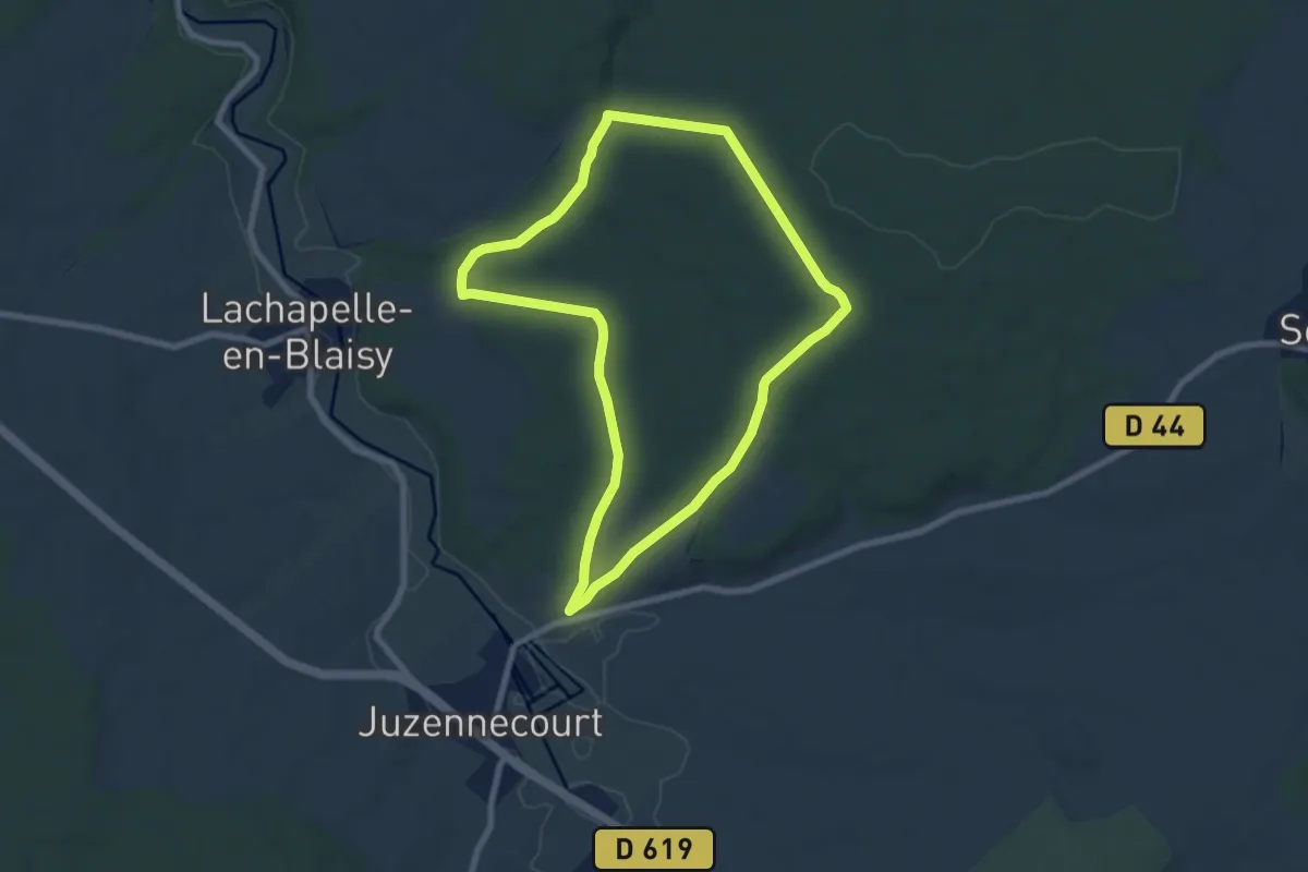
Easy · Trail
Le Bois Monsieur
7.1 km · ↑ 115 m · 2 h 2 min
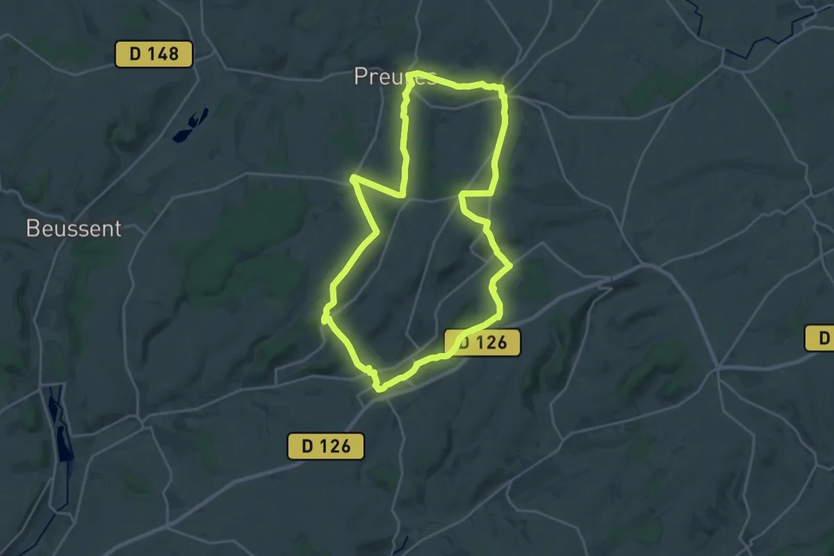
Demanding · Trail
Le Bois Noel
18.3 km · ↑ 323 m · 5 h 16 min
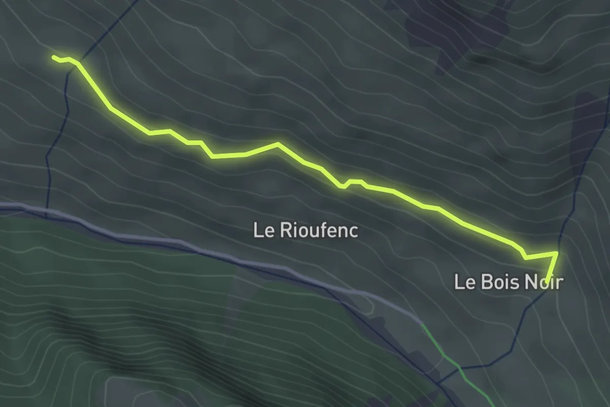
Easy · Trail
Le Bois Noir - Cabane du Lacas
3.4 km · ↑ 137 m · 1 h 7 min
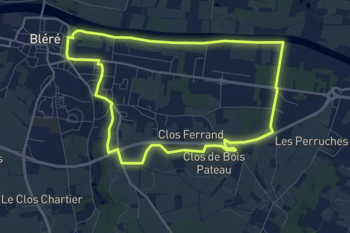
Medium · Trail
Le Bois Pataud
8.0 km · ↑ 44 m · 2 h 6 min
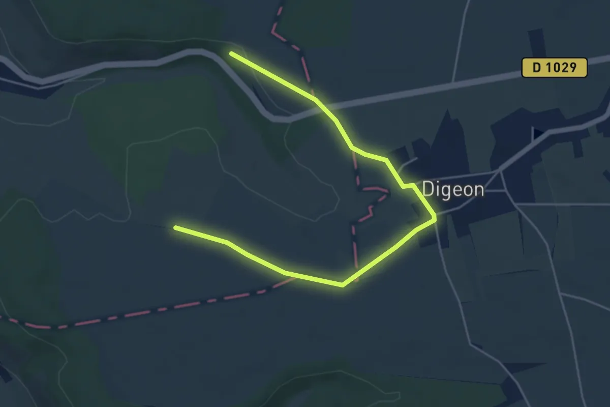
Easy · Trail
Le Bois Robin
5.0 km · ↑ 18 m · 1 h 13 min
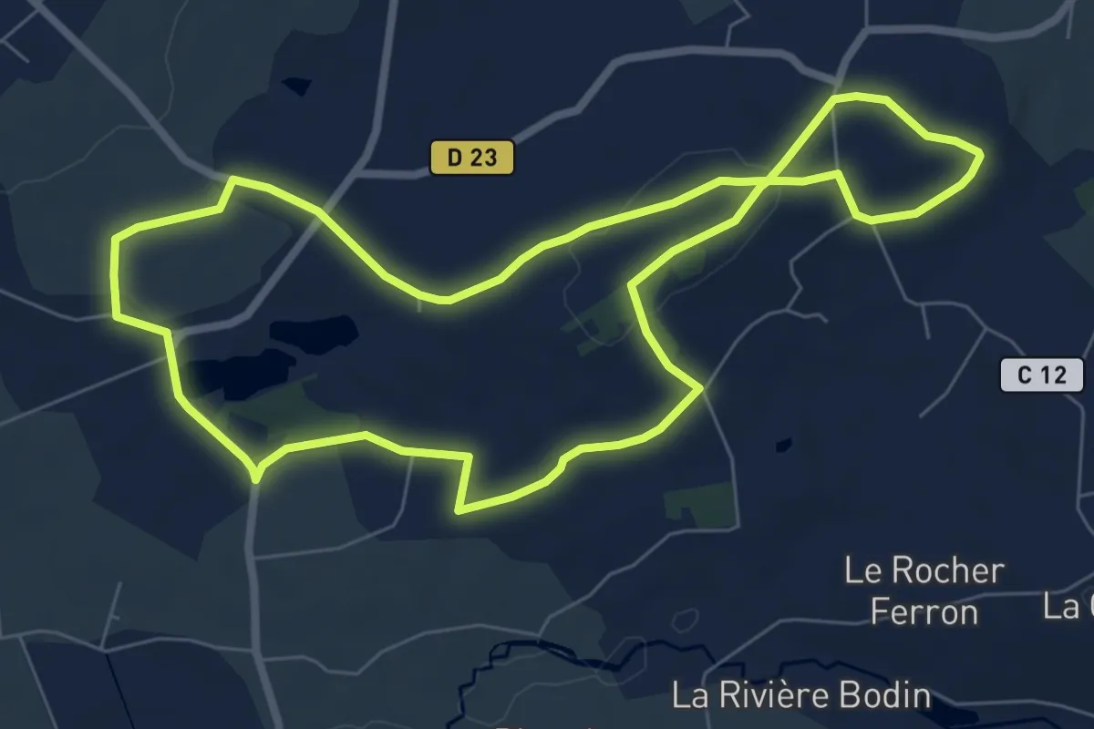
Easy · Trail
Le Bois Roux
7.1 km · ↑ 99 m · 1 h 59 min
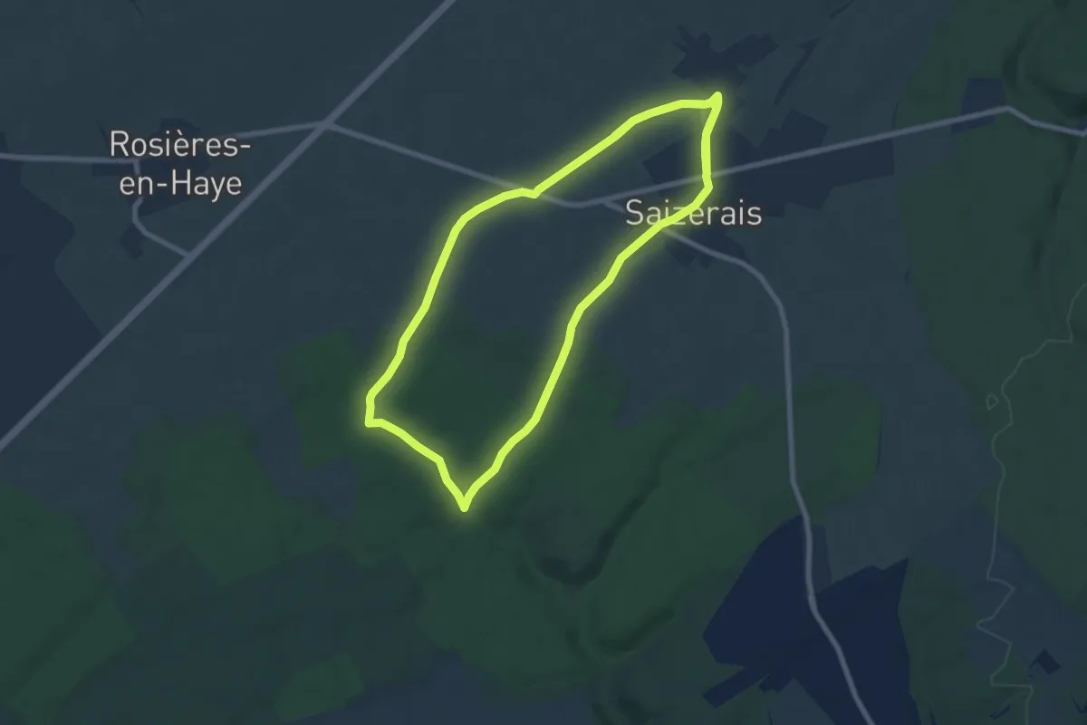
Medium · Trail
Le Bois Saint Ignon
8.5 km · ↑ 68 m · 2 h 17 min
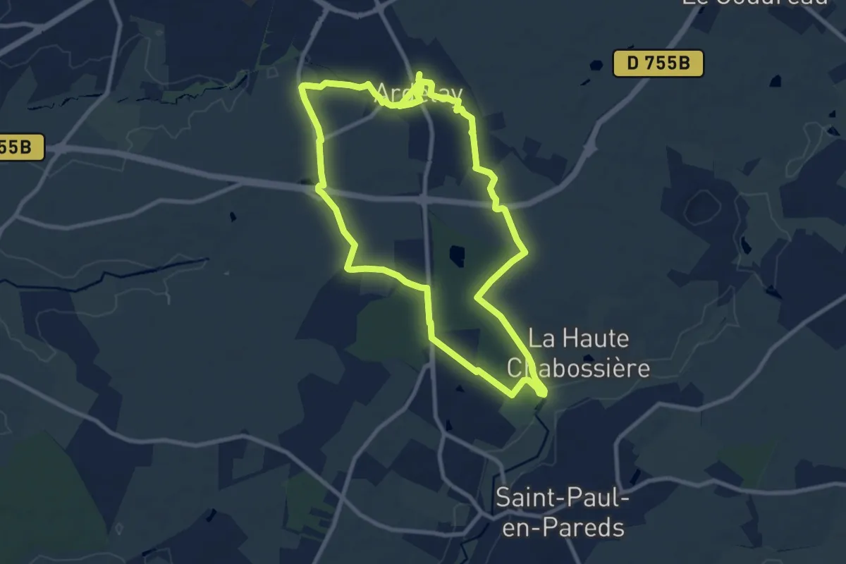
Medium · Trail
Le Boistissandeau
8.9 km · ↑ 47 m · 2 h 20 min
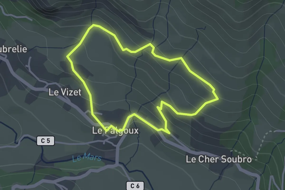
Easy · Trail
Le Bois Viel
2.8 km · ↑ 155 m · 1 h 2 min
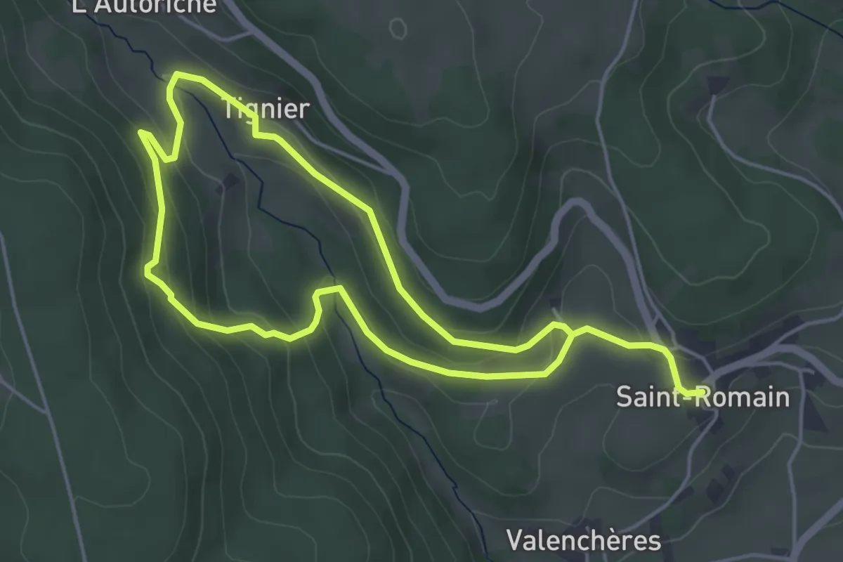
Medium · Trail
Le bonheur est dans le bois
8.4 km · ↑ 351 m · 2 h 44 min
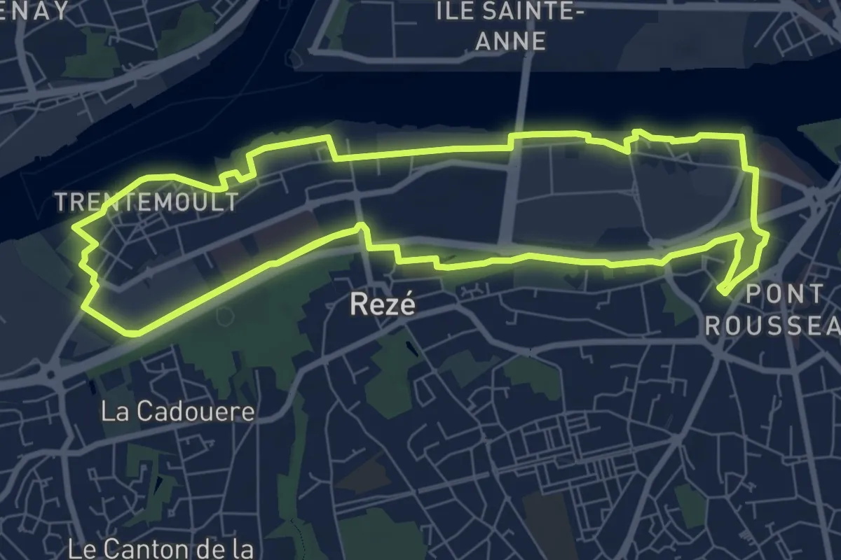
Demanding · Trail
Le Bord de la Loire
18.0 km · ↑ 21 m · 4 h 18 min
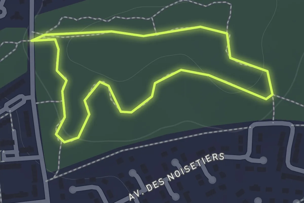
Easy · Trail
Le Bosquet
1.2 km · ↑ 11 m · 20 min
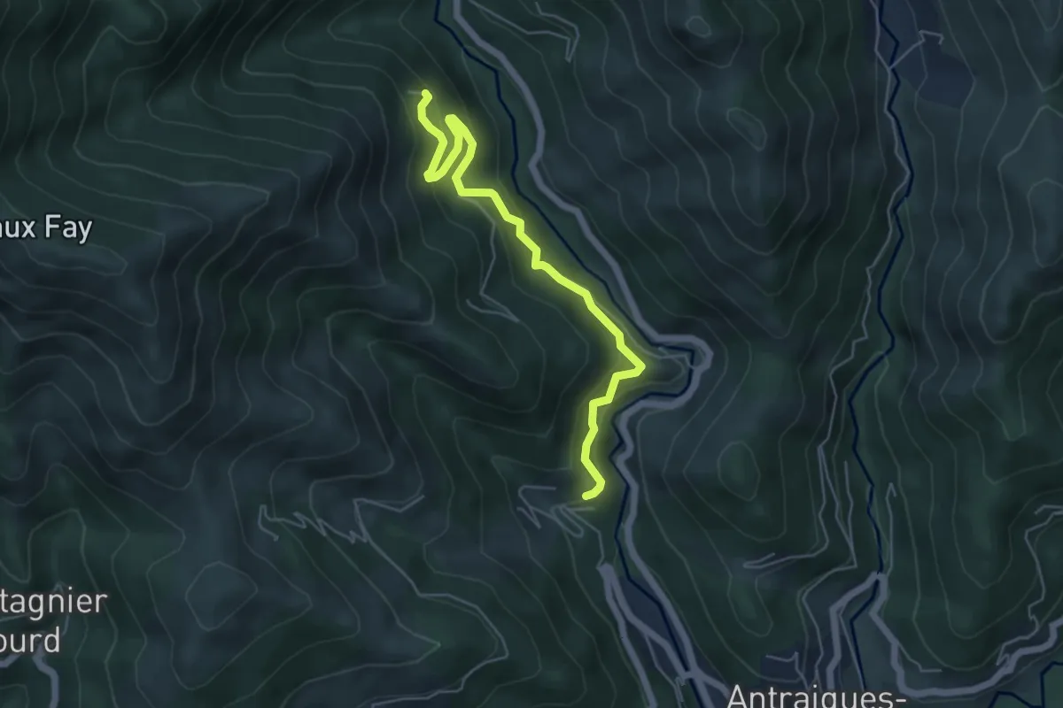
Medium · Trail
Le Bouchet - Aubert
5.5 km · ↑ 428 m · 2 h 14 min
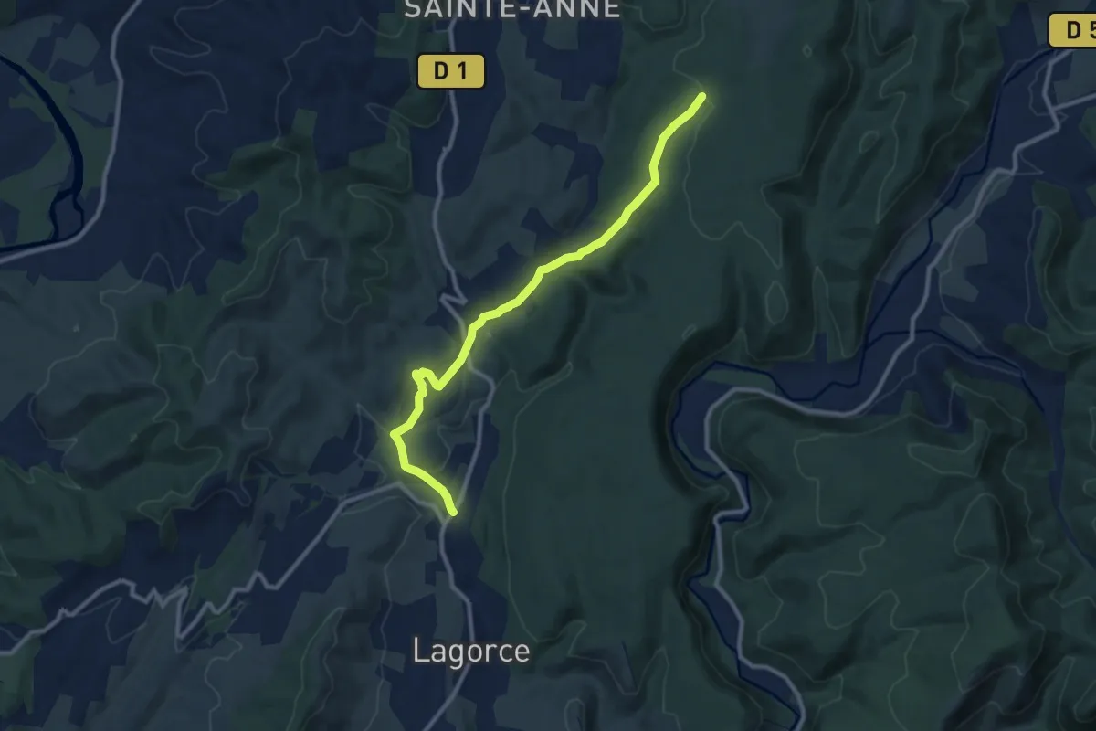
Medium · Trail
Le Bouchet - Gras de la Fauvette
10.3 km · ↑ 224 m · 2 h 55 min
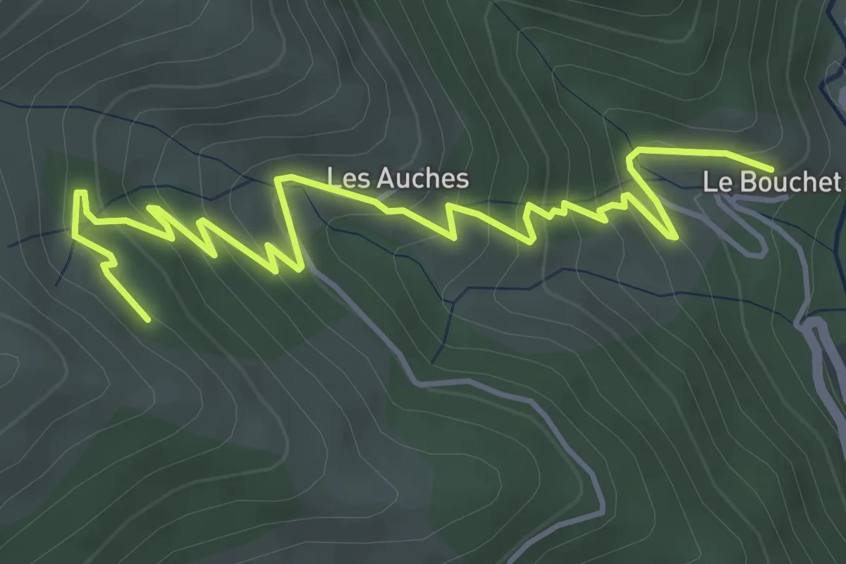
Medium · Trail
Le Bouchet - l'Huguenot
5.4 km · ↑ 373 m · 2 h 6 min
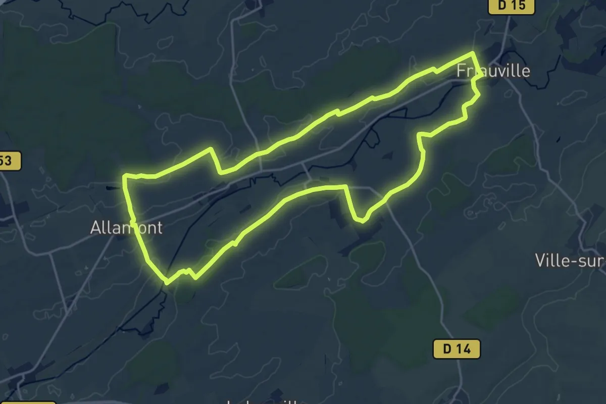
Medium · Trail
Le Boucle du Longeau
16.7 km · ↑ 74 m · 4 h 20 min
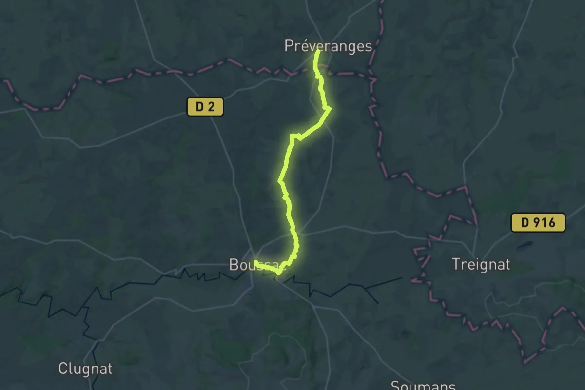
Demanding · Trail
Le Bourbonnais, de Boussac à Epineuil-le-Fleuriel
26.7 km · ↑ 283 m · 6 h 55 min
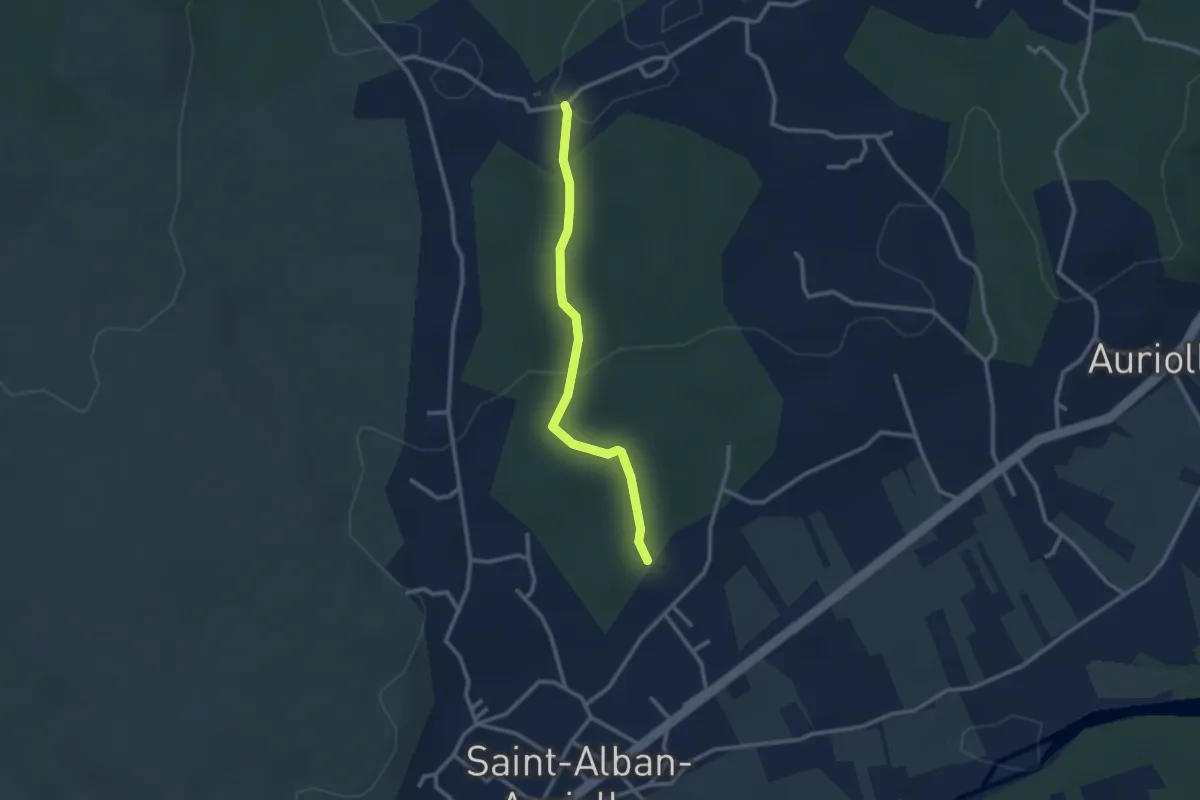
Easy · Trail
Le Bourdaric - Robert
2.7 km · ↑ 74 m · 47 min
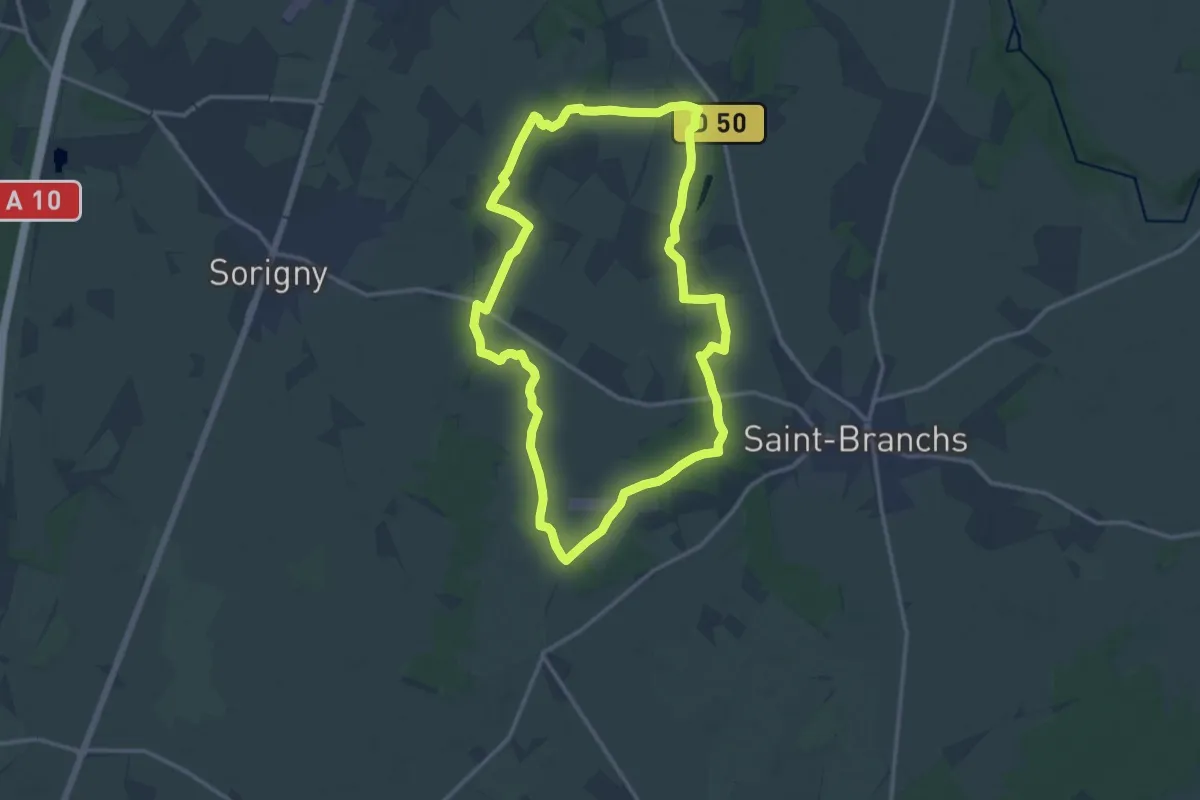
Medium · Trail
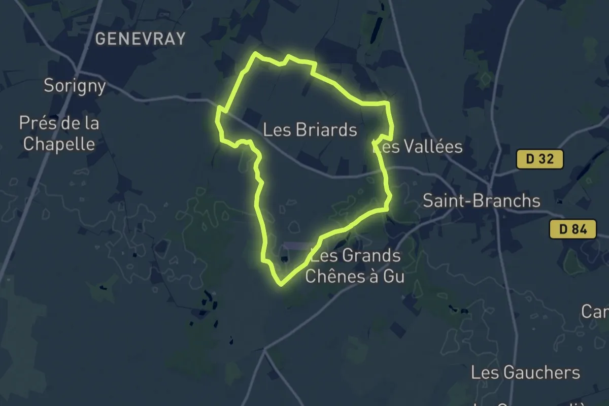
Le Bourdin - Saint-Branchs
13.5 km · ↑ 35 m · 3 h 27 min
Medium · Trail
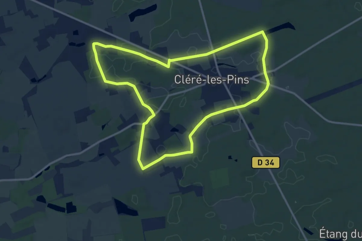
Le Bourdin - Variante Courte
10.2 km · ↑ 34 m · 2 h 38 min
Medium · Trail
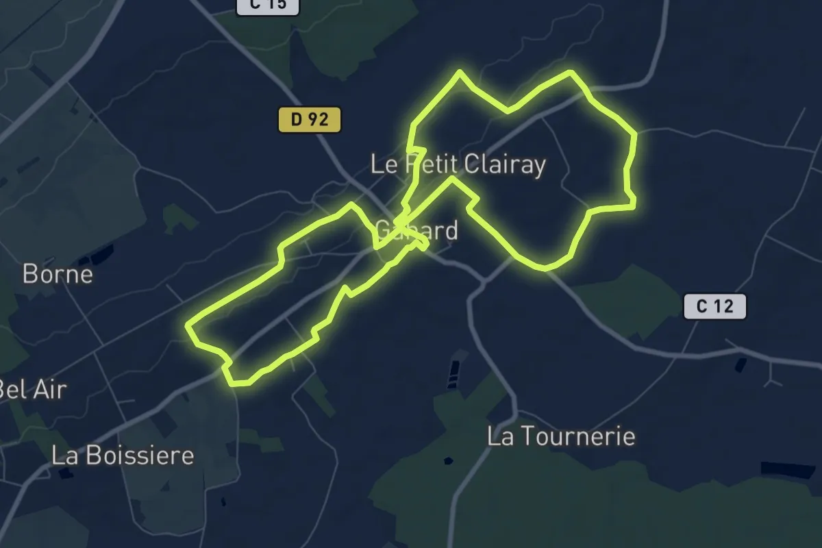
Le bourg
8.7 km · ↑ 41 m · 2 h 16 min
Medium · Trail
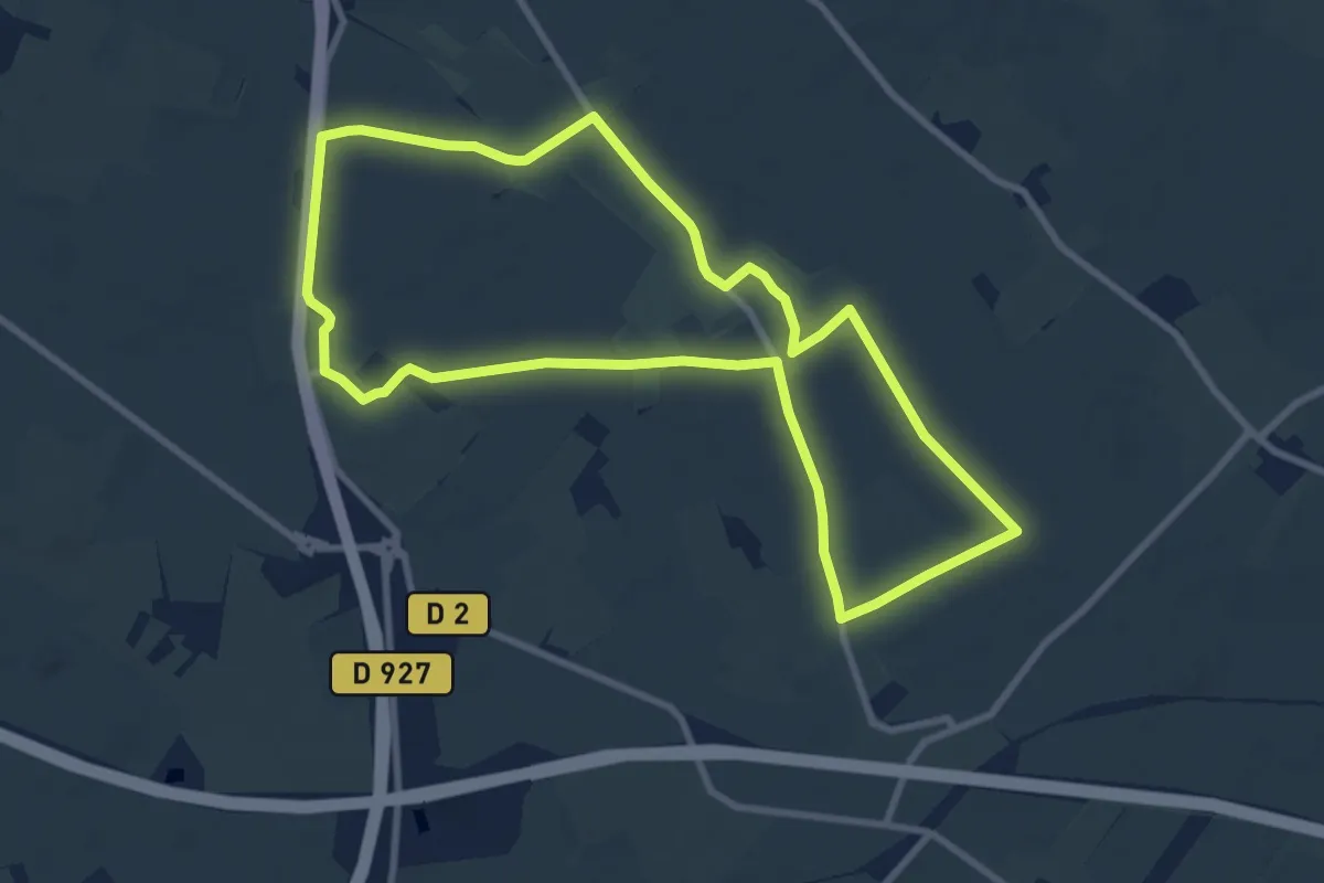
Le bourg de Gahard
8.8 km · ↑ 92 m · 2 h 24 min
Medium · Trail
Le Bourg Joli
8.5 km · ↑ 35 m · 2 h 11 min
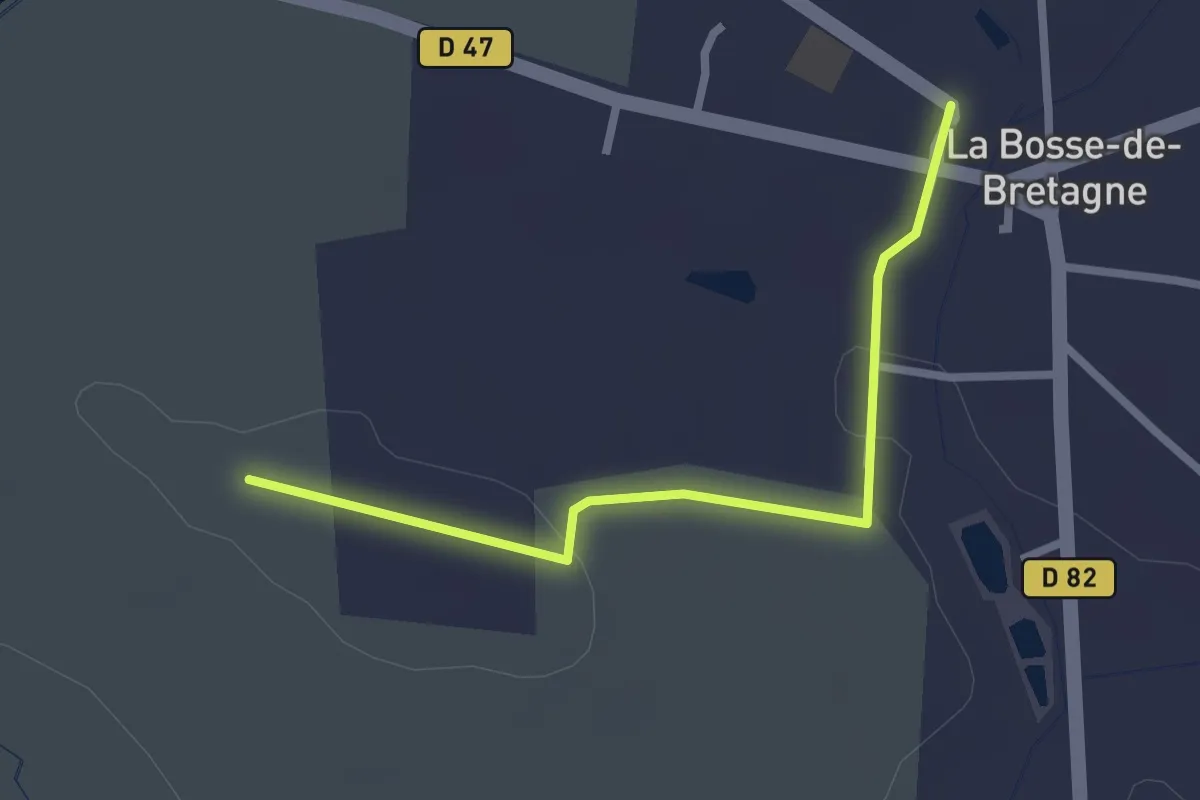
Easy · Trail
Le Bourg /Le Briant
2.4 km · ↑ 28 m · 38 min
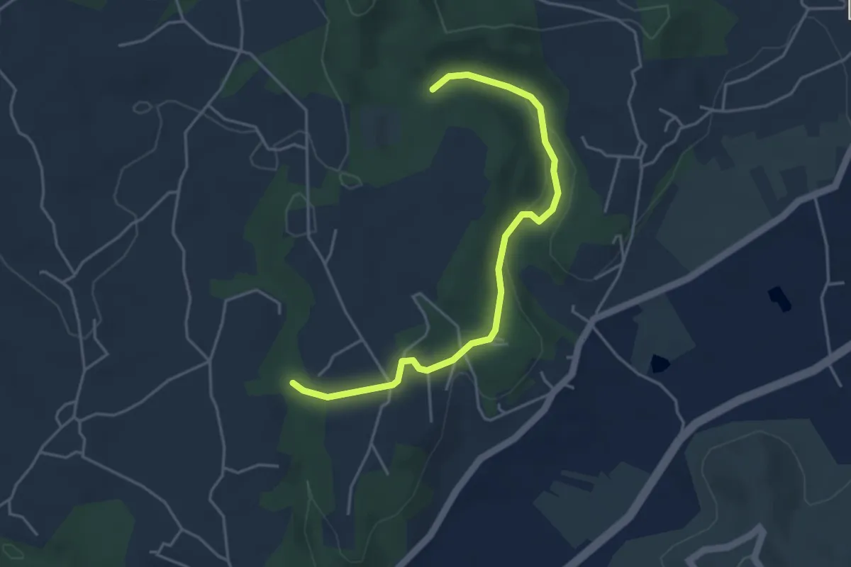
Easy · Trail
Le Boyer - Augnac
4.4 km · ↑ 73 m · 1 h 12 min
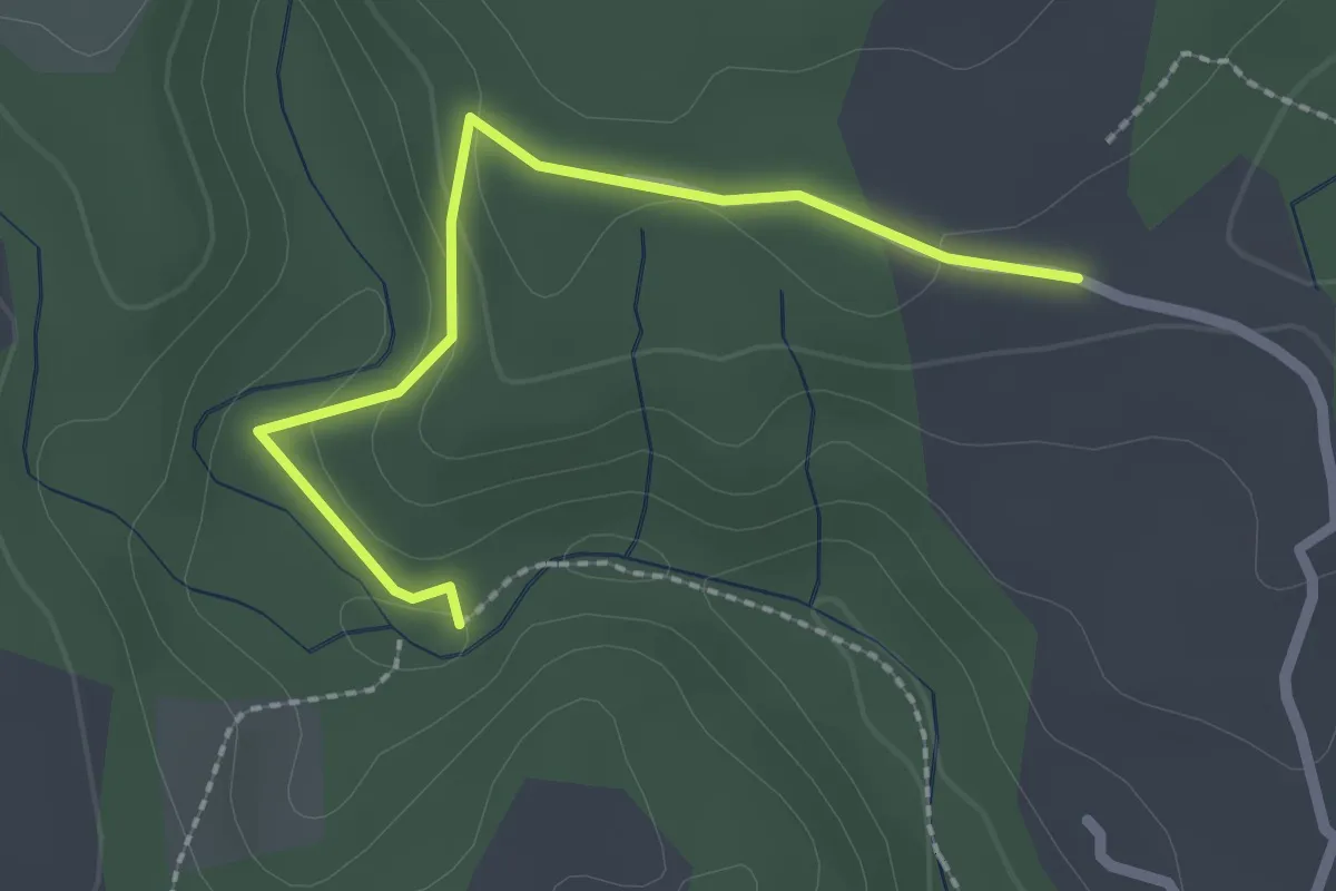
Easy · Trail
Le Boyer - Les Blancards
2.3 km · ↑ 55 m · 40 min
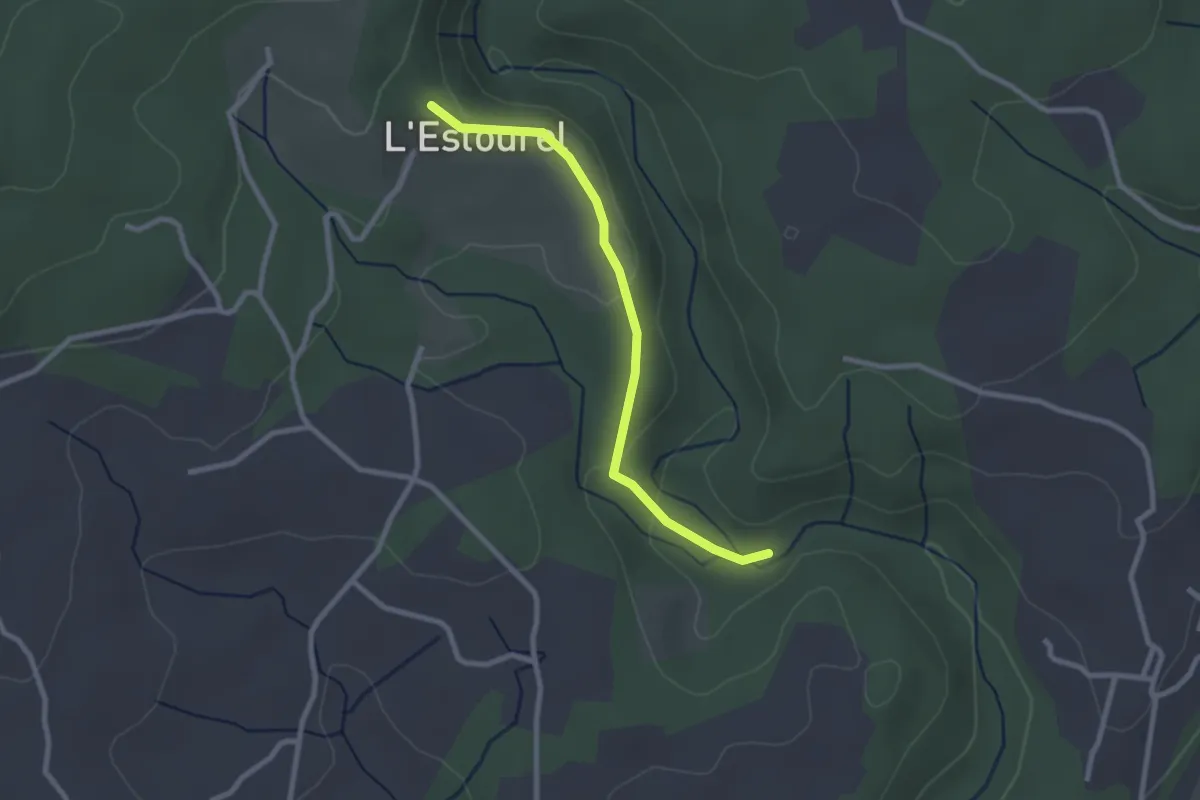
Easy · Trail
Le Boyer - L'Estourels
2.5 km · ↑ 67 m · 45 min
Easy · Trail
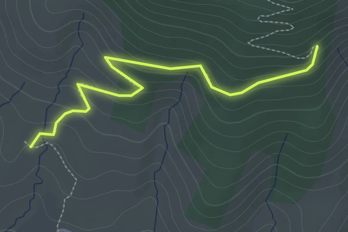
Lebrat - Serre Pointu
2.9 km · ↑ 129 m · 57 min
Easy · Trail
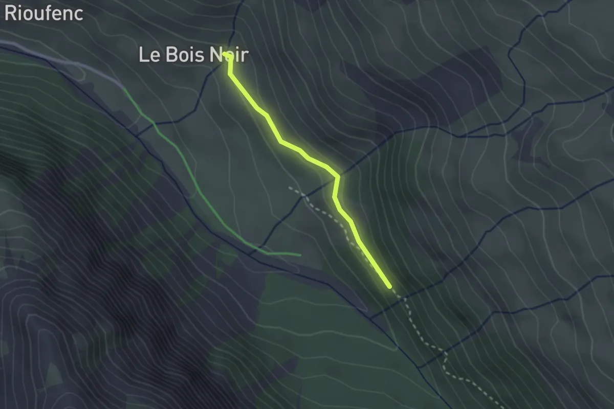
Le Bréou - Le Bois Noir
2.1 km · ↑ 80 m · 41 min
Medium · Trail
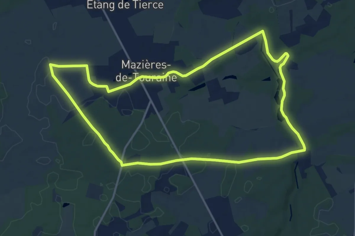
Le Breuil - Mazières-de-Touraine
10.6 km · ↑ 102 m · 2 h 52 min
Easy · Trail
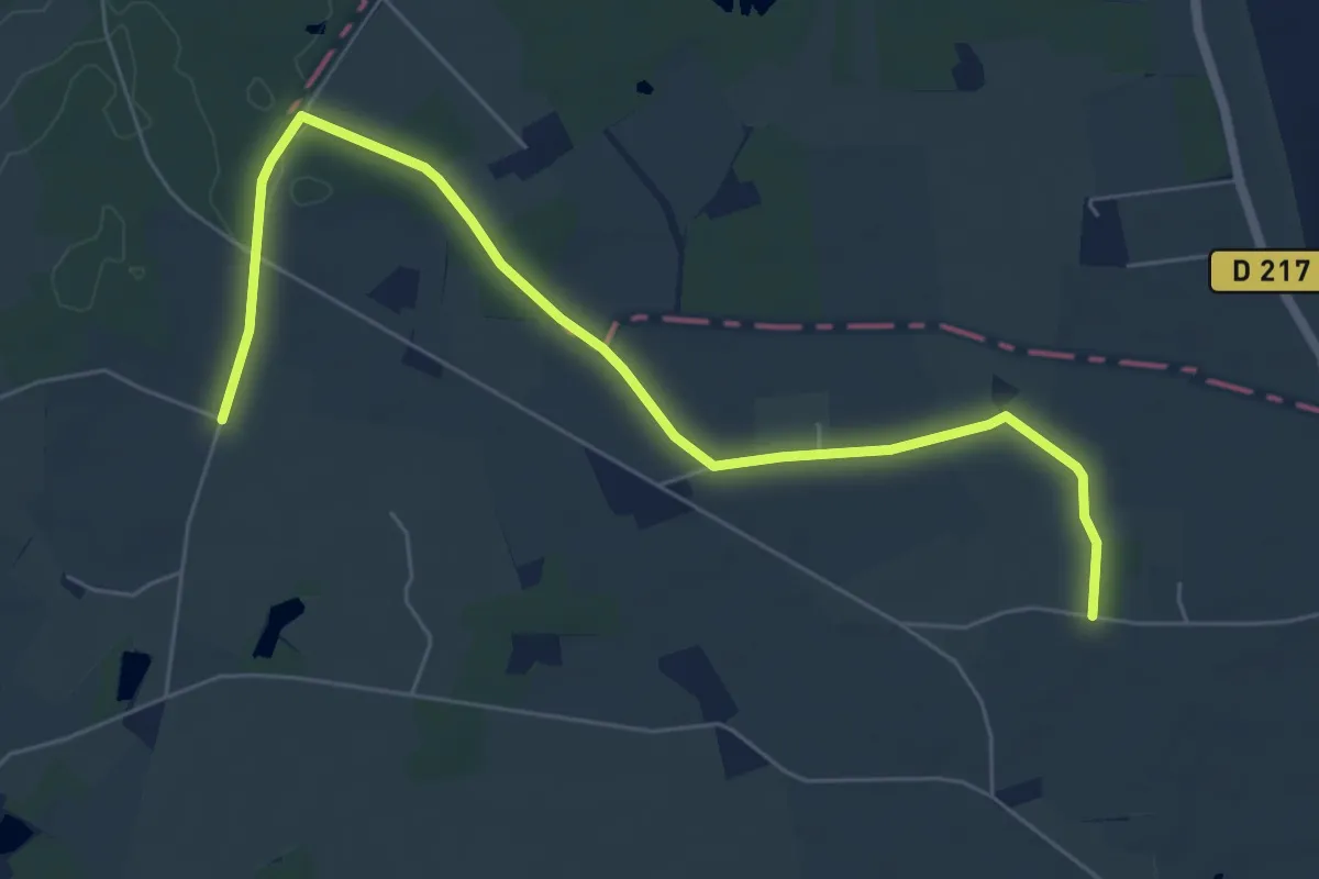
Le Brûle-Choux - Villiers-au-Bouin
3.5 km · ↑ 18 m · 55 min
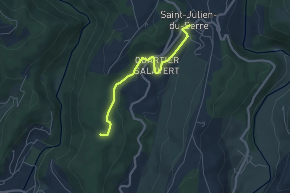
Easy · Trail
Le Buis - Les Taillades
4.2 km · ↑ 65 m · 1 h 8 min
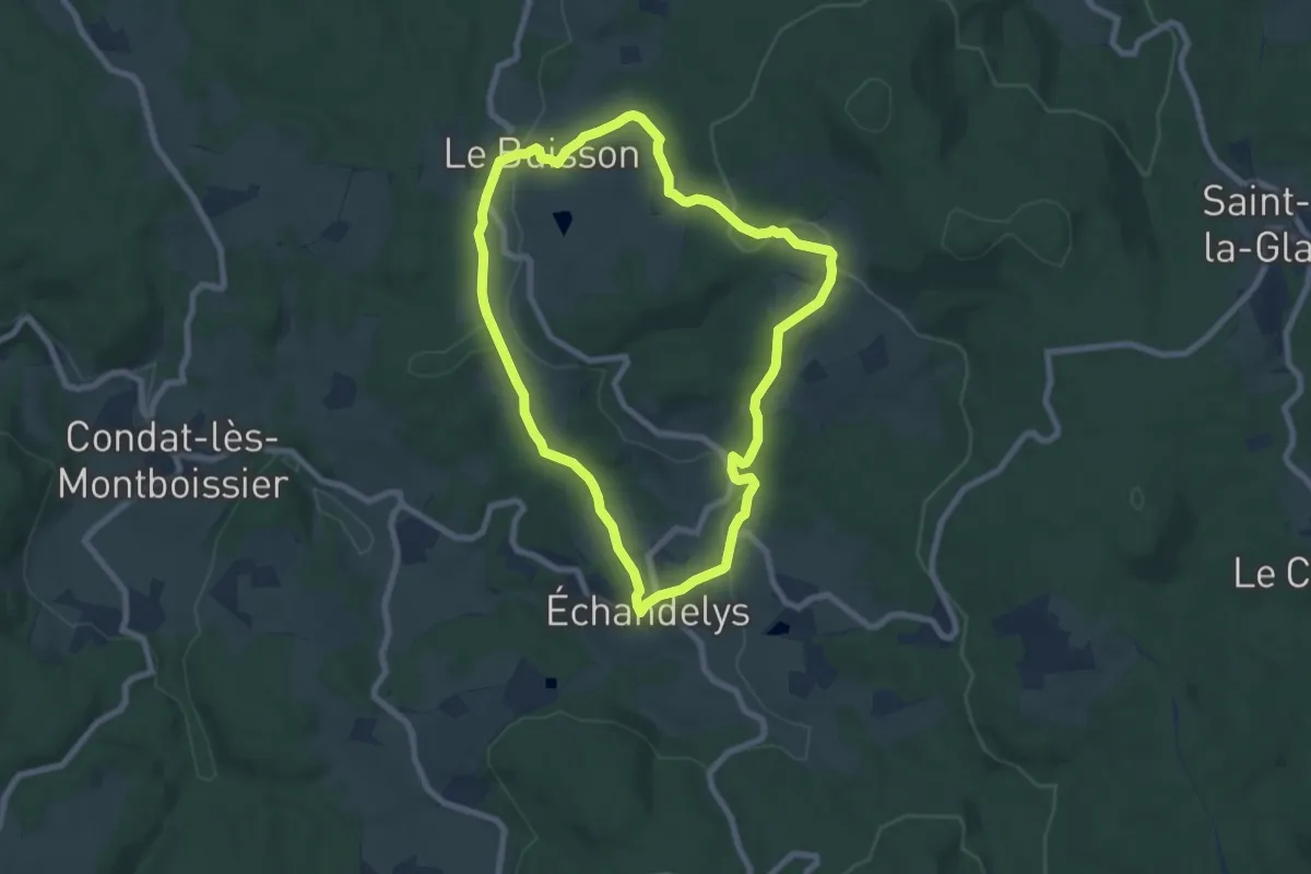
Easy · Trail
Le Buisson
7.3 km · ↑ 175 m · 2 h 13 min
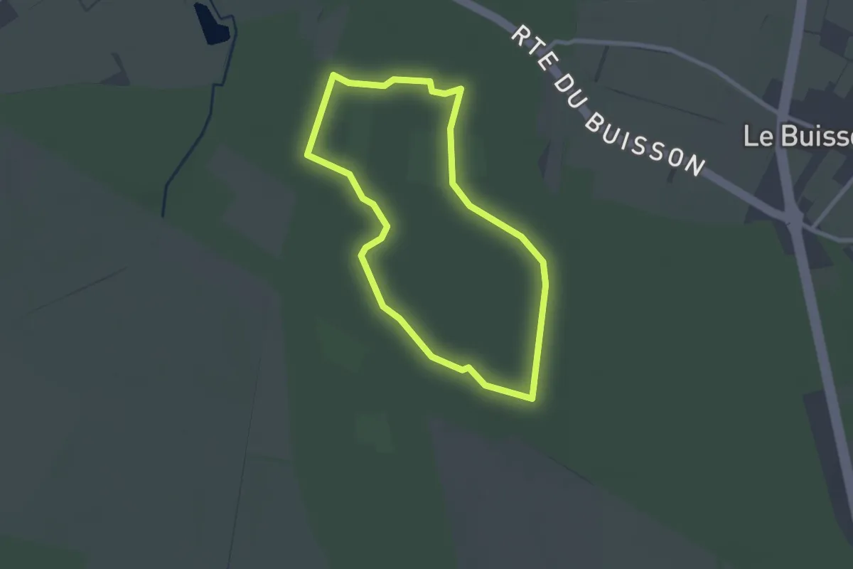
Easy · Trail
Le Buisson
2.2 km · ↑ 12 m · 35 min
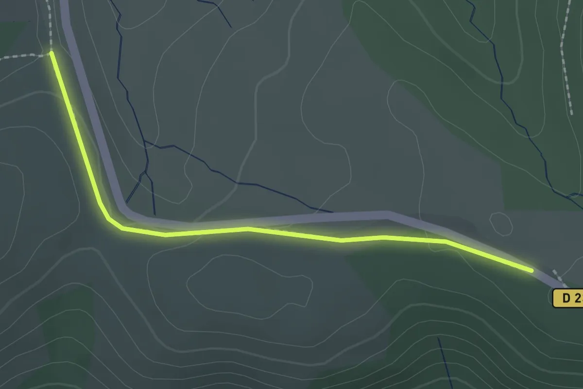
Easy · Trail
Le Buisson - Col du Pendu
2.2 km · ↑ 38 m · 37 min