Trails in France
15,926 hiking trails, each with its route, climb, walking time and grade.
All trails, page 155 of 332
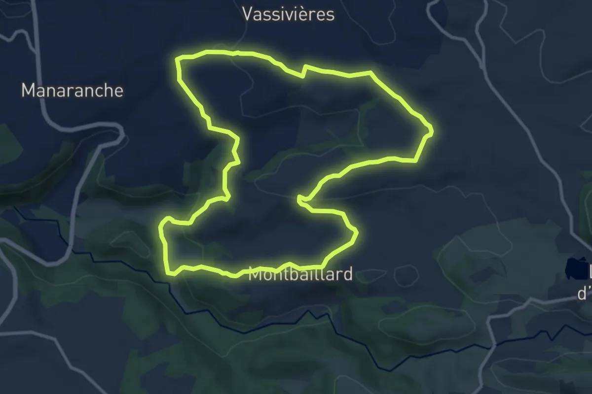
Medium · Trail
Le Burandou
10.2 km · ↑ 205 m · 2 h 59 min
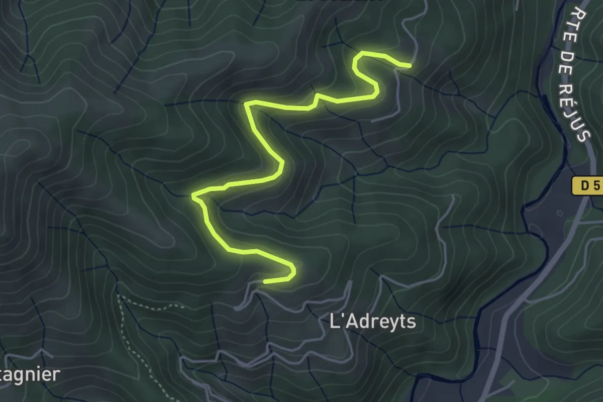
Easy · Trail
Le Câble - Serangelier
4.9 km · ↑ 229 m · 1 h 39 min
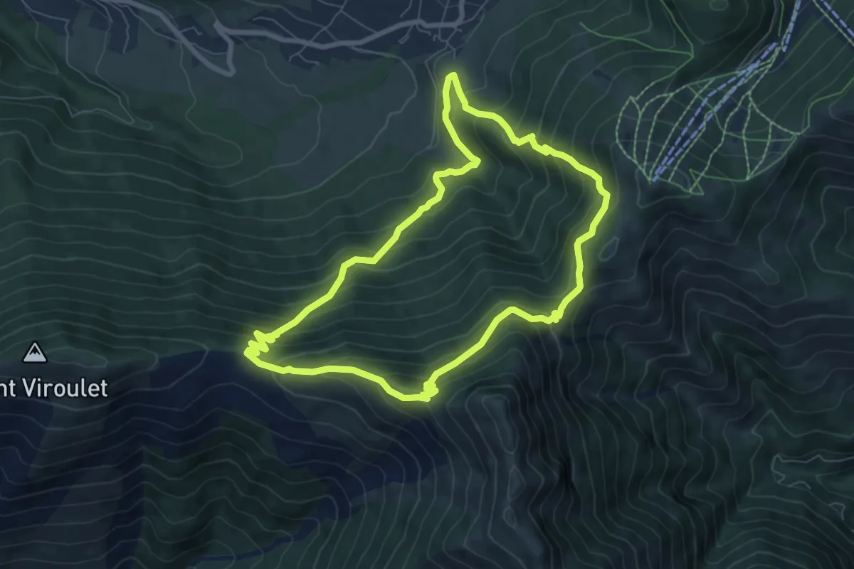
Demanding · Summit
Le Caïre Gros
7.4 km · ↑ 621 m · 3 h 12 min
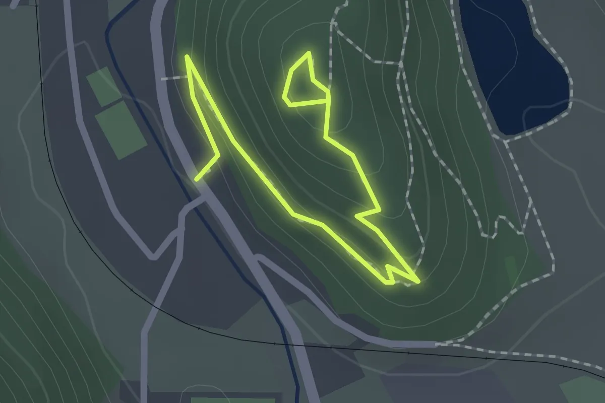
Easy · Trail
Le Calvaire
2.2 km · ↑ 88 m · 43 min
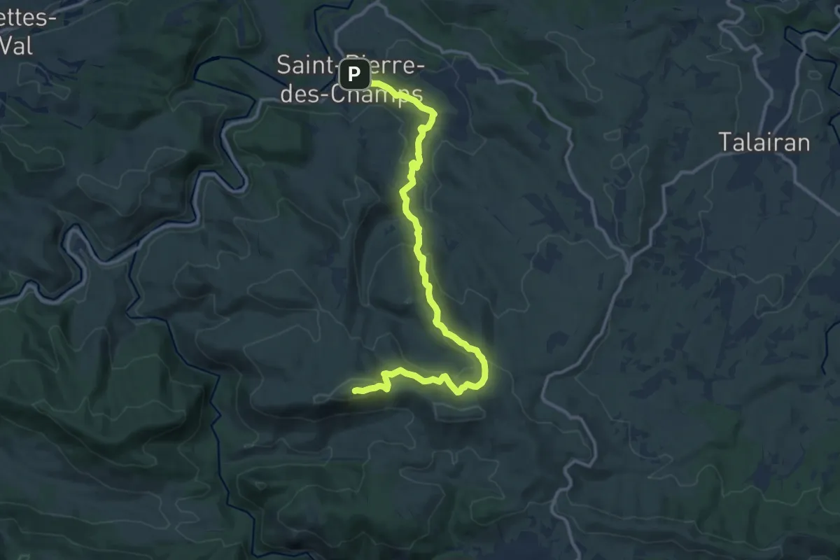
Medium · Summit
Le camin du Mont Major
13.9 km · ↑ 541 m · 4 h 27 min
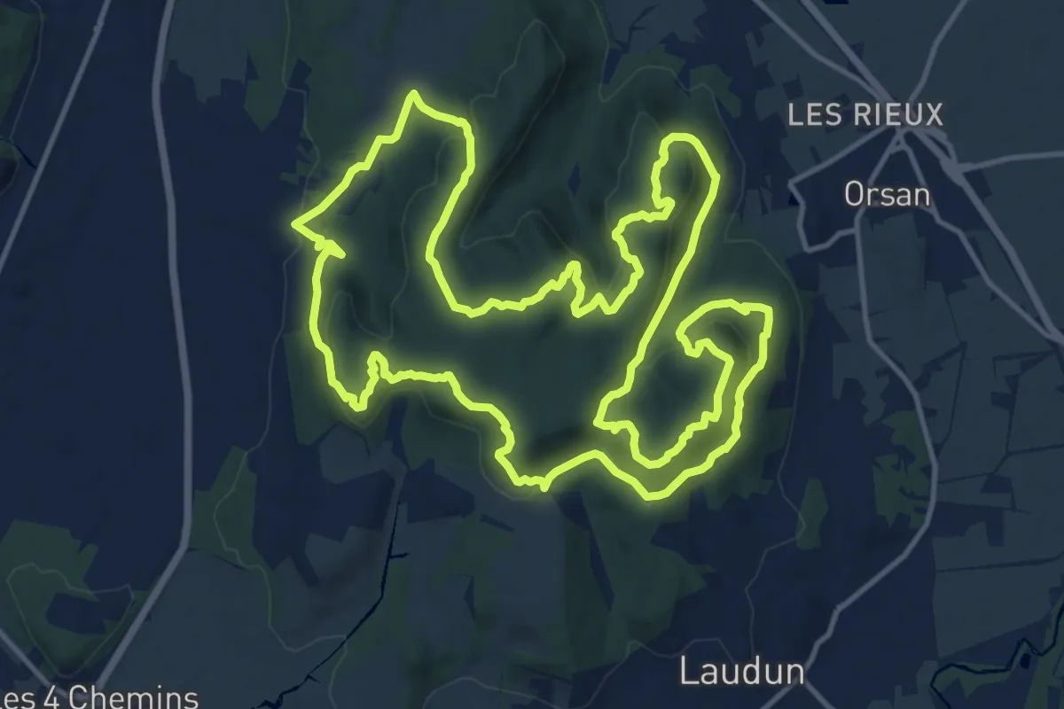
Medium · Trail
Le Camp de César
16.7 km · ↑ 536 m · 5 h 20 min
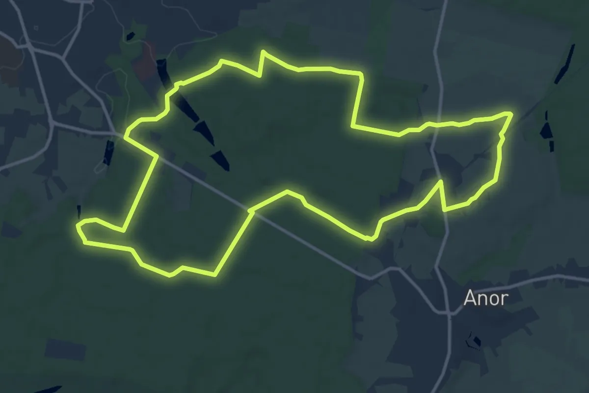
Medium · Trail
Le Camp de Giblou
11.5 km · ↑ 102 m · 3 h 5 min
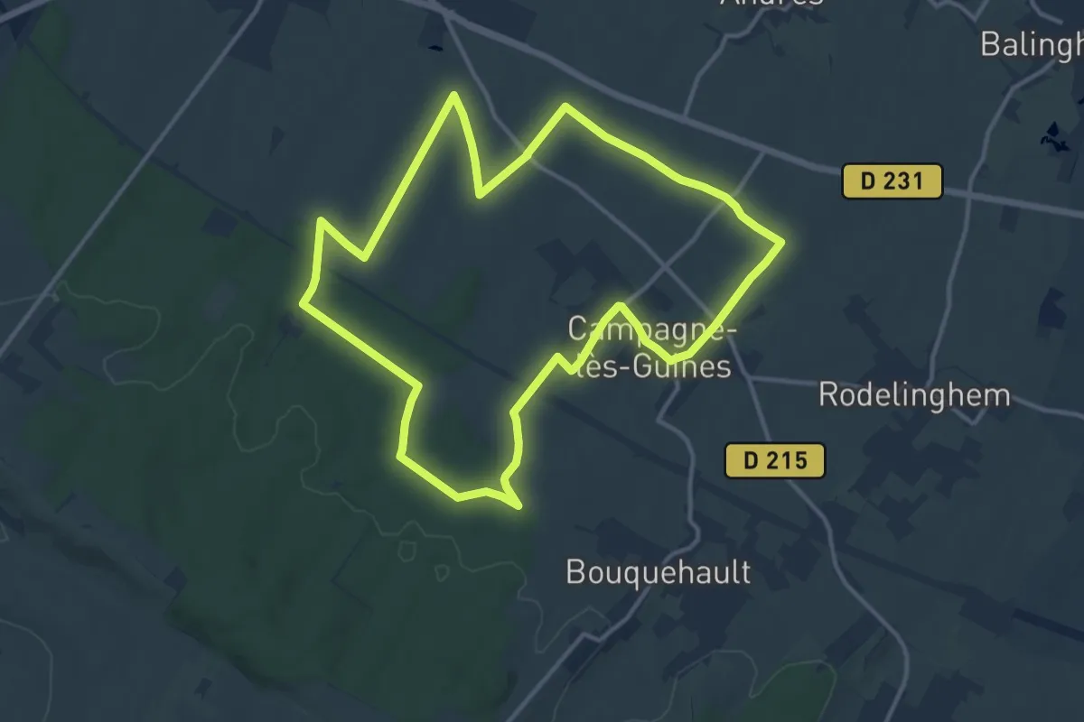
Medium · Trail
Le Camp du Drap d'Or
12.1 km · ↑ 95 m · 3 h 13 min
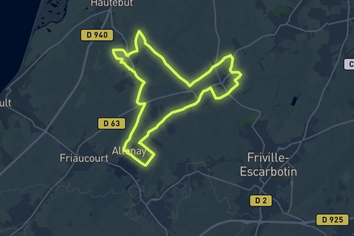
Medium · Trail
Le Camp du Roi
14.3 km · ↑ 71 m · 3 h 44 min
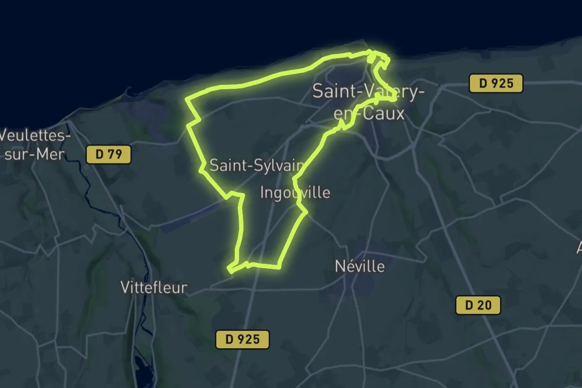
Demanding · Trail
Le Camp "Lucky Strikeé"
20.6 km · ↑ 174 m · 5 h 32 min
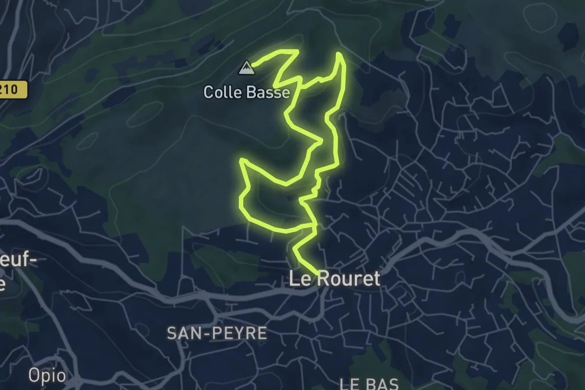
Easy · Summit
Le Camp romain
6.6 km · ↑ 191 m · 2 h 4 min
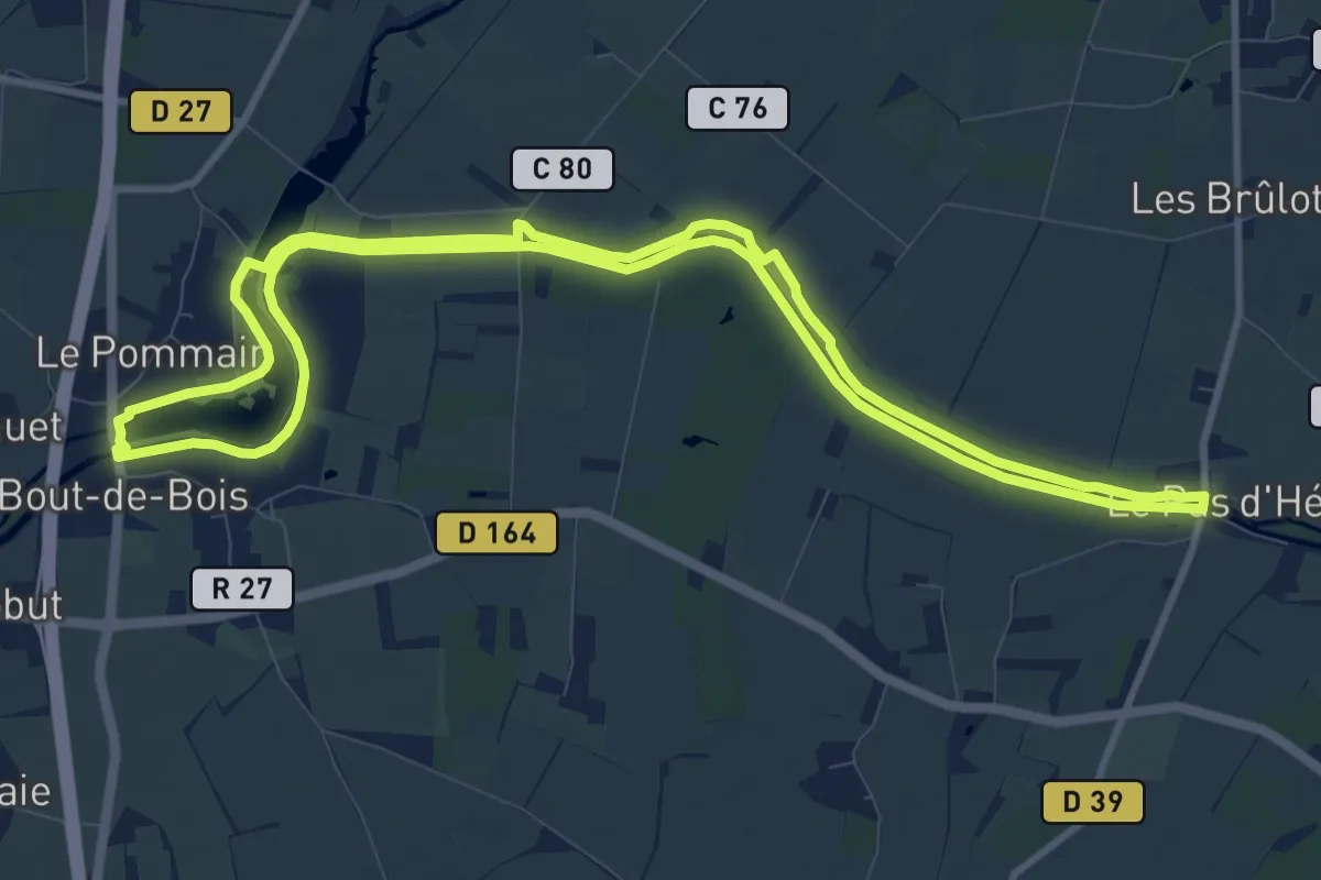
Medium · Trail
Le Canal
10.7 km · ↑ 8 m · 2 h 42 min
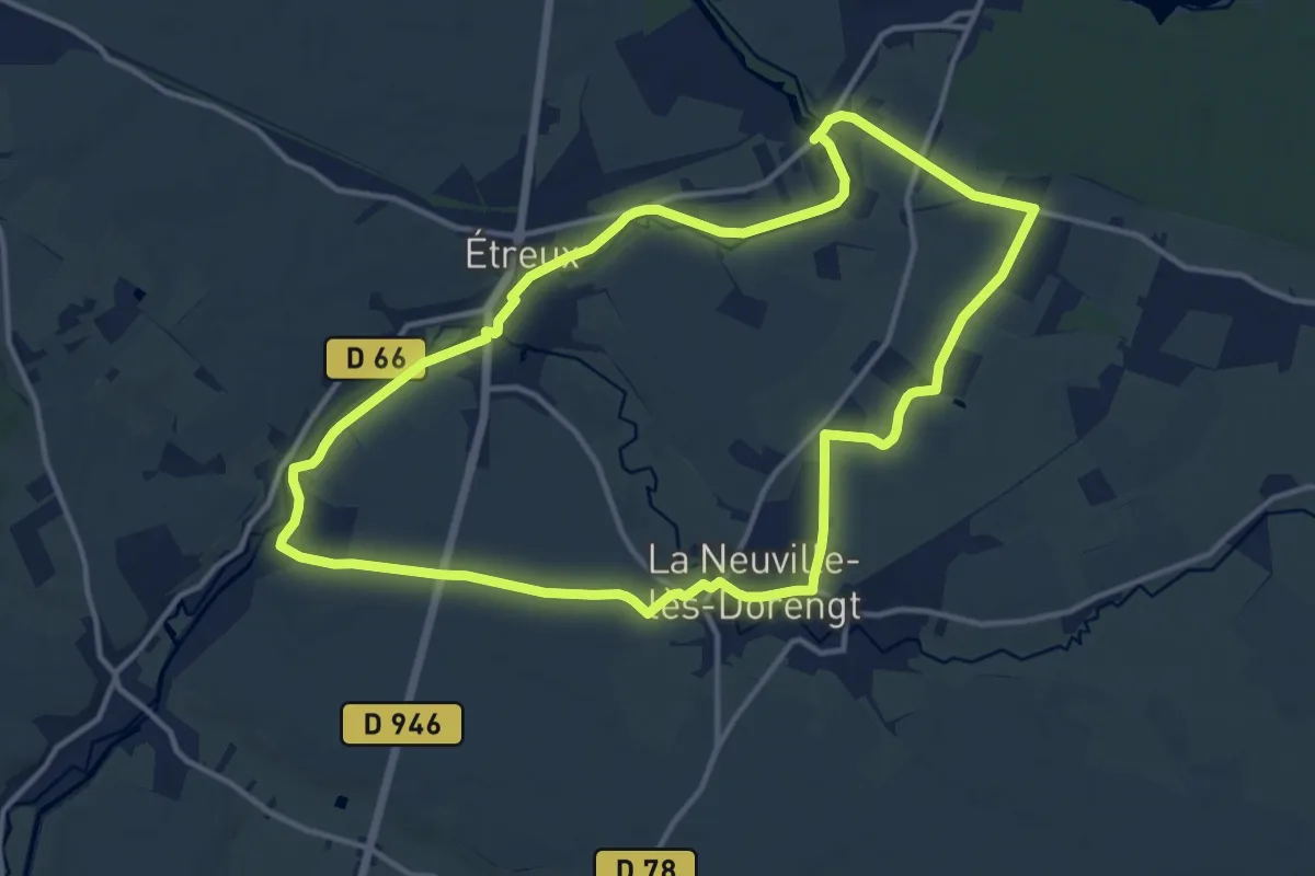
Medium · Trail
Le Canal
12.4 km · ↑ 38 m · 3 h 11 min
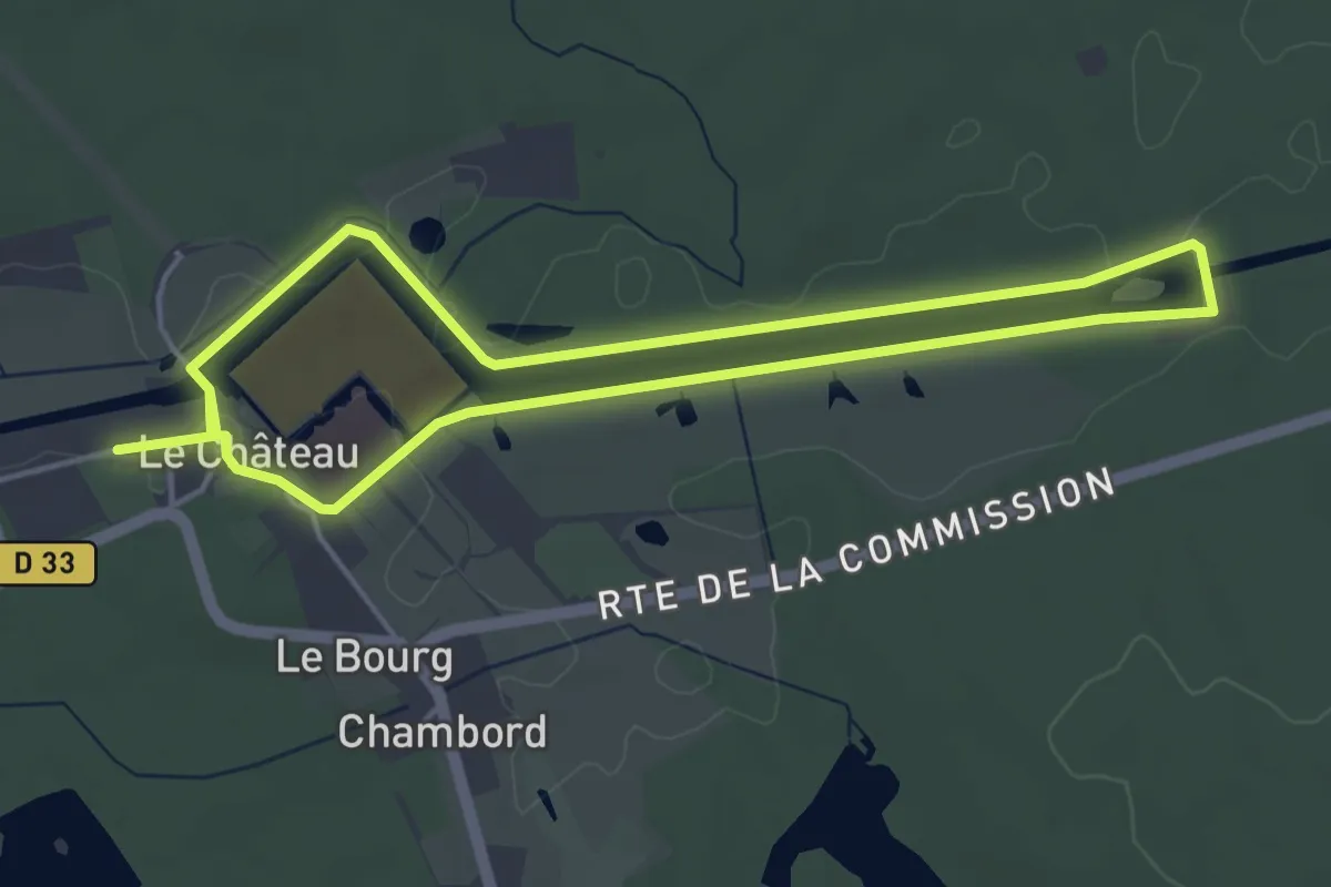
Easy · Trail
Le canal de Chambord
4.2 km · ↑ 9 m · 1 h 4 min
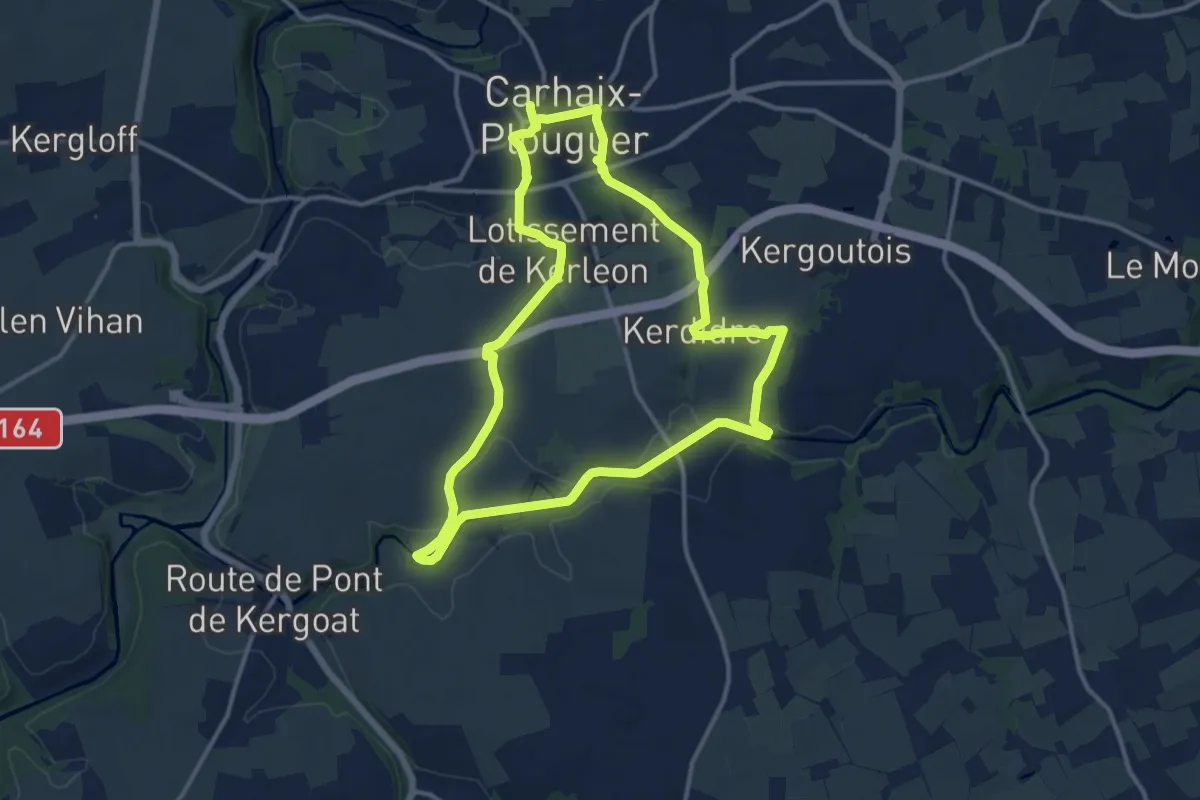
Medium · Trail
Le canal de Nantes à Brest
12.5 km · ↑ 124 m · 3 h 23 min
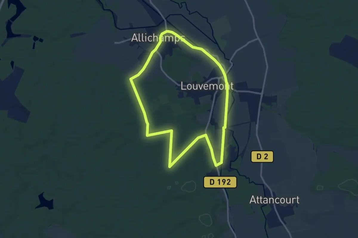
Medium · Trail
Le Canal des Fabriques
9.7 km · ↑ 62 m · 2 h 33 min
Easy · Trail
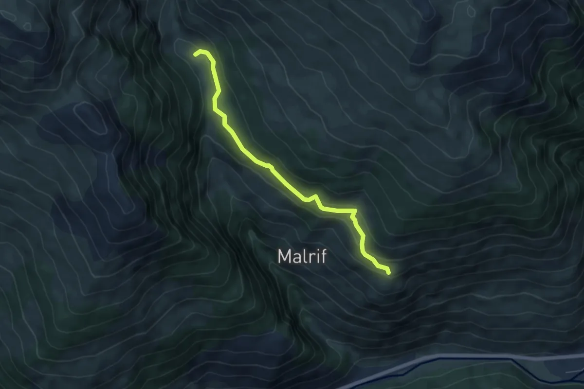
Le Canal Neuf - Les Bertins
5.5 km · ↑ 287 m · 1 h 55 min
Medium · Trail
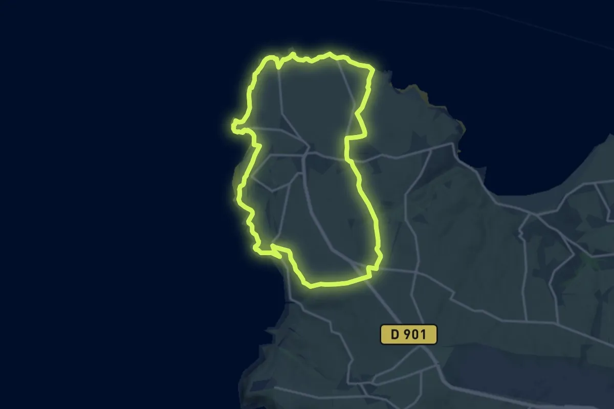
Le Cap de la Hague
13.1 km · ↑ 179 m · 3 h 39 min
Medium · Summit
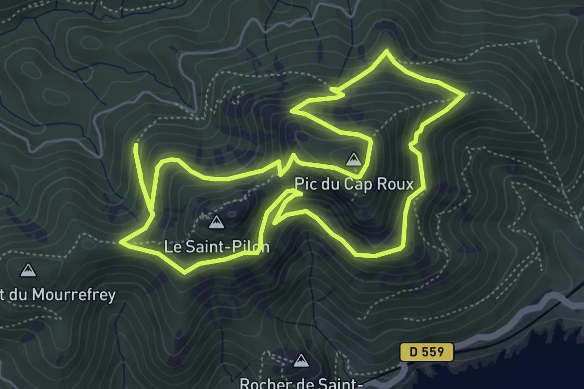
Le Cap Roux (bleu)
6.0 km · ↑ 477 m · 2 h 32 min
Medium · Summit
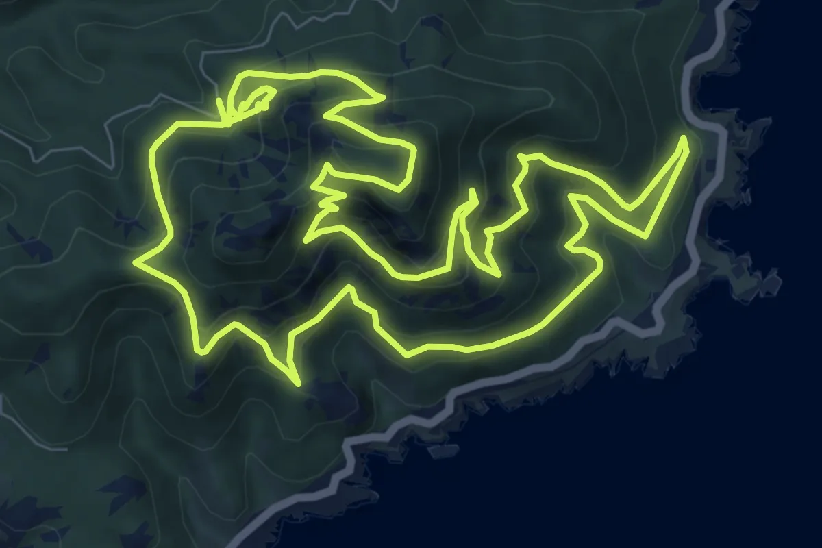
Le Cap Roux (jaune)
10.9 km · ↑ 784 m · 4 h 28 min
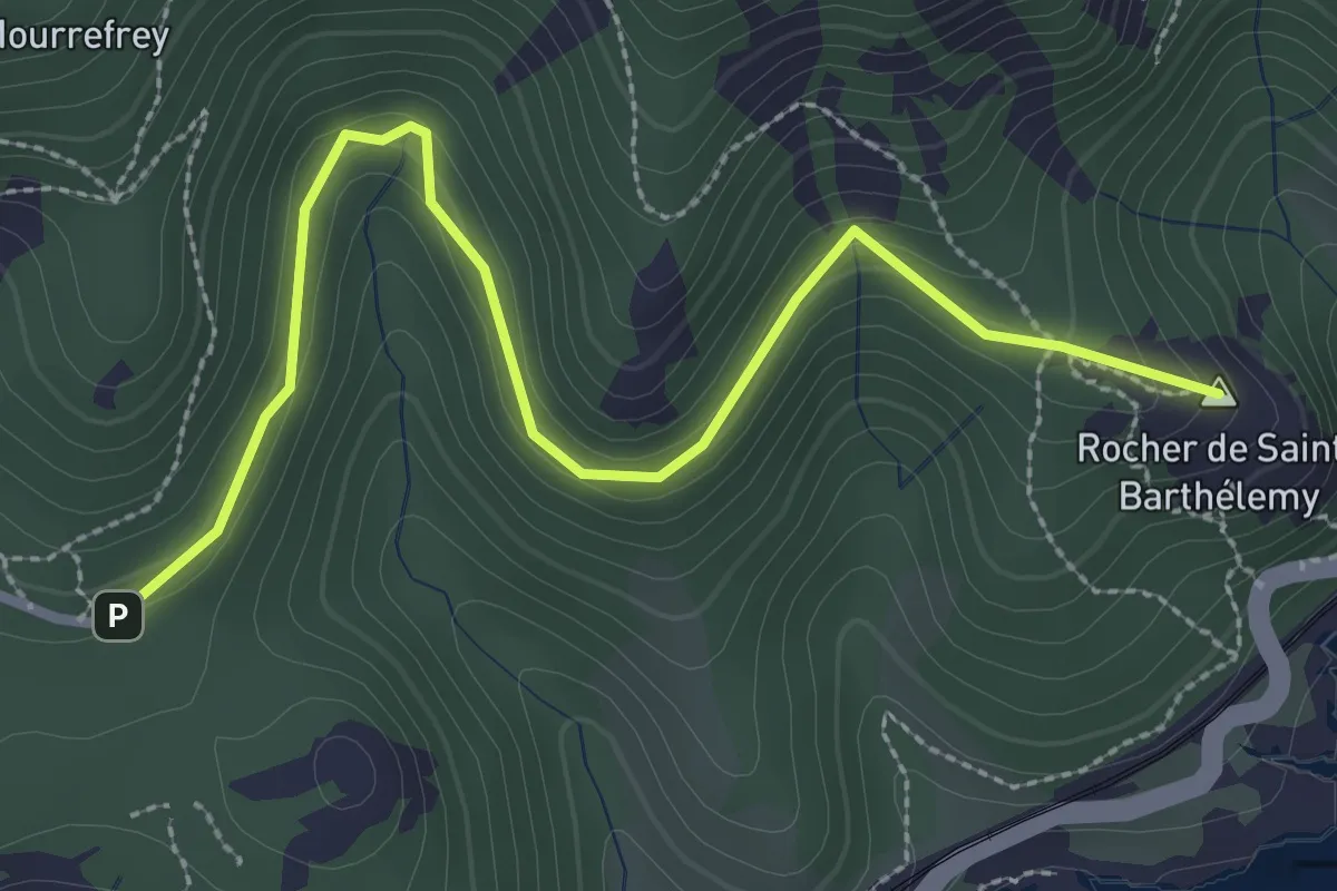
Easy · Summit
Le Cap Roux (rose)
3.4 km · ↑ 178 m · 1 h 11 min
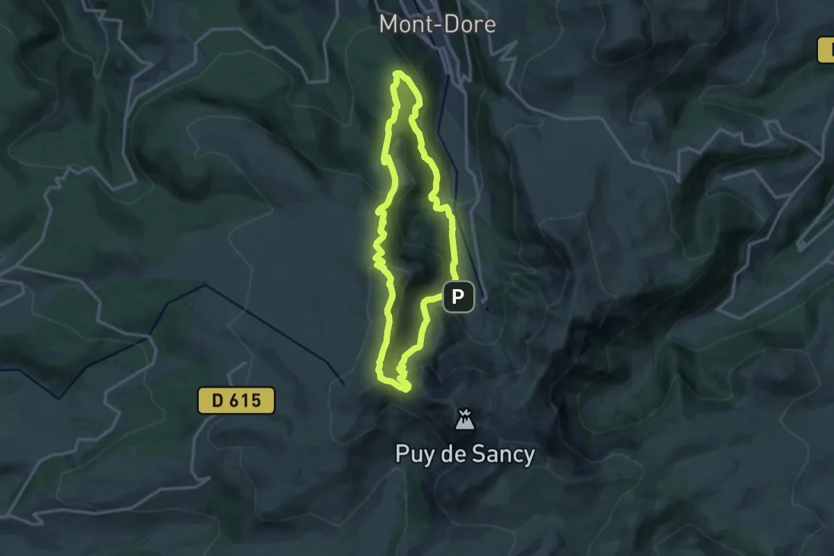
Medium · Summit
Le Capucin et le Puy de Cliergue
10.8 km · ↑ 589 m · 3 h 58 min
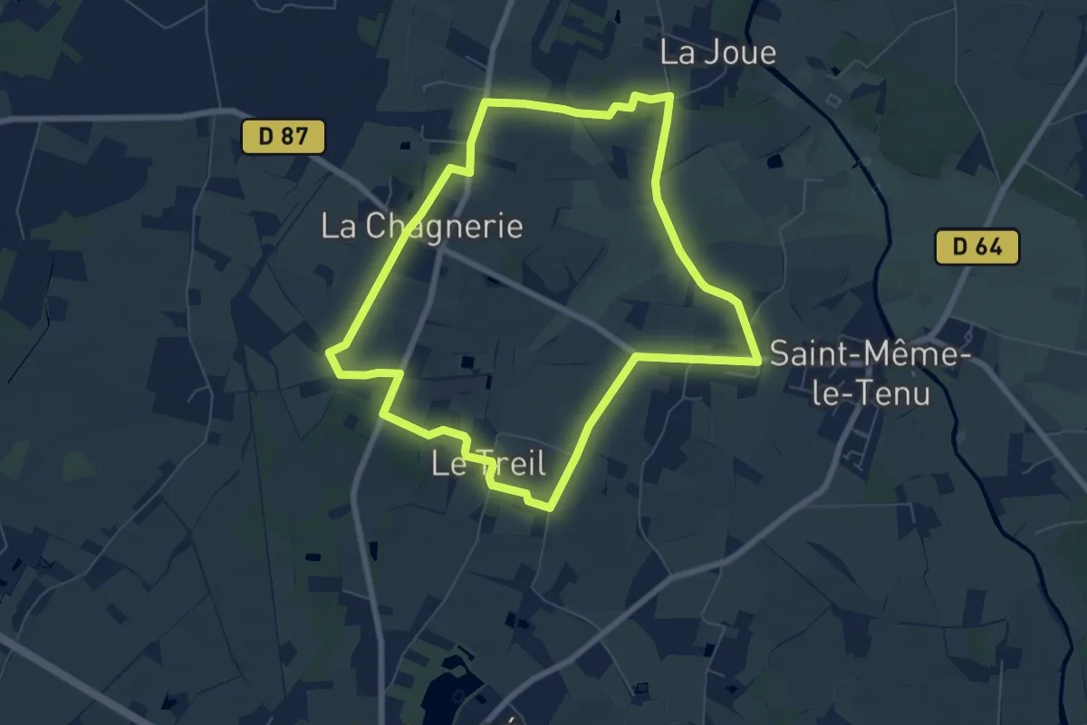
Easy · Trail
Le Cariolet
7.0 km · ↑ 22 m · 1 h 47 min
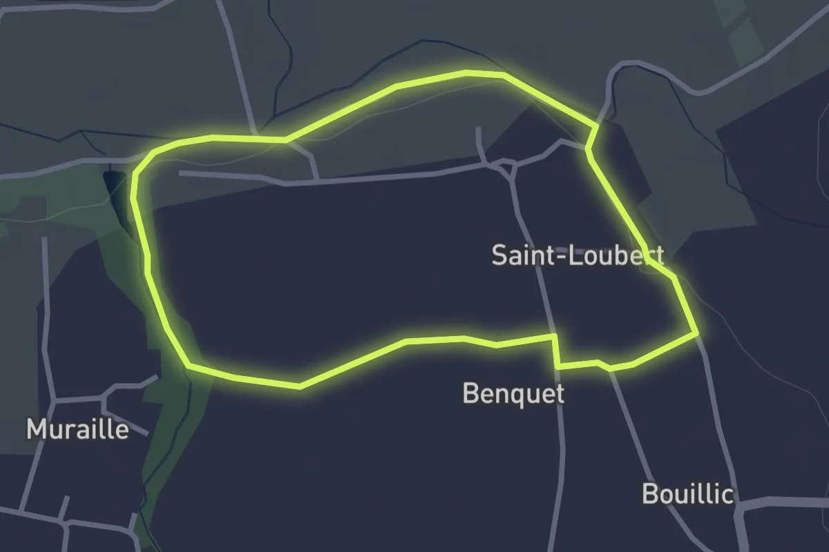
Easy · Trail
Le Carpe : boucle locale
2.8 km · ↑ 18 m · 44 min
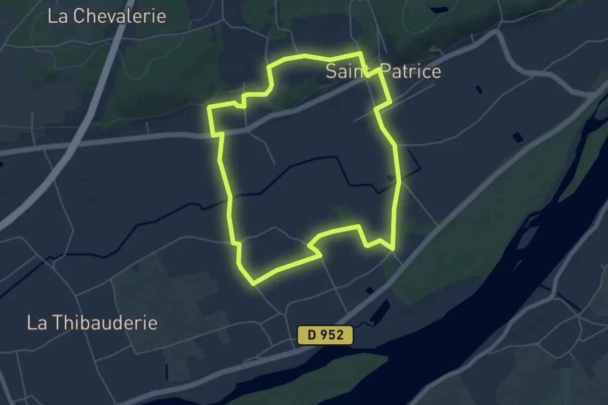
Easy · Trail
Le Carroi Marin - Coteaux-sur-Loire
5.3 km · ↑ 34 m · 1 h 24 min
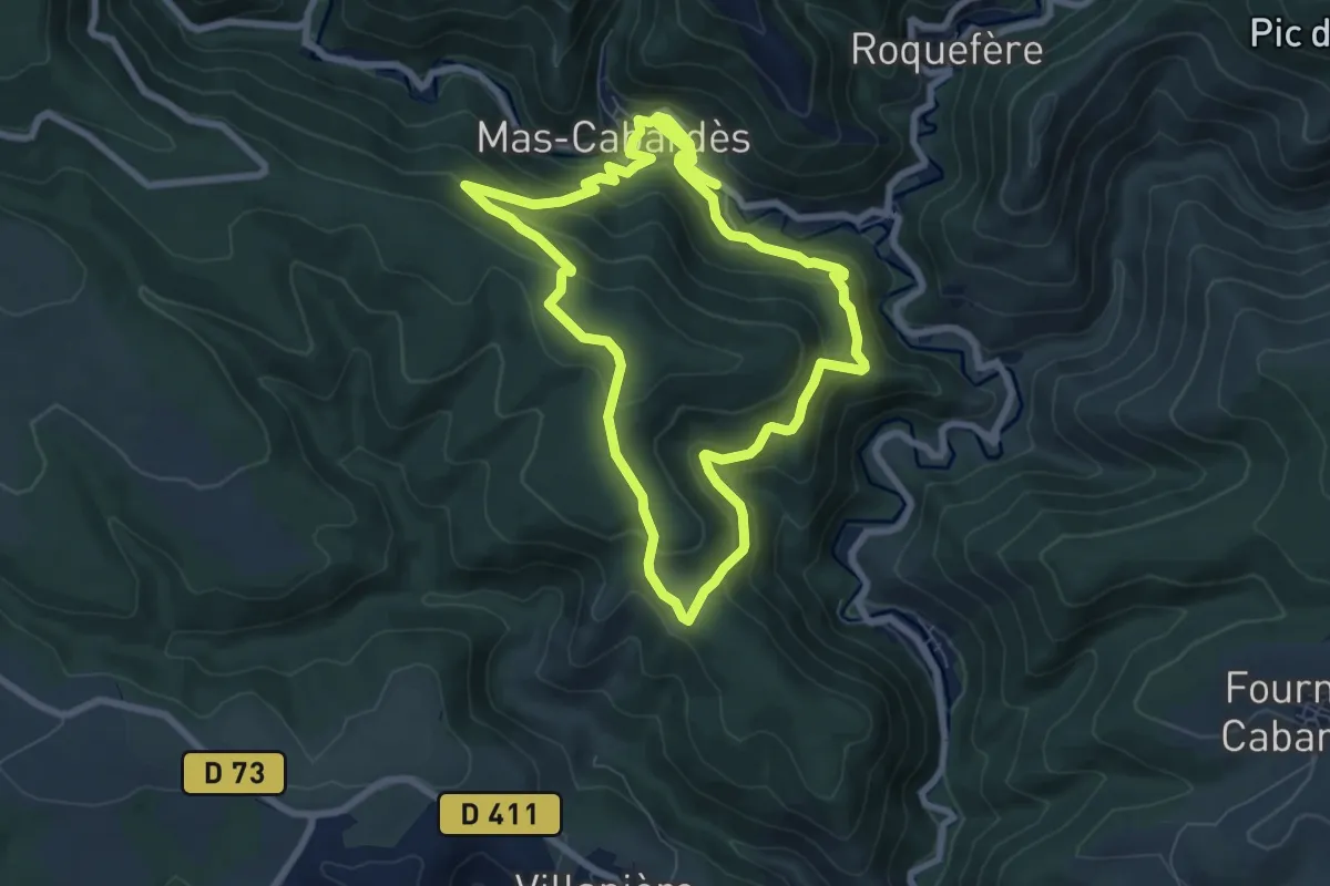
Medium · Trail
Le Castagnal Grando
7.5 km · ↑ 350 m · 2 h 39 min
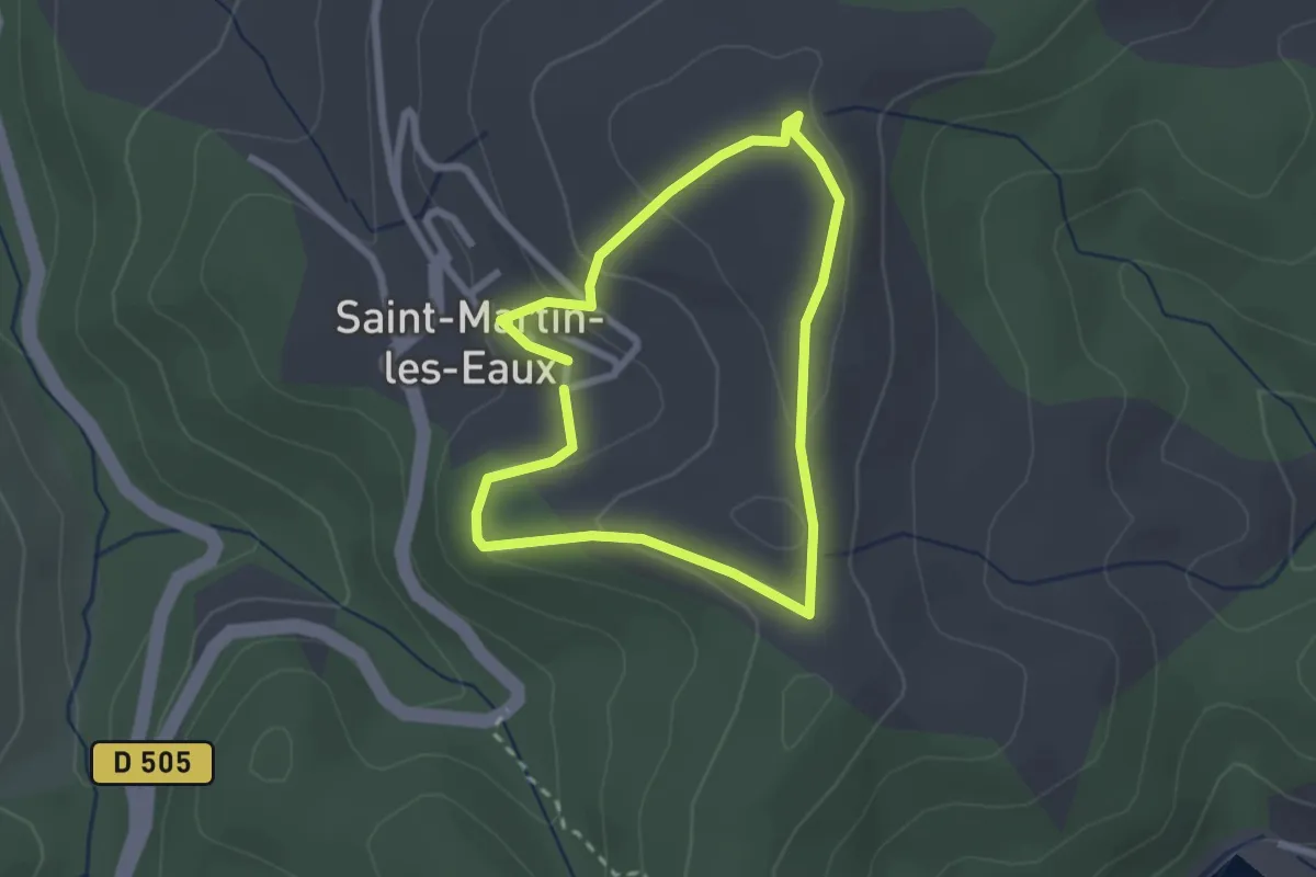
Easy · Trail
Le Castellas
2.2 km · ↑ 68 m · 42 min
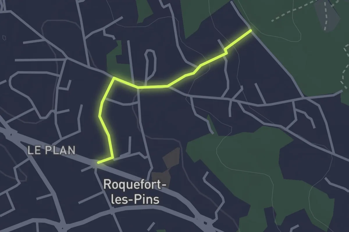
Easy · Trail
Le Castellas
2.2 km · ↑ 62 m · 39 min
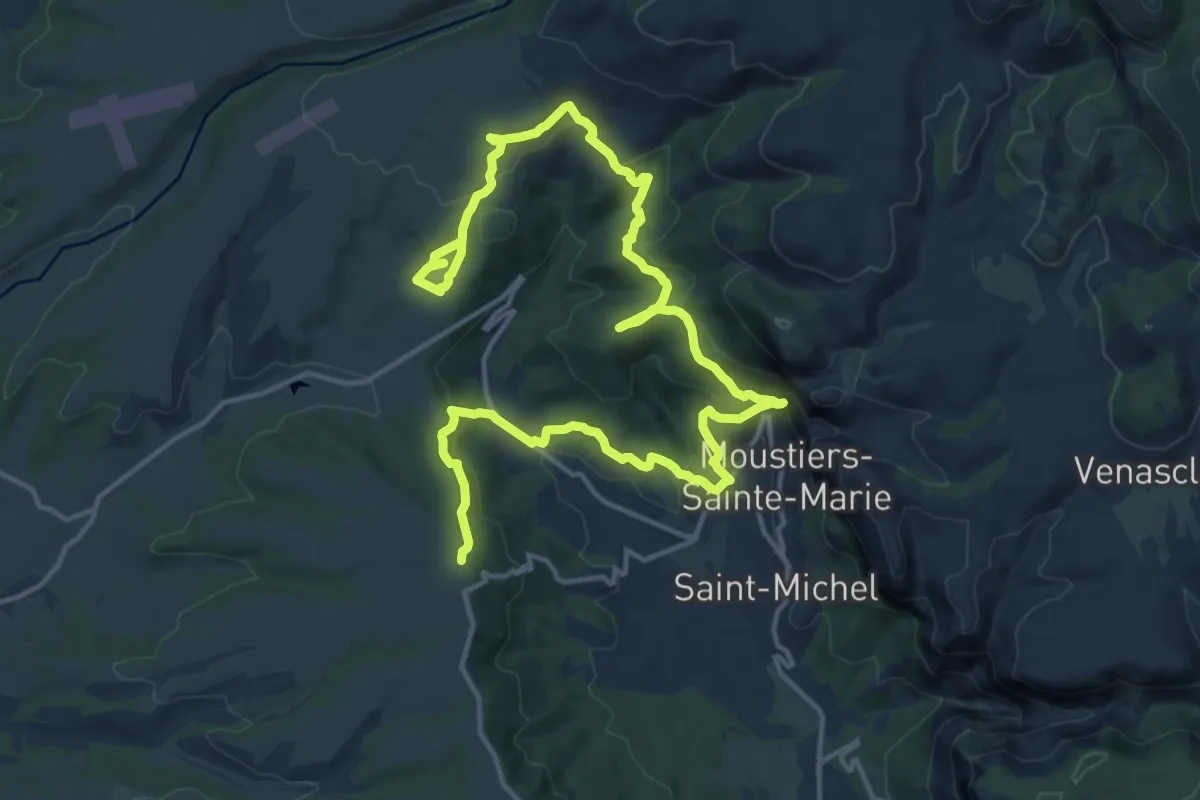
Medium · Trail
Le Castillon par les Baumes
11.5 km · ↑ 469 m · 3 h 53 min
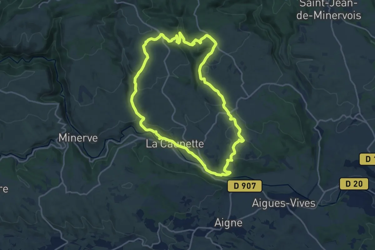
Medium · Summit
Le Causse
14.0 km · ↑ 402 m · 4 h 22 min
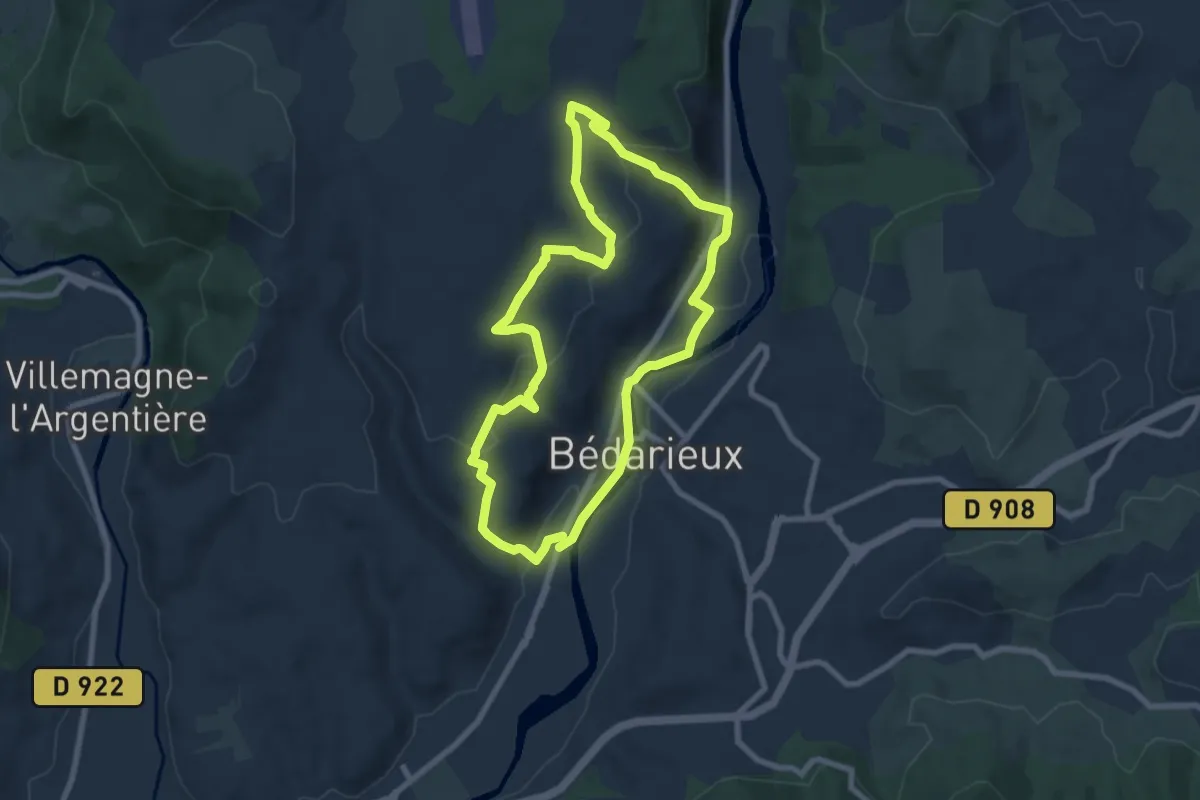
Easy · Trail
Le Causse
7.8 km · ↑ 213 m · 2 h 24 min
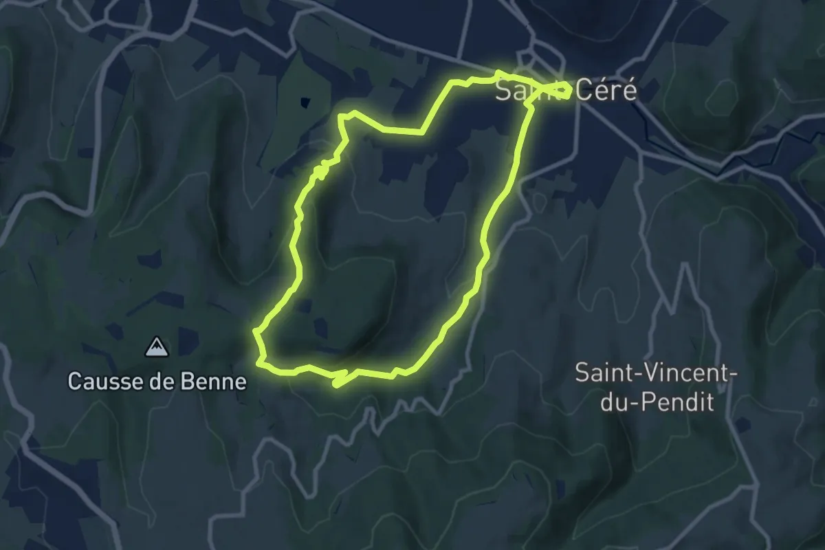
Medium · Summit
Le Causse de Lauriol
9.3 km · ↑ 225 m · 2 h 49 min
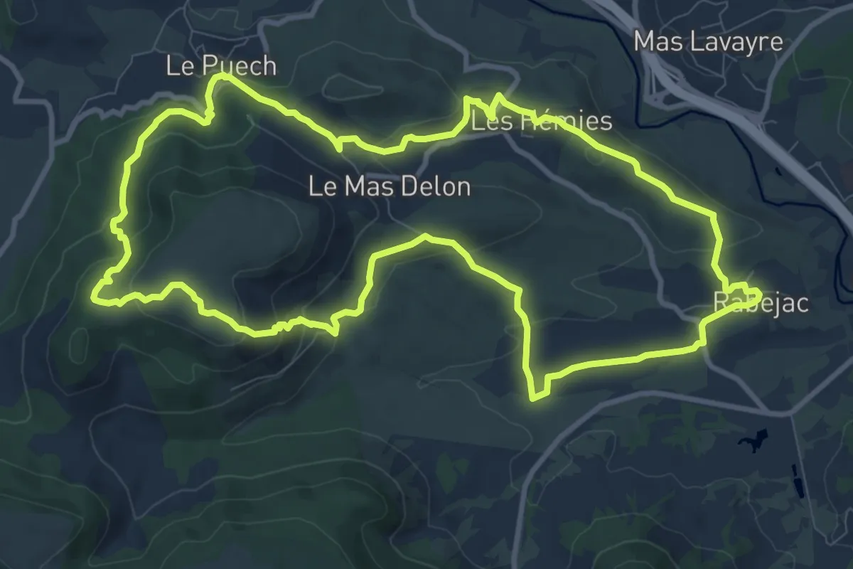
Medium · Trail
Le Cayroux
10.9 km · ↑ 343 m · 3 h 28 min
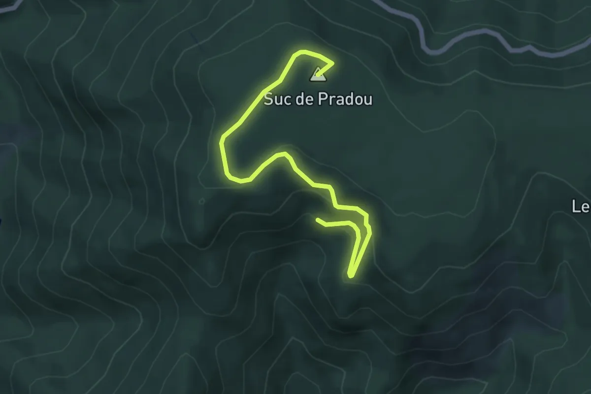
Easy · Summit
Le Chabrol - Bois de Rauset
5.4 km · ↑ 212 m · 1 h 45 min
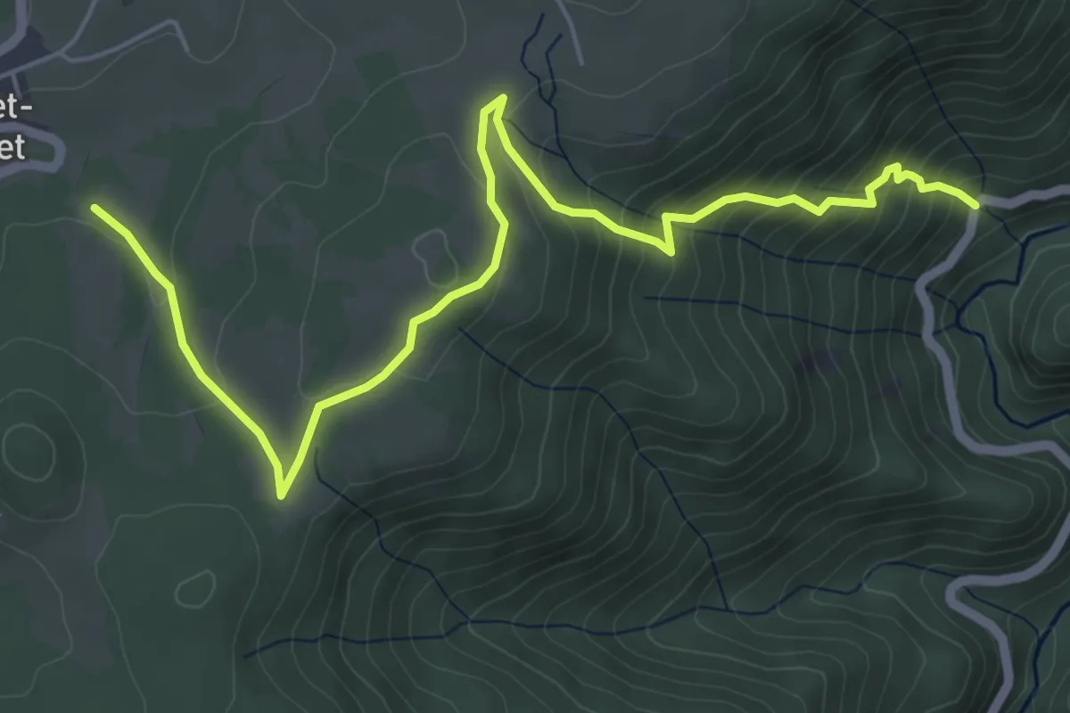
Medium · Trail
Le Chabron - La Nouvaille
6.8 km · ↑ 450 m · 2 h 35 min
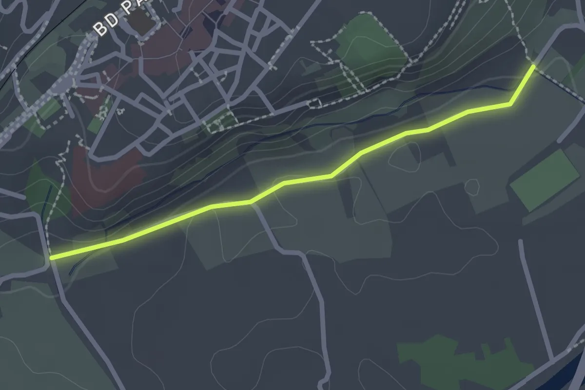
Easy · Trail
Le Chaffal - Canal sous le Roc 2
2.2 km · ↑ 34 m · 35 min
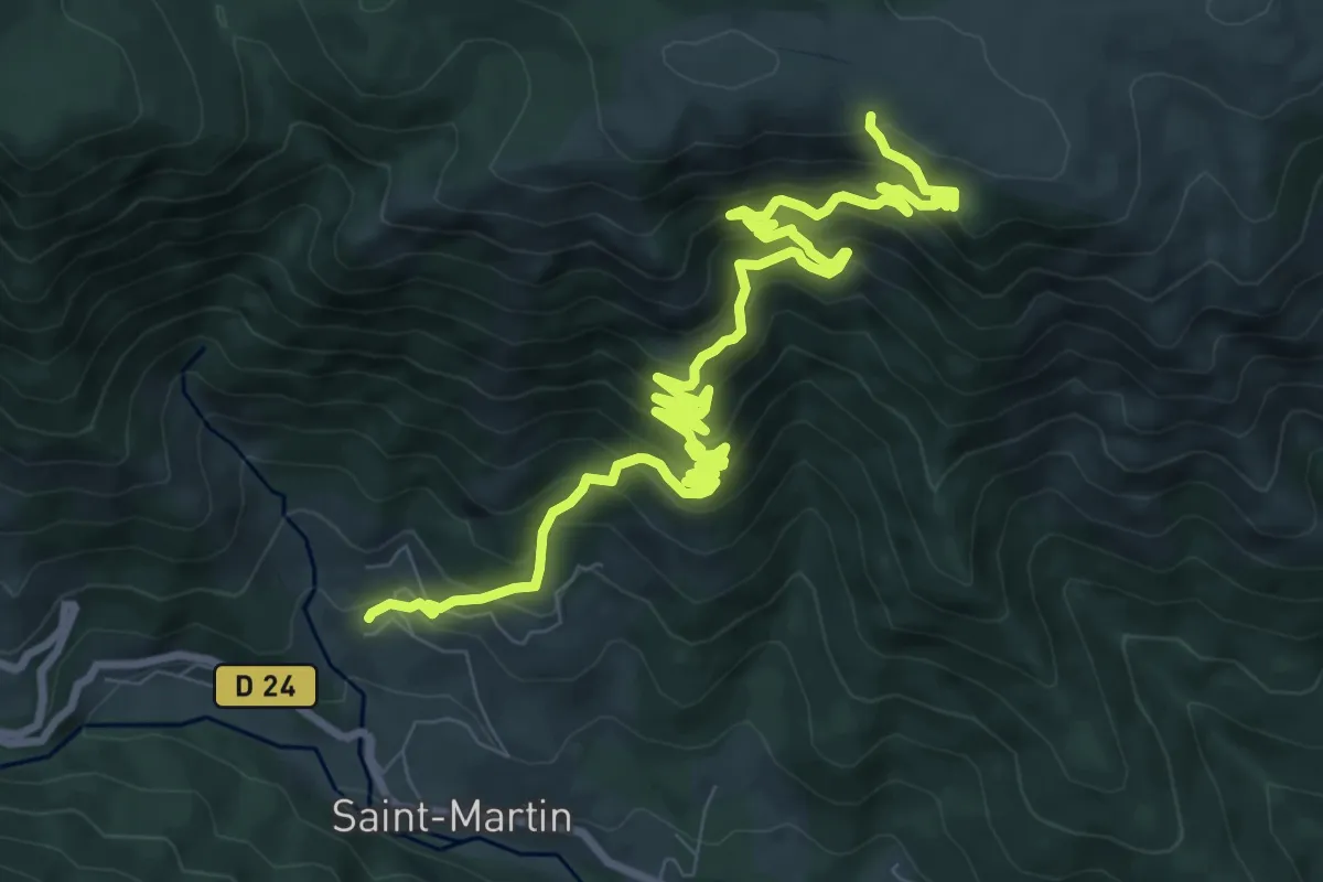
Demanding · Trail
Le Chalas - Méjean
13.0 km · ↑ 1130 m · 5 h 31 min
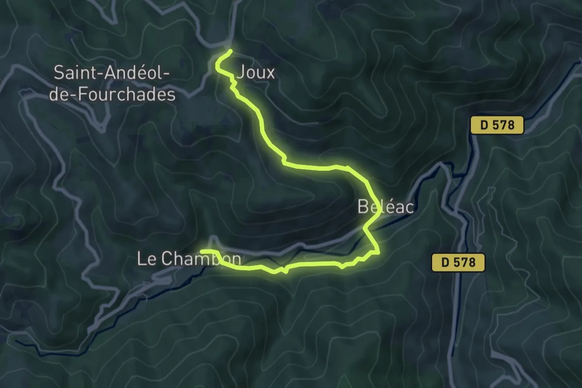
Medium · Trail
Le Chambon - Col de Joux
7.9 km · ↑ 373 m · 2 h 41 min
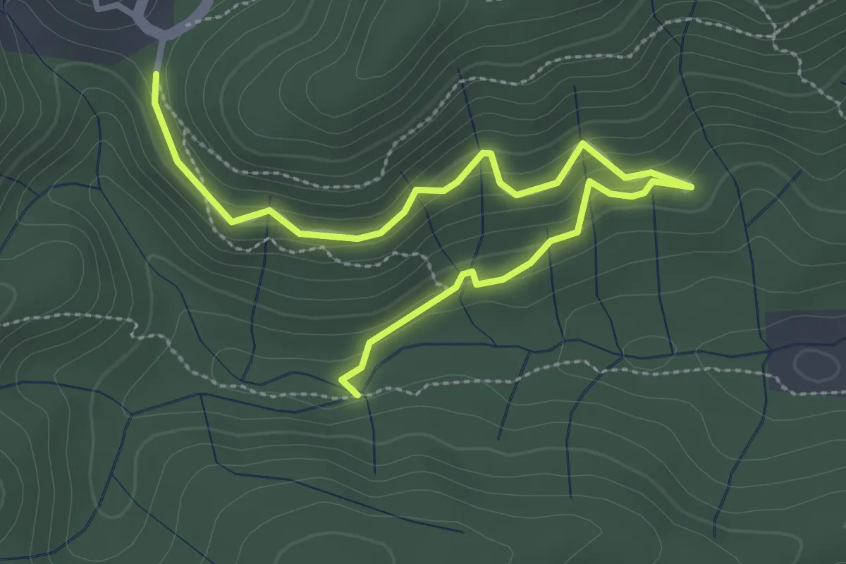
Easy · Trail
Le Chambon - La Coste
3.8 km · ↑ 206 m · 1 h 20 min
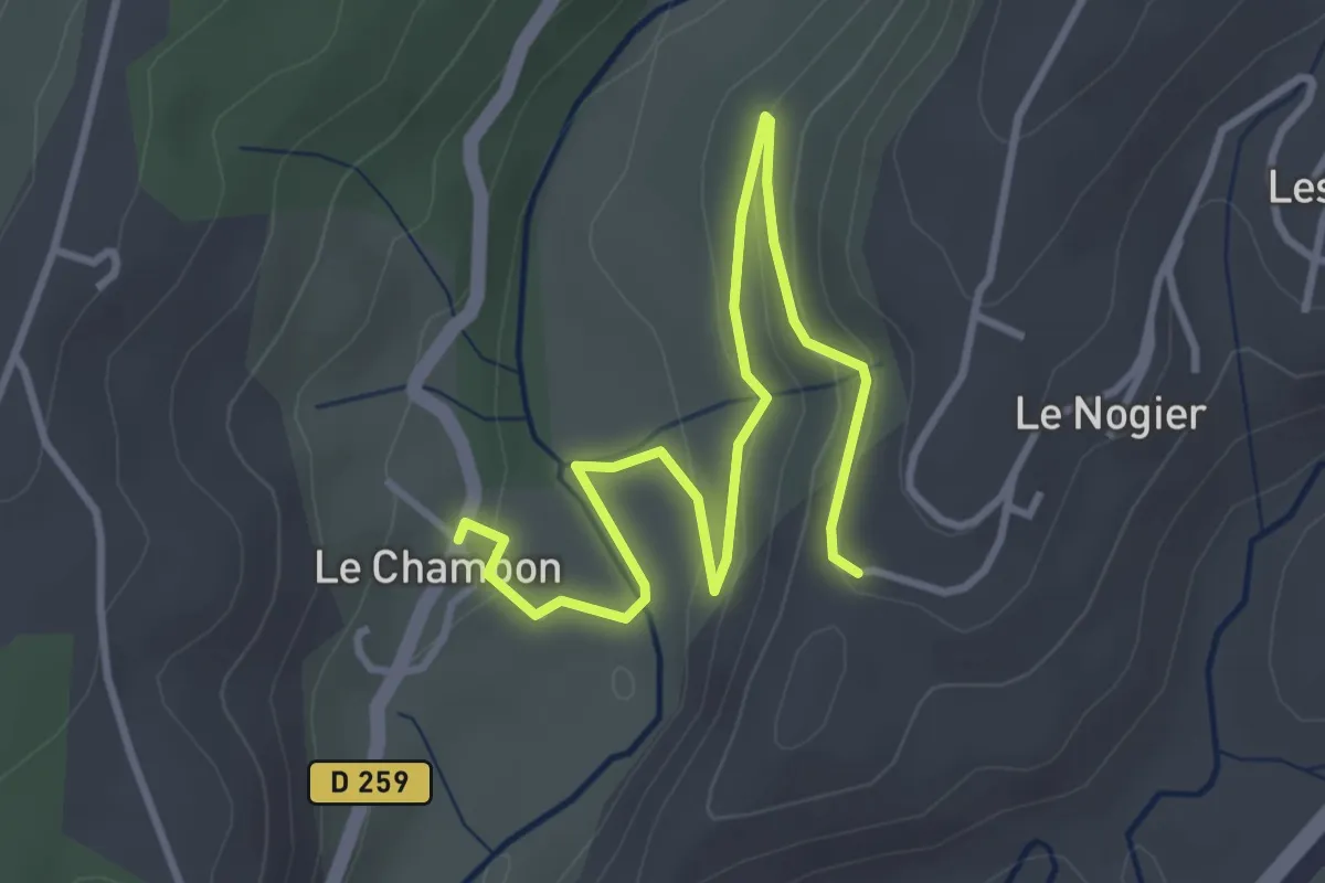
Easy · Trail
Le Chambon - La Téoule
4.4 km · ↑ 142 m · 1 h 21 min
Easy · Trail
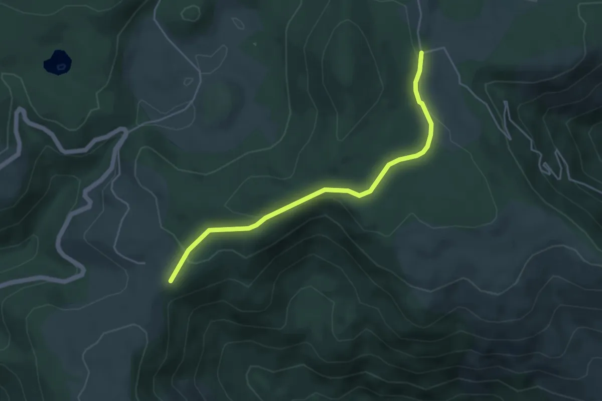
Le Chambon - Les Oulettes
4.5 km · ↑ 112 m · 1 h 18 min
Easy · Trail
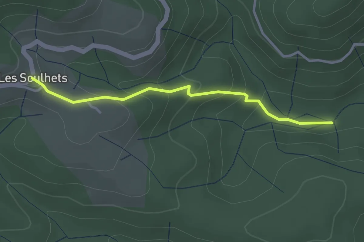
Le Chambon - Les Soulhets
2.7 km · ↑ 156 m · 58 min
Easy · Trail
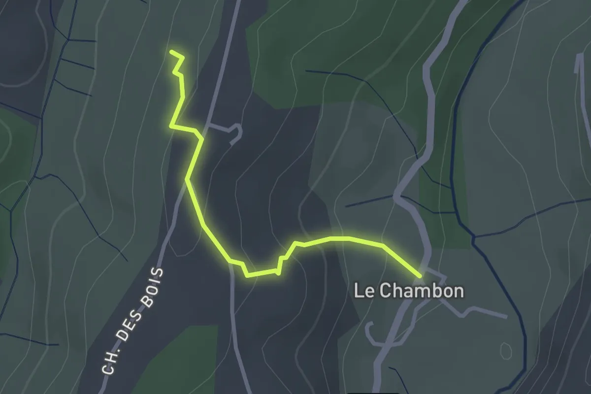
Le Chambon - Le Suel
2.4 km · ↑ 133 m · 52 min
Easy · Trail
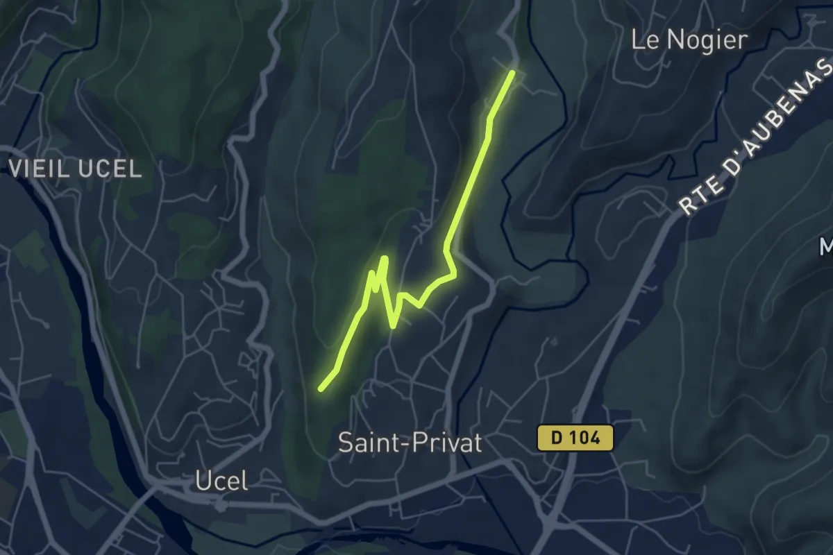
Le Chambon - L'Houme
5.4 km · ↑ 102 m · 1 h 30 min
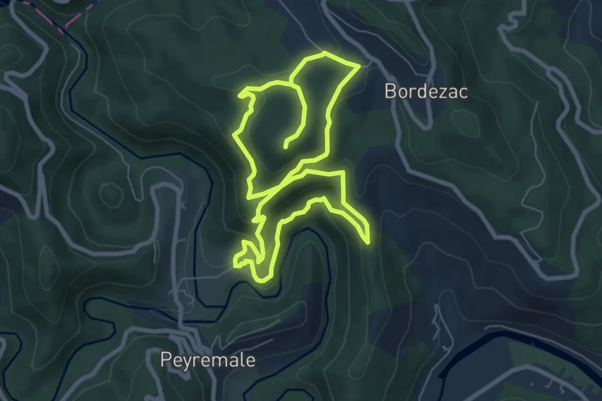
Easy · Trail
Le Chambonnet
6.0 km · ↑ 310 m · 2 h 12 min
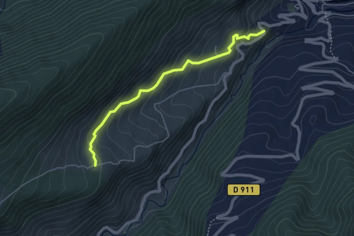
Easy · Trail
Le Champ
2.0 km · ↑ 0 m · 38 min
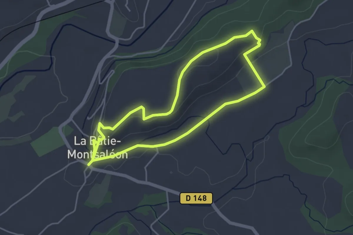
Easy · Trail
Le champ de la bataille
3.8 km · ↑ 55 m · 1 h 5 min
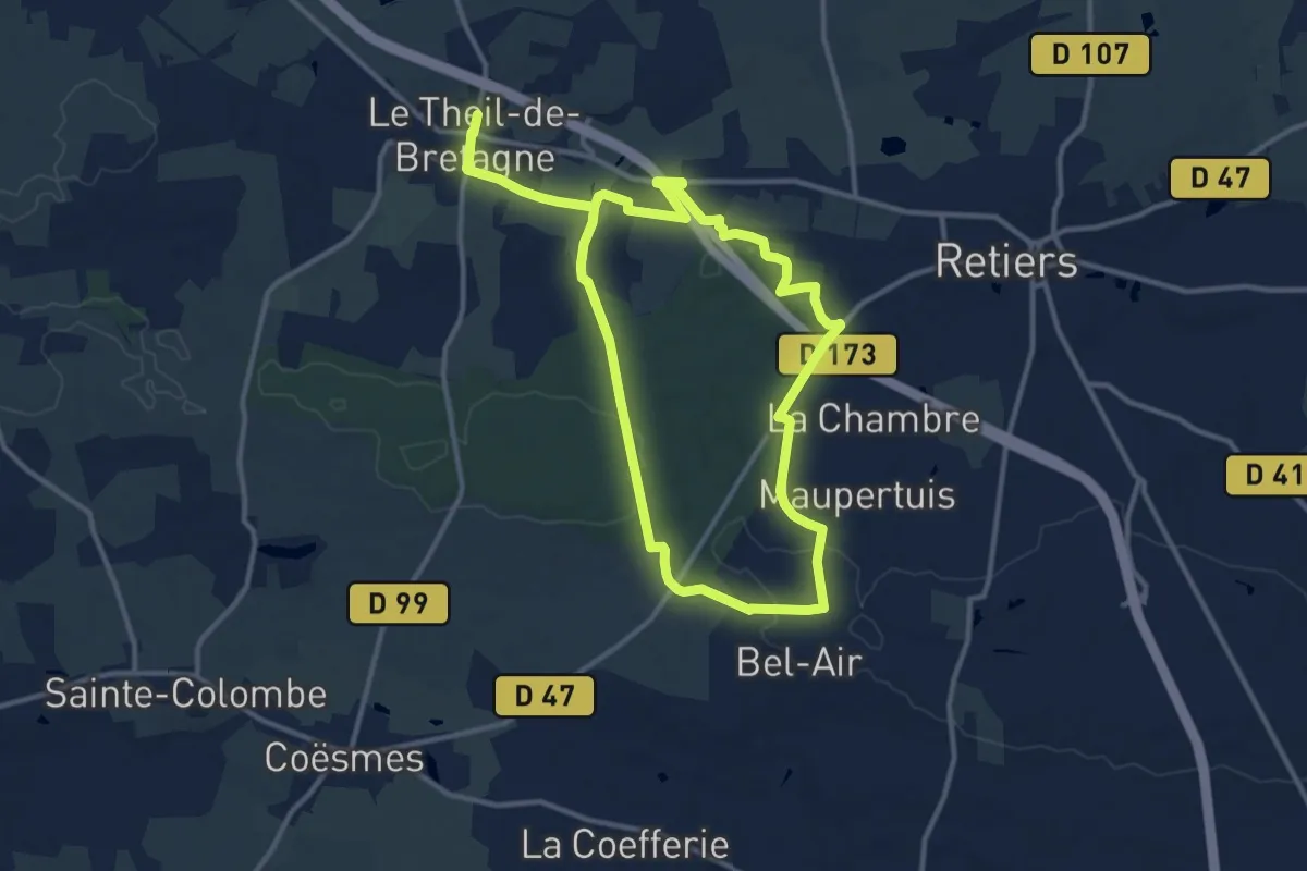
Demanding · Trail
Le Champ Fleuri
20.9 km · ↑ 243 m · 5 h 28 min