Trails in France
15,926 hiking trails, each with its route, climb, walking time and grade.
All trails, page 156 of 332
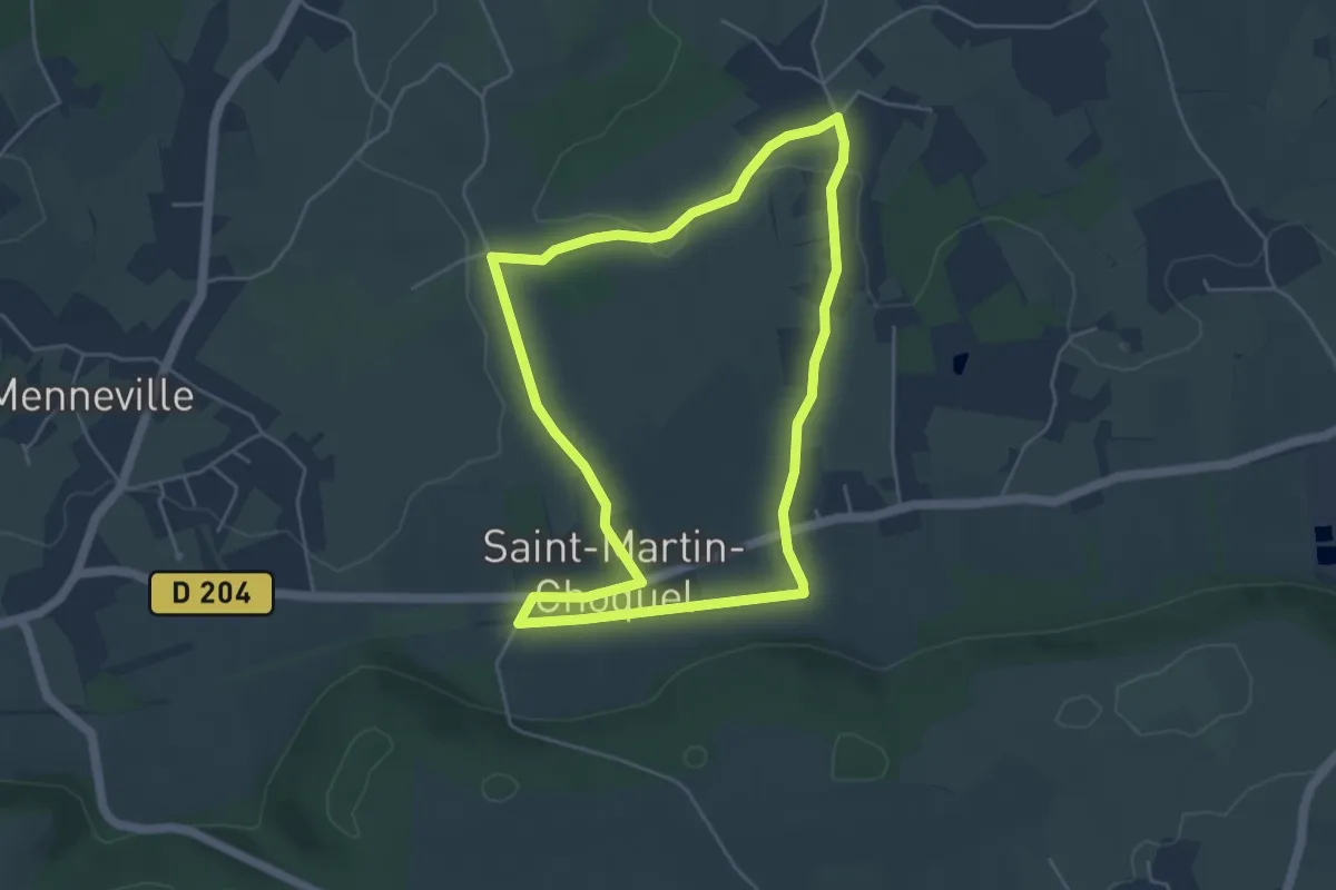
Easy · Trail
Le Champ Lart
4.4 km · ↑ 26 m · 1 h 9 min
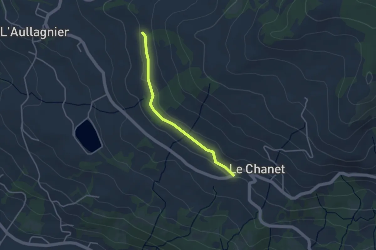
Easy · Trail
Le Chanet - ?
2.7 km · ↑ 48 m · 44 min
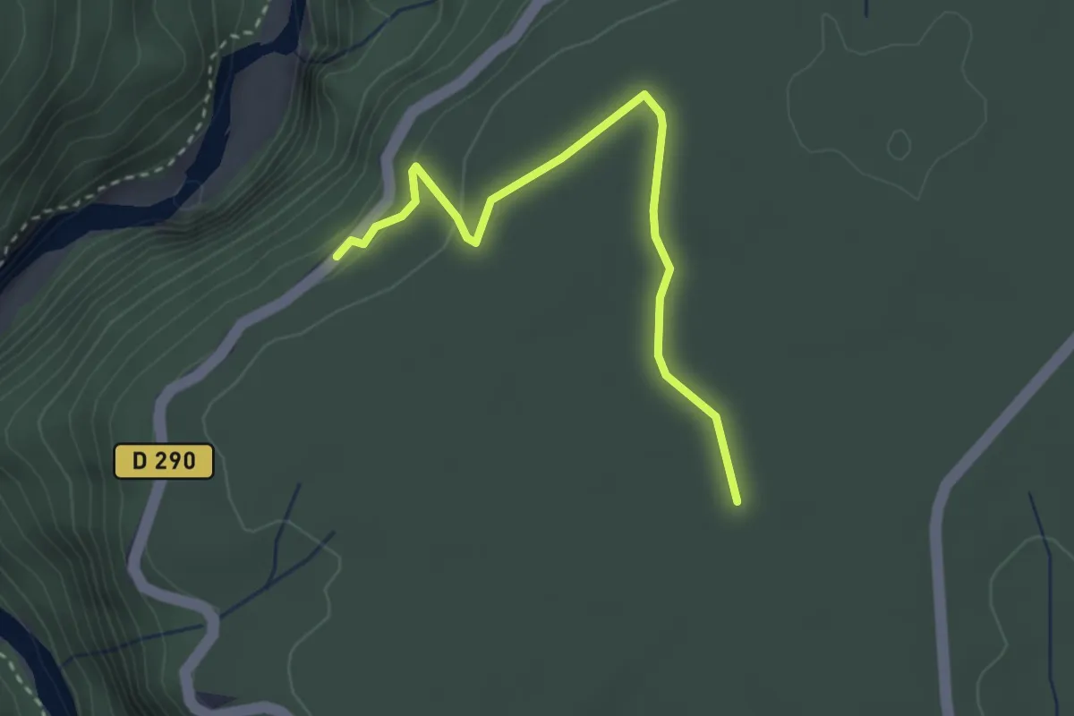
Easy · Trail
Le Chanet - Aven du Cadet
3.1 km · ↑ 62 m · 53 min
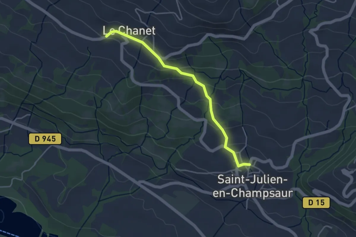
Easy · Trail
Le Chanet - St Julien
3.4 km · ↑ 115 m · 1 h 3 min
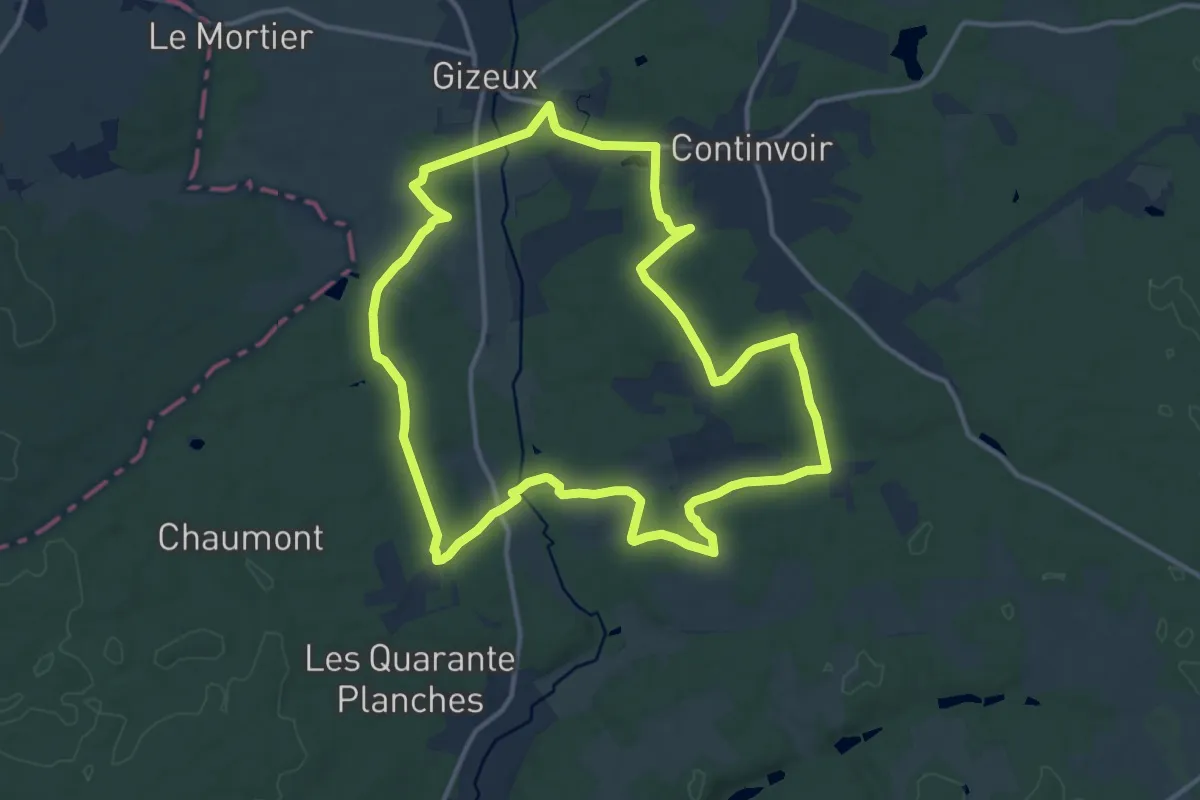
Medium · Trail
Le Changeon - Gizeux - Continvoir
13.3 km · ↑ 121 m · 3 h 35 min
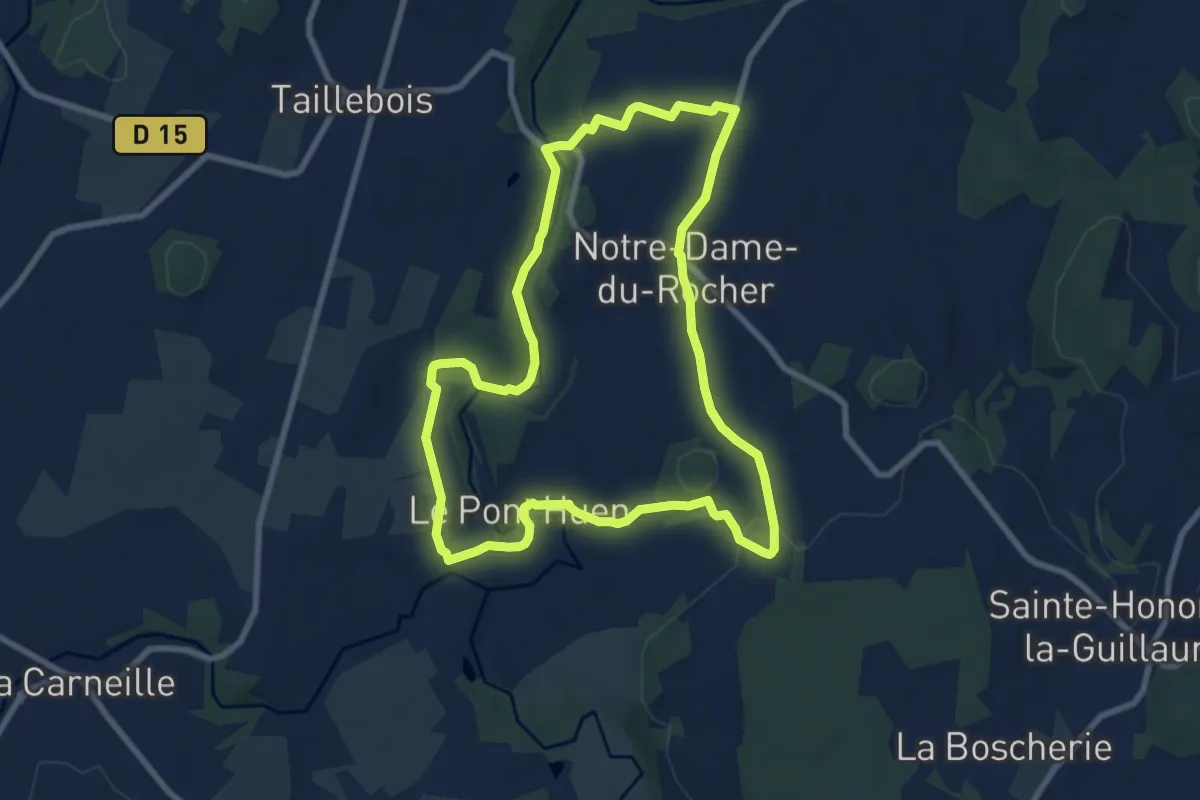
Easy · Trail
Le chant des cailoux
7.9 km · ↑ 118 m · 2 h 14 min
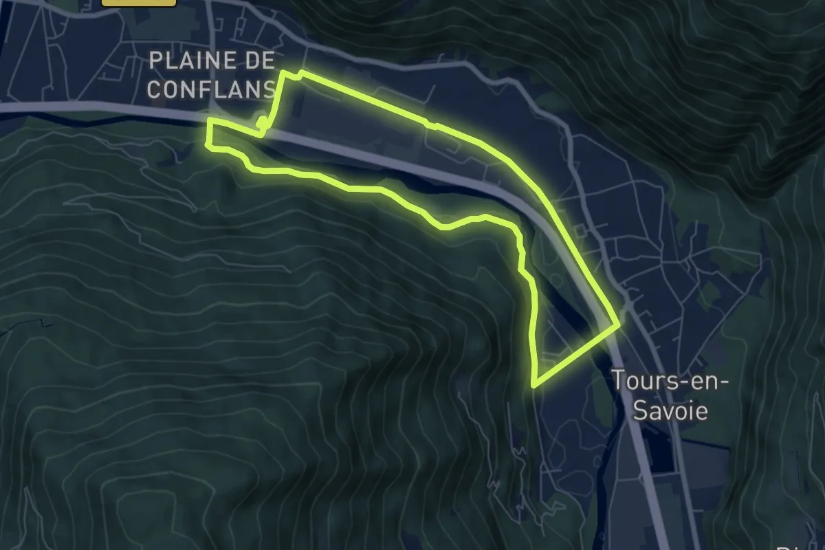
Easy · Trail
L'échappée Verte
6.9 km · ↑ 78 m · 1 h 54 min
Easy · Trail
Le Charnier - Montagu
4.6 km · ↑ 67 m · 1 h 13 min
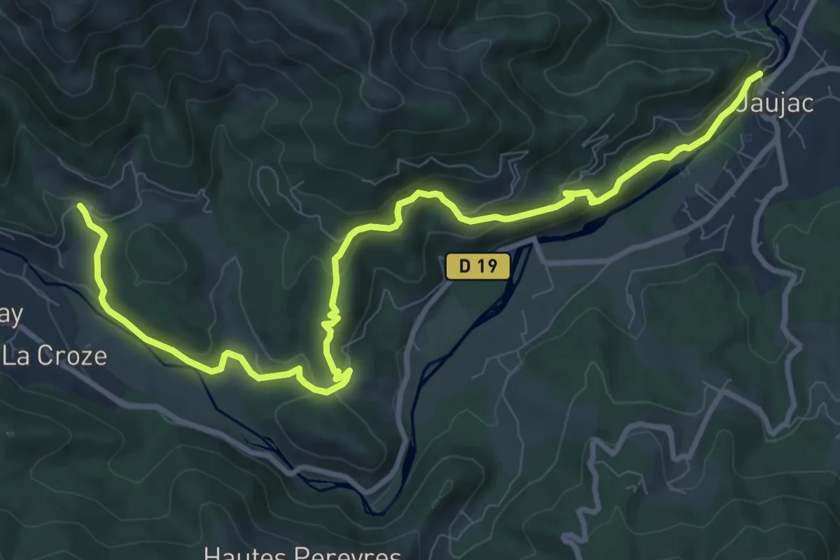
Medium · Trail
Le Chastelas - La Lioure
11.6 km · ↑ 431 m · 3 h 40 min
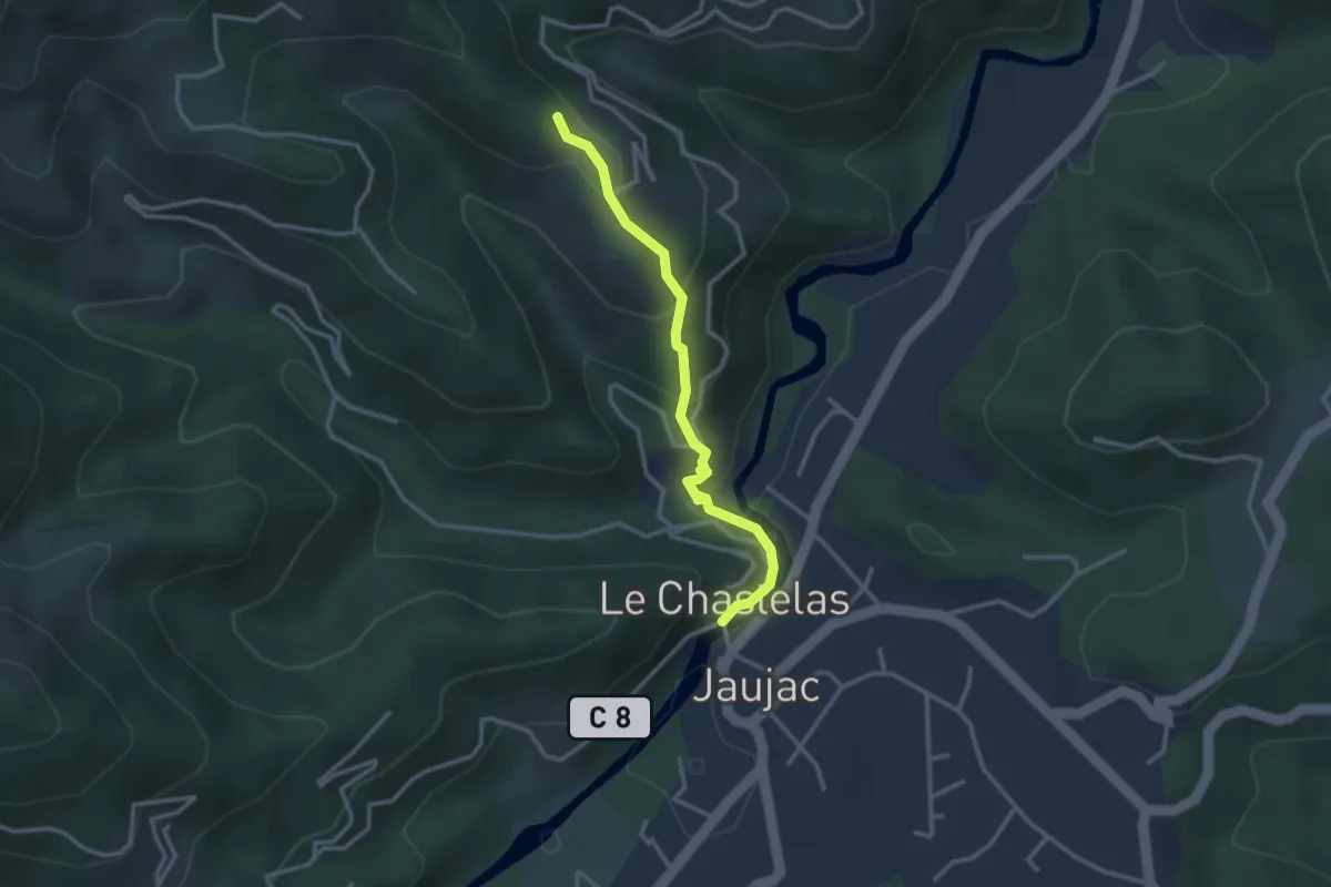
Medium · Trail
Le Chastelas - Le Monteil
3.0 km · ↑ 159 m · 1 h 3 min
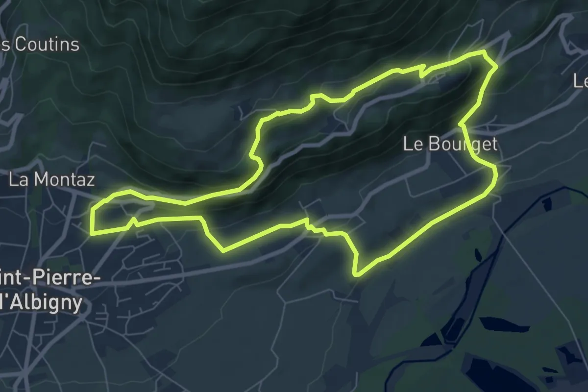
Medium · Trail
Le Chateau
7.2 km · ↑ 322 m · 2 h 30 min
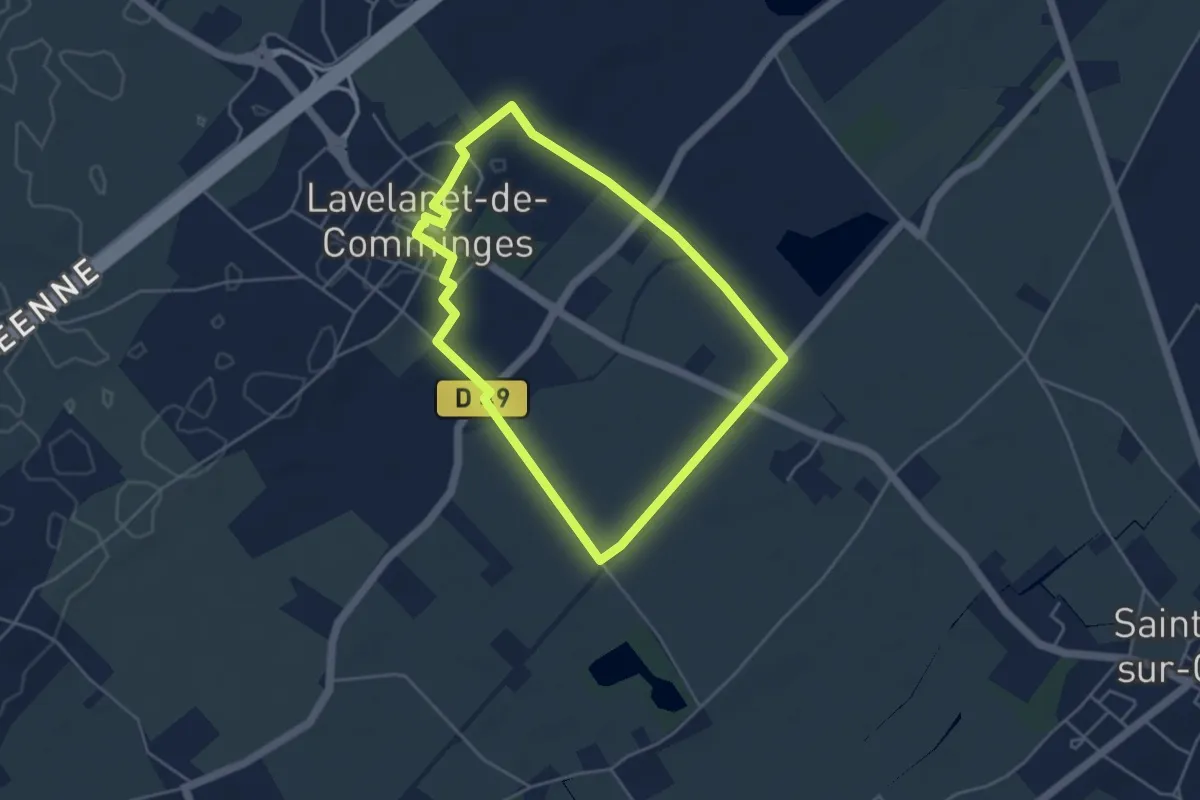
Easy · Trail
Le Château
4.3 km · ↑ 13 m · 1 h 6 min
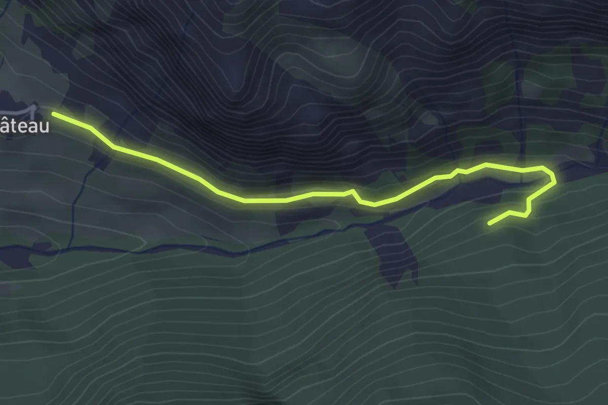
Easy · Trail
Le Château - ?
3.7 km · ↑ 90 m · 1 h 4 min
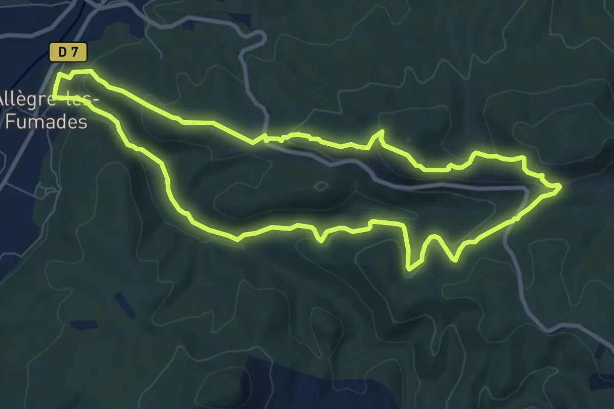
Medium · Trail
Le château d'Allègre
8.7 km · ↑ 314 m · 2 h 51 min
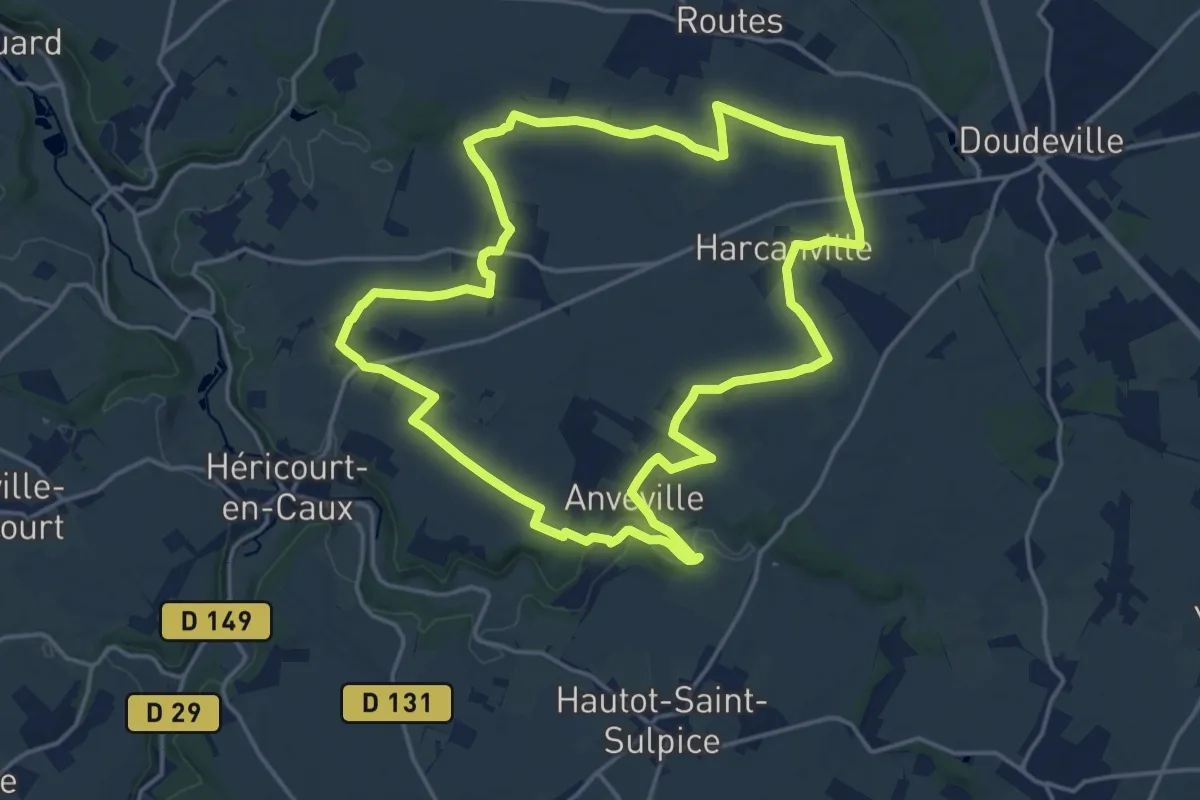
Medium · Trail
Le Château d’eau “Fleur de Lin”
16.8 km · ↑ 127 m · 4 h 28 min
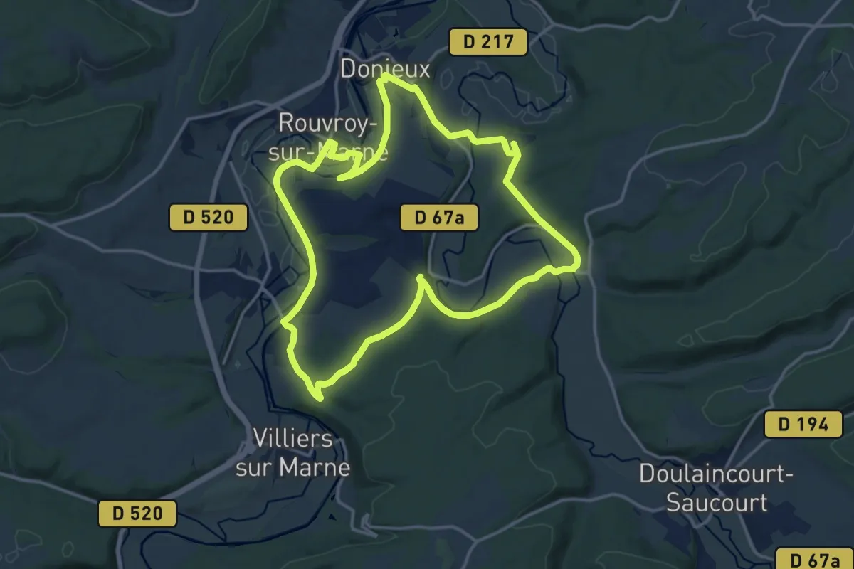
Medium · Trail
Le Château de Donjeux
13.8 km · ↑ 191 m · 3 h 52 min
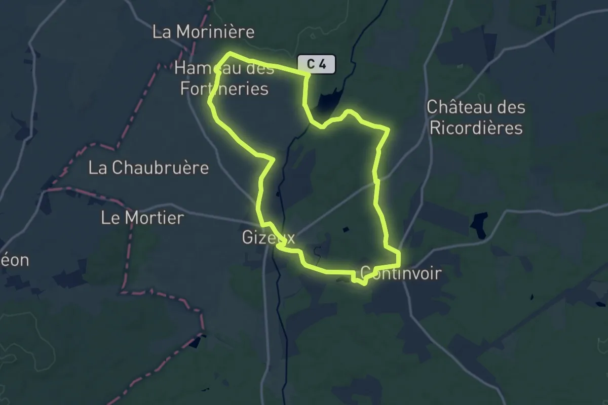
Medium · Trail
Le Château de Gizeux - Gizeux
11.2 km · ↑ 74 m · 2 h 58 min
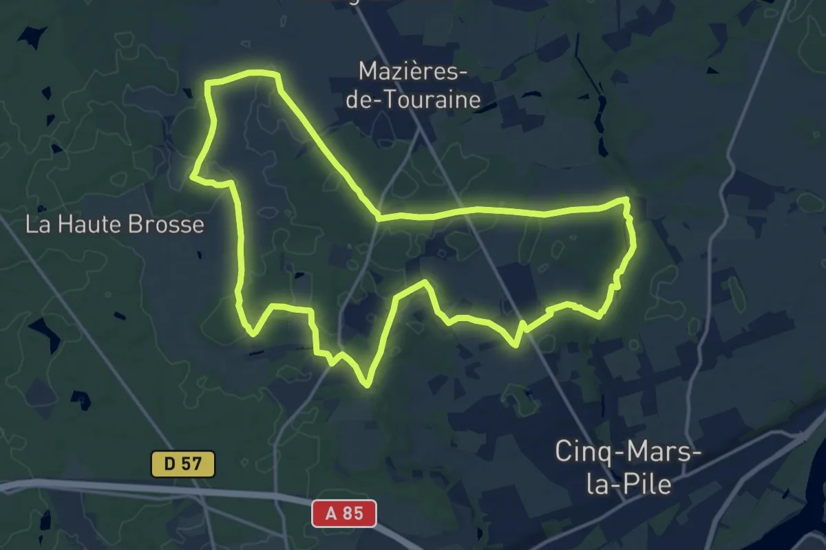
Medium · Trail
Le château de la Bruyère
15.6 km · ↑ 144 m · 4 h 13 min
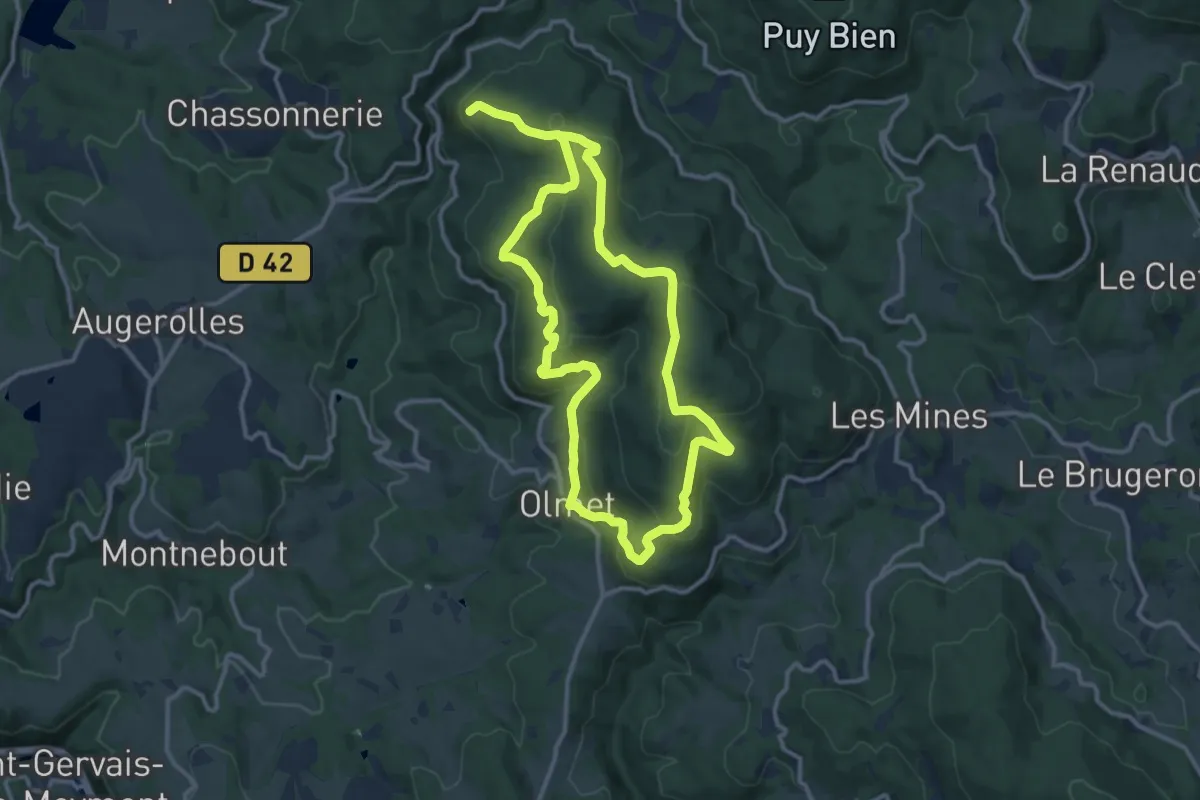
Medium · Trail
Le Chateau de la Faye
11.2 km · ↑ 390 m · 3 h 40 min
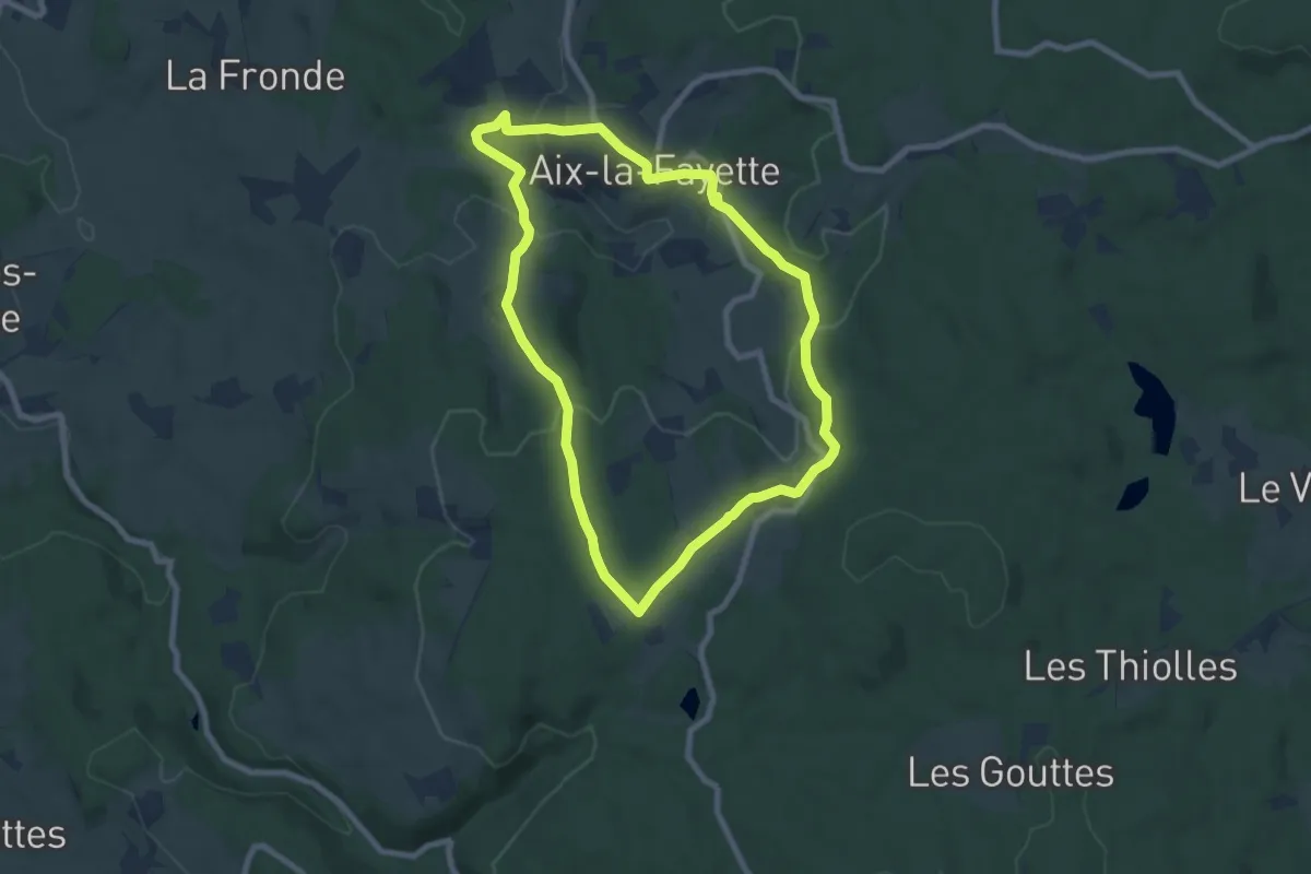
Easy · Trail
Le Château de la Fayette
7.6 km · ↑ 229 m · 2 h 24 min
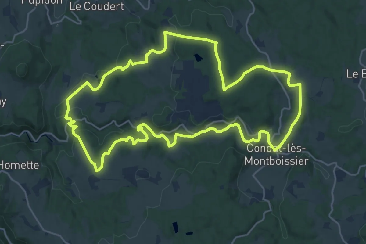
Medium · Trail
Le Château de Liberty
15.9 km · ↑ 366 m · 4 h 47 min
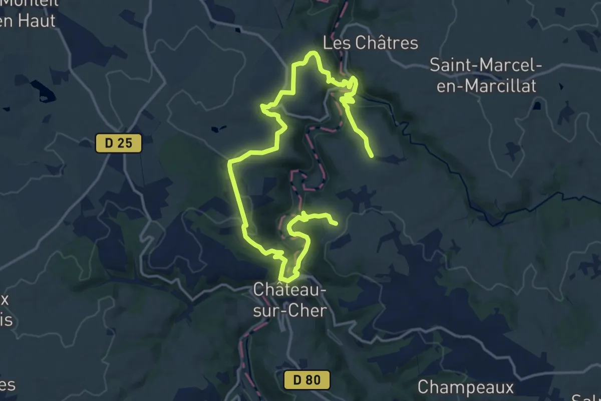
Medium · Trail
Le Chateau de Ligondes
9.4 km · ↑ 310 m · 3 h 1 min
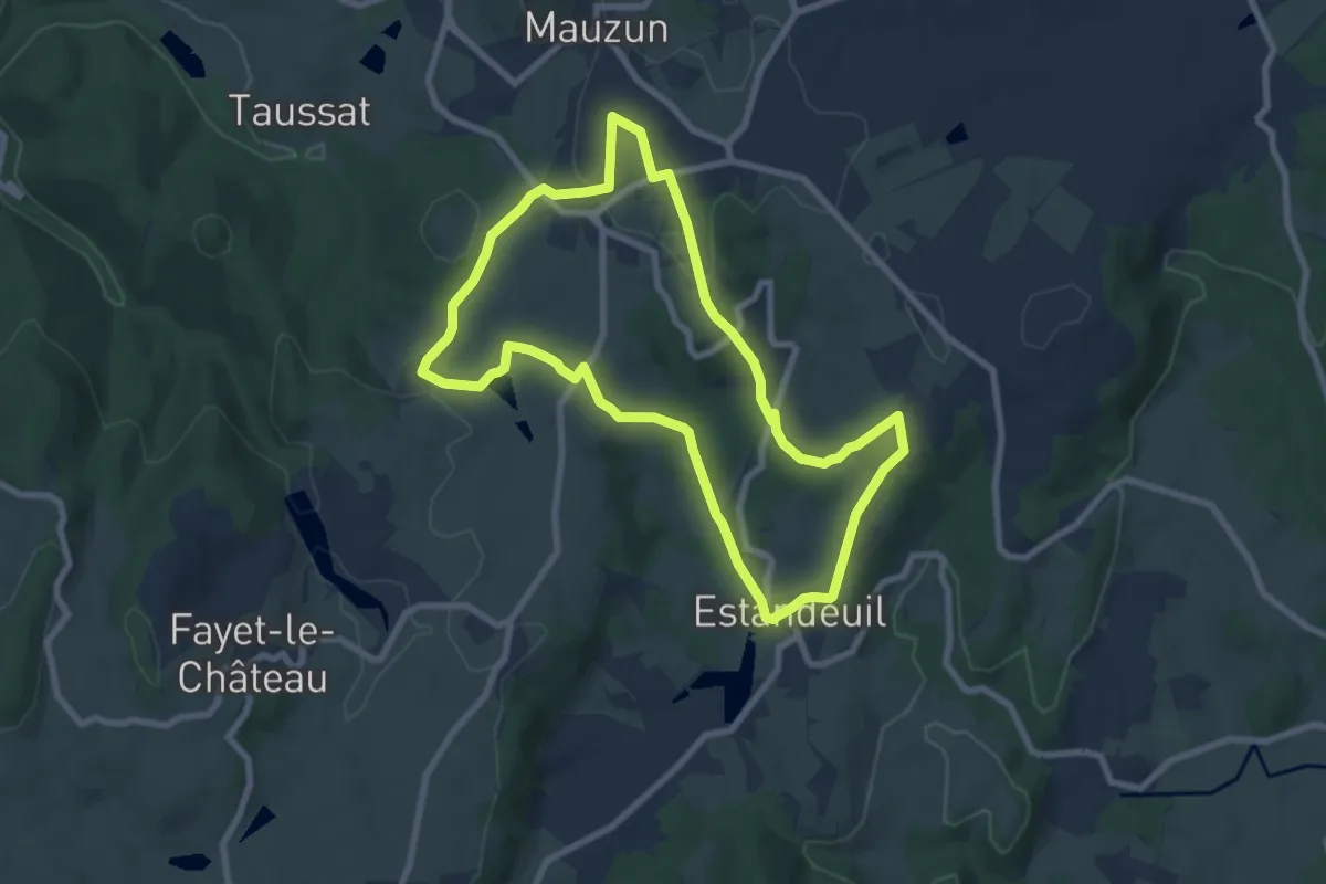
Easy · Trail
Le Chateau de Mauzun
7.8 km · ↑ 216 m · 2 h 25 min
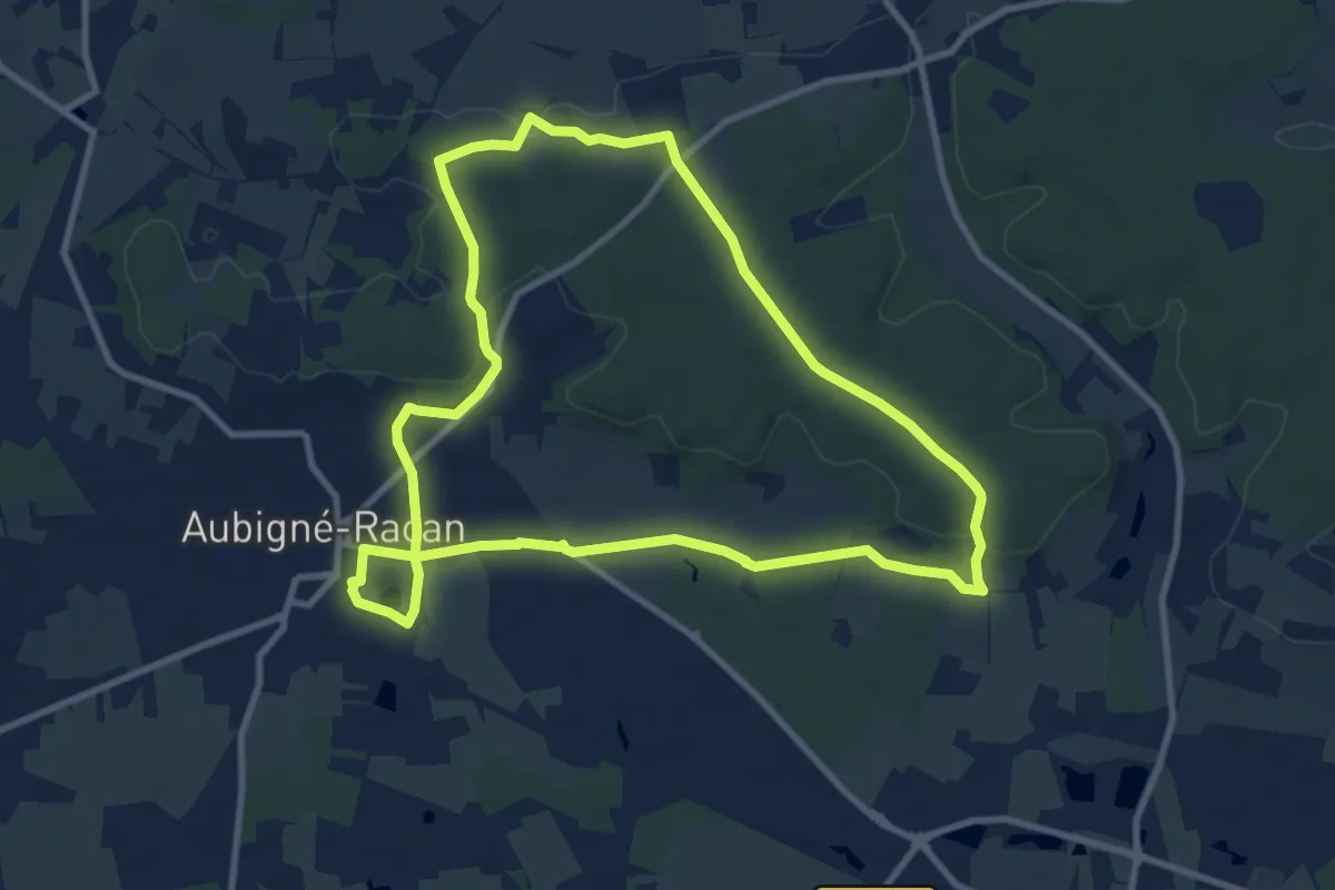
Medium · Trail
Le château de Mazouet
9.7 km · ↑ 109 m · 2 h 39 min
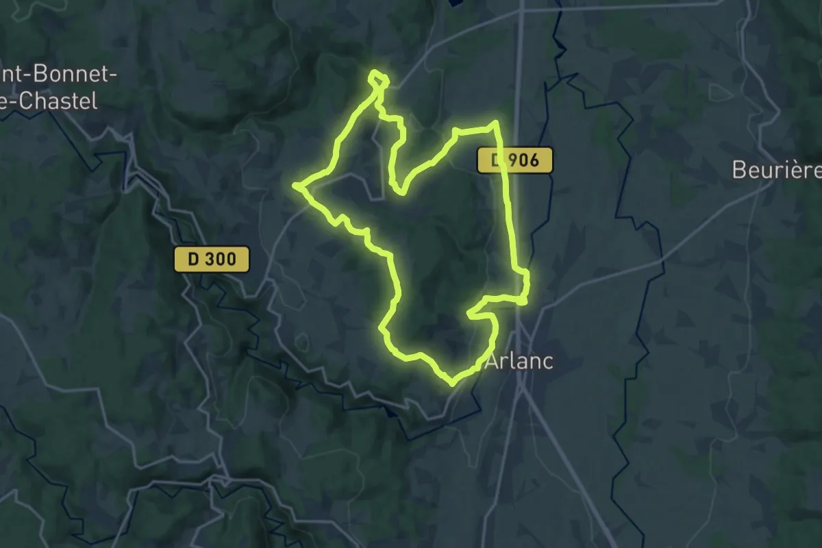
Medium · Trail
Le Château de Mons
17.0 km · ↑ 362 m · 5 h 2 min
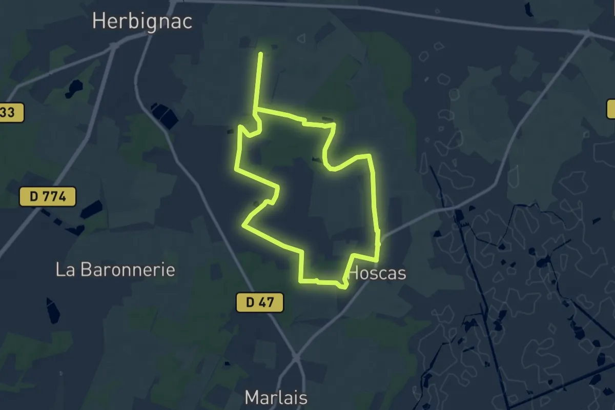
Medium · Trail
Le Château de Ranrouët
15.9 km · ↑ 40 m · 3 h 50 min
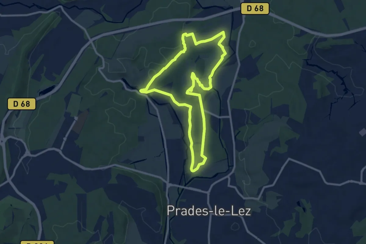
Medium · Trail
Le Château de Restinclières
8.1 km · ↑ 56 m · 2 h 9 min
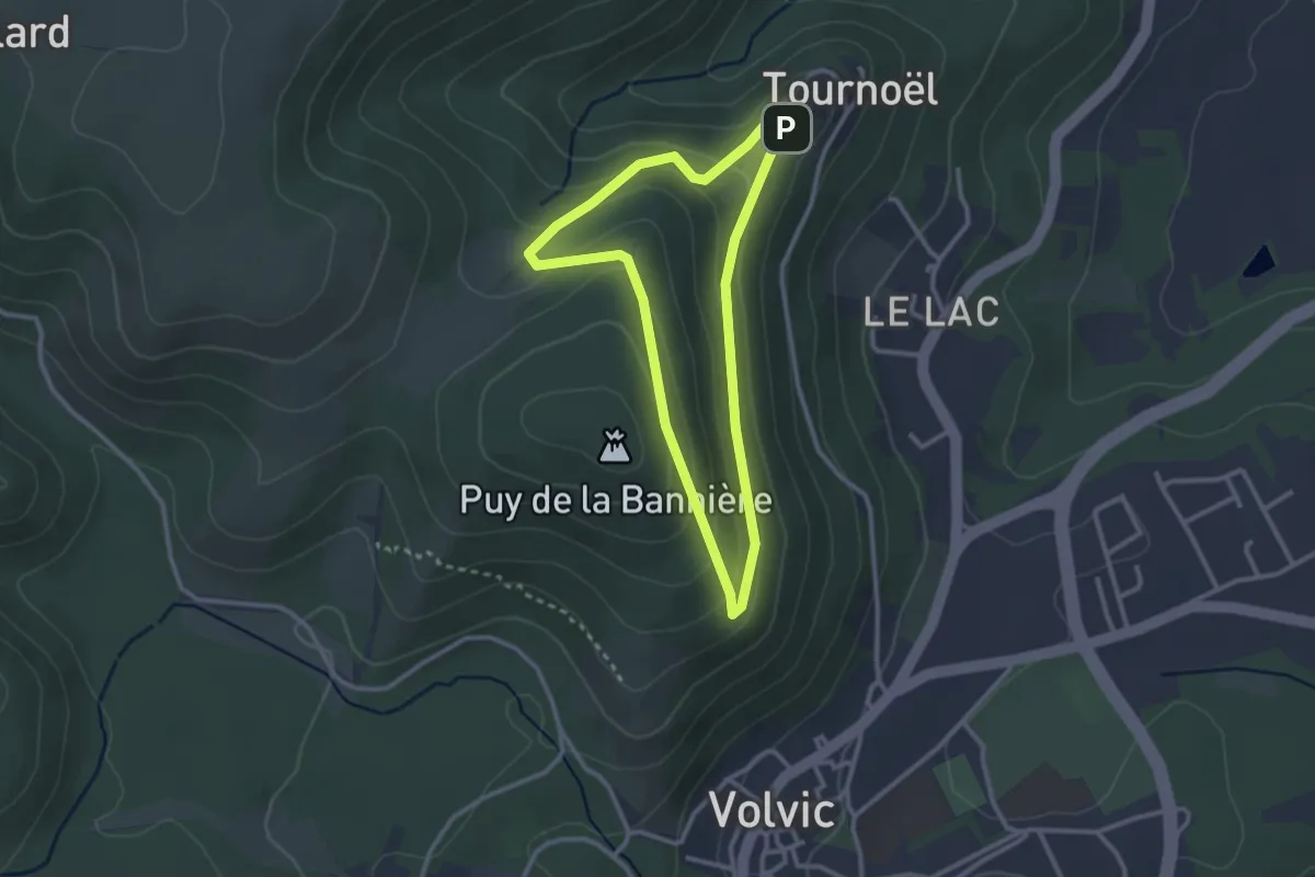
Easy · Summit
Le Château de Tournoël
2.6 km · ↑ 106 m · 53 min
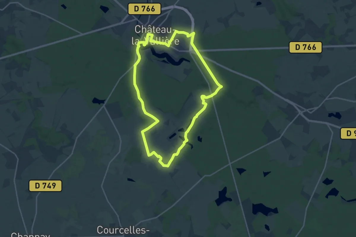
Medium · Trail
Le château de Vaujours - Château-la-Vallière
15.2 km · ↑ 128 m · 4 h 5 min
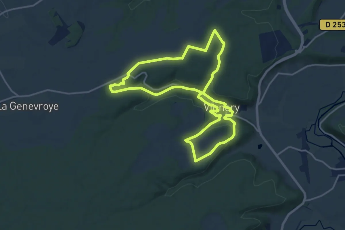
Medium · Trail
Le Château de Vignory
10.5 km · ↑ 214 m · 3 h 6 min
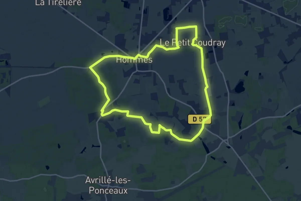
Medium · Trail
Le Château d'Hommes - Hommes
12.5 km · ↑ 32 m · 3 h 12 min
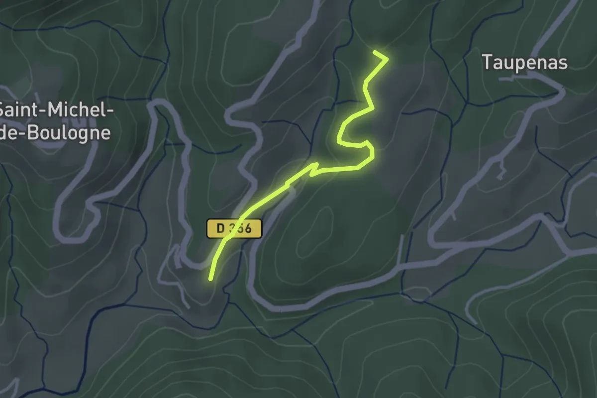
Easy · Trail
Le Château Est - Les Mortiers
2.8 km · ↑ 87 m · 50 min
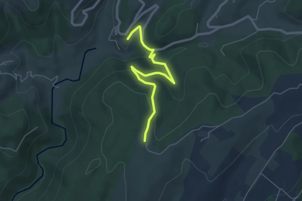
Easy · Trail
Le Château Est - Le Taillé
4.5 km · ↑ 170 m · 1 h 26 min
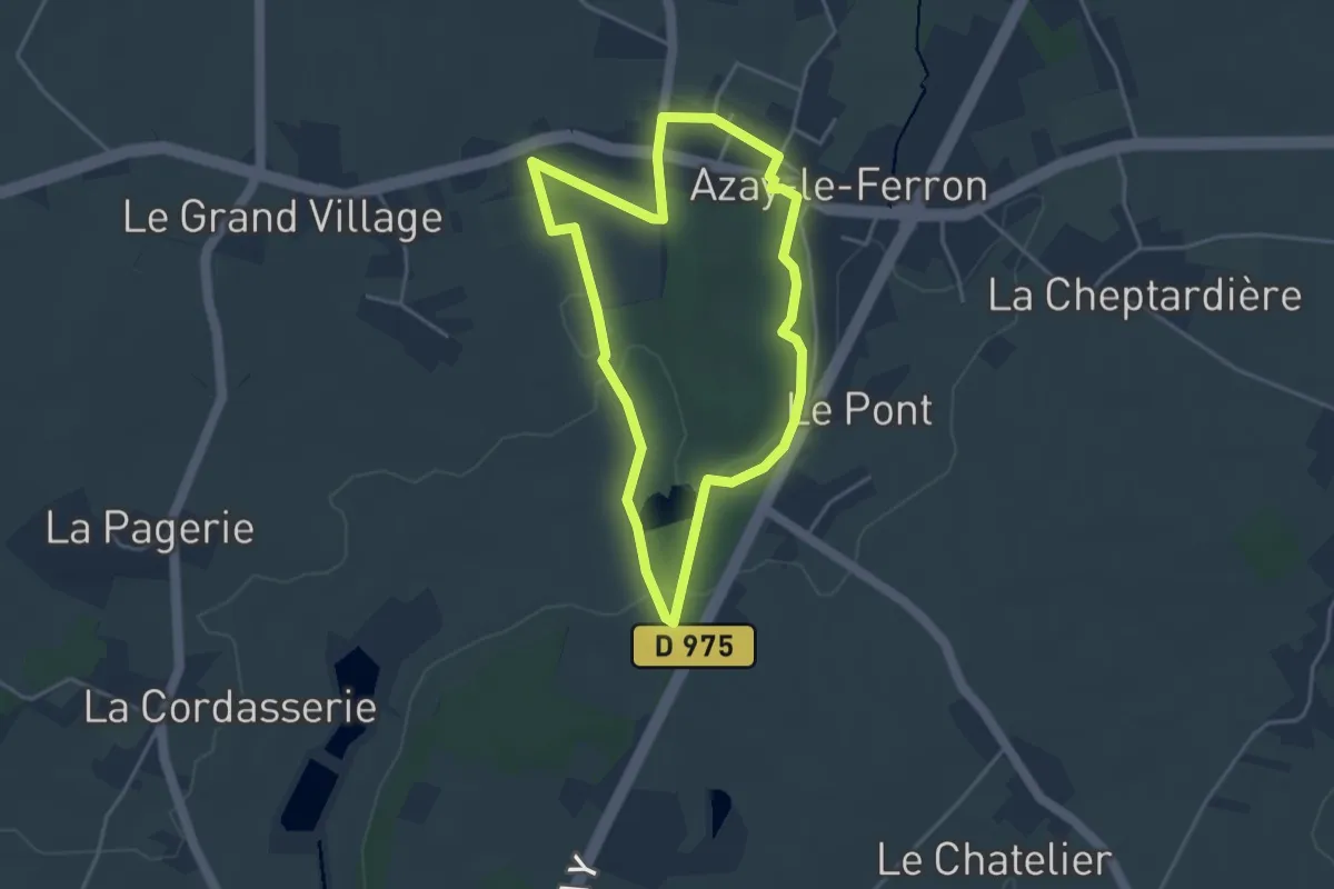
Easy · Trail
Le château et ses demoiselles
3.7 km · ↑ 22 m · 58 min
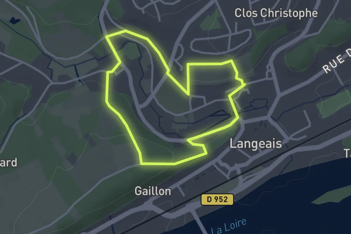
Easy · Trail
Le château - Langeais
2.7 km · ↑ 77 m · 51 min
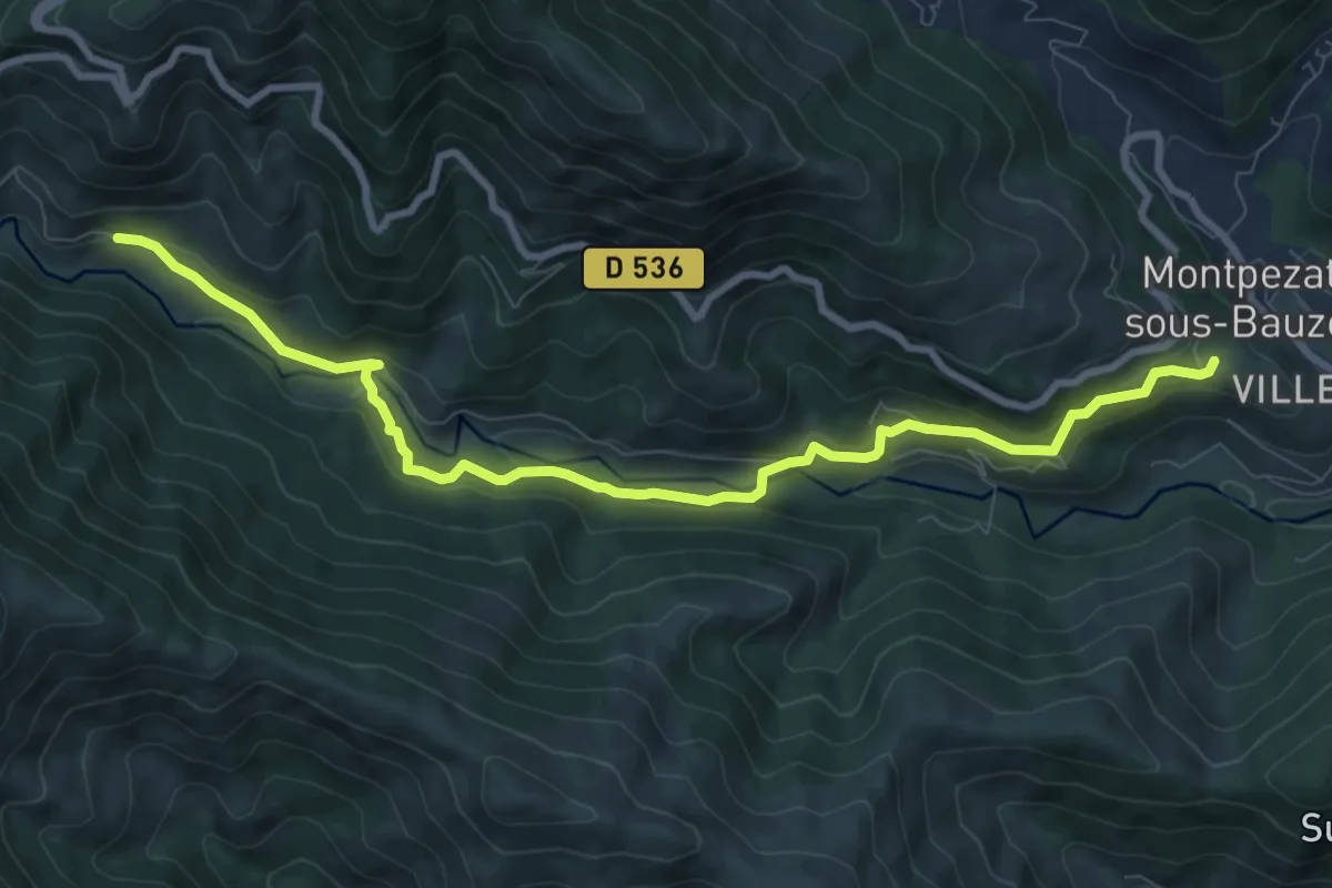
Medium · Trail
Le Château - L'Herm
9.9 km · ↑ 387 m · 3 h 11 min
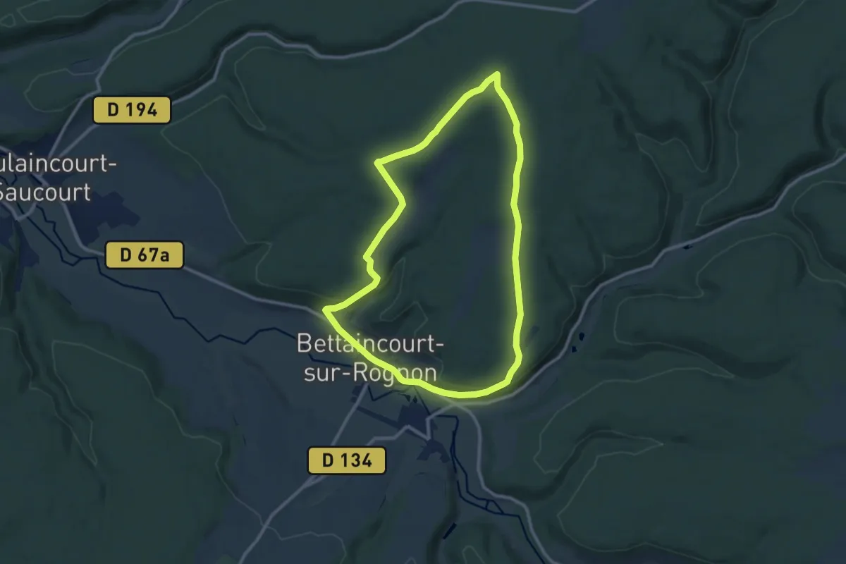
Medium · Trail
Le Château Vert
9.2 km · ↑ 170 m · 2 h 41 min
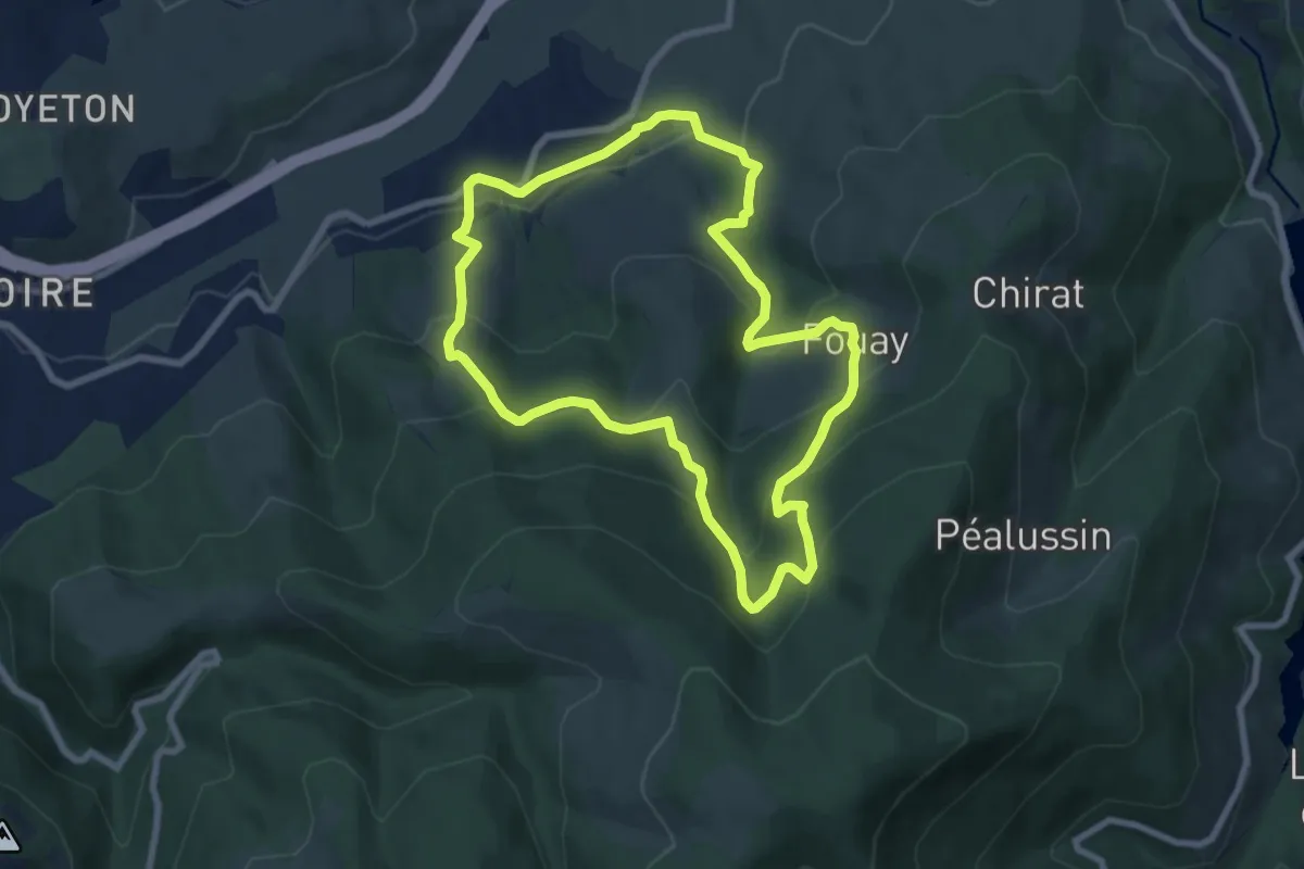
Medium · Trail
Le Chatelet
7.6 km · ↑ 438 m · 2 h 52 min
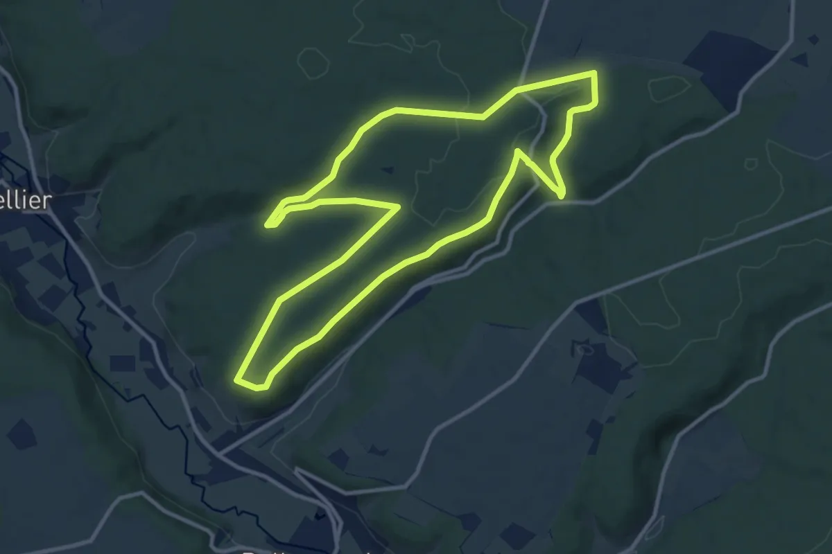
Medium · Trail
Le Châtelet
10.0 km · ↑ 184 m · 2 h 54 min
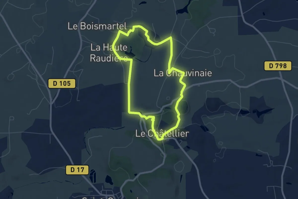
Easy · Trail
Le Chatellier - le cirque du Diable
5.8 km · ↑ 68 m · 1 h 36 min
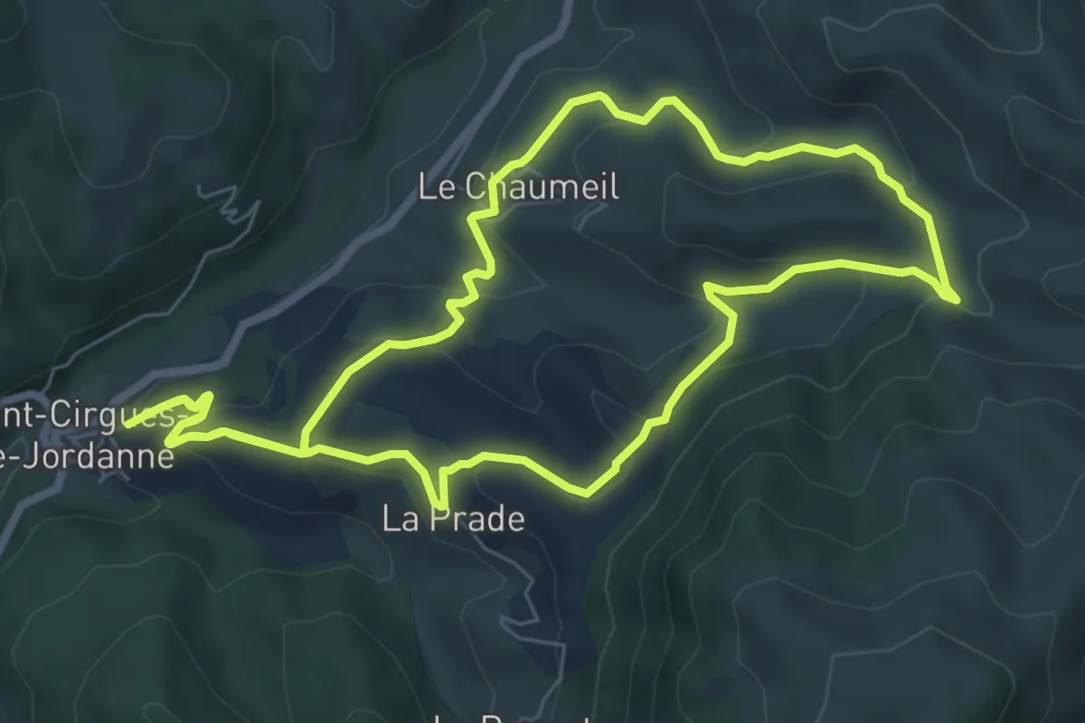
Medium · Trail
Le Chaumeil
7.2 km · ↑ 335 m · 2 h 32 min
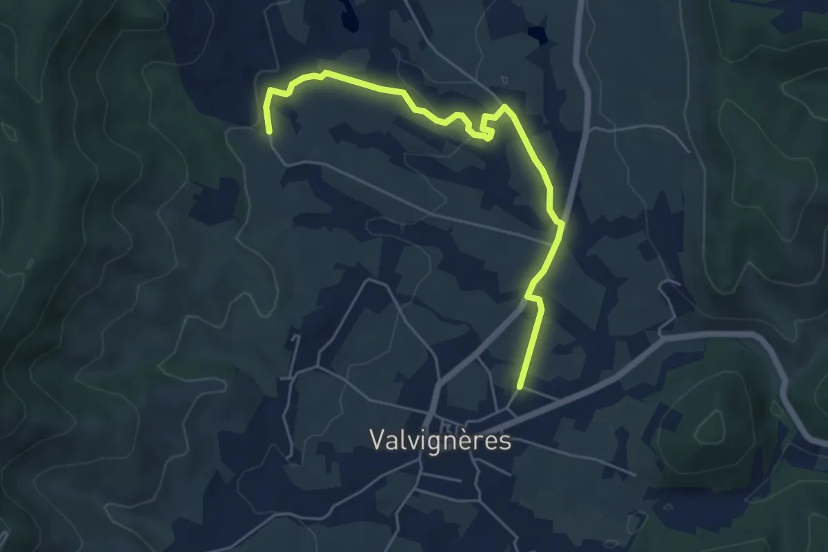
Easy · Trail
Le Chaussay - Mias
5.5 km · ↑ 64 m · 1 h 26 min
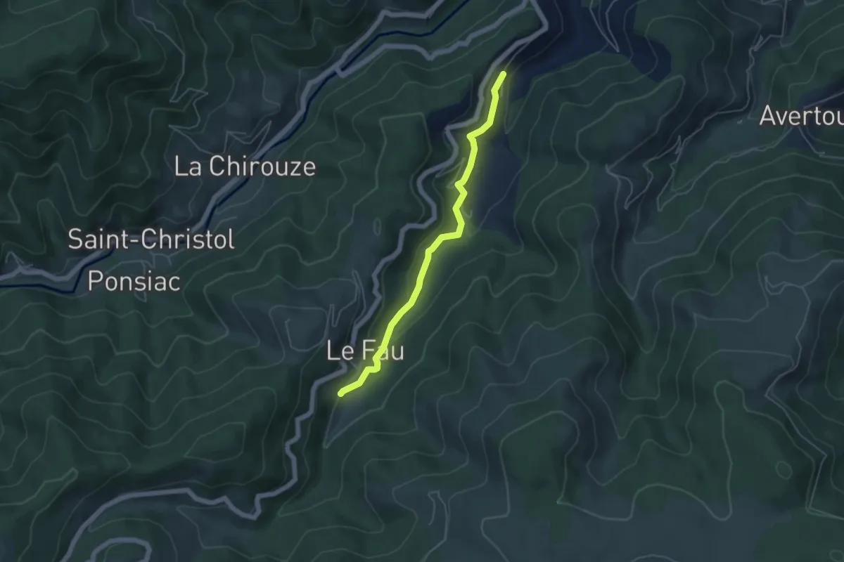
Easy · Trail
Le Chazel - Le Fau Sud
4.7 km · ↑ 210 m · 1 h 34 min
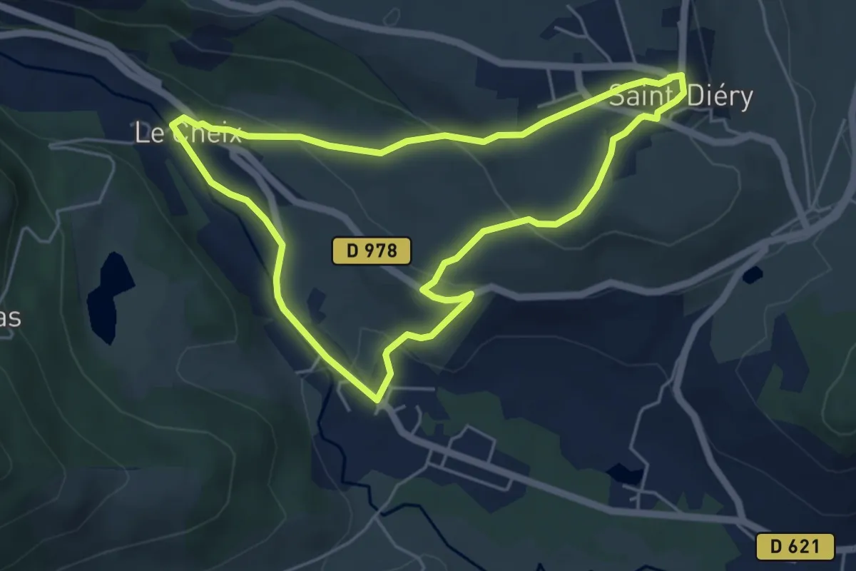
Easy · Trail
Le Cheix
4.7 km · ↑ 128 m · 1 h 27 min
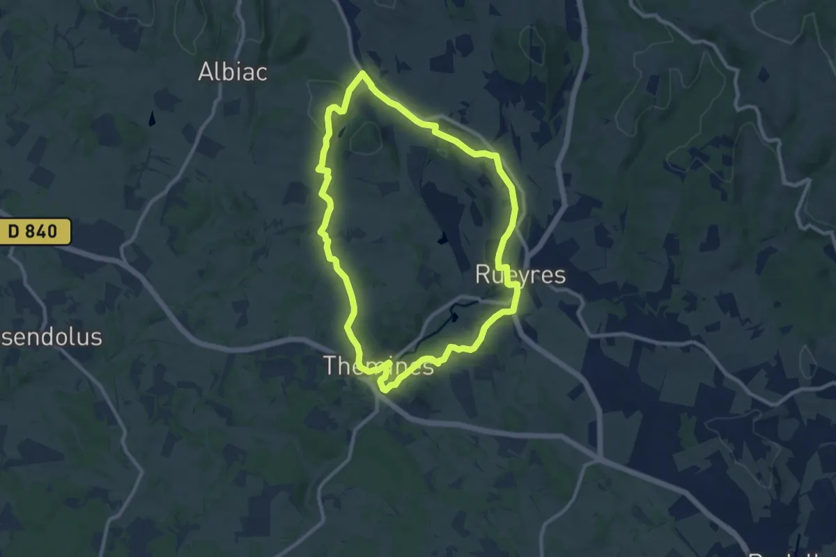
Medium · Trail
Le Chemin aux Deux Visages
9.2 km · ↑ 159 m · 2 h 39 min
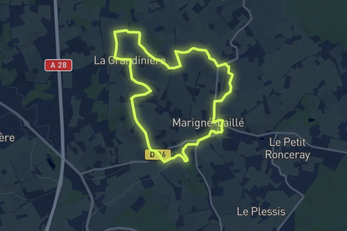
Medium · Trail
Le chemin creux
8.7 km · ↑ 108 m · 2 h 24 min
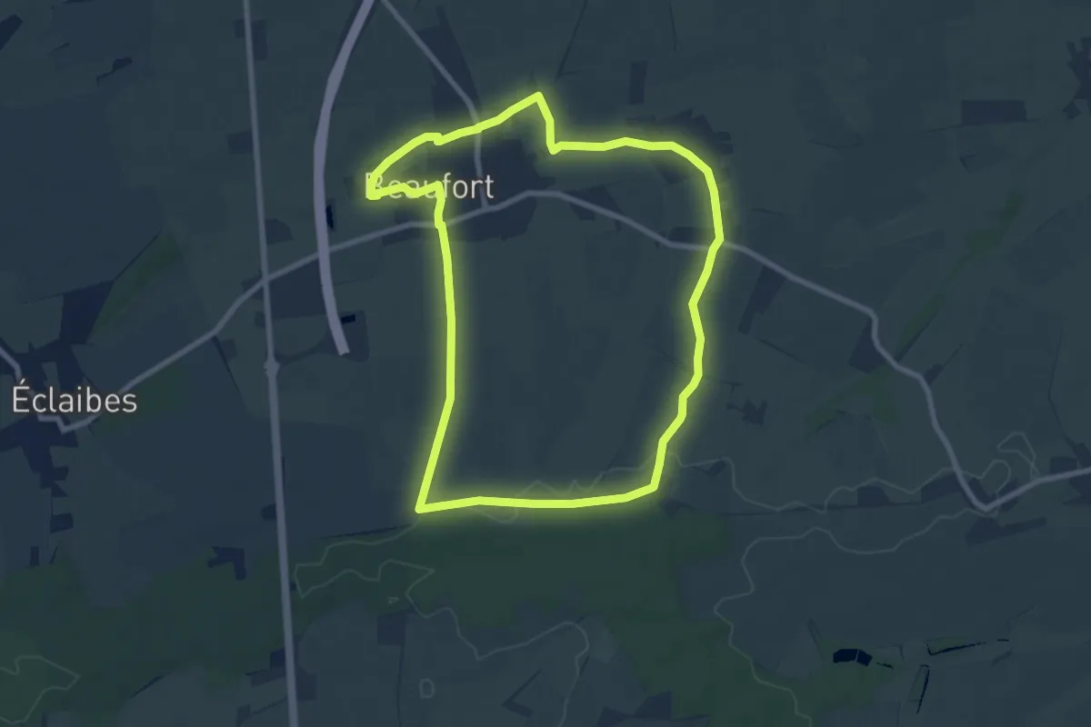
Easy · Trail
Le Chemin d'Avesnes
7.5 km · ↑ 43 m · 1 h 58 min
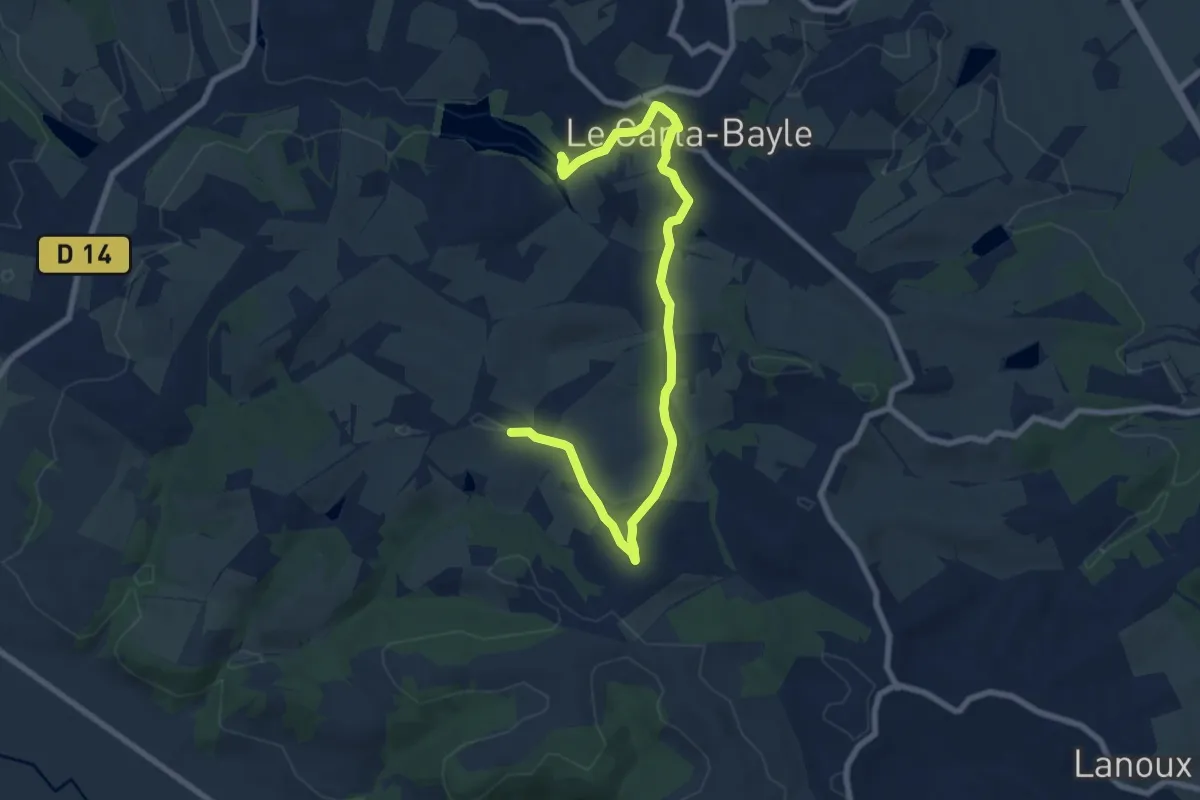
Medium · Summit
Le chemin de Cabanac autour de Carla Bayle
9.6 km · ↑ 189 m · 2 h 48 min